Quick filters:
Alcala on a map Stock Photos and Images
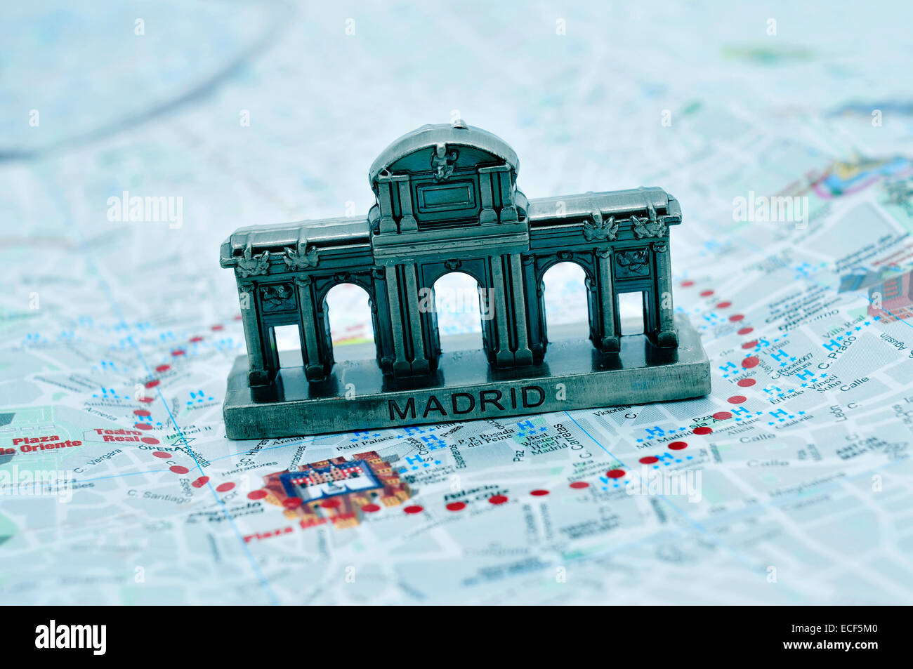 a miniature of the Puerta de Alcala on a map of Madrid, Spain Stock Photohttps://www.alamy.com/image-license-details/?v=1https://www.alamy.com/stock-photo-a-miniature-of-the-puerta-de-alcala-on-a-map-of-madrid-spain-76551104.html
RFECF5M0–a miniature of the Puerta de Alcala on a map of Madrid, Spain
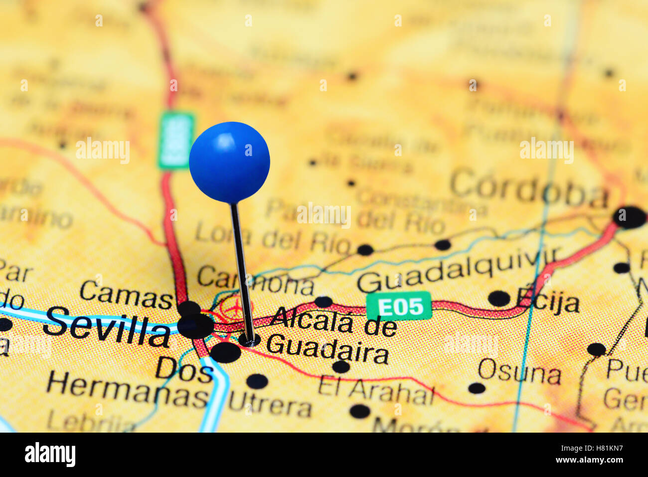 Alcala de Guadaira pinned on a map of Spain Stock Photohttps://www.alamy.com/image-license-details/?v=1https://www.alamy.com/stock-photo-alcala-de-guadaira-pinned-on-a-map-of-spain-125427267.html
RFH81KN7–Alcala de Guadaira pinned on a map of Spain
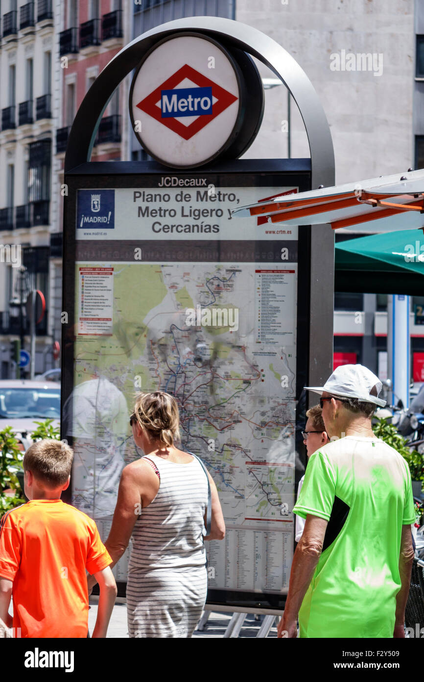 Madrid Spain,Hispanic Centro,Calle de Alcala,map,Metro,station,map,Spain150701068 Stock Photohttps://www.alamy.com/image-license-details/?v=1https://www.alamy.com/stock-photo-madrid-spainhispanic-centrocalle-de-alcalamapmetrostationmapspain150701068-87877785.html
RMF2Y509–Madrid Spain,Hispanic Centro,Calle de Alcala,map,Metro,station,map,Spain150701068
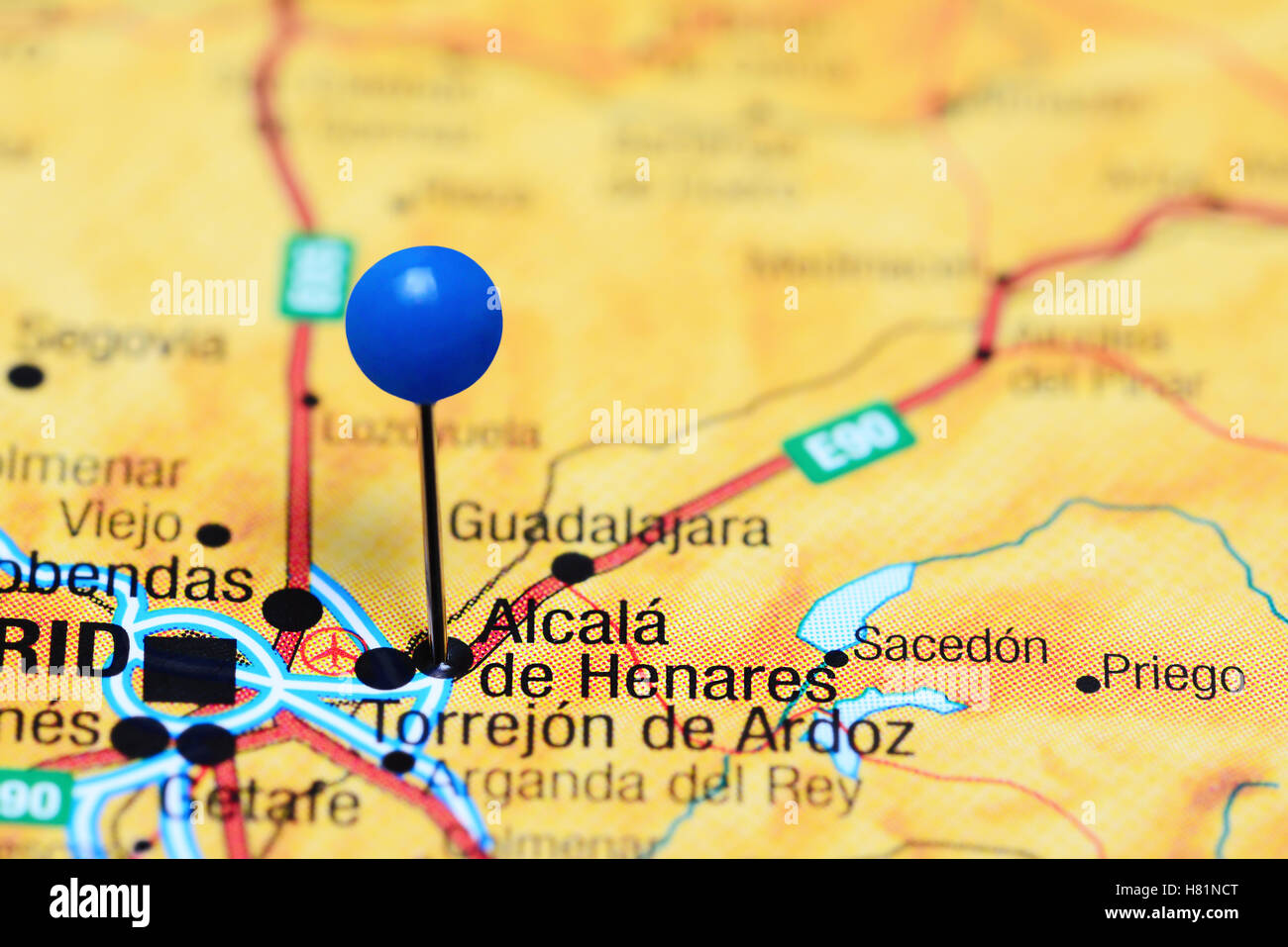 Alcala de Henares pinned on a map of Spain Stock Photohttps://www.alamy.com/image-license-details/?v=1https://www.alamy.com/stock-photo-alcala-de-henares-pinned-on-a-map-of-spain-125428600.html
RFH81NCT–Alcala de Henares pinned on a map of Spain
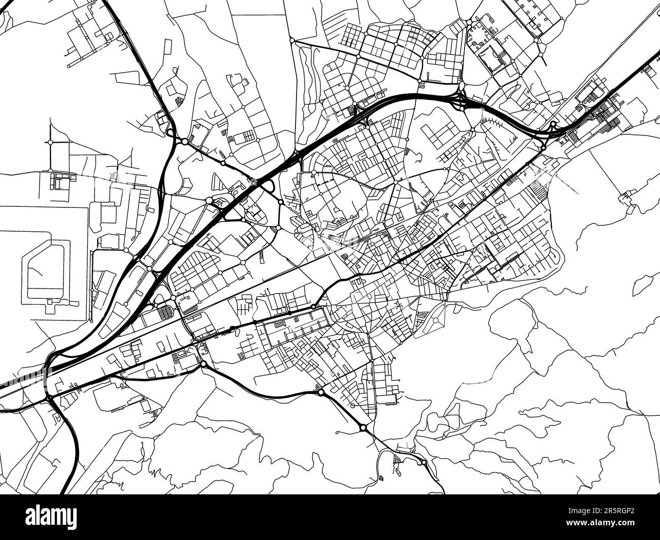 Vector road map of the city of Alcala de Henares in Spain on a white background. Stock Photohttps://www.alamy.com/image-license-details/?v=1https://www.alamy.com/vector-road-map-of-the-city-of-alcala-de-henares-in-spain-on-a-white-background-image554323114.html
RF2R5RGP2–Vector road map of the city of Alcala de Henares in Spain on a white background.
 . English: A stunning map of Andalusia and Grenada, Spain first drawn by Daniel de la Feuille in 1706. Surrounded by thirteen city plans and one city view. From top right in an anti-clockwise fashion these include Malaga, Ecya, Almanza, Cordova, Alcala-Real, Cadix (Cadiz), Gibraltar (view), Sevilla (Seville), Merida, Ayamonte, Anduiar, Granada and Ronda. Title cartouche in the lower right quadrant features four armorial crests representing regional powers. Undecorated Dutch title on left side of the map. This is Paul de la Feuille’s 1747 reissue of his father Daniel’s 1706 map. Prepared for i Stock Photohttps://www.alamy.com/image-license-details/?v=1https://www.alamy.com/english-a-stunning-map-of-andalusia-and-grenada-spain-first-drawn-by-daniel-de-la-feuille-in-1706-surrounded-by-thirteen-city-plans-and-one-city-view-from-top-right-in-an-anti-clockwise-fashion-these-include-malaga-ecya-almanza-cordova-alcala-real-cadix-cadiz-gibraltar-view-sevilla-seville-merida-ayamonte-anduiar-granada-and-ronda-title-cartouche-in-the-lower-right-quadrant-features-four-armorial-crests-representing-regional-powers-undecorated-dutch-title-on-left-side-of-the-map-this-is-paul-de-la-feuilles-1747-reissue-of-his-father-daniels-1706-map-prepared-for-i-image184873266.html
RMMMNKMJ–. English: A stunning map of Andalusia and Grenada, Spain first drawn by Daniel de la Feuille in 1706. Surrounded by thirteen city plans and one city view. From top right in an anti-clockwise fashion these include Malaga, Ecya, Almanza, Cordova, Alcala-Real, Cadix (Cadiz), Gibraltar (view), Sevilla (Seville), Merida, Ayamonte, Anduiar, Granada and Ronda. Title cartouche in the lower right quadrant features four armorial crests representing regional powers. Undecorated Dutch title on left side of the map. This is Paul de la Feuille’s 1747 reissue of his father Daniel’s 1706 map. Prepared for i
 Vector road map of the city of Alcala de Guadaira in Spain on a white background. Stock Photohttps://www.alamy.com/image-license-details/?v=1https://www.alamy.com/vector-road-map-of-the-city-of-alcala-de-guadaira-in-spain-on-a-white-background-image554320971.html
RF2R5RE1F–Vector road map of the city of Alcala de Guadaira in Spain on a white background.