Quick filters:
Alderetes Stock Photos and Images
 Catamarca, province of Argentina. Bilevel elevation map with lakes and rivers. Locations of major cities of the region. Corner auxiliary location maps Stock Photohttps://www.alamy.com/image-license-details/?v=1https://www.alamy.com/catamarca-province-of-argentina-bilevel-elevation-map-with-lakes-and-rivers-locations-of-major-cities-of-the-region-corner-auxiliary-location-maps-image482065470.html
RF2K07YBX–Catamarca, province of Argentina. Bilevel elevation map with lakes and rivers. Locations of major cities of the region. Corner auxiliary location maps
 Catamarca, province of Argentina. Elevation map colored in wiki style with lakes and rivers. Locations and names of major cities of the region. Corner Stock Photohttps://www.alamy.com/image-license-details/?v=1https://www.alamy.com/catamarca-province-of-argentina-elevation-map-colored-in-wiki-style-with-lakes-and-rivers-locations-and-names-of-major-cities-of-the-region-corner-image482067704.html
RF2K0827M–Catamarca, province of Argentina. Elevation map colored in wiki style with lakes and rivers. Locations and names of major cities of the region. Corner
 Catamarca, province of Argentina. Bilevel elevation map with lakes and rivers. Locations and names of major cities of the region. Corner auxiliary loc Stock Photohttps://www.alamy.com/image-license-details/?v=1https://www.alamy.com/catamarca-province-of-argentina-bilevel-elevation-map-with-lakes-and-rivers-locations-and-names-of-major-cities-of-the-region-corner-auxiliary-loc-image482065733.html
RF2K07YN9–Catamarca, province of Argentina. Bilevel elevation map with lakes and rivers. Locations and names of major cities of the region. Corner auxiliary loc
 Catamarca, province of Argentina. Grayscale elevation map with lakes and rivers. Locations and names of major cities of the region. Corner auxiliary l Stock Photohttps://www.alamy.com/image-license-details/?v=1https://www.alamy.com/catamarca-province-of-argentina-grayscale-elevation-map-with-lakes-and-rivers-locations-and-names-of-major-cities-of-the-region-corner-auxiliary-l-image482066155.html
RF2K0808B–Catamarca, province of Argentina. Grayscale elevation map with lakes and rivers. Locations and names of major cities of the region. Corner auxiliary l
 Catamarca, province of Argentina. Open Street Map. Locations and names of major cities of the region. Corner auxiliary location maps Stock Photohttps://www.alamy.com/image-license-details/?v=1https://www.alamy.com/catamarca-province-of-argentina-open-street-map-locations-and-names-of-major-cities-of-the-region-corner-auxiliary-location-maps-image482066844.html
RF2K08150–Catamarca, province of Argentina. Open Street Map. Locations and names of major cities of the region. Corner auxiliary location maps
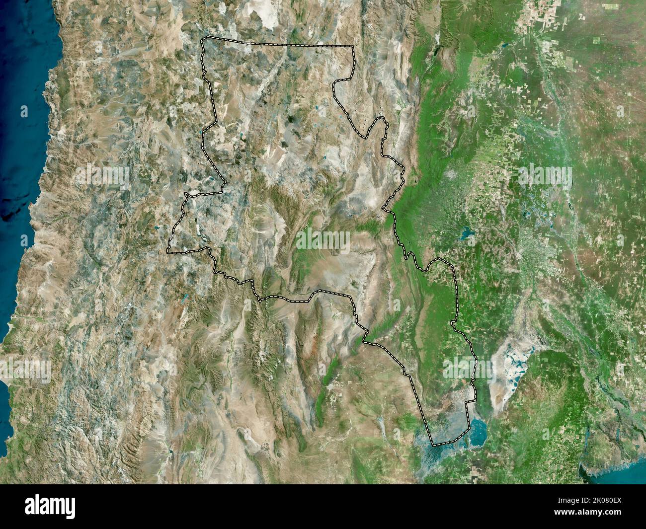 Catamarca, province of Argentina. High resolution satellite map Stock Photohttps://www.alamy.com/image-license-details/?v=1https://www.alamy.com/catamarca-province-of-argentina-high-resolution-satellite-map-image482066338.html
RF2K080EX–Catamarca, province of Argentina. High resolution satellite map
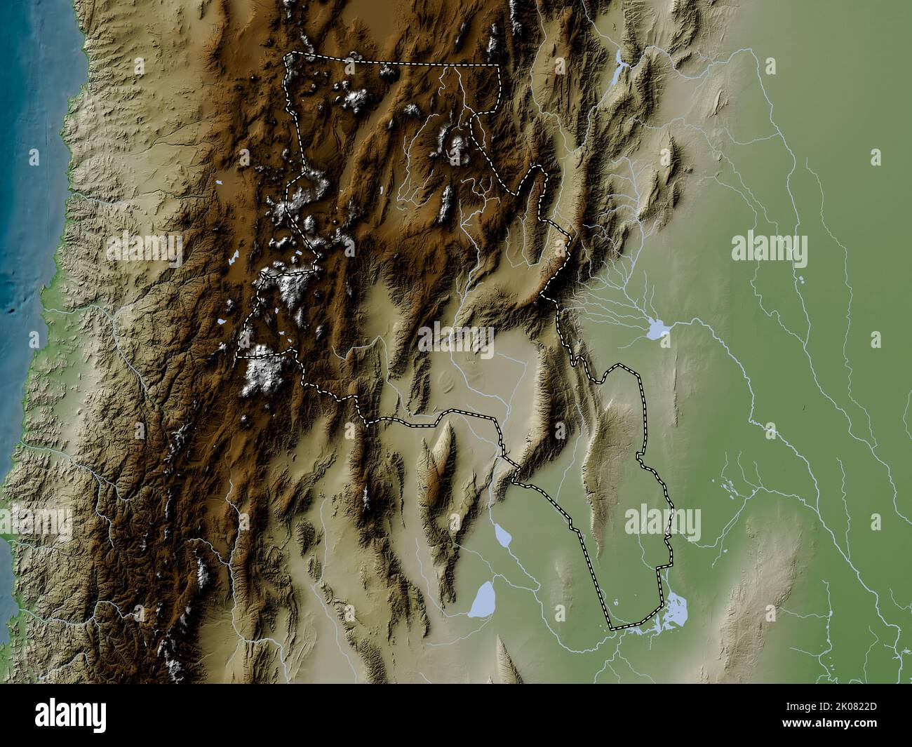 Catamarca, province of Argentina. Elevation map colored in wiki style with lakes and rivers Stock Photohttps://www.alamy.com/image-license-details/?v=1https://www.alamy.com/catamarca-province-of-argentina-elevation-map-colored-in-wiki-style-with-lakes-and-rivers-image482067557.html
RF2K0822D–Catamarca, province of Argentina. Elevation map colored in wiki style with lakes and rivers
 Catamarca, province of Argentina. Solid color shape Stock Photohttps://www.alamy.com/image-license-details/?v=1https://www.alamy.com/catamarca-province-of-argentina-solid-color-shape-image482067085.html
RF2K081DH–Catamarca, province of Argentina. Solid color shape
 Catamarca, province of Argentina. Colored elevation map with lakes and rivers. Locations and names of major cities of the region. Corner auxiliary loc Stock Photohttps://www.alamy.com/image-license-details/?v=1https://www.alamy.com/catamarca-province-of-argentina-colored-elevation-map-with-lakes-and-rivers-locations-and-names-of-major-cities-of-the-region-corner-auxiliary-loc-image482067007.html
RF2K081AR–Catamarca, province of Argentina. Colored elevation map with lakes and rivers. Locations and names of major cities of the region. Corner auxiliary loc
 Catamarca, province of Argentina. Elevation map colored in sepia tones with lakes and rivers. Locations and names of major cities of the region. Corne Stock Photohttps://www.alamy.com/image-license-details/?v=1https://www.alamy.com/catamarca-province-of-argentina-elevation-map-colored-in-sepia-tones-with-lakes-and-rivers-locations-and-names-of-major-cities-of-the-region-corne-image482067277.html
RF2K081MD–Catamarca, province of Argentina. Elevation map colored in sepia tones with lakes and rivers. Locations and names of major cities of the region. Corne
 Catamarca, province of Argentina. Colored elevation map with lakes and rivers. Locations of major cities of the region. Corner auxiliary location maps Stock Photohttps://www.alamy.com/image-license-details/?v=1https://www.alamy.com/catamarca-province-of-argentina-colored-elevation-map-with-lakes-and-rivers-locations-of-major-cities-of-the-region-corner-auxiliary-location-maps-image482066929.html
RF2K08181–Catamarca, province of Argentina. Colored elevation map with lakes and rivers. Locations of major cities of the region. Corner auxiliary location maps
 Catamarca, province of Argentina. Low resolution satellite map. Locations and names of major cities of the region. Corner auxiliary location maps Stock Photohttps://www.alamy.com/image-license-details/?v=1https://www.alamy.com/catamarca-province-of-argentina-low-resolution-satellite-map-locations-and-names-of-major-cities-of-the-region-corner-auxiliary-location-maps-image482066656.html
RF2K080X8–Catamarca, province of Argentina. Low resolution satellite map. Locations and names of major cities of the region. Corner auxiliary location maps
 Catamarca, province of Argentina. Solid color shape. Locations and names of major cities of the region. Corner auxiliary location maps Stock Photohttps://www.alamy.com/image-license-details/?v=1https://www.alamy.com/catamarca-province-of-argentina-solid-color-shape-locations-and-names-of-major-cities-of-the-region-corner-auxiliary-location-maps-image482067086.html
RF2K081DJ–Catamarca, province of Argentina. Solid color shape. Locations and names of major cities of the region. Corner auxiliary location maps
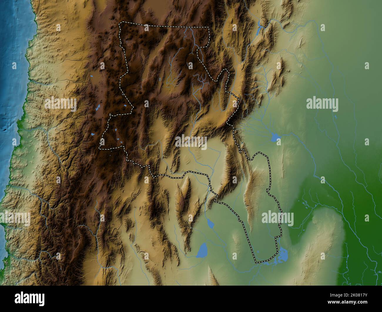 Catamarca, province of Argentina. Colored elevation map with lakes and rivers Stock Photohttps://www.alamy.com/image-license-details/?v=1https://www.alamy.com/catamarca-province-of-argentina-colored-elevation-map-with-lakes-and-rivers-image482066927.html
RF2K0817Y–Catamarca, province of Argentina. Colored elevation map with lakes and rivers
 Catamarca, province of Argentina. High resolution satellite map. Locations and names of major cities of the region. Corner auxiliary location maps Stock Photohttps://www.alamy.com/image-license-details/?v=1https://www.alamy.com/catamarca-province-of-argentina-high-resolution-satellite-map-locations-and-names-of-major-cities-of-the-region-corner-auxiliary-location-maps-image482066331.html
RF2K080EK–Catamarca, province of Argentina. High resolution satellite map. Locations and names of major cities of the region. Corner auxiliary location maps
 Catamarca, province of Argentina. Elevation map colored in sepia tones with lakes and rivers Stock Photohttps://www.alamy.com/image-license-details/?v=1https://www.alamy.com/catamarca-province-of-argentina-elevation-map-colored-in-sepia-tones-with-lakes-and-rivers-image482067292.html
RF2K081N0–Catamarca, province of Argentina. Elevation map colored in sepia tones with lakes and rivers
 Catamarca, province of Argentina. Open Street Map. Locations of major cities of the region. Corner auxiliary location maps Stock Photohttps://www.alamy.com/image-license-details/?v=1https://www.alamy.com/catamarca-province-of-argentina-open-street-map-locations-of-major-cities-of-the-region-corner-auxiliary-location-maps-image482066784.html
RF2K0812T–Catamarca, province of Argentina. Open Street Map. Locations of major cities of the region. Corner auxiliary location maps
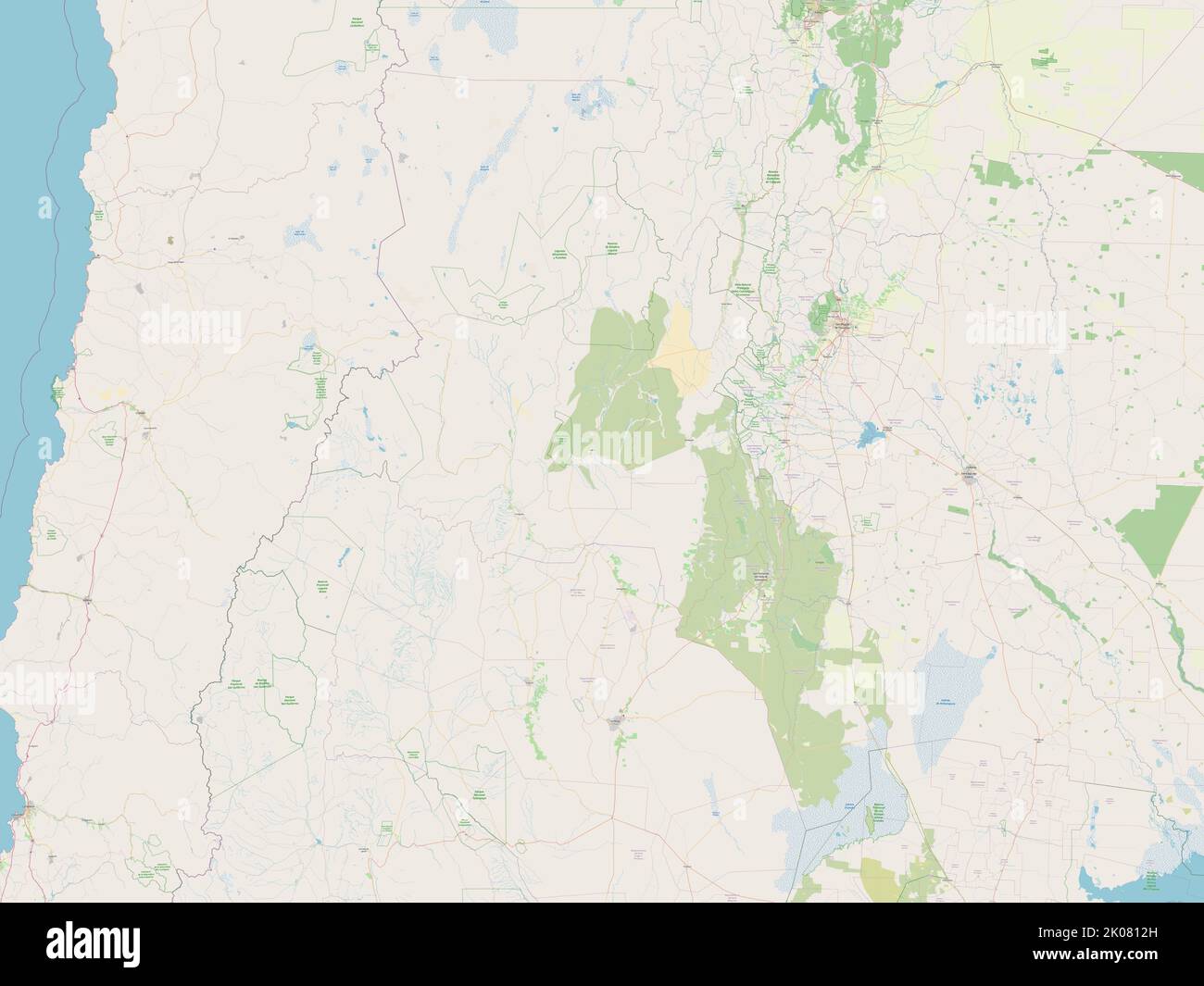 Catamarca, province of Argentina. Open Street Map Stock Photohttps://www.alamy.com/image-license-details/?v=1https://www.alamy.com/catamarca-province-of-argentina-open-street-map-image482066777.html
RF2K0812H–Catamarca, province of Argentina. Open Street Map
 Catamarca, province of Argentina. Elevation map colored in sepia tones with lakes and rivers. Locations of major cities of the region. Corner auxiliar Stock Photohttps://www.alamy.com/image-license-details/?v=1https://www.alamy.com/catamarca-province-of-argentina-elevation-map-colored-in-sepia-tones-with-lakes-and-rivers-locations-of-major-cities-of-the-region-corner-auxiliar-image482067179.html
RF2K081GY–Catamarca, province of Argentina. Elevation map colored in sepia tones with lakes and rivers. Locations of major cities of the region. Corner auxiliar
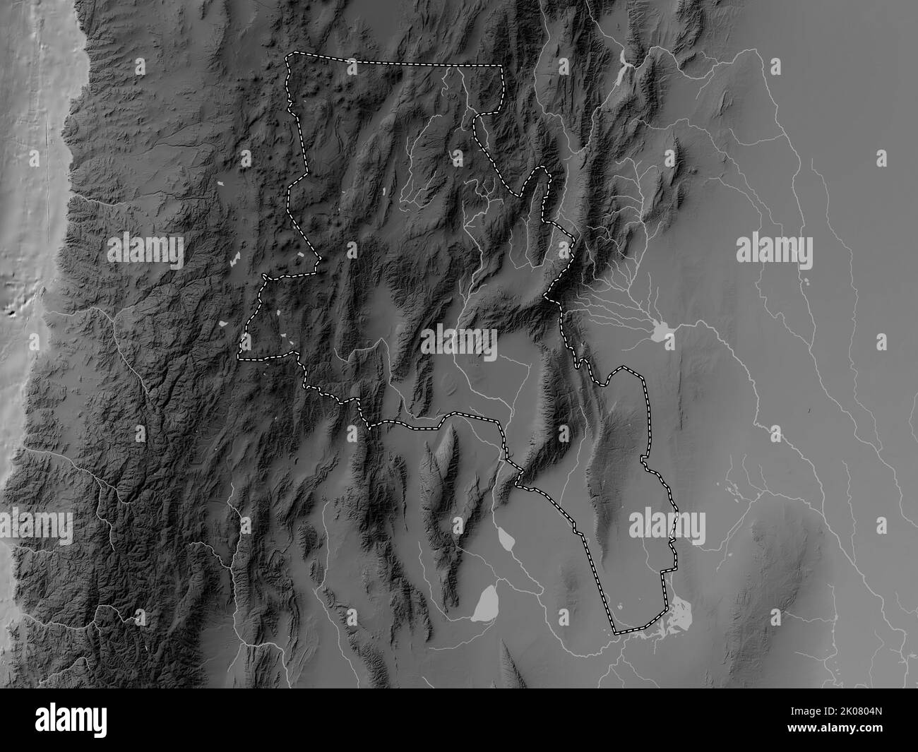 Catamarca, province of Argentina. Grayscale elevation map with lakes and rivers Stock Photohttps://www.alamy.com/image-license-details/?v=1https://www.alamy.com/catamarca-province-of-argentina-grayscale-elevation-map-with-lakes-and-rivers-image482066053.html
RF2K0804N–Catamarca, province of Argentina. Grayscale elevation map with lakes and rivers
 Catamarca, province of Argentina. High resolution satellite map. Locations of major cities of the region. Corner auxiliary location maps Stock Photohttps://www.alamy.com/image-license-details/?v=1https://www.alamy.com/catamarca-province-of-argentina-high-resolution-satellite-map-locations-of-major-cities-of-the-region-corner-auxiliary-location-maps-image482066237.html
RF2K080B9–Catamarca, province of Argentina. High resolution satellite map. Locations of major cities of the region. Corner auxiliary location maps
 Catamarca, province of Argentina. Low resolution satellite map. Locations of major cities of the region. Corner auxiliary location maps Stock Photohttps://www.alamy.com/image-license-details/?v=1https://www.alamy.com/catamarca-province-of-argentina-low-resolution-satellite-map-locations-of-major-cities-of-the-region-corner-auxiliary-location-maps-image482066512.html
RF2K080N4–Catamarca, province of Argentina. Low resolution satellite map. Locations of major cities of the region. Corner auxiliary location maps
 Catamarca, province of Argentina. Bilevel elevation map with lakes and rivers Stock Photohttps://www.alamy.com/image-license-details/?v=1https://www.alamy.com/catamarca-province-of-argentina-bilevel-elevation-map-with-lakes-and-rivers-image482065639.html
RF2K07YHY–Catamarca, province of Argentina. Bilevel elevation map with lakes and rivers
 Catamarca, province of Argentina. Elevation map colored in wiki style with lakes and rivers. Locations of major cities of the region. Corner auxiliary Stock Photohttps://www.alamy.com/image-license-details/?v=1https://www.alamy.com/catamarca-province-of-argentina-elevation-map-colored-in-wiki-style-with-lakes-and-rivers-locations-of-major-cities-of-the-region-corner-auxiliary-image482067443.html
RF2K081XB–Catamarca, province of Argentina. Elevation map colored in wiki style with lakes and rivers. Locations of major cities of the region. Corner auxiliary
 Catamarca, province of Argentina. Solid color shape. Locations of major cities of the region. Corner auxiliary location maps Stock Photohttps://www.alamy.com/image-license-details/?v=1https://www.alamy.com/catamarca-province-of-argentina-solid-color-shape-locations-of-major-cities-of-the-region-corner-auxiliary-location-maps-image482067101.html
RF2K081E5–Catamarca, province of Argentina. Solid color shape. Locations of major cities of the region. Corner auxiliary location maps
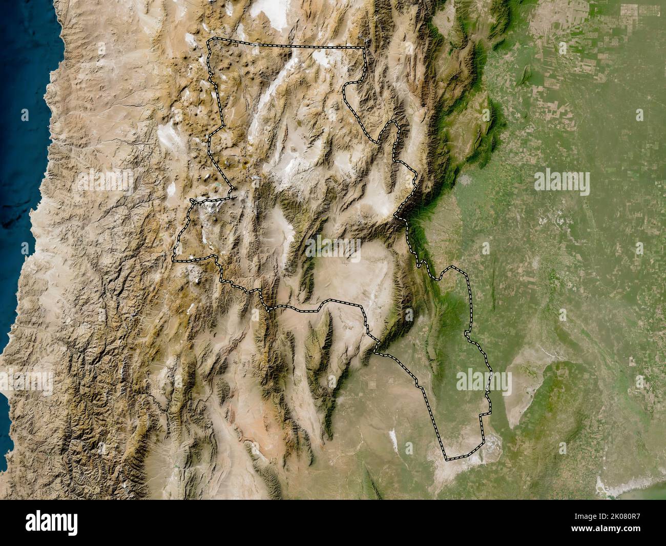 Catamarca, province of Argentina. Low resolution satellite map Stock Photohttps://www.alamy.com/image-license-details/?v=1https://www.alamy.com/catamarca-province-of-argentina-low-resolution-satellite-map-image482066571.html
RF2K080R7–Catamarca, province of Argentina. Low resolution satellite map
 Catamarca, province of Argentina. Grayscale elevation map with lakes and rivers. Locations of major cities of the region. Corner auxiliary location ma Stock Photohttps://www.alamy.com/image-license-details/?v=1https://www.alamy.com/catamarca-province-of-argentina-grayscale-elevation-map-with-lakes-and-rivers-locations-of-major-cities-of-the-region-corner-auxiliary-location-ma-image482065920.html
RF2K08000–Catamarca, province of Argentina. Grayscale elevation map with lakes and rivers. Locations of major cities of the region. Corner auxiliary location ma
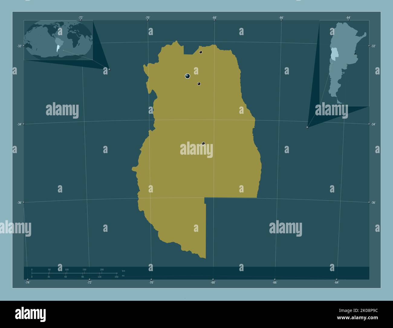 Mendoza, province of Argentina. Solid color shape. Locations of major cities of the region. Corner auxiliary location maps Stock Photohttps://www.alamy.com/image-license-details/?v=1https://www.alamy.com/mendoza-province-of-argentina-solid-color-shape-locations-of-major-cities-of-the-region-corner-auxiliary-location-maps-image482083432.html
RF2K08P9C–Mendoza, province of Argentina. Solid color shape. Locations of major cities of the region. Corner auxiliary location maps
 Salta, province of Argentina. Solid color shape. Locations of major cities of the region. Corner auxiliary location maps Stock Photohttps://www.alamy.com/image-license-details/?v=1https://www.alamy.com/salta-province-of-argentina-solid-color-shape-locations-of-major-cities-of-the-region-corner-auxiliary-location-maps-image482087144.html
RF2K08Y20–Salta, province of Argentina. Solid color shape. Locations of major cities of the region. Corner auxiliary location maps
 Chubut, province of Argentina. Open Street Map. Locations and names of major cities of the region. Corner auxiliary location maps Stock Photohttps://www.alamy.com/image-license-details/?v=1https://www.alamy.com/chubut-province-of-argentina-open-street-map-locations-and-names-of-major-cities-of-the-region-corner-auxiliary-location-maps-image482070627.html
RF2K08603–Chubut, province of Argentina. Open Street Map. Locations and names of major cities of the region. Corner auxiliary location maps
 Cordoba, province of Argentina. Elevation map colored in wiki style with lakes and rivers. Locations of major cities of the region. Corner auxiliary l Stock Photohttps://www.alamy.com/image-license-details/?v=1https://www.alamy.com/cordoba-province-of-argentina-elevation-map-colored-in-wiki-style-with-lakes-and-rivers-locations-of-major-cities-of-the-region-corner-auxiliary-l-image482072551.html
RF2K088CR–Cordoba, province of Argentina. Elevation map colored in wiki style with lakes and rivers. Locations of major cities of the region. Corner auxiliary l
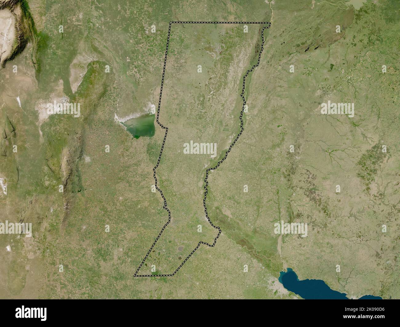 Santa Fe, province of Argentina. Low resolution satellite map Stock Photohttps://www.alamy.com/image-license-details/?v=1https://www.alamy.com/santa-fe-province-of-argentina-low-resolution-satellite-map-image482088242.html
RF2K090D6–Santa Fe, province of Argentina. Low resolution satellite map
 Buenos Aires, province of Argentina. Solid color shape. Locations of major cities of the region. Corner auxiliary location maps Stock Photohttps://www.alamy.com/image-license-details/?v=1https://www.alamy.com/buenos-aires-province-of-argentina-solid-color-shape-locations-of-major-cities-of-the-region-corner-auxiliary-location-maps-image482065045.html
RF2K07XTN–Buenos Aires, province of Argentina. Solid color shape. Locations of major cities of the region. Corner auxiliary location maps
 La Rioja, province of Argentina. Elevation map colored in sepia tones with lakes and rivers. Locations of major cities of the region. Corner auxiliary Stock Photohttps://www.alamy.com/image-license-details/?v=1https://www.alamy.com/la-rioja-province-of-argentina-elevation-map-colored-in-sepia-tones-with-lakes-and-rivers-locations-of-major-cities-of-the-region-corner-auxiliary-image482081613.html
RF2K08M0D–La Rioja, province of Argentina. Elevation map colored in sepia tones with lakes and rivers. Locations of major cities of the region. Corner auxiliary
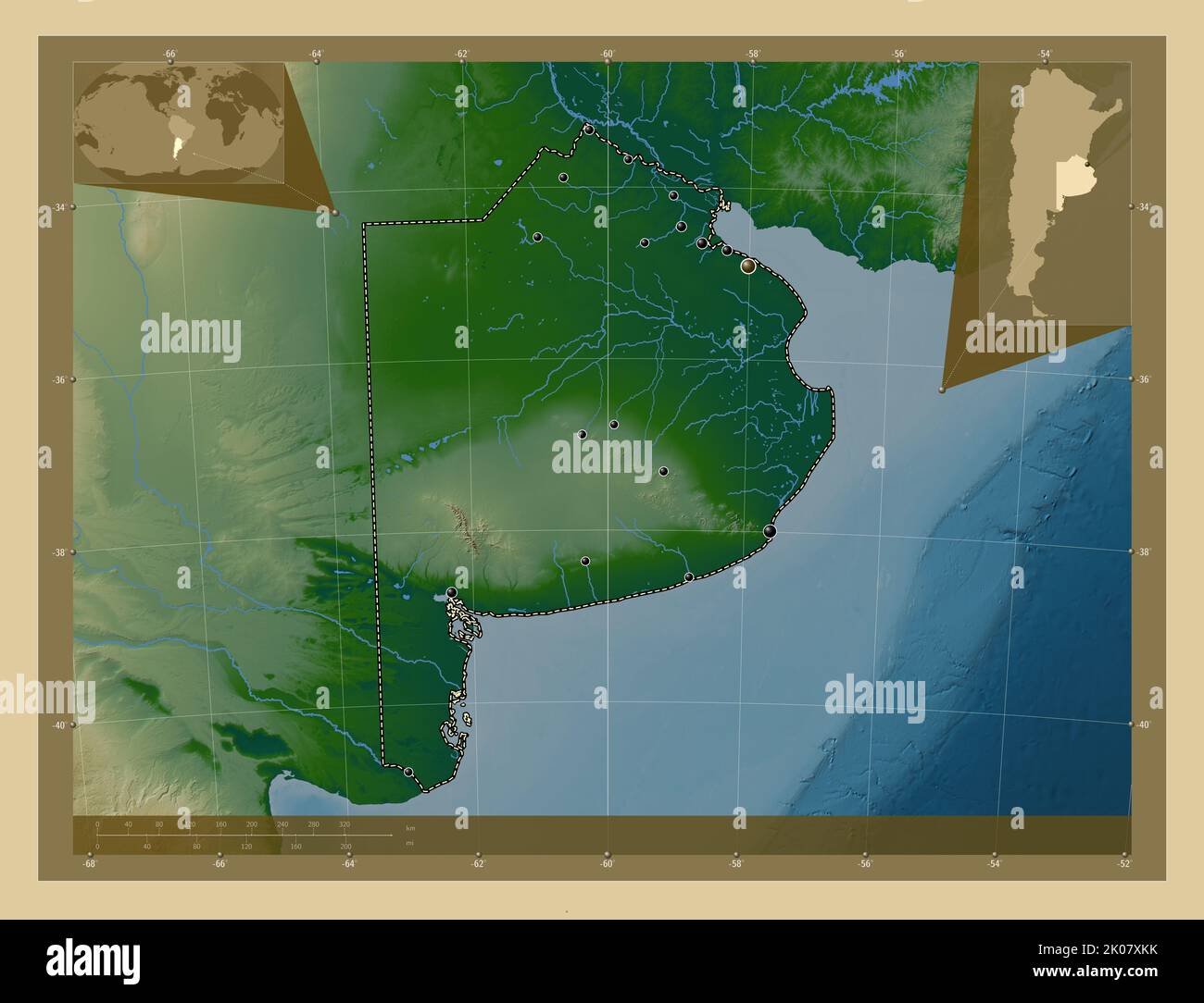 Buenos Aires, province of Argentina. Colored elevation map with lakes and rivers. Locations of major cities of the region. Corner auxiliary location m Stock Photohttps://www.alamy.com/image-license-details/?v=1https://www.alamy.com/buenos-aires-province-of-argentina-colored-elevation-map-with-lakes-and-rivers-locations-of-major-cities-of-the-region-corner-auxiliary-location-m-image482064903.html
RF2K07XKK–Buenos Aires, province of Argentina. Colored elevation map with lakes and rivers. Locations of major cities of the region. Corner auxiliary location m
 Chubut, province of Argentina. Bilevel elevation map with lakes and rivers. Locations of major cities of the region. Corner auxiliary location maps Stock Photohttps://www.alamy.com/image-license-details/?v=1https://www.alamy.com/chubut-province-of-argentina-bilevel-elevation-map-with-lakes-and-rivers-locations-of-major-cities-of-the-region-corner-auxiliary-location-maps-image482069945.html
RF2K0853N–Chubut, province of Argentina. Bilevel elevation map with lakes and rivers. Locations of major cities of the region. Corner auxiliary location maps
 Chaco, province of Argentina. Bilevel elevation map with lakes and rivers. Locations and names of major cities of the region. Corner auxiliary locatio Stock Photohttps://www.alamy.com/image-license-details/?v=1https://www.alamy.com/chaco-province-of-argentina-bilevel-elevation-map-with-lakes-and-rivers-locations-and-names-of-major-cities-of-the-region-corner-auxiliary-locatio-image482067825.html
RF2K082C1–Chaco, province of Argentina. Bilevel elevation map with lakes and rivers. Locations and names of major cities of the region. Corner auxiliary locatio
 Santiago del Estero, province of Argentina. Elevation map colored in wiki style with lakes and rivers Stock Photohttps://www.alamy.com/image-license-details/?v=1https://www.alamy.com/santiago-del-estero-province-of-argentina-elevation-map-colored-in-wiki-style-with-lakes-and-rivers-image482088526.html
RF2K090RA–Santiago del Estero, province of Argentina. Elevation map colored in wiki style with lakes and rivers
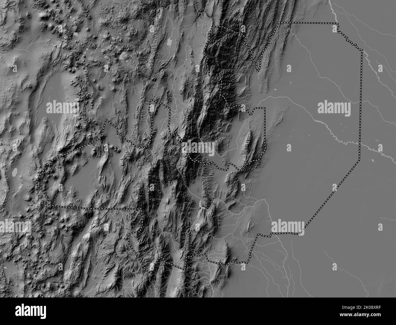 Salta, province of Argentina. Bilevel elevation map with lakes and rivers Stock Photohttps://www.alamy.com/image-license-details/?v=1https://www.alamy.com/salta-province-of-argentina-bilevel-elevation-map-with-lakes-and-rivers-image482086963.html
RF2K08XRF–Salta, province of Argentina. Bilevel elevation map with lakes and rivers
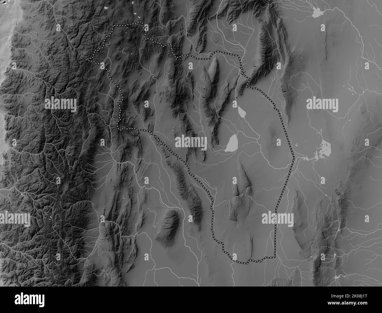 La Rioja, province of Argentina. Grayscale elevation map with lakes and rivers Stock Photohttps://www.alamy.com/image-license-details/?v=1https://www.alamy.com/la-rioja-province-of-argentina-grayscale-elevation-map-with-lakes-and-rivers-image482080084.html
RF2K08J1T–La Rioja, province of Argentina. Grayscale elevation map with lakes and rivers
 Mendoza, province of Argentina. Grayscale elevation map with lakes and rivers. Locations and names of major cities of the region. Corner auxiliary loc Stock Photohttps://www.alamy.com/image-license-details/?v=1https://www.alamy.com/mendoza-province-of-argentina-grayscale-elevation-map-with-lakes-and-rivers-locations-and-names-of-major-cities-of-the-region-corner-auxiliary-loc-image482082369.html
RF2K08MYD–Mendoza, province of Argentina. Grayscale elevation map with lakes and rivers. Locations and names of major cities of the region. Corner auxiliary loc
 San Juan, province of Argentina. Colored elevation map with lakes and rivers. Locations of major cities of the region. Corner auxiliary location maps Stock Photohttps://www.alamy.com/image-license-details/?v=1https://www.alamy.com/san-juan-province-of-argentina-colored-elevation-map-with-lakes-and-rivers-locations-of-major-cities-of-the-region-corner-auxiliary-location-maps-image482087558.html
RF2K08YGP–San Juan, province of Argentina. Colored elevation map with lakes and rivers. Locations of major cities of the region. Corner auxiliary location maps
 Chaco, province of Argentina. Grayscale elevation map with lakes and rivers. Locations and names of major cities of the region. Corner auxiliary locat Stock Photohttps://www.alamy.com/image-license-details/?v=1https://www.alamy.com/chaco-province-of-argentina-grayscale-elevation-map-with-lakes-and-rivers-locations-and-names-of-major-cities-of-the-region-corner-auxiliary-locat-image482068102.html
RF2K082NX–Chaco, province of Argentina. Grayscale elevation map with lakes and rivers. Locations and names of major cities of the region. Corner auxiliary locat
 San Juan, province of Argentina. Grayscale elevation map with lakes and rivers Stock Photohttps://www.alamy.com/image-license-details/?v=1https://www.alamy.com/san-juan-province-of-argentina-grayscale-elevation-map-with-lakes-and-rivers-image482087294.html
RF2K08Y7A–San Juan, province of Argentina. Grayscale elevation map with lakes and rivers
 Corrientes, province of Argentina. Elevation map colored in wiki style with lakes and rivers. Locations of major cities of the region. Corner auxiliar Stock Photohttps://www.alamy.com/image-license-details/?v=1https://www.alamy.com/corrientes-province-of-argentina-elevation-map-colored-in-wiki-style-with-lakes-and-rivers-locations-of-major-cities-of-the-region-corner-auxiliar-image482073931.html
RF2K08A63–Corrientes, province of Argentina. Elevation map colored in wiki style with lakes and rivers. Locations of major cities of the region. Corner auxiliar
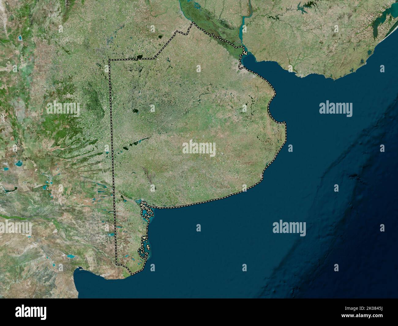 Buenos Aires, province of Argentina. High resolution satellite map Stock Photohttps://www.alamy.com/image-license-details/?v=1https://www.alamy.com/buenos-aires-province-of-argentina-high-resolution-satellite-map-image482069214.html
RF2K0845J–Buenos Aires, province of Argentina. High resolution satellite map
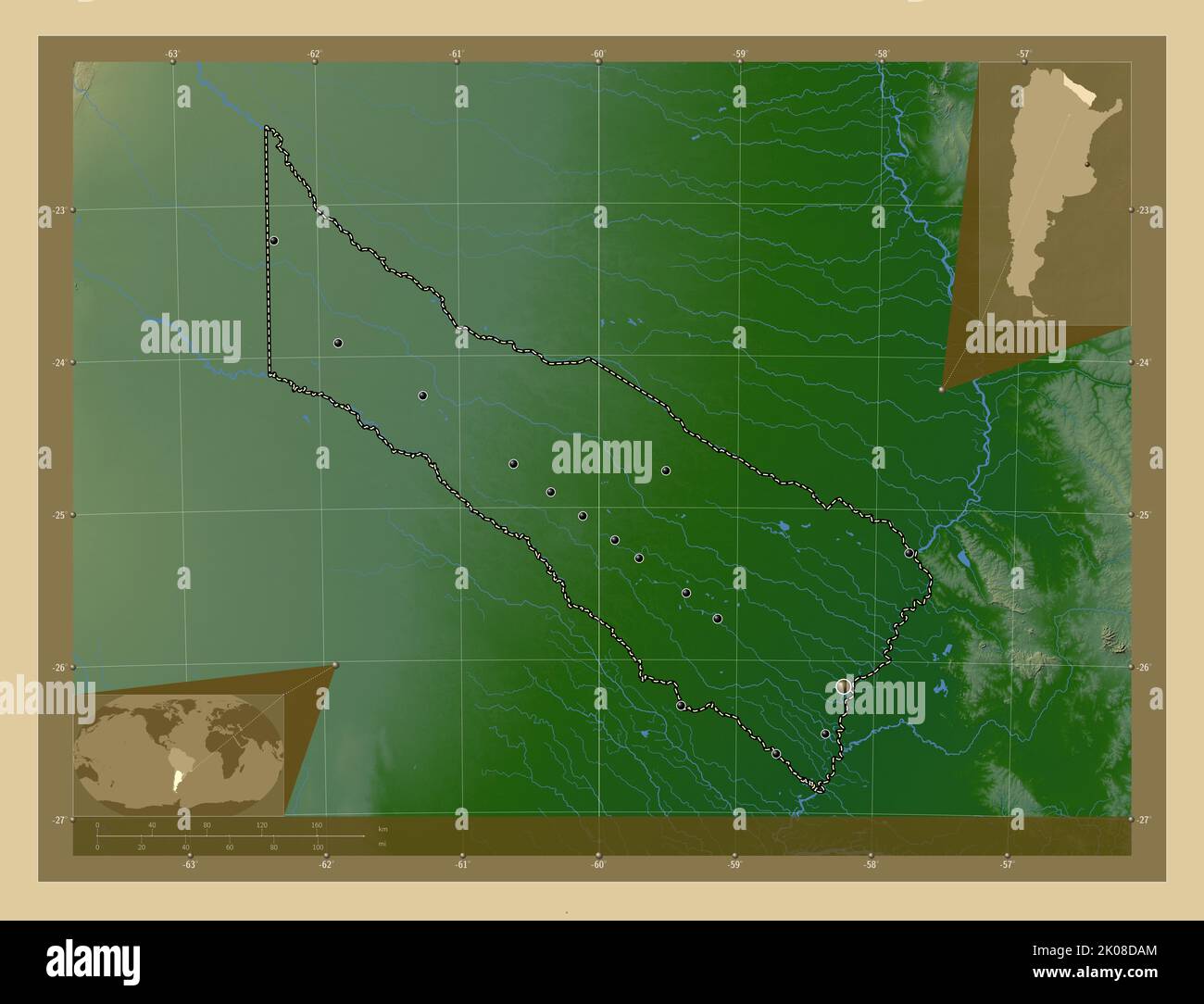 Formosa, province of Argentina. Colored elevation map with lakes and rivers. Locations of major cities of the region. Corner auxiliary location maps Stock Photohttps://www.alamy.com/image-license-details/?v=1https://www.alamy.com/formosa-province-of-argentina-colored-elevation-map-with-lakes-and-rivers-locations-of-major-cities-of-the-region-corner-auxiliary-location-maps-image482076412.html
RF2K08DAM–Formosa, province of Argentina. Colored elevation map with lakes and rivers. Locations of major cities of the region. Corner auxiliary location maps
 San Juan, province of Argentina. Elevation map colored in sepia tones with lakes and rivers Stock Photohttps://www.alamy.com/image-license-details/?v=1https://www.alamy.com/san-juan-province-of-argentina-elevation-map-colored-in-sepia-tones-with-lakes-and-rivers-image482087549.html
RF2K08YGD–San Juan, province of Argentina. Elevation map colored in sepia tones with lakes and rivers
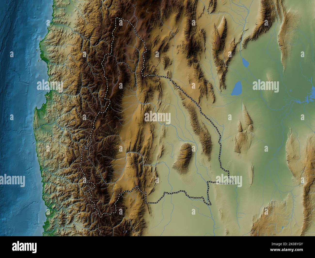 San Juan, province of Argentina. Colored elevation map with lakes and rivers Stock Photohttps://www.alamy.com/image-license-details/?v=1https://www.alamy.com/san-juan-province-of-argentina-colored-elevation-map-with-lakes-and-rivers-image482087563.html
RF2K08YGY–San Juan, province of Argentina. Colored elevation map with lakes and rivers
 San Juan, province of Argentina. Bilevel elevation map with lakes and rivers. Locations of major cities of the region. Corner auxiliary location maps Stock Photohttps://www.alamy.com/image-license-details/?v=1https://www.alamy.com/san-juan-province-of-argentina-bilevel-elevation-map-with-lakes-and-rivers-locations-of-major-cities-of-the-region-corner-auxiliary-location-maps-image482087296.html
RF2K08Y7C–San Juan, province of Argentina. Bilevel elevation map with lakes and rivers. Locations of major cities of the region. Corner auxiliary location maps
 Santiago del Estero, province of Argentina. Solid color shape Stock Photohttps://www.alamy.com/image-license-details/?v=1https://www.alamy.com/santiago-del-estero-province-of-argentina-solid-color-shape-image482088527.html
RF2K090RB–Santiago del Estero, province of Argentina. Solid color shape
 Santiago del Estero, province of Argentina. Colored elevation map with lakes and rivers. Locations and names of major cities of the region. Corner aux Stock Photohttps://www.alamy.com/image-license-details/?v=1https://www.alamy.com/santiago-del-estero-province-of-argentina-colored-elevation-map-with-lakes-and-rivers-locations-and-names-of-major-cities-of-the-region-corner-aux-image482088512.html
RF2K090PT–Santiago del Estero, province of Argentina. Colored elevation map with lakes and rivers. Locations and names of major cities of the region. Corner aux
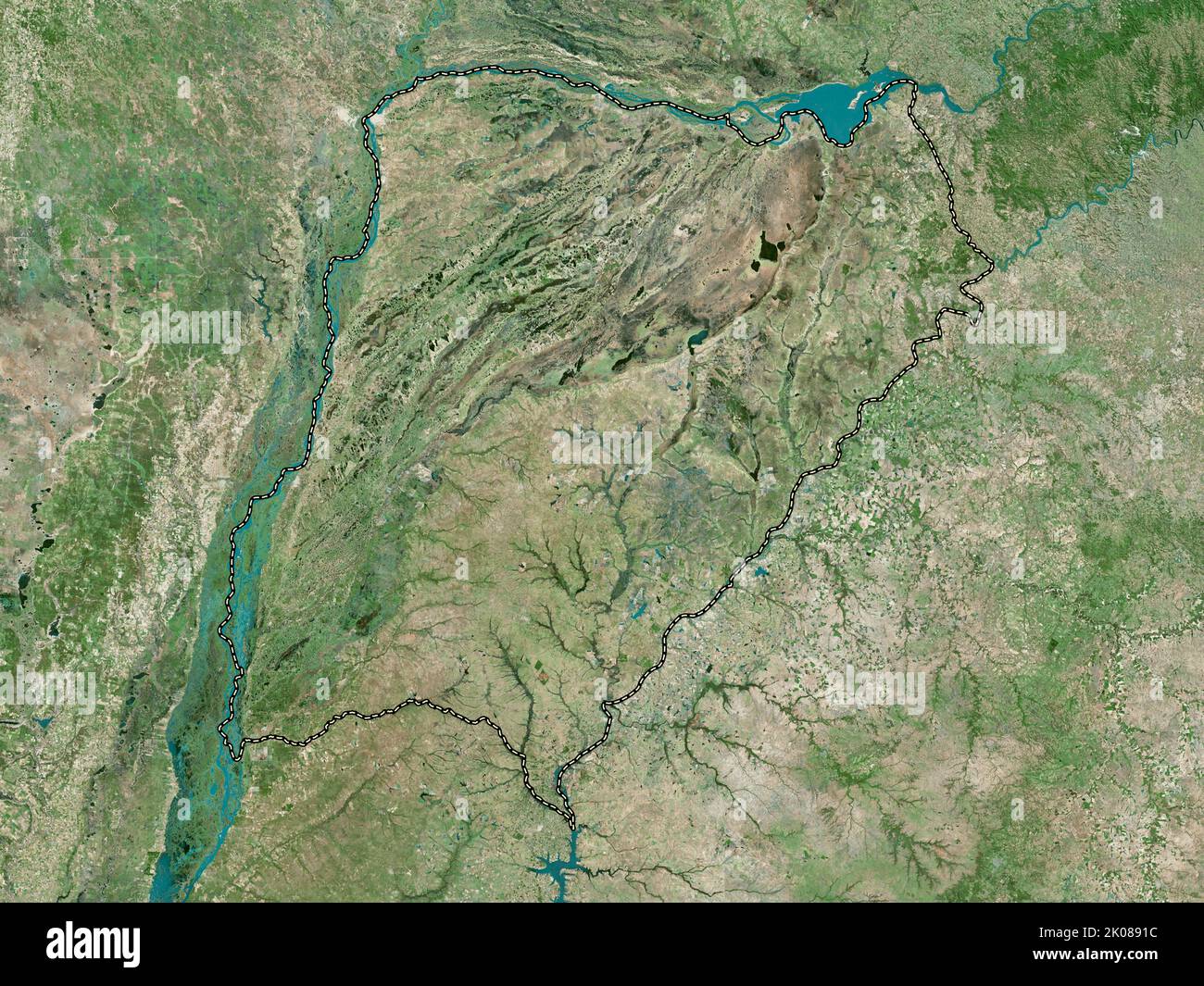 Corrientes, province of Argentina. High resolution satellite map Stock Photohttps://www.alamy.com/image-license-details/?v=1https://www.alamy.com/corrientes-province-of-argentina-high-resolution-satellite-map-image482073016.html
RF2K0891C–Corrientes, province of Argentina. High resolution satellite map
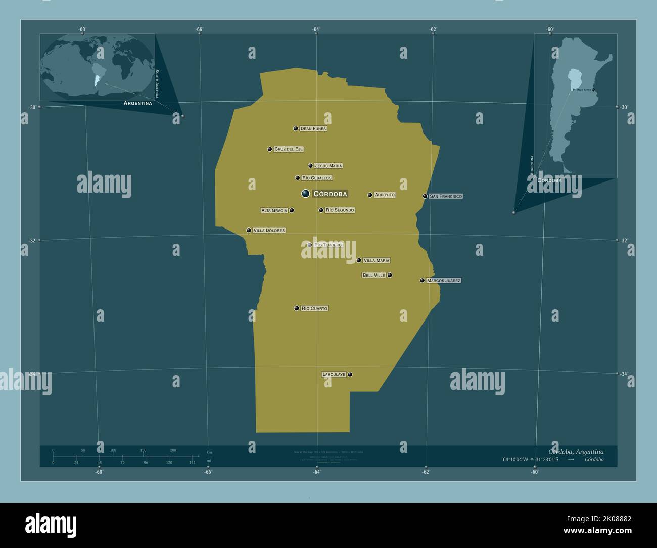 Cordoba, province of Argentina. Solid color shape. Locations and names of major cities of the region. Corner auxiliary location maps Stock Photohttps://www.alamy.com/image-license-details/?v=1https://www.alamy.com/cordoba-province-of-argentina-solid-color-shape-locations-and-names-of-major-cities-of-the-region-corner-auxiliary-location-maps-image482072418.html
RF2K08882–Cordoba, province of Argentina. Solid color shape. Locations and names of major cities of the region. Corner auxiliary location maps
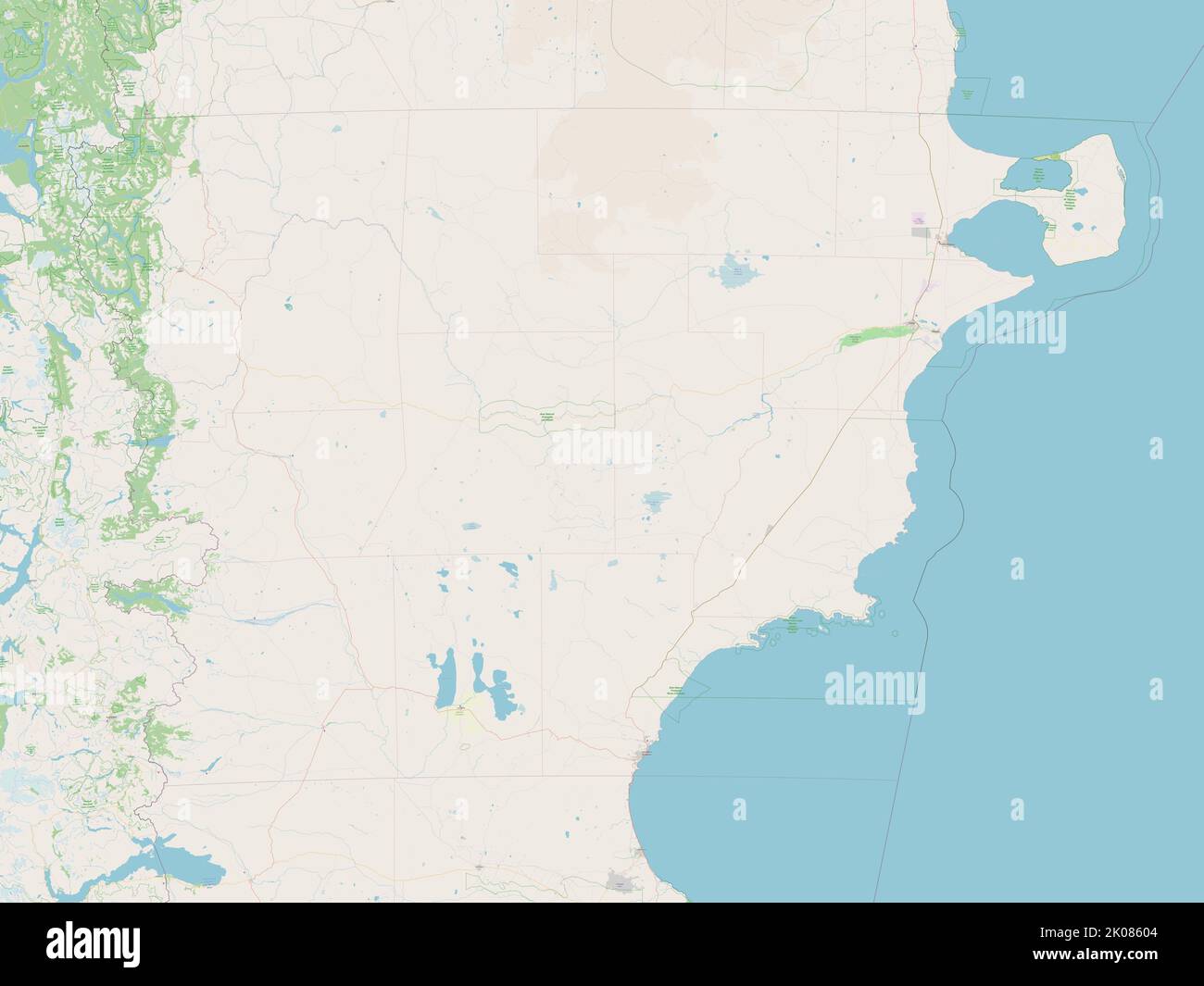 Chubut, province of Argentina. Open Street Map Stock Photohttps://www.alamy.com/image-license-details/?v=1https://www.alamy.com/chubut-province-of-argentina-open-street-map-image482070628.html
RF2K08604–Chubut, province of Argentina. Open Street Map
 Cordoba, province of Argentina. Colored elevation map with lakes and rivers. Locations and names of major cities of the region. Corner auxiliary locat Stock Photohttps://www.alamy.com/image-license-details/?v=1https://www.alamy.com/cordoba-province-of-argentina-colored-elevation-map-with-lakes-and-rivers-locations-and-names-of-major-cities-of-the-region-corner-auxiliary-locat-image482072346.html
RF2K0885E–Cordoba, province of Argentina. Colored elevation map with lakes and rivers. Locations and names of major cities of the region. Corner auxiliary locat
 Cordoba, province of Argentina. Elevation map colored in wiki style with lakes and rivers. Locations and names of major cities of the region. Corner a Stock Photohttps://www.alamy.com/image-license-details/?v=1https://www.alamy.com/cordoba-province-of-argentina-elevation-map-colored-in-wiki-style-with-lakes-and-rivers-locations-and-names-of-major-cities-of-the-region-corner-a-image482072625.html
RF2K088FD–Cordoba, province of Argentina. Elevation map colored in wiki style with lakes and rivers. Locations and names of major cities of the region. Corner a
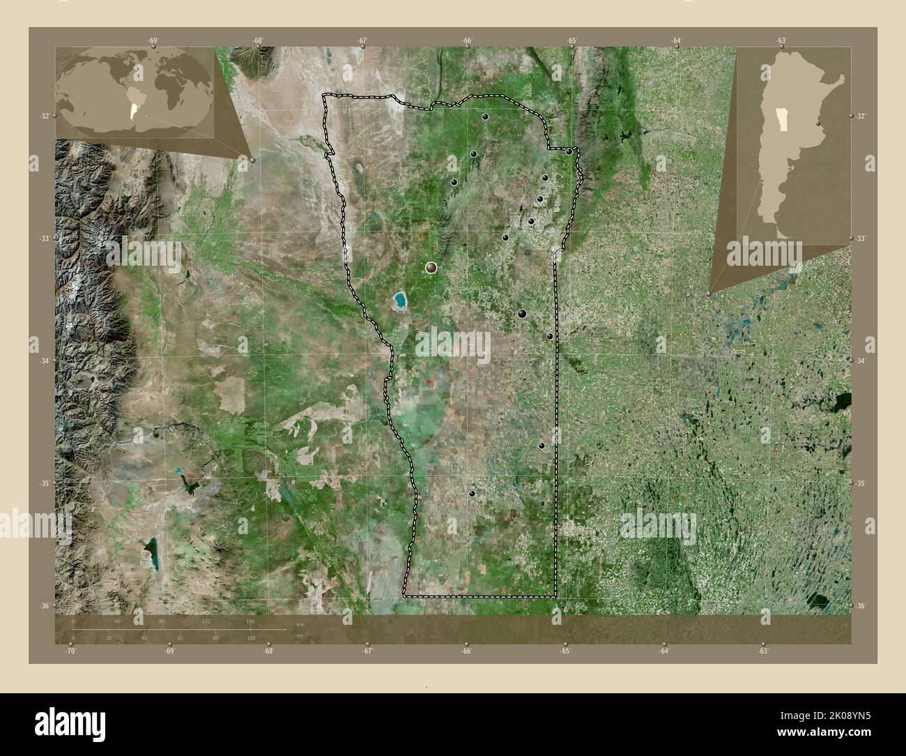 San Luis, province of Argentina. High resolution satellite map. Locations of major cities of the region. Corner auxiliary location maps Stock Photohttps://www.alamy.com/image-license-details/?v=1https://www.alamy.com/san-luis-province-of-argentina-high-resolution-satellite-map-locations-of-major-cities-of-the-region-corner-auxiliary-location-maps-image482087681.html
RF2K08YN5–San Luis, province of Argentina. High resolution satellite map. Locations of major cities of the region. Corner auxiliary location maps
 Cordoba, province of Argentina. Grayscale elevation map with lakes and rivers Stock Photohttps://www.alamy.com/image-license-details/?v=1https://www.alamy.com/cordoba-province-of-argentina-grayscale-elevation-map-with-lakes-and-rivers-image482071718.html
RF2K087B2–Cordoba, province of Argentina. Grayscale elevation map with lakes and rivers
 San Juan, province of Argentina. Open Street Map. Locations and names of major cities of the region. Corner auxiliary location maps Stock Photohttps://www.alamy.com/image-license-details/?v=1https://www.alamy.com/san-juan-province-of-argentina-open-street-map-locations-and-names-of-major-cities-of-the-region-corner-auxiliary-location-maps-image482087536.html
RF2K08YG0–San Juan, province of Argentina. Open Street Map. Locations and names of major cities of the region. Corner auxiliary location maps
 Corrientes, province of Argentina. Grayscale elevation map with lakes and rivers. Locations and names of major cities of the region. Corner auxiliary Stock Photohttps://www.alamy.com/image-license-details/?v=1https://www.alamy.com/corrientes-province-of-argentina-grayscale-elevation-map-with-lakes-and-rivers-locations-and-names-of-major-cities-of-the-region-corner-auxiliary-image482072816.html
RF2K088P8–Corrientes, province of Argentina. Grayscale elevation map with lakes and rivers. Locations and names of major cities of the region. Corner auxiliary
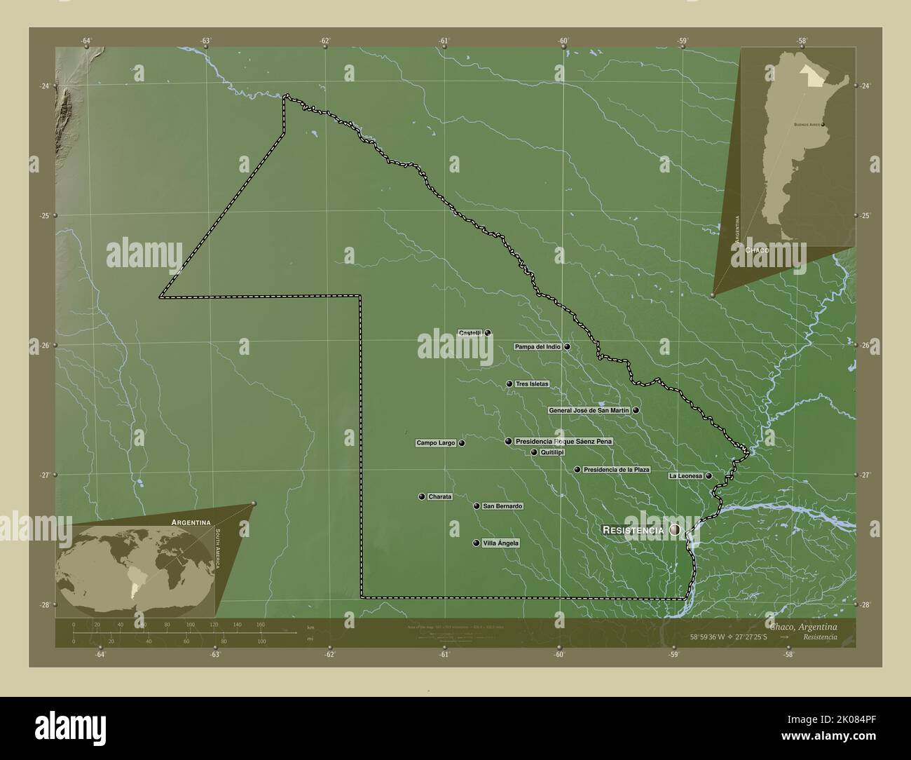 Chaco, province of Argentina. Elevation map colored in wiki style with lakes and rivers. Locations and names of major cities of the region. Corner aux Stock Photohttps://www.alamy.com/image-license-details/?v=1https://www.alamy.com/chaco-province-of-argentina-elevation-map-colored-in-wiki-style-with-lakes-and-rivers-locations-and-names-of-major-cities-of-the-region-corner-aux-image482069687.html
RF2K084PF–Chaco, province of Argentina. Elevation map colored in wiki style with lakes and rivers. Locations and names of major cities of the region. Corner aux
 Mendoza, province of Argentina. Colored elevation map with lakes and rivers. Locations and names of major cities of the region. Corner auxiliary locat Stock Photohttps://www.alamy.com/image-license-details/?v=1https://www.alamy.com/mendoza-province-of-argentina-colored-elevation-map-with-lakes-and-rivers-locations-and-names-of-major-cities-of-the-region-corner-auxiliary-locat-image482083348.html
RF2K08P6C–Mendoza, province of Argentina. Colored elevation map with lakes and rivers. Locations and names of major cities of the region. Corner auxiliary locat
 Buenos Aires, province of Argentina. Grayscale elevation map with lakes and rivers. Locations of major cities of the region. Corner auxiliary location Stock Photohttps://www.alamy.com/image-license-details/?v=1https://www.alamy.com/buenos-aires-province-of-argentina-grayscale-elevation-map-with-lakes-and-rivers-locations-of-major-cities-of-the-region-corner-auxiliary-location-image482064090.html
RF2K07WJJ–Buenos Aires, province of Argentina. Grayscale elevation map with lakes and rivers. Locations of major cities of the region. Corner auxiliary location
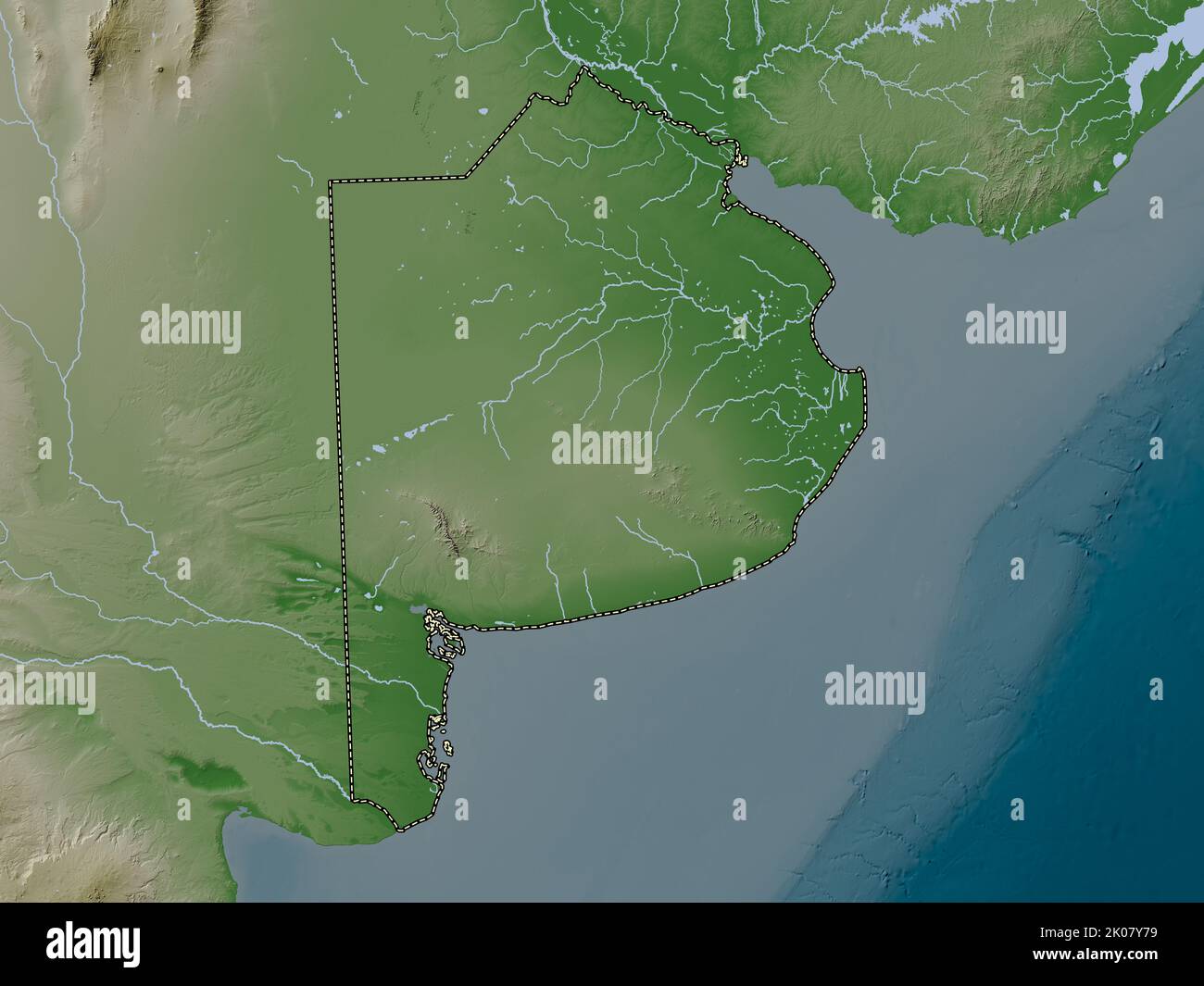 Buenos Aires, province of Argentina. Elevation map colored in wiki style with lakes and rivers Stock Photohttps://www.alamy.com/image-license-details/?v=1https://www.alamy.com/buenos-aires-province-of-argentina-elevation-map-colored-in-wiki-style-with-lakes-and-rivers-image482065341.html
RF2K07Y79–Buenos Aires, province of Argentina. Elevation map colored in wiki style with lakes and rivers
 Formosa, province of Argentina. Open Street Map. Locations and names of major cities of the region. Corner auxiliary location maps Stock Photohttps://www.alamy.com/image-license-details/?v=1https://www.alamy.com/formosa-province-of-argentina-open-street-map-locations-and-names-of-major-cities-of-the-region-corner-auxiliary-location-maps-image482076331.html
RF2K08D7R–Formosa, province of Argentina. Open Street Map. Locations and names of major cities of the region. Corner auxiliary location maps
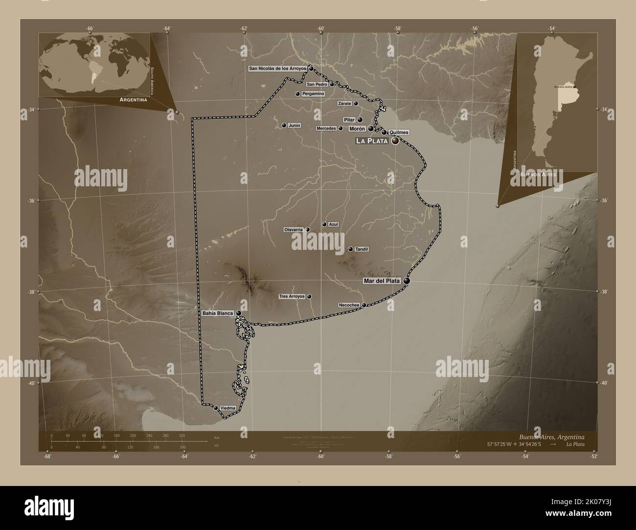 Buenos Aires, province of Argentina. Elevation map colored in sepia tones with lakes and rivers. Locations and names of major cities of the region. Co Stock Photohttps://www.alamy.com/image-license-details/?v=1https://www.alamy.com/buenos-aires-province-of-argentina-elevation-map-colored-in-sepia-tones-with-lakes-and-rivers-locations-and-names-of-major-cities-of-the-region-co-image482065238.html
RF2K07Y3J–Buenos Aires, province of Argentina. Elevation map colored in sepia tones with lakes and rivers. Locations and names of major cities of the region. Co
 Neuquen, province of Argentina. Bilevel elevation map with lakes and rivers Stock Photohttps://www.alamy.com/image-license-details/?v=1https://www.alamy.com/neuquen-province-of-argentina-bilevel-elevation-map-with-lakes-and-rivers-image482085521.html
RF2K08W01–Neuquen, province of Argentina. Bilevel elevation map with lakes and rivers
 Chaco, province of Argentina. Open Street Map. Locations of major cities of the region. Corner auxiliary location maps Stock Photohttps://www.alamy.com/image-license-details/?v=1https://www.alamy.com/chaco-province-of-argentina-open-street-map-locations-of-major-cities-of-the-region-corner-auxiliary-location-maps-image482068903.html
RF2K083PF–Chaco, province of Argentina. Open Street Map. Locations of major cities of the region. Corner auxiliary location maps
 Formosa, province of Argentina. Low resolution satellite map. Locations of major cities of the region. Corner auxiliary location maps Stock Photohttps://www.alamy.com/image-license-details/?v=1https://www.alamy.com/formosa-province-of-argentina-low-resolution-satellite-map-locations-of-major-cities-of-the-region-corner-auxiliary-location-maps-image482076073.html
RF2K08CXH–Formosa, province of Argentina. Low resolution satellite map. Locations of major cities of the region. Corner auxiliary location maps
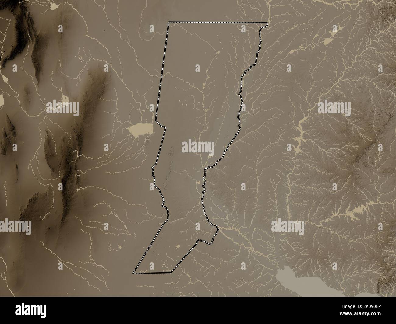 Santa Fe, province of Argentina. Elevation map colored in sepia tones with lakes and rivers Stock Photohttps://www.alamy.com/image-license-details/?v=1https://www.alamy.com/santa-fe-province-of-argentina-elevation-map-colored-in-sepia-tones-with-lakes-and-rivers-image482088286.html
RF2K090EP–Santa Fe, province of Argentina. Elevation map colored in sepia tones with lakes and rivers
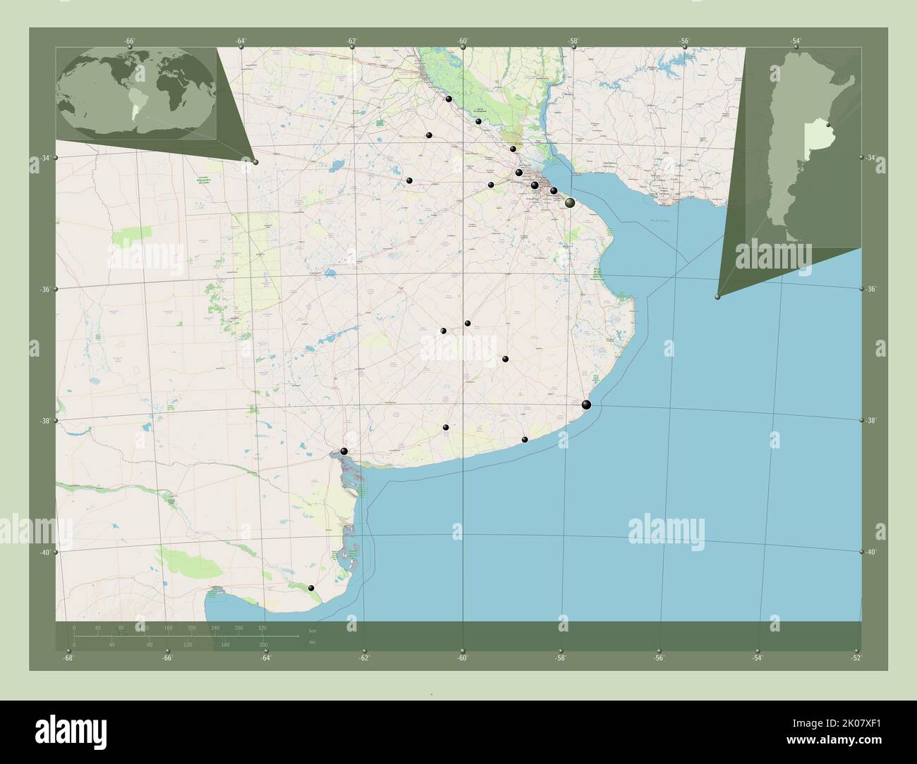 Buenos Aires, province of Argentina. Open Street Map. Locations of major cities of the region. Corner auxiliary location maps Stock Photohttps://www.alamy.com/image-license-details/?v=1https://www.alamy.com/buenos-aires-province-of-argentina-open-street-map-locations-of-major-cities-of-the-region-corner-auxiliary-location-maps-image482064773.html
RF2K07XF1–Buenos Aires, province of Argentina. Open Street Map. Locations of major cities of the region. Corner auxiliary location maps
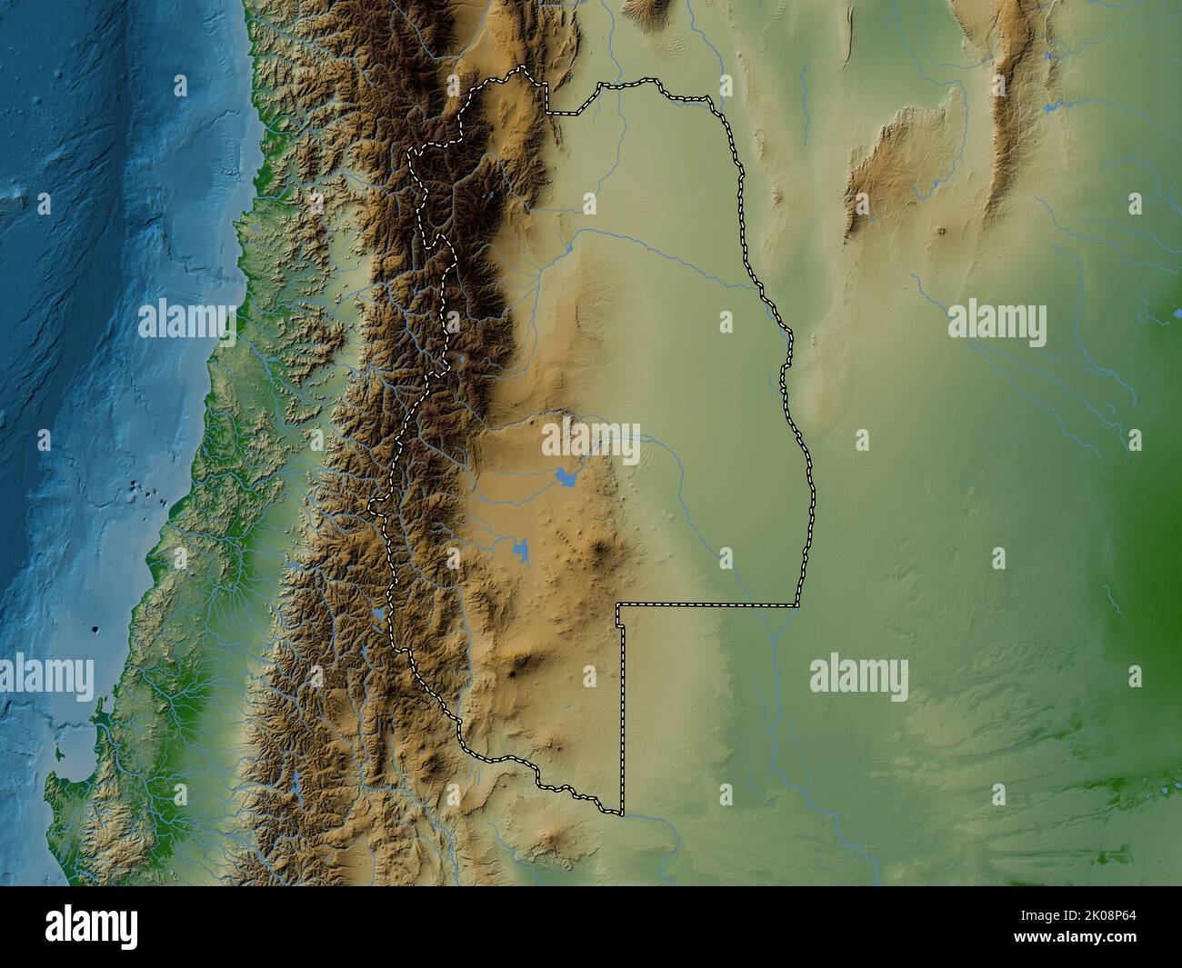 Mendoza, province of Argentina. Colored elevation map with lakes and rivers Stock Photohttps://www.alamy.com/image-license-details/?v=1https://www.alamy.com/mendoza-province-of-argentina-colored-elevation-map-with-lakes-and-rivers-image482083340.html
RF2K08P64–Mendoza, province of Argentina. Colored elevation map with lakes and rivers
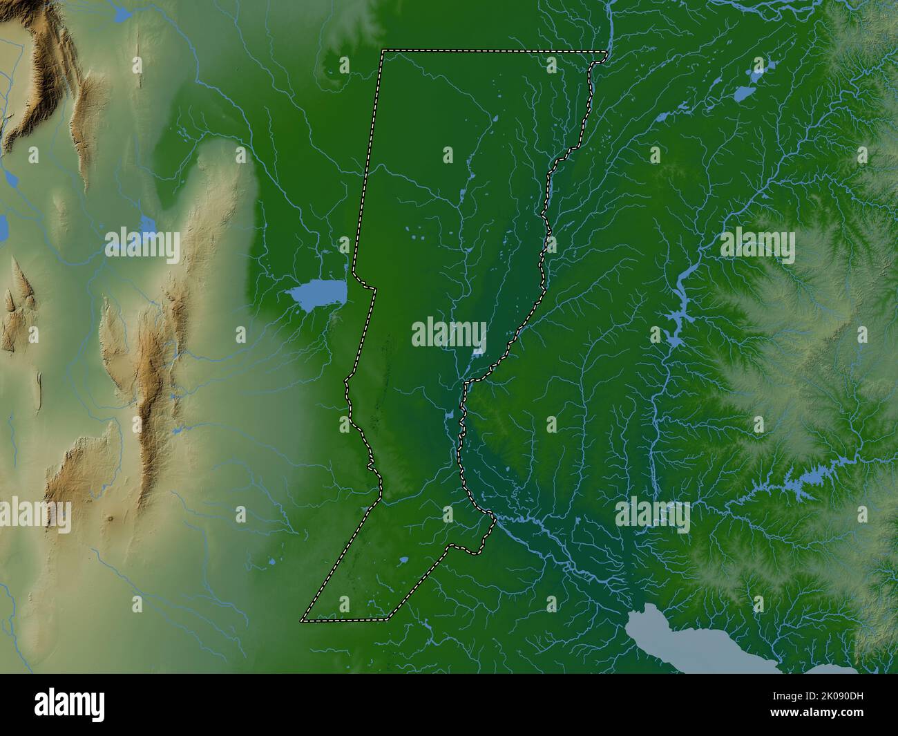 Santa Fe, province of Argentina. Colored elevation map with lakes and rivers Stock Photohttps://www.alamy.com/image-license-details/?v=1https://www.alamy.com/santa-fe-province-of-argentina-colored-elevation-map-with-lakes-and-rivers-image482088253.html
RF2K090DH–Santa Fe, province of Argentina. Colored elevation map with lakes and rivers
 Neuquen, province of Argentina. Elevation map colored in wiki style with lakes and rivers. Locations and names of major cities of the region. Corner a Stock Photohttps://www.alamy.com/image-license-details/?v=1https://www.alamy.com/neuquen-province-of-argentina-elevation-map-colored-in-wiki-style-with-lakes-and-rivers-locations-and-names-of-major-cities-of-the-region-corner-a-image482086649.html
RF2K08XC9–Neuquen, province of Argentina. Elevation map colored in wiki style with lakes and rivers. Locations and names of major cities of the region. Corner a
 Santiago del Estero, province of Argentina. Open Street Map. Locations and names of major cities of the region. Corner auxiliary location maps Stock Photohttps://www.alamy.com/image-license-details/?v=1https://www.alamy.com/santiago-del-estero-province-of-argentina-open-street-map-locations-and-names-of-major-cities-of-the-region-corner-auxiliary-location-maps-image482088491.html
RF2K090P3–Santiago del Estero, province of Argentina. Open Street Map. Locations and names of major cities of the region. Corner auxiliary location maps
 Buenos Aires, province of Argentina. Grayscale elevation map with lakes and rivers. Locations and names of major cities of the region. Corner auxiliar Stock Photohttps://www.alamy.com/image-license-details/?v=1https://www.alamy.com/buenos-aires-province-of-argentina-grayscale-elevation-map-with-lakes-and-rivers-locations-and-names-of-major-cities-of-the-region-corner-auxiliar-image482064277.html
RF2K07WW9–Buenos Aires, province of Argentina. Grayscale elevation map with lakes and rivers. Locations and names of major cities of the region. Corner auxiliar
 Chaco, province of Argentina. Low resolution satellite map. Locations and names of major cities of the region. Corner auxiliary location maps Stock Photohttps://www.alamy.com/image-license-details/?v=1https://www.alamy.com/chaco-province-of-argentina-low-resolution-satellite-map-locations-and-names-of-major-cities-of-the-region-corner-auxiliary-location-maps-image482068821.html
RF2K083KH–Chaco, province of Argentina. Low resolution satellite map. Locations and names of major cities of the region. Corner auxiliary location maps
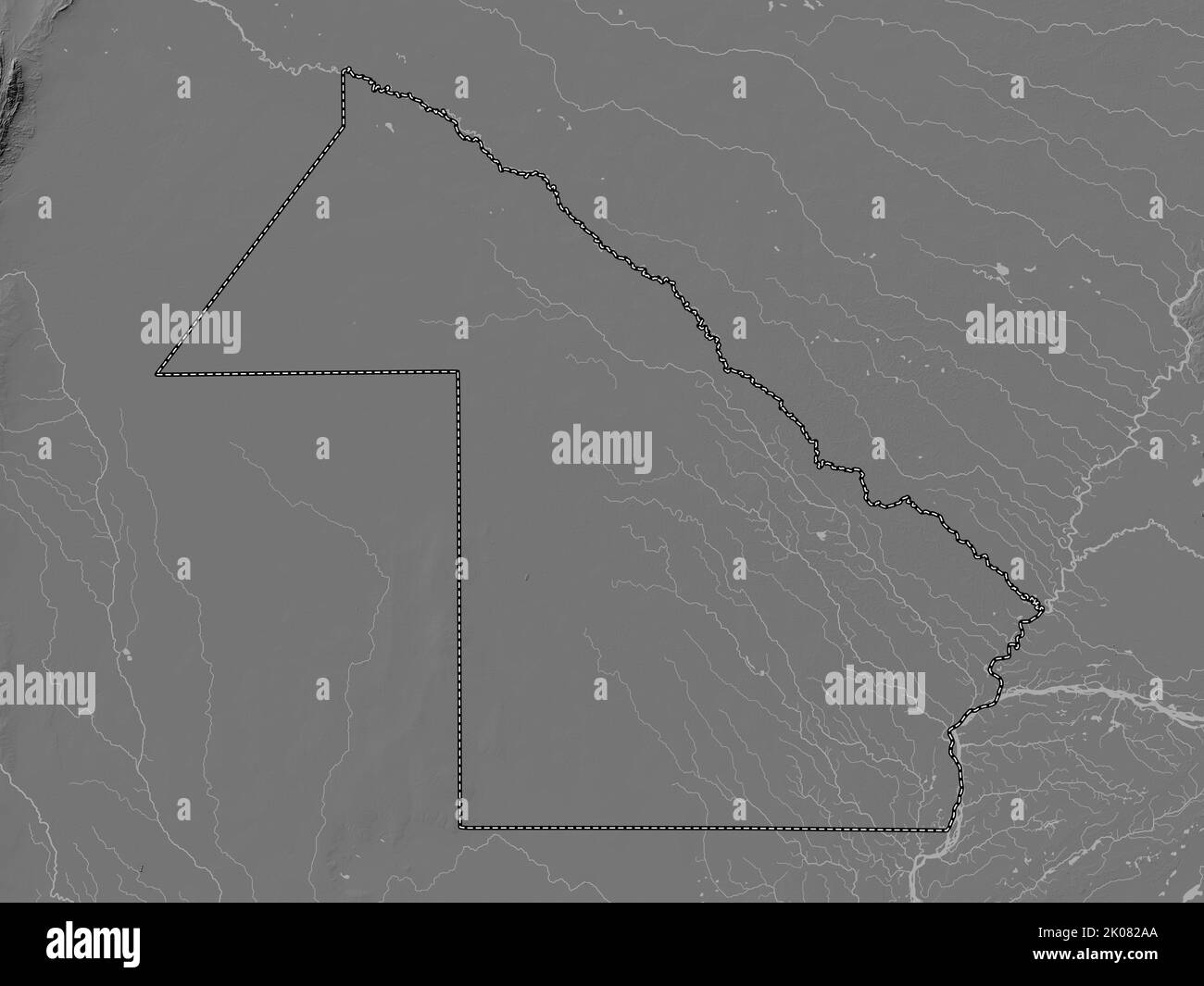 Chaco, province of Argentina. Bilevel elevation map with lakes and rivers Stock Photohttps://www.alamy.com/image-license-details/?v=1https://www.alamy.com/chaco-province-of-argentina-bilevel-elevation-map-with-lakes-and-rivers-image482067778.html
RF2K082AA–Chaco, province of Argentina. Bilevel elevation map with lakes and rivers
 Mendoza, province of Argentina. Elevation map colored in sepia tones with lakes and rivers. Locations of major cities of the region. Corner auxiliary Stock Photohttps://www.alamy.com/image-license-details/?v=1https://www.alamy.com/mendoza-province-of-argentina-elevation-map-colored-in-sepia-tones-with-lakes-and-rivers-locations-of-major-cities-of-the-region-corner-auxiliary-image482083523.html
RF2K08PCK–Mendoza, province of Argentina. Elevation map colored in sepia tones with lakes and rivers. Locations of major cities of the region. Corner auxiliary
 Santa Fe, province of Argentina. Low resolution satellite map. Locations of major cities of the region. Corner auxiliary location maps Stock Photohttps://www.alamy.com/image-license-details/?v=1https://www.alamy.com/santa-fe-province-of-argentina-low-resolution-satellite-map-locations-of-major-cities-of-the-region-corner-auxiliary-location-maps-image482088239.html
RF2K090D3–Santa Fe, province of Argentina. Low resolution satellite map. Locations of major cities of the region. Corner auxiliary location maps
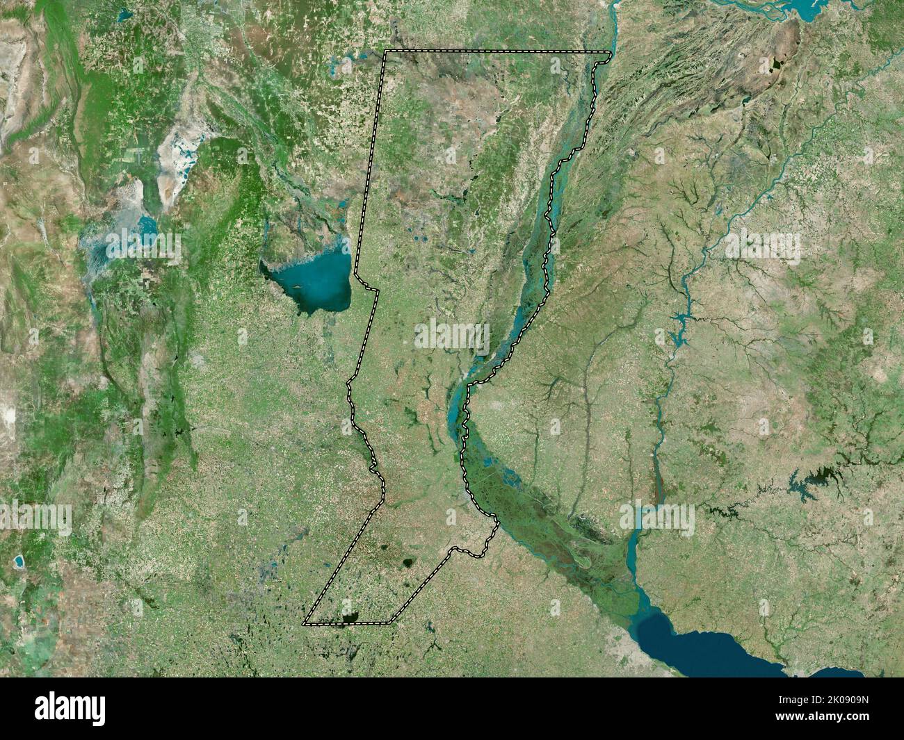 Santa Fe, province of Argentina. High resolution satellite map Stock Photohttps://www.alamy.com/image-license-details/?v=1https://www.alamy.com/santa-fe-province-of-argentina-high-resolution-satellite-map-image482088145.html
RF2K0909N–Santa Fe, province of Argentina. High resolution satellite map
 Santiago del Estero, province of Argentina. Bilevel elevation map with lakes and rivers. Locations and names of major cities of the region. Corner aux Stock Photohttps://www.alamy.com/image-license-details/?v=1https://www.alamy.com/santiago-del-estero-province-of-argentina-bilevel-elevation-map-with-lakes-and-rivers-locations-and-names-of-major-cities-of-the-region-corner-aux-image482088320.html
RF2K090G0–Santiago del Estero, province of Argentina. Bilevel elevation map with lakes and rivers. Locations and names of major cities of the region. Corner aux
 Neuquen, province of Argentina. Colored elevation map with lakes and rivers. Locations and names of major cities of the region. Corner auxiliary locat Stock Photohttps://www.alamy.com/image-license-details/?v=1https://www.alamy.com/neuquen-province-of-argentina-colored-elevation-map-with-lakes-and-rivers-locations-and-names-of-major-cities-of-the-region-corner-auxiliary-locat-image482086479.html
RF2K08X67–Neuquen, province of Argentina. Colored elevation map with lakes and rivers. Locations and names of major cities of the region. Corner auxiliary locat
 Cordoba, province of Argentina. Elevation map colored in wiki style with lakes and rivers Stock Photohttps://www.alamy.com/image-license-details/?v=1https://www.alamy.com/cordoba-province-of-argentina-elevation-map-colored-in-wiki-style-with-lakes-and-rivers-image482072559.html
RF2K088D3–Cordoba, province of Argentina. Elevation map colored in wiki style with lakes and rivers
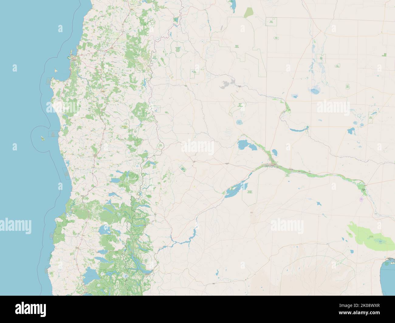 Neuquen, province of Argentina. Open Street Map Stock Photohttps://www.alamy.com/image-license-details/?v=1https://www.alamy.com/neuquen-province-of-argentina-open-street-map-image482086271.html
RF2K08WXR–Neuquen, province of Argentina. Open Street Map
 Mendoza, province of Argentina. Grayscale elevation map with lakes and rivers Stock Photohttps://www.alamy.com/image-license-details/?v=1https://www.alamy.com/mendoza-province-of-argentina-grayscale-elevation-map-with-lakes-and-rivers-image482082398.html
RF2K08N0E–Mendoza, province of Argentina. Grayscale elevation map with lakes and rivers
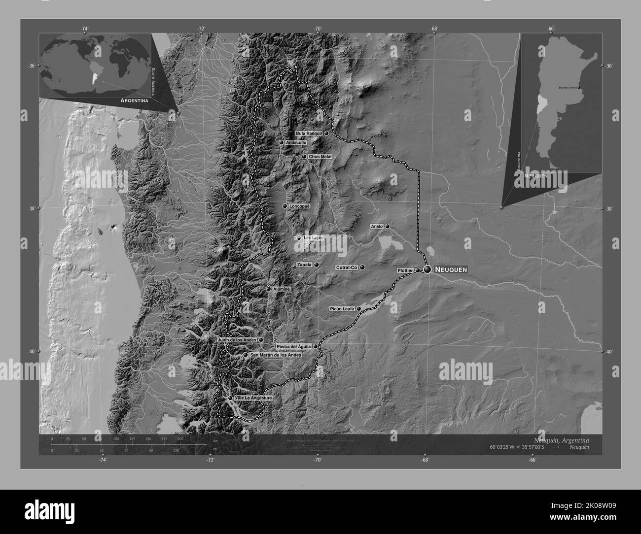 Neuquen, province of Argentina. Bilevel elevation map with lakes and rivers. Locations and names of major cities of the region. Corner auxiliary locat Stock Photohttps://www.alamy.com/image-license-details/?v=1https://www.alamy.com/neuquen-province-of-argentina-bilevel-elevation-map-with-lakes-and-rivers-locations-and-names-of-major-cities-of-the-region-corner-auxiliary-locat-image482085529.html
RF2K08W09–Neuquen, province of Argentina. Bilevel elevation map with lakes and rivers. Locations and names of major cities of the region. Corner auxiliary locat
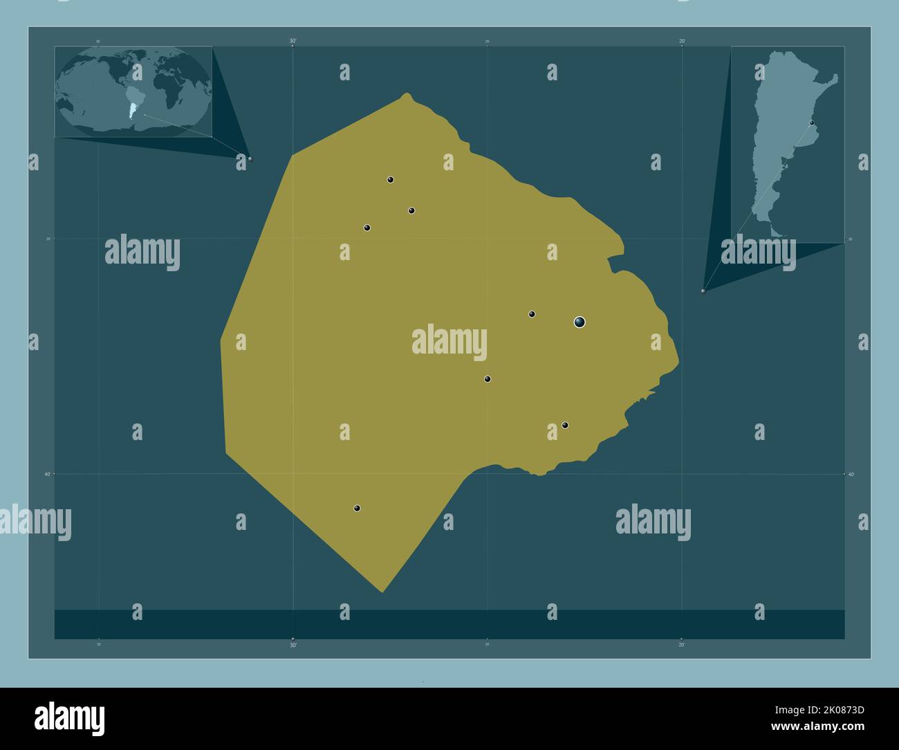 Ciudad de Buenos Aires, federal district of Argentina. Solid color shape. Locations of major cities of the region. Corner auxiliary location maps Stock Photohttps://www.alamy.com/image-license-details/?v=1https://www.alamy.com/ciudad-de-buenos-aires-federal-district-of-argentina-solid-color-shape-locations-of-major-cities-of-the-region-corner-auxiliary-location-maps-image482071505.html
RF2K0873D–Ciudad de Buenos Aires, federal district of Argentina. Solid color shape. Locations of major cities of the region. Corner auxiliary location maps
 Neuquen, province of Argentina. Open Street Map. Locations of major cities of the region. Corner auxiliary location maps Stock Photohttps://www.alamy.com/image-license-details/?v=1https://www.alamy.com/neuquen-province-of-argentina-open-street-map-locations-of-major-cities-of-the-region-corner-auxiliary-location-maps-image482086275.html
RF2K08WXY–Neuquen, province of Argentina. Open Street Map. Locations of major cities of the region. Corner auxiliary location maps
 Santa Fe, province of Argentina. Bilevel elevation map with lakes and rivers. Locations and names of major cities of the region. Corner auxiliary loca Stock Photohttps://www.alamy.com/image-license-details/?v=1https://www.alamy.com/santa-fe-province-of-argentina-bilevel-elevation-map-with-lakes-and-rivers-locations-and-names-of-major-cities-of-the-region-corner-auxiliary-loca-image482088148.html
RF2K0909T–Santa Fe, province of Argentina. Bilevel elevation map with lakes and rivers. Locations and names of major cities of the region. Corner auxiliary loca
 San Juan, province of Argentina. Elevation map colored in wiki style with lakes and rivers Stock Photohttps://www.alamy.com/image-license-details/?v=1https://www.alamy.com/san-juan-province-of-argentina-elevation-map-colored-in-wiki-style-with-lakes-and-rivers-image482087592.html
RF2K08YJ0–San Juan, province of Argentina. Elevation map colored in wiki style with lakes and rivers
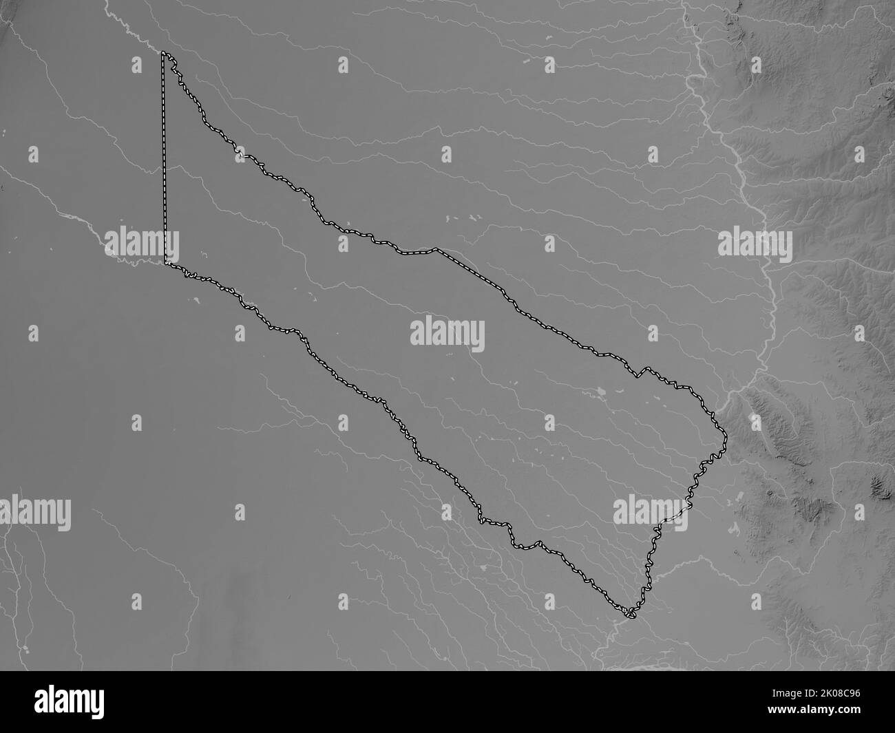 Formosa, province of Argentina. Grayscale elevation map with lakes and rivers Stock Photohttps://www.alamy.com/image-license-details/?v=1https://www.alamy.com/formosa-province-of-argentina-grayscale-elevation-map-with-lakes-and-rivers-image482075586.html
RF2K08C96–Formosa, province of Argentina. Grayscale elevation map with lakes and rivers
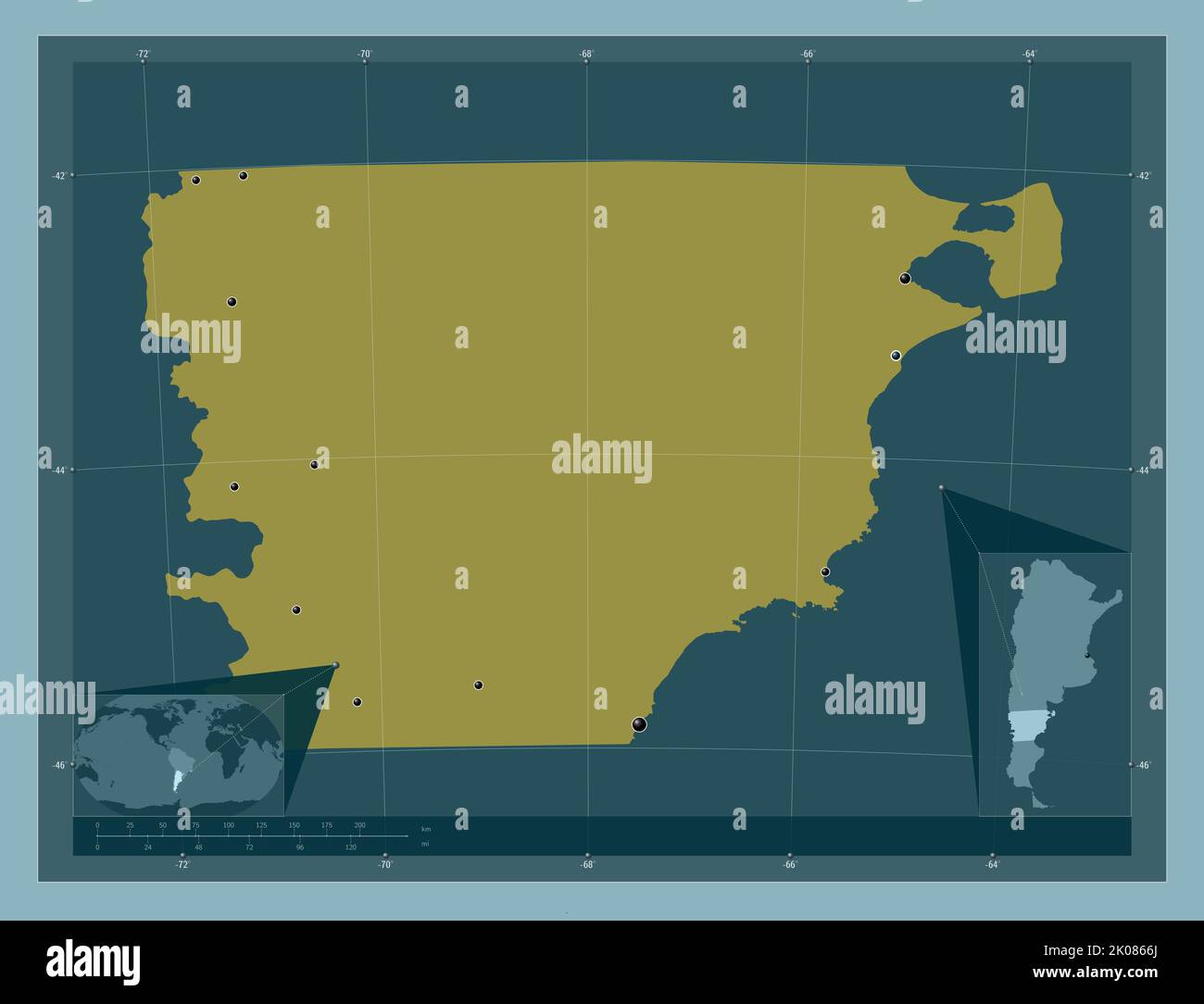 Chubut, province of Argentina. Solid color shape. Locations of major cities of the region. Corner auxiliary location maps Stock Photohttps://www.alamy.com/image-license-details/?v=1https://www.alamy.com/chubut-province-of-argentina-solid-color-shape-locations-of-major-cities-of-the-region-corner-auxiliary-location-maps-image482070810.html
RF2K0866J–Chubut, province of Argentina. Solid color shape. Locations of major cities of the region. Corner auxiliary location maps
 Neuquen, province of Argentina. Elevation map colored in wiki style with lakes and rivers Stock Photohttps://www.alamy.com/image-license-details/?v=1https://www.alamy.com/neuquen-province-of-argentina-elevation-map-colored-in-wiki-style-with-lakes-and-rivers-image482086630.html
RF2K08XBJ–Neuquen, province of Argentina. Elevation map colored in wiki style with lakes and rivers
 San Luis, province of Argentina. Colored elevation map with lakes and rivers. Locations of major cities of the region. Corner auxiliary location maps Stock Photohttps://www.alamy.com/image-license-details/?v=1https://www.alamy.com/san-luis-province-of-argentina-colored-elevation-map-with-lakes-and-rivers-locations-of-major-cities-of-the-region-corner-auxiliary-location-maps-image482087789.html
RF2K08YW1–San Luis, province of Argentina. Colored elevation map with lakes and rivers. Locations of major cities of the region. Corner auxiliary location maps
 San Juan, province of Argentina. Low resolution satellite map. Locations of major cities of the region. Corner auxiliary location maps Stock Photohttps://www.alamy.com/image-license-details/?v=1https://www.alamy.com/san-juan-province-of-argentina-low-resolution-satellite-map-locations-of-major-cities-of-the-region-corner-auxiliary-location-maps-image482087401.html
RF2K08YB5–San Juan, province of Argentina. Low resolution satellite map. Locations of major cities of the region. Corner auxiliary location maps
 Santa Fe, province of Argentina. Solid color shape Stock Photohttps://www.alamy.com/image-license-details/?v=1https://www.alamy.com/santa-fe-province-of-argentina-solid-color-shape-image482088277.html
RF2K090ED–Santa Fe, province of Argentina. Solid color shape
 Formosa, province of Argentina. High resolution satellite map. Locations of major cities of the region. Corner auxiliary location maps Stock Photohttps://www.alamy.com/image-license-details/?v=1https://www.alamy.com/formosa-province-of-argentina-high-resolution-satellite-map-locations-of-major-cities-of-the-region-corner-auxiliary-location-maps-image482075751.html
RF2K08CF3–Formosa, province of Argentina. High resolution satellite map. Locations of major cities of the region. Corner auxiliary location maps
 Chubut, province of Argentina. Elevation map colored in sepia tones with lakes and rivers. Locations and names of major cities of the region. Corner a Stock Photohttps://www.alamy.com/image-license-details/?v=1https://www.alamy.com/chubut-province-of-argentina-elevation-map-colored-in-sepia-tones-with-lakes-and-rivers-locations-and-names-of-major-cities-of-the-region-corner-a-image482070893.html
RF2K0869H–Chubut, province of Argentina. Elevation map colored in sepia tones with lakes and rivers. Locations and names of major cities of the region. Corner a