Alderman islands and new zealand Stock Photos and Images
(5)See alderman islands and new zealand stock video clipsQuick filters:
Alderman islands and new zealand Stock Photos and Images
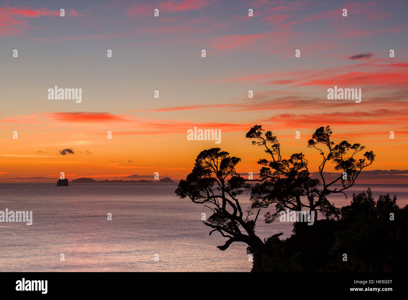
 A dawn sky above the Alderman Islands in the South Pacific, Waikato, North Island, New Zealand Stock Photohttps://www.alamy.com/image-license-details/?v=1https://www.alamy.com/stock-photo-a-dawn-sky-above-the-alderman-islands-in-the-south-pacific-waikato-120682852.html
RMH09G5T–A dawn sky above the Alderman Islands in the South Pacific, Waikato, North Island, New Zealand
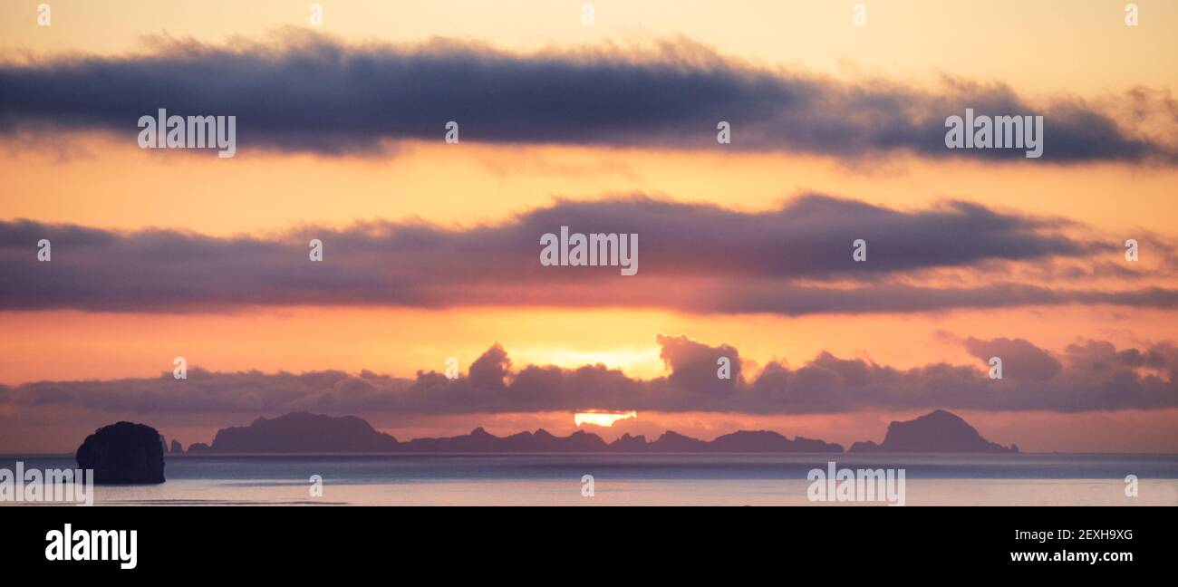
 Sunrise over the Alderman Islands off the Coromandel Peninsula in New Zealand's North Island Stock Photohttps://www.alamy.com/image-license-details/?v=1https://www.alamy.com/sunrise-over-the-alderman-islands-off-the-coromandel-peninsula-in-new-zealands-north-island-image412200504.html
RF2EXH9XG–Sunrise over the Alderman Islands off the Coromandel Peninsula in New Zealand's North Island
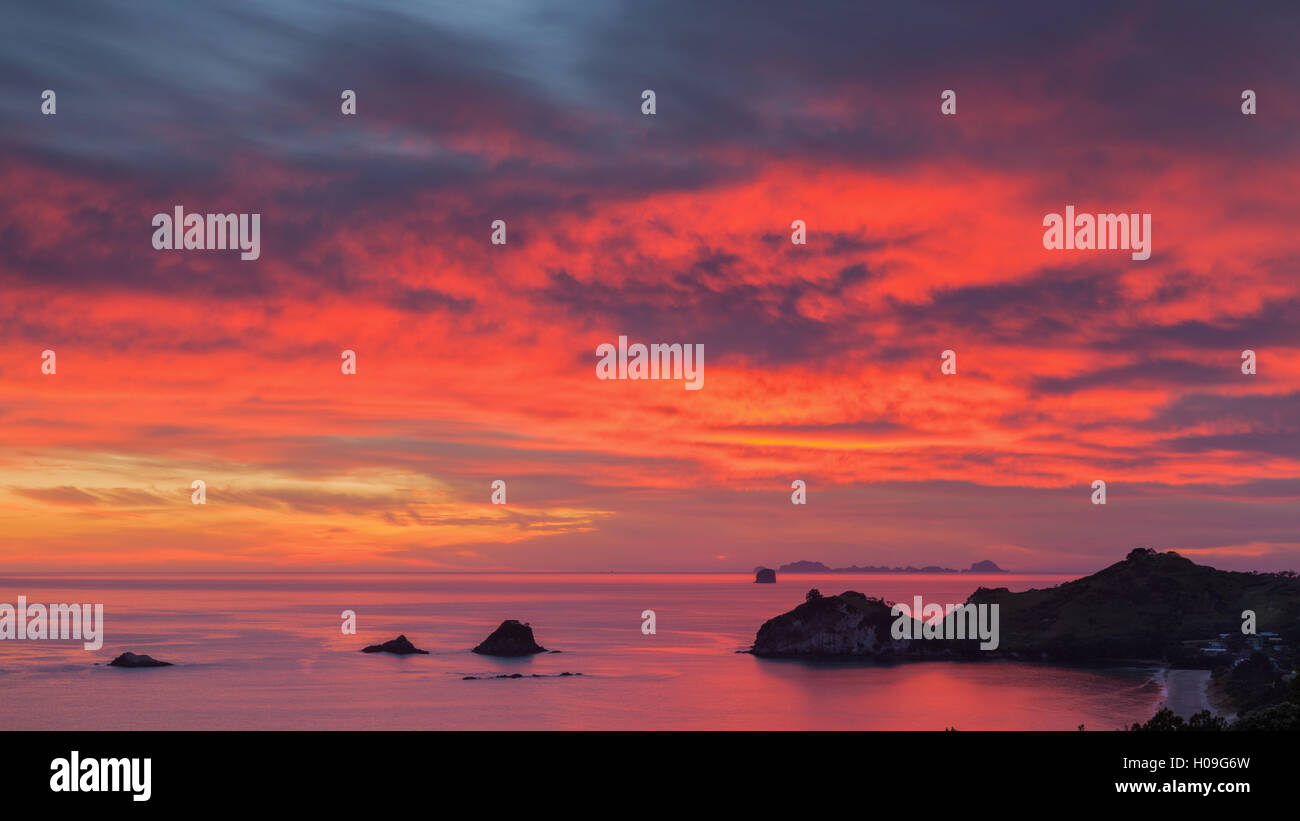
 Looking south-east from New Zealand's Coromandel Peninsula to the Alderman Islands at dawn, Waikato, North Island, New Zealand Stock Photohttps://www.alamy.com/image-license-details/?v=1https://www.alamy.com/stock-photo-looking-south-east-from-new-zealands-coromandel-peninsula-to-the-alderman-120682881.html
RMH09G6W–Looking south-east from New Zealand's Coromandel Peninsula to the Alderman Islands at dawn, Waikato, North Island, New Zealand
 A 19th century map of Auckland, New Zealand, showing its harbour and approaches, with distances in English miles Stock Photohttps://www.alamy.com/image-license-details/?v=1https://www.alamy.com/a-19th-century-map-of-auckland-new-zealand-showing-its-harbour-and-approaches-with-distances-in-english-miles-image466558928.html
RM2J31GJT–A 19th century map of Auckland, New Zealand, showing its harbour and approaches, with distances in English miles
 The Alderman Islands, , NZ, New Zealand, , S 36 58' 0'', N 176 4' 59'', map, Cartascapes Map published in 2024. Explore Cartascapes, a map revealing Earth's diverse landscapes, cultures, and ecosystems. Journey through time and space, discovering the interconnectedness of our planet's past, present, and future. Stock Photohttps://www.alamy.com/image-license-details/?v=1https://www.alamy.com/the-alderman-islands-nz-new-zealand-s-36-58-0-n-176-4-59-map-cartascapes-map-published-in-2024-explore-cartascapes-a-map-revealing-earths-diverse-landscapes-cultures-and-ecosystems-journey-through-time-and-space-discovering-the-interconnectedness-of-our-planets-past-present-and-future-image633949439.html
RM2YRATYB–The Alderman Islands, , NZ, New Zealand, , S 36 58' 0'', N 176 4' 59'', map, Cartascapes Map published in 2024. Explore Cartascapes, a map revealing Earth's diverse landscapes, cultures, and ecosystems. Journey through time and space, discovering the interconnectedness of our planet's past, present, and future.