Quick filters:
Aleutians Stock Photos and Images
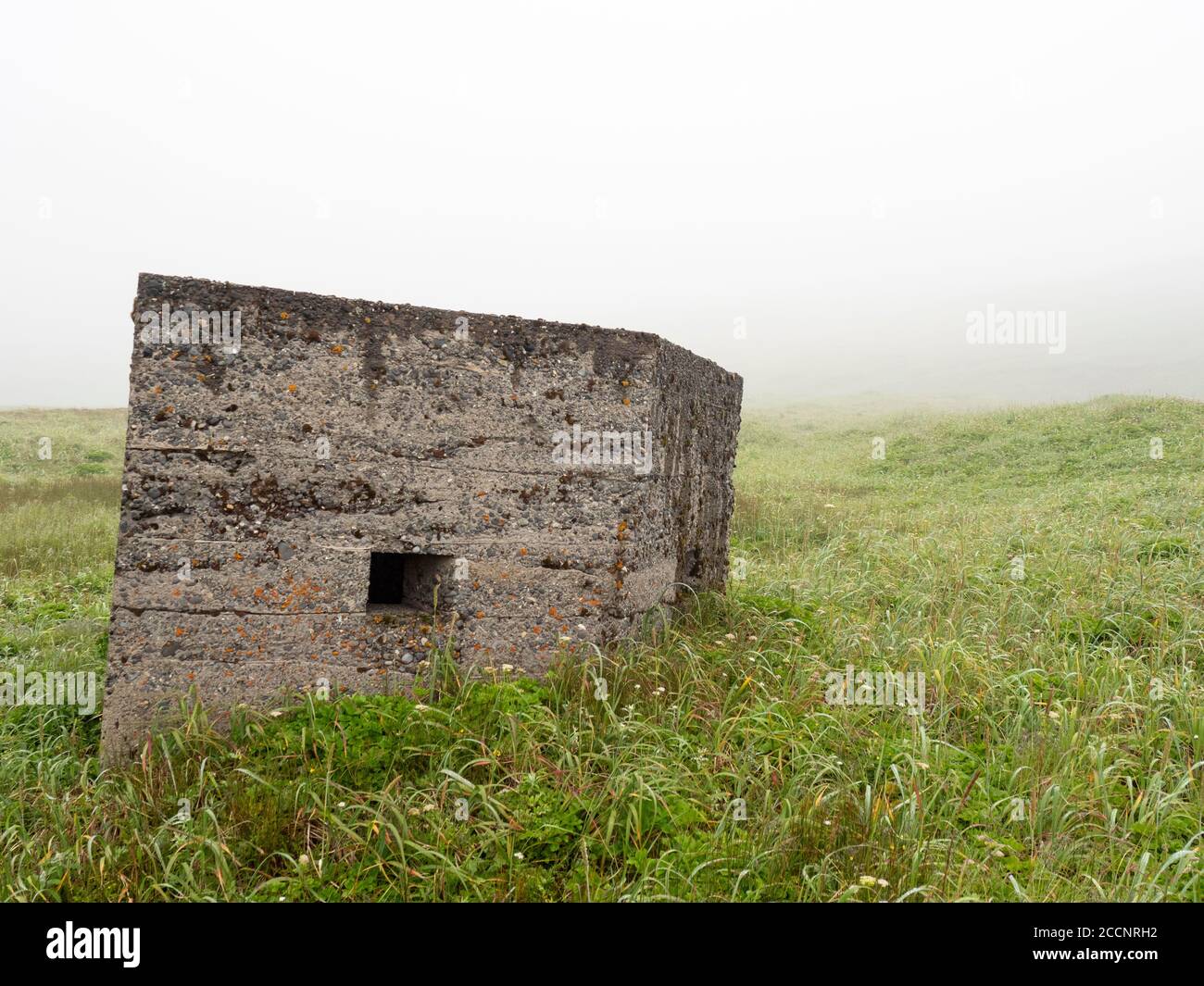 Remnants of WWII bunker on Kiska Island, Aleutians, Alaska. Stock Photohttps://www.alamy.com/image-license-details/?v=1https://www.alamy.com/remnants-of-wwii-bunker-on-kiska-island-aleutians-alaska-image369273102.html
RF2CCNRH2–Remnants of WWII bunker on Kiska Island, Aleutians, Alaska.
 The incredible flowers on the tundra of Kagamil Island, Aleutians, Alaska, USA Stock Photohttps://www.alamy.com/image-license-details/?v=1https://www.alamy.com/the-incredible-flowers-on-the-tundra-of-kagamil-island-aleutians-alaska-usa-image261443625.html
RMW59P09–The incredible flowers on the tundra of Kagamil Island, Aleutians, Alaska, USA
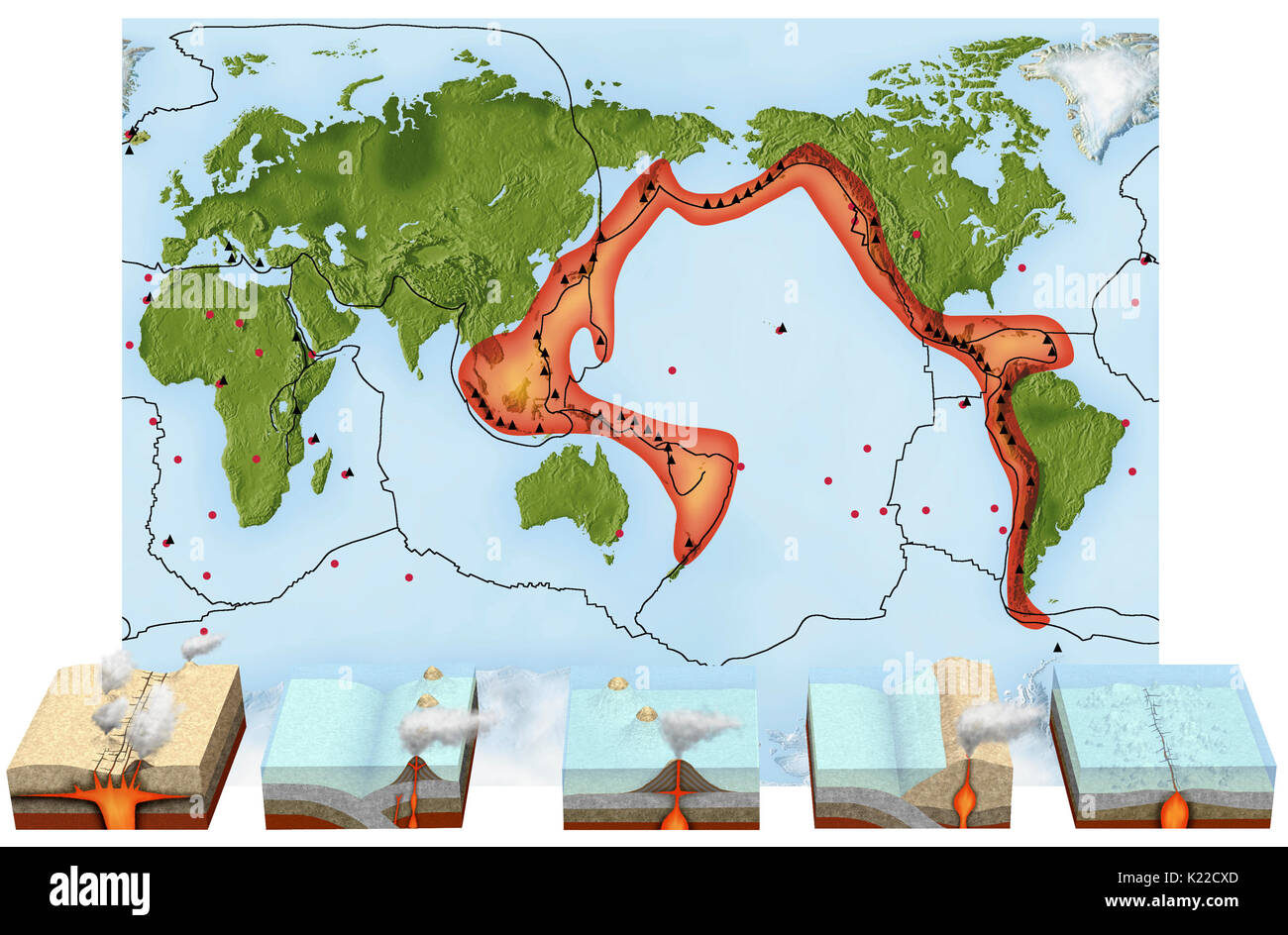 Most volcanoes emerge in strings along the edges of lithospheric plates. One of the best-known volcanic regions is the circum-Pacific belt, which contains many of the world’s volcanoes. Arranged in an island arc stretching across the Pacific Ocean, the belt includes the volcanic archipelagos of the Aleutians, Japan, Indonesia, and the Philippines. Stock Photohttps://www.alamy.com/image-license-details/?v=1https://www.alamy.com/most-volcanoes-emerge-in-strings-along-the-edges-of-lithospheric-plates-image156176677.html
RMK22CXD–Most volcanoes emerge in strings along the edges of lithospheric plates. One of the best-known volcanic regions is the circum-Pacific belt, which contains many of the world’s volcanoes. Arranged in an island arc stretching across the Pacific Ocean, the belt includes the volcanic archipelagos of the Aleutians, Japan, Indonesia, and the Philippines.
 Museum of the Aleutians, Dutch Harbor, Amaknak Island, Aleutian Islands, Alaska, USA Stock Photohttps://www.alamy.com/image-license-details/?v=1https://www.alamy.com/stock-photo-museum-of-the-aleutians-dutch-harbor-amaknak-island-aleutian-islands-122728695.html
RMH3JNKK–Museum of the Aleutians, Dutch Harbor, Amaknak Island, Aleutian Islands, Alaska, USA
 Rusting fuel tanks, Adak Island, Aleutian Islands, Alaska Stock Photohttps://www.alamy.com/image-license-details/?v=1https://www.alamy.com/rusting-fuel-tanks-adak-island-aleutian-islands-alaska-image263986138.html
RMW9DH0A–Rusting fuel tanks, Adak Island, Aleutian Islands, Alaska
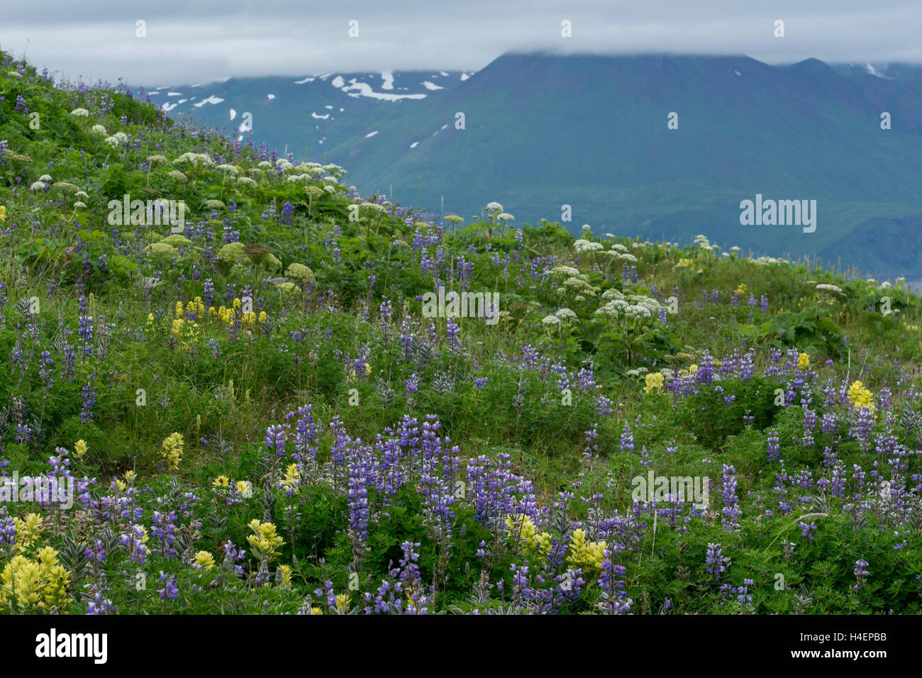 Alaska, Aleutians, Amaknak Island, Unalaska, Dutch Harbor (53-54-15 N 166-31-68 W) Summer wildflowers. Stock Photohttps://www.alamy.com/image-license-details/?v=1https://www.alamy.com/stock-photo-alaska-aleutians-amaknak-island-unalaska-dutch-harbor-53-54-15-n-166-123256095.html
RMH4EPBB–Alaska, Aleutians, Amaknak Island, Unalaska, Dutch Harbor (53-54-15 N 166-31-68 W) Summer wildflowers.
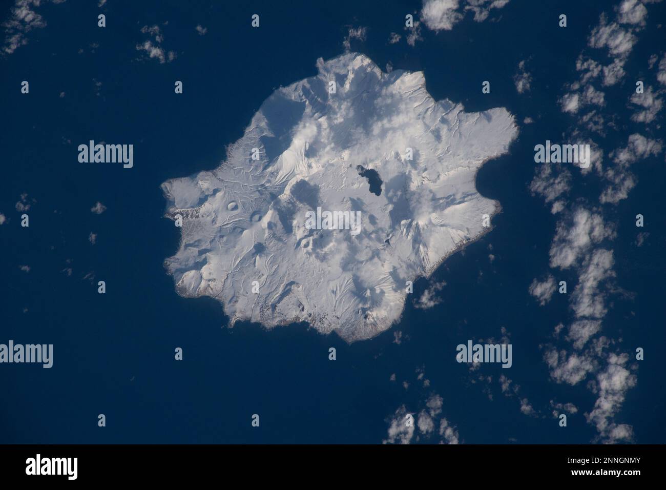 Aerial of volcanic Semisopochnoi Island in the Aleutian islands off Alaska Stock Photohttps://www.alamy.com/image-license-details/?v=1https://www.alamy.com/aerial-of-volcanic-semisopochnoi-island-in-the-aleutian-islands-off-alaska-image529587099.html
RF2NNGNMY–Aerial of volcanic Semisopochnoi Island in the Aleutian islands off Alaska
 A Russian orthodox cross atop a grave on a grassy hillside over the Bering Sea, Unalaska Island, Aleutian archipelago, United States. Stock Photohttps://www.alamy.com/image-license-details/?v=1https://www.alamy.com/a-russian-orthodox-cross-atop-a-grave-on-a-grassy-hillside-over-the-bering-sea-unalaska-island-aleutian-archipelago-united-states-image224538774.html
RMR18HDX–A Russian orthodox cross atop a grave on a grassy hillside over the Bering Sea, Unalaska Island, Aleutian archipelago, United States.
 Twig of a deciduous bush in spring. Aleutian Islands, Alaska, USA. Stock Photohttps://www.alamy.com/image-license-details/?v=1https://www.alamy.com/stock-photo-twig-of-a-deciduous-bush-in-spring-aleutian-islands-alaska-usa-92936317.html
RMFB5H65–Twig of a deciduous bush in spring. Aleutian Islands, Alaska, USA.
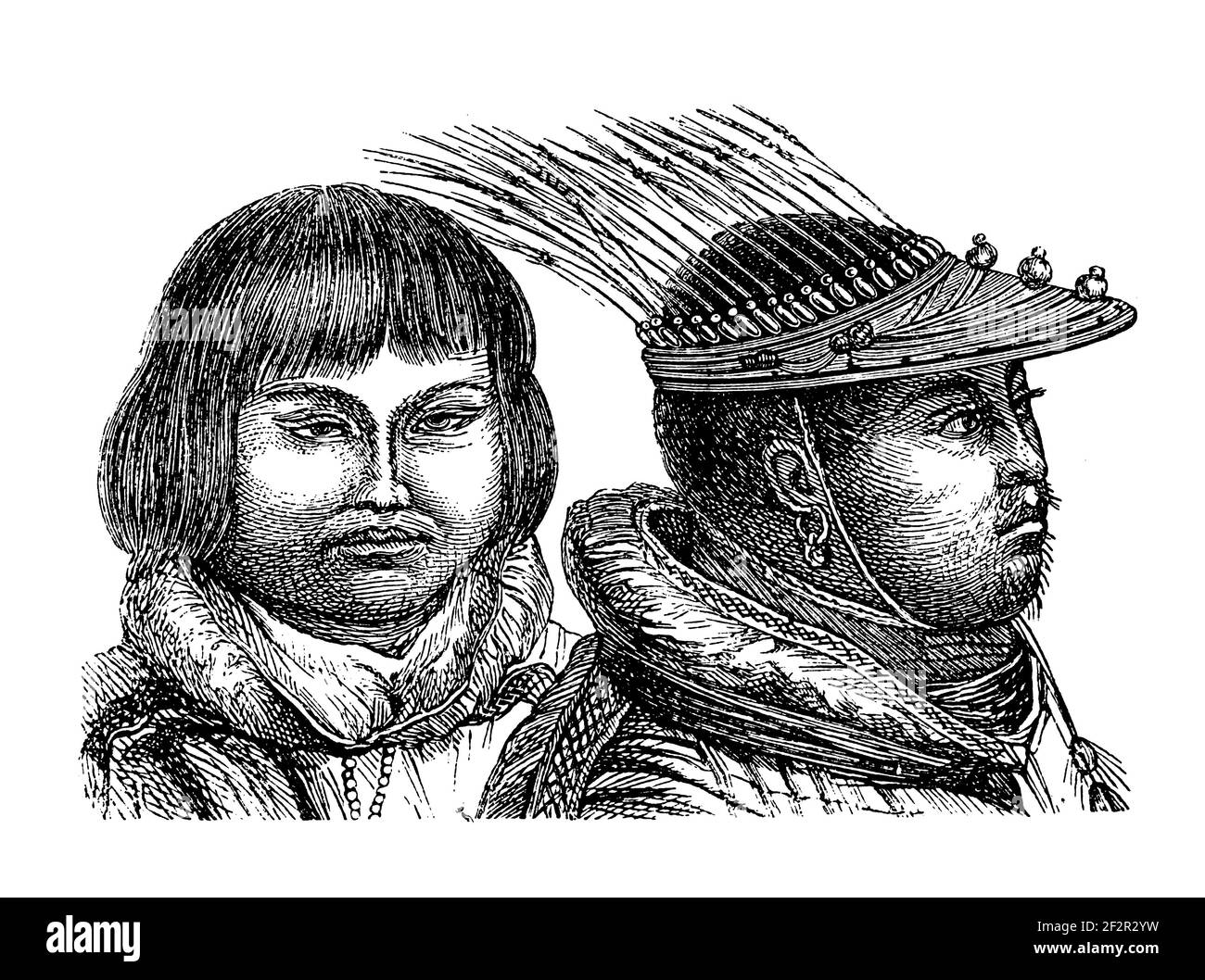 Antique 19th-century engraving of Aleuts. Illustration published in Systematischer Bilder-Atlas zum Conversations-Lexikon, Ikonographische Encyklopaed Stock Photohttps://www.alamy.com/image-license-details/?v=1https://www.alamy.com/antique-19th-century-engraving-of-aleuts-illustration-published-in-systematischer-bilder-atlas-zum-conversations-lexikon-ikonographische-encyklopaed-image414785389.html
RF2F2R2YW–Antique 19th-century engraving of Aleuts. Illustration published in Systematischer Bilder-Atlas zum Conversations-Lexikon, Ikonographische Encyklopaed
 Old house located at Tundra Dr road, near the Unalaska Airport with the Hog Island and Nateekin bay in the background. Stock Photohttps://www.alamy.com/image-license-details/?v=1https://www.alamy.com/stock-image-old-house-located-at-tundra-dr-road-near-the-unalaska-airport-with-166496780.html
RFKJTG9G–Old house located at Tundra Dr road, near the Unalaska Airport with the Hog Island and Nateekin bay in the background.
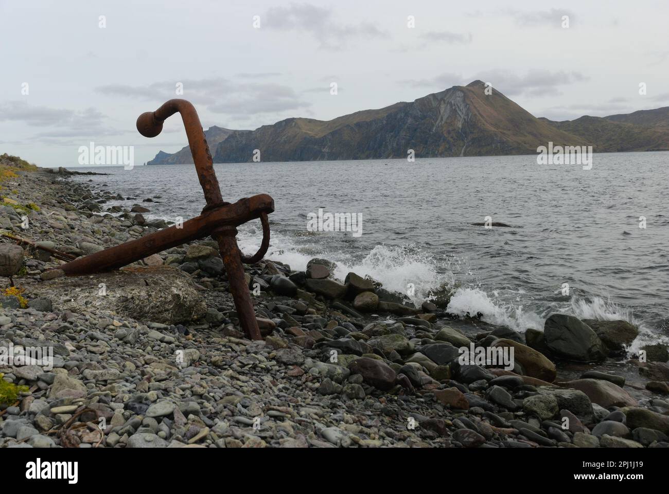 Beaver Inlet Beach Anchor Alaska Stock Photohttps://www.alamy.com/image-license-details/?v=1https://www.alamy.com/beaver-inlet-beach-anchor-alaska-image544621317.html
RF2PJ1J19–Beaver Inlet Beach Anchor Alaska
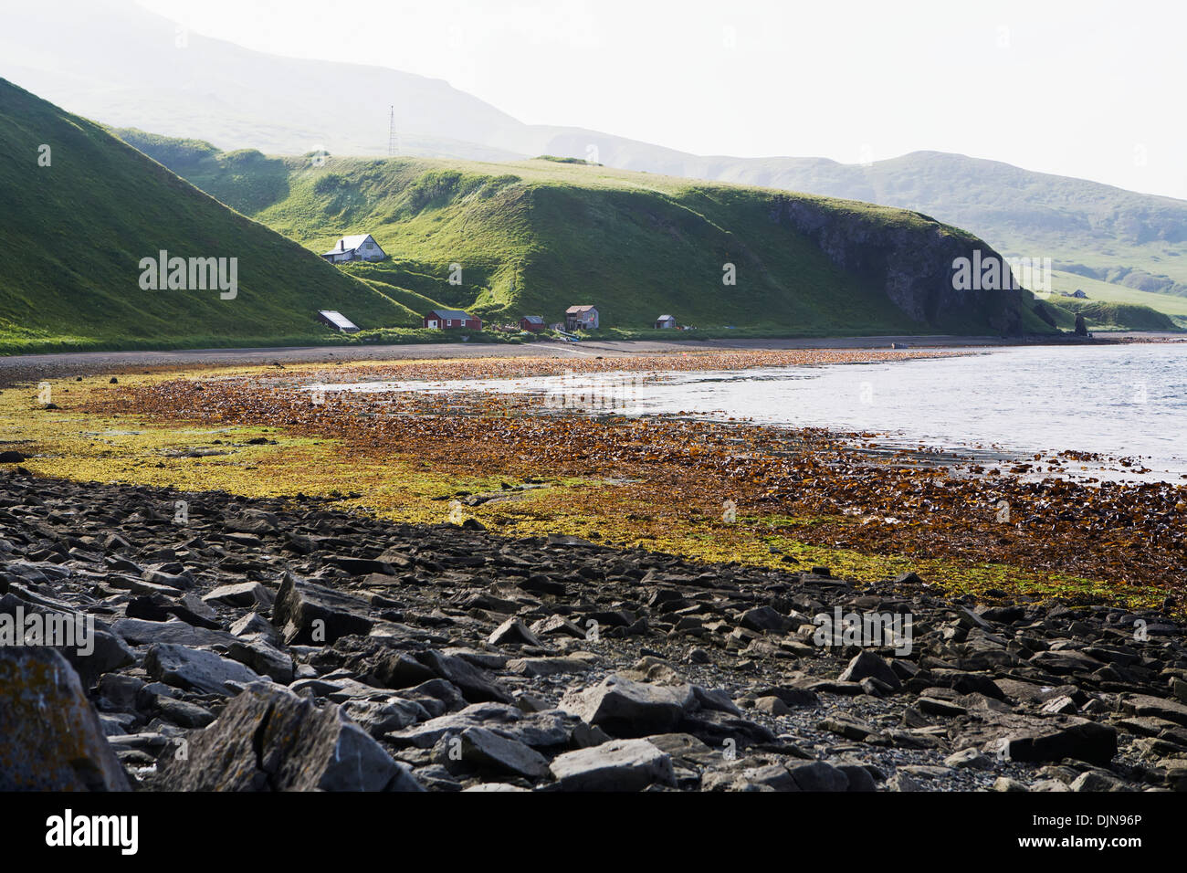 Low Tide In Isanotski Strait, False Pass, The Aleutians, Southwest Alaska, Summer. Stock Photohttps://www.alamy.com/image-license-details/?v=1https://www.alamy.com/low-tide-in-isanotski-strait-false-pass-the-aleutians-southwest-alaska-image63163150.html
RMDJN96P–Low Tide In Isanotski Strait, False Pass, The Aleutians, Southwest Alaska, Summer.
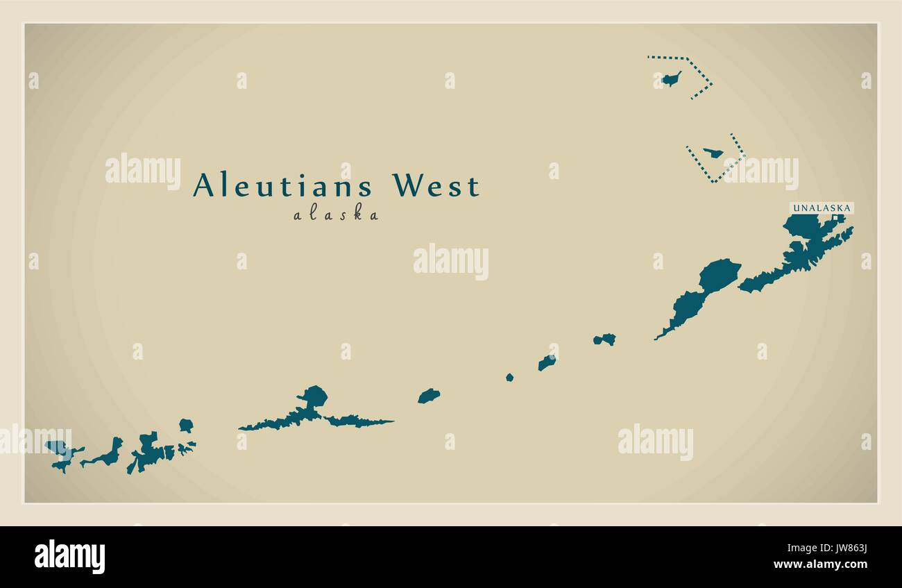 Modern Map - Aleutians West Alaska county USA illustration Stock Vectorhttps://www.alamy.com/image-license-details/?v=1https://www.alamy.com/modern-map-aleutians-west-alaska-county-usa-illustration-image153229766.html
RFJW863J–Modern Map - Aleutians West Alaska county USA illustration
 Fairchild A-10 landing in the Aleutians Alaska Stock Photohttps://www.alamy.com/image-license-details/?v=1https://www.alamy.com/fairchild-a-10-landing-in-the-aleutians-alaska-image597167888.html
RF2WKF9MG–Fairchild A-10 landing in the Aleutians Alaska
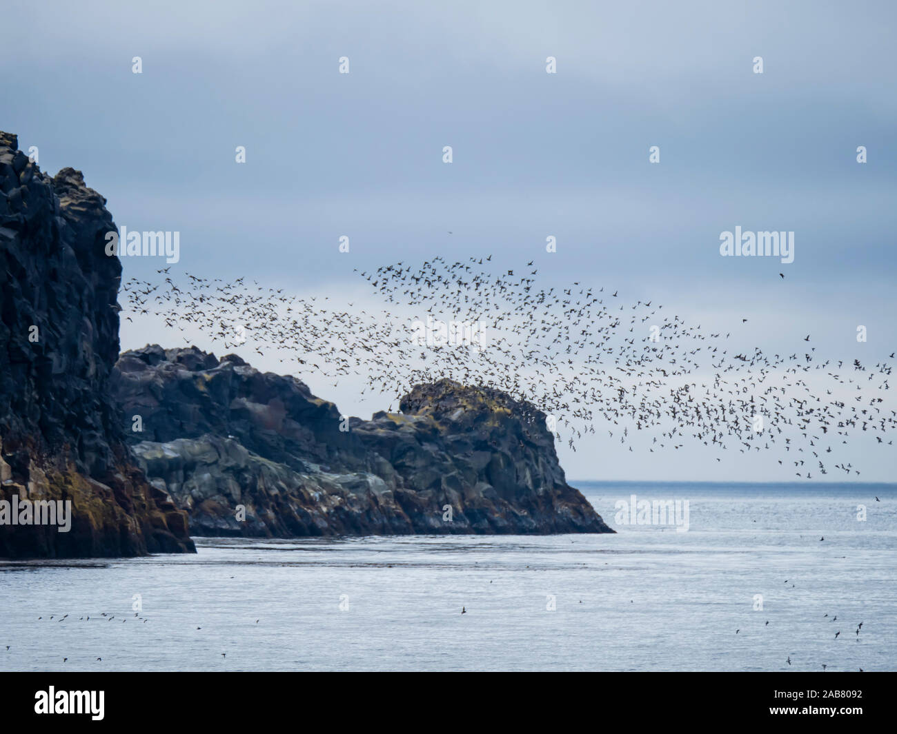 Flocks of seabirds take flight along the shores of Kiska Island, Aleutians, Alaska, North America Stock Photohttps://www.alamy.com/image-license-details/?v=1https://www.alamy.com/flocks-of-seabirds-take-flight-along-the-shores-of-kiska-island-aleutians-alaska-north-america-image333934078.html
RF2AB8092–Flocks of seabirds take flight along the shores of Kiska Island, Aleutians, Alaska, North America
 'Crash Landing, Aleutians', 1943. Artist: Ogden Minton Pleissner Stock Photohttps://www.alamy.com/image-license-details/?v=1https://www.alamy.com/stock-photo-crash-landing-aleutians-1943-artist-ogden-minton-pleissner-11067426.html
RMA4K1CK–'Crash Landing, Aleutians', 1943. Artist: Ogden Minton Pleissner
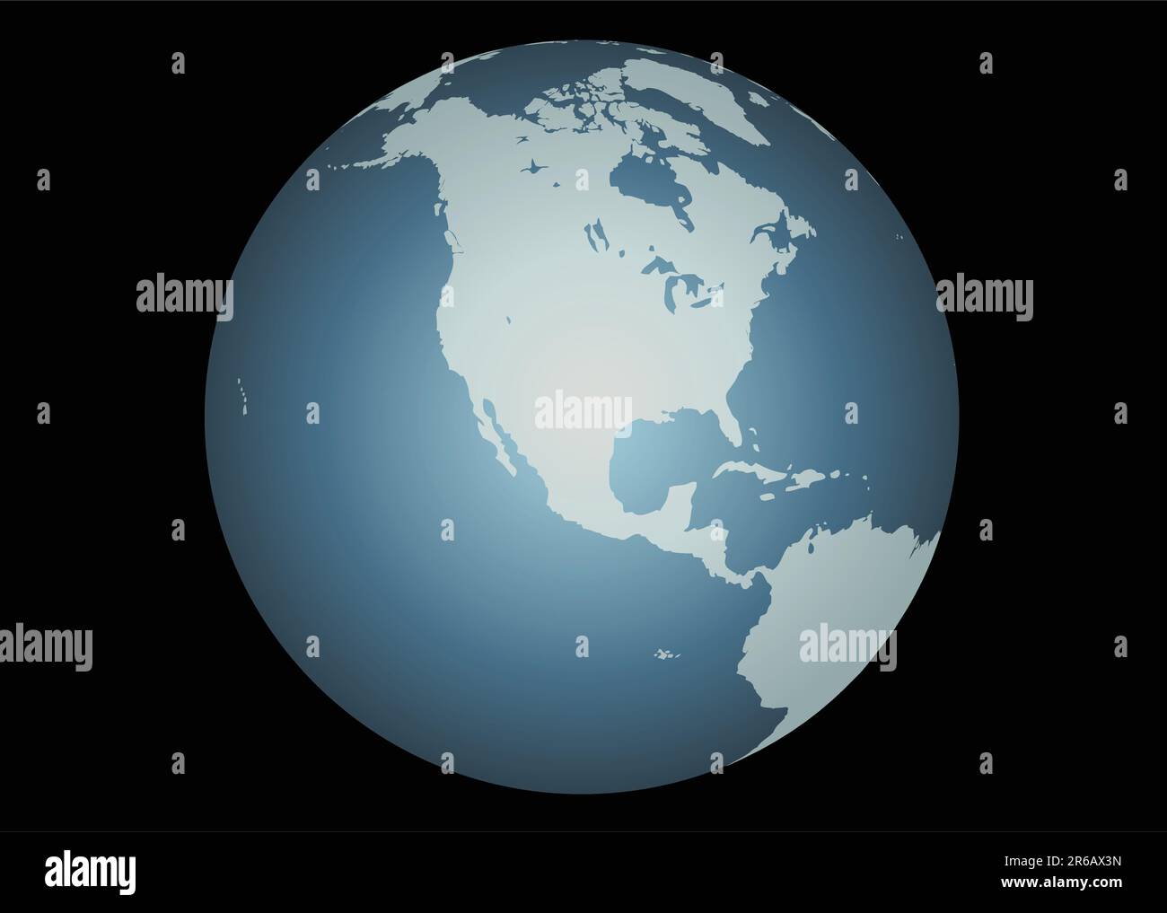 North America (Vector). Accurate map of North America. Mapped onto a globe. Includes Canada, USA, Mexico, Hawaii, Aleutians. Includes all the large... Stock Vectorhttps://www.alamy.com/image-license-details/?v=1https://www.alamy.com/north-america-vector-accurate-map-of-north-america-mapped-onto-a-globe-includes-canada-usa-mexico-hawaii-aleutians-includes-all-the-large-image554659721.html
RF2R6AX3N–North America (Vector). Accurate map of North America. Mapped onto a globe. Includes Canada, USA, Mexico, Hawaii, Aleutians. Includes all the large...
 ESKIMOS - ALEUTIANS Stock Photohttps://www.alamy.com/image-license-details/?v=1https://www.alamy.com/eskimos-aleutians-image65815167.html
RMDR23WK–ESKIMOS - ALEUTIANS
 Remnants of WWII era dock on Kiska Island, Aleutians, Alaska. Stock Photohttps://www.alamy.com/image-license-details/?v=1https://www.alamy.com/remnants-of-wwii-era-dock-on-kiska-island-aleutians-alaska-image369273135.html
RF2CCNRJ7–Remnants of WWII era dock on Kiska Island, Aleutians, Alaska.
 The incredible flowers on the tundra of Kagamil Island, Aleutians, Alaska, USA Stock Photohttps://www.alamy.com/image-license-details/?v=1https://www.alamy.com/the-incredible-flowers-on-the-tundra-of-kagamil-island-aleutians-alaska-usa-image261443723.html
RMW59P3R–The incredible flowers on the tundra of Kagamil Island, Aleutians, Alaska, USA
 Crater of Mount Redoubt, an active stratovolcano in the Chigmit Mountains, a subrange of the Aleutians; Alaska. Stock Photohttps://www.alamy.com/image-license-details/?v=1https://www.alamy.com/crater-of-mount-redoubt-an-active-stratovolcano-in-the-chigmit-mountains-a-subrange-of-the-aleutians-alaska-image352790947.html
RM2BDY0CK–Crater of Mount Redoubt, an active stratovolcano in the Chigmit Mountains, a subrange of the Aleutians; Alaska.
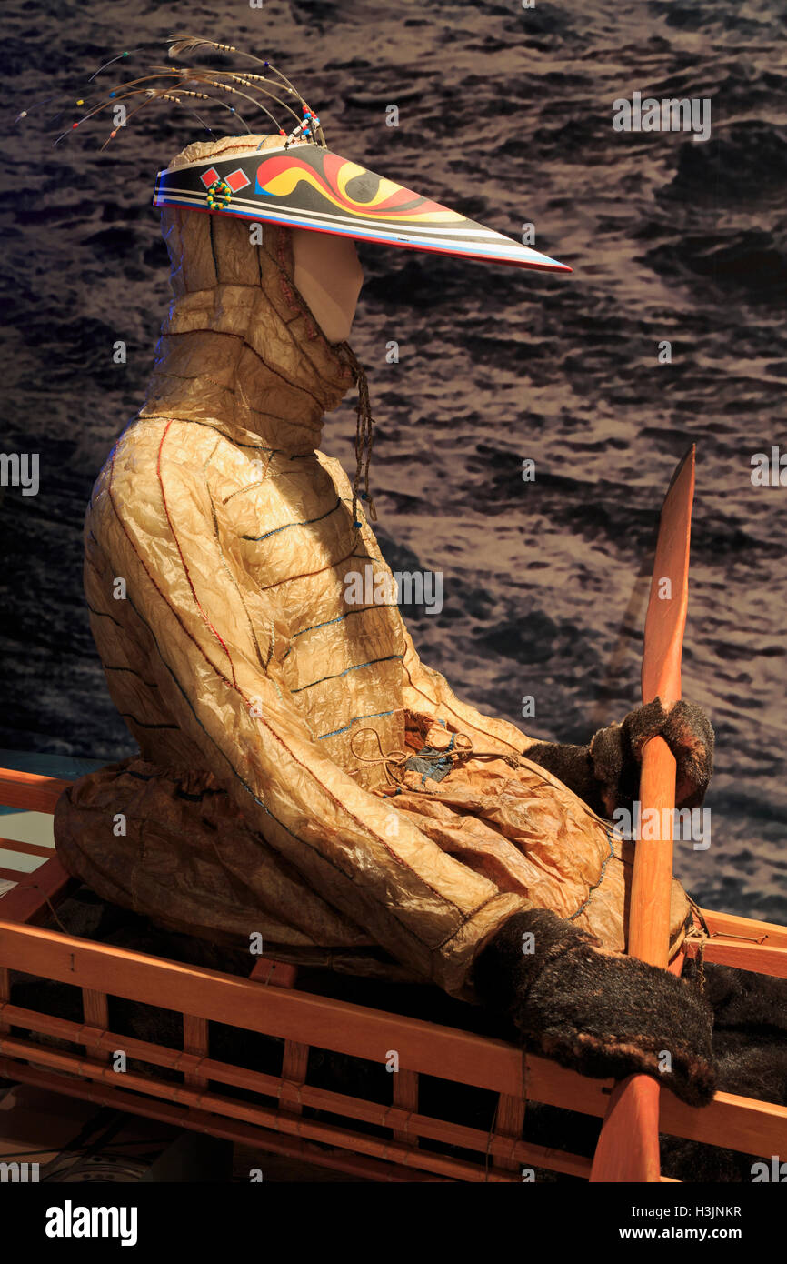 Museum of the Aleutians, Dutch Harbor, Amaknak Island, Aleutian Islands, Alaska, USA Stock Photohttps://www.alamy.com/image-license-details/?v=1https://www.alamy.com/stock-photo-museum-of-the-aleutians-dutch-harbor-amaknak-island-aleutian-islands-122728699.html
RMH3JNKR–Museum of the Aleutians, Dutch Harbor, Amaknak Island, Aleutian Islands, Alaska, USA
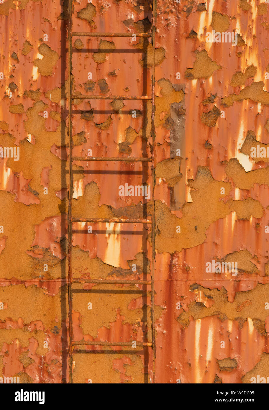 Rusting fuel tanks, Adak Island, Aleutian Islands, Alaska Stock Photohttps://www.alamy.com/image-license-details/?v=1https://www.alamy.com/rusting-fuel-tanks-adak-island-aleutian-islands-alaska-image263985349.html
RMW9DG05–Rusting fuel tanks, Adak Island, Aleutian Islands, Alaska
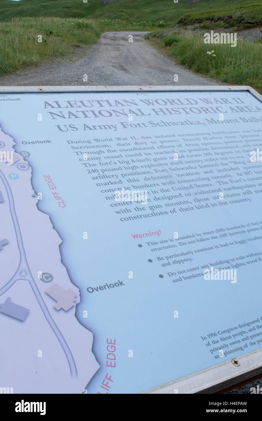 Alaska, Aleutians, Amaknak Island, Dutch Harbor. Sign for Fort Schwatka, WWII remnants of US Army base. National Historic Area. Stock Photohttps://www.alamy.com/image-license-details/?v=1https://www.alamy.com/stock-photo-alaska-aleutians-amaknak-island-dutch-harbor-sign-for-fort-schwatka-123256081.html
RMH4EPAW–Alaska, Aleutians, Amaknak Island, Dutch Harbor. Sign for Fort Schwatka, WWII remnants of US Army base. National Historic Area.
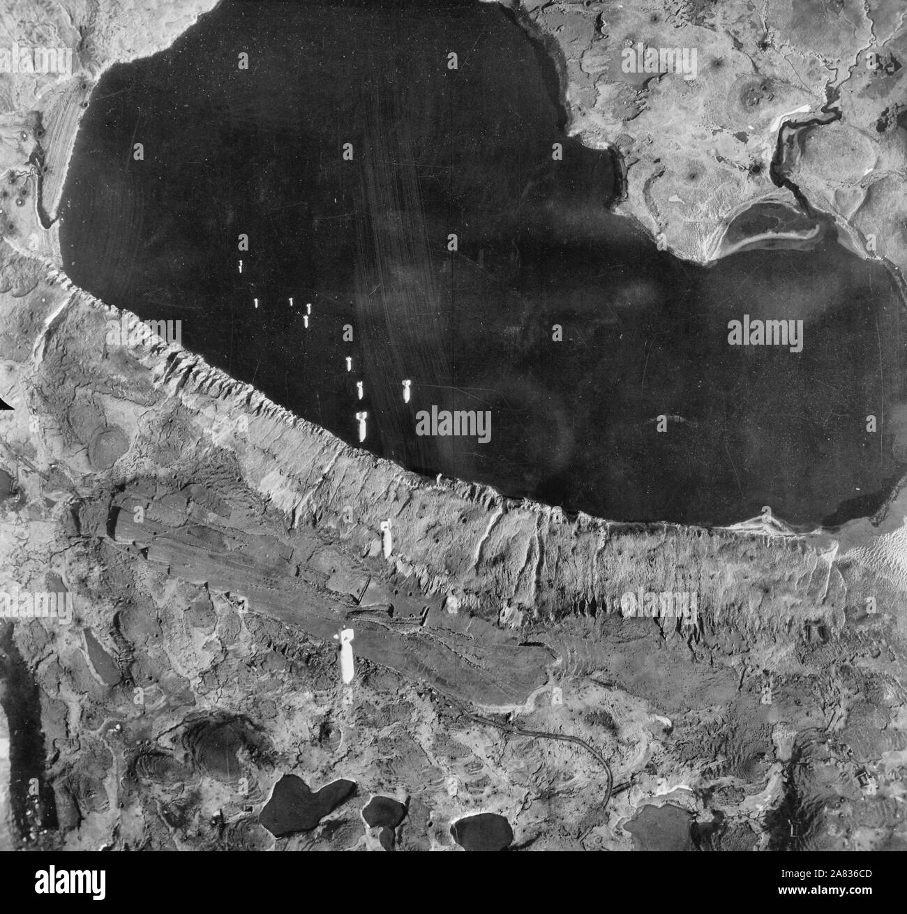 A train of bombs drops from United States Army Air Forces plane on territory in the Aleutians held by the Japanese. Circa 1943 Stock Photohttps://www.alamy.com/image-license-details/?v=1https://www.alamy.com/a-train-of-bombs-drops-from-united-states-army-air-forces-plane-on-territory-in-the-aleutians-held-by-the-japanese-circa-1943-image331985149.html
RM2A836CD–A train of bombs drops from United States Army Air Forces plane on territory in the Aleutians held by the Japanese. Circa 1943
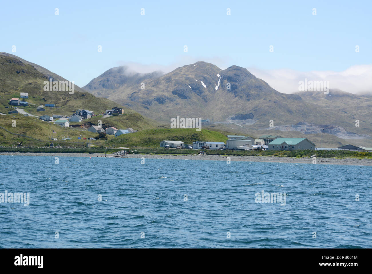 Homes on the edge of Unalaska, also known as Dutch Harbor, surrounded by mountains and the Bering Sea, Unalaska Island, Aleutian archipelago, Alaska. Stock Photohttps://www.alamy.com/image-license-details/?v=1https://www.alamy.com/homes-on-the-edge-of-unalaska-also-known-as-dutch-harbor-surrounded-by-mountains-and-the-bering-sea-unalaska-island-aleutian-archipelago-alaska-image230496048.html
RFRB001M–Homes on the edge of Unalaska, also known as Dutch Harbor, surrounded by mountains and the Bering Sea, Unalaska Island, Aleutian archipelago, Alaska.
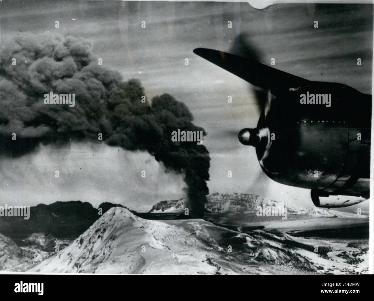 Apr. 18, 2012 - Volcano Erupton in the Aleutians.: A U.S. Naval Air Transport Service pilot-photographer made this remarkable.Ariel view of Veniamenof Volcano in the Aleutians. The Volcano is one of the oldest known and is estimates to have reaches a height of from 18.000 to 20,000 feet before the top was blown off. The Crater now is 9,000 Feet High with a new crayer-building up inside the old one. Vaniamanoff's Last major eruption causes the evaquation of the town of Perryville. Stock Photohttps://www.alamy.com/image-license-details/?v=1https://www.alamy.com/apr-18-2012-volcano-erupton-in-the-aleutians-a-us-naval-air-transport-image69554713.html
RME14DMW–Apr. 18, 2012 - Volcano Erupton in the Aleutians.: A U.S. Naval Air Transport Service pilot-photographer made this remarkable.Ariel view of Veniamenof Volcano in the Aleutians. The Volcano is one of the oldest known and is estimates to have reaches a height of from 18.000 to 20,000 feet before the top was blown off. The Crater now is 9,000 Feet High with a new crayer-building up inside the old one. Vaniamanoff's Last major eruption causes the evaquation of the town of Perryville.
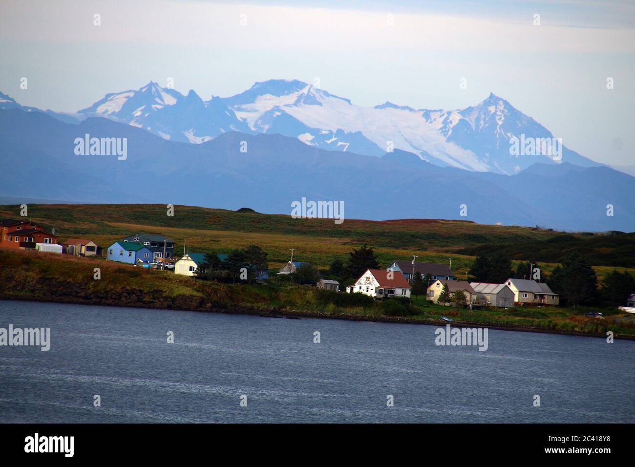 Alaska, Sand Point, Popof Island, Aleutian Islands, United States Stock Photohttps://www.alamy.com/image-license-details/?v=1https://www.alamy.com/alaska-sand-point-popof-island-aleutian-islands-united-states-image363905340.html
RF2C418Y8–Alaska, Sand Point, Popof Island, Aleutian Islands, United States
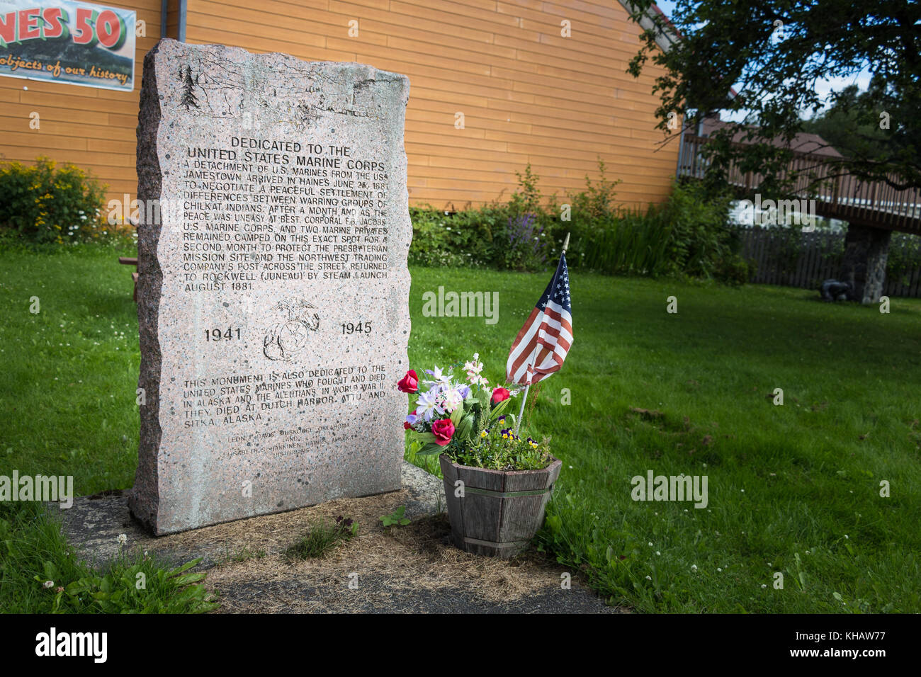 Haines, Alaska, USA - July 29th, 2017: Monument dedicated to the Marine corps who arrived in Haines in 1881 and also the Marines who died in Alaska in Stock Photohttps://www.alamy.com/image-license-details/?v=1https://www.alamy.com/stock-image-haines-alaska-usa-july-29th-2017-monument-dedicated-to-the-marine-165581787.html
RFKHAW77–Haines, Alaska, USA - July 29th, 2017: Monument dedicated to the Marine corps who arrived in Haines in 1881 and also the Marines who died in Alaska in
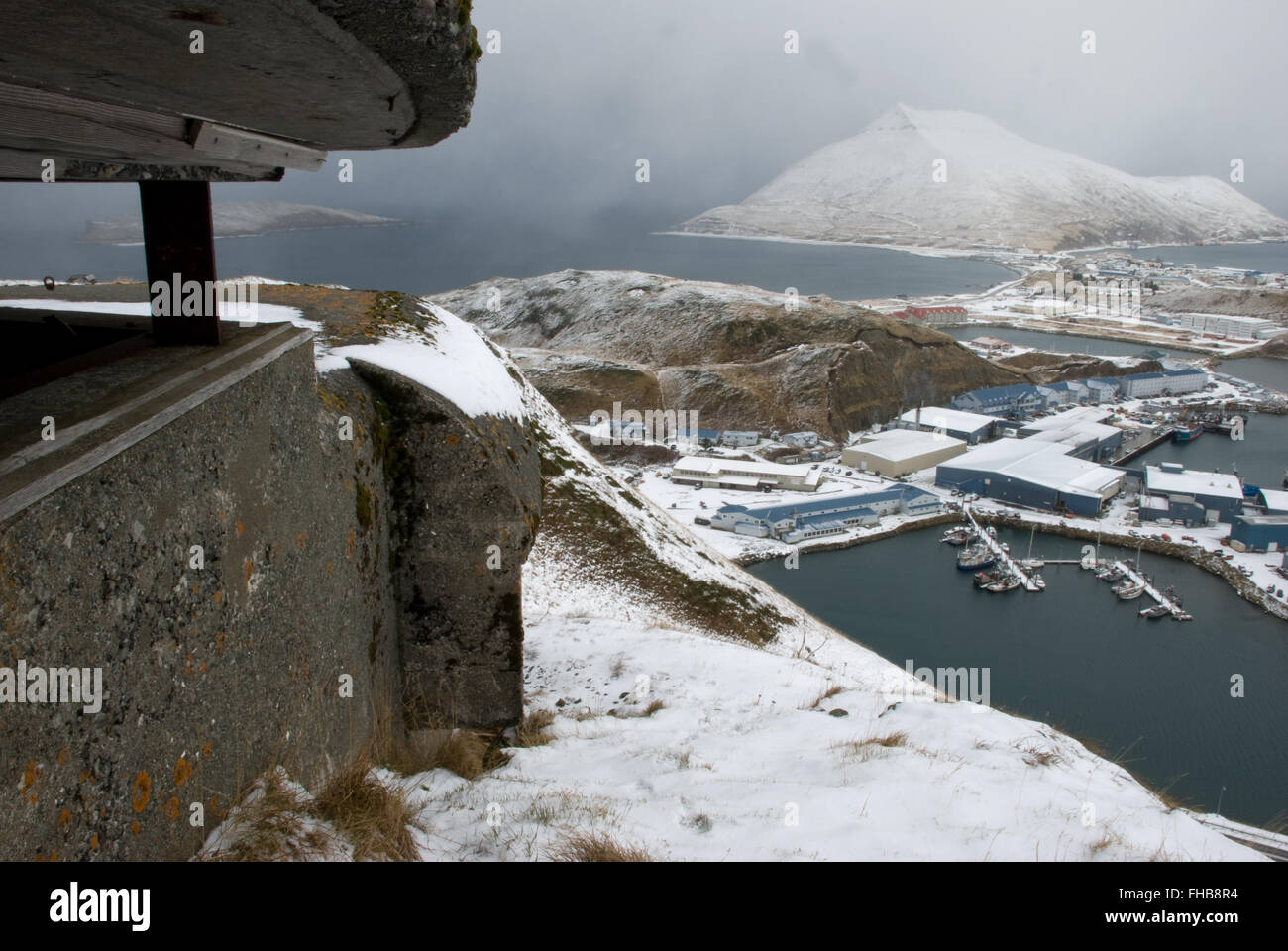 WW2 Bunker overlooking small boat harbor Stock Photohttps://www.alamy.com/image-license-details/?v=1https://www.alamy.com/stock-photo-ww2-bunker-overlooking-small-boat-harbor-96749384.html
RMFHB8R4–WW2 Bunker overlooking small boat harbor
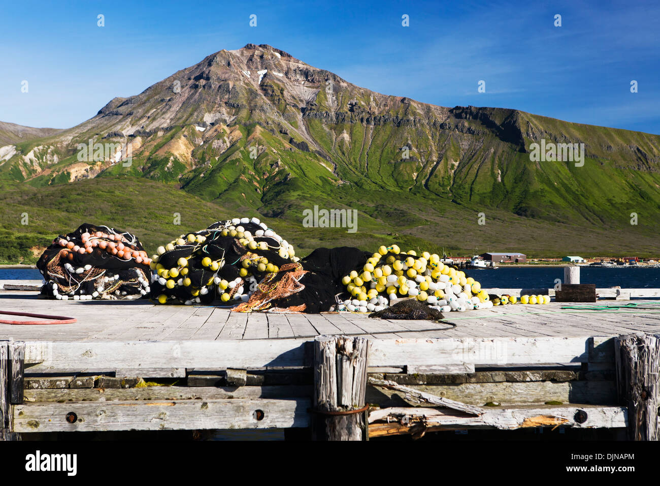 Seine Net On The Dock In False Pass On Unimak Island, The Aleutians, Southwest Alaska, Summer. Stock Photohttps://www.alamy.com/image-license-details/?v=1https://www.alamy.com/seine-net-on-the-dock-in-false-pass-on-unimak-island-the-aleutians-image63164380.html
RMDJNAPM–Seine Net On The Dock In False Pass On Unimak Island, The Aleutians, Southwest Alaska, Summer.
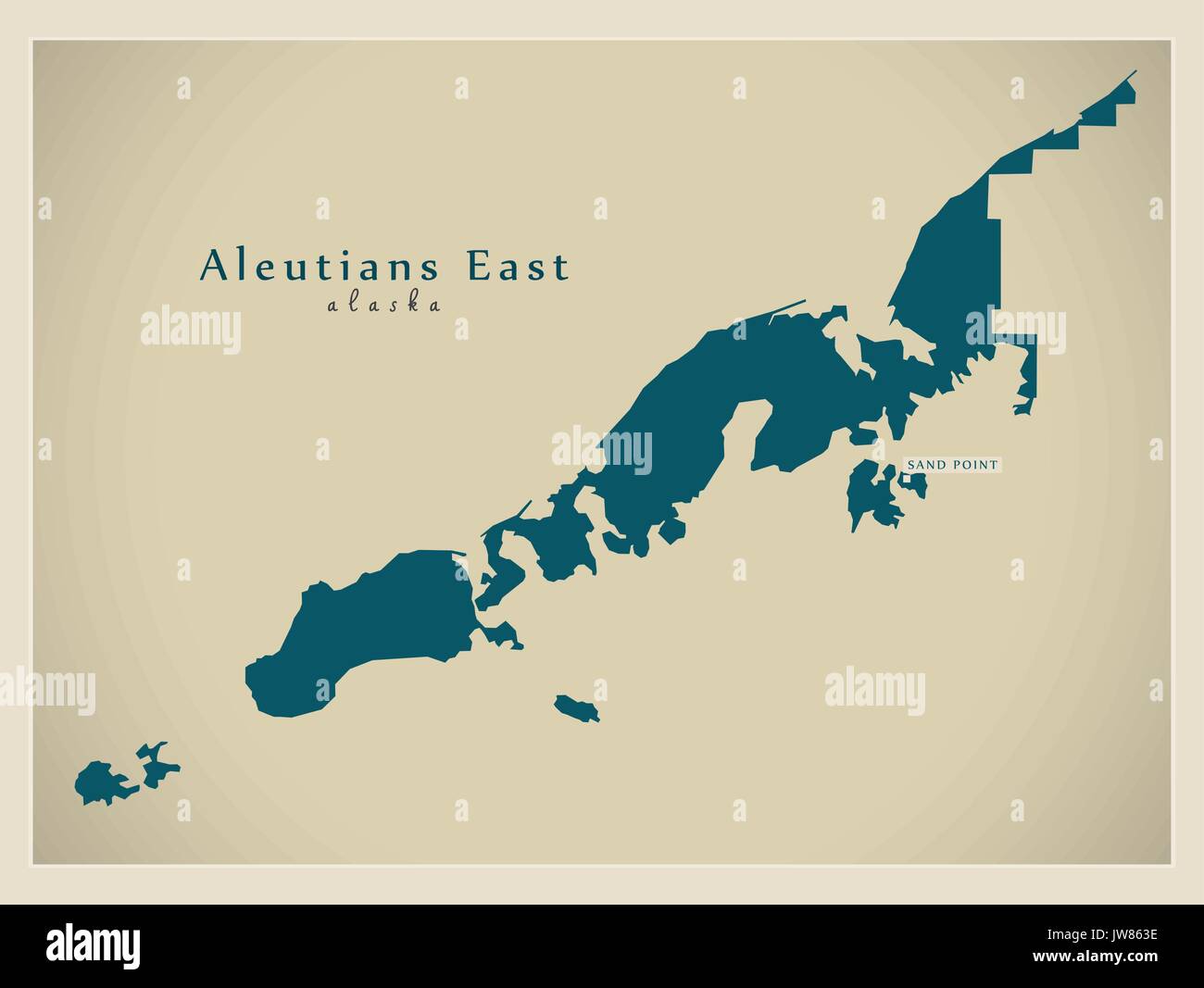 Modern Map - Aleutians East Alaska county USA illustration Stock Vectorhttps://www.alamy.com/image-license-details/?v=1https://www.alamy.com/modern-map-aleutians-east-alaska-county-usa-illustration-image153229762.html
RFJW863E–Modern Map - Aleutians East Alaska county USA illustration
 Map of Aleutians East in Alaska Stock Photohttps://www.alamy.com/image-license-details/?v=1https://www.alamy.com/map-of-aleutians-east-in-alaska-image402443359.html
RF2EAMTH3–Map of Aleutians East in Alaska
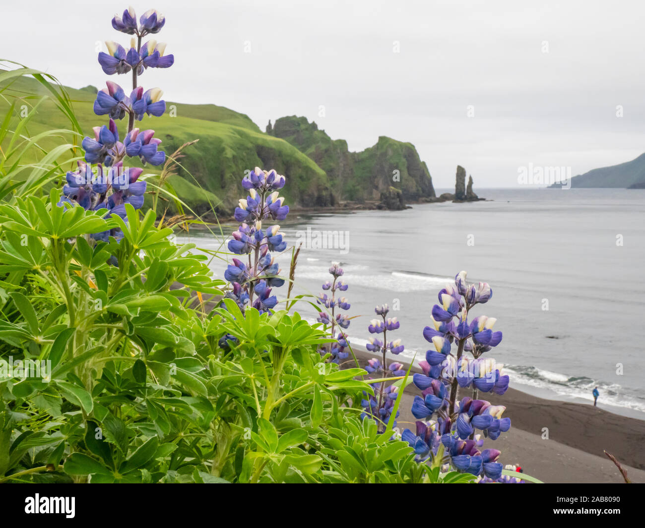 Wild Nootka lupine (Lupinus nootkatensis), in the Kagamil Island, Aleutians, Alaska, North America Stock Photohttps://www.alamy.com/image-license-details/?v=1https://www.alamy.com/wild-nootka-lupine-lupinus-nootkatensis-in-the-kagamil-island-aleutians-alaska-north-america-image333934076.html
RF2AB8090–Wild Nootka lupine (Lupinus nootkatensis), in the Kagamil Island, Aleutians, Alaska, North America
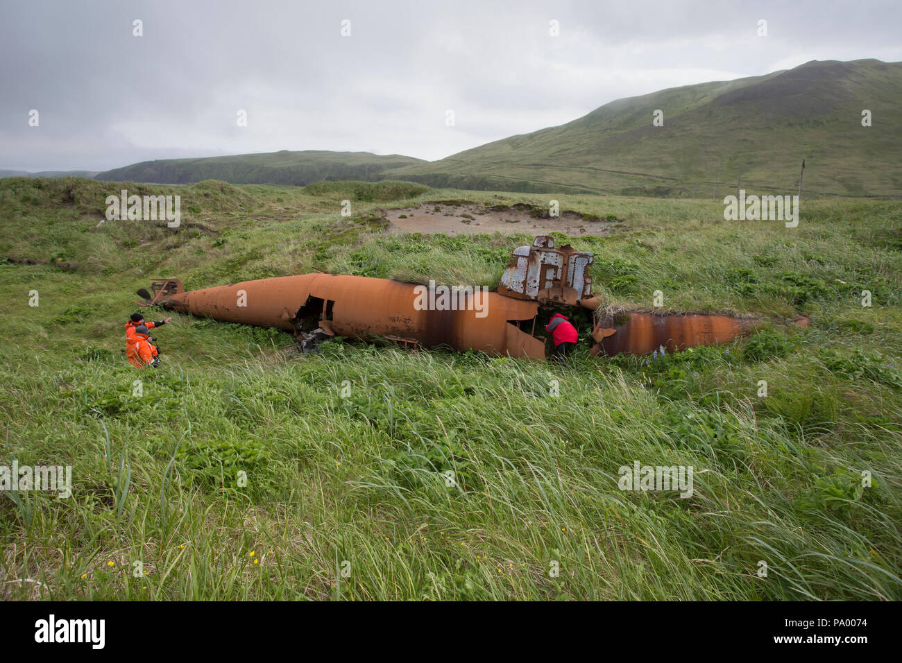 Abandoned Japanese Type A Ko-hyoteki midget submarine, Kiska Island. Stock Photohttps://www.alamy.com/image-license-details/?v=1https://www.alamy.com/abandoned-japanese-type-a-ko-hyoteki-midget-submarine-kiska-island-image212671176.html
RMPA0074–Abandoned Japanese Type A Ko-hyoteki midget submarine, Kiska Island.
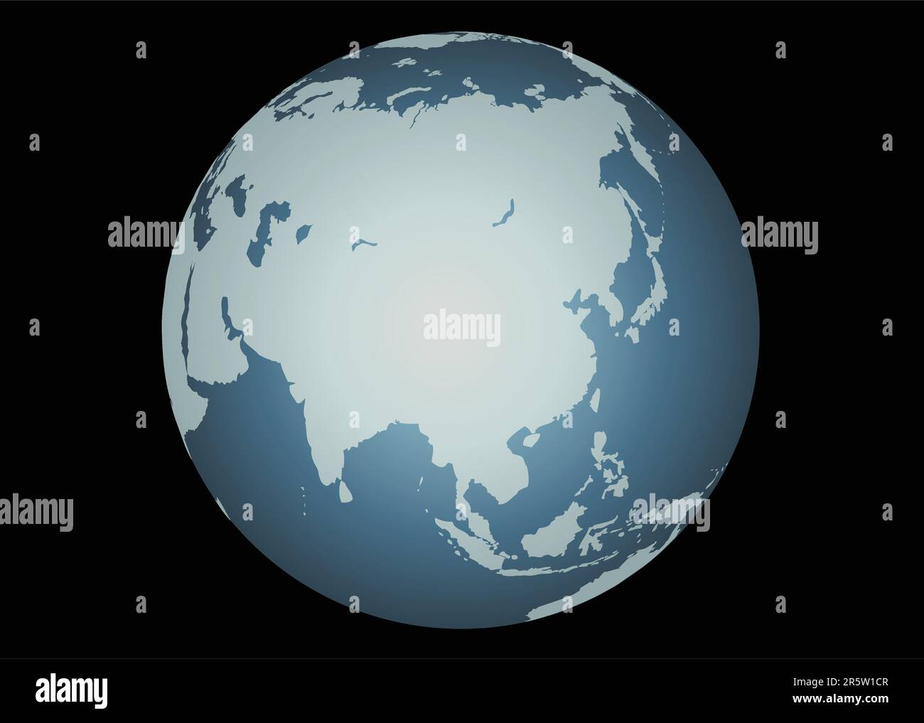 Asia (Vector). Accurate map of Asia. Mapped onto a globe. Includes the large lakes and sea of Russia, Islands of Aleutians, Maldives, Indonesia, etc. Stock Vectorhttps://www.alamy.com/image-license-details/?v=1https://www.alamy.com/asia-vector-accurate-map-of-asia-mapped-onto-a-globe-includes-the-large-lakes-and-sea-of-russia-islands-of-aleutians-maldives-indonesia-etc-image554354999.html
RF2R5W1CR–Asia (Vector). Accurate map of Asia. Mapped onto a globe. Includes the large lakes and sea of Russia, Islands of Aleutians, Maldives, Indonesia, etc.
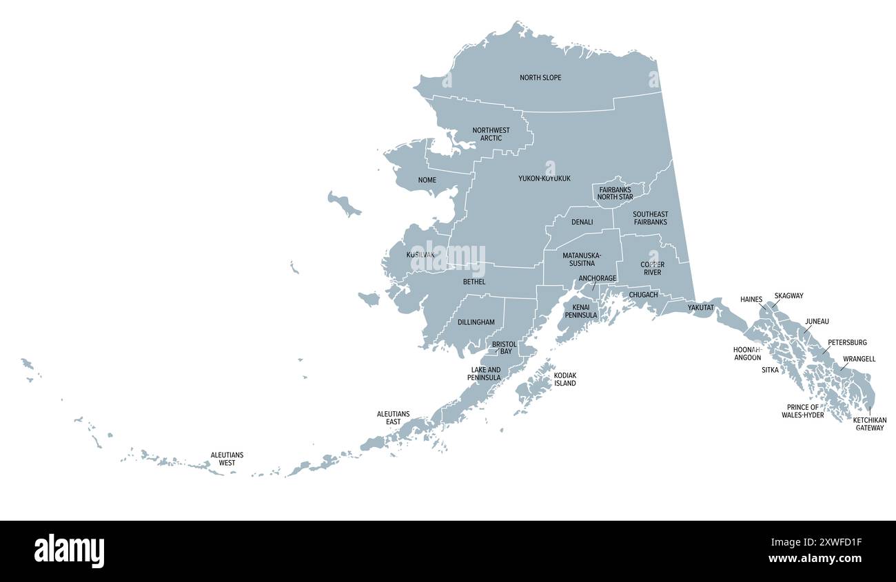 Alaska, U.S. state, gray political map, subdivided into 19 organized boroughs and 11 census areas. State on the northwest extremity of North America. Stock Photohttps://www.alamy.com/image-license-details/?v=1https://www.alamy.com/alaska-us-state-gray-political-map-subdivided-into-19-organized-boroughs-and-11-census-areas-state-on-the-northwest-extremity-of-north-america-image618068795.html
RF2XWFD1F–Alaska, U.S. state, gray political map, subdivided into 19 organized boroughs and 11 census areas. State on the northwest extremity of North America.
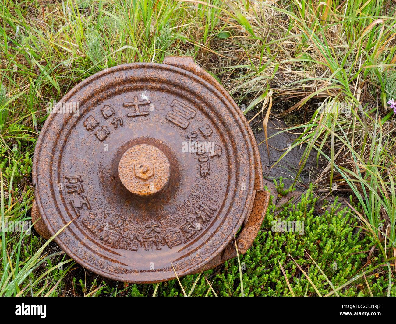 Remnants of WWII war machinery on Kiska Island, Aleutians, Alaska. Stock Photohttps://www.alamy.com/image-license-details/?v=1https://www.alamy.com/remnants-of-wwii-war-machinery-on-kiska-island-aleutians-alaska-image369273130.html
RF2CCNRJ2–Remnants of WWII war machinery on Kiska Island, Aleutians, Alaska.
 The incredible flowers on the tundra of Kagamil Island, Aleutians, Alaska, USA Stock Photohttps://www.alamy.com/image-license-details/?v=1https://www.alamy.com/the-incredible-flowers-on-the-tundra-of-kagamil-island-aleutians-alaska-usa-image261443955.html
RMW59PC3–The incredible flowers on the tundra of Kagamil Island, Aleutians, Alaska, USA
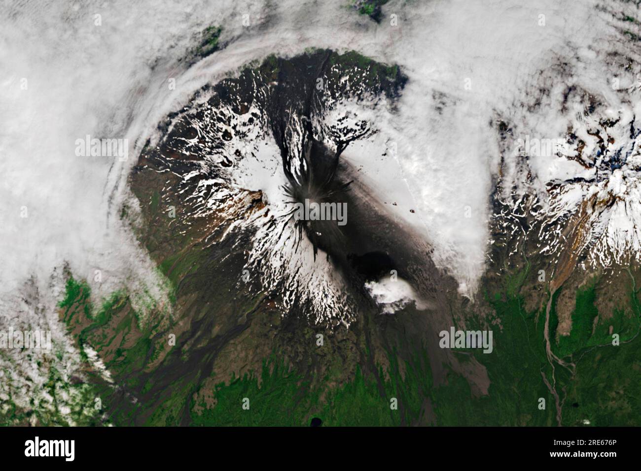 Unmake Island, United States. 17 July, 2023. View from Earth Orbit of the Shishaldin volcano in the Aleutian Islands as it erupts July 17, 2023 in Unmake Island, Alaska. Mount Shishaldin is a cone-shaped stratovolcanoand is one of the most active volcanoes in the Aleutian arc. Credit: Wanmei Liang/NASA/Alamy Live News Stock Photohttps://www.alamy.com/image-license-details/?v=1https://www.alamy.com/unmake-island-united-states-17-july-2023-view-from-earth-orbit-of-the-shishaldin-volcano-in-the-aleutian-islands-as-it-erupts-july-17-2023-in-unmake-island-alaska-mount-shishaldin-is-a-cone-shaped-stratovolcanoand-is-one-of-the-most-active-volcanoes-in-the-aleutian-arc-credit-wanmei-liangnasaalamy-live-news-image559474350.html
RM2RE676P–Unmake Island, United States. 17 July, 2023. View from Earth Orbit of the Shishaldin volcano in the Aleutian Islands as it erupts July 17, 2023 in Unmake Island, Alaska. Mount Shishaldin is a cone-shaped stratovolcanoand is one of the most active volcanoes in the Aleutian arc. Credit: Wanmei Liang/NASA/Alamy Live News
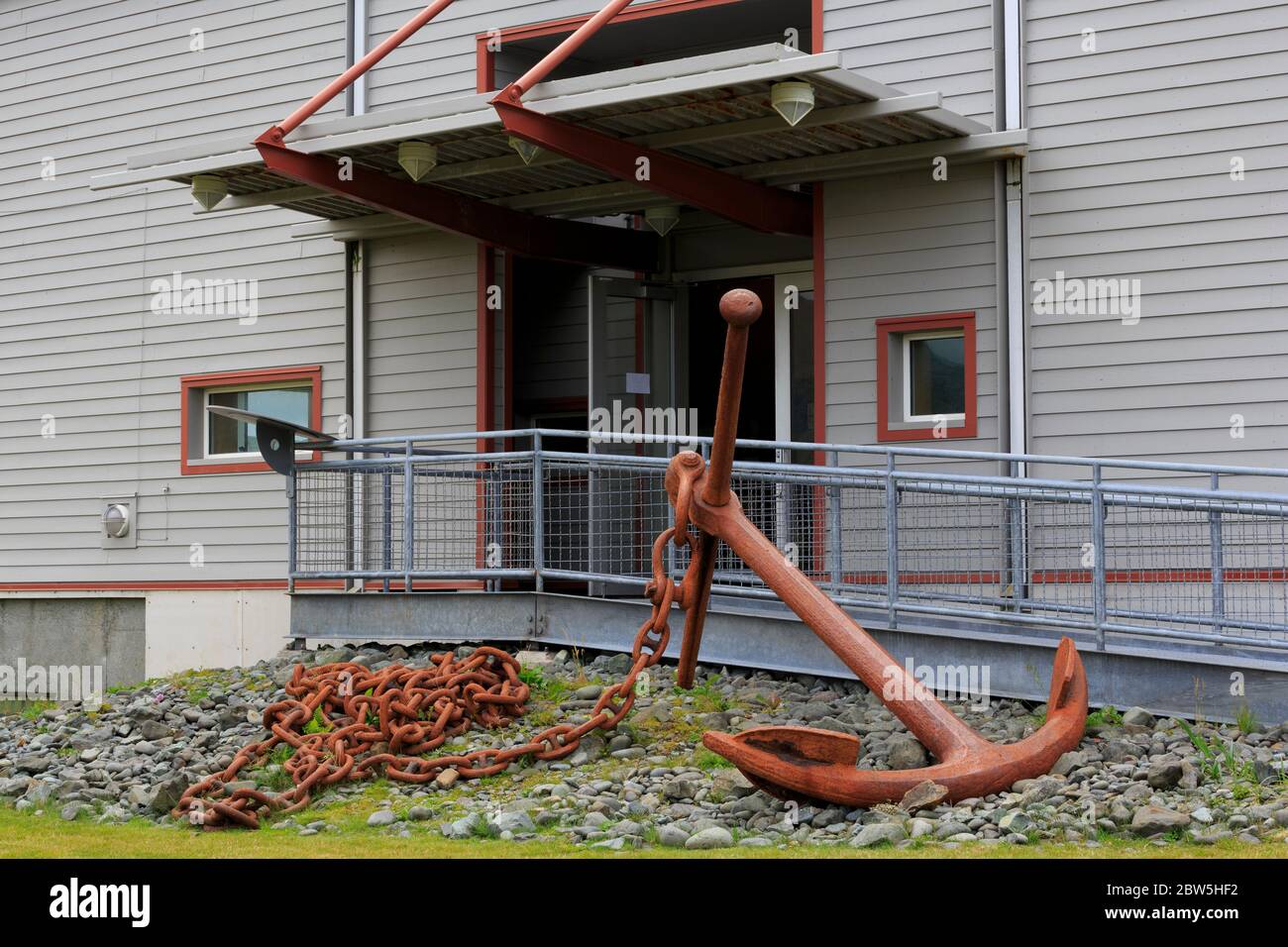 Museum of the Aleutians, Dutch Harbor, Amaknak Island, Aleutian Islands, Alaska, USA Stock Photohttps://www.alamy.com/image-license-details/?v=1https://www.alamy.com/museum-of-the-aleutians-dutch-harbor-amaknak-island-aleutian-islands-alaska-usa-image359697270.html
RM2BW5HF2–Museum of the Aleutians, Dutch Harbor, Amaknak Island, Aleutian Islands, Alaska, USA
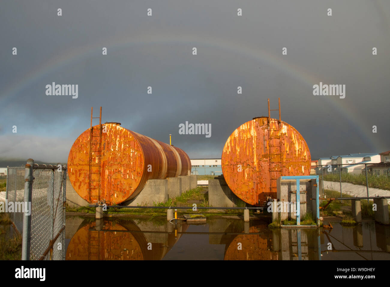 Rainbow over rusting fuel tanks, Adak Island, Aleutian Islands, Alaska Stock Photohttps://www.alamy.com/image-license-details/?v=1https://www.alamy.com/rainbow-over-rusting-fuel-tanks-adak-island-aleutian-islands-alaska-image263986547.html
RMW9DHEY–Rainbow over rusting fuel tanks, Adak Island, Aleutian Islands, Alaska
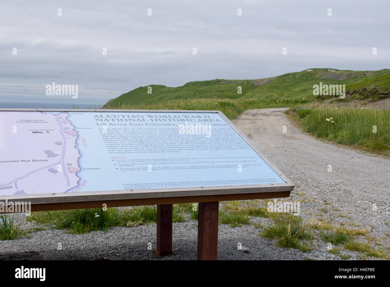 Alaska, Aleutians, Amaknak Island, Dutch Harbor. Sign for Fort Schwatka, WWII remnants of US Army base. National Historic Area. Stock Photohttps://www.alamy.com/image-license-details/?v=1https://www.alamy.com/stock-photo-alaska-aleutians-amaknak-island-dutch-harbor-sign-for-fort-schwatka-123256098.html
RMH4EPBE–Alaska, Aleutians, Amaknak Island, Dutch Harbor. Sign for Fort Schwatka, WWII remnants of US Army base. National Historic Area.
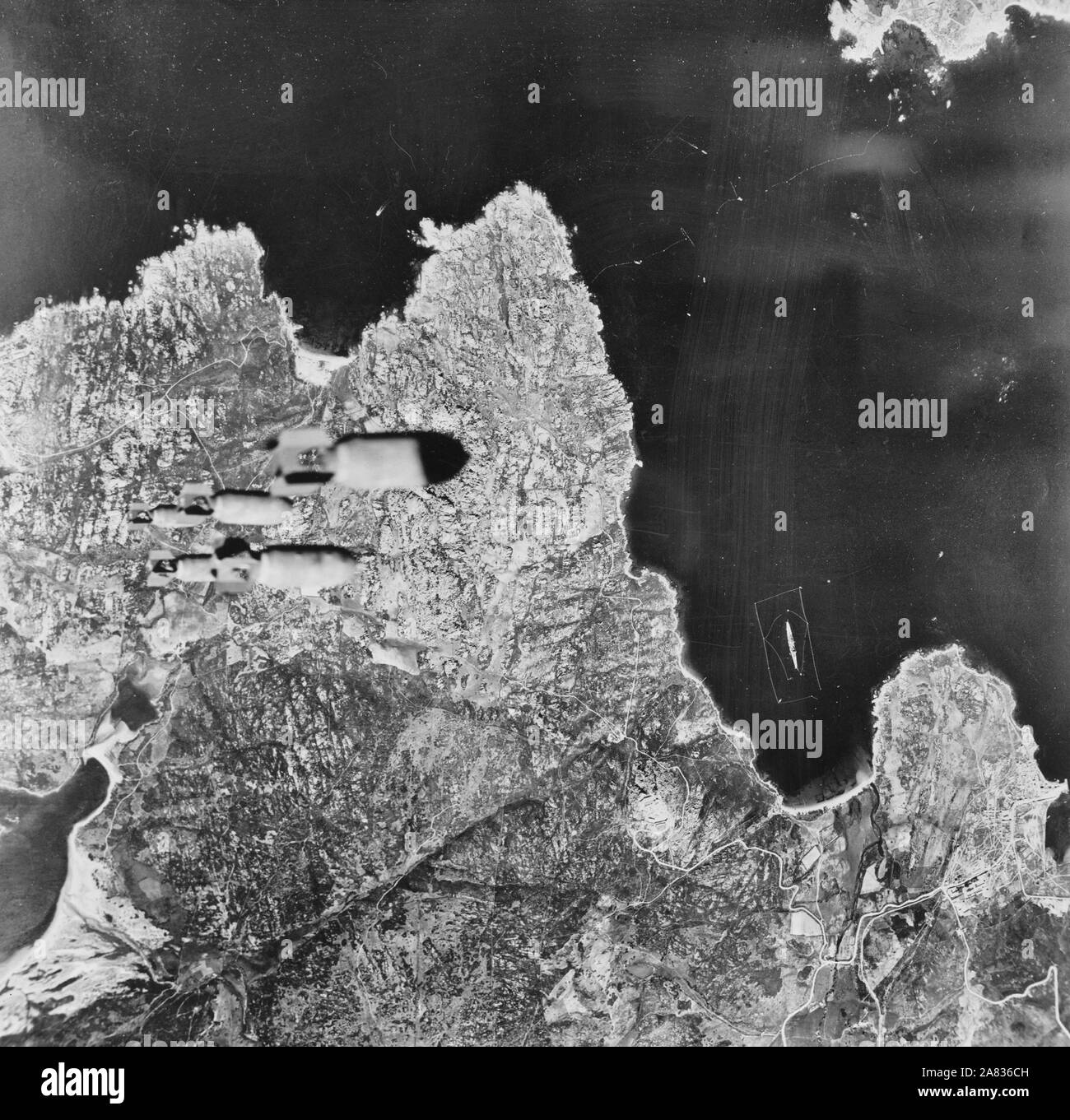 A train of bombs drops from United States Army Air forces plane on territory in the Aleutians held by the Japanese. Circa 1943 Stock Photohttps://www.alamy.com/image-license-details/?v=1https://www.alamy.com/a-train-of-bombs-drops-from-united-states-army-air-forces-plane-on-territory-in-the-aleutians-held-by-the-japanese-circa-1943-image331985153.html
RM2A836CH–A train of bombs drops from United States Army Air forces plane on territory in the Aleutians held by the Japanese. Circa 1943
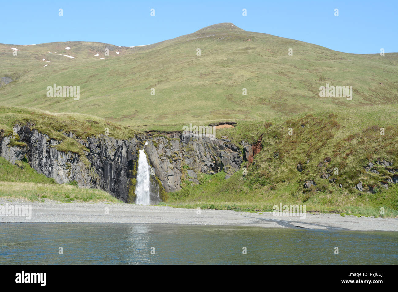 A waterfall emptying into the Bering Sea, on the island of Unalaska, in the Aleutian Islands archipelago, Alaska, United States. Stock Photohttps://www.alamy.com/image-license-details/?v=1https://www.alamy.com/a-waterfall-emptying-into-the-bering-sea-on-the-island-of-unalaska-in-the-aleutian-islands-archipelago-alaska-united-states-image223520434.html
RFPYJ6GJ–A waterfall emptying into the Bering Sea, on the island of Unalaska, in the Aleutian Islands archipelago, Alaska, United States.
 Russia. Map of Siberia. Engraving by Lemaitre. History of Russia by Jean Marie Chopin (1796-1870). Panorama Universal, Spanish edition, 1839. Stock Photohttps://www.alamy.com/image-license-details/?v=1https://www.alamy.com/russia-map-of-siberia-engraving-by-lemaitre-history-of-russia-by-jean-marie-chopin-1796-1870-panorama-universal-spanish-edition-1839-image398168210.html
RM2E3P3H6–Russia. Map of Siberia. Engraving by Lemaitre. History of Russia by Jean Marie Chopin (1796-1870). Panorama Universal, Spanish edition, 1839.
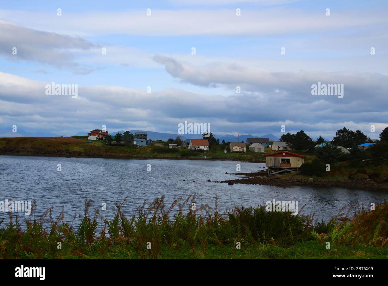 Alaska, Sand Point, Popof Island, Aleutian Islands, United States Stock Photohttps://www.alamy.com/image-license-details/?v=1https://www.alamy.com/alaska-sand-point-popof-island-aleutian-islands-united-states-image359111209.html
RF2BT6X09–Alaska, Sand Point, Popof Island, Aleutian Islands, United States
 Cute sea otters swimming in gulf of Alaska at day Stock Photohttps://www.alamy.com/image-license-details/?v=1https://www.alamy.com/cute-sea-otters-swimming-in-gulf-of-alaska-at-day-image381595165.html
RF2D4R4EN–Cute sea otters swimming in gulf of Alaska at day
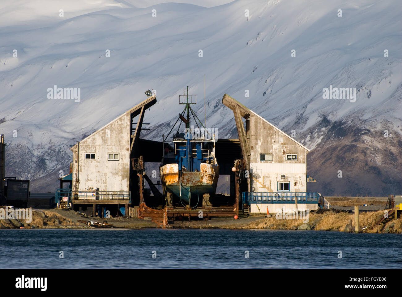 marine ways Dutch Harbor Stock Photohttps://www.alamy.com/image-license-details/?v=1https://www.alamy.com/stock-photo-marine-ways-dutch-harbor-96487672.html
RMFGYB08–marine ways Dutch Harbor
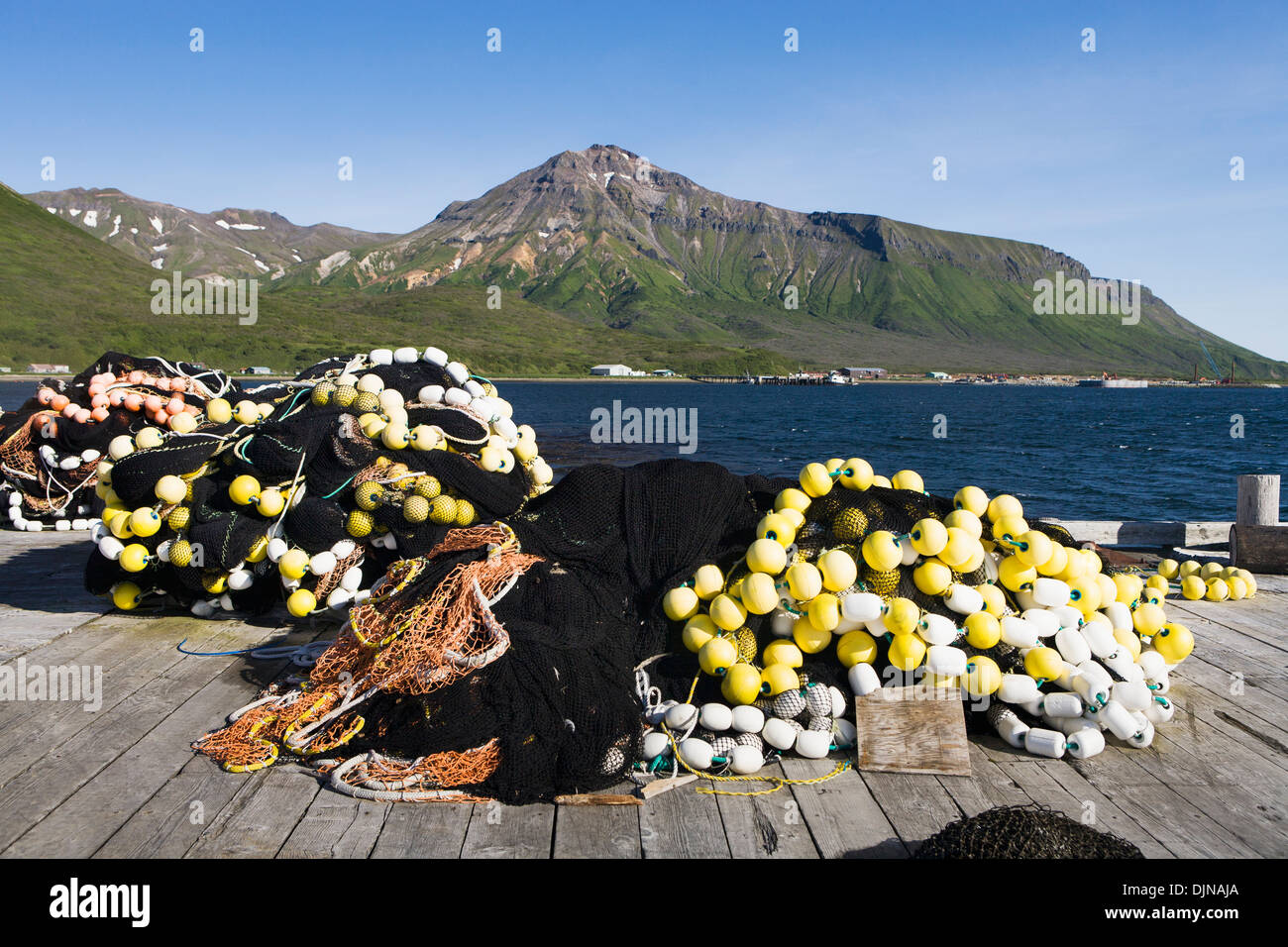 Seine Net On The Dock In False Pass On Unimak Island, The Aleutians, Southwest Alaska, Summer. Stock Photohttps://www.alamy.com/image-license-details/?v=1https://www.alamy.com/seine-net-on-the-dock-in-false-pass-on-unimak-island-the-aleutians-image63164258.html
RMDJNAJA–Seine Net On The Dock In False Pass On Unimak Island, The Aleutians, Southwest Alaska, Summer.
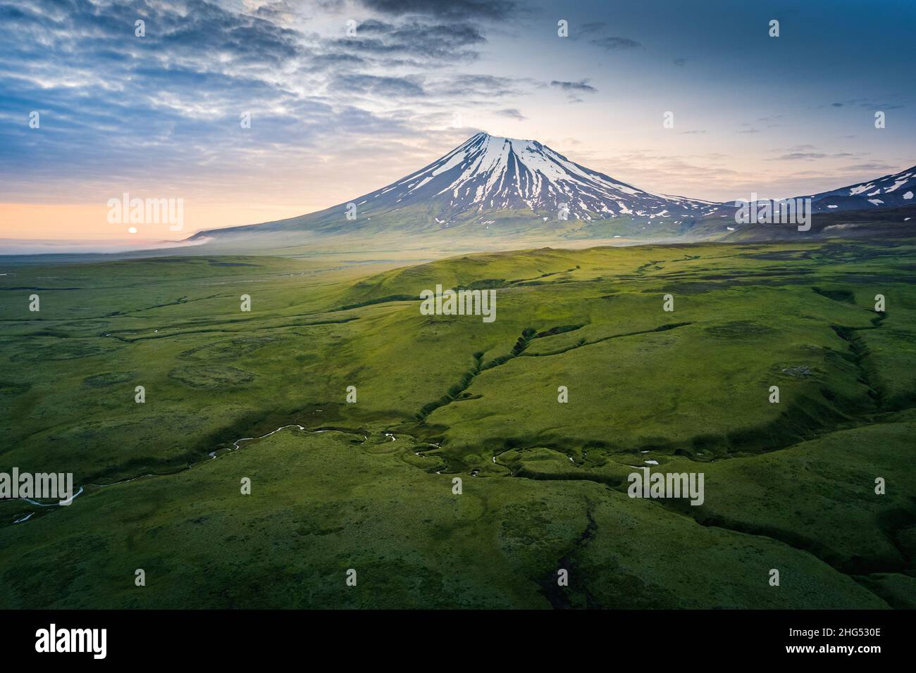 Vsevidof Volcano at Umnak, Aleutian Islands, Alaska Stock Photohttps://www.alamy.com/image-license-details/?v=1https://www.alamy.com/vsevidof-volcano-at-umnak-aleutian-islands-alaska-image457416190.html
RF2HG530E–Vsevidof Volcano at Umnak, Aleutian Islands, Alaska
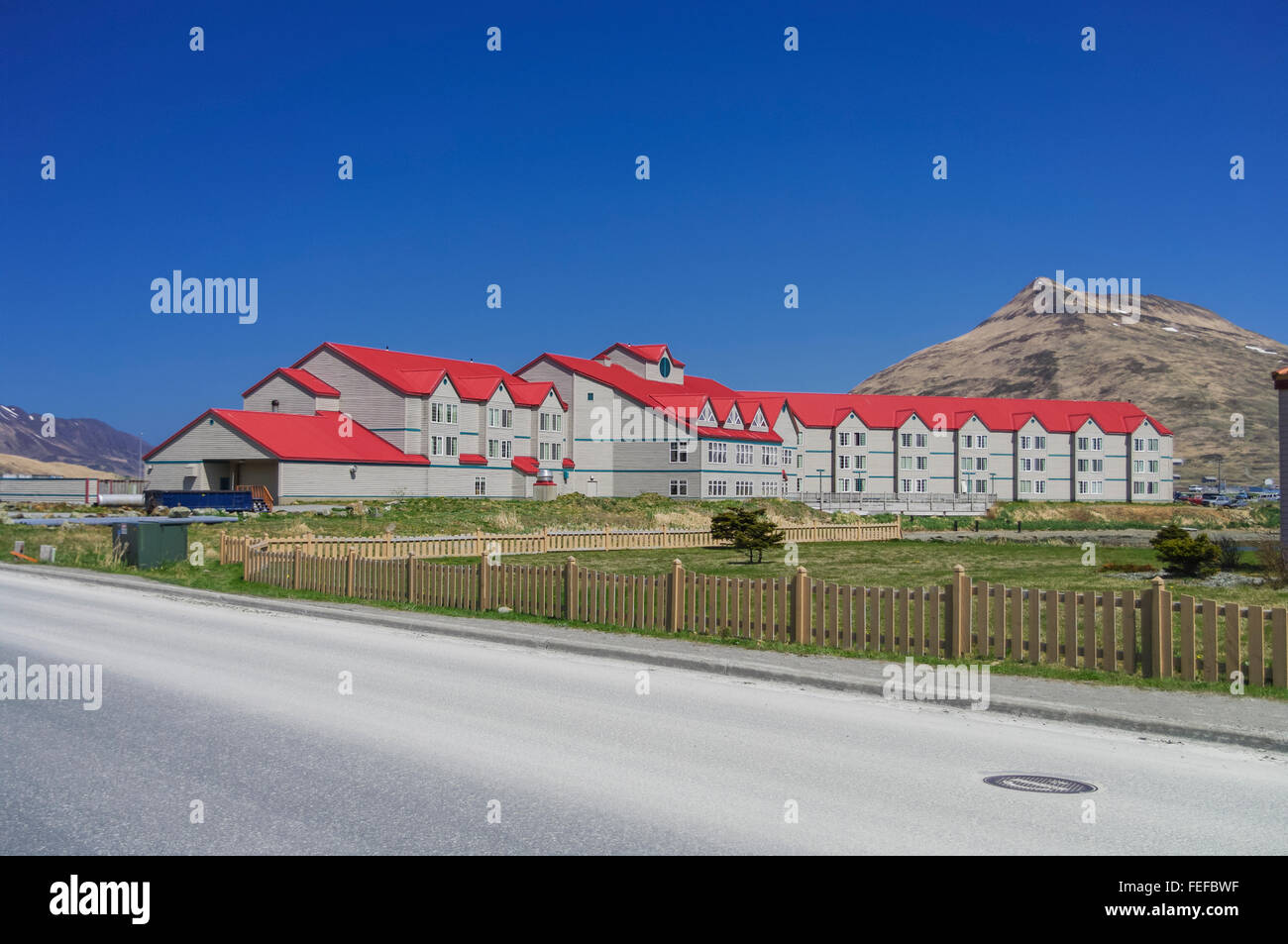 Main building of the Grand Aleutian Hotel, the largest hotel of Dutch Harbor/Unalaska, Alaska, United States. Stock Photohttps://www.alamy.com/image-license-details/?v=1https://www.alamy.com/stock-photo-main-building-of-the-grand-aleutian-hotel-the-largest-hotel-of-dutch-94995643.html
RMFEFBWF–Main building of the Grand Aleutian Hotel, the largest hotel of Dutch Harbor/Unalaska, Alaska, United States.
 Detail of the headlight of a old rusted car, Sand Point, Southwestern Alaska, USA, Summer Stock Photohttps://www.alamy.com/image-license-details/?v=1https://www.alamy.com/stock-photo-detail-of-the-headlight-of-a-old-rusted-car-sand-point-southwestern-90320143.html
RFF6XC7B–Detail of the headlight of a old rusted car, Sand Point, Southwestern Alaska, USA, Summer
 Abandoned Japanese Type A Ko-hyoteki midget submarine on Kiska Island. Stock Photohttps://www.alamy.com/image-license-details/?v=1https://www.alamy.com/abandoned-japanese-type-a-ko-hyoteki-midget-submarine-on-kiska-island-image212671168.html
RMPA006T–Abandoned Japanese Type A Ko-hyoteki midget submarine on Kiska Island.
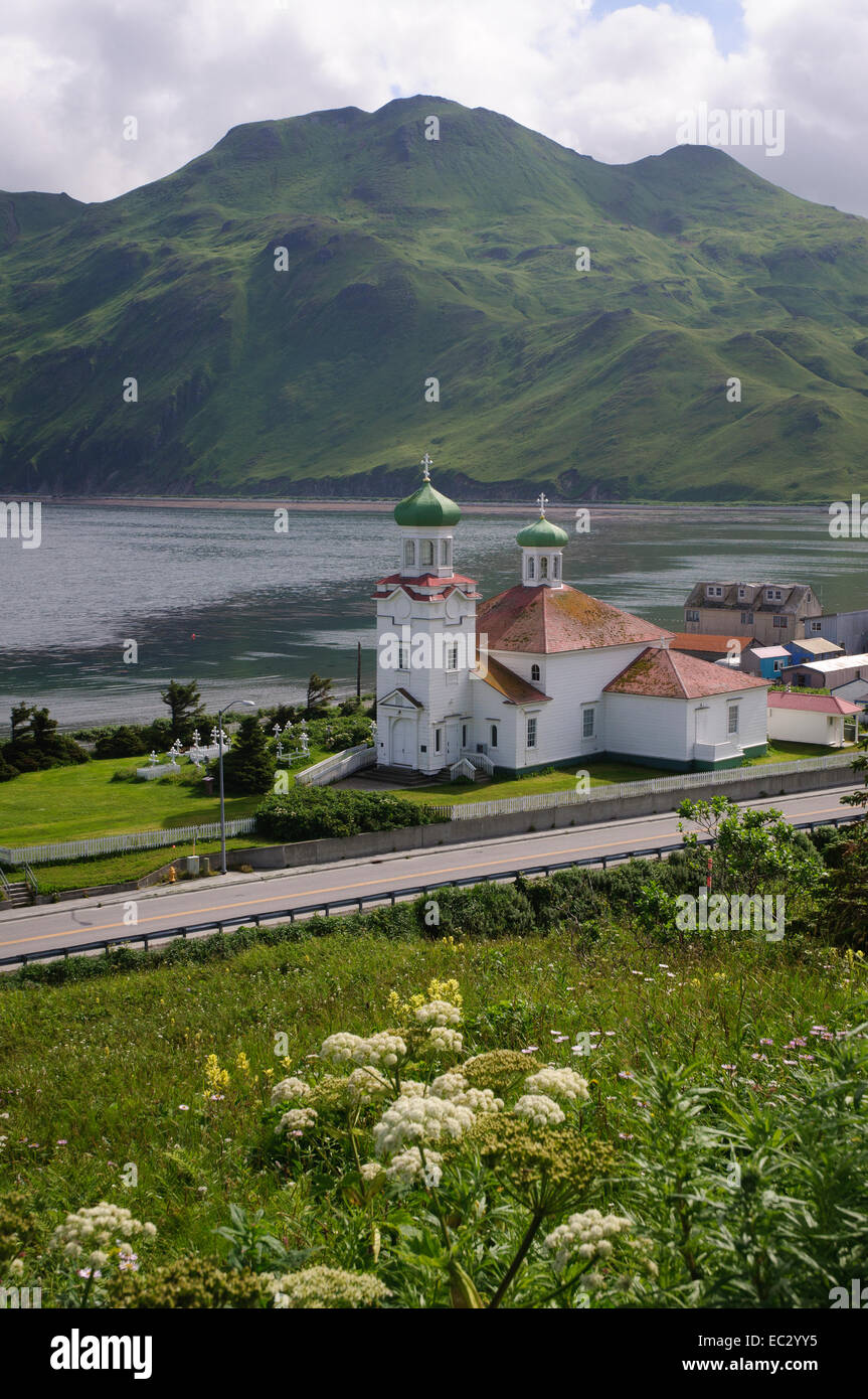 Russian Orthodox Church of the Holy Ascension of Christ, Dutch Harbor Stock Photohttps://www.alamy.com/image-license-details/?v=1https://www.alamy.com/stock-photo-russian-orthodox-church-of-the-holy-ascension-of-christ-dutch-harbor-76283177.html
RMEC2YY5–Russian Orthodox Church of the Holy Ascension of Christ, Dutch Harbor
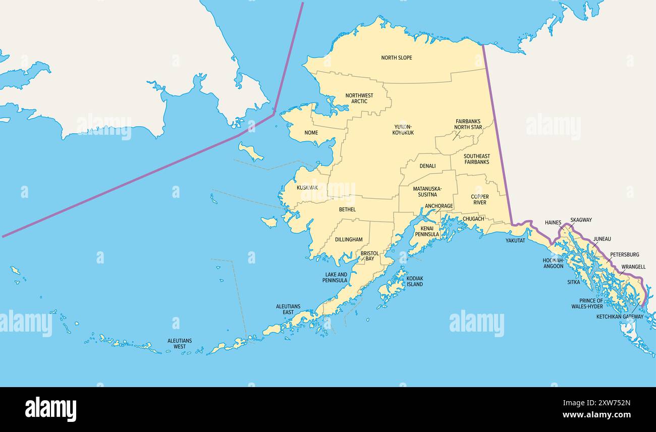 Alaska, U.S. state, political map, subdivided into 19 organized boroughs and 11 census areas. State in the Western United States region. Stock Photohttps://www.alamy.com/image-license-details/?v=1https://www.alamy.com/alaska-us-state-political-map-subdivided-into-19-organized-boroughs-and-11-census-areas-state-in-the-western-united-states-region-image617886941.html
RF2XW752N–Alaska, U.S. state, political map, subdivided into 19 organized boroughs and 11 census areas. State in the Western United States region.
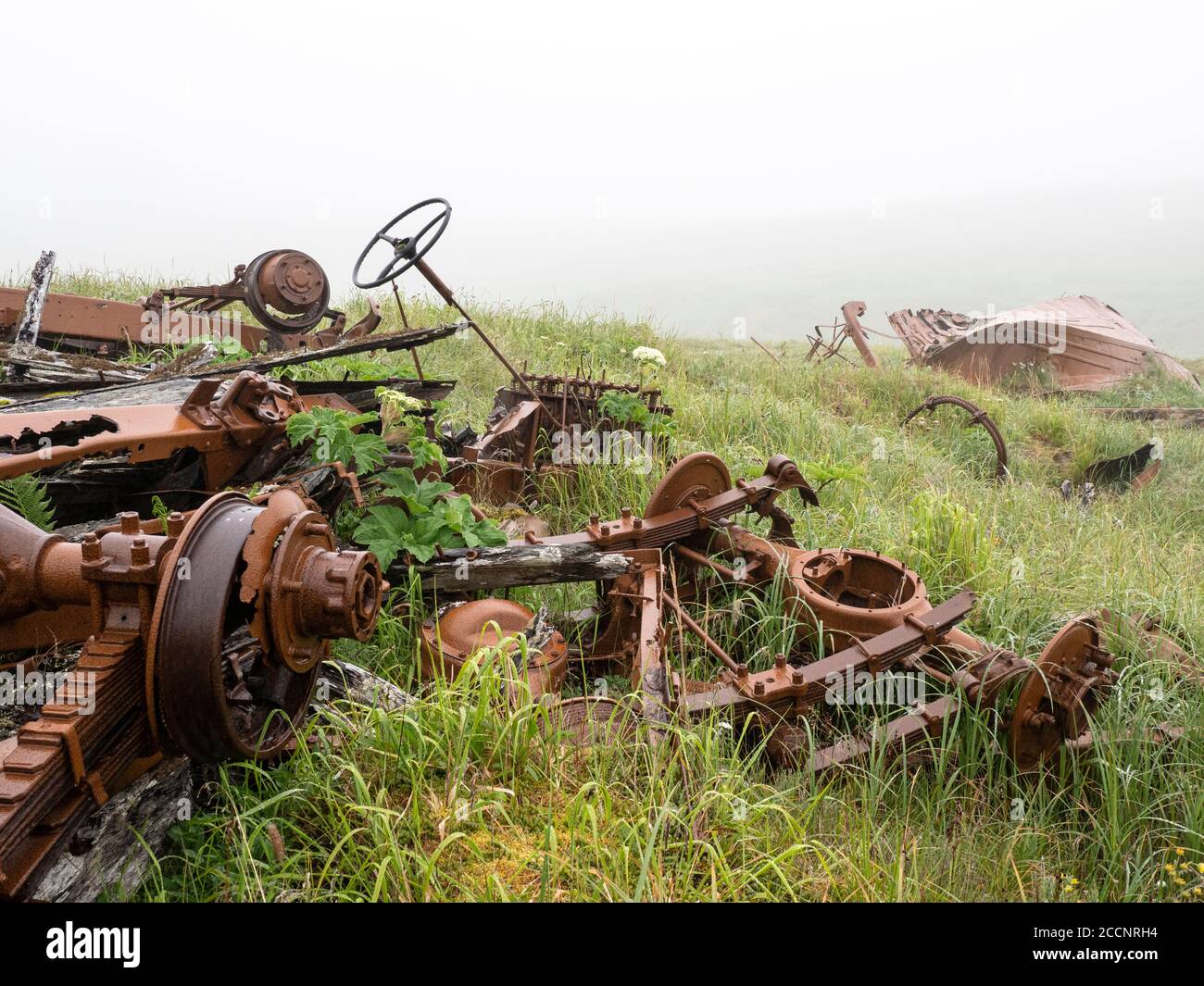 Remnants of WWII war machinery on Kiska Island, Aleutians, Alaska. Stock Photohttps://www.alamy.com/image-license-details/?v=1https://www.alamy.com/remnants-of-wwii-war-machinery-on-kiska-island-aleutians-alaska-image369273104.html
RF2CCNRH4–Remnants of WWII war machinery on Kiska Island, Aleutians, Alaska.
 The incredible flowers on the tundra of Kagamil Island, Aleutians, Alaska, USA Stock Photohttps://www.alamy.com/image-license-details/?v=1https://www.alamy.com/the-incredible-flowers-on-the-tundra-of-kagamil-island-aleutians-alaska-usa-image261443835.html
RMW59P7R–The incredible flowers on the tundra of Kagamil Island, Aleutians, Alaska, USA
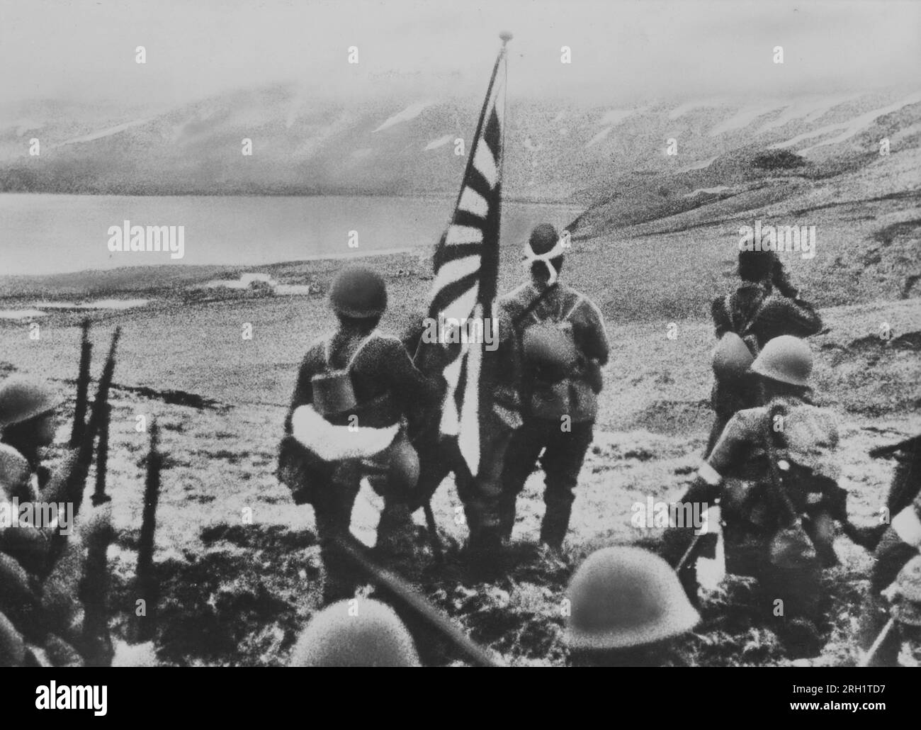 Aleutian Islands Campaign, June 1942 - August 1943. In one of the first landings ever conducted by Japanese forces on American soil, troops of the Maizuru 3rd Special Naval Landing Force disembarked upon and occupied Kiska, June 6, 1942. Stock Photohttps://www.alamy.com/image-license-details/?v=1https://www.alamy.com/aleutian-islands-campaign-june-1942-august-1943-in-one-of-the-first-landings-ever-conducted-by-japanese-forces-on-american-soil-troops-of-the-maizuru-3rd-special-naval-landing-force-disembarked-upon-and-occupied-kiska-june-6-1942-image561222067.html
RM2RH1TD7–Aleutian Islands Campaign, June 1942 - August 1943. In one of the first landings ever conducted by Japanese forces on American soil, troops of the Maizuru 3rd Special Naval Landing Force disembarked upon and occupied Kiska, June 6, 1942.
 Museum of the Aleutians, Dutch Harbor, Amaknak Island, Aleutian Islands, Alaska, USA Stock Photohttps://www.alamy.com/image-license-details/?v=1https://www.alamy.com/stock-photo-museum-of-the-aleutians-dutch-harbor-amaknak-island-aleutian-islands-122728705.html
RMH3JNM1–Museum of the Aleutians, Dutch Harbor, Amaknak Island, Aleutian Islands, Alaska, USA
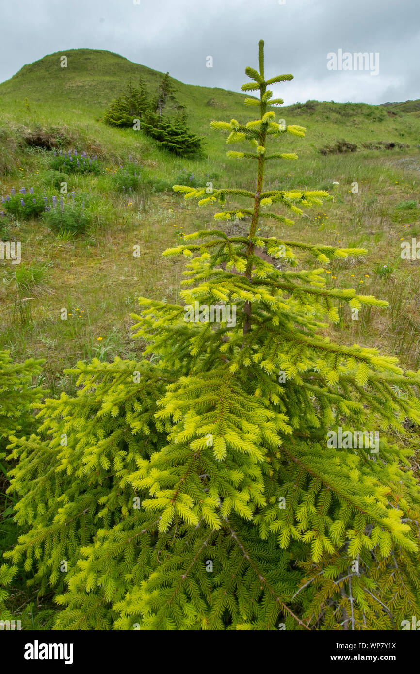 Sitka Spruce trees (Picea sitchensis) Adak Island, Aleutian Islands, Alaska - introduced Stock Photohttps://www.alamy.com/image-license-details/?v=1https://www.alamy.com/sitka-spruce-trees-picea-sitchensis-adak-island-aleutian-islands-alaska-introduced-image271852838.html
RMWP7Y1X–Sitka Spruce trees (Picea sitchensis) Adak Island, Aleutian Islands, Alaska - introduced
 Alaska, Aleutians, Amaknak Island, Unalaska, Dutch Harbor (53-54-15 N 166-31-68 W) Summer wildflowers. Stock Photohttps://www.alamy.com/image-license-details/?v=1https://www.alamy.com/stock-photo-alaska-aleutians-amaknak-island-unalaska-dutch-harbor-53-54-15-n-166-123256094.html
RMH4EPBA–Alaska, Aleutians, Amaknak Island, Unalaska, Dutch Harbor (53-54-15 N 166-31-68 W) Summer wildflowers.
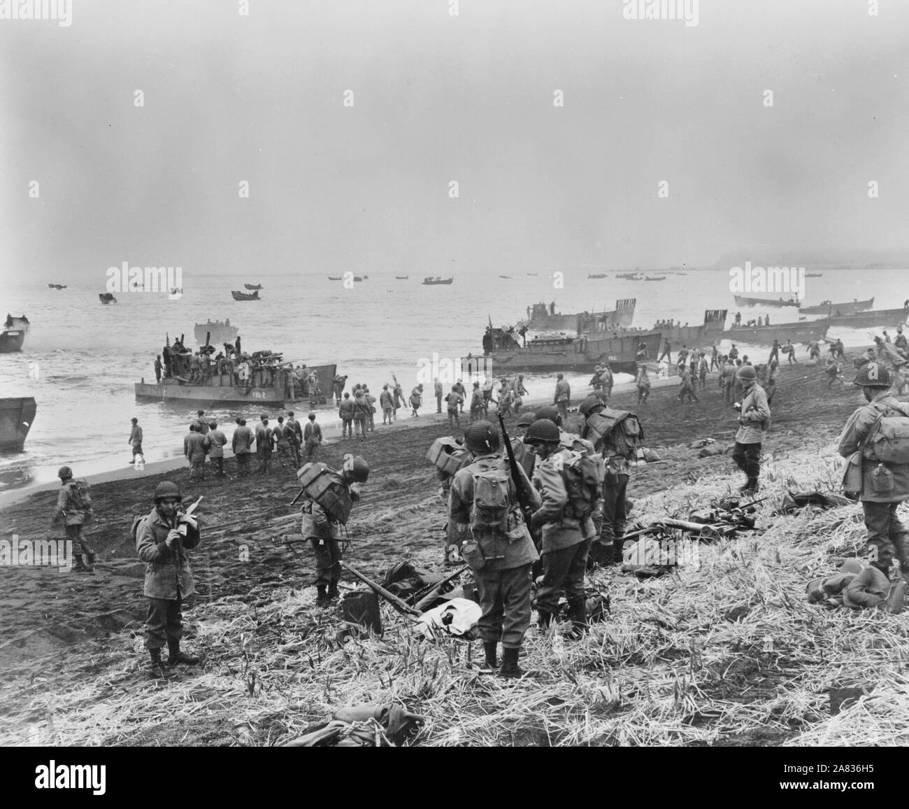 Attu, Aleutian Islands. Landing boats pouring soldiers and their equipment onto the beach at Massacre Bay. This is the Southern landing force. May 11, 1943 Stock Photohttps://www.alamy.com/image-license-details/?v=1https://www.alamy.com/attu-aleutian-islands-landing-boats-pouring-soldiers-and-their-equipment-onto-the-beach-at-massacre-bay-this-is-the-southern-landing-force-may-11-1943-image331985281.html
RM2A836H5–Attu, Aleutian Islands. Landing boats pouring soldiers and their equipment onto the beach at Massacre Bay. This is the Southern landing force. May 11, 1943
 The shipwreck of the the US Navy ship SS Northwestern, bombed by the Japanese air force in World War Two in 1942, in Dutch Harbour, Unalaska, Alaska Stock Photohttps://www.alamy.com/image-license-details/?v=1https://www.alamy.com/the-shipwreck-of-the-the-us-navy-ship-ss-northwestern-bombed-by-the-japanese-air-force-in-world-war-two-in-1942-in-dutch-harbour-unalaska-alaska-image221745086.html
RMPTNA3A–The shipwreck of the the US Navy ship SS Northwestern, bombed by the Japanese air force in World War Two in 1942, in Dutch Harbour, Unalaska, Alaska
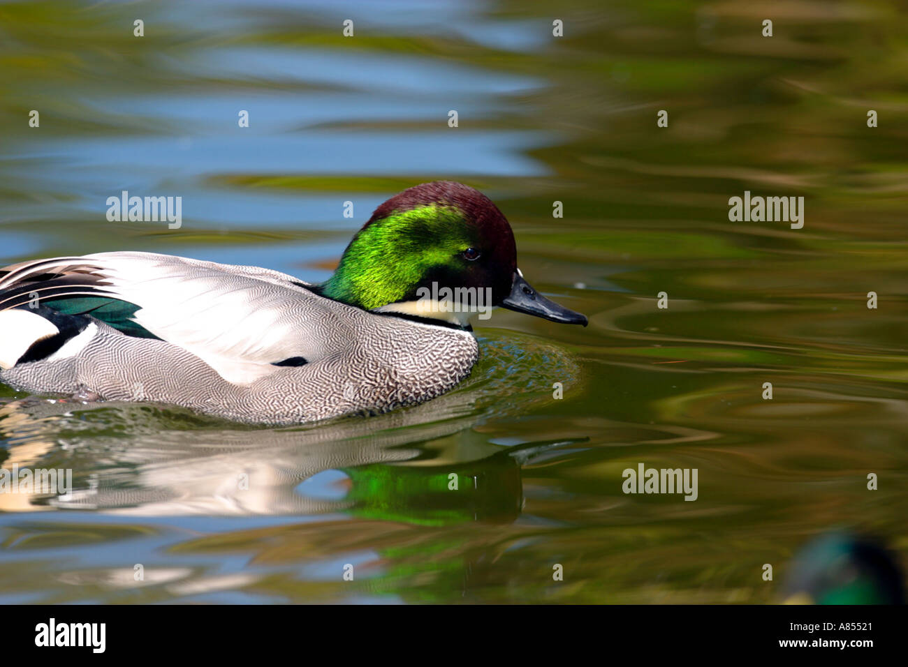 Falcated Duck Anas falcata Stock Photohttps://www.alamy.com/image-license-details/?v=1https://www.alamy.com/falcated-duck-anas-falcata-image546081.html
RMA85521–Falcated Duck Anas falcata
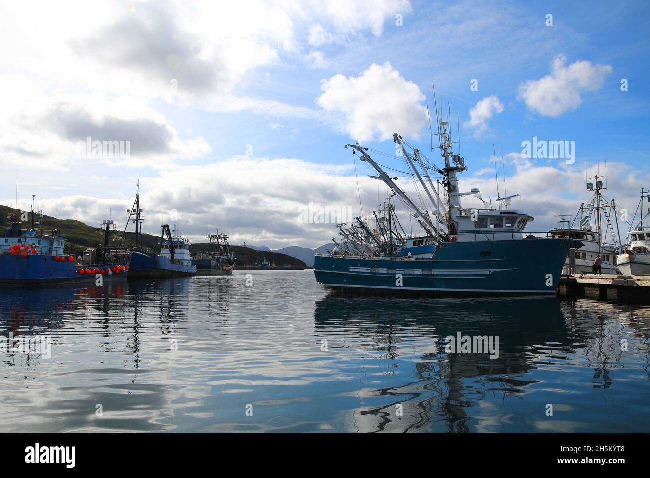 Port of Sand Point, Aleutian, Alaska, United States Stock Photohttps://www.alamy.com/image-license-details/?v=1https://www.alamy.com/port-of-sand-point-aleutian-alaska-united-states-image450981784.html
RF2H5KYT8–Port of Sand Point, Aleutian, Alaska, United States
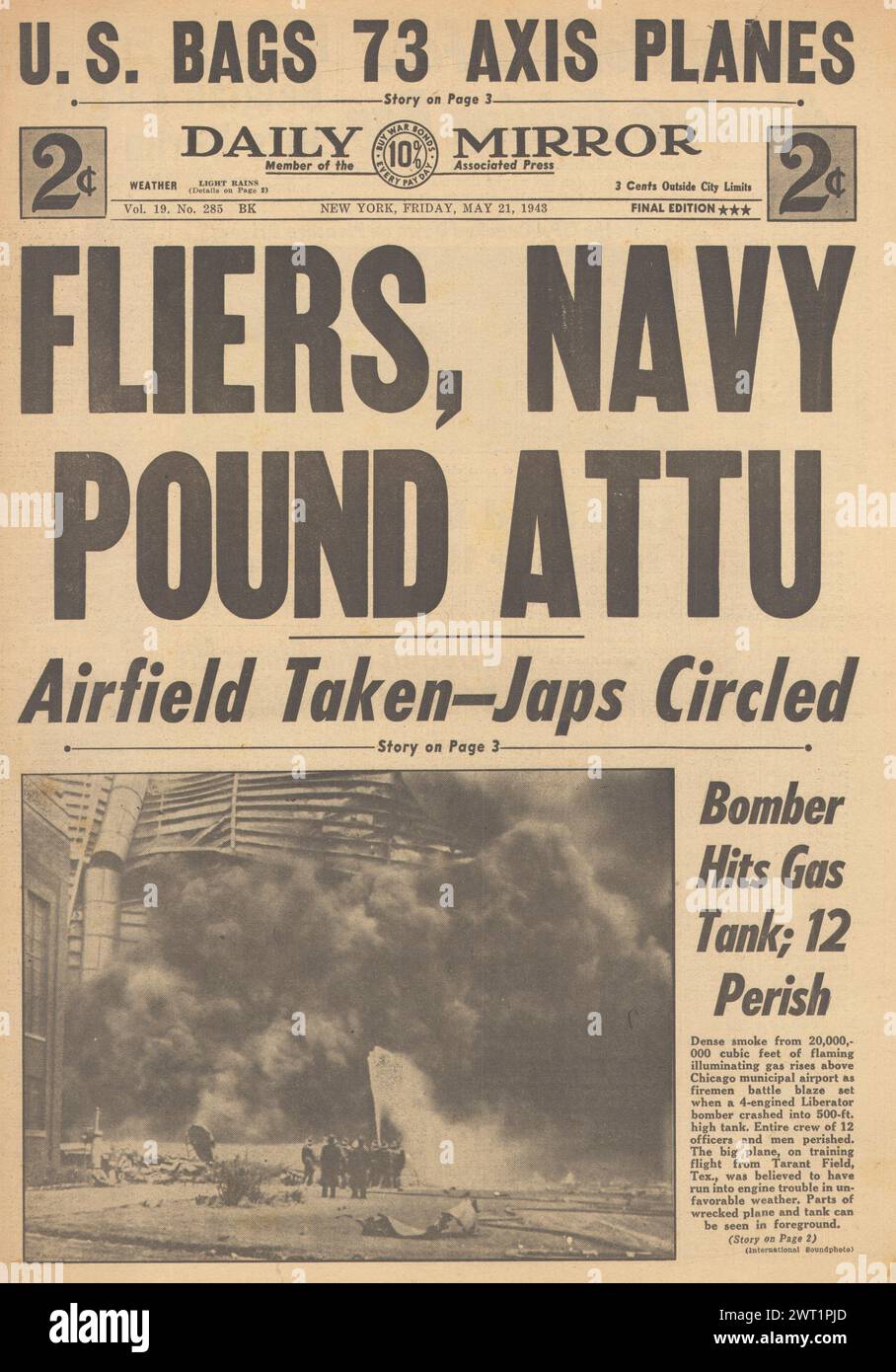 1943 Daily Mirror front page reporting Battle for Attu Stock Photohttps://www.alamy.com/image-license-details/?v=1https://www.alamy.com/1943-daily-mirror-front-page-reporting-battle-for-attu-image599943973.html
RM2WT1PJD–1943 Daily Mirror front page reporting Battle for Attu
 Quiet Harbor in Dutch Harbor Stock Photohttps://www.alamy.com/image-license-details/?v=1https://www.alamy.com/stock-photo-quiet-harbor-in-dutch-harbor-96294543.html
RMFGJGJR–Quiet Harbor in Dutch Harbor
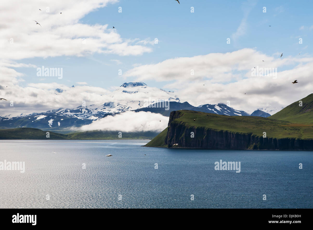 The Palisade Cliffs And Roundtop Mountain From Sankin Island, Ikatan Bay, Near Isanotski Strait, The Aleutians Stock Photohttps://www.alamy.com/image-license-details/?v=1https://www.alamy.com/the-palisade-cliffs-and-roundtop-mountain-from-sankin-island-ikatan-image63120641.html
RMDJKB0H–The Palisade Cliffs And Roundtop Mountain From Sankin Island, Ikatan Bay, Near Isanotski Strait, The Aleutians
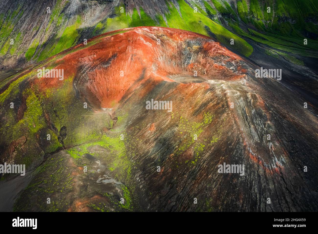 Views inside of the caldera Okmok at Umnak, Aleutian Islands, Alaska Stock Photohttps://www.alamy.com/image-license-details/?v=1https://www.alamy.com/views-inside-of-the-caldera-okmok-at-umnak-aleutian-islands-alaska-image457412405.html
RF2HG4X59–Views inside of the caldera Okmok at Umnak, Aleutian Islands, Alaska
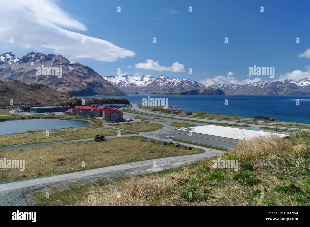 Xatacyan lagoon and the Grand Aleutian Hotel building, the largest hotel of Dutch Harbor/Unalaska, Alaska, United States. Stock Photohttps://www.alamy.com/image-license-details/?v=1https://www.alamy.com/stock-photo-xatacyan-lagoon-and-the-grand-aleutian-hotel-building-the-largest-96946224.html
RMFHM7W4–Xatacyan lagoon and the Grand Aleutian Hotel building, the largest hotel of Dutch Harbor/Unalaska, Alaska, United States.
 Brush and flowers overgrowing a weathered boardwalk path, Sand Point, Popof Island, Southwestern Alaska, USA, Summer Stock Photohttps://www.alamy.com/image-license-details/?v=1https://www.alamy.com/stock-photo-brush-and-flowers-overgrowing-a-weathered-boardwalk-path-sand-point-90320164.html
RFF6XC84–Brush and flowers overgrowing a weathered boardwalk path, Sand Point, Popof Island, Southwestern Alaska, USA, Summer
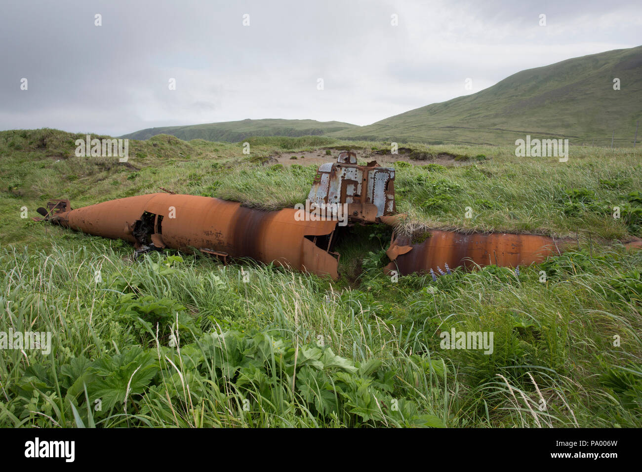 Abandoned Japanese Type A Ko-hyoteki midget submarine, Kiska Island. Stock Photohttps://www.alamy.com/image-license-details/?v=1https://www.alamy.com/abandoned-japanese-type-a-ko-hyoteki-midget-submarine-kiska-island-image212671169.html
RMPA006W–Abandoned Japanese Type A Ko-hyoteki midget submarine, Kiska Island.
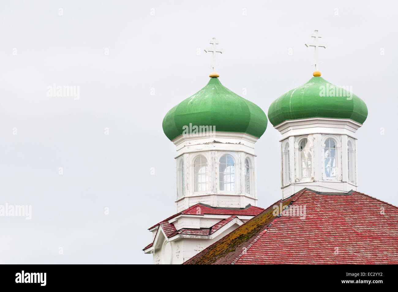 Russian Orthodox Church, Holy Ascension, Unalaska, Alaska Stock Photohttps://www.alamy.com/image-license-details/?v=1https://www.alamy.com/stock-photo-russian-orthodox-church-holy-ascension-unalaska-alaska-76283174.html
RMEC2YY2–Russian Orthodox Church, Holy Ascension, Unalaska, Alaska
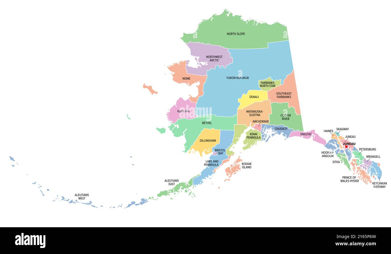 Alaska, U.S. state, subdivided into 19 organized boroughs and 11 census areas, multi colored political map. Stock Photohttps://www.alamy.com/image-license-details/?v=1https://www.alamy.com/alaska-us-state-subdivided-into-19-organized-boroughs-and-11-census-areas-multi-colored-political-map-image623388385.html
RF2Y65P6W–Alaska, U.S. state, subdivided into 19 organized boroughs and 11 census areas, multi colored political map.
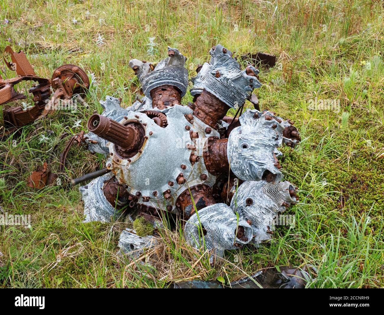 Remnants of WWII war machinery on Kiska Island, Aleutians, Alaska. Stock Photohttps://www.alamy.com/image-license-details/?v=1https://www.alamy.com/remnants-of-wwii-war-machinery-on-kiska-island-aleutians-alaska-image369273109.html
RF2CCNRH9–Remnants of WWII war machinery on Kiska Island, Aleutians, Alaska.
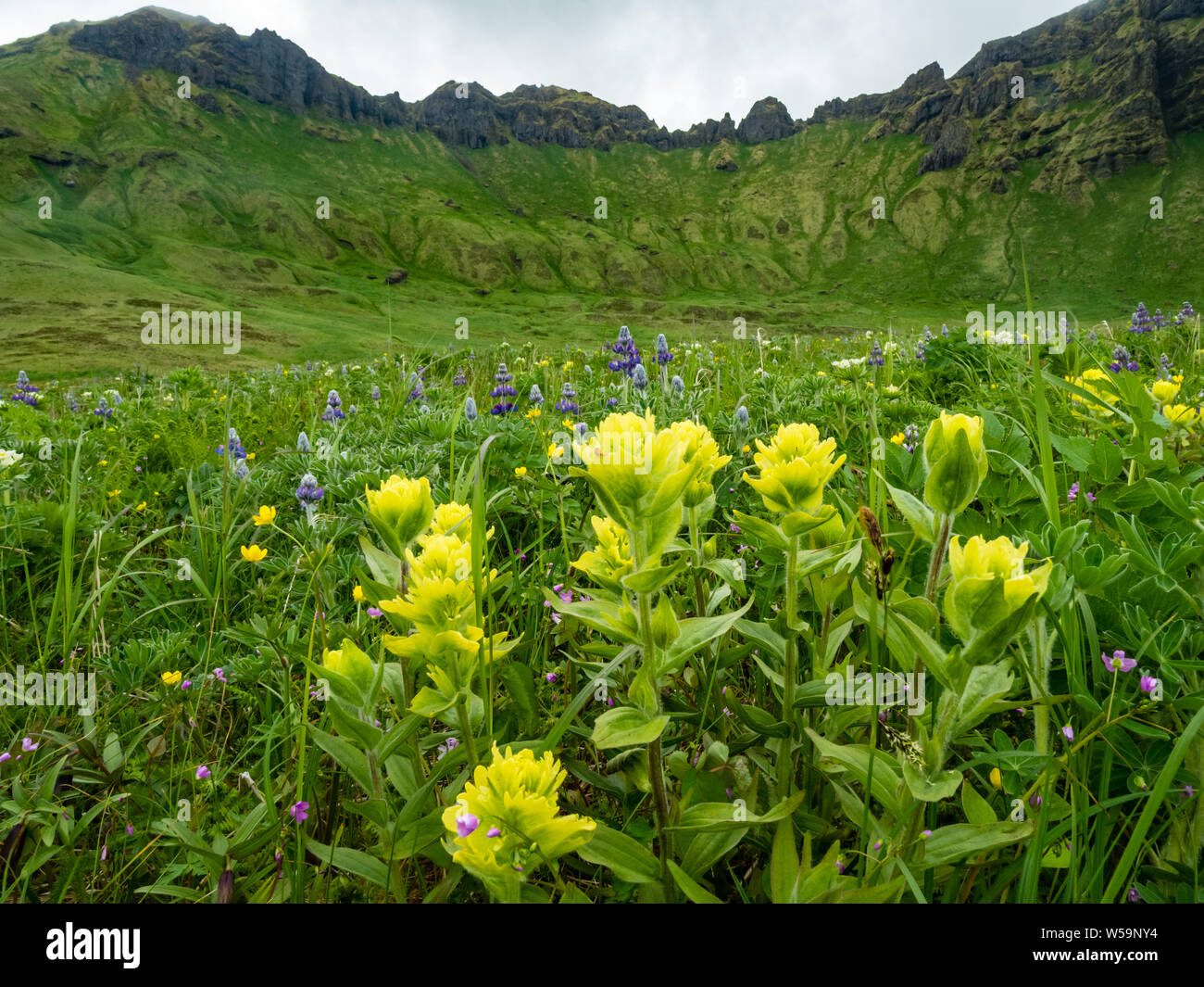 The incredible flowers on the tundra of Kagamil Island, Aleutians, Alaska, USA Stock Photohttps://www.alamy.com/image-license-details/?v=1https://www.alamy.com/the-incredible-flowers-on-the-tundra-of-kagamil-island-aleutians-alaska-usa-image261443592.html
RMW59NY4–The incredible flowers on the tundra of Kagamil Island, Aleutians, Alaska, USA
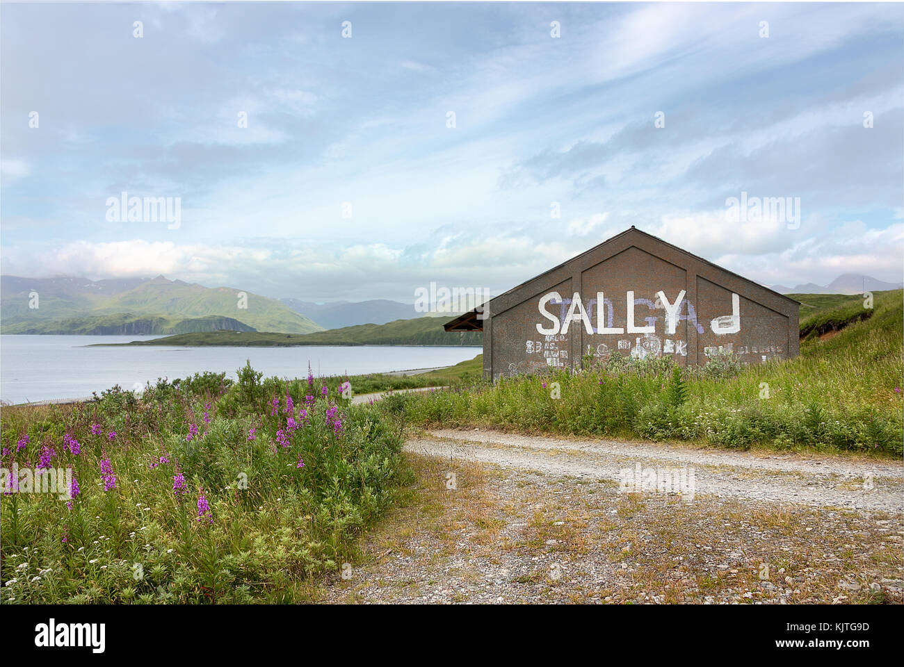 Old house located at Tundra Dr road, near the Unalaska Airport with the Hog Island and Nateekin bay in the background. Stock Photohttps://www.alamy.com/image-license-details/?v=1https://www.alamy.com/stock-image-old-house-located-at-tundra-dr-road-near-the-unalaska-airport-with-166496777.html
RFKJTG9D–Old house located at Tundra Dr road, near the Unalaska Airport with the Hog Island and Nateekin bay in the background.
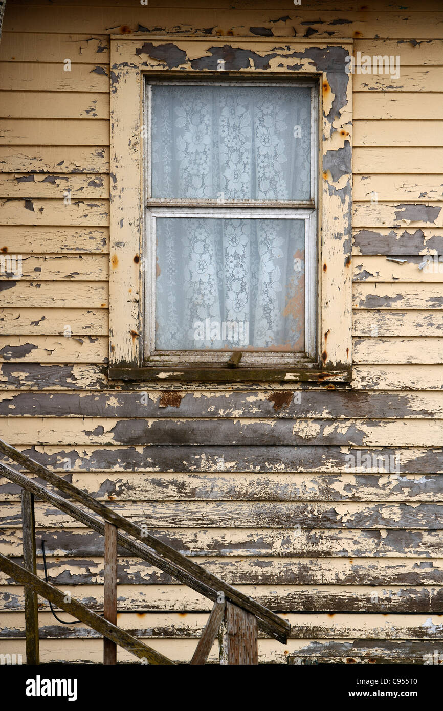 Window with curtains in a wooden house in Saint George island, Pribilof Islands, Alaska, USA Stock Photohttps://www.alamy.com/image-license-details/?v=1https://www.alamy.com/stock-photo-window-with-curtains-in-a-wooden-house-in-saint-george-island-pribilof-40066992.html
RMC955T0–Window with curtains in a wooden house in Saint George island, Pribilof Islands, Alaska, USA
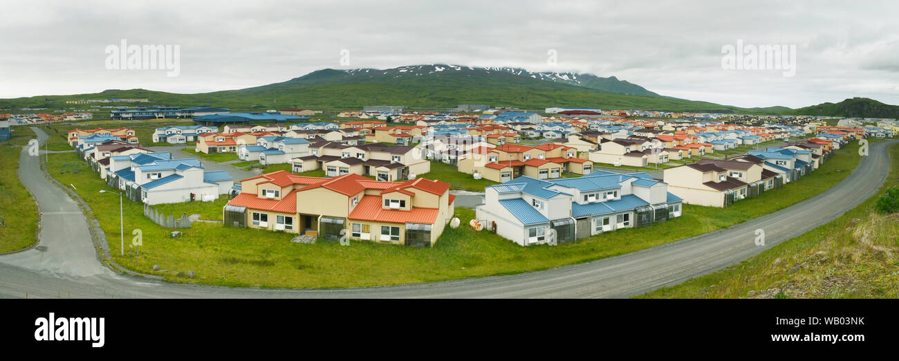 Adak Island, Largely abandoned navy housing, Aleutian islands, Alaska, Panorama Stock Photohttps://www.alamy.com/image-license-details/?v=1https://www.alamy.com/adak-island-largely-abandoned-navy-housing-aleutian-islands-alaska-panorama-image264919695.html
RMWB03NK–Adak Island, Largely abandoned navy housing, Aleutian islands, Alaska, Panorama
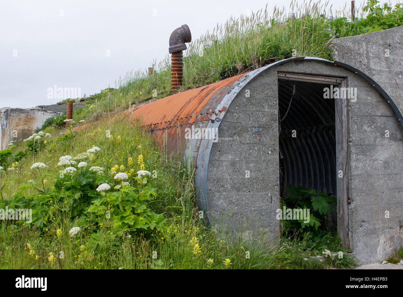 Alaska, Aleutians, Amaknak Island, Dutch Harbor (53-54-15 N 166-31-68 W) Fort Schwatka, WWII remnants of US Army base bunker. Stock Photohttps://www.alamy.com/image-license-details/?v=1https://www.alamy.com/stock-photo-alaska-aleutians-amaknak-island-dutch-harbor-53-54-15-n-166-31-68-123256087.html
RMH4EPB3–Alaska, Aleutians, Amaknak Island, Dutch Harbor (53-54-15 N 166-31-68 W) Fort Schwatka, WWII remnants of US Army base bunker.
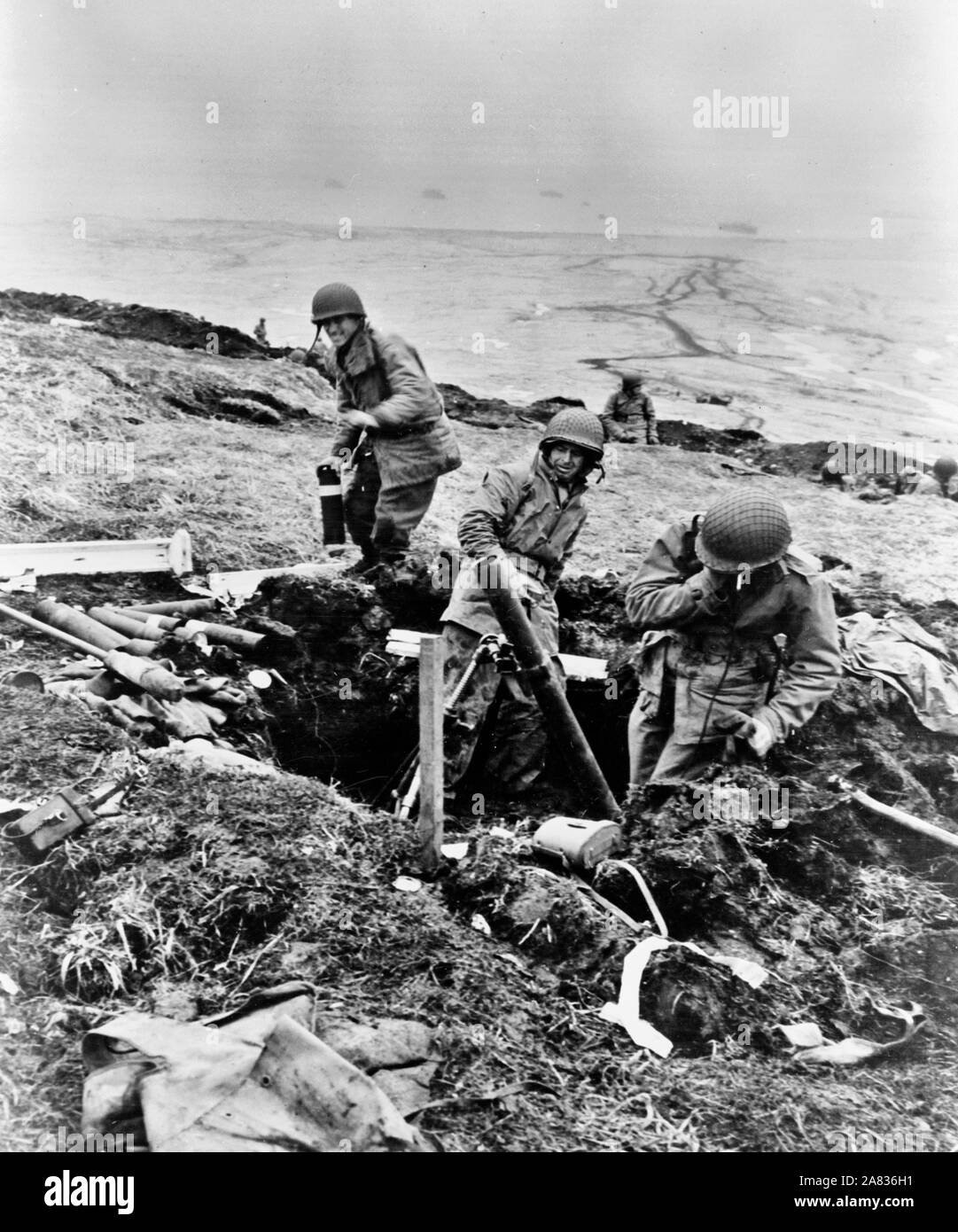 Attu, Aleutian Islands. Soldiers hurling their trench mortar shells over a ridge into a Japanese position. June 4, 1943 Stock Photohttps://www.alamy.com/image-license-details/?v=1https://www.alamy.com/attu-aleutian-islands-soldiers-hurling-their-trench-mortar-shells-over-a-ridge-into-a-japanese-position-june-4-1943-image331985277.html
RM2A836H1–Attu, Aleutian Islands. Soldiers hurling their trench mortar shells over a ridge into a Japanese position. June 4, 1943
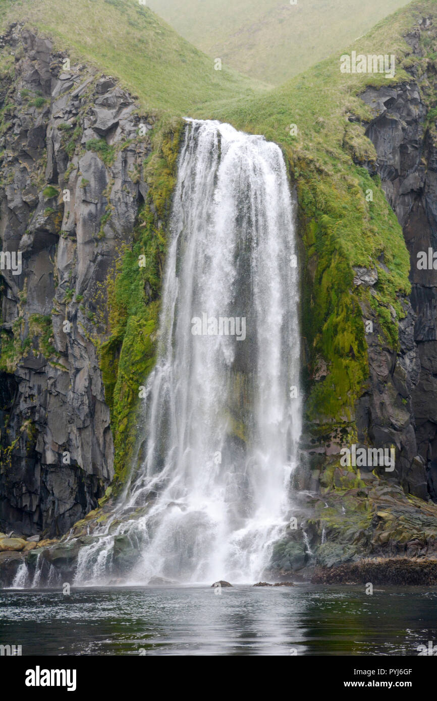 A waterfall emptying into the Bering Sea, on the island of Unalaska, in the Aleutian Islands archipelago, Alaska, United States. Stock Photohttps://www.alamy.com/image-license-details/?v=1https://www.alamy.com/a-waterfall-emptying-into-the-bering-sea-on-the-island-of-unalaska-in-the-aleutian-islands-archipelago-alaska-united-states-image223520431.html
RFPYJ6GF–A waterfall emptying into the Bering Sea, on the island of Unalaska, in the Aleutian Islands archipelago, Alaska, United States.
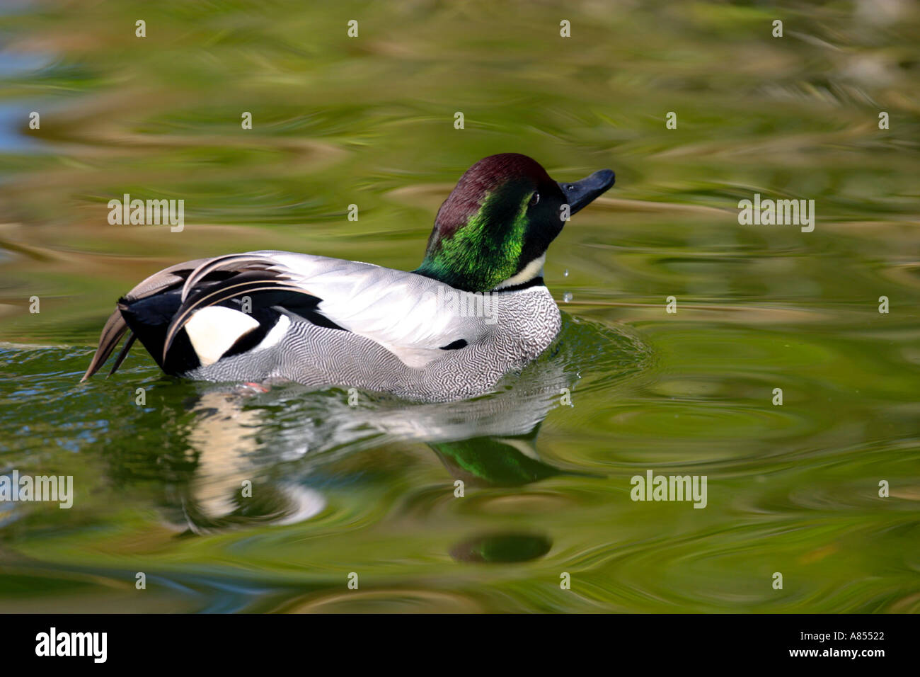 Falcated Duck Anas falcata Stock Photohttps://www.alamy.com/image-license-details/?v=1https://www.alamy.com/falcated-duck-anas-falcata-image546082.html
RMA85522–Falcated Duck Anas falcata
 Arctic ground squirrel, Vachkazhets Natural Park, Kamchatka, Russian Federation Stock Photohttps://www.alamy.com/image-license-details/?v=1https://www.alamy.com/arctic-ground-squirrel-vachkazhets-natural-park-kamchatka-russian-federation-image327857744.html
RM2A1B5W4–Arctic ground squirrel, Vachkazhets Natural Park, Kamchatka, Russian Federation
 Experience Alaska Stock Photohttps://www.alamy.com/image-license-details/?v=1https://www.alamy.com/stock-photo-experience-alaska-74403142.html
RFE919Y2–Experience Alaska
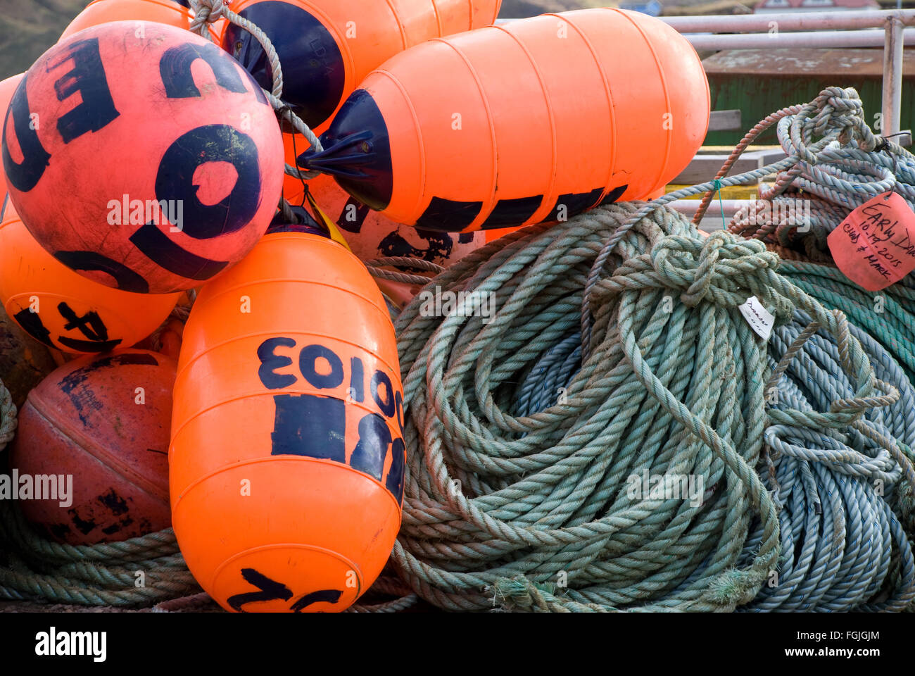 Fishing Buoys on the dock Stock Photohttps://www.alamy.com/image-license-details/?v=1https://www.alamy.com/stock-photo-fishing-buoys-on-the-dock-96294540.html
RMFGJGJM–Fishing Buoys on the dock
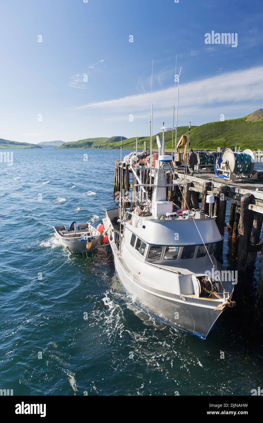 The F/V Lucky Dove Tied To The Dock In False Pass On Unimak Island, The Aleutians, Southwest Alaska, Summer. Stock Photohttps://www.alamy.com/image-license-details/?v=1https://www.alamy.com/the-fv-lucky-dove-tied-to-the-dock-in-false-pass-on-unimak-island-image63164245.html
RMDJNAHW–The F/V Lucky Dove Tied To The Dock In False Pass On Unimak Island, The Aleutians, Southwest Alaska, Summer.
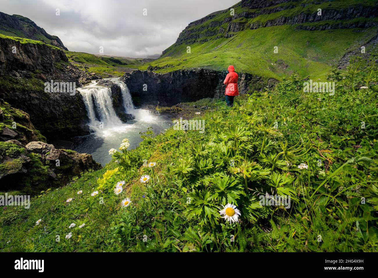 Waterfall at the gates of Okmok at Umnak, Aleutian Islands, Alaska Stock Photohttps://www.alamy.com/image-license-details/?v=1https://www.alamy.com/waterfall-at-the-gates-of-okmok-at-umnak-aleutian-islands-alaska-image457412525.html
RF2HG4X9H–Waterfall at the gates of Okmok at Umnak, Aleutian Islands, Alaska
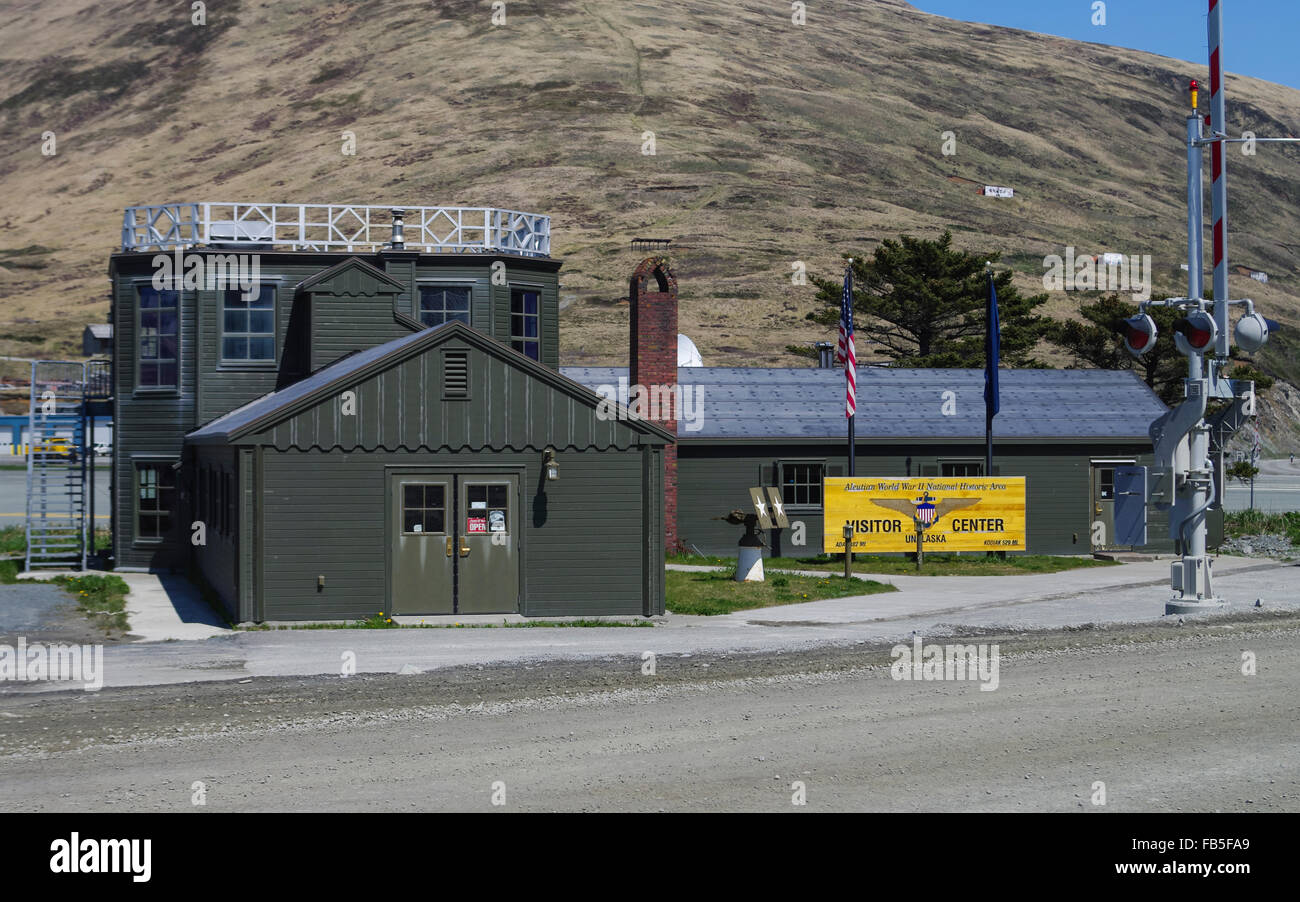 Aleutian World War II museum in Dutch Harbor, Unalaska, Alaska, United States of America. Stock Photohttps://www.alamy.com/image-license-details/?v=1https://www.alamy.com/stock-photo-aleutian-world-war-ii-museum-in-dutch-harbor-unalaska-alaska-united-92934865.html
RMFB5FA9–Aleutian World War II museum in Dutch Harbor, Unalaska, Alaska, United States of America.
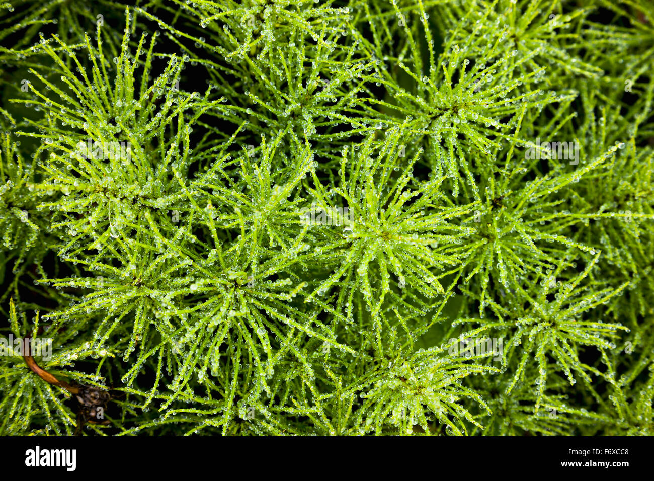 Detail of green foliage, Sand Point, Popof Island, Southwestern Alaska, USA, Summer Stock Photohttps://www.alamy.com/image-license-details/?v=1https://www.alamy.com/stock-photo-detail-of-green-foliage-sand-point-popof-island-southwestern-alaska-90320280.html
RFF6XCC8–Detail of green foliage, Sand Point, Popof Island, Southwestern Alaska, USA, Summer
 Abandoned Japanese Type A Ko-hyoteki midget submarine, Kiska Island. Stock Photohttps://www.alamy.com/image-license-details/?v=1https://www.alamy.com/abandoned-japanese-type-a-ko-hyoteki-midget-submarine-kiska-island-image212671182.html
RMPA007A–Abandoned Japanese Type A Ko-hyoteki midget submarine, Kiska Island.
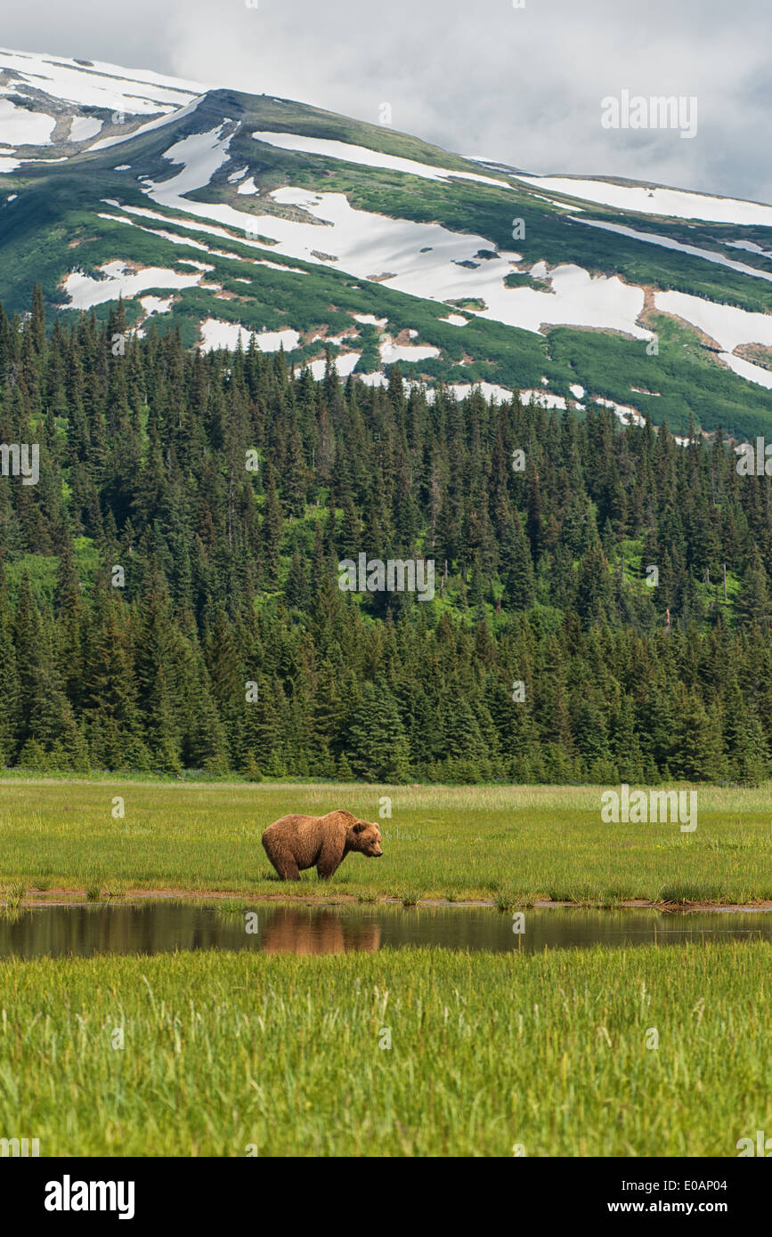 Alaska Brown Bear and reflection in Lake Clark National Park Stock Photohttps://www.alamy.com/image-license-details/?v=1https://www.alamy.com/alaska-brown-bear-and-reflection-in-lake-clark-national-park-image69078244.html
RFE0AP04–Alaska Brown Bear and reflection in Lake Clark National Park
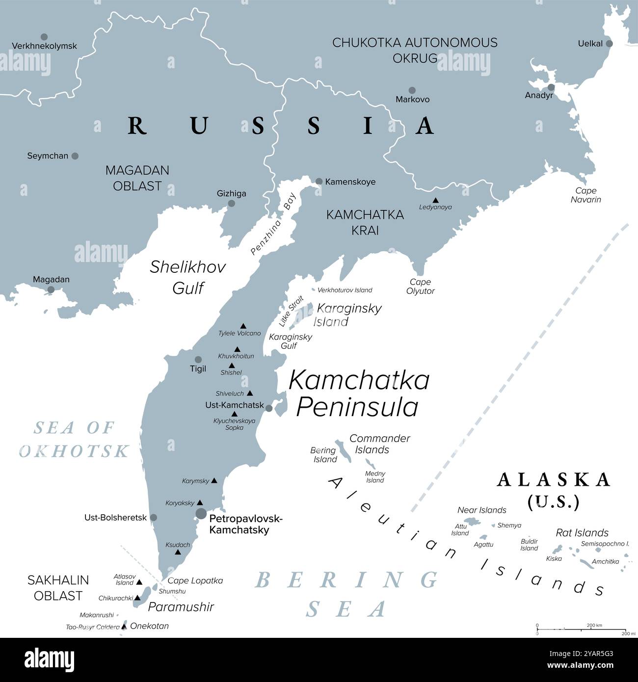 Kamchatka Peninsula and federal subject Kamchatka Krai of Russia, gray political map. Peninsula with volcanoes between Bering Sea and Sea of Okhotsk Stock Photohttps://www.alamy.com/image-license-details/?v=1https://www.alamy.com/kamchatka-peninsula-and-federal-subject-kamchatka-krai-of-russia-gray-political-map-peninsula-with-volcanoes-between-bering-sea-and-sea-of-okhotsk-image626229075.html
RF2YAR5G3–Kamchatka Peninsula and federal subject Kamchatka Krai of Russia, gray political map. Peninsula with volcanoes between Bering Sea and Sea of Okhotsk
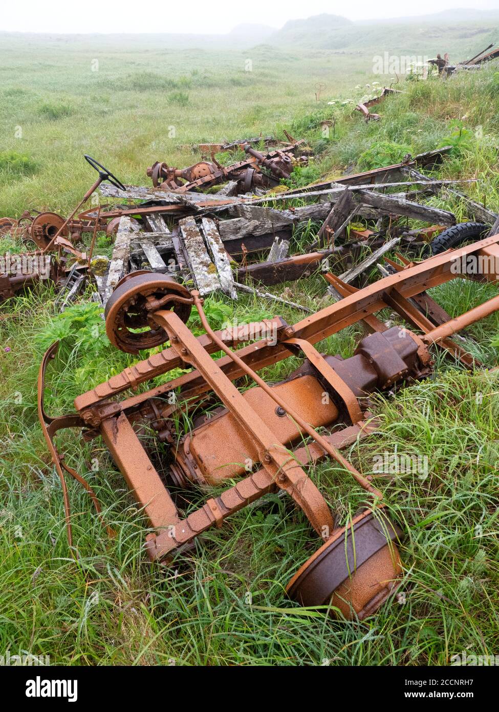 Remnants of WWII war machinery on Kiska Island, Aleutians, Alaska. Stock Photohttps://www.alamy.com/image-license-details/?v=1https://www.alamy.com/remnants-of-wwii-war-machinery-on-kiska-island-aleutians-alaska-image369273107.html
RF2CCNRH7–Remnants of WWII war machinery on Kiska Island, Aleutians, Alaska.
 The incredible flowers on the tundra of Kagamil Island, Aleutians, Alaska, USA Stock Photohttps://www.alamy.com/image-license-details/?v=1https://www.alamy.com/the-incredible-flowers-on-the-tundra-of-kagamil-island-aleutians-alaska-usa-image261444552.html
RMW59R5C–The incredible flowers on the tundra of Kagamil Island, Aleutians, Alaska, USA
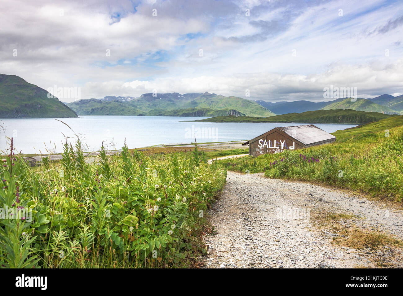 Old house located at Tundra Dr road, near the Unalaska Airport with the Hog Island and Nateekin bay in the background. Stock Photohttps://www.alamy.com/image-license-details/?v=1https://www.alamy.com/stock-image-old-house-located-at-tundra-dr-road-near-the-unalaska-airport-with-166496778.html
RFKJTG9E–Old house located at Tundra Dr road, near the Unalaska Airport with the Hog Island and Nateekin bay in the background.
 Windows with curtains in a wooden house in Saint George island, Pribilof Islands, Alaska, USA Stock Photohttps://www.alamy.com/image-license-details/?v=1https://www.alamy.com/stock-photo-windows-with-curtains-in-a-wooden-house-in-saint-george-island-pribilof-40067220.html
RMC95644–Windows with curtains in a wooden house in Saint George island, Pribilof Islands, Alaska, USA
