Alta wind center Stock Photos and Images
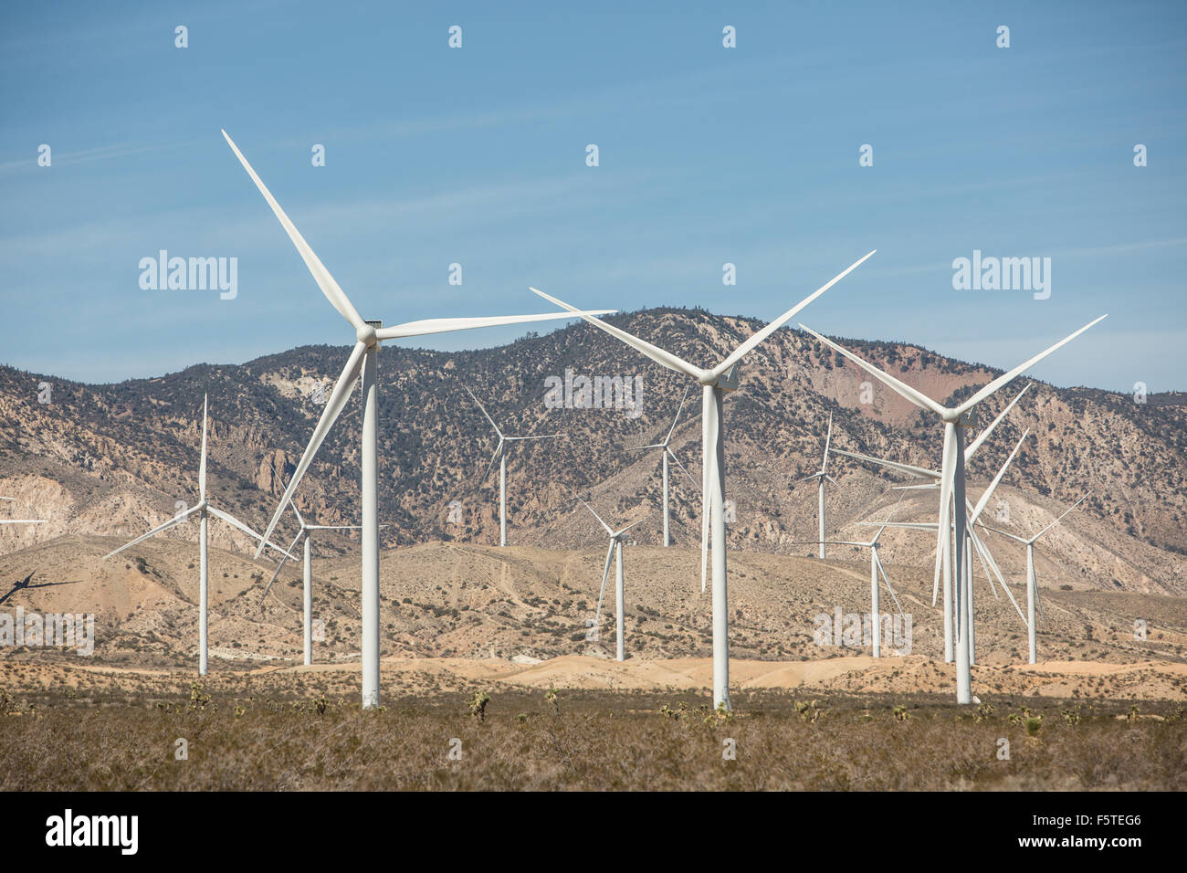 The Alta Wind Energy Center in Kern County, California. Stock Photohttps://www.alamy.com/image-license-details/?v=1https://www.alamy.com/stock-photo-the-alta-wind-energy-center-in-kern-county-california-89663398.html
RMF5TEG6–The Alta Wind Energy Center in Kern County, California.
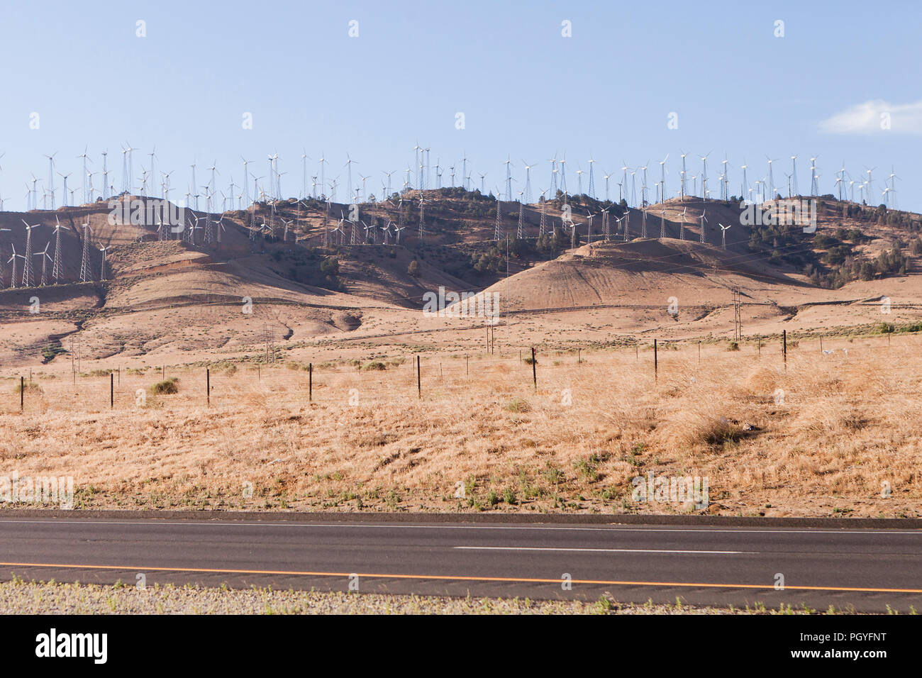 Wind turbines at Alta Wind Energy Center (Mojave Wind Farm) - Tehachapi Pass, California USA Stock Photohttps://www.alamy.com/image-license-details/?v=1https://www.alamy.com/wind-turbines-at-alta-wind-energy-center-mojave-wind-farm-tehachapi-pass-california-usa-image216963988.html
RMPGYFNT–Wind turbines at Alta Wind Energy Center (Mojave Wind Farm) - Tehachapi Pass, California USA
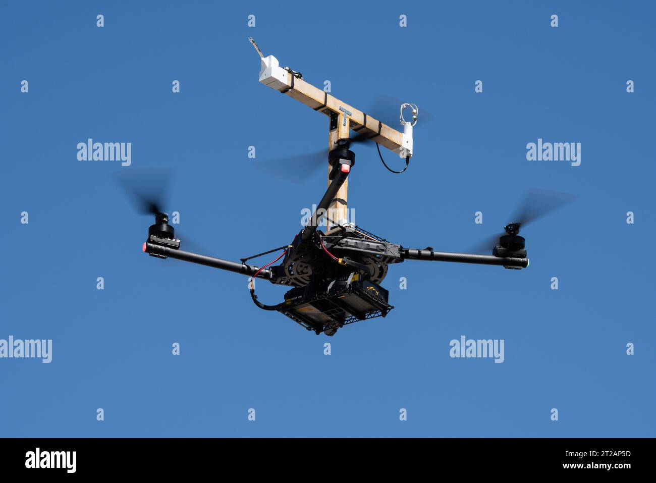 . The Alta-X aircraft flies at NASA’s Armstrong Flight Research Center in Edwards, California, as part of the Advanced Exploration of Reliable Operation at Low Altitudes: Meteorology, Simulation and Technology campaign. The campaign was at NASA Armstrong to study wind from the ground to 2,000 feet to provide data to assist future drones to safely land on rooftop hubs called vertiports and to potentially improve weather prediction. Stock Photohttps://www.alamy.com/image-license-details/?v=1https://www.alamy.com/the-alta-x-aircraft-flies-at-nasas-armstrong-flight-research-center-in-edwards-california-as-part-of-the-advanced-exploration-of-reliable-operation-at-low-altitudes-meteorology-simulation-and-technology-campaign-the-campaign-was-at-nasa-armstrong-to-study-wind-from-the-ground-to-2000-feet-to-provide-data-to-assist-future-drones-to-safely-land-on-rooftop-hubs-called-vertiports-and-to-potentially-improve-weather-prediction-image569408377.html
RM2T2AP5D–. The Alta-X aircraft flies at NASA’s Armstrong Flight Research Center in Edwards, California, as part of the Advanced Exploration of Reliable Operation at Low Altitudes: Meteorology, Simulation and Technology campaign. The campaign was at NASA Armstrong to study wind from the ground to 2,000 feet to provide data to assist future drones to safely land on rooftop hubs called vertiports and to potentially improve weather prediction.
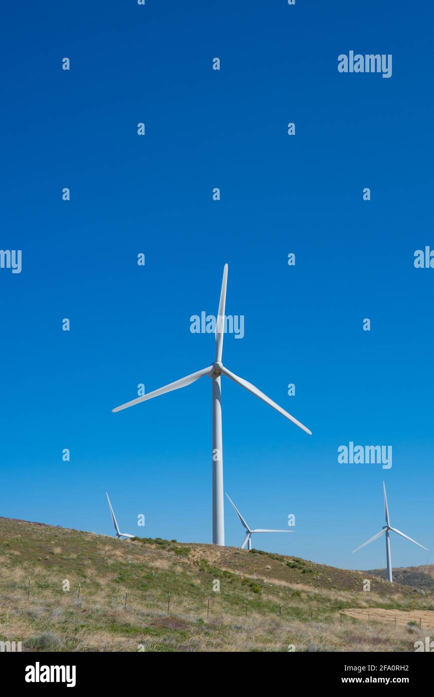 Wind turbines power nearby homes in the mountains above Los Angeles California Stock Photohttps://www.alamy.com/image-license-details/?v=1https://www.alamy.com/wind-turbines-power-nearby-homes-in-the-mountains-above-los-angeles-california-image419213902.html
RF2FA0RH2–Wind turbines power nearby homes in the mountains above Los Angeles California
 Edwards, California, USA. 20th July, 2023. Rocky Garcia and Wesley James prepare a weather balloon to collect wind data for the Advanced Exploration of Reliable Operation at Low Altitudes: Meteorology, Simulation and Technology campaign. The weather study was at NASAs Armstrong Flight Research Center in Edwards, California. The focus was to study wind from the ground to 2,000 feet to provide data to assist future drones to safely land on rooftop hubs called vertiports and to potentially improve weather prediction. (Credit Image: © NASA/ZUMA Press Wire) EDITORIAL USAGE ONLY! Not for Commercial Stock Photohttps://www.alamy.com/image-license-details/?v=1https://www.alamy.com/edwards-california-usa-20th-july-2023-rocky-garcia-and-wesley-james-prepare-a-weather-balloon-to-collect-wind-data-for-the-advanced-exploration-of-reliable-operation-at-low-altitudes-meteorology-simulation-and-technology-campaign-the-weather-study-was-at-nasas-armstrong-flight-research-center-in-edwards-california-the-focus-was-to-study-wind-from-the-ground-to-2000-feet-to-provide-data-to-assist-future-drones-to-safely-land-on-rooftop-hubs-called-vertiports-and-to-potentially-improve-weather-prediction-credit-image-nasazuma-press-wire-editorial-usage-only!-not-for-commercial-image565374242.html
RM2RRR0H6–Edwards, California, USA. 20th July, 2023. Rocky Garcia and Wesley James prepare a weather balloon to collect wind data for the Advanced Exploration of Reliable Operation at Low Altitudes: Meteorology, Simulation and Technology campaign. The weather study was at NASAs Armstrong Flight Research Center in Edwards, California. The focus was to study wind from the ground to 2,000 feet to provide data to assist future drones to safely land on rooftop hubs called vertiports and to potentially improve weather prediction. (Credit Image: © NASA/ZUMA Press Wire) EDITORIAL USAGE ONLY! Not for Commercial
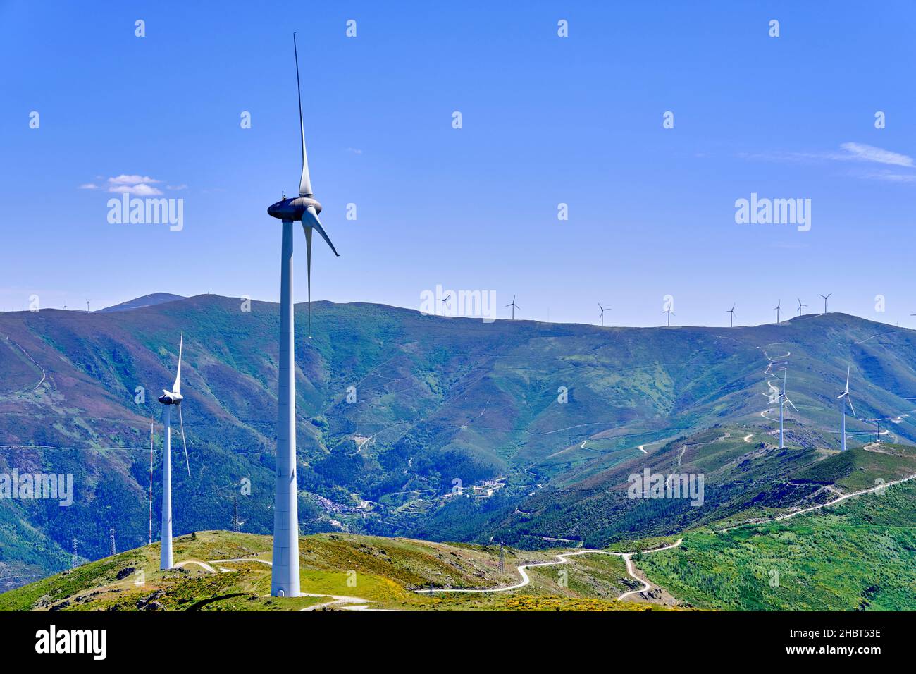 Wind turbines on the summits of serra do Acor mountain range. Piódão, Portugal Stock Photohttps://www.alamy.com/image-license-details/?v=1https://www.alamy.com/wind-turbines-on-the-summits-of-serra-do-acor-mountain-range-pido-portugal-image454761650.html
RM2HBT53E–Wind turbines on the summits of serra do Acor mountain range. Piódão, Portugal
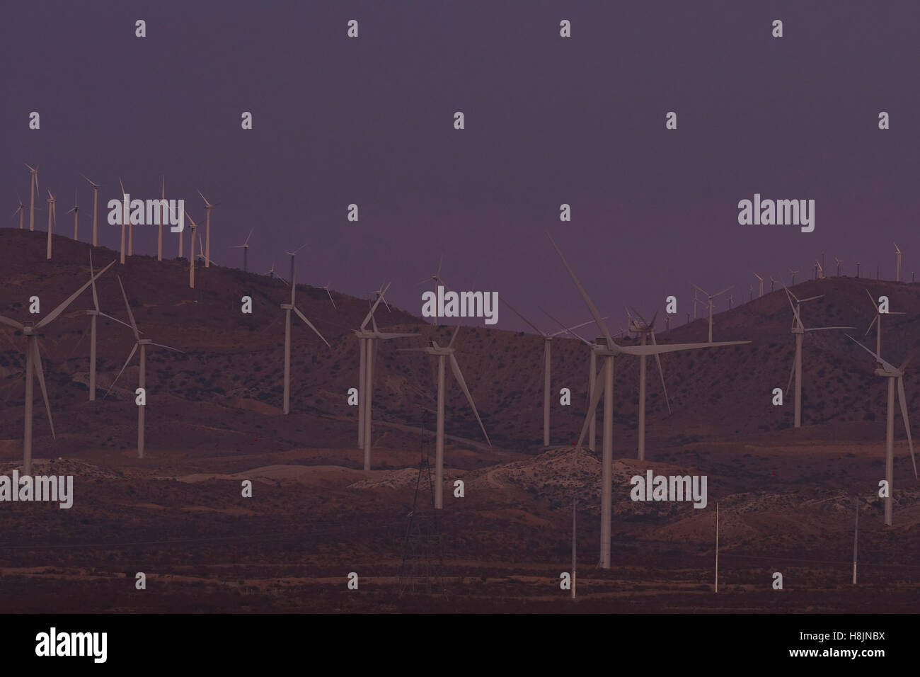 Wind Farm On The Eastern Slope Of The Tehachapi Mountains, Mojave, California. Stock Photohttps://www.alamy.com/image-license-details/?v=1https://www.alamy.com/stock-photo-wind-farm-on-the-eastern-slope-of-the-tehachapi-mountains-mojave-california-125801758.html
RMH8JNBX–Wind Farm On The Eastern Slope Of The Tehachapi Mountains, Mojave, California.
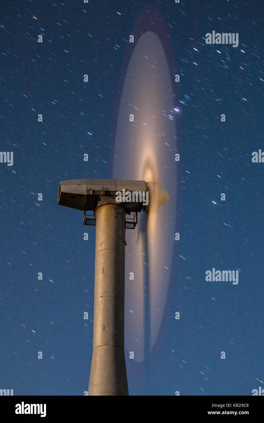 Wind farm, Tehechapi Pass, California Stock Photohttps://www.alamy.com/image-license-details/?v=1https://www.alamy.com/stock-image-wind-farm-tehechapi-pass-california-169081704.html
RMKR29C8–Wind farm, Tehechapi Pass, California
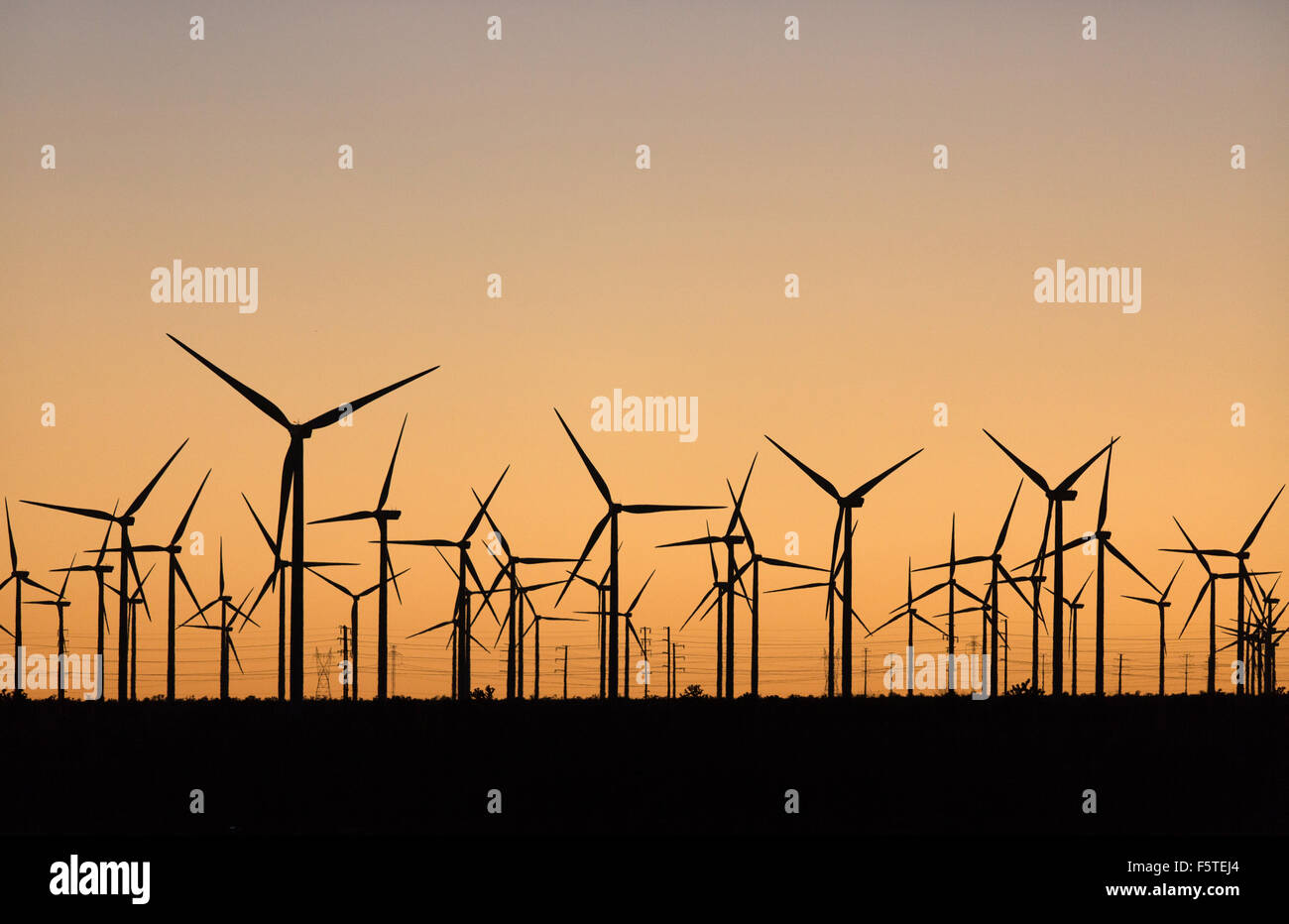 The Alta Wind Energy Center in Kern County, California. Stock Photohttps://www.alamy.com/image-license-details/?v=1https://www.alamy.com/stock-photo-the-alta-wind-energy-center-in-kern-county-california-89663452.html
RMF5TEJ4–The Alta Wind Energy Center in Kern County, California.
 . The Alta-X aircraft flies at NASA’s Armstrong Flight Research Center in Edwards, California, as part of the Advanced Exploration of Reliable Operation at Low Altitudes: Meteorology, Simulation and Technology campaign. The campaign was at NASA Armstrong to study wind from the ground to 2,000 feet to provide data to assist future drones to safely land on rooftop hubs called vertiports and to potentially improve weather prediction. Stock Photohttps://www.alamy.com/image-license-details/?v=1https://www.alamy.com/the-alta-x-aircraft-flies-at-nasas-armstrong-flight-research-center-in-edwards-california-as-part-of-the-advanced-exploration-of-reliable-operation-at-low-altitudes-meteorology-simulation-and-technology-campaign-the-campaign-was-at-nasa-armstrong-to-study-wind-from-the-ground-to-2000-feet-to-provide-data-to-assist-future-drones-to-safely-land-on-rooftop-hubs-called-vertiports-and-to-potentially-improve-weather-prediction-image569408046.html
RM2T2ANNJ–. The Alta-X aircraft flies at NASA’s Armstrong Flight Research Center in Edwards, California, as part of the Advanced Exploration of Reliable Operation at Low Altitudes: Meteorology, Simulation and Technology campaign. The campaign was at NASA Armstrong to study wind from the ground to 2,000 feet to provide data to assist future drones to safely land on rooftop hubs called vertiports and to potentially improve weather prediction.
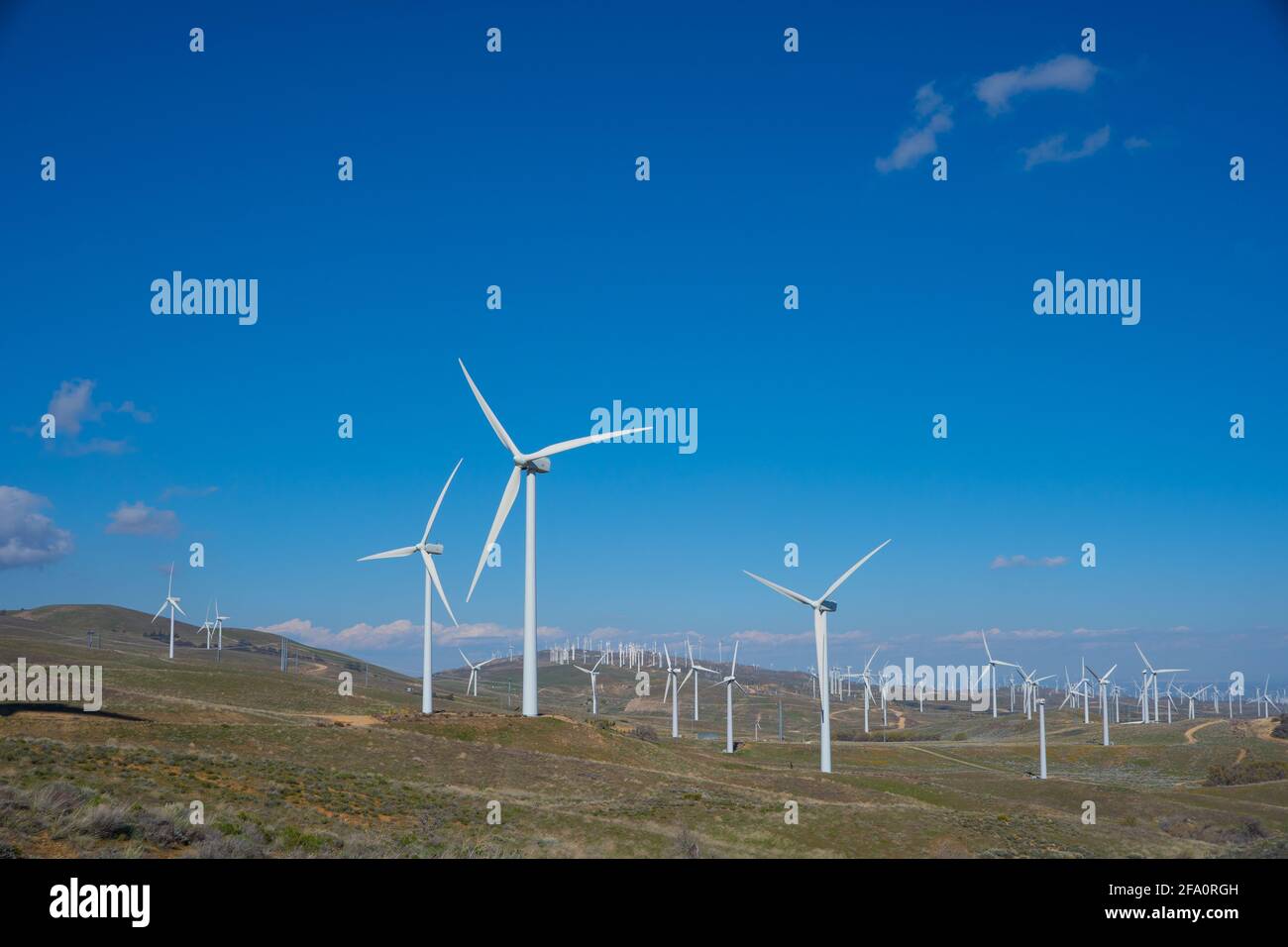 Wind turbines power nearby homes in the mountains above Los Angeles California Stock Photohttps://www.alamy.com/image-license-details/?v=1https://www.alamy.com/wind-turbines-power-nearby-homes-in-the-mountains-above-los-angeles-california-image419213889.html
RF2FA0RGH–Wind turbines power nearby homes in the mountains above Los Angeles California
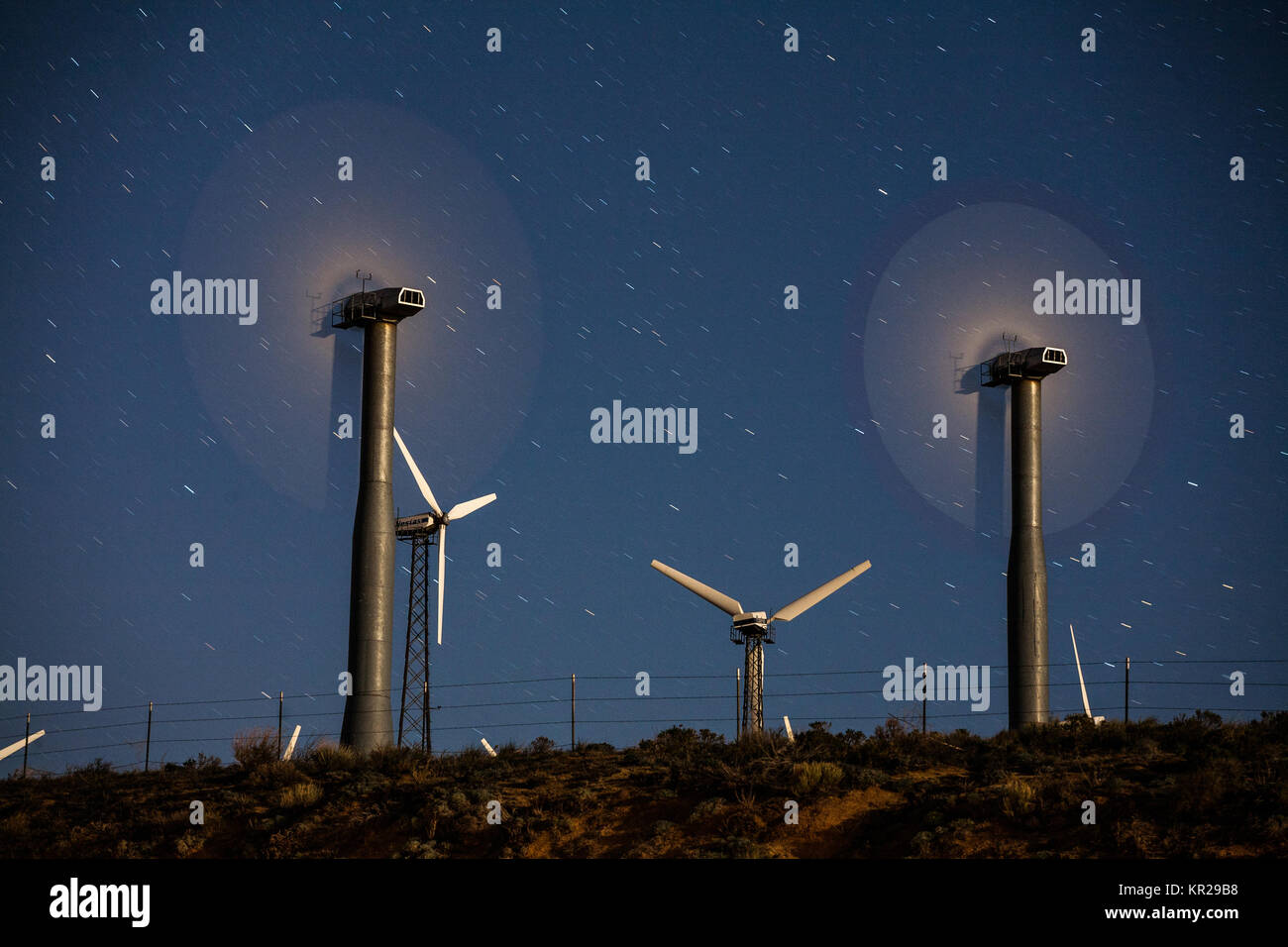 Wind farm, Tehechapi Pass, California Stock Photohttps://www.alamy.com/image-license-details/?v=1https://www.alamy.com/stock-image-wind-farm-tehechapi-pass-california-169081676.html
RMKR29B8–Wind farm, Tehechapi Pass, California
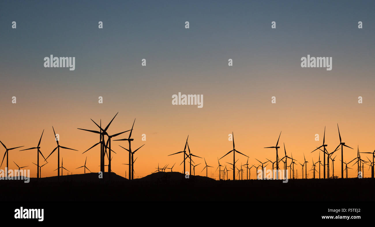 The Alta Wind Energy Center in Kern County, California. Stock Photohttps://www.alamy.com/image-license-details/?v=1https://www.alamy.com/stock-photo-the-alta-wind-energy-center-in-kern-county-california-89663450.html
RMF5TEJ2–The Alta Wind Energy Center in Kern County, California.
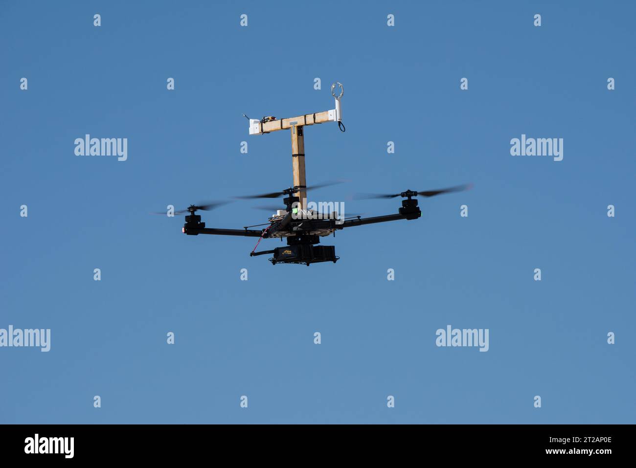 . The Alta-X aircraft flies at NASA’s Armstrong Flight Research Center in Edwards, California, as part of the Advanced Exploration of Reliable Operation at Low Altitudes: Meteorology, Simulation and Technology campaign. The campaign was at NASA Armstrong to study wind from the ground to 2,000 feet to provide data to assist future drones to safely land on rooftop hubs called vertiports and to potentially improve weather prediction. Stock Photohttps://www.alamy.com/image-license-details/?v=1https://www.alamy.com/the-alta-x-aircraft-flies-at-nasas-armstrong-flight-research-center-in-edwards-california-as-part-of-the-advanced-exploration-of-reliable-operation-at-low-altitudes-meteorology-simulation-and-technology-campaign-the-campaign-was-at-nasa-armstrong-to-study-wind-from-the-ground-to-2000-feet-to-provide-data-to-assist-future-drones-to-safely-land-on-rooftop-hubs-called-vertiports-and-to-potentially-improve-weather-prediction-image569408238.html
RM2T2AP0E–. The Alta-X aircraft flies at NASA’s Armstrong Flight Research Center in Edwards, California, as part of the Advanced Exploration of Reliable Operation at Low Altitudes: Meteorology, Simulation and Technology campaign. The campaign was at NASA Armstrong to study wind from the ground to 2,000 feet to provide data to assist future drones to safely land on rooftop hubs called vertiports and to potentially improve weather prediction.
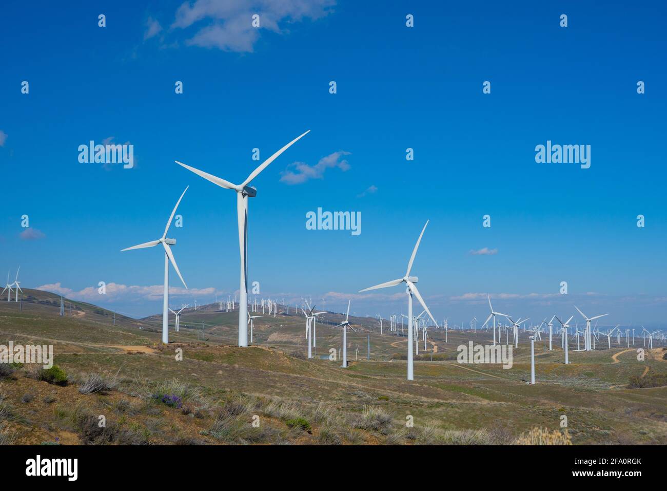 Wind turbines power nearby homes in the mountains above Los Angeles California Stock Photohttps://www.alamy.com/image-license-details/?v=1https://www.alamy.com/wind-turbines-power-nearby-homes-in-the-mountains-above-los-angeles-california-image419213891.html
RF2FA0RGK–Wind turbines power nearby homes in the mountains above Los Angeles California
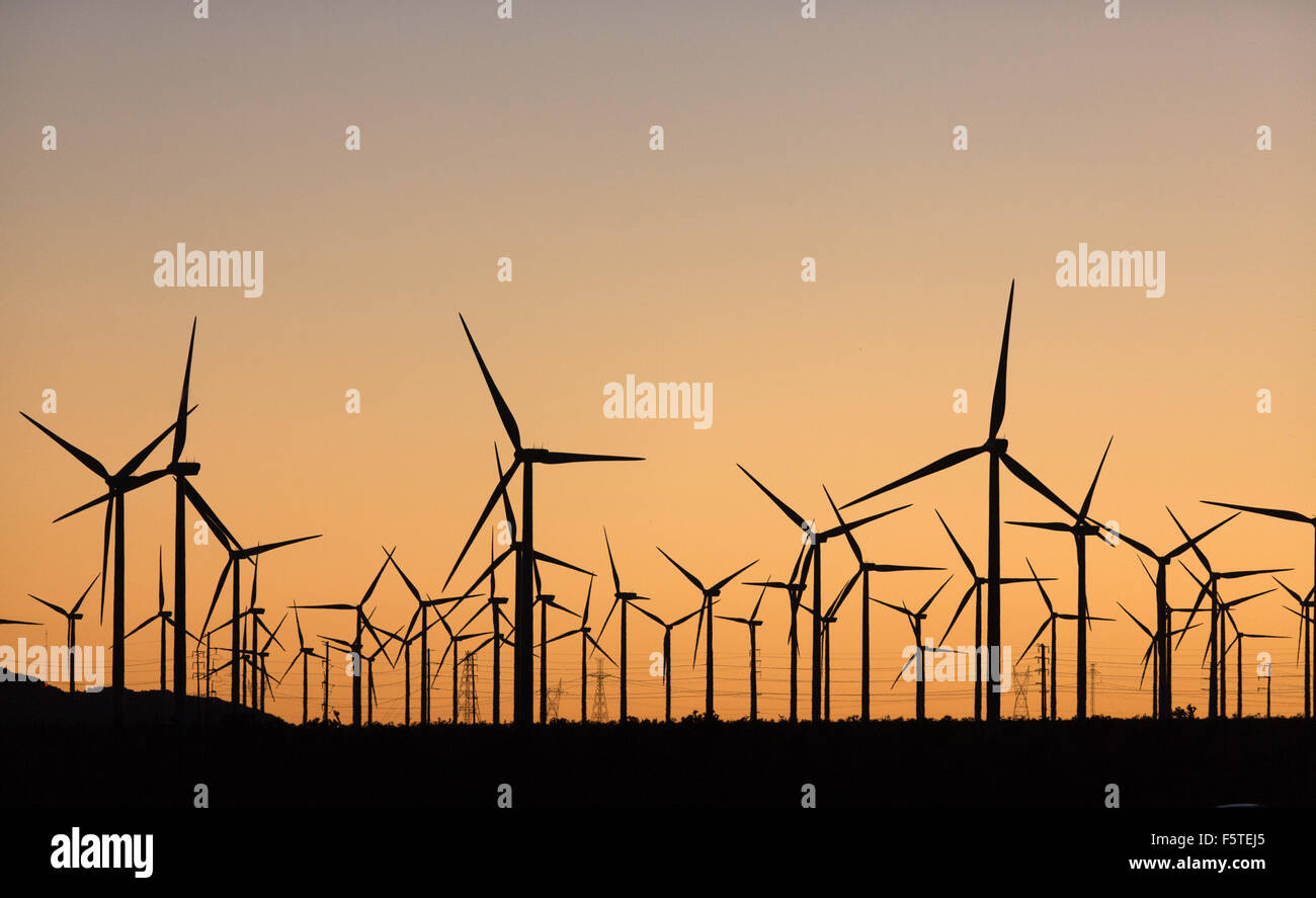 The Alta Wind Energy Center in Kern County, California. Stock Photohttps://www.alamy.com/image-license-details/?v=1https://www.alamy.com/stock-photo-the-alta-wind-energy-center-in-kern-county-california-89663453.html
RMF5TEJ5–The Alta Wind Energy Center in Kern County, California.
 . Red Jensen lands the Alta-X aircraft at NASA’s Armstrong Flight Research Center in Edwards, California, as part of the Advanced Exploration of Reliable Operation at Low Altitudes: Meteorology, Simulation and Technology campaign. The campaign was at NASA Armstrong to study wind from the ground to 2,000 feet to provide data to assist future drones to safely land on rooftop hubs called vertiports and to potentially improve weather prediction. Stock Photohttps://www.alamy.com/image-license-details/?v=1https://www.alamy.com/red-jensen-lands-the-alta-x-aircraft-at-nasas-armstrong-flight-research-center-in-edwards-california-as-part-of-the-advanced-exploration-of-reliable-operation-at-low-altitudes-meteorology-simulation-and-technology-campaign-the-campaign-was-at-nasa-armstrong-to-study-wind-from-the-ground-to-2000-feet-to-provide-data-to-assist-future-drones-to-safely-land-on-rooftop-hubs-called-vertiports-and-to-potentially-improve-weather-prediction-image569408316.html
RM2T2AP38–. Red Jensen lands the Alta-X aircraft at NASA’s Armstrong Flight Research Center in Edwards, California, as part of the Advanced Exploration of Reliable Operation at Low Altitudes: Meteorology, Simulation and Technology campaign. The campaign was at NASA Armstrong to study wind from the ground to 2,000 feet to provide data to assist future drones to safely land on rooftop hubs called vertiports and to potentially improve weather prediction.
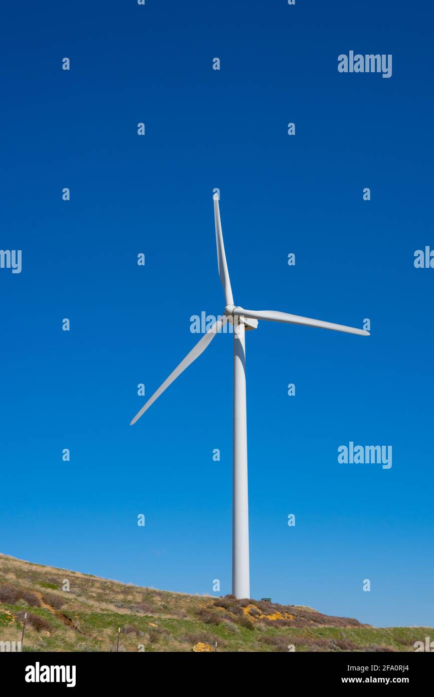 Wind turbines power nearby homes in the mountains above Los Angeles California Stock Photohttps://www.alamy.com/image-license-details/?v=1https://www.alamy.com/wind-turbines-power-nearby-homes-in-the-mountains-above-los-angeles-california-image419213932.html
RF2FA0RJ4–Wind turbines power nearby homes in the mountains above Los Angeles California
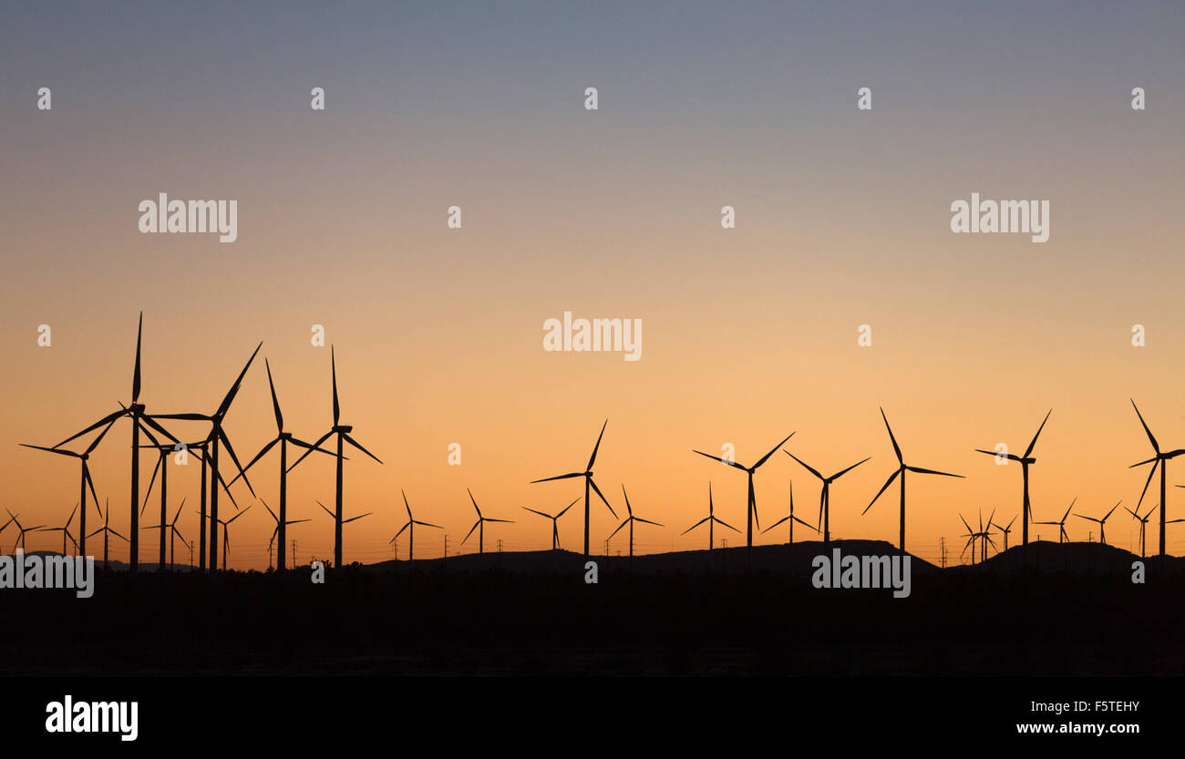 The Alta Wind Energy Center in Kern County, California. Stock Photohttps://www.alamy.com/image-license-details/?v=1https://www.alamy.com/stock-photo-the-alta-wind-energy-center-in-kern-county-california-89663447.html
RMF5TEHY–The Alta Wind Energy Center in Kern County, California.
 . The Alta-X aircraft flies by the former space shuttle hangar at NASA’s Armstrong Flight Research Center in Edwards, California, as part of the Advanced Exploration of Reliable Operation at Low Altitudes: Meteorology, Simulation and Technology campaign. The campaign was at NASA Armstrong to study wind from the ground to 2,000 feet to provide data to assist future drones to safely land on rooftop hubs called vertiports and to potentially improve weather prediction. Stock Photohttps://www.alamy.com/image-license-details/?v=1https://www.alamy.com/the-alta-x-aircraft-flies-by-the-former-space-shuttle-hangar-at-nasas-armstrong-flight-research-center-in-edwards-california-as-part-of-the-advanced-exploration-of-reliable-operation-at-low-altitudes-meteorology-simulation-and-technology-campaign-the-campaign-was-at-nasa-armstrong-to-study-wind-from-the-ground-to-2000-feet-to-provide-data-to-assist-future-drones-to-safely-land-on-rooftop-hubs-called-vertiports-and-to-potentially-improve-weather-prediction-image569408057.html
RM2T2ANP1–. The Alta-X aircraft flies by the former space shuttle hangar at NASA’s Armstrong Flight Research Center in Edwards, California, as part of the Advanced Exploration of Reliable Operation at Low Altitudes: Meteorology, Simulation and Technology campaign. The campaign was at NASA Armstrong to study wind from the ground to 2,000 feet to provide data to assist future drones to safely land on rooftop hubs called vertiports and to potentially improve weather prediction.
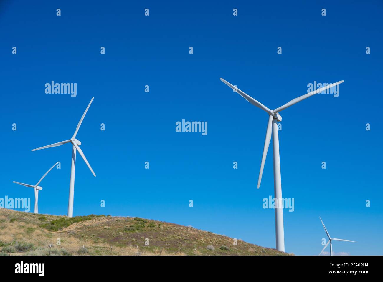 Wind turbines power nearby homes in the mountains above Los Angeles California Stock Photohttps://www.alamy.com/image-license-details/?v=1https://www.alamy.com/wind-turbines-power-nearby-homes-in-the-mountains-above-los-angeles-california-image419213904.html
RF2FA0RH4–Wind turbines power nearby homes in the mountains above Los Angeles California
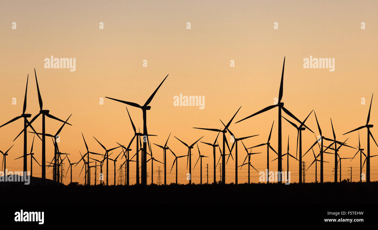 The Alta Wind Energy Center in Kern County, California. Stock Photohttps://www.alamy.com/image-license-details/?v=1https://www.alamy.com/stock-photo-the-alta-wind-energy-center-in-kern-county-california-89663445.html
RMF5TEHW–The Alta Wind Energy Center in Kern County, California.
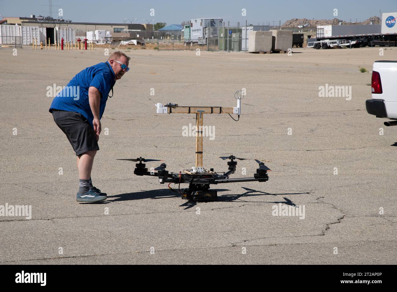 . Red Jensen looks over the Alta-X aircraft before a flight for the Advanced Exploration of Reliable Operation at Low Altitudes: Meteorology, Simulation and Technology campaign. The weather study was at NASA’s Armstrong Flight Research Center in Edwards, California. The focus was to study wind from the ground to 2,000 feet to provide data to assist future drones to safely land on rooftop hubs called vertiports and to potentially improve weather prediction. Stock Photohttps://www.alamy.com/image-license-details/?v=1https://www.alamy.com/red-jensen-looks-over-the-alta-x-aircraft-before-a-flight-for-the-advanced-exploration-of-reliable-operation-at-low-altitudes-meteorology-simulation-and-technology-campaign-the-weather-study-was-at-nasas-armstrong-flight-research-center-in-edwards-california-the-focus-was-to-study-wind-from-the-ground-to-2000-feet-to-provide-data-to-assist-future-drones-to-safely-land-on-rooftop-hubs-called-vertiports-and-to-potentially-improve-weather-prediction-image569408246.html
RM2T2AP0P–. Red Jensen looks over the Alta-X aircraft before a flight for the Advanced Exploration of Reliable Operation at Low Altitudes: Meteorology, Simulation and Technology campaign. The weather study was at NASA’s Armstrong Flight Research Center in Edwards, California. The focus was to study wind from the ground to 2,000 feet to provide data to assist future drones to safely land on rooftop hubs called vertiports and to potentially improve weather prediction.
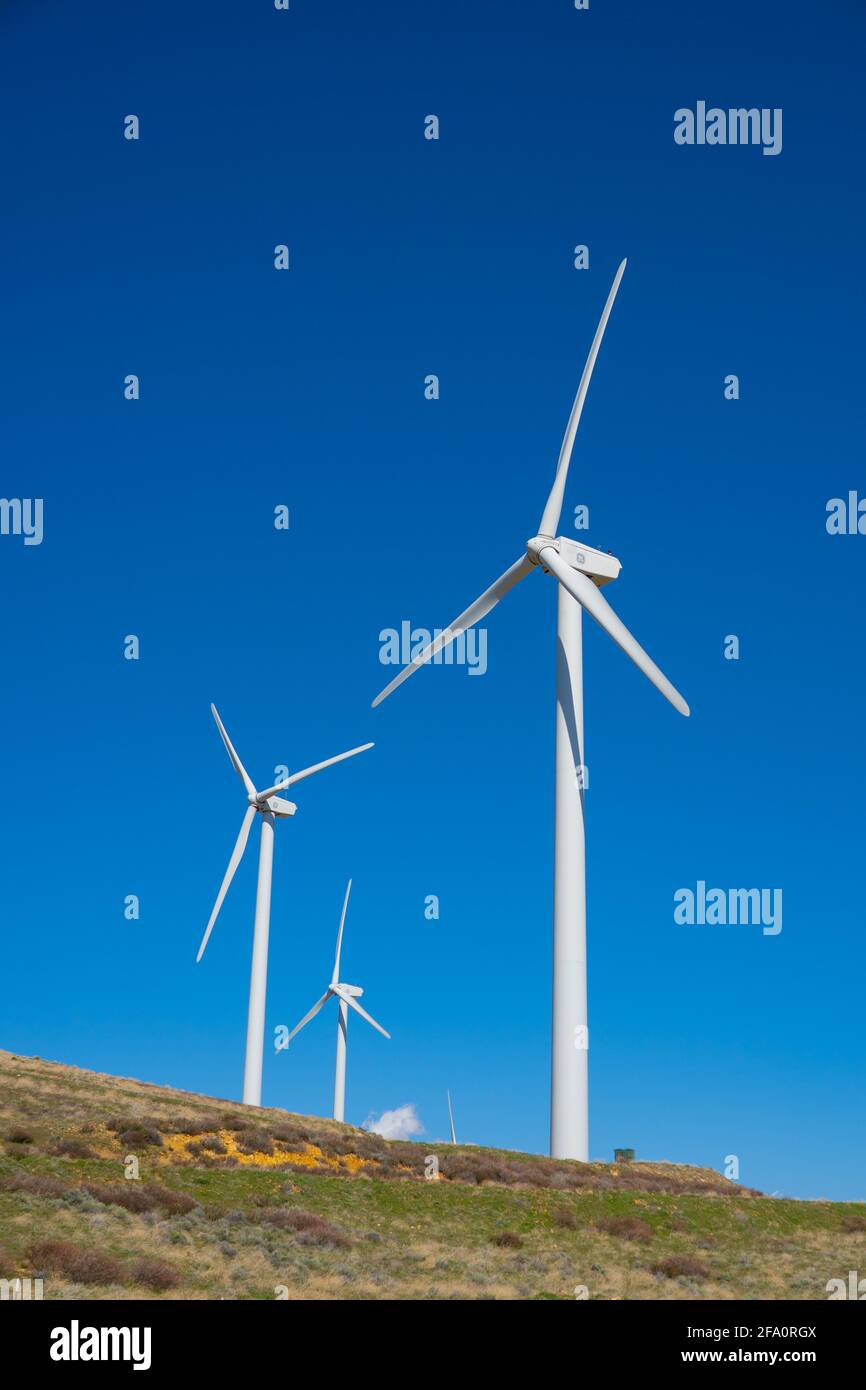 Wind turbines power nearby homes in the mountains above Los Angeles California Stock Photohttps://www.alamy.com/image-license-details/?v=1https://www.alamy.com/wind-turbines-power-nearby-homes-in-the-mountains-above-los-angeles-california-image419213898.html
RF2FA0RGX–Wind turbines power nearby homes in the mountains above Los Angeles California
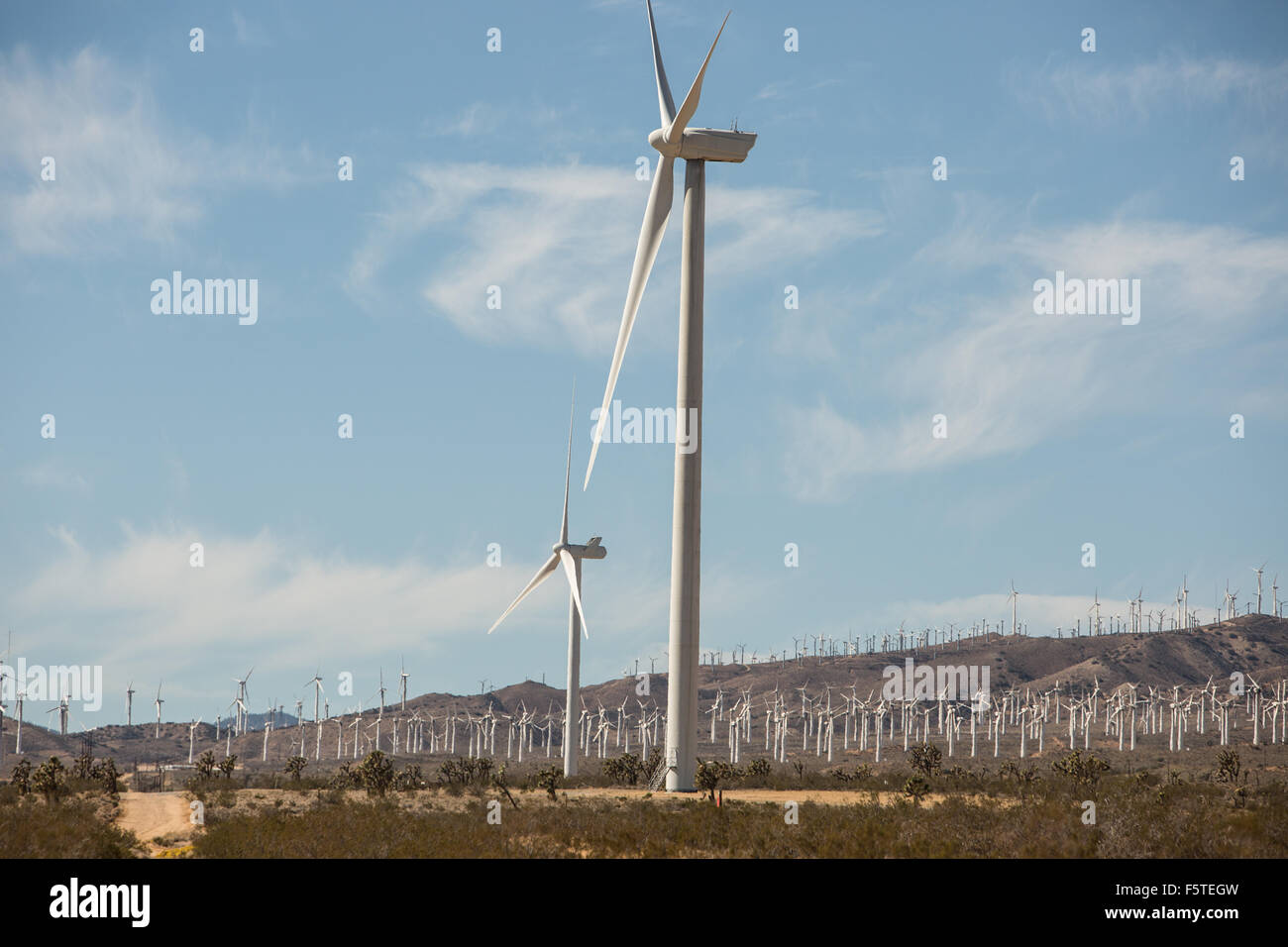 The Alta Wind Energy Center in Kern County, California. Stock Photohttps://www.alamy.com/image-license-details/?v=1https://www.alamy.com/stock-photo-the-alta-wind-energy-center-in-kern-county-california-89663417.html
RMF5TEGW–The Alta Wind Energy Center in Kern County, California.
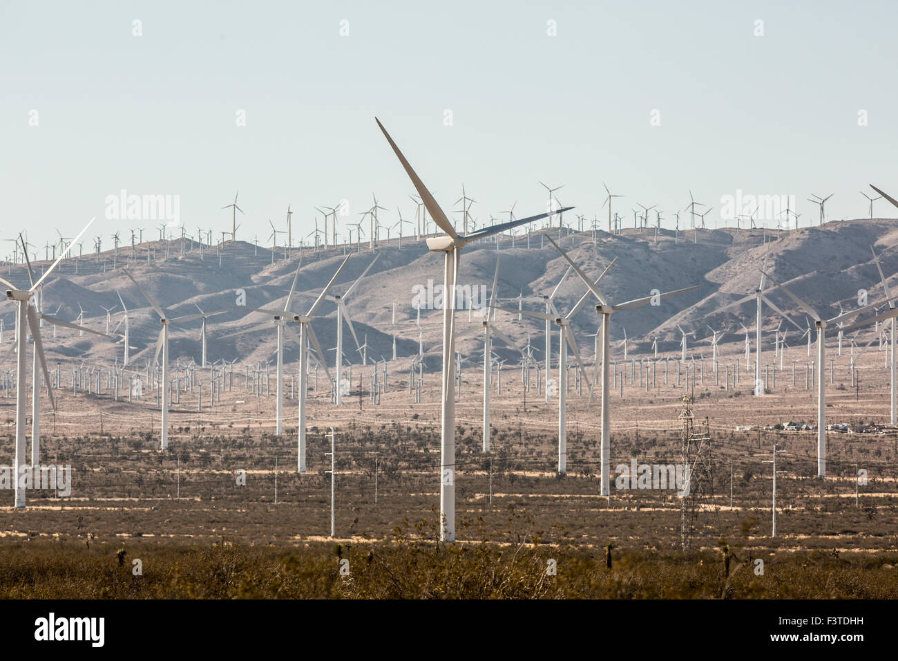 The Alta Wind Energy Center in Kern County, California. Stock Photohttps://www.alamy.com/image-license-details/?v=1https://www.alamy.com/stock-photo-the-alta-wind-energy-center-in-kern-county-california-88433341.html
RMF3TDHH–The Alta Wind Energy Center in Kern County, California.
 . The Alta-X aircraft flies by a 140-foot instrumented tower at NASA’s Armstrong Flight Research Center in Edwards, California, as part of the Advanced Exploration of Reliable Operation at Low Altitudes: Meteorology, Simulation and Technology campaign. The campaign was at NASA Armstrong to study wind from the ground to 2,000 feet to provide data to assist future drones to safely land on rooftop hubs called vertiports and to potentially improve weather prediction. Stock Photohttps://www.alamy.com/image-license-details/?v=1https://www.alamy.com/the-alta-x-aircraft-flies-by-a-140-foot-instrumented-tower-at-nasas-armstrong-flight-research-center-in-edwards-california-as-part-of-the-advanced-exploration-of-reliable-operation-at-low-altitudes-meteorology-simulation-and-technology-campaign-the-campaign-was-at-nasa-armstrong-to-study-wind-from-the-ground-to-2000-feet-to-provide-data-to-assist-future-drones-to-safely-land-on-rooftop-hubs-called-vertiports-and-to-potentially-improve-weather-prediction-image569408357.html
RM2T2AP4N–. The Alta-X aircraft flies by a 140-foot instrumented tower at NASA’s Armstrong Flight Research Center in Edwards, California, as part of the Advanced Exploration of Reliable Operation at Low Altitudes: Meteorology, Simulation and Technology campaign. The campaign was at NASA Armstrong to study wind from the ground to 2,000 feet to provide data to assist future drones to safely land on rooftop hubs called vertiports and to potentially improve weather prediction.
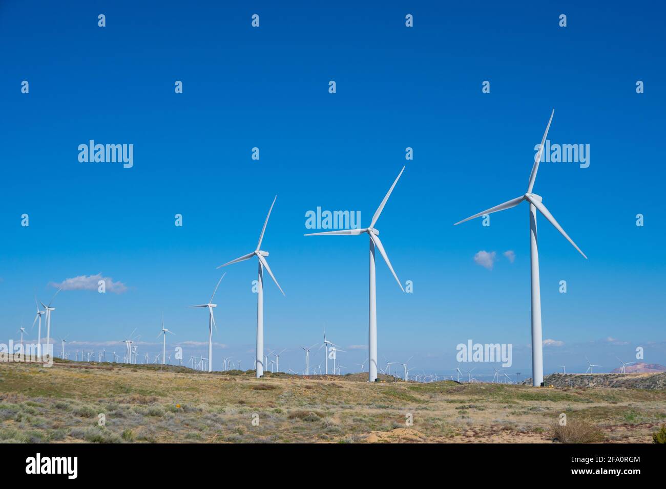 Wind turbines power nearby homes in the mountains above Los Angeles California Stock Photohttps://www.alamy.com/image-license-details/?v=1https://www.alamy.com/wind-turbines-power-nearby-homes-in-the-mountains-above-los-angeles-california-image419213892.html
RF2FA0RGM–Wind turbines power nearby homes in the mountains above Los Angeles California
 . The Alta-X aircraft flies by the former space shuttle hangar at NASA’s Armstrong Flight Research Center in Edwards, California, as part of the Advanced Exploration of Reliable Operation at Low Altitudes: Meteorology, Simulation and Technology campaign. The campaign was at NASA Armstrong Flight to study wind from the ground to 2,000 feet to provide data to assist future drones to safely land on rooftop hubs called vertiports and to potentially improve weather prediction. Stock Photohttps://www.alamy.com/image-license-details/?v=1https://www.alamy.com/the-alta-x-aircraft-flies-by-the-former-space-shuttle-hangar-at-nasas-armstrong-flight-research-center-in-edwards-california-as-part-of-the-advanced-exploration-of-reliable-operation-at-low-altitudes-meteorology-simulation-and-technology-campaign-the-campaign-was-at-nasa-armstrong-flight-to-study-wind-from-the-ground-to-2000-feet-to-provide-data-to-assist-future-drones-to-safely-land-on-rooftop-hubs-called-vertiports-and-to-potentially-improve-weather-prediction-image569408022.html
RM2T2ANMP–. The Alta-X aircraft flies by the former space shuttle hangar at NASA’s Armstrong Flight Research Center in Edwards, California, as part of the Advanced Exploration of Reliable Operation at Low Altitudes: Meteorology, Simulation and Technology campaign. The campaign was at NASA Armstrong Flight to study wind from the ground to 2,000 feet to provide data to assist future drones to safely land on rooftop hubs called vertiports and to potentially improve weather prediction.
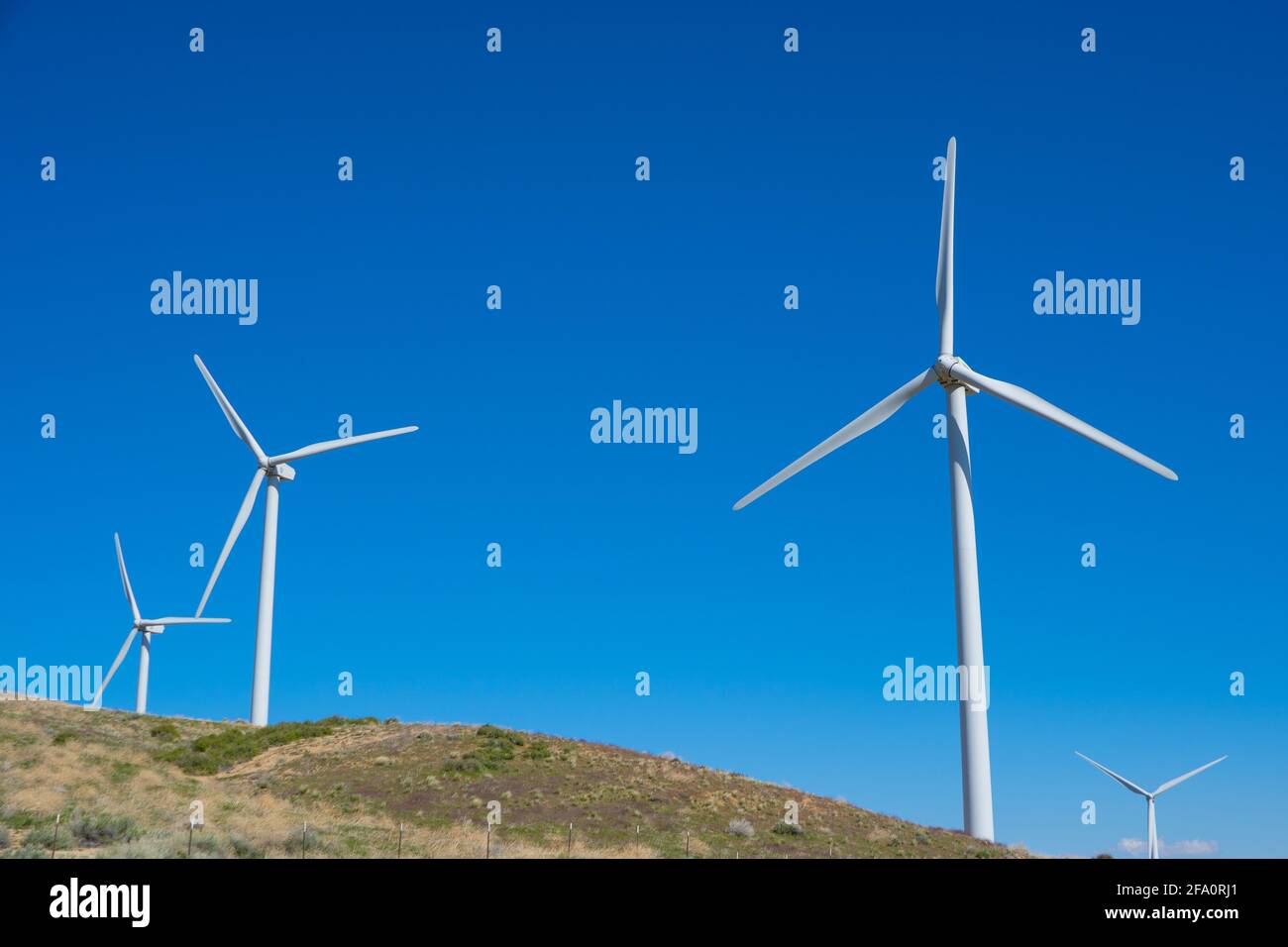 Wind turbines power nearby homes in the mountains above Los Angeles California Stock Photohttps://www.alamy.com/image-license-details/?v=1https://www.alamy.com/wind-turbines-power-nearby-homes-in-the-mountains-above-los-angeles-california-image419213929.html
RF2FA0RJ1–Wind turbines power nearby homes in the mountains above Los Angeles California
 . Jennifer Fowler works on securing sensors onto the test fixture on the Alta-X aircraft. Justin Link, Grady Koch, and Tyler Willhite are in the background. The Advanced Exploration of Reliable Operation at Low Altitudes: Meteorology, Simulation and Technology campaign was at NASA’s Armstrong Flight Research Center in Edwards, California. The focus was to study wind from the ground to 2,000 feet to provide data to assist future drones to safely land on rooftop hubs called vertiports and to potentially improve weather prediction. Stock Photohttps://www.alamy.com/image-license-details/?v=1https://www.alamy.com/jennifer-fowler-works-on-securing-sensors-onto-the-test-fixture-on-the-alta-x-aircraft-justin-link-grady-koch-and-tyler-willhite-are-in-the-background-the-advanced-exploration-of-reliable-operation-at-low-altitudes-meteorology-simulation-and-technology-campaign-was-at-nasas-armstrong-flight-research-center-in-edwards-california-the-focus-was-to-study-wind-from-the-ground-to-2000-feet-to-provide-data-to-assist-future-drones-to-safely-land-on-rooftop-hubs-called-vertiports-and-to-potentially-improve-weather-prediction-image569408054.html
RM2T2ANNX–. Jennifer Fowler works on securing sensors onto the test fixture on the Alta-X aircraft. Justin Link, Grady Koch, and Tyler Willhite are in the background. The Advanced Exploration of Reliable Operation at Low Altitudes: Meteorology, Simulation and Technology campaign was at NASA’s Armstrong Flight Research Center in Edwards, California. The focus was to study wind from the ground to 2,000 feet to provide data to assist future drones to safely land on rooftop hubs called vertiports and to potentially improve weather prediction.
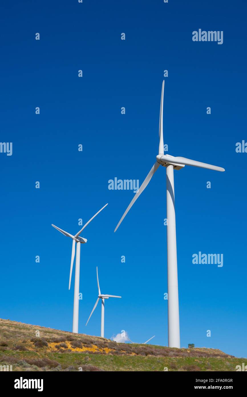 Wind turbines power nearby homes in the mountains above Los Angeles California Stock Photohttps://www.alamy.com/image-license-details/?v=1https://www.alamy.com/wind-turbines-power-nearby-homes-in-the-mountains-above-los-angeles-california-image419213895.html
RF2FA0RGR–Wind turbines power nearby homes in the mountains above Los Angeles California
 . The DROID 2 (Dryden Remotely Operated Integrated Drone 2) flies at NASA's Armstrong Flight Research Center in Edwards, California, as part of the Advanced Exploration of Reliable Operation at Low Altitudes: Meteorology, Simulation, and Technology campaign. The focus was to study wind to provide data for safe takeoff and landing of future air taxis. Stock Photohttps://www.alamy.com/image-license-details/?v=1https://www.alamy.com/the-droid-2-dryden-remotely-operated-integrated-drone-2-flies-at-nasas-armstrong-flight-research-center-in-edwards-california-as-part-of-the-advanced-exploration-of-reliable-operation-at-low-altitudes-meteorology-simulation-and-technology-campaign-the-focus-was-to-study-wind-to-provide-data-for-safe-takeoff-and-landing-of-future-air-taxis-image569413233.html
RM2T2B0AW–. The DROID 2 (Dryden Remotely Operated Integrated Drone 2) flies at NASA's Armstrong Flight Research Center in Edwards, California, as part of the Advanced Exploration of Reliable Operation at Low Altitudes: Meteorology, Simulation, and Technology campaign. The focus was to study wind to provide data for safe takeoff and landing of future air taxis.
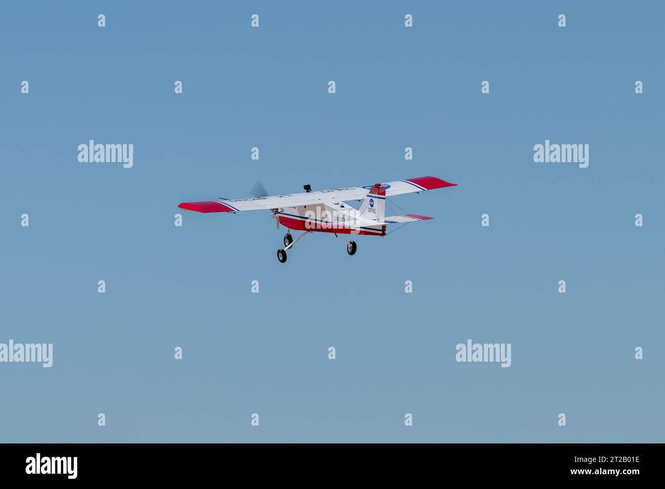 . The DROID 2 (Dryden Remotely Operated Integrated Drone 2) flies at NASA's Armstrong Flight Research Center in Edwards, California, as part of the Advanced Exploration of Reliable Operation at Low Altitudes: Meteorology, Simulation, and Technology campaign. The focus was to study wind to provide data for safe takeoff and landing of future air taxis. Stock Photohttps://www.alamy.com/image-license-details/?v=1https://www.alamy.com/the-droid-2-dryden-remotely-operated-integrated-drone-2-flies-at-nasas-armstrong-flight-research-center-in-edwards-california-as-part-of-the-advanced-exploration-of-reliable-operation-at-low-altitudes-meteorology-simulation-and-technology-campaign-the-focus-was-to-study-wind-to-provide-data-for-safe-takeoff-and-landing-of-future-air-taxis-image569412970.html
RM2T2B01E–. The DROID 2 (Dryden Remotely Operated Integrated Drone 2) flies at NASA's Armstrong Flight Research Center in Edwards, California, as part of the Advanced Exploration of Reliable Operation at Low Altitudes: Meteorology, Simulation, and Technology campaign. The focus was to study wind to provide data for safe takeoff and landing of future air taxis.
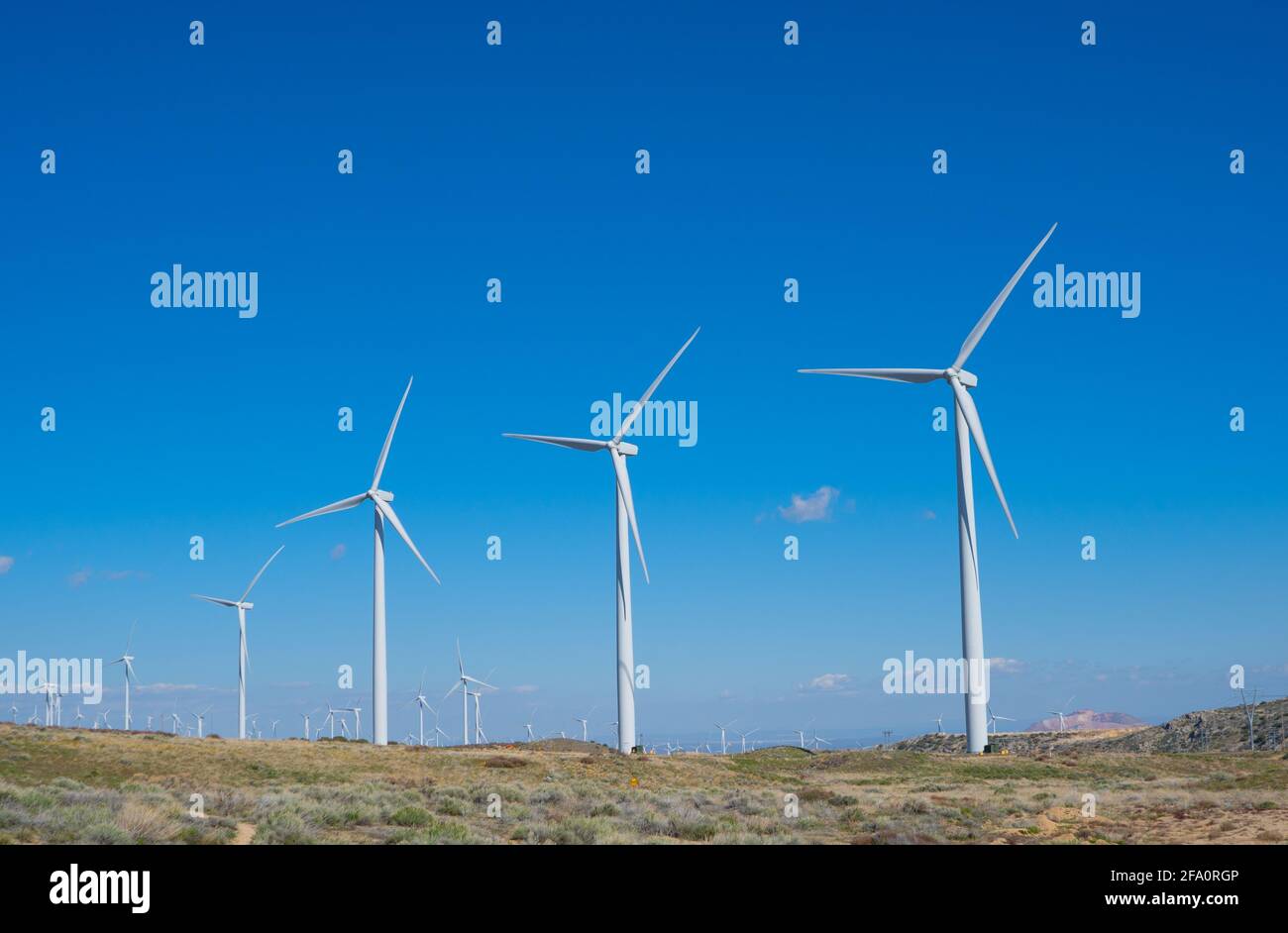 Wind turbines power nearby homes in the mountains above Los Angeles California Stock Photohttps://www.alamy.com/image-license-details/?v=1https://www.alamy.com/wind-turbines-power-nearby-homes-in-the-mountains-above-los-angeles-california-image419213894.html
RF2FA0RGP–Wind turbines power nearby homes in the mountains above Los Angeles California
 . The DROID 2 (Dryden Remotely Operated Integrated Drone 2) prepares to land at NASA's Armstrong Flight Research Center in Edwards, California, as part of the Advanced Exploration of Reliable Operation at Low Altitudes: Meteorology, Simulation, and Technology campaign. The focus was to study wind to provide data for safe takeoff and landing of future air taxis. Stock Photohttps://www.alamy.com/image-license-details/?v=1https://www.alamy.com/the-droid-2-dryden-remotely-operated-integrated-drone-2-prepares-to-land-at-nasas-armstrong-flight-research-center-in-edwards-california-as-part-of-the-advanced-exploration-of-reliable-operation-at-low-altitudes-meteorology-simulation-and-technology-campaign-the-focus-was-to-study-wind-to-provide-data-for-safe-takeoff-and-landing-of-future-air-taxis-image569413087.html
RM2T2B05K–. The DROID 2 (Dryden Remotely Operated Integrated Drone 2) prepares to land at NASA's Armstrong Flight Research Center in Edwards, California, as part of the Advanced Exploration of Reliable Operation at Low Altitudes: Meteorology, Simulation, and Technology campaign. The focus was to study wind to provide data for safe takeoff and landing of future air taxis.
 . Robert 'Red' Jensen lands the DROID 2 (Dryden Remotely Operated Integrated Drone 2) aircraft at NASA's Armstrong Flight Research Center in Edwards, California, as part of the Advanced Exploration of Reliable Operation at Low Altitudes: Meteorology, Simulation, and Technology campaign. The focus was to study wind to provide data for safe takeoff and landing of future air taxis. Stock Photohttps://www.alamy.com/image-license-details/?v=1https://www.alamy.com/robert-red-jensen-lands-the-droid-2-dryden-remotely-operated-integrated-drone-2-aircraft-at-nasas-armstrong-flight-research-center-in-edwards-california-as-part-of-the-advanced-exploration-of-reliable-operation-at-low-altitudes-meteorology-simulation-and-technology-campaign-the-focus-was-to-study-wind-to-provide-data-for-safe-takeoff-and-landing-of-future-air-taxis-image569413236.html
RM2T2B0B0–. Robert 'Red' Jensen lands the DROID 2 (Dryden Remotely Operated Integrated Drone 2) aircraft at NASA's Armstrong Flight Research Center in Edwards, California, as part of the Advanced Exploration of Reliable Operation at Low Altitudes: Meteorology, Simulation, and Technology campaign. The focus was to study wind to provide data for safe takeoff and landing of future air taxis.
 . Justin Hall lands the DROID 2 (Dryden Remotely Operated Integrated Drone 2) aircraft at NASA's Armstrong Flight Research Center in Edwards, California, as part of the Advanced Exploration of Reliable Operation at Low Altitudes: Meteorology, Simulation, and Technology campaign. The focus was to study wind to provide data for safe takeoff and landing of future air taxis. Stock Photohttps://www.alamy.com/image-license-details/?v=1https://www.alamy.com/justin-hall-lands-the-droid-2-dryden-remotely-operated-integrated-drone-2-aircraft-at-nasas-armstrong-flight-research-center-in-edwards-california-as-part-of-the-advanced-exploration-of-reliable-operation-at-low-altitudes-meteorology-simulation-and-technology-campaign-the-focus-was-to-study-wind-to-provide-data-for-safe-takeoff-and-landing-of-future-air-taxis-image569413085.html
RM2T2B05H–. Justin Hall lands the DROID 2 (Dryden Remotely Operated Integrated Drone 2) aircraft at NASA's Armstrong Flight Research Center in Edwards, California, as part of the Advanced Exploration of Reliable Operation at Low Altitudes: Meteorology, Simulation, and Technology campaign. The focus was to study wind to provide data for safe takeoff and landing of future air taxis.
 . The DROID 2 (Dryden Remotely Operated Integrated Drone 2) aircraft flies by the former space shuttle hangar at NASA's Armstrong Flight Research Center in Edwards, California, as part of the Advanced Exploration of Reliable Operation at Low Altitudes: Meteorology, Simulation, and Technology campaign. The focus was to study wind to provide data for safe takeoff and landing of future air taxis. Stock Photohttps://www.alamy.com/image-license-details/?v=1https://www.alamy.com/the-droid-2-dryden-remotely-operated-integrated-drone-2-aircraft-flies-by-the-former-space-shuttle-hangar-at-nasas-armstrong-flight-research-center-in-edwards-california-as-part-of-the-advanced-exploration-of-reliable-operation-at-low-altitudes-meteorology-simulation-and-technology-campaign-the-focus-was-to-study-wind-to-provide-data-for-safe-takeoff-and-landing-of-future-air-taxis-image569413217.html
RM2T2B0A9–. The DROID 2 (Dryden Remotely Operated Integrated Drone 2) aircraft flies by the former space shuttle hangar at NASA's Armstrong Flight Research Center in Edwards, California, as part of the Advanced Exploration of Reliable Operation at Low Altitudes: Meteorology, Simulation, and Technology campaign. The focus was to study wind to provide data for safe takeoff and landing of future air taxis.
 . The DROID 2 (Dryden Remotely Operated Integrated Drone 2) flies by a 140-foot instrumented tower at NASA's Armstrong Flight Research Center in Edwards, California, as part of the Advanced Exploration of Reliable Operation at Low Altitudes: Meteorology, Simulation, and Technology campaign. The focus was to study wind to provide data for safe takeoff and landing of future air taxis. Stock Photohttps://www.alamy.com/image-license-details/?v=1https://www.alamy.com/the-droid-2-dryden-remotely-operated-integrated-drone-2-flies-by-a-140-foot-instrumented-tower-at-nasas-armstrong-flight-research-center-in-edwards-california-as-part-of-the-advanced-exploration-of-reliable-operation-at-low-altitudes-meteorology-simulation-and-technology-campaign-the-focus-was-to-study-wind-to-provide-data-for-safe-takeoff-and-landing-of-future-air-taxis-image569412957.html
RM2T2B011–. The DROID 2 (Dryden Remotely Operated Integrated Drone 2) flies by a 140-foot instrumented tower at NASA's Armstrong Flight Research Center in Edwards, California, as part of the Advanced Exploration of Reliable Operation at Low Altitudes: Meteorology, Simulation, and Technology campaign. The focus was to study wind to provide data for safe takeoff and landing of future air taxis.
 . The DROID 2 (Dryden Remotely Operated Integrated Drone 2) aircraft flies by the former space shuttle hangar at NASA's Armstrong Flight Research Center in Edwards, California, as part of the Advanced Exploration of Reliable Operation at Low Altitudes: Meteorology, Simulation, and Technology campaign. The focus was to study wind to provide data for safe takeoff and landing of future air taxis. Stock Photohttps://www.alamy.com/image-license-details/?v=1https://www.alamy.com/the-droid-2-dryden-remotely-operated-integrated-drone-2-aircraft-flies-by-the-former-space-shuttle-hangar-at-nasas-armstrong-flight-research-center-in-edwards-california-as-part-of-the-advanced-exploration-of-reliable-operation-at-low-altitudes-meteorology-simulation-and-technology-campaign-the-focus-was-to-study-wind-to-provide-data-for-safe-takeoff-and-landing-of-future-air-taxis-image569412961.html
RM2T2B015–. The DROID 2 (Dryden Remotely Operated Integrated Drone 2) aircraft flies by the former space shuttle hangar at NASA's Armstrong Flight Research Center in Edwards, California, as part of the Advanced Exploration of Reliable Operation at Low Altitudes: Meteorology, Simulation, and Technology campaign. The focus was to study wind to provide data for safe takeoff and landing of future air taxis.
 . Justin Link prepares the DROID 2 (Dryden Remotely Operated Integrated Drone 2) aircraft before a flight for the Advanced Exploration of Reliable Operation at Low Altitudes: Meteorology, Simulation, and Technology campaign. The weather study was at NASA's Armstrong Flight Research Center in Edwards, California. The focus was to study wind to provide data for safe takeoff and landing of future air taxis. Stock Photohttps://www.alamy.com/image-license-details/?v=1https://www.alamy.com/justin-link-prepares-the-droid-2-dryden-remotely-operated-integrated-drone-2-aircraft-before-a-flight-for-the-advanced-exploration-of-reliable-operation-at-low-altitudes-meteorology-simulation-and-technology-campaign-the-weather-study-was-at-nasas-armstrong-flight-research-center-in-edwards-california-the-focus-was-to-study-wind-to-provide-data-for-safe-takeoff-and-landing-of-future-air-taxis-image569413098.html
RM2T2B062–. Justin Link prepares the DROID 2 (Dryden Remotely Operated Integrated Drone 2) aircraft before a flight for the Advanced Exploration of Reliable Operation at Low Altitudes: Meteorology, Simulation, and Technology campaign. The weather study was at NASA's Armstrong Flight Research Center in Edwards, California. The focus was to study wind to provide data for safe takeoff and landing of future air taxis.
 . Robert 'Red' Jensen positions the DROID 2 (Dryden Remotely Operated Integrated Drone) aircraft before a flight for the Advanced Exploration of Reliable Operation at Low Altitudes: Meteorology, Simulation, and Technology campaign. The weather study was at NASA's Armstrong Flight Research Center in Edwards, California. The focus was to study wind to provide data for safe takeoff and landing of future air taxis. Stock Photohttps://www.alamy.com/image-license-details/?v=1https://www.alamy.com/robert-red-jensen-positions-the-droid-2-dryden-remotely-operated-integrated-drone-aircraft-before-a-flight-for-the-advanced-exploration-of-reliable-operation-at-low-altitudes-meteorology-simulation-and-technology-campaign-the-weather-study-was-at-nasas-armstrong-flight-research-center-in-edwards-california-the-focus-was-to-study-wind-to-provide-data-for-safe-takeoff-and-landing-of-future-air-taxis-image569412960.html
RM2T2B014–. Robert 'Red' Jensen positions the DROID 2 (Dryden Remotely Operated Integrated Drone) aircraft before a flight for the Advanced Exploration of Reliable Operation at Low Altitudes: Meteorology, Simulation, and Technology campaign. The weather study was at NASA's Armstrong Flight Research Center in Edwards, California. The focus was to study wind to provide data for safe takeoff and landing of future air taxis.
 . Robert 'Red' Jensen and Justin Hall prepare the DROID 2 (Dryden Remotely Operated Integrated Drone 2) aircraft for the Advanced Exploration of Reliable Operation at Low Altitudes: Meteorology, Simulation, and Technology campaign flights. The weather study was at NASA's Armstrong Flight Research Center in Edwards, California. The focus was to study wind to provide data for safe takeoff and landing of future air taxis. Stock Photohttps://www.alamy.com/image-license-details/?v=1https://www.alamy.com/robert-red-jensen-and-justin-hall-prepare-the-droid-2-dryden-remotely-operated-integrated-drone-2-aircraft-for-the-advanced-exploration-of-reliable-operation-at-low-altitudes-meteorology-simulation-and-technology-campaign-flights-the-weather-study-was-at-nasas-armstrong-flight-research-center-in-edwards-california-the-focus-was-to-study-wind-to-provide-data-for-safe-takeoff-and-landing-of-future-air-taxis-image569412964.html
RM2T2B018–. Robert 'Red' Jensen and Justin Hall prepare the DROID 2 (Dryden Remotely Operated Integrated Drone 2) aircraft for the Advanced Exploration of Reliable Operation at Low Altitudes: Meteorology, Simulation, and Technology campaign flights. The weather study was at NASA's Armstrong Flight Research Center in Edwards, California. The focus was to study wind to provide data for safe takeoff and landing of future air taxis.
 . Justin Link positions the Alta-X aircraft for a hover to capture data as part of the Advanced Exploration of Reliable Operation at Low Altitudes: Meteorology, Simulation and Technology campaign. The campaign was at NASA Armstrong to study wind from the ground to 2,000 feet to provide data to assist future drones to safely land on rooftop hubs called vertiports and to potentially improve weather prediction. Stock Photohttps://www.alamy.com/image-license-details/?v=1https://www.alamy.com/justin-link-positions-the-alta-x-aircraft-for-a-hover-to-capture-data-as-part-of-the-advanced-exploration-of-reliable-operation-at-low-altitudes-meteorology-simulation-and-technology-campaign-the-campaign-was-at-nasa-armstrong-to-study-wind-from-the-ground-to-2000-feet-to-provide-data-to-assist-future-drones-to-safely-land-on-rooftop-hubs-called-vertiports-and-to-potentially-improve-weather-prediction-image569408340.html
RM2T2AP44–. Justin Link positions the Alta-X aircraft for a hover to capture data as part of the Advanced Exploration of Reliable Operation at Low Altitudes: Meteorology, Simulation and Technology campaign. The campaign was at NASA Armstrong to study wind from the ground to 2,000 feet to provide data to assist future drones to safely land on rooftop hubs called vertiports and to potentially improve weather prediction.
 . The DROID 2 (Dryden Remotely Operated Integrated Drone 2) flies by a 140-foot instrumented tower and the former space shuttle hangar at NASA's Armstrong Flight Research Center in Edwards, California, as part of the Advanced Exploration of Reliable Operation at Low Altitudes: Meteorology, Simulation, and Technology campaign. The focus was to study wind to provide data for safe takeoff and landing of future air taxis. Stock Photohttps://www.alamy.com/image-license-details/?v=1https://www.alamy.com/the-droid-2-dryden-remotely-operated-integrated-drone-2-flies-by-a-140-foot-instrumented-tower-and-the-former-space-shuttle-hangar-at-nasas-armstrong-flight-research-center-in-edwards-california-as-part-of-the-advanced-exploration-of-reliable-operation-at-low-altitudes-meteorology-simulation-and-technology-campaign-the-focus-was-to-study-wind-to-provide-data-for-safe-takeoff-and-landing-of-future-air-taxis-image569413241.html
RM2T2B0B5–. The DROID 2 (Dryden Remotely Operated Integrated Drone 2) flies by a 140-foot instrumented tower and the former space shuttle hangar at NASA's Armstrong Flight Research Center in Edwards, California, as part of the Advanced Exploration of Reliable Operation at Low Altitudes: Meteorology, Simulation, and Technology campaign. The focus was to study wind to provide data for safe takeoff and landing of future air taxis.
 . Robert 'Red' Jensen, Justin Link, and Justin Hall prepare the DROID 2 (Dryden Remotely Operated Integrated Drone 2) for the Advanced Exploration of Reliable Operation at Low Altitudes: Meteorology, Simulation, and Technology campaign flights. The weather study was at NASA's Armstrong Flight Research Center in Edwards, California. The focus was to study wind to provide data for safe takeoff and landing of future air taxis. Stock Photohttps://www.alamy.com/image-license-details/?v=1https://www.alamy.com/robert-red-jensen-justin-link-and-justin-hall-prepare-the-droid-2-dryden-remotely-operated-integrated-drone-2-for-the-advanced-exploration-of-reliable-operation-at-low-altitudes-meteorology-simulation-and-technology-campaign-flights-the-weather-study-was-at-nasas-armstrong-flight-research-center-in-edwards-california-the-focus-was-to-study-wind-to-provide-data-for-safe-takeoff-and-landing-of-future-air-taxis-image569412948.html
RM2T2B00M–. Robert 'Red' Jensen, Justin Link, and Justin Hall prepare the DROID 2 (Dryden Remotely Operated Integrated Drone 2) for the Advanced Exploration of Reliable Operation at Low Altitudes: Meteorology, Simulation, and Technology campaign flights. The weather study was at NASA's Armstrong Flight Research Center in Edwards, California. The focus was to study wind to provide data for safe takeoff and landing of future air taxis.
 . A weather balloon is launched to collect wind data for the Advanced Exploration of Reliable Operation at Low Altitudes: Meteorology, Simulation and Technology campaign. The weather study was at NASA’s Armstrong Flight Research Center in Edwards, California. The focus was to study wind from the ground to 2,000 feet to provide data to assist future drones to safely land on rooftop hubs called vertiports and to potentially improve weather prediction. Stock Photohttps://www.alamy.com/image-license-details/?v=1https://www.alamy.com/a-weather-balloon-is-launched-to-collect-wind-data-for-the-advanced-exploration-of-reliable-operation-at-low-altitudes-meteorology-simulation-and-technology-campaign-the-weather-study-was-at-nasas-armstrong-flight-research-center-in-edwards-california-the-focus-was-to-study-wind-from-the-ground-to-2000-feet-to-provide-data-to-assist-future-drones-to-safely-land-on-rooftop-hubs-called-vertiports-and-to-potentially-improve-weather-prediction-image569408241.html
RM2T2AP0H–. A weather balloon is launched to collect wind data for the Advanced Exploration of Reliable Operation at Low Altitudes: Meteorology, Simulation and Technology campaign. The weather study was at NASA’s Armstrong Flight Research Center in Edwards, California. The focus was to study wind from the ground to 2,000 feet to provide data to assist future drones to safely land on rooftop hubs called vertiports and to potentially improve weather prediction.
 . John Melton, Justin Hall, Derek Abramson, Justin Link, and Robert 'Red' Jensen were key on mission day for the Advanced Exploration of Reliable Operation at Low Altitudes: Meteorology, Simulation, and Technology campaign. The DROID 2 (Dryden Remotely Operated Integrated Drone 2) aircraft supported the campaign at NASA's Armstrong Flight Research Center in Edwards, California. The focus was to study wind to provide data for safe takeoff and landing of future air taxis. Stock Photohttps://www.alamy.com/image-license-details/?v=1https://www.alamy.com/john-melton-justin-hall-derek-abramson-justin-link-and-robert-red-jensen-were-key-on-mission-day-for-the-advanced-exploration-of-reliable-operation-at-low-altitudes-meteorology-simulation-and-technology-campaign-the-droid-2-dryden-remotely-operated-integrated-drone-2-aircraft-supported-the-campaign-at-nasas-armstrong-flight-research-center-in-edwards-california-the-focus-was-to-study-wind-to-provide-data-for-safe-takeoff-and-landing-of-future-air-taxis-image569413081.html
RM2T2B05D–. John Melton, Justin Hall, Derek Abramson, Justin Link, and Robert 'Red' Jensen were key on mission day for the Advanced Exploration of Reliable Operation at Low Altitudes: Meteorology, Simulation, and Technology campaign. The DROID 2 (Dryden Remotely Operated Integrated Drone 2) aircraft supported the campaign at NASA's Armstrong Flight Research Center in Edwards, California. The focus was to study wind to provide data for safe takeoff and landing of future air taxis.
 . Justin Hall, Derek Abramson, Justin Link, and Robert 'Red' Jensen were key to a successful mission for the DROID 2 (Dryden Remotely Operated Integrated Drone 2) aircraft at NASA's Armstrong Flight Research Center in Edwards, California. The aircraft flew as part of the Advanced Exploration of Reliable Operation at Low Altitudes: Meteorology, Simulation, and Technology campaign. The focus was to study wind to provide data for safe takeoff and landing of future air taxis. Stock Photohttps://www.alamy.com/image-license-details/?v=1https://www.alamy.com/justin-hall-derek-abramson-justin-link-and-robert-red-jensen-were-key-to-a-successful-mission-for-the-droid-2-dryden-remotely-operated-integrated-drone-2-aircraft-at-nasas-armstrong-flight-research-center-in-edwards-california-the-aircraft-flew-as-part-of-the-advanced-exploration-of-reliable-operation-at-low-altitudes-meteorology-simulation-and-technology-campaign-the-focus-was-to-study-wind-to-provide-data-for-safe-takeoff-and-landing-of-future-air-taxis-image569413090.html
RM2T2B05P–. Justin Hall, Derek Abramson, Justin Link, and Robert 'Red' Jensen were key to a successful mission for the DROID 2 (Dryden Remotely Operated Integrated Drone 2) aircraft at NASA's Armstrong Flight Research Center in Edwards, California. The aircraft flew as part of the Advanced Exploration of Reliable Operation at Low Altitudes: Meteorology, Simulation, and Technology campaign. The focus was to study wind to provide data for safe takeoff and landing of future air taxis.
 . Justin Link, left, Red Jensen and Derek Abramson prepare for an Alta-X aircraft flight as part of the Advanced Exploration of Reliable Operation at Low Altitudes: Meteorology, Simulation and Technology campaign. In the background are Grady Koch and Jennifer Fowler. The campaign was at NASA Armstrong to study wind from the ground to 2,000 feet to provide data to assist future drones to safely land on rooftop hubs called vertiports and to potentially improve weather prediction. Stock Photohttps://www.alamy.com/image-license-details/?v=1https://www.alamy.com/justin-link-left-red-jensen-and-derek-abramson-prepare-for-an-alta-x-aircraft-flight-as-part-of-the-advanced-exploration-of-reliable-operation-at-low-altitudes-meteorology-simulation-and-technology-campaign-in-the-background-are-grady-koch-and-jennifer-fowler-the-campaign-was-at-nasa-armstrong-to-study-wind-from-the-ground-to-2000-feet-to-provide-data-to-assist-future-drones-to-safely-land-on-rooftop-hubs-called-vertiports-and-to-potentially-improve-weather-prediction-image569408379.html
RM2T2AP5F–. Justin Link, left, Red Jensen and Derek Abramson prepare for an Alta-X aircraft flight as part of the Advanced Exploration of Reliable Operation at Low Altitudes: Meteorology, Simulation and Technology campaign. In the background are Grady Koch and Jennifer Fowler. The campaign was at NASA Armstrong to study wind from the ground to 2,000 feet to provide data to assist future drones to safely land on rooftop hubs called vertiports and to potentially improve weather prediction.
 . Rocky Garcia and Wesley James prepare a weather balloon to collect wind data for the Advanced Exploration of Reliable Operation at Low Altitudes: Meteorology, Simulation and Technology campaign. The weather study was at NASA’s Armstrong Flight Research Center in Edwards, California. The focus was to study wind from the ground to 2,000 feet to provide data to assist future drones to safely land on rooftop hubs called vertiports and to potentially improve weather prediction. Stock Photohttps://www.alamy.com/image-license-details/?v=1https://www.alamy.com/rocky-garcia-and-wesley-james-prepare-a-weather-balloon-to-collect-wind-data-for-the-advanced-exploration-of-reliable-operation-at-low-altitudes-meteorology-simulation-and-technology-campaign-the-weather-study-was-at-nasas-armstrong-flight-research-center-in-edwards-california-the-focus-was-to-study-wind-from-the-ground-to-2000-feet-to-provide-data-to-assist-future-drones-to-safely-land-on-rooftop-hubs-called-vertiports-and-to-potentially-improve-weather-prediction-image569408169.html
RM2T2ANX1–. Rocky Garcia and Wesley James prepare a weather balloon to collect wind data for the Advanced Exploration of Reliable Operation at Low Altitudes: Meteorology, Simulation and Technology campaign. The weather study was at NASA’s Armstrong Flight Research Center in Edwards, California. The focus was to study wind from the ground to 2,000 feet to provide data to assist future drones to safely land on rooftop hubs called vertiports and to potentially improve weather prediction.
 . Justin Hall, left, prepares to pilot the DROID 2 (Dryden Remotely Operated Integrated Drone 2) aircraft, as John Melton watches and Justin Link makes a final adjustment. The flight was part of the Advanced Exploration of Reliable Operation at Low Altitudes: Meteorology, Simulation, and Technology campaign. The weather study was at NASA's Armstrong Flight Research Center in Edwards, California. The focus was to study wind to provide data for safe takeoff and landing of future air taxis. Stock Photohttps://www.alamy.com/image-license-details/?v=1https://www.alamy.com/justin-hall-left-prepares-to-pilot-the-droid-2-dryden-remotely-operated-integrated-drone-2-aircraft-as-john-melton-watches-and-justin-link-makes-a-final-adjustment-the-flight-was-part-of-the-advanced-exploration-of-reliable-operation-at-low-altitudes-meteorology-simulation-and-technology-campaign-the-weather-study-was-at-nasas-armstrong-flight-research-center-in-edwards-california-the-focus-was-to-study-wind-to-provide-data-for-safe-takeoff-and-landing-of-future-air-taxis-image569412966.html
RM2T2B01A–. Justin Hall, left, prepares to pilot the DROID 2 (Dryden Remotely Operated Integrated Drone 2) aircraft, as John Melton watches and Justin Link makes a final adjustment. The flight was part of the Advanced Exploration of Reliable Operation at Low Altitudes: Meteorology, Simulation, and Technology campaign. The weather study was at NASA's Armstrong Flight Research Center in Edwards, California. The focus was to study wind to provide data for safe takeoff and landing of future air taxis.
 . Tyler Willhite, sitting, and Derek Abramson and Justin Link, prepare for an Alta-X aircraft flight. Behind them are Jennifer Fowler, from left and Grady Kock. The Alta-X flight was part of the Advanced Exploration of Reliable Operation at Low Altitudes: Meteorology, Simulation and Technology campaign. The campaign was at NASA Armstrong to study wind from the ground to 2,000 feet to provide data to assist future drones to safely land on rooftop hubs called vertiports and to potentially improve weather prediction. Stock Photohttps://www.alamy.com/image-license-details/?v=1https://www.alamy.com/tyler-willhite-sitting-and-derek-abramson-and-justin-link-prepare-for-an-alta-x-aircraft-flight-behind-them-are-jennifer-fowler-from-left-and-grady-kock-the-alta-x-flight-was-part-of-the-advanced-exploration-of-reliable-operation-at-low-altitudes-meteorology-simulation-and-technology-campaign-the-campaign-was-at-nasa-armstrong-to-study-wind-from-the-ground-to-2000-feet-to-provide-data-to-assist-future-drones-to-safely-land-on-rooftop-hubs-called-vertiports-and-to-potentially-improve-weather-prediction-image569408243.html
RM2T2AP0K–. Tyler Willhite, sitting, and Derek Abramson and Justin Link, prepare for an Alta-X aircraft flight. Behind them are Jennifer Fowler, from left and Grady Kock. The Alta-X flight was part of the Advanced Exploration of Reliable Operation at Low Altitudes: Meteorology, Simulation and Technology campaign. The campaign was at NASA Armstrong to study wind from the ground to 2,000 feet to provide data to assist future drones to safely land on rooftop hubs called vertiports and to potentially improve weather prediction.
 . Jennifer Fowler talks to Red Jensen prior to a flight for the Advanced Exploration of Reliable Operation at Low Altitudes: Meteorology, Simulation and Technology campaign. Tyler Willhite completes some equipment checks for the research in the background. The weather study was at NASA’s Armstrong Flight Research Center in Edwards, California. The focus was to study wind from the ground to 2,000 feet to provide data to assist future drones to safely land on rooftop hubs called vertiports and to potentially improve weather prediction. Stock Photohttps://www.alamy.com/image-license-details/?v=1https://www.alamy.com/jennifer-fowler-talks-to-red-jensen-prior-to-a-flight-for-the-advanced-exploration-of-reliable-operation-at-low-altitudes-meteorology-simulation-and-technology-campaign-tyler-willhite-completes-some-equipment-checks-for-the-research-in-the-background-the-weather-study-was-at-nasas-armstrong-flight-research-center-in-edwards-california-the-focus-was-to-study-wind-from-the-ground-to-2000-feet-to-provide-data-to-assist-future-drones-to-safely-land-on-rooftop-hubs-called-vertiports-and-to-potentially-improve-weather-prediction-image569408044.html
RM2T2ANNG–. Jennifer Fowler talks to Red Jensen prior to a flight for the Advanced Exploration of Reliable Operation at Low Altitudes: Meteorology, Simulation and Technology campaign. Tyler Willhite completes some equipment checks for the research in the background. The weather study was at NASA’s Armstrong Flight Research Center in Edwards, California. The focus was to study wind from the ground to 2,000 feet to provide data to assist future drones to safely land on rooftop hubs called vertiports and to potentially improve weather prediction.
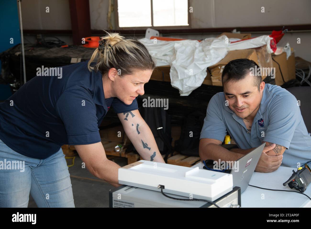 . Tegan French and Rocky Garcia are at a weather balloon system’s ground station monitoring temperature, humidity, pressure, and winds transmitted from an instrument package on the balloon as it ascends. The balloon is part of the different methods to collect wind and weather data for the Advanced Exploration of Reliable Operation at Low Altitudes: Meteorology, Simulation and Technology campaign. The weather study was at NASA’s Armstrong Flight Research Center in Edwards, California. The focus was to study wind from the ground to 2,000 feet to provide data to assist future drones to safely lan Stock Photohttps://www.alamy.com/image-license-details/?v=1https://www.alamy.com/tegan-french-and-rocky-garcia-are-at-a-weather-balloon-systems-ground-station-monitoring-temperature-humidity-pressure-and-winds-transmitted-from-an-instrument-package-on-the-balloon-as-it-ascends-the-balloon-is-part-of-the-different-methods-to-collect-wind-and-weather-data-for-the-advanced-exploration-of-reliable-operation-at-low-altitudes-meteorology-simulation-and-technology-campaign-the-weather-study-was-at-nasas-armstrong-flight-research-center-in-edwards-california-the-focus-was-to-study-wind-from-the-ground-to-2000-feet-to-provide-data-to-assist-future-drones-to-safely-lan-image569408239.html
RM2T2AP0F–. Tegan French and Rocky Garcia are at a weather balloon system’s ground station monitoring temperature, humidity, pressure, and winds transmitted from an instrument package on the balloon as it ascends. The balloon is part of the different methods to collect wind and weather data for the Advanced Exploration of Reliable Operation at Low Altitudes: Meteorology, Simulation and Technology campaign. The weather study was at NASA’s Armstrong Flight Research Center in Edwards, California. The focus was to study wind from the ground to 2,000 feet to provide data to assist future drones to safely lan
 . This is one of two lidar units positioned on either end of Building 4833 at NASA’s Armstrong Flight Research Center in Edwards, California, that formed the cutting-edge ‘virtual tower concept.’ The units use lasers to measure airflow from the ground level to 2,000 feet to provide data to assist future drones to safely land on rooftop hubs called vertiports, and to potentially improve weather prediction. It was part of the multi-faceted Advanced Exploration of Reliable Operation at Low Altitudes: Meteorology, Simulation and Technology campaign. Stock Photohttps://www.alamy.com/image-license-details/?v=1https://www.alamy.com/this-is-one-of-two-lidar-units-positioned-on-either-end-of-building-4833-at-nasas-armstrong-flight-research-center-in-edwards-california-that-formed-the-cutting-edge-virtual-tower-concept-the-units-use-lasers-to-measure-airflow-from-the-ground-level-to-2000-feet-to-provide-data-to-assist-future-drones-to-safely-land-on-rooftop-hubs-called-vertiports-and-to-potentially-improve-weather-prediction-it-was-part-of-the-multi-faceted-advanced-exploration-of-reliable-operation-at-low-altitudes-meteorology-simulation-and-technology-campaign-image569408490.html
RM2T2AP9E–. This is one of two lidar units positioned on either end of Building 4833 at NASA’s Armstrong Flight Research Center in Edwards, California, that formed the cutting-edge ‘virtual tower concept.’ The units use lasers to measure airflow from the ground level to 2,000 feet to provide data to assist future drones to safely land on rooftop hubs called vertiports, and to potentially improve weather prediction. It was part of the multi-faceted Advanced Exploration of Reliable Operation at Low Altitudes: Meteorology, Simulation and Technology campaign.
 . This is one of two lidar units positioned on either end of Building 4833 at NASA’s Armstrong Flight Research Center in Edwards, California, that formed the cutting-edge ‘virtual tower concept.’ The units use lasers to measure airflow from the ground level to 2,000 feet to provide data to assist future drones to safely land on rooftop hubs called vertiports, and to potentially improve weather prediction. It was part of the multi-faceted Advanced Exploration of Reliable Operation at Low Altitudes: Meteorology, Simulation and Technology campaign. Stock Photohttps://www.alamy.com/image-license-details/?v=1https://www.alamy.com/this-is-one-of-two-lidar-units-positioned-on-either-end-of-building-4833-at-nasas-armstrong-flight-research-center-in-edwards-california-that-formed-the-cutting-edge-virtual-tower-concept-the-units-use-lasers-to-measure-airflow-from-the-ground-level-to-2000-feet-to-provide-data-to-assist-future-drones-to-safely-land-on-rooftop-hubs-called-vertiports-and-to-potentially-improve-weather-prediction-it-was-part-of-the-multi-faceted-advanced-exploration-of-reliable-operation-at-low-altitudes-meteorology-simulation-and-technology-campaign-image569408375.html
RM2T2AP5B–. This is one of two lidar units positioned on either end of Building 4833 at NASA’s Armstrong Flight Research Center in Edwards, California, that formed the cutting-edge ‘virtual tower concept.’ The units use lasers to measure airflow from the ground level to 2,000 feet to provide data to assist future drones to safely land on rooftop hubs called vertiports, and to potentially improve weather prediction. It was part of the multi-faceted Advanced Exploration of Reliable Operation at Low Altitudes: Meteorology, Simulation and Technology campaign.
 . This is one of two lidar units positioned on either end of Building 4833 at NASA’s Armstrong Flight Research Center in Edwards, California, that formed the cutting-edge ‘virtual tower concept.’ The units use lasers to measure airflow from the ground level to 2,000 feet to provide data to assist future drones to safely land on rooftop hubs called vertiports, and to potentially improve weather prediction. It was part of the multi-faceted Advanced Exploration of Reliable Operation at Low Altitudes: Meteorology, Simulation and Technology campaign. Stock Photohttps://www.alamy.com/image-license-details/?v=1https://www.alamy.com/this-is-one-of-two-lidar-units-positioned-on-either-end-of-building-4833-at-nasas-armstrong-flight-research-center-in-edwards-california-that-formed-the-cutting-edge-virtual-tower-concept-the-units-use-lasers-to-measure-airflow-from-the-ground-level-to-2000-feet-to-provide-data-to-assist-future-drones-to-safely-land-on-rooftop-hubs-called-vertiports-and-to-potentially-improve-weather-prediction-it-was-part-of-the-multi-faceted-advanced-exploration-of-reliable-operation-at-low-altitudes-meteorology-simulation-and-technology-campaign-image569408381.html
RM2T2AP5H–. This is one of two lidar units positioned on either end of Building 4833 at NASA’s Armstrong Flight Research Center in Edwards, California, that formed the cutting-edge ‘virtual tower concept.’ The units use lasers to measure airflow from the ground level to 2,000 feet to provide data to assist future drones to safely land on rooftop hubs called vertiports, and to potentially improve weather prediction. It was part of the multi-faceted Advanced Exploration of Reliable Operation at Low Altitudes: Meteorology, Simulation and Technology campaign.
 . This is one of two lidar units positioned on either end of Building 4833 at NASA’s Armstrong Flight Research Center in Edwards, California, that formed the cutting-edge ‘virtual tower concept.’ The units use lasers to measure airflow from the ground level to 2,000 feet to provide data to assist future drones to safely land on rooftop hubs called vertiports, and to potentially improve weather prediction. It was part of the multi-faceted Advanced Exploration of Reliable Operation at Low Altitudes: Meteorology, Simulation and Technology campaign. Stock Photohttps://www.alamy.com/image-license-details/?v=1https://www.alamy.com/this-is-one-of-two-lidar-units-positioned-on-either-end-of-building-4833-at-nasas-armstrong-flight-research-center-in-edwards-california-that-formed-the-cutting-edge-virtual-tower-concept-the-units-use-lasers-to-measure-airflow-from-the-ground-level-to-2000-feet-to-provide-data-to-assist-future-drones-to-safely-land-on-rooftop-hubs-called-vertiports-and-to-potentially-improve-weather-prediction-it-was-part-of-the-multi-faceted-advanced-exploration-of-reliable-operation-at-low-altitudes-meteorology-simulation-and-technology-campaign-image569408372.html
RM2T2AP58–. This is one of two lidar units positioned on either end of Building 4833 at NASA’s Armstrong Flight Research Center in Edwards, California, that formed the cutting-edge ‘virtual tower concept.’ The units use lasers to measure airflow from the ground level to 2,000 feet to provide data to assist future drones to safely land on rooftop hubs called vertiports, and to potentially improve weather prediction. It was part of the multi-faceted Advanced Exploration of Reliable Operation at Low Altitudes: Meteorology, Simulation and Technology campaign.