Amboy washington state map Stock Photos and Images
(10)See amboy washington state map stock video clipsQuick filters:
Amboy washington state map Stock Photos and Images
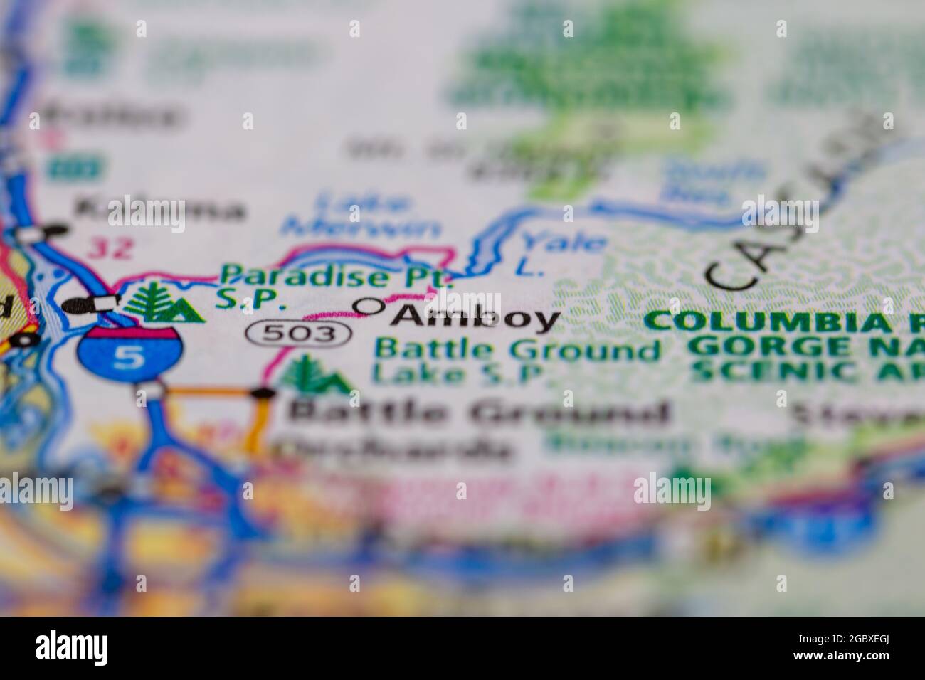 Amboy Washington State USA shown on a road map or Geography map Stock Photohttps://www.alamy.com/image-license-details/?v=1https://www.alamy.com/amboy-washington-state-usa-shown-on-a-road-map-or-geography-map-image437602610.html
RM2GBXEGJ–Amboy Washington State USA shown on a road map or Geography map
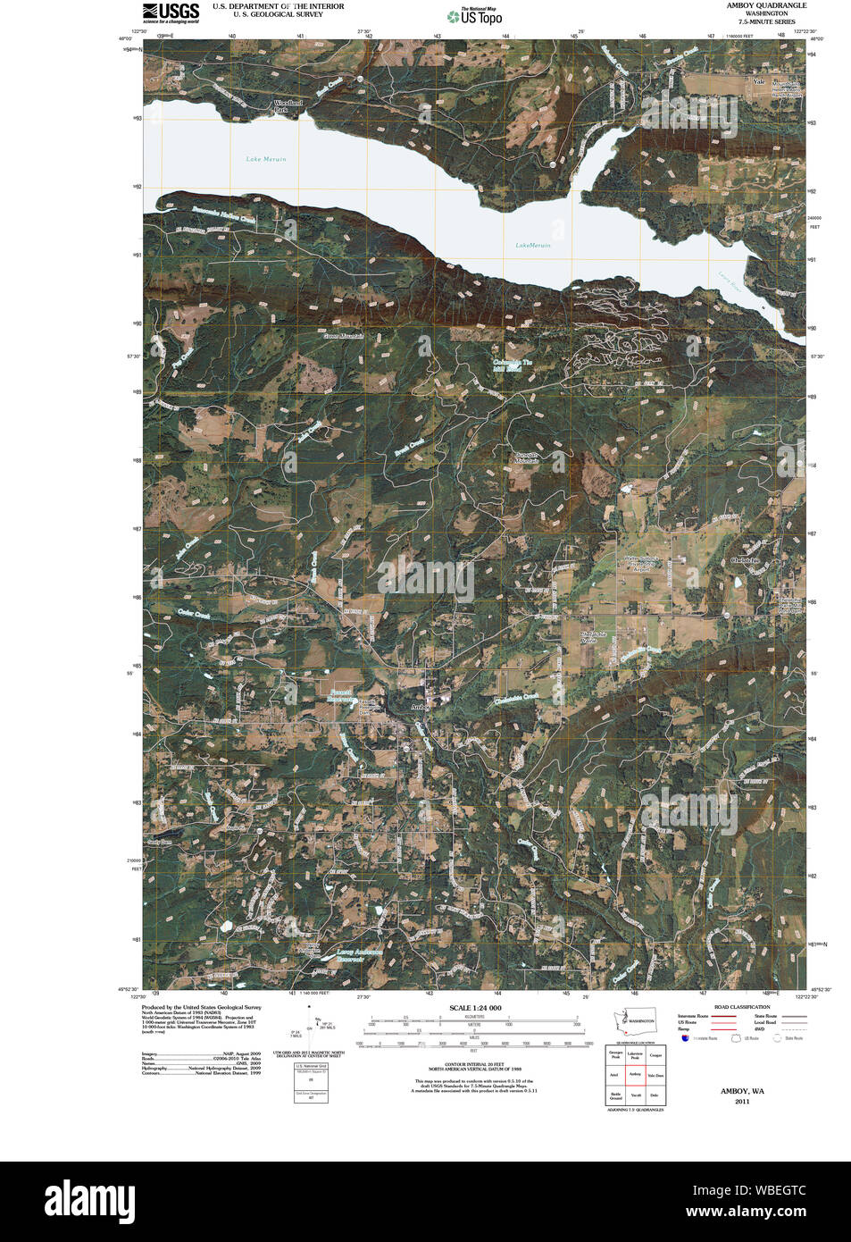 USGS Topo Map Washington State WA Amboy 20110404 TM Restoration Stock Photohttps://www.alamy.com/image-license-details/?v=1https://www.alamy.com/usgs-topo-map-washington-state-wa-amboy-20110404-tm-restoration-image265237292.html
RMWBEGTC–USGS Topo Map Washington State WA Amboy 20110404 TM Restoration
 Cartographic, Maps. 1907. Lionel Pincus and Princess Firyal Map Division. Staten Island (New York, N.Y.), New York (N.Y.), Real property , New York (State) , New York (N.Y.) Plate 26, Part of Ward 5: Map bound by Huguenot Ave, Fresh Kills Road, Bridge Ave, Staten Island Rapid Transit, Amboy Road, Foster or Rossville Ave, Wood Row Road; Sub Plan A - Annadale Road, Moffatt St, Washington Ave; Richmond ( Part of Wards 3 & 4) - Fresh Kills Road, Richmond Hill Road, London Road, Cedar Ave, Richmond Road, Willard Ave, Park St, Andrews Ave, Park PL, Caroline St, Laurel Ave, Clarke Ave, Tysen St Stock Photohttps://www.alamy.com/image-license-details/?v=1https://www.alamy.com/cartographic-maps-1907-lionel-pincus-and-princess-firyal-map-division-staten-island-new-york-ny-new-york-ny-real-property-new-york-state-new-york-ny-plate-26-part-of-ward-5-map-bound-by-huguenot-ave-fresh-kills-road-bridge-ave-staten-island-rapid-transit-amboy-road-foster-or-rossville-ave-wood-row-road-sub-plan-a-annadale-road-moffatt-st-washington-ave-richmond-part-of-wards-3-4-fresh-kills-road-richmond-hill-road-london-road-cedar-ave-richmond-road-willard-ave-park-st-andrews-ave-park-pl-caroline-st-laurel-ave-clarke-ave-tysen-st-image483724033.html
RM2K2YEX9–Cartographic, Maps. 1907. Lionel Pincus and Princess Firyal Map Division. Staten Island (New York, N.Y.), New York (N.Y.), Real property , New York (State) , New York (N.Y.) Plate 26, Part of Ward 5: Map bound by Huguenot Ave, Fresh Kills Road, Bridge Ave, Staten Island Rapid Transit, Amboy Road, Foster or Rossville Ave, Wood Row Road; Sub Plan A - Annadale Road, Moffatt St, Washington Ave; Richmond ( Part of Wards 3 & 4) - Fresh Kills Road, Richmond Hill Road, London Road, Cedar Ave, Richmond Road, Willard Ave, Park St, Andrews Ave, Park PL, Caroline St, Laurel Ave, Clarke Ave, Tysen St
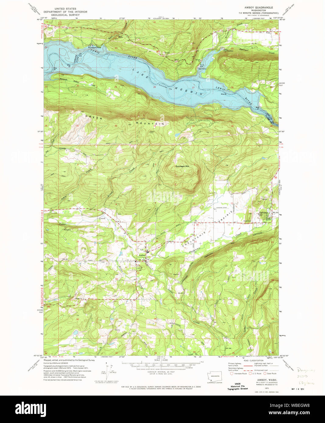 USGS Topo Map Washington State WA Amboy 239802 1971 24000 Restoration Stock Photohttps://www.alamy.com/image-license-details/?v=1https://www.alamy.com/usgs-topo-map-washington-state-wa-amboy-239802-1971-24000-restoration-image265237316.html
RMWBEGW8–USGS Topo Map Washington State WA Amboy 239802 1971 24000 Restoration
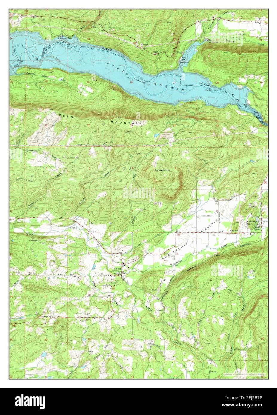 Amboy, Washington, map 1971, 1:24000, United States of America by Timeless Maps, data U.S. Geological Survey Stock Photohttps://www.alamy.com/image-license-details/?v=1https://www.alamy.com/amboy-washington-map-1971-124000-united-states-of-america-by-timeless-maps-data-us-geological-survey-image407020874.html
RM2EJ5B7P–Amboy, Washington, map 1971, 1:24000, United States of America by Timeless Maps, data U.S. Geological Survey
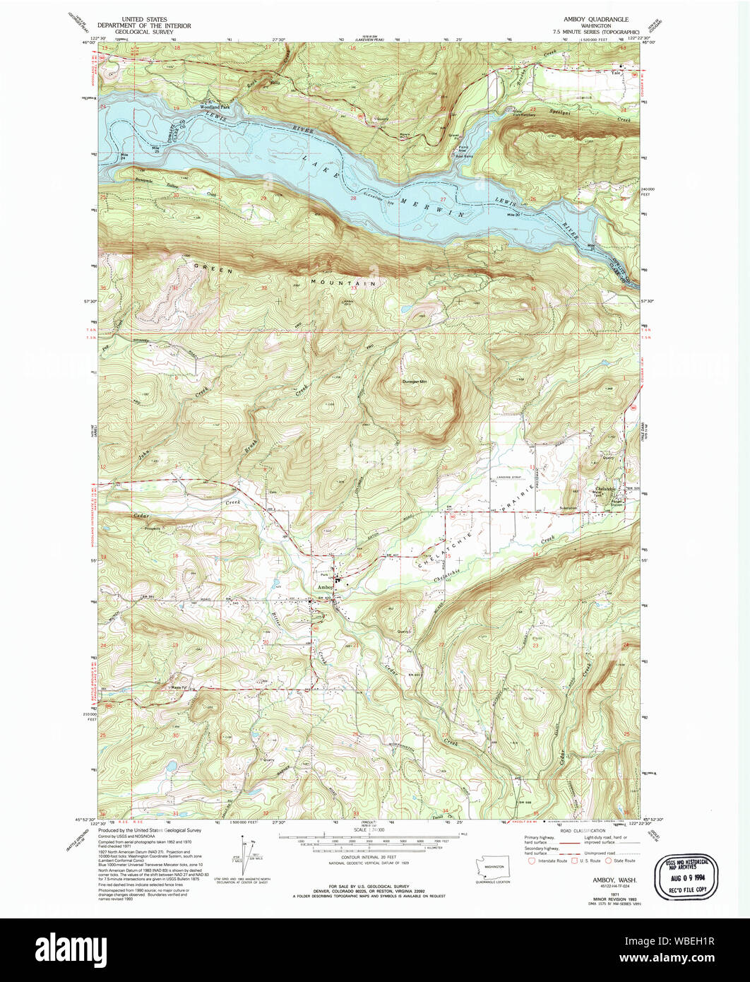 USGS Topo Map Washington State WA Amboy 239803 1971 24000 Restoration Stock Photohttps://www.alamy.com/image-license-details/?v=1https://www.alamy.com/usgs-topo-map-washington-state-wa-amboy-239803-1971-24000-restoration-image265237443.html
RMWBEH1R–USGS Topo Map Washington State WA Amboy 239803 1971 24000 Restoration
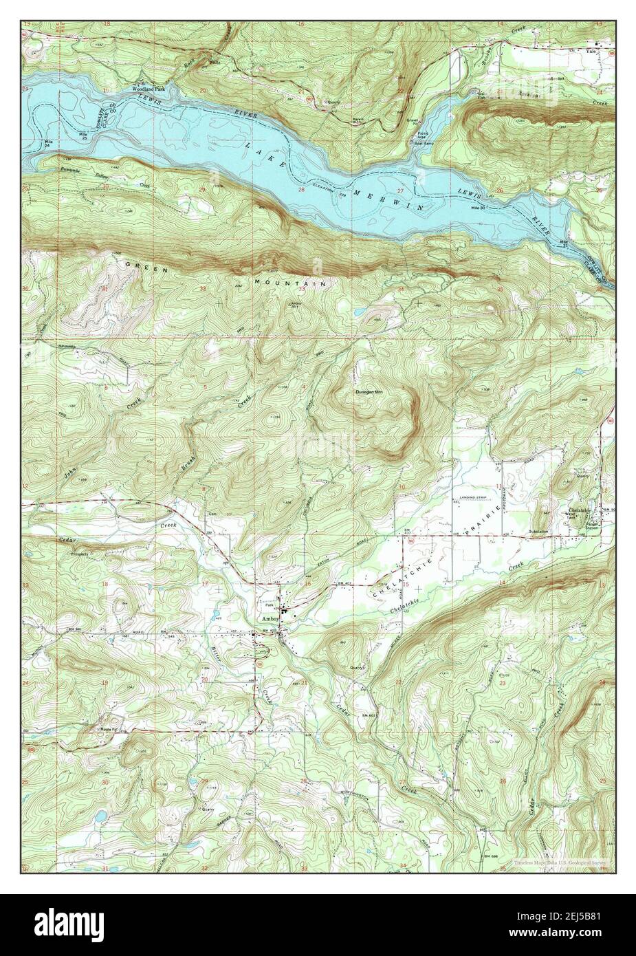 Amboy, Washington, map 1971, 1:24000, United States of America by Timeless Maps, data U.S. Geological Survey Stock Photohttps://www.alamy.com/image-license-details/?v=1https://www.alamy.com/amboy-washington-map-1971-124000-united-states-of-america-by-timeless-maps-data-us-geological-survey-image407020881.html
RM2EJ5B81–Amboy, Washington, map 1971, 1:24000, United States of America by Timeless Maps, data U.S. Geological Survey
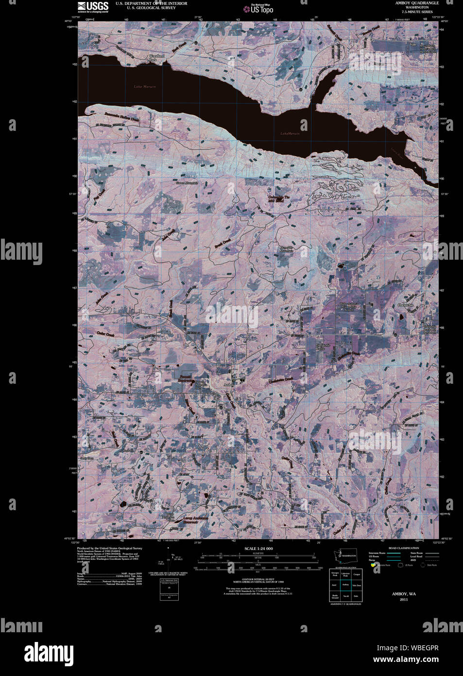 USGS Topo Map Washington State WA Amboy 20110404 TM Inverted Restoration Stock Photohttps://www.alamy.com/image-license-details/?v=1https://www.alamy.com/usgs-topo-map-washington-state-wa-amboy-20110404-tm-inverted-restoration-image265237247.html
RMWBEGPR–USGS Topo Map Washington State WA Amboy 20110404 TM Inverted Restoration
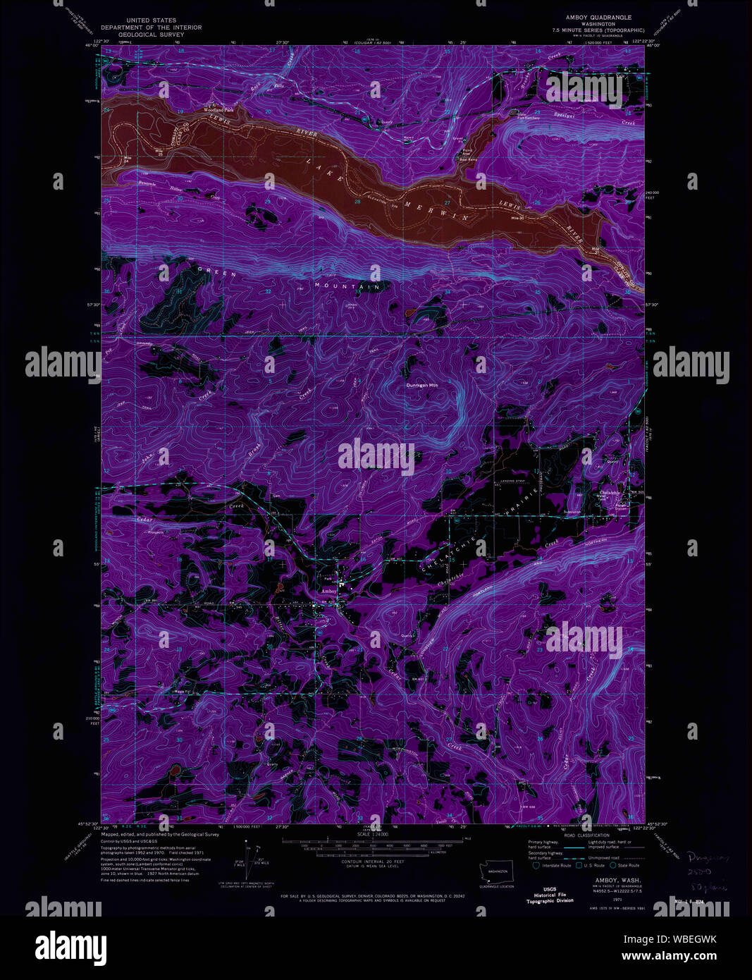 USGS Topo Map Washington State WA Amboy 239802 1971 24000 Inverted Restoration Stock Photohttps://www.alamy.com/image-license-details/?v=1https://www.alamy.com/usgs-topo-map-washington-state-wa-amboy-239802-1971-24000-inverted-restoration-image265237327.html
RMWBEGWK–USGS Topo Map Washington State WA Amboy 239802 1971 24000 Inverted Restoration
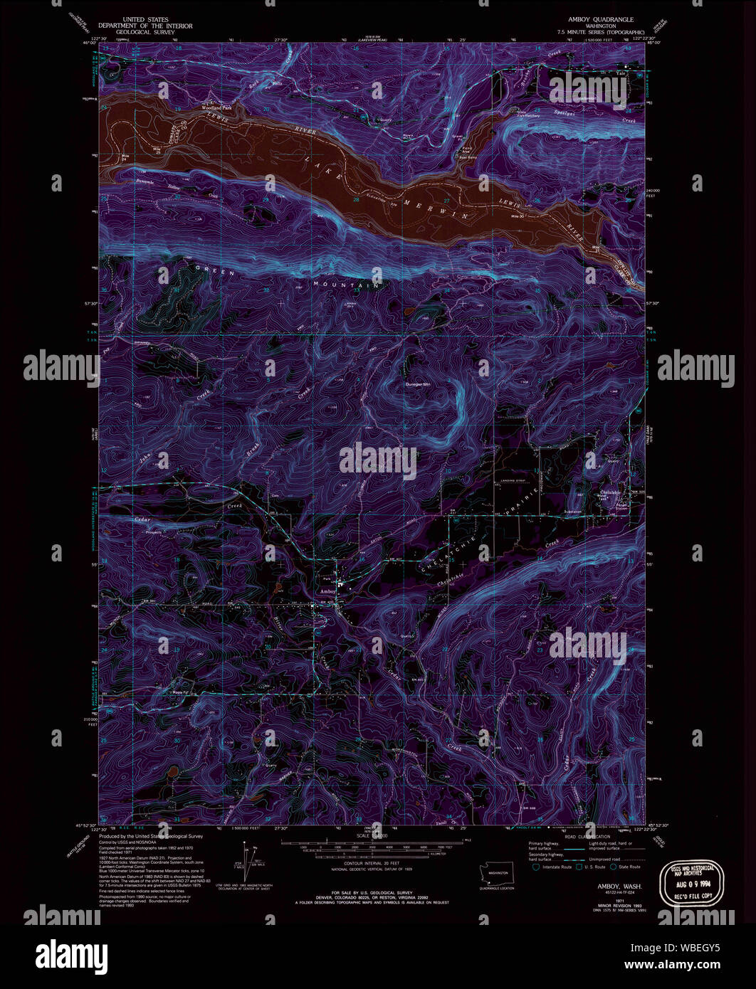 USGS Topo Map Washington State WA Amboy 239803 1971 24000 Inverted Restoration Stock Photohttps://www.alamy.com/image-license-details/?v=1https://www.alamy.com/usgs-topo-map-washington-state-wa-amboy-239803-1971-24000-inverted-restoration-image265237369.html
RMWBEGY5–USGS Topo Map Washington State WA Amboy 239803 1971 24000 Inverted Restoration