Quick filters:
America map Stock Photos and Images
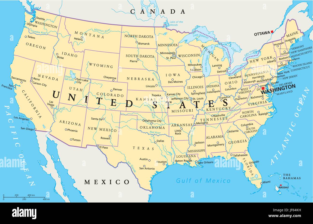 usa, america, map, atlas, map of the world, travel, usa, california, america, Stock Vectorhttps://www.alamy.com/image-license-details/?v=1https://www.alamy.com/stock-photo-usa-america-map-atlas-map-of-the-world-travel-usa-california-america-147038181.html
RFJF64KH–usa, america, map, atlas, map of the world, travel, usa, california, america,
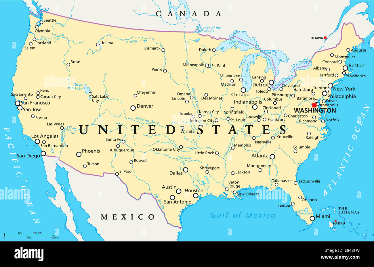 United States of America Political Map Stock Photohttps://www.alamy.com/image-license-details/?v=1https://www.alamy.com/stock-photo-united-states-of-america-political-map-73853245.html
RFE848FW–United States of America Political Map
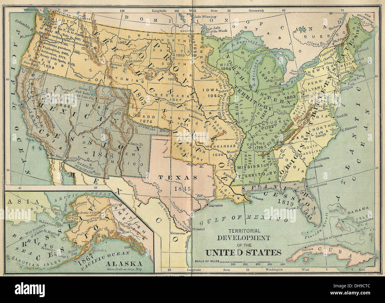 Territorial Development of the United States America, map circa 1890 Stock Photohttps://www.alamy.com/image-license-details/?v=1https://www.alamy.com/territorial-development-of-the-united-states-america-map-circa-1890-image62287916.html
RMDH9CTC–Territorial Development of the United States America, map circa 1890
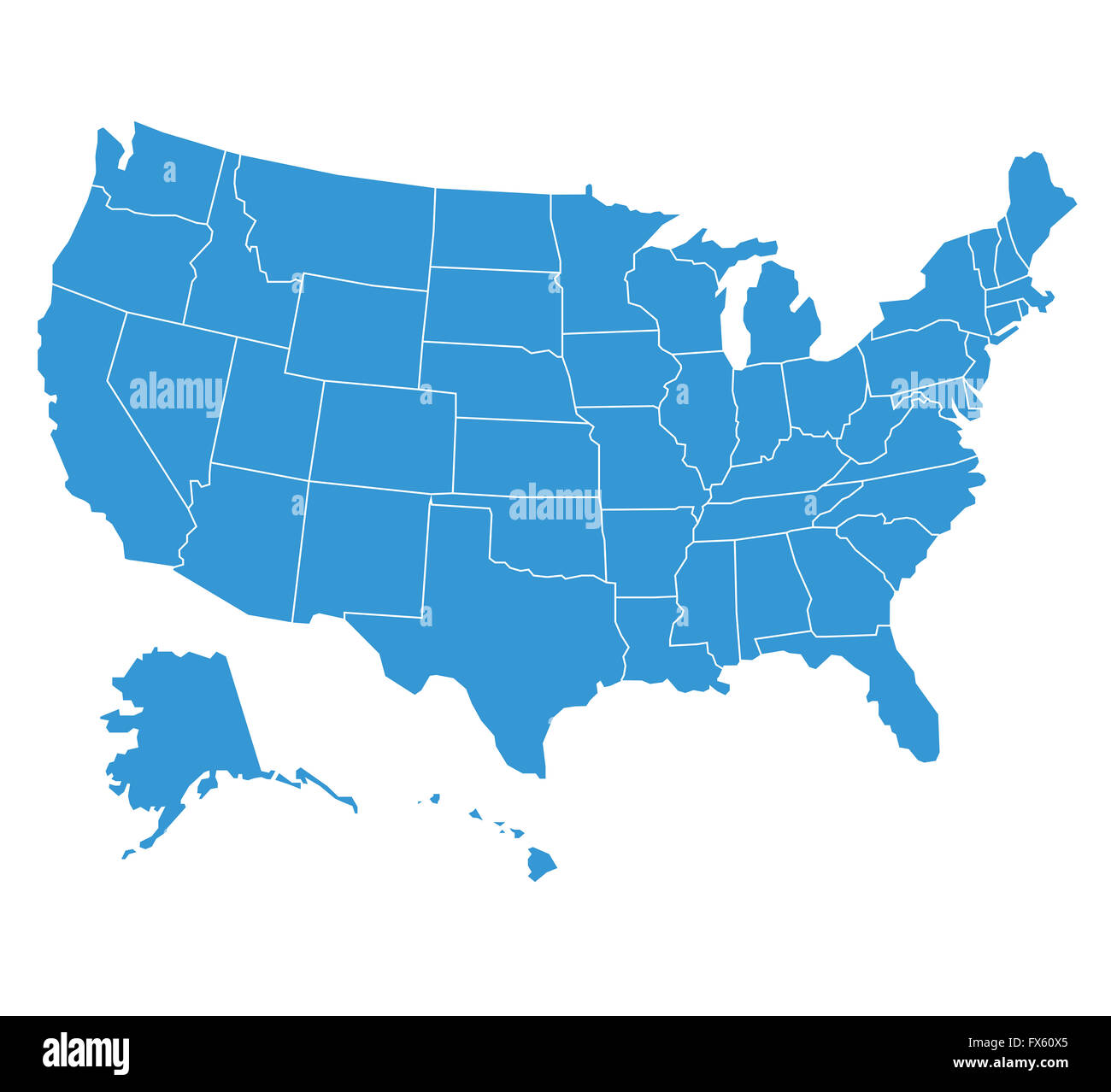 united states of America map illustration Stock Photohttps://www.alamy.com/image-license-details/?v=1https://www.alamy.com/stock-photo-united-states-of-america-map-illustration-102165341.html
RFFX60X5–united states of America map illustration
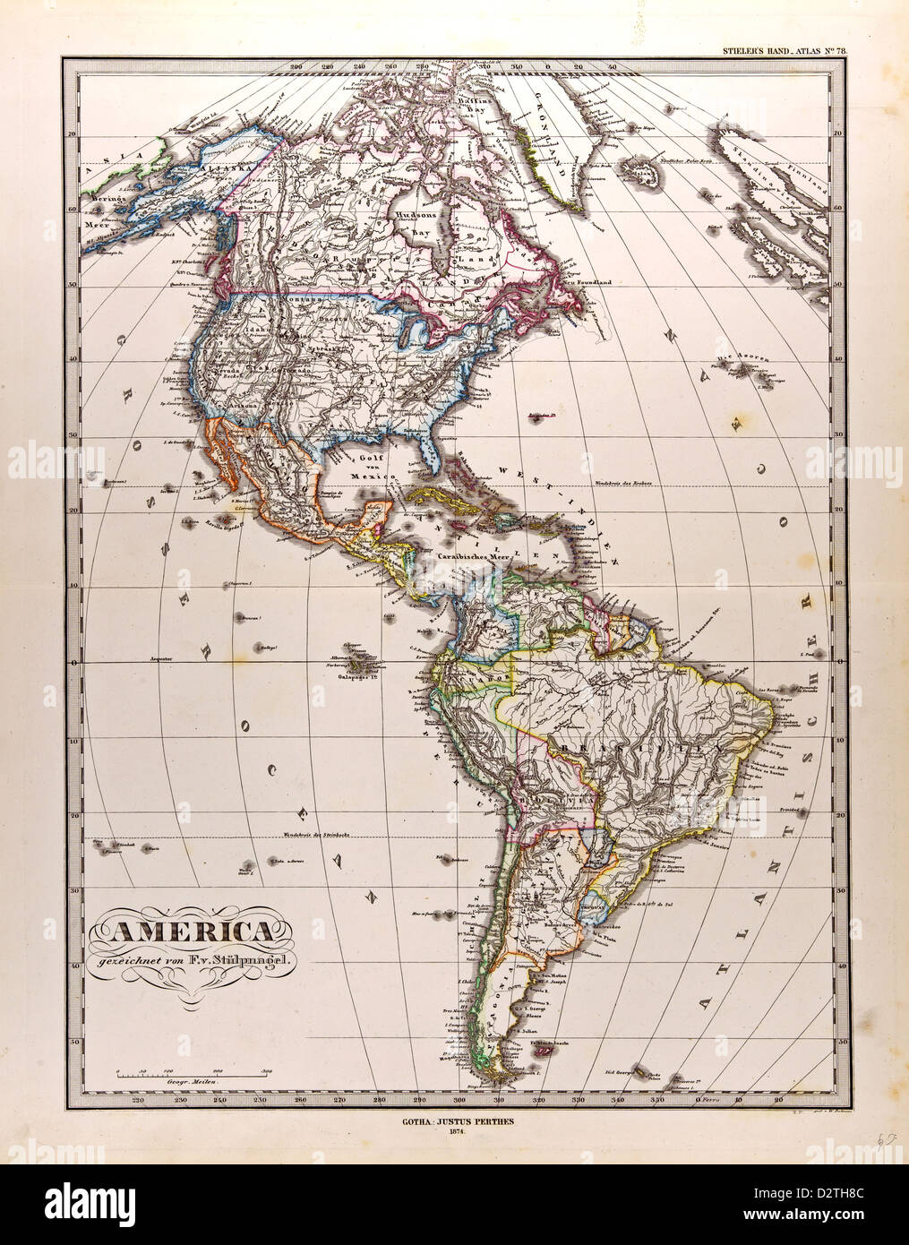 America Map Stock Photohttps://www.alamy.com/image-license-details/?v=1https://www.alamy.com/stock-photo-america-map-53400828.html
RMD2TH8C–America Map
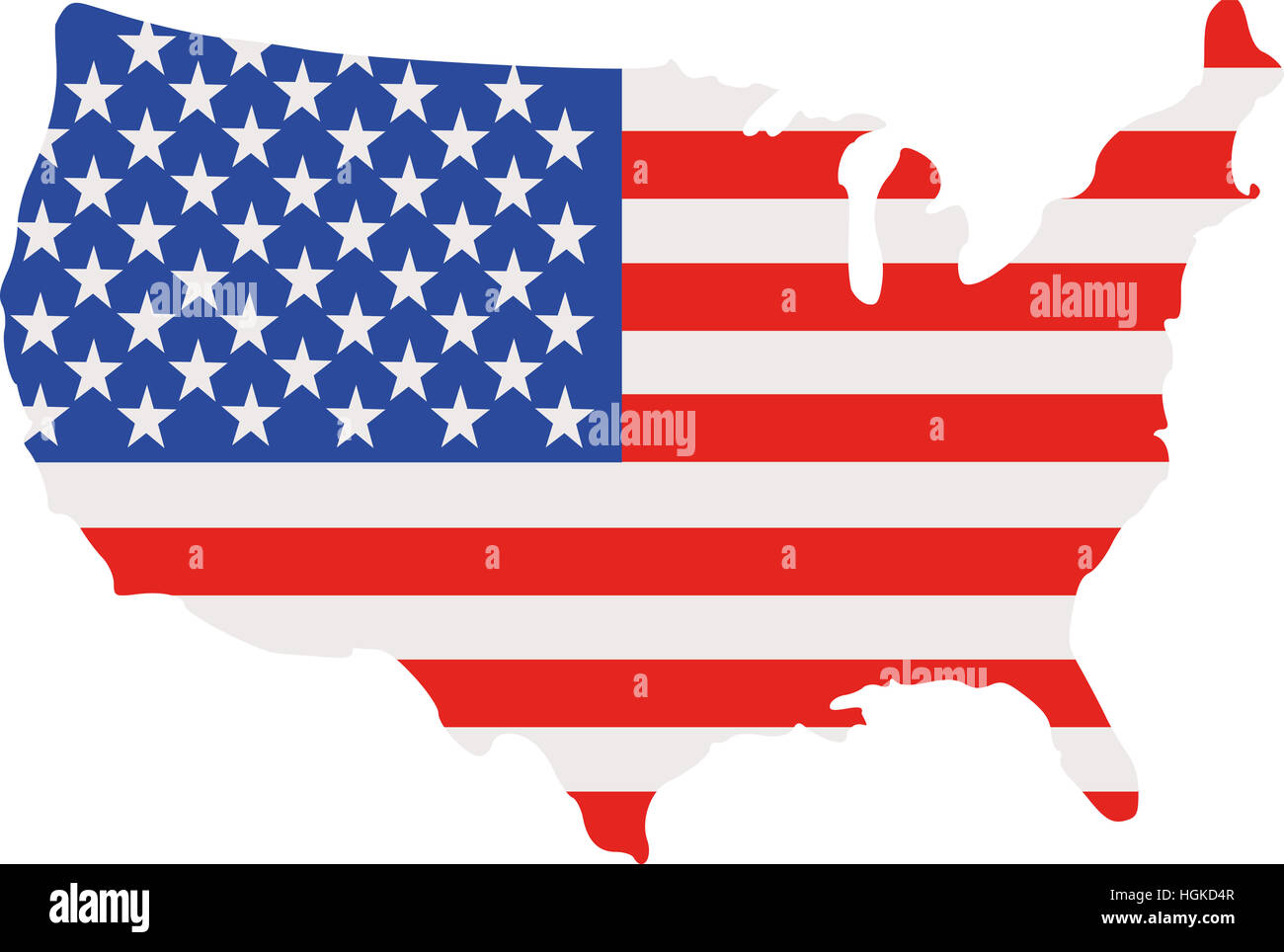 United states of America map with flag Stock Photohttps://www.alamy.com/image-license-details/?v=1https://www.alamy.com/stock-photo-united-states-of-america-map-with-flag-130734487.html
RFHGKD4R–United states of America map with flag
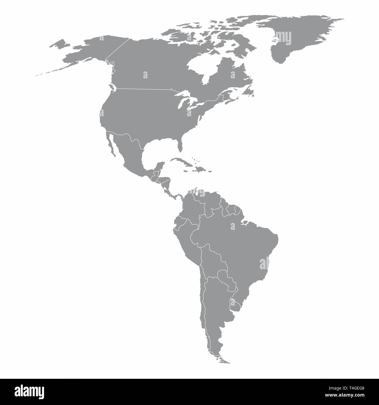 North and South America map Stock Vectorhttps://www.alamy.com/image-license-details/?v=1https://www.alamy.com/north-and-south-america-map-image243766440.html
RFT4GEG8–North and South America map
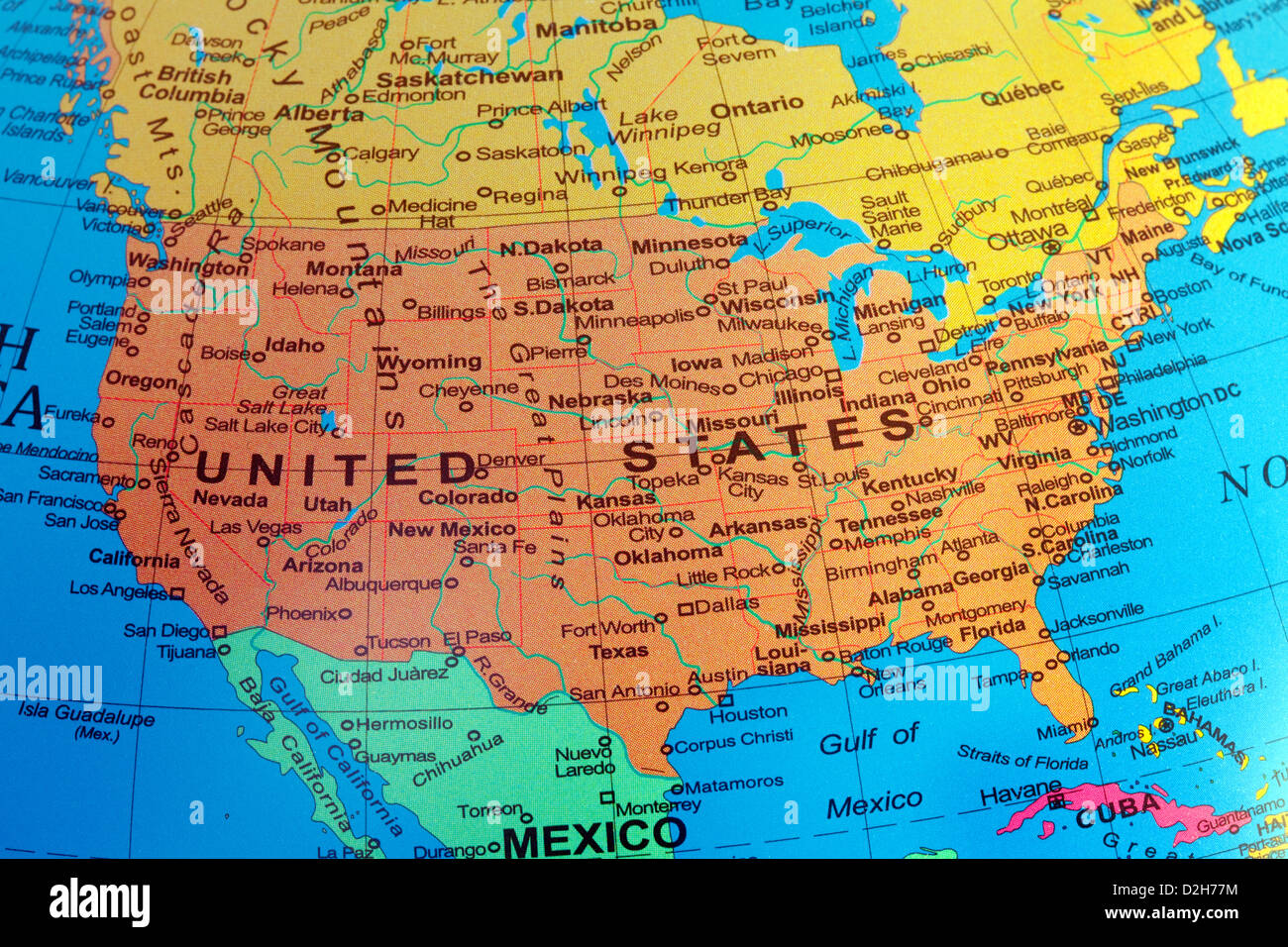 America map of America; A USA map of the United states of America from a globe Stock Photohttps://www.alamy.com/image-license-details/?v=1https://www.alamy.com/stock-photo-america-map-of-america-a-usa-map-of-the-united-states-of-america-from-53239304.html
RMD2H77M–America map of America; A USA map of the United states of America from a globe
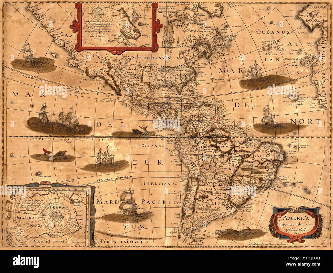 Map Of America 1641 Stock Photohttps://www.alamy.com/image-license-details/?v=1https://www.alamy.com/stock-photo-map-of-america-1641-130712672.html
RFHGJD9M–Map Of America 1641
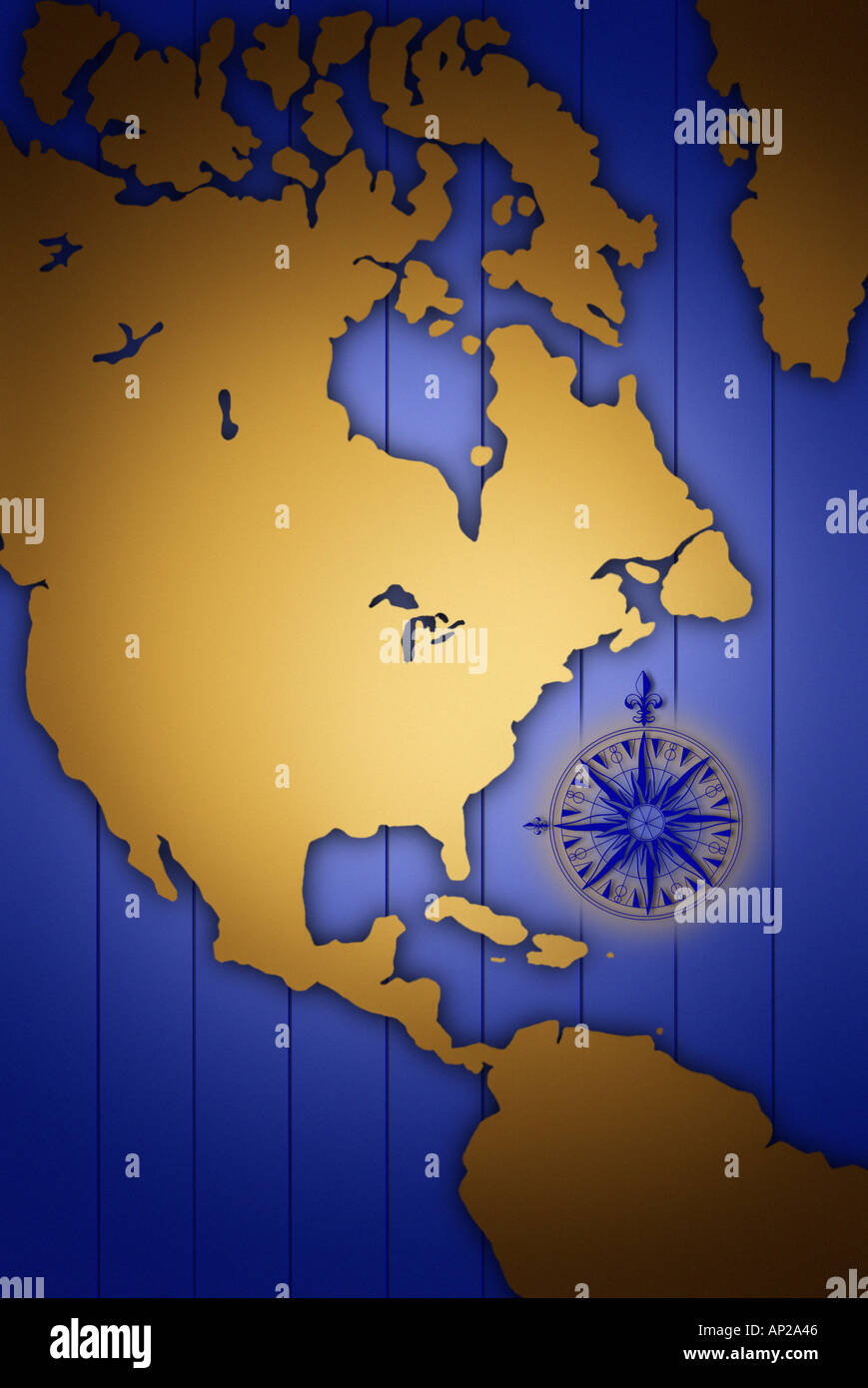 North America Map Stock Photohttps://www.alamy.com/image-license-details/?v=1https://www.alamy.com/north-america-map-image1452613.html
RFAP2A46–North America Map
 United States of America map with flag Stock Photohttps://www.alamy.com/image-license-details/?v=1https://www.alamy.com/stock-photo-united-states-of-america-map-with-flag-126415108.html
RFH9JKN8–United States of America map with flag
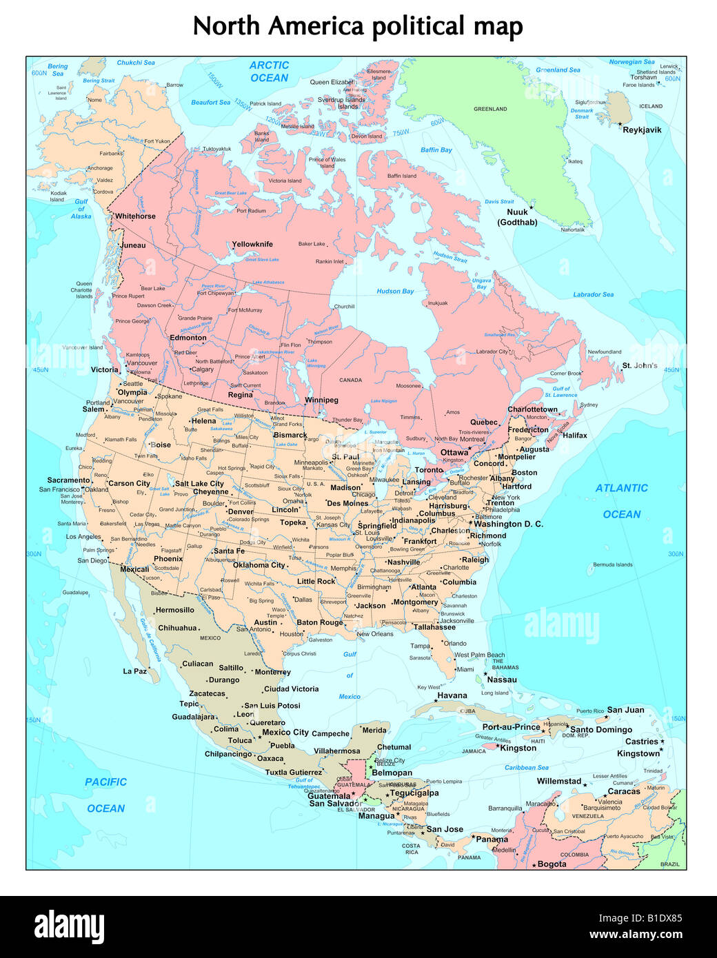 North America political map Stock Photohttps://www.alamy.com/image-license-details/?v=1https://www.alamy.com/stock-photo-north-america-political-map-18131013.html
RFB1DX85–North America political map
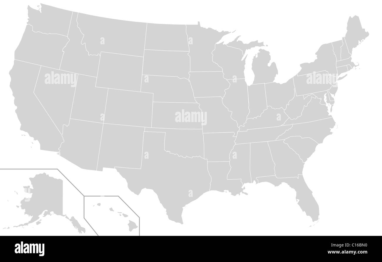 Illustration of grey or gray USA map isolated on white background. Stock Photohttps://www.alamy.com/image-license-details/?v=1https://www.alamy.com/stock-photo-illustration-of-grey-or-gray-usa-map-isolated-on-white-background-35176316.html
RMC16BN0–Illustration of grey or gray USA map isolated on white background.
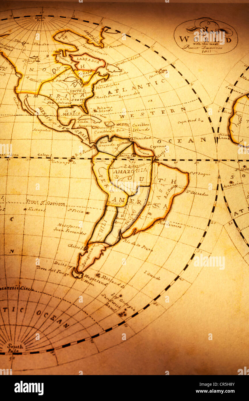 Part of old world map, showing Americas. Focus is on South America. Map is from 1811 and is out of copyright. Stock Photohttps://www.alamy.com/image-license-details/?v=1https://www.alamy.com/stock-photo-part-of-old-world-map-showing-americas-focus-is-on-south-america-map-48681163.html
RFCR5H8Y–Part of old world map, showing Americas. Focus is on South America. Map is from 1811 and is out of copyright.
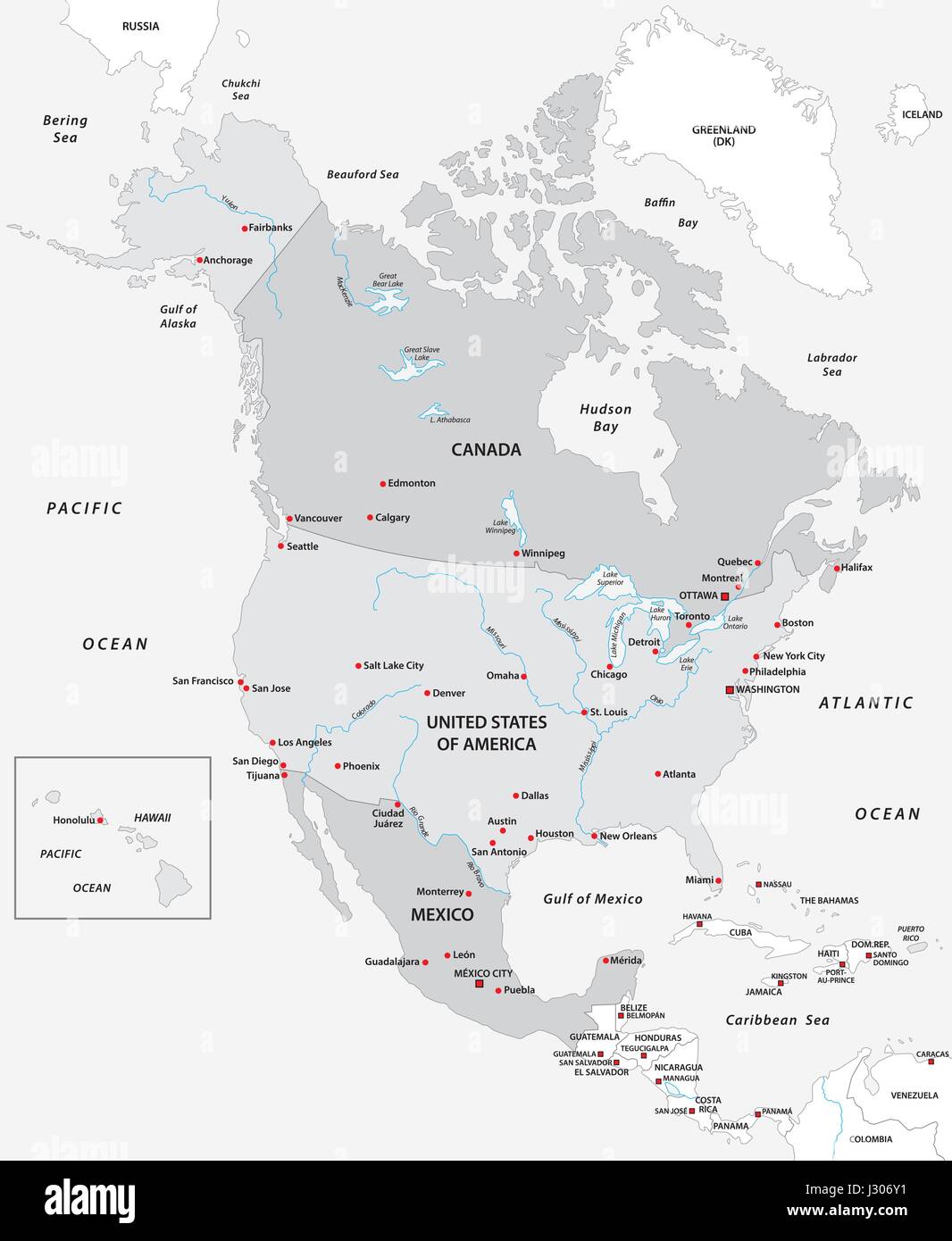 Map of North America in black and white Stock Vectorhttps://www.alamy.com/image-license-details/?v=1https://www.alamy.com/stock-photo-map-of-north-america-in-black-and-white-139532373.html
RFJ306Y1–Map of North America in black and white
 South America Map black and white illustration Stock Vectorhttps://www.alamy.com/image-license-details/?v=1https://www.alamy.com/stock-photo-south-america-map-black-and-white-illustration-128905029.html
RFHDM3K1–South America Map black and white illustration
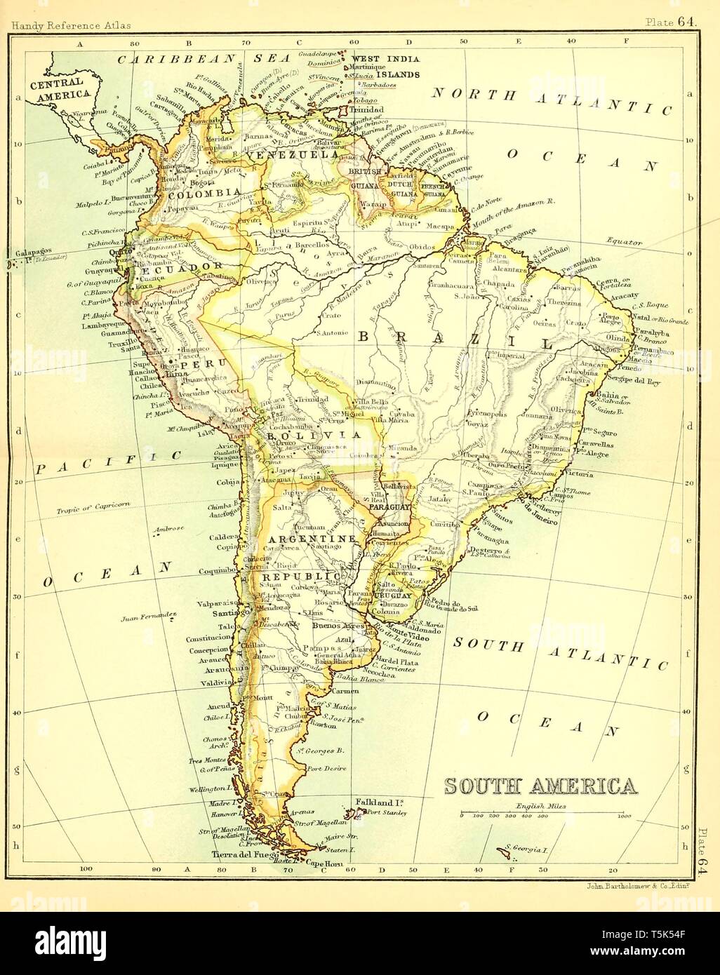 Beautiful vintage hand drawn map illustrations of South America from old book. Can be used as poster or decorative element for interior design. Stock Photohttps://www.alamy.com/image-license-details/?v=1https://www.alamy.com/beautiful-vintage-hand-drawn-map-illustrations-of-south-america-from-old-book-can-be-used-as-poster-or-decorative-element-for-interior-design-image244439567.html
RFT5K54F–Beautiful vintage hand drawn map illustrations of South America from old book. Can be used as poster or decorative element for interior design.
 south america map on vintage background - grungy texture - Latin America Stock Photohttps://www.alamy.com/image-license-details/?v=1https://www.alamy.com/stock-photo-south-america-map-on-vintage-background-grungy-texture-latin-america-123252798.html
RFH4EJ5J–south america map on vintage background - grungy texture - Latin America
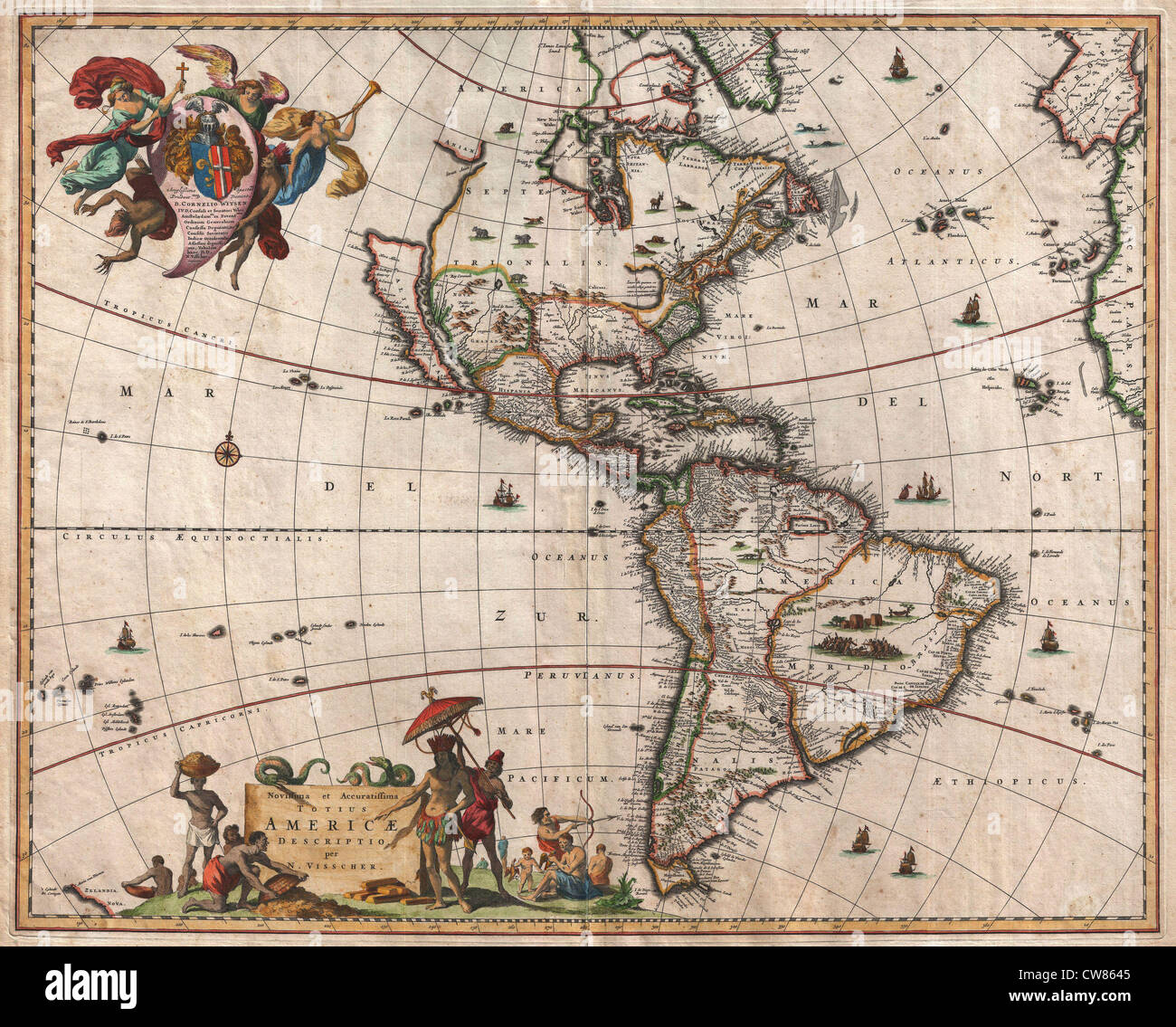 1658 Visscher Map of North America and South America Stock Photohttps://www.alamy.com/image-license-details/?v=1https://www.alamy.com/stock-photo-1658-visscher-map-of-north-america-and-south-america-49967573.html
RMCW8645–1658 Visscher Map of North America and South America
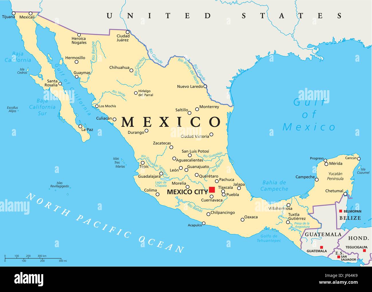 north america, map, atlas, map of the world, mexico, america, latin america, Stock Vectorhttps://www.alamy.com/image-license-details/?v=1https://www.alamy.com/stock-photo-north-america-map-atlas-map-of-the-world-mexico-america-latin-america-147038173.html
RFJF64K9–north america, map, atlas, map of the world, mexico, america, latin america,
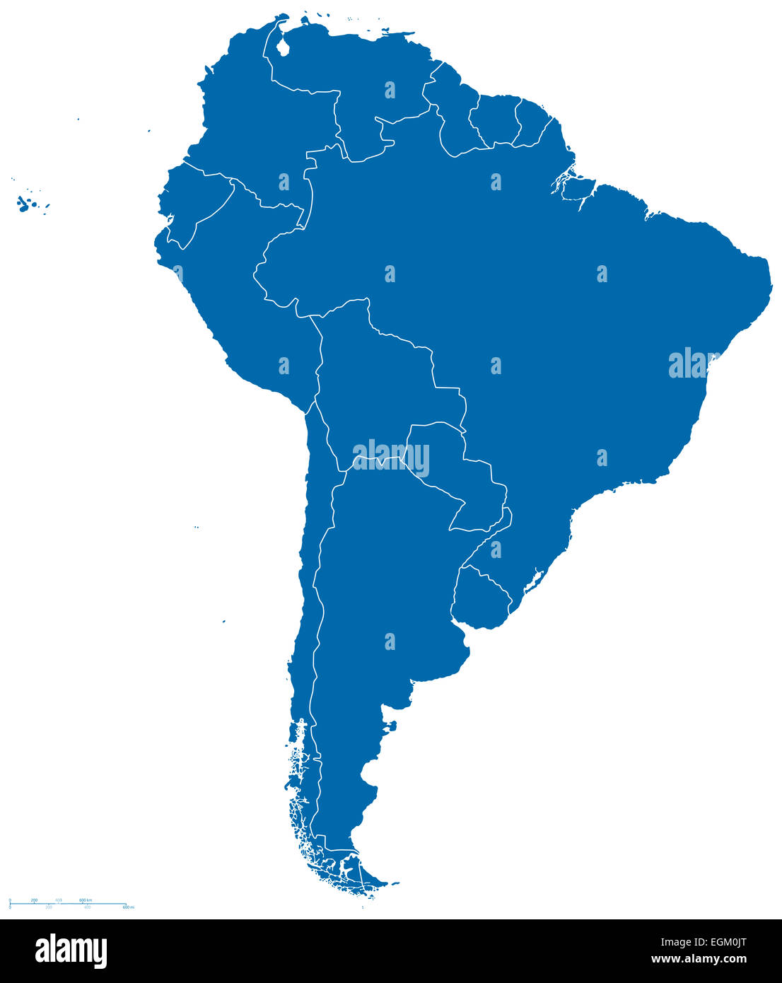 South America Map Outline Stock Photohttps://www.alamy.com/image-license-details/?v=1https://www.alamy.com/stock-photo-south-america-map-outline-79115536.html
RFEGM0JT–South America Map Outline
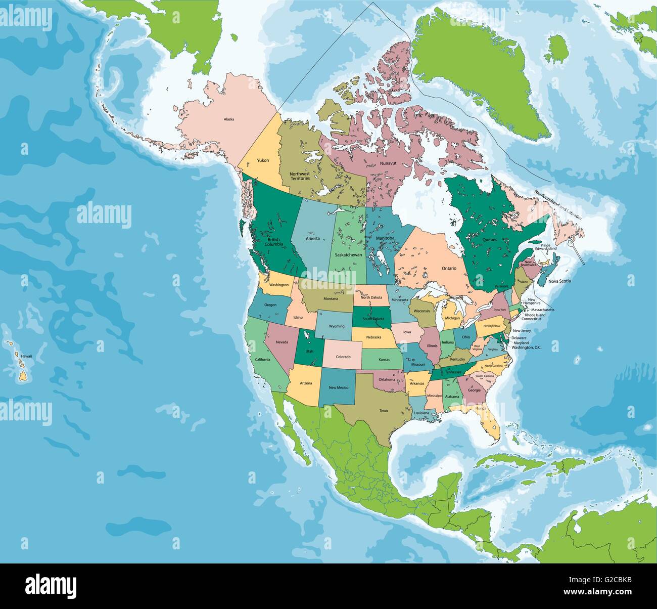 North America map with USA and Canada Stock Vectorhttps://www.alamy.com/image-license-details/?v=1https://www.alamy.com/stock-photo-north-america-map-with-usa-and-canada-104764111.html
RFG2CBKB–North America map with USA and Canada
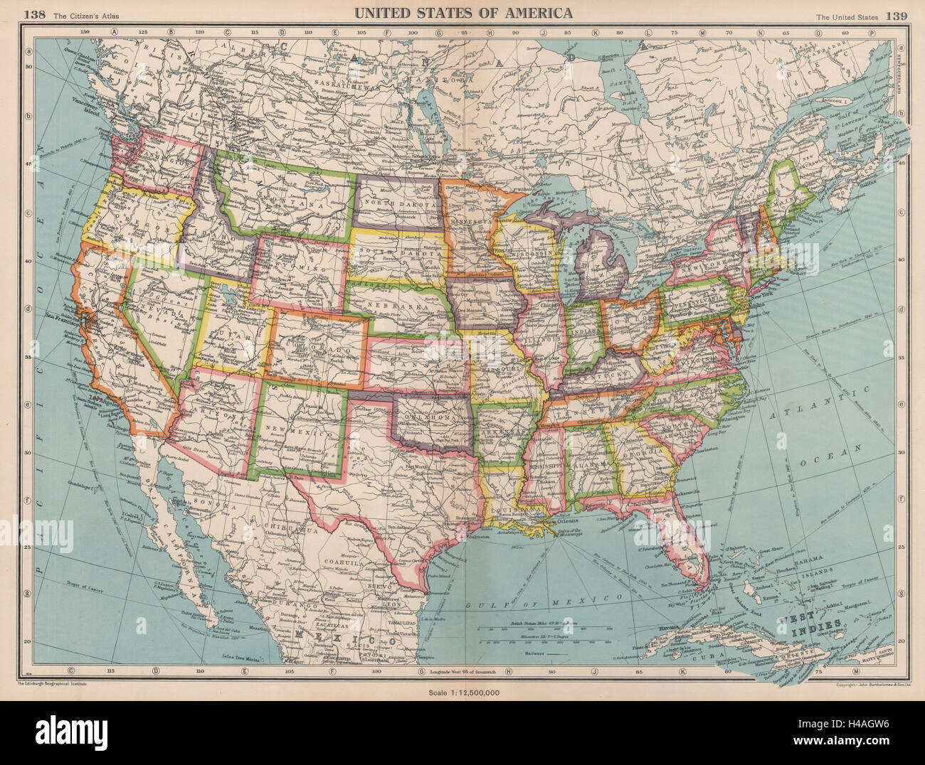 USA. United States of America. State map. BARTHOLOMEW 1944 old vintage Stock Photohttps://www.alamy.com/image-license-details/?v=1https://www.alamy.com/stock-photo-usa-united-states-of-america-state-map-bartholomew-1944-old-vintage-123163970.html
RFH4AGW6–USA. United States of America. State map. BARTHOLOMEW 1944 old vintage
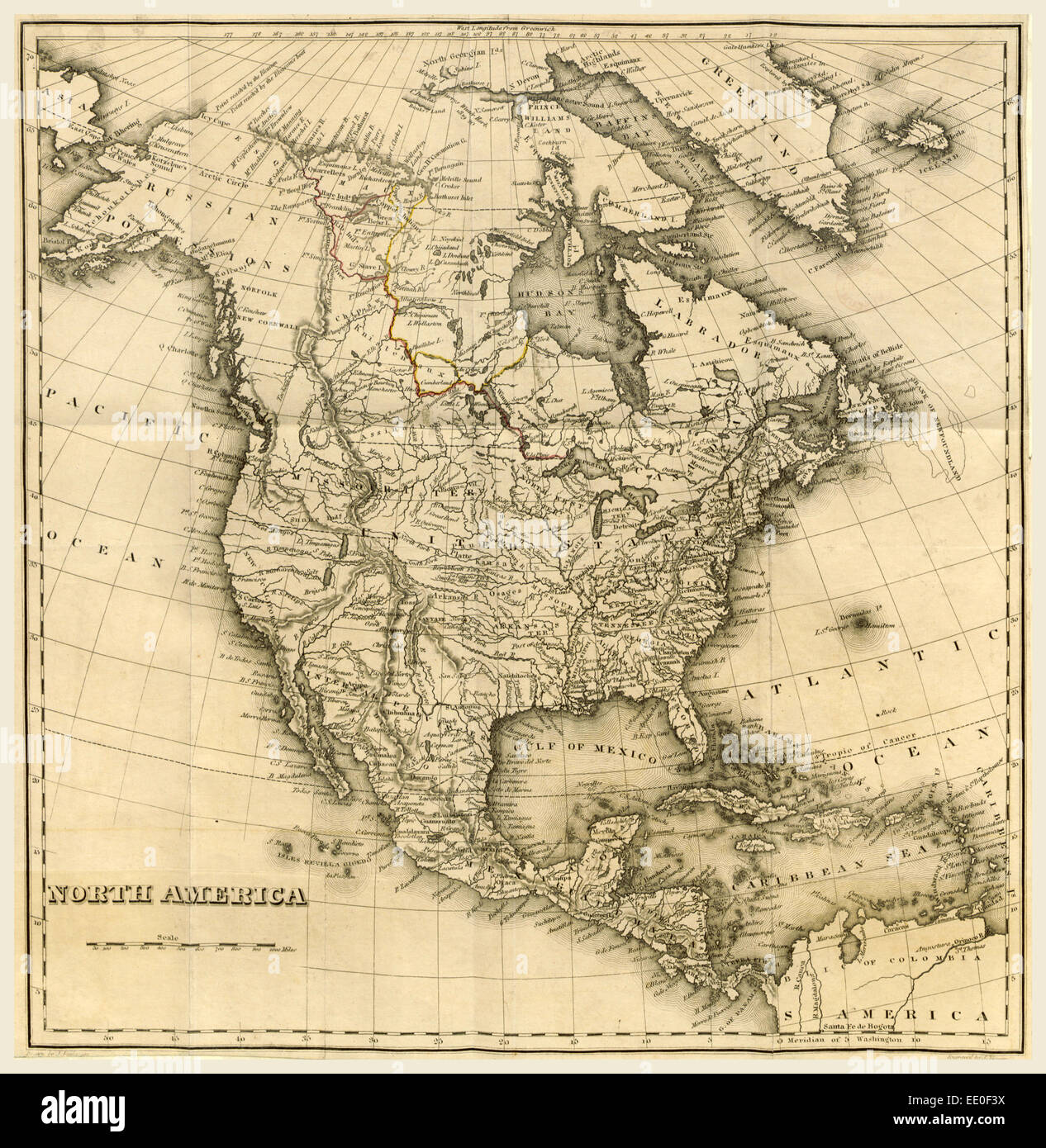 North America Map, 19th century engraving Stock Photohttps://www.alamy.com/image-license-details/?v=1https://www.alamy.com/stock-photo-north-america-map-19th-century-engraving-77458526.html
RMEE0F3X–North America Map, 19th century engraving
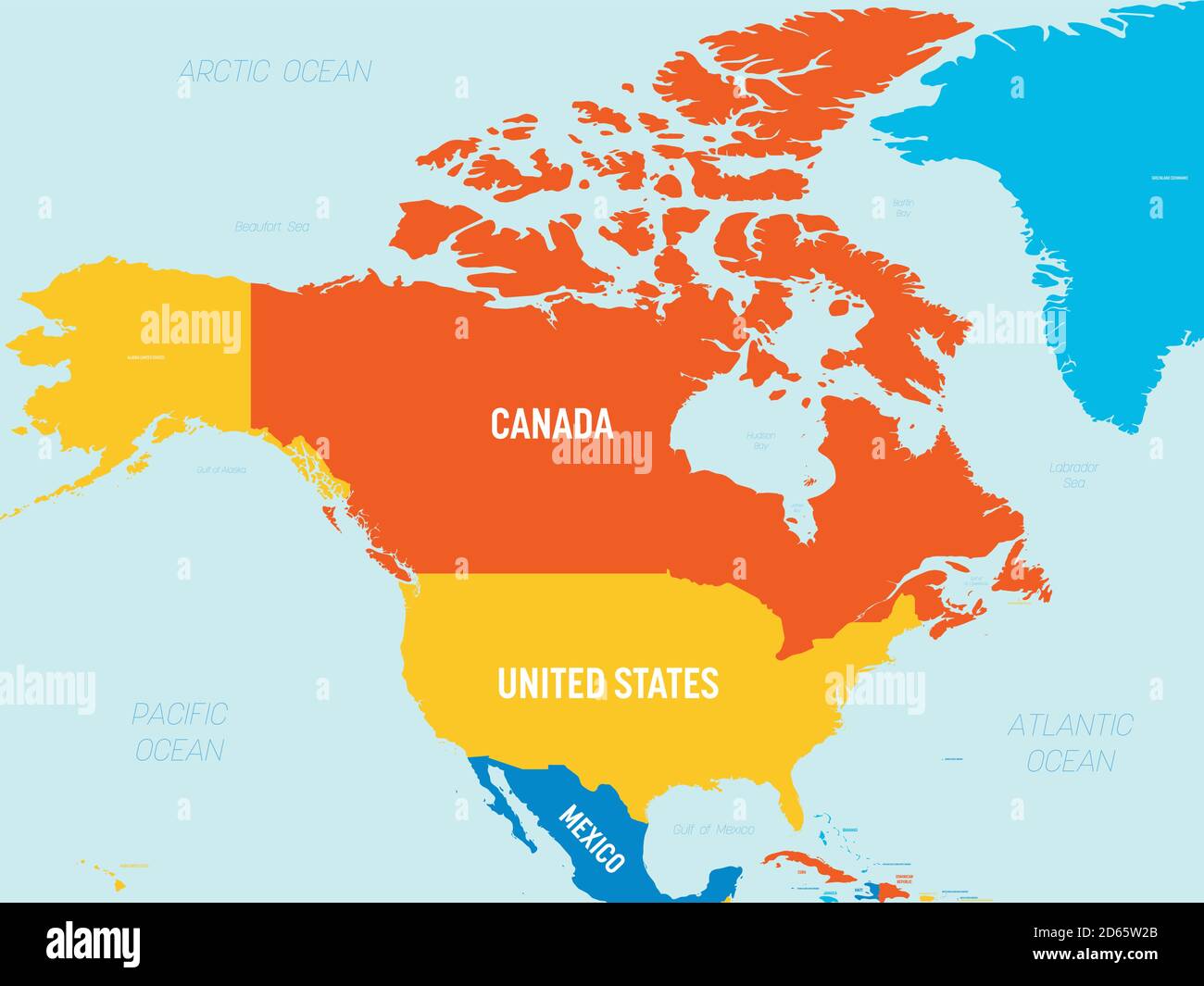 North America map - 4 bright color scheme. High detailed political map North American continent with country, ocean and sea names labeling. Stock Vectorhttps://www.alamy.com/image-license-details/?v=1https://www.alamy.com/north-america-map-4-bright-color-scheme-high-detailed-political-map-north-american-continent-with-country-ocean-and-sea-names-labeling-image382445459.html
RF2D65W2B–North America map - 4 bright color scheme. High detailed political map North American continent with country, ocean and sea names labeling.
 America map draw on grunge blackboard Stock Photohttps://www.alamy.com/image-license-details/?v=1https://www.alamy.com/stock-photo-america-map-draw-on-grunge-blackboard-71517028.html
RFE49TKG–America map draw on grunge blackboard
 USA Graphic Stock Photohttps://www.alamy.com/image-license-details/?v=1https://www.alamy.com/usa-graphic-image1998834.html
RFA3KFF3–USA Graphic
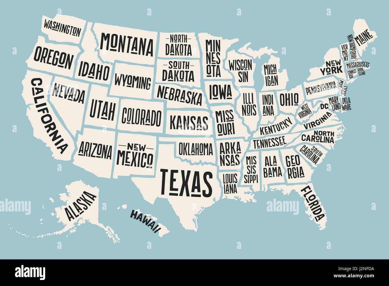 Poster map United States of America with state names Stock Vectorhttps://www.alamy.com/image-license-details/?v=1https://www.alamy.com/stock-photo-poster-map-united-states-of-america-with-state-names-139385382.html
RFJ2NFDA–Poster map United States of America with state names
 A cut out white paper outline of the United States of America Stock Photohttps://www.alamy.com/image-license-details/?v=1https://www.alamy.com/stock-photo-a-cut-out-white-paper-outline-of-the-united-states-of-america-28869958.html
RFBJY3WX–A cut out white paper outline of the United States of America
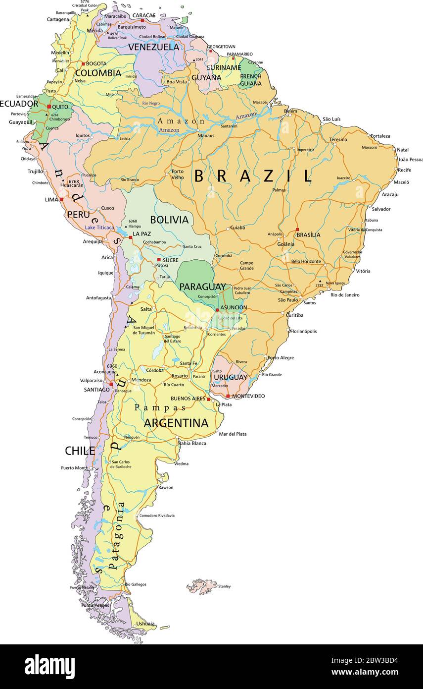 South America - Highly detailed editable political map with separated layers. Stock Vectorhttps://www.alamy.com/image-license-details/?v=1https://www.alamy.com/south-america-highly-detailed-editable-political-map-with-separated-layers-image359648608.html
RF2BW3BD4–South America - Highly detailed editable political map with separated layers.
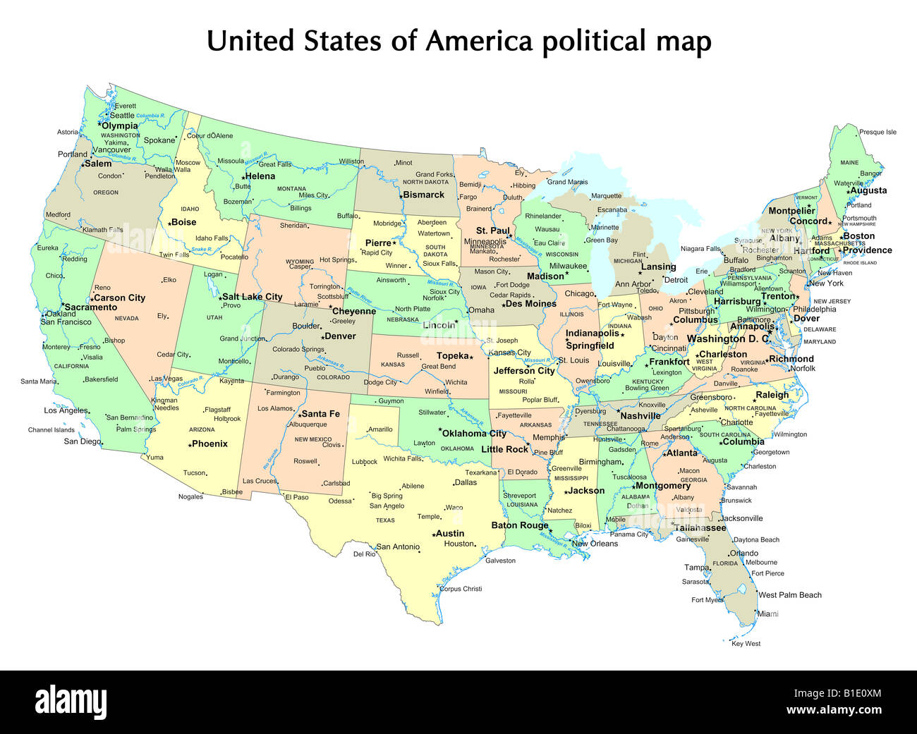 United States of America political map with states and capital city Stock Photohttps://www.alamy.com/image-license-details/?v=1https://www.alamy.com/stock-photo-united-states-of-america-political-map-with-states-and-capital-city-18133100.html
RFB1E0XM–United States of America political map with states and capital city
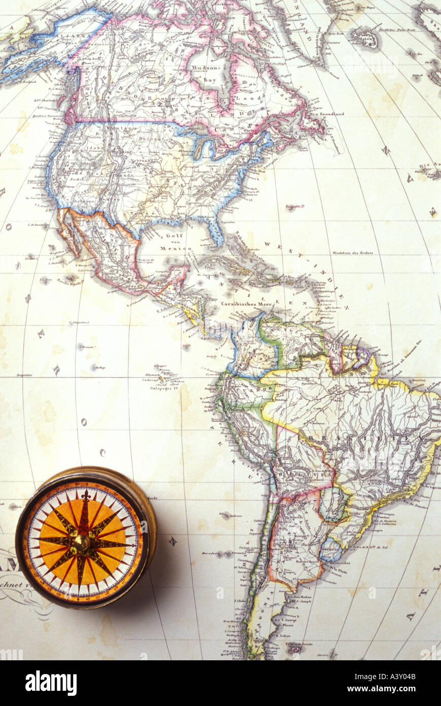 1868 map of America with compass Stock Photohttps://www.alamy.com/image-license-details/?v=1https://www.alamy.com/1868-map-of-america-with-compass-image2027594.html
RMA3Y04B–1868 map of America with compass
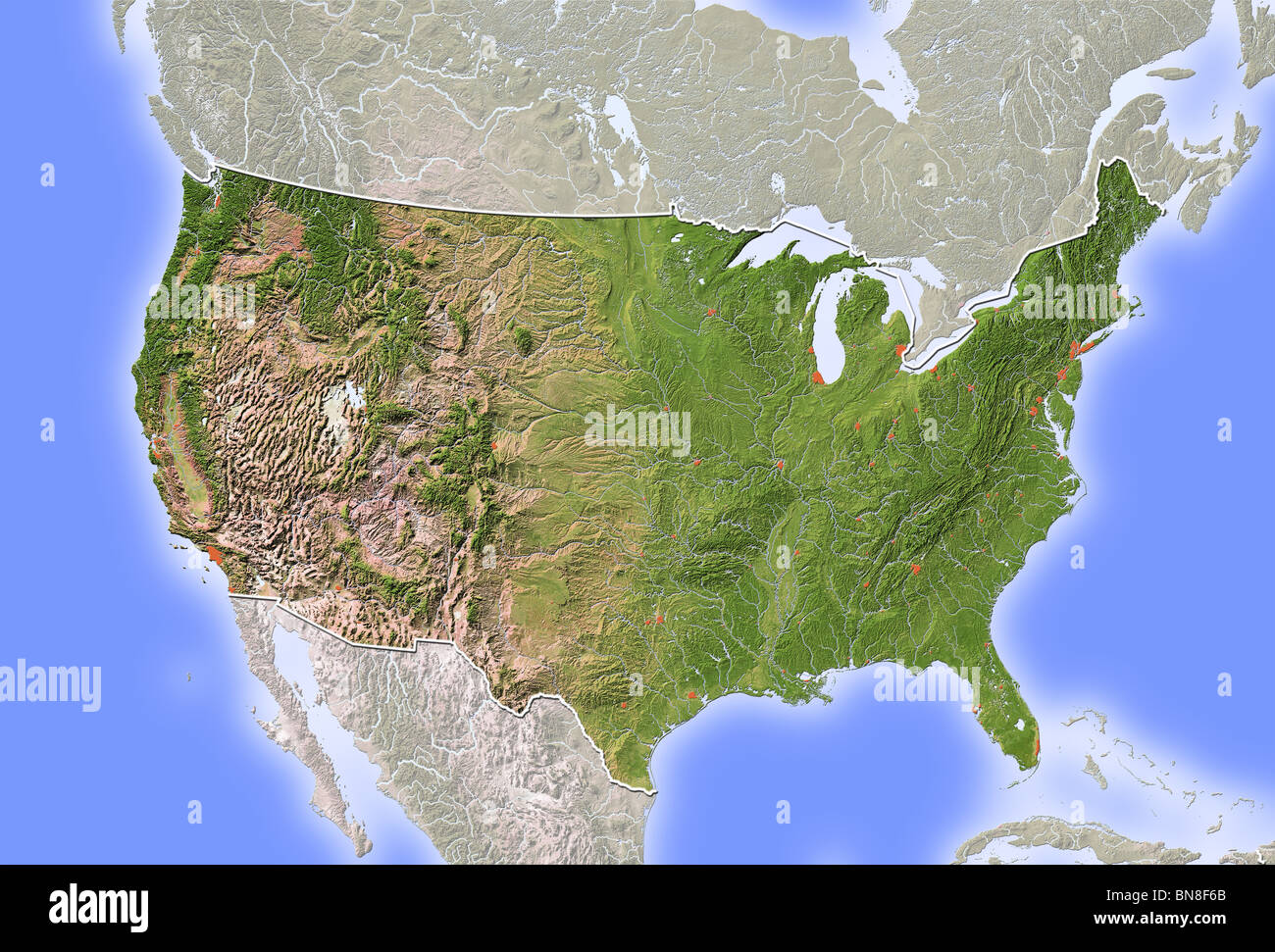 USA, shaded relief map. Stock Photohttps://www.alamy.com/image-license-details/?v=1https://www.alamy.com/stock-photo-usa-shaded-relief-map-30305699.html
RFBN8F6B–USA, shaded relief map.
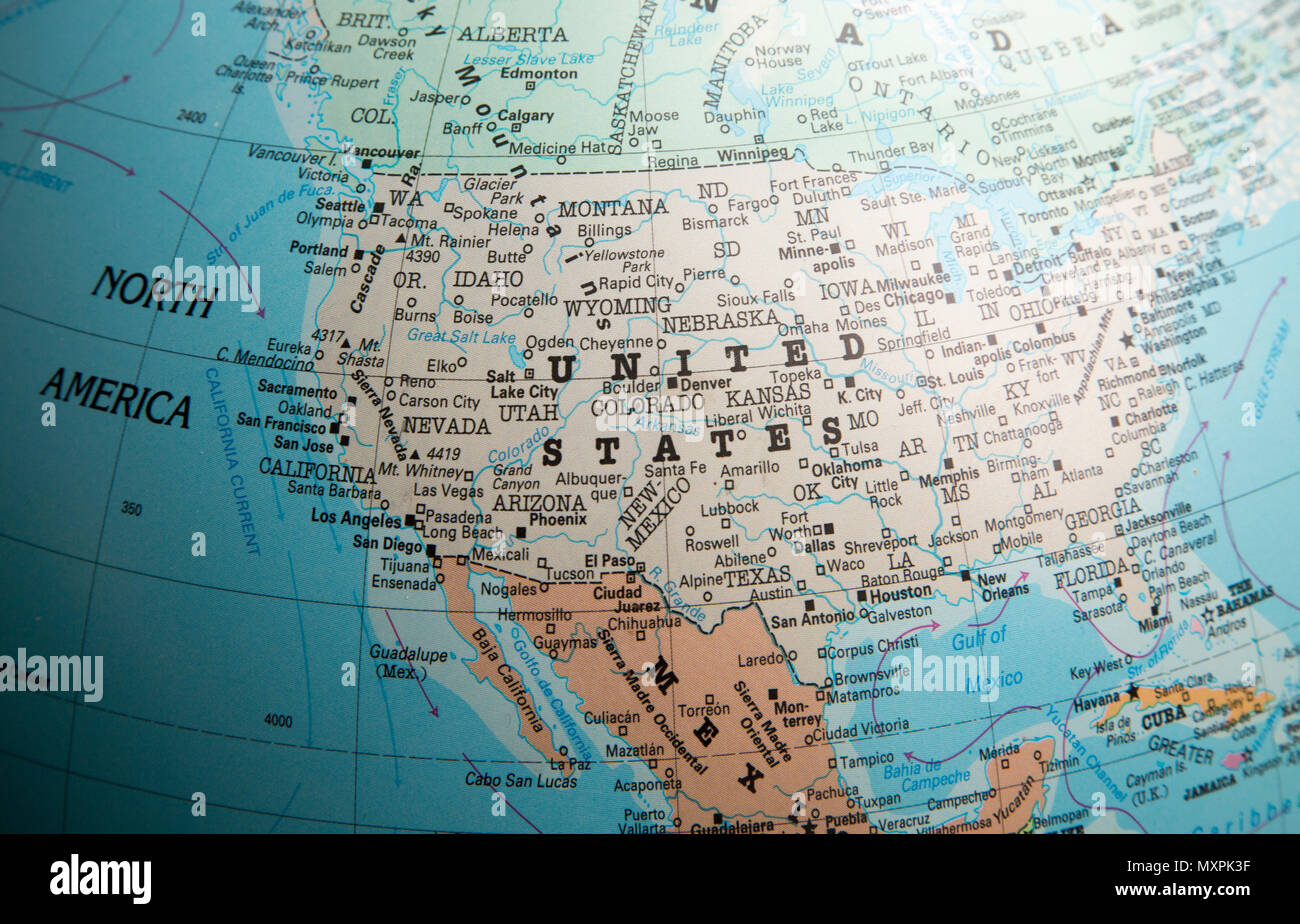 North America map on a globe focused on the United States of America USA Stock Photohttps://www.alamy.com/image-license-details/?v=1https://www.alamy.com/north-america-map-on-a-globe-focused-on-the-united-states-of-america-usa-image188582675.html
RMMXPK3F–North America map on a globe focused on the United States of America USA
 America geometric figures map Stock Vectorhttps://www.alamy.com/image-license-details/?v=1https://www.alamy.com/america-geometric-figures-map-image64704742.html
RFDN7FFJ–America geometric figures map
 World map on a old canvas. Stock Photohttps://www.alamy.com/image-license-details/?v=1https://www.alamy.com/stock-photo-world-map-on-a-old-canvas-39916748.html
RFC8XA64–World map on a old canvas.
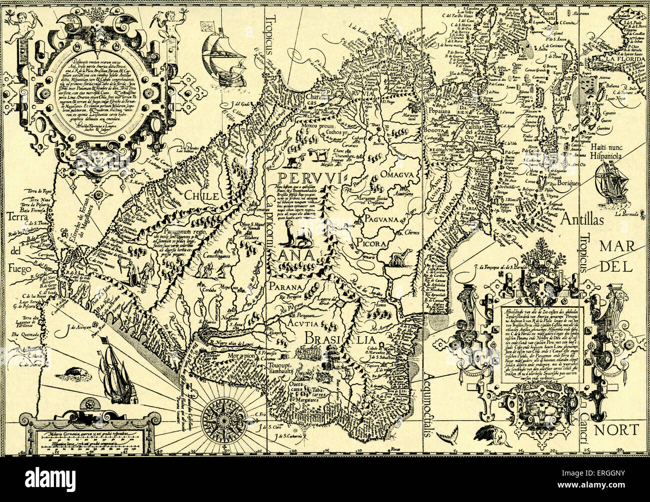 The Sea Coasts of South America - map in Linschoten's 'Navigatio ac Itinerarium, etc.', 1599. Jan Huyghen van Linschoten, Stock Photohttps://www.alamy.com/image-license-details/?v=1https://www.alamy.com/stock-photo-the-sea-coasts-of-south-america-map-in-linschotens-navigatio-ac-itinerarium-83342951.html
RMERGGNY–The Sea Coasts of South America - map in Linschoten's 'Navigatio ac Itinerarium, etc.', 1599. Jan Huyghen van Linschoten,
 USA Stock Photohttps://www.alamy.com/image-license-details/?v=1https://www.alamy.com/stock-photo-usa-11979597.html
RFA8406P–USA
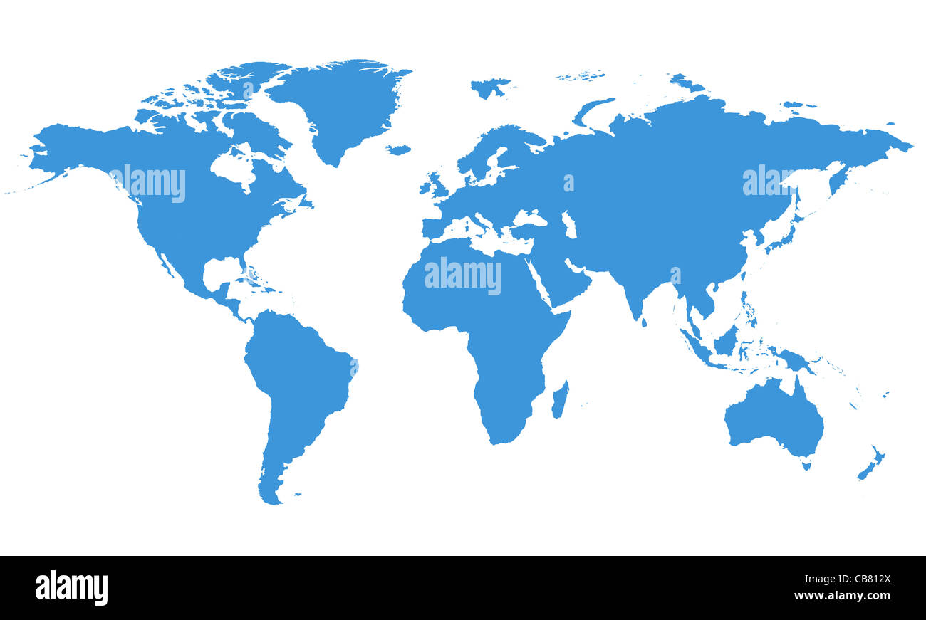 World Map with Clipping Path Stock Photohttps://www.alamy.com/image-license-details/?v=1https://www.alamy.com/stock-photo-world-map-with-clipping-path-41358434.html
RFCB812X–World Map with Clipping Path
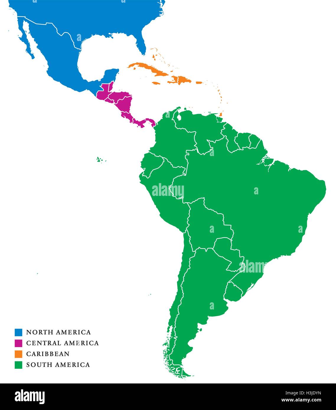 Latin America subregions map. The subregions Caribbean, North, Central and South America in different colors and borders. Vector Stock Vectorhttps://www.alamy.com/image-license-details/?v=1https://www.alamy.com/stock-photo-latin-america-subregions-map-the-subregions-caribbean-north-central-122722649.html
RFH3JDYN–Latin America subregions map. The subregions Caribbean, North, Central and South America in different colors and borders. Vector
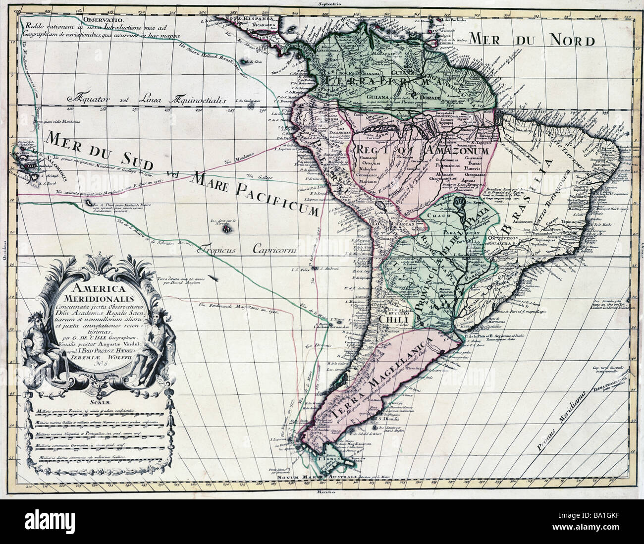 cartography, maps, South America, map by Guillaume de l'Isle (1675 - 1726), copper engraving, coloured, by Jeremias Wolff, Augsburg, Germany, circa 1710, Artist's Copyright has not to be cleared Stock Photohttps://www.alamy.com/image-license-details/?v=1https://www.alamy.com/stock-photo-cartography-maps-south-america-map-by-guillaume-de-lisle-1675-1726-23391971.html
RMBA1GKF–cartography, maps, South America, map by Guillaume de l'Isle (1675 - 1726), copper engraving, coloured, by Jeremias Wolff, Augsburg, Germany, circa 1710, Artist's Copyright has not to be cleared
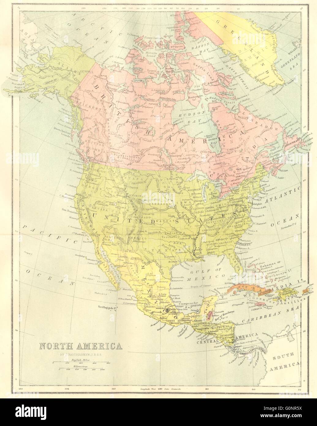 NORTH AMERICA: Map, 1870 Stock Photohttps://www.alamy.com/image-license-details/?v=1https://www.alamy.com/stock-photo-north-america-map-1870-103741398.html
RFG0NR5X–NORTH AMERICA: Map, 1870
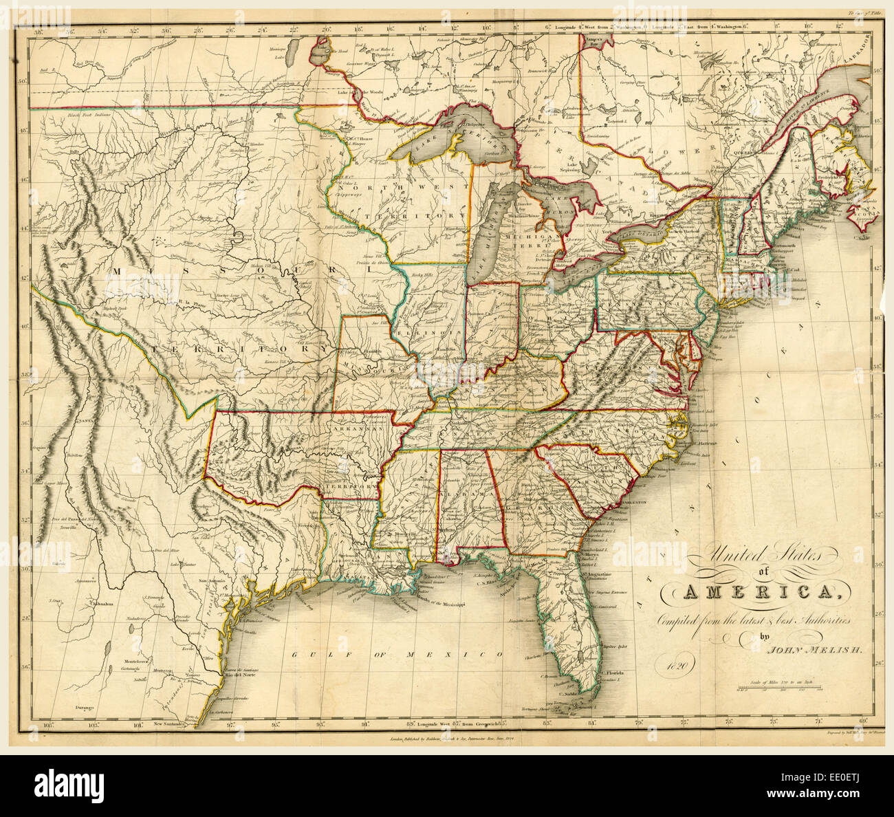 America map 1822-1823, 19th century engraving Stock Photohttps://www.alamy.com/image-license-details/?v=1https://www.alamy.com/stock-photo-america-map-1822-1823-19th-century-engraving-77458322.html
RMEE0ETJ–America map 1822-1823, 19th century engraving
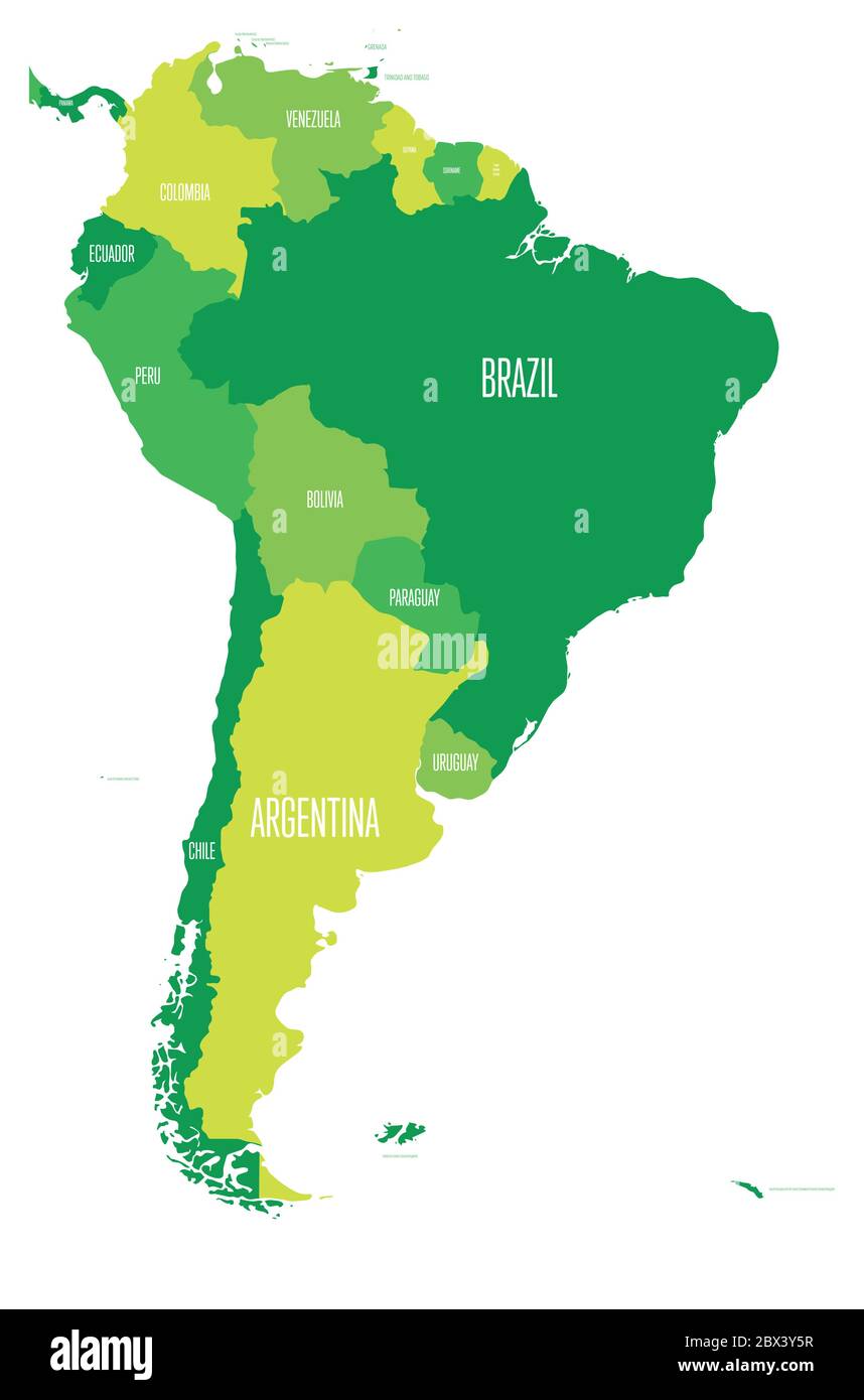 Political map of South America. Simple flat vector map with country name labels in four shades of green. Stock Vectorhttps://www.alamy.com/image-license-details/?v=1https://www.alamy.com/political-map-of-south-america-simple-flat-vector-map-with-country-name-labels-in-four-shades-of-green-image360275603.html
RF2BX3Y5R–Political map of South America. Simple flat vector map with country name labels in four shades of green.
 high definition satellite view of South America map Stock Photohttps://www.alamy.com/image-license-details/?v=1https://www.alamy.com/stock-photo-high-definition-satellite-view-of-south-america-map-18816787.html
RMB2H503–high definition satellite view of South America map
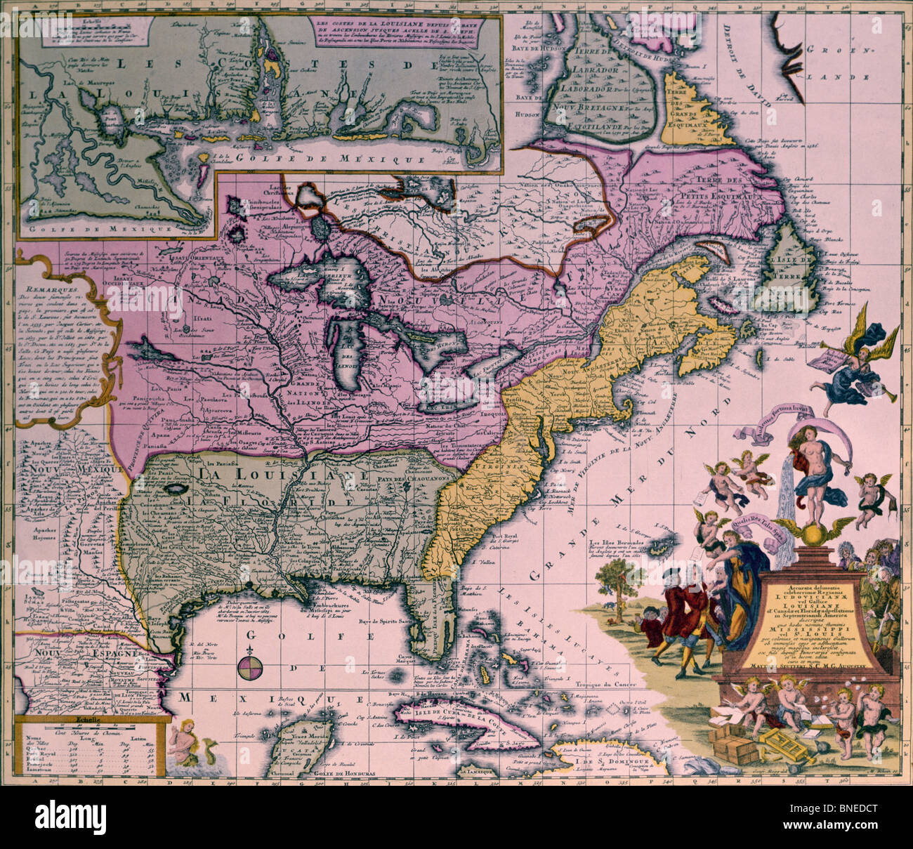 North America, map, circa 1735 Stock Photohttps://www.alamy.com/image-license-details/?v=1https://www.alamy.com/stock-photo-north-america-map-circa-1735-30436024.html
RMBNEDCT–North America, map, circa 1735
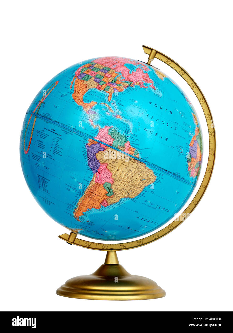 Side view of Globe showing North America and South America Stock Photohttps://www.alamy.com/image-license-details/?v=1https://www.alamy.com/side-view-of-globe-showing-north-america-and-south-america-image1847783.html
RFA0K1E8–Side view of Globe showing North America and South America
 1826 South America Map - Vintage Antiquarian Map by Finley Stock Photohttps://www.alamy.com/image-license-details/?v=1https://www.alamy.com/stock-photo-1826-south-america-map-vintage-antiquarian-map-by-finley-38246871.html
RFC6687K–1826 South America Map - Vintage Antiquarian Map by Finley
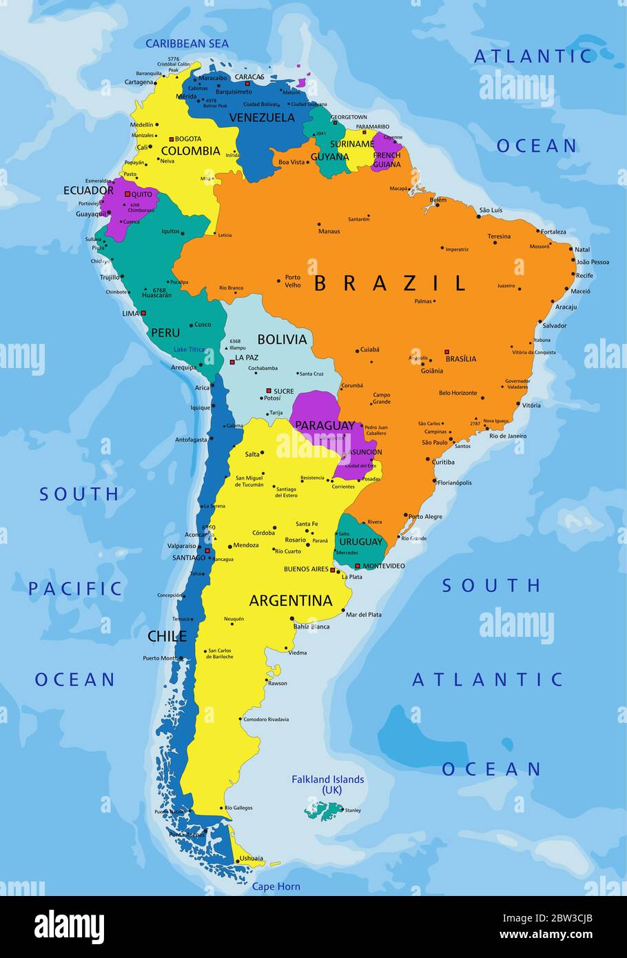 Colorful South America political map with clearly labeled, separated layers. Vector illustration. Stock Vectorhttps://www.alamy.com/image-license-details/?v=1https://www.alamy.com/colorful-south-america-political-map-with-clearly-labeled-separated-layers-vector-illustration-image359649539.html
RF2BW3CJB–Colorful South America political map with clearly labeled, separated layers. Vector illustration.
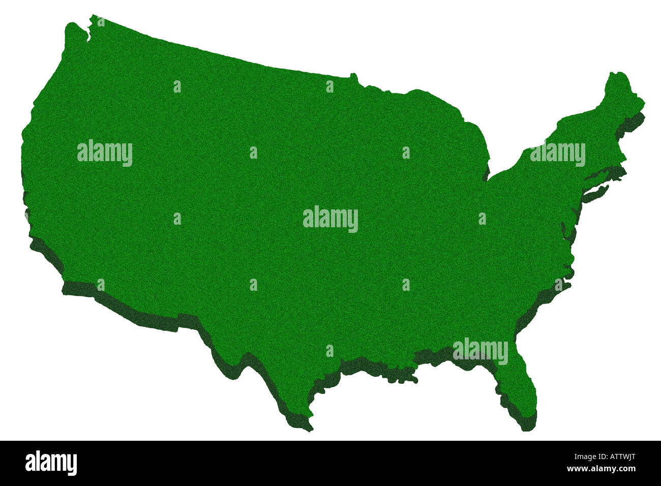 Outline map of United States Stock Photohttps://www.alamy.com/image-license-details/?v=1https://www.alamy.com/stock-photo-outline-map-of-united-states-16391087.html
RFATTWJT–Outline map of United States
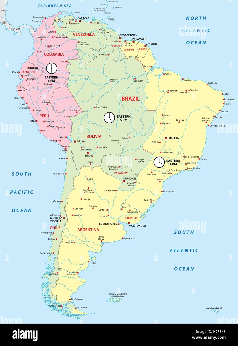 south america map with time zones Stock Vectorhttps://www.alamy.com/image-license-details/?v=1https://www.alamy.com/stock-photo-south-america-map-with-time-zones-125115964.html
RFH7FEK8–south america map with time zones
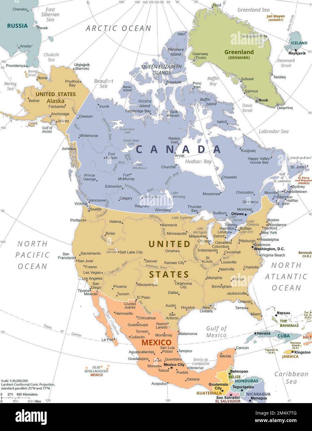 Political Map of North America. Stock Photohttps://www.alamy.com/image-license-details/?v=1https://www.alamy.com/political-map-of-north-america-image502136224.html
RM2M4X7TG–Political Map of North America.
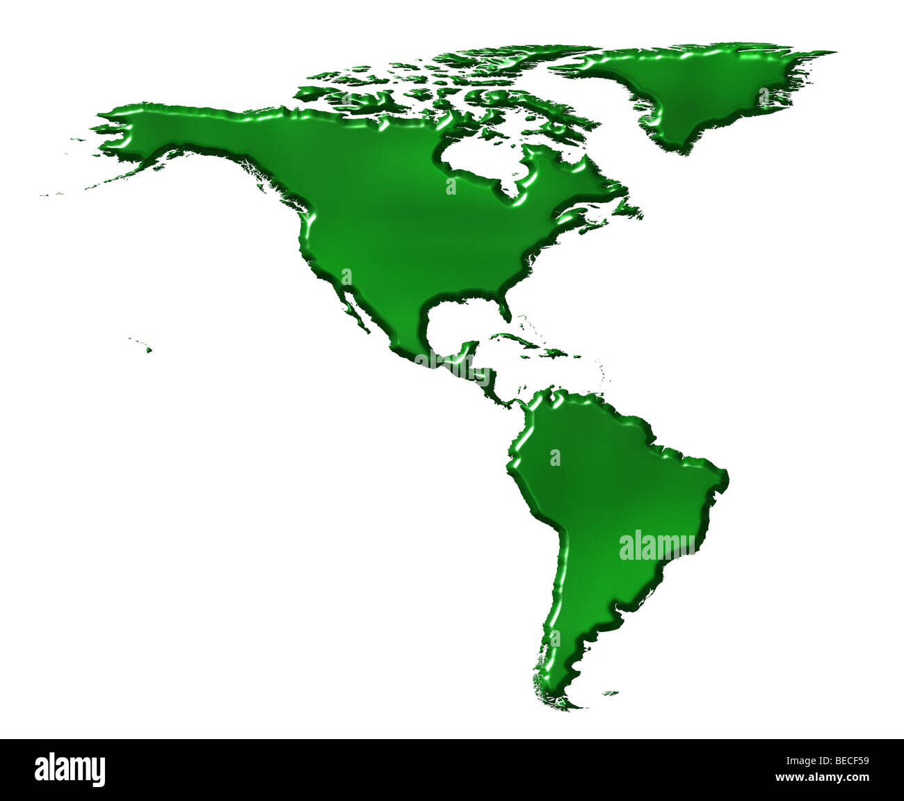 3d ecological America map Stock Photohttps://www.alamy.com/image-license-details/?v=1https://www.alamy.com/stock-photo-3d-ecological-america-map-26090885.html
RFBECF59–3d ecological America map
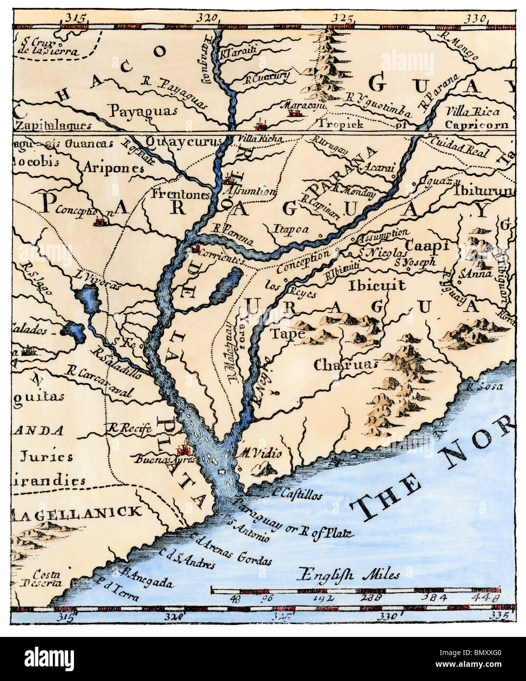 Mouth of the Rio de La Plata in South America, in a map of 1698. Hand-colored woodcut Stock Photohttps://www.alamy.com/image-license-details/?v=1https://www.alamy.com/stock-photo-mouth-of-the-rio-de-la-plata-in-south-america-in-a-map-of-1698-hand-30095072.html
RMBMXXG0–Mouth of the Rio de La Plata in South America, in a map of 1698. Hand-colored woodcut
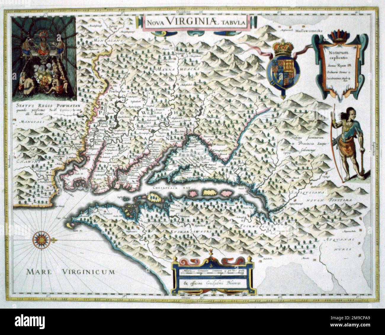 Map of Virginia, America Stock Photohttps://www.alamy.com/image-license-details/?v=1https://www.alamy.com/map-of-virginia-america-image504913537.html
RM2M9CPA9–Map of Virginia, America
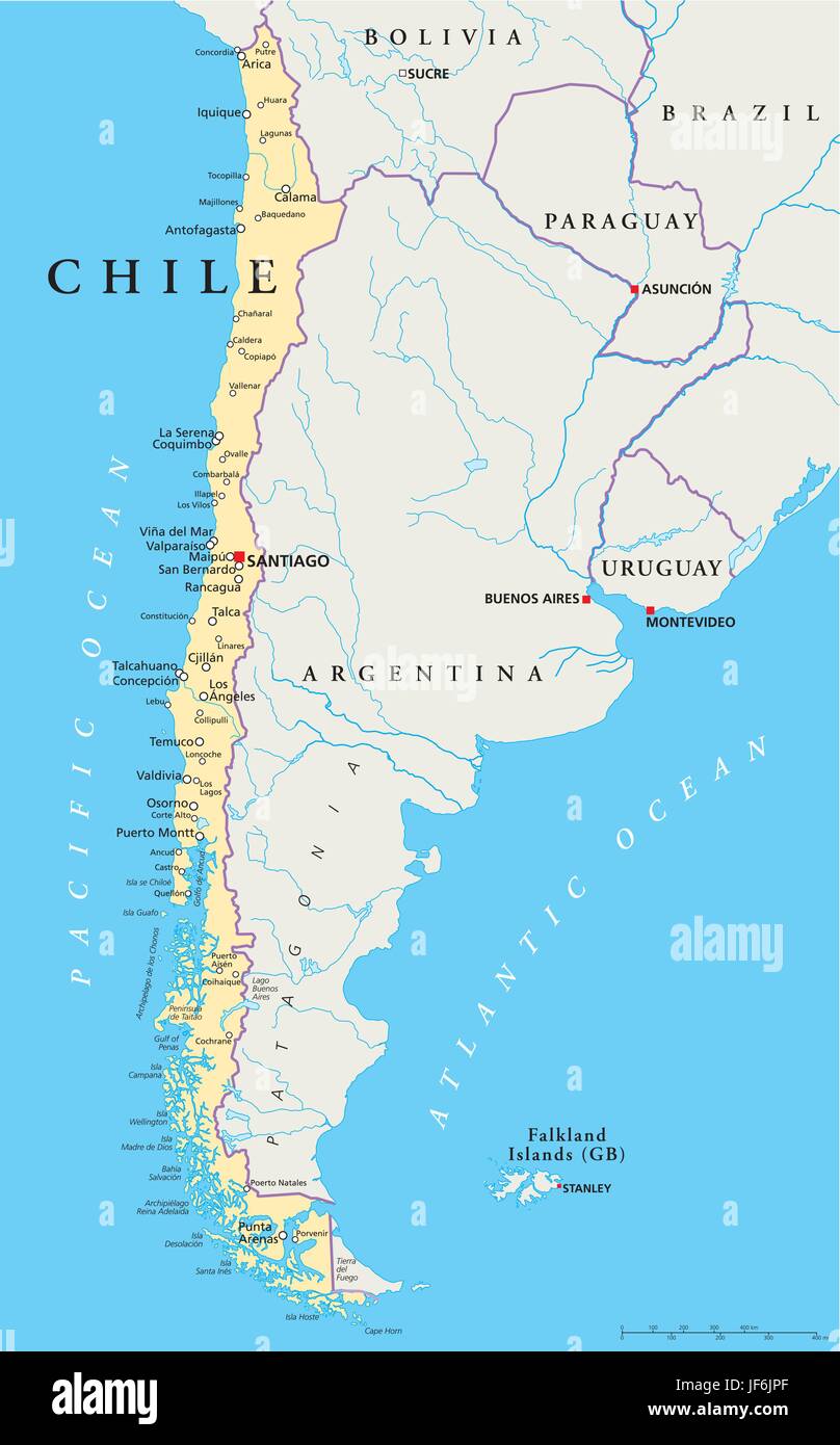 chile, south america, map, atlas, map of the world, argentina, atlantic ocean, Stock Vectorhttps://www.alamy.com/image-license-details/?v=1https://www.alamy.com/stock-photo-chile-south-america-map-atlas-map-of-the-world-argentina-atlantic-147049239.html
RFJF6JPF–chile, south america, map, atlas, map of the world, argentina, atlantic ocean,
 Terrestrial planisphere, showing the first use of the name 'America' on a map. From Petrus Apianus Cosmographicus liber. Antwerp, 1529 Stock Photohttps://www.alamy.com/image-license-details/?v=1https://www.alamy.com/stock-photo-terrestrial-planisphere-showing-the-first-use-of-the-name-america-131239308.html
RMHHED24–Terrestrial planisphere, showing the first use of the name 'America' on a map. From Petrus Apianus Cosmographicus liber. Antwerp, 1529
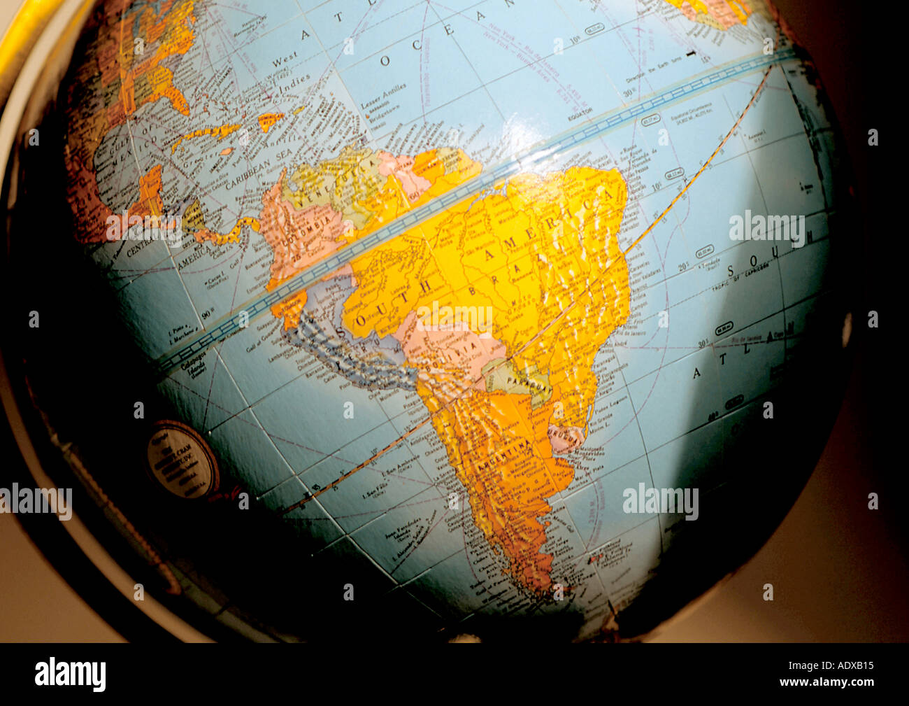 Concepts south america map globe Stock Photohttps://www.alamy.com/image-license-details/?v=1https://www.alamy.com/concepts-south-america-map-globe-image2517780.html
RFADXB15–Concepts south america map globe
 The Americas, single states, political map with national borders. Caribbean, North, Central and South America. Different colored countries. Stock Photohttps://www.alamy.com/image-license-details/?v=1https://www.alamy.com/the-americas-single-states-political-map-with-national-borders-caribbean-north-central-and-south-america-different-colored-countries-image355947009.html
RF2BK2P15–The Americas, single states, political map with national borders. Caribbean, North, Central and South America. Different colored countries.
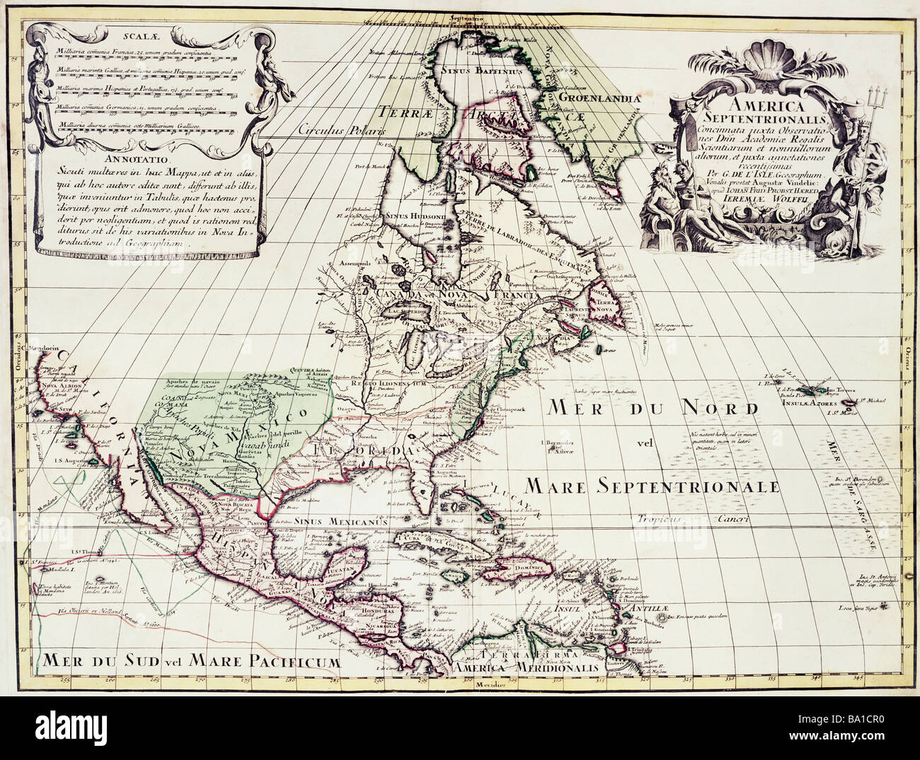 cartography, maps, North America, map by Guillaume de l'Isle (1675 - 1726), copper engraving, coloured, by Jeremias Wolff, Augsburg, Germany, circa 1710, Artist's Copyright has not to be cleared Stock Photohttps://www.alamy.com/image-license-details/?v=1https://www.alamy.com/stock-photo-cartography-maps-north-america-map-by-guillaume-de-lisle-1675-1726-23388932.html
RMBA1CR0–cartography, maps, North America, map by Guillaume de l'Isle (1675 - 1726), copper engraving, coloured, by Jeremias Wolff, Augsburg, Germany, circa 1710, Artist's Copyright has not to be cleared
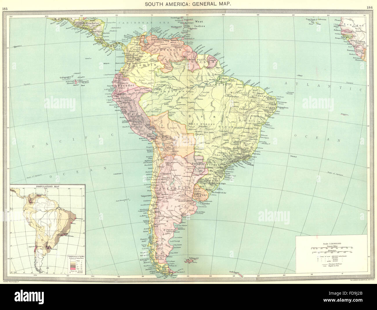 SOUTH AMERICA: map of population, 1907 Stock Photohttps://www.alamy.com/image-license-details/?v=1https://www.alamy.com/stock-photo-south-america-map-of-population-1907-94254115.html
RFFD9J2B–SOUTH AMERICA: map of population, 1907
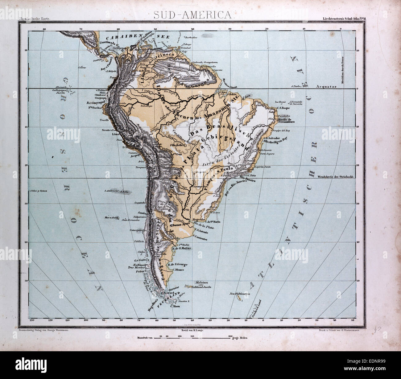 South America Map, atlas by Th. von Liechtenstern and Henry Lange, antique map 1869 Stock Photohttps://www.alamy.com/image-license-details/?v=1https://www.alamy.com/stock-photo-south-america-map-atlas-by-th-von-liechtenstern-and-henry-lange-antique-77311285.html
RMEDNR99–South America Map, atlas by Th. von Liechtenstern and Henry Lange, antique map 1869
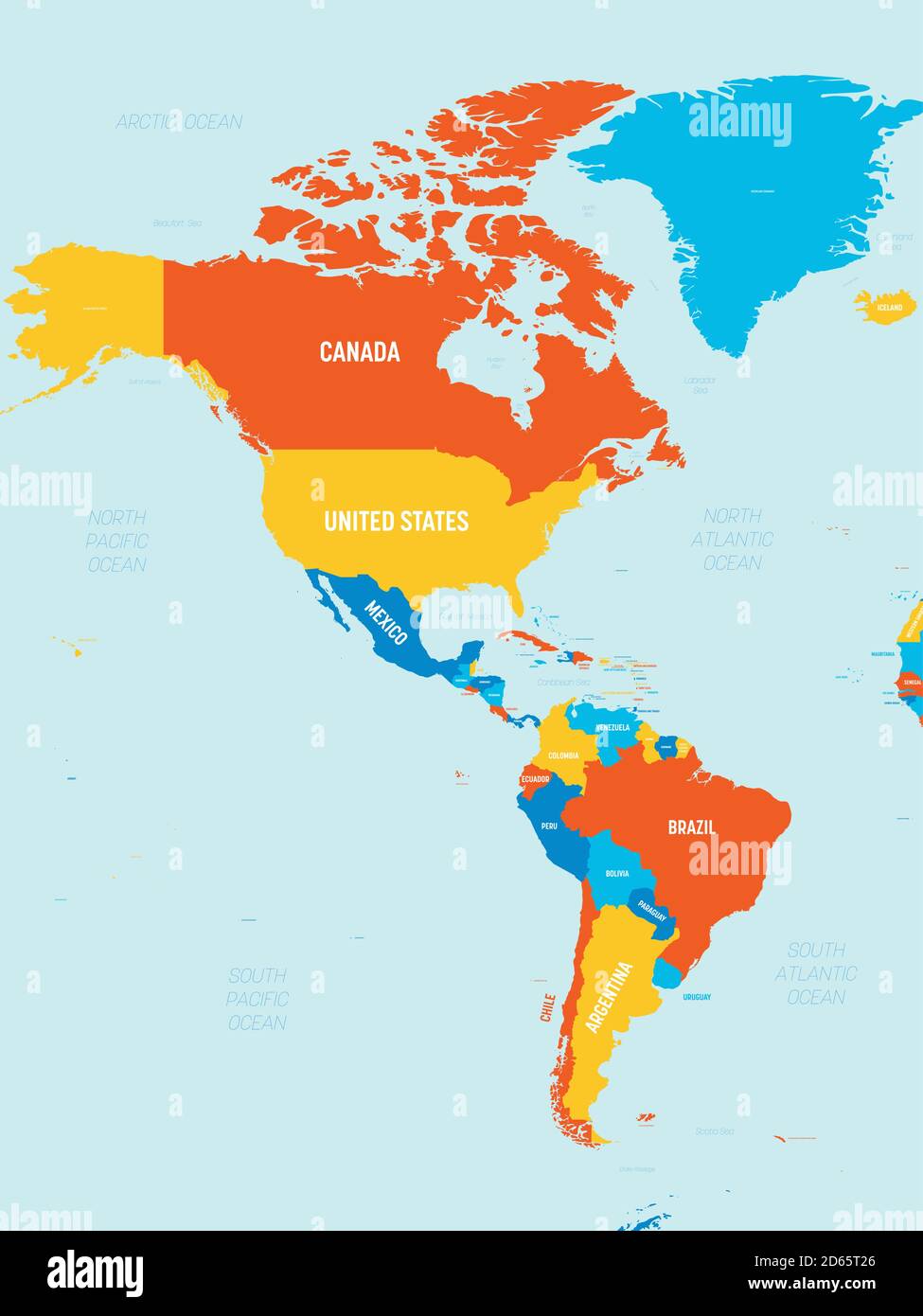 Americas map - 4 bright color scheme. High detailed political map of North and South America continent with country, ocean and sea names labeling. Stock Vectorhttps://www.alamy.com/image-license-details/?v=1https://www.alamy.com/americas-map-4-bright-color-scheme-high-detailed-political-map-of-north-and-south-america-continent-with-country-ocean-and-sea-names-labeling-image382444670.html
RF2D65T26–Americas map - 4 bright color scheme. High detailed political map of North and South America continent with country, ocean and sea names labeling.
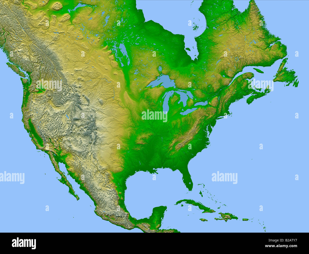 high definition weather satellite view of North America map Stock Photohttps://www.alamy.com/image-license-details/?v=1https://www.alamy.com/stock-photo-high-definition-weather-satellite-view-of-north-america-map-18678779.html
RMB2ATY7–high definition weather satellite view of North America map
 United States of America map Stock Photohttps://www.alamy.com/image-license-details/?v=1https://www.alamy.com/stock-photo-united-states-of-america-map-130734494.html
RFHGKD52–United States of America map
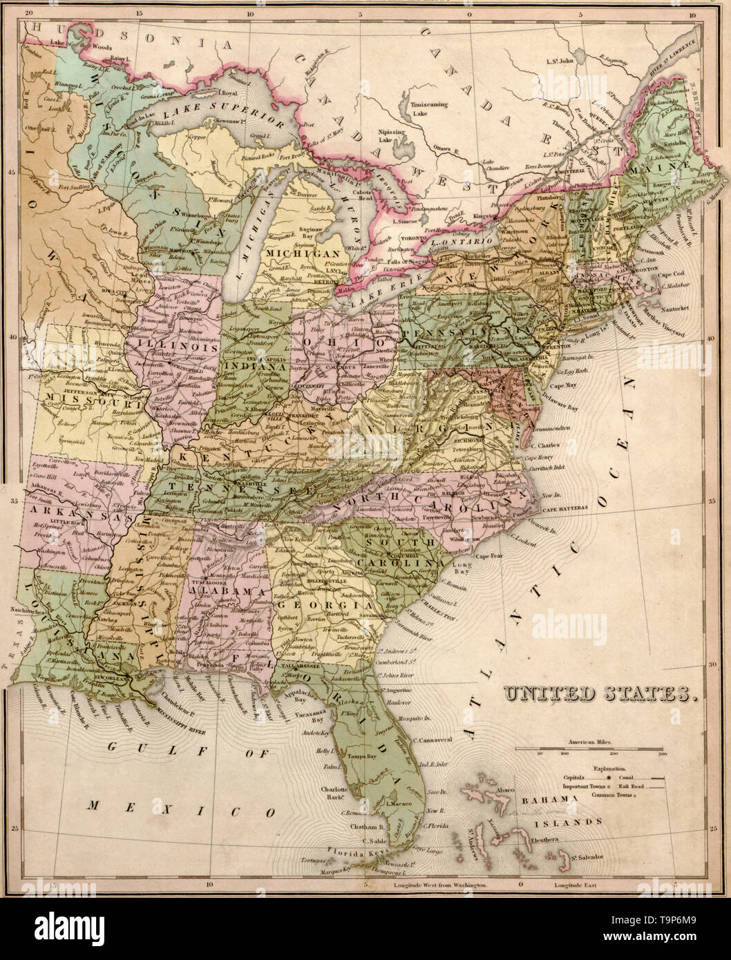 Map of the United States of America, 1844 Stock Photohttps://www.alamy.com/image-license-details/?v=1https://www.alamy.com/map-of-the-united-states-of-america-1844-image246965273.html
RMT9P6M9–Map of the United States of America, 1844
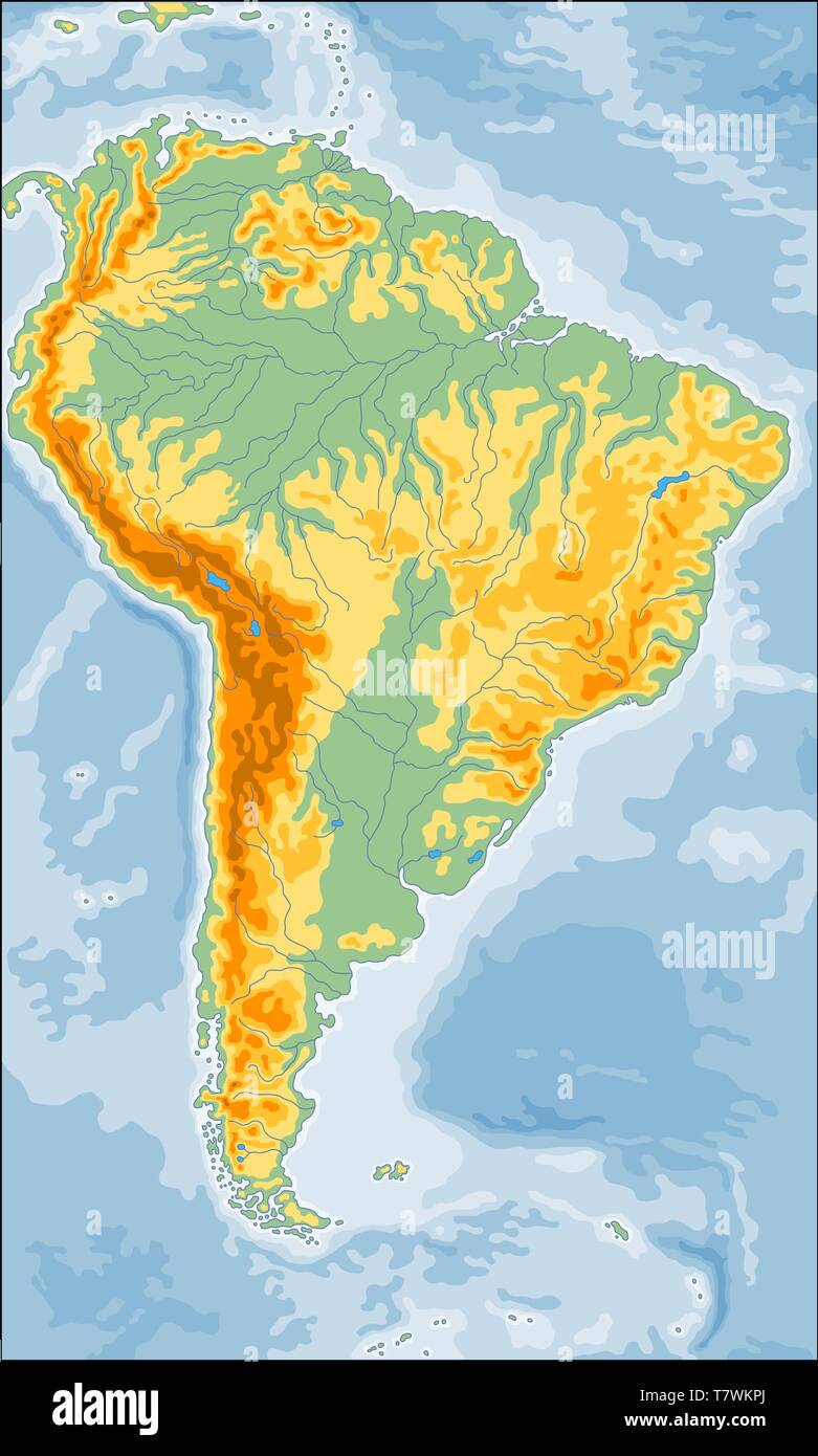 Physical South America map Stock Vectorhttps://www.alamy.com/image-license-details/?v=1https://www.alamy.com/physical-south-america-map-image245812074.html
RFT7WKPJ–Physical South America map
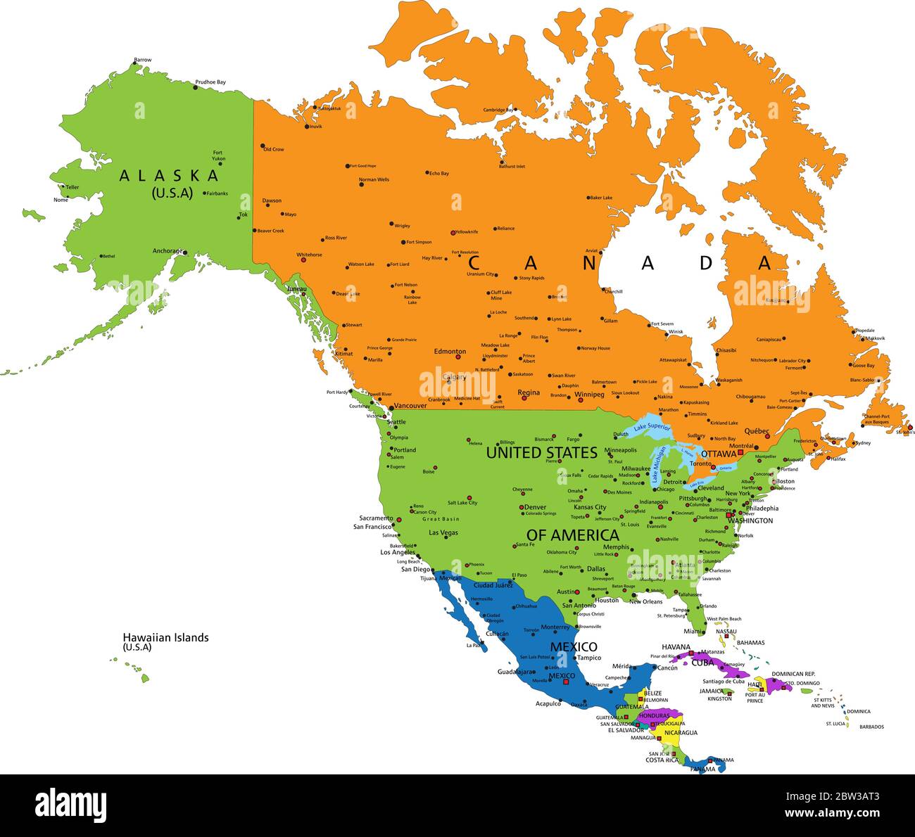 Colorful North America political map with clearly labeled, separated layers. Vector illustration. Stock Vectorhttps://www.alamy.com/image-license-details/?v=1https://www.alamy.com/colorful-north-america-political-map-with-clearly-labeled-separated-layers-vector-illustration-image359648131.html
RF2BW3AT3–Colorful North America political map with clearly labeled, separated layers. Vector illustration.
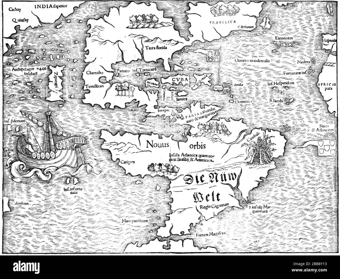 AMERICA North and South America in the 1545 map by Sebastian Munster held by the University of Virginia. Stock Photohttps://www.alamy.com/image-license-details/?v=1https://www.alamy.com/america-north-and-south-america-in-the-1545-map-by-sebastian-munster-held-by-the-university-of-virginia-image351165391.html
RM2BB8Y13–AMERICA North and South America in the 1545 map by Sebastian Munster held by the University of Virginia.
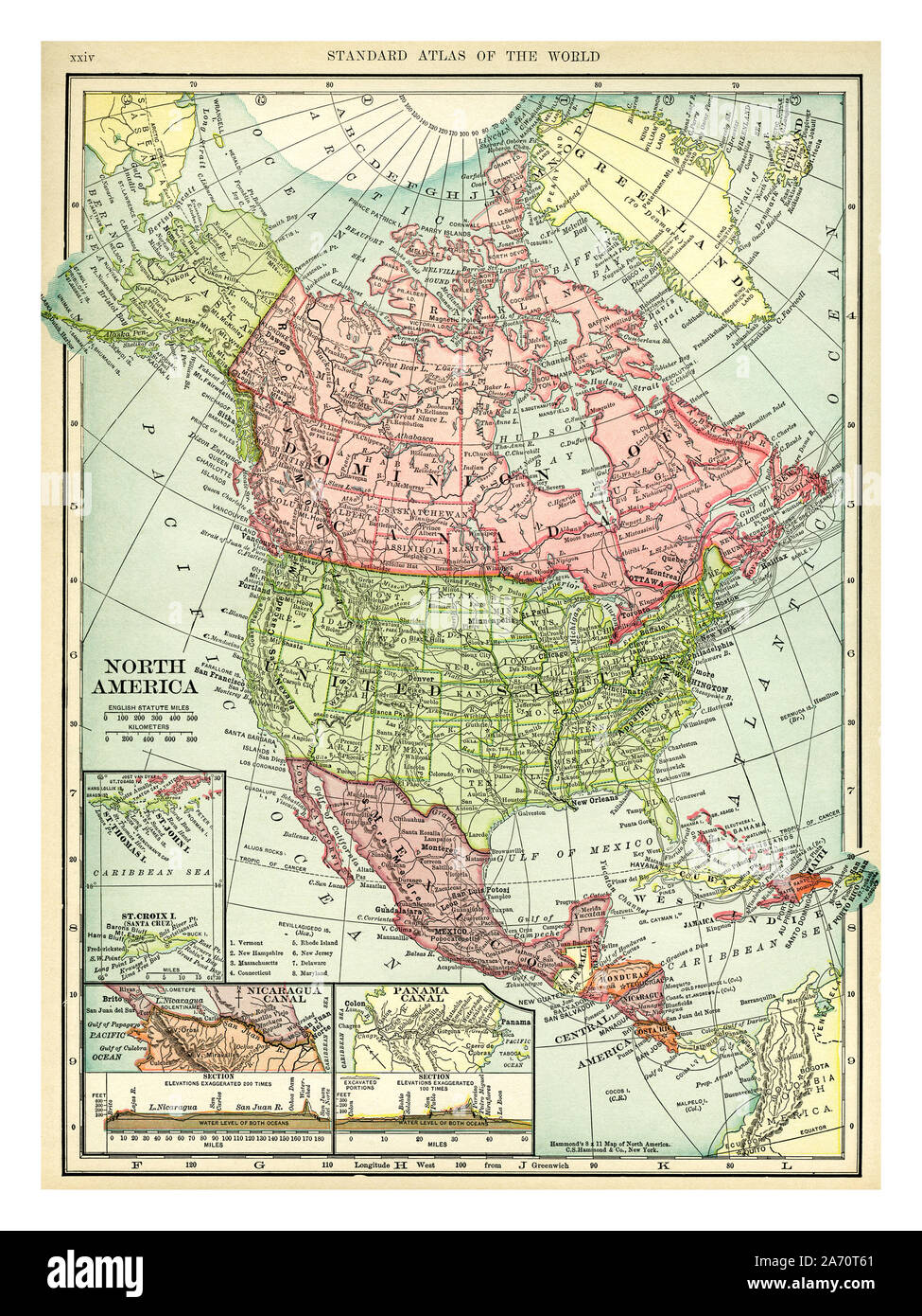 Vintage 1906 map of North America. Countries included on this map are: Canada, Greenland, United States, Mexico, Guatemala, Honduras, Nicaragua, Costa Rica, Cuba and Haiti. C. S. Hammond map printed and published 1906. Stock Photohttps://www.alamy.com/image-license-details/?v=1https://www.alamy.com/vintage-1906-map-of-north-america-countries-included-on-this-map-are-canada-greenland-united-states-mexico-guatemala-honduras-nicaragua-costa-rica-cuba-and-haiti-c-s-hammond-map-printed-and-published-1906-image331318569.html
RM2A70T61–Vintage 1906 map of North America. Countries included on this map are: Canada, Greenland, United States, Mexico, Guatemala, Honduras, Nicaragua, Costa Rica, Cuba and Haiti. C. S. Hammond map printed and published 1906.
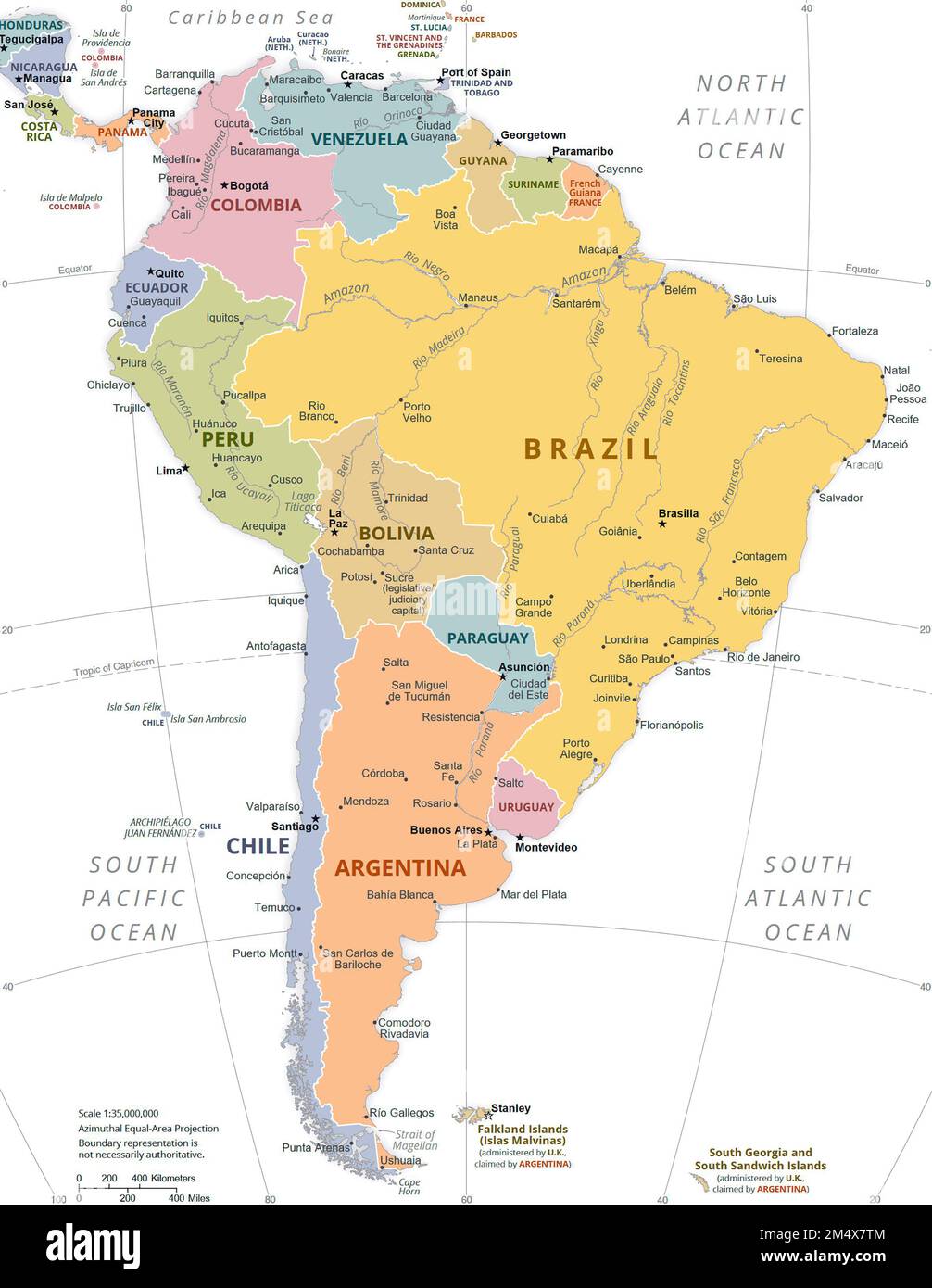 Political Map of South America. Stock Photohttps://www.alamy.com/image-license-details/?v=1https://www.alamy.com/political-map-of-south-america-image502136228.html
RM2M4X7TM–Political Map of South America.
 South America map logo design illustration vector template Stock Vectorhttps://www.alamy.com/image-license-details/?v=1https://www.alamy.com/south-america-map-logo-design-illustration-vector-template-image438495973.html
RF2GDB62D–South America map logo design illustration vector template
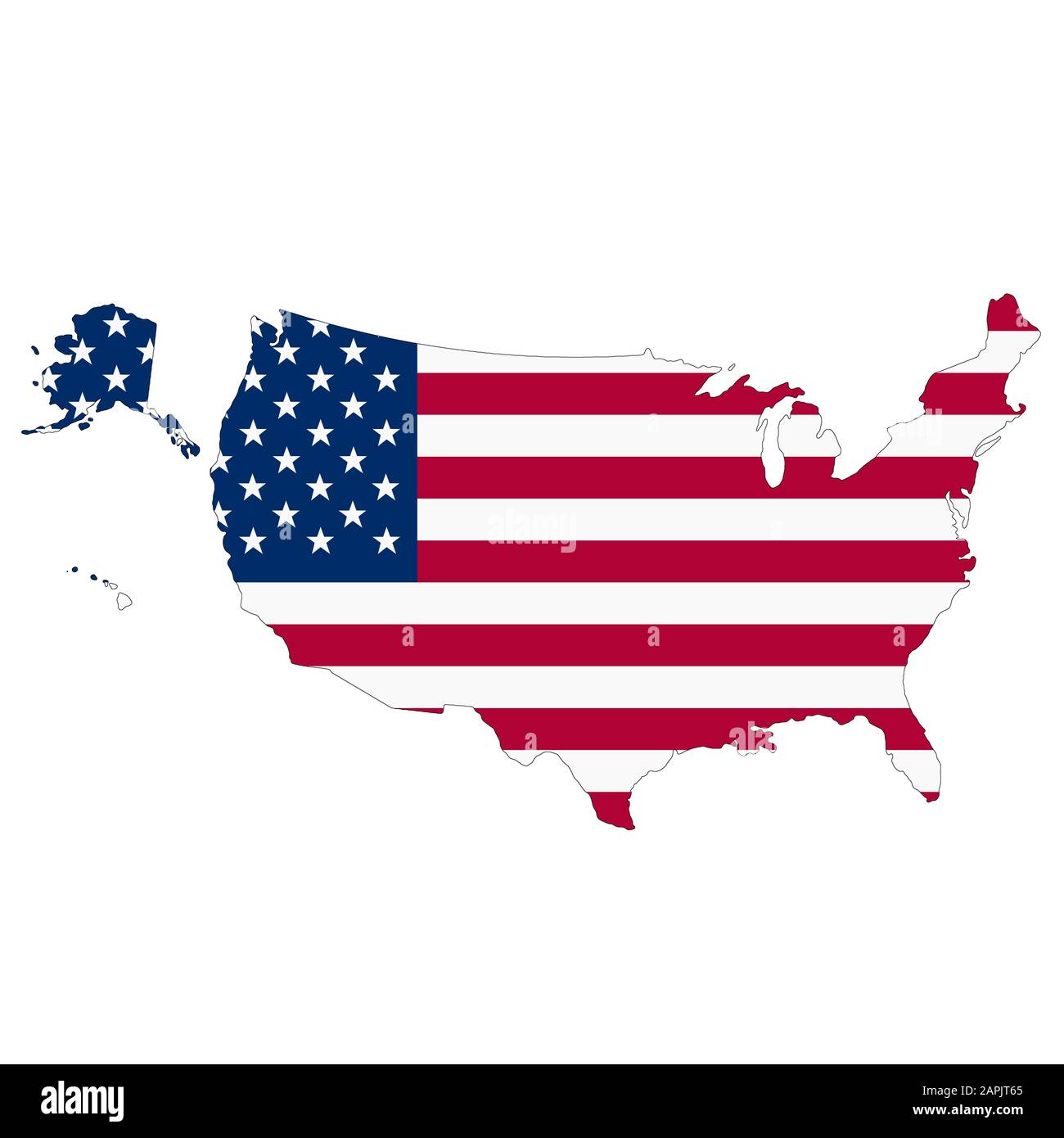 A United States of America map on white background with clipping path Stock Photohttps://www.alamy.com/image-license-details/?v=1https://www.alamy.com/a-united-states-of-america-map-on-white-background-with-clipping-path-image340933549.html
RF2APJT65–A United States of America map on white background with clipping path
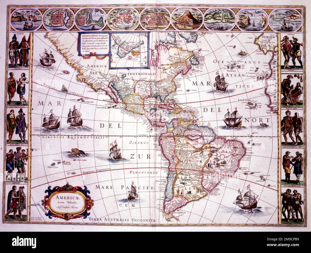 Map of North and South America Stock Photohttps://www.alamy.com/image-license-details/?v=1https://www.alamy.com/map-of-north-and-south-america-image504913565.html
RM2M9CPB9–Map of North and South America
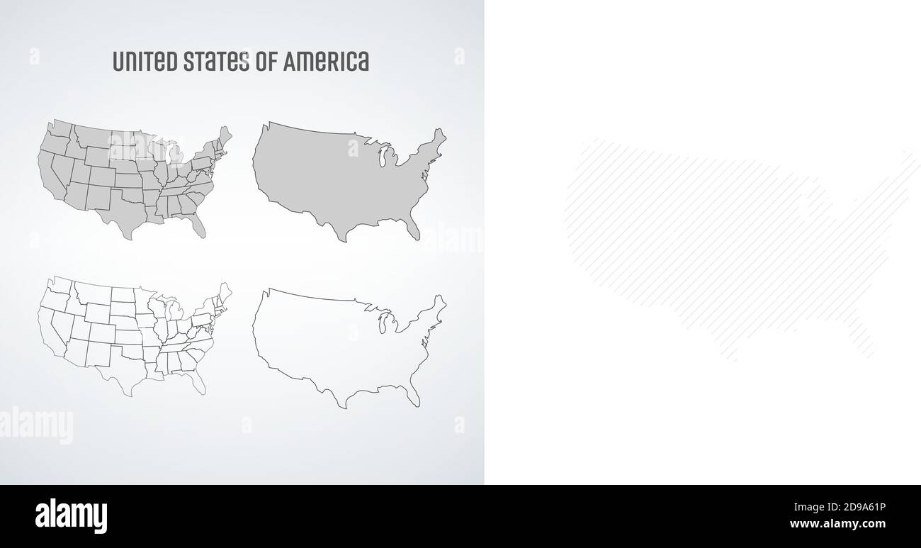 Simplified vector map of United States of America, map set with states. Stock vector illustration isolated on white background. Stock Vectorhttps://www.alamy.com/image-license-details/?v=1https://www.alamy.com/simplified-vector-map-of-united-states-of-america-map-set-with-states-stock-vector-illustration-isolated-on-white-background-image384384274.html
RF2D9A61P–Simplified vector map of United States of America, map set with states. Stock vector illustration isolated on white background.
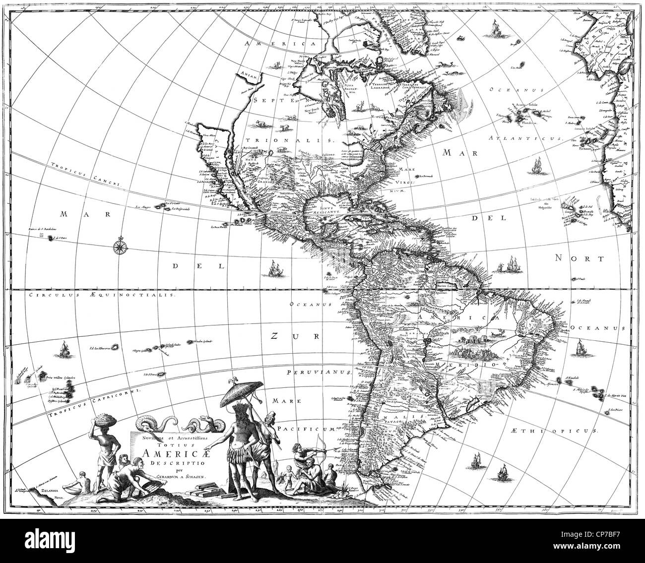 Map of North America and South America showing California as an island. Stock Photohttps://www.alamy.com/image-license-details/?v=1https://www.alamy.com/stock-photo-map-of-north-america-and-south-america-showing-california-as-an-island-48105883.html
RMCP7BF7–Map of North America and South America showing California as an island.
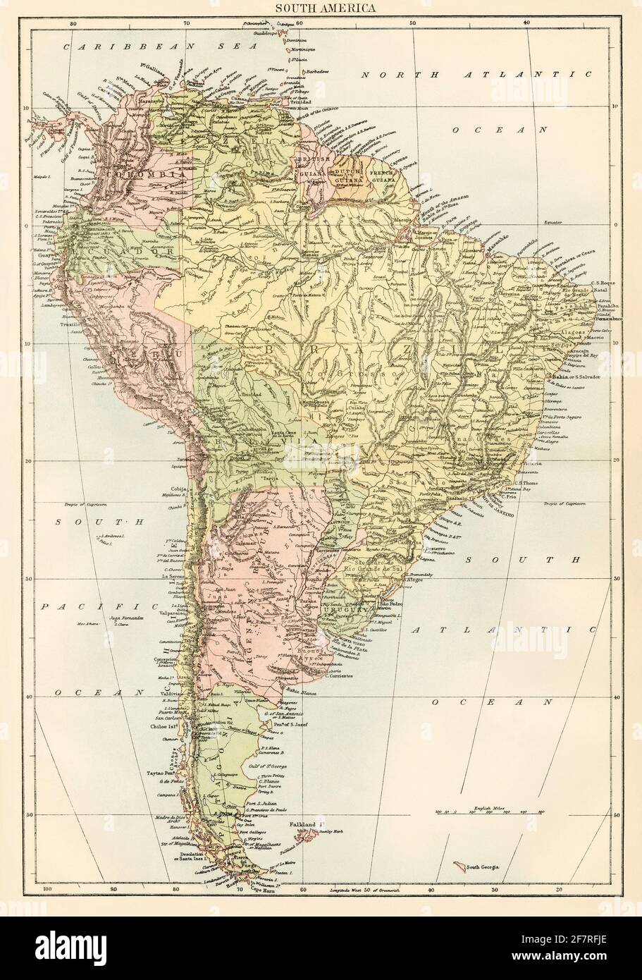 Map of South America, 1870s. Color lithograph Stock Photohttps://www.alamy.com/image-license-details/?v=1https://www.alamy.com/map-of-south-america-1870s-color-lithograph-image417868598.html
RM2F7RFJE–Map of South America, 1870s. Color lithograph
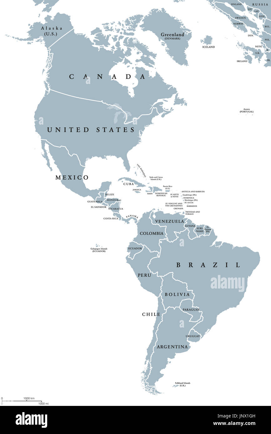 The Americas political map with countries and borders of the two continents North and South America. English labeling. Gray illustration on white. Stock Photohttps://www.alamy.com/image-license-details/?v=1https://www.alamy.com/the-americas-political-map-with-countries-and-borders-of-the-two-continents-image151162721.html
RFJNX1GH–The Americas political map with countries and borders of the two continents North and South America. English labeling. Gray illustration on white.
 cartography, maps/sea charts, America, map from an atlas by Gerhard Mercator, published 1632 in Amsterdam, globe, world ball, globes, world balls, longitude, degree of longitude, degrees of longitude, latitudinal lines, 17th century, historic, historical, Pacific, Pacific Ocean, Additional-Rights-Clearences-Not Available Stock Photohttps://www.alamy.com/image-license-details/?v=1https://www.alamy.com/stock-photo-cartography-mapssea-charts-america-map-from-an-atlas-by-gerhard-mercator-47891565.html
RMCNWJ51–cartography, maps/sea charts, America, map from an atlas by Gerhard Mercator, published 1632 in Amsterdam, globe, world ball, globes, world balls, longitude, degree of longitude, degrees of longitude, latitudinal lines, 17th century, historic, historical, Pacific, Pacific Ocean, Additional-Rights-Clearences-Not Available
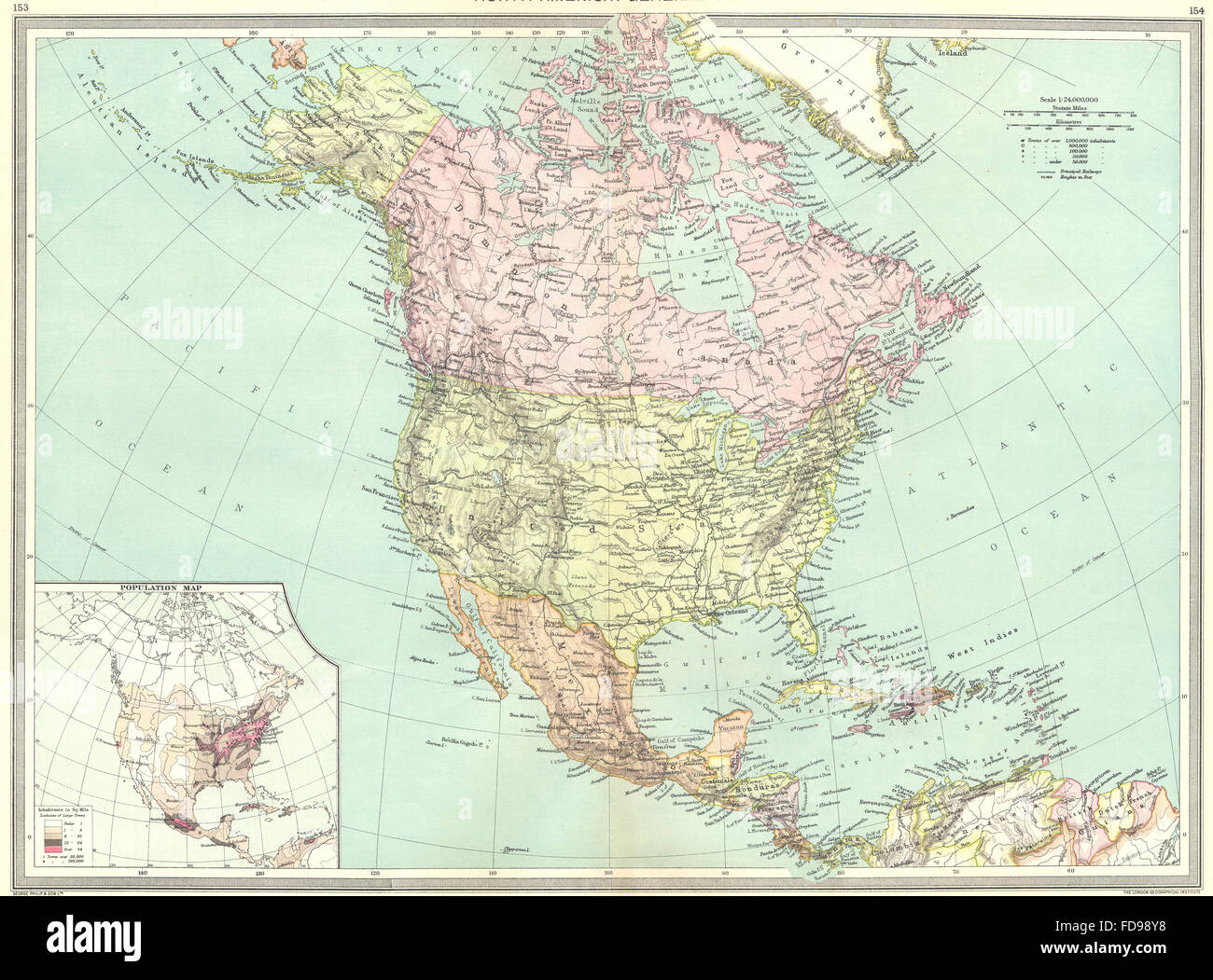 NORTH AMERICA: map of population, 1907 Stock Photohttps://www.alamy.com/image-license-details/?v=1https://www.alamy.com/stock-photo-north-america-map-of-population-1907-94246972.html
RFFD98Y8–NORTH AMERICA: map of population, 1907
 North America map, The General Gazetteer The eighteenth edition, with very considerable additions by A. Picquot, 19th century Stock Photohttps://www.alamy.com/image-license-details/?v=1https://www.alamy.com/stock-photo-north-america-map-the-general-gazetteer-the-eighteenth-edition-with-77458656.html
RMEE0F8G–North America map, The General Gazetteer The eighteenth edition, with very considerable additions by A. Picquot, 19th century
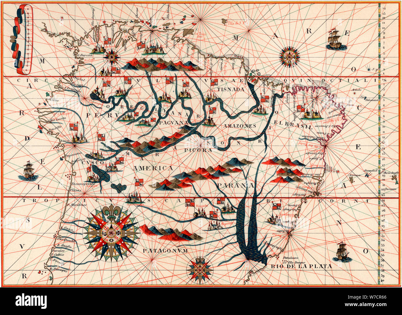 Part of South America, 1582. Artist: Unknown Stock Photohttps://www.alamy.com/image-license-details/?v=1https://www.alamy.com/part-of-south-america-1582-artist-unknown-image262739742.html
RMW7CR66–Part of South America, 1582. Artist: Unknown
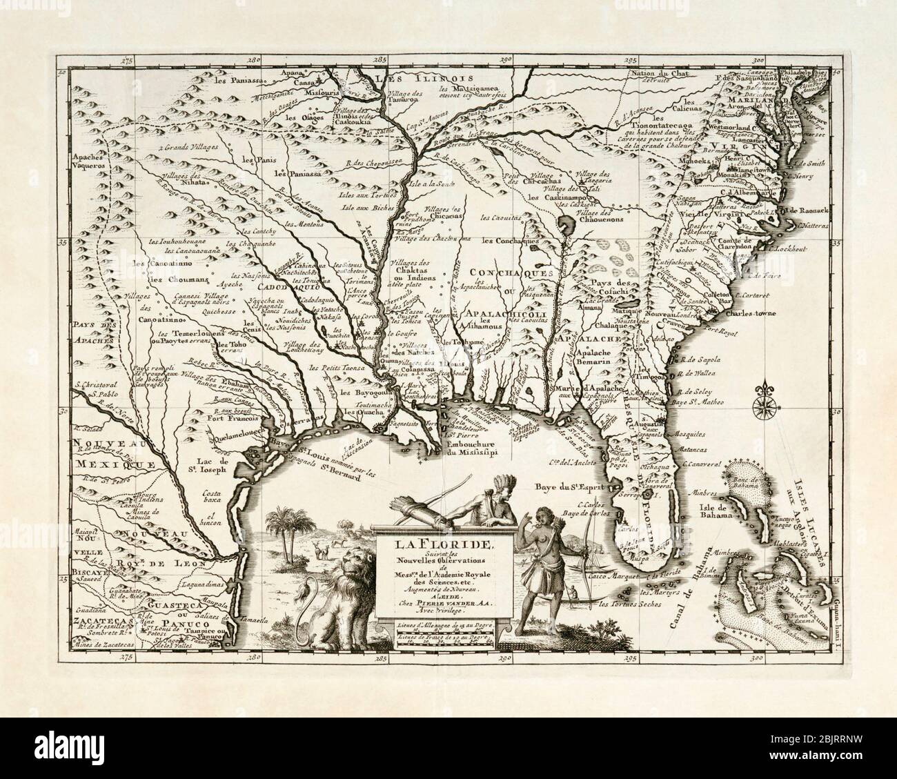 La Floride. Map of south-east North America, including Florida, showing Native American villages and French, Spanish and English settlements. Published by Pieter van der Aa, Leiden, circa 1713. Stock Photohttps://www.alamy.com/image-license-details/?v=1https://www.alamy.com/la-floride-map-of-south-east-north-america-including-florida-showing-native-american-villages-and-french-spanish-and-english-settlements-published-by-pieter-van-der-aa-leiden-circa-1713-image355794709.html
RM2BJRRNW–La Floride. Map of south-east North America, including Florida, showing Native American villages and French, Spanish and English settlements. Published by Pieter van der Aa, Leiden, circa 1713.
 United States of America map with name Stock Photohttps://www.alamy.com/image-license-details/?v=1https://www.alamy.com/stock-photo-united-states-of-america-map-with-name-130734488.html
RFHGKD4T–United States of America map with name
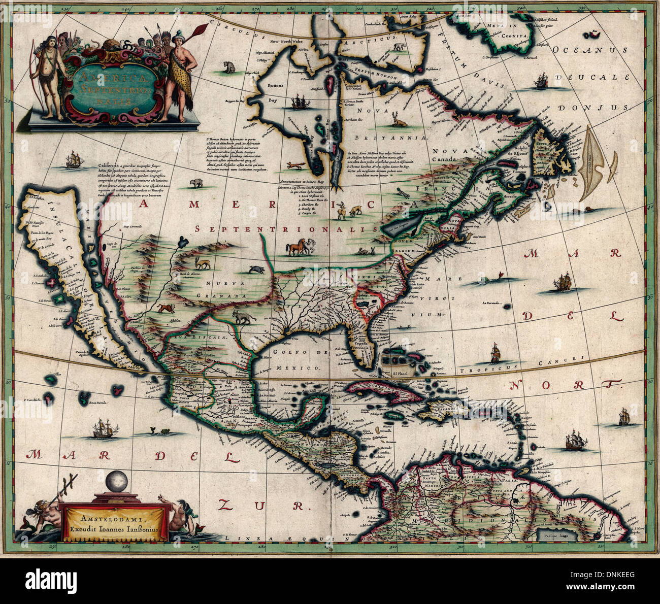 America Septentrionalis Map of North America January 1652 Stock Photohttps://www.alamy.com/image-license-details/?v=1https://www.alamy.com/america-septentrionalis-map-of-north-america-january-1652-image64967352.html
RMDNKEEG–America Septentrionalis Map of North America January 1652
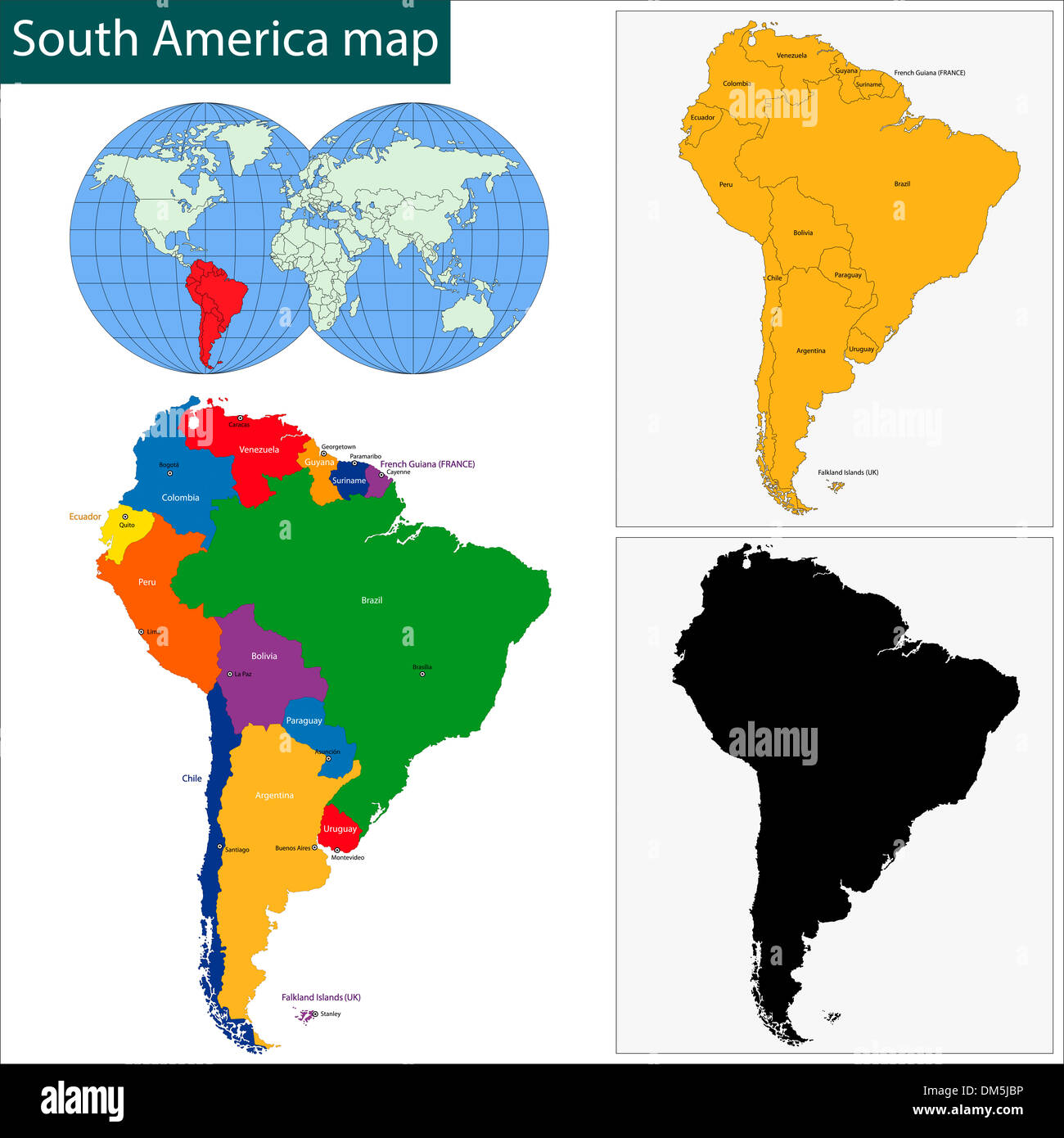 South America map Stock Photohttps://www.alamy.com/image-license-details/?v=1https://www.alamy.com/south-america-map-image64048426.html
RFDM5JBP–South America map
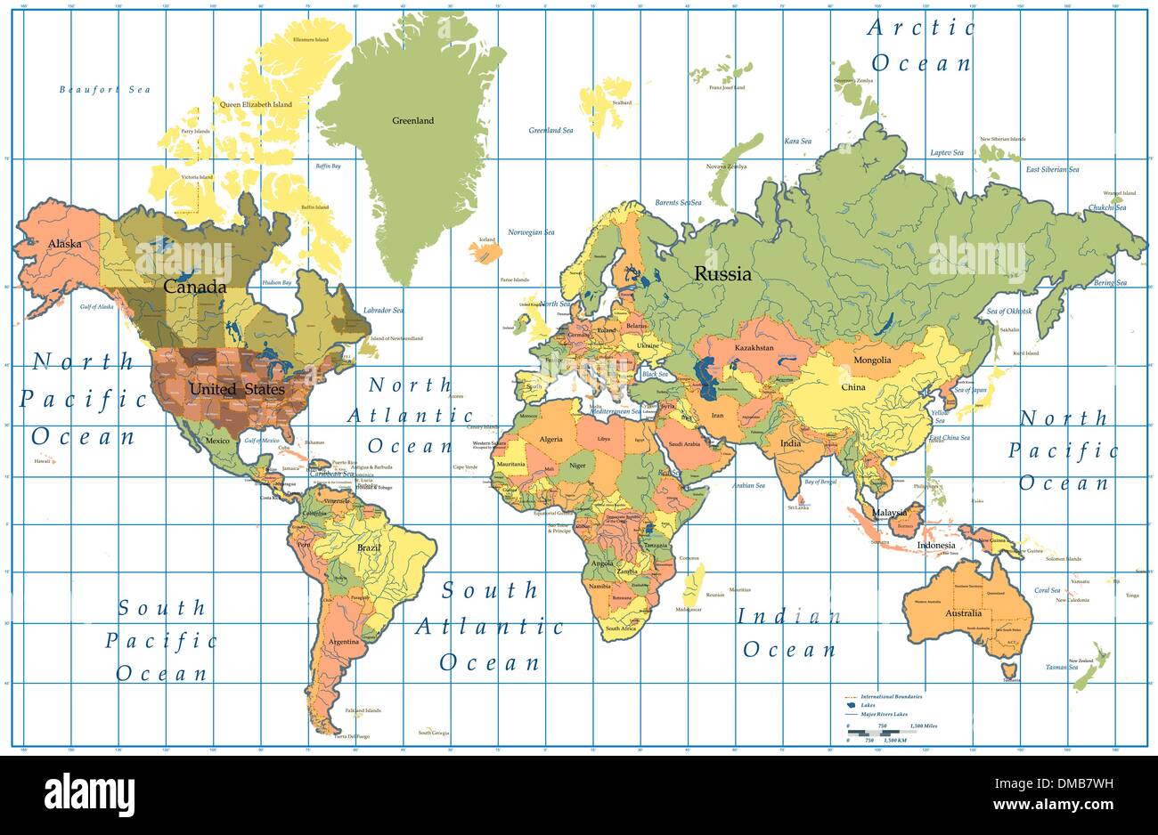 World Map. Stock Vectorhttps://www.alamy.com/image-license-details/?v=1https://www.alamy.com/world-map-image64171901.html
RFDMB7WH–World Map.
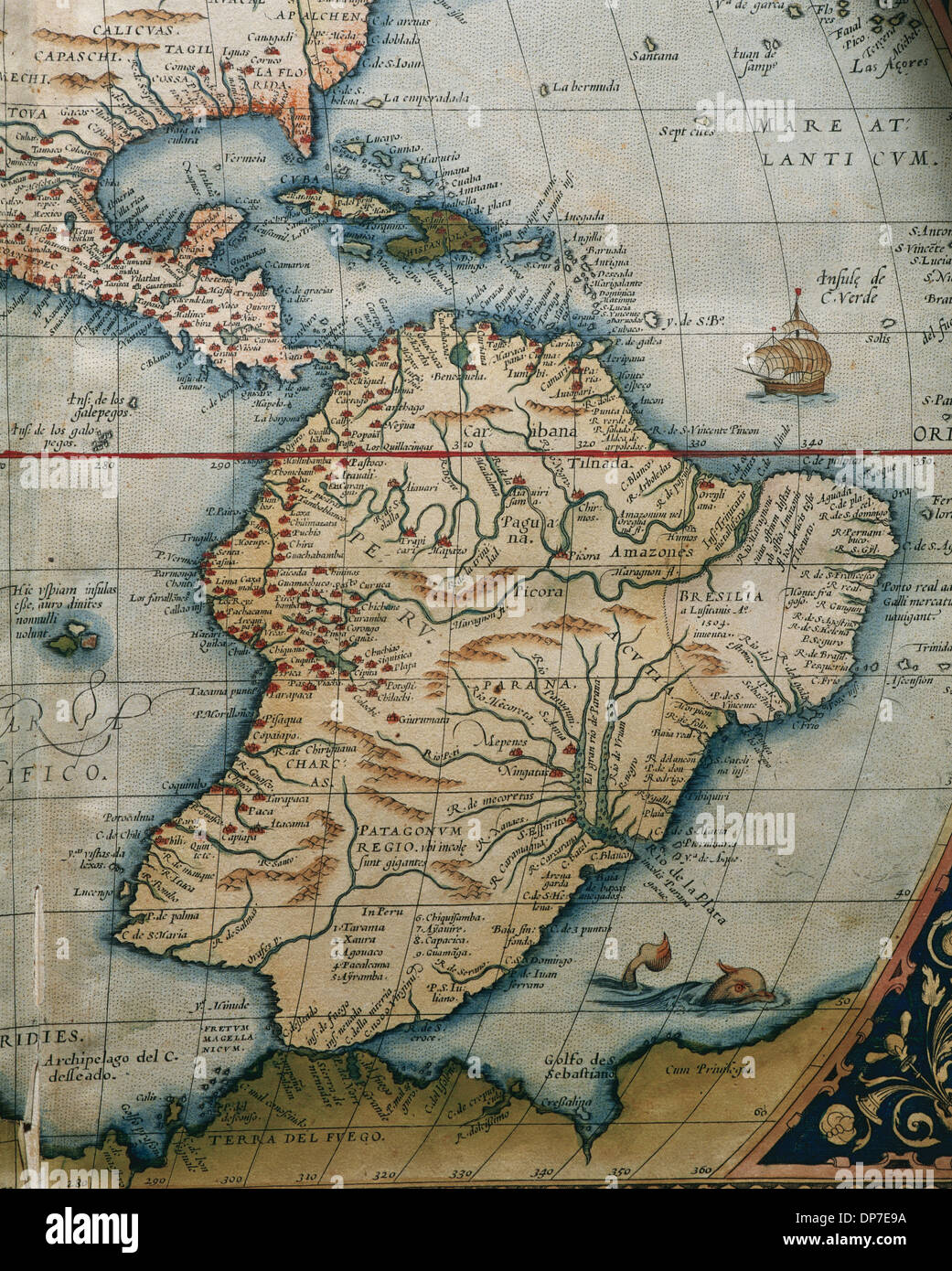 Map of Central and South America. Theatrum Orbis Terrarum by Abraham Ortelius (1527-1598). First Edition. Antwerp, 1574. Stock Photohttps://www.alamy.com/image-license-details/?v=1https://www.alamy.com/map-of-central-and-south-america-theatrum-orbis-terrarum-by-abraham-image65318438.html
RMDP7E9A–Map of Central and South America. Theatrum Orbis Terrarum by Abraham Ortelius (1527-1598). First Edition. Antwerp, 1574.
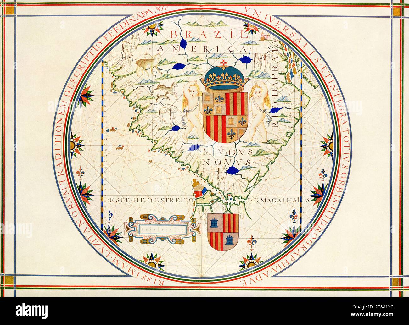 Map of the Southern Tip of America. After a map in Lisbon that dates to 1571 that was made by the Portuguese geographer Fernao Vaz Dourado. This map is attributed to Portuguese cartographer, navigator, and illuminator Fernão Vaz Dourado (circa 1520-80), based on similarities between other maps by Vaz and illustrations in this manuscript. Vaz produced seven brilliantly illuminated sea atlases between 1568 and 1580. This map, from his atlas dating to about 1576, shows the southern tip of South America. The atlas became part of the collections of the National Library of Portugal after 1910. Stock Photohttps://www.alamy.com/image-license-details/?v=1https://www.alamy.com/map-of-the-southern-tip-of-america-after-a-map-in-lisbon-that-dates-to-1571-that-was-made-by-the-portuguese-geographer-fernao-vaz-dourado-this-map-is-attributed-to-portuguese-cartographer-navigator-and-illuminator-ferno-vaz-dourado-circa-1520-80-based-on-similarities-between-other-maps-by-vaz-and-illustrations-in-this-manuscript-vaz-produced-seven-brilliantly-illuminated-sea-atlases-between-1568-and-1580-this-map-from-his-atlas-dating-to-about-1576-shows-the-southern-tip-of-south-america-the-atlas-became-part-of-the-collections-of-the-national-library-of-portugal-after-1910-image573036560.html
RF2T881YC–Map of the Southern Tip of America. After a map in Lisbon that dates to 1571 that was made by the Portuguese geographer Fernao Vaz Dourado. This map is attributed to Portuguese cartographer, navigator, and illuminator Fernão Vaz Dourado (circa 1520-80), based on similarities between other maps by Vaz and illustrations in this manuscript. Vaz produced seven brilliantly illuminated sea atlases between 1568 and 1580. This map, from his atlas dating to about 1576, shows the southern tip of South America. The atlas became part of the collections of the National Library of Portugal after 1910.
 South America map made from halftone dot pattern Stock Vectorhttps://www.alamy.com/image-license-details/?v=1https://www.alamy.com/south-america-map-made-from-halftone-dot-pattern-image355275237.html
RF2BJ0559–South America map made from halftone dot pattern
 Scribble south america map vector Stock Vectorhttps://www.alamy.com/image-license-details/?v=1https://www.alamy.com/scribble-south-america-map-vector-image214304341.html
RFPCJBAD–Scribble south america map vector
 America map from Grand voyages (1596) by Theodor de Bry (1528-1598). Stock Photohttps://www.alamy.com/image-license-details/?v=1https://www.alamy.com/america-map-from-grand-voyages-1596-by-theodor-de-bry-1528-1598-image444898145.html
RM2GRPT3D–America map from Grand voyages (1596) by Theodor de Bry (1528-1598).
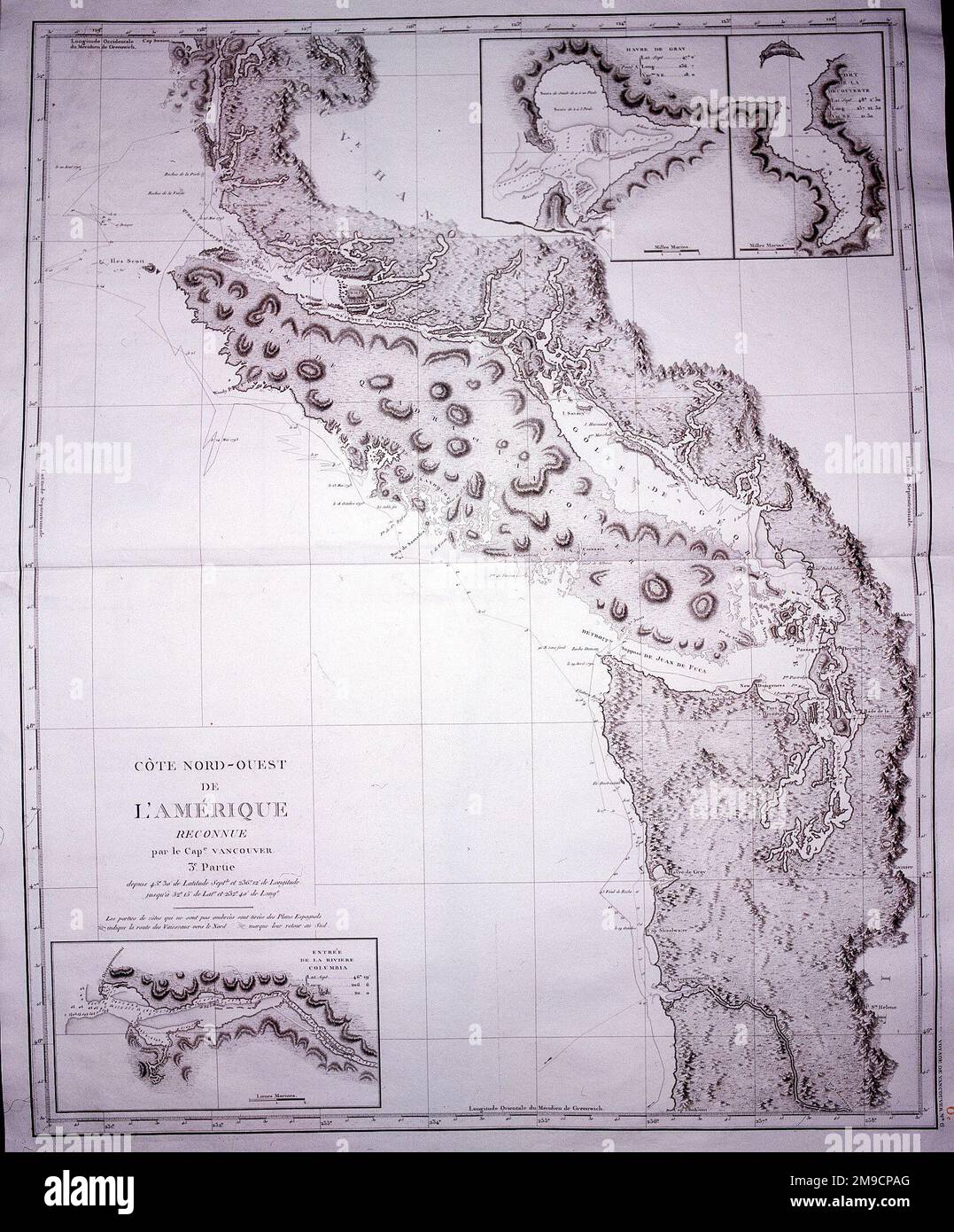 Map of the North West Coast of America Stock Photohttps://www.alamy.com/image-license-details/?v=1https://www.alamy.com/map-of-the-north-west-coast-of-america-image504913544.html
RM2M9CPAG–Map of the North West Coast of America
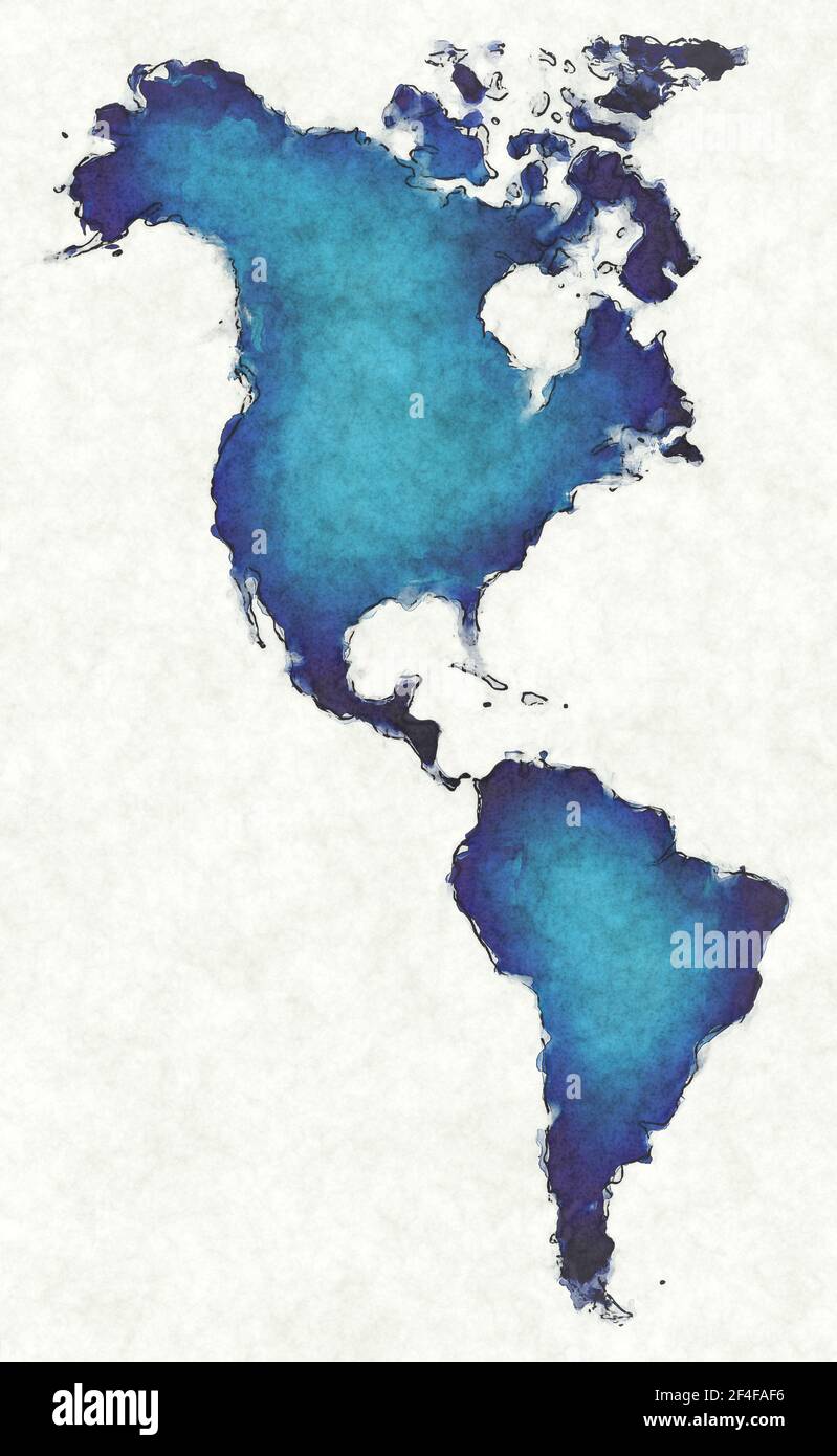 America map with drawn lines and blue watercolor illustration Stock Photohttps://www.alamy.com/image-license-details/?v=1https://www.alamy.com/america-map-with-drawn-lines-and-blue-watercolor-illustration-image415845002.html
RF2F4FAF6–America map with drawn lines and blue watercolor illustration
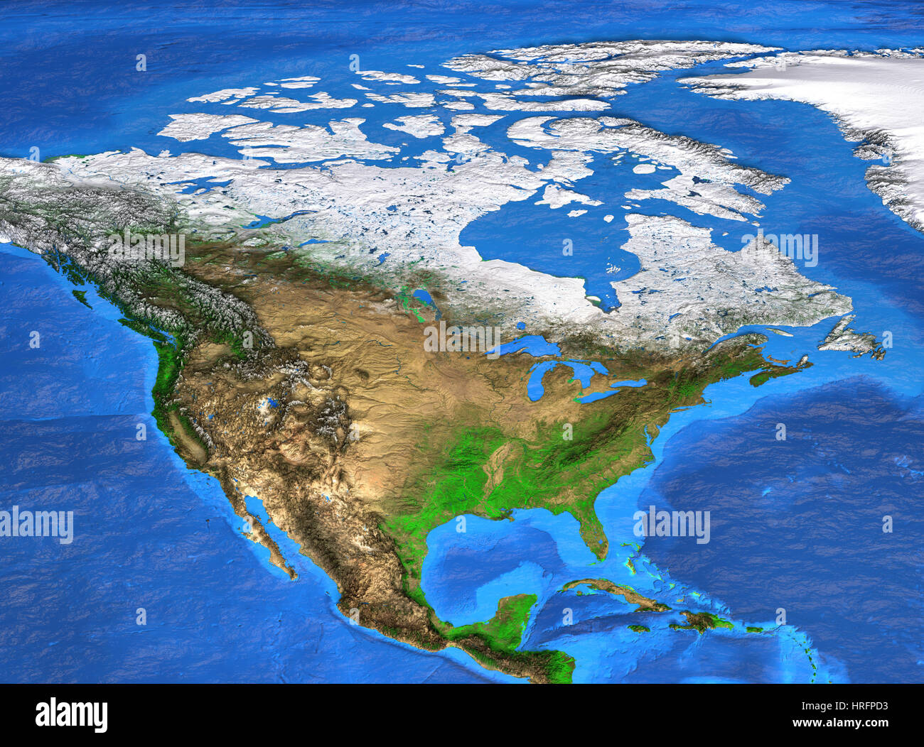 Detailed satellite view of the Earth and its landforms. North America map. Elements of this image furnished by NASA Stock Photohttps://www.alamy.com/image-license-details/?v=1https://www.alamy.com/stock-photo-detailed-satellite-view-of-the-earth-and-its-landforms-north-america-134956559.html
RFHRFPD3–Detailed satellite view of the Earth and its landforms. North America map. Elements of this image furnished by NASA
 North america map Stock Vectorhttps://www.alamy.com/image-license-details/?v=1https://www.alamy.com/stock-photo-north-america-map-93938515.html
RFFCR7EY–North america map
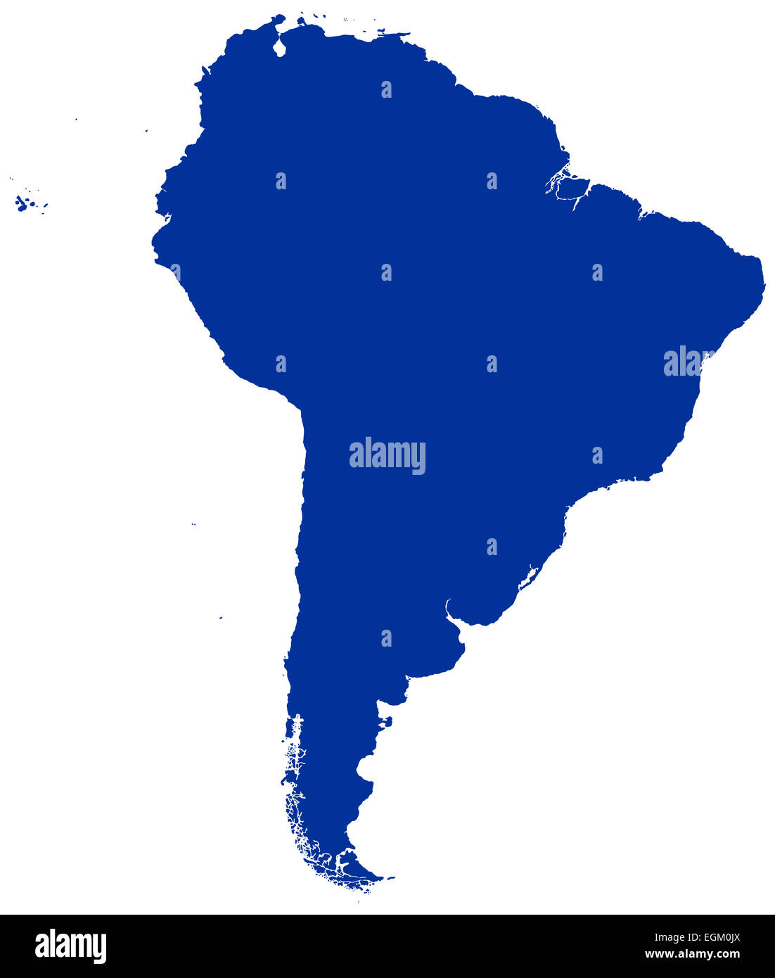 South America Map Silhouette Stock Photohttps://www.alamy.com/image-license-details/?v=1https://www.alamy.com/stock-photo-south-america-map-silhouette-79115538.html
RFEGM0JX–South America Map Silhouette
RFEAH6T2–Aouth America Map - icon isolated. Vector
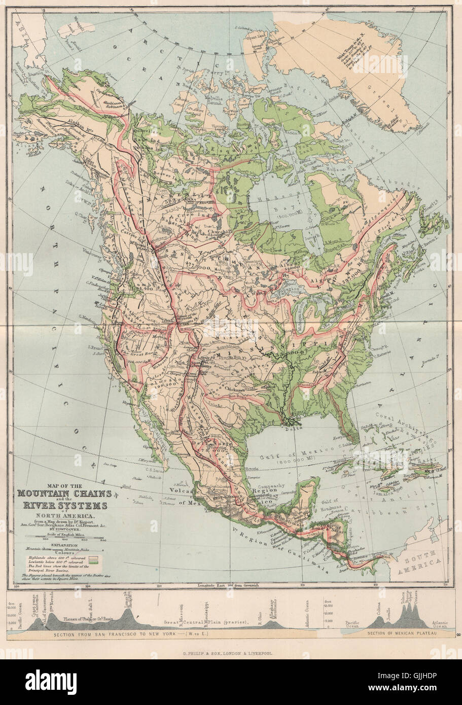 NORTH AMERICA. Map Mountain Chains & river systems of, 1886 Stock Photohttps://www.alamy.com/image-license-details/?v=1https://www.alamy.com/stock-photo-north-america-map-mountain-chains-river-systems-of-1886-114734866.html
RFGJJHDP–NORTH AMERICA. Map Mountain Chains & river systems of, 1886
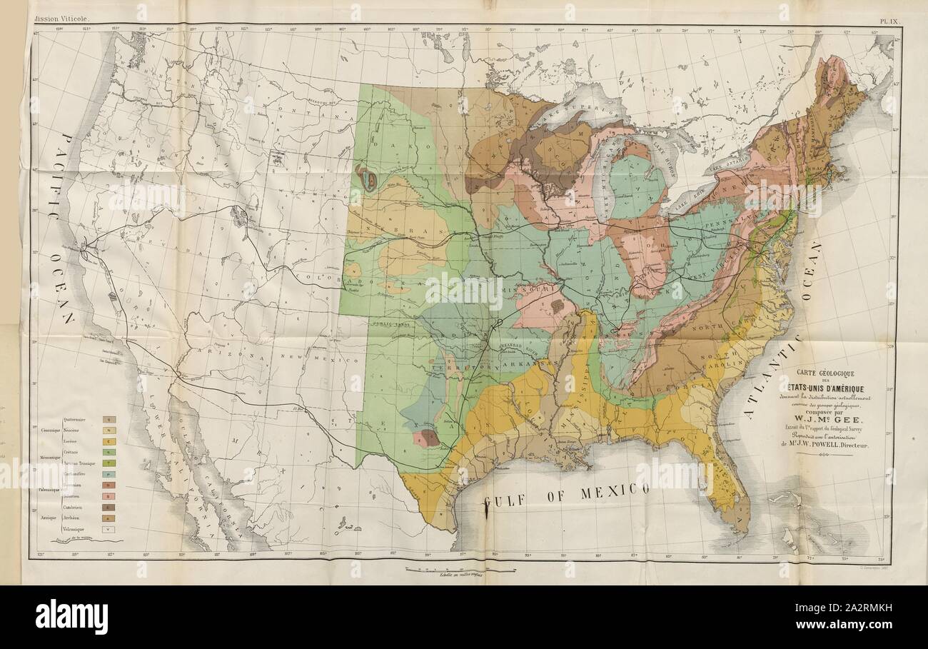 Geological map of the United States of America ..., Map of the USA, Signed: G. Severeyns lith, Pl. IX, after p. 375, Severeyns, G. (lith.), 1889, Pierre Viala, B. Chauzit: Une mission viticole en Amérique. Montpellier: Camille Coulet, Libraire-Editeur; Paris: Georges Masson, 1889 Stock Photohttps://www.alamy.com/image-license-details/?v=1https://www.alamy.com/geological-map-of-the-united-states-of-america-map-of-the-usa-signed-g-severeyns-lith-pl-ix-after-p-375-severeyns-g-lith-1889-pierre-viala-b-chauzit-une-mission-viticole-en-amrique-montpellier-camille-coulet-libraire-editeur-paris-georges-masson-1889-image328747429.html
RM2A2RMKH–Geological map of the United States of America ..., Map of the USA, Signed: G. Severeyns lith, Pl. IX, after p. 375, Severeyns, G. (lith.), 1889, Pierre Viala, B. Chauzit: Une mission viticole en Amérique. Montpellier: Camille Coulet, Libraire-Editeur; Paris: Georges Masson, 1889