Andaman and nicobar islands outline Stock Photos and Images
(133)See andaman and nicobar islands outline stock video clipsQuick filters:
Andaman and nicobar islands outline Stock Photos and Images
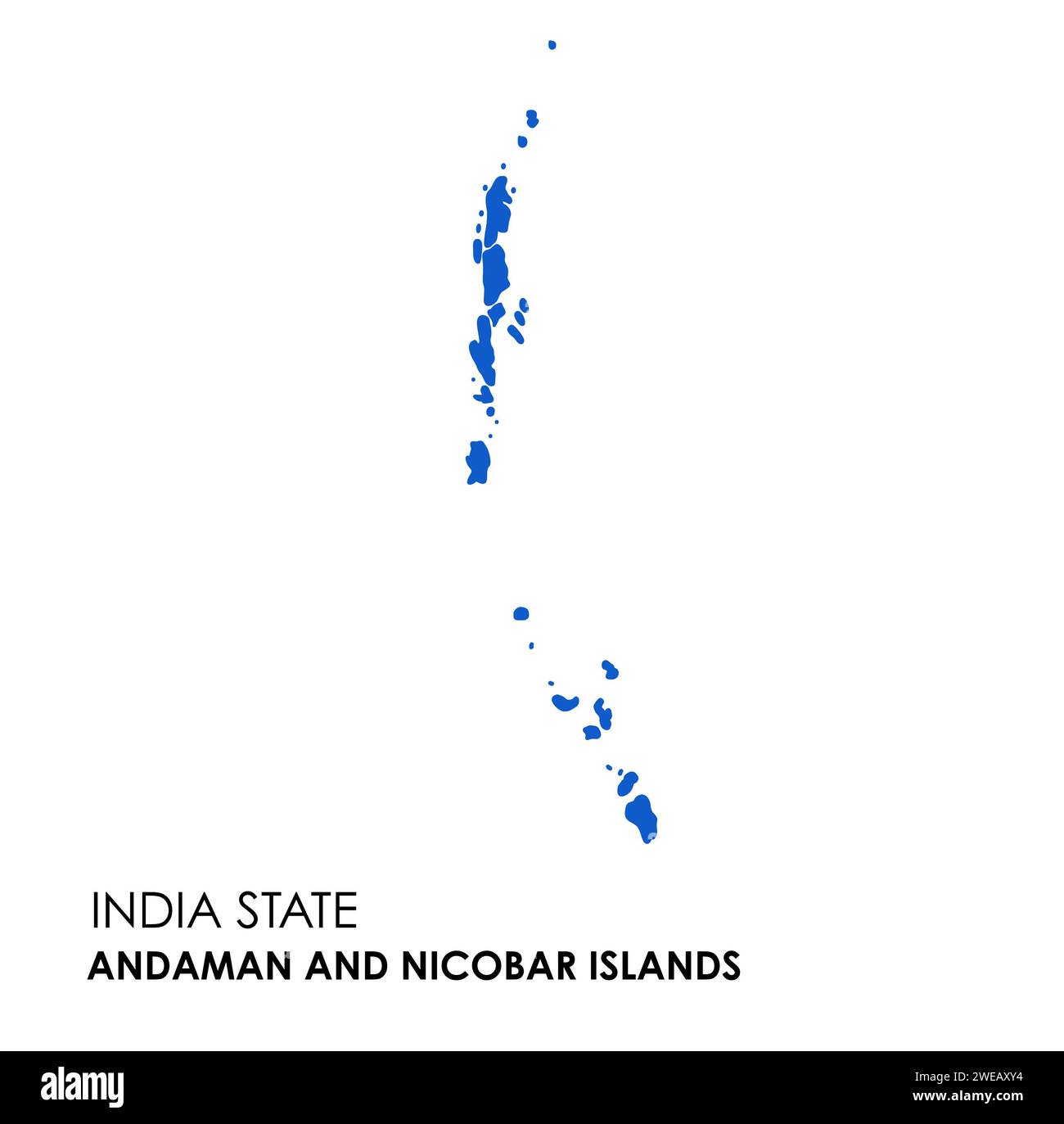 Andaman and Nicobar Islands map of Indian state. Andaman and Nicobar Islands map illustration. Stock Photohttps://www.alamy.com/image-license-details/?v=1https://www.alamy.com/andaman-and-nicobar-islands-map-of-indian-state-andaman-and-nicobar-islands-map-illustration-image593998360.html
RF2WEAXY4–Andaman and Nicobar Islands map of Indian state. Andaman and Nicobar Islands map illustration.
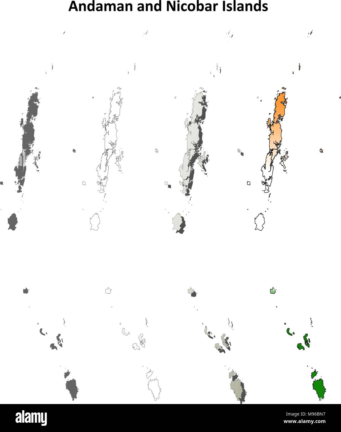 Andaman and Nicobar Islands blank outline map set Stock Vectorhttps://www.alamy.com/image-license-details/?v=1https://www.alamy.com/andaman-and-nicobar-islands-blank-outline-map-set-image177776515.html
RFM96BN7–Andaman and Nicobar Islands blank outline map set
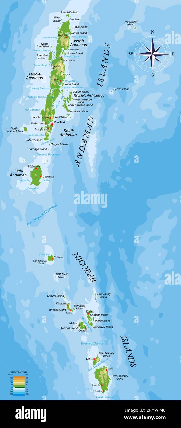 Highly detailed physical map of Andaman and Nicobar islands in vector format,with all the relief forms,regions and big cities. Stock Vectorhttps://www.alamy.com/image-license-details/?v=1https://www.alamy.com/highly-detailed-physical-map-of-andaman-and-nicobar-islands-in-vector-formatwith-all-the-relief-formsregions-and-big-cities-image567893656.html
RF2RYWP48–Highly detailed physical map of Andaman and Nicobar islands in vector format,with all the relief forms,regions and big cities.
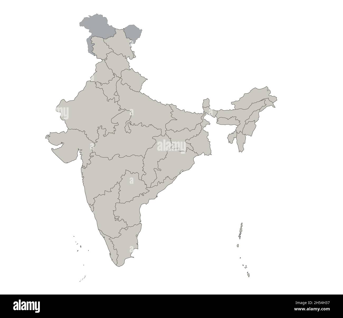 India map, individual regions, blank Stock Photohttps://www.alamy.com/image-license-details/?v=1https://www.alamy.com/india-map-individual-regions-blank-image450644075.html
RF2H54H37–India map, individual regions, blank
 India states - map of Andaman and Nicobar Islands. Hand made. Rivers and lakes are shown. Please look at my other images of cartographic series - they Stock Vectorhttps://www.alamy.com/image-license-details/?v=1https://www.alamy.com/india-states-map-of-andaman-and-nicobar-islands-hand-made-rivers-and-lakes-are-shown-please-look-at-my-other-images-of-cartographic-series-they-image375415424.html
RF2CPNJ5M–India states - map of Andaman and Nicobar Islands. Hand made. Rivers and lakes are shown. Please look at my other images of cartographic series - they
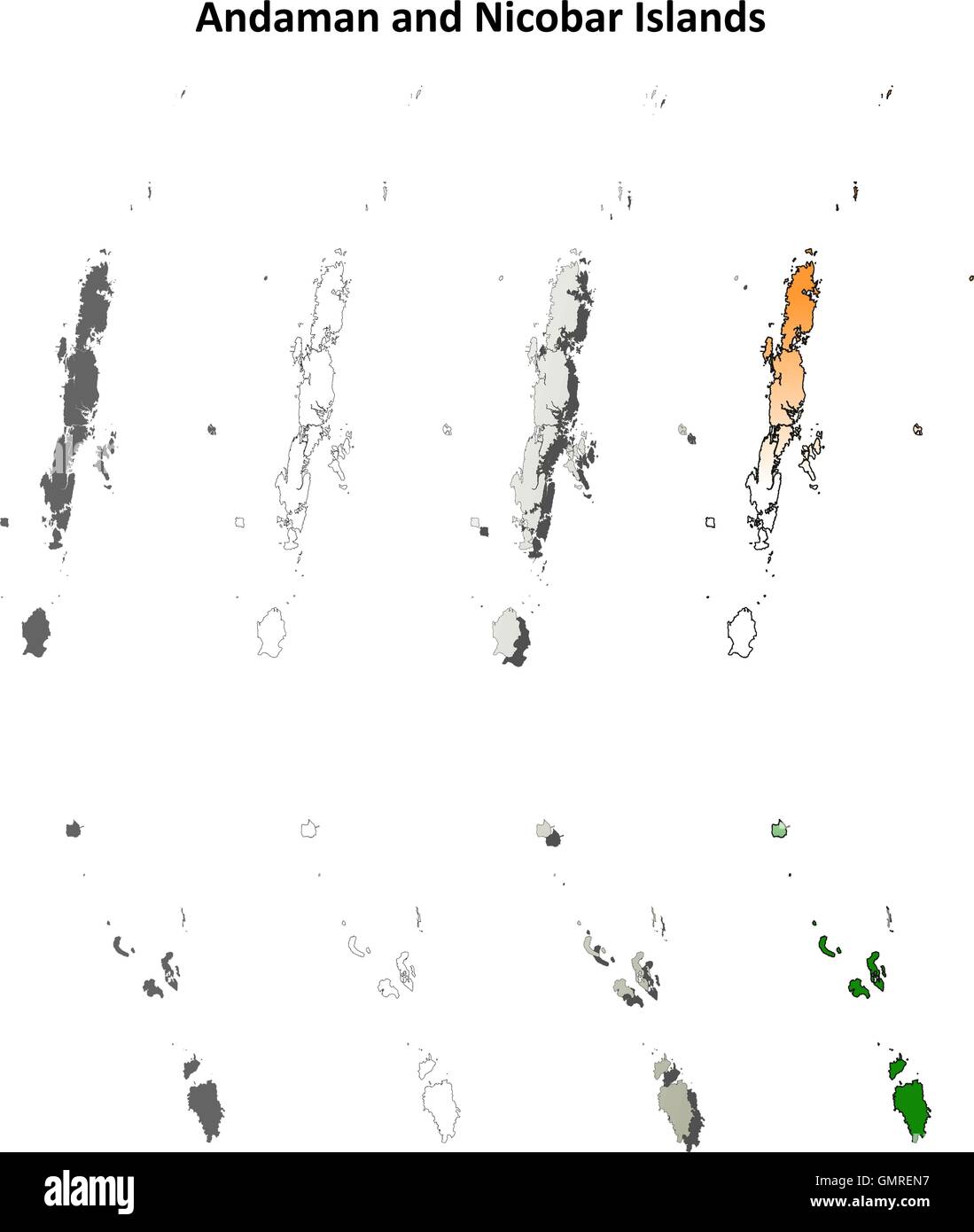 Andaman and Nicobar Islands blank outline map set Stock Vectorhttps://www.alamy.com/image-license-details/?v=1https://www.alamy.com/stock-photo-andaman-and-nicobar-islands-blank-outline-map-set-116071795.html
RFGMREN7–Andaman and Nicobar Islands blank outline map set
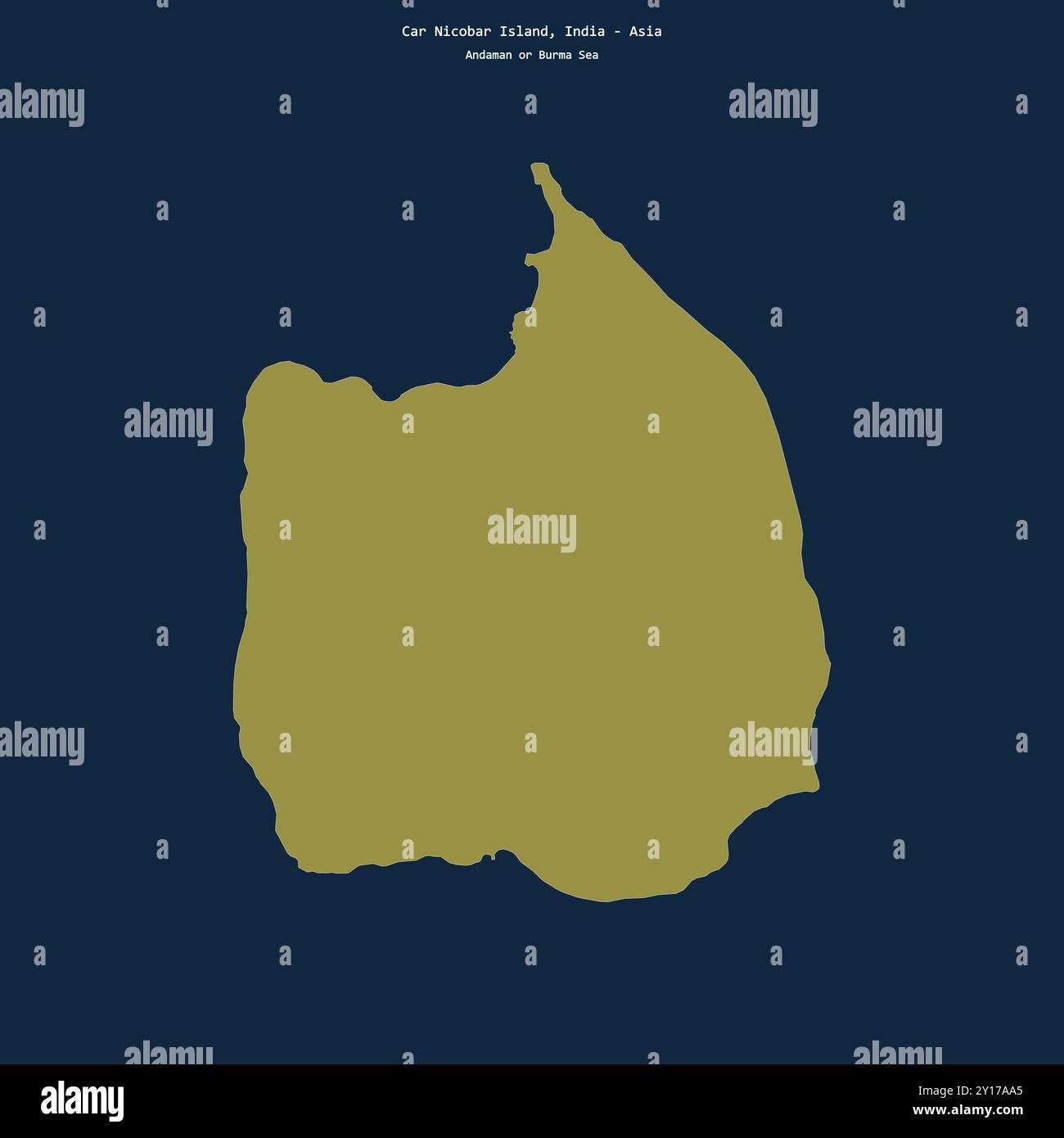 Shape of Car Nicobar Island in the Andaman or Burma Sea, belonging to India Stock Photohttps://www.alamy.com/image-license-details/?v=1https://www.alamy.com/shape-of-car-nicobar-island-in-the-andaman-or-burma-sea-belonging-to-india-image620349693.html
RF2Y17AA5–Shape of Car Nicobar Island in the Andaman or Burma Sea, belonging to India
RF2MFHJ9H–India map graphic, travel geography icon, indian region ANDAMAN NICOBAR ISLANDS, vector illustration .
 Andaman and Nicobar Islands (States and union territories of India, Federated states, Republic of India) map vector illustration, scribble sketch Anda Stock Vectorhttps://www.alamy.com/image-license-details/?v=1https://www.alamy.com/andaman-and-nicobar-islands-states-and-union-territories-of-india-federated-states-republic-of-india-map-vector-illustration-scribble-sketch-anda-image224519885.html
RFR17NB9–Andaman and Nicobar Islands (States and union territories of India, Federated states, Republic of India) map vector illustration, scribble sketch Anda
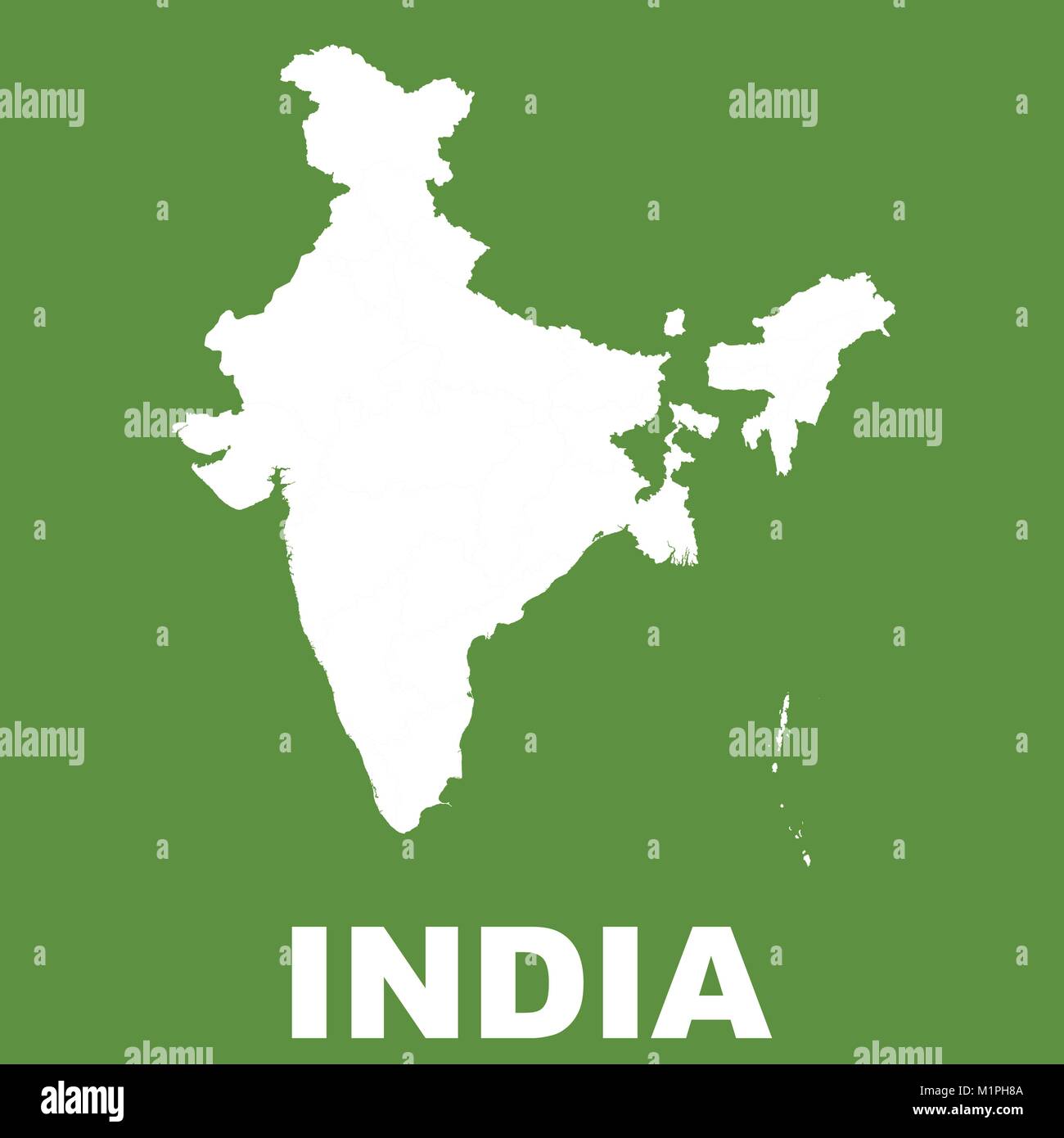 India Map on Green Background. Flat vector Stock Vectorhttps://www.alamy.com/image-license-details/?v=1https://www.alamy.com/stock-photo-india-map-on-green-background-flat-vector-173214842.html
RFM1PH8A–India Map on Green Background. Flat vector
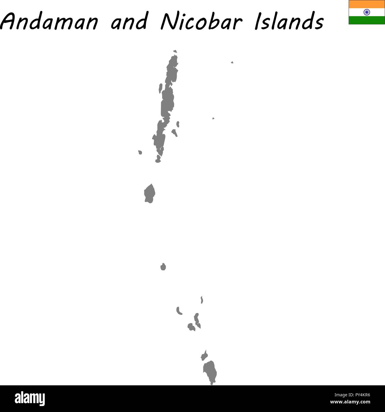 High Quality map of Andaman and Nicobar Islands is a state of India Stock Vectorhttps://www.alamy.com/image-license-details/?v=1https://www.alamy.com/high-quality-map-of-andaman-and-nicobar-islands-is-a-state-of-india-image223223482.html
RFPY4KR6–High Quality map of Andaman and Nicobar Islands is a state of India
RF2H54RP2–India map, individual regions with names, Infographics and icons vector
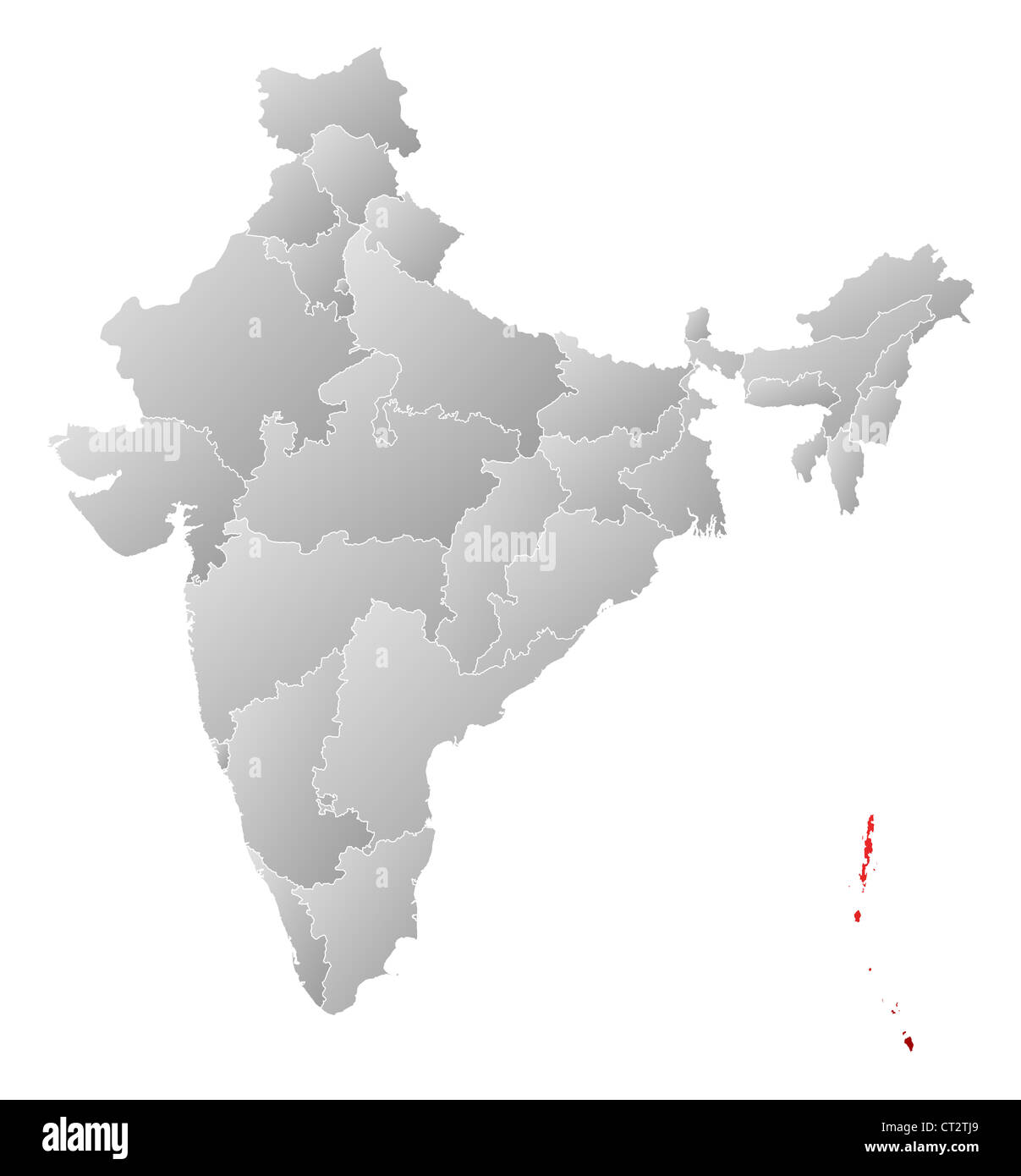 Political map of India with the several states where Andaman and Nicobar Islands are highlighted. Stock Photohttps://www.alamy.com/image-license-details/?v=1https://www.alamy.com/stock-photo-political-map-of-india-with-the-several-states-where-andaman-and-nicobar-49235713.html
RFCT2TJ9–Political map of India with the several states where Andaman and Nicobar Islands are highlighted.
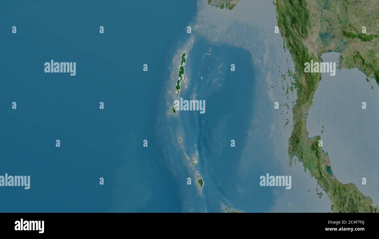 Andaman and Nicobar, union territory of India. Satellite imagery. Shape outlined against its country area. 3D rendering Stock Photohttps://www.alamy.com/image-license-details/?v=1https://www.alamy.com/andaman-and-nicobar-union-territory-of-india-satellite-imagery-shape-outlined-against-its-country-area-3d-rendering-image364211726.html
RF2C4F7NJ–Andaman and Nicobar, union territory of India. Satellite imagery. Shape outlined against its country area. 3D rendering
 India vector map illustration. India world background isolated Stock Vectorhttps://www.alamy.com/image-license-details/?v=1https://www.alamy.com/india-vector-map-illustration-india-world-background-isolated-image426492507.html
RF2FNTBF7–India vector map illustration. India world background isolated
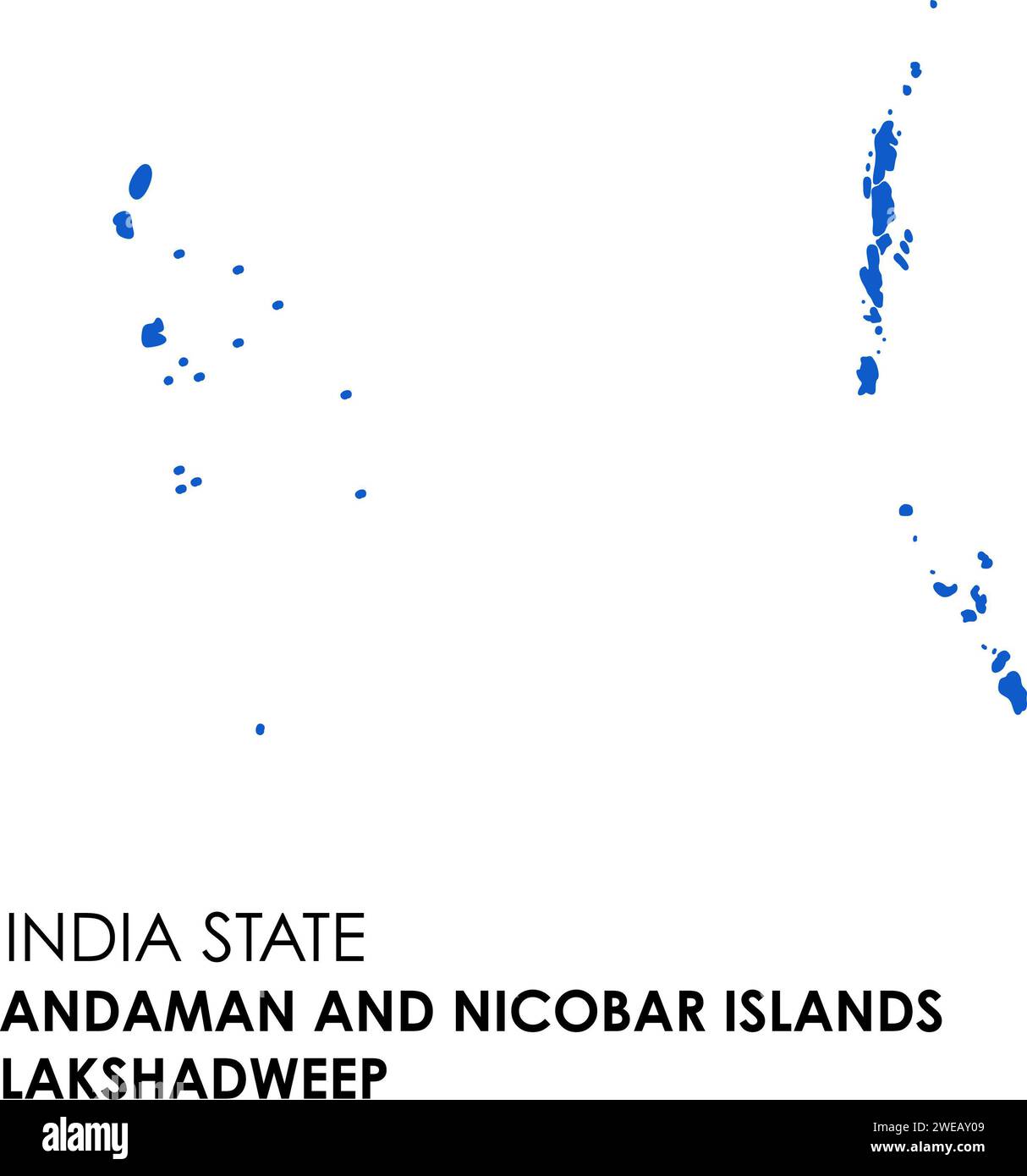 Andaman and Lakshadweep map of Indian state. Andaman and Lakshadweep map illustration. Stock Photohttps://www.alamy.com/image-license-details/?v=1https://www.alamy.com/andaman-and-lakshadweep-map-of-indian-state-andaman-and-lakshadweep-map-illustration-image593998393.html
RF2WEAY09–Andaman and Lakshadweep map of Indian state. Andaman and Lakshadweep map illustration.
 India states - map of Andaman and Nicobar Islands with paper cut effect. Rivers and lakes are shown. Please look at my other images of cartographic se Stock Vectorhttps://www.alamy.com/image-license-details/?v=1https://www.alamy.com/india-states-map-of-andaman-and-nicobar-islands-with-paper-cut-effect-rivers-and-lakes-are-shown-please-look-at-my-other-images-of-cartographic-se-image375415858.html
RF2CPNJN6–India states - map of Andaman and Nicobar Islands with paper cut effect. Rivers and lakes are shown. Please look at my other images of cartographic se
 Shape of Little Nicobar Island in the Andaman or Burma Sea, belonging to India Stock Photohttps://www.alamy.com/image-license-details/?v=1https://www.alamy.com/shape-of-little-nicobar-island-in-the-andaman-or-burma-sea-belonging-to-india-image620350792.html
RF2Y17BNC–Shape of Little Nicobar Island in the Andaman or Burma Sea, belonging to India
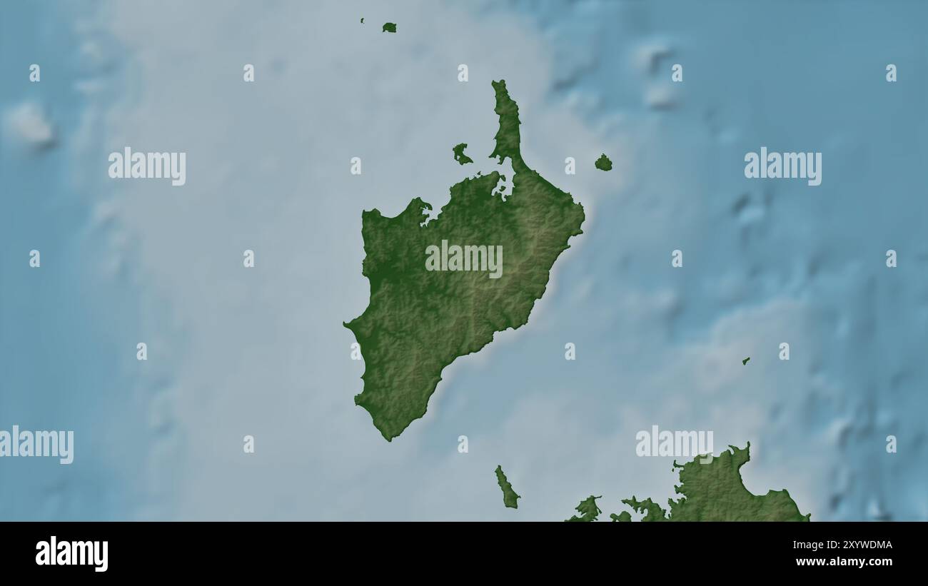 Little Nicobar Island in the Andaman or Burma Sea on a colored elevation map Stock Photohttps://www.alamy.com/image-license-details/?v=1https://www.alamy.com/little-nicobar-island-in-the-andaman-or-burma-sea-on-a-colored-elevation-map-image619518154.html
RF2XYWDMA–Little Nicobar Island in the Andaman or Burma Sea on a colored elevation map
 Andaman and Nicobar Islands (States and union territories of India, Federated states, Republic of India) map vector illustration, scribble sketch Anda Stock Vectorhttps://www.alamy.com/image-license-details/?v=1https://www.alamy.com/andaman-and-nicobar-islands-states-and-union-territories-of-india-federated-states-republic-of-india-map-vector-illustration-scribble-sketch-anda-image223397646.html
RFPYCHYA–Andaman and Nicobar Islands (States and union territories of India, Federated states, Republic of India) map vector illustration, scribble sketch Anda
RFM271KG–India map icon. Flat vector illustration. India sign symbol with on black background.
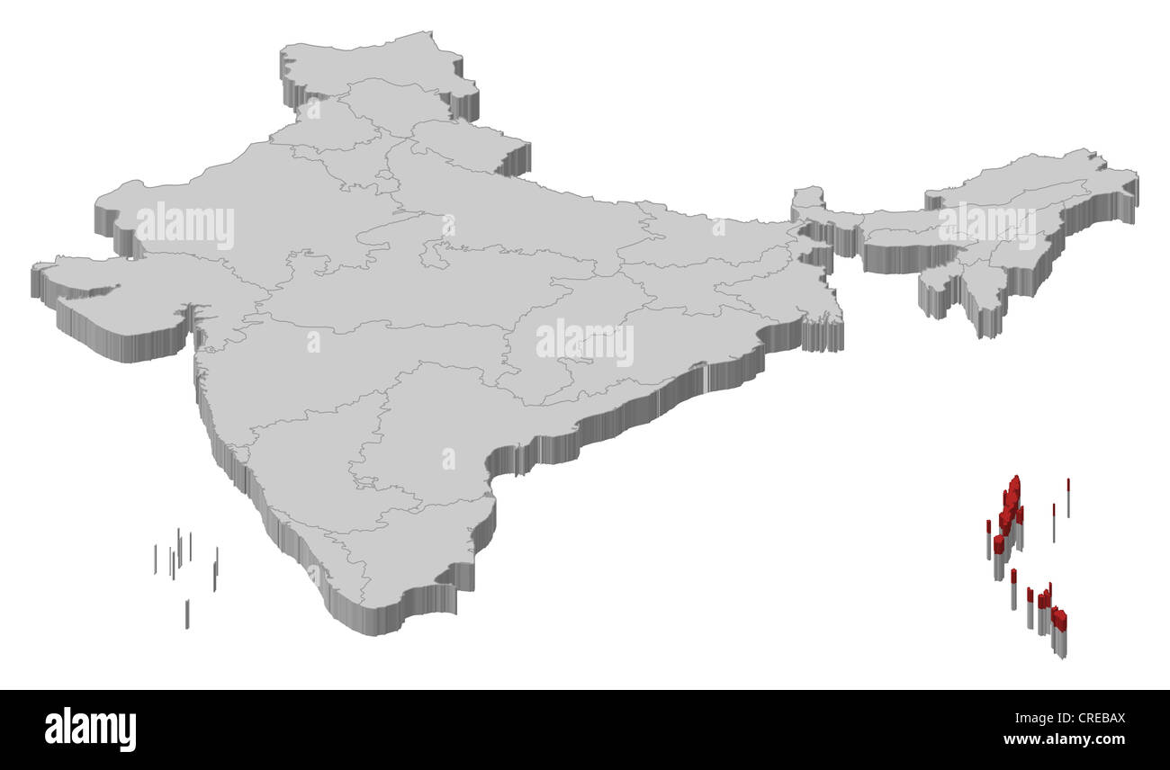 Political map of India with the several states where Andaman and Nicobar Islands are highlighted. Stock Photohttps://www.alamy.com/image-license-details/?v=1https://www.alamy.com/stock-photo-political-map-of-india-with-the-several-states-where-andaman-and-nicobar-48874082.html
RFCREBAX–Political map of India with the several states where Andaman and Nicobar Islands are highlighted.
 Andaman and Nicobar, union territory of India. Grayscaled map with lakes and rivers. Shape presented against its country area with informative overlay Stock Photohttps://www.alamy.com/image-license-details/?v=1https://www.alamy.com/andaman-and-nicobar-union-territory-of-india-grayscaled-map-with-lakes-and-rivers-shape-presented-against-its-country-area-with-informative-overlay-image364211744.html
RF2C4F7P8–Andaman and Nicobar, union territory of India. Grayscaled map with lakes and rivers. Shape presented against its country area with informative overlay
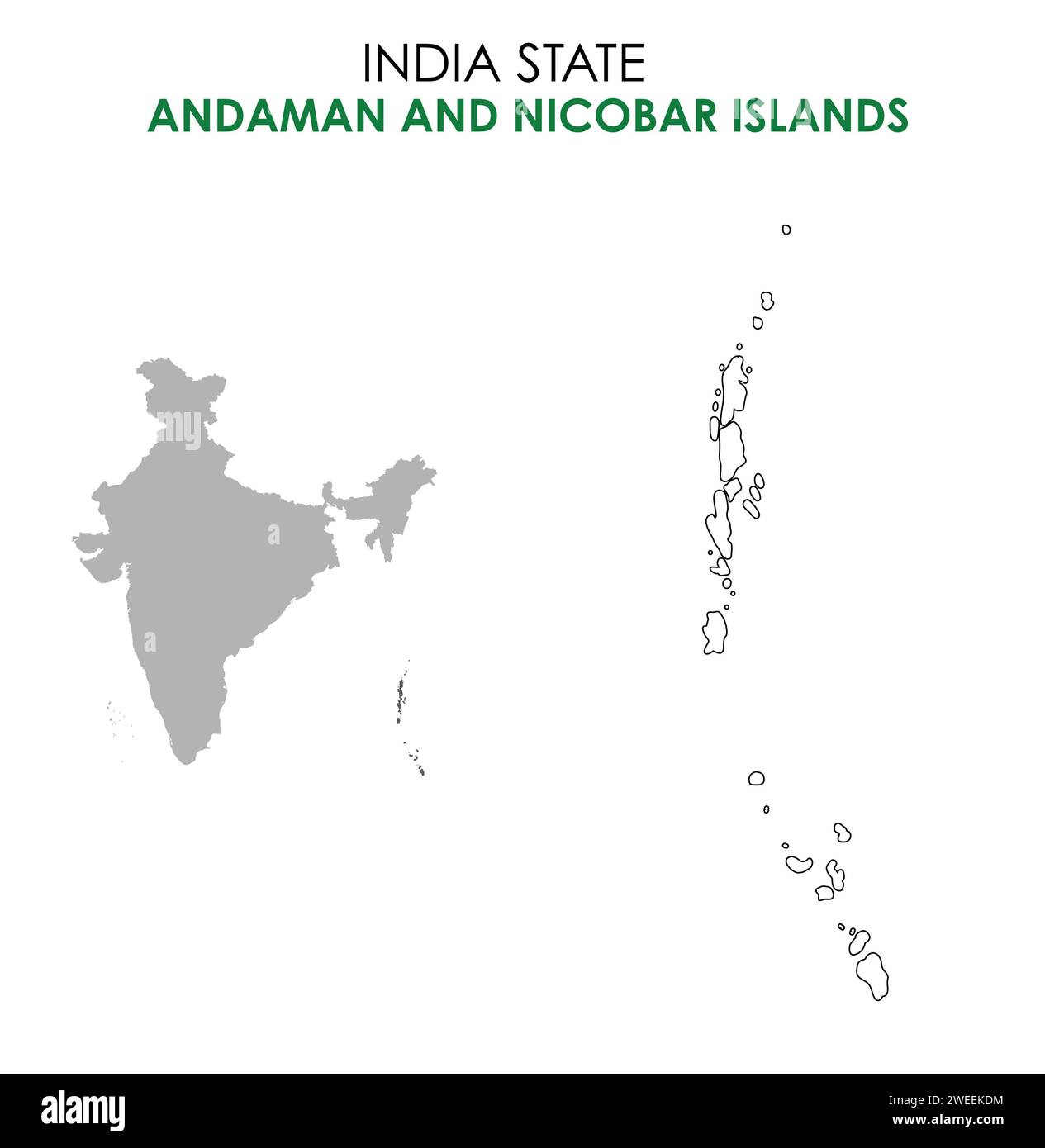 Andaman and Nicobar Islands map of Indian state. Andaman and Nicobar Islands map illustration. Stock Vectorhttps://www.alamy.com/image-license-details/?v=1https://www.alamy.com/andaman-and-nicobar-islands-map-of-indian-state-andaman-and-nicobar-islands-map-illustration-image594080304.html
RF2WEEKDM–Andaman and Nicobar Islands map of Indian state. Andaman and Nicobar Islands map illustration.
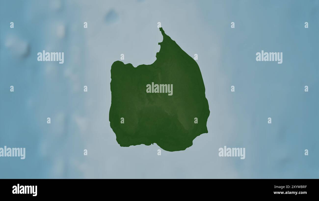 Car Nicobar Island in the Andaman or Burma Sea on a colored elevation map Stock Photohttps://www.alamy.com/image-license-details/?v=1https://www.alamy.com/car-nicobar-island-in-the-andaman-or-burma-sea-on-a-colored-elevation-map-image619516675.html
RF2XYWBRF–Car Nicobar Island in the Andaman or Burma Sea on a colored elevation map
 Andaman and Nicobar Islands (States and union territories of India, Federated states, Republic of India) map vector illustration, scribble sketch Anda Stock Vectorhttps://www.alamy.com/image-license-details/?v=1https://www.alamy.com/andaman-and-nicobar-islands-states-and-union-territories-of-india-federated-states-republic-of-india-map-vector-illustration-scribble-sketch-anda-image224047219.html
RFR0E6EB–Andaman and Nicobar Islands (States and union territories of India, Federated states, Republic of India) map vector illustration, scribble sketch Anda
 Andaman and Nicobar Islands (territories, Federated states, Republic of India) map is designed cannabis leaf green and black, Andaman and Nicobar map Stock Vectorhttps://www.alamy.com/image-license-details/?v=1https://www.alamy.com/andaman-and-nicobar-islands-territories-federated-states-republic-of-india-map-is-designed-cannabis-leaf-green-and-black-andaman-and-nicobar-map-image259593518.html
RFW29E52–Andaman and Nicobar Islands (territories, Federated states, Republic of India) map is designed cannabis leaf green and black, Andaman and Nicobar map
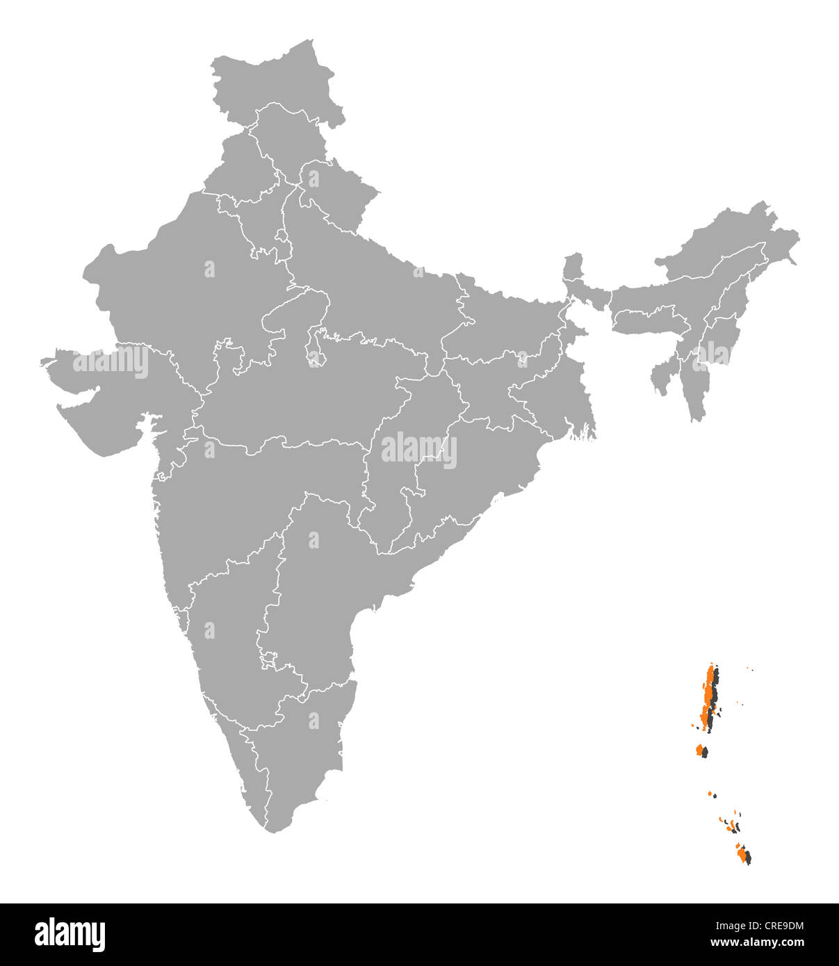 Political map of India with the several states where Andaman and Nicobar Islands are highlighted. Stock Photohttps://www.alamy.com/image-license-details/?v=1https://www.alamy.com/stock-photo-political-map-of-india-with-the-several-states-where-andaman-and-nicobar-48872592.html
RFCRE9DM–Political map of India with the several states where Andaman and Nicobar Islands are highlighted.
 Andaman and Nicobar, union territory of India. Colored relief with lakes and rivers. Shape outlined against its country area. 3D rendering Stock Photohttps://www.alamy.com/image-license-details/?v=1https://www.alamy.com/andaman-and-nicobar-union-territory-of-india-colored-relief-with-lakes-and-rivers-shape-outlined-against-its-country-area-3d-rendering-image364211725.html
RF2C4F7NH–Andaman and Nicobar, union territory of India. Colored relief with lakes and rivers. Shape outlined against its country area. 3D rendering
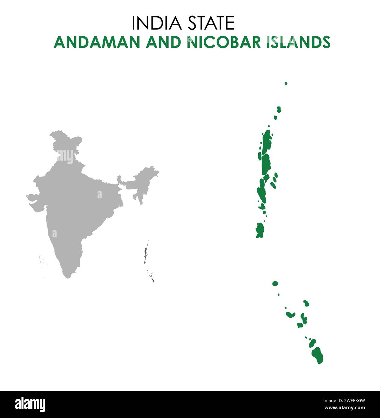 Andaman and Nicobar Islands map of Indian state. Andaman and Nicobar Islands map illustration. Stock Vectorhttps://www.alamy.com/image-license-details/?v=1https://www.alamy.com/andaman-and-nicobar-islands-map-of-indian-state-andaman-and-nicobar-islands-map-illustration-image594080393.html
RF2WEEKGW–Andaman and Nicobar Islands map of Indian state. Andaman and Nicobar Islands map illustration.
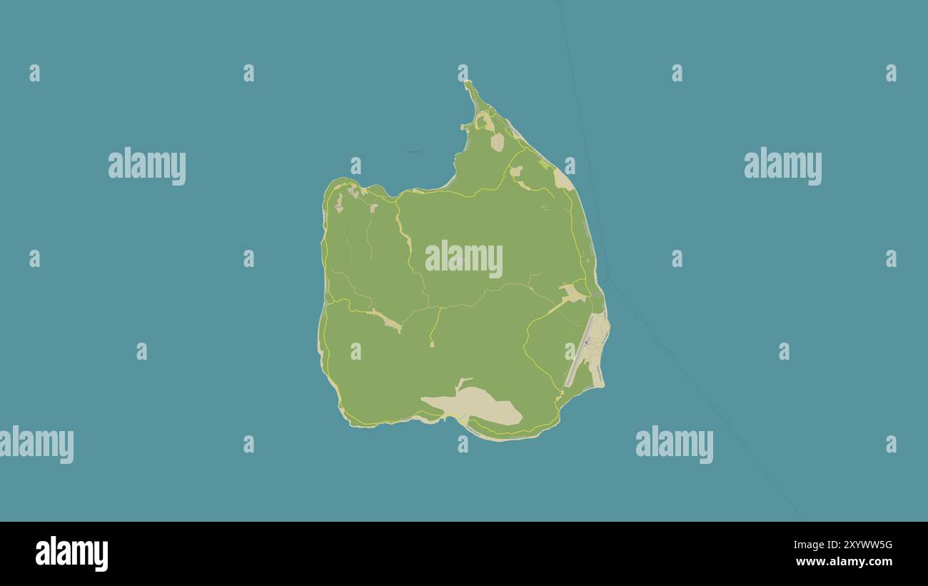 Car Nicobar Island in the Andaman or Burma Sea on a topographic, OSM Humanitarian style map Stock Photohttps://www.alamy.com/image-license-details/?v=1https://www.alamy.com/car-nicobar-island-in-the-andaman-or-burma-sea-on-a-topographic-osm-humanitarian-style-map-image619527148.html
RF2XYWW5G–Car Nicobar Island in the Andaman or Burma Sea on a topographic, OSM Humanitarian style map
 Nicobar district (Andaman and Nicobar Islands union territory, Republic of India) map vector illustration, scribble sketch Nicobar map Stock Vectorhttps://www.alamy.com/image-license-details/?v=1https://www.alamy.com/nicobar-district-andaman-and-nicobar-islands-union-territory-republic-of-india-map-vector-illustration-scribble-sketch-nicobar-map-image440141446.html
RF2GG24WA–Nicobar district (Andaman and Nicobar Islands union territory, Republic of India) map vector illustration, scribble sketch Nicobar map
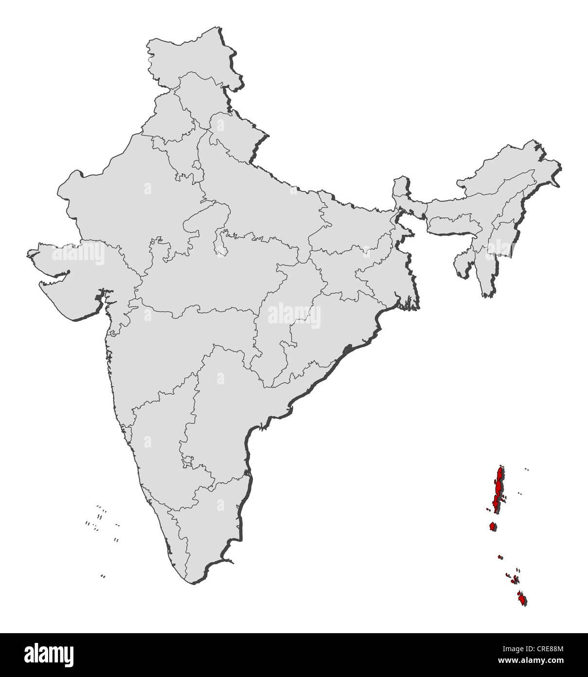 Political map of India with the several states where Andaman and Nicobar Islands are highlighted. Stock Photohttps://www.alamy.com/image-license-details/?v=1https://www.alamy.com/stock-photo-political-map-of-india-with-the-several-states-where-andaman-and-nicobar-48871668.html
RFCRE88M–Political map of India with the several states where Andaman and Nicobar Islands are highlighted.
 Andaman and Nicobar, union territory of India. Grayscaled map with lakes and rivers. Shape outlined against its country area. 3D rendering Stock Photohttps://www.alamy.com/image-license-details/?v=1https://www.alamy.com/andaman-and-nicobar-union-territory-of-india-grayscaled-map-with-lakes-and-rivers-shape-outlined-against-its-country-area-3d-rendering-image364211721.html
RF2C4F7ND–Andaman and Nicobar, union territory of India. Grayscaled map with lakes and rivers. Shape outlined against its country area. 3D rendering
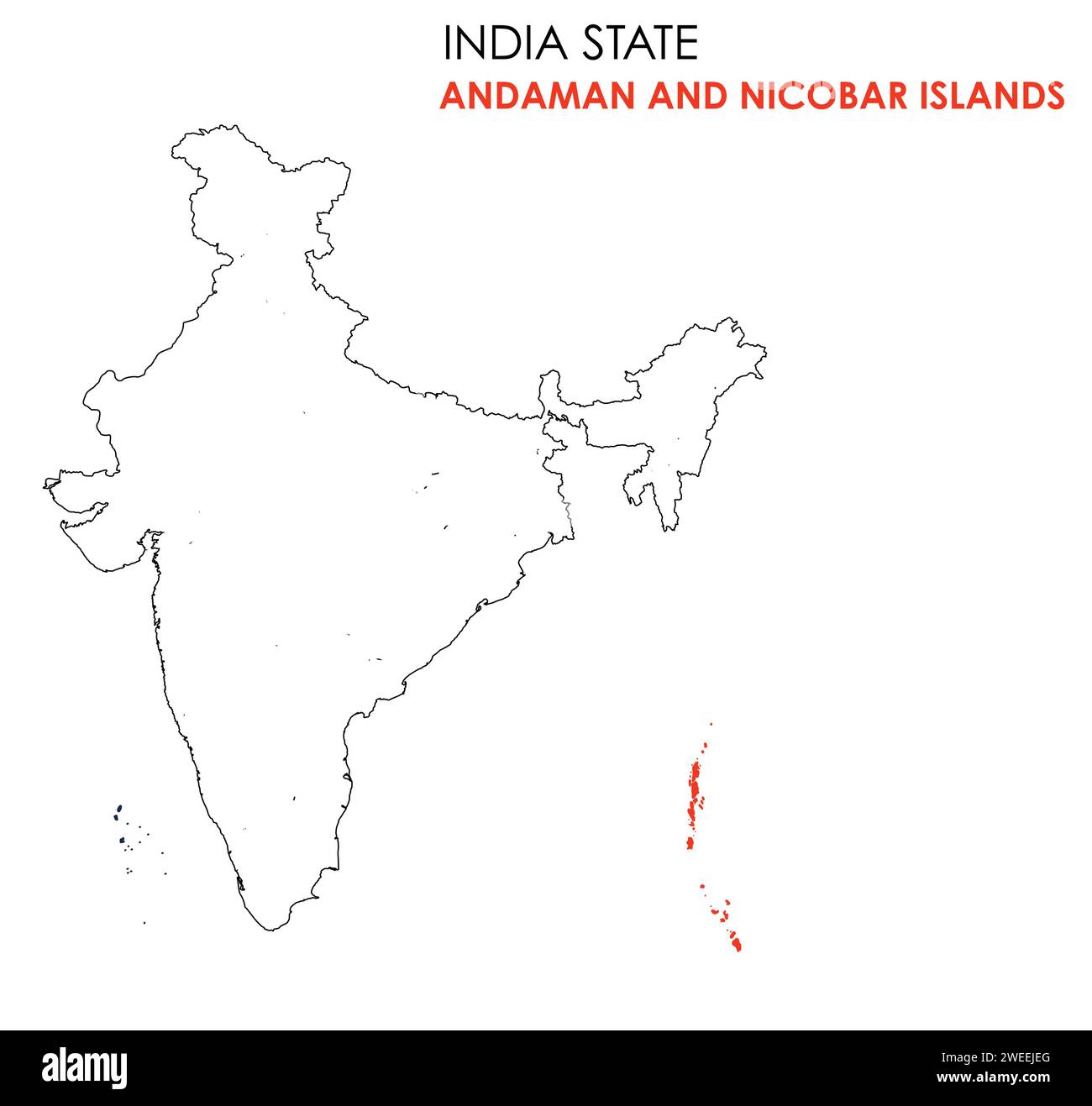 Andaman and Nicobar Islands map of Indian state. Andaman and Nicobar Islands map illustration. Stock Vectorhttps://www.alamy.com/image-license-details/?v=1https://www.alamy.com/andaman-and-nicobar-islands-map-of-indian-state-andaman-and-nicobar-islands-map-illustration-image594079544.html
RF2WEEJEG–Andaman and Nicobar Islands map of Indian state. Andaman and Nicobar Islands map illustration.
 Little Nicobar Island in the Andaman or Burma Sea on a topographic, OSM Humanitarian style map Stock Photohttps://www.alamy.com/image-license-details/?v=1https://www.alamy.com/little-nicobar-island-in-the-andaman-or-burma-sea-on-a-topographic-osm-humanitarian-style-map-image619529993.html
RF2XYX0R5–Little Nicobar Island in the Andaman or Burma Sea on a topographic, OSM Humanitarian style map
 Nicobar district (Andaman and Nicobar Islands union territory, Republic of India) map vector illustration, scribble sketch Nicobar map Stock Vectorhttps://www.alamy.com/image-license-details/?v=1https://www.alamy.com/nicobar-district-andaman-and-nicobar-islands-union-territory-republic-of-india-map-vector-illustration-scribble-sketch-nicobar-map-image454962813.html
RF2HC59KW–Nicobar district (Andaman and Nicobar Islands union territory, Republic of India) map vector illustration, scribble sketch Nicobar map
 Andaman and Nicobar, union territory of India. Colored relief with lakes and rivers. Shape presented against its country area with informative overlay Stock Photohttps://www.alamy.com/image-license-details/?v=1https://www.alamy.com/andaman-and-nicobar-union-territory-of-india-colored-relief-with-lakes-and-rivers-shape-presented-against-its-country-area-with-informative-overlay-image364211743.html
RF2C4F7P7–Andaman and Nicobar, union territory of India. Colored relief with lakes and rivers. Shape presented against its country area with informative overlay
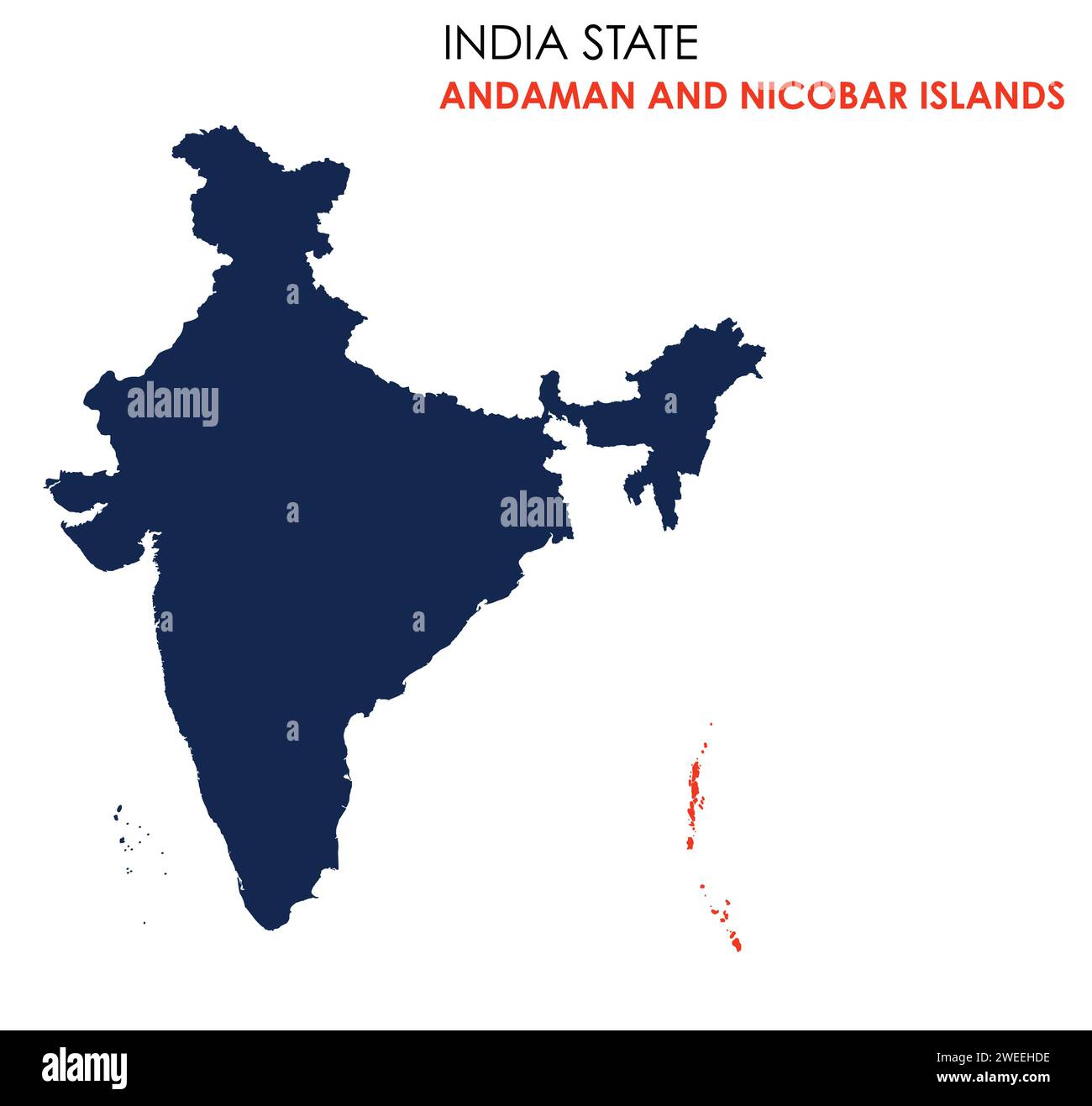 Andaman and Nicobar Islands map of Indian state. Andaman and Nicobar Islands map illustration. Stock Vectorhttps://www.alamy.com/image-license-details/?v=1https://www.alamy.com/andaman-and-nicobar-islands-map-of-indian-state-andaman-and-nicobar-islands-map-illustration-image594078730.html
RF2WEEHDE–Andaman and Nicobar Islands map of Indian state. Andaman and Nicobar Islands map illustration.
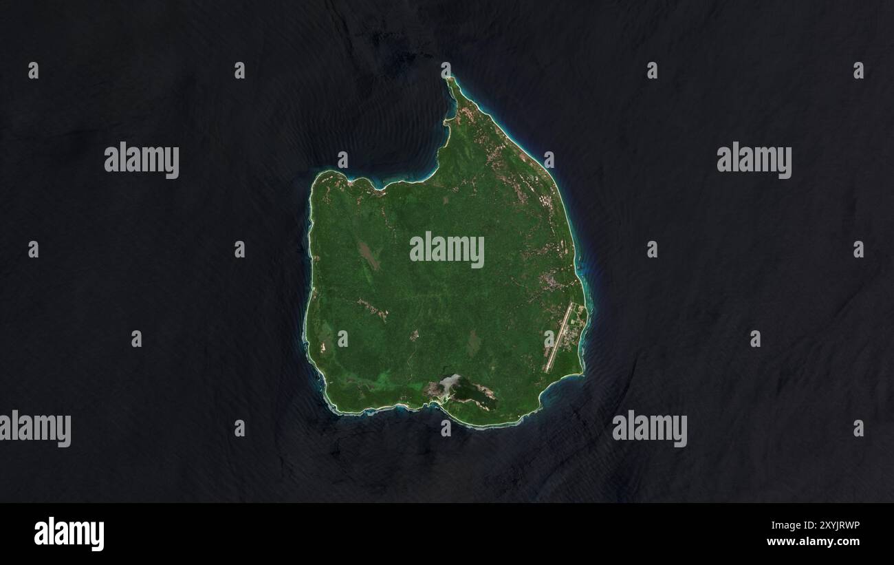 Car Nicobar Island in the Andaman or Burma Sea on a satellite image taken in April 6, 2019 Stock Photohttps://www.alamy.com/image-license-details/?v=1https://www.alamy.com/car-nicobar-island-in-the-andaman-or-burma-sea-on-a-satellite-image-taken-in-april-6-2019-image619372482.html
RF2XYJRWP–Car Nicobar Island in the Andaman or Burma Sea on a satellite image taken in April 6, 2019
 Nicobar district (Andaman and Nicobar Islands union territory, Republic of India) map vector illustration, scribble sketch Nicobar map Stock Vectorhttps://www.alamy.com/image-license-details/?v=1https://www.alamy.com/nicobar-district-andaman-and-nicobar-islands-union-territory-republic-of-india-map-vector-illustration-scribble-sketch-nicobar-map-image449378170.html
RF2H32XCA–Nicobar district (Andaman and Nicobar Islands union territory, Republic of India) map vector illustration, scribble sketch Nicobar map
 Andaman and Nicobar, union territory of India. Satellite imagery. Shape presented against its country area with informative overlays. 3D rendering Stock Photohttps://www.alamy.com/image-license-details/?v=1https://www.alamy.com/andaman-and-nicobar-union-territory-of-india-satellite-imagery-shape-presented-against-its-country-area-with-informative-overlays-3d-rendering-image364211740.html
RF2C4F7P4–Andaman and Nicobar, union territory of India. Satellite imagery. Shape presented against its country area with informative overlays. 3D rendering
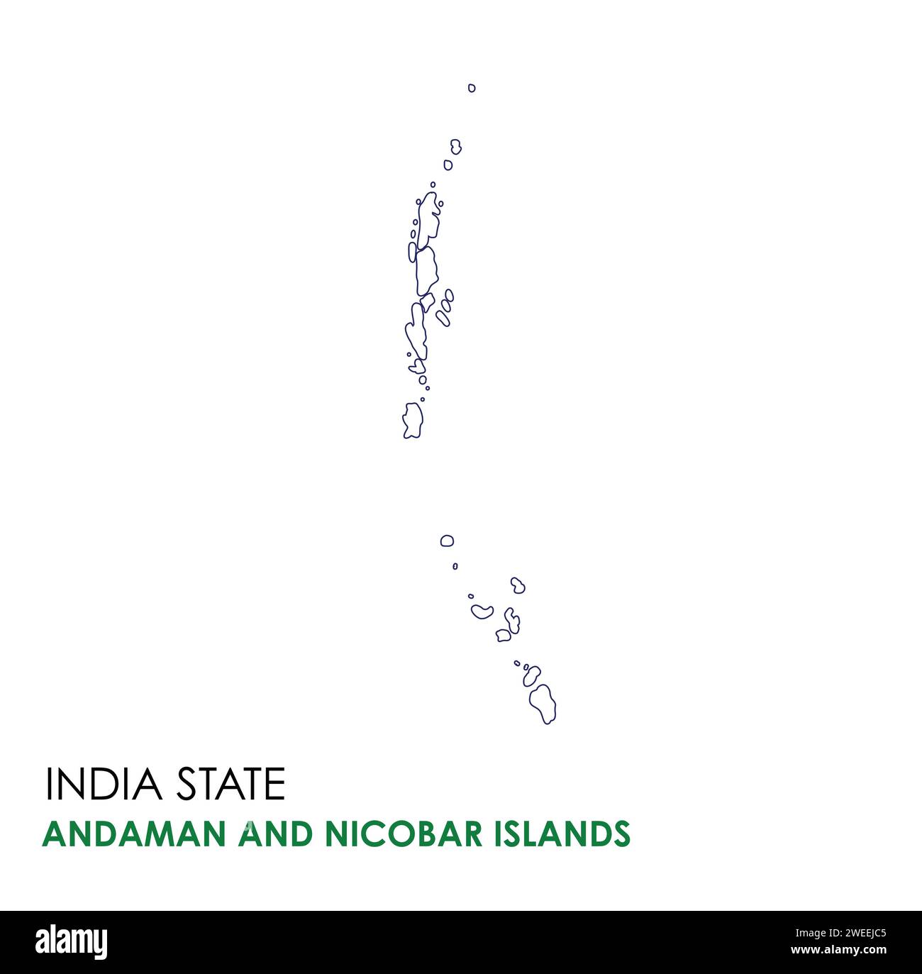 Andaman and Nicobar Islands map of Indian state. Andaman and Nicobar Islands map illustration. Stock Vectorhttps://www.alamy.com/image-license-details/?v=1https://www.alamy.com/andaman-and-nicobar-islands-map-of-indian-state-andaman-and-nicobar-islands-map-illustration-image594079477.html
RF2WEEJC5–Andaman and Nicobar Islands map of Indian state. Andaman and Nicobar Islands map illustration.
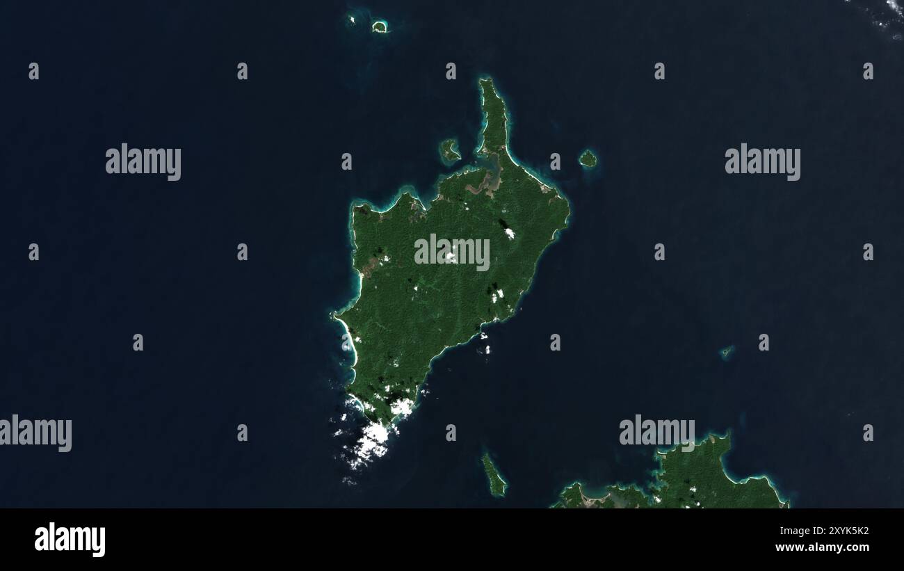 Little Nicobar Island in the Andaman or Burma Sea on a satellite image taken in January 22, 2021 Stock Photohttps://www.alamy.com/image-license-details/?v=1https://www.alamy.com/little-nicobar-island-in-the-andaman-or-burma-sea-on-a-satellite-image-taken-in-january-22-2021-image619380134.html
RF2XYK5K2–Little Nicobar Island in the Andaman or Burma Sea on a satellite image taken in January 22, 2021
 North and Middle Andaman district (Andaman and Nicobar Islands union territory, Republic of India) map vector illustration, scribble sketch North and Stock Vectorhttps://www.alamy.com/image-license-details/?v=1https://www.alamy.com/north-and-middle-andaman-district-andaman-and-nicobar-islands-union-territory-republic-of-india-map-vector-illustration-scribble-sketch-north-and-image440142105.html
RF2GG25MW–North and Middle Andaman district (Andaman and Nicobar Islands union territory, Republic of India) map vector illustration, scribble sketch North and
 Andaman and Nicobar, union territory of India. Patterned solids with lakes and rivers. Shape presented against its country area with informative overl Stock Photohttps://www.alamy.com/image-license-details/?v=1https://www.alamy.com/andaman-and-nicobar-union-territory-of-india-patterned-solids-with-lakes-and-rivers-shape-presented-against-its-country-area-with-informative-overl-image364211720.html
RF2C4F7NC–Andaman and Nicobar, union territory of India. Patterned solids with lakes and rivers. Shape presented against its country area with informative overl
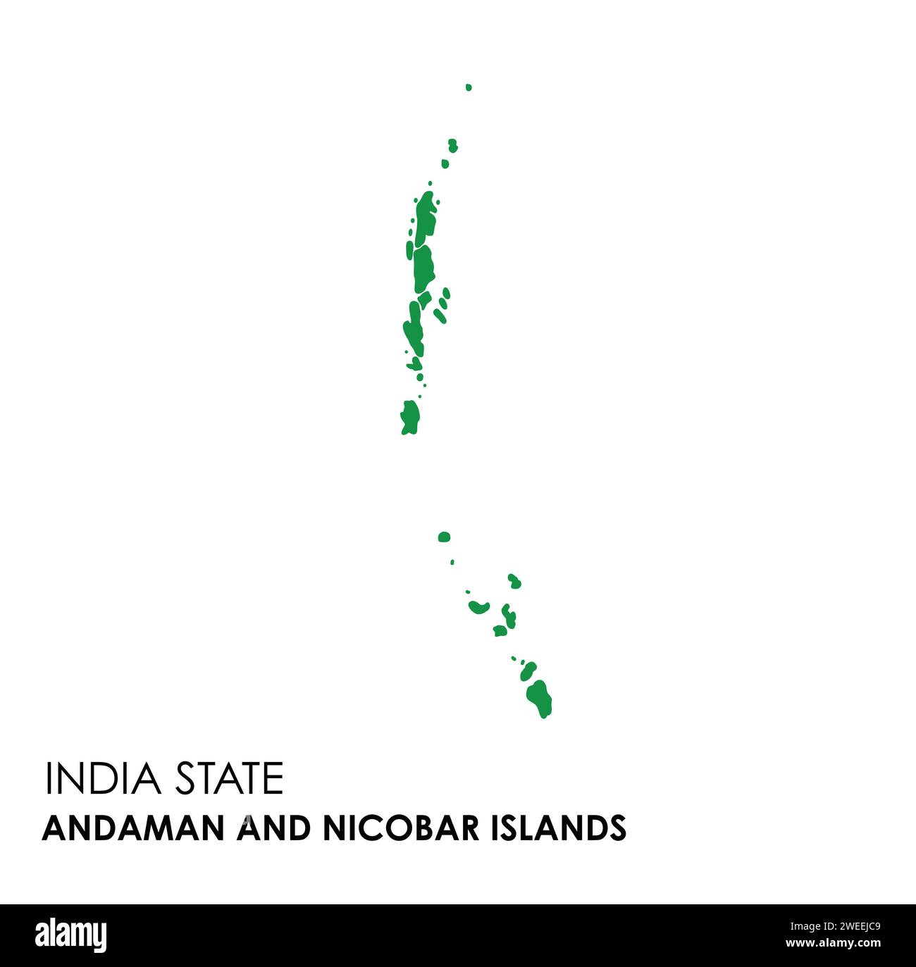 Andaman and Nicobar Islands map of Indian state. Andaman and Nicobar Islands map illustration. Stock Vectorhttps://www.alamy.com/image-license-details/?v=1https://www.alamy.com/andaman-and-nicobar-islands-map-of-indian-state-andaman-and-nicobar-islands-map-illustration-image594079481.html
RF2WEEJC9–Andaman and Nicobar Islands map of Indian state. Andaman and Nicobar Islands map illustration.
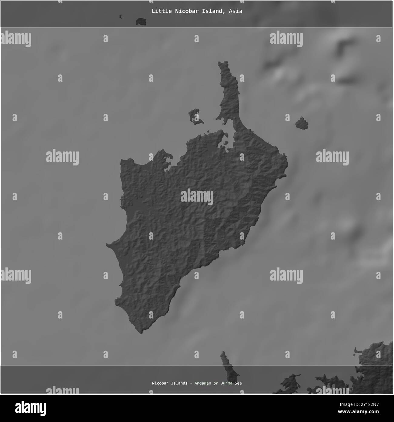 Little Nicobar Island in the Andaman or Burma Sea, belonging to India, cropped to square on a bilevel elevation map Stock Photohttps://www.alamy.com/image-license-details/?v=1https://www.alamy.com/little-nicobar-island-in-the-andaman-or-burma-sea-belonging-to-india-cropped-to-square-on-a-bilevel-elevation-map-image620365683.html
RF2Y182N7–Little Nicobar Island in the Andaman or Burma Sea, belonging to India, cropped to square on a bilevel elevation map
 North and Middle Andaman district (Andaman and Nicobar Islands union territory, Republic of India) map vector illustration, scribble sketch North and Stock Vectorhttps://www.alamy.com/image-license-details/?v=1https://www.alamy.com/north-and-middle-andaman-district-andaman-and-nicobar-islands-union-territory-republic-of-india-map-vector-illustration-scribble-sketch-north-and-image454962805.html
RF2HC59KH–North and Middle Andaman district (Andaman and Nicobar Islands union territory, Republic of India) map vector illustration, scribble sketch North and
 Andaman and Nicobar, union territory of India. Colored shader data with lakes and rivers. Shape outlined against its country area. 3D rendering Stock Photohttps://www.alamy.com/image-license-details/?v=1https://www.alamy.com/andaman-and-nicobar-union-territory-of-india-colored-shader-data-with-lakes-and-rivers-shape-outlined-against-its-country-area-3d-rendering-image364211733.html
RF2C4F7NW–Andaman and Nicobar, union territory of India. Colored shader data with lakes and rivers. Shape outlined against its country area. 3D rendering
 Andaman and Lakshadweep map of Indian state. Andaman and Lakshadweep map illustration. Stock Vectorhttps://www.alamy.com/image-license-details/?v=1https://www.alamy.com/andaman-and-lakshadweep-map-of-indian-state-andaman-and-lakshadweep-map-illustration-image594080269.html
RF2WEEKCD–Andaman and Lakshadweep map of Indian state. Andaman and Lakshadweep map illustration.
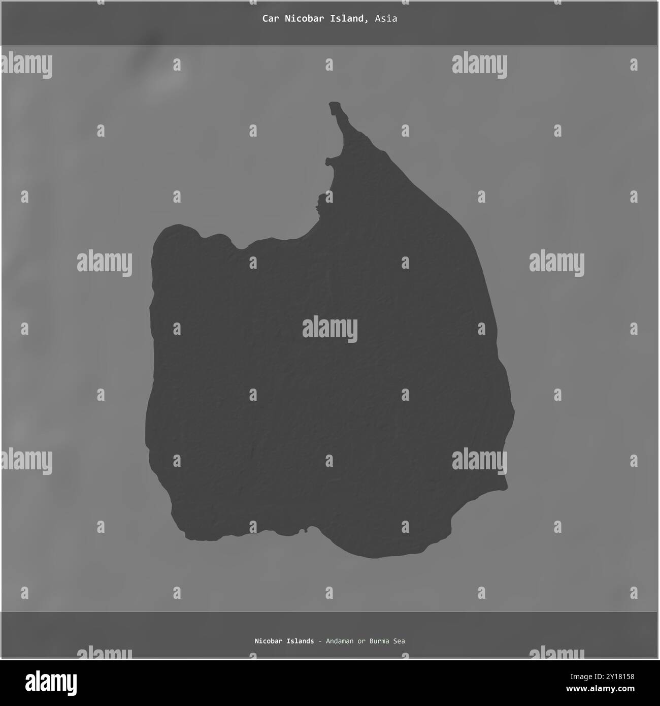 Car Nicobar Island in the Andaman or Burma Sea, belonging to India, cropped to square on a bilevel elevation map Stock Photohttps://www.alamy.com/image-license-details/?v=1https://www.alamy.com/car-nicobar-island-in-the-andaman-or-burma-sea-belonging-to-india-cropped-to-square-on-a-bilevel-elevation-map-image620364452.html
RF2Y18158–Car Nicobar Island in the Andaman or Burma Sea, belonging to India, cropped to square on a bilevel elevation map
 North and Middle Andaman district (Andaman and Nicobar Islands union territory, Republic of India) map vector illustration, scribble sketch North and Stock Vectorhttps://www.alamy.com/image-license-details/?v=1https://www.alamy.com/north-and-middle-andaman-district-andaman-and-nicobar-islands-union-territory-republic-of-india-map-vector-illustration-scribble-sketch-north-and-image449378124.html
RF2H32XAM–North and Middle Andaman district (Andaman and Nicobar Islands union territory, Republic of India) map vector illustration, scribble sketch North and
 Andaman and Nicobar, union territory of India. Colored shader data with lakes and rivers. Shape presented against its country area with informative ov Stock Photohttps://www.alamy.com/image-license-details/?v=1https://www.alamy.com/andaman-and-nicobar-union-territory-of-india-colored-shader-data-with-lakes-and-rivers-shape-presented-against-its-country-area-with-informative-ov-image364211714.html
RF2C4F7N6–Andaman and Nicobar, union territory of India. Colored shader data with lakes and rivers. Shape presented against its country area with informative ov
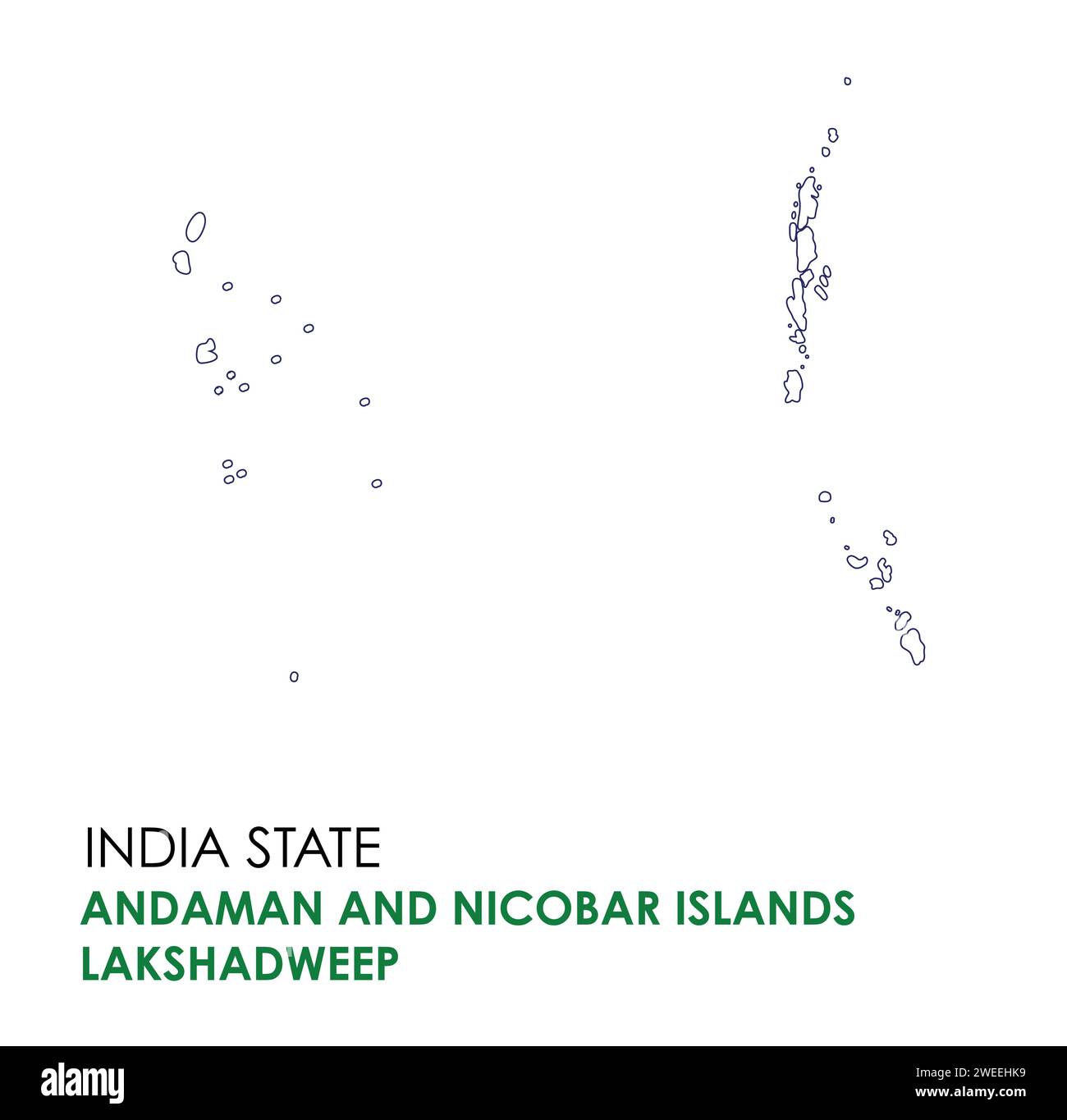 Andaman and Lakshadweep map of Indian state. Andaman and Lakshadweep map illustration. Stock Vectorhttps://www.alamy.com/image-license-details/?v=1https://www.alamy.com/andaman-and-lakshadweep-map-of-indian-state-andaman-and-lakshadweep-map-illustration-image594078893.html
RF2WEEHK9–Andaman and Lakshadweep map of Indian state. Andaman and Lakshadweep map illustration.
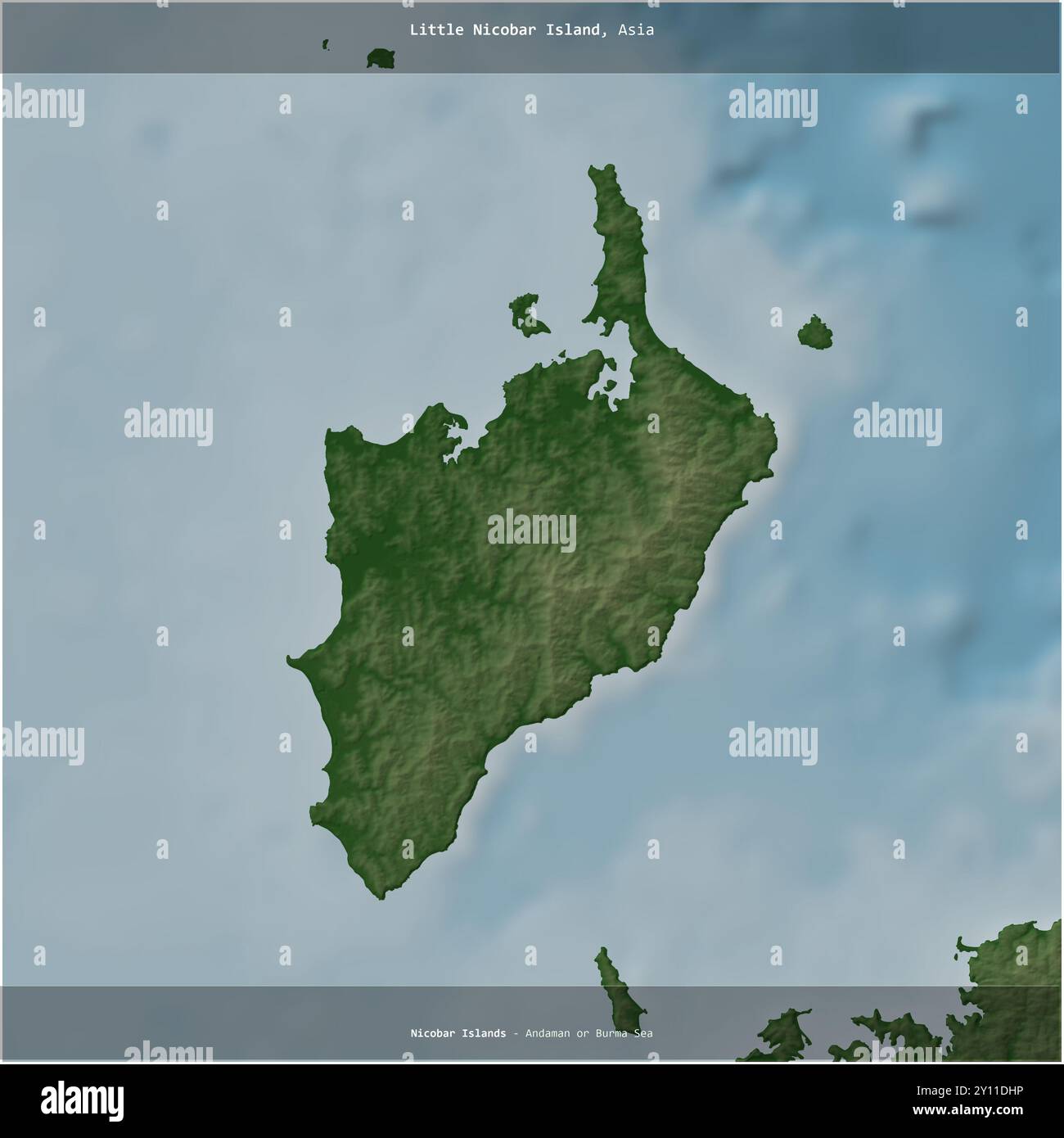 Little Nicobar Island in the Andaman or Burma Sea, belonging to India, cropped to square on a colored elevation map Stock Photohttps://www.alamy.com/image-license-details/?v=1https://www.alamy.com/little-nicobar-island-in-the-andaman-or-burma-sea-belonging-to-india-cropped-to-square-on-a-colored-elevation-map-image620220546.html
RF2Y11DHP–Little Nicobar Island in the Andaman or Burma Sea, belonging to India, cropped to square on a colored elevation map
 Middle Andaman island (Republic of India, Indian union territory of Andaman and Nicobar Islands) map vector illustration, scribble sketch Middle Andam Stock Vectorhttps://www.alamy.com/image-license-details/?v=1https://www.alamy.com/middle-andaman-island-republic-of-india-indian-union-territory-of-andaman-and-nicobar-islands-map-vector-illustration-scribble-sketch-middle-andam-image451644555.html
RF2H6P56K–Middle Andaman island (Republic of India, Indian union territory of Andaman and Nicobar Islands) map vector illustration, scribble sketch Middle Andam
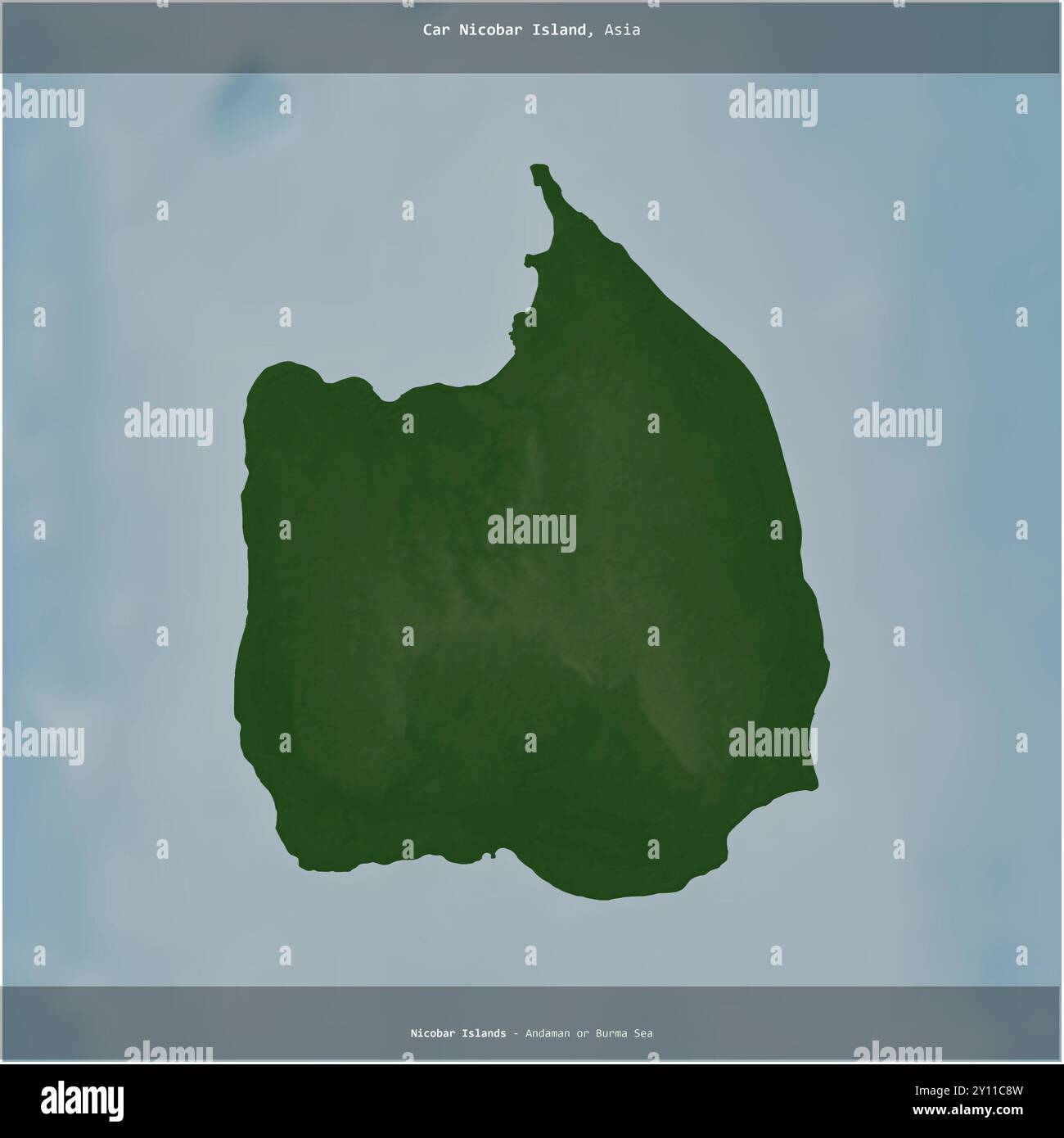 Car Nicobar Island in the Andaman or Burma Sea, belonging to India, cropped to square on a colored elevation map Stock Photohttps://www.alamy.com/image-license-details/?v=1https://www.alamy.com/car-nicobar-island-in-the-andaman-or-burma-sea-belonging-to-india-cropped-to-square-on-a-colored-elevation-map-image620219513.html
RF2Y11C8W–Car Nicobar Island in the Andaman or Burma Sea, belonging to India, cropped to square on a colored elevation map
 North Andaman island (Republic of India, Indian union territory of Andaman and Nicobar Islands) map vector illustration, scribble sketch North Andaman Stock Vectorhttps://www.alamy.com/image-license-details/?v=1https://www.alamy.com/north-andaman-island-republic-of-india-indian-union-territory-of-andaman-and-nicobar-islands-map-vector-illustration-scribble-sketch-north-andaman-image475465806.html
RF2JHF9DJ–North Andaman island (Republic of India, Indian union territory of Andaman and Nicobar Islands) map vector illustration, scribble sketch North Andaman
 Little Nicobar Island in the Andaman or Burma Sea, belonging to India, isolated on a bilevel elevation map, with distance scale Stock Photohttps://www.alamy.com/image-license-details/?v=1https://www.alamy.com/little-nicobar-island-in-the-andaman-or-burma-sea-belonging-to-india-isolated-on-a-bilevel-elevation-map-with-distance-scale-image619539408.html
RF2XYXCRC–Little Nicobar Island in the Andaman or Burma Sea, belonging to India, isolated on a bilevel elevation map, with distance scale
 North Andaman island (Republic of India, Indian union territory of Andaman and Nicobar Islands) map vector illustration, scribble sketch North Andaman Stock Vectorhttps://www.alamy.com/image-license-details/?v=1https://www.alamy.com/north-andaman-island-republic-of-india-indian-union-territory-of-andaman-and-nicobar-islands-map-vector-illustration-scribble-sketch-north-andaman-image466320097.html
RF2J2JM15–North Andaman island (Republic of India, Indian union territory of Andaman and Nicobar Islands) map vector illustration, scribble sketch North Andaman
 Car Nicobar Island in the Andaman or Burma Sea, belonging to India, isolated on a bilevel elevation map, with distance scale Stock Photohttps://www.alamy.com/image-license-details/?v=1https://www.alamy.com/car-nicobar-island-in-the-andaman-or-burma-sea-belonging-to-india-isolated-on-a-bilevel-elevation-map-with-distance-scale-image619538626.html
RF2XYXBRE–Car Nicobar Island in the Andaman or Burma Sea, belonging to India, isolated on a bilevel elevation map, with distance scale
 Car Nicobar Island in the Andaman or Burma Sea - belonging to India. Described location diagram with yellow shape of the island and sample maps of its Stock Photohttps://www.alamy.com/image-license-details/?v=1https://www.alamy.com/car-nicobar-island-in-the-andaman-or-burma-sea-belonging-to-india-described-location-diagram-with-yellow-shape-of-the-island-and-sample-maps-of-its-image617412407.html
RF2XTDFR3–Car Nicobar Island in the Andaman or Burma Sea - belonging to India. Described location diagram with yellow shape of the island and sample maps of its
 Middle Andaman island (Republic of India, Indian union territory of Andaman and Nicobar Islands) map vector illustration, scribble sketch Middle Andam Stock Vectorhttps://www.alamy.com/image-license-details/?v=1https://www.alamy.com/middle-andaman-island-republic-of-india-indian-union-territory-of-andaman-and-nicobar-islands-map-vector-illustration-scribble-sketch-middle-andam-image466059176.html
RF2J26R6G–Middle Andaman island (Republic of India, Indian union territory of Andaman and Nicobar Islands) map vector illustration, scribble sketch Middle Andam
 Little Nicobar Island in the Andaman or Burma Sea - belonging to India. Described location diagram with yellow shape of the island and sample maps of Stock Photohttps://www.alamy.com/image-license-details/?v=1https://www.alamy.com/little-nicobar-island-in-the-andaman-or-burma-sea-belonging-to-india-described-location-diagram-with-yellow-shape-of-the-island-and-sample-maps-of-image617417587.html
RF2XTDPC3–Little Nicobar Island in the Andaman or Burma Sea - belonging to India. Described location diagram with yellow shape of the island and sample maps of
 South Andaman island (Republic of India, Indian union territory of Andaman and Nicobar Islands) map vector illustration, scribble sketch South Andaman Stock Vectorhttps://www.alamy.com/image-license-details/?v=1https://www.alamy.com/south-andaman-island-republic-of-india-indian-union-territory-of-andaman-and-nicobar-islands-map-vector-illustration-scribble-sketch-south-andaman-image452410798.html
RF2H812GE–South Andaman island (Republic of India, Indian union territory of Andaman and Nicobar Islands) map vector illustration, scribble sketch South Andaman
 Little Nicobar Island in the Andaman or Burma Sea, belonging to India, cropped to square on a topographic, OSM Humanitarian style map Stock Photohttps://www.alamy.com/image-license-details/?v=1https://www.alamy.com/little-nicobar-island-in-the-andaman-or-burma-sea-belonging-to-india-cropped-to-square-on-a-topographic-osm-humanitarian-style-map-image620383764.html
RF2Y18WR0–Little Nicobar Island in the Andaman or Burma Sea, belonging to India, cropped to square on a topographic, OSM Humanitarian style map
 North Andaman island (Republic of India, Indian union territory of Andaman and Nicobar Islands) map vector illustration, scribble sketch North Andaman Stock Vectorhttps://www.alamy.com/image-license-details/?v=1https://www.alamy.com/north-andaman-island-republic-of-india-indian-union-territory-of-andaman-and-nicobar-islands-map-vector-illustration-scribble-sketch-north-andaman-image449551437.html
RF2H3ARCD–North Andaman island (Republic of India, Indian union territory of Andaman and Nicobar Islands) map vector illustration, scribble sketch North Andaman
 Car Nicobar Island in the Andaman or Burma Sea, belonging to India, cropped to square on a topographic, OSM Humanitarian style map Stock Photohttps://www.alamy.com/image-license-details/?v=1https://www.alamy.com/car-nicobar-island-in-the-andaman-or-burma-sea-belonging-to-india-cropped-to-square-on-a-topographic-osm-humanitarian-style-map-image620381963.html
RF2Y18REK–Car Nicobar Island in the Andaman or Burma Sea, belonging to India, cropped to square on a topographic, OSM Humanitarian style map
 South Andaman island (Republic of India, Indian union territory of Andaman and Nicobar Islands) map vector illustration, scribble sketch South Andaman Stock Vectorhttps://www.alamy.com/image-license-details/?v=1https://www.alamy.com/south-andaman-island-republic-of-india-indian-union-territory-of-andaman-and-nicobar-islands-map-vector-illustration-scribble-sketch-south-andaman-image467354771.html
RF2J49RNR–South Andaman island (Republic of India, Indian union territory of Andaman and Nicobar Islands) map vector illustration, scribble sketch South Andaman
 Little Nicobar Island in the Andaman or Burma Sea, belonging to India, described and highlighted on a topographic, OSM Humanitarian style map Stock Photohttps://www.alamy.com/image-license-details/?v=1https://www.alamy.com/little-nicobar-island-in-the-andaman-or-burma-sea-belonging-to-india-described-and-highlighted-on-a-topographic-osm-humanitarian-style-map-image620210428.html
RF2Y110MC–Little Nicobar Island in the Andaman or Burma Sea, belonging to India, described and highlighted on a topographic, OSM Humanitarian style map
 South Andaman island (Republic of India, Indian union territory of Andaman and Nicobar Islands) map vector illustration, scribble sketch South Andaman Stock Vectorhttps://www.alamy.com/image-license-details/?v=1https://www.alamy.com/south-andaman-island-republic-of-india-indian-union-territory-of-andaman-and-nicobar-islands-map-vector-illustration-scribble-sketch-south-andaman-image477175819.html
RF2JM96HF–South Andaman island (Republic of India, Indian union territory of Andaman and Nicobar Islands) map vector illustration, scribble sketch South Andaman
 Car Nicobar Island in the Andaman or Burma Sea, belonging to India, described and highlighted on a topographic, OSM Humanitarian style map Stock Photohttps://www.alamy.com/image-license-details/?v=1https://www.alamy.com/car-nicobar-island-in-the-andaman-or-burma-sea-belonging-to-india-described-and-highlighted-on-a-topographic-osm-humanitarian-style-map-image620209199.html
RF2Y10Y4F–Car Nicobar Island in the Andaman or Burma Sea, belonging to India, described and highlighted on a topographic, OSM Humanitarian style map
 Middle Andaman island (Republic of India, Indian union territory of Andaman and Nicobar Islands) map vector illustration, scribble sketch Middle Andam Stock Vectorhttps://www.alamy.com/image-license-details/?v=1https://www.alamy.com/middle-andaman-island-republic-of-india-indian-union-territory-of-andaman-and-nicobar-islands-map-vector-illustration-scribble-sketch-middle-andam-image474591594.html
RF2JG3EBP–Middle Andaman island (Republic of India, Indian union territory of Andaman and Nicobar Islands) map vector illustration, scribble sketch Middle Andam
 Little Nicobar Island in the Andaman or Burma Sea, belonging to India, isolated on a topographic, OSM standard style map, with distance scale Stock Photohttps://www.alamy.com/image-license-details/?v=1https://www.alamy.com/little-nicobar-island-in-the-andaman-or-burma-sea-belonging-to-india-isolated-on-a-topographic-osm-standard-style-map-with-distance-scale-image619568513.html
RF2XYYNXW–Little Nicobar Island in the Andaman or Burma Sea, belonging to India, isolated on a topographic, OSM standard style map, with distance scale
 South Andaman district (Andaman and Nicobar Islands union territory, Republic of India) map vector illustration, scribble sketch South, Little, Rutlan Stock Vectorhttps://www.alamy.com/image-license-details/?v=1https://www.alamy.com/south-andaman-district-andaman-and-nicobar-islands-union-territory-republic-of-india-map-vector-illustration-scribble-sketch-south-little-rutlan-image440141861.html
RF2GG25C5–South Andaman district (Andaman and Nicobar Islands union territory, Republic of India) map vector illustration, scribble sketch South, Little, Rutlan
 Car Nicobar Island in the Andaman or Burma Sea, belonging to India, isolated on a topographic, OSM standard style map, with distance scale Stock Photohttps://www.alamy.com/image-license-details/?v=1https://www.alamy.com/car-nicobar-island-in-the-andaman-or-burma-sea-belonging-to-india-isolated-on-a-topographic-osm-standard-style-map-with-distance-scale-image619566859.html
RF2XYYKRR–Car Nicobar Island in the Andaman or Burma Sea, belonging to India, isolated on a topographic, OSM standard style map, with distance scale
 South Andaman district (Andaman and Nicobar Islands union territory, Republic of India) map vector illustration, scribble sketch South, Little, Rutlan Stock Vectorhttps://www.alamy.com/image-license-details/?v=1https://www.alamy.com/south-andaman-district-andaman-and-nicobar-islands-union-territory-republic-of-india-map-vector-illustration-scribble-sketch-south-little-rutlan-image450798480.html
RF2H5BJ1M–South Andaman district (Andaman and Nicobar Islands union territory, Republic of India) map vector illustration, scribble sketch South, Little, Rutlan
 Little Nicobar Island in the Andaman or Burma Sea, belonging to India, cropped to square on a satellite image taken in January 17, 2022 Stock Photohttps://www.alamy.com/image-license-details/?v=1https://www.alamy.com/little-nicobar-island-in-the-andaman-or-burma-sea-belonging-to-india-cropped-to-square-on-a-satellite-image-taken-in-january-17-2022-image620230061.html
RF2Y11WNH–Little Nicobar Island in the Andaman or Burma Sea, belonging to India, cropped to square on a satellite image taken in January 17, 2022
 South Andaman district (Andaman and Nicobar Islands union territory, Republic of India) map vector illustration, scribble sketch South, Little, Rutlan Stock Vectorhttps://www.alamy.com/image-license-details/?v=1https://www.alamy.com/south-andaman-district-andaman-and-nicobar-islands-union-territory-republic-of-india-map-vector-illustration-scribble-sketch-south-little-rutlan-image455719578.html
RF2HDBPY6–South Andaman district (Andaman and Nicobar Islands union territory, Republic of India) map vector illustration, scribble sketch South, Little, Rutlan
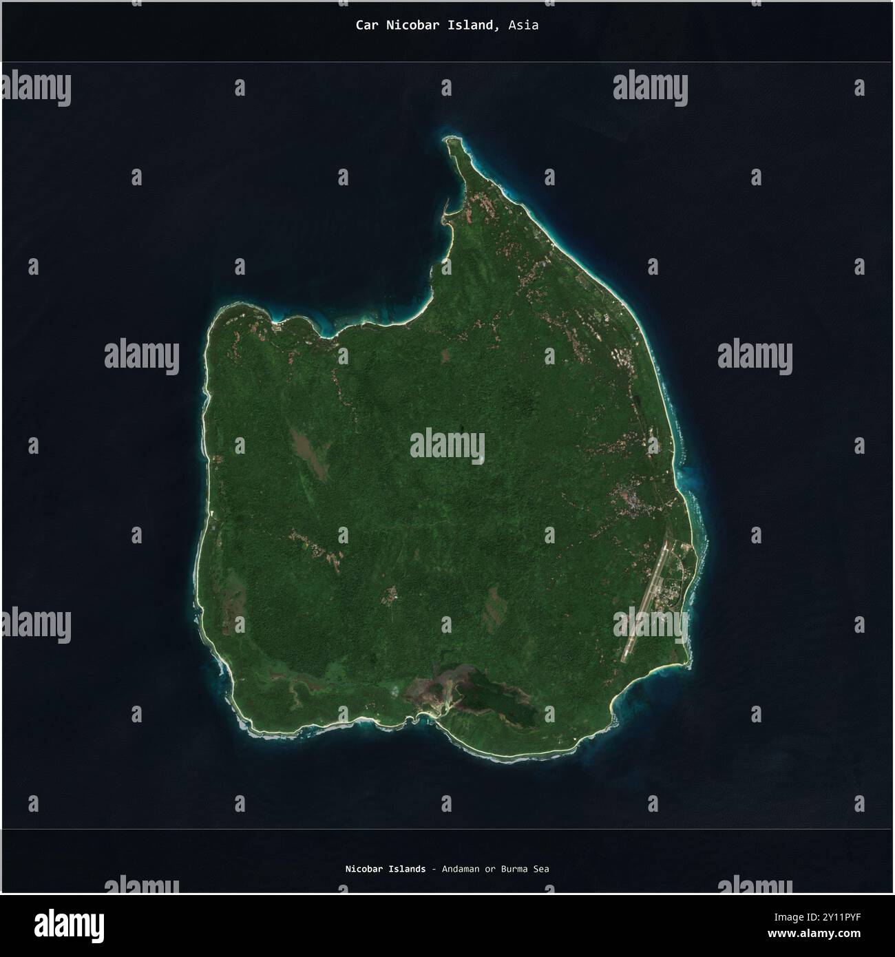 Car Nicobar Island in the Andaman or Burma Sea, belonging to India, cropped to square on a satellite image taken in December 22, 2017 Stock Photohttps://www.alamy.com/image-license-details/?v=1https://www.alamy.com/car-nicobar-island-in-the-andaman-or-burma-sea-belonging-to-india-cropped-to-square-on-a-satellite-image-taken-in-december-22-2017-image620227875.html
RF2Y11PYF–Car Nicobar Island in the Andaman or Burma Sea, belonging to India, cropped to square on a satellite image taken in December 22, 2017
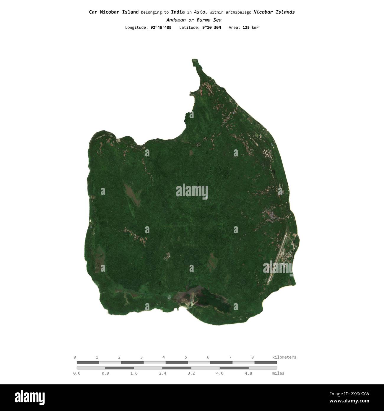 Car Nicobar Island in the Andaman or Burma Sea, belonging to India, isolated on a satellite image taken in December 22, 2017, with distance scale Stock Photohttps://www.alamy.com/image-license-details/?v=1https://www.alamy.com/car-nicobar-island-in-the-andaman-or-burma-sea-belonging-to-india-isolated-on-a-satellite-image-taken-in-december-22-2017-with-distance-scale-image619544993.html
RF2XYXKXW–Car Nicobar Island in the Andaman or Burma Sea, belonging to India, isolated on a satellite image taken in December 22, 2017, with distance scale
 Little Nicobar Island in the Andaman or Burma Sea, belonging to India, isolated on a satellite image taken in January 17, 2022, with distance scale Stock Photohttps://www.alamy.com/image-license-details/?v=1https://www.alamy.com/little-nicobar-island-in-the-andaman-or-burma-sea-belonging-to-india-isolated-on-a-satellite-image-taken-in-january-17-2022-with-distance-scale-image619547277.html
RF2XYXPTD–Little Nicobar Island in the Andaman or Burma Sea, belonging to India, isolated on a satellite image taken in January 17, 2022, with distance scale
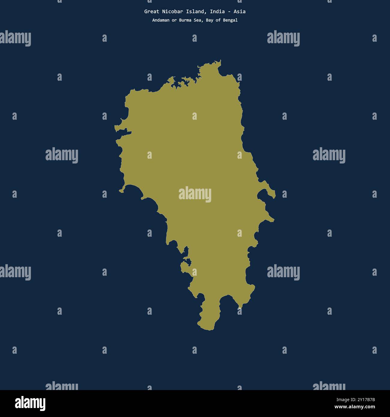 Shape of Great Nicobar Island in the Bay of Bengal, belonging to India Stock Photohttps://www.alamy.com/image-license-details/?v=1https://www.alamy.com/shape-of-great-nicobar-island-in-the-bay-of-bengal-belonging-to-india-image620350399.html
RF2Y17B7B–Shape of Great Nicobar Island in the Bay of Bengal, belonging to India
 Great Nicobar Island in the Bay of Bengal on a colored elevation map Stock Photohttps://www.alamy.com/image-license-details/?v=1https://www.alamy.com/great-nicobar-island-in-the-bay-of-bengal-on-a-colored-elevation-map-image619517392.html
RF2XYWCN4–Great Nicobar Island in the Bay of Bengal on a colored elevation map
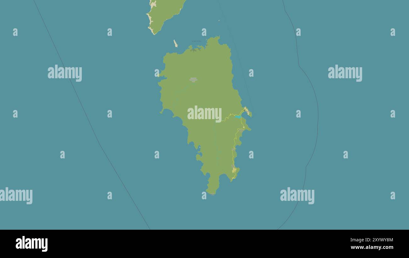 Great Nicobar Island in the Bay of Bengal on a topographic, OSM Humanitarian style map Stock Photohttps://www.alamy.com/image-license-details/?v=1https://www.alamy.com/great-nicobar-island-in-the-bay-of-bengal-on-a-topographic-osm-humanitarian-style-map-image619528804.html
RF2XYWY8M–Great Nicobar Island in the Bay of Bengal on a topographic, OSM Humanitarian style map
 Great Nicobar Island in the Bay of Bengal on a satellite image taken in January 22, 2021 Stock Photohttps://www.alamy.com/image-license-details/?v=1https://www.alamy.com/great-nicobar-island-in-the-bay-of-bengal-on-a-satellite-image-taken-in-january-22-2021-image619375626.html
RF2XYJYX2–Great Nicobar Island in the Bay of Bengal on a satellite image taken in January 22, 2021
 Great Nicobar Island in the Bay of Bengal, belonging to India, cropped to square on a bilevel elevation map Stock Photohttps://www.alamy.com/image-license-details/?v=1https://www.alamy.com/great-nicobar-island-in-the-bay-of-bengal-belonging-to-india-cropped-to-square-on-a-bilevel-elevation-map-image620365249.html
RF2Y1825N–Great Nicobar Island in the Bay of Bengal, belonging to India, cropped to square on a bilevel elevation map
 Great Nicobar Island in the Bay of Bengal, belonging to India, cropped to square on a colored elevation map Stock Photohttps://www.alamy.com/image-license-details/?v=1https://www.alamy.com/great-nicobar-island-in-the-bay-of-bengal-belonging-to-india-cropped-to-square-on-a-colored-elevation-map-image620220213.html
RF2Y11D5W–Great Nicobar Island in the Bay of Bengal, belonging to India, cropped to square on a colored elevation map
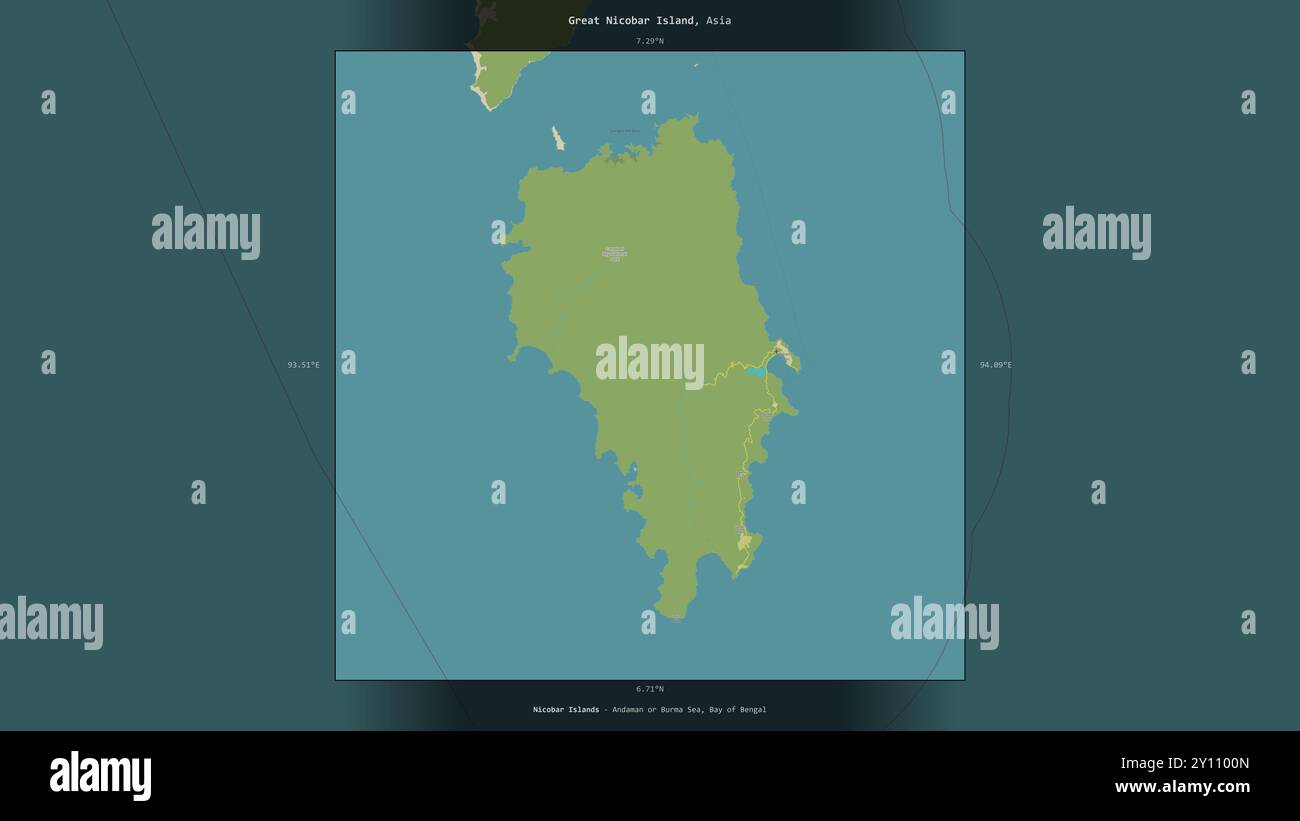 Great Nicobar Island in the Bay of Bengal, belonging to India, described and highlighted on a topographic, OSM Humanitarian style map Stock Photohttps://www.alamy.com/image-license-details/?v=1https://www.alamy.com/great-nicobar-island-in-the-bay-of-bengal-belonging-to-india-described-and-highlighted-on-a-topographic-osm-humanitarian-style-map-image620209877.html
RF2Y1100N–Great Nicobar Island in the Bay of Bengal, belonging to India, described and highlighted on a topographic, OSM Humanitarian style map
 Great Nicobar Island in the Bay of Bengal, belonging to India, cropped to square on a topographic, OSM Humanitarian style map Stock Photohttps://www.alamy.com/image-license-details/?v=1https://www.alamy.com/great-nicobar-island-in-the-bay-of-bengal-belonging-to-india-cropped-to-square-on-a-topographic-osm-humanitarian-style-map-image620382973.html
RF2Y18TPN–Great Nicobar Island in the Bay of Bengal, belonging to India, cropped to square on a topographic, OSM Humanitarian style map
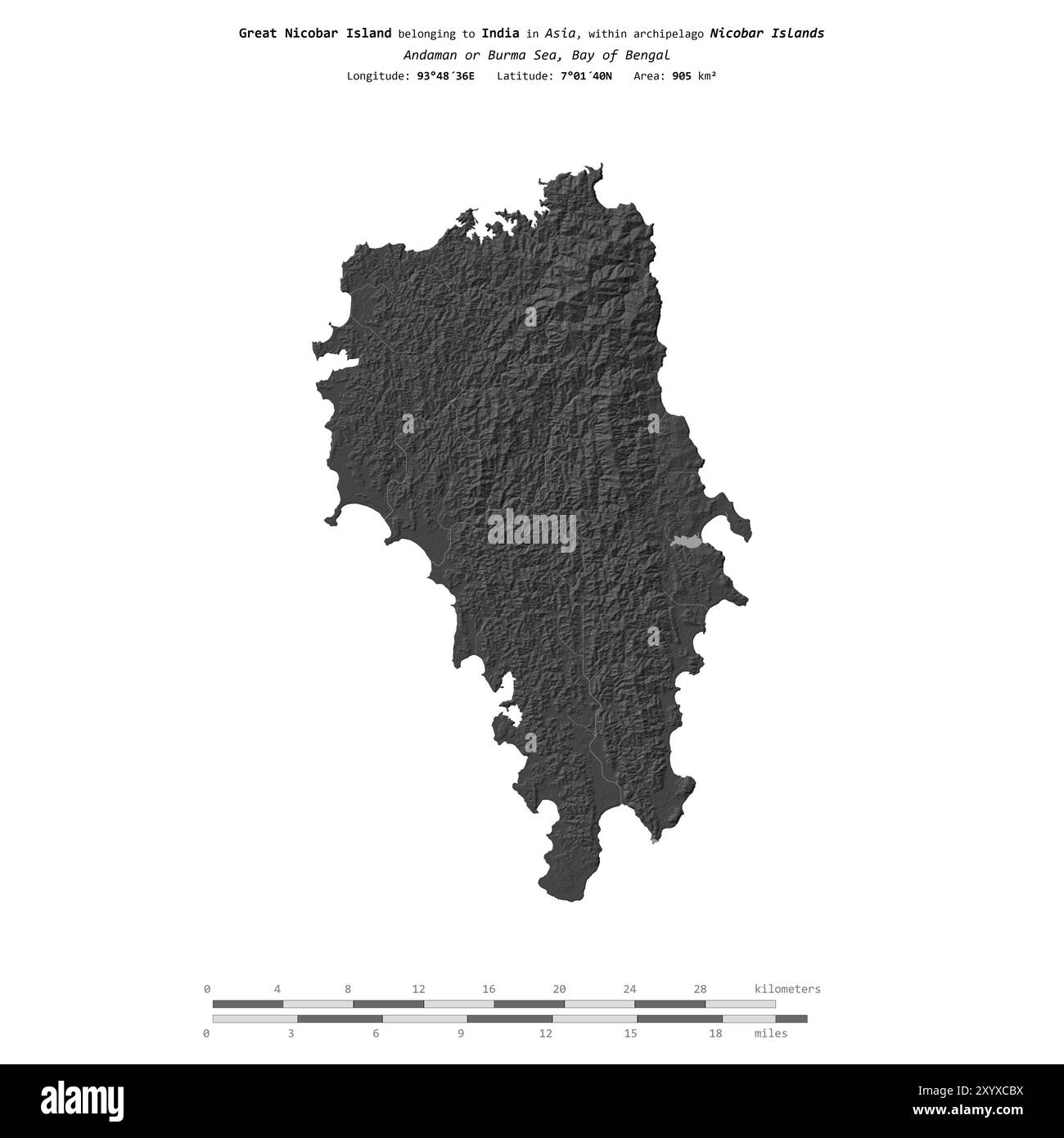 Great Nicobar Island in the Bay of Bengal, belonging to India, isolated on a bilevel elevation map, with distance scale Stock Photohttps://www.alamy.com/image-license-details/?v=1https://www.alamy.com/great-nicobar-island-in-the-bay-of-bengal-belonging-to-india-isolated-on-a-bilevel-elevation-map-with-distance-scale-image619539086.html
RF2XYXCBX–Great Nicobar Island in the Bay of Bengal, belonging to India, isolated on a bilevel elevation map, with distance scale
 Great Nicobar Island in the Bay of Bengal - belonging to India. Described location diagram with yellow shape of the island and sample maps of its surr Stock Photohttps://www.alamy.com/image-license-details/?v=1https://www.alamy.com/great-nicobar-island-in-the-bay-of-bengal-belonging-to-india-described-location-diagram-with-yellow-shape-of-the-island-and-sample-maps-of-its-surr-image617415777.html
RF2XTDM3D–Great Nicobar Island in the Bay of Bengal - belonging to India. Described location diagram with yellow shape of the island and sample maps of its surr
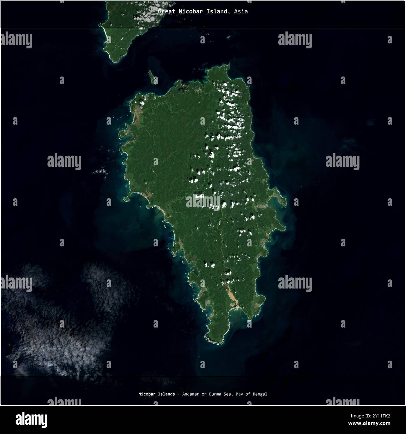 Great Nicobar Island in the Bay of Bengal, belonging to India, cropped to square on a satellite image taken in December 23, 2022 Stock Photohttps://www.alamy.com/image-license-details/?v=1https://www.alamy.com/great-nicobar-island-in-the-bay-of-bengal-belonging-to-india-cropped-to-square-on-a-satellite-image-taken-in-december-23-2022-image620229206.html
RF2Y11TK2–Great Nicobar Island in the Bay of Bengal, belonging to India, cropped to square on a satellite image taken in December 23, 2022
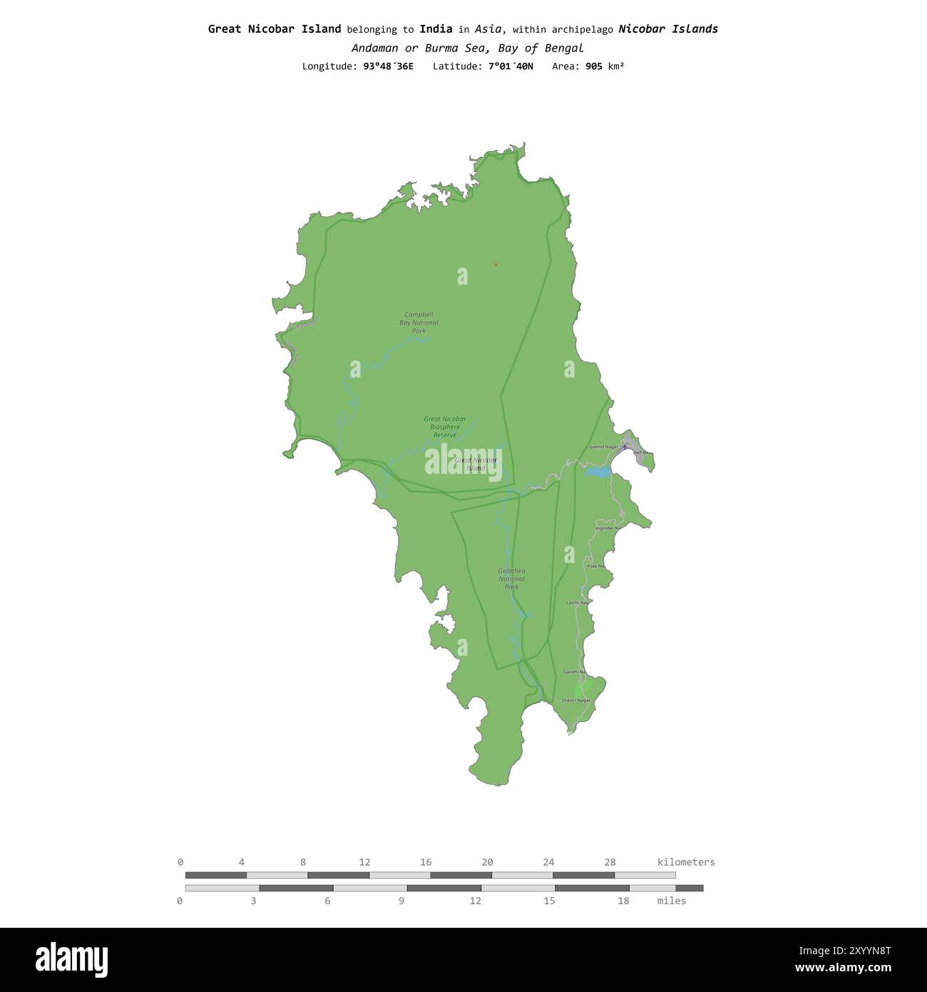 Great Nicobar Island in the Bay of Bengal, belonging to India, isolated on a topographic, OSM standard style map, with distance scale Stock Photohttps://www.alamy.com/image-license-details/?v=1https://www.alamy.com/great-nicobar-island-in-the-bay-of-bengal-belonging-to-india-isolated-on-a-topographic-osm-standard-style-map-with-distance-scale-image619568008.html
RF2XYYN8T–Great Nicobar Island in the Bay of Bengal, belonging to India, isolated on a topographic, OSM standard style map, with distance scale
 Great Nicobar Island in the Bay of Bengal, belonging to India, isolated on a satellite image taken in December 23, 2022, with distance scale Stock Photohttps://www.alamy.com/image-license-details/?v=1https://www.alamy.com/great-nicobar-island-in-the-bay-of-bengal-belonging-to-india-isolated-on-a-satellite-image-taken-in-december-23-2022-with-distance-scale-image619546524.html
RF2XYXNWG–Great Nicobar Island in the Bay of Bengal, belonging to India, isolated on a satellite image taken in December 23, 2022, with distance scale
 Shape of Camorta Island in the Indian Ocean, belonging to India Stock Photohttps://www.alamy.com/image-license-details/?v=1https://www.alamy.com/shape-of-camorta-island-in-the-indian-ocean-belonging-to-india-image620349655.html
RF2Y17A8R–Shape of Camorta Island in the Indian Ocean, belonging to India
 Shape of Nancowry Island in the Indian Ocean, belonging to India Stock Photohttps://www.alamy.com/image-license-details/?v=1https://www.alamy.com/shape-of-nancowry-island-in-the-indian-ocean-belonging-to-india-image620359799.html
RF2Y17R73–Shape of Nancowry Island in the Indian Ocean, belonging to India
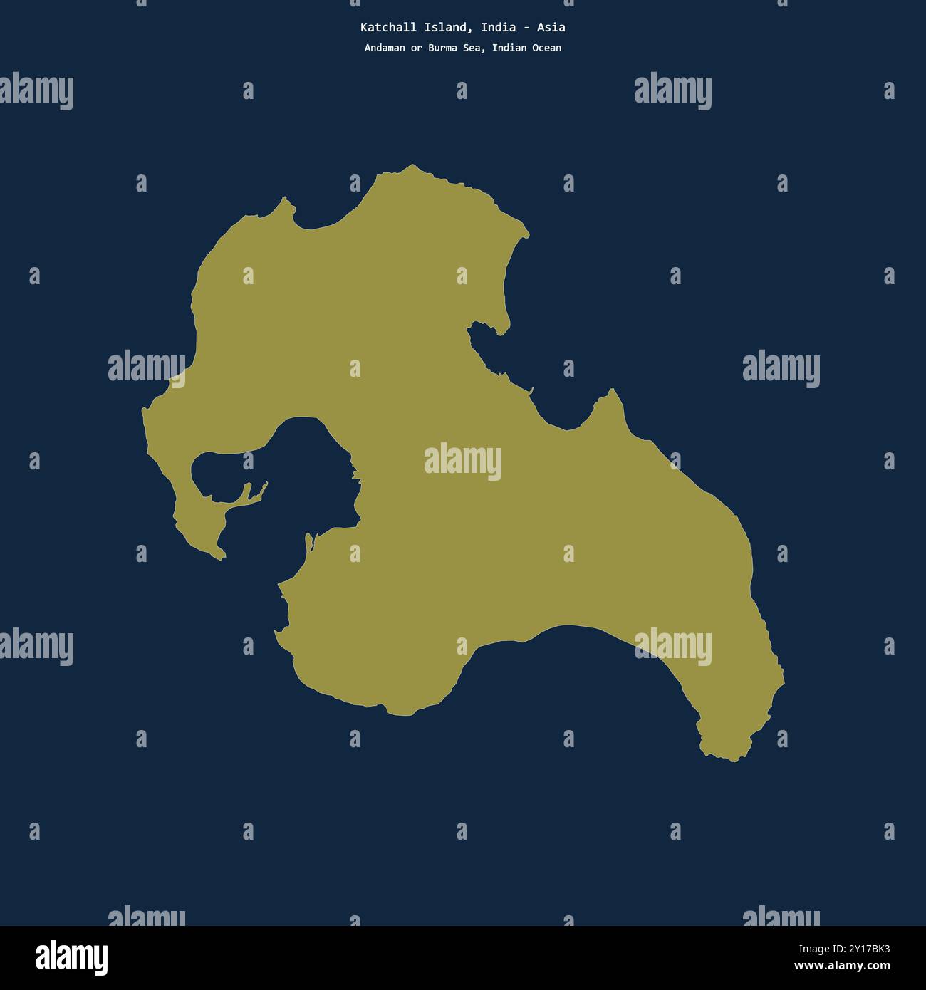 Shape of Katchall Island in the Indian Ocean, belonging to India Stock Photohttps://www.alamy.com/image-license-details/?v=1https://www.alamy.com/shape-of-katchall-island-in-the-indian-ocean-belonging-to-india-image620350727.html
RF2Y17BK3–Shape of Katchall Island in the Indian Ocean, belonging to India
 Nancowry Island in the Indian Ocean on a topographic, OSM Humanitarian style map Stock Photohttps://www.alamy.com/image-license-details/?v=1https://www.alamy.com/nancowry-island-in-the-indian-ocean-on-a-topographic-osm-humanitarian-style-map-image619532977.html
RF2XYX4HN–Nancowry Island in the Indian Ocean on a topographic, OSM Humanitarian style map