Quick filters:
Antarctica satellite Stock Photos and Images
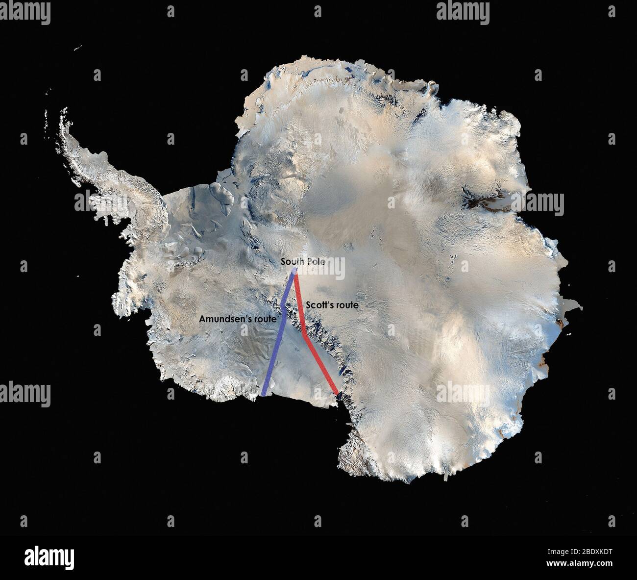 The world's first high resolution, three-dimensional, true-color map of Antarctica was built from more than 1,100 images from the Landsat 7 satellite. To create the Landsat Image Mosaic of Antarctica (LIMA), scientific visualizers combined Landsat 7 scenes (acquired between 1999 and 2001), a digital elevation model, and field data measurements. It took years to stitch the whole thing together for release in 2007. NASA worked with the USGS, the National Science Foundation, and the British Antarctic Survey to create the map of the highest, driest, coldest, windiest, and brightest of Earth's seve Stock Photohttps://www.alamy.com/image-license-details/?v=1https://www.alamy.com/the-worlds-first-high-resolution-three-dimensional-true-color-map-of-antarctica-was-built-from-more-than-1100-images-from-the-landsat-7-satellite-to-create-the-landsat-image-mosaic-of-antarctica-lima-scientific-visualizers-combined-landsat-7-scenes-acquired-between-1999-and-2001-a-digital-elevation-model-and-field-data-measurements-it-took-years-to-stitch-the-whole-thing-together-for-release-in-2007-nasa-worked-with-the-usgs-the-national-science-foundation-and-the-british-antarctic-survey-to-create-the-map-of-the-highest-driest-coldest-windiest-and-brightest-of-earths-seve-image352783924.html
RM2BDXKDT–The world's first high resolution, three-dimensional, true-color map of Antarctica was built from more than 1,100 images from the Landsat 7 satellite. To create the Landsat Image Mosaic of Antarctica (LIMA), scientific visualizers combined Landsat 7 scenes (acquired between 1999 and 2001), a digital elevation model, and field data measurements. It took years to stitch the whole thing together for release in 2007. NASA worked with the USGS, the National Science Foundation, and the British Antarctic Survey to create the map of the highest, driest, coldest, windiest, and brightest of Earth's seve
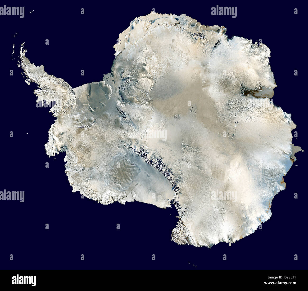 Antarctica. photographed by satellite MODIS observations of polar sea ice and combined with observations by the National Oceanic and Atmospheric Administration’s AVHRR sensor—the Advanced Very High Resolution Radiometer. 2006 Stock Photohttps://www.alamy.com/image-license-details/?v=1https://www.alamy.com/stock-photo-antarctica-photographed-by-satellite-modis-observations-of-polar-sea-57350273.html
RMD98ET1–Antarctica. photographed by satellite MODIS observations of polar sea ice and combined with observations by the National Oceanic and Atmospheric Administration’s AVHRR sensor—the Advanced Very High Resolution Radiometer. 2006
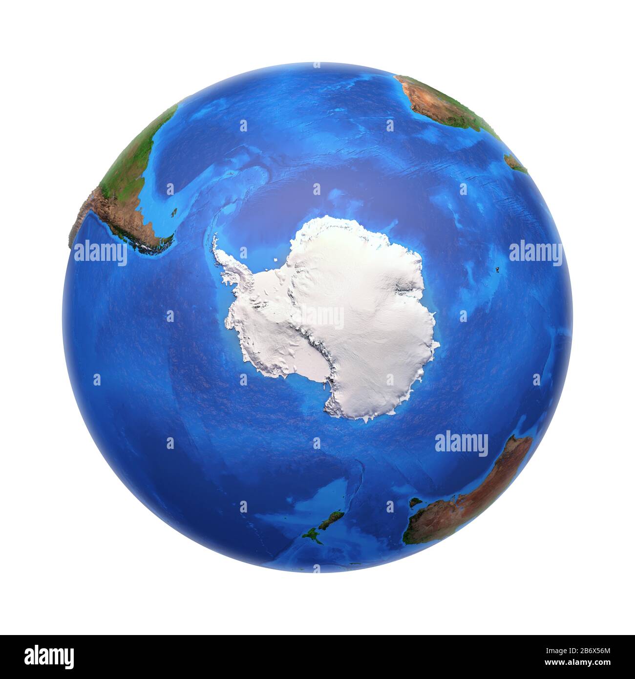 Antarctica continent viewed from a satellite. Physical map of South Pole. 3D illustration of planet Earth isolated on white, with high bump effect - E Stock Photohttps://www.alamy.com/image-license-details/?v=1https://www.alamy.com/antarctica-continent-viewed-from-a-satellite-physical-map-of-south-pole-3d-illustration-of-planet-earth-isolated-on-white-with-high-bump-effect-e-image348470156.html
RF2B6X56M–Antarctica continent viewed from a satellite. Physical map of South Pole. 3D illustration of planet Earth isolated on white, with high bump effect - E
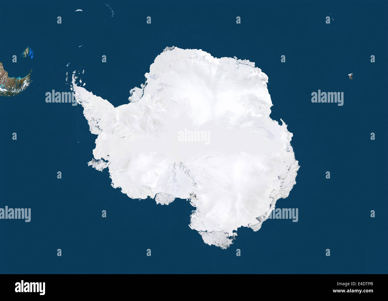 Antarctica, True Colour Satellite Image Stock Photohttps://www.alamy.com/image-license-details/?v=1https://www.alamy.com/stock-photo-antarctica-true-colour-satellite-image-71604915.html
RME4DTPB–Antarctica, True Colour Satellite Image
 Antarctic Peninsula captured by the Moderate Resolution Imaging Spectroradiometer (MODIS) on NASA's Aqua satellite on January 8, 2016. Warming ocean water is shrinking many of the ice shelves and the glaciers in the area. Stock Photohttps://www.alamy.com/image-license-details/?v=1https://www.alamy.com/antarctic-peninsula-captured-by-the-moderate-resolution-imaging-spectroradiometer-image151887269.html
RMJR31N9–Antarctic Peninsula captured by the Moderate Resolution Imaging Spectroradiometer (MODIS) on NASA's Aqua satellite on January 8, 2016. Warming ocean water is shrinking many of the ice shelves and the glaciers in the area.
 Globe Centred On The South Pole, True Colour Satellite Image. True colour satellite image of the Earth centred on the South Pole Stock Photohttps://www.alamy.com/image-license-details/?v=1https://www.alamy.com/stock-photo-globe-centred-on-the-south-pole-true-colour-satellite-image-true-colour-71606021.html
RME4DX5W–Globe Centred On The South Pole, True Colour Satellite Image. True colour satellite image of the Earth centred on the South Pole
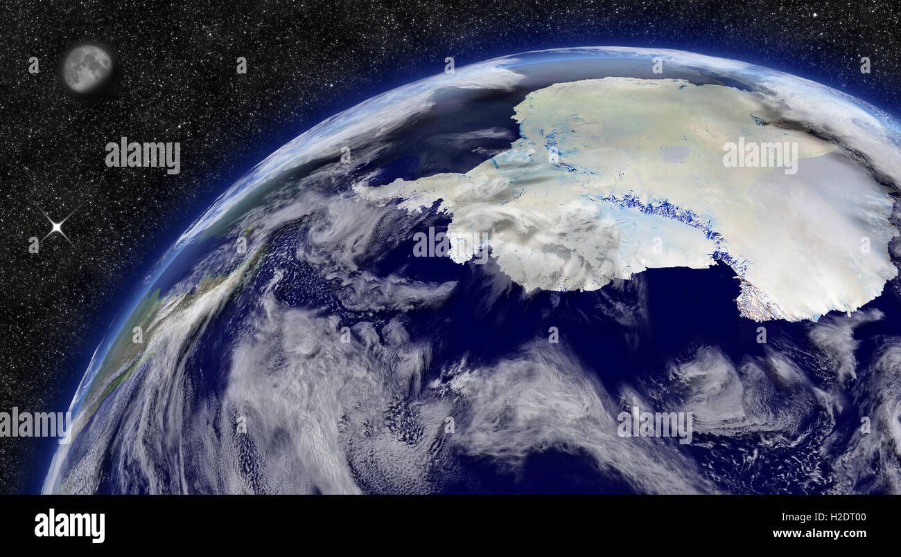 Antarctica on planet Earth Stock Photohttps://www.alamy.com/image-license-details/?v=1https://www.alamy.com/stock-photo-antarctica-on-planet-earth-122006080.html
RFH2DT00–Antarctica on planet Earth
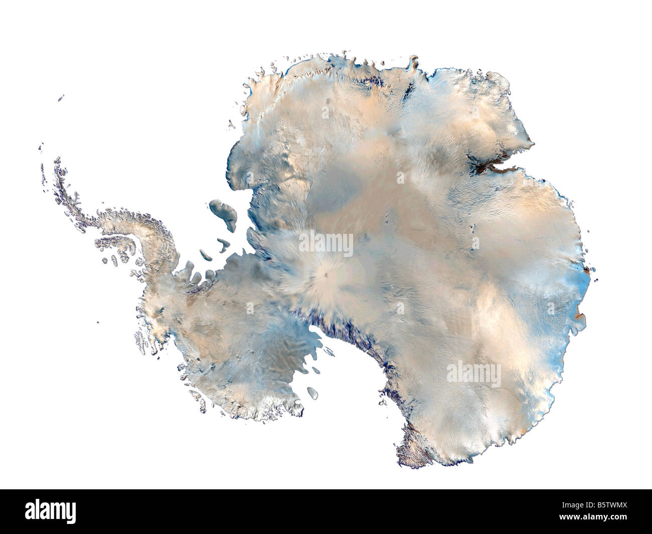 Satellite Image Of Antarctica Isolated On White Background Stock Photohttps://www.alamy.com/image-license-details/?v=1https://www.alamy.com/stock-photo-satellite-image-of-antarctica-isolated-on-white-background-20830682.html
RFB5TWMX–Satellite Image Of Antarctica Isolated On White Background
 NASA scientists discovered a massive crack across the Pine Island Glacier, Antarctica. Nov. 13, 2011. Stock Photohttps://www.alamy.com/image-license-details/?v=1https://www.alamy.com/nasa-scientists-discovered-a-massive-crack-across-the-pine-island-glacier-antarctica-nov-13-2011-image330679107.html
RM2A5YMG3–NASA scientists discovered a massive crack across the Pine Island Glacier, Antarctica. Nov. 13, 2011.
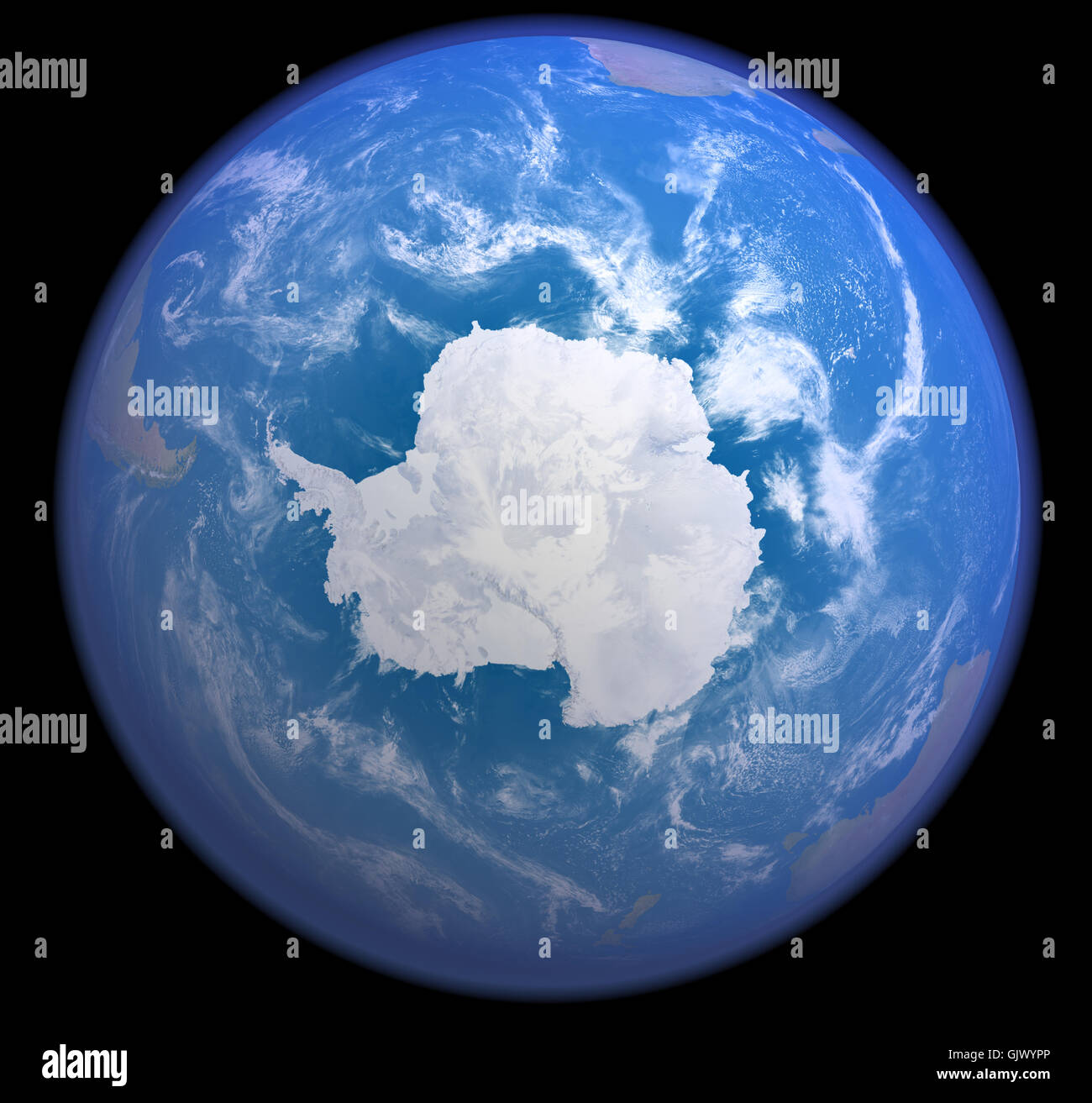 antarctica from space Stock Photohttps://www.alamy.com/image-license-details/?v=1https://www.alamy.com/stock-photo-antarctica-from-space-114896622.html
RFGJWYPP–antarctica from space
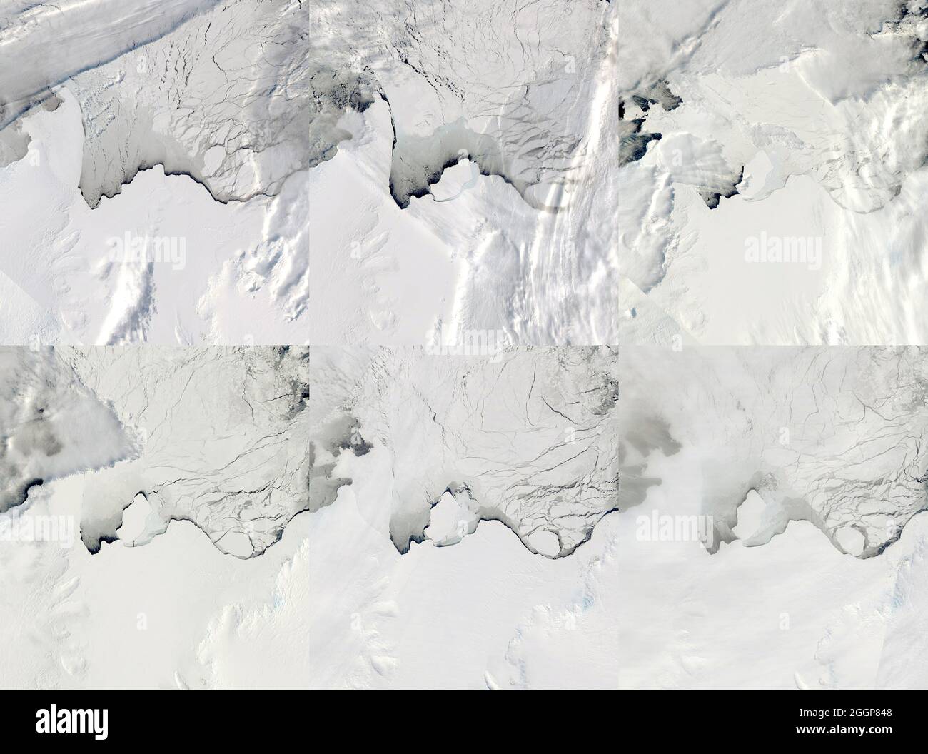 Composite of six satellite images taken between September 13 and October 2, 2019 show glacial rifting and the calving of an iceberg from East Antarctica' Amery Ice Shelf. Stock Photohttps://www.alamy.com/image-license-details/?v=1https://www.alamy.com/composite-of-six-satellite-images-taken-between-september-13-and-october-2-2019-show-glacial-rifting-and-the-calving-of-an-iceberg-from-east-antarctica-amery-ice-shelf-image440583032.html
RF2GGP848–Composite of six satellite images taken between September 13 and October 2, 2019 show glacial rifting and the calving of an iceberg from East Antarctica' Amery Ice Shelf.
 Photograph by satellite (MODIS) of Antarctica Observations of polar sea ice and combined with observations by the National Oceanic and Atmospheric Administration (NOAA) Stock Photohttps://www.alamy.com/image-license-details/?v=1https://www.alamy.com/photograph-by-satellite-modis-of-antarctica-observations-of-polar-sea-ice-and-combined-with-observations-by-the-national-oceanic-and-atmospheric-administration-noaa-image257282574.html
RMTXG6FA–Photograph by satellite (MODIS) of Antarctica Observations of polar sea ice and combined with observations by the National Oceanic and Atmospheric Administration (NOAA)
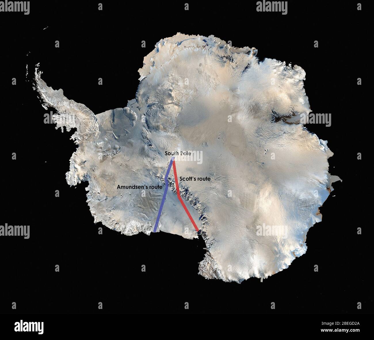 The world's first high resolution, three-dimensional, true-color map of Antarctica was built from more than 1,100 images from the Landsat 7 satellite. To create the Landsat Image Mosaic of Antarctica (LIMA), scientific visualizers combined Landsat 7 scenes (acquired between 1999 and 2001), a digital elevation model, and field data measurements. It took years to stitch the whole thing together for release in 2007. NASA worked with the USGS, the National Science Foundation, and the British Antarctic Survey to create the map of the highest, driest, coldest, windiest, and brightest of Earth's seve Stock Photohttps://www.alamy.com/image-license-details/?v=1https://www.alamy.com/the-worlds-first-high-resolution-three-dimensional-true-color-map-of-antarctica-was-built-from-more-than-1100-images-from-the-landsat-7-satellite-to-create-the-landsat-image-mosaic-of-antarctica-lima-scientific-visualizers-combined-landsat-7-scenes-acquired-between-1999-and-2001-a-digital-elevation-model-and-field-data-measurements-it-took-years-to-stitch-the-whole-thing-together-for-release-in-2007-nasa-worked-with-the-usgs-the-national-science-foundation-and-the-british-antarctic-survey-to-create-the-map-of-the-highest-driest-coldest-windiest-and-brightest-of-earths-seve-image353174034.html
RM2BEGD2A–The world's first high resolution, three-dimensional, true-color map of Antarctica was built from more than 1,100 images from the Landsat 7 satellite. To create the Landsat Image Mosaic of Antarctica (LIMA), scientific visualizers combined Landsat 7 scenes (acquired between 1999 and 2001), a digital elevation model, and field data measurements. It took years to stitch the whole thing together for release in 2007. NASA worked with the USGS, the National Science Foundation, and the British Antarctic Survey to create the map of the highest, driest, coldest, windiest, and brightest of Earth's seve
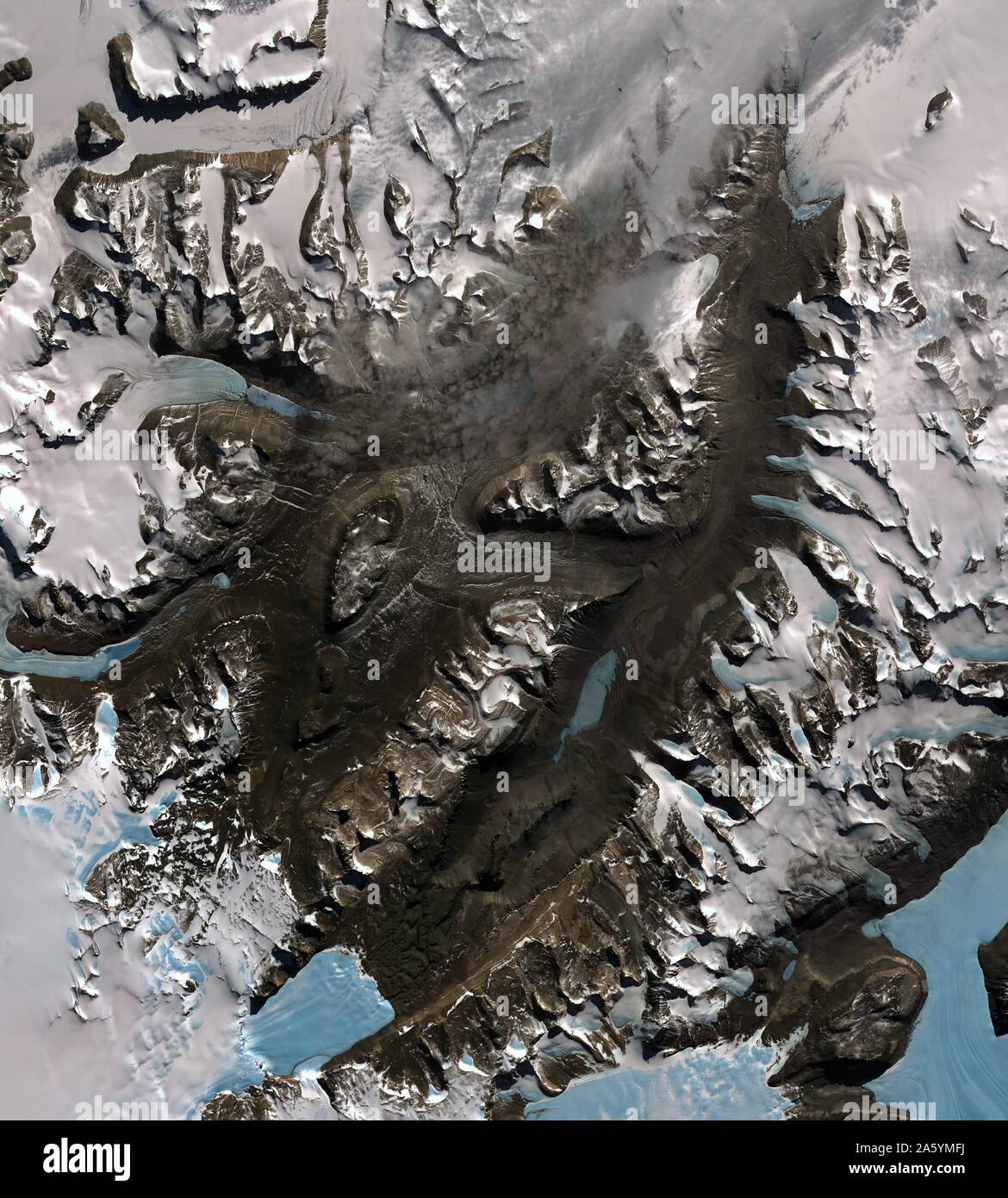 The McMurdo Dry Valleys are a row of valleys west of McMurdo Sound, Antarctica. They are so named because of their extremely low humidity and lack of snow and ice cover. December 8, 2002. Satellite image. Stock Photohttps://www.alamy.com/image-license-details/?v=1https://www.alamy.com/the-mcmurdo-dry-valleys-are-a-row-of-valleys-west-of-mcmurdo-sound-antarctica-they-are-so-named-because-of-their-extremely-low-humidity-and-lack-of-snow-and-ice-cover-december-8-2002-satellite-image-image330679094.html
RM2A5YMFJ–The McMurdo Dry Valleys are a row of valleys west of McMurdo Sound, Antarctica. They are so named because of their extremely low humidity and lack of snow and ice cover. December 8, 2002. Satellite image.
 Antarctica satellite globe Stock Photohttps://www.alamy.com/image-license-details/?v=1https://www.alamy.com/stock-image-antarctica-satellite-globe-169327769.html
RMKRDF89–Antarctica satellite globe
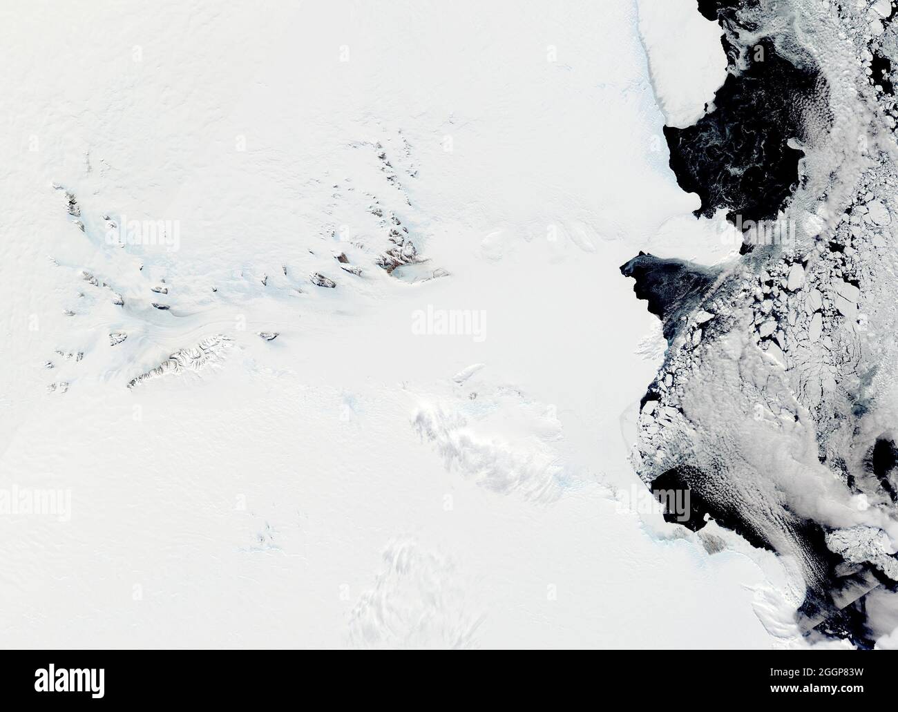 The Lambert Glacier (center) and the Amery Ice Shelf, Antarctica. Stock Photohttps://www.alamy.com/image-license-details/?v=1https://www.alamy.com/the-lambert-glacier-center-and-the-amery-ice-shelf-antarctica-image440583021.html
RF2GGP83W–The Lambert Glacier (center) and the Amery Ice Shelf, Antarctica.
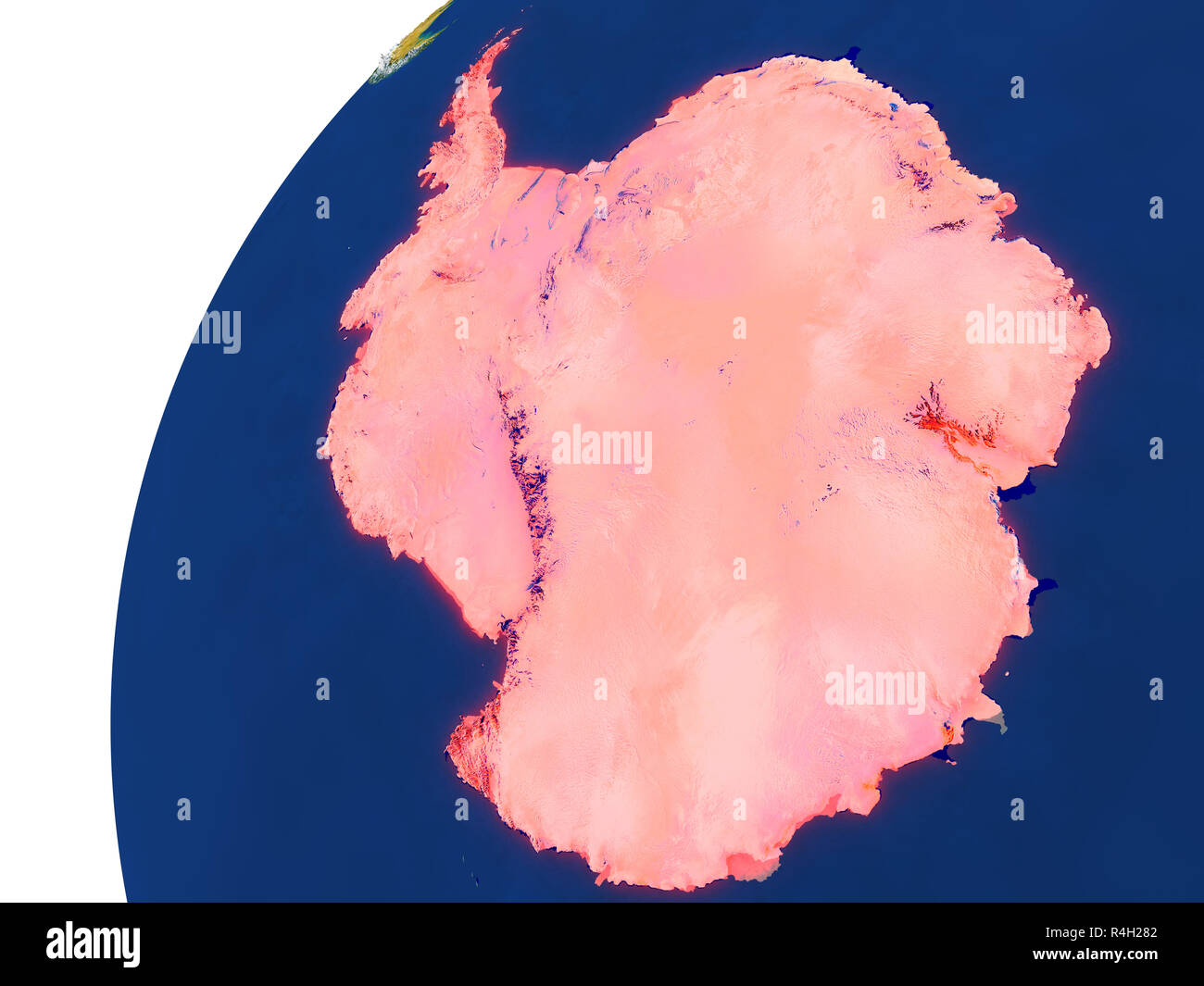 Country of Antarctica satellite view Stock Photohttps://www.alamy.com/image-license-details/?v=1https://www.alamy.com/country-of-antarctica-satellite-view-image226568386.html
RFR4H282–Country of Antarctica satellite view
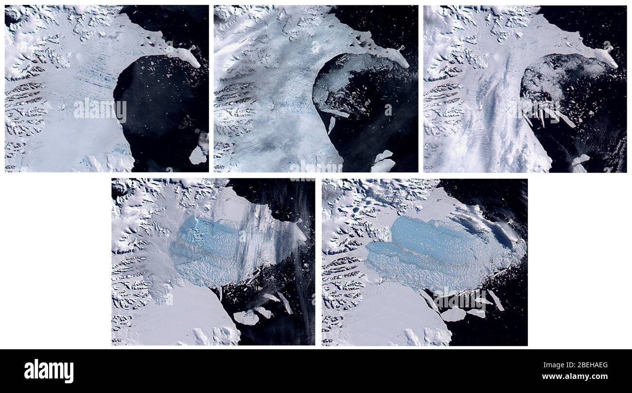 Larsen B Ice Shelf Collapse, Antarctica Stock Photohttps://www.alamy.com/image-license-details/?v=1https://www.alamy.com/larsen-b-ice-shelf-collapse-antarctica-image353193976.html
RM2BEHAEG–Larsen B Ice Shelf Collapse, Antarctica
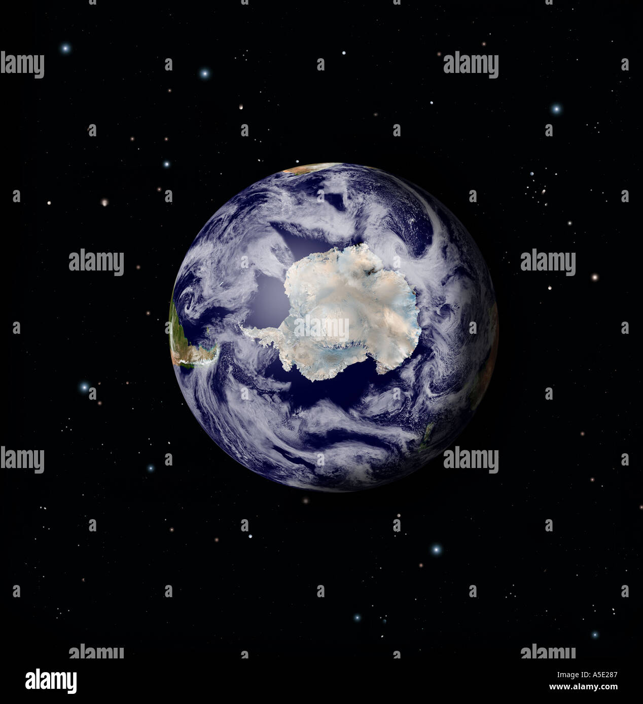 Satellite Image of the Full Earth from Space Antarctic region prominent Stock Photohttps://www.alamy.com/image-license-details/?v=1https://www.alamy.com/satellite-image-of-the-full-earth-from-space-antarctic-region-prominent-image385671.html
RMA5E287– Satellite Image of the Full Earth from Space Antarctic region prominent
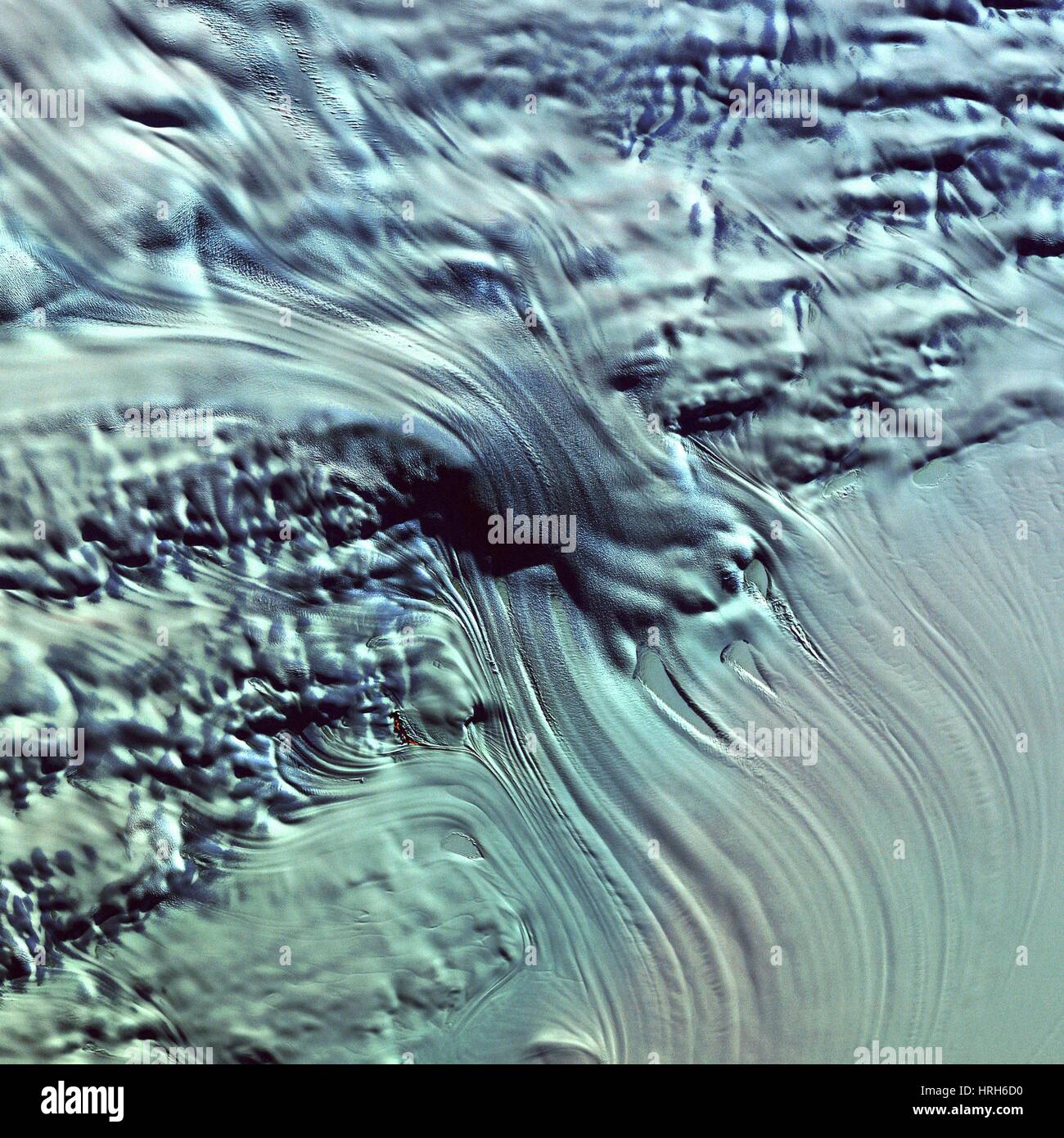 Lambert Glacier, Antarctica Stock Photohttps://www.alamy.com/image-license-details/?v=1https://www.alamy.com/stock-photo-lambert-glacier-antarctica-134987916.html
RMHRH6D0–Lambert Glacier, Antarctica
 NASA scientists discovered a massive crack across the Pine Island Glacier, Antarctica. Nov. 13, 2011. Stock Photohttps://www.alamy.com/image-license-details/?v=1https://www.alamy.com/stock-photo-nasa-scientists-discovered-a-massive-crack-across-the-pine-island-57368457.html
RMD99A1D–NASA scientists discovered a massive crack across the Pine Island Glacier, Antarctica. Nov. 13, 2011.
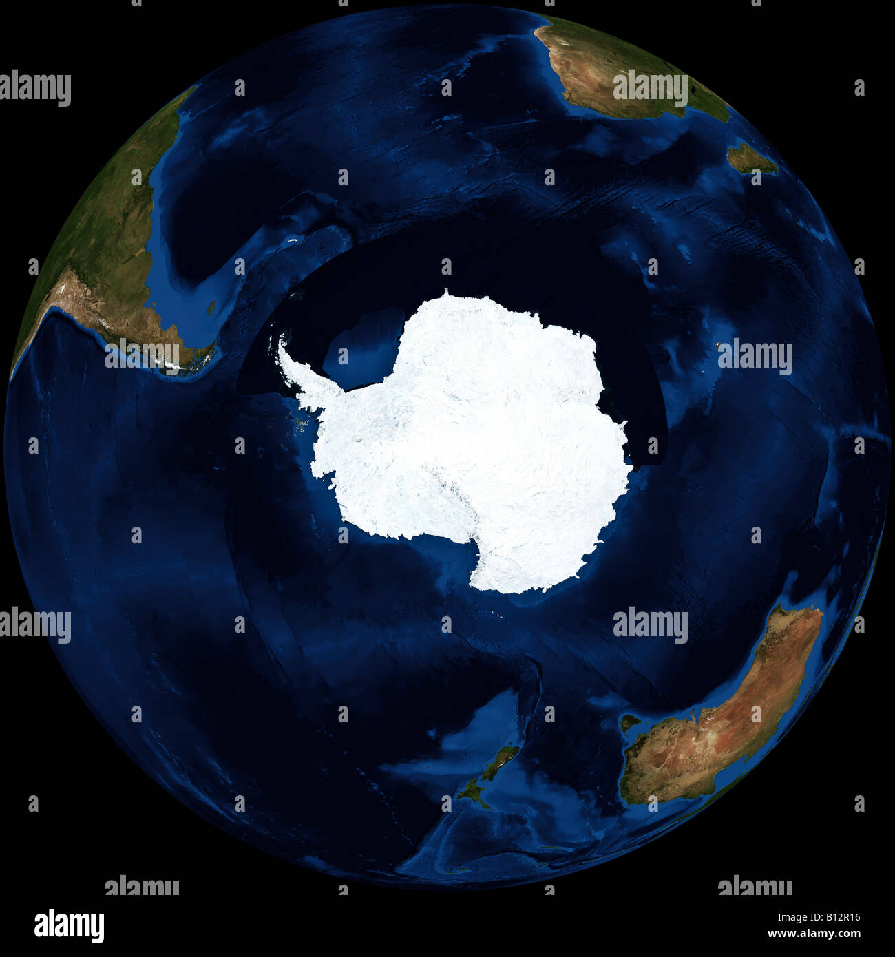 True color Terra/MODIS satellite image of the earth rendered in orthographic projection, centered on the Antarctic continent. Stock Photohttps://www.alamy.com/image-license-details/?v=1https://www.alamy.com/stock-photo-true-color-terramodis-satellite-image-of-the-earth-rendered-in-orthographic-17886994.html
RMB12R16–True color Terra/MODIS satellite image of the earth rendered in orthographic projection, centered on the Antarctic continent.
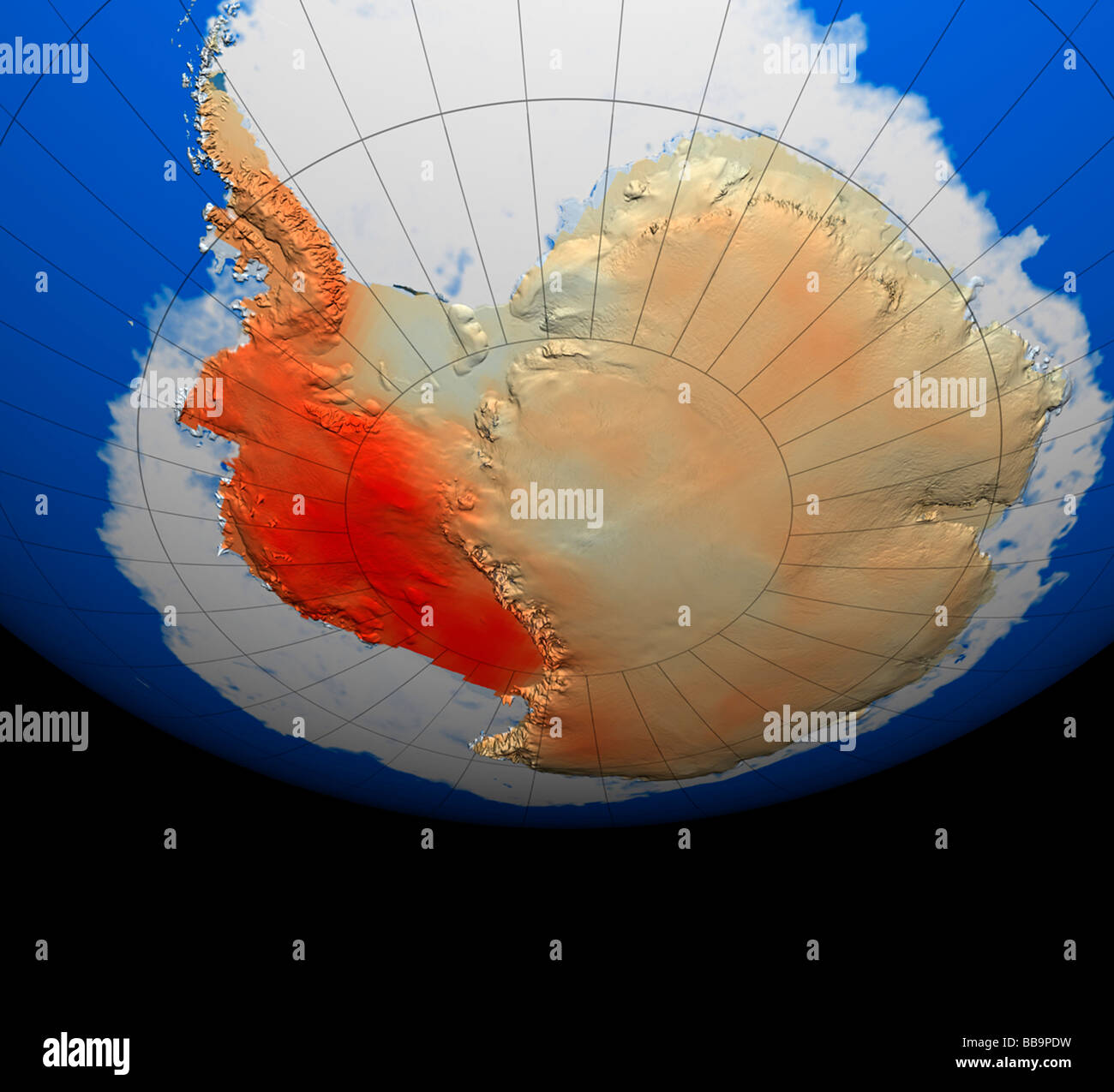 NASA satellite view of Antarctica Stock Photohttps://www.alamy.com/image-license-details/?v=1https://www.alamy.com/stock-photo-nasa-satellite-view-of-antarctica-24186789.html
RMBB9PDW–NASA satellite view of Antarctica
 In late 2004, scientists began watching for a collision between iceberg B15-A, which was once the largest floating object on Earth, and the Drygalski Ice Tongue, the 43-mile (70-kilometer) long floating end of the David Glacier in Antarctica Stock Photohttps://www.alamy.com/image-license-details/?v=1https://www.alamy.com/in-late-2004-scientists-began-watching-for-a-collision-between-iceberg-b15-a-which-was-once-the-largest-floating-object-on-earth-and-the-drygalski-ice-tongue-the-43-mile-70-kilometer-long-floating-end-of-the-david-glacier-in-antarctica-image225013553.html
RMR22729–In late 2004, scientists began watching for a collision between iceberg B15-A, which was once the largest floating object on Earth, and the Drygalski Ice Tongue, the 43-mile (70-kilometer) long floating end of the David Glacier in Antarctica
 Globe Centred On The South Pole, True Colour Satellite Image. True colour satellite image of the Earth centred on the South Pole Stock Photohttps://www.alamy.com/image-license-details/?v=1https://www.alamy.com/stock-photo-globe-centred-on-the-south-pole-true-colour-satellite-image-true-colour-71606023.html
RME4DX5Y–Globe Centred On The South Pole, True Colour Satellite Image. True colour satellite image of the Earth centred on the South Pole
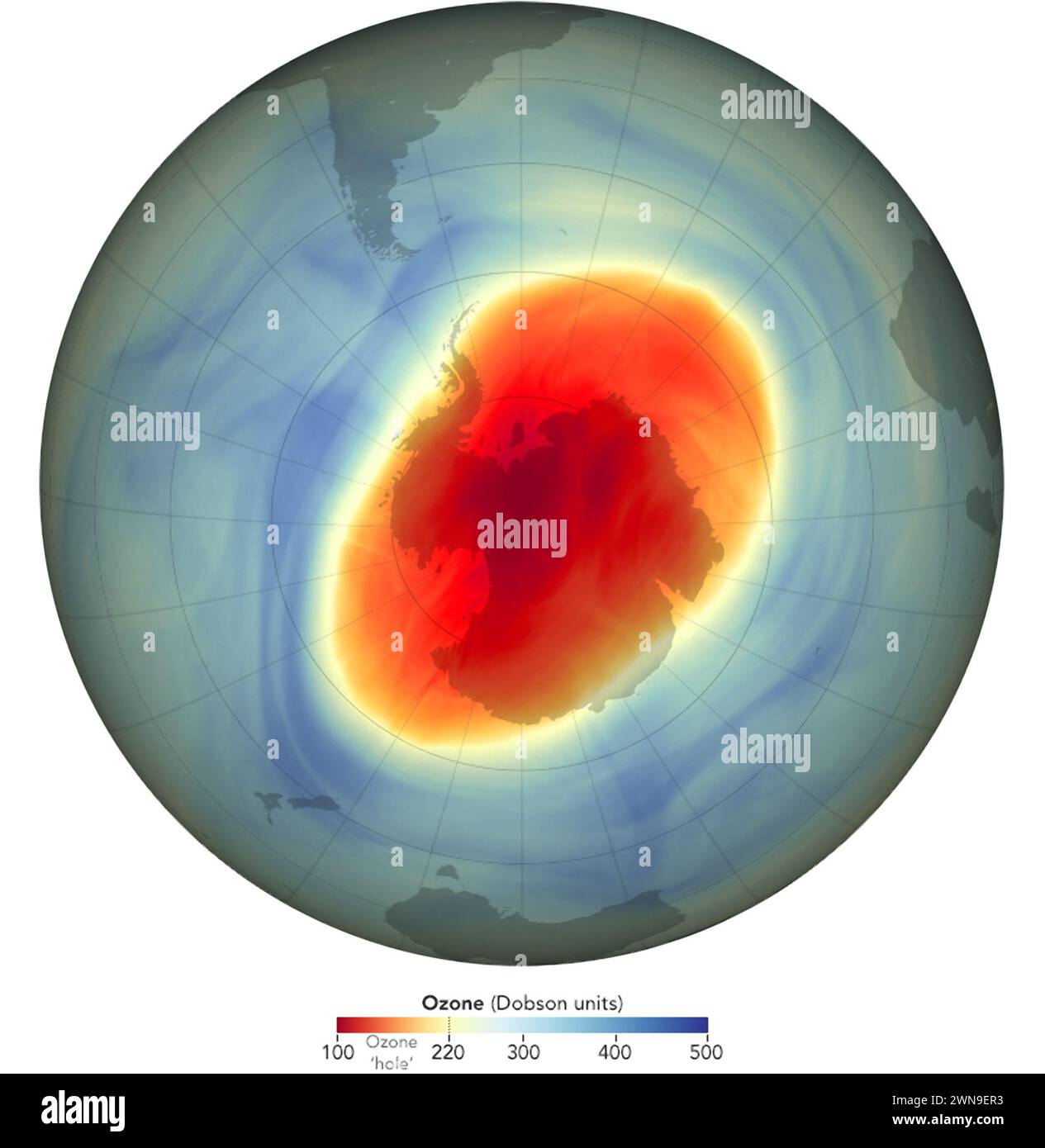 This graphic composed of the NASA GOES-5 satellite data shows the extent of the Ozone Hole over Antarctica in 2022 Stock Photohttps://www.alamy.com/image-license-details/?v=1https://www.alamy.com/this-graphic-composed-of-the-nasa-goes-5-satellite-data-shows-the-extent-of-the-ozone-hole-over-antarctica-in-2022-image598269479.html
RM2WN9ER3–This graphic composed of the NASA GOES-5 satellite data shows the extent of the Ozone Hole over Antarctica in 2022
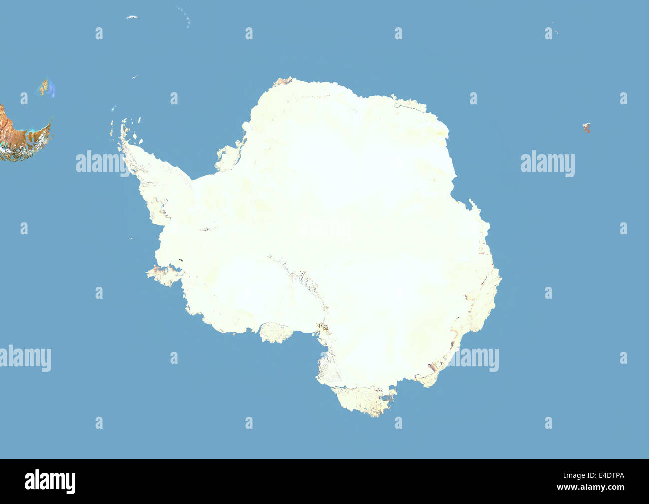 Antarctica, Satellite Image With Bump Effect Stock Photohttps://www.alamy.com/image-license-details/?v=1https://www.alamy.com/stock-photo-antarctica-satellite-image-with-bump-effect-71604914.html
RME4DTPA–Antarctica, Satellite Image With Bump Effect
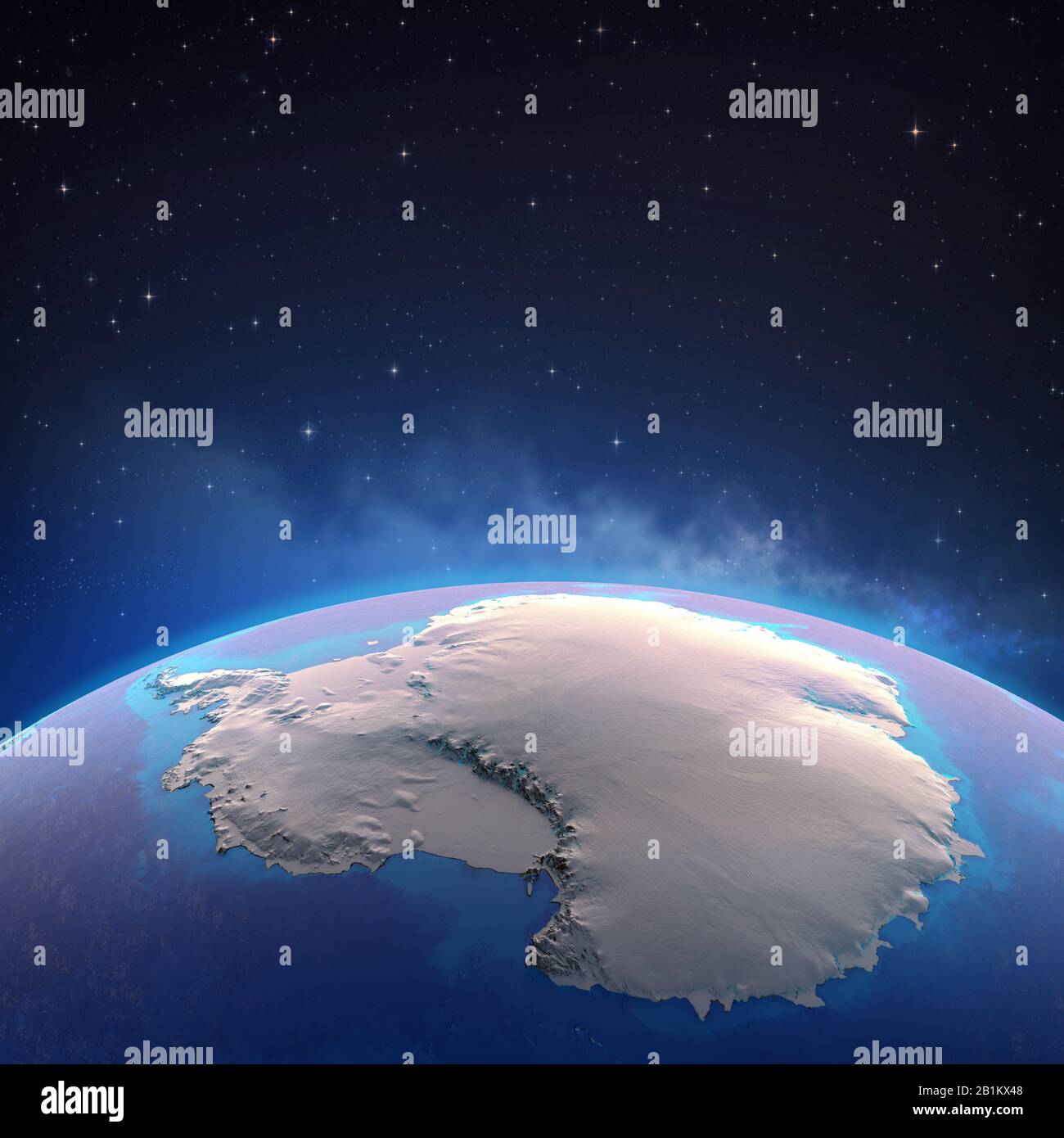 Antarctica continent viewed from a satellite, ice melting down. Physical map of South Pole. 3D illustration - Elements of this image furnished by NASA Stock Photohttps://www.alamy.com/image-license-details/?v=1https://www.alamy.com/antarctica-continent-viewed-from-a-satellite-ice-melting-down-physical-map-of-south-pole-3d-illustration-elements-of-this-image-furnished-by-nasa-image345259608.html
RF2B1KX48–Antarctica continent viewed from a satellite, ice melting down. Physical map of South Pole. 3D illustration - Elements of this image furnished by NASA
 Breakup of Ice Pack, Pine Island Glacier, Antarctica Stock Photohttps://www.alamy.com/image-license-details/?v=1https://www.alamy.com/breakup-of-ice-pack-pine-island-glacier-antarctica-image435451392.html
RM2G8CEKC–Breakup of Ice Pack, Pine Island Glacier, Antarctica
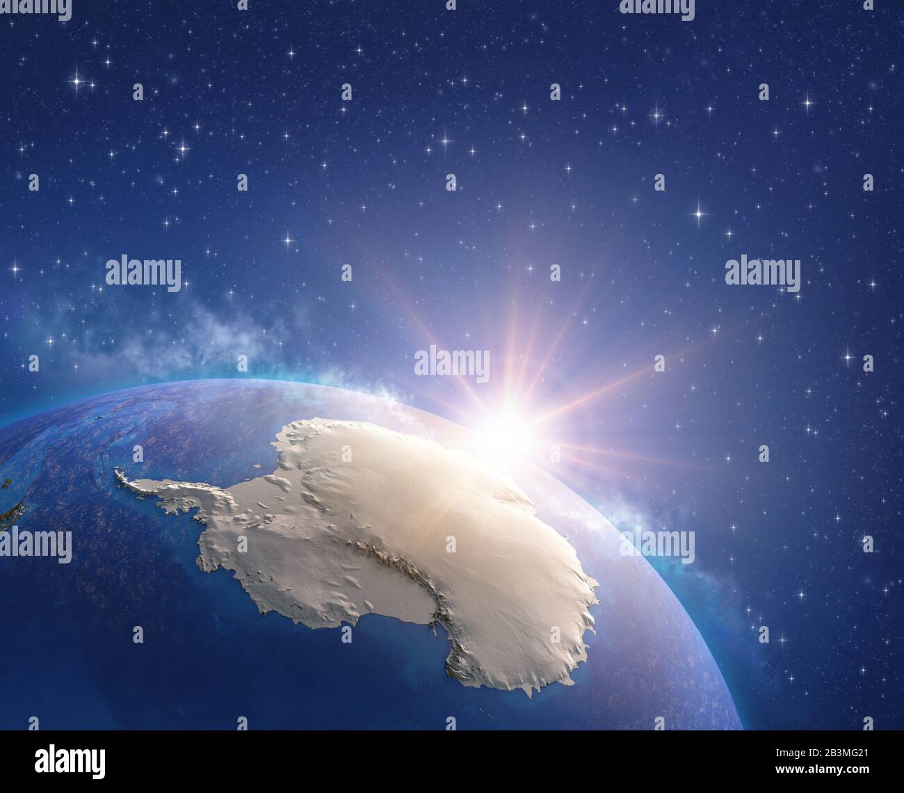 Antarctica continent viewed from a satellite, sun rising on the horizon, ice melting down. Physical map of South Pole. 3D illustration - Elements of t Stock Photohttps://www.alamy.com/image-license-details/?v=1https://www.alamy.com/antarctica-continent-viewed-from-a-satellite-sun-rising-on-the-horizon-ice-melting-down-physical-map-of-south-pole-3d-illustration-elements-of-t-image346502969.html
RF2B3MG21–Antarctica continent viewed from a satellite, sun rising on the horizon, ice melting down. Physical map of South Pole. 3D illustration - Elements of t
 Ice Pack at the Mouth of Pine Island Glacier, Antarctica Stock Photohttps://www.alamy.com/image-license-details/?v=1https://www.alamy.com/ice-pack-at-the-mouth-of-pine-island-glacier-antarctica-image435451407.html
RM2G8CEKY–Ice Pack at the Mouth of Pine Island Glacier, Antarctica
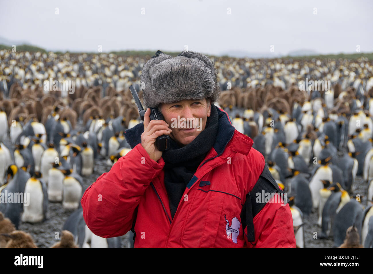 Man using satellite phone in Antarctica with a large colony of king penguins in the background Stock Photohttps://www.alamy.com/image-license-details/?v=1https://www.alamy.com/stock-photo-man-using-satellite-phone-in-antarctica-with-a-large-colony-of-king-27827982.html
RMBH7JTE–Man using satellite phone in Antarctica with a large colony of king penguins in the background
 Pine Island Bay, Amundsen Sea, Antarctica, True Colour Satellite Image. True colour satellite of Pine Island Bay in the Amundsen Stock Photohttps://www.alamy.com/image-license-details/?v=1https://www.alamy.com/stock-photo-pine-island-bay-amundsen-sea-antarctica-true-colour-satellite-image-71605164.html
RME4DW38–Pine Island Bay, Amundsen Sea, Antarctica, True Colour Satellite Image. True colour satellite of Pine Island Bay in the Amundsen
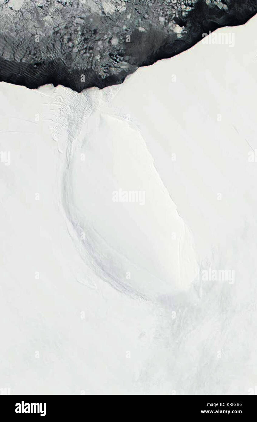 Roosevelt Island, Antarctica - satellite image Stock Photohttps://www.alamy.com/image-license-details/?v=1https://www.alamy.com/stock-image-roosevelt-island-antarctica-satellite-image-169361562.html
RMKRF2B6–Roosevelt Island, Antarctica - satellite image
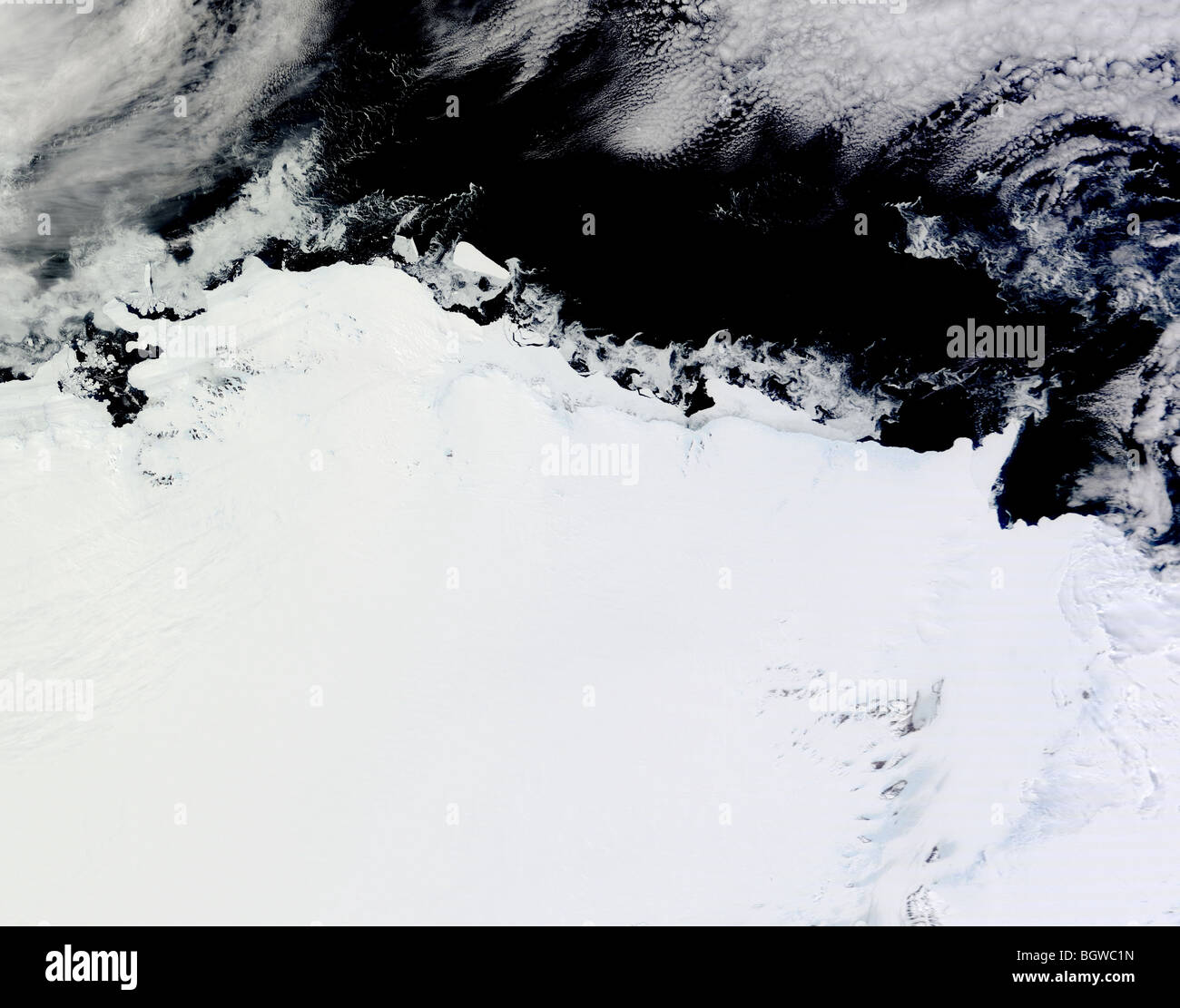 Satellite view of Mawson Coast, Antarctica Stock Photohttps://www.alamy.com/image-license-details/?v=1https://www.alamy.com/stock-photo-satellite-view-of-mawson-coast-antarctica-27603121.html
RMBGWC1N–Satellite view of Mawson Coast, Antarctica
 Antarctica, South Pole, in planet Earth, aerial view from outer space Stock Photohttps://www.alamy.com/image-license-details/?v=1https://www.alamy.com/antarctica-south-pole-in-planet-earth-aerial-view-from-outer-space-image431692794.html
RF2G298FP–Antarctica, South Pole, in planet Earth, aerial view from outer space
 satellite image of the northern part of Larsen Ice Shelf, Antarctica Stock Photohttps://www.alamy.com/image-license-details/?v=1https://www.alamy.com/stock-image-satellite-image-of-the-northern-part-of-larsen-ice-shelf-antarctica-162890363.html
RMKD088Y–satellite image of the northern part of Larsen Ice Shelf, Antarctica
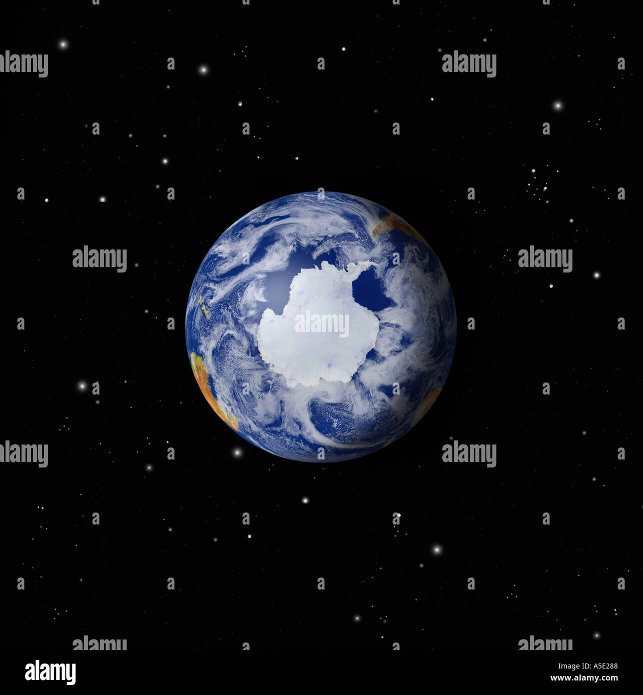 Satellite Image of the Full Earth from Space Antarctic region prominent Stock Photohttps://www.alamy.com/image-license-details/?v=1https://www.alamy.com/satellite-image-of-the-full-earth-from-space-antarctic-region-prominent-image385672.html
RMA5E288–Satellite Image of the Full Earth from Space Antarctic region prominent
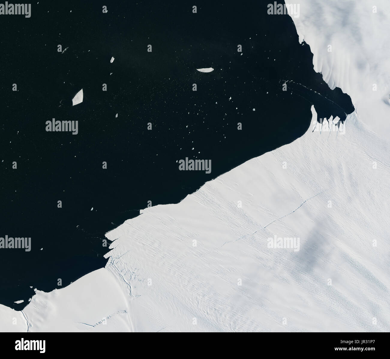 Pine Island Glacier, Antarctica, on January 24, 2017, captured by the Operational Land Imager (OLI) on Landsat 8. Compare with JG5747 from January 26, which shows a chunk of icebergs breaking off the edge. Warm ocean water seems to be weakening the ice shelf. Stock Photohttps://www.alamy.com/image-license-details/?v=1https://www.alamy.com/pine-island-glacier-antarctica-on-january-24-2017-captured-by-the-image151887295.html
RMJR31P7–Pine Island Glacier, Antarctica, on January 24, 2017, captured by the Operational Land Imager (OLI) on Landsat 8. Compare with JG5747 from January 26, which shows a chunk of icebergs breaking off the edge. Warm ocean water seems to be weakening the ice shelf.
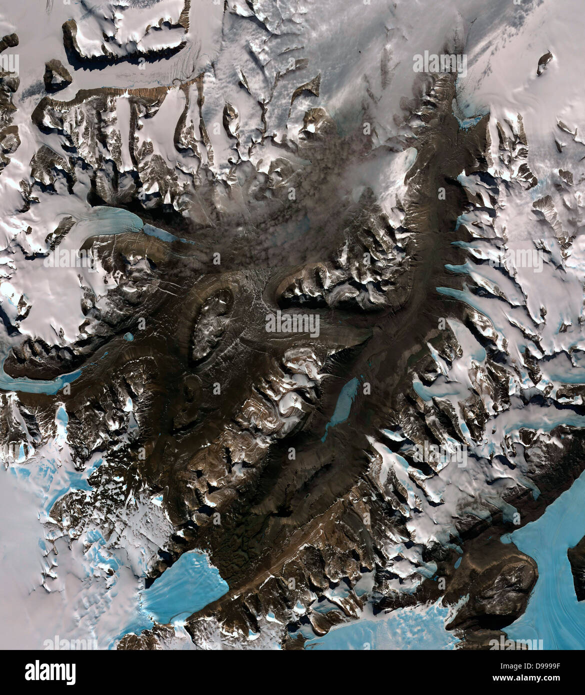 The McMurdo Dry Valleys are a row of valleys west of McMurdo Sound, Antarctica. They are so named because of their extremely low humidity and lack of snow and ice cover. December 8, 2002. Satellite image. Stock Photohttps://www.alamy.com/image-license-details/?v=1https://www.alamy.com/stock-photo-the-mcmurdo-dry-valleys-are-a-row-of-valleys-west-of-mcmurdo-sound-57367899.html
RMD9999F–The McMurdo Dry Valleys are a row of valleys west of McMurdo Sound, Antarctica. They are so named because of their extremely low humidity and lack of snow and ice cover. December 8, 2002. Satellite image.
 Satellite view of Ferrar Glacier begins at Taylor Dome, a part of the larger East Antarctic Ice Sheet June 23, 2013 in Victoria Land, Antarctica. Snow accumulates at Taylor Dome, compresses into ice with time, and flows downward toward the Ross Sea. Stock Photohttps://www.alamy.com/image-license-details/?v=1https://www.alamy.com/stock-photo-satellite-view-of-ferrar-glacier-begins-at-taylor-dome-a-part-of-the-57624965.html
RMD9N16D–Satellite view of Ferrar Glacier begins at Taylor Dome, a part of the larger East Antarctic Ice Sheet June 23, 2013 in Victoria Land, Antarctica. Snow accumulates at Taylor Dome, compresses into ice with time, and flows downward toward the Ross Sea.
 Total Ozone Mapping Spectrometers (TOMS) Ozone Data from Nimbus - 7 Satellite Maps Comparing Depletion 'Hole' Over Antarctica Between August 1st 1992 Stock Photohttps://www.alamy.com/image-license-details/?v=1https://www.alamy.com/stock-photo-total-ozone-mapping-spectrometers-toms-ozone-data-from-nimbus-7-satellite-12130883.html
RMA8M2DT–Total Ozone Mapping Spectrometers (TOMS) Ozone Data from Nimbus - 7 Satellite Maps Comparing Depletion 'Hole' Over Antarctica Between August 1st 1992
 Antarctica's Byrd Glacier is a 15-mile (24-kilometer) wide, 100-mile (161-kilometer) long ice stream that plunges through a deep valley in the Transatlantic Mountains and into the Ross Ice Shelf. Stock Photohttps://www.alamy.com/image-license-details/?v=1https://www.alamy.com/antarcticas-byrd-glacier-is-a-15-mile-24-kilometer-wide-100-mile-161-kilometer-long-ice-stream-that-plunges-through-a-deep-valley-in-the-transatlantic-mountains-and-into-the-ross-ice-shelf-image330678880.html
RM2A5YM80–Antarctica's Byrd Glacier is a 15-mile (24-kilometer) wide, 100-mile (161-kilometer) long ice stream that plunges through a deep valley in the Transatlantic Mountains and into the Ross Ice Shelf.
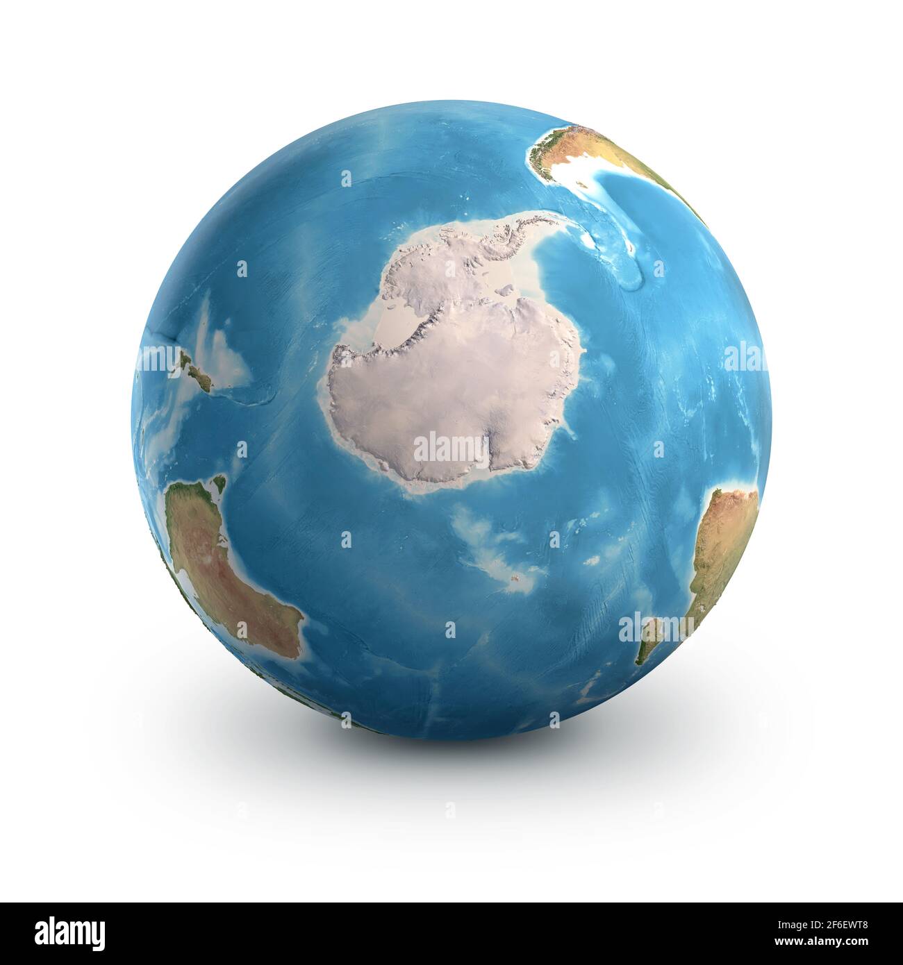 Planet Earth globe, isolated on white. Geography of the world from space, focused on South Pole and Antarctica - Elements furnished by NASA Stock Photohttps://www.alamy.com/image-license-details/?v=1https://www.alamy.com/planet-earth-globe-isolated-on-white-geography-of-the-world-from-space-focused-on-south-pole-and-antarctica-elements-furnished-by-nasa-image417064376.html
RF2F6EWT8–Planet Earth globe, isolated on white. Geography of the world from space, focused on South Pole and Antarctica - Elements furnished by NASA
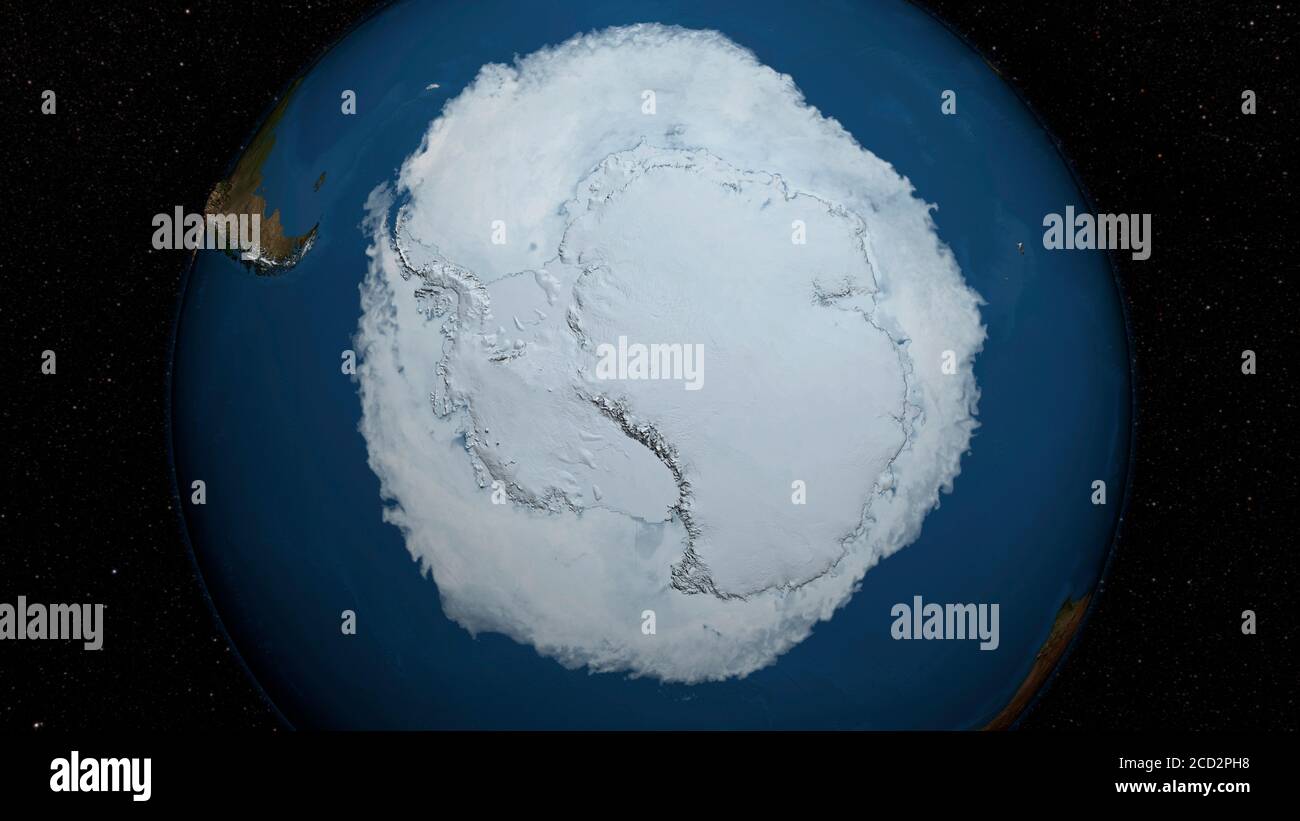 ANTARCTICA - 15 October 2015 - The 2015 Antarctic Maximum Sea Ice Extent Breaks Streak of Record Highs...The sea ice cover of the Southern Ocean reach Stock Photohttps://www.alamy.com/image-license-details/?v=1https://www.alamy.com/antarctica-15-october-2015-the-2015-antarctic-maximum-sea-ice-extent-breaks-streak-of-record-highsthe-sea-ice-cover-of-the-southern-ocean-reach-image369469892.html
RM2CD2PH8–ANTARCTICA - 15 October 2015 - The 2015 Antarctic Maximum Sea Ice Extent Breaks Streak of Record Highs...The sea ice cover of the Southern Ocean reach
 Antartica continent viewed from a satellite, sun rising on the horizon, ice melting down. Physical map of South Pole. 3D illustration - Elements of th Stock Photohttps://www.alamy.com/image-license-details/?v=1https://www.alamy.com/antartica-continent-viewed-from-a-satellite-sun-rising-on-the-horizon-ice-melting-down-physical-map-of-south-pole-3d-illustration-elements-of-th-image345259685.html
RF2B1KX71–Antartica continent viewed from a satellite, sun rising on the horizon, ice melting down. Physical map of South Pole. 3D illustration - Elements of th
 Communications from satellite cell phone from most remote place in Antarctica Peninsula Stock Photohttps://www.alamy.com/image-license-details/?v=1https://www.alamy.com/communications-from-satellite-cell-phone-from-most-remote-place-in-image9121738.html
RMAR7BTB–Communications from satellite cell phone from most remote place in Antarctica Peninsula
 Antarctica Peninsula, Brabant Island (upper centre), Deception Island and Livingston Island (lower half) Stock Photohttps://www.alamy.com/image-license-details/?v=1https://www.alamy.com/stock-photo-antarctica-peninsula-brabant-island-upper-centre-deception-island-41496091.html
RMCBE8K7–Antarctica Peninsula, Brabant Island (upper centre), Deception Island and Livingston Island (lower half)
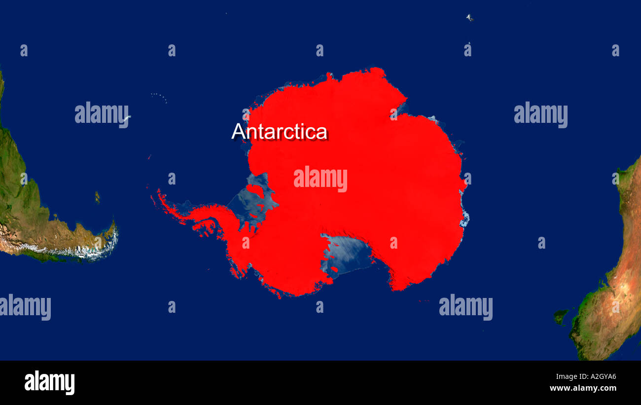 Satellite Image Of Antarctica Highlighted Red Stock Photohttps://www.alamy.com/image-license-details/?v=1https://www.alamy.com/satellite-image-of-antarctica-highlighted-red-image3435429.html
RFA2GYA6–Satellite Image Of Antarctica Highlighted Red
 Astrolabe Glacier streams out from the interior of Antarctica to dump ice into the sea, East Antarctica Stock Photohttps://www.alamy.com/image-license-details/?v=1https://www.alamy.com/stock-photo-astrolabe-glacier-streams-out-from-the-interior-of-antarctica-to-dump-35645865.html
RMC1YPJH–Astrolabe Glacier streams out from the interior of Antarctica to dump ice into the sea, East Antarctica
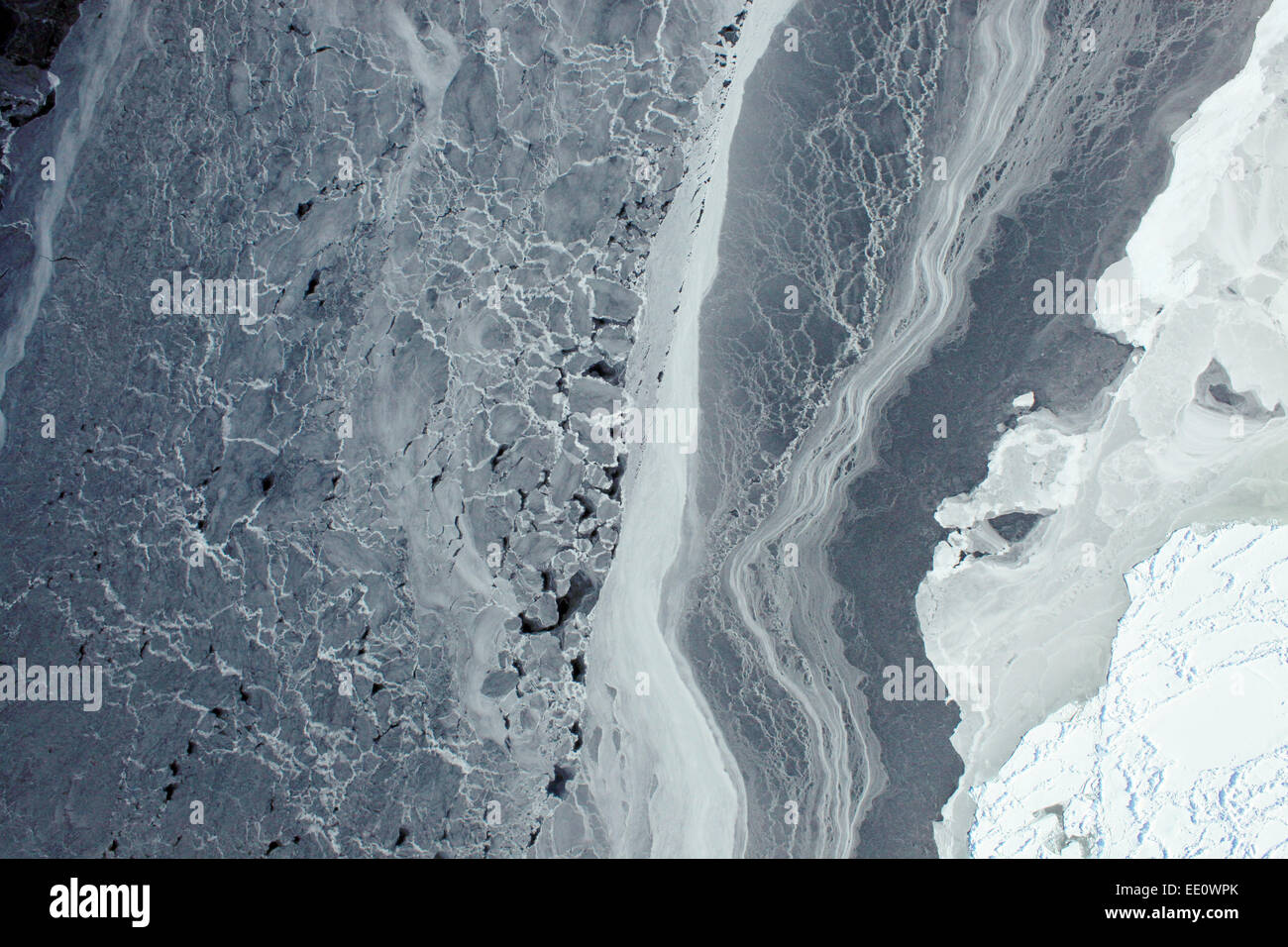 Antarctica from Space, 2009 Stock Photohttps://www.alamy.com/image-license-details/?v=1https://www.alamy.com/stock-photo-antarctica-from-space-2009-77466891.html
RMEE0WPK–Antarctica from Space, 2009
 Weddell Sea, Antarctica, True Colour Satellite Image. Weddel Sea, Antarctica, true colour satellite image. Pack ice melting in s Stock Photohttps://www.alamy.com/image-license-details/?v=1https://www.alamy.com/stock-photo-weddell-sea-antarctica-true-colour-satellite-image-weddel-sea-antarctica-71605331.html
RME4DW97–Weddell Sea, Antarctica, True Colour Satellite Image. Weddel Sea, Antarctica, true colour satellite image. Pack ice melting in s
 The Transfer Data and Relay Satellite situated on a barren mountain in Antarctica. Stock Photohttps://www.alamy.com/image-license-details/?v=1https://www.alamy.com/stock-photo-the-transfer-data-and-relay-satellite-situated-on-a-barren-mountain-132066995.html
RFHJT4PB–The Transfer Data and Relay Satellite situated on a barren mountain in Antarctica.
 Planet Earth facing Antarctica illuminated by morning sunlight. 3D illustration with detailed planet surface. Elements of this image furnished by NASA Stock Photohttps://www.alamy.com/image-license-details/?v=1https://www.alamy.com/stock-photo-planet-earth-facing-antarctica-illuminated-by-morning-sunlight-3d-145998777.html
RFJDEPX1–Planet Earth facing Antarctica illuminated by morning sunlight. 3D illustration with detailed planet surface. Elements of this image furnished by NASA
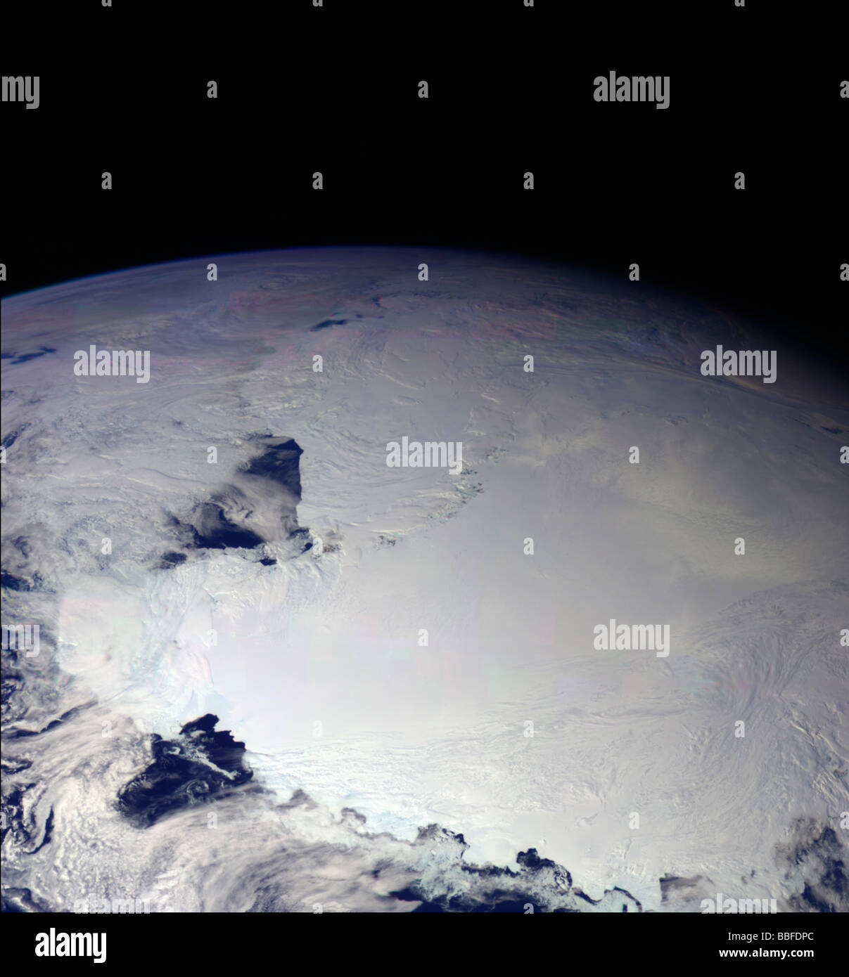 NASA satellite photo of Ross Ice Shelf Ross Sea Antarctica Stock Photohttps://www.alamy.com/image-license-details/?v=1https://www.alamy.com/stock-photo-nasa-satellite-photo-of-ross-ice-shelf-ross-sea-antarctica-24311684.html
RMBBFDPC–NASA satellite photo of Ross Ice Shelf Ross Sea Antarctica
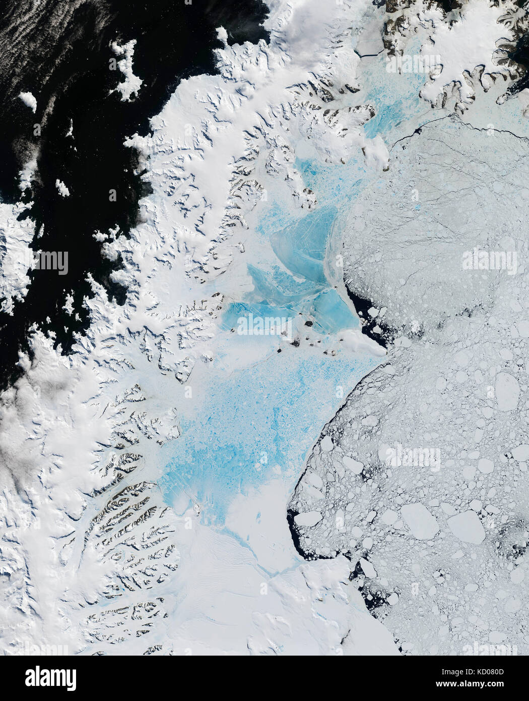 satellite image of the northern part of Larsen Ice Shelf, Antarctica Stock Photohttps://www.alamy.com/image-license-details/?v=1https://www.alamy.com/stock-image-satellite-image-of-the-northern-part-of-larsen-ice-shelf-antarctica-162890125.html
RMKD080D–satellite image of the northern part of Larsen Ice Shelf, Antarctica
 Base General Bernardo O'Higgins, a Chilean Antarctic Base, Duroch Islands, Antarctica, Wednesday, November 22, 2023. Photo: David Rowland Stock Photohttps://www.alamy.com/image-license-details/?v=1https://www.alamy.com/base-general-bernardo-ohiggins-a-chilean-antarctic-base-duroch-islands-antarctica-wednesday-november-22-2023-photo-david-rowland-image612335119.html
RM2XG67KB–Base General Bernardo O'Higgins, a Chilean Antarctic Base, Duroch Islands, Antarctica, Wednesday, November 22, 2023. Photo: David Rowland
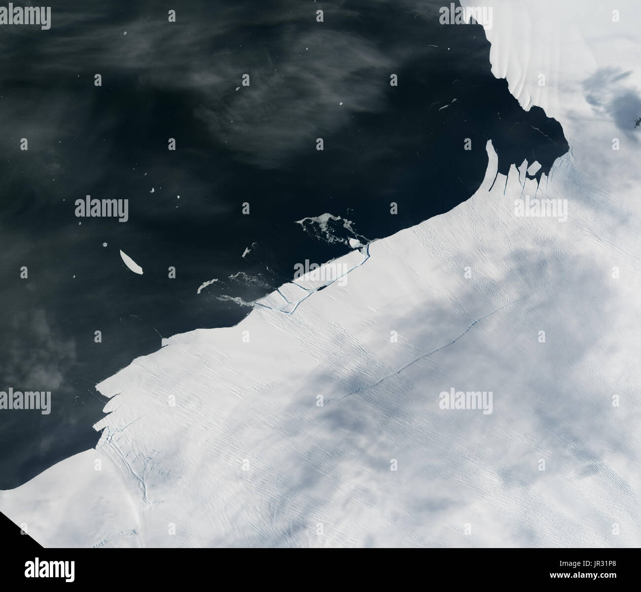 Pine Island Glacier, Antarctica, on January 26 2017, showing a small chunk of icebergs calving, captured by the Operational Land Imager (OLI) on Landsat 8. Much larger pieces of ice broke away in 2014 and 2015. Warm ocean water seems to be weakening the ice shelf. JG5746 shows the shelf on January 24, before calving. Stock Photohttps://www.alamy.com/image-license-details/?v=1https://www.alamy.com/pine-island-glacier-antarctica-on-january-26-2017-showing-a-small-image151887296.html
RMJR31P8–Pine Island Glacier, Antarctica, on January 26 2017, showing a small chunk of icebergs calving, captured by the Operational Land Imager (OLI) on Landsat 8. Much larger pieces of ice broke away in 2014 and 2015. Warm ocean water seems to be weakening the ice shelf. JG5746 shows the shelf on January 24, before calving.
 satellite image of the Petermann Glacier, Greenland Stock Photohttps://www.alamy.com/image-license-details/?v=1https://www.alamy.com/stock-image-satellite-image-of-the-petermann-glacier-greenland-162890302.html
RMKD086P–satellite image of the Petermann Glacier, Greenland
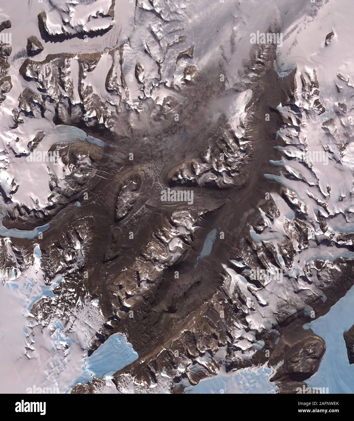 The McMurdo Dry Valleys, west of McMurdo Sound, Antarctica Stock Photohttps://www.alamy.com/image-license-details/?v=1https://www.alamy.com/the-mcmurdo-dry-valleys-west-of-mcmurdo-sound-antarctica-image336697835.html
RM2AFNWEK–The McMurdo Dry Valleys, west of McMurdo Sound, Antarctica
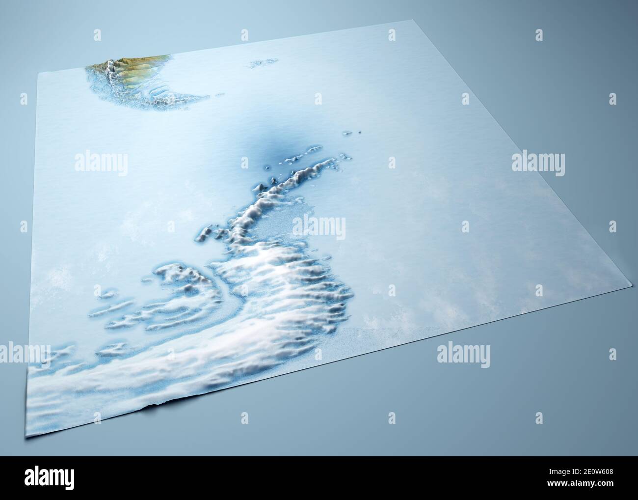 Antarctic Peninsula, climate change. Continent Antarctica. Geographical map, orography of the terrain. Argentina and Chile. Melting ice, Iceberg Stock Photohttps://www.alamy.com/image-license-details/?v=1https://www.alamy.com/antarctic-peninsula-climate-change-continent-antarctica-geographical-map-orography-of-the-terrain-argentina-and-chile-melting-ice-iceberg-image396391976.html
RF2E0W608–Antarctic Peninsula, climate change. Continent Antarctica. Geographical map, orography of the terrain. Argentina and Chile. Melting ice, Iceberg
 Pine Island Glacier, massive crack appears in the Pine Island Glacier, Amundsen Sea, Antarctica Stock Photohttps://www.alamy.com/image-license-details/?v=1https://www.alamy.com/pine-island-glacier-massive-crack-appears-in-the-pine-island-glacier-image69027908.html
RME08DPC–Pine Island Glacier, massive crack appears in the Pine Island Glacier, Amundsen Sea, Antarctica
 Antarctica Stock Photohttps://www.alamy.com/image-license-details/?v=1https://www.alamy.com/antarctica-image628089633.html
RF2YDRXMH–Antarctica
 Base Orcadas is an Argentine scientific station in Antarctica, and the oldest of the stations in Antarctica still in operation. Stock Photohttps://www.alamy.com/image-license-details/?v=1https://www.alamy.com/base-orcadas-is-an-argentine-scientific-station-in-antarctica-and-image68000861.html
RMDXHKP5–Base Orcadas is an Argentine scientific station in Antarctica, and the oldest of the stations in Antarctica still in operation.
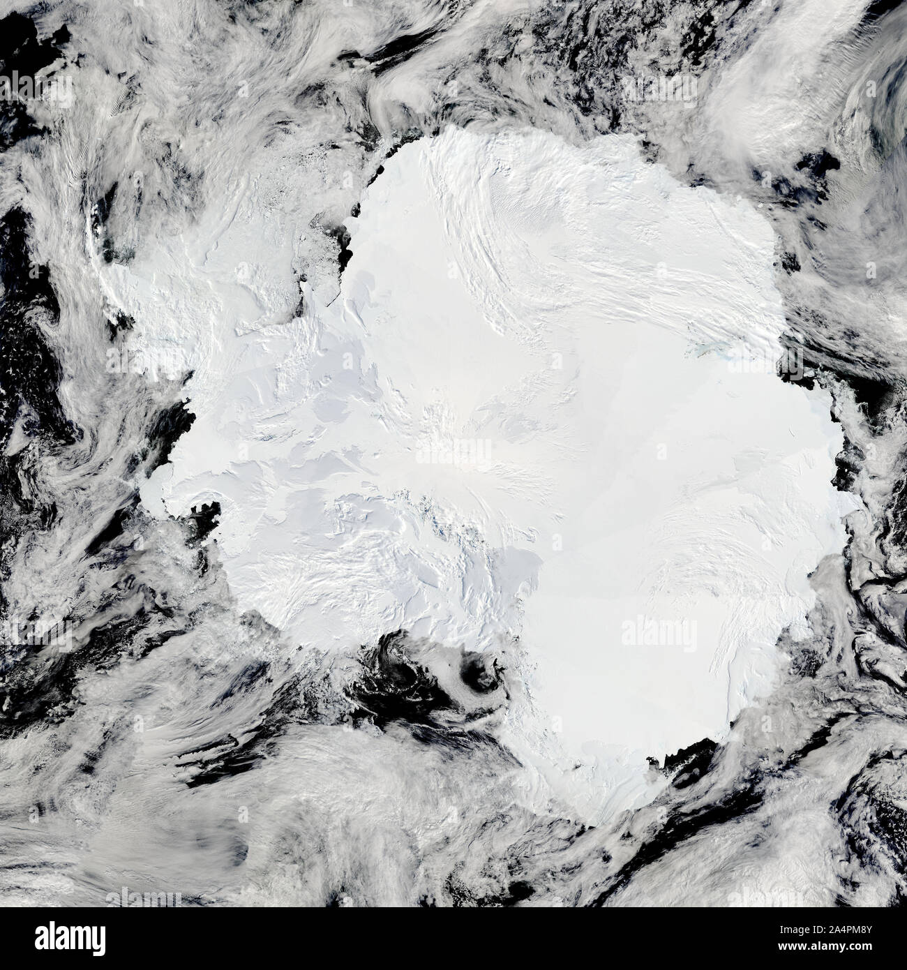 Satellite view of Antarctica, January 27, 2009. Ice-covered, includes the Transantarctic mountains, near the Ross Sea, by NASA/DPA Stock Photohttps://www.alamy.com/image-license-details/?v=1https://www.alamy.com/satellite-view-of-antarctica-january-27-2009-ice-covered-includes-the-transantarctic-mountains-near-the-ross-sea-by-nasadpa-image329954491.html
RF2A4PM8Y–Satellite view of Antarctica, January 27, 2009. Ice-covered, includes the Transantarctic mountains, near the Ross Sea, by NASA/DPA
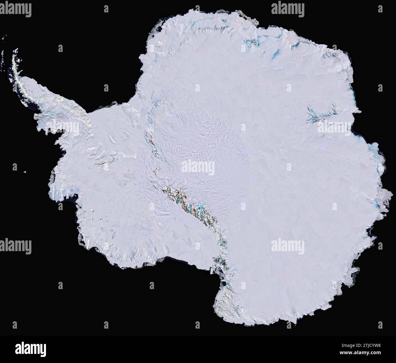 Antarctica. First high-resolution, three-dimensional, true-colour image / map of Antarctica built from over 1100 images from the Landsat 7 satellite. To create this Landsat Image Mosaic of Antarctica (LIMA), scientific visualisers combined Landsat 7 scenes (acquired between 1999 and 2001), a digital elevation model, and field data measurements. It took years to stitch the whole thing together for release in 2007. LIMA also shows quite clearly the Pine Island Glacier Crdedit: NASA / USGS Stock Photohttps://www.alamy.com/image-license-details/?v=1https://www.alamy.com/antarctica-first-high-resolution-three-dimensional-true-colour-image-map-of-antarctica-built-from-over-1100-images-from-the-landsat-7-satellite-to-create-this-landsat-image-mosaic-of-antarctica-lima-scientific-visualisers-combined-landsat-7-scenes-acquired-between-1999-and-2001-a-digital-elevation-model-and-field-data-measurements-it-took-years-to-stitch-the-whole-thing-together-for-release-in-2007-lima-also-shows-quite-clearly-the-pine-island-glacier-crdedit-nasa-usgs-image579291252.html
RM2TJCYW8–Antarctica. First high-resolution, three-dimensional, true-colour image / map of Antarctica built from over 1100 images from the Landsat 7 satellite. To create this Landsat Image Mosaic of Antarctica (LIMA), scientific visualisers combined Landsat 7 scenes (acquired between 1999 and 2001), a digital elevation model, and field data measurements. It took years to stitch the whole thing together for release in 2007. LIMA also shows quite clearly the Pine Island Glacier Crdedit: NASA / USGS
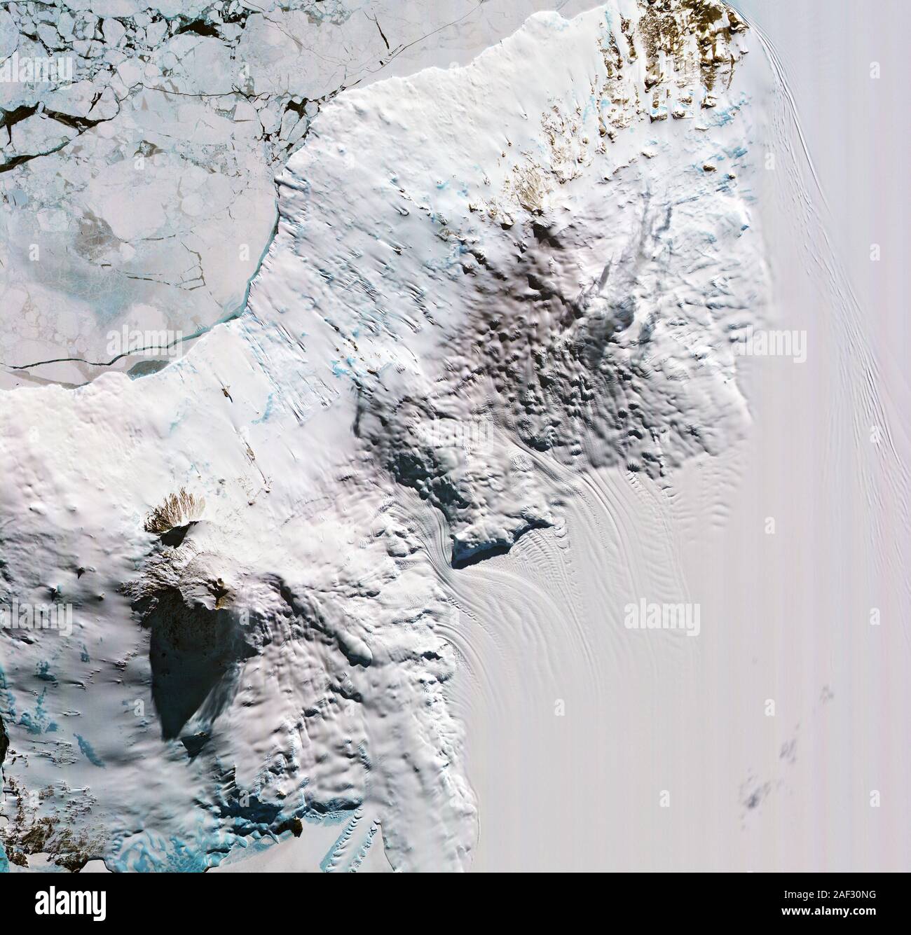 NASA satellite image of shadow cast by Mount Erebus volcano, Antarctica October 19, 2019, Stock Photohttps://www.alamy.com/image-license-details/?v=1https://www.alamy.com/nasa-satellite-image-of-shadow-cast-by-mount-erebus-volcano-antarctica-october-19-2019-image336283292.html
RF2AF30NG–NASA satellite image of shadow cast by Mount Erebus volcano, Antarctica October 19, 2019,
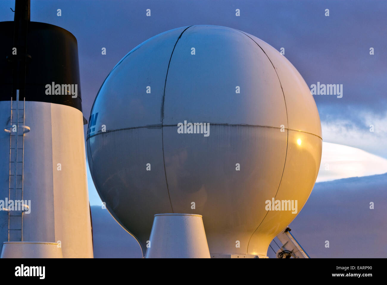 The polished dome of an Antarctic ship's satellite communication orb. Stock Photohttps://www.alamy.com/image-license-details/?v=1https://www.alamy.com/stock-photo-the-polished-dome-of-an-antarctic-ships-satellite-communication-orb-75510428.html
RMEARP90–The polished dome of an Antarctic ship's satellite communication orb.
 ELEPHANT ISLAND - 13 December 2020 - When explorer Ernest Shackleton and the crew of Endurance lost their ship to crushing pack ice in the Weddell Sea Stock Photohttps://www.alamy.com/image-license-details/?v=1https://www.alamy.com/elephant-island-13-december-2020-when-explorer-ernest-shackleton-and-the-crew-of-endurance-lost-their-ship-to-crushing-pack-ice-in-the-weddell-sea-image411717826.html
RF2EWRA82–ELEPHANT ISLAND - 13 December 2020 - When explorer Ernest Shackleton and the crew of Endurance lost their ship to crushing pack ice in the Weddell Sea
 File: Antarctica. 12th Jul, 2017. Thermal wavelength image of a large iceberg, which has calved off the Larsen C ice shelf creating a giant iceberg twice the size of Luxembourg and changing the shape the Antarctic peninsula as it sets adrift in the Weddell Sea July 12, 2017. Darker colors are colder, and brighter colors are warmer, so the rift between the iceberg and the ice shelf appears as a thin line of slightly warmer area. Credit: Planetpix/Alamy Live News Stock Photohttps://www.alamy.com/image-license-details/?v=1https://www.alamy.com/stock-photo-file-antarctica-12th-jul-2017-thermal-wavelength-image-of-a-large-148194725.html
RMJH2RTN–File: Antarctica. 12th Jul, 2017. Thermal wavelength image of a large iceberg, which has calved off the Larsen C ice shelf creating a giant iceberg twice the size of Luxembourg and changing the shape the Antarctic peninsula as it sets adrift in the Weddell Sea July 12, 2017. Darker colors are colder, and brighter colors are warmer, so the rift between the iceberg and the ice shelf appears as a thin line of slightly warmer area. Credit: Planetpix/Alamy Live News
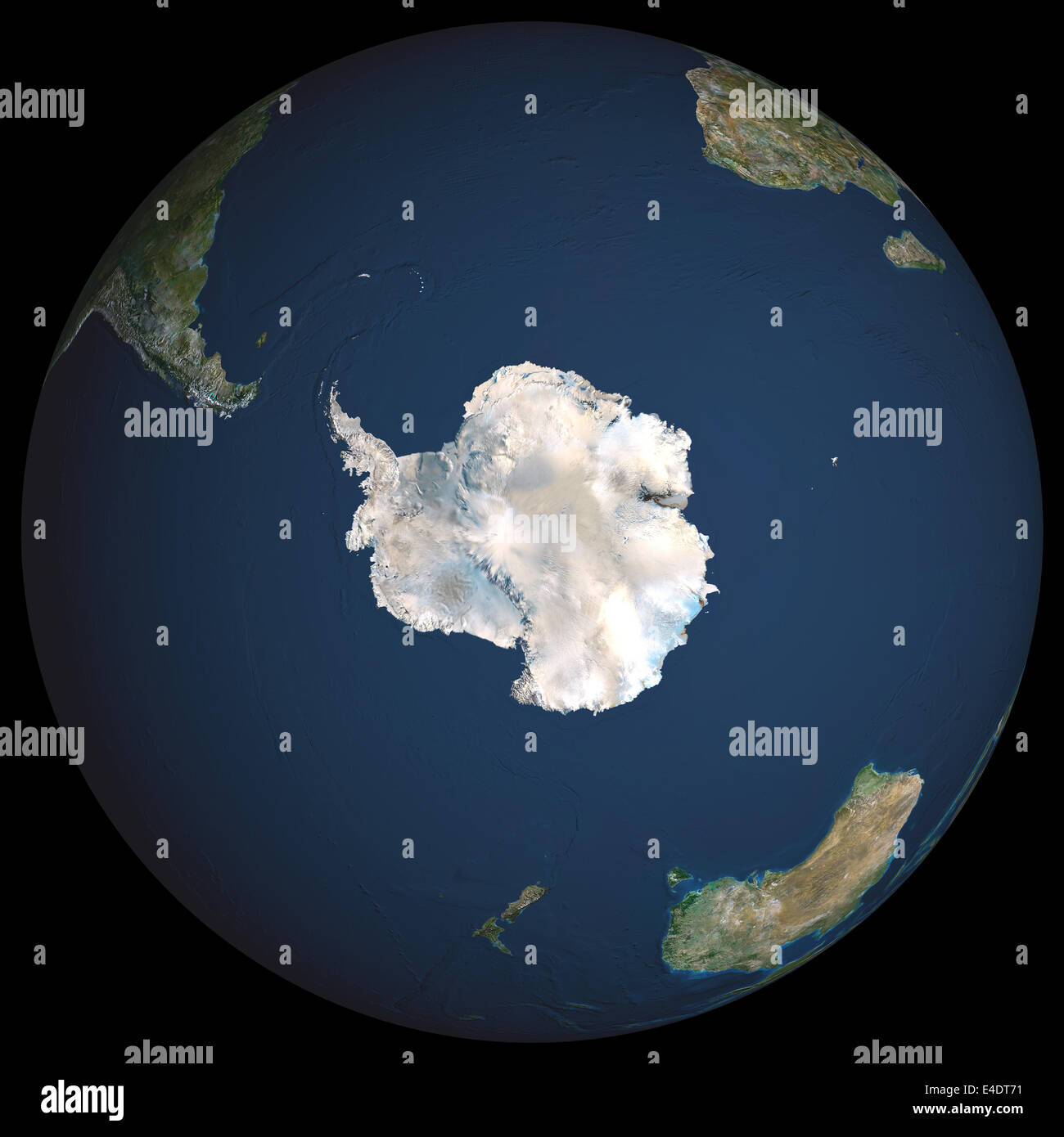 Globe South Pole, True Colour Satellite Image. Earth. True colour satellite image of the Earth, centred on Antarctica. The South Stock Photohttps://www.alamy.com/image-license-details/?v=1https://www.alamy.com/stock-photo-globe-south-pole-true-colour-satellite-image-earth-true-colour-satellite-71604485.html
RME4DT71–Globe South Pole, True Colour Satellite Image. Earth. True colour satellite image of the Earth, centred on Antarctica. The South
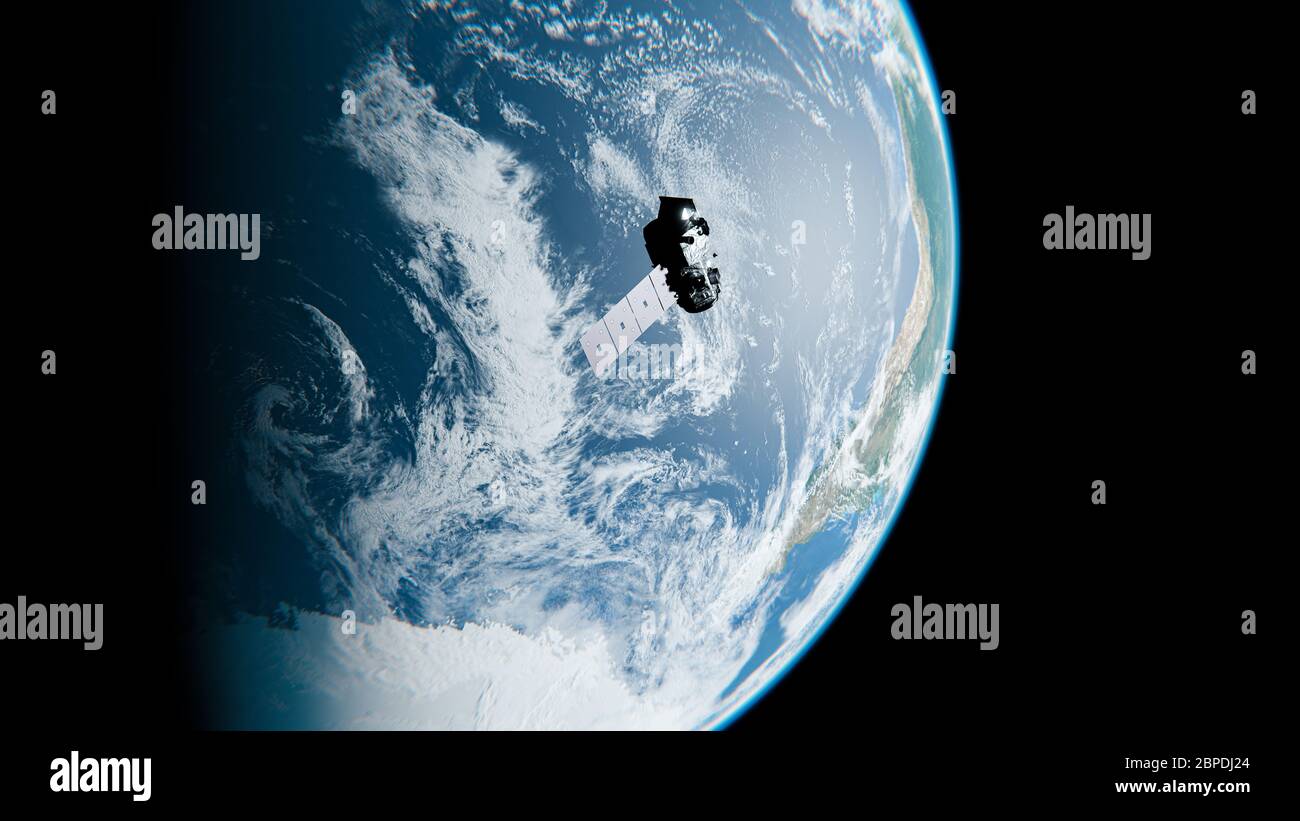 Satellite Orbiting Earth above Clouds near Antarctica in Space - NASA Satellite ICESat-2 Craft - 3D Rendering Stock Photohttps://www.alamy.com/image-license-details/?v=1https://www.alamy.com/satellite-orbiting-earth-above-clouds-near-antarctica-in-space-nasa-satellite-icesat-2-craft-3d-rendering-image358029340.html
RF2BPDJ24–Satellite Orbiting Earth above Clouds near Antarctica in Space - NASA Satellite ICESat-2 Craft - 3D Rendering
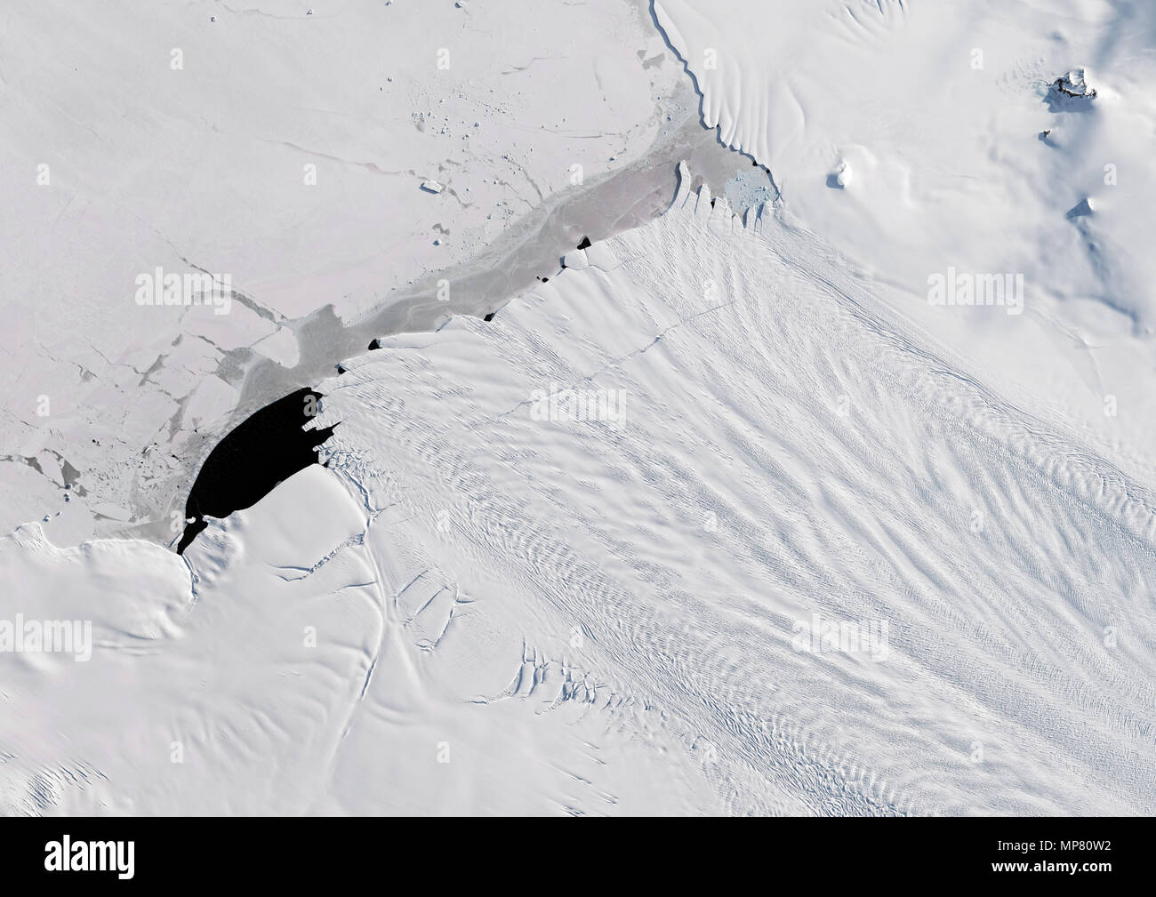 Pine Island Glacier, Antarctica Stock Photohttps://www.alamy.com/image-license-details/?v=1https://www.alamy.com/pine-island-glacier-antarctica-image185802430.html
RMMP80W2–Pine Island Glacier, Antarctica
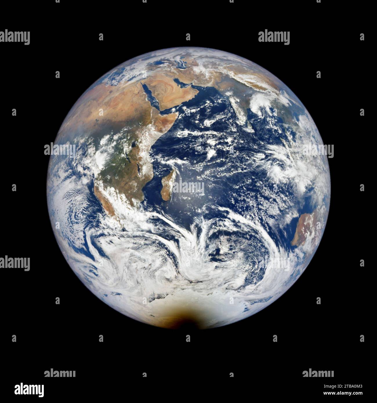 December 4, 2021 - Satellite view of a total solar eclipse. Stock Photohttps://www.alamy.com/image-license-details/?v=1https://www.alamy.com/december-4-2021-satellite-view-of-a-total-solar-eclipse-image574923443.html
RF2TBA0M3–December 4, 2021 - Satellite view of a total solar eclipse.
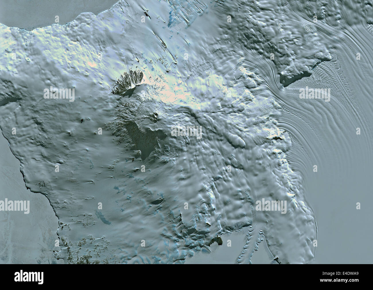 Volcano Erebus, Ross Island, Antarctica, True Colour Satellite Image. Volcano Erebus, Antarctica, true colour satellite image. E Stock Photohttps://www.alamy.com/image-license-details/?v=1https://www.alamy.com/stock-photo-volcano-erebus-ross-island-antarctica-true-colour-satellite-image-71605361.html
RME4DWA9–Volcano Erebus, Ross Island, Antarctica, True Colour Satellite Image. Volcano Erebus, Antarctica, true colour satellite image. E
 Base General Bernardo O'Higgins, a Chilean Antarctic Base, Duroch Islands, Antarctica, Wednesday, November 22, 2023. Photo: David Rowland Stock Photohttps://www.alamy.com/image-license-details/?v=1https://www.alamy.com/base-general-bernardo-ohiggins-a-chilean-antarctic-base-duroch-islands-antarctica-wednesday-november-22-2023-photo-david-rowland-image612335107.html
RM2XG67JY–Base General Bernardo O'Higgins, a Chilean Antarctic Base, Duroch Islands, Antarctica, Wednesday, November 22, 2023. Photo: David Rowland
 Erebus Volcano In 3D, Ross Island, Antarctica, True Colour Satellite Image. Erebus, Antarctica, true colour satellite image. 3D Stock Photohttps://www.alamy.com/image-license-details/?v=1https://www.alamy.com/stock-photo-erebus-volcano-in-3d-ross-island-antarctica-true-colour-satellite-71602473.html
RME4DNK5–Erebus Volcano In 3D, Ross Island, Antarctica, True Colour Satellite Image. Erebus, Antarctica, true colour satellite image. 3D
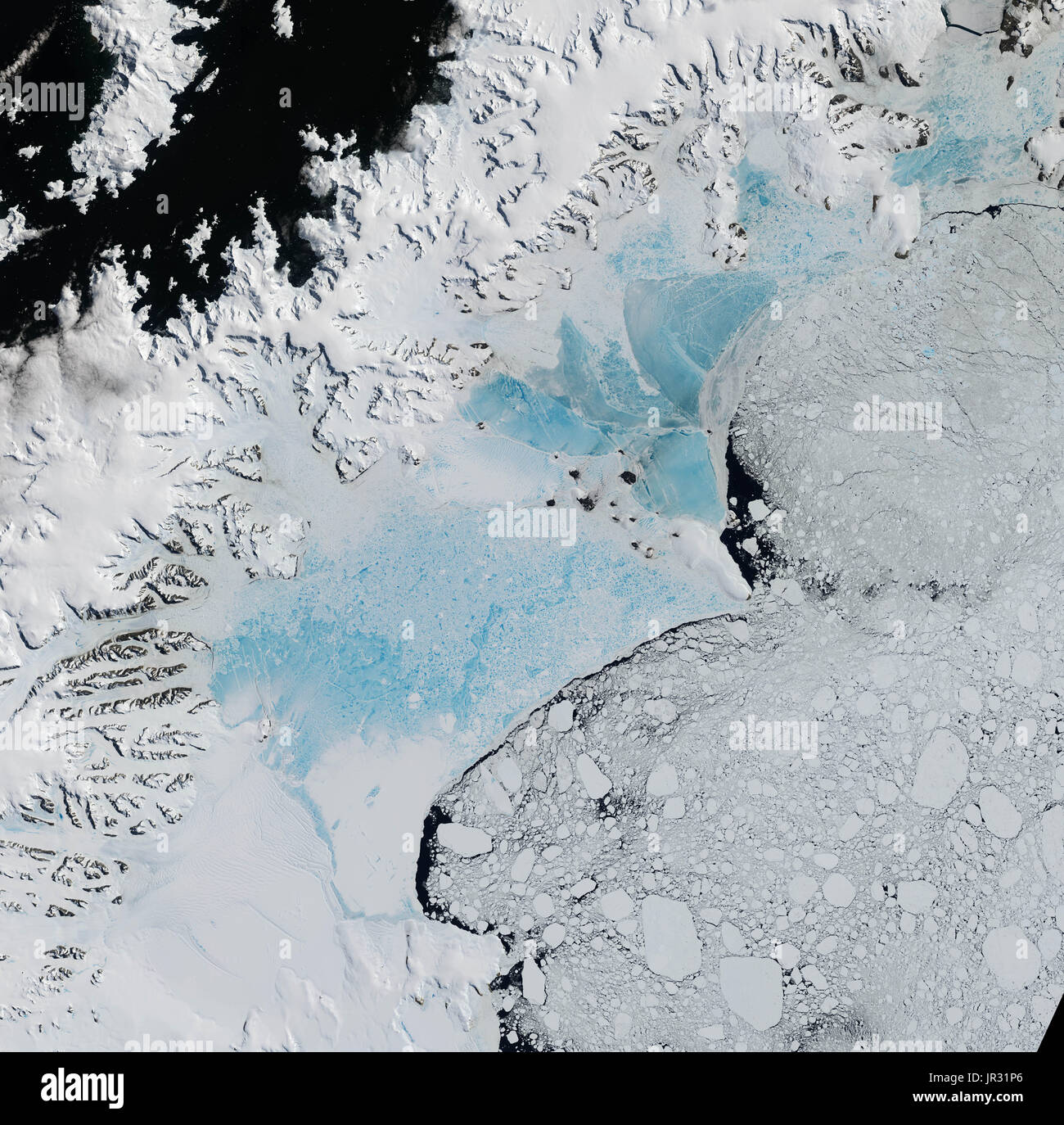 Northern part of the Larsen Ice Shelf, comprised of four natural-color satellite images captured by the Operational Land Imager (OLI) on Landsat 8 on January 6 and 8, 2016. Two large sections of the ice shelf have collapsed in recent years. Blue, meltwater-covered sea ice is now in the embayments where Larsen A and Larsen B once were. A remnant of Larsen B, now known as the Scar Inlet Ice Shelf, can still be seen to the south. Stock Photohttps://www.alamy.com/image-license-details/?v=1https://www.alamy.com/northern-part-of-the-larsen-ice-shelf-comprised-of-four-natural-color-image151887294.html
RMJR31P6–Northern part of the Larsen Ice Shelf, comprised of four natural-color satellite images captured by the Operational Land Imager (OLI) on Landsat 8 on January 6 and 8, 2016. Two large sections of the ice shelf have collapsed in recent years. Blue, meltwater-covered sea ice is now in the embayments where Larsen A and Larsen B once were. A remnant of Larsen B, now known as the Scar Inlet Ice Shelf, can still be seen to the south.
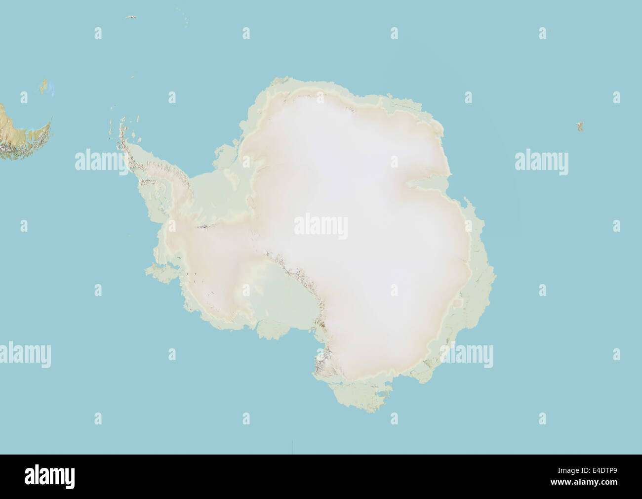 Antarctica, Relief Map Stock Photohttps://www.alamy.com/image-license-details/?v=1https://www.alamy.com/stock-photo-antarctica-relief-map-71604913.html
RME4DTP9–Antarctica, Relief Map
 satellite image of the Petermann Glacier, Greenland Stock Photohttps://www.alamy.com/image-license-details/?v=1https://www.alamy.com/stock-image-satellite-image-of-the-petermann-glacier-greenland-162890314.html
RMKD0876–satellite image of the Petermann Glacier, Greenland
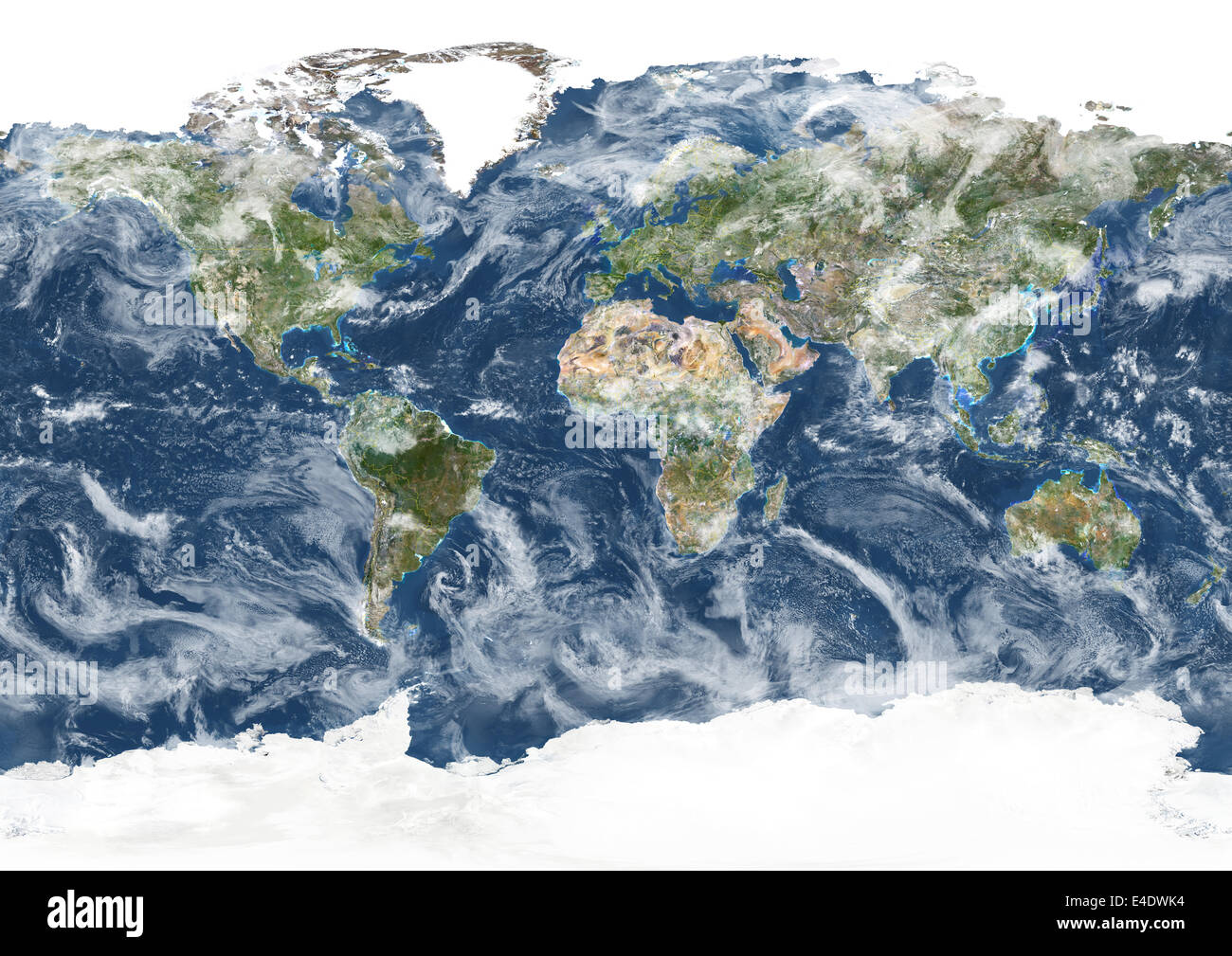 Whole Earth With Country Borders And Cloud Coverage, True Colour Satellite Image. True colour satellite image of the whole Earth Stock Photohttps://www.alamy.com/image-license-details/?v=1https://www.alamy.com/stock-photo-whole-earth-with-country-borders-and-cloud-coverage-true-colour-satellite-71605608.html
RME4DWK4–Whole Earth With Country Borders And Cloud Coverage, True Colour Satellite Image. True colour satellite image of the whole Earth
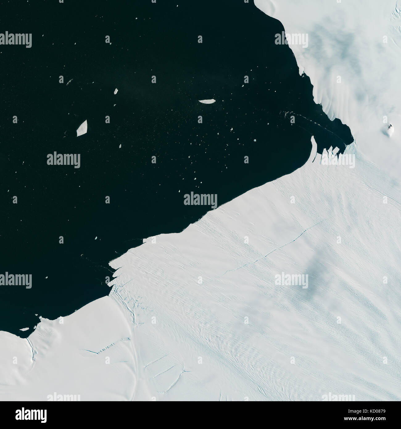 Satellite image of Pine Island Glacier shedding icebergs into Antarctic waters Stock Photohttps://www.alamy.com/image-license-details/?v=1https://www.alamy.com/stock-image-satellite-image-of-pine-island-glacier-shedding-icebergs-into-antarctic-162890317.html
RMKD0879–Satellite image of Pine Island Glacier shedding icebergs into Antarctic waters
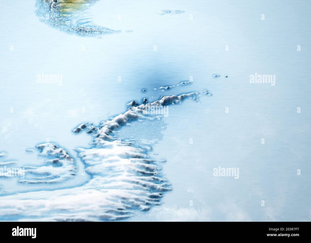 Antarctic Peninsula, climate change. Continent Antarctica. Geographical map, orography of the terrain. Argentina and Chile. Melting ice, Iceberg Stock Photohttps://www.alamy.com/image-license-details/?v=1https://www.alamy.com/antarctic-peninsula-climate-change-continent-antarctica-geographical-map-orography-of-the-terrain-argentina-and-chile-melting-ice-iceberg-image396349292.html
RF2E0R7FT–Antarctic Peninsula, climate change. Continent Antarctica. Geographical map, orography of the terrain. Argentina and Chile. Melting ice, Iceberg
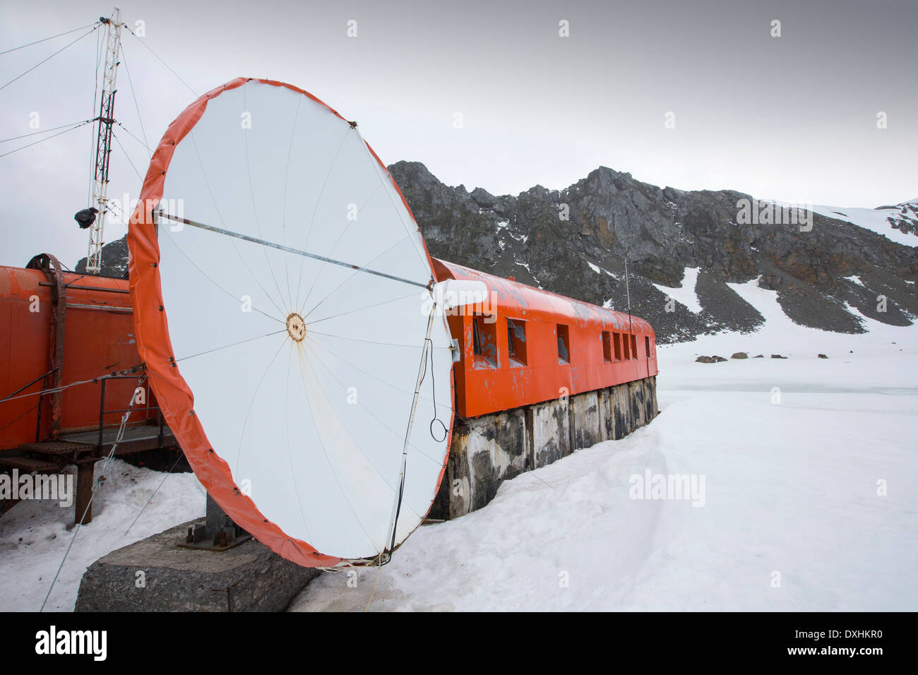 Base Orcadas is an Argentine scientific station in Antarctica, and the oldest of the stations in Antarctica still in operation. Stock Photohttps://www.alamy.com/image-license-details/?v=1https://www.alamy.com/base-orcadas-is-an-argentine-scientific-station-in-antarctica-and-image68000884.html
RMDXHKR0–Base Orcadas is an Argentine scientific station in Antarctica, and the oldest of the stations in Antarctica still in operation.
 Satellite image of the continent of Antarctica Stock Photohttps://www.alamy.com/image-license-details/?v=1https://www.alamy.com/stock-photo-satellite-image-of-the-continent-of-antarctica-59090282.html
RMDC3P76–Satellite image of the continent of Antarctica
 Satellite view showing an array of sea ice in the Weddell Sea. Stock Photohttps://www.alamy.com/image-license-details/?v=1https://www.alamy.com/satellite-view-showing-an-array-of-sea-ice-in-the-weddell-sea-image574923268.html
RF2TBA0DT–Satellite view showing an array of sea ice in the Weddell Sea.
 Antarctica's relatively fast-moving Byrd Glacier as from space in this NASA satellite image. Stock Photohttps://www.alamy.com/image-license-details/?v=1https://www.alamy.com/stock-photo-antarcticas-relatively-fast-moving-byrd-glacier-as-from-space-in-this-37291303.html
RMC4JNC7–Antarctica's relatively fast-moving Byrd Glacier as from space in this NASA satellite image.
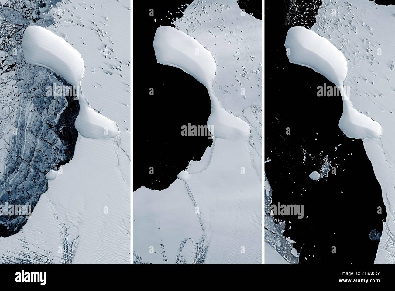 An unnamed island is exposed off the eastern coast of Antarctica as ice shelves melt around it. Stock Photohttps://www.alamy.com/image-license-details/?v=1https://www.alamy.com/an-unnamed-island-is-exposed-off-the-eastern-coast-of-antarctica-as-ice-shelves-melt-around-it-image574923271.html
RF2TBA0DY–An unnamed island is exposed off the eastern coast of Antarctica as ice shelves melt around it.
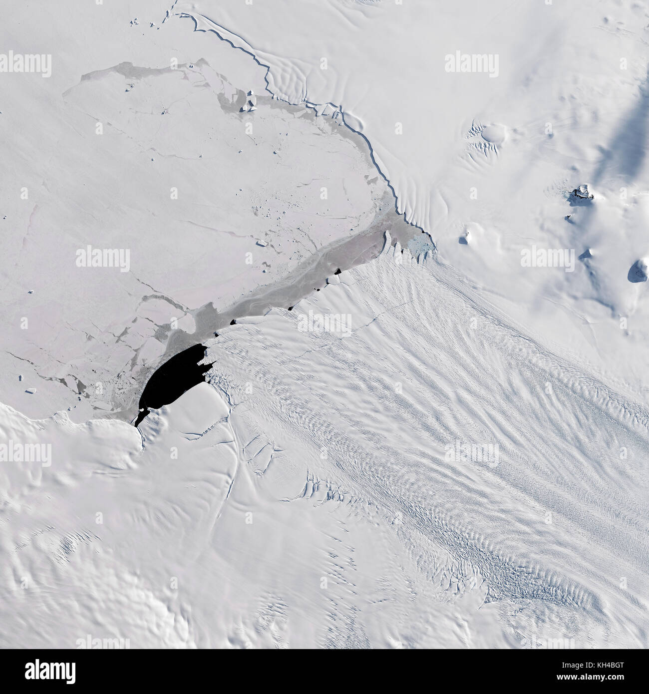 A new iceberg calved from Pine Island Glacier—one of the main outlets where ice from the interior of the West Antarctic Ice Sheet flows into the ocean Stock Photohttps://www.alamy.com/image-license-details/?v=1https://www.alamy.com/stock-image-a-new-iceberg-calved-from-pine-island-glacierone-of-the-main-outlets-165439368.html
RFKH4BGT–A new iceberg calved from Pine Island Glacier—one of the main outlets where ice from the interior of the West Antarctic Ice Sheet flows into the ocean
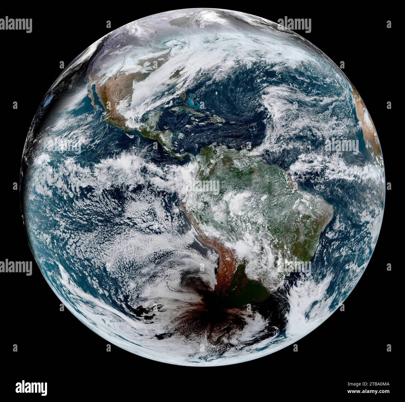 December 14, 2020 - Satellite image of the shadow of the moon crossing the face of Earth in a total solar eclipse. Stock Photohttps://www.alamy.com/image-license-details/?v=1https://www.alamy.com/december-14-2020-satellite-image-of-the-shadow-of-the-moon-crossing-the-face-of-earth-in-a-total-solar-eclipse-image574923450.html
RF2TBA0MA–December 14, 2020 - Satellite image of the shadow of the moon crossing the face of Earth in a total solar eclipse.
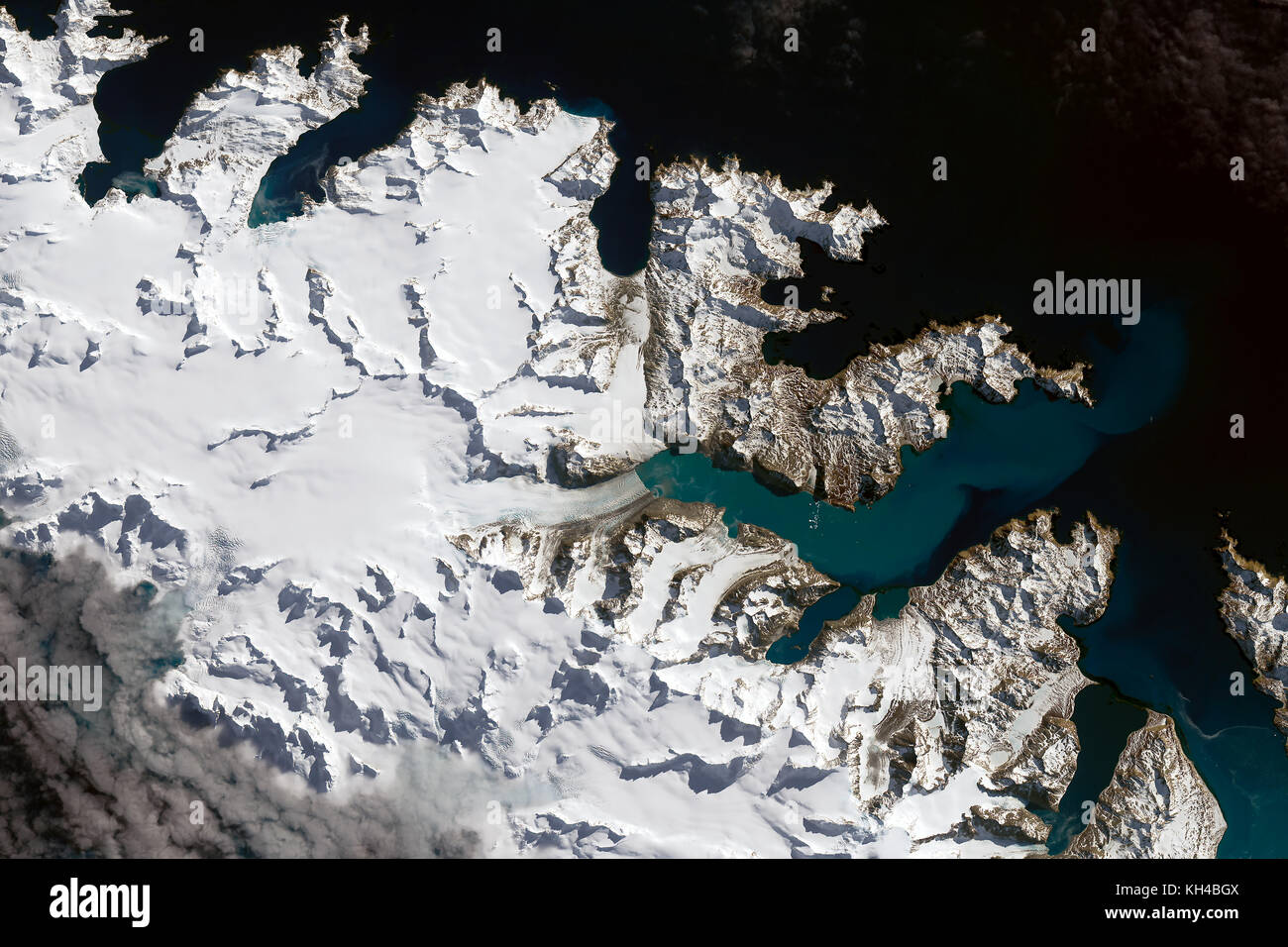 Glaciers of South Georgia and the South Sandwich Islands September 14, 2016, by NASA Stock Photohttps://www.alamy.com/image-license-details/?v=1https://www.alamy.com/stock-image-glaciers-of-south-georgia-and-the-south-sandwich-islands-september-165439370.html
RFKH4BGX–Glaciers of South Georgia and the South Sandwich Islands September 14, 2016, by NASA
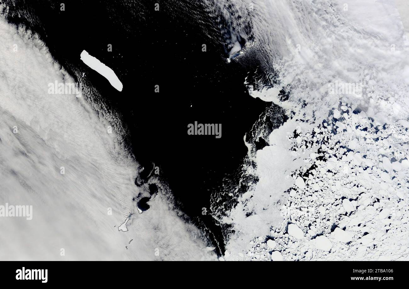 October 31, 2022 - Satellite view of Antarctic iceberg A-76A floating in the Drake Passage. Stock Photohttps://www.alamy.com/image-license-details/?v=1https://www.alamy.com/october-31-2022-satellite-view-of-antarctic-iceberg-a-76a-floating-in-the-drake-passage-image574923670.html
RF2TBA106–October 31, 2022 - Satellite view of Antarctic iceberg A-76A floating in the Drake Passage.
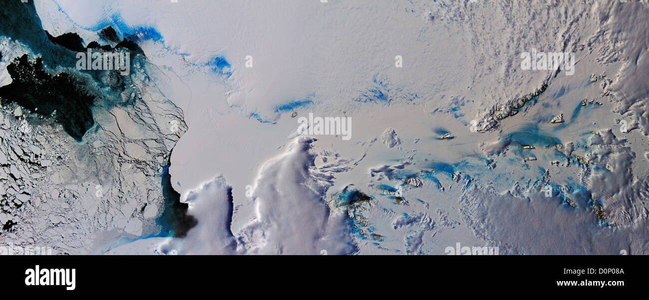 Clouds and Ice Over East Antarctica Stock Photohttps://www.alamy.com/image-license-details/?v=1https://www.alamy.com/stock-photo-clouds-and-ice-over-east-antarctica-52114282.html
RMD0P08A–Clouds and Ice Over East Antarctica
 Ile aux Rennes in the Indian Ocean on a satellite image taken in March 16, 2017 Stock Photohttps://www.alamy.com/image-license-details/?v=1https://www.alamy.com/ile-aux-rennes-in-the-indian-ocean-on-a-satellite-image-taken-in-march-16-2017-image619371134.html
RF2XYJP5J–Ile aux Rennes in the Indian Ocean on a satellite image taken in March 16, 2017
 Base General Bernardo O'Higgins, a Chilean Antarctic Base, Duroch Islands, Antarctica, Wednesday, November 22, 2023. Photo: David Rowland Stock Photohttps://www.alamy.com/image-license-details/?v=1https://www.alamy.com/base-general-bernardo-ohiggins-a-chilean-antarctic-base-duroch-islands-antarctica-wednesday-november-22-2023-photo-david-rowland-image612335039.html
RM2XG67GF–Base General Bernardo O'Higgins, a Chilean Antarctic Base, Duroch Islands, Antarctica, Wednesday, November 22, 2023. Photo: David Rowland
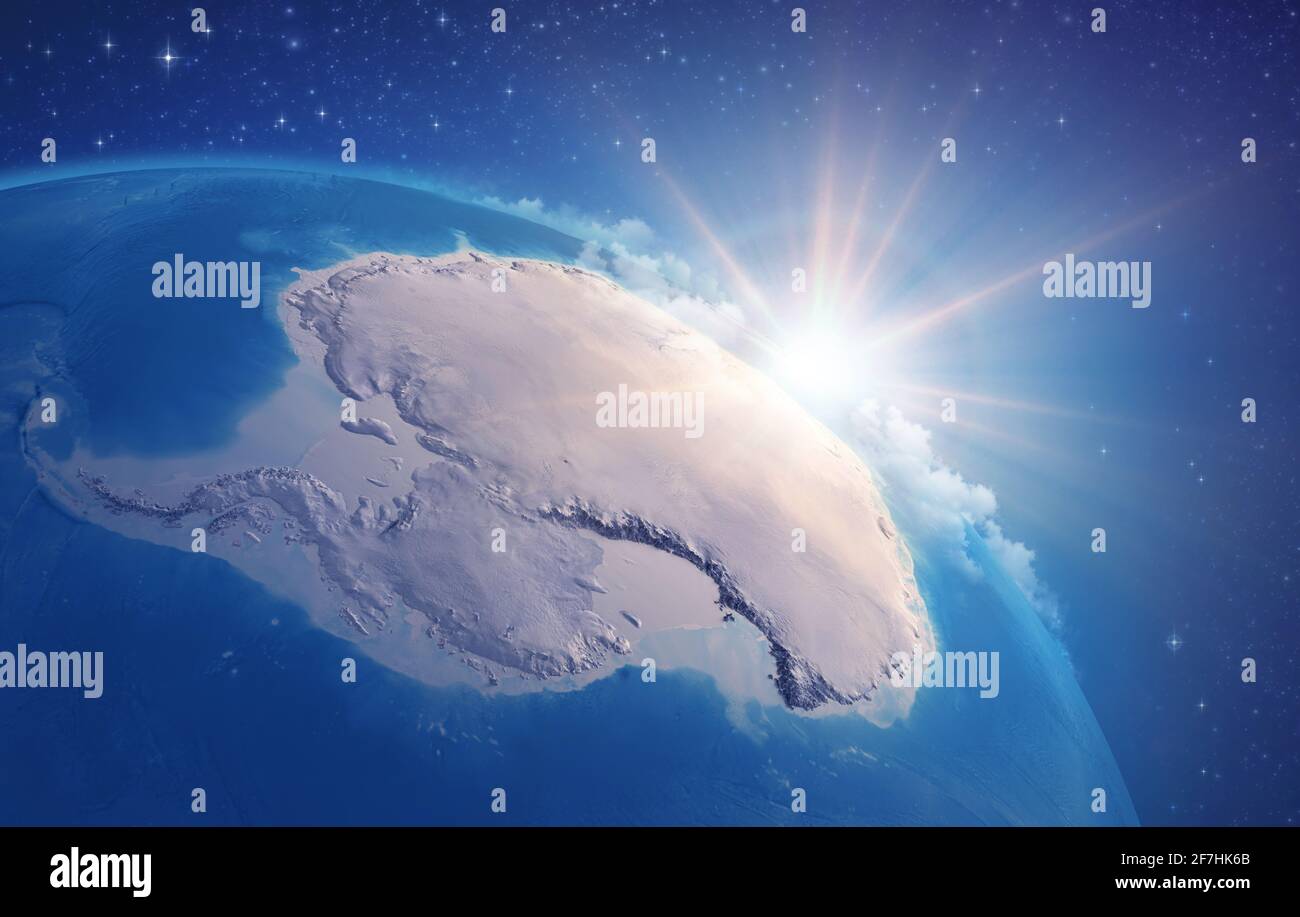 Sunrise through clouds, upon a high detailed satellite view of Planet Earth, focused on South Pole, Antarctic - Elements furnished by NASA Stock Photohttps://www.alamy.com/image-license-details/?v=1https://www.alamy.com/sunrise-through-clouds-upon-a-high-detailed-satellite-view-of-planet-earth-focused-on-south-pole-antarctic-elements-furnished-by-nasa-image417739683.html
RF2F7HK6B–Sunrise through clouds, upon a high detailed satellite view of Planet Earth, focused on South Pole, Antarctic - Elements furnished by NASA
 Antarctica Stock Photohttps://www.alamy.com/image-license-details/?v=1https://www.alamy.com/stock-photo-antarctica-134991291.html
RMHRHANF–Antarctica
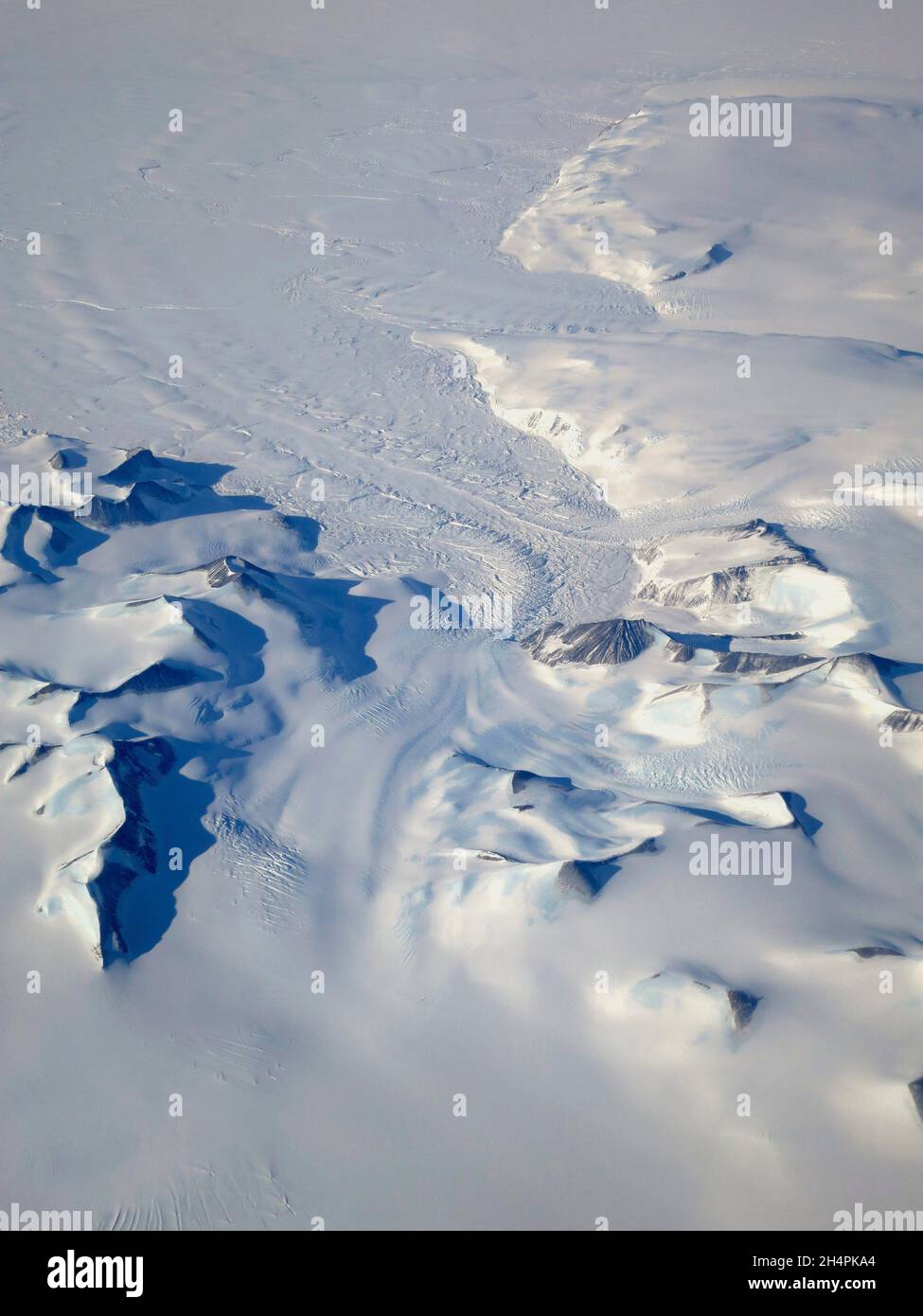 ANTARCTICA - 03 October 2015 - Aerial view of a large glacier winds between peaks in the Antarctic Peninsula during NASA's Operation IceBridge's south Stock Photohttps://www.alamy.com/image-license-details/?v=1https://www.alamy.com/antarctica-03-october-2015-aerial-view-of-a-large-glacier-winds-between-peaks-in-the-antarctic-peninsula-during-nasas-operation-icebridges-south-image450426316.html
RM2H4PKA4–ANTARCTICA - 03 October 2015 - Aerial view of a large glacier winds between peaks in the Antarctic Peninsula during NASA's Operation IceBridge's south
 Balleny Islands, near Antarctica. Stock Photohttps://www.alamy.com/image-license-details/?v=1https://www.alamy.com/stock-photo-balleny-islands-near-antarctica-17275415.html
RFB02XY3–Balleny Islands, near Antarctica.
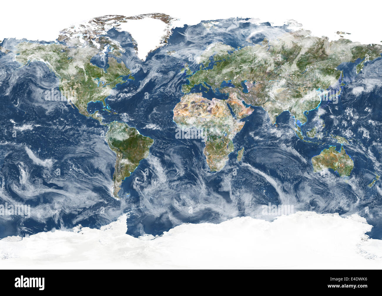 Whole Earth With Cloud Coverage, True Colour Satellite Image. True colour satellite image of the whole Earth with cloud coverage Stock Photohttps://www.alamy.com/image-license-details/?v=1https://www.alamy.com/stock-photo-whole-earth-with-cloud-coverage-true-colour-satellite-image-true-colour-71605610.html
RME4DWK6–Whole Earth With Cloud Coverage, True Colour Satellite Image. True colour satellite image of the whole Earth with cloud coverage