Quick filters:
Antimony map Stock Photos and Images
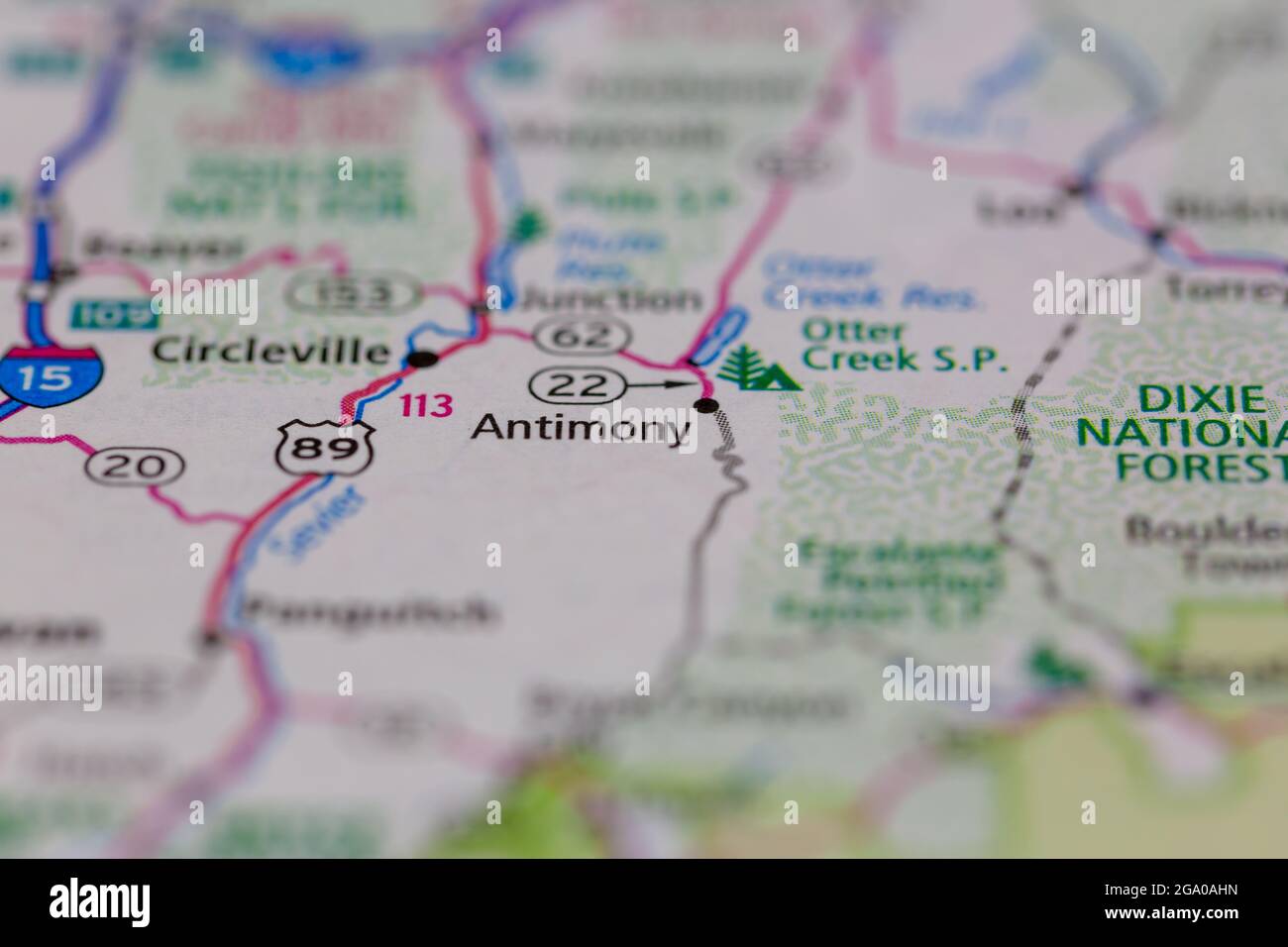 Antimony Utah USA shown on a road map or Geography map Stock Photohttps://www.alamy.com/image-license-details/?v=1https://www.alamy.com/antimony-utah-usa-shown-on-a-road-map-or-geography-map-image436414097.html
RM2GA0AHN–Antimony Utah USA shown on a road map or Geography map
 Lake Antimony, , AU, Australia, Tasmania, S 41 53' 43'', N 146 22' 56'', map, Cartascapes Map published in 2024. Explore Cartascapes, a map revealing Earth's diverse landscapes, cultures, and ecosystems. Journey through time and space, discovering the interconnectedness of our planet's past, present, and future. Stock Photohttps://www.alamy.com/image-license-details/?v=1https://www.alamy.com/lake-antimony-au-australia-tasmania-s-41-53-43-n-146-22-56-map-cartascapes-map-published-in-2024-explore-cartascapes-a-map-revealing-earths-diverse-landscapes-cultures-and-ecosystems-journey-through-time-and-space-discovering-the-interconnectedness-of-our-planets-past-present-and-future-image625691304.html
RM2Y9XKJ0–Lake Antimony, , AU, Australia, Tasmania, S 41 53' 43'', N 146 22' 56'', map, Cartascapes Map published in 2024. Explore Cartascapes, a map revealing Earth's diverse landscapes, cultures, and ecosystems. Journey through time and space, discovering the interconnectedness of our planet's past, present, and future.
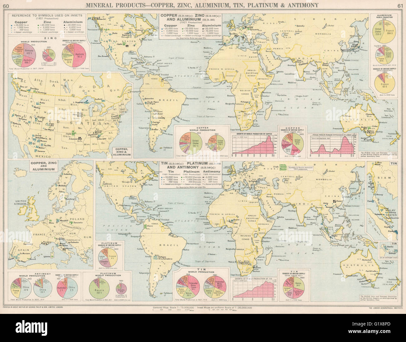 World. Copper, Zinc, Aluminium, Tin, Platinum & Antimony production, 1925 map Stock Photohttps://www.alamy.com/image-license-details/?v=1https://www.alamy.com/stock-photo-world-copper-zinc-aluminium-tin-platinum-antimony-production-1925-104454517.html
RFG1X8PD–World. Copper, Zinc, Aluminium, Tin, Platinum & Antimony production, 1925 map
 ‘13. Village of Icha’ ‘14. Road leading to Pungee from thence an ore of antimony is brought of wh. I have a sample no.3’ ‘15. Village of Raroo’ ‘16. do of Muling & Gumpa, (Gelukpas)’ ‘17. do of Pichak’ ‘18. do do’ ‘19. do Purden Gumpa, (Dugpas)’ ‘20. remains of an old fort and Raja’s house’ ‘21. Village of Shilla, where an ore no. 5 is found.’. (Picture map of the Zanskar valley in five sections.). Watercolour. Tibetan school. Source: Add.Or.3018 f.3. Author: ANON. Stock Photohttps://www.alamy.com/image-license-details/?v=1https://www.alamy.com/13-village-of-icha-14-road-leading-to-pungee-from-thence-an-ore-of-antimony-is-brought-of-wh-i-have-a-sample-no3-15-village-of-raroo-16-do-of-muling-gumpa-gelukpas-17-do-of-pichak-18-do-do-19-do-purden-gumpa-dugpas-20-remains-of-an-old-fort-and-rajas-house-21-village-of-shilla-where-an-ore-no-5-is-found-picture-map-of-the-zanskar-valley-in-five-sections-watercolour-tibetan-school-source-addor3018-f3-author-anon-image231690279.html
RMRCXB8R–‘13. Village of Icha’ ‘14. Road leading to Pungee from thence an ore of antimony is brought of wh. I have a sample no.3’ ‘15. Village of Raroo’ ‘16. do of Muling & Gumpa, (Gelukpas)’ ‘17. do of Pichak’ ‘18. do do’ ‘19. do Purden Gumpa, (Dugpas)’ ‘20. remains of an old fort and Raja’s house’ ‘21. Village of Shilla, where an ore no. 5 is found.’. (Picture map of the Zanskar valley in five sections.). Watercolour. Tibetan school. Source: Add.Or.3018 f.3. Author: ANON.
 The Holloway-Longridge Process for extracting Gold from auriferous antimony ores, and the Longridge-Holloway system of smelting antimony ores Image taken from page 45 of 'The Holloway-Longridge Stock Photohttps://www.alamy.com/image-license-details/?v=1https://www.alamy.com/stock-photo-the-holloway-longridge-process-for-extracting-gold-from-auriferous-132336748.html
RMHK8CTC–The Holloway-Longridge Process for extracting Gold from auriferous antimony ores, and the Longridge-Holloway system of smelting antimony ores Image taken from page 45 of 'The Holloway-Longridge
 English Criticism of American Railroads. Antimony and Bismuth in Bolivia. THE OPENING OF THE NORTH SEA CANAL. Electricity and Prestidigitation. The St. Sophia Mosaics. MAP OF THE NORTH SEA CANAL. The Salt Water Filter. magnificent harbor and is already the most important The Cape Cod Canal. 000 to $8000000., scientific american, 1895-06-22 Stock Photohttps://www.alamy.com/image-license-details/?v=1https://www.alamy.com/english-criticism-of-american-railroads-antimony-and-bismuth-in-bolivia-the-opening-of-the-north-sea-canal-electricity-and-prestidigitation-the-st-sophia-mosaics-map-of-the-north-sea-canal-the-salt-water-filter-magnificent-harbor-and-is-already-the-most-important-the-cape-cod-canal-000-to-8000000-scientific-american-1895-06-22-image334339093.html
RM2ABXCWW–English Criticism of American Railroads. Antimony and Bismuth in Bolivia. THE OPENING OF THE NORTH SEA CANAL. Electricity and Prestidigitation. The St. Sophia Mosaics. MAP OF THE NORTH SEA CANAL. The Salt Water Filter. magnificent harbor and is already the most important The Cape Cod Canal. 000 to $8000000., scientific american, 1895-06-22
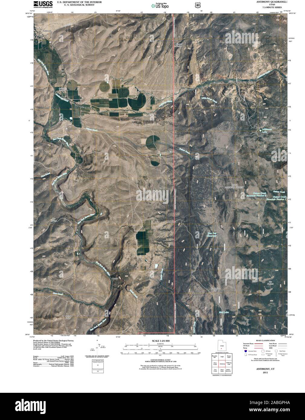 UT Antimony 20110322 TM Restoration Stock Photohttps://www.alamy.com/image-license-details/?v=1https://www.alamy.com/ut-antimony-20110322-tm-restoration-image334127174.html
RM2ABGPHA–UT Antimony 20110322 TM Restoration
![. Collected reprints / Atlantic Oceanographic and Meteorological Laboratories [and] Pacific Oceanographic Laboratories. Oceanography Periodicals.. BASE METAL DEPOSITS 120°E 150° 180" 150° 120" 90° 60° 30"W. * ANTIMONY • COPPER ' LEAD d MERCURY " TIN o ZINC * * * 0 CONVERGENT PLATE BOUNDARY .DIVERGENT PLATE BOUNDARY Fig. 8. Map of base-metal deposits of the Pacific region (adapted from Rona and Neuman, 1974, 1975). Lithospheric plate boundaries are shown. related to the occurrence of particular minerals in granitic rocks and to the concentration of these minerals by processe Stock Photo . Collected reprints / Atlantic Oceanographic and Meteorological Laboratories [and] Pacific Oceanographic Laboratories. Oceanography Periodicals.. BASE METAL DEPOSITS 120°E 150° 180" 150° 120" 90° 60° 30"W. * ANTIMONY • COPPER ' LEAD d MERCURY " TIN o ZINC * * * 0 CONVERGENT PLATE BOUNDARY .DIVERGENT PLATE BOUNDARY Fig. 8. Map of base-metal deposits of the Pacific region (adapted from Rona and Neuman, 1974, 1975). Lithospheric plate boundaries are shown. related to the occurrence of particular minerals in granitic rocks and to the concentration of these minerals by processe Stock Photo](https://c8.alamy.com/comp/REHC4D/collected-reprints-atlantic-oceanographic-and-meteorological-laboratories-and-pacific-oceanographic-laboratories-oceanography-periodicals-base-metal-deposits-120e-150-180quot-150-120quot-90-60-30quotw-antimony-copper-lead-d-mercury-quot-tin-o-zinc-0-convergent-plate-boundary-divergent-plate-boundary-fig-8-map-of-base-metal-deposits-of-the-pacific-region-adapted-from-rona-and-neuman-1974-1975-lithospheric-plate-boundaries-are-shown-related-to-the-occurrence-of-particular-minerals-in-granitic-rocks-and-to-the-concentration-of-these-minerals-by-processe-REHC4D.jpg) . Collected reprints / Atlantic Oceanographic and Meteorological Laboratories [and] Pacific Oceanographic Laboratories. Oceanography Periodicals.. BASE METAL DEPOSITS 120°E 150° 180" 150° 120" 90° 60° 30"W. * ANTIMONY • COPPER ' LEAD d MERCURY " TIN o ZINC * * * 0 CONVERGENT PLATE BOUNDARY .DIVERGENT PLATE BOUNDARY Fig. 8. Map of base-metal deposits of the Pacific region (adapted from Rona and Neuman, 1974, 1975). Lithospheric plate boundaries are shown. related to the occurrence of particular minerals in granitic rocks and to the concentration of these minerals by processe Stock Photohttps://www.alamy.com/image-license-details/?v=1https://www.alamy.com/collected-reprints-atlantic-oceanographic-and-meteorological-laboratories-and-pacific-oceanographic-laboratories-oceanography-periodicals-base-metal-deposits-120e-150-180quot-150-120quot-90-60-30quotw-antimony-copper-lead-d-mercury-quot-tin-o-zinc-0-convergent-plate-boundary-divergent-plate-boundary-fig-8-map-of-base-metal-deposits-of-the-pacific-region-adapted-from-rona-and-neuman-1974-1975-lithospheric-plate-boundaries-are-shown-related-to-the-occurrence-of-particular-minerals-in-granitic-rocks-and-to-the-concentration-of-these-minerals-by-processe-image232722685.html
. Collected reprints / Atlantic Oceanographic and Meteorological Laboratories [and] Pacific Oceanographic Laboratories. Oceanography Periodicals.. BASE METAL DEPOSITS 120°E 150° 180" 150° 120" 90° 60° 30"W. * ANTIMONY • COPPER ' LEAD d MERCURY " TIN o ZINC * * * 0 CONVERGENT PLATE BOUNDARY .DIVERGENT PLATE BOUNDARY Fig. 8. Map of base-metal deposits of the Pacific region (adapted from Rona and Neuman, 1974, 1975). Lithospheric plate boundaries are shown. related to the occurrence of particular minerals in granitic rocks and to the concentration of these minerals by processe Stock Photohttps://www.alamy.com/image-license-details/?v=1https://www.alamy.com/collected-reprints-atlantic-oceanographic-and-meteorological-laboratories-and-pacific-oceanographic-laboratories-oceanography-periodicals-base-metal-deposits-120e-150-180quot-150-120quot-90-60-30quotw-antimony-copper-lead-d-mercury-quot-tin-o-zinc-0-convergent-plate-boundary-divergent-plate-boundary-fig-8-map-of-base-metal-deposits-of-the-pacific-region-adapted-from-rona-and-neuman-1974-1975-lithospheric-plate-boundaries-are-shown-related-to-the-occurrence-of-particular-minerals-in-granitic-rocks-and-to-the-concentration-of-these-minerals-by-processe-image232722685.htmlRMREHC4D–. Collected reprints / Atlantic Oceanographic and Meteorological Laboratories [and] Pacific Oceanographic Laboratories. Oceanography Periodicals.. BASE METAL DEPOSITS 120°E 150° 180" 150° 120" 90° 60° 30"W. * ANTIMONY • COPPER ' LEAD d MERCURY " TIN o ZINC * * * 0 CONVERGENT PLATE BOUNDARY .DIVERGENT PLATE BOUNDARY Fig. 8. Map of base-metal deposits of the Pacific region (adapted from Rona and Neuman, 1974, 1975). Lithospheric plate boundaries are shown. related to the occurrence of particular minerals in granitic rocks and to the concentration of these minerals by processe
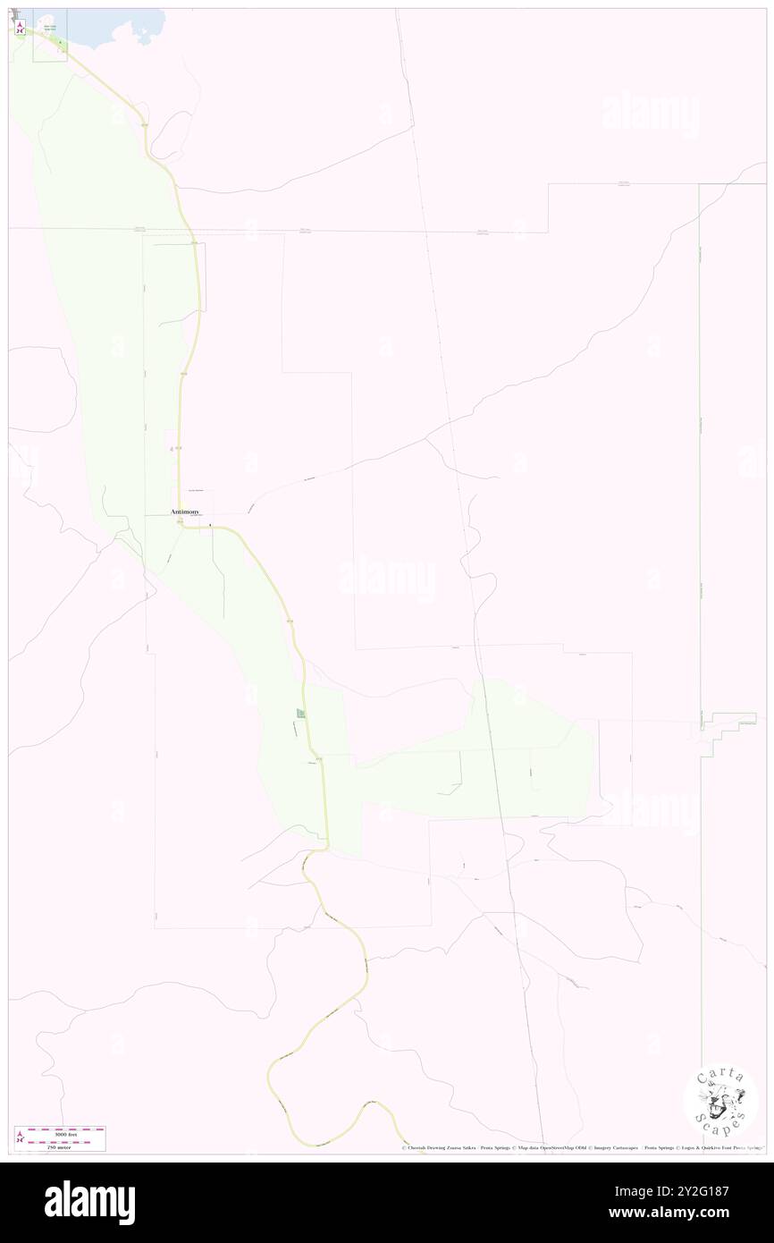 Antimony, Garfield County, US, United States, Utah, N 38 7' 0'', S 111 59' 58'', map, Cartascapes Map published in 2024. Explore Cartascapes, a map revealing Earth's diverse landscapes, cultures, and ecosystems. Journey through time and space, discovering the interconnectedness of our planet's past, present, and future. Stock Photohttps://www.alamy.com/image-license-details/?v=1https://www.alamy.com/antimony-garfield-county-us-united-states-utah-n-38-7-0-s-111-59-58-map-cartascapes-map-published-in-2024-explore-cartascapes-a-map-revealing-earths-diverse-landscapes-cultures-and-ecosystems-journey-through-time-and-space-discovering-the-interconnectedness-of-our-planets-past-present-and-future-image621154807.html
RM2Y2G187–Antimony, Garfield County, US, United States, Utah, N 38 7' 0'', S 111 59' 58'', map, Cartascapes Map published in 2024. Explore Cartascapes, a map revealing Earth's diverse landscapes, cultures, and ecosystems. Journey through time and space, discovering the interconnectedness of our planet's past, present, and future.
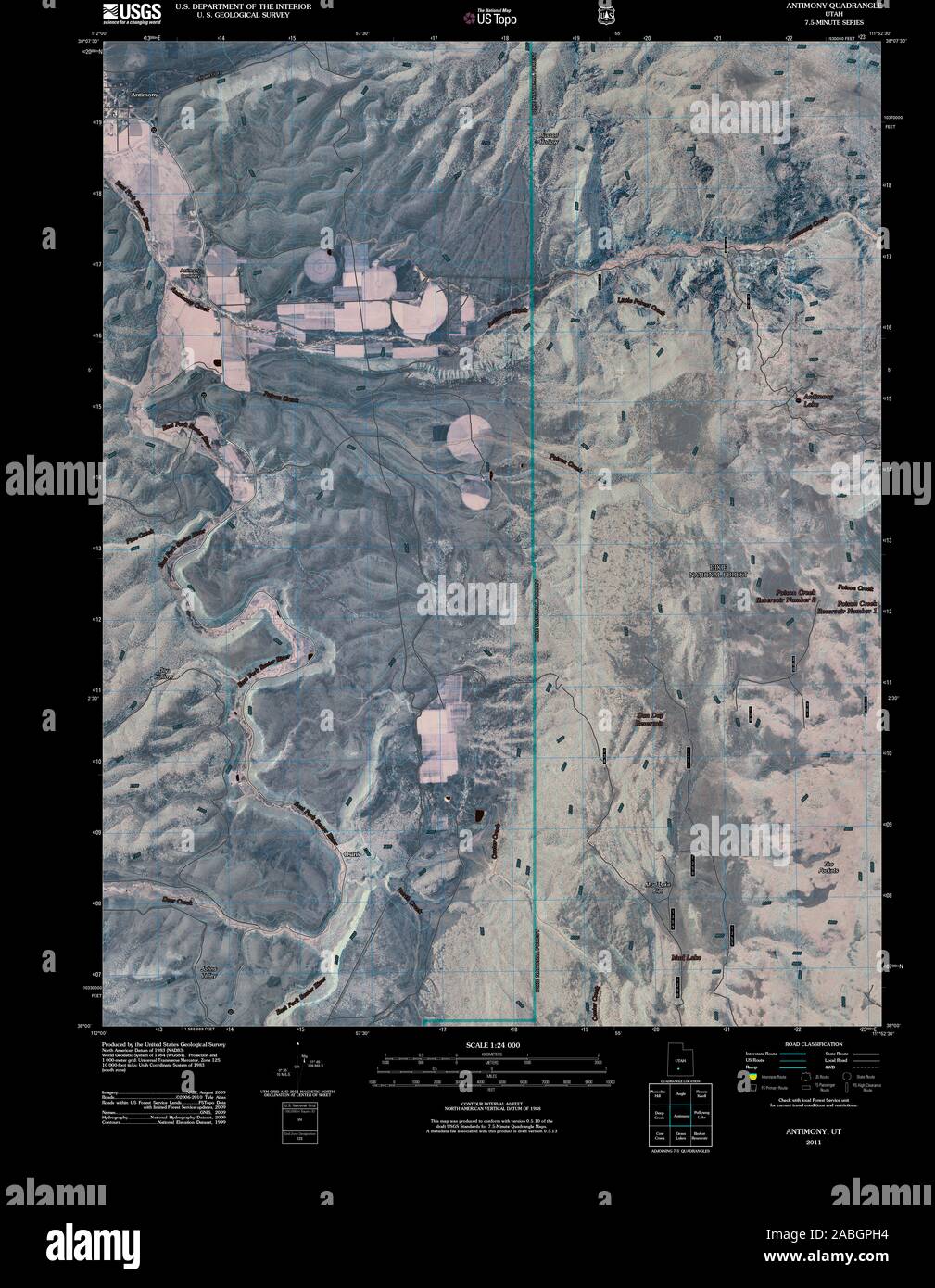 UT Antimony 20110322 TM Inverted Restoration Stock Photohttps://www.alamy.com/image-license-details/?v=1https://www.alamy.com/ut-antimony-20110322-tm-inverted-restoration-image334127168.html
RM2ABGPH4–UT Antimony 20110322 TM Inverted Restoration
 Antimony, Garfield County, US, United States, Utah, N 38 7' 0'', S 111 59' 58'', map, Cartascapes Map published in 2024. Explore Cartascapes, a map revealing Earth's diverse landscapes, cultures, and ecosystems. Journey through time and space, discovering the interconnectedness of our planet's past, present, and future. Stock Photohttps://www.alamy.com/image-license-details/?v=1https://www.alamy.com/antimony-garfield-county-us-united-states-utah-n-38-7-0-s-111-59-58-map-cartascapes-map-published-in-2024-explore-cartascapes-a-map-revealing-earths-diverse-landscapes-cultures-and-ecosystems-journey-through-time-and-space-discovering-the-interconnectedness-of-our-planets-past-present-and-future-image621313344.html
RM2Y2R7E8–Antimony, Garfield County, US, United States, Utah, N 38 7' 0'', S 111 59' 58'', map, Cartascapes Map published in 2024. Explore Cartascapes, a map revealing Earth's diverse landscapes, cultures, and ecosystems. Journey through time and space, discovering the interconnectedness of our planet's past, present, and future.
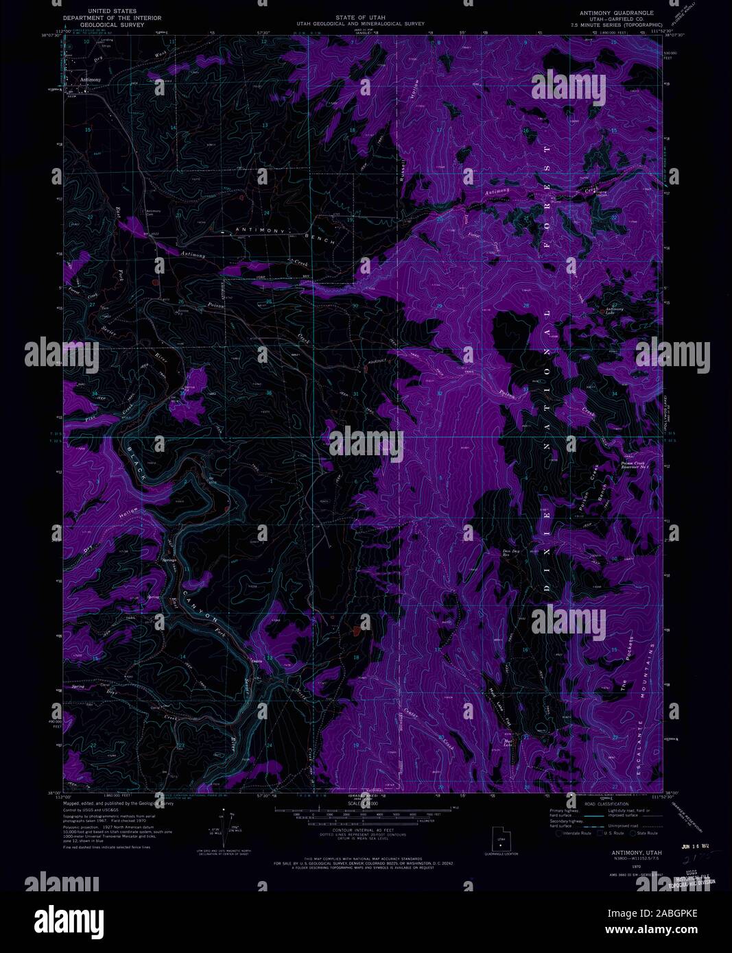
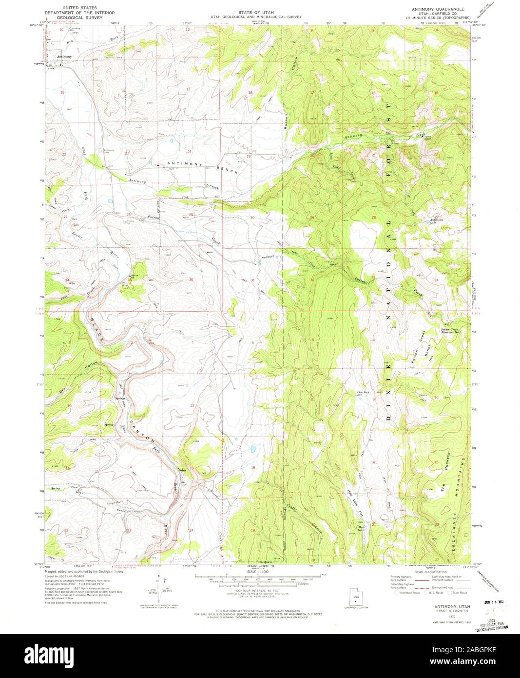 UT Antimony 247943 1970 24000 Restoration Stock Photohttps://www.alamy.com/image-license-details/?v=1https://www.alamy.com/ut-antimony-247943-1970-24000-restoration-image334127235.html
RM2ABGPKF–UT Antimony 247943 1970 24000 Restoration
 Antimony (historical), Howard County, US, United States, Arkansas, N 34 11' 35'', S 94 12' 21'', map, Cartascapes Map published in 2024. Explore Cartascapes, a map revealing Earth's diverse landscapes, cultures, and ecosystems. Journey through time and space, discovering the interconnectedness of our planet's past, present, and future. Stock Photohttps://www.alamy.com/image-license-details/?v=1https://www.alamy.com/antimony-historical-howard-county-us-united-states-arkansas-n-34-11-35-s-94-12-21-map-cartascapes-map-published-in-2024-explore-cartascapes-a-map-revealing-earths-diverse-landscapes-cultures-and-ecosystems-journey-through-time-and-space-discovering-the-interconnectedness-of-our-planets-past-present-and-future-image621341984.html
RM2Y2TG14–Antimony (historical), Howard County, US, United States, Arkansas, N 34 11' 35'', S 94 12' 21'', map, Cartascapes Map published in 2024. Explore Cartascapes, a map revealing Earth's diverse landscapes, cultures, and ecosystems. Journey through time and space, discovering the interconnectedness of our planet's past, present, and future.
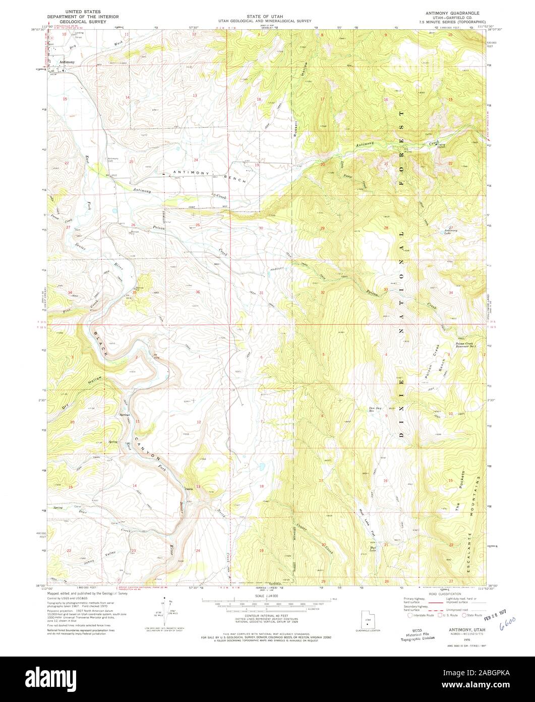 UT Antimony 247942 1970 24000 Restoration Stock Photohttps://www.alamy.com/image-license-details/?v=1https://www.alamy.com/ut-antimony-247942-1970-24000-restoration-image334127230.html
RM2ABGPKA–UT Antimony 247942 1970 24000 Restoration
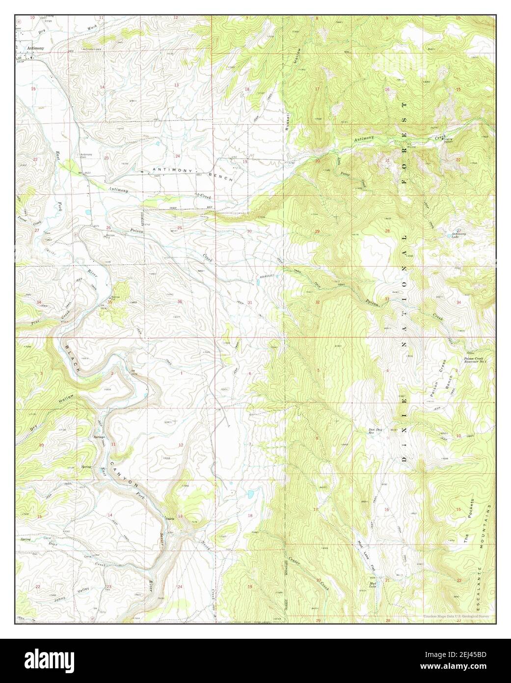 Antimony, Utah, map 1970, 1:24000, United States of America by Timeless Maps, data U.S. Geological Survey Stock Photohttps://www.alamy.com/image-license-details/?v=1https://www.alamy.com/antimony-utah-map-1970-124000-united-states-of-america-by-timeless-maps-data-us-geological-survey-image406994321.html
RM2EJ45BD–Antimony, Utah, map 1970, 1:24000, United States of America by Timeless Maps, data U.S. Geological Survey
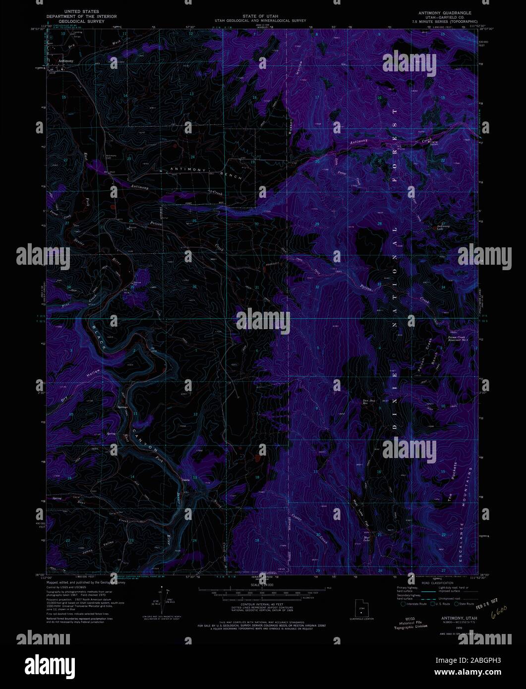 UT Antimony 247942 1970 24000 Inverted Restoration Stock Photohttps://www.alamy.com/image-license-details/?v=1https://www.alamy.com/ut-antimony-247942-1970-24000-inverted-restoration-image334127167.html
RM2ABGPH3–UT Antimony 247942 1970 24000 Inverted Restoration
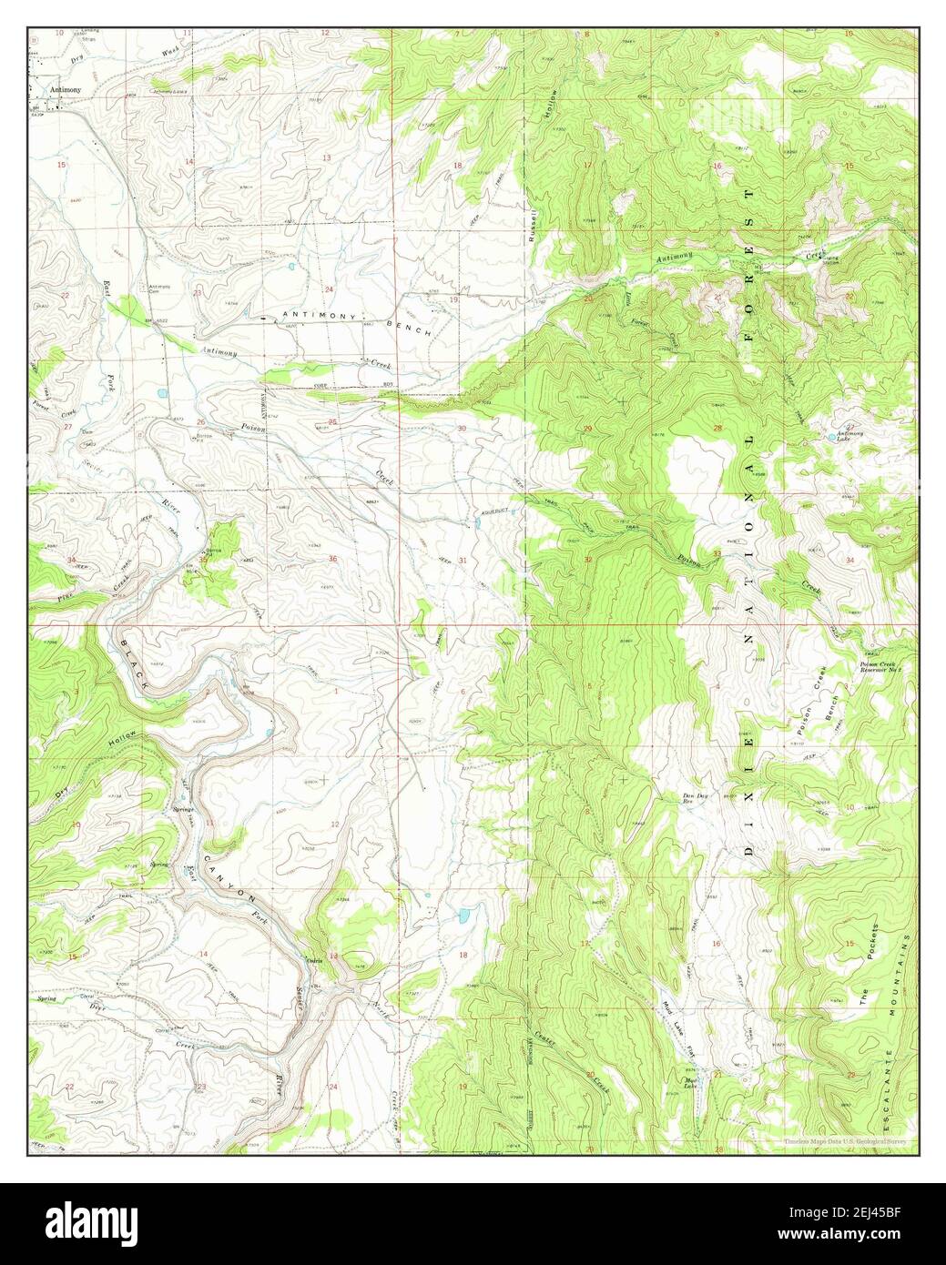 Antimony, Utah, map 1970, 1:24000, United States of America by Timeless Maps, data U.S. Geological Survey Stock Photohttps://www.alamy.com/image-license-details/?v=1https://www.alamy.com/antimony-utah-map-1970-124000-united-states-of-america-by-timeless-maps-data-us-geological-survey-image406994323.html
RM2EJ45BF–Antimony, Utah, map 1970, 1:24000, United States of America by Timeless Maps, data U.S. Geological Survey
