Quick filters:
Antique globe map Stock Photos and Images
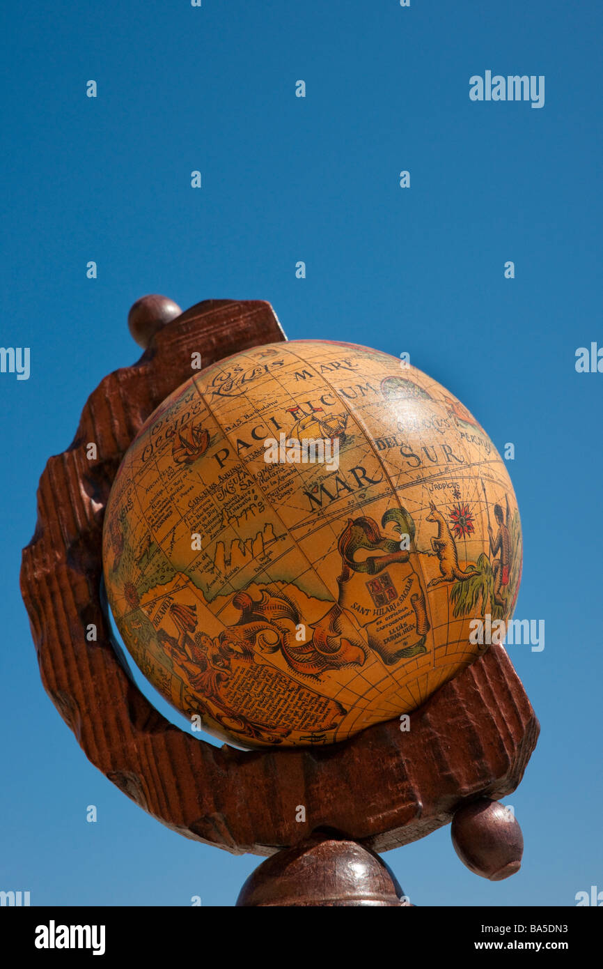 Antique globe map against clear blue sky Stock Photohttps://www.alamy.com/image-license-details/?v=1https://www.alamy.com/stock-photo-antique-globe-map-against-clear-blue-sky-23477471.html
RMBA5DN3–Antique globe map against clear blue sky
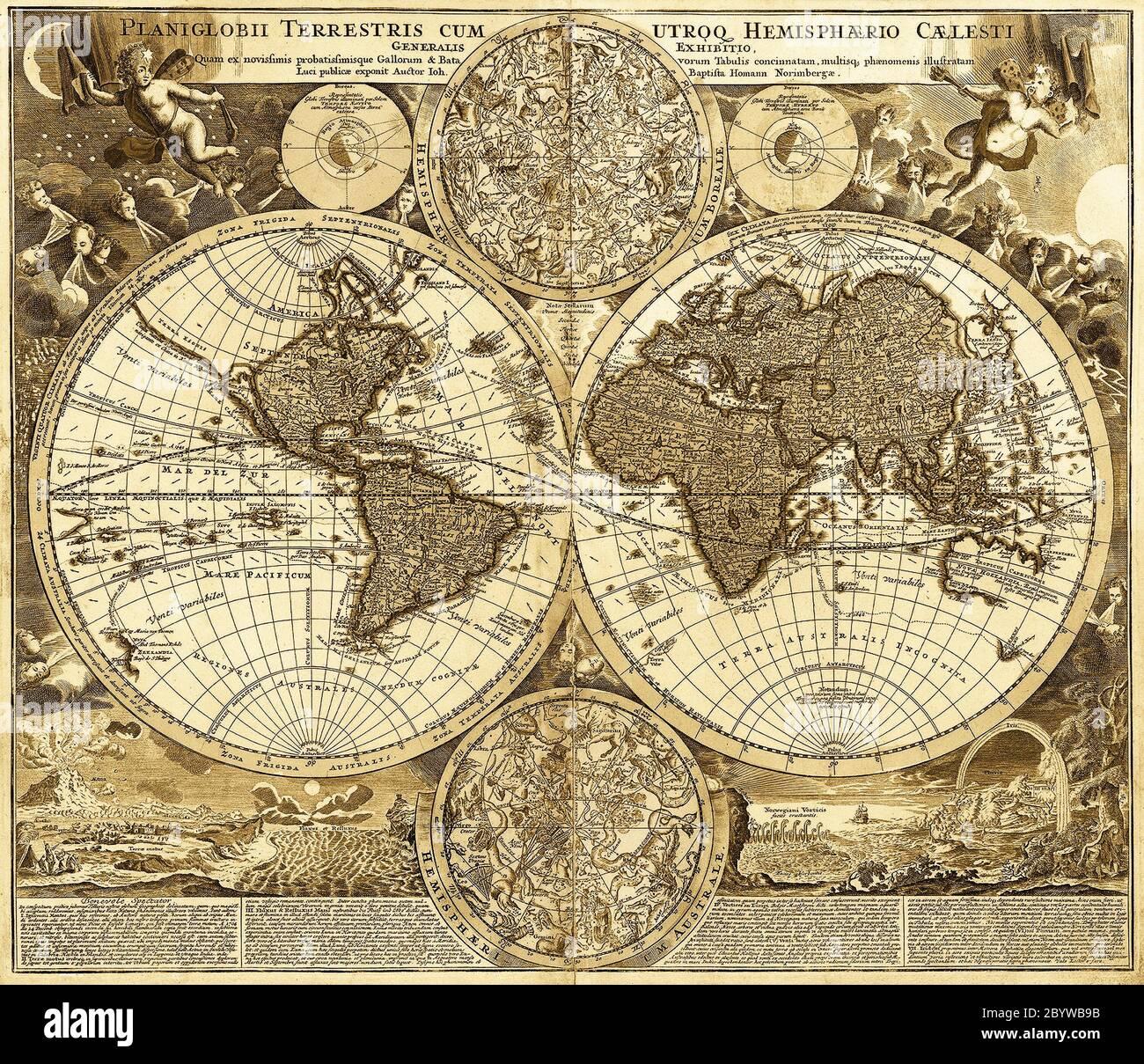 the medieval World map, closeup Stock Photohttps://www.alamy.com/image-license-details/?v=1https://www.alamy.com/the-medieval-world-map-closeup-image361360759.html
RF2BYWB9B–the medieval World map, closeup
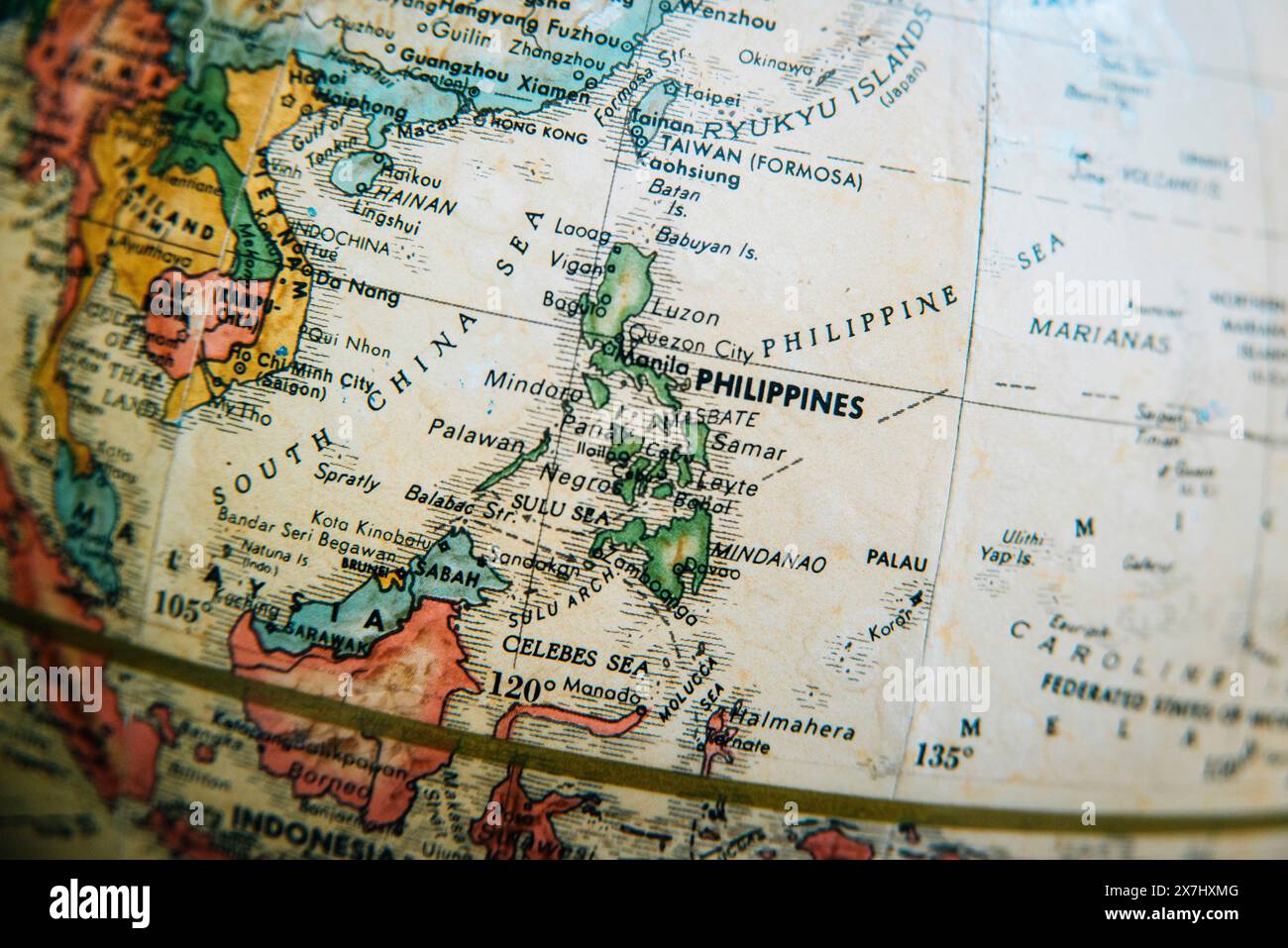 A vintage old-world antique globe map showing a detailed close-up of the Philippines and surrounding Southeast Asian countries. Stock Photohttps://www.alamy.com/image-license-details/?v=1https://www.alamy.com/a-vintage-old-world-antique-globe-map-showing-a-detailed-close-up-of-the-philippines-and-surrounding-southeast-asian-countries-image607059616.html
RM2X7HXMG–A vintage old-world antique globe map showing a detailed close-up of the Philippines and surrounding Southeast Asian countries.
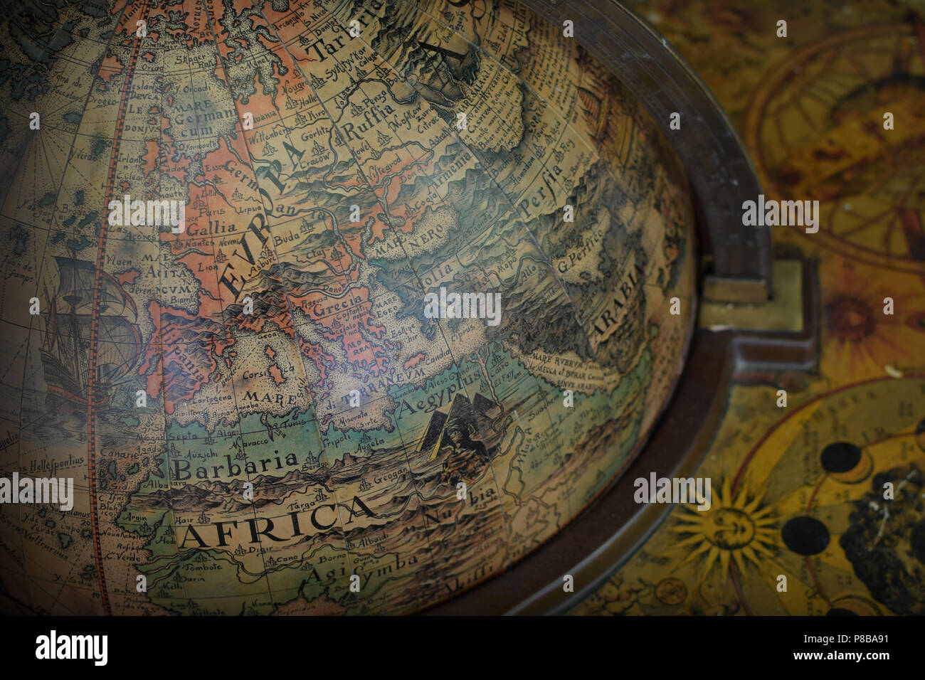 Detail of antique old world terrestrial globe with map of Europe and Africa. Stock Photohttps://www.alamy.com/image-license-details/?v=1https://www.alamy.com/detail-of-antique-old-world-terrestrial-globe-with-map-of-europe-and-africa-image211691229.html
RFP8BA91–Detail of antique old world terrestrial globe with map of Europe and Africa.
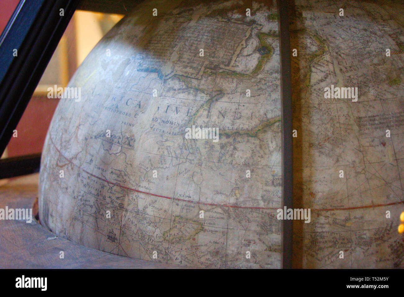 Antique globe. World map. Stock Photohttps://www.alamy.com/image-license-details/?v=1https://www.alamy.com/antique-globe-world-map-image244078183.html
RFT52M5Y–Antique globe. World map.
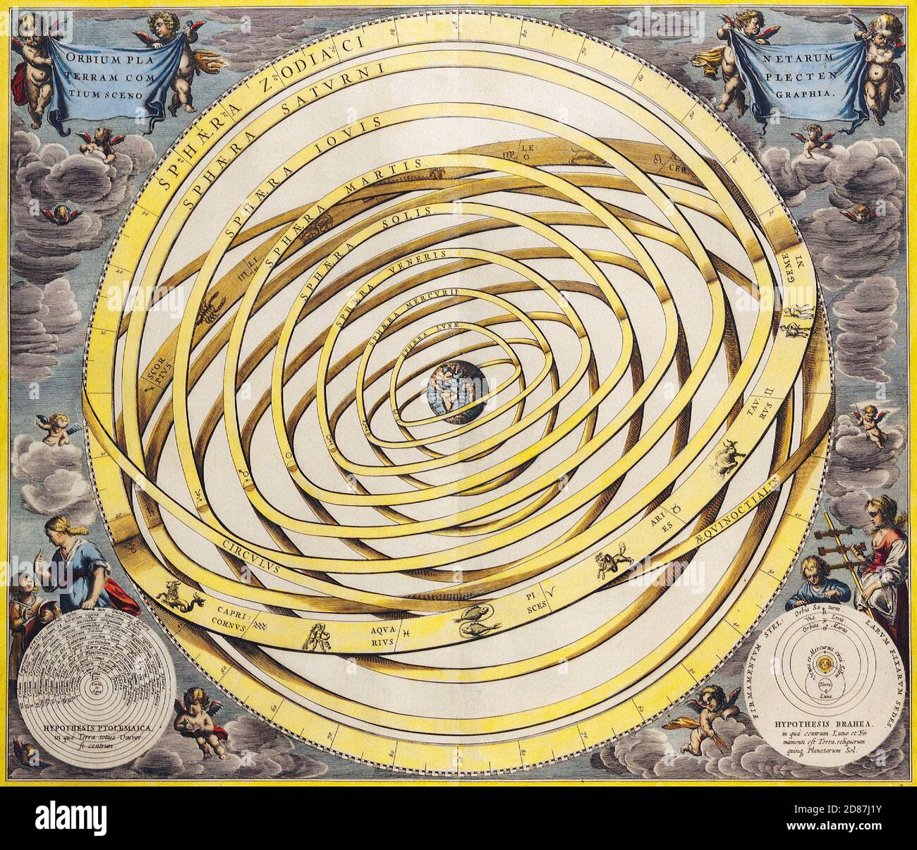 Antique Maps of the World. Celestial Map. Andres Celarius cirka 1708 Stock Photohttps://www.alamy.com/image-license-details/?v=1https://www.alamy.com/antique-maps-of-the-world-celestial-map-andres-celarius-cirka-1708-image383713175.html
RM2D87J1Y–Antique Maps of the World. Celestial Map. Andres Celarius cirka 1708
 Antique globe. Interior of image of Eureka House in Mauritius, built in 1830 and inhabited by French and British aristocrats. Stock Photohttps://www.alamy.com/image-license-details/?v=1https://www.alamy.com/antique-globe-interior-of-image-of-eureka-house-in-mauritius-built-in-1830-and-inhabited-by-french-and-british-aristocrats-image223397994.html
RFPYCJBP–Antique globe. Interior of image of Eureka House in Mauritius, built in 1830 and inhabited by French and British aristocrats.
 World Map on old grungy antique and yellow cracked paper background (Map derived from http://visibleearth.nasa.gov ) Stock Photohttps://www.alamy.com/image-license-details/?v=1https://www.alamy.com/stock-photo-world-map-on-old-grungy-antique-and-yellow-cracked-paper-background-90511644.html
RFF774EM–World Map on old grungy antique and yellow cracked paper background (Map derived from http://visibleearth.nasa.gov )
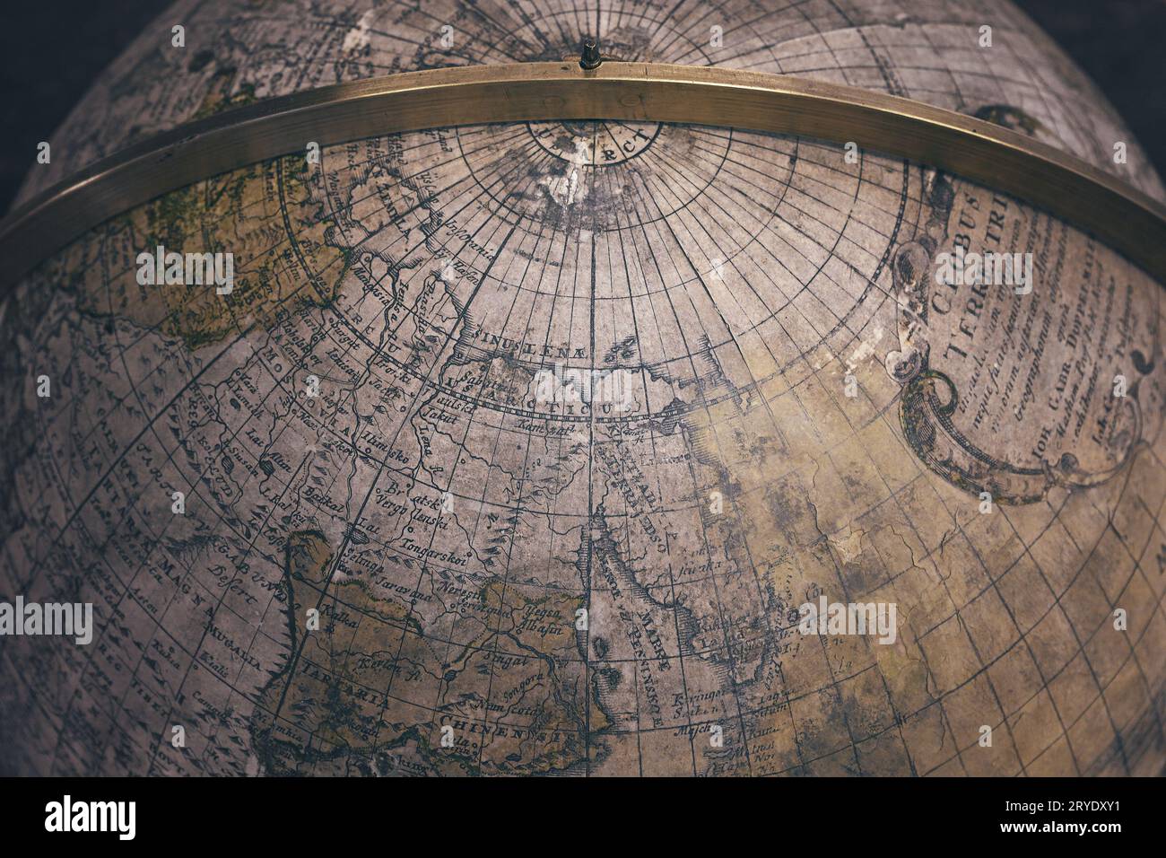 Old antique earth globe map background Stock Photohttps://www.alamy.com/image-license-details/?v=1https://www.alamy.com/old-antique-earth-globe-map-background-image567634005.html
RF2RYDXY1–Old antique earth globe map background
 globe Stock Photohttps://www.alamy.com/image-license-details/?v=1https://www.alamy.com/stock-photo-globe-79088151.html
RMEGJNMR–globe
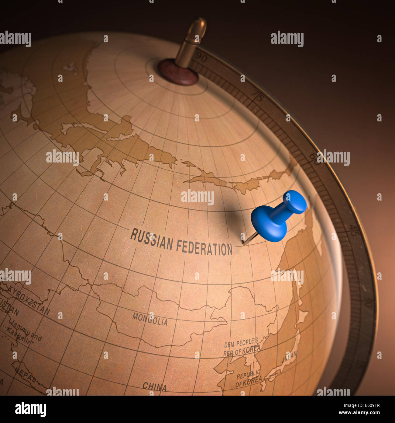 Antique globe with the Russia marked by the pin. Clipping path included. Stock Photohttps://www.alamy.com/image-license-details/?v=1https://www.alamy.com/stock-photo-antique-globe-with-the-russia-marked-by-the-pin-clipping-path-included-72537159.html
RFE609TR–Antique globe with the Russia marked by the pin. Clipping path included.
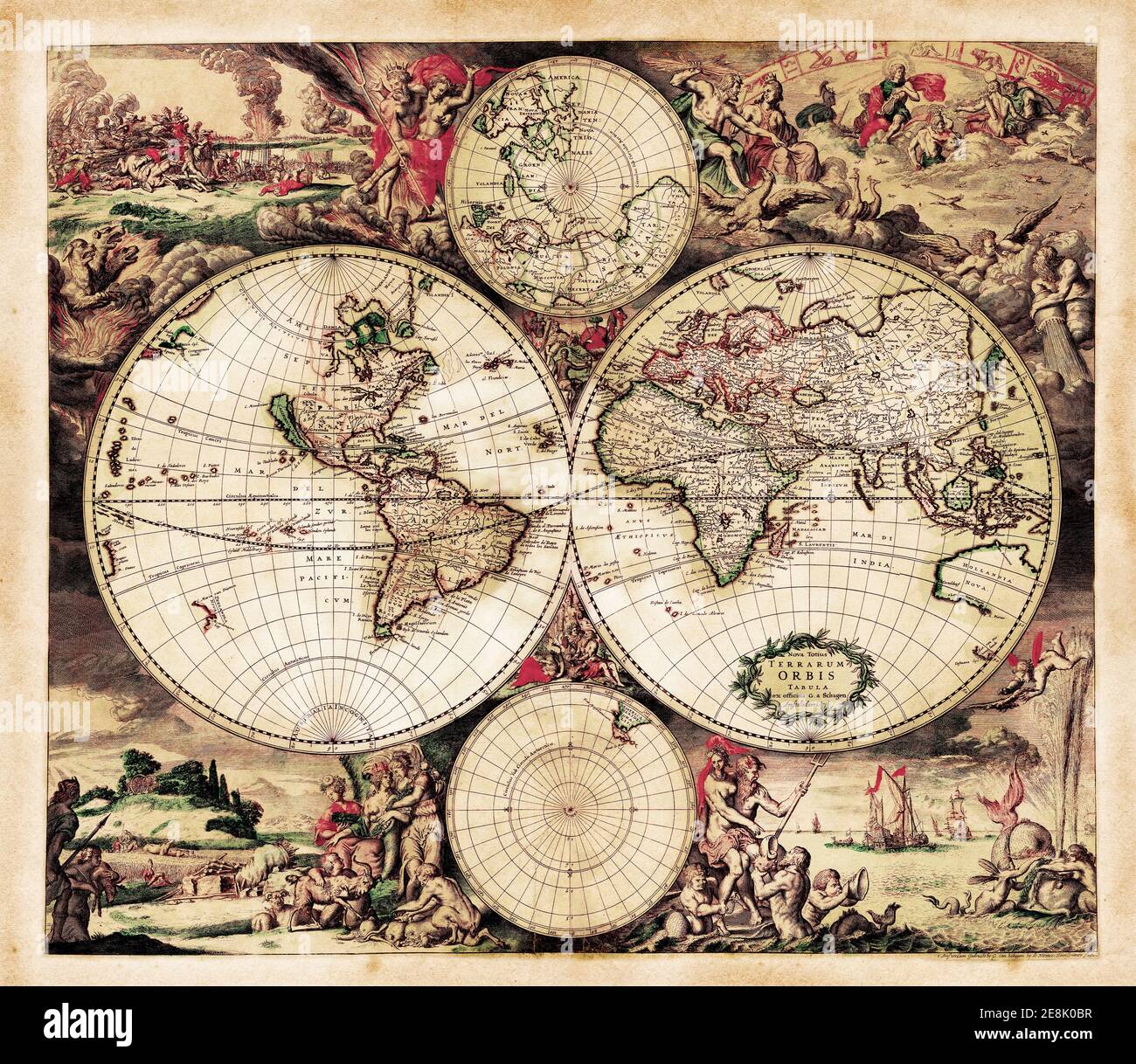 Decorative Antique World Map by Gerardus van Schagen, 1689. Engraved and hand-colored. Latin text Nova Totius Terrarium Orbis Tabula Stock Photohttps://www.alamy.com/image-license-details/?v=1https://www.alamy.com/decorative-antique-world-map-by-gerardus-van-schagen-1689-engraved-and-hand-colored-latin-text-nova-totius-terrarium-orbis-tabula-image401173131.html
RF2E8K0BR–Decorative Antique World Map by Gerardus van Schagen, 1689. Engraved and hand-colored. Latin text Nova Totius Terrarium Orbis Tabula
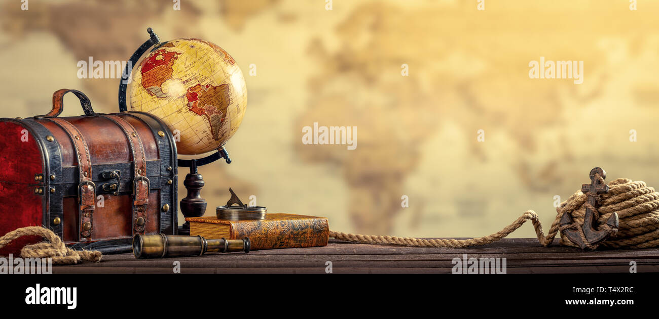 Vintage World Globe, Suitcase, Compass, Telescope, Book, Rope And Anchor With Map Background And Aged Yellowed Effect - Travel Concept Stock Photohttps://www.alamy.com/image-license-details/?v=1https://www.alamy.com/vintage-world-globe-suitcase-compass-telescope-book-rope-and-anchor-with-map-background-and-aged-yellowed-effect-travel-concept-image243976752.html
RFT4X2RC–Vintage World Globe, Suitcase, Compass, Telescope, Book, Rope And Anchor With Map Background And Aged Yellowed Effect - Travel Concept
 A map of Bolivia on an antique globe. Stock Photohttps://www.alamy.com/image-license-details/?v=1https://www.alamy.com/a-map-of-bolivia-on-an-antique-globe-image62254369.html
RMDH7X29–A map of Bolivia on an antique globe.
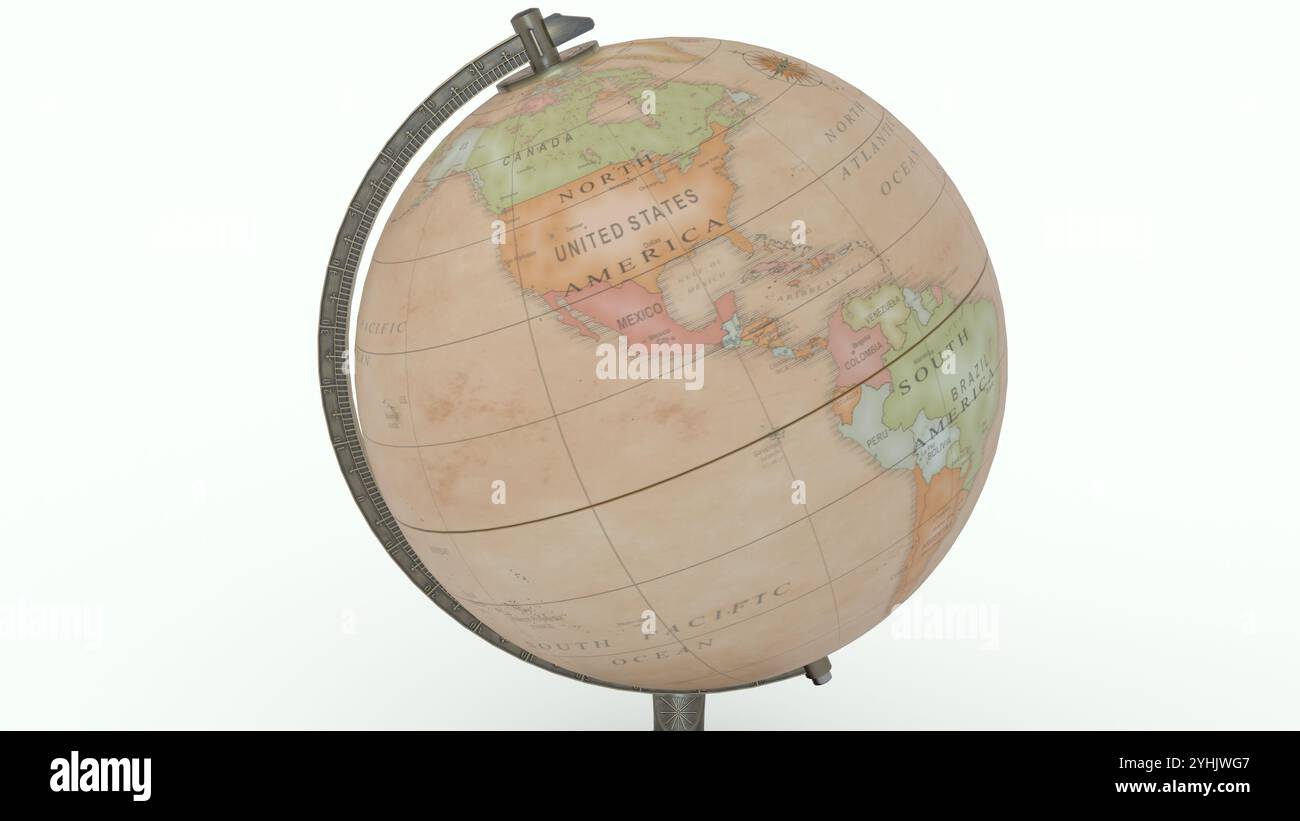 Antique Globe Map with white background Stock Photohttps://www.alamy.com/image-license-details/?v=1https://www.alamy.com/antique-globe-map-with-white-background-image630437591.html
RF2YHJWG7–Antique Globe Map with white background
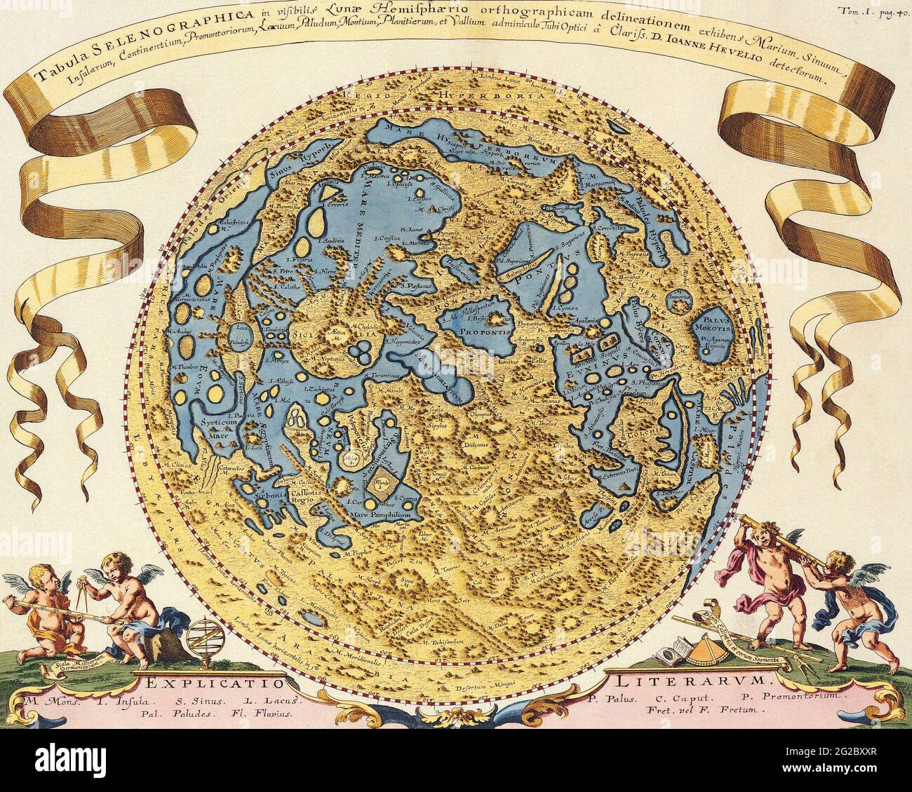 Old World Map, Antique World Map, Vintage World Map, Retro World Map, Old Map of World, Vintage Map of World, World, World Globe, Joanne Hevel, 1696 Stock Photohttps://www.alamy.com/image-license-details/?v=1https://www.alamy.com/old-world-map-antique-world-map-vintage-world-map-retro-world-map-old-map-of-world-vintage-map-of-world-world-world-globe-joanne-hevel-1696-image431751119.html
RF2G2BXXR–Old World Map, Antique World Map, Vintage World Map, Retro World Map, Old Map of World, Vintage Map of World, World, World Globe, Joanne Hevel, 1696
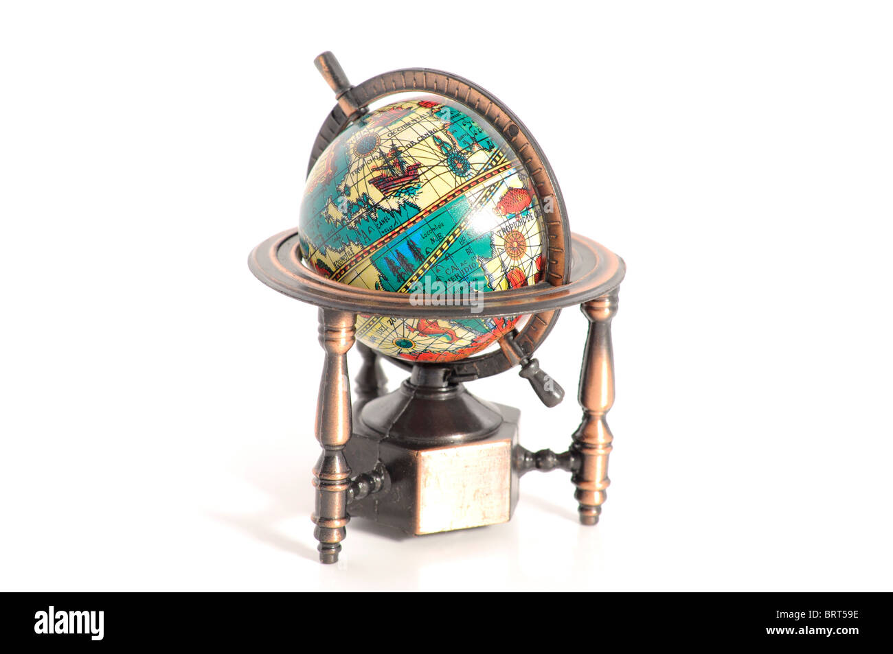 Antique Globe Stock Photohttps://www.alamy.com/image-license-details/?v=1https://www.alamy.com/stock-photo-antique-globe-31878490.html
RFBRT59E–Antique Globe
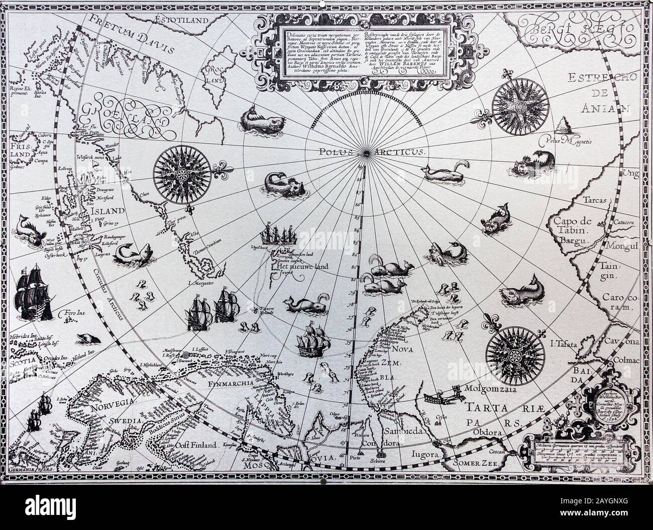 ancient map of the north pole Stock Photohttps://www.alamy.com/image-license-details/?v=1https://www.alamy.com/ancient-map-of-the-north-pole-image343961144.html
RM2AYGNXG–ancient map of the north pole
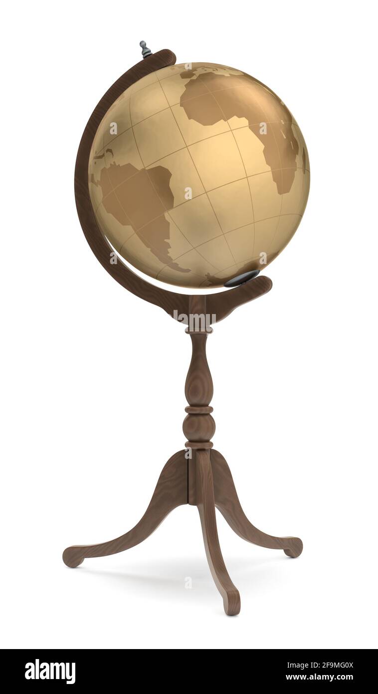 Antique Globe Stock Photohttps://www.alamy.com/image-license-details/?v=1https://www.alamy.com/antique-globe-image419032346.html
RF2F9MG0X–Antique Globe
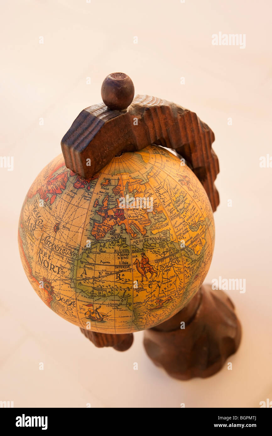 Old antique globe map depicting Europe and northern Africa Stock Photohttps://www.alamy.com/image-license-details/?v=1https://www.alamy.com/stock-photo-old-antique-globe-map-depicting-europe-and-northern-africa-27544178.html
RMBGPMTJ–Old antique globe map depicting Europe and northern Africa
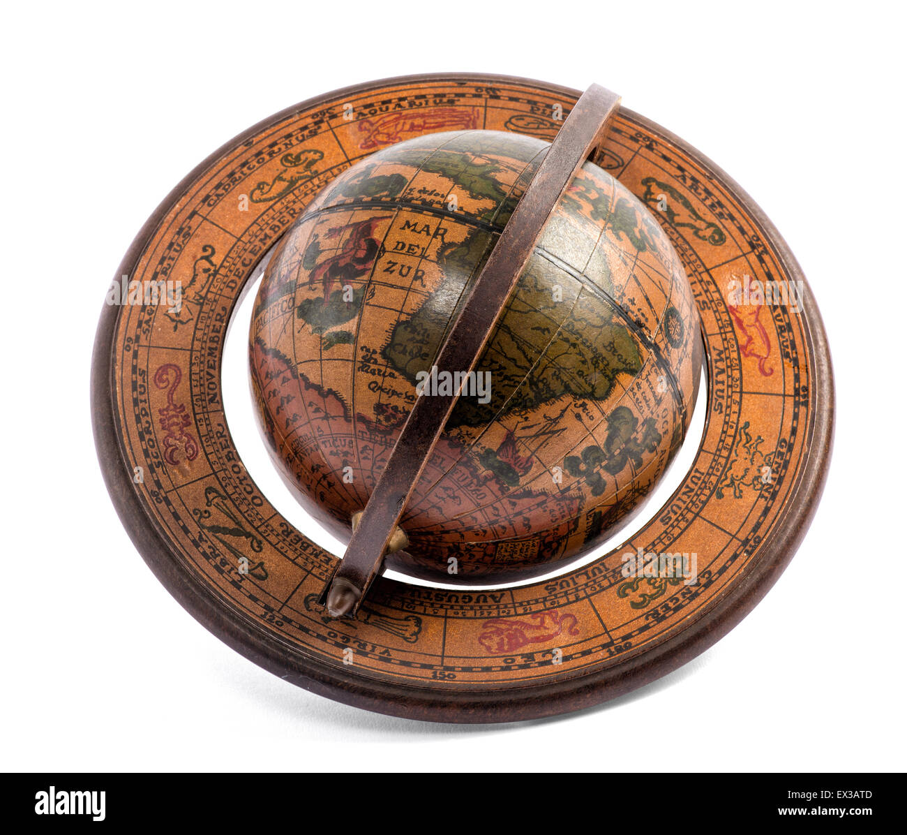 Old vintage wooden terrestrial world globe Stock Photohttps://www.alamy.com/image-license-details/?v=1https://www.alamy.com/stock-photo-old-vintage-wooden-terrestrial-world-globe-84896909.html
RFEX3ATD–Old vintage wooden terrestrial world globe
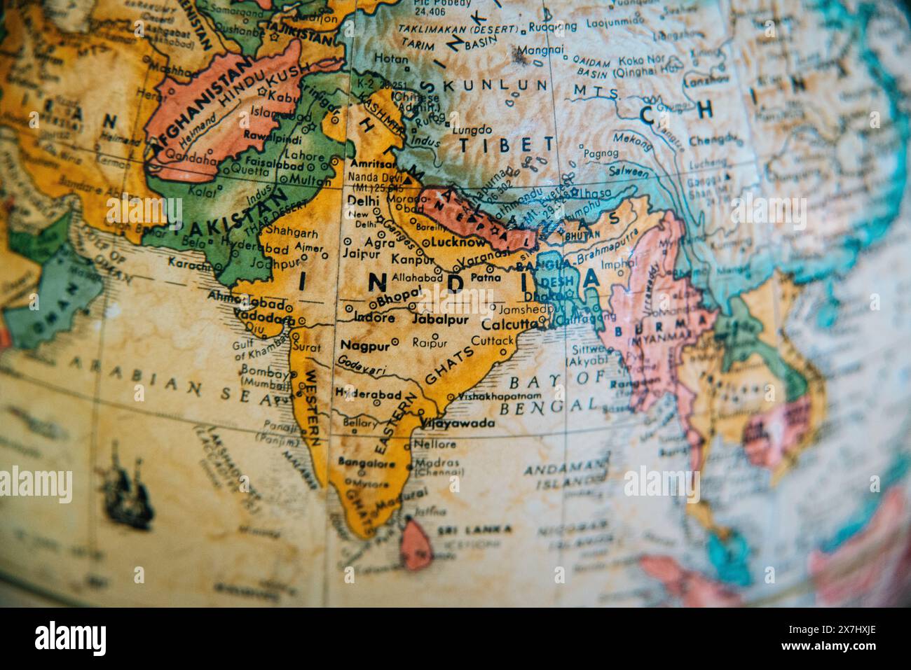 A detailed vintage globe map highlighting the geography of India, Pakistan, Afghanistan, and surrounding regions. Stock Photohttps://www.alamy.com/image-license-details/?v=1https://www.alamy.com/a-detailed-vintage-globe-map-highlighting-the-geography-of-india-pakistan-afghanistan-and-surrounding-regions-image607059558.html
RM2X7HXJE–A detailed vintage globe map highlighting the geography of India, Pakistan, Afghanistan, and surrounding regions.
 Antique chest with jewelry, globe on vintage map Stock Photohttps://www.alamy.com/image-license-details/?v=1https://www.alamy.com/stock-photo-antique-chest-with-jewelry-globe-on-vintage-map-29839087.html
RFBMF81K–Antique chest with jewelry, globe on vintage map
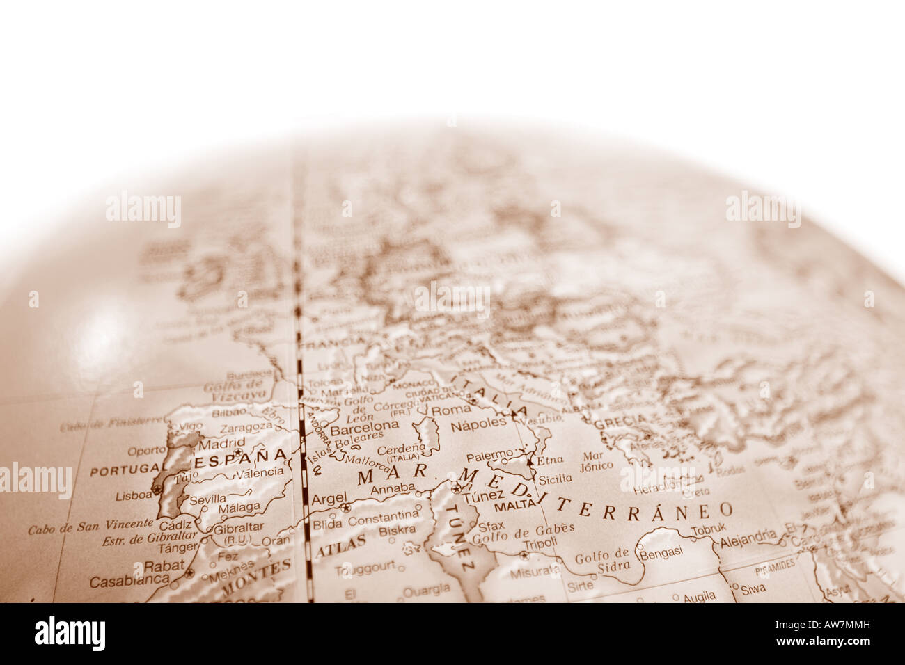 Vintage world map globe with shallow depth of field and focus on the Mediterranean Sea Stock Photohttps://www.alamy.com/image-license-details/?v=1https://www.alamy.com/stock-photo-vintage-world-map-globe-with-shallow-depth-of-field-and-focus-on-the-16492912.html
RMAW7MMH–Vintage world map globe with shallow depth of field and focus on the Mediterranean Sea
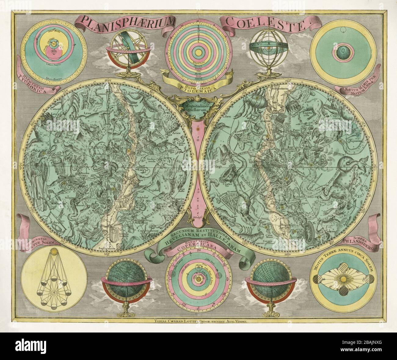 Hevelius style, Eimmart format; hemispheres, ecliptic pole to ecliptic, with non-Ptolemaic constellations. Authour: Lotter, Tobias Conrad 1772. Stock Photohttps://www.alamy.com/image-license-details/?v=1https://www.alamy.com/hevelius-style-eimmart-format-hemispheres-ecliptic-pole-to-ecliptic-with-non-ptolemaic-constellations-authour-lotter-tobias-conrad-1772-image350766264.html
RF2BAJNXG–Hevelius style, Eimmart format; hemispheres, ecliptic pole to ecliptic, with non-Ptolemaic constellations. Authour: Lotter, Tobias Conrad 1772.
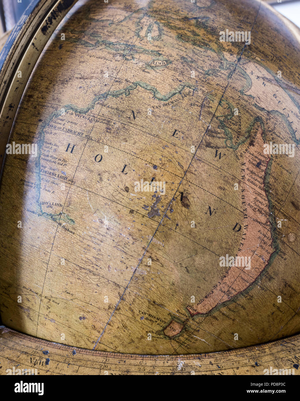 Large antique globe showing New Holland Stock Photohttps://www.alamy.com/image-license-details/?v=1https://www.alamy.com/large-antique-globe-showing-new-holland-image214707904.html
RMPD8P3C–Large antique globe showing New Holland
 Close up of antique globe Stock Photohttps://www.alamy.com/image-license-details/?v=1https://www.alamy.com/stock-photo-close-up-of-antique-globe-36646396.html
RFC3HART–Close up of antique globe
 Old antique earth globe map background Stock Photohttps://www.alamy.com/image-license-details/?v=1https://www.alamy.com/old-antique-earth-globe-map-background-image567632398.html
RF2RYDTWJ–Old antique earth globe map background
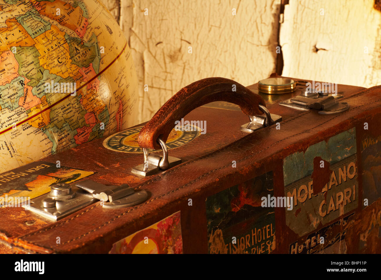 old labeled antique suitcase next to world globe Stock Photohttps://www.alamy.com/image-license-details/?v=1https://www.alamy.com/stock-photo-old-labeled-antique-suitcase-next-to-world-globe-28143298.html
RMBHP11P–old labeled antique suitcase next to world globe
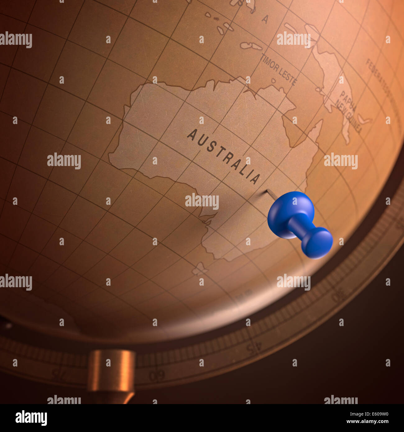 Antique globe with the Australia marked by the pin. Clipping path included. Stock Photohttps://www.alamy.com/image-license-details/?v=1https://www.alamy.com/stock-photo-antique-globe-with-the-australia-marked-by-the-pin-clipping-path-included-72537164.html
RFE609W0–Antique globe with the Australia marked by the pin. Clipping path included.
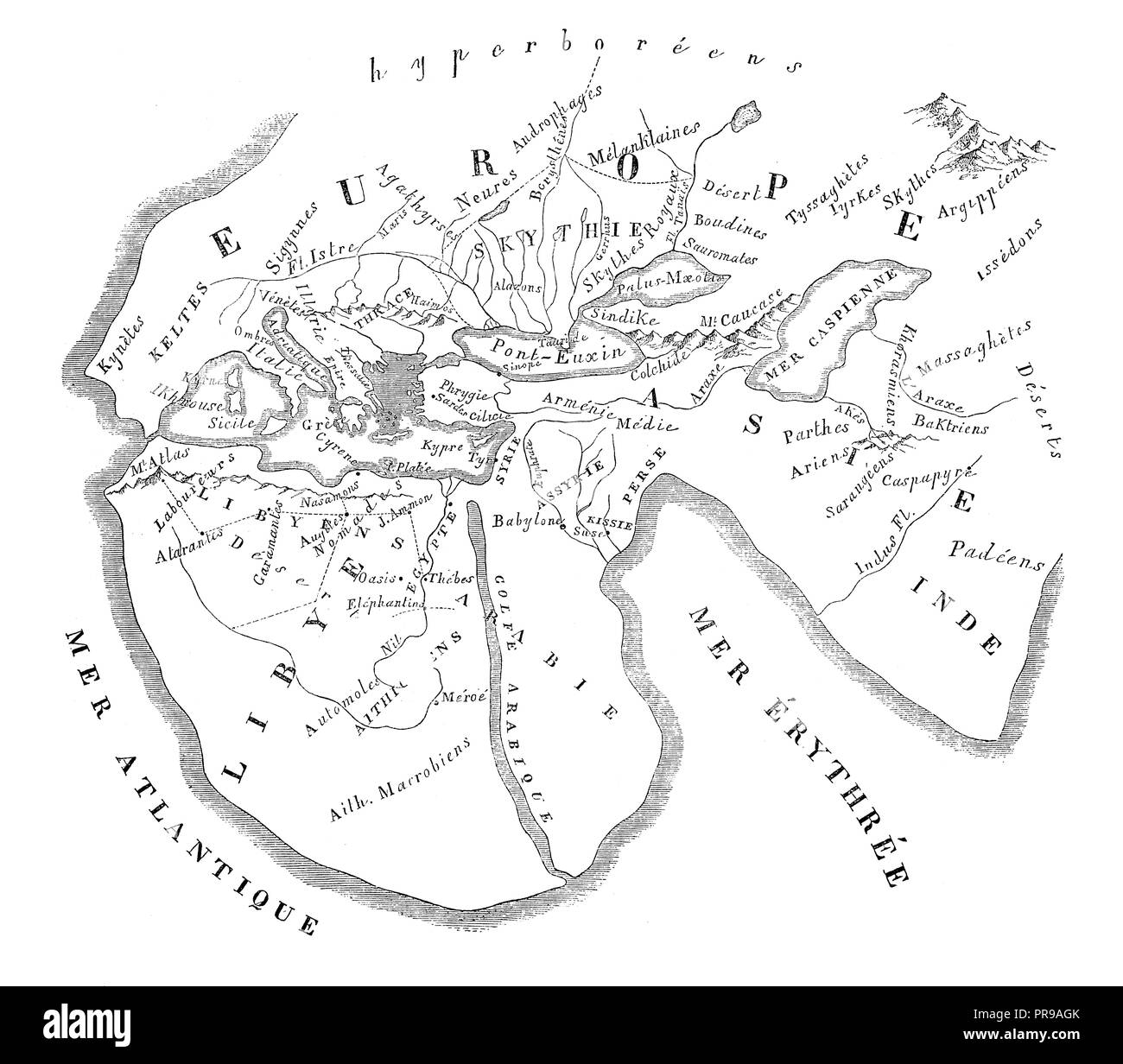 19th century illustration of World Map of Herodotus, by O. Mac Carthy. Original artwork published in Le magasin Pittoresque by M. A. Lachevardiere. Stock Photohttps://www.alamy.com/image-license-details/?v=1https://www.alamy.com/19th-century-illustration-of-world-map-of-herodotus-by-o-mac-carthy-original-artwork-published-in-le-magasin-pittoresque-by-m-a-lachevardiere-image220867379.html
RFPR9AGK–19th century illustration of World Map of Herodotus, by O. Mac Carthy. Original artwork published in Le magasin Pittoresque by M. A. Lachevardiere.
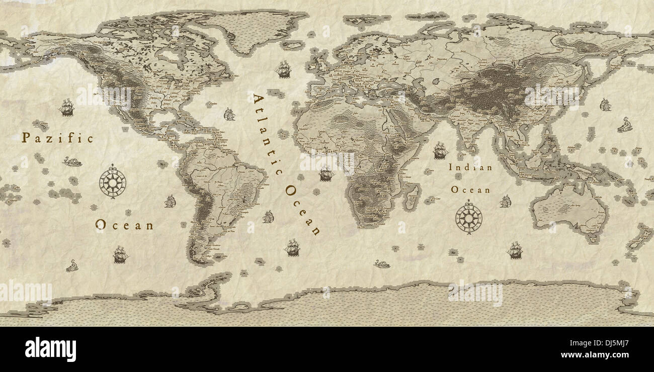 Modern world map in antique style, with important cities. Stock Photohttps://www.alamy.com/image-license-details/?v=1https://www.alamy.com/modern-world-map-in-antique-style-with-important-cities-image62820863.html
RFDJ5MJ7–Modern world map in antique style, with important cities.
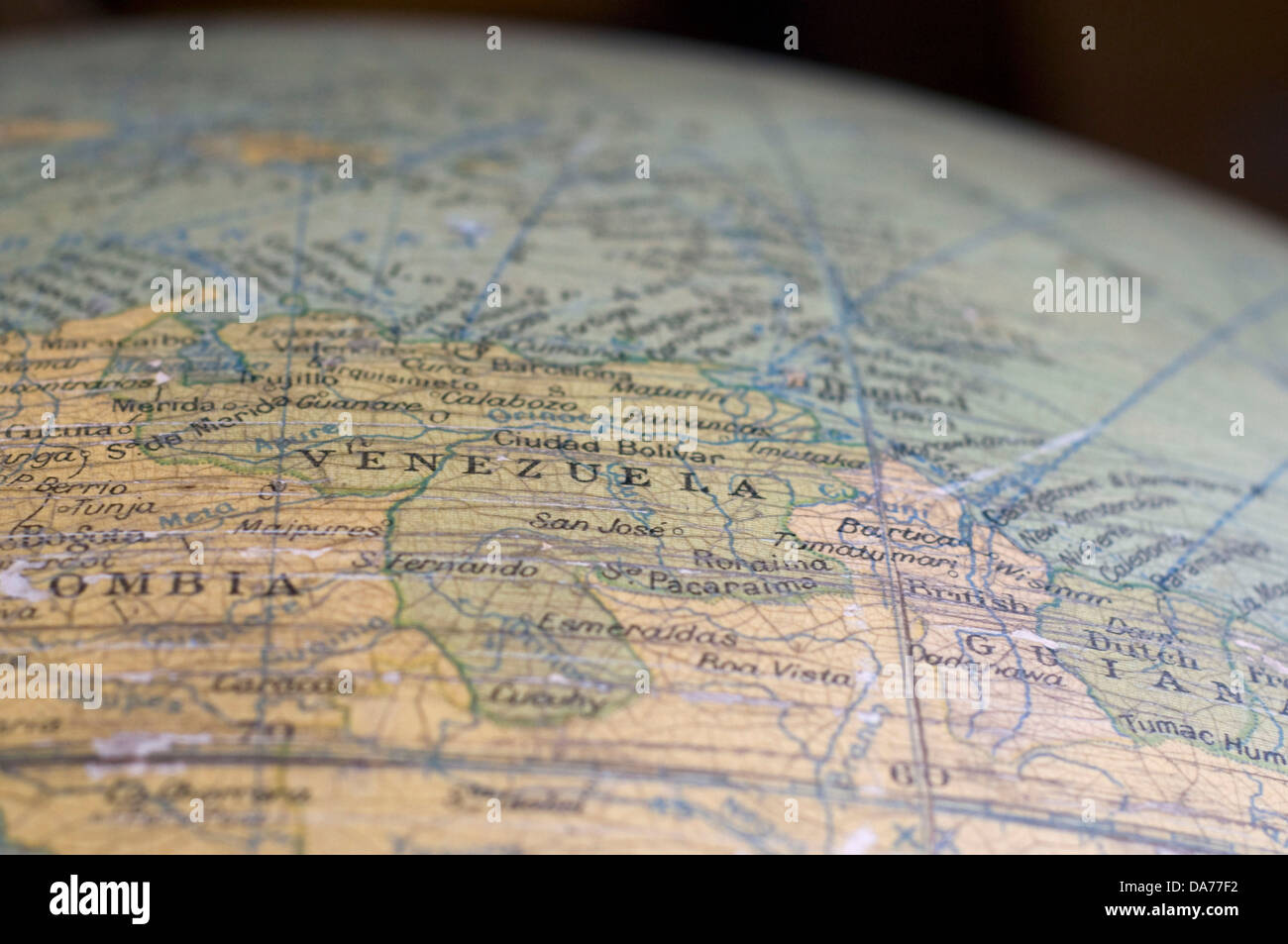 A map of Venezuela, captured on an antique globe. Stock Photohttps://www.alamy.com/image-license-details/?v=1https://www.alamy.com/stock-photo-a-map-of-venezuela-captured-on-an-antique-globe-57937238.html
RFDA77F2–A map of Venezuela, captured on an antique globe.
 Antique Globe Map with white background Stock Photohttps://www.alamy.com/image-license-details/?v=1https://www.alamy.com/antique-globe-map-with-white-background-image630437622.html
RF2YHJWHA–Antique Globe Map with white background
 Globe old map of earth 3d rendering Stock Photohttps://www.alamy.com/image-license-details/?v=1https://www.alamy.com/stock-photo-globe-old-map-of-earth-3d-rendering-113993829.html
RMGHCT85–Globe old map of earth 3d rendering
 Antique Globe Stock Photohttps://www.alamy.com/image-license-details/?v=1https://www.alamy.com/stock-photo-antique-globe-31882908.html
RFBRTAY8–Antique Globe
 antique world globe Stock Photohttps://www.alamy.com/image-license-details/?v=1https://www.alamy.com/stock-photo-antique-world-globe-52496743.html
RMD1BC3K–antique world globe
 Floor standing globe on stand at the Savoy Hotel in London , United Kingdom Stock Photohttps://www.alamy.com/image-license-details/?v=1https://www.alamy.com/floor-standing-globe-on-stand-at-the-savoy-hotel-in-london-united-kingdom-image561269333.html
RM2RH40N9–Floor standing globe on stand at the Savoy Hotel in London , United Kingdom
 Globe map showing Africa against blue sky Stock Photohttps://www.alamy.com/image-license-details/?v=1https://www.alamy.com/stock-photo-globe-map-showing-africa-against-blue-sky-23680566.html
RMBAEMPE–Globe map showing Africa against blue sky
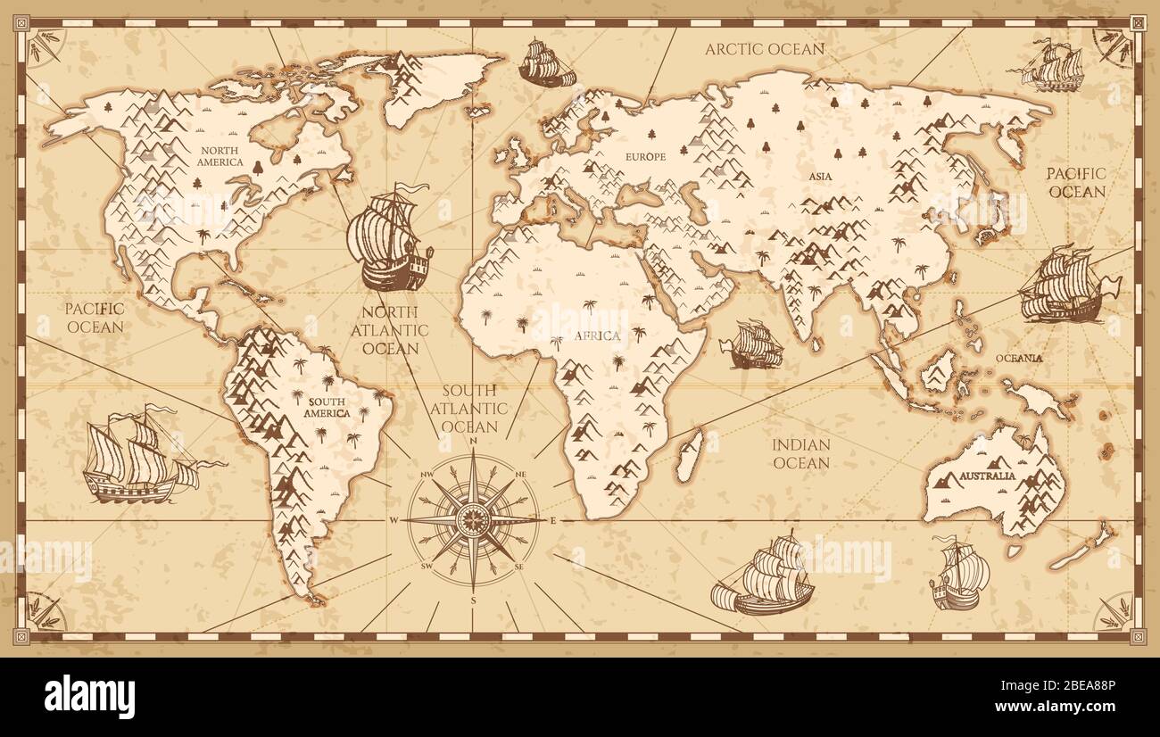 Vintage physical world map with rivers and mountains vector illustration. Retro vintage old world map with antique travel ship Stock Vectorhttps://www.alamy.com/image-license-details/?v=1https://www.alamy.com/vintage-physical-world-map-with-rivers-and-mountains-vector-illustration-retro-vintage-old-world-map-with-antique-travel-ship-image353038582.html
RF2BEA88P–Vintage physical world map with rivers and mountains vector illustration. Retro vintage old world map with antique travel ship
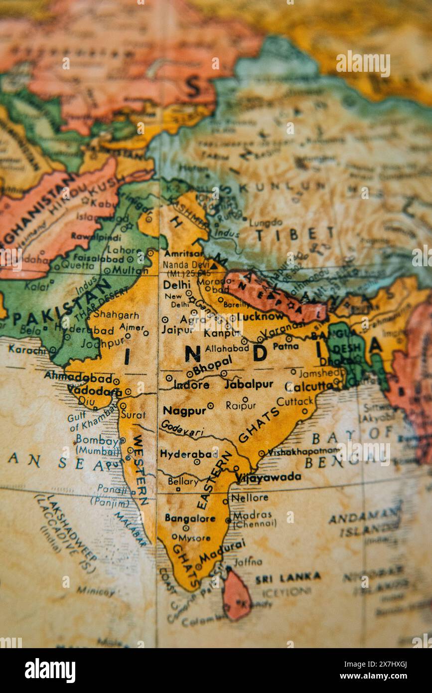 A detailed vintage globe highlighting the geography of India, Pakistan, Afghanistan, and surrounding regions. Stock Photohttps://www.alamy.com/image-license-details/?v=1https://www.alamy.com/a-detailed-vintage-globe-highlighting-the-geography-of-india-pakistan-afghanistan-and-surrounding-regions-image607059506.html
RM2X7HXGJ–A detailed vintage globe highlighting the geography of India, Pakistan, Afghanistan, and surrounding regions.
 Earth globe on Old antique vintage paper background Stock Photohttps://www.alamy.com/image-license-details/?v=1https://www.alamy.com/stock-photo-earth-globe-on-old-antique-vintage-paper-background-101636825.html
RFFW9XPH–Earth globe on Old antique vintage paper background
 3D Map continent Stock Photohttps://www.alamy.com/image-license-details/?v=1https://www.alamy.com/stock-photo-3d-map-continent-90460824.html
RFF74RKM–3D Map continent
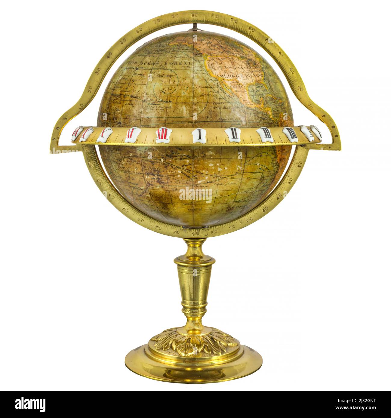 Medieval globe with enamel decoration isolated on a white background Stock Photohttps://www.alamy.com/image-license-details/?v=1https://www.alamy.com/medieval-globe-with-enamel-decoration-isolated-on-a-white-background-image466580964.html
RF2J32GNT–Medieval globe with enamel decoration isolated on a white background
 Close up of an ancient orange world globe, showing the atlantic sea Stock Photohttps://www.alamy.com/image-license-details/?v=1https://www.alamy.com/close-up-of-an-ancient-orange-world-globe-showing-the-atlantic-sea-image337610235.html
RF2AH7D8B–Close up of an ancient orange world globe, showing the atlantic sea
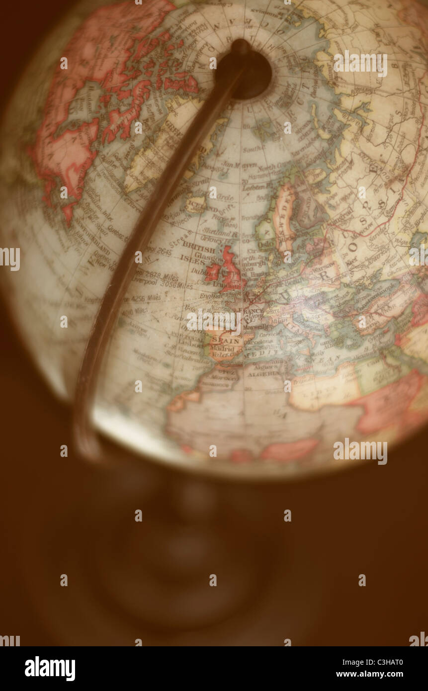 Close up of antique globe Stock Photohttps://www.alamy.com/image-license-details/?v=1https://www.alamy.com/stock-photo-close-up-of-antique-globe-36646400.html
RFC3HAT0–Close up of antique globe
 image from a historic globe made by willem Janxz blaeu about 1545 Stock Photohttps://www.alamy.com/image-license-details/?v=1https://www.alamy.com/image-from-a-historic-globe-made-by-willem-janxz-blaeu-about-1545-image371013476.html
RF2CFH3D8–image from a historic globe made by willem Janxz blaeu about 1545
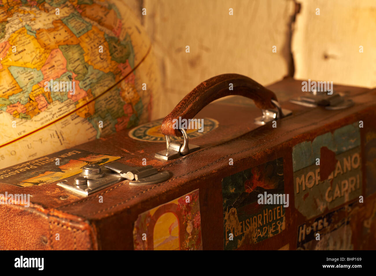 old labeled antique suitcase next to world globe Stock Photohttps://www.alamy.com/image-license-details/?v=1https://www.alamy.com/stock-photo-old-labeled-antique-suitcase-next-to-world-globe-28143425.html
RMBHP169–old labeled antique suitcase next to world globe
 Antique globe with the Canada marked by the pin. Clipping path included. Stock Photohttps://www.alamy.com/image-license-details/?v=1https://www.alamy.com/stock-photo-antique-globe-with-the-canada-marked-by-the-pin-clipping-path-included-72537628.html
RFE60ADG–Antique globe with the Canada marked by the pin. Clipping path included.
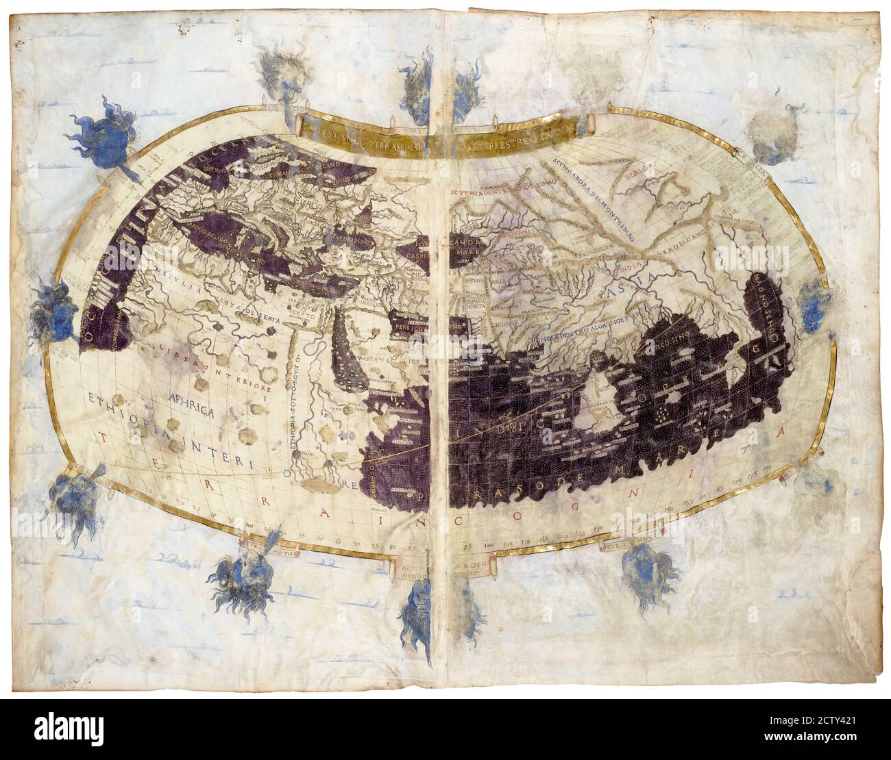 World map from rare medieval book Geography by Claudius Ptolemy published in 1480. Detailed vintage Ancient map with land and seas. Concept of antique Stock Photohttps://www.alamy.com/image-license-details/?v=1https://www.alamy.com/world-map-from-rare-medieval-book-geography-by-claudius-ptolemy-published-in-1480-detailed-vintage-ancient-map-with-land-and-seas-concept-of-antique-image376765369.html
RF2CTY421–World map from rare medieval book Geography by Claudius Ptolemy published in 1480. Detailed vintage Ancient map with land and seas. Concept of antique
 Vintage world globe on a brass stand on a white surface. Antique world globe isolated on white background. Stock Photohttps://www.alamy.com/image-license-details/?v=1https://www.alamy.com/stock-photo-vintage-world-globe-on-a-brass-stand-on-a-white-surface-antique-world-139932254.html
RFJ3JD0E–Vintage world globe on a brass stand on a white surface. Antique world globe isolated on white background.
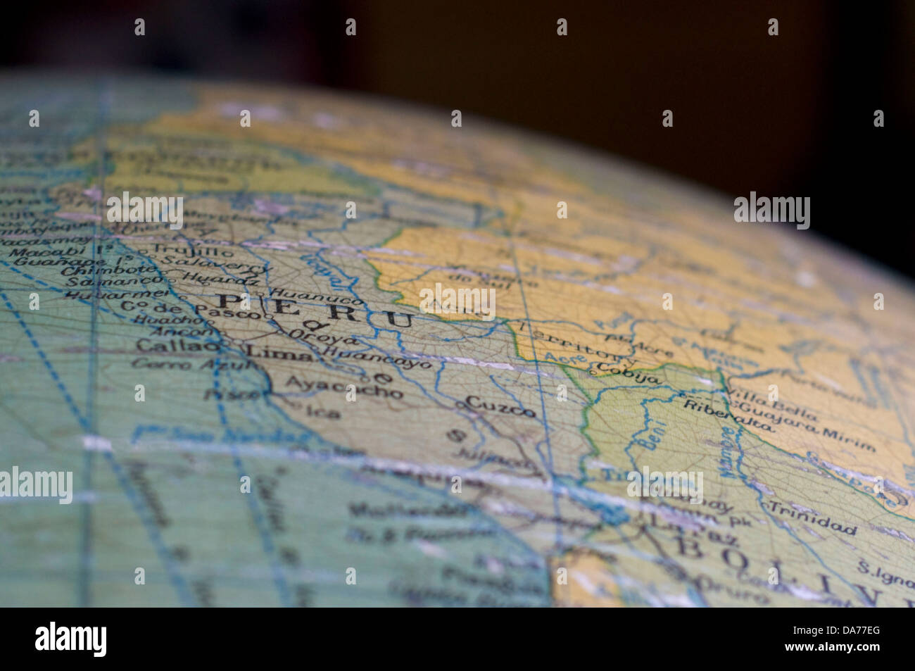 A map of Peru, displayed on an antique globe. Stock Photohttps://www.alamy.com/image-license-details/?v=1https://www.alamy.com/stock-photo-a-map-of-peru-displayed-on-an-antique-globe-57937224.html
RFDA77EG–A map of Peru, displayed on an antique globe.
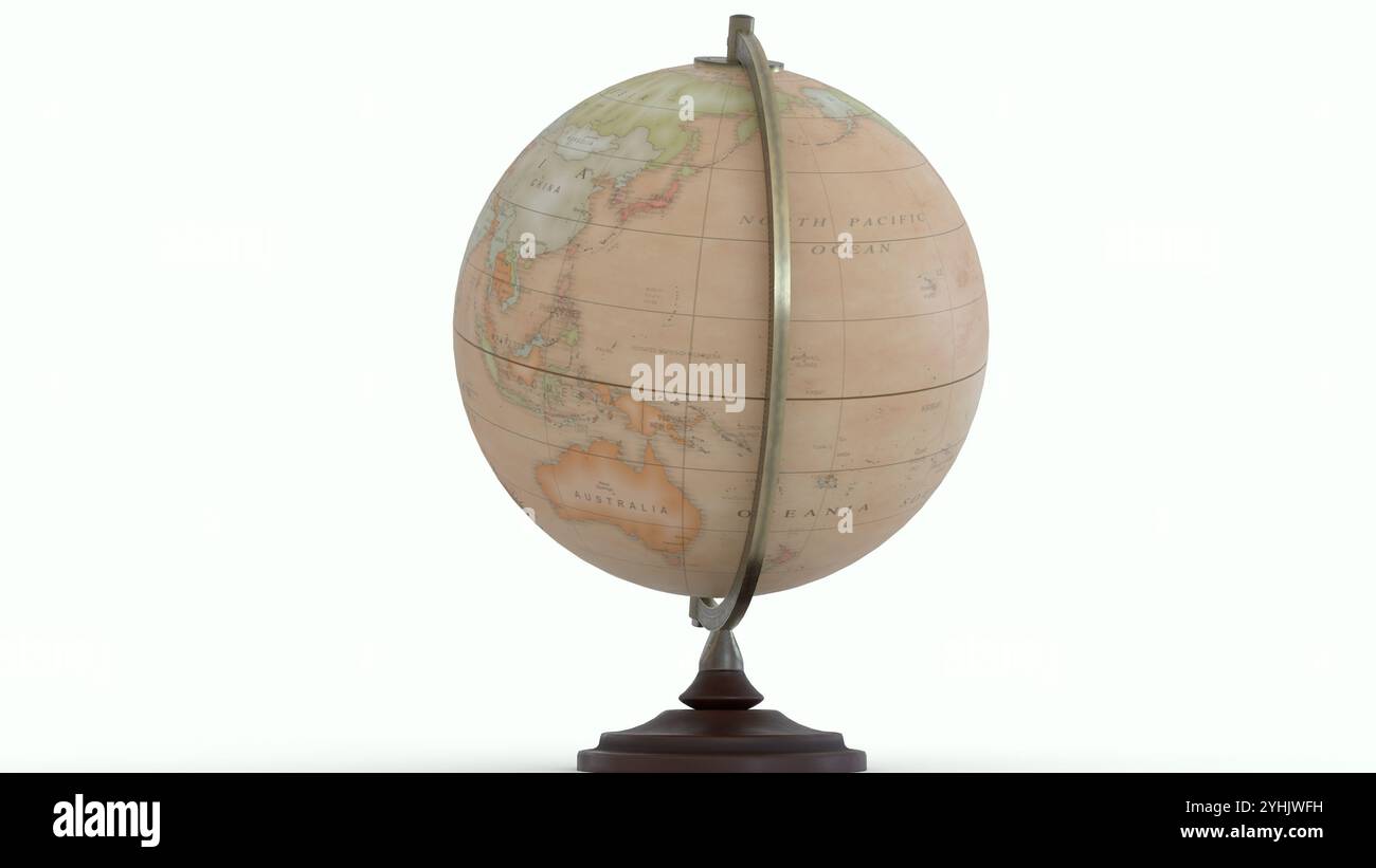 Antique Globe Map with white background Stock Photohttps://www.alamy.com/image-license-details/?v=1https://www.alamy.com/antique-globe-map-with-white-background-image630437573.html
RF2YHJWFH–Antique Globe Map with white background
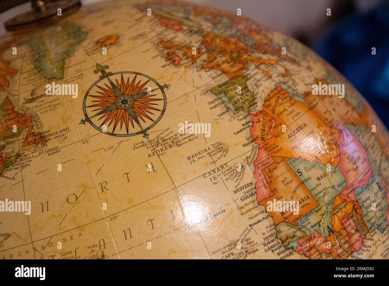 A close-up photo of an old globe pre-dating the 21st century Stock Photohttps://www.alamy.com/image-license-details/?v=1https://www.alamy.com/a-close-up-photo-of-an-old-globe-pre-dating-the-21st-century-image563424206.html
RF2RMJ592–A close-up photo of an old globe pre-dating the 21st century
 Antique map of Italy in the Mediterranean Sea Stock Photohttps://www.alamy.com/image-license-details/?v=1https://www.alamy.com/stock-photo-antique-map-of-italy-in-the-mediterranean-sea-76829781.html
RFECYW4N–Antique map of Italy in the Mediterranean Sea
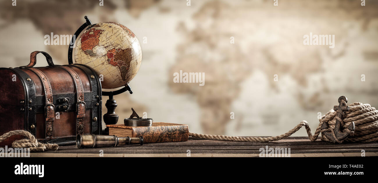 Vintage World Globe, Old Fashioned Suitcase, Compass, Telescope, Book, Rope, And Anchor With Map Background And Grunge Effect. - Travel Concept Stock Photohttps://www.alamy.com/image-license-details/?v=1https://www.alamy.com/vintage-world-globe-old-fashioned-suitcase-compass-telescope-book-rope-and-anchor-with-map-background-and-grunge-effect-travel-concept-image243634274.html
RFT4AE02–Vintage World Globe, Old Fashioned Suitcase, Compass, Telescope, Book, Rope, And Anchor With Map Background And Grunge Effect. - Travel Concept
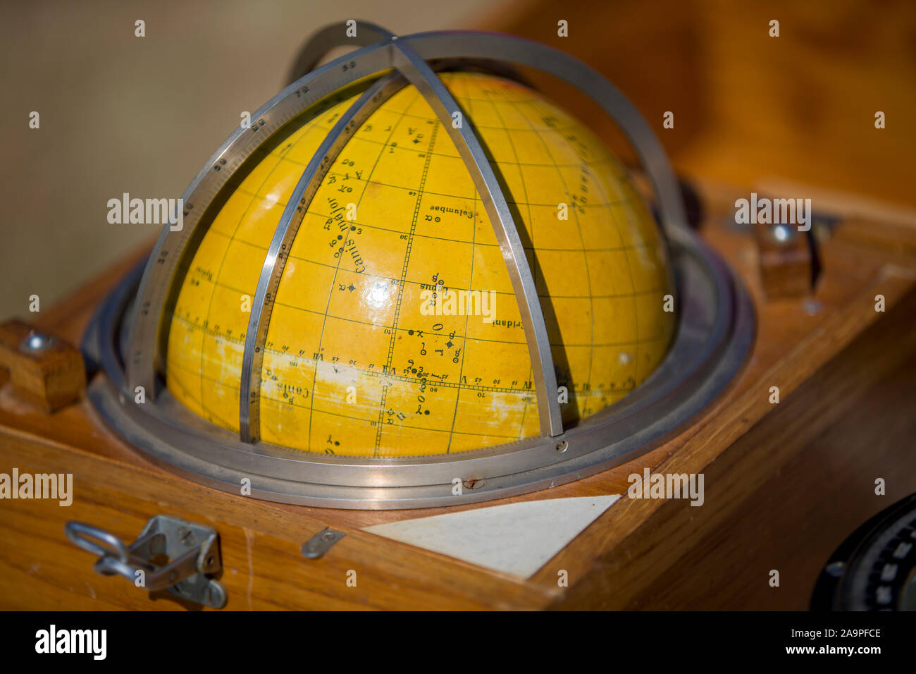 .Antique globe map of the sky for a ship Stock Photohttps://www.alamy.com/image-license-details/?v=1https://www.alamy.com/antique-globe-map-of-the-sky-for-a-ship-image333023950.html
RM2A9PFCE–.Antique globe map of the sky for a ship
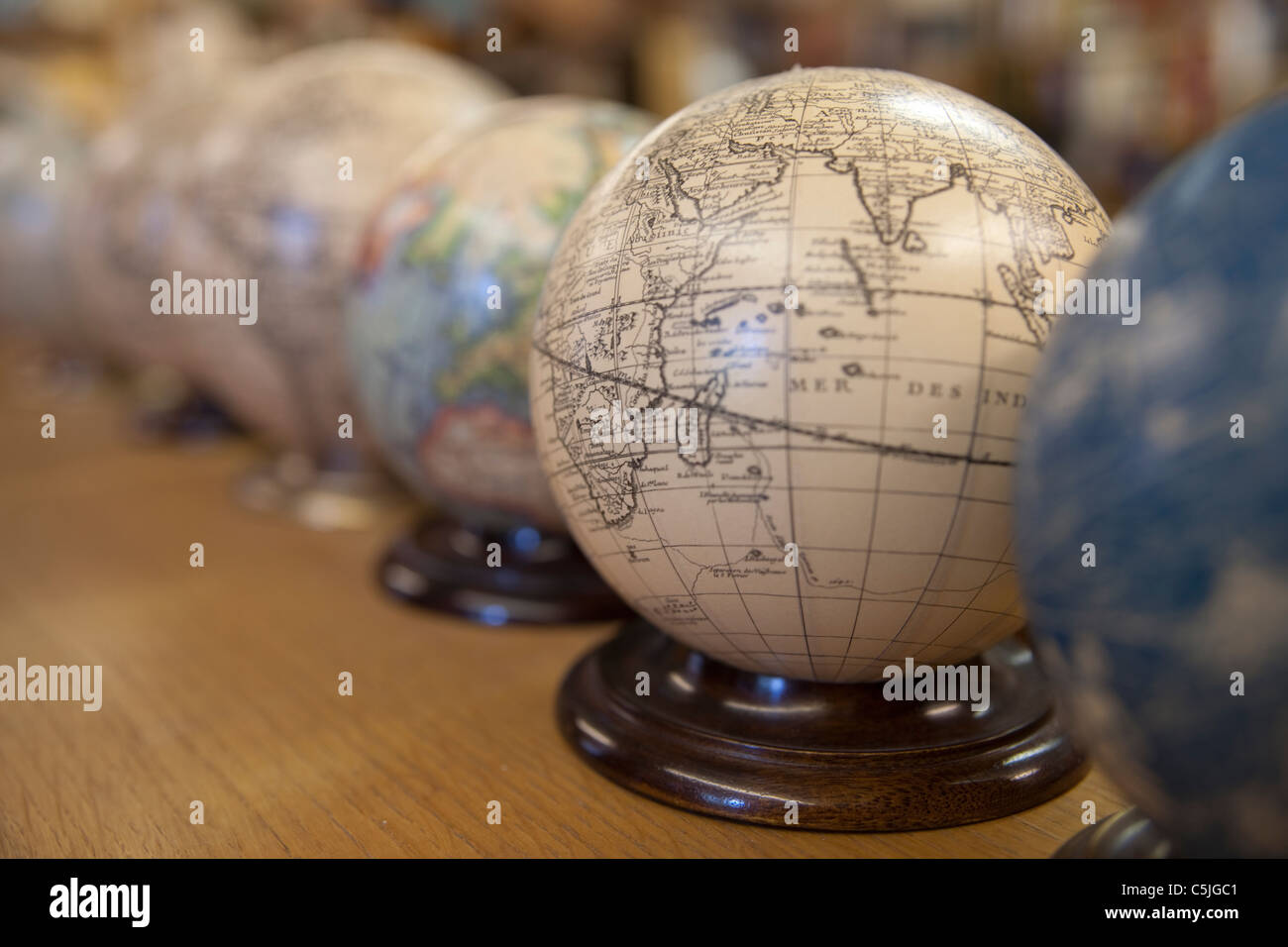 Several antique and old style globe maps with shallow depth of field Stock Photohttps://www.alamy.com/image-license-details/?v=1https://www.alamy.com/stock-photo-several-antique-and-old-style-globe-maps-with-shallow-depth-of-field-37902033.html
RFC5JGC1–Several antique and old style globe maps with shallow depth of field
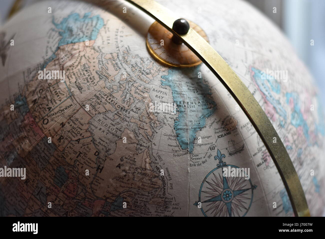 Globe Close Up Stock Photohttps://www.alamy.com/image-license-details/?v=1https://www.alamy.com/stock-photo-globe-close-up-141985757.html
RFJ7007W–Globe Close Up
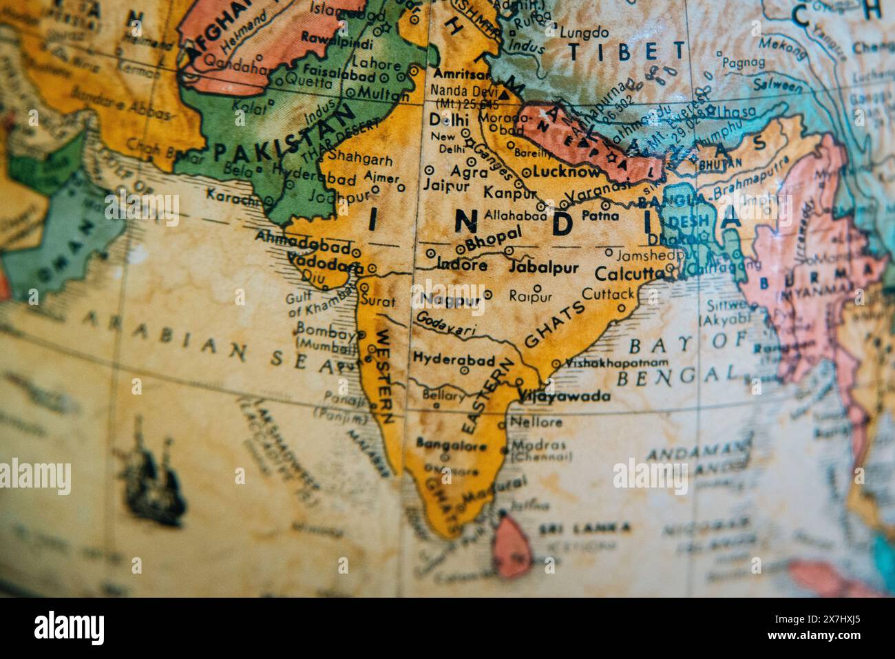 A detailed vintage globe highlighting the geography of India, Pakistan, Afghanistan, and surrounding regions. Stock Photohttps://www.alamy.com/image-license-details/?v=1https://www.alamy.com/a-detailed-vintage-globe-highlighting-the-geography-of-india-pakistan-afghanistan-and-surrounding-regions-image607059549.html
RM2X7HXJ5–A detailed vintage globe highlighting the geography of India, Pakistan, Afghanistan, and surrounding regions.
 Earth globe on Old antique vintage paper background Stock Photohttps://www.alamy.com/image-license-details/?v=1https://www.alamy.com/stock-photo-earth-globe-on-old-antique-vintage-paper-background-102056012.html
RFFX11DG–Earth globe on Old antique vintage paper background
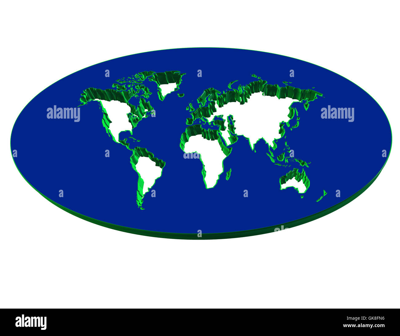 3D Map continent Stock Photohttps://www.alamy.com/image-license-details/?v=1https://www.alamy.com/stock-photo-3d-map-continent-115128642.html
RFGK8FN6–3D Map continent
 Copy of antique globe with Europe and North Africa Stock Photohttps://www.alamy.com/image-license-details/?v=1https://www.alamy.com/copy-of-antique-globe-with-europe-and-north-africa-image504270140.html
RF2M8BDKT–Copy of antique globe with Europe and North Africa
 Old globe in antique shop Paris France Stock Photohttps://www.alamy.com/image-license-details/?v=1https://www.alamy.com/stock-photo-old-globe-in-antique-shop-paris-france-24937307.html
RMBCFYP3–Old globe in antique shop Paris France
 Close up of antique globe Stock Photohttps://www.alamy.com/image-license-details/?v=1https://www.alamy.com/stock-photo-close-up-of-antique-globe-36646411.html
RFC3HATB–Close up of antique globe
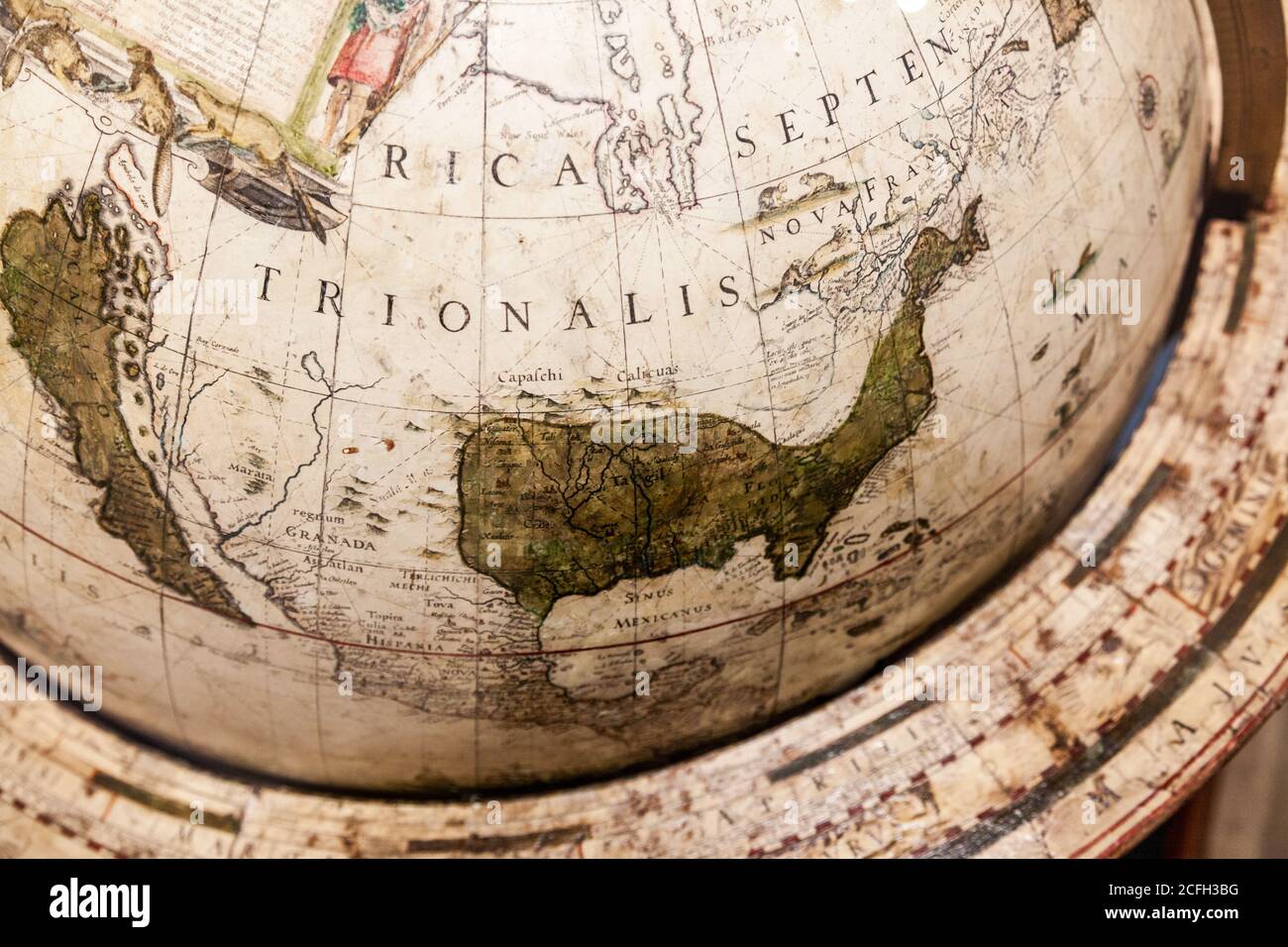 image from a historic globe made by willem Janxz blaeu about 1545 Stock Photohttps://www.alamy.com/image-license-details/?v=1https://www.alamy.com/image-from-a-historic-globe-made-by-willem-janxz-blaeu-about-1545-image371013428.html
RF2CFH3BG–image from a historic globe made by willem Janxz blaeu about 1545
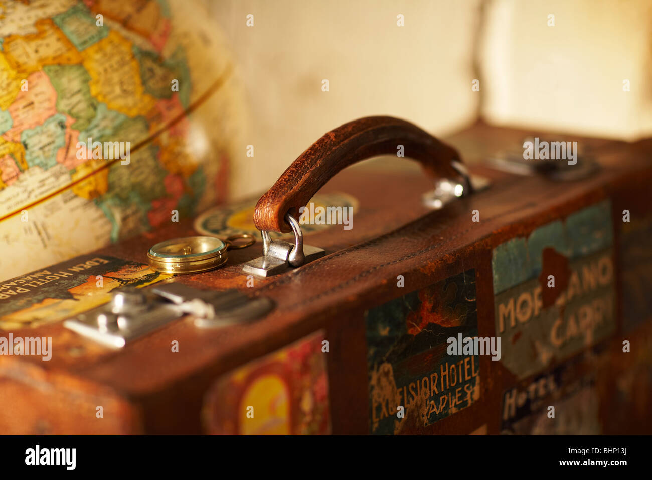 old labeled antique suitcase next to world globe Stock Photohttps://www.alamy.com/image-license-details/?v=1https://www.alamy.com/stock-photo-old-labeled-antique-suitcase-next-to-world-globe-28143350.html
RMBHP13J–old labeled antique suitcase next to world globe
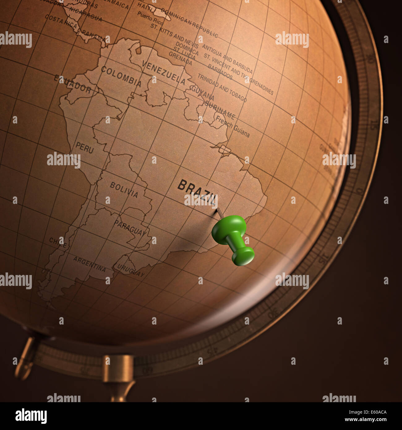 Antique globe with the Brazil marked by the pin. Clipping path included. Stock Photohttps://www.alamy.com/image-license-details/?v=1https://www.alamy.com/stock-photo-antique-globe-with-the-brazil-marked-by-the-pin-clipping-path-included-72537594.html
RFE60ACA–Antique globe with the Brazil marked by the pin. Clipping path included.
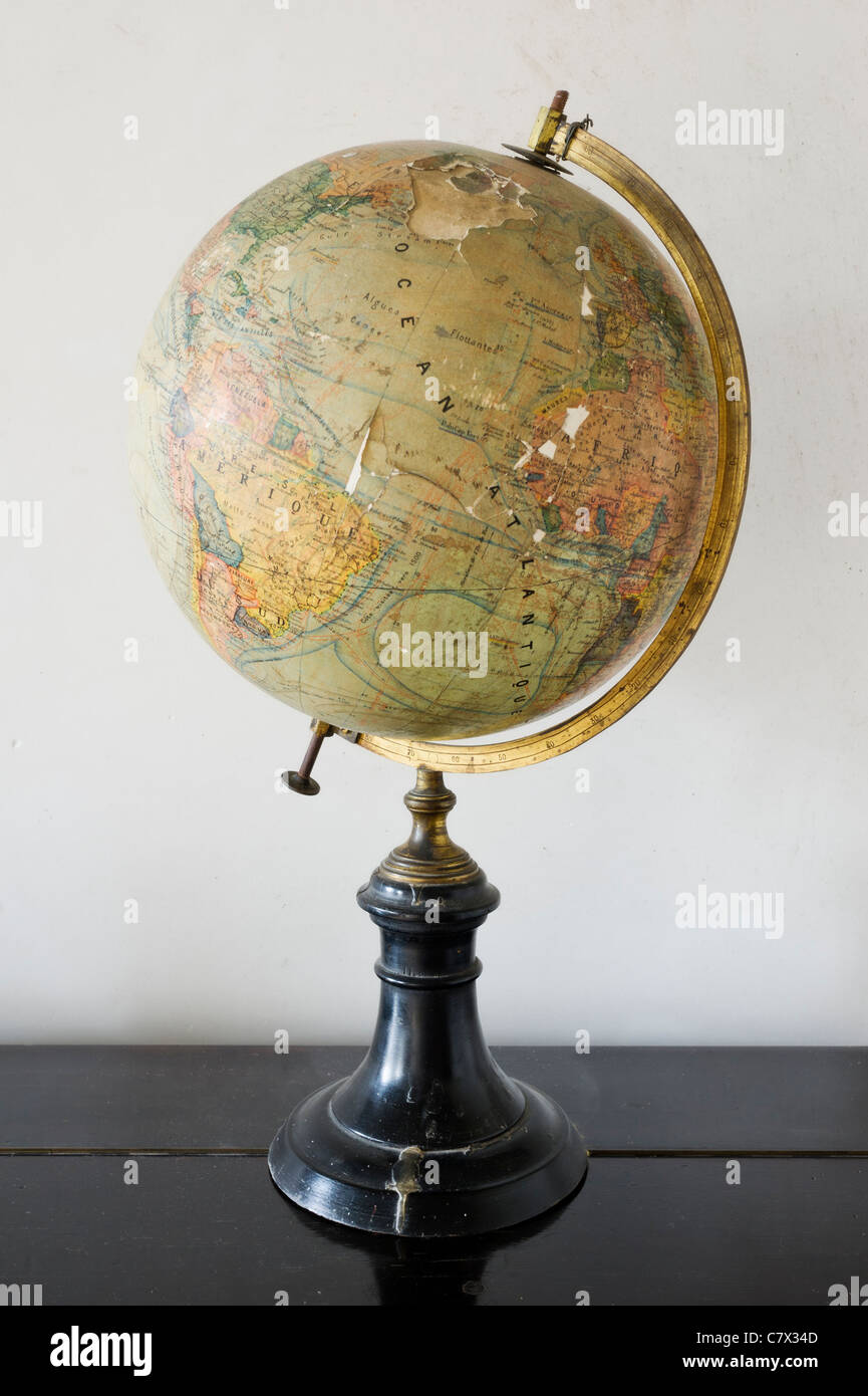 Vintage map of the world Stock Photohttps://www.alamy.com/image-license-details/?v=1https://www.alamy.com/stock-photo-vintage-map-of-the-world-39296557.html
RFC7X34D–Vintage map of the world
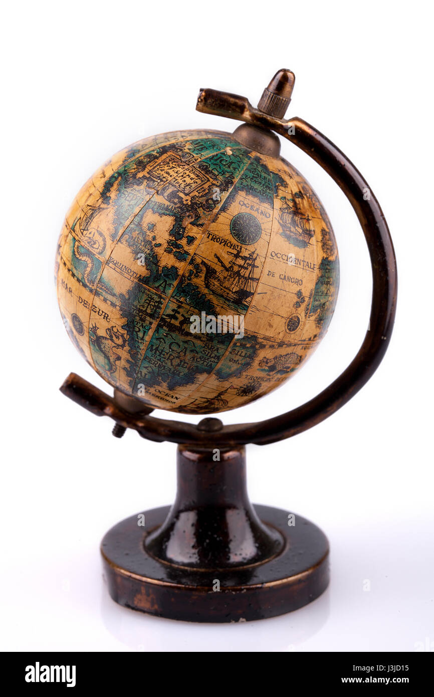 Vintage world globe on a wooden stand on a white surface. Antique world globe isolated on white background. Stock Photohttps://www.alamy.com/image-license-details/?v=1https://www.alamy.com/stock-photo-vintage-world-globe-on-a-wooden-stand-on-a-white-surface-antique-world-139932273.html
RFJ3JD15–Vintage world globe on a wooden stand on a white surface. Antique world globe isolated on white background.
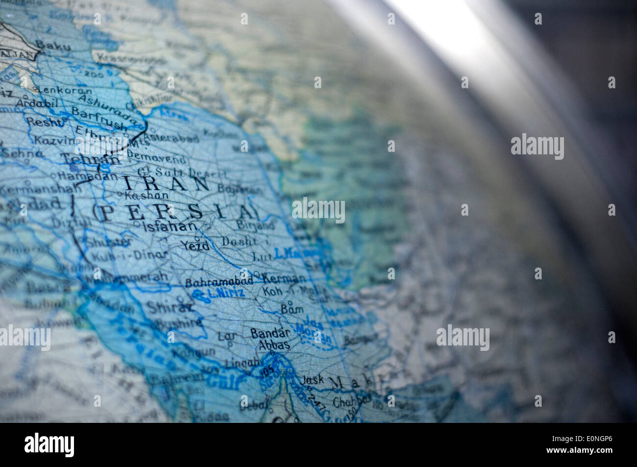 Map of Iran (Persia) captured on an antique globe. Stock Photohttps://www.alamy.com/image-license-details/?v=1https://www.alamy.com/map-of-iran-persia-captured-on-an-antique-globe-image69315630.html
RFE0NGP6–Map of Iran (Persia) captured on an antique globe.
 Antique Globe Map with white background Stock Photohttps://www.alamy.com/image-license-details/?v=1https://www.alamy.com/antique-globe-map-with-white-background-image630437578.html
RF2YHJWFP–Antique Globe Map with white background
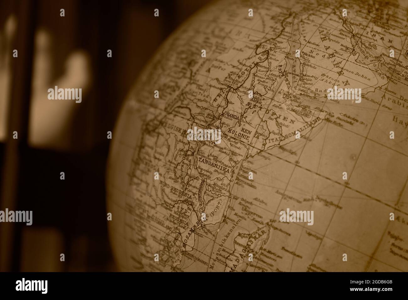 old age Arabien world map brown color tone decoration for travel history background. Stock Photohttps://www.alamy.com/image-license-details/?v=1https://www.alamy.com/old-age-arabien-world-map-brown-color-tone-decoration-for-travel-history-background-image438496363.html
RF2GDB6GB–old age Arabien world map brown color tone decoration for travel history background.
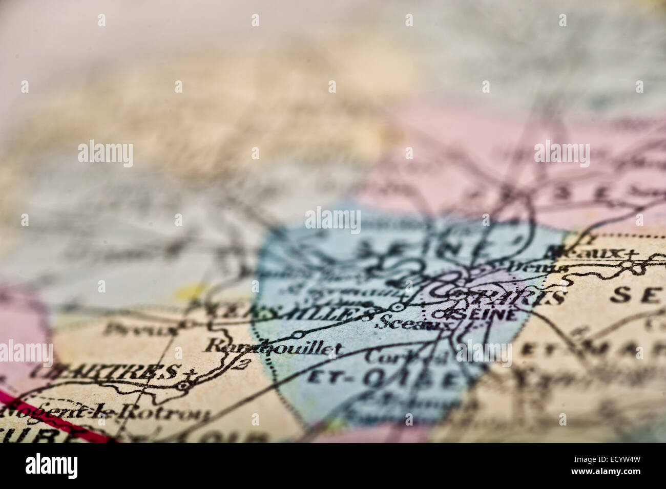 An Antique Map of Paris shot with a shallow depth of field. Stock Photohttps://www.alamy.com/image-license-details/?v=1https://www.alamy.com/stock-photo-an-antique-map-of-paris-shot-with-a-shallow-depth-of-field-76829785.html
RFECYW4W–An Antique Map of Paris shot with a shallow depth of field.
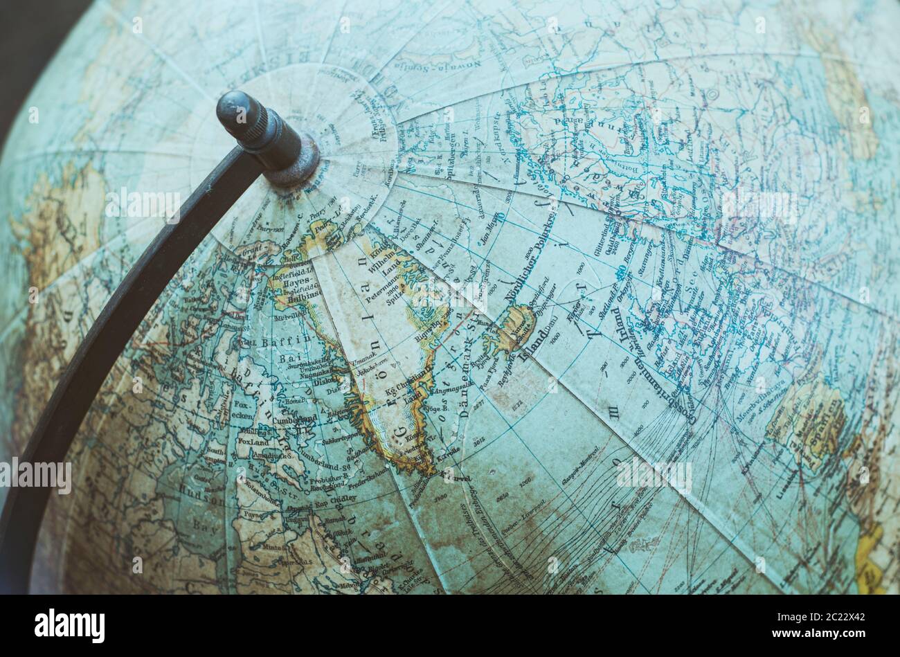 Detail of an antique globe Stock Photohttps://www.alamy.com/image-license-details/?v=1https://www.alamy.com/detail-of-an-antique-globe-image362711442.html
RM2C22X42–Detail of an antique globe
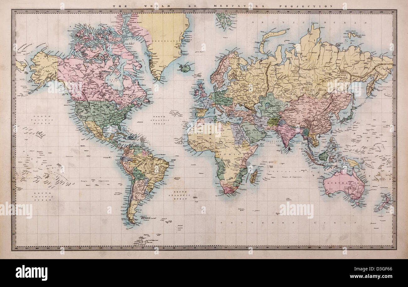 Original old hand coloured map of the World on Mercators projection circa 1860 Stock Photohttps://www.alamy.com/image-license-details/?v=1https://www.alamy.com/stock-photo-original-old-hand-coloured-map-of-the-world-on-mercators-projection-53838238.html
RFD3GF66–Original old hand coloured map of the World on Mercators projection circa 1860
 Globe map showing Africa against blue sky Stock Photohttps://www.alamy.com/image-license-details/?v=1https://www.alamy.com/stock-photo-globe-map-showing-africa-against-blue-sky-24493433.html
RMBBRNHD–Globe map showing Africa against blue sky
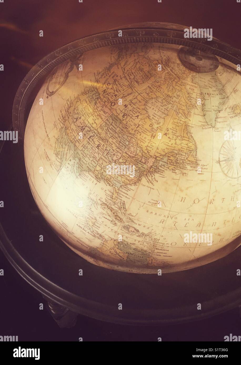 Top view of antique globe in wooden stand showing North America Stock Photohttps://www.alamy.com/image-license-details/?v=1https://www.alamy.com/stock-photo-top-view-of-antique-globe-in-wooden-stand-showing-north-america-310930664.html
RFS1T36G–Top view of antique globe in wooden stand showing North America
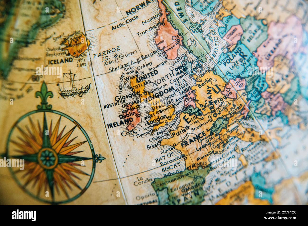 A detailed vintage globe map highlighting the geography of Europe, including the United Kingdom, France and Germany. Stock Photohttps://www.alamy.com/image-license-details/?v=1https://www.alamy.com/a-detailed-vintage-globe-map-highlighting-the-geography-of-europe-including-the-united-kingdom-france-and-germany-image607059892.html
RM2X7HY2C–A detailed vintage globe map highlighting the geography of Europe, including the United Kingdom, France and Germany.
 Earth globe on Old antique vintage paper background Stock Photohttps://www.alamy.com/image-license-details/?v=1https://www.alamy.com/stock-photo-earth-globe-on-old-antique-vintage-paper-background-102056121.html
RFFX11HD–Earth globe on Old antique vintage paper background
 3D Map continent Stock Photohttps://www.alamy.com/image-license-details/?v=1https://www.alamy.com/stock-photo-3d-map-continent-115126176.html
RFGK8CH4–3D Map continent
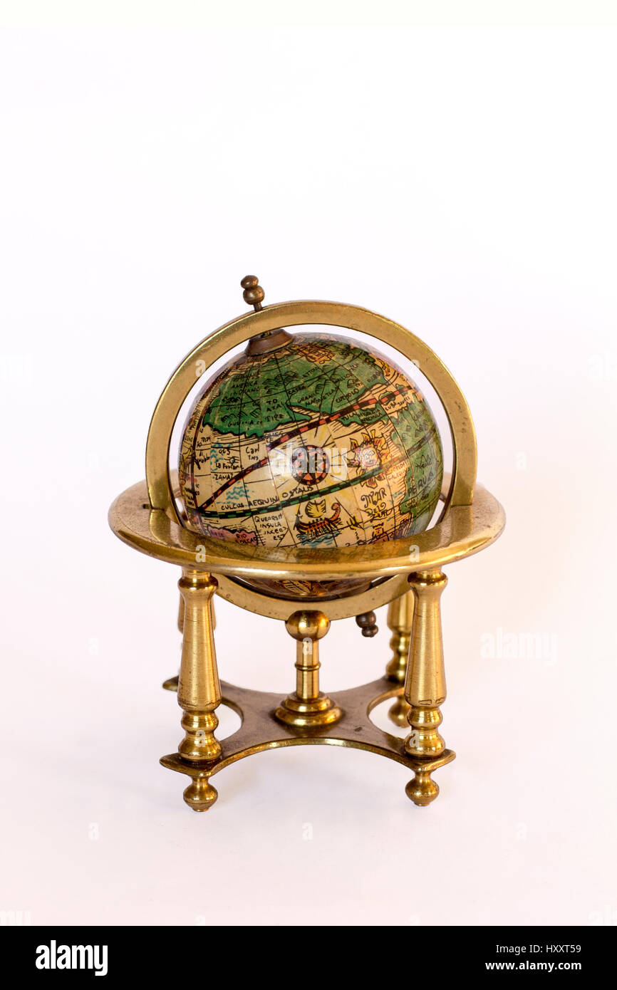 vintage world globe ornament Stock Photohttps://www.alamy.com/image-license-details/?v=1https://www.alamy.com/stock-photo-vintage-world-globe-ornament-137043349.html
RFHXXT59–vintage world globe ornament
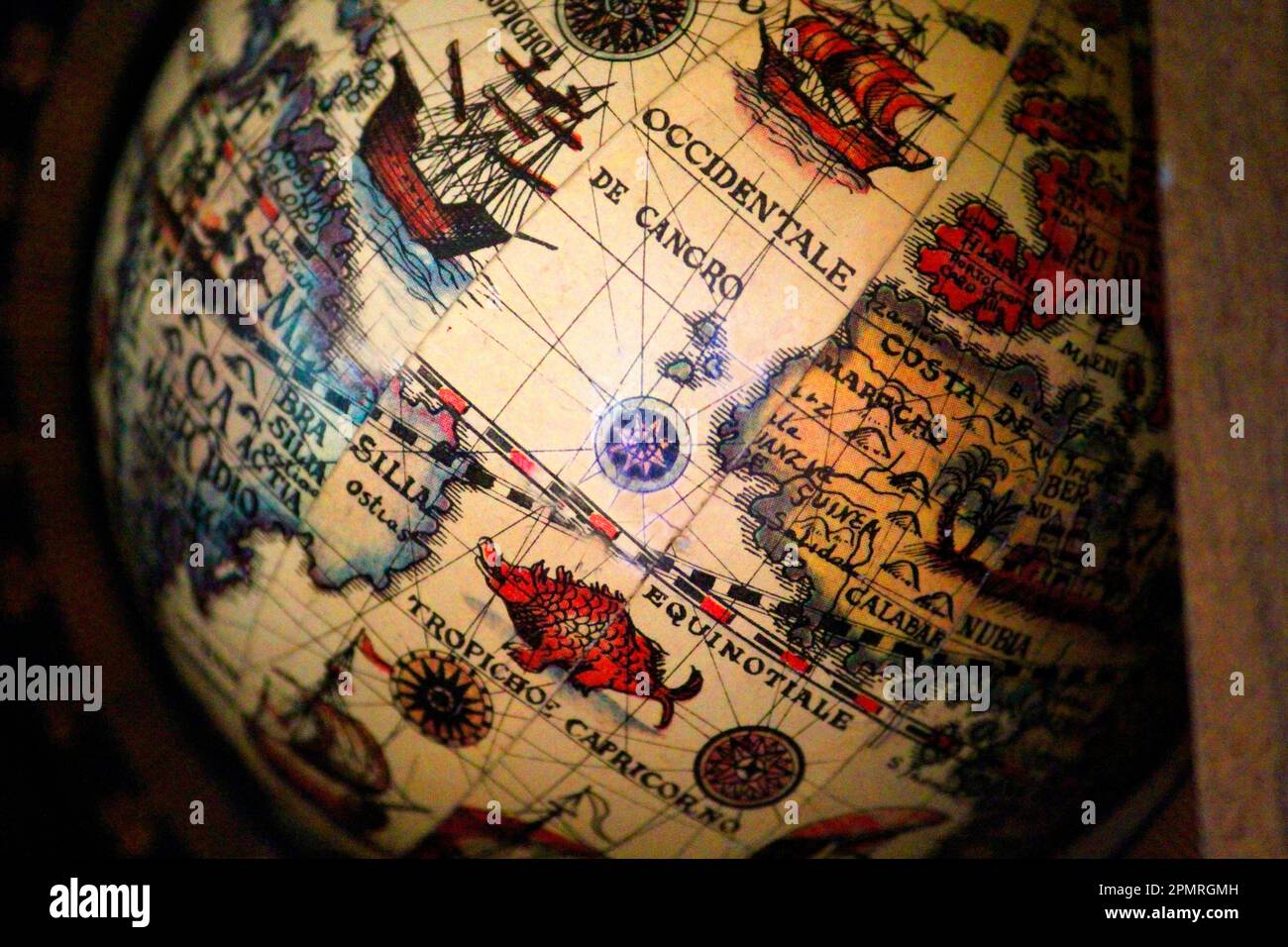 Globe, World Map, World Maps Stock Photohttps://www.alamy.com/image-license-details/?v=1https://www.alamy.com/globe-world-map-world-maps-image546332545.html
RM2PMRGMH–Globe, World Map, World Maps
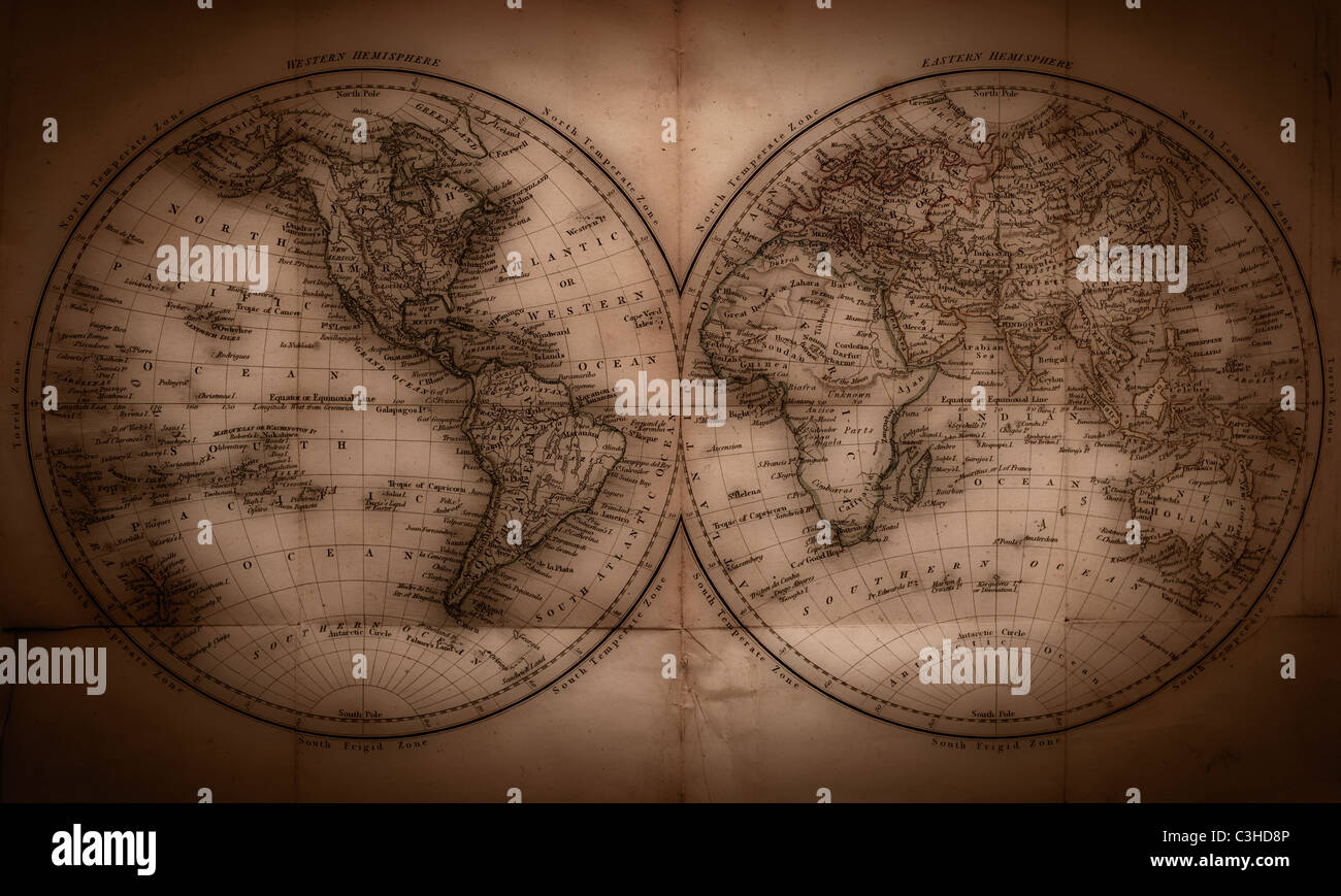 Close up of antique world map Stock Photohttps://www.alamy.com/image-license-details/?v=1https://www.alamy.com/stock-photo-close-up-of-antique-world-map-36648326.html
RFC3HD8P–Close up of antique world map
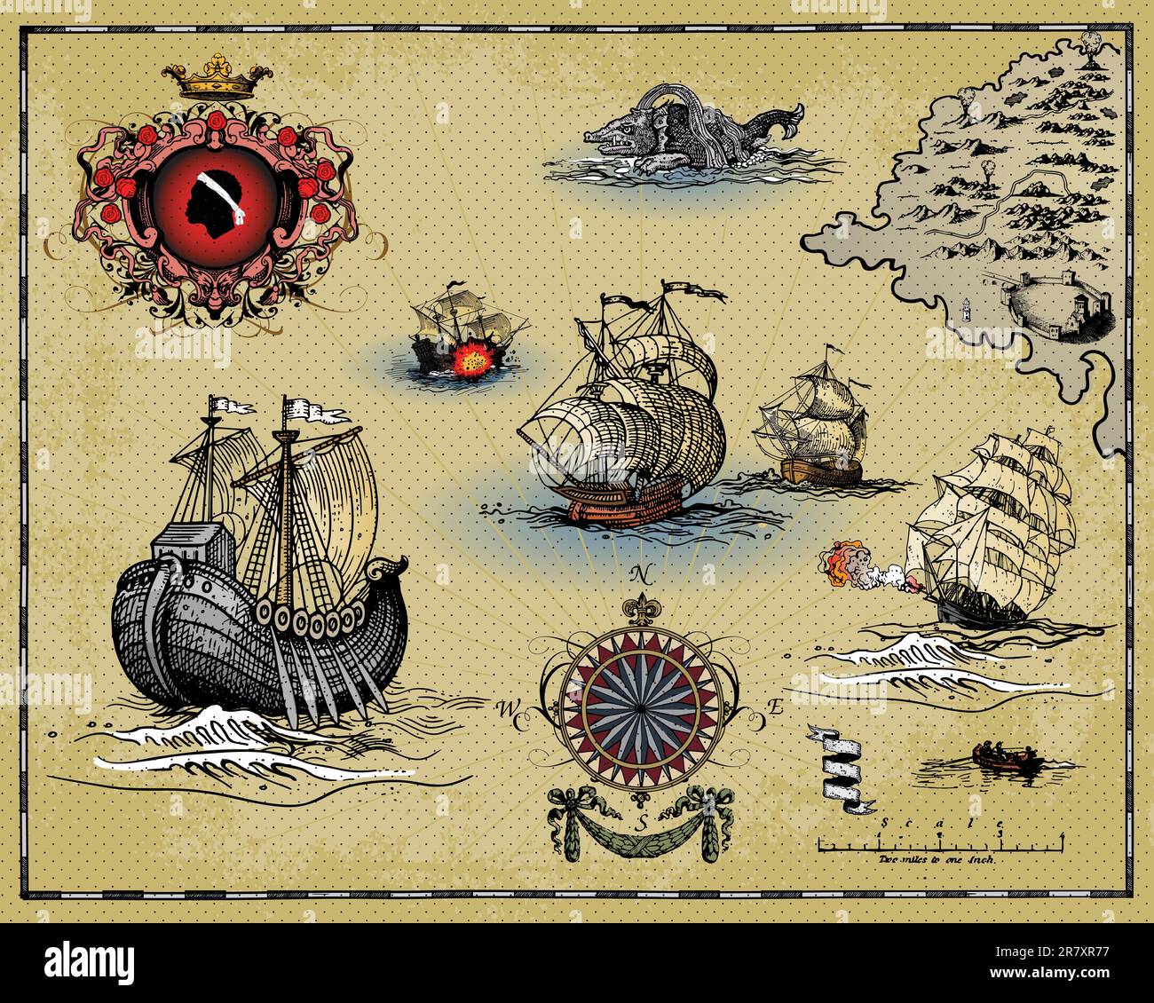 vector illustration of antique map elements Stock Vectorhttps://www.alamy.com/image-license-details/?v=1https://www.alamy.com/vector-illustration-of-antique-map-elements-image555623355.html
RF2R7XR77–vector illustration of antique map elements
 A globe with an old map in detail close-up Stock Photohttps://www.alamy.com/image-license-details/?v=1https://www.alamy.com/a-globe-with-an-old-map-in-detail-close-up-image615585350.html
RF2XNE9B2–A globe with an old map in detail close-up
 Antique globe with spotty background. Clipping path included. Stock Photohttps://www.alamy.com/image-license-details/?v=1https://www.alamy.com/stock-photo-antique-globe-with-spotty-background-clipping-path-included-72234073.html
RFE5EF89–Antique globe with spotty background. Clipping path included.
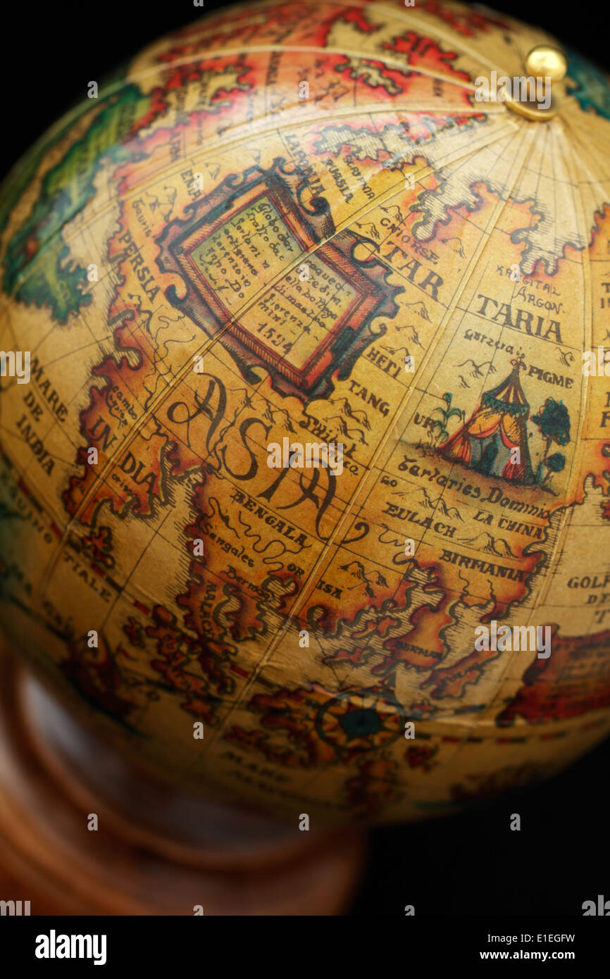 Desk globe featuring an ancient map of the world. Stock Photohttps://www.alamy.com/image-license-details/?v=1https://www.alamy.com/desk-globe-featuring-an-ancient-map-of-the-world-image69776445.html
RME1EGFW–Desk globe featuring an ancient map of the world.
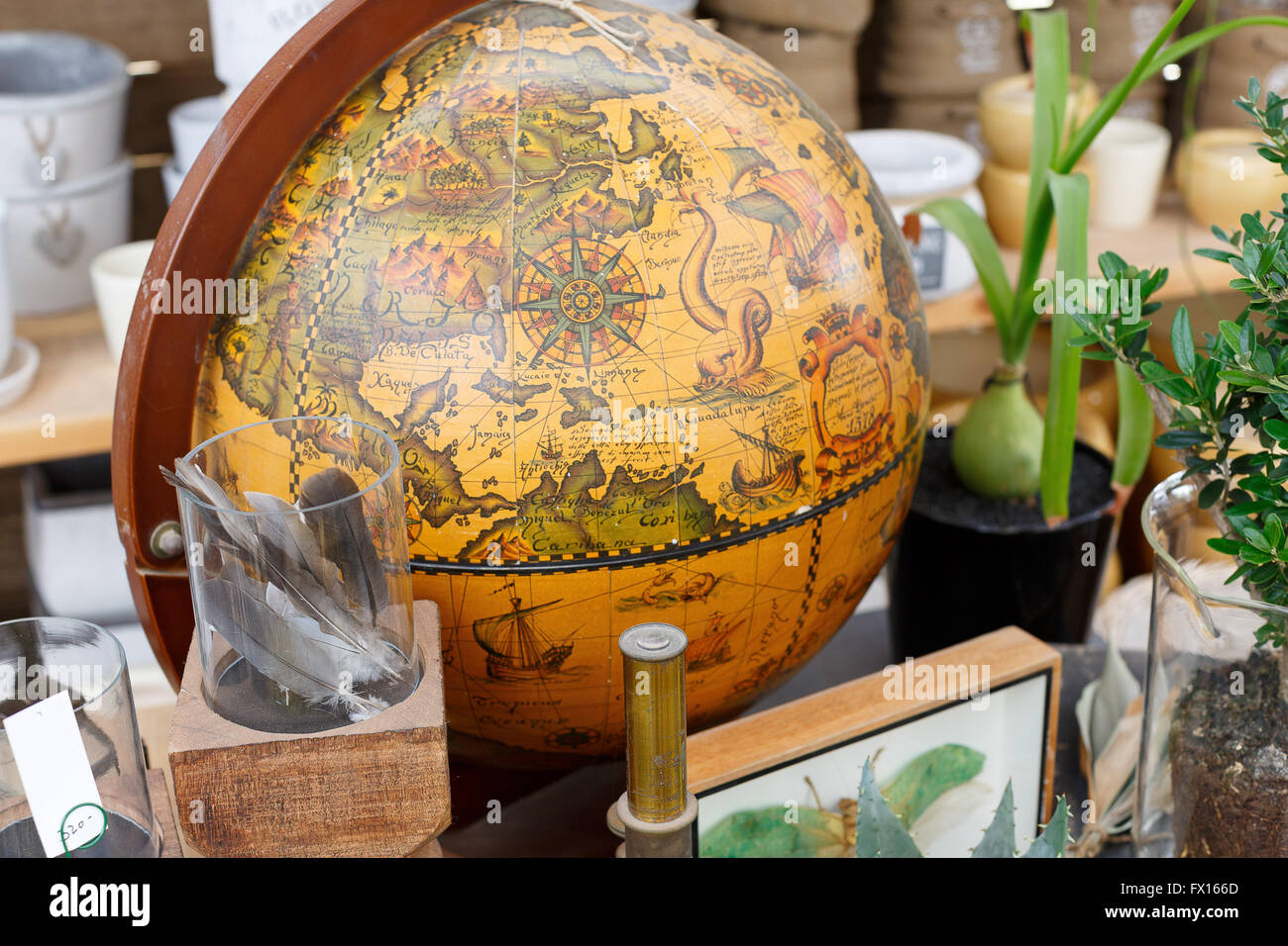 Wood Globe Antique Globes Stock Photohttps://www.alamy.com/image-license-details/?v=1https://www.alamy.com/stock-photo-wood-globe-antique-globes-102059733.html
RFFX166D–Wood Globe Antique Globes
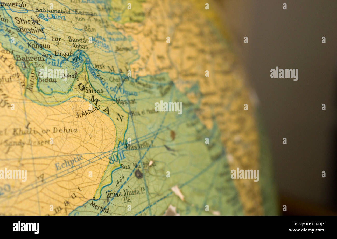 An old map of Oman on an antique globe. Stock Photohttps://www.alamy.com/image-license-details/?v=1https://www.alamy.com/an-old-map-of-oman-on-an-antique-globe-image69924687.html
RFE1N9J7–An old map of Oman on an antique globe.
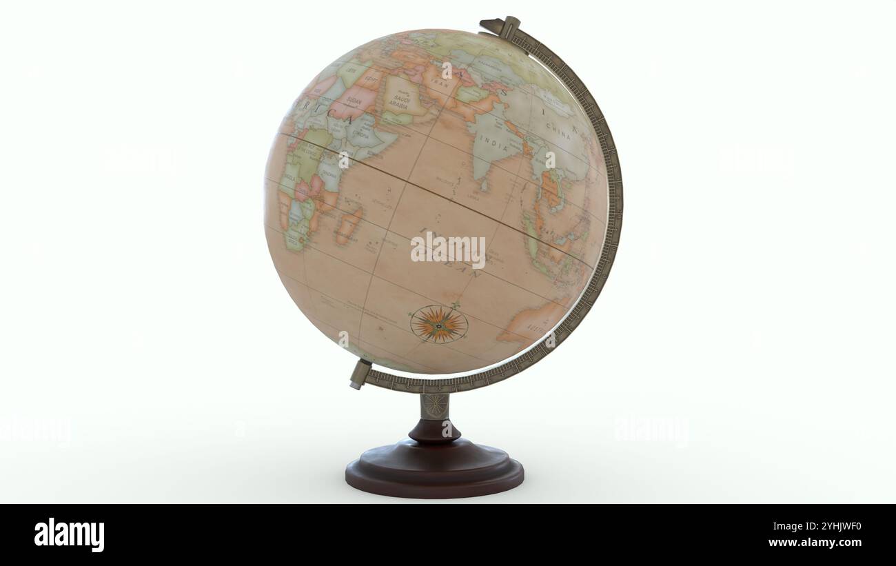 Antique Globe Map with white background Stock Photohttps://www.alamy.com/image-license-details/?v=1https://www.alamy.com/antique-globe-map-with-white-background-image630437556.html
RF2YHJWF0–Antique Globe Map with white background
 Vintage Globe displayed outside an antique shop at Portobello Road Market in Notting Hill Stock Photohttps://www.alamy.com/image-license-details/?v=1https://www.alamy.com/stock-photo-vintage-globe-displayed-outside-an-antique-shop-at-portobello-road-113257369.html
RFGG78X1–Vintage Globe displayed outside an antique shop at Portobello Road Market in Notting Hill
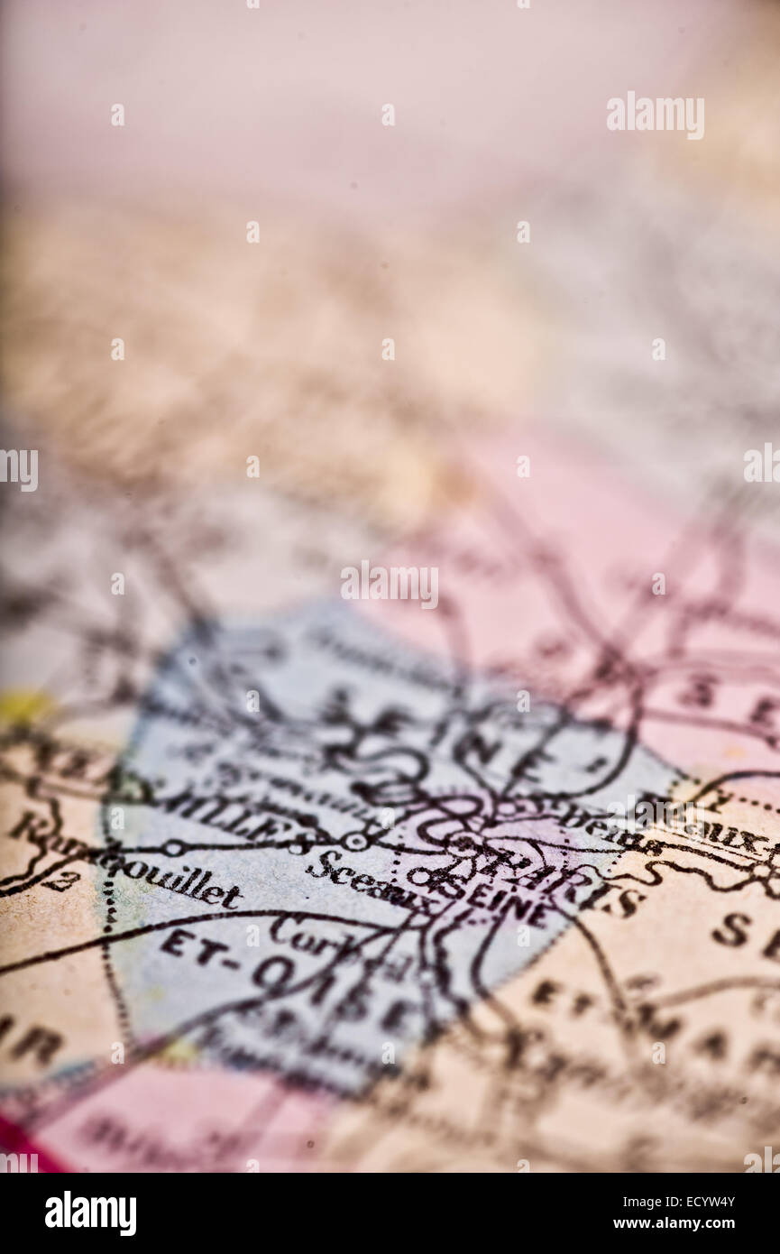 An Antique Map of Paris shot with a shallow depth of field. Stock Photohttps://www.alamy.com/image-license-details/?v=1https://www.alamy.com/stock-photo-an-antique-map-of-paris-shot-with-a-shallow-depth-of-field-76829787.html
RFECYW4Y–An Antique Map of Paris shot with a shallow depth of field.
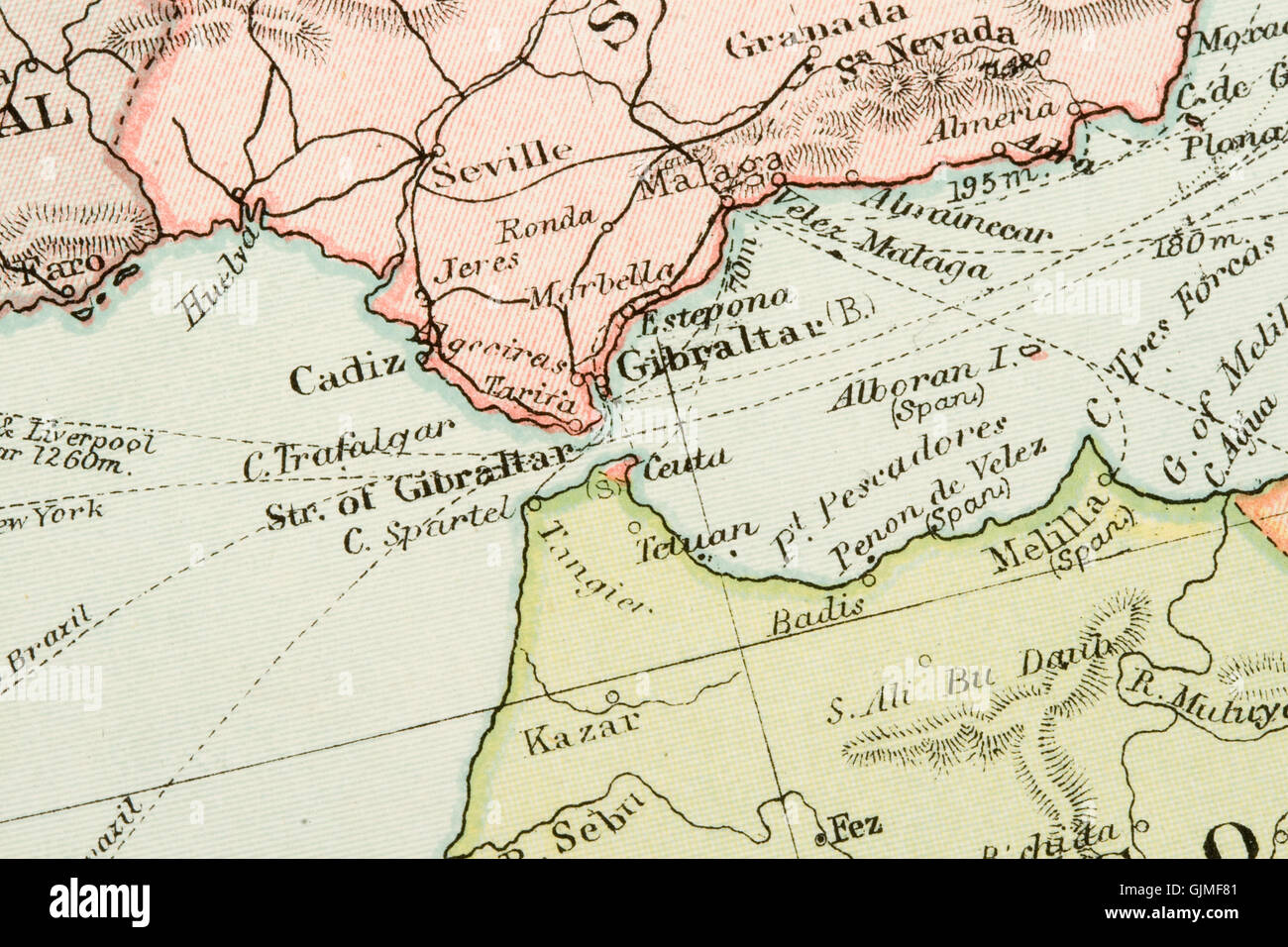 chart antique globe Stock Photohttps://www.alamy.com/image-license-details/?v=1https://www.alamy.com/stock-photo-chart-antique-globe-114777041.html
RFGJMF81–chart antique globe
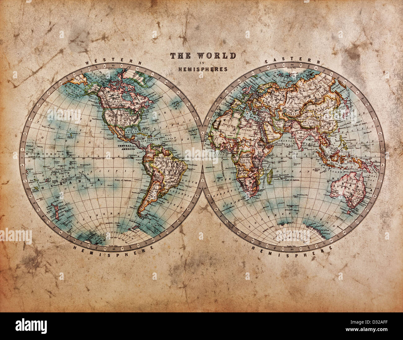 A genuine old stained World map dated from the mid 1800's showing Western and Eastern Hemispheres with hand colouring. Stock Photohttps://www.alamy.com/image-license-details/?v=1https://www.alamy.com/stock-photo-a-genuine-old-stained-world-map-dated-from-the-mid-1800s-showing-western-53527251.html
RFD32AFF–A genuine old stained World map dated from the mid 1800's showing Western and Eastern Hemispheres with hand colouring.
 Globe map showing America against blue sky Stock Photohttps://www.alamy.com/image-license-details/?v=1https://www.alamy.com/stock-photo-globe-map-showing-america-against-blue-sky-24493467.html
RMBBRNJK–Globe map showing America against blue sky
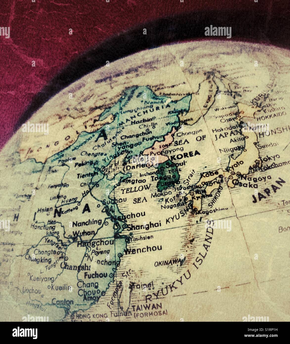 Closeup of antique world globe with focus on Korea, Japan, eastern China Stock Photohttps://www.alamy.com/image-license-details/?v=1https://www.alamy.com/stock-photo-closeup-of-antique-world-globe-with-focus-on-korea-japan-eastern-china-310923469.html
RFS1RP1H–Closeup of antique world globe with focus on Korea, Japan, eastern China
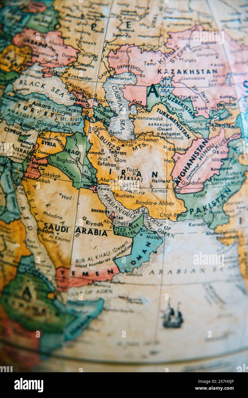 A detailed vintage globe map highlighting the Middle East, including Iran, Iraq, Afghanistan, and surrounding regions. Stock Photohttps://www.alamy.com/image-license-details/?v=1https://www.alamy.com/a-detailed-vintage-globe-map-highlighting-the-middle-east-including-iran-iraq-afghanistan-and-surrounding-regions-image607059566.html
RM2X7HXJP–A detailed vintage globe map highlighting the Middle East, including Iran, Iraq, Afghanistan, and surrounding regions.
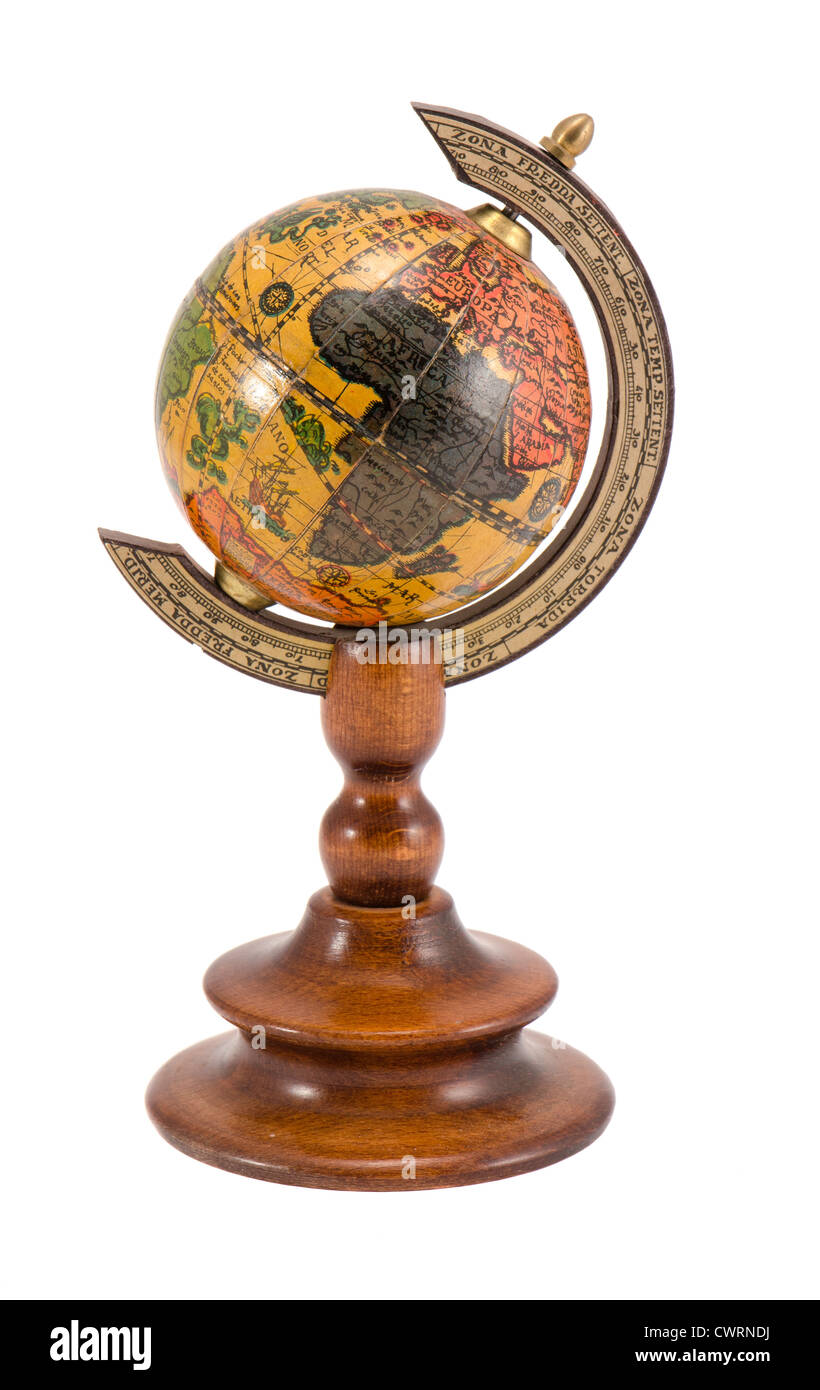 Europe and Africa view on wooden globe map isolated on white background. Stock Photohttps://www.alamy.com/image-license-details/?v=1https://www.alamy.com/stock-photo-europe-and-africa-view-on-wooden-globe-map-isolated-on-white-background-50308878.html
RMCWRNDJ–Europe and Africa view on wooden globe map isolated on white background.
