Quick filters:
Antique map of syracuse Stock Photos and Images
 Antique map of Syracuse, Sicily Stock Photohttps://www.alamy.com/image-license-details/?v=1https://www.alamy.com/stock-photo-antique-map-of-syracuse-sicily-50287853.html
RFCWPPJN–Antique map of Syracuse, Sicily
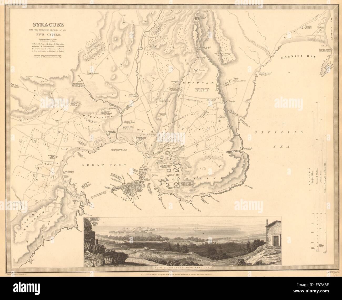 SYRACUSE SIRACUSA: Antique town city map plan.Remains of its 5 cities.SDUK 1848 Stock Photohttps://www.alamy.com/image-license-details/?v=1https://www.alamy.com/stock-photo-syracuse-siracusa-antique-town-city-map-planremains-of-its-5-citiessduk-92974882.html
RFFB7ABE–SYRACUSE SIRACUSA: Antique town city map plan.Remains of its 5 cities.SDUK 1848
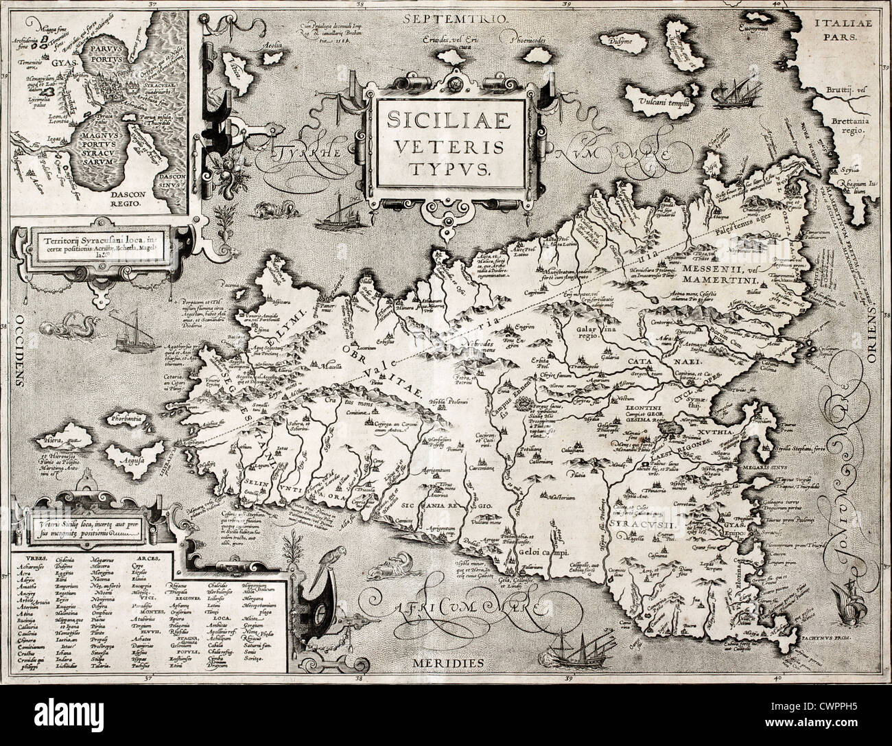 Antique map of Sicily with Syracuse detail Stock Photohttps://www.alamy.com/image-license-details/?v=1https://www.alamy.com/stock-photo-antique-map-of-sicily-with-syracuse-detail-50287809.html
RFCWPPH5–Antique map of Sicily with Syracuse detail
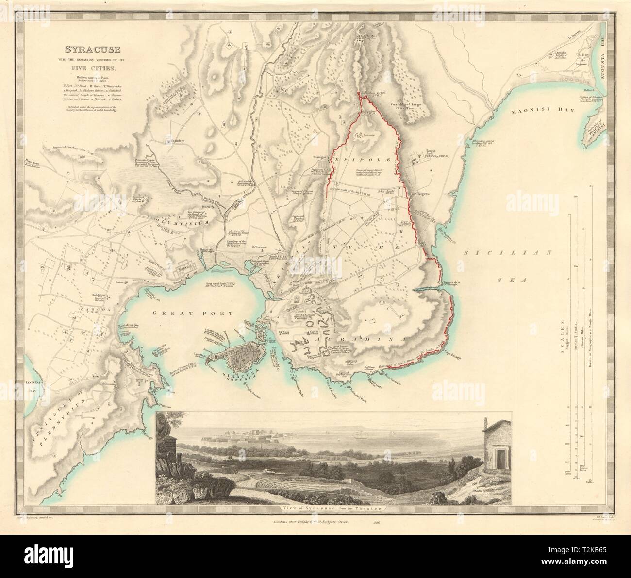 SYRACUSE SIRACUSA antique town city map plan. Remains of its 5 cities. SDUK 1847 Stock Photohttps://www.alamy.com/image-license-details/?v=1https://www.alamy.com/syracuse-siracusa-antique-town-city-map-plan-remains-of-its-5-cities-sduk-1847-image242600349.html
RFT2KB65–SYRACUSE SIRACUSA antique town city map plan. Remains of its 5 cities. SDUK 1847
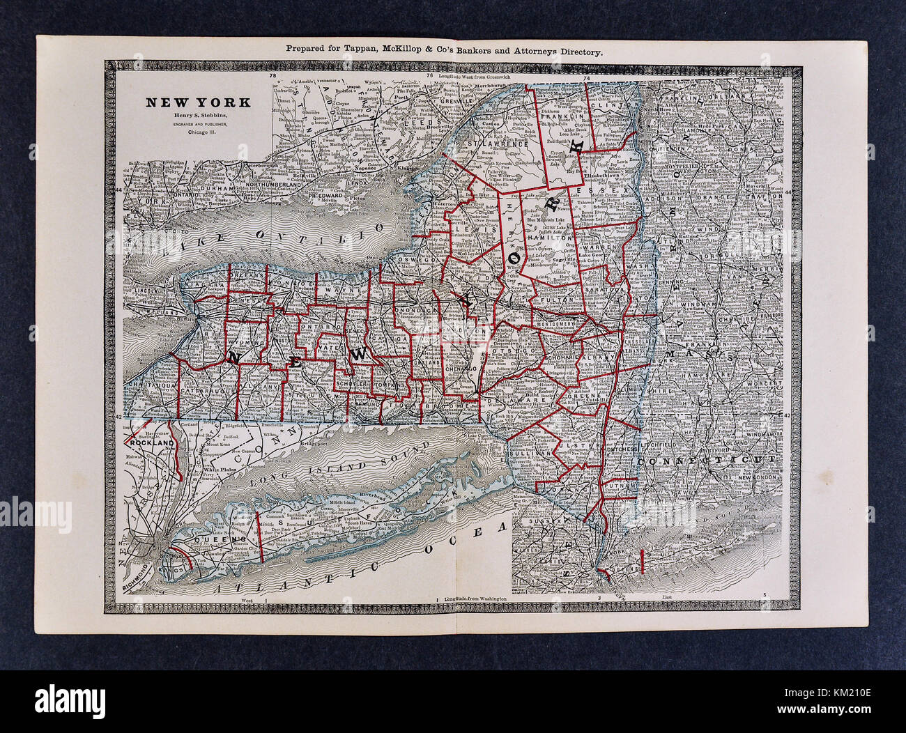 George Cram Antique Map from 1866 Atlas for Attorneys and Bankers: United States - New York - NY City Albany Buffalo Niagara Falls Syracuse Rochester Stock Photohttps://www.alamy.com/image-license-details/?v=1https://www.alamy.com/stock-image-george-cram-antique-map-from-1866-atlas-for-attorneys-and-bankers-167231134.html
RFKM210E–George Cram Antique Map from 1866 Atlas for Attorneys and Bankers: United States - New York - NY City Albany Buffalo Niagara Falls Syracuse Rochester
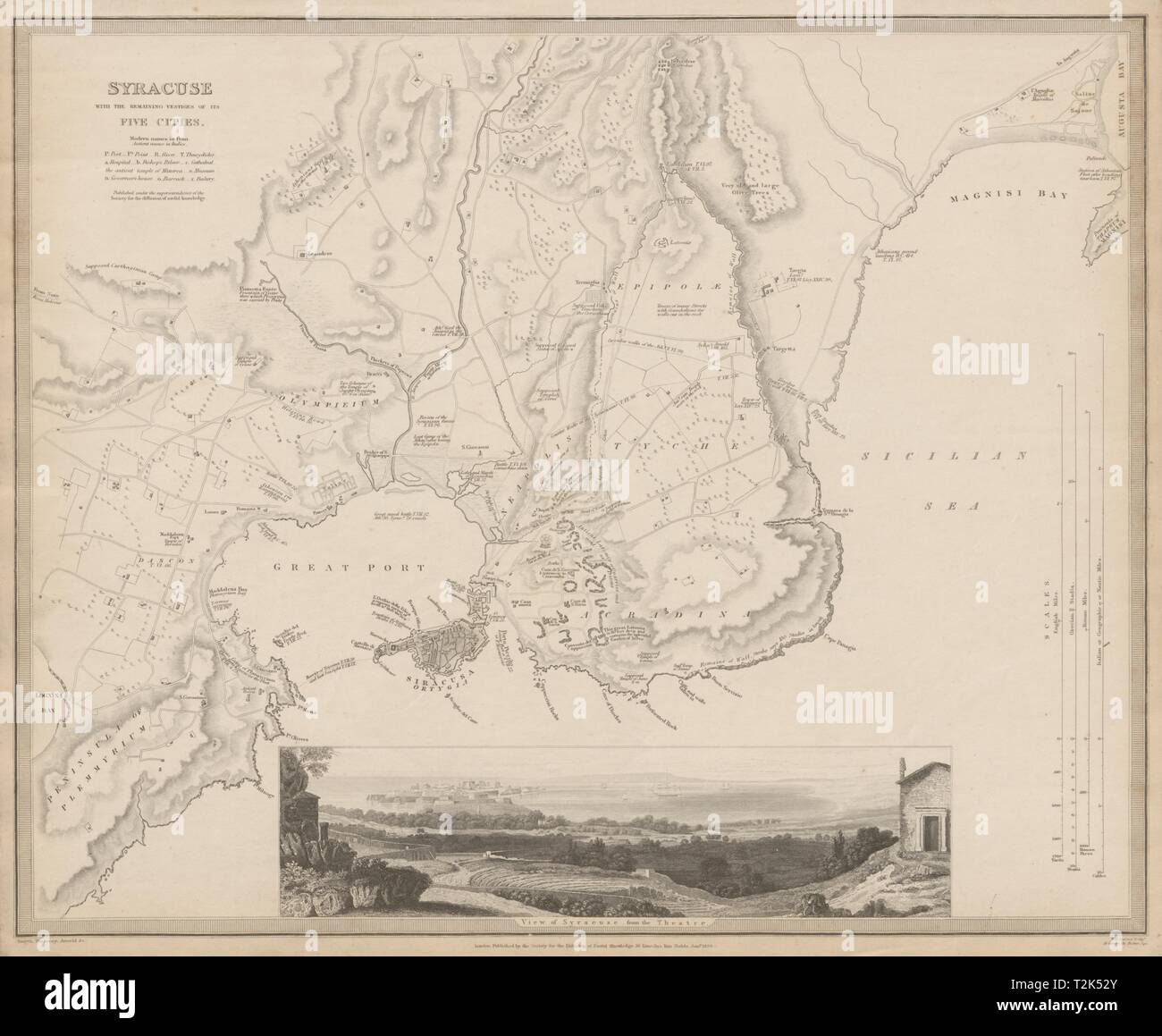 SYRACUSE SIRACUSA antique town city map plan.Remains of its 5 cities SDUK 1844 Stock Photohttps://www.alamy.com/image-license-details/?v=1https://www.alamy.com/syracuse-siracusa-antique-town-city-map-planremains-of-its-5-cities-sduk-1844-image242595555.html
RFT2K52Y–SYRACUSE SIRACUSA antique town city map plan.Remains of its 5 cities SDUK 1844
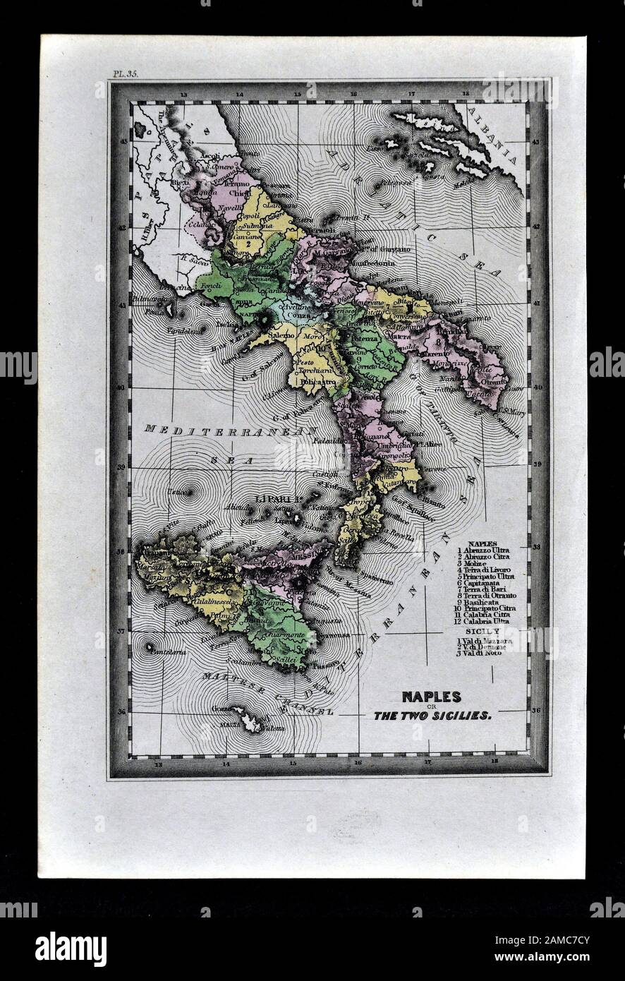 1834 Carey Map of South Italy Naples Sicily Palermo Syracuse Mesina Stock Photohttps://www.alamy.com/image-license-details/?v=1https://www.alamy.com/1834-carey-map-of-south-italy-naples-sicily-palermo-syracuse-mesina-image339559387.html
RF2AMC7CY–1834 Carey Map of South Italy Naples Sicily Palermo Syracuse Mesina
 Syracuse, New York 1852 Stock Photohttps://www.alamy.com/image-license-details/?v=1https://www.alamy.com/syracuse-new-york-1852-image184253377.html
RMMKND1N–Syracuse, New York 1852
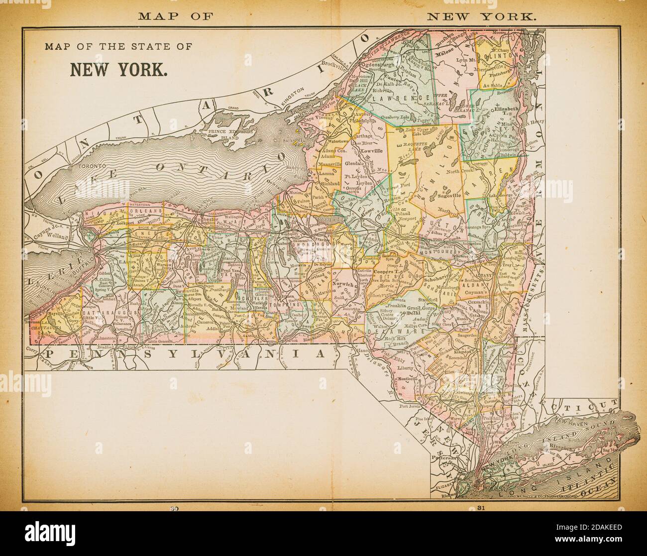 19th century map of New York. Published in New Dollar Atlas of the United States and Dominion of Canada. (Rand McNally & Co's, Chicago, 1884). Stock Photohttps://www.alamy.com/image-license-details/?v=1https://www.alamy.com/19th-century-map-of-new-york-published-in-new-dollar-atlas-of-the-united-states-and-dominion-of-canada-rand-mcnally-cos-chicago-1884-image385203125.html
RF2DAKEED–19th century map of New York. Published in New Dollar Atlas of the United States and Dominion of Canada. (Rand McNally & Co's, Chicago, 1884).
 . English: Antique map of the Siege of Syracuse by the Athenians, Sicily printed for 'Eight Bookes of the Peloponnesian Warre' by Thucydides (417-400? BC) . London, 1648. Thomas Hobbes 1155 Syracuse beseegned by the Athenians Stock Photohttps://www.alamy.com/image-license-details/?v=1https://www.alamy.com/english-antique-map-of-the-siege-of-syracuse-by-the-athenians-sicily-printed-for-eight-bookes-of-the-peloponnesian-warre-by-thucydides-417-400-bc-london-1648-thomas-hobbes-1155-syracuse-beseegned-by-the-athenians-image185735126.html
RMMP4Y1A–. English: Antique map of the Siege of Syracuse by the Athenians, Sicily printed for 'Eight Bookes of the Peloponnesian Warre' by Thucydides (417-400? BC) . London, 1648. Thomas Hobbes 1155 Syracuse beseegned by the Athenians
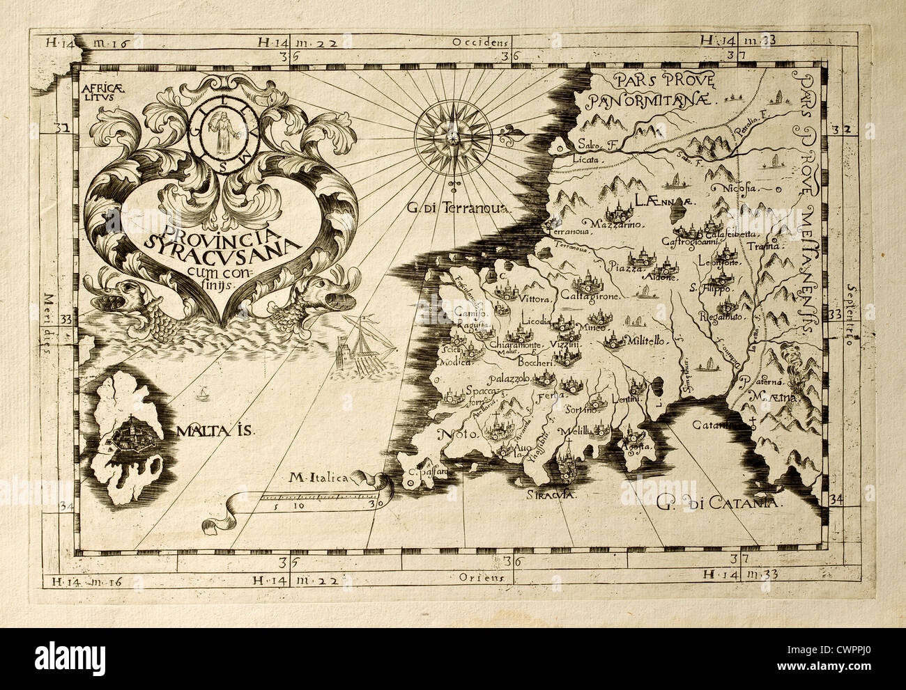 Capuchins province of Syracuse in Sicily Stock Photohttps://www.alamy.com/image-license-details/?v=1https://www.alamy.com/stock-photo-capuchins-province-of-syracuse-in-sicily-50287832.html
RFCWPPJ0–Capuchins province of Syracuse in Sicily
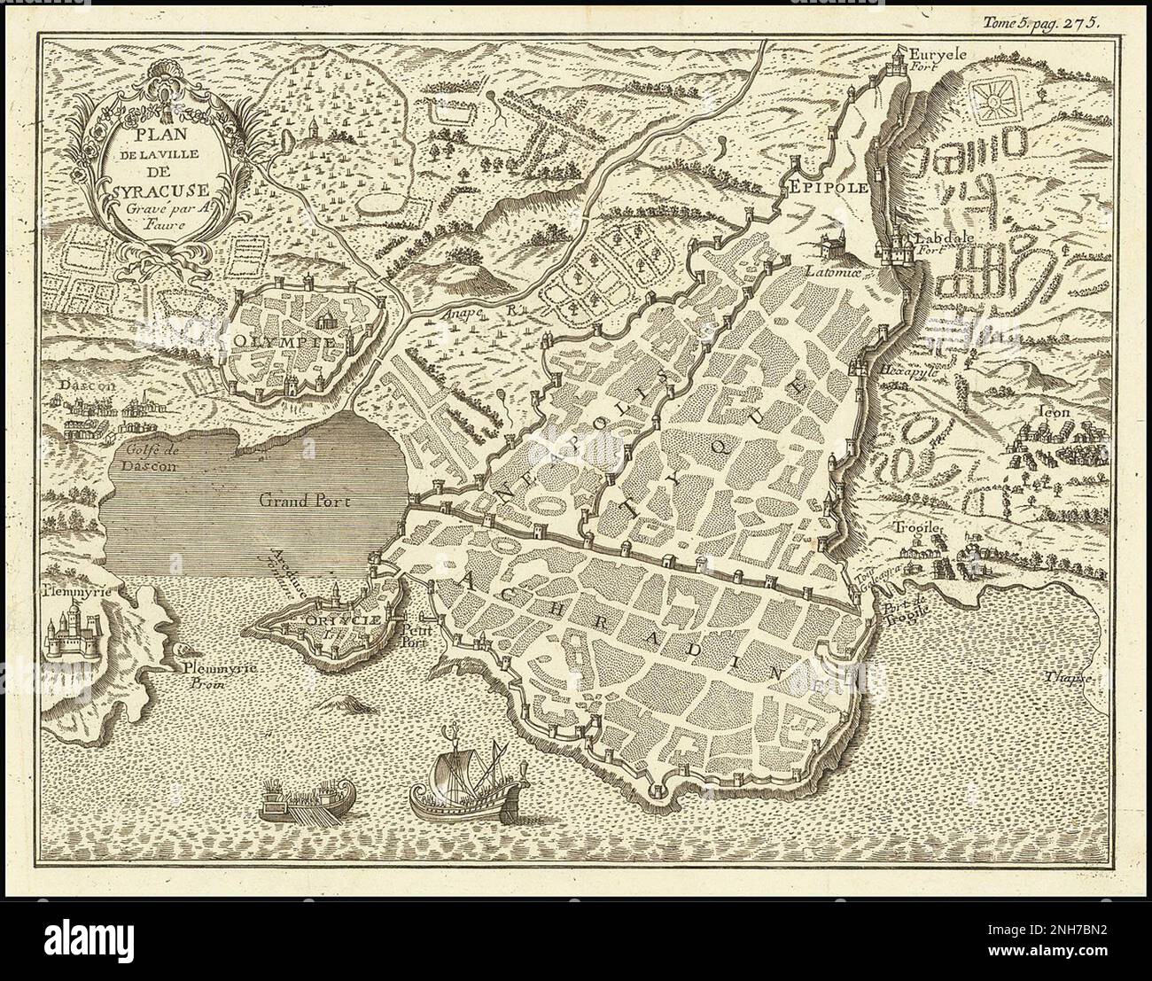 1750 map of Syracuse, Sicily Stock Photohttps://www.alamy.com/image-license-details/?v=1https://www.alamy.com/1750-map-of-syracuse-sicily-image526923070.html
RM2NH7BN2–1750 map of Syracuse, Sicily
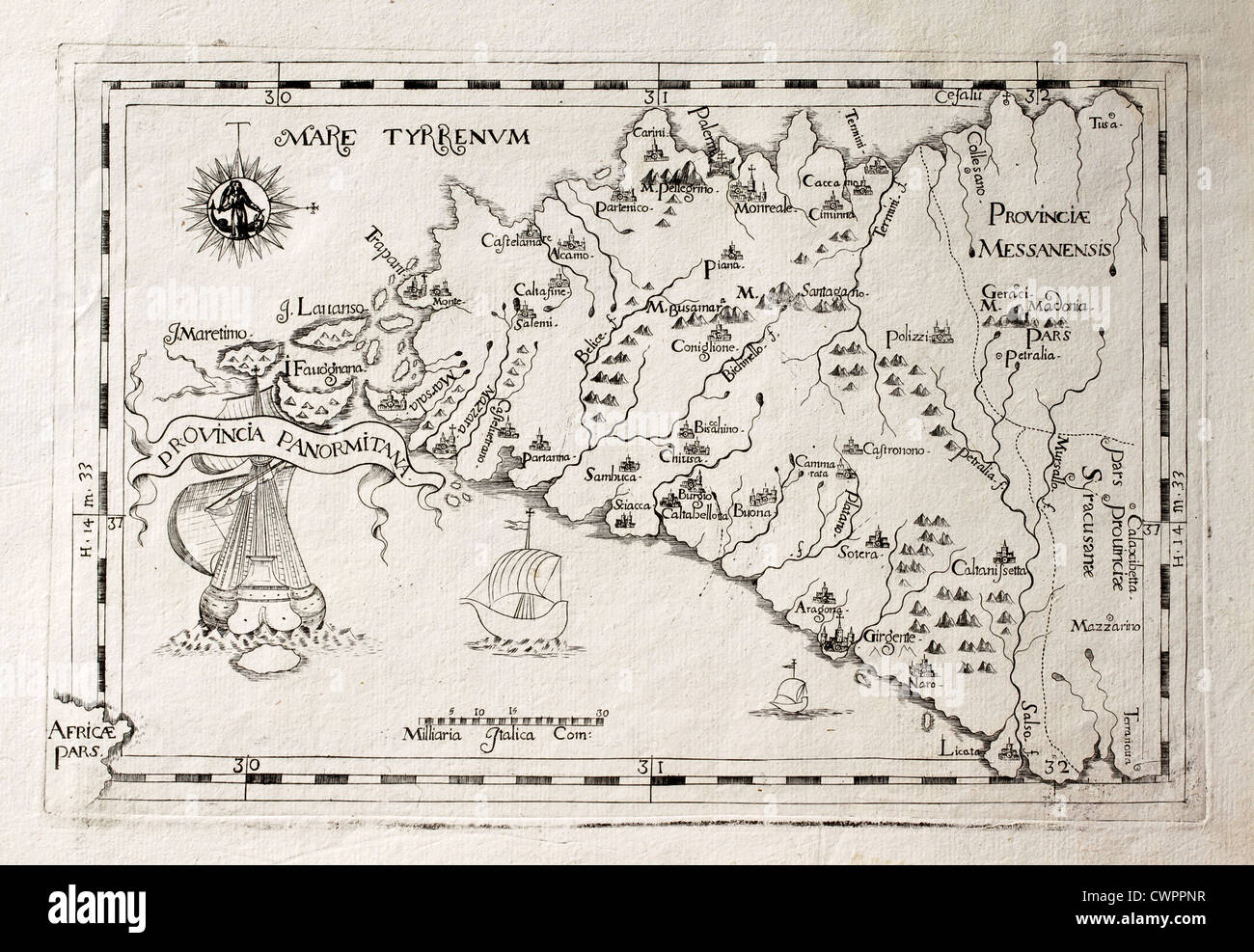 Old map of Capuchins province of Palermo, Sicily Stock Photohttps://www.alamy.com/image-license-details/?v=1https://www.alamy.com/stock-photo-old-map-of-capuchins-province-of-palermo-sicily-50287939.html
RFCWPPNR–Old map of Capuchins province of Palermo, Sicily
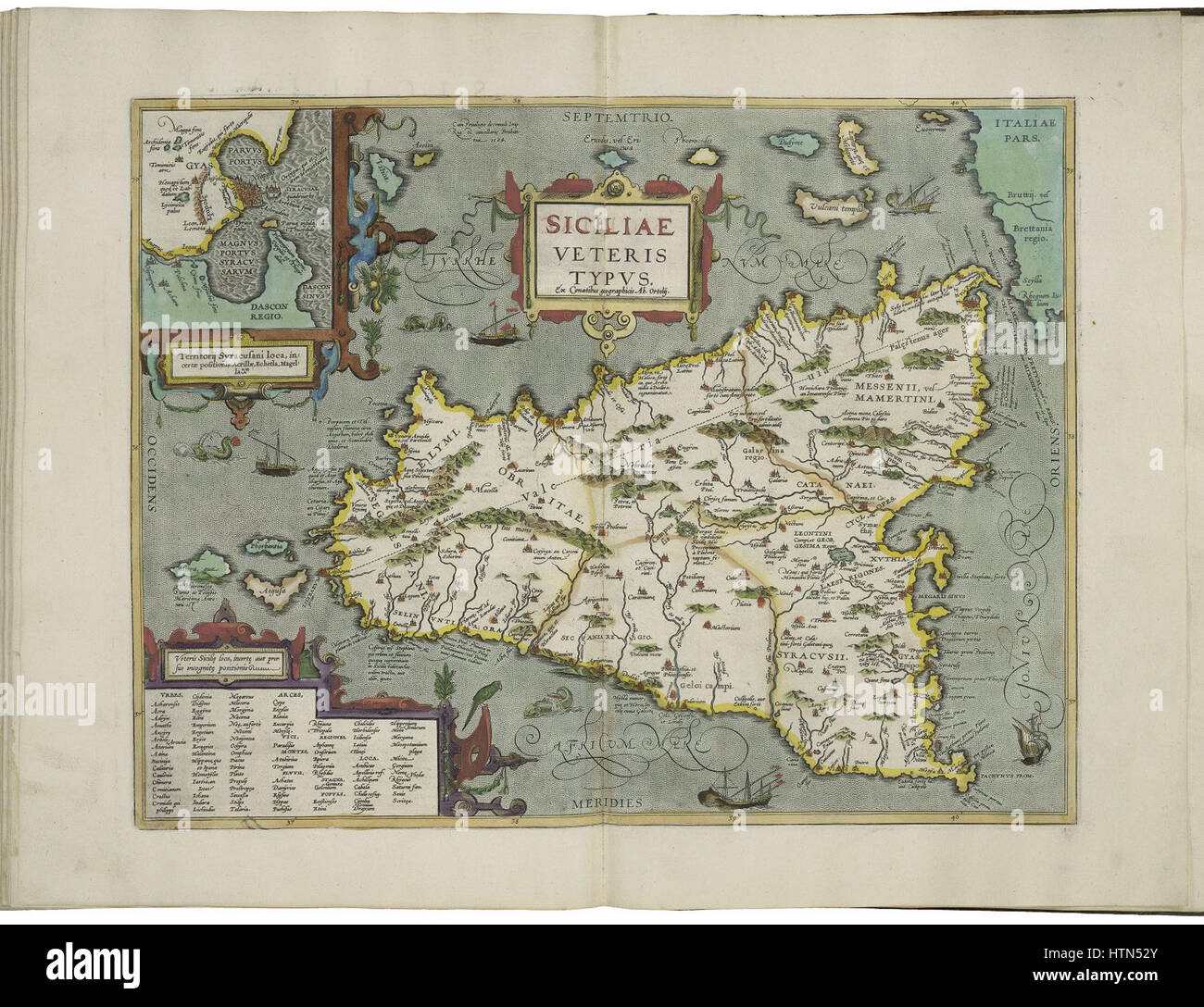 Map of ancient Sicily and inset map of the territories of Syracuse by Abraham Ortelius Stock Photohttps://www.alamy.com/image-license-details/?v=1https://www.alamy.com/stock-photo-map-of-ancient-sicily-and-inset-map-of-the-territories-of-syracuse-135689315.html
RMHTN52Y–Map of ancient Sicily and inset map of the territories of Syracuse by Abraham Ortelius
 Antique map, circa 1875, of New York Stock Photohttps://www.alamy.com/image-license-details/?v=1https://www.alamy.com/antique-map-circa-1875-of-new-york-image157493849.html
RMK46D09–Antique map, circa 1875, of New York
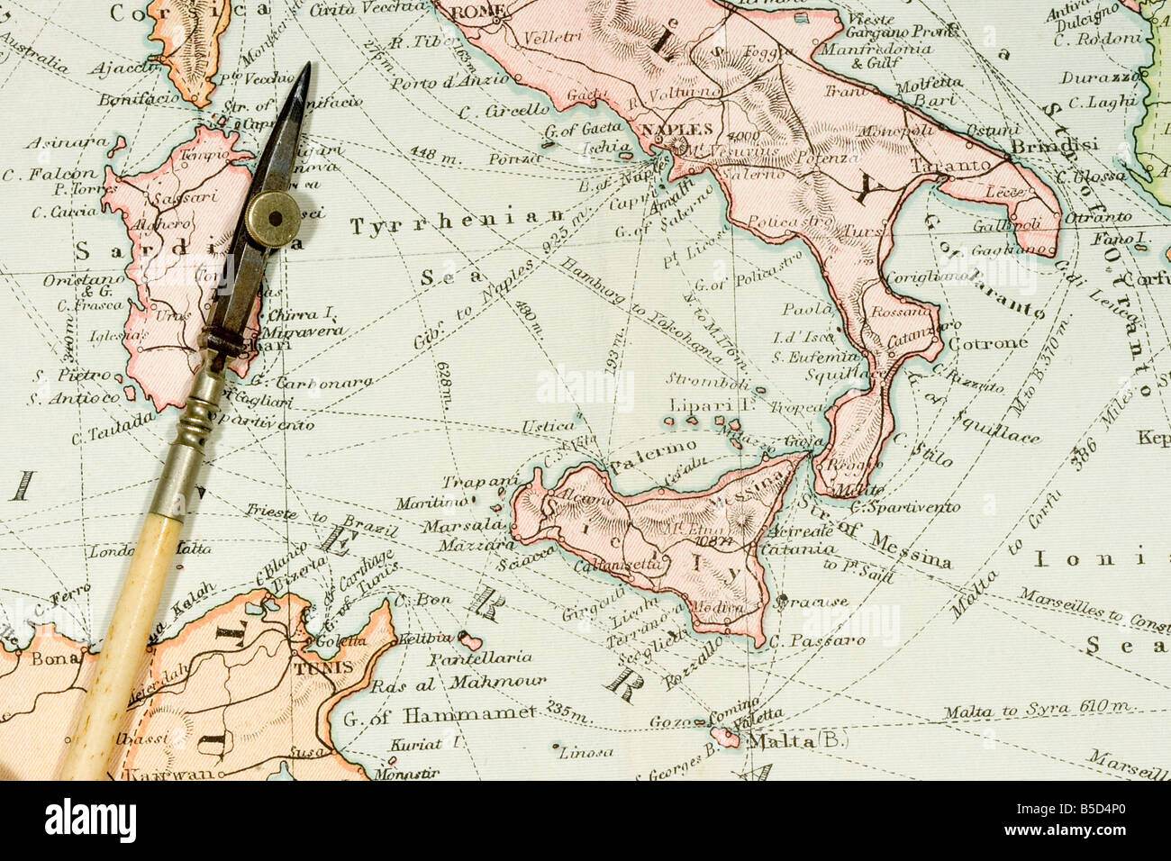 Vintage 1907 copyright expired map showing countries and trade routes Stock Photohttps://www.alamy.com/image-license-details/?v=1https://www.alamy.com/stock-photo-vintage-1907-copyright-expired-map-showing-countries-and-trade-routes-20572776.html
RFB5D4P0–Vintage 1907 copyright expired map showing countries and trade routes
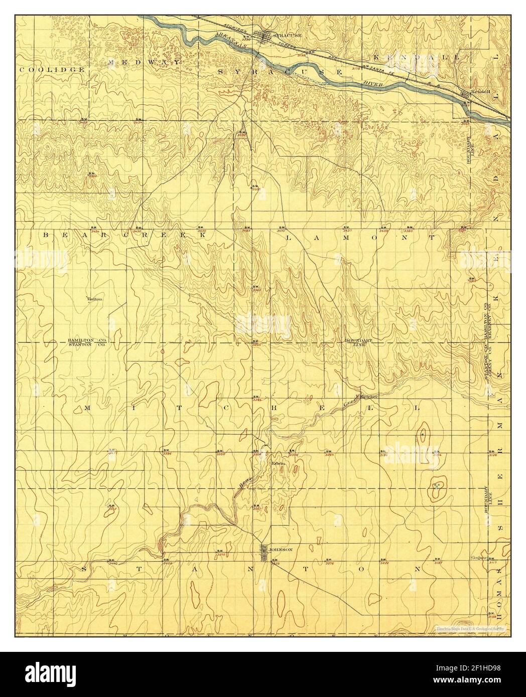 Syracuse, Kansas, map 1900, 1:125000, United States of America by Timeless Maps, data U.S. Geological Survey Stock Photohttps://www.alamy.com/image-license-details/?v=1https://www.alamy.com/syracuse-kansas-map-1900-1125000-united-states-of-america-by-timeless-maps-data-us-geological-survey-image414047124.html
RM2F1HD98–Syracuse, Kansas, map 1900, 1:125000, United States of America by Timeless Maps, data U.S. Geological Survey
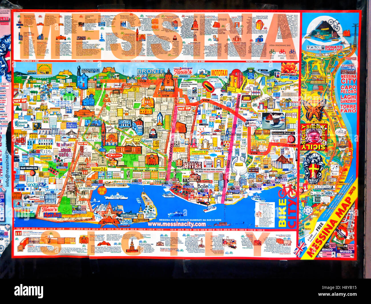 Colourful Messina Sicily tourist street map Stock Photohttps://www.alamy.com/image-license-details/?v=1https://www.alamy.com/stock-photo-colourful-messina-sicily-tourist-street-map-125991185.html
RMH8YB15–Colourful Messina Sicily tourist street map
 SYRACUSE SIRACUSA. Antique town city map plan.Remains of its 5 cities.SDUK 1844 Stock Photohttps://www.alamy.com/image-license-details/?v=1https://www.alamy.com/stock-photo-syracuse-siracusa-antique-town-city-map-planremains-of-its-5-citiessduk-93047900.html
RFFBAKF8–SYRACUSE SIRACUSA. Antique town city map plan.Remains of its 5 cities.SDUK 1844
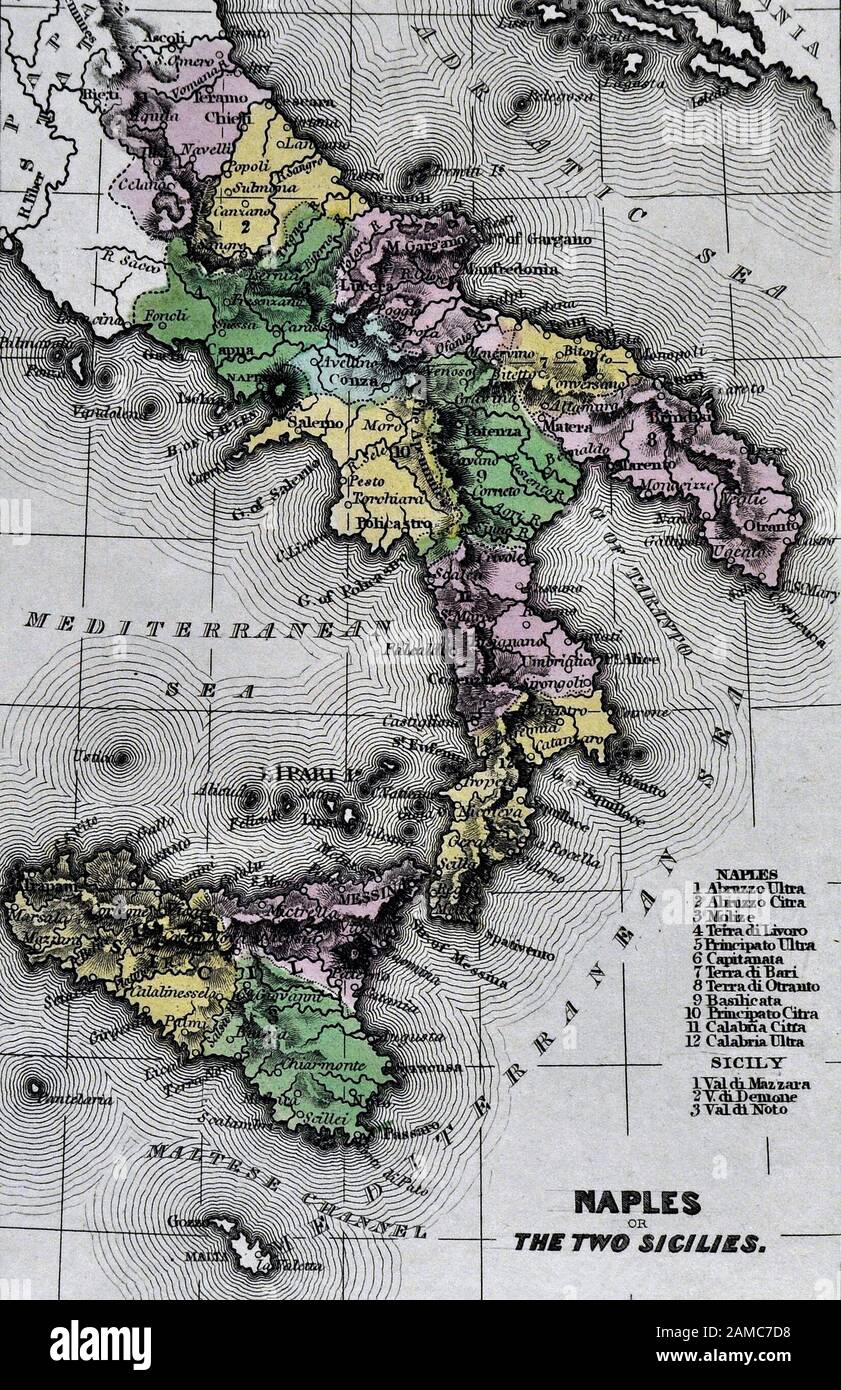 1834 Carey Map of South Italy Naples Sicily Palermo Syracuse Mesina Stock Photohttps://www.alamy.com/image-license-details/?v=1https://www.alamy.com/1834-carey-map-of-south-italy-naples-sicily-palermo-syracuse-mesina-image339559396.html
RF2AMC7D8–1834 Carey Map of South Italy Naples Sicily Palermo Syracuse Mesina
 South-East Sicily Stock Photohttps://www.alamy.com/image-license-details/?v=1https://www.alamy.com/stock-photo-south-east-sicily-50287847.html
RFCWPPJF–South-East Sicily
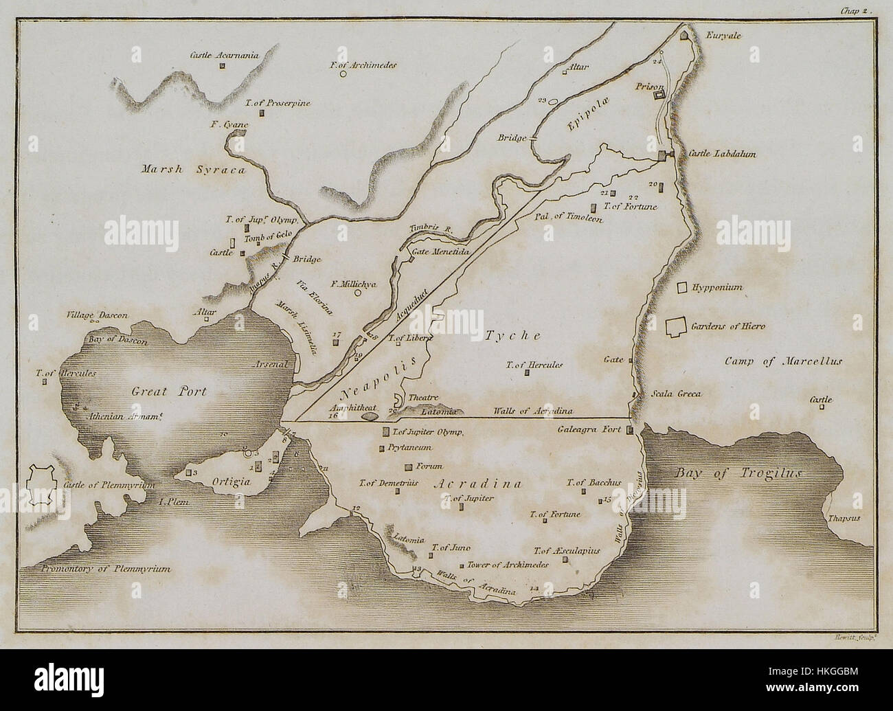 Map of ancient Syracuse Wilkins William 1807 Stock Photohttps://www.alamy.com/image-license-details/?v=1https://www.alamy.com/stock-photo-map-of-ancient-syracuse-wilkins-william-1807-132515144.html
RMHKGGBM–Map of ancient Syracuse Wilkins William 1807
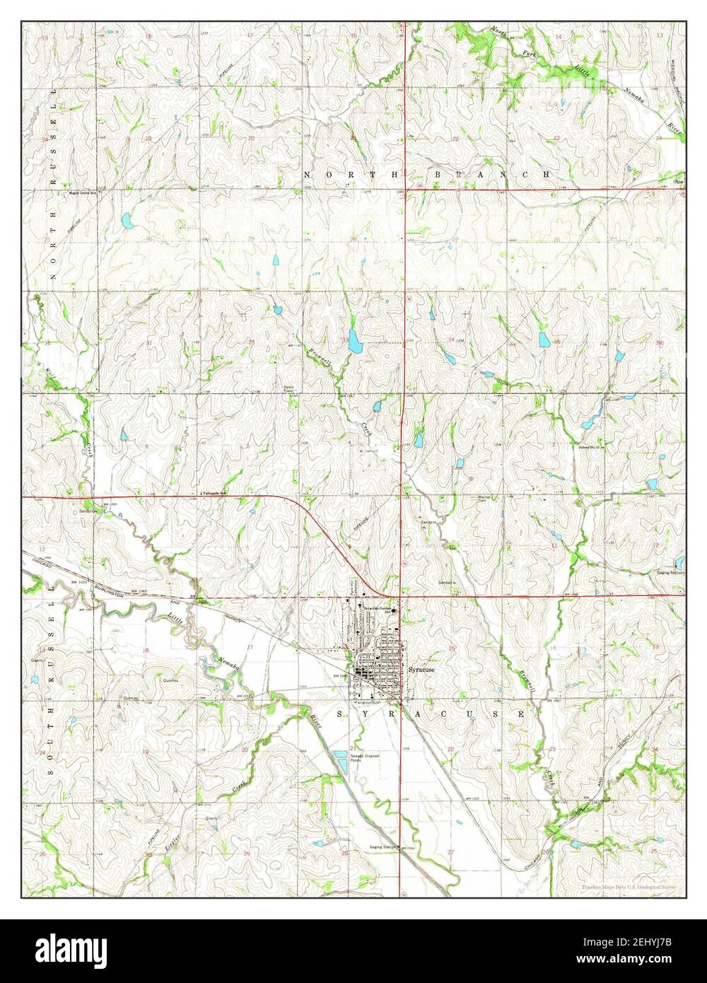 Syracuse, Nebraska, map 1966, 1:24000, United States of America by Timeless Maps, data U.S. Geological Survey Stock Photohttps://www.alamy.com/image-license-details/?v=1https://www.alamy.com/syracuse-nebraska-map-1966-124000-united-states-of-america-by-timeless-maps-data-us-geological-survey-image406894639.html
RM2EHYJ7B–Syracuse, Nebraska, map 1966, 1:24000, United States of America by Timeless Maps, data U.S. Geological Survey
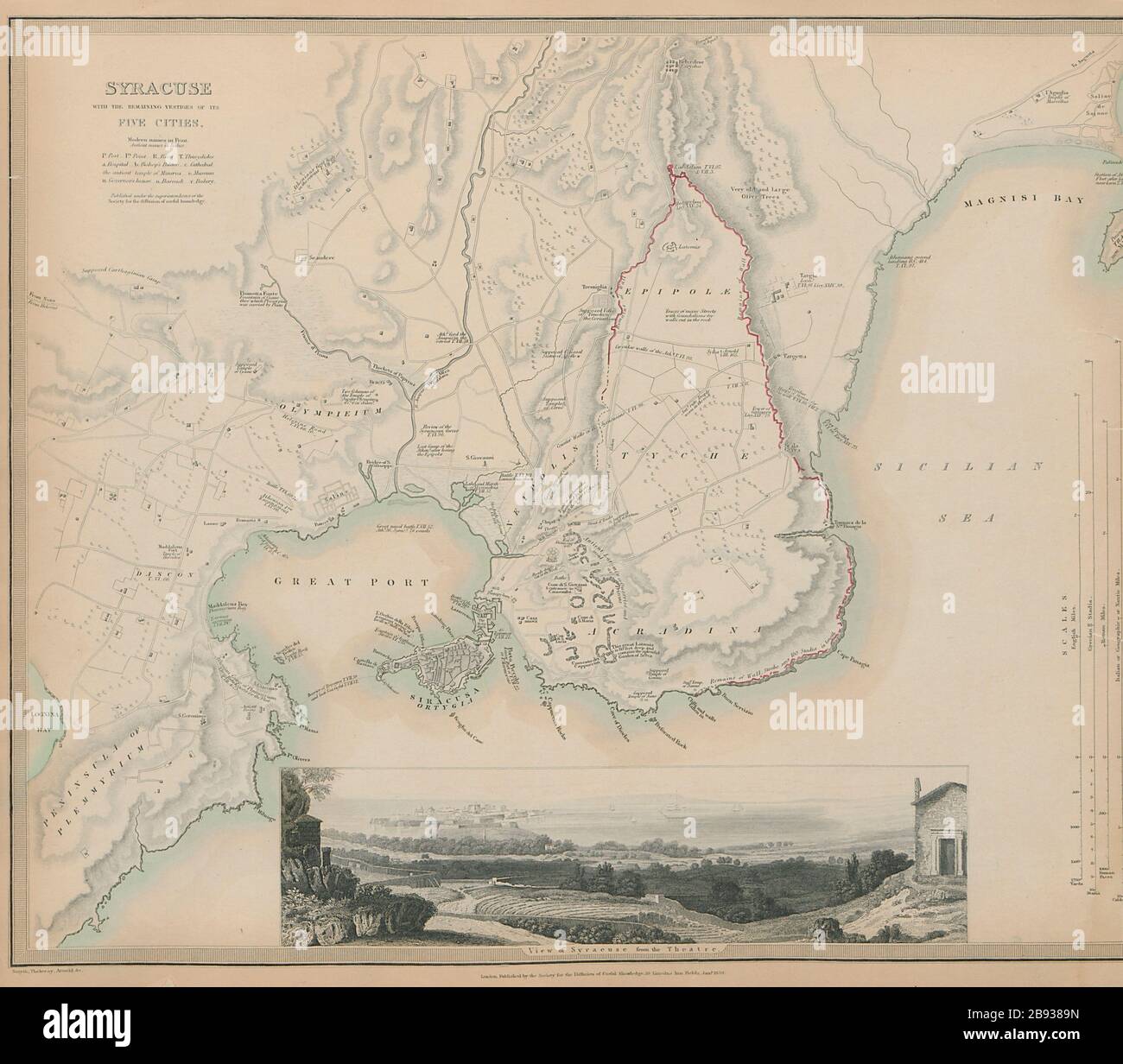 SYRACUSE SIRACUSA Antique city town map plan. Remains of 5 cities. SDUK 1844 Stock Photohttps://www.alamy.com/image-license-details/?v=1https://www.alamy.com/syracuse-siracusa-antique-city-town-map-plan-remains-of-5-cities-sduk-1844-image349811665.html
RF2B9389N–SYRACUSE SIRACUSA Antique city town map plan. Remains of 5 cities. SDUK 1844
 1834 Carey Map of South Italy Naples Sicily Palermo Syracuse Mesina Stock Photohttps://www.alamy.com/image-license-details/?v=1https://www.alamy.com/1834-carey-map-of-south-italy-naples-sicily-palermo-syracuse-mesina-image339559392.html
RF2AMC7D4–1834 Carey Map of South Italy Naples Sicily Palermo Syracuse Mesina
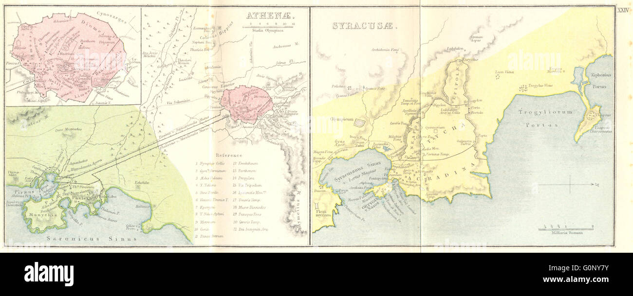 GREECE: Athenae; Syracusae; Athens Syracuse, 1908 antique map Stock Photohttps://www.alamy.com/image-license-details/?v=1https://www.alamy.com/stock-photo-greece-athenae-syracusae-athens-syracuse-1908-antique-map-103744591.html
RFG0NY7Y–GREECE: Athenae; Syracusae; Athens Syracuse, 1908 antique map
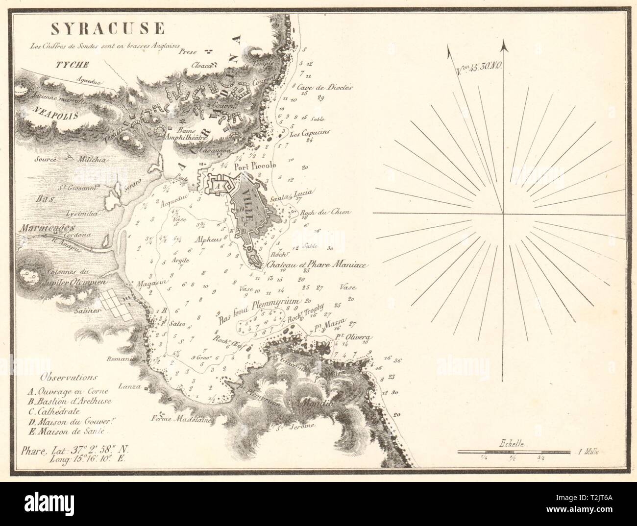 Plan of Syracuse, Sicily. Italy. GAUTTIER 1851 old antique map chart Stock Photohttps://www.alamy.com/image-license-details/?v=1https://www.alamy.com/plan-of-syracuse-sicily-italy-gauttier-1851-old-antique-map-chart-image242588594.html
RFT2JT6A–Plan of Syracuse, Sicily. Italy. GAUTTIER 1851 old antique map chart
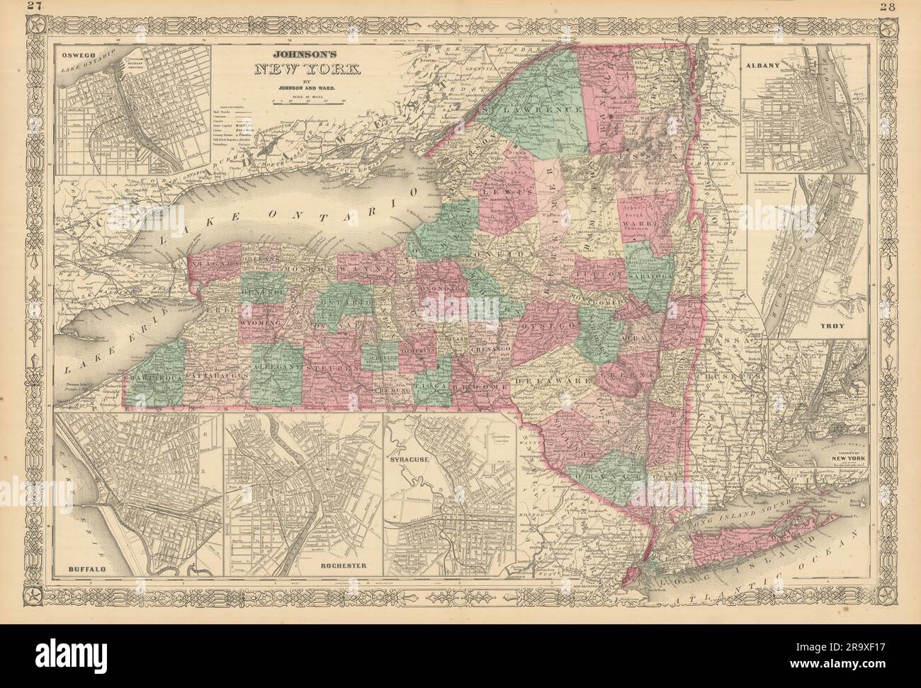 Johnson's New York state map. Albany Troy Rochester Buffalo Syracuse 1866 Stock Photohttps://www.alamy.com/image-license-details/?v=1https://www.alamy.com/johnsons-new-york-state-map-albany-troy-rochester-buffalo-syracuse-1866-image556846227.html
RF2R9XF17–Johnson's New York state map. Albany Troy Rochester Buffalo Syracuse 1866
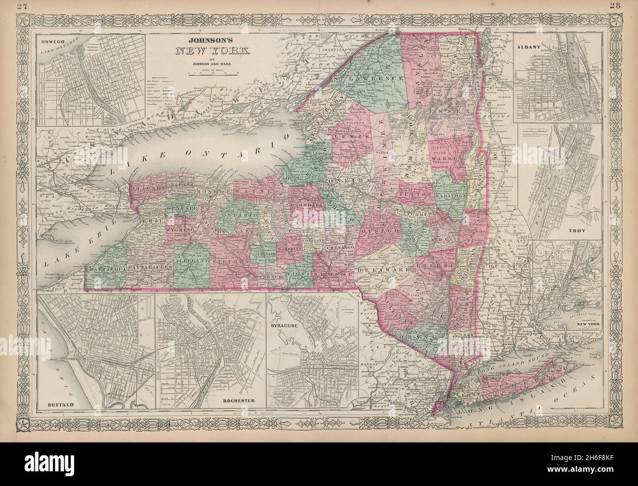 Johnson's New York state map. Albany Troy Rochester Buffalo Syracuse 1865 Stock Photohttps://www.alamy.com/image-license-details/?v=1https://www.alamy.com/johnsons-new-york-state-map-albany-troy-rochester-buffalo-syracuse-1865-image451493603.html
RF2H6F8KF–Johnson's New York state map. Albany Troy Rochester Buffalo Syracuse 1865
 Map of the bay and port of Syracuse View of the city Roux Joseph 1804 Stock Photohttps://www.alamy.com/image-license-details/?v=1https://www.alamy.com/stock-photo-map-of-the-bay-and-port-of-syracuse-view-of-the-city-roux-joseph-1804-132511150.html
RMHKGB92–Map of the bay and port of Syracuse View of the city Roux Joseph 1804
 Saragosa. The town and harbour of Syracuse, Sicily, Italy. ROUX 1804 old map Stock Photohttps://www.alamy.com/image-license-details/?v=1https://www.alamy.com/saragosa-the-town-and-harbour-of-syracuse-sicily-italy-roux-1804-old-map-image385036965.html
RF2DABXG5–Saragosa. The town and harbour of Syracuse, Sicily, Italy. ROUX 1804 old map
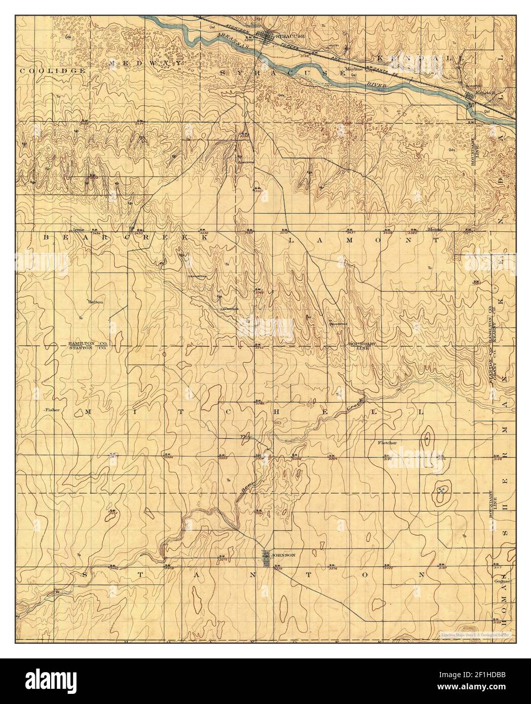 Syracuse, Kansas, map 1920, 1:125000, United States of America by Timeless Maps, data U.S. Geological Survey Stock Photohttps://www.alamy.com/image-license-details/?v=1https://www.alamy.com/syracuse-kansas-map-1920-1125000-united-states-of-america-by-timeless-maps-data-us-geological-survey-image414047183.html
RM2F1HDBB–Syracuse, Kansas, map 1920, 1:125000, United States of America by Timeless Maps, data U.S. Geological Survey
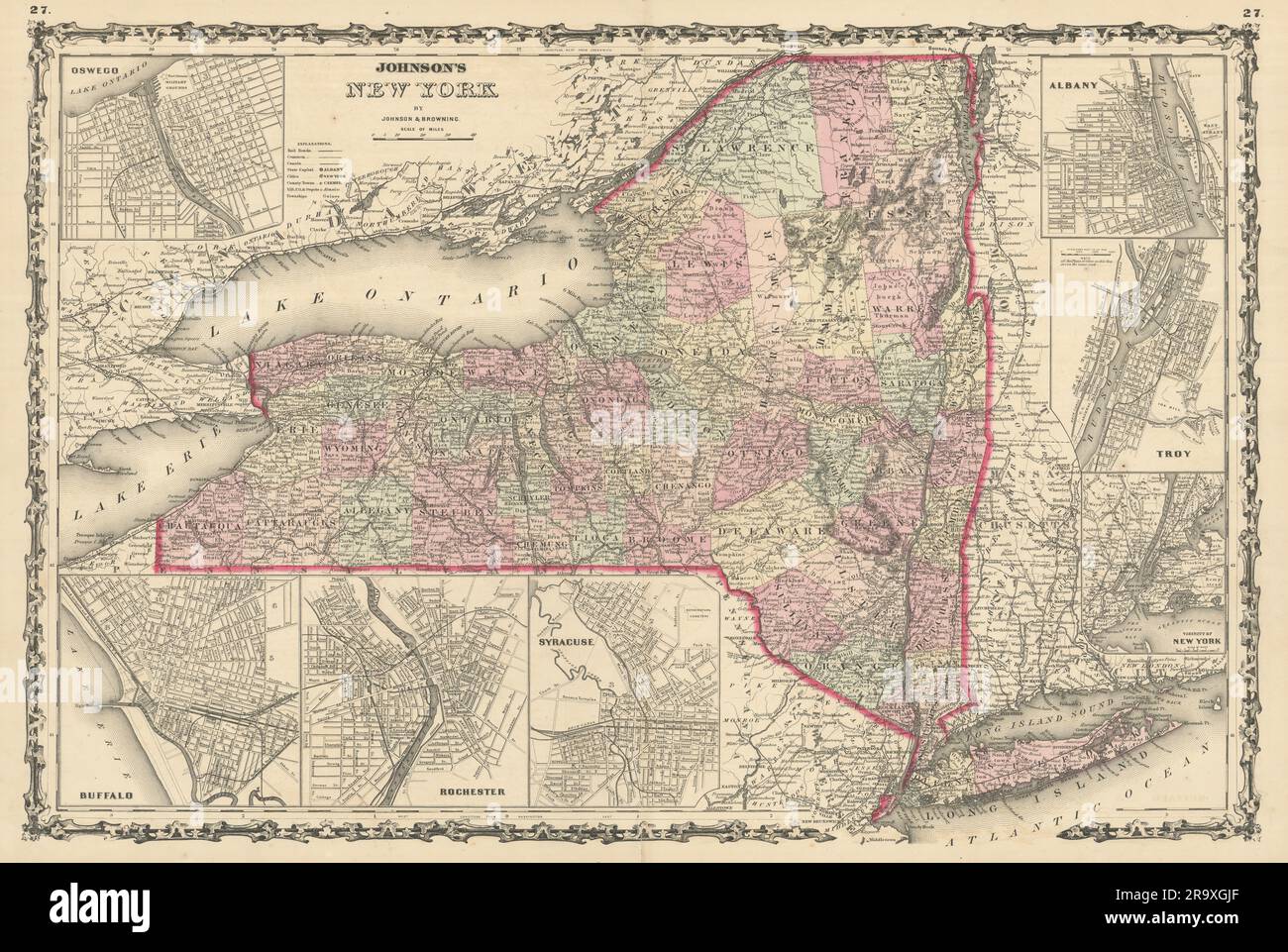 Johnson's New York state map. Albany Troy Rochester Buffalo Syracuse 1861 Stock Photohttps://www.alamy.com/image-license-details/?v=1https://www.alamy.com/johnsons-new-york-state-map-albany-troy-rochester-buffalo-syracuse-1861-image556847495.html
RF2R9XGJF–Johnson's New York state map. Albany Troy Rochester Buffalo Syracuse 1861
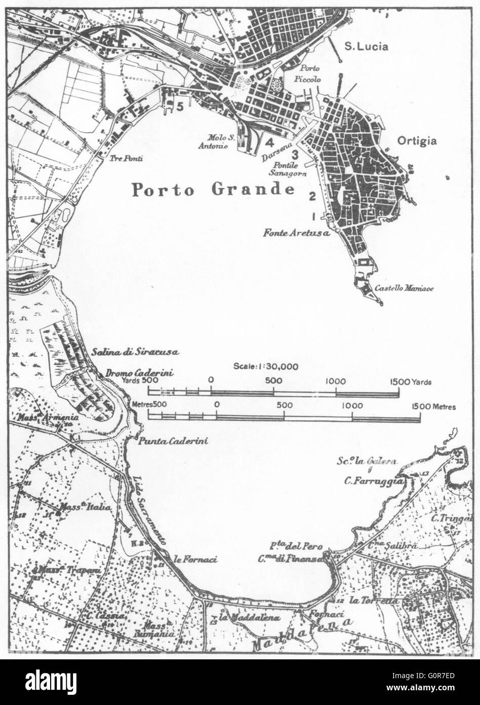 ITALY: Syracuse, 1945 vintage map Stock Photohttps://www.alamy.com/image-license-details/?v=1https://www.alamy.com/stock-photo-italy-syracuse-1945-vintage-map-103772997.html
RFG0R7ED–ITALY: Syracuse, 1945 vintage map
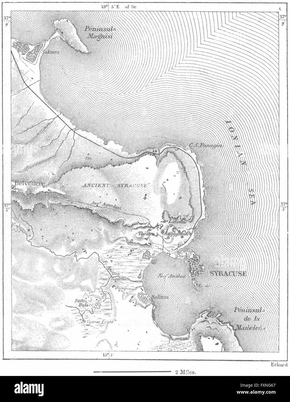 ITALY: Syracuse, sketch map, c1885 Stock Photohttps://www.alamy.com/image-license-details/?v=1https://www.alamy.com/stock-photo-italy-syracuse-sketch-map-c1885-102506607.html
RFFXNG67–ITALY: Syracuse, sketch map, c1885
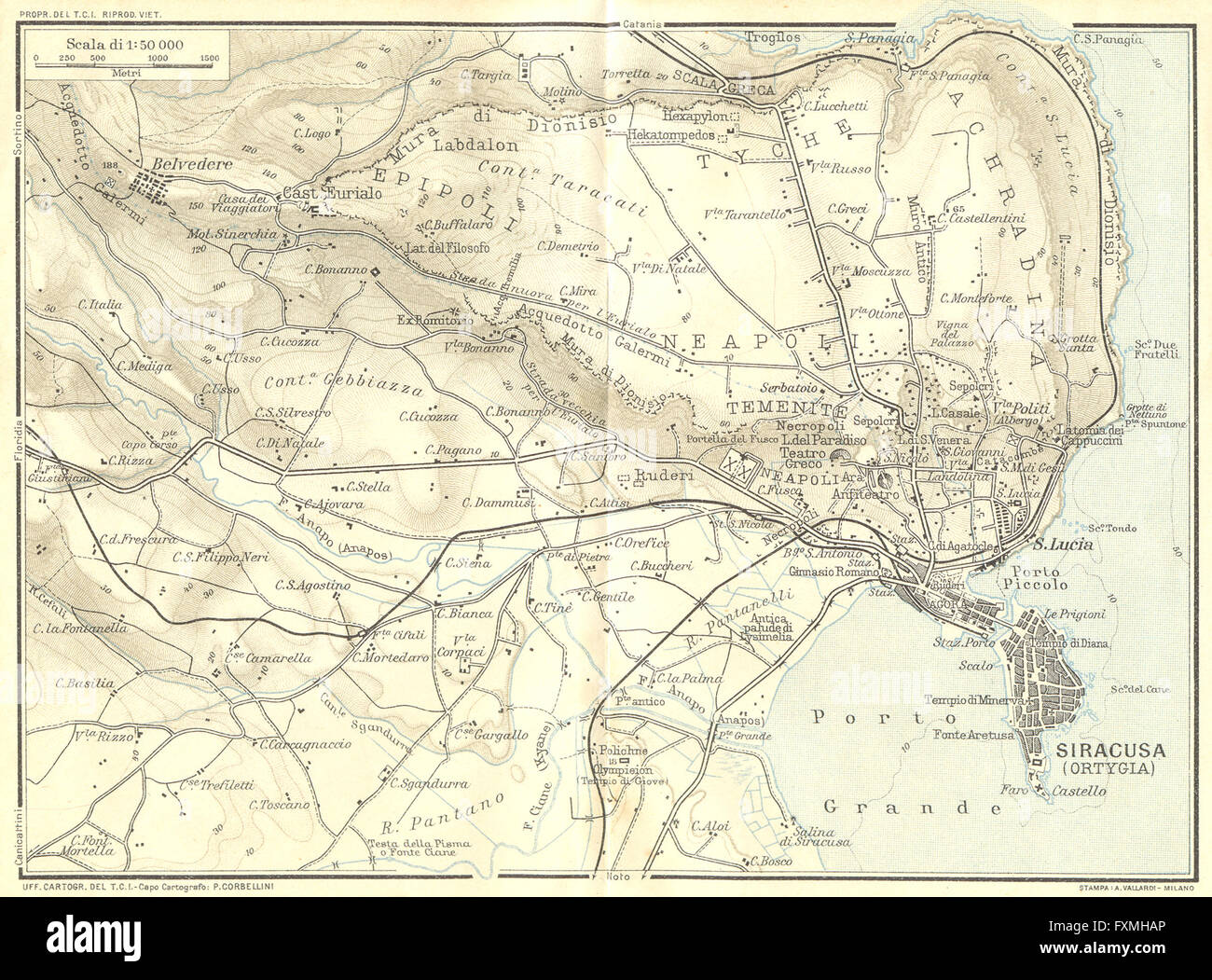 ITALY: Environs of Syracuse Syracusa, 1925 vintage map Stock Photohttps://www.alamy.com/image-license-details/?v=1https://www.alamy.com/stock-photo-italy-environs-of-syracuse-syracusa-1925-vintage-map-102485566.html
RFFXMHAP–ITALY: Environs of Syracuse Syracusa, 1925 vintage map
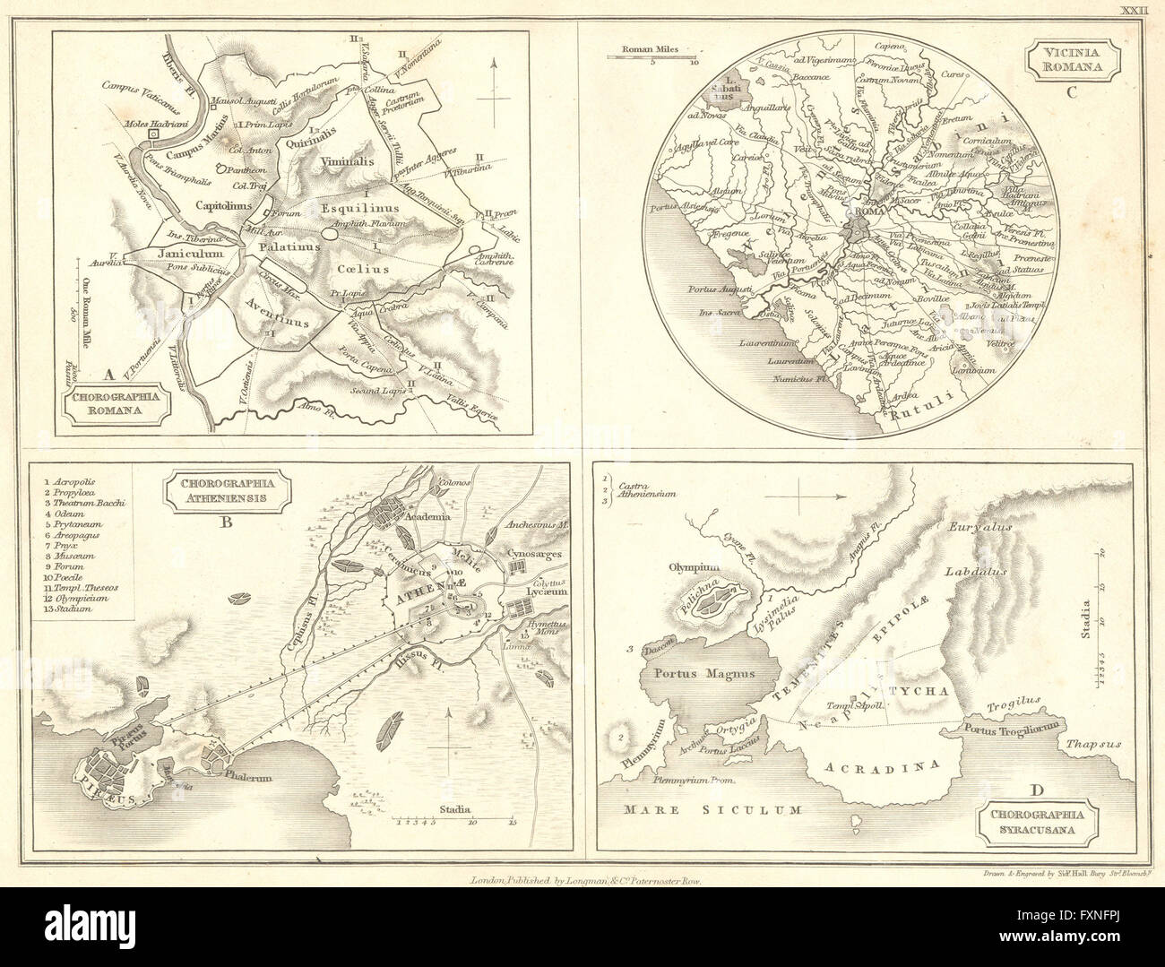 ROME: Athens Syracuse, 1847 antique map Stock Photohttps://www.alamy.com/image-license-details/?v=1https://www.alamy.com/stock-photo-rome-athens-syracuse-1847-antique-map-102506282.html
RFFXNFPJ–ROME: Athens Syracuse, 1847 antique map
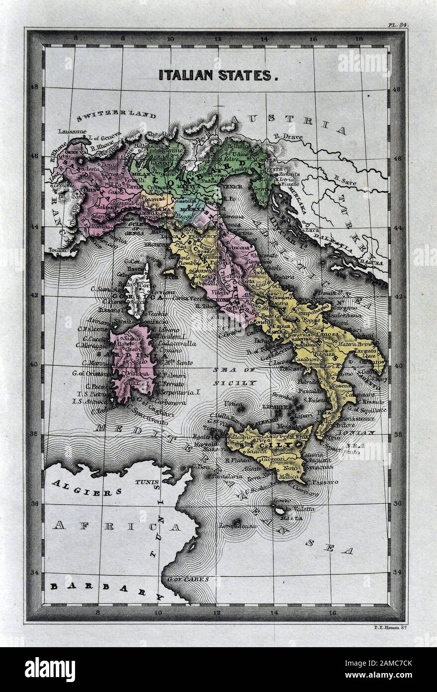 1834 Carey Map of Italy Rome Florence Naples Venice Sicily Stock Photohttps://www.alamy.com/image-license-details/?v=1https://www.alamy.com/1834-carey-map-of-italy-rome-florence-naples-venice-sicily-image339559379.html
RF2AMC7CK–1834 Carey Map of Italy Rome Florence Naples Venice Sicily
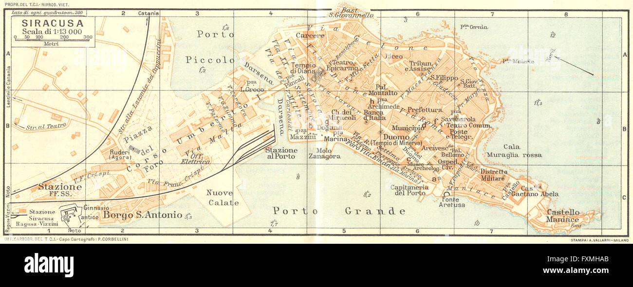 ITALY: Siracusa, 1925 vintage map Stock Photohttps://www.alamy.com/image-license-details/?v=1https://www.alamy.com/stock-photo-italy-siracusa-1925-vintage-map-102485555.html
RFFXMHAB–ITALY: Siracusa, 1925 vintage map
 42082 Fish Exhibit, State Fair, Syracuse, 1910 Stock Photohttps://www.alamy.com/image-license-details/?v=1https://www.alamy.com/stock-photo-42082-fish-exhibit-state-fair-syracuse-1910-115090789.html
RMGK6RD9–42082 Fish Exhibit, State Fair, Syracuse, 1910
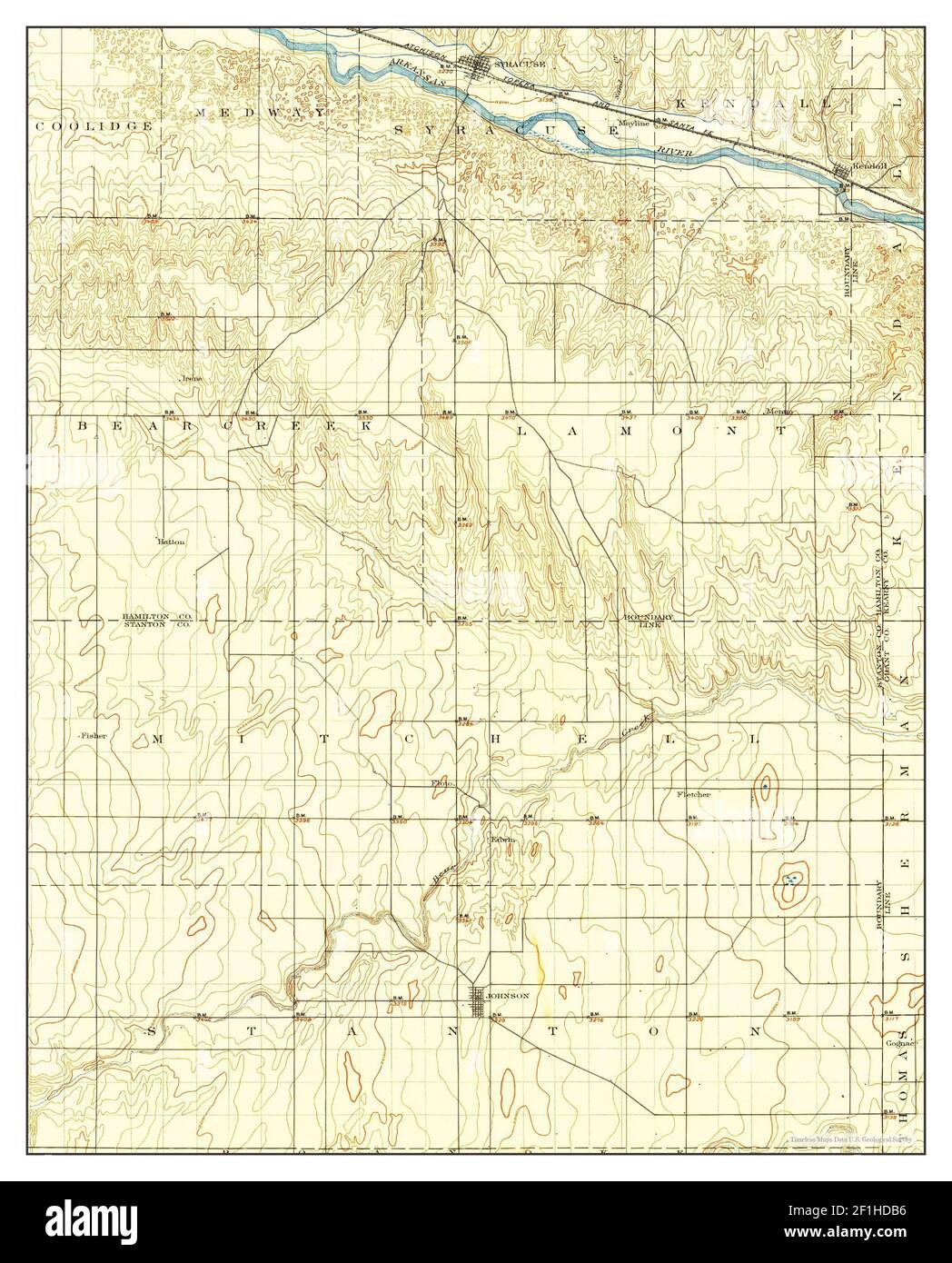 Syracuse, Kansas, map 1900, 1:125000, United States of America by Timeless Maps, data U.S. Geological Survey Stock Photohttps://www.alamy.com/image-license-details/?v=1https://www.alamy.com/syracuse-kansas-map-1900-1125000-united-states-of-america-by-timeless-maps-data-us-geological-survey-image414047178.html
RM2F1HDB6–Syracuse, Kansas, map 1900, 1:125000, United States of America by Timeless Maps, data U.S. Geological Survey
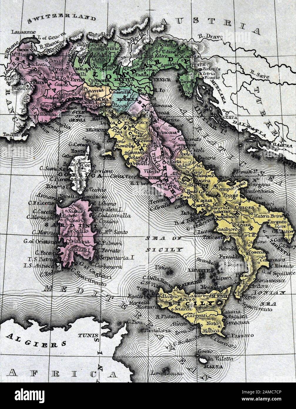 1834 Carey Map of Italy Rome Florence Naples Venice Sicily Stock Photohttps://www.alamy.com/image-license-details/?v=1https://www.alamy.com/1834-carey-map-of-italy-rome-florence-naples-venice-sicily-image339559382.html
RF2AMC7CP–1834 Carey Map of Italy Rome Florence Naples Venice Sicily
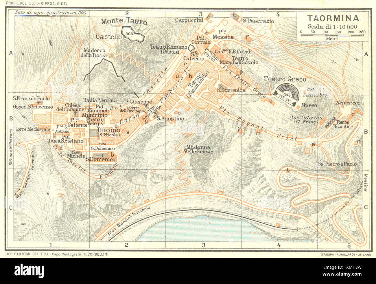 ITALY: Taormina, 1925 vintage map Stock Photohttps://www.alamy.com/image-license-details/?v=1https://www.alamy.com/stock-photo-italy-taormina-1925-vintage-map-102485513.html
RFFXMH8W–ITALY: Taormina, 1925 vintage map
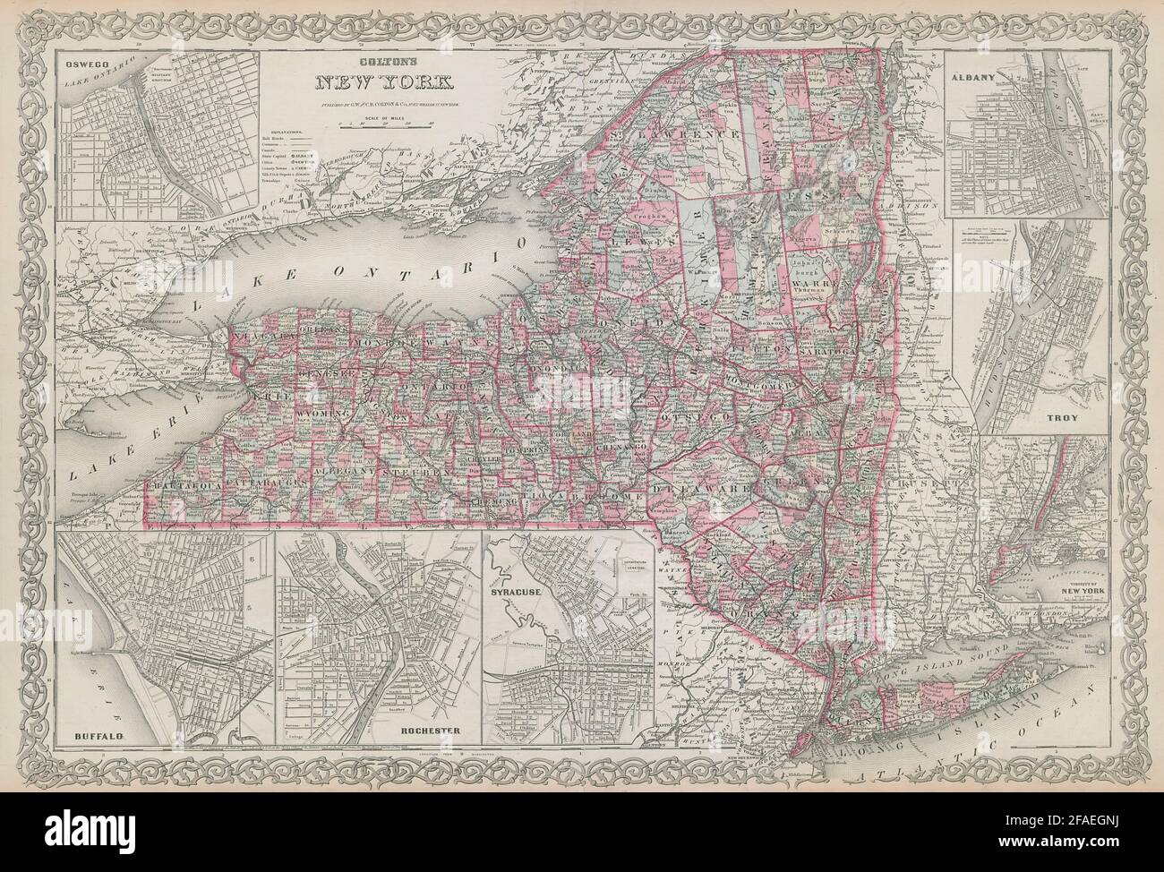 Colton's New York state Oswego Buffalo Rochester Syracuse Troy Albany 1869 map Stock Photohttps://www.alamy.com/image-license-details/?v=1https://www.alamy.com/coltons-new-york-state-oswego-buffalo-rochester-syracuse-troy-albany-1869-map-image419515870.html
RF2FAEGNJ–Colton's New York state Oswego Buffalo Rochester Syracuse Troy Albany 1869 map
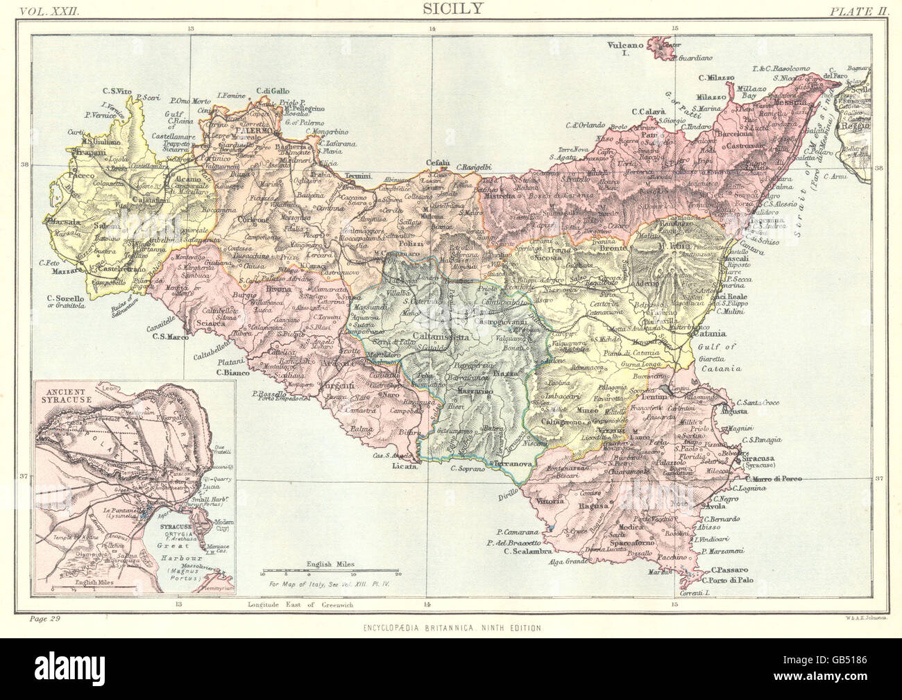 ITALY: Sicily; Inset Ancient Syracuse. Britannica 9th edition, 1898 old map Stock Photohttps://www.alamy.com/image-license-details/?v=1https://www.alamy.com/stock-photo-italy-sicily-inset-ancient-syracuse-britannica-9th-edition-1898-old-110134198.html
RFGB5186–ITALY: Sicily; Inset Ancient Syracuse. Britannica 9th edition, 1898 old map
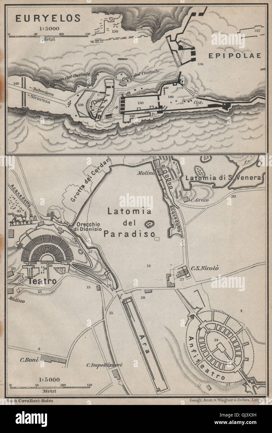 SYRACUSE SIRACUSA. Eurylos fortress & Theatre ground plan. Teatro, 1912 map Stock Photohttps://www.alamy.com/image-license-details/?v=1https://www.alamy.com/stock-photo-syracuse-siracusa-eurylos-fortress-theatre-ground-plan-teatro-1912-114412357.html
RFGJ3X3H–SYRACUSE SIRACUSA. Eurylos fortress & Theatre ground plan. Teatro, 1912 map
 Descriptive catalogue of ornamental trees, shrubs vines, roses etc., greenhouse and hot house plants, cultivated and for sale at the Syracuse Nurseries (1871) (1459366 Stock Photohttps://www.alamy.com/image-license-details/?v=1https://www.alamy.com/stock-photo-descriptive-catalogue-of-ornamental-trees-shrubs-vines-roses-etc-greenhouse-122531357.html
RMH39NYW–Descriptive catalogue of ornamental trees, shrubs vines, roses etc., greenhouse and hot house plants, cultivated and for sale at the Syracuse Nurseries (1871) (1459366
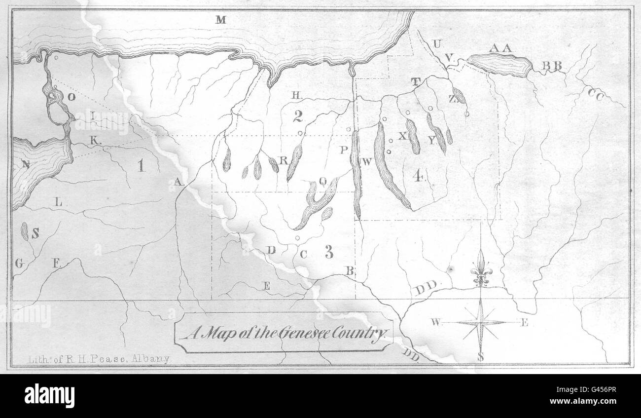 NEW YORK STATE: Genesee Country. Rochester Syracuse Niagara Falls, 1849 map Stock Photohttps://www.alamy.com/image-license-details/?v=1https://www.alamy.com/stock-photo-new-york-state-genesee-country-rochester-syracuse-niagara-falls-1849-105835935.html
RFG456PR–NEW YORK STATE: Genesee Country. Rochester Syracuse Niagara Falls, 1849 map
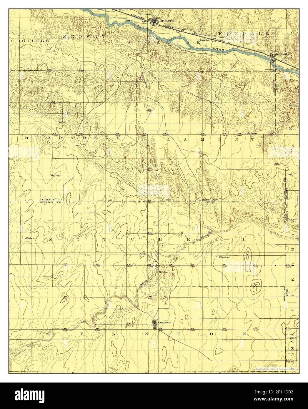 Syracuse, Kansas, map 1900, 1:125000, United States of America by Timeless Maps, data U.S. Geological Survey Stock Photohttps://www.alamy.com/image-license-details/?v=1https://www.alamy.com/syracuse-kansas-map-1900-1125000-united-states-of-america-by-timeless-maps-data-us-geological-survey-image414047174.html
RM2F1HDB2–Syracuse, Kansas, map 1900, 1:125000, United States of America by Timeless Maps, data U.S. Geological Survey
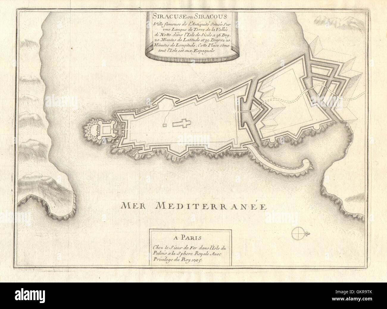 'Siracuse ou Siracous'. Syracuse Siracusa town/city plan. Italy. DE FER 1705 map Stock Photohttps://www.alamy.com/image-license-details/?v=1https://www.alamy.com/stock-photo-siracuse-ou-siracous-syracuse-siracusa-towncity-plan-italy-de-fer-115453315.html
RFGKR9TK–'Siracuse ou Siracous'. Syracuse Siracusa town/city plan. Italy. DE FER 1705 map
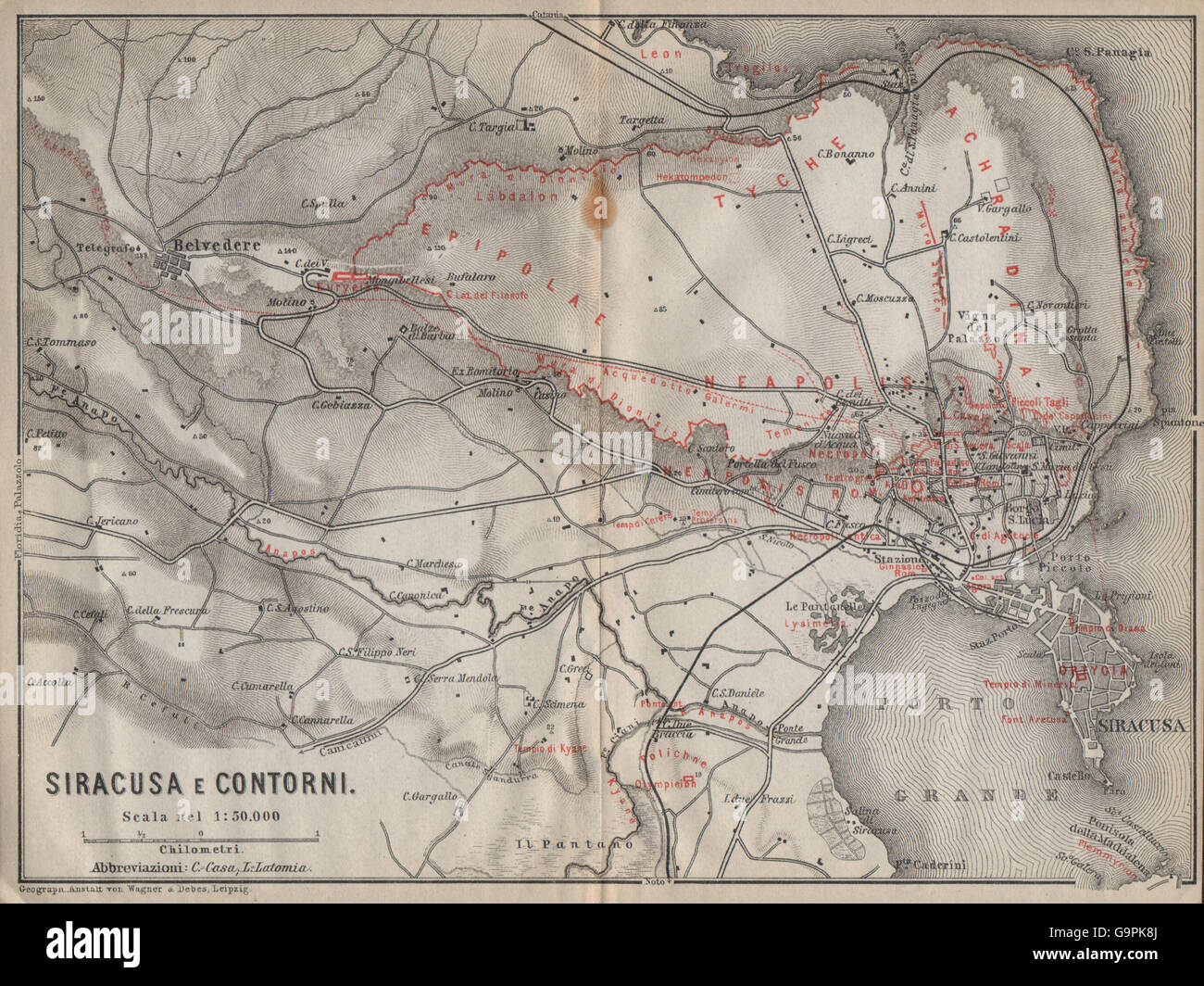 SYRACUSE plan/environs. SIRACUSA e contorni. Italy mappa. BAEDEKER, 1912 Stock Photohttps://www.alamy.com/image-license-details/?v=1https://www.alamy.com/stock-photo-syracuse-planenvirons-siracusa-e-contorni-italy-mappa-baedeker-1912-109292194.html
RFG9PK8J–SYRACUSE plan/environs. SIRACUSA e contorni. Italy mappa. BAEDEKER, 1912
 SYRACUSE plan/environs. SIRACUSA e contorni. Italy mappa. BAEDEKER, 1896 Stock Photohttps://www.alamy.com/image-license-details/?v=1https://www.alamy.com/stock-photo-syracuse-planenvirons-siracusa-e-contorni-italy-mappa-baedeker-1896-114411856.html
RFGJ3WDM–SYRACUSE plan/environs. SIRACUSA e contorni. Italy mappa. BAEDEKER, 1896
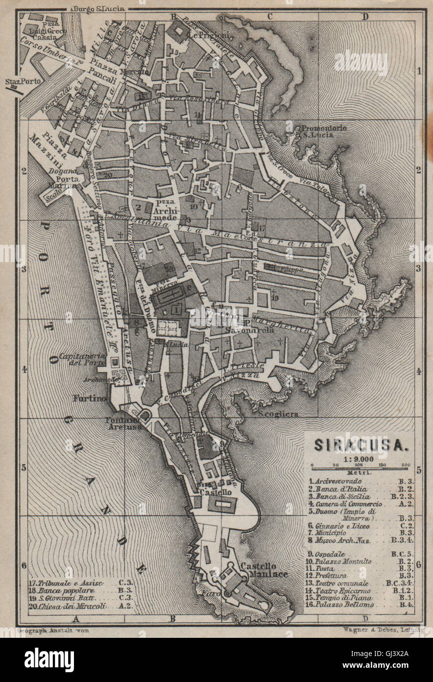 SIRACUSA (SYRACUSE) town city plan piano urbanistico. Italy mappa, 1912 Stock Photohttps://www.alamy.com/image-license-details/?v=1https://www.alamy.com/stock-photo-siracusa-syracuse-town-city-plan-piano-urbanistico-italy-mappa-1912-114412322.html
RFGJ3X2A–SIRACUSA (SYRACUSE) town city plan piano urbanistico. Italy mappa, 1912
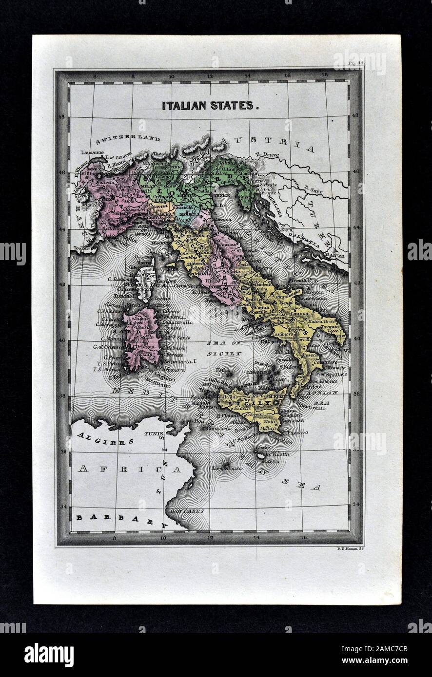 1834 Carey Map of Italy Rome Florence Naples Venice Sicily Stock Photohttps://www.alamy.com/image-license-details/?v=1https://www.alamy.com/1834-carey-map-of-italy-rome-florence-naples-venice-sicily-image339559371.html
RF2AMC7CB–1834 Carey Map of Italy Rome Florence Naples Venice Sicily
 SIRACUSA (SYRACUSE) town city plan piano urbanistico. Italy mappa, 1896 Stock Photohttps://www.alamy.com/image-license-details/?v=1https://www.alamy.com/stock-photo-siracusa-syracuse-town-city-plan-piano-urbanistico-italy-mappa-1896-114411859.html
RFGJ3WDR–SIRACUSA (SYRACUSE) town city plan piano urbanistico. Italy mappa, 1896
 1877 Migeon Map - Italy Stock Photohttps://www.alamy.com/image-license-details/?v=1https://www.alamy.com/stock-photo-1877-migeon-map-italy-172919419.html
RFM194DF–1877 Migeon Map - Italy
 SYRACUSE plan/environs. SIRACUSA e contorni. Italy mappa. BAEDEKER, 1911 Stock Photohttps://www.alamy.com/image-license-details/?v=1https://www.alamy.com/stock-photo-syracuse-planenvirons-siracusa-e-contorni-italy-mappa-baedeker-1911-108075247.html
RFG7R727–SYRACUSE plan/environs. SIRACUSA e contorni. Italy mappa. BAEDEKER, 1911
 1795 Delamarche Atlas Map - Italy Stock Photohttps://www.alamy.com/image-license-details/?v=1https://www.alamy.com/stock-photo-1795-delamarche-atlas-map-italy-175260464.html
RFM53PE8–1795 Delamarche Atlas Map - Italy
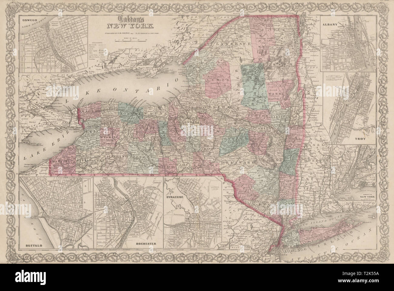 'Colton's New York' state Oswego Buffalo Rochester Syracuse Troy Albany 1863 map Stock Photohttps://www.alamy.com/image-license-details/?v=1https://www.alamy.com/coltons-new-york-state-oswego-buffalo-rochester-syracuse-troy-albany-1863-map-image242595622.html
RFT2K55A–'Colton's New York' state Oswego Buffalo Rochester Syracuse Troy Albany 1863 map
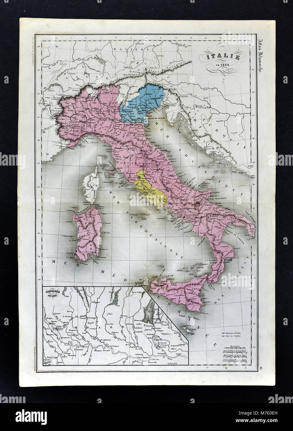 1864 Delamarche Map of Italy with Venice and Vatican Stock Photohttps://www.alamy.com/image-license-details/?v=1https://www.alamy.com/stock-photo-1864-delamarche-map-of-italy-with-venice-and-vatican-176714009.html
RFM7E0EH–1864 Delamarche Map of Italy with Venice and Vatican
 LAKE ONTARIO:Western New York State in 1809. Rochester Syracuse Niagara 1849 map Stock Photohttps://www.alamy.com/image-license-details/?v=1https://www.alamy.com/stock-photo-lake-ontariowestern-new-york-state-in-1809-rochester-syracuse-niagara-105865985.html
RFG46H41–LAKE ONTARIO:Western New York State in 1809. Rochester Syracuse Niagara 1849 map
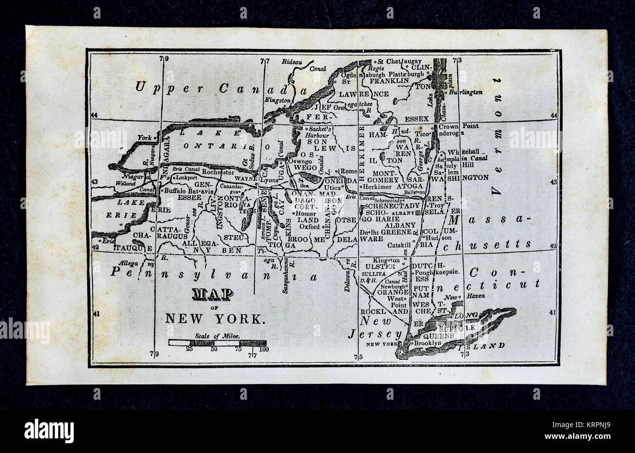 1830 Nathan Hale Map - United States Stock Photohttps://www.alamy.com/image-license-details/?v=1https://www.alamy.com/stock-image-1830-nathan-hale-map-united-states-169530321.html
RFKRPNJ9–1830 Nathan Hale Map - United States
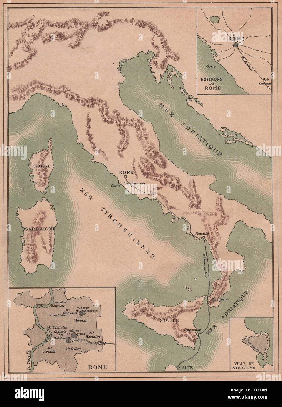 ST PAUL THE APOSTLE. 4th journey to Rome. Italy. Early Christianity, 1887 map Stock Photohttps://www.alamy.com/image-license-details/?v=1https://www.alamy.com/stock-photo-st-paul-the-apostle-4th-journey-to-rome-italy-early-christianity-1887-114301061.html
RFGHXT4N–ST PAUL THE APOSTLE. 4th journey to Rome. Italy. Early Christianity, 1887 map
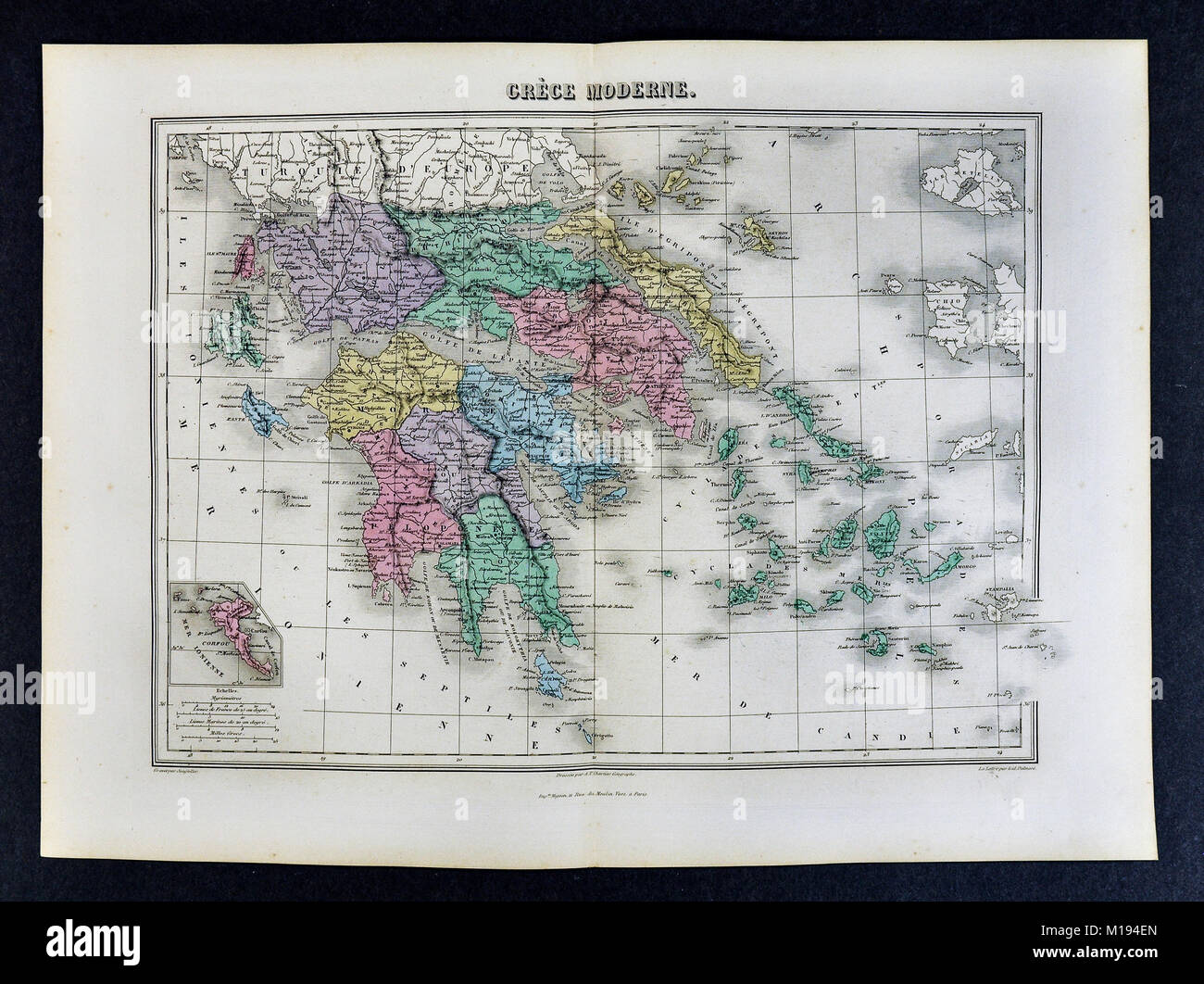 1877 Migeon Map - Greece - Athens Corinth Cyclades Stock Photohttps://www.alamy.com/image-license-details/?v=1https://www.alamy.com/stock-photo-1877-migeon-map-greece-athens-corinth-cyclades-172919453.html
RFM194EN–1877 Migeon Map - Greece - Athens Corinth Cyclades
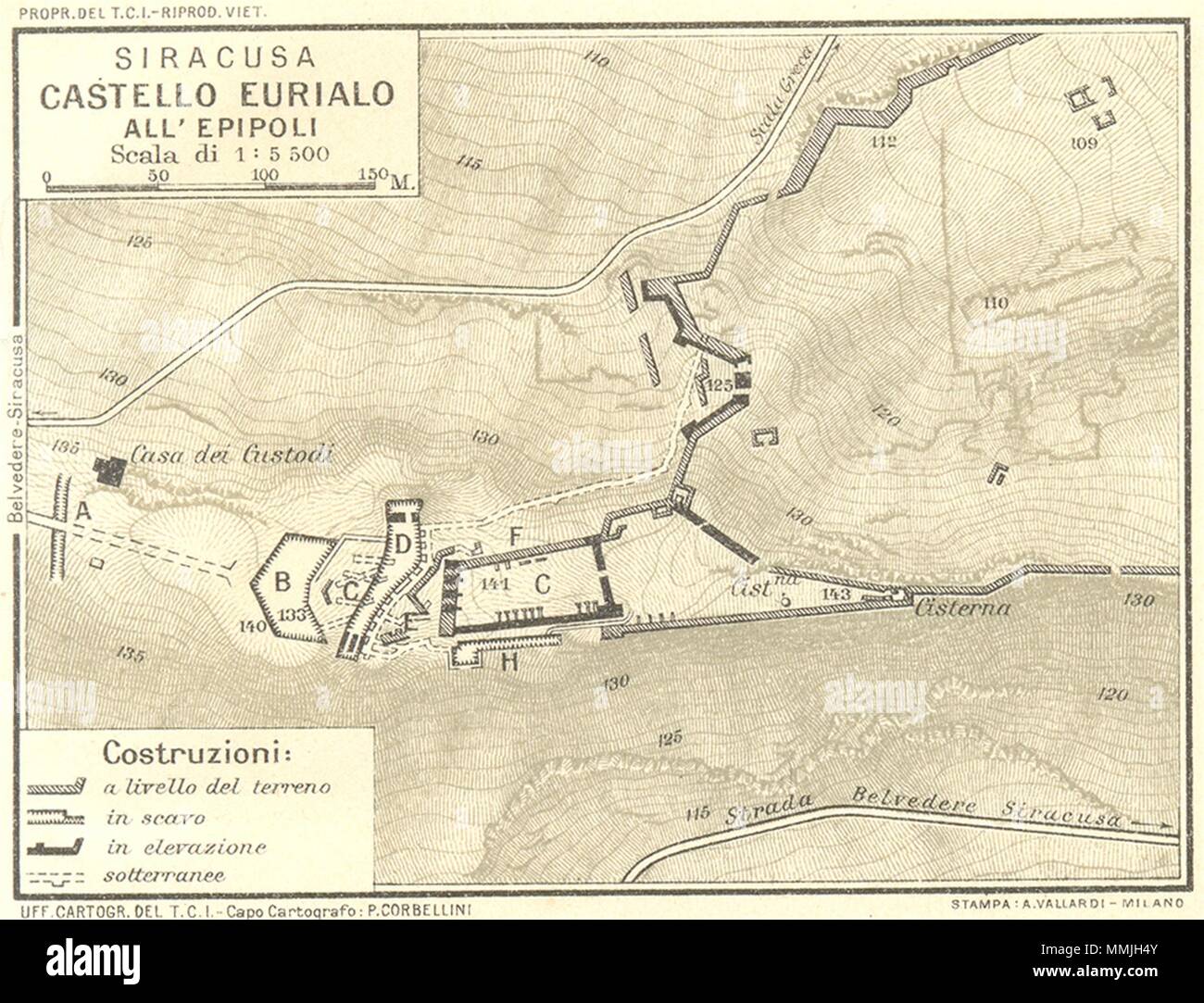 ITALY. Siracusa Castello Eurialo All Epipoli 1925 old vintage map plan chart Stock Photohttps://www.alamy.com/image-license-details/?v=1https://www.alamy.com/italy-siracusa-castello-eurialo-all-epipoli-1925-old-vintage-map-plan-chart-image184805403.html
RFMMJH4Y–ITALY. Siracusa Castello Eurialo All Epipoli 1925 old vintage map plan chart
 Descriptive catalogue of ornamental trees, shrubs vines, roses etc., greenhouse and hot house plants, cultivated and for sale at the Syracuse Nurseries (1871) (1475731 Stock Photohttps://www.alamy.com/image-license-details/?v=1https://www.alamy.com/stock-photo-descriptive-catalogue-of-ornamental-trees-shrubs-vines-roses-etc-greenhouse-122531361.html
RMH39P01–Descriptive catalogue of ornamental trees, shrubs vines, roses etc., greenhouse and hot house plants, cultivated and for sale at the Syracuse Nurseries (1871) (1475731
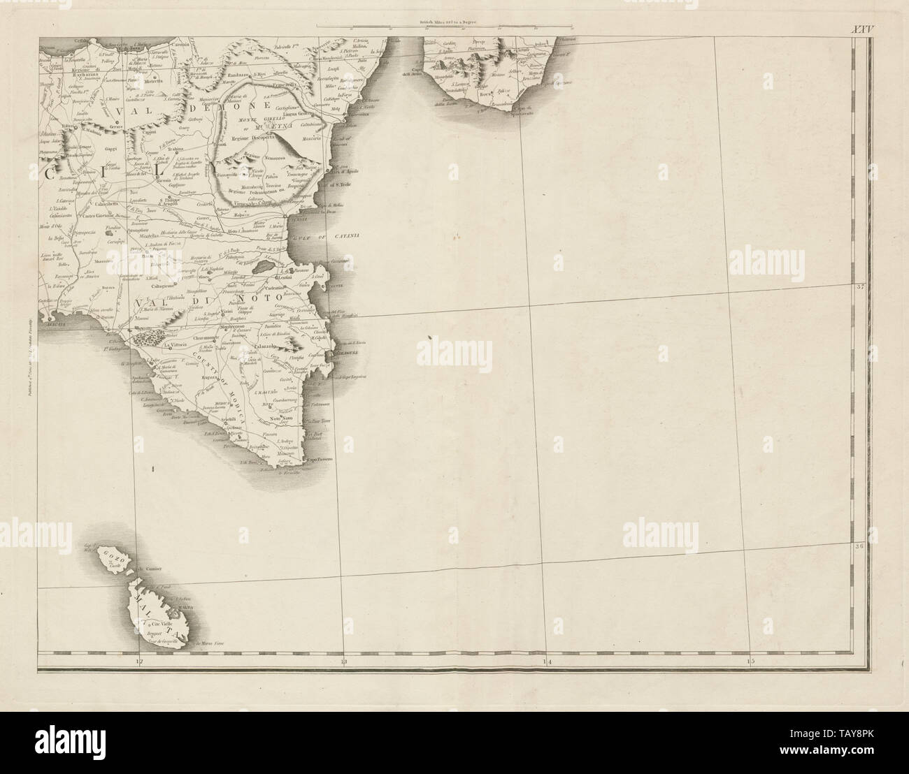 Eastern Sicily, Southern Calabria & Malta. Mount Etna. Italy. CHAUCHARD 1800 map Stock Photohttps://www.alamy.com/image-license-details/?v=1https://www.alamy.com/eastern-sicily-southern-calabria-malta-mount-etna-italy-chauchard-1800-map-image247691323.html
RFTAY8PK–Eastern Sicily, Southern Calabria & Malta. Mount Etna. Italy. CHAUCHARD 1800 map
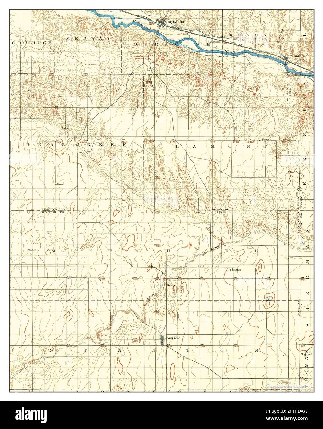 Syracuse, Kansas, map 1900, 1:125000, United States of America by Timeless Maps, data U.S. Geological Survey Stock Photohttps://www.alamy.com/image-license-details/?v=1https://www.alamy.com/syracuse-kansas-map-1900-1125000-united-states-of-america-by-timeless-maps-data-us-geological-survey-image414047169.html
RM2F1HDAW–Syracuse, Kansas, map 1900, 1:125000, United States of America by Timeless Maps, data U.S. Geological Survey
 1877 Migeon Map - Southern Italy - Naples Sicily Palermo Stock Photohttps://www.alamy.com/image-license-details/?v=1https://www.alamy.com/stock-photo-1877-migeon-map-southern-italy-naples-sicily-palermo-172919423.html
RFM194DK–1877 Migeon Map - Southern Italy - Naples Sicily Palermo
 Image taken from page 282 of 'The Struggle of the Nations. Egypt, Syria, and Assyria ... Edited by A. H. Sayce. Translated by M. L. McClure. With map ... and ... illustrations' Image taken from page 282 of 'The Struggle of the Stock Photohttps://www.alamy.com/image-license-details/?v=1https://www.alamy.com/stock-photo-image-taken-from-page-282-of-the-struggle-of-the-nations-egypt-syria-127886514.html
RMHC1MFE–Image taken from page 282 of 'The Struggle of the Nations. Egypt, Syria, and Assyria ... Edited by A. H. Sayce. Translated by M. L. McClure. With map ... and ... illustrations' Image taken from page 282 of 'The Struggle of the
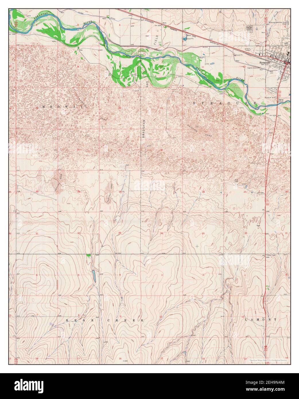 Syracuse West, Kansas, map 1966, 1:24000, United States of America by Timeless Maps, data U.S. Geological Survey Stock Photohttps://www.alamy.com/image-license-details/?v=1https://www.alamy.com/syracuse-west-kansas-map-1966-124000-united-states-of-america-by-timeless-maps-data-us-geological-survey-image406501780.html
RM2EH9N4M–Syracuse West, Kansas, map 1966, 1:24000, United States of America by Timeless Maps, data U.S. Geological Survey
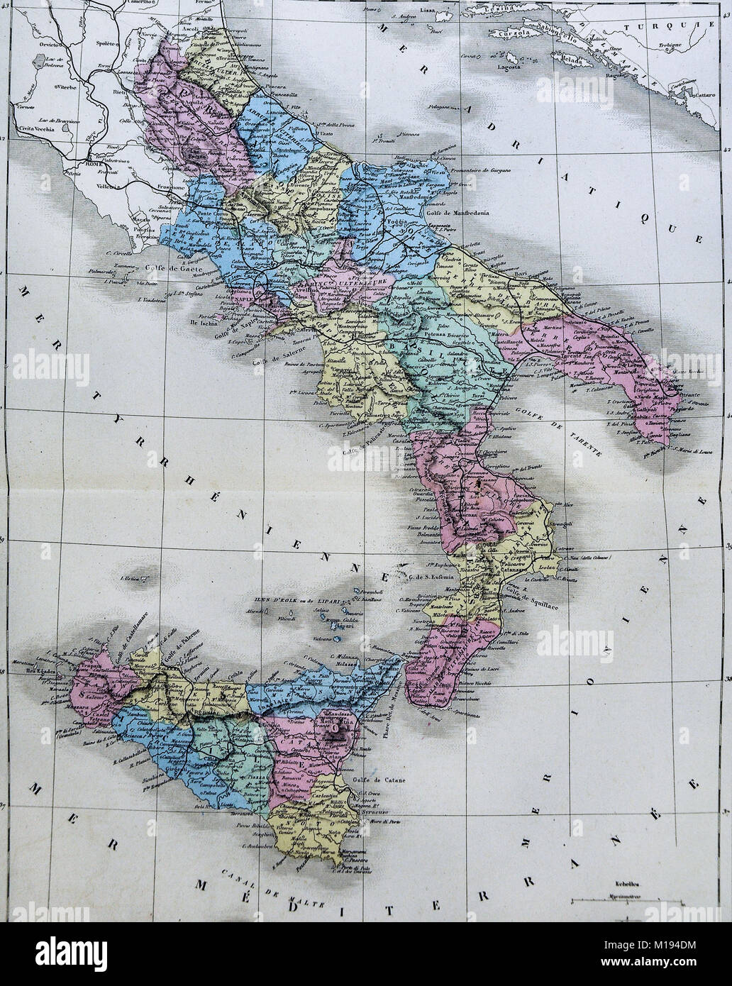 1877 Migeon Map - Southern Italy - Naples Sicily Palermo Stock Photohttps://www.alamy.com/image-license-details/?v=1https://www.alamy.com/stock-photo-1877-migeon-map-southern-italy-naples-sicily-palermo-172919424.html
RFM194DM–1877 Migeon Map - Southern Italy - Naples Sicily Palermo
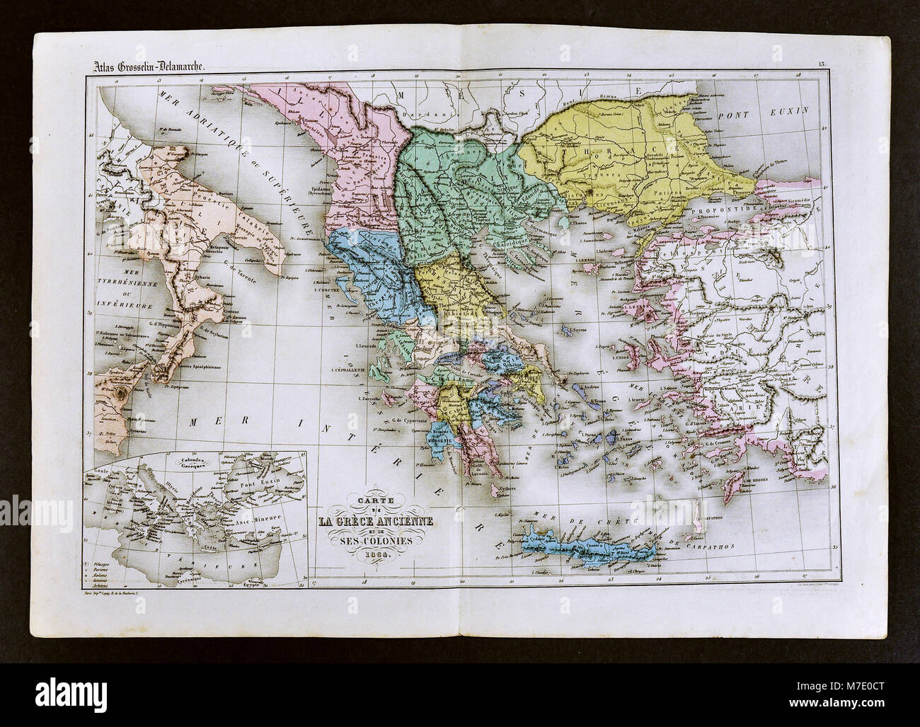 1858 Delamarche Map of Ancient Greece and its Colonies in Italy and Turkey Stock Photohttps://www.alamy.com/image-license-details/?v=1https://www.alamy.com/stock-photo-1858-delamarche-map-of-ancient-greece-and-its-colonies-in-italy-and-176713960.html
RFM7E0CT–1858 Delamarche Map of Ancient Greece and its Colonies in Italy and Turkey
 Descriptive catalogue of fruit trees, vines and plants, cultivated and for sale at the Syracuse Nurseries (1871) (2068639 Stock Photohttps://www.alamy.com/image-license-details/?v=1https://www.alamy.com/stock-photo-descriptive-catalogue-of-fruit-trees-vines-and-plants-cultivated-and-122263567.html
RMH2WGBY–Descriptive catalogue of fruit trees, vines and plants, cultivated and for sale at the Syracuse Nurseries (1871) (2068639
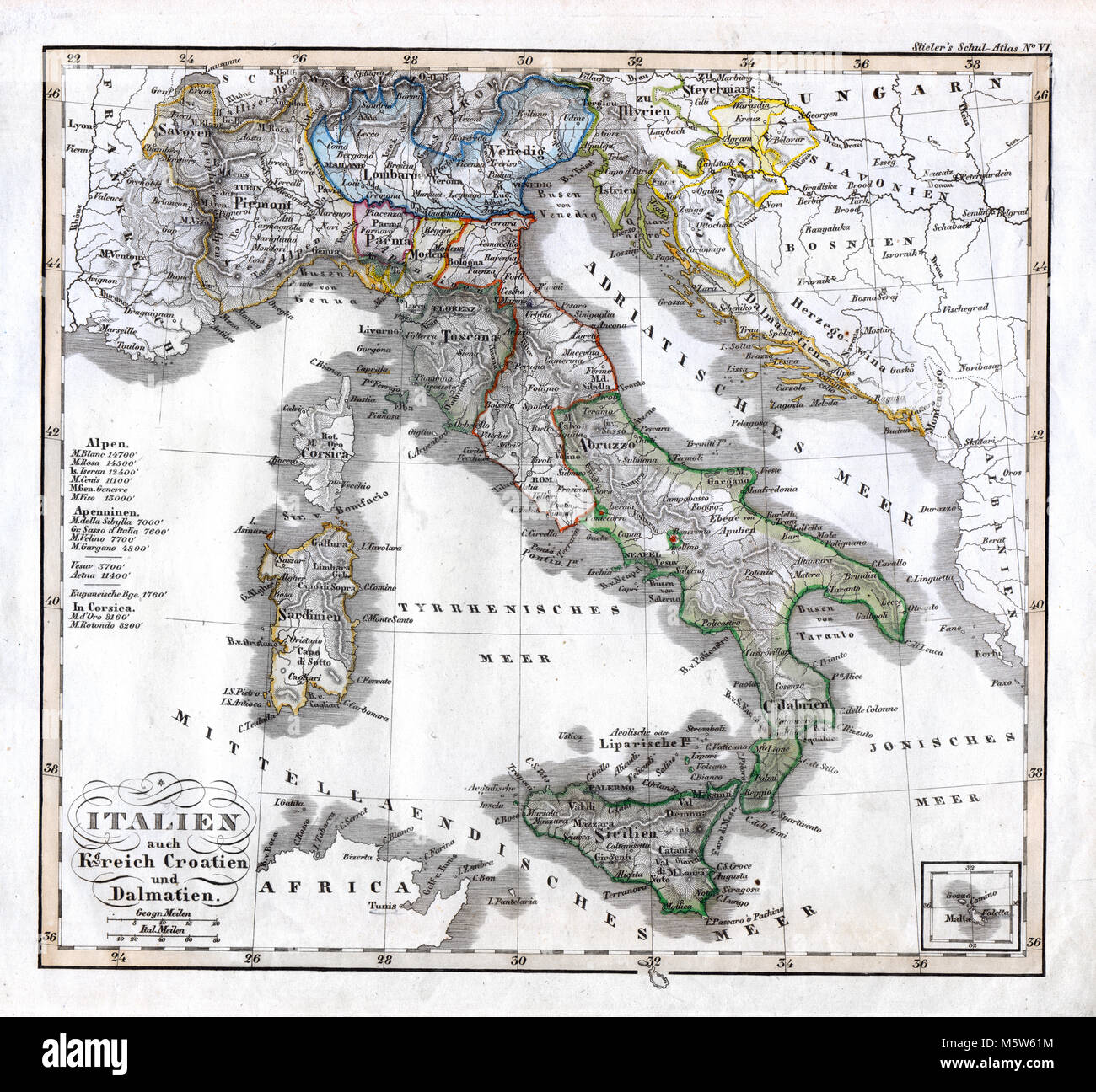 1844 Stieler Map - Italy Croatia Dalmatia Naples Vatican Sardinia Stock Photohttps://www.alamy.com/image-license-details/?v=1https://www.alamy.com/stock-photo-1844-stieler-map-italy-croatia-dalmatia-naples-vatican-sardinia-175730512.html
RFM5W61M–1844 Stieler Map - Italy Croatia Dalmatia Naples Vatican Sardinia
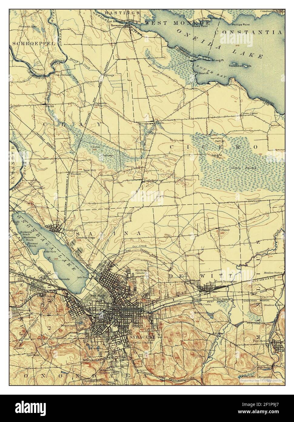 Syracuse, New York, map 1898, 1:62500, United States of America by Timeless Maps, data U.S. Geological Survey Stock Photohttps://www.alamy.com/image-license-details/?v=1https://www.alamy.com/syracuse-new-york-map-1898-162500-united-states-of-america-by-timeless-maps-data-us-geological-survey-image414153999.html
RM2F1P9J7–Syracuse, New York, map 1898, 1:62500, United States of America by Timeless Maps, data U.S. Geological Survey
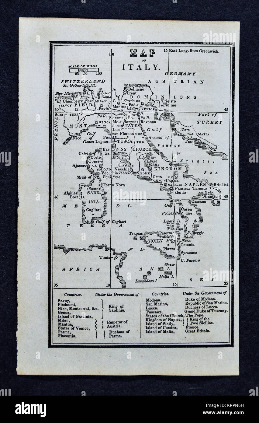 1830 Nathan Hale Map - Italy - Rome Florence Venice Pisa Naples Sicily Stock Photohttps://www.alamy.com/image-license-details/?v=1https://www.alamy.com/stock-image-1830-nathan-hale-map-italy-rome-florence-venice-pisa-naples-sicily-169529993.html
RFKRPN6H–1830 Nathan Hale Map - Italy - Rome Florence Venice Pisa Naples Sicily
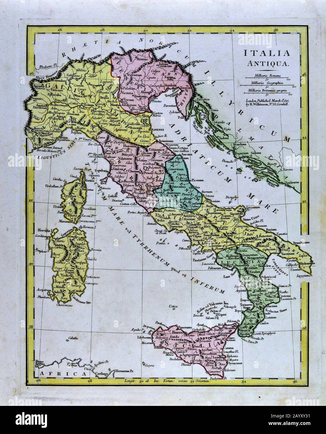 1808 Wilkinson Map Ancient Italy - Italia Antiqua Rome Venice Florence Sicily Naples Stock Photohttps://www.alamy.com/image-license-details/?v=1https://www.alamy.com/1808-wilkinson-map-ancient-italy-italia-antiqua-rome-venice-florence-sicily-naples-image344184709.html
RM2AYXY31–1808 Wilkinson Map Ancient Italy - Italia Antiqua Rome Venice Florence Sicily Naples
 New York State fair and agricultural and industrial exposition. Syracuse, September 9 to 14, 1912. (1912) Stock Photohttps://www.alamy.com/image-license-details/?v=1https://www.alamy.com/stock-photo-new-york-state-fair-and-agricultural-and-industrial-exposition-syracuse-114127647.html
RMGHJXYB–New York State fair and agricultural and industrial exposition. Syracuse, September 9 to 14, 1912. (1912)
 Syracuse, New York, map 1898, 1:62500, United States of America by Timeless Maps, data U.S. Geological Survey Stock Photohttps://www.alamy.com/image-license-details/?v=1https://www.alamy.com/syracuse-new-york-map-1898-162500-united-states-of-america-by-timeless-maps-data-us-geological-survey-image414154023.html
RM2F1P9K3–Syracuse, New York, map 1898, 1:62500, United States of America by Timeless Maps, data U.S. Geological Survey
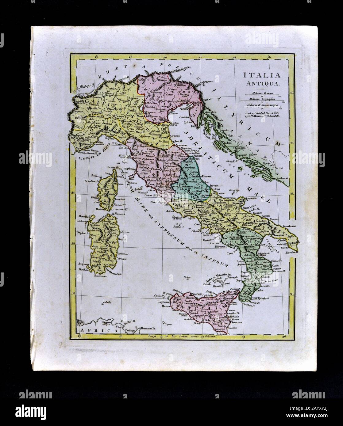 1808 Wilkinson Map Ancient Italy - Italia Antiqua Rome Venice Florence Sicily Naples Stock Photohttps://www.alamy.com/image-license-details/?v=1https://www.alamy.com/1808-wilkinson-map-ancient-italy-italia-antiqua-rome-venice-florence-sicily-naples-image344184698.html
RM2AYXY2J–1808 Wilkinson Map Ancient Italy - Italia Antiqua Rome Venice Florence Sicily Naples
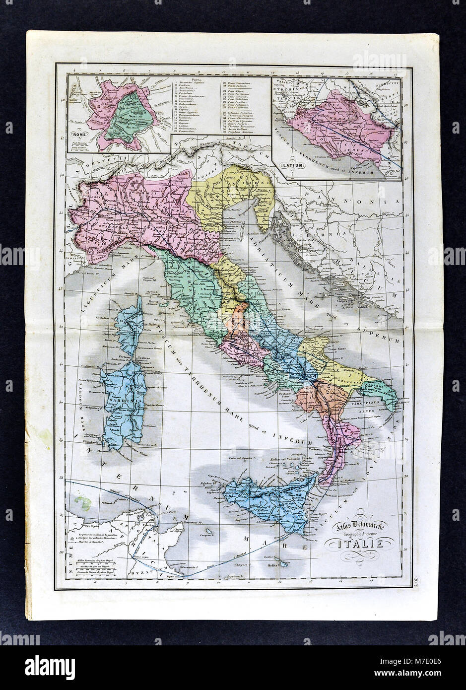 1858 Delamarche Map of Ancient Italy Italia showing Etruria, Latium, Rome and Roman Empire Stock Photohttps://www.alamy.com/image-license-details/?v=1https://www.alamy.com/stock-photo-1858-delamarche-map-of-ancient-italy-italia-showing-etruria-latium-176713998.html
RFM7E0E6–1858 Delamarche Map of Ancient Italy Italia showing Etruria, Latium, Rome and Roman Empire
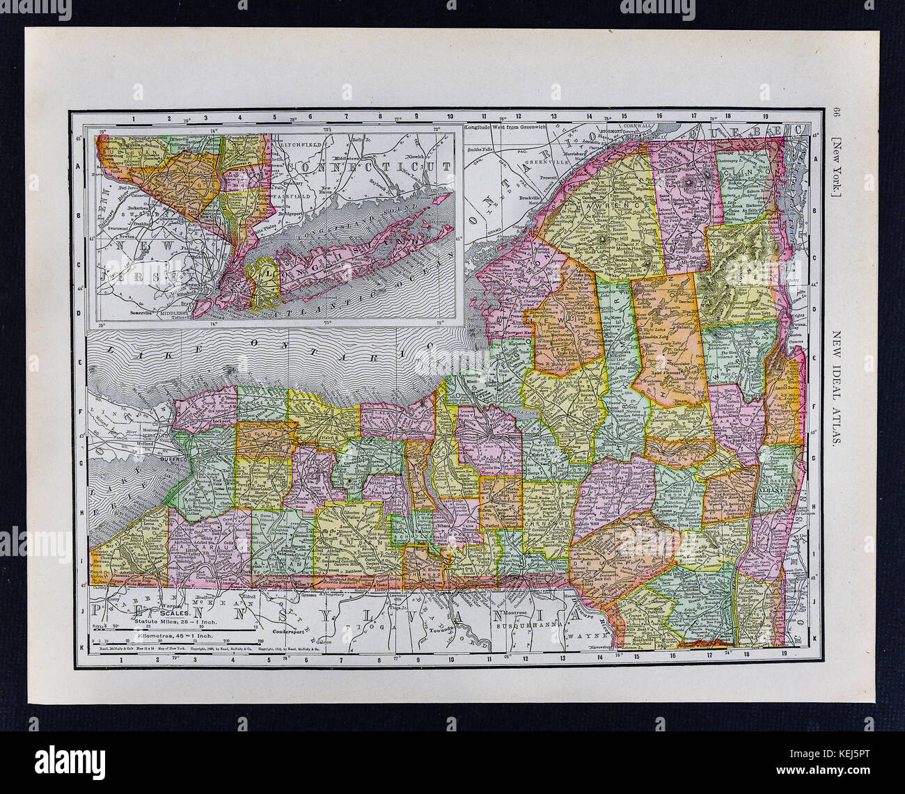 1911 McNally Map - New York State and NY City Long Island Stock Photohttps://www.alamy.com/image-license-details/?v=1https://www.alamy.com/stock-image-1911-mcnally-map-new-york-state-and-ny-city-long-island-163898192.html
RFKEJ5PT–1911 McNally Map - New York State and NY City Long Island
 Image taken from page 408 of 'Por todo Marruecos. Descripción completisima del imperio ... Ilustrado, etc' Image taken from page 408 of 'Por todo Marruecos Descripción Stock Photohttps://www.alamy.com/image-license-details/?v=1https://www.alamy.com/stock-photo-image-taken-from-page-408-of-por-todo-marruecos-descripcion-completisima-127791337.html
RMHBWB49–Image taken from page 408 of 'Por todo Marruecos. Descripción completisima del imperio ... Ilustrado, etc' Image taken from page 408 of 'Por todo Marruecos Descripción
 Syracuse East, Kansas, map 1966, 1:24000, United States of America by Timeless Maps, data U.S. Geological Survey Stock Photohttps://www.alamy.com/image-license-details/?v=1https://www.alamy.com/syracuse-east-kansas-map-1966-124000-united-states-of-america-by-timeless-maps-data-us-geological-survey-image406501772.html
RM2EH9N4C–Syracuse East, Kansas, map 1966, 1:24000, United States of America by Timeless Maps, data U.S. Geological Survey
 Image taken from page 283 of 'The Diversions of a Prime Minister, etc. (A sketch of the history of Tonga.)' Image taken from page 283 of 'The Diversions of a Stock Photohttps://www.alamy.com/image-license-details/?v=1https://www.alamy.com/stock-photo-image-taken-from-page-283-of-the-diversions-of-a-prime-minister-etc-127809429.html
RMHBX66D–Image taken from page 283 of 'The Diversions of a Prime Minister, etc. (A sketch of the history of Tonga.)' Image taken from page 283 of 'The Diversions of a
 Syracuse, New York, map 1898, 1:62500, United States of America by Timeless Maps, data U.S. Geological Survey Stock Photohttps://www.alamy.com/image-license-details/?v=1https://www.alamy.com/syracuse-new-york-map-1898-162500-united-states-of-america-by-timeless-maps-data-us-geological-survey-image414154021.html
RM2F1P9K1–Syracuse, New York, map 1898, 1:62500, United States of America by Timeless Maps, data U.S. Geological Survey
![Image taken from page 722 of 'A magyar nemzet tortenete. Szerkeszti Szilágyi S. [With maps and illustrations.]' Image taken from page 722 of 'A magyar nemzet tortenete Stock Photo Image taken from page 722 of 'A magyar nemzet tortenete. Szerkeszti Szilágyi S. [With maps and illustrations.]' Image taken from page 722 of 'A magyar nemzet tortenete Stock Photo](https://c8.alamy.com/comp/HC0PT8/image-taken-from-page-722-of-a-magyar-nemzet-tortenete-szerkeszti-HC0PT8.jpg) Image taken from page 722 of 'A magyar nemzet tortenete. Szerkeszti Szilágyi S. [With maps and illustrations.]' Image taken from page 722 of 'A magyar nemzet tortenete Stock Photohttps://www.alamy.com/image-license-details/?v=1https://www.alamy.com/stock-photo-image-taken-from-page-722-of-a-magyar-nemzet-tortenete-szerkeszti-127866376.html
Image taken from page 722 of 'A magyar nemzet tortenete. Szerkeszti Szilágyi S. [With maps and illustrations.]' Image taken from page 722 of 'A magyar nemzet tortenete Stock Photohttps://www.alamy.com/image-license-details/?v=1https://www.alamy.com/stock-photo-image-taken-from-page-722-of-a-magyar-nemzet-tortenete-szerkeszti-127866376.htmlRMHC0PT8–Image taken from page 722 of 'A magyar nemzet tortenete. Szerkeszti Szilágyi S. [With maps and illustrations.]' Image taken from page 722 of 'A magyar nemzet tortenete
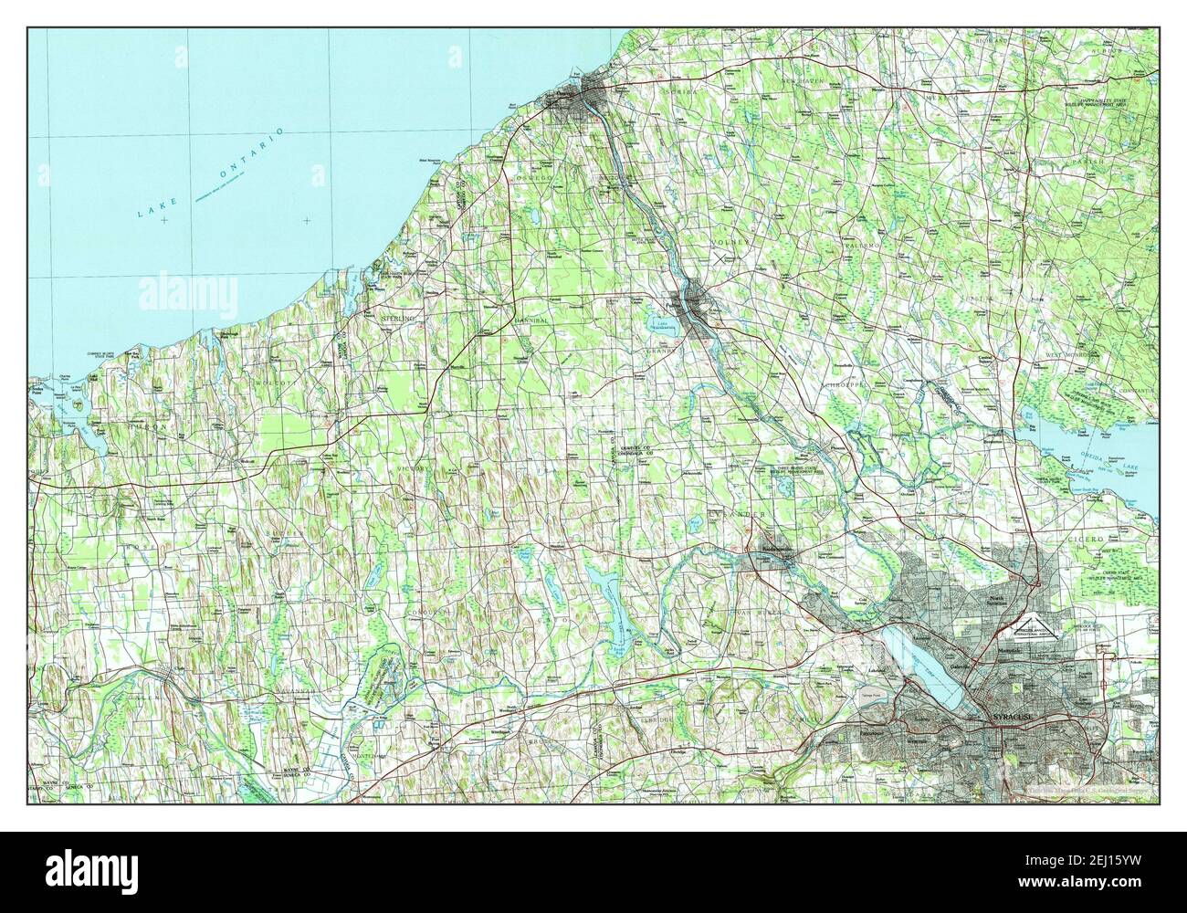 Syracuse, New York, map 1985, 1:100000, United States of America by Timeless Maps, data U.S. Geological Survey Stock Photohttps://www.alamy.com/image-license-details/?v=1https://www.alamy.com/syracuse-new-york-map-1985-1100000-united-states-of-america-by-timeless-maps-data-us-geological-survey-image406928925.html
RM2EJ15YW–Syracuse, New York, map 1985, 1:100000, United States of America by Timeless Maps, data U.S. Geological Survey
 Image taken from page 211 of 'La Sicilia illustrata nella storia, nell'arte, nei paesi, etc' Image taken from page 211 of 'La Sicilia illustrata nella Stock Photohttps://www.alamy.com/image-license-details/?v=1https://www.alamy.com/stock-photo-image-taken-from-page-211-of-la-sicilia-illustrata-nella-storia-nellarte-127696428.html
RMHBN22M–Image taken from page 211 of 'La Sicilia illustrata nella storia, nell'arte, nei paesi, etc' Image taken from page 211 of 'La Sicilia illustrata nella
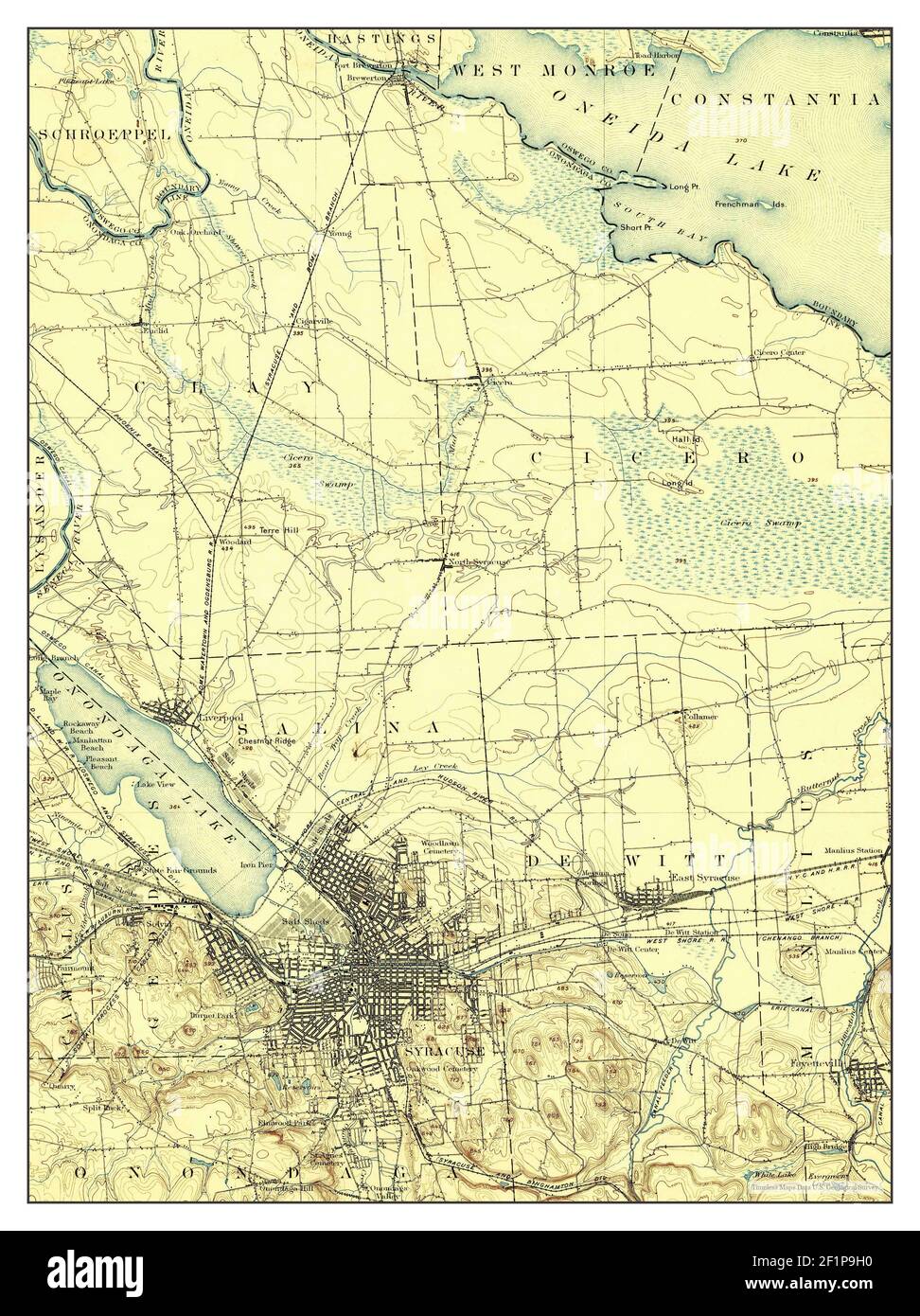 Syracuse, New York, map 1895, 1:62500, United States of America by Timeless Maps, data U.S. Geological Survey Stock Photohttps://www.alamy.com/image-license-details/?v=1https://www.alamy.com/syracuse-new-york-map-1895-162500-united-states-of-america-by-timeless-maps-data-us-geological-survey-image414153964.html
RM2F1P9H0–Syracuse, New York, map 1895, 1:62500, United States of America by Timeless Maps, data U.S. Geological Survey
 Image taken from page 34 of 'A New Geography on the comparative method. With maps and diagrams' Image taken from page 34 of 'A New Geography on Stock Photohttps://www.alamy.com/image-license-details/?v=1https://www.alamy.com/stock-photo-image-taken-from-page-34-of-a-new-geography-on-the-comparative-method-127769936.html
RMHBTBT0–Image taken from page 34 of 'A New Geography on the comparative method. With maps and diagrams' Image taken from page 34 of 'A New Geography on
 Syracuse, New York, map 1898, 1:62500, United States of America by Timeless Maps, data U.S. Geological Survey Stock Photohttps://www.alamy.com/image-license-details/?v=1https://www.alamy.com/syracuse-new-york-map-1898-162500-united-states-of-america-by-timeless-maps-data-us-geological-survey-image414154015.html
RM2F1P9JR–Syracuse, New York, map 1898, 1:62500, United States of America by Timeless Maps, data U.S. Geological Survey
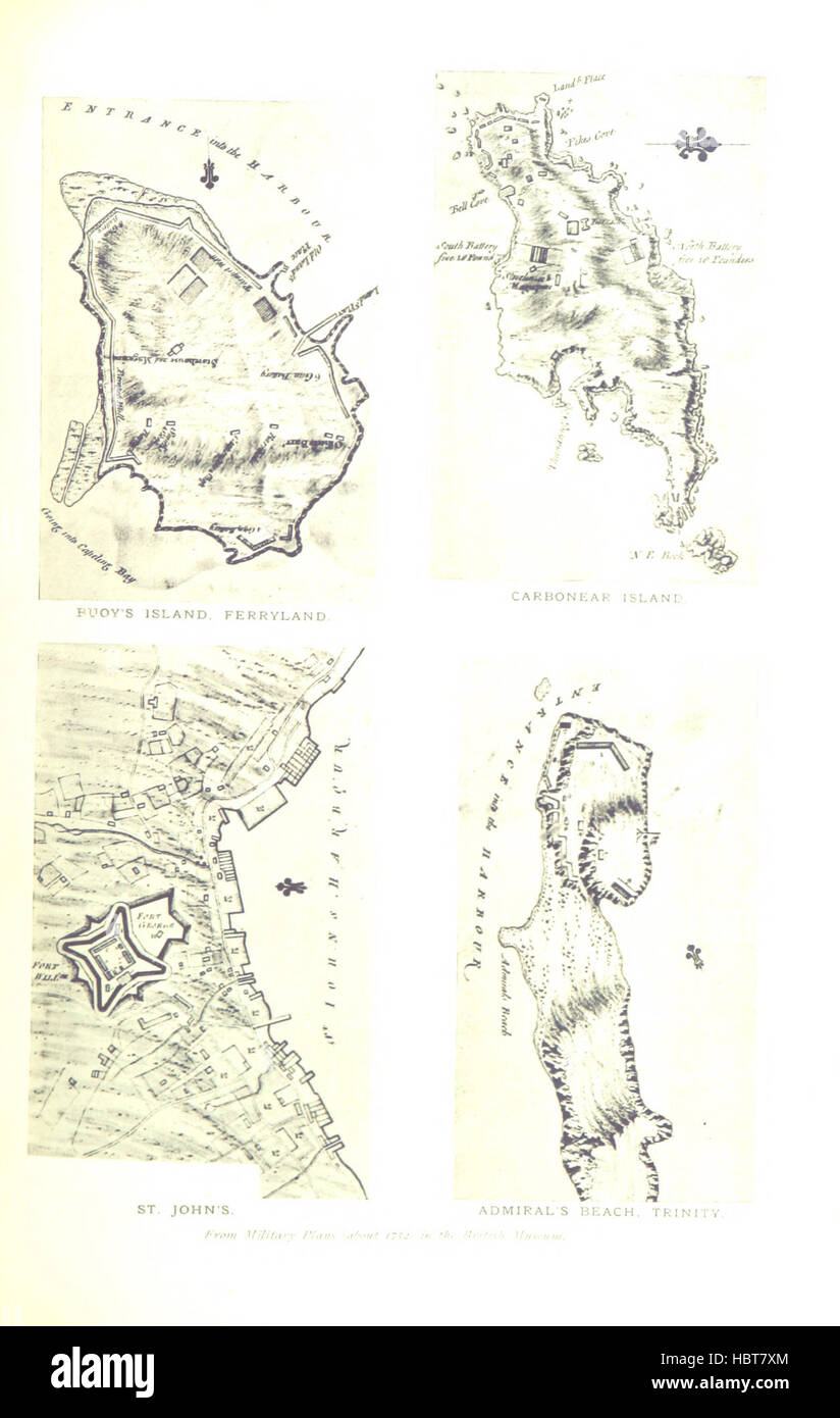 Image taken from page 353 of 'A History of Newfoundland from the English, Colonial and foreign records. ... With ... illustrations and numerous maps' Image taken from page 353 of 'A History of Newfoundland Stock Photohttps://www.alamy.com/image-license-details/?v=1https://www.alamy.com/stock-photo-image-taken-from-page-353-of-a-history-of-newfoundland-from-the-english-127766876.html
RMHBT7XM–Image taken from page 353 of 'A History of Newfoundland from the English, Colonial and foreign records. ... With ... illustrations and numerous maps' Image taken from page 353 of 'A History of Newfoundland
 Syracuse, New York, map 1985, 1:100000, United States of America by Timeless Maps, data U.S. Geological Survey Stock Photohttps://www.alamy.com/image-license-details/?v=1https://www.alamy.com/syracuse-new-york-map-1985-1100000-united-states-of-america-by-timeless-maps-data-us-geological-survey-image406928912.html
RM2EJ15YC–Syracuse, New York, map 1985, 1:100000, United States of America by Timeless Maps, data U.S. Geological Survey
 Image taken from page 187 of 'Der deutsche Krieg von 1866' Image taken from page 187 of 'Der deutsc Stock Photohttps://www.alamy.com/image-license-details/?v=1https://www.alamy.com/stock-photo-image-taken-from-page-187-of-der-deutsche-krieg-von-1866-image-taken-132270978.html
RMHK5CYE–Image taken from page 187 of 'Der deutsche Krieg von 1866' Image taken from page 187 of 'Der deutsc
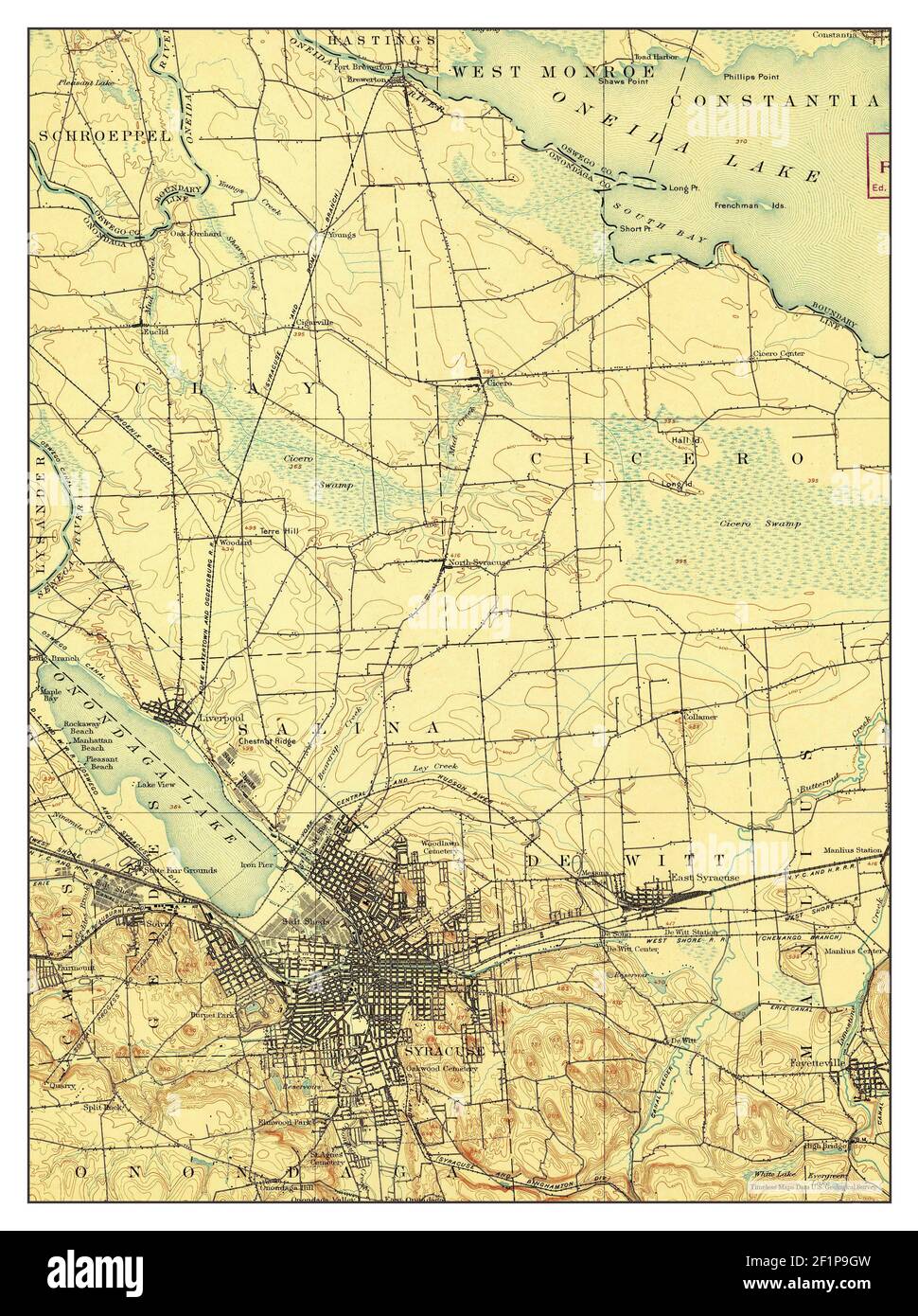 Syracuse, New York, map 1898, 1:62500, United States of America by Timeless Maps, data U.S. Geological Survey Stock Photohttps://www.alamy.com/image-license-details/?v=1https://www.alamy.com/syracuse-new-york-map-1898-162500-united-states-of-america-by-timeless-maps-data-us-geological-survey-image414153961.html
RM2F1P9GW–Syracuse, New York, map 1898, 1:62500, United States of America by Timeless Maps, data U.S. Geological Survey
![Image taken from page 233 of 'Περι Πειραιως και των λιμενων αὐτου κατα τους ἀρχαιους χρονους. [With a summary in French and maps.]' Image taken from page 233 of 'Περι Πειραιως � Stock Photo Image taken from page 233 of 'Περι Πειραιως και των λιμενων αὐτου κατα τους ἀρχαιους χρονους. [With a summary in French and maps.]' Image taken from page 233 of 'Περι Πειραιως � Stock Photo](https://c8.alamy.com/comp/HK68CD/image-taken-from-page-233-of-with-a-summary-in-french-and-maps-image-HK68CD.jpg) Image taken from page 233 of 'Περι Πειραιως και των λιμενων αὐτου κατα τους ἀρχαιους χρονους. [With a summary in French and maps.]' Image taken from page 233 of 'Περι Πειραιως � Stock Photohttps://www.alamy.com/image-license-details/?v=1https://www.alamy.com/stock-photo-image-taken-from-page-233-of-with-a-summary-in-french-and-maps-image-132289373.html
Image taken from page 233 of 'Περι Πειραιως και των λιμενων αὐτου κατα τους ἀρχαιους χρονους. [With a summary in French and maps.]' Image taken from page 233 of 'Περι Πειραιως � Stock Photohttps://www.alamy.com/image-license-details/?v=1https://www.alamy.com/stock-photo-image-taken-from-page-233-of-with-a-summary-in-french-and-maps-image-132289373.htmlRMHK68CD–Image taken from page 233 of 'Περι Πειραιως και των λιμενων αὐτου κατα τους ἀρχαιους χρονους. [With a summary in French and maps.]' Image taken from page 233 of 'Περι Πειραιως �
 Syracuse, New York, map 1898, 1:62500, United States of America by Timeless Maps, data U.S. Geological Survey Stock Photohttps://www.alamy.com/image-license-details/?v=1https://www.alamy.com/syracuse-new-york-map-1898-162500-united-states-of-america-by-timeless-maps-data-us-geological-survey-image414153989.html
RM2F1P9HW–Syracuse, New York, map 1898, 1:62500, United States of America by Timeless Maps, data U.S. Geological Survey
 Image taken from page 119 of 'The Foundations of England; or, Twelve centuries of British history, B.C. 55-A.D. 1154 ... With maps and illustrations' Image taken from page 119 of 'The Foundations Stock Photohttps://www.alamy.com/image-license-details/?v=1https://www.alamy.com/stock-photo-image-taken-from-page-119-of-the-foundations-of-england-or-twelve-132251846.html
RMHK4GG6–Image taken from page 119 of 'The Foundations of England; or, Twelve centuries of British history, B.C. 55-A.D. 1154 ... With maps and illustrations' Image taken from page 119 of 'The Foundations