Quick filters:
Antwerp map Stock Photos and Images
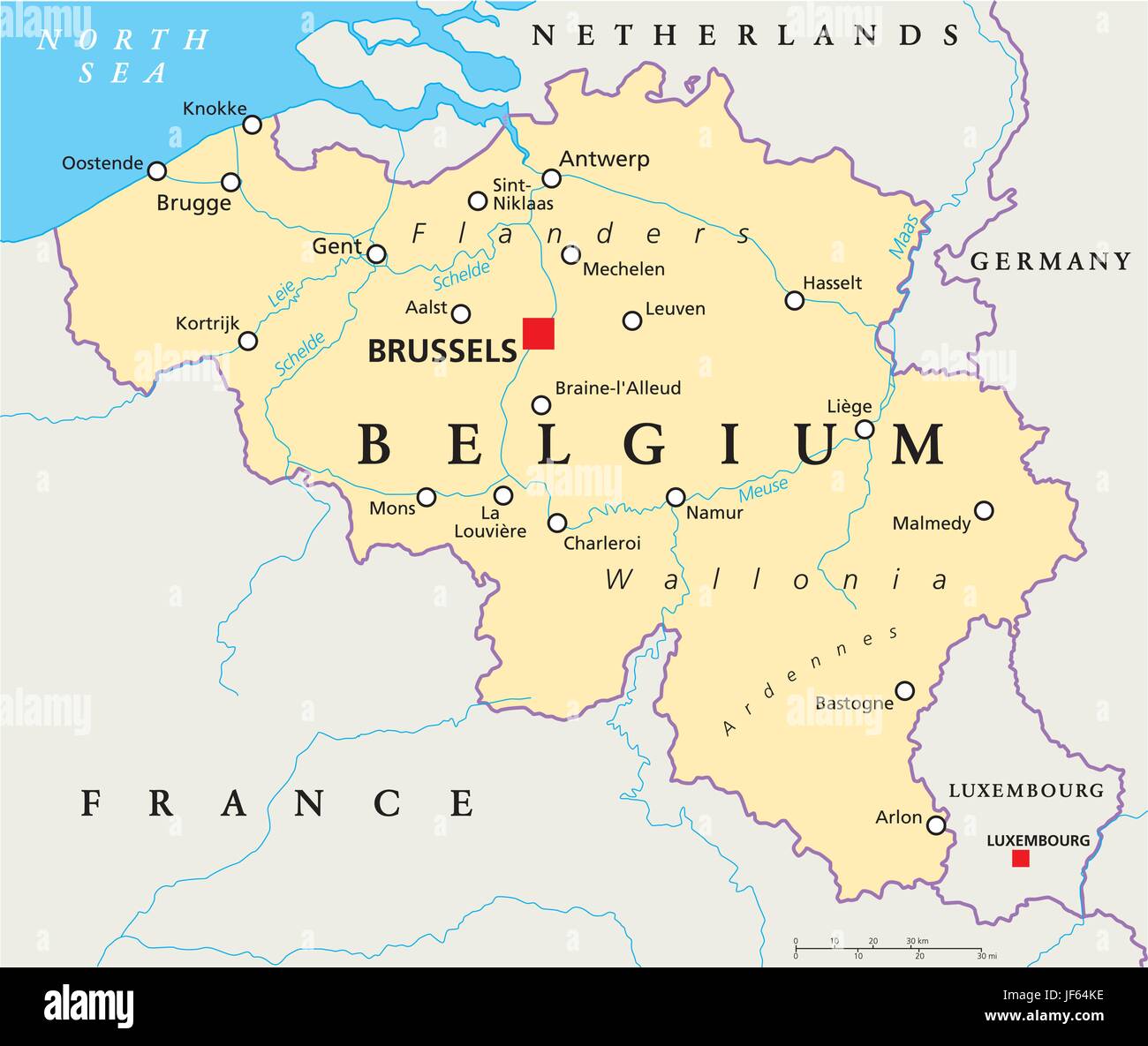 belgium, brussels, benelux, antwerp, map, atlas, map of the world, travel, Stock Vectorhttps://www.alamy.com/image-license-details/?v=1https://www.alamy.com/stock-photo-belgium-brussels-benelux-antwerp-map-atlas-map-of-the-world-travel-147038178.html
RFJF64KE–belgium, brussels, benelux, antwerp, map, atlas, map of the world, travel,
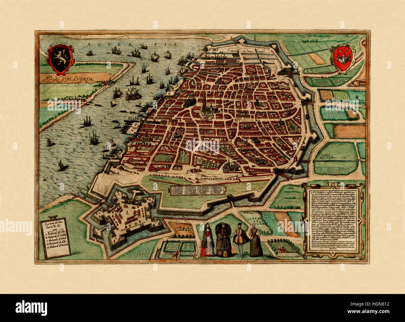 Map Of Antwerp 1560 Stock Photohttps://www.alamy.com/image-license-details/?v=1https://www.alamy.com/stock-photo-map-of-antwerp-1560-130772798.html
RFHGN612–Map Of Antwerp 1560
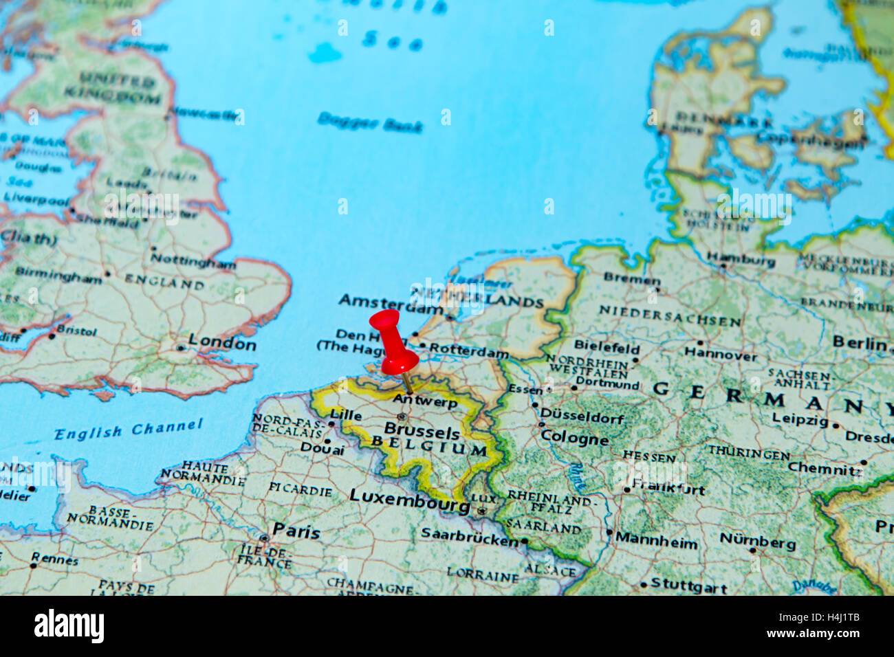 Antwerp, Belgium pinned on a map of Europe. Stock Photohttps://www.alamy.com/image-license-details/?v=1https://www.alamy.com/stock-photo-antwerp-belgium-pinned-on-a-map-of-europe-123327803.html
RMH4J1TB–Antwerp, Belgium pinned on a map of Europe.
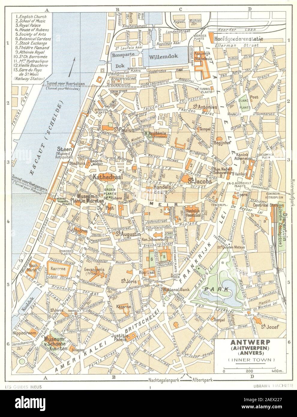 BELGIUM. Antwerp (Antwerpen) (Anvers) (Inner Town) 1950 old vintage map Stock Photohttps://www.alamy.com/image-license-details/?v=1https://www.alamy.com/belgium-antwerp-antwerpen-anvers-inner-town-1950-old-vintage-map-image336174559.html
RF2AEX227–BELGIUM. Antwerp (Antwerpen) (Anvers) (Inner Town) 1950 old vintage map
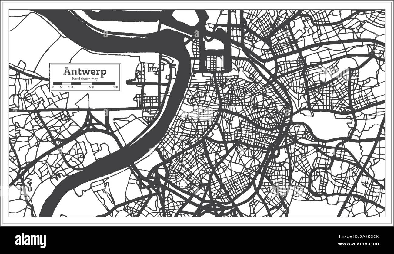 Antwerp Belgium City Map in Black and White Color. Outline Map. Vector Illustration. Stock Vectorhttps://www.alamy.com/image-license-details/?v=1https://www.alamy.com/antwerp-belgium-city-map-in-black-and-white-color-outline-map-vector-illustration-image332344227.html
RF2A8KGCK–Antwerp Belgium City Map in Black and White Color. Outline Map. Vector Illustration.
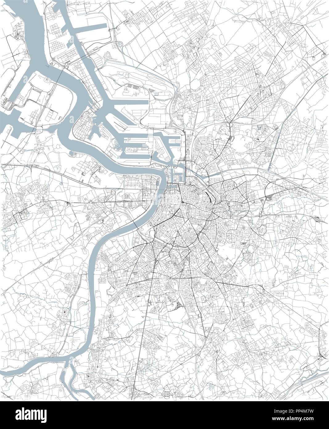 Map of Antwerp, satellite view, black and white map. Street directory and city map. Belgium Stock Vectorhttps://www.alamy.com/image-license-details/?v=1https://www.alamy.com/map-of-antwerp-satellite-view-black-and-white-map-street-directory-and-city-map-belgium-image220150557.html
RFPP4M7W–Map of Antwerp, satellite view, black and white map. Street directory and city map. Belgium
 Defences of Antwerp. Map indicating the areas inundated by the Belgian forces in defence of the city. Stock Photohttps://www.alamy.com/image-license-details/?v=1https://www.alamy.com/stock-photo-defences-of-antwerp-map-indicating-the-areas-inundated-by-the-belgian-83347388.html
RMERGPCC–Defences of Antwerp. Map indicating the areas inundated by the Belgian forces in defence of the city.
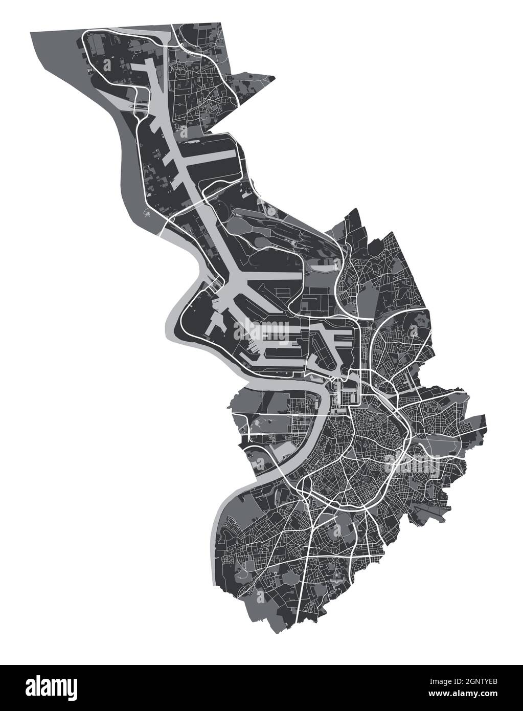 Antwerp map. Detailed vector map of Antwerp city administrative area. Cityscape poster metropolitan aria view. Black land with white streets, roads an Stock Vectorhttps://www.alamy.com/image-license-details/?v=1https://www.alamy.com/antwerp-map-detailed-vector-map-of-antwerp-city-administrative-area-cityscape-poster-metropolitan-aria-view-black-land-with-white-streets-roads-an-image443715395.html
RF2GNTYEB–Antwerp map. Detailed vector map of Antwerp city administrative area. Cityscape poster metropolitan aria view. Black land with white streets, roads an
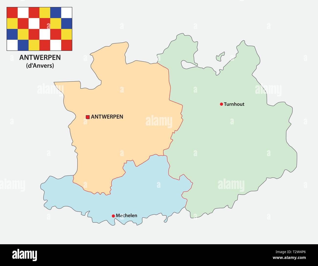 administrative and political vector map of the belgian province Antwerp with flag Stock Vectorhttps://www.alamy.com/image-license-details/?v=1https://www.alamy.com/administrative-and-political-vector-map-of-the-belgian-province-antwerp-with-flag-image242727022.html
RFT2W4P6–administrative and political vector map of the belgian province Antwerp with flag
 Map of Brabant and part of Antwerp, Map of the Province of South Brabant and part of Antwerp (title on object), print maker: Johannes Paulus Houtman, Utrecht, 1813 - 1841, paper, height 460 mm × width 505 mm, print Stock Photohttps://www.alamy.com/image-license-details/?v=1https://www.alamy.com/map-of-brabant-and-part-of-antwerp-map-of-the-province-of-south-brabant-and-part-of-antwerp-title-on-object-print-maker-johannes-paulus-houtman-utrecht-1813-1841-paper-height-460-mm-width-505-mm-print-image599483086.html
RM2WR8PP6–Map of Brabant and part of Antwerp, Map of the Province of South Brabant and part of Antwerp (title on object), print maker: Johannes Paulus Houtman, Utrecht, 1813 - 1841, paper, height 460 mm × width 505 mm, print
 Map of Antwerp 1832 Stock Photohttps://www.alamy.com/image-license-details/?v=1https://www.alamy.com/map-of-antwerp-1832-image184253748.html
RMMKNDF0–Map of Antwerp 1832
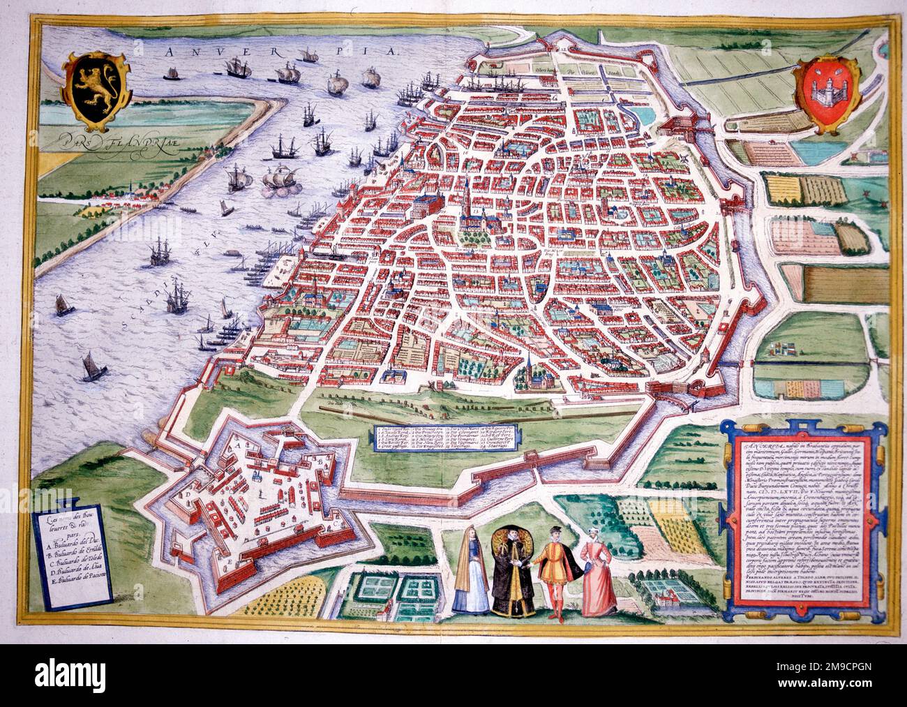 16th century Map of Antwerp Stock Photohttps://www.alamy.com/image-license-details/?v=1https://www.alamy.com/16th-century-map-of-antwerp-image504913717.html
RM2M9CPGN–16th century Map of Antwerp
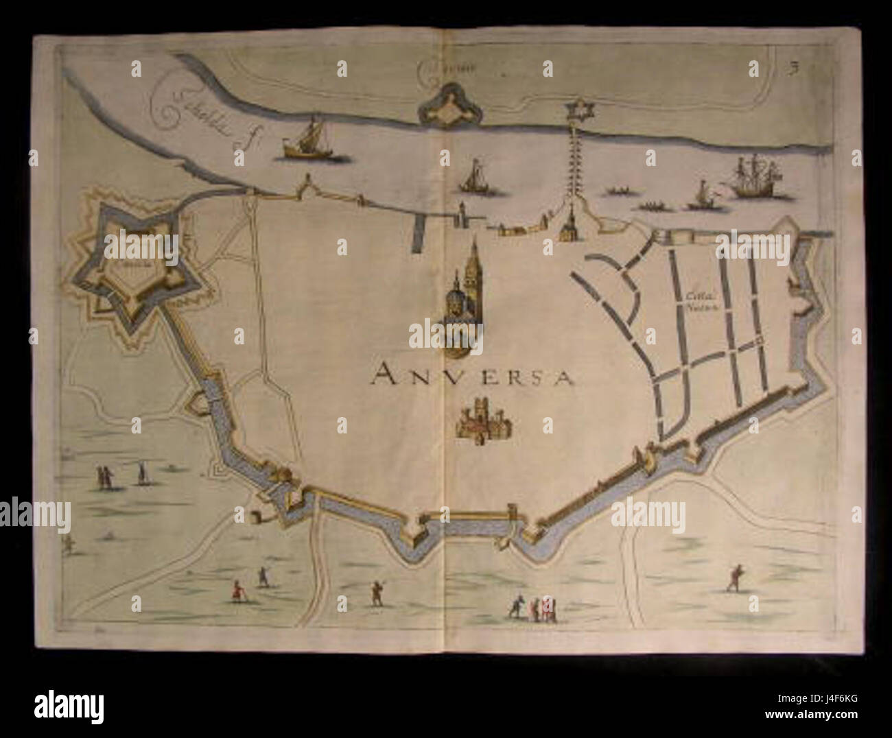 Antwerp Map by Priorato Stock Photohttps://www.alamy.com/image-license-details/?v=1https://www.alamy.com/stock-photo-antwerp-map-by-priorato-140476100.html
RMJ4F6KG–Antwerp Map by Priorato
 Travel poster, urban street plan city map Brussels and Antwerp, vector illustration Stock Vectorhttps://www.alamy.com/image-license-details/?v=1https://www.alamy.com/travel-poster-urban-street-plan-city-map-brussels-and-antwerp-vector-illustration-image468682897.html
RF2J6E9PW–Travel poster, urban street plan city map Brussels and Antwerp, vector illustration
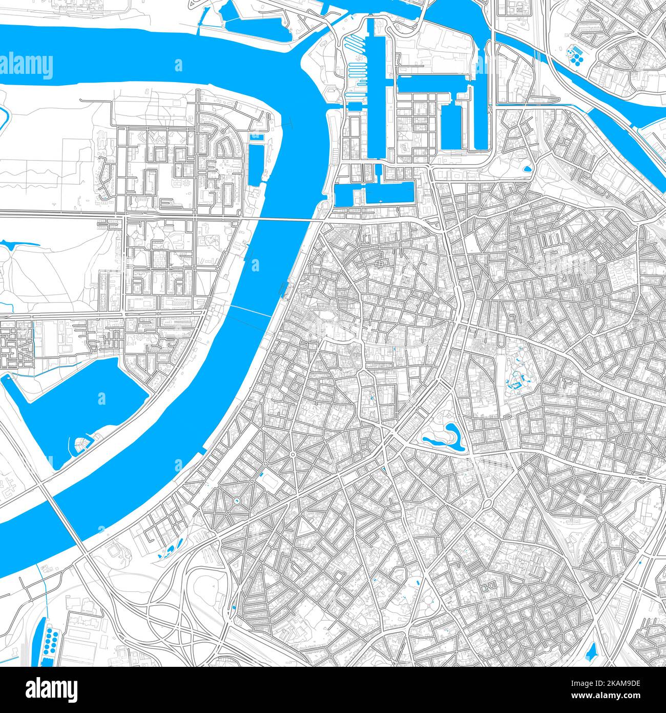 Antwerp, Antwerp, Belgium high resolution vector map with editable paths. Bright outlines for main roads. Use it for any printed and digital backgroun Stock Vectorhttps://www.alamy.com/image-license-details/?v=1https://www.alamy.com/antwerp-antwerp-belgium-high-resolution-vector-map-with-editable-paths-bright-outlines-for-main-roads-use-it-for-any-printed-and-digital-backgroun-image488483338.html
RF2KAM9DE–Antwerp, Antwerp, Belgium high resolution vector map with editable paths. Bright outlines for main roads. Use it for any printed and digital backgroun
 Antwerp Shown on a road map or Geography map Stock Photohttps://www.alamy.com/image-license-details/?v=1https://www.alamy.com/antwerp-shown-on-a-road-map-or-geography-map-image410612702.html
RM2ET10KA–Antwerp Shown on a road map or Geography map
 Antwerp outline map set - Flemish version Stock Vectorhttps://www.alamy.com/image-license-details/?v=1https://www.alamy.com/antwerp-outline-map-set-flemish-version-image180440803.html
RFMDFP2B–Antwerp outline map set - Flemish version
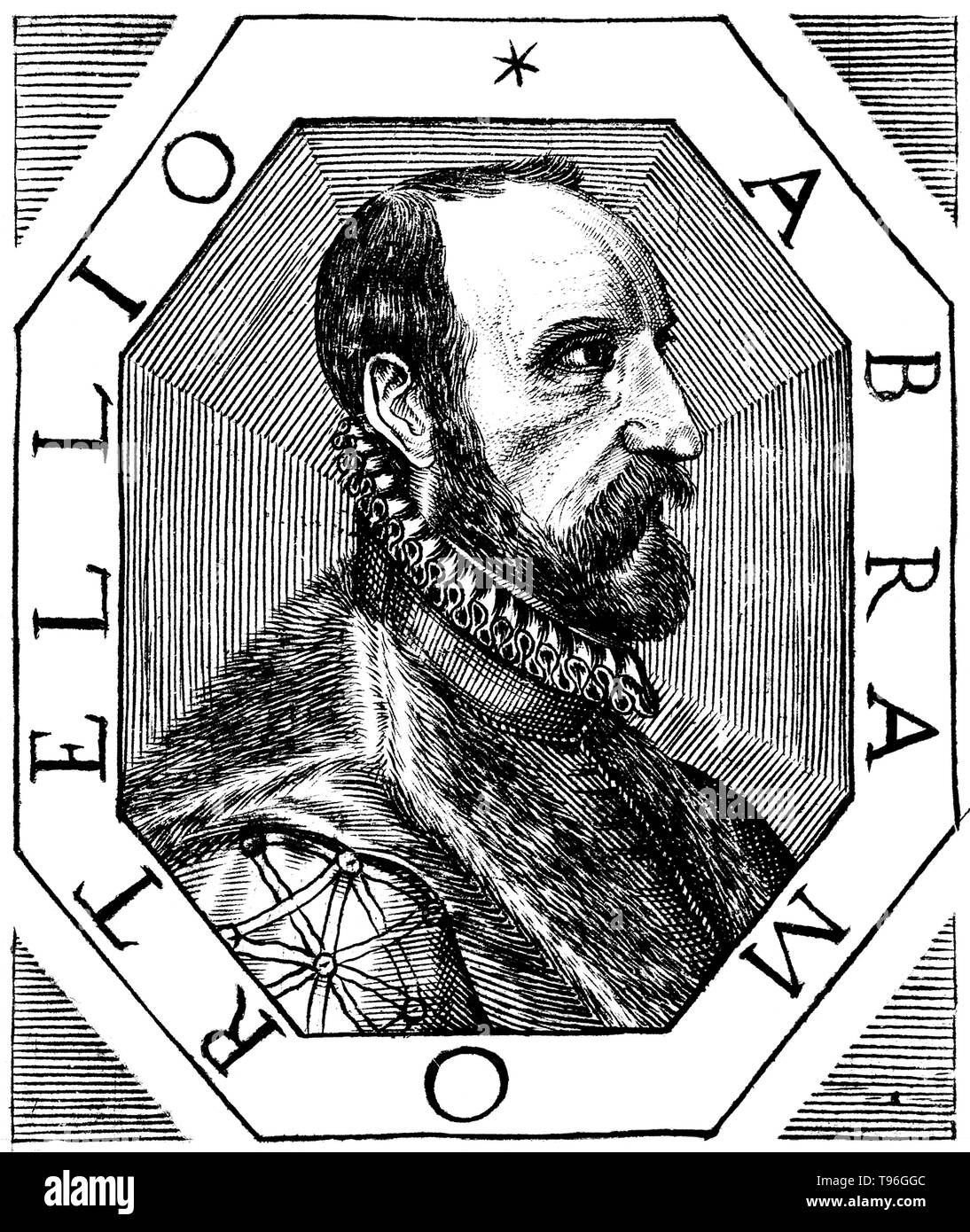 Abraham Ortelius (April 14, 1527 - June 28, 1598) was a Flemish cartographer and geographer. Beginning as a map-engraver, he entered the Antwerp Guild of Saint Luke as an illuminator of maps. He met Gerardus Mercator in 1554, who influenced his decision to become a scientific geographer. In 1564 he published his first map, Typus Orbis Terrarum, an eight-leaved wall map of the world. In 1578 he laid the basis of a critical treatment of ancient geography by his Synonymia geographica. Stock Photohttps://www.alamy.com/image-license-details/?v=1https://www.alamy.com/abraham-ortelius-april-14-1527-june-28-1598-was-a-flemish-cartographer-and-geographer-beginning-as-a-map-engraver-he-entered-the-antwerp-guild-of-saint-luke-as-an-illuminator-of-maps-he-met-gerardus-mercator-in-1554-who-influenced-his-decision-to-become-a-scientific-geographer-in-1564-he-published-his-first-map-typus-orbis-terrarum-an-eight-leaved-wall-map-of-the-world-in-1578-he-laid-the-basis-of-a-critical-treatment-of-ancient-geography-by-his-synonymia-geographica-image246621772.html
RMT96GGC–Abraham Ortelius (April 14, 1527 - June 28, 1598) was a Flemish cartographer and geographer. Beginning as a map-engraver, he entered the Antwerp Guild of Saint Luke as an illuminator of maps. He met Gerardus Mercator in 1554, who influenced his decision to become a scientific geographer. In 1564 he published his first map, Typus Orbis Terrarum, an eight-leaved wall map of the world. In 1578 he laid the basis of a critical treatment of ancient geography by his Synonymia geographica.
![Forts of Antwerp . Map information: Title: [Forts of Antwerp]. 103.51. Date of publication: [about 1745?] Item type: 1 map Medium: manuscript, hand-coloured Dimensions: 57 x 51.7 cm Former owner: George III, King of Great Britain, 1738-1820 Stock Photo Forts of Antwerp . Map information: Title: [Forts of Antwerp]. 103.51. Date of publication: [about 1745?] Item type: 1 map Medium: manuscript, hand-coloured Dimensions: 57 x 51.7 cm Former owner: George III, King of Great Britain, 1738-1820 Stock Photo](https://c8.alamy.com/comp/2E9HR76/forts-of-antwerp-map-information-title-forts-of-antwerp-10351-date-of-publication-about-1745-item-type-1-map-medium-manuscript-hand-coloured-dimensions-57-x-517-cm-former-owner-george-iii-king-of-great-britain-1738-1820-2E9HR76.jpg) Forts of Antwerp . Map information: Title: [Forts of Antwerp]. 103.51. Date of publication: [about 1745?] Item type: 1 map Medium: manuscript, hand-coloured Dimensions: 57 x 51.7 cm Former owner: George III, King of Great Britain, 1738-1820 Stock Photohttps://www.alamy.com/image-license-details/?v=1https://www.alamy.com/forts-of-antwerp-map-information-title-forts-of-antwerp-10351-date-of-publication-about-1745-item-type-1-map-medium-manuscript-hand-coloured-dimensions-57-x-517-cm-former-owner-george-iii-king-of-great-britain-1738-1820-image401761786.html
Forts of Antwerp . Map information: Title: [Forts of Antwerp]. 103.51. Date of publication: [about 1745?] Item type: 1 map Medium: manuscript, hand-coloured Dimensions: 57 x 51.7 cm Former owner: George III, King of Great Britain, 1738-1820 Stock Photohttps://www.alamy.com/image-license-details/?v=1https://www.alamy.com/forts-of-antwerp-map-information-title-forts-of-antwerp-10351-date-of-publication-about-1745-item-type-1-map-medium-manuscript-hand-coloured-dimensions-57-x-517-cm-former-owner-george-iii-king-of-great-britain-1738-1820-image401761786.htmlRM2E9HR76–Forts of Antwerp . Map information: Title: [Forts of Antwerp]. 103.51. Date of publication: [about 1745?] Item type: 1 map Medium: manuscript, hand-coloured Dimensions: 57 x 51.7 cm Former owner: George III, King of Great Britain, 1738-1820
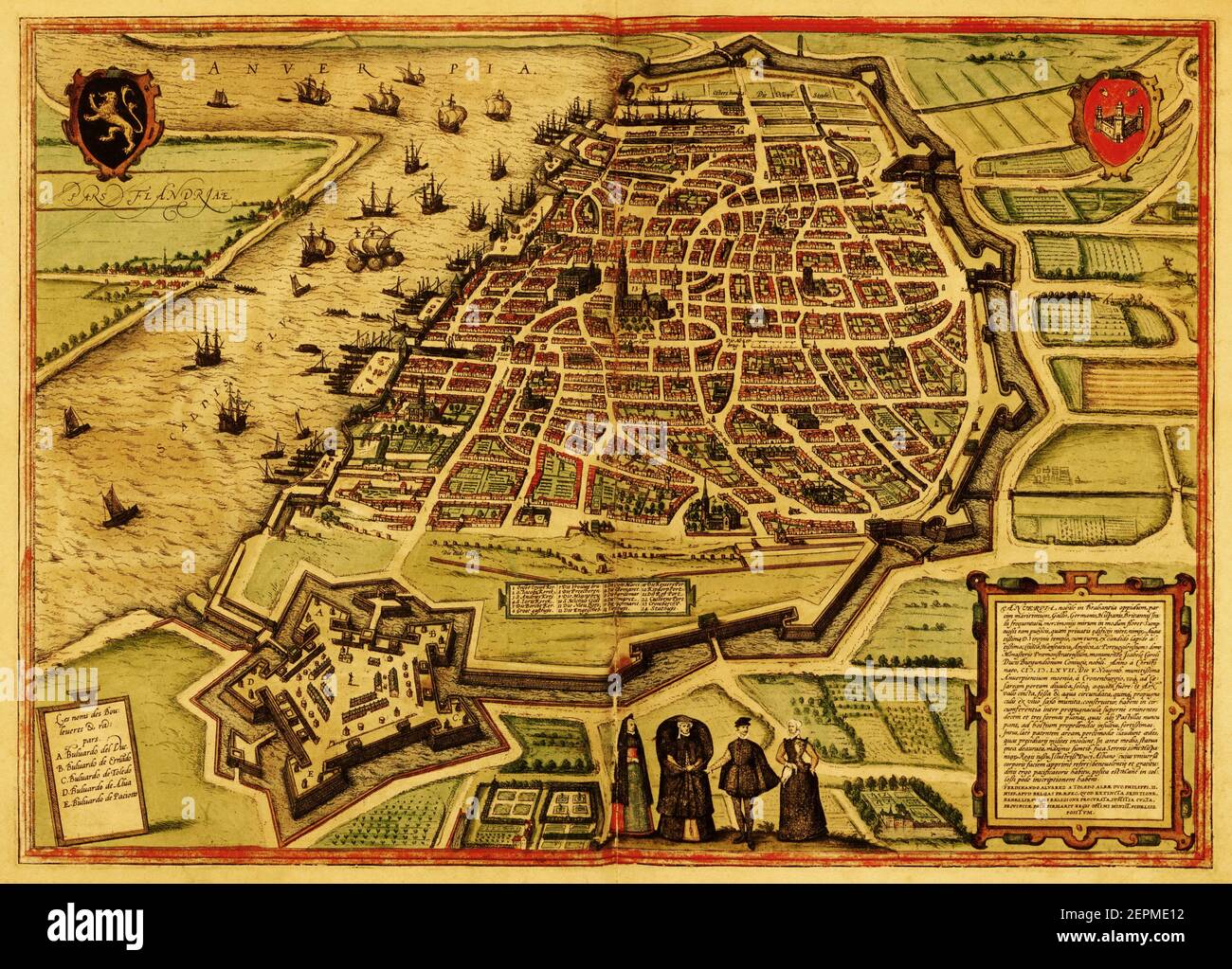 Historic map of the town of Antwerpen, Belgium. Published in the first Latin edition of Braun and Hogenberg's Civitates Orbis Terrarum in 1572. Stock Photohttps://www.alamy.com/image-license-details/?v=1https://www.alamy.com/historic-map-of-the-town-of-antwerpen-belgium-published-in-the-first-latin-edition-of-braun-and-hogenbergs-civitates-orbis-terrarum-in-1572-image409810942.html
RF2EPME12–Historic map of the town of Antwerpen, Belgium. Published in the first Latin edition of Braun and Hogenberg's Civitates Orbis Terrarum in 1572.
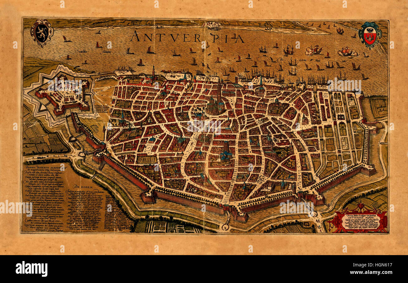 Map Of Antwerp 1574 Stock Photohttps://www.alamy.com/image-license-details/?v=1https://www.alamy.com/stock-photo-map-of-antwerp-1574-130772803.html
RFHGN617–Map Of Antwerp 1574
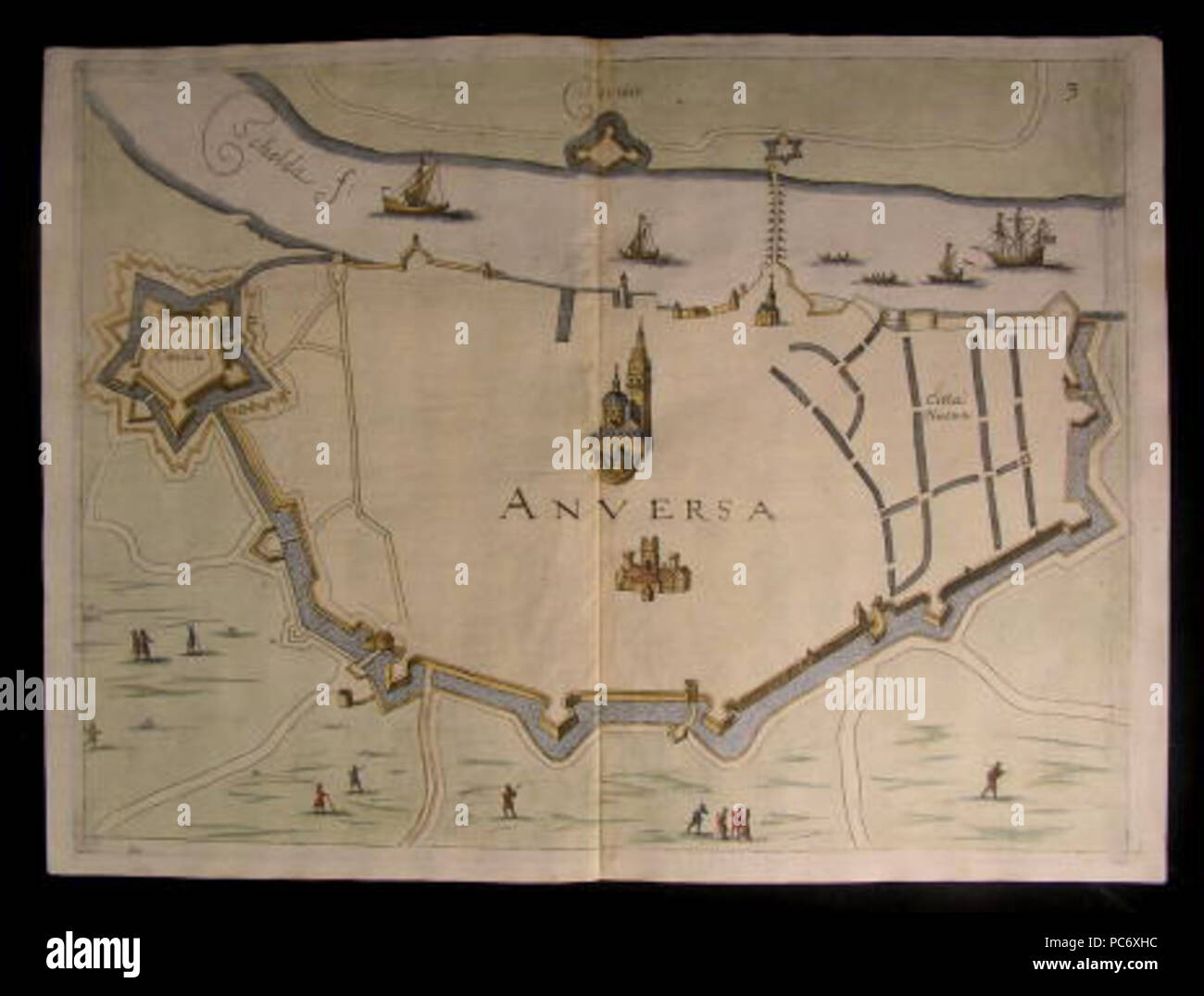 52 Antwerp, Map by Priorato Stock Photohttps://www.alamy.com/image-license-details/?v=1https://www.alamy.com/52-antwerp-map-by-priorato-image214052872.html
RMPC6XHC–52 Antwerp, Map by Priorato
 ANTWERP Map of the new fortifications. Belgium 1866. Illustrated London News Stock Photohttps://www.alamy.com/image-license-details/?v=1https://www.alamy.com/stock-photo-antwerp-map-of-the-new-fortifications-belgium-1866-illustrated-london-95158313.html
RFFEPRB5–ANTWERP Map of the new fortifications. Belgium 1866. Illustrated London News
 Antwerp, map 1906 Stock Photohttps://www.alamy.com/image-license-details/?v=1https://www.alamy.com/stock-photo-antwerp-map-1906-132410235.html
RMHKBPGY–Antwerp, map 1906
 Map of Antwerp in Belgium in blue style. Contains layered vector with roads water, parks, etc. Stock Vectorhttps://www.alamy.com/image-license-details/?v=1https://www.alamy.com/map-of-antwerp-in-belgium-in-blue-style-contains-layered-vector-with-roads-water-parks-etc-image612504082.html
RF2XGDY5P–Map of Antwerp in Belgium in blue style. Contains layered vector with roads water, parks, etc.
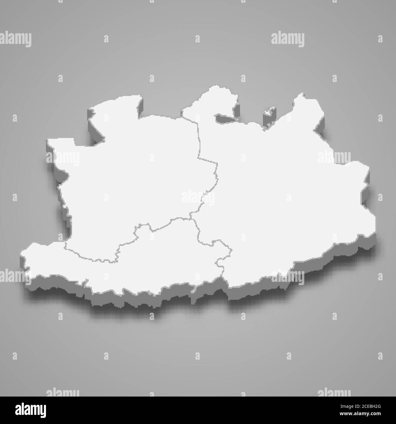 3d map of Antwerp is a province of Belgium Stock Vectorhttps://www.alamy.com/image-license-details/?v=1https://www.alamy.com/3d-map-of-antwerp-is-a-province-of-belgium-image370277784.html
RF2CEBH2G–3d map of Antwerp is a province of Belgium
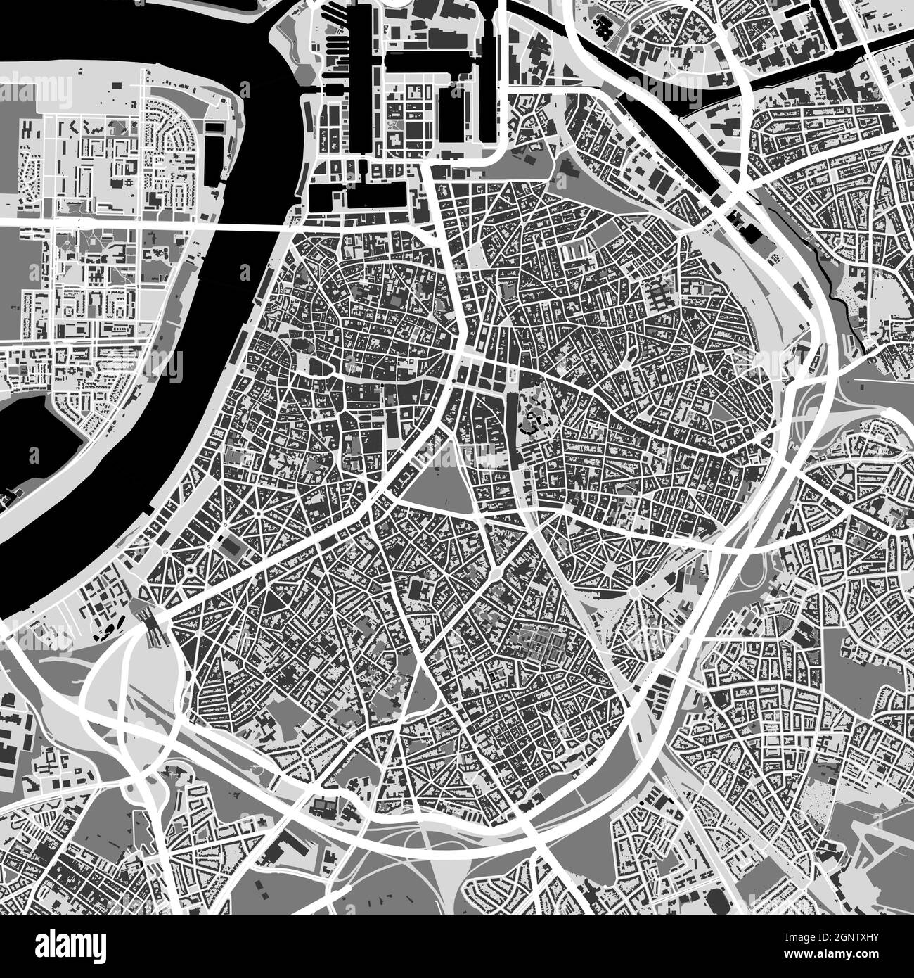 Urban city map of Antwerp. Vector illustration, Antwerp map grayscale art poster. Street map image with roads, metropolitan city area view. Stock Vectorhttps://www.alamy.com/image-license-details/?v=1https://www.alamy.com/urban-city-map-of-antwerp-vector-illustration-antwerp-map-grayscale-art-poster-street-map-image-with-roads-metropolitan-city-area-view-image443714711.html
RF2GNTXHY–Urban city map of Antwerp. Vector illustration, Antwerp map grayscale art poster. Street map image with roads, metropolitan city area view.
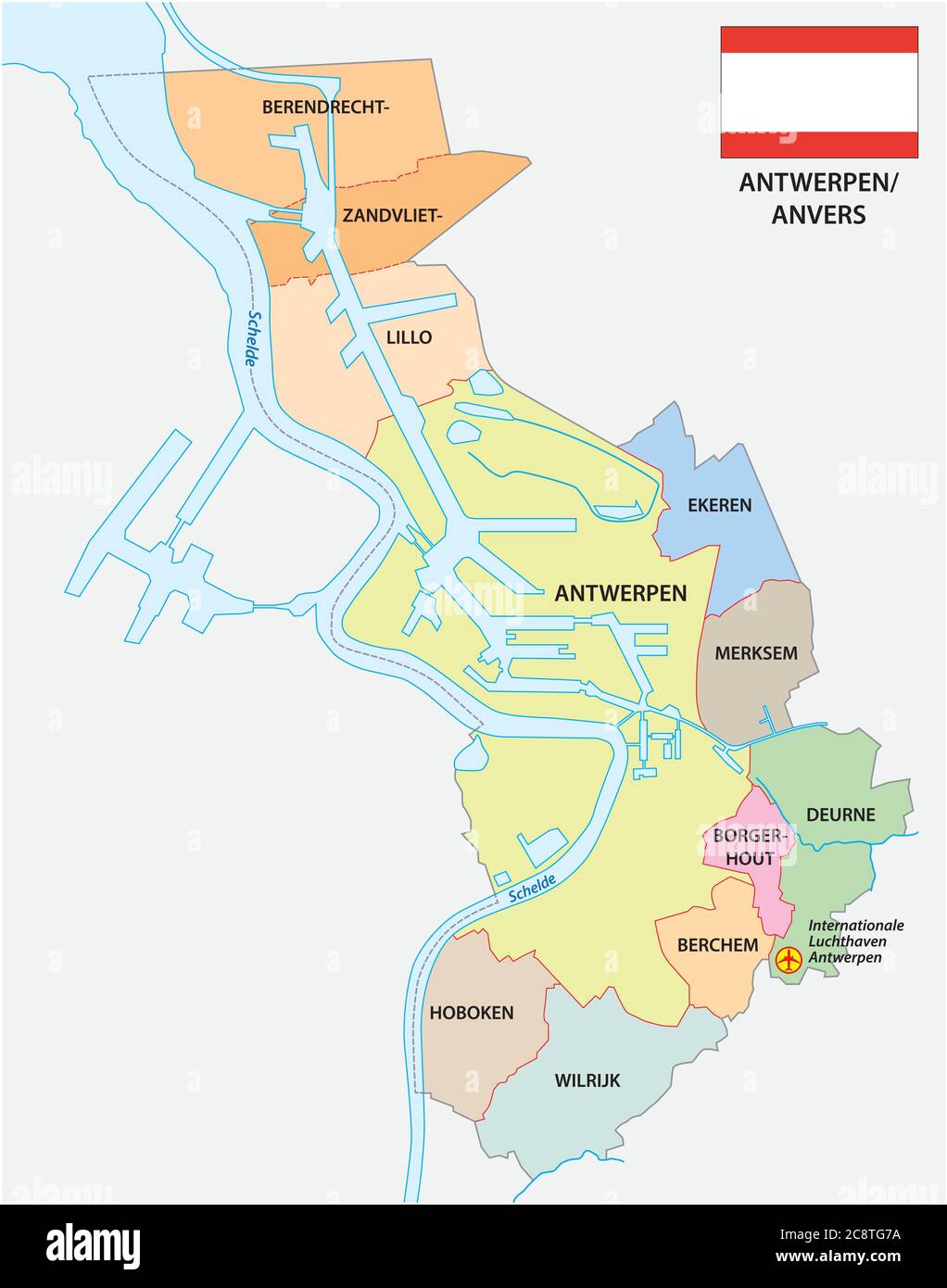 Administrative vector map of the Belgian city Antwerp with flag Stock Vectorhttps://www.alamy.com/image-license-details/?v=1https://www.alamy.com/administrative-vector-map-of-the-belgian-city-antwerp-with-flag-image366874574.html
RF2C8TG7A–Administrative vector map of the Belgian city Antwerp with flag
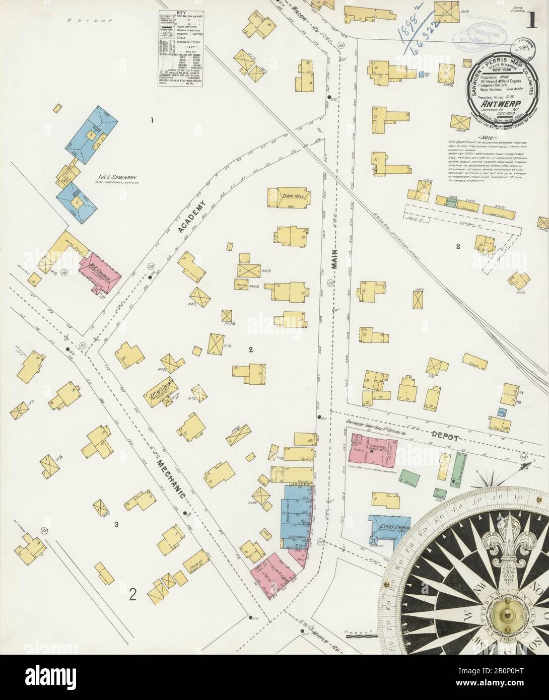 Image 1 of Sanborn Fire Insurance Map from Antwerp, Jefferson County, New York. Oct 1898. 2 Sheet(s), America, street map with a Nineteenth Century compass Stock Photohttps://www.alamy.com/image-license-details/?v=1https://www.alamy.com/image-1-of-sanborn-fire-insurance-map-from-antwerp-jefferson-county-new-york-oct-1898-2-sheets-america-street-map-with-a-nineteenth-century-compass-image344690804.html
RM2B0P0HT–Image 1 of Sanborn Fire Insurance Map from Antwerp, Jefferson County, New York. Oct 1898. 2 Sheet(s), America, street map with a Nineteenth Century compass
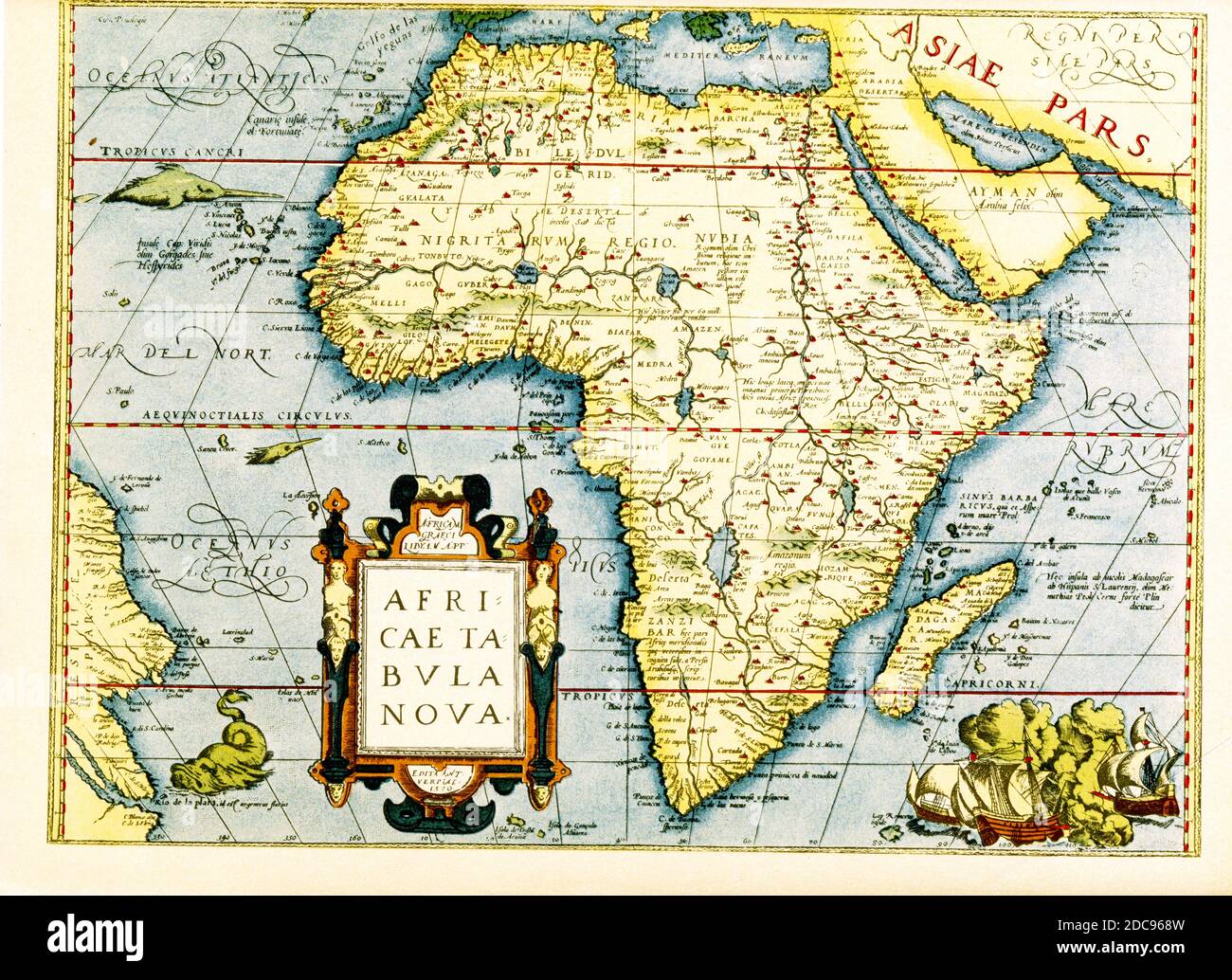 Map of Africa - the inset in lower left titles it: Africa tabula Nova. Below that is the date 1570 and the place Antwerp. The cartographer is Abraham Ortelius, a Dutch cartographer, geographer, and cosmographer, conventionally recognized as the creator of the first modern atlas, the Theatrum Orbis Terrarum. Stock Photohttps://www.alamy.com/image-license-details/?v=1https://www.alamy.com/map-of-africa-the-inset-in-lower-left-titles-it-africa-tabula-nova-below-that-is-the-date-1570-and-the-place-antwerp-the-cartographer-is-abraham-ortelius-a-dutch-cartographer-geographer-and-cosmographer-conventionally-recognized-as-the-creator-of-the-first-modern-atlas-the-theatrum-orbis-terrarum-image386206489.html
RF2DC968W–Map of Africa - the inset in lower left titles it: Africa tabula Nova. Below that is the date 1570 and the place Antwerp. The cartographer is Abraham Ortelius, a Dutch cartographer, geographer, and cosmographer, conventionally recognized as the creator of the first modern atlas, the Theatrum Orbis Terrarum.
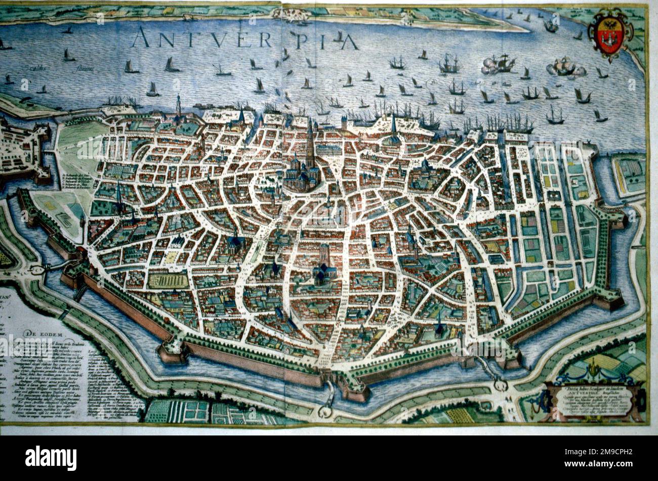 16th century city Map of Antwerp, Holland Stock Photohttps://www.alamy.com/image-license-details/?v=1https://www.alamy.com/16th-century-city-map-of-antwerp-holland-image504913726.html
RM2M9CPH2–16th century city Map of Antwerp, Holland
 Antwerp, map 1906 Stock Photohttps://www.alamy.com/image-license-details/?v=1https://www.alamy.com/stock-photo-antwerp-map-1906-139554493.html
RMJ31751–Antwerp, map 1906
 Vintage city plan of Antwerp and area around it from 19th century. Maps are beautifully hand illustrated and engraved showing it at the time. Stock Photohttps://www.alamy.com/image-license-details/?v=1https://www.alamy.com/vintage-city-plan-of-antwerp-and-area-around-it-from-19th-century-maps-are-beautifully-hand-illustrated-and-engraved-showing-it-at-the-time-image495066741.html
RF2KNC6K1–Vintage city plan of Antwerp and area around it from 19th century. Maps are beautifully hand illustrated and engraved showing it at the time.
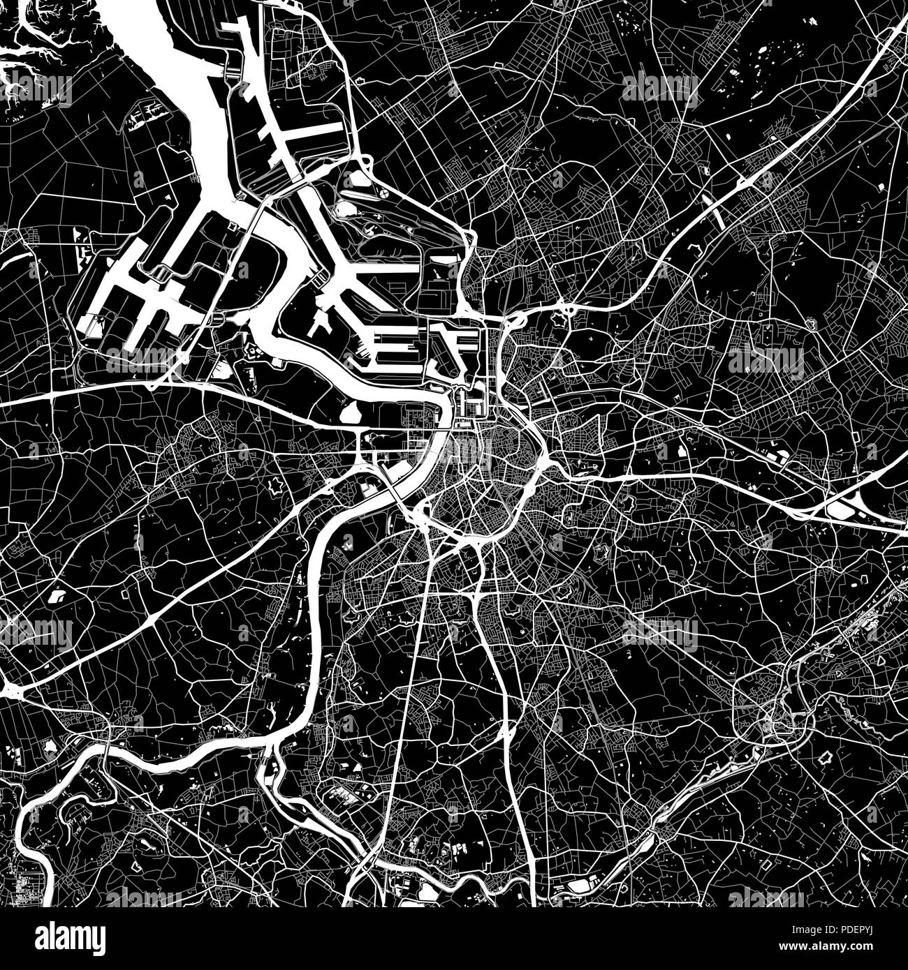 Area map of Antwerp, Belgium. Dark background version for infographic and marketing. This map of Antwerp, Flemish Region, contains streets, waterway Stock Vectorhttps://www.alamy.com/image-license-details/?v=1https://www.alamy.com/area-map-of-antwerp-belgium-dark-background-version-for-infographic-and-marketing-this-map-of-antwerpflemish-region-contains-streets-waterway-image214840294.html
RFPDEPYJ–Area map of Antwerp, Belgium. Dark background version for infographic and marketing. This map of Antwerp, Flemish Region, contains streets, waterway
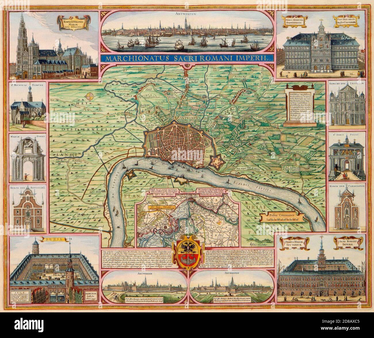 Antwerp, the march and the most important buildings, 1624 Stock Photohttps://www.alamy.com/image-license-details/?v=1https://www.alamy.com/antwerp-the-march-and-the-most-important-buildings-1624-image383785589.html
RM2D8AXC5–Antwerp, the march and the most important buildings, 1624
 Antwerp outline map set - Belgian version Stock Vectorhttps://www.alamy.com/image-license-details/?v=1https://www.alamy.com/antwerp-outline-map-set-belgian-version-image180440783.html
RFMDFP1K–Antwerp outline map set - Belgian version
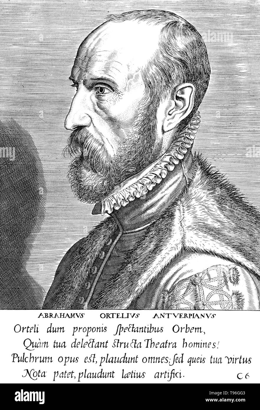 Abraham Ortelius (April 14, 1527 - June 28, 1598) was a Flemish cartographer and geographer. Beginning as a map-engraver, he entered the Antwerp Guild of Saint Luke as an illuminator of maps. He met Gerardus Mercator in 1554, who influenced his decision to become a scientific geographer. In 1564 he published his first map, Typus Orbis Terrarum, an eight-leaved wall map of the world. In 1578 he laid the basis of a critical treatment of ancient geography by his Synonymia geographica. Stock Photohttps://www.alamy.com/image-license-details/?v=1https://www.alamy.com/abraham-ortelius-april-14-1527-june-28-1598-was-a-flemish-cartographer-and-geographer-beginning-as-a-map-engraver-he-entered-the-antwerp-guild-of-saint-luke-as-an-illuminator-of-maps-he-met-gerardus-mercator-in-1554-who-influenced-his-decision-to-become-a-scientific-geographer-in-1564-he-published-his-first-map-typus-orbis-terrarum-an-eight-leaved-wall-map-of-the-world-in-1578-he-laid-the-basis-of-a-critical-treatment-of-ancient-geography-by-his-synonymia-geographica-image246621763.html
RMT96GG3–Abraham Ortelius (April 14, 1527 - June 28, 1598) was a Flemish cartographer and geographer. Beginning as a map-engraver, he entered the Antwerp Guild of Saint Luke as an illuminator of maps. He met Gerardus Mercator in 1554, who influenced his decision to become a scientific geographer. In 1564 he published his first map, Typus Orbis Terrarum, an eight-leaved wall map of the world. In 1578 he laid the basis of a critical treatment of ancient geography by his Synonymia geographica.
![Fort Sint Marie, Antwerp . Map information: Title: [Fort Sint-Marie, Antwerp]. 103.58.aa. Date of publication: [about 1746?] Item type: 1 map Medium: manuscript, pen and ink Dimensions: 22.6 x 37.2 cm Former owner: George III, King of Great Britain, 1738-1820 Stock Photo Fort Sint Marie, Antwerp . Map information: Title: [Fort Sint-Marie, Antwerp]. 103.58.aa. Date of publication: [about 1746?] Item type: 1 map Medium: manuscript, pen and ink Dimensions: 22.6 x 37.2 cm Former owner: George III, King of Great Britain, 1738-1820 Stock Photo](https://c8.alamy.com/comp/2E9HRED/fort-sint-marie-antwerp-map-information-title-fort-sint-marie-antwerp-10358aa-date-of-publication-about-1746-item-type-1-map-medium-manuscript-pen-and-ink-dimensions-226-x-372-cm-former-owner-george-iii-king-of-great-britain-1738-1820-2E9HRED.jpg) Fort Sint Marie, Antwerp . Map information: Title: [Fort Sint-Marie, Antwerp]. 103.58.aa. Date of publication: [about 1746?] Item type: 1 map Medium: manuscript, pen and ink Dimensions: 22.6 x 37.2 cm Former owner: George III, King of Great Britain, 1738-1820 Stock Photohttps://www.alamy.com/image-license-details/?v=1https://www.alamy.com/fort-sint-marie-antwerp-map-information-title-fort-sint-marie-antwerp-10358aa-date-of-publication-about-1746-item-type-1-map-medium-manuscript-pen-and-ink-dimensions-226-x-372-cm-former-owner-george-iii-king-of-great-britain-1738-1820-image401761989.html
Fort Sint Marie, Antwerp . Map information: Title: [Fort Sint-Marie, Antwerp]. 103.58.aa. Date of publication: [about 1746?] Item type: 1 map Medium: manuscript, pen and ink Dimensions: 22.6 x 37.2 cm Former owner: George III, King of Great Britain, 1738-1820 Stock Photohttps://www.alamy.com/image-license-details/?v=1https://www.alamy.com/fort-sint-marie-antwerp-map-information-title-fort-sint-marie-antwerp-10358aa-date-of-publication-about-1746-item-type-1-map-medium-manuscript-pen-and-ink-dimensions-226-x-372-cm-former-owner-george-iii-king-of-great-britain-1738-1820-image401761989.htmlRM2E9HRED–Fort Sint Marie, Antwerp . Map information: Title: [Fort Sint-Marie, Antwerp]. 103.58.aa. Date of publication: [about 1746?] Item type: 1 map Medium: manuscript, pen and ink Dimensions: 22.6 x 37.2 cm Former owner: George III, King of Great Britain, 1738-1820
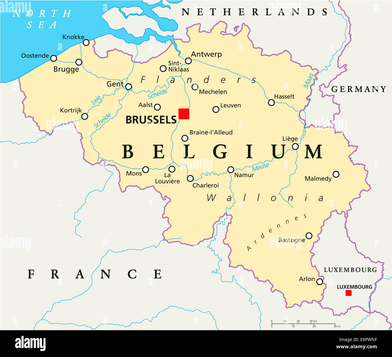 Belgium Political Map with capital Brussels, national borders, most important cities and rivers. English labeling and scaling. Stock Photohttps://www.alamy.com/image-license-details/?v=1https://www.alamy.com/stock-photo-belgium-political-map-with-capital-brussels-national-borders-most-74261867.html
RFE8PWNF–Belgium Political Map with capital Brussels, national borders, most important cities and rivers. English labeling and scaling.
 Map Of Antwerp 1624 Stock Photohttps://www.alamy.com/image-license-details/?v=1https://www.alamy.com/stock-photo-map-of-antwerp-1624-130772833.html
RFHGN629–Map Of Antwerp 1624
 52 Antwerp, map 1906 Stock Photohttps://www.alamy.com/image-license-details/?v=1https://www.alamy.com/52-antwerp-map-1906-image214236830.html
RMPCF97A–52 Antwerp, map 1906
 Plan of Belgium's great Seaport . Antwerp (1923 map) Stock Photohttps://www.alamy.com/image-license-details/?v=1https://www.alamy.com/plan-of-belgiums-great-seaport-antwerp-1923-map-image459028518.html
RF2HJPFFJ–Plan of Belgium's great Seaport . Antwerp (1923 map)
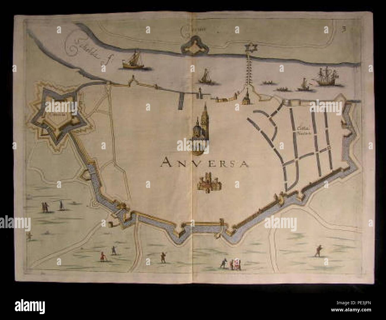 Antwerp Map by Priorato. Stock Photohttps://www.alamy.com/image-license-details/?v=1https://www.alamy.com/antwerp-map-by-priorato-image215210009.html
RMPE3JFN–Antwerp Map by Priorato.
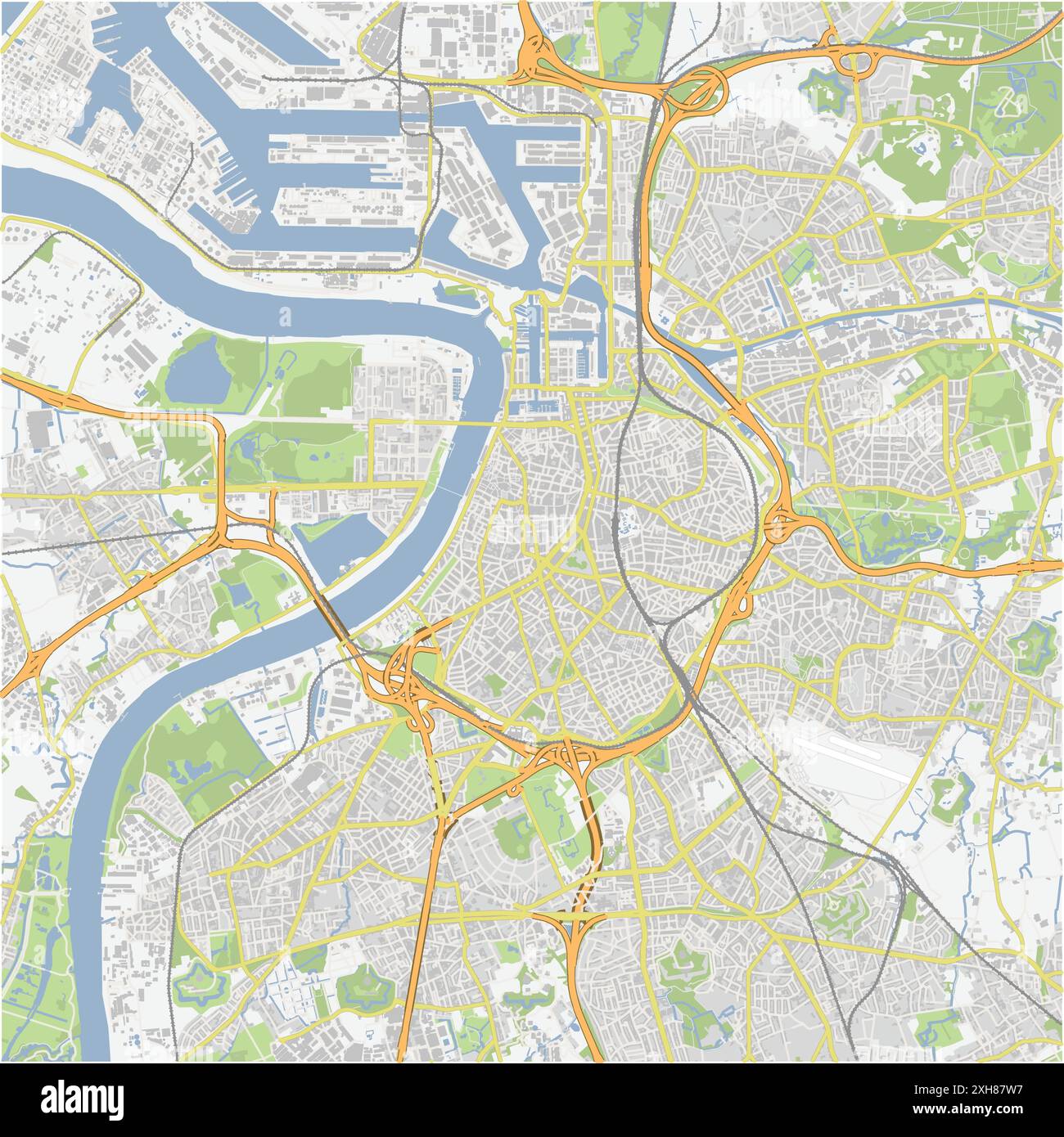 Road map of Antwerp in Belgium. Contains layered vector with roads water, parks, etc. Stock Vectorhttps://www.alamy.com/image-license-details/?v=1https://www.alamy.com/road-map-of-antwerp-in-belgium-contains-layered-vector-with-roads-water-parks-etc-image612993843.html
RF2XH87W7–Road map of Antwerp in Belgium. Contains layered vector with roads water, parks, etc.
 Terrestrial planisphere, showing the first use of the name 'America' on a map. From Petrus Apianus Cosmographicus liber. Antwerp, 1529 Stock Photohttps://www.alamy.com/image-license-details/?v=1https://www.alamy.com/stock-photo-terrestrial-planisphere-showing-the-first-use-of-the-name-america-131239308.html
RMHHED24–Terrestrial planisphere, showing the first use of the name 'America' on a map. From Petrus Apianus Cosmographicus liber. Antwerp, 1529
 White and light grey Antwerp City area vector background map, streets and water cartography illustration. Widescreen proportion, digital flat design s Stock Vectorhttps://www.alamy.com/image-license-details/?v=1https://www.alamy.com/white-and-light-grey-antwerp-city-area-vector-background-map-streets-and-water-cartography-illustration-widescreen-proportion-digital-flat-design-s-image443714702.html
RF2GNTXHJ–White and light grey Antwerp City area vector background map, streets and water cartography illustration. Widescreen proportion, digital flat design s
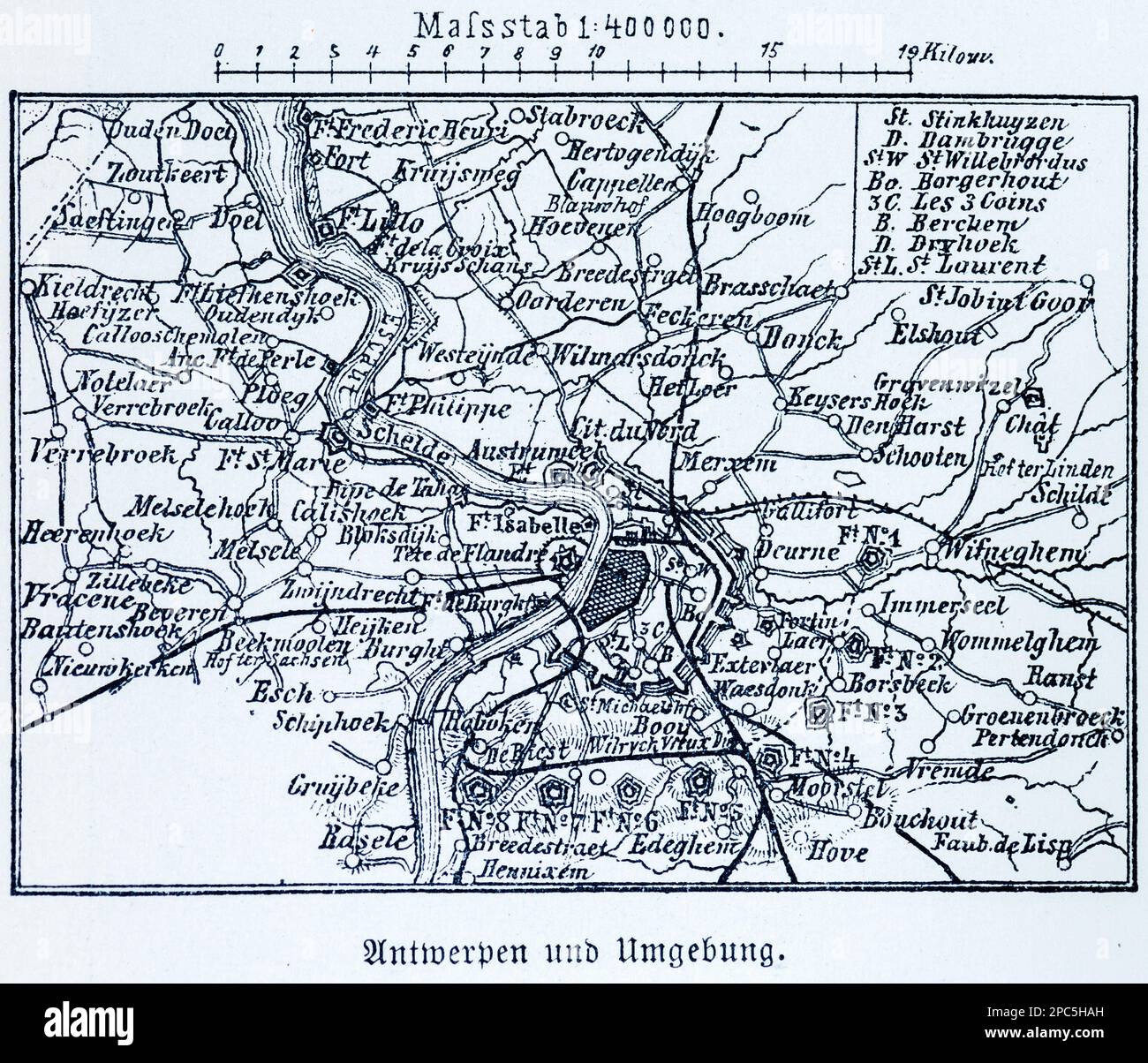 City map of Antwerp and its surroundings,Antwerp, Belgium, Central Europe, illustration 1896 Stock Photohttps://www.alamy.com/image-license-details/?v=1https://www.alamy.com/city-map-of-antwerp-and-its-surroundingsantwerp-belgium-central-europe-illustration-1896-image541020665.html
RM2PC5HAH–City map of Antwerp and its surroundings,Antwerp, Belgium, Central Europe, illustration 1896
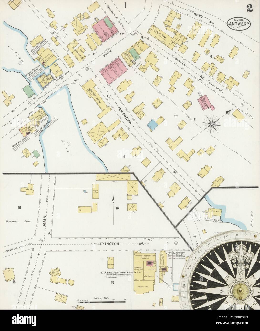 Image 2 of Sanborn Fire Insurance Map from Antwerp, Jefferson County, New York. Oct 1898. 2 Sheet(s), America, street map with a Nineteenth Century compass Stock Photohttps://www.alamy.com/image-license-details/?v=1https://www.alamy.com/image-2-of-sanborn-fire-insurance-map-from-antwerp-jefferson-county-new-york-oct-1898-2-sheets-america-street-map-with-a-nineteenth-century-compass-image344690806.html
RM2B0P0HX–Image 2 of Sanborn Fire Insurance Map from Antwerp, Jefferson County, New York. Oct 1898. 2 Sheet(s), America, street map with a Nineteenth Century compass
 Plan of the immense fortress town of Antwerp, Belgium, where the Belgians prepared for their last heroic stand during WWI. Stock Photohttps://www.alamy.com/image-license-details/?v=1https://www.alamy.com/plan-of-the-immense-fortress-town-of-antwerp-belgium-where-the-belgians-image64896011.html
RMDNG7EK–Plan of the immense fortress town of Antwerp, Belgium, where the Belgians prepared for their last heroic stand during WWI.
 16th / 17th century Map of Antwerp, Holland Stock Photohttps://www.alamy.com/image-license-details/?v=1https://www.alamy.com/16th-17th-century-map-of-antwerp-holland-image504913637.html
RM2M9CPDW–16th / 17th century Map of Antwerp, Holland
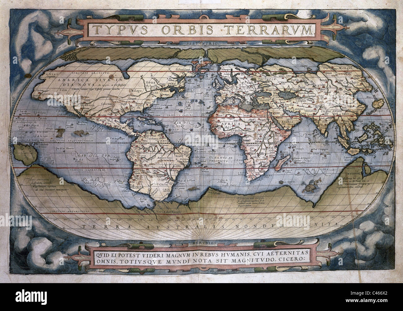 Theatrum Orbis Terrarum (Theatre of the World). Written by Abraham Ortelius. Printed on 1570, in Antwerp. World Map. Stock Photohttps://www.alamy.com/image-license-details/?v=1https://www.alamy.com/stock-photo-theatrum-orbis-terrarum-theatre-of-the-world-written-by-abraham-ortelius-37016506.html
RMC466X2–Theatrum Orbis Terrarum (Theatre of the World). Written by Abraham Ortelius. Printed on 1570, in Antwerp. World Map.
 Antwerp, Hindmarsh, AU, Australia, Victoria, S 36 16' 2'', N 141 58' 15'', map, Cartascapes Map published in 2024. Explore Cartascapes, a map revealing Earth's diverse landscapes, cultures, and ecosystems. Journey through time and space, discovering the interconnectedness of our planet's past, present, and future. Stock Photohttps://www.alamy.com/image-license-details/?v=1https://www.alamy.com/antwerp-hindmarsh-au-australia-victoria-s-36-16-2-n-141-58-15-map-cartascapes-map-published-in-2024-explore-cartascapes-a-map-revealing-earths-diverse-landscapes-cultures-and-ecosystems-journey-through-time-and-space-discovering-the-interconnectedness-of-our-planets-past-present-and-future-image625496900.html
RM2Y9HRK0–Antwerp, Hindmarsh, AU, Australia, Victoria, S 36 16' 2'', N 141 58' 15'', map, Cartascapes Map published in 2024. Explore Cartascapes, a map revealing Earth's diverse landscapes, cultures, and ecosystems. Journey through time and space, discovering the interconnectedness of our planet's past, present, and future.
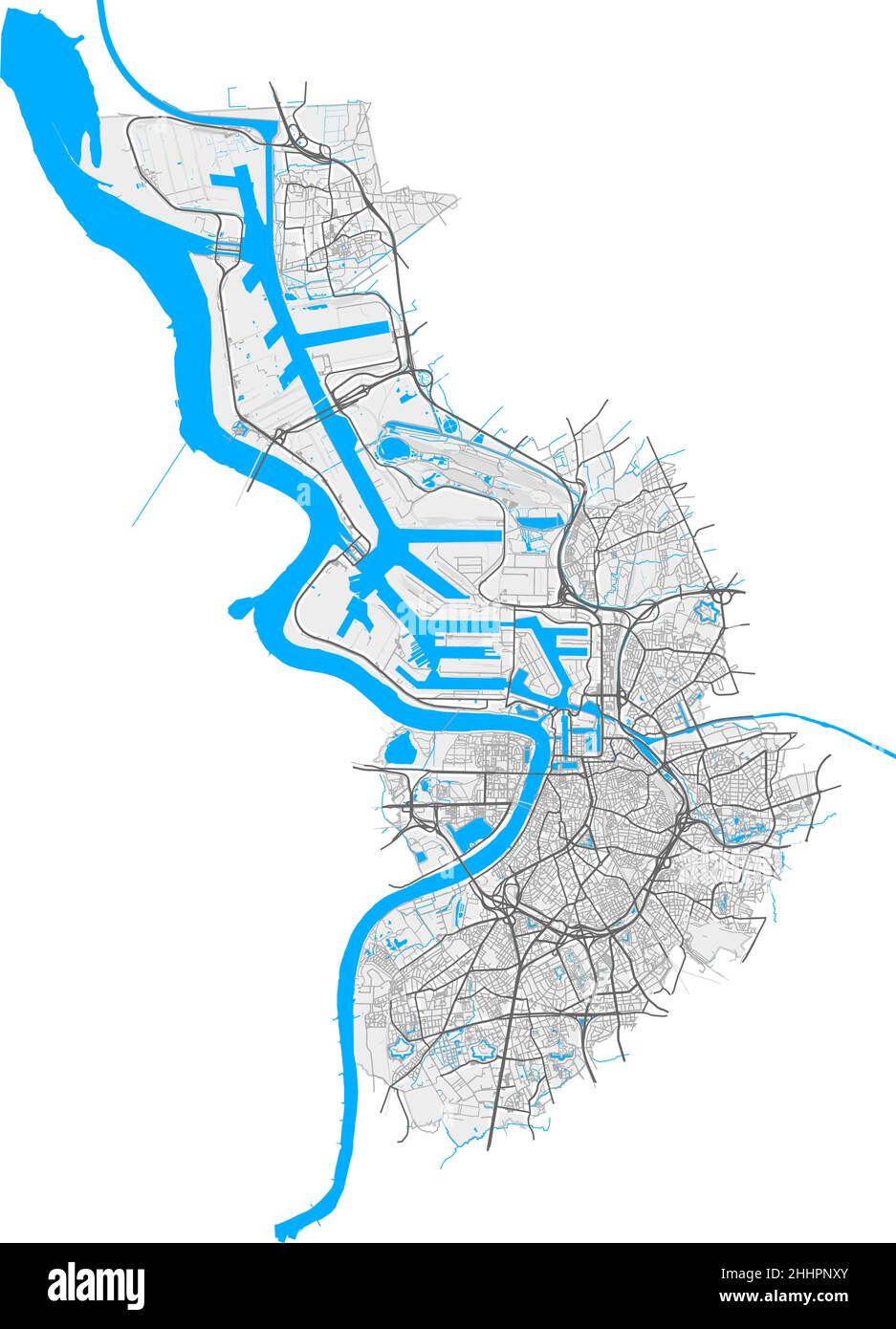 Antwerp, Antwerp, Belgium high resolution vector map with city boundaries and editable paths. White outlines for main roads. Many detailed paths. Blue Stock Vectorhttps://www.alamy.com/image-license-details/?v=1https://www.alamy.com/antwerp-antwerp-belgium-high-resolution-vector-map-with-city-boundaries-and-editable-paths-white-outlines-for-main-roads-many-detailed-paths-blue-image458418883.html
RF2HHPNXY–Antwerp, Antwerp, Belgium high resolution vector map with city boundaries and editable paths. White outlines for main roads. Many detailed paths. Blue
 Inspired by Map of the province of Antwerp, 1706, Carte particuliere des environs de Lier et d'une partie de la Campine, Map of the province of Antwerp with the city of Lier and part of the Kempen, 1706. Part of a bundled collection of plans of battles and cities famous in the War of the Spanish, Reimagined by Artotop. Classic art reinvented with a modern twist. Design of warm cheerful glowing of brightness and light ray radiance. Photography inspired by surrealism and futurism, embracing dynamic energy of modern technology, movement, speed and revolutionize culture Stock Photohttps://www.alamy.com/image-license-details/?v=1https://www.alamy.com/inspired-by-map-of-the-province-of-antwerp-1706-carte-particuliere-des-environs-de-lier-et-dune-partie-de-la-campine-map-of-the-province-of-antwerp-with-the-city-of-lier-and-part-of-the-kempen-1706-part-of-a-bundled-collection-of-plans-of-battles-and-cities-famous-in-the-war-of-the-spanish-reimagined-by-artotop-classic-art-reinvented-with-a-modern-twist-design-of-warm-cheerful-glowing-of-brightness-and-light-ray-radiance-photography-inspired-by-surrealism-and-futurism-embracing-dynamic-energy-of-modern-technology-movement-speed-and-revolutionize-culture-image459380389.html
RF2HKAGAD–Inspired by Map of the province of Antwerp, 1706, Carte particuliere des environs de Lier et d'une partie de la Campine, Map of the province of Antwerp with the city of Lier and part of the Kempen, 1706. Part of a bundled collection of plans of battles and cities famous in the War of the Spanish, Reimagined by Artotop. Classic art reinvented with a modern twist. Design of warm cheerful glowing of brightness and light ray radiance. Photography inspired by surrealism and futurism, embracing dynamic energy of modern technology, movement, speed and revolutionize culture
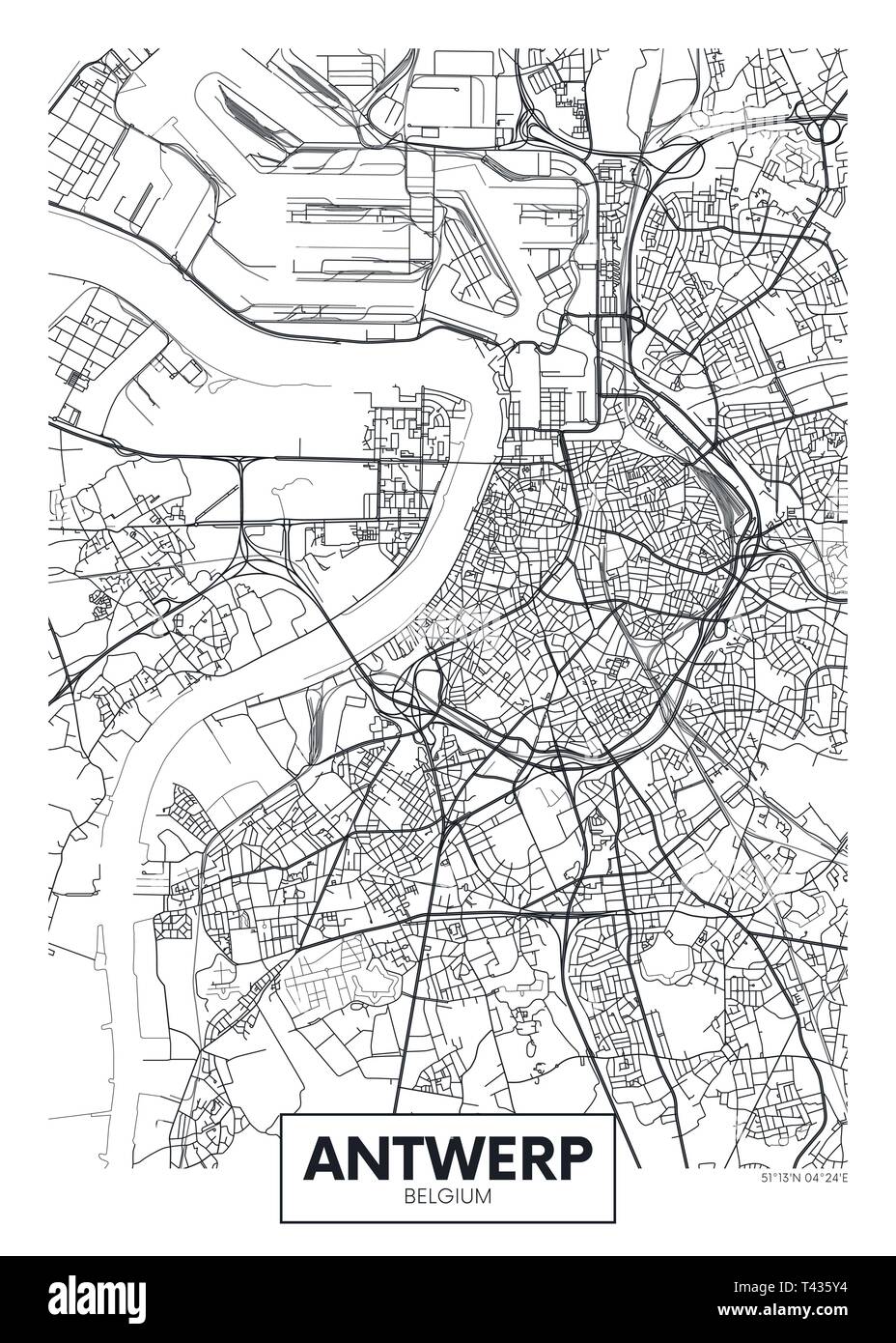 City map Antwerp, travel vector poster design detailed plan of the city, rivers and streets Stock Vectorhttps://www.alamy.com/image-license-details/?v=1https://www.alamy.com/city-map-antwerp-travel-vector-poster-design-detailed-plan-of-the-city-rivers-and-streets-image243474312.html
RFT435Y4–City map Antwerp, travel vector poster design detailed plan of the city, rivers and streets
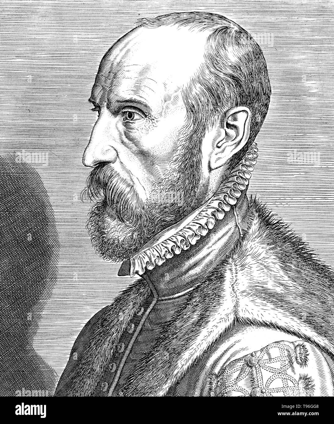 Abraham Ortelius (April 14, 1527 - June 28, 1598) was a Flemish cartographer and geographer. Beginning as a map-engraver, he entered the Antwerp Guild of Saint Luke as an illuminator of maps. He met Gerardus Mercator in 1554, who influenced his decision to become a scientific geographer. In 1564 he published his first map, Typus Orbis Terrarum, an eight-leaved wall map of the world. In 1578 he laid the basis of a critical treatment of ancient geography by his Synonymia geographica. Stock Photohttps://www.alamy.com/image-license-details/?v=1https://www.alamy.com/abraham-ortelius-april-14-1527-june-28-1598-was-a-flemish-cartographer-and-geographer-beginning-as-a-map-engraver-he-entered-the-antwerp-guild-of-saint-luke-as-an-illuminator-of-maps-he-met-gerardus-mercator-in-1554-who-influenced-his-decision-to-become-a-scientific-geographer-in-1564-he-published-his-first-map-typus-orbis-terrarum-an-eight-leaved-wall-map-of-the-world-in-1578-he-laid-the-basis-of-a-critical-treatment-of-ancient-geography-by-his-synonymia-geographica-image246621768.html
RMT96GG8–Abraham Ortelius (April 14, 1527 - June 28, 1598) was a Flemish cartographer and geographer. Beginning as a map-engraver, he entered the Antwerp Guild of Saint Luke as an illuminator of maps. He met Gerardus Mercator in 1554, who influenced his decision to become a scientific geographer. In 1564 he published his first map, Typus Orbis Terrarum, an eight-leaved wall map of the world. In 1578 he laid the basis of a critical treatment of ancient geography by his Synonymia geographica.
 Antwerp map silhouette isolated on white background Stock Vectorhttps://www.alamy.com/image-license-details/?v=1https://www.alamy.com/antwerp-map-silhouette-isolated-on-white-background-image544239118.html
RF2PHC6FA–Antwerp map silhouette isolated on white background
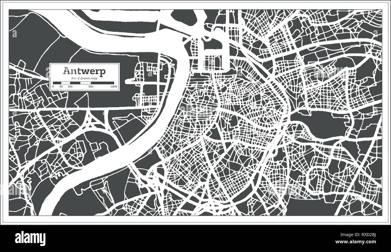 Antwerp City Map in Retro Style. Outline Map. Vector Illustration. Stock Vectorhttps://www.alamy.com/image-license-details/?v=1https://www.alamy.com/antwerp-city-map-in-retro-style-outline-map-vector-illustration-image240003110.html
RFRXD2BJ–Antwerp City Map in Retro Style. Outline Map. Vector Illustration.
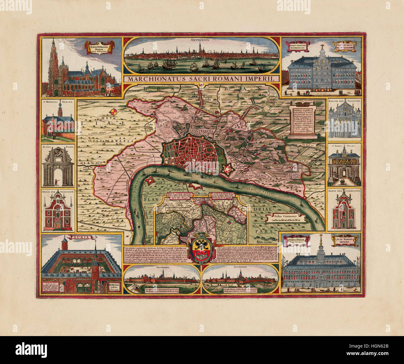 Map Of Antwerp 1675 Stock Photohttps://www.alamy.com/image-license-details/?v=1https://www.alamy.com/stock-photo-map-of-antwerp-1675-130772835.html
RFHGN62B–Map Of Antwerp 1675
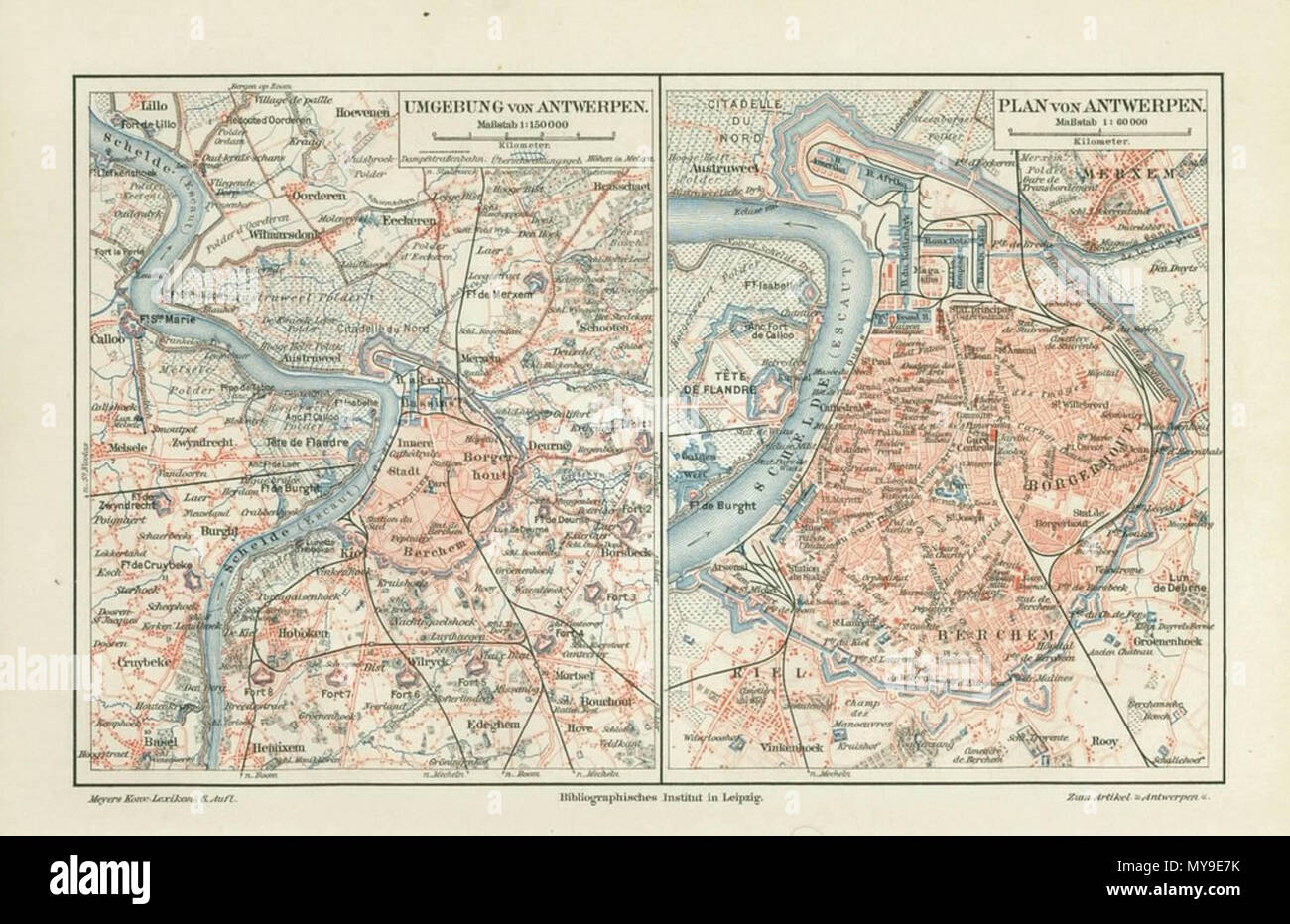 . English: Antwerp, Belgium ; map 1906 . Unknown 45 Antwerp, map 1906 Stock Photohttps://www.alamy.com/image-license-details/?v=1https://www.alamy.com/english-antwerp-belgium-map-1906-unknown-45-antwerp-map-1906-image188908151.html
RMMY9E7K–. English: Antwerp, Belgium ; map 1906 . Unknown 45 Antwerp, map 1906
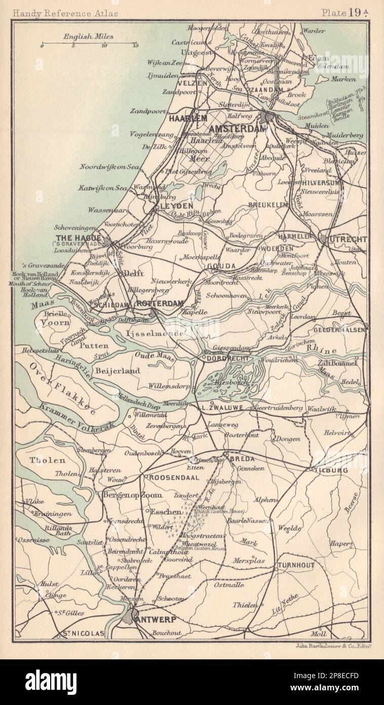 Netherlands. Amsterdam The Hague Rotterdam Antwerp. BARTHOLOMEW 1898 old map Stock Photohttps://www.alamy.com/image-license-details/?v=1https://www.alamy.com/netherlands-amsterdam-the-hague-rotterdam-antwerp-bartholomew-1898-old-map-image538755825.html
RF2P8ECFD–Netherlands. Amsterdam The Hague Rotterdam Antwerp. BARTHOLOMEW 1898 old map
 Antwerp, map 1906. Stock Photohttps://www.alamy.com/image-license-details/?v=1https://www.alamy.com/antwerp-map-1906-image215210017.html
RMPE3JG1–Antwerp, map 1906.
 Map of Antwerp in Belgium in grayscale. Contains layered vector with roads water, parks, etc. Stock Vectorhttps://www.alamy.com/image-license-details/?v=1https://www.alamy.com/map-of-antwerp-in-belgium-in-grayscale-contains-layered-vector-with-roads-water-parks-etc-image613526373.html
RF2XJ4F45–Map of Antwerp in Belgium in grayscale. Contains layered vector with roads water, parks, etc.
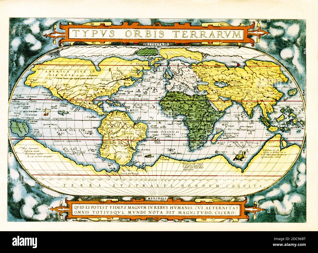 The text at the top of this world map by Abraham Ortelius reads: Typus Orbis Terrarum (Map of the World). The map dates to 1570 and is the first map of the world to appear in a standard atlas and is thus of fundamental importance to the history of cartography. Centered on the Atlantic Ocean, the map covers the entire world from pole to pole. The general presentation of an oval projection derived from earlier maps by Appianus and Bordonius, Cartographically it is derived from the world of Gerard Mercator (1569), Gastaldi (1561) and Gutierrez. The text at the bottom is a quote attributed to the Stock Photohttps://www.alamy.com/image-license-details/?v=1https://www.alamy.com/the-text-at-the-top-of-this-world-map-by-abraham-ortelius-reads-typus-orbis-terrarum-map-of-the-world-the-map-dates-to-1570-and-is-the-first-map-of-the-world-to-appear-in-a-standard-atlas-and-is-thus-of-fundamental-importance-to-the-history-of-cartography-centered-on-the-atlantic-ocean-the-map-covers-the-entire-world-from-pole-to-pole-the-general-presentation-of-an-oval-projection-derived-from-earlier-maps-by-appianus-and-bordonius-cartographically-it-is-derived-from-the-world-of-gerard-mercator-1569-gastaldi-1561-and-gutierrez-the-text-at-the-bottom-is-a-quote-attributed-to-the-image386206572.html
RF2DC96BT–The text at the top of this world map by Abraham Ortelius reads: Typus Orbis Terrarum (Map of the World). The map dates to 1570 and is the first map of the world to appear in a standard atlas and is thus of fundamental importance to the history of cartography. Centered on the Atlantic Ocean, the map covers the entire world from pole to pole. The general presentation of an oval projection derived from earlier maps by Appianus and Bordonius, Cartographically it is derived from the world of Gerard Mercator (1569), Gastaldi (1561) and Gutierrez. The text at the bottom is a quote attributed to the
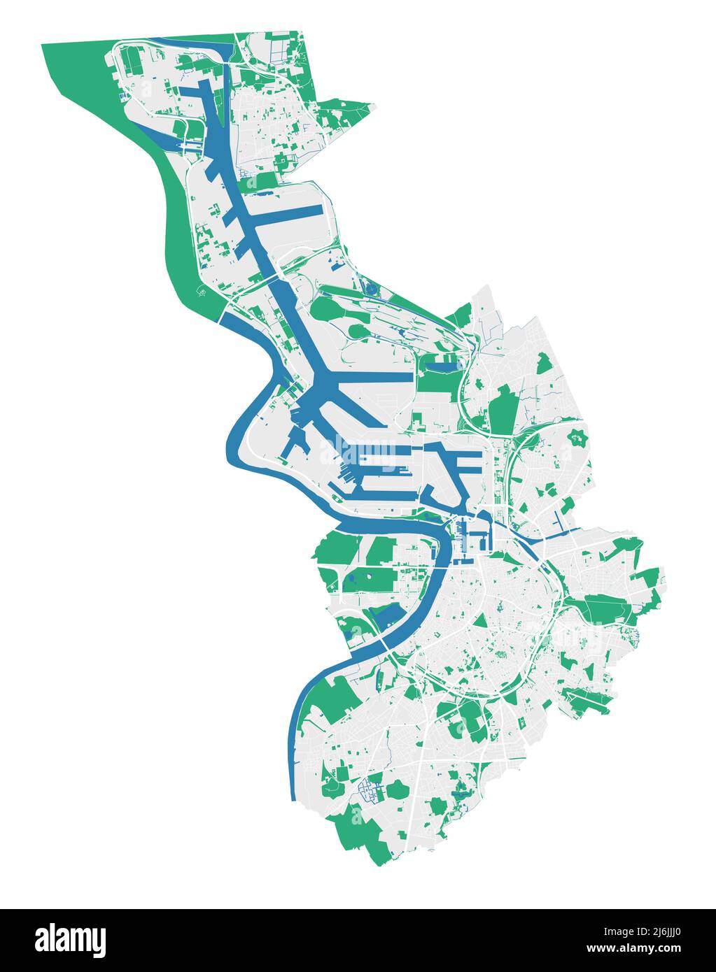 Antwerp map. Detailed map of Antwerp city administrative area. Cityscape panorama. Royalty free vector illustration. Outline map with highways, street Stock Vectorhttps://www.alamy.com/image-license-details/?v=1https://www.alamy.com/antwerp-map-detailed-map-of-antwerp-city-administrative-area-cityscape-panorama-royalty-free-vector-illustration-outline-map-with-highways-street-image468777624.html
RF2J6JJJ0–Antwerp map. Detailed map of Antwerp city administrative area. Cityscape panorama. Royalty free vector illustration. Outline map with highways, street
 Tourist at Grand Place , Grote Markt in Antwerp , Belgium. Stock Photohttps://www.alamy.com/image-license-details/?v=1https://www.alamy.com/stock-photo-tourist-at-grand-place-grote-markt-in-antwerp-belgium-20329466.html
RMB522CA–Tourist at Grand Place , Grote Markt in Antwerp , Belgium.
 Defense of the citadel of Antwerp, Silver Medal. Front: map of the citadel of Antwerp. Reverse: inscription within laurel wreath, Citadel of Antwerp (19th century), Antwerp, David Hendrik baron Chassé, Gottfried Bernhard Loos, Berlin, 1832 - Mar-1833, silver (metal), striking (metalworking), d 4 cm × w 193 Stock Photohttps://www.alamy.com/image-license-details/?v=1https://www.alamy.com/defense-of-the-citadel-of-antwerp-silver-medal-front-map-of-the-citadel-of-antwerp-reverse-inscription-within-laurel-wreath-citadel-of-antwerp-19th-century-antwerp-david-hendrik-baron-chass-gottfried-bernhard-loos-berlin-1832-mar-1833-silver-metal-striking-metalworking-d-4-cm-w-193-image261386683.html
RMW575AK–Defense of the citadel of Antwerp, Silver Medal. Front: map of the citadel of Antwerp. Reverse: inscription within laurel wreath, Citadel of Antwerp (19th century), Antwerp, David Hendrik baron Chassé, Gottfried Bernhard Loos, Berlin, 1832 - Mar-1833, silver (metal), striking (metalworking), d 4 cm × w 193
 Plan of the immense fortress town of Antwerp, Belgium, with a triple belt of forts, where the Belgians prepared for their last h Stock Photohttps://www.alamy.com/image-license-details/?v=1https://www.alamy.com/plan-of-the-immense-fortress-town-of-antwerp-belgium-with-a-triple-image64895988.html
RMDNG7DT–Plan of the immense fortress town of Antwerp, Belgium, with a triple belt of forts, where the Belgians prepared for their last h
 Antwerp province watercolor map of Belgium in front of a white background Stock Photohttps://www.alamy.com/image-license-details/?v=1https://www.alamy.com/antwerp-province-watercolor-map-of-belgium-in-front-of-a-white-background-image218549531.html
RFPKFP4B–Antwerp province watercolor map of Belgium in front of a white background
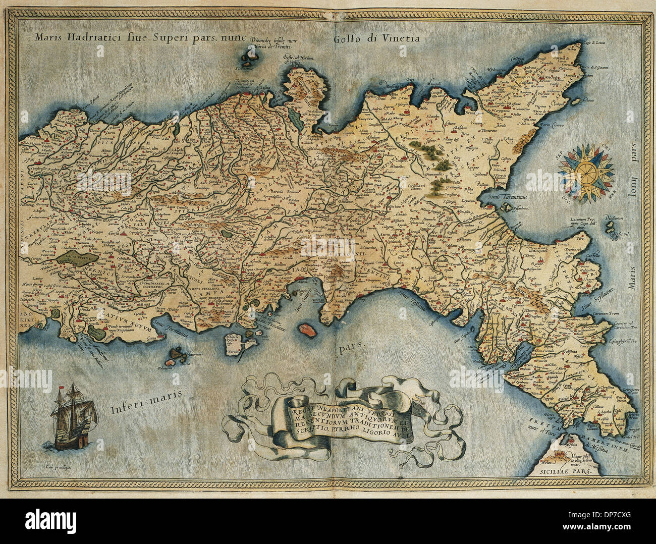 Map of the Kingdom of Naples. Theatrum Orbis Terrarum by Abraham Ortelius (1527-1598). First Edition. Antwerp, 1574. Stock Photohttps://www.alamy.com/image-license-details/?v=1https://www.alamy.com/map-of-the-kingdom-of-naples-theatrum-orbis-terrarum-by-abraham-ortelius-image65317352.html
RMDP7CXG–Map of the Kingdom of Naples. Theatrum Orbis Terrarum by Abraham Ortelius (1527-1598). First Edition. Antwerp, 1574.
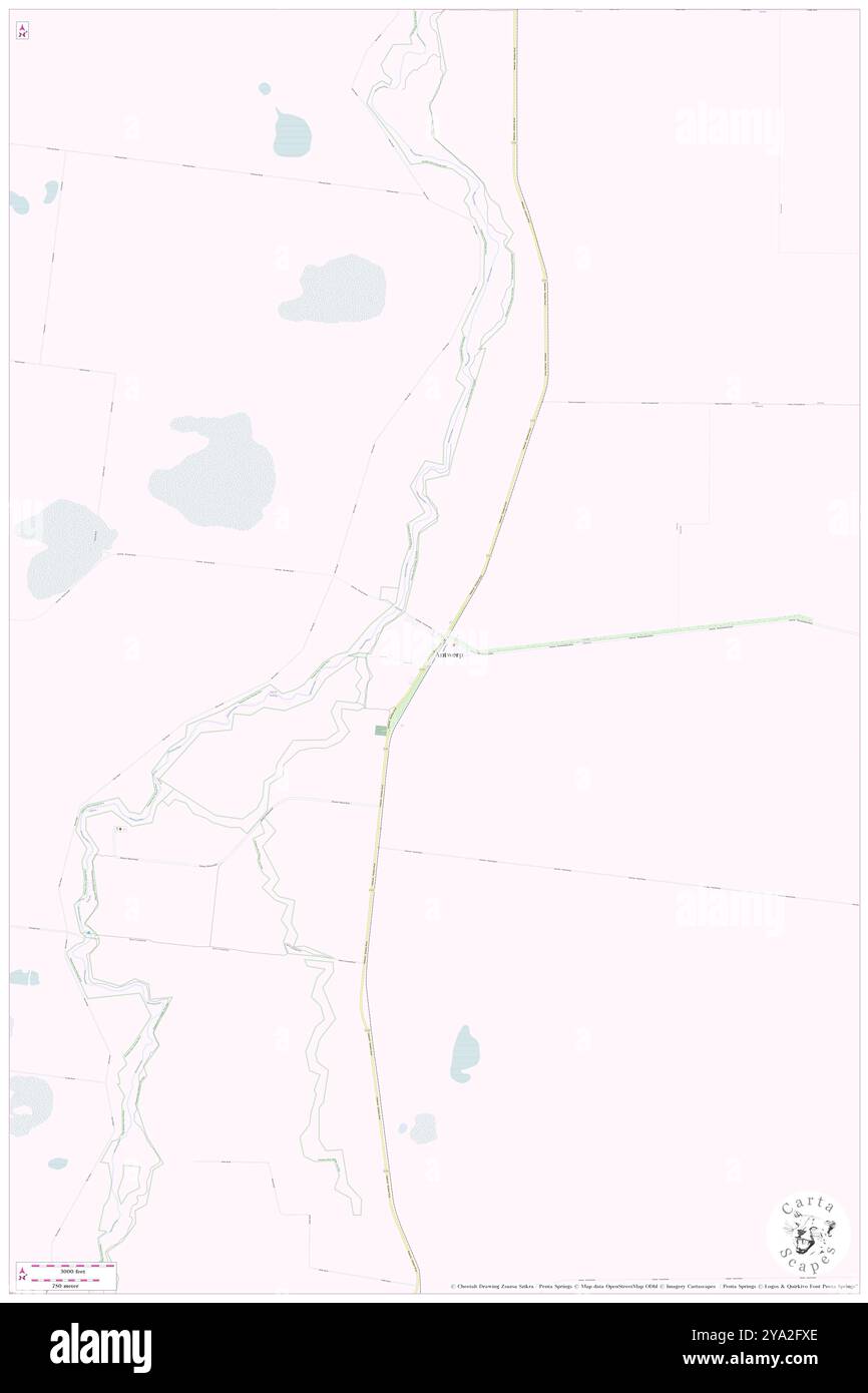 Antwerp, Hindmarsh, AU, Australia, Victoria, S 36 17' 53'', N 142 1' 29'', map, Cartascapes Map published in 2024. Explore Cartascapes, a map revealing Earth's diverse landscapes, cultures, and ecosystems. Journey through time and space, discovering the interconnectedness of our planet's past, present, and future. Stock Photohttps://www.alamy.com/image-license-details/?v=1https://www.alamy.com/antwerp-hindmarsh-au-australia-victoria-s-36-17-53-n-142-1-29-map-cartascapes-map-published-in-2024-explore-cartascapes-a-map-revealing-earths-diverse-landscapes-cultures-and-ecosystems-journey-through-time-and-space-discovering-the-interconnectedness-of-our-planets-past-present-and-future-image625776214.html
RM2YA2FXE–Antwerp, Hindmarsh, AU, Australia, Victoria, S 36 17' 53'', N 142 1' 29'', map, Cartascapes Map published in 2024. Explore Cartascapes, a map revealing Earth's diverse landscapes, cultures, and ecosystems. Journey through time and space, discovering the interconnectedness of our planet's past, present, and future.
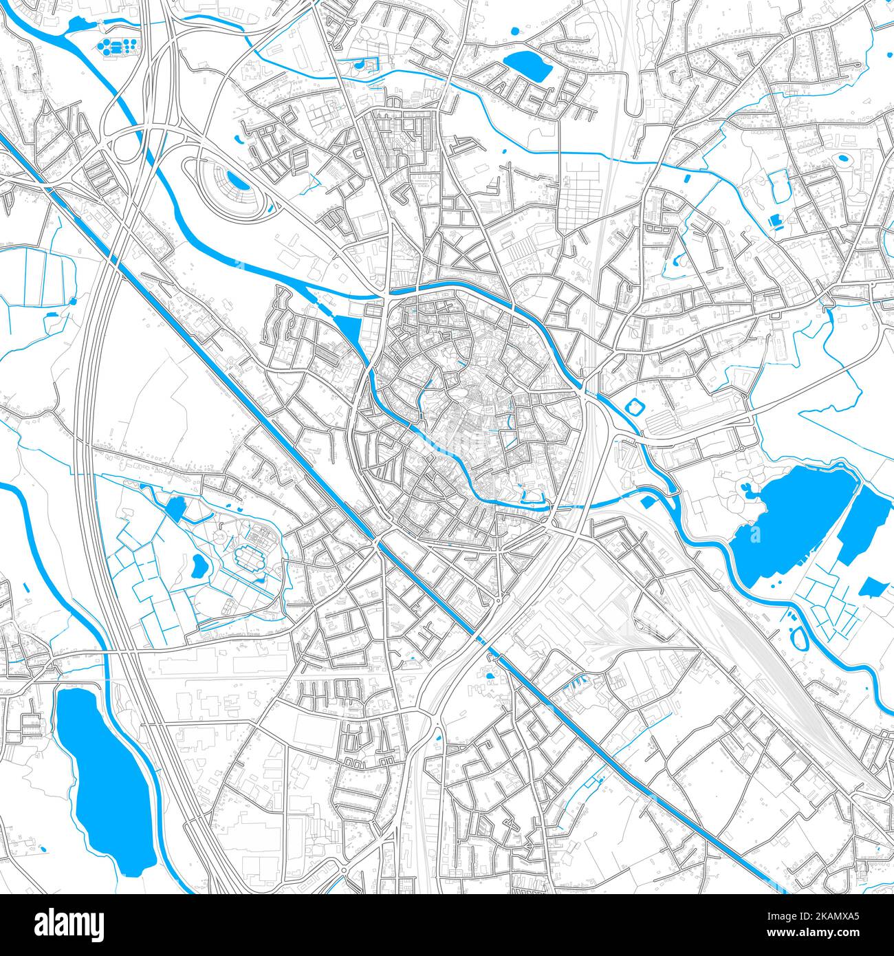 Mechelen, Antwerp, Belgium high resolution vector map with editable paths. Bright outlines for main roads. Use it for any printed and digital backgrou Stock Vectorhttps://www.alamy.com/image-license-details/?v=1https://www.alamy.com/mechelen-antwerp-belgium-high-resolution-vector-map-with-editable-paths-bright-outlines-for-main-roads-use-it-for-any-printed-and-digital-backgrou-image488496573.html
RF2KAMXA5–Mechelen, Antwerp, Belgium high resolution vector map with editable paths. Bright outlines for main roads. Use it for any printed and digital backgrou
 Inspired by Map of the province of Antwerp, 1706, Carte particuliere des environs de Lier et d'une partie de la Campine, Map of the province of Antwerp with the city of Lier and part of the Kempen, 1706. Part of a bundled collection of plans of battles and cities famous in the War of the Spanish, Reimagined by Artotop. Classic art reinvented with a modern twist. Design of warm cheerful glowing of brightness and light ray radiance. Photography inspired by surrealism and futurism, embracing dynamic energy of modern technology, movement, speed and revolutionize culture Stock Photohttps://www.alamy.com/image-license-details/?v=1https://www.alamy.com/inspired-by-map-of-the-province-of-antwerp-1706-carte-particuliere-des-environs-de-lier-et-dune-partie-de-la-campine-map-of-the-province-of-antwerp-with-the-city-of-lier-and-part-of-the-kempen-1706-part-of-a-bundled-collection-of-plans-of-battles-and-cities-famous-in-the-war-of-the-spanish-reimagined-by-artotop-classic-art-reinvented-with-a-modern-twist-design-of-warm-cheerful-glowing-of-brightness-and-light-ray-radiance-photography-inspired-by-surrealism-and-futurism-embracing-dynamic-energy-of-modern-technology-movement-speed-and-revolutionize-culture-image459379945.html
RF2HKAFPH–Inspired by Map of the province of Antwerp, 1706, Carte particuliere des environs de Lier et d'une partie de la Campine, Map of the province of Antwerp with the city of Lier and part of the Kempen, 1706. Part of a bundled collection of plans of battles and cities famous in the War of the Spanish, Reimagined by Artotop. Classic art reinvented with a modern twist. Design of warm cheerful glowing of brightness and light ray radiance. Photography inspired by surrealism and futurism, embracing dynamic energy of modern technology, movement, speed and revolutionize culture
RME82P58–Engraved illustrations of the Map of Antwerp, Belgium from Iconographic Encyclopedia of Science, Literature and Art, Circa 1851
 Map of Antwerp, Anonymous, 1735 Map of the city of Antwerp. Part of an atlas with 223 maps of countries and cities and war scenes in Europe in the period ca. 1690-1735. print maker: Northern Netherlandspublisher: Amsterdampublisher: Amsterdam paper etching / engraving / lacquering Antwerp Map of the city of Antwerp. Part of an atlas with 223 maps of countries and cities and war scenes in Europe in the period ca. 1690-1735. print maker: Northern Netherlandspublisher: Amsterdampublisher: Amsterdam paper etching / engraving / lacquering Antwerp Stock Photohttps://www.alamy.com/image-license-details/?v=1https://www.alamy.com/map-of-antwerp-anonymous-1735-map-of-the-city-of-antwerp-part-of-an-atlas-with-223-maps-of-countries-and-cities-and-war-scenes-in-europe-in-the-period-ca-1690-1735-print-maker-northern-netherlandspublisher-amsterdampublisher-amsterdam-paper-etching-engraving-lacquering-antwerp-map-of-the-city-of-antwerp-part-of-an-atlas-with-223-maps-of-countries-and-cities-and-war-scenes-in-europe-in-the-period-ca-1690-1735-print-maker-northern-netherlandspublisher-amsterdampublisher-amsterdam-paper-etching-engraving-lacquering-antwerp-image576349407.html
RM2TDJYFB–Map of Antwerp, Anonymous, 1735 Map of the city of Antwerp. Part of an atlas with 223 maps of countries and cities and war scenes in Europe in the period ca. 1690-1735. print maker: Northern Netherlandspublisher: Amsterdampublisher: Amsterdam paper etching / engraving / lacquering Antwerp Map of the city of Antwerp. Part of an atlas with 223 maps of countries and cities and war scenes in Europe in the period ca. 1690-1735. print maker: Northern Netherlandspublisher: Amsterdampublisher: Amsterdam paper etching / engraving / lacquering Antwerp
 Antwerp map silhouette isolated on white background Stock Vectorhttps://www.alamy.com/image-license-details/?v=1https://www.alamy.com/antwerp-map-silhouette-isolated-on-white-background-image543673315.html
RF2PGECT3–Antwerp map silhouette isolated on white background
 Antwerp Belgium City Map in Retro Style in Golden Color. Outline Map. Vector Illustration. Stock Vectorhttps://www.alamy.com/image-license-details/?v=1https://www.alamy.com/antwerp-belgium-city-map-in-retro-style-in-golden-color-outline-map-vector-illustration-image406681254.html
RF2EHHX2E–Antwerp Belgium City Map in Retro Style in Golden Color. Outline Map. Vector Illustration.
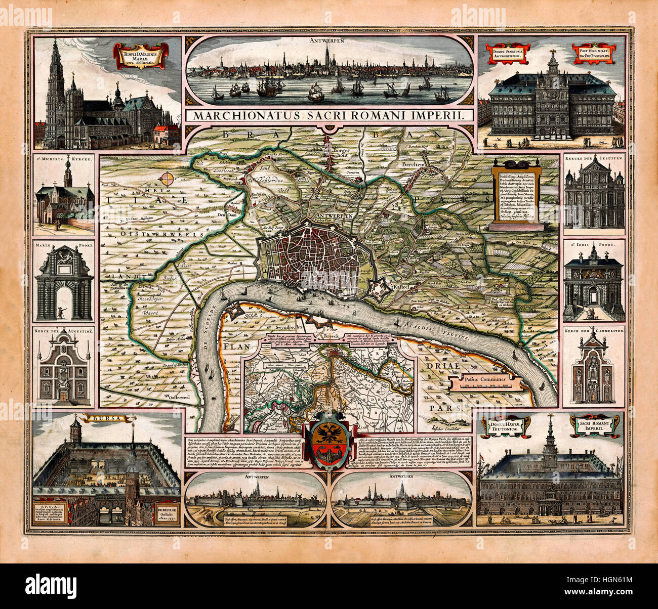 Map Of Antwerp 1624 Stock Photohttps://www.alamy.com/image-license-details/?v=1https://www.alamy.com/stock-photo-map-of-antwerp-1624-130772816.html
RFHGN61M–Map Of Antwerp 1624
 . English: Antwerp, Belgium ; map 1906 . Unknown 52 Antwerp, map 1906 Stock Photohttps://www.alamy.com/image-license-details/?v=1https://www.alamy.com/english-antwerp-belgium-map-1906-unknown-52-antwerp-map-1906-image184855308.html
RMMMMTR8–. English: Antwerp, Belgium ; map 1906 . Unknown 52 Antwerp, map 1906
 Belgian cities. Brussels & Antwerp. Belgium. BARTHOLOMEW 1949 old vintage map Stock Photohttps://www.alamy.com/image-license-details/?v=1https://www.alamy.com/belgian-cities-brussels-antwerp-belgium-bartholomew-1949-old-vintage-map-image428910334.html
RF2FWPFE6–Belgian cities. Brussels & Antwerp. Belgium. BARTHOLOMEW 1949 old vintage map
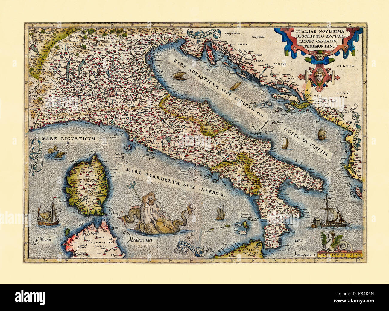 Old map of Italy. Excellent state of preservation realized in ancient style. All the graphic composition is inside a frame. By Ortelius, Theatrum Orbis Terrarum, Antwerp, 1570 Stock Photohttps://www.alamy.com/image-license-details/?v=1https://www.alamy.com/old-map-of-italy-excellent-state-of-preservation-realized-in-ancient-image156840173.html
RFK34K6N–Old map of Italy. Excellent state of preservation realized in ancient style. All the graphic composition is inside a frame. By Ortelius, Theatrum Orbis Terrarum, Antwerp, 1570
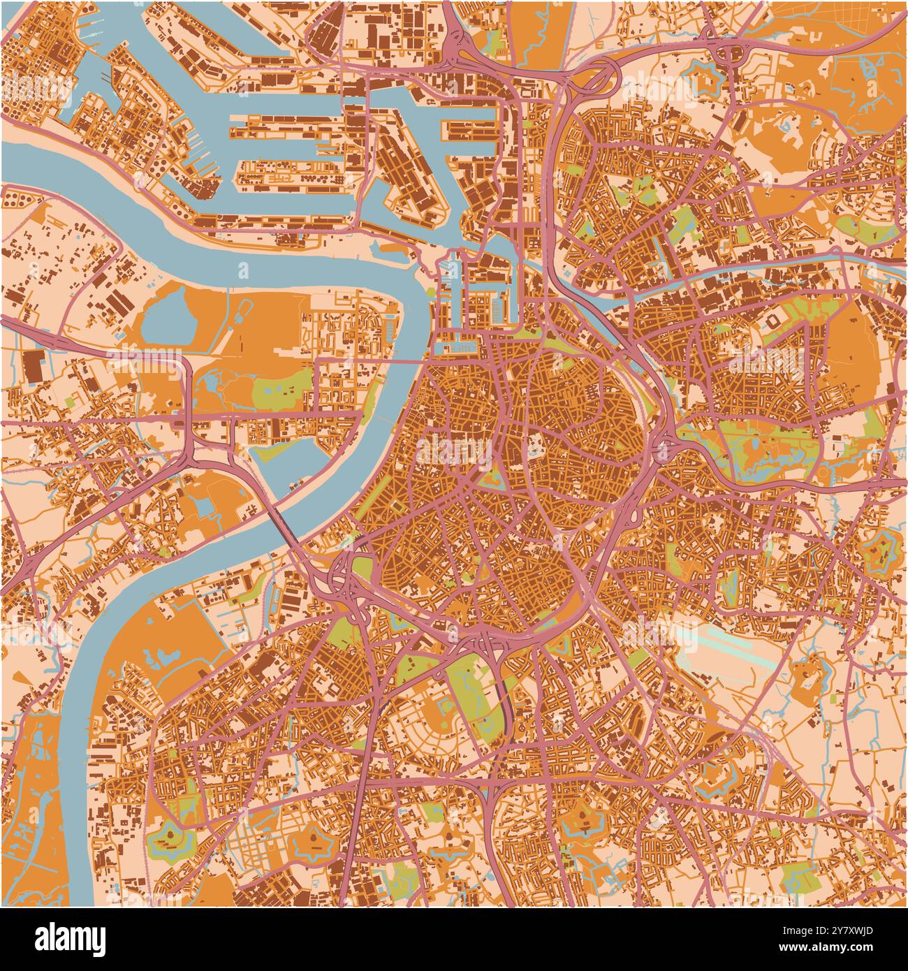 Map of Antwerp in Belgium in a sandy theme. Contains layered vector with roads water, parks, etc. Stock Vectorhttps://www.alamy.com/image-license-details/?v=1https://www.alamy.com/map-of-antwerp-in-belgium-in-a-sandy-theme-contains-layered-vector-with-roads-water-parks-etc-image624466709.html
RF2Y7XWJD–Map of Antwerp in Belgium in a sandy theme. Contains layered vector with roads water, parks, etc.
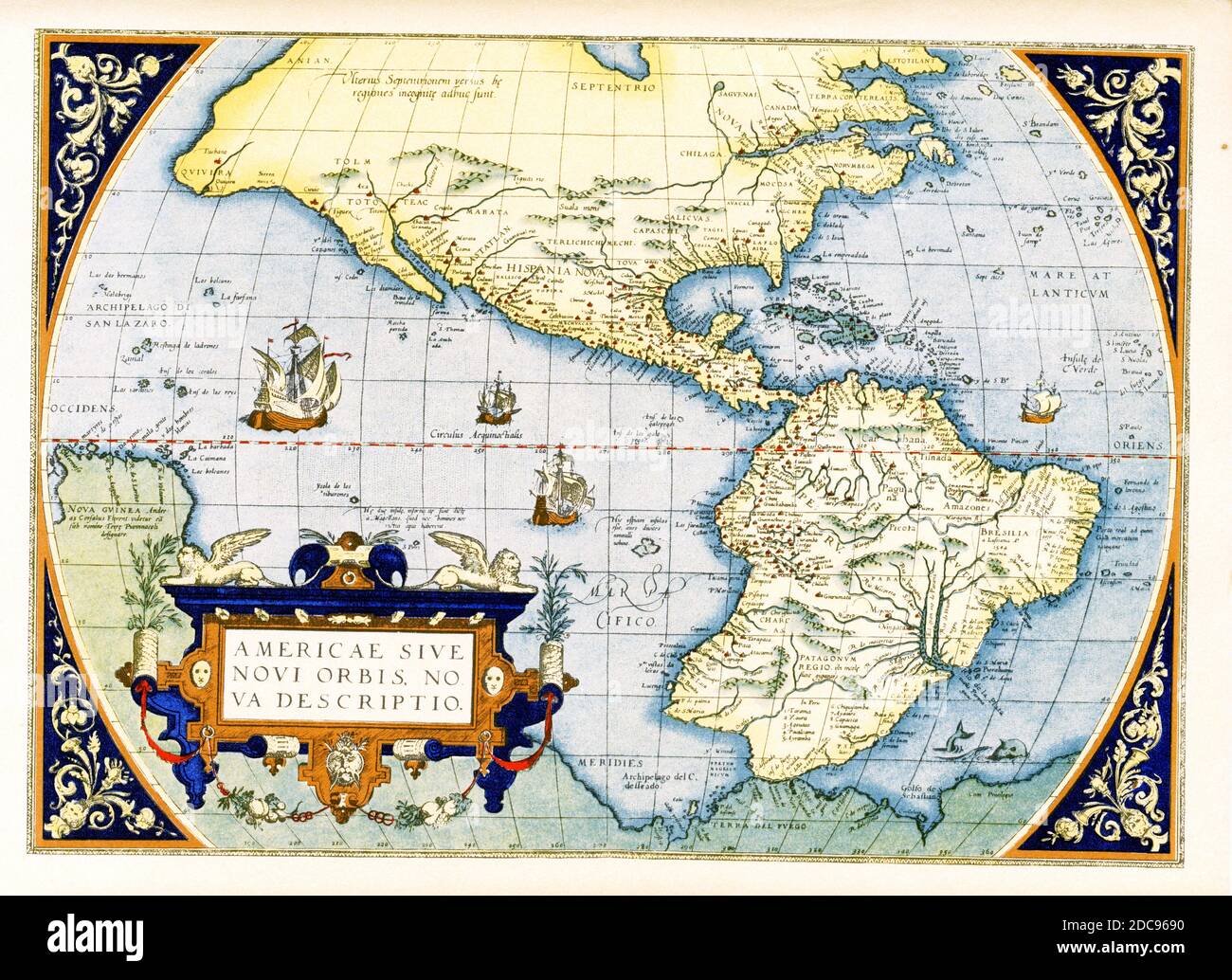 Abraham Ortelius’s map of the Americas — Americae sive Novi Orbis, Nova Descriptio. Originally published in 1570, the first plate of this map was based off of Gerard Mercator’s multi-sheet map of the world from 1569. Engraved by Frans Hogenberg, this became one of the most famous influential maps of the New World and the basis for a great deal of future cartography of the Americas. Abraham Ortelius (1527-1598) was a Dutch cartographer, geographer, and cosmographer, conventionally recognized as the creator of the first modern atlas, the Theatrum Orbis Terrarum. Stock Photohttps://www.alamy.com/image-license-details/?v=1https://www.alamy.com/abraham-orteliuss-map-of-the-americas-americae-sive-novi-orbis-nova-descriptio-originally-published-in-1570-the-first-plate-of-this-map-was-based-off-of-gerard-mercators-multi-sheet-map-of-the-world-from-1569-engraved-by-frans-hogenberg-this-became-one-of-the-most-famous-influential-maps-of-the-new-world-and-the-basis-for-a-great-deal-of-future-cartography-of-the-americas-abraham-ortelius-1527-1598-was-a-dutch-cartographer-geographer-and-cosmographer-conventionally-recognized-as-the-creator-of-the-first-modern-atlas-the-theatrum-orbis-terrarum-image386206492.html
RF2DC9690–Abraham Ortelius’s map of the Americas — Americae sive Novi Orbis, Nova Descriptio. Originally published in 1570, the first plate of this map was based off of Gerard Mercator’s multi-sheet map of the world from 1569. Engraved by Frans Hogenberg, this became one of the most famous influential maps of the New World and the basis for a great deal of future cartography of the Americas. Abraham Ortelius (1527-1598) was a Dutch cartographer, geographer, and cosmographer, conventionally recognized as the creator of the first modern atlas, the Theatrum Orbis Terrarum.
 Detailed blue map poster of Antwerp city administrative area. Skyline panorama. Decorative graphic tourist map of Antwerp territory. Royalty free vect Stock Vectorhttps://www.alamy.com/image-license-details/?v=1https://www.alamy.com/detailed-blue-map-poster-of-antwerp-city-administrative-area-skyline-panorama-decorative-graphic-tourist-map-of-antwerp-territory-royalty-free-vect-image473184504.html
RF2JDRBJG–Detailed blue map poster of Antwerp city administrative area. Skyline panorama. Decorative graphic tourist map of Antwerp territory. Royalty free vect
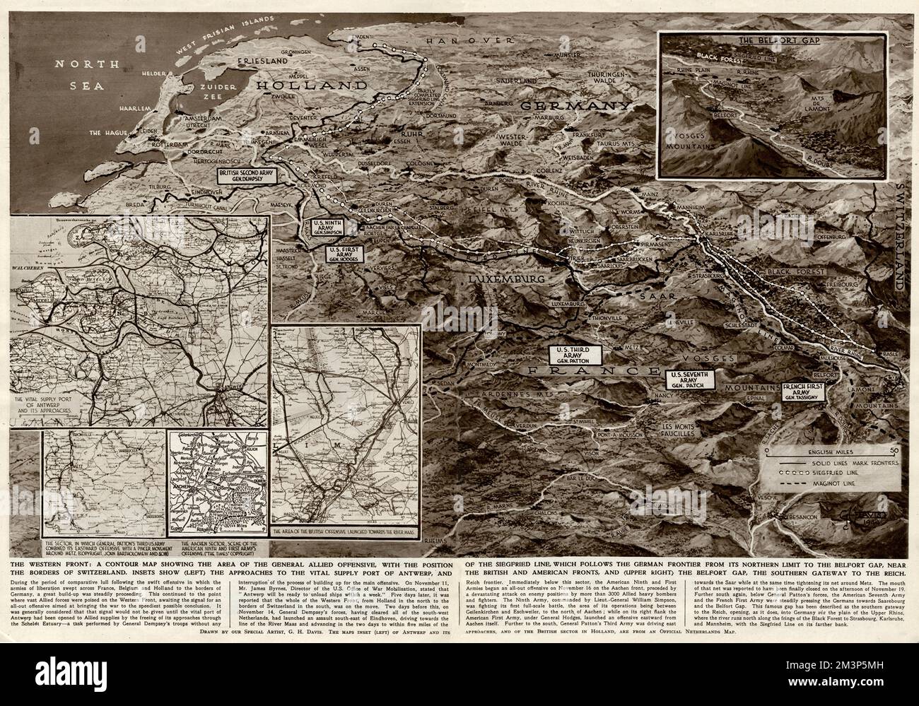 Contour map of Western Front by G. H. Davis Stock Photohttps://www.alamy.com/image-license-details/?v=1https://www.alamy.com/contour-map-of-western-front-by-g-h-davis-image501432081.html
RM2M3P5MH–Contour map of Western Front by G. H. Davis
 Map - Military, Belgium, Antwerp 3, Scale 1:100,000, 1912, Military map, Belgium, Antwerp, 3 scale 1:100,000. Labelled 'Georgaphical Section General Staff no. 2364', the map was photo-etched at the Ordnance Survey Office, Southampton, England, in 1911, and was drawn and printed at the War Office in 1912. The map was used by Captain Morris Lewis during World War I. Captain Lewis, 44th Battalion, Third Division, First AIF, was born in Wales in 1892 of Stock Photohttps://www.alamy.com/image-license-details/?v=1https://www.alamy.com/map-military-belgium-antwerp-3-scale-1100000-1912-military-map-belgium-antwerp-3-scale-1100000-labelled-georgaphical-section-general-staff-no-2364-the-map-was-photo-etched-at-the-ordnance-survey-office-southampton-england-in-1911-and-was-drawn-and-printed-at-the-war-office-in-1912-the-map-was-used-by-captain-morris-lewis-during-world-war-i-captain-lewis-44th-battalion-third-division-first-aif-was-born-in-wales-in-1892-of-image328790542.html
RM2A2WKKA–Map - Military, Belgium, Antwerp 3, Scale 1:100,000, 1912, Military map, Belgium, Antwerp, 3 scale 1:100,000. Labelled 'Georgaphical Section General Staff no. 2364', the map was photo-etched at the Ordnance Survey Office, Southampton, England, in 1911, and was drawn and printed at the War Office in 1912. The map was used by Captain Morris Lewis during World War I. Captain Lewis, 44th Battalion, Third Division, First AIF, was born in Wales in 1892 of
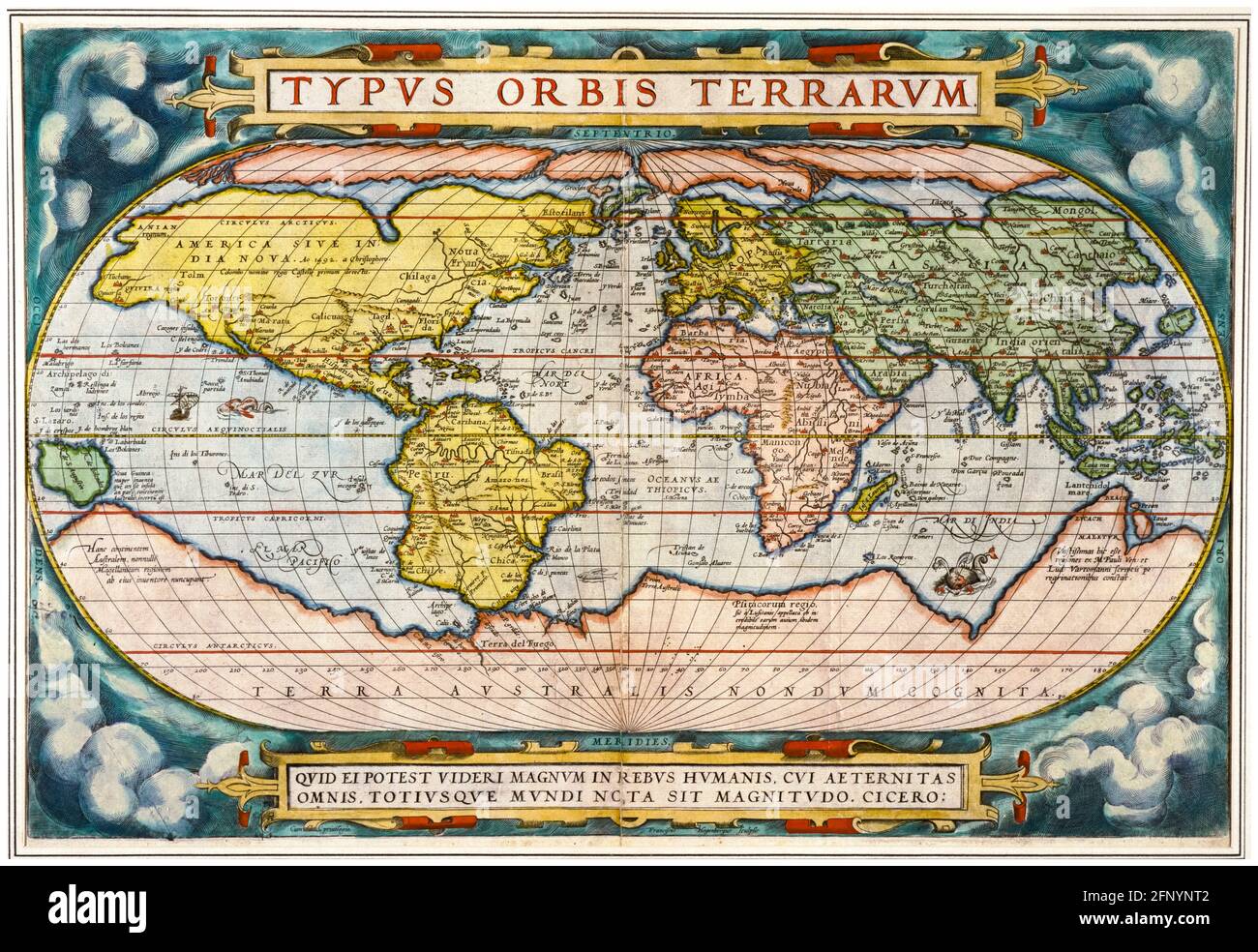 16th Century, Vintage Map of the World from 'Theatrum Orbis Terrarum' (Theater of the Whole World), print by Abraham Ortelius, 1570 Stock Photohttps://www.alamy.com/image-license-details/?v=1https://www.alamy.com/16th-century-vintage-map-of-the-world-from-theatrum-orbis-terrarum-theater-of-the-whole-world-print-by-abraham-ortelius-1570-image426566450.html
RM2FNYNT2–16th Century, Vintage Map of the World from 'Theatrum Orbis Terrarum' (Theater of the Whole World), print by Abraham Ortelius, 1570
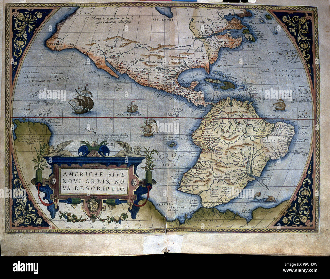 'Theatrum Orbis Terrarum' by Abraham Ortelius, Antwerp, 1574, map of the Americas. Stock Photohttps://www.alamy.com/image-license-details/?v=1https://www.alamy.com/theatrum-orbis-terrarum-by-abraham-ortelius-antwerp-1574-map-of-the-americas-image212420989.html
RMP9GH3W–'Theatrum Orbis Terrarum' by Abraham Ortelius, Antwerp, 1574, map of the Americas.
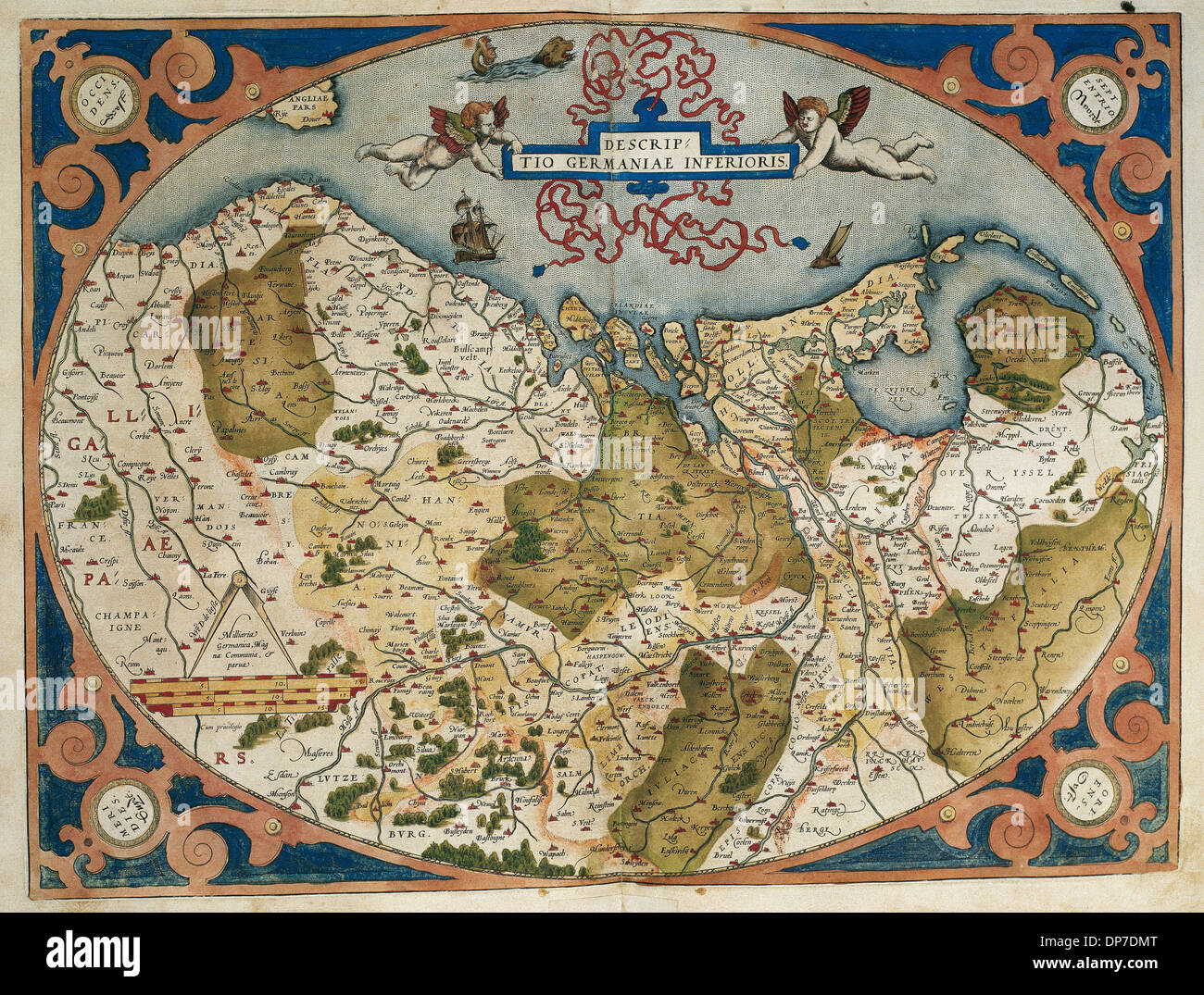 Map of Germany and current Netherlands. Theatrum Orbis Terrarum by Abraham Ortelius (1527-1598). First Edition. Antwerp, 1574. Stock Photohttps://www.alamy.com/image-license-details/?v=1https://www.alamy.com/map-of-germany-and-current-netherlands-theatrum-orbis-terrarum-by-image65317976.html
RMDP7DMT–Map of Germany and current Netherlands. Theatrum Orbis Terrarum by Abraham Ortelius (1527-1598). First Edition. Antwerp, 1574.
 Antwerp, Hindmarsh, AU, Australia, Victoria, S 36 17' 53'', N 142 1' 29'', map, Cartascapes Map published in 2024. Explore Cartascapes, a map revealing Earth's diverse landscapes, cultures, and ecosystems. Journey through time and space, discovering the interconnectedness of our planet's past, present, and future. Stock Photohttps://www.alamy.com/image-license-details/?v=1https://www.alamy.com/antwerp-hindmarsh-au-australia-victoria-s-36-17-53-n-142-1-29-map-cartascapes-map-published-in-2024-explore-cartascapes-a-map-revealing-earths-diverse-landscapes-cultures-and-ecosystems-journey-through-time-and-space-discovering-the-interconnectedness-of-our-planets-past-present-and-future-image625465701.html
RM2Y9GBTN–Antwerp, Hindmarsh, AU, Australia, Victoria, S 36 17' 53'', N 142 1' 29'', map, Cartascapes Map published in 2024. Explore Cartascapes, a map revealing Earth's diverse landscapes, cultures, and ecosystems. Journey through time and space, discovering the interconnectedness of our planet's past, present, and future.
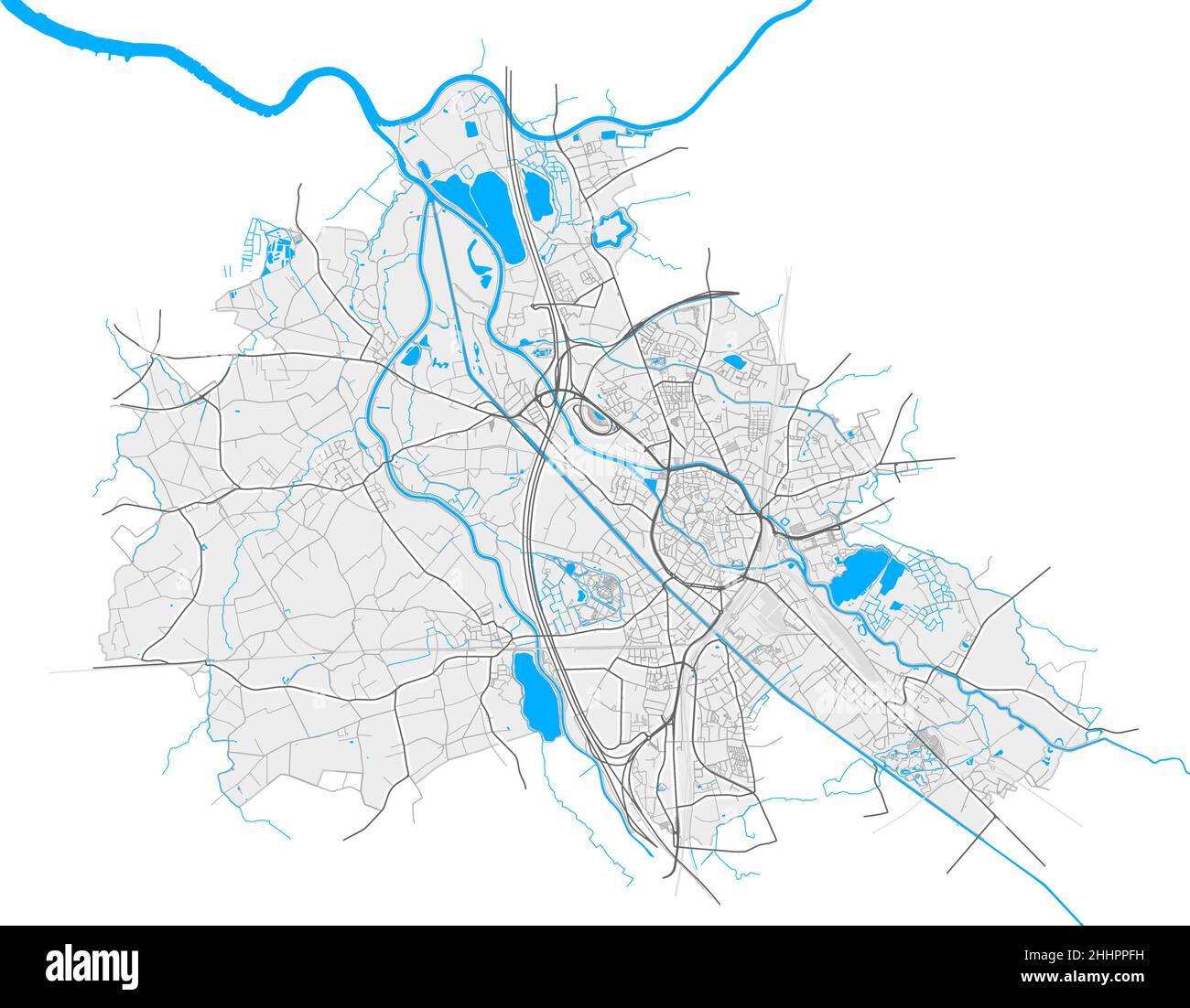 Mechelen, Antwerp, Belgium high resolution vector map with city boundaries and editable paths. White outlines for main roads. Many detailed paths. Blu Stock Vectorhttps://www.alamy.com/image-license-details/?v=1https://www.alamy.com/mechelen-antwerp-belgium-high-resolution-vector-map-with-city-boundaries-and-editable-paths-white-outlines-for-main-roads-many-detailed-paths-blu-image458419349.html
RF2HHPPFH–Mechelen, Antwerp, Belgium high resolution vector map with city boundaries and editable paths. White outlines for main roads. Many detailed paths. Blu
 Inspired by Map of Antwerp, 1711, Plan de la ville et citadelle d'Anvers, Map of Antwerp, 1711. Top right an inset with a map of the larger area. Part of a bundled collection of plans of battles and cities famous in the War of the Spanish Succession., print maker: Jacobus Harrewijn, publisher: Eugene, Reimagined by Artotop. Classic art reinvented with a modern twist. Design of warm cheerful glowing of brightness and light ray radiance. Photography inspired by surrealism and futurism, embracing dynamic energy of modern technology, movement, speed and revolutionize culture Stock Photohttps://www.alamy.com/image-license-details/?v=1https://www.alamy.com/inspired-by-map-of-antwerp-1711-plan-de-la-ville-et-citadelle-danvers-map-of-antwerp-1711-top-right-an-inset-with-a-map-of-the-larger-area-part-of-a-bundled-collection-of-plans-of-battles-and-cities-famous-in-the-war-of-the-spanish-succession-print-maker-jacobus-harrewijn-publisher-eugene-reimagined-by-artotop-classic-art-reinvented-with-a-modern-twist-design-of-warm-cheerful-glowing-of-brightness-and-light-ray-radiance-photography-inspired-by-surrealism-and-futurism-embracing-dynamic-energy-of-modern-technology-movement-speed-and-revolutionize-culture-image459379961.html
RF2HKAFR5–Inspired by Map of Antwerp, 1711, Plan de la ville et citadelle d'Anvers, Map of Antwerp, 1711. Top right an inset with a map of the larger area. Part of a bundled collection of plans of battles and cities famous in the War of the Spanish Succession., print maker: Jacobus Harrewijn, publisher: Eugene, Reimagined by Artotop. Classic art reinvented with a modern twist. Design of warm cheerful glowing of brightness and light ray radiance. Photography inspired by surrealism and futurism, embracing dynamic energy of modern technology, movement, speed and revolutionize culture
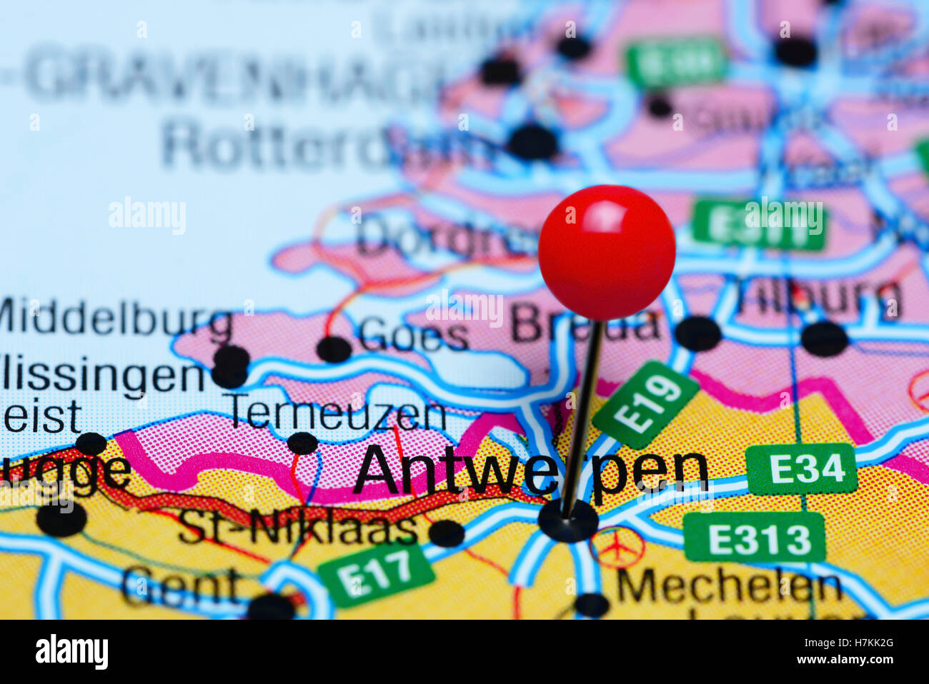 Antwerpen pinned on a map of Belgium Stock Photohttps://www.alamy.com/image-license-details/?v=1https://www.alamy.com/stock-photo-antwerpen-pinned-on-a-map-of-belgium-125207224.html
RFH7KK2G–Antwerpen pinned on a map of Belgium
 Map of Antwerp, 1711, 1711 Map of Antwerp, 1711. At the top right a bet with a card from the larger area. Part of a bundled collection of plans of battles and cities renowned in the Spanish Succession War. Brussels paper etching Antwerp Map of Antwerp, 1711. At the top right a bet with a card from the larger area. Part of a bundled collection of plans of battles and cities renowned in the Spanish Succession War. Brussels paper etching Antwerp Stock Photohttps://www.alamy.com/image-license-details/?v=1https://www.alamy.com/map-of-antwerp-1711-1711-map-of-antwerp-1711-at-the-top-right-a-bet-with-a-card-from-the-larger-area-part-of-a-bundled-collection-of-plans-of-battles-and-cities-renowned-in-the-spanish-succession-war-brussels-paper-etching-antwerp-map-of-antwerp-1711-at-the-top-right-a-bet-with-a-card-from-the-larger-area-part-of-a-bundled-collection-of-plans-of-battles-and-cities-renowned-in-the-spanish-succession-war-brussels-paper-etching-antwerp-image588034253.html
RM2W4K7K9–Map of Antwerp, 1711, 1711 Map of Antwerp, 1711. At the top right a bet with a card from the larger area. Part of a bundled collection of plans of battles and cities renowned in the Spanish Succession War. Brussels paper etching Antwerp Map of Antwerp, 1711. At the top right a bet with a card from the larger area. Part of a bundled collection of plans of battles and cities renowned in the Spanish Succession War. Brussels paper etching Antwerp
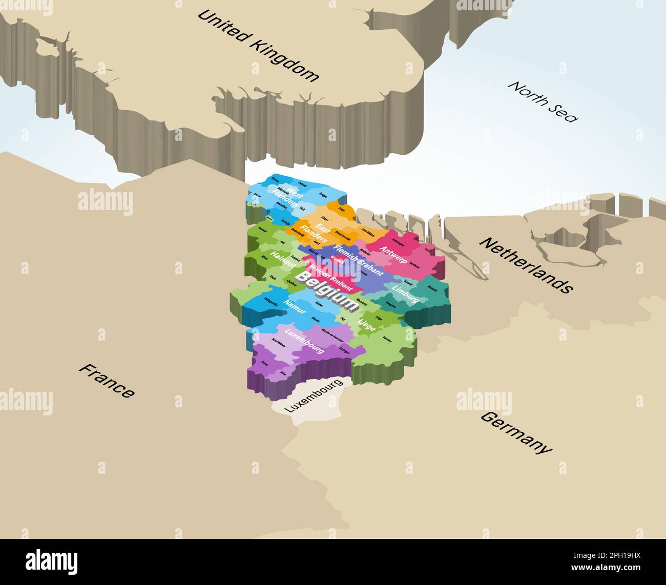 Belgium 3d (isometric) vector map colored by provinces with neighbouring countries Stock Vectorhttps://www.alamy.com/image-license-details/?v=1https://www.alamy.com/belgium-3d-isometric-vector-map-colored-by-provinces-with-neighbouring-countries-image544000070.html
RF2PH19HX–Belgium 3d (isometric) vector map colored by provinces with neighbouring countries
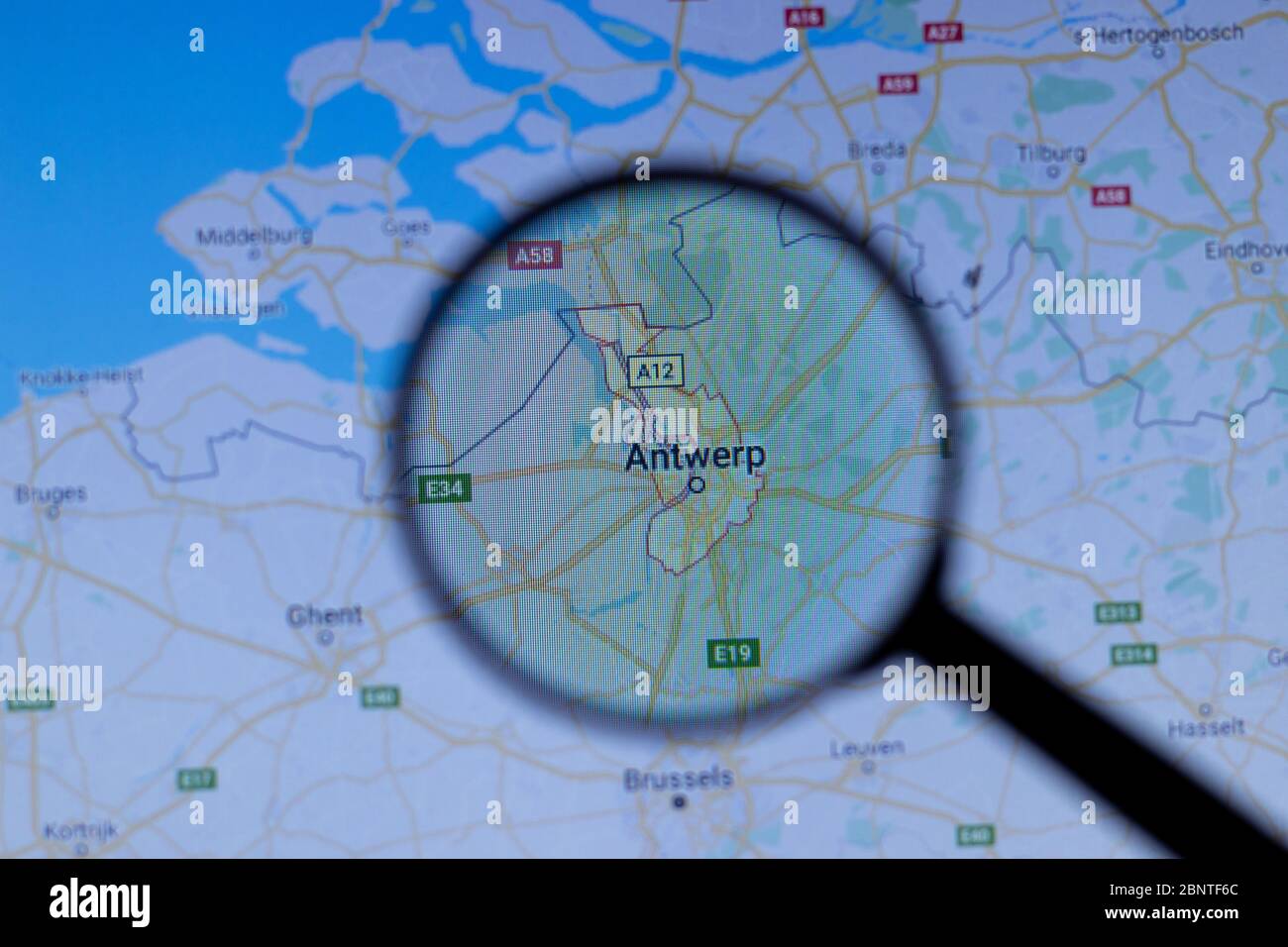 Los Angeles, California, USA - 1 May 2020: Antwerp City Town name with location on map close up, Illustrative Editorial Stock Photohttps://www.alamy.com/image-license-details/?v=1https://www.alamy.com/los-angeles-california-usa-1-may-2020-antwerp-city-town-name-with-location-on-map-close-up-illustrative-editorial-image357653924.html
RF2BNTF6C–Los Angeles, California, USA - 1 May 2020: Antwerp City Town name with location on map close up, Illustrative Editorial
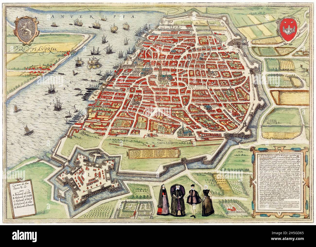 View of Antwerp from Braun and Hogenberg's Civitates Orbis Terrarum (1572-1594) designed by Joris Hoefnagel and edited by Georg Braun. Stock Photohttps://www.alamy.com/image-license-details/?v=1https://www.alamy.com/view-of-antwerp-from-braun-and-hogenbergs-civitates-orbis-terrarum-1572-1594-designed-by-joris-hoefnagel-and-edited-by-georg-braun-image450904445.html
RM2H5GD65–View of Antwerp from Braun and Hogenberg's Civitates Orbis Terrarum (1572-1594) designed by Joris Hoefnagel and edited by Georg Braun.
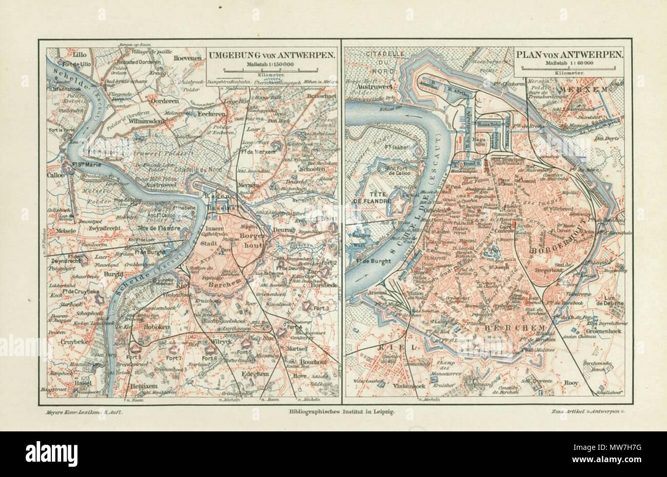 . English: Antwerp, Belgium ; map 1906 . Unknown 52 Antwerp, map 1906 Stock Photohttps://www.alamy.com/image-license-details/?v=1https://www.alamy.com/english-antwerp-belgium-map-1906-unknown-52-antwerp-map-1906-image187637284.html
RMMW7H7G–. English: Antwerp, Belgium ; map 1906 . Unknown 52 Antwerp, map 1906
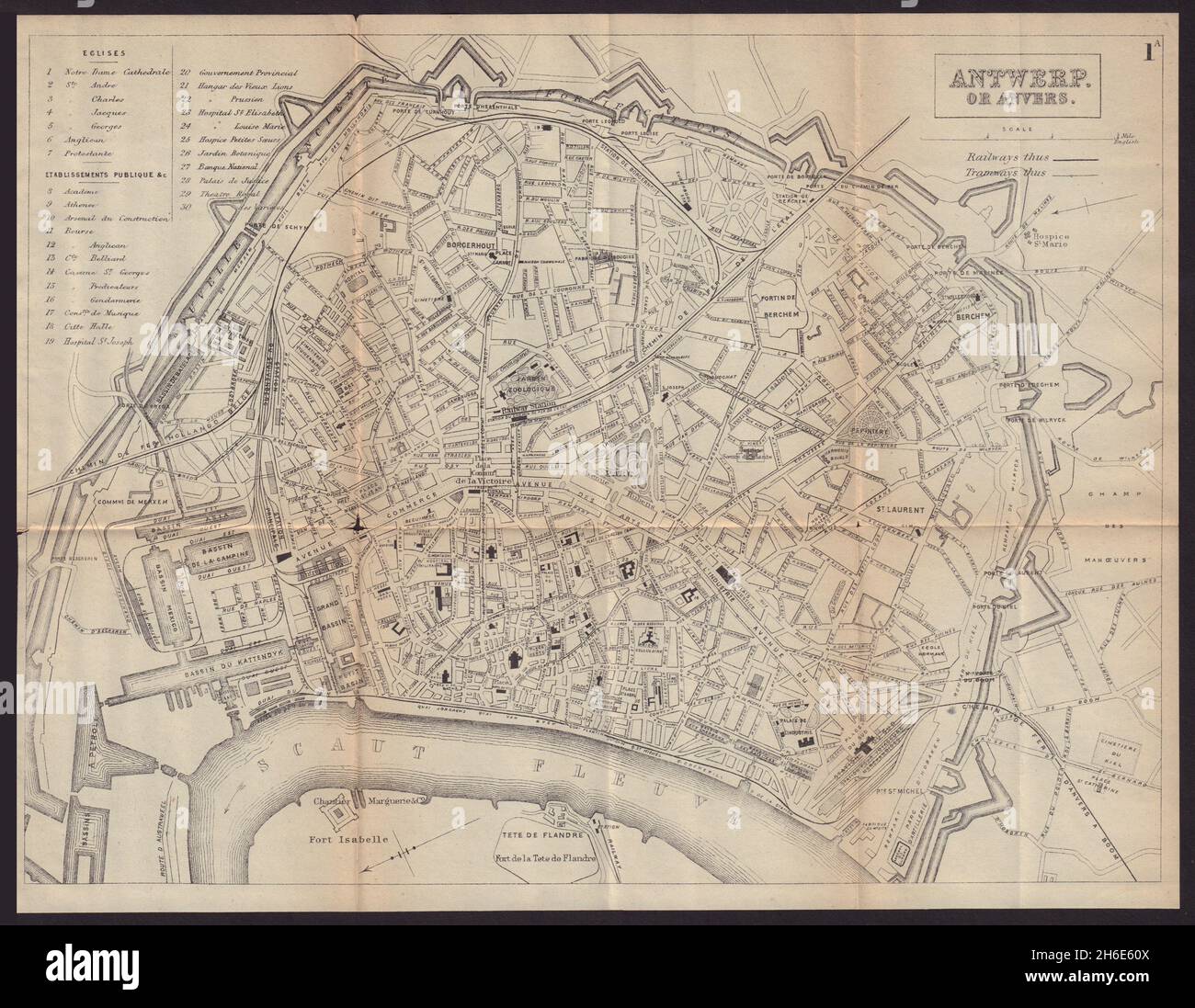 ANTWERP ANVERS ANTWERPEN antique town plan city map. Belgium. BRADSHAW 1893 Stock Photohttps://www.alamy.com/image-license-details/?v=1https://www.alamy.com/antwerp-anvers-antwerpen-antique-town-plan-city-map-belgium-bradshaw-1893-image451469562.html
RF2H6E60X–ANTWERP ANVERS ANTWERPEN antique town plan city map. Belgium. BRADSHAW 1893
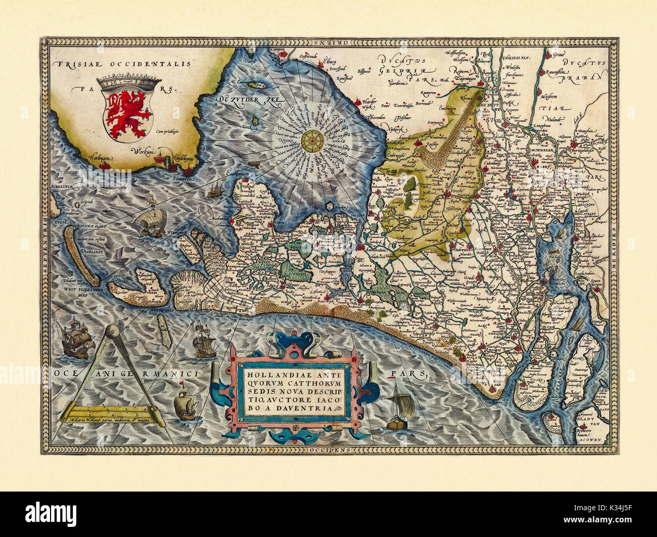 Old map of Netherlands. Excellent state of preservation realized in ancient style. All the graphic composition is inside a frame. By Ortelius, Theatrum Orbis Terrarum, Antwerp, 1570 Stock Photohttps://www.alamy.com/image-license-details/?v=1https://www.alamy.com/old-map-of-netherlands-excellent-state-of-preservation-realized-in-image156839355.html
RFK34J5F–Old map of Netherlands. Excellent state of preservation realized in ancient style. All the graphic composition is inside a frame. By Ortelius, Theatrum Orbis Terrarum, Antwerp, 1570