Area archeological Cut Out Stock Images
 Engraving of the entrance to the valley of the tombs of the kings where tombs were excavated for the pharaohs and powerful nobles of the New Kingdom (the 18th to the 20th Dynasties of Ancient Egypt). The valley is known to contain 63 tombs and chambers. Stock Photohttps://www.alamy.com/image-license-details/?v=1https://www.alamy.com/engraving-of-the-entrance-to-the-valley-of-the-tombs-of-the-kings-where-tombs-were-excavated-for-the-pharaohs-and-powerful-nobles-of-the-new-kingdom-the-18th-to-the-20th-dynasties-of-ancient-egypt-the-valley-is-known-to-contain-63-tombs-and-chambers-image338010883.html
RM2AHWM97–Engraving of the entrance to the valley of the tombs of the kings where tombs were excavated for the pharaohs and powerful nobles of the New Kingdom (the 18th to the 20th Dynasties of Ancient Egypt). The valley is known to contain 63 tombs and chambers.
 Archeological Area of Attidium, Provincia di Ancona, IT, Italy, The Marches, N 43 18' 28'', N 12 55' 26'', map, Cartascapes Map published in 2024. Explore Cartascapes, a map revealing Earth's diverse landscapes, cultures, and ecosystems. Journey through time and space, discovering the interconnectedness of our planet's past, present, and future. Stock Photohttps://www.alamy.com/image-license-details/?v=1https://www.alamy.com/archeological-area-of-attidium-provincia-di-ancona-it-italy-the-marches-n-43-18-28-n-12-55-26-map-cartascapes-map-published-in-2024-explore-cartascapes-a-map-revealing-earths-diverse-landscapes-cultures-and-ecosystems-journey-through-time-and-space-discovering-the-interconnectedness-of-our-planets-past-present-and-future-image614450540.html
RM2XKJHX4–Archeological Area of Attidium, Provincia di Ancona, IT, Italy, The Marches, N 43 18' 28'', N 12 55' 26'', map, Cartascapes Map published in 2024. Explore Cartascapes, a map revealing Earth's diverse landscapes, cultures, and ecosystems. Journey through time and space, discovering the interconnectedness of our planet's past, present, and future.
RM2XY55N5–Excavator icon illustrated in vector on white background
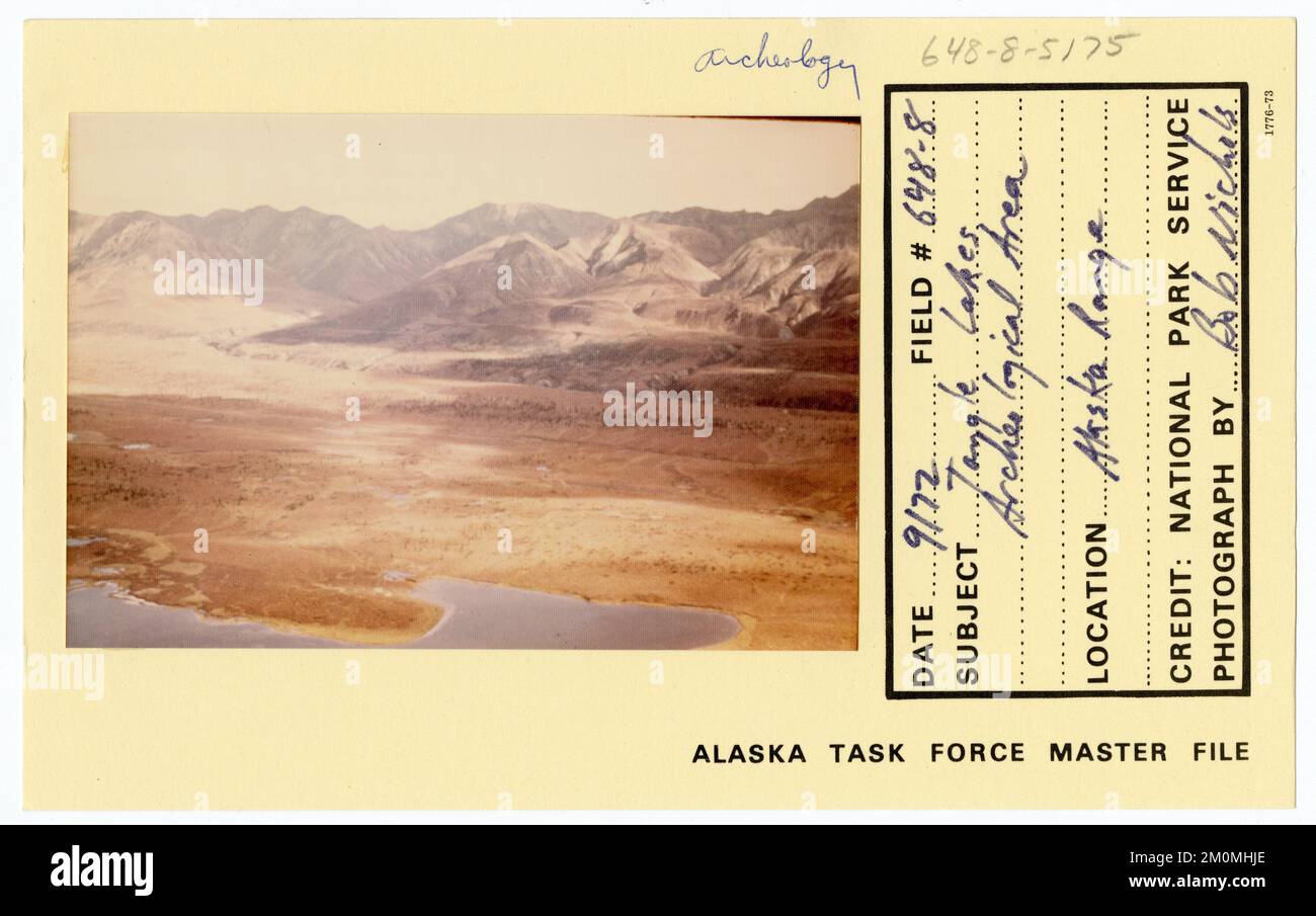 Tangle Lakes archeological area. Alaska Task Force Photographs Stock Photohttps://www.alamy.com/image-license-details/?v=1https://www.alamy.com/tangle-lakes-archeological-area-alaska-task-force-photographs-image499553558.html
RM2M0MHJE–Tangle Lakes archeological area. Alaska Task Force Photographs
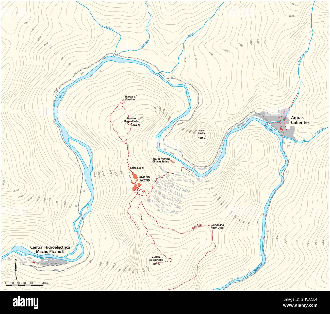 Area map of the Inca ruined city of Machu Picchu, Cusco, Peru Stock Vectorhttps://www.alamy.com/image-license-details/?v=1https://www.alamy.com/area-map-of-the-inca-ruined-city-of-machu-picchu-cusco-peru-image457536524.html
RF2HGAGE4–Area map of the Inca ruined city of Machu Picchu, Cusco, Peru
RF2ARH061–Field survey glyph icon. Research equipment. Archeological examination. Geological inspection. Topographic data gathering. Silhouette symbol. Negative
 Dinosaur warning sign. Vector prohibition emblem with crossed dinosaur skeleton inside of red circle. Cautionary label for dino park area warnings, paleo museums, exhibitions or prehistoric themes Stock Vectorhttps://www.alamy.com/image-license-details/?v=1https://www.alamy.com/dinosaur-warning-sign-vector-prohibition-emblem-with-crossed-dinosaur-skeleton-inside-of-red-circle-cautionary-label-for-dino-park-area-warnings-paleo-museums-exhibitions-or-prehistoric-themes-image617534462.html
RF2XTK3E6–Dinosaur warning sign. Vector prohibition emblem with crossed dinosaur skeleton inside of red circle. Cautionary label for dino park area warnings, paleo museums, exhibitions or prehistoric themes
 Excavation flat vector illustration. Male researcher on archeological site, man observe mural paintings. Egyptian wall pictures discovery. Ground hole Stock Vectorhttps://www.alamy.com/image-license-details/?v=1https://www.alamy.com/excavation-flat-vector-illustration-male-researcher-on-archeological-site-man-observe-mural-paintings-egyptian-wall-pictures-discovery-ground-hole-image378676708.html
RF2D02604–Excavation flat vector illustration. Male researcher on archeological site, man observe mural paintings. Egyptian wall pictures discovery. Ground hole
 France, Pont Du Gard travel landmark vector illustration Stock Vectorhttps://www.alamy.com/image-license-details/?v=1https://www.alamy.com/france-pont-du-gard-travel-landmark-vector-illustration-image544528196.html
RF2PHWB7G–France, Pont Du Gard travel landmark vector illustration
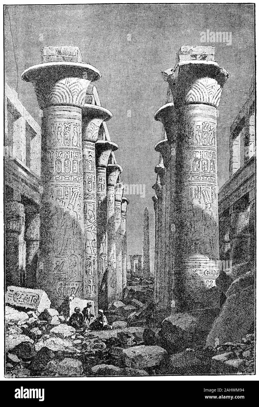 Engraving of columns in The Karnak Temple Complex, commonly known as Karnak, a vast mix of decayed temples, chapels, pylons, and other buildings near Luxor, in Egypt. Construction at the complex began during the reign of Senusret I in the Middle Kingdom and continued into the Ptolemaic period, although most of the extant buildings date from the New Kingdom. Stock Photohttps://www.alamy.com/image-license-details/?v=1https://www.alamy.com/engraving-of-columns-in-the-karnak-temple-complex-commonly-known-as-karnak-a-vast-mix-of-decayed-temples-chapels-pylons-and-other-buildings-near-luxor-in-egypt-construction-at-the-complex-began-during-the-reign-of-senusret-i-in-the-middle-kingdom-and-continued-into-the-ptolemaic-period-although-most-of-the-extant-buildings-date-from-the-new-kingdom-image338010880.html
RM2AHWM94–Engraving of columns in The Karnak Temple Complex, commonly known as Karnak, a vast mix of decayed temples, chapels, pylons, and other buildings near Luxor, in Egypt. Construction at the complex began during the reign of Senusret I in the Middle Kingdom and continued into the Ptolemaic period, although most of the extant buildings date from the New Kingdom.
 Archeological Area and Museum of Saint Eulalias Treasure, Provincia di Cagliari, IT, Italy, Sardinia, N 39 12' 52'', N 9 6' 52'', map, Cartascapes Map published in 2024. Explore Cartascapes, a map revealing Earth's diverse landscapes, cultures, and ecosystems. Journey through time and space, discovering the interconnectedness of our planet's past, present, and future. Stock Photohttps://www.alamy.com/image-license-details/?v=1https://www.alamy.com/archeological-area-and-museum-of-saint-eulalias-treasure-provincia-di-cagliari-it-italy-sardinia-n-39-12-52-n-9-6-52-map-cartascapes-map-published-in-2024-explore-cartascapes-a-map-revealing-earths-diverse-landscapes-cultures-and-ecosystems-journey-through-time-and-space-discovering-the-interconnectedness-of-our-planets-past-present-and-future-image614450372.html
RM2XKJHM4–Archeological Area and Museum of Saint Eulalias Treasure, Provincia di Cagliari, IT, Italy, Sardinia, N 39 12' 52'', N 9 6' 52'', map, Cartascapes Map published in 2024. Explore Cartascapes, a map revealing Earth's diverse landscapes, cultures, and ecosystems. Journey through time and space, discovering the interconnectedness of our planet's past, present, and future.
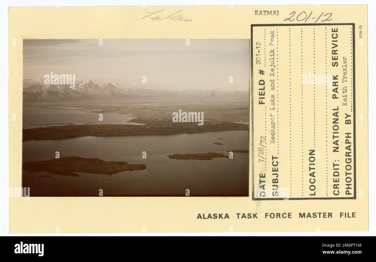 Tangle Lakes archeological area. Alaska Task Force Photographs Stock Photohttps://www.alamy.com/image-license-details/?v=1https://www.alamy.com/tangle-lakes-archeological-area-alaska-task-force-photographs-image499602480.html
RM2M0PT1M–Tangle Lakes archeological area. Alaska Task Force Photographs
RF2ARGM89–Field survey color icon. Research equipment. Archeological examination. Digital tool on map. Land review. Geological inspection. Topographic data gath
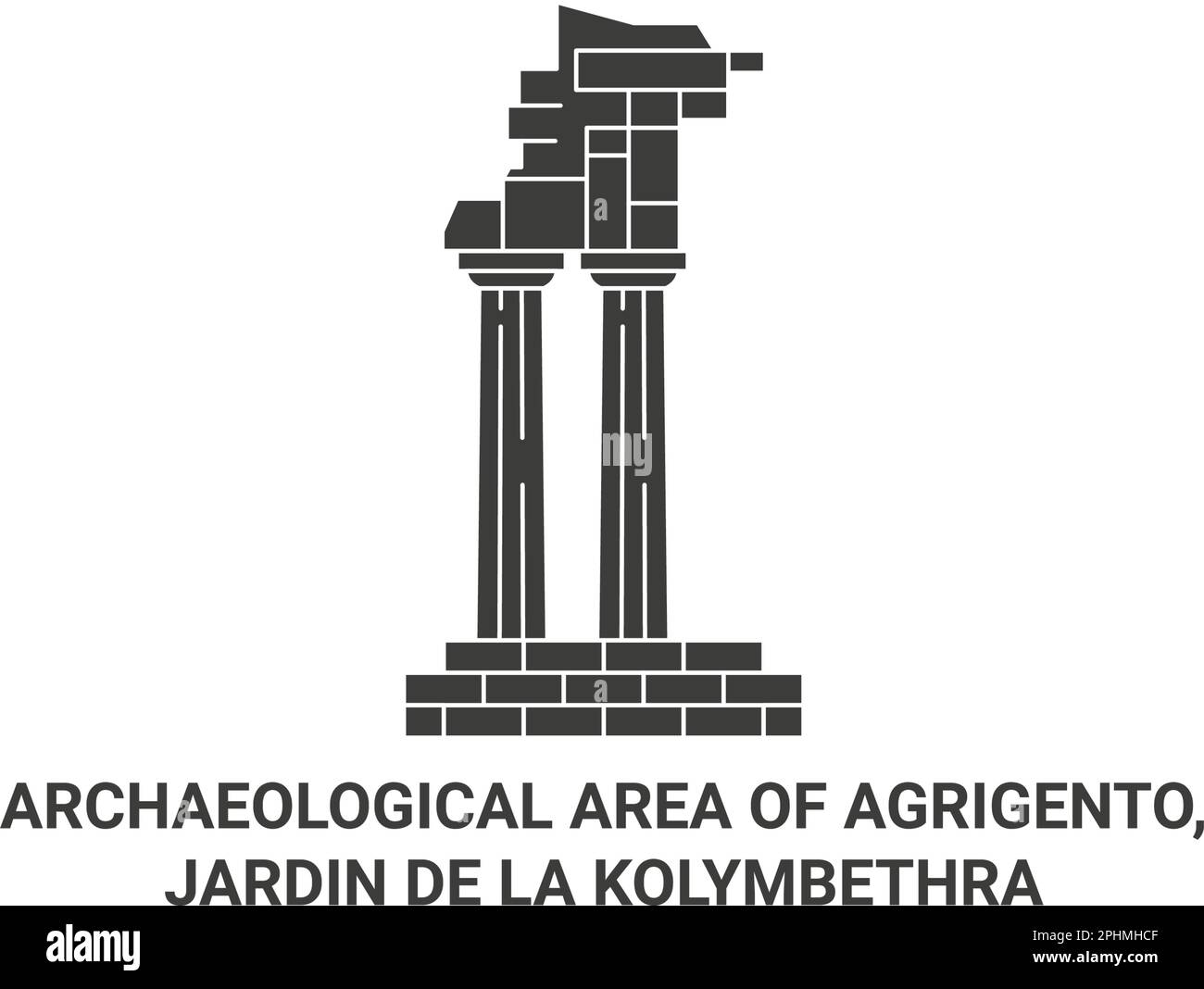 Italy, Agrigento, Jardin De La Kolymbethra travel landmark vector illustration Stock Vectorhttps://www.alamy.com/image-license-details/?v=1https://www.alamy.com/italy-agrigento-jardin-de-la-kolymbethra-travel-landmark-vector-illustration-image544423279.html
RF2PHMHCF–Italy, Agrigento, Jardin De La Kolymbethra travel landmark vector illustration
 National Archeological Museum and Archeological Area of Cassini, Provincia di Frosinone, IT, Italy, Lazio, N 41 28' 57'', N 13 49' 19'', map, Cartascapes Map published in 2024. Explore Cartascapes, a map revealing Earth's diverse landscapes, cultures, and ecosystems. Journey through time and space, discovering the interconnectedness of our planet's past, present, and future. Stock Photohttps://www.alamy.com/image-license-details/?v=1https://www.alamy.com/national-archeological-museum-and-archeological-area-of-cassini-provincia-di-frosinone-it-italy-lazio-n-41-28-57-n-13-49-19-map-cartascapes-map-published-in-2024-explore-cartascapes-a-map-revealing-earths-diverse-landscapes-cultures-and-ecosystems-journey-through-time-and-space-discovering-the-interconnectedness-of-our-planets-past-present-and-future-image614563380.html
RM2XKRNT4–National Archeological Museum and Archeological Area of Cassini, Provincia di Frosinone, IT, Italy, Lazio, N 41 28' 57'', N 13 49' 19'', map, Cartascapes Map published in 2024. Explore Cartascapes, a map revealing Earth's diverse landscapes, cultures, and ecosystems. Journey through time and space, discovering the interconnectedness of our planet's past, present, and future.
 Archeological site, Kitluk River beach area. Alaska Task Force Photographs Stock Photohttps://www.alamy.com/image-license-details/?v=1https://www.alamy.com/archeological-site-kitluk-river-beach-area-alaska-task-force-photographs-image499559954.html
RM2M0MWPX–Archeological site, Kitluk River beach area. Alaska Task Force Photographs
RF2ARGFM3–Field survey linear icon. Research equipment. Archeological examination. Digital tool on map. Topographic data. Thin line illustration. Contour symbol