Arnold nottinghamshire england Stock Photos and Images
(302)See arnold nottinghamshire england stock video clipsQuick filters:
Arnold nottinghamshire england Stock Photos and Images
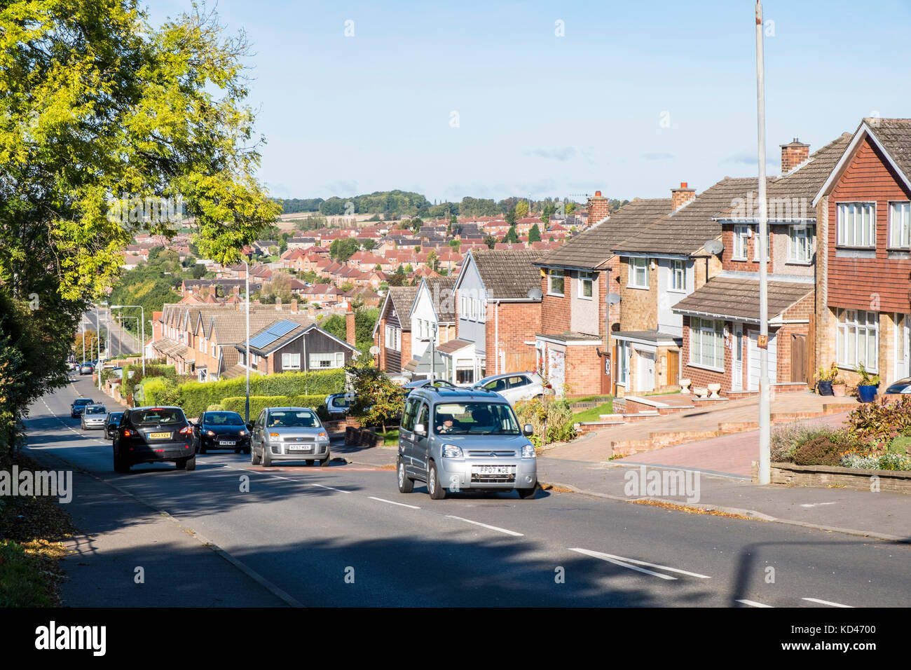 Main road through a housing estate. General view of houses in Arnold, Nottinghamshire, England, UK Stock Photohttps://www.alamy.com/image-license-details/?v=1https://www.alamy.com/stock-image-main-road-through-a-housing-estate-general-view-of-houses-in-arnold-162977136.html
RMKD4700–Main road through a housing estate. General view of houses in Arnold, Nottinghamshire, England, UK
 The entrance to a Nature Reserve on Calverton Road in Arnold, Nottinghamshire England UK Stock Photohttps://www.alamy.com/image-license-details/?v=1https://www.alamy.com/stock-photo-the-entrance-to-a-nature-reserve-on-calverton-road-in-arnold-nottinghamshire-25756108.html
RMBDW850–The entrance to a Nature Reserve on Calverton Road in Arnold, Nottinghamshire England UK
 Tram Car, Arnold, Nottinghamshire Stock Photohttps://www.alamy.com/image-license-details/?v=1https://www.alamy.com/stock-photo-tram-car-arnold-nottinghamshire-83101458.html
RMER5GN6–Tram Car, Arnold, Nottinghamshire
 Arnold, Nottinghamshire, United Kingdom, England, N 53 0' 0'', W 1 7' 59'', map, Timeless Map published in 2021. Travelers, explorers and adventurers like Florence Nightingale, David Livingstone, Ernest Shackleton, Lewis and Clark and Sherlock Holmes relied on maps to plan travels to the world's most remote corners, Timeless Maps is mapping most locations on the globe, showing the achievement of great dreams Stock Photohttps://www.alamy.com/image-license-details/?v=1https://www.alamy.com/arnold-nottinghamshire-united-kingdom-england-n-53-0-0-w-1-7-59-map-timeless-map-published-in-2021-travelers-explorers-and-adventurers-like-florence-nightingale-david-livingstone-ernest-shackleton-lewis-and-clark-and-sherlock-holmes-relied-on-maps-to-plan-travels-to-the-worlds-most-remote-corners-timeless-maps-is-mapping-most-locations-on-the-globe-showing-the-achievement-of-great-dreams-image439403860.html
RM2GETG30–Arnold, Nottinghamshire, United Kingdom, England, N 53 0' 0'', W 1 7' 59'', map, Timeless Map published in 2021. Travelers, explorers and adventurers like Florence Nightingale, David Livingstone, Ernest Shackleton, Lewis and Clark and Sherlock Holmes relied on maps to plan travels to the world's most remote corners, Timeless Maps is mapping most locations on the globe, showing the achievement of great dreams
 Prime Minister Gordon Brown with his wife Sarah at Arnold Mill Primary School in Arnold, Nottinghamshire. Stock Photohttps://www.alamy.com/image-license-details/?v=1https://www.alamy.com/stock-photo-prime-minister-gordon-brown-with-his-wife-sarah-at-arnold-mill-primary-110972907.html
RMGCF723–Prime Minister Gordon Brown with his wife Sarah at Arnold Mill Primary School in Arnold, Nottinghamshire.
 County High School, Gedling Road, Arnold, Gedling, Nottinghamshire, 23/02/1959. A view looking north from the roof of the 'houseblock' at Arnold County High School. The school operated a house system of three houses for sports, scholastic and social activities. Rooms for housemasters, pupil dining rooms and kitchens were contained in the 'houseblock' that surrounded the central courtyard on three sides. Stock Photohttps://www.alamy.com/image-license-details/?v=1https://www.alamy.com/county-high-school-gedling-road-arnold-gedling-nottinghamshire-23021959-a-view-looking-north-from-the-roof-of-the-houseblock-at-arnold-county-high-school-the-school-operated-a-house-system-of-three-houses-for-sports-scholastic-and-social-activities-rooms-for-housemasters-pupil-dining-rooms-and-kitchens-were-contained-in-the-houseblock-that-surrounded-the-central-courtyard-on-three-sides-image457109183.html
RM2HFK3BY–County High School, Gedling Road, Arnold, Gedling, Nottinghamshire, 23/02/1959. A view looking north from the roof of the 'houseblock' at Arnold County High School. The school operated a house system of three houses for sports, scholastic and social activities. Rooms for housemasters, pupil dining rooms and kitchens were contained in the 'houseblock' that surrounded the central courtyard on three sides.
 View of Venice. The Esclavons Quay and the Doges' Palace. Italy 1827 Richard Parkes BONINGTON Arnold (Nottinghamshire), 1802 - London, 1828, English, England. Stock Photohttps://www.alamy.com/image-license-details/?v=1https://www.alamy.com/view-of-venice-the-esclavons-quay-and-the-doges-palace-italy-1827-richard-parkes-bonington-arnold-nottinghamshire-1802-london-1828-english-england-image245576030.html
RMT7EXME–View of Venice. The Esclavons Quay and the Doges' Palace. Italy 1827 Richard Parkes BONINGTON Arnold (Nottinghamshire), 1802 - London, 1828, English, England.
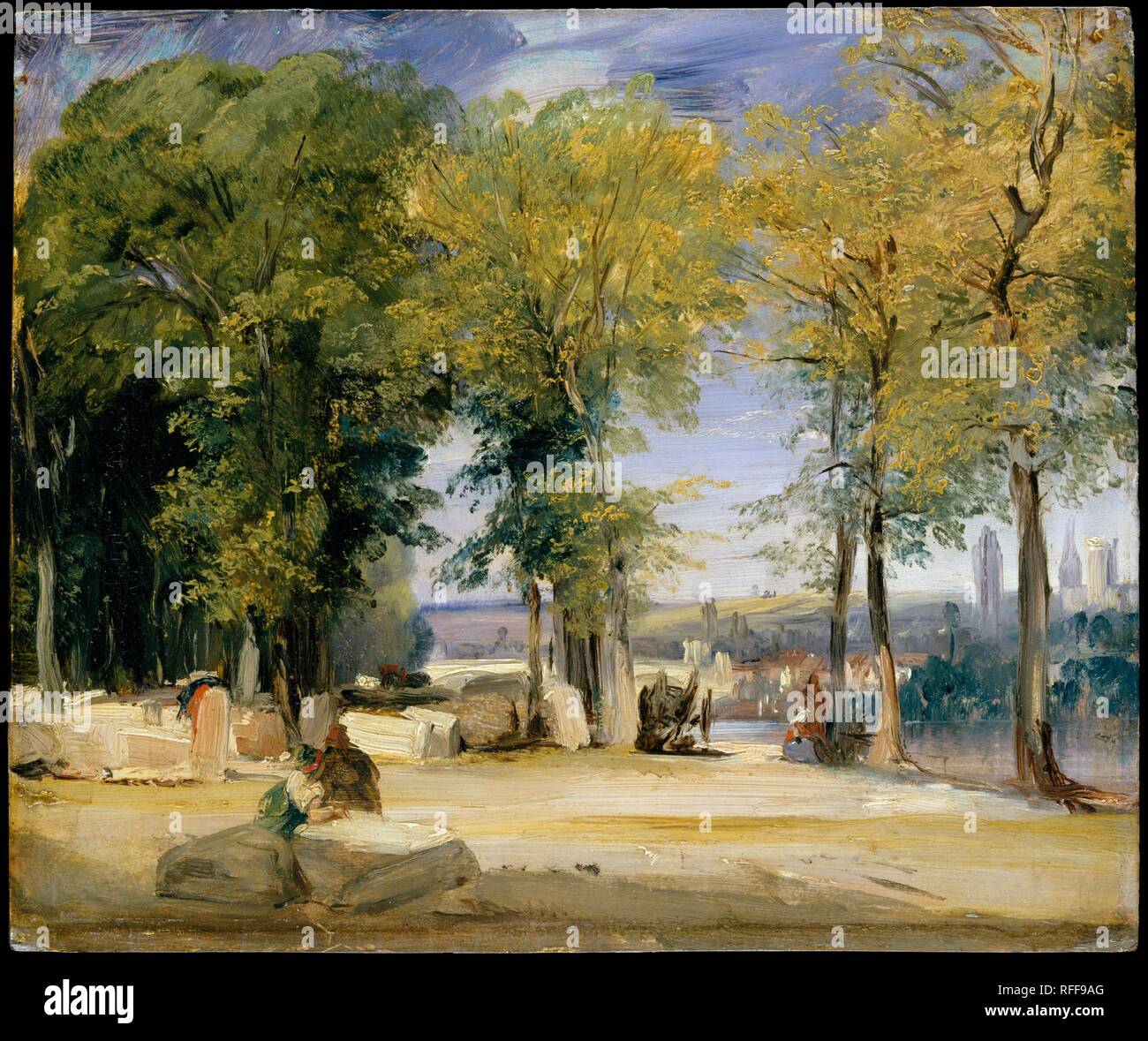 View near Rouen. Artist: Richard Parkes Bonington (British, Arnold, Nottinghamshire 1802-1828 London). Dimensions: 11 x 13 in. (27.9 x 33 cm). Date: ca. 1825. As Bonington was born in England but received his training in France--with Antoine-Jean Gros--his work enjoys a place in the history of both British and French art. This small view, painted from the bank of the Seine opposite Rouen, was probably made in the late summer or autumn of 1825. Bonington had recently returned from London, where he fell under the spell of Constable and Turner, and where he encountered Delacroix and other French Stock Photohttps://www.alamy.com/image-license-details/?v=1https://www.alamy.com/view-near-rouen-artist-richard-parkes-bonington-british-arnold-nottinghamshire-1802-1828-london-dimensions-11-x-13-in-279-x-33-cm-date-ca-1825-as-bonington-was-born-in-england-but-received-his-training-in-france-with-antoine-jean-gros-his-work-enjoys-a-place-in-the-history-of-both-british-and-french-art-this-small-view-painted-from-the-bank-of-the-seine-opposite-rouen-was-probably-made-in-the-late-summer-or-autumn-of-1825-bonington-had-recently-returned-from-london-where-he-fell-under-the-spell-of-constable-and-turner-and-where-he-encountered-delacroix-and-other-french-image233291256.html
RMRFF9AG–View near Rouen. Artist: Richard Parkes Bonington (British, Arnold, Nottinghamshire 1802-1828 London). Dimensions: 11 x 13 in. (27.9 x 33 cm). Date: ca. 1825. As Bonington was born in England but received his training in France--with Antoine-Jean Gros--his work enjoys a place in the history of both British and French art. This small view, painted from the bank of the Seine opposite Rouen, was probably made in the late summer or autumn of 1825. Bonington had recently returned from London, where he fell under the spell of Constable and Turner, and where he encountered Delacroix and other French
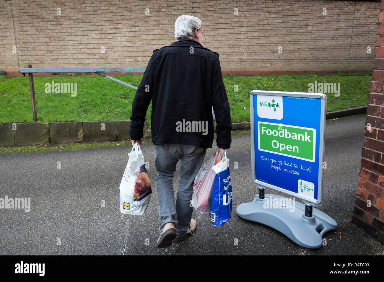 Volunteers sort out newly arrived donations at Arnold Foodbank Daybrook Baptist Church's food store and provide those in need with donated food in Nottingham. Stock Photohttps://www.alamy.com/image-license-details/?v=1https://www.alamy.com/volunteers-sort-out-newly-arrived-donations-at-arnold-foodbank-daybrook-baptist-churchs-food-store-and-provide-those-in-need-with-donated-food-in-nottingham-image226729667.html
RMR4TC03–Volunteers sort out newly arrived donations at Arnold Foodbank Daybrook Baptist Church's food store and provide those in need with donated food in Nottingham.
 Art inspired by View near Rouen, ca. 1825, Oil on millboard, 11 x 13 in. (27.9 x 33 cm), Paintings, Richard Parkes Bonington (British, Arnold, Nottinghamshire 1802–1828 London), As Bonington was born in England but received his training in France—with Antoine-Jean Gros—his work enjoys, Classic works modernized by Artotop with a splash of modernity. Shapes, color and value, eye-catching visual impact on art. Emotions through freedom of artworks in a contemporary way. A timeless message pursuing a wildly creative new direction. Artists turning to the digital medium and creating the Artotop NFT Stock Photohttps://www.alamy.com/image-license-details/?v=1https://www.alamy.com/art-inspired-by-view-near-rouen-ca-1825-oil-on-millboard-11-x-13-in-279-x-33-cm-paintings-richard-parkes-bonington-british-arnold-nottinghamshire-18021828-london-as-bonington-was-born-in-england-but-received-his-training-in-francewith-antoine-jean-groshis-work-enjoys-classic-works-modernized-by-artotop-with-a-splash-of-modernity-shapes-color-and-value-eye-catching-visual-impact-on-art-emotions-through-freedom-of-artworks-in-a-contemporary-way-a-timeless-message-pursuing-a-wildly-creative-new-direction-artists-turning-to-the-digital-medium-and-creating-the-artotop-nft-image463026718.html
RF2HW8K8E–Art inspired by View near Rouen, ca. 1825, Oil on millboard, 11 x 13 in. (27.9 x 33 cm), Paintings, Richard Parkes Bonington (British, Arnold, Nottinghamshire 1802–1828 London), As Bonington was born in England but received his training in France—with Antoine-Jean Gros—his work enjoys, Classic works modernized by Artotop with a splash of modernity. Shapes, color and value, eye-catching visual impact on art. Emotions through freedom of artworks in a contemporary way. A timeless message pursuing a wildly creative new direction. Artists turning to the digital medium and creating the Artotop NFT
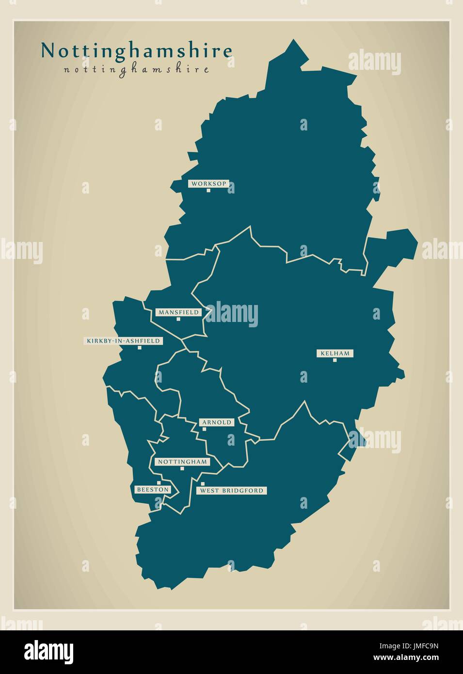 Modern Map - Nottinghamshire county with cities and districts England UK illustration Stock Vectorhttps://www.alamy.com/image-license-details/?v=1https://www.alamy.com/modern-map-nottinghamshire-county-with-cities-and-districts-england-image150315025.html
RFJMFC9N–Modern Map - Nottinghamshire county with cities and districts England UK illustration
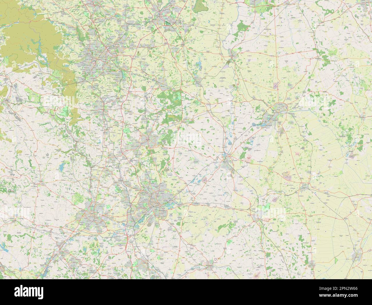 Nottinghamshire, administrative county of England - Great Britain. Open Street Map Stock Photohttps://www.alamy.com/image-license-details/?v=1https://www.alamy.com/nottinghamshire-administrative-county-of-england-great-britain-open-street-map-image546492862.html
RF2PN2W66–Nottinghamshire, administrative county of England - Great Britain. Open Street Map
 Souvenir RAF Hucknall Christmas card for 1953 with a photo of the first vertical take off thrust Measuring Rig, Flying Bedstead, in flight. dedicated to David, with love from Muriel & Len Stock Photohttps://www.alamy.com/image-license-details/?v=1https://www.alamy.com/souvenir-raf-hucknall-christmas-card-for-1953-with-a-photo-of-the-first-vertical-take-off-thrust-measuring-rig-flying-bedstead-in-flight-dedicated-to-david-with-love-from-muriel-len-image637711815.html
RM2S1E7WY–Souvenir RAF Hucknall Christmas card for 1953 with a photo of the first vertical take off thrust Measuring Rig, Flying Bedstead, in flight. dedicated to David, with love from Muriel & Len
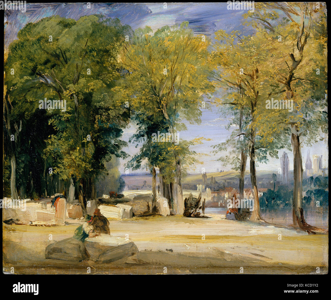 View near Rouen, Richard Parkes Bonington, ca. 1825 Stock Photohttps://www.alamy.com/image-license-details/?v=1https://www.alamy.com/stock-image-view-near-rouen-richard-parkes-bonington-ca-1825-162556102.html
RMKCD1Y2–View near Rouen, Richard Parkes Bonington, ca. 1825
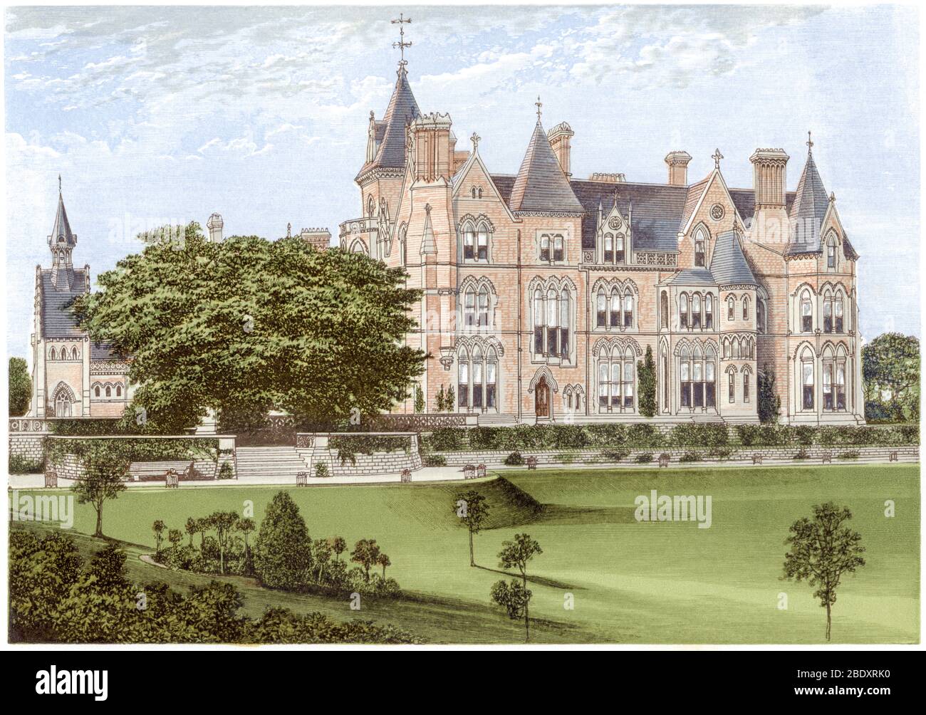 A coloured illustration of Bestwood Lodge, Nottingham scanned at high resolution from a book printed in 1870. Believed copyright free. Stock Photohttps://www.alamy.com/image-license-details/?v=1https://www.alamy.com/a-coloured-illustration-of-bestwood-lodge-nottingham-scanned-at-high-resolution-from-a-book-printed-in-1870-believed-copyright-free-image352787204.html
RM2BDXRK0–A coloured illustration of Bestwood Lodge, Nottingham scanned at high resolution from a book printed in 1870. Believed copyright free.
 Lidl Supermarket Arnold,Nottingham,UK. Stock Photohttps://www.alamy.com/image-license-details/?v=1https://www.alamy.com/stock-photo-lidl-supermarket-arnoldnottinghamuk-94610687.html
RMFDWTW3–Lidl Supermarket Arnold,Nottingham,UK.
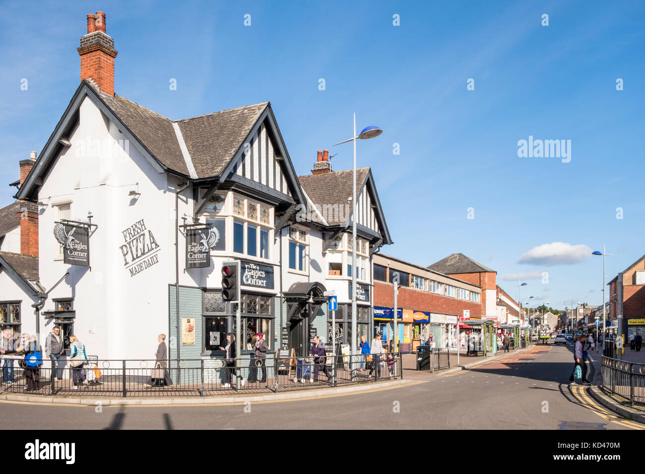 The Eagles Corner pub and main shopping area in the town centre of Arnold, Nottinghamshire, England, UK Stock Photohttps://www.alamy.com/image-license-details/?v=1https://www.alamy.com/stock-image-the-eagles-corner-pub-and-main-shopping-area-in-the-town-centre-of-162977156.html
RMKD470M–The Eagles Corner pub and main shopping area in the town centre of Arnold, Nottinghamshire, England, UK
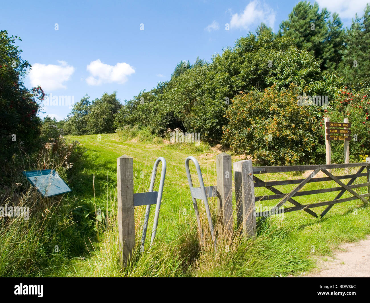 The entrance to a Nature Reserve on Calverton Road in Arnold, Nottinghamshire England UK Stock Photohttps://www.alamy.com/image-license-details/?v=1https://www.alamy.com/stock-photo-the-entrance-to-a-nature-reserve-on-calverton-road-in-arnold-nottinghamshire-25756148.html
RMBDW86C–The entrance to a Nature Reserve on Calverton Road in Arnold, Nottinghamshire England UK
 Aerial Image of Arnold Nottingham Nottinghamshire England UK Stock Photohttps://www.alamy.com/image-license-details/?v=1https://www.alamy.com/aerial-image-of-arnold-nottingham-nottinghamshire-england-uk-image449605770.html
RM2H3D8MX–Aerial Image of Arnold Nottingham Nottinghamshire England UK
 Arnold, Nottinghamshire, GB, United Kingdom, England, N 53 0' 0'', S 1 7' 59'', map, Cartascapes Map published in 2024. Explore Cartascapes, a map revealing Earth's diverse landscapes, cultures, and ecosystems. Journey through time and space, discovering the interconnectedness of our planet's past, present, and future. Stock Photohttps://www.alamy.com/image-license-details/?v=1https://www.alamy.com/arnold-nottinghamshire-gb-united-kingdom-england-n-53-0-0-s-1-7-59-map-cartascapes-map-published-in-2024-explore-cartascapes-a-map-revealing-earths-diverse-landscapes-cultures-and-ecosystems-journey-through-time-and-space-discovering-the-interconnectedness-of-our-planets-past-present-and-future-image604184968.html
RM2X2Y02G–Arnold, Nottinghamshire, GB, United Kingdom, England, N 53 0' 0'', S 1 7' 59'', map, Cartascapes Map published in 2024. Explore Cartascapes, a map revealing Earth's diverse landscapes, cultures, and ecosystems. Journey through time and space, discovering the interconnectedness of our planet's past, present, and future.
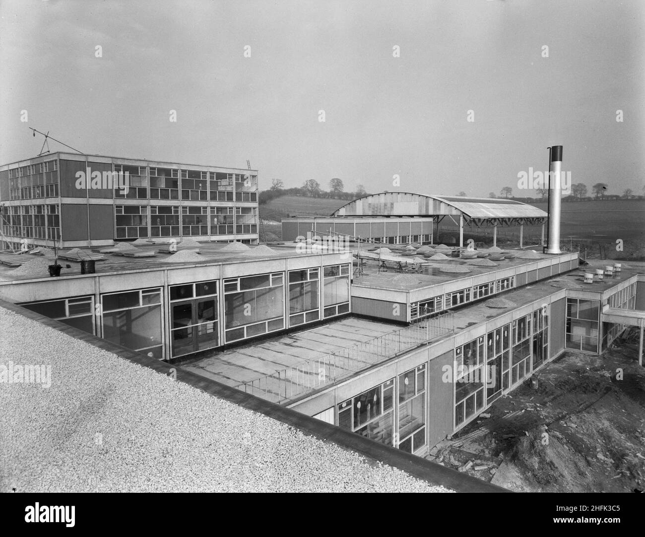 County High School, Gedling Road, Arnold, Gedling, Nottinghamshire, 23/02/1959. A view from the roof of Arnold County High School, looking towards the science block and 'barn-roof' covered athletics space. Whilst the gymnasium at the school was comparatively small it was equipped with a covered outdoor space of 8,000 sq ft for games practice. This area was roofed with a curved 'Dutch Barn' style corrugated iron structure but otherwise open to the outside. Stock Photohttps://www.alamy.com/image-license-details/?v=1https://www.alamy.com/county-high-school-gedling-road-arnold-gedling-nottinghamshire-23021959-a-view-from-the-roof-of-arnold-county-high-school-looking-towards-the-science-block-and-barn-roof-covered-athletics-space-whilst-the-gymnasium-at-the-school-was-comparatively-small-it-was-equipped-with-a-covered-outdoor-space-of-8000-sq-ft-for-games-practice-this-area-was-roofed-with-a-curved-dutch-barn-style-corrugated-iron-structure-but-otherwise-open-to-the-outside-image457109189.html
RM2HFK3C5–County High School, Gedling Road, Arnold, Gedling, Nottinghamshire, 23/02/1959. A view from the roof of Arnold County High School, looking towards the science block and 'barn-roof' covered athletics space. Whilst the gymnasium at the school was comparatively small it was equipped with a covered outdoor space of 8,000 sq ft for games practice. This area was roofed with a curved 'Dutch Barn' style corrugated iron structure but otherwise open to the outside.
 King Francis I, Charles V and the Duchess of Étampes, France 1826 by Richard Parkes BONINGTON, Arnold (Nottinghamshire), 1802 - London, 1828, English, England. Stock Photohttps://www.alamy.com/image-license-details/?v=1https://www.alamy.com/king-francis-i-charles-v-and-the-duchess-of-tampes-france-1826-by-richard-parkes-bonington-arnold-nottinghamshire-1802-london-1828-english-england-image245576026.html
RMT7EXMA–King Francis I, Charles V and the Duchess of Étampes, France 1826 by Richard Parkes BONINGTON, Arnold (Nottinghamshire), 1802 - London, 1828, English, England.
 Prime Minister Gordon Brown meets members of the public at Arnold Mill Primary School in Arnold, Nottinghamshire. Stock Photohttps://www.alamy.com/image-license-details/?v=1https://www.alamy.com/stock-photo-prime-minister-gordon-brown-meets-members-of-the-public-at-arnold-110972932.html
RMGCF730–Prime Minister Gordon Brown meets members of the public at Arnold Mill Primary School in Arnold, Nottinghamshire.
 Volunteers sort out newly arrived donations at Arnold Foodbank Daybrook Baptist Church's food store and provide those in need with donated food in Nottingham. Stock Photohttps://www.alamy.com/image-license-details/?v=1https://www.alamy.com/volunteers-sort-out-newly-arrived-donations-at-arnold-foodbank-daybrook-baptist-churchs-food-store-and-provide-those-in-need-with-donated-food-in-nottingham-image226729622.html
RMR4TBXE–Volunteers sort out newly arrived donations at Arnold Foodbank Daybrook Baptist Church's food store and provide those in need with donated food in Nottingham.
 Nottinghamshire, administrative county of England - Great Britain. Solid color shape Stock Photohttps://www.alamy.com/image-license-details/?v=1https://www.alamy.com/nottinghamshire-administrative-county-of-england-great-britain-solid-color-shape-image546493062.html
RF2PN2WDA–Nottinghamshire, administrative county of England - Great Britain. Solid color shape
 Souvenir RAF Hucknall Christmas card for 1953 with a photo of the first vertical take off thrust Measuring Rig, Flying Bedstead, in flight. dedicated to David, with love from Muriel & Len Stock Photohttps://www.alamy.com/image-license-details/?v=1https://www.alamy.com/souvenir-raf-hucknall-christmas-card-for-1953-with-a-photo-of-the-first-vertical-take-off-thrust-measuring-rig-flying-bedstead-in-flight-dedicated-to-david-with-love-from-muriel-len-image637980381.html
RM2S1XEDH–Souvenir RAF Hucknall Christmas card for 1953 with a photo of the first vertical take off thrust Measuring Rig, Flying Bedstead, in flight. dedicated to David, with love from Muriel & Len
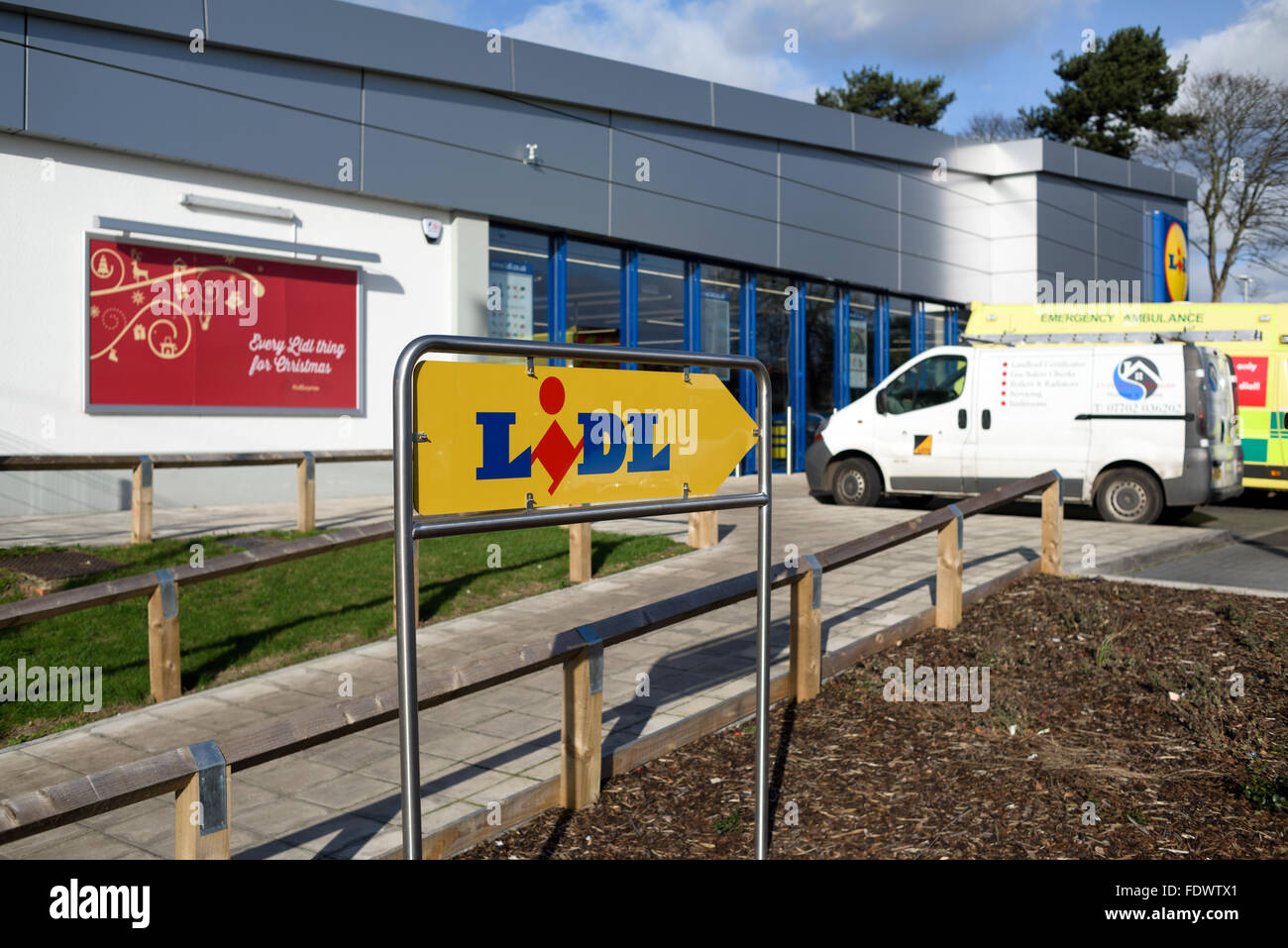 Lidl Supermarket Arnold,Nottingham,UK. Stock Photohttps://www.alamy.com/image-license-details/?v=1https://www.alamy.com/stock-photo-lidl-supermarket-arnoldnottinghamuk-94610713.html
RMFDWTX1–Lidl Supermarket Arnold,Nottingham,UK.
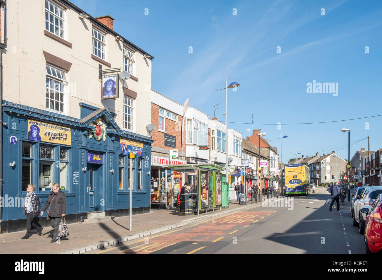 Pub and shops along the main shopping area in the town centre of Arnold, Nottinghamshire, England, UK Stock Photohttps://www.alamy.com/image-license-details/?v=1https://www.alamy.com/stock-image-pub-and-shops-along-the-main-shopping-area-in-the-town-centre-of-arnold-163912080.html
RMKEJRET–Pub and shops along the main shopping area in the town centre of Arnold, Nottinghamshire, England, UK
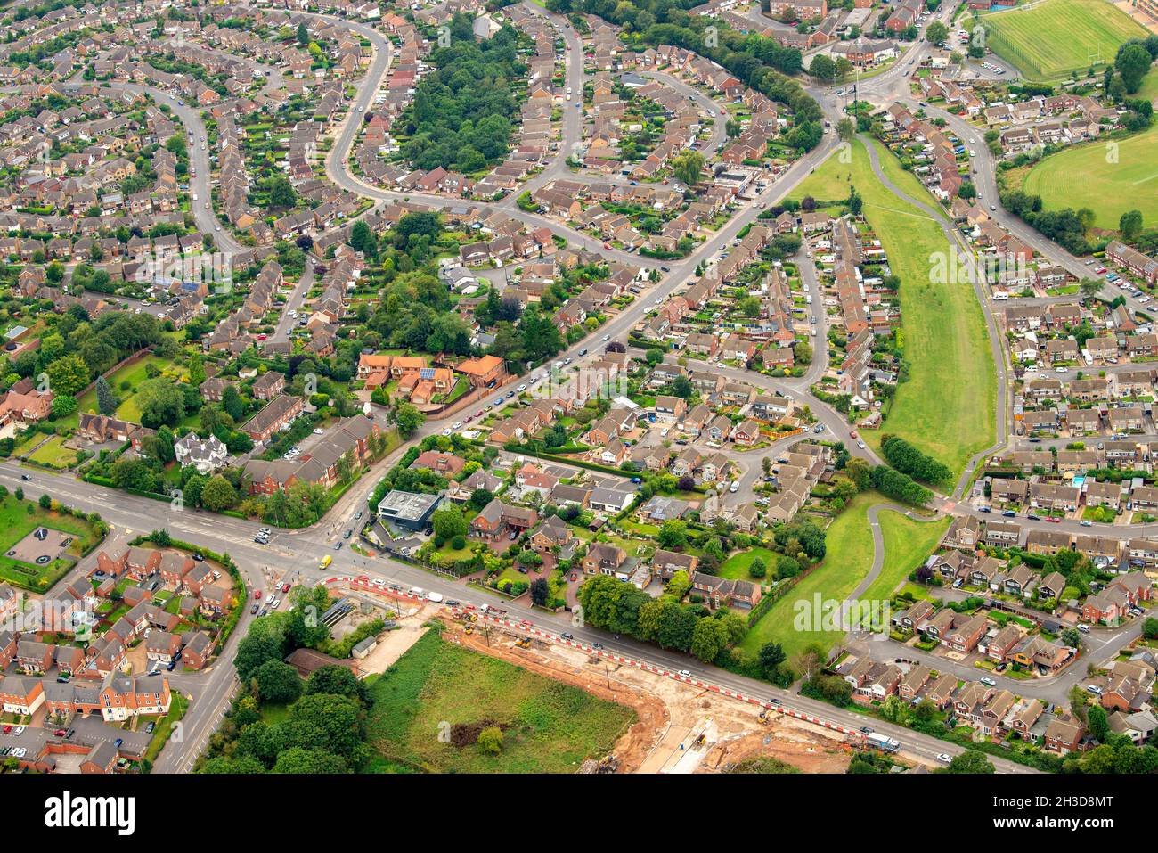 Aerial Image of Arnold Nottingham Nottinghamshire England UK Stock Photohttps://www.alamy.com/image-license-details/?v=1https://www.alamy.com/aerial-image-of-arnold-nottingham-nottinghamshire-england-uk-image449605768.html
RM2H3D8MT–Aerial Image of Arnold Nottingham Nottinghamshire England UK
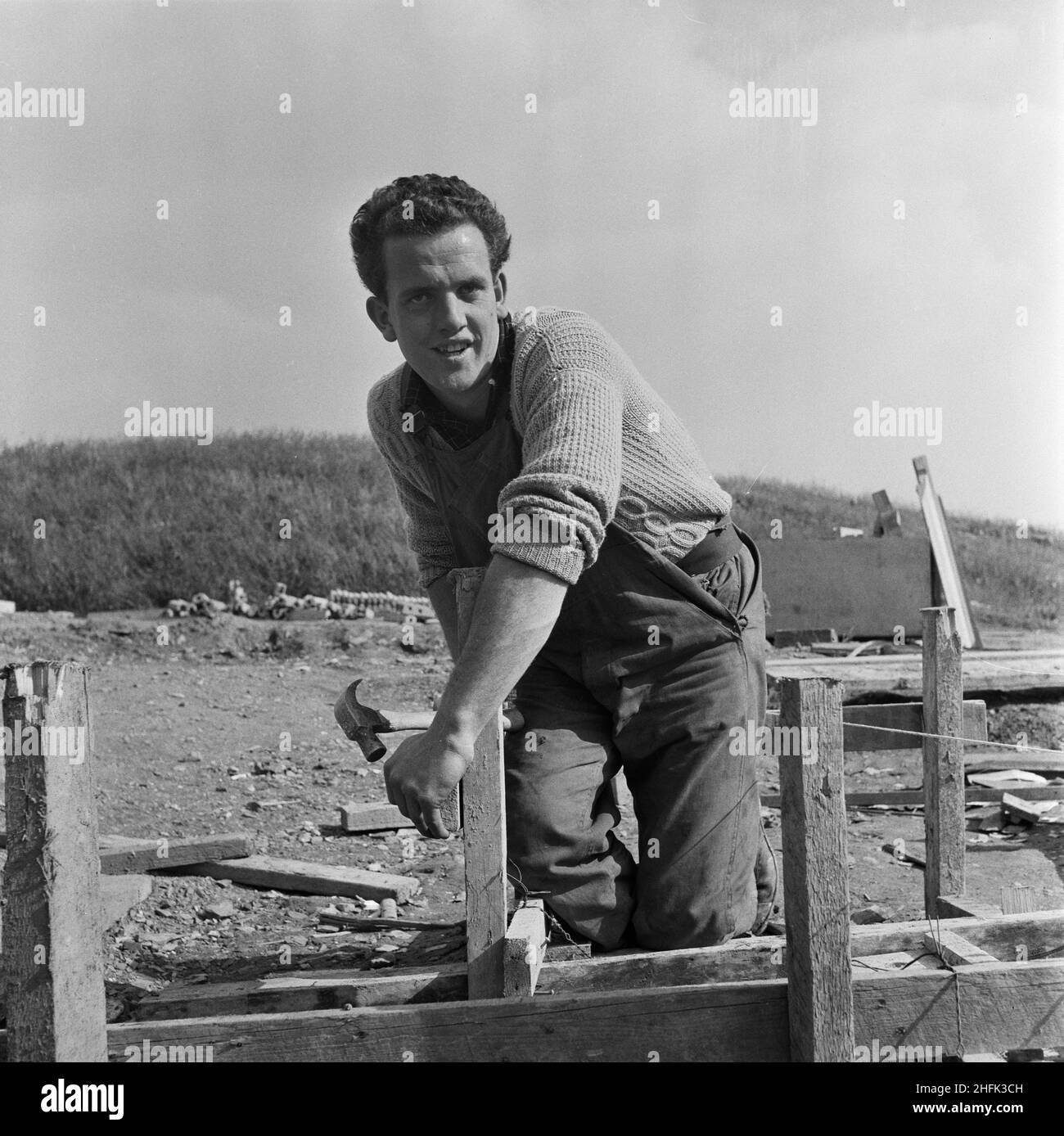 County High School, Gedling Road, Arnold, Gedling, Nottinghamshire, 25/09/1958. M Williamson, an apprentice joiner, working on the construction of Arnold County High School. M Williamson was featured as Apprentice of the Month in the November 1958 issue of Team Spirit, the Laing company newsletter. Born in Doncaster, the son of a miner, he joined the company in 1953, preferring an outdoor job to following his father into the pit. Williamson worked on a number of projects in Richmond, Yorkshire, and Birmingham and would complete his apprenticeship in May 1959. Stock Photohttps://www.alamy.com/image-license-details/?v=1https://www.alamy.com/county-high-school-gedling-road-arnold-gedling-nottinghamshire-25091958-m-williamson-an-apprentice-joiner-working-on-the-construction-of-arnold-county-high-school-m-williamson-was-featured-as-apprentice-of-the-month-in-the-november-1958-issue-of-team-spirit-the-laing-company-newsletter-born-in-doncaster-the-son-of-a-miner-he-joined-the-company-in-1953-preferring-an-outdoor-job-to-following-his-father-into-the-pit-williamson-worked-on-a-number-of-projects-in-richmond-yorkshire-and-birmingham-and-would-complete-his-apprenticeship-in-may-1959-image457109201.html
RM2HFK3CH–County High School, Gedling Road, Arnold, Gedling, Nottinghamshire, 25/09/1958. M Williamson, an apprentice joiner, working on the construction of Arnold County High School. M Williamson was featured as Apprentice of the Month in the November 1958 issue of Team Spirit, the Laing company newsletter. Born in Doncaster, the son of a miner, he joined the company in 1953, preferring an outdoor job to following his father into the pit. Williamson worked on a number of projects in Richmond, Yorkshire, and Birmingham and would complete his apprenticeship in May 1959.
 Prime Minister Gordon Brown makes a speech at Arnold Mill Primary School in Arnold, Nottinghamshire, amongst the spring daffodils. Stock Photohttps://www.alamy.com/image-license-details/?v=1https://www.alamy.com/stock-photo-prime-minister-gordon-brown-makes-a-speech-at-arnold-mill-primary-110972911.html
RMGCF727–Prime Minister Gordon Brown makes a speech at Arnold Mill Primary School in Arnold, Nottinghamshire, amongst the spring daffodils.
 Volunteers sort out newly arrived donations at Arnold Foodbank Daybrook Baptist Church's food store and provide those in need with donated food in Nottingham. Stock Photohttps://www.alamy.com/image-license-details/?v=1https://www.alamy.com/volunteers-sort-out-newly-arrived-donations-at-arnold-foodbank-daybrook-baptist-churchs-food-store-and-provide-those-in-need-with-donated-food-in-nottingham-image226729641.html
RMR4TBY5–Volunteers sort out newly arrived donations at Arnold Foodbank Daybrook Baptist Church's food store and provide those in need with donated food in Nottingham.
 Nottinghamshire, administrative county of England - Great Britain. Low resolution satellite map Stock Photohttps://www.alamy.com/image-license-details/?v=1https://www.alamy.com/nottinghamshire-administrative-county-of-england-great-britain-low-resolution-satellite-map-image546492867.html
RF2PN2W6B–Nottinghamshire, administrative county of England - Great Britain. Low resolution satellite map
 Lidl Supermarket Arnold,Nottingham,UK. Stock Photohttps://www.alamy.com/image-license-details/?v=1https://www.alamy.com/stock-photo-lidl-supermarket-arnoldnottinghamuk-94610701.html
RMFDWTWH–Lidl Supermarket Arnold,Nottingham,UK.
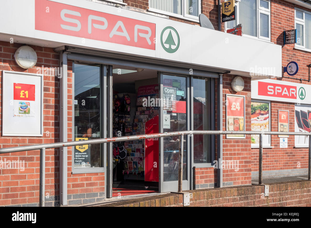 Spar shop, Arnold, Nottinghamshire, England, UK Stock Photohttps://www.alamy.com/image-license-details/?v=1https://www.alamy.com/stock-image-spar-shop-arnold-nottinghamshire-england-uk-163912074.html
RMKEJREJ–Spar shop, Arnold, Nottinghamshire, England, UK
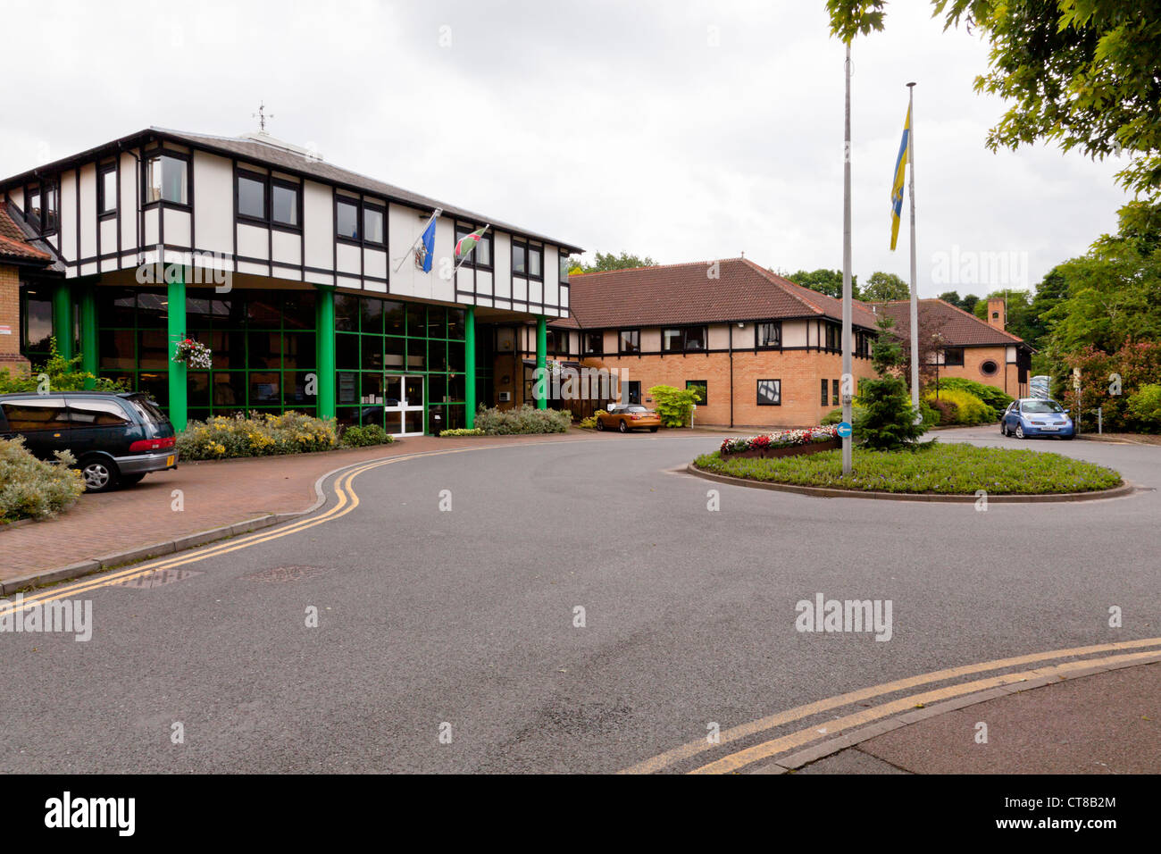 Civic Centre, Gedling Borough Council, Arnold, Nottinghamshire, England, UK Stock Photohttps://www.alamy.com/image-license-details/?v=1https://www.alamy.com/stock-photo-civic-centre-gedling-borough-council-arnold-nottinghamshire-england-49356796.html
RMCT8B2M–Civic Centre, Gedling Borough Council, Arnold, Nottinghamshire, England, UK
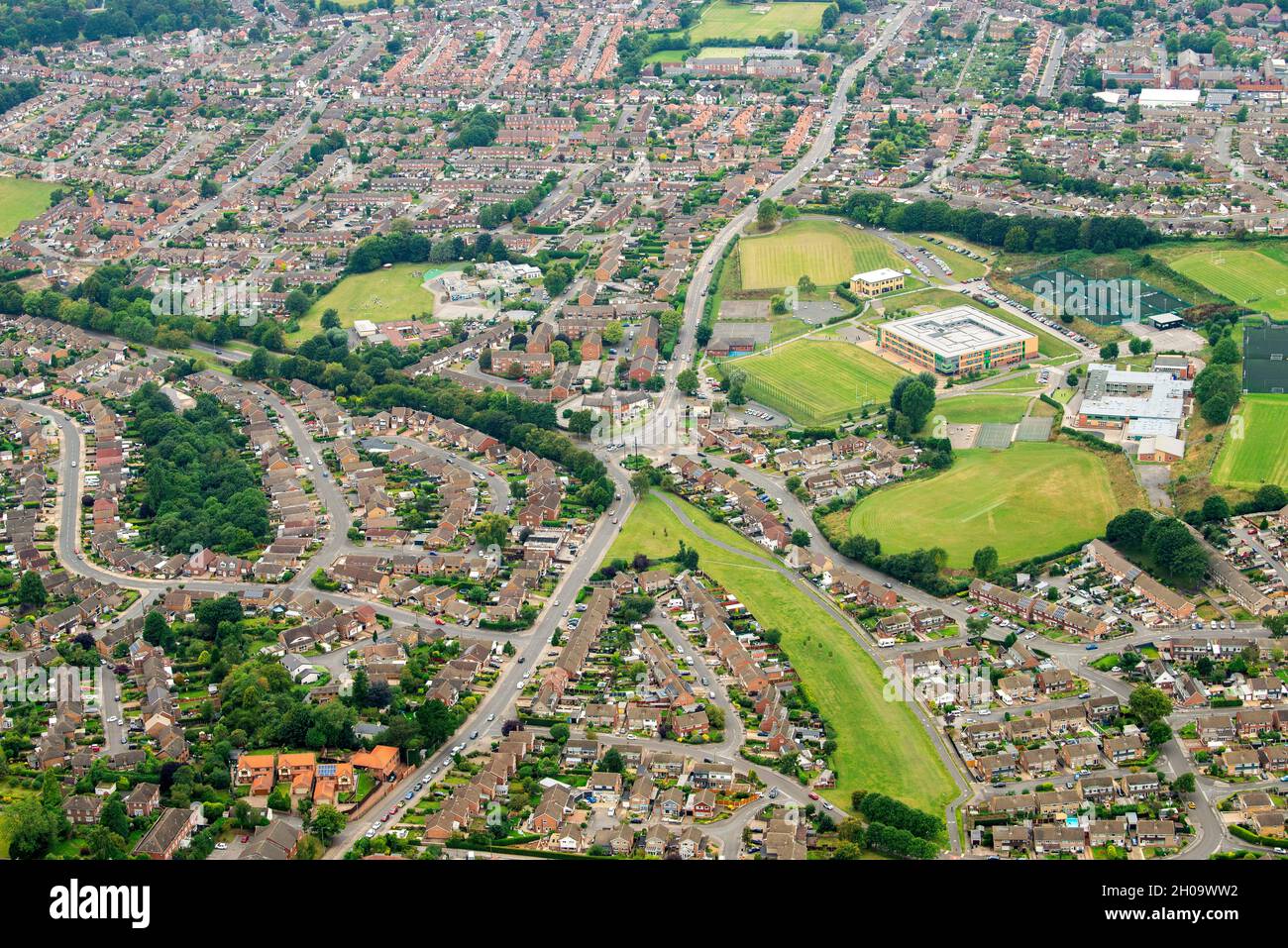 Aerial image of Arnold in Nottingham, Nottinghamshire England UK Stock Photohttps://www.alamy.com/image-license-details/?v=1https://www.alamy.com/aerial-image-of-arnold-in-nottingham-nottinghamshire-england-uk-image447687438.html
RM2H09WW2–Aerial image of Arnold in Nottingham, Nottinghamshire England UK
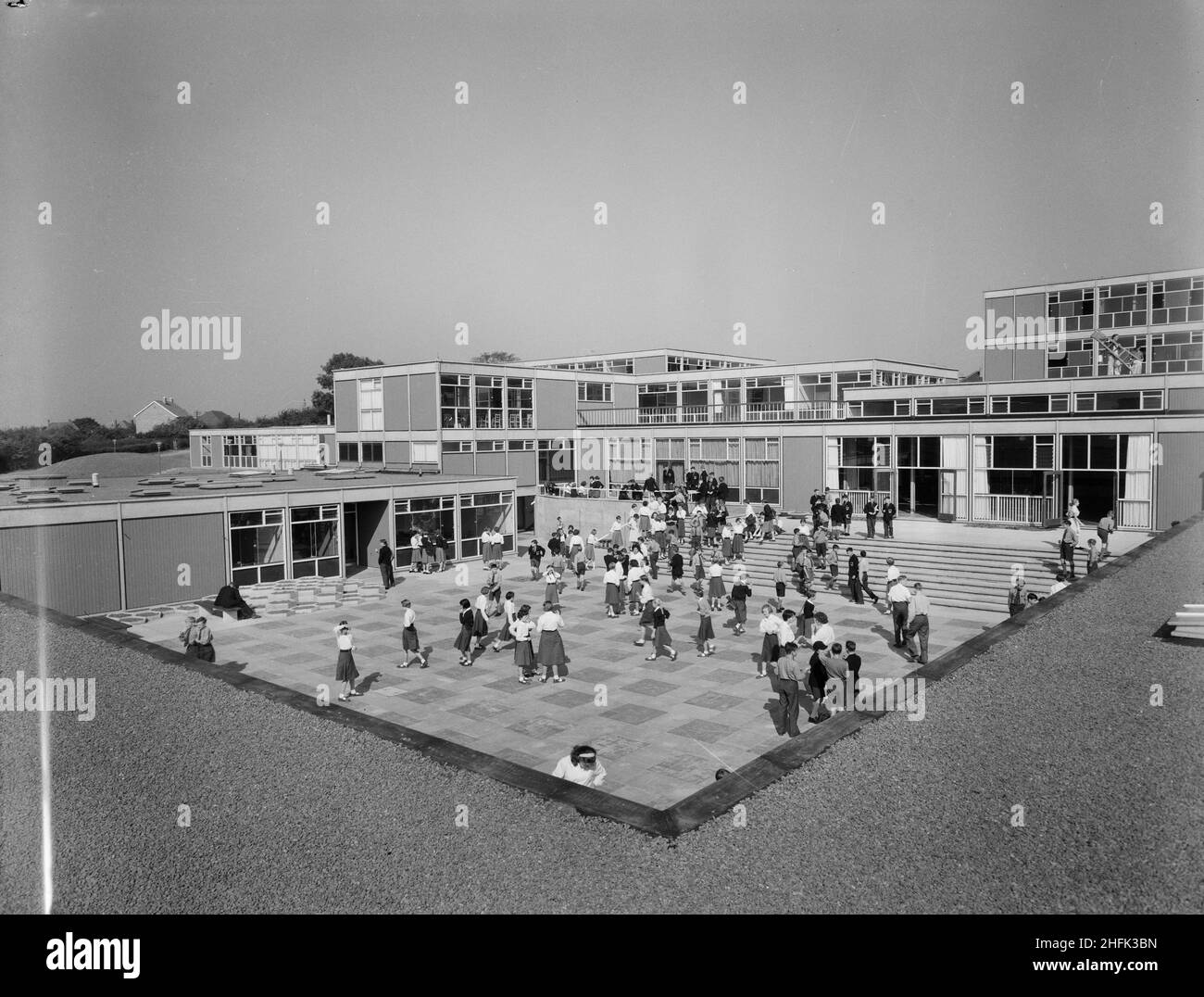 County High School, Gedling Road, Arnold, Gedling, Nottinghamshire, 11/09/1959. A view of the main courtyard at Arnold County High School filled with school children, seen from the roof of the 'houseblock' to the south-east. The school operated a house system of three houses for sports, scholastic and social activities. Rooms for housemasters, pupil dining rooms and kitchens were contained in the 'houseblock' that surrounded the central courtyard on three sides. This photograph featured in the October 1959 issue of Team Spirit, the Laing company newsletter in a story documenting the project's Stock Photohttps://www.alamy.com/image-license-details/?v=1https://www.alamy.com/county-high-school-gedling-road-arnold-gedling-nottinghamshire-11091959-a-view-of-the-main-courtyard-at-arnold-county-high-school-filled-with-school-children-seen-from-the-roof-of-the-houseblock-to-the-south-east-the-school-operated-a-house-system-of-three-houses-for-sports-scholastic-and-social-activities-rooms-for-housemasters-pupil-dining-rooms-and-kitchens-were-contained-in-the-houseblock-that-surrounded-the-central-courtyard-on-three-sides-this-photograph-featured-in-the-october-1959-issue-of-team-spirit-the-laing-company-newsletter-in-a-story-documenting-the-projects-image457109177.html
RM2HFK3BN–County High School, Gedling Road, Arnold, Gedling, Nottinghamshire, 11/09/1959. A view of the main courtyard at Arnold County High School filled with school children, seen from the roof of the 'houseblock' to the south-east. The school operated a house system of three houses for sports, scholastic and social activities. Rooms for housemasters, pupil dining rooms and kitchens were contained in the 'houseblock' that surrounded the central courtyard on three sides. This photograph featured in the October 1959 issue of Team Spirit, the Laing company newsletter in a story documenting the project's
 2010 General Election campaign Apr 24th Stock Photohttps://www.alamy.com/image-license-details/?v=1https://www.alamy.com/stock-photo-2010-general-election-campaign-apr-24th-110972904.html
RMGCF720–2010 General Election campaign Apr 24th
 Tony Lee, a needy family man, is looked after by volunteer helpers at the Arnold Food Bank Daybrook Baptist Church's food store in Nottingham and provided with donated food for his family. Stock Photohttps://www.alamy.com/image-license-details/?v=1https://www.alamy.com/tony-lee-a-needy-family-man-is-looked-after-by-volunteer-helpers-at-the-arnold-food-bank-daybrook-baptist-churchs-food-store-in-nottingham-and-provided-with-donated-food-for-his-family-image226729666.html
RMR4TC02–Tony Lee, a needy family man, is looked after by volunteer helpers at the Arnold Food Bank Daybrook Baptist Church's food store in Nottingham and provided with donated food for his family.
 Nottinghamshire, administrative county of England - Great Britain. High resolution satellite map Stock Photohttps://www.alamy.com/image-license-details/?v=1https://www.alamy.com/nottinghamshire-administrative-county-of-england-great-britain-high-resolution-satellite-map-image546492800.html
RF2PN2W40–Nottinghamshire, administrative county of England - Great Britain. High resolution satellite map
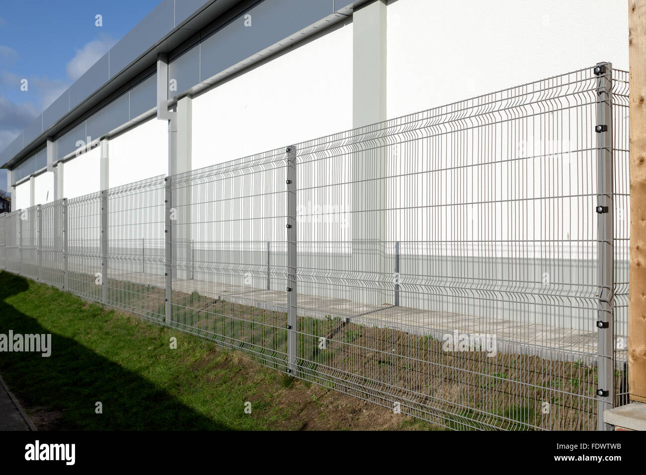 Lidl Supermarket Arnold,Nottingham,UK. Stock Photohttps://www.alamy.com/image-license-details/?v=1https://www.alamy.com/stock-photo-lidl-supermarket-arnoldnottinghamuk-94610695.html
RMFDWTWB–Lidl Supermarket Arnold,Nottingham,UK.
 Civic Centre, Gedling Borough Council, Arnold, Nottinghamshire, England, UK Stock Photohttps://www.alamy.com/image-license-details/?v=1https://www.alamy.com/stock-photo-civic-centre-gedling-borough-council-arnold-nottinghamshire-england-114856888.html
RMGJT53M–Civic Centre, Gedling Borough Council, Arnold, Nottinghamshire, England, UK
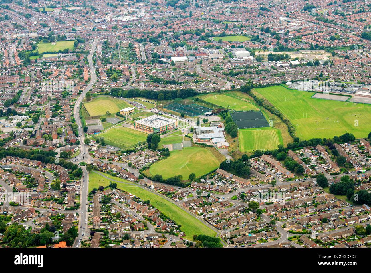 Aerial Image of Arnold in Nottingham Nottinghamshire England UK Stock Photohttps://www.alamy.com/image-license-details/?v=1https://www.alamy.com/aerial-image-of-arnold-in-nottingham-nottinghamshire-england-uk-image449604766.html
RM2H3D7D2–Aerial Image of Arnold in Nottingham Nottinghamshire England UK
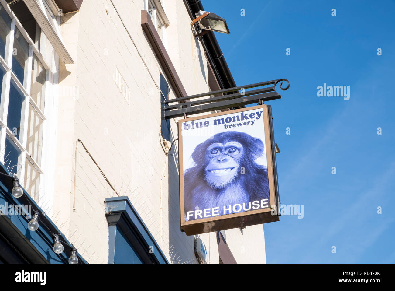 Blue Monkey Brewery pub sign, Arnold, Nottinghamshire, England, UK Stock Photohttps://www.alamy.com/image-license-details/?v=1https://www.alamy.com/stock-image-blue-monkey-brewery-pub-sign-arnold-nottinghamshire-england-uk-162977155.html
RMKD470K–Blue Monkey Brewery pub sign, Arnold, Nottinghamshire, England, UK
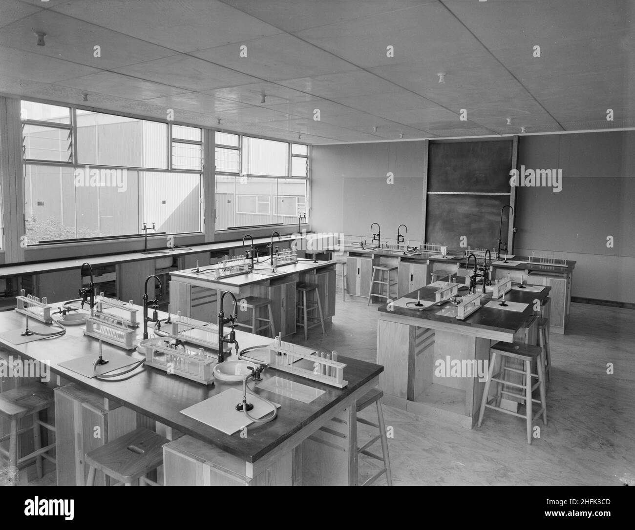 County High School, Gedling Road, Arnold, Gedling, Nottinghamshire, 11/09/1959. The interior of one of the science laboratories at Arnold County High School, showing island benches equipped with sinks, gas taps with Bunsen burners and racks of test tubes. The science block housed chemistry, biology, physics, mathematics and general science laboratories on the ground and first floor, and on the second floor was a lecture theatre with raised seating, an optical laboratory and geography and technical drawing rooms. This photograph featured in the October 1959 issue of Team Spirit, the Laing compa Stock Photohttps://www.alamy.com/image-license-details/?v=1https://www.alamy.com/county-high-school-gedling-road-arnold-gedling-nottinghamshire-11091959-the-interior-of-one-of-the-science-laboratories-at-arnold-county-high-school-showing-island-benches-equipped-with-sinks-gas-taps-with-bunsen-burners-and-racks-of-test-tubes-the-science-block-housed-chemistry-biology-physics-mathematics-and-general-science-laboratories-on-the-ground-and-first-floor-and-on-the-second-floor-was-a-lecture-theatre-with-raised-seating-an-optical-laboratory-and-geography-and-technical-drawing-rooms-this-photograph-featured-in-the-october-1959-issue-of-team-spirit-the-laing-compa-image457109197.html
RM2HFK3CD–County High School, Gedling Road, Arnold, Gedling, Nottinghamshire, 11/09/1959. The interior of one of the science laboratories at Arnold County High School, showing island benches equipped with sinks, gas taps with Bunsen burners and racks of test tubes. The science block housed chemistry, biology, physics, mathematics and general science laboratories on the ground and first floor, and on the second floor was a lecture theatre with raised seating, an optical laboratory and geography and technical drawing rooms. This photograph featured in the October 1959 issue of Team Spirit, the Laing compa
 2010 General Election campaign Apr 24th Stock Photohttps://www.alamy.com/image-license-details/?v=1https://www.alamy.com/stock-photo-2010-general-election-campaign-apr-24th-110972905.html
RMGCF721–2010 General Election campaign Apr 24th
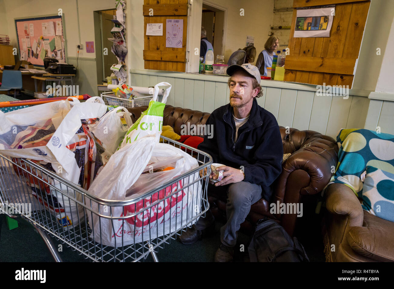 Tony Lee, a needy family man, is looked after by volunteer helpers at the Arnold Food Bank Daybrook Baptist Church's food store in Nottingham and provided with donated food for his family. Stock Photohttps://www.alamy.com/image-license-details/?v=1https://www.alamy.com/tony-lee-a-needy-family-man-is-looked-after-by-volunteer-helpers-at-the-arnold-food-bank-daybrook-baptist-churchs-food-store-in-nottingham-and-provided-with-donated-food-for-his-family-image226729646.html
RMR4TBYA–Tony Lee, a needy family man, is looked after by volunteer helpers at the Arnold Food Bank Daybrook Baptist Church's food store in Nottingham and provided with donated food for his family.
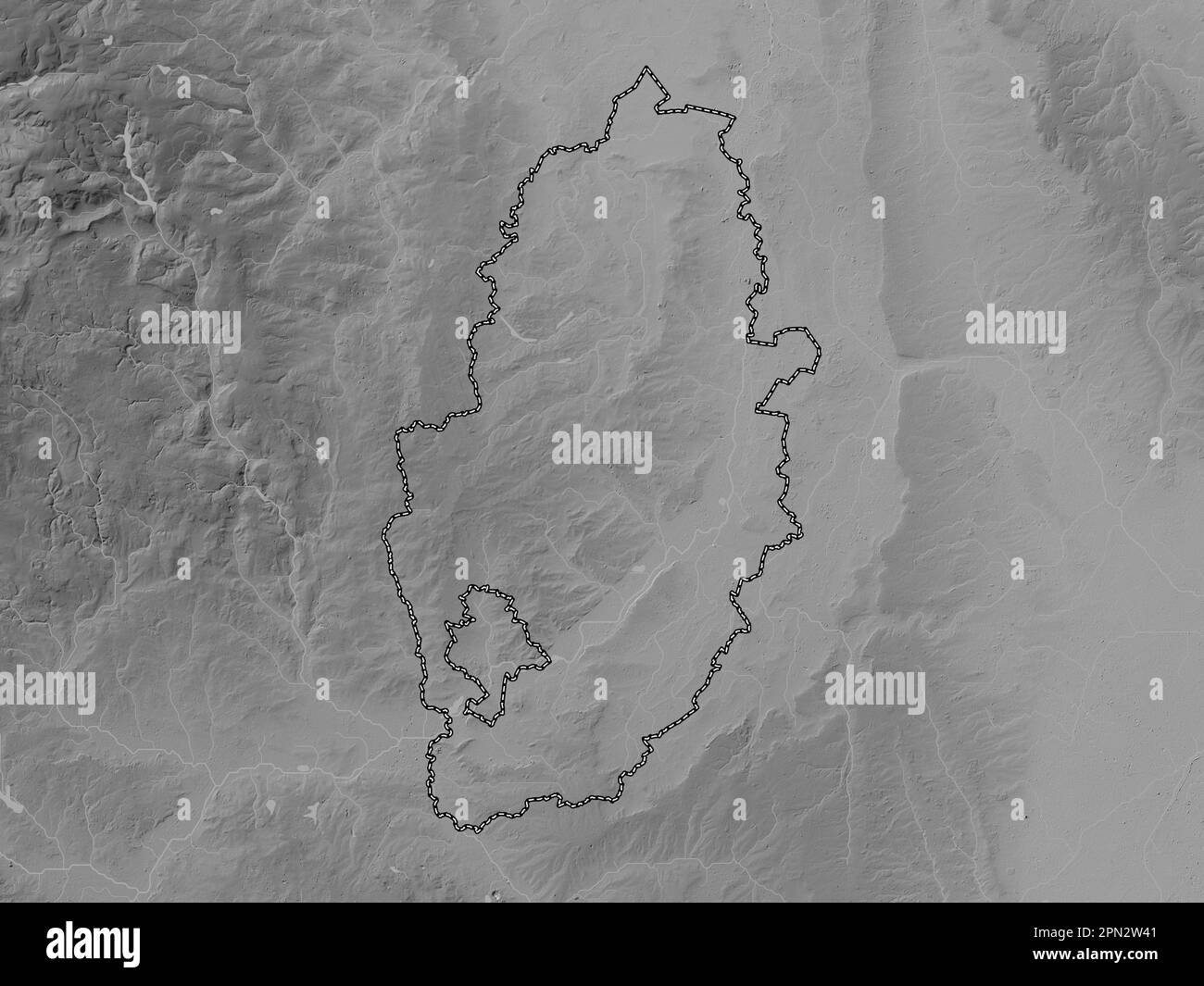 Nottinghamshire, administrative county of England - Great Britain. Grayscale elevation map with lakes and rivers Stock Photohttps://www.alamy.com/image-license-details/?v=1https://www.alamy.com/nottinghamshire-administrative-county-of-england-great-britain-grayscale-elevation-map-with-lakes-and-rivers-image546492801.html
RF2PN2W41–Nottinghamshire, administrative county of England - Great Britain. Grayscale elevation map with lakes and rivers
 Lidl Supermarket Arnold,Nottingham,UK. Stock Photohttps://www.alamy.com/image-license-details/?v=1https://www.alamy.com/stock-photo-lidl-supermarket-arnoldnottinghamuk-94610418.html
RMFDWTFE–Lidl Supermarket Arnold,Nottingham,UK.
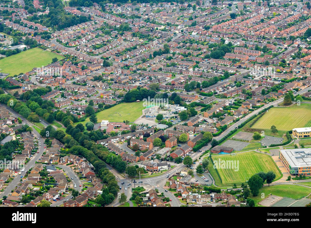 Aerial Image of Arnold in Nottingham Nottinghamshire England UK Stock Photohttps://www.alamy.com/image-license-details/?v=1https://www.alamy.com/aerial-image-of-arnold-in-nottingham-nottinghamshire-england-uk-image449604808.html
RM2H3D7EG–Aerial Image of Arnold in Nottingham Nottinghamshire England UK
 County High School, Gedling Road, Arnold, Gedling, Nottinghamshire, 30/08/1958. Workers assembling 'Laingspan' beams from individual concrete elements during the construction of Arnold County High School. Work began on the site in March 1958 and construction was completed for the new school term in September 1959. 'Laingspan' was a flexible modular system of frame construction using precast pre-stressed concrete units. Laing developed the system in conjunction with the Architects and Buildings Branch of the Ministry of Education and consulting engineer AJ Harris. The Arnold school was the firs Stock Photohttps://www.alamy.com/image-license-details/?v=1https://www.alamy.com/county-high-school-gedling-road-arnold-gedling-nottinghamshire-30081958-workers-assembling-laingspan-beams-from-individual-concrete-elements-during-the-construction-of-arnold-county-high-school-work-began-on-the-site-in-march-1958-and-construction-was-completed-for-the-new-school-term-in-september-1959-laingspan-was-a-flexible-modular-system-of-frame-construction-using-precast-pre-stressed-concrete-units-laing-developed-the-system-in-conjunction-with-the-architects-and-buildings-branch-of-the-ministry-of-education-and-consulting-engineer-aj-harris-the-arnold-school-was-the-firs-image457109136.html
RM2HFK3A8–County High School, Gedling Road, Arnold, Gedling, Nottinghamshire, 30/08/1958. Workers assembling 'Laingspan' beams from individual concrete elements during the construction of Arnold County High School. Work began on the site in March 1958 and construction was completed for the new school term in September 1959. 'Laingspan' was a flexible modular system of frame construction using precast pre-stressed concrete units. Laing developed the system in conjunction with the Architects and Buildings Branch of the Ministry of Education and consulting engineer AJ Harris. The Arnold school was the firs
 2010 General Election campaign Apr 24th Stock Photohttps://www.alamy.com/image-license-details/?v=1https://www.alamy.com/stock-photo-2010-general-election-campaign-apr-24th-110972906.html
RMGCF722–2010 General Election campaign Apr 24th
 Tony Lee, a needy family man, is looked after by volunteer helpers at the Arnold Food Bank Daybrook Baptist Church's food store in Nottingham and provided with donated food for his family. Stock Photohttps://www.alamy.com/image-license-details/?v=1https://www.alamy.com/tony-lee-a-needy-family-man-is-looked-after-by-volunteer-helpers-at-the-arnold-food-bank-daybrook-baptist-churchs-food-store-in-nottingham-and-provided-with-donated-food-for-his-family-image226729707.html
RMR4TC1F–Tony Lee, a needy family man, is looked after by volunteer helpers at the Arnold Food Bank Daybrook Baptist Church's food store in Nottingham and provided with donated food for his family.
 Nottinghamshire, administrative county of England - Great Britain. Bilevel elevation map with lakes and rivers Stock Photohttps://www.alamy.com/image-license-details/?v=1https://www.alamy.com/nottinghamshire-administrative-county-of-england-great-britain-bilevel-elevation-map-with-lakes-and-rivers-image546492674.html
RF2PN2TYE–Nottinghamshire, administrative county of England - Great Britain. Bilevel elevation map with lakes and rivers
 Lidl Supermarket Arnold,Nottingham,UK. Stock Photohttps://www.alamy.com/image-license-details/?v=1https://www.alamy.com/stock-photo-lidl-supermarket-arnoldnottinghamuk-94610458.html
RMFDWTGX–Lidl Supermarket Arnold,Nottingham,UK.
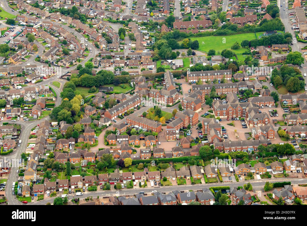 Aerial Image of Arnold in Nottingham Nottinghamshire England UK Stock Photohttps://www.alamy.com/image-license-details/?v=1https://www.alamy.com/aerial-image-of-arnold-in-nottingham-nottinghamshire-england-uk-image449604846.html
RM2H3D7FX–Aerial Image of Arnold in Nottingham Nottinghamshire England UK
 County High School, Gedling Road, Arnold, Gedling, Nottinghamshire, 30/08/1958. Concrete blocks set between 'Laingspan' beams to form the floor surface of an upper storey at Arnold County High School. Work began on the site in March 1958 and construction was completed for the new school term in September 1959. 'Laingspan' was a flexible modular system of frame construction using precast pre-stressed concrete units. Laing developed the system in conjunction with the Architects and Buildings Branch of the Ministry of Education and consulting engineer AJ Harris. The Arnold school was the first bu Stock Photohttps://www.alamy.com/image-license-details/?v=1https://www.alamy.com/county-high-school-gedling-road-arnold-gedling-nottinghamshire-30081958-concrete-blocks-set-between-laingspan-beams-to-form-the-floor-surface-of-an-upper-storey-at-arnold-county-high-school-work-began-on-the-site-in-march-1958-and-construction-was-completed-for-the-new-school-term-in-september-1959-laingspan-was-a-flexible-modular-system-of-frame-construction-using-precast-pre-stressed-concrete-units-laing-developed-the-system-in-conjunction-with-the-architects-and-buildings-branch-of-the-ministry-of-education-and-consulting-engineer-aj-harris-the-arnold-school-was-the-first-bu-image457109216.html
RM2HFK3D4–County High School, Gedling Road, Arnold, Gedling, Nottinghamshire, 30/08/1958. Concrete blocks set between 'Laingspan' beams to form the floor surface of an upper storey at Arnold County High School. Work began on the site in March 1958 and construction was completed for the new school term in September 1959. 'Laingspan' was a flexible modular system of frame construction using precast pre-stressed concrete units. Laing developed the system in conjunction with the Architects and Buildings Branch of the Ministry of Education and consulting engineer AJ Harris. The Arnold school was the first bu
 2010 General Election campaign Apr 24th Stock Photohttps://www.alamy.com/image-license-details/?v=1https://www.alamy.com/stock-photo-2010-general-election-campaign-apr-24th-110972931.html
RMGCF72Y–2010 General Election campaign Apr 24th
 Tony Lee, a needy family man, is looked after by volunteer helpers at the Arnold Food Bank Daybrook Baptist Church's food store in Nottingham and provided with donated food for his family. Stock Photohttps://www.alamy.com/image-license-details/?v=1https://www.alamy.com/tony-lee-a-needy-family-man-is-looked-after-by-volunteer-helpers-at-the-arnold-food-bank-daybrook-baptist-churchs-food-store-in-nottingham-and-provided-with-donated-food-for-his-family-image226729676.html
RMR4TC0C–Tony Lee, a needy family man, is looked after by volunteer helpers at the Arnold Food Bank Daybrook Baptist Church's food store in Nottingham and provided with donated food for his family.
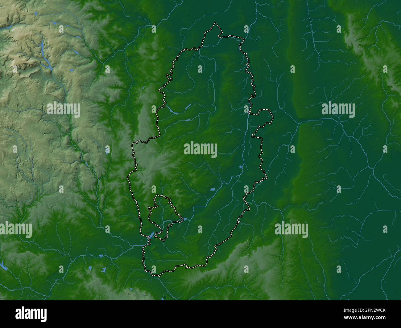 Nottinghamshire, administrative county of England - Great Britain. Colored elevation map with lakes and rivers Stock Photohttps://www.alamy.com/image-license-details/?v=1https://www.alamy.com/nottinghamshire-administrative-county-of-england-great-britain-colored-elevation-map-with-lakes-and-rivers-image546493043.html
RF2PN2WCK–Nottinghamshire, administrative county of England - Great Britain. Colored elevation map with lakes and rivers
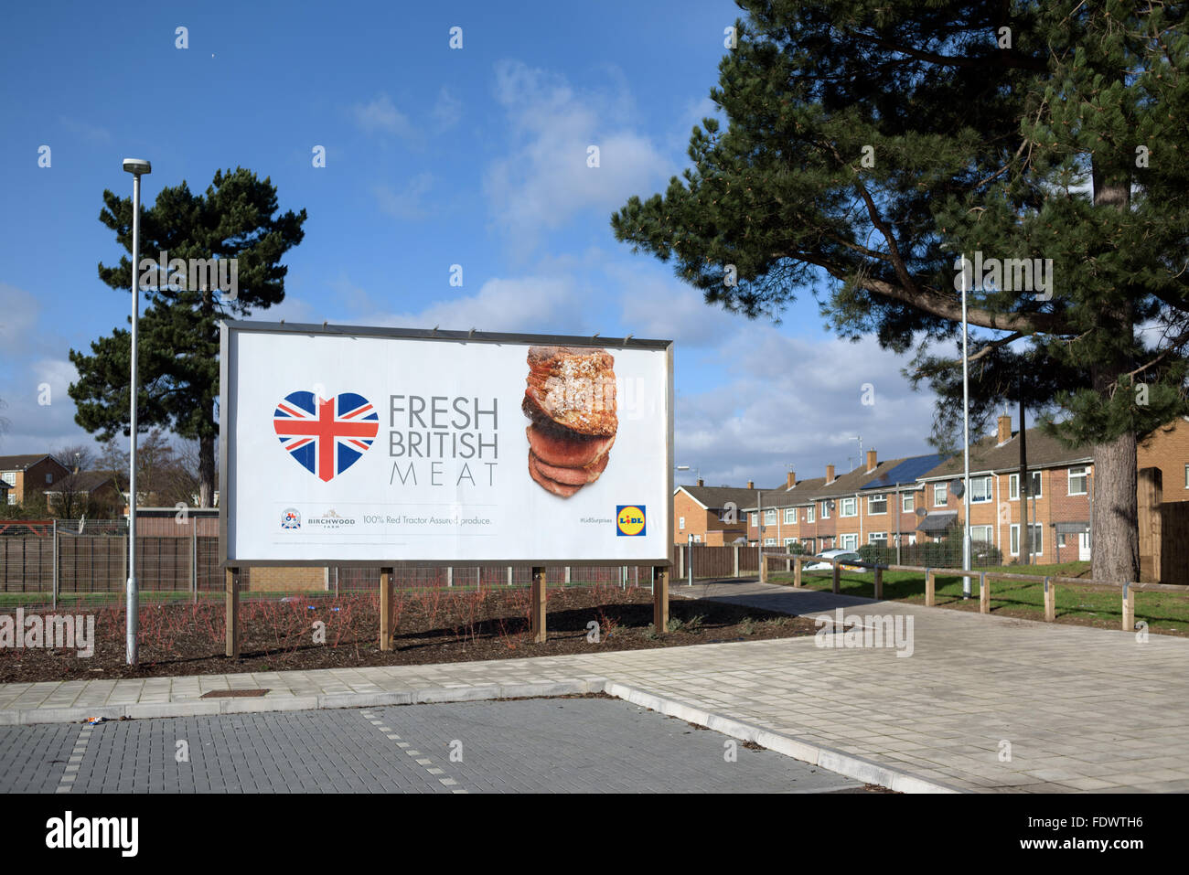 Lidl Supermarket Arnold,Nottingham,UK. Stock Photohttps://www.alamy.com/image-license-details/?v=1https://www.alamy.com/stock-photo-lidl-supermarket-arnoldnottinghamuk-94610466.html
RMFDWTH6–Lidl Supermarket Arnold,Nottingham,UK.
 Aerial Image of Arnold in Nottingham Nottinghamshire England UK Stock Photohttps://www.alamy.com/image-license-details/?v=1https://www.alamy.com/aerial-image-of-arnold-in-nottingham-nottinghamshire-england-uk-image449604776.html
RM2H3D7DC–Aerial Image of Arnold in Nottingham Nottinghamshire England UK
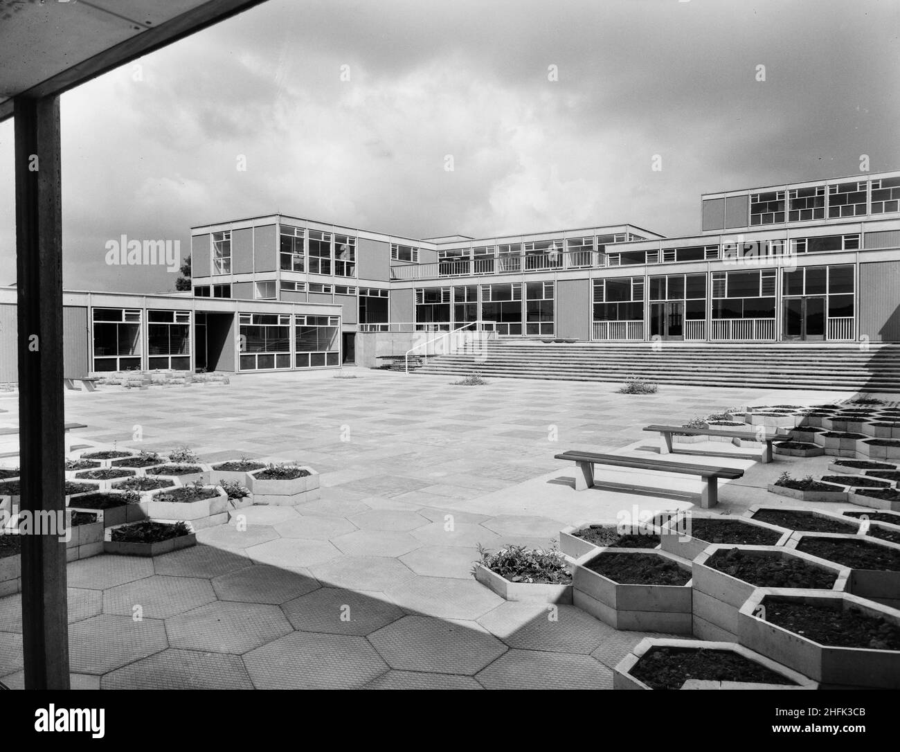 County High School, Gedling Road, Arnold, Gedling, Nottinghamshire, 29/07/1959. The main courtyard at Arnold County High School seen from the south-east corner, showing hexagonal paving and raised flower beds in the foreground. Work began on the site in March 1958 and construction was completed for the new school term in September 1959. The co-educational grammar school accommodated 720 pupils. In the mid 1960s another school was built nearby and in 1974 the two were amalgamated into a comprehensive. The Laing built school buildings were eventually demolished in 2017. Stock Photohttps://www.alamy.com/image-license-details/?v=1https://www.alamy.com/county-high-school-gedling-road-arnold-gedling-nottinghamshire-29071959-the-main-courtyard-at-arnold-county-high-school-seen-from-the-south-east-corner-showing-hexagonal-paving-and-raised-flower-beds-in-the-foreground-work-began-on-the-site-in-march-1958-and-construction-was-completed-for-the-new-school-term-in-september-1959-the-co-educational-grammar-school-accommodated-720-pupils-in-the-mid-1960s-another-school-was-built-nearby-and-in-1974-the-two-were-amalgamated-into-a-comprehensive-the-laing-built-school-buildings-were-eventually-demolished-in-2017-image457109195.html
RM2HFK3CB–County High School, Gedling Road, Arnold, Gedling, Nottinghamshire, 29/07/1959. The main courtyard at Arnold County High School seen from the south-east corner, showing hexagonal paving and raised flower beds in the foreground. Work began on the site in March 1958 and construction was completed for the new school term in September 1959. The co-educational grammar school accommodated 720 pupils. In the mid 1960s another school was built nearby and in 1974 the two were amalgamated into a comprehensive. The Laing built school buildings were eventually demolished in 2017.
 Tony Lee, a needy family man, is looked after by volunteer helpers at the Arnold Food Bank Daybrook Baptist Church's food store in Nottingham and provided with donated food for his family. Stock Photohttps://www.alamy.com/image-license-details/?v=1https://www.alamy.com/tony-lee-a-needy-family-man-is-looked-after-by-volunteer-helpers-at-the-arnold-food-bank-daybrook-baptist-churchs-food-store-in-nottingham-and-provided-with-donated-food-for-his-family-image226729704.html
RMR4TC1C–Tony Lee, a needy family man, is looked after by volunteer helpers at the Arnold Food Bank Daybrook Baptist Church's food store in Nottingham and provided with donated food for his family.
 Nottinghamshire, administrative county of England - Great Britain. Elevation map colored in sepia tones with lakes and rivers Stock Photohttps://www.alamy.com/image-license-details/?v=1https://www.alamy.com/nottinghamshire-administrative-county-of-england-great-britain-elevation-map-colored-in-sepia-tones-with-lakes-and-rivers-image546493063.html
RF2PN2WDB–Nottinghamshire, administrative county of England - Great Britain. Elevation map colored in sepia tones with lakes and rivers
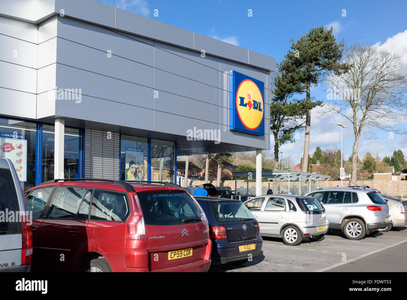 Lidl Supermarket Arnold,Nottingham,UK. Stock Photohttps://www.alamy.com/image-license-details/?v=1https://www.alamy.com/stock-photo-lidl-supermarket-arnoldnottinghamuk-94610127.html
RMFDWT53–Lidl Supermarket Arnold,Nottingham,UK.
 Aerial Image of Arnold in Nottingham Nottinghamshire England UK Stock Photohttps://www.alamy.com/image-license-details/?v=1https://www.alamy.com/aerial-image-of-arnold-in-nottingham-nottinghamshire-england-uk-image449604793.html
RM2H3D7E1–Aerial Image of Arnold in Nottingham Nottinghamshire England UK
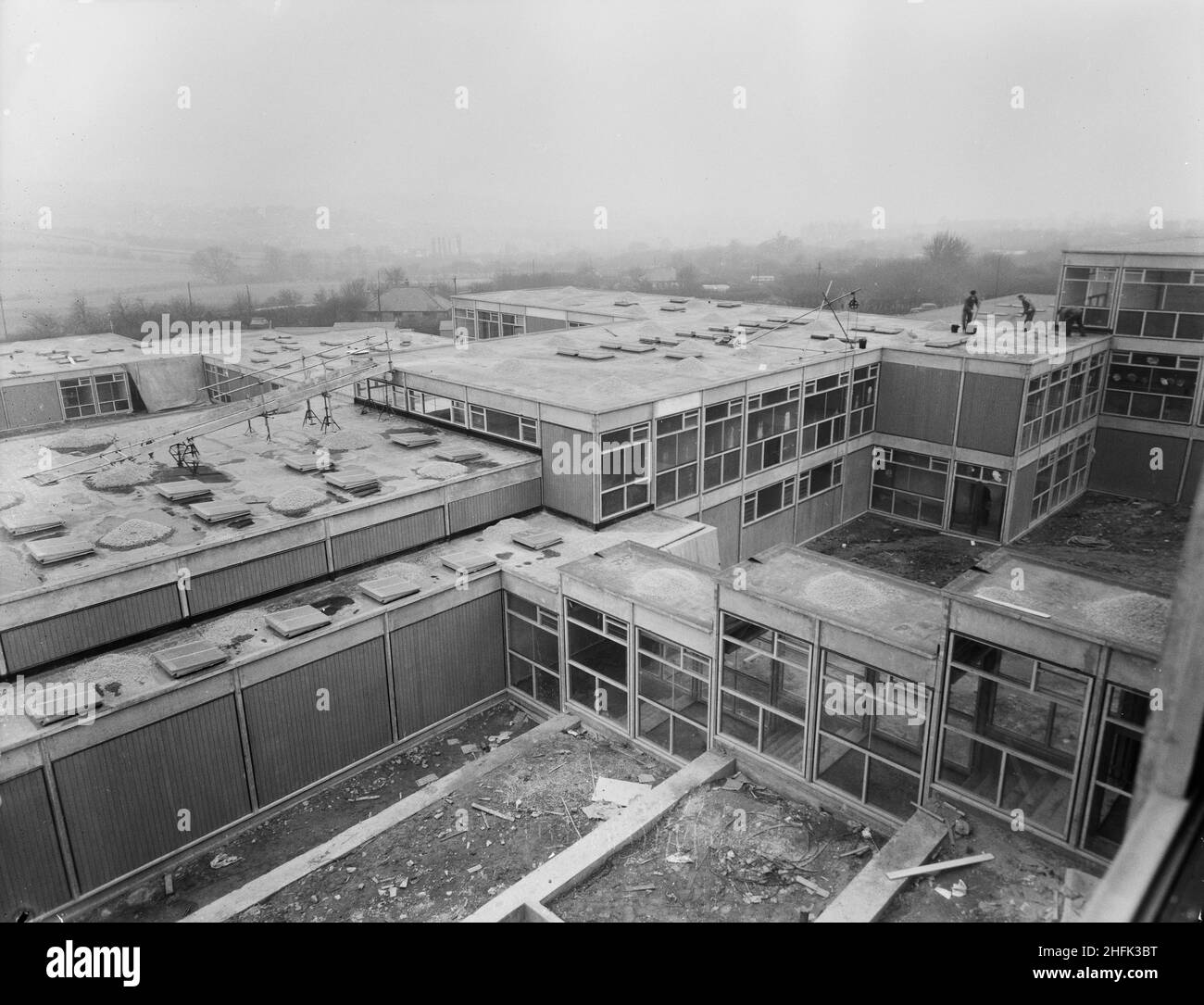 County High School, Gedling Road, Arnold, Gedling, Nottinghamshire, 23/02/1959. A view looking south-west from an upper window in the science block at Arnold County High School, showing workers spreading gravel on the roofs of lower school buildings. Work began on the site in March 1958 and construction was completed for the new school term in September 1959. The co-educational grammar school accommodated 720 pupils. In the mid 1960s another school was built nearby and in 1974 the two were amalgamated into a comprehensive. The Laing built school buildings were eventually demolished in 2017. Stock Photohttps://www.alamy.com/image-license-details/?v=1https://www.alamy.com/county-high-school-gedling-road-arnold-gedling-nottinghamshire-23021959-a-view-looking-south-west-from-an-upper-window-in-the-science-block-at-arnold-county-high-school-showing-workers-spreading-gravel-on-the-roofs-of-lower-school-buildings-work-began-on-the-site-in-march-1958-and-construction-was-completed-for-the-new-school-term-in-september-1959-the-co-educational-grammar-school-accommodated-720-pupils-in-the-mid-1960s-another-school-was-built-nearby-and-in-1974-the-two-were-amalgamated-into-a-comprehensive-the-laing-built-school-buildings-were-eventually-demolished-in-2017-image457109180.html
RM2HFK3BT–County High School, Gedling Road, Arnold, Gedling, Nottinghamshire, 23/02/1959. A view looking south-west from an upper window in the science block at Arnold County High School, showing workers spreading gravel on the roofs of lower school buildings. Work began on the site in March 1958 and construction was completed for the new school term in September 1959. The co-educational grammar school accommodated 720 pupils. In the mid 1960s another school was built nearby and in 1974 the two were amalgamated into a comprehensive. The Laing built school buildings were eventually demolished in 2017.
 Nottinghamshire, administrative county of England - Great Britain. Elevation map colored in wiki style with lakes and rivers Stock Photohttps://www.alamy.com/image-license-details/?v=1https://www.alamy.com/nottinghamshire-administrative-county-of-england-great-britain-elevation-map-colored-in-wiki-style-with-lakes-and-rivers-image546493179.html
RF2PN2WHF–Nottinghamshire, administrative county of England - Great Britain. Elevation map colored in wiki style with lakes and rivers
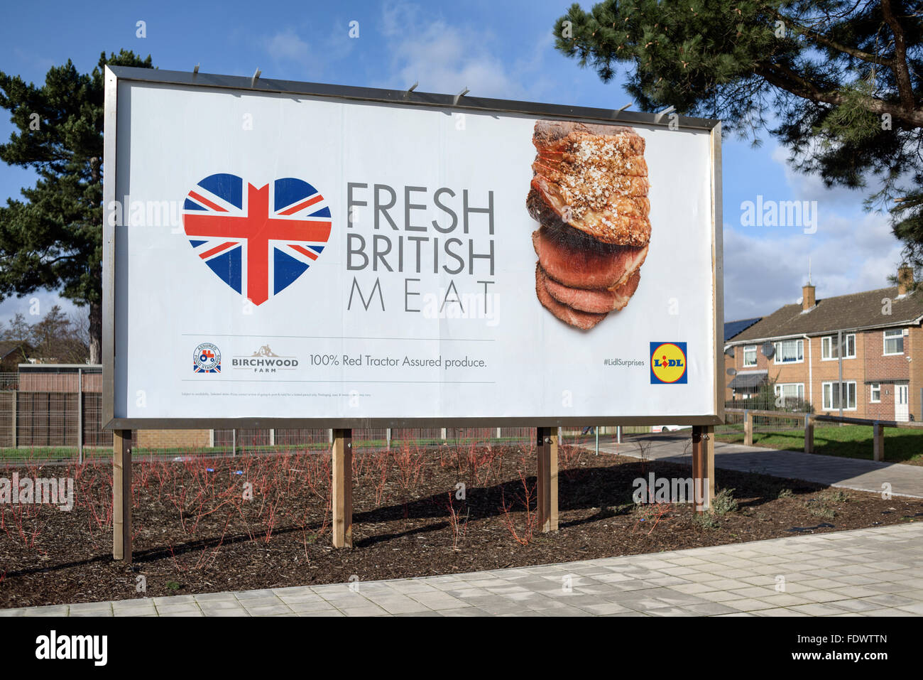 Lidl Supermarket Arnold,Nottingham,UK. Stock Photohttps://www.alamy.com/image-license-details/?v=1https://www.alamy.com/stock-photo-lidl-supermarket-arnoldnottinghamuk-94610677.html
RMFDWTTN–Lidl Supermarket Arnold,Nottingham,UK.
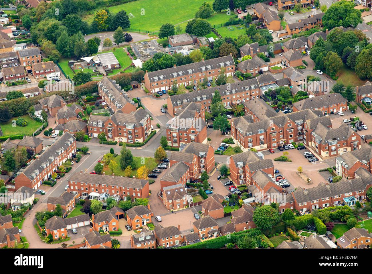 Aerial Image of Arnold in Nottingham Nottinghamshire England UK Stock Photohttps://www.alamy.com/image-license-details/?v=1https://www.alamy.com/aerial-image-of-arnold-in-nottingham-nottinghamshire-england-uk-image449604840.html
RM2H3D7FM–Aerial Image of Arnold in Nottingham Nottinghamshire England UK
 County High School, Gedling Road, Arnold, Gedling, Nottinghamshire, 30/08/1958. A worker using a spirit level to precisely lay a concrete footing slab for a 'Laingspan' wall during the construction of Arnold County High School. Work began on the site in March 1958 and construction was completed for the new school term in September 1959. 'Laingspan' was a flexible modular system of frame construction using precast pre-stressed concrete units. Laing developed the system in conjunction with the Architects and Buildings Branch of the Ministry of Education and consulting engineer AJ Harris. The Arn Stock Photohttps://www.alamy.com/image-license-details/?v=1https://www.alamy.com/county-high-school-gedling-road-arnold-gedling-nottinghamshire-30081958-a-worker-using-a-spirit-level-to-precisely-lay-a-concrete-footing-slab-for-a-laingspan-wall-during-the-construction-of-arnold-county-high-school-work-began-on-the-site-in-march-1958-and-construction-was-completed-for-the-new-school-term-in-september-1959-laingspan-was-a-flexible-modular-system-of-frame-construction-using-precast-pre-stressed-concrete-units-laing-developed-the-system-in-conjunction-with-the-architects-and-buildings-branch-of-the-ministry-of-education-and-consulting-engineer-aj-harris-the-arn-image457109165.html
RM2HFK3B9–County High School, Gedling Road, Arnold, Gedling, Nottinghamshire, 30/08/1958. A worker using a spirit level to precisely lay a concrete footing slab for a 'Laingspan' wall during the construction of Arnold County High School. Work began on the site in March 1958 and construction was completed for the new school term in September 1959. 'Laingspan' was a flexible modular system of frame construction using precast pre-stressed concrete units. Laing developed the system in conjunction with the Architects and Buildings Branch of the Ministry of Education and consulting engineer AJ Harris. The Arn
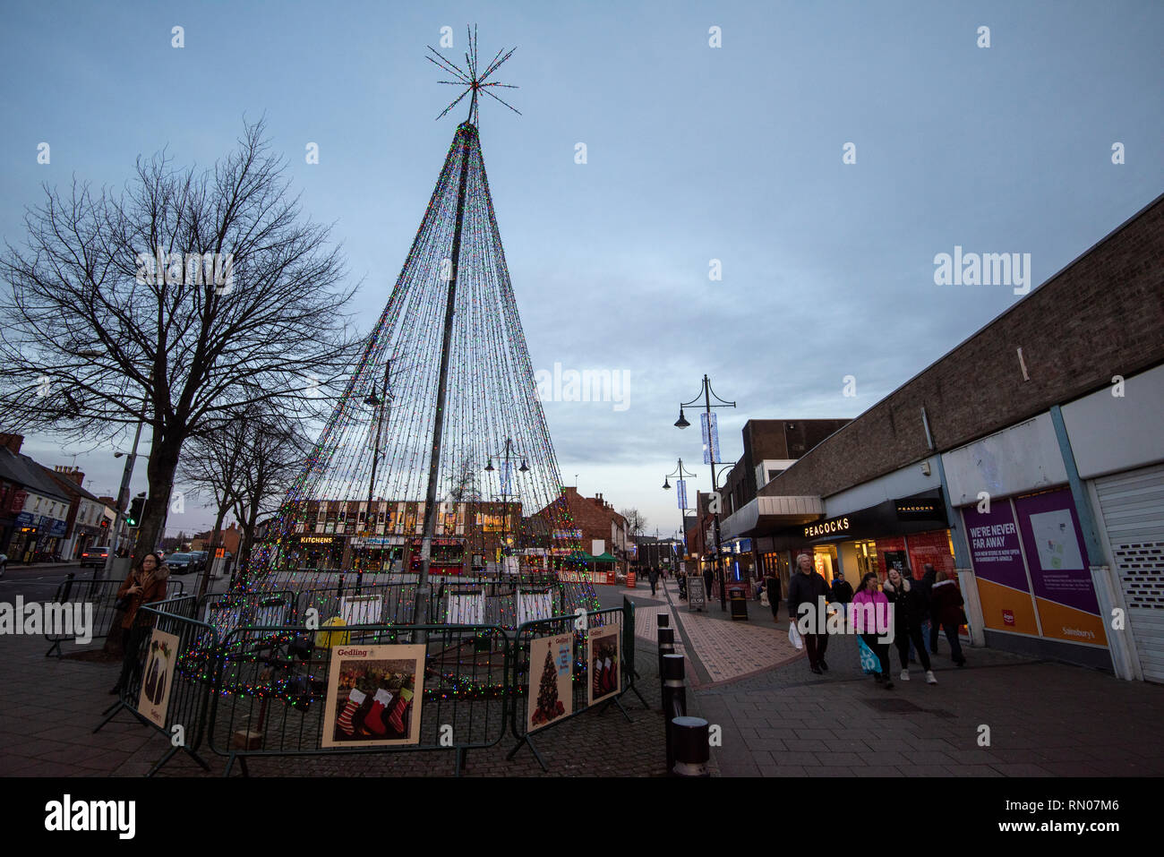 Dusk at Eagle Square in Arnold, Nottingham Nottinghamshire England UK Stock Photohttps://www.alamy.com/image-license-details/?v=1https://www.alamy.com/dusk-at-eagle-square-in-arnold-nottingham-nottinghamshire-england-uk-image236648614.html
RMRN07M6–Dusk at Eagle Square in Arnold, Nottingham Nottinghamshire England UK
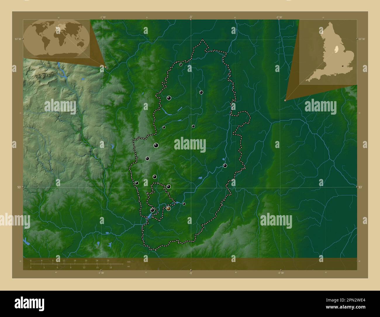 Nottinghamshire, administrative county of England - Great Britain. Colored elevation map with lakes and rivers. Locations of major cities of the regio Stock Photohttps://www.alamy.com/image-license-details/?v=1https://www.alamy.com/nottinghamshire-administrative-county-of-england-great-britain-colored-elevation-map-with-lakes-and-rivers-locations-of-major-cities-of-the-regio-image546493084.html
RF2PN2WE4–Nottinghamshire, administrative county of England - Great Britain. Colored elevation map with lakes and rivers. Locations of major cities of the regio
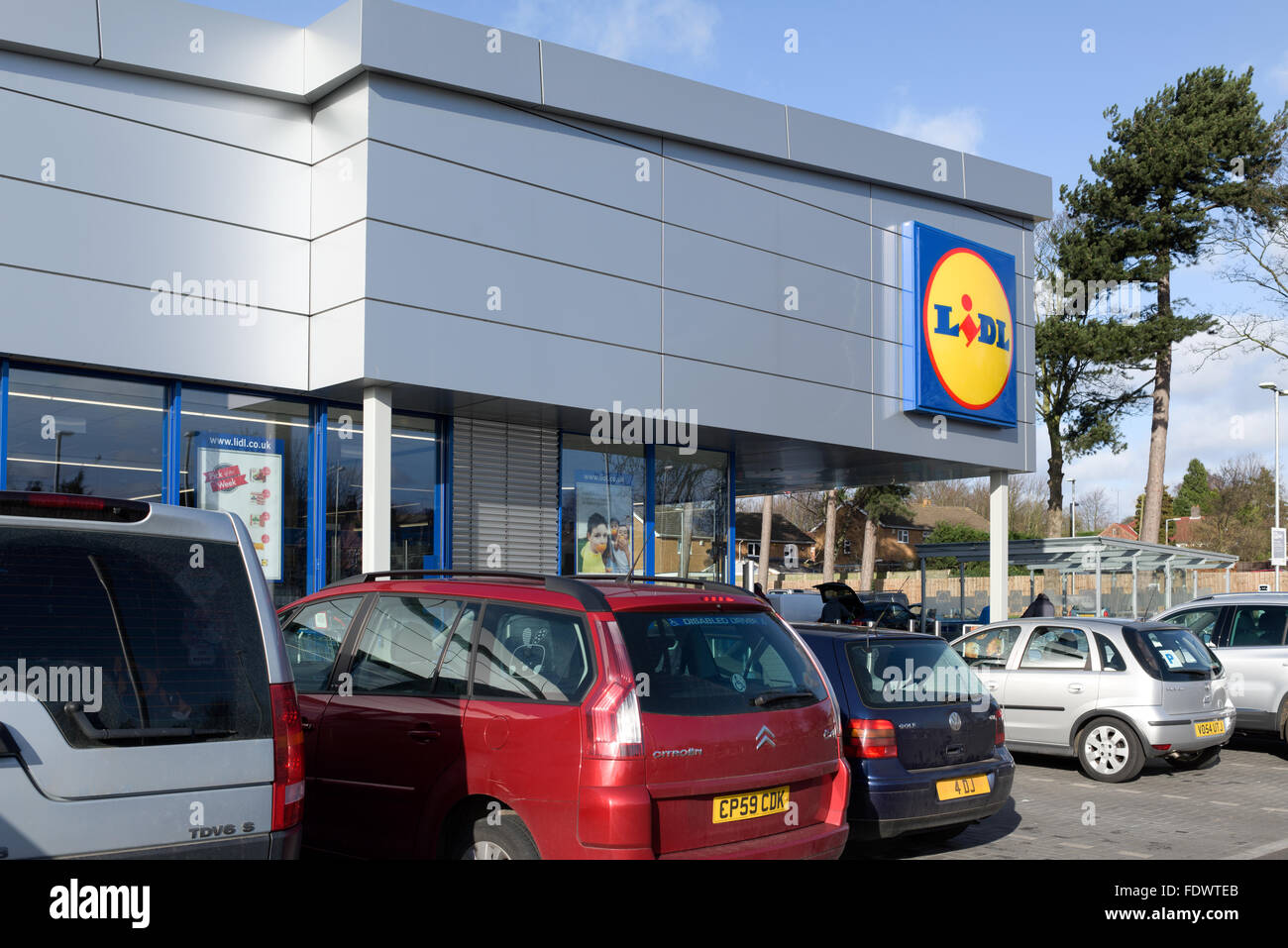 Lidl Supermarket Arnold,Nottingham,UK. Stock Photohttps://www.alamy.com/image-license-details/?v=1https://www.alamy.com/stock-photo-lidl-supermarket-arnoldnottinghamuk-94610387.html
RMFDWTEB–Lidl Supermarket Arnold,Nottingham,UK.
 County High School, Gedling Road, Arnold, Gedling, Nottinghamshire, 12/09/1958. A worker up a ladder checking a column is vertical using a spirit level during the construction of Arnold County High School. Work began on the site in March 1958 and construction was completed for the new school term in September 1959. 'Laingspan' was a flexible modular system of frame construction using precast pre-stressed concrete units. Laing developed the system in conjunction with the Architects and Buildings Branch of the Ministry of Education and consulting engineer AJ Harris. The Arnold school was the fir Stock Photohttps://www.alamy.com/image-license-details/?v=1https://www.alamy.com/county-high-school-gedling-road-arnold-gedling-nottinghamshire-12091958-a-worker-up-a-ladder-checking-a-column-is-vertical-using-a-spirit-level-during-the-construction-of-arnold-county-high-school-work-began-on-the-site-in-march-1958-and-construction-was-completed-for-the-new-school-term-in-september-1959-laingspan-was-a-flexible-modular-system-of-frame-construction-using-precast-pre-stressed-concrete-units-laing-developed-the-system-in-conjunction-with-the-architects-and-buildings-branch-of-the-ministry-of-education-and-consulting-engineer-aj-harris-the-arnold-school-was-the-fir-image457109185.html
RM2HFK3C1–County High School, Gedling Road, Arnold, Gedling, Nottinghamshire, 12/09/1958. A worker up a ladder checking a column is vertical using a spirit level during the construction of Arnold County High School. Work began on the site in March 1958 and construction was completed for the new school term in September 1959. 'Laingspan' was a flexible modular system of frame construction using precast pre-stressed concrete units. Laing developed the system in conjunction with the Architects and Buildings Branch of the Ministry of Education and consulting engineer AJ Harris. The Arnold school was the fir
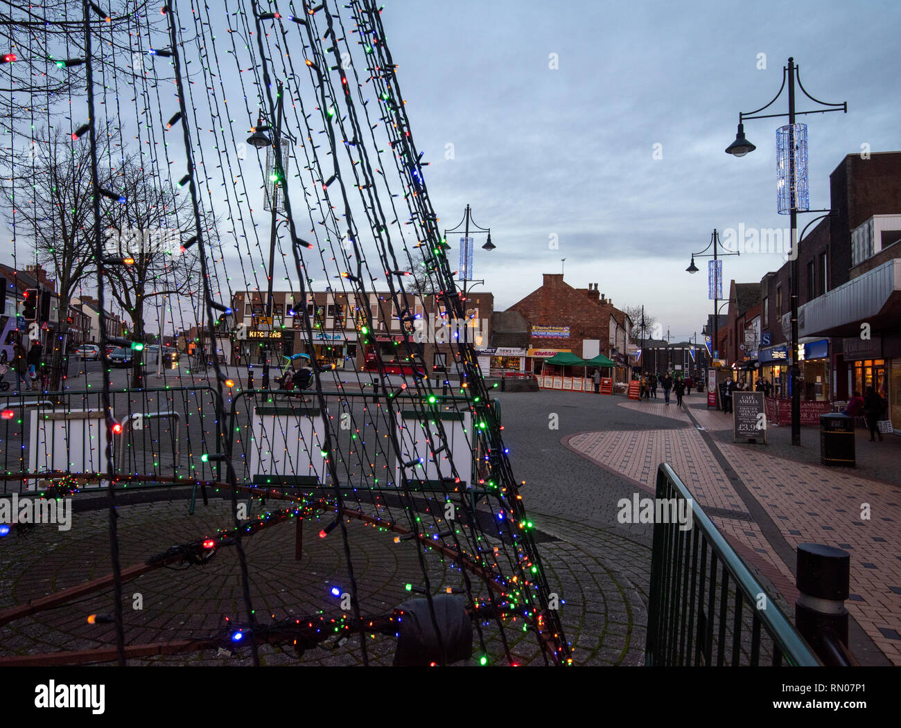 Dusk at Eagle Square in Arnold, Nottingham Nottinghamshire England UK Stock Photohttps://www.alamy.com/image-license-details/?v=1https://www.alamy.com/dusk-at-eagle-square-in-arnold-nottingham-nottinghamshire-england-uk-image236648665.html
RMRN07P1–Dusk at Eagle Square in Arnold, Nottingham Nottinghamshire England UK
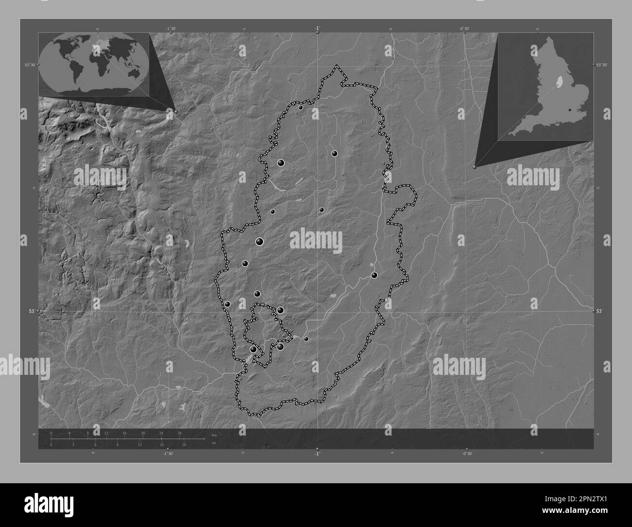 Nottinghamshire, administrative county of England - Great Britain. Bilevel elevation map with lakes and rivers. Locations of major cities of the regio Stock Photohttps://www.alamy.com/image-license-details/?v=1https://www.alamy.com/nottinghamshire-administrative-county-of-england-great-britain-bilevel-elevation-map-with-lakes-and-rivers-locations-of-major-cities-of-the-regio-image546492633.html
RF2PN2TX1–Nottinghamshire, administrative county of England - Great Britain. Bilevel elevation map with lakes and rivers. Locations of major cities of the regio
 Lidl Supermarket Arnold,Nottingham,UK. Stock Photohttps://www.alamy.com/image-license-details/?v=1https://www.alamy.com/stock-photo-lidl-supermarket-arnoldnottinghamuk-94610441.html
RMFDWTG9–Lidl Supermarket Arnold,Nottingham,UK.
 County High School, Gedling Road, Arnold, Gedling, Nottinghamshire, 12/09/1958. Two workers guiding a 'Laingspan' beam, lowered from a crane, into position on the roof of one of the blocks at Arnold County High School, during its construction. Work began on the site in March 1958 and construction was completed for the new school term in September 1959. 'Laingspan' was a flexible modular system of frame construction using precast pre-stressed concrete units. Laing developed the system in conjunction with the Architects and Buildings Branch of the Ministry of Education and consulting engineer AJ Stock Photohttps://www.alamy.com/image-license-details/?v=1https://www.alamy.com/county-high-school-gedling-road-arnold-gedling-nottinghamshire-12091958-two-workers-guiding-a-laingspan-beam-lowered-from-a-crane-into-position-on-the-roof-of-one-of-the-blocks-at-arnold-county-high-school-during-its-construction-work-began-on-the-site-in-march-1958-and-construction-was-completed-for-the-new-school-term-in-september-1959-laingspan-was-a-flexible-modular-system-of-frame-construction-using-precast-pre-stressed-concrete-units-laing-developed-the-system-in-conjunction-with-the-architects-and-buildings-branch-of-the-ministry-of-education-and-consulting-engineer-aj-image457109178.html
RM2HFK3BP–County High School, Gedling Road, Arnold, Gedling, Nottinghamshire, 12/09/1958. Two workers guiding a 'Laingspan' beam, lowered from a crane, into position on the roof of one of the blocks at Arnold County High School, during its construction. Work began on the site in March 1958 and construction was completed for the new school term in September 1959. 'Laingspan' was a flexible modular system of frame construction using precast pre-stressed concrete units. Laing developed the system in conjunction with the Architects and Buildings Branch of the Ministry of Education and consulting engineer AJ
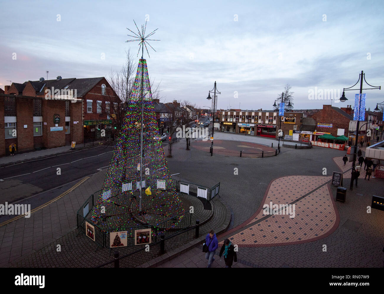 Dusk at Eagle Square in Arnold, Nottingham Nottinghamshire England UK Stock Photohttps://www.alamy.com/image-license-details/?v=1https://www.alamy.com/dusk-at-eagle-square-in-arnold-nottingham-nottinghamshire-england-uk-image236648757.html
RMRN07W9–Dusk at Eagle Square in Arnold, Nottingham Nottinghamshire England UK
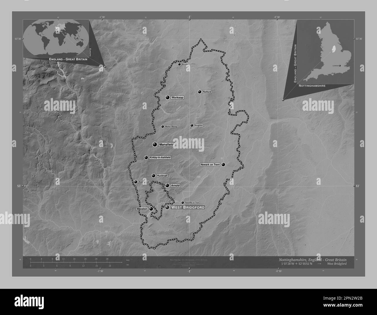 Nottinghamshire, administrative county of England - Great Britain. Grayscale elevation map with lakes and rivers. Locations and names of major cities Stock Photohttps://www.alamy.com/image-license-details/?v=1https://www.alamy.com/nottinghamshire-administrative-county-of-england-great-britain-grayscale-elevation-map-with-lakes-and-rivers-locations-and-names-of-major-cities-image546492755.html
RF2PN2W2B–Nottinghamshire, administrative county of England - Great Britain. Grayscale elevation map with lakes and rivers. Locations and names of major cities
 Lidl Supermarket Arnold,Nottingham,UK. Stock Photohttps://www.alamy.com/image-license-details/?v=1https://www.alamy.com/stock-photo-lidl-supermarket-arnoldnottinghamuk-94610429.html
RMFDWTFW–Lidl Supermarket Arnold,Nottingham,UK.
 County High School, Gedling Road, Arnold, Gedling, Nottinghamshire, 12/09/1958. Two workers spreading hot tar to seal the joints between roof panels during the construction of Arnold County High School. Work began on the site in March 1958 and construction was completed for the new school term in September 1959. 'Laingspan' was a flexible modular system of frame construction using precast pre-stressed concrete units. Laing developed the system in conjunction with the Architects and Buildings Branch of the Ministry of Education and consulting engineer AJ Harris. The Arnold school was the first Stock Photohttps://www.alamy.com/image-license-details/?v=1https://www.alamy.com/county-high-school-gedling-road-arnold-gedling-nottinghamshire-12091958-two-workers-spreading-hot-tar-to-seal-the-joints-between-roof-panels-during-the-construction-of-arnold-county-high-school-work-began-on-the-site-in-march-1958-and-construction-was-completed-for-the-new-school-term-in-september-1959-laingspan-was-a-flexible-modular-system-of-frame-construction-using-precast-pre-stressed-concrete-units-laing-developed-the-system-in-conjunction-with-the-architects-and-buildings-branch-of-the-ministry-of-education-and-consulting-engineer-aj-harris-the-arnold-school-was-the-first-image457109193.html
RM2HFK3C9–County High School, Gedling Road, Arnold, Gedling, Nottinghamshire, 12/09/1958. Two workers spreading hot tar to seal the joints between roof panels during the construction of Arnold County High School. Work began on the site in March 1958 and construction was completed for the new school term in September 1959. 'Laingspan' was a flexible modular system of frame construction using precast pre-stressed concrete units. Laing developed the system in conjunction with the Architects and Buildings Branch of the Ministry of Education and consulting engineer AJ Harris. The Arnold school was the first
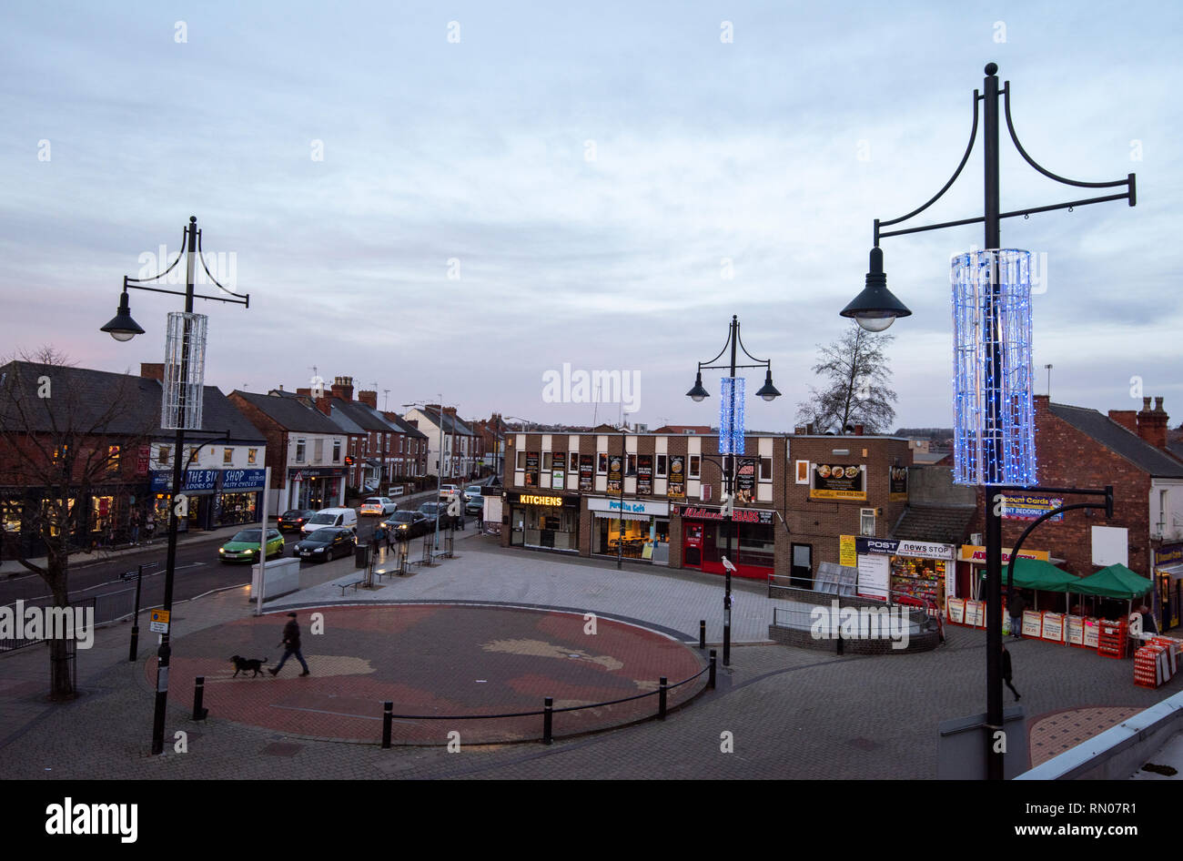 Dusk at Eagle Square in Arnold, Nottingham Nottinghamshire England UK Stock Photohttps://www.alamy.com/image-license-details/?v=1https://www.alamy.com/dusk-at-eagle-square-in-arnold-nottingham-nottinghamshire-england-uk-image236648693.html
RMRN07R1–Dusk at Eagle Square in Arnold, Nottingham Nottinghamshire England UK
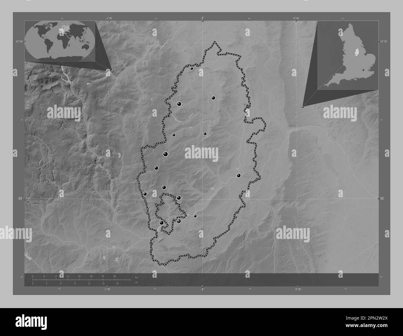 Nottinghamshire, administrative county of England - Great Britain. Grayscale elevation map with lakes and rivers. Locations of major cities of the reg Stock Photohttps://www.alamy.com/image-license-details/?v=1https://www.alamy.com/nottinghamshire-administrative-county-of-england-great-britain-grayscale-elevation-map-with-lakes-and-rivers-locations-of-major-cities-of-the-reg-image546492770.html
RF2PN2W2X–Nottinghamshire, administrative county of England - Great Britain. Grayscale elevation map with lakes and rivers. Locations of major cities of the reg
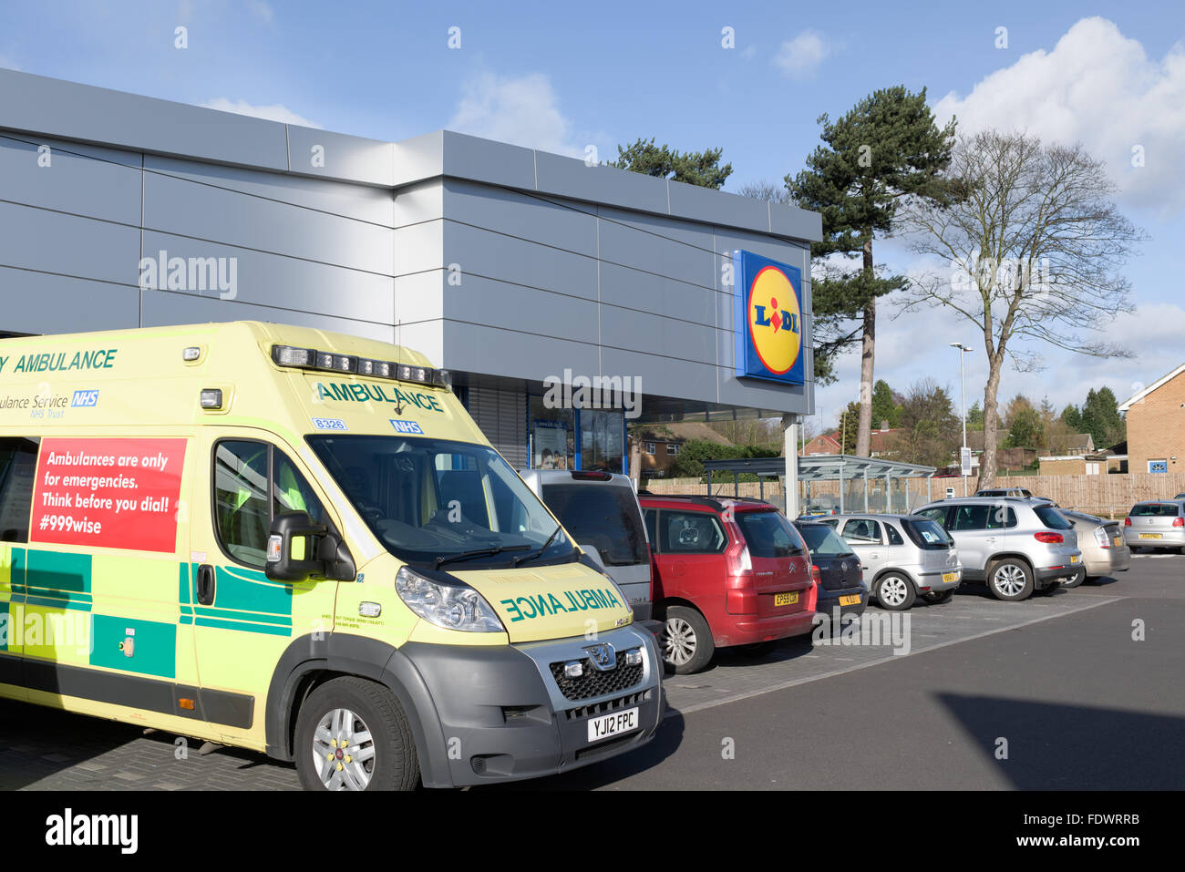 Lidl Supermarket Arnold,Nottingham,UK. Stock Photohttps://www.alamy.com/image-license-details/?v=1https://www.alamy.com/stock-photo-lidl-supermarket-arnoldnottinghamuk-94609855.html
RMFDWRRB–Lidl Supermarket Arnold,Nottingham,UK.
 County High School, Gedling Road, Arnold, Gedling, Nottinghamshire, 12/09/1958. Two workers guiding a 'Laingspan' beam, lowered from a crane, into position on the roof of one of the blocks at Arnold County High School, during its construction. Work began on the site in March 1958 and construction was completed for the new school term in September 1959. 'Laingspan' was a flexible modular system of frame construction using precast pre-stressed concrete units. Laing developed the system in conjunction with the Architects and Buildings Branch of the Ministry of Education and consulting engineer AJ Stock Photohttps://www.alamy.com/image-license-details/?v=1https://www.alamy.com/county-high-school-gedling-road-arnold-gedling-nottinghamshire-12091958-two-workers-guiding-a-laingspan-beam-lowered-from-a-crane-into-position-on-the-roof-of-one-of-the-blocks-at-arnold-county-high-school-during-its-construction-work-began-on-the-site-in-march-1958-and-construction-was-completed-for-the-new-school-term-in-september-1959-laingspan-was-a-flexible-modular-system-of-frame-construction-using-precast-pre-stressed-concrete-units-laing-developed-the-system-in-conjunction-with-the-architects-and-buildings-branch-of-the-ministry-of-education-and-consulting-engineer-aj-image457109163.html
RM2HFK3B7–County High School, Gedling Road, Arnold, Gedling, Nottinghamshire, 12/09/1958. Two workers guiding a 'Laingspan' beam, lowered from a crane, into position on the roof of one of the blocks at Arnold County High School, during its construction. Work began on the site in March 1958 and construction was completed for the new school term in September 1959. 'Laingspan' was a flexible modular system of frame construction using precast pre-stressed concrete units. Laing developed the system in conjunction with the Architects and Buildings Branch of the Ministry of Education and consulting engineer AJ
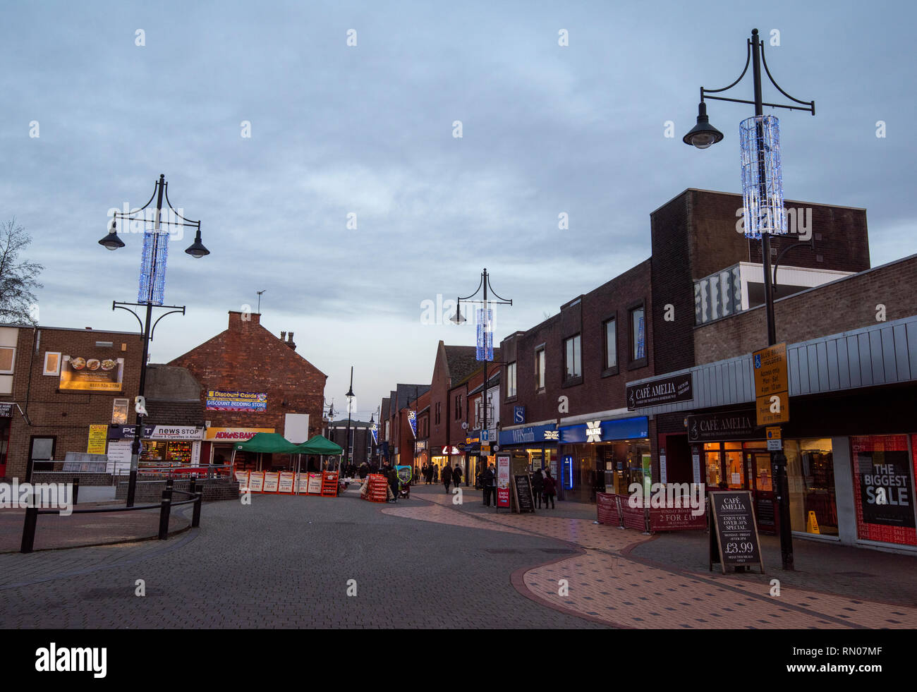 Dusk at Eagle Square in Arnold, Nottingham Nottinghamshire England UK Stock Photohttps://www.alamy.com/image-license-details/?v=1https://www.alamy.com/dusk-at-eagle-square-in-arnold-nottingham-nottinghamshire-england-uk-image236648623.html
RMRN07MF–Dusk at Eagle Square in Arnold, Nottingham Nottinghamshire England UK
 Arnold Wakes, Nottinghamshire, c1907. Artist: Unknown Stock Photohttps://www.alamy.com/image-license-details/?v=1https://www.alamy.com/arnold-wakes-nottinghamshire-c1907-artist-unknown-image60227700.html
RMDDYH18–Arnold Wakes, Nottinghamshire, c1907. Artist: Unknown
 Nottinghamshire, administrative county of England - Great Britain. Colored elevation map with lakes and rivers. Locations and names of major cities of Stock Photohttps://www.alamy.com/image-license-details/?v=1https://www.alamy.com/nottinghamshire-administrative-county-of-england-great-britain-colored-elevation-map-with-lakes-and-rivers-locations-and-names-of-major-cities-of-image546493058.html
RF2PN2WD6–Nottinghamshire, administrative county of England - Great Britain. Colored elevation map with lakes and rivers. Locations and names of major cities of
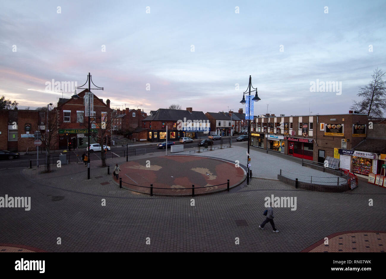 Dusk at Eagle Square in Arnold, Nottingham Nottinghamshire England UK Stock Photohttps://www.alamy.com/image-license-details/?v=1https://www.alamy.com/dusk-at-eagle-square-in-arnold-nottingham-nottinghamshire-england-uk-image236648767.html
RMRN07WK–Dusk at Eagle Square in Arnold, Nottingham Nottinghamshire England UK
 Nottinghamshire, administrative county of England - Great Britain. Bilevel elevation map with lakes and rivers. Locations and names of major cities of Stock Photohttps://www.alamy.com/image-license-details/?v=1https://www.alamy.com/nottinghamshire-administrative-county-of-england-great-britain-bilevel-elevation-map-with-lakes-and-rivers-locations-and-names-of-major-cities-of-image546492687.html
RF2PN2TYY–Nottinghamshire, administrative county of England - Great Britain. Bilevel elevation map with lakes and rivers. Locations and names of major cities of
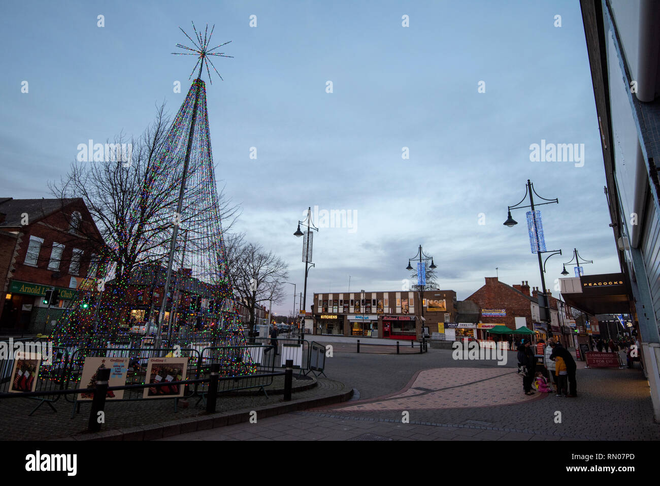 Dusk at Eagle Square in Arnold, Nottingham Nottinghamshire England UK Stock Photohttps://www.alamy.com/image-license-details/?v=1https://www.alamy.com/dusk-at-eagle-square-in-arnold-nottingham-nottinghamshire-england-uk-image236648677.html
RMRN07PD–Dusk at Eagle Square in Arnold, Nottingham Nottinghamshire England UK
 Nottinghamshire, administrative county of England - Great Britain. Low resolution satellite map. Locations and names of major cities of the region. Co Stock Photohttps://www.alamy.com/image-license-details/?v=1https://www.alamy.com/nottinghamshire-administrative-county-of-england-great-britain-low-resolution-satellite-map-locations-and-names-of-major-cities-of-the-region-co-image546492857.html
RF2PN2W61–Nottinghamshire, administrative county of England - Great Britain. Low resolution satellite map. Locations and names of major cities of the region. Co
 Dusk at Eagle Square in Arnold, Nottingham Nottinghamshire England UK Stock Photohttps://www.alamy.com/image-license-details/?v=1https://www.alamy.com/dusk-at-eagle-square-in-arnold-nottingham-nottinghamshire-england-uk-image236648774.html
RMRN07WX–Dusk at Eagle Square in Arnold, Nottingham Nottinghamshire England UK
 Vibrant winter sunrise at Dorket Head, Arnold Calverton Nottinghamshire England UK Stock Photohttps://www.alamy.com/image-license-details/?v=1https://www.alamy.com/vibrant-winter-sunrise-at-dorket-head-arnold-calverton-nottinghamshire-england-uk-image401423904.html
RM2E92C80–Vibrant winter sunrise at Dorket Head, Arnold Calverton Nottinghamshire England UK
 Nottinghamshire, administrative county of England - Great Britain. High resolution satellite map. Locations of major cities of the region. Corner auxi Stock Photohttps://www.alamy.com/image-license-details/?v=1https://www.alamy.com/nottinghamshire-administrative-county-of-england-great-britain-high-resolution-satellite-map-locations-of-major-cities-of-the-region-corner-auxi-image546492792.html
RF2PN2W3M–Nottinghamshire, administrative county of England - Great Britain. High resolution satellite map. Locations of major cities of the region. Corner auxi
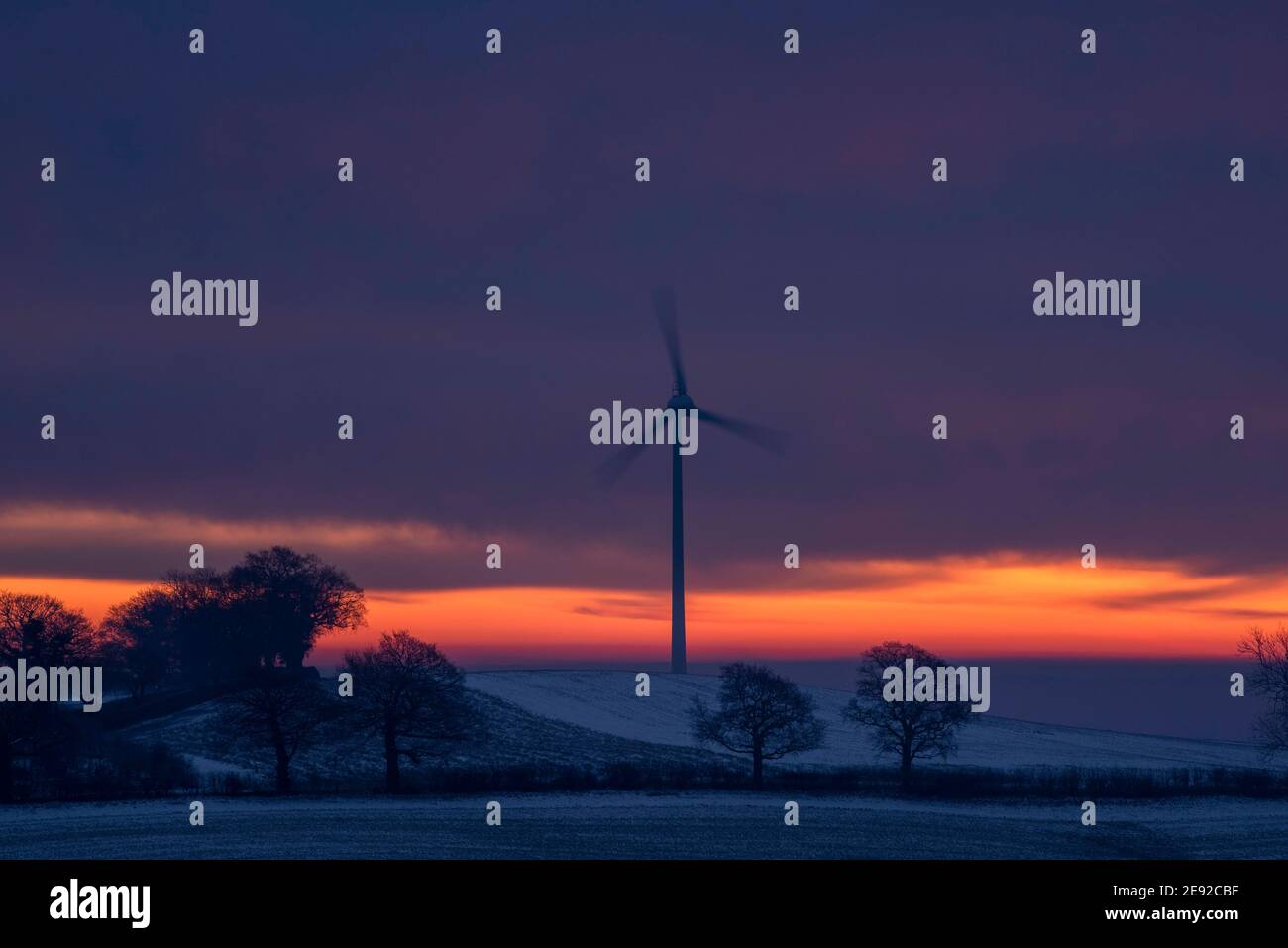 Vibrant winter sunrise at Dorket Head, Arnold Calverton Nottinghamshire England UK Stock Photohttps://www.alamy.com/image-license-details/?v=1https://www.alamy.com/vibrant-winter-sunrise-at-dorket-head-arnold-calverton-nottinghamshire-england-uk-image401424003.html
RM2E92CBF–Vibrant winter sunrise at Dorket Head, Arnold Calverton Nottinghamshire England UK