Quick filters:
Athens map Stock Photos and Images
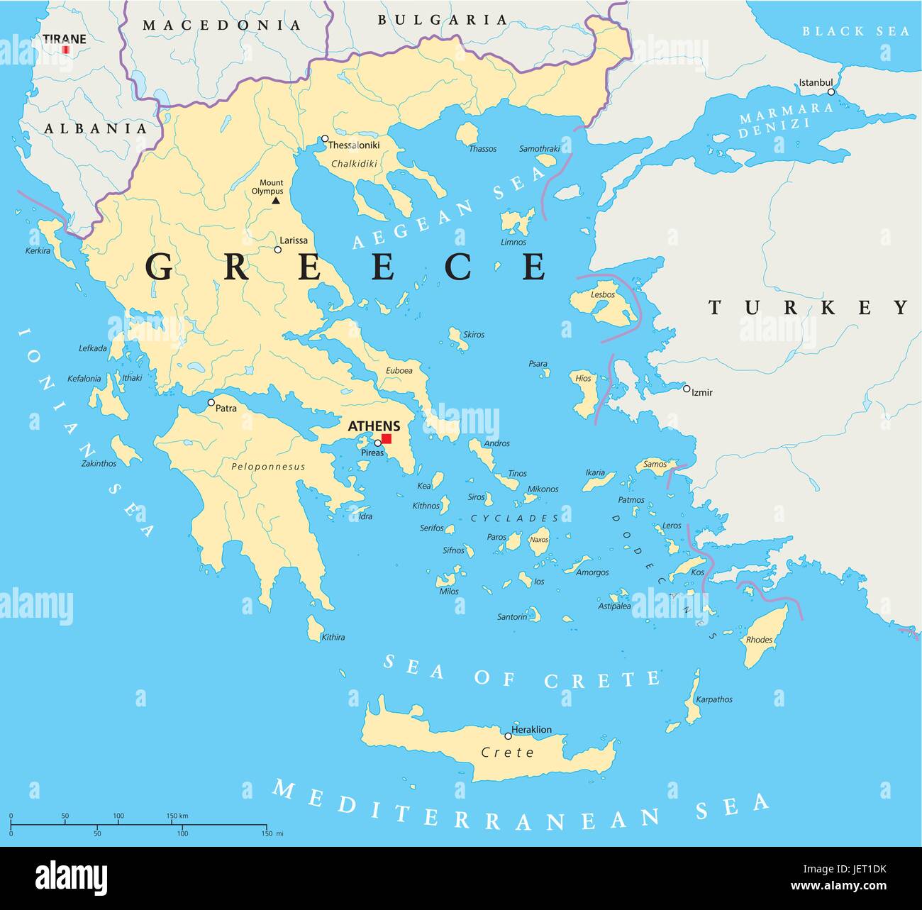 political, greece, greek, athens, map, atlas, map of the world, political, Stock Vectorhttps://www.alamy.com/image-license-details/?v=1https://www.alamy.com/stock-photo-political-greece-greek-athens-map-atlas-map-of-the-world-political-146816143.html
RFJET1DK–political, greece, greek, athens, map, atlas, map of the world, political,
 Urban city map of Athens. Vector illustration, Athens map art poster. Stock Vectorhttps://www.alamy.com/image-license-details/?v=1https://www.alamy.com/urban-city-map-of-athens-vector-illustration-athens-map-art-poster-image381618940.html
RF2D4T6RT–Urban city map of Athens. Vector illustration, Athens map art poster.
 Area map of Athens, Greece. Dark background version for infographic and marketing projects. Stock Vectorhttps://www.alamy.com/image-license-details/?v=1https://www.alamy.com/area-map-of-athens-greece-dark-background-version-for-infographic-and-marketing-projects-image217746836.html
RFPJ768M–Area map of Athens, Greece. Dark background version for infographic and marketing projects.
 a close up shot of Athens on map, capital of Greece. Stock Photohttps://www.alamy.com/image-license-details/?v=1https://www.alamy.com/stock-photo-a-close-up-shot-of-athens-on-map-capital-of-greece-38792441.html
RFC73449–a close up shot of Athens on map, capital of Greece.
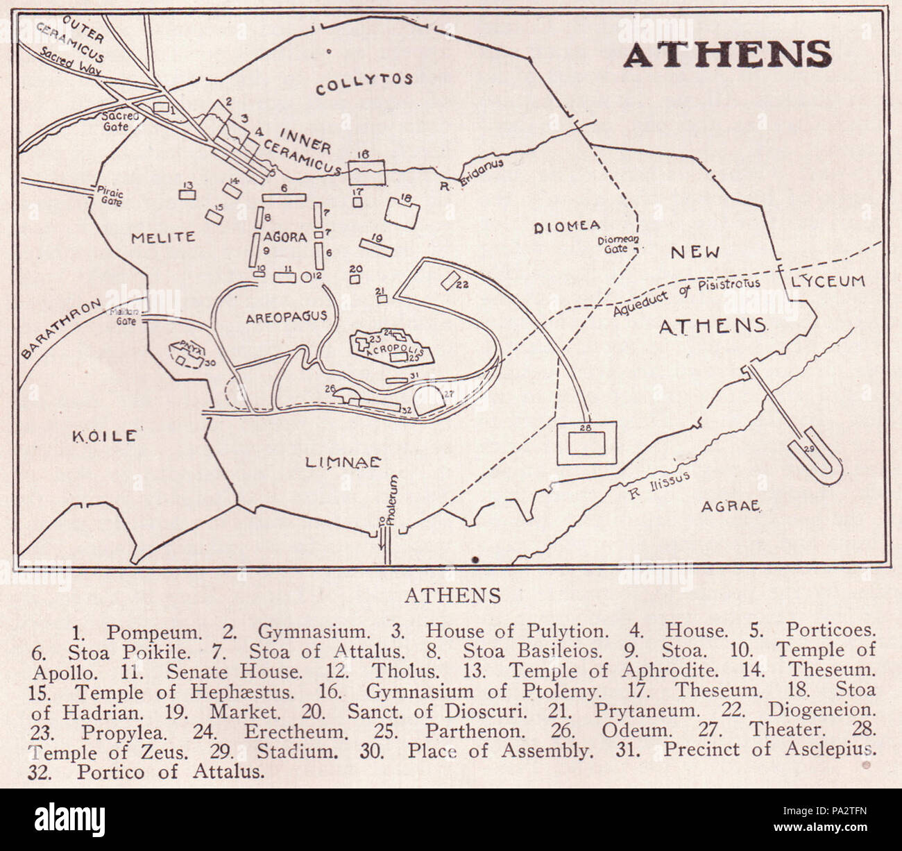 163 Athens Map Page 182 Stock Photohttps://www.alamy.com/image-license-details/?v=1https://www.alamy.com/163-athens-map-page-182-image212734137.html
RMPA2TFN–163 Athens Map Page 182
 Map of Athens 1832 Stock Photohttps://www.alamy.com/image-license-details/?v=1https://www.alamy.com/stock-photo-map-of-athens-1832-130795412.html
RFHGP6TM–Map of Athens 1832
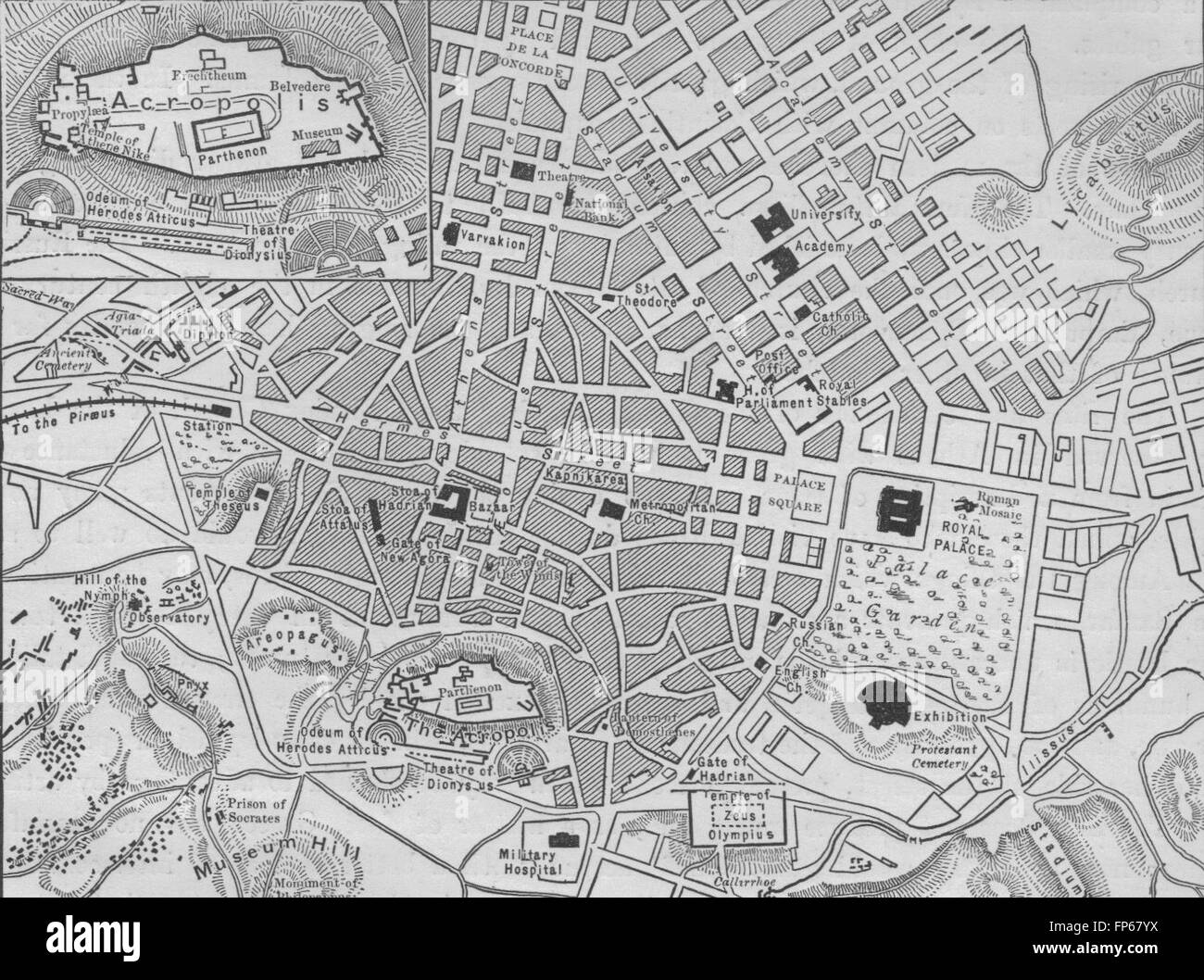 ATHENS: Plan of Athens, 1882 antique map Stock Photohttps://www.alamy.com/image-license-details/?v=1https://www.alamy.com/stock-photo-athens-plan-of-athens-1882-antique-map-99712254.html
RFFP67YX–ATHENS: Plan of Athens, 1882 antique map
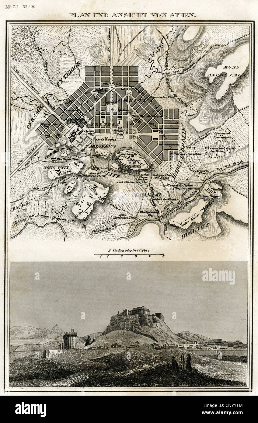 geography / travel, Greece, Athens, city map and view of the Acropolis, steel engraving, Meyers Konversationslexikon, 1861, Additional-Rights-Clearences-Not Available Stock Photohttps://www.alamy.com/image-license-details/?v=1https://www.alamy.com/stock-photo-geography-travel-greece-athens-city-map-and-view-of-the-acropolis-47943076.html
RMCNYYTM–geography / travel, Greece, Athens, city map and view of the Acropolis, steel engraving, Meyers Konversationslexikon, 1861, Additional-Rights-Clearences-Not Available
 1784, Bocage Map of Athens, Greece Stock Photohttps://www.alamy.com/image-license-details/?v=1https://www.alamy.com/stock-image-1784-bocage-map-of-athens-greece-162567919.html
RMKCDH13–1784, Bocage Map of Athens, Greece
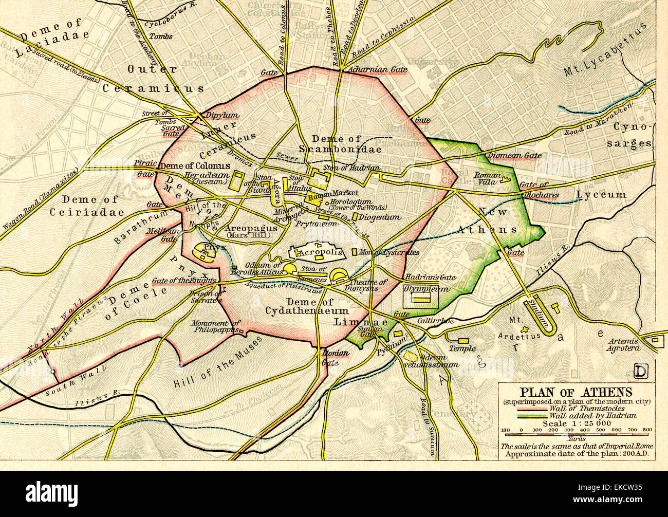 Plan of Athens, Greece c.200 AD. Stock Photohttps://www.alamy.com/image-license-details/?v=1https://www.alamy.com/stock-photo-plan-of-athens-greece-c200-ad-80803049.html
RMEKCW35–Plan of Athens, Greece c.200 AD.
 Close up map of Athens and Greece Stock Photohttps://www.alamy.com/image-license-details/?v=1https://www.alamy.com/stock-photo-close-up-map-of-athens-and-greece-74446931.html
RME939PY–Close up map of Athens and Greece
 Close-up of a red pushpin on a map of Athens, Greece Stock Photohttps://www.alamy.com/image-license-details/?v=1https://www.alamy.com/stock-photo-close-up-of-a-red-pushpin-on-a-map-of-athens-greece-84473018.html
RFEWC25E–Close-up of a red pushpin on a map of Athens, Greece
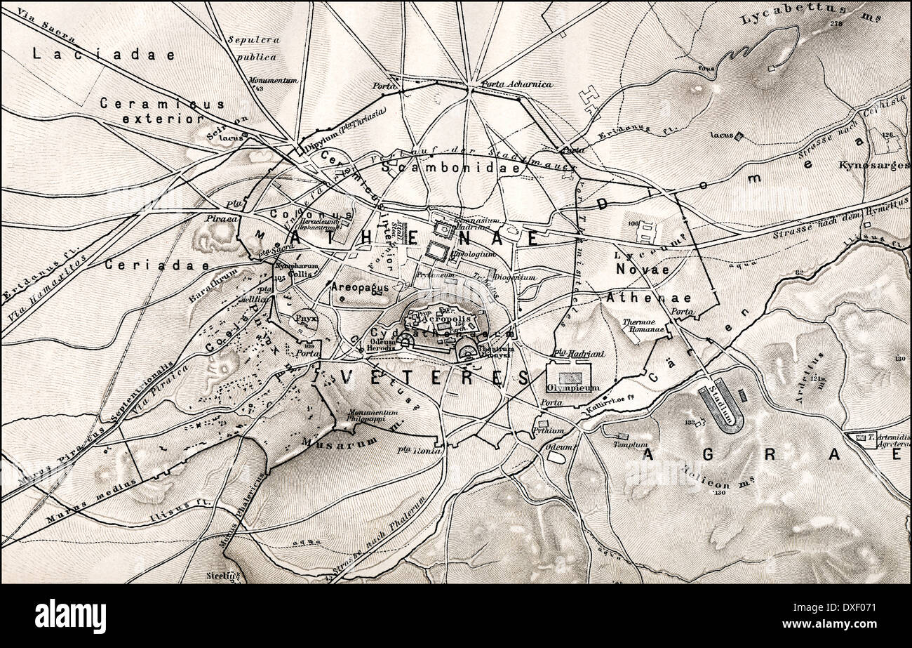 Historical map of ancient Athens, Greece, Europe Stock Photohttps://www.alamy.com/image-license-details/?v=1https://www.alamy.com/historical-map-of-ancient-athens-greece-europe-image67941637.html
RMDXF071–Historical map of ancient Athens, Greece, Europe
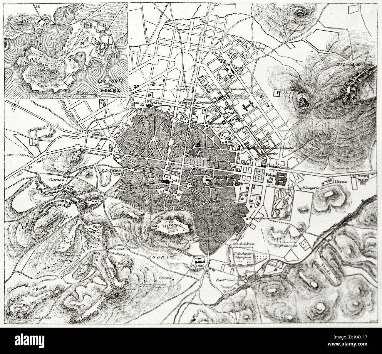 Ancient sepia tone topographic map of Athens with Piraeus insert map, Greece. By unidentified author published on Le Tour du Monde Paris 1862 Stock Photohttps://www.alamy.com/image-license-details/?v=1https://www.alamy.com/ancient-sepia-tone-topographic-map-of-athens-with-piraeus-insert-map-image157936835.html
RFK4XJ17–Ancient sepia tone topographic map of Athens with Piraeus insert map, Greece. By unidentified author published on Le Tour du Monde Paris 1862
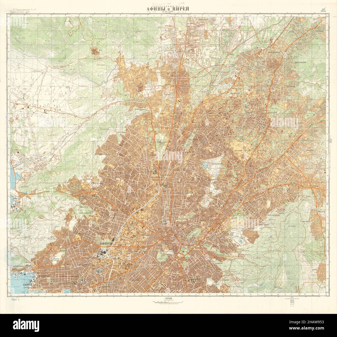 Athens Map, Map of Athens, Athens Print, Athens Plan, Athens Poster, Athens City, Athens City Map, Athens City Poster, Athens Maps, Athens City Print Stock Photohttps://www.alamy.com/image-license-details/?v=1https://www.alamy.com/athens-map-map-of-athens-athens-print-athens-plan-athens-poster-athens-city-athens-city-map-athens-city-poster-athens-maps-athens-city-print-image454172127.html
RF2HAW953–Athens Map, Map of Athens, Athens Print, Athens Plan, Athens Poster, Athens City, Athens City Map, Athens City Poster, Athens Maps, Athens City Print
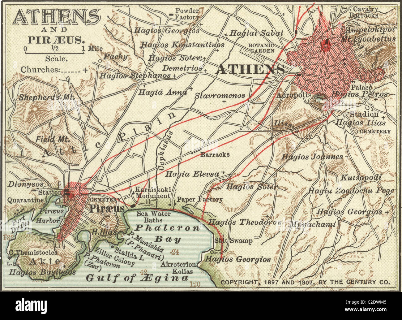 Map of Athens Stock Photohttps://www.alamy.com/image-license-details/?v=1https://www.alamy.com/stock-photo-map-of-athens-35955589.html
RMC2DWM5–Map of Athens
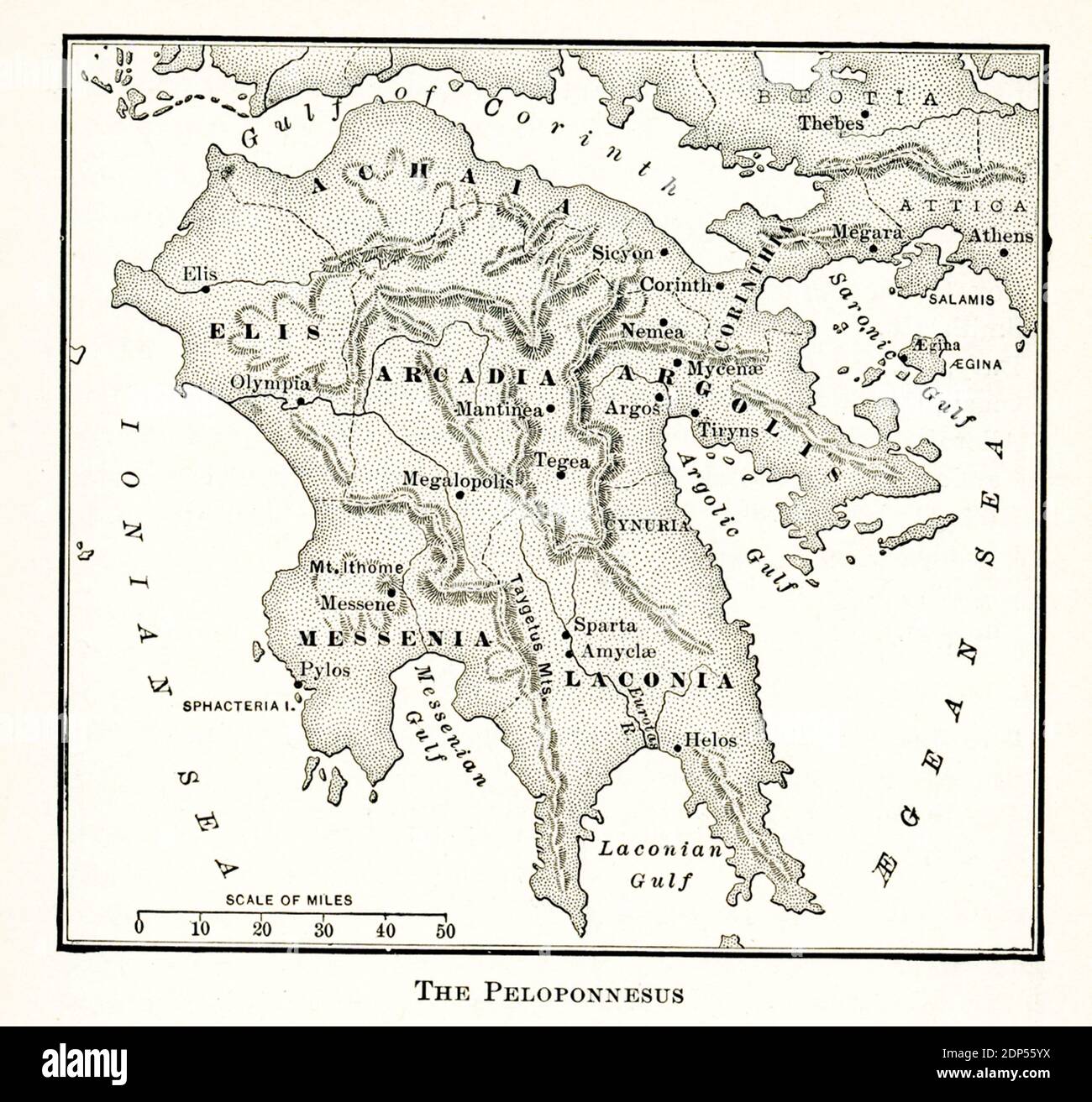 This map of the Peloponnesus dates to the early 1900s. Stock Photohttps://www.alamy.com/image-license-details/?v=1https://www.alamy.com/this-map-of-the-peloponnesus-dates-to-the-early-1900s-image392264990.html
RF2DP55YX–This map of the Peloponnesus dates to the early 1900s.
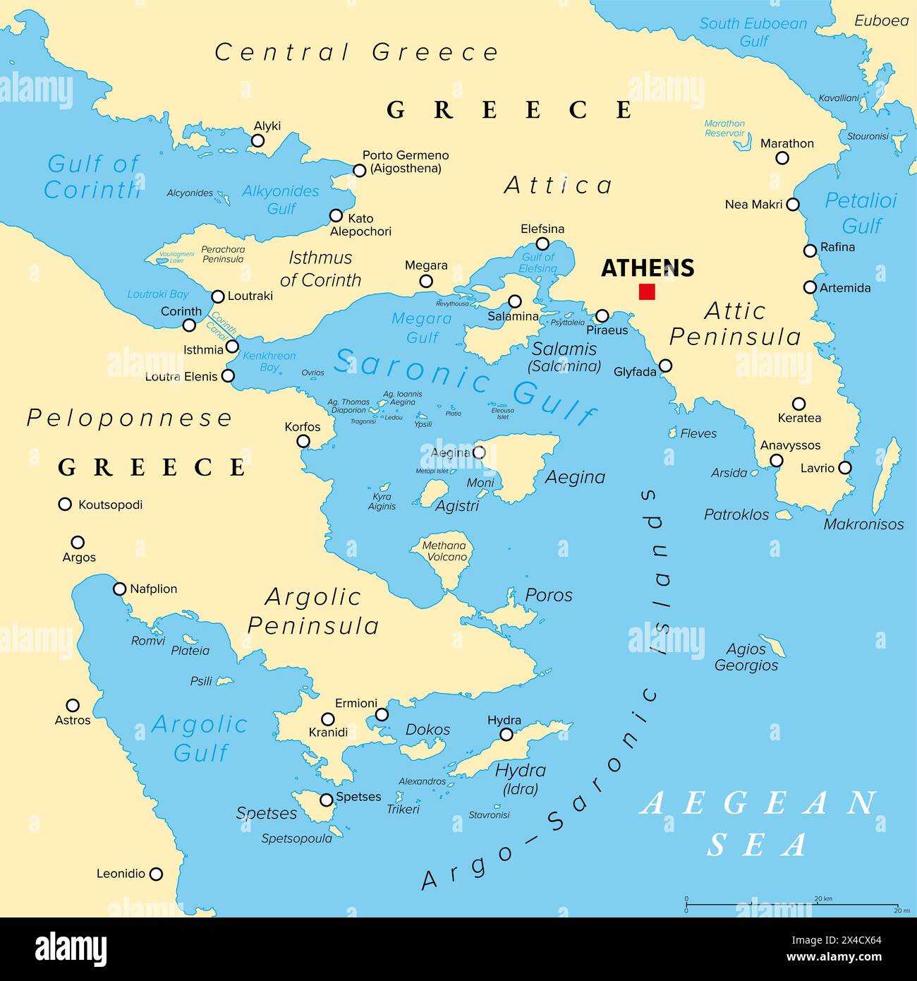 Argo-Saronic Gulf, Saronic and Argolic Gulf of Greece, political map. The peninsulas of Attica and Argolis and the Argo-Saronic Islands. Stock Photohttps://www.alamy.com/image-license-details/?v=1https://www.alamy.com/argo-saronic-gulf-saronic-and-argolic-gulf-of-greece-political-map-the-peninsulas-of-attica-and-argolis-and-the-argo-saronic-islands-image605105484.html
RF2X4CX64–Argo-Saronic Gulf, Saronic and Argolic Gulf of Greece, political map. The peninsulas of Attica and Argolis and the Argo-Saronic Islands.
 Map of Athens, satellite view, city, Greece. 3d rendering Stock Photohttps://www.alamy.com/image-license-details/?v=1https://www.alamy.com/stock-photo-map-of-athens-satellite-view-city-greece-3d-rendering-115584115.html
RFGM18M3–Map of Athens, satellite view, city, Greece. 3d rendering
 greece, flag, athens, map, atlas, map of the world, greece, flag, athens, map, Stock Photohttps://www.alamy.com/image-license-details/?v=1https://www.alamy.com/stock-photo-greece-flag-athens-map-atlas-map-of-the-world-greece-flag-athens-map-142829940.html
RFJ8AD18–greece, flag, athens, map, atlas, map of the world, greece, flag, athens, map,
 Vector map of Athens. Street map poster illustration. Athens map art. Stock Vectorhttps://www.alamy.com/image-license-details/?v=1https://www.alamy.com/vector-map-of-athens-street-map-poster-illustration-athens-map-art-image381618924.html
RF2D4T6R8–Vector map of Athens. Street map poster illustration. Athens map art.
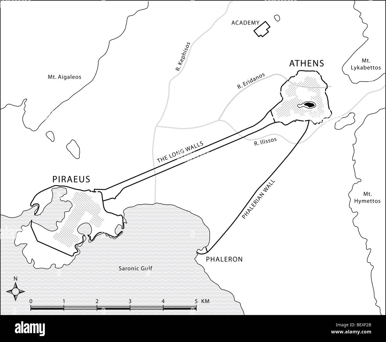 Map of ancient Attica showing Athens, Piraeus, the Long Walls, Phaleron, and Plato's Academy. Drawing by Erin Babnik. Stock Photohttps://www.alamy.com/image-license-details/?v=1https://www.alamy.com/stock-photo-map-of-ancient-attica-showing-athens-piraeus-the-long-walls-phaleron-26398131.html
RMBEXF2B–Map of ancient Attica showing Athens, Piraeus, the Long Walls, Phaleron, and Plato's Academy. Drawing by Erin Babnik.
 a close up shot of Athens on map, capital of Greece. Stock Photohttps://www.alamy.com/image-license-details/?v=1https://www.alamy.com/stock-photo-a-close-up-shot-of-athens-on-map-capital-of-greece-38792352.html
RFC73414–a close up shot of Athens on map, capital of Greece.
 Athens Map Page 182 Stock Photohttps://www.alamy.com/image-license-details/?v=1https://www.alamy.com/stock-image-athens-map-page-182-162786614.html
RMKCRFYJ–Athens Map Page 182
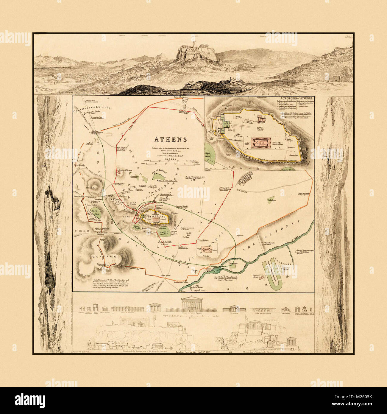 Map of Greek monuments in Athens circa 1832. Stock Photohttps://www.alamy.com/image-license-details/?v=1https://www.alamy.com/stock-photo-map-of-greek-monuments-in-athens-circa-1832-173464863.html
RFM2605K–Map of Greek monuments in Athens circa 1832.
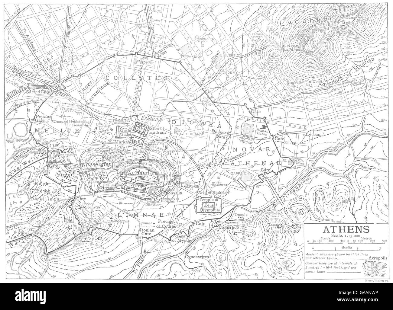 GREECE: Athens city plan, 1910 antique map Stock Photohttps://www.alamy.com/image-license-details/?v=1https://www.alamy.com/stock-photo-greece-athens-city-plan-1910-antique-map-109645474.html
RFGAANWP–GREECE: Athens city plan, 1910 antique map
 Athens shown on a Road map or a geography map Stock Photohttps://www.alamy.com/image-license-details/?v=1https://www.alamy.com/athens-shown-on-a-road-map-or-a-geography-map-image409163151.html
RM2ENJYNK–Athens shown on a Road map or a geography map
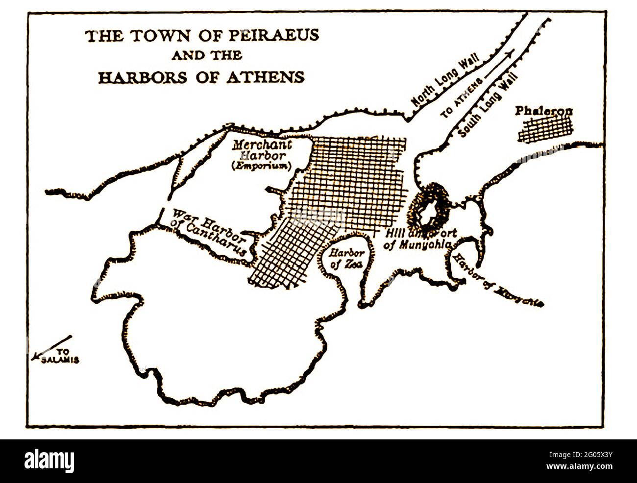 A 1914 sketch map of the town of Peiraeus or Pirias (Piraeus) and Athens Harbour as it was at that time. The Franks gave it the name 'Porto Draco' and was known by the Turks as 'Asian Port'. Piraeus today it is the main port of Athens, the biggest port in Greece, It was ancienty known as Porto Leone, a name coming from the enormous stone lion, which guarded the port's entrance. The lion lion was stolen in 1688, during Fr. Morozini's expedition against Athens, and taken to Venice where it can still be seen. Stock Photohttps://www.alamy.com/image-license-details/?v=1https://www.alamy.com/a-1914-sketch-map-of-the-town-of-peiraeus-or-pirias-piraeus-and-athens-harbour-as-it-was-at-that-time-the-franks-gave-it-the-name-porto-draco-and-was-known-by-the-turks-as-asian-port-piraeus-today-it-is-the-main-port-of-athens-the-biggest-port-in-greece-it-was-ancienty-known-as-porto-leone-a-name-coming-from-the-enormous-stone-lion-which-guarded-the-ports-entrance-the-lion-lion-was-stolen-in-1688-during-fr-morozinis-expedition-against-athens-and-taken-to-venice-where-it-can-still-be-seen-image430389455.html
RM2G05X3Y–A 1914 sketch map of the town of Peiraeus or Pirias (Piraeus) and Athens Harbour as it was at that time. The Franks gave it the name 'Porto Draco' and was known by the Turks as 'Asian Port'. Piraeus today it is the main port of Athens, the biggest port in Greece, It was ancienty known as Porto Leone, a name coming from the enormous stone lion, which guarded the port's entrance. The lion lion was stolen in 1688, during Fr. Morozini's expedition against Athens, and taken to Venice where it can still be seen.
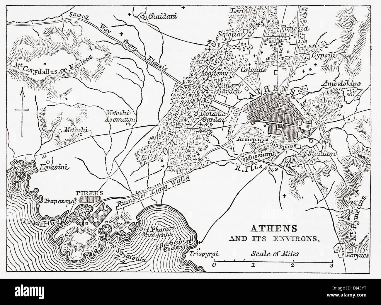 Map of Athens and Piraeus, Greece, mid 19th century. Stock Photohttps://www.alamy.com/image-license-details/?v=1https://www.alamy.com/map-of-athens-and-piraeus-greece-mid-19th-century-image62785852.html
RMDJ43YT–Map of Athens and Piraeus, Greece, mid 19th century.
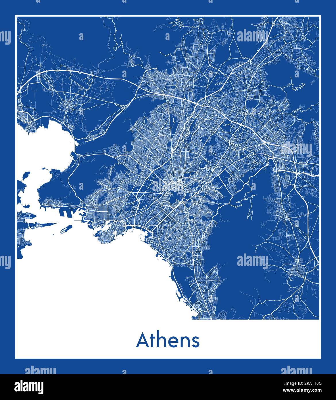 Athens Greece Europe City map blue print vector illustration Stock Vectorhttps://www.alamy.com/image-license-details/?v=1https://www.alamy.com/athens-greece-europe-city-map-blue-print-vector-illustration-image557424016.html
RF2RATT0G–Athens Greece Europe City map blue print vector illustration
 Map of Athens in Greece in blue style. Contains layered vector with roads water, parks, etc. Stock Vectorhttps://www.alamy.com/image-license-details/?v=1https://www.alamy.com/map-of-athens-in-greece-in-blue-style-contains-layered-vector-with-roads-water-parks-etc-image612504182.html
RF2XGDY9A–Map of Athens in Greece in blue style. Contains layered vector with roads water, parks, etc.
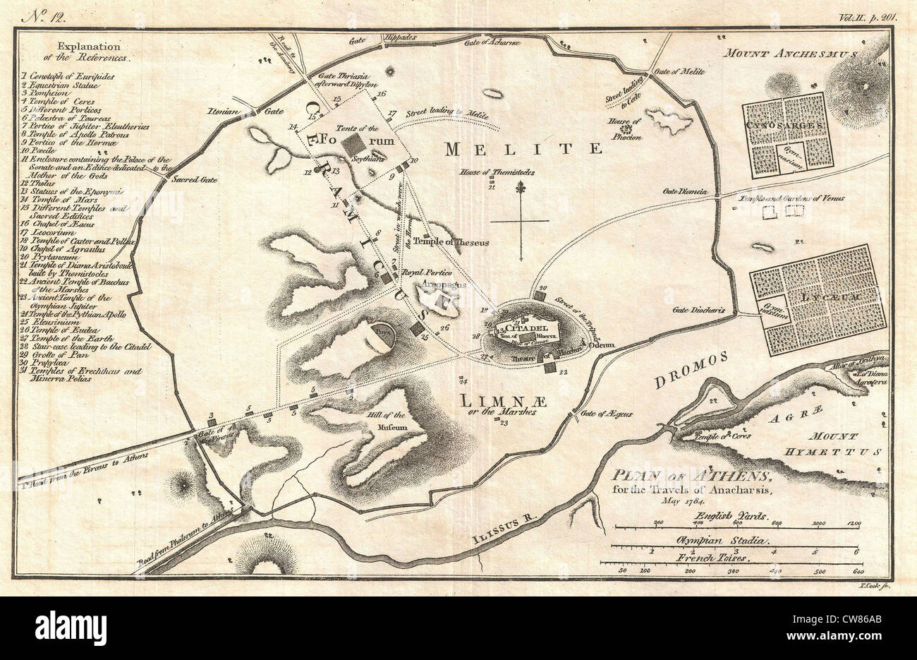 1784 Bocage Map of Athens, Greece Stock Photohttps://www.alamy.com/image-license-details/?v=1https://www.alamy.com/stock-photo-1784-bocage-map-of-athens-greece-49967747.html
RMCW86AB–1784 Bocage Map of Athens, Greece
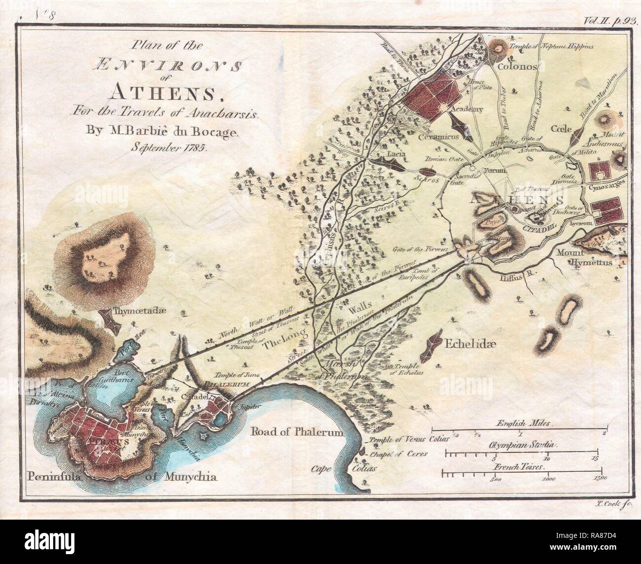 1784, Bocage Map of the City of Athens in Ancient Greece. Reimagined by Gibon. Classic art with a modern twist reimagined Stock Photohttps://www.alamy.com/image-license-details/?v=1https://www.alamy.com/1784-bocage-map-of-the-city-of-athens-in-ancient-greece-reimagined-by-gibon-classic-art-with-a-modern-twist-reimagined-image230062816.html
RFRA87D4–1784, Bocage Map of the City of Athens in Ancient Greece. Reimagined by Gibon. Classic art with a modern twist reimagined
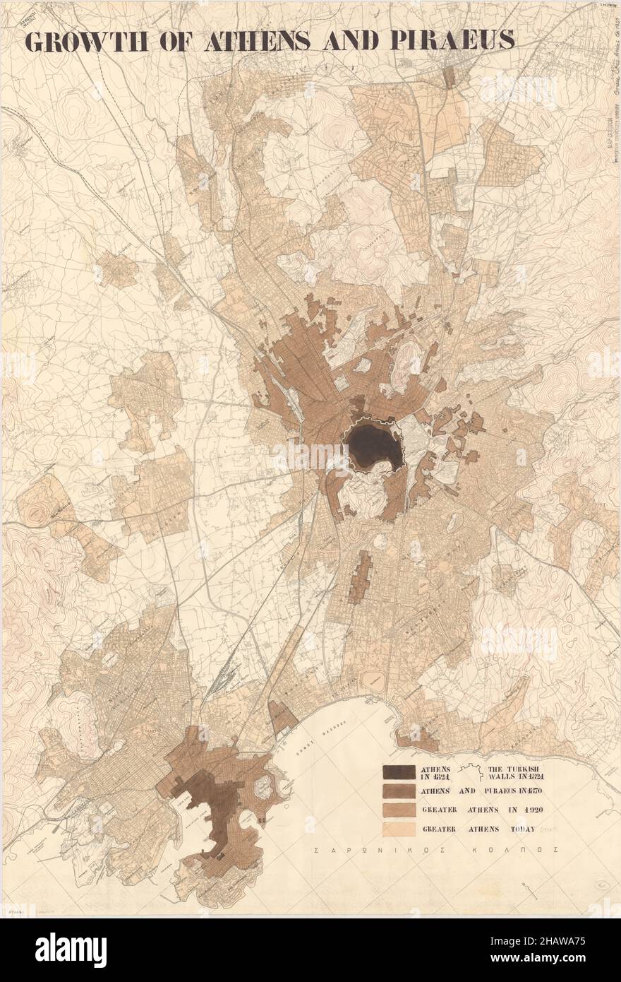 Athens Map, Map of Athens, Athens Print, Athens Plan, Athens Poster, Athens City, Athens City Map, Athens City Poster, Athens Maps, Athens City Print Stock Photohttps://www.alamy.com/image-license-details/?v=1https://www.alamy.com/athens-map-map-of-athens-athens-print-athens-plan-athens-poster-athens-city-athens-city-map-athens-city-poster-athens-maps-athens-city-print-image454172969.html
RF2HAWA75–Athens Map, Map of Athens, Athens Print, Athens Plan, Athens Poster, Athens City, Athens City Map, Athens City Poster, Athens Maps, Athens City Print
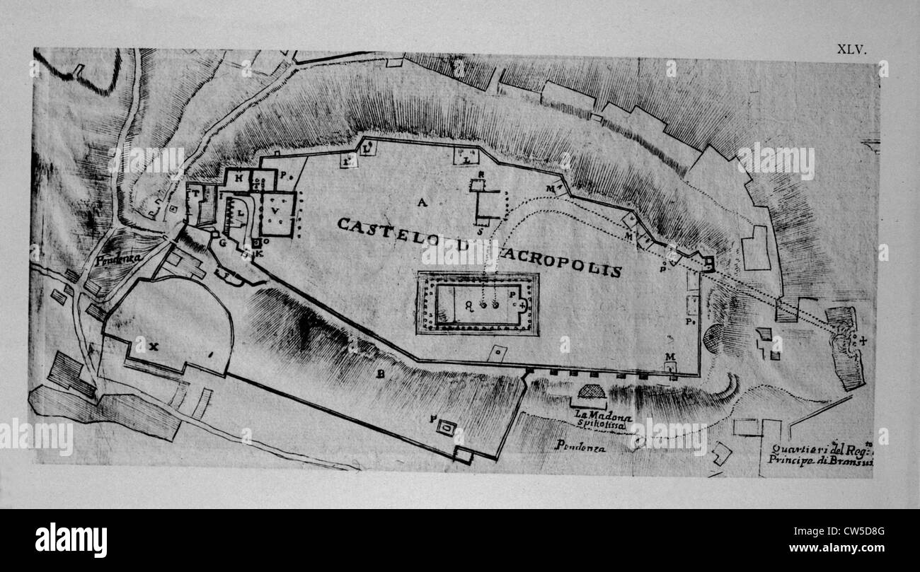 Map of the Acropolis in Athens, in 'L'Atene Attica' by Fanelli Stock Photohttps://www.alamy.com/image-license-details/?v=1https://www.alamy.com/stock-photo-map-of-the-acropolis-in-athens-in-latene-attica-by-fanelli-49907328.html
RMCW5D8G–Map of the Acropolis in Athens, in 'L'Atene Attica' by Fanelli
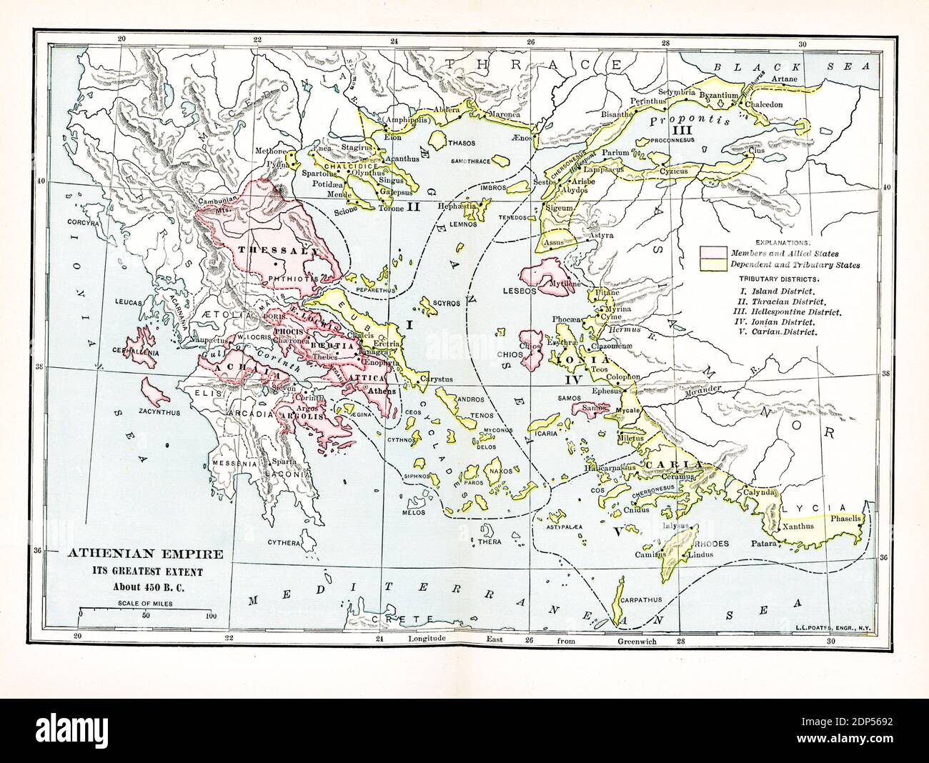 Athenian Empire its greatest extent. about 450 BC. Explanations: Pink: Members and Allied States; Yellow: Dependent and Tributary States; Tributary Districts: I. Island District; II. Thracian District; III. Hellespontine District; IV. Ionian District; V. Carian District Stock Photohttps://www.alamy.com/image-license-details/?v=1https://www.alamy.com/athenian-empire-its-greatest-extent-about-450-bc-explanations-pink-members-and-allied-states-yellow-dependent-and-tributary-states-tributary-districts-i-island-district-ii-thracian-district-iii-hellespontine-district-iv-ionian-district-v-carian-district-image392265246.html
RF2DP5692–Athenian Empire its greatest extent. about 450 BC. Explanations: Pink: Members and Allied States; Yellow: Dependent and Tributary States; Tributary Districts: I. Island District; II. Thracian District; III. Hellespontine District; IV. Ionian District; V. Carian District
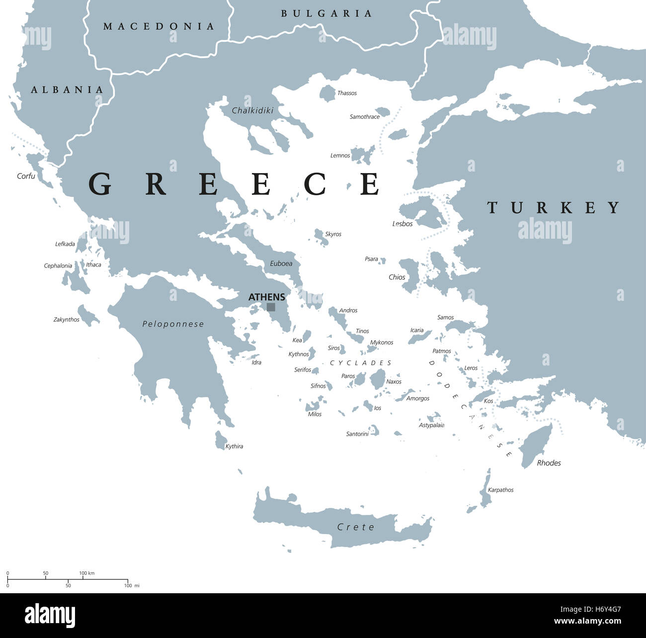 Greece political map with capital Athens, with most important peninsulas and islands, with national borders and neighbors. Stock Photohttps://www.alamy.com/image-license-details/?v=1https://www.alamy.com/stock-photo-greece-political-map-with-capital-athens-with-most-important-peninsulas-124756807.html
RFH6Y4G7–Greece political map with capital Athens, with most important peninsulas and islands, with national borders and neighbors.
 Close up of a miniature passenger plane on a colorful map showing Athens, Greece through selective focus, background blur Stock Photohttps://www.alamy.com/image-license-details/?v=1https://www.alamy.com/close-up-of-a-miniature-passenger-plane-on-a-colorful-map-showing-athens-greece-through-selective-focus-background-blur-image528409759.html
RF2NKK413–Close up of a miniature passenger plane on a colorful map showing Athens, Greece through selective focus, background blur
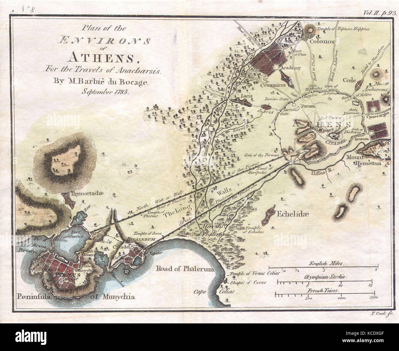 1784, Bocage Map of the City of Athens in Ancient Greece Stock Photohttps://www.alamy.com/image-license-details/?v=1https://www.alamy.com/stock-image-1784-bocage-map-of-the-city-of-athens-in-ancient-greece-162575407.html
RMKCDXGF–1784, Bocage Map of the City of Athens in Ancient Greece
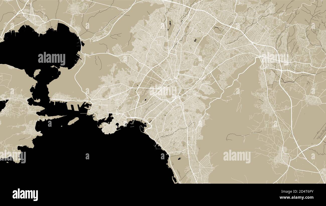 Athens city map poster. Map of Athens street map poster. Athens map vector illustration. Stock Vectorhttps://www.alamy.com/image-license-details/?v=1https://www.alamy.com/athens-city-map-poster-map-of-athens-street-map-poster-athens-map-vector-illustration-image381618915.html
RF2D4T6PY–Athens city map poster. Map of Athens street map poster. Athens map vector illustration.
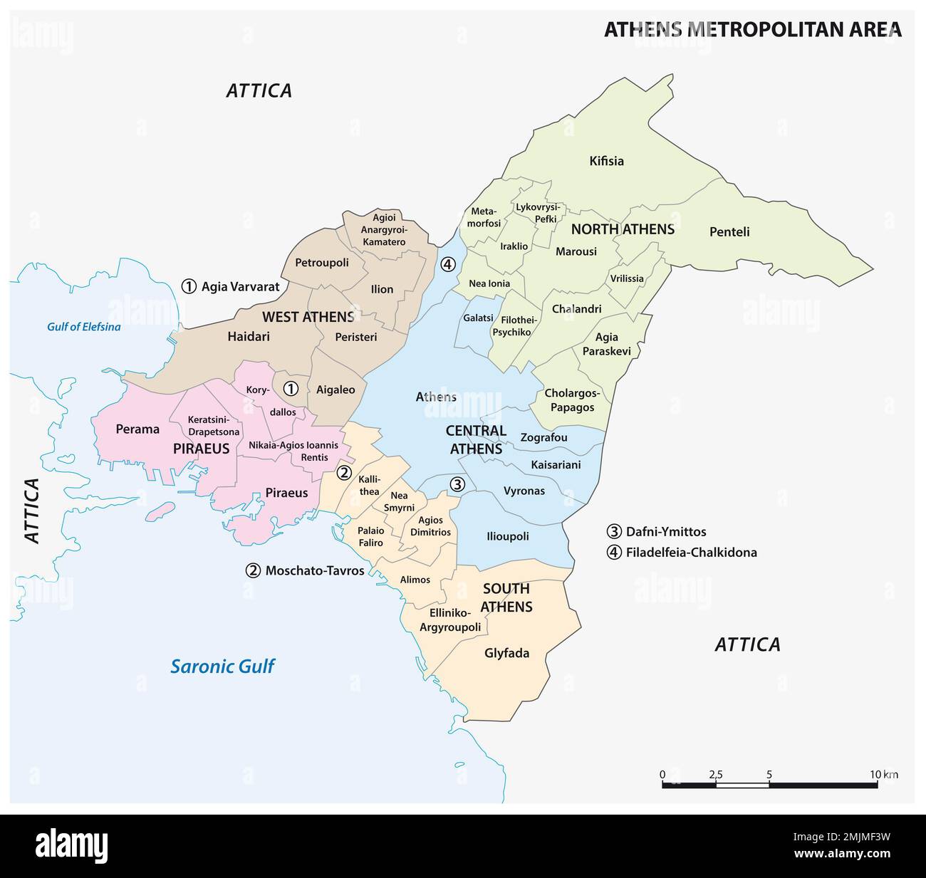 Administrative map of the Athens Metropolitan Area, Greece Stock Photohttps://www.alamy.com/image-license-details/?v=1https://www.alamy.com/administrative-map-of-the-athens-metropolitan-area-greece-image510615389.html
RF2MJMF3W–Administrative map of the Athens Metropolitan Area, Greece
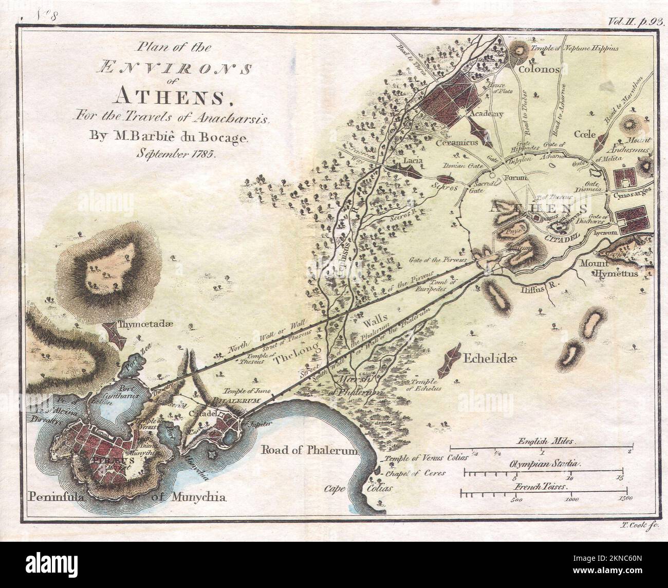 Vintage city plan of Athens and area around it from 18/19th century. Maps are beautifully hand illustrated and engraved showing it at the time. Stock Photohttps://www.alamy.com/image-license-details/?v=1https://www.alamy.com/vintage-city-plan-of-athens-and-area-around-it-from-1819th-century-maps-are-beautifully-hand-illustrated-and-engraved-showing-it-at-the-time-image495066229.html
RF2KNC60N–Vintage city plan of Athens and area around it from 18/19th century. Maps are beautifully hand illustrated and engraved showing it at the time.
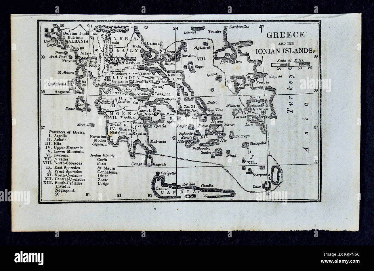 1830 Nathan Hale Map - Greece - Athens Crete Stock Photohttps://www.alamy.com/image-license-details/?v=1https://www.alamy.com/stock-image-1830-nathan-hale-map-greece-athens-crete-169529960.html
RFKRPN5C–1830 Nathan Hale Map - Greece - Athens Crete
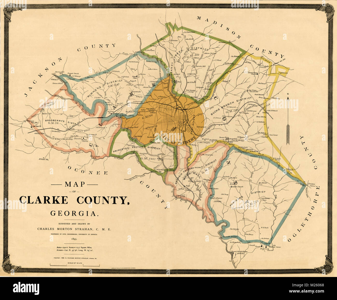 Historical map of Athens, Georgia circa 1893. Stock Photohttps://www.alamy.com/image-license-details/?v=1https://www.alamy.com/stock-photo-historical-map-of-athens-georgia-circa-1893-173464880.html
RFM26068–Historical map of Athens, Georgia circa 1893.
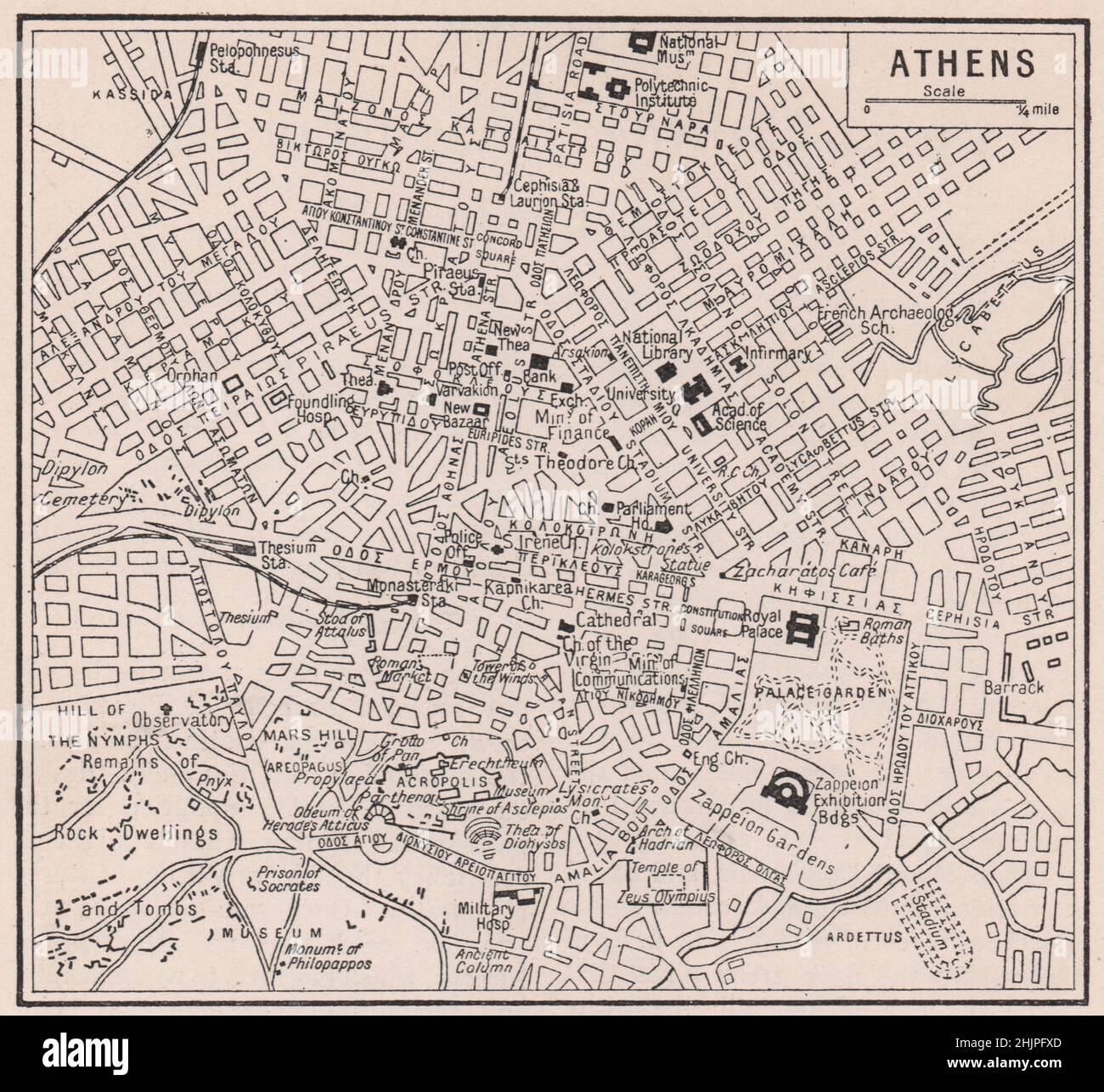 Plan of the Greek capital as it is to-day. Greece. Athens (1923 map) Stock Photohttps://www.alamy.com/image-license-details/?v=1https://www.alamy.com/plan-of-the-greek-capital-as-it-is-to-day-greece-athens-1923-map-image459028821.html
RF2HJPFXD–Plan of the Greek capital as it is to-day. Greece. Athens (1923 map)
 Athens Texas USA shown on a Geography map or Road map Stock Photohttps://www.alamy.com/image-license-details/?v=1https://www.alamy.com/athens-texas-usa-shown-on-a-geography-map-or-road-map-image433906687.html
RM2G5X4BB–Athens Texas USA shown on a Geography map or Road map
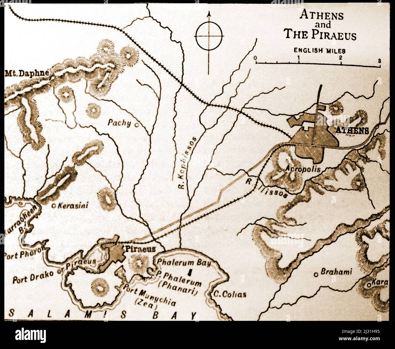 A British 19th century map of Athens and Piraeus, Greece, with distances in English miles Stock Photohttps://www.alamy.com/image-license-details/?v=1https://www.alamy.com/a-british-19th-century-map-of-athens-and-piraeus-greece-with-distances-in-english-miles-image466559441.html
RM2J31H95–A British 19th century map of Athens and Piraeus, Greece, with distances in English miles
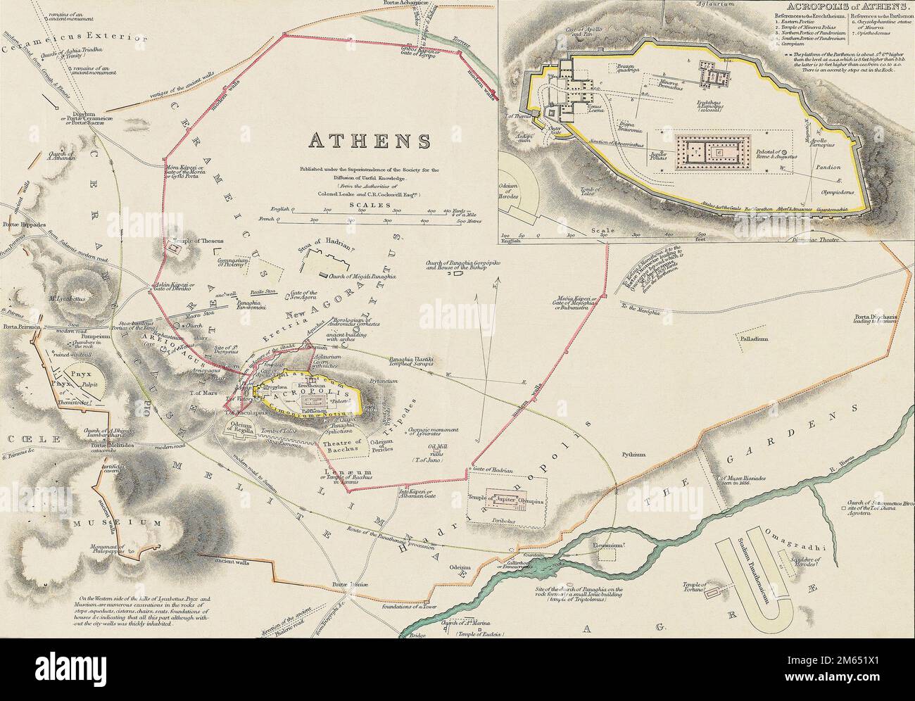 A map of ancient Athens, Greece, showing the location of ruins. From an engraving dated 1832 by J. Hershall after a drawing by William Barnard Clarke. Stock Photohttps://www.alamy.com/image-license-details/?v=1https://www.alamy.com/a-map-of-ancient-athens-greece-showing-the-location-of-ruins-from-an-engraving-dated-1832-by-j-hershall-after-a-drawing-by-william-barnard-clarke-image502899881.html
RM2M651X1–A map of ancient Athens, Greece, showing the location of ruins. From an engraving dated 1832 by J. Hershall after a drawing by William Barnard Clarke.
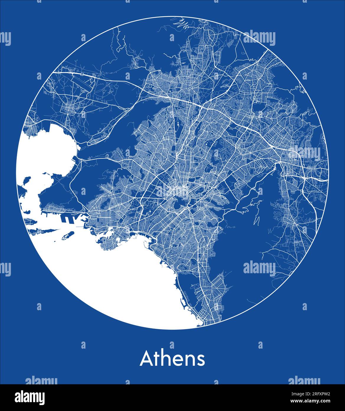 City Map Athens Greece Europe blue print round Circle vector illustration Stock Vectorhttps://www.alamy.com/image-license-details/?v=1https://www.alamy.com/city-map-athens-greece-europe-blue-print-round-circle-vector-illustration-image560540318.html
RF2RFXPW2–City Map Athens Greece Europe blue print round Circle vector illustration
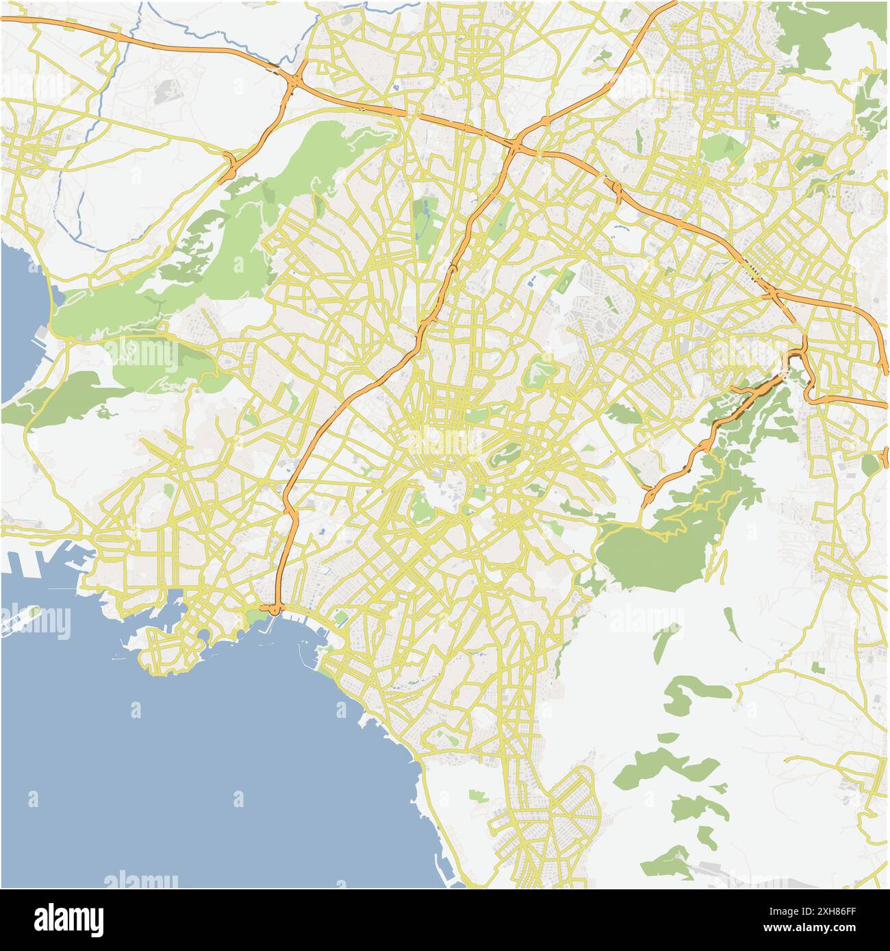 Road map of Athens in Greece. Contains layered vector with roads water, parks, etc. Stock Vectorhttps://www.alamy.com/image-license-details/?v=1https://www.alamy.com/road-map-of-athens-in-greece-contains-layered-vector-with-roads-water-parks-etc-image612992787.html
RF2XH86FF–Road map of Athens in Greece. Contains layered vector with roads water, parks, etc.
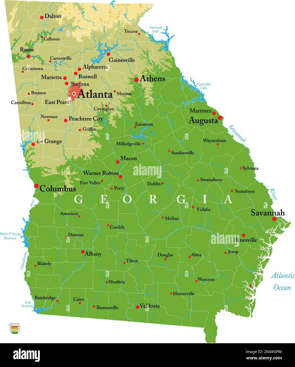 Highly detailed physical map of the Georgia, in vector format,with all the relief forms,regions and big cities. Stock Vectorhttps://www.alamy.com/image-license-details/?v=1https://www.alamy.com/highly-detailed-physical-map-of-the-georgia-in-vector-formatwith-all-the-relief-formsregions-and-big-cities-image520517052.html
RF2N6RGPM–Highly detailed physical map of the Georgia, in vector format,with all the relief forms,regions and big cities.
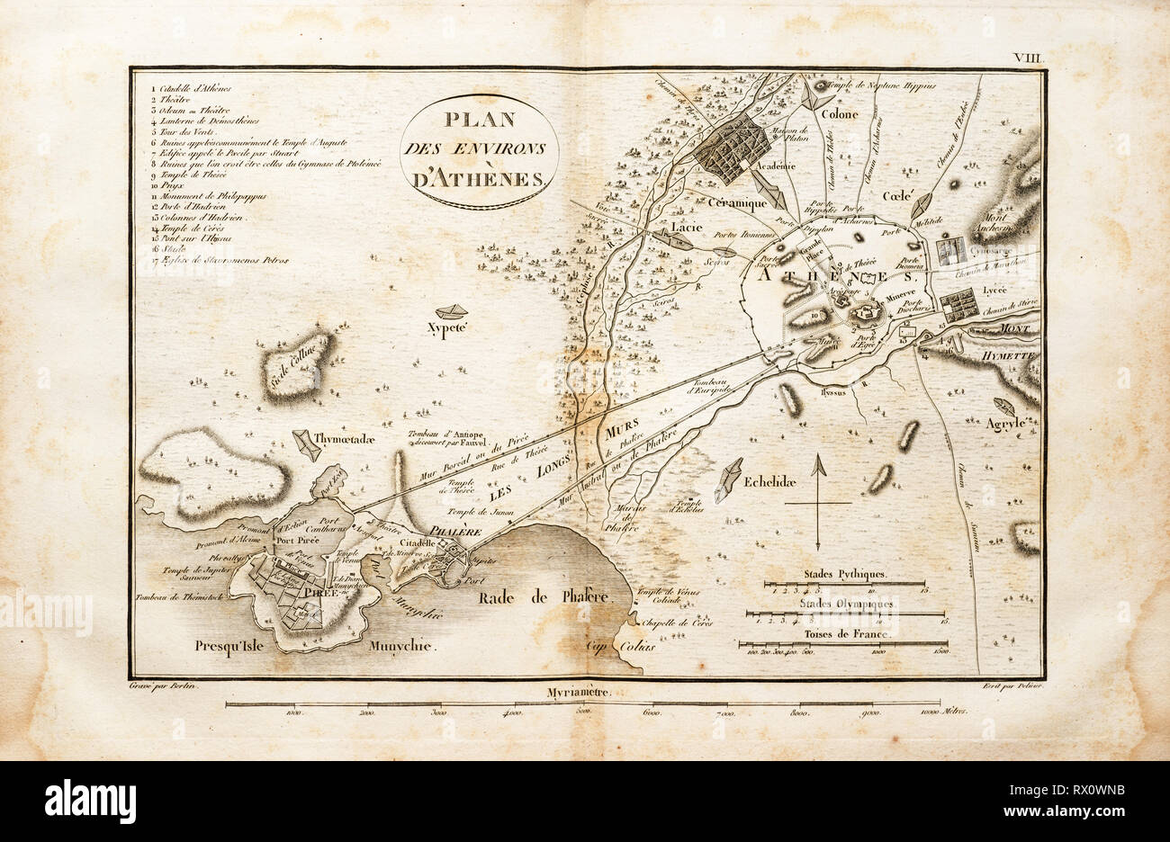 old map of the area around Athens Greece from an 1802 book in French Stock Photohttps://www.alamy.com/image-license-details/?v=1https://www.alamy.com/old-map-of-the-area-around-athens-greece-from-an-1802-book-in-french-image239736039.html
RFRX0WNB–old map of the area around Athens Greece from an 1802 book in French
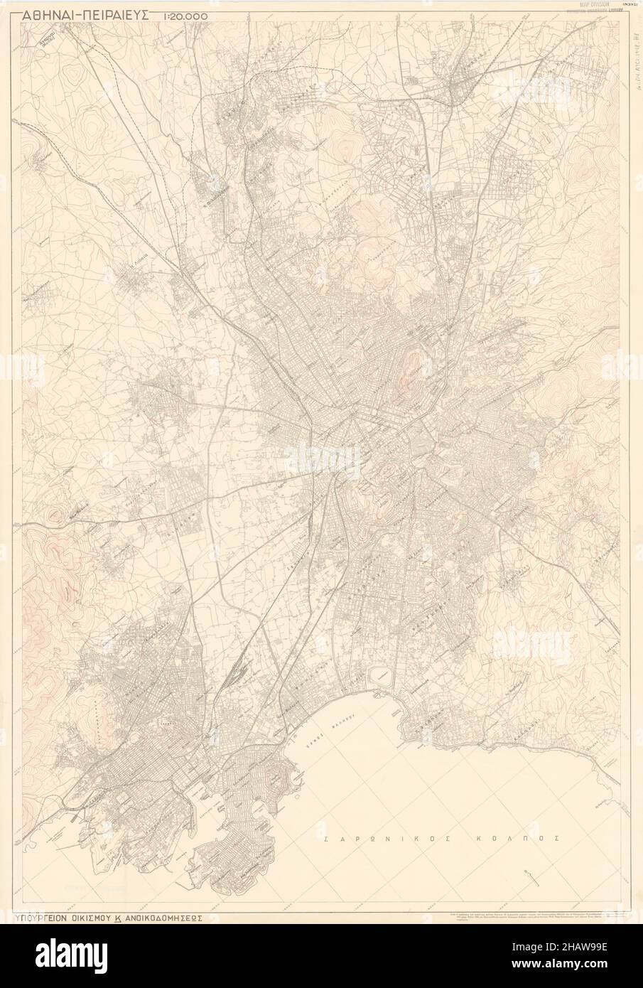 Athens Map, Map of Athens, Athens Print, Athens Plan, Athens Poster, Athens City, Athens City Map, Athens City Poster, Athens Maps, Athens City Print Stock Photohttps://www.alamy.com/image-license-details/?v=1https://www.alamy.com/athens-map-map-of-athens-athens-print-athens-plan-athens-poster-athens-city-athens-city-map-athens-city-poster-athens-maps-athens-city-print-image454172250.html
RF2HAW99E–Athens Map, Map of Athens, Athens Print, Athens Plan, Athens Poster, Athens City, Athens City Map, Athens City Poster, Athens Maps, Athens City Print
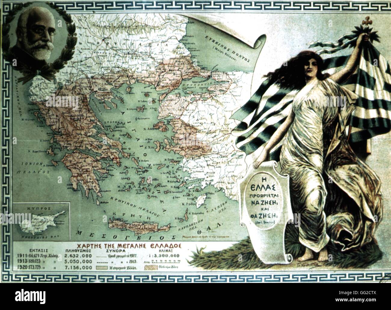 Map of 'Great Greece' by Venizelos (1864-1936) 1920 Greece Athens, Private collection Stock Photohttps://www.alamy.com/image-license-details/?v=1https://www.alamy.com/stock-photo-map-of-great-greece-by-venizelos-1864-1936-1920-greece-athens-private-113150714.html
RMGG2CTX–Map of 'Great Greece' by Venizelos (1864-1936) 1920 Greece Athens, Private collection
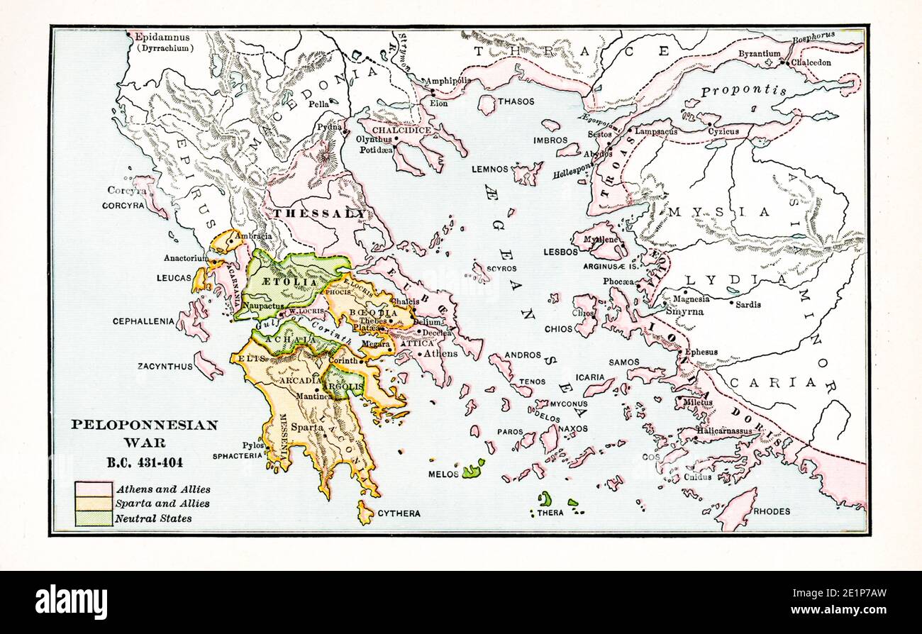 Peloponnesian War BC 431-404. Pink: Athens and Allies; Orange: Sparta and Allies; Green: Neutral Allies Stock Photohttps://www.alamy.com/image-license-details/?v=1https://www.alamy.com/peloponnesian-war-bc-431-404-pink-athens-and-allies-orange-sparta-and-allies-green-neutral-allies-image396941857.html
RF2E1P7AW–Peloponnesian War BC 431-404. Pink: Athens and Allies; Orange: Sparta and Allies; Green: Neutral Allies
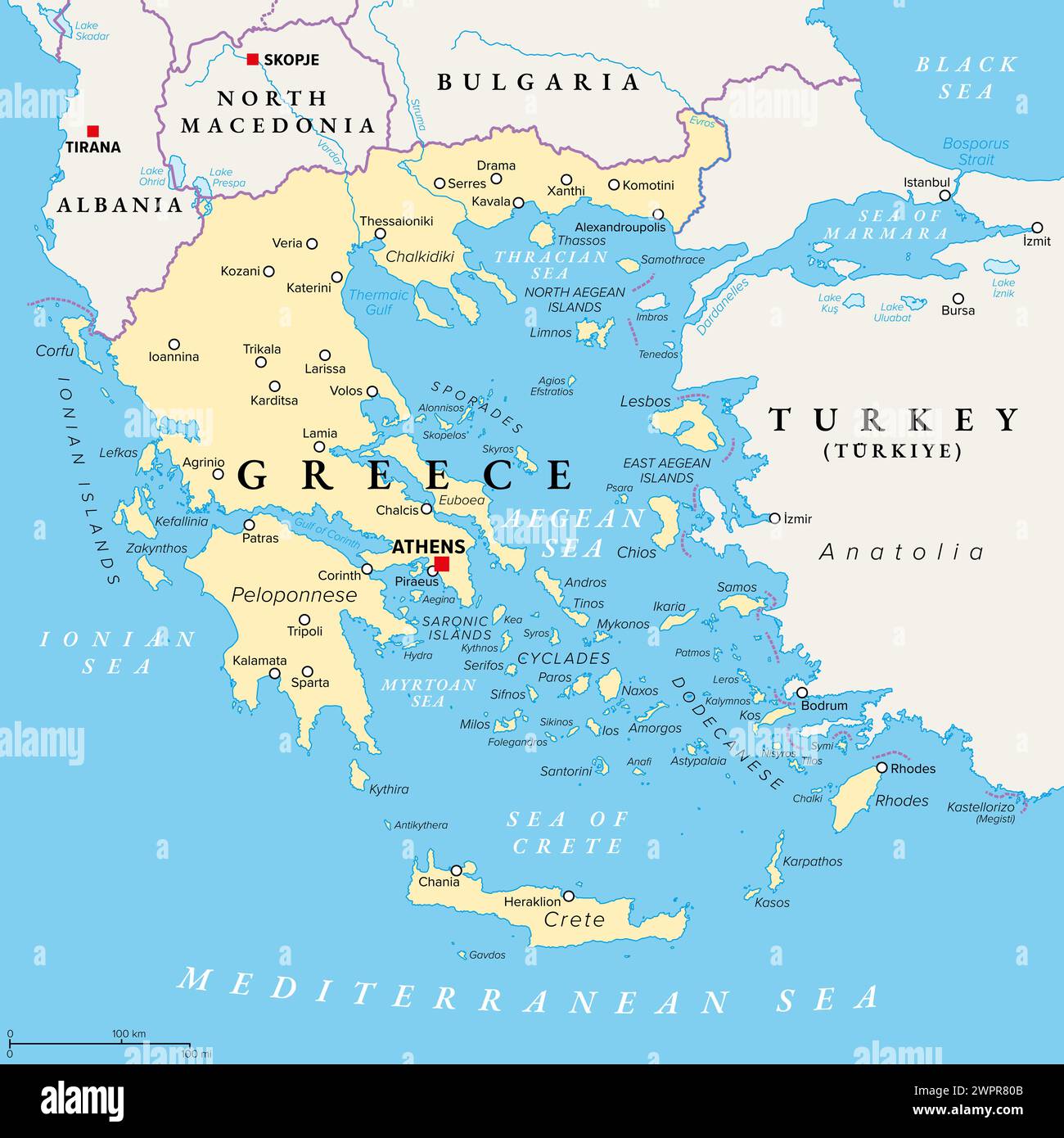 Greece, the Hellenic Republic, political map. Country in Southeast Europe on the southern tip of the Balkan peninsula, with capital Athens. Stock Photohttps://www.alamy.com/image-license-details/?v=1https://www.alamy.com/greece-the-hellenic-republic-political-map-country-in-southeast-europe-on-the-southern-tip-of-the-balkan-peninsula-with-capital-athens-image599186123.html
RF2WPR80B–Greece, the Hellenic Republic, political map. Country in Southeast Europe on the southern tip of the Balkan peninsula, with capital Athens.
 Udine, Italy. August 7 2021. A man looking at the map of the city of Athens Stock Photohttps://www.alamy.com/image-license-details/?v=1https://www.alamy.com/udine-italy-august-7-2021-a-man-looking-at-the-map-of-the-city-of-athens-image438150349.html
RF2GCRD6N–Udine, Italy. August 7 2021. A man looking at the map of the city of Athens
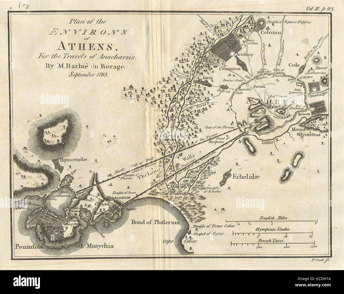 1785, Bocage Map of Athens and Environs, including Piraeus, in Ancient Greece Stock Photohttps://www.alamy.com/image-license-details/?v=1https://www.alamy.com/stock-image-1785-bocage-map-of-athens-and-environs-including-piraeus-in-ancient-162567926.html
RMKCDH1A–1785, Bocage Map of Athens and Environs, including Piraeus, in Ancient Greece
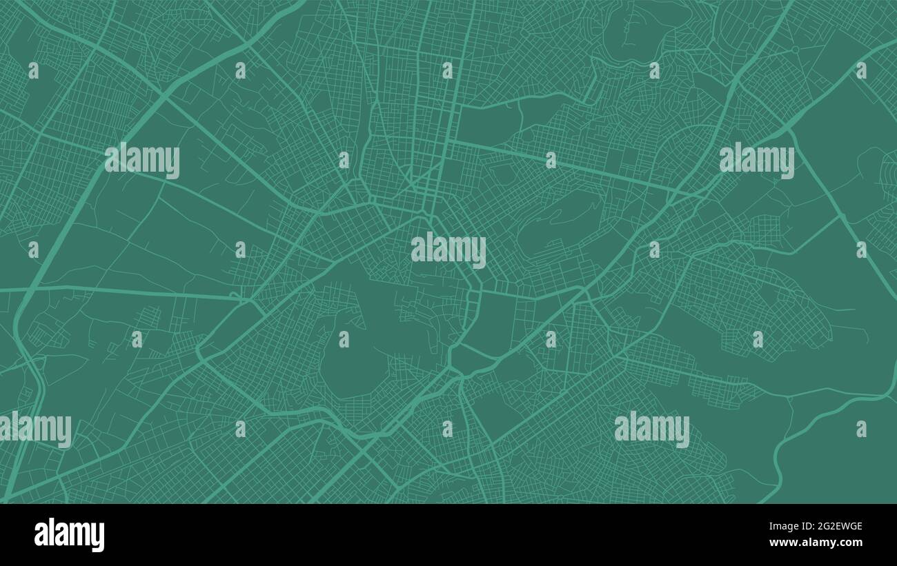 Green Athens City area vector background map, streets and water cartography illustration. Widescreen proportion, digital flat design streetmap. Stock Vectorhttps://www.alamy.com/image-license-details/?v=1https://www.alamy.com/green-athens-city-area-vector-background-map-streets-and-water-cartography-illustration-widescreen-proportion-digital-flat-design-streetmap-image431815902.html
RF2G2EWGE–Green Athens City area vector background map, streets and water cartography illustration. Widescreen proportion, digital flat design streetmap.
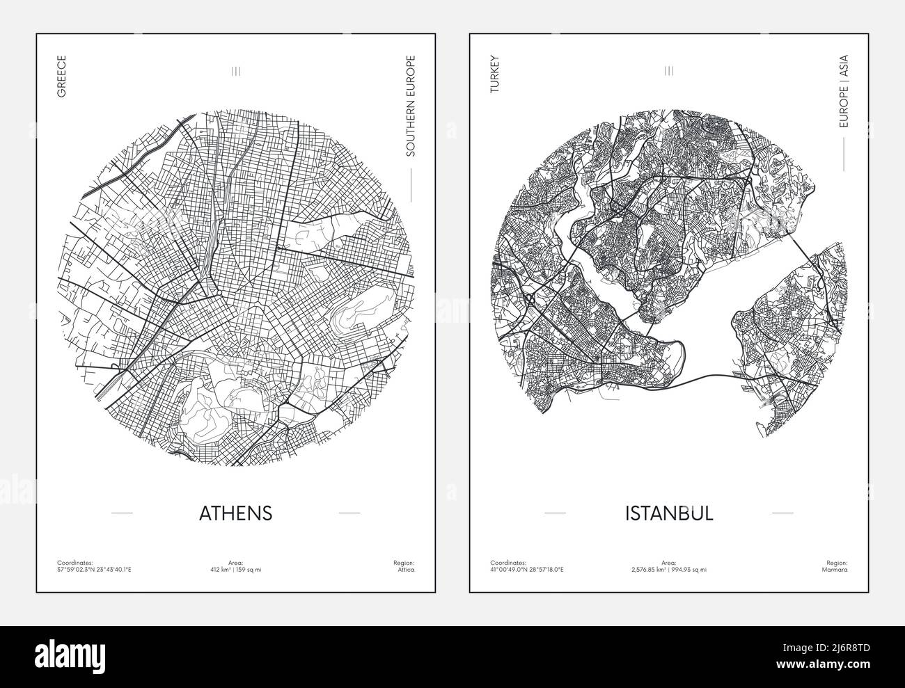 Travel poster, urban street plan city map Athens and Istanbul, vector illustration Stock Vectorhttps://www.alamy.com/image-license-details/?v=1https://www.alamy.com/travel-poster-urban-street-plan-city-map-athens-and-istanbul-vector-illustration-image468879725.html
RF2J6R8TD–Travel poster, urban street plan city map Athens and Istanbul, vector illustration
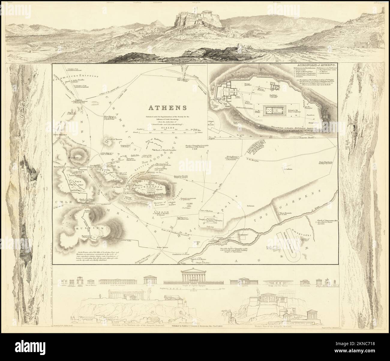 Vintage city plan of Athens and area around it from 18/19th century. Maps are beautifully hand illustrated and engraved showing it at the time. Stock Photohttps://www.alamy.com/image-license-details/?v=1https://www.alamy.com/vintage-city-plan-of-athens-and-area-around-it-from-1819th-century-maps-are-beautifully-hand-illustrated-and-engraved-showing-it-at-the-time-image495067028.html
RF2KNC718–Vintage city plan of Athens and area around it from 18/19th century. Maps are beautifully hand illustrated and engraved showing it at the time.
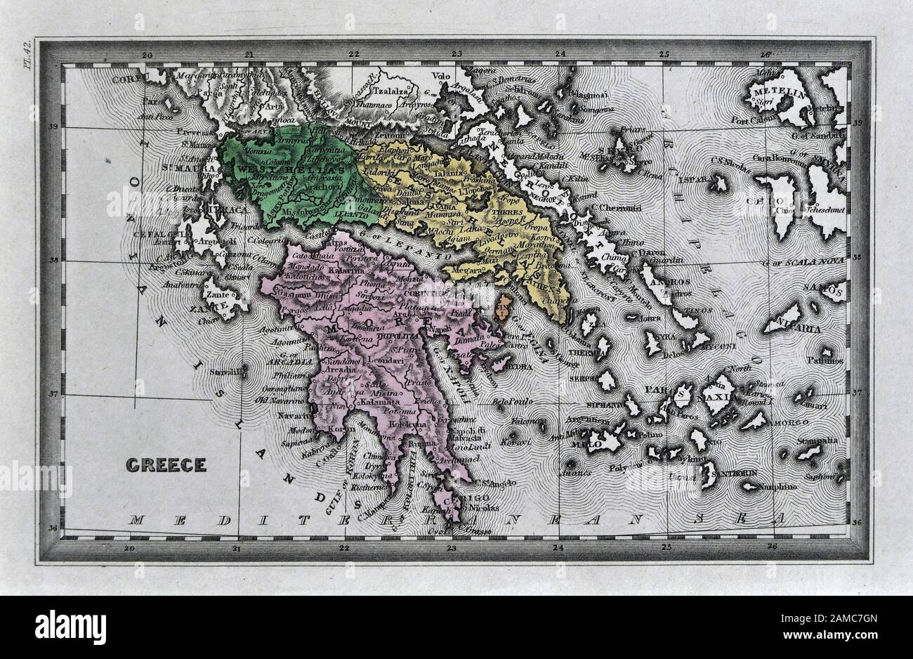
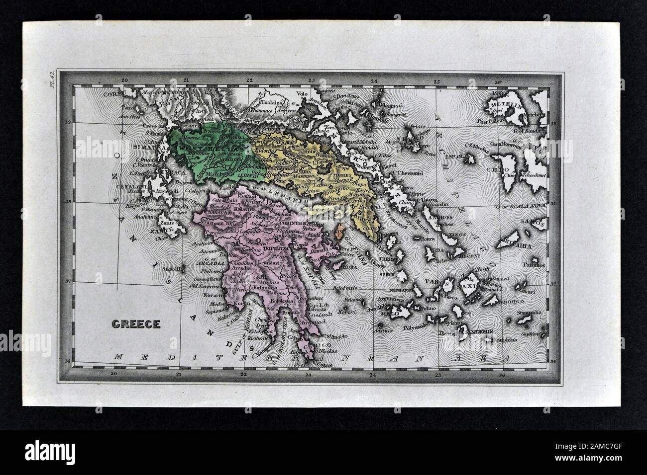 1834 Carey Map of Greece Athens Sparta Delphi Cyclades Stock Photohttps://www.alamy.com/image-license-details/?v=1https://www.alamy.com/1834-carey-map-of-greece-athens-sparta-delphi-cyclades-image339559487.html
RF2AMC7GF–1834 Carey Map of Greece Athens Sparta Delphi Cyclades
 Pushpin on Athens map background. 3d illustration. Stock Photohttps://www.alamy.com/image-license-details/?v=1https://www.alamy.com/stock-photo-pushpin-on-athens-map-background-3d-illustration-141648884.html
RFJ6CJGM–Pushpin on Athens map background. 3d illustration.
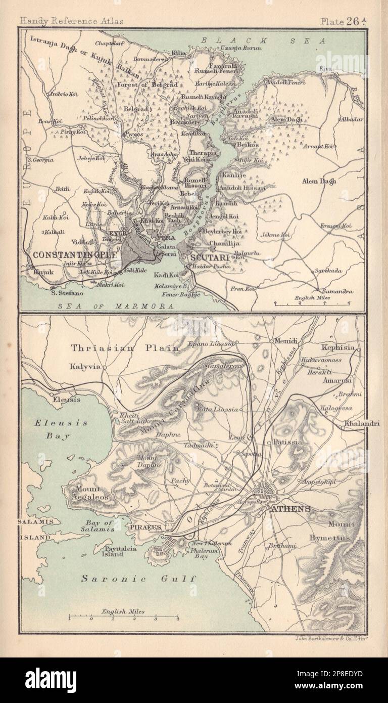 Constantinople & the Bosphorus. Environs of Athens. Turkey & Greece 1898 map Stock Photohttps://www.alamy.com/image-license-details/?v=1https://www.alamy.com/constantinople-the-bosphorus-environs-of-athens-turkey-greece-1898-map-image538756945.html
RF2P8EDYD–Constantinople & the Bosphorus. Environs of Athens. Turkey & Greece 1898 map
 Athens Pennsylvania USA shown on a Geography map or Road map Stock Photohttps://www.alamy.com/image-license-details/?v=1https://www.alamy.com/athens-pennsylvania-usa-shown-on-a-geography-map-or-road-map-image433856896.html
RM2G5RTW4–Athens Pennsylvania USA shown on a Geography map or Road map
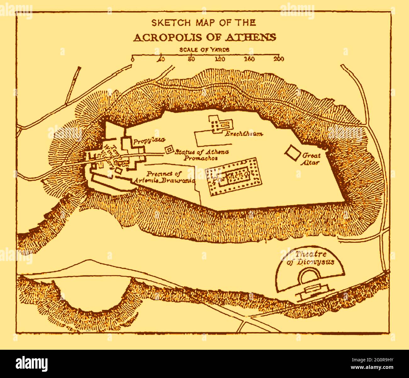 An old map of the Acropolis, the ancient citadel located on a rocky outcrop above the city of Athens, Greece as it was in 1914 with distance scale in English yards (A yard measures approx 1 meter) Stock Photohttps://www.alamy.com/image-license-details/?v=1https://www.alamy.com/an-old-map-of-the-acropolis-the-ancient-citadel-located-on-a-rocky-outcrop-above-the-city-of-athens-greece-as-it-was-in-1914-with-distance-scale-in-english-yards-a-yard-measures-approx-1-meter-image430771655.html
RM2G0R9HY–An old map of the Acropolis, the ancient citadel located on a rocky outcrop above the city of Athens, Greece as it was in 1914 with distance scale in English yards (A yard measures approx 1 meter)
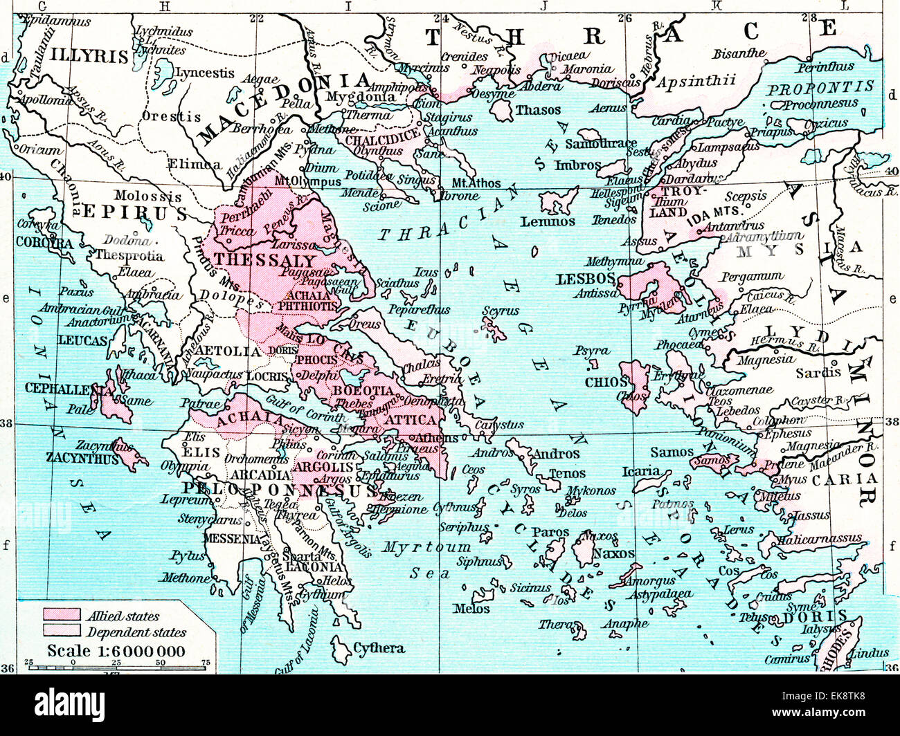 Map of the Athenian Empire at its height, c. 450 B.C. Stock Photohttps://www.alamy.com/image-license-details/?v=1https://www.alamy.com/stock-photo-map-of-the-athenian-empire-at-its-height-c-450-bc-80714908.html
RMEK8TK8–Map of the Athenian Empire at its height, c. 450 B.C.
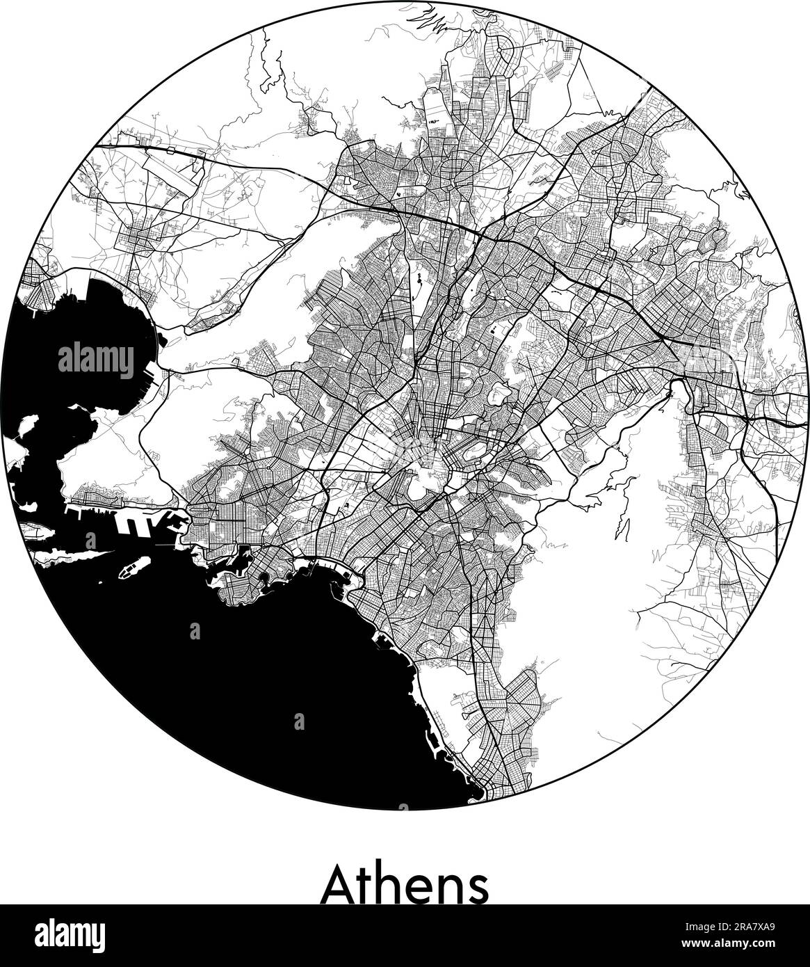 City Map Athens Greece Europe vector illustration black white Stock Vectorhttps://www.alamy.com/image-license-details/?v=1https://www.alamy.com/city-map-athens-greece-europe-vector-illustration-black-white-image557052673.html
RF2RA7XA9–City Map Athens Greece Europe vector illustration black white
 Map of Athens in Greece in grayscale. Contains layered vector with roads water, parks, etc. Stock Vectorhttps://www.alamy.com/image-license-details/?v=1https://www.alamy.com/map-of-athens-in-greece-in-grayscale-contains-layered-vector-with-roads-water-parks-etc-image613528200.html
RF2XJ4HDC–Map of Athens in Greece in grayscale. Contains layered vector with roads water, parks, etc.
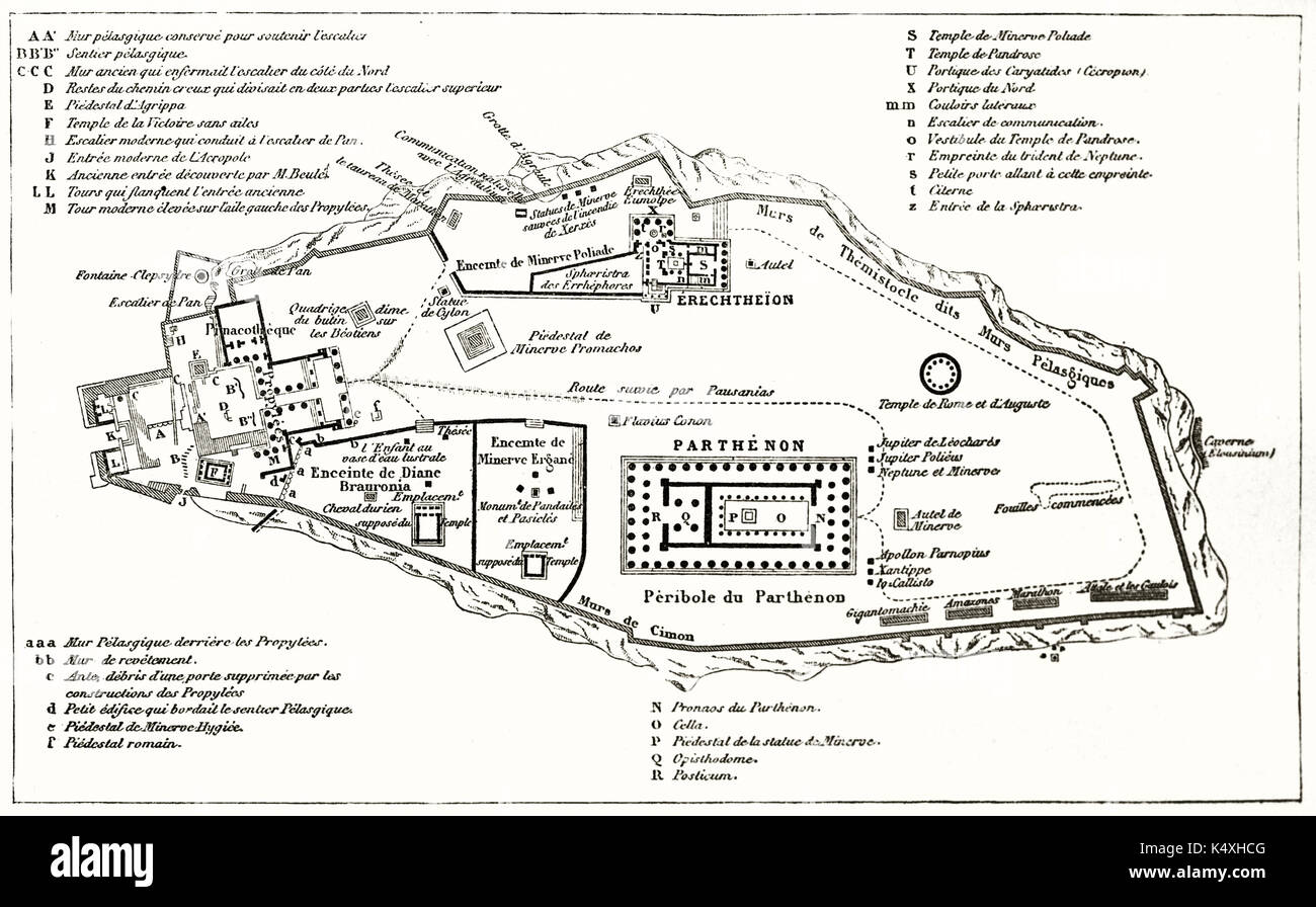 Old plan of the Acropolis, Athens. By unidentified author, published on Le Tour du Monde, Paris, 1862 Stock Photohttps://www.alamy.com/image-license-details/?v=1https://www.alamy.com/old-plan-of-the-acropolis-athens-by-unidentified-author-published-image157936368.html
RFK4XHCG–Old plan of the Acropolis, Athens. By unidentified author, published on Le Tour du Monde, Paris, 1862
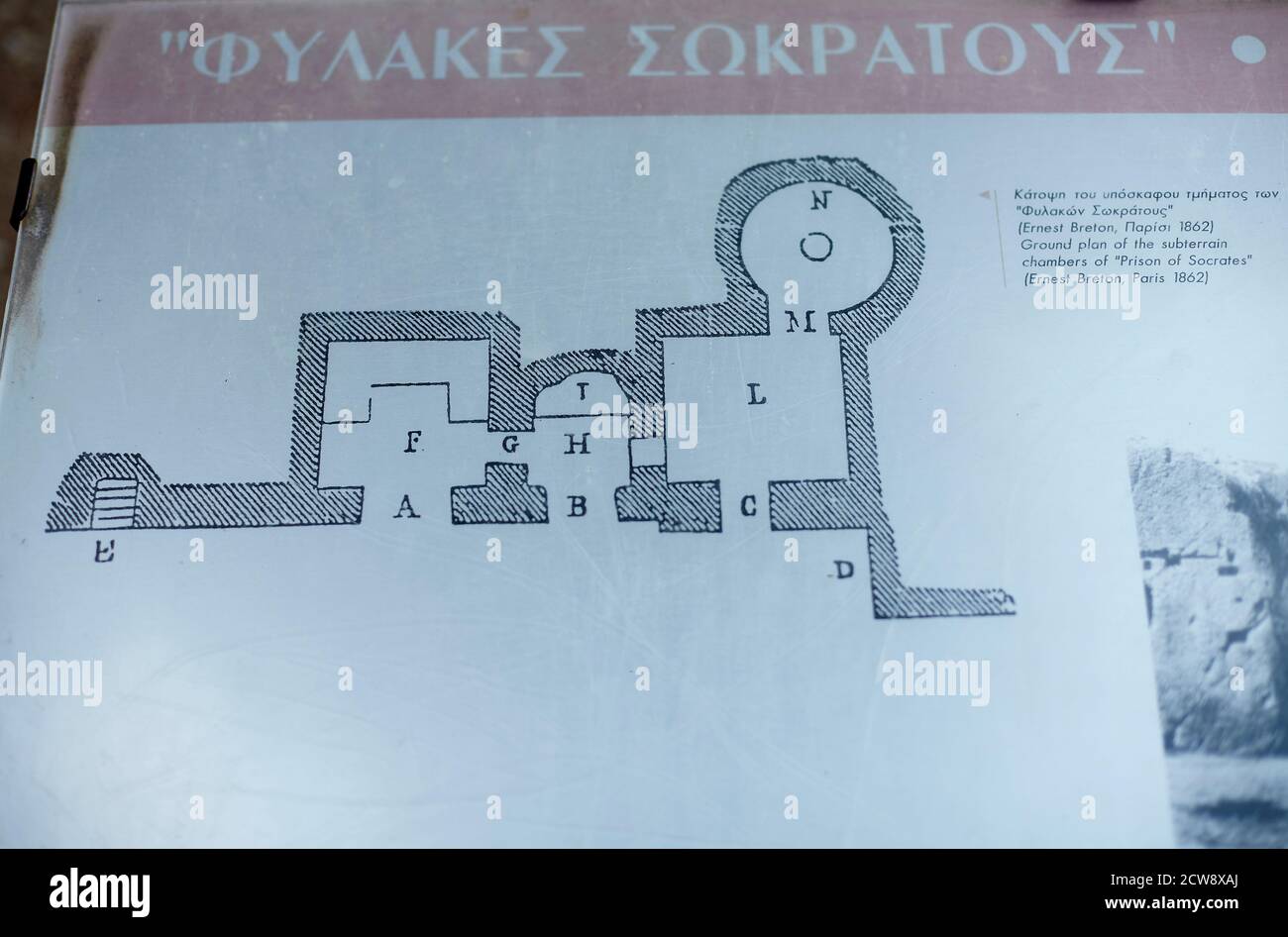 Socrates prison sign map at Athens Greece Stock Photohttps://www.alamy.com/image-license-details/?v=1https://www.alamy.com/socrates-prison-sign-map-at-athens-greece-image376980426.html
RM2CW8XAJ–Socrates prison sign map at Athens Greece
 Athens Map, Map of Athens, Athens Print, Athens Plan, Athens Poster, Athens City, Athens City Map, Athens City Poster, Athens Maps, Athens City Print Stock Photohttps://www.alamy.com/image-license-details/?v=1https://www.alamy.com/athens-map-map-of-athens-athens-print-athens-plan-athens-poster-athens-city-athens-city-map-athens-city-poster-athens-maps-athens-city-print-image454172142.html
RF2HAW95J–Athens Map, Map of Athens, Athens Print, Athens Plan, Athens Poster, Athens City, Athens City Map, Athens City Poster, Athens Maps, Athens City Print
RFJBE122–pixel map europe: athens is here
 Albany, Athens County, US, United States, Ohio, N 39 13' 39'', S 82 12' 8'', map, Cartascapes Map published in 2024. Explore Cartascapes, a map revealing Earth's diverse landscapes, cultures, and ecosystems. Journey through time and space, discovering the interconnectedness of our planet's past, present, and future. Stock Photohttps://www.alamy.com/image-license-details/?v=1https://www.alamy.com/albany-athens-county-us-united-states-ohio-n-39-13-39-s-82-12-8-map-cartascapes-map-published-in-2024-explore-cartascapes-a-map-revealing-earths-diverse-landscapes-cultures-and-ecosystems-journey-through-time-and-space-discovering-the-interconnectedness-of-our-planets-past-present-and-future-image621178484.html
RM2Y2H3DT–Albany, Athens County, US, United States, Ohio, N 39 13' 39'', S 82 12' 8'', map, Cartascapes Map published in 2024. Explore Cartascapes, a map revealing Earth's diverse landscapes, cultures, and ecosystems. Journey through time and space, discovering the interconnectedness of our planet's past, present, and future.
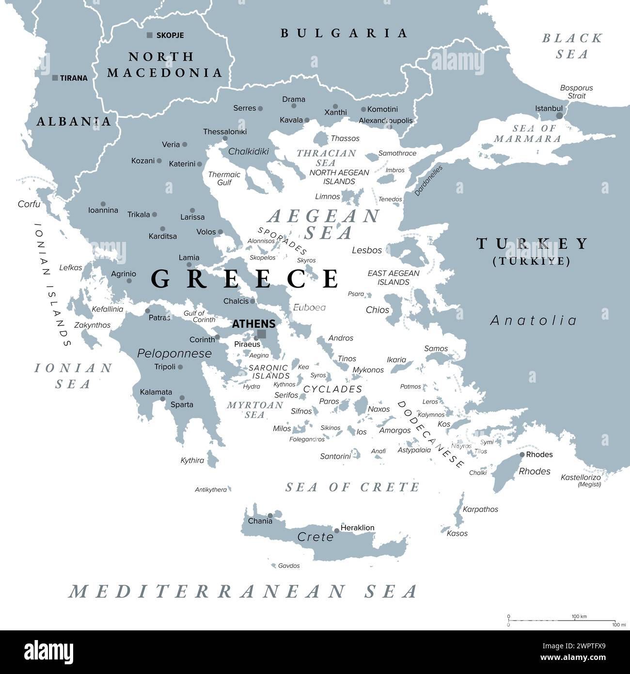 Greece, the Hellenic Republic, gray political map. Country in Southeast Europe on southern tip of the Balkan peninsula, with capital Athens. Stock Photohttps://www.alamy.com/image-license-details/?v=1https://www.alamy.com/greece-the-hellenic-republic-gray-political-map-country-in-southeast-europe-on-southern-tip-of-the-balkan-peninsula-with-capital-athens-image599214289.html
RF2WPTFX9–Greece, the Hellenic Republic, gray political map. Country in Southeast Europe on southern tip of the Balkan peninsula, with capital Athens.
 Athens Greece map Stock Photohttps://www.alamy.com/image-license-details/?v=1https://www.alamy.com/athens-greece-map-image217200464.html
RMPHA9BC–Athens Greece map
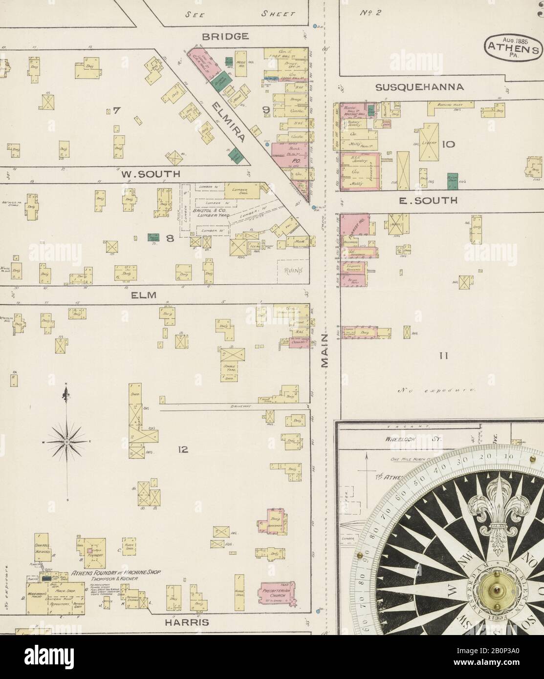 Image 3 of Sanborn Fire Insurance Map from Athens, Bradford County, Pennsylvania. Aug 1885. 4 Sheet(s), America, street map with a Nineteenth Century compass Stock Photohttps://www.alamy.com/image-license-details/?v=1https://www.alamy.com/image-3-of-sanborn-fire-insurance-map-from-athens-bradford-county-pennsylvania-aug-1885-4-sheets-america-street-map-with-a-nineteenth-century-compass-image344692936.html
RM2B0P3A0–Image 3 of Sanborn Fire Insurance Map from Athens, Bradford County, Pennsylvania. Aug 1885. 4 Sheet(s), America, street map with a Nineteenth Century compass
 Blue Athens City area vector background map, streets and water cartography illustration. Widescreen proportion, digital flat design streetmap. Stock Vectorhttps://www.alamy.com/image-license-details/?v=1https://www.alamy.com/blue-athens-city-area-vector-background-map-streets-and-water-cartography-illustration-widescreen-proportion-digital-flat-design-streetmap-image431815314.html
RF2G2ETRE–Blue Athens City area vector background map, streets and water cartography illustration. Widescreen proportion, digital flat design streetmap.
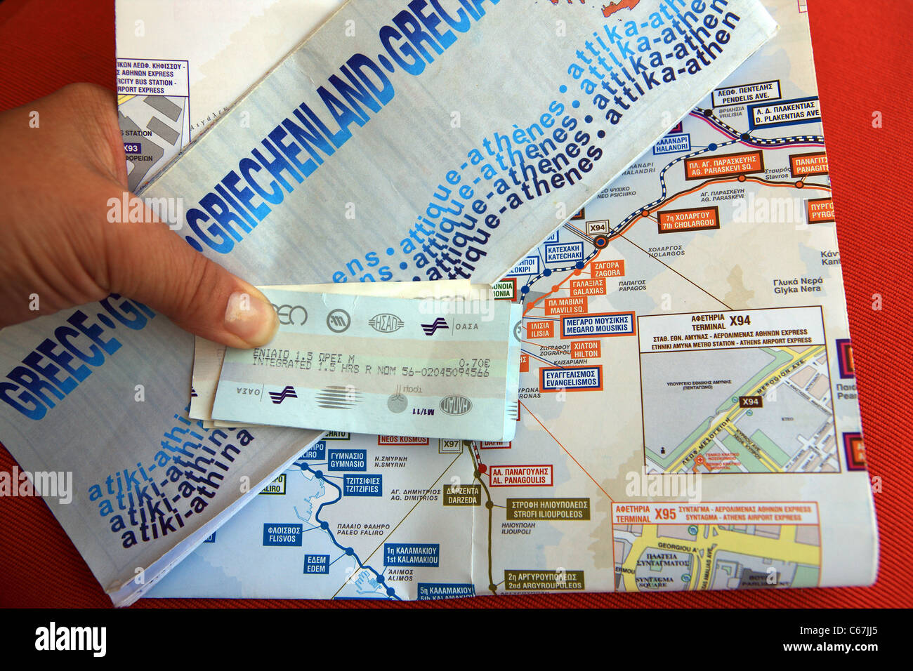 Tourist hand holding a map of Athens and metro tickets and map Stock Photohttps://www.alamy.com/image-license-details/?v=1https://www.alamy.com/stock-photo-tourist-hand-holding-a-map-of-athens-and-metro-tickets-and-map-38276957.html
RMC67JJ5–Tourist hand holding a map of Athens and metro tickets and map
 Athens Greece Map on Tram Stock Photohttps://www.alamy.com/image-license-details/?v=1https://www.alamy.com/athens-greece-map-on-tram-image217977874.html
RMPJHN02–Athens Greece Map on Tram
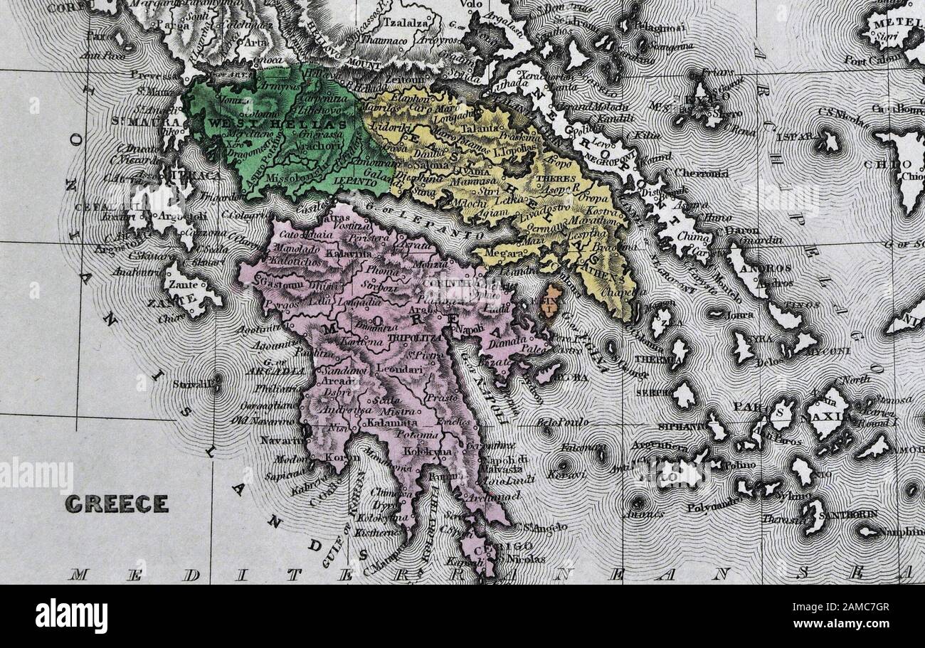 1834 Carey Map of Greece Athens Sparta Delphi Cyclades Stock Photohttps://www.alamy.com/image-license-details/?v=1https://www.alamy.com/1834-carey-map-of-greece-athens-sparta-delphi-cyclades-image339559495.html
RF2AMC7GR–1834 Carey Map of Greece Athens Sparta Delphi Cyclades
 Athens pinned on a map of Greece Stock Photohttps://www.alamy.com/image-license-details/?v=1https://www.alamy.com/stock-photo-athens-pinned-on-a-map-of-greece-124493903.html
RFH6F56R–Athens pinned on a map of Greece
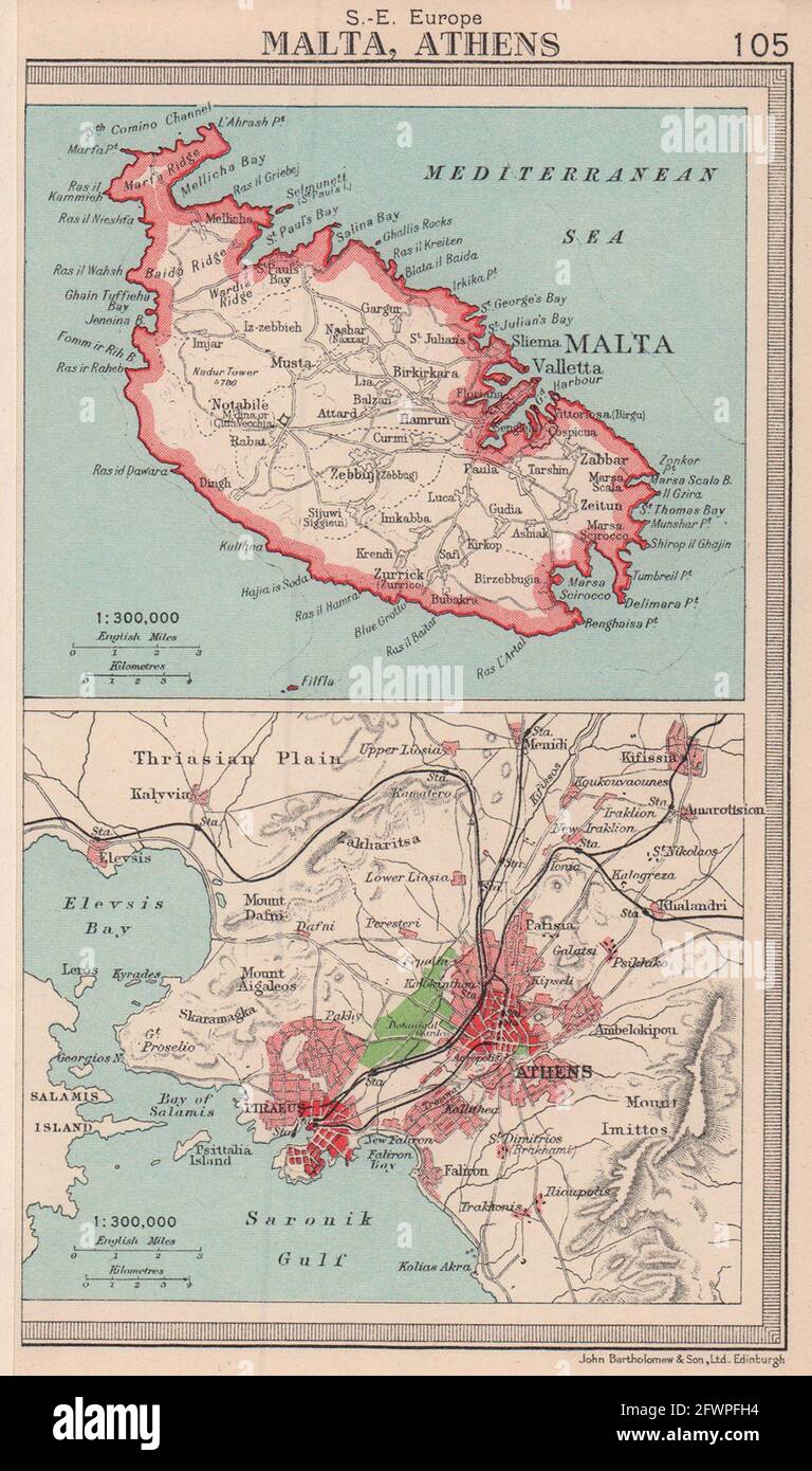 Malta & Athens/Piraeus environs plan. BARTHOLOMEW 1949 old vintage map chart Stock Photohttps://www.alamy.com/image-license-details/?v=1https://www.alamy.com/malta-athenspiraeus-environs-plan-bartholomew-1949-old-vintage-map-chart-image428910416.html
RF2FWPFH4–Malta & Athens/Piraeus environs plan. BARTHOLOMEW 1949 old vintage map chart
 Athens Ohio USA shown on a Geography map or Road map Stock Photohttps://www.alamy.com/image-license-details/?v=1https://www.alamy.com/athens-ohio-usa-shown-on-a-geography-map-or-road-map-image432332290.html
RM2G3AC6X–Athens Ohio USA shown on a Geography map or Road map
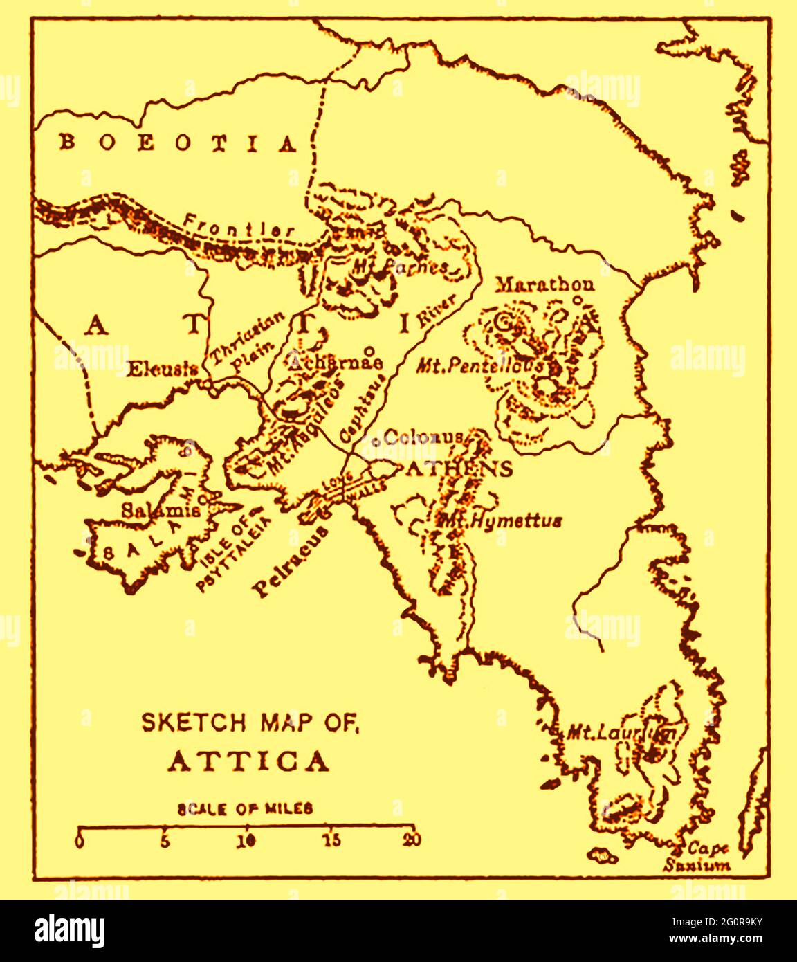 An old map of Attica (a.k.a. atica, Αττική, Attikḗ, Attikī́ and the Attica peninsula) as it was in 1914 with distance scale in English miles Stock Photohttps://www.alamy.com/image-license-details/?v=1https://www.alamy.com/an-old-map-of-attica-aka-atica-attik-attik-and-the-attica-peninsula-as-it-was-in-1914-with-distance-scale-in-english-miles-image430771711.html
RM2G0R9KY–An old map of Attica (a.k.a. atica, Αττική, Attikḗ, Attikī́ and the Attica peninsula) as it was in 1914 with distance scale in English miles
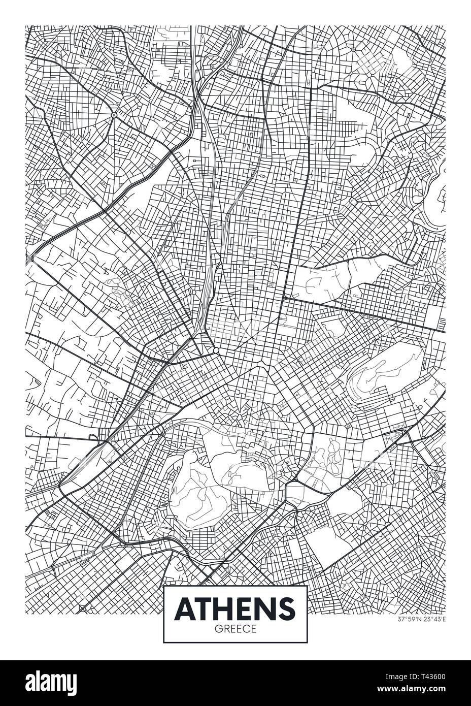 City map Athens, travel vector poster design detailed plan of the city, rivers and streets Stock Vectorhttps://www.alamy.com/image-license-details/?v=1https://www.alamy.com/city-map-athens-travel-vector-poster-design-detailed-plan-of-the-city-rivers-and-streets-image243474336.html
RFT43600–City map Athens, travel vector poster design detailed plan of the city, rivers and streets
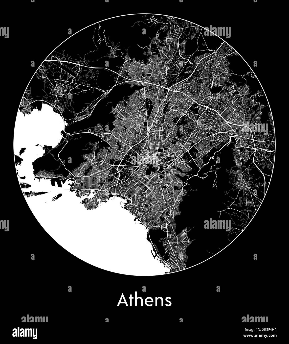 City Map Athens Greece Europe vector illustration Stock Vectorhttps://www.alamy.com/image-license-details/?v=1https://www.alamy.com/city-map-athens-greece-europe-vector-illustration-image554137971.html
RF2R5F4HR–City Map Athens Greece Europe vector illustration
 Map of Athens in Greece in a sandy theme. Contains layered vector with roads water, parks, etc. Stock Vectorhttps://www.alamy.com/image-license-details/?v=1https://www.alamy.com/map-of-athens-in-greece-in-a-sandy-theme-contains-layered-vector-with-roads-water-parks-etc-image624466635.html
RF2Y7XWFR–Map of Athens in Greece in a sandy theme. Contains layered vector with roads water, parks, etc.
 An creative illustrative image showing the country of Greece and city of Athens on a map through the lens of reading glasses. Stock Photohttps://www.alamy.com/image-license-details/?v=1https://www.alamy.com/an-creative-illustrative-image-showing-the-country-of-greece-and-city-of-athens-on-a-map-through-the-lens-of-reading-glasses-image471465871.html
RF2JB13ER–An creative illustrative image showing the country of Greece and city of Athens on a map through the lens of reading glasses.
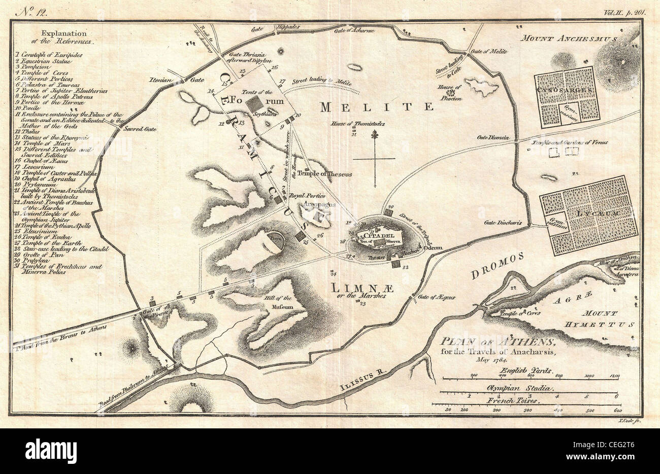 1784 Bocage Map of Athens, Greece Stock Photohttps://www.alamy.com/image-license-details/?v=1https://www.alamy.com/stock-photo-1784-bocage-map-of-athens-greece-43379398.html
RMCEG2T6–1784 Bocage Map of Athens, Greece
 Athens Map, Map of Athens, Athens Print, Athens Plan, Athens Poster, Athens City, Athens City Map, Athens City Poster, Athens Maps, Athens City Print Stock Photohttps://www.alamy.com/image-license-details/?v=1https://www.alamy.com/athens-map-map-of-athens-athens-print-athens-plan-athens-poster-athens-city-athens-city-map-athens-city-poster-athens-maps-athens-city-print-image454173114.html
RF2HAWACA–Athens Map, Map of Athens, Athens Print, Athens Plan, Athens Poster, Athens City, Athens City Map, Athens City Poster, Athens Maps, Athens City Print
 Beautiful woodcut pages from the 1493 Nuremberg Chronicle, which is an enyclodpedia of world events, mythology and christian history. This extra-ordinary work was one of the earliest books ever printed and the first to successfully integrate text and images. These pages show latin text and an engraving of the town of Athens in Greece Stock Photohttps://www.alamy.com/image-license-details/?v=1https://www.alamy.com/beautiful-woodcut-pages-from-the-1493-nuremberg-chronicle-which-is-an-enyclodpedia-of-world-events-mythology-and-christian-history-this-extra-ordinary-work-was-one-of-the-earliest-books-ever-printed-and-the-first-to-successfully-integrate-text-and-images-these-pages-show-latin-text-and-an-engraving-of-the-town-of-athens-in-greece-image598932123.html
RM2WPBM0Y–Beautiful woodcut pages from the 1493 Nuremberg Chronicle, which is an enyclodpedia of world events, mythology and christian history. This extra-ordinary work was one of the earliest books ever printed and the first to successfully integrate text and images. These pages show latin text and an engraving of the town of Athens in Greece
 Buchtel, Athens County, US, United States, Ohio, N 39 27' 43'', S 82 10' 54'', map, Cartascapes Map published in 2024. Explore Cartascapes, a map revealing Earth's diverse landscapes, cultures, and ecosystems. Journey through time and space, discovering the interconnectedness of our planet's past, present, and future. Stock Photohttps://www.alamy.com/image-license-details/?v=1https://www.alamy.com/buchtel-athens-county-us-united-states-ohio-n-39-27-43-s-82-10-54-map-cartascapes-map-published-in-2024-explore-cartascapes-a-map-revealing-earths-diverse-landscapes-cultures-and-ecosystems-journey-through-time-and-space-discovering-the-interconnectedness-of-our-planets-past-present-and-future-image621157784.html
RM2Y2G52G–Buchtel, Athens County, US, United States, Ohio, N 39 27' 43'', S 82 10' 54'', map, Cartascapes Map published in 2024. Explore Cartascapes, a map revealing Earth's diverse landscapes, cultures, and ecosystems. Journey through time and space, discovering the interconnectedness of our planet's past, present, and future.
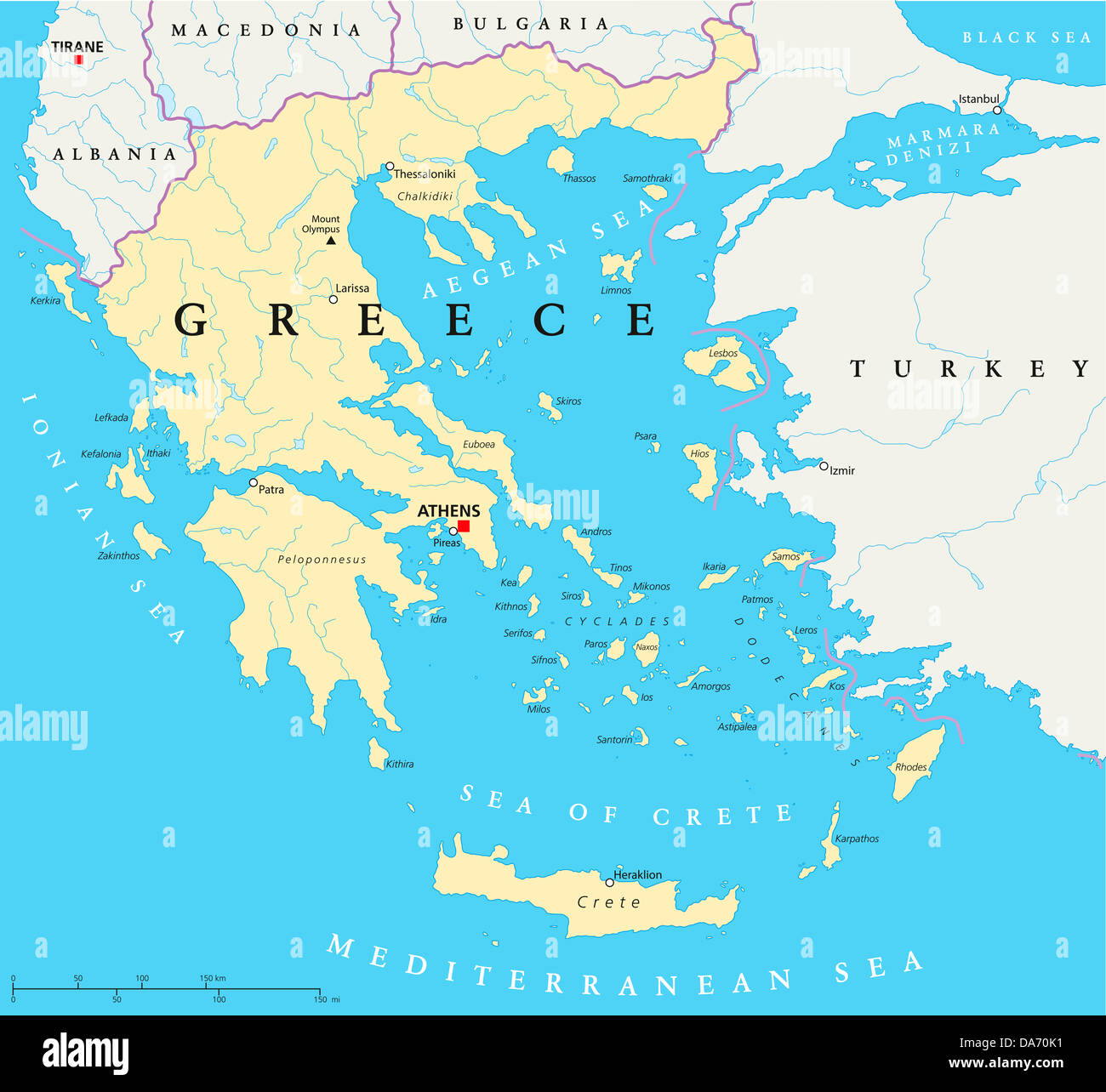 Greece Political Map Stock Photohttps://www.alamy.com/image-license-details/?v=1https://www.alamy.com/stock-photo-greece-political-map-57931861.html
RFDA70K1–Greece Political Map
 close up of Athens on map, Greece Stock Photohttps://www.alamy.com/image-license-details/?v=1https://www.alamy.com/stock-photo-close-up-of-athens-on-map-greece-116879073.html
RFGP48CH–close up of Athens on map, Greece
 Image 2 of Sanborn Fire Insurance Map from Athens, Bradford County, Pennsylvania. Apr 1892. 5 Sheet(s), America, street map with a Nineteenth Century compass Stock Photohttps://www.alamy.com/image-license-details/?v=1https://www.alamy.com/image-2-of-sanborn-fire-insurance-map-from-athens-bradford-county-pennsylvania-apr-1892-5-sheets-america-street-map-with-a-nineteenth-century-compass-image344692941.html
RM2B0P3A5–Image 2 of Sanborn Fire Insurance Map from Athens, Bradford County, Pennsylvania. Apr 1892. 5 Sheet(s), America, street map with a Nineteenth Century compass
 White and light grey Athens City area vector background map, streets and water cartography illustration. Widescreen proportion, digital flat design st Stock Vectorhttps://www.alamy.com/image-license-details/?v=1https://www.alamy.com/white-and-light-grey-athens-city-area-vector-background-map-streets-and-water-cartography-illustration-widescreen-proportion-digital-flat-design-st-image431545170.html
RF2G22G7E–White and light grey Athens City area vector background map, streets and water cartography illustration. Widescreen proportion, digital flat design st
 Downtown vector map of Athens, Greece. This printable map of Athens contains lines and classic colored shapes for land mass, parks, water, major and m Stock Vectorhttps://www.alamy.com/image-license-details/?v=1https://www.alamy.com/downtown-vector-map-of-athens-greece-this-printable-map-of-athens-contains-lines-and-classic-colored-shapes-for-land-mass-parks-water-major-and-m-image240163200.html
RFRXMAH4–Downtown vector map of Athens, Greece. This printable map of Athens contains lines and classic colored shapes for land mass, parks, water, major and m
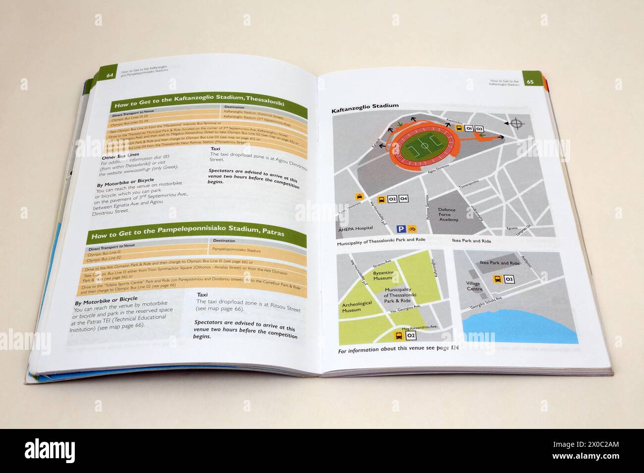 Stadion Official Spectators guide to Summer Olympics Athens 2004 Map of Stadium Stock Photohttps://www.alamy.com/image-license-details/?v=1https://www.alamy.com/stadion-official-spectators-guide-to-summer-olympics-athens-2004-map-of-stadium-image602628172.html
RM2X0C2AM–Stadion Official Spectators guide to Summer Olympics Athens 2004 Map of Stadium
