Atyrau kazakhstan Stock Vectors & Vector Art
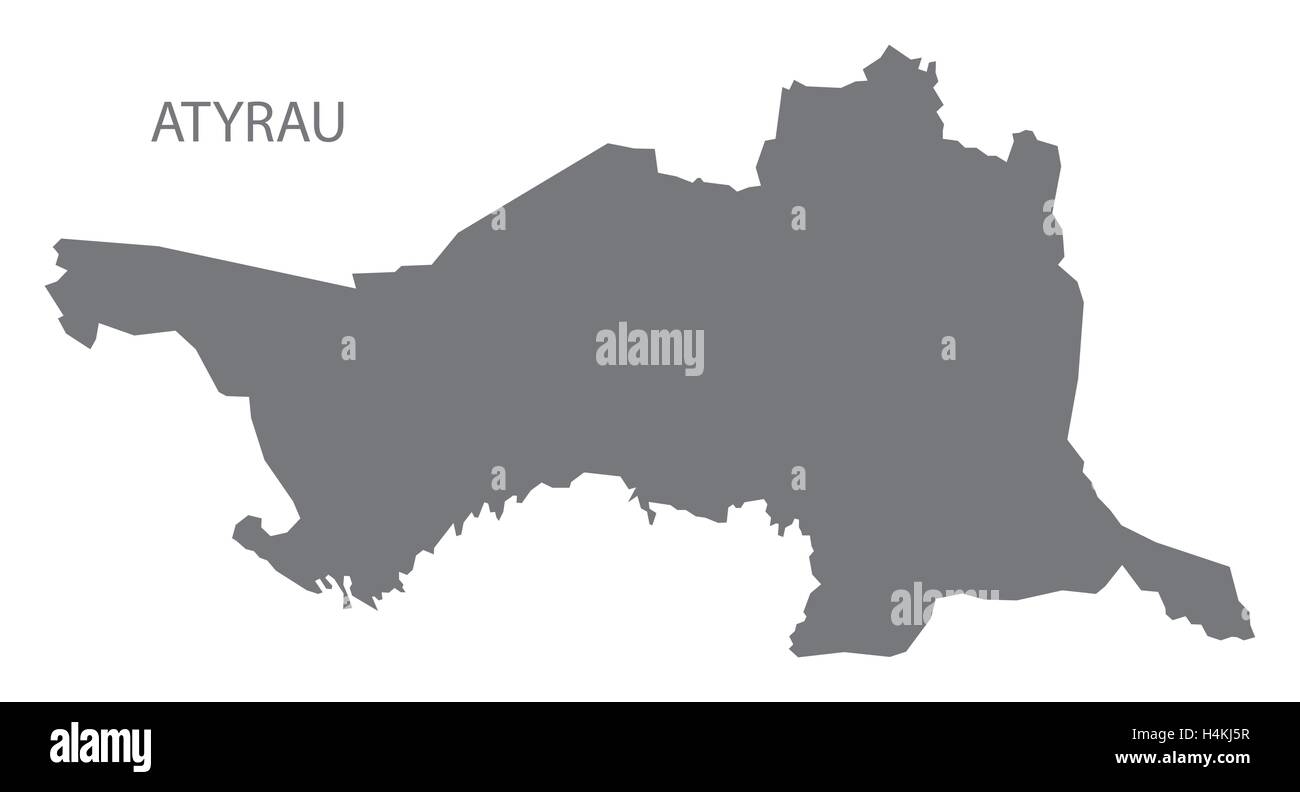 Atyrau Kazakhstan Map grey Stock Vectorhttps://www.alamy.com/image-license-details/?v=1https://www.alamy.com/stock-photo-atyrau-kazakhstan-map-grey-123362563.html
RFH4KJ5R–Atyrau Kazakhstan Map grey
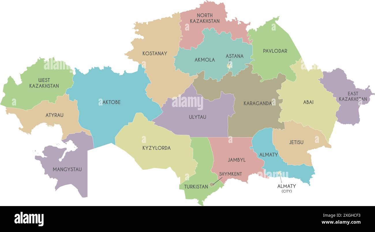 Vector map of Kazakhstan with regions, independent cities and administrative divisions. Editable and clearly labeled layers. Stock Vectorhttps://www.alamy.com/image-license-details/?v=1https://www.alamy.com/vector-map-of-kazakhstan-with-regions-independent-cities-and-administrative-divisions-editable-and-clearly-labeled-layers-image612580391.html
RF2XGHCF3–Vector map of Kazakhstan with regions, independent cities and administrative divisions. Editable and clearly labeled layers.
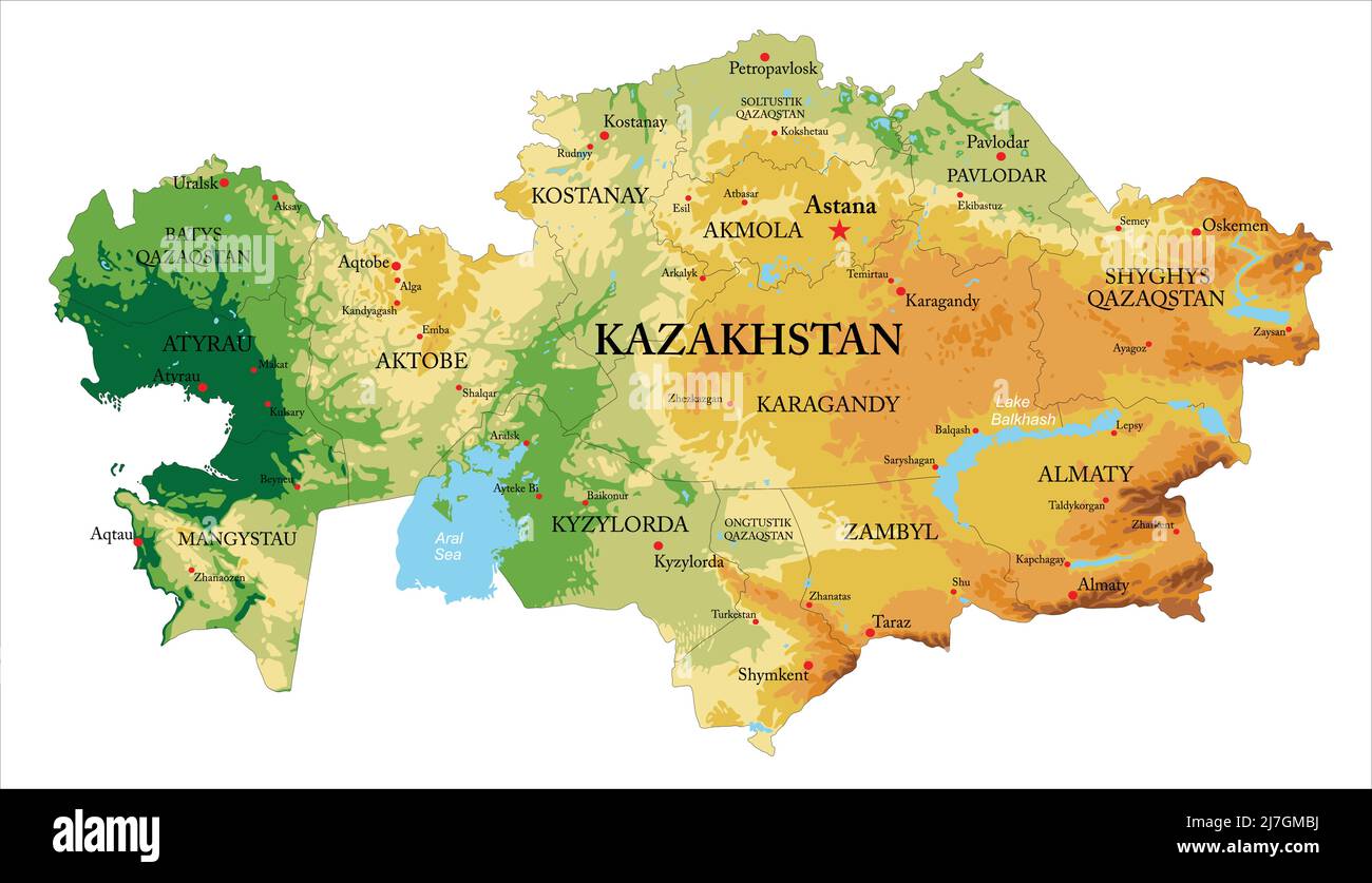 Highly detailed physical map of Kazakhstan,in vector format,with all the relief forms and big cities Stock Vectorhttps://www.alamy.com/image-license-details/?v=1https://www.alamy.com/highly-detailed-physical-map-of-kazakhstanin-vector-formatwith-all-the-relief-forms-and-big-cities-image469349766.html
RF2J7GMBJ–Highly detailed physical map of Kazakhstan,in vector format,with all the relief forms and big cities
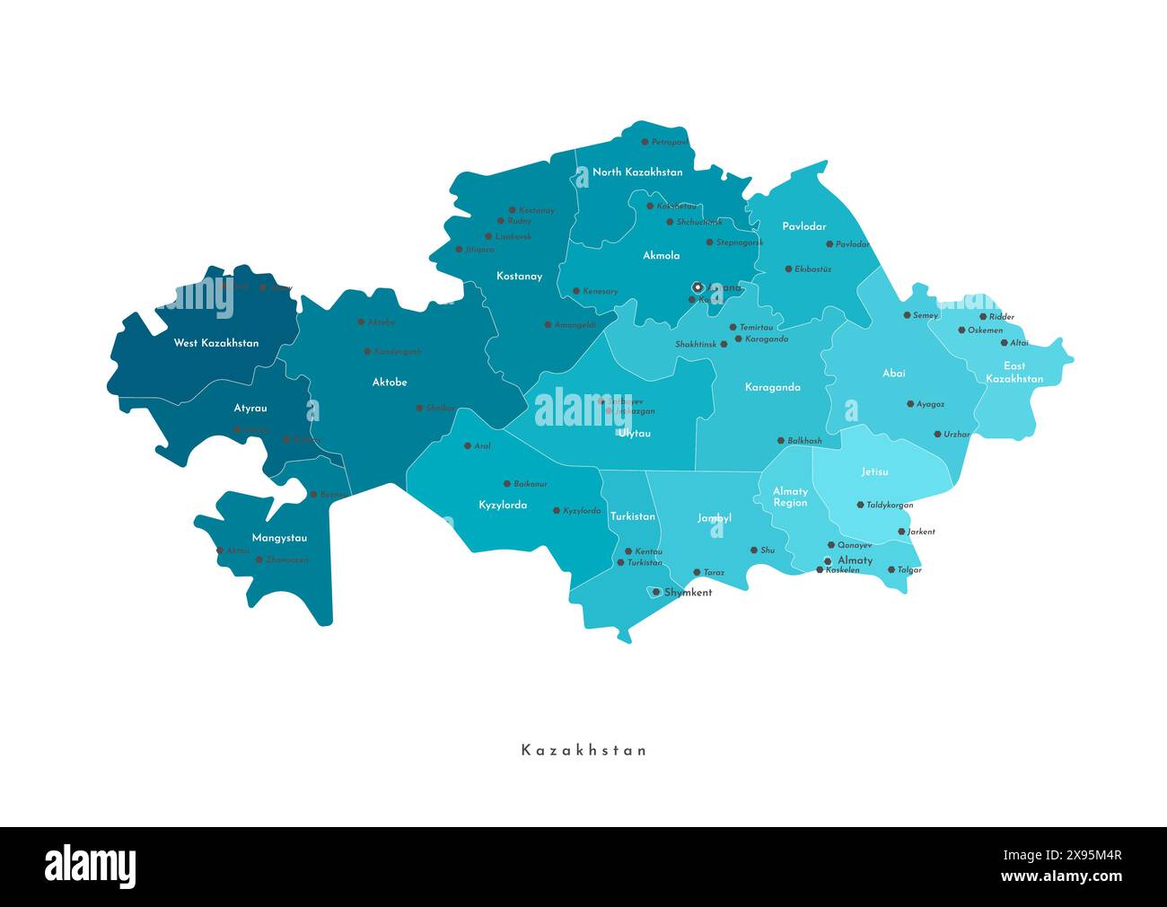 Vector modern isolated illustration. Simplified administrative map of Kazakhstan. Names of capital, cities and regions Stock Vectorhttps://www.alamy.com/image-license-details/?v=1https://www.alamy.com/vector-modern-isolated-illustration-simplified-administrative-map-of-kazakhstan-names-of-capital-cities-and-regions-image608020359.html
RF2X95M4R–Vector modern isolated illustration. Simplified administrative map of Kazakhstan. Names of capital, cities and regions
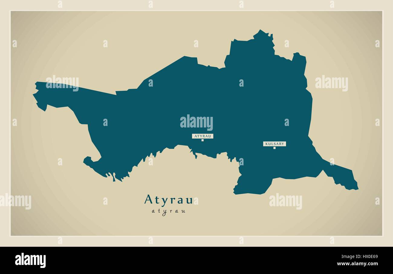 Modern Map - Atyrau KZ Stock Vectorhttps://www.alamy.com/image-license-details/?v=1https://www.alamy.com/stock-photo-modern-map-atyrau-kz-136464785.html
RFHX0E69–Modern Map - Atyrau KZ
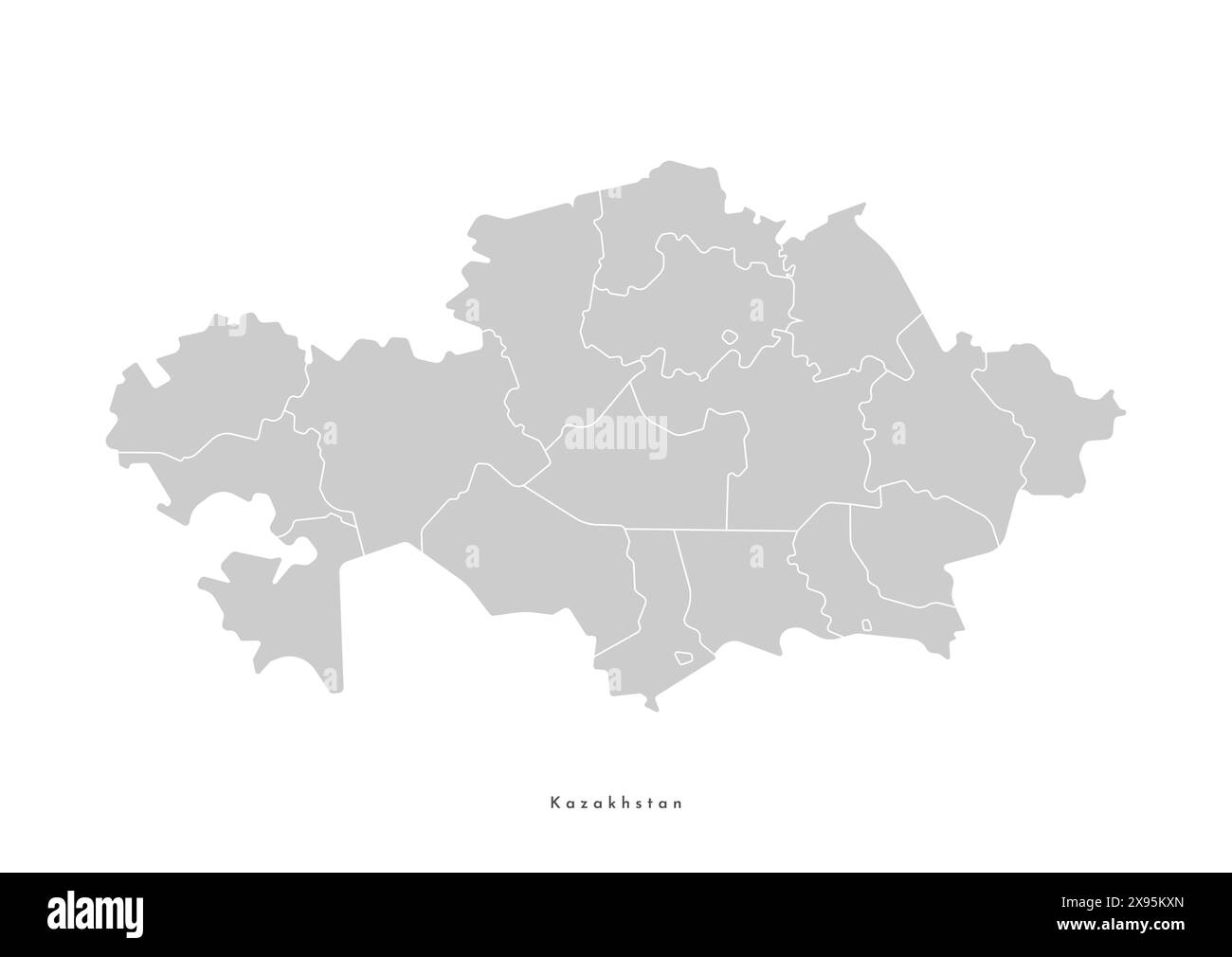 Vector isolated illustration of simplified administrative map of Kazakhstan. Borders of the provinces, regions. Grey silhouettes. White outline. Stock Vectorhttps://www.alamy.com/image-license-details/?v=1https://www.alamy.com/vector-isolated-illustration-of-simplified-administrative-map-of-kazakhstan-borders-of-the-provinces-regions-grey-silhouettes-white-outline-image608020189.html
RF2X95KXN–Vector isolated illustration of simplified administrative map of Kazakhstan. Borders of the provinces, regions. Grey silhouettes. White outline.
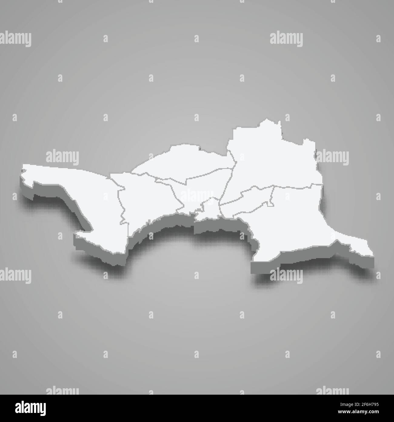 3d isometric map of Atyrau oblast is a region of Kazakhstan, vector illustration Stock Vectorhttps://www.alamy.com/image-license-details/?v=1https://www.alamy.com/3d-isometric-map-of-atyrau-oblast-is-a-region-of-kazakhstan-vector-illustration-image417115697.html
RF2F6H795–3d isometric map of Atyrau oblast is a region of Kazakhstan, vector illustration
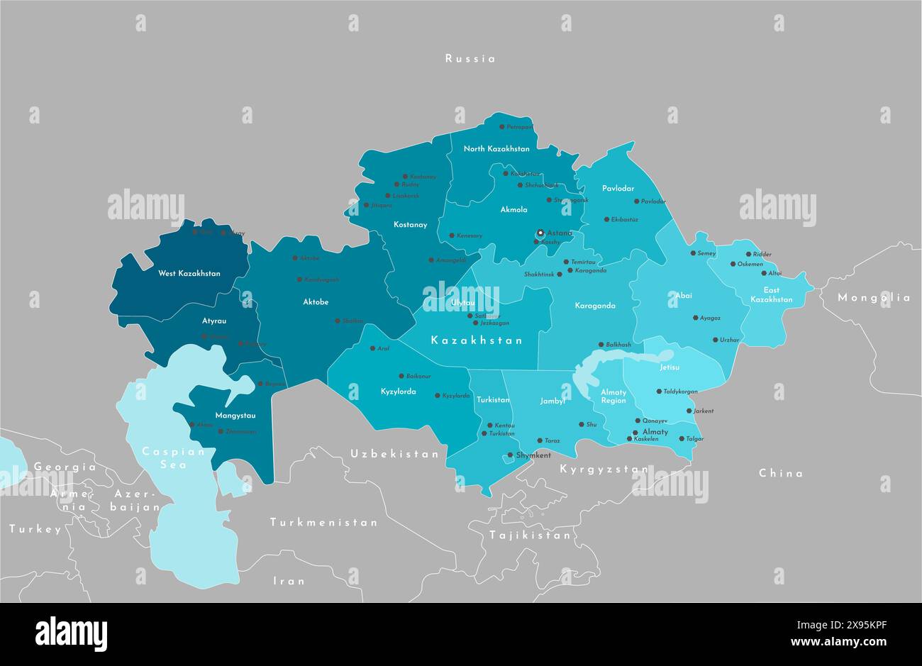 Vector modern illustration. Simplified administrative map of Kazakhstan. Border with nearest states Russia, China and etc. Blue shape of sea. Names of Stock Vectorhttps://www.alamy.com/image-license-details/?v=1https://www.alamy.com/vector-modern-illustration-simplified-administrative-map-of-kazakhstan-border-with-nearest-states-russia-china-and-etc-blue-shape-of-sea-names-of-image608020071.html
RF2X95KPF–Vector modern illustration. Simplified administrative map of Kazakhstan. Border with nearest states Russia, China and etc. Blue shape of sea. Names of
 Atyrau Region (Republic of Kazakhstan, Regions of Kazakhstan) map vector illustration, scribble sketch Atyrau map Stock Vectorhttps://www.alamy.com/image-license-details/?v=1https://www.alamy.com/atyrau-region-republic-of-kazakhstan-regions-of-kazakhstan-map-vector-illustration-scribble-sketch-atyrau-map-image258973246.html
RFW1970E–Atyrau Region (Republic of Kazakhstan, Regions of Kazakhstan) map vector illustration, scribble sketch Atyrau map
 Vector isolated illustration of simplified administrative map of Kazakhstan. Borders of the regions. Colorful blue khaki silhouettes. Stock Vectorhttps://www.alamy.com/image-license-details/?v=1https://www.alamy.com/vector-isolated-illustration-of-simplified-administrative-map-of-kazakhstan-borders-of-the-regions-colorful-blue-khaki-silhouettes-image566450995.html
RF2RWG20K–Vector isolated illustration of simplified administrative map of Kazakhstan. Borders of the regions. Colorful blue khaki silhouettes.
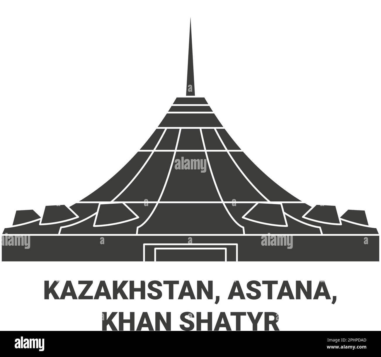 Kazakhstan, Astana, Khan Shatyr travel landmark vector illustration Stock Vectorhttps://www.alamy.com/image-license-details/?v=1https://www.alamy.com/kazakhstan-astana-khan-shatyr-travel-landmark-vector-illustration-image544463989.html
RF2PHPDAD–Kazakhstan, Astana, Khan Shatyr travel landmark vector illustration
 Vector map of Kazakhstan with regions, independent cities and administrative divisions. Editable and clearly labeled layers. Stock Vectorhttps://www.alamy.com/image-license-details/?v=1https://www.alamy.com/vector-map-of-kazakhstan-with-regions-independent-cities-and-administrative-divisions-editable-and-clearly-labeled-layers-image612579553.html
RF2XGHBD5–Vector map of Kazakhstan with regions, independent cities and administrative divisions. Editable and clearly labeled layers.
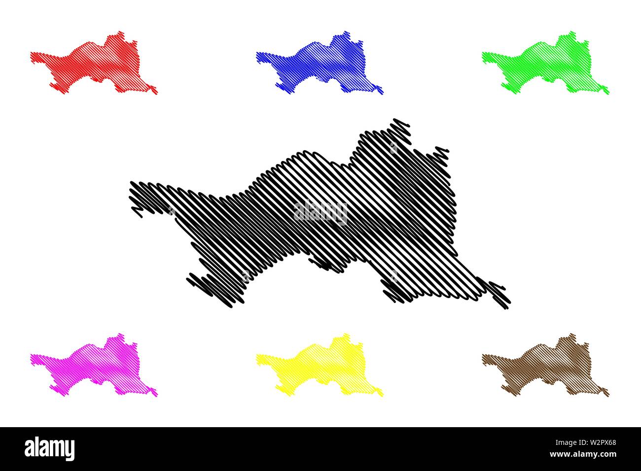 Atyrau Region (Republic of Kazakhstan, Regions of Kazakhstan) map vector illustration, scribble sketch Atyrau map Stock Vectorhttps://www.alamy.com/image-license-details/?v=1https://www.alamy.com/atyrau-region-republic-of-kazakhstan-regions-of-kazakhstan-map-vector-illustration-scribble-sketch-atyrau-map-image259888336.html
RFW2PX68–Atyrau Region (Republic of Kazakhstan, Regions of Kazakhstan) map vector illustration, scribble sketch Atyrau map
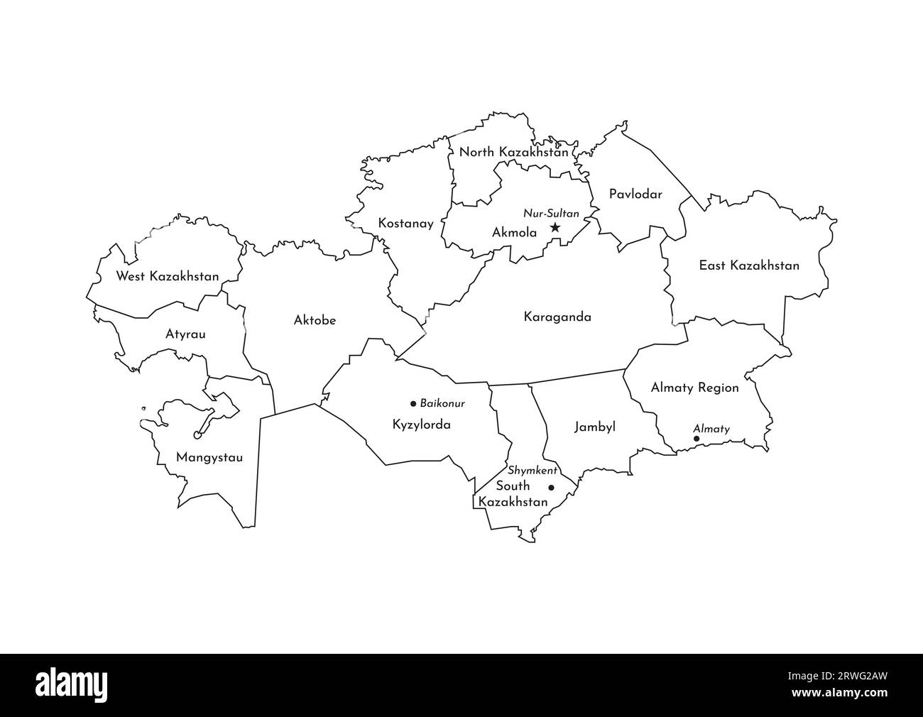 Vector isolated illustration of simplified administrative map of Kazakhstan. Borders and names of the regions. Black line silhouettes. Stock Vectorhttps://www.alamy.com/image-license-details/?v=1https://www.alamy.com/vector-isolated-illustration-of-simplified-administrative-map-of-kazakhstan-borders-and-names-of-the-regions-black-line-silhouettes-image566451281.html
RF2RWG2AW–Vector isolated illustration of simplified administrative map of Kazakhstan. Borders and names of the regions. Black line silhouettes.
 Vector blank map of Kazakhstan with regions, independent cities and administrative divisions. Editable and clearly labeled layers. Stock Vectorhttps://www.alamy.com/image-license-details/?v=1https://www.alamy.com/vector-blank-map-of-kazakhstan-with-regions-independent-cities-and-administrative-divisions-editable-and-clearly-labeled-layers-image612581007.html
RF2XGHD93–Vector blank map of Kazakhstan with regions, independent cities and administrative divisions. Editable and clearly labeled layers.
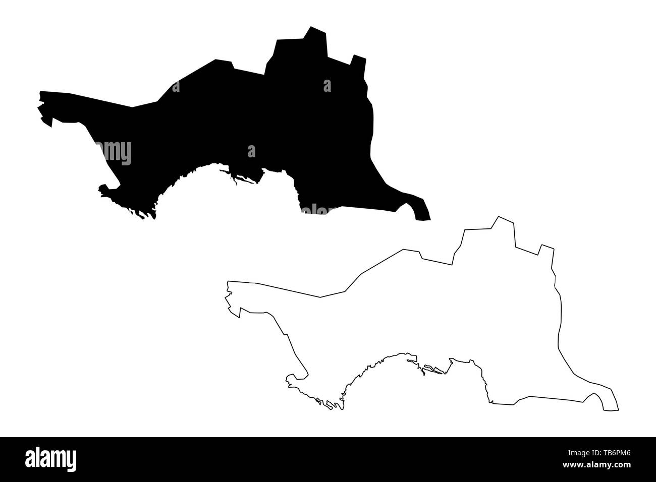 Atyrau Region (Republic of Kazakhstan, Regions of Kazakhstan) map vector illustration, scribble sketch Atyrau map Stock Vectorhttps://www.alamy.com/image-license-details/?v=1https://www.alamy.com/atyrau-region-republic-of-kazakhstan-regions-of-kazakhstan-map-vector-illustration-scribble-sketch-atyrau-map-image247855894.html
RFTB6PM6–Atyrau Region (Republic of Kazakhstan, Regions of Kazakhstan) map vector illustration, scribble sketch Atyrau map
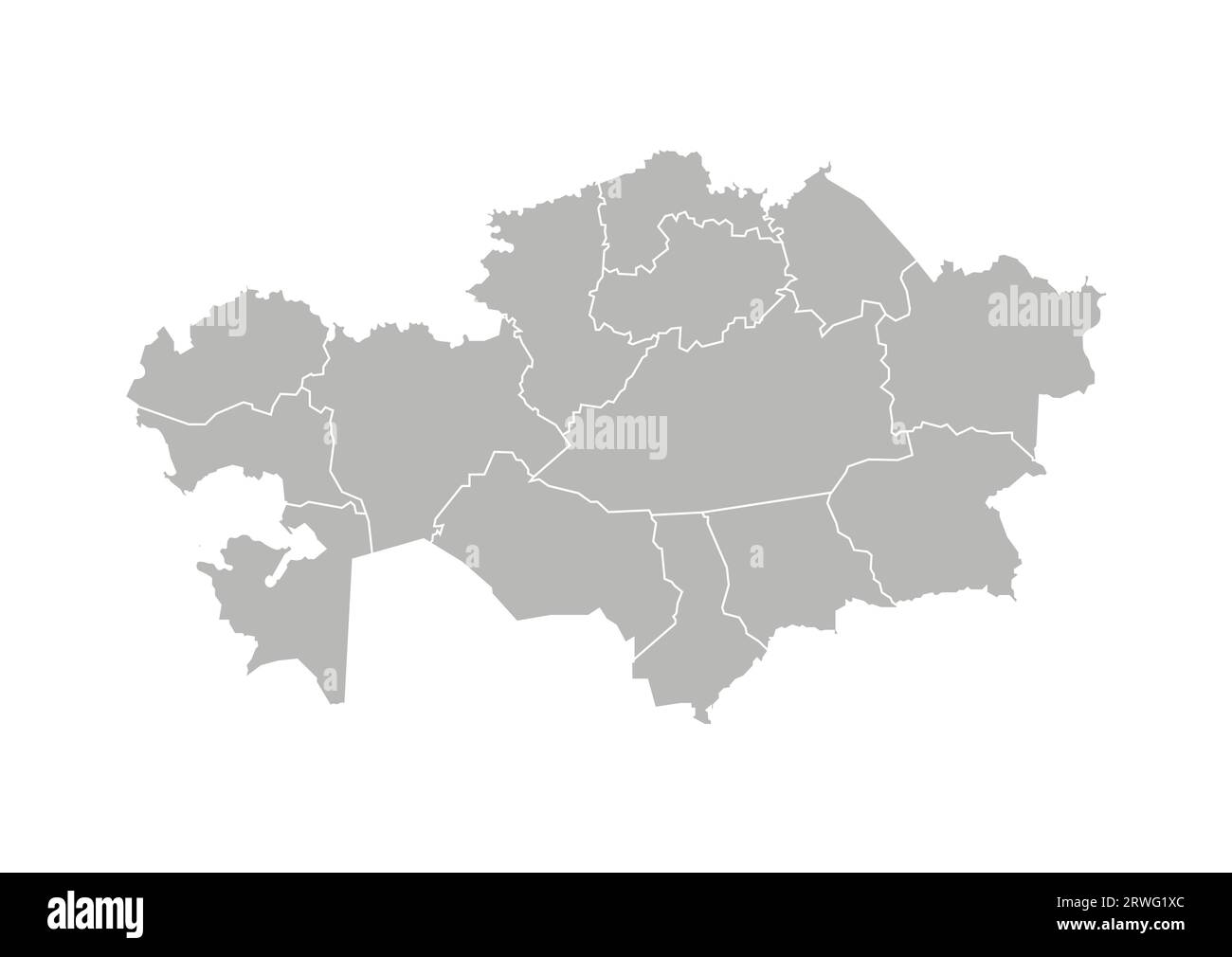 Vector isolated illustration of simplified administrative map of Kazakhstan. Borders of the provinces (regions). Grey silhouettes. White outline. Stock Vectorhttps://www.alamy.com/image-license-details/?v=1https://www.alamy.com/vector-isolated-illustration-of-simplified-administrative-map-of-kazakhstan-borders-of-the-provinces-regions-grey-silhouettes-white-outline-image566450932.html
RF2RWG1XC–Vector isolated illustration of simplified administrative map of Kazakhstan. Borders of the provinces (regions). Grey silhouettes. White outline.
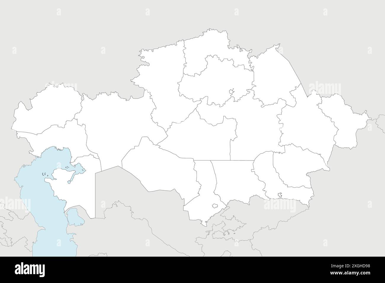 Vector blank map of Kazakhstan with regions, independent cities and administrative divisions, and neighbouring countries and territories. Editable and Stock Vectorhttps://www.alamy.com/image-license-details/?v=1https://www.alamy.com/vector-blank-map-of-kazakhstan-with-regions-independent-cities-and-administrative-divisions-and-neighbouring-countries-and-territories-editable-and-image612581012.html
RF2XGHD98–Vector blank map of Kazakhstan with regions, independent cities and administrative divisions, and neighbouring countries and territories. Editable and
 Atyrau Region (Republic of Kazakhstan, Regions of Kazakhstan) map is designed cannabis leaf green and black, Atyrau map made of marijuana (marihuana,T Stock Vectorhttps://www.alamy.com/image-license-details/?v=1https://www.alamy.com/atyrau-region-republic-of-kazakhstan-regions-of-kazakhstan-map-is-designed-cannabis-leaf-green-and-black-atyrau-map-made-of-marijuana-marihuanat-image339055180.html
RF2AKH89G–Atyrau Region (Republic of Kazakhstan, Regions of Kazakhstan) map is designed cannabis leaf green and black, Atyrau map made of marijuana (marihuana,T
 Vector isolated illustration of simplified administrative map of Kazakhstan. Borders and names of the regions. Colorful blue khaki silhouettes Stock Vectorhttps://www.alamy.com/image-license-details/?v=1https://www.alamy.com/vector-isolated-illustration-of-simplified-administrative-map-of-kazakhstan-borders-and-names-of-the-regions-colorful-blue-khaki-silhouettes-image566451046.html
RF2RWG22E–Vector isolated illustration of simplified administrative map of Kazakhstan. Borders and names of the regions. Colorful blue khaki silhouettes
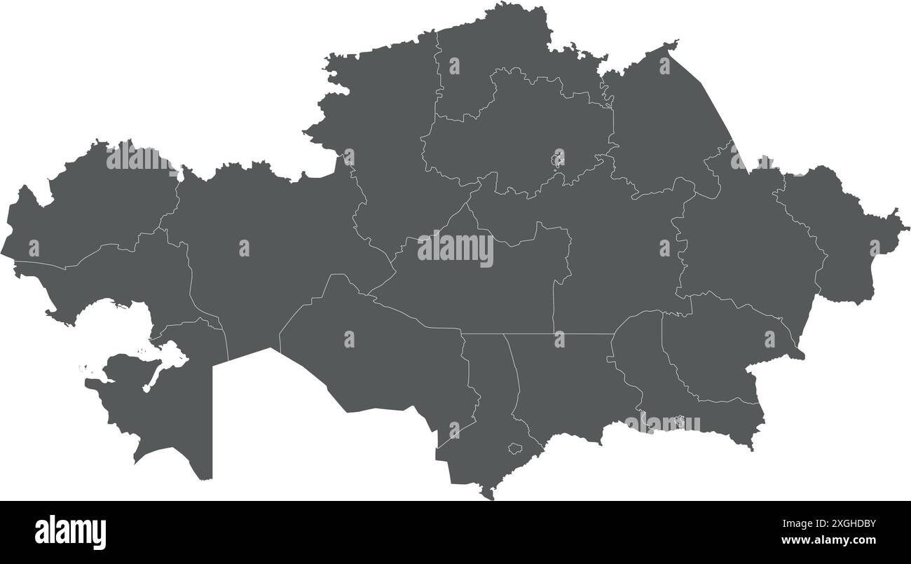 Vector blank map of Kazakhstan with regions, independent cities and administrative divisions. Editable and clearly labeled layers. Stock Vectorhttps://www.alamy.com/image-license-details/?v=1https://www.alamy.com/vector-blank-map-of-kazakhstan-with-regions-independent-cities-and-administrative-divisions-editable-and-clearly-labeled-layers-image612581087.html
RF2XGHDBY–Vector blank map of Kazakhstan with regions, independent cities and administrative divisions. Editable and clearly labeled layers.
 Atyrau City (Republic of Kazakhstan) map vector illustration, scribble sketch City of Guryev map Stock Vectorhttps://www.alamy.com/image-license-details/?v=1https://www.alamy.com/atyrau-city-republic-of-kazakhstan-map-vector-illustration-scribble-sketch-city-of-guryev-map-image349753096.html
RF2B90HJ0–Atyrau City (Republic of Kazakhstan) map vector illustration, scribble sketch City of Guryev map
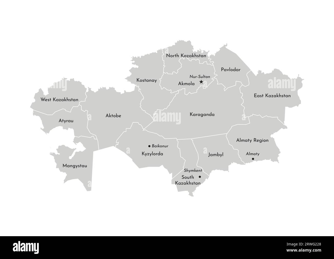 Vector isolated illustration of simplified administrative map of Kazakhstan. Borders and names of the provinces (regions). Grey silhouettes. White ou Stock Vectorhttps://www.alamy.com/image-license-details/?v=1https://www.alamy.com/vector-isolated-illustration-of-simplified-administrative-map-of-kazakhstan-borders-and-names-of-the-provinces-regions-grey-silhouettes-white-ou-image566451040.html
RF2RWG228–Vector isolated illustration of simplified administrative map of Kazakhstan. Borders and names of the provinces (regions). Grey silhouettes. White ou
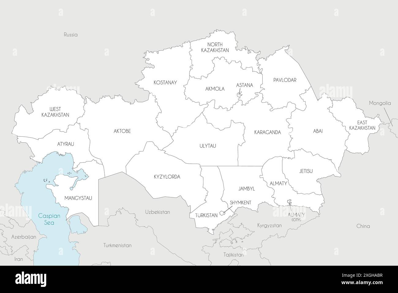 Vector map of Kazakhstan with regions, independent cities and administrative divisions, and neighbouring countries and territories. Editable and clear Stock Vectorhttps://www.alamy.com/image-license-details/?v=1https://www.alamy.com/vector-map-of-kazakhstan-with-regions-independent-cities-and-administrative-divisions-and-neighbouring-countries-and-territories-editable-and-clear-image612578731.html
RF2XGHABR–Vector map of Kazakhstan with regions, independent cities and administrative divisions, and neighbouring countries and territories. Editable and clear
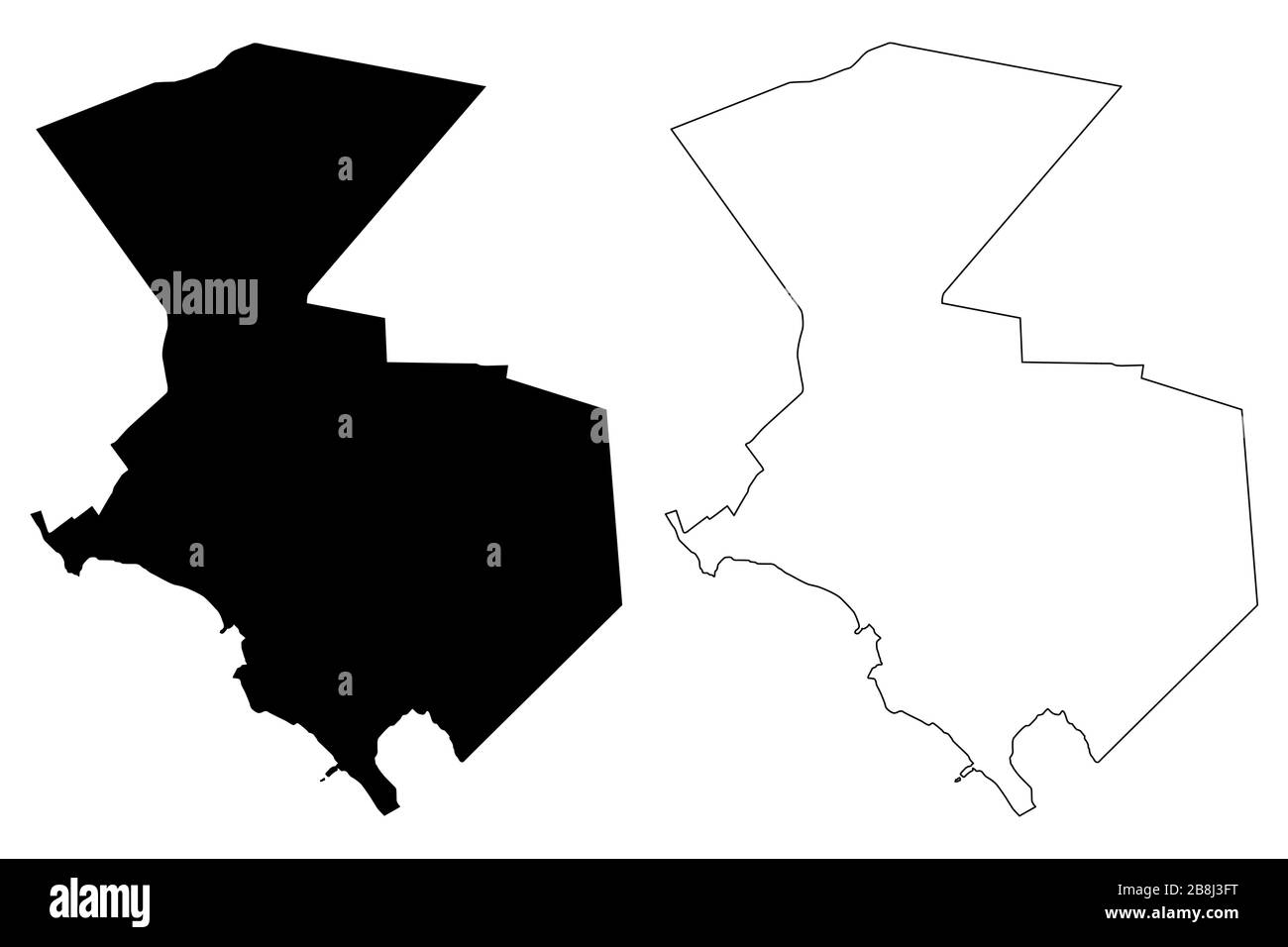 Atyrau City (Republic of Kazakhstan) map vector illustration, scribble sketch City of Guryev map Stock Vectorhttps://www.alamy.com/image-license-details/?v=1https://www.alamy.com/atyrau-city-republic-of-kazakhstan-map-vector-illustration-scribble-sketch-city-of-guryev-map-image349522540.html
RF2B8J3FT–Atyrau City (Republic of Kazakhstan) map vector illustration, scribble sketch City of Guryev map
 Vector illustrated map of Kazakhstan with regions, independent cities and administrative divisions, and neighbouring countries and territories. Editab Stock Vectorhttps://www.alamy.com/image-license-details/?v=1https://www.alamy.com/vector-illustrated-map-of-kazakhstan-with-regions-independent-cities-and-administrative-divisions-and-neighbouring-countries-and-territories-editab-image612578809.html
RF2XGHAEH–Vector illustrated map of Kazakhstan with regions, independent cities and administrative divisions, and neighbouring countries and territories. Editab
 Atyrau City (Republic of Kazakhstan) map vector illustration, scribble sketch City of Guryev map Stock Vectorhttps://www.alamy.com/image-license-details/?v=1https://www.alamy.com/atyrau-city-republic-of-kazakhstan-map-vector-illustration-scribble-sketch-city-of-guryev-map-image354047926.html
RF2BG07MP–Atyrau City (Republic of Kazakhstan) map vector illustration, scribble sketch City of Guryev map
 Vector illustrated blank map of Kazakhstan with regions, independent cities and administrative divisions, and neighbouring countries and territories. Stock Vectorhttps://www.alamy.com/image-license-details/?v=1https://www.alamy.com/vector-illustrated-blank-map-of-kazakhstan-with-regions-independent-cities-and-administrative-divisions-and-neighbouring-countries-and-territories-image612578789.html
RF2XGHADW–Vector illustrated blank map of Kazakhstan with regions, independent cities and administrative divisions, and neighbouring countries and territories.
 Atyrau City (Republic of Kazakhstan) map vector illustration, scribble sketch City of Guryev map Stock Vectorhttps://www.alamy.com/image-license-details/?v=1https://www.alamy.com/atyrau-city-republic-of-kazakhstan-map-vector-illustration-scribble-sketch-city-of-guryev-map-image359110110.html
RF2BT6TH2–Atyrau City (Republic of Kazakhstan) map vector illustration, scribble sketch City of Guryev map