Quick filters:
Auburndale map Stock Photos and Images
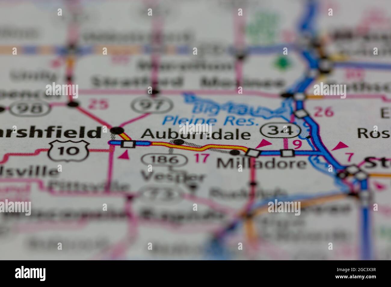 Auburndale Wisconsin USA shown on a road map or Geography map Stock Photohttps://www.alamy.com/image-license-details/?v=1https://www.alamy.com/auburndale-wisconsin-usa-shown-on-a-road-map-or-geography-map-image437721419.html
RM2GC3X3R–Auburndale Wisconsin USA shown on a road map or Geography map
 Auburndale station Stock Photohttps://www.alamy.com/image-license-details/?v=1https://www.alamy.com/stock-image-auburndale-station-162786912.html
RMKCRGA8–Auburndale station
 Auburndale, Lucas County, US, United States, Ohio, N 41 41' 14'', S 83 35' 38'', map, Cartascapes Map published in 2024. Explore Cartascapes, a map revealing Earth's diverse landscapes, cultures, and ecosystems. Journey through time and space, discovering the interconnectedness of our planet's past, present, and future. Stock Photohttps://www.alamy.com/image-license-details/?v=1https://www.alamy.com/auburndale-lucas-county-us-united-states-ohio-n-41-41-14-s-83-35-38-map-cartascapes-map-published-in-2024-explore-cartascapes-a-map-revealing-earths-diverse-landscapes-cultures-and-ecosystems-journey-through-time-and-space-discovering-the-interconnectedness-of-our-planets-past-present-and-future-image621293234.html
RM2Y2P9T2–Auburndale, Lucas County, US, United States, Ohio, N 41 41' 14'', S 83 35' 38'', map, Cartascapes Map published in 2024. Explore Cartascapes, a map revealing Earth's diverse landscapes, cultures, and ecosystems. Journey through time and space, discovering the interconnectedness of our planet's past, present, and future.
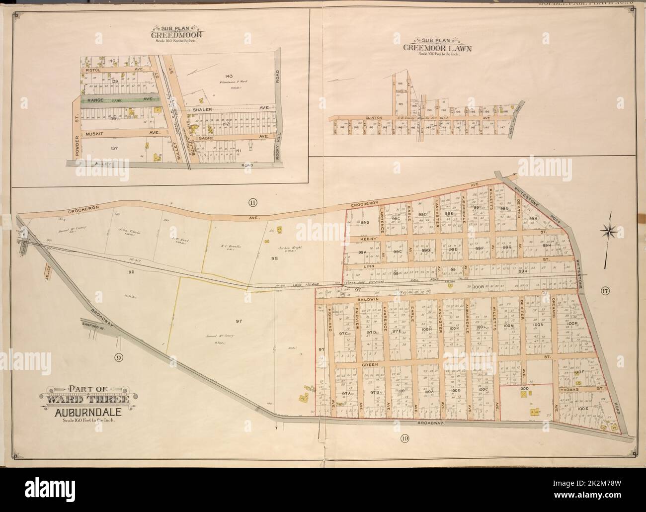 Cartographic, Maps. 1908 - 1913. Lionel Pincus and Princess Firyal Map Division. Queens (New York, N.Y.), Long Island City (New York, N.Y.) Queens, Vol. 3, Double Page Plate No. 10; Sub Plan Creedmoor. Map bounded by Pistol Ave., Rang Park Ave., Muskit Ave., Alley Road, Rocky Hill Road, Shaler Ave., Sabre Ave.; Including Power St., Bullet St.; Sub Plan Creedmoor Lawn. Map bounded by Clinton Ave., Rocky Hill Road; Including 12th St., 11th St., 10th St., 9th St., 8th St., 7th St., 6th St., 5th St., 4th St., 3rd St., 2nd St., 1st St.; Part of Ward Three Auburndale. Map bounded by Sanford Ave., Br Stock Photohttps://www.alamy.com/image-license-details/?v=1https://www.alamy.com/cartographic-maps-1908-1913-lionel-pincus-and-princess-firyal-map-division-queens-new-york-ny-long-island-city-new-york-ny-queens-vol-3-double-page-plate-no-10-sub-plan-creedmoor-map-bounded-by-pistol-ave-rang-park-ave-muskit-ave-alley-road-rocky-hill-road-shaler-ave-sabre-ave-including-power-st-bullet-st-sub-plan-creedmoor-lawn-map-bounded-by-clinton-ave-rocky-hill-road-including-12th-st-11th-st-10th-st-9th-st-8th-st-7th-st-6th-st-5th-st-4th-st-3rd-st-2nd-st-1st-st-part-of-ward-three-auburndale-map-bounded-by-sanford-ave-br-image483564393.html
RM2K2M78W–Cartographic, Maps. 1908 - 1913. Lionel Pincus and Princess Firyal Map Division. Queens (New York, N.Y.), Long Island City (New York, N.Y.) Queens, Vol. 3, Double Page Plate No. 10; Sub Plan Creedmoor. Map bounded by Pistol Ave., Rang Park Ave., Muskit Ave., Alley Road, Rocky Hill Road, Shaler Ave., Sabre Ave.; Including Power St., Bullet St.; Sub Plan Creedmoor Lawn. Map bounded by Clinton Ave., Rocky Hill Road; Including 12th St., 11th St., 10th St., 9th St., 8th St., 7th St., 6th St., 5th St., 4th St., 3rd St., 2nd St., 1st St.; Part of Ward Three Auburndale. Map bounded by Sanford Ave., Br
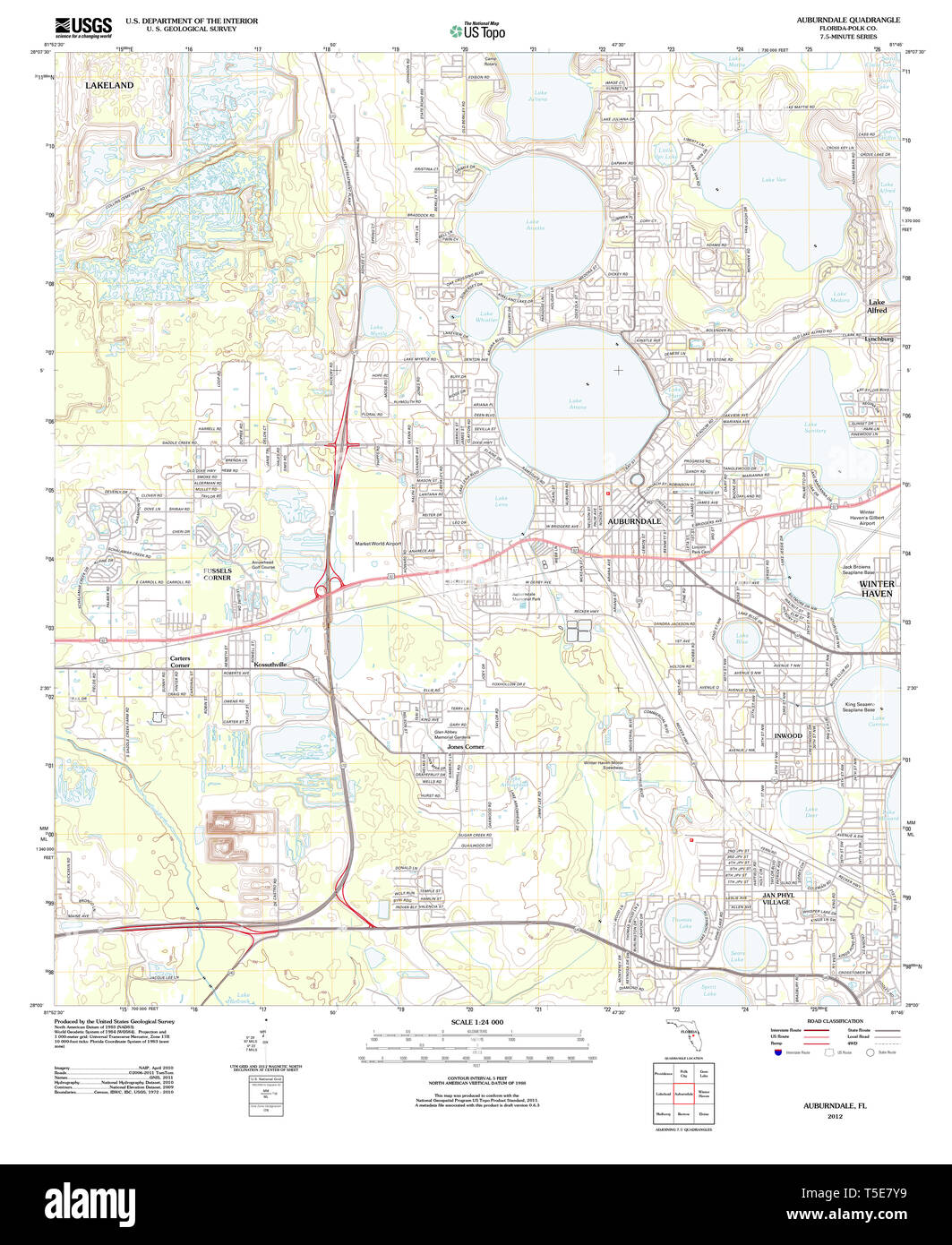 USGS TOPO Map Florida FL Auburndale 20120720 TM Restoration Stock Photohttps://www.alamy.com/image-license-details/?v=1https://www.alamy.com/usgs-topo-map-florida-fl-auburndale-20120720-tm-restoration-image244332013.html
RMT5E7Y9–USGS TOPO Map Florida FL Auburndale 20120720 TM Restoration
 . The Waltham suburban directory for Weston, Wayland, Cochituate and Lincoln : containing an alphabetical list of the inhabitants and business firms, streets, town offices, societies, churches and other miscellaneous matter, also buyers' guides and a street map of West, Middlesex County . s emp G H D Lamson Central ave b do William J rem from townCrotty John T rem to Auburndale Margaret maid at F Knowltons Hill Top rd Patrick rem to AuburndaleCrouse John A carpenter h Central ave Milledge E blacksmith Central ave h Maple rdCrowell George M contractor Merriam h do So Lin (R F D)Crowley Ellen K Stock Photohttps://www.alamy.com/image-license-details/?v=1https://www.alamy.com/the-waltham-suburban-directory-for-weston-wayland-cochituate-and-lincoln-containing-an-alphabetical-list-of-the-inhabitants-and-business-firms-streets-town-offices-societies-churches-and-other-miscellaneous-matter-also-buyers-guides-and-a-street-map-of-west-middlesex-county-s-emp-g-h-d-lamson-central-ave-b-do-william-j-rem-from-towncrotty-john-t-rem-to-auburndale-margaret-maid-at-f-knowltons-hill-top-rd-patrick-rem-to-auburndalecrouse-john-a-carpenter-h-central-ave-milledge-e-blacksmith-central-ave-h-maple-rdcrowell-george-m-contractor-merriam-h-do-so-lin-r-f-dcrowley-ellen-k-image376116981.html
RM2CRWH19–. The Waltham suburban directory for Weston, Wayland, Cochituate and Lincoln : containing an alphabetical list of the inhabitants and business firms, streets, town offices, societies, churches and other miscellaneous matter, also buyers' guides and a street map of West, Middlesex County . s emp G H D Lamson Central ave b do William J rem from townCrotty John T rem to Auburndale Margaret maid at F Knowltons Hill Top rd Patrick rem to AuburndaleCrouse John A carpenter h Central ave Milledge E blacksmith Central ave h Maple rdCrowell George M contractor Merriam h do So Lin (R F D)Crowley Ellen K
 Auburndale 1904 Stock Photohttps://www.alamy.com/image-license-details/?v=1https://www.alamy.com/stock-image-auburndale-1904-162786911.html
RMKCRGA7–Auburndale 1904
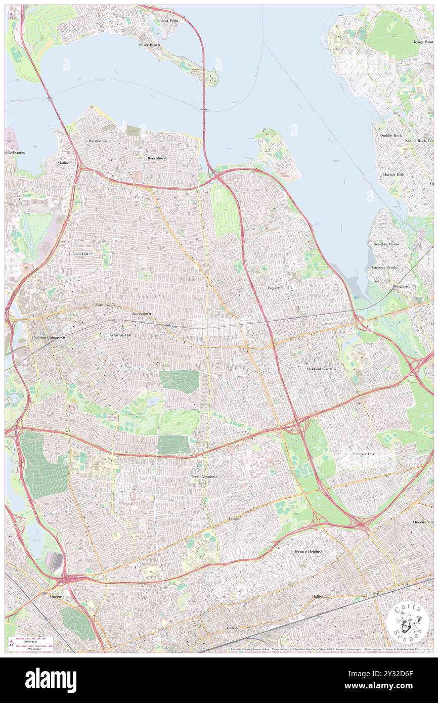 Auburndale, Queens County, US, United States, New York, N 40 45' 39'', S 73 47' 24'', map, Cartascapes Map published in 2024. Explore Cartascapes, a map revealing Earth's diverse landscapes, cultures, and ecosystems. Journey through time and space, discovering the interconnectedness of our planet's past, present, and future. Stock Photohttps://www.alamy.com/image-license-details/?v=1https://www.alamy.com/auburndale-queens-county-us-united-states-new-york-n-40-45-39-s-73-47-24-map-cartascapes-map-published-in-2024-explore-cartascapes-a-map-revealing-earths-diverse-landscapes-cultures-and-ecosystems-journey-through-time-and-space-discovering-the-interconnectedness-of-our-planets-past-present-and-future-image621471495.html
RM2Y32D6F–Auburndale, Queens County, US, United States, New York, N 40 45' 39'', S 73 47' 24'', map, Cartascapes Map published in 2024. Explore Cartascapes, a map revealing Earth's diverse landscapes, cultures, and ecosystems. Journey through time and space, discovering the interconnectedness of our planet's past, present, and future.
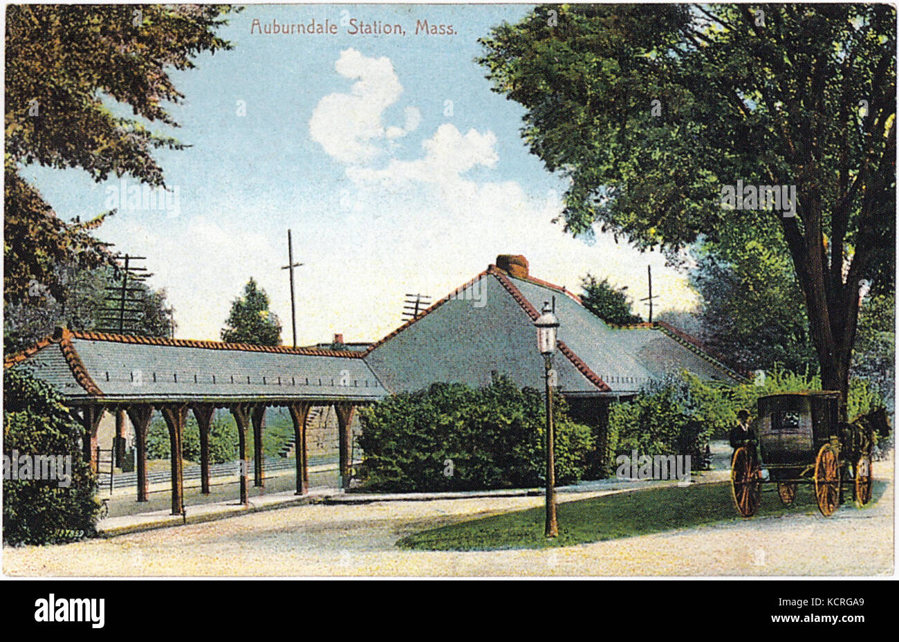 Auburndale old color postcard Stock Photohttps://www.alamy.com/image-license-details/?v=1https://www.alamy.com/stock-image-auburndale-old-color-postcard-162786913.html
RMKCRGA9–Auburndale old color postcard
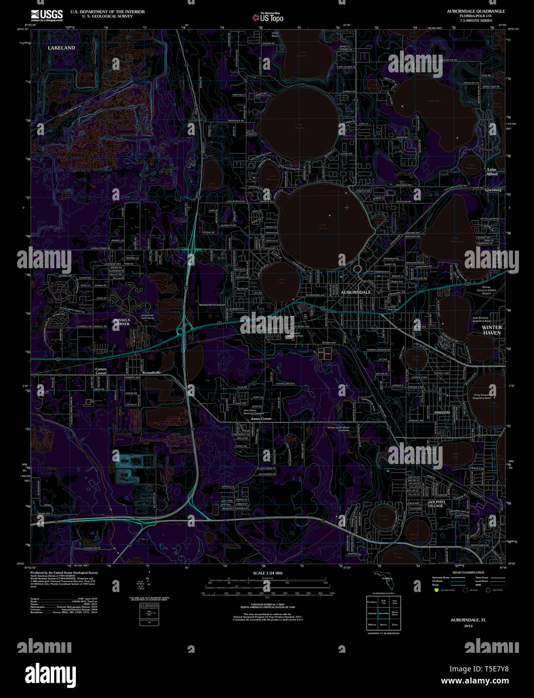 USGS TOPO Map Florida FL Auburndale 20120720 TM Inverted Restoration Stock Photohttps://www.alamy.com/image-license-details/?v=1https://www.alamy.com/usgs-topo-map-florida-fl-auburndale-20120720-tm-inverted-restoration-image244332012.html
RMT5E7Y8–USGS TOPO Map Florida FL Auburndale 20120720 TM Inverted Restoration
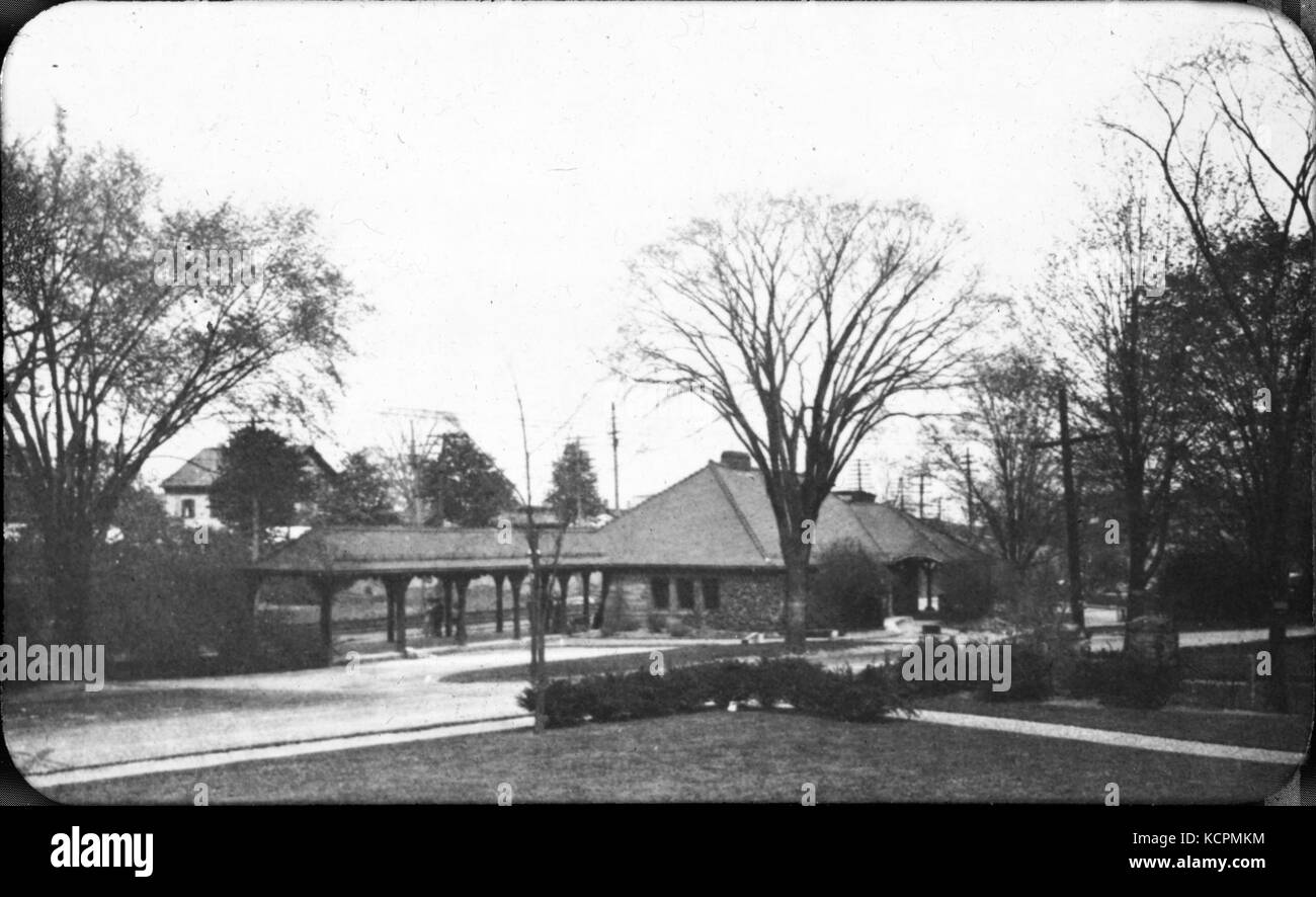 Auburndale station lantern slide Stock Photohttps://www.alamy.com/image-license-details/?v=1https://www.alamy.com/stock-image-auburndale-station-lantern-slide-162768360.html
RMKCPMKM–Auburndale station lantern slide
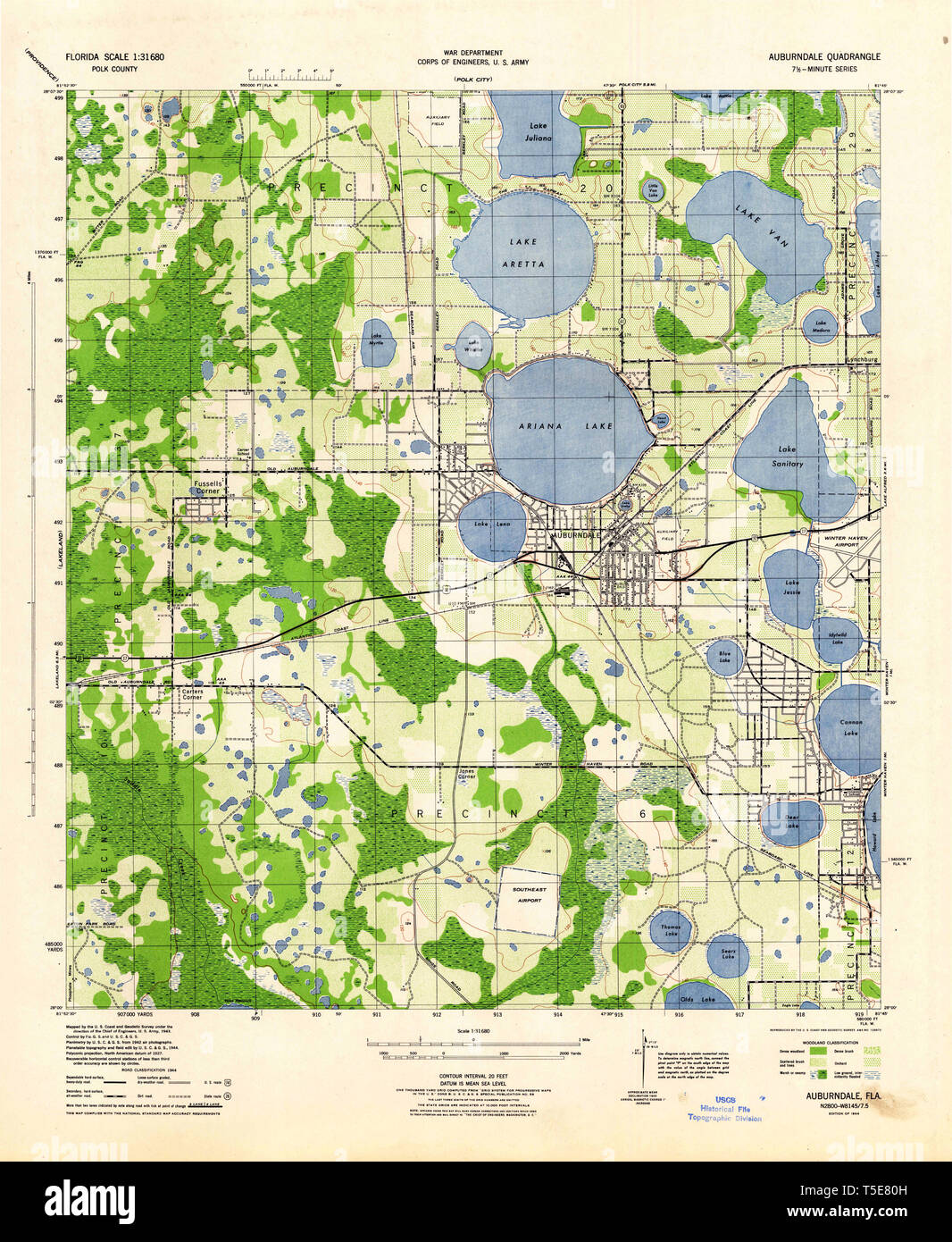 USGS TOPO Map Florida FL Auburndale 345033 1944 31680 Restoration Stock Photohttps://www.alamy.com/image-license-details/?v=1https://www.alamy.com/usgs-topo-map-florida-fl-auburndale-345033-1944-31680-restoration-image244332049.html
RMT5E80H–USGS TOPO Map Florida FL Auburndale 345033 1944 31680 Restoration
 1910 08 30 MA Auburndale Norumbega Park New Open Air Theater 01 Stock Photohttps://www.alamy.com/image-license-details/?v=1https://www.alamy.com/stock-image-1910-08-30-ma-auburndale-norumbega-park-new-open-air-theater-01-162192974.html
RMKBTEP6–1910 08 30 MA Auburndale Norumbega Park New Open Air Theater 01
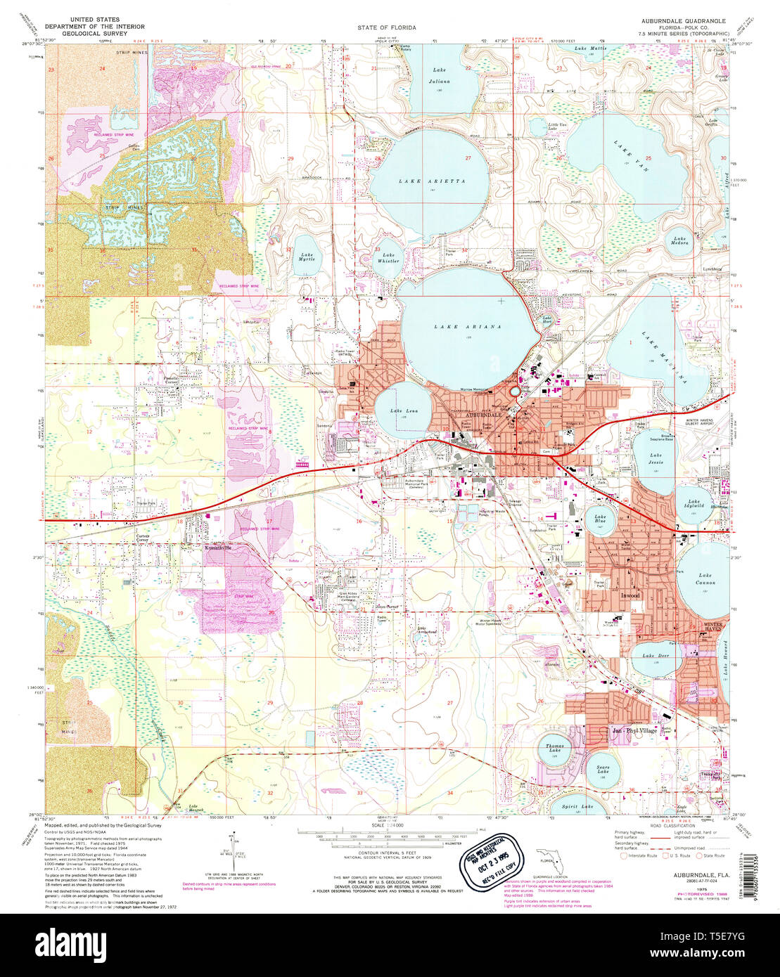 USGS TOPO Map Florida FL Auburndale 345028 1975 24000 Restoration Stock Photohttps://www.alamy.com/image-license-details/?v=1https://www.alamy.com/usgs-topo-map-florida-fl-auburndale-345028-1975-24000-restoration-image244332020.html
RMT5E7YG–USGS TOPO Map Florida FL Auburndale 345028 1975 24000 Restoration
 Plan of lots in North Auburn Dale, Newton, Mass , Real property, Massachusetts, Newton, Maps, Landowners, Massachusetts, Newton, Maps, Auburndale Newton, Mass., Maps, Auburndale Newton, Mass. Norman B. Leventhal Map Center Collection Stock Photohttps://www.alamy.com/image-license-details/?v=1https://www.alamy.com/plan-of-lots-in-north-auburn-dale-newton-mass-real-property-massachusetts-newton-maps-landowners-massachusetts-newton-maps-auburndale-newton-mass-maps-auburndale-newton-mass-norman-b-leventhal-map-center-collection-image501394415.html
RM2M3MDKB–Plan of lots in North Auburn Dale, Newton, Mass , Real property, Massachusetts, Newton, Maps, Landowners, Massachusetts, Newton, Maps, Auburndale Newton, Mass., Maps, Auburndale Newton, Mass. Norman B. Leventhal Map Center Collection
 Auburndale, Jefferson County, US, United States, Kentucky, N 38 8' 34'', S 85 46' 27'', map, Cartascapes Map published in 2024. Explore Cartascapes, a map revealing Earth's diverse landscapes, cultures, and ecosystems. Journey through time and space, discovering the interconnectedness of our planet's past, present, and future. Stock Photohttps://www.alamy.com/image-license-details/?v=1https://www.alamy.com/auburndale-jefferson-county-us-united-states-kentucky-n-38-8-34-s-85-46-27-map-cartascapes-map-published-in-2024-explore-cartascapes-a-map-revealing-earths-diverse-landscapes-cultures-and-ecosystems-journey-through-time-and-space-discovering-the-interconnectedness-of-our-planets-past-present-and-future-image620655809.html
RM2Y1N8PW–Auburndale, Jefferson County, US, United States, Kentucky, N 38 8' 34'', S 85 46' 27'', map, Cartascapes Map published in 2024. Explore Cartascapes, a map revealing Earth's diverse landscapes, cultures, and ecosystems. Journey through time and space, discovering the interconnectedness of our planet's past, present, and future.
 USGS TOPO Map Florida FL Auburndale 345029 1975 24000 Restoration Stock Photohttps://www.alamy.com/image-license-details/?v=1https://www.alamy.com/usgs-topo-map-florida-fl-auburndale-345029-1975-24000-restoration-image244332026.html
RMT5E7YP–USGS TOPO Map Florida FL Auburndale 345029 1975 24000 Restoration
 Map of Commonwealth Avenue Street Railway Company, and connecting lines : showing route to Norumbega Park , Boston Metropolitan Area Mass., Maps, Newton Mass., Maps, Norumbega Park Auburndale, Mass., Maps, Street-railroads, Massachusetts, Boston Metropolitan Area, Maps, Amusement parks, Massachusetts, Newton, Maps, Commonwealth Avenue Street Railway Company, Boston Elevated Railway Company Norman B. Leventhal Map Center Collection Stock Photohttps://www.alamy.com/image-license-details/?v=1https://www.alamy.com/map-of-commonwealth-avenue-street-railway-company-and-connecting-lines-showing-route-to-norumbega-park-boston-metropolitan-area-mass-maps-newton-mass-maps-norumbega-park-auburndale-mass-maps-street-railroads-massachusetts-boston-metropolitan-area-maps-amusement-parks-massachusetts-newton-maps-commonwealth-avenue-street-railway-company-boston-elevated-railway-company-norman-b-leventhal-map-center-collection-image501270956.html
RM2M3ET64–Map of Commonwealth Avenue Street Railway Company, and connecting lines : showing route to Norumbega Park , Boston Metropolitan Area Mass., Maps, Newton Mass., Maps, Norumbega Park Auburndale, Mass., Maps, Street-railroads, Massachusetts, Boston Metropolitan Area, Maps, Amusement parks, Massachusetts, Newton, Maps, Commonwealth Avenue Street Railway Company, Boston Elevated Railway Company Norman B. Leventhal Map Center Collection
 Auburndale, Wood County, US, United States, Wisconsin, N 44 37' 36'', S 90 0' 27'', map, Cartascapes Map published in 2024. Explore Cartascapes, a map revealing Earth's diverse landscapes, cultures, and ecosystems. Journey through time and space, discovering the interconnectedness of our planet's past, present, and future. Stock Photohttps://www.alamy.com/image-license-details/?v=1https://www.alamy.com/auburndale-wood-county-us-united-states-wisconsin-n-44-37-36-s-90-0-27-map-cartascapes-map-published-in-2024-explore-cartascapes-a-map-revealing-earths-diverse-landscapes-cultures-and-ecosystems-journey-through-time-and-space-discovering-the-interconnectedness-of-our-planets-past-present-and-future-image620784763.html
RM2Y1Y58B–Auburndale, Wood County, US, United States, Wisconsin, N 44 37' 36'', S 90 0' 27'', map, Cartascapes Map published in 2024. Explore Cartascapes, a map revealing Earth's diverse landscapes, cultures, and ecosystems. Journey through time and space, discovering the interconnectedness of our planet's past, present, and future.
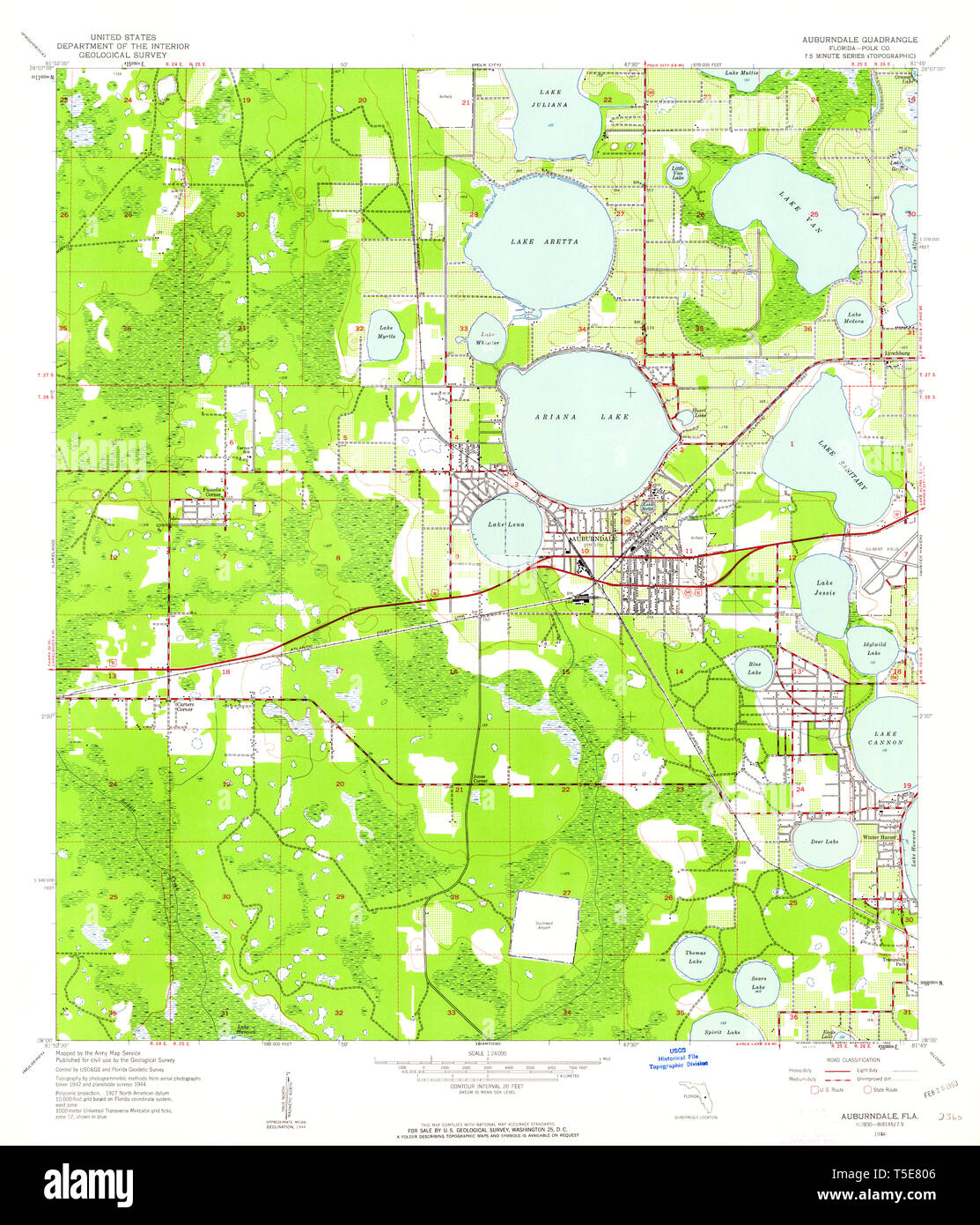 USGS TOPO Map Florida FL Auburndale 345031 1944 24000 Restoration Stock Photohttps://www.alamy.com/image-license-details/?v=1https://www.alamy.com/usgs-topo-map-florida-fl-auburndale-345031-1944-24000-restoration-image244332038.html
RMT5E806–USGS TOPO Map Florida FL Auburndale 345031 1944 24000 Restoration
 Cartographic, Maps, Cadastral maps. 1909. Lionel Pincus and Princess Firyal Map Division. Queens (New York, N.Y.), New York (N.Y.), Real property Plate 28: Bounded by Whitestone Blvd., Crocheron Avenue, Highland Avenue, Woodhull Avenue, Rocky Hill Rd., Auburndale Rd. Sanford Avenue, 19th Street, Mitchell Avenue, 16th Street, Bayside Rd., and Little Bayside Rd. Part of the Borough of Queens, Flushing, Ward 3. Stock Photohttps://www.alamy.com/image-license-details/?v=1https://www.alamy.com/cartographic-maps-cadastral-maps-1909-lionel-pincus-and-princess-firyal-map-division-queens-new-york-ny-new-york-ny-real-property-plate-28-bounded-by-whitestone-blvd-crocheron-avenue-highland-avenue-woodhull-avenue-rocky-hill-rd-auburndale-rd-sanford-avenue-19th-street-mitchell-avenue-16th-street-bayside-rd-and-little-bayside-rd-part-of-the-borough-of-queens-flushing-ward-3-image483746157.html
RM2K30F4D–Cartographic, Maps, Cadastral maps. 1909. Lionel Pincus and Princess Firyal Map Division. Queens (New York, N.Y.), New York (N.Y.), Real property Plate 28: Bounded by Whitestone Blvd., Crocheron Avenue, Highland Avenue, Woodhull Avenue, Rocky Hill Rd., Auburndale Rd. Sanford Avenue, 19th Street, Mitchell Avenue, 16th Street, Bayside Rd., and Little Bayside Rd. Part of the Borough of Queens, Flushing, Ward 3.
 Auburndale, Middlesex County, US, United States, Massachusetts, N 42 20' 50'', S 71 14' 58'', map, Cartascapes Map published in 2024. Explore Cartascapes, a map revealing Earth's diverse landscapes, cultures, and ecosystems. Journey through time and space, discovering the interconnectedness of our planet's past, present, and future. Stock Photohttps://www.alamy.com/image-license-details/?v=1https://www.alamy.com/auburndale-middlesex-county-us-united-states-massachusetts-n-42-20-50-s-71-14-58-map-cartascapes-map-published-in-2024-explore-cartascapes-a-map-revealing-earths-diverse-landscapes-cultures-and-ecosystems-journey-through-time-and-space-discovering-the-interconnectedness-of-our-planets-past-present-and-future-image620693556.html
RM2Y1R0Y0–Auburndale, Middlesex County, US, United States, Massachusetts, N 42 20' 50'', S 71 14' 58'', map, Cartascapes Map published in 2024. Explore Cartascapes, a map revealing Earth's diverse landscapes, cultures, and ecosystems. Journey through time and space, discovering the interconnectedness of our planet's past, present, and future.
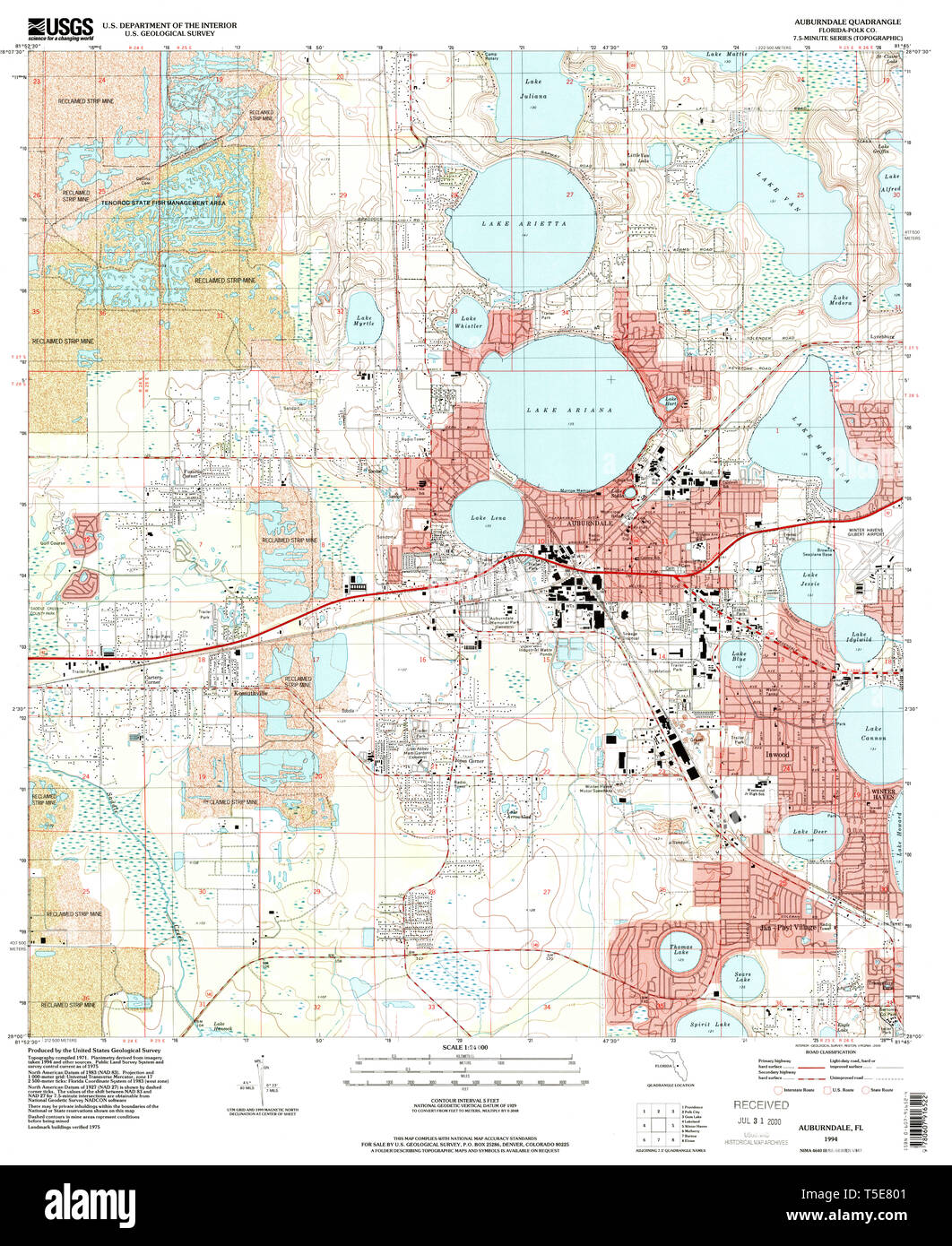 USGS TOPO Map Florida FL Auburndale 345030 1994 24000 Restoration Stock Photohttps://www.alamy.com/image-license-details/?v=1https://www.alamy.com/usgs-topo-map-florida-fl-auburndale-345030-1994-24000-restoration-image244332033.html
RMT5E801–USGS TOPO Map Florida FL Auburndale 345030 1994 24000 Restoration
 Cartographic, Maps, Cadastral maps. 1909. Lionel Pincus and Princess Firyal Map Division. Queens (New York, N.Y.), New York (N.Y.), Real property Plate 20: Bounded by Sanford Avenue, Broadway, Auburndale (Cemetery Lane) Road, Fresh Meadow Road, Renwick Avenue, Oak Ave, Rose Street (Kissena Lake Park), Jamaica Avenue, Mill Street, Mulberry Street, West Avenue, Hillside Avenue, Jamaica Avenue, Franklyn Avenue and Union Street. Part of the Borough of Queens, Flushing, Ward 3. Stock Photohttps://www.alamy.com/image-license-details/?v=1https://www.alamy.com/cartographic-maps-cadastral-maps-1909-lionel-pincus-and-princess-firyal-map-division-queens-new-york-ny-new-york-ny-real-property-plate-20-bounded-by-sanford-avenue-broadway-auburndale-cemetery-lane-road-fresh-meadow-road-renwick-avenue-oak-ave-rose-street-kissena-lake-park-jamaica-avenue-mill-street-mulberry-street-west-avenue-hillside-avenue-jamaica-avenue-franklyn-avenue-and-union-street-part-of-the-borough-of-queens-flushing-ward-3-image483739923.html
RM2K3075R–Cartographic, Maps, Cadastral maps. 1909. Lionel Pincus and Princess Firyal Map Division. Queens (New York, N.Y.), New York (N.Y.), Real property Plate 20: Bounded by Sanford Avenue, Broadway, Auburndale (Cemetery Lane) Road, Fresh Meadow Road, Renwick Avenue, Oak Ave, Rose Street (Kissena Lake Park), Jamaica Avenue, Mill Street, Mulberry Street, West Avenue, Hillside Avenue, Jamaica Avenue, Franklyn Avenue and Union Street. Part of the Borough of Queens, Flushing, Ward 3.
 Auburndale, Polk County, US, United States, Florida, N 28 3' 55'', S 81 47' 19'', map, Cartascapes Map published in 2024. Explore Cartascapes, a map revealing Earth's diverse landscapes, cultures, and ecosystems. Journey through time and space, discovering the interconnectedness of our planet's past, present, and future. Stock Photohttps://www.alamy.com/image-license-details/?v=1https://www.alamy.com/auburndale-polk-county-us-united-states-florida-n-28-3-55-s-81-47-19-map-cartascapes-map-published-in-2024-explore-cartascapes-a-map-revealing-earths-diverse-landscapes-cultures-and-ecosystems-journey-through-time-and-space-discovering-the-interconnectedness-of-our-planets-past-present-and-future-image620884294.html
RM2Y23M72–Auburndale, Polk County, US, United States, Florida, N 28 3' 55'', S 81 47' 19'', map, Cartascapes Map published in 2024. Explore Cartascapes, a map revealing Earth's diverse landscapes, cultures, and ecosystems. Journey through time and space, discovering the interconnectedness of our planet's past, present, and future.
 USGS TOPO Map Florida FL Auburndale 345032 1975 24000 Restoration Stock Photohttps://www.alamy.com/image-license-details/?v=1https://www.alamy.com/usgs-topo-map-florida-fl-auburndale-345032-1975-24000-restoration-image244332043.html
RMT5E80B–USGS TOPO Map Florida FL Auburndale 345032 1975 24000 Restoration
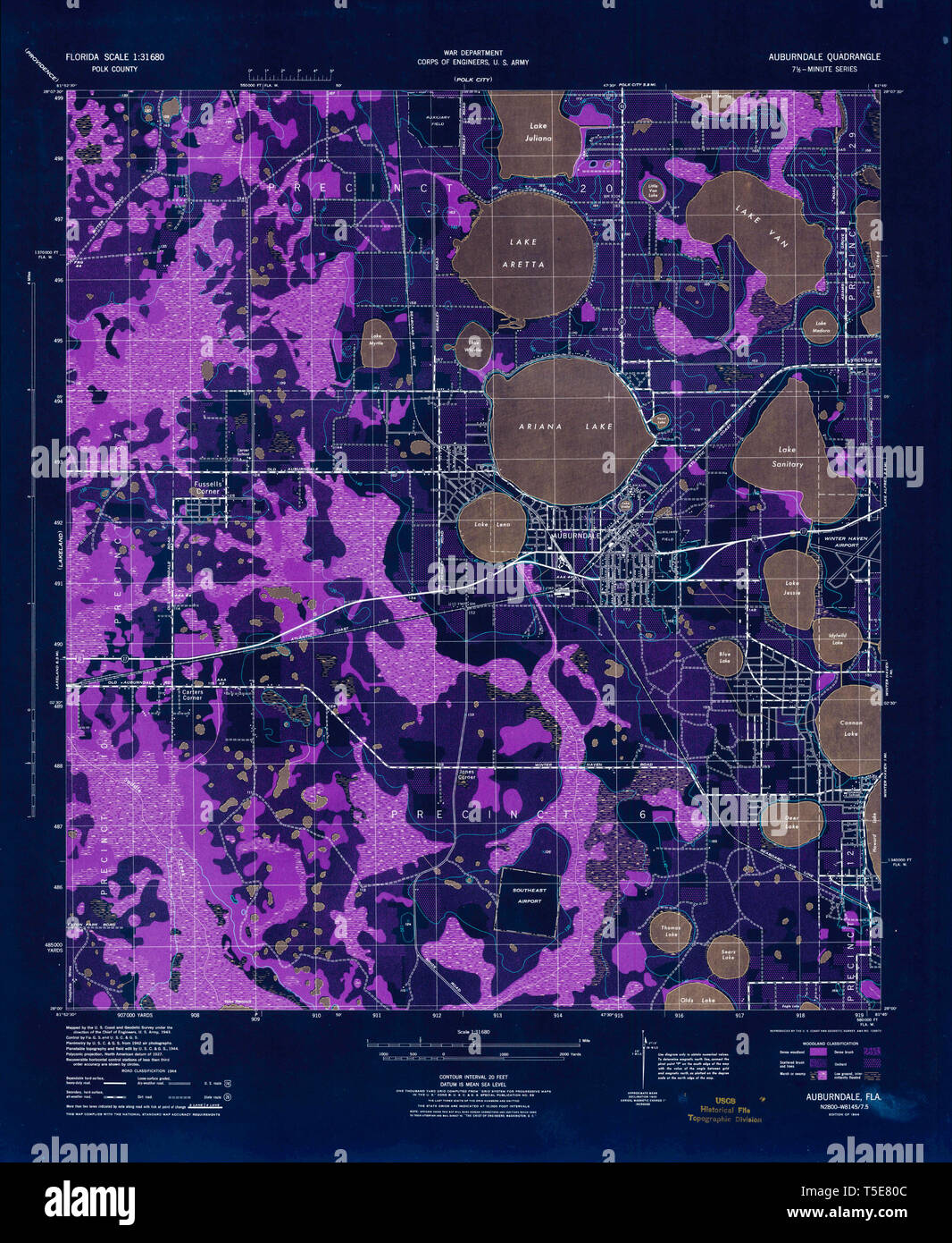 USGS TOPO Map Florida FL Auburndale 345033 1944 31680 Inverted Restoration Stock Photohttps://www.alamy.com/image-license-details/?v=1https://www.alamy.com/usgs-topo-map-florida-fl-auburndale-345033-1944-31680-inverted-restoration-image244332044.html
RMT5E80C–USGS TOPO Map Florida FL Auburndale 345033 1944 31680 Inverted Restoration
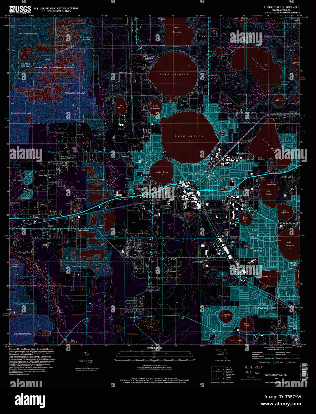 USGS TOPO Map Florida FL Auburndale 345030 1994 24000 Inverted Restoration Stock Photohttps://www.alamy.com/image-license-details/?v=1https://www.alamy.com/usgs-topo-map-florida-fl-auburndale-345030-1994-24000-inverted-restoration-image244332029.html
RMT5E7YW–USGS TOPO Map Florida FL Auburndale 345030 1994 24000 Inverted Restoration
 Auburndale, Wood County, US, United States, Wisconsin, N 44 37' 36'', S 90 0' 27'', map, Cartascapes Map published in 2024. Explore Cartascapes, a map revealing Earth's diverse landscapes, cultures, and ecosystems. Journey through time and space, discovering the interconnectedness of our planet's past, present, and future. Stock Photohttps://www.alamy.com/image-license-details/?v=1https://www.alamy.com/auburndale-wood-county-us-united-states-wisconsin-n-44-37-36-s-90-0-27-map-cartascapes-map-published-in-2024-explore-cartascapes-a-map-revealing-earths-diverse-landscapes-cultures-and-ecosystems-journey-through-time-and-space-discovering-the-interconnectedness-of-our-planets-past-present-and-future-image620858330.html
RM2Y22F3P–Auburndale, Wood County, US, United States, Wisconsin, N 44 37' 36'', S 90 0' 27'', map, Cartascapes Map published in 2024. Explore Cartascapes, a map revealing Earth's diverse landscapes, cultures, and ecosystems. Journey through time and space, discovering the interconnectedness of our planet's past, present, and future.
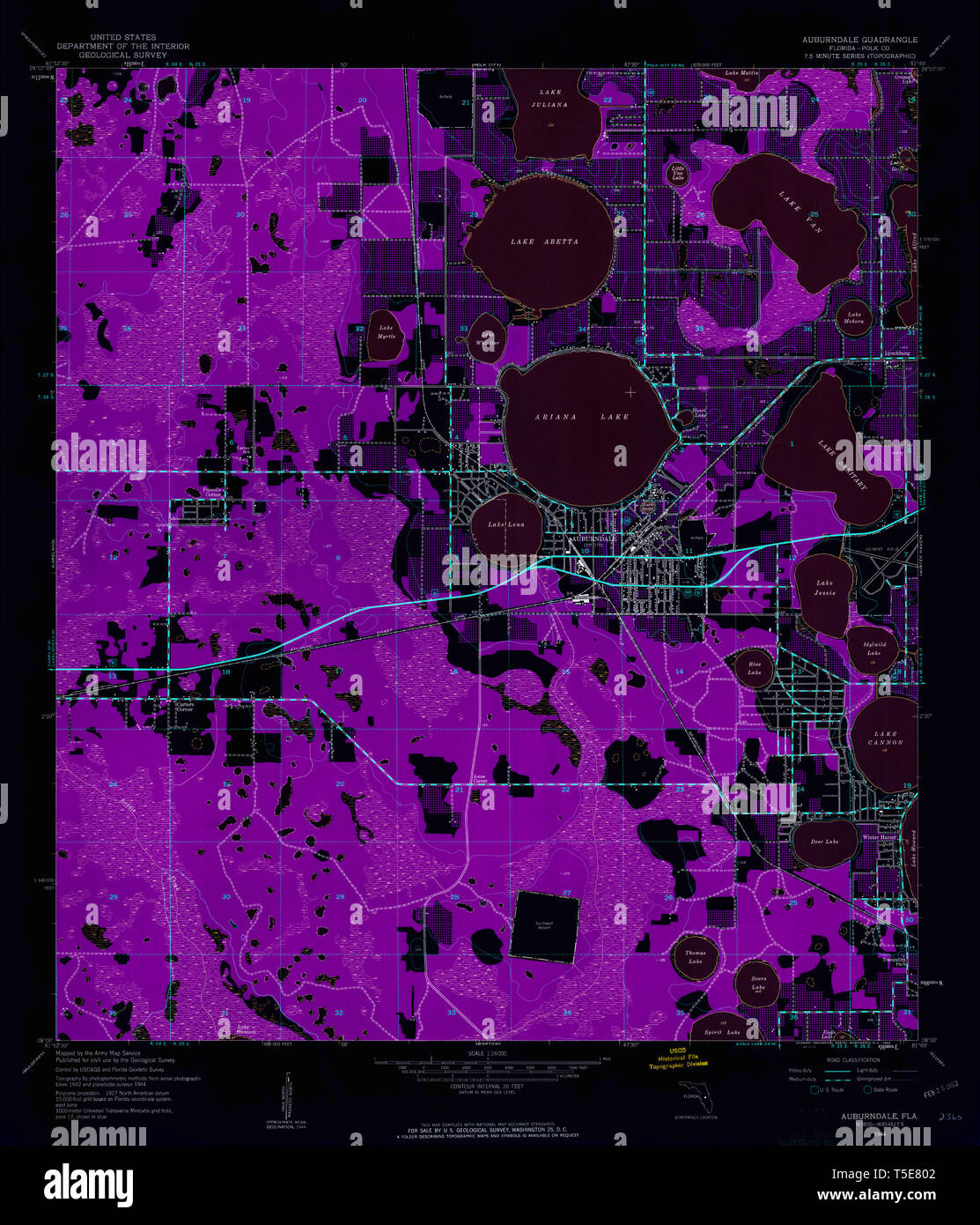 USGS TOPO Map Florida FL Auburndale 345031 1944 24000 Inverted Restoration Stock Photohttps://www.alamy.com/image-license-details/?v=1https://www.alamy.com/usgs-topo-map-florida-fl-auburndale-345031-1944-24000-inverted-restoration-image244332034.html
RMT5E802–USGS TOPO Map Florida FL Auburndale 345031 1944 24000 Inverted Restoration
 Auburndale, Polk County, US, United States, Florida, N 28 3' 55'', S 81 47' 19'', map, Cartascapes Map published in 2024. Explore Cartascapes, a map revealing Earth's diverse landscapes, cultures, and ecosystems. Journey through time and space, discovering the interconnectedness of our planet's past, present, and future. Stock Photohttps://www.alamy.com/image-license-details/?v=1https://www.alamy.com/auburndale-polk-county-us-united-states-florida-n-28-3-55-s-81-47-19-map-cartascapes-map-published-in-2024-explore-cartascapes-a-map-revealing-earths-diverse-landscapes-cultures-and-ecosystems-journey-through-time-and-space-discovering-the-interconnectedness-of-our-planets-past-present-and-future-image620864412.html
RM2Y22PW0–Auburndale, Polk County, US, United States, Florida, N 28 3' 55'', S 81 47' 19'', map, Cartascapes Map published in 2024. Explore Cartascapes, a map revealing Earth's diverse landscapes, cultures, and ecosystems. Journey through time and space, discovering the interconnectedness of our planet's past, present, and future.
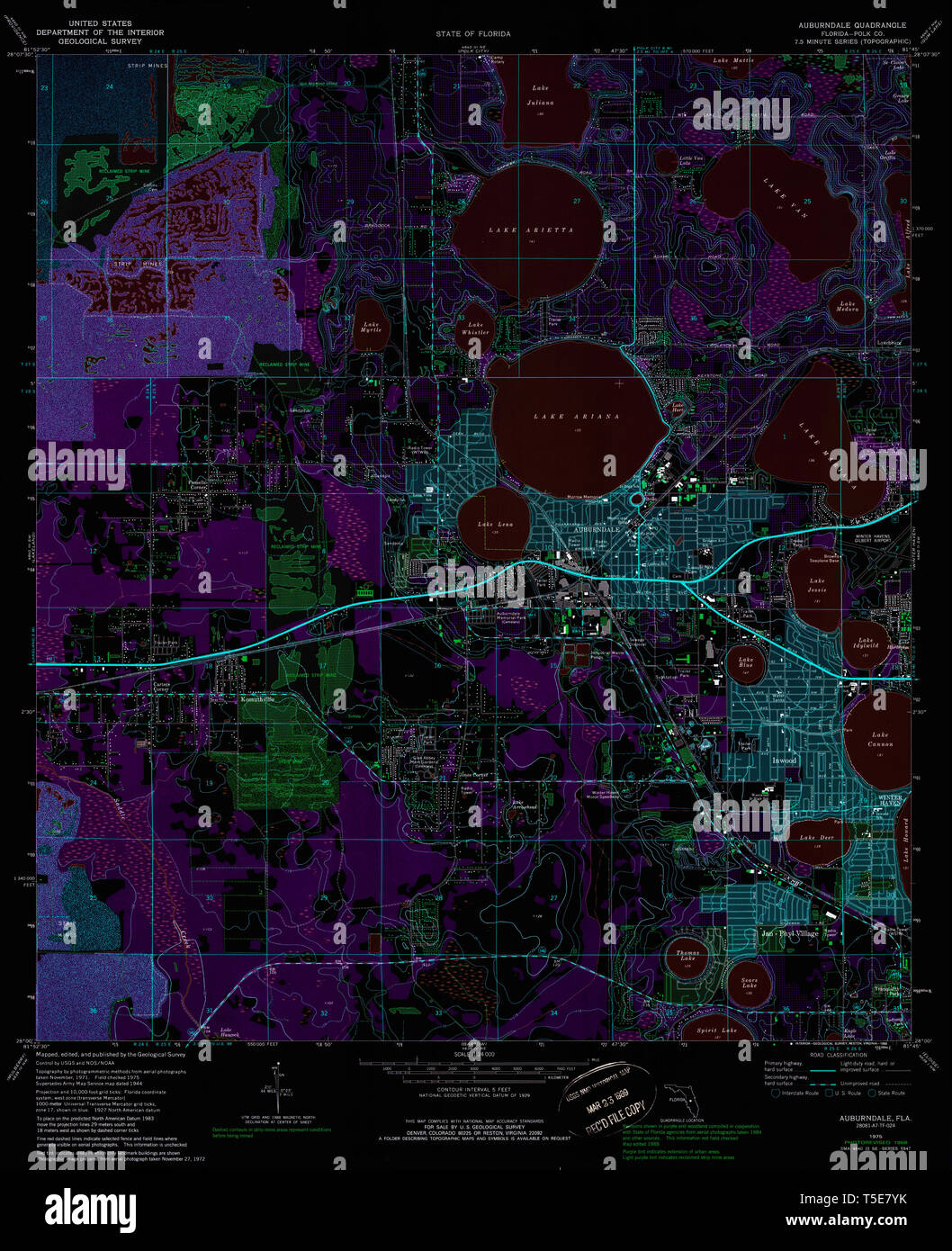 USGS TOPO Map Florida FL Auburndale 345029 1975 24000 Inverted Restoration Stock Photohttps://www.alamy.com/image-license-details/?v=1https://www.alamy.com/usgs-topo-map-florida-fl-auburndale-345029-1975-24000-inverted-restoration-image244332023.html
RMT5E7YK–USGS TOPO Map Florida FL Auburndale 345029 1975 24000 Inverted Restoration
 Winter Haven-Auburndale, Polk County, US, United States, Florida, N 27 59' 26'', S 81 49' 41'', map, Cartascapes Map published in 2024. Explore Cartascapes, a map revealing Earth's diverse landscapes, cultures, and ecosystems. Journey through time and space, discovering the interconnectedness of our planet's past, present, and future. Stock Photohttps://www.alamy.com/image-license-details/?v=1https://www.alamy.com/winter-haven-auburndale-polk-county-us-united-states-florida-n-27-59-26-s-81-49-41-map-cartascapes-map-published-in-2024-explore-cartascapes-a-map-revealing-earths-diverse-landscapes-cultures-and-ecosystems-journey-through-time-and-space-discovering-the-interconnectedness-of-our-planets-past-present-and-future-image620700407.html
RM2Y1R9KK–Winter Haven-Auburndale, Polk County, US, United States, Florida, N 27 59' 26'', S 81 49' 41'', map, Cartascapes Map published in 2024. Explore Cartascapes, a map revealing Earth's diverse landscapes, cultures, and ecosystems. Journey through time and space, discovering the interconnectedness of our planet's past, present, and future.
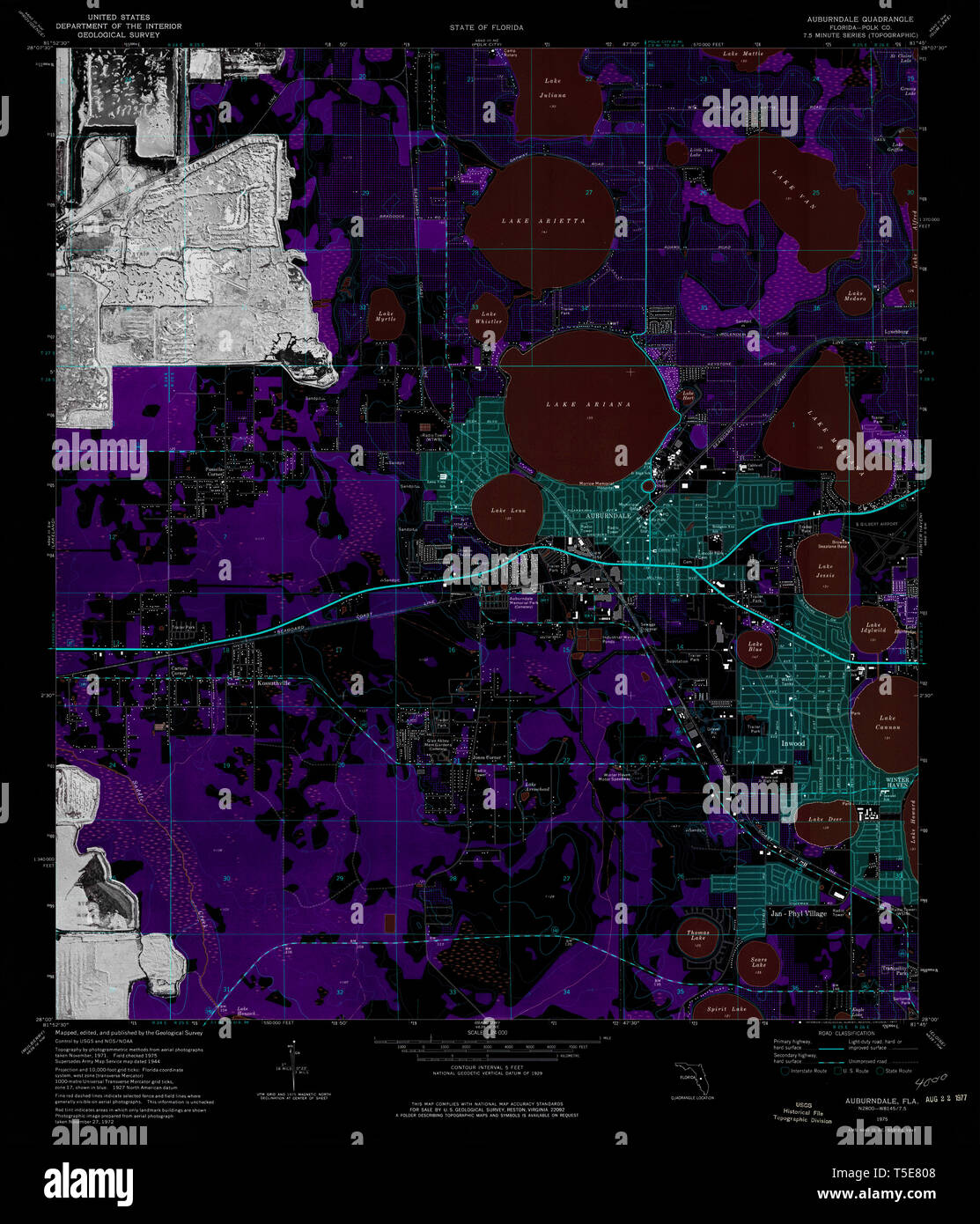 USGS TOPO Map Florida FL Auburndale 345032 1975 24000 Inverted Restoration Stock Photohttps://www.alamy.com/image-license-details/?v=1https://www.alamy.com/usgs-topo-map-florida-fl-auburndale-345032-1975-24000-inverted-restoration-image244332040.html
RMT5E808–USGS TOPO Map Florida FL Auburndale 345032 1975 24000 Inverted Restoration
 Auburndale, Canada, Alberta, N 53 3' 0'', W 110 52' 6'', map, Timeless Map published in 2021. Travelers, explorers and adventurers like Florence Nightingale, David Livingstone, Ernest Shackleton, Lewis and Clark and Sherlock Holmes relied on maps to plan travels to the world's most remote corners, Timeless Maps is mapping most locations on the globe, showing the achievement of great dreams Stock Photohttps://www.alamy.com/image-license-details/?v=1https://www.alamy.com/auburndale-canada-alberta-n-53-3-0-w-110-52-6-map-timeless-map-published-in-2021-travelers-explorers-and-adventurers-like-florence-nightingale-david-livingstone-ernest-shackleton-lewis-and-clark-and-sherlock-holmes-relied-on-maps-to-plan-travels-to-the-worlds-most-remote-corners-timeless-maps-is-mapping-most-locations-on-the-globe-showing-the-achievement-of-great-dreams-image457850021.html
RM2HGTTAD–Auburndale, Canada, Alberta, N 53 3' 0'', W 110 52' 6'', map, Timeless Map published in 2021. Travelers, explorers and adventurers like Florence Nightingale, David Livingstone, Ernest Shackleton, Lewis and Clark and Sherlock Holmes relied on maps to plan travels to the world's most remote corners, Timeless Maps is mapping most locations on the globe, showing the achievement of great dreams
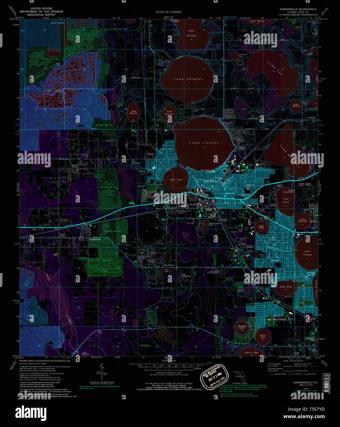 USGS TOPO Map Florida FL Auburndale 345028 1975 24000 Inverted Restoration Stock Photohttps://www.alamy.com/image-license-details/?v=1https://www.alamy.com/usgs-topo-map-florida-fl-auburndale-345028-1975-24000-inverted-restoration-image244332017.html
RMT5E7YD–USGS TOPO Map Florida FL Auburndale 345028 1975 24000 Inverted Restoration
 Auburndale, Canada, Nova Scotia, N 44 24' 18'', W 64 35' 34'', map, Timeless Map published in 2021. Travelers, explorers and adventurers like Florence Nightingale, David Livingstone, Ernest Shackleton, Lewis and Clark and Sherlock Holmes relied on maps to plan travels to the world's most remote corners, Timeless Maps is mapping most locations on the globe, showing the achievement of great dreams Stock Photohttps://www.alamy.com/image-license-details/?v=1https://www.alamy.com/auburndale-canada-nova-scotia-n-44-24-18-w-64-35-34-map-timeless-map-published-in-2021-travelers-explorers-and-adventurers-like-florence-nightingale-david-livingstone-ernest-shackleton-lewis-and-clark-and-sherlock-holmes-relied-on-maps-to-plan-travels-to-the-worlds-most-remote-corners-timeless-maps-is-mapping-most-locations-on-the-globe-showing-the-achievement-of-great-dreams-image457849958.html
RM2HGTT86–Auburndale, Canada, Nova Scotia, N 44 24' 18'', W 64 35' 34'', map, Timeless Map published in 2021. Travelers, explorers and adventurers like Florence Nightingale, David Livingstone, Ernest Shackleton, Lewis and Clark and Sherlock Holmes relied on maps to plan travels to the world's most remote corners, Timeless Maps is mapping most locations on the globe, showing the achievement of great dreams
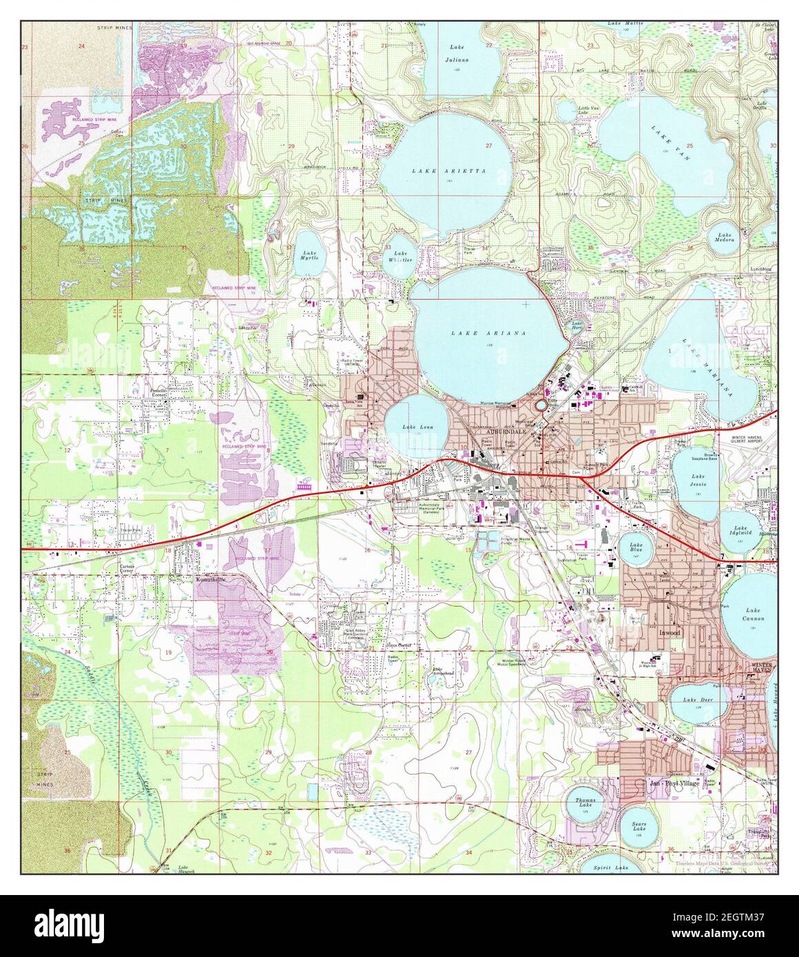 Auburndale, Florida, map 1975, 1:24000, United States of America by Timeless Maps, data U.S. Geological Survey Stock Photohttps://www.alamy.com/image-license-details/?v=1https://www.alamy.com/auburndale-florida-map-1975-124000-united-states-of-america-by-timeless-maps-data-us-geological-survey-image406215579.html
RM2EGTM37–Auburndale, Florida, map 1975, 1:24000, United States of America by Timeless Maps, data U.S. Geological Survey
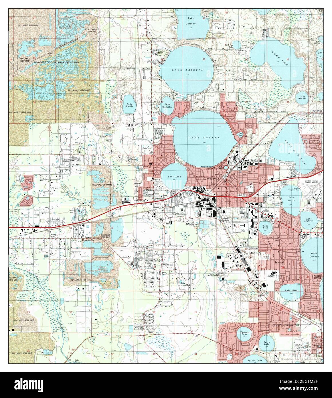 Auburndale, Florida, map 1994, 1:24000, United States of America by Timeless Maps, data U.S. Geological Survey Stock Photohttps://www.alamy.com/image-license-details/?v=1https://www.alamy.com/auburndale-florida-map-1994-124000-united-states-of-america-by-timeless-maps-data-us-geological-survey-image406215559.html
RM2EGTM2F–Auburndale, Florida, map 1994, 1:24000, United States of America by Timeless Maps, data U.S. Geological Survey
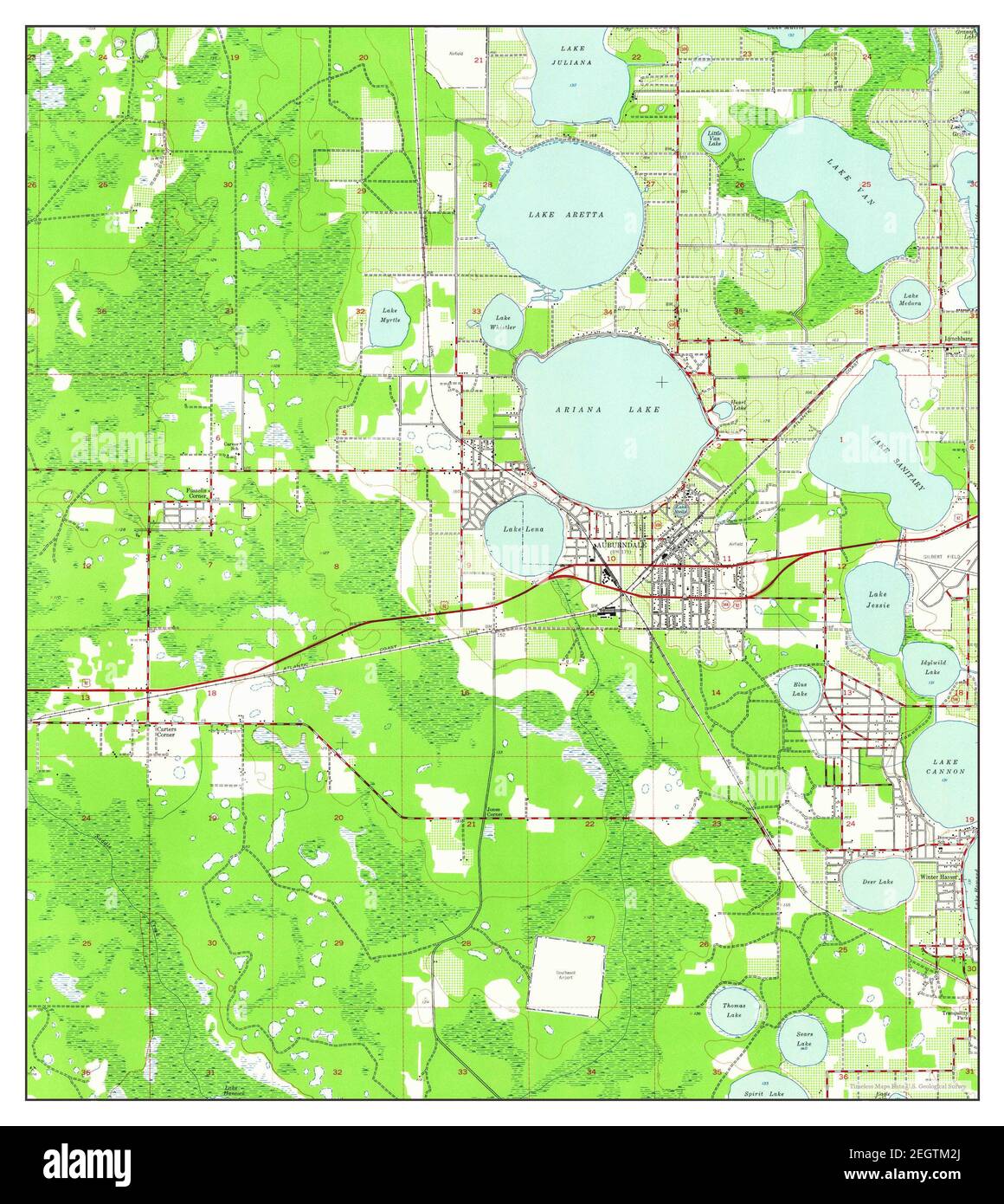 Auburndale, Florida, map 1944, 1:24000, United States of America by Timeless Maps, data U.S. Geological Survey Stock Photohttps://www.alamy.com/image-license-details/?v=1https://www.alamy.com/auburndale-florida-map-1944-124000-united-states-of-america-by-timeless-maps-data-us-geological-survey-image406215562.html
RM2EGTM2J–Auburndale, Florida, map 1944, 1:24000, United States of America by Timeless Maps, data U.S. Geological Survey
 Auburndale, Florida, map 1975, 1:24000, United States of America by Timeless Maps, data U.S. Geological Survey Stock Photohttps://www.alamy.com/image-license-details/?v=1https://www.alamy.com/auburndale-florida-map-1975-124000-united-states-of-america-by-timeless-maps-data-us-geological-survey-image406215572.html
RM2EGTM30–Auburndale, Florida, map 1975, 1:24000, United States of America by Timeless Maps, data U.S. Geological Survey
 Auburndale, Florida, map 1975, 1:24000, United States of America by Timeless Maps, data U.S. Geological Survey Stock Photohttps://www.alamy.com/image-license-details/?v=1https://www.alamy.com/auburndale-florida-map-1975-124000-united-states-of-america-by-timeless-maps-data-us-geological-survey-image406215577.html
RM2EGTM35–Auburndale, Florida, map 1975, 1:24000, United States of America by Timeless Maps, data U.S. Geological Survey
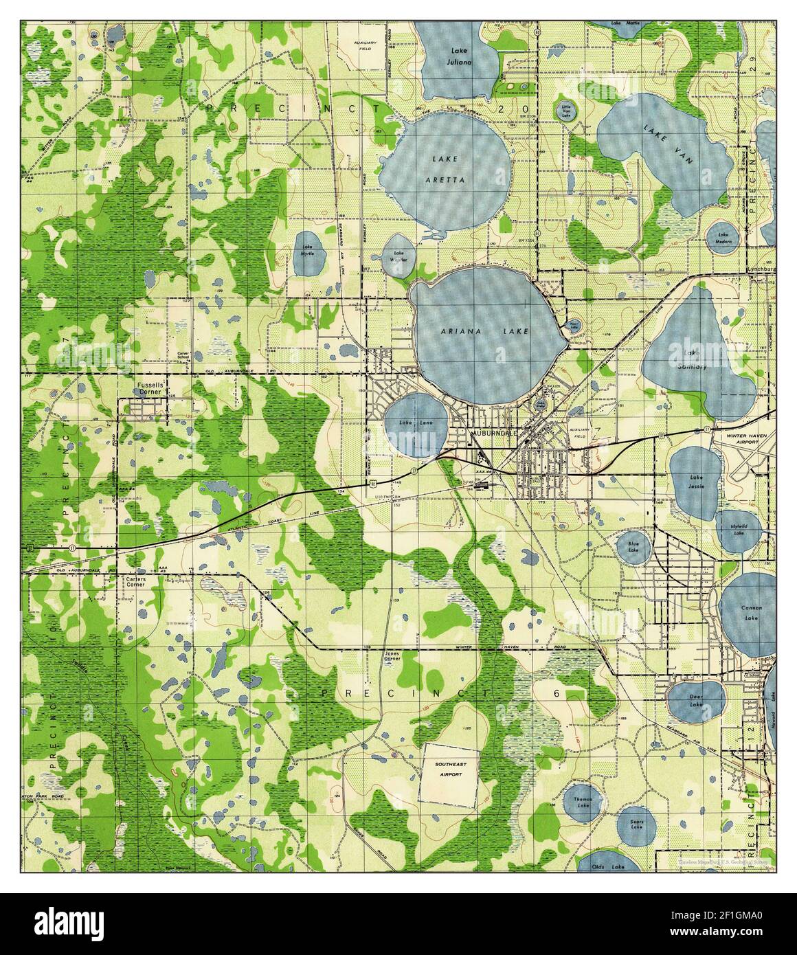 Auburndale, Florida, map 1944, 1:31680, United States of America by Timeless Maps, data U.S. Geological Survey Stock Photohttps://www.alamy.com/image-license-details/?v=1https://www.alamy.com/auburndale-florida-map-1944-131680-united-states-of-america-by-timeless-maps-data-us-geological-survey-image414030680.html
RM2F1GMA0–Auburndale, Florida, map 1944, 1:31680, United States of America by Timeless Maps, data U.S. Geological Survey