Quick filters:
Austin map Stock Photos and Images
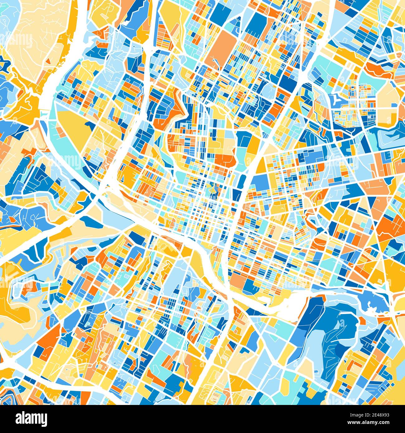 Color art map of Austin, Texas, UnitedStates in blues and oranges. The color gradations in Austin map follow a random pattern. Stock Vectorhttps://www.alamy.com/image-license-details/?v=1https://www.alamy.com/color-art-map-of-austin-texas-unitedstates-in-blues-and-oranges-the-color-gradations-in-austin-map-follow-a-random-pattern-image398493343.html
RF2E48X93–Color art map of Austin, Texas, UnitedStates in blues and oranges. The color gradations in Austin map follow a random pattern.
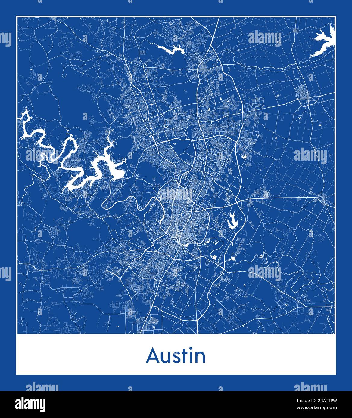 Austin United States North America City map blue print vector illustration Stock Vectorhttps://www.alamy.com/image-license-details/?v=1https://www.alamy.com/austin-united-states-north-america-city-map-blue-print-vector-illustration-image557424641.html
RF2RATTPW–Austin United States North America City map blue print vector illustration
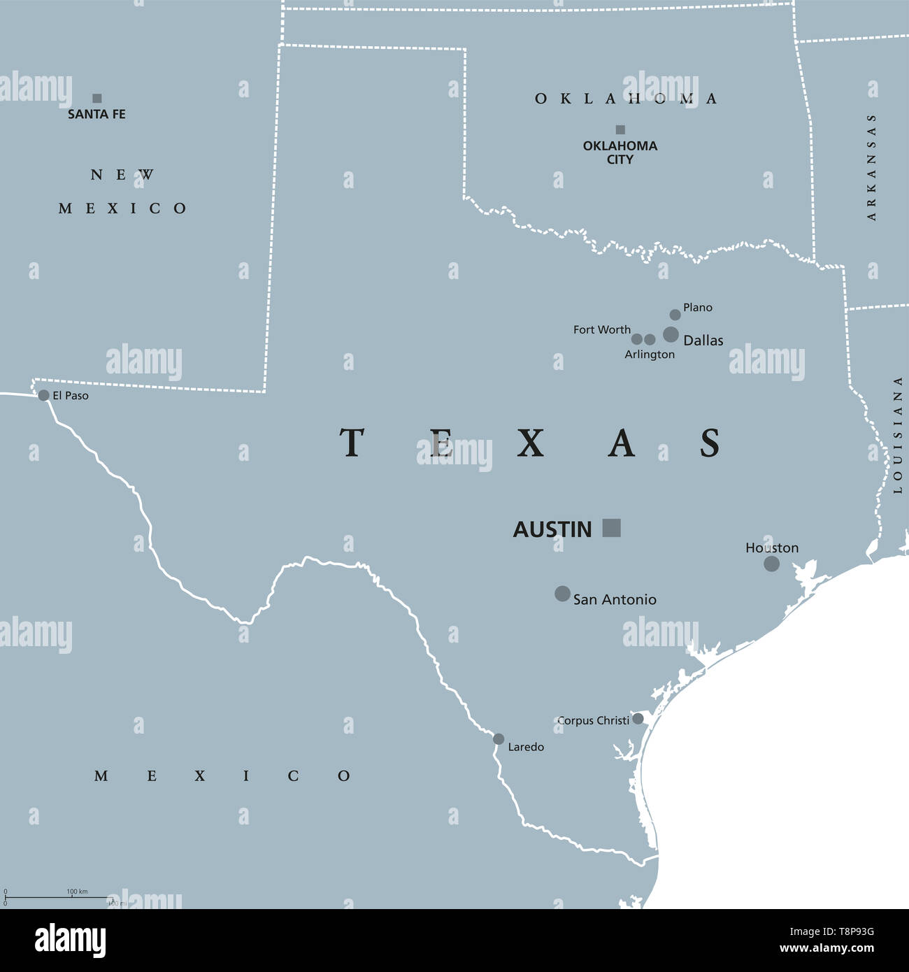 Texas political map with capital Austin. State in the South Central region of the United States of America, bordered by Gulf of Mexico. Stock Photohttps://www.alamy.com/image-license-details/?v=1https://www.alamy.com/texas-political-map-with-capital-austin-state-in-the-south-central-region-of-the-united-states-of-america-bordered-by-gulf-of-mexico-image246352500.html
RFT8P93G–Texas political map with capital Austin. State in the South Central region of the United States of America, bordered by Gulf of Mexico.
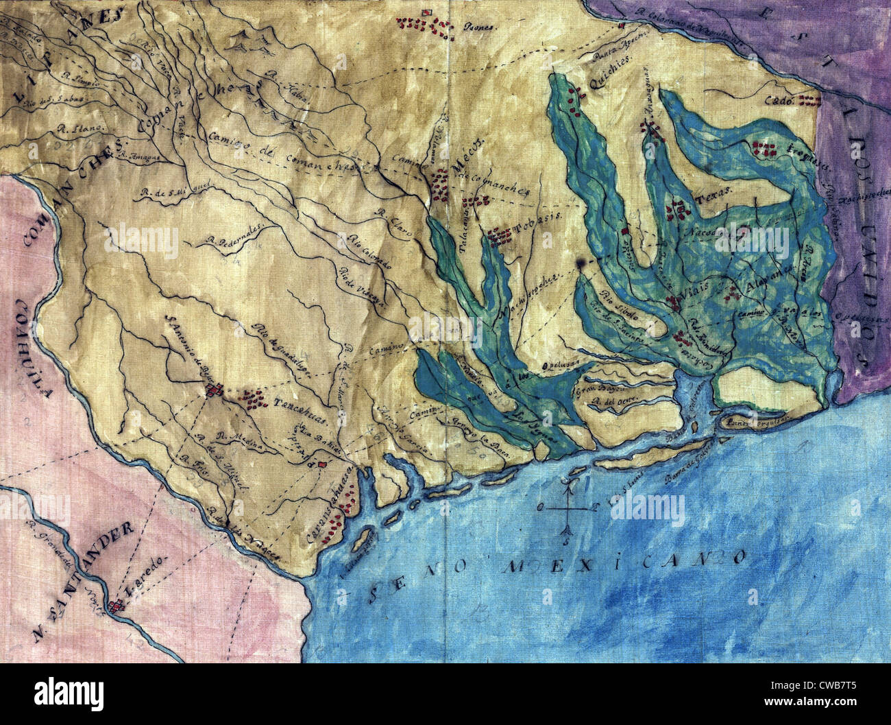 Topographic map of the Province of Texas. Stephen F. Austin's hand-drawn map of the Spanish Province of Texas. 1822 Stock Photohttps://www.alamy.com/image-license-details/?v=1https://www.alamy.com/stock-photo-topographic-map-of-the-province-of-texas-stephen-f-austins-hand-drawn-50034773.html
RMCWB7T5–Topographic map of the Province of Texas. Stephen F. Austin's hand-drawn map of the Spanish Province of Texas. 1822
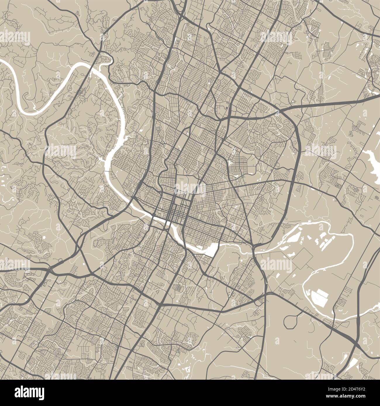 Vector map of Austin. Street map poster illustration. Austin map art. Stock Vectorhttps://www.alamy.com/image-license-details/?v=1https://www.alamy.com/vector-map-of-austin-street-map-poster-illustration-austin-map-art-image381619030.html
RF2D4T6Y2–Vector map of Austin. Street map poster illustration. Austin map art.
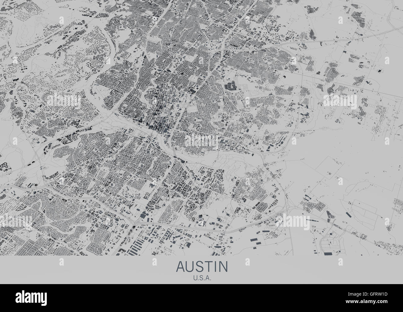 Austin map, satellite view, city, Texas, USA. 3d rendering Stock Photohttps://www.alamy.com/image-license-details/?v=1https://www.alamy.com/stock-photo-austin-map-satellite-view-city-texas-usa-3d-rendering-113006585.html
RFGFRW1D–Austin map, satellite view, city, Texas, USA. 3d rendering
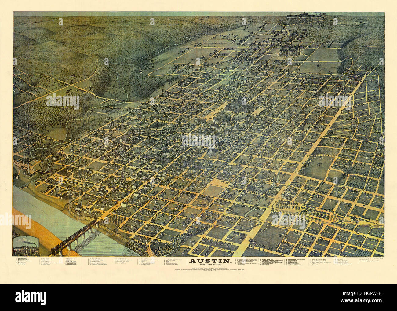 Map Of Austin 1887 Stock Photohttps://www.alamy.com/image-license-details/?v=1https://www.alamy.com/stock-photo-map-of-austin-1887-130810053.html
RFHGPWFH–Map Of Austin 1887
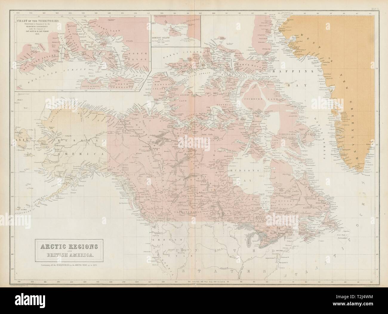 Canadian Arctic Archipelago. British America. Canada. Russian Alaska 1856 map Stock Photohttps://www.alamy.com/image-license-details/?v=1https://www.alamy.com/canadian-arctic-archipelago-british-america-canada-russian-alaska-1856-map-image242573456.html
RFT2J4WM–Canadian Arctic Archipelago. British America. Canada. Russian Alaska 1856 map
 Austin map Stock Photohttps://www.alamy.com/image-license-details/?v=1https://www.alamy.com/austin-map-image217200473.html
RMPHA9BN–Austin map
 Austin Pennsylvania USA shown on a Geography map or Road map Stock Photohttps://www.alamy.com/image-license-details/?v=1https://www.alamy.com/austin-pennsylvania-usa-shown-on-a-geography-map-or-road-map-image433856385.html
RM2G5RT6W–Austin Pennsylvania USA shown on a Geography map or Road map
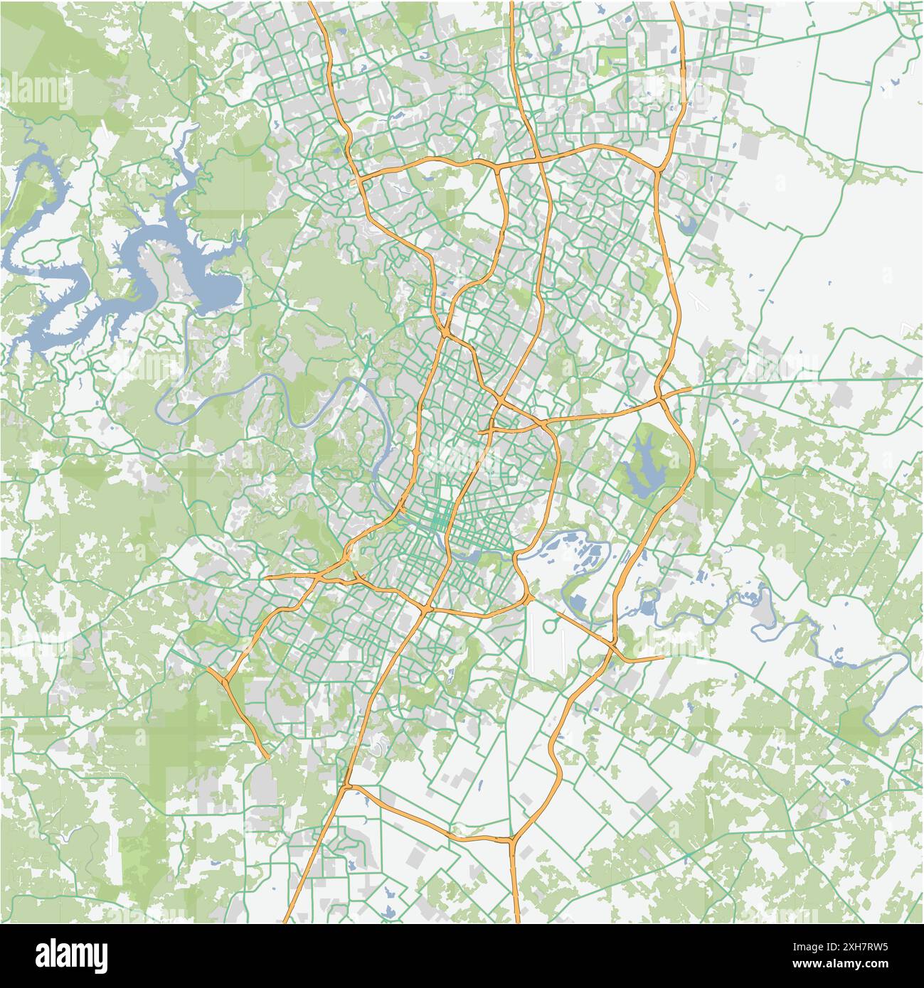 Road map of Austin in Texas. Contains layered vector with roads water, parks, etc. Stock Vectorhttps://www.alamy.com/image-license-details/?v=1https://www.alamy.com/road-map-of-austin-in-texas-contains-layered-vector-with-roads-water-parks-etc-image612984433.html
RF2XH7RW5–Road map of Austin in Texas. Contains layered vector with roads water, parks, etc.
 Map shewing a plan for the widening and opening of Duane Street from Broadway to Centre Street / Austin D. Ewen, City Surveyor, cartographic, Maps, 1856, Ewen, Austin D Stock Photohttps://www.alamy.com/image-license-details/?v=1https://www.alamy.com/map-shewing-a-plan-for-the-widening-and-opening-of-duane-street-from-broadway-to-centre-street-austin-d-ewen-city-surveyor-cartographic-maps-1856-ewen-austin-d-image376429406.html
RM2CTBRFA–Map shewing a plan for the widening and opening of Duane Street from Broadway to Centre Street / Austin D. Ewen, City Surveyor, cartographic, Maps, 1856, Ewen, Austin D
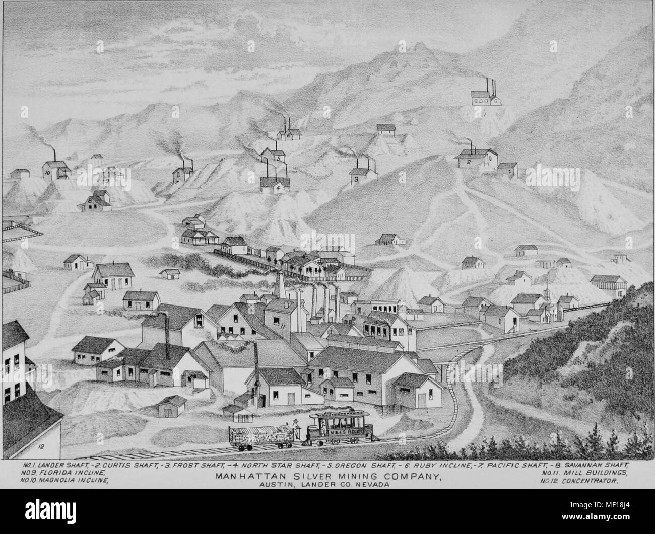 Hand-drawn map of mines operated by the Manhattan Silver Mining Company in Austin, Nevada, 1881. Courtesy Internet Archive. () Stock Photohttps://www.alamy.com/image-license-details/?v=1https://www.alamy.com/hand-drawn-map-of-mines-operated-by-the-manhattan-silver-mining-company-in-austin-nevada-1881-courtesy-internet-archive-image181352252.html
RMMF18J4–Hand-drawn map of mines operated by the Manhattan Silver Mining Company in Austin, Nevada, 1881. Courtesy Internet Archive. ()
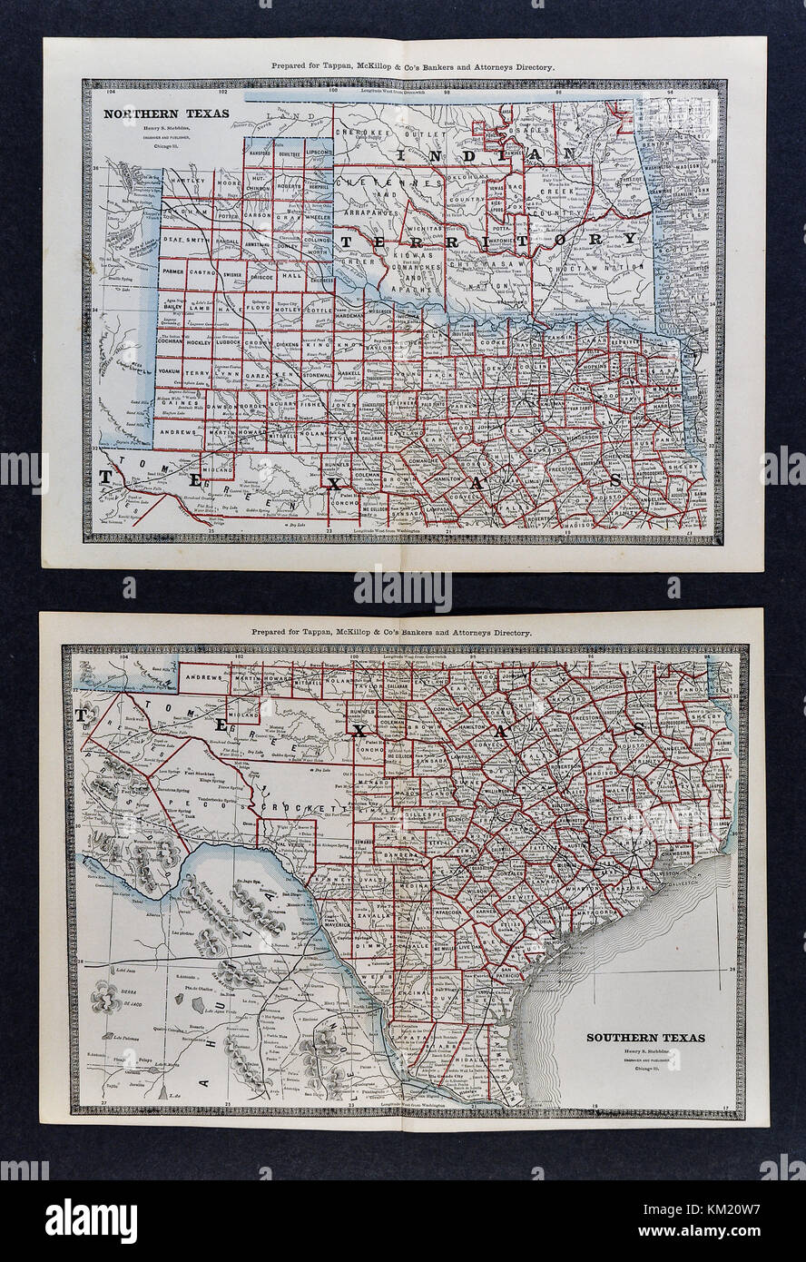 George Cram Antique Map from 1866 Atlas for Attorneys and Bankers: United States - Texas - Austin San Antonio Houston Dallas Fort Worth Galveston Stock Photohttps://www.alamy.com/image-license-details/?v=1https://www.alamy.com/stock-image-george-cram-antique-map-from-1866-atlas-for-attorneys-and-bankers-167231043.html
RFKM20W7–George Cram Antique Map from 1866 Atlas for Attorneys and Bankers: United States - Texas - Austin San Antonio Houston Dallas Fort Worth Galveston
 Texas State - Texas Road sign illustration Stock Photohttps://www.alamy.com/image-license-details/?v=1https://www.alamy.com/texas-state-texas-road-sign-illustration-image425065319.html
RM2FKFB47–Texas State - Texas Road sign illustration
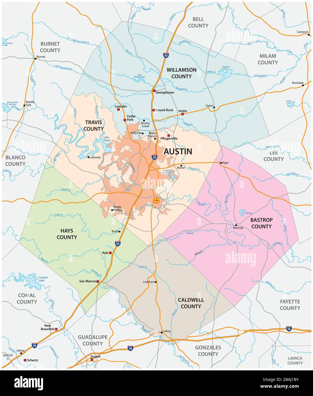 road and administrative vector map of greater Austin, Texas, United States Stock Vectorhttps://www.alamy.com/image-license-details/?v=1https://www.alamy.com/road-and-administrative-vector-map-of-greater-austin-texas-united-states-image350750175.html
RF2BAJ1BY–road and administrative vector map of greater Austin, Texas, United States
 state map with blue gradient Stock Vectorhttps://www.alamy.com/image-license-details/?v=1https://www.alamy.com/stock-photo-state-map-with-blue-gradient-91242714.html
RFF8CD0A–state map with blue gradient
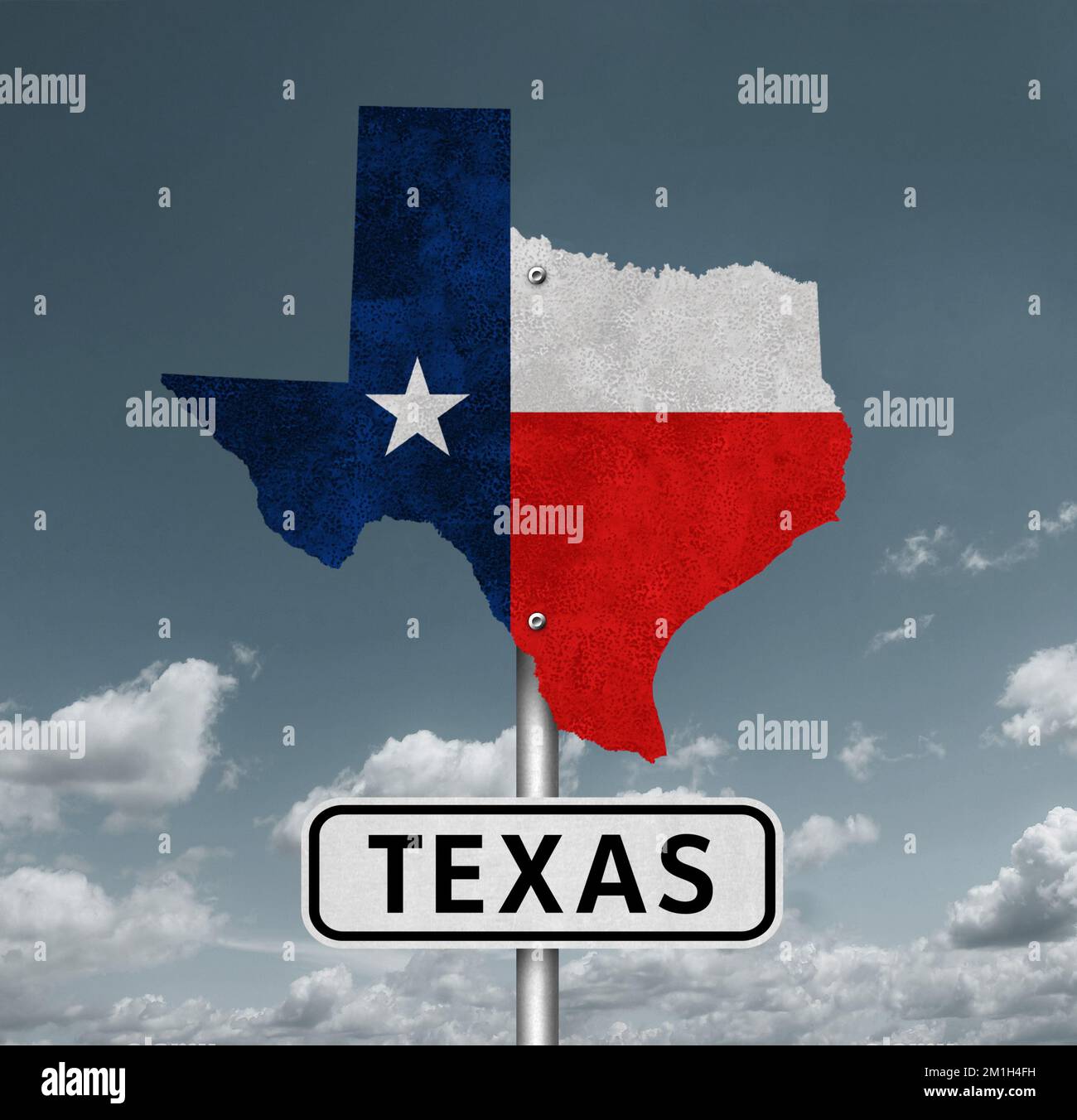 Texas State Map - Interstate roadsign Stock Photohttps://www.alamy.com/image-license-details/?v=1https://www.alamy.com/texas-state-map-interstate-roadsign-image500092085.html
RF2M1H4FH–Texas State Map - Interstate roadsign
 Point Austin, , AU, Australia, Queensland, S 17 3' 0'', N 140 56' 59'', map, Cartascapes Map published in 2024. Explore Cartascapes, a map revealing Earth's diverse landscapes, cultures, and ecosystems. Journey through time and space, discovering the interconnectedness of our planet's past, present, and future. Stock Photohttps://www.alamy.com/image-license-details/?v=1https://www.alamy.com/point-austin-au-australia-queensland-s-17-3-0-n-140-56-59-map-cartascapes-map-published-in-2024-explore-cartascapes-a-map-revealing-earths-diverse-landscapes-cultures-and-ecosystems-journey-through-time-and-space-discovering-the-interconnectedness-of-our-planets-past-present-and-future-image625603682.html
RM2Y9PKTJ–Point Austin, , AU, Australia, Queensland, S 17 3' 0'', N 140 56' 59'', map, Cartascapes Map published in 2024. Explore Cartascapes, a map revealing Earth's diverse landscapes, cultures, and ecosystems. Journey through time and space, discovering the interconnectedness of our planet's past, present, and future.
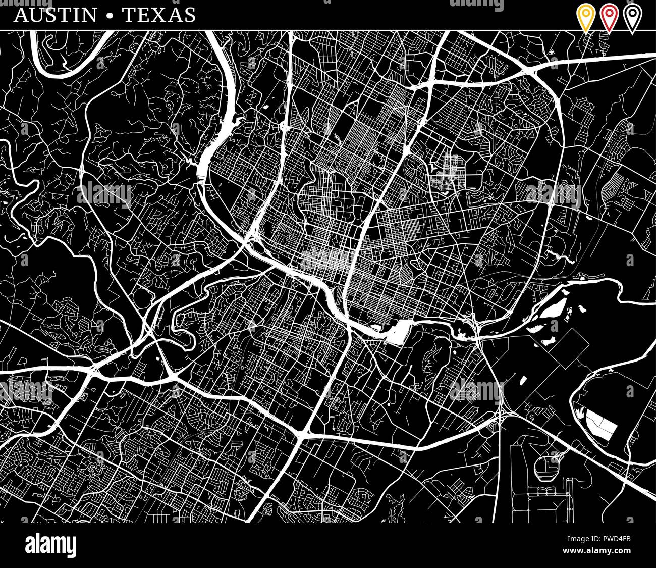 Simple map of Austin, Texas, USA. Black and white version for clean backgrounds and prints. This map of Austin contains three markers who are grouped Stock Vectorhttps://www.alamy.com/image-license-details/?v=1https://www.alamy.com/simple-map-of-austin-texas-usa-black-and-white-version-for-clean-backgrounds-and-prints-this-map-of-austin-contains-three-markers-who-are-grouped-image222179759.html
RFPWD4FB–Simple map of Austin, Texas, USA. Black and white version for clean backgrounds and prints. This map of Austin contains three markers who are grouped
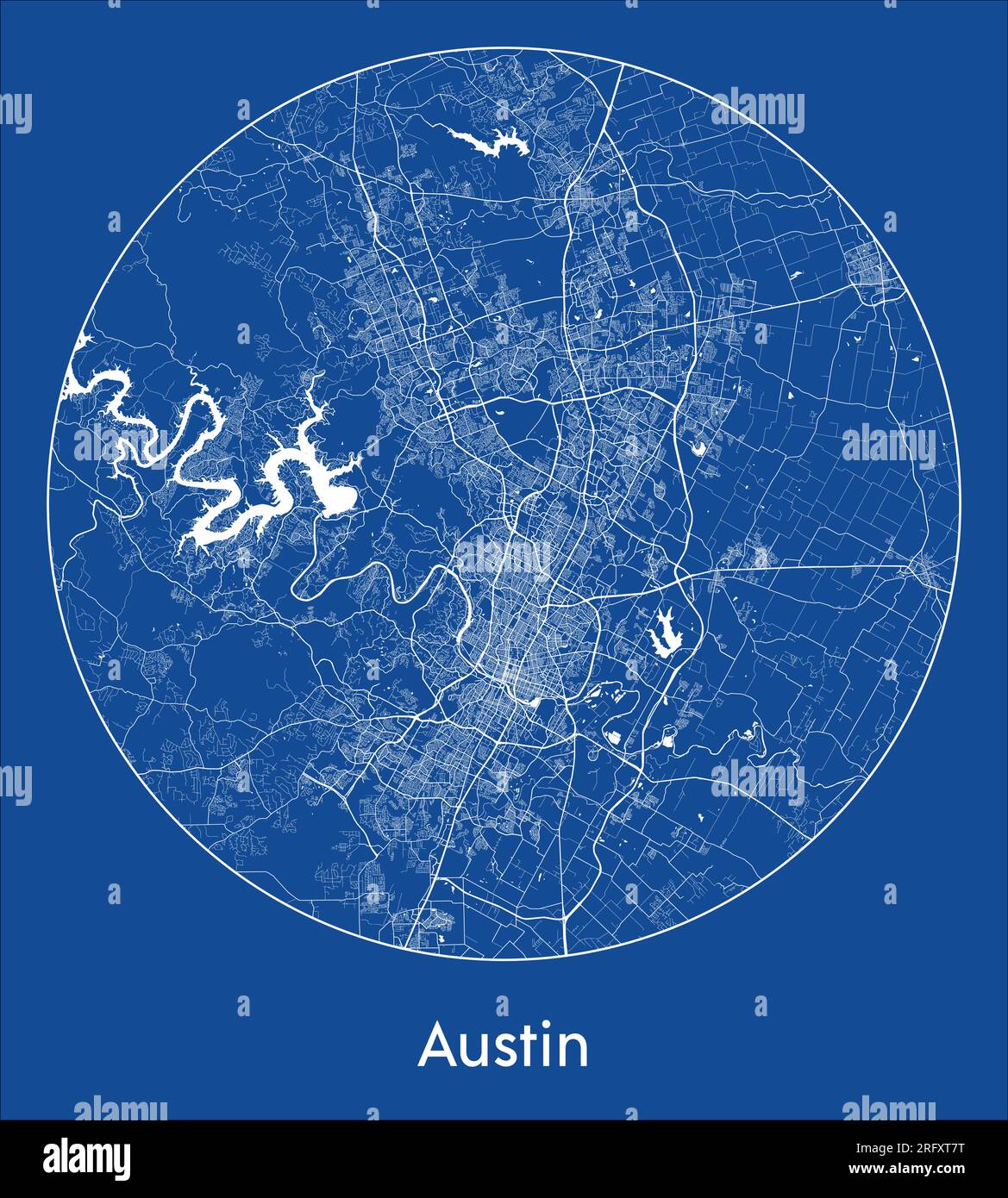 City Map Austin United States North America blue print round Circle vector illustration Stock Vectorhttps://www.alamy.com/image-license-details/?v=1https://www.alamy.com/city-map-austin-united-states-north-america-blue-print-round-circle-vector-illustration-image560541404.html
RF2RFXT7T–City Map Austin United States North America blue print round Circle vector illustration
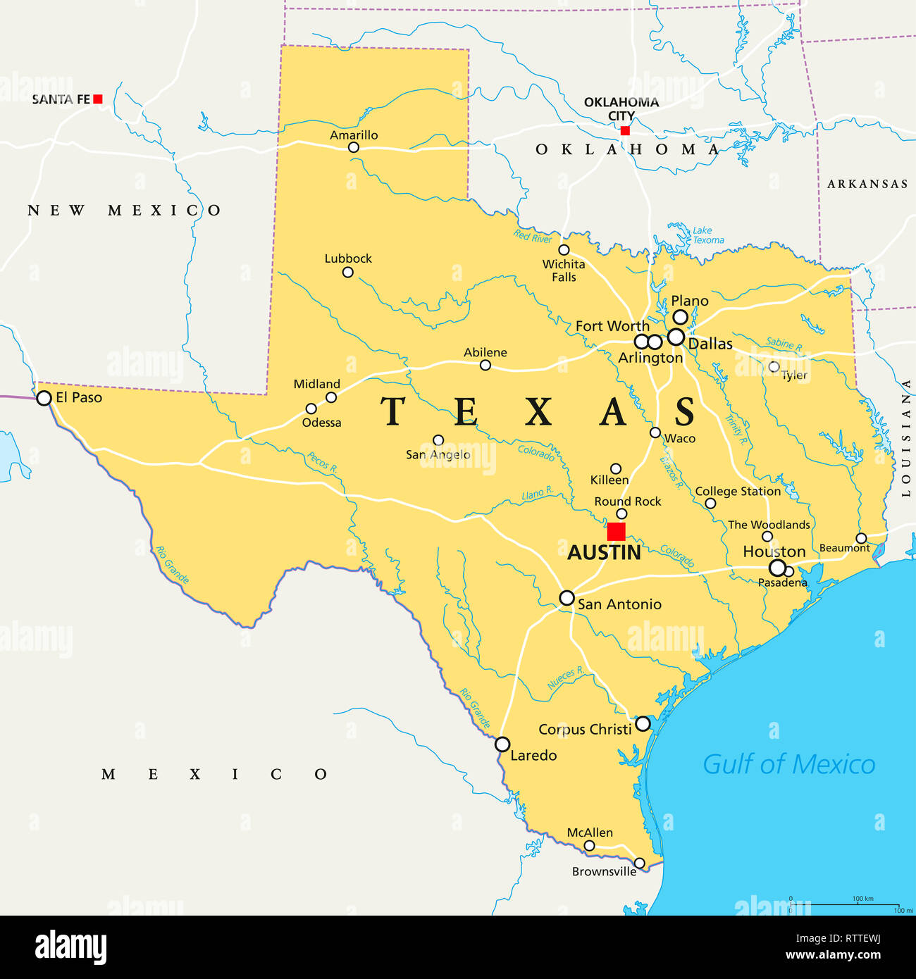 Texas, political map, with capital Austin, borders, important cities, rivers and lakes. State in the South Central region of the United States. Stock Photohttps://www.alamy.com/image-license-details/?v=1https://www.alamy.com/texas-political-map-with-capital-austin-borders-important-cities-rivers-and-lakes-state-in-the-south-central-region-of-the-united-states-image239025070.html
RFRTTEWJ–Texas, political map, with capital Austin, borders, important cities, rivers and lakes. State in the South Central region of the United States.
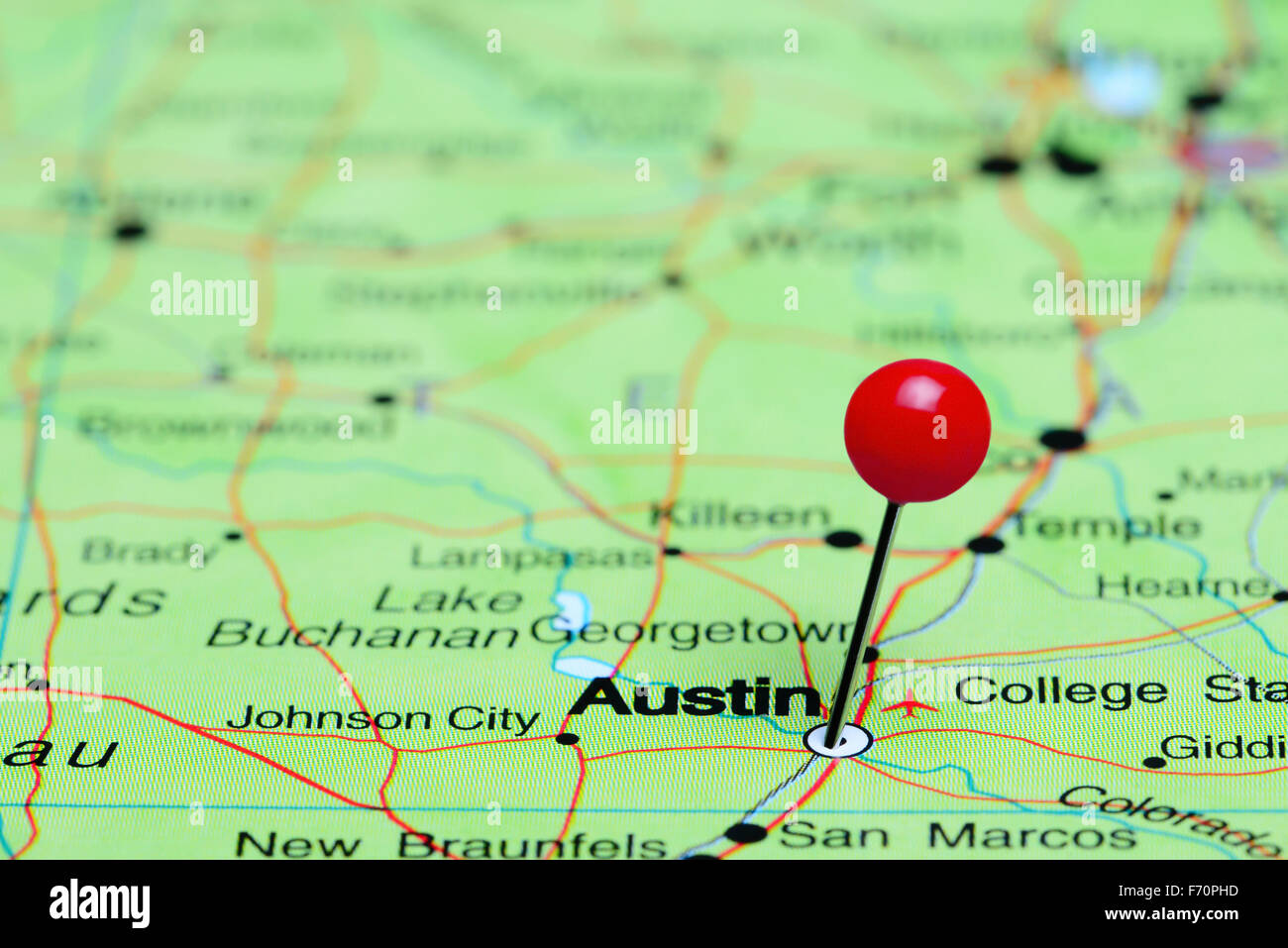 Austin pinned on a map of USA Stock Photohttps://www.alamy.com/image-license-details/?v=1https://www.alamy.com/stock-photo-austin-pinned-on-a-map-of-usa-90372169.html
RFF70PHD–Austin pinned on a map of USA
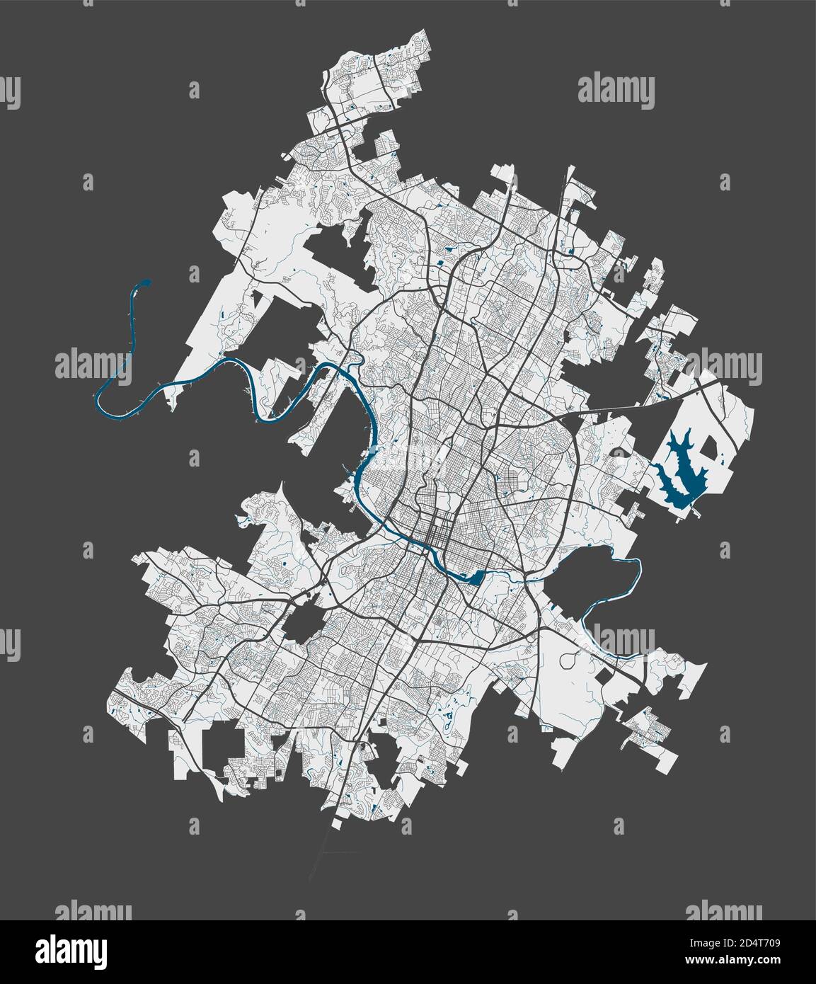 Austin map. Detailed vector map of Austin city administrative area. Poster with streets and water on grey background. Stock Vectorhttps://www.alamy.com/image-license-details/?v=1https://www.alamy.com/austin-map-detailed-vector-map-of-austin-city-administrative-area-poster-with-streets-and-water-on-grey-background-image381619065.html
RF2D4T709–Austin map. Detailed vector map of Austin city administrative area. Poster with streets and water on grey background.
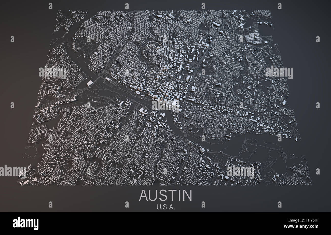 Austin map, satellite view, USA Stock Photohttps://www.alamy.com/image-license-details/?v=1https://www.alamy.com/stock-photo-austin-map-satellite-view-usa-97098921.html
RFFHY6JH–Austin map, satellite view, USA
 Texas counties map and congressional districts since 2023 map. Austin, Houston, San Antonio, Dallas, Fort Worth and El Paso cities skylines. Vector se Stock Vectorhttps://www.alamy.com/image-license-details/?v=1https://www.alamy.com/texas-counties-map-and-congressional-districts-since-2023-map-austin-houston-san-antonio-dallas-fort-worth-and-el-paso-cities-skylines-vector-se-image610035314.html
RF2XCDE7E–Texas counties map and congressional districts since 2023 map. Austin, Houston, San Antonio, Dallas, Fort Worth and El Paso cities skylines. Vector se
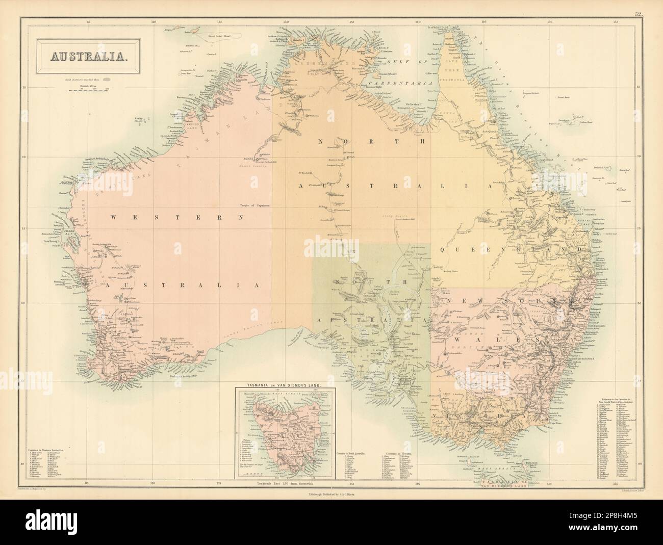 Australia. Sturt Stuart Austin Gregory explorers' routes. BARTHOLOMEW 1862 map Stock Photohttps://www.alamy.com/image-license-details/?v=1https://www.alamy.com/australia-sturt-stuart-austin-gregory-explorers-routes-bartholomew-1862-map-image538815541.html
RF2P8H4M5–Australia. Sturt Stuart Austin Gregory explorers' routes. BARTHOLOMEW 1862 map
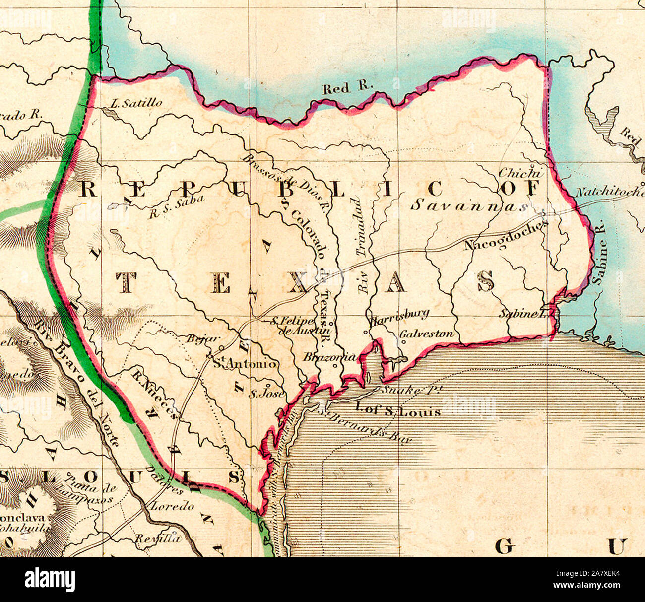 Map of Texas in 1836 - Shortly after Texas declared its independence from Mexico in 1836, the Edinburgh painter, engraver, printer, cartographer, lithographer, and publisher William Home Lizars (1788-1859), brother of Daniel Lizars II (1793-1875) updated the original plate for the map of Mexico & Guatemala to include the new republic. He added the towns of Galveston, Harrisburg, Brazoria, S. Felipe de Austin (although recently destroyed), Bejar, and 'S. Jose' (probably intended to represent Goliad). Lizars made no further improvements to the general cartographic shape of the republic except to Stock Photohttps://www.alamy.com/image-license-details/?v=1https://www.alamy.com/map-of-texas-in-1836-shortly-after-texas-declared-its-independence-from-mexico-in-1836-the-edinburgh-painter-engraver-printer-cartographer-lithographer-and-publisher-william-home-lizars-1788-1859-brother-of-daniel-lizars-ii-1793-1875-updated-the-original-plate-for-the-map-of-mexico-guatemala-to-include-the-new-republic-he-added-the-towns-of-galveston-harrisburg-brazoria-s-felipe-de-austin-although-recently-destroyed-bejar-and-s-jose-probably-intended-to-represent-goliad-lizars-made-no-further-improvements-to-the-general-cartographic-shape-of-the-republic-except-to-image331881848.html
RM2A7XEK4–Map of Texas in 1836 - Shortly after Texas declared its independence from Mexico in 1836, the Edinburgh painter, engraver, printer, cartographer, lithographer, and publisher William Home Lizars (1788-1859), brother of Daniel Lizars II (1793-1875) updated the original plate for the map of Mexico & Guatemala to include the new republic. He added the towns of Galveston, Harrisburg, Brazoria, S. Felipe de Austin (although recently destroyed), Bejar, and 'S. Jose' (probably intended to represent Goliad). Lizars made no further improvements to the general cartographic shape of the republic except to
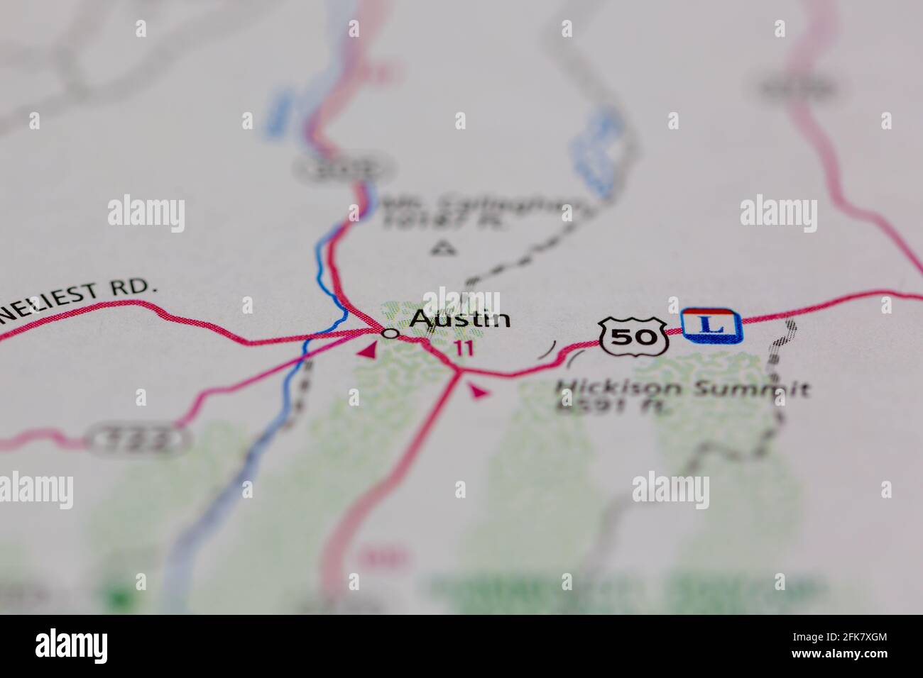 Austin California USA shown on a Geography map or road map Stock Photohttps://www.alamy.com/image-license-details/?v=1https://www.alamy.com/austin-california-usa-shown-on-a-geography-map-or-road-map-image424901812.html
RM2FK7XGM–Austin California USA shown on a Geography map or road map
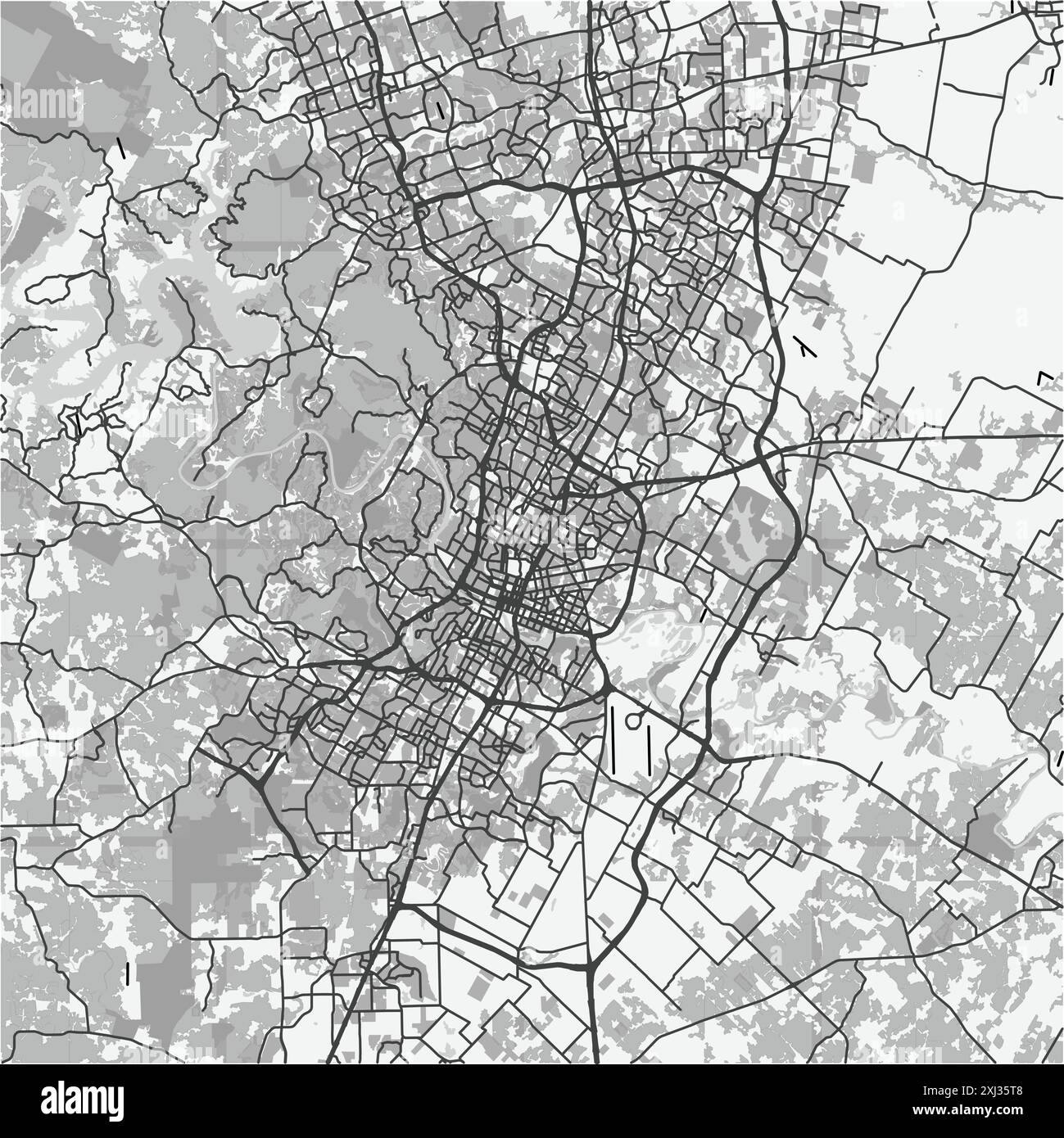 Map of Austin in Texas in grayscale. Contains layered vector with roads water, parks, etc. Stock Vectorhttps://www.alamy.com/image-license-details/?v=1https://www.alamy.com/map-of-austin-in-texas-in-grayscale-contains-layered-vector-with-roads-water-parks-etc-image613497144.html
RF2XJ35T8–Map of Austin in Texas in grayscale. Contains layered vector with roads water, parks, etc.
 Image 3 of Sanborn Fire Insurance Map from Austin, Potter County, Pennsylvania. Jul 1898. 4 Sheet(s), America, street map with a Nineteenth Century compass Stock Photohttps://www.alamy.com/image-license-details/?v=1https://www.alamy.com/image-3-of-sanborn-fire-insurance-map-from-austin-potter-county-pennsylvania-jul-1898-4-sheets-america-street-map-with-a-nineteenth-century-compass-image344692994.html
RM2B0P3C2–Image 3 of Sanborn Fire Insurance Map from Austin, Potter County, Pennsylvania. Jul 1898. 4 Sheet(s), America, street map with a Nineteenth Century compass
RF2XGF4XP–Icon for austin,map
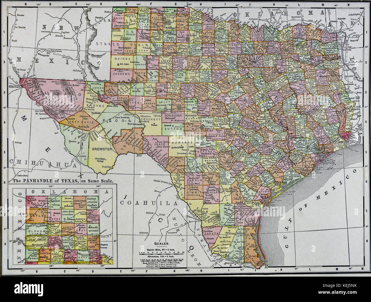 1911 McNally Map - Texas - Austin San Antonio Dallas Houston Fort Worth Denton Stock Photohttps://www.alamy.com/image-license-details/?v=1https://www.alamy.com/stock-image-1911-mcnally-map-texas-austin-san-antonio-dallas-houston-fort-worth-163898159.html
RFKEJ5NK–1911 McNally Map - Texas - Austin San Antonio Dallas Houston Fort Worth Denton
 Texas - The lone star state Stock Photohttps://www.alamy.com/image-license-details/?v=1https://www.alamy.com/texas-the-lone-star-state-image368433808.html
RF2CBBH28–Texas - The lone star state
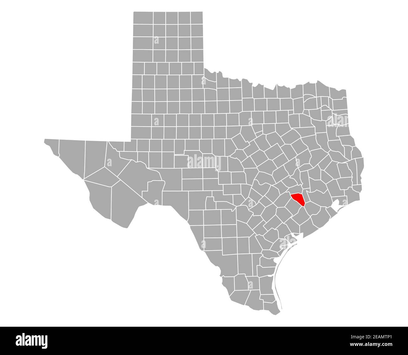 Map of Austin in Texas Stock Photohttps://www.alamy.com/image-license-details/?v=1https://www.alamy.com/map-of-austin-in-texas-image402443497.html
RF2EAMTP1–Map of Austin in Texas
 Merry Christmas illustration theme with map of Austin Stock Vectorhttps://www.alamy.com/image-license-details/?v=1https://www.alamy.com/merry-christmas-illustration-theme-with-map-of-austin-image226996476.html
RFR58G90–Merry Christmas illustration theme with map of Austin
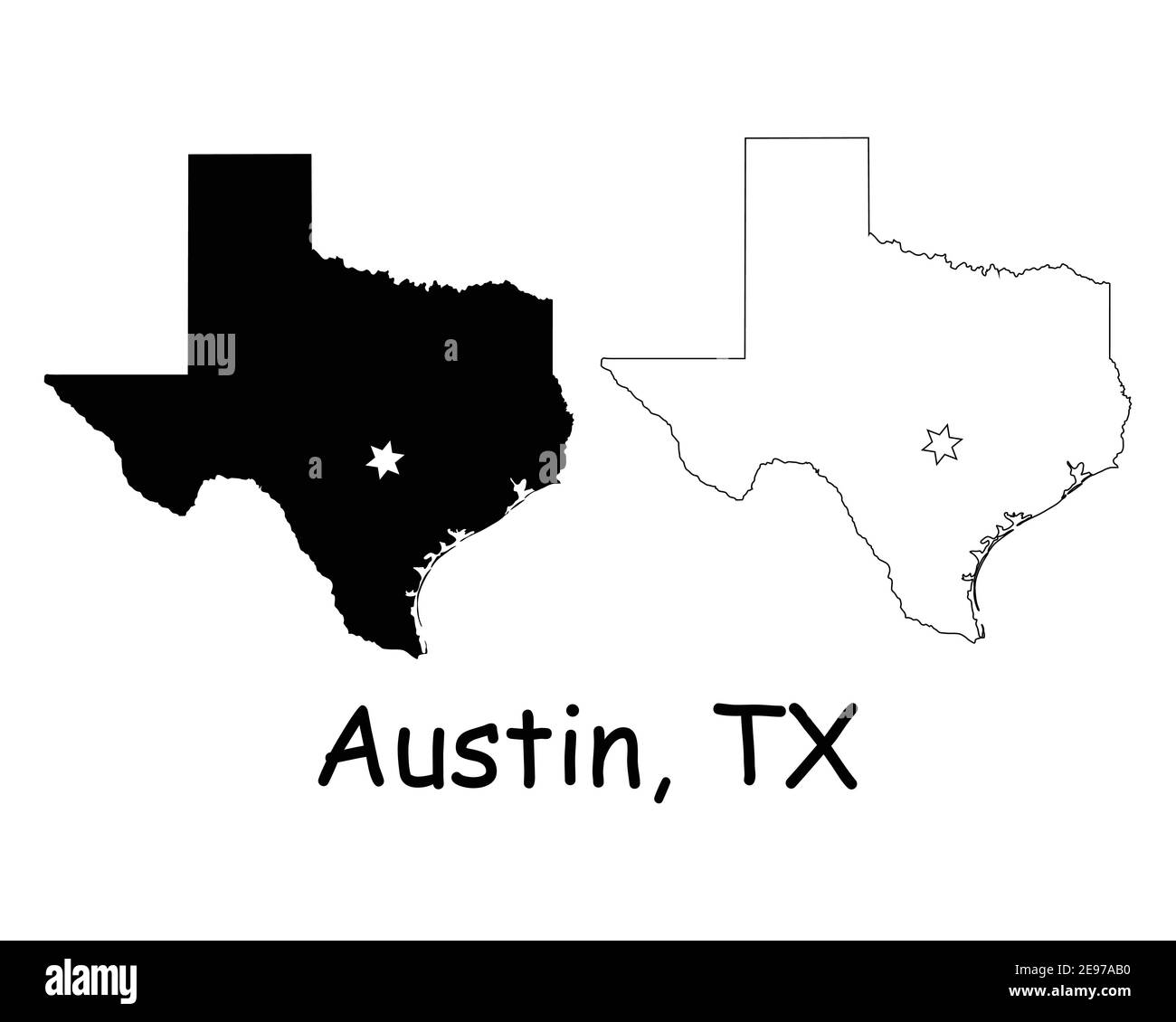 Texas TX state Map USA with Capital City Star at Austin. Black silhouette and outline isolated maps on a white background. EPS Vector Stock Vectorhttps://www.alamy.com/image-license-details/?v=1https://www.alamy.com/texas-tx-state-map-usa-with-capital-city-star-at-austin-black-silhouette-and-outline-isolated-maps-on-a-white-background-eps-vector-image401532180.html
RF2E97AB0–Texas TX state Map USA with Capital City Star at Austin. Black silhouette and outline isolated maps on a white background. EPS Vector
 Lake Austin, , AU, Australia, Western Australia, S 27 37' 24'', N 117 54' 48'', map, Cartascapes Map published in 2024. Explore Cartascapes, a map revealing Earth's diverse landscapes, cultures, and ecosystems. Journey through time and space, discovering the interconnectedness of our planet's past, present, and future. Stock Photohttps://www.alamy.com/image-license-details/?v=1https://www.alamy.com/lake-austin-au-australia-western-australia-s-27-37-24-n-117-54-48-map-cartascapes-map-published-in-2024-explore-cartascapes-a-map-revealing-earths-diverse-landscapes-cultures-and-ecosystems-journey-through-time-and-space-discovering-the-interconnectedness-of-our-planets-past-present-and-future-image625401307.html
RM2Y9DDMY–Lake Austin, , AU, Australia, Western Australia, S 27 37' 24'', N 117 54' 48'', map, Cartascapes Map published in 2024. Explore Cartascapes, a map revealing Earth's diverse landscapes, cultures, and ecosystems. Journey through time and space, discovering the interconnectedness of our planet's past, present, and future.
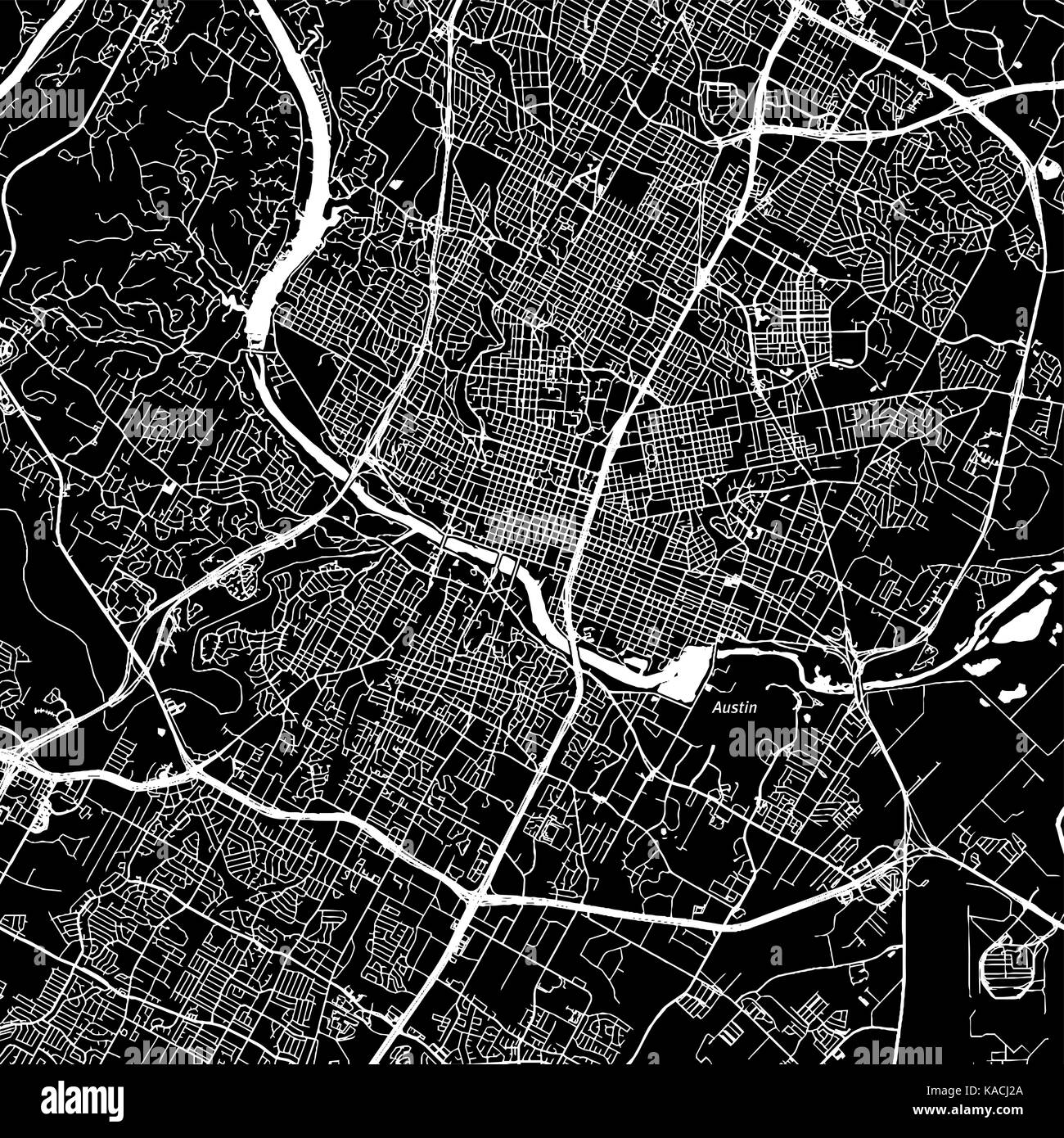 Austin, Texas. Downtown vector map. City name on a separate layer. Art print template. Black and white. Stock Vectorhttps://www.alamy.com/image-license-details/?v=1https://www.alamy.com/stock-image-austin-texas-downtown-vector-map-city-name-on-a-separate-layer-art-161317474.html
RFKACJ2A–Austin, Texas. Downtown vector map. City name on a separate layer. Art print template. Black and white.
 City Map Austin United States North America vector illustration black white Stock Vectorhttps://www.alamy.com/image-license-details/?v=1https://www.alamy.com/city-map-austin-united-states-north-america-vector-illustration-black-white-image557052782.html
RF2RA7XE6–City Map Austin United States North America vector illustration black white
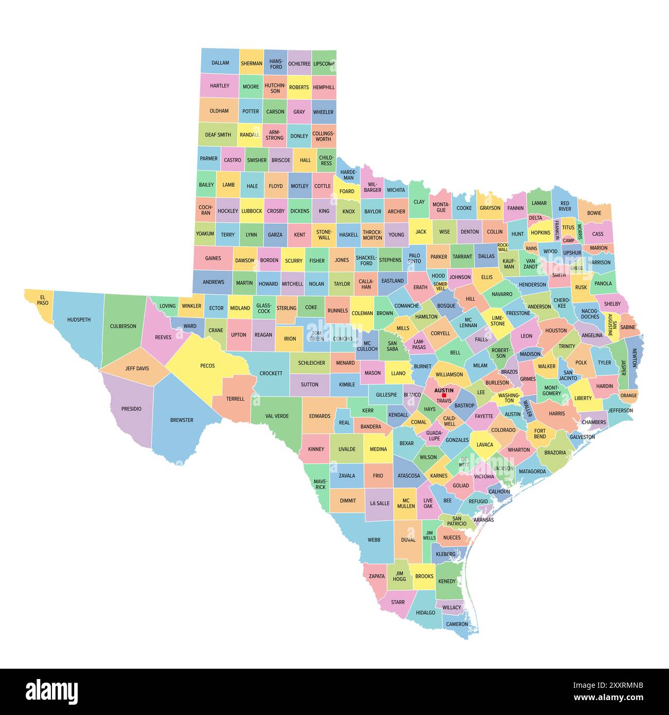 Texas, U.S. state, multi colored political map with borders, county names and capital Austin. State in the South Central region of the United States. Stock Photohttps://www.alamy.com/image-license-details/?v=1https://www.alamy.com/texas-us-state-multi-colored-political-map-with-borders-county-names-and-capital-austin-state-in-the-south-central-region-of-the-united-states-image618865111.html
RF2XXRMNB–Texas, U.S. state, multi colored political map with borders, county names and capital Austin. State in the South Central region of the United States.
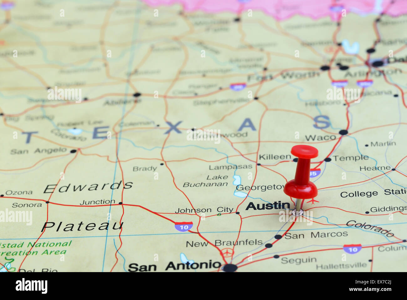 Austin pinned on a map of USA Stock Photohttps://www.alamy.com/image-license-details/?v=1https://www.alamy.com/stock-photo-austin-pinned-on-a-map-of-usa-84985674.html
RFEX7C2J–Austin pinned on a map of USA
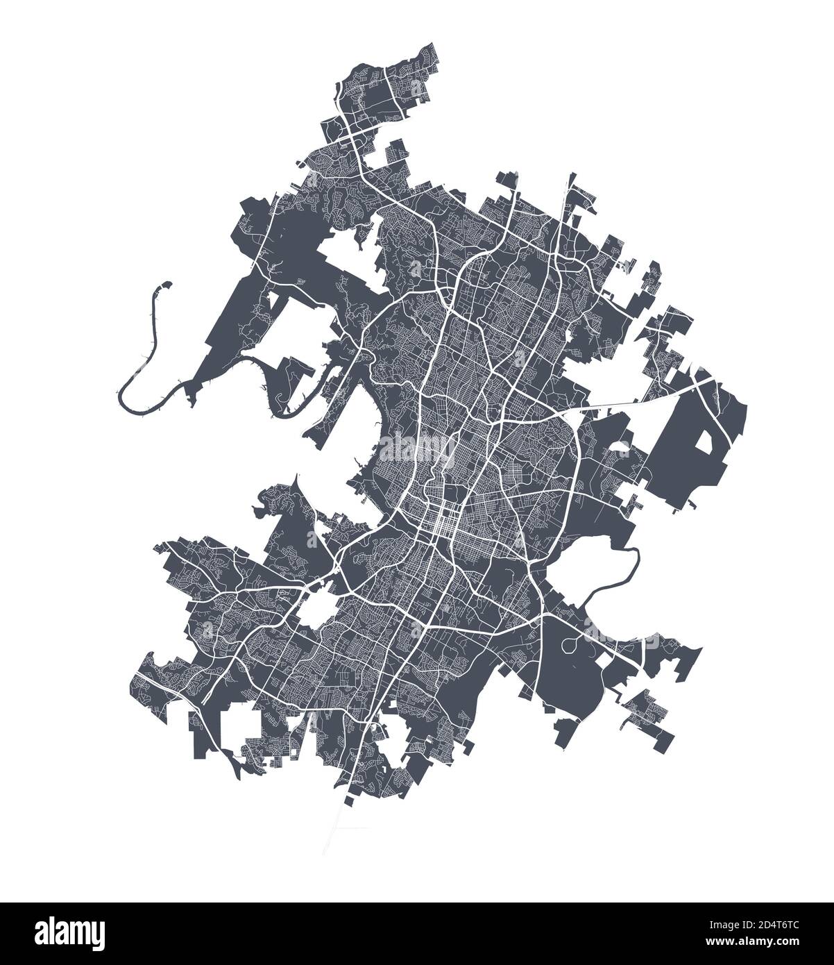 Austin map. Detailed vector map of Austin city administrative area. Dark poster with streets on white background. Stock Vectorhttps://www.alamy.com/image-license-details/?v=1https://www.alamy.com/austin-map-detailed-vector-map-of-austin-city-administrative-area-dark-poster-with-streets-on-white-background-image381618956.html
RF2D4T6TC–Austin map. Detailed vector map of Austin city administrative area. Dark poster with streets on white background.
 Stamp Texas letter with map for element design. Vector illustration EPS.8 EPS.10 Stock Vectorhttps://www.alamy.com/image-license-details/?v=1https://www.alamy.com/stamp-texas-letter-with-map-for-element-design-vector-illustration-eps8-eps10-image470538883.html
RF2J9EW43–Stamp Texas letter with map for element design. Vector illustration EPS.8 EPS.10
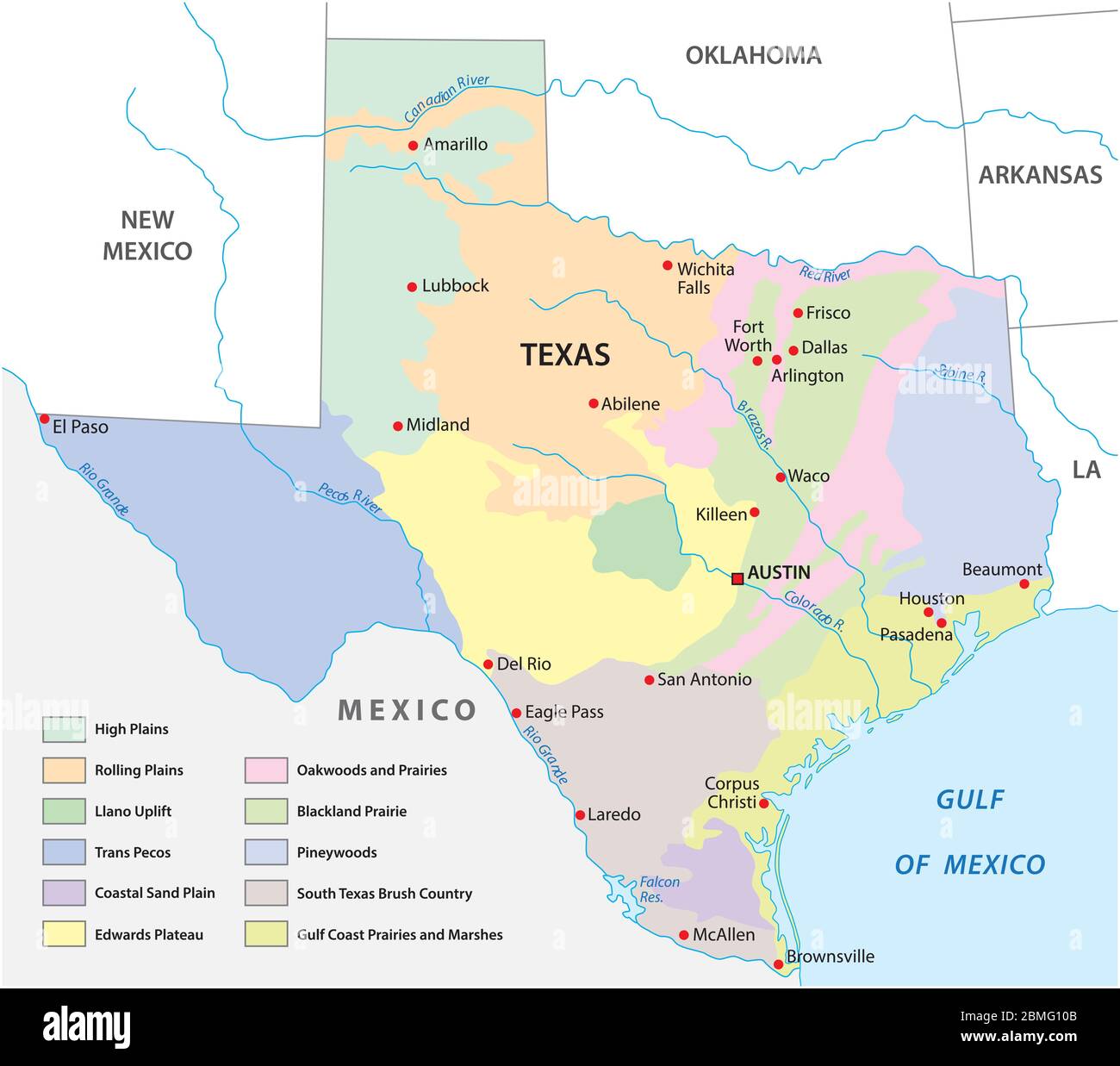 Vector map of the physical regions of Texas Stock Vectorhttps://www.alamy.com/image-license-details/?v=1https://www.alamy.com/vector-map-of-the-physical-regions-of-texas-image356852507.html
RF2BMG10B–Vector map of the physical regions of Texas
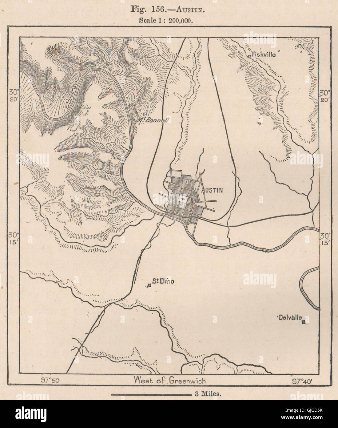 Austin. Texas, 1885 antique map Stock Photohttps://www.alamy.com/image-license-details/?v=1https://www.alamy.com/stock-photo-austin-texas-1885-antique-map-114687599.html
RFGJGD5K–Austin. Texas, 1885 antique map
 Topographic map of the Province of Texas. Stephen F. Austin's hand-drawn map of the Spanish Province of Texas. 1822 Stock Photohttps://www.alamy.com/image-license-details/?v=1https://www.alamy.com/stock-photo-topographic-map-of-the-province-of-texas-stephen-f-austins-hand-drawn-32385337.html
RMBTK7R5–Topographic map of the Province of Texas. Stephen F. Austin's hand-drawn map of the Spanish Province of Texas. 1822
 USA - Texas state road sign Stock Photohttps://www.alamy.com/image-license-details/?v=1https://www.alamy.com/usa-texas-state-road-sign-image491580388.html
RF2KFNBPC–USA - Texas state road sign
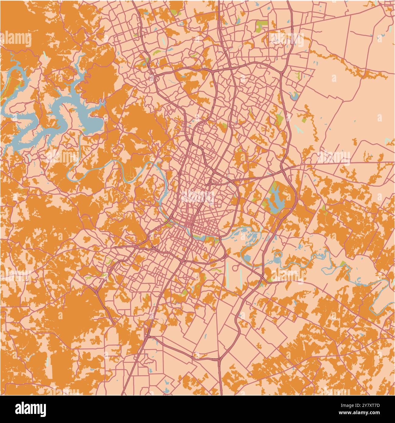 Map of Austin in Texas in a sandy theme. Contains layered vector with roads water, parks, etc. Stock Vectorhttps://www.alamy.com/image-license-details/?v=1https://www.alamy.com/map-of-austin-in-texas-in-a-sandy-theme-contains-layered-vector-with-roads-water-parks-etc-image624465617.html
RF2Y7XT7D–Map of Austin in Texas in a sandy theme. Contains layered vector with roads water, parks, etc.
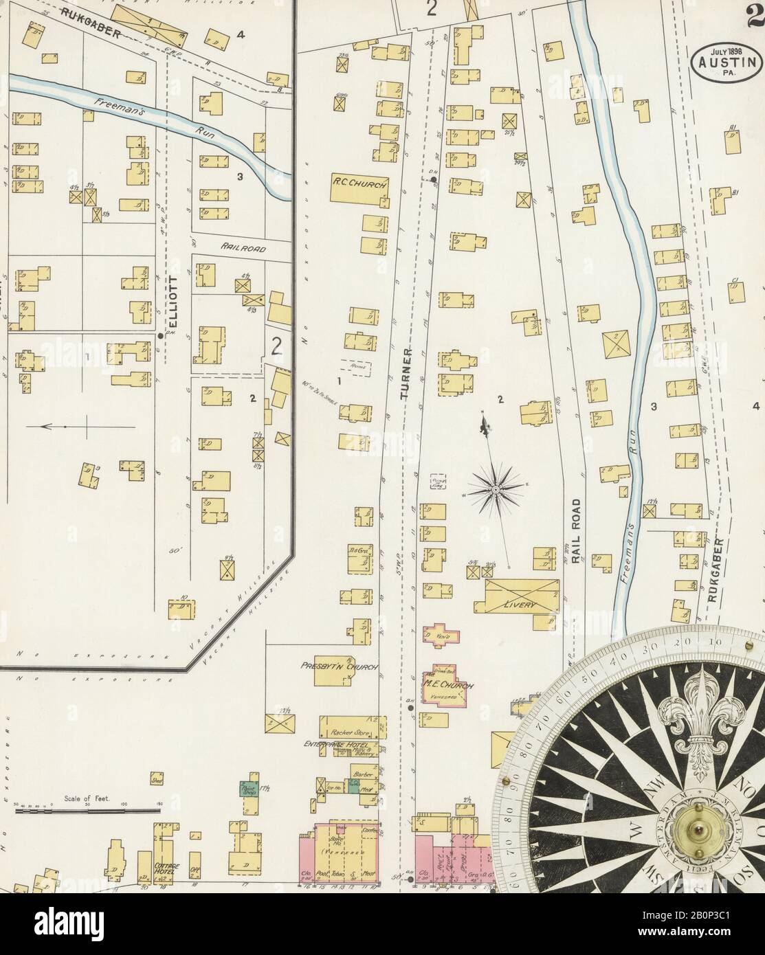 Image 2 of Sanborn Fire Insurance Map from Austin, Potter County, Pennsylvania. Jul 1898. 4 Sheet(s), America, street map with a Nineteenth Century compass Stock Photohttps://www.alamy.com/image-license-details/?v=1https://www.alamy.com/image-2-of-sanborn-fire-insurance-map-from-austin-potter-county-pennsylvania-jul-1898-4-sheets-america-street-map-with-a-nineteenth-century-compass-image344692993.html
RM2B0P3C1–Image 2 of Sanborn Fire Insurance Map from Austin, Potter County, Pennsylvania. Jul 1898. 4 Sheet(s), America, street map with a Nineteenth Century compass
RF2XG1RR7–Icon for austin,map
 1911 McNally Map - Texas - Austin San Antonio Dallas Houston Fort Worth Denton Stock Photohttps://www.alamy.com/image-license-details/?v=1https://www.alamy.com/stock-image-1911-mcnally-map-texas-austin-san-antonio-dallas-houston-fort-worth-163898155.html
RFKEJ5NF–1911 McNally Map - Texas - Austin San Antonio Dallas Houston Fort Worth Denton
RF2CAAH30–Silicon Hills in Austin Texas - map illustration
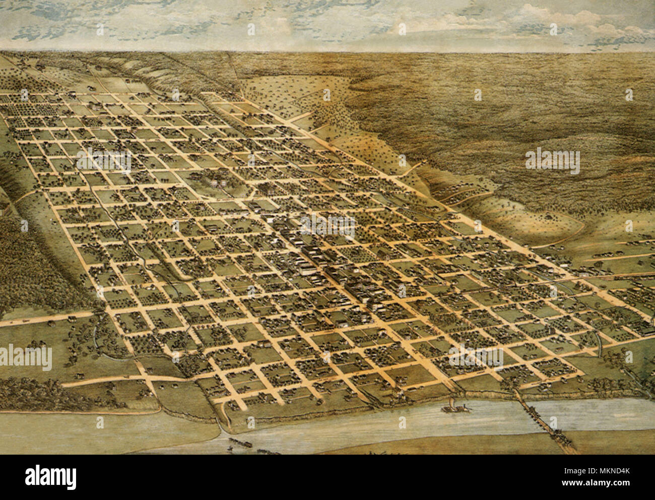 Bird's eye View of the City of Austin 1873 Stock Photohttps://www.alamy.com/image-license-details/?v=1https://www.alamy.com/birds-eye-view-of-the-city-of-austin-1873-image184253459.html
RMMKND4K–Bird's eye View of the City of Austin 1873
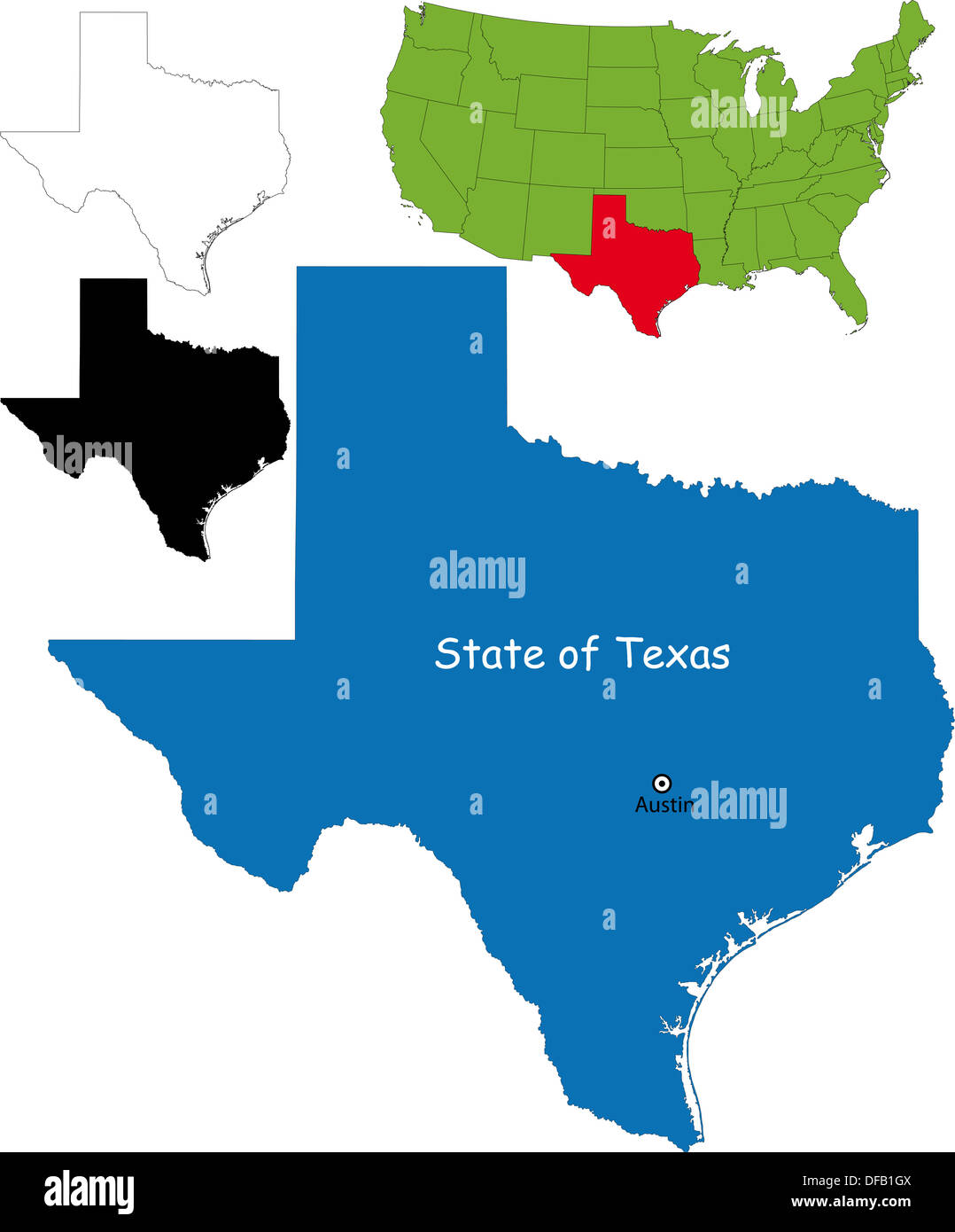 Texas map Stock Photohttps://www.alamy.com/image-license-details/?v=1https://www.alamy.com/texas-map-image61093674.html
RFDFB1GX–Texas map
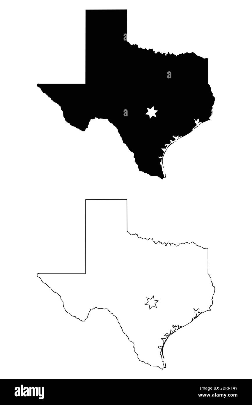 Texas TX state Map USA with Capital City Star at Austin. Black silhouette and outline isolated maps on a white background. EPS Vector Stock Vectorhttps://www.alamy.com/image-license-details/?v=1https://www.alamy.com/texas-tx-state-map-usa-with-capital-city-star-at-austin-black-silhouette-and-outline-isolated-maps-on-a-white-background-eps-vector-image358850267.html
RF2BRR14Y–Texas TX state Map USA with Capital City Star at Austin. Black silhouette and outline isolated maps on a white background. EPS Vector
 Lake Austin, , AU, Australia, Western Australia, S 27 37' 24'', N 117 54' 48'', map, Cartascapes Map published in 2024. Explore Cartascapes, a map revealing Earth's diverse landscapes, cultures, and ecosystems. Journey through time and space, discovering the interconnectedness of our planet's past, present, and future. Stock Photohttps://www.alamy.com/image-license-details/?v=1https://www.alamy.com/lake-austin-au-australia-western-australia-s-27-37-24-n-117-54-48-map-cartascapes-map-published-in-2024-explore-cartascapes-a-map-revealing-earths-diverse-landscapes-cultures-and-ecosystems-journey-through-time-and-space-discovering-the-interconnectedness-of-our-planets-past-present-and-future-image625369006.html
RM2Y9C0FA–Lake Austin, , AU, Australia, Western Australia, S 27 37' 24'', N 117 54' 48'', map, Cartascapes Map published in 2024. Explore Cartascapes, a map revealing Earth's diverse landscapes, cultures, and ecosystems. Journey through time and space, discovering the interconnectedness of our planet's past, present, and future.
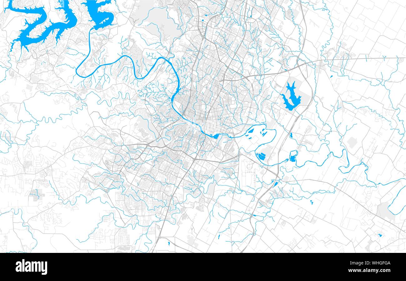 Rich detailed vector area map of Austin, Texas, U.S.A.. Map template for home decor. Stock Vectorhttps://www.alamy.com/image-license-details/?v=1https://www.alamy.com/rich-detailed-vector-area-map-of-austin-texas-usa-map-template-for-home-decor-image268968122.html
RFWHGFGA–Rich detailed vector area map of Austin, Texas, U.S.A.. Map template for home decor.
 City Map Austin United States North America vector illustration Stock Vectorhttps://www.alamy.com/image-license-details/?v=1https://www.alamy.com/city-map-austin-united-states-north-america-vector-illustration-image554137045.html
RF2R5F3CN–City Map Austin United States North America vector illustration
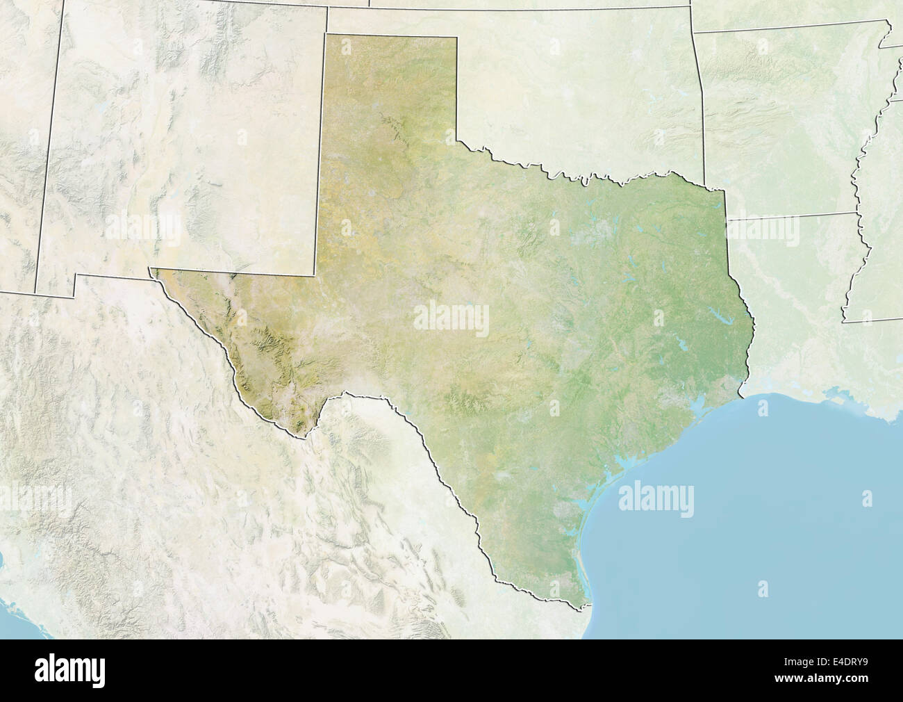 State of Texas, United States, Relief Map Stock Photohttps://www.alamy.com/image-license-details/?v=1https://www.alamy.com/stock-photo-state-of-texas-united-states-relief-map-71604269.html
RME4DRY9–State of Texas, United States, Relief Map
 Austin pinned on a map of USA Stock Photohttps://www.alamy.com/image-license-details/?v=1https://www.alamy.com/stock-photo-austin-pinned-on-a-map-of-usa-84987155.html
RFEX7DYF–Austin pinned on a map of USA
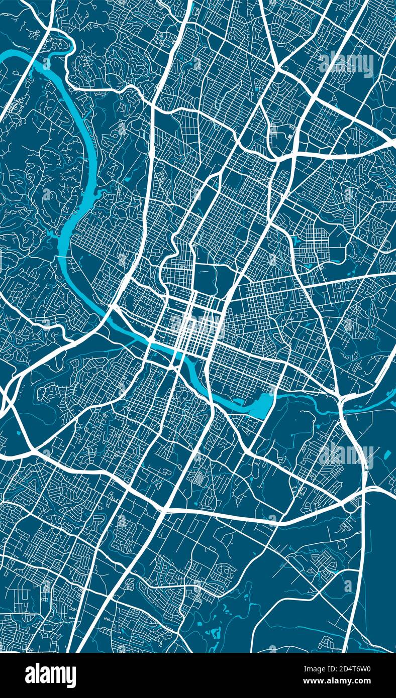 Austin city map poster. Map of Austin street map poster. Austin map vector illustration. Stock Vectorhttps://www.alamy.com/image-license-details/?v=1https://www.alamy.com/austin-city-map-poster-map-of-austin-street-map-poster-austin-map-vector-illustration-image381618972.html
RF2D4T6W0–Austin city map poster. Map of Austin street map poster. Austin map vector illustration.
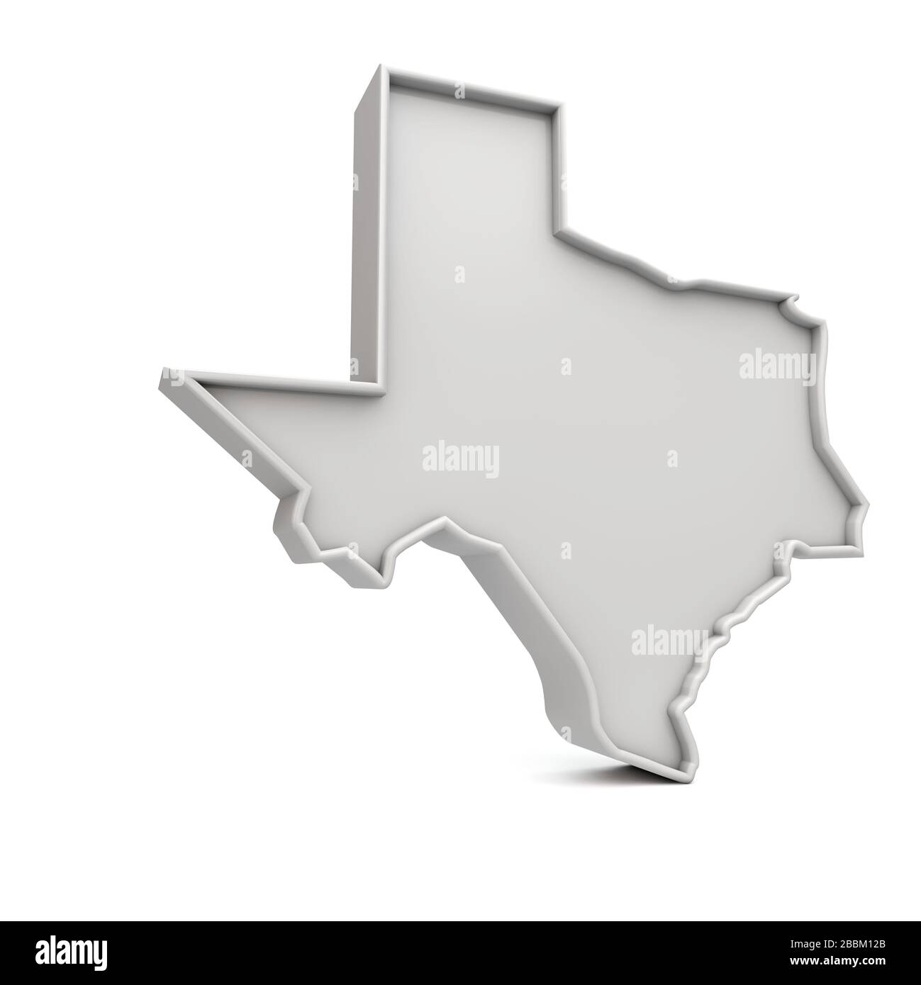 American state of Texas, simple 3D map in white grey. 3D Rendering Stock Photohttps://www.alamy.com/image-license-details/?v=1https://www.alamy.com/american-state-of-texas-simple-3d-map-in-white-grey-3d-rendering-image351408467.html
RF2BBM12B–American state of Texas, simple 3D map in white grey. 3D Rendering
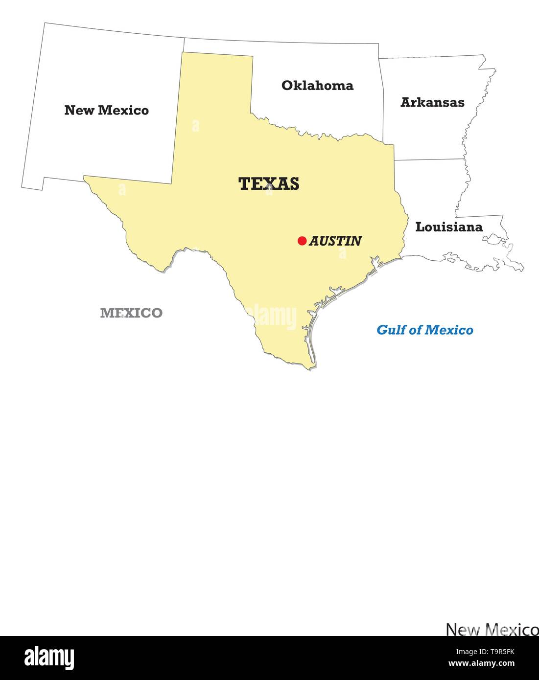 Texas state map with neighboring states Stock Vectorhttps://www.alamy.com/image-license-details/?v=1https://www.alamy.com/texas-state-map-with-neighboring-states-image246986311.html
RFT9R5FK–Texas state map with neighboring states
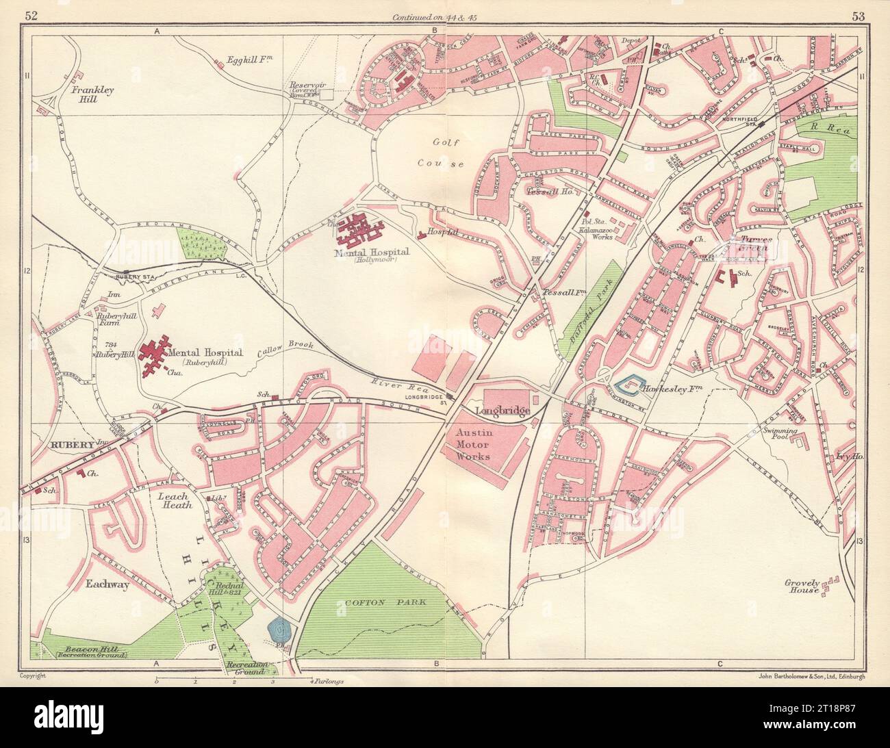 BIRMINGHAM SOUTH WEST Rubery Longbridge Northfield Austin Lickey Hills 1954 map Stock Photohttps://www.alamy.com/image-license-details/?v=1https://www.alamy.com/birmingham-south-west-rubery-longbridge-northfield-austin-lickey-hills-1954-map-image568749895.html
RF2T18P87–BIRMINGHAM SOUTH WEST Rubery Longbridge Northfield Austin Lickey Hills 1954 map
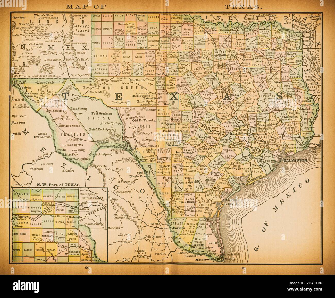 19th century map of Texas. Published in New Dollar Atlas of the United States and Dominion of Canada. (Rand McNally & Co's, Chicago, 1884). Stock Photohttps://www.alamy.com/image-license-details/?v=1https://www.alamy.com/19th-century-map-of-texas-published-in-new-dollar-atlas-of-the-united-states-and-dominion-of-canada-rand-mcnally-cos-chicago-1884-image385203818.html
RF2DAKFB6–19th century map of Texas. Published in New Dollar Atlas of the United States and Dominion of Canada. (Rand McNally & Co's, Chicago, 1884).
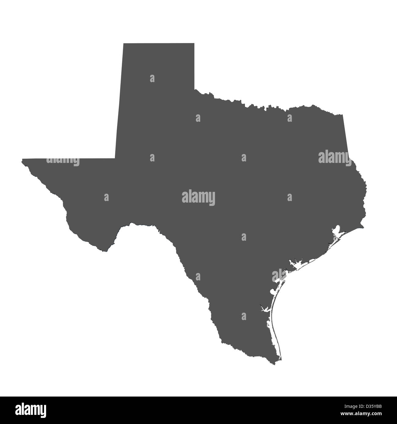 Map of the state of Texas - USA Stock Photohttps://www.alamy.com/image-license-details/?v=1https://www.alamy.com/stock-photo-map-of-the-state-of-texas-usa-53606319.html
RFD35YBB–Map of the state of Texas - USA
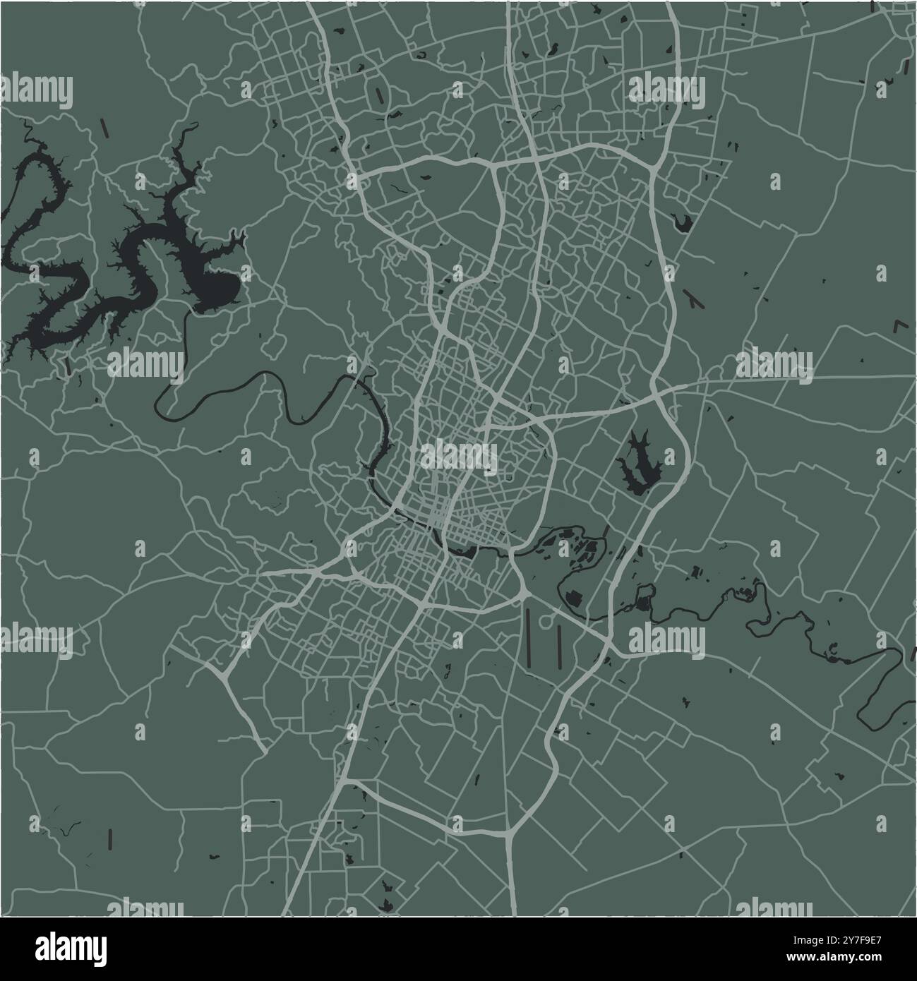 Map of Austin in Texas in a smooth dark style. Contains layered vector with roads water, parks, etc. Stock Vectorhttps://www.alamy.com/image-license-details/?v=1https://www.alamy.com/map-of-austin-in-texas-in-a-smooth-dark-style-contains-layered-vector-with-roads-water-parks-etc-image624212575.html
RF2Y7F9E7–Map of Austin in Texas in a smooth dark style. Contains layered vector with roads water, parks, etc.
 Image 1 of Sanborn Fire Insurance Map from Austin, Potter County, Pennsylvania. Jul 1898. 4 Sheet(s), America, street map with a Nineteenth Century compass Stock Photohttps://www.alamy.com/image-license-details/?v=1https://www.alamy.com/image-1-of-sanborn-fire-insurance-map-from-austin-potter-county-pennsylvania-jul-1898-4-sheets-america-street-map-with-a-nineteenth-century-compass-image344692989.html
RM2B0P3BW–Image 1 of Sanborn Fire Insurance Map from Austin, Potter County, Pennsylvania. Jul 1898. 4 Sheet(s), America, street map with a Nineteenth Century compass
RF2XGA7XP–Icon for austin,map
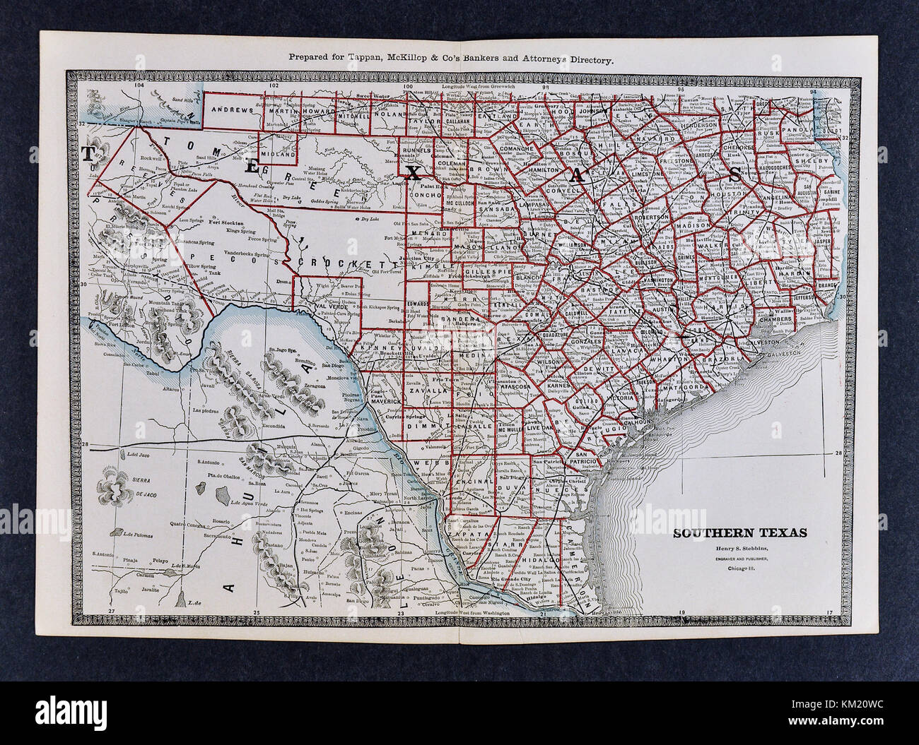 George Cram Antique Map from 1866 Atlas for Attorneys and Bankers: United States - South Texas - Austin San Antonio Brownsville El Paso Stock Photohttps://www.alamy.com/image-license-details/?v=1https://www.alamy.com/stock-image-george-cram-antique-map-from-1866-atlas-for-attorneys-and-bankers-167231048.html
RFKM20WC–George Cram Antique Map from 1866 Atlas for Attorneys and Bankers: United States - South Texas - Austin San Antonio Brownsville El Paso
 Texas State Map on Interstate road sign Stock Photohttps://www.alamy.com/image-license-details/?v=1https://www.alamy.com/texas-state-map-on-interstate-road-sign-image618665427.html
RF2XXEJ1R–Texas State Map on Interstate road sign
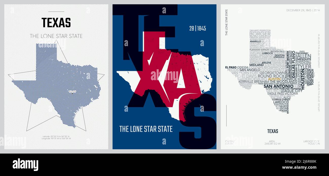 28 of 50 sets, US State Posters with name and Information in 3 Design Styles, Detailed vector art print Texas map Stock Vectorhttps://www.alamy.com/image-license-details/?v=1https://www.alamy.com/28-of-50-sets-us-state-posters-with-name-and-information-in-3-design-styles-detailed-vector-art-print-texas-map-image468879283.html
RF2J6R88K–28 of 50 sets, US State Posters with name and Information in 3 Design Styles, Detailed vector art print Texas map
 Los Angeles, California, USA - 1 May 2020: Austin City Town name with location on map close up, Illustrative Editorial Stock Photohttps://www.alamy.com/image-license-details/?v=1https://www.alamy.com/los-angeles-california-usa-1-may-2020-austin-city-town-name-with-location-on-map-close-up-illustrative-editorial-image357665535.html
RF2BNW213–Los Angeles, California, USA - 1 May 2020: Austin City Town name with location on map close up, Illustrative Editorial
 Texas road sign painting Stock Photohttps://www.alamy.com/image-license-details/?v=1https://www.alamy.com/texas-road-sign-painting-image626724707.html
RM2YBHNN7–Texas road sign painting
 Austin Reserve, , AU, Australia, South Australia, S 34 48' 11'', N 138 41' 36'', map, Cartascapes Map published in 2024. Explore Cartascapes, a map revealing Earth's diverse landscapes, cultures, and ecosystems. Journey through time and space, discovering the interconnectedness of our planet's past, present, and future. Stock Photohttps://www.alamy.com/image-license-details/?v=1https://www.alamy.com/austin-reserve-au-australia-south-australia-s-34-48-11-n-138-41-36-map-cartascapes-map-published-in-2024-explore-cartascapes-a-map-revealing-earths-diverse-landscapes-cultures-and-ecosystems-journey-through-time-and-space-discovering-the-interconnectedness-of-our-planets-past-present-and-future-image625613822.html
RM2Y9R4PP–Austin Reserve, , AU, Australia, South Australia, S 34 48' 11'', N 138 41' 36'', map, Cartascapes Map published in 2024. Explore Cartascapes, a map revealing Earth's diverse landscapes, cultures, and ecosystems. Journey through time and space, discovering the interconnectedness of our planet's past, present, and future.
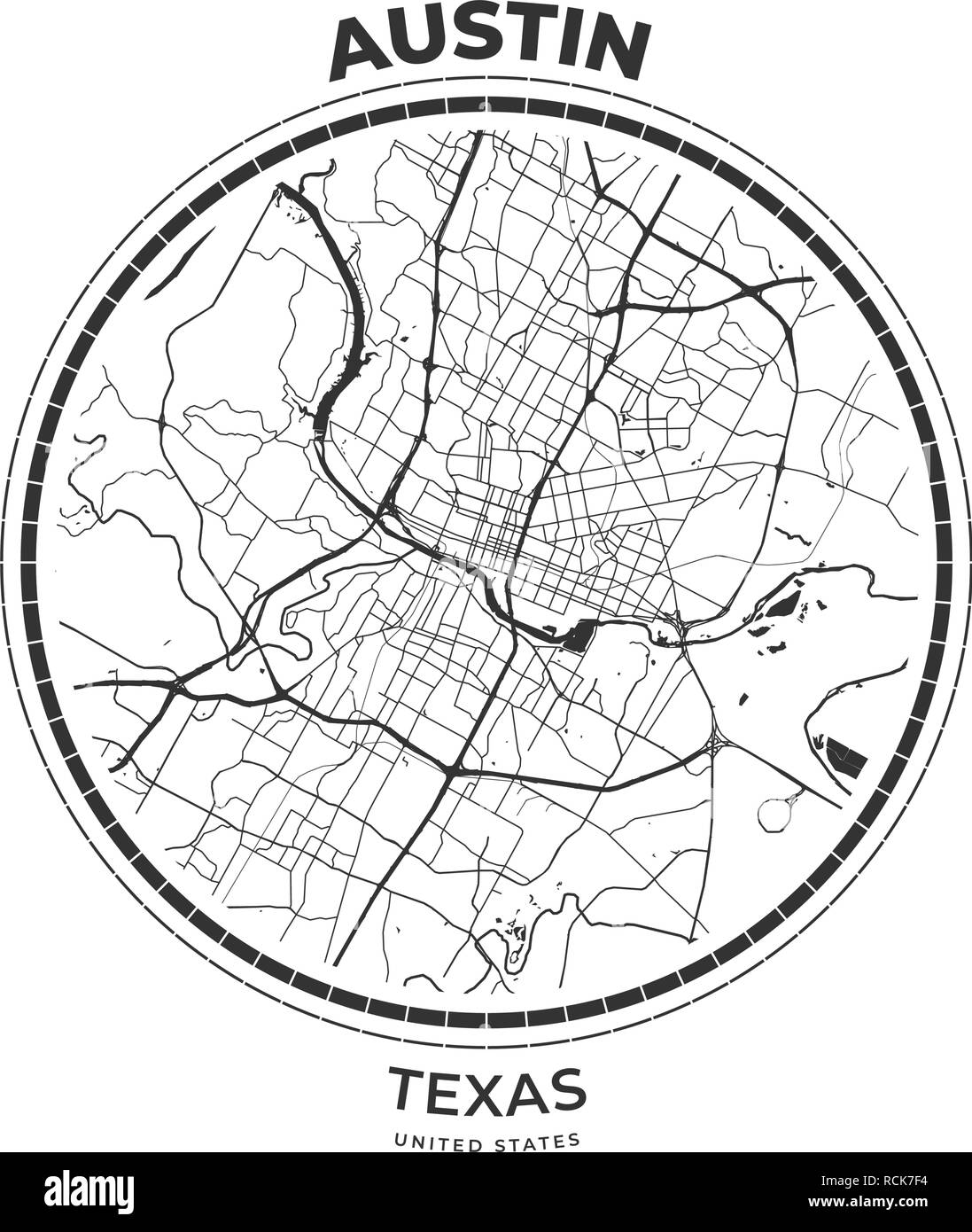 T-shirt map badge of Austin, Texas. Tee shirt print typography label badge emblem. Vector illustration Stock Vectorhttps://www.alamy.com/image-license-details/?v=1https://www.alamy.com/t-shirt-map-badge-of-austin-texas-tee-shirt-print-typography-label-badge-emblem-vector-illustration-image231533656.html
RFRCK7F4–T-shirt map badge of Austin, Texas. Tee shirt print typography label badge emblem. Vector illustration
 Neon sign of live music venue in Austin, Texas, USA Stock Photohttps://www.alamy.com/image-license-details/?v=1https://www.alamy.com/stock-photo-neon-sign-of-live-music-venue-in-austin-texas-usa-29327787.html
RMBKKYTY–Neon sign of live music venue in Austin, Texas, USA
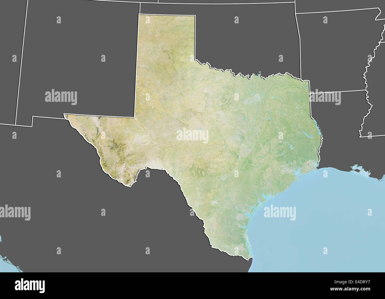 State of Texas, United States, Relief Map Stock Photohttps://www.alamy.com/image-license-details/?v=1https://www.alamy.com/stock-photo-state-of-texas-united-states-relief-map-71604267.html
RME4DRY7–State of Texas, United States, Relief Map
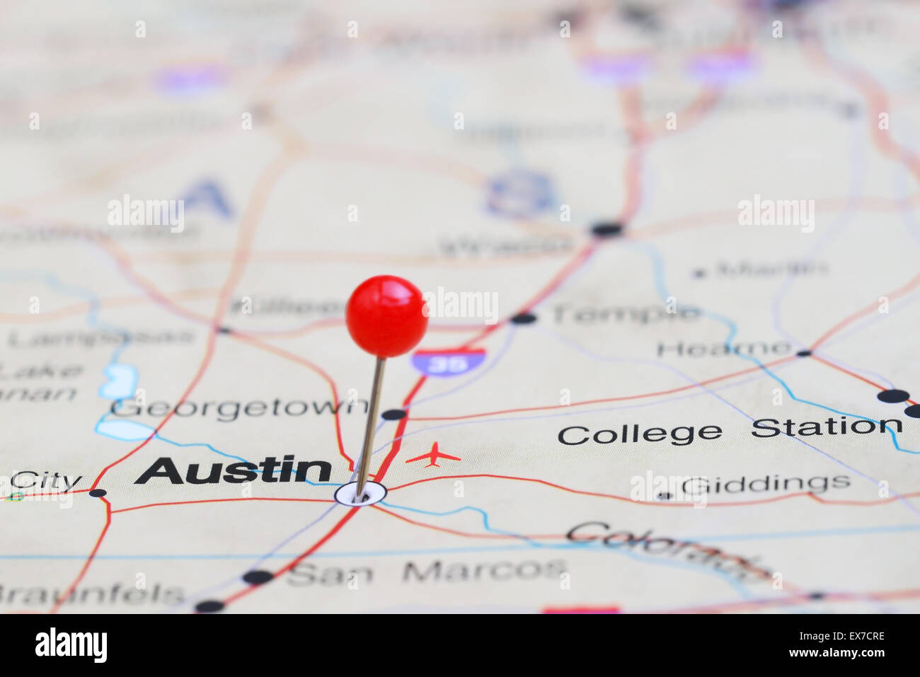 Austin pinned on a map of USA Stock Photohttps://www.alamy.com/image-license-details/?v=1https://www.alamy.com/stock-photo-austin-pinned-on-a-map-of-usa-84986258.html
RFEX7CRE–Austin pinned on a map of USA
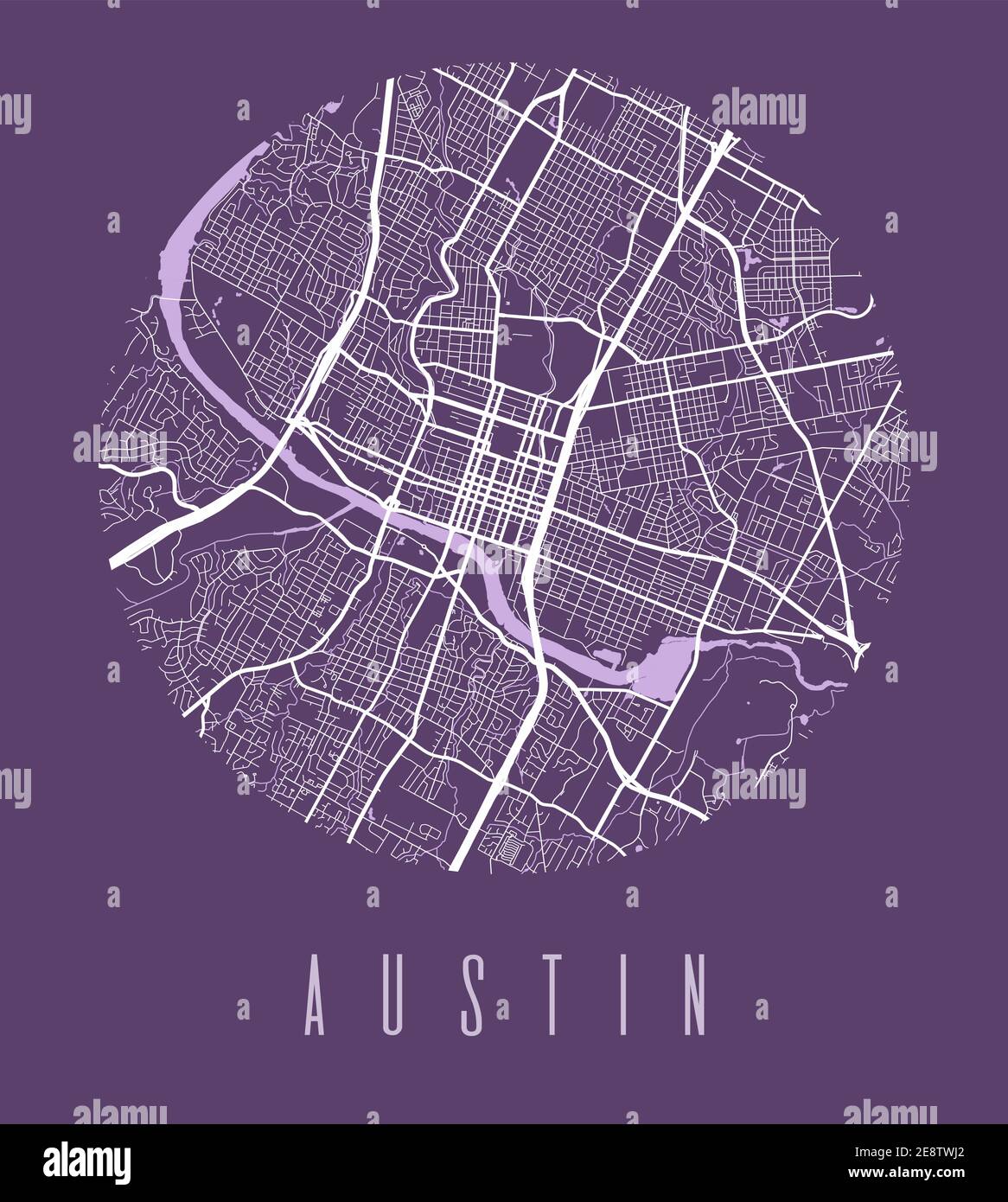 Austin map poster. Decorative design street map of Austin city. Cityscape aria panorama silhouette aerial view, typography style. Land, river, highway Stock Vectorhttps://www.alamy.com/image-license-details/?v=1https://www.alamy.com/austin-map-poster-decorative-design-street-map-of-austin-city-cityscape-aria-panorama-silhouette-aerial-view-typography-style-land-river-highway-image401302666.html
RF2E8TWJ2–Austin map poster. Decorative design street map of Austin city. Cityscape aria panorama silhouette aerial view, typography style. Land, river, highway
 map of texas Stock Photohttps://www.alamy.com/image-license-details/?v=1https://www.alamy.com/stock-photo-map-of-texas-117655583.html
RFGRBJW3–map of texas
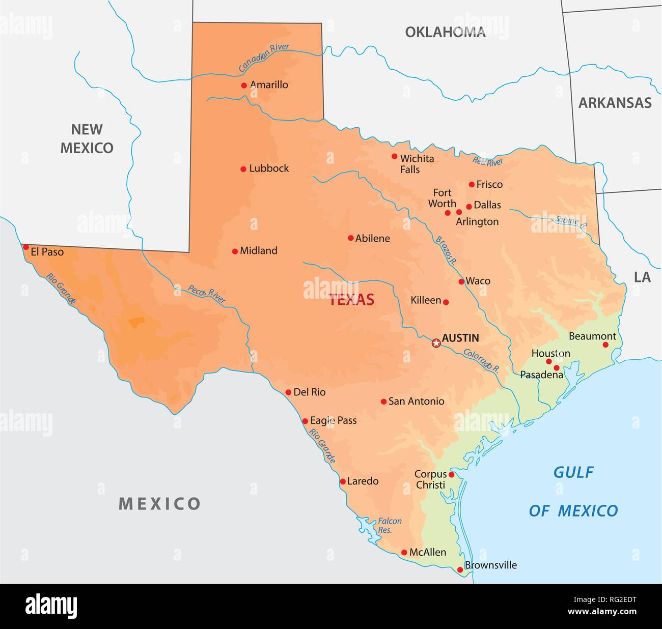 simple colored texas state physical vector map Stock Vectorhttps://www.alamy.com/image-license-details/?v=1https://www.alamy.com/simple-colored-texas-state-physical-vector-map-image233624548.html
RFRG2EDT–simple colored texas state physical vector map
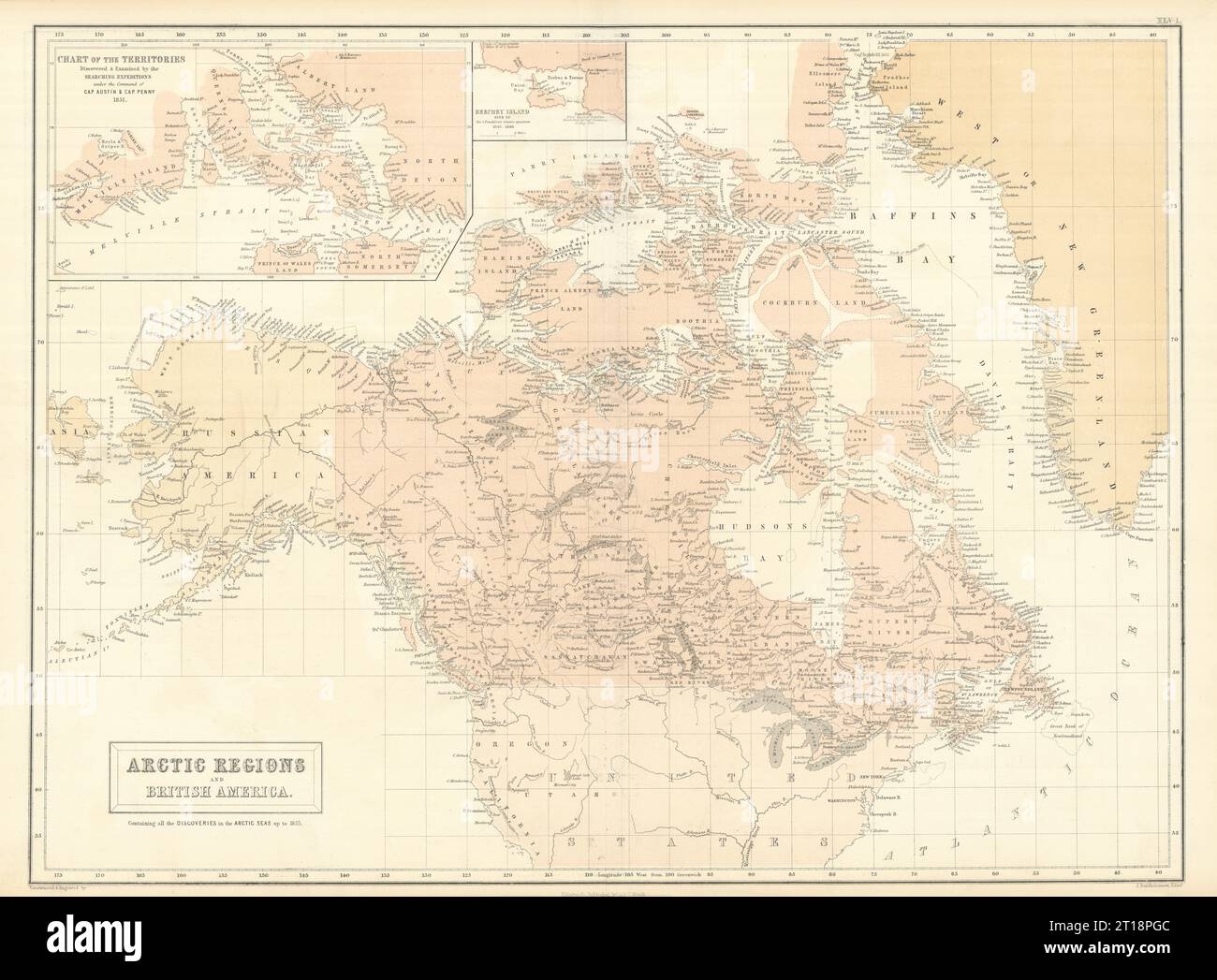 Canadian Arctic Archipelago. British America. Canada. Russian Alaska 1854 map Stock Photohttps://www.alamy.com/image-license-details/?v=1https://www.alamy.com/canadian-arctic-archipelago-british-america-canada-russian-alaska-1854-map-image568750124.html
RF2T18PGC–Canadian Arctic Archipelago. British America. Canada. Russian Alaska 1854 map
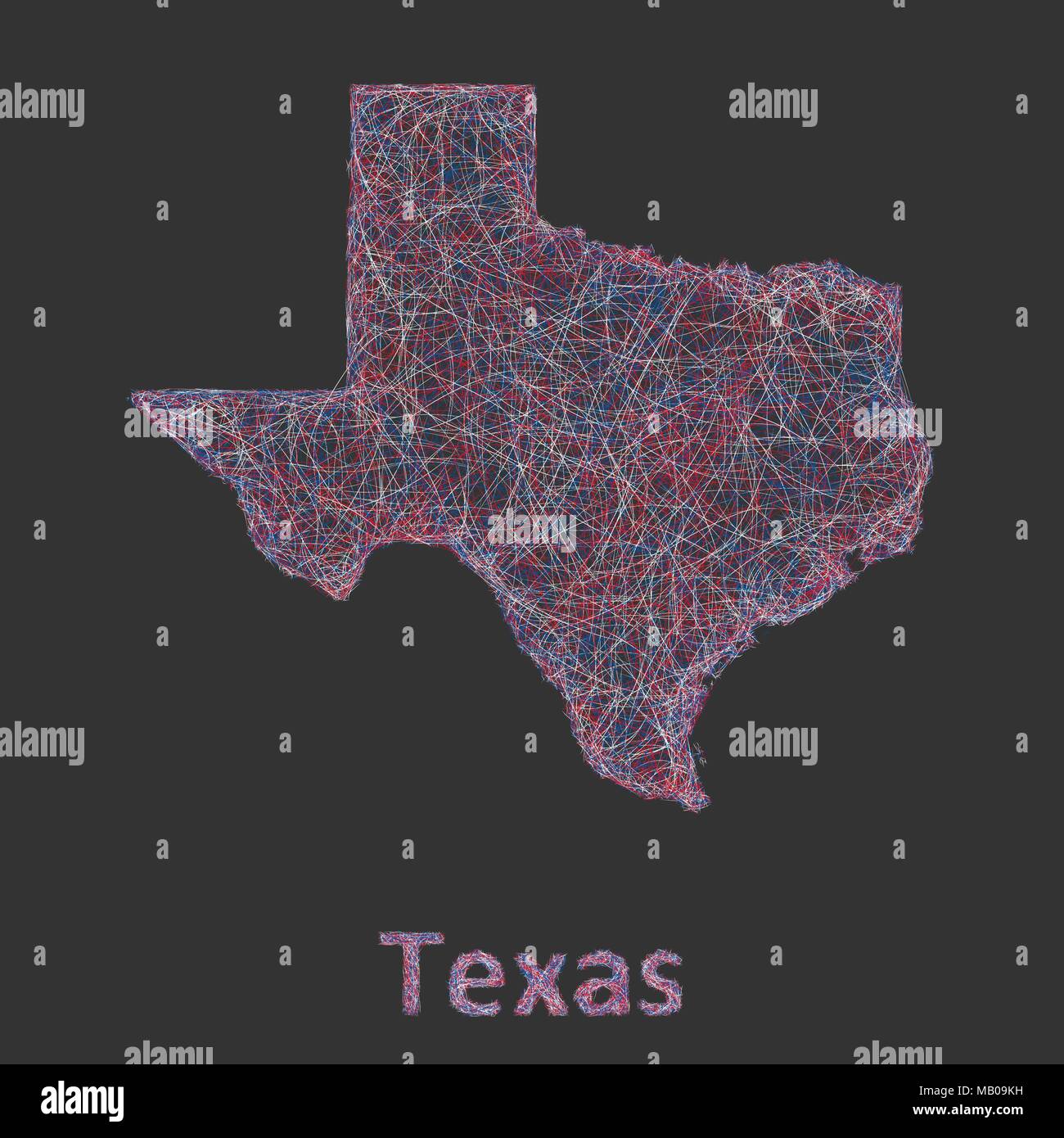 Texas line art map Stock Vectorhttps://www.alamy.com/image-license-details/?v=1https://www.alamy.com/texas-line-art-map-image178872501.html
RFMB09KH–Texas line art map
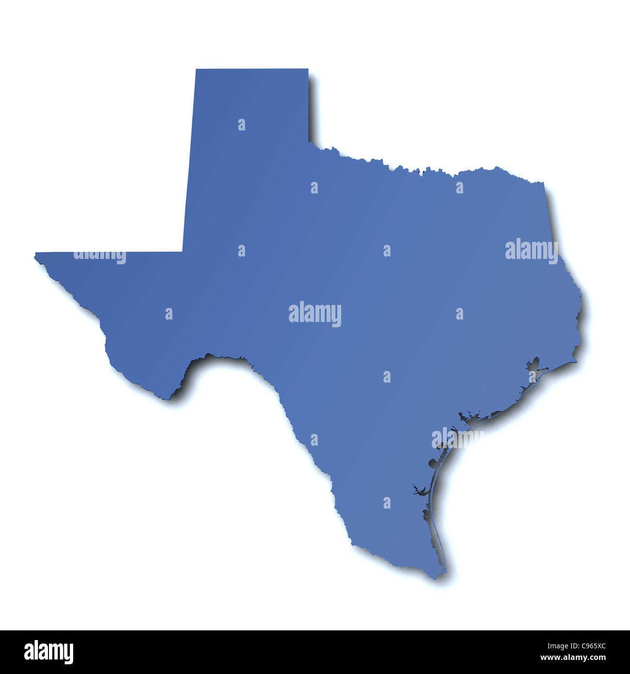 3d rendered map of the state of Texas - USA Stock Photohttps://www.alamy.com/image-license-details/?v=1https://www.alamy.com/stock-photo-3d-rendered-map-of-the-state-of-texas-usa-40089012.html
RFC965XC–3d rendered map of the state of Texas - USA
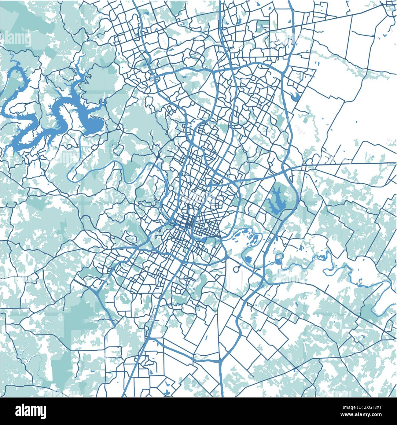 Map of Austin in Texas in blue. Contains layered vector with roads water, parks, etc. Stock Vectorhttps://www.alamy.com/image-license-details/?v=1https://www.alamy.com/map-of-austin-in-texas-in-blue-contains-layered-vector-with-roads-water-parks-etc-image612731248.html
RF2XGT8XT–Map of Austin in Texas in blue. Contains layered vector with roads water, parks, etc.
 Image 4 of Sanborn Fire Insurance Map from Austin, Potter County, Pennsylvania. Jul 1898. 4 Sheet(s), America, street map with a Nineteenth Century compass Stock Photohttps://www.alamy.com/image-license-details/?v=1https://www.alamy.com/image-4-of-sanborn-fire-insurance-map-from-austin-potter-county-pennsylvania-jul-1898-4-sheets-america-street-map-with-a-nineteenth-century-compass-image344692996.html
RM2B0P3C4–Image 4 of Sanborn Fire Insurance Map from Austin, Potter County, Pennsylvania. Jul 1898. 4 Sheet(s), America, street map with a Nineteenth Century compass
RF2XFRTFF–Icon for austin,map
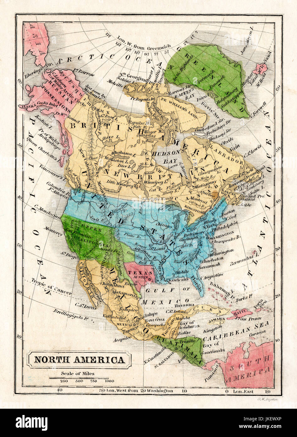 1845 Boynton Map of the North America showing the Republic of Texas, Mexico, Guatemala, West Indies, Upper California, Russia Alaska, Greenland and the United States. Stock Photohttps://www.alamy.com/image-license-details/?v=1https://www.alamy.com/stock-photo-1845-boynton-map-of-the-north-america-showing-the-republic-of-texas-149689086.html
RMJKEWXP–1845 Boynton Map of the North America showing the Republic of Texas, Mexico, Guatemala, West Indies, Upper California, Russia Alaska, Greenland and the United States.
 Map of Texas Stock Photohttps://www.alamy.com/image-license-details/?v=1https://www.alamy.com/map-of-texas-image367800603.html
RF2CAANBR–Map of Texas
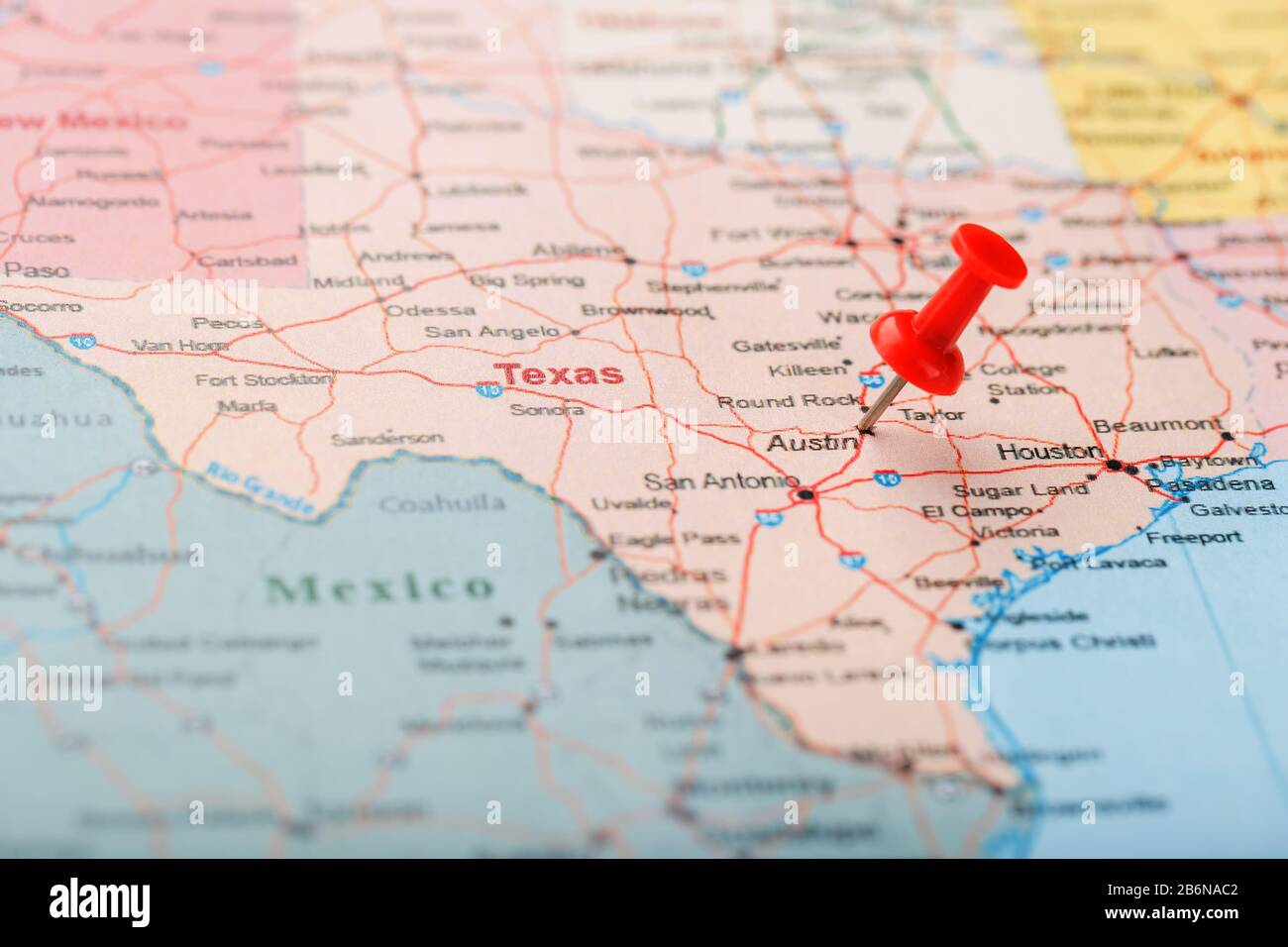 Red clerical needle on a map of USA, Texas and the capital Austin. Closeup Map Texas with Red Tack, US map pin Stock Photohttps://www.alamy.com/image-license-details/?v=1https://www.alamy.com/red-clerical-needle-on-a-map-of-usa-texas-and-the-capital-austin-closeup-map-texas-with-red-tack-us-map-pin-image348364466.html
RM2B6NAC2–Red clerical needle on a map of USA, Texas and the capital Austin. Closeup Map Texas with Red Tack, US map pin
 Texas map Congress Avenue Bridge Austin Texas Unites States of America Stock Photohttps://www.alamy.com/image-license-details/?v=1https://www.alamy.com/stock-photo-texas-map-congress-avenue-bridge-austin-texas-unites-states-of-america-54804745.html
RMD54G09–Texas map Congress Avenue Bridge Austin Texas Unites States of America
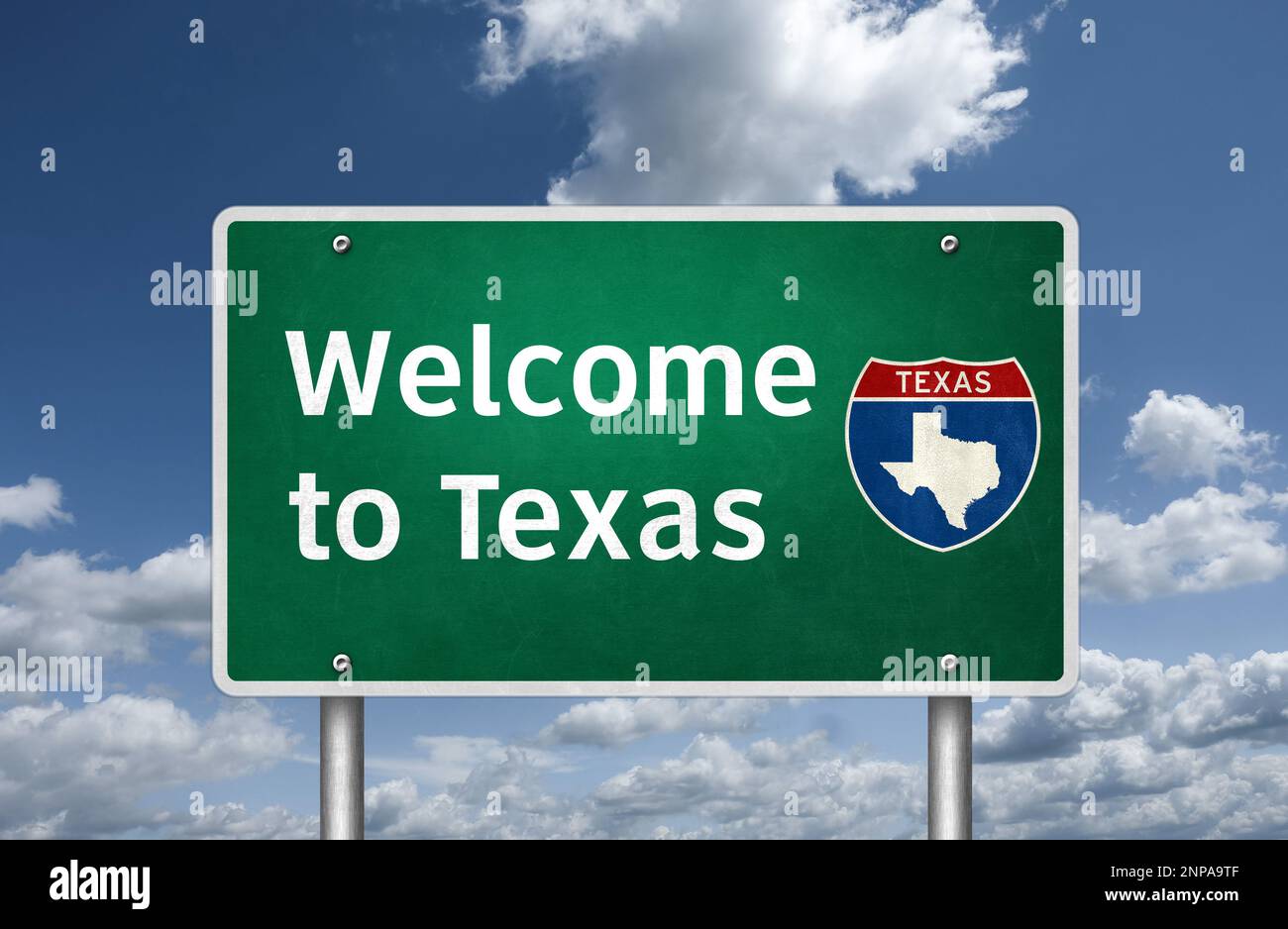 Welcome to the US State of Texas - road sign message Stock Photohttps://www.alamy.com/image-license-details/?v=1https://www.alamy.com/welcome-to-the-us-state-of-texas-road-sign-message-image530060735.html
RF2NPA9TF–Welcome to the US State of Texas - road sign message
 Austin Bank, , AU, Australia, Western Australia, S 34 2' 25'', N 123 5' 35'', map, Cartascapes Map published in 2024. Explore Cartascapes, a map revealing Earth's diverse landscapes, cultures, and ecosystems. Journey through time and space, discovering the interconnectedness of our planet's past, present, and future. Stock Photohttps://www.alamy.com/image-license-details/?v=1https://www.alamy.com/austin-bank-au-australia-western-australia-s-34-2-25-n-123-5-35-map-cartascapes-map-published-in-2024-explore-cartascapes-a-map-revealing-earths-diverse-landscapes-cultures-and-ecosystems-journey-through-time-and-space-discovering-the-interconnectedness-of-our-planets-past-present-and-future-image625624380.html
RM2Y9RJ7T–Austin Bank, , AU, Australia, Western Australia, S 34 2' 25'', N 123 5' 35'', map, Cartascapes Map published in 2024. Explore Cartascapes, a map revealing Earth's diverse landscapes, cultures, and ecosystems. Journey through time and space, discovering the interconnectedness of our planet's past, present, and future.
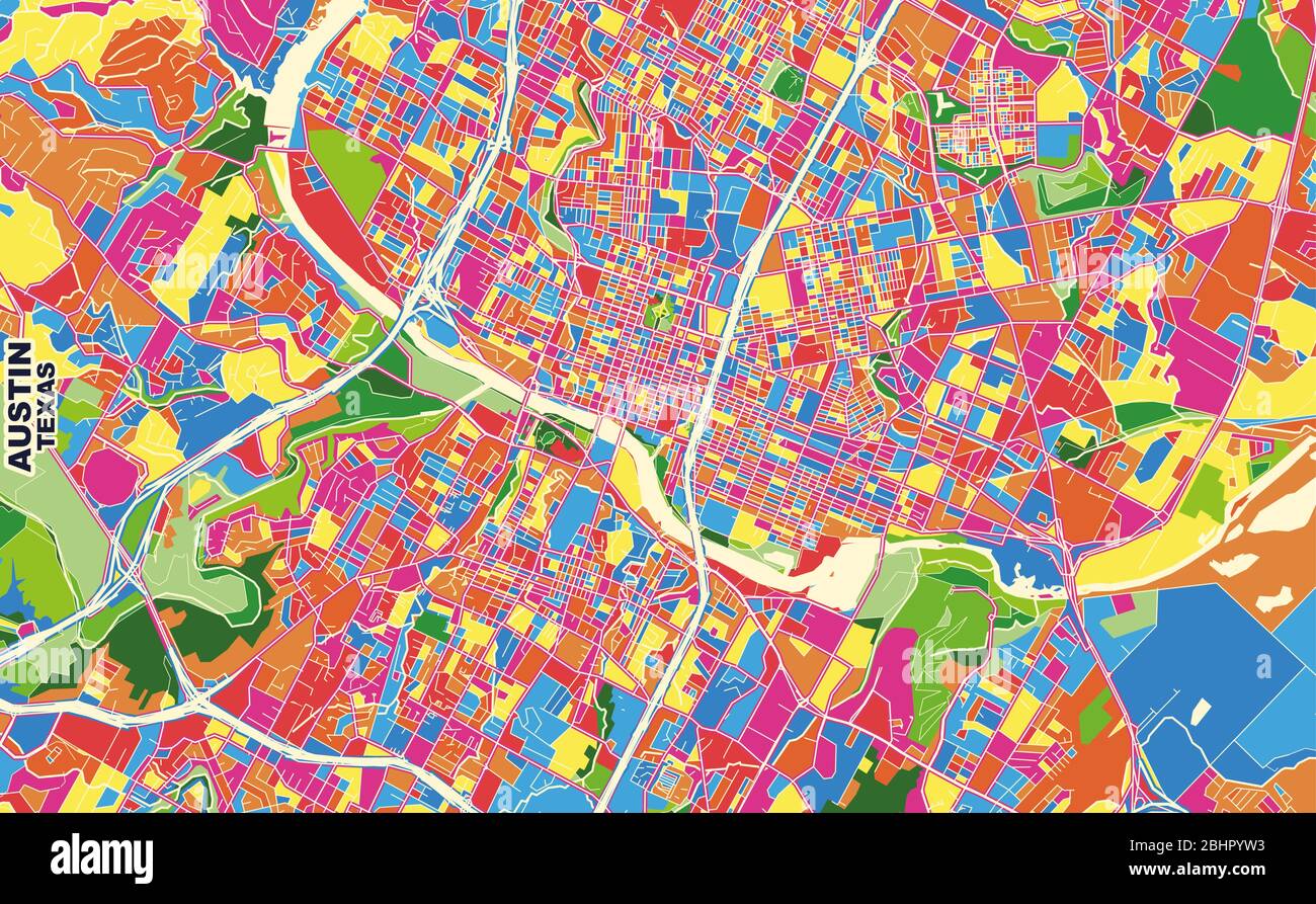 Colorful vector map of Austin, Texas, U.S.A.. Art Map template for selfprinting wall art in landscape format. Stock Vectorhttps://www.alamy.com/image-license-details/?v=1https://www.alamy.com/colorful-vector-map-of-austin-texas-usa-art-map-template-for-selfprinting-wall-art-in-landscape-format-image355161327.html
RF2BHPYW3–Colorful vector map of Austin, Texas, U.S.A.. Art Map template for selfprinting wall art in landscape format.
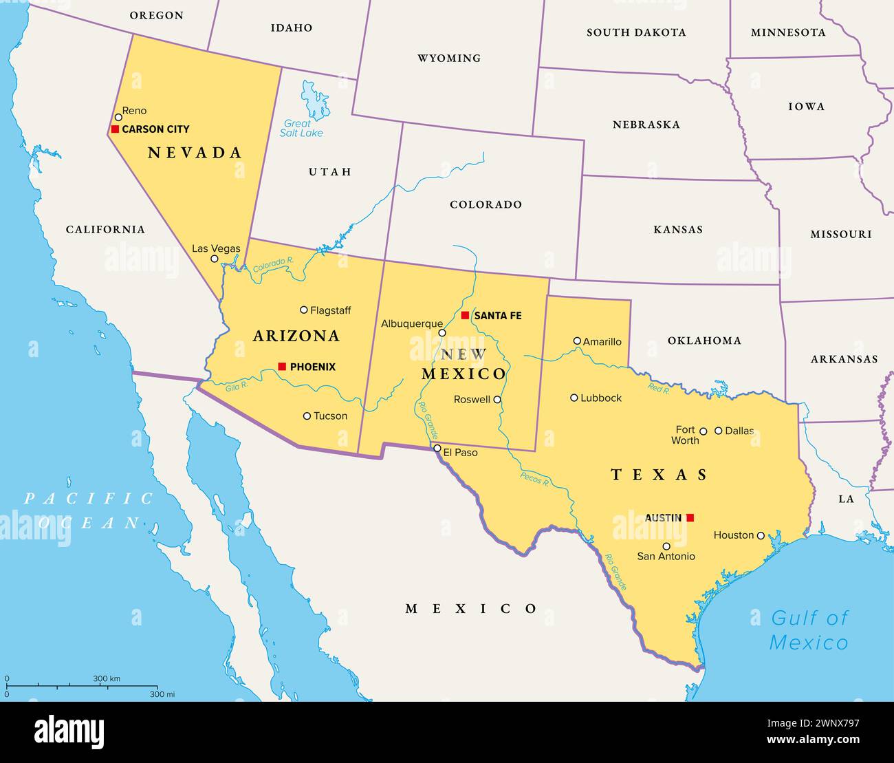 Southwest region of the United States, political map. States of the American Southwest or simply Southwest. Geographical and cultural region. Stock Photohttps://www.alamy.com/image-license-details/?v=1https://www.alamy.com/southwest-region-of-the-united-states-political-map-states-of-the-american-southwest-or-simply-southwest-geographical-and-cultural-region-image598636787.html
RF2WNX797–Southwest region of the United States, political map. States of the American Southwest or simply Southwest. Geographical and cultural region.
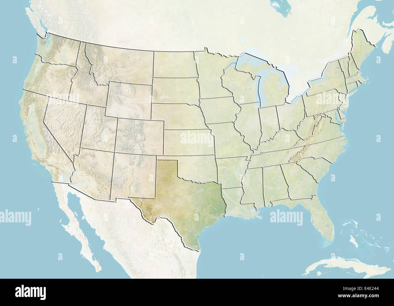 United States and the State of Texas, Relief Map Stock Photohttps://www.alamy.com/image-license-details/?v=1https://www.alamy.com/stock-photo-united-states-and-the-state-of-texas-relief-map-71609108.html
RME4E244–United States and the State of Texas, Relief Map
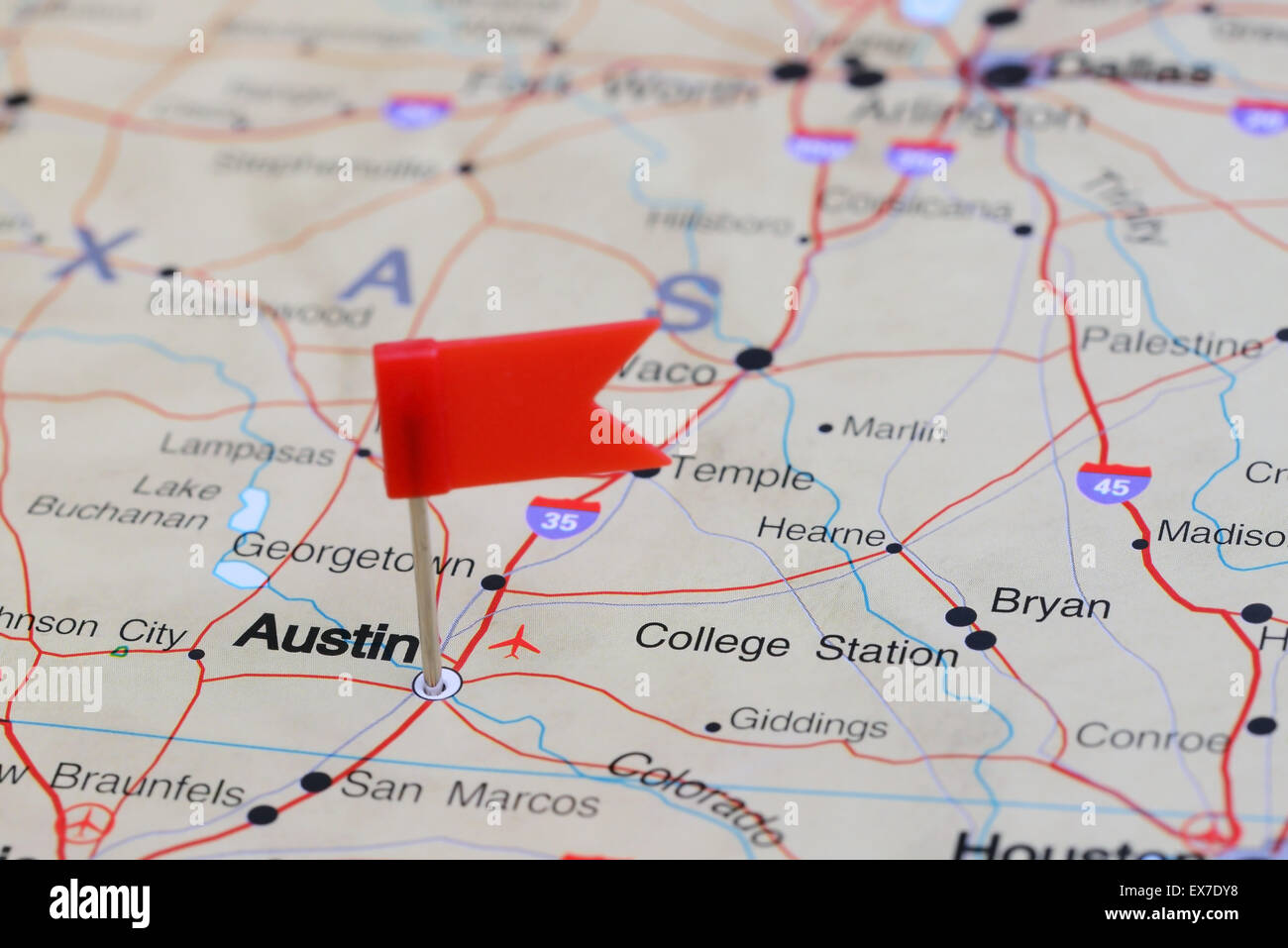 Austin pinned on a map of USA Stock Photohttps://www.alamy.com/image-license-details/?v=1https://www.alamy.com/stock-photo-austin-pinned-on-a-map-of-usa-84987148.html
RFEX7DY8–Austin pinned on a map of USA
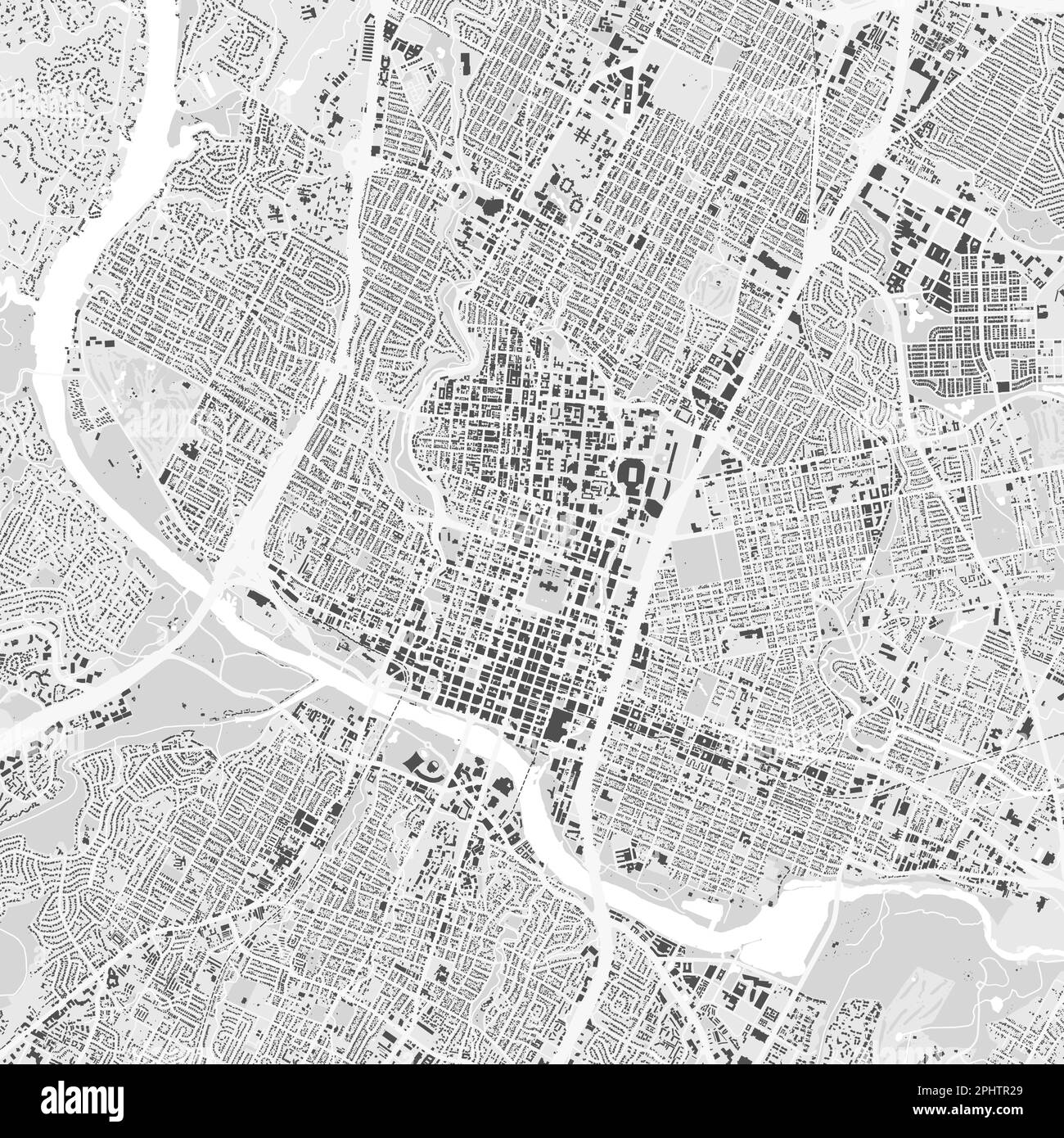 Urban city vector map of Austin. Vector illustration, Austin map grayscale black and white art poster. road map image with roads, metropolitan city ar Stock Vectorhttps://www.alamy.com/image-license-details/?v=1https://www.alamy.com/urban-city-vector-map-of-austin-vector-illustration-austin-map-grayscale-black-and-white-art-poster-road-map-image-with-roads-metropolitan-city-ar-image544515505.html
RF2PHTR29–Urban city vector map of Austin. Vector illustration, Austin map grayscale black and white art poster. road map image with roads, metropolitan city ar