Quick filters:
Australia map states Stock Photos and Images
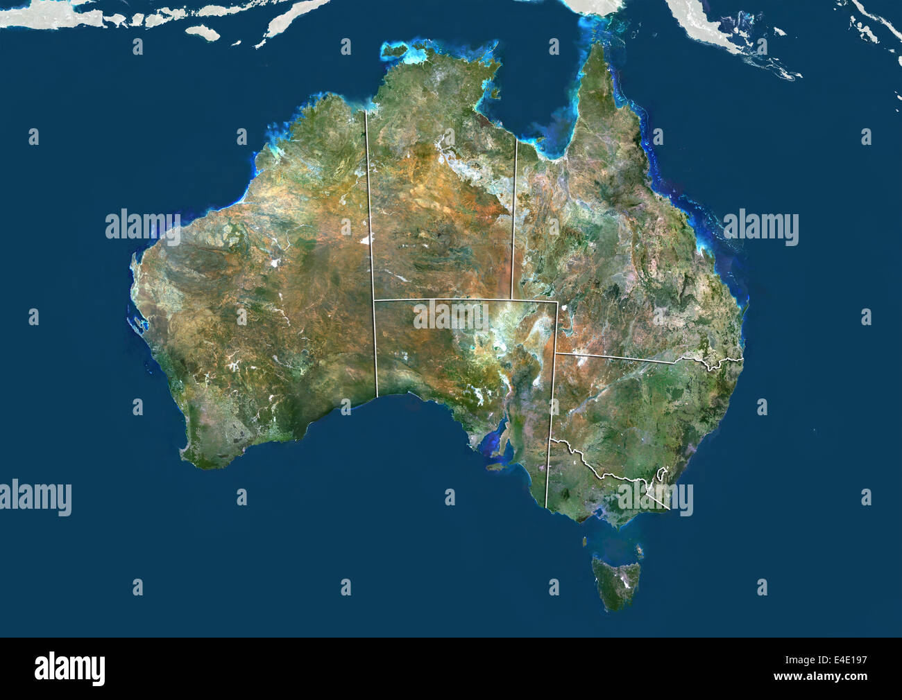 Australia, True Colour Satellite Image With Boundaries of States Stock Photohttps://www.alamy.com/image-license-details/?v=1https://www.alamy.com/stock-photo-australia-true-colour-satellite-image-with-boundaries-of-states-71608467.html
RME4E197–Australia, True Colour Satellite Image With Boundaries of States
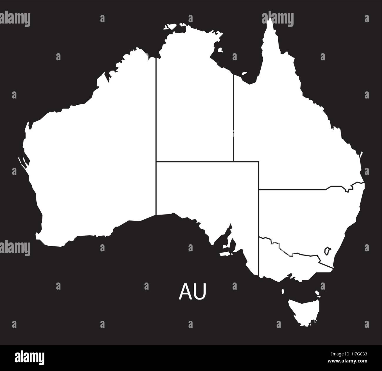 Australia Map with states black white Stock Vectorhttps://www.alamy.com/image-license-details/?v=1https://www.alamy.com/stock-photo-australia-map-with-states-black-white-125135895.html
RFH7GC33–Australia Map with states black white
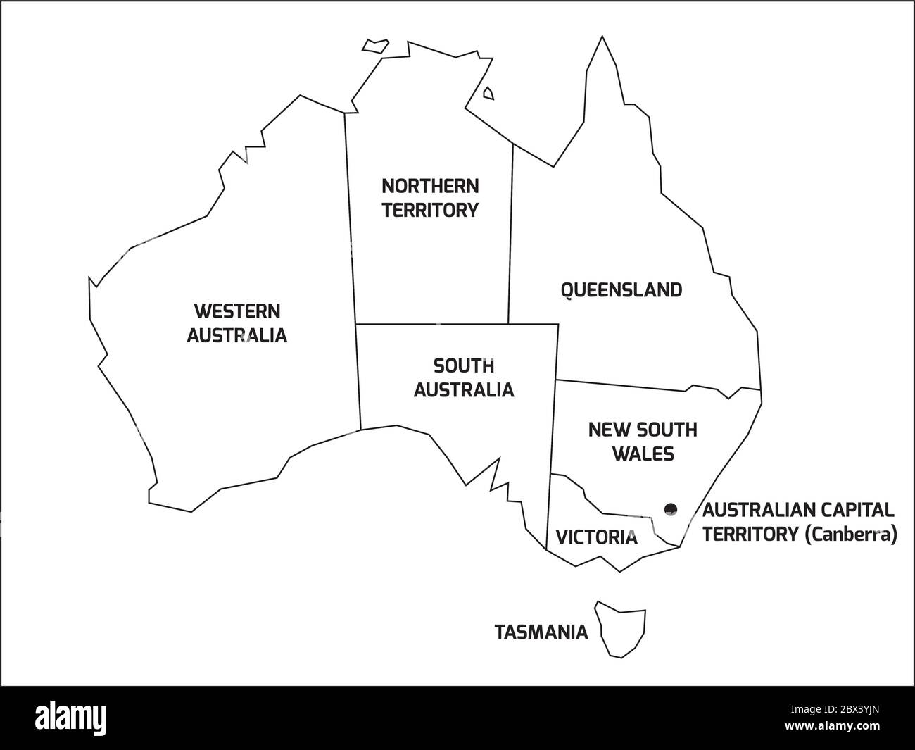 Simplified map of Australia divided into states and territories. Black outline map with labels. Stock Vectorhttps://www.alamy.com/image-license-details/?v=1https://www.alamy.com/simplified-map-of-australia-divided-into-states-and-territories-black-outline-map-with-labels-image360275965.html
RF2BX3YJN–Simplified map of Australia divided into states and territories. Black outline map with labels.
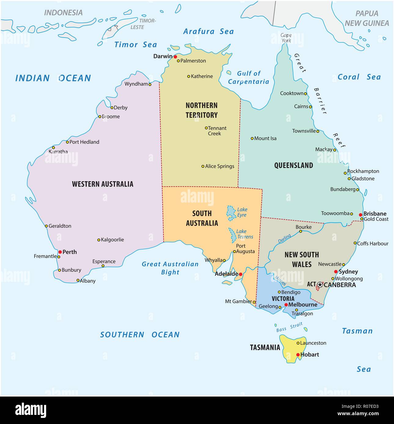 simple vector outline administrative and political vector map of australia. Stock Vectorhttps://www.alamy.com/image-license-details/?v=1https://www.alamy.com/simple-vector-outline-administrative-and-political-vector-map-of-australia-image223899791.html
RFR07ED3–simple vector outline administrative and political vector map of australia.
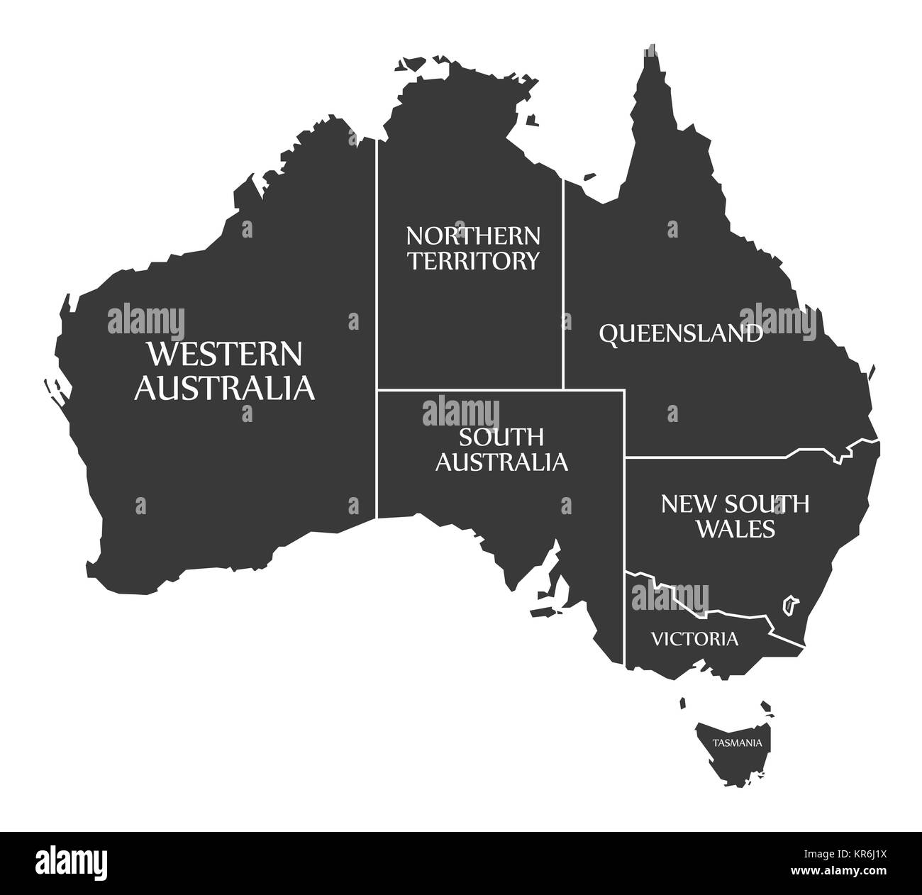 Australia Map with states and labels black Stock Photohttps://www.alamy.com/image-license-details/?v=1https://www.alamy.com/stock-image-australia-map-with-states-and-labels-black-169176278.html
RFKR6J1X–Australia Map with states and labels black
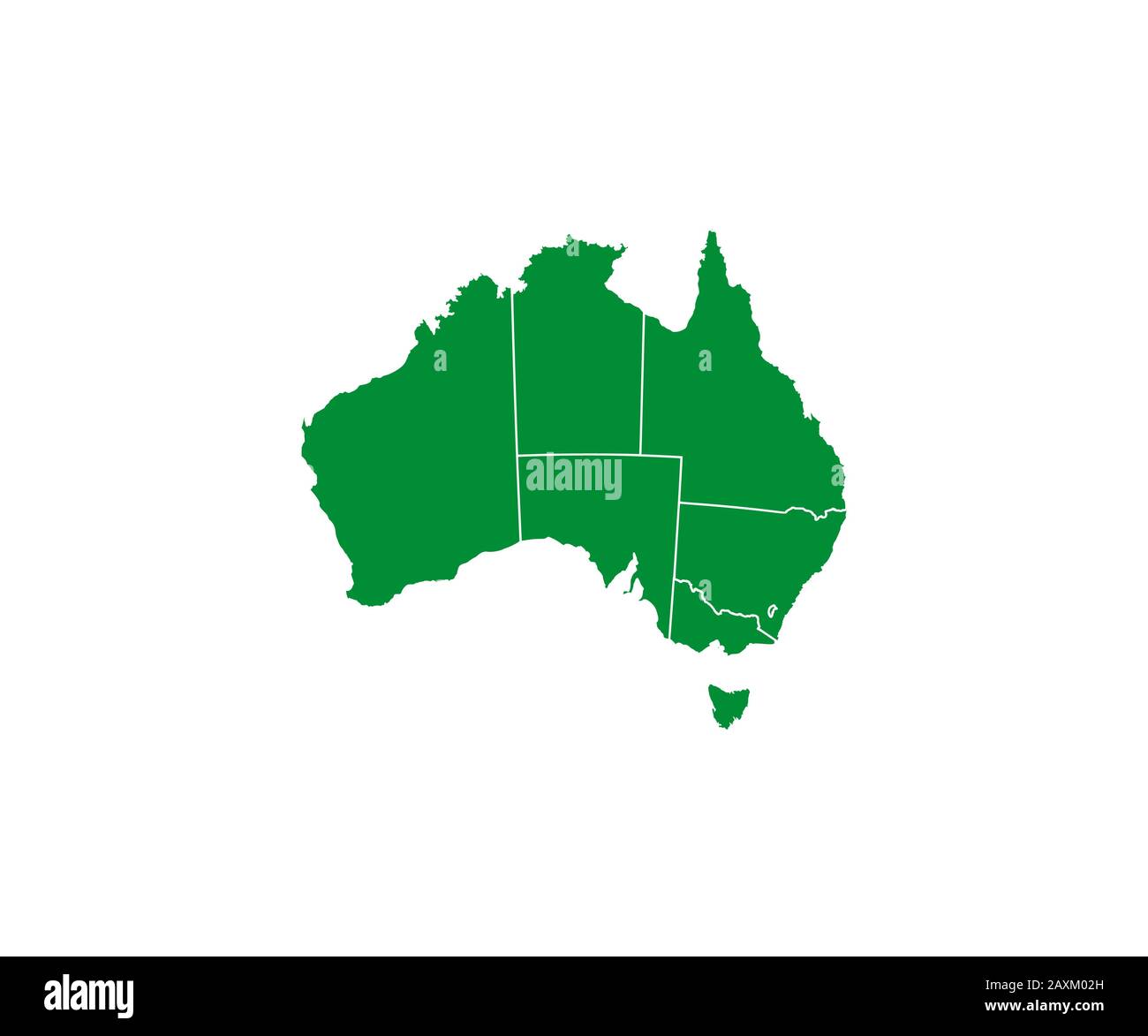 Australia map, states border map. Vector illustration. Stock Vectorhttps://www.alamy.com/image-license-details/?v=1https://www.alamy.com/australia-map-states-border-map-vector-illustration-image343417161.html
RF2AXM02H–Australia map, states border map. Vector illustration.
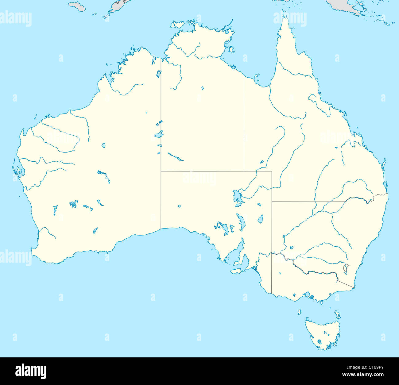 Illustrated map of country of Australia with states marked. Stock Photohttps://www.alamy.com/image-license-details/?v=1https://www.alamy.com/stock-photo-illustrated-map-of-country-of-australia-with-states-marked-35174803.html
RMC169PY–Illustrated map of country of Australia with states marked.
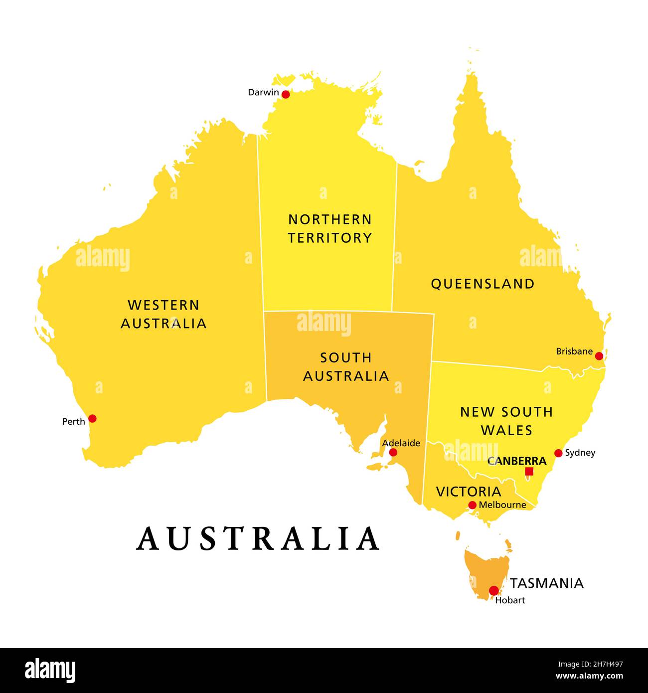 Australia, political map, with the capital Canberra, administrative states and territories. The Commonwealth of Australia, a country and continent. Stock Photohttps://www.alamy.com/image-license-details/?v=1https://www.alamy.com/australia-political-map-with-the-capital-canberra-administrative-states-and-territories-the-commonwealth-of-australia-a-country-and-continent-image452148739.html
RF2H7H497–Australia, political map, with the capital Canberra, administrative states and territories. The Commonwealth of Australia, a country and continent.
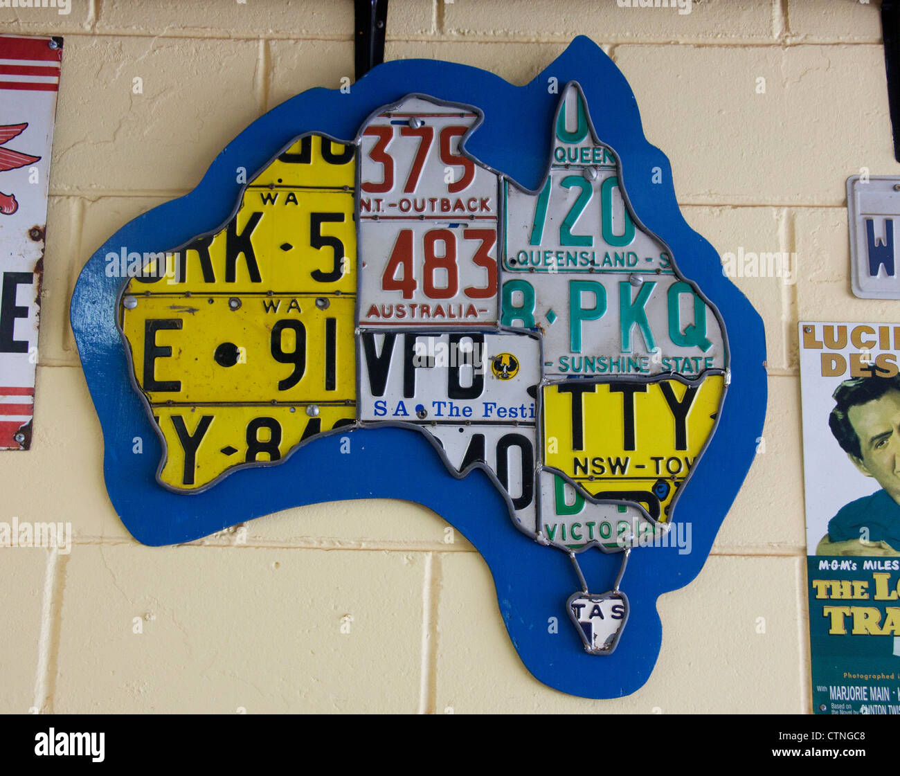 Map of Australia made from car number plates from each of the different states Palm Beach Sydney New South Wales (NSW) Australia Stock Photohttps://www.alamy.com/image-license-details/?v=1https://www.alamy.com/stock-photo-map-of-australia-made-from-car-number-plates-from-each-of-the-different-49646360.html
RMCTNGC8–Map of Australia made from car number plates from each of the different states Palm Beach Sydney New South Wales (NSW) Australia
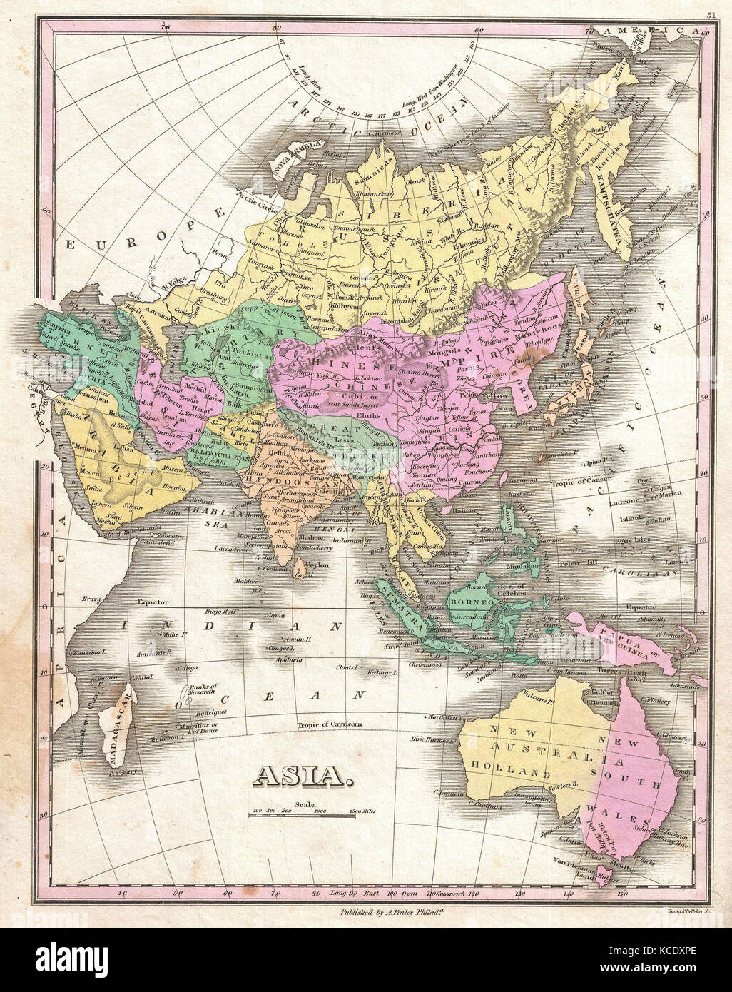 1827, Finley Map of Asia and Australia, Anthony Finley mapmaker of the United States in the 19th century Stock Photohttps://www.alamy.com/image-license-details/?v=1https://www.alamy.com/stock-image-1827-finley-map-of-asia-and-australia-anthony-finley-mapmaker-of-the-162575574.html
RMKCDXPE–1827, Finley Map of Asia and Australia, Anthony Finley mapmaker of the United States in the 19th century
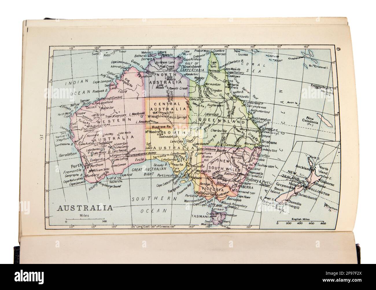 Map of Australia in the The New Standard Encyclopaedia and World Atlas, published by Odhams in 1932 Stock Photohttps://www.alamy.com/image-license-details/?v=1https://www.alamy.com/map-of-australia-in-the-the-new-standard-encyclopaedia-and-world-atlas-published-by-odhams-in-1932-image418746242.html
RM2F97F2X–Map of Australia in the The New Standard Encyclopaedia and World Atlas, published by Odhams in 1932
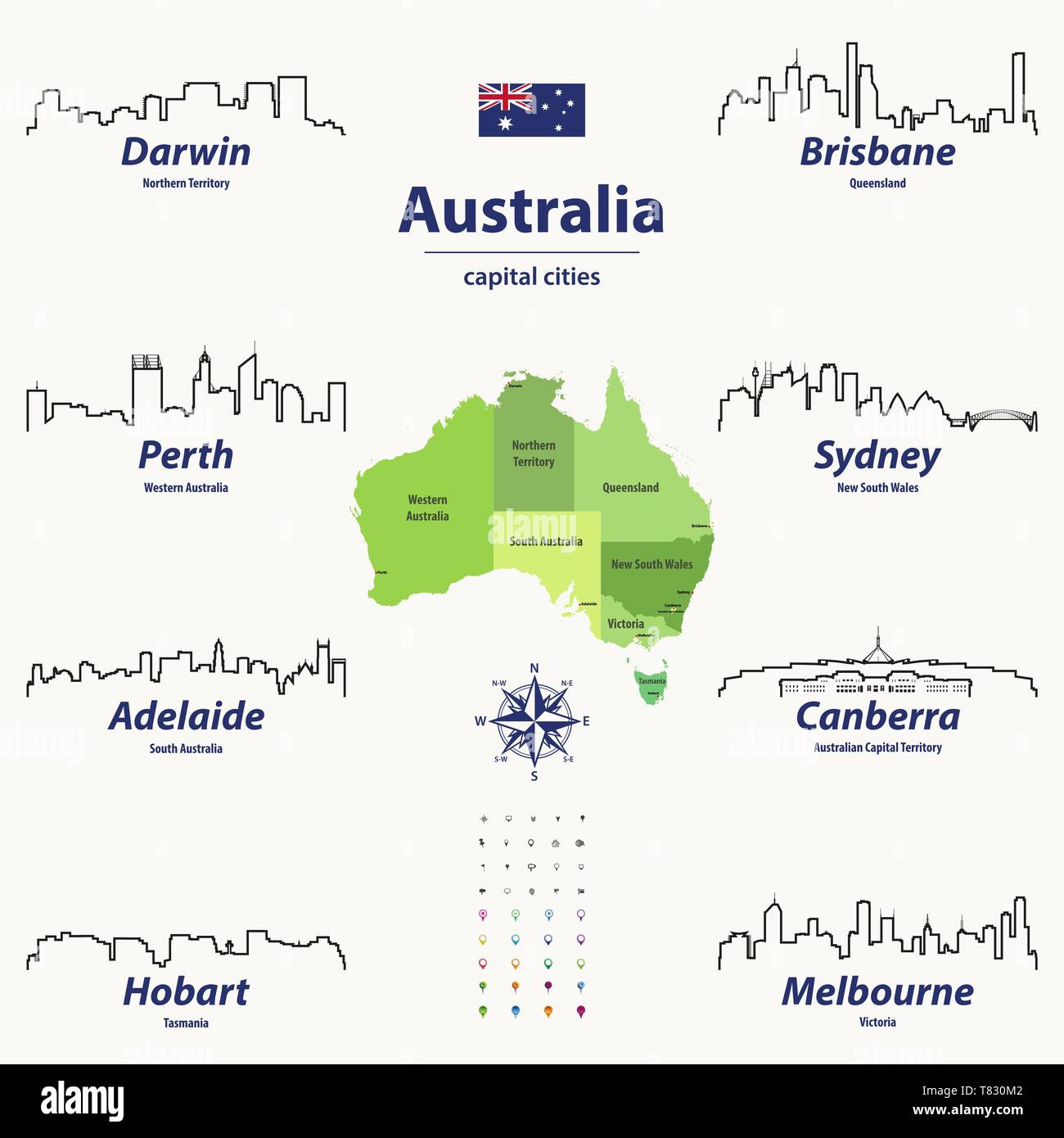 vector illustration of Australia states map with skylines of capital cities Stock Vectorhttps://www.alamy.com/image-license-details/?v=1https://www.alamy.com/vector-illustration-of-australia-states-map-with-skylines-of-capital-cities-image245928818.html
RFT830M2–vector illustration of Australia states map with skylines of capital cities
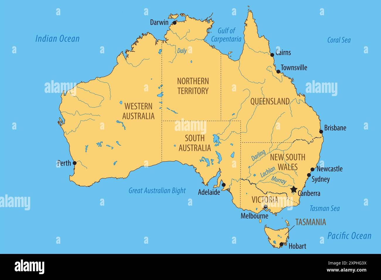 Vector map of Australia with the federated states and major cities Stock Photohttps://www.alamy.com/image-license-details/?v=1https://www.alamy.com/vector-map-of-australia-with-the-federated-states-and-major-cities-image616271150.html
RF2XPHG3X–Vector map of Australia with the federated states and major cities
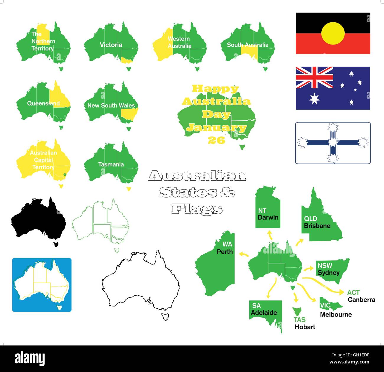 States of Australia Stock Vectorhttps://www.alamy.com/image-license-details/?v=1https://www.alamy.com/stock-photo-states-of-australia-116203290.html
RFGN1EDE–States of Australia
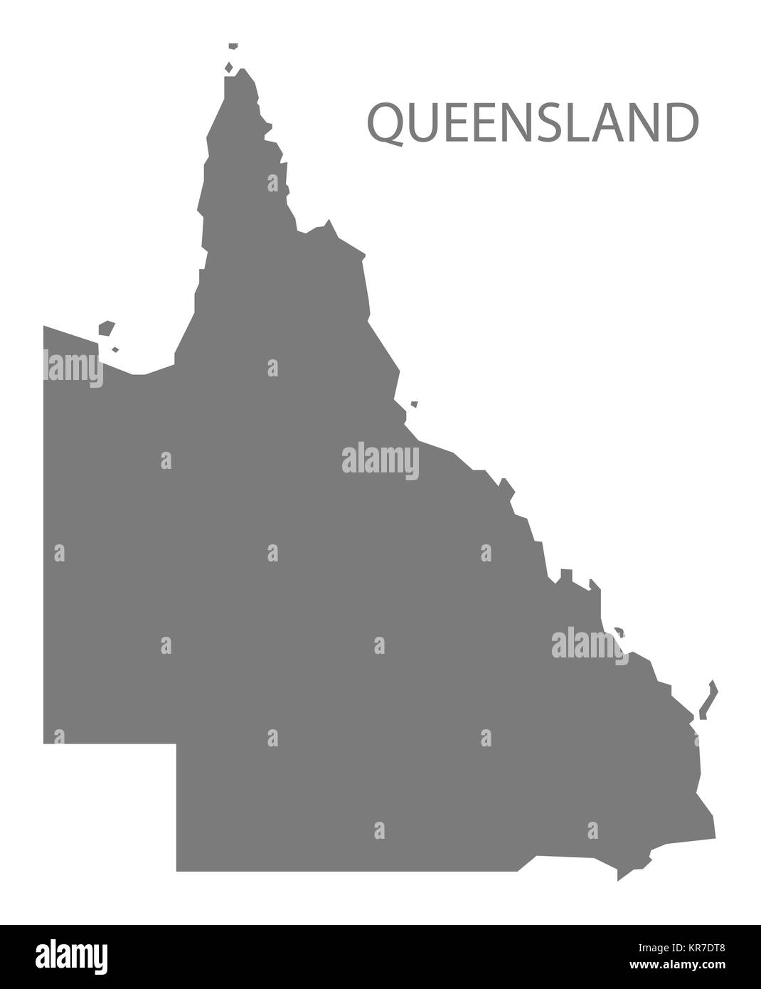 Queensland Australia Map grey Stock Photohttps://www.alamy.com/image-license-details/?v=1https://www.alamy.com/stock-image-queensland-australia-map-grey-169194936.html
RFKR7DT8–Queensland Australia Map grey
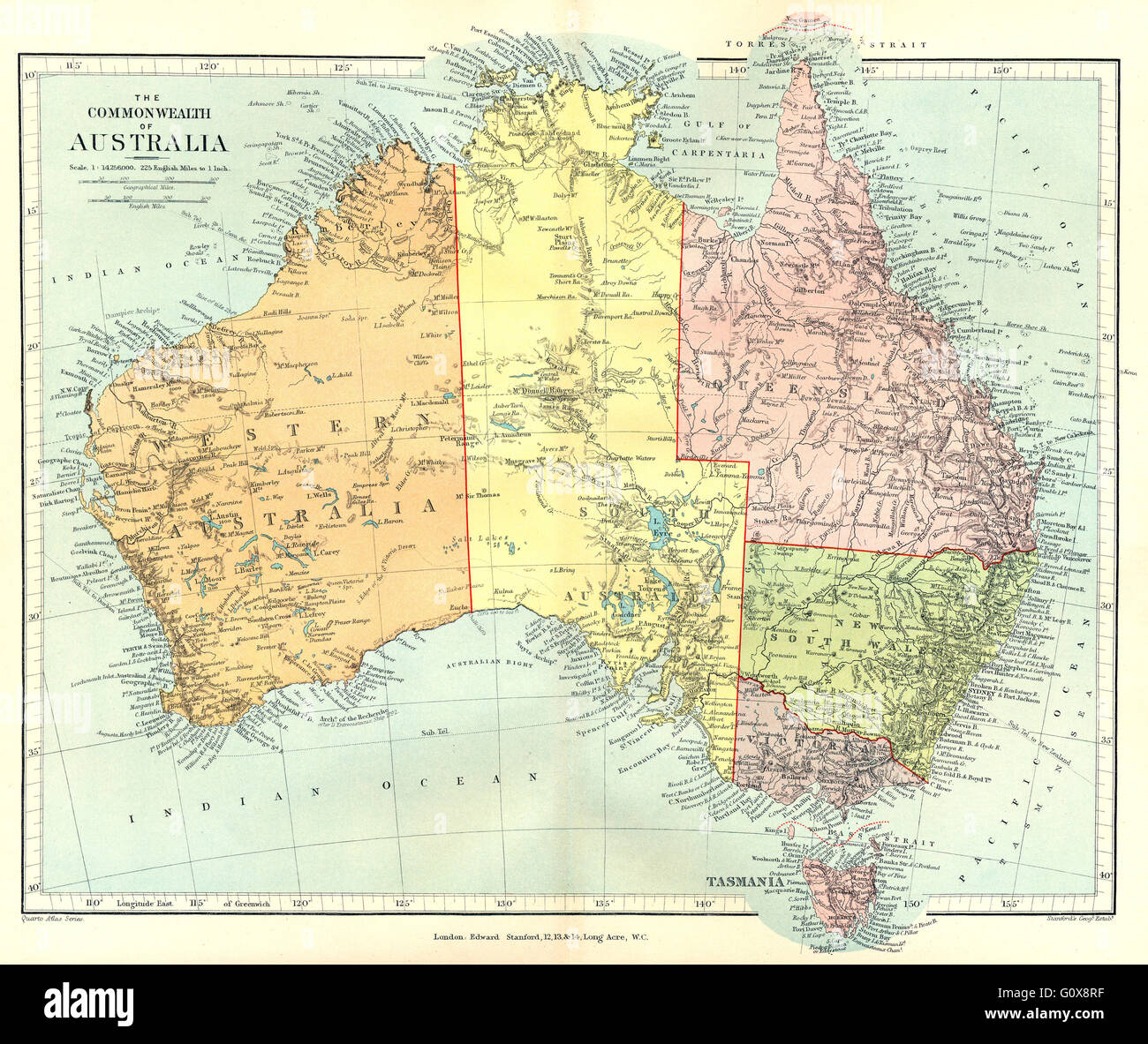 AUSTRALIA: The Commonwealth of Australia. States.. STANFORD, 1906 antique map Stock Photohttps://www.alamy.com/image-license-details/?v=1https://www.alamy.com/stock-photo-australia-the-commonwealth-of-australia-states-stanford-1906-antique-103839891.html
RFG0X8RF–AUSTRALIA: The Commonwealth of Australia. States.. STANFORD, 1906 antique map
 World Map with states Stock Photohttps://www.alamy.com/image-license-details/?v=1https://www.alamy.com/stock-photo-world-map-with-states-102931465.html
RMFYCX3N–World Map with states
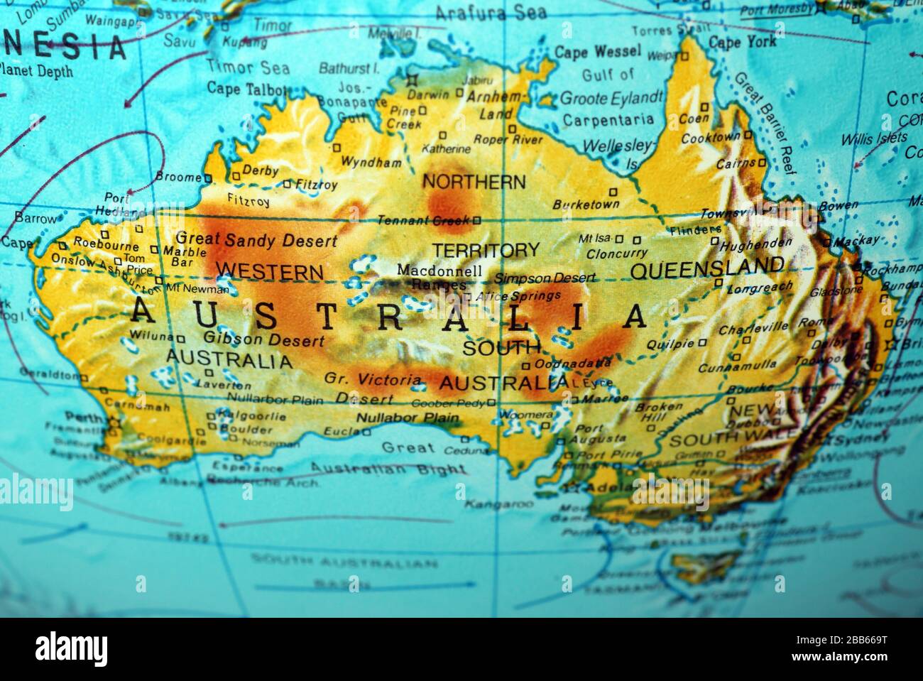 Australia map on old atlas Stock Photohttps://www.alamy.com/image-license-details/?v=1https://www.alamy.com/australia-map-on-old-atlas-image351105268.html
RF2BB669T–Australia map on old atlas
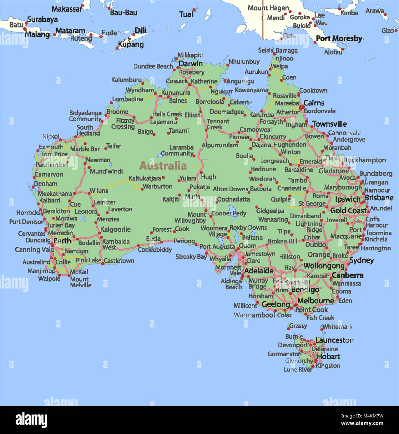 Map of Australia. Shows country borders, place names and roads. Labels in English where possible. Projection: Spherical Mercator. Stock Vectorhttps://www.alamy.com/image-license-details/?v=1https://www.alamy.com/stock-photo-map-of-australia-shows-country-borders-place-names-and-roads-labels-174995293.html
RFM4KM7W–Map of Australia. Shows country borders, place names and roads. Labels in English where possible. Projection: Spherical Mercator.
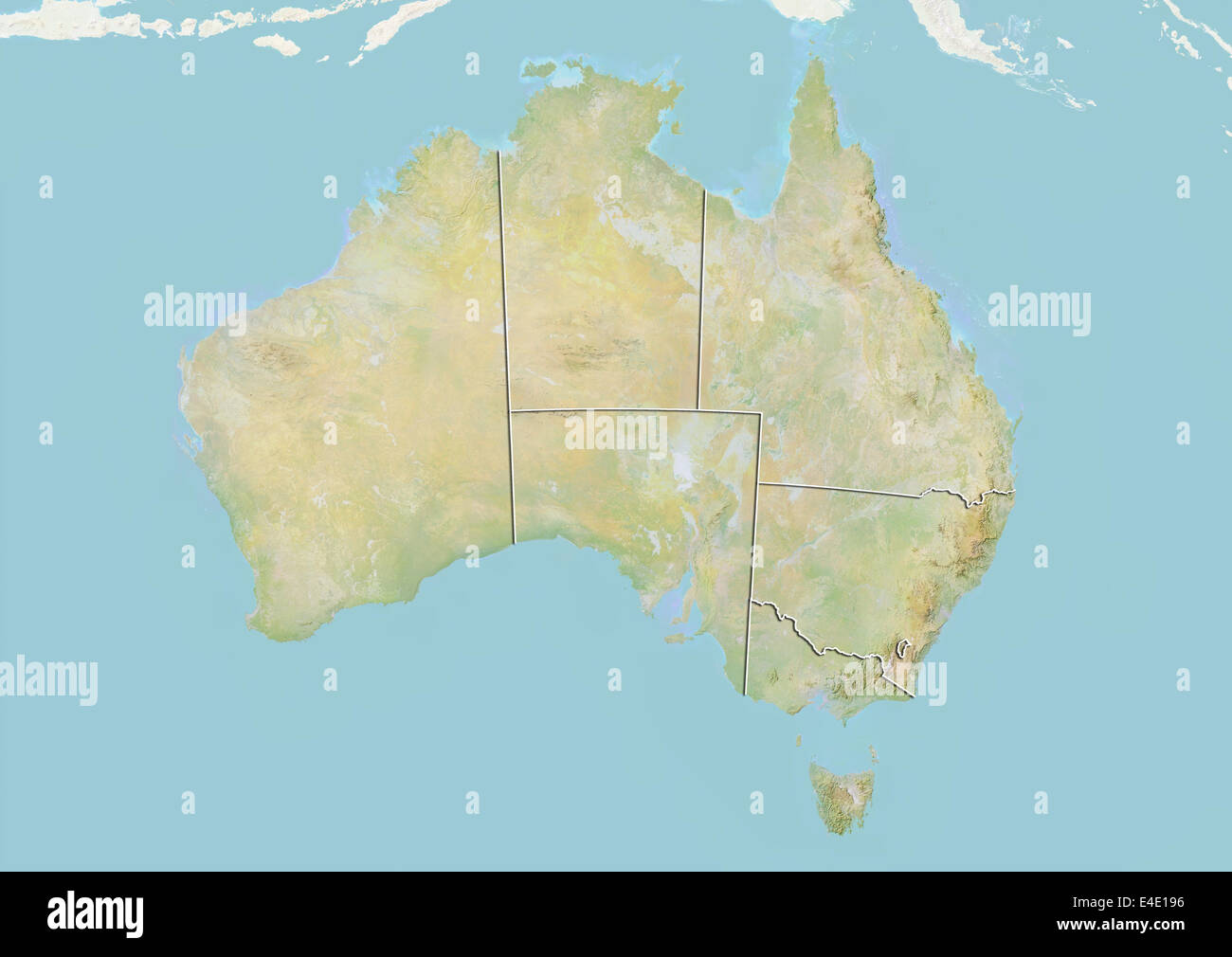 Australia, Relief Map With Boundaries of States Stock Photohttps://www.alamy.com/image-license-details/?v=1https://www.alamy.com/stock-photo-australia-relief-map-with-boundaries-of-states-71608466.html
RME4E196–Australia, Relief Map With Boundaries of States
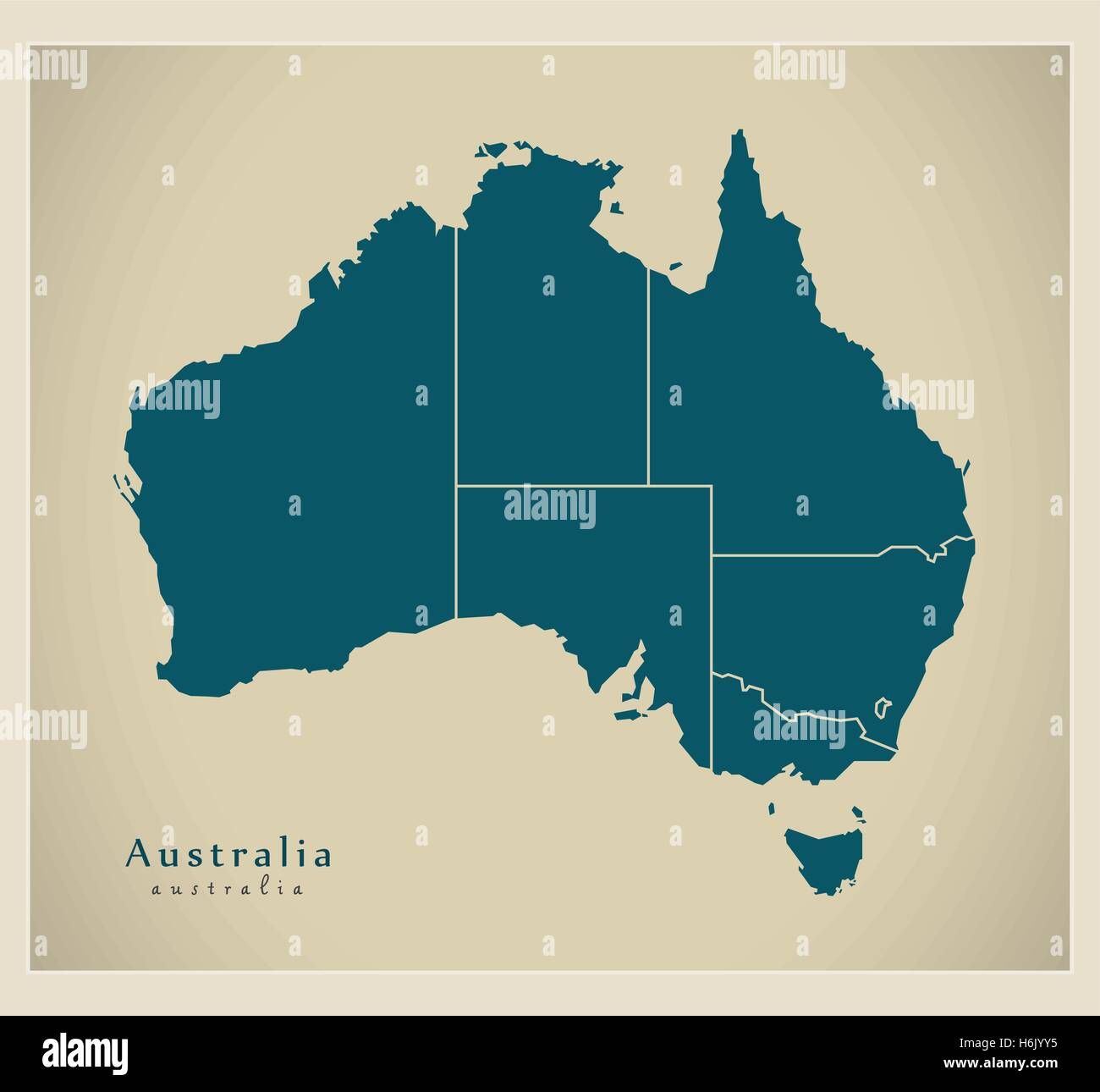 Modern Map - Australia with states AU Stock Vectorhttps://www.alamy.com/image-license-details/?v=1https://www.alamy.com/stock-photo-modern-map-australia-with-states-au-124577577.html
RFH6JYY5–Modern Map - Australia with states AU
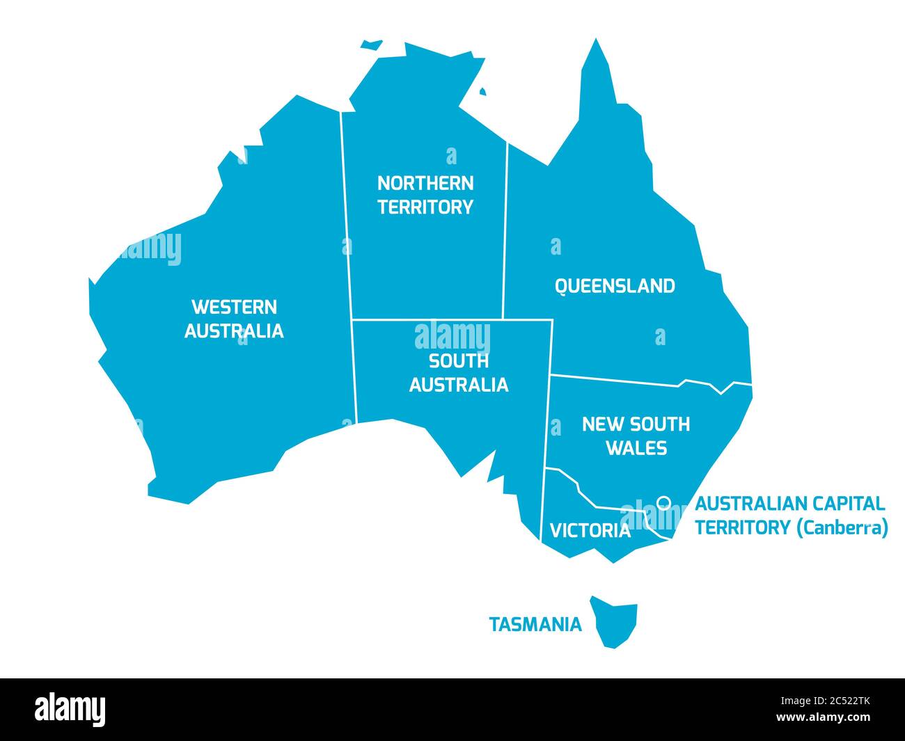 Simplified map of Australia divided into states and territories. Blue flat map with white borders and labels. Stock Vectorhttps://www.alamy.com/image-license-details/?v=1https://www.alamy.com/simplified-map-of-australia-divided-into-states-and-territories-blue-flat-map-with-white-borders-and-labels-image364537171.html
RF2C522TK–Simplified map of Australia divided into states and territories. Blue flat map with white borders and labels.
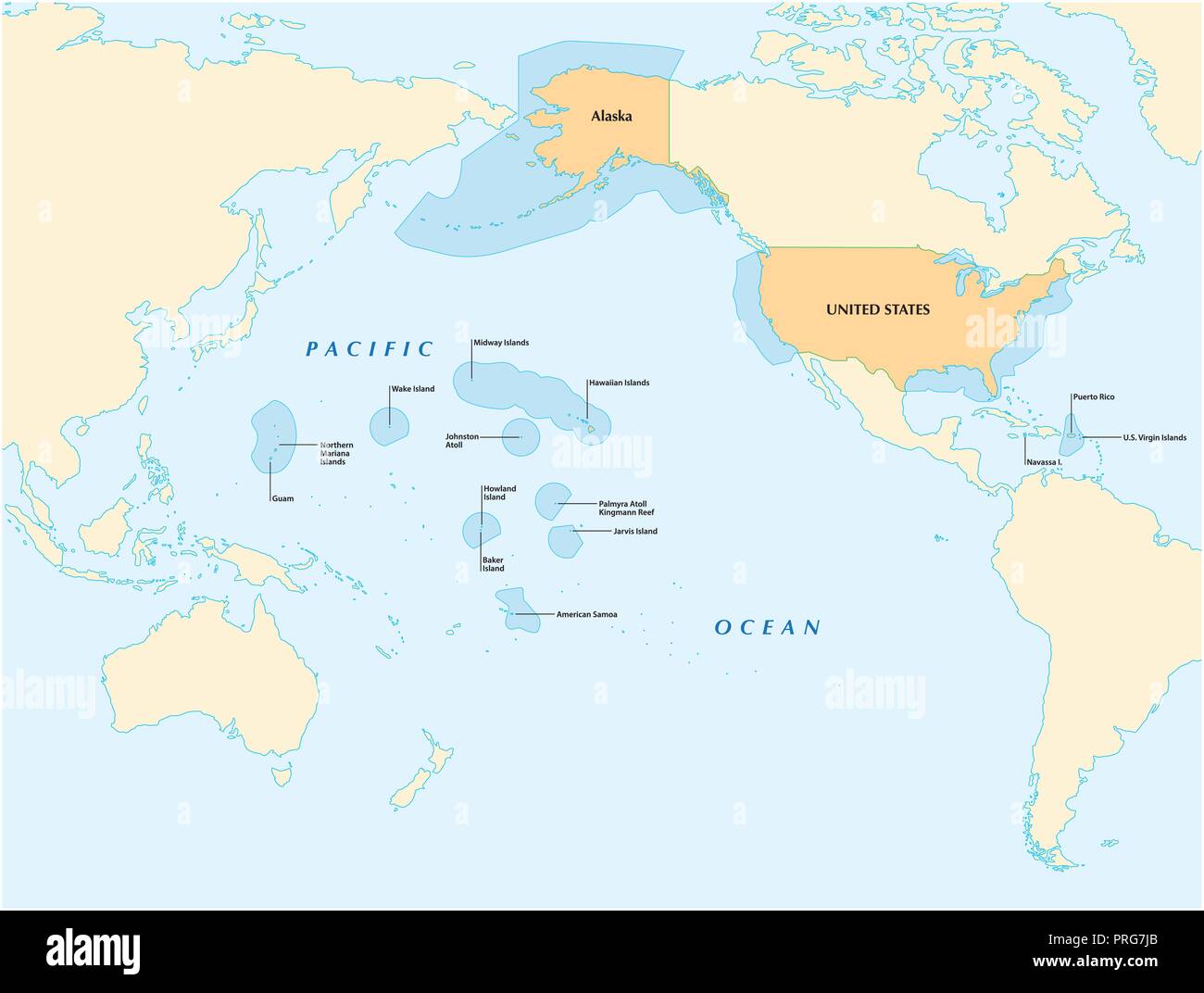 insular area vector map of the United States. Stock Vectorhttps://www.alamy.com/image-license-details/?v=1https://www.alamy.com/insular-area-vector-map-of-the-united-states-image221018739.html
RFPRG7JB–insular area vector map of the United States.
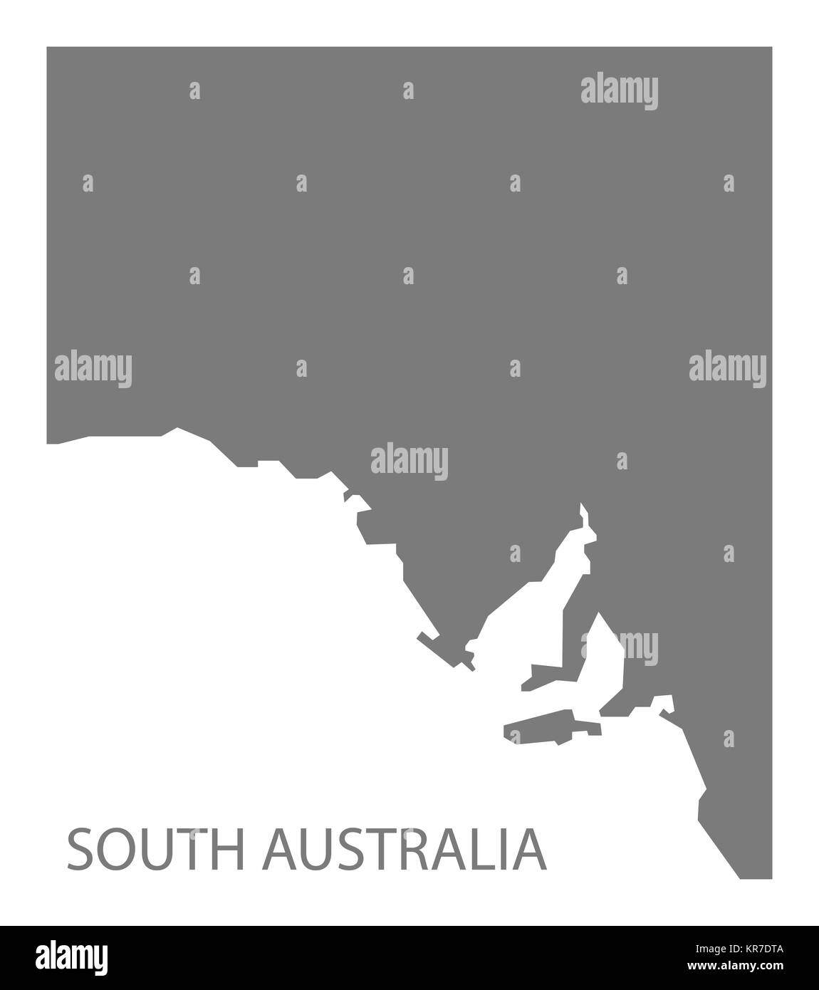 South Australia Map grey Stock Photohttps://www.alamy.com/image-license-details/?v=1https://www.alamy.com/stock-image-south-australia-map-grey-169194938.html
RFKR7DTA–South Australia Map grey
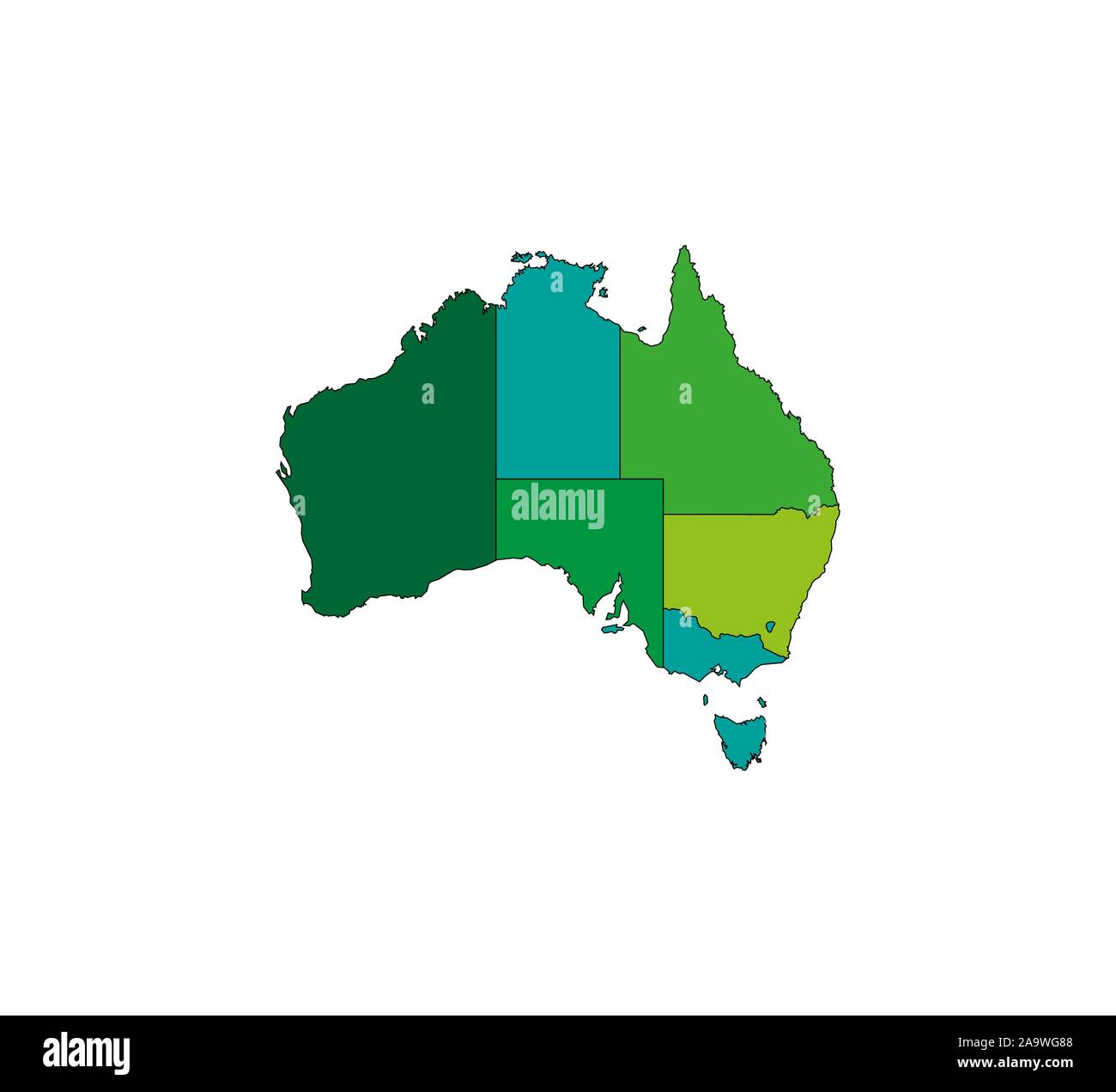 Australia Map, states border map. Vector illustration. Stock Vectorhttps://www.alamy.com/image-license-details/?v=1https://www.alamy.com/australia-map-states-border-map-vector-illustration-image333090472.html
RF2A9WG88–Australia Map, states border map. Vector illustration.
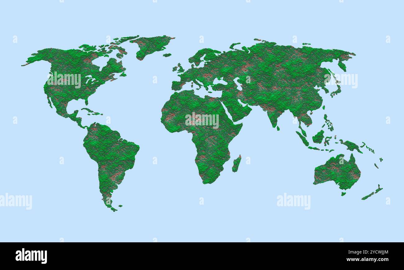 World map Stock Photohttps://www.alamy.com/image-license-details/?v=1https://www.alamy.com/world-map-image627512556.html
RF2YCWJJM–World map
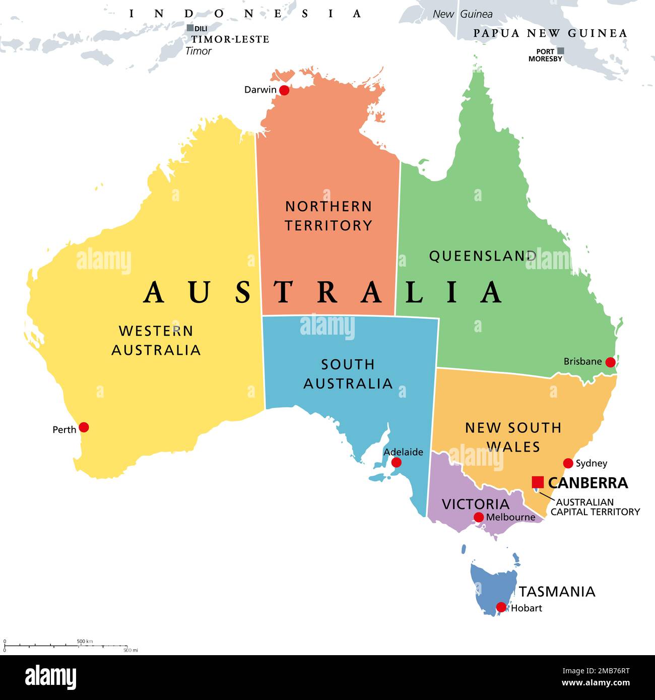 Australia, colored political map, with the capital Canberra, and administrative states and territories in different colors. Stock Photohttps://www.alamy.com/image-license-details/?v=1https://www.alamy.com/australia-colored-political-map-with-the-capital-canberra-and-administrative-states-and-territories-in-different-colors-image506020924.html
RF2MB76RT–Australia, colored political map, with the capital Canberra, and administrative states and territories in different colors.
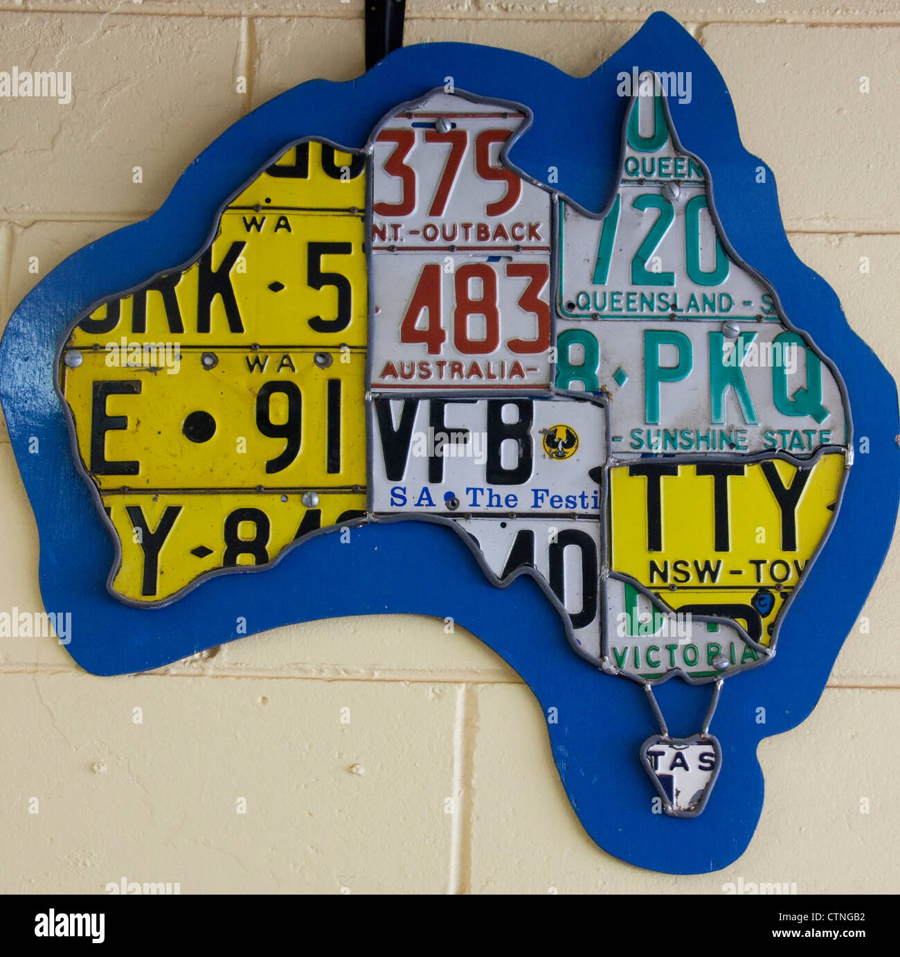 Map of Australia made from car number plates from each of the different states Palm Beach Sydney New South Wales (NSW) Australia Stock Photohttps://www.alamy.com/image-license-details/?v=1https://www.alamy.com/stock-photo-map-of-australia-made-from-car-number-plates-from-each-of-the-different-49646326.html
RMCTNGB2–Map of Australia made from car number plates from each of the different states Palm Beach Sydney New South Wales (NSW) Australia
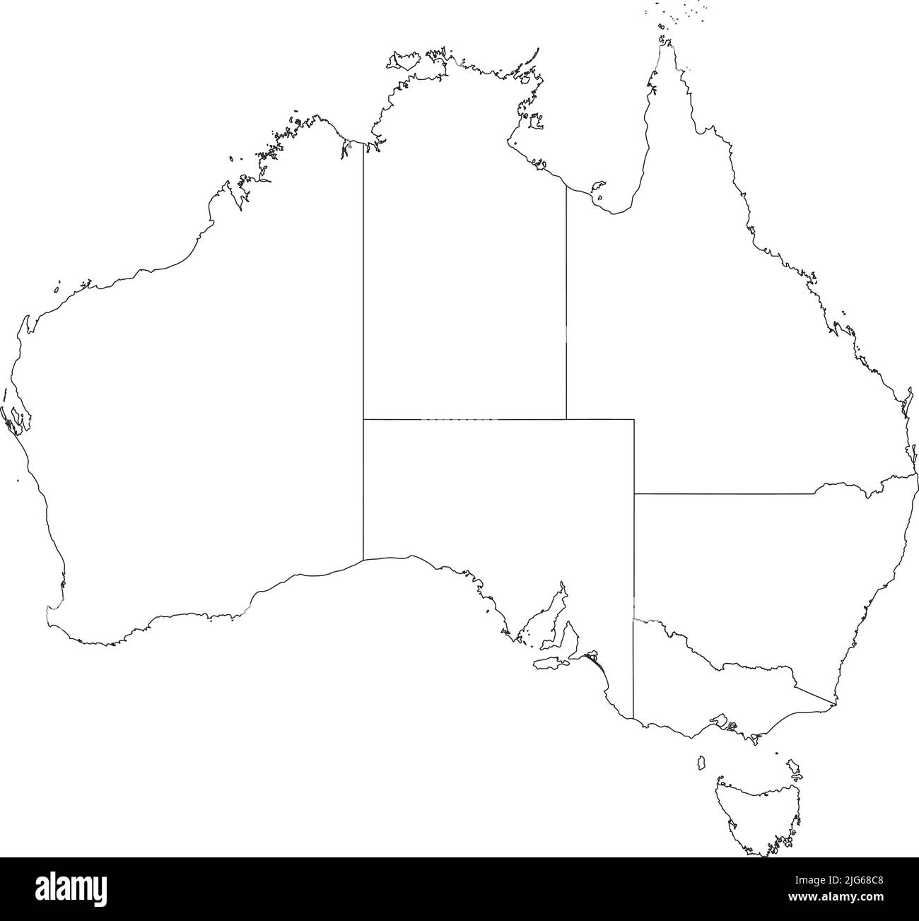 White blank vector administrative map of AUSTRALIA with black border lines of its states and territories Stock Vectorhttps://www.alamy.com/image-license-details/?v=1https://www.alamy.com/white-blank-vector-administrative-map-of-australia-with-black-border-lines-of-its-states-and-territories-image474652760.html
RF2JG68C8–White blank vector administrative map of AUSTRALIA with black border lines of its states and territories
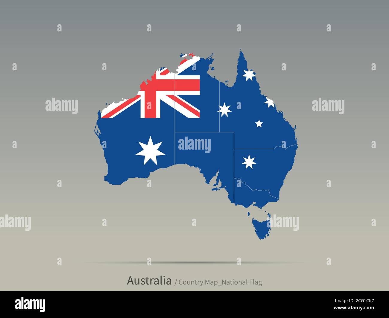 Australia Flag Isolated on Map. South Pacific countries map and flag. Stock Vectorhttps://www.alamy.com/image-license-details/?v=1https://www.alamy.com/australia-flag-isolated-on-map-south-pacific-countries-map-and-flag-image371284123.html
RF2CG1CK7–Australia Flag Isolated on Map. South Pacific countries map and flag.
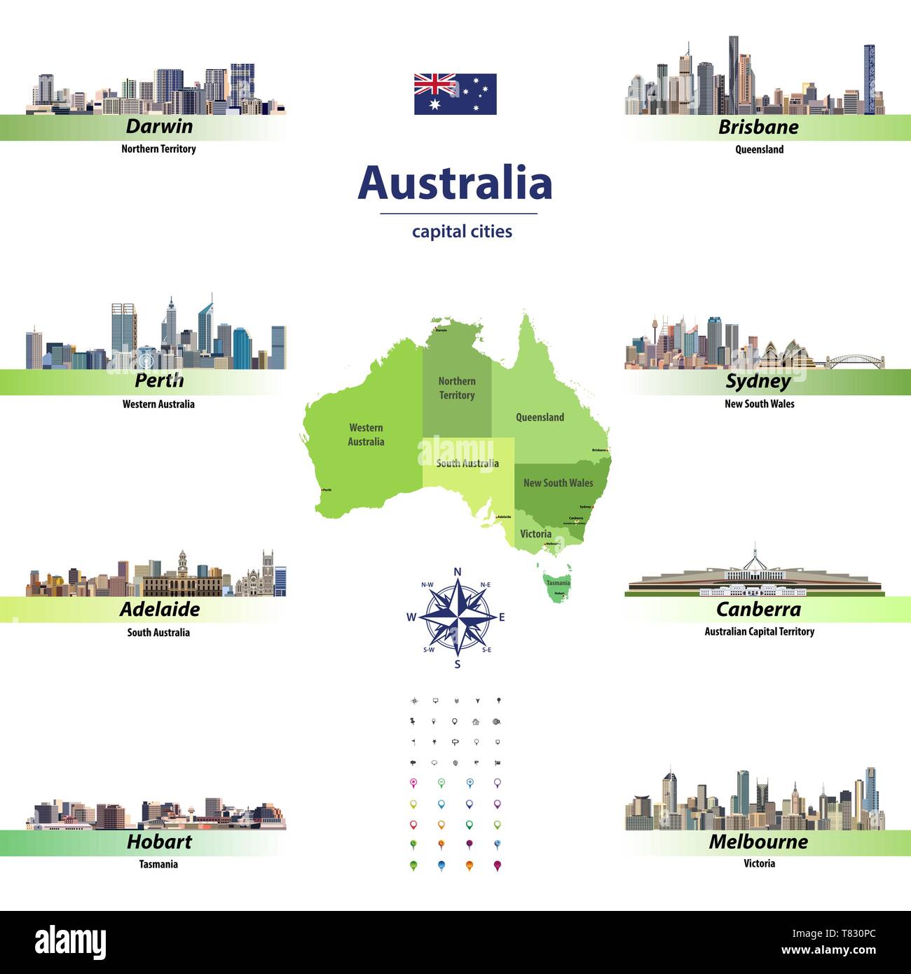 vector illustration of Australia states map with skylines of capital cities Stock Vectorhttps://www.alamy.com/image-license-details/?v=1https://www.alamy.com/vector-illustration-of-australia-states-map-with-skylines-of-capital-cities-image245928884.html
RFT830PC–vector illustration of Australia states map with skylines of capital cities
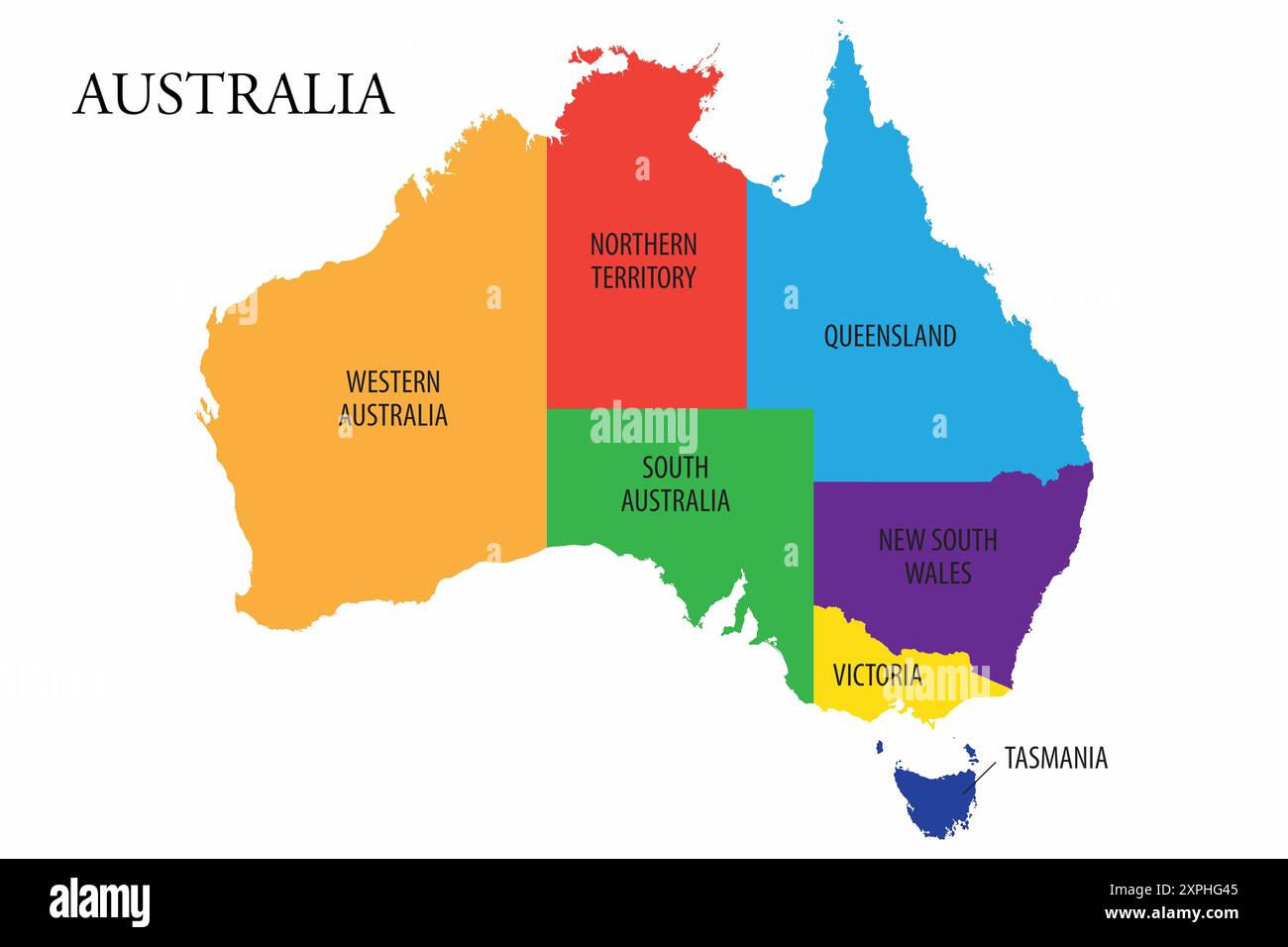 Vector map of Australia showing the six federal states Stock Photohttps://www.alamy.com/image-license-details/?v=1https://www.alamy.com/vector-map-of-australia-showing-the-six-federal-states-image616271157.html
RF2XPHG45–Vector map of Australia showing the six federal states
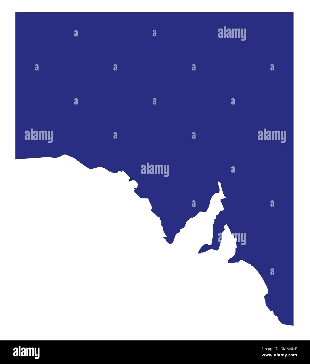 South Australia State Silhouette Stock Vectorhttps://www.alamy.com/image-license-details/?v=1https://www.alamy.com/stock-photo-south-australia-state-silhouette-115999674.html
RFGMM6NE–South Australia State Silhouette
 Tasmania Australia Map grey Stock Photohttps://www.alamy.com/image-license-details/?v=1https://www.alamy.com/stock-image-tasmania-australia-map-grey-169194951.html
RFKR7DTR–Tasmania Australia Map grey
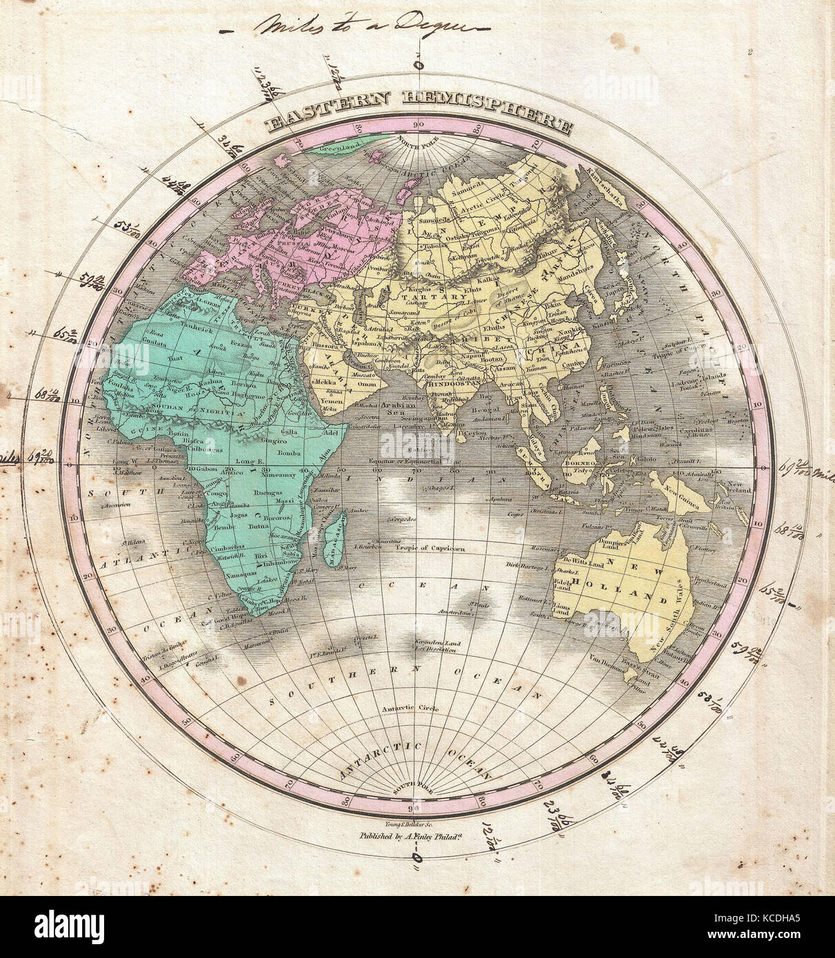 1827, Finley Map of the Eastern Hemisphere, Asia, Australia, Europe, Africa, Anthony Finley mapmaker of the United States Stock Photohttps://www.alamy.com/image-license-details/?v=1https://www.alamy.com/stock-image-1827-finley-map-of-the-eastern-hemisphere-asia-australia-europe-africa-162568173.html
RMKCDHA5–1827, Finley Map of the Eastern Hemisphere, Asia, Australia, Europe, Africa, Anthony Finley mapmaker of the United States
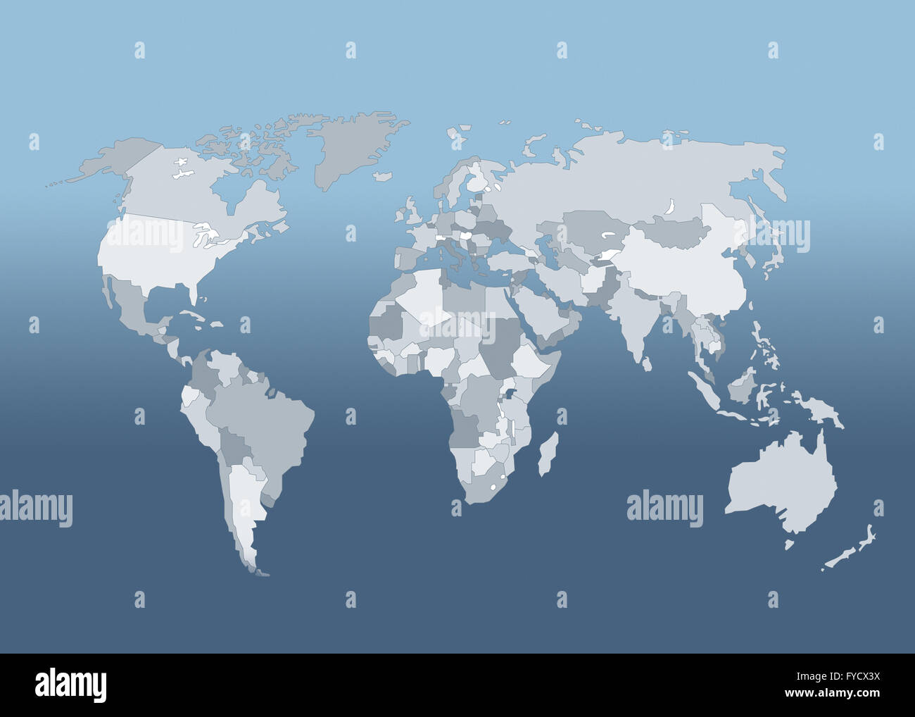 World Map world map with states Stock Photohttps://www.alamy.com/image-license-details/?v=1https://www.alamy.com/stock-photo-world-map-world-map-with-states-102931470.html
RMFYCX3X–World Map world map with states
 World map, illustration Stock Photohttps://www.alamy.com/image-license-details/?v=1https://www.alamy.com/world-map-illustration-image245984798.html
RFT85G3A–World map, illustration
 world map with eyes,stars and stripes Stock Photohttps://www.alamy.com/image-license-details/?v=1https://www.alamy.com/stock-photo-world-map-with-eyesstars-and-stripes-78591473.html
RMEFT469–world map with eyes,stars and stripes
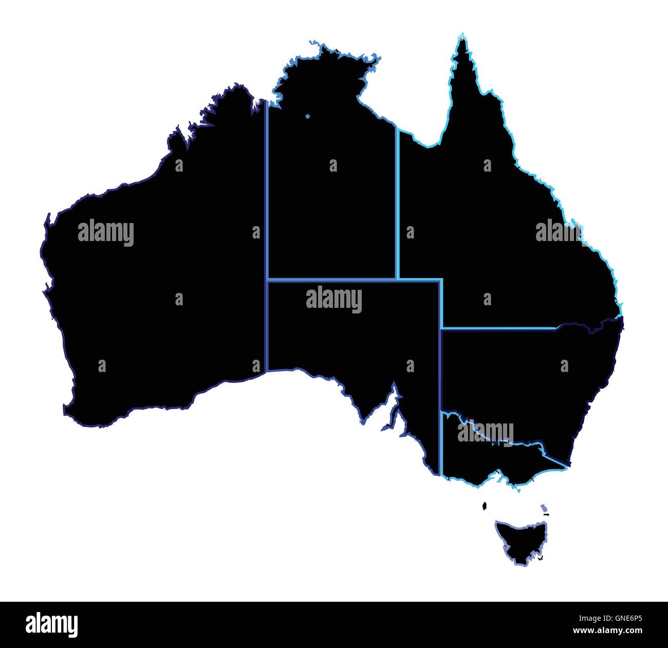 Silhouette map of the Australian states over a white background Stock Vectorhttps://www.alamy.com/image-license-details/?v=1https://www.alamy.com/stock-photo-silhouette-map-of-the-australian-states-over-a-white-background-116482637.html
RFGNE6P5–Silhouette map of the Australian states over a white background
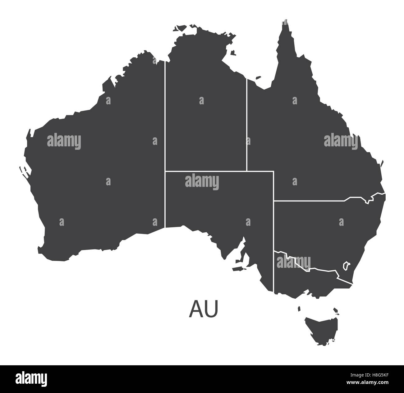 Australia Map with states black edition Stock Vectorhttps://www.alamy.com/image-license-details/?v=1https://www.alamy.com/stock-photo-australia-map-with-states-black-edition-125745523.html
RFH8G5KF–Australia Map with states black edition
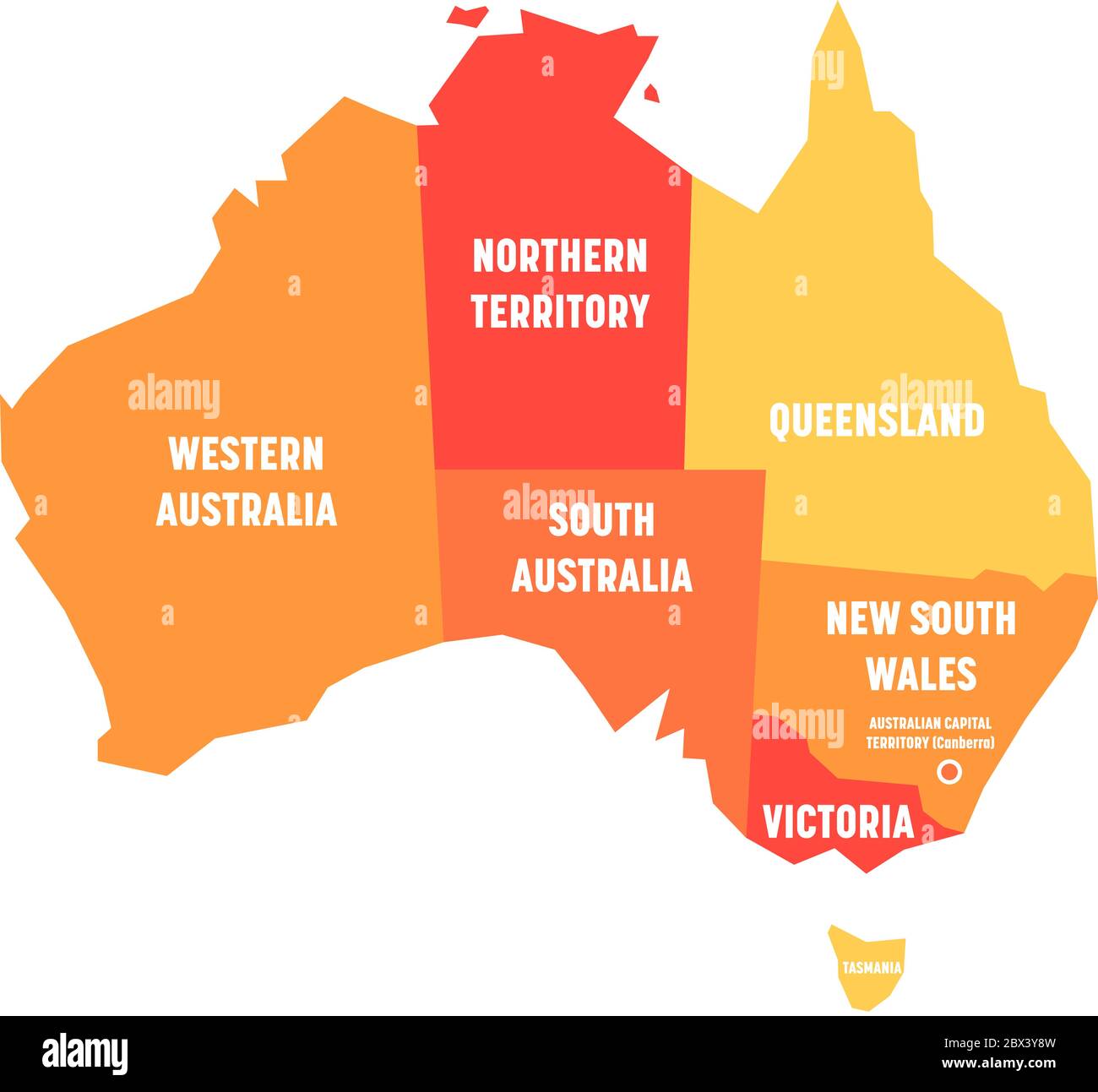 Simplified map of Australia divided into states and territories. Orange flat map with white labels. Vector illustration. Stock Vectorhttps://www.alamy.com/image-license-details/?v=1https://www.alamy.com/simplified-map-of-australia-divided-into-states-and-territories-orange-flat-map-with-white-labels-vector-illustration-image360275689.html
RF2BX3Y8W–Simplified map of Australia divided into states and territories. Orange flat map with white labels. Vector illustration.
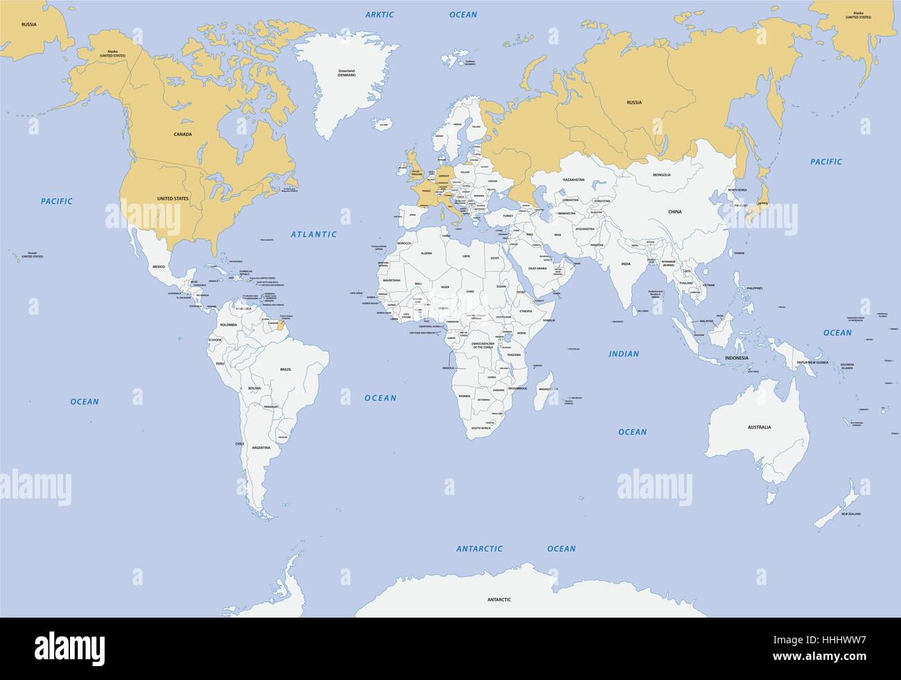 Map member states of G-8 Stock Vectorhttps://www.alamy.com/image-license-details/?v=1https://www.alamy.com/stock-photo-map-member-states-of-g-8-131315219.html
RFHHHWW7–Map member states of G-8
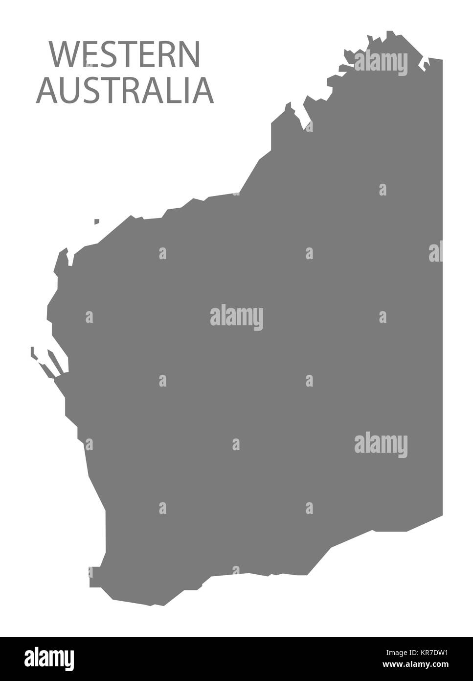 Western Australia Map grey Stock Photohttps://www.alamy.com/image-license-details/?v=1https://www.alamy.com/stock-image-western-australia-map-grey-169194957.html
RFKR7DW1–Western Australia Map grey
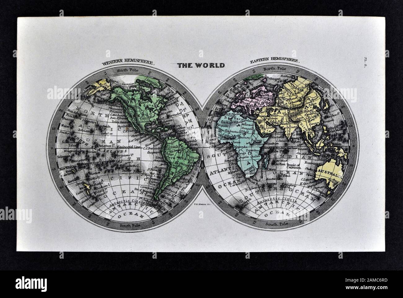 1834 Carey World Map Africa Europe Asia North & South America Stock Photohttps://www.alamy.com/image-license-details/?v=1https://www.alamy.com/1834-carey-world-map-africa-europe-asia-north-south-america-image339558897.html
RF2AMC6RD–1834 Carey World Map Africa Europe Asia North & South America
 World map Stock Photohttps://www.alamy.com/image-license-details/?v=1https://www.alamy.com/world-map-image627512589.html
RF2YCWJKW–World map
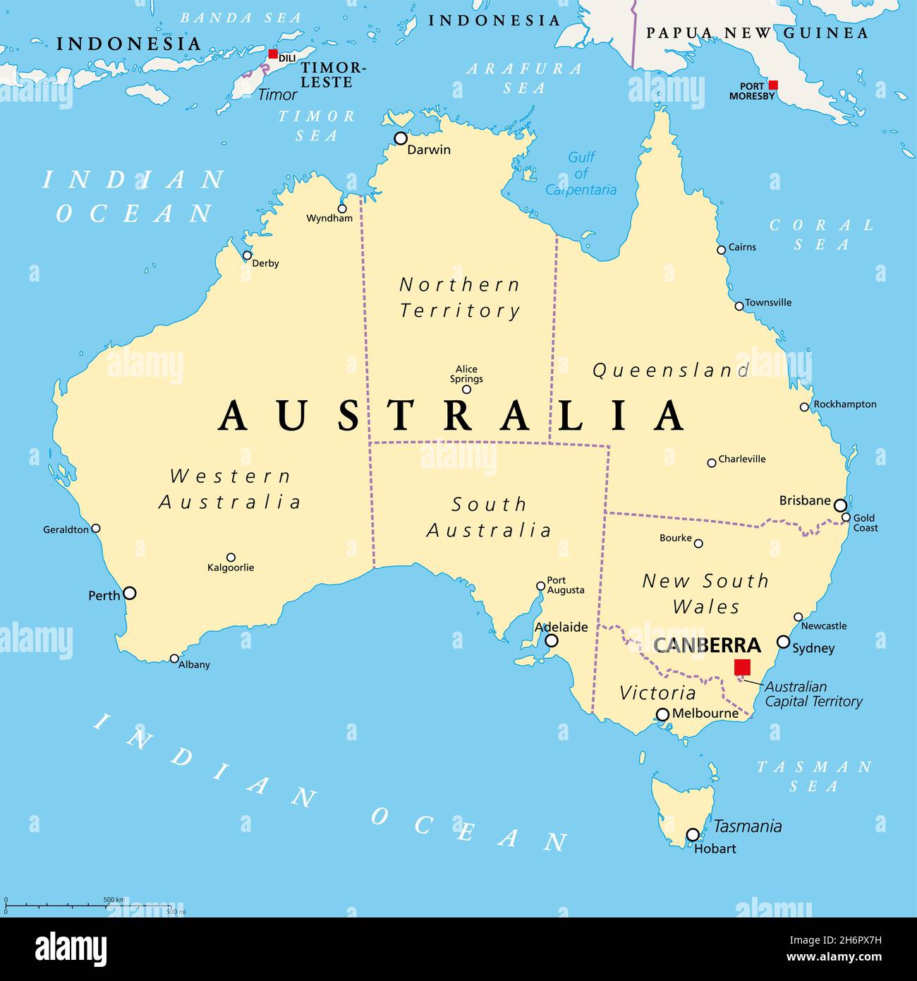 Australia, political map, with the capital Canberra, internal administrative boundaries, and most important cities. Commonwealth of Australia. Stock Photohttps://www.alamy.com/image-license-details/?v=1https://www.alamy.com/australia-political-map-with-the-capital-canberra-internal-administrative-boundaries-and-most-important-cities-commonwealth-of-australia-image451661045.html
RF2H6PX7H–Australia, political map, with the capital Canberra, internal administrative boundaries, and most important cities. Commonwealth of Australia.
 Victoria with map of Australia and road sign Stock Photohttps://www.alamy.com/image-license-details/?v=1https://www.alamy.com/victoria-with-map-of-australia-and-road-sign-image634539643.html
RF2YT9NP3–Victoria with map of Australia and road sign
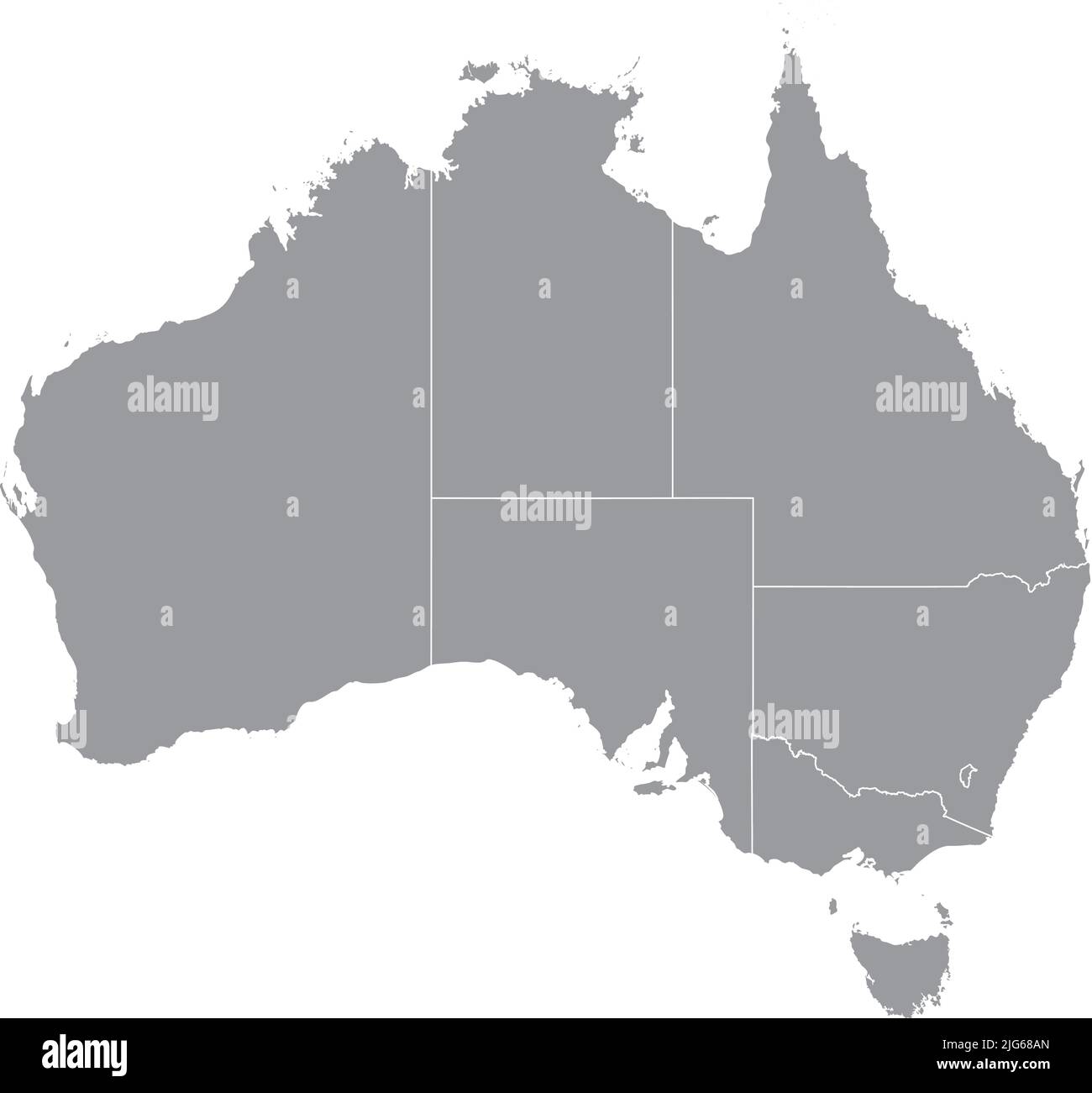 Gray blank vector administrative map of AUSTRALIA with black border lines of its states and territories Stock Vectorhttps://www.alamy.com/image-license-details/?v=1https://www.alamy.com/gray-blank-vector-administrative-map-of-australia-with-black-border-lines-of-its-states-and-territories-image474652717.html
RF2JG68AN–Gray blank vector administrative map of AUSTRALIA with black border lines of its states and territories
 Outline, map of Australia Stock Photohttps://www.alamy.com/image-license-details/?v=1https://www.alamy.com/stock-photo-outline-map-of-australia-34046050.html
RFBYAX2A–Outline, map of Australia
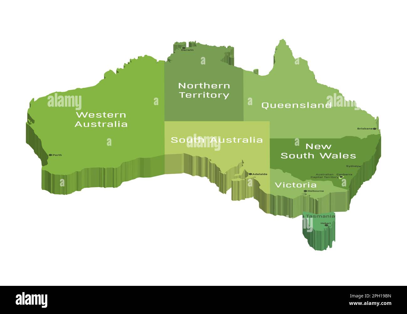 Australian 3d (isometric) map colored by states Stock Vectorhttps://www.alamy.com/image-license-details/?v=1https://www.alamy.com/australian-3d-isometric-map-colored-by-states-image543999897.html
RF2PH19BN–Australian 3d (isometric) map colored by states
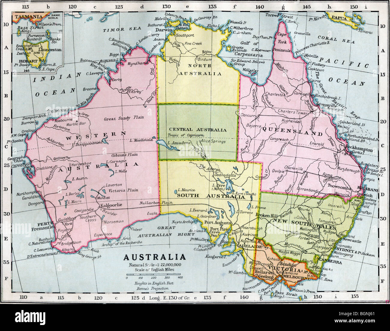 Australia between 1st and 2nd Wars, showing temporary partition of Northern Territory into North Australia and Central Australia Stock Photohttps://www.alamy.com/image-license-details/?v=1https://www.alamy.com/stock-photo-australia-between-1st-and-2nd-wars-showing-temporary-partition-of-27520137.html
RMBGNJ61–Australia between 1st and 2nd Wars, showing temporary partition of Northern Territory into North Australia and Central Australia
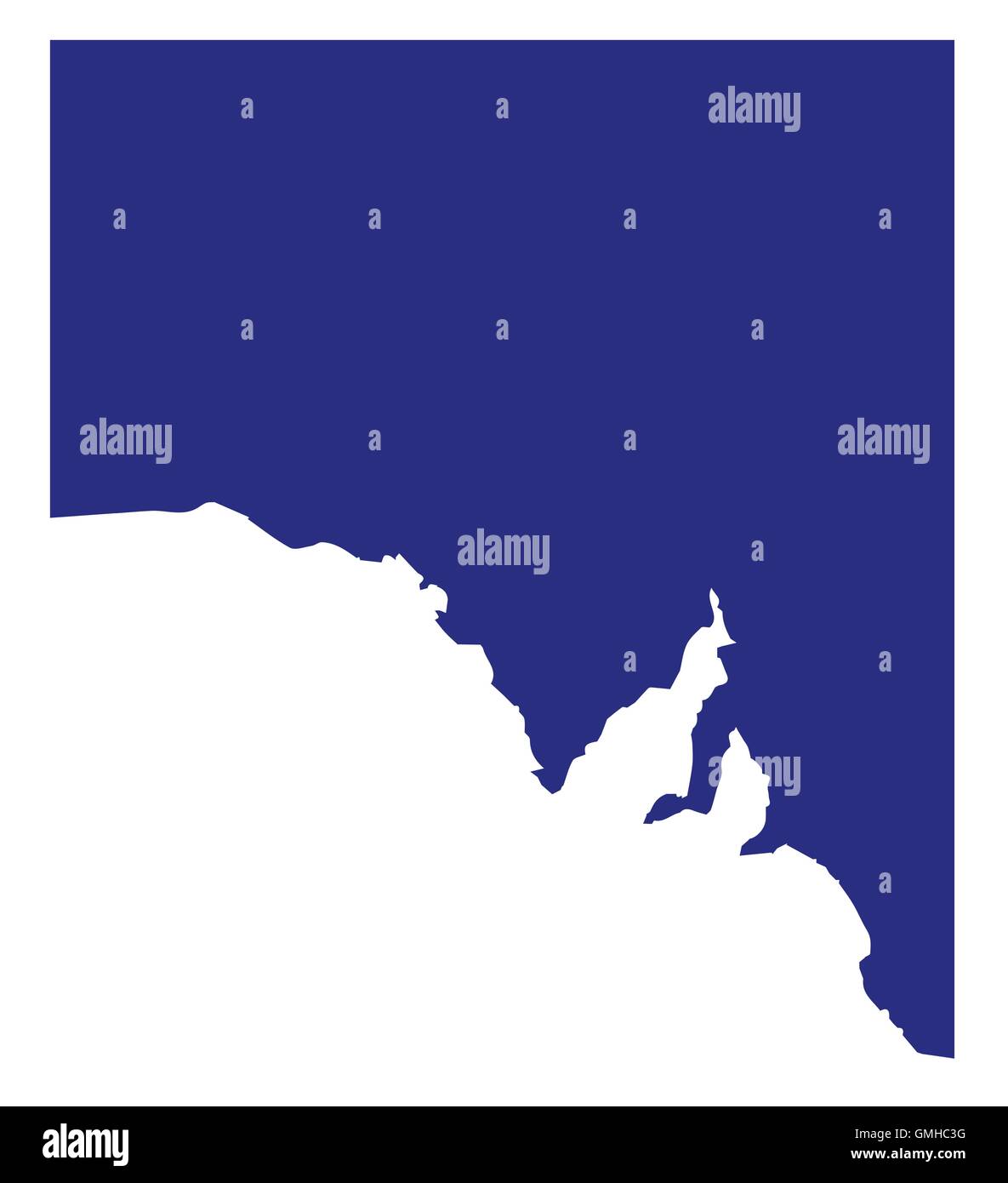 South Australia State Silhouette Stock Vectorhttps://www.alamy.com/image-license-details/?v=1https://www.alamy.com/stock-photo-south-australia-state-silhouette-115938020.html
RFGMHC3G–South Australia State Silhouette
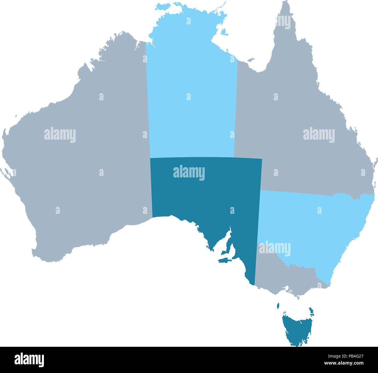 Map of Australia with states and territories Stock Vectorhttps://www.alamy.com/image-license-details/?v=1https://www.alamy.com/map-of-australia-with-states-and-territories-image213386047.html
RFPB4G27–Map of Australia with states and territories
 Map of HAITI, South America map, region of South America, showing its states and cities, with name, World map, Stock Vectorhttps://www.alamy.com/image-license-details/?v=1https://www.alamy.com/map-of-haiti-south-america-map-region-of-south-america-showing-its-states-and-cities-with-name-world-map-image612139746.html
RF2XFWADP–Map of HAITI, South America map, region of South America, showing its states and cities, with name, World map,
 3D map of Australia. Map of Australia land border with flag. Australia map on white background. 3d rendering Stock Photohttps://www.alamy.com/image-license-details/?v=1https://www.alamy.com/3d-map-of-australia-map-of-australia-land-border-with-flag-australia-map-on-white-background-3d-rendering-image345811222.html
RF2B2H1MP–3D map of Australia. Map of Australia land border with flag. Australia map on white background. 3d rendering
 World map, illustration Stock Photohttps://www.alamy.com/image-license-details/?v=1https://www.alamy.com/world-map-illustration-image245984800.html
RFT85G3C–World map, illustration
 world map with eyes,stars and stripes Stock Photohttps://www.alamy.com/image-license-details/?v=1https://www.alamy.com/stock-photo-world-map-with-eyesstars-and-stripes-78591474.html
RMEFT46A–world map with eyes,stars and stripes
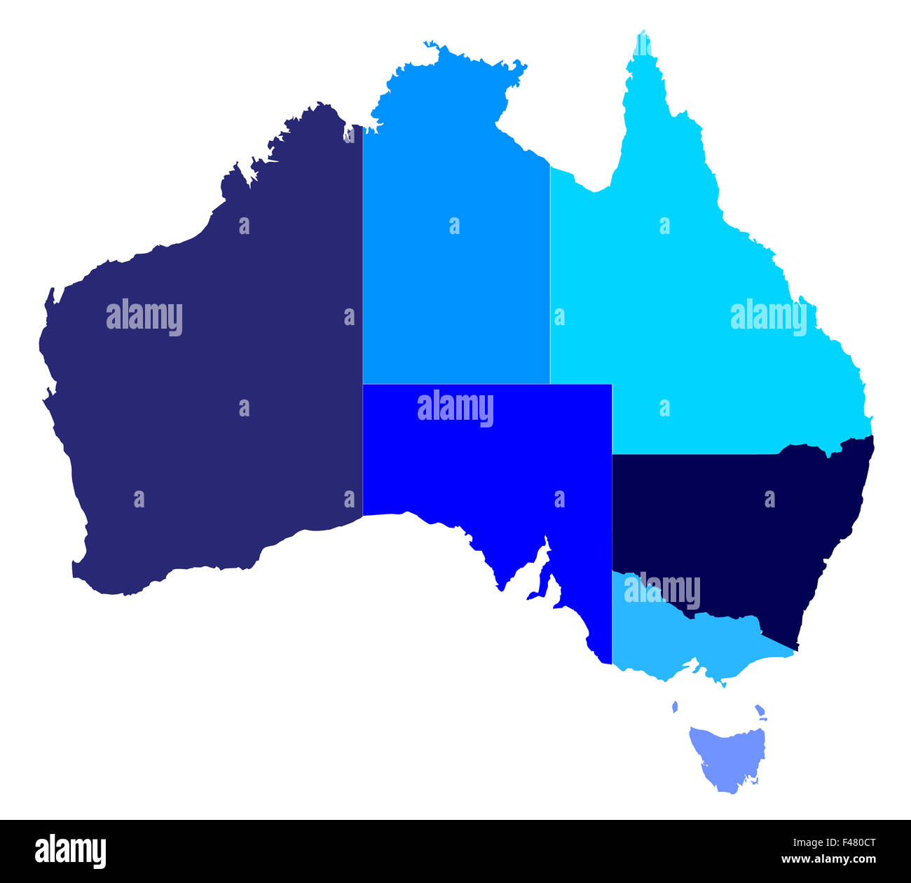 Silhouette map of the Australian states over a white background Stock Photohttps://www.alamy.com/image-license-details/?v=1https://www.alamy.com/stock-photo-silhouette-map-of-the-australian-states-over-a-white-background-88686440.html
RFF480CT–Silhouette map of the Australian states over a white background
 Australia Map black edition Stock Vectorhttps://www.alamy.com/image-license-details/?v=1https://www.alamy.com/stock-photo-australia-map-black-edition-125745520.html
RFH8G5KC–Australia Map black edition
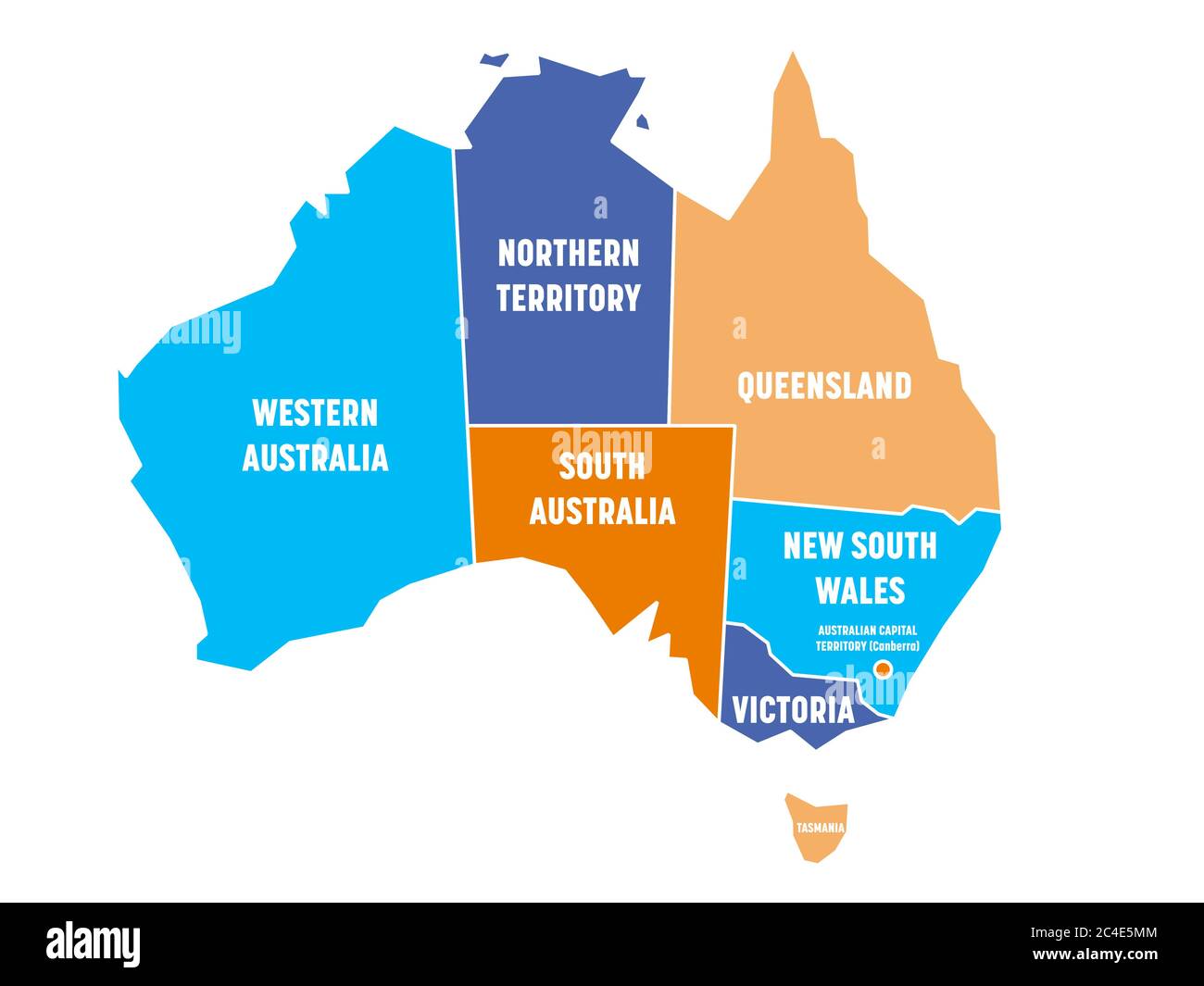 Simplified map of Australia divided into states and territories. Four colors map with white borders and labels. Vector illustration. Stock Vectorhttps://www.alamy.com/image-license-details/?v=1https://www.alamy.com/simplified-map-of-australia-divided-into-states-and-territories-four-colors-map-with-white-borders-and-labels-vector-illustration-image364188180.html
RF2C4E5MM–Simplified map of Australia divided into states and territories. Four colors map with white borders and labels. Vector illustration.
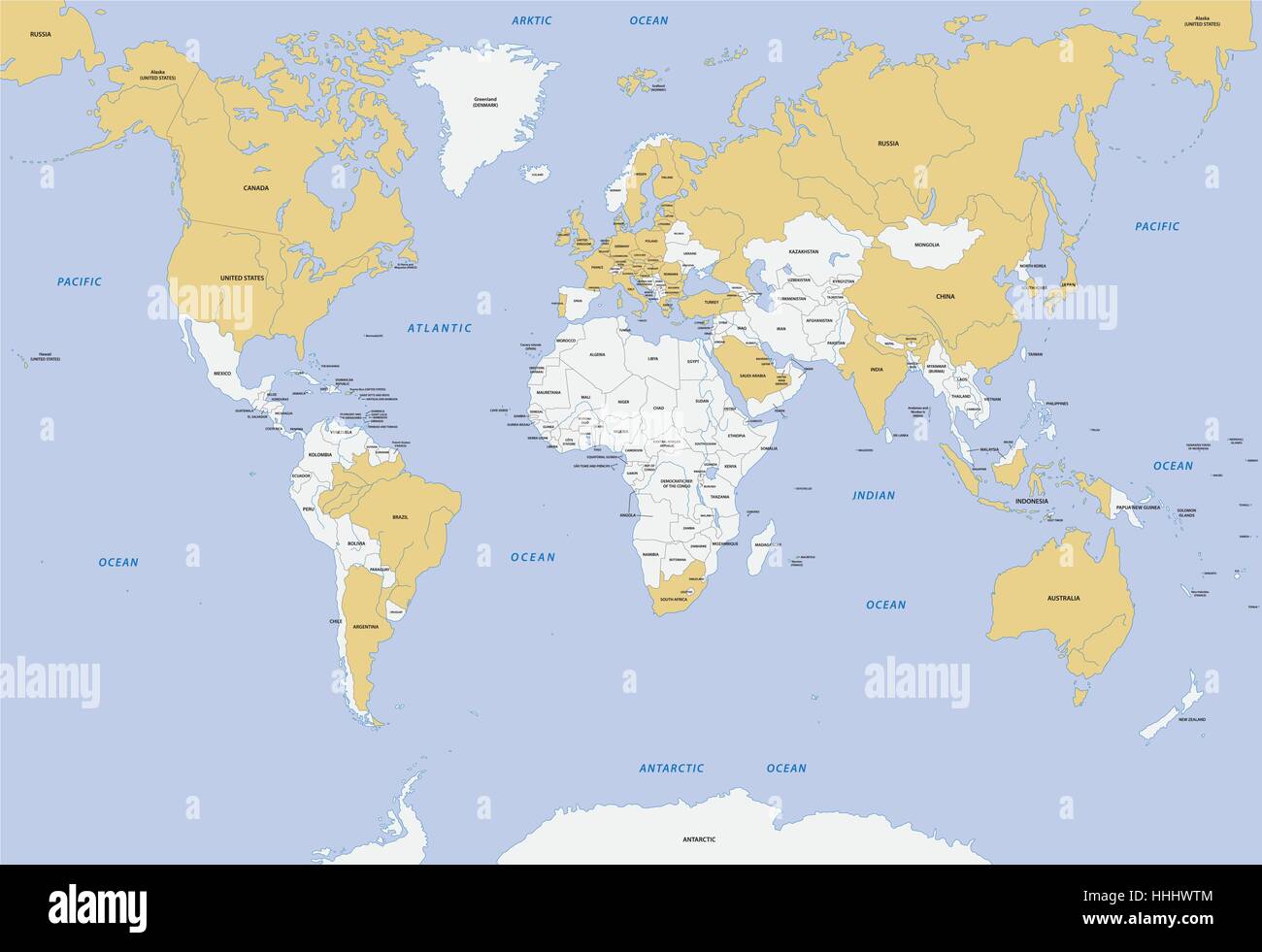 member states of G-20 map Stock Vectorhttps://www.alamy.com/image-license-details/?v=1https://www.alamy.com/stock-photo-member-states-of-g-20-map-131315204.html
RFHHHWTM–member states of G-20 map
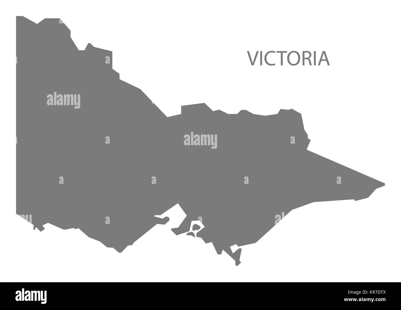 Victoria Australia Map grey Stock Photohttps://www.alamy.com/image-license-details/?v=1https://www.alamy.com/stock-image-victoria-australia-map-grey-169194954.html
RFKR7DTX–Victoria Australia Map grey
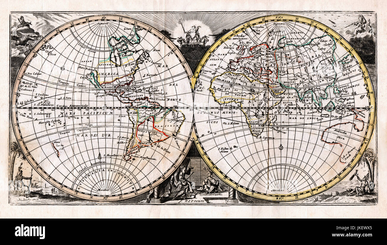 1725 Afferden Map of World in Hemispheres Stock Photohttps://www.alamy.com/image-license-details/?v=1https://www.alamy.com/stock-photo-1725-afferden-map-of-world-in-hemispheres-149689069.html
RMJKEWX5–1725 Afferden Map of World in Hemispheres
 World map Stock Photohttps://www.alamy.com/image-license-details/?v=1https://www.alamy.com/world-map-image627512584.html
RF2YCWJKM–World map
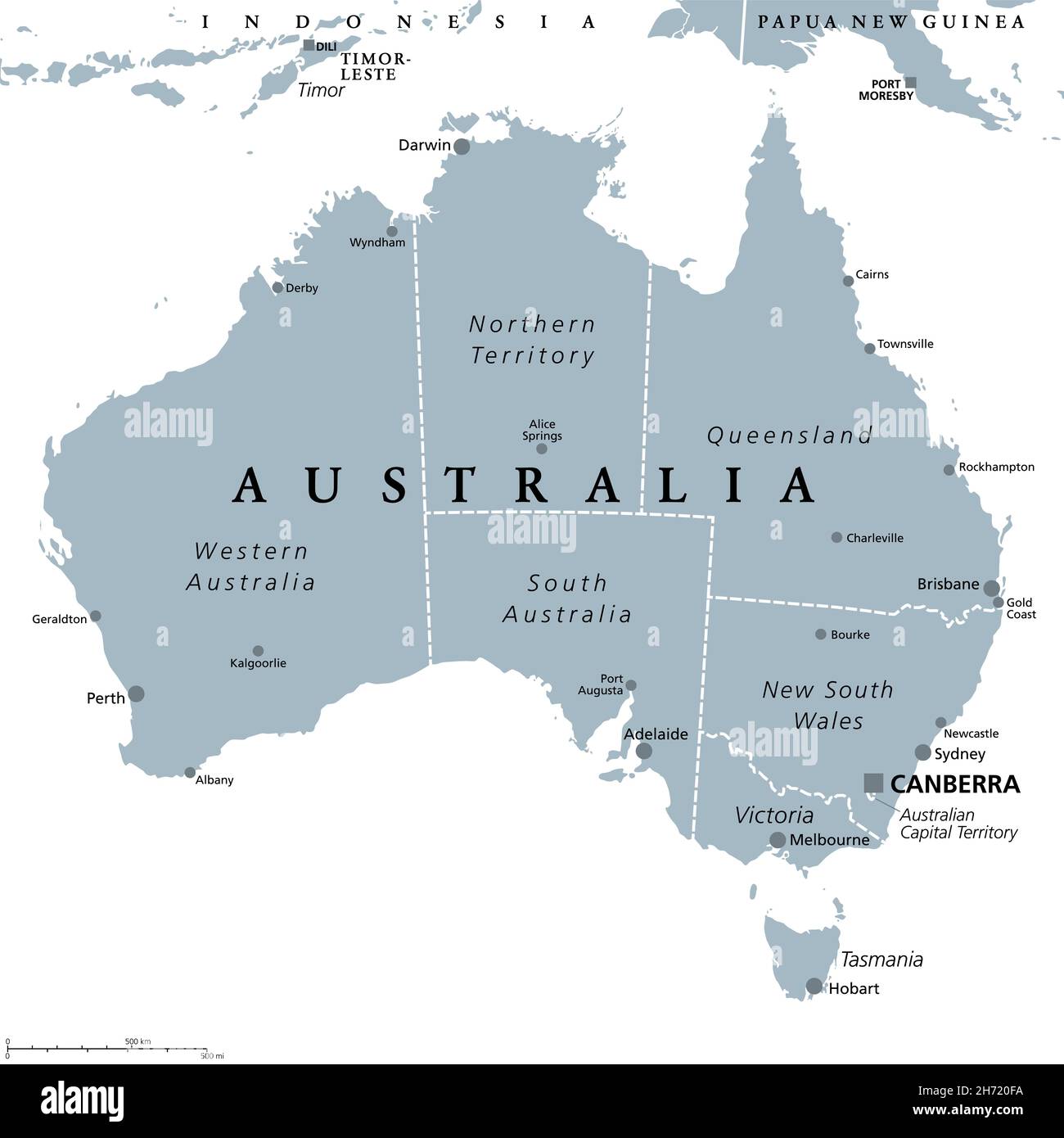 Australia, gray political map, with capital Canberra, internal administrative boundaries, and most important cities. Commonwealth of Australia. Stock Photohttps://www.alamy.com/image-license-details/?v=1https://www.alamy.com/australia-gray-political-map-with-capital-canberra-internal-administrative-boundaries-and-most-important-cities-commonwealth-of-australia-image451816494.html
RF2H720FA–Australia, gray political map, with capital Canberra, internal administrative boundaries, and most important cities. Commonwealth of Australia.
RF2FM90R2–Pixel black dotted world map on white background. Vector illustration
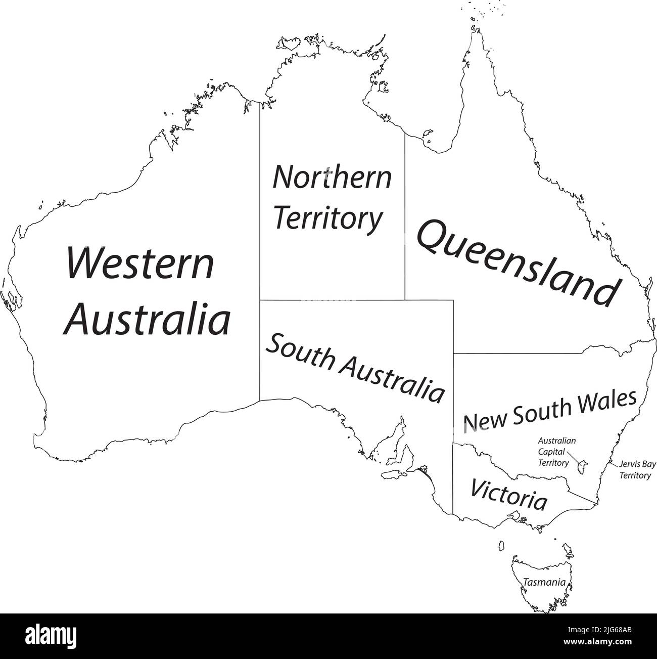 White vector administrative map of AUSTRALIA with black border lines and name tags of its states and territories Stock Vectorhttps://www.alamy.com/image-license-details/?v=1https://www.alamy.com/white-vector-administrative-map-of-australia-with-black-border-lines-and-name-tags-of-its-states-and-territories-image474652707.html
RF2JG68AB–White vector administrative map of AUSTRALIA with black border lines and name tags of its states and territories
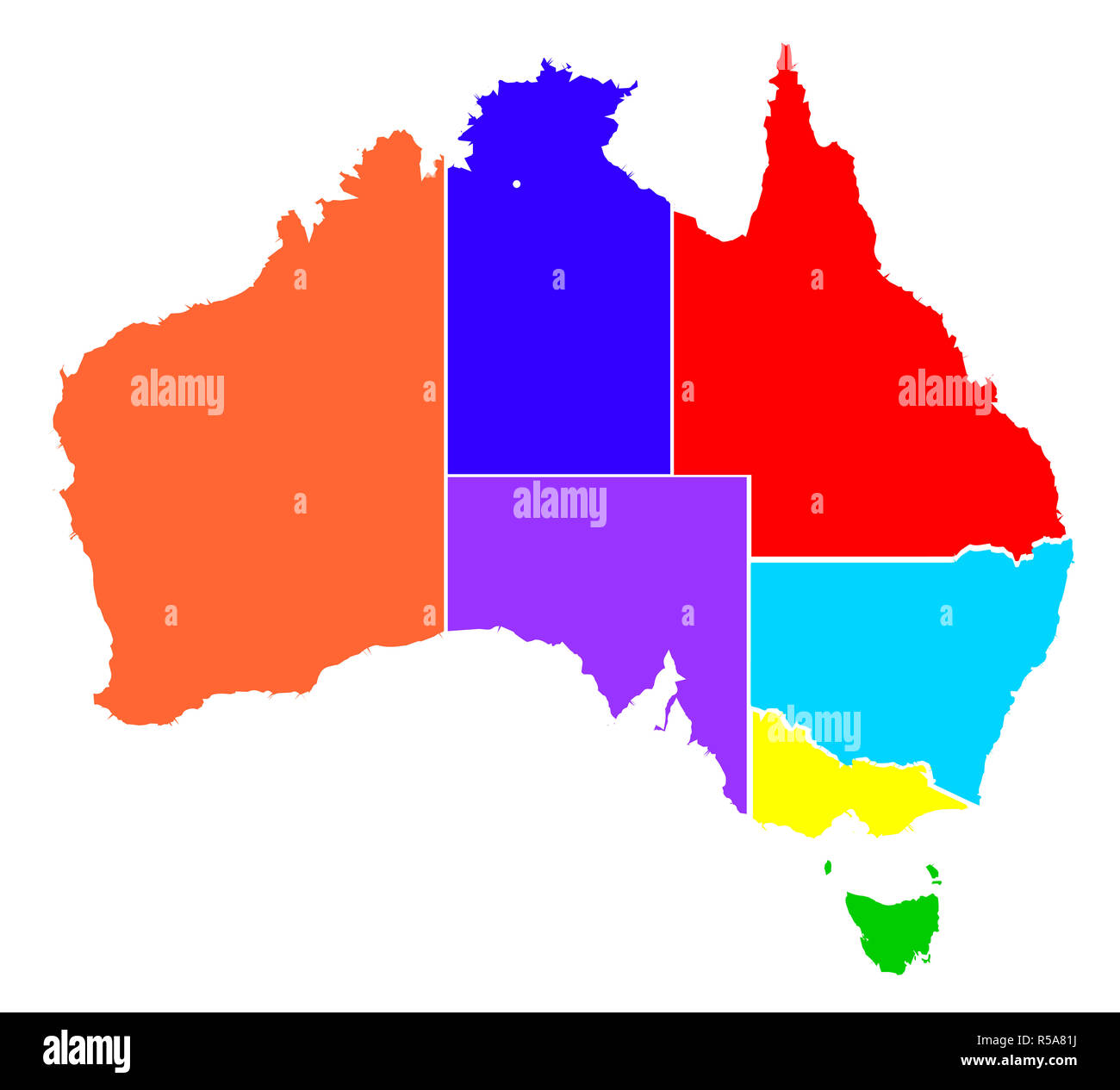 Australia States In Colour Silhouette Stock Photohttps://www.alamy.com/image-license-details/?v=1https://www.alamy.com/australia-states-in-colour-silhouette-image227033902.html
RFR5A81J–Australia States In Colour Silhouette
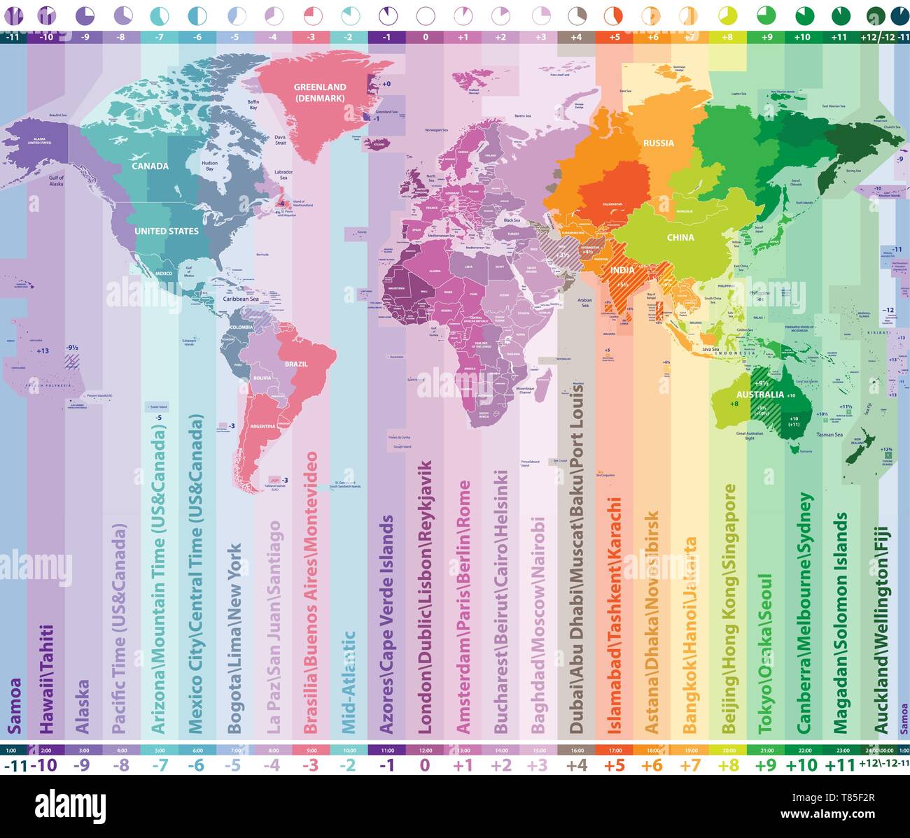 color worldwide vector map of local time zones Stock Vectorhttps://www.alamy.com/image-license-details/?v=1https://www.alamy.com/color-worldwide-vector-map-of-local-time-zones-image245983999.html
RFT85F2R–color worldwide vector map of local time zones
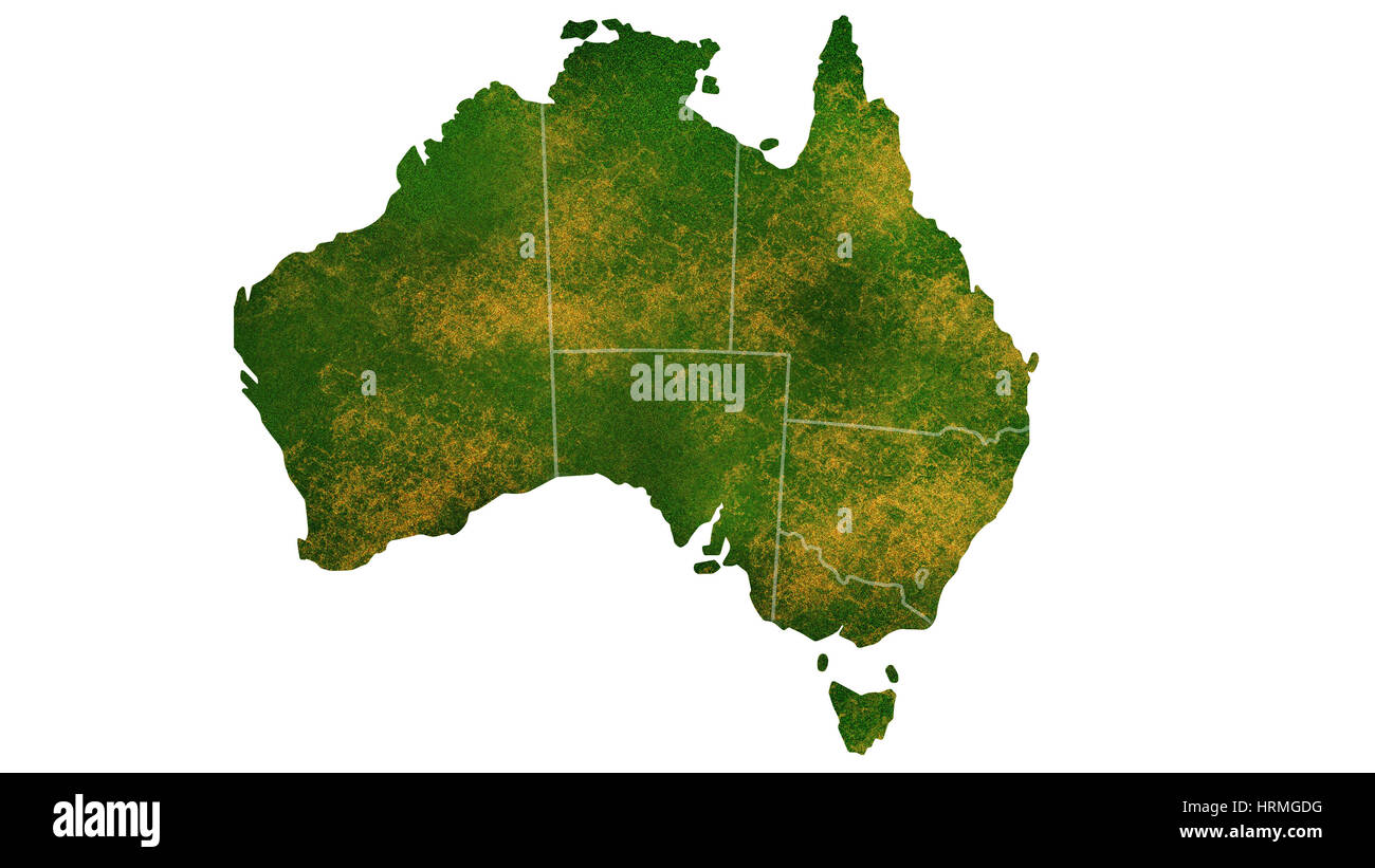 Australia detailed country map visualization Stock Photohttps://www.alamy.com/image-license-details/?v=1https://www.alamy.com/stock-photo-australia-detailed-country-map-visualization-135061628.html
RFHRMGDG–Australia detailed country map visualization
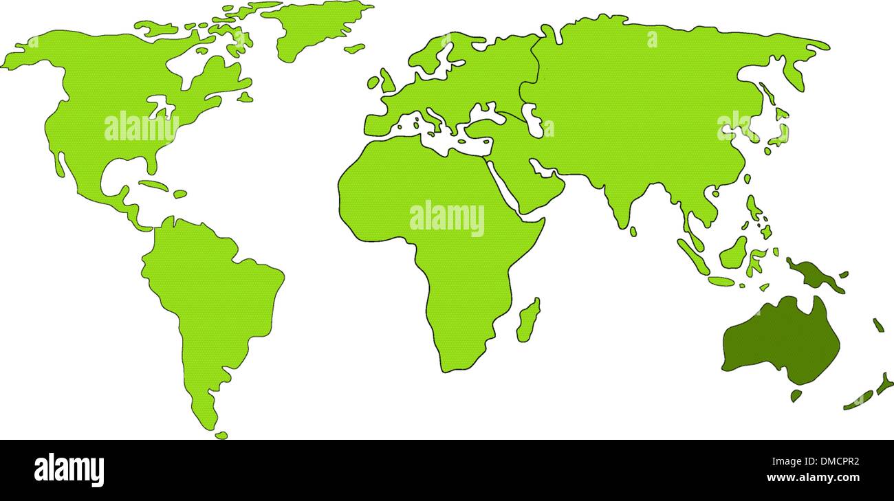 Australia world map Stock Vectorhttps://www.alamy.com/image-license-details/?v=1https://www.alamy.com/australia-world-map-image64205542.html
RFDMCPR2–Australia world map
 a very detailed map of australia in a modern and clean circle design Stock Photohttps://www.alamy.com/image-license-details/?v=1https://www.alamy.com/a-very-detailed-map-of-australia-in-a-modern-and-clean-circle-design-image476292391.html
RF2JJTYPF–a very detailed map of australia in a modern and clean circle design
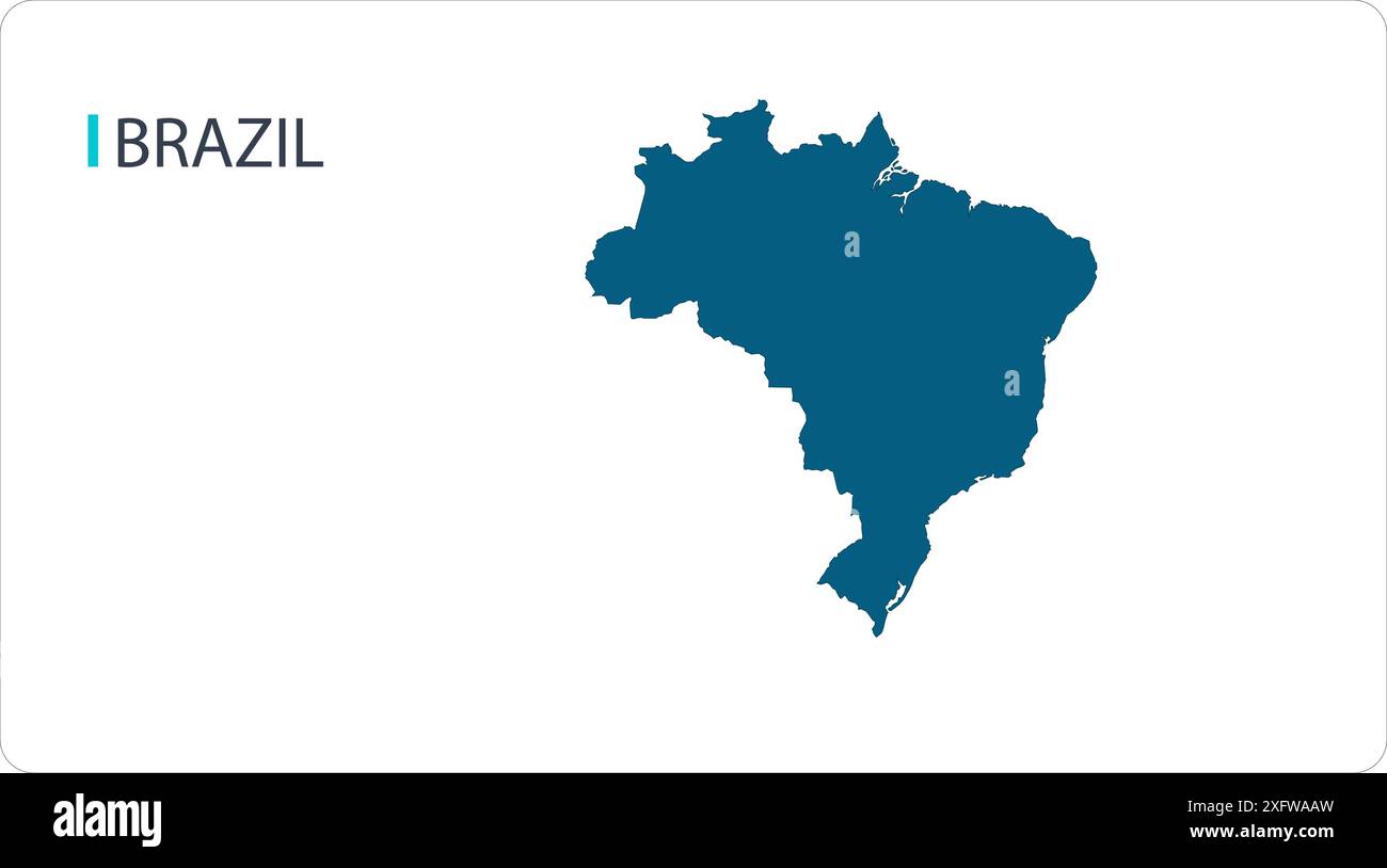 Map of BRAZIL, South America map, region of South America, showing its states and cities, with name, World map, Stock Vectorhttps://www.alamy.com/image-license-details/?v=1https://www.alamy.com/map-of-brazil-south-america-map-region-of-south-america-showing-its-states-and-cities-with-name-world-map-image612139665.html
RF2XFWAAW–Map of BRAZIL, South America map, region of South America, showing its states and cities, with name, World map,
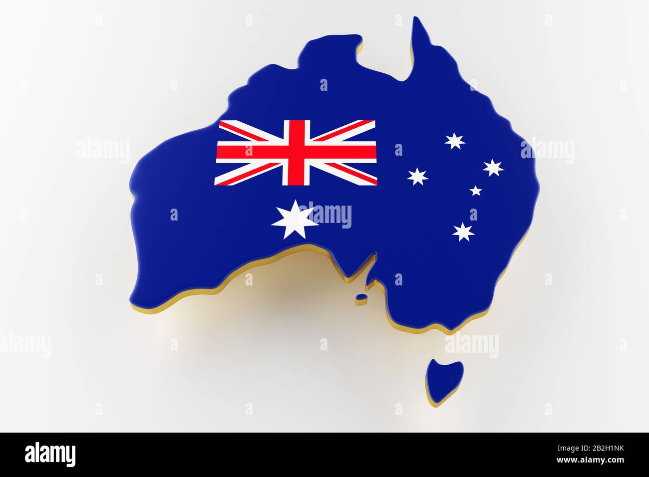 3D map of Australia. Map of Australia land border with flag. Australia map on white background. 3d rendering Stock Photohttps://www.alamy.com/image-license-details/?v=1https://www.alamy.com/3d-map-of-australia-map-of-australia-land-border-with-flag-australia-map-on-white-background-3d-rendering-image345811247.html
RF2B2H1NK–3D map of Australia. Map of Australia land border with flag. Australia map on white background. 3d rendering
 World map, illustration Stock Photohttps://www.alamy.com/image-license-details/?v=1https://www.alamy.com/world-map-illustration-image245984796.html
RFT85G38–World map, illustration
 world map with eyes,stars and stripes burning Stock Photohttps://www.alamy.com/image-license-details/?v=1https://www.alamy.com/stock-photo-world-map-with-eyesstars-and-stripes-burning-78590371.html
RMEFT2PY–world map with eyes,stars and stripes burning
 Silhouette map of the South Australia states over a white background Stock Photohttps://www.alamy.com/image-license-details/?v=1https://www.alamy.com/stock-photo-silhouette-map-of-the-south-australia-states-over-a-white-background-88686452.html
RFF480D8–Silhouette map of the South Australia states over a white background
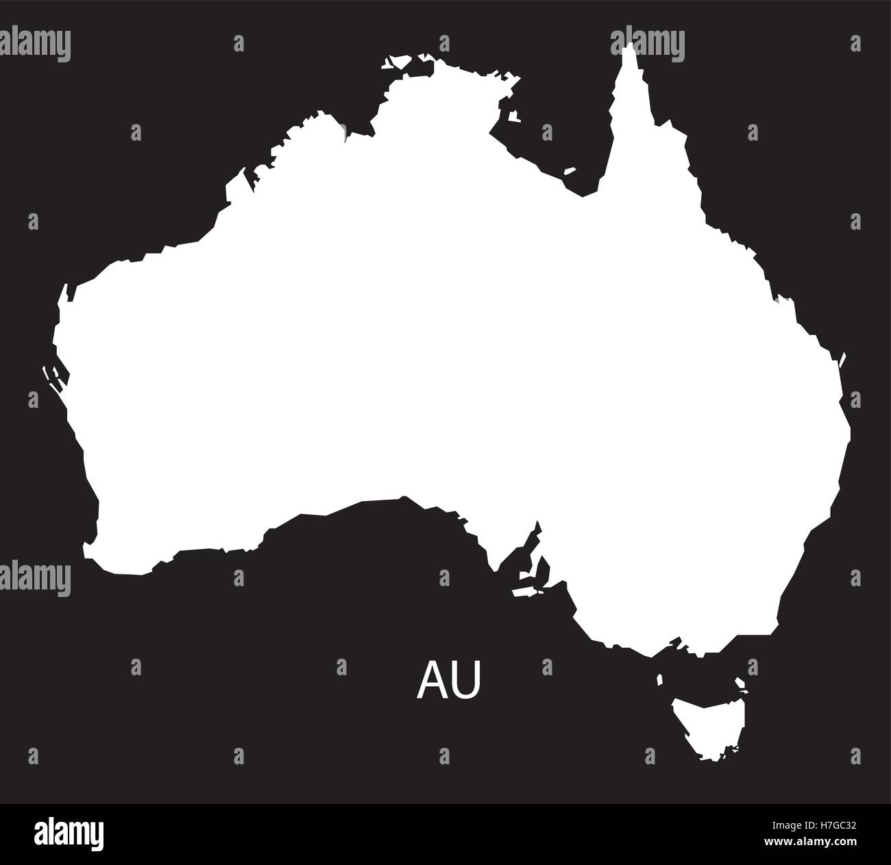 Australia Map black white Stock Vectorhttps://www.alamy.com/image-license-details/?v=1https://www.alamy.com/stock-photo-australia-map-black-white-125135894.html
RFH7GC32–Australia Map black white
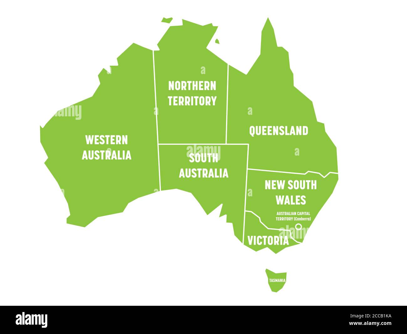 Simplified map of Australia divided into states and territories. Green flat map with white borders and white labels. Vector illustration. Stock Vectorhttps://www.alamy.com/image-license-details/?v=1https://www.alamy.com/simplified-map-of-australia-divided-into-states-and-territories-green-flat-map-with-white-borders-and-white-labels-vector-illustration-image369036398.html
RF2CCB1KA–Simplified map of Australia divided into states and territories. Green flat map with white borders and white labels. Vector illustration.
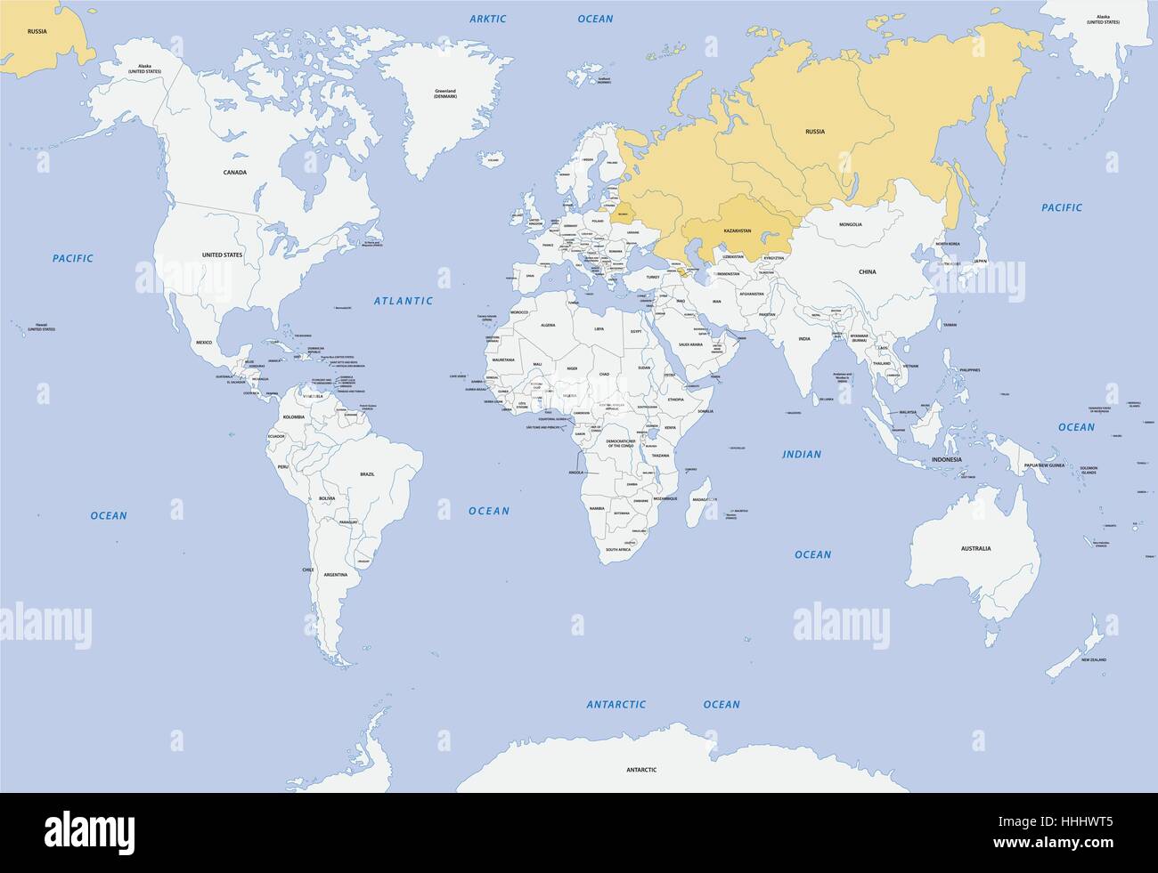 member states of eurasian economic union map Stock Vectorhttps://www.alamy.com/image-license-details/?v=1https://www.alamy.com/stock-photo-member-states-of-eurasian-economic-union-map-131315189.html
RFHHHWT5–member states of eurasian economic union map
 Northern Territory Australia Map grey Stock Photohttps://www.alamy.com/image-license-details/?v=1https://www.alamy.com/stock-image-northern-territory-australia-map-grey-169194931.html
RFKR7DT3–Northern Territory Australia Map grey
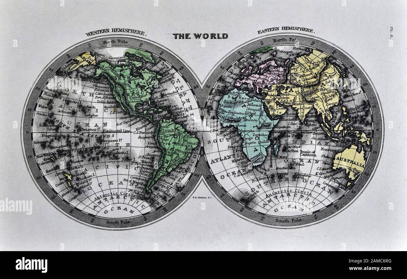 1834 Carey World Map Africa Europe Asia North & South America Stock Photohttps://www.alamy.com/image-license-details/?v=1https://www.alamy.com/1834-carey-world-map-africa-europe-asia-north-south-america-image339558900.html
RF2AMC6RG–1834 Carey World Map Africa Europe Asia North & South America
 Vector black illustration set with simplified maps of all Oceania states (countries: Australia, Micronesia, Fiji, Marshall islands and others). Stock Vectorhttps://www.alamy.com/image-license-details/?v=1https://www.alamy.com/vector-black-illustration-set-with-simplified-maps-of-all-oceania-states-countries-australia-micronesia-fiji-marshall-islands-and-others-image430322295.html
RF2G02TDB–Vector black illustration set with simplified maps of all Oceania states (countries: Australia, Micronesia, Fiji, Marshall islands and others).
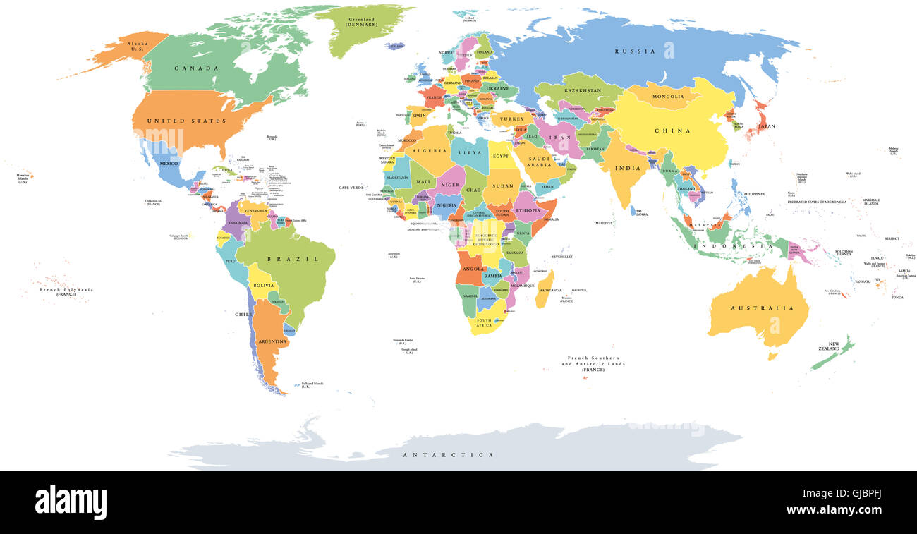 World single states political map with national borders. Each country area with its own color. Illustration on white background. Stock Photohttps://www.alamy.com/image-license-details/?v=1https://www.alamy.com/stock-photo-world-single-states-political-map-with-national-borders-each-country-114585174.html
RFGJBPFJ–World single states political map with national borders. Each country area with its own color. Illustration on white background.
 Sateline view of Australia. Topographic map with major geographic areas coloured according to outback. Watercolor illustration on white background Stock Photohttps://www.alamy.com/image-license-details/?v=1https://www.alamy.com/sateline-view-of-australia-topographic-map-with-major-geographic-areas-coloured-according-to-outback-watercolor-illustration-on-white-background-image595741134.html
RF2WH69W2–Sateline view of Australia. Topographic map with major geographic areas coloured according to outback. Watercolor illustration on white background
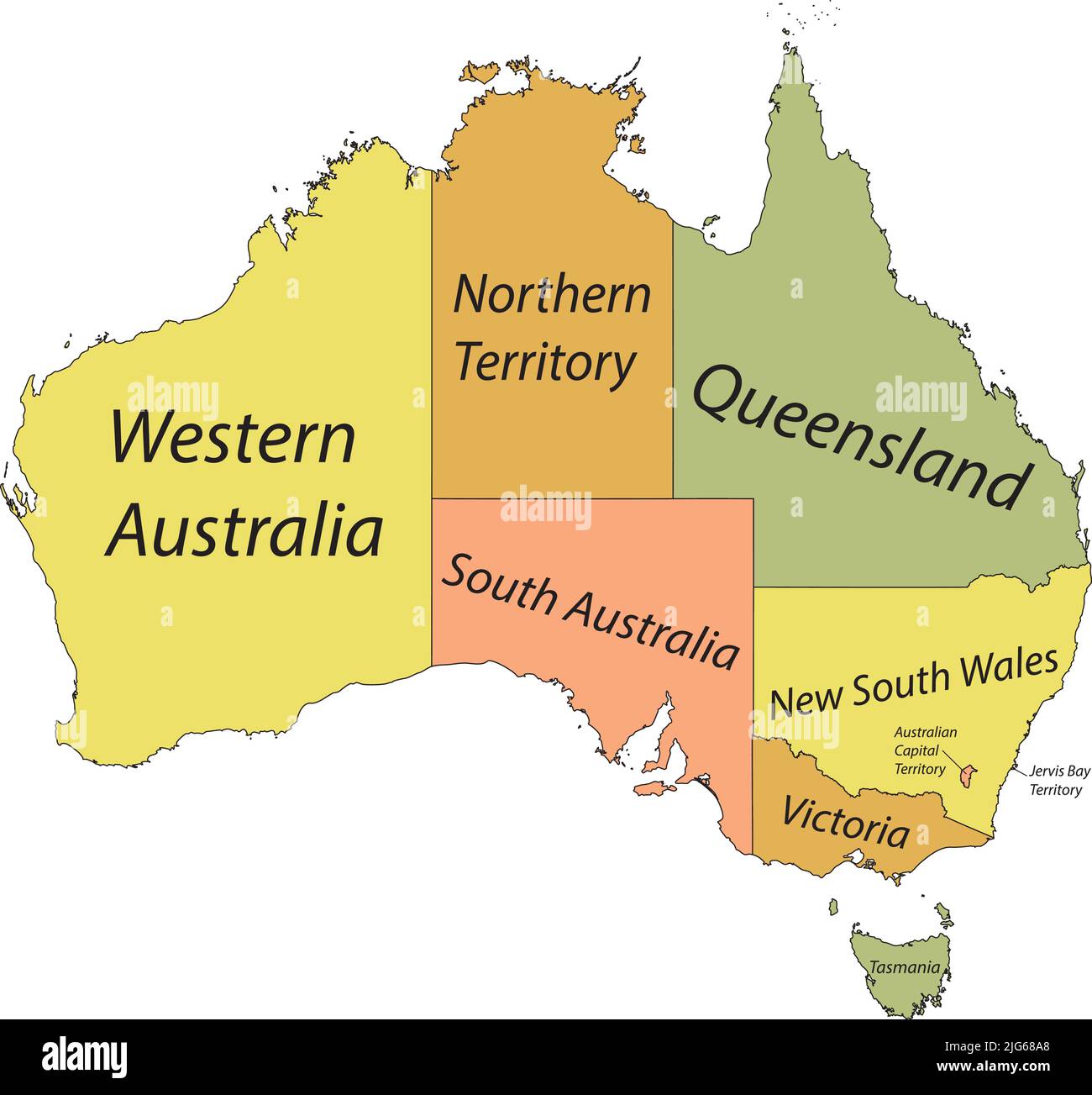 Pastel vector administrative map of AUSTRALIA with black border lines and name tags of its states and territories Stock Vectorhttps://www.alamy.com/image-license-details/?v=1https://www.alamy.com/pastel-vector-administrative-map-of-australia-with-black-border-lines-and-name-tags-of-its-states-and-territories-image474652704.html
RF2JG68A8–Pastel vector administrative map of AUSTRALIA with black border lines and name tags of its states and territories
 Dotted world map. Orange dots on the white background. Stock Photohttps://www.alamy.com/image-license-details/?v=1https://www.alamy.com/dotted-world-map-orange-dots-on-the-white-background-image345565481.html
RF2B25T89–Dotted world map. Orange dots on the white background.
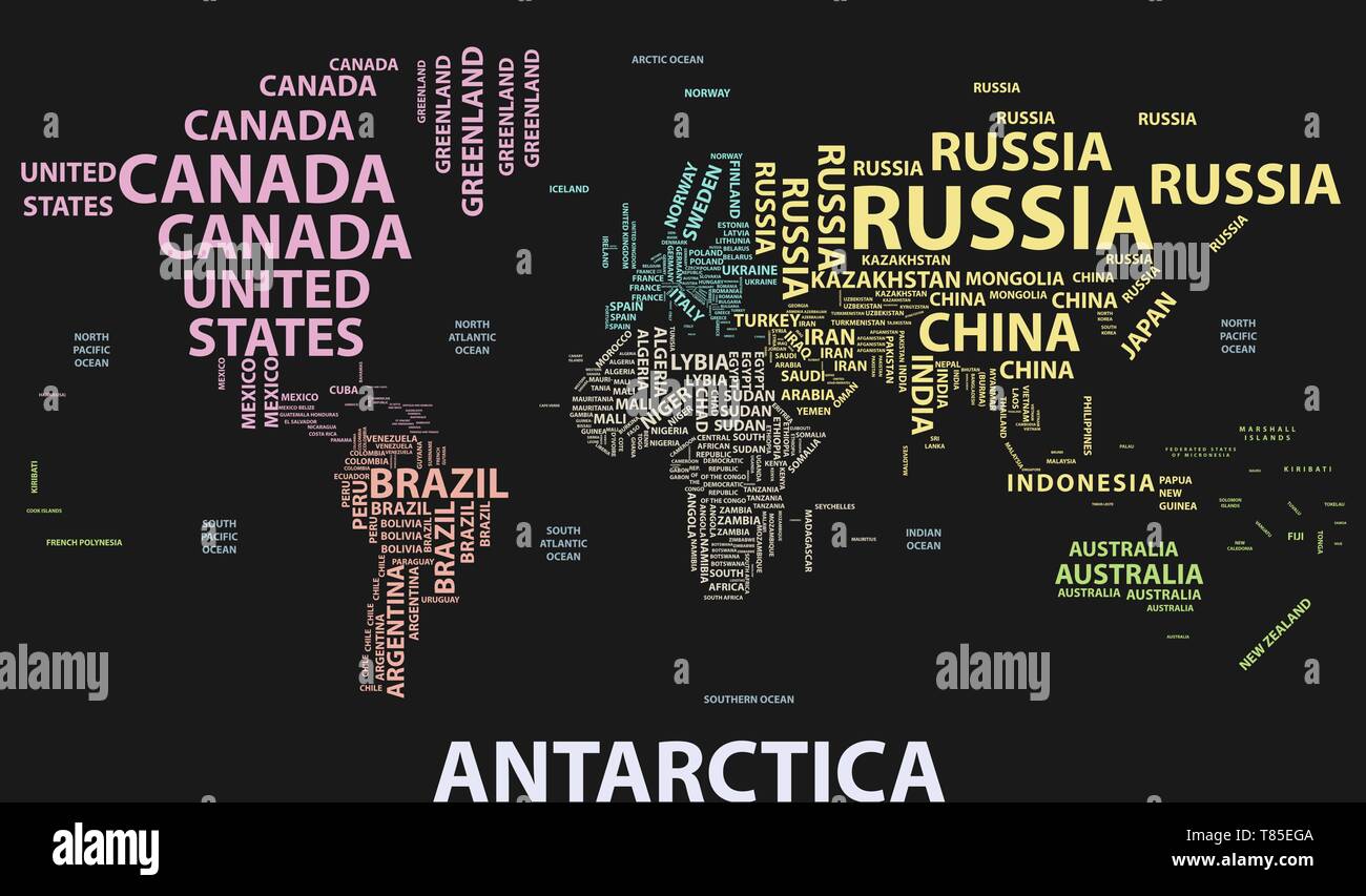 vector world map with country names in typography Stock Vectorhttps://www.alamy.com/image-license-details/?v=1https://www.alamy.com/vector-world-map-with-country-names-in-typography-image245983594.html
RFT85EGA–vector world map with country names in typography
 World map, blue color with deep wave water texture Stock Photohttps://www.alamy.com/image-license-details/?v=1https://www.alamy.com/world-map-blue-color-with-deep-wave-water-texture-image447355344.html
RF2GYPP8G–World map, blue color with deep wave water texture
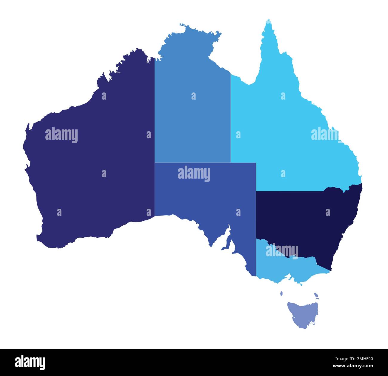 Australia State Silhouette Stock Vectorhttps://www.alamy.com/image-license-details/?v=1https://www.alamy.com/stock-photo-australia-state-silhouette-115940524.html
RFGMHF90–Australia State Silhouette
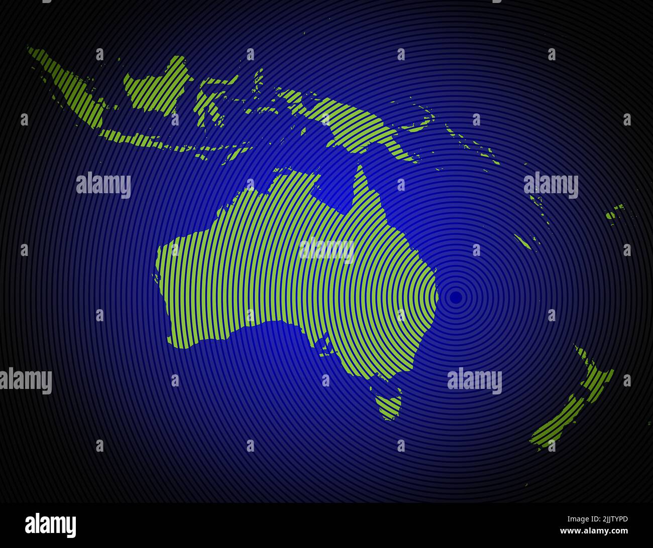 a very detailed map of australia and oceania in a modern and clean circle design Stock Photohttps://www.alamy.com/image-license-details/?v=1https://www.alamy.com/a-very-detailed-map-of-australia-and-oceania-in-a-modern-and-clean-circle-design-image476292389.html
RF2JJTYPD–a very detailed map of australia and oceania in a modern and clean circle design
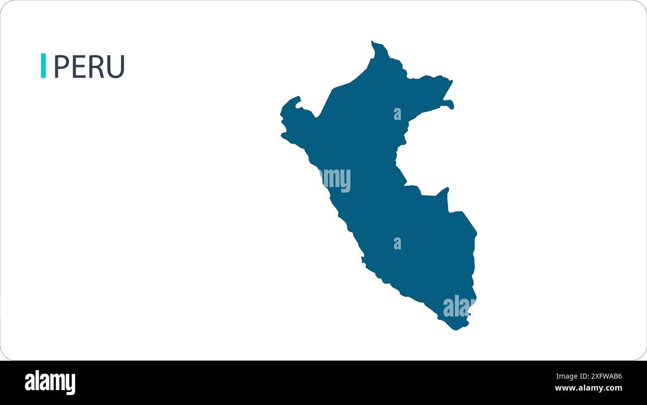 Map of PERU, South America map, region of South America, showing its states and cities, with name, World map, Stock Vectorhttps://www.alamy.com/image-license-details/?v=1https://www.alamy.com/map-of-peru-south-america-map-region-of-south-america-showing-its-states-and-cities-with-name-world-map-image612139674.html
RF2XFWAB6–Map of PERU, South America map, region of South America, showing its states and cities, with name, World map,
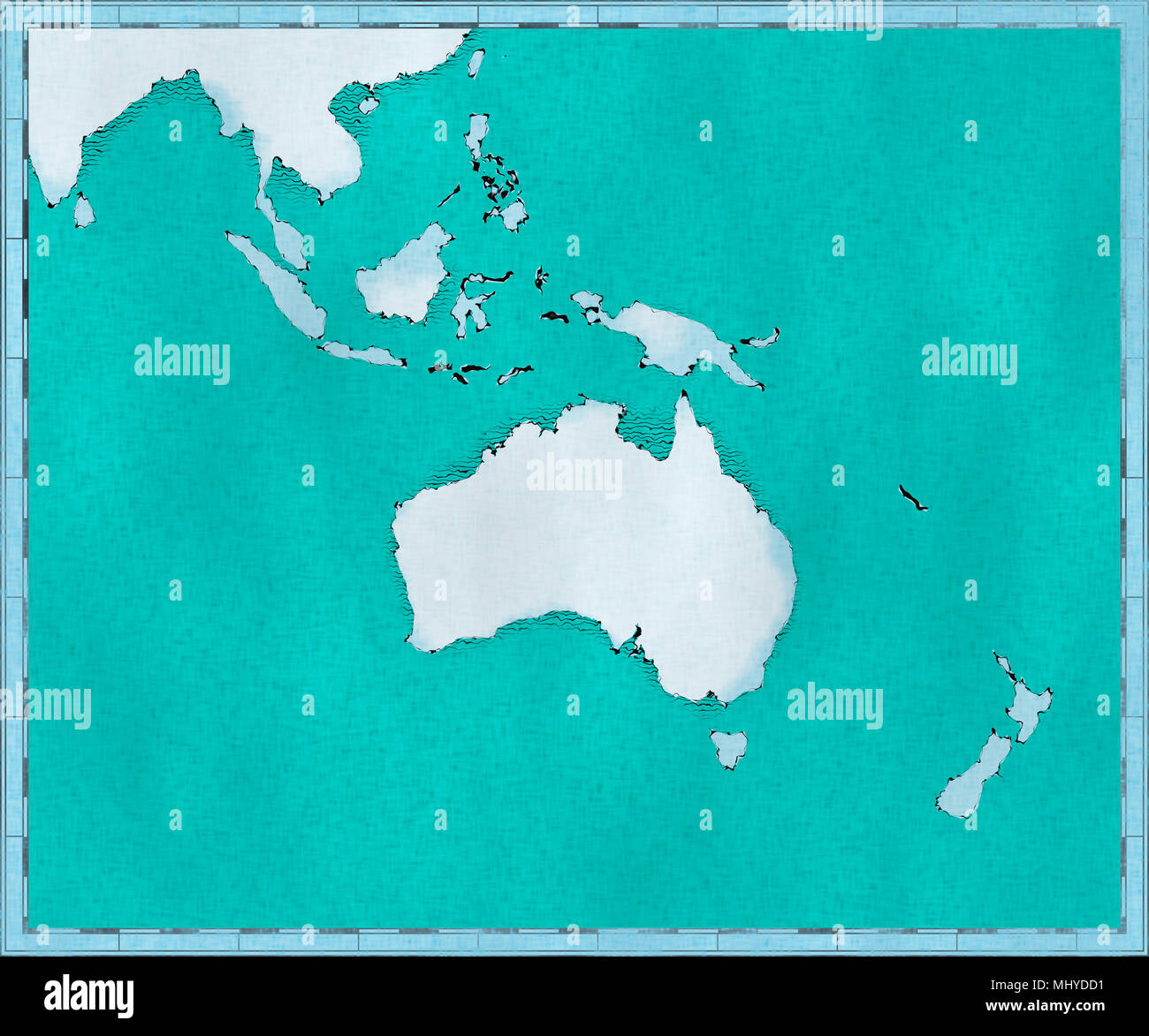 Map of Oceania, drawn illustrated brush strokes, geographic map, physics. Cartography, geographical atlas Stock Photohttps://www.alamy.com/image-license-details/?v=1https://www.alamy.com/map-of-oceania-drawn-illustrated-brush-strokes-geographic-map-physics-cartography-geographical-atlas-image183156093.html
RFMHYDD1–Map of Oceania, drawn illustrated brush strokes, geographic map, physics. Cartography, geographical atlas
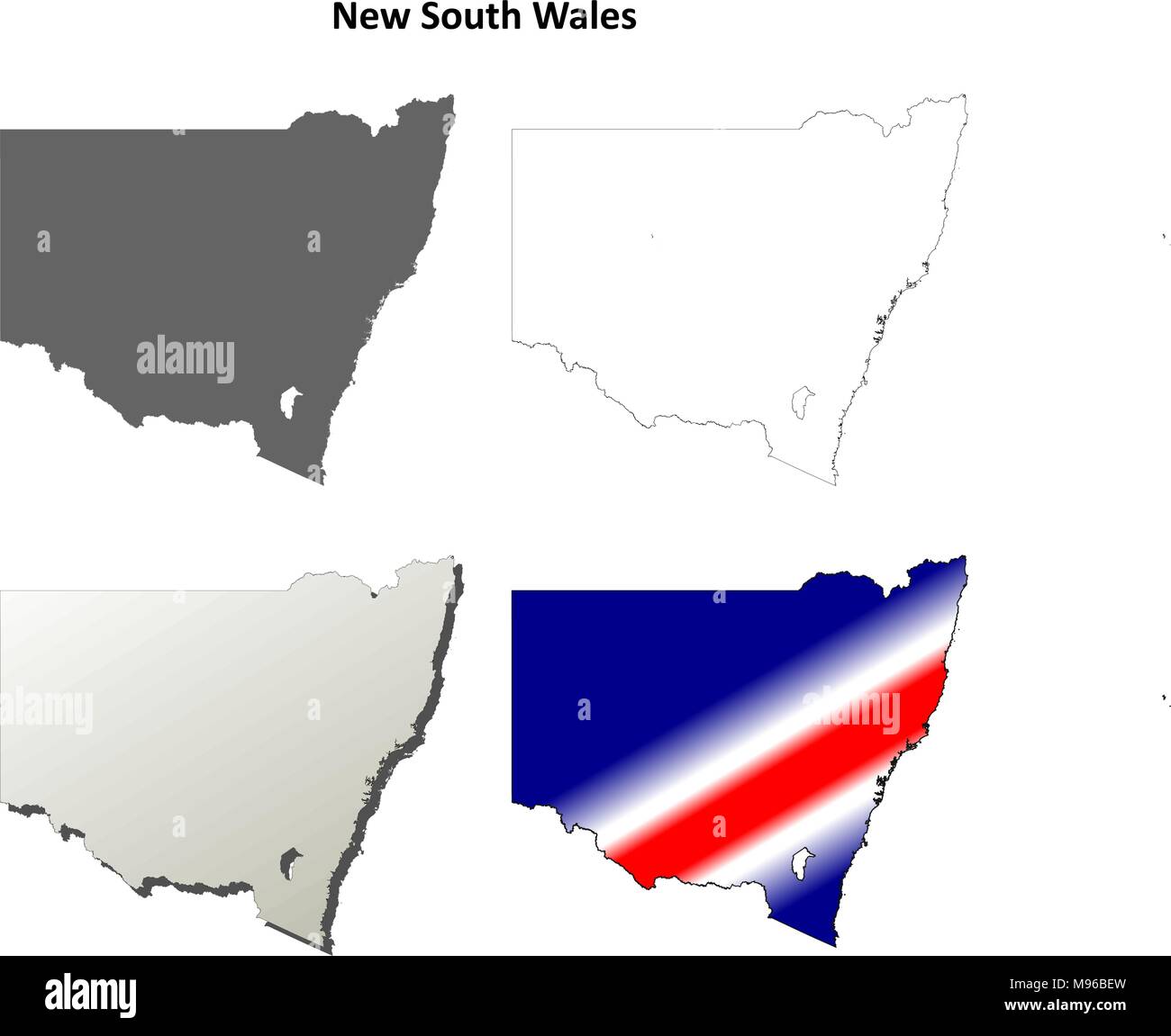 New South Wales outline map set Stock Vectorhttps://www.alamy.com/image-license-details/?v=1https://www.alamy.com/new-south-wales-outline-map-set-image177776337.html
RFM96BEW–New South Wales outline map set
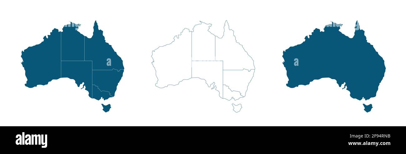 Vector map of Australia with borders of states Stock Vectorhttps://www.alamy.com/image-license-details/?v=1https://www.alamy.com/vector-map-of-australia-with-borders-of-states-image418687175.html
RF2F94RNB–Vector map of Australia with borders of states
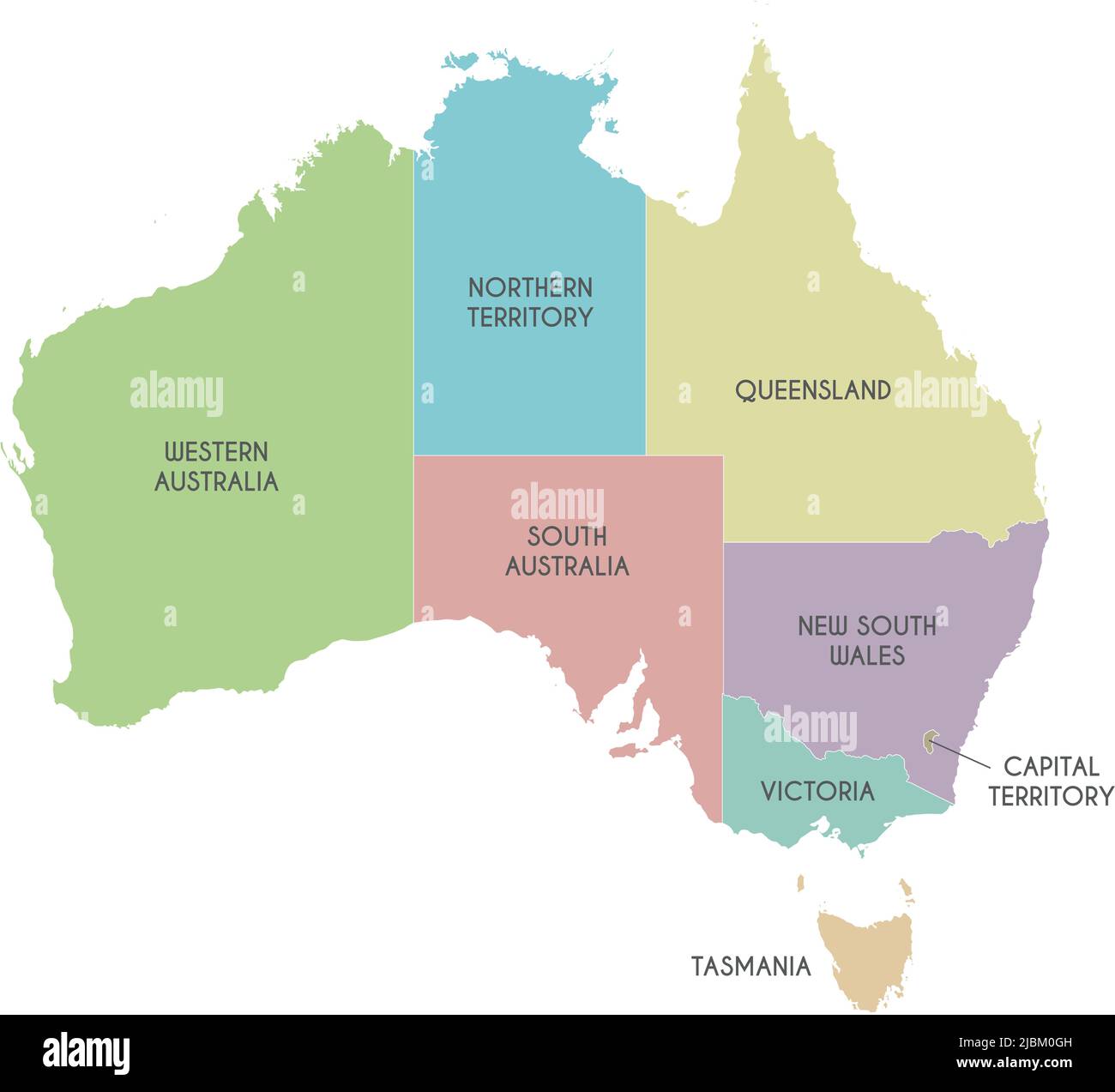 Vector map of Australia with regions or territories and administrative divisions. Editable and clearly labeled layers. Stock Vectorhttps://www.alamy.com/image-license-details/?v=1https://www.alamy.com/vector-map-of-australia-with-regions-or-territories-and-administrative-divisions-editable-and-clearly-labeled-layers-image471880657.html
RF2JBM0GH–Vector map of Australia with regions or territories and administrative divisions. Editable and clearly labeled layers.
 Modern Map - Australia AU Stock Vectorhttps://www.alamy.com/image-license-details/?v=1https://www.alamy.com/stock-photo-modern-map-australia-au-124577576.html
RFH6JYY4–Modern Map - Australia AU
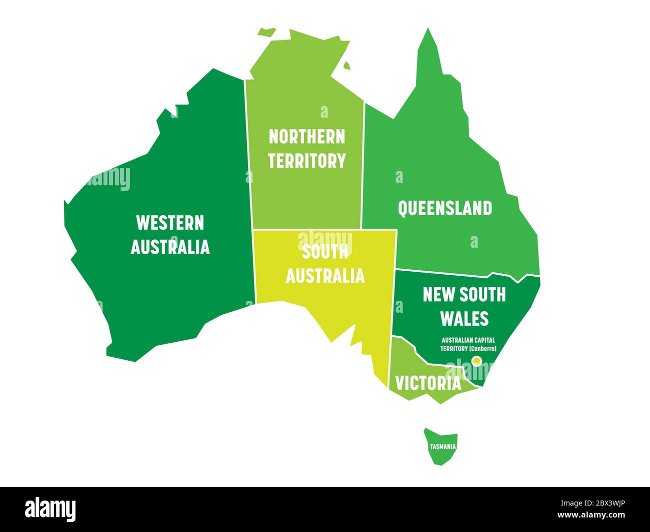 Simplified map of Australia divided into states and territories. Green flat map with white borders and white labels. Vector illustration. Stock Vectorhttps://www.alamy.com/image-license-details/?v=1https://www.alamy.com/simplified-map-of-australia-divided-into-states-and-territories-green-flat-map-with-white-borders-and-white-labels-vector-illustration-image360274398.html
RF2BX3WJP–Simplified map of Australia divided into states and territories. Green flat map with white borders and white labels. Vector illustration.
