Quick filters:
Avon map Stock Photos and Images
 Inside View of the Church of Stratford upon Avon. Map information: Title: Inside View of the Church of Stratford-upon-Avon. 42.86.a. Former owner: George III, King of Great Britain, 1738-1820 Stock Photohttps://www.alamy.com/image-license-details/?v=1https://www.alamy.com/inside-view-of-the-church-of-stratford-upon-avon-map-information-title-inside-view-of-the-church-of-stratford-upon-avon-4286a-former-owner-george-iii-king-of-great-britain-1738-1820-image401762717.html
RM2E9HTCD–Inside View of the Church of Stratford upon Avon. Map information: Title: Inside View of the Church of Stratford-upon-Avon. 42.86.a. Former owner: George III, King of Great Britain, 1738-1820
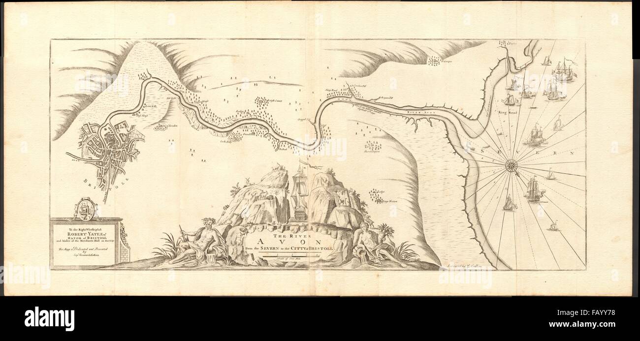 'The River Avon from the Severn to the Citty of Bristoll'. COLLINS, c1774 map Stock Photohttps://www.alamy.com/image-license-details/?v=1https://www.alamy.com/stock-photo-the-river-avon-from-the-severn-to-the-citty-of-bristoll-collins-c1774-92812476.html
RFFAYY78–'The River Avon from the Severn to the Citty of Bristoll'. COLLINS, c1774 map
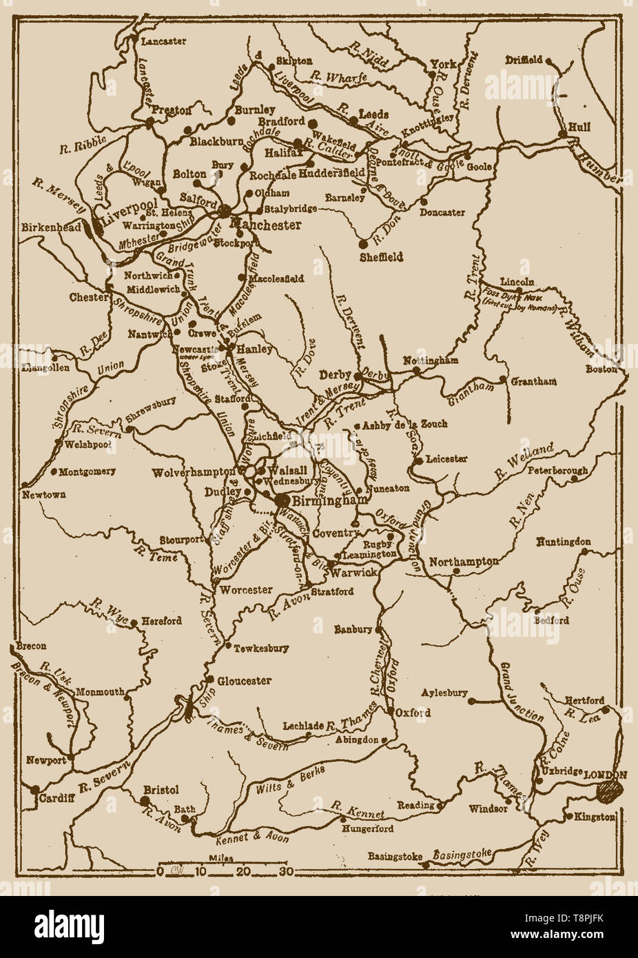 An old map of English canals and waterways as they were in the 1920's (including the first cut made by the Romans on the Foss Dyke) Stock Photohttps://www.alamy.com/image-license-details/?v=1https://www.alamy.com/an-old-map-of-english-canals-and-waterways-as-they-were-in-the-1920s-including-the-first-cut-made-by-the-romans-on-the-foss-dyke-image246359895.html
RMT8PJFK–An old map of English canals and waterways as they were in the 1920's (including the first cut made by the Romans on the Foss Dyke)
 A map of Stratford-upon-Avon and its surrounding areas, 1610 (1885).Artist: Edward Hull Stock Photohttps://www.alamy.com/image-license-details/?v=1https://www.alamy.com/a-map-of-stratford-upon-avon-and-its-surrounding-areas-1610-1885artist-edward-hull-image262748358.html
RMW7D65X–A map of Stratford-upon-Avon and its surrounding areas, 1610 (1885).Artist: Edward Hull
 A plan of the Vale of Gloucester. The rivers Severn and Leadon and part of the Hereford and Gloucester Canal are described at the bottom left of the map, with Tewkesbury situated centrally at the confluence of the Severn and Upper Avon Rivers . 1811. Pen and ink on paper. Source: OSD 173. Stock Photohttps://www.alamy.com/image-license-details/?v=1https://www.alamy.com/a-plan-of-the-vale-of-gloucester-the-rivers-severn-and-leadon-and-part-of-the-hereford-and-gloucester-canal-are-described-at-the-bottom-left-of-the-map-with-tewkesbury-situated-centrally-at-the-confluence-of-the-severn-and-upper-avon-rivers-1811-pen-and-ink-on-paper-source-osd-173-image227197345.html
RMR5HMEW–A plan of the Vale of Gloucester. The rivers Severn and Leadon and part of the Hereford and Gloucester Canal are described at the bottom left of the map, with Tewkesbury situated centrally at the confluence of the Severn and Upper Avon Rivers . 1811. Pen and ink on paper. Source: OSD 173.
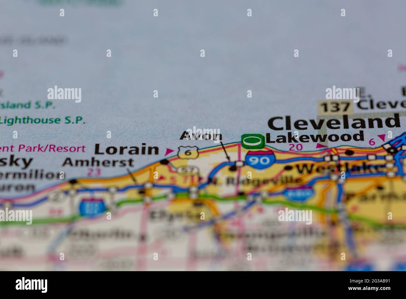 Avon Ohio USA shown on a Geography map or Road map Stock Photohttps://www.alamy.com/image-license-details/?v=1https://www.alamy.com/avon-ohio-usa-shown-on-a-geography-map-or-road-map-image432331565.html
RM2G3AB91–Avon Ohio USA shown on a Geography map or Road map
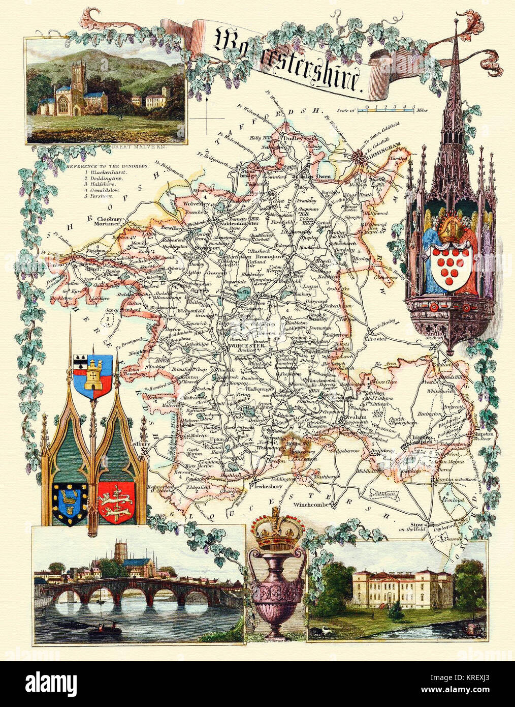 Worcestershire , England - a Map by Thomas Moule ( a circa 1848 print ) Stock Photohttps://www.alamy.com/image-license-details/?v=1https://www.alamy.com/stock-image-worcestershire-england-a-map-by-thomas-moule-a-circa-1848-print-169358619.html
RMKREXJ3–Worcestershire , England - a Map by Thomas Moule ( a circa 1848 print )
 Image 2 of Sanborn Fire Insurance Map from Avon, Livingston County, New York. Oct 1898. 7 Sheet(s), America, street map with a Nineteenth Century compass Stock Photohttps://www.alamy.com/image-license-details/?v=1https://www.alamy.com/image-2-of-sanborn-fire-insurance-map-from-avon-livingston-county-new-york-oct-1898-7-sheets-america-street-map-with-a-nineteenth-century-compass-image344691052.html
RM2B0P0XM–Image 2 of Sanborn Fire Insurance Map from Avon, Livingston County, New York. Oct 1898. 7 Sheet(s), America, street map with a Nineteenth Century compass
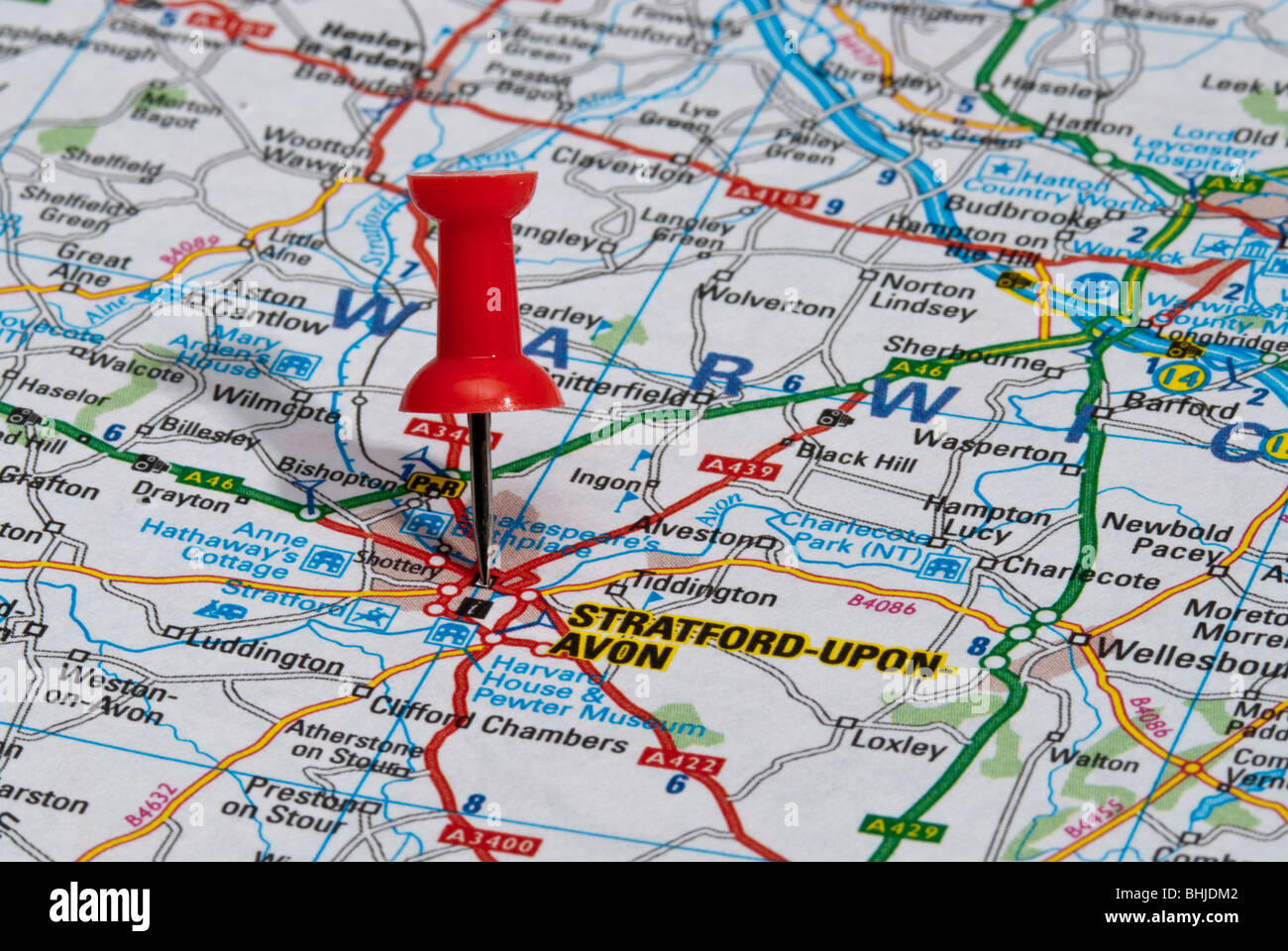 red map pin in road map pointing to city of Stratford-upon-Avon Stock Photohttps://www.alamy.com/image-license-details/?v=1https://www.alamy.com/stock-photo-red-map-pin-in-road-map-pointing-to-city-of-stratford-upon-avon-28065410.html
RMBHJDM2–red map pin in road map pointing to city of Stratford-upon-Avon
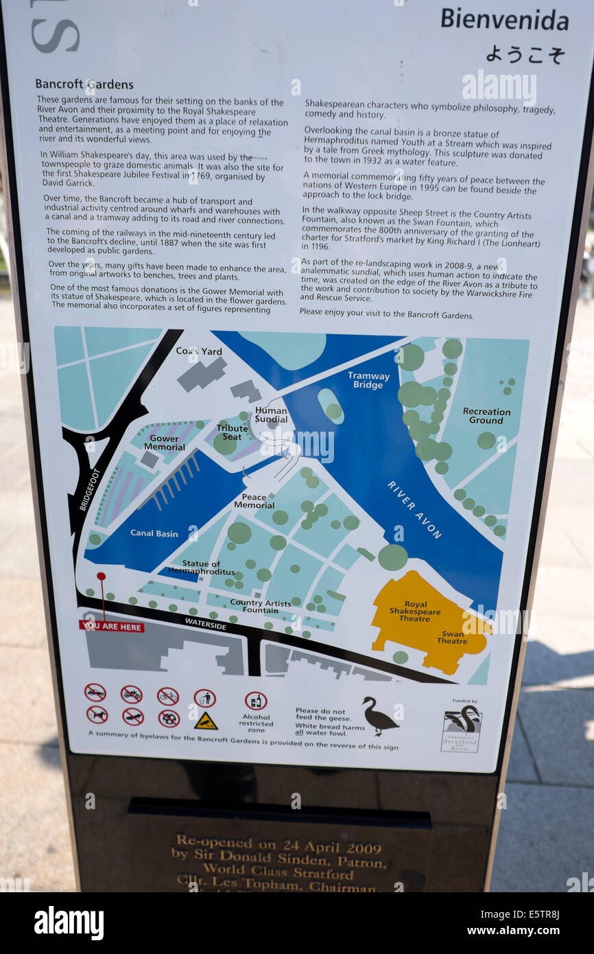 Tourist Map Bancroft Gardens Canal Stratford Upon Avon UK United Kingdom England Great Britain Stock Photohttps://www.alamy.com/image-license-details/?v=1https://www.alamy.com/stock-photo-tourist-map-bancroft-gardens-canal-stratford-upon-avon-uk-united-kingdom-72459874.html
RME5TR8J–Tourist Map Bancroft Gardens Canal Stratford Upon Avon UK United Kingdom England Great Britain
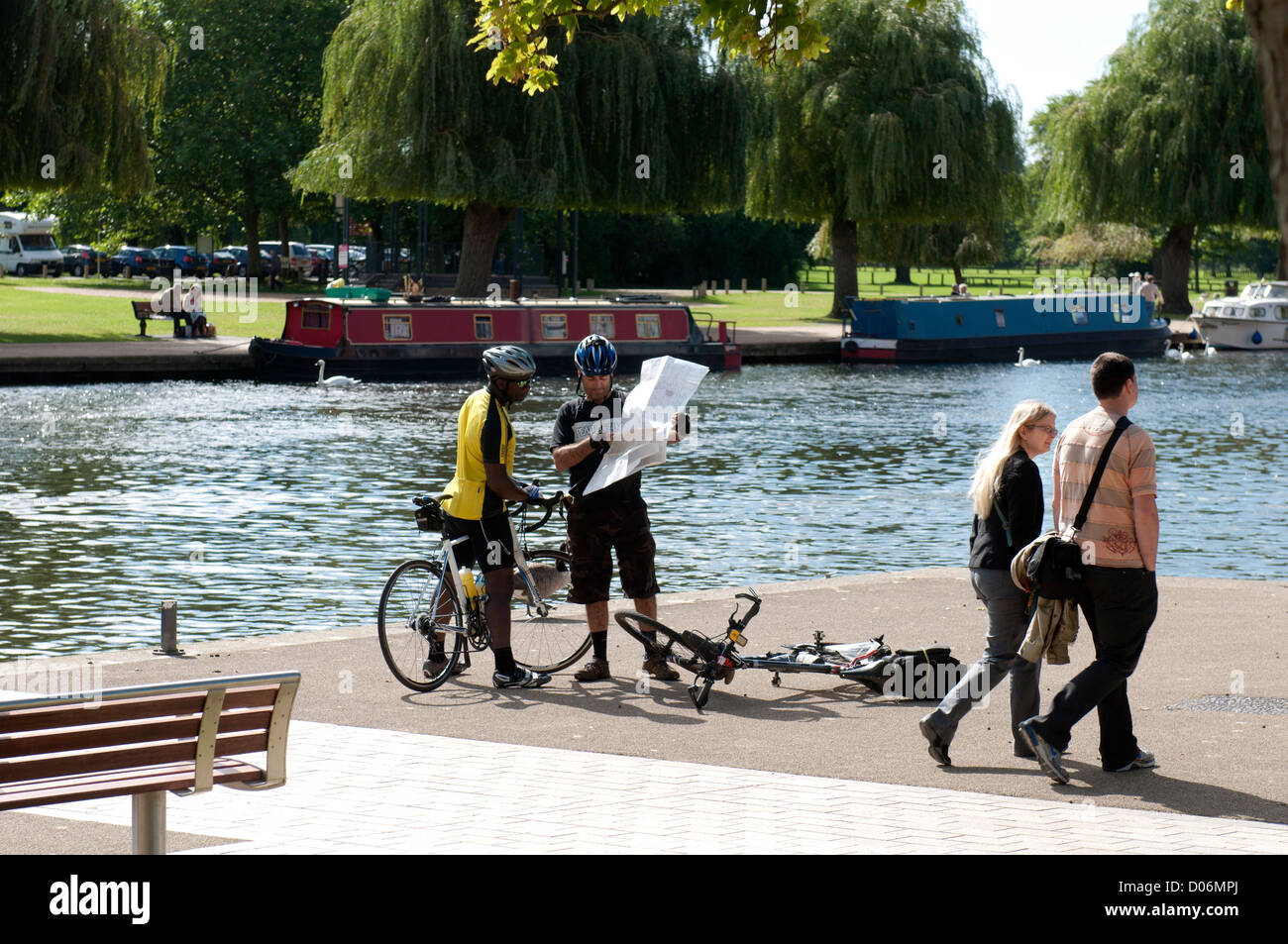 Cyclists studying map by River Avon, Stratford-upon-Avon, UK Stock Photohttps://www.alamy.com/image-license-details/?v=1https://www.alamy.com/stock-photo-cyclists-studying-map-by-river-avon-stratford-upon-avon-uk-51779130.html
RMD06MPJ–Cyclists studying map by River Avon, Stratford-upon-Avon, UK
 Avon Wilderness, , AU, Australia, Victoria, S 37 36' 44'', N 146 50' 33'', map, Cartascapes Map published in 2024. Explore Cartascapes, a map revealing Earth's diverse landscapes, cultures, and ecosystems. Journey through time and space, discovering the interconnectedness of our planet's past, present, and future. Stock Photohttps://www.alamy.com/image-license-details/?v=1https://www.alamy.com/avon-wilderness-au-australia-victoria-s-37-36-44-n-146-50-33-map-cartascapes-map-published-in-2024-explore-cartascapes-a-map-revealing-earths-diverse-landscapes-cultures-and-ecosystems-journey-through-time-and-space-discovering-the-interconnectedness-of-our-planets-past-present-and-future-image625496251.html
RM2Y9HPRR–Avon Wilderness, , AU, Australia, Victoria, S 37 36' 44'', N 146 50' 33'', map, Cartascapes Map published in 2024. Explore Cartascapes, a map revealing Earth's diverse landscapes, cultures, and ecosystems. Journey through time and space, discovering the interconnectedness of our planet's past, present, and future.
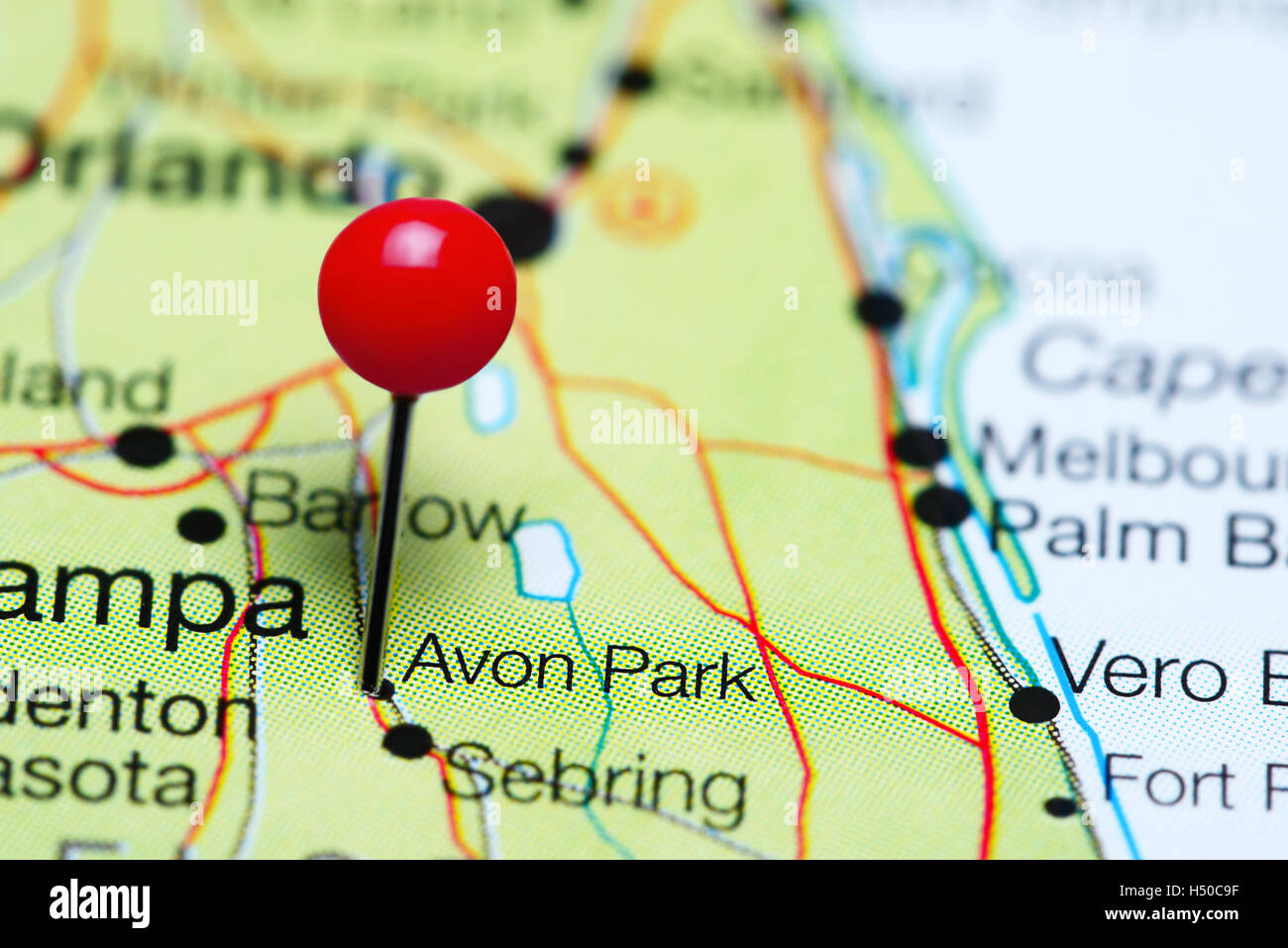 Avon Park pinned on a map of Florida, USA Stock Photohttps://www.alamy.com/image-license-details/?v=1https://www.alamy.com/stock-photo-avon-park-pinned-on-a-map-of-florida-usa-123555531.html
RFH50C9F–Avon Park pinned on a map of Florida, USA
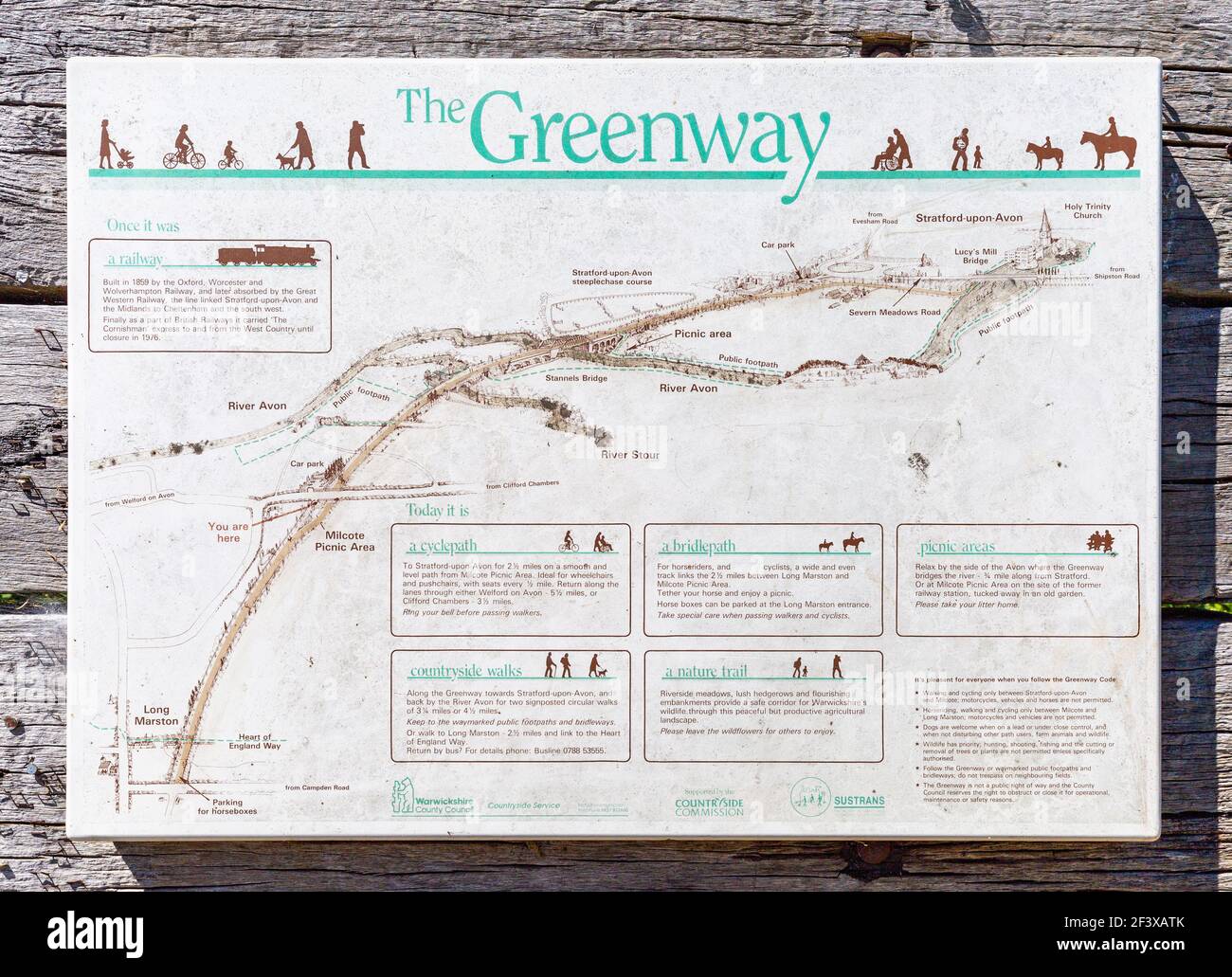 A map of the Greenway on display along the disused railway track at Stratford Upon Avon, Warwickshire, England Stock Photohttps://www.alamy.com/image-license-details/?v=1https://www.alamy.com/a-map-of-the-greenway-on-display-along-the-disused-railway-track-at-stratford-upon-avon-warwickshire-england-image415472083.html
RM2F3XATK–A map of the Greenway on display along the disused railway track at Stratford Upon Avon, Warwickshire, England
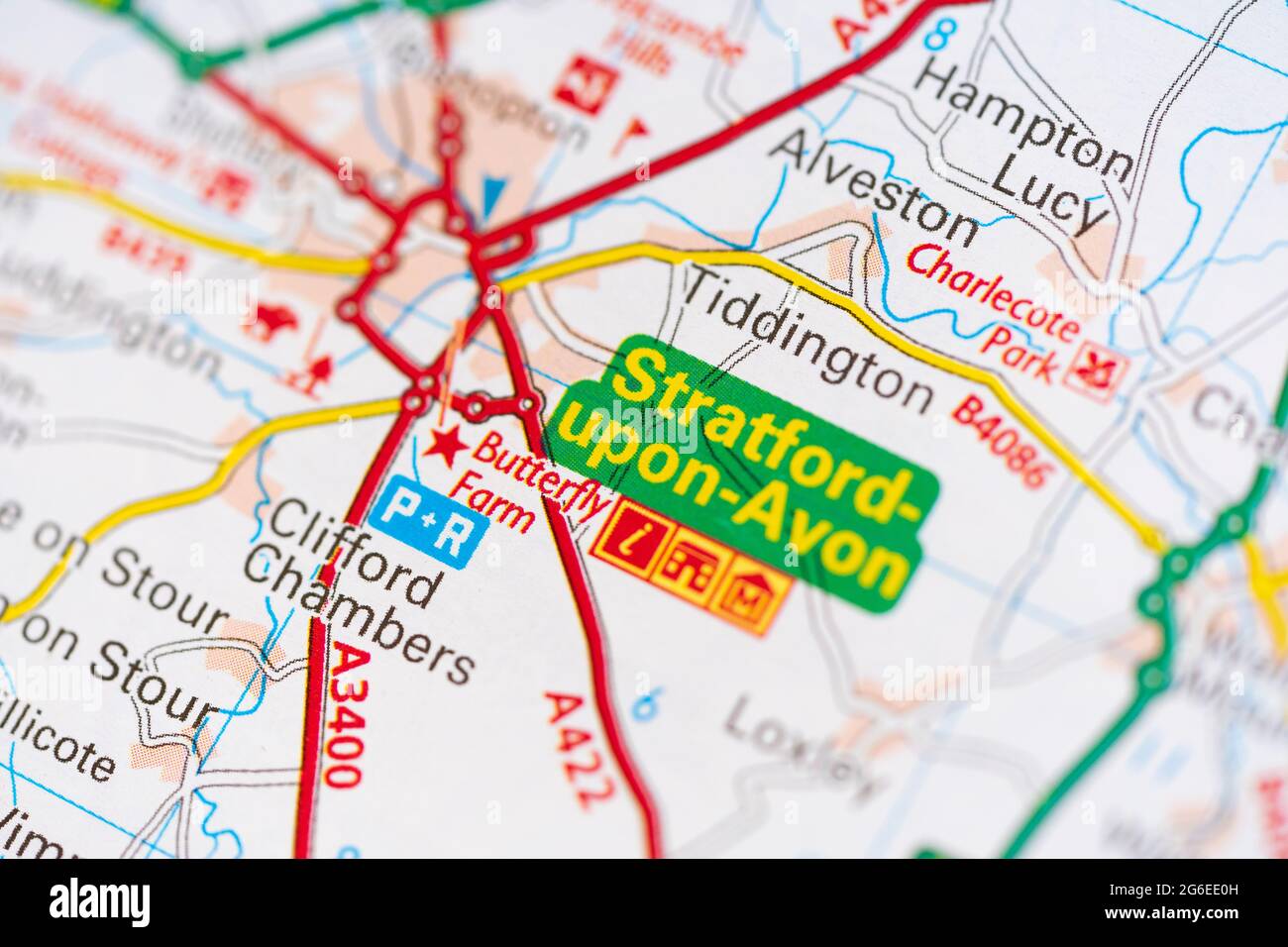 A macro closeup of a page in a printed road map atlas showing the town town of Stratford upon Avon in England Stock Photohttps://www.alamy.com/image-license-details/?v=1https://www.alamy.com/a-macro-closeup-of-a-page-in-a-printed-road-map-atlas-showing-the-town-town-of-stratford-upon-avon-in-england-image434265457.html
RM2G6EE0H–A macro closeup of a page in a printed road map atlas showing the town town of Stratford upon Avon in England
 Stratford on Avon - Shakespeare, William,--1564-1616--Homes and haunts. Bird's-eye view showing Shakespearean landmarks and other points of interest. Stock Photohttps://www.alamy.com/image-license-details/?v=1https://www.alamy.com/stratford-on-avon-shakespeare-william-1564-1616-homes-and-haunts-birds-eye-view-showing-shakespearean-landmarks-and-other-points-of-interest-image438364005.html
RM2GD55N9–Stratford on Avon - Shakespeare, William,--1564-1616--Homes and haunts. Bird's-eye view showing Shakespearean landmarks and other points of interest.
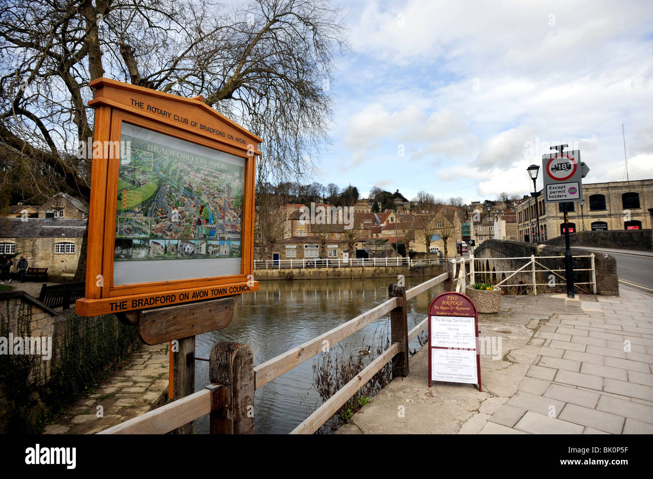 Map showing Bradford on Avon Stock Photohttps://www.alamy.com/image-license-details/?v=1https://www.alamy.com/stock-photo-map-showing-bradford-on-avon-28906235.html
RMBK0P5F–Map showing Bradford on Avon
 An outdoor displayed town map of Bradford on Avon, Wiltshire, United Kingdom. Stock Photohttps://www.alamy.com/image-license-details/?v=1https://www.alamy.com/stock-photo-an-outdoor-displayed-town-map-of-bradford-on-avon-wiltshire-united-78110034.html
RMEF2642–An outdoor displayed town map of Bradford on Avon, Wiltshire, United Kingdom.
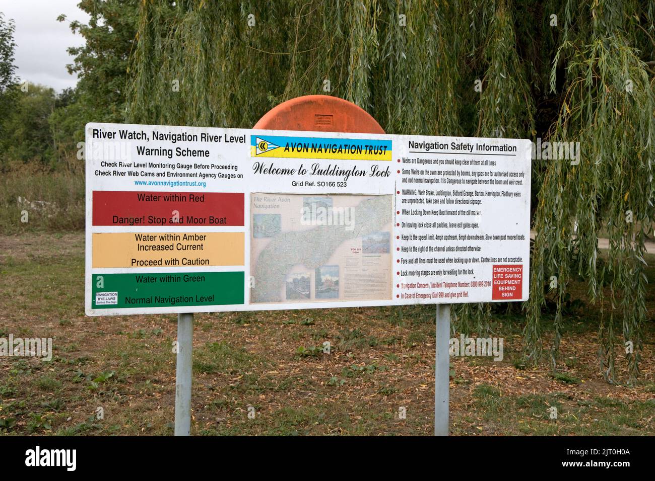 Avon Navigation Trust sign board at Luddington Lock near Stratford Warwickshire Stock Photohttps://www.alamy.com/image-license-details/?v=1https://www.alamy.com/avon-navigation-trust-sign-board-at-luddington-lock-near-stratford-warwickshire-image479445018.html
RM2JT0H0A–Avon Navigation Trust sign board at Luddington Lock near Stratford Warwickshire
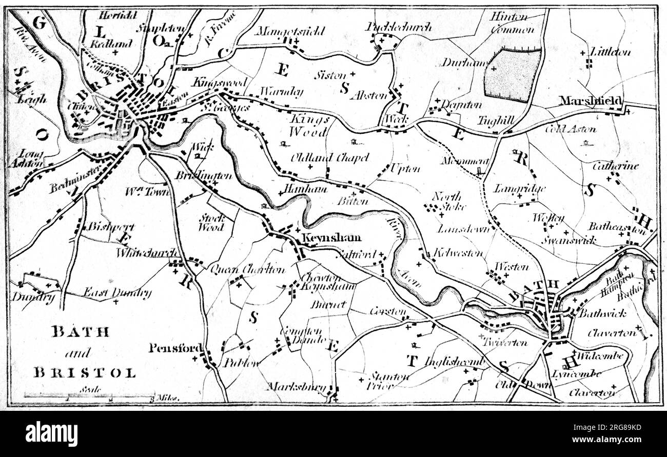 A map of Bath and Bristol UK scanned at high resolution from a book printed in 1806. Believed copyright free. Stock Photohttps://www.alamy.com/image-license-details/?v=1https://www.alamy.com/a-map-of-bath-and-bristol-uk-scanned-at-high-resolution-from-a-book-printed-in-1806-believed-copyright-free-image560749489.html
RM2RG89KD–A map of Bath and Bristol UK scanned at high resolution from a book printed in 1806. Believed copyright free.
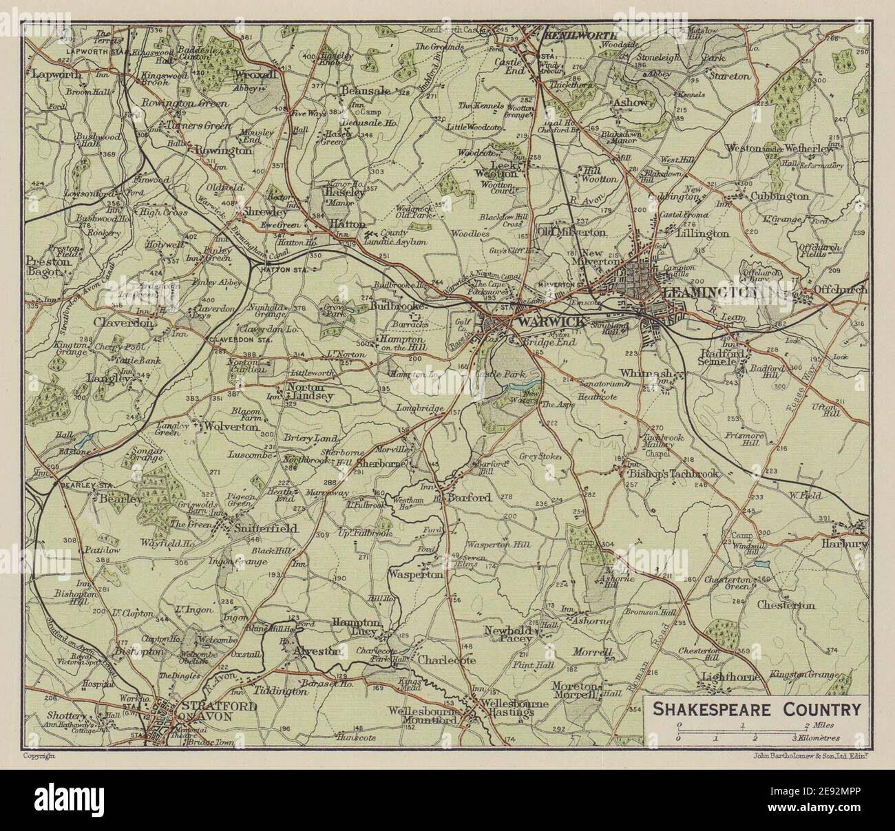 Shakespeare Country. Stratford-on-Avon Warwick Leamington Kenilworth 1920 map Stock Photohttps://www.alamy.com/image-license-details/?v=1https://www.alamy.com/shakespeare-country-stratford-on-avon-warwick-leamington-kenilworth-1920-map-image401430590.html
RF2E92MPP–Shakespeare Country. Stratford-on-Avon Warwick Leamington Kenilworth 1920 map
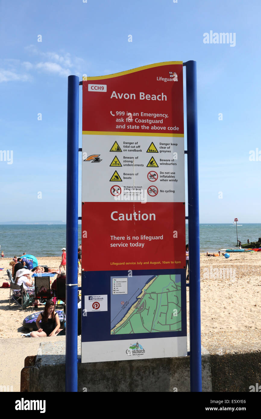 RNLI Lifeguard Sign With Map On Beach Avon Beach Mudeford Dorset England Stock Photohttps://www.alamy.com/image-license-details/?v=1https://www.alamy.com/stock-photo-rnli-lifeguard-sign-with-map-on-beach-avon-beach-mudeford-dorset-england-72507070.html
RME5XYE6–RNLI Lifeguard Sign With Map On Beach Avon Beach Mudeford Dorset England
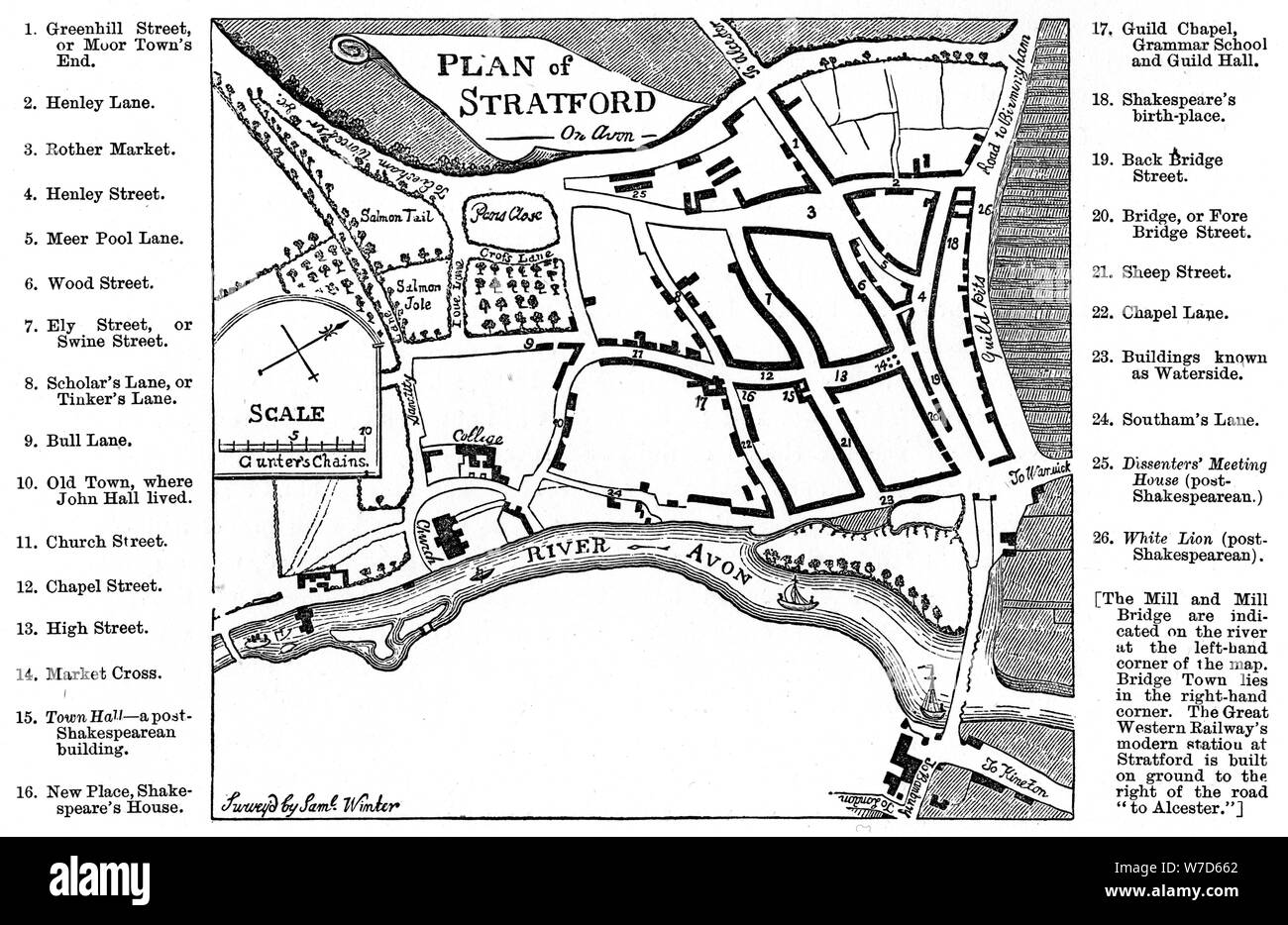 Map of Stratford-upon-Avon, Warwickshire, 1759 (1885).Artist: Edward Hull Stock Photohttps://www.alamy.com/image-license-details/?v=1https://www.alamy.com/map-of-stratford-upon-avon-warwickshire-1759-1885artist-edward-hull-image262748362.html
RMW7D662–Map of Stratford-upon-Avon, Warwickshire, 1759 (1885).Artist: Edward Hull
 Map showing Chipping Sodbury. The Avon barracks and battery are documented at the mouth of the River Severn, at the top of the map, protecting the Bristol Channel. Gravemounds ('Tumuli'), hill forts, ancient camps and antiquities are distinguished by the use of gothic lettering. . Chipping Sodbury. 1816. Pen and ink on paper. Length: 32 Width: 30 Map scale ratio: 2'' : Mile (1 : 31680). Source: OSD 170 (pt.1), no.9. Author: Crocker, Edmund. Stock Photohttps://www.alamy.com/image-license-details/?v=1https://www.alamy.com/map-showing-chipping-sodbury-the-avon-barracks-and-battery-are-documented-at-the-mouth-of-the-river-severn-at-the-top-of-the-map-protecting-the-bristol-channel-gravemounds-tumuli-hill-forts-ancient-camps-and-antiquities-are-distinguished-by-the-use-of-gothic-lettering-chipping-sodbury-1816-pen-and-ink-on-paper-length-32-width-30-map-scale-ratio-2-mile-1-31680-source-osd-170-pt1-no9-author-crocker-edmund-image227129870.html
RMR5EJD2–Map showing Chipping Sodbury. The Avon barracks and battery are documented at the mouth of the River Severn, at the top of the map, protecting the Bristol Channel. Gravemounds ('Tumuli'), hill forts, ancient camps and antiquities are distinguished by the use of gothic lettering. . Chipping Sodbury. 1816. Pen and ink on paper. Length: 32 Width: 30 Map scale ratio: 2'' : Mile (1 : 31680). Source: OSD 170 (pt.1), no.9. Author: Crocker, Edmund.
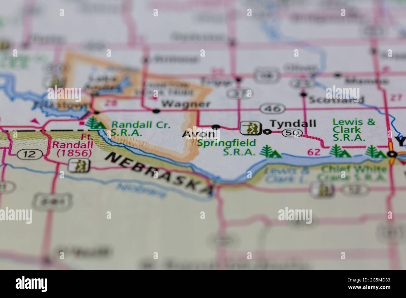 Avon South Dakota USA shown on a Geography map or Road map Stock Photohttps://www.alamy.com/image-license-details/?v=1https://www.alamy.com/avon-south-dakota-usa-shown-on-a-geography-map-or-road-map-image433781939.html
RM2G5MD83–Avon South Dakota USA shown on a Geography map or Road map
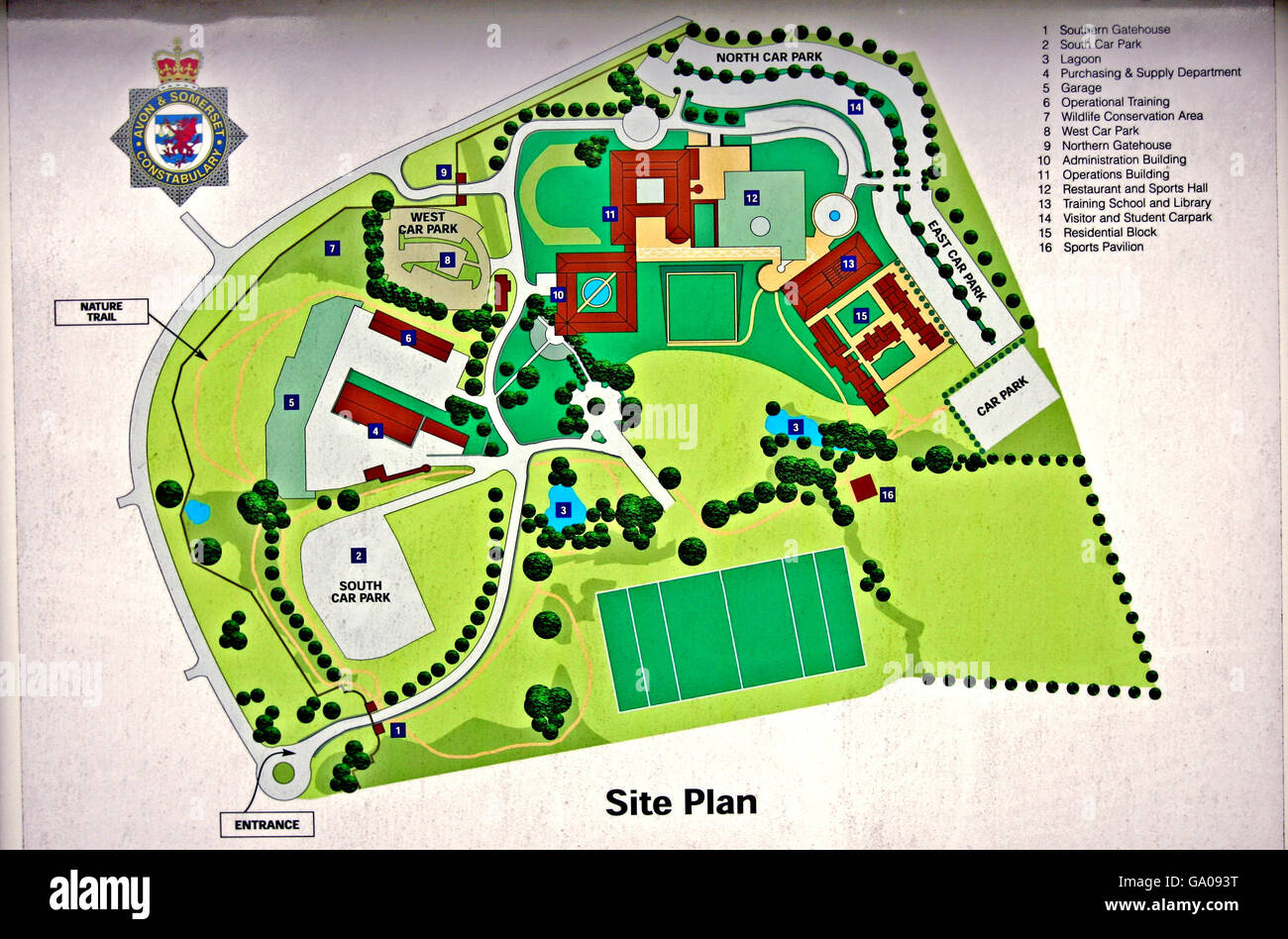 A graphical map view of Avon and Somerset Police headquarters in Portishead. PRESS ASSOCIATION Photo, Friday 01 June, 2007. Photo credit should read: Anthony Devlin/PA Stock Photohttps://www.alamy.com/image-license-details/?v=1https://www.alamy.com/stock-photo-a-graphical-map-view-of-avon-and-somerset-police-headquarters-in-portishead-109415932.html
RMGA093T–A graphical map view of Avon and Somerset Police headquarters in Portishead. PRESS ASSOCIATION Photo, Friday 01 June, 2007. Photo credit should read: Anthony Devlin/PA
 Image 5 of Sanborn Fire Insurance Map from Avon, Livingston County, New York. Oct 1898. 7 Sheet(s), America, street map with a Nineteenth Century compass Stock Photohttps://www.alamy.com/image-license-details/?v=1https://www.alamy.com/image-5-of-sanborn-fire-insurance-map-from-avon-livingston-county-new-york-oct-1898-7-sheets-america-street-map-with-a-nineteenth-century-compass-image344691058.html
RM2B0P0XX–Image 5 of Sanborn Fire Insurance Map from Avon, Livingston County, New York. Oct 1898. 7 Sheet(s), America, street map with a Nineteenth Century compass
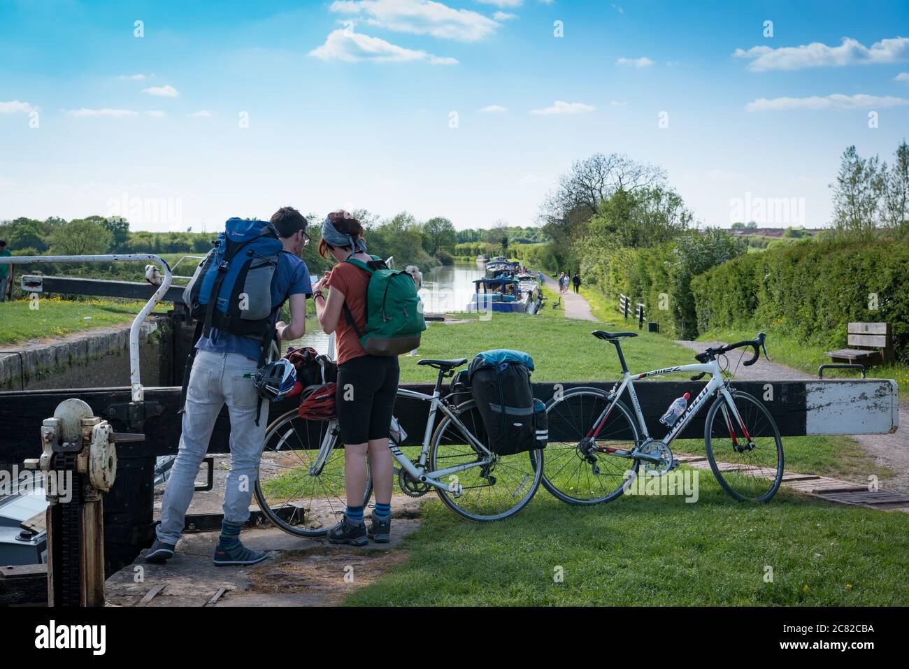 A couple looking at a map during a bike ride along the Avon-Kennet canal from Bath to Honeystreet with Secret Adventures, England Stock Photohttps://www.alamy.com/image-license-details/?v=1https://www.alamy.com/a-couple-looking-at-a-map-during-a-bike-ride-along-the-avon-kennet-canal-from-bath-to-honeystreet-with-secret-adventures-england-image366388606.html
RM2C82CBA–A couple looking at a map during a bike ride along the Avon-Kennet canal from Bath to Honeystreet with Secret Adventures, England
![Newark, Double Page Plate No. 13 [Map bounded by Bergen St., 15th Ave., Belmont Ave., Avon Ave.] Stock Photo Newark, Double Page Plate No. 13 [Map bounded by Bergen St., 15th Ave., Belmont Ave., Avon Ave.] Stock Photo](https://c8.alamy.com/comp/2YP2PJX/newark-double-page-plate-no-13-map-bounded-by-bergen-st-15th-ave-belmont-ave-avon-ave-2YP2PJX.jpg) Newark, Double Page Plate No. 13 [Map bounded by Bergen St., 15th Ave., Belmont Ave., Avon Ave.] Stock Photohttps://www.alamy.com/image-license-details/?v=1https://www.alamy.com/newark-double-page-plate-no-13-map-bounded-by-bergen-st-15th-ave-belmont-ave-avon-ave-image633157362.html
Newark, Double Page Plate No. 13 [Map bounded by Bergen St., 15th Ave., Belmont Ave., Avon Ave.] Stock Photohttps://www.alamy.com/image-license-details/?v=1https://www.alamy.com/newark-double-page-plate-no-13-map-bounded-by-bergen-st-15th-ave-belmont-ave-avon-ave-image633157362.htmlRM2YP2PJX–Newark, Double Page Plate No. 13 [Map bounded by Bergen St., 15th Ave., Belmont Ave., Avon Ave.]
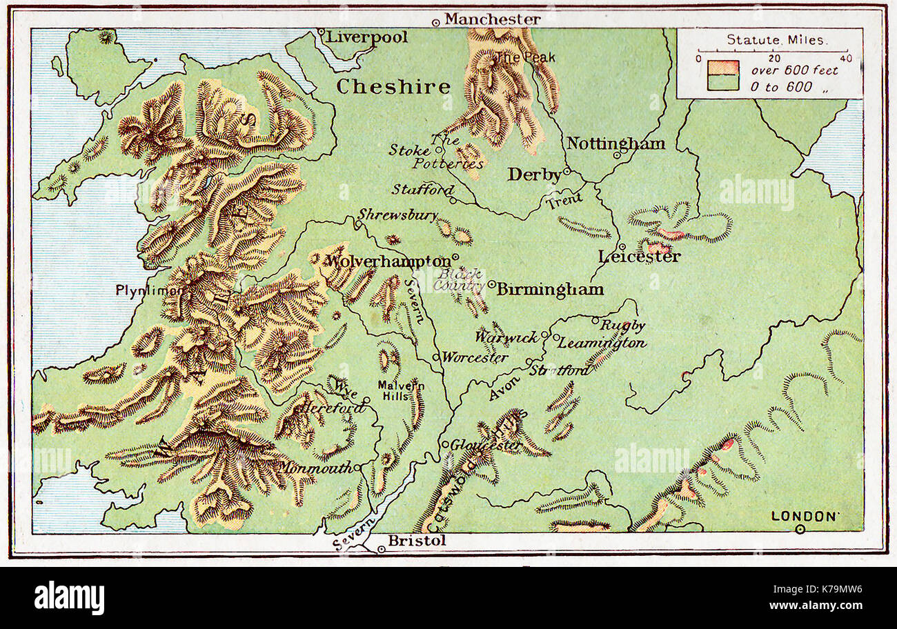 A 1914 map of Central England Stock Photohttps://www.alamy.com/image-license-details/?v=1https://www.alamy.com/a-1914-map-of-central-england-image159409858.html
RMK79MW6–A 1914 map of Central England
 Avon Lagoon, , AU, Australia, Queensland, S 21 51' 0'', N 147 15' 0'', map, Cartascapes Map published in 2024. Explore Cartascapes, a map revealing Earth's diverse landscapes, cultures, and ecosystems. Journey through time and space, discovering the interconnectedness of our planet's past, present, and future. Stock Photohttps://www.alamy.com/image-license-details/?v=1https://www.alamy.com/avon-lagoon-au-australia-queensland-s-21-51-0-n-147-15-0-map-cartascapes-map-published-in-2024-explore-cartascapes-a-map-revealing-earths-diverse-landscapes-cultures-and-ecosystems-journey-through-time-and-space-discovering-the-interconnectedness-of-our-planets-past-present-and-future-image625672583.html
RM2Y9WRNB–Avon Lagoon, , AU, Australia, Queensland, S 21 51' 0'', N 147 15' 0'', map, Cartascapes Map published in 2024. Explore Cartascapes, a map revealing Earth's diverse landscapes, cultures, and ecosystems. Journey through time and space, discovering the interconnectedness of our planet's past, present, and future.
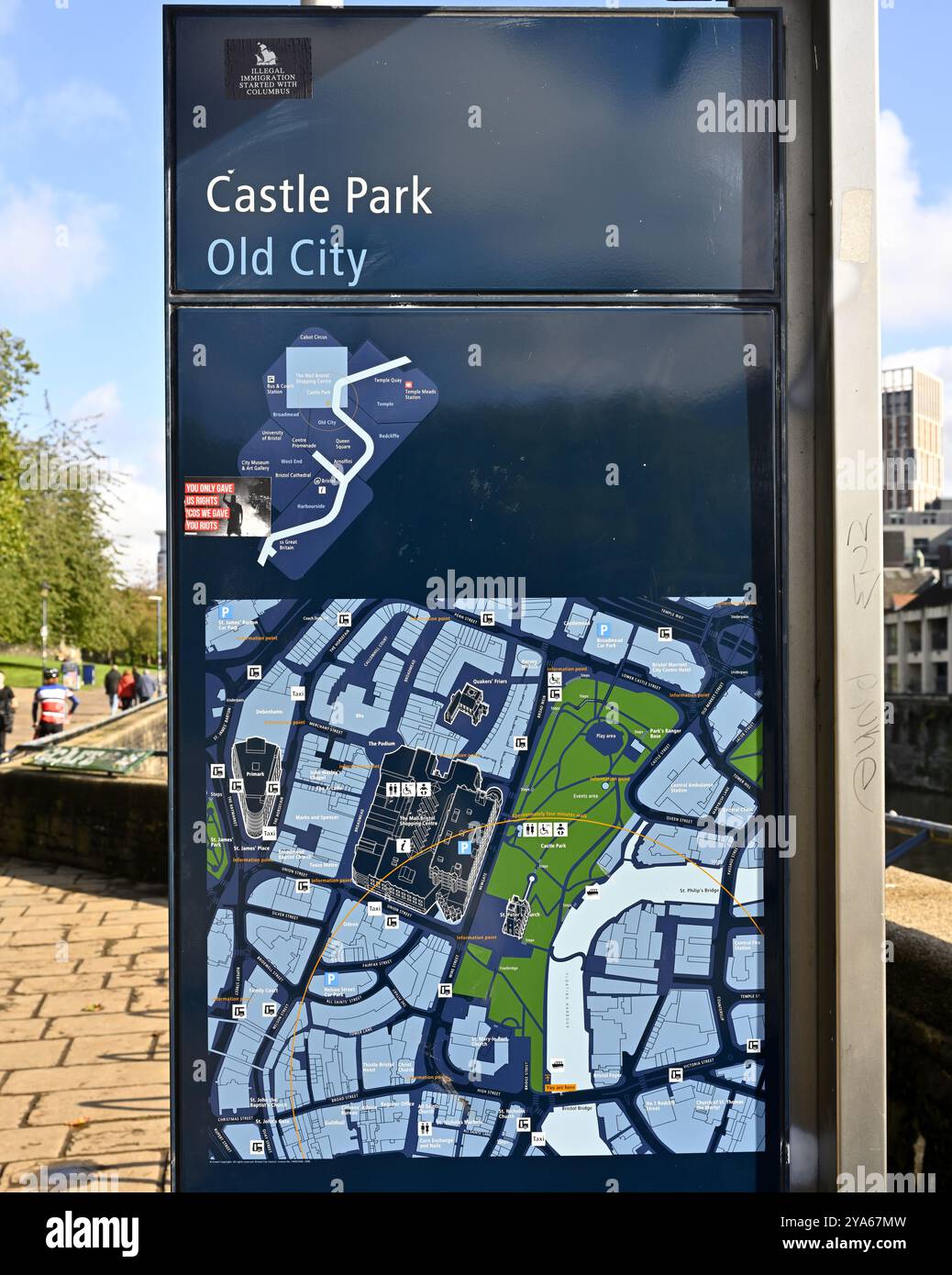 Location map of Castle Park in old part of central Bristol, UK Stock Photohttps://www.alamy.com/image-license-details/?v=1https://www.alamy.com/location-map-of-castle-park-in-old-part-of-central-bristol-uk-image625857593.html
RM2YA67MW–Location map of Castle Park in old part of central Bristol, UK
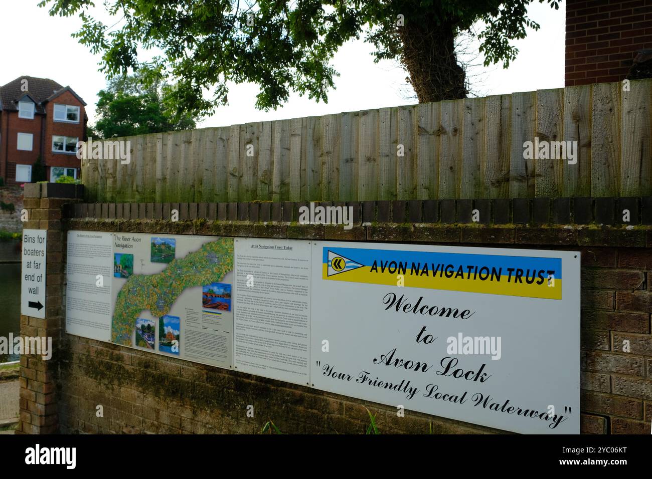 August 2024 - Wall map showing the river Avon navigation in Tweksbury, England, UK Stock Photohttps://www.alamy.com/image-license-details/?v=1https://www.alamy.com/august-2024-wall-map-showing-the-river-avon-navigation-in-tweksbury-england-uk-image626954380.html
RM2YC06KT–August 2024 - Wall map showing the river Avon navigation in Tweksbury, England, UK
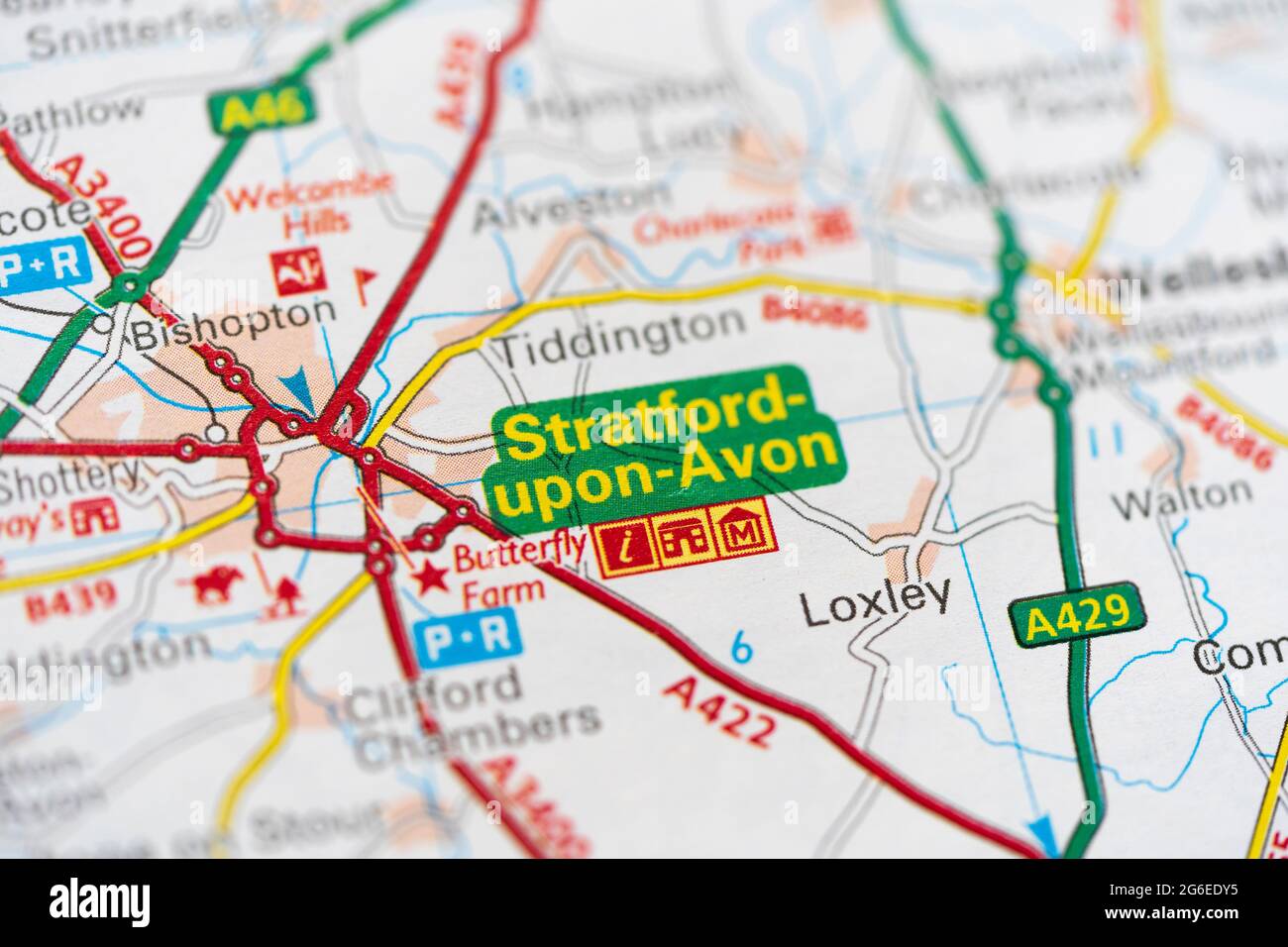 A macro closeup of a page in a printed road map atlas showing the town city of Stratford upon Avon in the county of Warwickshire, England Stock Photohttps://www.alamy.com/image-license-details/?v=1https://www.alamy.com/a-macro-closeup-of-a-page-in-a-printed-road-map-atlas-showing-the-town-city-of-stratford-upon-avon-in-the-county-of-warwickshire-england-image434265417.html
RM2G6EDY5–A macro closeup of a page in a printed road map atlas showing the town city of Stratford upon Avon in the county of Warwickshire, England
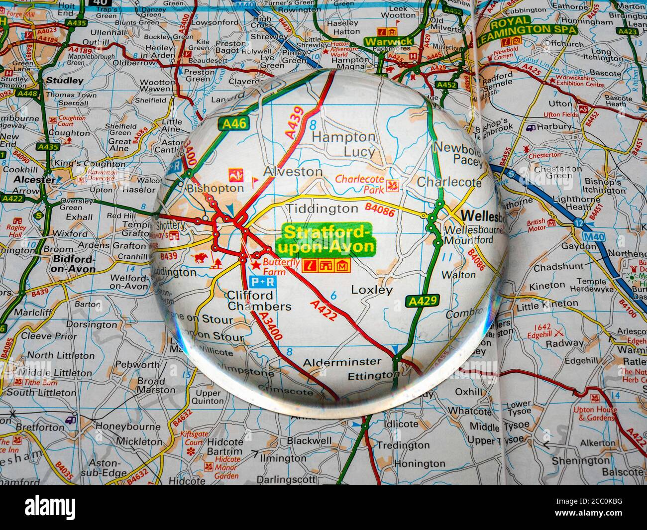 Closeup of a dome magnifying glass over a page of a British road atlas map, with the Stratford upon Avon area of England enlarged for a closer view. Stock Photohttps://www.alamy.com/image-license-details/?v=1https://www.alamy.com/closeup-of-a-dome-magnifying-glass-over-a-page-of-a-british-road-atlas-map-with-the-stratford-upon-avon-area-of-england-enlarged-for-a-closer-view-image368808820.html
RM2CC0KBG–Closeup of a dome magnifying glass over a page of a British road atlas map, with the Stratford upon Avon area of England enlarged for a closer view.
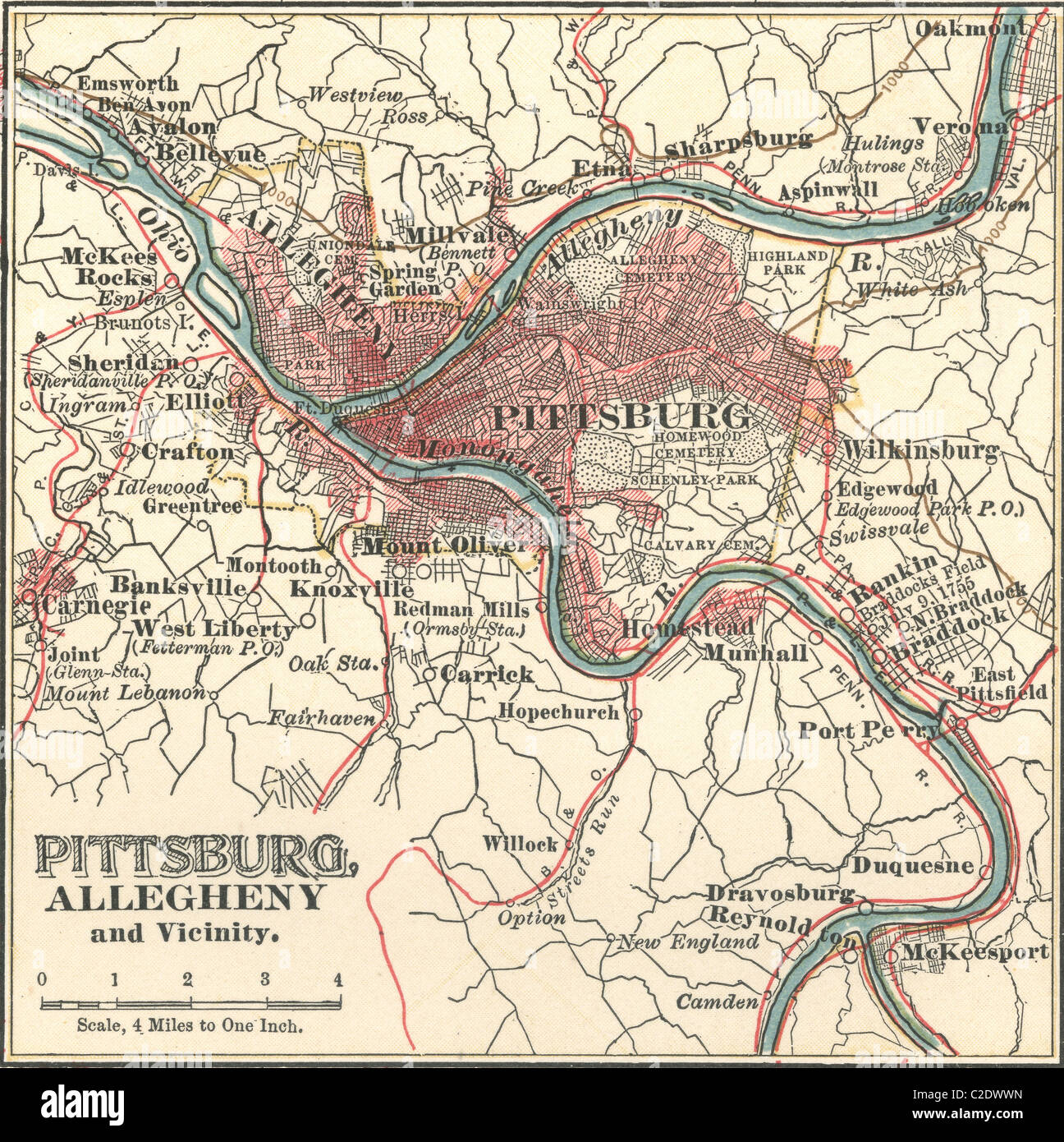 Map of Pittsburgh Stock Photohttps://www.alamy.com/image-license-details/?v=1https://www.alamy.com/stock-photo-map-of-pittsburgh-35955745.html
RMC2DWWN–Map of Pittsburgh
 An outdoor displayed town map of Bradford on Avon, Wiltshire, United Kingdom. Stock Photohttps://www.alamy.com/image-license-details/?v=1https://www.alamy.com/stock-photo-an-outdoor-displayed-town-map-of-bradford-on-avon-wiltshire-united-78110035.html
RMEF2643–An outdoor displayed town map of Bradford on Avon, Wiltshire, United Kingdom.
 Avon |Navigation Trust signboard at Harvington Lock UK Stock Photohttps://www.alamy.com/image-license-details/?v=1https://www.alamy.com/avon-navigation-trust-signboard-at-harvington-lock-uk-image566461359.html
RM2RWGF6R–Avon |Navigation Trust signboard at Harvington Lock UK
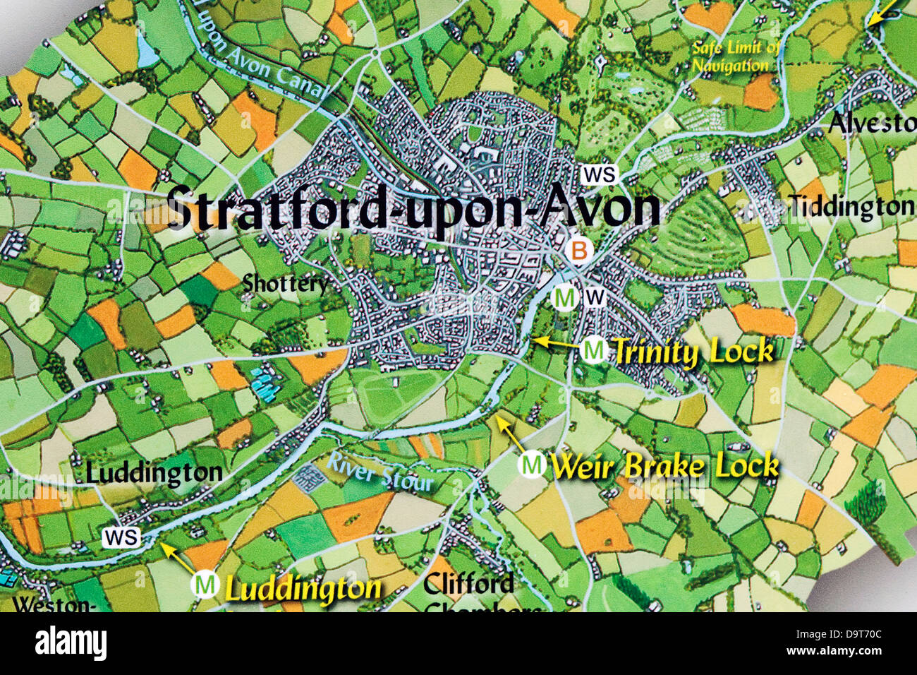 A Navigation map of Stratford upon Avon Stock Photohttps://www.alamy.com/image-license-details/?v=1https://www.alamy.com/stock-photo-a-navigation-map-of-stratford-upon-avon-57695356.html
RMD9T70C–A Navigation map of Stratford upon Avon
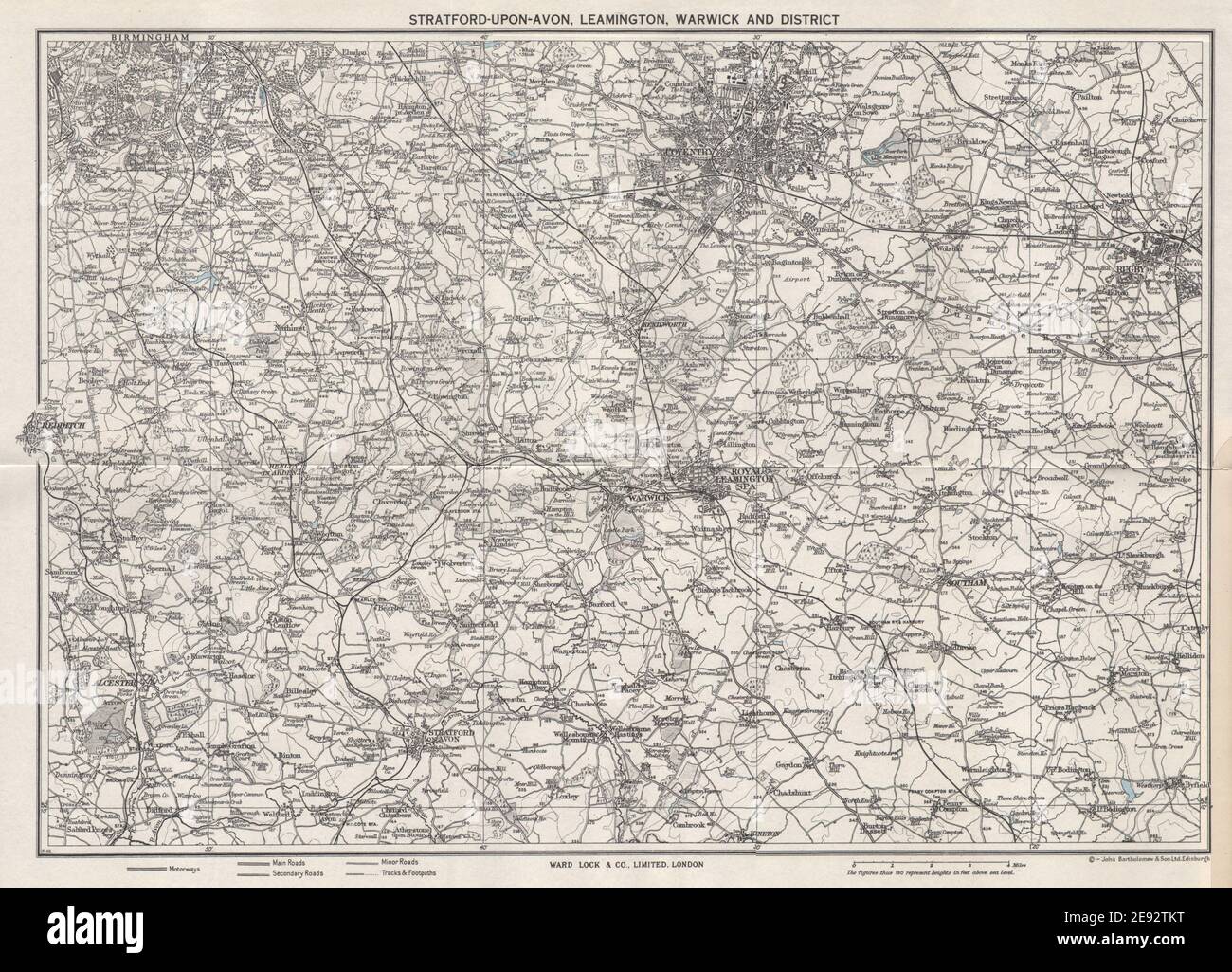 LEAMINGTON SPA, WARWICK area. Stratford-upon-Avon Birmingham Coventry 1962 map Stock Photohttps://www.alamy.com/image-license-details/?v=1https://www.alamy.com/leamington-spa-warwick-area-stratford-upon-avon-birmingham-coventry-1962-map-image401433644.html
RF2E92TKT–LEAMINGTON SPA, WARWICK area. Stratford-upon-Avon Birmingham Coventry 1962 map
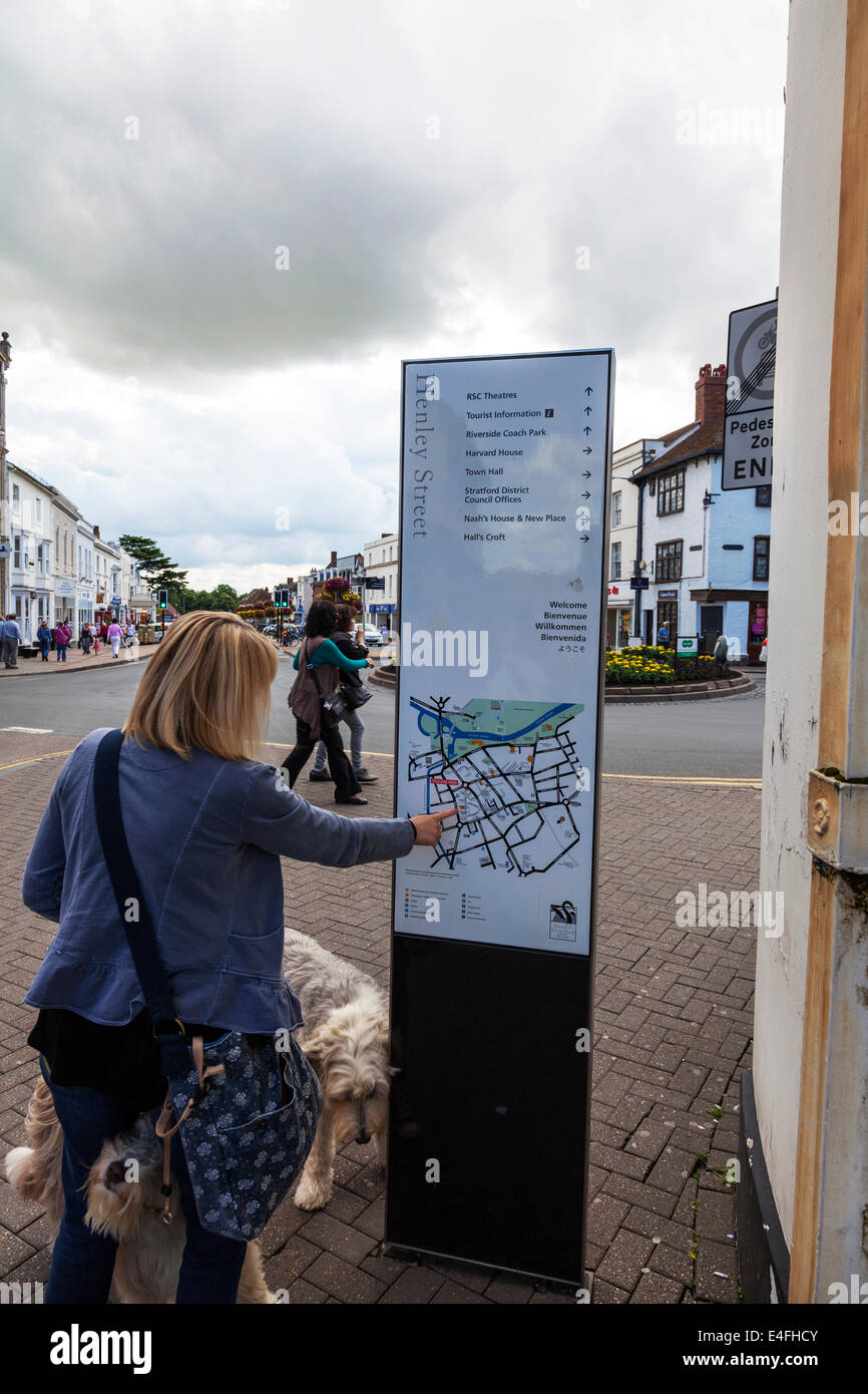 Lady pointing looking at sign map details places of interest in Stratford Upon Avon Cotswolds UK England Stock Photohttps://www.alamy.com/image-license-details/?v=1https://www.alamy.com/stock-photo-lady-pointing-looking-at-sign-map-details-places-of-interest-in-stratford-71643067.html
RME4FHCY–Lady pointing looking at sign map details places of interest in Stratford Upon Avon Cotswolds UK England
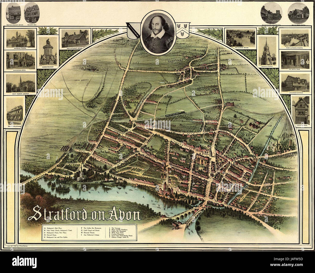 Stratford On Avon historic map 1902 Stock Photohttps://www.alamy.com/image-license-details/?v=1https://www.alamy.com/stock-photo-stratford-on-avon-historic-map-1902-140490601.html
RMJ4FW5D–Stratford On Avon historic map 1902
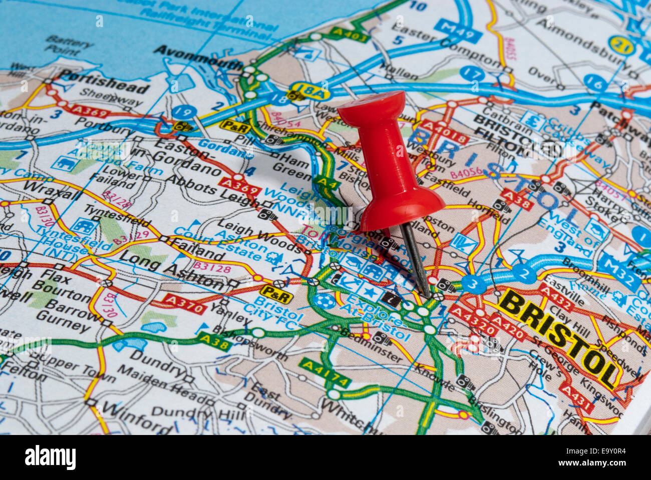 red map pin in road map pointing to city of Bristol Stock Photohttps://www.alamy.com/image-license-details/?v=1https://www.alamy.com/stock-photo-red-map-pin-in-road-map-pointing-to-city-of-bristol-74966728.html
RME9Y0R4–red map pin in road map pointing to city of Bristol
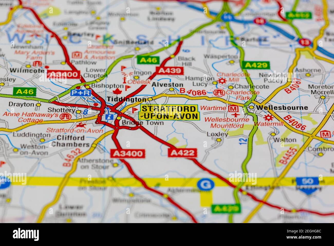 stratford upon avon and surrounding areas shown on a road map or geography map Stock Photohttps://www.alamy.com/image-license-details/?v=1https://www.alamy.com/stratford-upon-avon-and-surrounding-areas-shown-on-a-road-map-or-geography-map-image406058924.html
RM2EGHG8C–stratford upon avon and surrounding areas shown on a road map or geography map
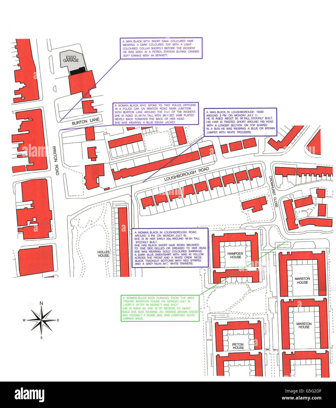 A street map issued by Police investigating the fatal shooting of a black man by armed officers, officers are appealing for five vital witnesses to come forward. * ...... Derek Bennett, 29, was shot dead by Metropolitan Police officers who thought he was armed and dangerous but he was later found to have been carrying a gun-shaped cigarette lighter. Officers from Northumbria Police and Avon and Somerset Police who are investigating the shooting, in Brixton, south London, have so far talked to the people living in 400 households and taken 300 statements. Stock Photohttps://www.alamy.com/image-license-details/?v=1https://www.alamy.com/stock-photo-a-street-map-issued-by-police-investigating-the-fatal-shooting-of-106688667.html
RMG5G2DF–A street map issued by Police investigating the fatal shooting of a black man by armed officers, officers are appealing for five vital witnesses to come forward. * ...... Derek Bennett, 29, was shot dead by Metropolitan Police officers who thought he was armed and dangerous but he was later found to have been carrying a gun-shaped cigarette lighter. Officers from Northumbria Police and Avon and Somerset Police who are investigating the shooting, in Brixton, south London, have so far talked to the people living in 400 households and taken 300 statements.
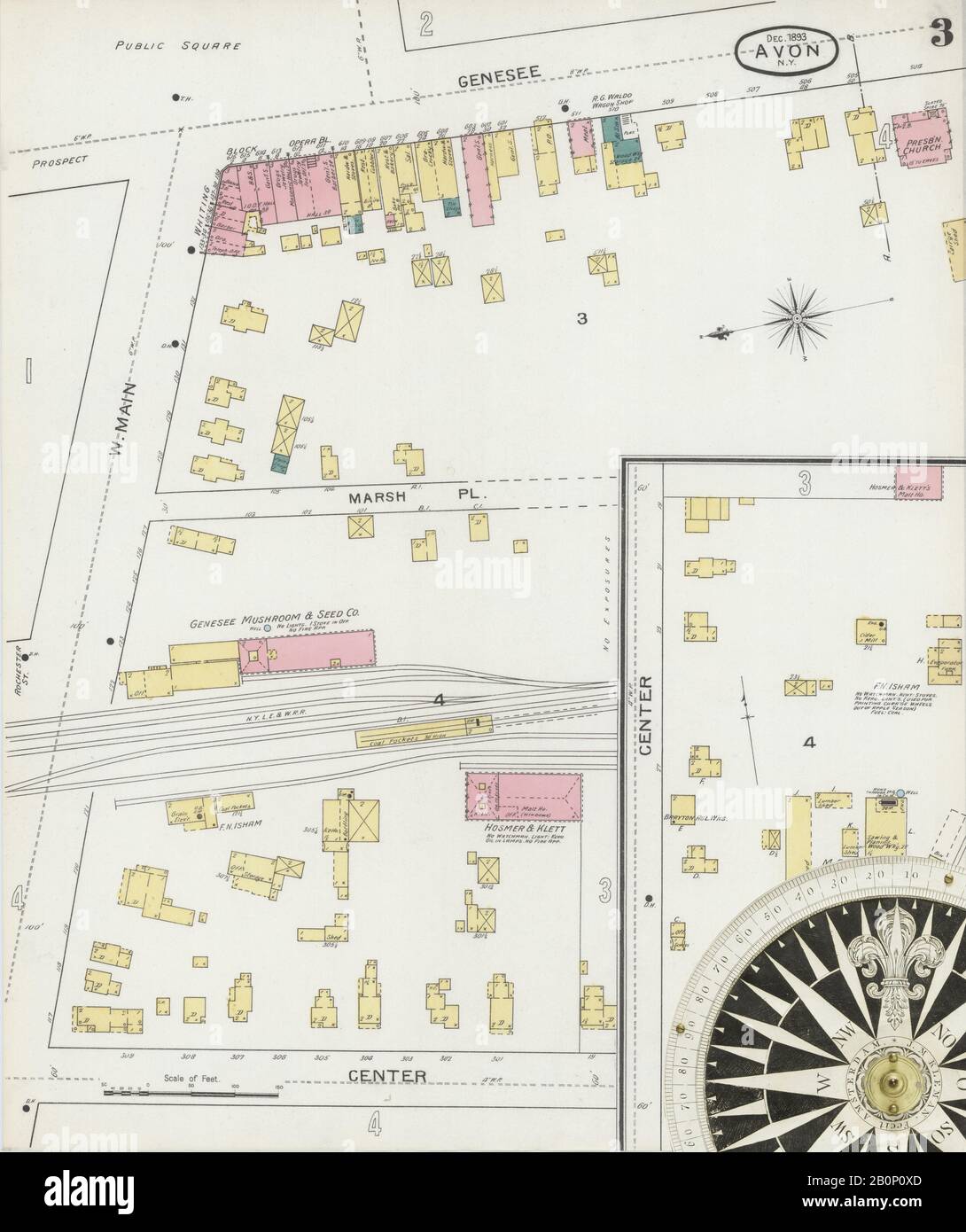 Image 3 of Sanborn Fire Insurance Map from Avon, Livingston County, New York. Dec 1893. 4 Sheet(s), America, street map with a Nineteenth Century compass Stock Photohttps://www.alamy.com/image-license-details/?v=1https://www.alamy.com/image-3-of-sanborn-fire-insurance-map-from-avon-livingston-county-new-york-dec-1893-4-sheets-america-street-map-with-a-nineteenth-century-compass-image344691045.html
RM2B0P0XD–Image 3 of Sanborn Fire Insurance Map from Avon, Livingston County, New York. Dec 1893. 4 Sheet(s), America, street map with a Nineteenth Century compass
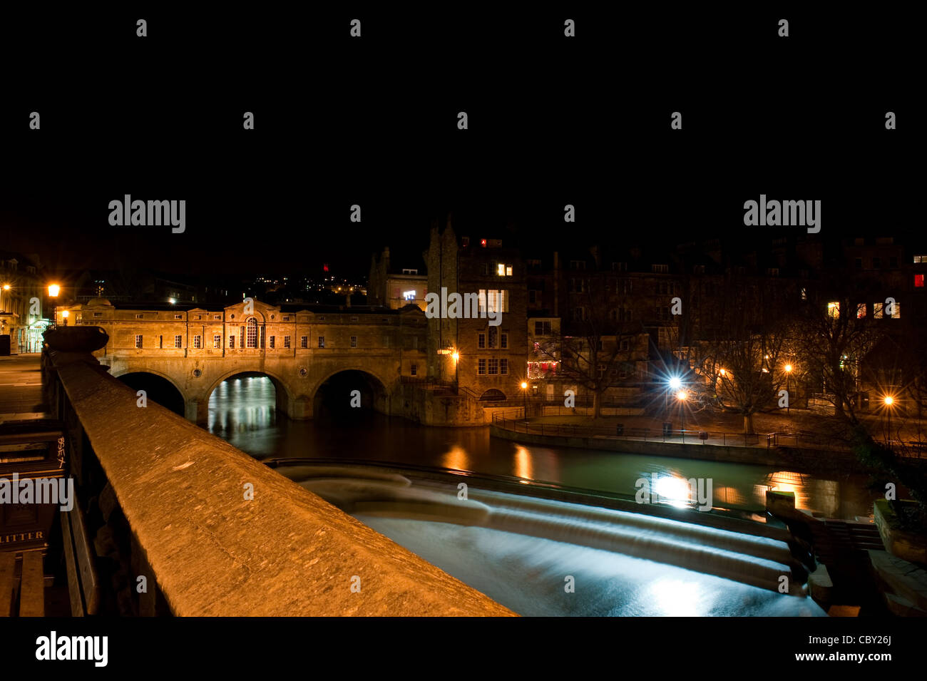 Pulteney Bridge is a bridge that crosses the River Avon, in Bath, England. It was completed in 1773. Stock Photohttps://www.alamy.com/image-license-details/?v=1https://www.alamy.com/stock-photo-pulteney-bridge-is-a-bridge-that-crosses-the-river-avon-in-bath-england-41776410.html
RFCBY26J–Pulteney Bridge is a bridge that crosses the River Avon, in Bath, England. It was completed in 1773.
![Newark, Double Page Plate No. 29 [Map bounded by Chadwick Ave., Avon Ave., Elizabeth Ave., Hawthorn Ave.] Stock Photo Newark, Double Page Plate No. 29 [Map bounded by Chadwick Ave., Avon Ave., Elizabeth Ave., Hawthorn Ave.] Stock Photo](https://c8.alamy.com/comp/2YP2PM5/newark-double-page-plate-no-29-map-bounded-by-chadwick-ave-avon-ave-elizabeth-ave-hawthorn-ave-2YP2PM5.jpg) Newark, Double Page Plate No. 29 [Map bounded by Chadwick Ave., Avon Ave., Elizabeth Ave., Hawthorn Ave.] Stock Photohttps://www.alamy.com/image-license-details/?v=1https://www.alamy.com/newark-double-page-plate-no-29-map-bounded-by-chadwick-ave-avon-ave-elizabeth-ave-hawthorn-ave-image633157397.html
Newark, Double Page Plate No. 29 [Map bounded by Chadwick Ave., Avon Ave., Elizabeth Ave., Hawthorn Ave.] Stock Photohttps://www.alamy.com/image-license-details/?v=1https://www.alamy.com/newark-double-page-plate-no-29-map-bounded-by-chadwick-ave-avon-ave-elizabeth-ave-hawthorn-ave-image633157397.htmlRM2YP2PM5–Newark, Double Page Plate No. 29 [Map bounded by Chadwick Ave., Avon Ave., Elizabeth Ave., Hawthorn Ave.]
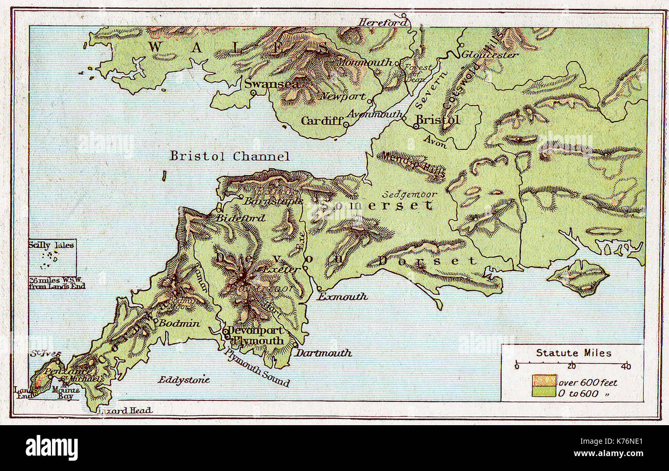 A 1914 vintage colour map of South West England Stock Photohttps://www.alamy.com/image-license-details/?v=1https://www.alamy.com/a-1914-vintage-colour-map-of-south-west-england-image159344473.html
RMK76NE1–A 1914 vintage colour map of South West England
 Avon River, , AU, Australia, Victoria, S 36 17' 59'', N 142 58' 0'', map, Cartascapes Map published in 2024. Explore Cartascapes, a map revealing Earth's diverse landscapes, cultures, and ecosystems. Journey through time and space, discovering the interconnectedness of our planet's past, present, and future. Stock Photohttps://www.alamy.com/image-license-details/?v=1https://www.alamy.com/avon-river-au-australia-victoria-s-36-17-59-n-142-58-0-map-cartascapes-map-published-in-2024-explore-cartascapes-a-map-revealing-earths-diverse-landscapes-cultures-and-ecosystems-journey-through-time-and-space-discovering-the-interconnectedness-of-our-planets-past-present-and-future-image625527245.html
RM2Y9K6AN–Avon River, , AU, Australia, Victoria, S 36 17' 59'', N 142 58' 0'', map, Cartascapes Map published in 2024. Explore Cartascapes, a map revealing Earth's diverse landscapes, cultures, and ecosystems. Journey through time and space, discovering the interconnectedness of our planet's past, present, and future.
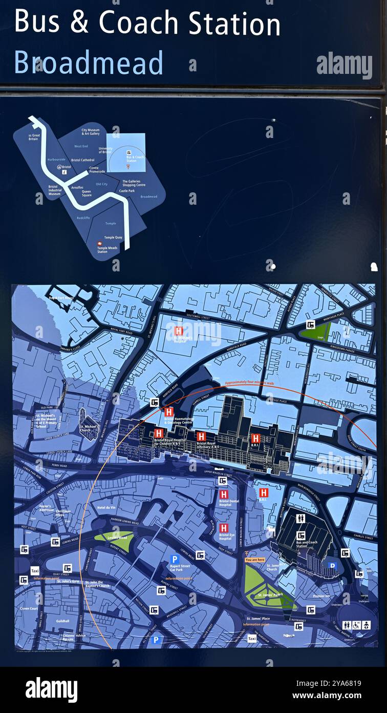 Location map central Bristol, UK, bus and coach station, hospital complex, near Broadmead shopping Stock Photohttps://www.alamy.com/image-license-details/?v=1https://www.alamy.com/location-map-central-bristol-uk-bus-and-coach-station-hospital-complex-near-broadmead-shopping-image625857829.html
RM2YA6819–Location map central Bristol, UK, bus and coach station, hospital complex, near Broadmead shopping
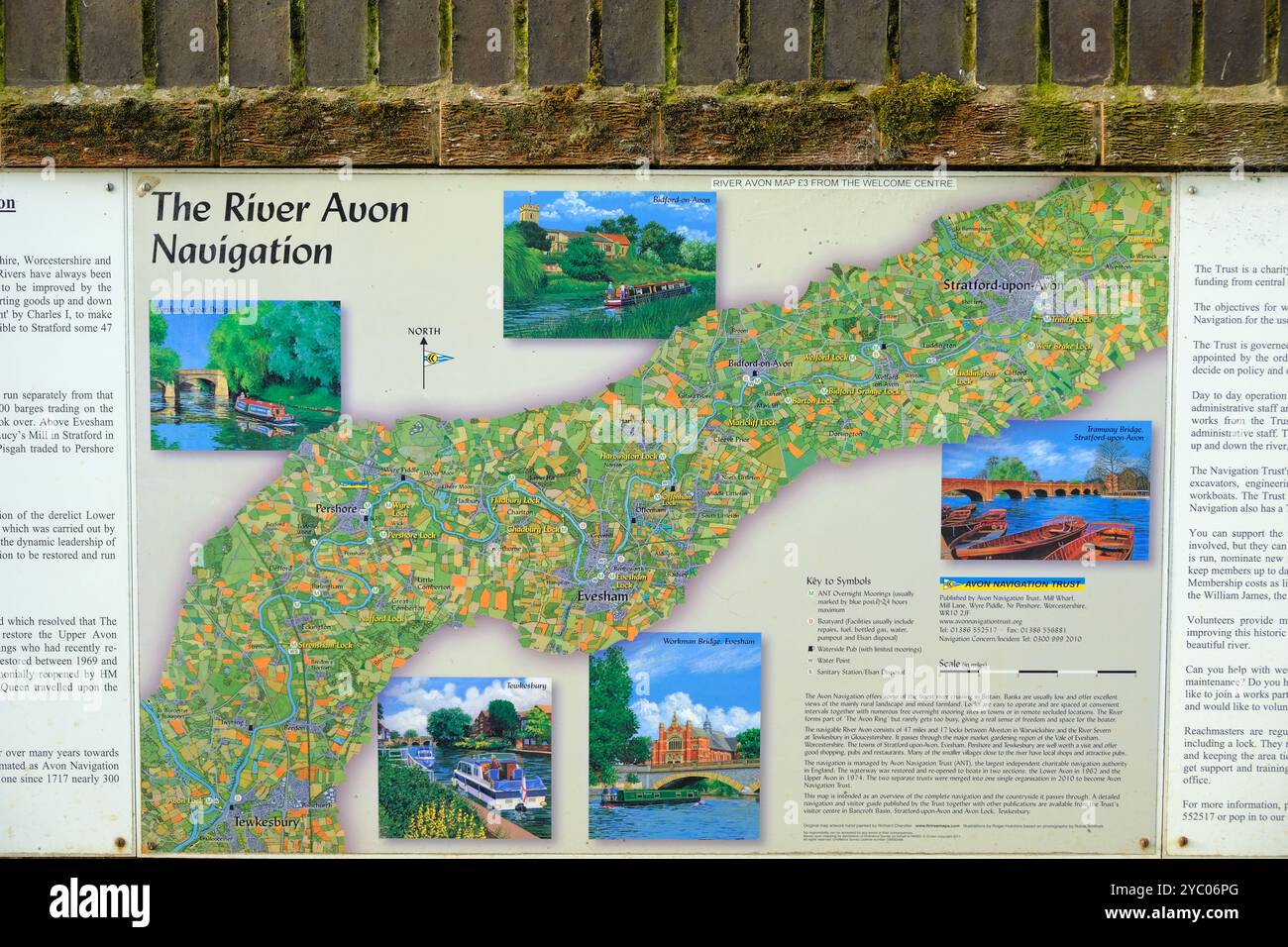 August 2024 - Wall map showing the river Avon navigation in Tweksbury, England, UK Stock Photohttps://www.alamy.com/image-license-details/?v=1https://www.alamy.com/august-2024-wall-map-showing-the-river-avon-navigation-in-tweksbury-england-uk-image626954456.html
RM2YC06PG–August 2024 - Wall map showing the river Avon navigation in Tweksbury, England, UK
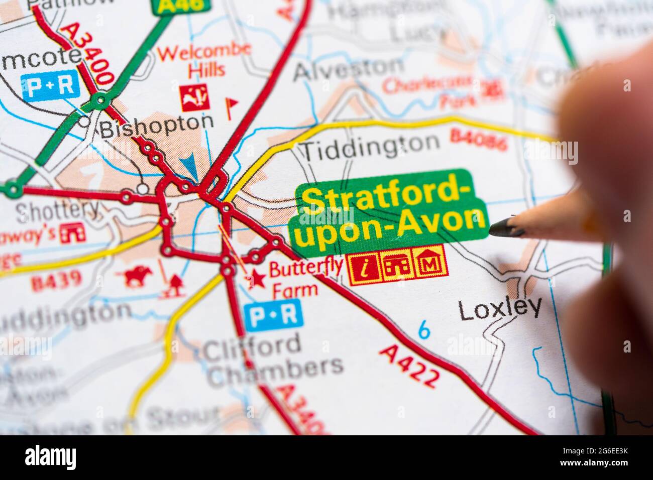 Closeup of a page in a printed road map atlas with a man's hand holding a pencil pointing at Stratford upon Avon - Shakespeare's birthplace. England Stock Photohttps://www.alamy.com/image-license-details/?v=1https://www.alamy.com/closeup-of-a-page-in-a-printed-road-map-atlas-with-a-mans-hand-holding-a-pencil-pointing-at-stratford-upon-avon-shakespeares-birthplace-england-image434265543.html
RM2G6EE3K–Closeup of a page in a printed road map atlas with a man's hand holding a pencil pointing at Stratford upon Avon - Shakespeare's birthplace. England
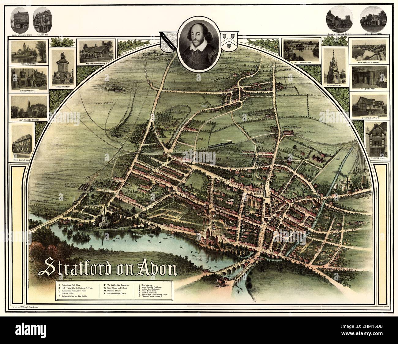 Map, aerial view of Stratford-upon-Avon , Warwickshire, England, 1908 Stock Photohttps://www.alamy.com/image-license-details/?v=1https://www.alamy.com/map-aerial-view-of-stratford-upon-avon-warwickshire-england-1908-image459789719.html
RM2HM16DB–Map, aerial view of Stratford-upon-Avon , Warwickshire, England, 1908
 Bristol, England Stock Photohttps://www.alamy.com/image-license-details/?v=1https://www.alamy.com/bristol-england-image179230874.html
RMMBGJPJ–Bristol, England
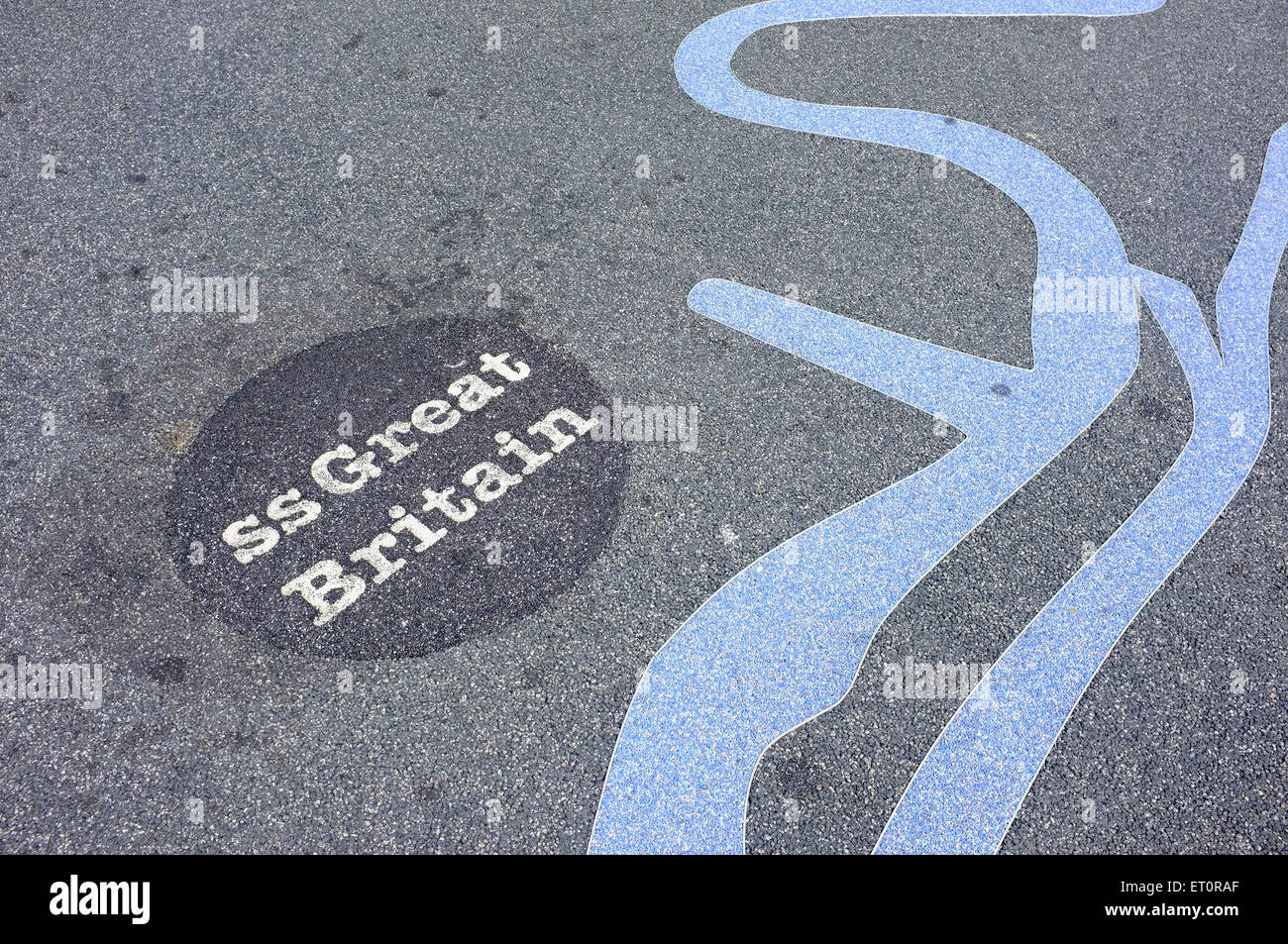 A map of Bristol painted onto the ground alongside Bristol Harbour by the M Shed museum. Stock Photohttps://www.alamy.com/image-license-details/?v=1https://www.alamy.com/stock-photo-a-map-of-bristol-painted-onto-the-ground-alongside-bristol-harbour-83611543.html
RMET0RAF–A map of Bristol painted onto the ground alongside Bristol Harbour by the M Shed museum.
 Welcome signboard at Offenham Lock on River Avon Stock Photohttps://www.alamy.com/image-license-details/?v=1https://www.alamy.com/welcome-signboard-at-offenham-lock-on-river-avon-image566462589.html
RM2RWGGPN–Welcome signboard at Offenham Lock on River Avon
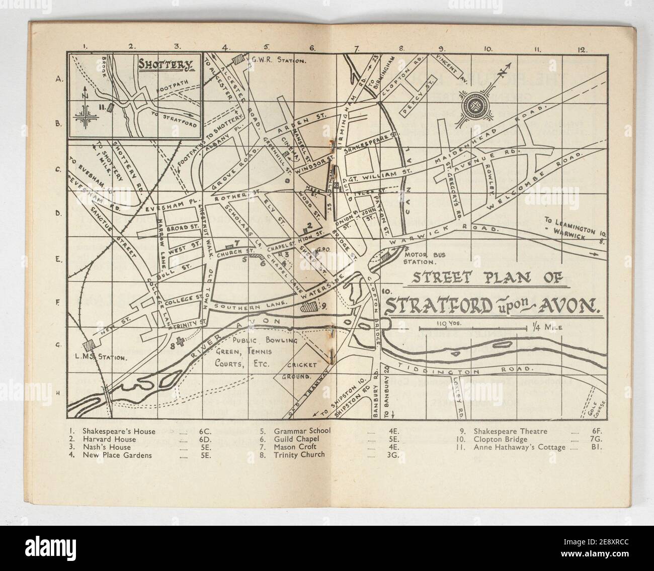 Old Vintage Map of Stratford Upon Avon Stock Photohttps://www.alamy.com/image-license-details/?v=1https://www.alamy.com/old-vintage-map-of-stratford-upon-avon-image401344844.html
RM2E8XRCC–Old Vintage Map of Stratford Upon Avon
 Stratford on Avon. Warwickshire 1920 old antique vintage map plan chart Stock Photohttps://www.alamy.com/image-license-details/?v=1https://www.alamy.com/stratford-on-avon-warwickshire-1920-old-antique-vintage-map-plan-chart-image401430654.html
RF2E92MW2–Stratford on Avon. Warwickshire 1920 old antique vintage map plan chart
 Looking at sign information map directions Stratford Upon Avon Cotswolds UK England Stock Photohttps://www.alamy.com/image-license-details/?v=1https://www.alamy.com/stock-photo-looking-at-sign-information-map-directions-stratford-upon-avon-cotswolds-71644122.html
RME4FJPJ–Looking at sign information map directions Stratford Upon Avon Cotswolds UK England
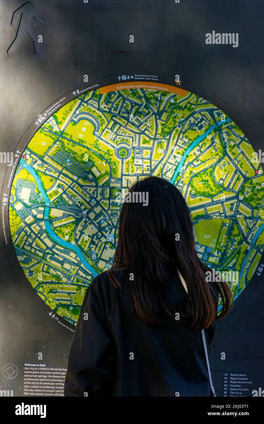 A tourist looks at a street map by Pulteney Bridge in Bath Spa, Somerset, England, UK Stock Photohttps://www.alamy.com/image-license-details/?v=1https://www.alamy.com/a-tourist-looks-at-a-street-map-by-pulteney-bridge-in-bath-spa-somerset-england-uk-image492957137.html
RM2KJ03T1–A tourist looks at a street map by Pulteney Bridge in Bath Spa, Somerset, England, UK
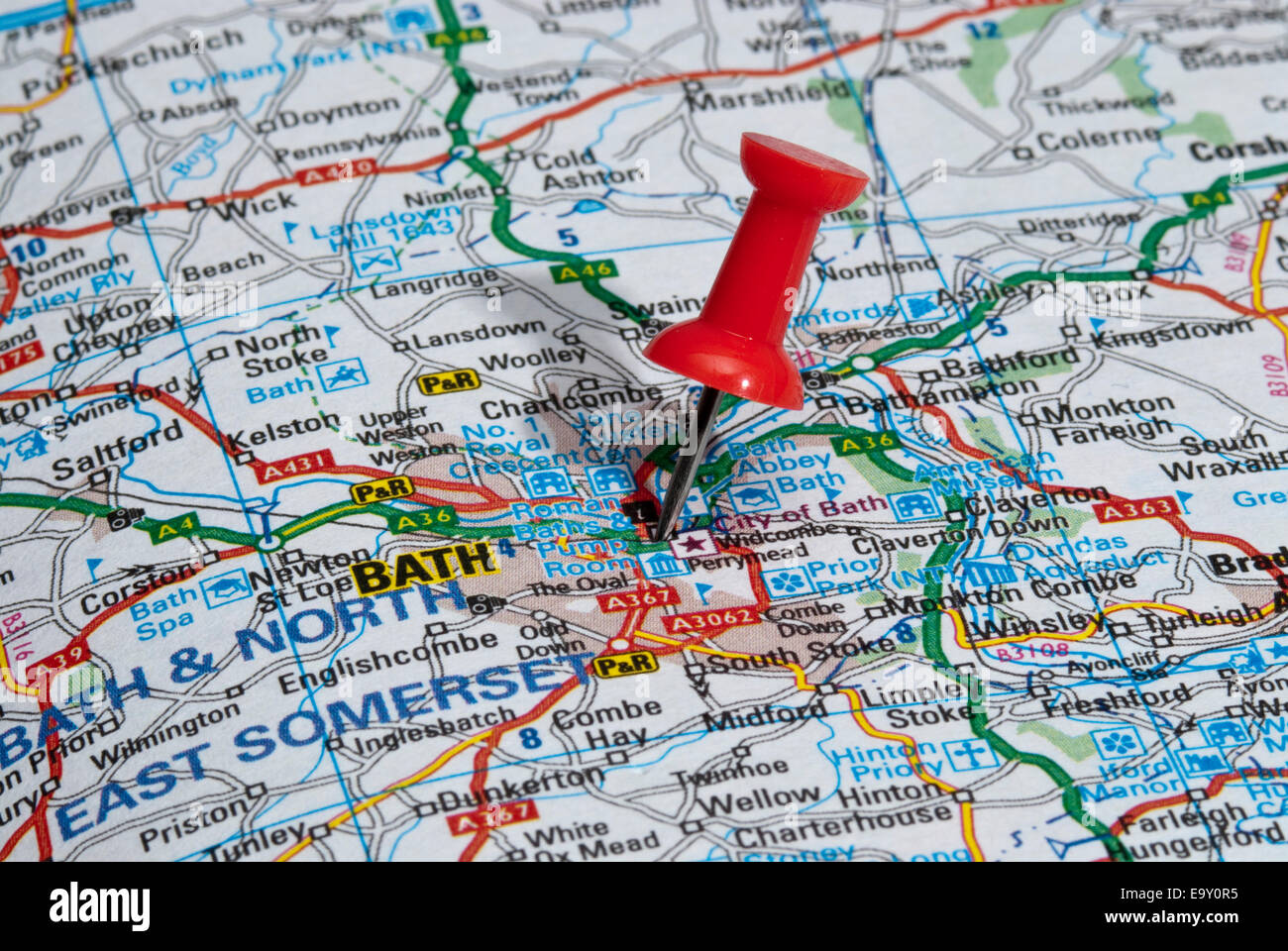 red map pin in road map pointing to city of Bath Stock Photohttps://www.alamy.com/image-license-details/?v=1https://www.alamy.com/stock-photo-red-map-pin-in-road-map-pointing-to-city-of-bath-74966729.html
RME9Y0R5–red map pin in road map pointing to city of Bath
 BATH, ENGLAND - JULY 2019: Notice board with infomation for visitors to Dundas Aquaduct on the Kennet & Avon Canal near the city of Bath Stock Photohttps://www.alamy.com/image-license-details/?v=1https://www.alamy.com/bath-england-july-2019-notice-board-with-infomation-for-visitors-to-dundas-aquaduct-on-the-kennet-avon-canal-near-the-city-of-bath-image265657552.html
RMWC5MWM–BATH, ENGLAND - JULY 2019: Notice board with infomation for visitors to Dundas Aquaduct on the Kennet & Avon Canal near the city of Bath
 RNLI Lifeguard Sign With Map On Beach Avon Beach Mudeford Dorset England Stock Photohttps://www.alamy.com/image-license-details/?v=1https://www.alamy.com/stock-photo-rnli-lifeguard-sign-with-map-on-beach-avon-beach-mudeford-dorset-england-73483385.html
RME7FCPH–RNLI Lifeguard Sign With Map On Beach Avon Beach Mudeford Dorset England
 Image 4 of Sanborn Fire Insurance Map from Avon, Livingston County, New York. Oct 1898. 7 Sheet(s), America, street map with a Nineteenth Century compass Stock Photohttps://www.alamy.com/image-license-details/?v=1https://www.alamy.com/image-4-of-sanborn-fire-insurance-map-from-avon-livingston-county-new-york-oct-1898-7-sheets-america-street-map-with-a-nineteenth-century-compass-image344691056.html
RM2B0P0XT–Image 4 of Sanborn Fire Insurance Map from Avon, Livingston County, New York. Oct 1898. 7 Sheet(s), America, street map with a Nineteenth Century compass
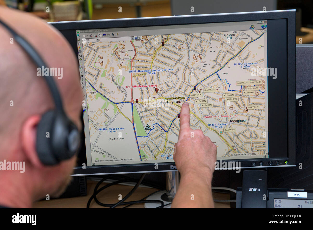 Avon & Somerset Police headquarters,showing the Communications (Comms) Room,where all operations are controlled,with duty force incident manager,left Stock Photohttps://www.alamy.com/image-license-details/?v=1https://www.alamy.com/avon-somerset-police-headquartersshowing-the-communications-comms-roomwhere-all-operations-are-controlledwith-duty-force-incident-managerleft-image213692144.html
RMPBJEE8–Avon & Somerset Police headquarters,showing the Communications (Comms) Room,where all operations are controlled,with duty force incident manager,left
![Newark, Double Page Plate No. 28 [Map bounded by 17th Ave., Bergen St., Avon Ave., S. 20th St.] Stock Photo Newark, Double Page Plate No. 28 [Map bounded by 17th Ave., Bergen St., Avon Ave., S. 20th St.] Stock Photo](https://c8.alamy.com/comp/2YP2PM4/newark-double-page-plate-no-28-map-bounded-by-17th-ave-bergen-st-avon-ave-s-20th-st-2YP2PM4.jpg) Newark, Double Page Plate No. 28 [Map bounded by 17th Ave., Bergen St., Avon Ave., S. 20th St.] Stock Photohttps://www.alamy.com/image-license-details/?v=1https://www.alamy.com/newark-double-page-plate-no-28-map-bounded-by-17th-ave-bergen-st-avon-ave-s-20th-st-image633157396.html
Newark, Double Page Plate No. 28 [Map bounded by 17th Ave., Bergen St., Avon Ave., S. 20th St.] Stock Photohttps://www.alamy.com/image-license-details/?v=1https://www.alamy.com/newark-double-page-plate-no-28-map-bounded-by-17th-ave-bergen-st-avon-ave-s-20th-st-image633157396.htmlRM2YP2PM4–Newark, Double Page Plate No. 28 [Map bounded by 17th Ave., Bergen St., Avon Ave., S. 20th St.]
 informative sign on Kennett and Avon Canal Stock Photohttps://www.alamy.com/image-license-details/?v=1https://www.alamy.com/stock-photo-informative-sign-on-kennett-and-avon-canal-143208560.html
RMJ8YKYC–informative sign on Kennett and Avon Canal
 Avon River, , AU, Australia, Victoria, S 38 2' 59'', N 147 16' 0'', map, Cartascapes Map published in 2024. Explore Cartascapes, a map revealing Earth's diverse landscapes, cultures, and ecosystems. Journey through time and space, discovering the interconnectedness of our planet's past, present, and future. Stock Photohttps://www.alamy.com/image-license-details/?v=1https://www.alamy.com/avon-river-au-australia-victoria-s-38-2-59-n-147-16-0-map-cartascapes-map-published-in-2024-explore-cartascapes-a-map-revealing-earths-diverse-landscapes-cultures-and-ecosystems-journey-through-time-and-space-discovering-the-interconnectedness-of-our-planets-past-present-and-future-image625674706.html
RM2Y9WXD6–Avon River, , AU, Australia, Victoria, S 38 2' 59'', N 147 16' 0'', map, Cartascapes Map published in 2024. Explore Cartascapes, a map revealing Earth's diverse landscapes, cultures, and ecosystems. Journey through time and space, discovering the interconnectedness of our planet's past, present, and future.
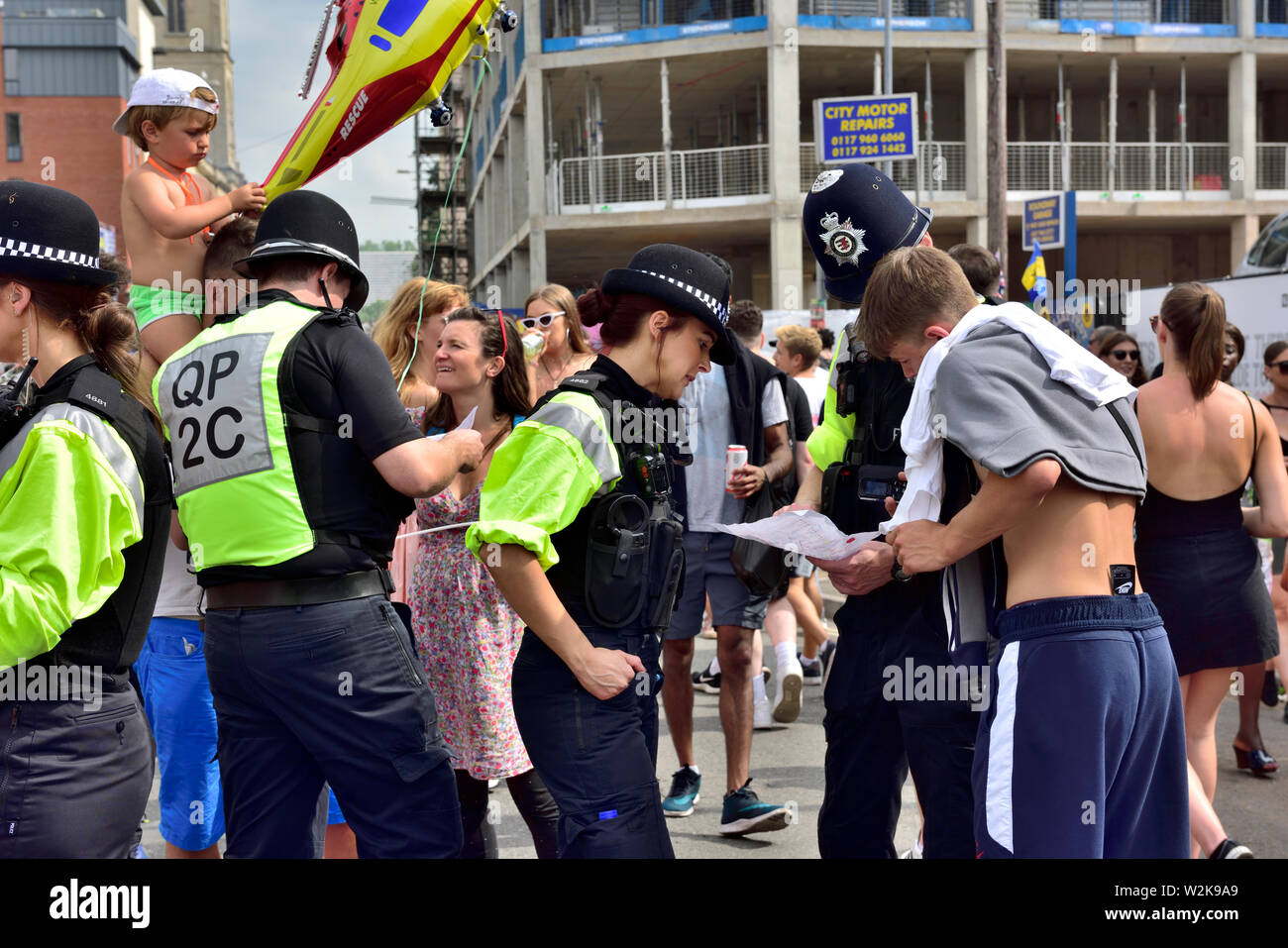 Police man and woman helping man with map and directions on map, UK Stock Photohttps://www.alamy.com/image-license-details/?v=1https://www.alamy.com/police-man-and-woman-helping-man-with-map-and-directions-on-map-uk-image259809265.html
RMW2K9A9–Police man and woman helping man with map and directions on map, UK
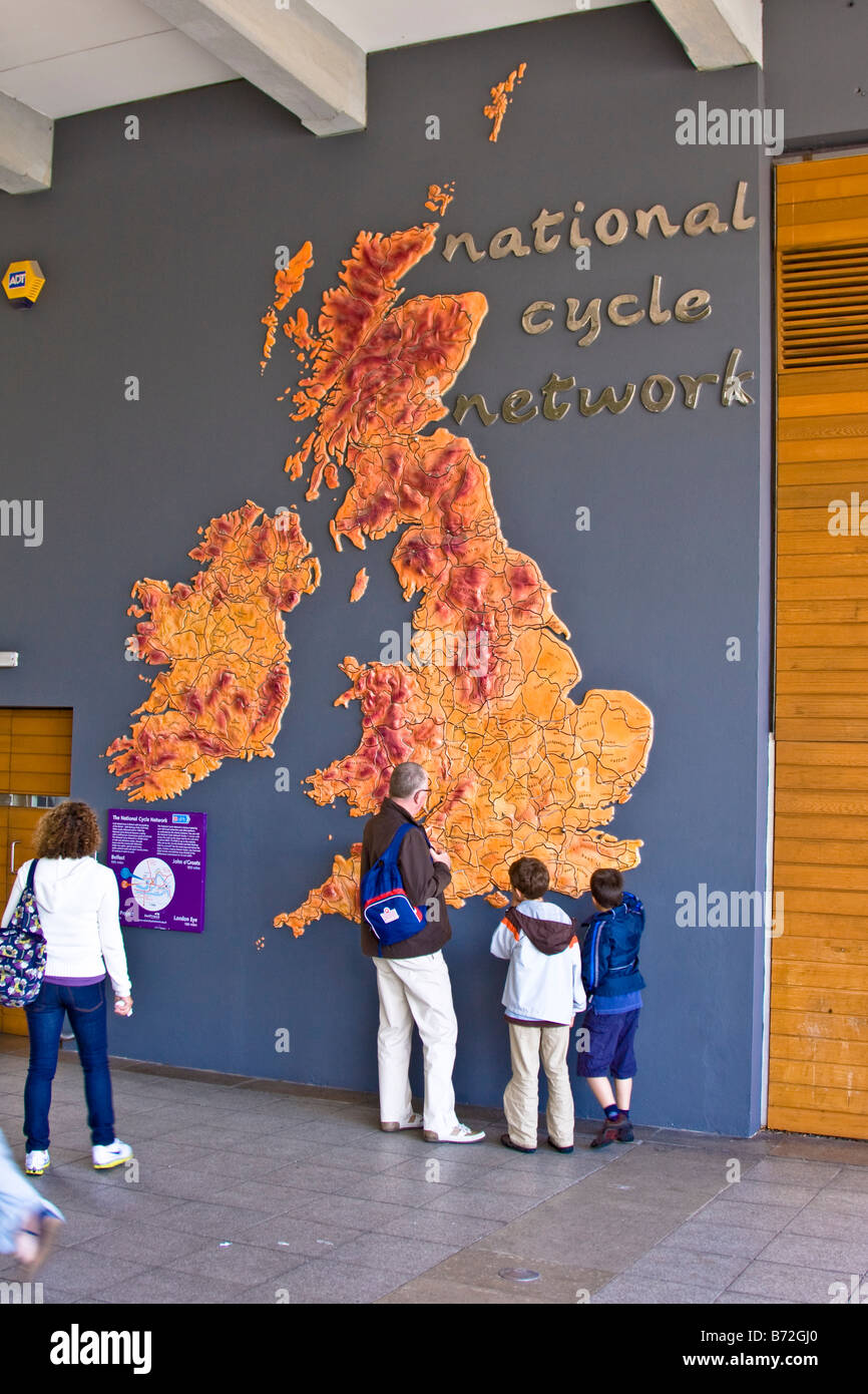 Tourists in Bristol examine a map of the National Cycle Network Stock Photohttps://www.alamy.com/image-license-details/?v=1https://www.alamy.com/stock-photo-tourists-in-bristol-examine-a-map-of-the-national-cycle-network-21569912.html
RMB72GJ0–Tourists in Bristol examine a map of the National Cycle Network
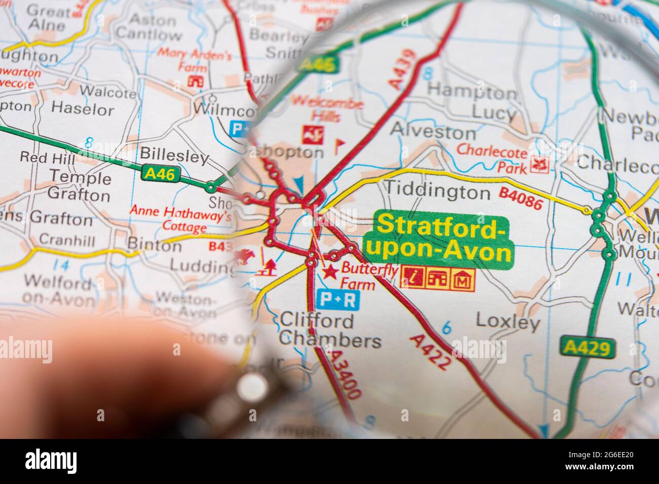 Closeup of a page in a printed road map atlas with a man's hand holding a magnifying glass showing an enlargement of Stratford upon Avon, England Stock Photohttps://www.alamy.com/image-license-details/?v=1https://www.alamy.com/closeup-of-a-page-in-a-printed-road-map-atlas-with-a-mans-hand-holding-a-magnifying-glass-showing-an-enlargement-of-stratford-upon-avon-england-image434265496.html
RM2G6EE20–Closeup of a page in a printed road map atlas with a man's hand holding a magnifying glass showing an enlargement of Stratford upon Avon, England
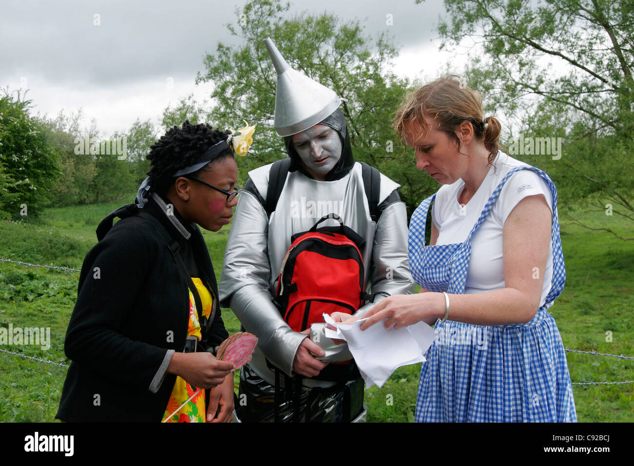 The quirky annual Crafty Craft Race, held on the Kennet and Avon Canal between Hungerford and Newbury, Berkshire, England Stock Photohttps://www.alamy.com/image-license-details/?v=1https://www.alamy.com/stock-photo-the-quirky-annual-crafty-craft-race-held-on-the-kennet-and-avon-canal-40005522.html
RMC92BCJ–The quirky annual Crafty Craft Race, held on the Kennet and Avon Canal between Hungerford and Newbury, Berkshire, England
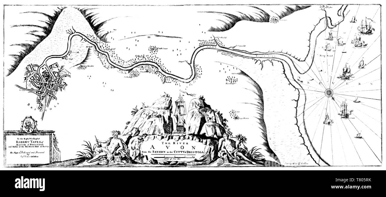 Greenvile Collins, Chart of the Avon, 1693 Stock Photohttps://www.alamy.com/image-license-details/?v=1https://www.alamy.com/greenvile-collins-chart-of-the-avon-1693-image245866983.html
RMT805RK–Greenvile Collins, Chart of the Avon, 1693
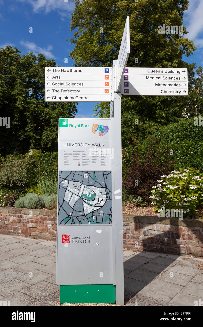 Signpost and map on the campus of Bristol University. Stock Photohttps://www.alamy.com/image-license-details/?v=1https://www.alamy.com/stock-photo-signpost-and-map-on-the-campus-of-bristol-university-74545734.html
RME97RRJ–Signpost and map on the campus of Bristol University.
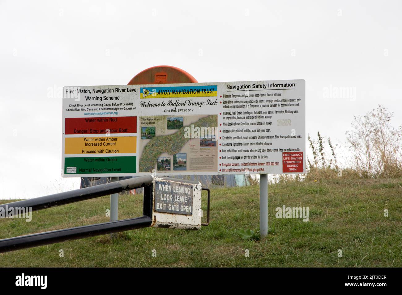 Avon Navigation Trust signboard Bidford Grange Lock Warwicskhire Stock Photohttps://www.alamy.com/image-license-details/?v=1https://www.alamy.com/avon-navigation-trust-signboard-bidford-grange-lock-warwicskhire-image479442287.html
RM2JT0DER–Avon Navigation Trust signboard Bidford Grange Lock Warwicskhire
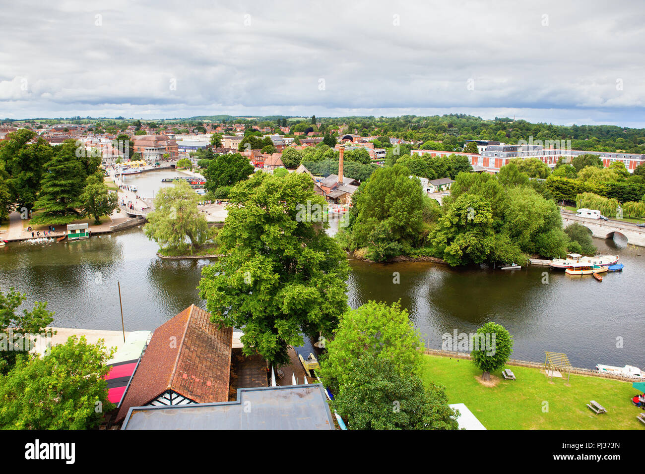 Elevated view of Stratford-Upon-Avon, Warwickhire, England, the birthplace of William Shakespeare, selective focus Stock Photohttps://www.alamy.com/image-license-details/?v=1https://www.alamy.com/elevated-view-of-stratford-upon-avon-warwickhire-england-the-birthplace-of-william-shakespeare-selective-focus-image217659673.html
RFPJ373N–Elevated view of Stratford-Upon-Avon, Warwickhire, England, the birthplace of William Shakespeare, selective focus
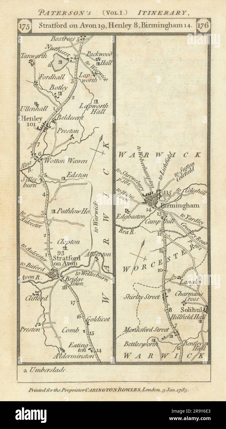 Stratford/Avon-Henley/Arden-Solihull-Birmingham road strip map PATERSON 1785 Stock Photohttps://www.alamy.com/image-license-details/?v=1https://www.alamy.com/stratfordavon-henleyarden-solihull-birmingham-road-strip-map-paterson-1785-image556861483.html
RF2R9Y6E3–Stratford/Avon-Henley/Arden-Solihull-Birmingham road strip map PATERSON 1785
 Sculptures in the Gardens at Anne Hathaway Cottage, the wife of William Shakespeare, in Stratford upon Avon, England, UK Stock Photohttps://www.alamy.com/image-license-details/?v=1https://www.alamy.com/stock-photo-sculptures-in-the-gardens-at-anne-hathaway-cottage-the-wife-of-william-78018901.html
RMEEX1W9–Sculptures in the Gardens at Anne Hathaway Cottage, the wife of William Shakespeare, in Stratford upon Avon, England, UK
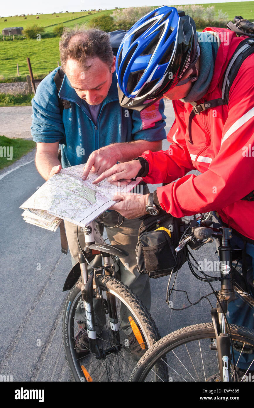 Cyclists check map for directions on bridge above canal. Part of the Kennet and Avon Cycle route(Bath to Reading) also known as Stock Photohttps://www.alamy.com/image-license-details/?v=1https://www.alamy.com/stock-photo-cyclists-check-map-for-directions-on-bridge-above-canal-part-of-the-84805509.html
RMEWY685–Cyclists check map for directions on bridge above canal. Part of the Kennet and Avon Cycle route(Bath to Reading) also known as
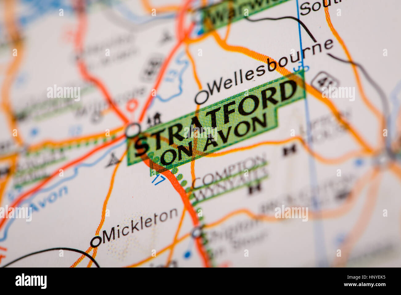 Map Photography: Stratford on Avon on a Road Map Stock Photohttps://www.alamy.com/image-license-details/?v=1https://www.alamy.com/stock-photo-map-photography-stratford-on-avon-on-a-road-map-133984569.html
RFHNYEK5–Map Photography: Stratford on Avon on a Road Map
 BATH, ENGLAND - JULY 2019: Notice board with infomation for visitors to Dundas Aquaduct on the Kennet & Avon Canal near the city of Bath Stock Photohttps://www.alamy.com/image-license-details/?v=1https://www.alamy.com/bath-england-july-2019-notice-board-with-infomation-for-visitors-to-dundas-aquaduct-on-the-kennet-avon-canal-near-the-city-of-bath-image265657565.html
RMWC5MX5–BATH, ENGLAND - JULY 2019: Notice board with infomation for visitors to Dundas Aquaduct on the Kennet & Avon Canal near the city of Bath
 CPC cosmetics brand Christmas ideas, 1927. Gift box of Gertrude Recordon's Introductory Facial Treatment, with Peach Lotion, Skin Food, Cleansing Cream, and Astringent. Christmas gift packaging. Chromolithograph by an unknown artist from the California Perfume Company (later Avon) product catalog, New York, Kansas, Montreal, 1927. Stock Photohttps://www.alamy.com/image-license-details/?v=1https://www.alamy.com/cpc-cosmetics-brand-christmas-ideas-1927-gift-box-of-gertrude-recordons-introductory-facial-treatment-with-peach-lotion-skin-food-cleansing-cream-and-astringent-christmas-gift-packaging-chromolithograph-by-an-unknown-artist-from-the-california-perfume-company-later-avon-product-catalog-new-york-kansas-montreal-1927-image571833612.html
RM2T697H0–CPC cosmetics brand Christmas ideas, 1927. Gift box of Gertrude Recordon's Introductory Facial Treatment, with Peach Lotion, Skin Food, Cleansing Cream, and Astringent. Christmas gift packaging. Chromolithograph by an unknown artist from the California Perfume Company (later Avon) product catalog, New York, Kansas, Montreal, 1927.
 Image 1 of Sanborn Fire Insurance Map from Avon, Livingston County, New York. Oct 1898. 7 Sheet(s), America, street map with a Nineteenth Century compass Stock Photohttps://www.alamy.com/image-license-details/?v=1https://www.alamy.com/image-1-of-sanborn-fire-insurance-map-from-avon-livingston-county-new-york-oct-1898-7-sheets-america-street-map-with-a-nineteenth-century-compass-image344691050.html
RM2B0P0XJ–Image 1 of Sanborn Fire Insurance Map from Avon, Livingston County, New York. Oct 1898. 7 Sheet(s), America, street map with a Nineteenth Century compass
 Avon & Somerset Police headquarters,showing the Communications (Comms) Room,where all operations are controlled,with duty force incident manager,left Stock Photohttps://www.alamy.com/image-license-details/?v=1https://www.alamy.com/avon-somerset-police-headquartersshowing-the-communications-comms-roomwhere-all-operations-are-controlledwith-duty-force-incident-managerleft-image213692186.html
RMPBJEFP–Avon & Somerset Police headquarters,showing the Communications (Comms) Room,where all operations are controlled,with duty force incident manager,left
![Newark, Double Page Plate No. 12 [Map bounded by Belmont Ave., Court St., High St., Clinton Ave., Avon Ave.] Stock Photo Newark, Double Page Plate No. 12 [Map bounded by Belmont Ave., Court St., High St., Clinton Ave., Avon Ave.] Stock Photo](https://c8.alamy.com/comp/2YP2PJW/newark-double-page-plate-no-12-map-bounded-by-belmont-ave-court-st-high-st-clinton-ave-avon-ave-2YP2PJW.jpg) Newark, Double Page Plate No. 12 [Map bounded by Belmont Ave., Court St., High St., Clinton Ave., Avon Ave.] Stock Photohttps://www.alamy.com/image-license-details/?v=1https://www.alamy.com/newark-double-page-plate-no-12-map-bounded-by-belmont-ave-court-st-high-st-clinton-ave-avon-ave-image633157361.html
Newark, Double Page Plate No. 12 [Map bounded by Belmont Ave., Court St., High St., Clinton Ave., Avon Ave.] Stock Photohttps://www.alamy.com/image-license-details/?v=1https://www.alamy.com/newark-double-page-plate-no-12-map-bounded-by-belmont-ave-court-st-high-st-clinton-ave-avon-ave-image633157361.htmlRM2YP2PJW–Newark, Double Page Plate No. 12 [Map bounded by Belmont Ave., Court St., High St., Clinton Ave., Avon Ave.]
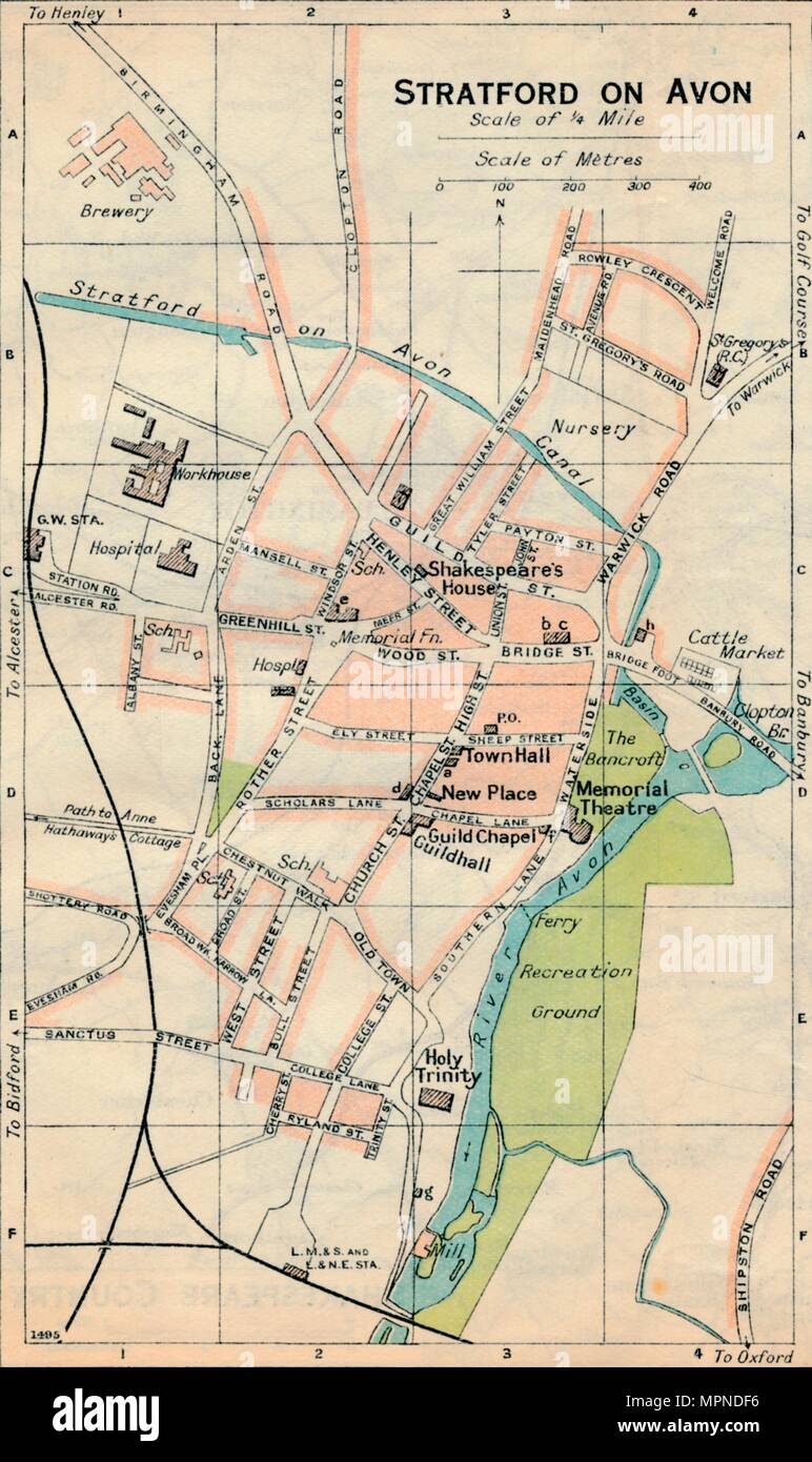 'Stratford on Avon', c20th Century. Artist: John Bartholomew. Stock Photohttps://www.alamy.com/image-license-details/?v=1https://www.alamy.com/stratford-on-avon-c20th-century-artist-john-bartholomew-image186097722.html
RMMPNDF6–'Stratford on Avon', c20th Century. Artist: John Bartholomew.
 Avon View, Glenelg, AU, Australia, Victoria, S 37 38' 8'', N 141 19' 34'', map, Cartascapes Map published in 2024. Explore Cartascapes, a map revealing Earth's diverse landscapes, cultures, and ecosystems. Journey through time and space, discovering the interconnectedness of our planet's past, present, and future. Stock Photohttps://www.alamy.com/image-license-details/?v=1https://www.alamy.com/avon-view-glenelg-au-australia-victoria-s-37-38-8-n-141-19-34-map-cartascapes-map-published-in-2024-explore-cartascapes-a-map-revealing-earths-diverse-landscapes-cultures-and-ecosystems-journey-through-time-and-space-discovering-the-interconnectedness-of-our-planets-past-present-and-future-image625769930.html
RM2YA27X2–Avon View, Glenelg, AU, Australia, Victoria, S 37 38' 8'', N 141 19' 34'', map, Cartascapes Map published in 2024. Explore Cartascapes, a map revealing Earth's diverse landscapes, cultures, and ecosystems. Journey through time and space, discovering the interconnectedness of our planet's past, present, and future.
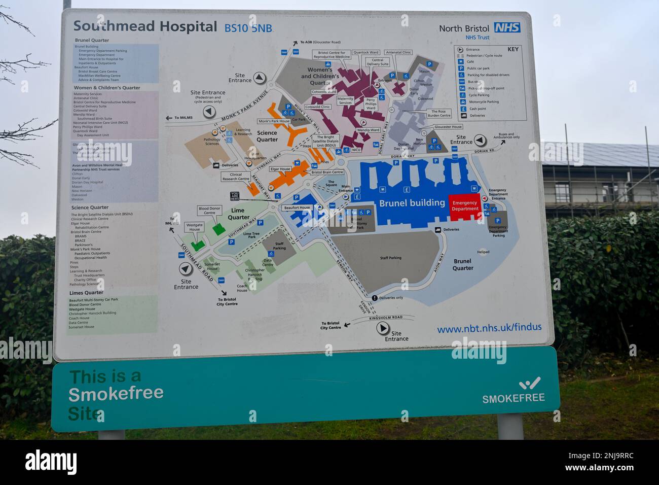 Southmead Hospital North Bristol NHS Trust diagram map of buildings location, Bristol, England Stock Photohttps://www.alamy.com/image-license-details/?v=1https://www.alamy.com/southmead-hospital-north-bristol-nhs-trust-diagram-map-of-buildings-location-bristol-england-image527591104.html
RM2NJ9RRC–Southmead Hospital North Bristol NHS Trust diagram map of buildings location, Bristol, England
 JAMES(1880) A Short Account of Stratford-on-Avon Stock Photohttps://www.alamy.com/image-license-details/?v=1https://www.alamy.com/stock-photo-james1880-a-short-account-of-stratford-on-avon-73539276.html
RME7J02M–JAMES(1880) A Short Account of Stratford-on-Avon
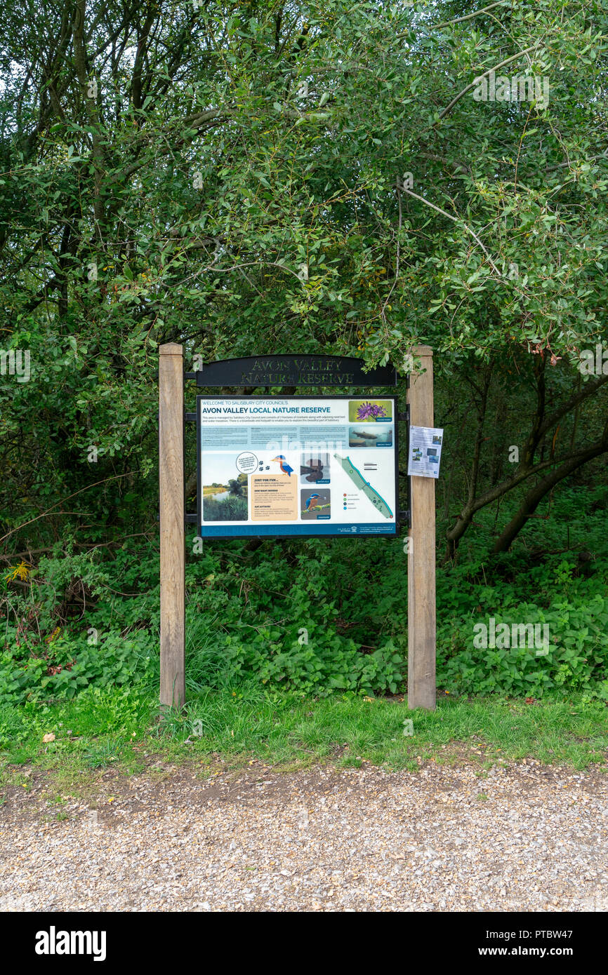 Avon Valley local nature reserve Salisbury Wiltshire UK Stock Photohttps://www.alamy.com/image-license-details/?v=1https://www.alamy.com/avon-valley-local-nature-reserve-salisbury-wiltshire-uk-image221537351.html
RMPTBW47–Avon Valley local nature reserve Salisbury Wiltshire UK
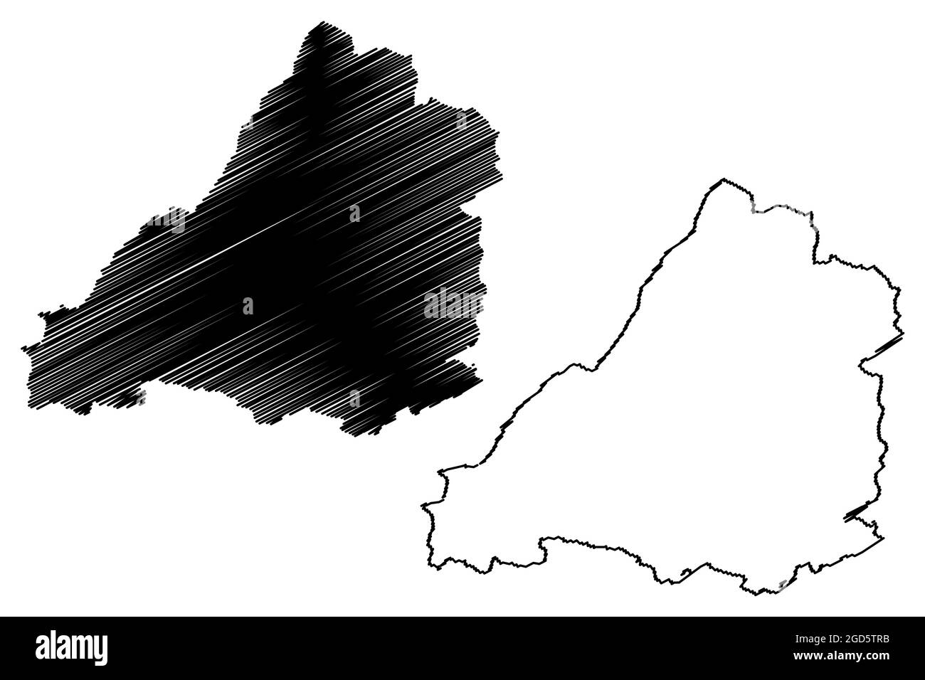 Avon county (United Kingdom, non-metropolitan and ceremonial county of England) map vector illustration, scribble sketch Avon map Stock Vectorhttps://www.alamy.com/image-license-details/?v=1https://www.alamy.com/avon-county-united-kingdom-non-metropolitan-and-ceremonial-county-of-england-map-vector-illustration-scribble-sketch-avon-map-image438378959.html
RF2GD5TRB–Avon county (United Kingdom, non-metropolitan and ceremonial county of England) map vector illustration, scribble sketch Avon map
 Bristol City Center Sign Placed at convenient points for visitors to navigate the town.This one is by the Watershed on the Docks Stock Photohttps://www.alamy.com/image-license-details/?v=1https://www.alamy.com/stock-photo-bristol-city-center-sign-placed-at-convenient-points-for-visitors-16050250.html
RMARGK7R–Bristol City Center Sign Placed at convenient points for visitors to navigate the town.This one is by the Watershed on the Docks
 Cumberland Basin & Bristol Harbour overview Stock Photohttps://www.alamy.com/image-license-details/?v=1https://www.alamy.com/cumberland-basin-bristol-harbour-overview-image414405628.html
RF2F25PH0–Cumberland Basin & Bristol Harbour overview
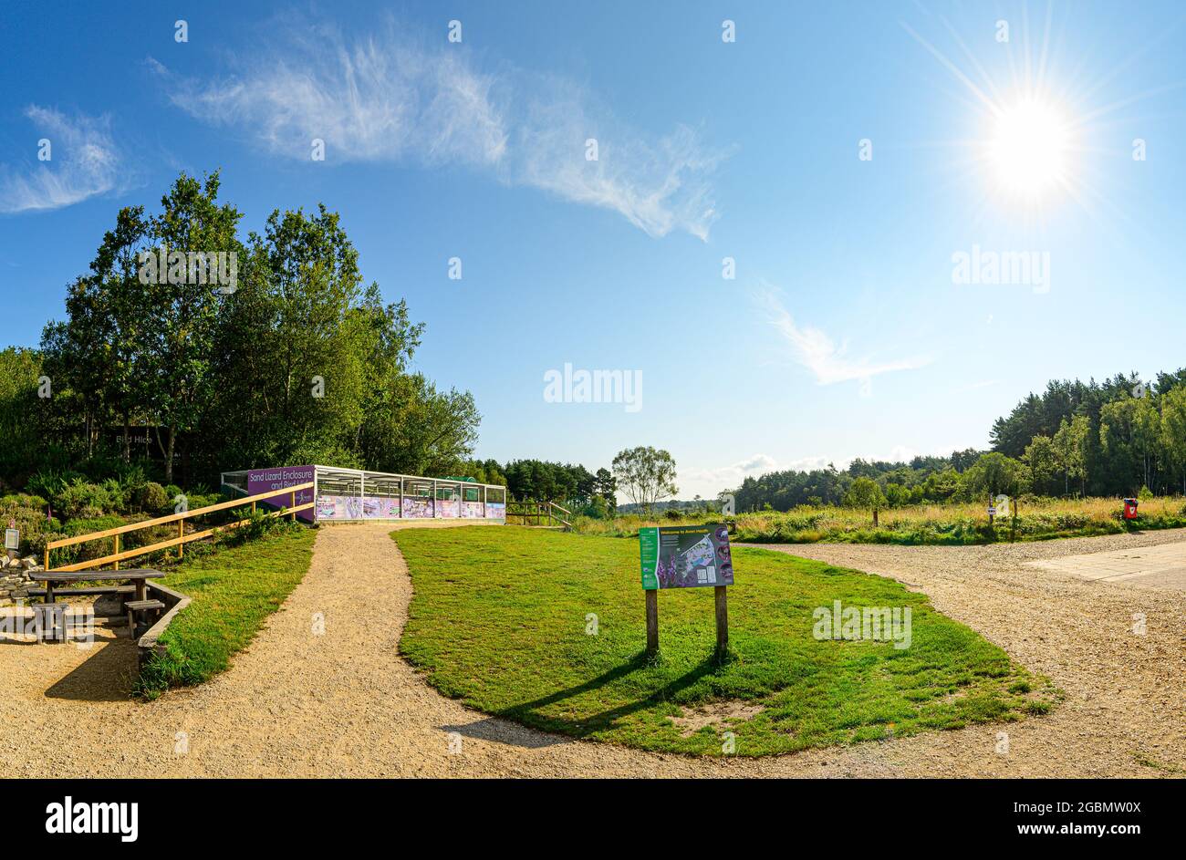 Panorama with Sand lizard enclosure information map of Avon Heath Country Park and sunburst on a summers morning with light cloud. Stock Photohttps://www.alamy.com/image-license-details/?v=1https://www.alamy.com/panorama-with-sand-lizard-enclosure-information-map-of-avon-heath-country-park-and-sunburst-on-a-summers-morning-with-light-cloud-image437479082.html
RF2GBMW0X–Panorama with Sand lizard enclosure information map of Avon Heath Country Park and sunburst on a summers morning with light cloud.
 View from above of Stratford-Upon-Avon, Warwickhire, England, butterfly farm, selective focus Stock Photohttps://www.alamy.com/image-license-details/?v=1https://www.alamy.com/view-from-above-of-stratford-upon-avon-warwickhire-england-butterfly-farm-selective-focus-image217659678.html
RFPJ373X–View from above of Stratford-Upon-Avon, Warwickhire, England, butterfly farm, selective focus
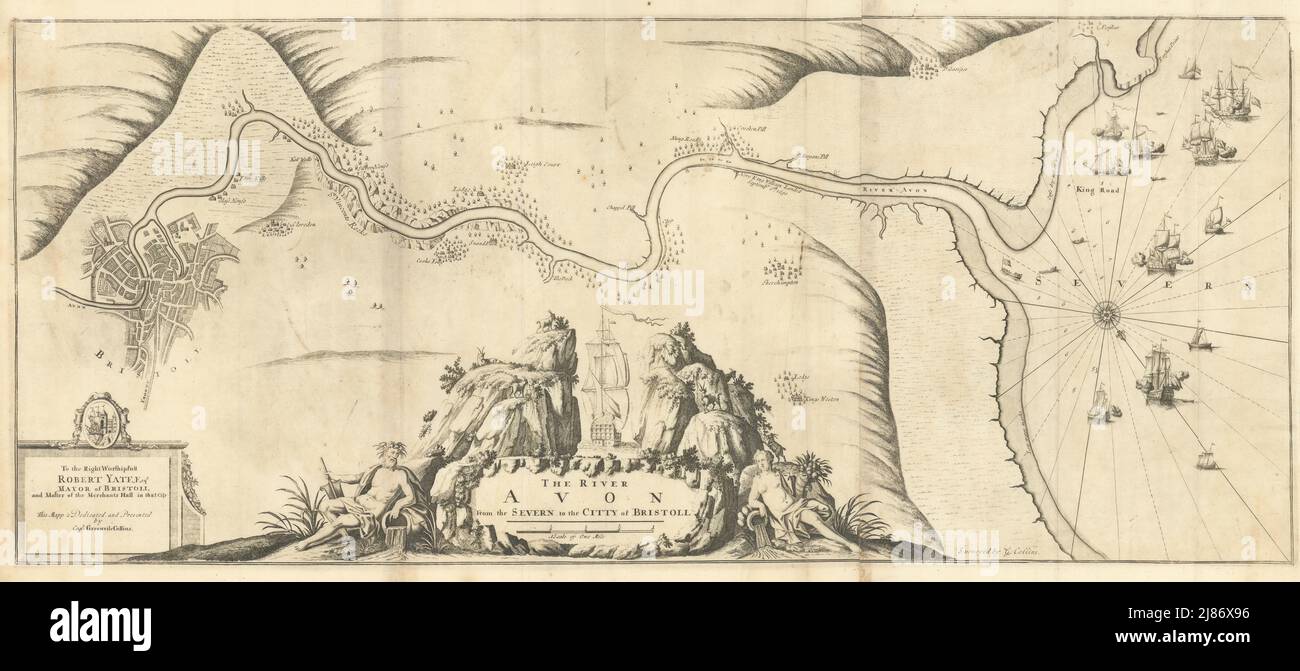 The River Avon from the Severn to the Citty of Bristoll. COLLINS 1723 old map Stock Photohttps://www.alamy.com/image-license-details/?v=1https://www.alamy.com/the-river-avon-from-the-severn-to-the-citty-of-bristoll-collins-1723-old-map-image469749538.html
RF2J86X96–The River Avon from the Severn to the Citty of Bristoll. COLLINS 1723 old map
 Sculptures in the Gardens at Anne Hathaway Cottage, the wife of William Shakespeare, in Stratford upon Avon, England, UK Stock Photohttps://www.alamy.com/image-license-details/?v=1https://www.alamy.com/stock-photo-sculptures-in-the-gardens-at-anne-hathaway-cottage-the-wife-of-william-78018896.html
RMEEX1W4–Sculptures in the Gardens at Anne Hathaway Cottage, the wife of William Shakespeare, in Stratford upon Avon, England, UK
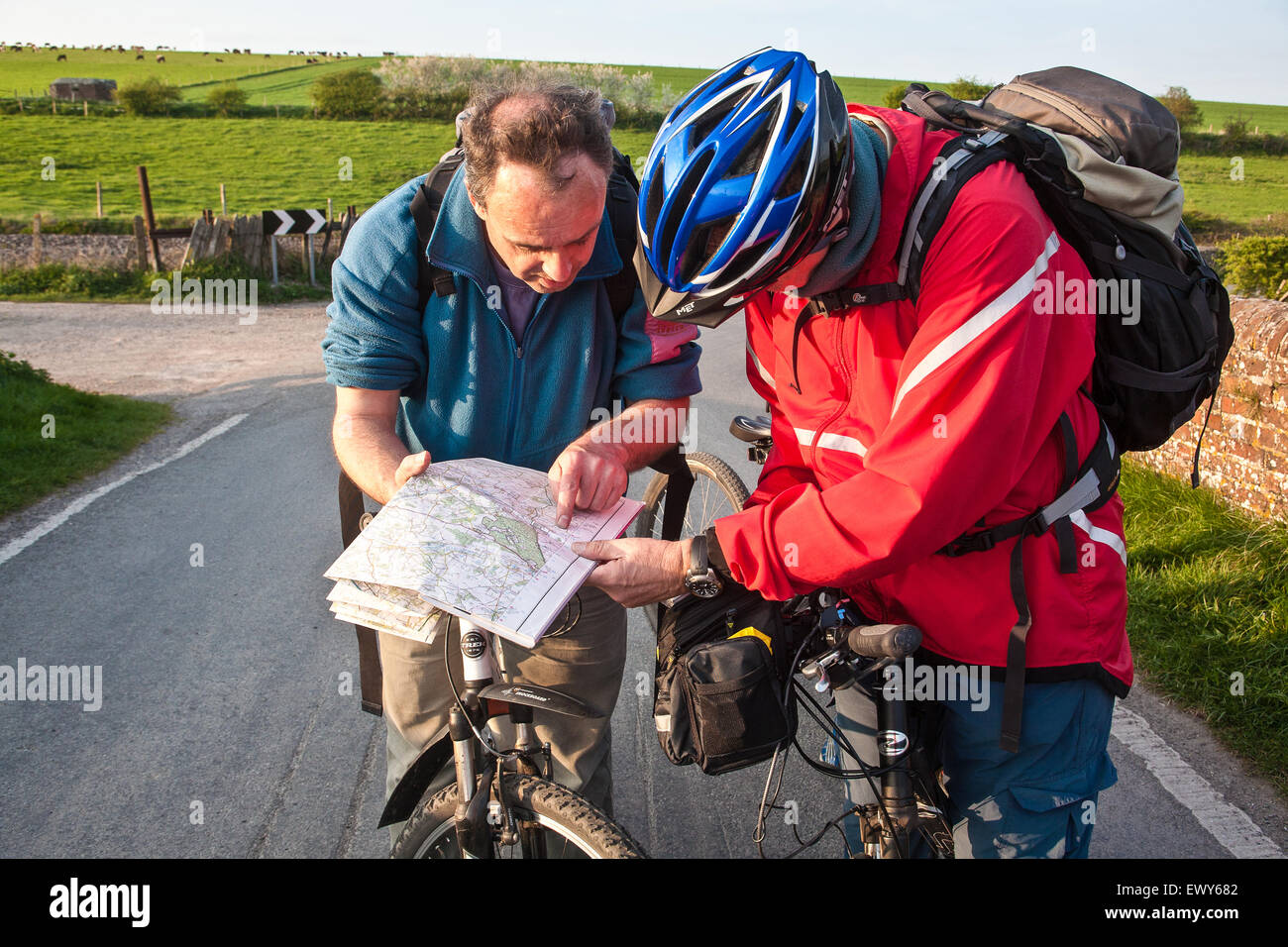 Cyclists on bridge above canal check map for directions. Part of the Kennet and Avon Cycle route(Bath to Reading) also known as Stock Photohttps://www.alamy.com/image-license-details/?v=1https://www.alamy.com/stock-photo-cyclists-on-bridge-above-canal-check-map-for-directions-part-of-the-84805506.html
RMEWY682–Cyclists on bridge above canal check map for directions. Part of the Kennet and Avon Cycle route(Bath to Reading) also known as
