Baghdad map Black & White Stock Photos
 Baghdad map 1854 Stock Photohttps://www.alamy.com/image-license-details/?v=1https://www.alamy.com/stock-image-baghdad-map-1854-162193920.html
RMKBTG00–Baghdad map 1854
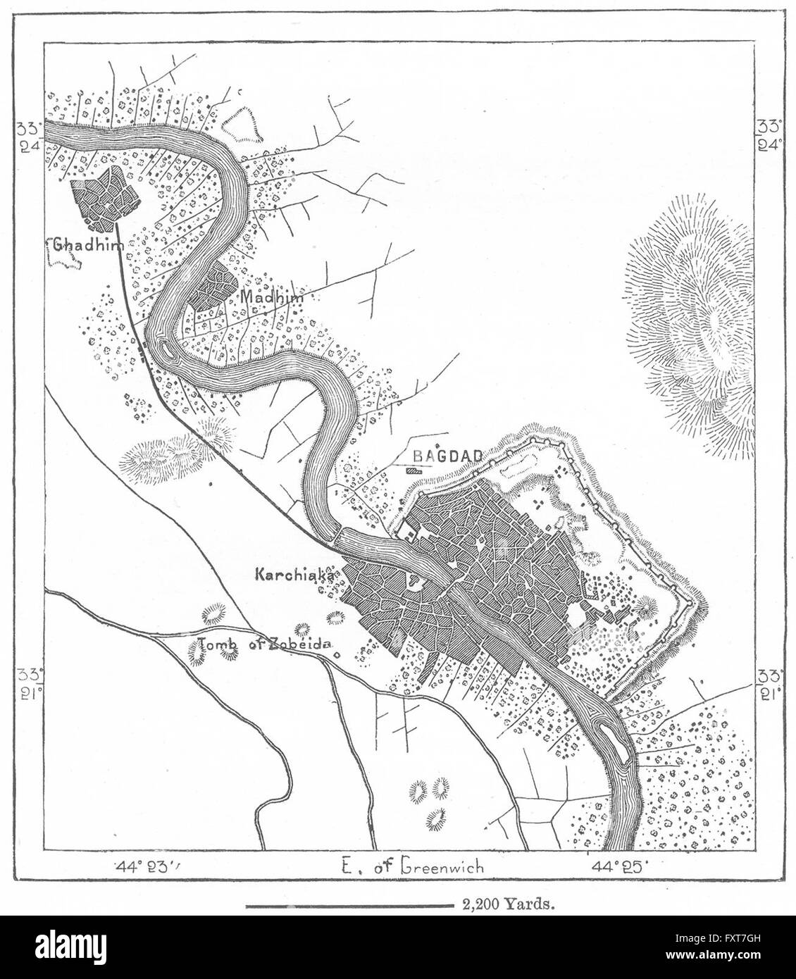 IRAQ: Baghdad, sketch map, c1885 Stock Photohttps://www.alamy.com/image-license-details/?v=1https://www.alamy.com/stock-photo-iraq-baghdad-sketch-map-c1885-102565697.html
RFFXT7GH–IRAQ: Baghdad, sketch map, c1885
 Map of Baghdad in Iraq in grayscale. Contains layered vector with roads water, parks, etc. Stock Vectorhttps://www.alamy.com/image-license-details/?v=1https://www.alamy.com/map-of-baghdad-in-iraq-in-grayscale-contains-layered-vector-with-roads-water-parks-etc-image613534291.html
RF2XJ4W6Y–Map of Baghdad in Iraq in grayscale. Contains layered vector with roads water, parks, etc.
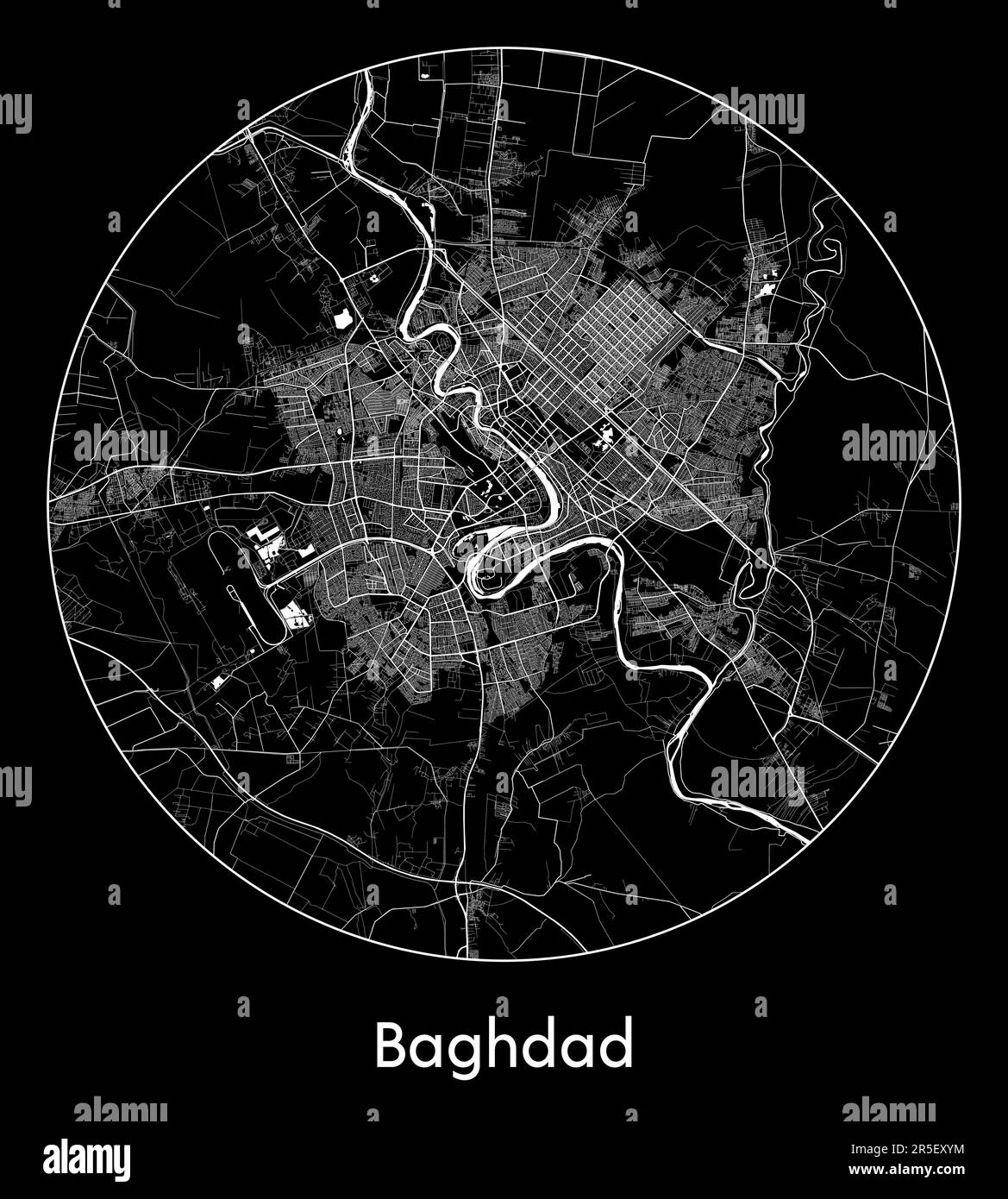 City Map Baghdad Iraq Asia vector illustration Stock Vectorhttps://www.alamy.com/image-license-details/?v=1https://www.alamy.com/city-map-baghdad-iraq-asia-vector-illustration-image554133544.html
RF2R5EXYM–City Map Baghdad Iraq Asia vector illustration
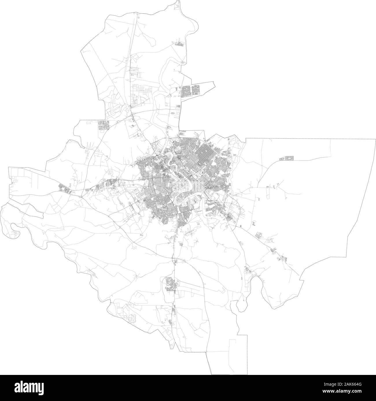 Satellite map of Baghdad towns and roads, buildings and connecting roads of surrounding areas, Iraq. Located along the Tigris River Stock Vectorhttps://www.alamy.com/image-license-details/?v=1https://www.alamy.com/satellite-map-of-baghdad-towns-and-roads-buildings-and-connecting-roads-of-surrounding-areas-iraq-located-along-the-tigris-river-image338812000.html
RF2AK664G–Satellite map of Baghdad towns and roads, buildings and connecting roads of surrounding areas, Iraq. Located along the Tigris River
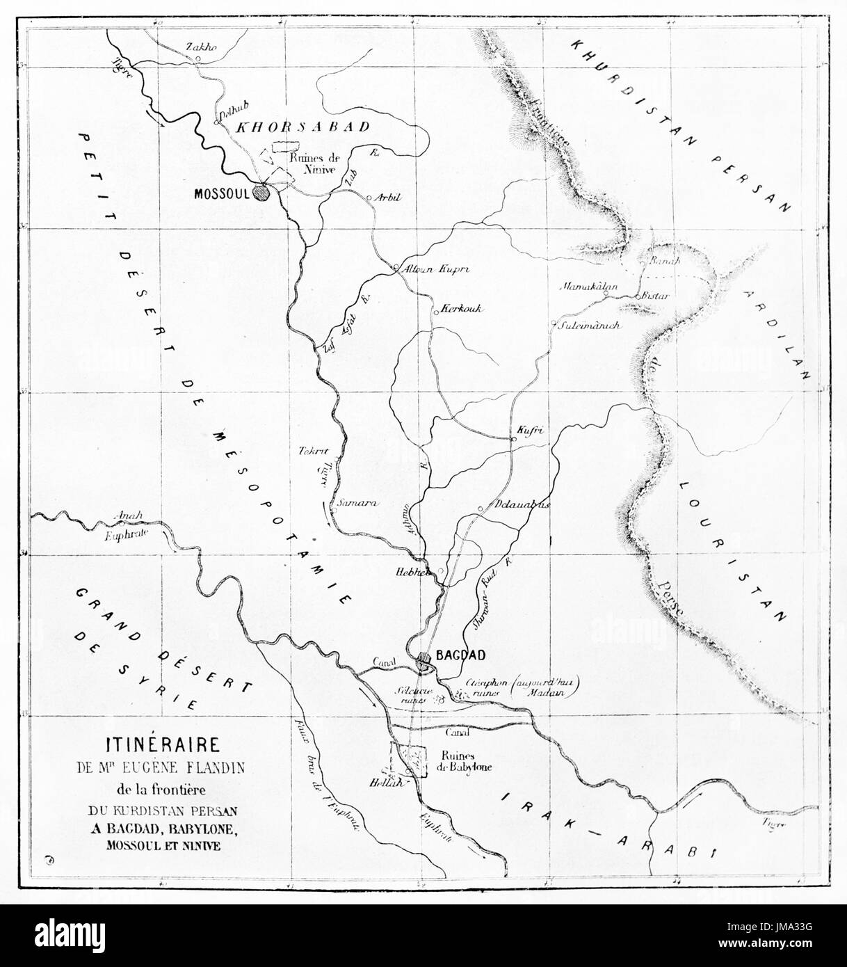 Old map of Eugene Flandin itinerary, from Kurdistan to Babylon. Engraved by Ehrard and Bonaparte, published on Le Tour du Monde, Paris, 1861. Stock Photohttps://www.alamy.com/image-license-details/?v=1https://www.alamy.com/old-map-of-eugene-flandin-itinerary-from-kurdistan-to-babylon-engraved-image150198036.html
RFJMA33G–Old map of Eugene Flandin itinerary, from Kurdistan to Babylon. Engraved by Ehrard and Bonaparte, published on Le Tour du Monde, Paris, 1861.
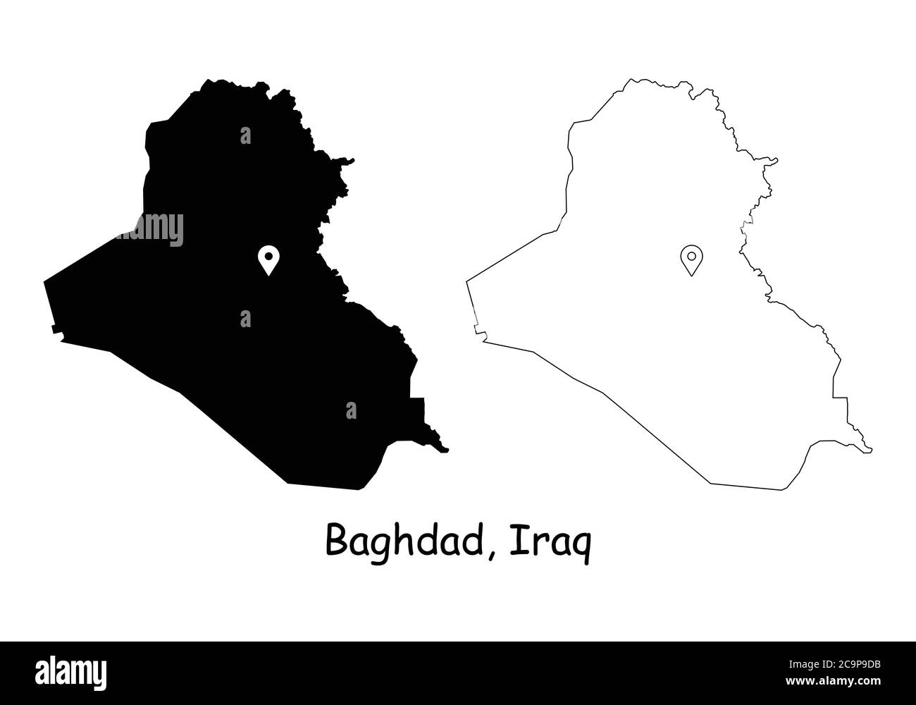 Baghdad Iraq. Detailed Country Map with Location Pin on Capital City. Black silhouette and outline maps isolated on white background. EPS Vector Stock Vectorhttps://www.alamy.com/image-license-details/?v=1https://www.alamy.com/baghdad-iraq-detailed-country-map-with-location-pin-on-capital-city-black-silhouette-and-outline-maps-isolated-on-white-background-eps-vector-image367440007.html
RF2C9P9DB–Baghdad Iraq. Detailed Country Map with Location Pin on Capital City. Black silhouette and outline maps isolated on white background. EPS Vector
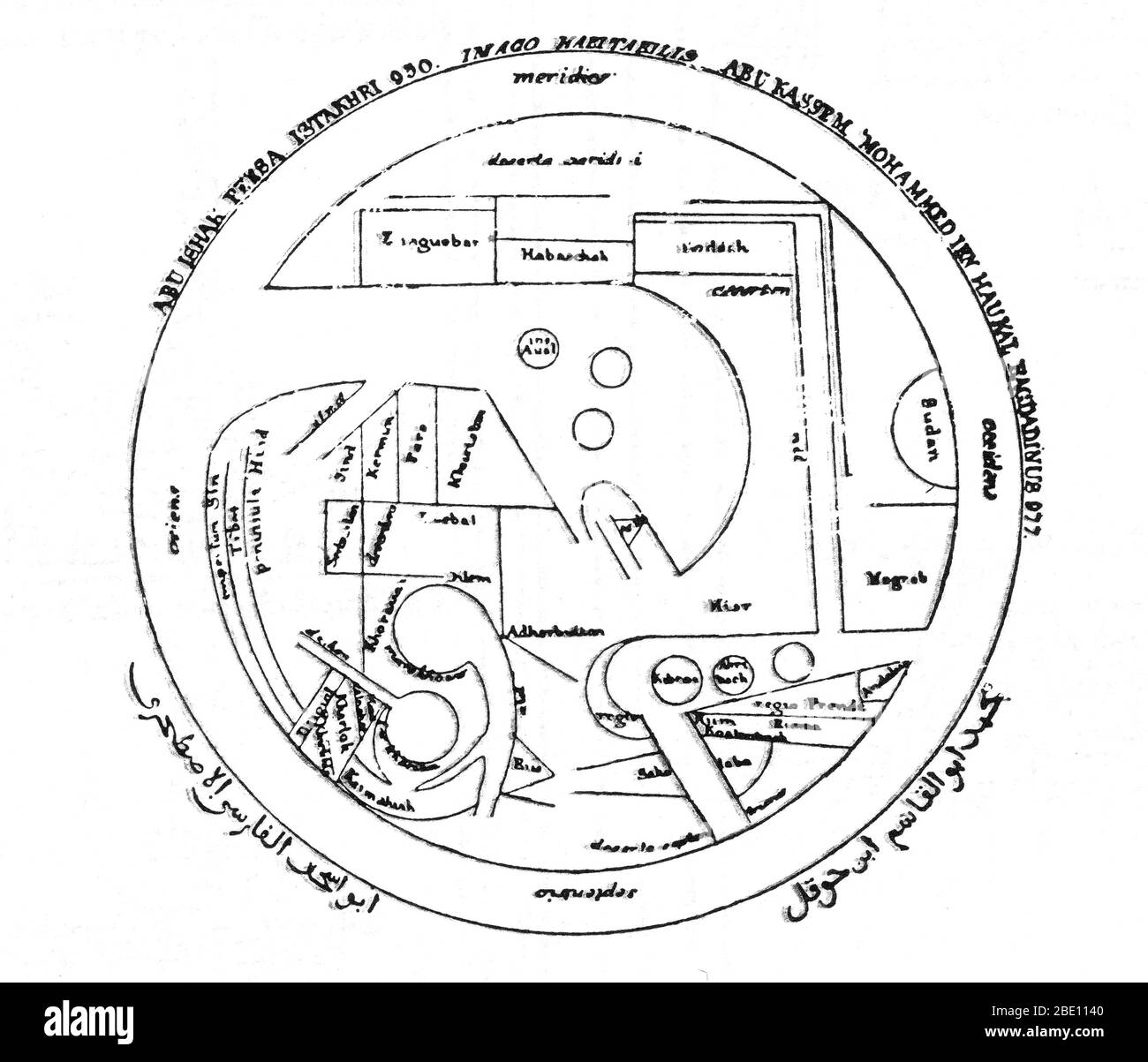 After its beginnings in the 8th century based on Hellenistic geography, Islamic geography was patronized by the Abbasid caliphs of Baghdad. Various Islamic scholars contributed to its development, and the most notable include Al-Khwarizmi, Abu Zayd al-Balkhi (founder of the Balkhi school), and Abu Rayhan Biruni. Islamic cartographers inherited Ptolemy's Almagest and Geography in the 9th century. These works stimulated an interest in geography but were not slavishly followed. Instead, Arabian and Persian cartography followed Al-Khwarizmi in adopting a rectangular projection, shifting Ptolemy's Stock Photohttps://www.alamy.com/image-license-details/?v=1https://www.alamy.com/after-its-beginnings-in-the-8th-century-based-on-hellenistic-geography-islamic-geography-was-patronized-by-the-abbasid-caliphs-of-baghdad-various-islamic-scholars-contributed-to-its-development-and-the-most-notable-include-al-khwarizmi-abu-zayd-al-balkhi-founder-of-the-balkhi-school-and-abu-rayhan-biruni-islamic-cartographers-inherited-ptolemys-almagest-and-geography-in-the-9th-century-these-works-stimulated-an-interest-in-geography-but-were-not-slavishly-followed-instead-arabian-and-persian-cartography-followed-al-khwarizmi-in-adopting-a-rectangular-projection-shifting-ptolemys-image352835392.html
RM2BE1140–After its beginnings in the 8th century based on Hellenistic geography, Islamic geography was patronized by the Abbasid caliphs of Baghdad. Various Islamic scholars contributed to its development, and the most notable include Al-Khwarizmi, Abu Zayd al-Balkhi (founder of the Balkhi school), and Abu Rayhan Biruni. Islamic cartographers inherited Ptolemy's Almagest and Geography in the 9th century. These works stimulated an interest in geography but were not slavishly followed. Instead, Arabian and Persian cartography followed Al-Khwarizmi in adopting a rectangular projection, shifting Ptolemy's
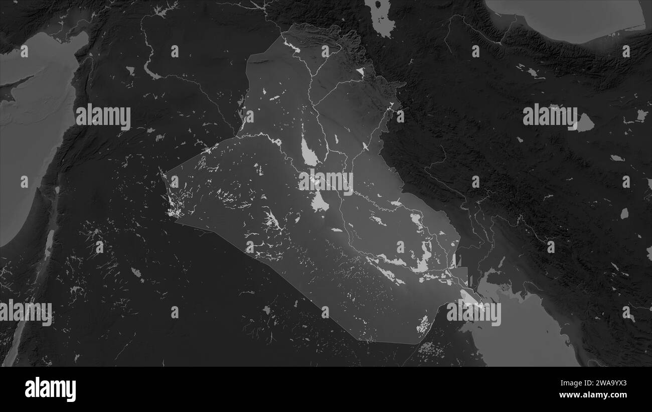 Iraq highlighted on a Grayscale elevation map with lakes and rivers Stock Photohttps://www.alamy.com/image-license-details/?v=1https://www.alamy.com/iraq-highlighted-on-a-grayscale-elevation-map-with-lakes-and-rivers-image591518539.html
RF2WA9YX3–Iraq highlighted on a Grayscale elevation map with lakes and rivers
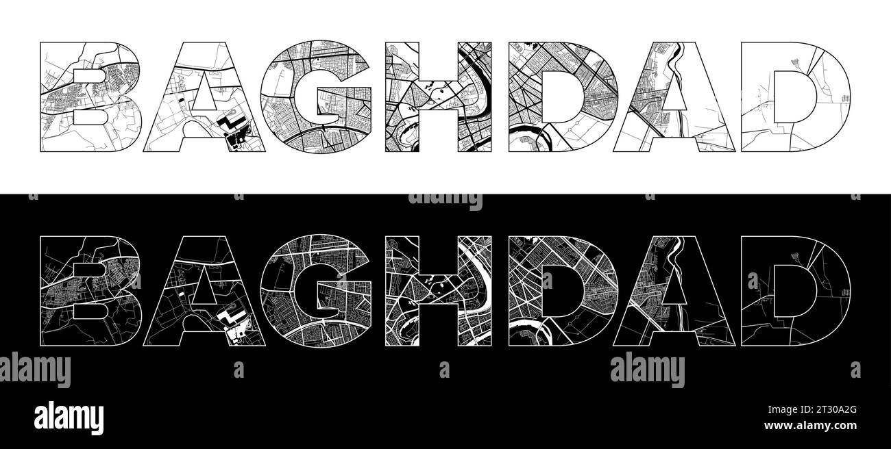 Baghdad City Name (Iraq, Asia) with black white city map illustration vector Stock Vectorhttps://www.alamy.com/image-license-details/?v=1https://www.alamy.com/baghdad-city-name-iraq-asia-with-black-white-city-map-illustration-vector-image569794024.html
RF2T30A2G–Baghdad City Name (Iraq, Asia) with black white city map illustration vector
RF2E1356T–Map of Iraq administrative regions departments with icons. Map location pin, arrow, looking glass, signboard, man, bicycle, car, airplane, house. Roya
 Iraq vector country map outline Stock Vectorhttps://www.alamy.com/image-license-details/?v=1https://www.alamy.com/iraq-vector-country-map-outline-image474384889.html
RF2JFP2ND–Iraq vector country map outline
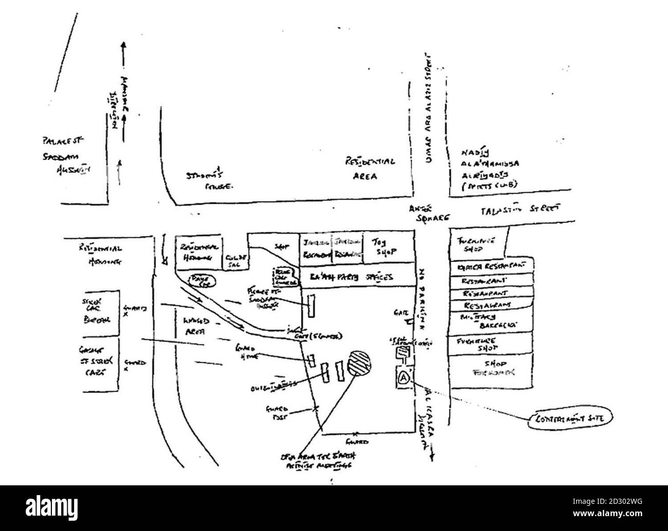 The handrawn map released by Downing St. tonight (Wednesday) showing area surrounding Ba' ath party officies in Baghdad. On right hand side of building facing the street showing box marked 'A' is labelled 'Concealment site' Stock Photohttps://www.alamy.com/image-license-details/?v=1https://www.alamy.com/the-handrawn-map-released-by-downing-st-tonight-wednesday-showing-area-surrounding-ba-ath-party-officies-in-baghdad-on-right-hand-side-of-building-facing-the-street-showing-box-marked-a-is-labelled-concealment-site-image380474348.html
RM2D302WG–The handrawn map released by Downing St. tonight (Wednesday) showing area surrounding Ba' ath party officies in Baghdad. On right hand side of building facing the street showing box marked 'A' is labelled 'Concealment site'
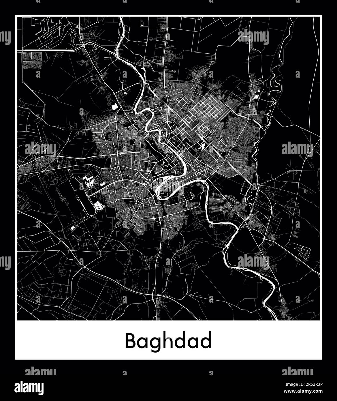 Minimal city map of Baghdad (Iraq Asia)Minimal city map of Baghdad (Iraq Asia) Stock Vectorhttps://www.alamy.com/image-license-details/?v=1https://www.alamy.com/minimal-city-map-of-baghdad-iraq-asiaminimal-city-map-of-baghdad-iraq-asia-image553867098.html
RF2R52R3P–Minimal city map of Baghdad (Iraq Asia)Minimal city map of Baghdad (Iraq Asia)
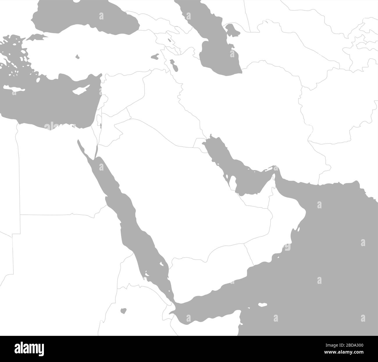 Middle east , Arabian countries map / No text Stock Vectorhttps://www.alamy.com/image-license-details/?v=1https://www.alamy.com/middle-east-arabian-countries-map-no-text-image352419760.html
RF2BDA300–Middle east , Arabian countries map / No text
 Iran caspian vector map. Iran republic middle east arab map Stock Vectorhttps://www.alamy.com/image-license-details/?v=1https://www.alamy.com/iran-caspian-vector-map-iran-republic-middle-east-arab-map-image426467810.html
RF2FNR816–Iran caspian vector map. Iran republic middle east arab map
 Vector isolated illustration of simplified administrative map of Iraq. Borders and names of the governorates (regions). Black line silhouettes. Stock Vectorhttps://www.alamy.com/image-license-details/?v=1https://www.alamy.com/vector-isolated-illustration-of-simplified-administrative-map-of-iraq-borders-and-names-of-the-governorates-regions-black-line-silhouettes-image566450373.html
RF2RWG16D–Vector isolated illustration of simplified administrative map of Iraq. Borders and names of the governorates (regions). Black line silhouettes.
 Baghdad City (Republic of Iraq, Baghdad Governorate) map vector illustration, scribble sketch City of Baghdad map Stock Vectorhttps://www.alamy.com/image-license-details/?v=1https://www.alamy.com/baghdad-city-republic-of-iraq-baghdad-governorate-map-vector-illustration-scribble-sketch-city-of-baghdad-map-image360156927.html
RF2BWXFRB–Baghdad City (Republic of Iraq, Baghdad Governorate) map vector illustration, scribble sketch City of Baghdad map
 Country map of Iraq,vector illustration design background Stock Vectorhttps://www.alamy.com/image-license-details/?v=1https://www.alamy.com/country-map-of-iraqvector-illustration-design-background-image605258835.html
RF2X4KWPY–Country map of Iraq,vector illustration design background
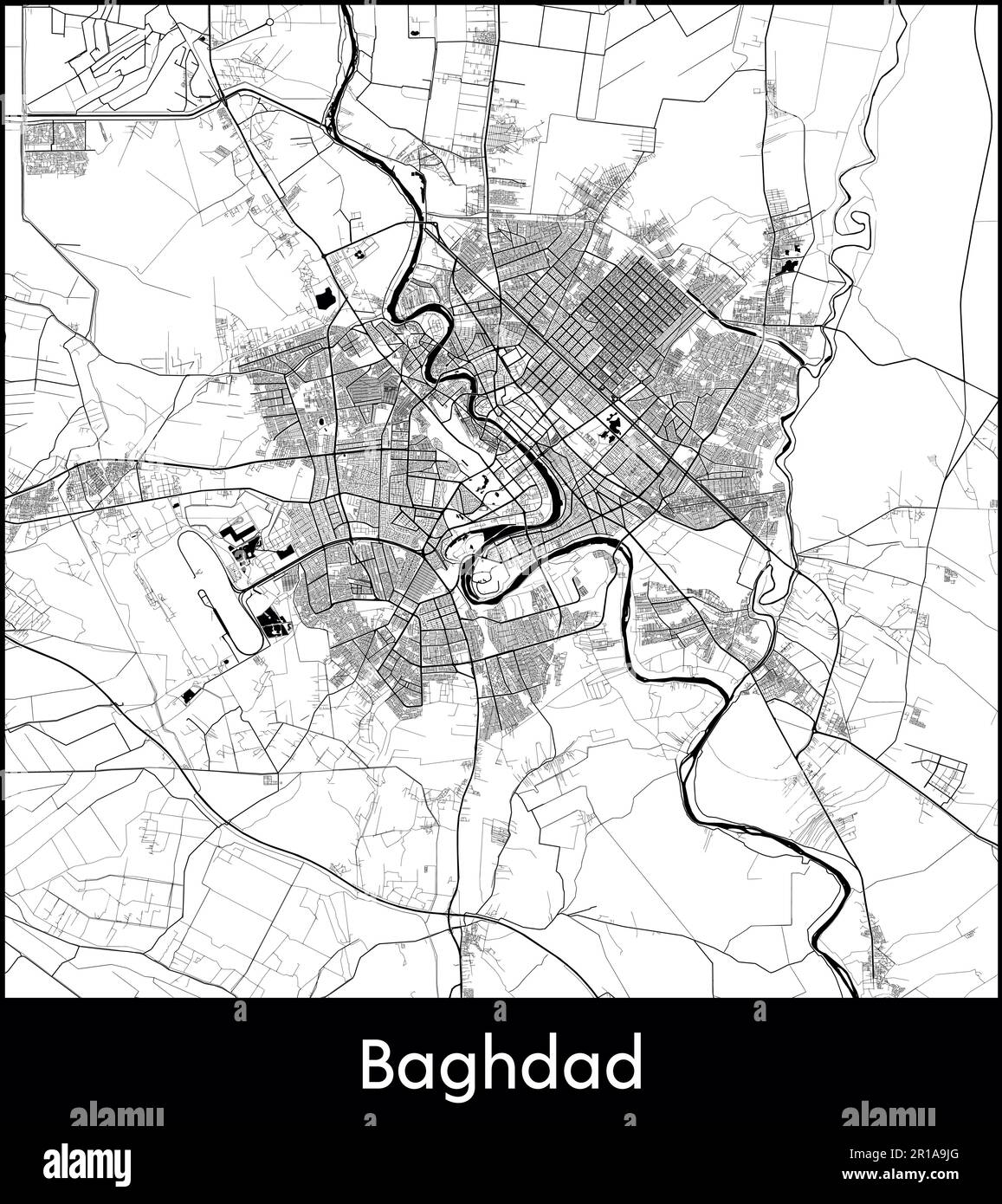 City Map Asia Iraq Baghdad vector illustration Stock Vectorhttps://www.alamy.com/image-license-details/?v=1https://www.alamy.com/city-map-asia-iraq-baghdad-vector-illustration-image551573528.html
RF2R1A9JG–City Map Asia Iraq Baghdad vector illustration
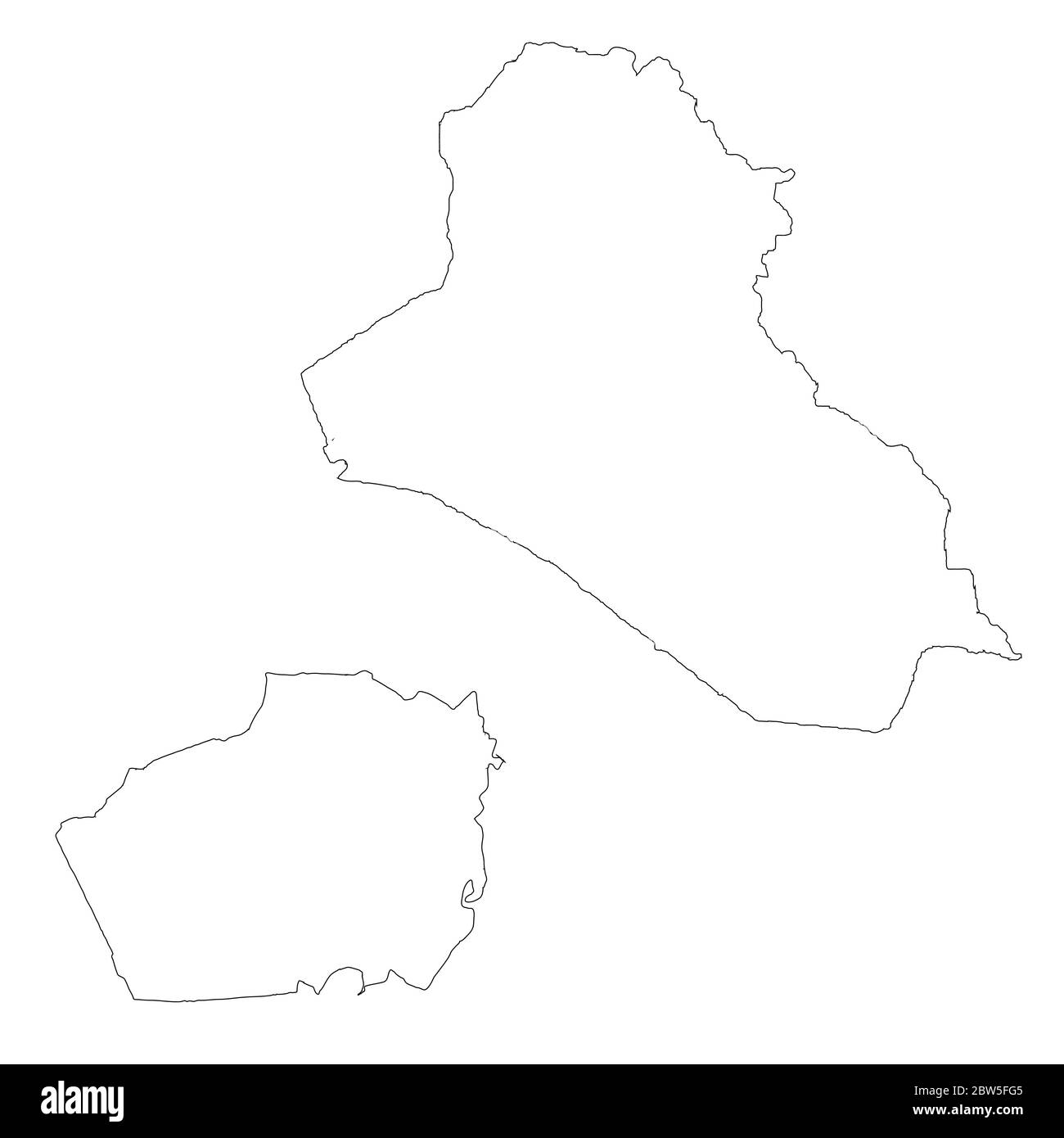 Vector map Iraq and Baghdad. Country and capital. Isolated vector Illustration. Outline. EPS 10 Illustration. Stock Vectorhttps://www.alamy.com/image-license-details/?v=1https://www.alamy.com/vector-map-iraq-and-baghdad-country-and-capital-isolated-vector-illustration-outline-eps-10-illustration-image359695733.html
RF2BW5FG5–Vector map Iraq and Baghdad. Country and capital. Isolated vector Illustration. Outline. EPS 10 Illustration.
 Reproduktion der Generalplanskizze zur Erweiterung von Baghdad, Deutschland 1930er Jahre. Reproduction of the main map for the expansion of Baghdad, Germany 1930s. Stock Photohttps://www.alamy.com/image-license-details/?v=1https://www.alamy.com/reproduktion-der-generalplanskizze-zur-erweiterung-von-baghdad-deutschland-1930er-jahre-reproduction-of-the-main-map-for-the-expansion-of-baghdad-germany-1930s-image446897780.html
RM2GY1XK0–Reproduktion der Generalplanskizze zur Erweiterung von Baghdad, Deutschland 1930er Jahre. Reproduction of the main map for the expansion of Baghdad, Germany 1930s.
 Vector map Iraq and Baghdad. Country and capital. Isolated vector Illustration. Black on White background. EPS 10 Illustration. Stock Vectorhttps://www.alamy.com/image-license-details/?v=1https://www.alamy.com/vector-map-iraq-and-baghdad-country-and-capital-isolated-vector-illustration-black-on-white-background-eps-10-illustration-image359697534.html
RF2BW5HTE–Vector map Iraq and Baghdad. Country and capital. Isolated vector Illustration. Black on White background. EPS 10 Illustration.
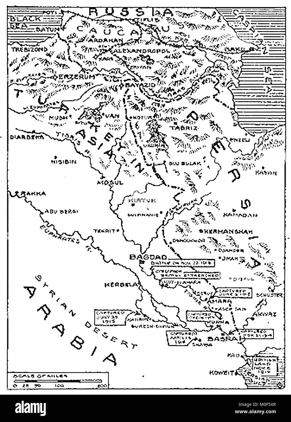 WWI - A 1917 map showing military activity in the 1914-1918 First World War - Mesopotamia and the British operations from the Persian gulf 1915 Stock Photohttps://www.alamy.com/image-license-details/?v=1https://www.alamy.com/stock-photo-wwi-a-1917-map-showing-military-activity-in-the-1914-1918-first-world-172437631.html
RMM0F5XR–WWI - A 1917 map showing military activity in the 1914-1918 First World War - Mesopotamia and the British operations from the Persian gulf 1915
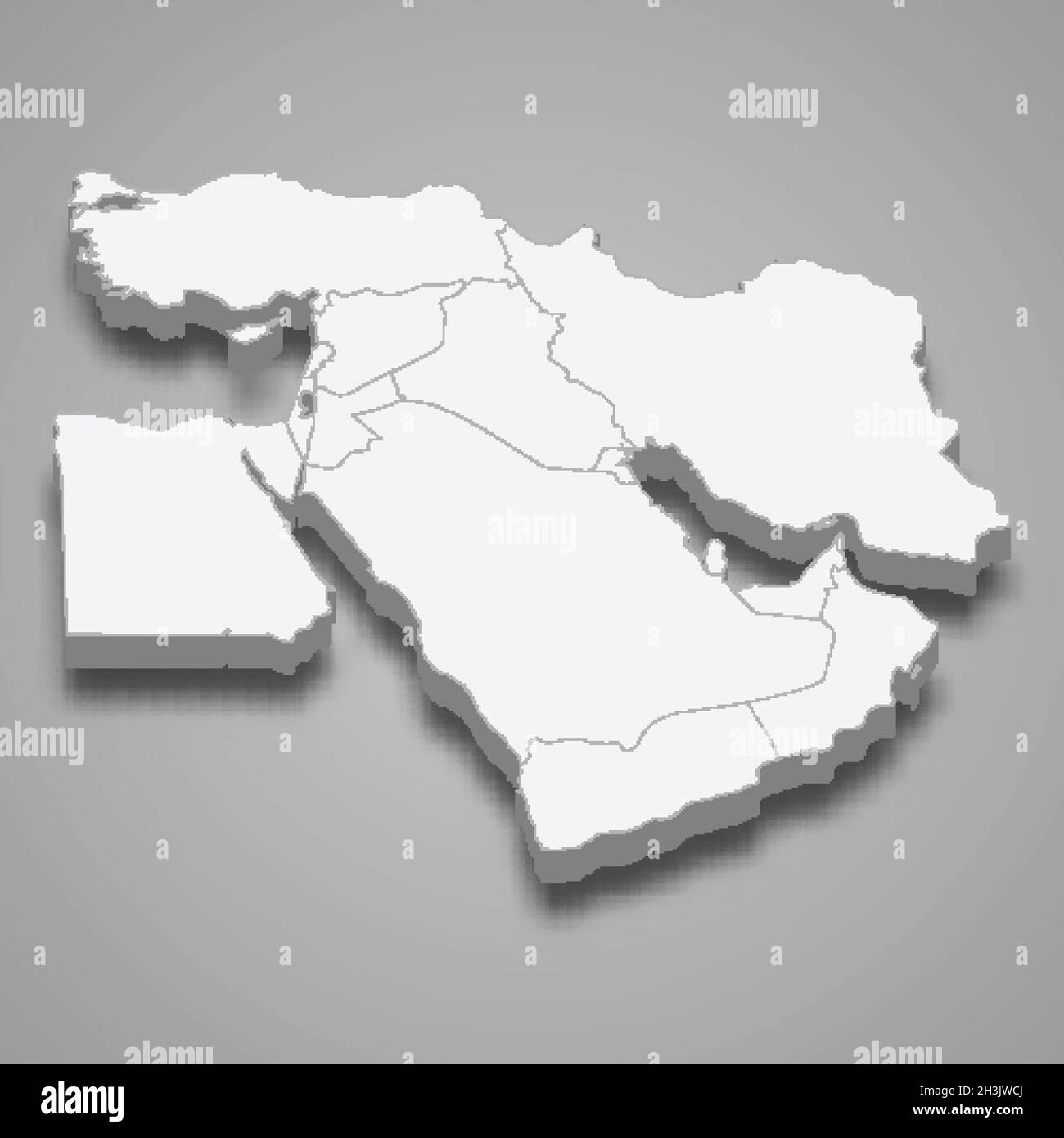 3d isometric map of Middle East region, isolated with shadow vector illustration Stock Vectorhttps://www.alamy.com/image-license-details/?v=1https://www.alamy.com/3d-isometric-map-of-middle-east-region-isolated-with-shadow-vector-illustration-image449728626.html
RF2H3JWCJ–3d isometric map of Middle East region, isolated with shadow vector illustration
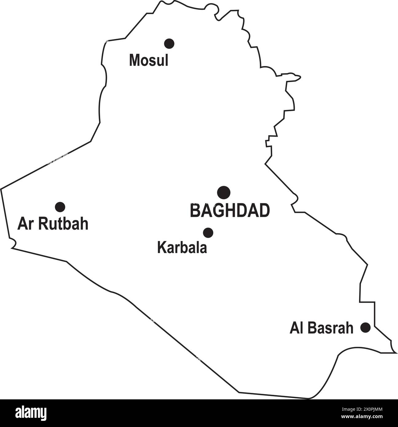 Map of iraq vector illustration symbol design Stock Vectorhttps://www.alamy.com/image-license-details/?v=1https://www.alamy.com/map-of-iraq-vector-illustration-symbol-design-image602860516.html
RF2X0PJMM–Map of iraq vector illustration symbol design
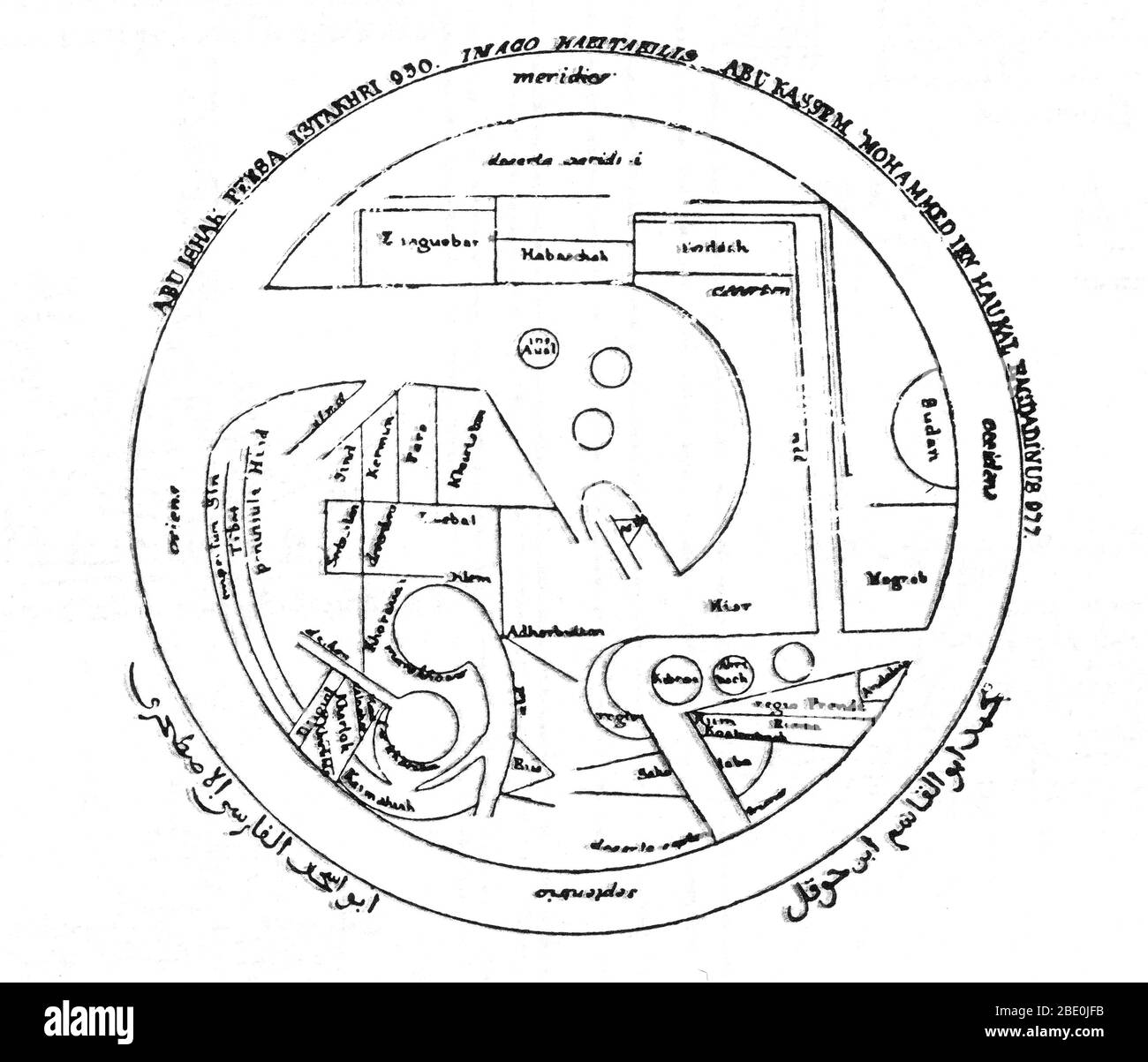 After its beginnings in the 8th century based on Hellenistic geography, Islamic geography was patronized by the Abbasid caliphs of Baghdad. Various Islamic scholars contributed to its development, and the most notable include Al-Khwarizmi, Abu Zayd al-Balkhi (founder of the Balkhi school), and Abu Rayhan Biruni. Islamic cartographers inherited Ptolemy's Almagest and Geography in the 9th century. These works stimulated an interest in geography but were not slavishly followed. Instead, Arabian and Persian cartography followed Al-Khwarizmi in adopting a rectangular projection, shifting Ptolemy's Stock Photohttps://www.alamy.com/image-license-details/?v=1https://www.alamy.com/after-its-beginnings-in-the-8th-century-based-on-hellenistic-geography-islamic-geography-was-patronized-by-the-abbasid-caliphs-of-baghdad-various-islamic-scholars-contributed-to-its-development-and-the-most-notable-include-al-khwarizmi-abu-zayd-al-balkhi-founder-of-the-balkhi-school-and-abu-rayhan-biruni-islamic-cartographers-inherited-ptolemys-almagest-and-geography-in-the-9th-century-these-works-stimulated-an-interest-in-geography-but-were-not-slavishly-followed-instead-arabian-and-persian-cartography-followed-al-khwarizmi-in-adopting-a-rectangular-projection-shifting-ptolemys-image352827087.html
RM2BE0JFB–After its beginnings in the 8th century based on Hellenistic geography, Islamic geography was patronized by the Abbasid caliphs of Baghdad. Various Islamic scholars contributed to its development, and the most notable include Al-Khwarizmi, Abu Zayd al-Balkhi (founder of the Balkhi school), and Abu Rayhan Biruni. Islamic cartographers inherited Ptolemy's Almagest and Geography in the 9th century. These works stimulated an interest in geography but were not slavishly followed. Instead, Arabian and Persian cartography followed Al-Khwarizmi in adopting a rectangular projection, shifting Ptolemy's
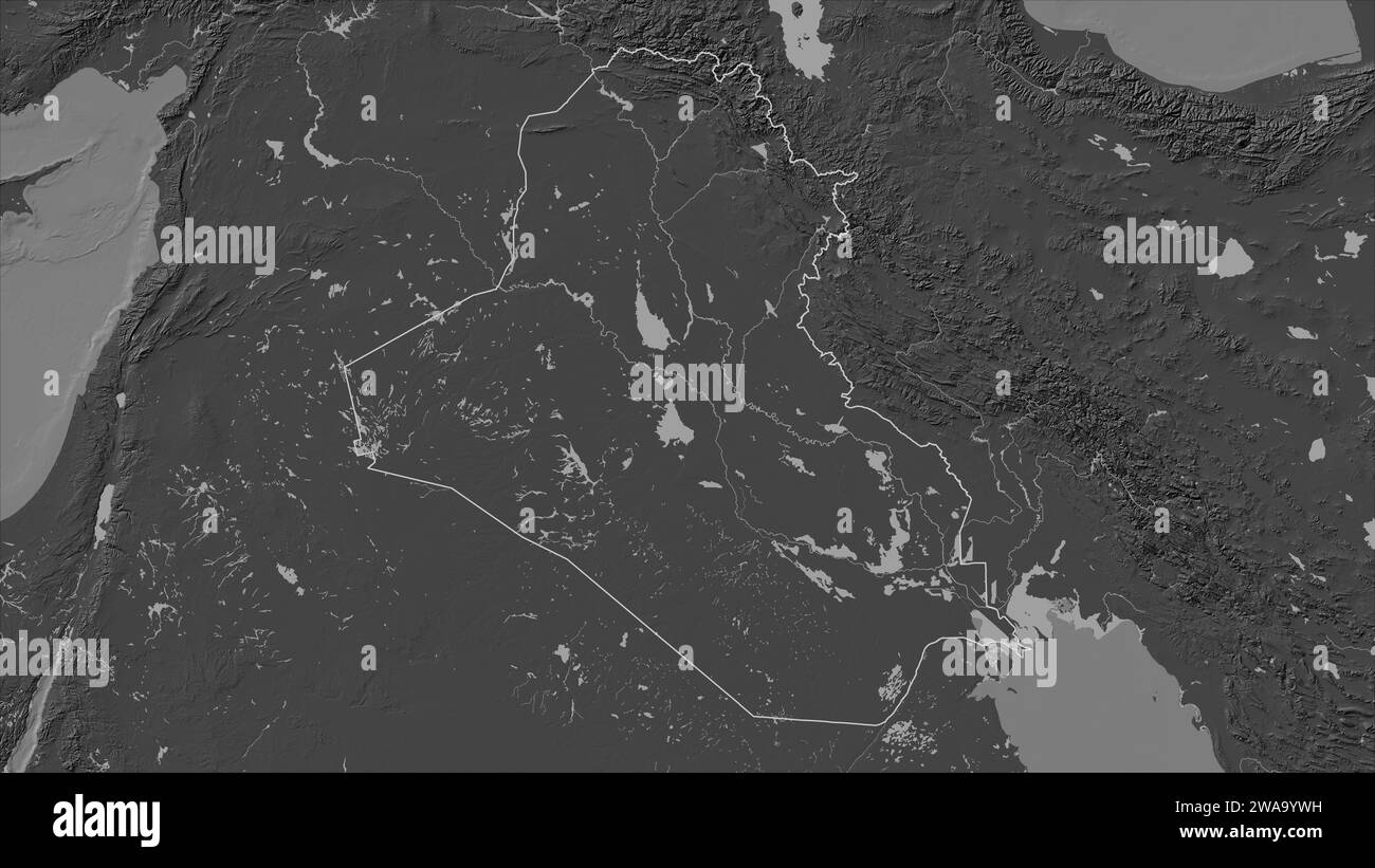 Iraq outlined on a Bilevel elevation map with lakes and rivers Stock Photohttps://www.alamy.com/image-license-details/?v=1https://www.alamy.com/iraq-outlined-on-a-bilevel-elevation-map-with-lakes-and-rivers-image591518525.html
RF2WA9YWH–Iraq outlined on a Bilevel elevation map with lakes and rivers
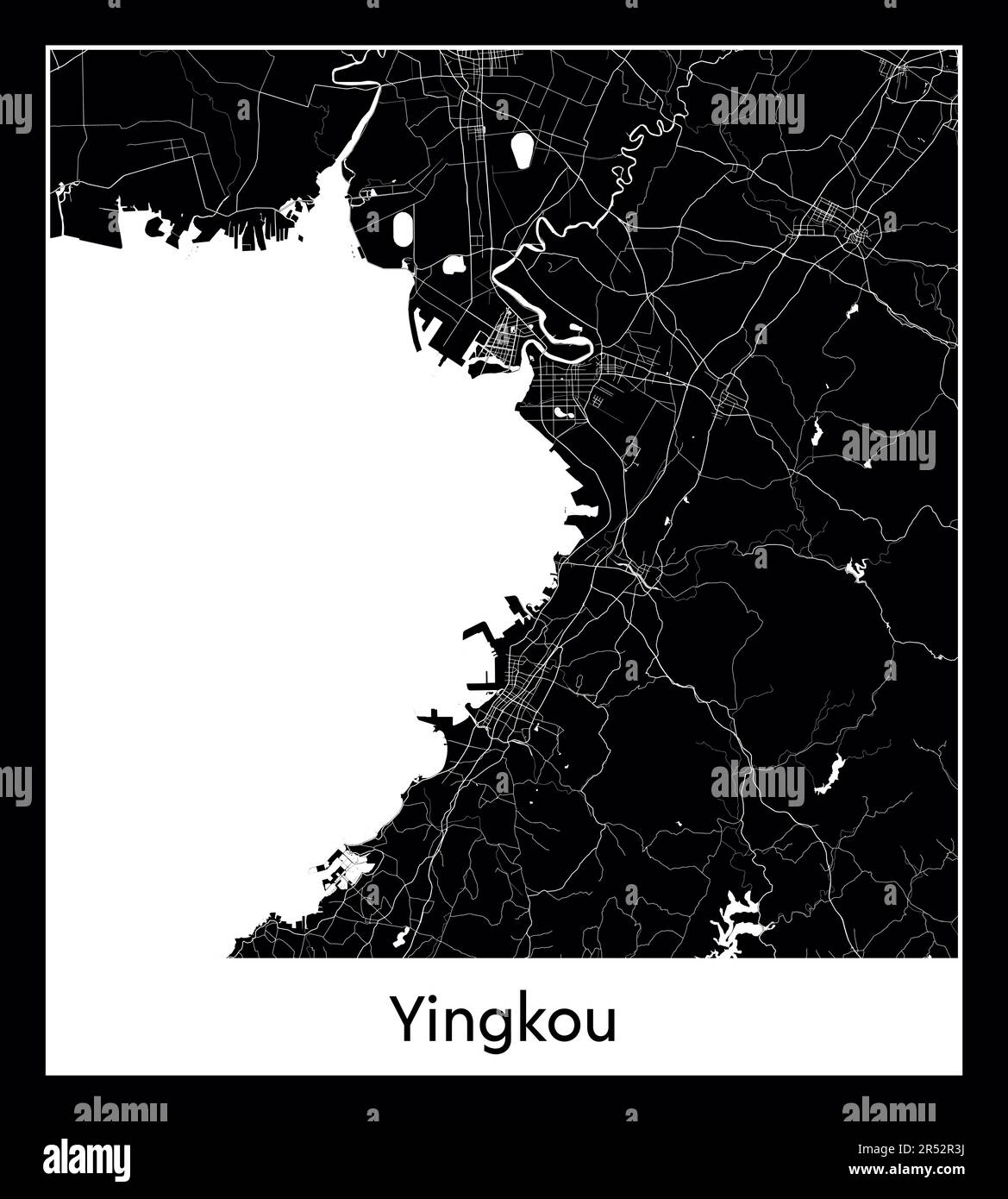 Minimal city map of Baghdad (Iraq Asia)Minimal city map of Yingkou (China Asia) Stock Vectorhttps://www.alamy.com/image-license-details/?v=1https://www.alamy.com/minimal-city-map-of-baghdad-iraq-asiaminimal-city-map-of-yingkou-china-asia-image553867094.html
RF2R52R3J–Minimal city map of Baghdad (Iraq Asia)Minimal city map of Yingkou (China Asia)
 Ridvan garden baghdad Stock Photohttps://www.alamy.com/image-license-details/?v=1https://www.alamy.com/stock-photo-ridvan-garden-baghdad-140392935.html
RMJ4BCHB–Ridvan garden baghdad
 Iraq vector country map silhouette Stock Vectorhttps://www.alamy.com/image-license-details/?v=1https://www.alamy.com/iraq-vector-country-map-silhouette-image465608700.html
RF2J1E8J4–Iraq vector country map silhouette
 Stock Photohttps://www.alamy.com/image-license-details/?v=1https://www.alamy.com/-image225483926.html
RFR2RK1A–
 Vector Iraq map isolated on white background Stock Vectorhttps://www.alamy.com/image-license-details/?v=1https://www.alamy.com/vector-iraq-map-isolated-on-white-background-image249133826.html
RFTD90MJ–Vector Iraq map isolated on white background
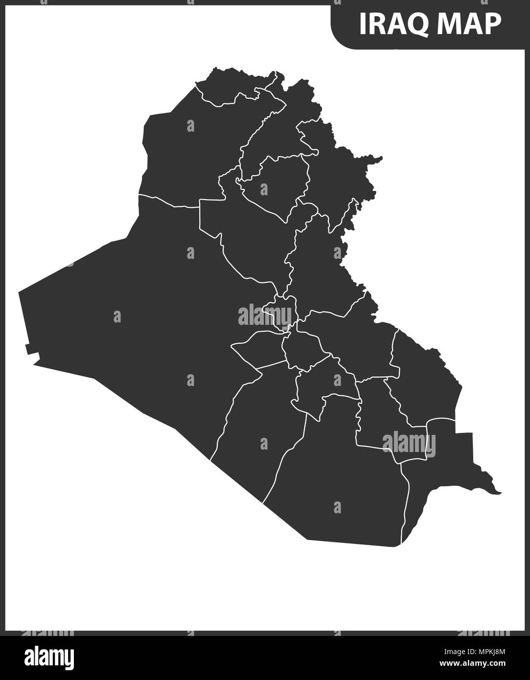 The detailed map of Iraq with regions or states. Administrative division. Stock Vectorhttps://www.alamy.com/image-license-details/?v=1https://www.alamy.com/the-detailed-map-of-iraq-with-regions-or-states-administrative-division-image186057556.html
RFMPKJ8M–The detailed map of Iraq with regions or states. Administrative division.
 Vector map Baghdad. Isolated vector Illustration. Black on White background. EPS 10 Illustration. Stock Vectorhttps://www.alamy.com/image-license-details/?v=1https://www.alamy.com/vector-map-baghdad-isolated-vector-illustration-black-on-white-background-eps-10-illustration-image359694463.html
RF2BW5DXR–Vector map Baghdad. Isolated vector Illustration. Black on White background. EPS 10 Illustration.
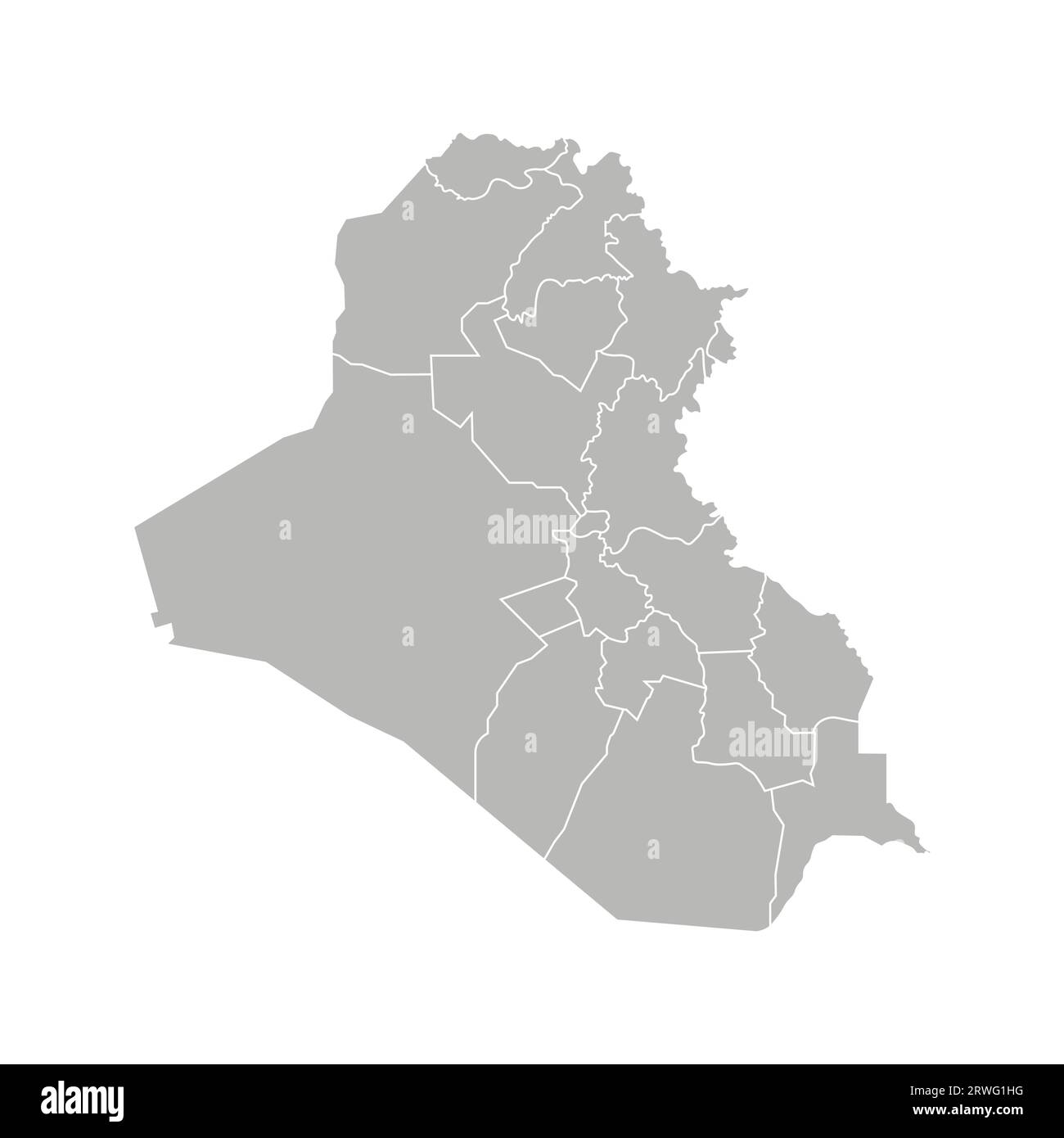 Vector isolated illustration of simplified administrative map of Iraq. Borders of the governorates (regions). Grey silhouettes. White outline. Stock Vectorhttps://www.alamy.com/image-license-details/?v=1https://www.alamy.com/vector-isolated-illustration-of-simplified-administrative-map-of-iraq-borders-of-the-governorates-regions-grey-silhouettes-white-outline-image566450684.html
RF2RWG1HG–Vector isolated illustration of simplified administrative map of Iraq. Borders of the governorates (regions). Grey silhouettes. White outline.
 Baghdad City (Republic of Iraq, Baghdad Governorate) map vector illustration, scribble sketch City of Baghdad map Stock Vectorhttps://www.alamy.com/image-license-details/?v=1https://www.alamy.com/baghdad-city-republic-of-iraq-baghdad-governorate-map-vector-illustration-scribble-sketch-city-of-baghdad-map-image365027840.html
RF2C5TCMG–Baghdad City (Republic of Iraq, Baghdad Governorate) map vector illustration, scribble sketch City of Baghdad map
 Country map of Iraq,vector illustration design background Stock Vectorhttps://www.alamy.com/image-license-details/?v=1https://www.alamy.com/country-map-of-iraqvector-illustration-design-background-image605258846.html
RF2X4KWRA–Country map of Iraq,vector illustration design background
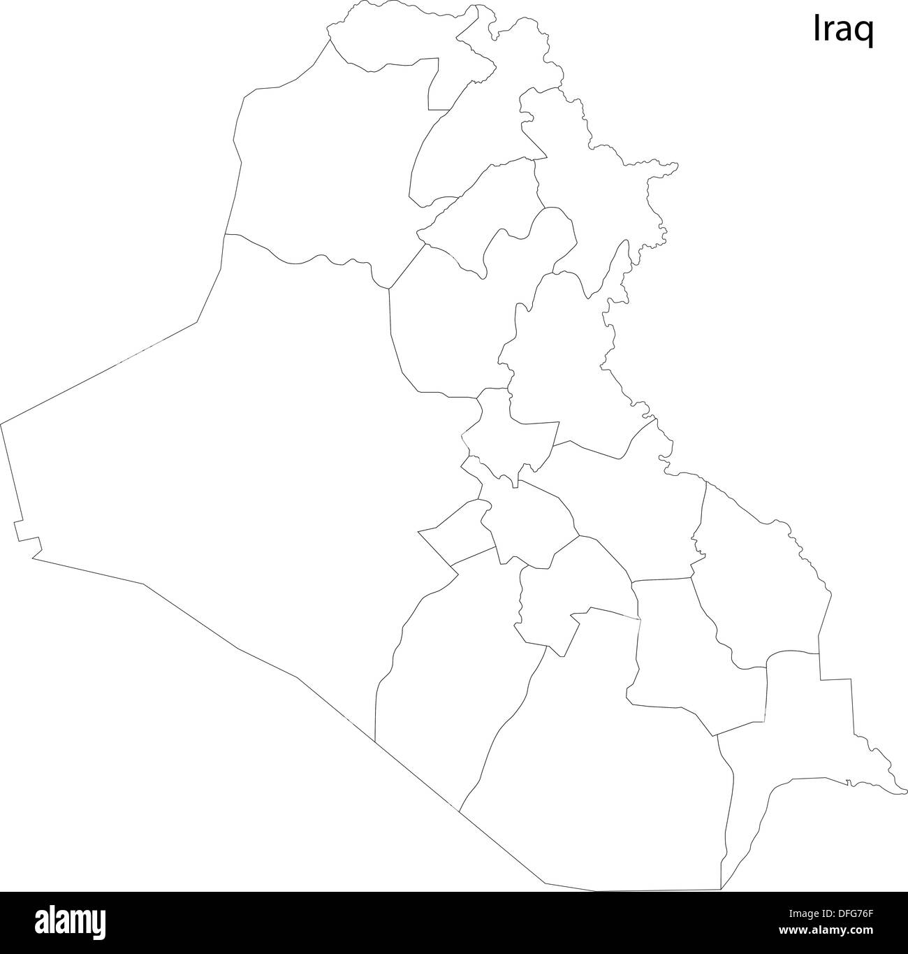 Contour Iraq map Stock Photohttps://www.alamy.com/image-license-details/?v=1https://www.alamy.com/contour-iraq-map-image61207847.html
RFDFG76F–Contour Iraq map
 Iraq outline map isolated on white background Stock Vectorhttps://www.alamy.com/image-license-details/?v=1https://www.alamy.com/iraq-outline-map-isolated-on-white-background-image616023102.html
RF2XP67N2–Iraq outline map isolated on white background
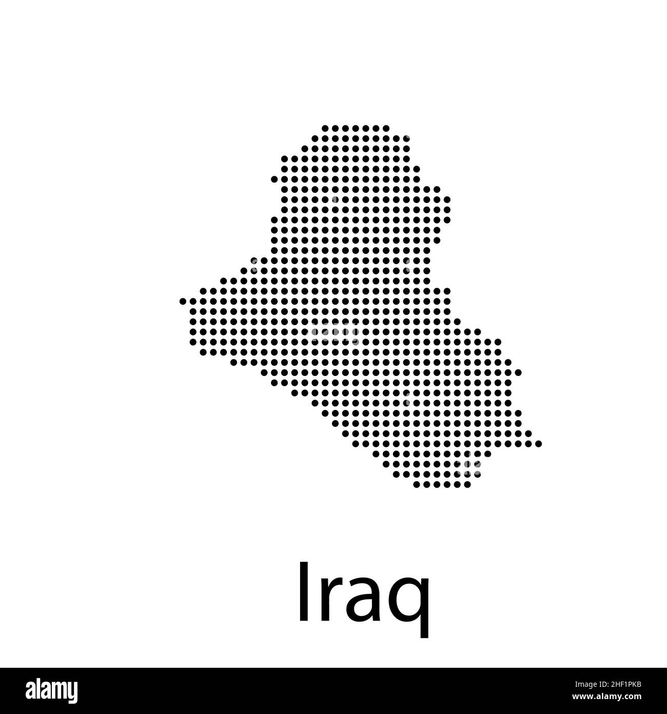 map of iraq. map concept vector illustration Stock Vectorhttps://www.alamy.com/image-license-details/?v=1https://www.alamy.com/map-of-iraq-map-concept-vector-illustration-image456729151.html
RF2HF1PKB–map of iraq. map concept vector illustration
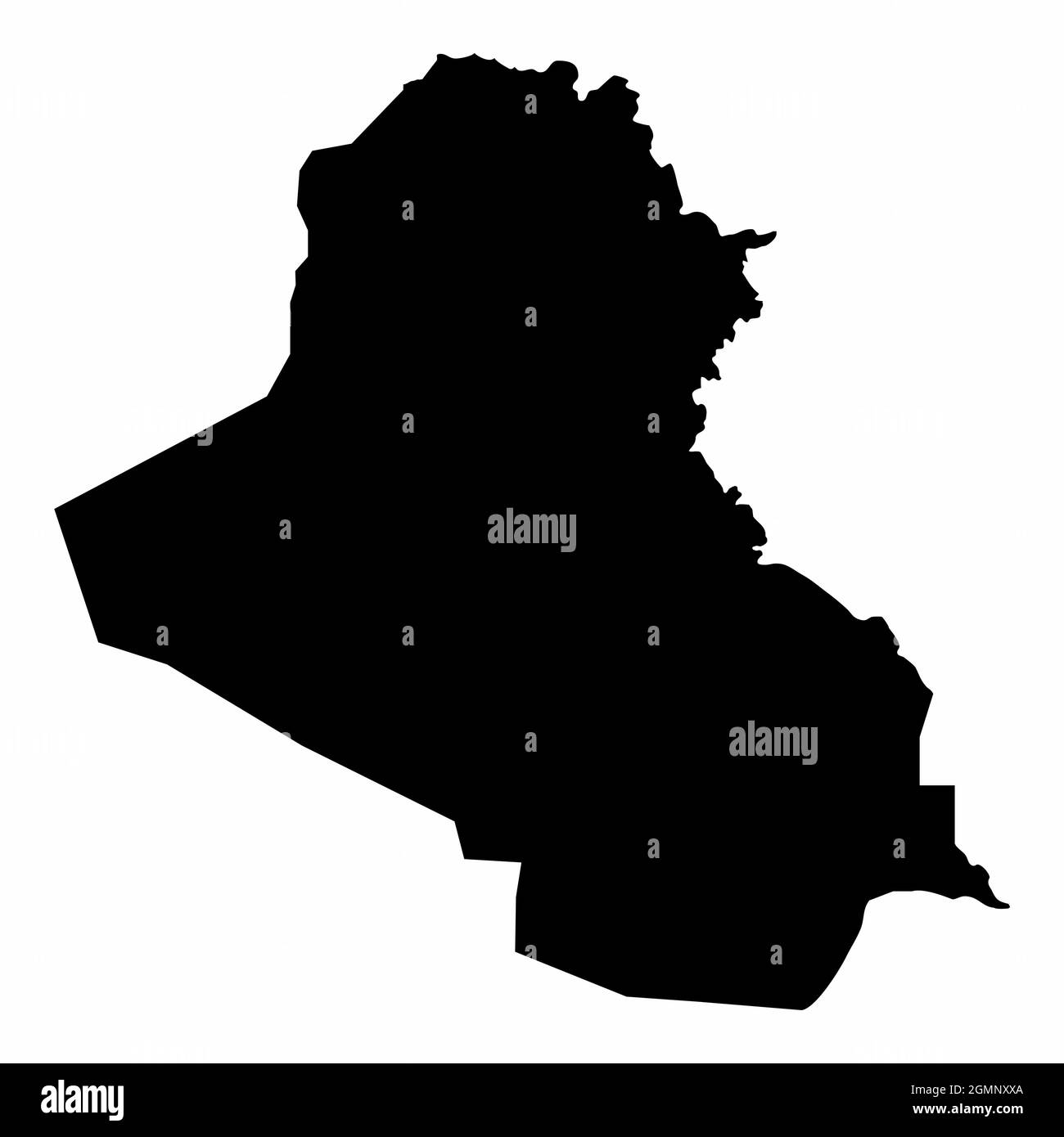 Iraq silhouette map isolated on white background Stock Vectorhttps://www.alamy.com/image-license-details/?v=1https://www.alamy.com/iraq-silhouette-map-isolated-on-white-background-image443034434.html
RF2GMNXXA–Iraq silhouette map isolated on white background
 Republic of Iraq map. Blank vector map of the Country. Borders of Republic of Iraq for your infographic. Vector illustration. Stock Vectorhttps://www.alamy.com/image-license-details/?v=1https://www.alamy.com/republic-of-iraq-map-blank-vector-map-of-the-country-borders-of-republic-of-iraq-for-your-infographic-vector-illustration-image553445274.html
RF2R4BH2J–Republic of Iraq map. Blank vector map of the Country. Borders of Republic of Iraq for your infographic. Vector illustration.
RF2WHA72F–Icon for iraq,baghdad
RFMPKAPW–Baghdad silhouette skyline. Iraq - Baghdad vector city, iraqi linear architecture, buildings. Baghdad travel illustration, outline landmarks. Iraq flat icon, iraqi line banner
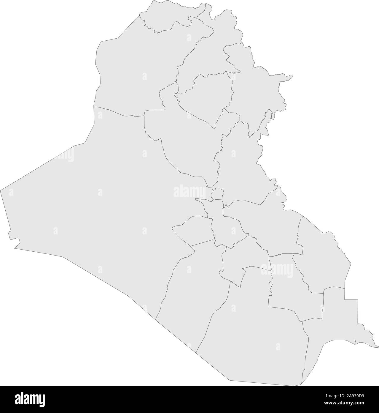 Iraq political map with boundaries vector illustration. Gray color. Stock Vectorhttps://www.alamy.com/image-license-details/?v=1https://www.alamy.com/iraq-political-map-with-boundaries-vector-illustration-gray-color-image332595125.html
RF2A930D9–Iraq political map with boundaries vector illustration. Gray color.
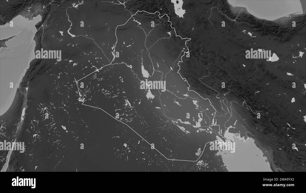 Iraq outlined on a Grayscale elevation map with lakes and rivers Stock Photohttps://www.alamy.com/image-license-details/?v=1https://www.alamy.com/iraq-outlined-on-a-grayscale-elevation-map-with-lakes-and-rivers-image591518538.html
RF2WA9YX2–Iraq outlined on a Grayscale elevation map with lakes and rivers
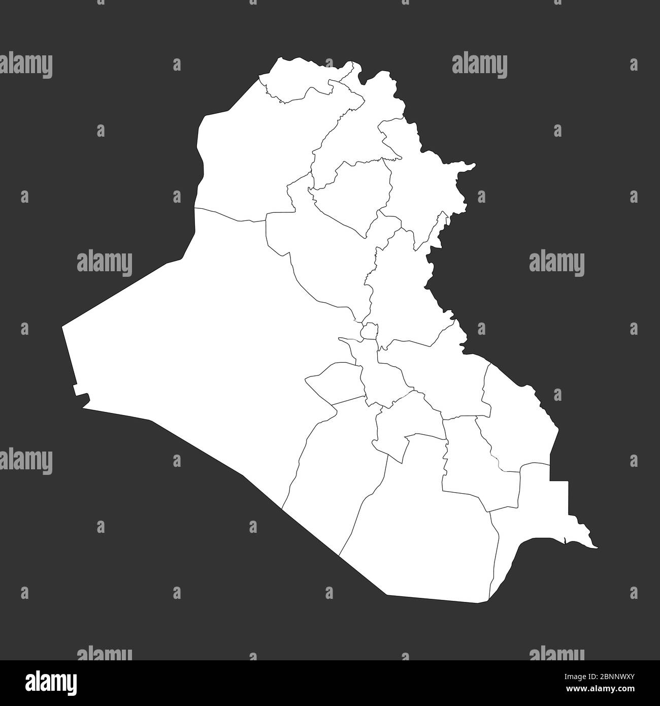 Iraq political map with boundaries outline vector illustration. Gray, white. Stock Vectorhttps://www.alamy.com/image-license-details/?v=1https://www.alamy.com/iraq-political-map-with-boundaries-outline-vector-illustration-gray-white-image357596483.html
RF2BNNWXY–Iraq political map with boundaries outline vector illustration. Gray, white.
 Family of Iraqi Chief Rabbi Hakham Ezra Dangoor in Baghdad 1910 Stock Photohttps://www.alamy.com/image-license-details/?v=1https://www.alamy.com/stock-photo-family-of-iraqi-chief-rabbi-hakham-ezra-dangoor-in-baghdad-1910-140474849.html
RMJ4F52W–Family of Iraqi Chief Rabbi Hakham Ezra Dangoor in Baghdad 1910
RF2WTYWPH–Iraq country simplified map. Thick black outline contour. Simple vector icon
 Taliban flag on afghanistan map. Stock Vectorhttps://www.alamy.com/image-license-details/?v=1https://www.alamy.com/taliban-flag-on-afghanistan-map-image438869276.html
RF2GE066M–Taliban flag on afghanistan map.
 Shape of Baghdad, province of Iraq, with its capital isolated on white background. Bilevel elevation map. 3D rendering Stock Photohttps://www.alamy.com/image-license-details/?v=1https://www.alamy.com/shape-of-baghdad-province-of-iraq-with-its-capital-isolated-on-white-background-bilevel-elevation-map-3d-rendering-image368487816.html
RF2CBE1Y4–Shape of Baghdad, province of Iraq, with its capital isolated on white background. Bilevel elevation map. 3D rendering
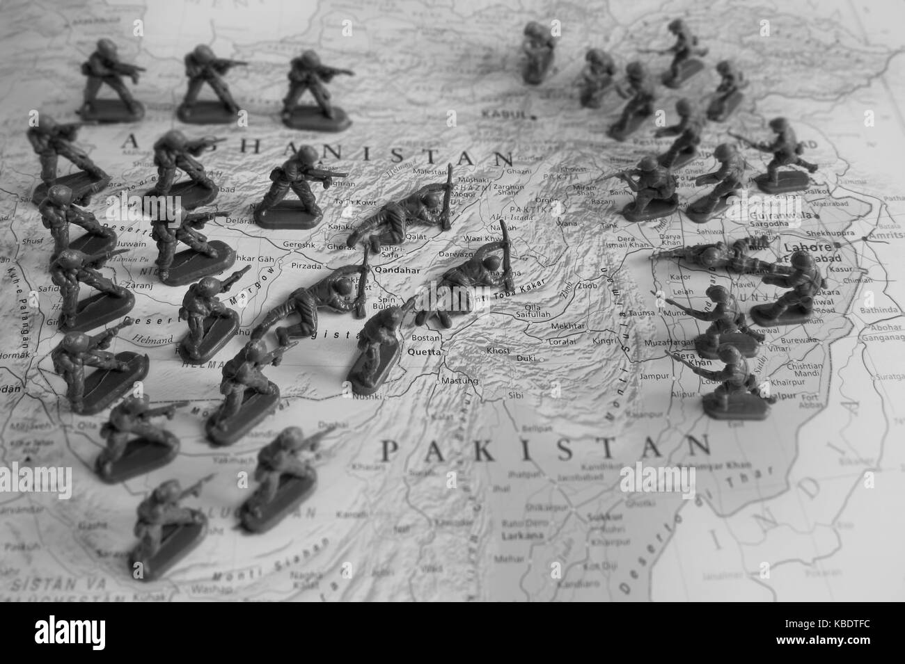 Afghanistan conflict Stock Photohttps://www.alamy.com/image-license-details/?v=1https://www.alamy.com/stock-image-afghanistan-conflict-161959152.html
RFKBDTFC–Afghanistan conflict
 Vector map Baghdad. Isolated vector Illustration. Black on White background. EPS 10 Illustration. Stock Vectorhttps://www.alamy.com/image-license-details/?v=1https://www.alamy.com/vector-map-baghdad-isolated-vector-illustration-black-on-white-background-eps-10-illustration-image359698063.html
RF2BW5JFB–Vector map Baghdad. Isolated vector Illustration. Black on White background. EPS 10 Illustration.
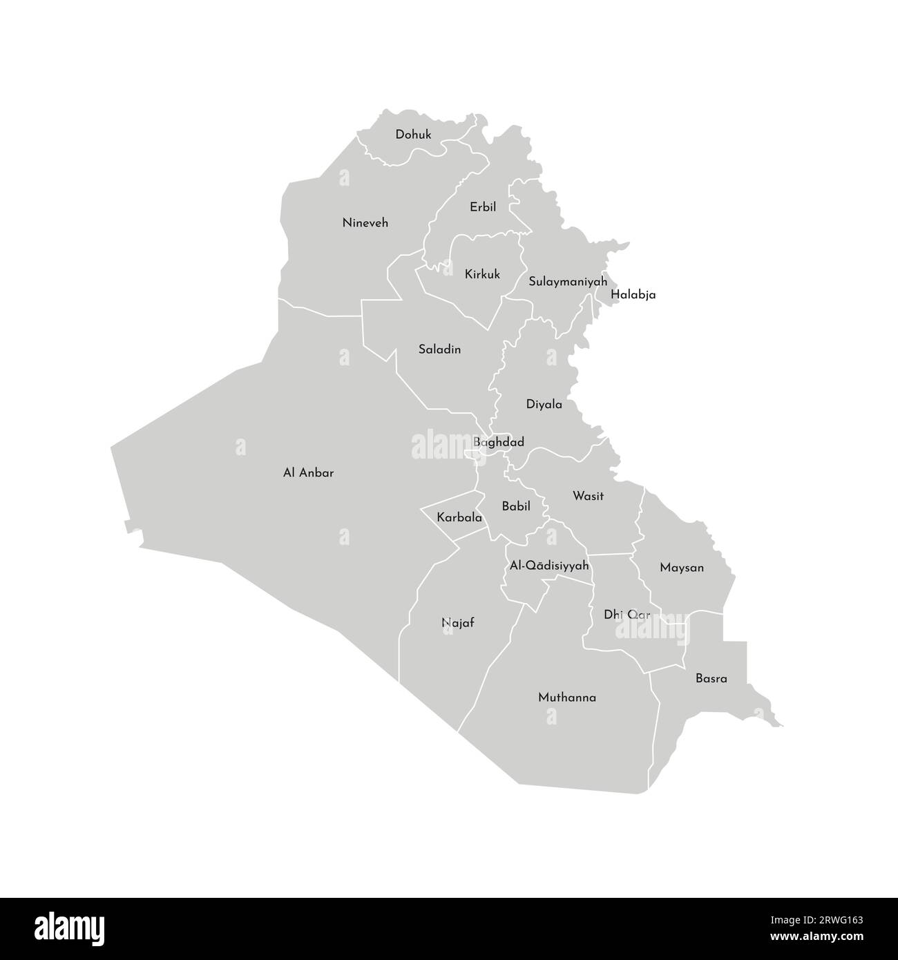 Vector isolated illustration of simplified administrative map of Iraq. Borders and names of the governorates (regions). Grey silhouettes. White outlin Stock Vectorhttps://www.alamy.com/image-license-details/?v=1https://www.alamy.com/vector-isolated-illustration-of-simplified-administrative-map-of-iraq-borders-and-names-of-the-governorates-regions-grey-silhouettes-white-outlin-image566450363.html
RF2RWG163–Vector isolated illustration of simplified administrative map of Iraq. Borders and names of the governorates (regions). Grey silhouettes. White outlin
 Vector map Iraq. Isolated vector Illustration. Black on White background. EPS 10 Illustration. Stock Vectorhttps://www.alamy.com/image-license-details/?v=1https://www.alamy.com/vector-map-iraq-isolated-vector-illustration-black-on-white-background-eps-10-illustration-image359694828.html
RF2BW5EBT–Vector map Iraq. Isolated vector Illustration. Black on White background. EPS 10 Illustration.
 Baghdad Governorate (Republic of Iraq, Governorates of Iraq) map vector illustration, scribble sketch Baghdad Province map Stock Vectorhttps://www.alamy.com/image-license-details/?v=1https://www.alamy.com/baghdad-governorate-republic-of-iraq-governorates-of-iraq-map-vector-illustration-scribble-sketch-baghdad-province-map-image242180312.html
RFT207CT–Baghdad Governorate (Republic of Iraq, Governorates of Iraq) map vector illustration, scribble sketch Baghdad Province map
 Black Iraq map Stock Photohttps://www.alamy.com/image-license-details/?v=1https://www.alamy.com/black-iraq-map-image61207853.html
RFDFG76N–Black Iraq map
 Shape of Baghdad, province of Iraq, and its capital. Distance scale, previews and labels. Bilevel elevation map. 3D rendering Stock Photohttps://www.alamy.com/image-license-details/?v=1https://www.alamy.com/shape-of-baghdad-province-of-iraq-and-its-capital-distance-scale-previews-and-labels-bilevel-elevation-map-3d-rendering-image368487833.html
RF2CBE1YN–Shape of Baghdad, province of Iraq, and its capital. Distance scale, previews and labels. Bilevel elevation map. 3D rendering
 Shape of Baghdad, province of Iraq, with its capital isolated on a solid color background. Bilevel elevation map. 3D rendering Stock Photohttps://www.alamy.com/image-license-details/?v=1https://www.alamy.com/shape-of-baghdad-province-of-iraq-with-its-capital-isolated-on-a-solid-color-background-bilevel-elevation-map-3d-rendering-image368487850.html
RF2CBE20A–Shape of Baghdad, province of Iraq, with its capital isolated on a solid color background. Bilevel elevation map. 3D rendering
 Republic of Iraq map. Blank vector map of the Country with regions. Borders of Republic of Iraq for your infographic. Vector illustration. Stock Vectorhttps://www.alamy.com/image-license-details/?v=1https://www.alamy.com/republic-of-iraq-map-blank-vector-map-of-the-country-with-regions-borders-of-republic-of-iraq-for-your-infographic-vector-illustration-image565001702.html
RF2RR61C6–Republic of Iraq map. Blank vector map of the Country with regions. Borders of Republic of Iraq for your infographic. Vector illustration.
RF2WNW0XY–Icon for iraq,baghdad
RF2JMXFRB–Iraq, Baghdad City city skyline isolated vector illustration, icons
 Desaturated shape of Iraq with its capital, main regional division and the separated Baghdad area. Labels. Bilevel elevation map. 3D rendering Stock Photohttps://www.alamy.com/image-license-details/?v=1https://www.alamy.com/desaturated-shape-of-iraq-with-its-capital-main-regional-division-and-the-separated-baghdad-area-labels-bilevel-elevation-map-3d-rendering-image368487837.html
RF2CBE1YW–Desaturated shape of Iraq with its capital, main regional division and the separated Baghdad area. Labels. Bilevel elevation map. 3D rendering
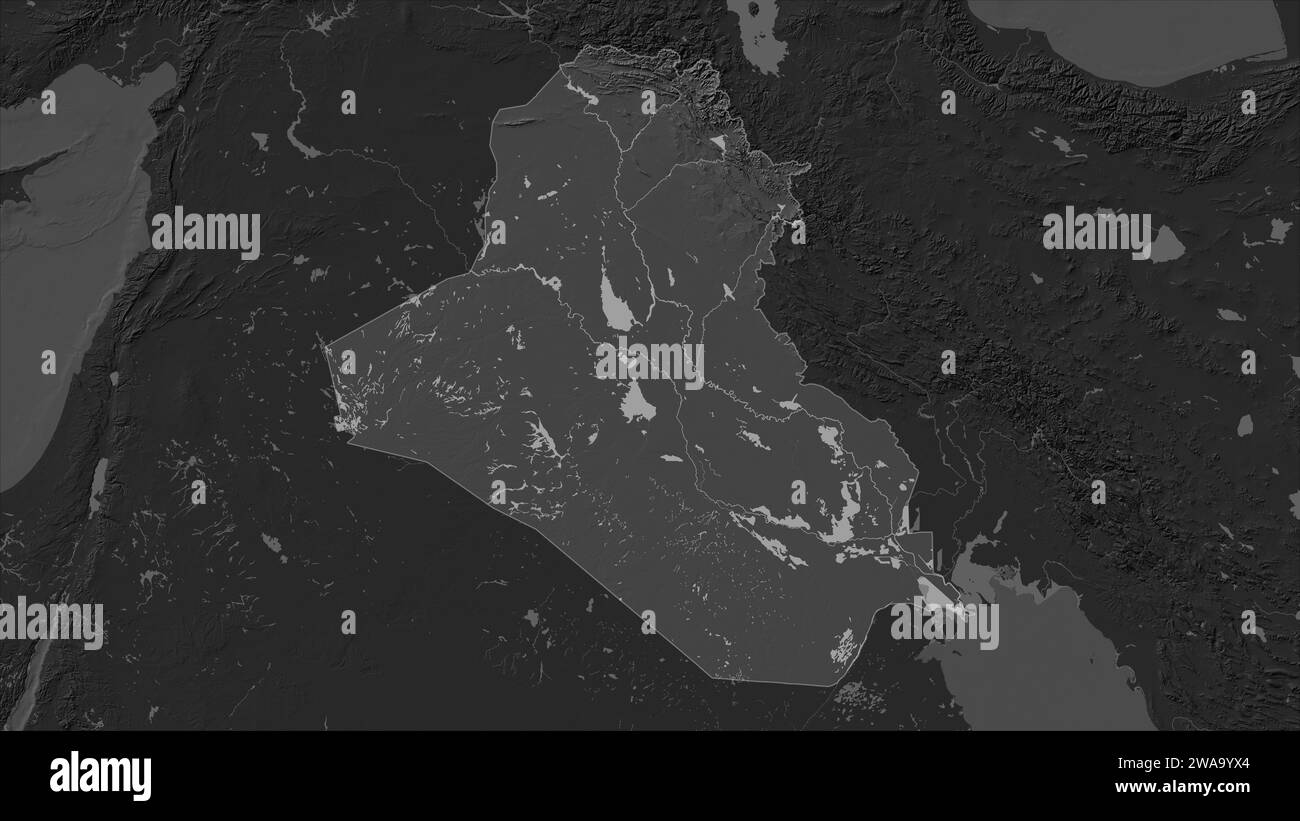 Iraq highlighted on a Bilevel elevation map with lakes and rivers Stock Photohttps://www.alamy.com/image-license-details/?v=1https://www.alamy.com/iraq-highlighted-on-a-bilevel-elevation-map-with-lakes-and-rivers-image591518540.html
RF2WA9YX4–Iraq highlighted on a Bilevel elevation map with lakes and rivers
 Zoom in on Baghdad (province of Iraq) outlined. Oblique perspective. Bilevel elevation map with surface waters. 3D rendering Stock Photohttps://www.alamy.com/image-license-details/?v=1https://www.alamy.com/zoom-in-on-baghdad-province-of-iraq-outlined-oblique-perspective-bilevel-elevation-map-with-surface-waters-3d-rendering-image364319281.html
RF2C4M4XW–Zoom in on Baghdad (province of Iraq) outlined. Oblique perspective. Bilevel elevation map with surface waters. 3D rendering
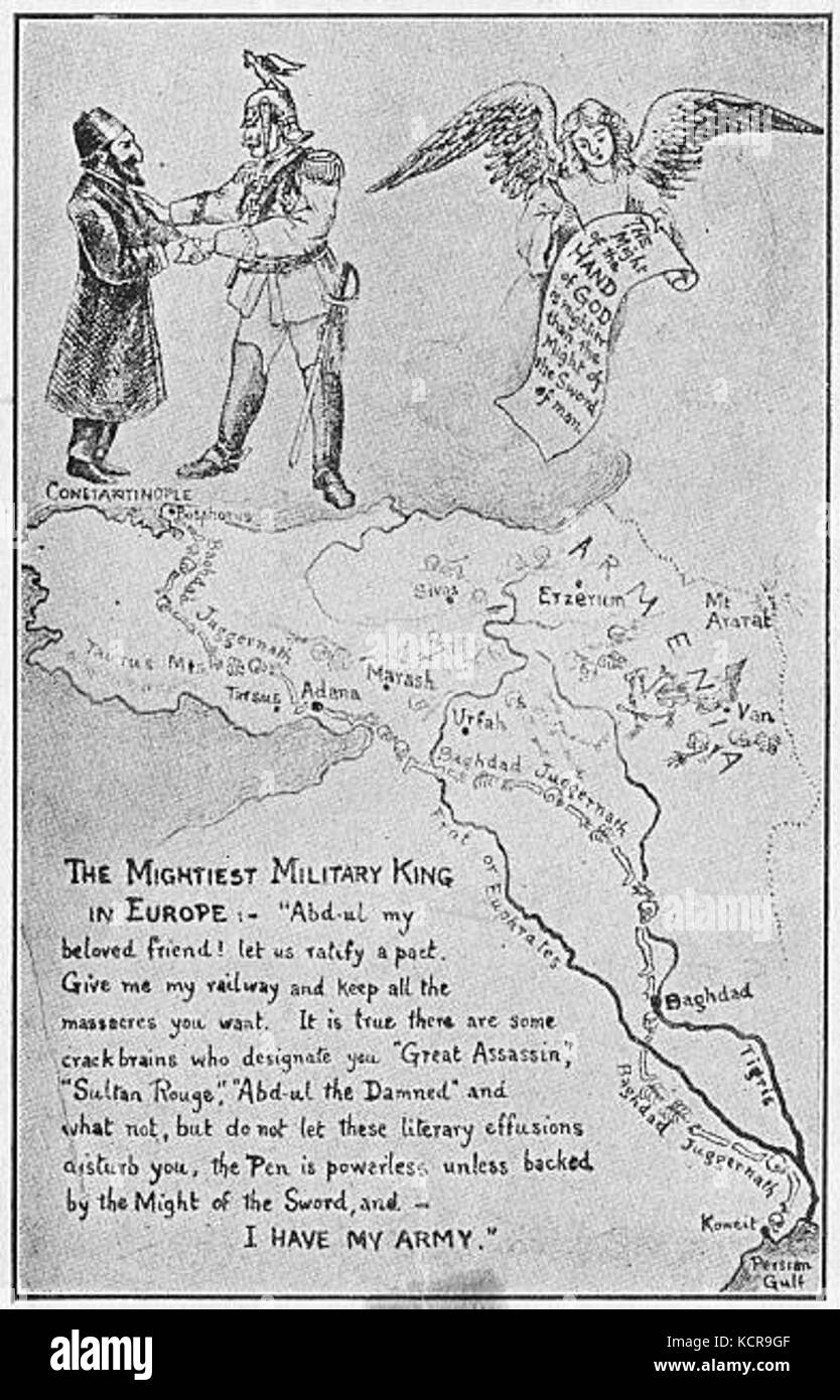 An Armenian view of the Baghdad Railway circa 1915 Kaiser Wilhelm II Stock Photohttps://www.alamy.com/image-license-details/?v=1https://www.alamy.com/stock-image-an-armenian-view-of-the-baghdad-railway-circa-1915-kaiser-wilhelm-162781599.html
RMKCR9GF–An Armenian view of the Baghdad Railway circa 1915 Kaiser Wilhelm II
RF2WNX6A0–Iraq country simplified map. Black dotted outline contour. Simple vector icon.
 Baghdad Governorate (Republic of Iraq, Governorates of Iraq) map vector illustration, scribble sketch Baghdad Province map Stock Vectorhttps://www.alamy.com/image-license-details/?v=1https://www.alamy.com/baghdad-governorate-republic-of-iraq-governorates-of-iraq-map-vector-illustration-scribble-sketch-baghdad-province-map-image239347489.html
RFRWB64H–Baghdad Governorate (Republic of Iraq, Governorates of Iraq) map vector illustration, scribble sketch Baghdad Province map
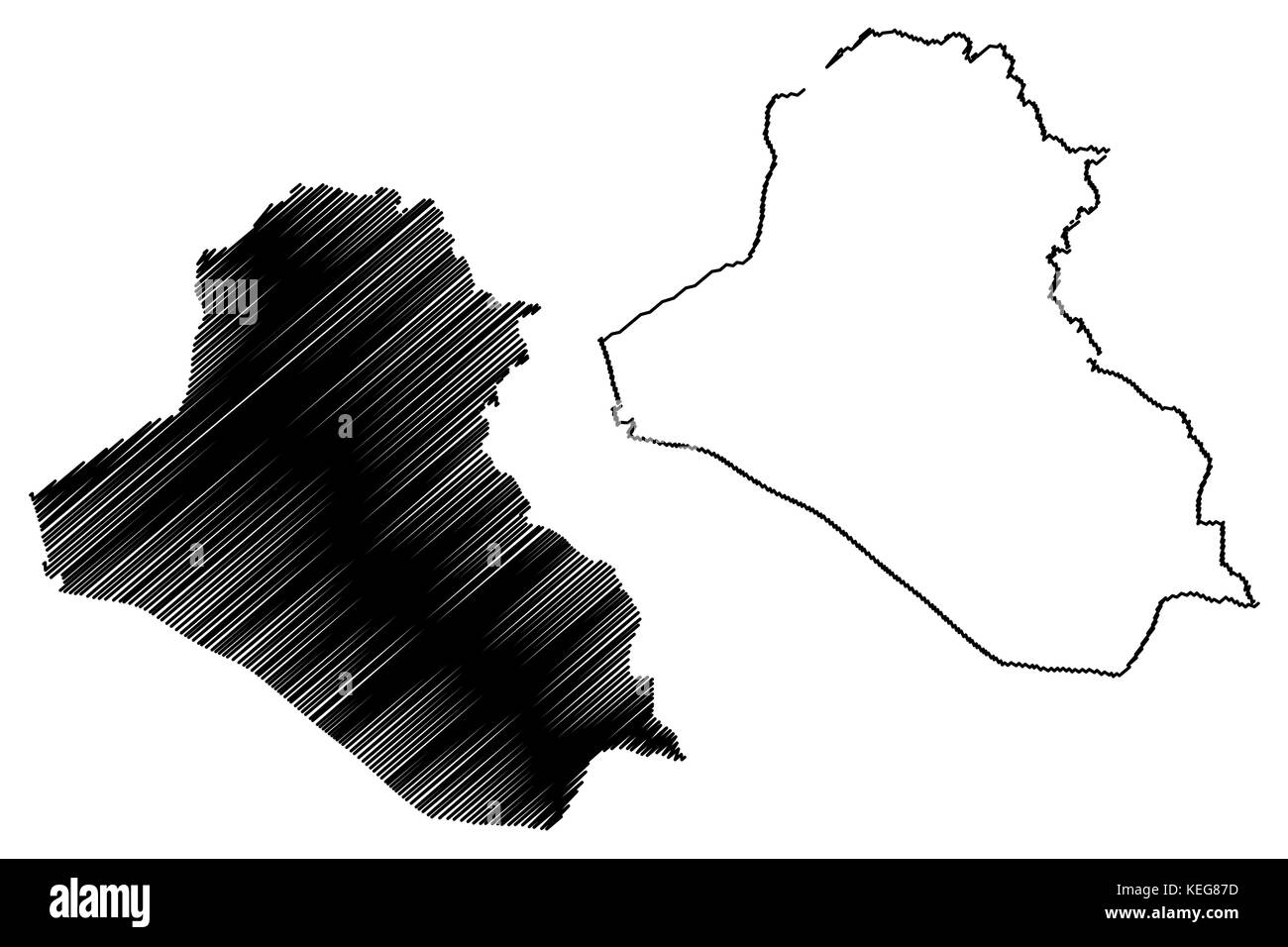 Iraq map vector illustration, scribble sketch Irak Stock Vectorhttps://www.alamy.com/image-license-details/?v=1https://www.alamy.com/stock-image-iraq-map-vector-illustration-scribble-sketch-irak-163856209.html
RFKEG87D–Iraq map vector illustration, scribble sketch Irak
 Iraq shape on gradient background. Country map with scratch texture . Iraq vibrant poster. Awesome vector illustration. Stock Vectorhttps://www.alamy.com/image-license-details/?v=1https://www.alamy.com/iraq-shape-on-gradient-background-country-map-with-scratch-texture-iraq-vibrant-poster-awesome-vector-illustration-image600201664.html
RF2WTDF9M–Iraq shape on gradient background. Country map with scratch texture . Iraq vibrant poster. Awesome vector illustration.
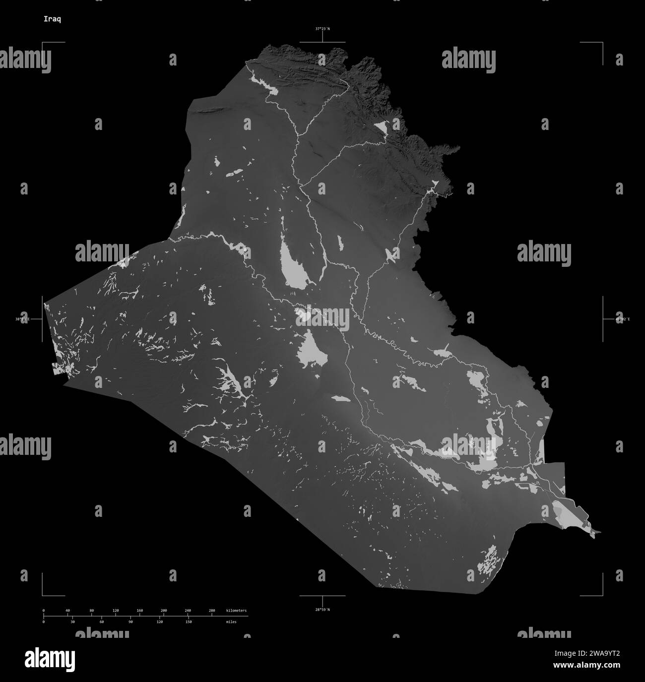 Shape of a Grayscale elevation map with lakes and rivers of the Iraq, with distance scale and map border coordinates, isolated on black Stock Photohttps://www.alamy.com/image-license-details/?v=1https://www.alamy.com/shape-of-a-grayscale-elevation-map-with-lakes-and-rivers-of-the-iraq-with-distance-scale-and-map-border-coordinates-isolated-on-black-image591518482.html
RF2WA9YT2–Shape of a Grayscale elevation map with lakes and rivers of the Iraq, with distance scale and map border coordinates, isolated on black
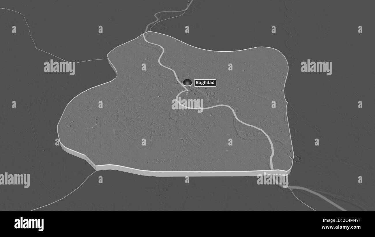 Zoom in on Baghdad (province of Iraq) extruded. Oblique perspective. Bilevel elevation map with surface waters. 3D rendering Stock Photohttps://www.alamy.com/image-license-details/?v=1https://www.alamy.com/zoom-in-on-baghdad-province-of-iraq-extruded-oblique-perspective-bilevel-elevation-map-with-surface-waters-3d-rendering-image364319299.html
RF2C4M4YF–Zoom in on Baghdad (province of Iraq) extruded. Oblique perspective. Bilevel elevation map with surface waters. 3D rendering
 Ezra Dangoor in the Shrine in Baghdad of Joshua, the High Priest Stock Photohttps://www.alamy.com/image-license-details/?v=1https://www.alamy.com/ezra-dangoor-in-the-shrine-in-baghdad-of-joshua-the-high-priest-image159190131.html
RMK6YMHR–Ezra Dangoor in the Shrine in Baghdad of Joshua, the High Priest
RF2WP8TTT–Iraq country simplified map. Thin black outline contour. Simple vector icon
 Shape of Baghdad, province of Iraq, with its capital isolated on solid background. Distance scale, region preview and labels. Bilevel elevation map. 3 Stock Photohttps://www.alamy.com/image-license-details/?v=1https://www.alamy.com/shape-of-baghdad-province-of-iraq-with-its-capital-isolated-on-solid-background-distance-scale-region-preview-and-labels-bilevel-elevation-map-3-image368487819.html
RF2CBE1Y7–Shape of Baghdad, province of Iraq, with its capital isolated on solid background. Distance scale, region preview and labels. Bilevel elevation map. 3
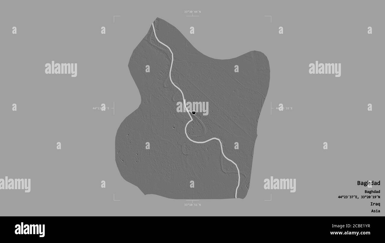 Area of Baghdad, province of Iraq, isolated on a solid background in a georeferenced bounding box. Labels. Bilevel elevation map. 3D rendering Stock Photohttps://www.alamy.com/image-license-details/?v=1https://www.alamy.com/area-of-baghdad-province-of-iraq-isolated-on-a-solid-background-in-a-georeferenced-bounding-box-labels-bilevel-elevation-map-3d-rendering-image368487835.html
RF2CBE1YR–Area of Baghdad, province of Iraq, isolated on a solid background in a georeferenced bounding box. Labels. Bilevel elevation map. 3D rendering
 Extended area of Iraq. Bilevel elevation map. 3D rendering Stock Photohttps://www.alamy.com/image-license-details/?v=1https://www.alamy.com/extended-area-of-iraq-bilevel-elevation-map-3d-rendering-image368488544.html
RF2CBE2W4–Extended area of Iraq. Bilevel elevation map. 3D rendering
 Dihok, province of Iraq. Bilevel elevation map with lakes and rivers Stock Photohttps://www.alamy.com/image-license-details/?v=1https://www.alamy.com/dihok-province-of-iraq-bilevel-elevation-map-with-lakes-and-rivers-image485453206.html
RF2K5P8EE–Dihok, province of Iraq. Bilevel elevation map with lakes and rivers
 Iraq map vector illustration, scribble sketch Irak Stock Vectorhttps://www.alamy.com/image-license-details/?v=1https://www.alamy.com/stock-image-iraq-map-vector-illustration-scribble-sketch-irak-163776528.html
RFKECJHM–Iraq map vector illustration, scribble sketch Irak
RF2RHF7W0–Republic of Iraq icon. Round logo with country map and title. Stylish Republic of Iraq badge with map. Vector illustration.
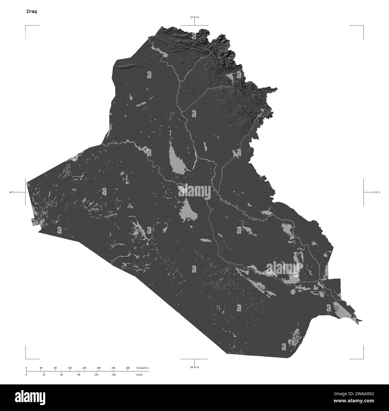 Shape of a Bilevel elevation map with lakes and rivers of the Iraq, with distance scale and map border coordinates, isolated on white Stock Photohttps://www.alamy.com/image-license-details/?v=1https://www.alamy.com/shape-of-a-bilevel-elevation-map-with-lakes-and-rivers-of-the-iraq-with-distance-scale-and-map-border-coordinates-isolated-on-white-image591518594.html
RF2WAA002–Shape of a Bilevel elevation map with lakes and rivers of the Iraq, with distance scale and map border coordinates, isolated on white
 King faisel on a visit to the Baghdad Jewish community with chief Rabbi Ezra Dangoor and community notables Stock Photohttps://www.alamy.com/image-license-details/?v=1https://www.alamy.com/stock-image-king-faisel-on-a-visit-to-the-baghdad-jewish-community-with-chief-160532913.html
RMK94WA9–King faisel on a visit to the Baghdad Jewish community with chief Rabbi Ezra Dangoor and community notables
RF2WT770W–Iraq country simplified map. Black broken outline contour on white background. Simple vector icon
 Dihok, province of Iraq. Grayscale elevation map with lakes and rivers Stock Photohttps://www.alamy.com/image-license-details/?v=1https://www.alamy.com/dihok-province-of-iraq-grayscale-elevation-map-with-lakes-and-rivers-image485453209.html
RF2K5P8EH–Dihok, province of Iraq. Grayscale elevation map with lakes and rivers
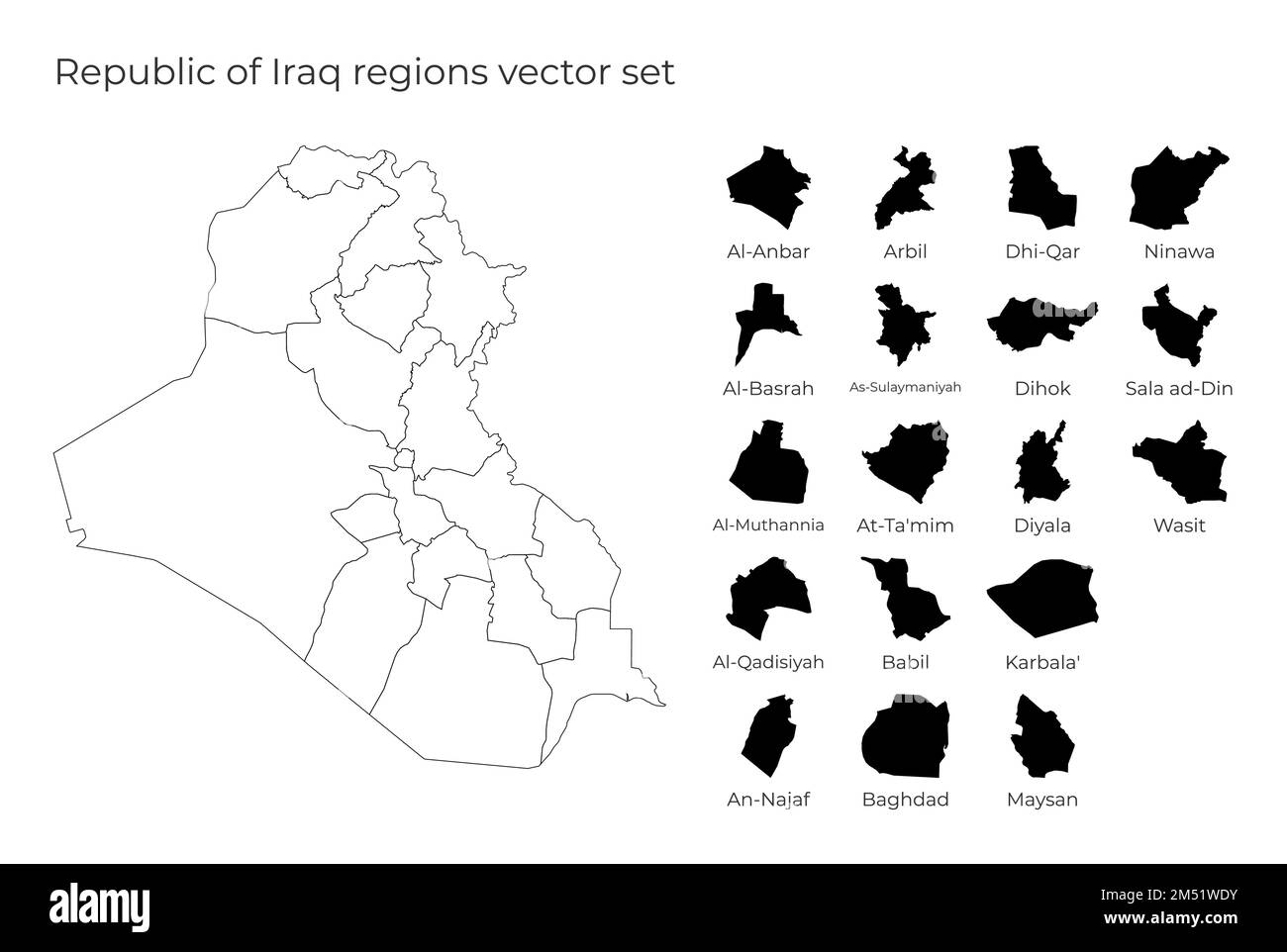 Republic of Iraq map with shapes of regions. Blank vector map of the Country with regions. Borders of the country for your infographic. Vector illustr Stock Vectorhttps://www.alamy.com/image-license-details/?v=1https://www.alamy.com/republic-of-iraq-map-with-shapes-of-regions-blank-vector-map-of-the-country-with-regions-borders-of-the-country-for-your-infographic-vector-illustr-image502215895.html
RF2M51WDY–Republic of Iraq map with shapes of regions. Blank vector map of the Country with regions. Borders of the country for your infographic. Vector illustr
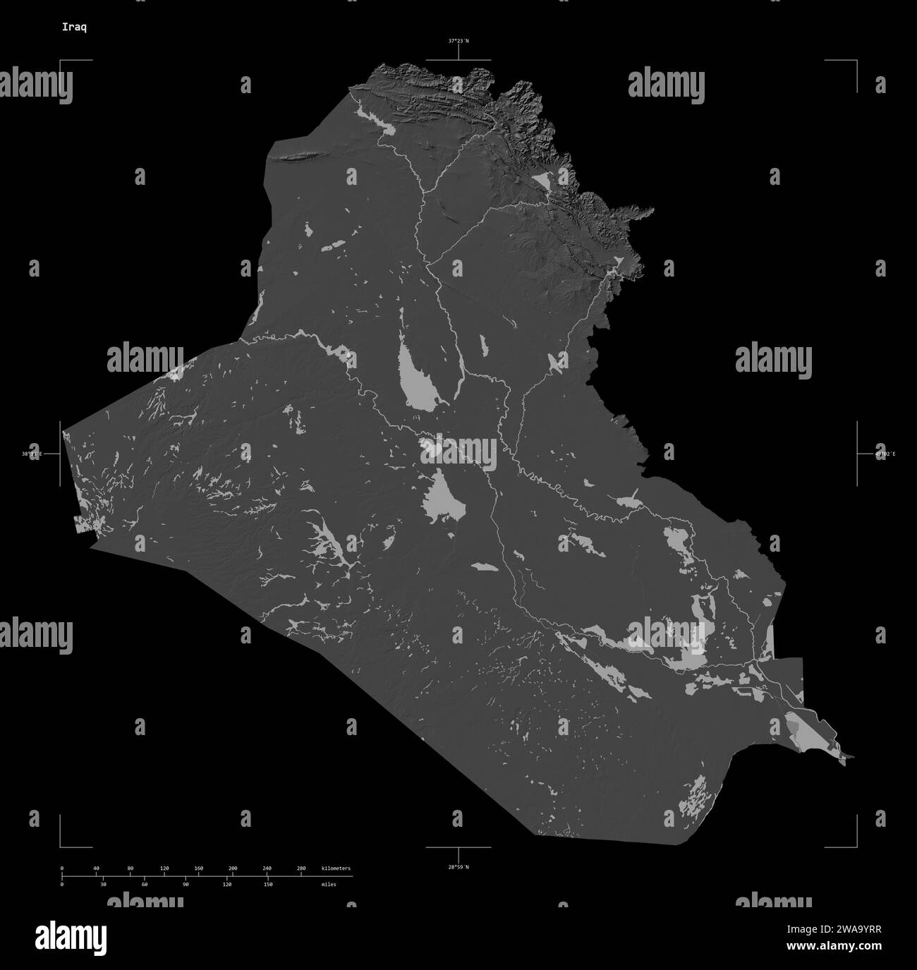 Shape of a Bilevel elevation map with lakes and rivers of the Iraq, with distance scale and map border coordinates, isolated on black Stock Photohttps://www.alamy.com/image-license-details/?v=1https://www.alamy.com/shape-of-a-bilevel-elevation-map-with-lakes-and-rivers-of-the-iraq-with-distance-scale-and-map-border-coordinates-isolated-on-black-image591518475.html
RF2WA9YRR–Shape of a Bilevel elevation map with lakes and rivers of the Iraq, with distance scale and map border coordinates, isolated on black
RF2WM8P48–Iraq country thick black outline silhouette. Simplified map. Vector icon isolated on white background.
 Karbala', province of Iraq. Bilevel elevation map with lakes and rivers Stock Photohttps://www.alamy.com/image-license-details/?v=1https://www.alamy.com/karbala-province-of-iraq-bilevel-elevation-map-with-lakes-and-rivers-image485453414.html
RF2K5P8NX–Karbala', province of Iraq. Bilevel elevation map with lakes and rivers
 Republic of Iraq map. Map of Republic of Iraq in dotted style. Borders of the country filled with rectangles for your design. Vector illustration. Stock Vectorhttps://www.alamy.com/image-license-details/?v=1https://www.alamy.com/republic-of-iraq-map-map-of-republic-of-iraq-in-dotted-style-borders-of-the-country-filled-with-rectangles-for-your-design-vector-illustration-image518496450.html
RF2N3FFEA–Republic of Iraq map. Map of Republic of Iraq in dotted style. Borders of the country filled with rectangles for your design. Vector illustration.
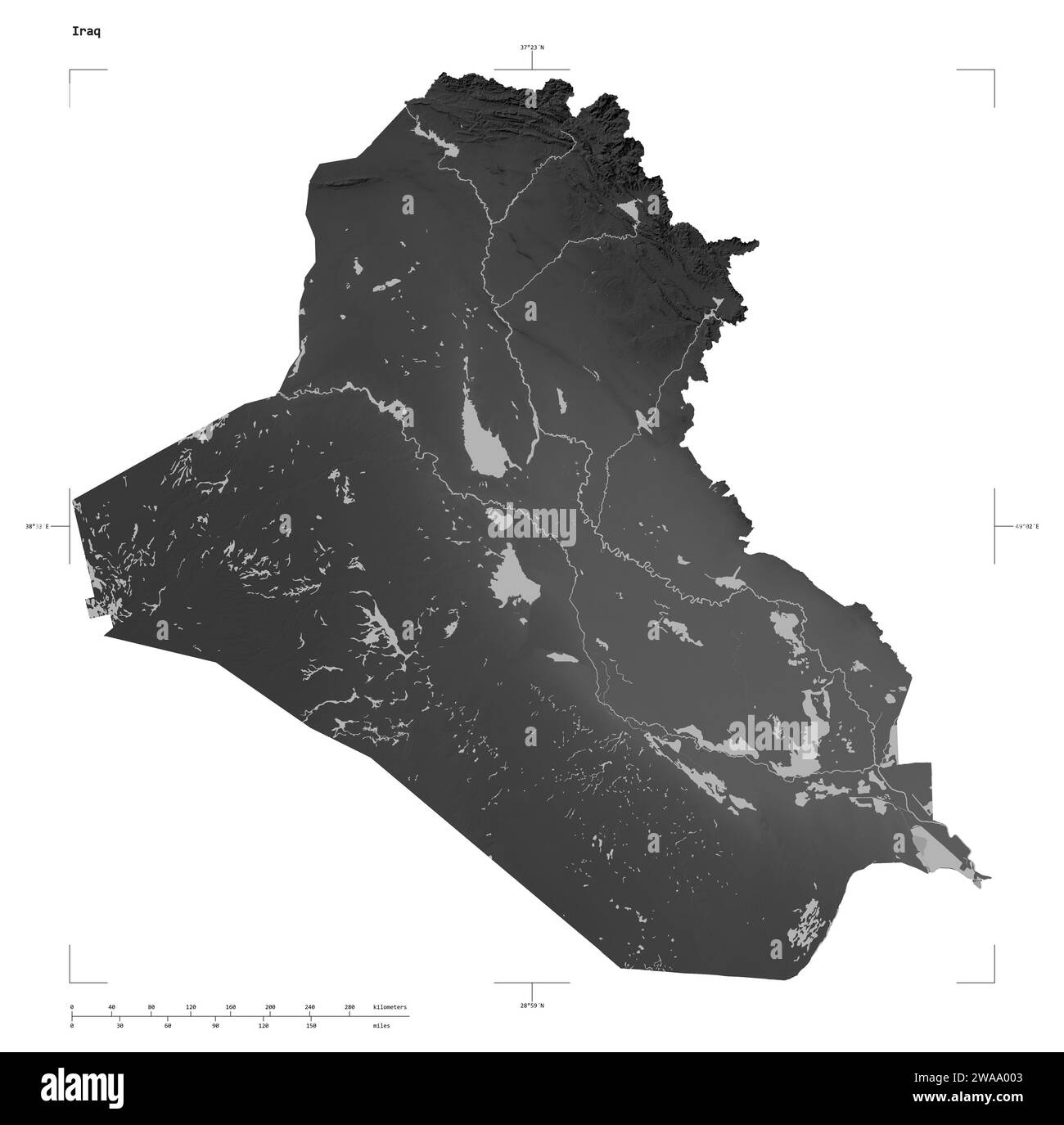 Shape of a Grayscale elevation map with lakes and rivers of the Iraq, with distance scale and map border coordinates, isolated on white Stock Photohttps://www.alamy.com/image-license-details/?v=1https://www.alamy.com/shape-of-a-grayscale-elevation-map-with-lakes-and-rivers-of-the-iraq-with-distance-scale-and-map-border-coordinates-isolated-on-white-image591518595.html
RF2WAA003–Shape of a Grayscale elevation map with lakes and rivers of the Iraq, with distance scale and map border coordinates, isolated on white
RF2WTNCH4–Iraq country thin black outline silhouette. Simplified map. Vector icon isolated on white background.
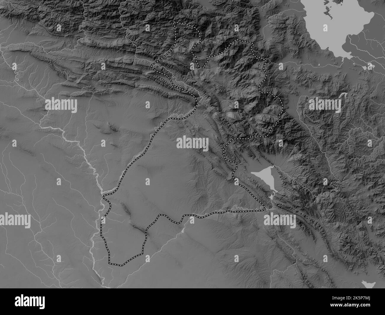 Arbil, province of Iraq. Grayscale elevation map with lakes and rivers Stock Photohttps://www.alamy.com/image-license-details/?v=1https://www.alamy.com/arbil-province-of-iraq-grayscale-elevation-map-with-lakes-and-rivers-image485452594.html
RF2K5P7MJ–Arbil, province of Iraq. Grayscale elevation map with lakes and rivers
 Republic of Iraq outdoor stamp. Round sticker with map of country with topographic isolines. Vector illustration. Can be used as insignia, logotype, l Stock Vectorhttps://www.alamy.com/image-license-details/?v=1https://www.alamy.com/republic-of-iraq-outdoor-stamp-round-sticker-with-map-of-country-with-topographic-isolines-vector-illustration-can-be-used-as-insignia-logotype-l-image501670728.html
RF2M4523M–Republic of Iraq outdoor stamp. Round sticker with map of country with topographic isolines. Vector illustration. Can be used as insignia, logotype, l
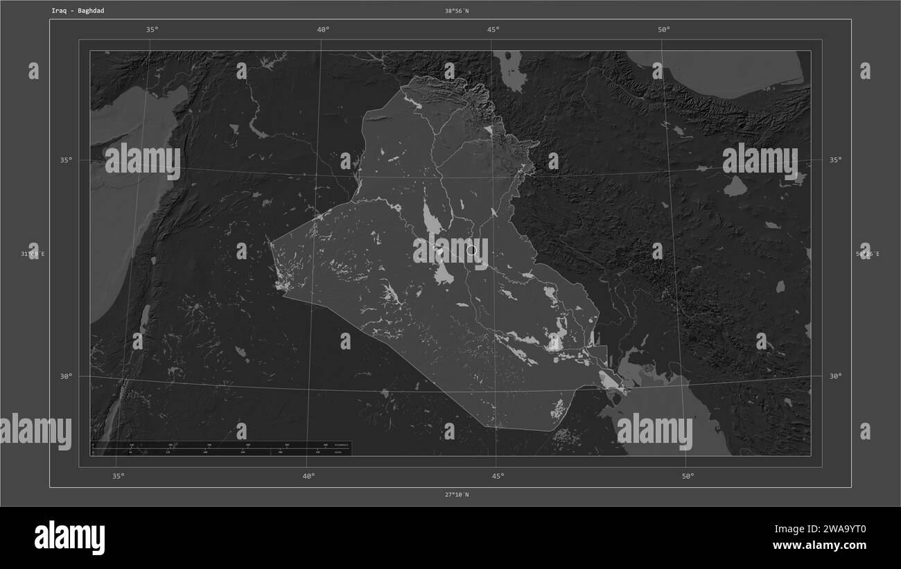 Iraq highlighted on a Bilevel elevation map with lakes and rivers map with the country's capital point, cartographic grid, distance scale and map bord Stock Photohttps://www.alamy.com/image-license-details/?v=1https://www.alamy.com/iraq-highlighted-on-a-bilevel-elevation-map-with-lakes-and-rivers-map-with-the-countrys-capital-point-cartographic-grid-distance-scale-and-map-bord-image591518480.html
RF2WA9YT0–Iraq highlighted on a Bilevel elevation map with lakes and rivers map with the country's capital point, cartographic grid, distance scale and map bord
RF2WME9WD–Iraq country simplified map. Grey stylish smooth map. Vector icons isolated on white background.
 An-Najaf, province of Iraq. Grayscale elevation map with lakes and rivers Stock Photohttps://www.alamy.com/image-license-details/?v=1https://www.alamy.com/an-najaf-province-of-iraq-grayscale-elevation-map-with-lakes-and-rivers-image485452489.html
RF2K5P7GW–An-Najaf, province of Iraq. Grayscale elevation map with lakes and rivers
 Stencil map of Republic of Iraq. Simple and minimal transparent map of Republic of Iraq. Black rectangle with cut shape of the country. Neat vector il Stock Vectorhttps://www.alamy.com/image-license-details/?v=1https://www.alamy.com/stencil-map-of-republic-of-iraq-simple-and-minimal-transparent-map-of-republic-of-iraq-black-rectangle-with-cut-shape-of-the-country-neat-vector-il-image556874621.html
RF2R9YR79–Stencil map of Republic of Iraq. Simple and minimal transparent map of Republic of Iraq. Black rectangle with cut shape of the country. Neat vector il
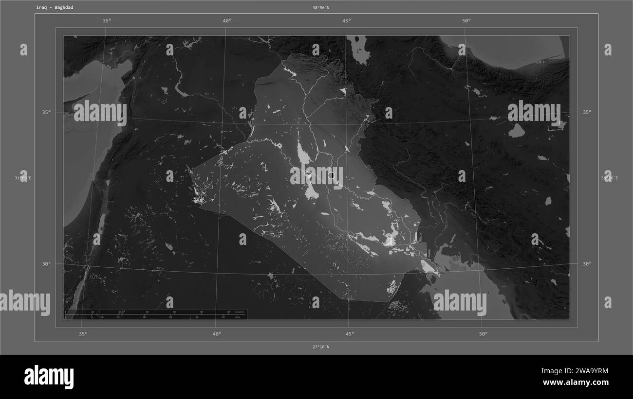 Iraq highlighted on a Grayscale elevation map with lakes and rivers map with the country's capital point, cartographic grid, distance scale and map bo Stock Photohttps://www.alamy.com/image-license-details/?v=1https://www.alamy.com/iraq-highlighted-on-a-grayscale-elevation-map-with-lakes-and-rivers-map-with-the-countrys-capital-point-cartographic-grid-distance-scale-and-map-bo-image591518472.html
RF2WA9YRM–Iraq highlighted on a Grayscale elevation map with lakes and rivers map with the country's capital point, cartographic grid, distance scale and map bo
RF2WRRAJ7–Iraq country simplified map. Black ink smooth outline contour on white background. Simple vector icon