Quick filters:
Balbalán Stock Photos and Images
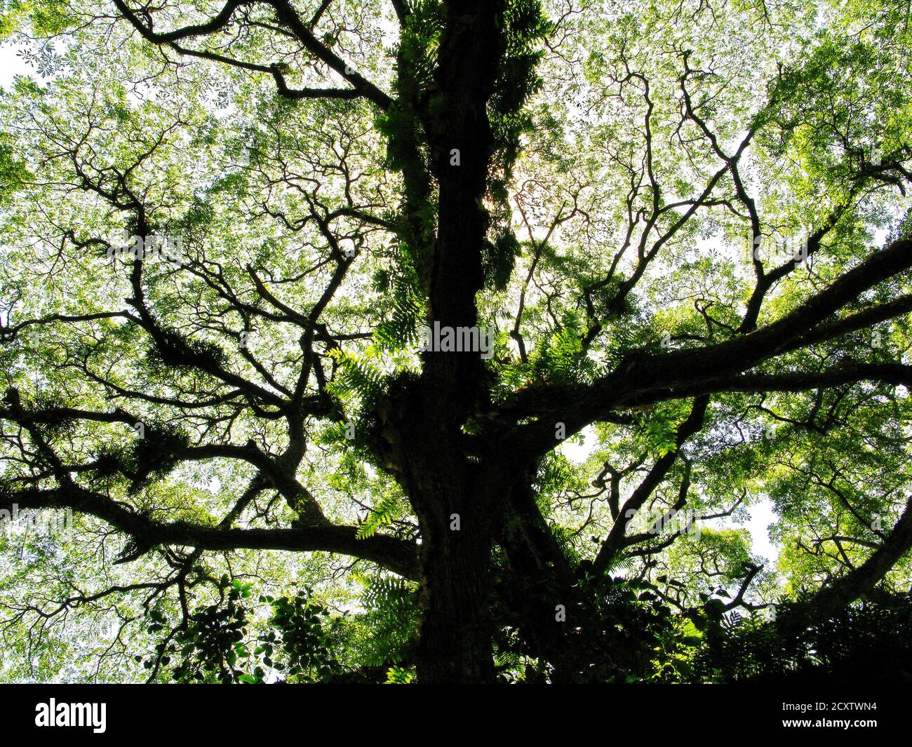 Close-up low angle view of a silhouette tree against the sky with green glowing leafs, photographed in Balbalan, Kalinga Province, Philippines Stock Photohttps://www.alamy.com/image-license-details/?v=1https://www.alamy.com/close-up-low-angle-view-of-a-silhouette-tree-against-the-sky-with-green-glowing-leafs-photographed-in-balbalan-kalinga-province-philippines-image377945824.html
RF2CXTWN4–Close-up low angle view of a silhouette tree against the sky with green glowing leafs, photographed in Balbalan, Kalinga Province, Philippines
 WPA poster art of rice terraces in Balbalasang-Balbalan National Park or Mount Balbalasang located in Balbalan, Kalinga in the Cordillera Administrati Stock Photohttps://www.alamy.com/image-license-details/?v=1https://www.alamy.com/wpa-poster-art-of-rice-terraces-in-balbalasang-balbalan-national-park-or-mount-balbalasang-located-in-balbalan-kalinga-in-the-cordillera-administrati-image555282693.html
RF2R7B8MN–WPA poster art of rice terraces in Balbalasang-Balbalan National Park or Mount Balbalasang located in Balbalan, Kalinga in the Cordillera Administrati
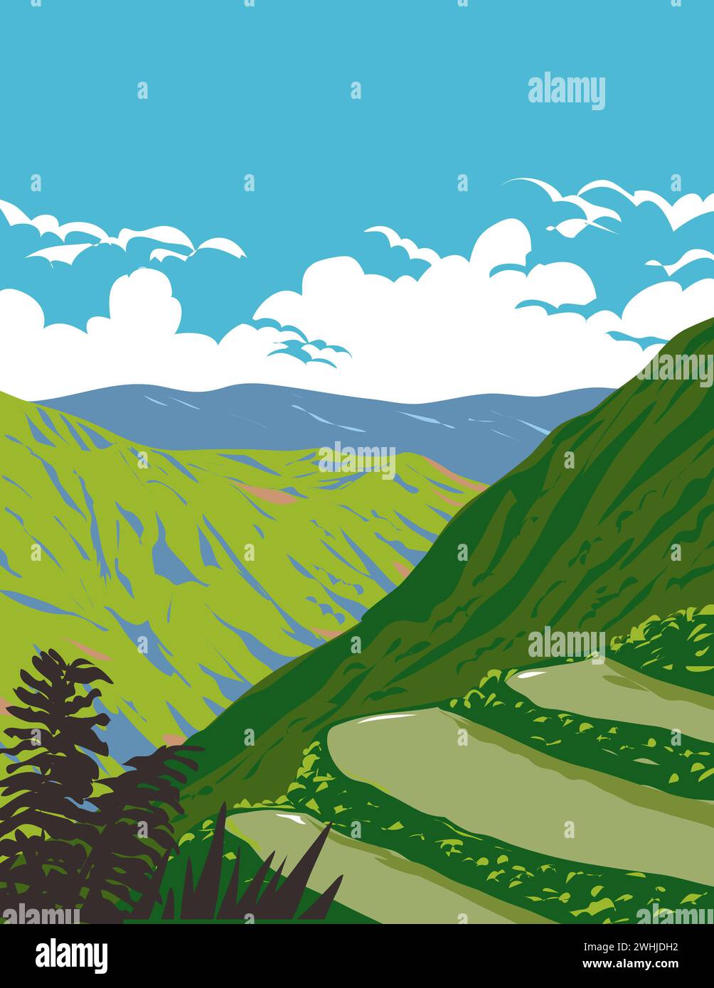 Balbalasang-Balbalan National Park in Cordillera Administrative Region Luzon Philippines WPA Art Deco Poster Stock Photohttps://www.alamy.com/image-license-details/?v=1https://www.alamy.com/balbalasang-balbalan-national-park-in-cordillera-administrative-region-luzon-philippines-wpa-art-deco-poster-image596007470.html
RF2WHJDH2–Balbalasang-Balbalan National Park in Cordillera Administrative Region Luzon Philippines WPA Art Deco Poster
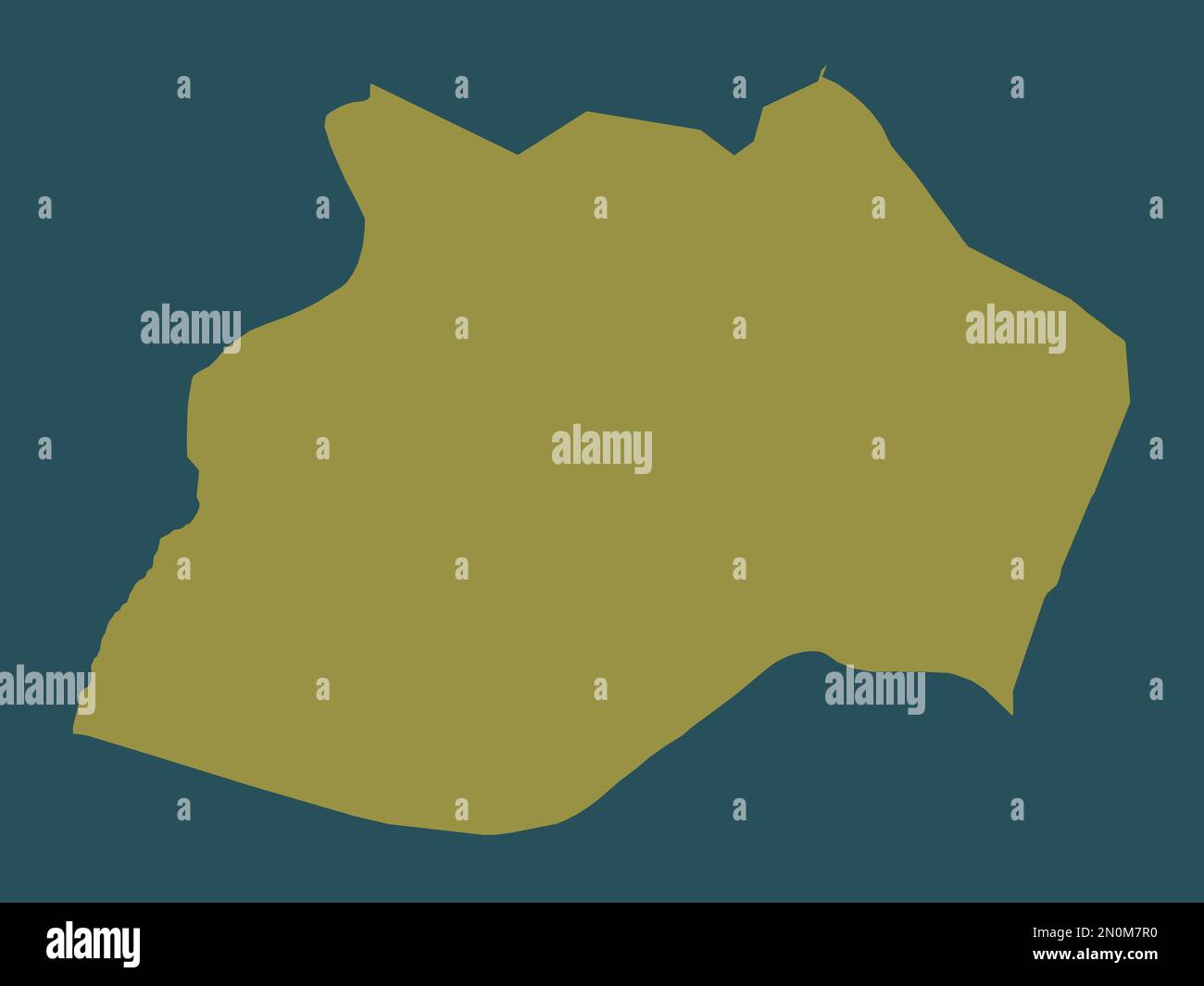 Kalinga, province of Philippines. Solid color shape Stock Photohttps://www.alamy.com/image-license-details/?v=1https://www.alamy.com/kalinga-province-of-philippines-solid-color-shape-image516756212.html
RF2N0M7R0–Kalinga, province of Philippines. Solid color shape
 WPA poster art of rice terraces in Balbalasang-Balbalan National Park or Mount Balbalasang located in Balbalan, Kalinga in the Cordillera Administrati Stock Vectorhttps://www.alamy.com/image-license-details/?v=1https://www.alamy.com/wpa-poster-art-of-rice-terraces-in-balbalasang-balbalan-national-park-or-mount-balbalasang-located-in-balbalan-kalinga-in-the-cordillera-administrati-image607244999.html
RF2X7XB5B–WPA poster art of rice terraces in Balbalasang-Balbalan National Park or Mount Balbalasang located in Balbalan, Kalinga in the Cordillera Administrati
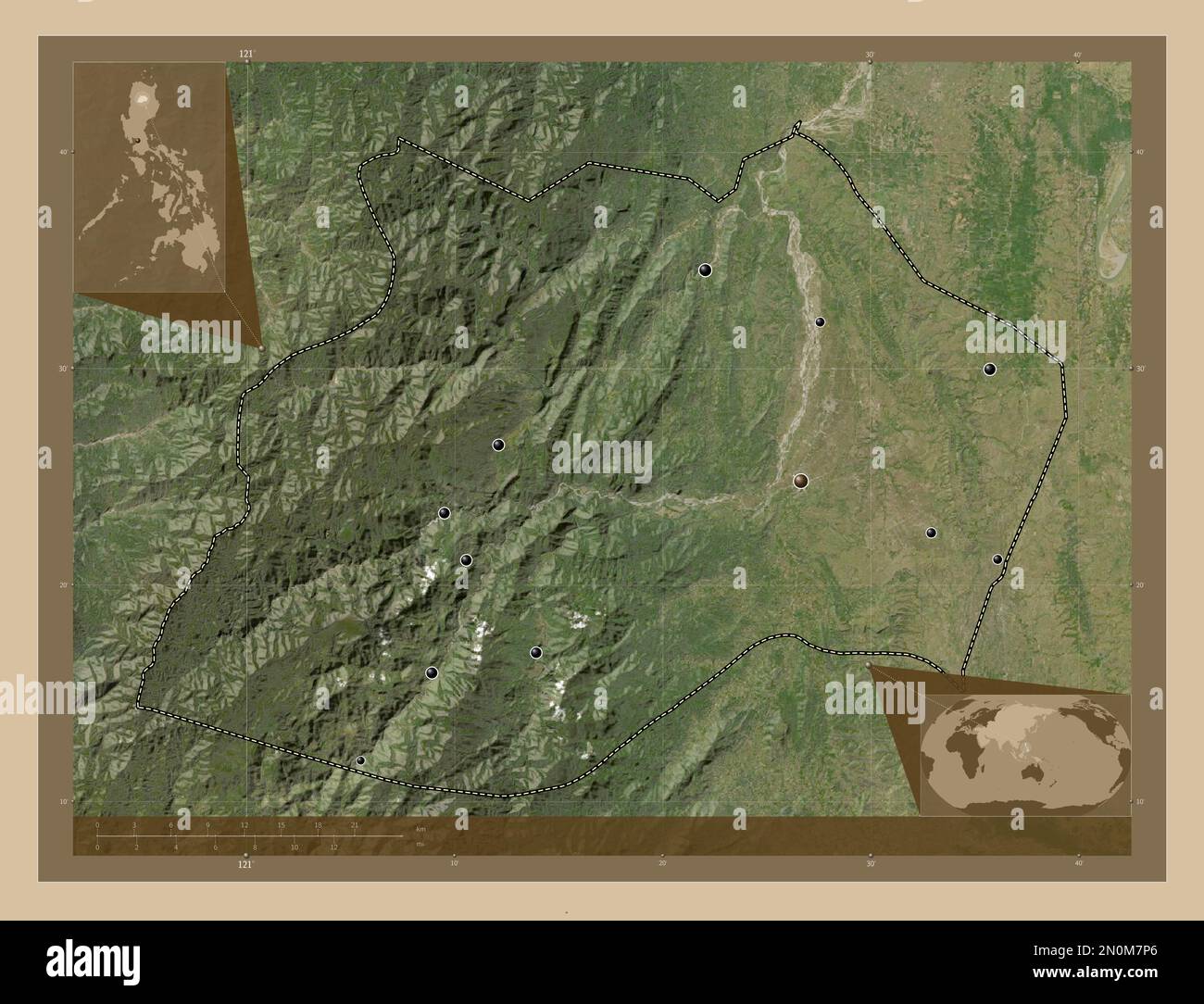 Kalinga, province of Philippines. Low resolution satellite map. Locations of major cities of the region. Corner auxiliary location maps Stock Photohttps://www.alamy.com/image-license-details/?v=1https://www.alamy.com/kalinga-province-of-philippines-low-resolution-satellite-map-locations-of-major-cities-of-the-region-corner-auxiliary-location-maps-image516756190.html
RF2N0M7P6–Kalinga, province of Philippines. Low resolution satellite map. Locations of major cities of the region. Corner auxiliary location maps
 Kalinga, province of Philippines. Elevation map colored in sepia tones with lakes and rivers. Locations of major cities of the region. Corner auxiliar Stock Photohttps://www.alamy.com/image-license-details/?v=1https://www.alamy.com/kalinga-province-of-philippines-elevation-map-colored-in-sepia-tones-with-lakes-and-rivers-locations-of-major-cities-of-the-region-corner-auxiliar-image516756775.html
RF2N0M8F3–Kalinga, province of Philippines. Elevation map colored in sepia tones with lakes and rivers. Locations of major cities of the region. Corner auxiliar
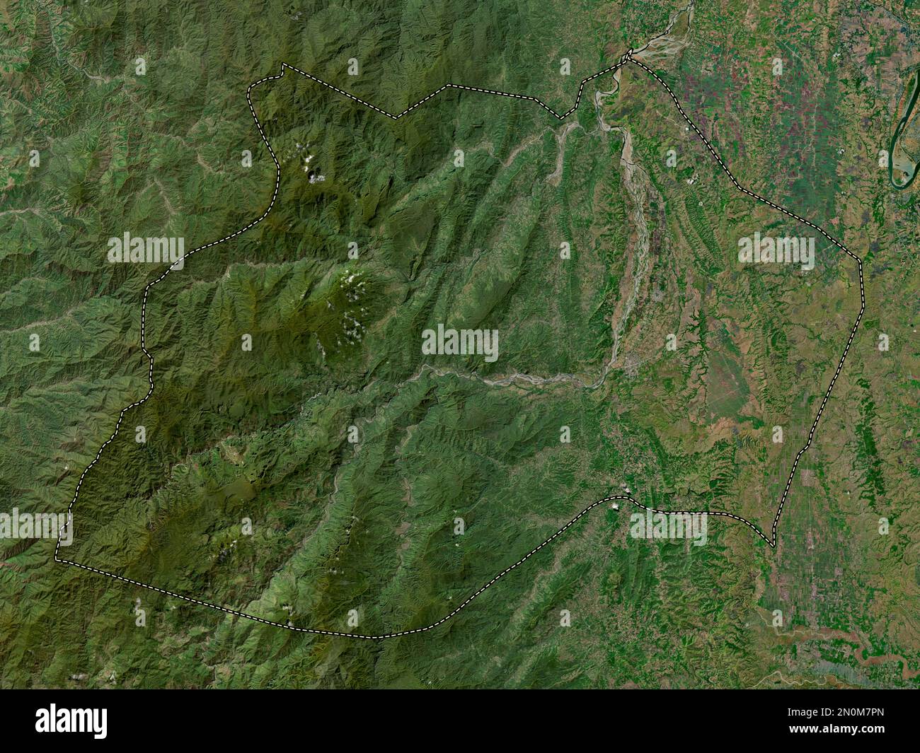 Kalinga, province of Philippines. High resolution satellite map Stock Photohttps://www.alamy.com/image-license-details/?v=1https://www.alamy.com/kalinga-province-of-philippines-high-resolution-satellite-map-image516756205.html
RF2N0M7PN–Kalinga, province of Philippines. High resolution satellite map
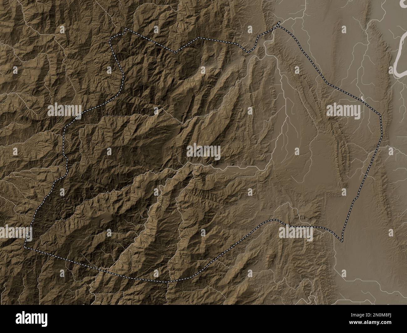 Kalinga, province of Philippines. Elevation map colored in sepia tones with lakes and rivers Stock Photohttps://www.alamy.com/image-license-details/?v=1https://www.alamy.com/kalinga-province-of-philippines-elevation-map-colored-in-sepia-tones-with-lakes-and-rivers-image516756790.html
RF2N0M8FJ–Kalinga, province of Philippines. Elevation map colored in sepia tones with lakes and rivers
 Kalinga, province of Philippines. Open Street Map. Locations and names of major cities of the region. Corner auxiliary location maps Stock Photohttps://www.alamy.com/image-license-details/?v=1https://www.alamy.com/kalinga-province-of-philippines-open-street-map-locations-and-names-of-major-cities-of-the-region-corner-auxiliary-location-maps-image516756225.html
RF2N0M7RD–Kalinga, province of Philippines. Open Street Map. Locations and names of major cities of the region. Corner auxiliary location maps
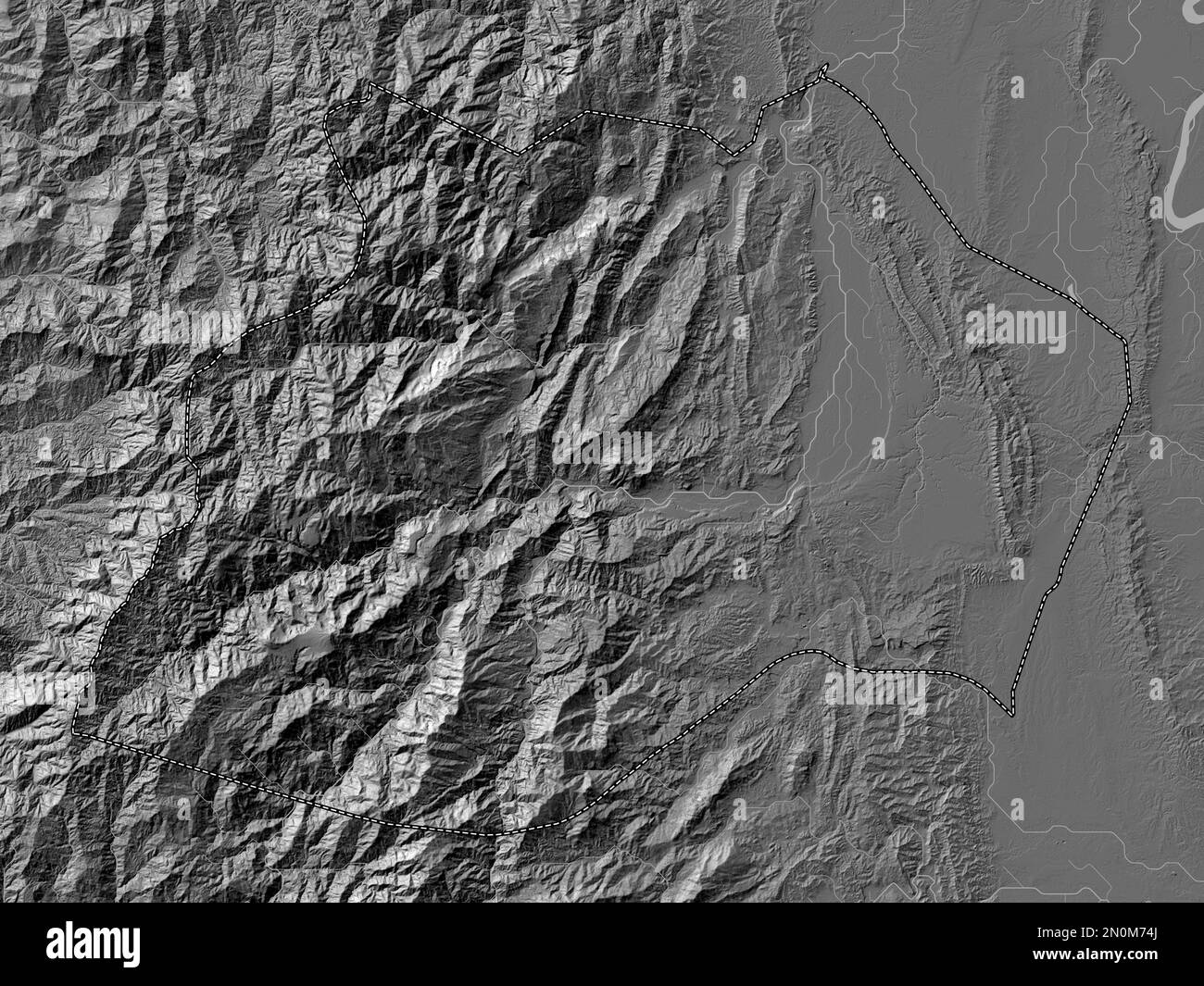 Kalinga, province of Philippines. Bilevel elevation map with lakes and rivers Stock Photohttps://www.alamy.com/image-license-details/?v=1https://www.alamy.com/kalinga-province-of-philippines-bilevel-elevation-map-with-lakes-and-rivers-image516755698.html
RF2N0M74J–Kalinga, province of Philippines. Bilevel elevation map with lakes and rivers
 Kalinga, province of Philippines. Elevation map colored in wiki style with lakes and rivers. Locations of major cities of the region. Corner auxiliary Stock Photohttps://www.alamy.com/image-license-details/?v=1https://www.alamy.com/kalinga-province-of-philippines-elevation-map-colored-in-wiki-style-with-lakes-and-rivers-locations-of-major-cities-of-the-region-corner-auxiliary-image516756795.html
RF2N0M8FR–Kalinga, province of Philippines. Elevation map colored in wiki style with lakes and rivers. Locations of major cities of the region. Corner auxiliary
 Kalinga, province of Philippines. Colored elevation map with lakes and rivers. Locations and names of major cities of the region. Corner auxiliary loc Stock Photohttps://www.alamy.com/image-license-details/?v=1https://www.alamy.com/kalinga-province-of-philippines-colored-elevation-map-with-lakes-and-rivers-locations-and-names-of-major-cities-of-the-region-corner-auxiliary-loc-image516756217.html
RF2N0M7R5–Kalinga, province of Philippines. Colored elevation map with lakes and rivers. Locations and names of major cities of the region. Corner auxiliary loc
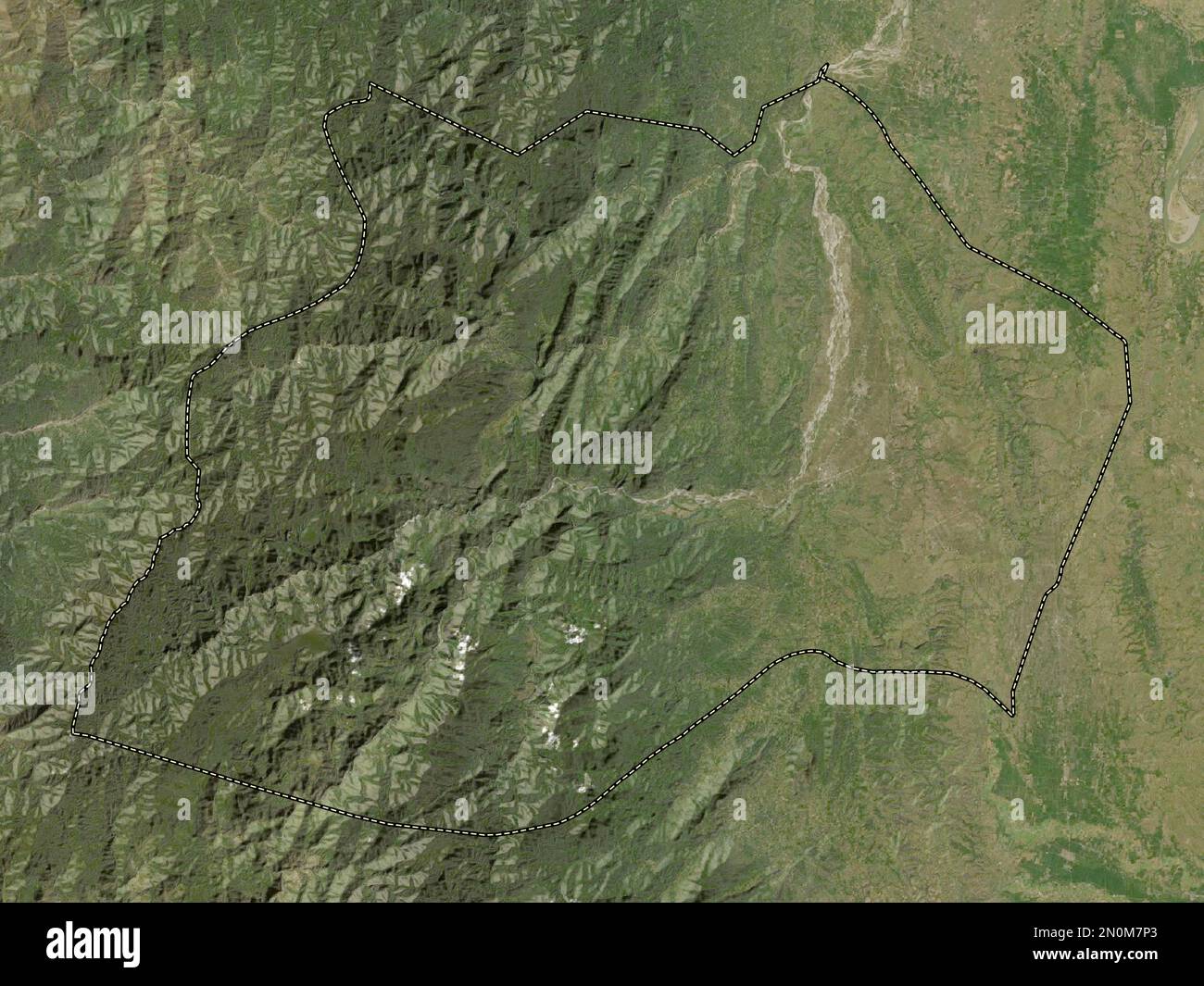 Kalinga, province of Philippines. Low resolution satellite map Stock Photohttps://www.alamy.com/image-license-details/?v=1https://www.alamy.com/kalinga-province-of-philippines-low-resolution-satellite-map-image516756187.html
RF2N0M7P3–Kalinga, province of Philippines. Low resolution satellite map
 Kalinga, province of Philippines. Grayscale elevation map with lakes and rivers. Locations and names of major cities of the region. Corner auxiliary l Stock Photohttps://www.alamy.com/image-license-details/?v=1https://www.alamy.com/kalinga-province-of-philippines-grayscale-elevation-map-with-lakes-and-rivers-locations-and-names-of-major-cities-of-the-region-corner-auxiliary-l-image516756174.html
RF2N0M7NJ–Kalinga, province of Philippines. Grayscale elevation map with lakes and rivers. Locations and names of major cities of the region. Corner auxiliary l
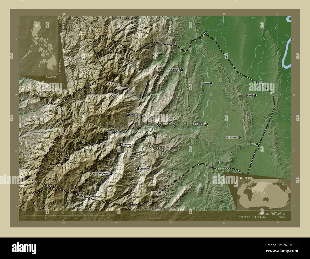 Kalinga, province of Philippines. Elevation map colored in wiki style with lakes and rivers. Locations and names of major cities of the region. Corner Stock Photohttps://www.alamy.com/image-license-details/?v=1https://www.alamy.com/kalinga-province-of-philippines-elevation-map-colored-in-wiki-style-with-lakes-and-rivers-locations-and-names-of-major-cities-of-the-region-corner-image516756796.html
RF2N0M8FT–Kalinga, province of Philippines. Elevation map colored in wiki style with lakes and rivers. Locations and names of major cities of the region. Corner
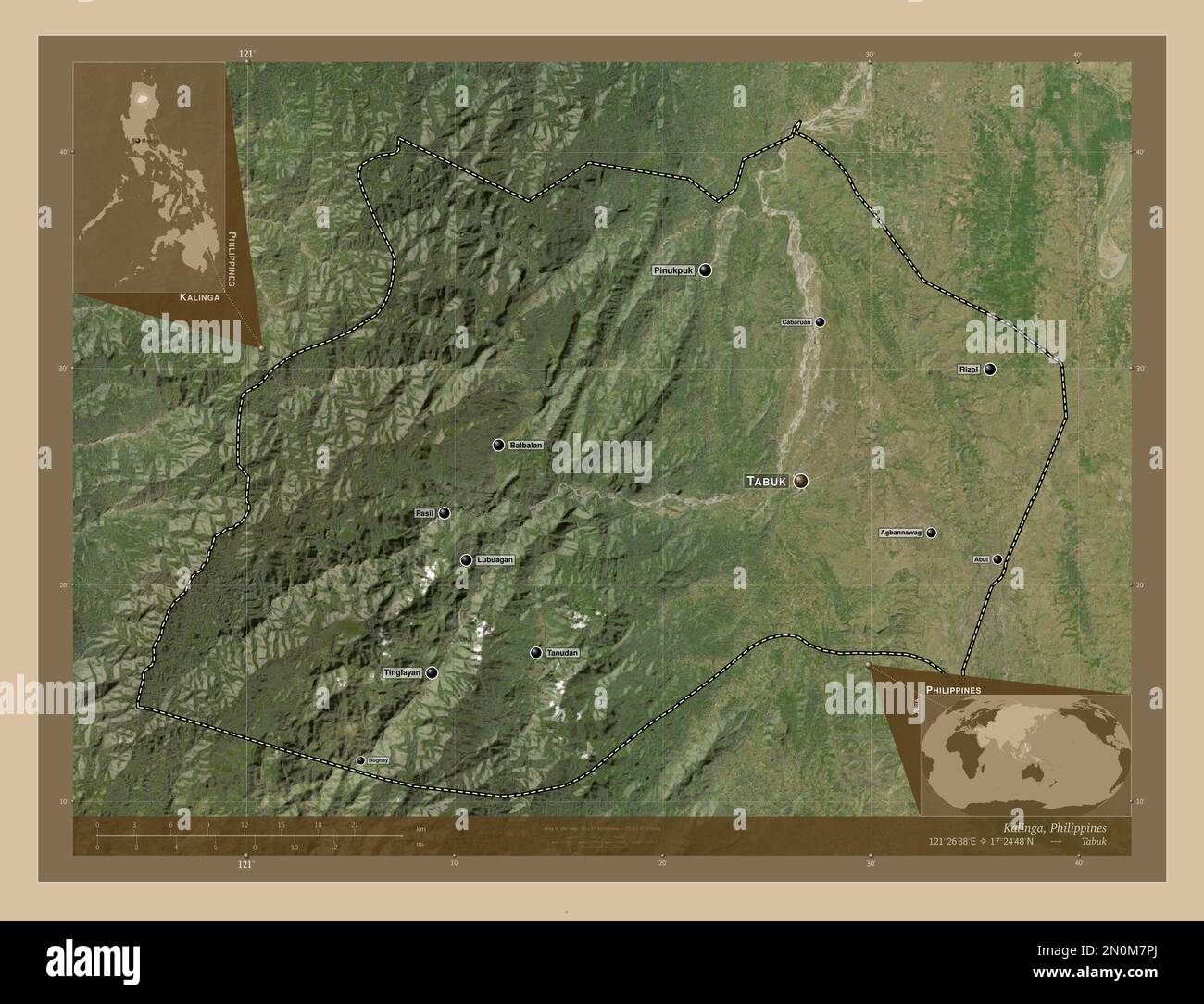 Kalinga, province of Philippines. Low resolution satellite map. Locations and names of major cities of the region. Corner auxiliary location maps Stock Photohttps://www.alamy.com/image-license-details/?v=1https://www.alamy.com/kalinga-province-of-philippines-low-resolution-satellite-map-locations-and-names-of-major-cities-of-the-region-corner-auxiliary-location-maps-image516756202.html
RF2N0M7PJ–Kalinga, province of Philippines. Low resolution satellite map. Locations and names of major cities of the region. Corner auxiliary location maps
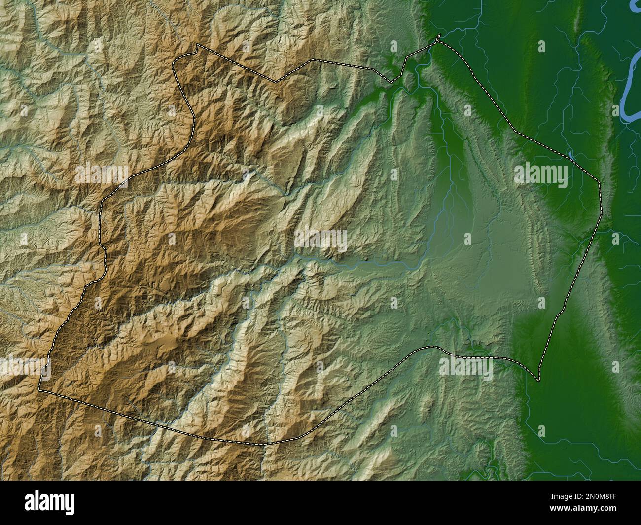 Kalinga, province of Philippines. Colored elevation map with lakes and rivers Stock Photohttps://www.alamy.com/image-license-details/?v=1https://www.alamy.com/kalinga-province-of-philippines-colored-elevation-map-with-lakes-and-rivers-image516756787.html
RF2N0M8FF–Kalinga, province of Philippines. Colored elevation map with lakes and rivers
 Kalinga, province of Philippines. Open Street Map. Locations of major cities of the region. Corner auxiliary location maps Stock Photohttps://www.alamy.com/image-license-details/?v=1https://www.alamy.com/kalinga-province-of-philippines-open-street-map-locations-of-major-cities-of-the-region-corner-auxiliary-location-maps-image516756188.html
RF2N0M7P4–Kalinga, province of Philippines. Open Street Map. Locations of major cities of the region. Corner auxiliary location maps
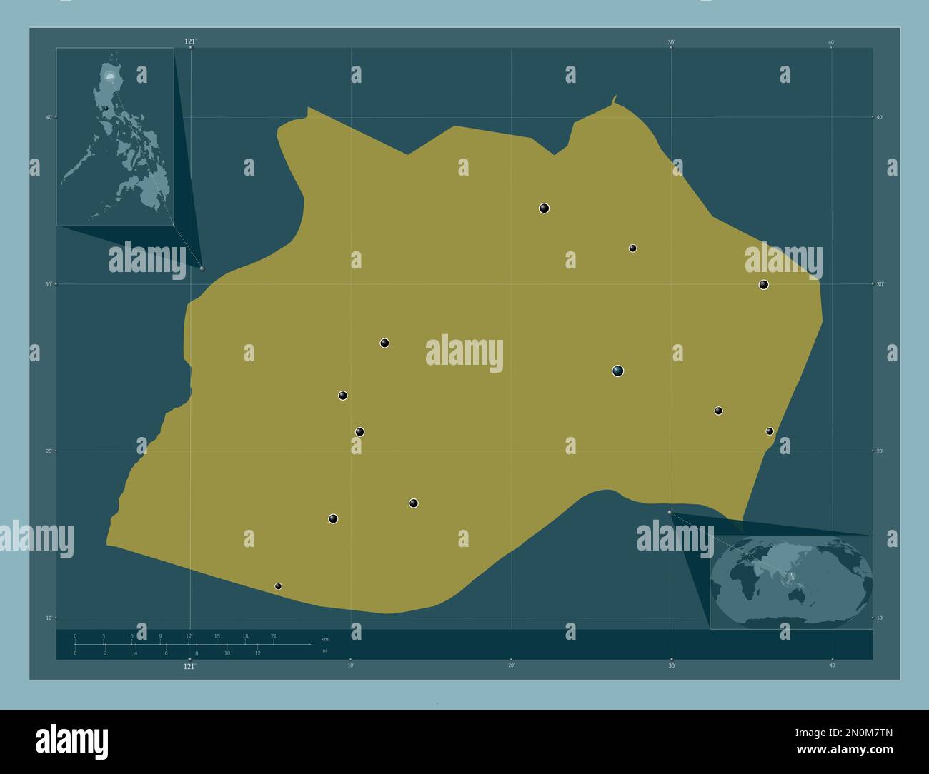 Kalinga, province of Philippines. Solid color shape. Locations of major cities of the region. Corner auxiliary location maps Stock Photohttps://www.alamy.com/image-license-details/?v=1https://www.alamy.com/kalinga-province-of-philippines-solid-color-shape-locations-of-major-cities-of-the-region-corner-auxiliary-location-maps-image516756261.html
RF2N0M7TN–Kalinga, province of Philippines. Solid color shape. Locations of major cities of the region. Corner auxiliary location maps
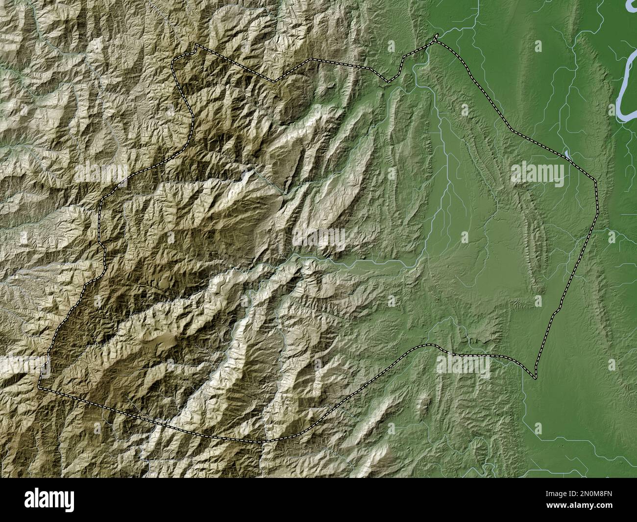 Kalinga, province of Philippines. Elevation map colored in wiki style with lakes and rivers Stock Photohttps://www.alamy.com/image-license-details/?v=1https://www.alamy.com/kalinga-province-of-philippines-elevation-map-colored-in-wiki-style-with-lakes-and-rivers-image516756793.html
RF2N0M8FN–Kalinga, province of Philippines. Elevation map colored in wiki style with lakes and rivers
 Kalinga, province of Philippines. Bilevel elevation map with lakes and rivers. Locations and names of major cities of the region. Corner auxiliary loc Stock Photohttps://www.alamy.com/image-license-details/?v=1https://www.alamy.com/kalinga-province-of-philippines-bilevel-elevation-map-with-lakes-and-rivers-locations-and-names-of-major-cities-of-the-region-corner-auxiliary-loc-image516756177.html
RF2N0M7NN–Kalinga, province of Philippines. Bilevel elevation map with lakes and rivers. Locations and names of major cities of the region. Corner auxiliary loc
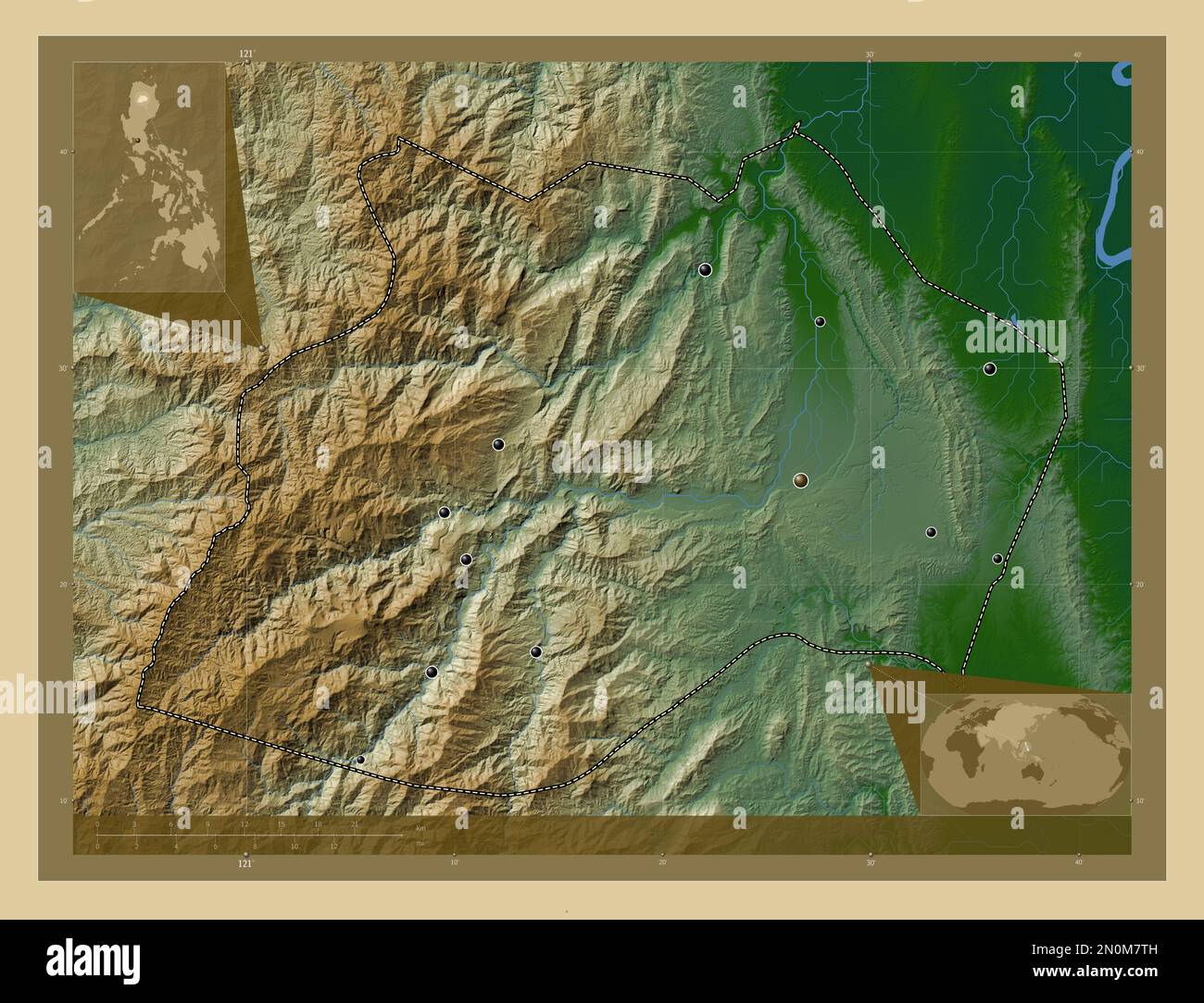 Kalinga, province of Philippines. Colored elevation map with lakes and rivers. Locations of major cities of the region. Corner auxiliary location maps Stock Photohttps://www.alamy.com/image-license-details/?v=1https://www.alamy.com/kalinga-province-of-philippines-colored-elevation-map-with-lakes-and-rivers-locations-of-major-cities-of-the-region-corner-auxiliary-location-maps-image516756257.html
RF2N0M7TH–Kalinga, province of Philippines. Colored elevation map with lakes and rivers. Locations of major cities of the region. Corner auxiliary location maps
 Kalinga, province of Philippines. High resolution satellite map. Locations of major cities of the region. Corner auxiliary location maps Stock Photohttps://www.alamy.com/image-license-details/?v=1https://www.alamy.com/kalinga-province-of-philippines-high-resolution-satellite-map-locations-of-major-cities-of-the-region-corner-auxiliary-location-maps-image516756220.html
RF2N0M7R8–Kalinga, province of Philippines. High resolution satellite map. Locations of major cities of the region. Corner auxiliary location maps
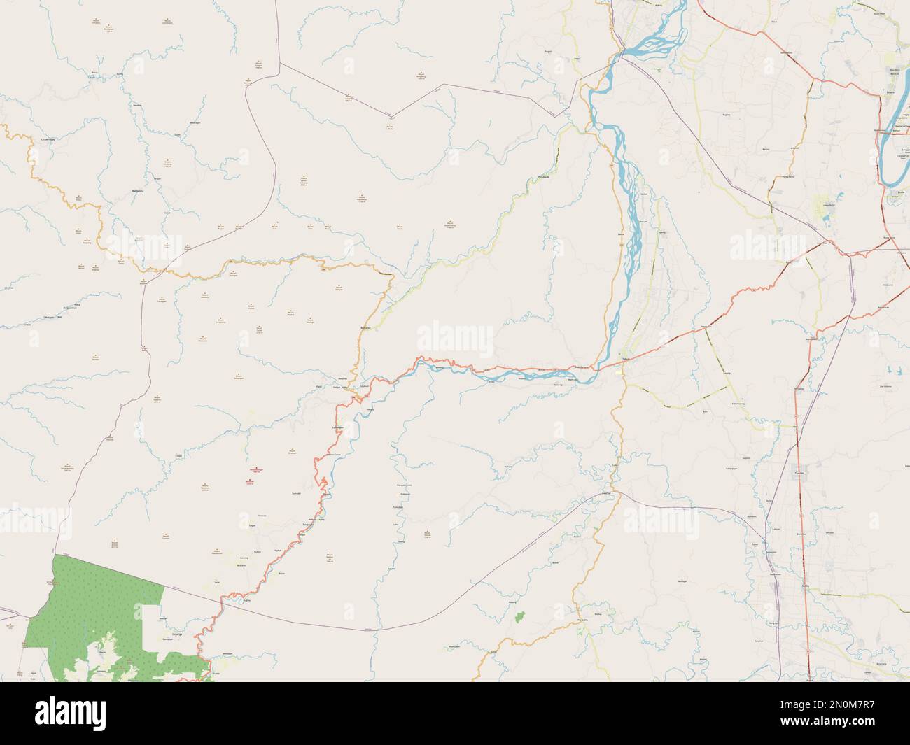 Kalinga, province of Philippines. Open Street Map Stock Photohttps://www.alamy.com/image-license-details/?v=1https://www.alamy.com/kalinga-province-of-philippines-open-street-map-image516756219.html
RF2N0M7R7–Kalinga, province of Philippines. Open Street Map
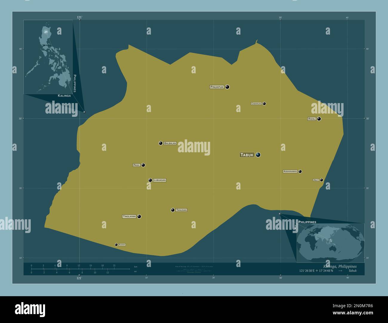 Kalinga, province of Philippines. Solid color shape. Locations and names of major cities of the region. Corner auxiliary location maps Stock Photohttps://www.alamy.com/image-license-details/?v=1https://www.alamy.com/kalinga-province-of-philippines-solid-color-shape-locations-and-names-of-major-cities-of-the-region-corner-auxiliary-location-maps-image516756218.html
RF2N0M7R6–Kalinga, province of Philippines. Solid color shape. Locations and names of major cities of the region. Corner auxiliary location maps
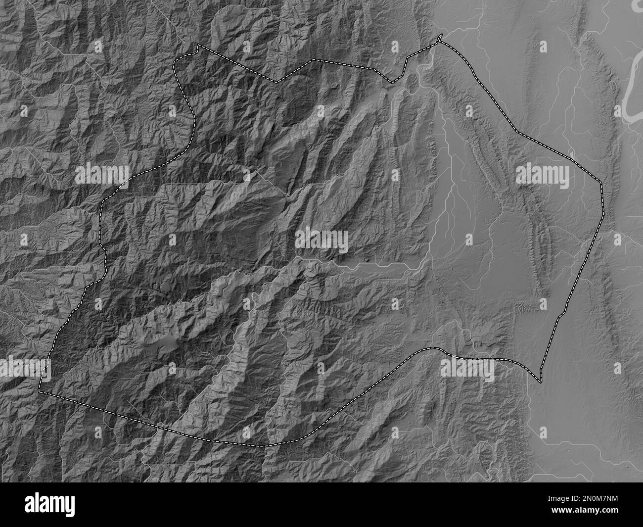 Kalinga, province of Philippines. Grayscale elevation map with lakes and rivers Stock Photohttps://www.alamy.com/image-license-details/?v=1https://www.alamy.com/kalinga-province-of-philippines-grayscale-elevation-map-with-lakes-and-rivers-image516756176.html
RF2N0M7NM–Kalinga, province of Philippines. Grayscale elevation map with lakes and rivers
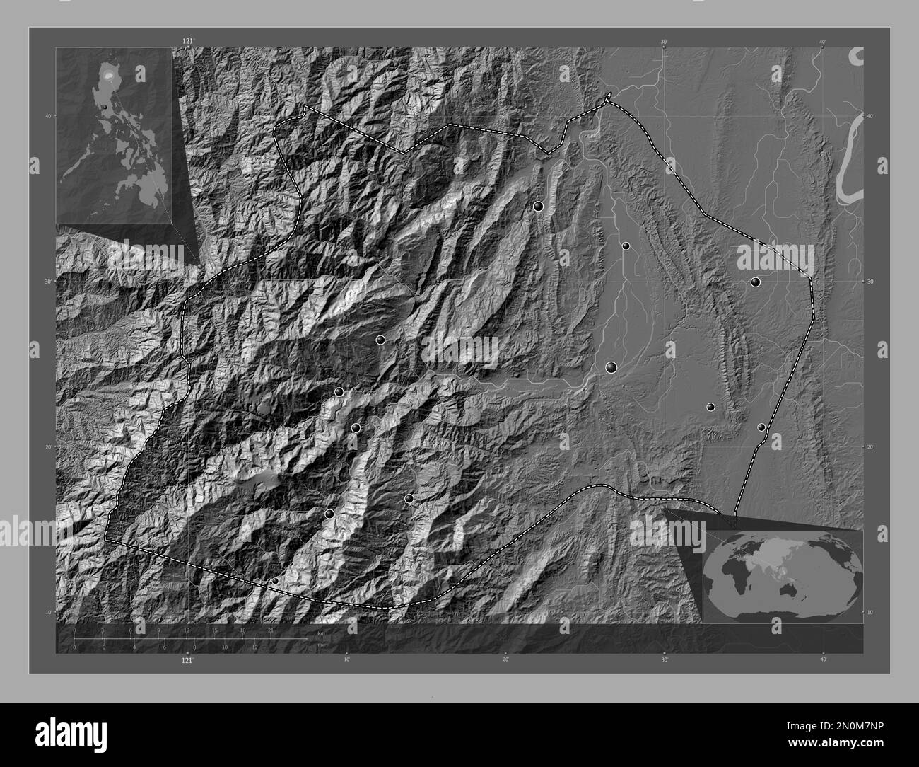 Kalinga, province of Philippines. Bilevel elevation map with lakes and rivers. Locations of major cities of the region. Corner auxiliary location maps Stock Photohttps://www.alamy.com/image-license-details/?v=1https://www.alamy.com/kalinga-province-of-philippines-bilevel-elevation-map-with-lakes-and-rivers-locations-of-major-cities-of-the-region-corner-auxiliary-location-maps-image516756178.html
RF2N0M7NP–Kalinga, province of Philippines. Bilevel elevation map with lakes and rivers. Locations of major cities of the region. Corner auxiliary location maps
 Kalinga, province of Philippines. Grayscale elevation map with lakes and rivers. Locations of major cities of the region. Corner auxiliary location ma Stock Photohttps://www.alamy.com/image-license-details/?v=1https://www.alamy.com/kalinga-province-of-philippines-grayscale-elevation-map-with-lakes-and-rivers-locations-of-major-cities-of-the-region-corner-auxiliary-location-ma-image516756169.html
RF2N0M7ND–Kalinga, province of Philippines. Grayscale elevation map with lakes and rivers. Locations of major cities of the region. Corner auxiliary location ma
 Kalinga, province of Philippines. Elevation map colored in sepia tones with lakes and rivers. Locations and names of major cities of the region. Corne Stock Photohttps://www.alamy.com/image-license-details/?v=1https://www.alamy.com/kalinga-province-of-philippines-elevation-map-colored-in-sepia-tones-with-lakes-and-rivers-locations-and-names-of-major-cities-of-the-region-corne-image516756264.html
RF2N0M7TT–Kalinga, province of Philippines. Elevation map colored in sepia tones with lakes and rivers. Locations and names of major cities of the region. Corne
 Kalinga, province of Philippines. High resolution satellite map. Locations and names of major cities of the region. Corner auxiliary location maps Stock Photohttps://www.alamy.com/image-license-details/?v=1https://www.alamy.com/kalinga-province-of-philippines-high-resolution-satellite-map-locations-and-names-of-major-cities-of-the-region-corner-auxiliary-location-maps-image516756181.html
RF2N0M7NW–Kalinga, province of Philippines. High resolution satellite map. Locations and names of major cities of the region. Corner auxiliary location maps