Quick filters:
Ballyshannon map Stock Photos and Images
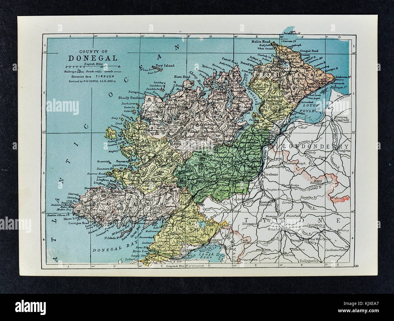 Antique Ireland Map - Donegal County - Ballyshannon Londonberry Moville Lifford Stock Photohttps://www.alamy.com/image-license-details/?v=1https://www.alamy.com/stock-image-antique-ireland-map-donegal-county-ballyshannon-londonberry-moville-166539135.html
RFKJXEA7–Antique Ireland Map - Donegal County - Ballyshannon Londonberry Moville Lifford
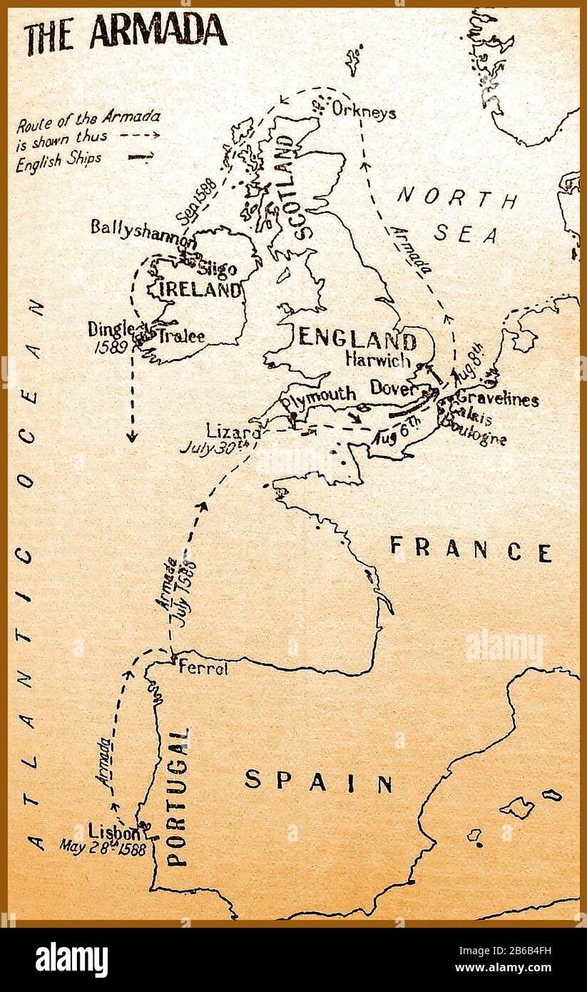 A 1933 school map showing the 16th century route of the Spanish Armada with dates of their progress Stock Photohttps://www.alamy.com/image-license-details/?v=1https://www.alamy.com/a-1933-school-map-showing-the-16th-century-route-of-the-spanish-armada-with-dates-of-their-progress-image348140341.html
RM2B6B4FH–A 1933 school map showing the 16th century route of the Spanish Armada with dates of their progress
 Church, Interior Memorial, Ballyshannon, Co Donegal 32605674145 o Stock Photohttps://www.alamy.com/image-license-details/?v=1https://www.alamy.com/stock-photo-church-interior-memorial-ballyshannon-co-donegal-32605674145-o-147097615.html
RMJF8TE7–Church, Interior Memorial, Ballyshannon, Co Donegal 32605674145 o
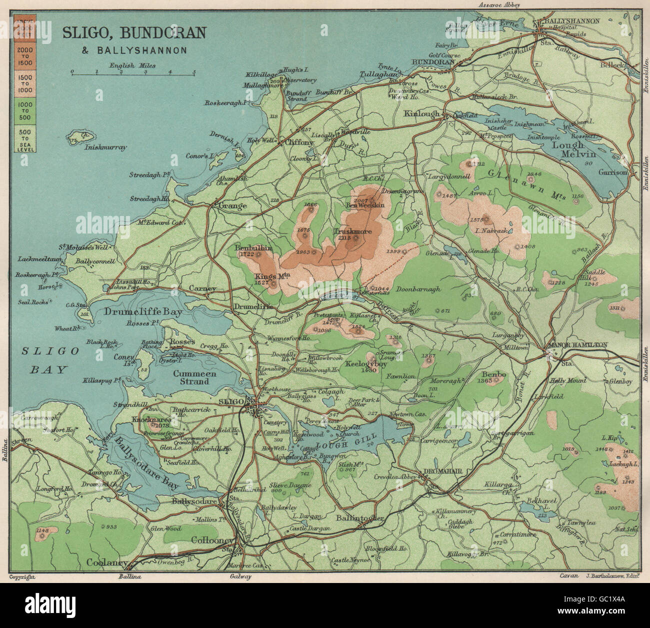 Sligo Bundoran Ballyshannon Lough Gill Ballysodare Bay Drumcliff Bay, 1902 map Stock Photohttps://www.alamy.com/image-license-details/?v=1https://www.alamy.com/stock-photo-sligo-bundoran-ballyshannon-lough-gill-ballysodare-bay-drumcliff-bay-110680538.html
RFGC1X4A–Sligo Bundoran Ballyshannon Lough Gill Ballysodare Bay Drumcliff Bay, 1902 map
 Colour drawing of the battle of Ballyshannon, 17 October 1593. . 1594. Approximately 430 × 565 mm. Source: Cotton Augustus I.ii.38. Author: THOMAS, JOHN. Stock Photohttps://www.alamy.com/image-license-details/?v=1https://www.alamy.com/colour-drawing-of-the-battle-of-ballyshannon-17-october-1593-1594-approximately-430-565-mm-source-cotton-augustus-iii38-author-thomas-john-image226923643.html
RMR557BR–Colour drawing of the battle of Ballyshannon, 17 October 1593. . 1594. Approximately 430 × 565 mm. Source: Cotton Augustus I.ii.38. Author: THOMAS, JOHN.
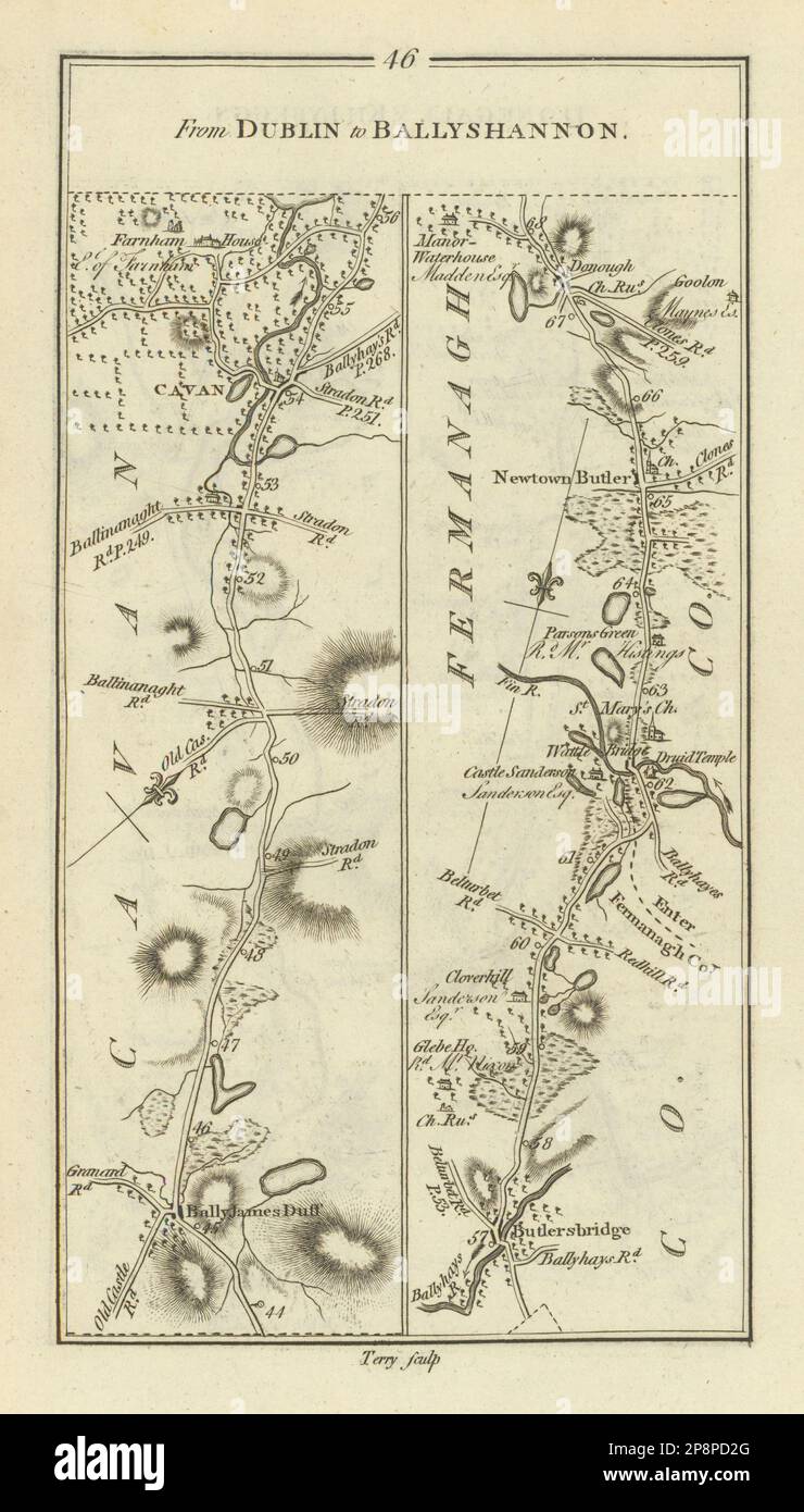 #46 Dublin to Ballyshannon. Ballyjamesduff Newtownbutler TAYLOR/SKINNER 1778 map Stock Photohttps://www.alamy.com/image-license-details/?v=1https://www.alamy.com/46-dublin-to-ballyshannon-ballyjamesduff-newtownbutler-taylorskinner-1778-map-image538931864.html
RF2P8PD2G–#46 Dublin to Ballyshannon. Ballyjamesduff Newtownbutler TAYLOR/SKINNER 1778 map
 Ballyshannon, Donegal, Ireland, Ulster, N 54 30' 0'', W 8 10' 59'', map, Timeless Map published in 2021. Travelers, explorers and adventurers like Florence Nightingale, David Livingstone, Ernest Shackleton, Lewis and Clark and Sherlock Holmes relied on maps to plan travels to the world's most remote corners, Timeless Maps is mapping most locations on the globe, showing the achievement of great dreams Stock Photohttps://www.alamy.com/image-license-details/?v=1https://www.alamy.com/ballyshannon-donegal-ireland-ulster-n-54-30-0-w-8-10-59-map-timeless-map-published-in-2021-travelers-explorers-and-adventurers-like-florence-nightingale-david-livingstone-ernest-shackleton-lewis-and-clark-and-sherlock-holmes-relied-on-maps-to-plan-travels-to-the-worlds-most-remote-corners-timeless-maps-is-mapping-most-locations-on-the-globe-showing-the-achievement-of-great-dreams-image445326884.html
RM2GTEAYG–Ballyshannon, Donegal, Ireland, Ulster, N 54 30' 0'', W 8 10' 59'', map, Timeless Map published in 2021. Travelers, explorers and adventurers like Florence Nightingale, David Livingstone, Ernest Shackleton, Lewis and Clark and Sherlock Holmes relied on maps to plan travels to the world's most remote corners, Timeless Maps is mapping most locations on the globe, showing the achievement of great dreams
 Picturesque Donegal: its mountains, rivers, and lakesBeing the Great Northern Railway (Ireland) Company's illustrated guide to the sporting and touring grounds of the north of Ireland . : Ballyshannon Fish-pass at Belleek The Estuary of the Erne ... At Bundoran ... Fairy Bridges : Bundoran ... Bundoran : looking South Bundoran : G.N.Rly. Hotel and Golf Links in the distance Rougey Bay : Bundoran Face Page 136 Page 137 ,, 139 ,, 141 ,, 143 ,, 145 ,, 147 ,, 149 Maps. Key Map Front The River Foyle Lough Swilly Portsalon Golf Links The River Lennon ... Mulroy Bay ... Rosapenna Golf Links Sheephave Stock Photohttps://www.alamy.com/image-license-details/?v=1https://www.alamy.com/picturesque-donegal-its-mountains-rivers-and-lakesbeing-the-great-northern-railway-ireland-companys-illustrated-guide-to-the-sporting-and-touring-grounds-of-the-north-of-ireland-ballyshannon-fish-pass-at-belleek-the-estuary-of-the-erne-at-bundoran-fairy-bridges-bundoran-bundoran-looking-south-bundoran-gnrly-hotel-and-golf-links-in-the-distance-rougey-bay-bundoran-face-page-136-page-137-139-141-143-145-147-149-maps-key-map-front-the-river-foyle-lough-swilly-portsalon-golf-links-the-river-lennon-mulroy-bay-rosapenna-golf-links-sheephave-image340283436.html
RM2ANH6YT–Picturesque Donegal: its mountains, rivers, and lakesBeing the Great Northern Railway (Ireland) Company's illustrated guide to the sporting and touring grounds of the north of Ireland . : Ballyshannon Fish-pass at Belleek The Estuary of the Erne ... At Bundoran ... Fairy Bridges : Bundoran ... Bundoran : looking South Bundoran : G.N.Rly. Hotel and Golf Links in the distance Rougey Bay : Bundoran Face Page 136 Page 137 ,, 139 ,, 141 ,, 143 ,, 145 ,, 147 ,, 149 Maps. Key Map Front The River Foyle Lough Swilly Portsalon Golf Links The River Lennon ... Mulroy Bay ... Rosapenna Golf Links Sheephave
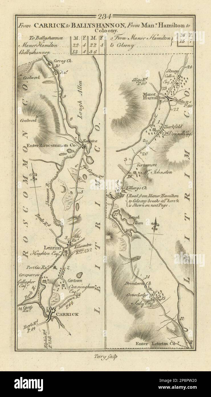 #234 Carrick to Ballyshannon. Manorhamilton to Coloony. TAYLOR/SKINNER 1778 map Stock Photohttps://www.alamy.com/image-license-details/?v=1https://www.alamy.com/234-carrick-to-ballyshannon-manorhamilton-to-coloony-taylorskinner-1778-map-image538941256.html
RF2P8PW20–#234 Carrick to Ballyshannon. Manorhamilton to Coloony. TAYLOR/SKINNER 1778 map
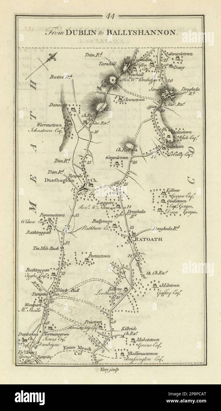 #44 Dublin - Ballyshannon. Ratoath Dunshaughlin Dunboyne TAYLOR/SKINNER 1778 map Stock Photohttps://www.alamy.com/image-license-details/?v=1https://www.alamy.com/44-dublin-ballyshannon-ratoath-dunshaughlin-dunboyne-taylorskinner-1778-map-image538931312.html
RF2P8PCAT–#44 Dublin - Ballyshannon. Ratoath Dunshaughlin Dunboyne TAYLOR/SKINNER 1778 map
 #48 Dublin to Ballyshannon. Donegal Belleek Ballintra. TAYLOR/SKINNER 1778 map Stock Photohttps://www.alamy.com/image-license-details/?v=1https://www.alamy.com/48-dublin-to-ballyshannon-donegal-belleek-ballintra-taylorskinner-1778-map-image538931882.html
RF2P8PD36–#48 Dublin to Ballyshannon. Donegal Belleek Ballintra. TAYLOR/SKINNER 1778 map
 #235 Ballyshannon Collooney Belleek Dromahair. TAYLOR/SKINNER 1778 old map Stock Photohttps://www.alamy.com/image-license-details/?v=1https://www.alamy.com/235-ballyshannon-collooney-belleek-dromahair-taylorskinner-1778-old-map-image538941262.html
RF2P8PW26–#235 Ballyshannon Collooney Belleek Dromahair. TAYLOR/SKINNER 1778 old map
 #226 Sligo to Ballyshannon & Londonderry. Sligo Donegal. TAYLOR/SKINNER 1778 map Stock Photohttps://www.alamy.com/image-license-details/?v=1https://www.alamy.com/226-sligo-to-ballyshannon-londonderry-sligo-donegal-taylorskinner-1778-map-image538941242.html
RF2P8PW1E–#226 Sligo to Ballyshannon & Londonderry. Sligo Donegal. TAYLOR/SKINNER 1778 map
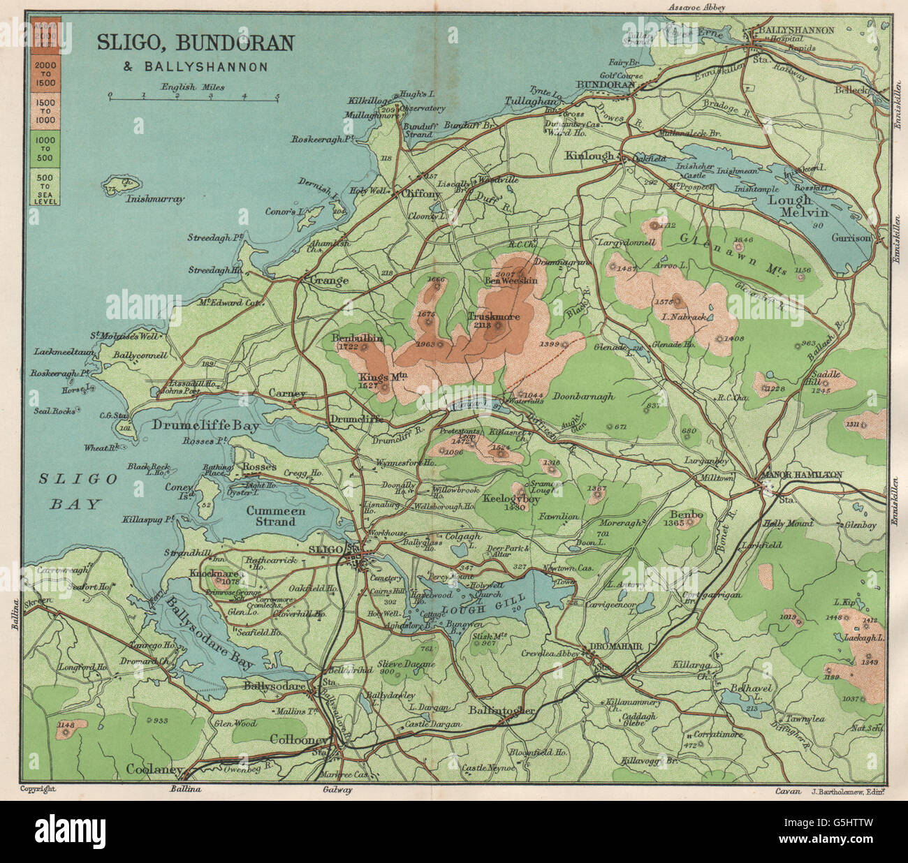 IRELAND WEST COAST. Sligo, Bundoran & Ballyshannon. Dartry Mountains, 1902 map Stock Photohttps://www.alamy.com/image-license-details/?v=1https://www.alamy.com/stock-photo-ireland-west-coast-sligo-bundoran-ballyshannon-dartry-mountains-1902-106728185.html
RFG5HTTW–IRELAND WEST COAST. Sligo, Bundoran & Ballyshannon. Dartry Mountains, 1902 map
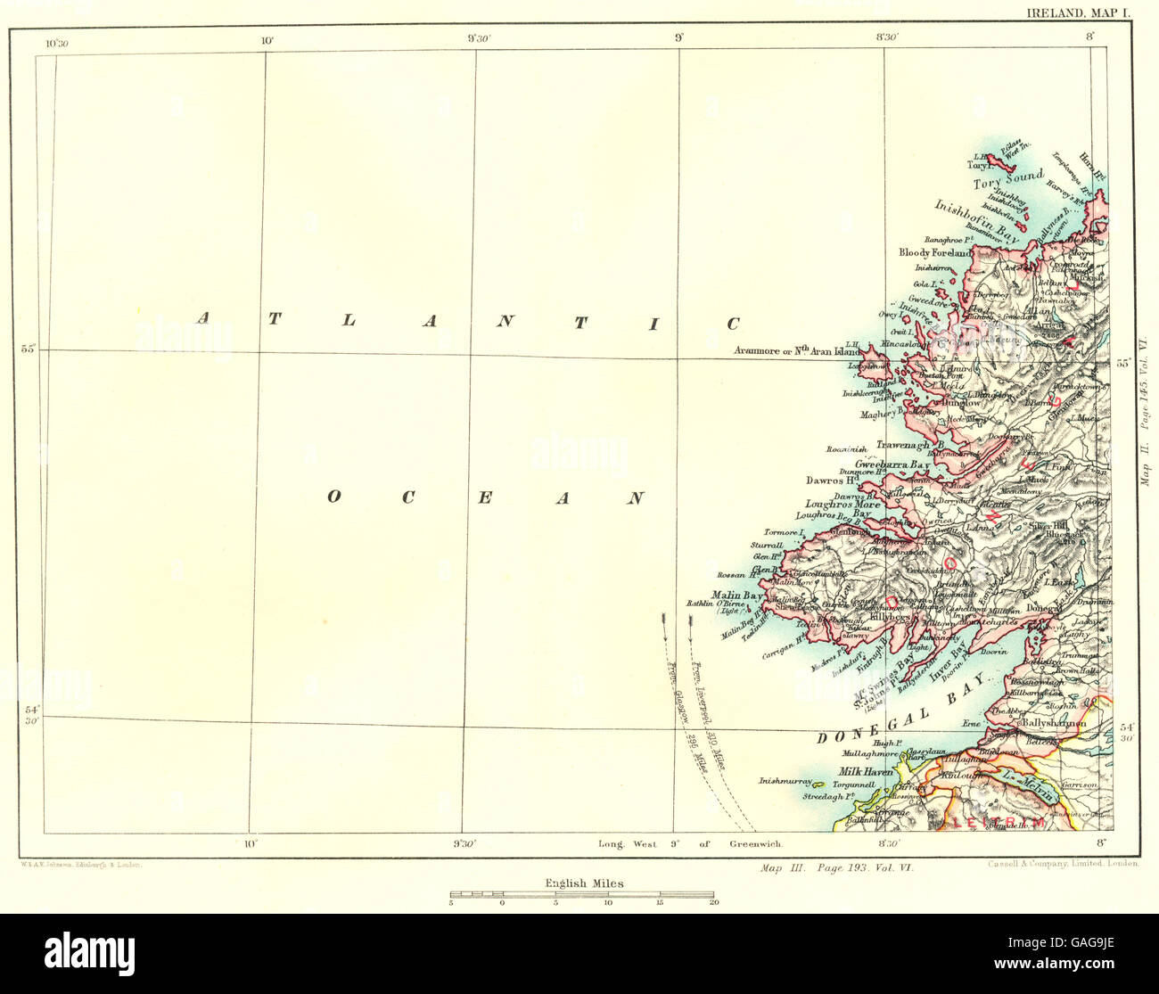 DONEGAL BAY & COAST: Killybegs Malin Ballyshannon Gweebarra Inver, 1893 map Stock Photohttps://www.alamy.com/image-license-details/?v=1https://www.alamy.com/stock-photo-donegal-bay-coast-killybegs-malin-ballyshannon-gweebarra-inver-1893-109767574.html
RFGAG9JE–DONEGAL BAY & COAST: Killybegs Malin Ballyshannon Gweebarra Inver, 1893 map
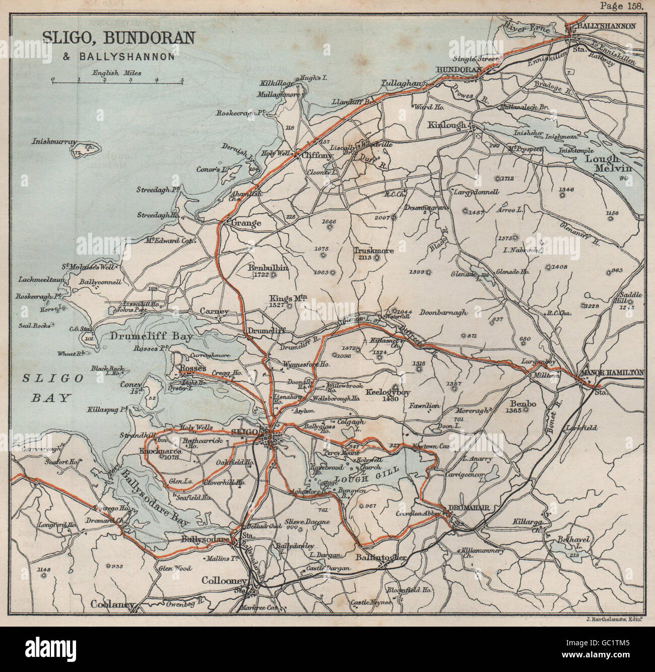 Sligo Bundoran Ballyshannon Lough Gill Ballysodare Bay Drumcliff Bay, 1887 map Stock Photohttps://www.alamy.com/image-license-details/?v=1https://www.alamy.com/stock-photo-sligo-bundoran-ballyshannon-lough-gill-ballysodare-bay-drumcliff-bay-110679413.html
RFGC1TM5–Sligo Bundoran Ballyshannon Lough Gill Ballysodare Bay Drumcliff Bay, 1887 map
 #227 to Londonderry. Donegal Ballybofey Stranorlar. TAYLOR/SKINNER 1778 map Stock Photohttps://www.alamy.com/image-license-details/?v=1https://www.alamy.com/227-to-londonderry-donegal-ballybofey-stranorlar-taylorskinner-1778-map-image538941240.html
RF2P8PW1C–#227 to Londonderry. Donegal Ballybofey Stranorlar. TAYLOR/SKINNER 1778 map
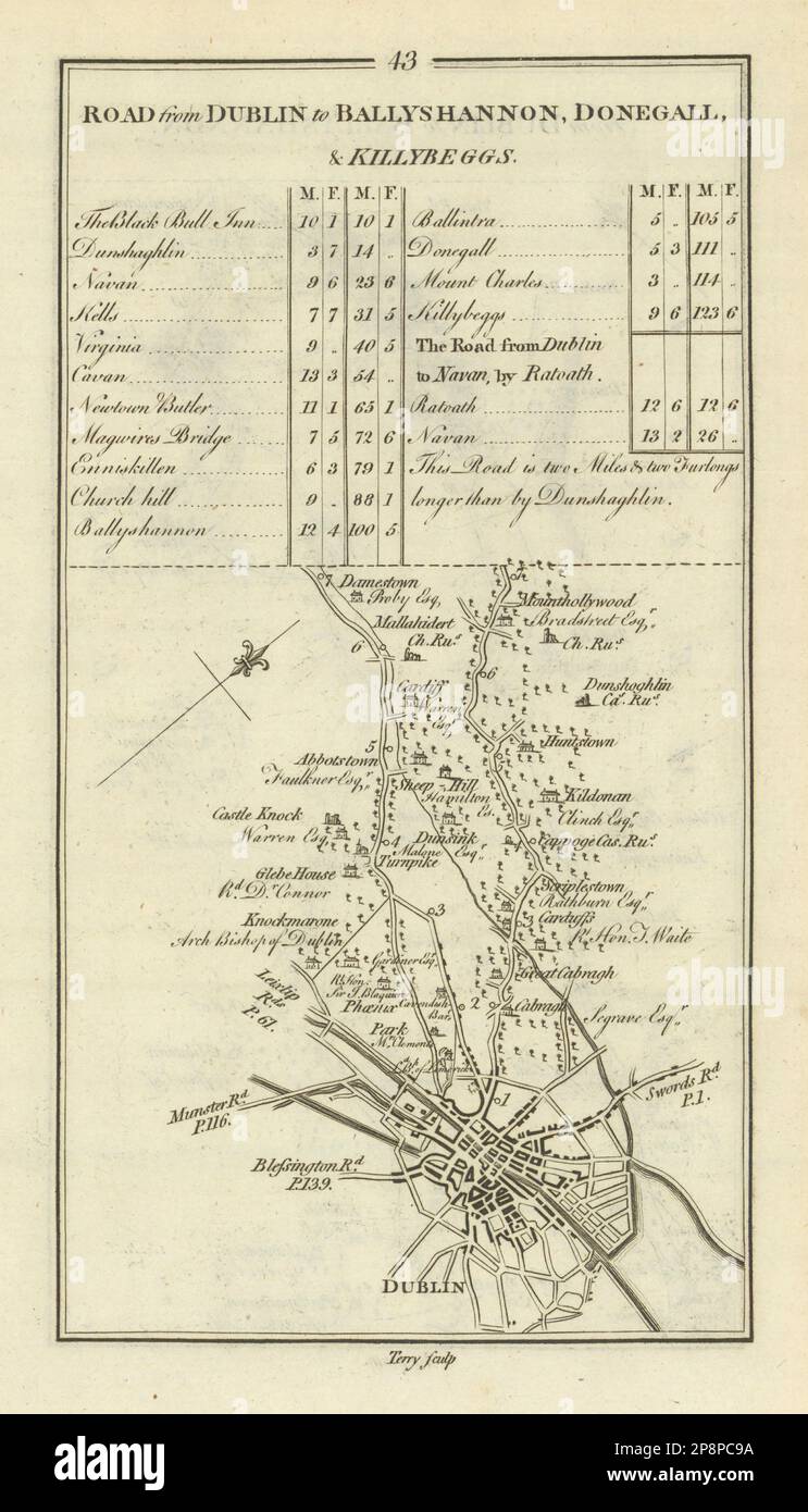 #43 Dublin to Donegal. Abbotstown Castleknock Mulhuddart TAYLOR/SKINNER 1778 map Stock Photohttps://www.alamy.com/image-license-details/?v=1https://www.alamy.com/43-dublin-to-donegal-abbotstown-castleknock-mulhuddart-taylorskinner-1778-map-image538931270.html
RF2P8PC9A–#43 Dublin to Donegal. Abbotstown Castleknock Mulhuddart TAYLOR/SKINNER 1778 map
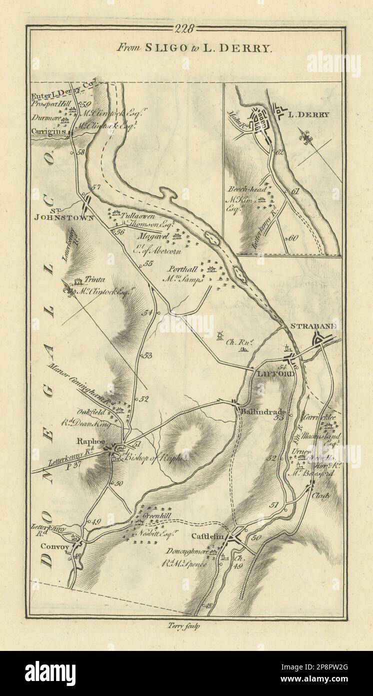 #228 Sligo to Londonderry. Strabane Lifford Convoy. TAYLOR/SKINNER 1778 map Stock Photohttps://www.alamy.com/image-license-details/?v=1https://www.alamy.com/228-sligo-to-londonderry-strabane-lifford-convoy-taylorskinner-1778-map-image538941272.html
RF2P8PW2G–#228 Sligo to Londonderry. Strabane Lifford Convoy. TAYLOR/SKINNER 1778 map
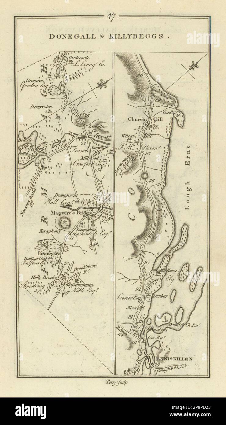 #47 Donegal & Killybegs. Maguiresbridge Enniskillen. TAYLOR/SKINNER 1778 map Stock Photohttps://www.alamy.com/image-license-details/?v=1https://www.alamy.com/47-donegal-killybegs-maguiresbridge-enniskillen-taylorskinner-1778-map-image538931851.html
RF2P8PD23–#47 Donegal & Killybegs. Maguiresbridge Enniskillen. TAYLOR/SKINNER 1778 map
 #49 Dublin to… Donegal & Killybegs. Mountcharles. TAYLOR/SKINNER 1778 old map Stock Photohttps://www.alamy.com/image-license-details/?v=1https://www.alamy.com/49-dublin-to-donegal-killybegs-mountcharles-taylorskinner-1778-old-map-image538931890.html
RF2P8PD3E–#49 Dublin to… Donegal & Killybegs. Mountcharles. TAYLOR/SKINNER 1778 old map
 #45 Dublin to Donegal… Kells Navan Virginia Meath Cavan. TAYLOR/SKINNER 1778 map Stock Photohttps://www.alamy.com/image-license-details/?v=1https://www.alamy.com/45-dublin-to-donegal-kells-navan-virginia-meath-cavan-taylorskinner-1778-map-image538931316.html
RF2P8PCB0–#45 Dublin to Donegal… Kells Navan Virginia Meath Cavan. TAYLOR/SKINNER 1778 map