Barre vermont Cut Out Stock Images
 USGS Topo Map Vermont VT Barre West 20120607 TM Restoration Stock Photohttps://www.alamy.com/image-license-details/?v=1https://www.alamy.com/usgs-topo-map-vermont-vt-barre-west-20120607-tm-restoration-image265125451.html
RMWB9E63–USGS Topo Map Vermont VT Barre West 20120607 TM Restoration
 Barre, Washington County, US, United States, Vermont, N 44 11' 49'', S 72 30' 7'', map, Cartascapes Map published in 2024. Explore Cartascapes, a map revealing Earth's diverse landscapes, cultures, and ecosystems. Journey through time and space, discovering the interconnectedness of our planet's past, present, and future. Stock Photohttps://www.alamy.com/image-license-details/?v=1https://www.alamy.com/barre-washington-county-us-united-states-vermont-n-44-11-49-s-72-30-7-map-cartascapes-map-published-in-2024-explore-cartascapes-a-map-revealing-earths-diverse-landscapes-cultures-and-ecosystems-journey-through-time-and-space-discovering-the-interconnectedness-of-our-planets-past-present-and-future-image620728145.html
RM2Y1TH29–Barre, Washington County, US, United States, Vermont, N 44 11' 49'', S 72 30' 7'', map, Cartascapes Map published in 2024. Explore Cartascapes, a map revealing Earth's diverse landscapes, cultures, and ecosystems. Journey through time and space, discovering the interconnectedness of our planet's past, present, and future.
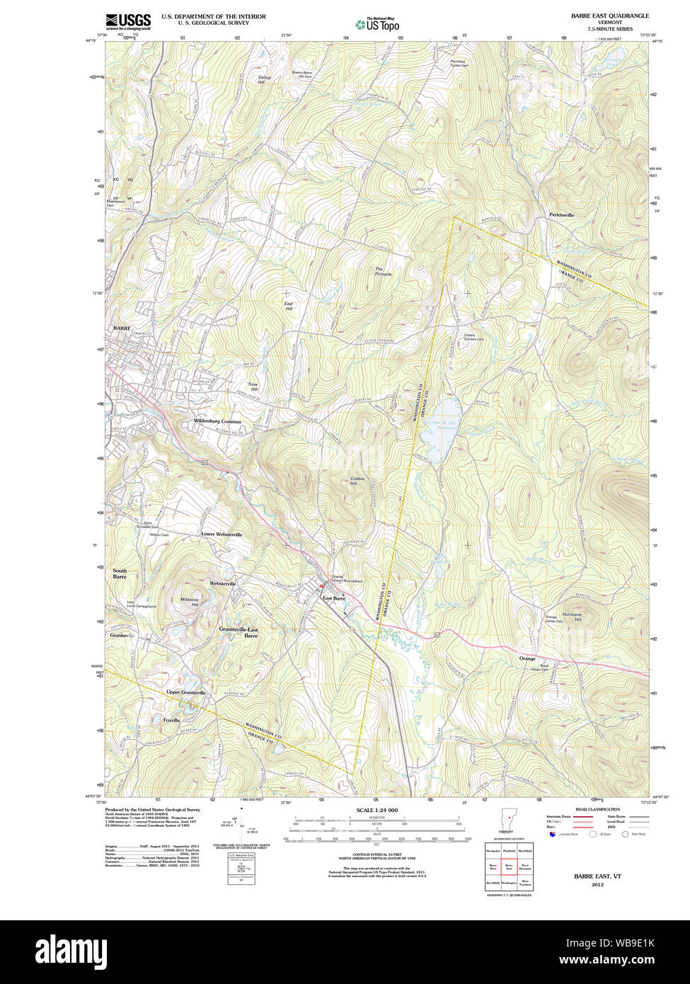 USGS Topo Map Vermont VT Barre East 20120607 TM Restoration Stock Photohttps://www.alamy.com/image-license-details/?v=1https://www.alamy.com/usgs-topo-map-vermont-vt-barre-east-20120607-tm-restoration-image265125327.html
RMWB9E1K–USGS Topo Map Vermont VT Barre East 20120607 TM Restoration
 Town of Barre, Washington County, US, United States, Vermont, N 44 11' 8'', S 72 28' 54'', map, Cartascapes Map published in 2024. Explore Cartascapes, a map revealing Earth's diverse landscapes, cultures, and ecosystems. Journey through time and space, discovering the interconnectedness of our planet's past, present, and future. Stock Photohttps://www.alamy.com/image-license-details/?v=1https://www.alamy.com/town-of-barre-washington-county-us-united-states-vermont-n-44-11-8-s-72-28-54-map-cartascapes-map-published-in-2024-explore-cartascapes-a-map-revealing-earths-diverse-landscapes-cultures-and-ecosystems-journey-through-time-and-space-discovering-the-interconnectedness-of-our-planets-past-present-and-future-image633900853.html
RM2YR8K05–Town of Barre, Washington County, US, United States, Vermont, N 44 11' 8'', S 72 28' 54'', map, Cartascapes Map published in 2024. Explore Cartascapes, a map revealing Earth's diverse landscapes, cultures, and ecosystems. Journey through time and space, discovering the interconnectedness of our planet's past, present, and future.
 USGS Topo Map Vermont VT Barre 337833 1957 62500 Restoration Stock Photohttps://www.alamy.com/image-license-details/?v=1https://www.alamy.com/usgs-topo-map-vermont-vt-barre-337833-1957-62500-restoration-image265125048.html
RMWB9DKM–USGS Topo Map Vermont VT Barre 337833 1957 62500 Restoration
 USGS Topo Map Vermont VT Barre 337831 1957 62500 Restoration Stock Photohttps://www.alamy.com/image-license-details/?v=1https://www.alamy.com/usgs-topo-map-vermont-vt-barre-337831-1957-62500-restoration-image265124991.html
RMWB9DHK–USGS Topo Map Vermont VT Barre 337831 1957 62500 Restoration
 USGS Topo Map Vermont VT East Barre 460012 1957 62500 Restoration Stock Photohttps://www.alamy.com/image-license-details/?v=1https://www.alamy.com/usgs-topo-map-vermont-vt-east-barre-460012-1957-62500-restoration-image265134663.html
RMWB9WY3–USGS Topo Map Vermont VT East Barre 460012 1957 62500 Restoration
 USGS Topo Map Vermont VT East Barre 337928 1957 62500 Restoration Stock Photohttps://www.alamy.com/image-license-details/?v=1https://www.alamy.com/usgs-topo-map-vermont-vt-east-barre-337928-1957-62500-restoration-image265134640.html
RMWB9WX8–USGS Topo Map Vermont VT East Barre 337928 1957 62500 Restoration
 South Barre, Washington County, US, United States, Vermont, N 44 10' 37'', S 72 30' 20'', map, Cartascapes Map published in 2024. Explore Cartascapes, a map revealing Earth's diverse landscapes, cultures, and ecosystems. Journey through time and space, discovering the interconnectedness of our planet's past, present, and future. Stock Photohttps://www.alamy.com/image-license-details/?v=1https://www.alamy.com/south-barre-washington-county-us-united-states-vermont-n-44-10-37-s-72-30-20-map-cartascapes-map-published-in-2024-explore-cartascapes-a-map-revealing-earths-diverse-landscapes-cultures-and-ecosystems-journey-through-time-and-space-discovering-the-interconnectedness-of-our-planets-past-present-and-future-image620864955.html
RM2Y22RGB–South Barre, Washington County, US, United States, Vermont, N 44 10' 37'', S 72 30' 20'', map, Cartascapes Map published in 2024. Explore Cartascapes, a map revealing Earth's diverse landscapes, cultures, and ecosystems. Journey through time and space, discovering the interconnectedness of our planet's past, present, and future.
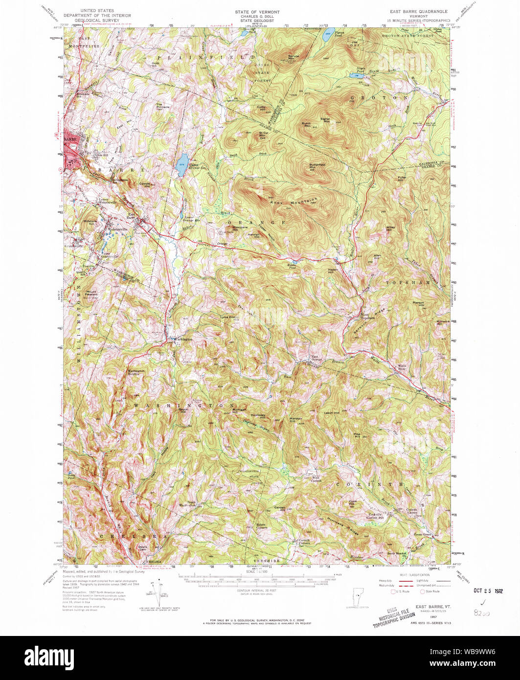 USGS Topo Map Vermont VT East Barre 337926 1957 62500 Restoration Stock Photohttps://www.alamy.com/image-license-details/?v=1https://www.alamy.com/usgs-topo-map-vermont-vt-east-barre-337926-1957-62500-restoration-image265134610.html
RMWB9WW6–USGS Topo Map Vermont VT East Barre 337926 1957 62500 Restoration
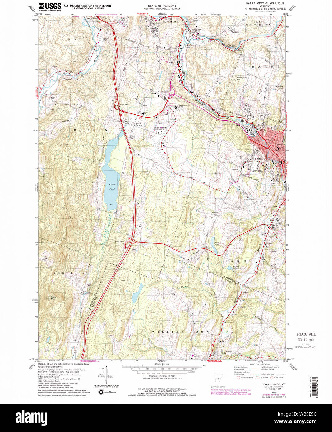 USGS Topo Map Vermont VT Barre West 337304 1978 24000 Restoration Stock Photohttps://www.alamy.com/image-license-details/?v=1https://www.alamy.com/usgs-topo-map-vermont-vt-barre-west-337304-1978-24000-restoration-image265125544.html
RMWB9E9C–USGS Topo Map Vermont VT Barre West 337304 1978 24000 Restoration
 South Barre, Washington County, US, United States, Vermont, N 44 10' 37'', S 72 30' 20'', map, Cartascapes Map published in 2024. Explore Cartascapes, a map revealing Earth's diverse landscapes, cultures, and ecosystems. Journey through time and space, discovering the interconnectedness of our planet's past, present, and future. Stock Photohttps://www.alamy.com/image-license-details/?v=1https://www.alamy.com/south-barre-washington-county-us-united-states-vermont-n-44-10-37-s-72-30-20-map-cartascapes-map-published-in-2024-explore-cartascapes-a-map-revealing-earths-diverse-landscapes-cultures-and-ecosystems-journey-through-time-and-space-discovering-the-interconnectedness-of-our-planets-past-present-and-future-image620900192.html
RM2Y24CET–South Barre, Washington County, US, United States, Vermont, N 44 10' 37'', S 72 30' 20'', map, Cartascapes Map published in 2024. Explore Cartascapes, a map revealing Earth's diverse landscapes, cultures, and ecosystems. Journey through time and space, discovering the interconnectedness of our planet's past, present, and future.
 USGS Topo Map Vermont VT Barre East 337301 1981 24000 Restoration Stock Photohttps://www.alamy.com/image-license-details/?v=1https://www.alamy.com/usgs-topo-map-vermont-vt-barre-east-337301-1981-24000-restoration-image265125434.html
RMWB9E5E–USGS Topo Map Vermont VT Barre East 337301 1981 24000 Restoration
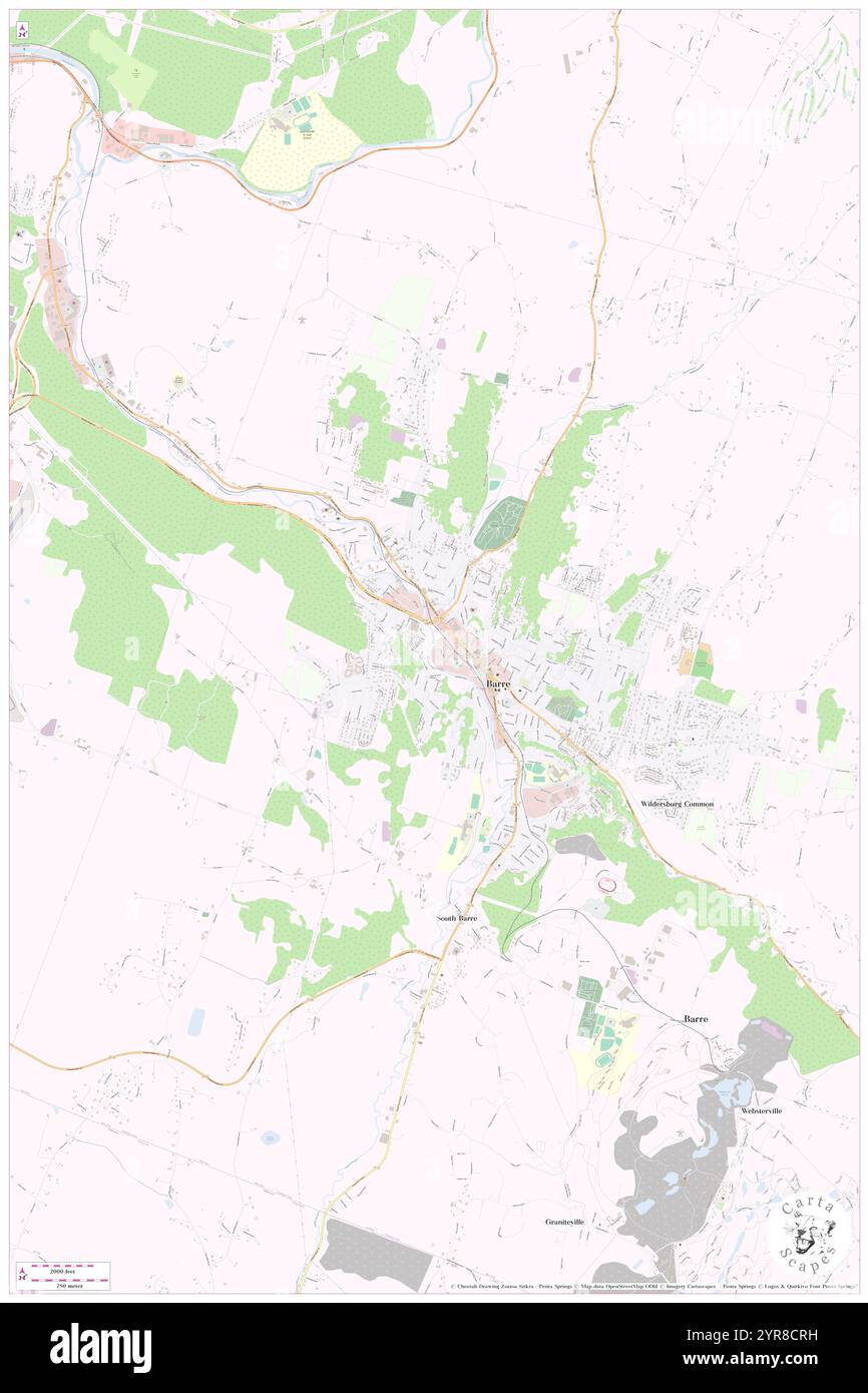 City of Barre, Washington County, US, United States, Vermont, N 44 11' 58'', S 72 30' 29'', map, Cartascapes Map published in 2024. Explore Cartascapes, a map revealing Earth's diverse landscapes, cultures, and ecosystems. Journey through time and space, discovering the interconnectedness of our planet's past, present, and future. Stock Photohttps://www.alamy.com/image-license-details/?v=1https://www.alamy.com/city-of-barre-washington-county-us-united-states-vermont-n-44-11-58-s-72-30-29-map-cartascapes-map-published-in-2024-explore-cartascapes-a-map-revealing-earths-diverse-landscapes-cultures-and-ecosystems-journey-through-time-and-space-discovering-the-interconnectedness-of-our-planets-past-present-and-future-image633896021.html
RM2YR8CRH–City of Barre, Washington County, US, United States, Vermont, N 44 11' 58'', S 72 30' 29'', map, Cartascapes Map published in 2024. Explore Cartascapes, a map revealing Earth's diverse landscapes, cultures, and ecosystems. Journey through time and space, discovering the interconnectedness of our planet's past, present, and future.
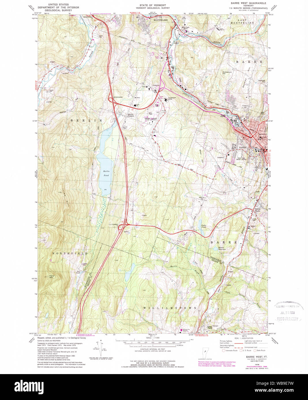 USGS Topo Map Vermont VT Barre West 337303 1978 24000 Restoration Stock Photohttps://www.alamy.com/image-license-details/?v=1https://www.alamy.com/usgs-topo-map-vermont-vt-barre-west-337303-1978-24000-restoration-image265125501.html
RMWB9E7W–USGS Topo Map Vermont VT Barre West 337303 1978 24000 Restoration
 Graniteville-East Barre, Washington County, US, United States, Vermont, N 44 9' 18'', S 72 28' 10'', map, Cartascapes Map published in 2024. Explore Cartascapes, a map revealing Earth's diverse landscapes, cultures, and ecosystems. Journey through time and space, discovering the interconnectedness of our planet's past, present, and future. Stock Photohttps://www.alamy.com/image-license-details/?v=1https://www.alamy.com/graniteville-east-barre-washington-county-us-united-states-vermont-n-44-9-18-s-72-28-10-map-cartascapes-map-published-in-2024-explore-cartascapes-a-map-revealing-earths-diverse-landscapes-cultures-and-ecosystems-journey-through-time-and-space-discovering-the-interconnectedness-of-our-planets-past-present-and-future-image620874267.html
RM2Y237CY–Graniteville-East Barre, Washington County, US, United States, Vermont, N 44 9' 18'', S 72 28' 10'', map, Cartascapes Map published in 2024. Explore Cartascapes, a map revealing Earth's diverse landscapes, cultures, and ecosystems. Journey through time and space, discovering the interconnectedness of our planet's past, present, and future.
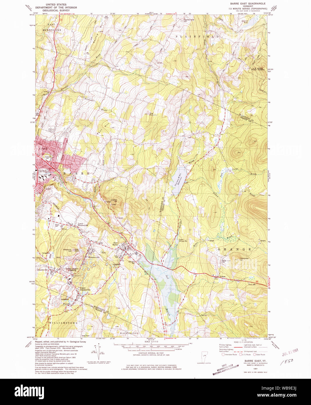 USGS Topo Map Vermont VT Barre East 337300 1981 24000 Restoration Stock Photohttps://www.alamy.com/image-license-details/?v=1https://www.alamy.com/usgs-topo-map-vermont-vt-barre-east-337300-1981-24000-restoration-image265125382.html
RMWB9E3J–USGS Topo Map Vermont VT Barre East 337300 1981 24000 Restoration
 Graniteville-East Barre, Washington County, US, United States, Vermont, N 44 9' 18'', S 72 28' 10'', map, Cartascapes Map published in 2024. Explore Cartascapes, a map revealing Earth's diverse landscapes, cultures, and ecosystems. Journey through time and space, discovering the interconnectedness of our planet's past, present, and future. Stock Photohttps://www.alamy.com/image-license-details/?v=1https://www.alamy.com/graniteville-east-barre-washington-county-us-united-states-vermont-n-44-9-18-s-72-28-10-map-cartascapes-map-published-in-2024-explore-cartascapes-a-map-revealing-earths-diverse-landscapes-cultures-and-ecosystems-journey-through-time-and-space-discovering-the-interconnectedness-of-our-planets-past-present-and-future-image620781830.html
RM2Y1Y1FJ–Graniteville-East Barre, Washington County, US, United States, Vermont, N 44 9' 18'', S 72 28' 10'', map, Cartascapes Map published in 2024. Explore Cartascapes, a map revealing Earth's diverse landscapes, cultures, and ecosystems. Journey through time and space, discovering the interconnectedness of our planet's past, present, and future.
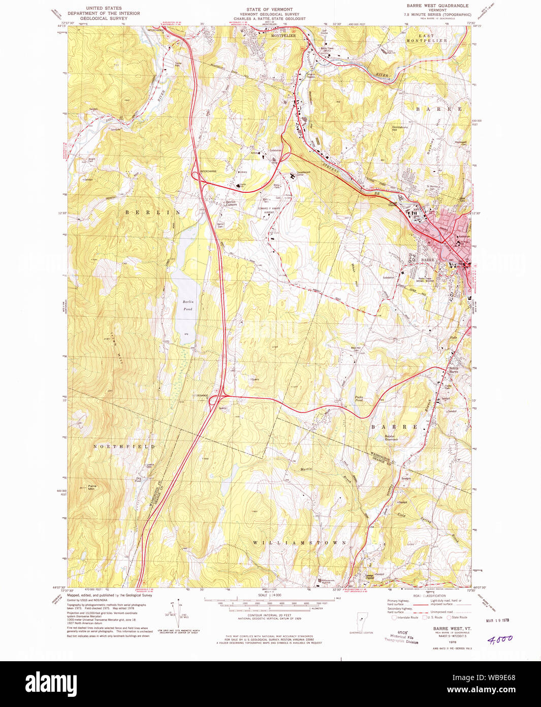 USGS Topo Map Vermont VT Barre West 337302 1978 24000 Restoration Stock Photohttps://www.alamy.com/image-license-details/?v=1https://www.alamy.com/usgs-topo-map-vermont-vt-barre-west-337302-1978-24000-restoration-image265125456.html
RMWB9E68–USGS Topo Map Vermont VT Barre West 337302 1978 24000 Restoration
 East Barre, Washington County, US, United States, Vermont, N 44 9' 29'', S 72 27' 1'', map, Cartascapes Map published in 2024. Explore Cartascapes, a map revealing Earth's diverse landscapes, cultures, and ecosystems. Journey through time and space, discovering the interconnectedness of our planet's past, present, and future. Stock Photohttps://www.alamy.com/image-license-details/?v=1https://www.alamy.com/east-barre-washington-county-us-united-states-vermont-n-44-9-29-s-72-27-1-map-cartascapes-map-published-in-2024-explore-cartascapes-a-map-revealing-earths-diverse-landscapes-cultures-and-ecosystems-journey-through-time-and-space-discovering-the-interconnectedness-of-our-planets-past-present-and-future-image620800222.html
RM2Y1YW0E–East Barre, Washington County, US, United States, Vermont, N 44 9' 29'', S 72 27' 1'', map, Cartascapes Map published in 2024. Explore Cartascapes, a map revealing Earth's diverse landscapes, cultures, and ecosystems. Journey through time and space, discovering the interconnectedness of our planet's past, present, and future.
 Barre, Vermont, map 1924, 1:62500, United States of America by Timeless Maps, data U.S. Geological Survey Stock Photohttps://www.alamy.com/image-license-details/?v=1https://www.alamy.com/barre-vermont-map-1924-162500-united-states-of-america-by-timeless-maps-data-us-geological-survey-image414276642.html
RM2F1YX2A–Barre, Vermont, map 1924, 1:62500, United States of America by Timeless Maps, data U.S. Geological Survey
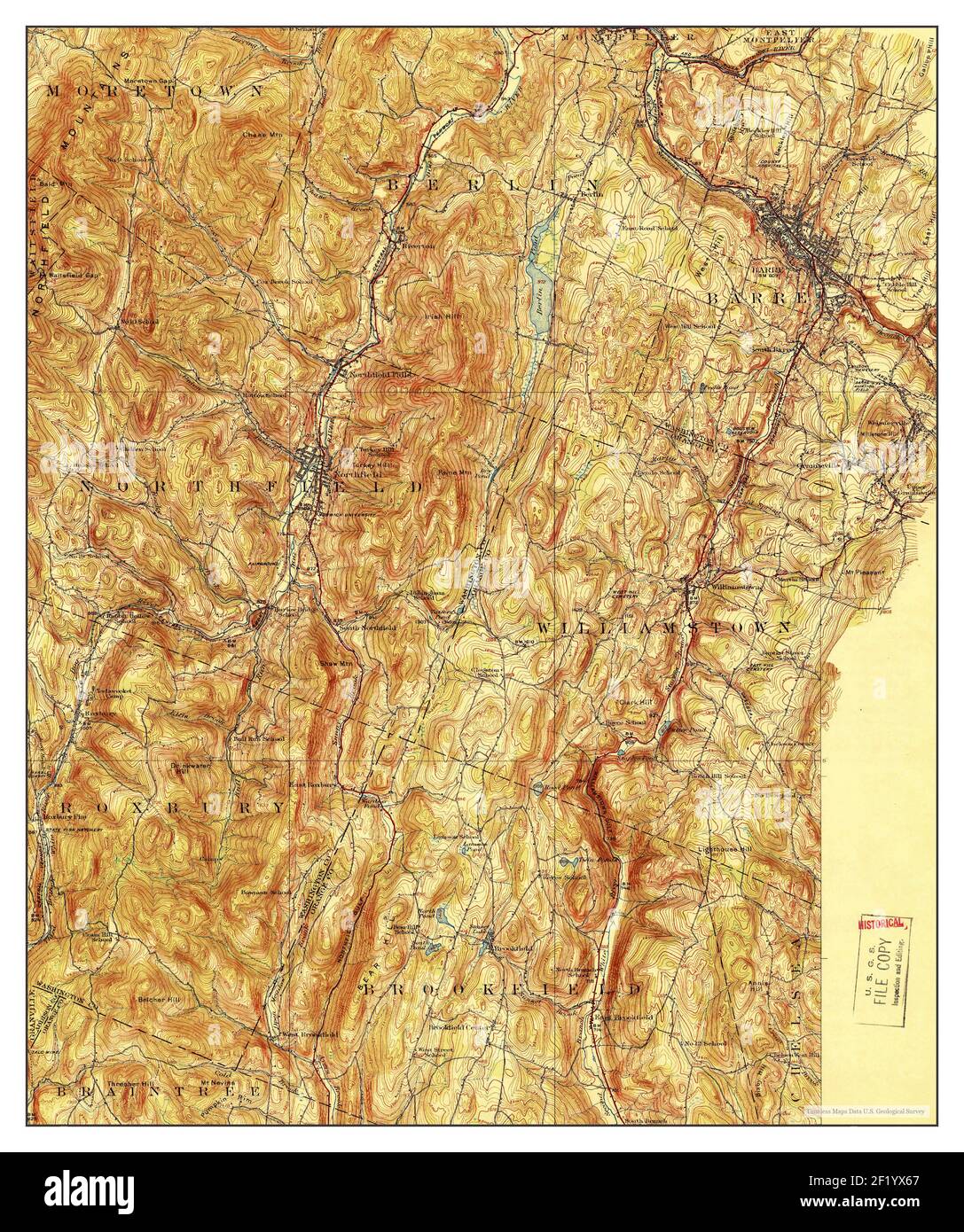 Barre, Vermont, map 1924, 1:62500, United States of America by Timeless Maps, data U.S. Geological Survey Stock Photohttps://www.alamy.com/image-license-details/?v=1https://www.alamy.com/barre-vermont-map-1924-162500-united-states-of-america-by-timeless-maps-data-us-geological-survey-image414276751.html
RM2F1YX67–Barre, Vermont, map 1924, 1:62500, United States of America by Timeless Maps, data U.S. Geological Survey
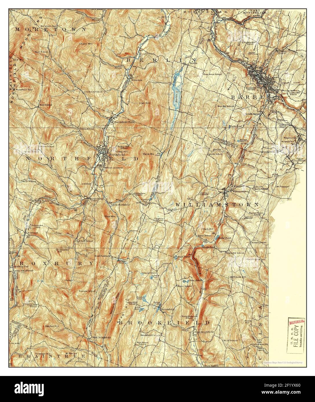 Barre, Vermont, map 1924, 1:62500, United States of America by Timeless Maps, data U.S. Geological Survey Stock Photohttps://www.alamy.com/image-license-details/?v=1https://www.alamy.com/barre-vermont-map-1924-162500-united-states-of-america-by-timeless-maps-data-us-geological-survey-image414276744.html
RM2F1YX60–Barre, Vermont, map 1924, 1:62500, United States of America by Timeless Maps, data U.S. Geological Survey
 Barre, Vermont, map 1924, 1:62500, United States of America by Timeless Maps, data U.S. Geological Survey Stock Photohttps://www.alamy.com/image-license-details/?v=1https://www.alamy.com/barre-vermont-map-1924-162500-united-states-of-america-by-timeless-maps-data-us-geological-survey-image414276631.html
RM2F1YX1Y–Barre, Vermont, map 1924, 1:62500, United States of America by Timeless Maps, data U.S. Geological Survey
 Barre, Vermont, map 1957, 1:62500, United States of America by Timeless Maps, data U.S. Geological Survey Stock Photohttps://www.alamy.com/image-license-details/?v=1https://www.alamy.com/barre-vermont-map-1957-162500-united-states-of-america-by-timeless-maps-data-us-geological-survey-image414276639.html
RM2F1YX27–Barre, Vermont, map 1957, 1:62500, United States of America by Timeless Maps, data U.S. Geological Survey
 Barre, Vermont, map 1957, 1:62500, United States of America by Timeless Maps, data U.S. Geological Survey Stock Photohttps://www.alamy.com/image-license-details/?v=1https://www.alamy.com/barre-vermont-map-1957-162500-united-states-of-america-by-timeless-maps-data-us-geological-survey-image414276637.html
RM2F1YX25–Barre, Vermont, map 1957, 1:62500, United States of America by Timeless Maps, data U.S. Geological Survey
 Barre, Vermont, map 1957, 1:62500, United States of America by Timeless Maps, data U.S. Geological Survey Stock Photohttps://www.alamy.com/image-license-details/?v=1https://www.alamy.com/barre-vermont-map-1957-162500-united-states-of-america-by-timeless-maps-data-us-geological-survey-image414276648.html
RM2F1YX2G–Barre, Vermont, map 1957, 1:62500, United States of America by Timeless Maps, data U.S. Geological Survey
 Barre, Vermont, map 1924, 1:62500, United States of America by Timeless Maps, data U.S. Geological Survey Stock Photohttps://www.alamy.com/image-license-details/?v=1https://www.alamy.com/barre-vermont-map-1924-162500-united-states-of-america-by-timeless-maps-data-us-geological-survey-image414276636.html
RM2F1YX24–Barre, Vermont, map 1924, 1:62500, United States of America by Timeless Maps, data U.S. Geological Survey
 East Barre, Vermont, map 1957, 1:62500, United States of America by Timeless Maps, data U.S. Geological Survey Stock Photohttps://www.alamy.com/image-license-details/?v=1https://www.alamy.com/east-barre-vermont-map-1957-162500-united-states-of-america-by-timeless-maps-data-us-geological-survey-image414278176.html
RM2F20014–East Barre, Vermont, map 1957, 1:62500, United States of America by Timeless Maps, data U.S. Geological Survey
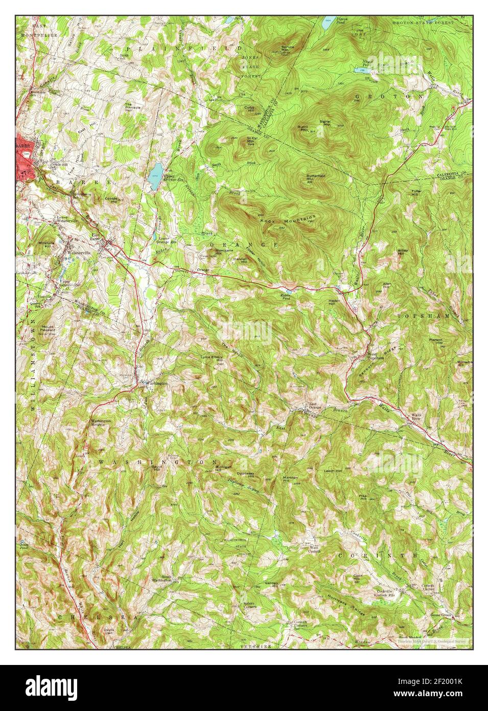 East Barre, Vermont, map 1957, 1:62500, United States of America by Timeless Maps, data U.S. Geological Survey Stock Photohttps://www.alamy.com/image-license-details/?v=1https://www.alamy.com/east-barre-vermont-map-1957-162500-united-states-of-america-by-timeless-maps-data-us-geological-survey-image414278191.html
RM2F2001K–East Barre, Vermont, map 1957, 1:62500, United States of America by Timeless Maps, data U.S. Geological Survey
 East Barre, Vermont, map 1957, 1:62500, United States of America by Timeless Maps, data U.S. Geological Survey Stock Photohttps://www.alamy.com/image-license-details/?v=1https://www.alamy.com/east-barre-vermont-map-1957-162500-united-states-of-america-by-timeless-maps-data-us-geological-survey-image414278041.html
RM2F1YYT9–East Barre, Vermont, map 1957, 1:62500, United States of America by Timeless Maps, data U.S. Geological Survey
 East Barre, Vermont, map 1948, 1:62500, United States of America by Timeless Maps, data U.S. Geological Survey Stock Photohttps://www.alamy.com/image-license-details/?v=1https://www.alamy.com/east-barre-vermont-map-1948-162500-united-states-of-america-by-timeless-maps-data-us-geological-survey-image407018290.html
RM2EJ57YE–East Barre, Vermont, map 1948, 1:62500, United States of America by Timeless Maps, data U.S. Geological Survey
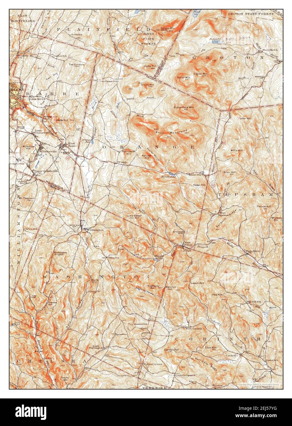 East Barre, Vermont, map 1948, 1:62500, United States of America by Timeless Maps, data U.S. Geological Survey Stock Photohttps://www.alamy.com/image-license-details/?v=1https://www.alamy.com/east-barre-vermont-map-1948-162500-united-states-of-america-by-timeless-maps-data-us-geological-survey-image407018292.html
RM2EJ57YG–East Barre, Vermont, map 1948, 1:62500, United States of America by Timeless Maps, data U.S. Geological Survey
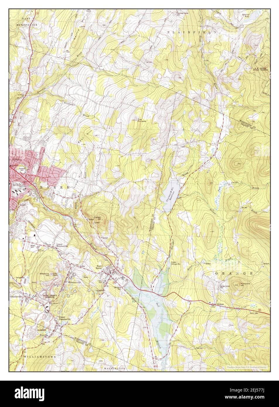 Barre East, Vermont, map 1981, 1:24000, United States of America by Timeless Maps, data U.S. Geological Survey Stock Photohttps://www.alamy.com/image-license-details/?v=1https://www.alamy.com/barre-east-vermont-map-1981-124000-united-states-of-america-by-timeless-maps-data-us-geological-survey-image407017734.html
RM2EJ577J–Barre East, Vermont, map 1981, 1:24000, United States of America by Timeless Maps, data U.S. Geological Survey
 Barre West, Vermont, map 1978, 1:24000, United States of America by Timeless Maps, data U.S. Geological Survey Stock Photohttps://www.alamy.com/image-license-details/?v=1https://www.alamy.com/barre-west-vermont-map-1978-124000-united-states-of-america-by-timeless-maps-data-us-geological-survey-image407017748.html
RM2EJ5784–Barre West, Vermont, map 1978, 1:24000, United States of America by Timeless Maps, data U.S. Geological Survey
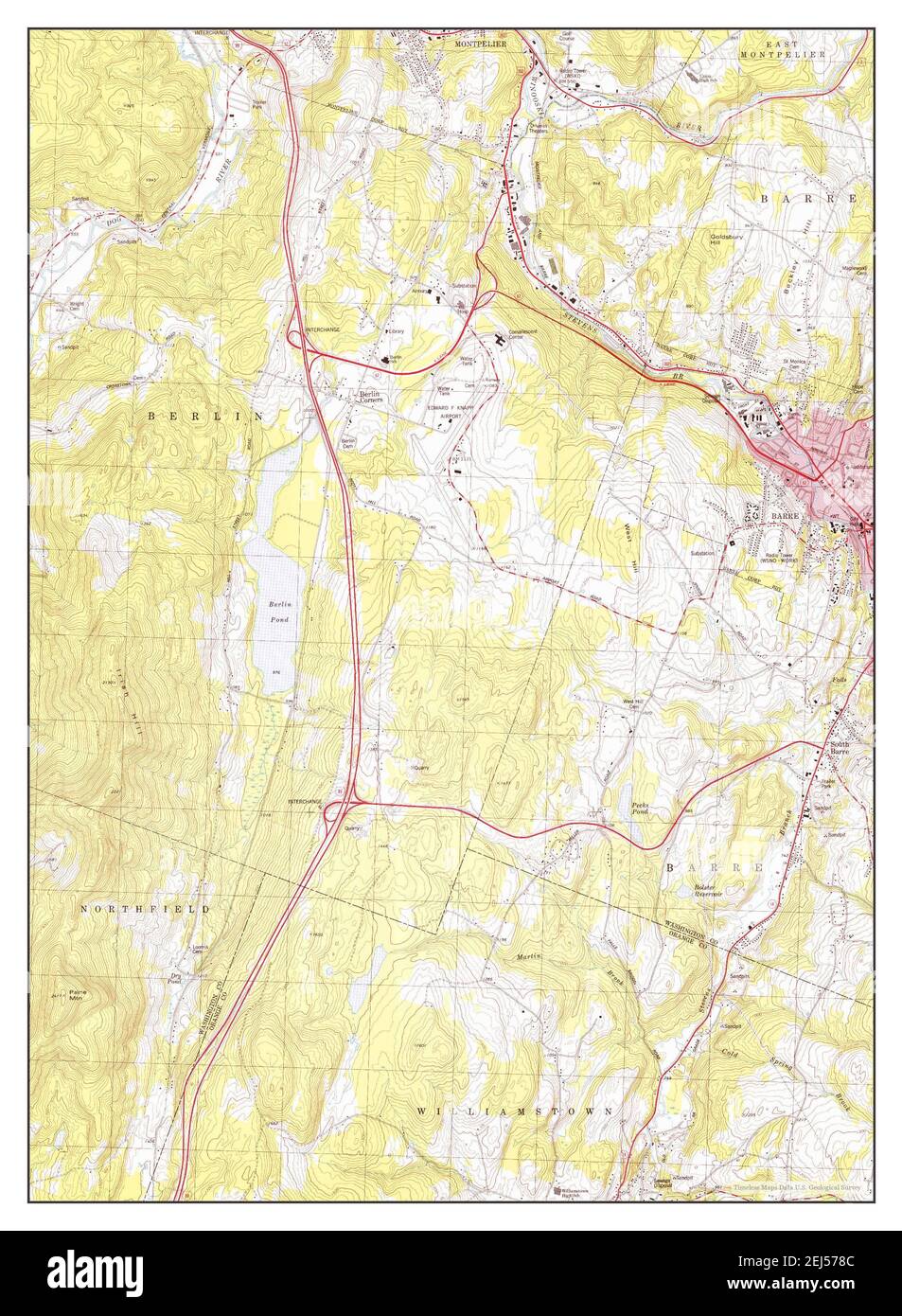 Barre West, Vermont, map 1978, 1:24000, United States of America by Timeless Maps, data U.S. Geological Survey Stock Photohttps://www.alamy.com/image-license-details/?v=1https://www.alamy.com/barre-west-vermont-map-1978-124000-united-states-of-america-by-timeless-maps-data-us-geological-survey-image407017756.html
RM2EJ578C–Barre West, Vermont, map 1978, 1:24000, United States of America by Timeless Maps, data U.S. Geological Survey
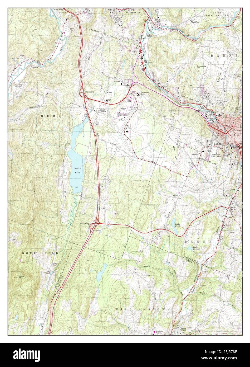 Barre West, Vermont, map 1978, 1:24000, United States of America by Timeless Maps, data U.S. Geological Survey Stock Photohttps://www.alamy.com/image-license-details/?v=1https://www.alamy.com/barre-west-vermont-map-1978-124000-united-states-of-america-by-timeless-maps-data-us-geological-survey-image407017759.html
RM2EJ578F–Barre West, Vermont, map 1978, 1:24000, United States of America by Timeless Maps, data U.S. Geological Survey
 Barre East, Vermont, map 1981, 1:24000, United States of America by Timeless Maps, data U.S. Geological Survey Stock Photohttps://www.alamy.com/image-license-details/?v=1https://www.alamy.com/barre-east-vermont-map-1981-124000-united-states-of-america-by-timeless-maps-data-us-geological-survey-image407017742.html
RM2EJ577X–Barre East, Vermont, map 1981, 1:24000, United States of America by Timeless Maps, data U.S. Geological Survey