Barrow upon soar loughborough Stock Photos and Images
(25)See barrow upon soar loughborough stock video clipsQuick filters:
Barrow upon soar loughborough Stock Photos and Images
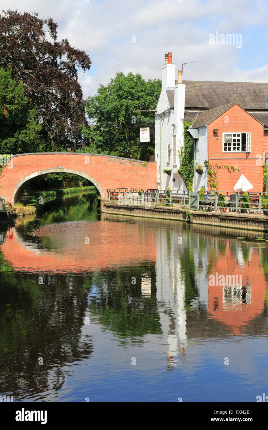 Old Bridge over the River Soar leading to the Navigation Inn, an idyllic riverside pub, and moored narrowboat. Barrow upon Soar, Loughborough. UK Stock Photohttps://www.alamy.com/image-license-details/?v=1https://www.alamy.com/old-bridge-over-the-river-soar-leading-to-the-navigation-inn-an-idyllic-riverside-pub-and-moored-narrowboat-barrow-upon-soar-loughborough-uk-image222968357.html
RMPXN2BH–Old Bridge over the River Soar leading to the Navigation Inn, an idyllic riverside pub, and moored narrowboat. Barrow upon Soar, Loughborough. UK
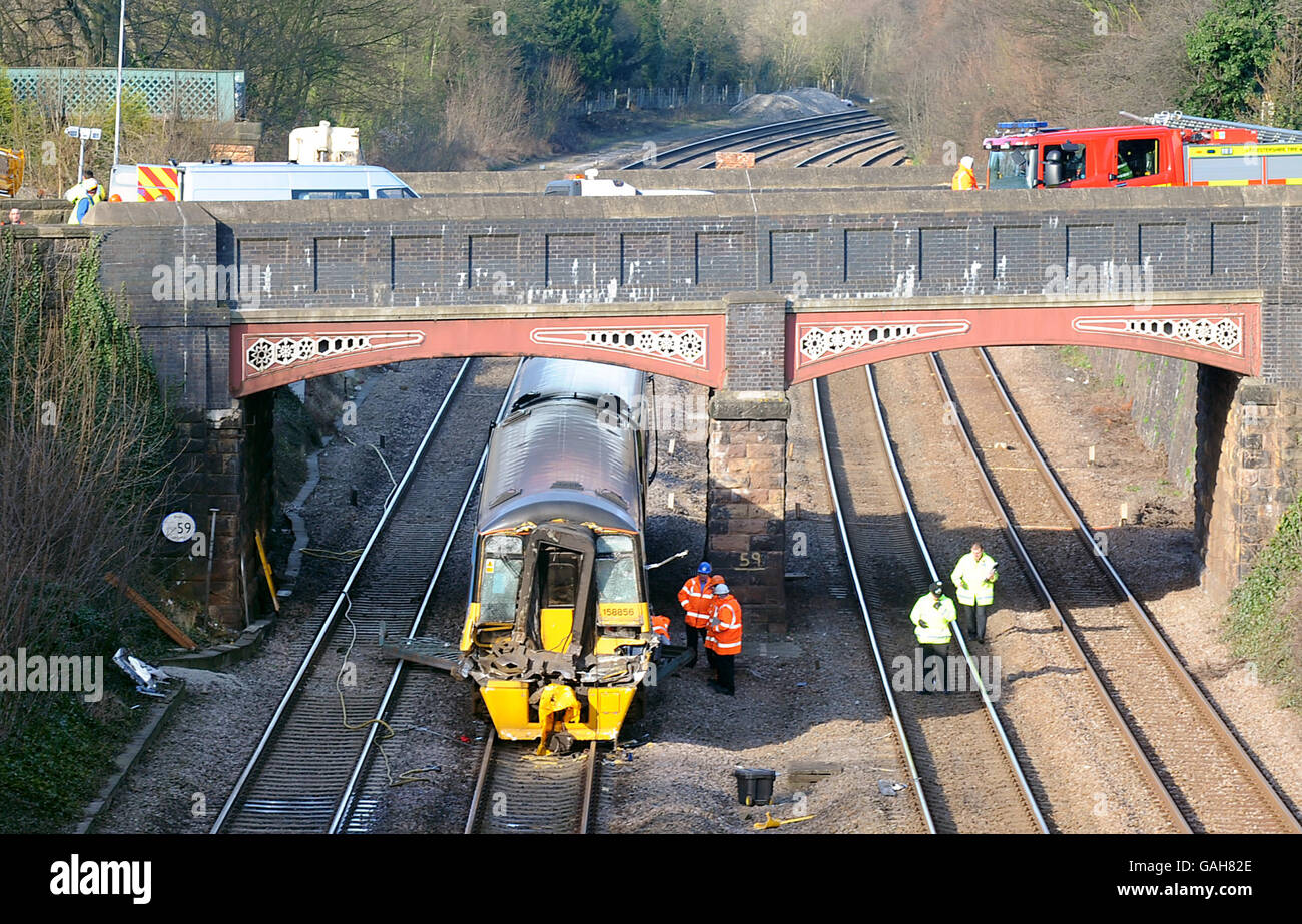 The Nottingham to Norwich train which crashed at Barrow Old Station in Barrow upon Soar, near Loughborough, Leicestershire. Stock Photohttps://www.alamy.com/image-license-details/?v=1https://www.alamy.com/stock-photo-the-nottingham-to-norwich-train-which-crashed-at-barrow-old-station-109788294.html
RMGAH82E–The Nottingham to Norwich train which crashed at Barrow Old Station in Barrow upon Soar, near Loughborough, Leicestershire.
 An East Midlands Train Meridian passes the River Soar weir at Barrow Upon Soar, Leicestershire Stock Photohttps://www.alamy.com/image-license-details/?v=1https://www.alamy.com/stock-photo-an-east-midlands-train-meridian-passes-the-river-soar-weir-at-barrow-39573309.html
RMC8AM4D–An East Midlands Train Meridian passes the River Soar weir at Barrow Upon Soar, Leicestershire
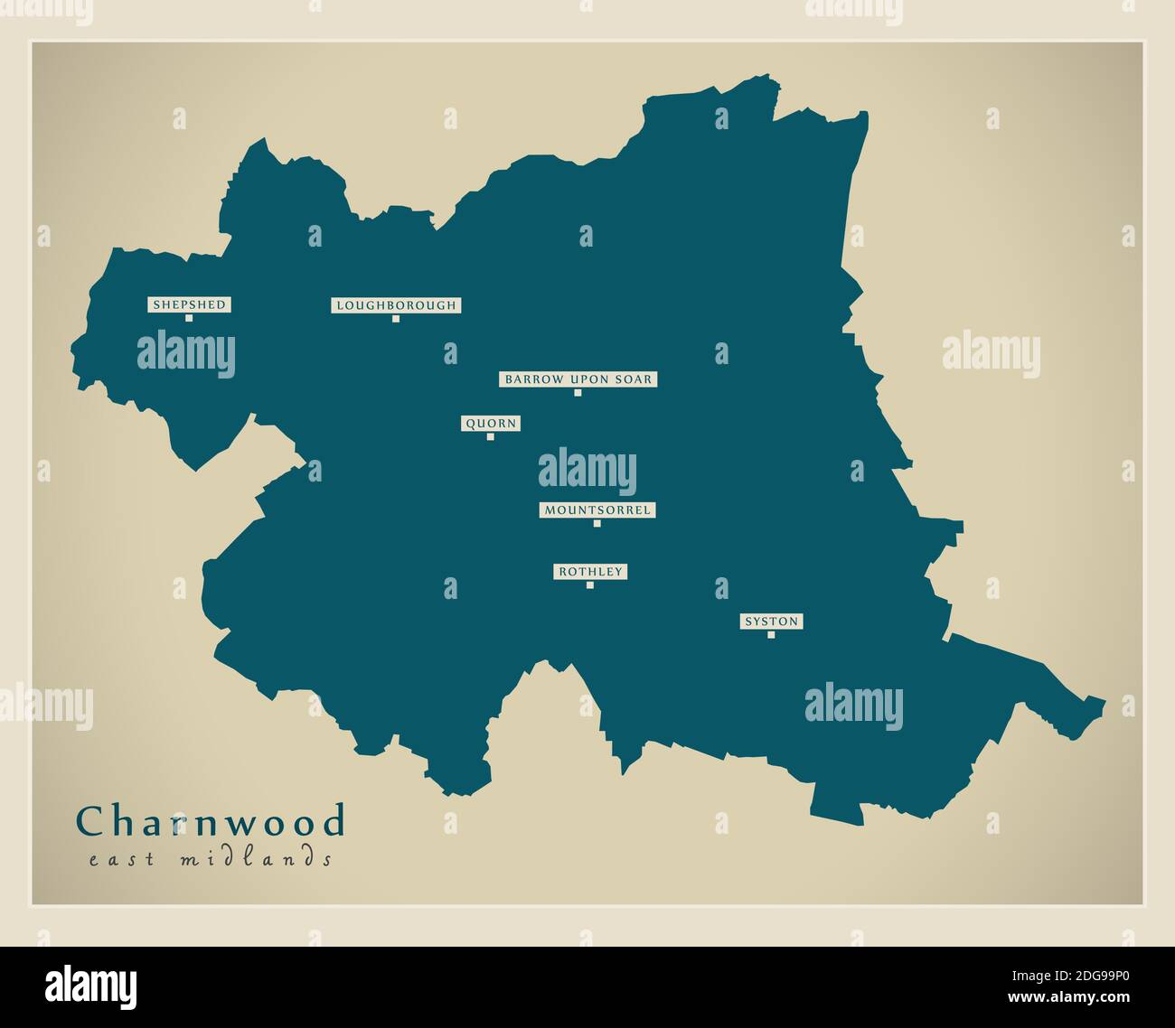 Charnwood district map - England UK Stock Vectorhttps://www.alamy.com/image-license-details/?v=1https://www.alamy.com/charnwood-district-map-england-uk-image388667832.html
RF2DG99P0–Charnwood district map - England UK
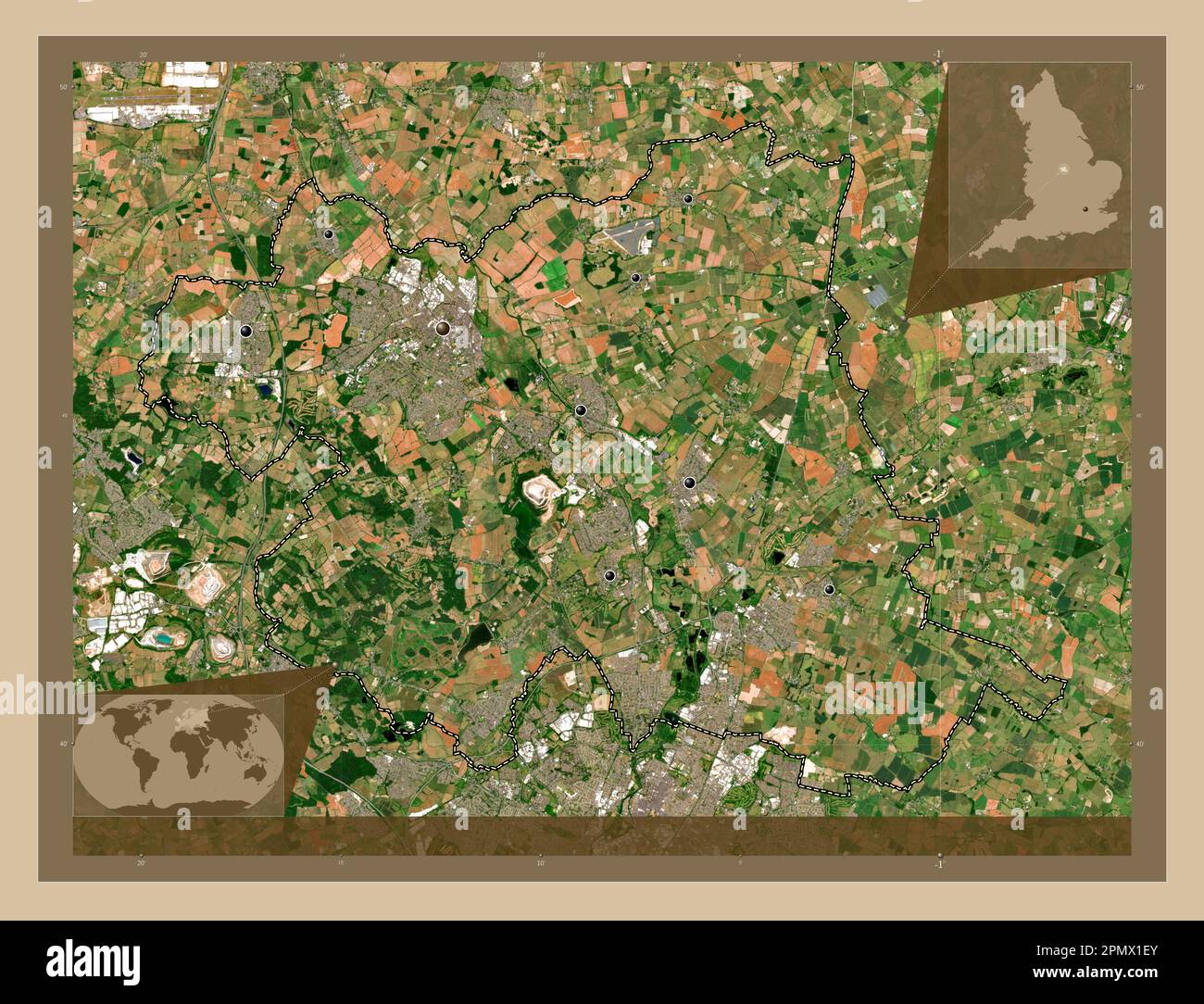 Charnwood, non metropolitan district of England - Great Britain. Low resolution satellite map. Locations of major cities of the region. Corner auxilia Stock Photohttps://www.alamy.com/image-license-details/?v=1https://www.alamy.com/charnwood-non-metropolitan-district-of-england-great-britain-low-resolution-satellite-map-locations-of-major-cities-of-the-region-corner-auxilia-image546386483.html
RF2PMX1EY–Charnwood, non metropolitan district of England - Great Britain. Low resolution satellite map. Locations of major cities of the region. Corner auxilia
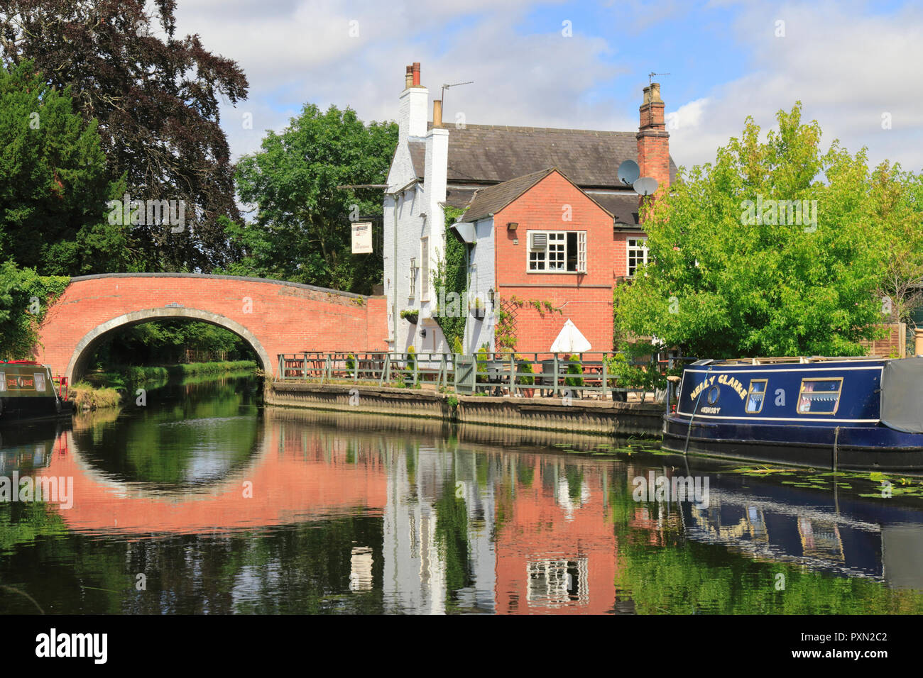 Old Bridge over the River Soar leading to the Navigation Inn, an idyllic riverside pub, and moored narrowboats. Barrow upon Soar, Loughborough. UK Stock Photohttps://www.alamy.com/image-license-details/?v=1https://www.alamy.com/old-bridge-over-the-river-soar-leading-to-the-navigation-inn-an-idyllic-riverside-pub-and-moored-narrowboats-barrow-upon-soar-loughborough-uk-image222968370.html
RMPXN2C2–Old Bridge over the River Soar leading to the Navigation Inn, an idyllic riverside pub, and moored narrowboats. Barrow upon Soar, Loughborough. UK
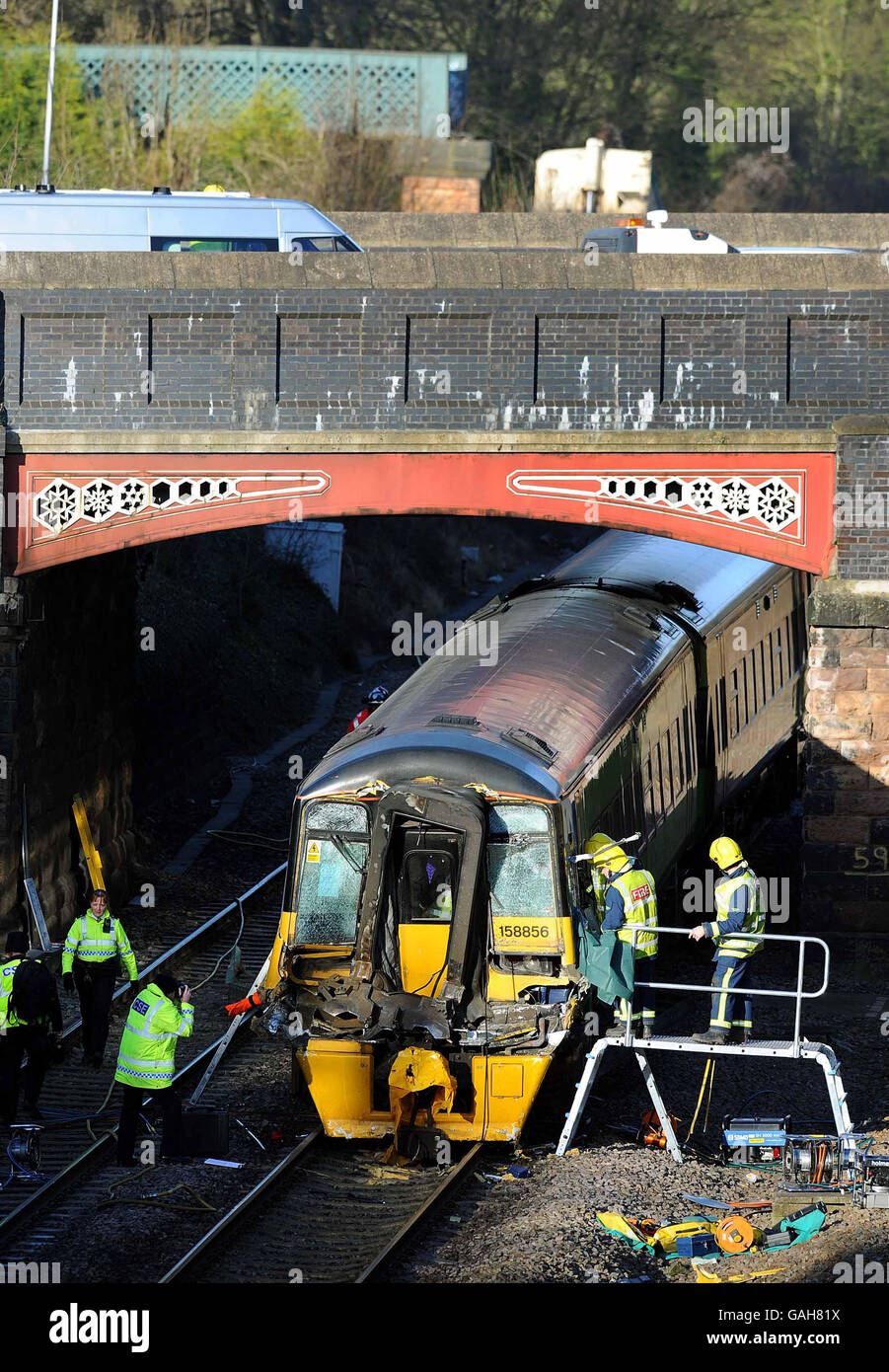 The Nottingham to Norwich train which crashed at Barrow Old Station in Barrow upon Soar, near Loughborough, Leicestershire. Stock Photohttps://www.alamy.com/image-license-details/?v=1https://www.alamy.com/stock-photo-the-nottingham-to-norwich-train-which-crashed-at-barrow-old-station-109788278.html
RMGAH81X–The Nottingham to Norwich train which crashed at Barrow Old Station in Barrow upon Soar, near Loughborough, Leicestershire.
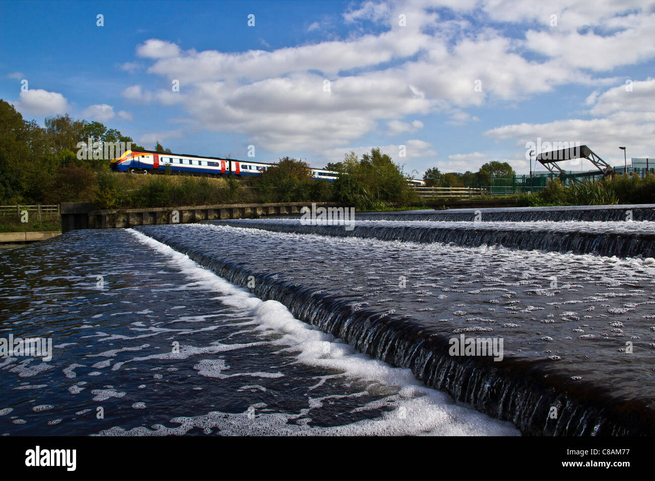 An East Midlands Train Meridian passes the River Soar weir at Barrow Upon Soar, Leicestershire Stock Photohttps://www.alamy.com/image-license-details/?v=1https://www.alamy.com/stock-photo-an-east-midlands-train-meridian-passes-the-river-soar-weir-at-barrow-39573387.html
RMC8AM77–An East Midlands Train Meridian passes the River Soar weir at Barrow Upon Soar, Leicestershire
 Freightliner Heavy Haul class 70 70006 passes Pillings Lock, Barrow Upon Soar, Leicestershire with a loaded ballast train Stock Photohttps://www.alamy.com/image-license-details/?v=1https://www.alamy.com/stock-photo-freightliner-heavy-haul-class-70-70006-passes-pillings-lock-barrow-39573521.html
RMC8AMC1–Freightliner Heavy Haul class 70 70006 passes Pillings Lock, Barrow Upon Soar, Leicestershire with a loaded ballast train
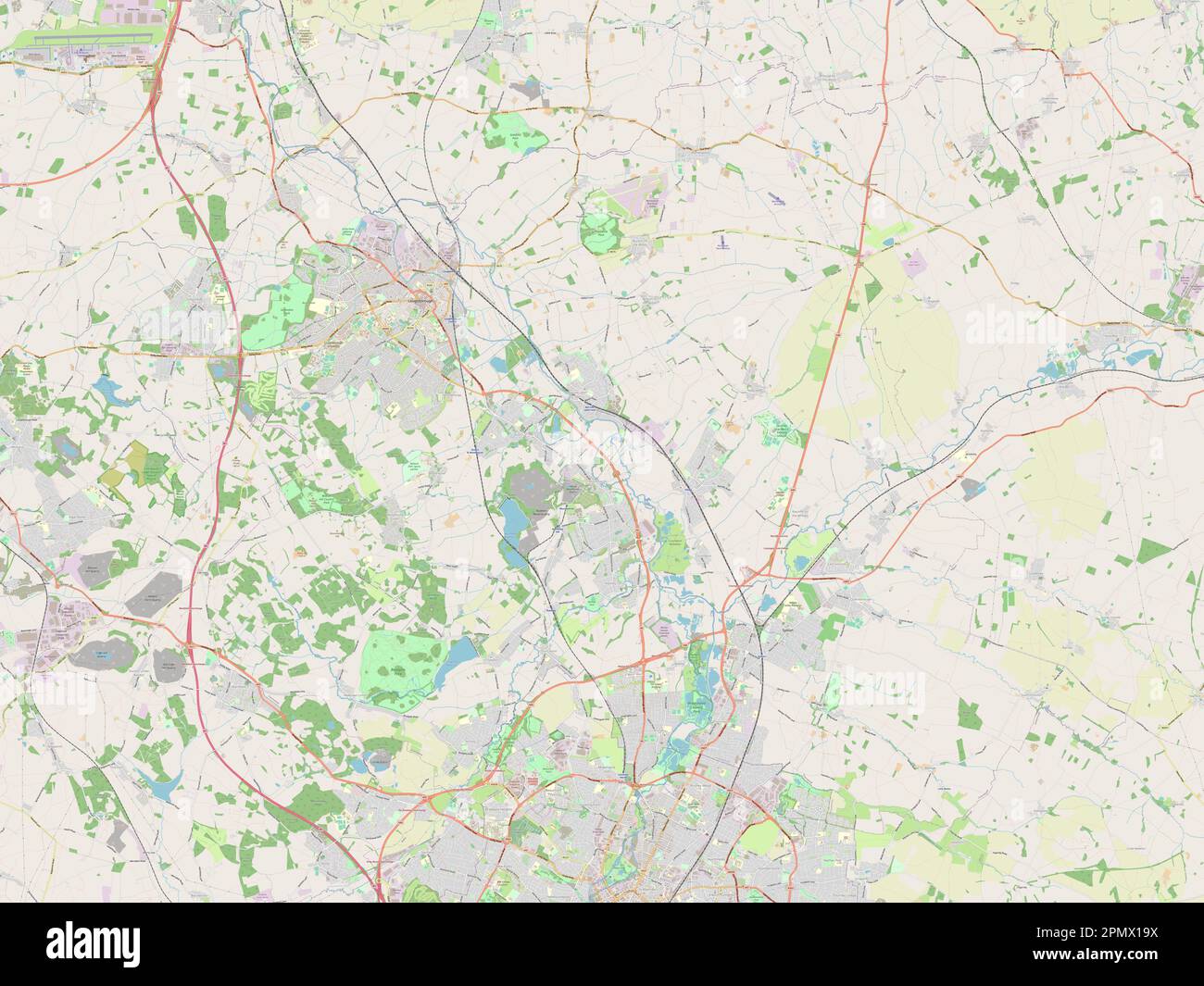 Charnwood, non metropolitan district of England - Great Britain. Open Street Map Stock Photohttps://www.alamy.com/image-license-details/?v=1https://www.alamy.com/charnwood-non-metropolitan-district-of-england-great-britain-open-street-map-image546386342.html
RF2PMX19X–Charnwood, non metropolitan district of England - Great Britain. Open Street Map
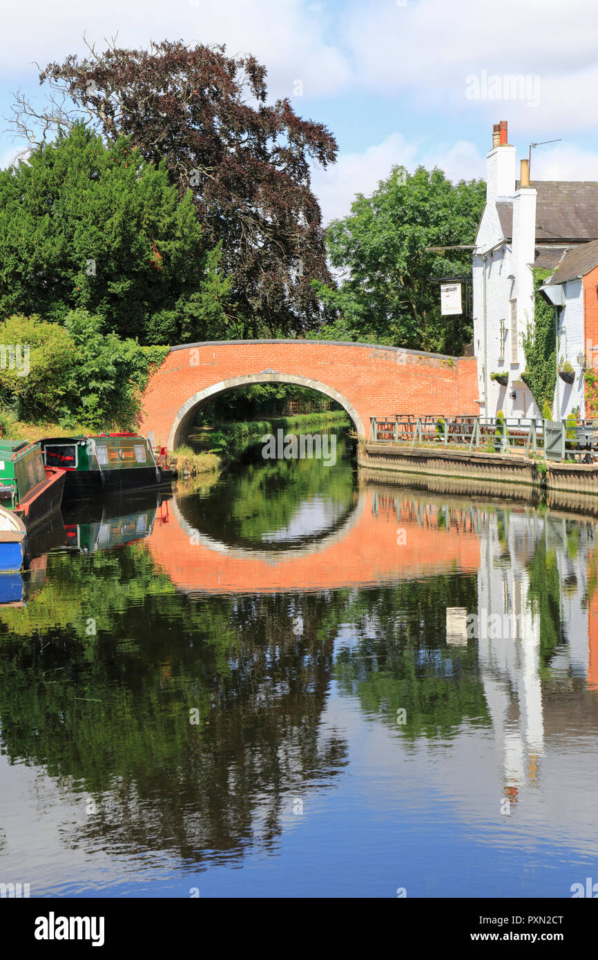 Old Bridge over the River Soar leading to the Navigation Inn, an idyllic riverside pub, and moored narrowboats. Barrow upon Soar, Loughborough. UK Stock Photohttps://www.alamy.com/image-license-details/?v=1https://www.alamy.com/old-bridge-over-the-river-soar-leading-to-the-navigation-inn-an-idyllic-riverside-pub-and-moored-narrowboats-barrow-upon-soar-loughborough-uk-image222968392.html
RMPXN2CT–Old Bridge over the River Soar leading to the Navigation Inn, an idyllic riverside pub, and moored narrowboats. Barrow upon Soar, Loughborough. UK
 The Nottingham to Norwich train which crashed at Barrow Old Station in Barrow upon Soar, near Loughborough, Leicestershire. Stock Photohttps://www.alamy.com/image-license-details/?v=1https://www.alamy.com/stock-photo-the-nottingham-to-norwich-train-which-crashed-at-barrow-old-station-109788273.html
RMGAH81N–The Nottingham to Norwich train which crashed at Barrow Old Station in Barrow upon Soar, near Loughborough, Leicestershire.
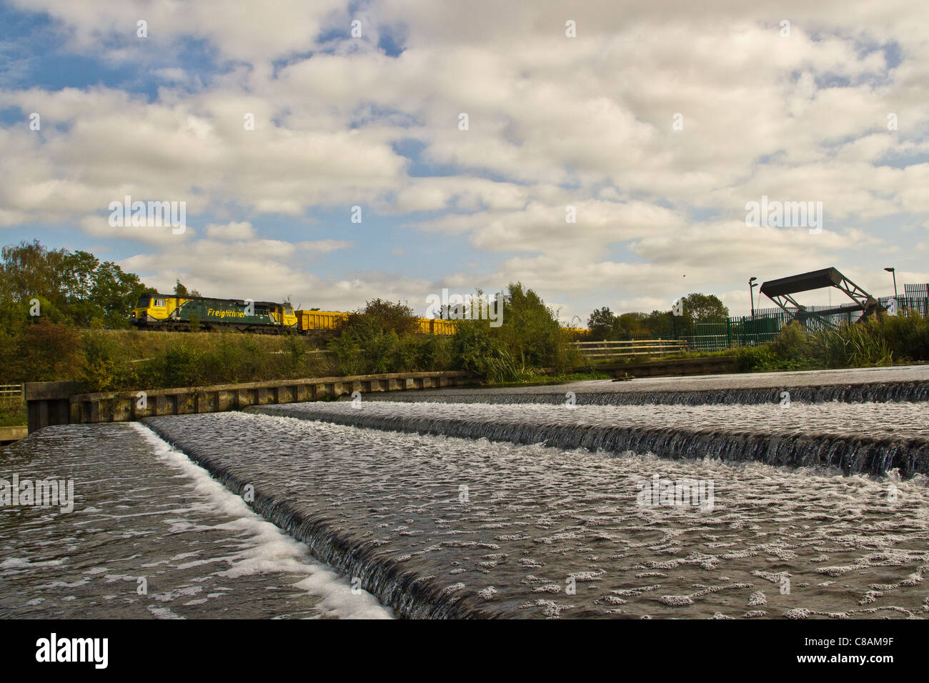 Freightliner Heavy Haul class 70 70006 passes Pillings Lock, Barrow Upon Soar, Leicestershire with a loaded ballast train Stock Photohttps://www.alamy.com/image-license-details/?v=1https://www.alamy.com/stock-photo-freightliner-heavy-haul-class-70-70006-passes-pillings-lock-barrow-39573451.html
RMC8AM9F–Freightliner Heavy Haul class 70 70006 passes Pillings Lock, Barrow Upon Soar, Leicestershire with a loaded ballast train
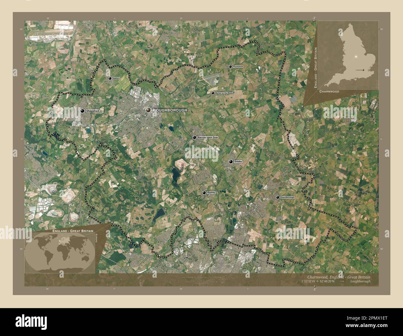 Charnwood, non metropolitan district of England - Great Britain. High resolution satellite map. Locations and names of major cities of the region. Cor Stock Photohttps://www.alamy.com/image-license-details/?v=1https://www.alamy.com/charnwood-non-metropolitan-district-of-england-great-britain-high-resolution-satellite-map-locations-and-names-of-major-cities-of-the-region-cor-image546386480.html
RF2PMX1ET–Charnwood, non metropolitan district of England - Great Britain. High resolution satellite map. Locations and names of major cities of the region. Cor
 Old Bridge over the River Soar leading to the Navigation Inn, an idyllic riverside pub, and moored narrowboats. Barrow upon Soar, Loughborough. UK Stock Photohttps://www.alamy.com/image-license-details/?v=1https://www.alamy.com/old-bridge-over-the-river-soar-leading-to-the-navigation-inn-an-idyllic-riverside-pub-and-moored-narrowboats-barrow-upon-soar-loughborough-uk-image222968342.html
RMPXN2B2–Old Bridge over the River Soar leading to the Navigation Inn, an idyllic riverside pub, and moored narrowboats. Barrow upon Soar, Loughborough. UK
 Train accident Stock Photohttps://www.alamy.com/image-license-details/?v=1https://www.alamy.com/stock-photo-train-accident-109788275.html
RMGAH81R–Train accident
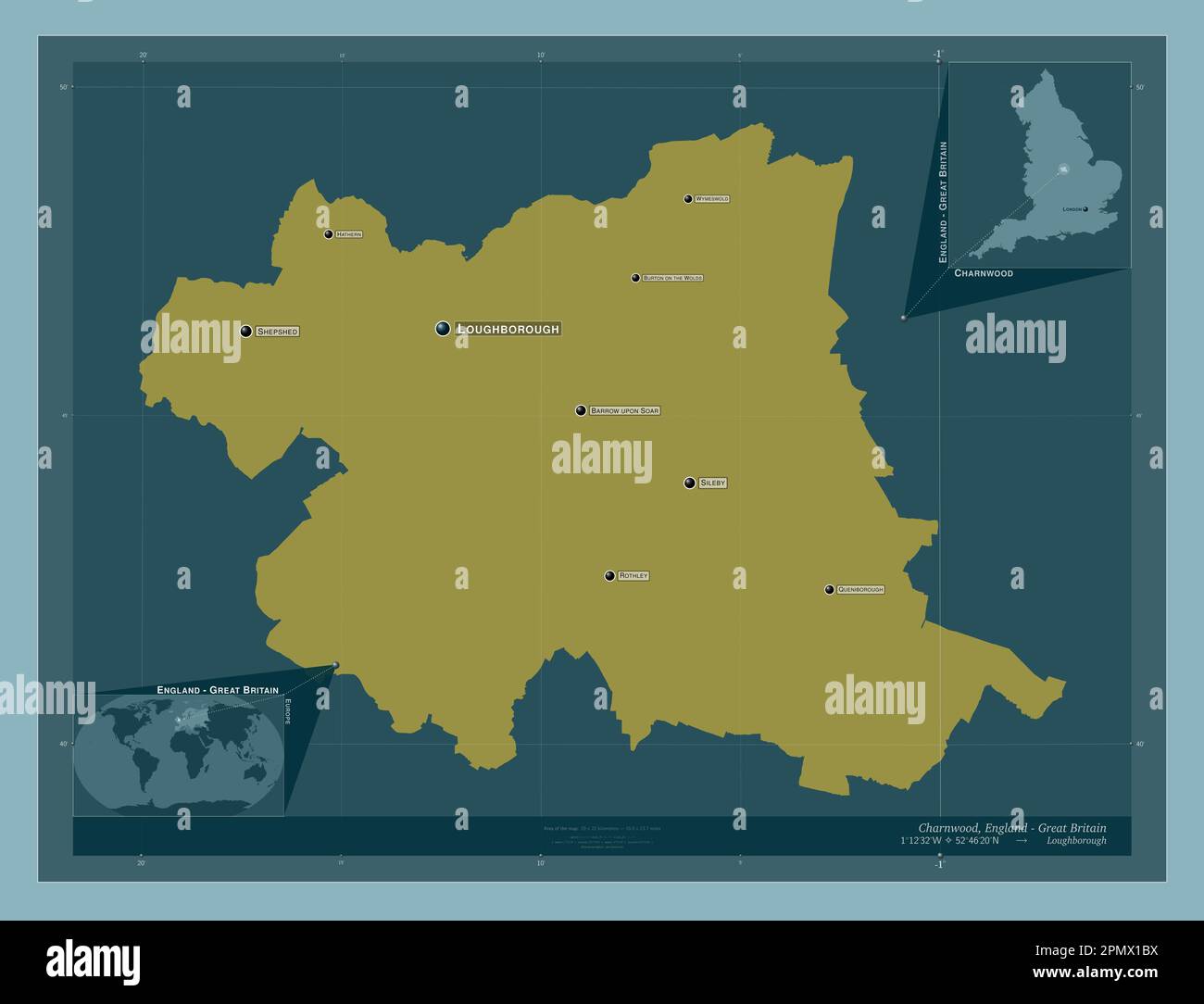 Charnwood, non metropolitan district of England - Great Britain. Solid color shape. Locations and names of major cities of the region. Corner auxiliar Stock Photohttps://www.alamy.com/image-license-details/?v=1https://www.alamy.com/charnwood-non-metropolitan-district-of-england-great-britain-solid-color-shape-locations-and-names-of-major-cities-of-the-region-corner-auxiliar-image546386398.html
RF2PMX1BX–Charnwood, non metropolitan district of England - Great Britain. Solid color shape. Locations and names of major cities of the region. Corner auxiliar
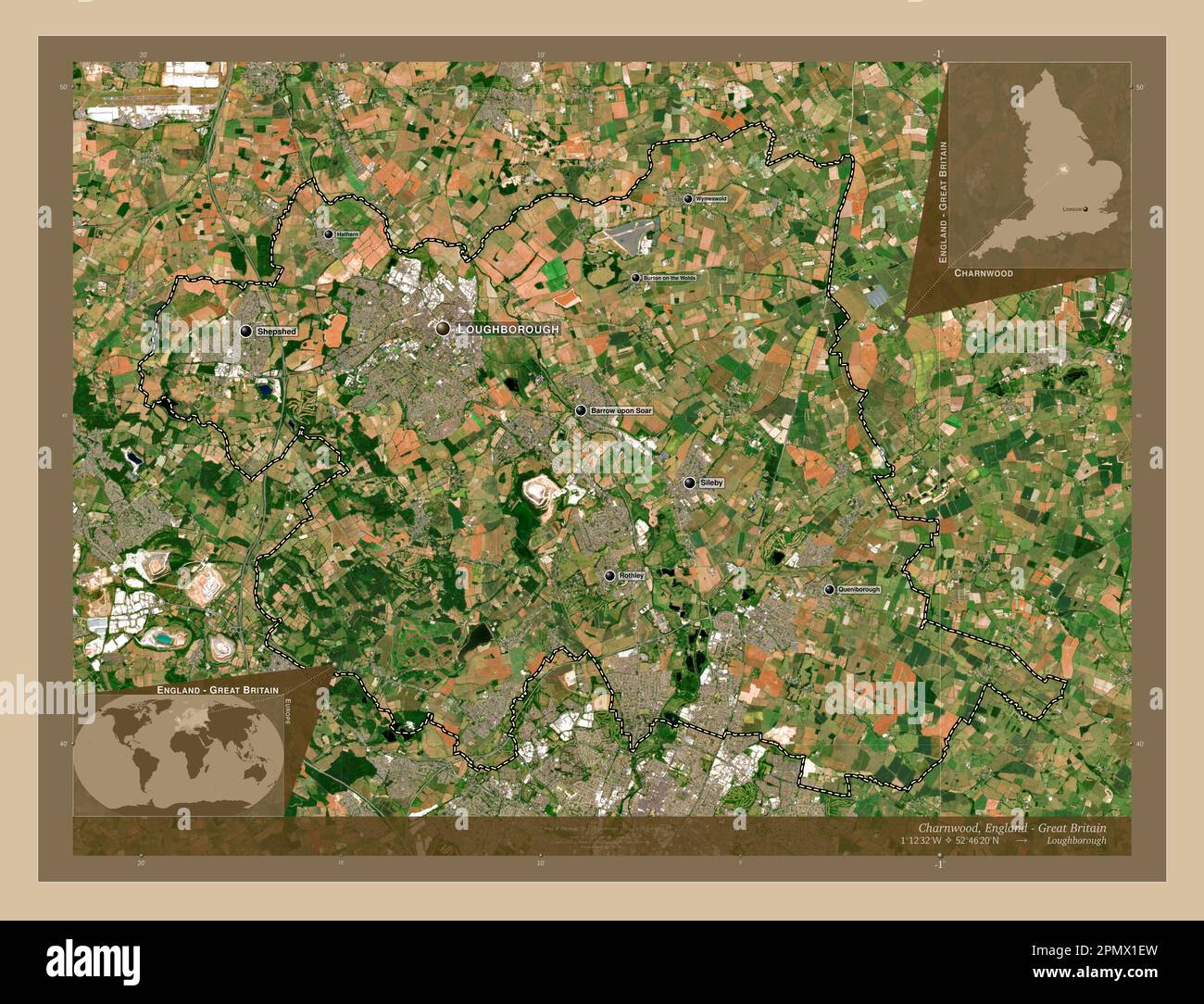 Charnwood, non metropolitan district of England - Great Britain. Low resolution satellite map. Locations and names of major cities of the region. Corn Stock Photohttps://www.alamy.com/image-license-details/?v=1https://www.alamy.com/charnwood-non-metropolitan-district-of-england-great-britain-low-resolution-satellite-map-locations-and-names-of-major-cities-of-the-region-corn-image546386481.html
RF2PMX1EW–Charnwood, non metropolitan district of England - Great Britain. Low resolution satellite map. Locations and names of major cities of the region. Corn
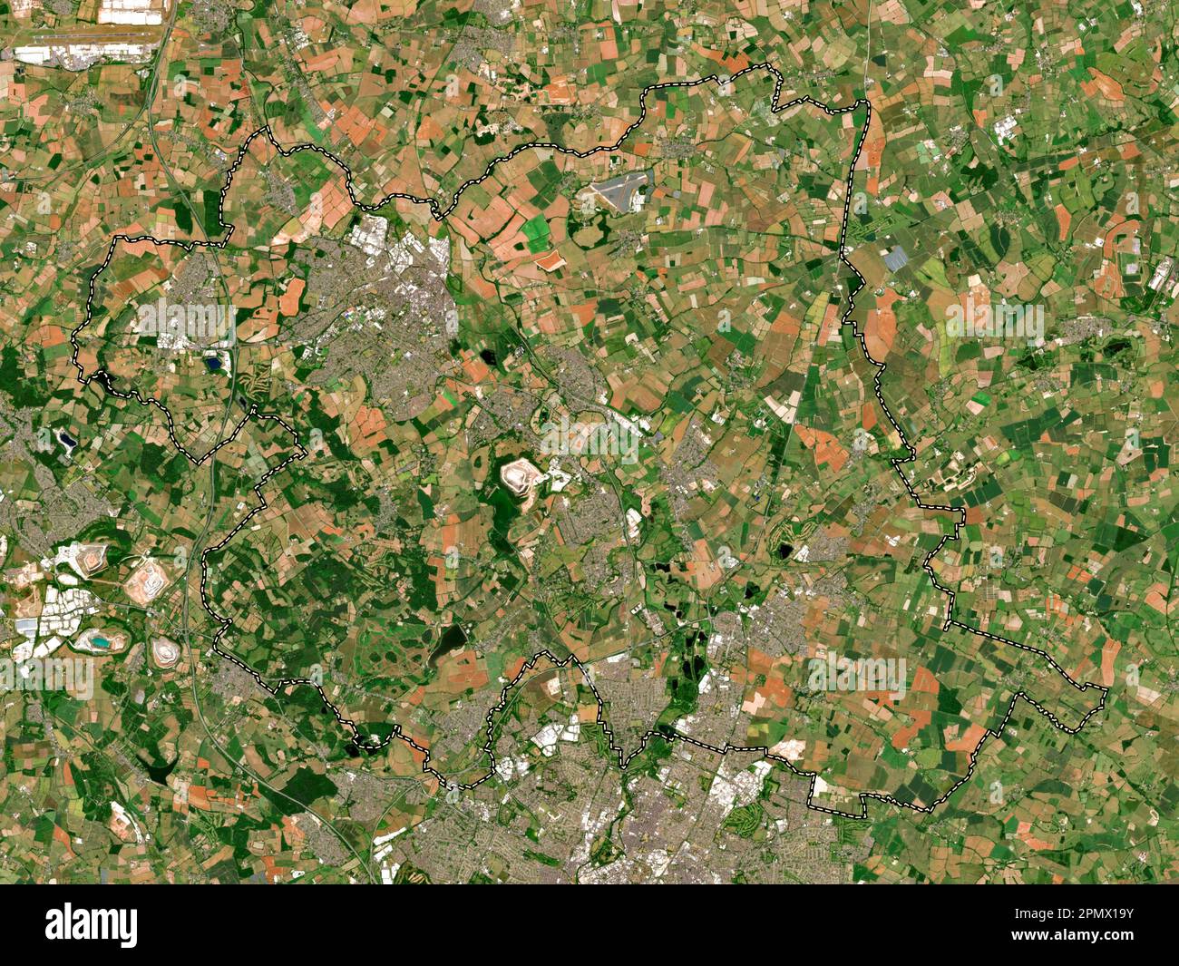 Charnwood, non metropolitan district of England - Great Britain. Low resolution satellite map Stock Photohttps://www.alamy.com/image-license-details/?v=1https://www.alamy.com/charnwood-non-metropolitan-district-of-england-great-britain-low-resolution-satellite-map-image546386343.html
RF2PMX19Y–Charnwood, non metropolitan district of England - Great Britain. Low resolution satellite map
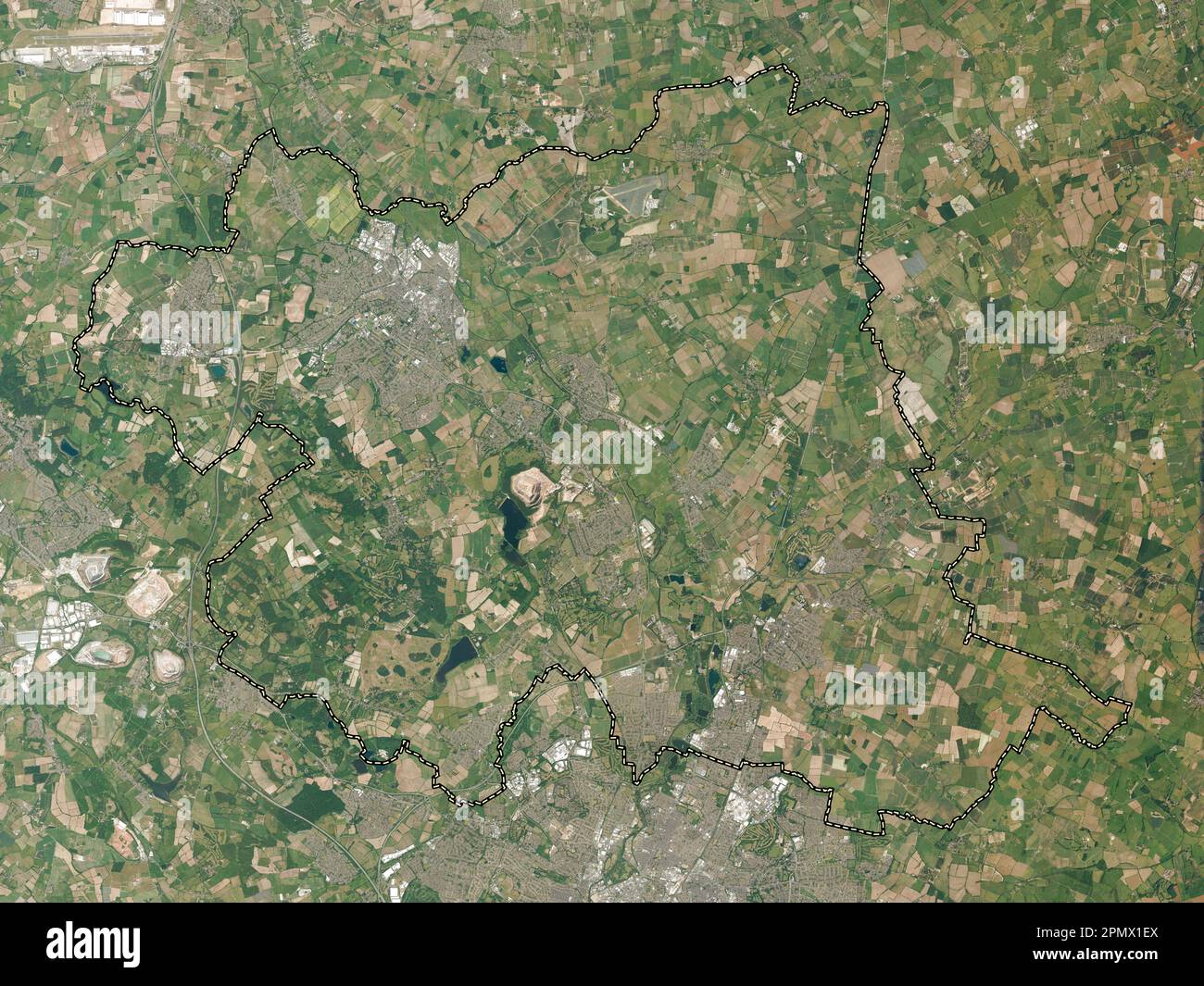 Charnwood, non metropolitan district of England - Great Britain. High resolution satellite map Stock Photohttps://www.alamy.com/image-license-details/?v=1https://www.alamy.com/charnwood-non-metropolitan-district-of-england-great-britain-high-resolution-satellite-map-image546386482.html
RF2PMX1EX–Charnwood, non metropolitan district of England - Great Britain. High resolution satellite map
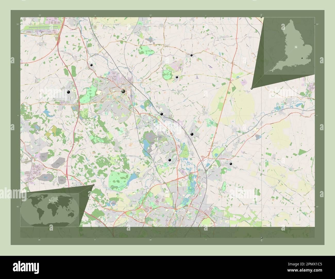 Charnwood, non metropolitan district of England - Great Britain. Open Street Map. Locations of major cities of the region. Corner auxiliary location m Stock Photohttps://www.alamy.com/image-license-details/?v=1https://www.alamy.com/charnwood-non-metropolitan-district-of-england-great-britain-open-street-map-locations-of-major-cities-of-the-region-corner-auxiliary-location-m-image546386405.html
RF2PMX1C5–Charnwood, non metropolitan district of England - Great Britain. Open Street Map. Locations of major cities of the region. Corner auxiliary location m
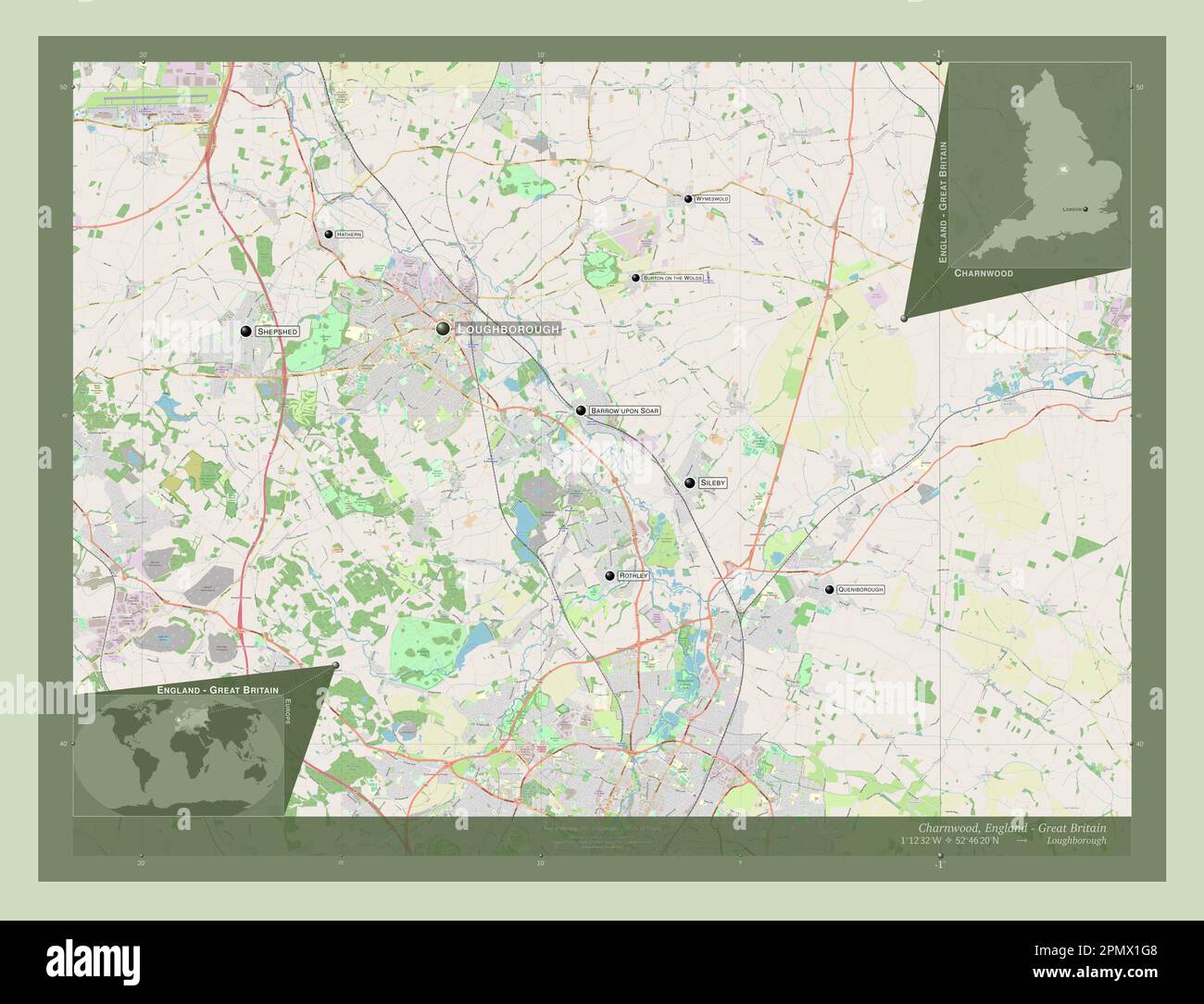 Charnwood, non metropolitan district of England - Great Britain. Open Street Map. Locations and names of major cities of the region. Corner auxiliary Stock Photohttps://www.alamy.com/image-license-details/?v=1https://www.alamy.com/charnwood-non-metropolitan-district-of-england-great-britain-open-street-map-locations-and-names-of-major-cities-of-the-region-corner-auxiliary-image546386520.html
RF2PMX1G8–Charnwood, non metropolitan district of England - Great Britain. Open Street Map. Locations and names of major cities of the region. Corner auxiliary
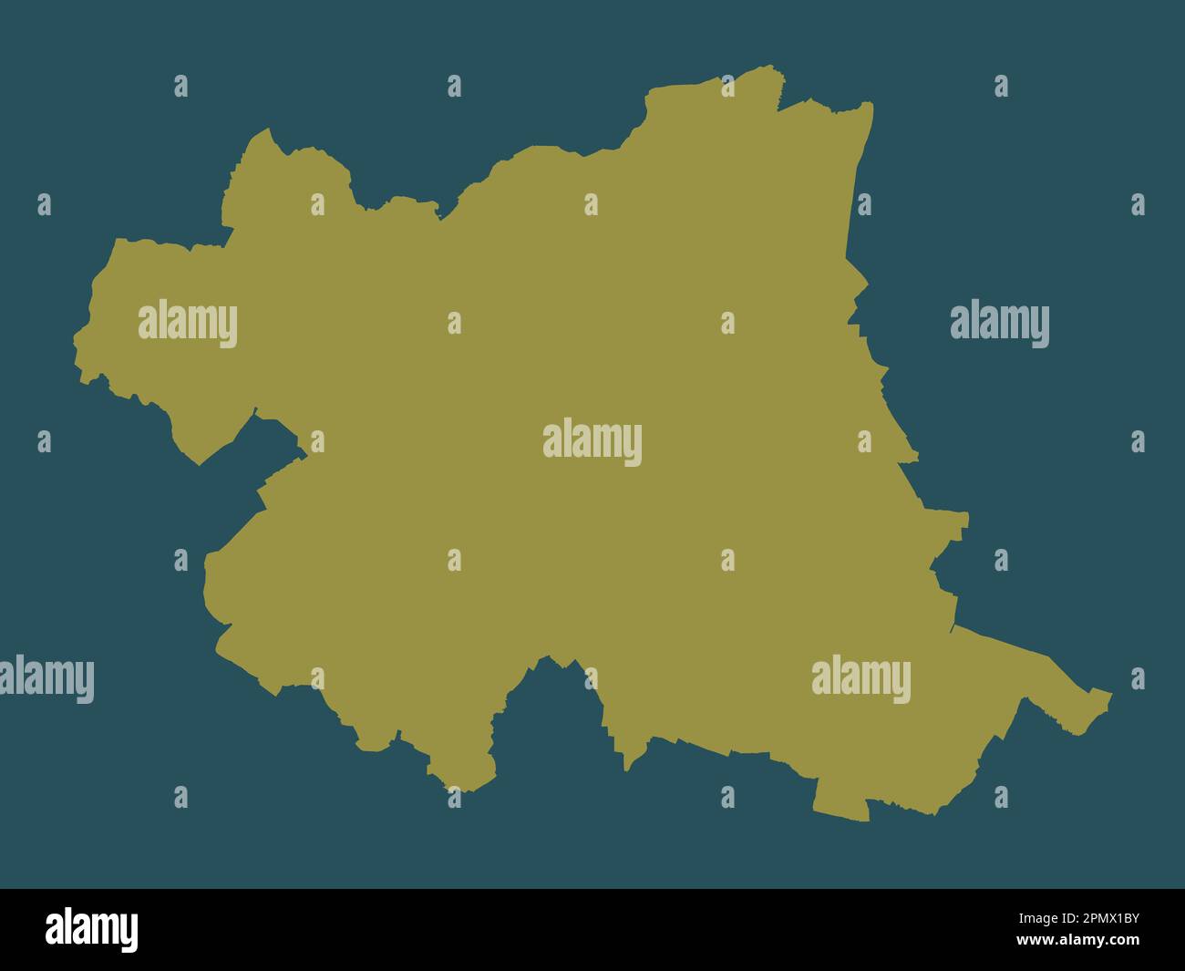 Charnwood, non metropolitan district of England - Great Britain. Solid color shape Stock Photohttps://www.alamy.com/image-license-details/?v=1https://www.alamy.com/charnwood-non-metropolitan-district-of-england-great-britain-solid-color-shape-image546386399.html
RF2PMX1BY–Charnwood, non metropolitan district of England - Great Britain. Solid color shape
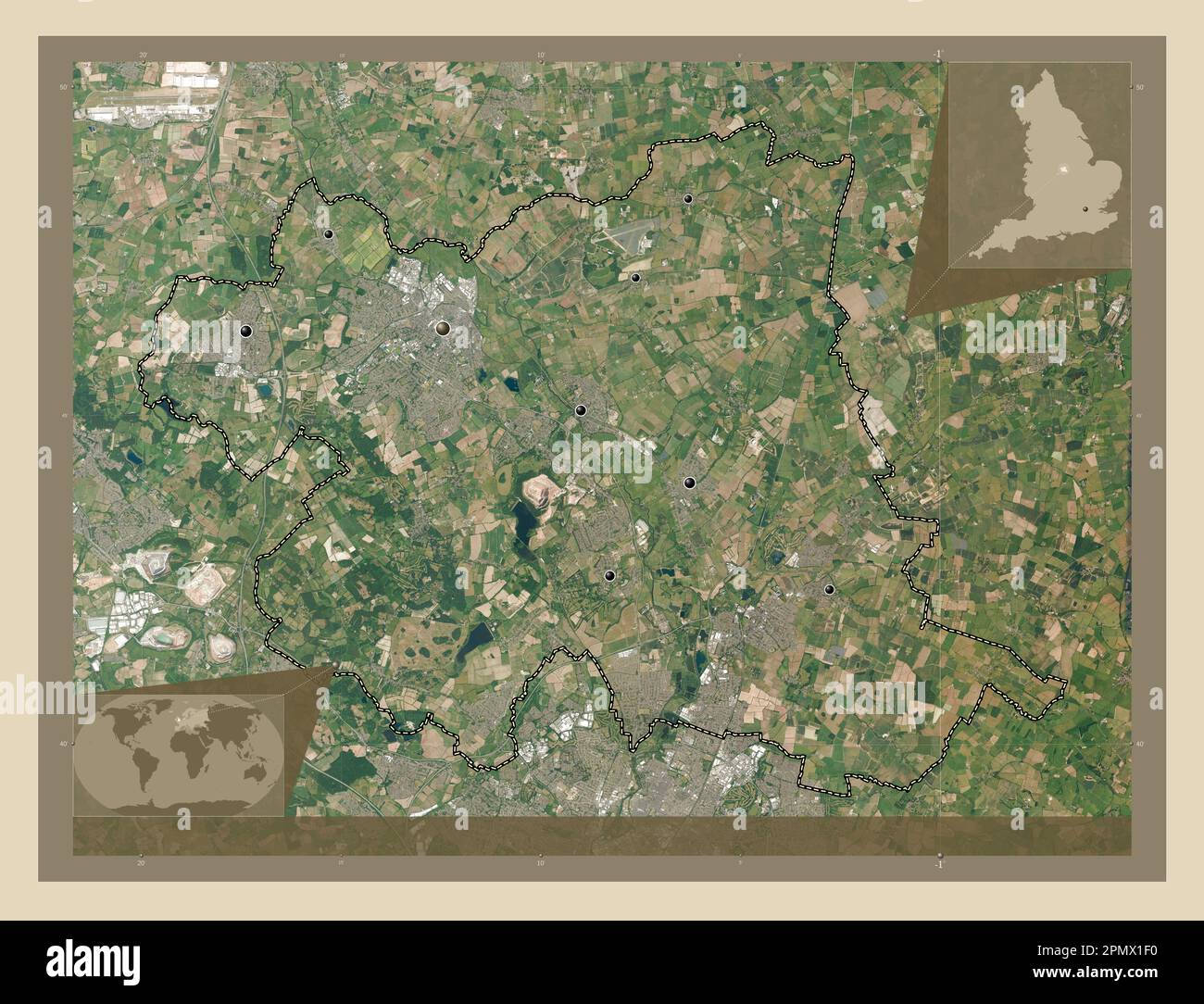 Charnwood, non metropolitan district of England - Great Britain. High resolution satellite map. Locations of major cities of the region. Corner auxili Stock Photohttps://www.alamy.com/image-license-details/?v=1https://www.alamy.com/charnwood-non-metropolitan-district-of-england-great-britain-high-resolution-satellite-map-locations-of-major-cities-of-the-region-corner-auxili-image546386484.html
RF2PMX1F0–Charnwood, non metropolitan district of England - Great Britain. High resolution satellite map. Locations of major cities of the region. Corner auxili
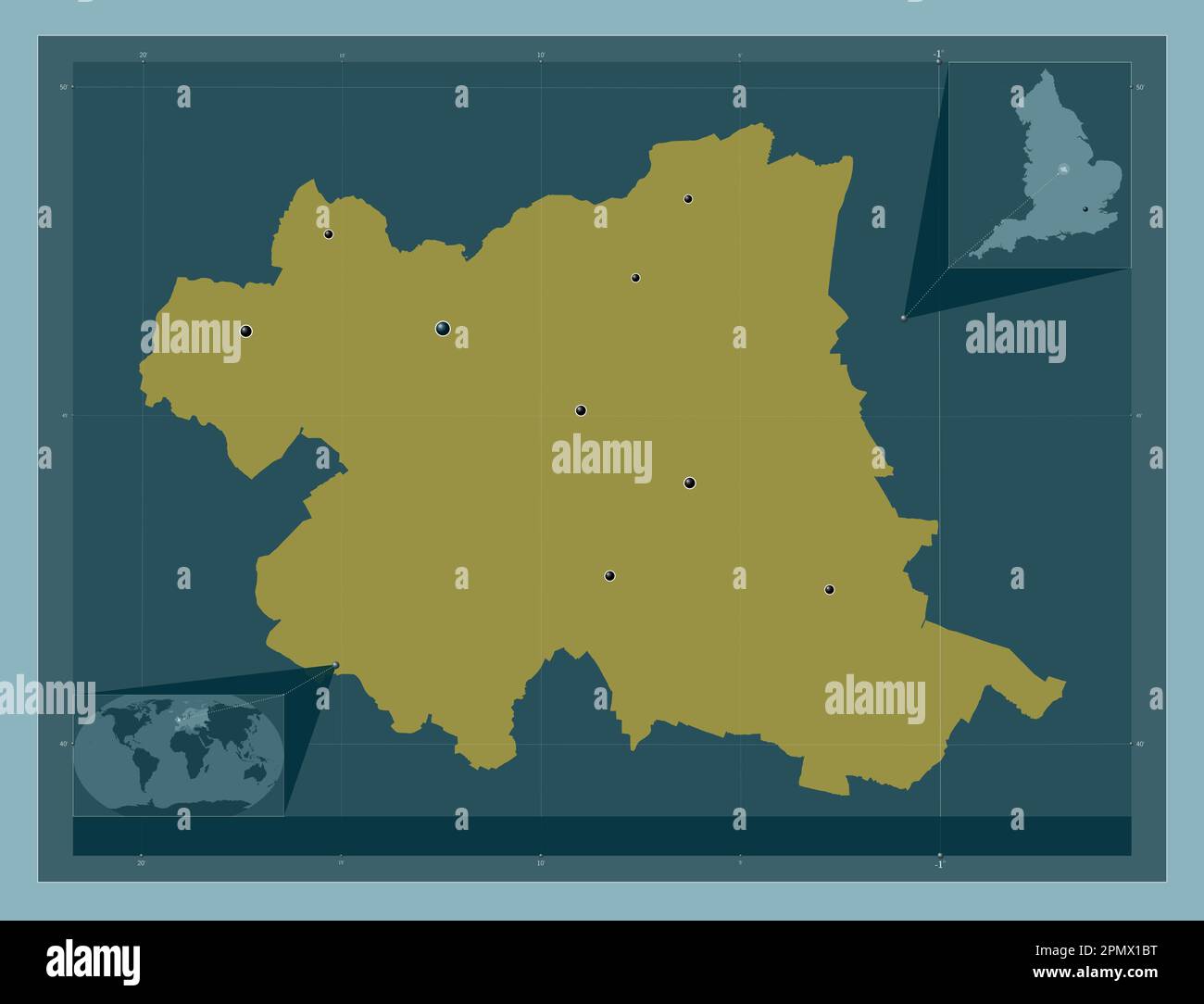 Charnwood, non metropolitan district of England - Great Britain. Solid color shape. Locations of major cities of the region. Corner auxiliary location Stock Photohttps://www.alamy.com/image-license-details/?v=1https://www.alamy.com/charnwood-non-metropolitan-district-of-england-great-britain-solid-color-shape-locations-of-major-cities-of-the-region-corner-auxiliary-location-image546386396.html
RF2PMX1BT–Charnwood, non metropolitan district of England - Great Britain. Solid color shape. Locations of major cities of the region. Corner auxiliary location