Quick filters:
Basin and range Stock Photos and Images
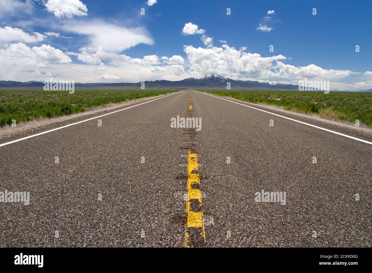 Low perspective view looking down the middle on highway 93 in the Basin and Range country of Nevada Stock Photohttps://www.alamy.com/image-license-details/?v=1https://www.alamy.com/low-perspective-view-looking-down-the-middle-on-highway-93-in-the-basin-and-range-country-of-nevada-image366542752.html
RF2C89D0G–Low perspective view looking down the middle on highway 93 in the Basin and Range country of Nevada
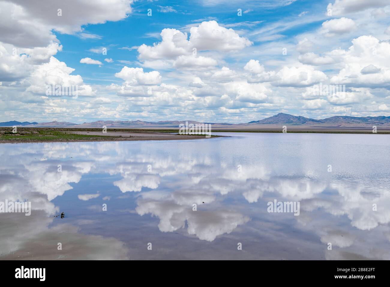 USA, Nevada, Lincoln County, Basin and Range National Monument. A summer monsoon rain fills the endorheic basin in Coal Valley with epehmeral water. Stock Photohttps://www.alamy.com/image-license-details/?v=1https://www.alamy.com/usa-nevada-lincoln-county-basin-and-range-national-monument-a-summer-monsoon-rain-fills-the-endorheic-basin-in-coal-valley-with-epehmeral-water-image349433948.html
RF2B8E2FT–USA, Nevada, Lincoln County, Basin and Range National Monument. A summer monsoon rain fills the endorheic basin in Coal Valley with epehmeral water.
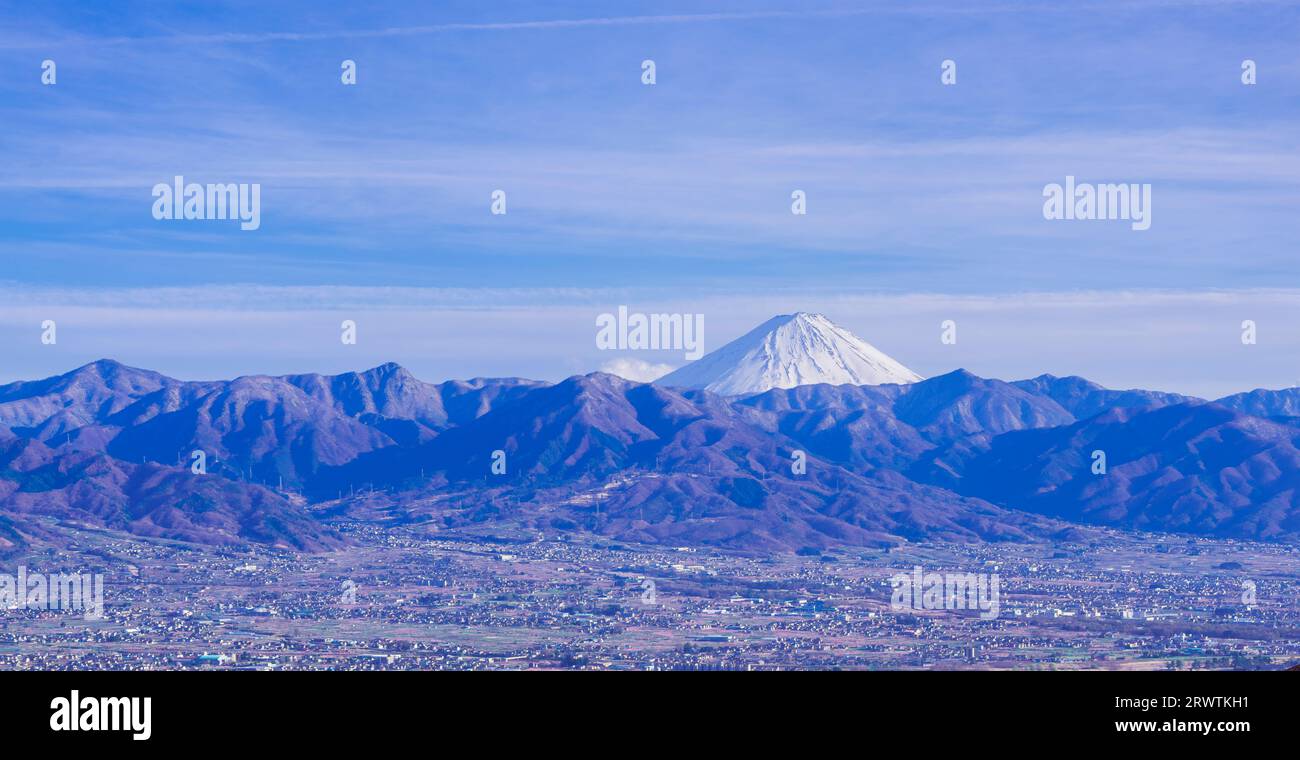 Yamanashi Landscapes Kofu Basin and Mt. Fuji in the distance Fuefukigawa Fruit Park Stock Photohttps://www.alamy.com/image-license-details/?v=1https://www.alamy.com/yamanashi-landscapes-kofu-basin-and-mt-fuji-in-the-distance-fuefukigawa-fruit-park-image566640397.html
RF2RWTKH1–Yamanashi Landscapes Kofu Basin and Mt. Fuji in the distance Fuefukigawa Fruit Park
RF2X78TW5–Zabriskie Point badlands, Manly Beacon, Badwater Basin and the Panamint Mountain Range, Death Valley National Park, California.
 Cottonball Basin salt flats, Panamint Range, Death Valley National Park, California, USA Stock Photohttps://www.alamy.com/image-license-details/?v=1https://www.alamy.com/cottonball-basin-salt-flats-panamint-range-death-valley-national-park-california-usa-image505004428.html
RM2M9GX8C–Cottonball Basin salt flats, Panamint Range, Death Valley National Park, California, USA
 full moon setting over the flint creek range and foothills of upper spotted dog creek basin near avon, montana Stock Photohttps://www.alamy.com/image-license-details/?v=1https://www.alamy.com/full-moon-setting-over-the-flint-creek-range-and-foothills-of-upper-spotted-dog-creek-basin-near-avon-montana-image329338512.html
RM2A3PJHM–full moon setting over the flint creek range and foothills of upper spotted dog creek basin near avon, montana
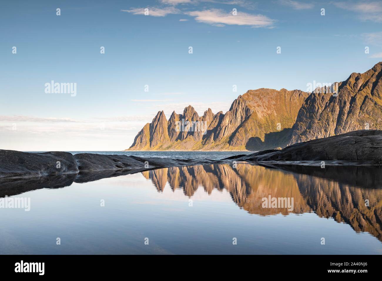 Mountain peaks at Tungeneset reflected in small natural basin, Devil's Teeth, Okshornan mountain range, Senja Island, Troms, Norway Stock Photohttps://www.alamy.com/image-license-details/?v=1https://www.alamy.com/mountain-peaks-at-tungeneset-reflected-in-small-natural-basin-devils-teeth-okshornan-mountain-range-senja-island-troms-norway-image329472590.html
RF2A40NJ6–Mountain peaks at Tungeneset reflected in small natural basin, Devil's Teeth, Okshornan mountain range, Senja Island, Troms, Norway
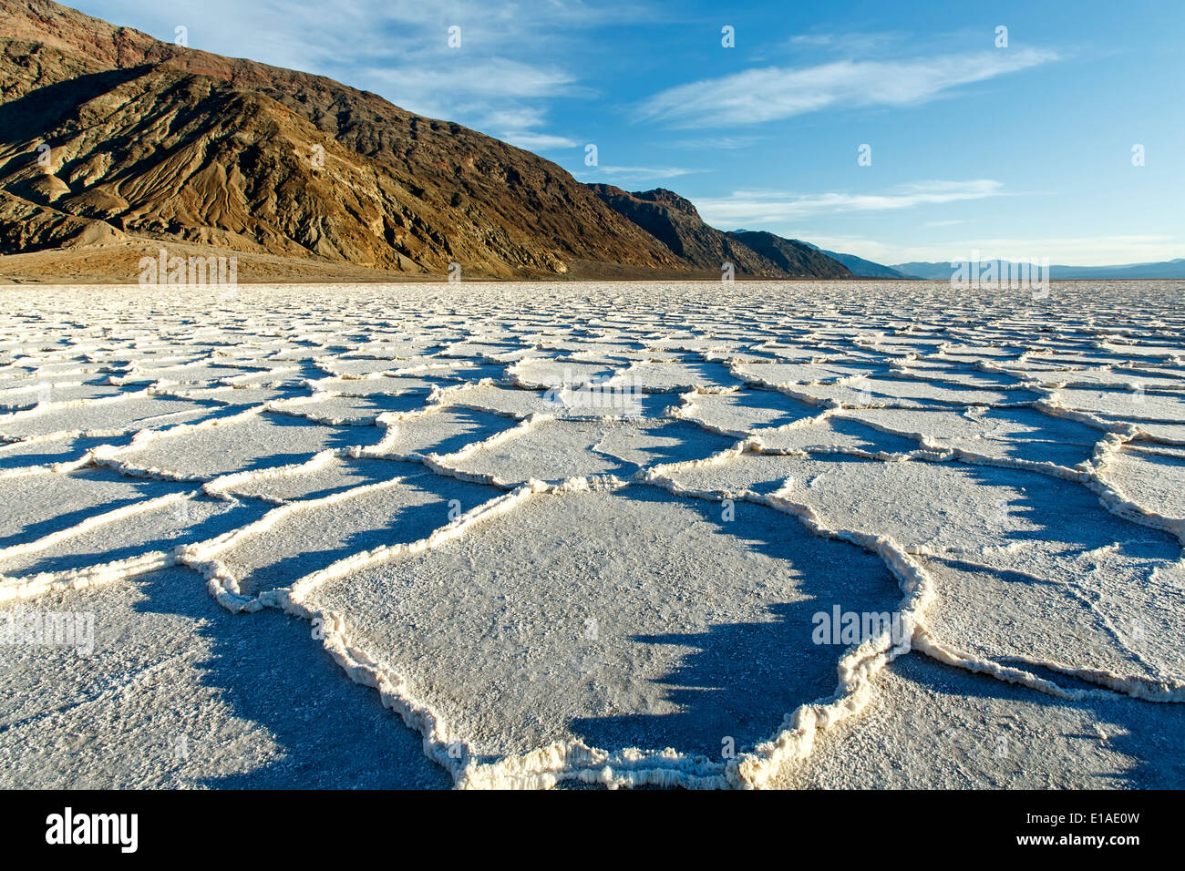 Polygonal salt pans and Black Range, Badwater Basin, Death Valley National Park, California USA Stock Photohttps://www.alamy.com/image-license-details/?v=1https://www.alamy.com/polygonal-salt-pans-and-black-range-badwater-basin-death-valley-national-image69686649.html
RME1AE0W–Polygonal salt pans and Black Range, Badwater Basin, Death Valley National Park, California USA
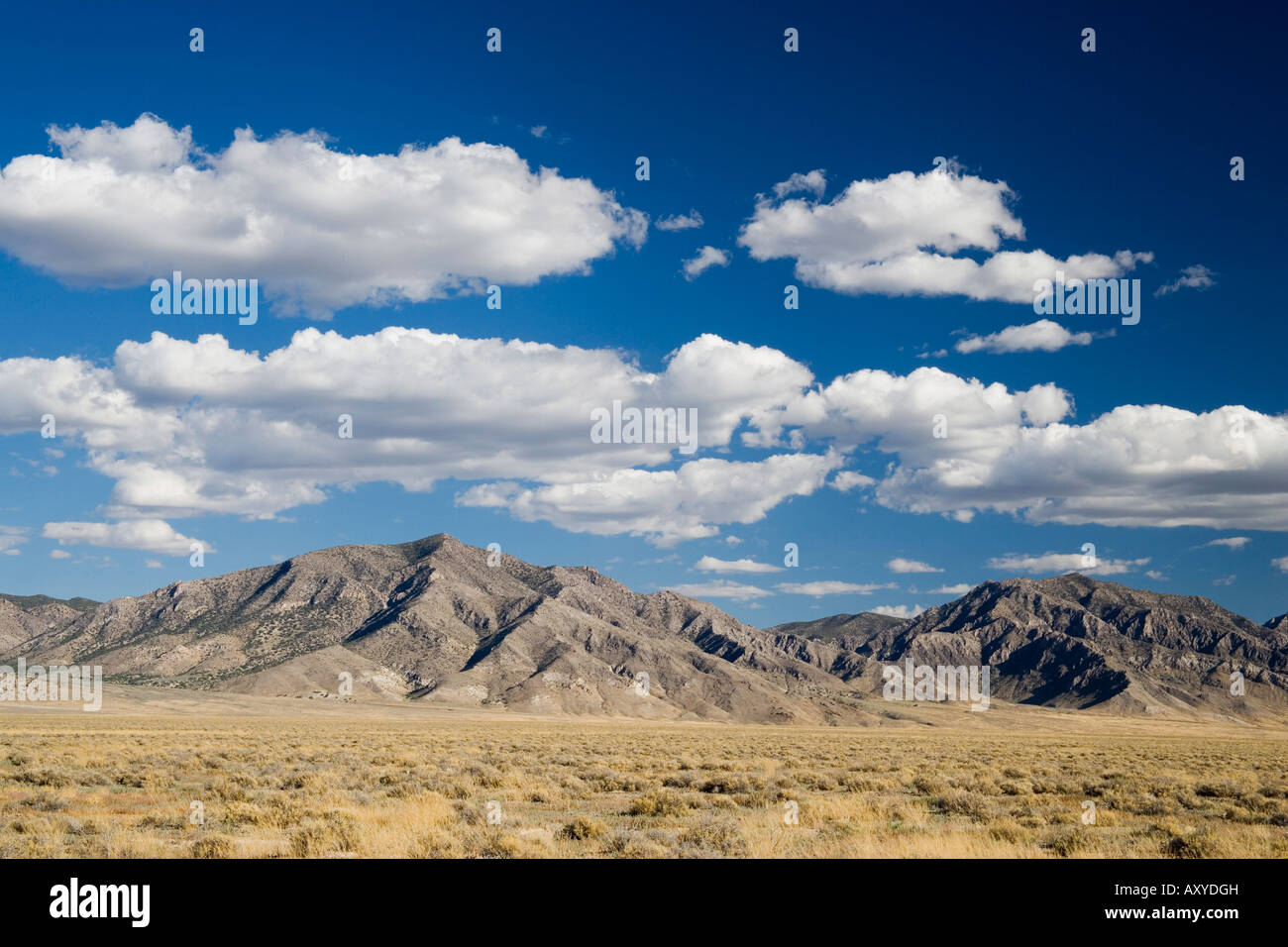 Grant Range, Great Basin, Nevada, United States of America, North America Stock Photohttps://www.alamy.com/image-license-details/?v=1https://www.alamy.com/stock-photo-grant-range-great-basin-nevada-united-states-of-america-north-america-16942096.html
RFAXYDGH–Grant Range, Great Basin, Nevada, United States of America, North America
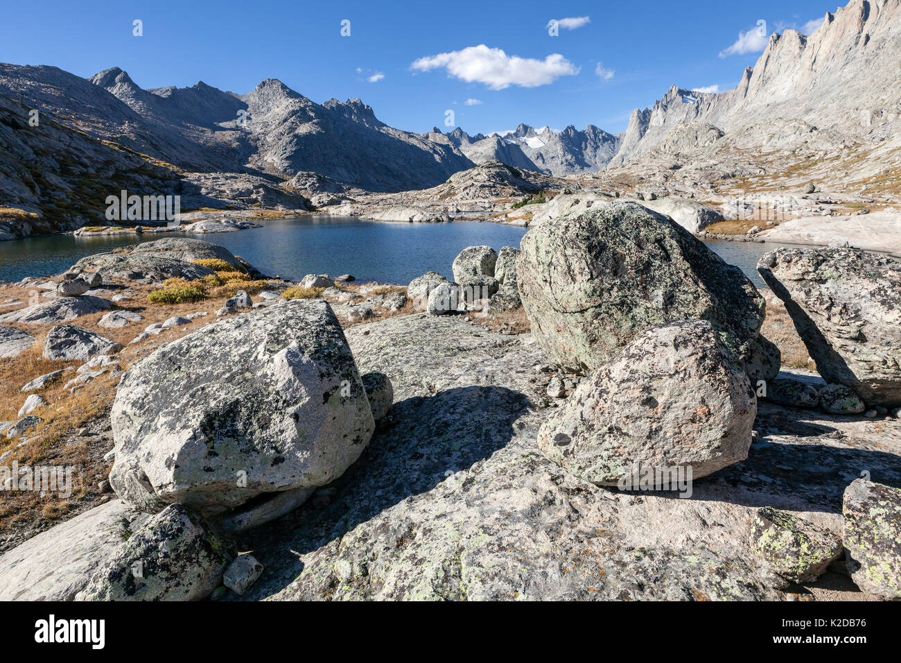 Titcomb Basin in Wind River Range, Bridger Wilderness, Bridger National Forest, Wyoming, USA. September 2015. Stock Photohttps://www.alamy.com/image-license-details/?v=1https://www.alamy.com/titcomb-basin-in-wind-river-range-bridger-wilderness-bridger-national-image156416826.html
RMK2DB76–Titcomb Basin in Wind River Range, Bridger Wilderness, Bridger National Forest, Wyoming, USA. September 2015.
 Sunset at Sea of Salt - A Spring sunset view of salt flats of Badwater Basin at base of Panamint Range. Death Valley National Park, California, USA. Stock Photohttps://www.alamy.com/image-license-details/?v=1https://www.alamy.com/sunset-at-sea-of-salt-a-spring-sunset-view-of-salt-flats-of-badwater-basin-at-base-of-panamint-range-death-valley-national-park-california-usa-image185868830.html
RFMPB1GE–Sunset at Sea of Salt - A Spring sunset view of salt flats of Badwater Basin at base of Panamint Range. Death Valley National Park, California, USA.
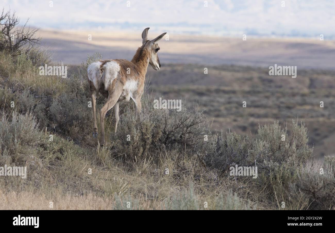 Pronghorn antelope without horns stands on slope and gazes across the Big Basin range land of McCullough Peaks near Cody, Wyoming Stock Photohttps://www.alamy.com/image-license-details/?v=1https://www.alamy.com/pronghorn-antelope-without-horns-stands-on-slope-and-gazes-across-the-big-basin-range-land-of-mccullough-peaks-near-cody-wyoming-image446919281.html
RF2GY2X2W–Pronghorn antelope without horns stands on slope and gazes across the Big Basin range land of McCullough Peaks near Cody, Wyoming
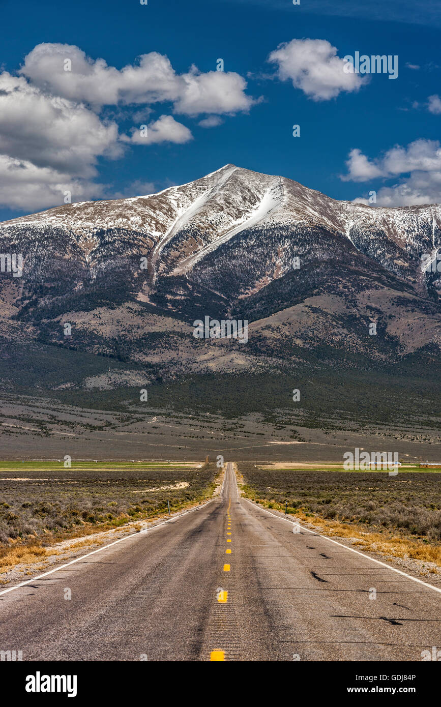 Wheeler Peak in Great Basin National Park, Snake Range mountains, view from State Highway 894 in Spring Valley, Nevada, USA Stock Photohttps://www.alamy.com/image-license-details/?v=1https://www.alamy.com/stock-photo-wheeler-peak-in-great-basin-national-park-snake-range-mountains-view-111654278.html
RFGDJ84P–Wheeler Peak in Great Basin National Park, Snake Range mountains, view from State Highway 894 in Spring Valley, Nevada, USA
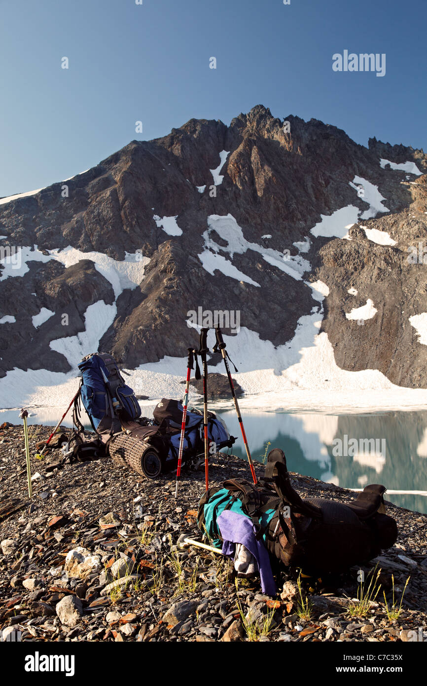 Backpacks in upper Ferry Basin below Pulitzer Peak, Bailey Range Traverse, Olympic Mountains, Washington Stock Photohttps://www.alamy.com/image-license-details/?v=1https://www.alamy.com/stock-photo-backpacks-in-upper-ferry-basin-below-pulitzer-peak-bailey-range-traverse-38989270.html
RMC7C35X–Backpacks in upper Ferry Basin below Pulitzer Peak, Bailey Range Traverse, Olympic Mountains, Washington
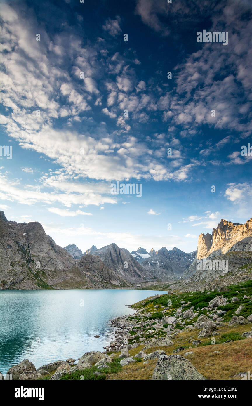 Titcomb Basin, Wind River Range, Bridger Teton National Forest, Pinedale, Wyoming. Stock Photohttps://www.alamy.com/image-license-details/?v=1https://www.alamy.com/stock-photo-titcomb-basin-wind-river-range-bridger-teton-national-forest-pinedale-80213151.html
RFEJE0KB–Titcomb Basin, Wind River Range, Bridger Teton National Forest, Pinedale, Wyoming.
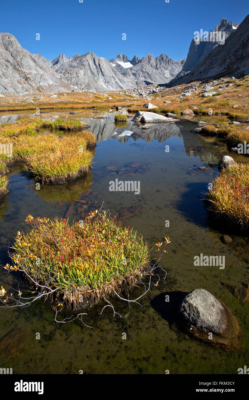 WY01246-00...WYOMING - Small tarn in the Titcomb Basin area of the Wind River Range in the Bridger Wilderness Area. Stock Photohttps://www.alamy.com/image-license-details/?v=1https://www.alamy.com/stock-photo-wy01246-00wyoming-small-tarn-in-the-titcomb-basin-area-of-the-wind-98172059.html
RMFKM3CY–WY01246-00...WYOMING - Small tarn in the Titcomb Basin area of the Wind River Range in the Bridger Wilderness Area.
 California. Salt flats and Panamint Range near Badwater Basin, Death Valley National Park. Stock Photohttps://www.alamy.com/image-license-details/?v=1https://www.alamy.com/stock-photo-california-salt-flats-and-panamint-range-near-badwater-basin-death-35925013.html
RFC2CEM5–California. Salt flats and Panamint Range near Badwater Basin, Death Valley National Park.
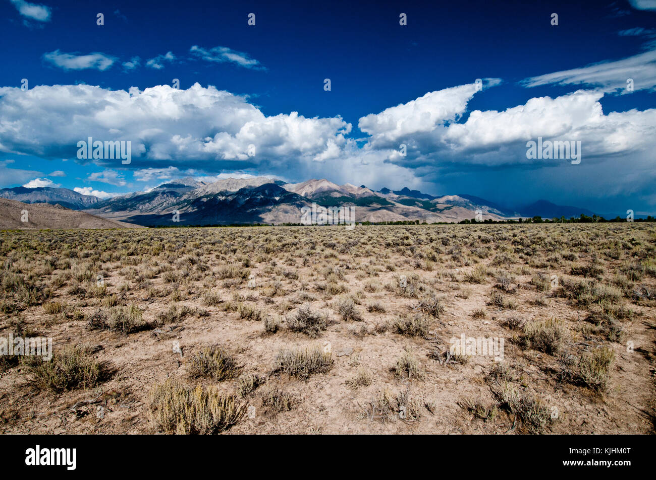 West side of Lost River Range, Idaho Stock Photohttps://www.alamy.com/image-license-details/?v=1https://www.alamy.com/stock-image-west-side-of-lost-river-range-idaho-166346008.html
RFKJHM0T–West side of Lost River Range, Idaho
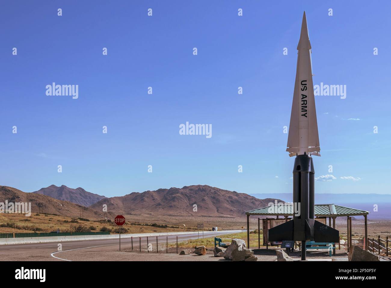 Nike Hercules Missile at the San Augustin Pass pullout overlooking the Tularosa Basin and White Sands Missile Range, near Las Cruces, New Mexico, USA. Stock Photohttps://www.alamy.com/image-license-details/?v=1https://www.alamy.com/nike-hercules-missile-at-the-san-augustin-pass-pullout-overlooking-the-tularosa-basin-and-white-sands-missile-range-near-las-cruces-new-mexico-usa-image416134039.html
RM2F50F5Y–Nike Hercules Missile at the San Augustin Pass pullout overlooking the Tularosa Basin and White Sands Missile Range, near Las Cruces, New Mexico, USA.
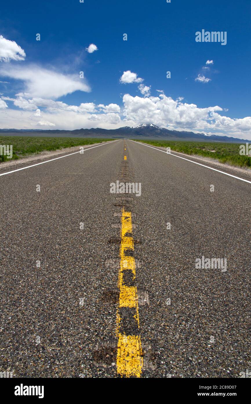 Low perspective view looking down the middle on highway 93 in the Basin and Range country of Nevada Stock Photohttps://www.alamy.com/image-license-details/?v=1https://www.alamy.com/low-perspective-view-looking-down-the-middle-on-highway-93-in-the-basin-and-range-country-of-nevada-image366542743.html
RF2C89D07–Low perspective view looking down the middle on highway 93 in the Basin and Range country of Nevada
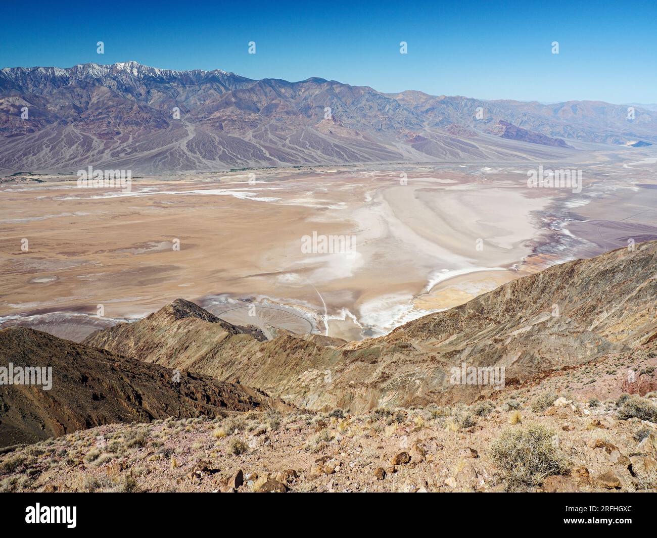 Badwater Basin, Telescope Peak from Dante’s View in Death Valley National Park, California, USA. Stock Photohttps://www.alamy.com/image-license-details/?v=1https://www.alamy.com/badwater-basin-telescope-peak-from-dantes-view-in-death-valley-national-park-california-usa-image560338084.html
RM2RFHGXC–Badwater Basin, Telescope Peak from Dante’s View in Death Valley National Park, California, USA.
 Yamanashi Landscapes Mountains and Mt. Fuji - a view from an unnamed observatory Stock Photohttps://www.alamy.com/image-license-details/?v=1https://www.alamy.com/yamanashi-landscapes-mountains-and-mt-fuji-a-view-from-an-unnamed-observatory-image566639420.html
RF2RWTJA4–Yamanashi Landscapes Mountains and Mt. Fuji - a view from an unnamed observatory
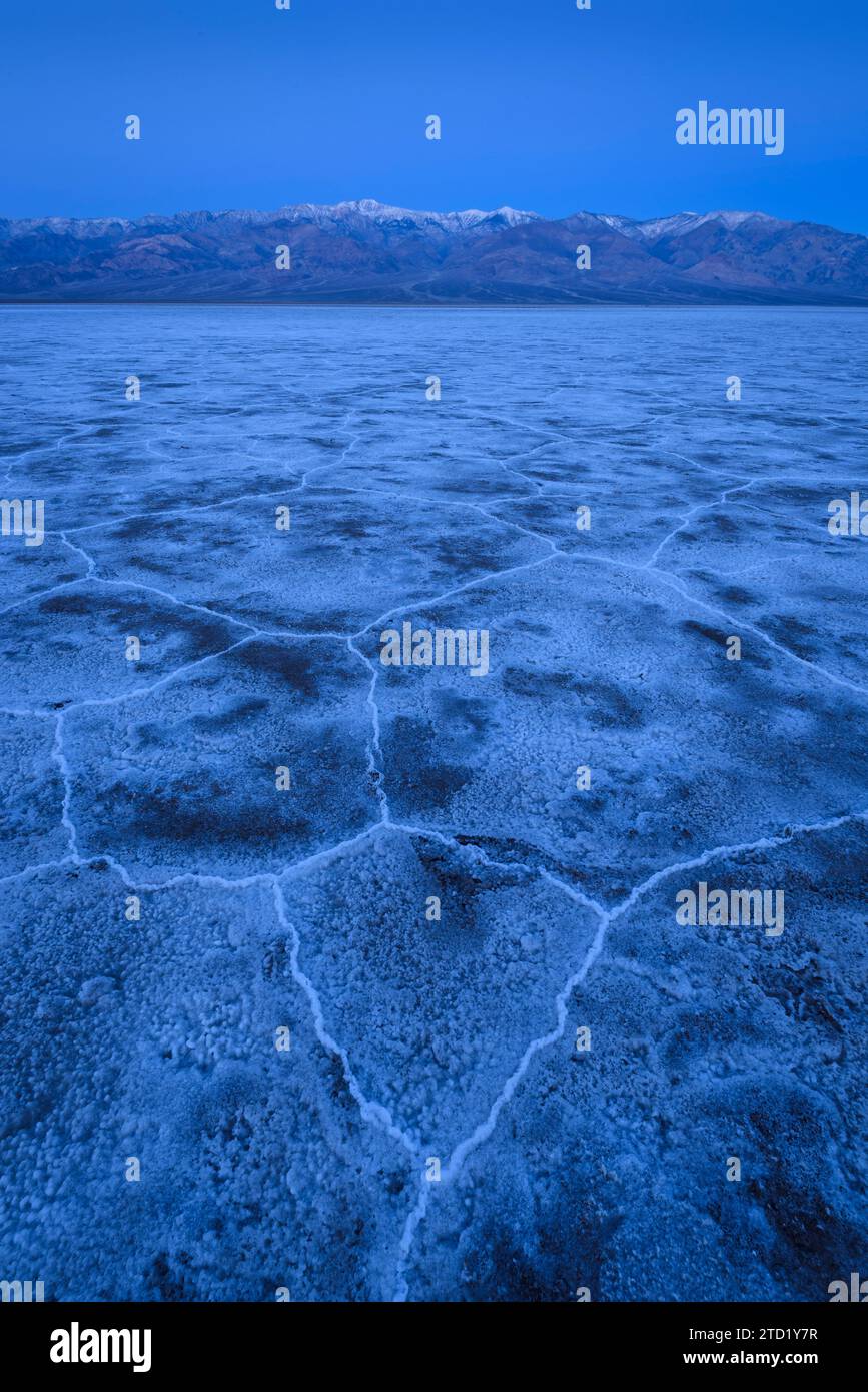 Salt formations at Badwater Basin during the blue hour in Death Valley National Park, California. Stock Photohttps://www.alamy.com/image-license-details/?v=1https://www.alamy.com/salt-formations-at-badwater-basin-during-the-blue-hour-in-death-valley-national-park-california-image575976011.html
RF2TD1Y7R–Salt formations at Badwater Basin during the blue hour in Death Valley National Park, California.
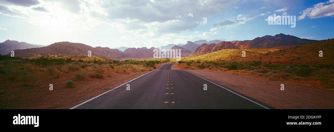 Road passing through a landscape with mountains in the background, Calico Basin, Red Rock Canyon National Conservation Area, Las Vegas, Nevada, USA Stock Photohttps://www.alamy.com/image-license-details/?v=1https://www.alamy.com/road-passing-through-a-landscape-with-mountains-in-the-background-calico-basin-red-rock-canyon-national-conservation-area-las-vegas-nevada-usa-image388703715.html
RM2DGAYFF–Road passing through a landscape with mountains in the background, Calico Basin, Red Rock Canyon National Conservation Area, Las Vegas, Nevada, USA
 full moon setting over the flint creek range and foothills of upper spotted dog creek basin near avon, montana Stock Photohttps://www.alamy.com/image-license-details/?v=1https://www.alamy.com/full-moon-setting-over-the-flint-creek-range-and-foothills-of-upper-spotted-dog-creek-basin-near-avon-montana-image329338537.html
RM2A3PJJH–full moon setting over the flint creek range and foothills of upper spotted dog creek basin near avon, montana
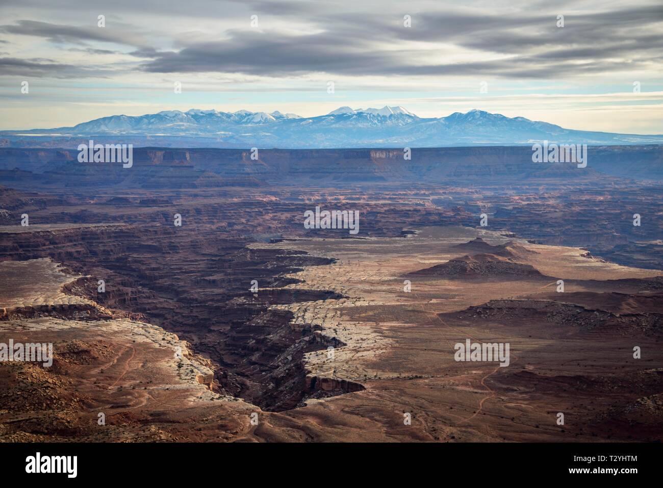 View from Grand View Point Overlook to erosion landscape, rock formations, Monument Basin, White Rim, back mountain range La Sal Mountains, La Sal Stock Photohttps://www.alamy.com/image-license-details/?v=1https://www.alamy.com/view-from-grand-view-point-overlook-to-erosion-landscape-rock-formations-monument-basin-white-rim-back-mountain-range-la-sal-mountains-la-sal-image242781188.html
RFT2YHTM–View from Grand View Point Overlook to erosion landscape, rock formations, Monument Basin, White Rim, back mountain range La Sal Mountains, La Sal
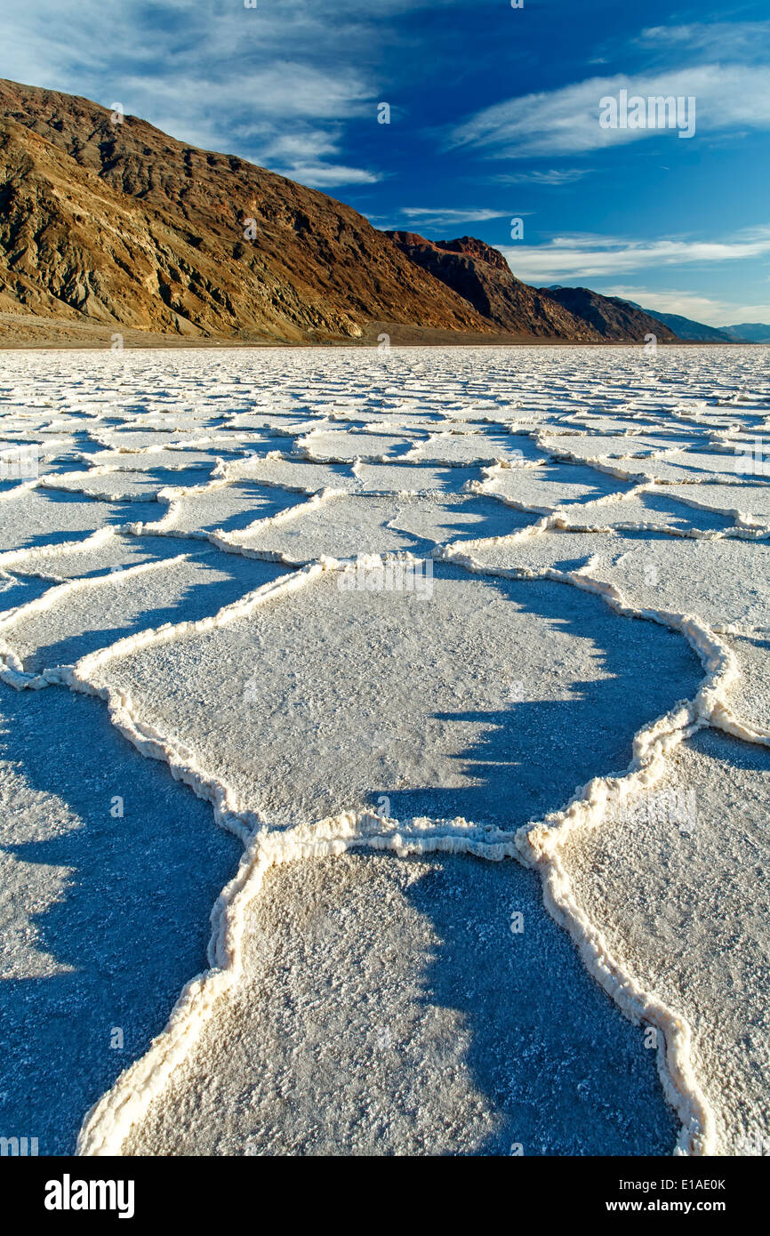 Polygonal salt pans and Black Range, Badwater Basin, Death Valley National Park, California USA Stock Photohttps://www.alamy.com/image-license-details/?v=1https://www.alamy.com/polygonal-salt-pans-and-black-range-badwater-basin-death-valley-national-image69686643.html
RME1AE0K–Polygonal salt pans and Black Range, Badwater Basin, Death Valley National Park, California USA
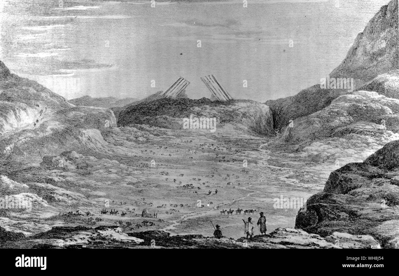 The Uspallata range, north of Mendoza, 'separated from the main Cordillera by a long narrow plain or basin, like those so often mentioned in Chile, but higher, being six thousand feet above the sea ... it consists of various kinds of submarine lava, alternating with volcanic sandstones and other remarkable sedimentary deposits.' Darwin and the Beagle by Alan Moorhead, page 176-7. Stock Photohttps://www.alamy.com/image-license-details/?v=1https://www.alamy.com/the-uspallata-range-north-of-mendoza-separated-from-the-main-cordillera-by-a-long-narrow-plain-or-basin-like-those-so-often-mentioned-in-chile-but-higher-being-six-thousand-feet-above-the-sea-it-consists-of-various-kinds-of-submarine-lava-alternating-with-volcanic-sandstones-and-other-remarkable-sedimentary-deposits-darwin-and-the-beagle-by-alan-moorhead-page-176-7-image268794544.html
RMWH8J54–The Uspallata range, north of Mendoza, 'separated from the main Cordillera by a long narrow plain or basin, like those so often mentioned in Chile, but higher, being six thousand feet above the sea ... it consists of various kinds of submarine lava, alternating with volcanic sandstones and other remarkable sedimentary deposits.' Darwin and the Beagle by Alan Moorhead, page 176-7.
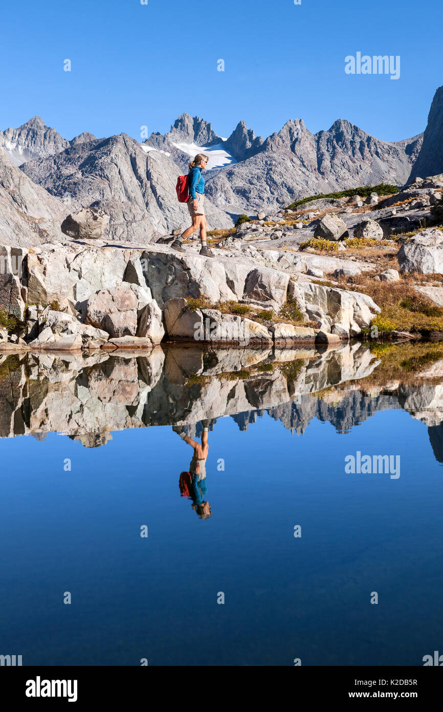 Hiker exploring mountain lake in the Titcomb Basin, Wind River Range, Bridger Wilderness, Bridger National Forest, Wyoming, USA. September 2015. Model released. Stock Photohttps://www.alamy.com/image-license-details/?v=1https://www.alamy.com/hiker-exploring-mountain-lake-in-the-titcomb-basin-wind-river-range-image156416787.html
RMK2DB5R–Hiker exploring mountain lake in the Titcomb Basin, Wind River Range, Bridger Wilderness, Bridger National Forest, Wyoming, USA. September 2015. Model released.
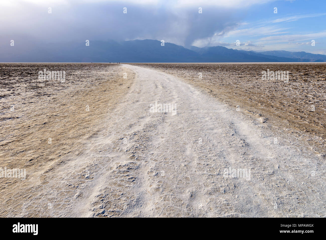 Salt Trail - A white salt footpath winding through vast salt flats of Badwater Basin at base of Panamint Range. Death Valley National Park, CA, USA. Stock Photohttps://www.alamy.com/image-license-details/?v=1https://www.alamy.com/salt-trail-a-white-salt-footpath-winding-through-vast-salt-flats-of-badwater-basin-at-base-of-panamint-range-death-valley-national-park-ca-usa-image185865706.html
RFMPAWGX–Salt Trail - A white salt footpath winding through vast salt flats of Badwater Basin at base of Panamint Range. Death Valley National Park, CA, USA.
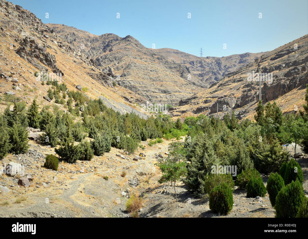 Alborz mountain range natural landscape around Caspian Sea basin in Iran Stock Photohttps://www.alamy.com/image-license-details/?v=1https://www.alamy.com/alborz-mountain-range-natural-landscape-around-caspian-sea-basin-in-iran-image224055822.html
RFR0EHDJ–Alborz mountain range natural landscape around Caspian Sea basin in Iran
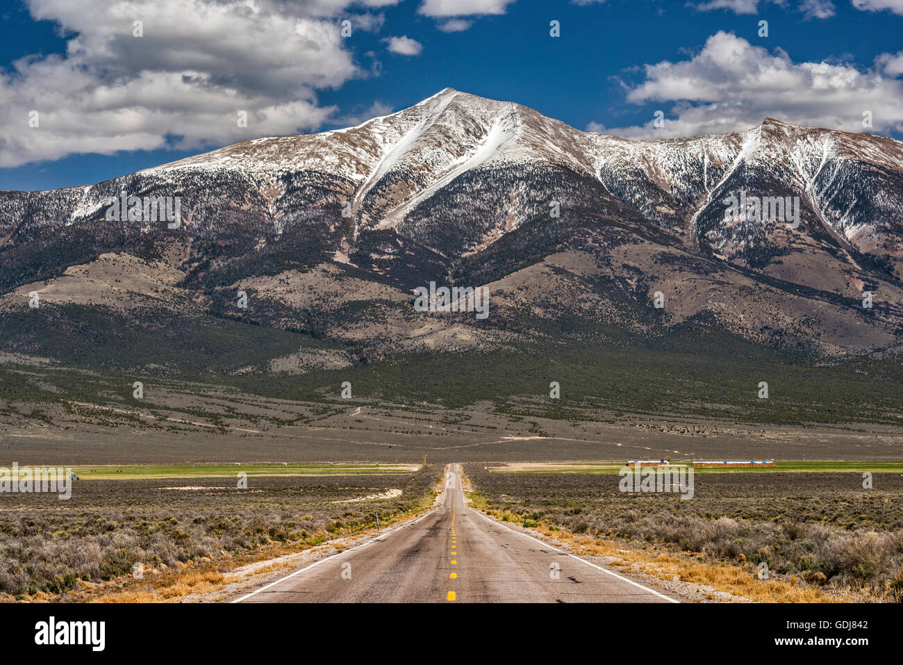 Wheeler Peak in Great Basin National Park, Snake Range mountains, view from State Highway 894 in Spring Valley, Nevada, USA Stock Photohttps://www.alamy.com/image-license-details/?v=1https://www.alamy.com/stock-photo-wheeler-peak-in-great-basin-national-park-snake-range-mountains-view-111654258.html
RFGDJ842–Wheeler Peak in Great Basin National Park, Snake Range mountains, view from State Highway 894 in Spring Valley, Nevada, USA
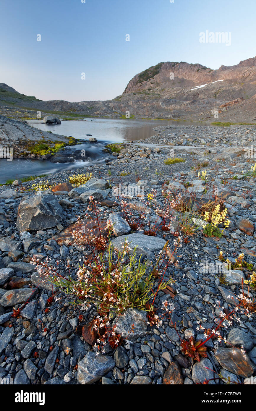 Wildflowers and alpine lake in upper Ferry Basin, Bailey Range, Olympic National Park, Washington Stock Photohttps://www.alamy.com/image-license-details/?v=1https://www.alamy.com/stock-photo-wildflowers-and-alpine-lake-in-upper-ferry-basin-bailey-range-olympic-38984319.html
RMC7BTW3–Wildflowers and alpine lake in upper Ferry Basin, Bailey Range, Olympic National Park, Washington
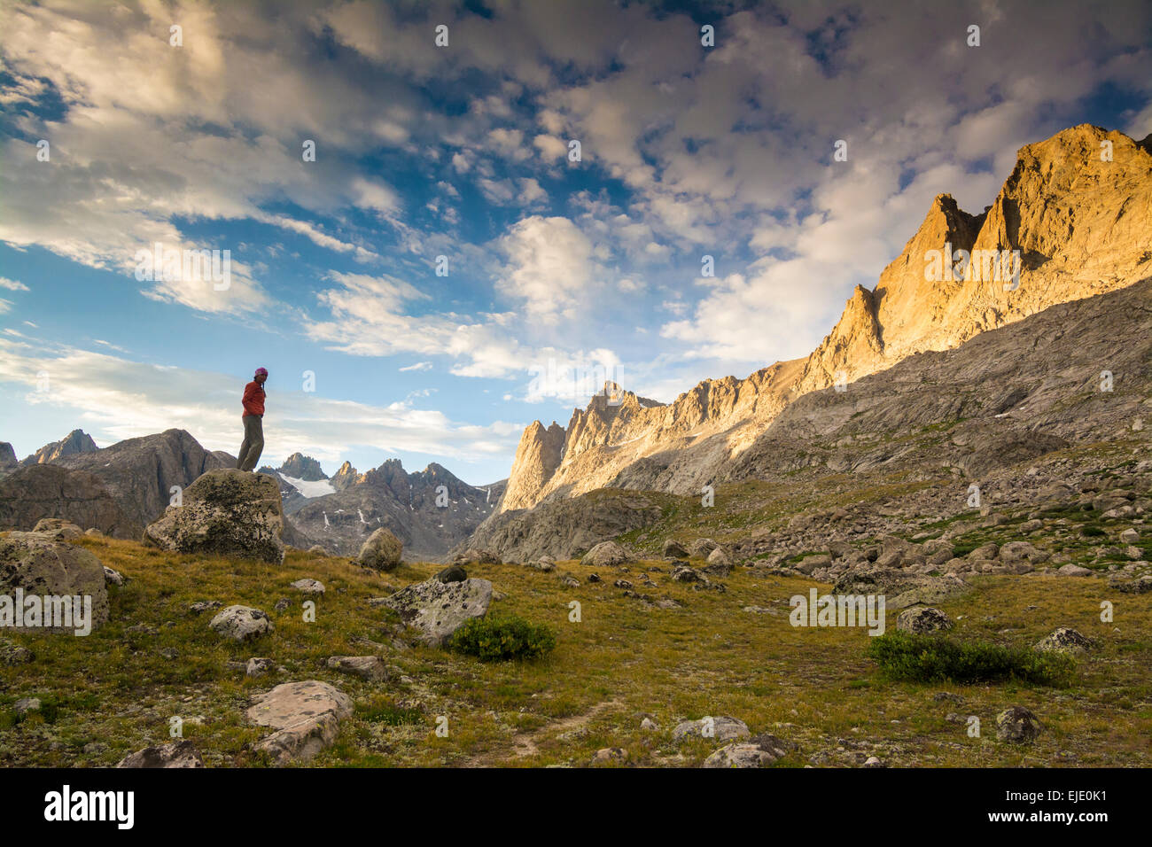 Woman hiker in Titcomb Basin, Wind River Range, Pinedale, Wyoming. Stock Photohttps://www.alamy.com/image-license-details/?v=1https://www.alamy.com/stock-photo-woman-hiker-in-titcomb-basin-wind-river-range-pinedale-wyoming-80213141.html
RFEJE0K1–Woman hiker in Titcomb Basin, Wind River Range, Pinedale, Wyoming.
 WYOMING - Small lake in Titcomb Basin in the Wind River Range of the Bridger Wilderness area of Bridger-Teton National Forest. Stock Photohttps://www.alamy.com/image-license-details/?v=1https://www.alamy.com/stock-photo-wyoming-small-lake-in-titcomb-basin-in-the-wind-river-range-of-the-98033900.html
RMFKDR6M–WYOMING - Small lake in Titcomb Basin in the Wind River Range of the Bridger Wilderness area of Bridger-Teton National Forest.
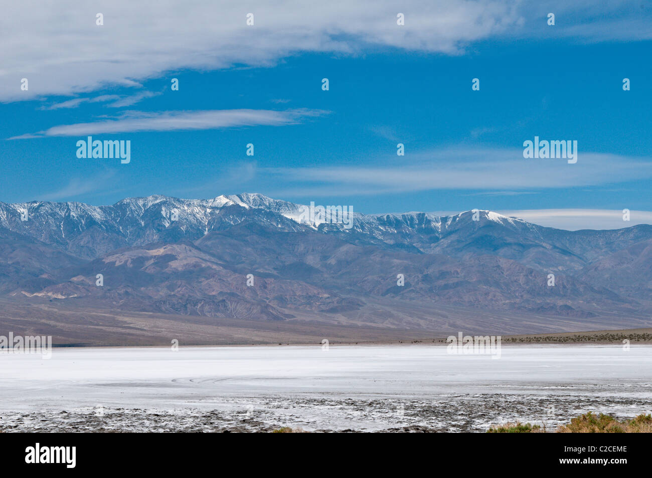 California. Salt flats and Panamint Range near Badwater Basin, Death Valley National Park. Stock Photohttps://www.alamy.com/image-license-details/?v=1https://www.alamy.com/stock-photo-california-salt-flats-and-panamint-range-near-badwater-basin-death-35925022.html
RFC2CEME–California. Salt flats and Panamint Range near Badwater Basin, Death Valley National Park.
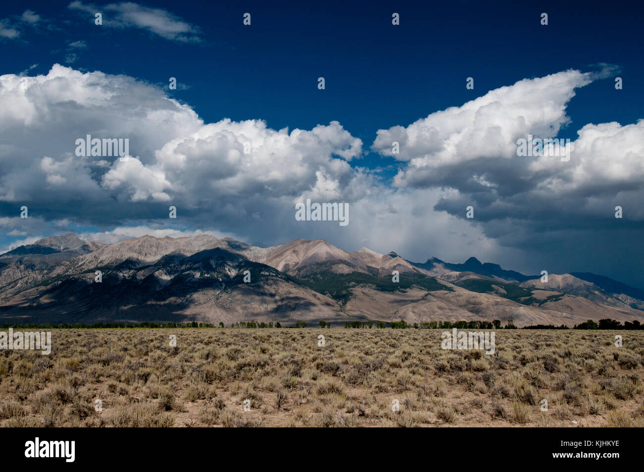 West side of Lost River Range, Idaho Stock Photohttps://www.alamy.com/image-license-details/?v=1https://www.alamy.com/stock-image-west-side-of-lost-river-range-idaho-166345970.html
RFKJHKYE–West side of Lost River Range, Idaho
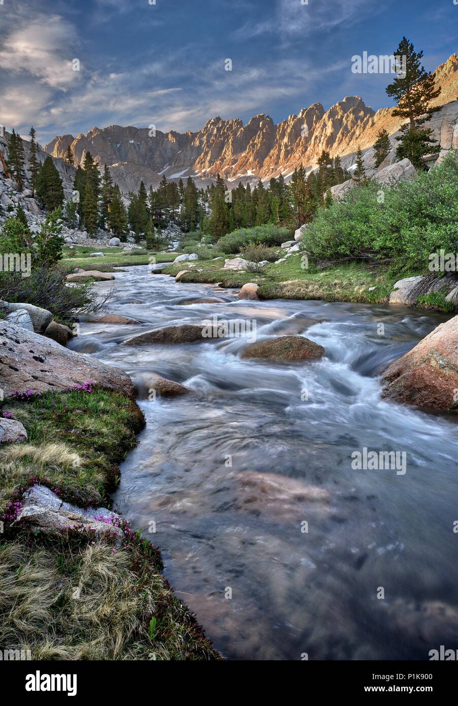 Rock Creek in the Miter Basin, Sequoia National Park, California, United States Stock Photohttps://www.alamy.com/image-license-details/?v=1https://www.alamy.com/rock-creek-in-the-miter-basin-sequoia-national-park-california-united-states-image207563216.html
RFP1K900–Rock Creek in the Miter Basin, Sequoia National Park, California, United States
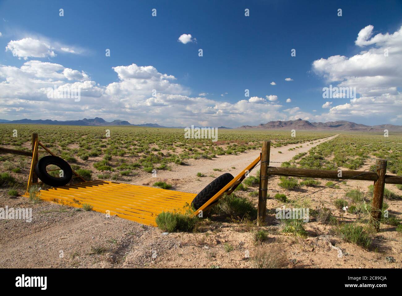 Gold colored cattle guard on a dirt road in the Basin and Range desert of Nye County, Nevada Stock Photohttps://www.alamy.com/image-license-details/?v=1https://www.alamy.com/gold-colored-cattle-guard-on-a-dirt-road-in-the-basin-and-range-desert-of-nye-county-nevada-image366542466.html
RF2C89CJA–Gold colored cattle guard on a dirt road in the Basin and Range desert of Nye County, Nevada
 Sandpiper at Lake Abert, Lakeview District Bureau of Land Management, Oregon Stock Photohttps://www.alamy.com/image-license-details/?v=1https://www.alamy.com/stock-photo-sandpiper-at-lake-abert-lakeview-district-bureau-of-land-management-85884873.html
RFEYMB0W–Sandpiper at Lake Abert, Lakeview District Bureau of Land Management, Oregon
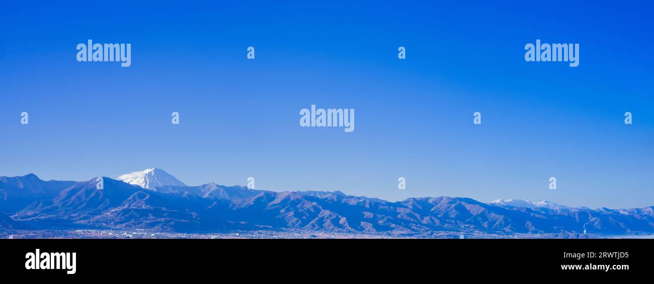 Yamanashi Landscapes Mountains and Mt. Fuji - a view from an unnamed observatory Stock Photohttps://www.alamy.com/image-license-details/?v=1https://www.alamy.com/yamanashi-landscapes-mountains-and-mt-fuji-a-view-from-an-unnamed-observatory-image566639505.html
RF2RWTJD5–Yamanashi Landscapes Mountains and Mt. Fuji - a view from an unnamed observatory
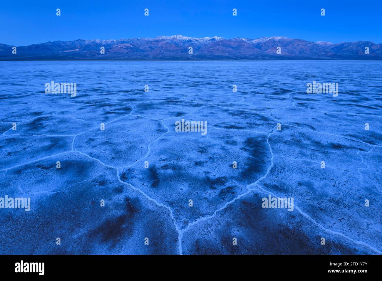 Salt formation polygons at Badwater Basin and the Panamint Mountains at dawn in Death Valley National Park, California. Stock Photohttps://www.alamy.com/image-license-details/?v=1https://www.alamy.com/salt-formation-polygons-at-badwater-basin-and-the-panamint-mountains-at-dawn-in-death-valley-national-park-california-image575976015.html
RF2TD1Y7Y–Salt formation polygons at Badwater Basin and the Panamint Mountains at dawn in Death Valley National Park, California.
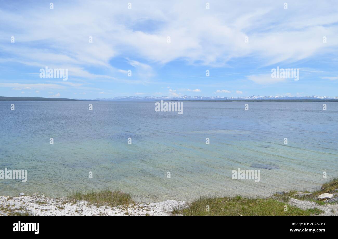 Spring in Yellowstone: Mountains of the Absaroka Range Seen Across Yellowstone Lake From the Edge of West Thumb Geyser Basin Stock Photohttps://www.alamy.com/image-license-details/?v=1https://www.alamy.com/spring-in-yellowstone-mountains-of-the-absaroka-range-seen-across-yellowstone-lake-from-the-edge-of-west-thumb-geyser-basin-image367702107.html
RF2CA67P3–Spring in Yellowstone: Mountains of the Absaroka Range Seen Across Yellowstone Lake From the Edge of West Thumb Geyser Basin
 flint creek range above spotted dog creek basin near avon, montana Stock Photohttps://www.alamy.com/image-license-details/?v=1https://www.alamy.com/stock-photo-flint-creek-range-above-spotted-dog-creek-basin-near-avon-montana-145040477.html
RMJBY4H1–flint creek range above spotted dog creek basin near avon, montana
 View from Grand View Point Overlook to erosion landscape, rock formations, Monument Basin, White Rim, back mountain range La Sal Mountains, La Sal Stock Photohttps://www.alamy.com/image-license-details/?v=1https://www.alamy.com/view-from-grand-view-point-overlook-to-erosion-landscape-rock-formations-monument-basin-white-rim-back-mountain-range-la-sal-mountains-la-sal-image242781186.html
RFT2YHTJ–View from Grand View Point Overlook to erosion landscape, rock formations, Monument Basin, White Rim, back mountain range La Sal Mountains, La Sal
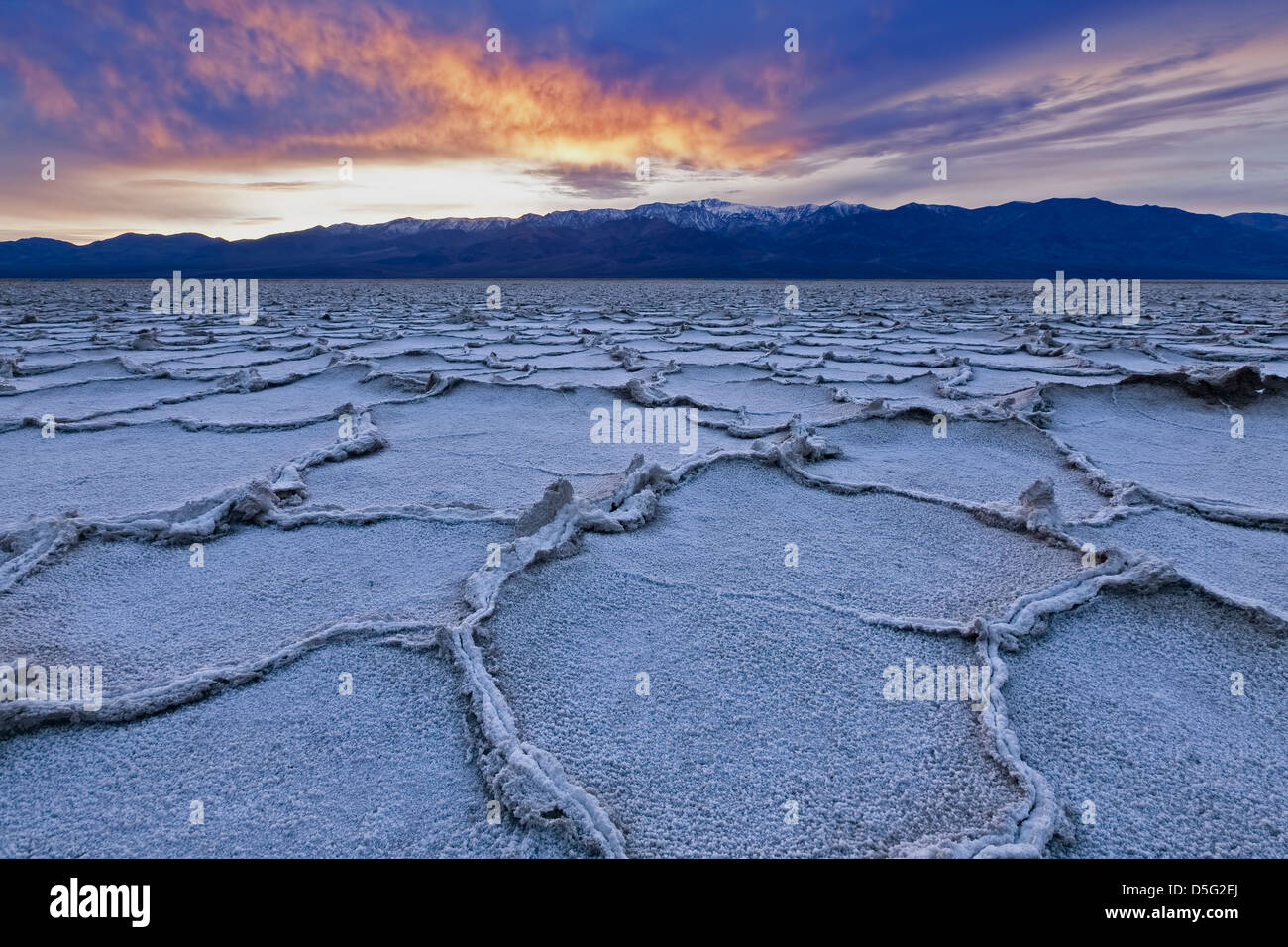 Polygonal salt pans and Panamint Range, Badwater Basin, Death Valley National Park, California USA Stock Photohttps://www.alamy.com/image-license-details/?v=1https://www.alamy.com/stock-photo-polygonal-salt-pans-and-panamint-range-badwater-basin-death-valley-55057594.html
RMD5G2EJ–Polygonal salt pans and Panamint Range, Badwater Basin, Death Valley National Park, California USA
 View by moonlight over Badwater Basin to the Panamint Range, Dante's View, Death Valley National Park, California, United States of America Stock Photohttps://www.alamy.com/image-license-details/?v=1https://www.alamy.com/view-by-moonlight-over-badwater-basin-to-the-panamint-range-dantes-view-death-valley-national-park-california-united-states-of-america-image402463515.html
RF2EANP8Y–View by moonlight over Badwater Basin to the Panamint Range, Dante's View, Death Valley National Park, California, United States of America
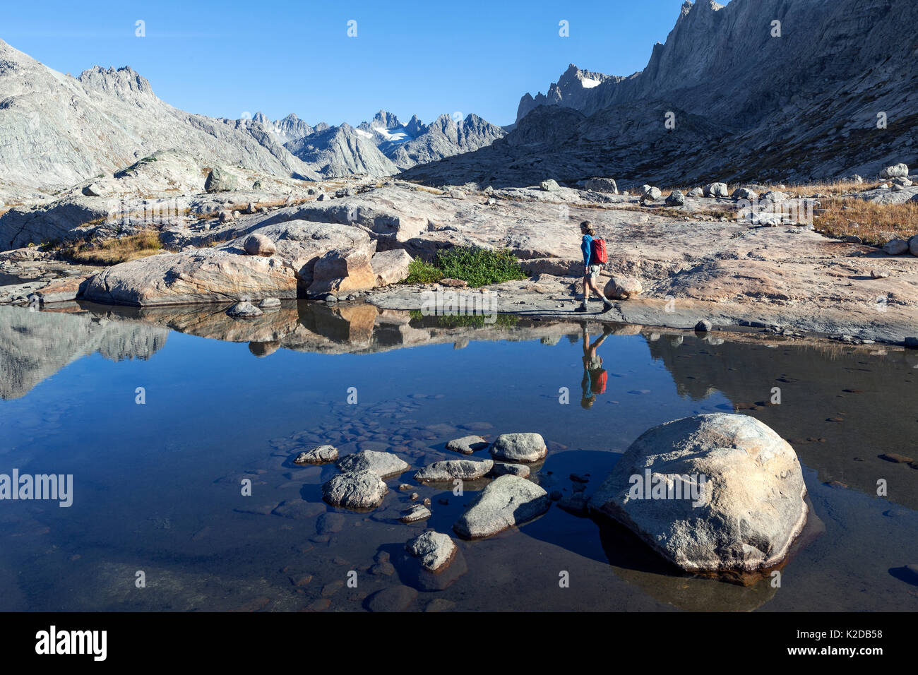 Woman hiker walking round mountain lake in Titcomb Basin in Wind River Range of Bridger Wilderness, Bridger National Forest, Wyoming, USA. September 2015. Model released Stock Photohttps://www.alamy.com/image-license-details/?v=1https://www.alamy.com/woman-hiker-walking-round-mountain-lake-in-titcomb-basin-in-wind-river-image156416772.html
RMK2DB58–Woman hiker walking round mountain lake in Titcomb Basin in Wind River Range of Bridger Wilderness, Bridger National Forest, Wyoming, USA. September 2015. Model released
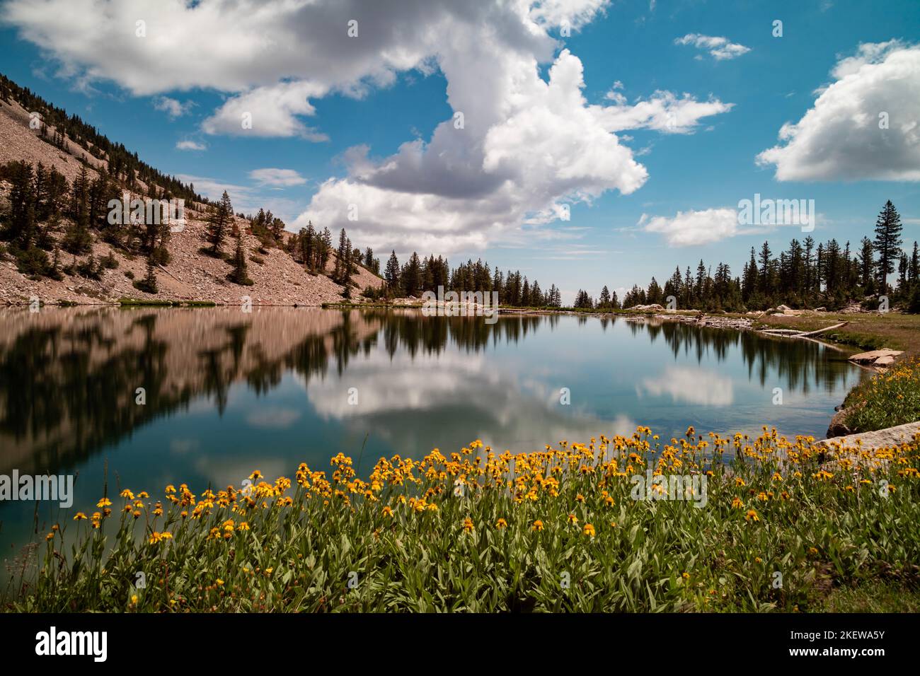 Yellow flowers on the edge of Johnson Lake, an alpine lake in the Snake Range, located inside Great Basin National Park in Nevada, seen in the summer. Stock Photohttps://www.alamy.com/image-license-details/?v=1https://www.alamy.com/yellow-flowers-on-the-edge-of-johnson-lake-an-alpine-lake-in-the-snake-range-located-inside-great-basin-national-park-in-nevada-seen-in-the-summer-image491052295.html
RF2KEWA5Y–Yellow flowers on the edge of Johnson Lake, an alpine lake in the Snake Range, located inside Great Basin National Park in Nevada, seen in the summer.
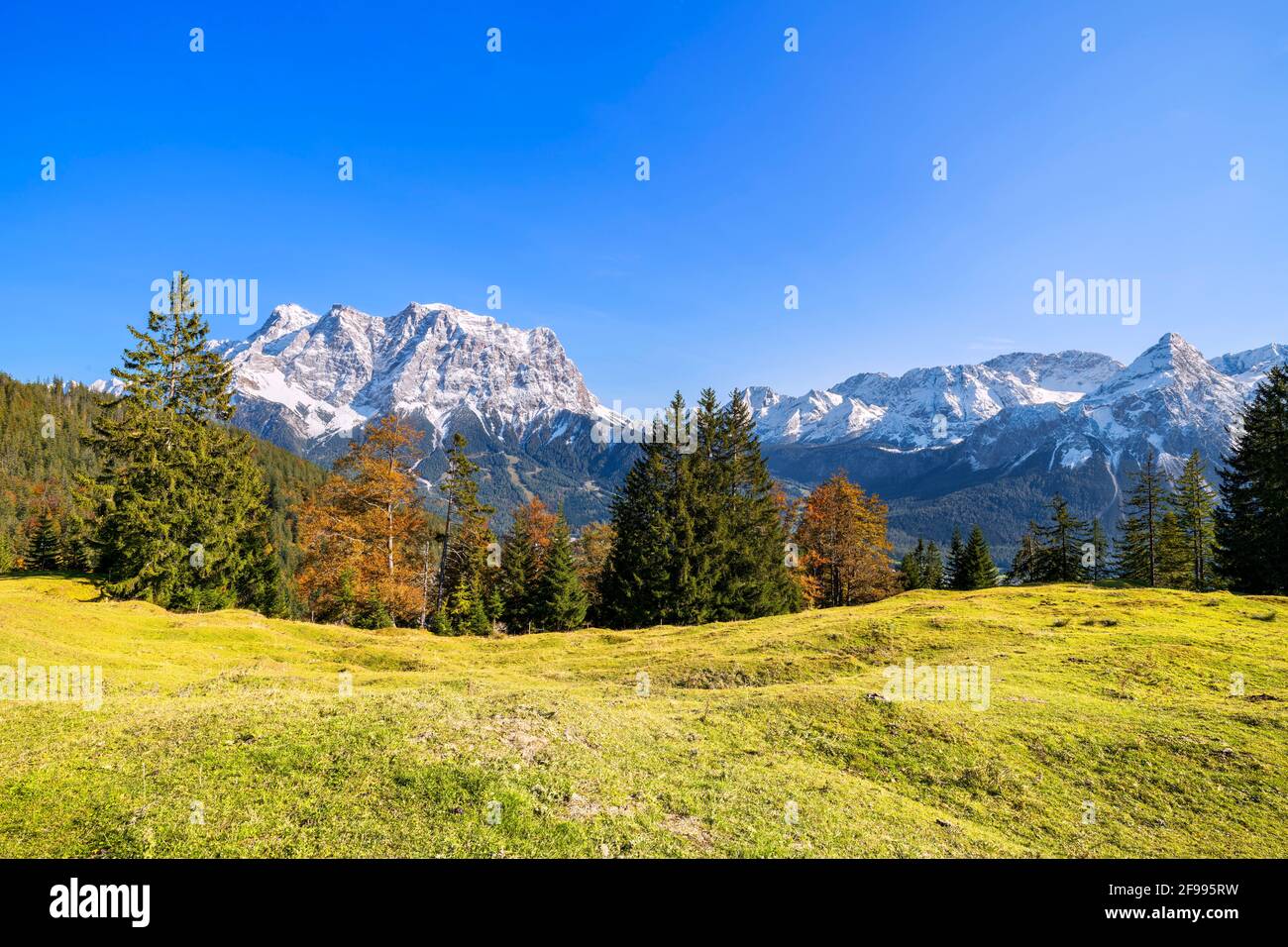 Alpine mountain landscape above the Ehrwald Basin with the Zugspitze and Mieming Range on a bright, sunny autumn day. Ehrwald, Tyrol, Austria Stock Photohttps://www.alamy.com/image-license-details/?v=1https://www.alamy.com/alpine-mountain-landscape-above-the-ehrwald-basin-with-the-zugspitze-and-mieming-range-on-a-bright-sunny-autumn-day-ehrwald-tyrol-austria-image418782893.html
RM2F995RW–Alpine mountain landscape above the Ehrwald Basin with the Zugspitze and Mieming Range on a bright, sunny autumn day. Ehrwald, Tyrol, Austria
 Salt Flats - A stormy spring evening view of salt flats of Badwater Basin at Death Valley National Park, California, USA. Stock Photohttps://www.alamy.com/image-license-details/?v=1https://www.alamy.com/salt-flats-a-stormy-spring-evening-view-of-salt-flats-of-badwater-basin-at-death-valley-national-park-california-usa-image185867806.html
RFMPB07X–Salt Flats - A stormy spring evening view of salt flats of Badwater Basin at Death Valley National Park, California, USA.
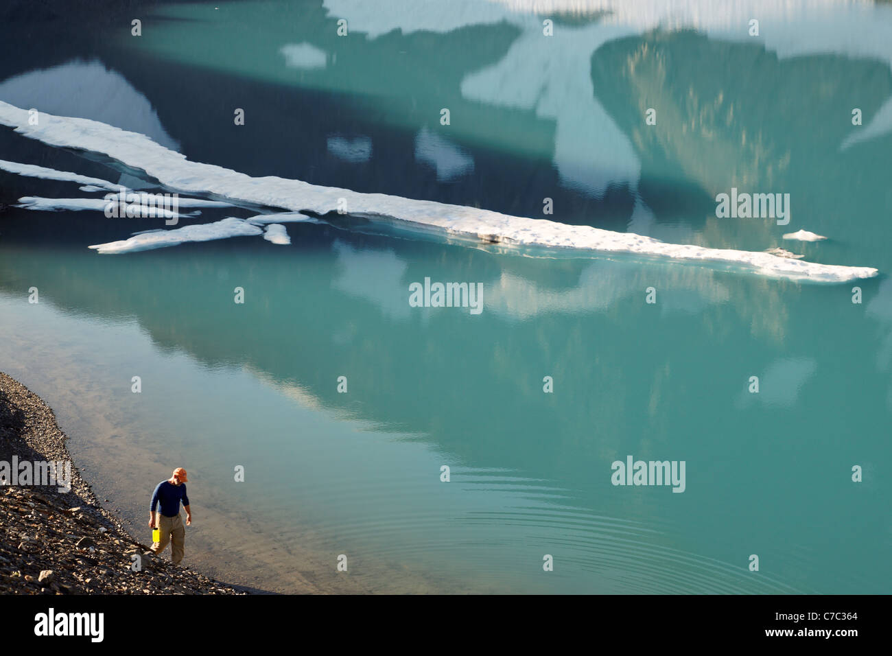 Backpacker on shore of alpine lake, upper Ferry Basin, Bailey Range Traverse, Olympic Mountains, Washington Stock Photohttps://www.alamy.com/image-license-details/?v=1https://www.alamy.com/stock-photo-backpacker-on-shore-of-alpine-lake-upper-ferry-basin-bailey-range-38989276.html
RMC7C364–Backpacker on shore of alpine lake, upper Ferry Basin, Bailey Range Traverse, Olympic Mountains, Washington
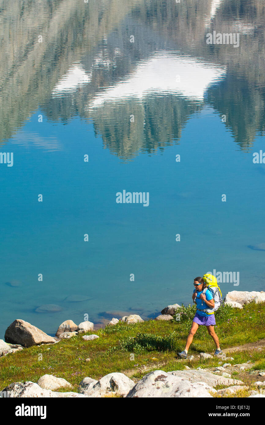 Woman hiker in Titcomb Basin, Wind River Range, Pinedale, Wyoming. Stock Photohttps://www.alamy.com/image-license-details/?v=1https://www.alamy.com/stock-photo-woman-hiker-in-titcomb-basin-wind-river-range-pinedale-wyoming-80213466.html
RFEJE12J–Woman hiker in Titcomb Basin, Wind River Range, Pinedale, Wyoming.
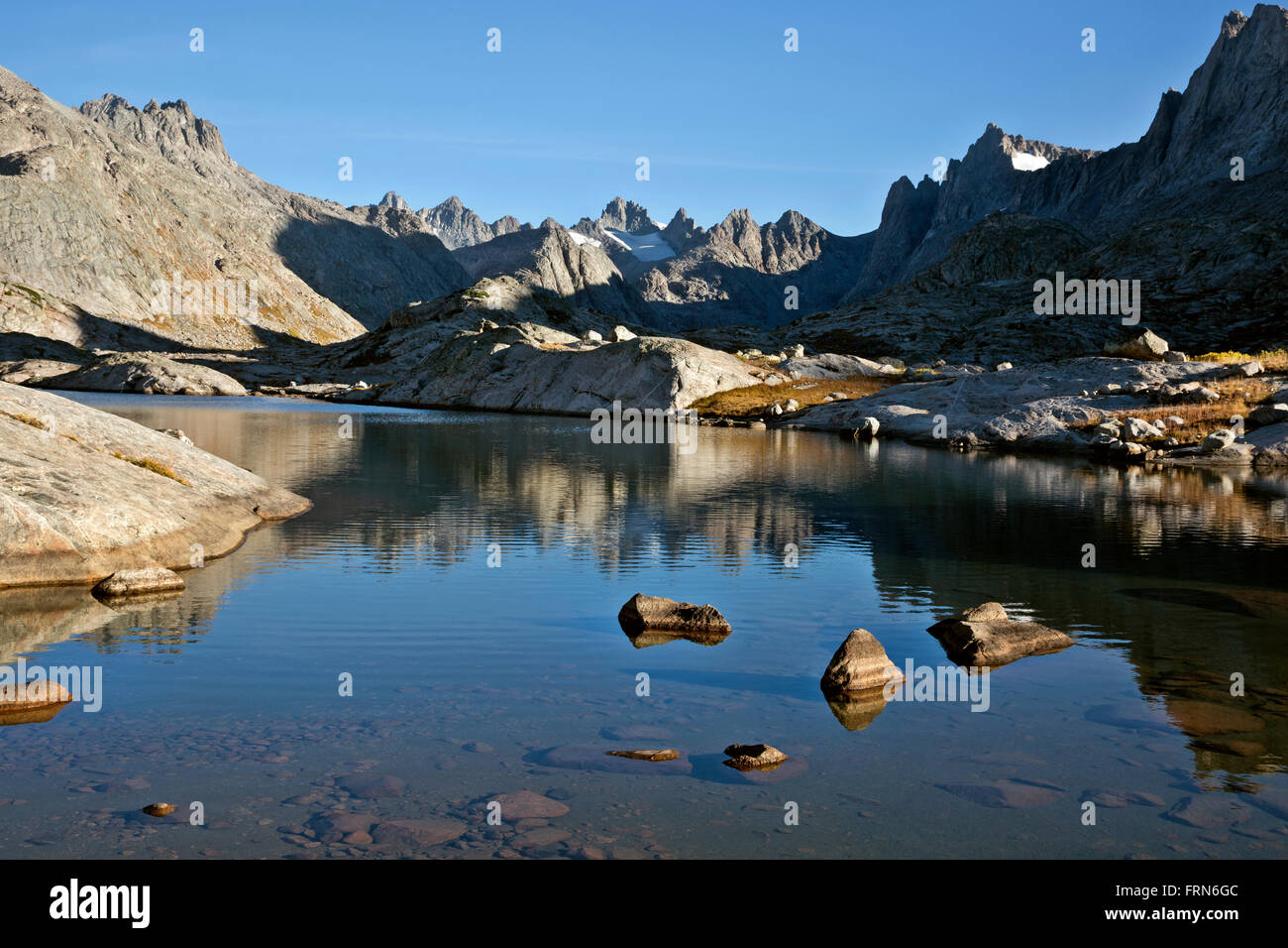 WY011371-00...WYOMING - Morning at a small lake in the Titcomb Basin area of the Wind River Range in the Bridger Wilderness. Stock Photohttps://www.alamy.com/image-license-details/?v=1https://www.alamy.com/stock-photo-wy011371-00wyoming-morning-at-a-small-lake-in-the-titcomb-basin-area-100655084.html
RMFRN6GC–WY011371-00...WYOMING - Morning at a small lake in the Titcomb Basin area of the Wind River Range in the Bridger Wilderness.
 California. Salt flats and Panamint Range near Badwater Basin, Death Valley National Park. Stock Photohttps://www.alamy.com/image-license-details/?v=1https://www.alamy.com/stock-photo-california-salt-flats-and-panamint-range-near-badwater-basin-death-35925015.html
RFC2CEM7–California. Salt flats and Panamint Range near Badwater Basin, Death Valley National Park.
 Sunrise across Badwater Basin, Telescope Peak from Dante’s View in Death Valley National Park, California, USA. Stock Photohttps://www.alamy.com/image-license-details/?v=1https://www.alamy.com/sunrise-across-badwater-basin-telescope-peak-from-dantes-view-in-death-valley-national-park-california-usa-image560338081.html
RM2RFHGX9–Sunrise across Badwater Basin, Telescope Peak from Dante’s View in Death Valley National Park, California, USA.
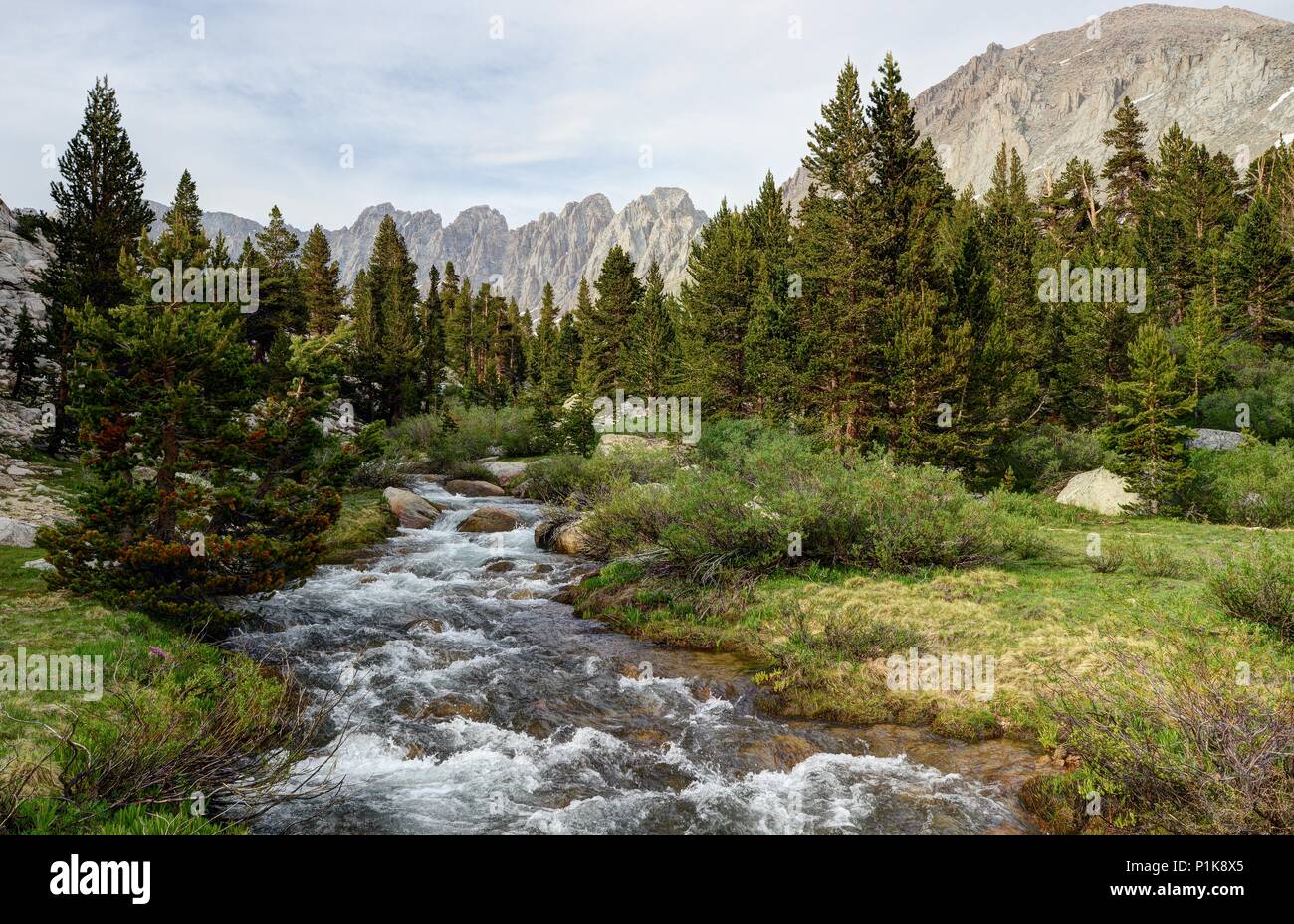 Rock Creek flowing Through the Miter Basin, Sequoia National Park, California, United States Stock Photohttps://www.alamy.com/image-license-details/?v=1https://www.alamy.com/rock-creek-flowing-through-the-miter-basin-sequoia-national-park-california-united-states-image207563165.html
RFP1K8X5–Rock Creek flowing Through the Miter Basin, Sequoia National Park, California, United States
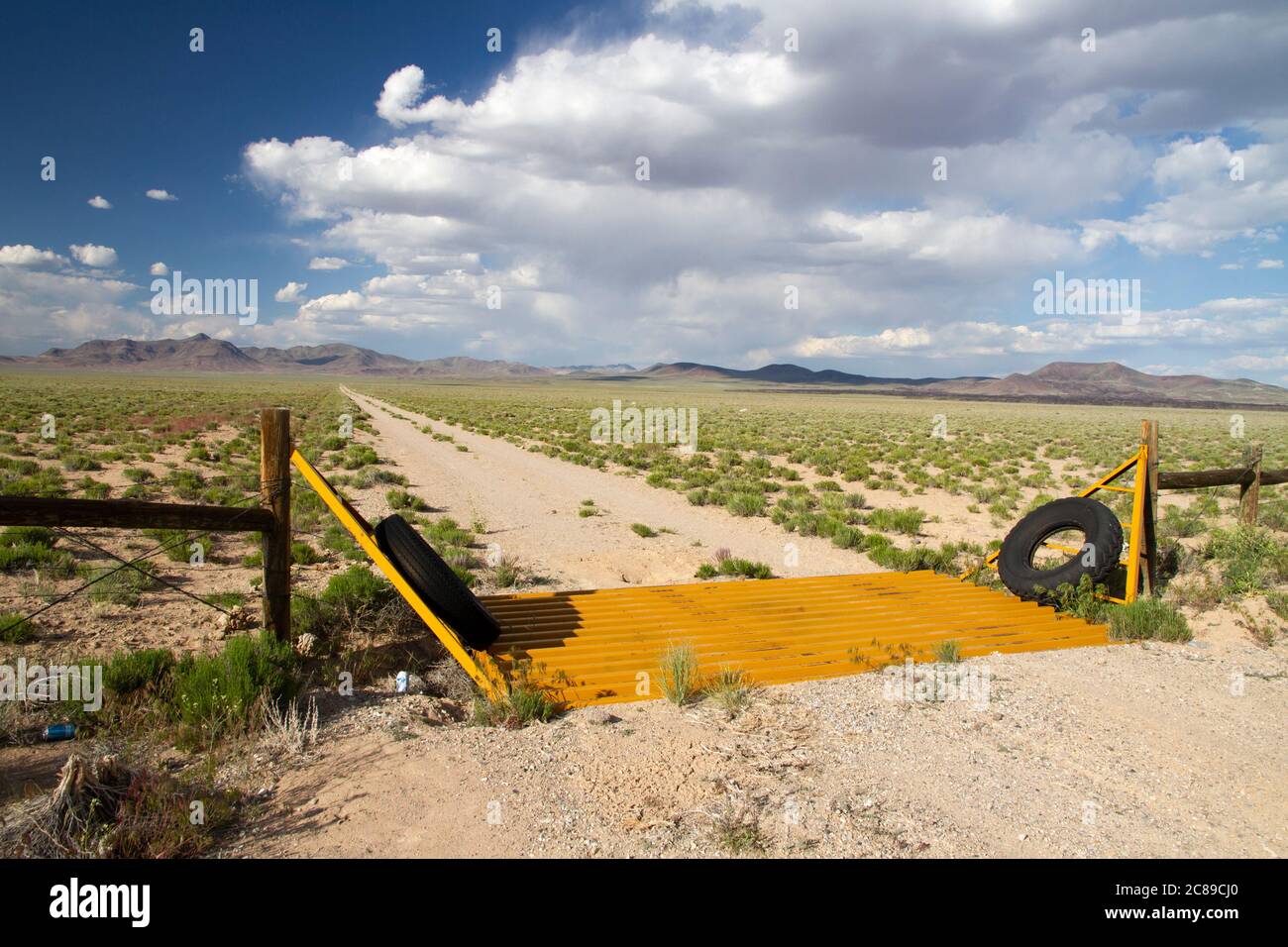 Gold colored cattle guard on a dirt road in the Basin and Range desert of Nye County, Nevada Stock Photohttps://www.alamy.com/image-license-details/?v=1https://www.alamy.com/gold-colored-cattle-guard-on-a-dirt-road-in-the-basin-and-range-desert-of-nye-county-nevada-image366542456.html
RF2C89CJ0–Gold colored cattle guard on a dirt road in the Basin and Range desert of Nye County, Nevada
 Sandpiper at Lake Abert, Lakeview District Bureau of Land Management, Oregon Stock Photohttps://www.alamy.com/image-license-details/?v=1https://www.alamy.com/stock-photo-sandpiper-at-lake-abert-lakeview-district-bureau-of-land-management-85884871.html
RFEYMB0R–Sandpiper at Lake Abert, Lakeview District Bureau of Land Management, Oregon
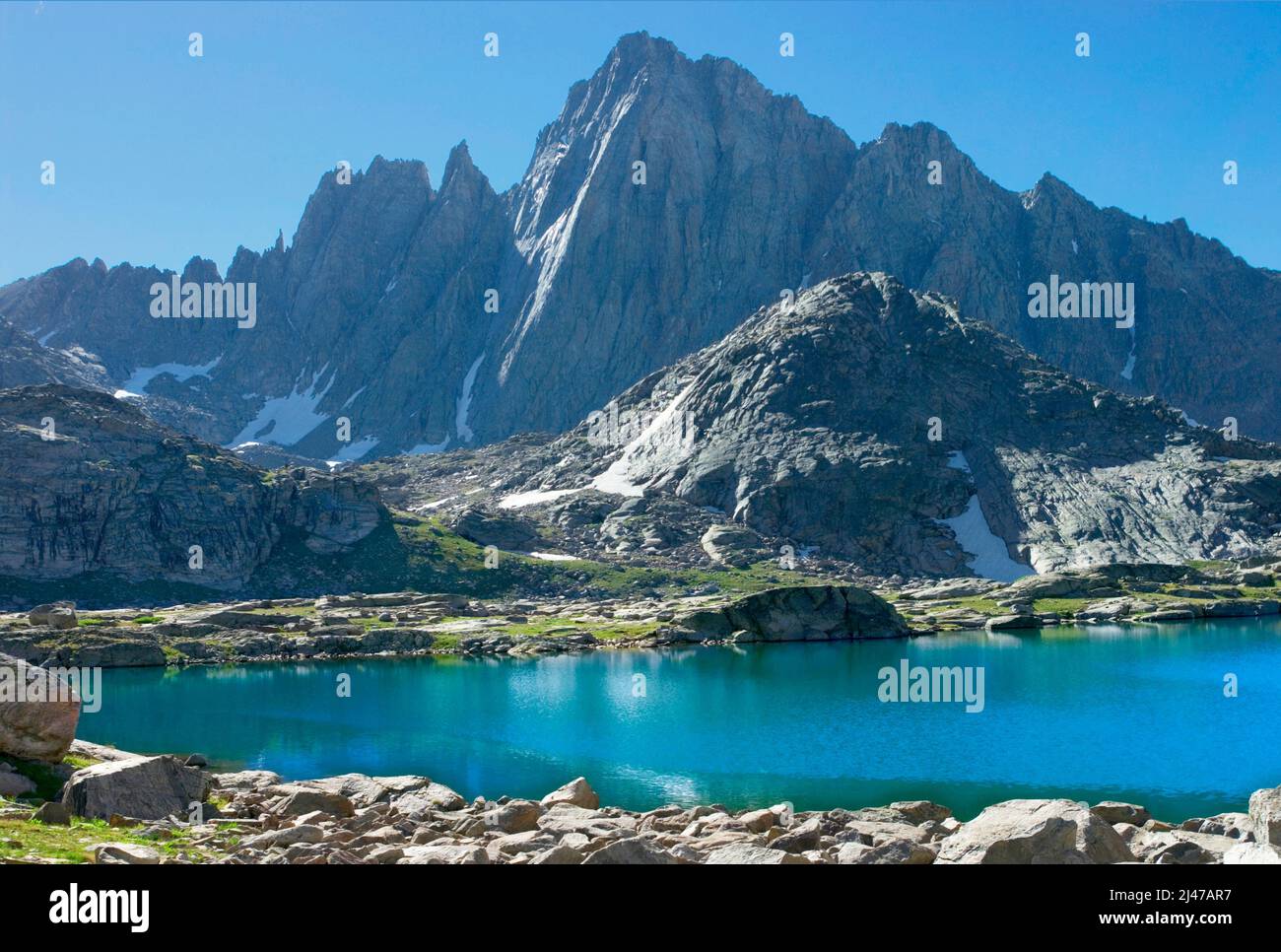 Mt Harrower above Indian Basin, Wind River Range, Wyoming Stock Photohttps://www.alamy.com/image-license-details/?v=1https://www.alamy.com/mt-harrower-above-indian-basin-wind-river-range-wyoming-image467300715.html
RM2J47AR7–Mt Harrower above Indian Basin, Wind River Range, Wyoming
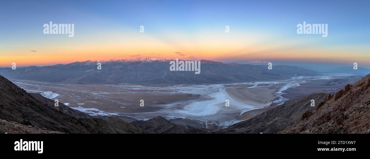 Panoramic view from Dantes View over Badwater Basin to the Panamint Mountains; Death Valley National Park, California. Stock Photohttps://www.alamy.com/image-license-details/?v=1https://www.alamy.com/panoramic-view-from-dantes-view-over-badwater-basin-to-the-panamint-mountains-death-valley-national-park-california-image575975715.html
RF2TD1XW7–Panoramic view from Dantes View over Badwater Basin to the Panamint Mountains; Death Valley National Park, California.
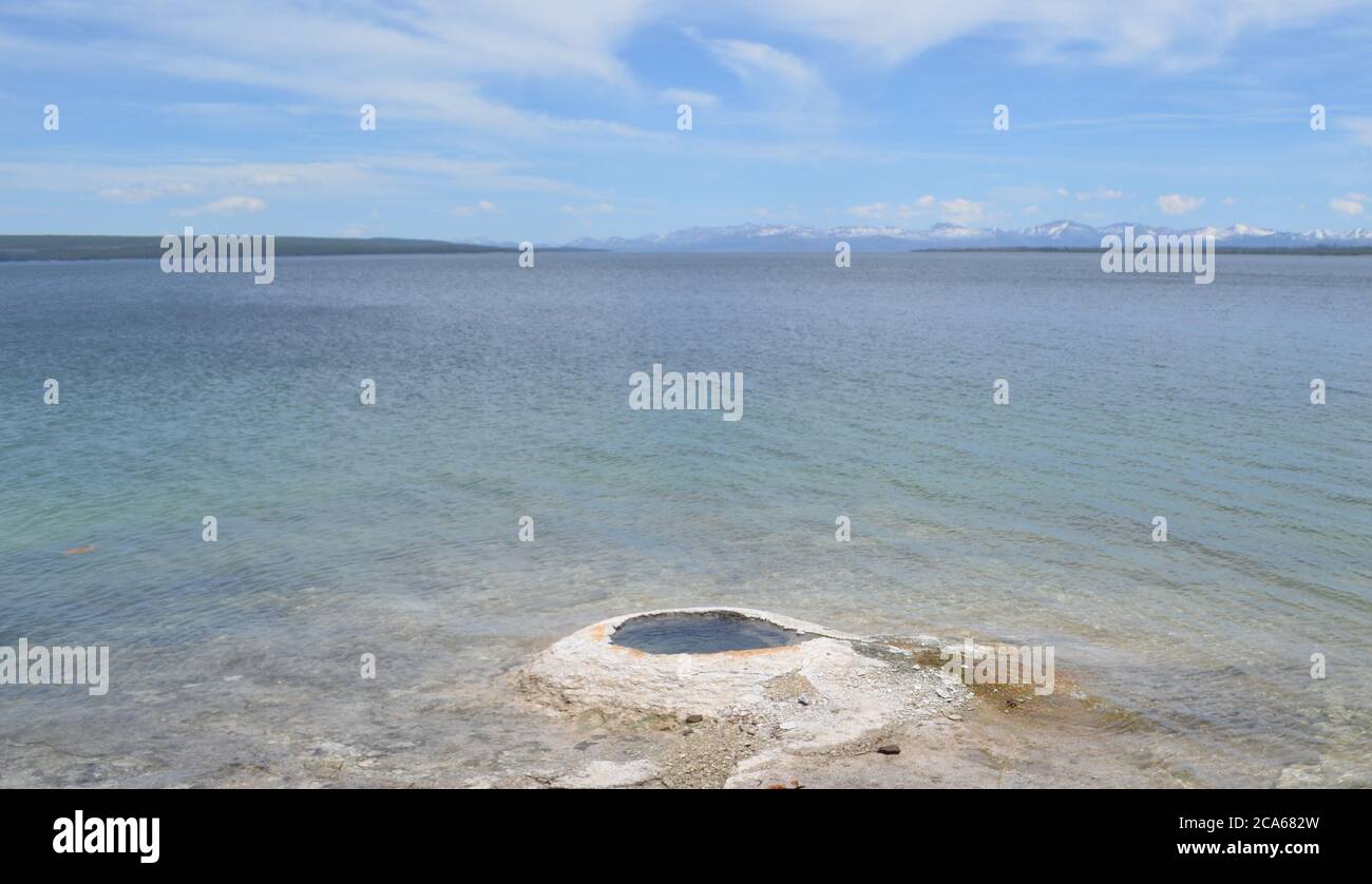 Spring in Yellowstone: Big Cone Geyser in West Thumb Geyser Basin on the Shore of Yellowstone Lake with the Absaroka Range Beyond Stock Photohttps://www.alamy.com/image-license-details/?v=1https://www.alamy.com/spring-in-yellowstone-big-cone-geyser-in-west-thumb-geyser-basin-on-the-shore-of-yellowstone-lake-with-the-absaroka-range-beyond-image367702353.html
RF2CA682W–Spring in Yellowstone: Big Cone Geyser in West Thumb Geyser Basin on the Shore of Yellowstone Lake with the Absaroka Range Beyond
 flint creek range above spotted dog creek basin near avon, montana Stock Photohttps://www.alamy.com/image-license-details/?v=1https://www.alamy.com/stock-photo-flint-creek-range-above-spotted-dog-creek-basin-near-avon-montana-145040469.html
RMJBY4GN–flint creek range above spotted dog creek basin near avon, montana
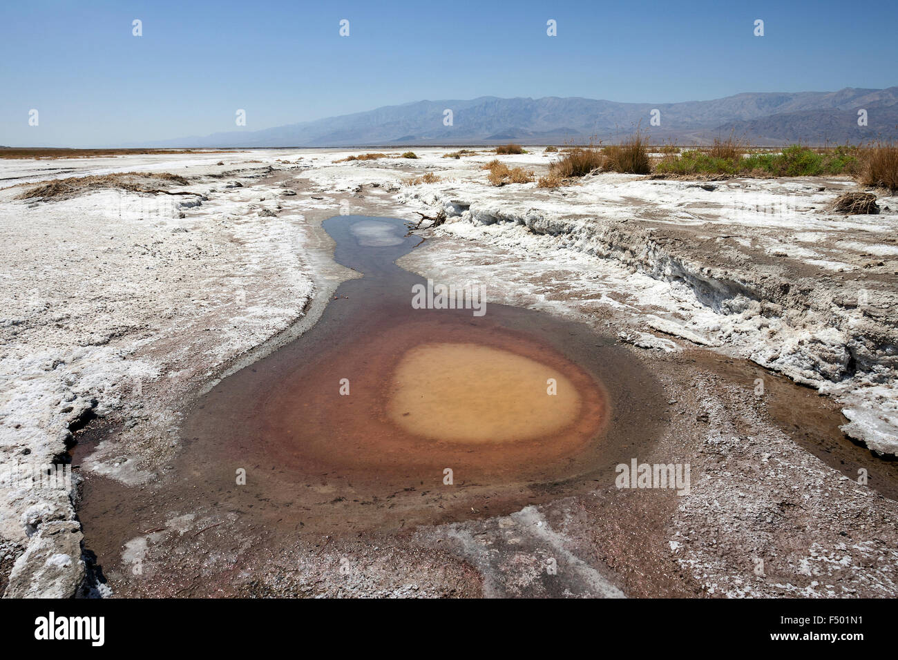 Salt Basin, near Furnace Creek, Panamint Range behind, Black Mountains, Death Valley National Park, Mojave Desert, California Stock Photohttps://www.alamy.com/image-license-details/?v=1https://www.alamy.com/stock-photo-salt-basin-near-furnace-creek-panamint-range-behind-black-mountains-89126493.html
RFF501N1–Salt Basin, near Furnace Creek, Panamint Range behind, Black Mountains, Death Valley National Park, Mojave Desert, California
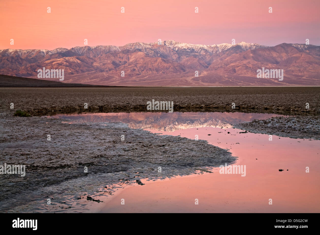 Telescope Peak (11,049 ft.) and Panamint Range reflected on pond, Badwater Basin, Death Valley National Park, California USA Stock Photohttps://www.alamy.com/image-license-details/?v=1https://www.alamy.com/stock-photo-telescope-peak-11049-ft-and-panamint-range-reflected-on-pond-badwater-55057545.html
RMD5G2CW–Telescope Peak (11,049 ft.) and Panamint Range reflected on pond, Badwater Basin, Death Valley National Park, California USA
 Panoramic view by moonlight over Badwater Basin to the Panamint Range, Dante's View, Death Valley National Park, California, United States of America Stock Photohttps://www.alamy.com/image-license-details/?v=1https://www.alamy.com/panoramic-view-by-moonlight-over-badwater-basin-to-the-panamint-range-dantes-view-death-valley-national-park-california-united-states-of-america-image402463505.html
RF2EANP8H–Panoramic view by moonlight over Badwater Basin to the Panamint Range, Dante's View, Death Valley National Park, California, United States of America
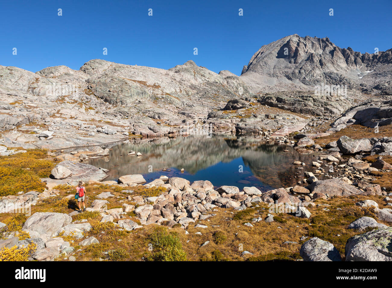 Hiker exploring Titcomb Basin, Wind River Range, Bridger Wilderness, Bridger National Forest, Wyoming, USA. September 2015. Model released. Stock Photohttps://www.alamy.com/image-license-details/?v=1https://www.alamy.com/hiker-exploring-titcomb-basin-wind-river-range-bridger-wilderness-image156416549.html
RMK2DAW9–Hiker exploring Titcomb Basin, Wind River Range, Bridger Wilderness, Bridger National Forest, Wyoming, USA. September 2015. Model released.
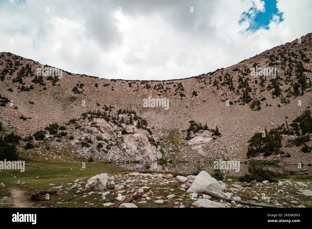 Clouds pass over Johnson Lake, an alpine lake in the Snake Mountain Range, located inside Great Basin National Park in Nevada, as seen on a summer day Stock Photohttps://www.alamy.com/image-license-details/?v=1https://www.alamy.com/clouds-pass-over-johnson-lake-an-alpine-lake-in-the-snake-mountain-range-located-inside-great-basin-national-park-in-nevada-as-seen-on-a-summer-day-image490947663.html
RF2KEMGN3–Clouds pass over Johnson Lake, an alpine lake in the Snake Mountain Range, located inside Great Basin National Park in Nevada, as seen on a summer day
 Hikers can enjoy the alpine mountain landscape above the Ehrwald Basin with the Zugspitze and Mieming Range on a bright, sunny autumn day. Ehrwald, Tyrol, Austria, Europe Stock Photohttps://www.alamy.com/image-license-details/?v=1https://www.alamy.com/hikers-can-enjoy-the-alpine-mountain-landscape-above-the-ehrwald-basin-with-the-zugspitze-and-mieming-range-on-a-bright-sunny-autumn-day-ehrwald-tyrol-austria-europe-image418782874.html
RM2F995R6–Hikers can enjoy the alpine mountain landscape above the Ehrwald Basin with the Zugspitze and Mieming Range on a bright, sunny autumn day. Ehrwald, Tyrol, Austria, Europe
 Sunset Salt Flats - A Spring sunset view of salt flats of Badwater Basin at Death Valley National Park, California, USA. Stock Photohttps://www.alamy.com/image-license-details/?v=1https://www.alamy.com/sunset-salt-flats-a-spring-sunset-view-of-salt-flats-of-badwater-basin-at-death-valley-national-park-california-usa-image185868540.html
RFMPB164–Sunset Salt Flats - A Spring sunset view of salt flats of Badwater Basin at Death Valley National Park, California, USA.
 Dante's View overlooks Lake Manly in Badwater Basin and the Panamint Range in the spring, Death Valley National Park, California Stock Photohttps://www.alamy.com/image-license-details/?v=1https://www.alamy.com/dantes-view-overlooks-lake-manly-in-badwater-basin-and-the-panamint-range-in-the-spring-death-valley-national-park-california-image608266086.html
RM2X9GWGP–Dante's View overlooks Lake Manly in Badwater Basin and the Panamint Range in the spring, Death Valley National Park, California
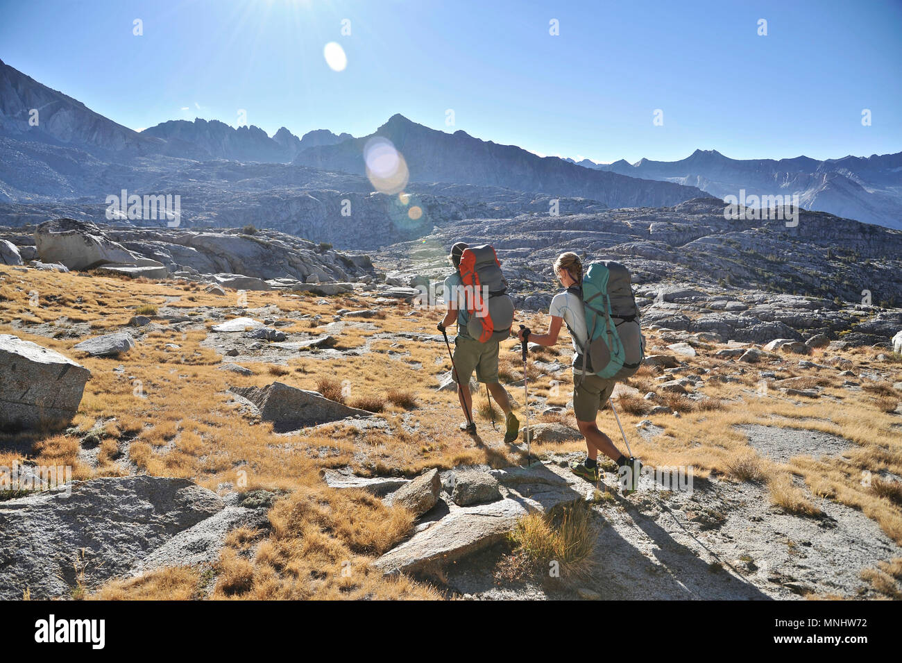 Backpackers hike to Knapsack Pass near Columbine Mountain in Palisade Basin on a two-week trek of the Sierra High Route in Kings Canyon National Park in California. The 200-mile route roughly parallels the popular John Muir Trail through the Sierra Nevada Range of California from Kings Canyon National Park to Yosemite National Park. Stock Photohttps://www.alamy.com/image-license-details/?v=1https://www.alamy.com/backpackers-hike-to-knapsack-pass-near-columbine-mountain-in-palisade-basin-on-a-two-week-trek-of-the-sierra-high-route-in-kings-canyon-national-park-in-california-the-200-mile-route-roughly-parallels-the-popular-john-muir-trail-through-the-sierra-nevada-range-of-california-from-kings-canyon-national-park-to-yosemite-national-park-image185404438.html
RFMNHW72–Backpackers hike to Knapsack Pass near Columbine Mountain in Palisade Basin on a two-week trek of the Sierra High Route in Kings Canyon National Park in California. The 200-mile route roughly parallels the popular John Muir Trail through the Sierra Nevada Range of California from Kings Canyon National Park to Yosemite National Park.
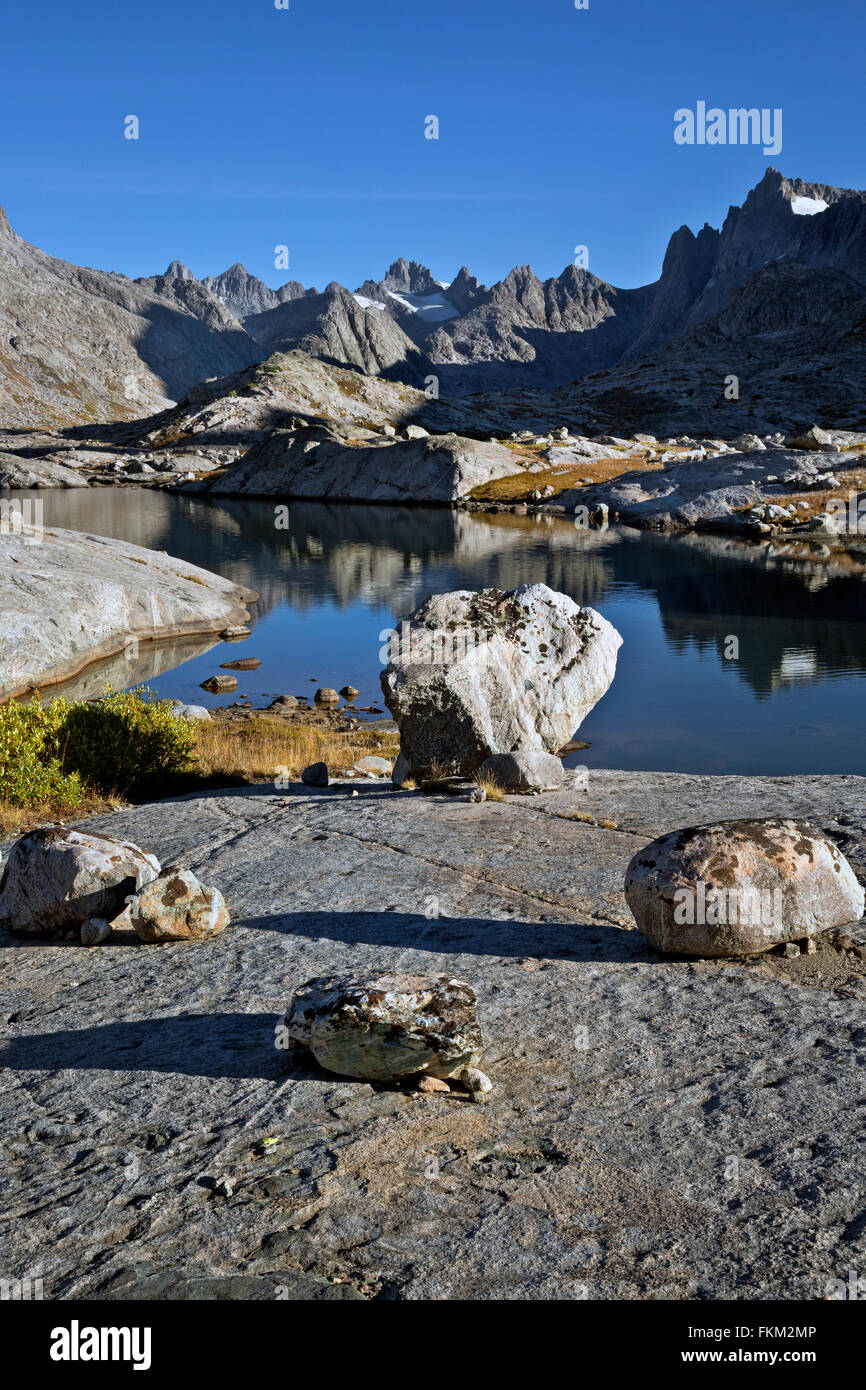 WY01236-00...WYOMING - Morning at a small lake in the Titcomb Basin area of the Wind River Range in the Bridger Wilderness Area. Stock Photohttps://www.alamy.com/image-license-details/?v=1https://www.alamy.com/stock-photo-wy01236-00wyoming-morning-at-a-small-lake-in-the-titcomb-basin-area-98171494.html
RMFKM2MP–WY01236-00...WYOMING - Morning at a small lake in the Titcomb Basin area of the Wind River Range in the Bridger Wilderness Area.
 California. Salt flats and Panamint Range near Badwater Basin, Death Valley National Park. Stock Photohttps://www.alamy.com/image-license-details/?v=1https://www.alamy.com/stock-photo-california-salt-flats-and-panamint-range-near-badwater-basin-death-35925029.html
RFC2CEMN–California. Salt flats and Panamint Range near Badwater Basin, Death Valley National Park.
 Boats in Corpach Basin, entrance to Caledonian Canal, with Ben Nevis and Nevis Range in background - Corpach in Lochaber, Scottish Highlands, Scotland Stock Photohttps://www.alamy.com/image-license-details/?v=1https://www.alamy.com/boats-in-corpach-basin-entrance-to-caledonian-canal-with-ben-nevis-and-nevis-range-in-background-corpach-in-lochaber-scottish-highlands-scotland-image628152716.html
RM2YDXR5G–Boats in Corpach Basin, entrance to Caledonian Canal, with Ben Nevis and Nevis Range in background - Corpach in Lochaber, Scottish Highlands, Scotland
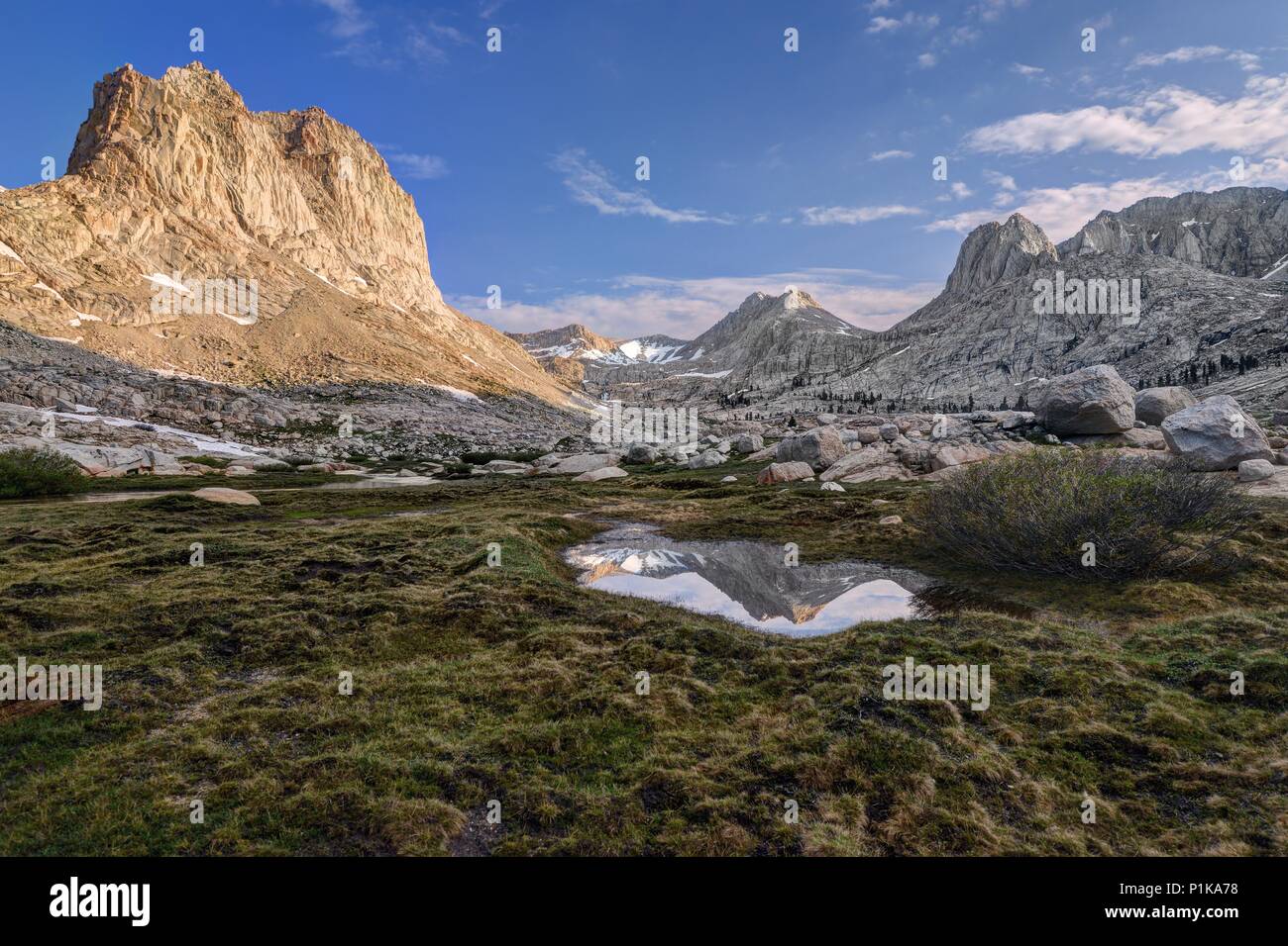 Mount McAdie Reflection in the Miter Basin, Sequoia National Park, California, United States Stock Photohttps://www.alamy.com/image-license-details/?v=1https://www.alamy.com/mount-mcadie-reflection-in-the-miter-basin-sequoia-national-park-california-united-states-image207564204.html
RFP1KA78–Mount McAdie Reflection in the Miter Basin, Sequoia National Park, California, United States
 Looking down the middle of a lonely stretch of road towards the snowy mountains on the horizon in Elko County, Nevada Stock Photohttps://www.alamy.com/image-license-details/?v=1https://www.alamy.com/looking-down-the-middle-of-a-lonely-stretch-of-road-towards-the-snowy-mountains-on-the-horizon-in-elko-county-nevada-image366542738.html
RF2C89D02–Looking down the middle of a lonely stretch of road towards the snowy mountains on the horizon in Elko County, Nevada
 Sandpiper at Lake Abert, Lakeview District Bureau of Land Management, Oregon Stock Photohttps://www.alamy.com/image-license-details/?v=1https://www.alamy.com/stock-photo-sandpiper-at-lake-abert-lakeview-district-bureau-of-land-management-85884872.html
RFEYMB0T–Sandpiper at Lake Abert, Lakeview District Bureau of Land Management, Oregon
 Sunset, Mono Lake, Mono Basin National Forest Scenic Area, Inyo National Forest, California Stock Photohttps://www.alamy.com/image-license-details/?v=1https://www.alamy.com/sunset-mono-lake-mono-basin-national-forest-scenic-area-inyo-national-forest-california-image347786448.html
RF2B5R14G–Sunset, Mono Lake, Mono Basin National Forest Scenic Area, Inyo National Forest, California
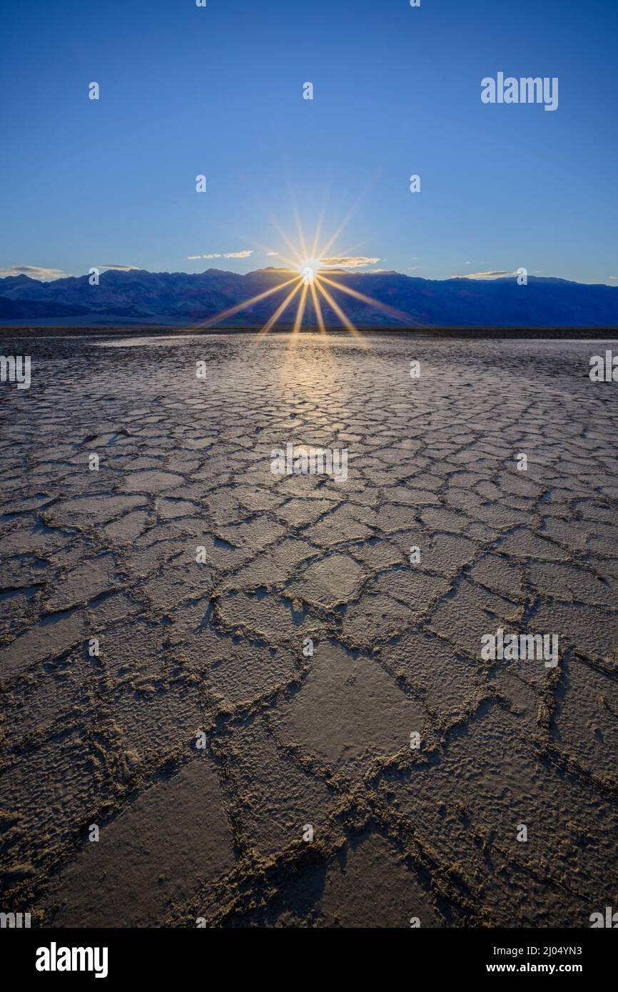 Badwater Basin salt formations, Death Valley National Park, California, USA. Stock Photohttps://www.alamy.com/image-license-details/?v=1https://www.alamy.com/badwater-basin-salt-formations-death-valley-national-park-california-usa-image464789503.html
RF2J04YN3–Badwater Basin salt formations, Death Valley National Park, California, USA.
 Spring in Yellowstone National Park: Basin Geyser in the Foreground of the Norris Geyser Basin with Mount Holmes of the Gallatin Range in the Distance Stock Photohttps://www.alamy.com/image-license-details/?v=1https://www.alamy.com/spring-in-yellowstone-national-park-basin-geyser-in-the-foreground-of-the-norris-geyser-basin-with-mount-holmes-of-the-gallatin-range-in-the-distance-image360630790.html
RF2BXM472–Spring in Yellowstone National Park: Basin Geyser in the Foreground of the Norris Geyser Basin with Mount Holmes of the Gallatin Range in the Distance
 flint creek range above foothills of the spotted dog creek basin near avon, montana Stock Photohttps://www.alamy.com/image-license-details/?v=1https://www.alamy.com/flint-creek-range-above-foothills-of-the-spotted-dog-creek-basin-near-avon-montana-image259738738.html
RMW2G3BE–flint creek range above foothills of the spotted dog creek basin near avon, montana
 Mountain silhouette, mountains at dawn with view into the Klagenfurt basin, Gerlitzen, Gerlitzen Alpe, Nockberge, Gurktaler Alps, Carinthia, Austria Stock Photohttps://www.alamy.com/image-license-details/?v=1https://www.alamy.com/mountain-silhouette-mountains-at-dawn-with-view-into-the-klagenfurt-basin-gerlitzen-gerlitzen-alpe-nockberge-gurktaler-alps-carinthia-austria-image573612301.html
RF2T9689H–Mountain silhouette, mountains at dawn with view into the Klagenfurt basin, Gerlitzen, Gerlitzen Alpe, Nockberge, Gurktaler Alps, Carinthia, Austria
 Polygonal salt pans and Panamint Range, Badwater Basin, Death Valley National Park, California USA Stock Photohttps://www.alamy.com/image-license-details/?v=1https://www.alamy.com/polygonal-salt-pans-and-panamint-range-badwater-basin-death-valley-national-park-california-usa-image255369755.html
RMTRD2MB–Polygonal salt pans and Panamint Range, Badwater Basin, Death Valley National Park, California USA
 View over Badwater Basin to the Panamint Range, sunrise, Dante's View, Death Valley National Park, California, United States of America, North America Stock Photohttps://www.alamy.com/image-license-details/?v=1https://www.alamy.com/view-over-badwater-basin-to-the-panamint-range-sunrise-dantes-view-death-valley-national-park-california-united-states-of-america-north-america-image402463509.html
RF2EANP8N–View over Badwater Basin to the Panamint Range, sunrise, Dante's View, Death Valley National Park, California, United States of America, North America
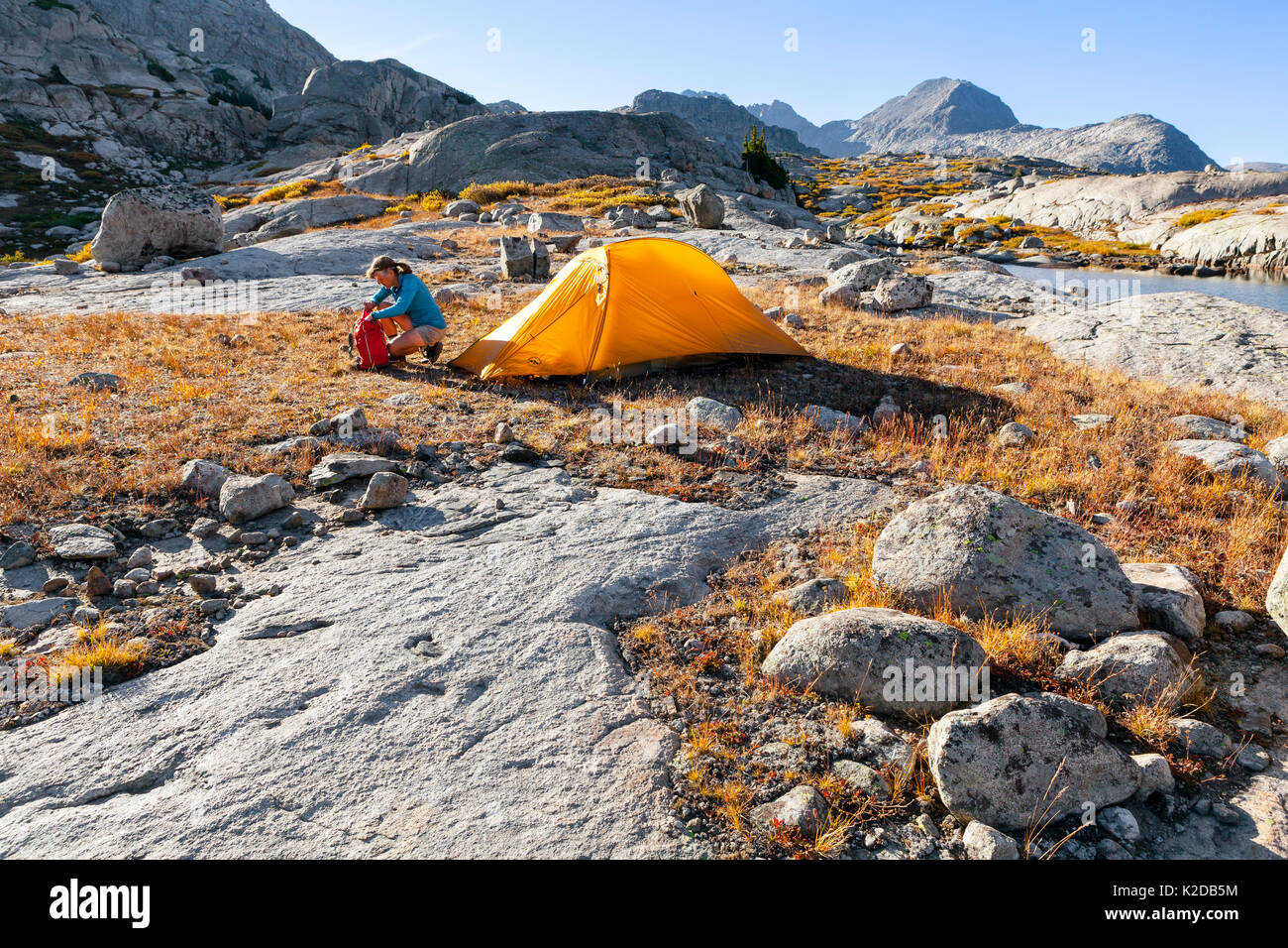 Campsite at Titcomb Basin, Wind River Range, Bridger Wilderness, Bridger National Forest, Wyoming, USA.September 2015. Model released. Stock Photohttps://www.alamy.com/image-license-details/?v=1https://www.alamy.com/campsite-at-titcomb-basin-wind-river-range-bridger-wilderness-bridger-image156416784.html
RMK2DB5M–Campsite at Titcomb Basin, Wind River Range, Bridger Wilderness, Bridger National Forest, Wyoming, USA.September 2015. Model released.
 Rain clouds gather over Great Basin National Park and the Snake Mountain Range near Baker, Nevada. The approaching storm darkens the sky. Stock Photohttps://www.alamy.com/image-license-details/?v=1https://www.alamy.com/rain-clouds-gather-over-great-basin-national-park-and-the-snake-mountain-range-near-baker-nevada-the-approaching-storm-darkens-the-sky-image490762719.html
RF2KEC4RY–Rain clouds gather over Great Basin National Park and the Snake Mountain Range near Baker, Nevada. The approaching storm darkens the sky.
 Austria, Tyrol, Ehrwalder Becken (basin), Zugspitze, Wetterstein Range, Stock Photohttps://www.alamy.com/image-license-details/?v=1https://www.alamy.com/austria-tyrol-ehrwalder-becken-basin-zugspitze-wetterstein-range-image157042033.html
RMK3DTM1–Austria, Tyrol, Ehrwalder Becken (basin), Zugspitze, Wetterstein Range,
 Sunset Salt Flats - Vertical - A Spring sunset view of salt flats of Badwater Basin at Death Valley National Park, California, USA. Stock Photohttps://www.alamy.com/image-license-details/?v=1https://www.alamy.com/sunset-salt-flats-vertical-a-spring-sunset-view-of-salt-flats-of-badwater-basin-at-death-valley-national-park-california-usa-image185868768.html
RFMPB1E8–Sunset Salt Flats - Vertical - A Spring sunset view of salt flats of Badwater Basin at Death Valley National Park, California, USA.
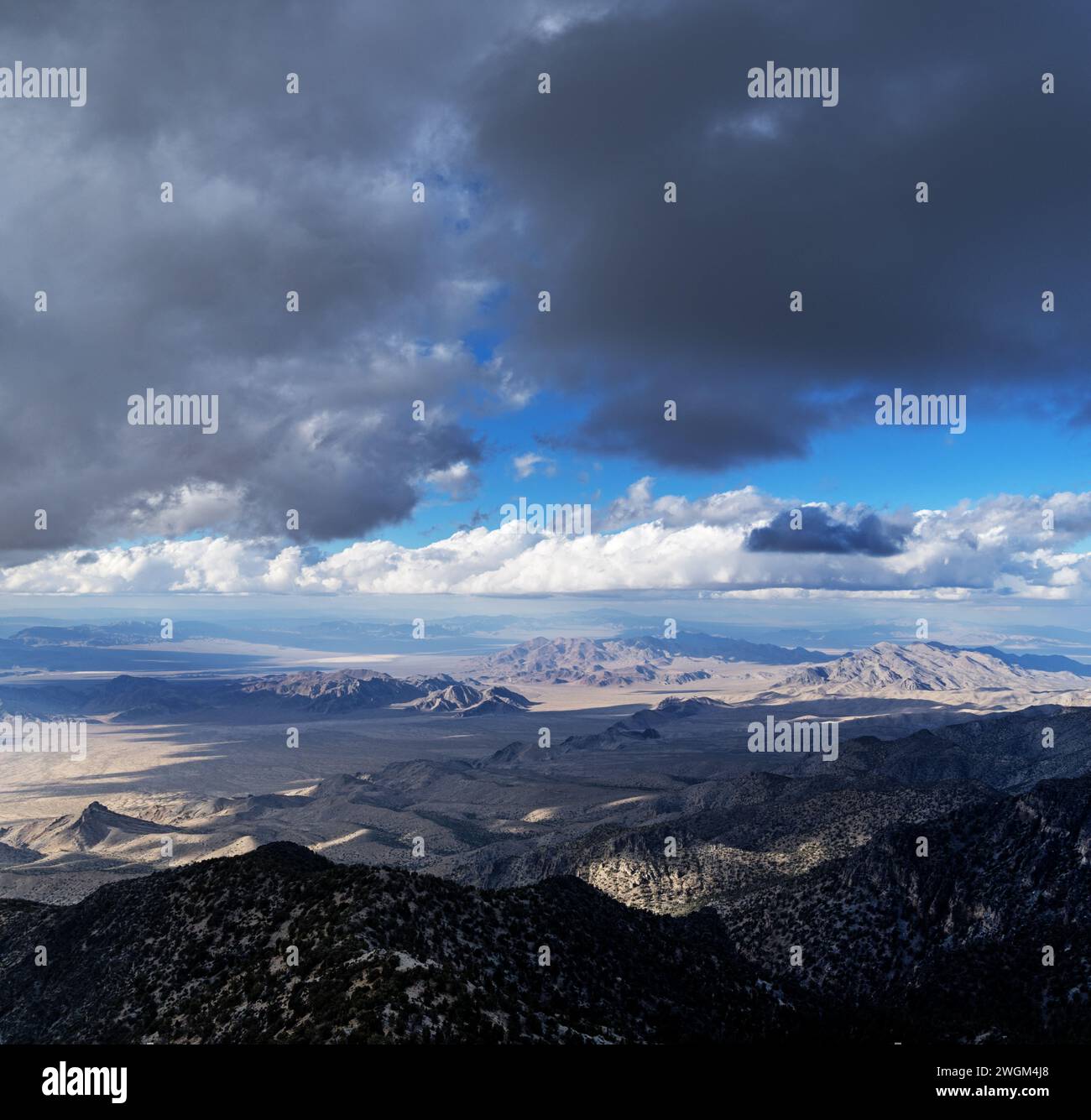 landscape looking out over the Nevada Desert from the Sheep Range with clouds in the sky Stock Photohttps://www.alamy.com/image-license-details/?v=1https://www.alamy.com/landscape-looking-out-over-the-nevada-desert-from-the-sheep-range-with-clouds-in-the-sky-image595429696.html
RF2WGM4J8–landscape looking out over the Nevada Desert from the Sheep Range with clouds in the sky
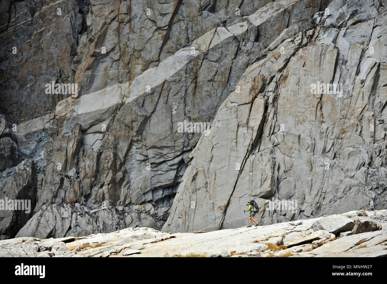 Backpacker hikes under a granite wall in Palisade Basin on a two-week trek of the Sierra High Route in Kings Canyon National Park in California. The 200-mile route roughly parallels the popular John Muir Trail through the Sierra Nevada Range of California from Kings Canyon National Park to Yosemite National Park. Stock Photohttps://www.alamy.com/image-license-details/?v=1https://www.alamy.com/backpacker-hikes-under-a-granite-wall-in-palisade-basin-on-a-two-week-trek-of-the-sierra-high-route-in-kings-canyon-national-park-in-california-the-200-mile-route-roughly-parallels-the-popular-john-muir-trail-through-the-sierra-nevada-range-of-california-from-kings-canyon-national-park-to-yosemite-national-park-image185404303.html
RFMNHW27–Backpacker hikes under a granite wall in Palisade Basin on a two-week trek of the Sierra High Route in Kings Canyon National Park in California. The 200-mile route roughly parallels the popular John Muir Trail through the Sierra Nevada Range of California from Kings Canyon National Park to Yosemite National Park.
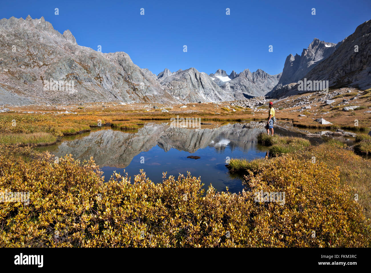 WY01248-00...WYOMING - Hiker at a small tarn near Upper Titcomb Lake in the Titcomb Basin area of the Wind River Range . Stock Photohttps://www.alamy.com/image-license-details/?v=1https://www.alamy.com/stock-photo-wy01248-00wyoming-hiker-at-a-small-tarn-near-upper-titcomb-lake-in-98172352.html
RMFKM3RC–WY01248-00...WYOMING - Hiker at a small tarn near Upper Titcomb Lake in the Titcomb Basin area of the Wind River Range .
 California. Salt flats and Panamint Range near Badwater Basin, Death Valley National Park. Stock Photohttps://www.alamy.com/image-license-details/?v=1https://www.alamy.com/stock-photo-california-salt-flats-and-panamint-range-near-badwater-basin-death-35925006.html
RFC2CEKX–California. Salt flats and Panamint Range near Badwater Basin, Death Valley National Park.
 Boats in Corpach Basin, entrance to Caledonian Canal, with Ben Nevis and Nevis Range in background - Corpach in Lochaber, Scottish Highlands, Scotland Stock Photohttps://www.alamy.com/image-license-details/?v=1https://www.alamy.com/boats-in-corpach-basin-entrance-to-caledonian-canal-with-ben-nevis-and-nevis-range-in-background-corpach-in-lochaber-scottish-highlands-scotland-image628152712.html
RM2YDXR5C–Boats in Corpach Basin, entrance to Caledonian Canal, with Ben Nevis and Nevis Range in background - Corpach in Lochaber, Scottish Highlands, Scotland
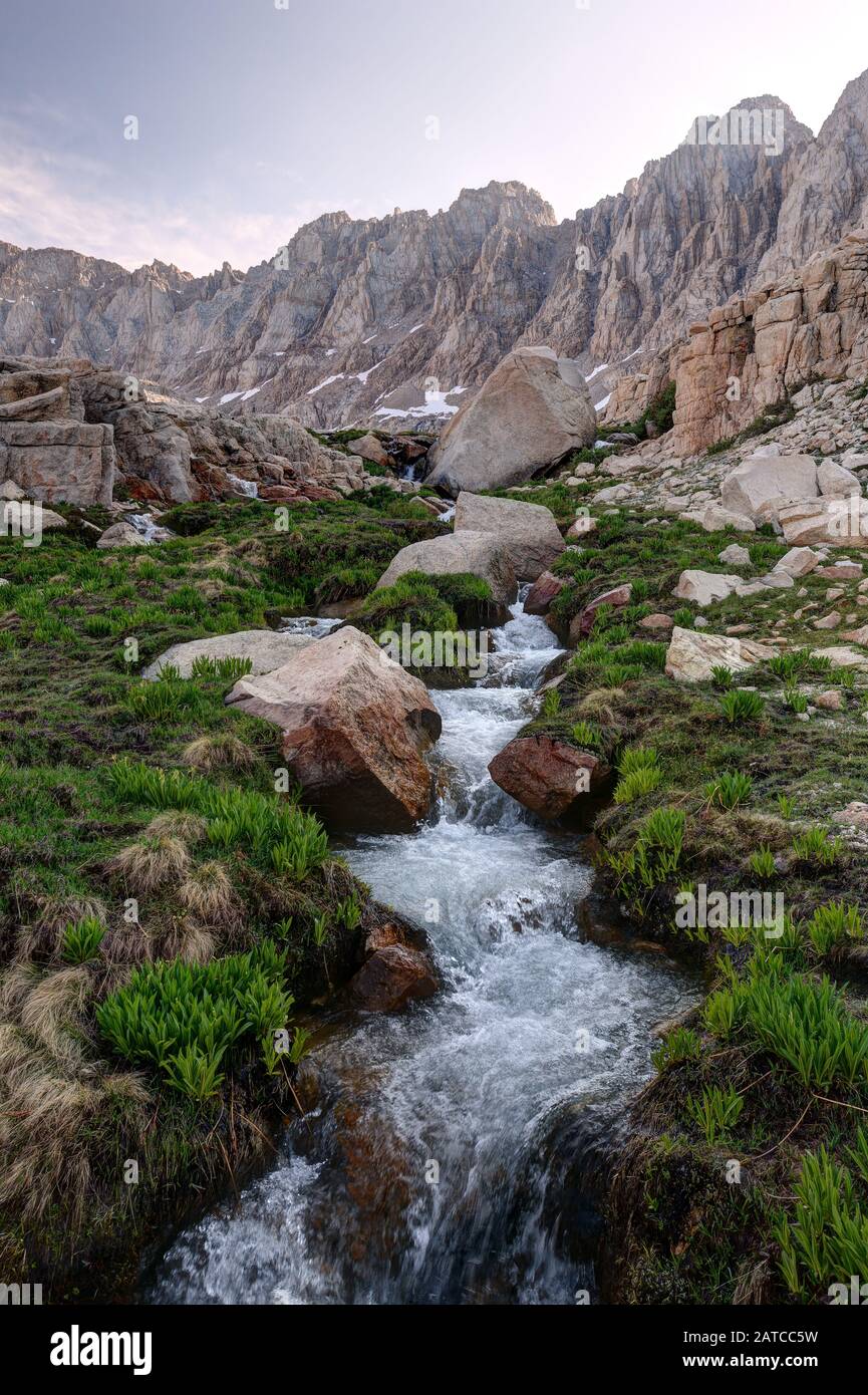 Iridescent Lake Drainage in the Miter Basin, Sequoia National Park, California, USA Stock Photohttps://www.alamy.com/image-license-details/?v=1https://www.alamy.com/iridescent-lake-drainage-in-the-miter-basin-sequoia-national-park-california-usa-image342021733.html
RF2ATCC5W–Iridescent Lake Drainage in the Miter Basin, Sequoia National Park, California, USA
 Cave Lake State Park, Schell Creek Range, near Ely, Great Basin, Nevada, USA Stock Photohttps://www.alamy.com/image-license-details/?v=1https://www.alamy.com/cave-lake-state-park-schell-creek-range-near-ely-great-basin-nevada-usa-image396850285.html
RF2E1J2GD–Cave Lake State Park, Schell Creek Range, near Ely, Great Basin, Nevada, USA
 Sandpiper at Lake Abert, Lakeview District Bureau of Land Management, Oregon Stock Photohttps://www.alamy.com/image-license-details/?v=1https://www.alamy.com/stock-photo-sandpiper-at-lake-abert-lakeview-district-bureau-of-land-management-85884869.html
RFEYMB0N–Sandpiper at Lake Abert, Lakeview District Bureau of Land Management, Oregon
 Sunset, Mono Lake, Mono Basin National Forest Scenic Area, Inyo National Forest, California Stock Photohttps://www.alamy.com/image-license-details/?v=1https://www.alamy.com/sunset-mono-lake-mono-basin-national-forest-scenic-area-inyo-national-forest-california-image347787585.html
RF2B5R2H5–Sunset, Mono Lake, Mono Basin National Forest Scenic Area, Inyo National Forest, California
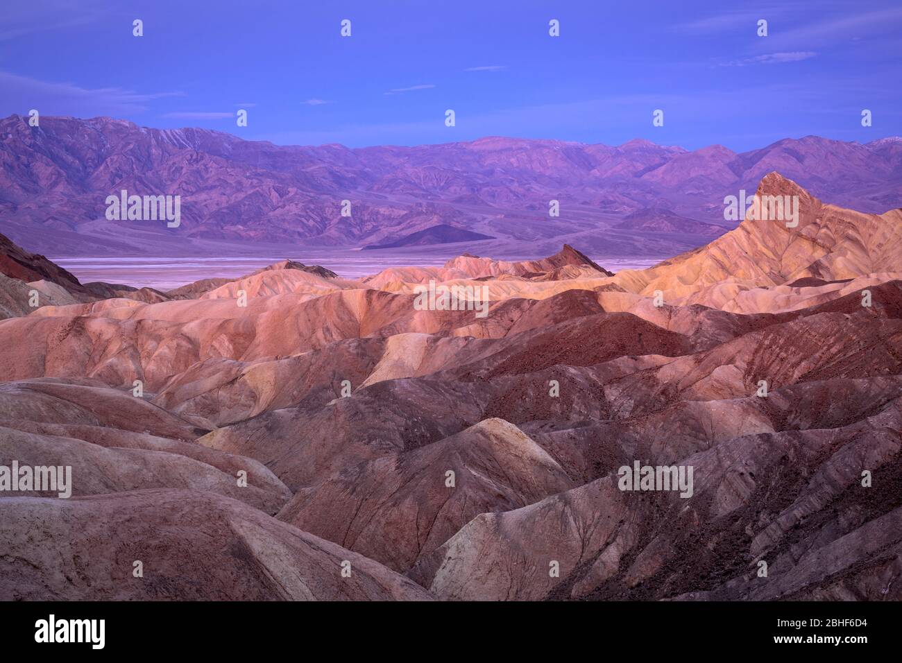 Zabriskie Point badlands, Badwater Basin, and the Panamint Mountains; Death Valley National Park, California. Stock Photohttps://www.alamy.com/image-license-details/?v=1https://www.alamy.com/zabriskie-point-badlands-badwater-basin-and-the-panamint-mountains-death-valley-national-park-california-image354990864.html
RF2BHF6D4–Zabriskie Point badlands, Badwater Basin, and the Panamint Mountains; Death Valley National Park, California.
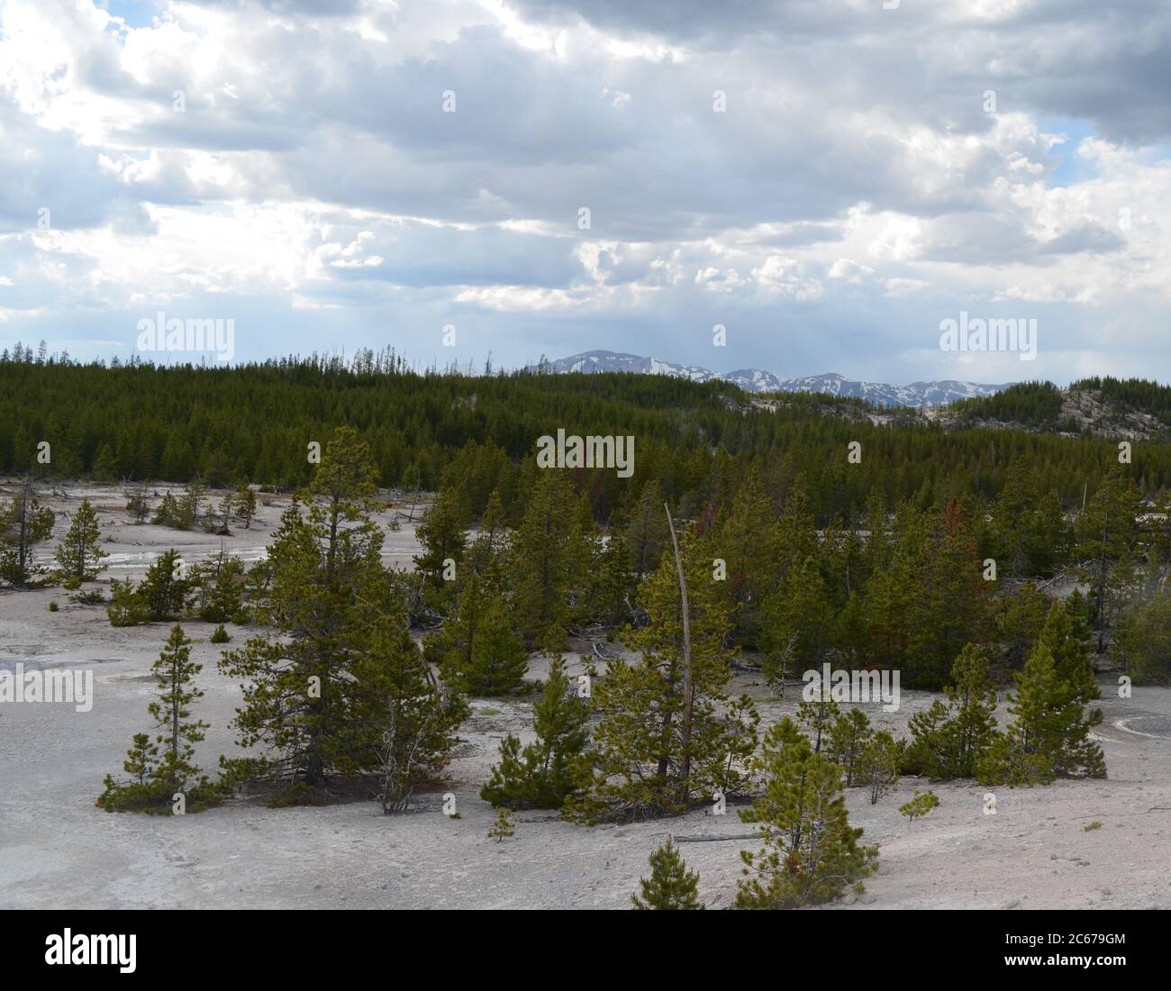 Spring in Yellowstone National Park: Mount Holmes & Dome Mountain of the Gallatin Range Seen From the Back Basin Area of Norris Geyser Basin Stock Photohttps://www.alamy.com/image-license-details/?v=1https://www.alamy.com/spring-in-yellowstone-national-park-mount-holmes-dome-mountain-of-the-gallatin-range-seen-from-the-back-basin-area-of-norris-geyser-basin-image365266852.html
RF2C679GM–Spring in Yellowstone National Park: Mount Holmes & Dome Mountain of the Gallatin Range Seen From the Back Basin Area of Norris Geyser Basin