Quick filters:
Belle fourche sd Stock Photos and Images
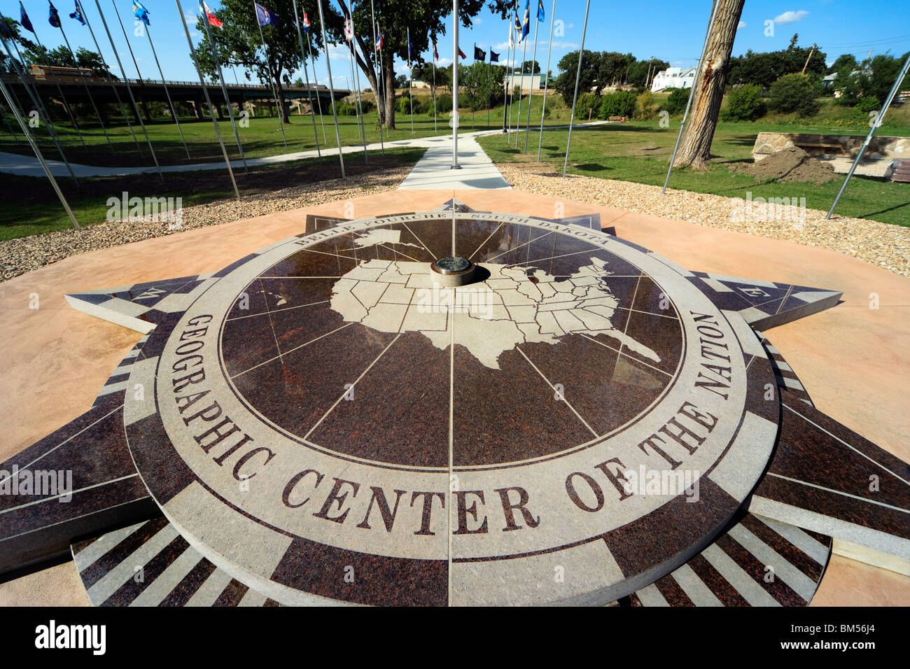 Belle Fourche, South Dakota, SD, geographic geographical center centre of the nation. United States of America U.S.A. US USA. Stock Photohttps://www.alamy.com/image-license-details/?v=1https://www.alamy.com/stock-photo-belle-fourche-south-dakota-sd-geographic-geographical-center-centre-29618460.html
RMBM56J4–Belle Fourche, South Dakota, SD, geographic geographical center centre of the nation. United States of America U.S.A. US USA.
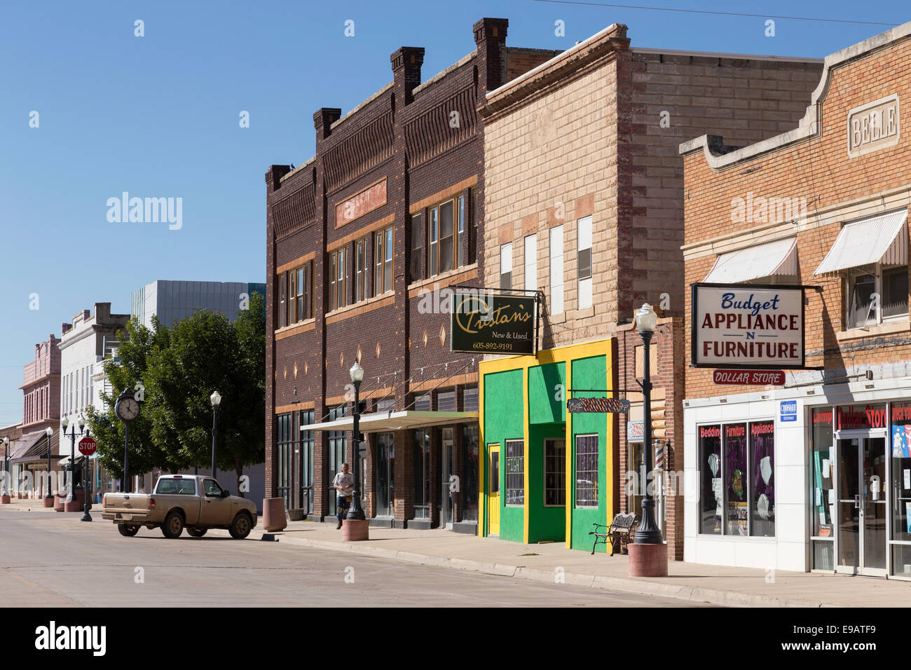 State Street, Belle Fourche, South Dakota, USA Stock Photohttps://www.alamy.com/image-license-details/?v=1https://www.alamy.com/stock-photo-state-street-belle-fourche-south-dakota-usa-74612141.html
RME9ATF9–State Street, Belle Fourche, South Dakota, USA
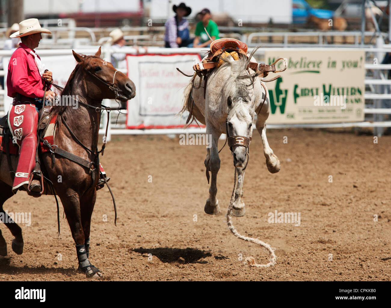 A saddled bronc continues to buck after throwing its rider during the 90th annual Black Hills Roundup rodeo in Belle Fourche, SD Stock Photohttps://www.alamy.com/image-license-details/?v=1https://www.alamy.com/stock-photo-a-saddled-bronc-continues-to-buck-after-throwing-its-rider-during-48375460.html
RMCPKKB0–A saddled bronc continues to buck after throwing its rider during the 90th annual Black Hills Roundup rodeo in Belle Fourche, SD
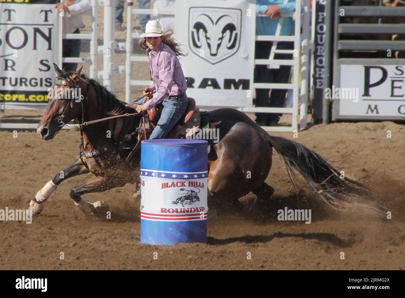 2022 Belle Fourche, SD rodeo! Stock Photohttps://www.alamy.com/image-license-details/?v=1https://www.alamy.com/2022-belle-fourche-sd-rodeo!-image479268690.html
RM2JRMG2X–2022 Belle Fourche, SD rodeo!
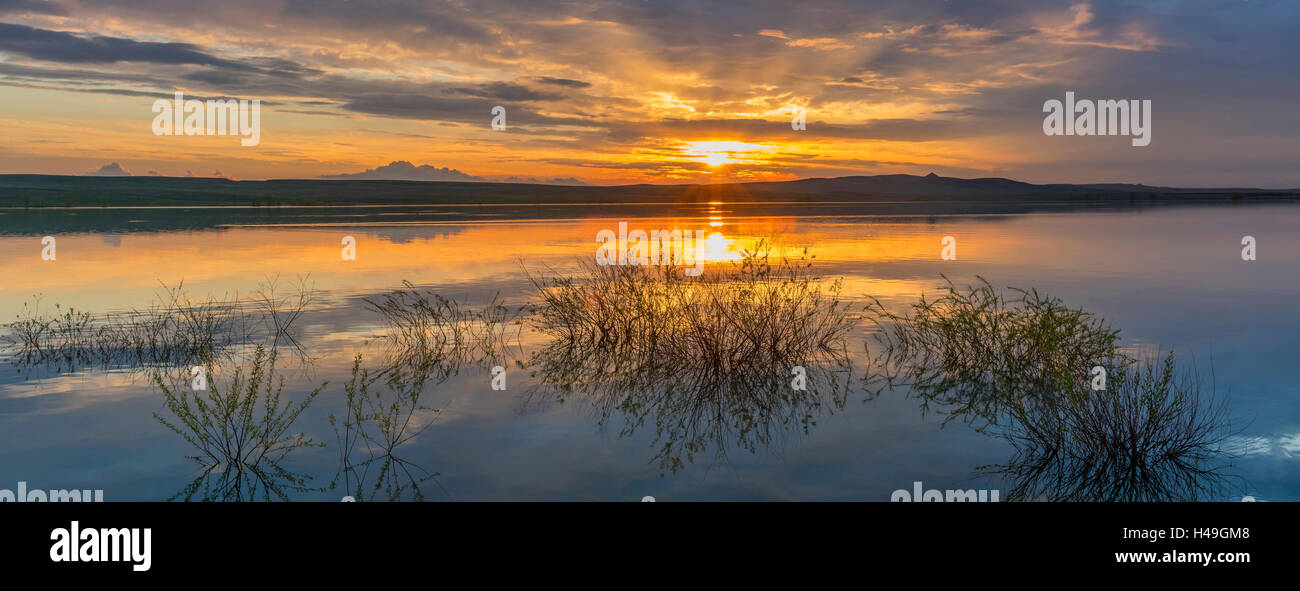 Belle Fourche National Wildlife Refuge, South Dakota: Sunset and reflections, Rocky Point Recreation Area Stock Photohttps://www.alamy.com/image-license-details/?v=1https://www.alamy.com/stock-photo-belle-fourche-national-wildlife-refuge-south-dakota-sunset-and-reflections-123141880.html
RMH49GM8–Belle Fourche National Wildlife Refuge, South Dakota: Sunset and reflections, Rocky Point Recreation Area
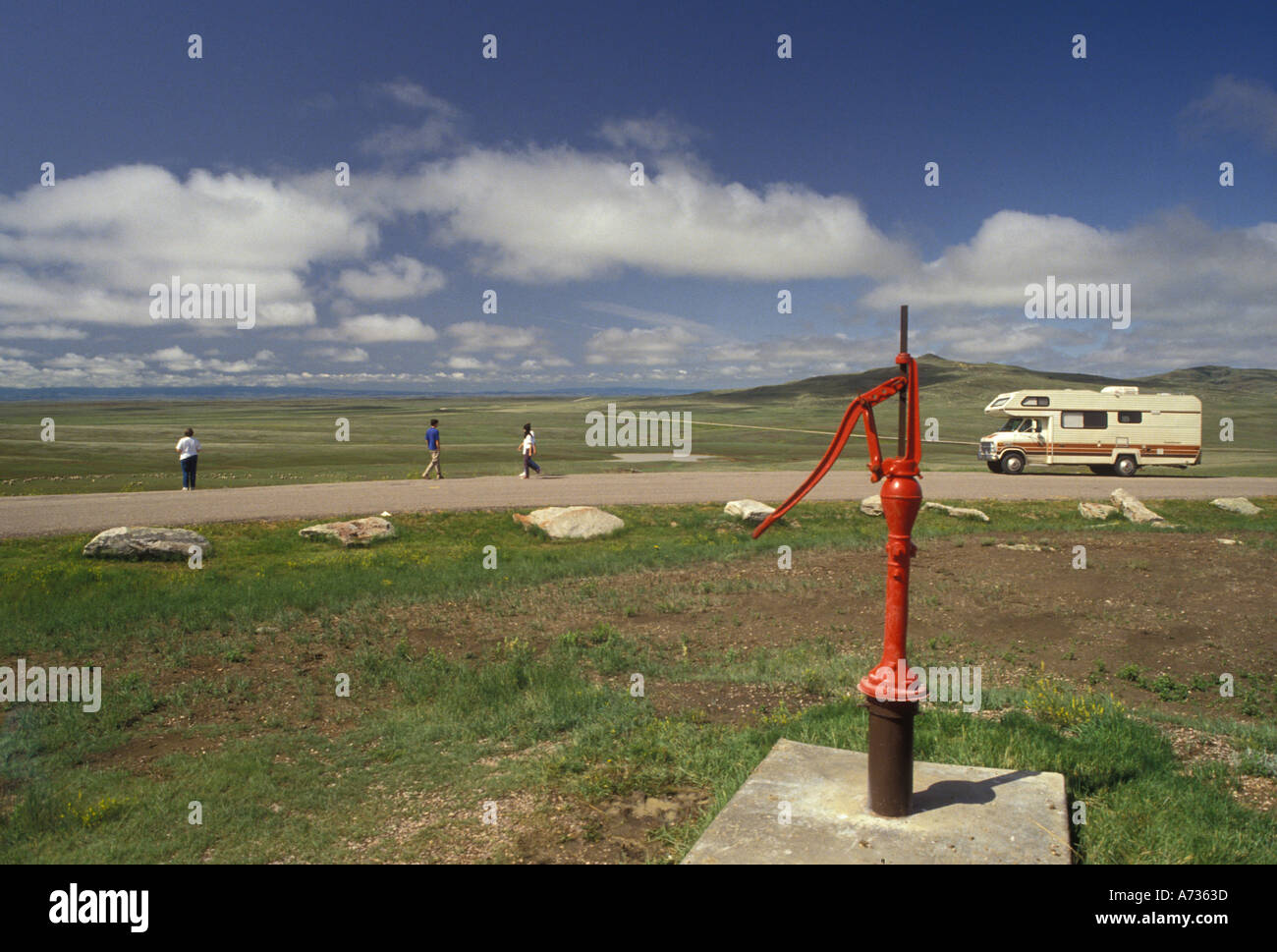 AJ3547, South Dakota, SD Stock Photohttps://www.alamy.com/image-license-details/?v=1https://www.alamy.com/aj3547-south-dakota-sd-image472637.html
RMA7363D–AJ3547, South Dakota, SD
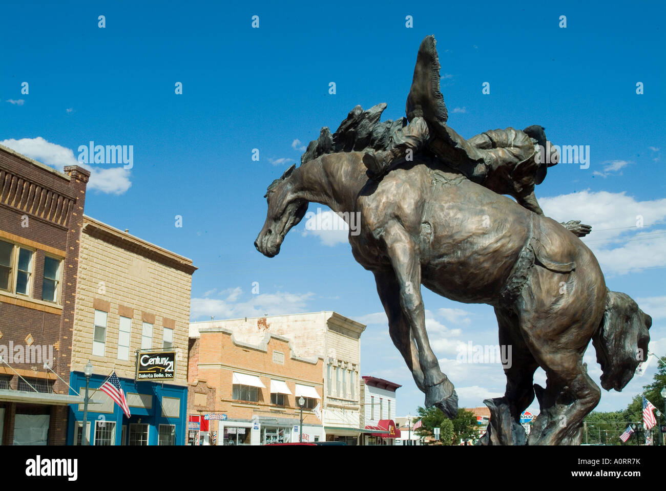 Belle Fourche the geographic center of North America South Dakota United States of America North America Stock Photohttps://www.alamy.com/image-license-details/?v=1https://www.alamy.com/stock-photo-belle-fourche-the-geographic-center-of-north-america-south-dakota-10058694.html
RMA0RR7K–Belle Fourche the geographic center of North America South Dakota United States of America North America
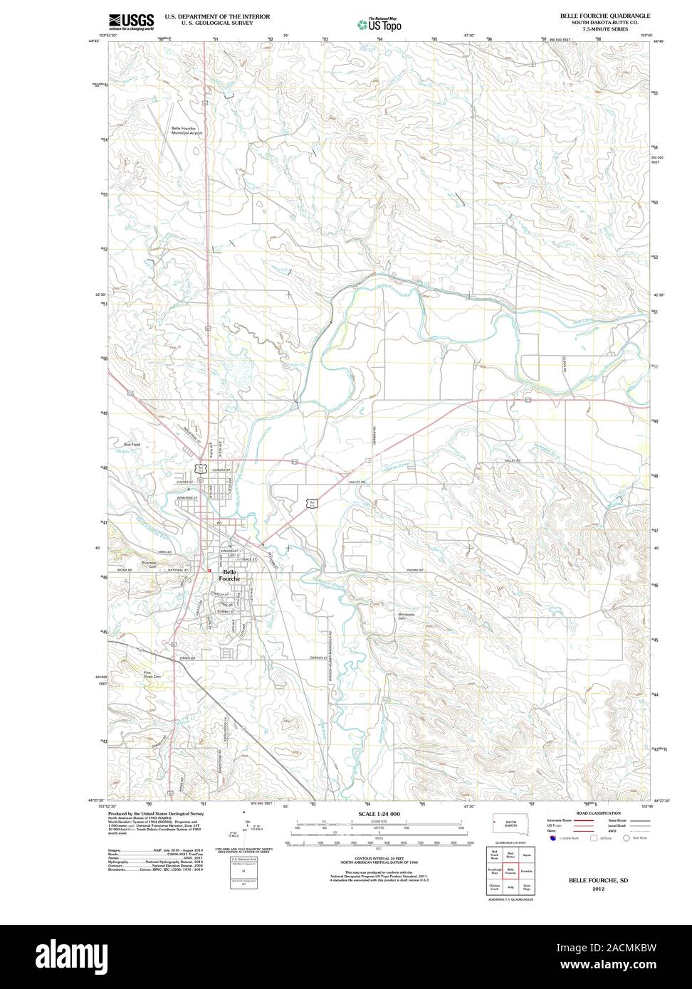 USGS TOPO Map South Dakota SD Belle Fourche 20120702 TM Restoration Stock Photohttps://www.alamy.com/image-license-details/?v=1https://www.alamy.com/usgs-topo-map-south-dakota-sd-belle-fourche-20120702-tm-restoration-image334827133.html
RM2ACMKBW–USGS TOPO Map South Dakota SD Belle Fourche 20120702 TM Restoration
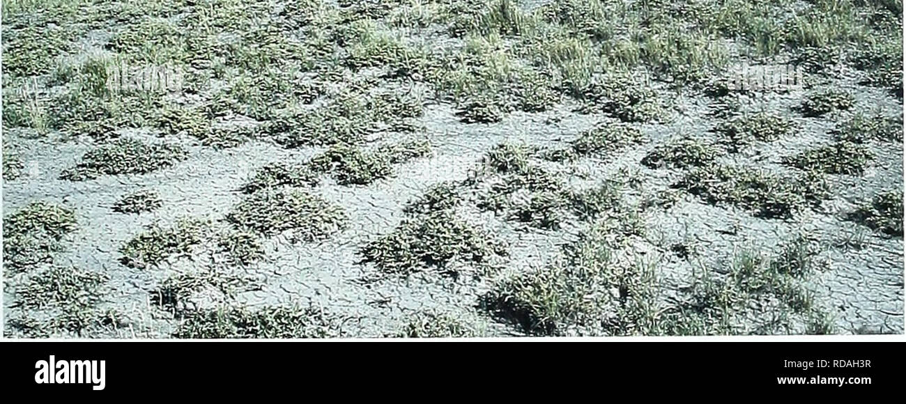 . Eighty years of vegetation and landscape changes in the Northern Great Plains : a photographic record. Range plants; Landscape; Botany; forbs; grasses; landscapes; botanical composition; shrubs; trees. Belle Fourche, South Dakota Location Butte Co., SD; Sec. 6.R.3E..T. ION.; GPS-UTM 4968196 N, 593644 E. About 14.2 miles north-northeast of Belle Fourche. From Belle Fourche, travel north 14.2 miles along U.S. Highway 85. Photopoint is 50 yards north of the highway. Description September 20, 1999 Shrub-Dominated Upland Shrubs. Atriplex nuttallii Upland Before Hills Grasses. Agropyron smithil Ko Stock Photohttps://www.alamy.com/image-license-details/?v=1https://www.alamy.com/eighty-years-of-vegetation-and-landscape-changes-in-the-northern-great-plains-a-photographic-record-range-plants-landscape-botany-forbs-grasses-landscapes-botanical-composition-shrubs-trees-belle-fourche-south-dakota-location-butte-co-sd-sec-6r3et-ion-gps-utm-4968196-n-593644-e-about-142-miles-north-northeast-of-belle-fourche-from-belle-fourche-travel-north-142-miles-along-us-highway-85-photopoint-is-50-yards-north-of-the-highway-description-september-20-1999-shrub-dominated-upland-shrubs-atriplex-nuttallii-upland-before-hills-grasses-agropyron-smithil-ko-image231958267.html
RMRDAH3R–. Eighty years of vegetation and landscape changes in the Northern Great Plains : a photographic record. Range plants; Landscape; Botany; forbs; grasses; landscapes; botanical composition; shrubs; trees. Belle Fourche, South Dakota Location Butte Co., SD; Sec. 6.R.3E..T. ION.; GPS-UTM 4968196 N, 593644 E. About 14.2 miles north-northeast of Belle Fourche. From Belle Fourche, travel north 14.2 miles along U.S. Highway 85. Photopoint is 50 yards north of the highway. Description September 20, 1999 Shrub-Dominated Upland Shrubs. Atriplex nuttallii Upland Before Hills Grasses. Agropyron smithil Ko
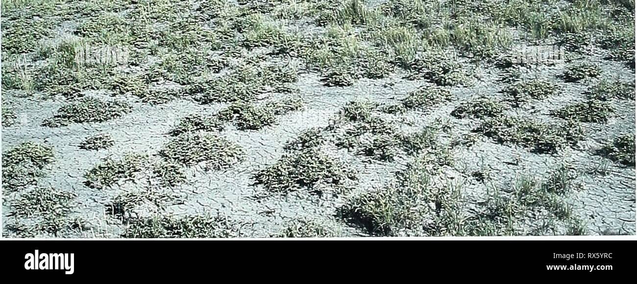 Eighty years of vegetation and Eighty years of vegetation and landscape changes in the Northern Great Plains : a photographic record eightyyearsofveg45klem Year: 2001 Belle Fourche, South Dakota Location Butte Co., SD; Sec. 6.R.3E..T. ION.; GPS-UTM 4968196 N, 593644 E. About 14.2 miles north-northeast of Belle Fourche. From Belle Fourche, travel north 14.2 miles along U.S. Highway 85. Photopoint is 50 yards north of the highway. Description September 20, 1999 Shrub-Dominated Upland Shrubs. Atriplex nuttallii Upland Before Hills Grasses. Agropyron smithil Koeleria pyramidata, Agro- pyron crist Stock Photohttps://www.alamy.com/image-license-details/?v=1https://www.alamy.com/eighty-years-of-vegetation-and-eighty-years-of-vegetation-and-landscape-changes-in-the-northern-great-plains-a-photographic-record-eightyyearsofveg45klem-year-2001-belle-fourche-south-dakota-location-butte-co-sd-sec-6r3et-ion-gps-utm-4968196-n-593644-e-about-142-miles-north-northeast-of-belle-fourche-from-belle-fourche-travel-north-142-miles-along-us-highway-85-photopoint-is-50-yards-north-of-the-highway-description-september-20-1999-shrub-dominated-upland-shrubs-atriplex-nuttallii-upland-before-hills-grasses-agropyron-smithil-koeleria-pyramidata-agro-pyron-crist-image239847424.html
RMRX5YRC–Eighty years of vegetation and Eighty years of vegetation and landscape changes in the Northern Great Plains : a photographic record eightyyearsofveg45klem Year: 2001 Belle Fourche, South Dakota Location Butte Co., SD; Sec. 6.R.3E..T. ION.; GPS-UTM 4968196 N, 593644 E. About 14.2 miles north-northeast of Belle Fourche. From Belle Fourche, travel north 14.2 miles along U.S. Highway 85. Photopoint is 50 yards north of the highway. Description September 20, 1999 Shrub-Dominated Upland Shrubs. Atriplex nuttallii Upland Before Hills Grasses. Agropyron smithil Koeleria pyramidata, Agro- pyron crist
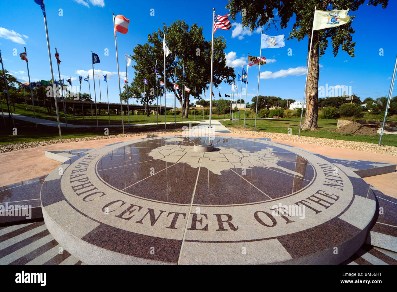 Belle Fourche South Dakota SD geographic geographical center centre of the nation. United States of America U.S.A. US USA. Stock Photohttps://www.alamy.com/image-license-details/?v=1https://www.alamy.com/stock-photo-belle-fourche-south-dakota-sd-geographic-geographical-center-centre-29618452.html
RMBM56HT–Belle Fourche South Dakota SD geographic geographical center centre of the nation. United States of America U.S.A. US USA.
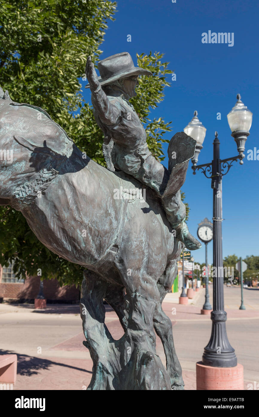 State Street, Belle Fourche, South Dakota, USA Stock Photohttps://www.alamy.com/image-license-details/?v=1https://www.alamy.com/stock-photo-state-street-belle-fourche-south-dakota-usa-74612395.html
RME9ATTB–State Street, Belle Fourche, South Dakota, USA
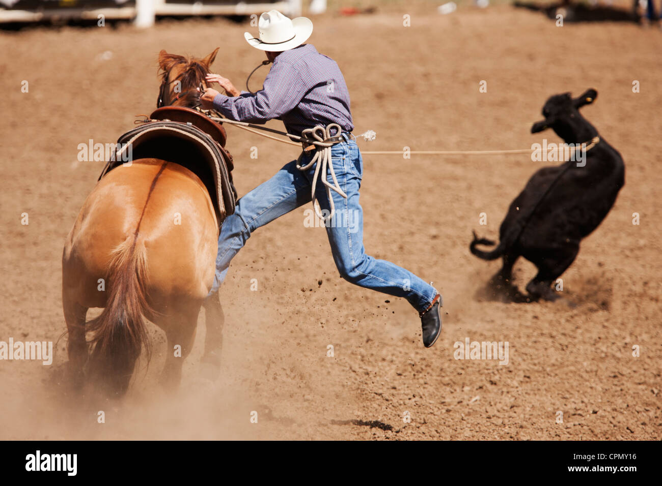 A competitor in the tie down roping competition lassos a calf at the 90th annual Black Hills Roundup rodeo in Belle Fourche, SD. Stock Photohttps://www.alamy.com/image-license-details/?v=1https://www.alamy.com/stock-photo-a-competitor-in-the-tie-down-roping-competition-lassos-a-calf-at-the-48403410.html
RMCPMY16–A competitor in the tie down roping competition lassos a calf at the 90th annual Black Hills Roundup rodeo in Belle Fourche, SD.
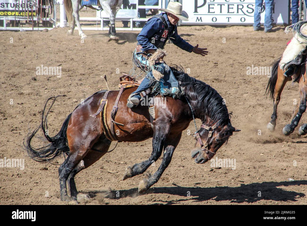 2022 Belle Fourche, SD rodeo! Stock Photohttps://www.alamy.com/image-license-details/?v=1https://www.alamy.com/2022-belle-fourche-sd-rodeo!-image479268697.html
RM2JRMG35–2022 Belle Fourche, SD rodeo!
 Belle Fourche National Wildlife Refuge, South Dakota: Sunset and reflections, Rocky Point Recreation Area Stock Photohttps://www.alamy.com/image-license-details/?v=1https://www.alamy.com/stock-photo-belle-fourche-national-wildlife-refuge-south-dakota-sunset-and-reflections-123141845.html
RMH49GK1–Belle Fourche National Wildlife Refuge, South Dakota: Sunset and reflections, Rocky Point Recreation Area
 AJ3546, South Dakota, SD Stock Photohttps://www.alamy.com/image-license-details/?v=1https://www.alamy.com/aj3546-south-dakota-sd-image472636.html
RMA7363C–AJ3546, South Dakota, SD
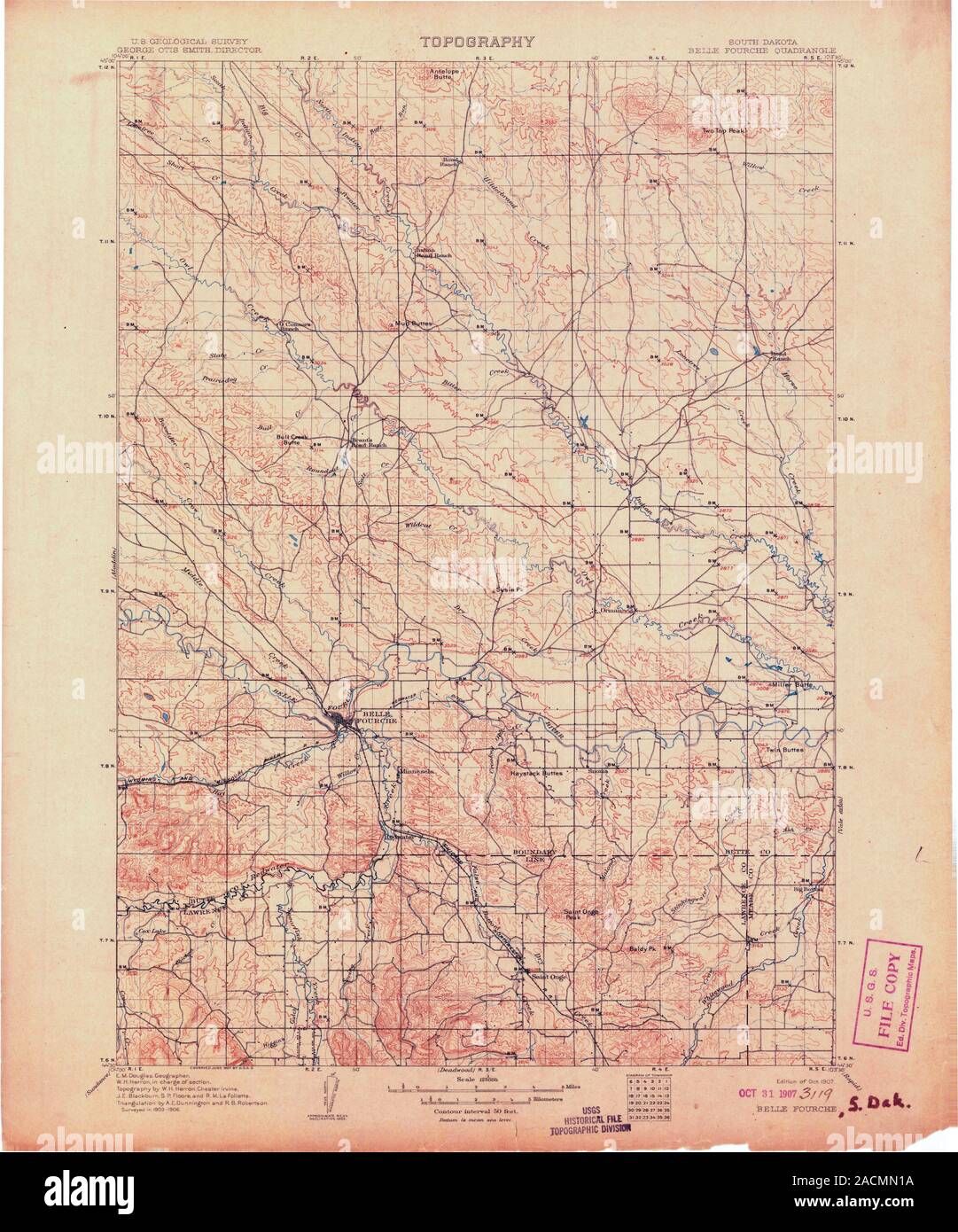 USGS TOPO Map South Dakota SD Belle Fourche 344741 1907 125000 Restoration Stock Photohttps://www.alamy.com/image-license-details/?v=1https://www.alamy.com/usgs-topo-map-south-dakota-sd-belle-fourche-344741-1907-125000-restoration-image334828406.html
RM2ACMN1A–USGS TOPO Map South Dakota SD Belle Fourche 344741 1907 125000 Restoration
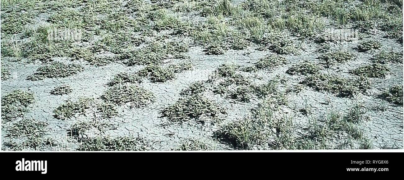 Eighty years of vegetation and landscape changes in the Northern Great Plains : a photographic record eightyyearsofveg45klem Year: 2001 Belle Fourche, South Dakota Location Butte Co., SD; Sec. 6.R.3E..T. ION.; GPS-UTM 4968196 N, 593644 E. About 14.2 miles north-northeast of Belle Fourche. From Belle Fourche, travel north 14.2 miles along U.S. Highway 85. Photopoint is 50 yards north of the highway. Description September 20, 1999 Shrub-Dominated Upland Shrubs. Atriplex nuttallii Upland Before Hills Grasses. Agropyron smithil Koeleria pyramidata, Agro- pyron cristatwn Forbs. Melilotus officina Stock Photohttps://www.alamy.com/image-license-details/?v=1https://www.alamy.com/eighty-years-of-vegetation-and-landscape-changes-in-the-northern-great-plains-a-photographic-record-eightyyearsofveg45klem-year-2001-belle-fourche-south-dakota-location-butte-co-sd-sec-6r3et-ion-gps-utm-4968196-n-593644-e-about-142-miles-north-northeast-of-belle-fourche-from-belle-fourche-travel-north-142-miles-along-us-highway-85-photopoint-is-50-yards-north-of-the-highway-description-september-20-1999-shrub-dominated-upland-shrubs-atriplex-nuttallii-upland-before-hills-grasses-agropyron-smithil-koeleria-pyramidata-agro-pyron-cristatwn-forbs-melilotus-officina-image240688734.html
RMRYG8X6–Eighty years of vegetation and landscape changes in the Northern Great Plains : a photographic record eightyyearsofveg45klem Year: 2001 Belle Fourche, South Dakota Location Butte Co., SD; Sec. 6.R.3E..T. ION.; GPS-UTM 4968196 N, 593644 E. About 14.2 miles north-northeast of Belle Fourche. From Belle Fourche, travel north 14.2 miles along U.S. Highway 85. Photopoint is 50 yards north of the highway. Description September 20, 1999 Shrub-Dominated Upland Shrubs. Atriplex nuttallii Upland Before Hills Grasses. Agropyron smithil Koeleria pyramidata, Agro- pyron cristatwn Forbs. Melilotus officina
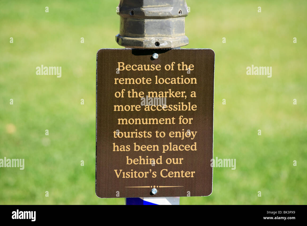 Funny sign in Belle Fourche, South Dakota, SD, geographical center of the United States, for tourists only. Stock Photohttps://www.alamy.com/image-license-details/?v=1https://www.alamy.com/stock-photo-funny-sign-in-belle-fourche-south-dakota-sd-geographical-center-of-28972673.html
RMBK3PX9–Funny sign in Belle Fourche, South Dakota, SD, geographical center of the United States, for tourists only.
 Historic District of Belle Fourche, South Dakota, USA Stock Photohttps://www.alamy.com/image-license-details/?v=1https://www.alamy.com/stock-photo-historic-district-of-belle-fourche-south-dakota-usa-74327419.html
RME8WWAK–Historic District of Belle Fourche, South Dakota, USA
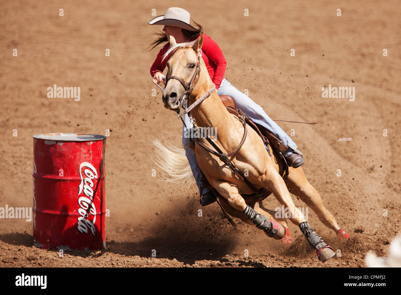 A competitor in the barrel racing competition races at the 90th annual Black Hills Roundup rodeo in Belle Fourche, South Dakota. Stock Photohttps://www.alamy.com/image-license-details/?v=1https://www.alamy.com/stock-photo-a-competitor-in-the-barrel-racing-competition-races-at-the-90th-annual-48394474.html
RMCPMFJ2–A competitor in the barrel racing competition races at the 90th annual Black Hills Roundup rodeo in Belle Fourche, South Dakota.
 2022 Belle Fourche, SD rodeo! Stock Photohttps://www.alamy.com/image-license-details/?v=1https://www.alamy.com/2022-belle-fourche-sd-rodeo!-image479268702.html
RM2JRMG3A–2022 Belle Fourche, SD rodeo!
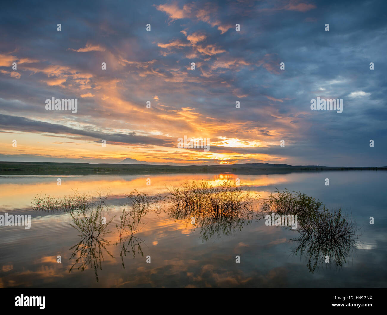 Belle Fourche National Wildlife Refuge, South Dakota: Sunset reflections at dusk, Rocky Point Recreation Area Stock Photohttps://www.alamy.com/image-license-details/?v=1https://www.alamy.com/stock-photo-belle-fourche-national-wildlife-refuge-south-dakota-sunset-reflections-123141926.html
RMH49GNX–Belle Fourche National Wildlife Refuge, South Dakota: Sunset reflections at dusk, Rocky Point Recreation Area
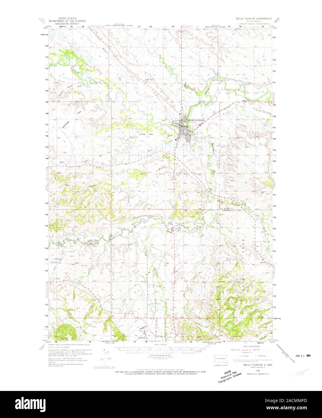 USGS TOPO Map South Dakota SD Belle Fourche 344599 1958 62500 Restoration Stock Photohttps://www.alamy.com/image-license-details/?v=1https://www.alamy.com/usgs-topo-map-south-dakota-sd-belle-fourche-344599-1958-62500-restoration-image334828017.html
RM2ACMMFD–USGS TOPO Map South Dakota SD Belle Fourche 344599 1958 62500 Restoration
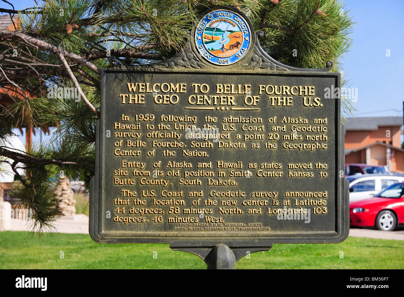 Belle Fourche South Dakota SD geographic geographical center centre of the nation. United States of America U.S.A. US USA. Stock Photohttps://www.alamy.com/image-license-details/?v=1https://www.alamy.com/stock-photo-belle-fourche-south-dakota-sd-geographic-geographical-center-centre-29618575.html
RMBM56P7–Belle Fourche South Dakota SD geographic geographical center centre of the nation. United States of America U.S.A. US USA.
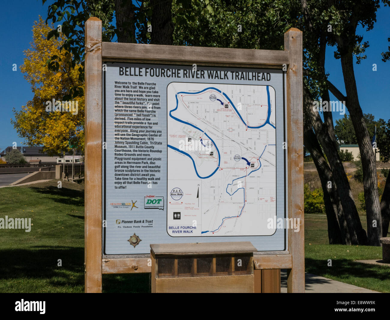 Historic District of Belle Fourche, South Dakota, USA Stock Photohttps://www.alamy.com/image-license-details/?v=1https://www.alamy.com/stock-photo-historic-district-of-belle-fourche-south-dakota-usa-74327398.html
RME8WW9X–Historic District of Belle Fourche, South Dakota, USA
 Courtney Smith, Miss Rodeo South Dakota, presents the American flag prior to the start of the annual Black Hills Roundup rodeo. Stock Photohttps://www.alamy.com/image-license-details/?v=1https://www.alamy.com/stock-photo-courtney-smith-miss-rodeo-south-dakota-presents-the-american-flag-52680594.html
RMD1KPHP–Courtney Smith, Miss Rodeo South Dakota, presents the American flag prior to the start of the annual Black Hills Roundup rodeo.
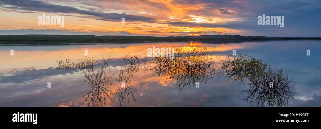 Belle Fourche National Wildlife Refuge, South Dakota: Sunset reflections at dusk, Rocky Point Recreation Area Stock Photohttps://www.alamy.com/image-license-details/?v=1https://www.alamy.com/stock-photo-belle-fourche-national-wildlife-refuge-south-dakota-sunset-reflections-123142008.html
RMH49GTT–Belle Fourche National Wildlife Refuge, South Dakota: Sunset reflections at dusk, Rocky Point Recreation Area
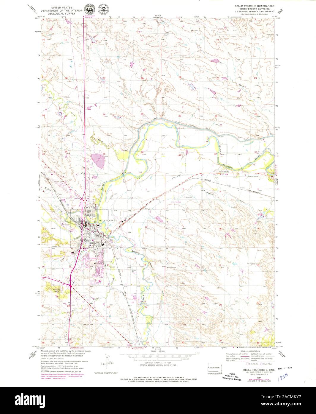 USGS TOPO Map South Dakota SD Belle Fourche 342711 1954 24000 Restoration Stock Photohttps://www.alamy.com/image-license-details/?v=1https://www.alamy.com/usgs-topo-map-south-dakota-sd-belle-fourche-342711-1954-24000-restoration-image334827563.html
RM2ACMKY7–USGS TOPO Map South Dakota SD Belle Fourche 342711 1954 24000 Restoration
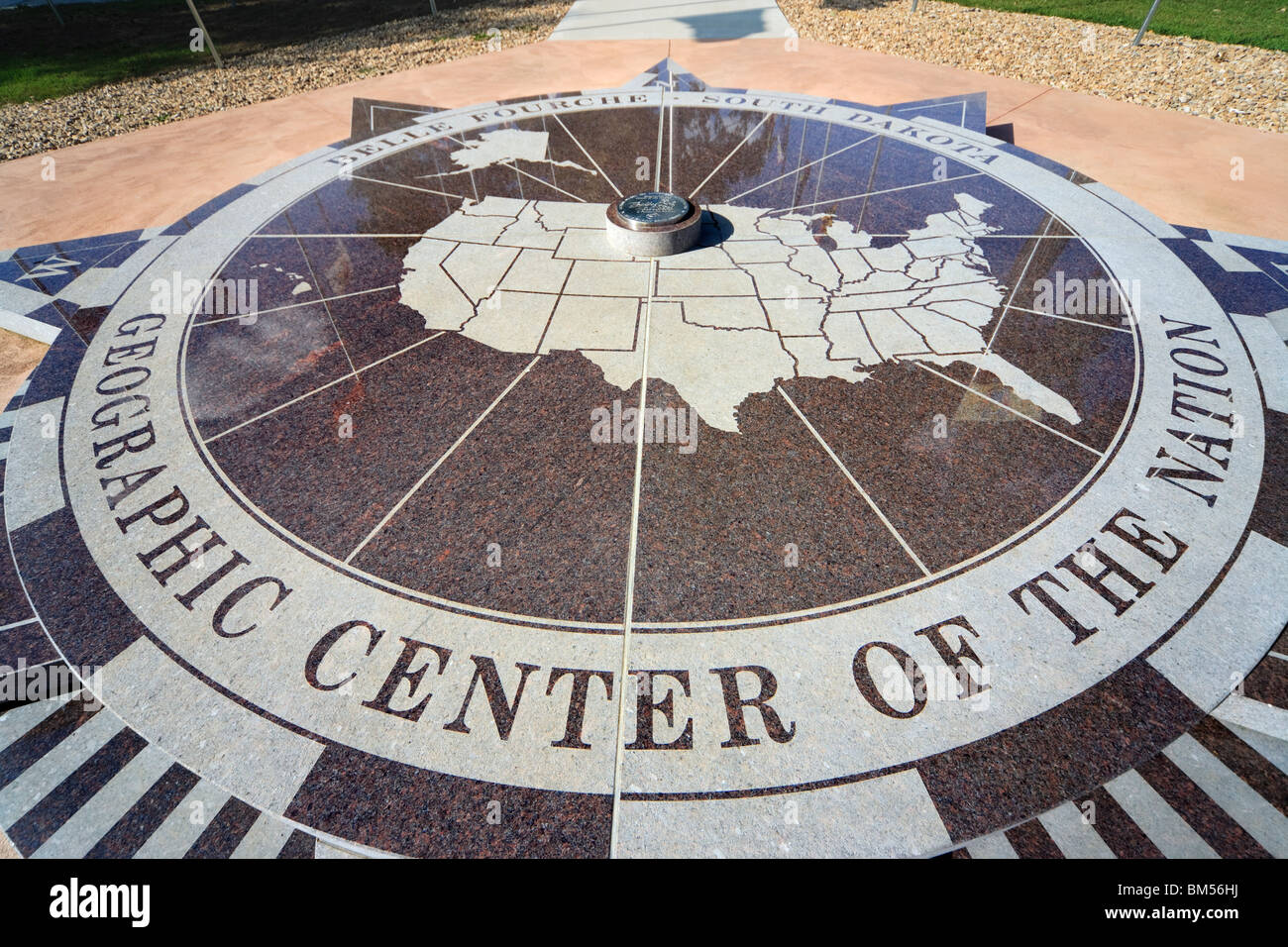 Belle Fourche South Dakota SD geographic geographical center centre of the nation. United States of America U.S.A. US USA. Stock Photohttps://www.alamy.com/image-license-details/?v=1https://www.alamy.com/stock-photo-belle-fourche-south-dakota-sd-geographic-geographical-center-centre-29618446.html
RMBM56HJ–Belle Fourche South Dakota SD geographic geographical center centre of the nation. United States of America U.S.A. US USA.
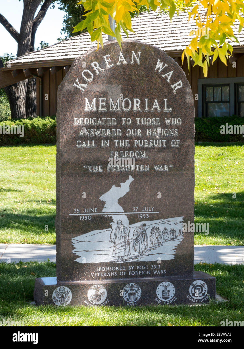 Historic District of Belle Fourche, South Dakota, USA Stock Photohttps://www.alamy.com/image-license-details/?v=1https://www.alamy.com/stock-photo-historic-district-of-belle-fourche-south-dakota-usa-74327403.html
RME8WWA3–Historic District of Belle Fourche, South Dakota, USA
 A competitor chases a calf in the tie down roping competition at the 90th annual Black Hills Roundup rodeo on July 4, 2009. Stock Photohttps://www.alamy.com/image-license-details/?v=1https://www.alamy.com/stock-photo-a-competitor-chases-a-calf-in-the-tie-down-roping-competition-at-the-48393585.html
RMCPMEE9–A competitor chases a calf in the tie down roping competition at the 90th annual Black Hills Roundup rodeo on July 4, 2009.
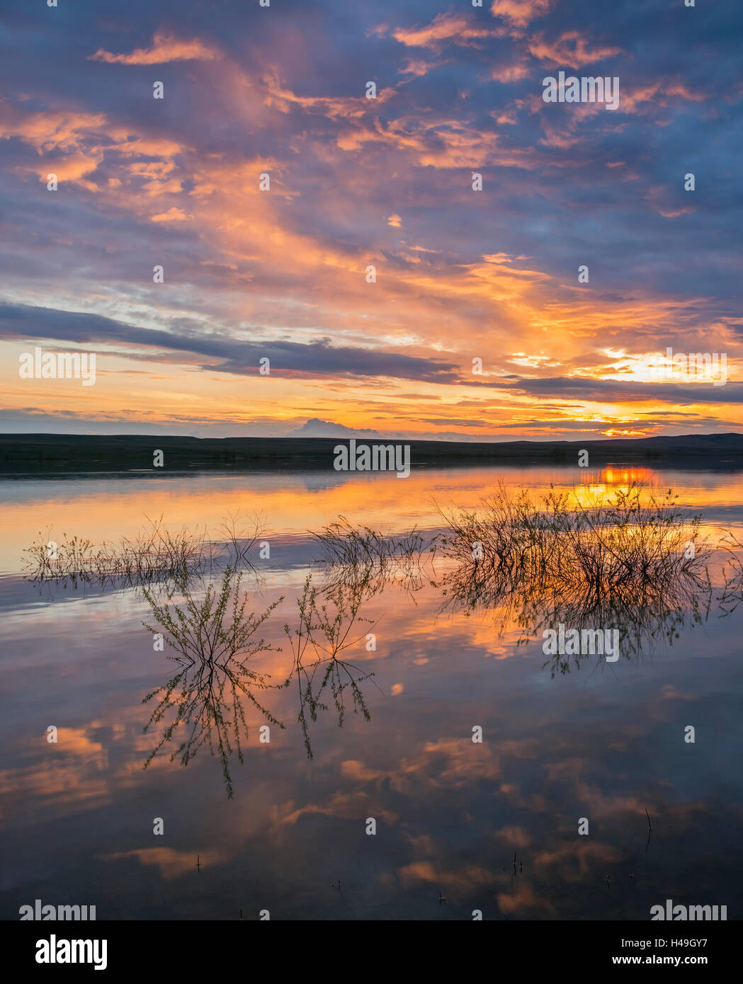 Belle Fourche National Wildlife Refuge, South Dakota: Sunset reflections at dusk, Rocky Point Recreation Area Stock Photohttps://www.alamy.com/image-license-details/?v=1https://www.alamy.com/stock-photo-belle-fourche-national-wildlife-refuge-south-dakota-sunset-reflections-123142075.html
RMH49GY7–Belle Fourche National Wildlife Refuge, South Dakota: Sunset reflections at dusk, Rocky Point Recreation Area
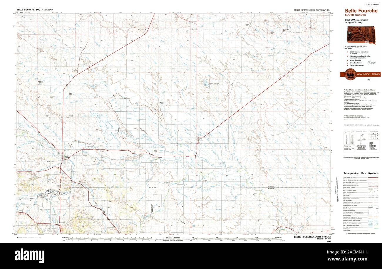 USGS TOPO Map South Dakota SD Belle Fourche 344660 1983 100000 Restoration Stock Photohttps://www.alamy.com/image-license-details/?v=1https://www.alamy.com/usgs-topo-map-south-dakota-sd-belle-fourche-344660-1983-100000-restoration-image334828413.html
RM2ACMN1H–USGS TOPO Map South Dakota SD Belle Fourche 344660 1983 100000 Restoration
 Historic District of Belle Fourche, South Dakota, USA Stock Photohttps://www.alamy.com/image-license-details/?v=1https://www.alamy.com/stock-photo-historic-district-of-belle-fourche-south-dakota-usa-74327446.html
RME8WWBJ–Historic District of Belle Fourche, South Dakota, USA
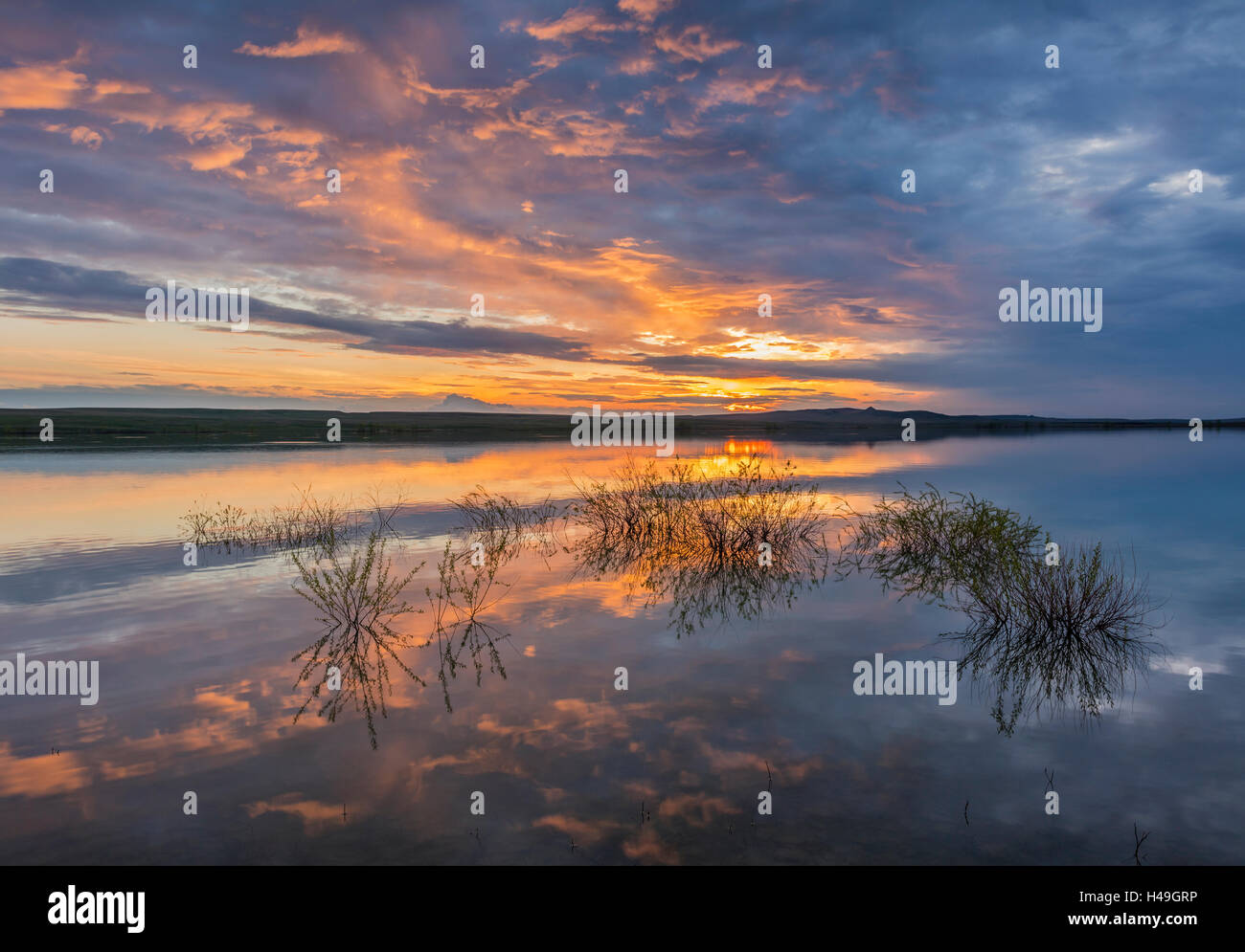 Belle Fourche National Wildlife Refuge, South Dakota: Sunset reflections at dusk, Rocky Point Recreation Area Stock Photohttps://www.alamy.com/image-license-details/?v=1https://www.alamy.com/stock-photo-belle-fourche-national-wildlife-refuge-south-dakota-sunset-reflections-123141978.html
RMH49GRP–Belle Fourche National Wildlife Refuge, South Dakota: Sunset reflections at dusk, Rocky Point Recreation Area
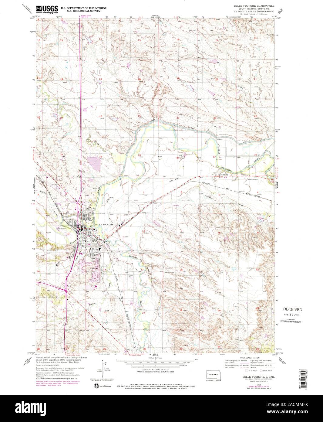 USGS TOPO Map South Dakota SD Belle Fourche 342713 1954 24000 Restoration Stock Photohttps://www.alamy.com/image-license-details/?v=1https://www.alamy.com/usgs-topo-map-south-dakota-sd-belle-fourche-342713-1954-24000-restoration-image334828030.html
RM2ACMMFX–USGS TOPO Map South Dakota SD Belle Fourche 342713 1954 24000 Restoration
 Historic District of Belle Fourche, South Dakota, USA Stock Photohttps://www.alamy.com/image-license-details/?v=1https://www.alamy.com/stock-photo-historic-district-of-belle-fourche-south-dakota-usa-74327451.html
RME8WWBR–Historic District of Belle Fourche, South Dakota, USA
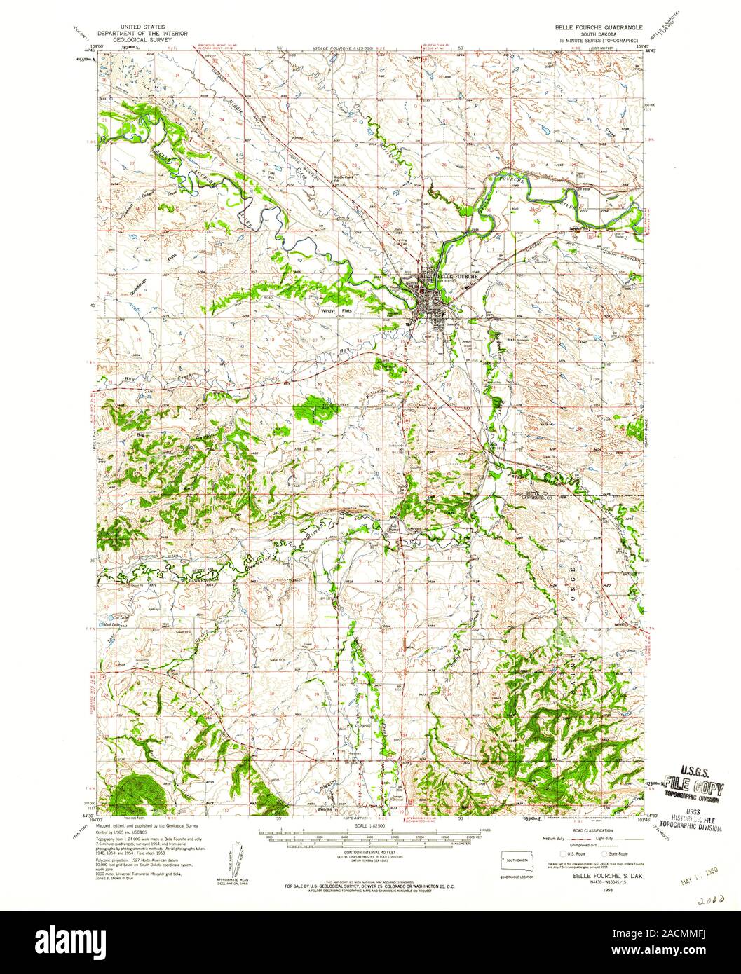 USGS TOPO Map South Dakota SD Belle Fourche 344600 1958 62500 Restoration Stock Photohttps://www.alamy.com/image-license-details/?v=1https://www.alamy.com/usgs-topo-map-south-dakota-sd-belle-fourche-344600-1958-62500-restoration-image334828022.html
RM2ACMMFJ–USGS TOPO Map South Dakota SD Belle Fourche 344600 1958 62500 Restoration
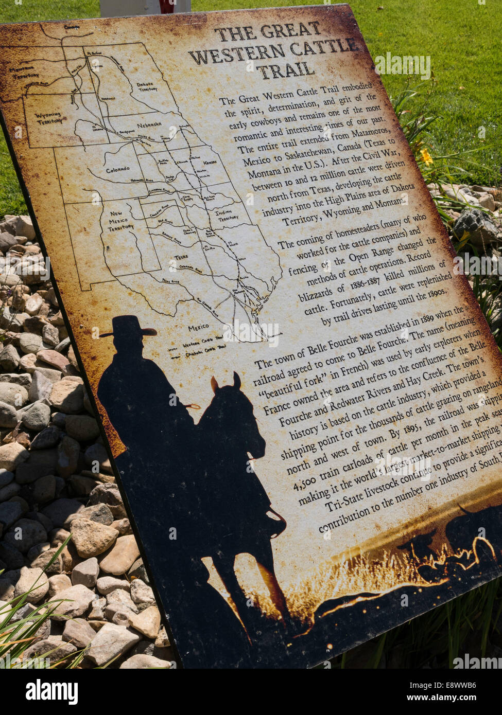 Historic District of Belle Fourche, South Dakota, USA Stock Photohttps://www.alamy.com/image-license-details/?v=1https://www.alamy.com/stock-photo-historic-district-of-belle-fourche-south-dakota-usa-74327434.html
RME8WWB6–Historic District of Belle Fourche, South Dakota, USA
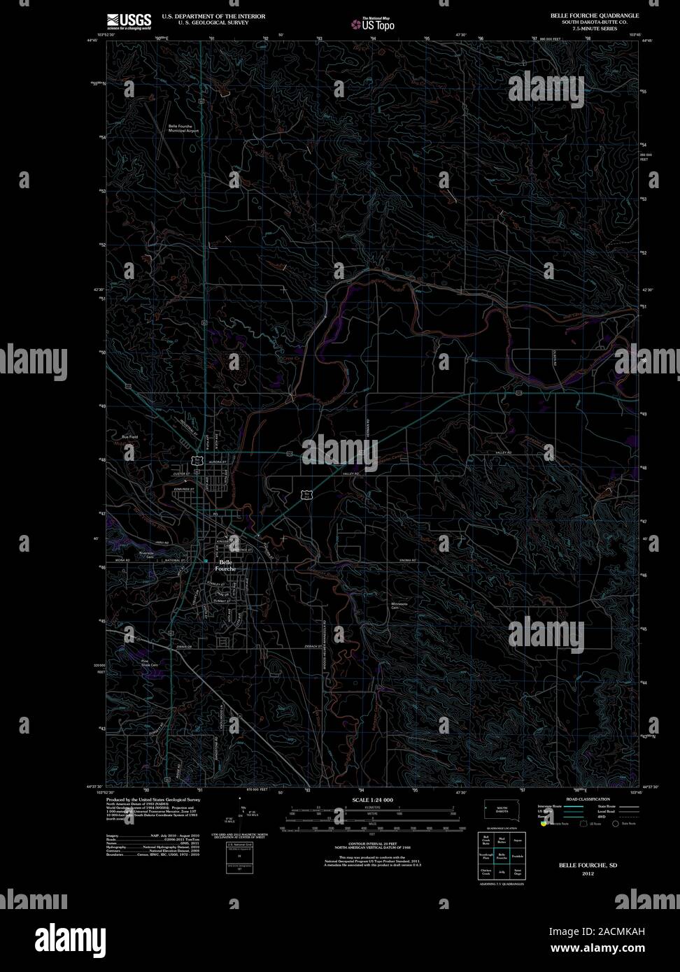 USGS TOPO Map South Dakota SD Belle Fourche 20120702 TM Inverted Restoration Stock Photohttps://www.alamy.com/image-license-details/?v=1https://www.alamy.com/usgs-topo-map-south-dakota-sd-belle-fourche-20120702-tm-inverted-restoration-image334827097.html
RM2ACMKAH–USGS TOPO Map South Dakota SD Belle Fourche 20120702 TM Inverted Restoration
 Historic District of Belle Fourche, South Dakota, USA Stock Photohttps://www.alamy.com/image-license-details/?v=1https://www.alamy.com/stock-photo-historic-district-of-belle-fourche-south-dakota-usa-74327432.html
RME8WWB4–Historic District of Belle Fourche, South Dakota, USA
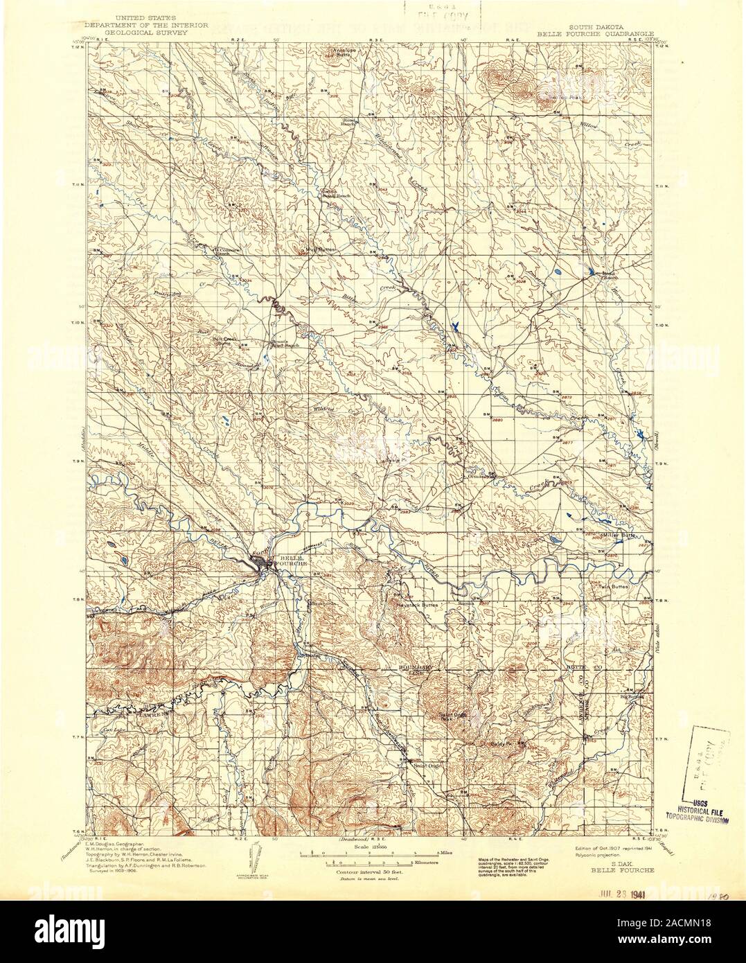 USGS TOPO Map South Dakota SD Belle Fourche 344742 1907 125000 Restoration Stock Photohttps://www.alamy.com/image-license-details/?v=1https://www.alamy.com/usgs-topo-map-south-dakota-sd-belle-fourche-344742-1907-125000-restoration-image334828404.html
RM2ACMN18–USGS TOPO Map South Dakota SD Belle Fourche 344742 1907 125000 Restoration
 Historic District of Belle Fourche, South Dakota, USA Stock Photohttps://www.alamy.com/image-license-details/?v=1https://www.alamy.com/stock-photo-historic-district-of-belle-fourche-south-dakota-usa-74327447.html
RME8WWBK–Historic District of Belle Fourche, South Dakota, USA
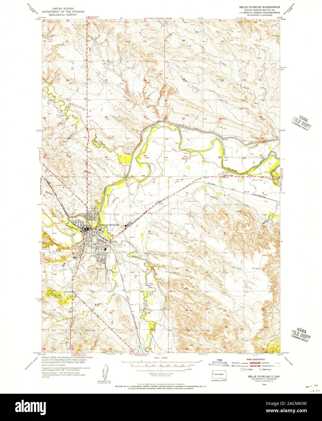 USGS TOPO Map South Dakota SD Belle Fourche 342712 1954 24000 Restoration Stock Photohttps://www.alamy.com/image-license-details/?v=1https://www.alamy.com/usgs-topo-map-south-dakota-sd-belle-fourche-342712-1954-24000-restoration-image334827547.html
RM2ACMKXK–USGS TOPO Map South Dakota SD Belle Fourche 342712 1954 24000 Restoration
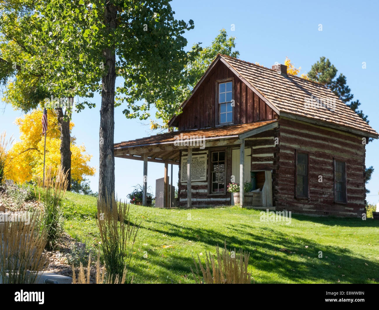 Historic District of Belle Fourche, South Dakota, USA Stock Photohttps://www.alamy.com/image-license-details/?v=1https://www.alamy.com/stock-photo-historic-district-of-belle-fourche-south-dakota-usa-74327449.html
RME8WWBN–Historic District of Belle Fourche, South Dakota, USA
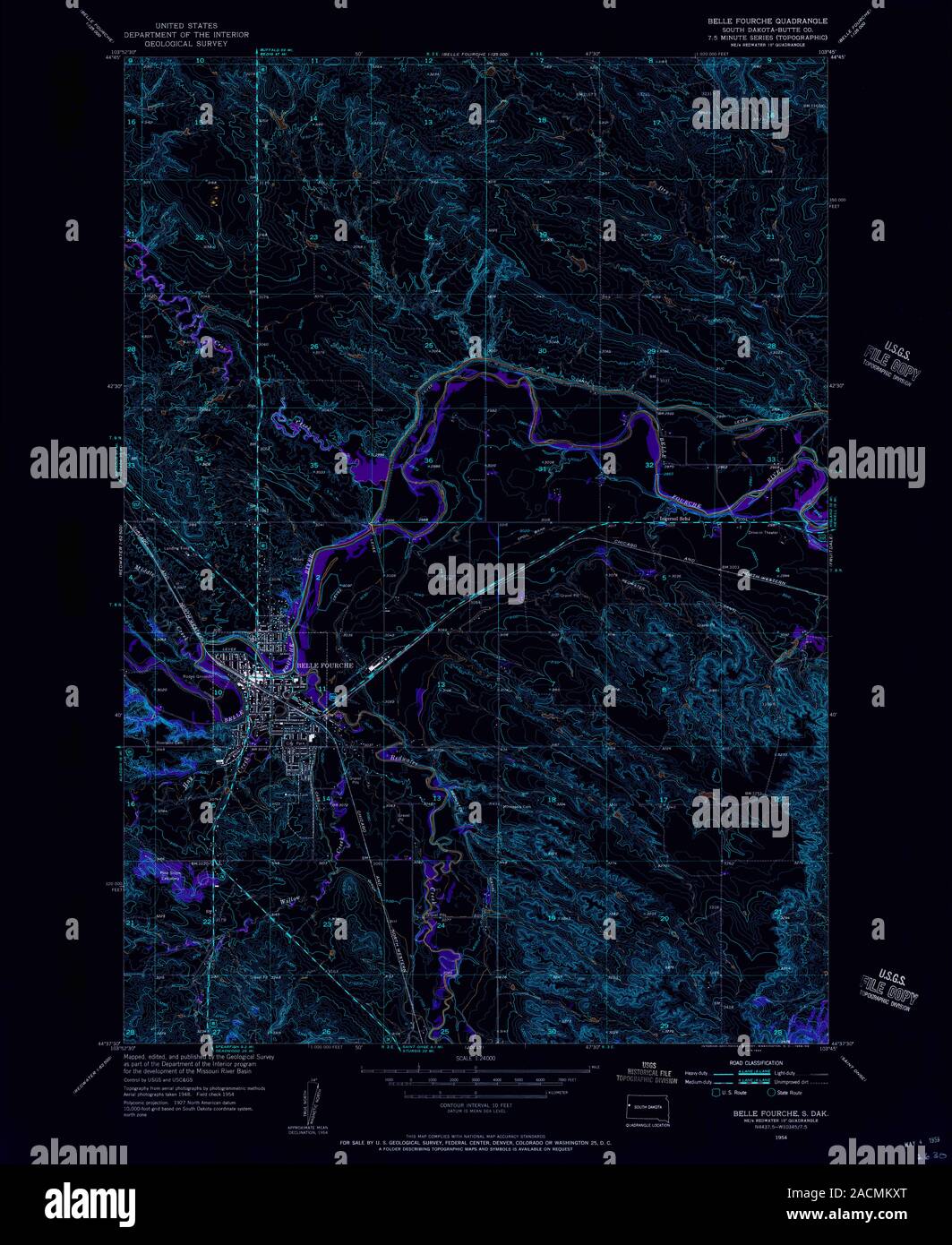 USGS TOPO Map South Dakota SD Belle Fourche 342712 1954 24000 Inverted Restoration Stock Photohttps://www.alamy.com/image-license-details/?v=1https://www.alamy.com/usgs-topo-map-south-dakota-sd-belle-fourche-342712-1954-24000-inverted-restoration-image334827552.html
RM2ACMKXT–USGS TOPO Map South Dakota SD Belle Fourche 342712 1954 24000 Inverted Restoration
 Historic District of Belle Fourche, South Dakota, USA Stock Photohttps://www.alamy.com/image-license-details/?v=1https://www.alamy.com/stock-photo-historic-district-of-belle-fourche-south-dakota-usa-74327450.html
RME8WWBP–Historic District of Belle Fourche, South Dakota, USA
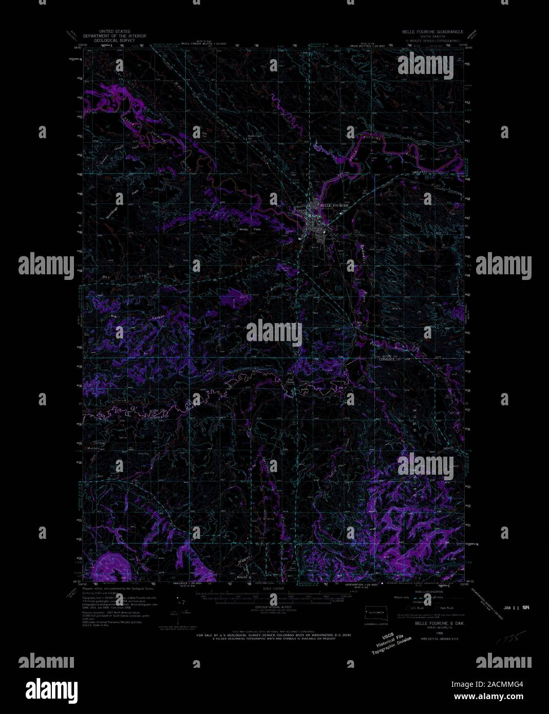 USGS TOPO Map South Dakota SD Belle Fourche 344599 1958 62500 Inverted Restoration Stock Photohttps://www.alamy.com/image-license-details/?v=1https://www.alamy.com/usgs-topo-map-south-dakota-sd-belle-fourche-344599-1958-62500-inverted-restoration-image334828036.html
RM2ACMMG4–USGS TOPO Map South Dakota SD Belle Fourche 344599 1958 62500 Inverted Restoration
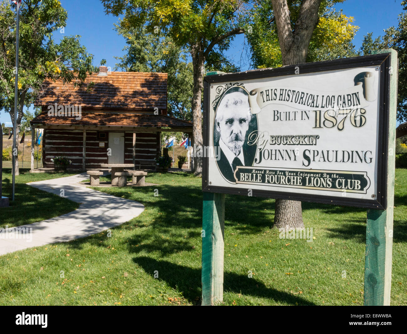 Historic District of Belle Fourche, South Dakota, USA Stock Photohttps://www.alamy.com/image-license-details/?v=1https://www.alamy.com/stock-photo-historic-district-of-belle-fourche-south-dakota-usa-74327438.html
RME8WWBA–Historic District of Belle Fourche, South Dakota, USA
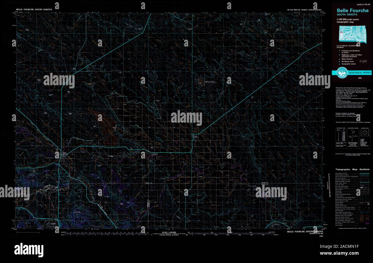 USGS TOPO Map South Dakota SD Belle Fourche 344660 1983 100000 Inverted Restoration Stock Photohttps://www.alamy.com/image-license-details/?v=1https://www.alamy.com/usgs-topo-map-south-dakota-sd-belle-fourche-344660-1983-100000-inverted-restoration-image334828411.html
RM2ACMN1F–USGS TOPO Map South Dakota SD Belle Fourche 344660 1983 100000 Inverted Restoration
 Historic District of Belle Fourche, South Dakota, USA Stock Photohttps://www.alamy.com/image-license-details/?v=1https://www.alamy.com/stock-photo-historic-district-of-belle-fourche-south-dakota-usa-74327444.html
RME8WWBG–Historic District of Belle Fourche, South Dakota, USA
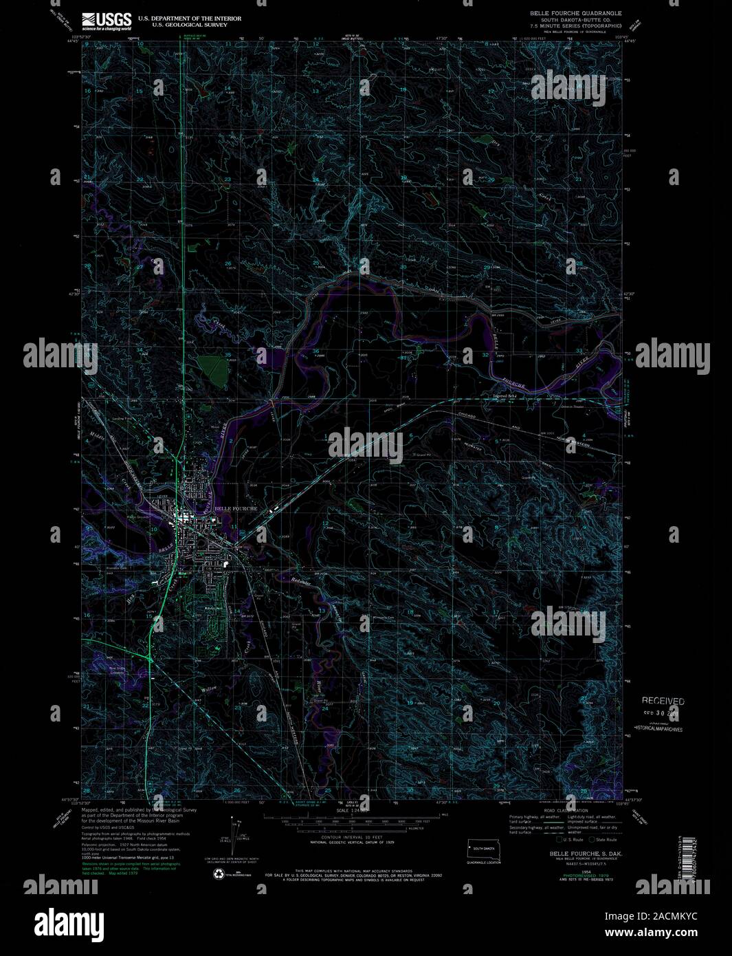 USGS TOPO Map South Dakota SD Belle Fourche 342713 1954 24000 Inverted Restoration Stock Photohttps://www.alamy.com/image-license-details/?v=1https://www.alamy.com/usgs-topo-map-south-dakota-sd-belle-fourche-342713-1954-24000-inverted-restoration-image334827568.html
RM2ACMKYC–USGS TOPO Map South Dakota SD Belle Fourche 342713 1954 24000 Inverted Restoration
 Historic District of Belle Fourche, South Dakota, USA Stock Photohttps://www.alamy.com/image-license-details/?v=1https://www.alamy.com/stock-photo-historic-district-of-belle-fourche-south-dakota-usa-74327412.html
RME8WWAC–Historic District of Belle Fourche, South Dakota, USA
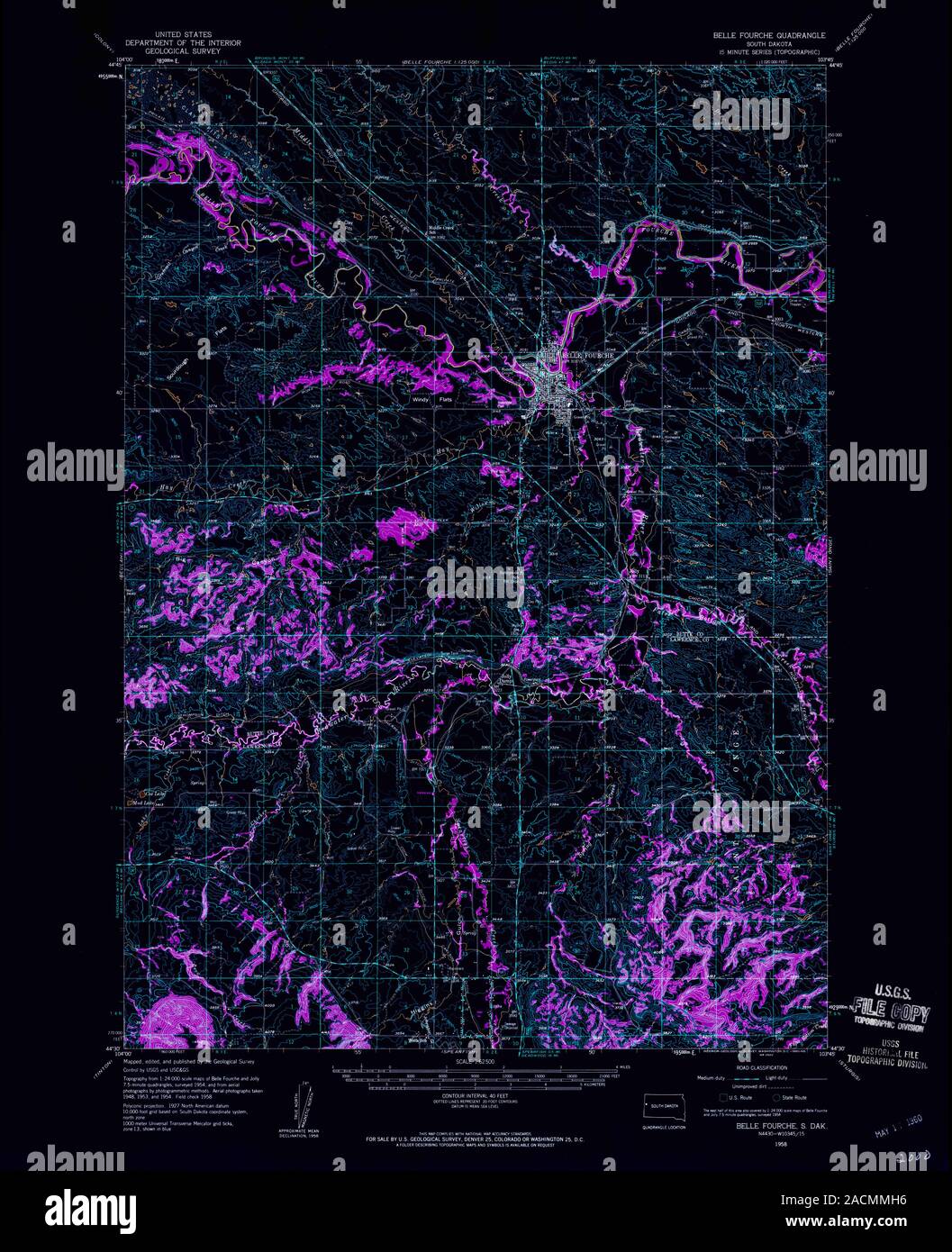 USGS TOPO Map South Dakota SD Belle Fourche 344600 1958 62500 Inverted Restoration Stock Photohttps://www.alamy.com/image-license-details/?v=1https://www.alamy.com/usgs-topo-map-south-dakota-sd-belle-fourche-344600-1958-62500-inverted-restoration-image334828066.html
RM2ACMMH6–USGS TOPO Map South Dakota SD Belle Fourche 344600 1958 62500 Inverted Restoration
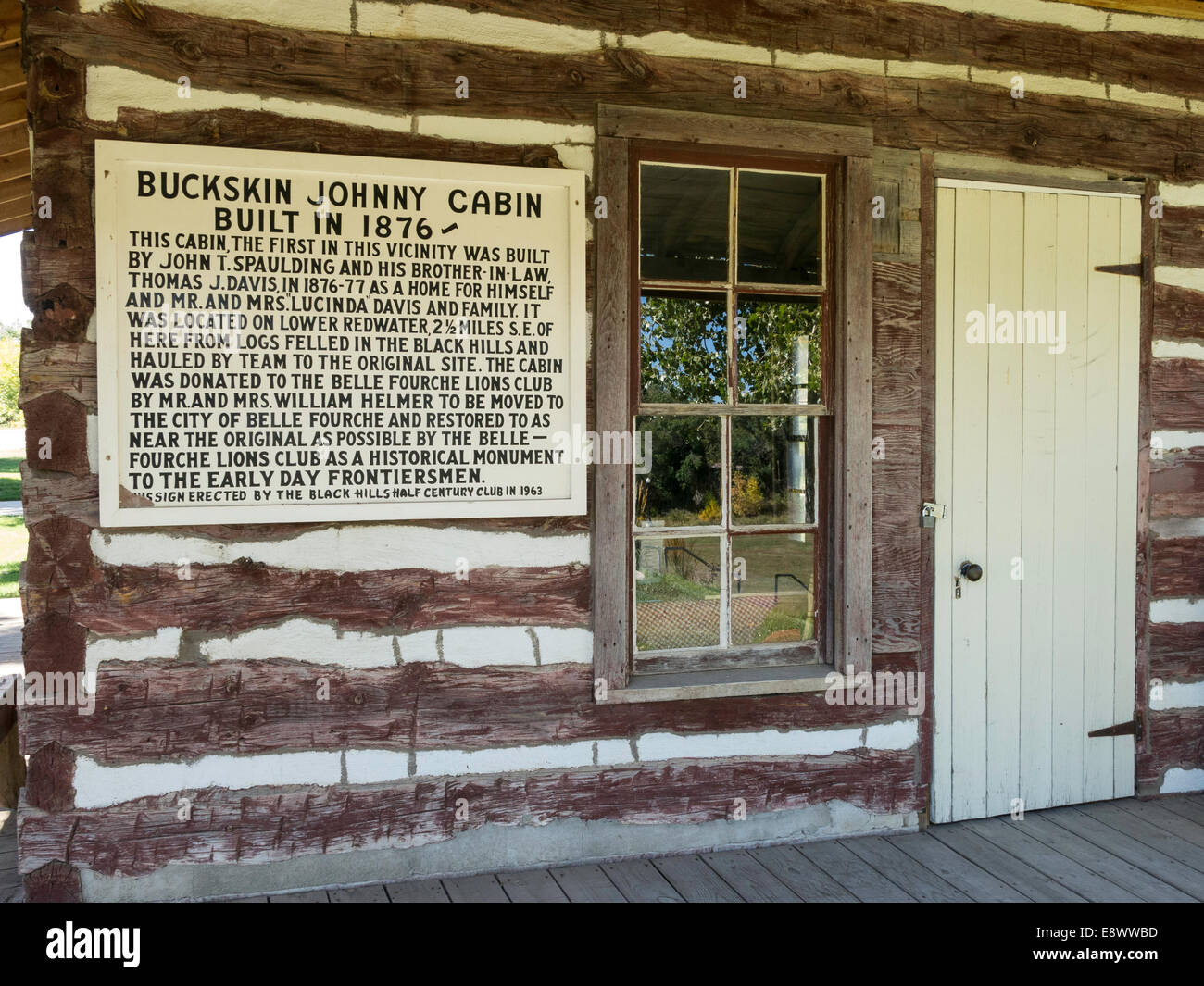 Historic District of Belle Fourche, South Dakota, USA Stock Photohttps://www.alamy.com/image-license-details/?v=1https://www.alamy.com/stock-photo-historic-district-of-belle-fourche-south-dakota-usa-74327441.html
RME8WWBD–Historic District of Belle Fourche, South Dakota, USA
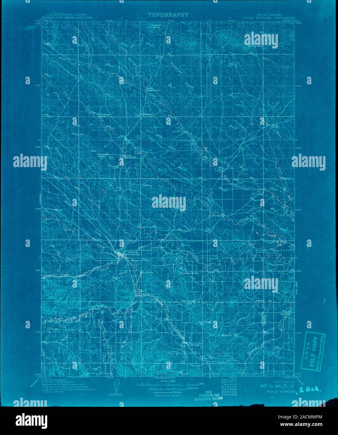 USGS TOPO Map South Dakota SD Belle Fourche 344741 1907 125000 Inverted Restoration Stock Photohttps://www.alamy.com/image-license-details/?v=1https://www.alamy.com/usgs-topo-map-south-dakota-sd-belle-fourche-344741-1907-125000-inverted-restoration-image334828024.html
RM2ACMMFM–USGS TOPO Map South Dakota SD Belle Fourche 344741 1907 125000 Inverted Restoration
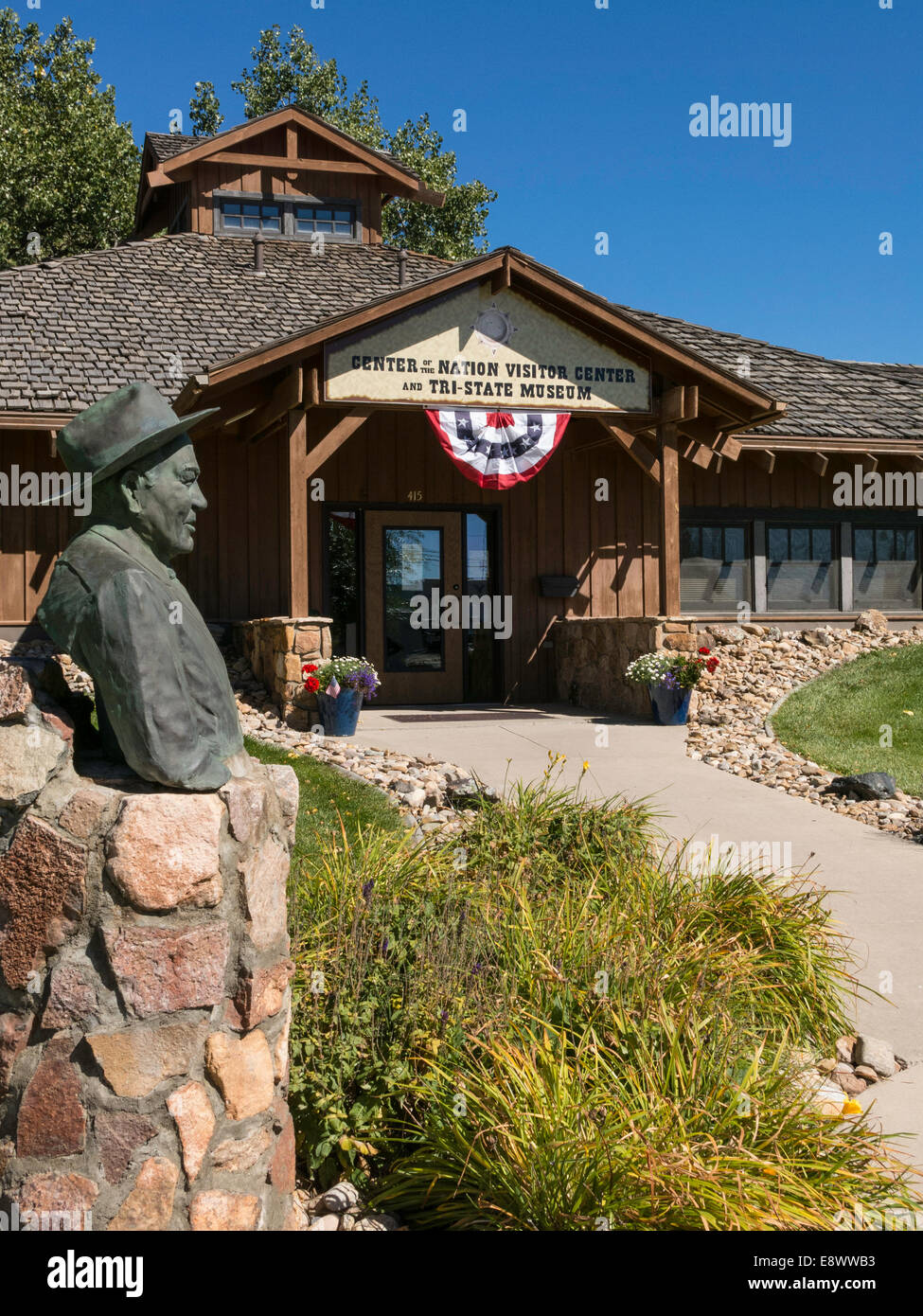 Historic District of Belle Fourche, South Dakota, USA Stock Photohttps://www.alamy.com/image-license-details/?v=1https://www.alamy.com/stock-photo-historic-district-of-belle-fourche-south-dakota-usa-74327431.html
RME8WWB3–Historic District of Belle Fourche, South Dakota, USA
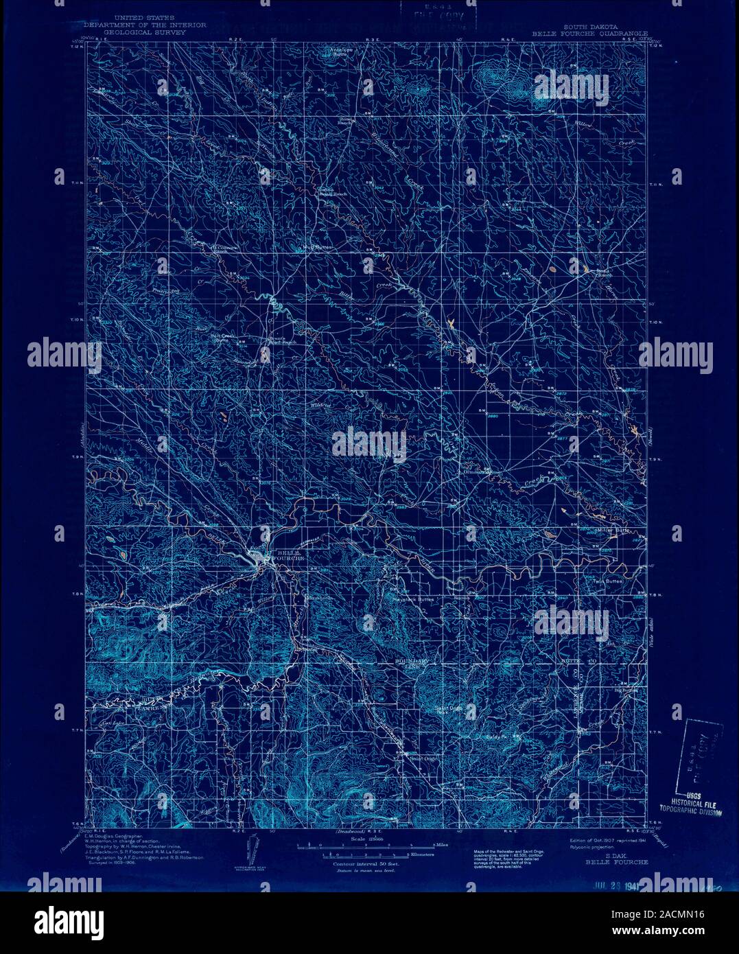 USGS TOPO Map South Dakota SD Belle Fourche 344742 1907 125000 Inverted Restoration Stock Photohttps://www.alamy.com/image-license-details/?v=1https://www.alamy.com/usgs-topo-map-south-dakota-sd-belle-fourche-344742-1907-125000-inverted-restoration-image334828402.html
RM2ACMN16–USGS TOPO Map South Dakota SD Belle Fourche 344742 1907 125000 Inverted Restoration
 Historic District of Belle Fourche, South Dakota, USA Stock Photohttps://www.alamy.com/image-license-details/?v=1https://www.alamy.com/stock-photo-historic-district-of-belle-fourche-south-dakota-usa-74327445.html
RME8WWBH–Historic District of Belle Fourche, South Dakota, USA
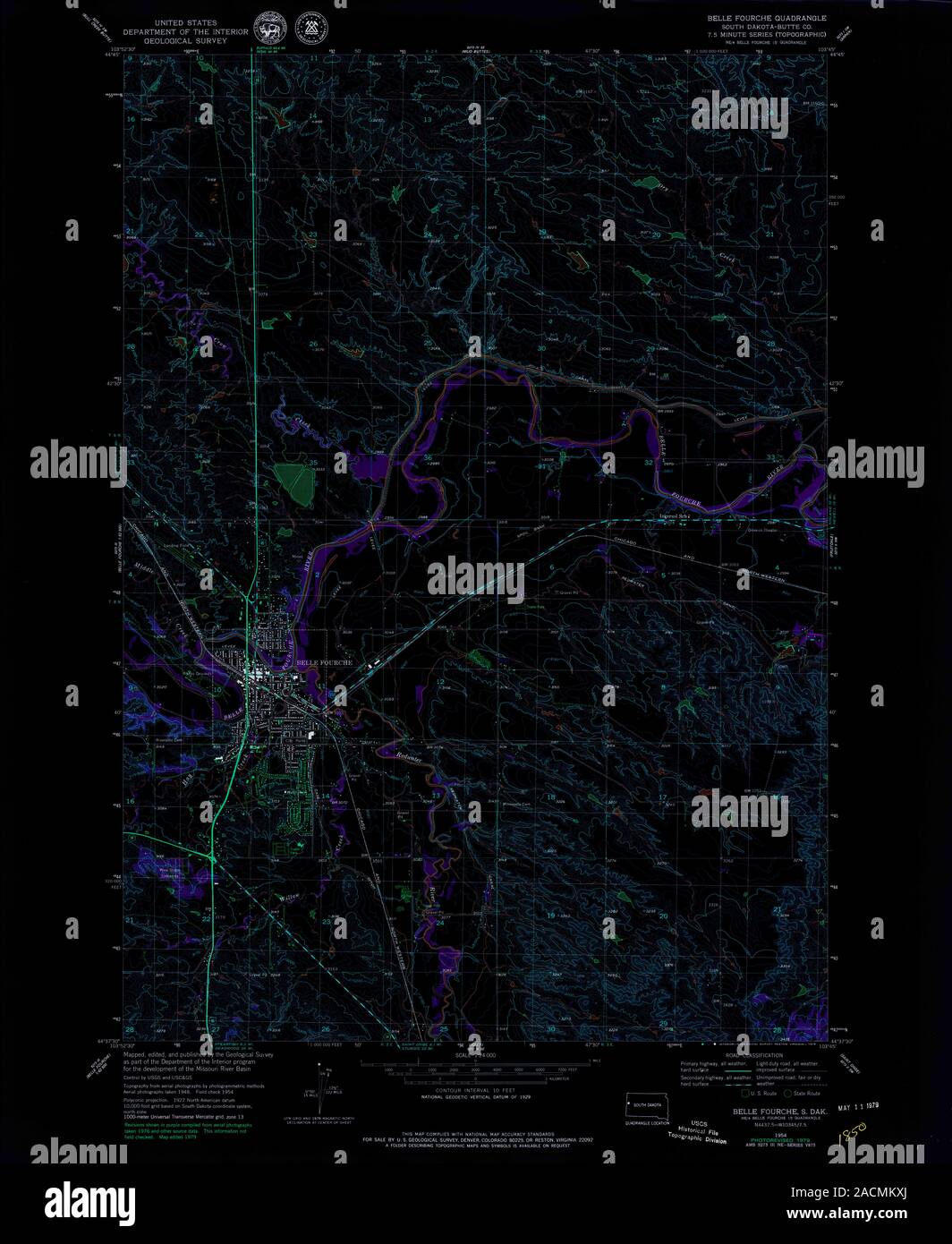 USGS TOPO Map South Dakota SD Belle Fourche 342711 1954 24000 Inverted Restoration Stock Photohttps://www.alamy.com/image-license-details/?v=1https://www.alamy.com/usgs-topo-map-south-dakota-sd-belle-fourche-342711-1954-24000-inverted-restoration-image334827546.html
RM2ACMKXJ–USGS TOPO Map South Dakota SD Belle Fourche 342711 1954 24000 Inverted Restoration
 Historic District of Belle Fourche, South Dakota, USA Stock Photohttps://www.alamy.com/image-license-details/?v=1https://www.alamy.com/stock-photo-historic-district-of-belle-fourche-south-dakota-usa-74327457.html
RME8WWC1–Historic District of Belle Fourche, South Dakota, USA
 Historic District of Belle Fourche, South Dakota, USA Stock Photohttps://www.alamy.com/image-license-details/?v=1https://www.alamy.com/stock-photo-historic-district-of-belle-fourche-south-dakota-usa-74327455.html
RME8WWBY–Historic District of Belle Fourche, South Dakota, USA
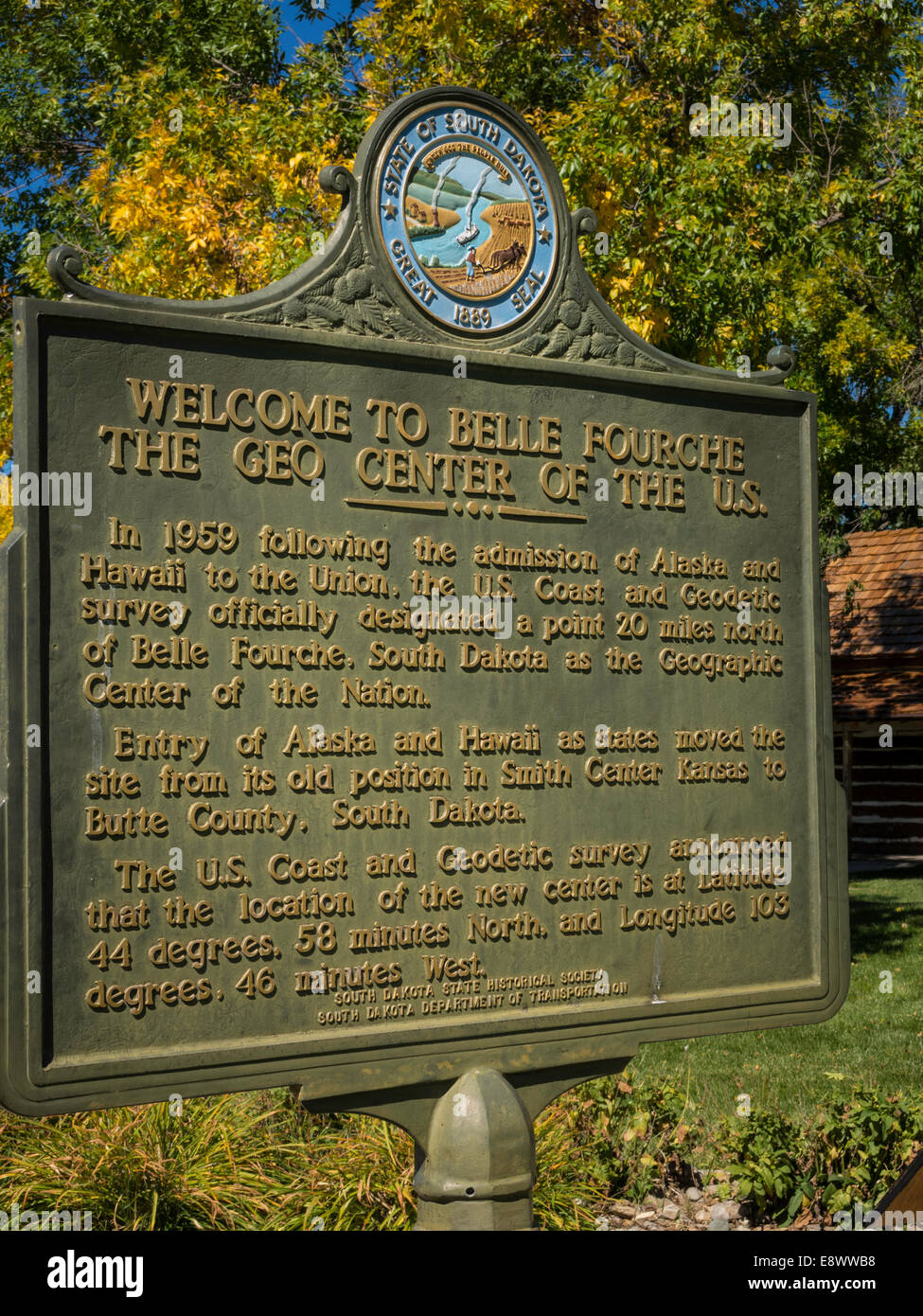 Historic District of Belle Fourche, South Dakota, USA Stock Photohttps://www.alamy.com/image-license-details/?v=1https://www.alamy.com/stock-photo-historic-district-of-belle-fourche-south-dakota-usa-74327436.html
RME8WWB8–Historic District of Belle Fourche, South Dakota, USA
 Historic District of Belle Fourche, South Dakota, USA Stock Photohttps://www.alamy.com/image-license-details/?v=1https://www.alamy.com/stock-photo-historic-district-of-belle-fourche-south-dakota-usa-74327428.html
RME8WWB0–Historic District of Belle Fourche, South Dakota, USA
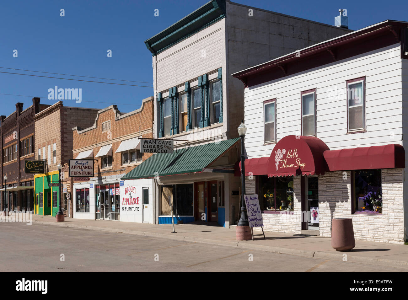 State Street, Belle Fourche, South Dakota, USA Stock Photohttps://www.alamy.com/image-license-details/?v=1https://www.alamy.com/stock-photo-state-street-belle-fourche-south-dakota-usa-74612157.html
RME9ATFW–State Street, Belle Fourche, South Dakota, USA
 State Street, Belle Fourche, South Dakota, USA Stock Photohttps://www.alamy.com/image-license-details/?v=1https://www.alamy.com/stock-photo-state-street-belle-fourche-south-dakota-usa-74612383.html
RME9ATRY–State Street, Belle Fourche, South Dakota, USA
 Rodeo Statue, Belle Fourche, South Dakota, USA Stock Photohttps://www.alamy.com/image-license-details/?v=1https://www.alamy.com/stock-photo-rodeo-statue-belle-fourche-south-dakota-usa-43323392.html
RMCEDFC0–Rodeo Statue, Belle Fourche, South Dakota, USA
 Worker at a bentonite plant in Belle Fourche, South Dakota, USA 1992 Stock Photohttps://www.alamy.com/image-license-details/?v=1https://www.alamy.com/stock-photo-worker-at-a-bentonite-plant-in-belle-fourche-south-dakota-usa-1992-20771913.html
RMB5P6P1–Worker at a bentonite plant in Belle Fourche, South Dakota, USA 1992
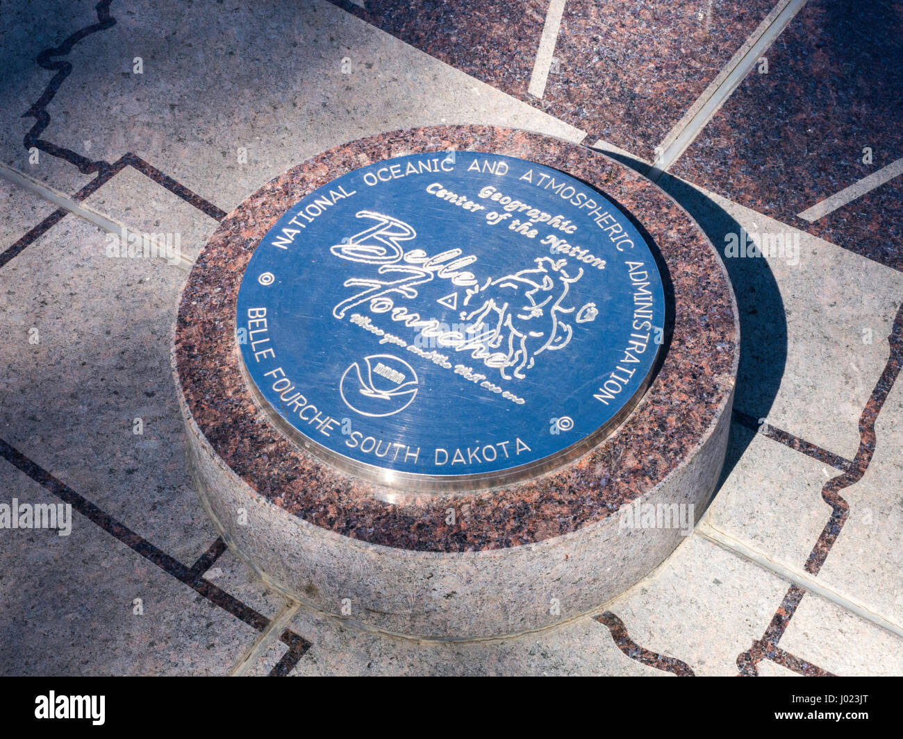 Geographic Center of the Nation Sign in the Historic District of Belle Fourche, South Dakota, USA Stock Photohttps://www.alamy.com/image-license-details/?v=1https://www.alamy.com/stock-photo-geographic-center-of-the-nation-sign-in-the-historic-district-of-belle-137729728.html
RMJ023JT–Geographic Center of the Nation Sign in the Historic District of Belle Fourche, South Dakota, USA
 Geographic Center of the Nation Sign in the Historic District of Belle Fourche, South Dakota, USA Stock Photohttps://www.alamy.com/image-license-details/?v=1https://www.alamy.com/stock-photo-geographic-center-of-the-nation-sign-in-the-historic-district-of-belle-137729727.html
RMJ023JR–Geographic Center of the Nation Sign in the Historic District of Belle Fourche, South Dakota, USA
 Young woman rodeo rider, South Dakota, USA Stock Photohttps://www.alamy.com/image-license-details/?v=1https://www.alamy.com/young-woman-rodeo-rider-south-dakota-usa-image223495570.html
RMPYH2TJ–Young woman rodeo rider, South Dakota, USA
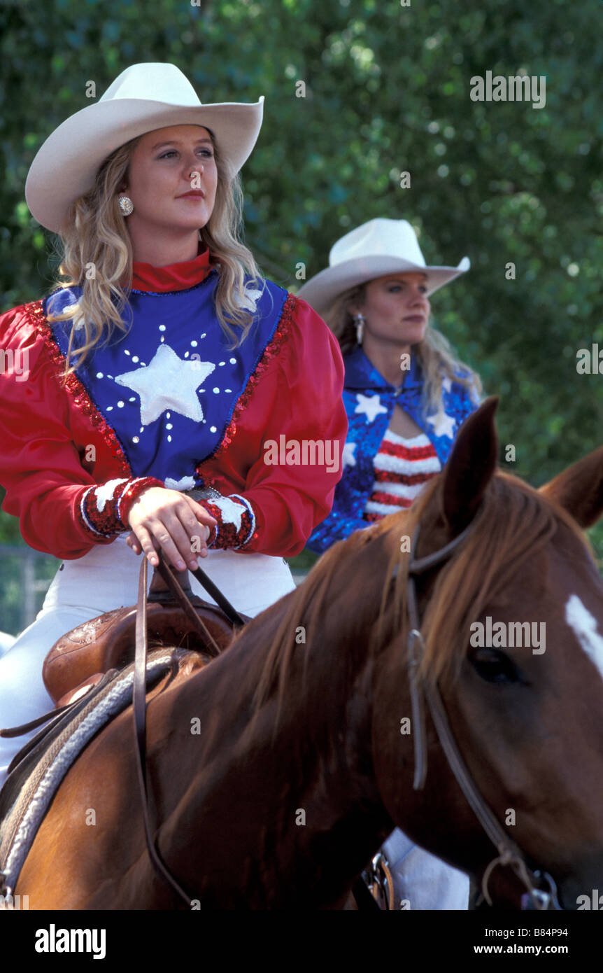 Young woman rodeo riders on horseback, South Dakota, USA Stock Photohttps://www.alamy.com/image-license-details/?v=1https://www.alamy.com/stock-photo-young-woman-rodeo-riders-on-horseback-south-dakota-usa-22232928.html
RMB84P94–Young woman rodeo riders on horseback, South Dakota, USA
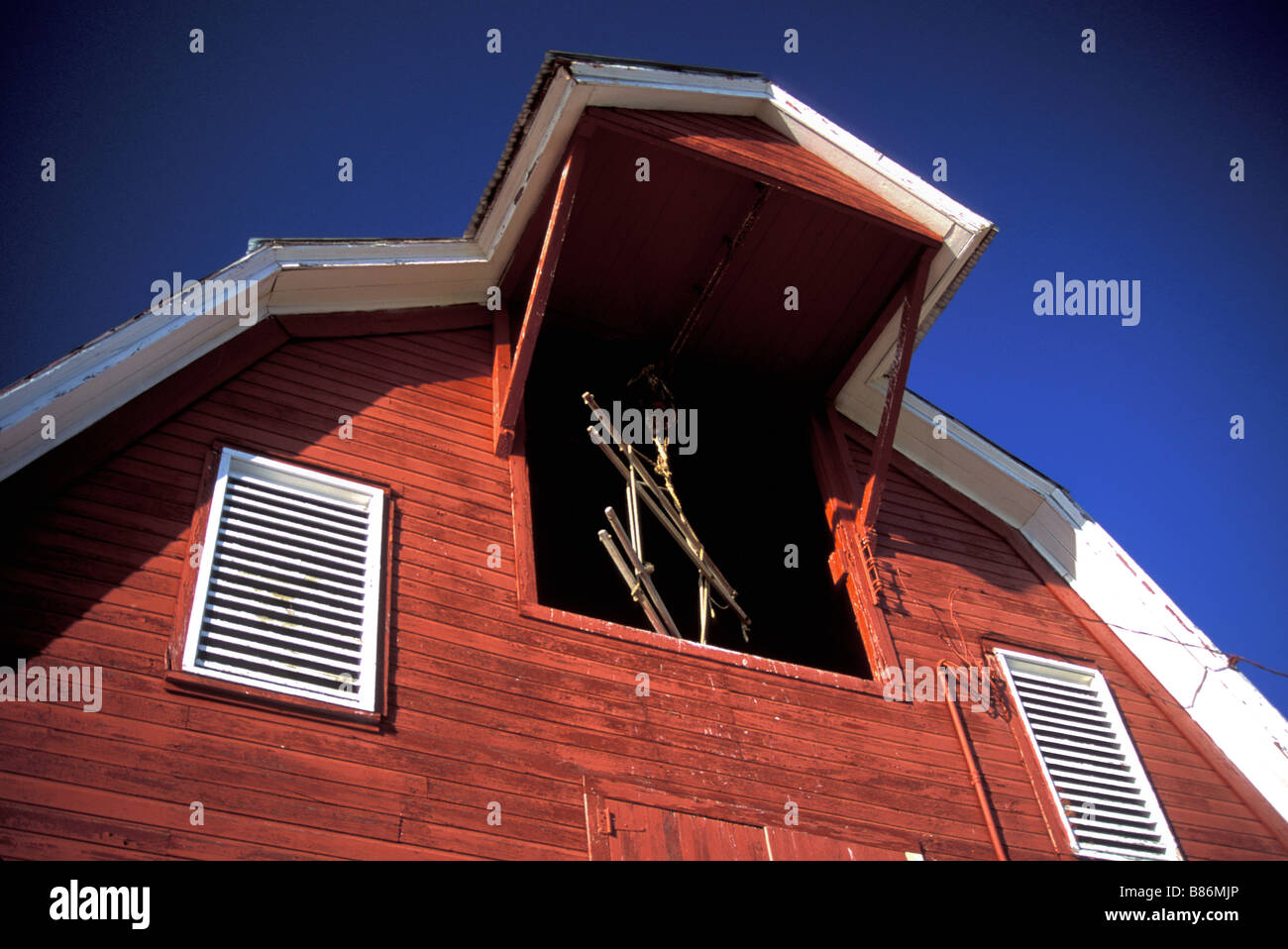 Red Barn, South Dakota, USA Stock Photohttps://www.alamy.com/image-license-details/?v=1https://www.alamy.com/stock-photo-red-barn-south-dakota-usa-22275534.html
RMB86MJP–Red Barn, South Dakota, USA
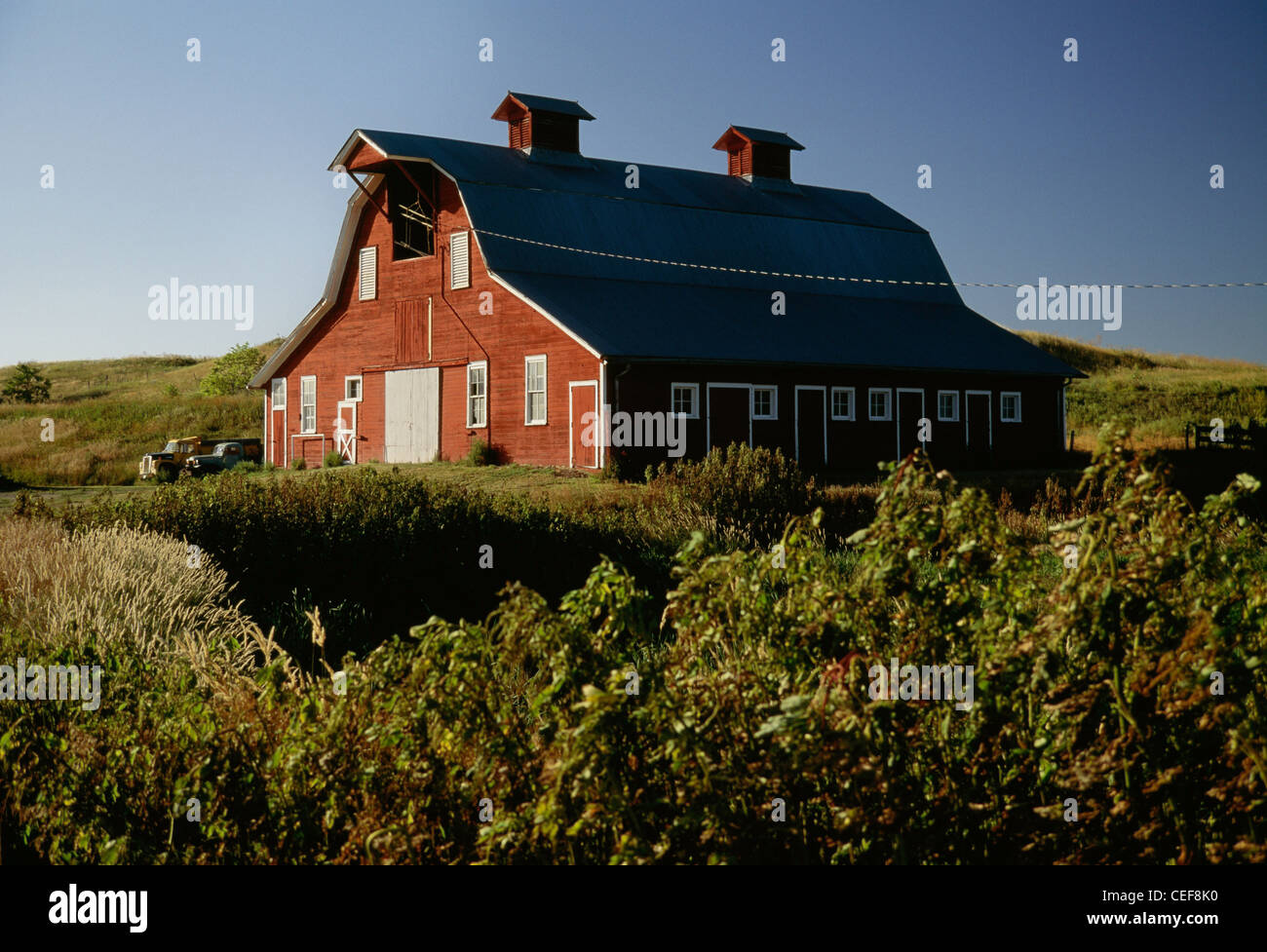 Red Barn, South Dakota, USA Stock Photohttps://www.alamy.com/image-license-details/?v=1https://www.alamy.com/stock-photo-red-barn-south-dakota-usa-43362004.html
RMCEF8K0–Red Barn, South Dakota, USA
 Red Barn, South Dakota, USA Stock Photohttps://www.alamy.com/image-license-details/?v=1https://www.alamy.com/stock-photo-red-barn-south-dakota-usa-22353607.html
RMB8A873–Red Barn, South Dakota, USA
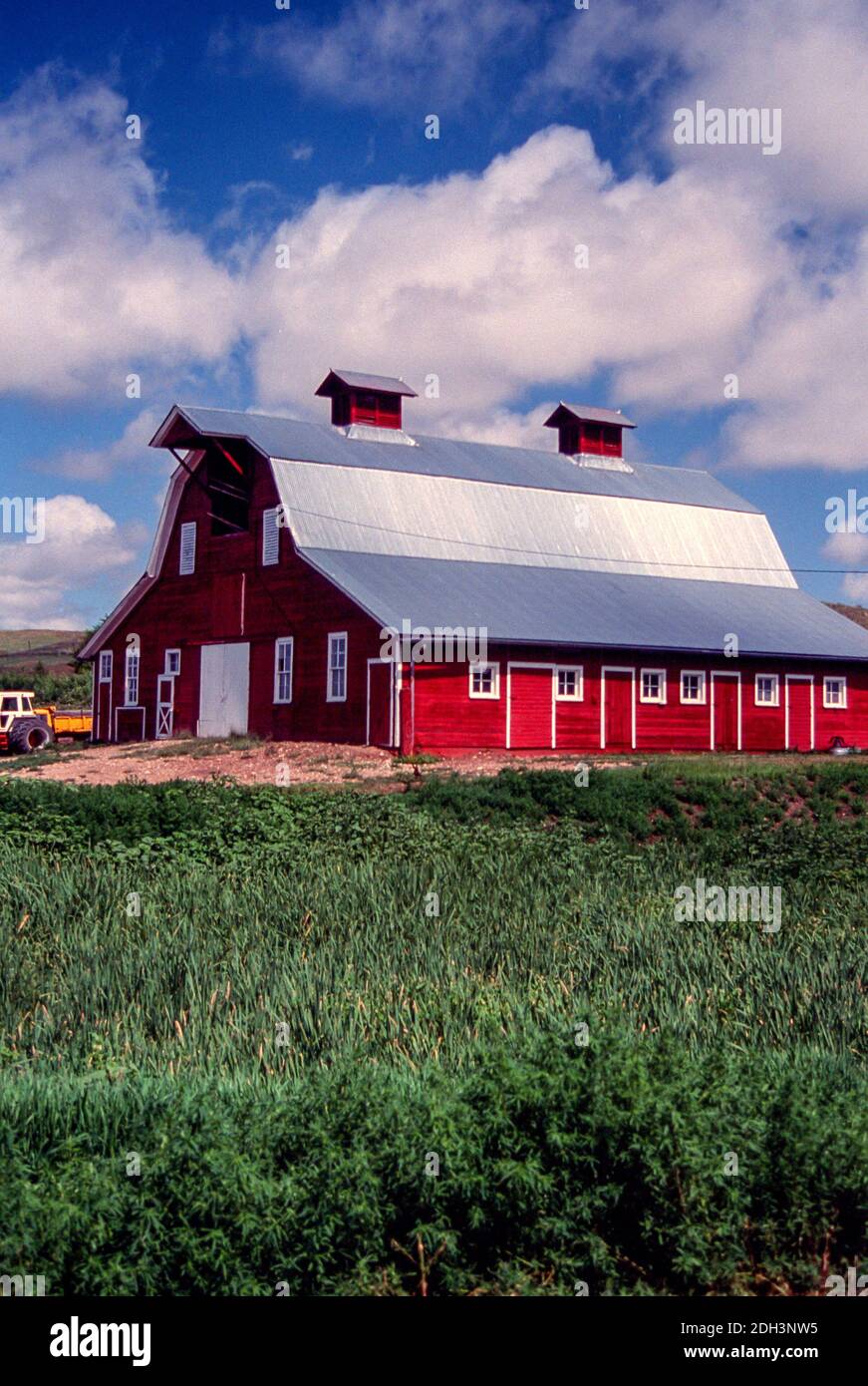 Red Barn, South Dakota, USA Stock Photohttps://www.alamy.com/image-license-details/?v=1https://www.alamy.com/red-barn-south-dakota-usa-image389160273.html
RM2DH3NW5–Red Barn, South Dakota, USA
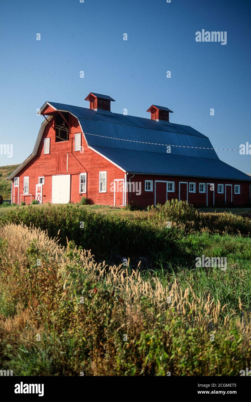 Red Barn, South Dakota, USA Stock Photohttps://www.alamy.com/image-license-details/?v=1https://www.alamy.com/red-barn-south-dakota-usa-image371702917.html
RM2CGMET5–Red Barn, South Dakota, USA
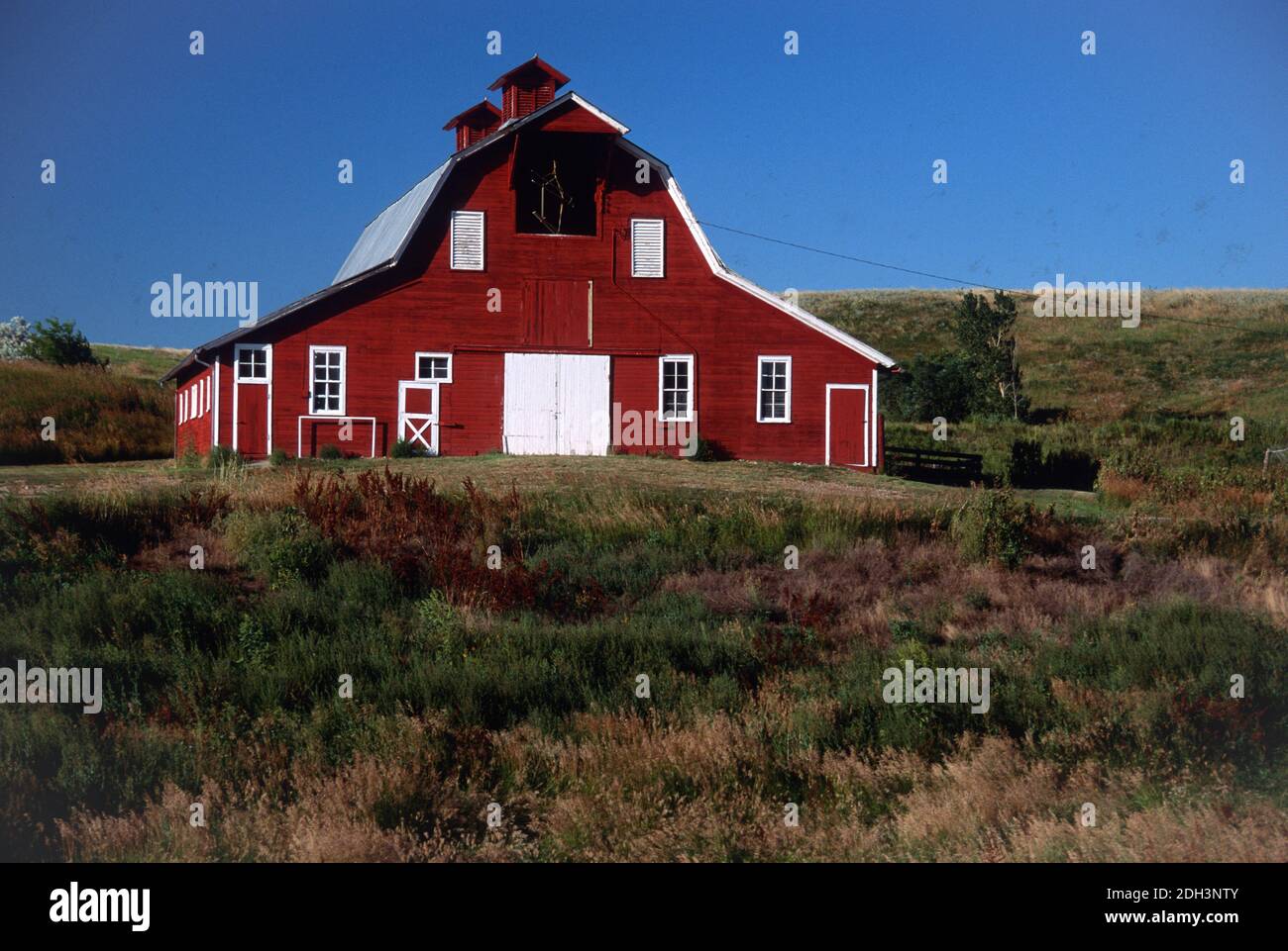 Red Barn, South Dakota, USA Stock Photohttps://www.alamy.com/image-license-details/?v=1https://www.alamy.com/red-barn-south-dakota-usa-image389160267.html
RM2DH3NTY–Red Barn, South Dakota, USA
 Worker at a bentonite plant in Belle Fourche, South Dakota, USA 1992 Stock Photohttps://www.alamy.com/image-license-details/?v=1https://www.alamy.com/worker-at-a-bentonite-plant-in-belle-fourche-south-dakota-usa-1992-image397459153.html
RM2E2HR5N–Worker at a bentonite plant in Belle Fourche, South Dakota, USA 1992