Quick filters:
Bellevue map Stock Photos and Images
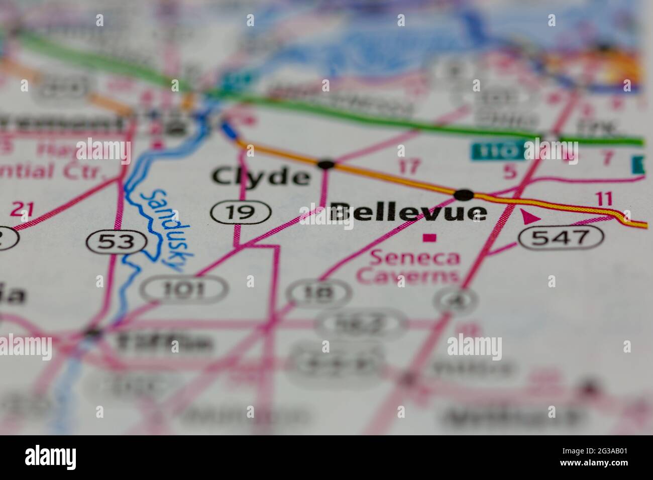 Bellevue Ohio USA shown on a Geography map or Road map Stock Photohttps://www.alamy.com/image-license-details/?v=1https://www.alamy.com/bellevue-ohio-usa-shown-on-a-geography-map-or-road-map-image432331313.html
RM2G3AB01–Bellevue Ohio USA shown on a Geography map or Road map
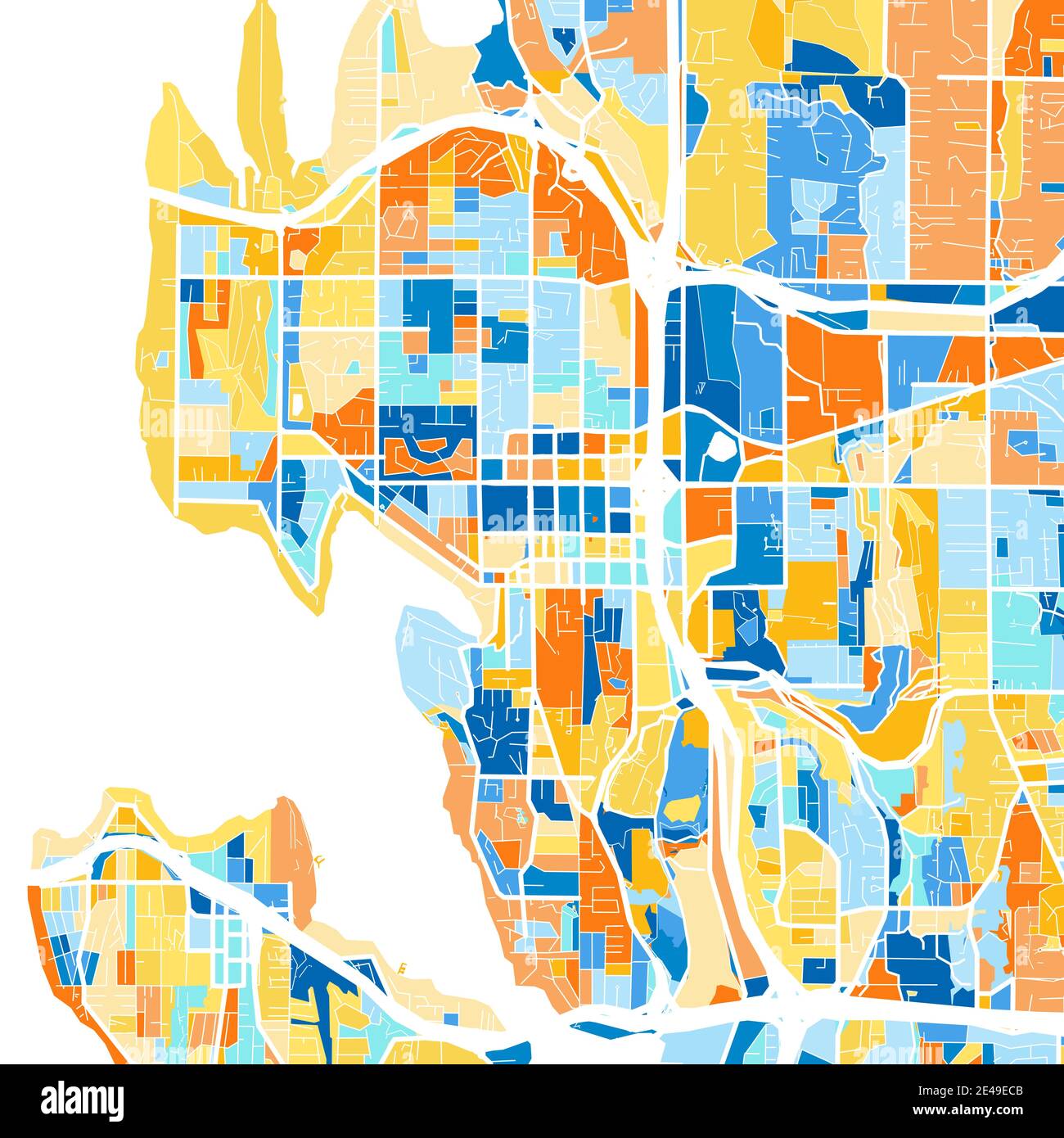 Color art map of Bellevue, Washington, UnitedStates in blues and oranges. The color gradations in Bellevue map follow a random pattern. Stock Vectorhttps://www.alamy.com/image-license-details/?v=1https://www.alamy.com/color-art-map-of-bellevue-washington-unitedstates-in-blues-and-oranges-the-color-gradations-in-bellevue-map-follow-a-random-pattern-image398505979.html
RF2E49ECB–Color art map of Bellevue, Washington, UnitedStates in blues and oranges. The color gradations in Bellevue map follow a random pattern.
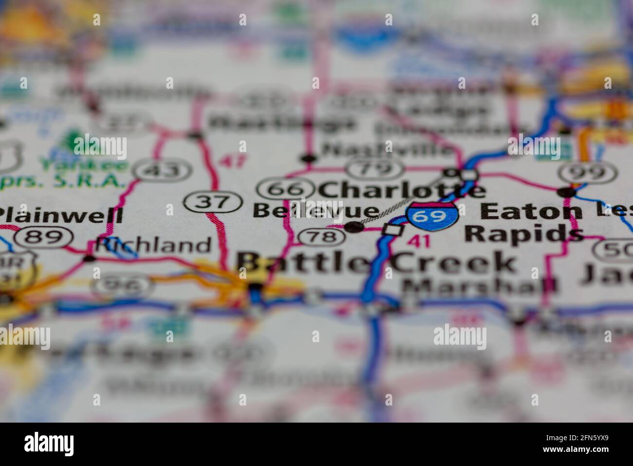 Bellevue Michigan USA shown on a Geography map or road map Stock Photohttps://www.alamy.com/image-license-details/?v=1https://www.alamy.com/bellevue-michigan-usa-shown-on-a-geography-map-or-road-map-image426088273.html
RM2FN5YX9–Bellevue Michigan USA shown on a Geography map or road map
 Map of the real estate in the city of New York : between the south side of Washington Parade, 4th St., and the north side of Bellevue, 28th Street, still image, Maps, 1831, Smith, Edwin, Harrison, D. R Stock Photohttps://www.alamy.com/image-license-details/?v=1https://www.alamy.com/map-of-the-real-estate-in-the-city-of-new-york-between-the-south-side-of-washington-parade-4th-st-and-the-north-side-of-bellevue-28th-street-still-image-maps-1831-smith-edwin-harrison-d-r-image376434503.html
RM2CTC21B–Map of the real estate in the city of New York : between the south side of Washington Parade, 4th St., and the north side of Bellevue, 28th Street, still image, Maps, 1831, Smith, Edwin, Harrison, D. R
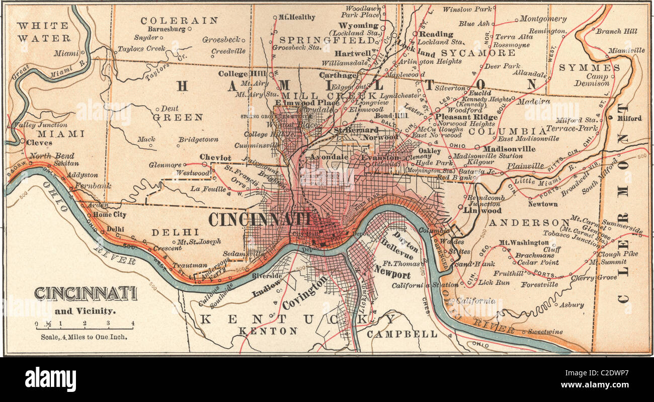 Map of Cincinnati Stock Photohttps://www.alamy.com/image-license-details/?v=1https://www.alamy.com/stock-photo-map-of-cincinnati-35955647.html
RMC2DWP7–Map of Cincinnati
 Bellevue, DE, Germany, Thuringia, N 50 28' 37'', N 11 39' 28'', map, Cartascapes Map published in 2024. Explore Cartascapes, a map revealing Earth's diverse landscapes, cultures, and ecosystems. Journey through time and space, discovering the interconnectedness of our planet's past, present, and future. Stock Photohttps://www.alamy.com/image-license-details/?v=1https://www.alamy.com/bellevue-de-germany-thuringia-n-50-28-37-n-11-39-28-map-cartascapes-map-published-in-2024-explore-cartascapes-a-map-revealing-earths-diverse-landscapes-cultures-and-ecosystems-journey-through-time-and-space-discovering-the-interconnectedness-of-our-planets-past-present-and-future-image629752101.html
RM2YGFK6D–Bellevue, DE, Germany, Thuringia, N 50 28' 37'', N 11 39' 28'', map, Cartascapes Map published in 2024. Explore Cartascapes, a map revealing Earth's diverse landscapes, cultures, and ecosystems. Journey through time and space, discovering the interconnectedness of our planet's past, present, and future.
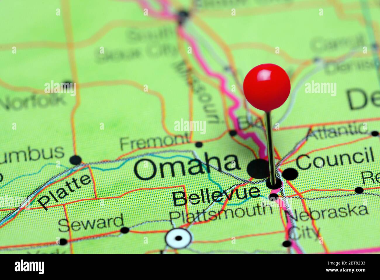 Bellevue pinned on a map of Nebraska, USA Stock Photohttps://www.alamy.com/image-license-details/?v=1https://www.alamy.com/bellevue-pinned-on-a-map-of-nebraska-usa-image359136599.html
RF2BT82B3–Bellevue pinned on a map of Nebraska, USA
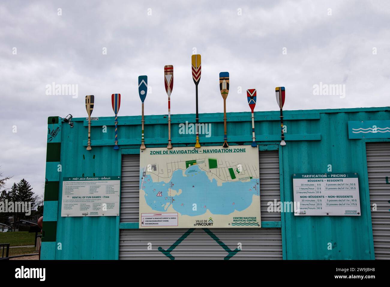 Nautical centre navigation zone map at Bellevue Park in Pincourt, Quebec, Canada Stock Photohttps://www.alamy.com/image-license-details/?v=1https://www.alamy.com/nautical-centre-navigation-zone-map-at-bellevue-park-in-pincourt-quebec-canada-image591088660.html
RF2W9JBH8–Nautical centre navigation zone map at Bellevue Park in Pincourt, Quebec, Canada
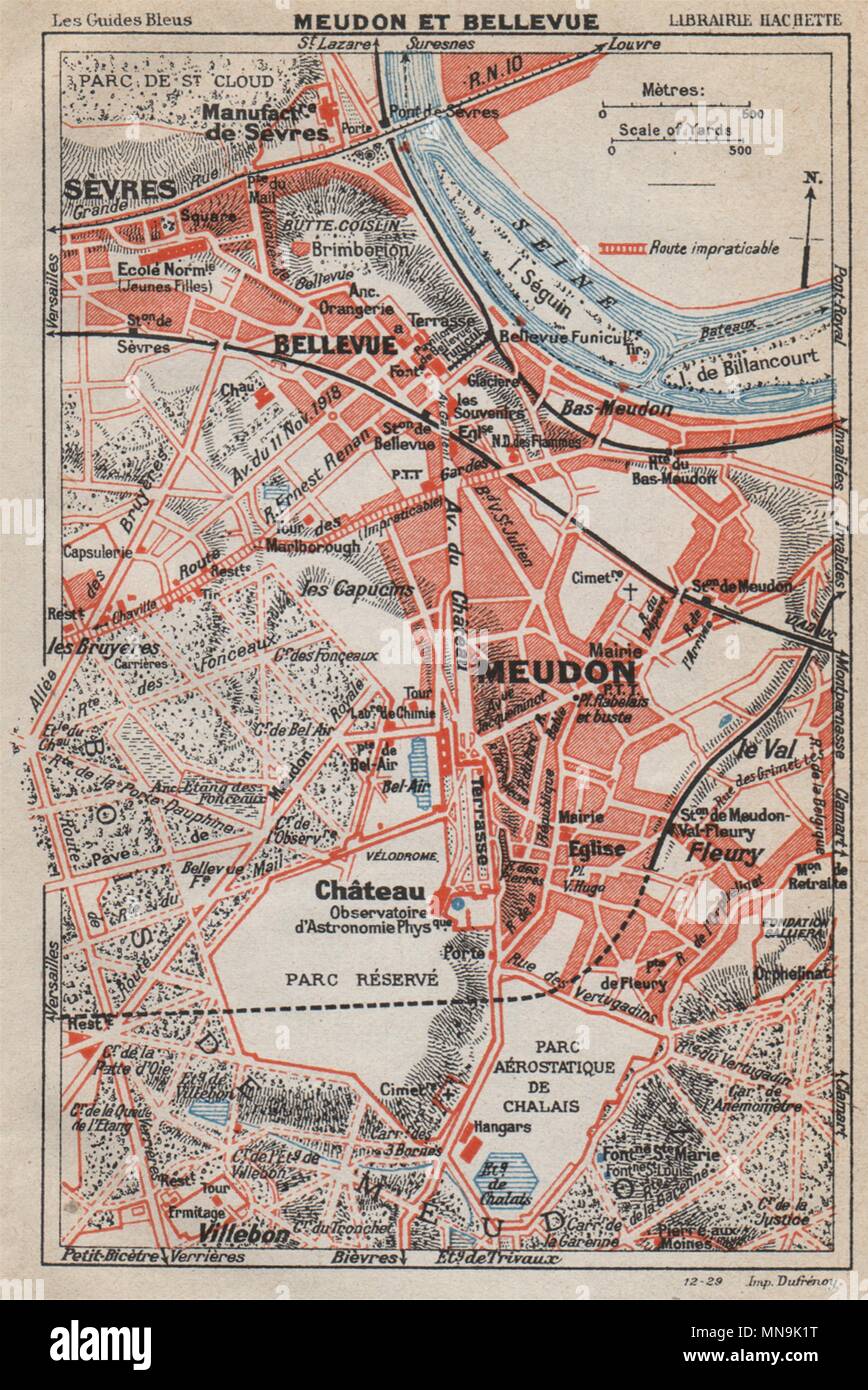 CHÂTEAU DE MEUDON. Bellevue Sèvres. Hauts-de-Seine 1927 old vintage map chart Stock Photohttps://www.alamy.com/image-license-details/?v=1https://www.alamy.com/chteau-de-meudon-bellevue-svres-hauts-de-seine-1927-old-vintage-map-chart-image185223972.html
RFMN9K1T–CHÂTEAU DE MEUDON. Bellevue Sèvres. Hauts-de-Seine 1927 old vintage map chart
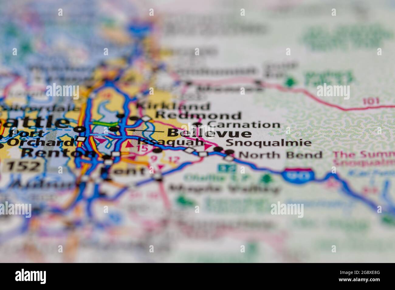 Bellevue Washington State USA shown on a road map or Geography map Stock Photohttps://www.alamy.com/image-license-details/?v=1https://www.alamy.com/bellevue-washington-state-usa-shown-on-a-road-map-or-geography-map-image437602384.html
RM2GBXE8G–Bellevue Washington State USA shown on a road map or Geography map
 Rich detailed vector area map of Bellevue, Washington, USA. Map template for home decor. Stock Vectorhttps://www.alamy.com/image-license-details/?v=1https://www.alamy.com/rich-detailed-vector-area-map-of-bellevue-washington-usa-map-template-for-home-decor-image327662234.html
RF2A128EJ–Rich detailed vector area map of Bellevue, Washington, USA. Map template for home decor.
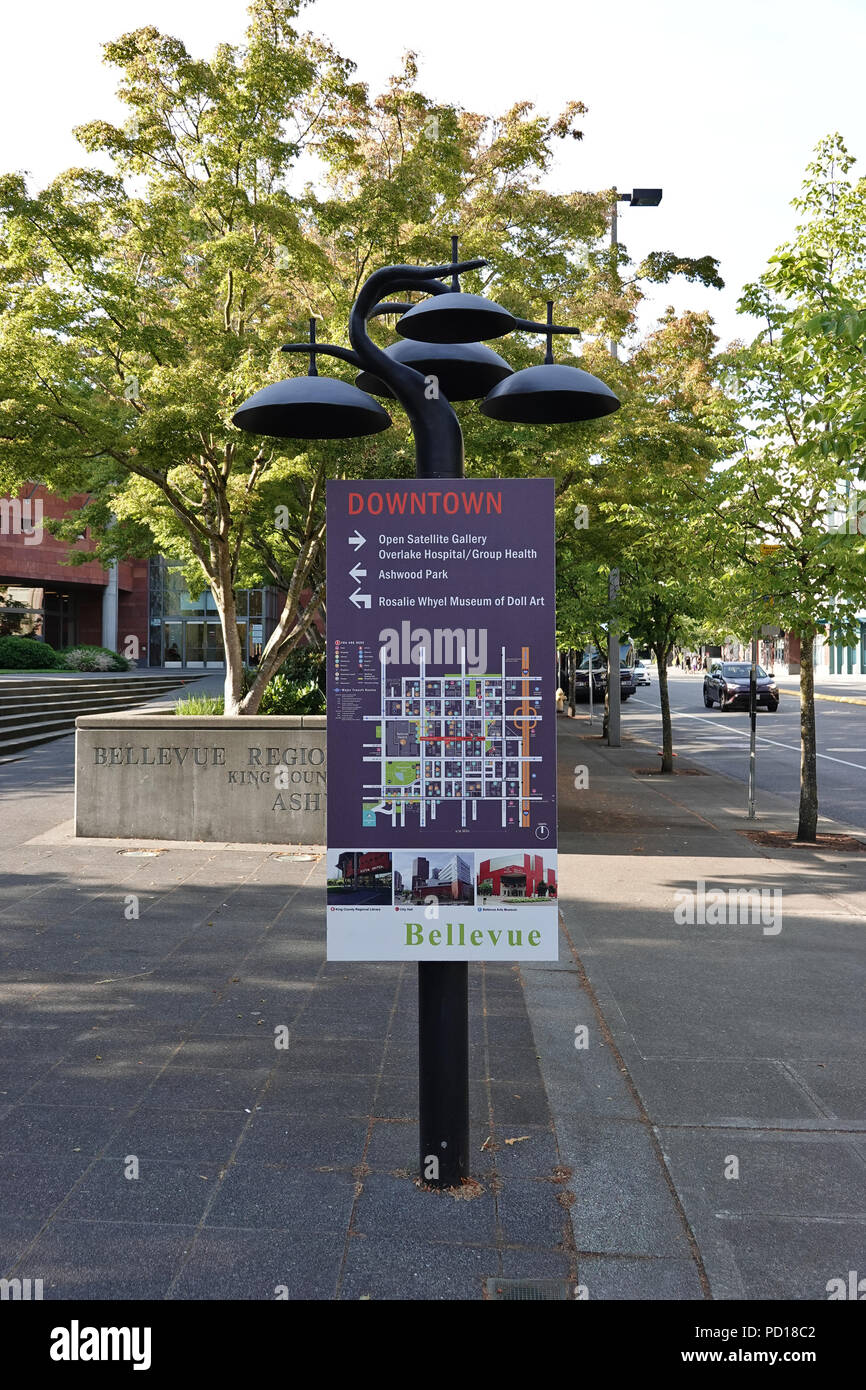 Downtown Bellevue WA map sign; August 2018 Stock Photohttps://www.alamy.com/image-license-details/?v=1https://www.alamy.com/downtown-bellevue-wa-map-sign-august-2018-image214543506.html
RMPD18C2–Downtown Bellevue WA map sign; August 2018
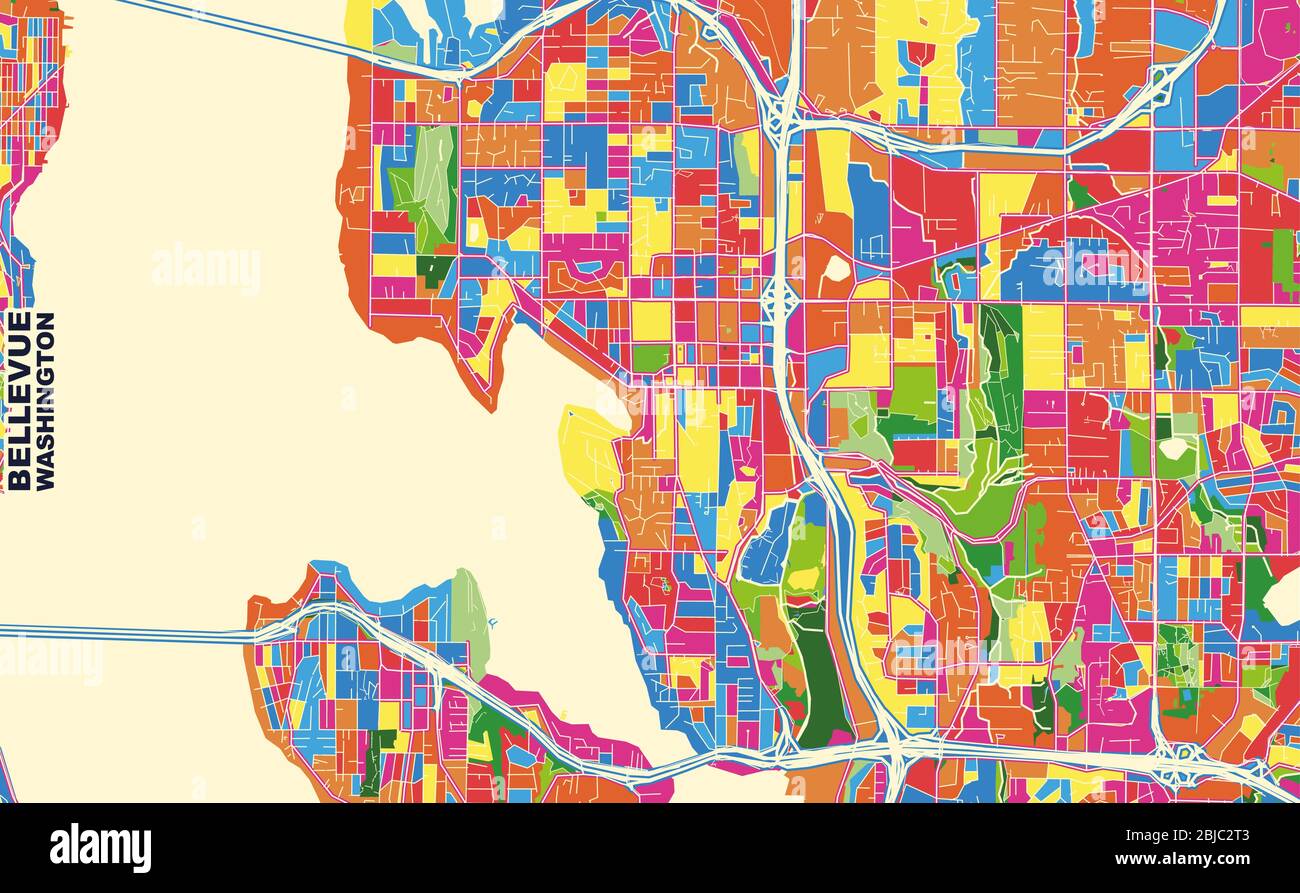 Colorful vector map of Bellevue, Washington, USA. Art Map template for selfprinting wall art in landscape format. Stock Vectorhttps://www.alamy.com/image-license-details/?v=1https://www.alamy.com/colorful-vector-map-of-bellevue-washington-usa-art-map-template-for-selfprinting-wall-art-in-landscape-format-image355536835.html
RF2BJC2T3–Colorful vector map of Bellevue, Washington, USA. Art Map template for selfprinting wall art in landscape format.
 Map of the real estate in the city of New York : between the south side of Washington Parade, 4th St., and the north side of Bellevue, 28th Street 1831 by Harrison, D. R. Stock Photohttps://www.alamy.com/image-license-details/?v=1https://www.alamy.com/map-of-the-real-estate-in-the-city-of-new-york-between-the-south-side-of-washington-parade-4th-st-and-the-north-side-of-bellevue-28th-street-1831-by-harrison-d-r-image633299413.html
RM2YP97T5–Map of the real estate in the city of New York : between the south side of Washington Parade, 4th St., and the north side of Bellevue, 28th Street 1831 by Harrison, D. R.
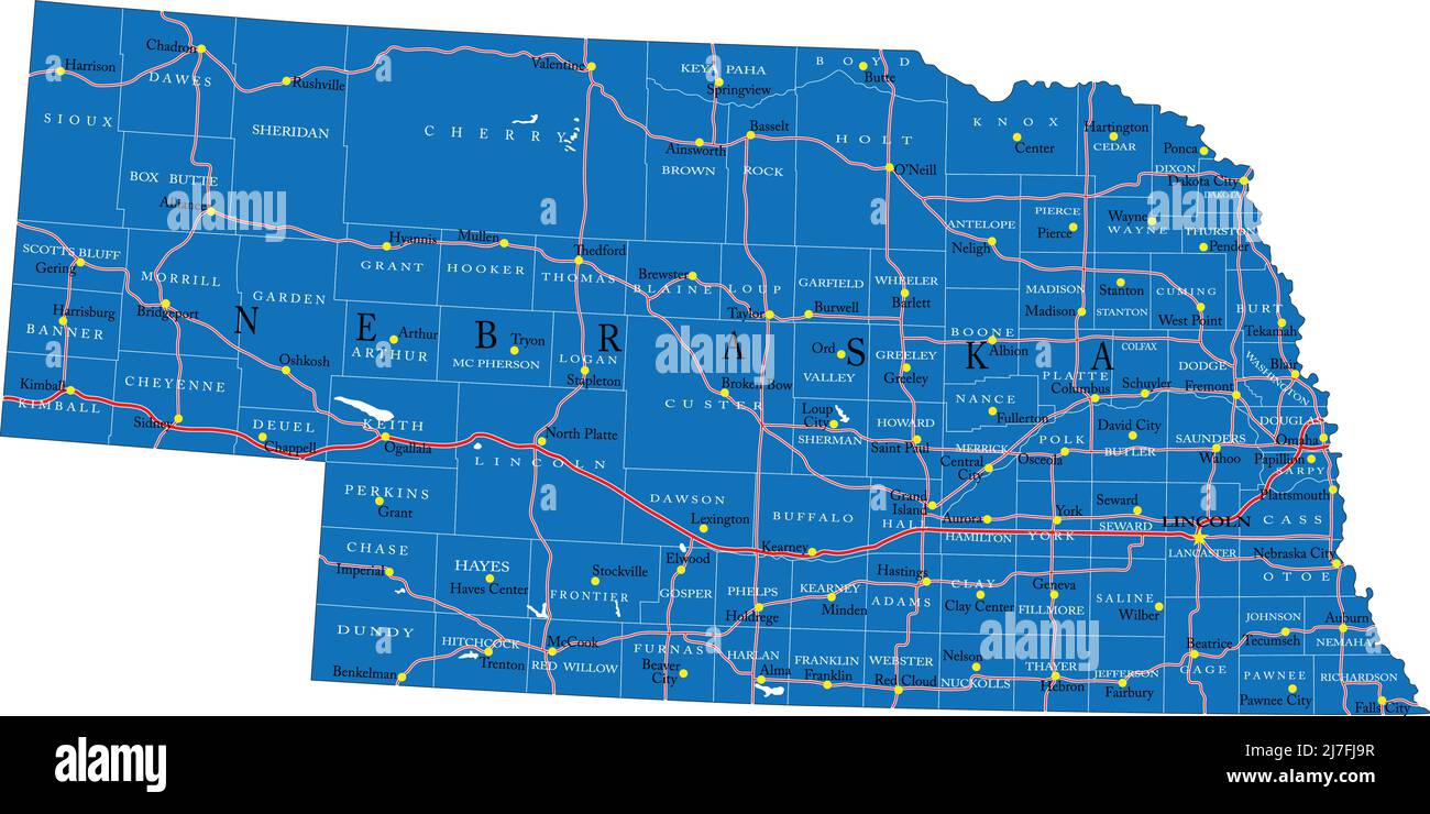 Detailed map of Nebraska state,in vector format,with county borders,roads and major cities. Stock Vectorhttps://www.alamy.com/image-license-details/?v=1https://www.alamy.com/detailed-map-of-nebraska-statein-vector-formatwith-county-bordersroads-and-major-cities-image469326195.html
RF2J7FJ9R–Detailed map of Nebraska state,in vector format,with county borders,roads and major cities.
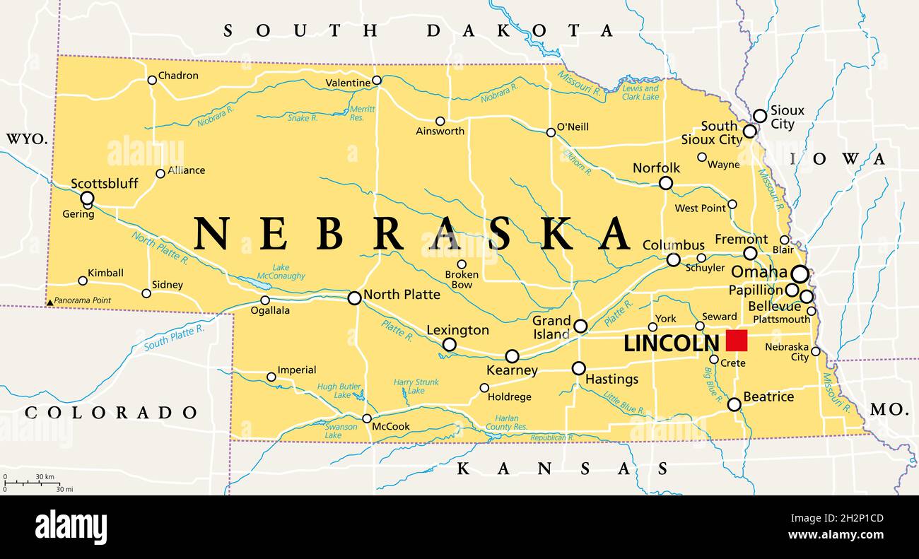 Nebraska, NE, political map with the capital Lincoln and the largest city Omaha. Triply landlocked State in the Midwestern subregion of United States. Stock Photohttps://www.alamy.com/image-license-details/?v=1https://www.alamy.com/nebraska-ne-political-map-with-the-capital-lincoln-and-the-largest-city-omaha-triply-landlocked-state-in-the-midwestern-subregion-of-united-states-image449182957.html
RF2H2P1CD–Nebraska, NE, political map with the capital Lincoln and the largest city Omaha. Triply landlocked State in the Midwestern subregion of United States.
 VERSAILLES & environs. Meudon St Cloud Marly Bellevue. MALTE-BRUN, 1852 map Stock Photohttps://www.alamy.com/image-license-details/?v=1https://www.alamy.com/stock-photo-versailles-environs-meudon-st-cloud-marly-bellevue-malte-brun-1852-111009090.html
RFGCGW6A–VERSAILLES & environs. Meudon St Cloud Marly Bellevue. MALTE-BRUN, 1852 map
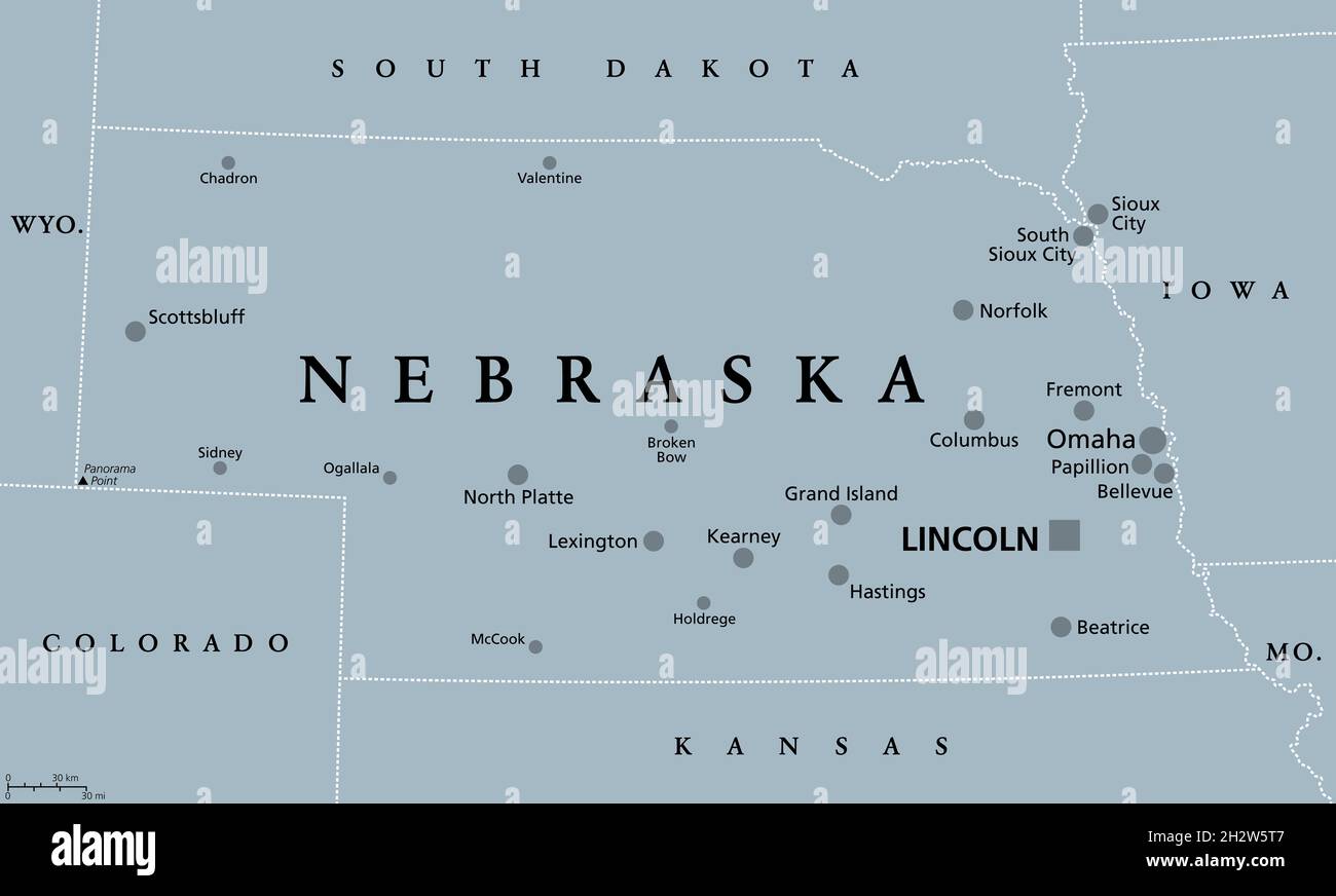 Nebraska, NE, gray political map with the capital Lincoln and largest city Omaha. Triply landlocked State in the Midwestern subregion of United States. Stock Photohttps://www.alamy.com/image-license-details/?v=1https://www.alamy.com/nebraska-ne-gray-political-map-with-the-capital-lincoln-and-largest-city-omaha-triply-landlocked-state-in-the-midwestern-subregion-of-united-states-image449252279.html
RF2H2W5T7–Nebraska, NE, gray political map with the capital Lincoln and largest city Omaha. Triply landlocked State in the Midwestern subregion of United States.
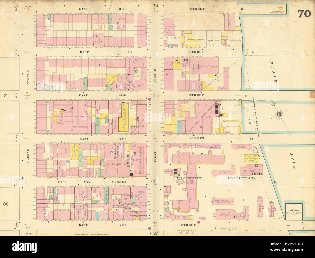 Sanborn NYC #70 Manhattan Midtown East Kips Bay Murray Hill Bellevue 1899 map Stock Photohttps://www.alamy.com/image-license-details/?v=1https://www.alamy.com/sanborn-nyc-70-manhattan-midtown-east-kips-bay-murray-hill-bellevue-1899-map-image546855431.html
RF2PNKBK3–Sanborn NYC #70 Manhattan Midtown East Kips Bay Murray Hill Bellevue 1899 map
 Highly Detailed Nebraska Silhouette map. Stock Vectorhttps://www.alamy.com/image-license-details/?v=1https://www.alamy.com/highly-detailed-nebraska-silhouette-map-image546672936.html
RF2PNB2WC–Highly Detailed Nebraska Silhouette map.
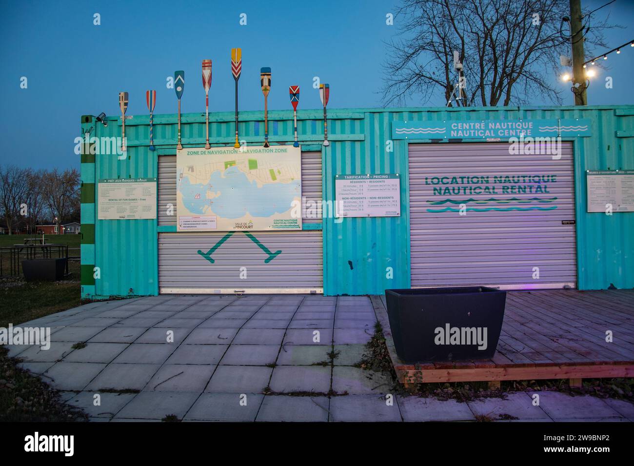 Nautical Centre at Bellevue Park in Pincourt, Quebec, Canada Stock Photohttps://www.alamy.com/image-license-details/?v=1https://www.alamy.com/nautical-centre-at-bellevue-park-in-pincourt-quebec-canada-image590942970.html
RF2W9BNP2–Nautical Centre at Bellevue Park in Pincourt, Quebec, Canada
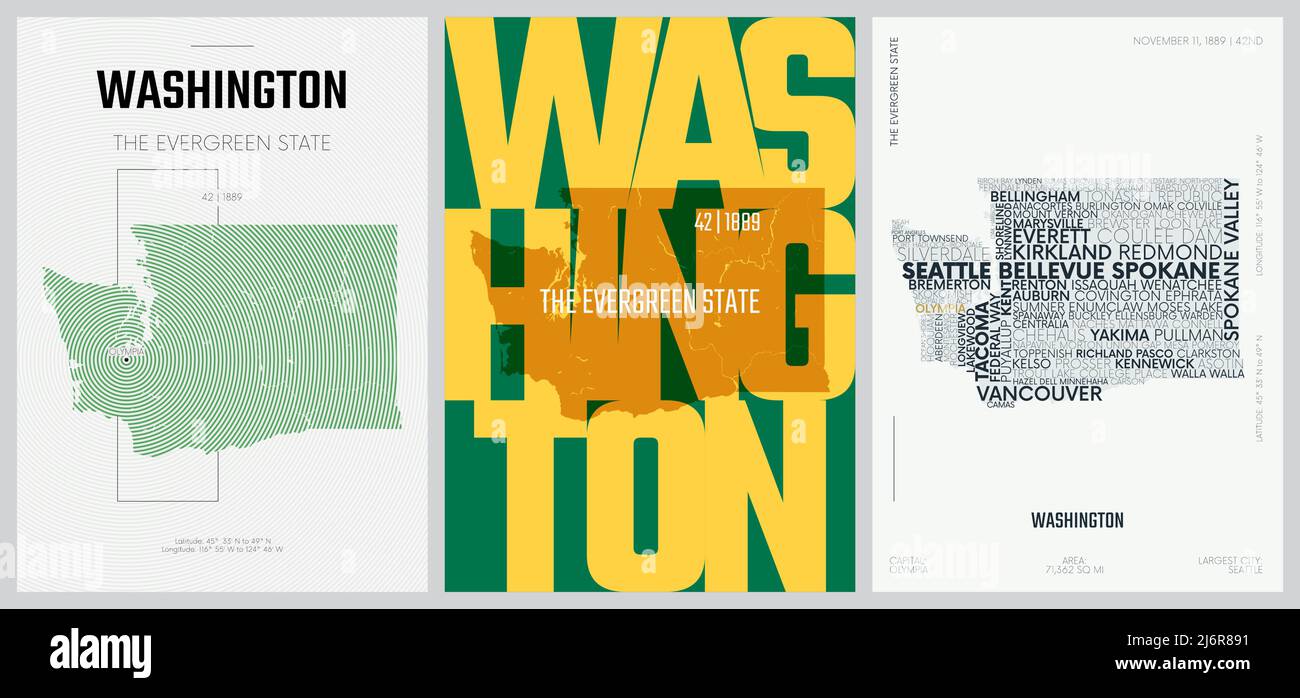 42 of 50 sets, US State Posters with name and Information in 3 Design Styles, Detailed vector art print Washington map Stock Vectorhttps://www.alamy.com/image-license-details/?v=1https://www.alamy.com/42-of-50-sets-us-state-posters-with-name-and-information-in-3-design-styles-detailed-vector-art-print-washington-map-image468879293.html
RF2J6R891–42 of 50 sets, US State Posters with name and Information in 3 Design Styles, Detailed vector art print Washington map
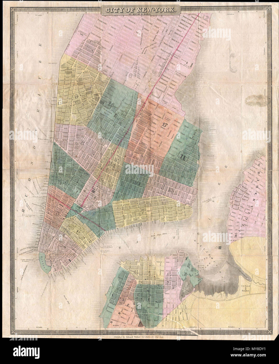 . Map of New-York . English: This is the c. 1834-1836 edition of David H. Burr and Edward Walker’s important pocket map of the City of New York. Covers New York City south of 26th street on the west side and south of 40th street on the east side. Shows the city in considerable detail with attention to churches, theaters, ferries, government buildings, museums, and other public centers. Columbia College is noted on Murray Street. Also notes the Fulton Fish Market, St. Marks Church in the East Village and the nation’s first hospital at Bellevue. This map includes parts of Brooklyn and Williamsb Stock Photohttps://www.alamy.com/image-license-details/?v=1https://www.alamy.com/map-of-new-york-english-this-is-the-c-1834-1836-edition-of-david-h-burr-and-edward-walkers-important-pocket-map-of-the-city-of-new-york-covers-new-york-city-south-of-26th-street-on-the-west-side-and-south-of-40th-street-on-the-east-side-shows-the-city-in-considerable-detail-with-attention-to-churches-theaters-ferries-government-buildings-museums-and-other-public-centers-columbia-college-is-noted-on-murray-street-also-notes-the-fulton-fish-market-st-marks-church-in-the-east-village-and-the-nations-first-hospital-at-bellevue-this-map-includes-parts-of-brooklyn-and-williamsb-image188885957.html
RMMY8DY1–. Map of New-York . English: This is the c. 1834-1836 edition of David H. Burr and Edward Walker’s important pocket map of the City of New York. Covers New York City south of 26th street on the west side and south of 40th street on the east side. Shows the city in considerable detail with attention to churches, theaters, ferries, government buildings, museums, and other public centers. Columbia College is noted on Murray Street. Also notes the Fulton Fish Market, St. Marks Church in the East Village and the nation’s first hospital at Bellevue. This map includes parts of Brooklyn and Williamsb
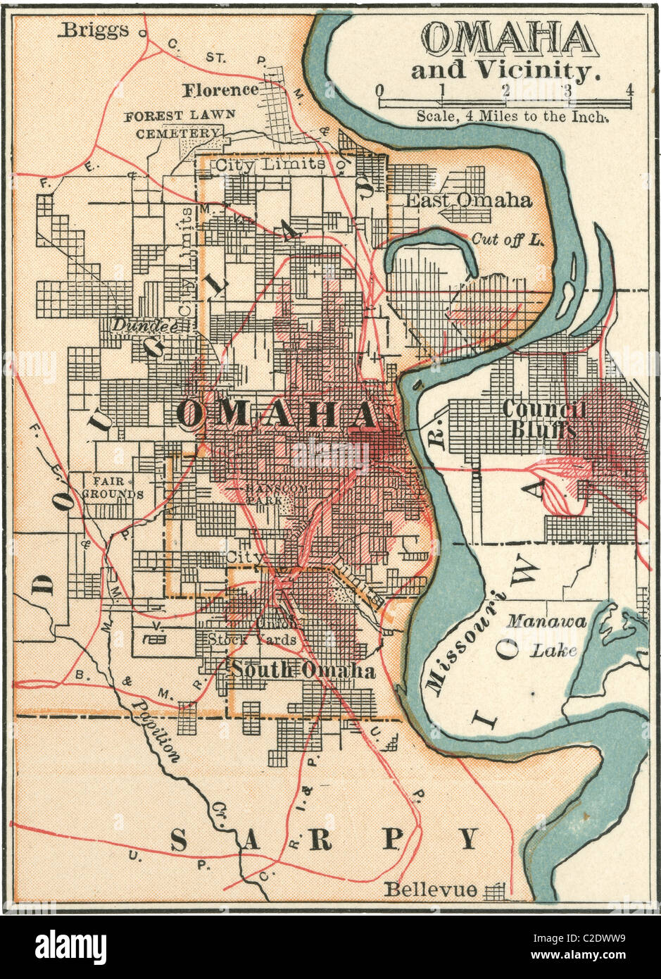 Map of Omaha Stock Photohttps://www.alamy.com/image-license-details/?v=1https://www.alamy.com/stock-photo-map-of-omaha-35955733.html
RMC2DWW9–Map of Omaha
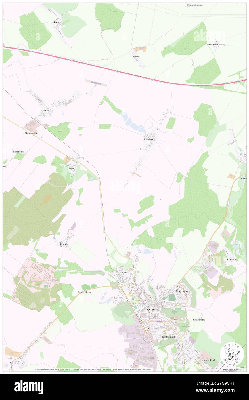 Bellevue, DE, Germany, Mecklenburg-Vorpommern, N 53 27' 38'', N 11 10' 48'', map, Cartascapes Map published in 2024. Explore Cartascapes, a map revealing Earth's diverse landscapes, cultures, and ecosystems. Journey through time and space, discovering the interconnectedness of our planet's past, present, and future. Stock Photohttps://www.alamy.com/image-license-details/?v=1https://www.alamy.com/bellevue-de-germany-mecklenburg-vorpommern-n-53-27-38-n-11-10-48-map-cartascapes-map-published-in-2024-explore-cartascapes-a-map-revealing-earths-diverse-landscapes-cultures-and-ecosystems-journey-through-time-and-space-discovering-the-interconnectedness-of-our-planets-past-present-and-future-image629615220.html
RM2YG9CHT–Bellevue, DE, Germany, Mecklenburg-Vorpommern, N 53 27' 38'', N 11 10' 48'', map, Cartascapes Map published in 2024. Explore Cartascapes, a map revealing Earth's diverse landscapes, cultures, and ecosystems. Journey through time and space, discovering the interconnectedness of our planet's past, present, and future.
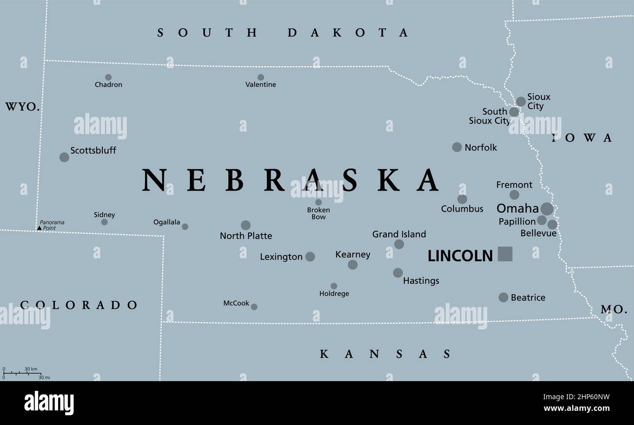 Nebraska, NE, gray political map, US state, Cornhusker State Stock Vectorhttps://www.alamy.com/image-license-details/?v=1https://www.alamy.com/nebraska-ne-gray-political-map-us-state-cornhusker-state-image461124325.html
RF2HP60NW–Nebraska, NE, gray political map, US state, Cornhusker State
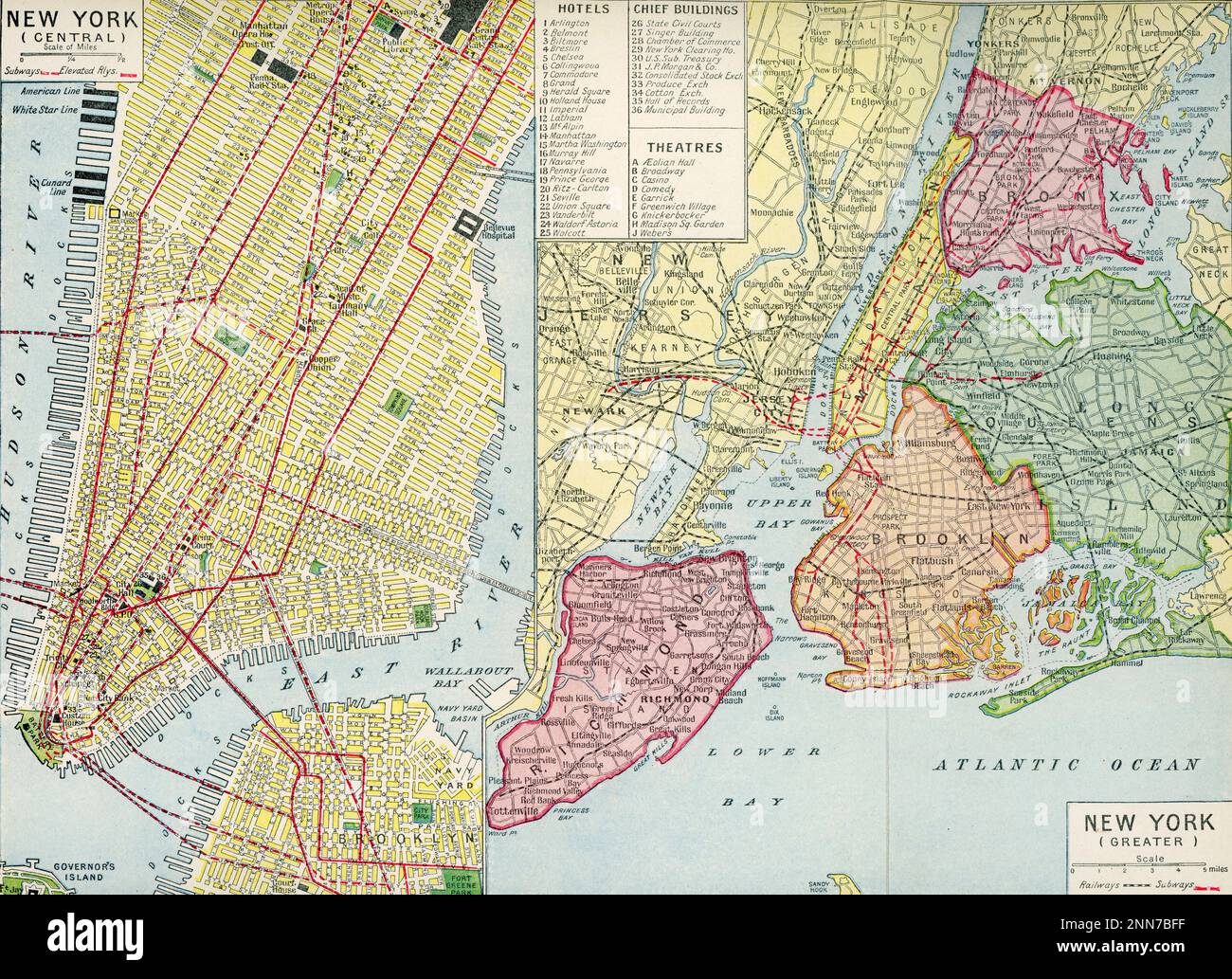 Plan of New York, c1922. A 1920s plan of New York highlighting the major hotels, buildings and theatres of the time. Stock Photohttps://www.alamy.com/image-license-details/?v=1https://www.alamy.com/plan-of-new-york-c1922-a-1920s-plan-of-new-york-highlighting-the-major-hotels-buildings-and-theatres-of-the-time-image529381539.html
RM2NN7BFF–Plan of New York, c1922. A 1920s plan of New York highlighting the major hotels, buildings and theatres of the time.
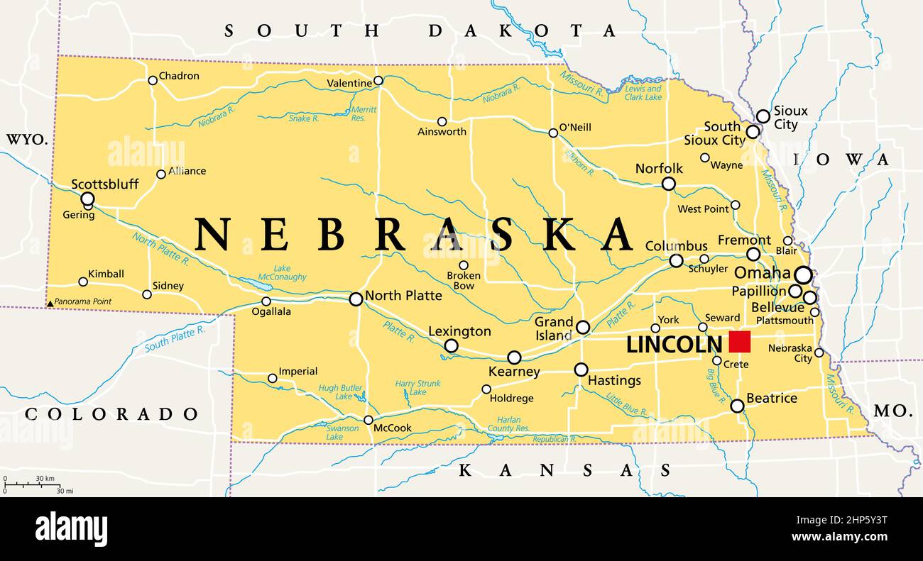 Nebraska, NE, political map, US state, nicknamed Cornhusker State Stock Vectorhttps://www.alamy.com/image-license-details/?v=1https://www.alamy.com/nebraska-ne-political-map-us-state-nicknamed-cornhusker-state-image461123036.html
RF2HP5Y3T–Nebraska, NE, political map, US state, nicknamed Cornhusker State
 Map of survey of part of Pleasant Plains knows as ''Bellevue'' - recorded, book ''County 6,'' p. 126, Surveyor's Office, D.C. Stock Photohttps://www.alamy.com/image-license-details/?v=1https://www.alamy.com/map-of-survey-of-part-of-pleasant-plains-knows-as-bellevue-recorded-book-county-6-p-126-surveyors-office-dc-image398173520.html
RM2E3PAAT–Map of survey of part of Pleasant Plains knows as ''Bellevue'' - recorded, book ''County 6,'' p. 126, Surveyor's Office, D.C.
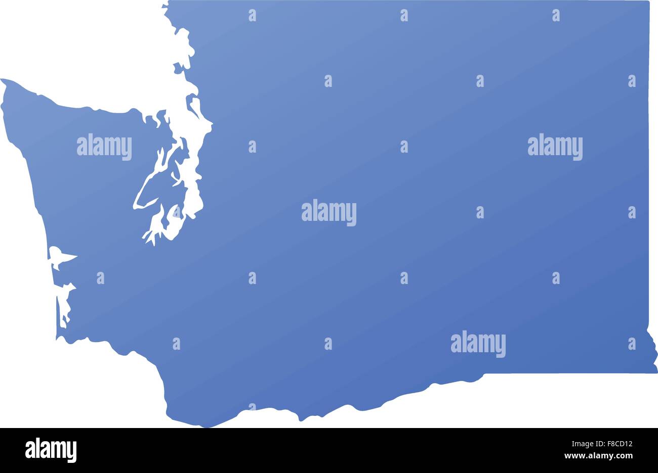 Washington state map with blue gradient Stock Vectorhttps://www.alamy.com/image-license-details/?v=1https://www.alamy.com/stock-photo-washington-state-map-with-blue-gradient-91242734.html
RFF8CD12–Washington state map with blue gradient
 Bellevue City, Washington (United States cities, United States of America, usa city) map vector illustration, scribble sketch City of Bellevue map Stock Vectorhttps://www.alamy.com/image-license-details/?v=1https://www.alamy.com/bellevue-city-washington-united-states-cities-united-states-of-america-usa-city-map-vector-illustration-scribble-sketch-city-of-bellevue-map-image342250316.html
RF2ATPRNG–Bellevue City, Washington (United States cities, United States of America, usa city) map vector illustration, scribble sketch City of Bellevue map
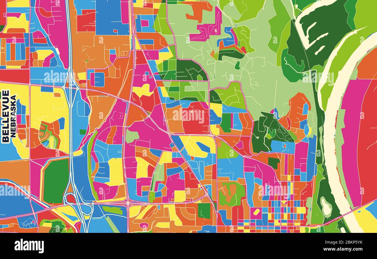 Colorful vector map of Bellevue, Nebraska, United States of America. Art Map template for selfprinting wall art in landscape format. Stock Vectorhttps://www.alamy.com/image-license-details/?v=1https://www.alamy.com/colorful-vector-map-of-bellevue-nebraska-united-states-of-america-art-map-template-for-selfprinting-wall-art-in-landscape-format-image356373463.html
RF2BKP5YK–Colorful vector map of Bellevue, Nebraska, United States of America. Art Map template for selfprinting wall art in landscape format.
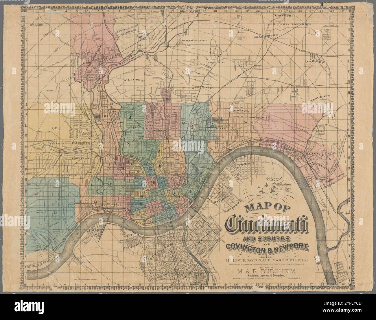 Map of Cincinnati and suburbs and Covington & Newport : Bellevue, Dayton, Ludlow, & Bromley, (Ky.) 1890 by M. & R. Burgheim (Firm) Stock Photohttps://www.alamy.com/image-license-details/?v=1https://www.alamy.com/map-of-cincinnati-and-suburbs-and-covington-newport-bellevue-dayton-ludlow-bromley-ky-1890-by-m-r-burgheim-firm-image633424525.html
RM2YPEYCD–Map of Cincinnati and suburbs and Covington & Newport : Bellevue, Dayton, Ludlow, & Bromley, (Ky.) 1890 by M. & R. Burgheim (Firm)
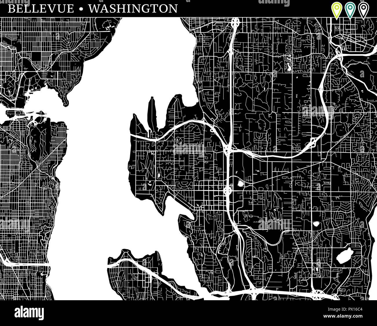 Simple map of Bellevue, Washington, USA. Black and white version for backgrounds. This map of Bellevue contains three markers who are grouped and can Stock Vectorhttps://www.alamy.com/image-license-details/?v=1https://www.alamy.com/simple-map-of-bellevue-washington-usa-black-and-white-version-for-backgrounds-this-map-of-bellevue-contains-three-markers-who-are-grouped-and-can-image222532468.html
RFPX16C4–Simple map of Bellevue, Washington, USA. Black and white version for backgrounds. This map of Bellevue contains three markers who are grouped and can
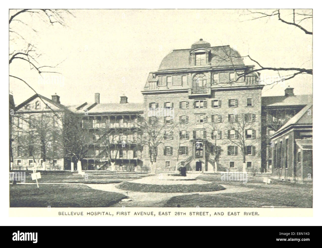 464 BELLEVUE HOSPITAL, FIRST AVENUE, EAST 26TH STREET AND EAST RIVER Stock Photohttps://www.alamy.com/image-license-details/?v=1https://www.alamy.com/stock-photo-464-bellevue-hospital-first-avenue-east-26th-street-and-east-river-74221028.html
RME8N1K0–464 BELLEVUE HOSPITAL, FIRST AVENUE, EAST 26TH STREET AND EAST RIVER
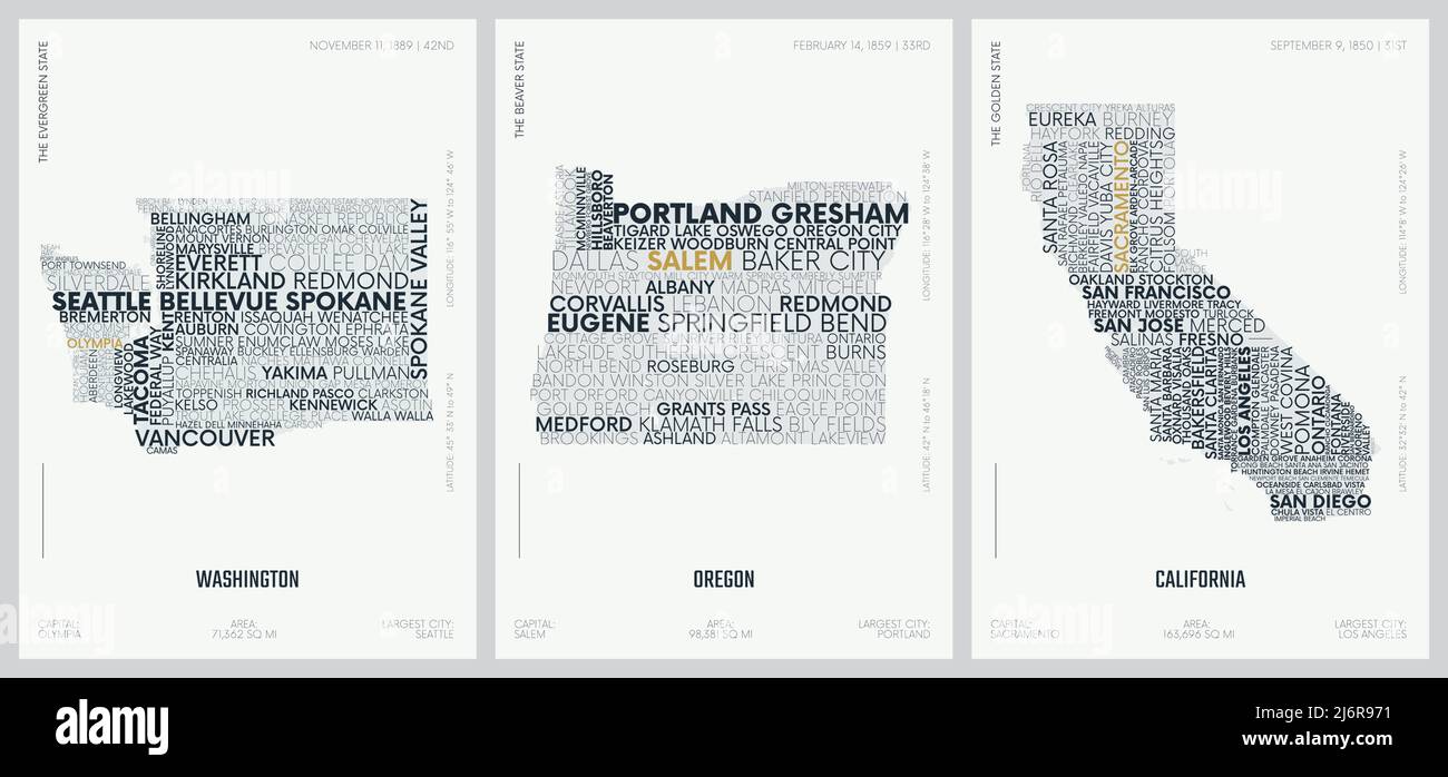 Typography composition of city names, silhouettes maps of the states of America, vector posters, Division Pacific - Washington, Oregon, California Stock Vectorhttps://www.alamy.com/image-license-details/?v=1https://www.alamy.com/typography-composition-of-city-names-silhouettes-maps-of-the-states-of-america-vector-posters-division-pacific-washington-oregon-california-image468880021.html
RF2J6R971–Typography composition of city names, silhouettes maps of the states of America, vector posters, Division Pacific - Washington, Oregon, California
 Berlin, Germany. 06th Jan, 2023. Federal President Frank-Walter Steinmeier and his wife Elke Büdenbender receive a map of a dangerous road from the carol singers of the Regensburg diocese in Bellevue Palace. The theme of the 65th Epiphany campaign is the protection of children from violence. Credit: Fabian Sommer/dpa/Alamy Live News Stock Photohttps://www.alamy.com/image-license-details/?v=1https://www.alamy.com/berlin-germany-06th-jan-2023-federal-president-frank-walter-steinmeier-and-his-wife-elke-bdenbender-receive-a-map-of-a-dangerous-road-from-the-carol-singers-of-the-regensburg-diocese-in-bellevue-palace-the-theme-of-the-65th-epiphany-campaign-is-the-protection-of-children-from-violence-credit-fabian-sommerdpaalamy-live-news-image503392033.html
RM2M6YDJW–Berlin, Germany. 06th Jan, 2023. Federal President Frank-Walter Steinmeier and his wife Elke Büdenbender receive a map of a dangerous road from the carol singers of the Regensburg diocese in Bellevue Palace. The theme of the 65th Epiphany campaign is the protection of children from violence. Credit: Fabian Sommer/dpa/Alamy Live News
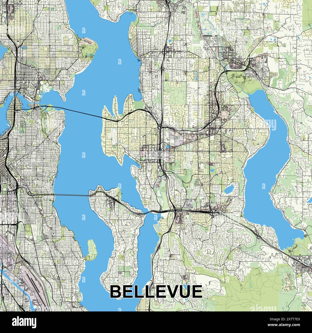 Bellevue, Washington, USA map poster art Stock Vectorhttps://www.alamy.com/image-license-details/?v=1https://www.alamy.com/bellevue-washington-usa-map-poster-art-image607198226.html
RF2X7T7EX–Bellevue, Washington, USA map poster art
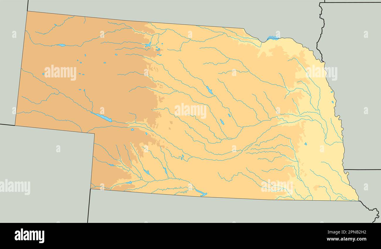 High detailed Nebraska physical map. Stock Vectorhttps://www.alamy.com/image-license-details/?v=1https://www.alamy.com/high-detailed-nebraska-physical-map-image546672702.html
RF2PNB2H2–High detailed Nebraska physical map.
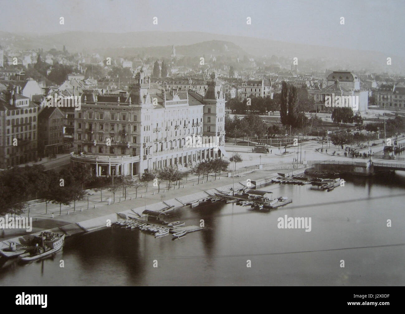 Bellevue 1896 Stock Photohttps://www.alamy.com/image-license-details/?v=1https://www.alamy.com/stock-photo-bellevue-1896-139483387.html
RMJ2X0DF–Bellevue 1896
 Photo production of a map of the gardens of Belle-Vue Castle in Meudon, Pierre Petit, After Anonymous, c. 1860 - in or before 1865 photograph This photo is part of a cover with 38 photos and 17 text magazines. Paris photographic support albumen print garden Chateau de Bellevue Stock Photohttps://www.alamy.com/image-license-details/?v=1https://www.alamy.com/photo-production-of-a-map-of-the-gardens-of-belle-vue-castle-in-meudon-pierre-petit-after-anonymous-c-1860-in-or-before-1865-photograph-this-photo-is-part-of-a-cover-with-38-photos-and-17-text-magazines-paris-photographic-support-albumen-print-garden-chateau-de-bellevue-image591279855.html
RM2W9Y3DK–Photo production of a map of the gardens of Belle-Vue Castle in Meudon, Pierre Petit, After Anonymous, c. 1860 - in or before 1865 photograph This photo is part of a cover with 38 photos and 17 text magazines. Paris photographic support albumen print garden Chateau de Bellevue
 . English: This is Thomas Bradford's important 1839 map of New York City. Bradford's plan covers Manhattan from fifty-third street to the Battery, with parts of adjacent Brooklyn, Hoboken, and Jersey City. The whole is beautifully engraved in Boynton's delicate style, with important buildings, parks, streets, rail lines, and piers noted. Predates the landfills along the East River and on the Jersey side of the Hudson - though these are in fact ghosted in. Identifies Fort Green, the Navy yard in Brooklyn, Fort Columbus on Governor's Island, Fort Gibson on Ellis Island, City Hall, Bellevue Hosp Stock Photohttps://www.alamy.com/image-license-details/?v=1https://www.alamy.com/english-this-is-thomas-bradfords-important-1839-map-of-new-york-city-bradfords-plan-covers-manhattan-from-fifty-third-street-to-the-battery-with-parts-of-adjacent-brooklyn-hoboken-and-jersey-city-the-whole-is-beautifully-engraved-in-boyntons-delicate-style-with-important-buildings-parks-streets-rail-lines-and-piers-noted-predates-the-landfills-along-the-east-river-and-on-the-jersey-side-of-the-hudson-though-these-are-in-fact-ghosted-in-identifies-fort-green-the-navy-yard-in-brooklyn-fort-columbus-on-governors-island-fort-gibson-on-ellis-island-city-hall-bellevue-hosp-image184877209.html
RMMMNTND–. English: This is Thomas Bradford's important 1839 map of New York City. Bradford's plan covers Manhattan from fifty-third street to the Battery, with parts of adjacent Brooklyn, Hoboken, and Jersey City. The whole is beautifully engraved in Boynton's delicate style, with important buildings, parks, streets, rail lines, and piers noted. Predates the landfills along the East River and on the Jersey side of the Hudson - though these are in fact ghosted in. Identifies Fort Green, the Navy yard in Brooklyn, Fort Columbus on Governor's Island, Fort Gibson on Ellis Island, City Hall, Bellevue Hosp
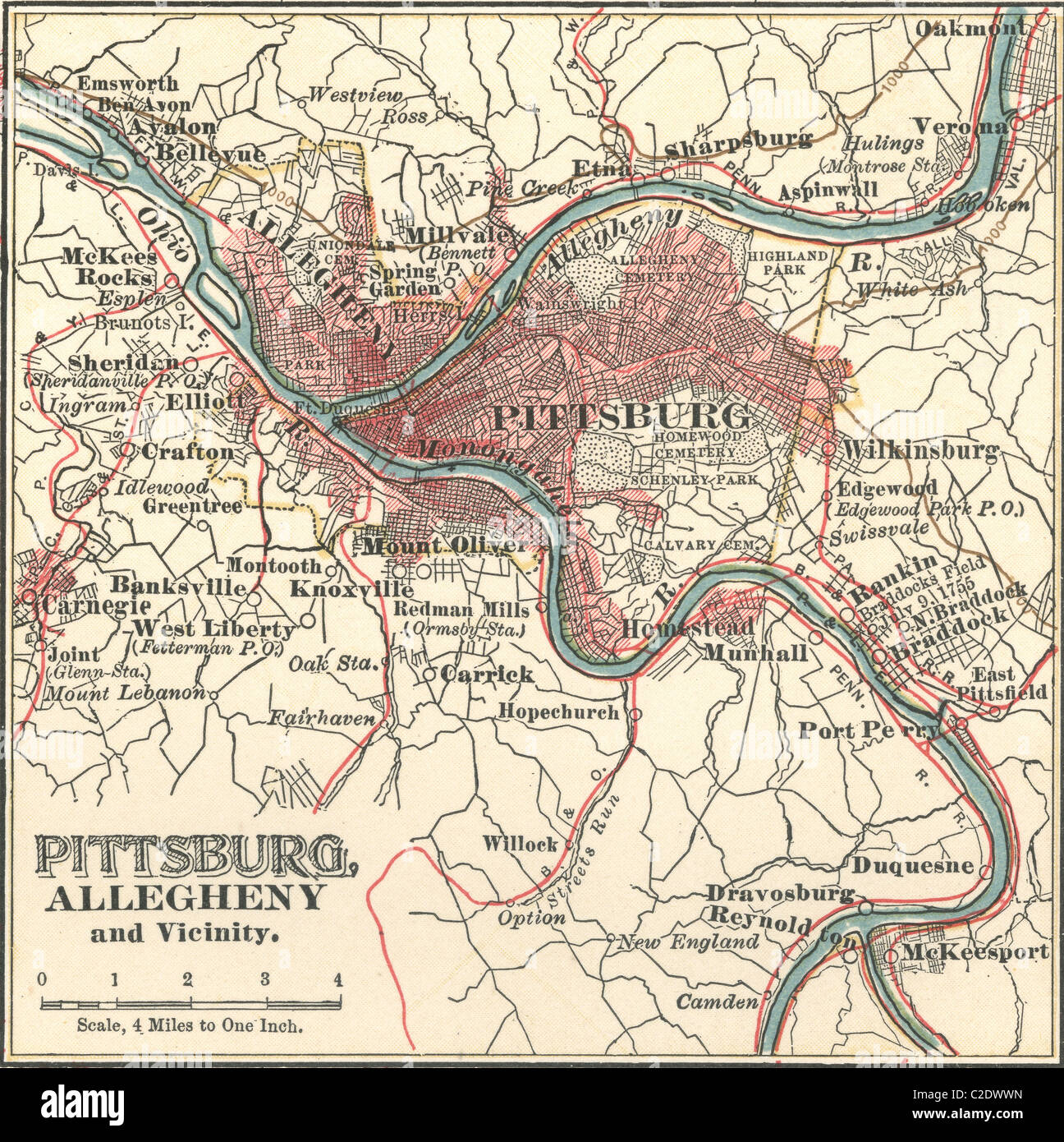 Map of Pittsburgh Stock Photohttps://www.alamy.com/image-license-details/?v=1https://www.alamy.com/stock-photo-map-of-pittsburgh-35955745.html
RMC2DWWN–Map of Pittsburgh
 HOTEL BELLEVUE, DE, Germany, Berlin, N 52 28' 8'', N 13 26' 8'', map, Cartascapes Map published in 2024. Explore Cartascapes, a map revealing Earth's diverse landscapes, cultures, and ecosystems. Journey through time and space, discovering the interconnectedness of our planet's past, present, and future. Stock Photohttps://www.alamy.com/image-license-details/?v=1https://www.alamy.com/hotel-bellevue-de-germany-berlin-n-52-28-8-n-13-26-8-map-cartascapes-map-published-in-2024-explore-cartascapes-a-map-revealing-earths-diverse-landscapes-cultures-and-ecosystems-journey-through-time-and-space-discovering-the-interconnectedness-of-our-planets-past-present-and-future-image629428698.html
RM2YG0XMA–HOTEL BELLEVUE, DE, Germany, Berlin, N 52 28' 8'', N 13 26' 8'', map, Cartascapes Map published in 2024. Explore Cartascapes, a map revealing Earth's diverse landscapes, cultures, and ecosystems. Journey through time and space, discovering the interconnectedness of our planet's past, present, and future.
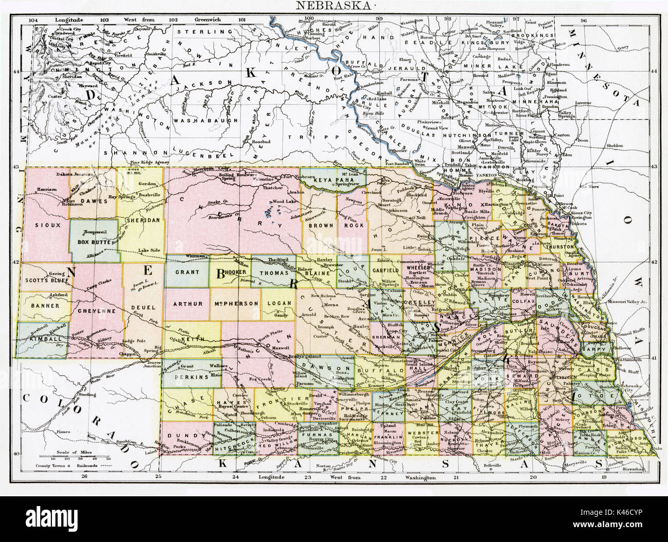 Antique map, circa 1875, of Nebraska Stock Photohttps://www.alamy.com/image-license-details/?v=1https://www.alamy.com/antique-map-circa-1875-of-nebraska-image157493834.html
RMK46CYP–Antique map, circa 1875, of Nebraska
 Berlin, Germany - May 28, 2017: Tourist in front of Bellevue Palace (Schloss Bellevue), the official residence of the President of Germany since 1994. Stock Photohttps://www.alamy.com/image-license-details/?v=1https://www.alamy.com/berlin-germany-may-28-2017-tourist-in-front-of-bellevue-palace-schloss-bellevue-the-official-residence-of-the-president-of-germany-since-1994-image220676691.html
RFPR0KAB–Berlin, Germany - May 28, 2017: Tourist in front of Bellevue Palace (Schloss Bellevue), the official residence of the President of Germany since 1994.
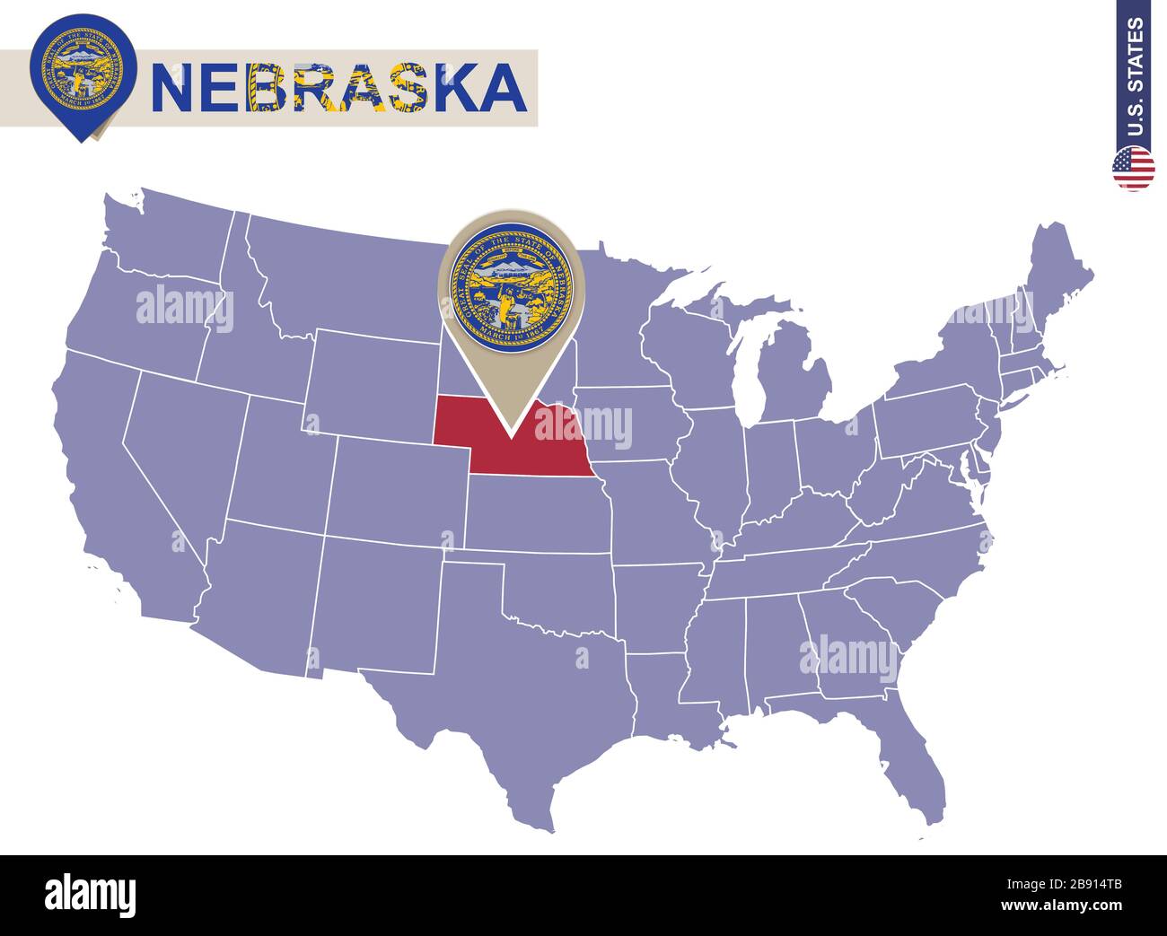 Nebraska State on USA Map. Nebraska flag and map. US States. Stock Vectorhttps://www.alamy.com/image-license-details/?v=1https://www.alamy.com/nebraska-state-on-usa-map-nebraska-flag-and-map-us-states-image349765035.html
RF2B914TB–Nebraska State on USA Map. Nebraska flag and map. US States.
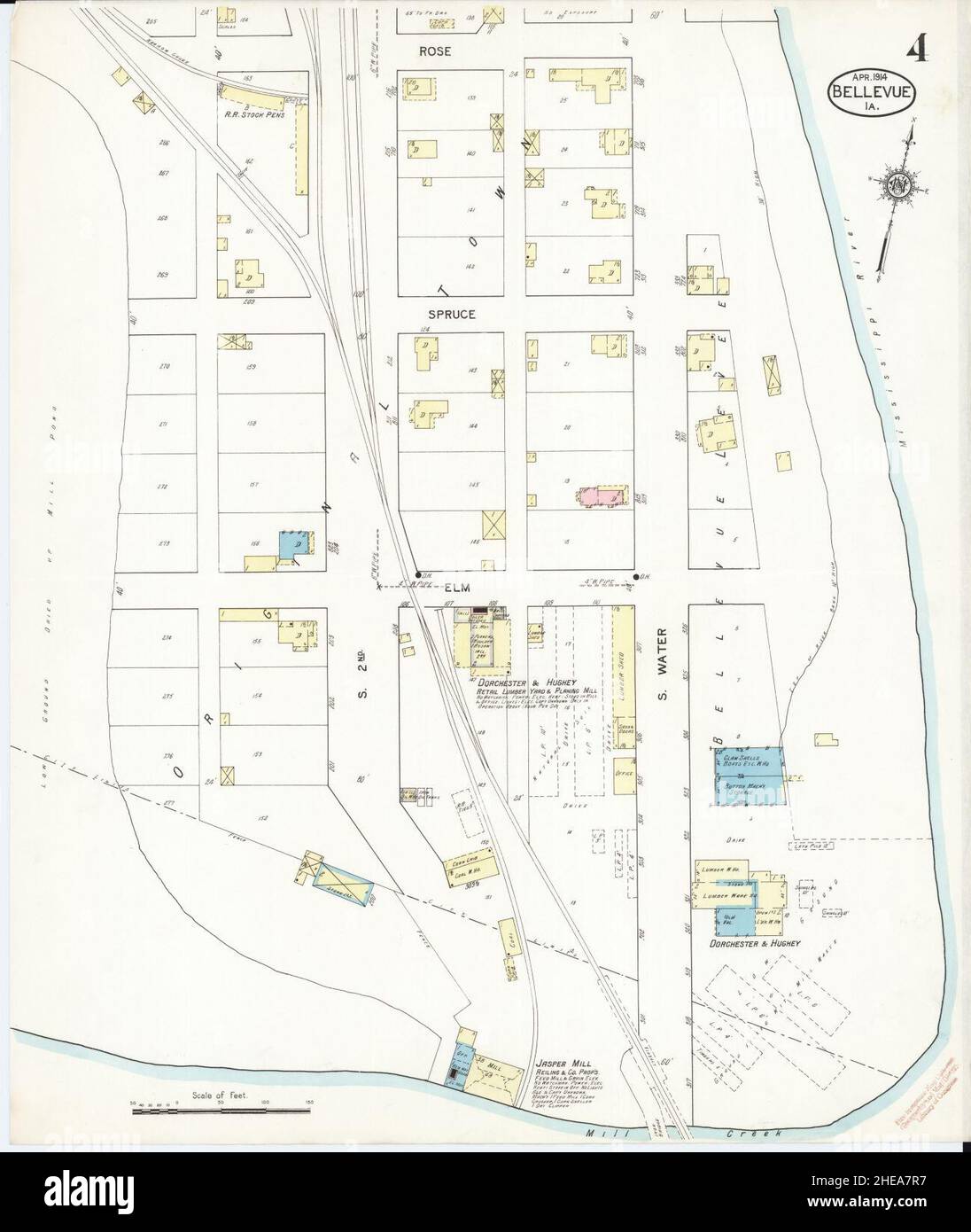 Sanborn Fire Insurance Map from Bellevue, Jackson County, Iowa. Stock Photohttps://www.alamy.com/image-license-details/?v=1https://www.alamy.com/sanborn-fire-insurance-map-from-bellevue-jackson-county-iowa-image456300411.html
RM2HEA7R7–Sanborn Fire Insurance Map from Bellevue, Jackson County, Iowa.
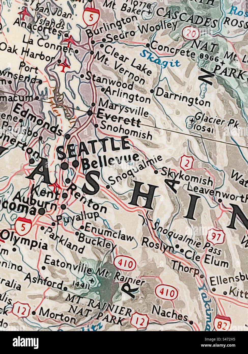 Zoomed in view of the Seattle, Washington area on a US map. Original photo has been made into an “illustration” using the IOS app Brushstroke. Stock Photohttps://www.alamy.com/image-license-details/?v=1https://www.alamy.com/zoomed-in-view-of-the-seattle-washington-area-on-a-us-map-original-photo-has-been-made-into-an-illustration-using-the-ios-app-brushstroke-image312400961.html
RFS472H5–Zoomed in view of the Seattle, Washington area on a US map. Original photo has been made into an “illustration” using the IOS app Brushstroke.
 Bellevue City, Washington (United States cities, United States of America, usa city) map vector illustration, scribble sketch City of Bellevue map Stock Vectorhttps://www.alamy.com/image-license-details/?v=1https://www.alamy.com/bellevue-city-washington-united-states-cities-united-states-of-america-usa-city-map-vector-illustration-scribble-sketch-city-of-bellevue-map-image338034126.html
RF2AHXNYA–Bellevue City, Washington (United States cities, United States of America, usa city) map vector illustration, scribble sketch City of Bellevue map
 Berlin, Germany - May 28, 2017: Tourist in front of Bellevue Palace (Schloss Bellevue), the official residence of the President of Germany since 1994. Stock Photohttps://www.alamy.com/image-license-details/?v=1https://www.alamy.com/berlin-germany-may-28-2017-tourist-in-front-of-bellevue-palace-schloss-bellevue-the-official-residence-of-the-president-of-germany-since-1994-image448446288.html
RM2H1GDPT–Berlin, Germany - May 28, 2017: Tourist in front of Bellevue Palace (Schloss Bellevue), the official residence of the President of Germany since 1994.
 Sgt. Dee McMurdo, from Bellevue, Idaho, with the 11th Battalion (Observer/Controller Trainer), stands for a portrait after finishing a 10-kilometer foot march in the North Carolina heat May 5 during the 2015 Army Reserve Best Warrior Competition at Fort Bragg. This year's Best Warrior Competition will determine the top noncommissioned officer and junior enlisted Soldier who will represent the Army Reserve in the Department of the Army Best Warrior Competition later this year at Fort Lee, Va. (U.S. Army photo by Sgt. 1st Class Michel Sauret) From beasts of burden to Best Warrior 150505-A-TI382- Stock Photohttps://www.alamy.com/image-license-details/?v=1https://www.alamy.com/stock-photo-sgt-dee-mcmurdo-from-bellevue-idaho-with-the-11th-battalion-observercontroller-129570500.html
RMHEPCDT–Sgt. Dee McMurdo, from Bellevue, Idaho, with the 11th Battalion (Observer/Controller Trainer), stands for a portrait after finishing a 10-kilometer foot march in the North Carolina heat May 5 during the 2015 Army Reserve Best Warrior Competition at Fort Bragg. This year's Best Warrior Competition will determine the top noncommissioned officer and junior enlisted Soldier who will represent the Army Reserve in the Department of the Army Best Warrior Competition later this year at Fort Lee, Va. (U.S. Army photo by Sgt. 1st Class Michel Sauret) From beasts of burden to Best Warrior 150505-A-TI382-
 I love city design on the white Stock Photohttps://www.alamy.com/image-license-details/?v=1https://www.alamy.com/i-love-city-design-on-the-white-image547387158.html
RM2PPFHWA–I love city design on the white
 (King1893NYC) pg465 STURGIS SURGICAL PAVILION, BELLEVUE HOSPITAL, FOOT OF EAST 26th STREET Stock Photohttps://www.alamy.com/image-license-details/?v=1https://www.alamy.com/stock-photo-king1893nyc-pg465-sturgis-surgical-pavilion-bellevue-hospital-foot-74166086.html
RME8JFGP–(King1893NYC) pg465 STURGIS SURGICAL PAVILION, BELLEVUE HOSPITAL, FOOT OF EAST 26th STREET
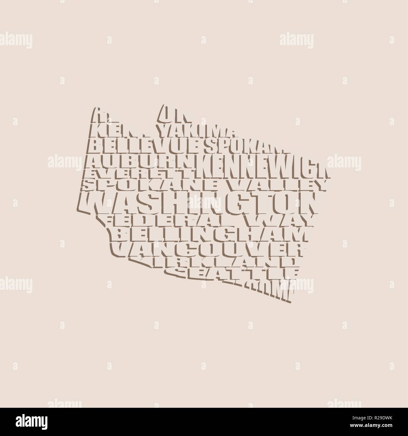 Word cloud map of Washington state Stock Vectorhttps://www.alamy.com/image-license-details/?v=1https://www.alamy.com/word-cloud-map-of-washington-state-image225172575.html
RFR29DWK–Word cloud map of Washington state
 Washington, state of United States of America. Open Street Map Stock Photohttps://www.alamy.com/image-license-details/?v=1https://www.alamy.com/washington-state-of-united-states-of-america-open-street-map-image546023237.html
RF2PM9E5W–Washington, state of United States of America. Open Street Map
 Lower Peninsula, 1873-1876 : accompanied by a geological map . , Michigan.Lithostrotion proliferum, lowest transverse stem. Lower tier, single small specimen to the right, Zaphrentis nodulosa. Cornife-rous limestone drift.Group of five specimens to the left of the former, Zaphrentis spinulosa.Subcarboniferous limestone, Bellevue, Michigan. PLATE LV. i WELLESLEY COLLEGE LBRARY IIIMIilllllll 3 5002 03596 2757 Science qQE125.A12 3 Lower Peninsula,1873-1876Rominger, Carl Stock Photohttps://www.alamy.com/image-license-details/?v=1https://www.alamy.com/lower-peninsula-1873-1876-accompanied-by-a-geological-map-michiganlithostrotion-proliferum-lowest-transverse-stem-lower-tier-single-small-specimen-to-the-right-zaphrentis-nodulosa-cornife-rous-limestone-driftgroup-of-five-specimens-to-the-left-of-the-former-zaphrentis-spinulosasubcarboniferous-limestone-bellevue-michigan-plate-lv-i-wellesley-college-lbrary-iiimiilllllll-3-5002-03596-2757-science-qqe125a12-3-lower-peninsula1873-1876rominger-carl-image340125014.html
RM2ANA0WX–Lower Peninsula, 1873-1876 : accompanied by a geological map . , Michigan.Lithostrotion proliferum, lowest transverse stem. Lower tier, single small specimen to the right, Zaphrentis nodulosa. Cornife-rous limestone drift.Group of five specimens to the left of the former, Zaphrentis spinulosa.Subcarboniferous limestone, Bellevue, Michigan. PLATE LV. i WELLESLEY COLLEGE LBRARY IIIMIilllllll 3 5002 03596 2757 Science qQE125.A12 3 Lower Peninsula,1873-1876Rominger, Carl
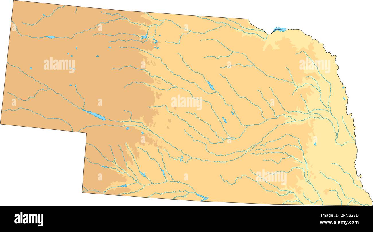 High detailed Nebraska physical map. Stock Vectorhttps://www.alamy.com/image-license-details/?v=1https://www.alamy.com/high-detailed-nebraska-physical-map-image546672461.html
RF2PNB28D–High detailed Nebraska physical map.
 Bellevue 1890 Stock Photohttps://www.alamy.com/image-license-details/?v=1https://www.alamy.com/stock-photo-bellevue-1890-139483386.html
RMJ2X0DE–Bellevue 1890
 Map of the real estate in the city of New York : between the south side of Washington Parade, 4th St., and the north side of Bellevue, 28th Street Cartographic. Maps. 1831. Lionel Pincus and Princess Firyal Map Division. New York (N.Y.), Manhattan (New York, N.Y.) , Maps, Landowners , New York (State) , New York, Real property , New York (State) , New York, New York (N.Y.) , Maps Stock Photohttps://www.alamy.com/image-license-details/?v=1https://www.alamy.com/map-of-the-real-estate-in-the-city-of-new-york-between-the-south-side-of-washington-parade-4th-st-and-the-north-side-of-bellevue-28th-street-cartographic-maps-1831-lionel-pincus-and-princess-firyal-map-division-new-york-ny-manhattan-new-york-ny-maps-landowners-new-york-state-new-york-real-property-new-york-state-new-york-new-york-ny-maps-image484351787.html
RM2K403J3–Map of the real estate in the city of New York : between the south side of Washington Parade, 4th St., and the north side of Bellevue, 28th Street Cartographic. Maps. 1831. Lionel Pincus and Princess Firyal Map Division. New York (N.Y.), Manhattan (New York, N.Y.) , Maps, Landowners , New York (State) , New York, Real property , New York (State) , New York, New York (N.Y.) , Maps
 . A New Map of the City of New York Comprising all the Late Improvements. English: A very obscure pocket map of New York City issued in 1831 by J. Langdon of 151 Fulton Street. Oriented to the west, Langdon's map covers New York from Forty Fifth street south to the Battery. This map divides and color codes the city according to wards, of which there are 14. All streets are noted as are piers, slips, parks, and important public buildings including Bellevue Hospital, the West Battery Castle, City Hall, the House of Refuge, the Alms House, and the Penitentiary. In terms of Parks, City Hall Park, Stock Photohttps://www.alamy.com/image-license-details/?v=1https://www.alamy.com/a-new-map-of-the-city-of-new-york-comprising-all-the-late-improvements-english-a-very-obscure-pocket-map-of-new-york-city-issued-in-1831-by-j-langdon-of-151-fulton-street-oriented-to-the-west-langdons-map-covers-new-york-from-forty-fifth-street-south-to-the-battery-this-map-divides-and-color-codes-the-city-according-to-wards-of-which-there-are-14-all-streets-are-noted-as-are-piers-slips-parks-and-important-public-buildings-including-bellevue-hospital-the-west-battery-castle-city-hall-the-house-of-refuge-the-alms-house-and-the-penitentiary-in-terms-of-parks-city-hall-park-image187621366.html
RMMW6TY2–. A New Map of the City of New York Comprising all the Late Improvements. English: A very obscure pocket map of New York City issued in 1831 by J. Langdon of 151 Fulton Street. Oriented to the west, Langdon's map covers New York from Forty Fifth street south to the Battery. This map divides and color codes the city according to wards, of which there are 14. All streets are noted as are piers, slips, parks, and important public buildings including Bellevue Hospital, the West Battery Castle, City Hall, the House of Refuge, the Alms House, and the Penitentiary. In terms of Parks, City Hall Park,
 Bellevue 1899 Stock Photohttps://www.alamy.com/image-license-details/?v=1https://www.alamy.com/stock-photo-bellevue-1899-139489276.html
RMJ2X7YT–Bellevue 1899
 Bellevue, DE, Germany, Mecklenburg-Vorpommern, N 53 40' 0'', N 11 25' 0'', map, Cartascapes Map published in 2024. Explore Cartascapes, a map revealing Earth's diverse landscapes, cultures, and ecosystems. Journey through time and space, discovering the interconnectedness of our planet's past, present, and future. Stock Photohttps://www.alamy.com/image-license-details/?v=1https://www.alamy.com/bellevue-de-germany-mecklenburg-vorpommern-n-53-40-0-n-11-25-0-map-cartascapes-map-published-in-2024-explore-cartascapes-a-map-revealing-earths-diverse-landscapes-cultures-and-ecosystems-journey-through-time-and-space-discovering-the-interconnectedness-of-our-planets-past-present-and-future-image629649913.html
RM2YGB0TW–Bellevue, DE, Germany, Mecklenburg-Vorpommern, N 53 40' 0'', N 11 25' 0'', map, Cartascapes Map published in 2024. Explore Cartascapes, a map revealing Earth's diverse landscapes, cultures, and ecosystems. Journey through time and space, discovering the interconnectedness of our planet's past, present, and future.
 20 Bellevue Trenton Stock Photohttps://www.alamy.com/image-license-details/?v=1https://www.alamy.com/stock-photo-20-bellevue-trenton-142411378.html
RMJ7KB4J–20 Bellevue Trenton
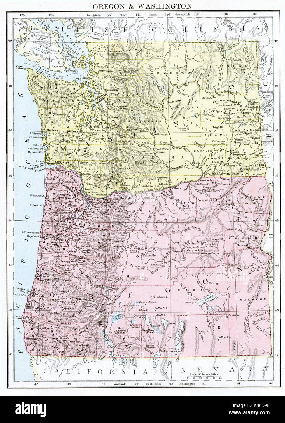 Antique map, circa 1875, Oregon & Washington Stock Photohttps://www.alamy.com/image-license-details/?v=1https://www.alamy.com/antique-map-circa-1875-oregon-washington-image157494103.html
RMK46D9B–Antique map, circa 1875, Oregon & Washington
 Bellevue Kassel 1742 Stock Photohttps://www.alamy.com/image-license-details/?v=1https://www.alamy.com/stock-photo-bellevue-kassel-1742-142476057.html
RMJ7P9JH–Bellevue Kassel 1742
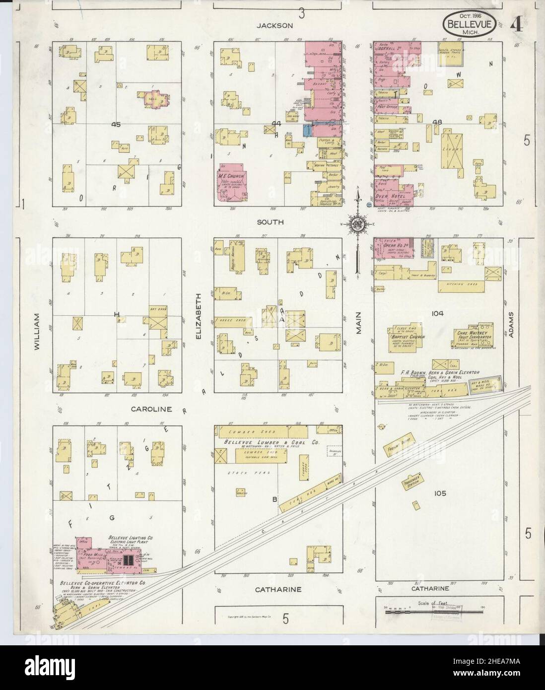 Sanborn Fire Insurance Map from Bellevue, Eaton County, Michigan. Stock Photohttps://www.alamy.com/image-license-details/?v=1https://www.alamy.com/sanborn-fire-insurance-map-from-bellevue-eaton-county-michigan-image456300330.html
RM2HEA7MA–Sanborn Fire Insurance Map from Bellevue, Eaton County, Michigan.
 Bellevue Tonhalle 1895 Stock Photohttps://www.alamy.com/image-license-details/?v=1https://www.alamy.com/stock-photo-bellevue-tonhalle-1895-139483538.html
RMJ2X0JX–Bellevue Tonhalle 1895
 Bellevue City, Washington (United States cities, United States of America, usa city) map vector illustration, scribble sketch City of Bellevue map Stock Vectorhttps://www.alamy.com/image-license-details/?v=1https://www.alamy.com/bellevue-city-washington-united-states-cities-united-states-of-america-usa-city-map-vector-illustration-scribble-sketch-city-of-bellevue-map-image342010473.html
RF2ATBWRN–Bellevue City, Washington (United States cities, United States of America, usa city) map vector illustration, scribble sketch City of Bellevue map
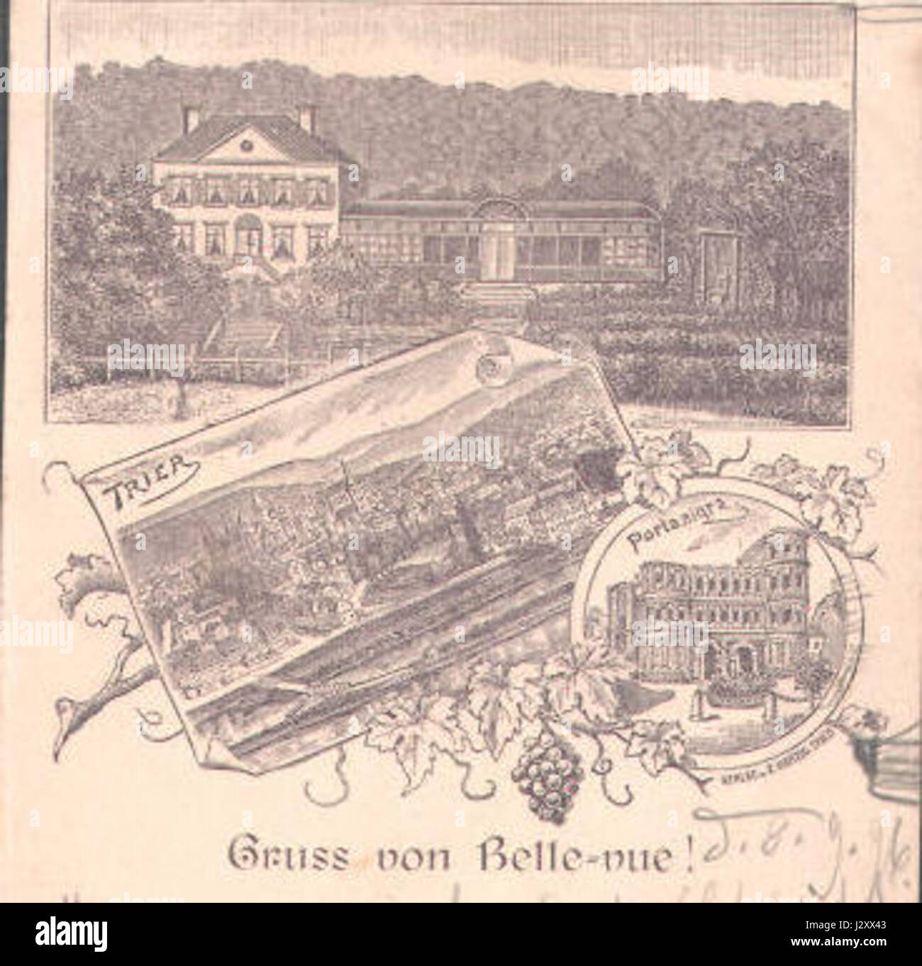 Bellevue Trier 1896 Stock Photohttps://www.alamy.com/image-license-details/?v=1https://www.alamy.com/stock-photo-bellevue-trier-1896-139503507.html
RMJ2XX43–Bellevue Trier 1896
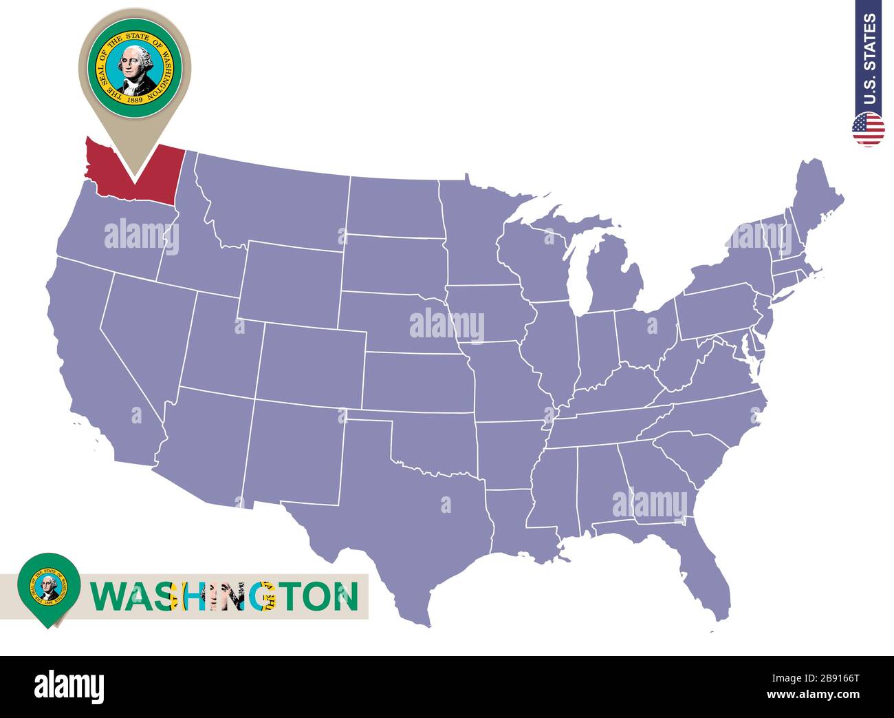 Washington State on USA Map. Washington flag and map. US States. Stock Vectorhttps://www.alamy.com/image-license-details/?v=1https://www.alamy.com/washington-state-on-usa-map-washington-flag-and-map-us-states-image349766112.html
RF2B9166T–Washington State on USA Map. Washington flag and map. US States.
 Sgt. Dee McMurdo, from Bellevue, Idaho, with the 11th Battalion (Observer/Controller Trainer), stands for a portrait after finishing a 10-kilometer foot march in the North Carolina heat May 5 during the 2015 Army Reserve Best Warrior Competition at Fort Bragg. This year's Best Warrior Competition will determine the top noncommissioned officer and junior enlisted Soldier who will represent the Army Reserve in the Department of the Army Best Warrior Competition later this year at Fort Lee, Va. (U.S. Army photo by Sgt. 1st Class Michel Sauret) 2015 Army Reserve Best Warrior Competition 150505-A-T Stock Photohttps://www.alamy.com/image-license-details/?v=1https://www.alamy.com/stock-photo-sgt-dee-mcmurdo-from-bellevue-idaho-with-the-11th-battalion-observercontroller-129570439.html
RMHEPCBK–Sgt. Dee McMurdo, from Bellevue, Idaho, with the 11th Battalion (Observer/Controller Trainer), stands for a portrait after finishing a 10-kilometer foot march in the North Carolina heat May 5 during the 2015 Army Reserve Best Warrior Competition at Fort Bragg. This year's Best Warrior Competition will determine the top noncommissioned officer and junior enlisted Soldier who will represent the Army Reserve in the Department of the Army Best Warrior Competition later this year at Fort Lee, Va. (U.S. Army photo by Sgt. 1st Class Michel Sauret) 2015 Army Reserve Best Warrior Competition 150505-A-T
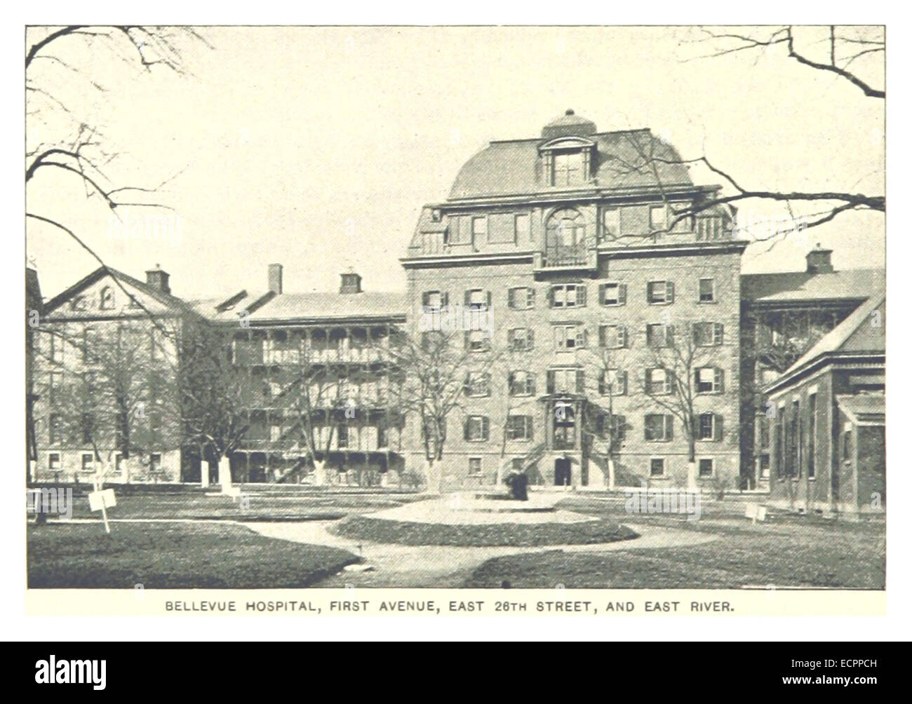 464 BELLEVUE HOSPITAL, FIRST AVENUE, EAST 26TH STREET AND EAST RIVER Stock Photohttps://www.alamy.com/image-license-details/?v=1https://www.alamy.com/stock-photo-464-bellevue-hospital-first-avenue-east-26th-street-and-east-river-76717889.html
RMECPPCH–464 BELLEVUE HOSPITAL, FIRST AVENUE, EAST 26TH STREET AND EAST RIVER
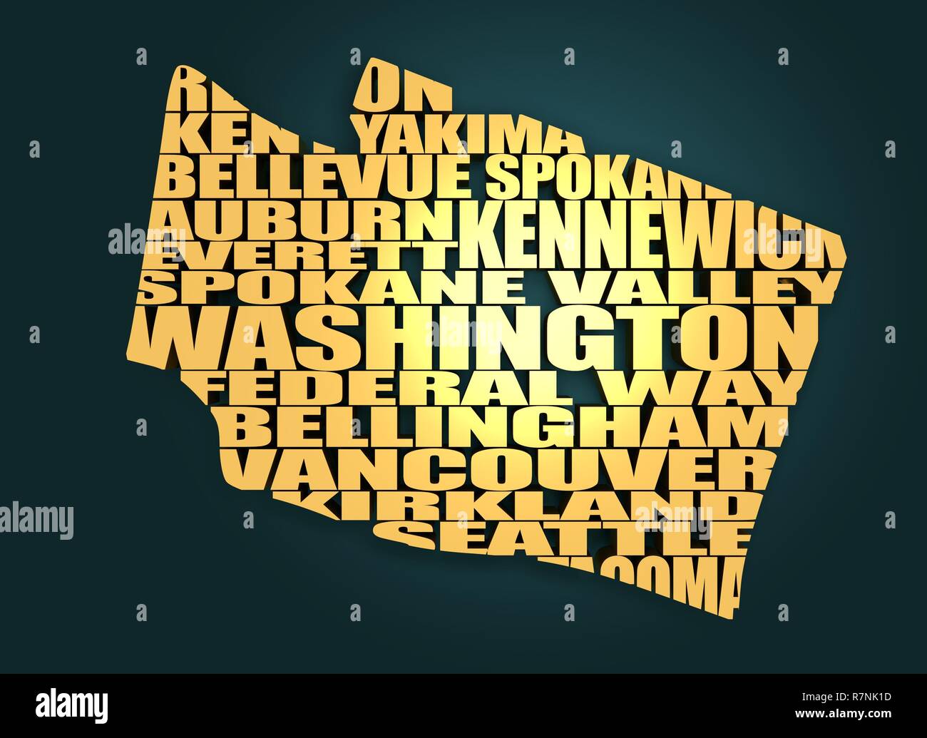 Word cloud map of Washington state Stock Photohttps://www.alamy.com/image-license-details/?v=1https://www.alamy.com/word-cloud-map-of-washington-state-image228513305.html
RFR7NK1D–Word cloud map of Washington state
 Washington, state of United States of America. High resolution satellite map Stock Photohttps://www.alamy.com/image-license-details/?v=1https://www.alamy.com/washington-state-of-united-states-of-america-high-resolution-satellite-map-image546023318.html
RF2PM9E8P–Washington, state of United States of America. High resolution satellite map
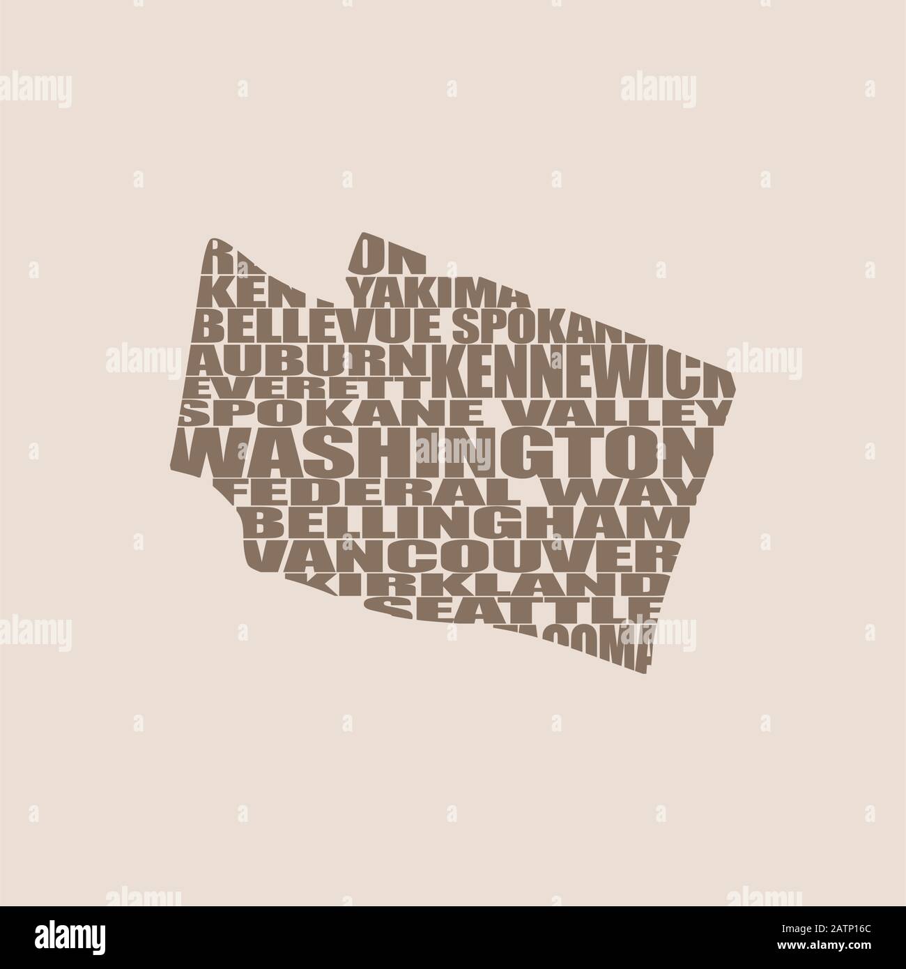 Word cloud map of Washington state Stock Vectorhttps://www.alamy.com/image-license-details/?v=1https://www.alamy.com/word-cloud-map-of-washington-state-image342232644.html
RF2ATP16C–Word cloud map of Washington state
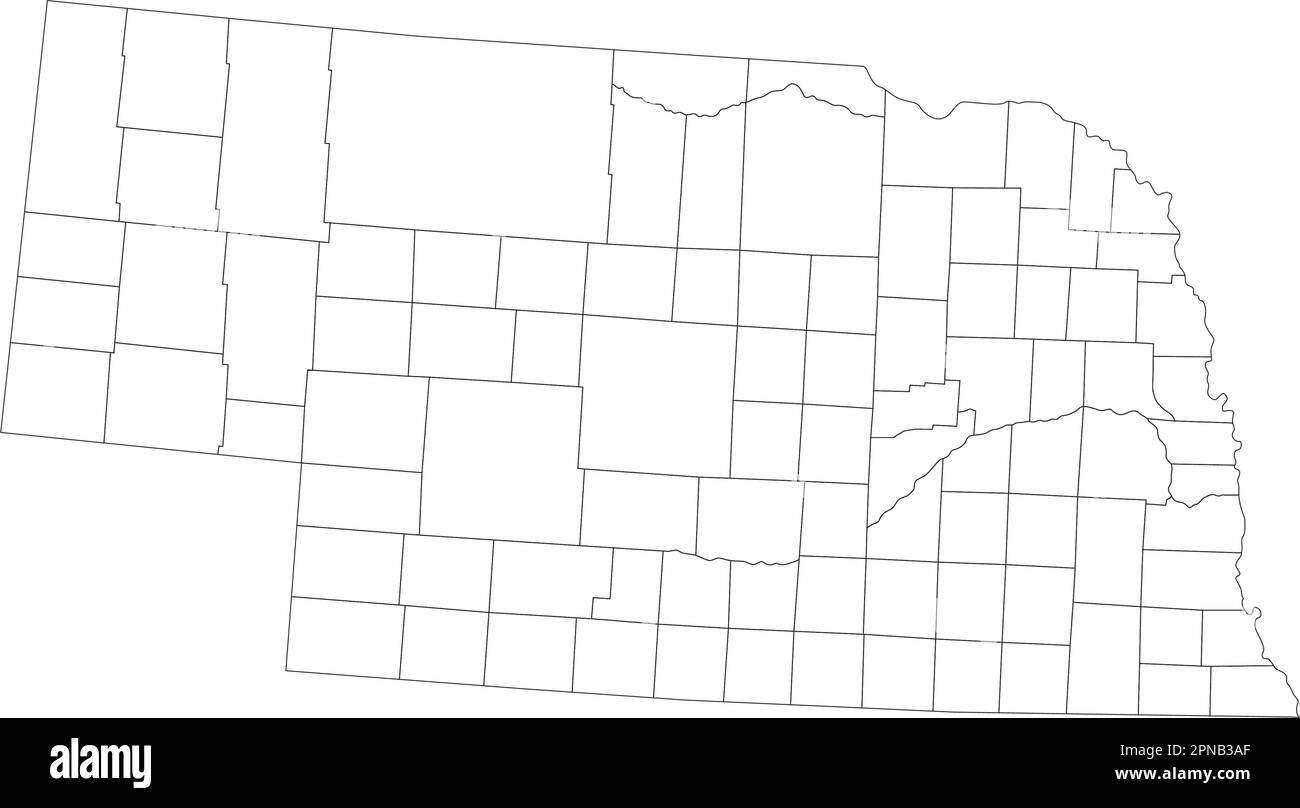 Highly Detailed Nebraska Blind Map. Stock Vectorhttps://www.alamy.com/image-license-details/?v=1https://www.alamy.com/highly-detailed-nebraska-blind-map-image546673303.html
RF2PNB3AF–Highly Detailed Nebraska Blind Map.
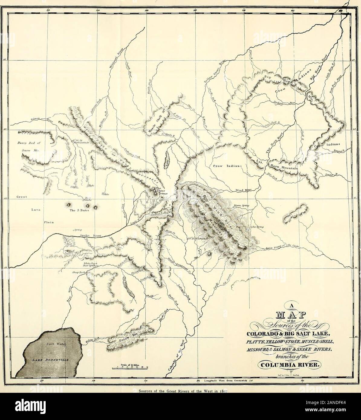 Frémont and '49 : the story of a remarkable career and its relation to the exploration and development of our western territory, especially of California . ; of the Great Rivers of the West in 1837First published in 1837 with Washington Irvings work. (See footnote page 24 and Map A, facing page 2 /-^^ ^m^^Smm CHAPTER V BACK HOME AND FORTH AGAIN The Episode of the Cross—Navigation under Difficulties—Rocks, Rapids,and Canyons of the Platte—Fort Laramie Again—A Bull-boat on aSandy River—The Village of the Grand Pawnees—Cowbells and Bellevue—A Boat for the Missouri — Down the River to St. Louis — Stock Photohttps://www.alamy.com/image-license-details/?v=1https://www.alamy.com/frmont-and-49-the-story-of-a-remarkable-career-and-its-relation-to-the-exploration-and-development-of-our-western-territory-especially-of-california-of-the-great-rivers-of-the-west-in-1837first-published-in-1837-with-washington-irvings-work-see-footnote-page-24-and-map-a-facing-page-2-msmm-chapter-v-back-home-and-forth-again-the-episode-of-the-crossnavigation-under-difficultiesrocks-rapidsand-canyons-of-the-plattefort-laramie-againa-bull-boat-on-asandy-riverthe-village-of-the-grand-pawneescowbells-and-bellevuea-boat-for-the-missouri-down-the-river-to-st-louis-image340202440.html
RM2ANDFK4–Frémont and '49 : the story of a remarkable career and its relation to the exploration and development of our western territory, especially of California . ; of the Great Rivers of the West in 1837First published in 1837 with Washington Irvings work. (See footnote page 24 and Map A, facing page 2 /-^^ ^m^^Smm CHAPTER V BACK HOME AND FORTH AGAIN The Episode of the Cross—Navigation under Difficulties—Rocks, Rapids,and Canyons of the Platte—Fort Laramie Again—A Bull-boat on aSandy River—The Village of the Grand Pawnees—Cowbells and Bellevue—A Boat for the Missouri — Down the River to St. Louis —
 Map of the counties of Eaton and Barry, Michigan. Entered according to Act of Congress by David S. Harley in the year 1860 in the Clerks Office of the District Court for the District of Michigan. BPL copy assembled, sectioned into 4 and mounted on cloth. Includes county and city business directories, table of distances, and 23 vignettes. Insets: Hastings--Barryville--Prairieville--Middleville--Hickory Corners--Orangeville--Grand Ledge--Spicerville--Vermontville--Bellevue--Grand River City--Olivet--Charlotte--Eaton Rapids.... , Michigan , Eaton ,county , Bellevue Michigan , Barry ,county Stock Photohttps://www.alamy.com/image-license-details/?v=1https://www.alamy.com/map-of-the-counties-of-eaton-and-barry-michigan-entered-according-to-act-of-congress-by-david-s-harley-in-the-year-1860-in-the-clerks-office-of-the-district-court-for-the-district-of-michigan-bpl-copy-assembled-sectioned-into-4-and-mounted-on-cloth-includes-county-and-city-business-directories-table-of-distances-and-23-vignettes-insets-hastings-barryville-prairieville-middleville-hickory-corners-orangeville-grand-ledge-spicerville-vermontville-bellevue-grand-river-city-olivet-charlotte-eaton-rapids-michigan-eaton-county-bellevue-michigan-barry-county-image502690316.html
RM2M5REHG–Map of the counties of Eaton and Barry, Michigan. Entered according to Act of Congress by David S. Harley in the year 1860 in the Clerks Office of the District Court for the District of Michigan. BPL copy assembled, sectioned into 4 and mounted on cloth. Includes county and city business directories, table of distances, and 23 vignettes. Insets: Hastings--Barryville--Prairieville--Middleville--Hickory Corners--Orangeville--Grand Ledge--Spicerville--Vermontville--Bellevue--Grand River City--Olivet--Charlotte--Eaton Rapids.... , Michigan , Eaton ,county , Bellevue Michigan , Barry ,county
 . Map of New-York . English: This is the c. 1834-1836 edition of David H. Burr and Edward Walker’s important pocket map of the City of New York. Covers New York City south of 26th street on the west side and south of 40th street on the east side. Shows the city in considerable detail with attention to churches, theaters, ferries, government buildings, museums, and other public centers. Columbia College is noted on Murray Street. Also notes the Fulton Fish Market, St. Marks Church in the East Village and the nation’s first hospital at Bellevue. This map includes parts of Brooklyn and Williamsb Stock Photohttps://www.alamy.com/image-license-details/?v=1https://www.alamy.com/map-of-new-york-english-this-is-the-c-1834-1836-edition-of-david-h-burr-and-edward-walkers-important-pocket-map-of-the-city-of-new-york-covers-new-york-city-south-of-26th-street-on-the-west-side-and-south-of-40th-street-on-the-east-side-shows-the-city-in-considerable-detail-with-attention-to-churches-theaters-ferries-government-buildings-museums-and-other-public-centers-columbia-college-is-noted-on-murray-street-also-notes-the-fulton-fish-market-st-marks-church-in-the-east-village-and-the-nations-first-hospital-at-bellevue-this-map-includes-parts-of-brooklyn-and-williamsb-image188152230.html
RMMX322E–. Map of New-York . English: This is the c. 1834-1836 edition of David H. Burr and Edward Walker’s important pocket map of the City of New York. Covers New York City south of 26th street on the west side and south of 40th street on the east side. Shows the city in considerable detail with attention to churches, theaters, ferries, government buildings, museums, and other public centers. Columbia College is noted on Murray Street. Also notes the Fulton Fish Market, St. Marks Church in the East Village and the nation’s first hospital at Bellevue. This map includes parts of Brooklyn and Williamsb
 I love city design on the white Stock Photohttps://www.alamy.com/image-license-details/?v=1https://www.alamy.com/i-love-city-design-on-the-white-image544314106.html
RF2PHFJ5E–I love city design on the white
 Schloss Bellevue, DE, Germany, Berlin, N 52 31' 2'', N 13 21' 10'', map, Cartascapes Map published in 2024. Explore Cartascapes, a map revealing Earth's diverse landscapes, cultures, and ecosystems. Journey through time and space, discovering the interconnectedness of our planet's past, present, and future. Stock Photohttps://www.alamy.com/image-license-details/?v=1https://www.alamy.com/schloss-bellevue-de-germany-berlin-n-52-31-2-n-13-21-10-map-cartascapes-map-published-in-2024-explore-cartascapes-a-map-revealing-earths-diverse-landscapes-cultures-and-ecosystems-journey-through-time-and-space-discovering-the-interconnectedness-of-our-planets-past-present-and-future-image629772796.html
RM2YGGHHG–Schloss Bellevue, DE, Germany, Berlin, N 52 31' 2'', N 13 21' 10'', map, Cartascapes Map published in 2024. Explore Cartascapes, a map revealing Earth's diverse landscapes, cultures, and ecosystems. Journey through time and space, discovering the interconnectedness of our planet's past, present, and future.
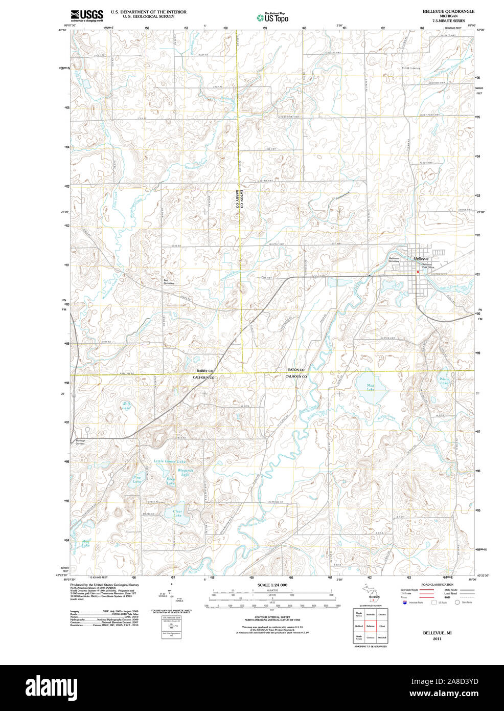 USGS TOPO Map Michigan MI Bellevue 20110913 TM Stock Photohttps://www.alamy.com/image-license-details/?v=1https://www.alamy.com/usgs-topo-map-michigan-mi-bellevue-20110913-tm-image332202737.html
RM2A8D3YD–USGS TOPO Map Michigan MI Bellevue 20110913 TM
 Nebraska state cities list Stock Photohttps://www.alamy.com/image-license-details/?v=1https://www.alamy.com/nebraska-state-cities-list-image228514031.html
RFR7NKYB–Nebraska state cities list
 USGS TOPO Map Georgia GA Bellevue 20110311 TM Restoration Stock Photohttps://www.alamy.com/image-license-details/?v=1https://www.alamy.com/usgs-topo-map-georgia-ga-bellevue-20110311-tm-restoration-image244588497.html
RMT5WY3D–USGS TOPO Map Georgia GA Bellevue 20110311 TM Restoration
 Sanborn Fire Insurance Map from Bellevue, Blaine County, Idaho. Stock Photohttps://www.alamy.com/image-license-details/?v=1https://www.alamy.com/sanborn-fire-insurance-map-from-bellevue-blaine-county-idaho-image456300338.html
RM2HEA7MJ–Sanborn Fire Insurance Map from Bellevue, Blaine County, Idaho.
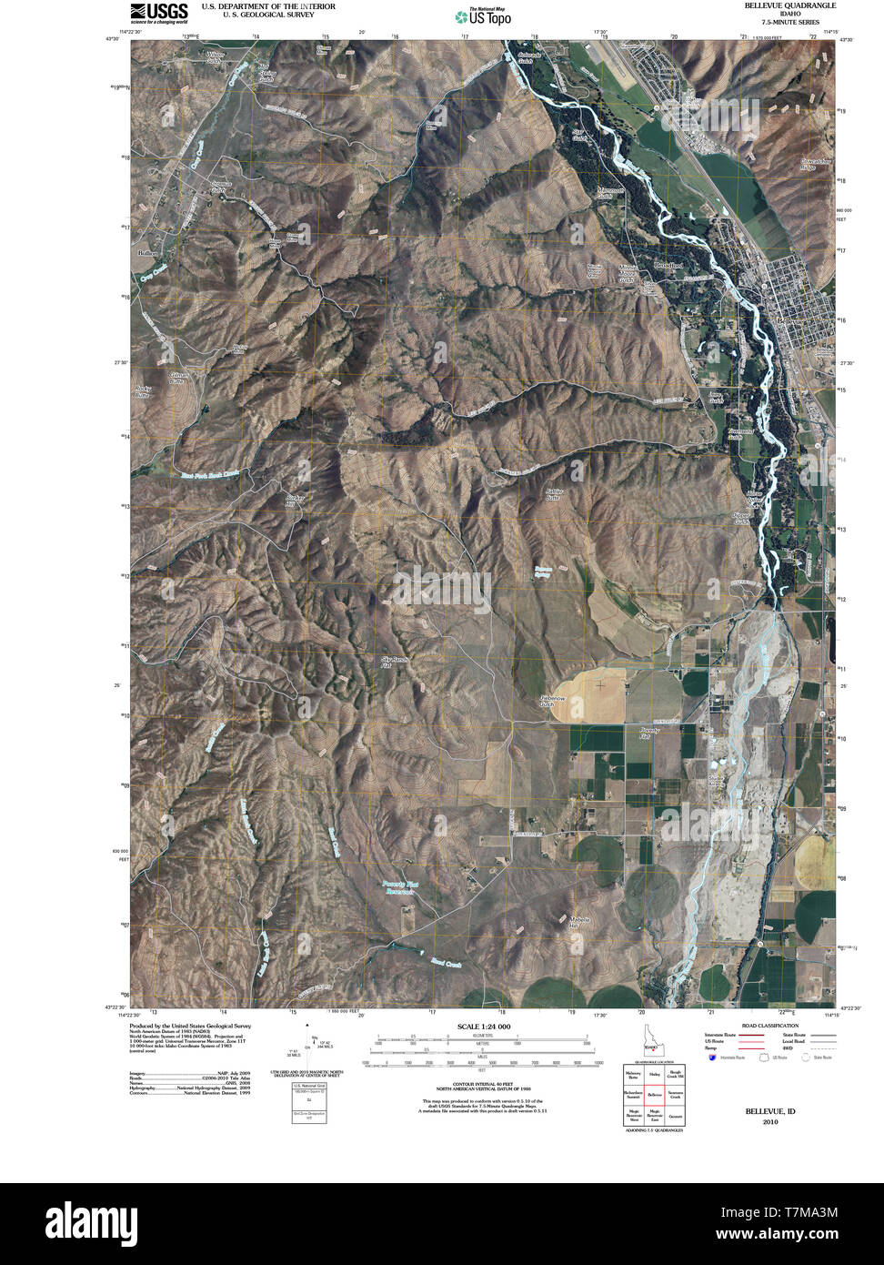 USGS TOPO Map Idaho ID Bellevue 20101115 TM Restoration Stock Photohttps://www.alamy.com/image-license-details/?v=1https://www.alamy.com/usgs-topo-map-idaho-id-bellevue-20101115-tm-restoration-image245694728.html
RMT7MA3M–USGS TOPO Map Idaho ID Bellevue 20101115 TM Restoration
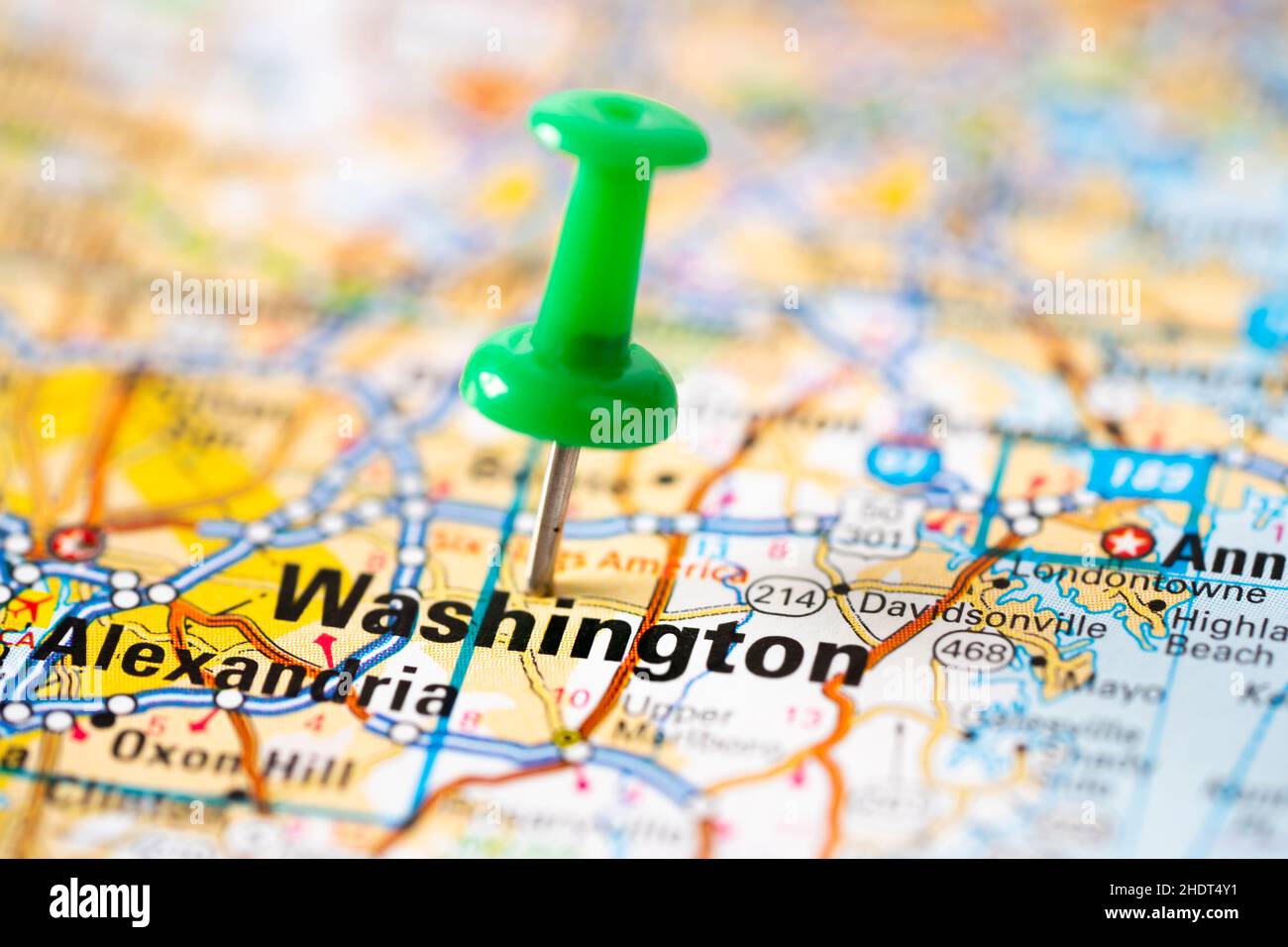 Bangkok, Thailand, June 1, 2021 Washington, road map with green pushpin, city in the United States of America USA. Stock Photohttps://www.alamy.com/image-license-details/?v=1https://www.alamy.com/bangkok-thailand-june-1-2021-washington-road-map-with-green-pushpin-city-in-the-united-states-of-america-usa-image455990837.html
RF2HDT4Y1–Bangkok, Thailand, June 1, 2021 Washington, road map with green pushpin, city in the United States of America USA.
 Bellevue circa 1900 Stock Photohttps://www.alamy.com/image-license-details/?v=1https://www.alamy.com/stock-photo-bellevue-circa-1900-139489267.html
RMJ2X7YF–Bellevue circa 1900
 View from Schaumberg / Tholey, Saarland / Germany Stock Photohttps://www.alamy.com/image-license-details/?v=1https://www.alamy.com/view-from-schaumberg-tholey-saarland-germany-image244872600.html
RMT6AWE0–View from Schaumberg / Tholey, Saarland / Germany
 FOUR WAYS or TAKING A TRIAL BALANCE BURROUGHS ADDING MACHINE CO. 89 Amsterdam Ave. Detroit Mich. U. S. A. Rubber Pump Valves PACKING -COMPANY Ltd. CHARTER CRUDE ASBESTOS ASBESTOS FIBRE PREPARED OFFICE ST. PAUL BUILDING R. N. MARTIN Bausch & Lomb=Zeiss STERE Field Glasses ff PAYS BIG To amuse the Public With NO EXPERIENCE NECESSARY furnish Complete Outfits with Big Advertising Posters etc; AMUSEMENT SUPPLY CO 467Chemical Bank BldiCHICAGO. OWN A FACTORY Pettyjohn Machine The Improved Stencil Cutting Machine American Diagraph Co. LIABLE. The BEST Motor-Buggy made. For full information and Stock Photohttps://www.alamy.com/image-license-details/?v=1https://www.alamy.com/four-ways-or-taking-a-trial-balance-burroughs-adding-machine-co-89-amsterdam-ave-detroit-mich-u-s-a-rubber-pump-valves-packing-company-ltd-charter-crude-asbestos-asbestos-fibre-prepared-office-st-paul-building-r-n-martin-bausch-lomb=zeiss-stere-field-glasses-ff-pays-big-to-amuse-the-public-with-no-experience-necessary-furnish-complete-outfits-with-big-advertising-posters-etc-amusement-supply-co-467chemical-bank-bldichicago-own-a-factory-pettyjohn-machine-the-improved-stencil-cutting-machine-american-diagraph-co-liable-the-best-motor-buggy-made-for-full-information-and-image334352563.html
RM2ABY22Y–FOUR WAYS or TAKING A TRIAL BALANCE BURROUGHS ADDING MACHINE CO. 89 Amsterdam Ave. Detroit Mich. U. S. A. Rubber Pump Valves PACKING -COMPANY Ltd. CHARTER CRUDE ASBESTOS ASBESTOS FIBRE PREPARED OFFICE ST. PAUL BUILDING R. N. MARTIN Bausch & Lomb=Zeiss STERE Field Glasses ff PAYS BIG To amuse the Public With NO EXPERIENCE NECESSARY furnish Complete Outfits with Big Advertising Posters etc; AMUSEMENT SUPPLY CO 467Chemical Bank BldiCHICAGO. OWN A FACTORY Pettyjohn Machine The Improved Stencil Cutting Machine American Diagraph Co. LIABLE. The BEST Motor-Buggy made. For full information and
 (King1893NYC) pg465 STURGIS SURGICAL PAVILION, BELLEVUE HOSPITAL, FOOT OF EAST 26th STREET Stock Photohttps://www.alamy.com/image-license-details/?v=1https://www.alamy.com/stock-photo-king1893nyc-pg465-sturgis-surgical-pavilion-bellevue-hospital-foot-76713687.html
RMECPH2F–(King1893NYC) pg465 STURGIS SURGICAL PAVILION, BELLEVUE HOSPITAL, FOOT OF EAST 26th STREET
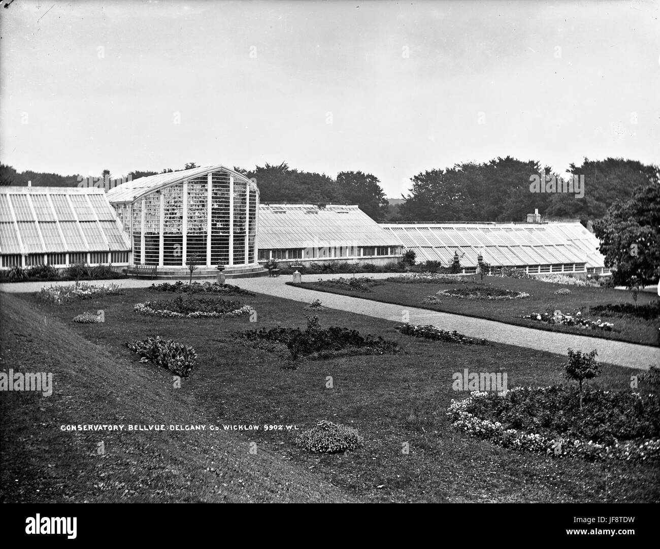 Bellevue Conservatory, Delgany, Co Wicklow 32051618584 o Stock Photohttps://www.alamy.com/image-license-details/?v=1https://www.alamy.com/stock-photo-bellevue-conservatory-delgany-co-wicklow-32051618584-o-147097605.html
RMJF8TDW–Bellevue Conservatory, Delgany, Co Wicklow 32051618584 o
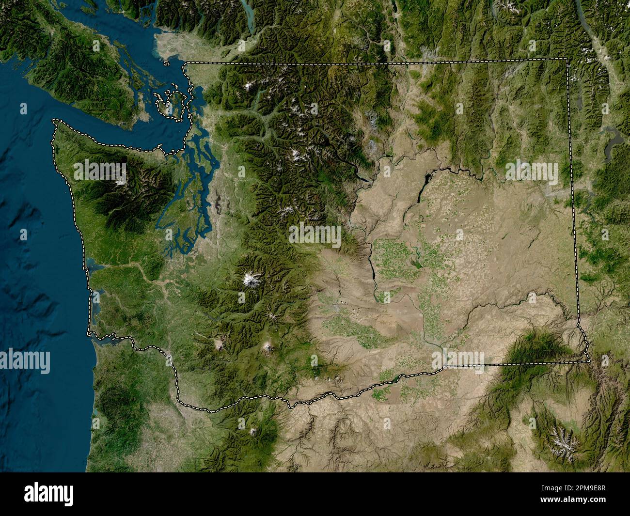 Washington, state of United States of America. Low resolution satellite map Stock Photohttps://www.alamy.com/image-license-details/?v=1https://www.alamy.com/washington-state-of-united-states-of-america-low-resolution-satellite-map-image546023319.html
RF2PM9E8R–Washington, state of United States of America. Low resolution satellite map
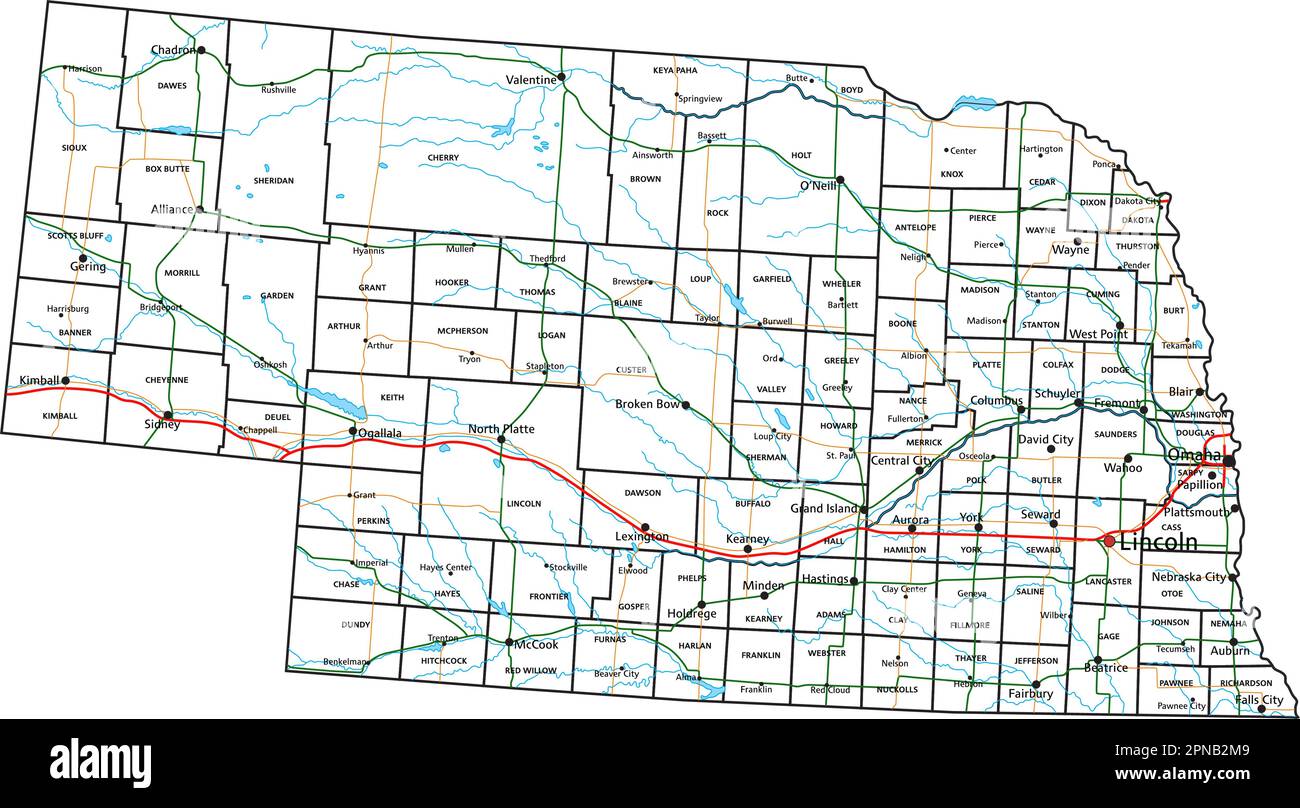 Nebraska road and highway map. Vector illustration. Stock Vectorhttps://www.alamy.com/image-license-details/?v=1https://www.alamy.com/nebraska-road-and-highway-map-vector-illustration-image546672793.html
RF2PNB2M9–Nebraska road and highway map. Vector illustration.
 Catalogue of fruit and ornamental trees, plants, vines grown at the Bellevue Nursery (1892) Stock Photohttps://www.alamy.com/image-license-details/?v=1https://www.alamy.com/stock-photo-catalogue-of-fruit-and-ornamental-trees-plants-vines-grown-at-the-101134569.html
RMFTF24W–Catalogue of fruit and ornamental trees, plants, vines grown at the Bellevue Nursery (1892)
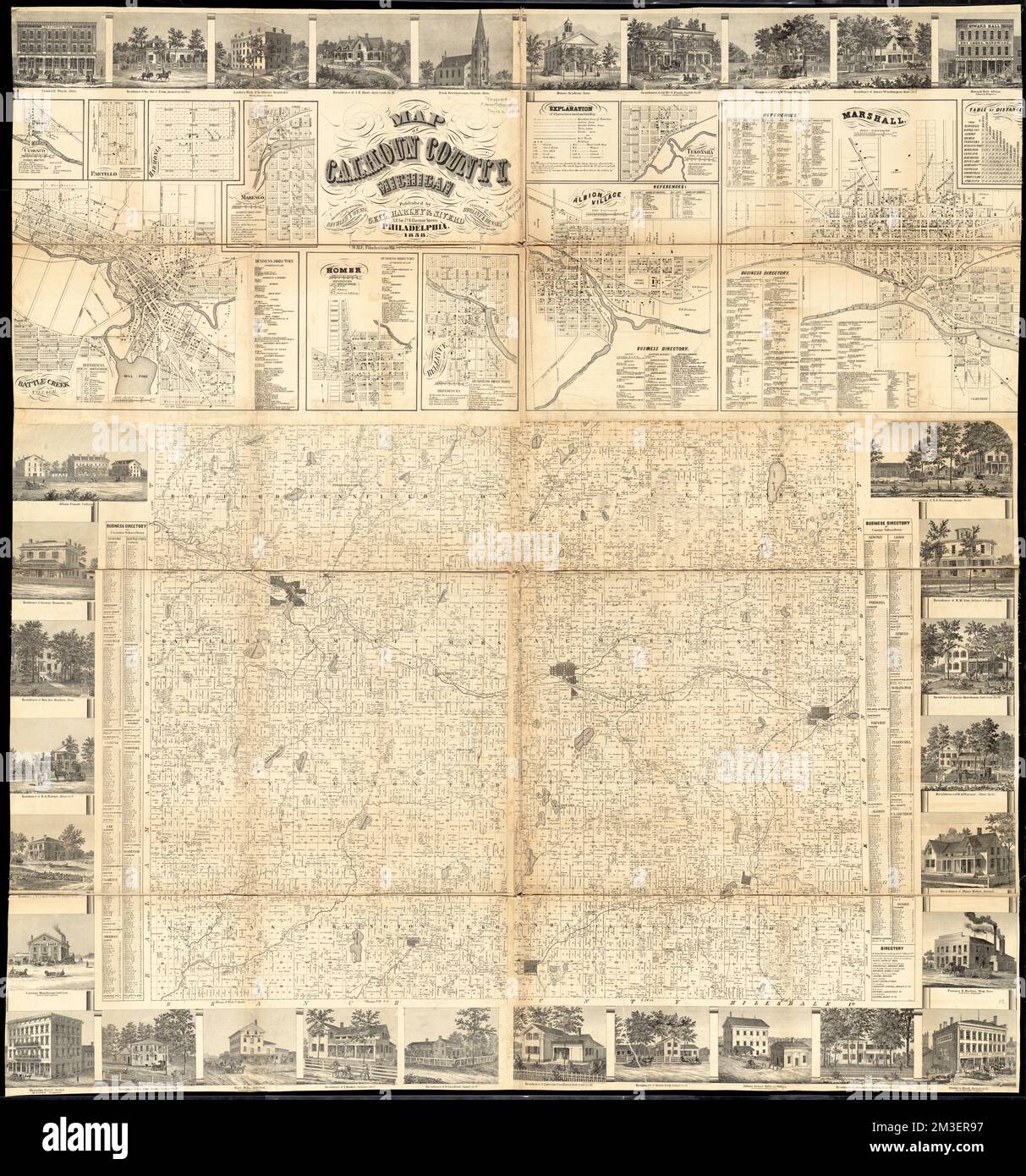 Map of Calhoun County, Michigan , Buildings, Michigan, Calhoun County, Pictorial works, Real property, Michigan, Calhoun County, Maps, Landowners, Michigan, Calhoun County, Maps, Calhoun County Mich., Maps, Albion Calhoun County, Mich., Maps, Battle Creek Mich., Maps, Bellevue Mich., Maps, Ceresco Mich., Maps, Harmonia Mich., Maps, Homer Mich., Maps, Marengo Mich., Maps, Marshall Mich., Maps, Partello Mich., Maps, Tekonsha Mich., Maps Norman B. Leventhal Map Center Collection Stock Photohttps://www.alamy.com/image-license-details/?v=1https://www.alamy.com/map-of-calhoun-county-michigan-buildings-michigan-calhoun-county-pictorial-works-real-property-michigan-calhoun-county-maps-landowners-michigan-calhoun-county-maps-calhoun-county-mich-maps-albion-calhoun-county-mich-maps-battle-creek-mich-maps-bellevue-mich-maps-ceresco-mich-maps-harmonia-mich-maps-homer-mich-maps-marengo-mich-maps-marshall-mich-maps-partello-mich-maps-tekonsha-mich-maps-norman-b-leventhal-map-center-collection-image501270259.html
RM2M3ER97–Map of Calhoun County, Michigan , Buildings, Michigan, Calhoun County, Pictorial works, Real property, Michigan, Calhoun County, Maps, Landowners, Michigan, Calhoun County, Maps, Calhoun County Mich., Maps, Albion Calhoun County, Mich., Maps, Battle Creek Mich., Maps, Bellevue Mich., Maps, Ceresco Mich., Maps, Harmonia Mich., Maps, Homer Mich., Maps, Marengo Mich., Maps, Marshall Mich., Maps, Partello Mich., Maps, Tekonsha Mich., Maps Norman B. Leventhal Map Center Collection
 . A New Map of the City of New York Comprising all the Late Improvements. English: A very obscure pocket map of New York City issued in 1831 by J. Langdon of 151 Fulton Street. Oriented to the west, Langdon's map covers New York from Forty Fifth street south to the Battery. This map divides and color codes the city according to wards, of which there are 14. All streets are noted as are piers, slips, parks, and important public buildings including Bellevue Hospital, the West Battery Castle, City Hall, the House of Refuge, the Alms House, and the Penitentiary. In terms of Parks, City Hall Park, Stock Photohttps://www.alamy.com/image-license-details/?v=1https://www.alamy.com/a-new-map-of-the-city-of-new-york-comprising-all-the-late-improvements-english-a-very-obscure-pocket-map-of-new-york-city-issued-in-1831-by-j-langdon-of-151-fulton-street-oriented-to-the-west-langdons-map-covers-new-york-from-forty-fifth-street-south-to-the-battery-this-map-divides-and-color-codes-the-city-according-to-wards-of-which-there-are-14-all-streets-are-noted-as-are-piers-slips-parks-and-important-public-buildings-including-bellevue-hospital-the-west-battery-castle-city-hall-the-house-of-refuge-the-alms-house-and-the-penitentiary-in-terms-of-parks-city-hall-park-image188152127.html
RMMX31XR–. A New Map of the City of New York Comprising all the Late Improvements. English: A very obscure pocket map of New York City issued in 1831 by J. Langdon of 151 Fulton Street. Oriented to the west, Langdon's map covers New York from Forty Fifth street south to the Battery. This map divides and color codes the city according to wards, of which there are 14. All streets are noted as are piers, slips, parks, and important public buildings including Bellevue Hospital, the West Battery Castle, City Hall, the House of Refuge, the Alms House, and the Penitentiary. In terms of Parks, City Hall Park,
 Frémont and '49 : the story of a remarkable career and its relation to the exploration and development of our western territory, especially of California . ; of the Great Rivers of the West in 1837First published in 1837 with Washington Irvings work. (See footnote page 24 and Map A, facing page 2 /-^^ ^m^^Smm CHAPTER V BACK HOME AND FORTH AGAIN The Episode of the Cross—Navigation under Difficulties—Rocks, Rapids,and Canyons of the Platte—Fort Laramie Again—A Bull-boat on aSandy River—The Village of the Grand Pawnees—Cowbells and Bellevue—A Boat for the Missouri — Down the River to St. Louis — Stock Photohttps://www.alamy.com/image-license-details/?v=1https://www.alamy.com/frmont-and-49-the-story-of-a-remarkable-career-and-its-relation-to-the-exploration-and-development-of-our-western-territory-especially-of-california-of-the-great-rivers-of-the-west-in-1837first-published-in-1837-with-washington-irvings-work-see-footnote-page-24-and-map-a-facing-page-2-msmm-chapter-v-back-home-and-forth-again-the-episode-of-the-crossnavigation-under-difficultiesrocks-rapidsand-canyons-of-the-plattefort-laramie-againa-bull-boat-on-asandy-riverthe-village-of-the-grand-pawneescowbells-and-bellevuea-boat-for-the-missouri-down-the-river-to-st-louis-image340201899.html
RM2ANDEYR–Frémont and '49 : the story of a remarkable career and its relation to the exploration and development of our western territory, especially of California . ; of the Great Rivers of the West in 1837First published in 1837 with Washington Irvings work. (See footnote page 24 and Map A, facing page 2 /-^^ ^m^^Smm CHAPTER V BACK HOME AND FORTH AGAIN The Episode of the Cross—Navigation under Difficulties—Rocks, Rapids,and Canyons of the Platte—Fort Laramie Again—A Bull-boat on aSandy River—The Village of the Grand Pawnees—Cowbells and Bellevue—A Boat for the Missouri — Down the River to St. Louis —
 Bellevue, DE, Germany, Mecklenburg-Vorpommern, N 53 15' 0'', N 11 26' 59'', map, Cartascapes Map published in 2024. Explore Cartascapes, a map revealing Earth's diverse landscapes, cultures, and ecosystems. Journey through time and space, discovering the interconnectedness of our planet's past, present, and future. Stock Photohttps://www.alamy.com/image-license-details/?v=1https://www.alamy.com/bellevue-de-germany-mecklenburg-vorpommern-n-53-15-0-n-11-26-59-map-cartascapes-map-published-in-2024-explore-cartascapes-a-map-revealing-earths-diverse-landscapes-cultures-and-ecosystems-journey-through-time-and-space-discovering-the-interconnectedness-of-our-planets-past-present-and-future-image629654089.html
RM2YGB661–Bellevue, DE, Germany, Mecklenburg-Vorpommern, N 53 15' 0'', N 11 26' 59'', map, Cartascapes Map published in 2024. Explore Cartascapes, a map revealing Earth's diverse landscapes, cultures, and ecosystems. Journey through time and space, discovering the interconnectedness of our planet's past, present, and future.