Quick filters:
Black map Stock Photos and Images
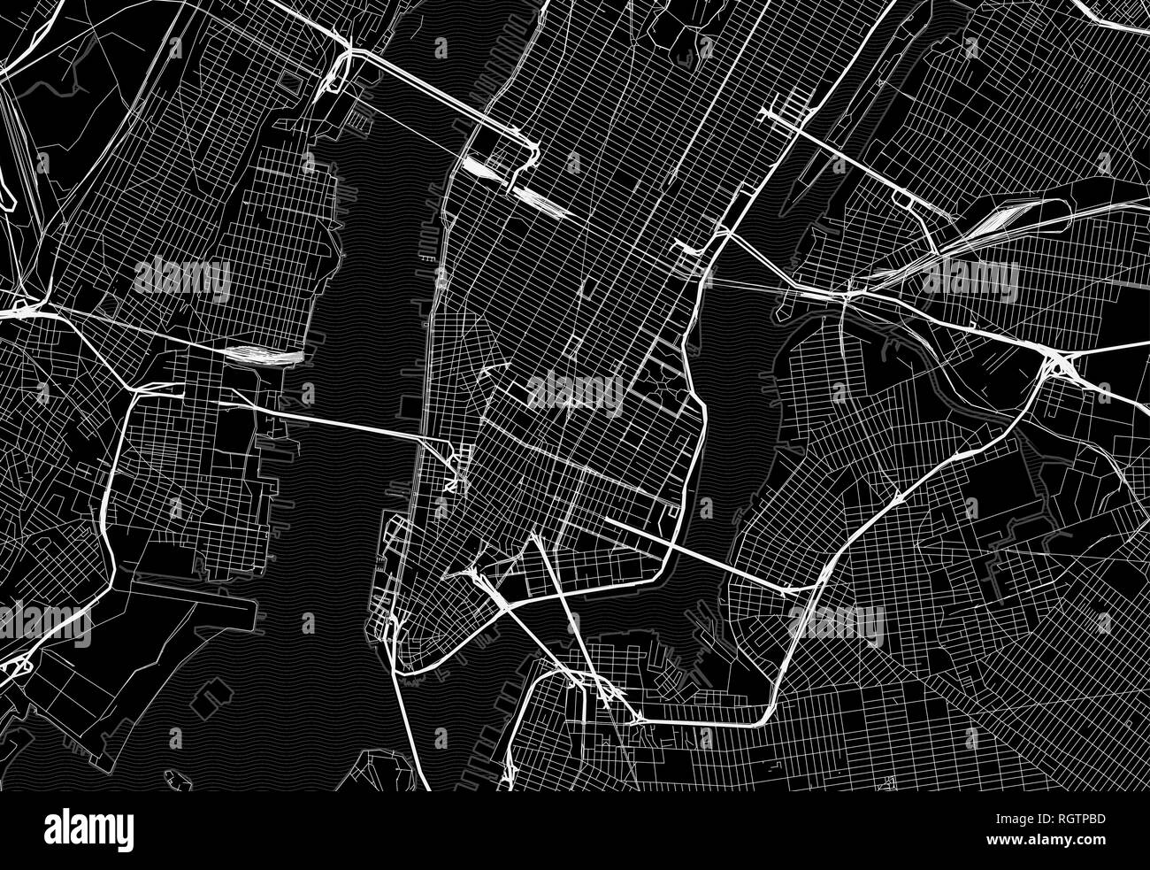 Black map of downtown New York City. This vector artmap is created as a decorative background or a unique travel sign. Stock Vectorhttps://www.alamy.com/image-license-details/?v=1https://www.alamy.com/black-map-of-downtown-new-york-city-this-vector-artmap-is-created-as-a-decorative-background-or-a-unique-travel-sign-image234113697.html
RFRGTPBD–Black map of downtown New York City. This vector artmap is created as a decorative background or a unique travel sign.
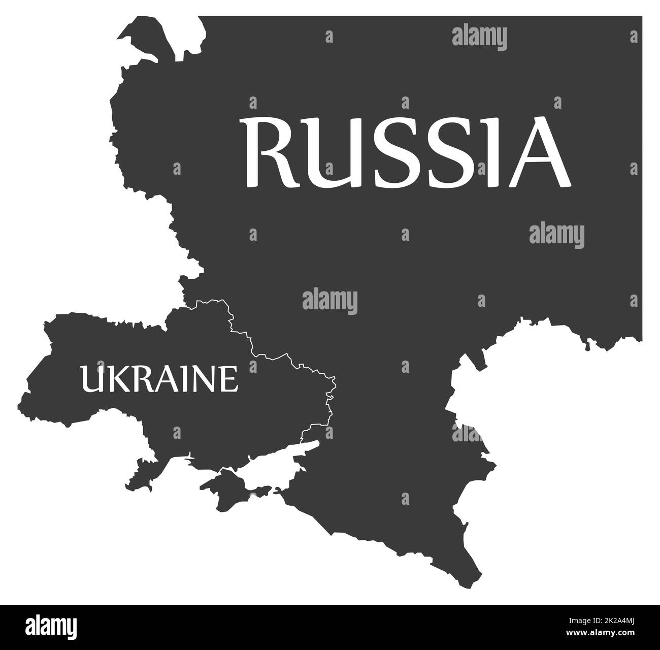 Ukraine and Russia black map with country labels Stock Photohttps://www.alamy.com/image-license-details/?v=1https://www.alamy.com/ukraine-and-russia-black-map-with-country-labels-image483342850.html
RF2K2A4MJ–Ukraine and Russia black map with country labels
 Utsunomiya map. Detailed black map of Utsunomiya city administrative area. Cityscape poster metropolitan aria view. Black land with white roads and av Stock Vectorhttps://www.alamy.com/image-license-details/?v=1https://www.alamy.com/utsunomiya-map-detailed-black-map-of-utsunomiya-city-administrative-area-cityscape-poster-metropolitan-aria-view-black-land-with-white-roads-and-av-image572274778.html
RF2T71A8X–Utsunomiya map. Detailed black map of Utsunomiya city administrative area. Cityscape poster metropolitan aria view. Black land with white roads and av
 Straight black map marker pattern Stock Photohttps://www.alamy.com/image-license-details/?v=1https://www.alamy.com/stock-photo-straight-black-map-marker-pattern-88730536.html
RFF4A0KM–Straight black map marker pattern
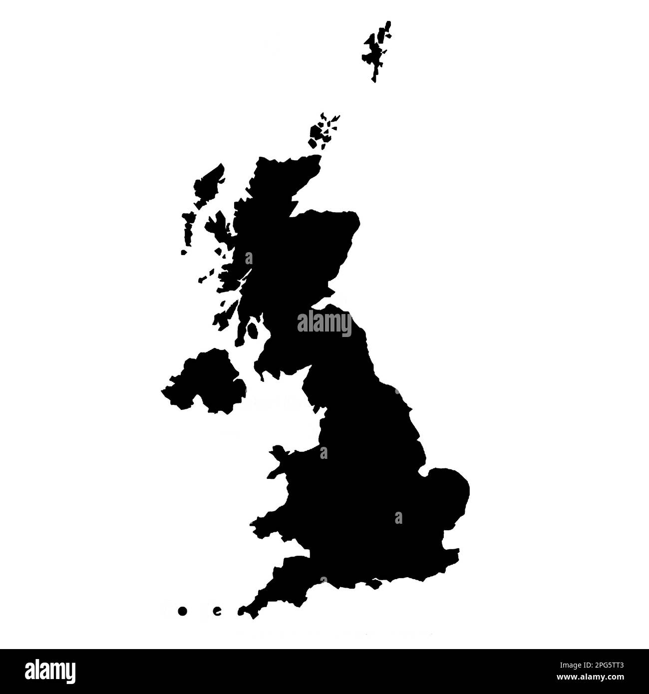 united kingdom black map white background Stock Photohttps://www.alamy.com/image-license-details/?v=1https://www.alamy.com/united-kingdom-black-map-white-background-image543485155.html
RF2PG5TT3–united kingdom black map white background
RF2Y10MNW–Location info pin Black, information Navigation, Location information map pin, Map point Black, Map pin , Information icon
 Australia Map black edition Stock Vectorhttps://www.alamy.com/image-license-details/?v=1https://www.alamy.com/stock-photo-australia-map-black-edition-125745520.html
RFH8G5KC–Australia Map black edition
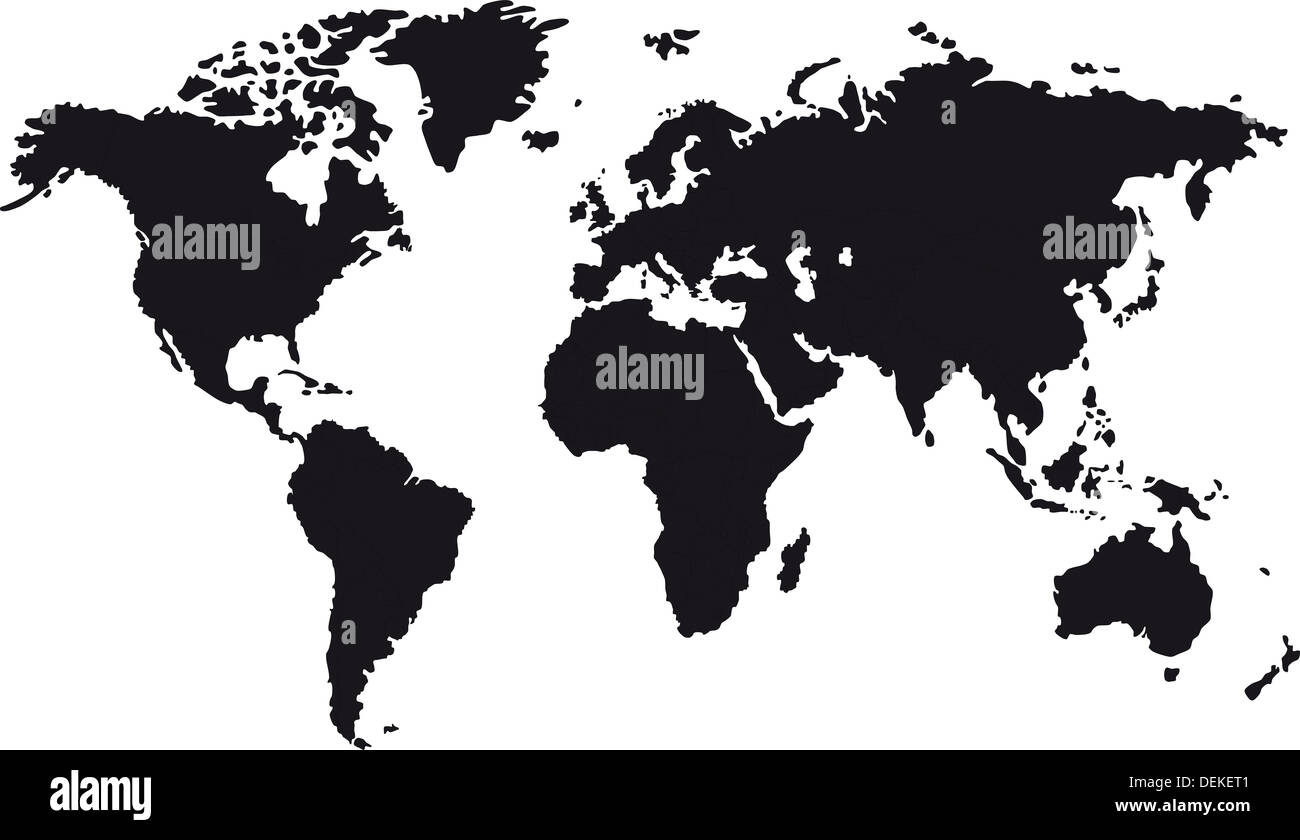 Black map of world Stock Photohttps://www.alamy.com/image-license-details/?v=1https://www.alamy.com/black-map-of-world-image60665025.html
RFDEKET1–Black map of world
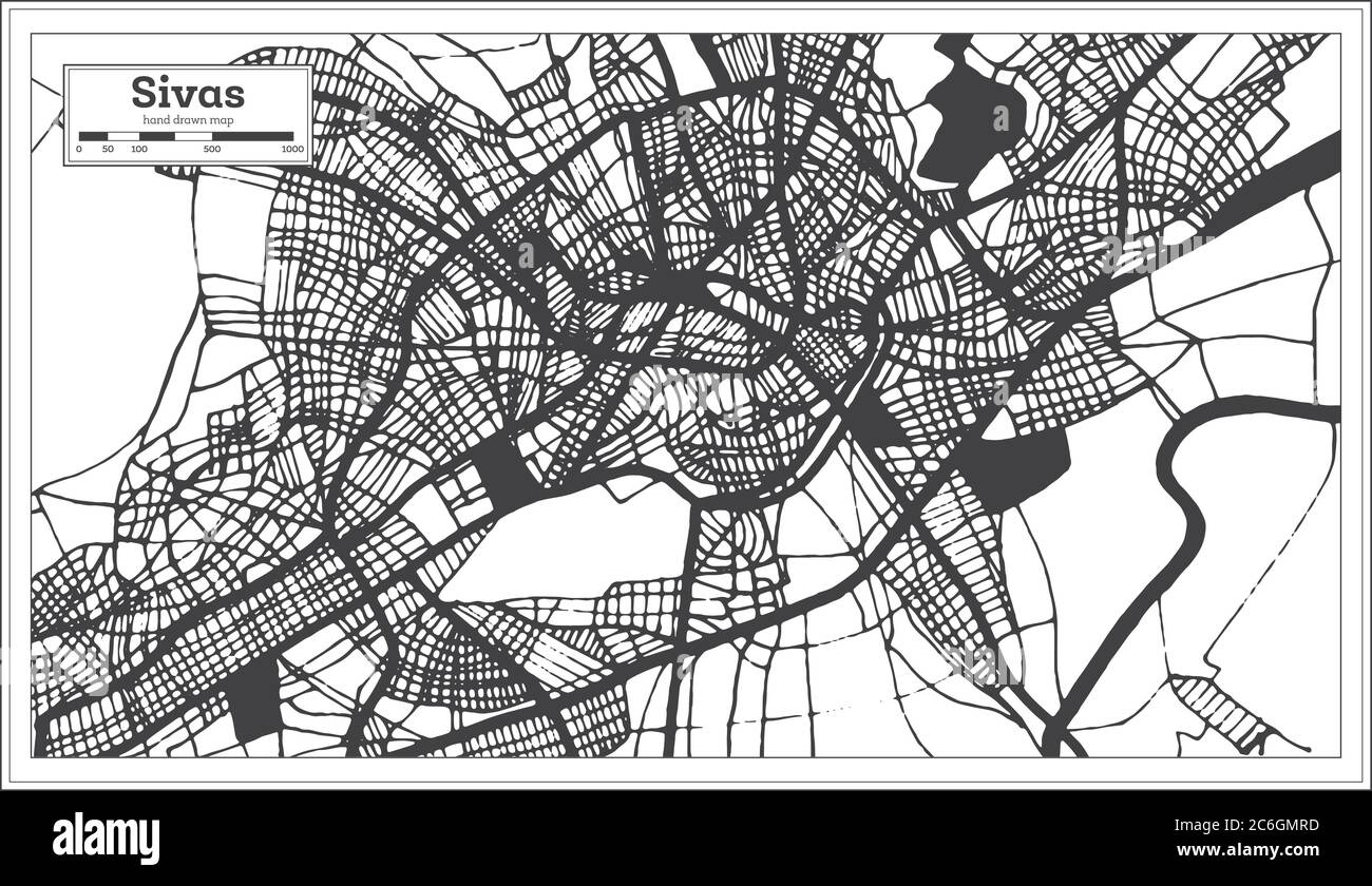 Sivas Turkey City Map in Black and White Color in Retro Style. Outline Map. Vector Illustration. Stock Vectorhttps://www.alamy.com/image-license-details/?v=1https://www.alamy.com/sivas-turkey-city-map-in-black-and-white-color-in-retro-style-outline-map-vector-illustration-image365473233.html
RF2C6GMRD–Sivas Turkey City Map in Black and White Color in Retro Style. Outline Map. Vector Illustration.
 Businessman in black suit pointing at global map on large digital monitor. Business executives team meeting in modern office with laptop computer, tablet, mobile phone and coffee on table. Stock Photohttps://www.alamy.com/image-license-details/?v=1https://www.alamy.com/businessman-in-black-suit-pointing-at-global-map-on-large-digital-monitor-business-executives-team-meeting-in-modern-office-with-laptop-computer-tablet-mobile-phone-and-coffee-on-table-image550537390.html
RF2PYK41J–Businessman in black suit pointing at global map on large digital monitor. Business executives team meeting in modern office with laptop computer, tablet, mobile phone and coffee on table.
 Map made of coffee Stock Photohttps://www.alamy.com/image-license-details/?v=1https://www.alamy.com/stock-photo-map-made-of-coffee-116053112.html
RFGMPJX0–Map made of coffee
 Black map on the gray wood wall Stock Photohttps://www.alamy.com/image-license-details/?v=1https://www.alamy.com/stock-photo-black-map-on-the-gray-wood-wall-89827232.html
RFF63YFC–Black map on the gray wood wall
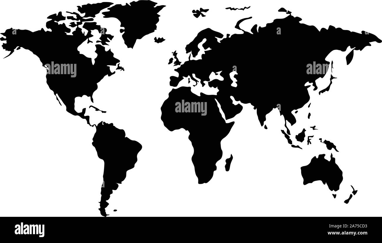 black world map Stock Vectorhttps://www.alamy.com/image-license-details/?v=1https://www.alamy.com/black-world-map-image331419119.html
RF2A75CD3–black world map
 Newfoundland and Labrador Canada Map Black Silhouette. NL, Canadian Province Shape Geography Atlas Border Boundary. Black Map Isolated on a White Back Stock Vectorhttps://www.alamy.com/image-license-details/?v=1https://www.alamy.com/newfoundland-and-labrador-canada-map-black-silhouette-nl-canadian-province-shape-geography-atlas-border-boundary-black-map-isolated-on-a-white-back-image438056398.html
RF2GCK5BA–Newfoundland and Labrador Canada Map Black Silhouette. NL, Canadian Province Shape Geography Atlas Border Boundary. Black Map Isolated on a White Back
 Symbol Map of the Bundesland Bremen (Germany) showing the Bundesland with a pattern of randomly distributed black circles of different sizes Stock Vectorhttps://www.alamy.com/image-license-details/?v=1https://www.alamy.com/symbol-map-of-the-bundesland-bremen-germany-showing-the-bundesland-with-a-pattern-of-randomly-distributed-black-circles-of-different-sizes-image621680623.html
RF2Y3BYYB–Symbol Map of the Bundesland Bremen (Germany) showing the Bundesland with a pattern of randomly distributed black circles of different sizes
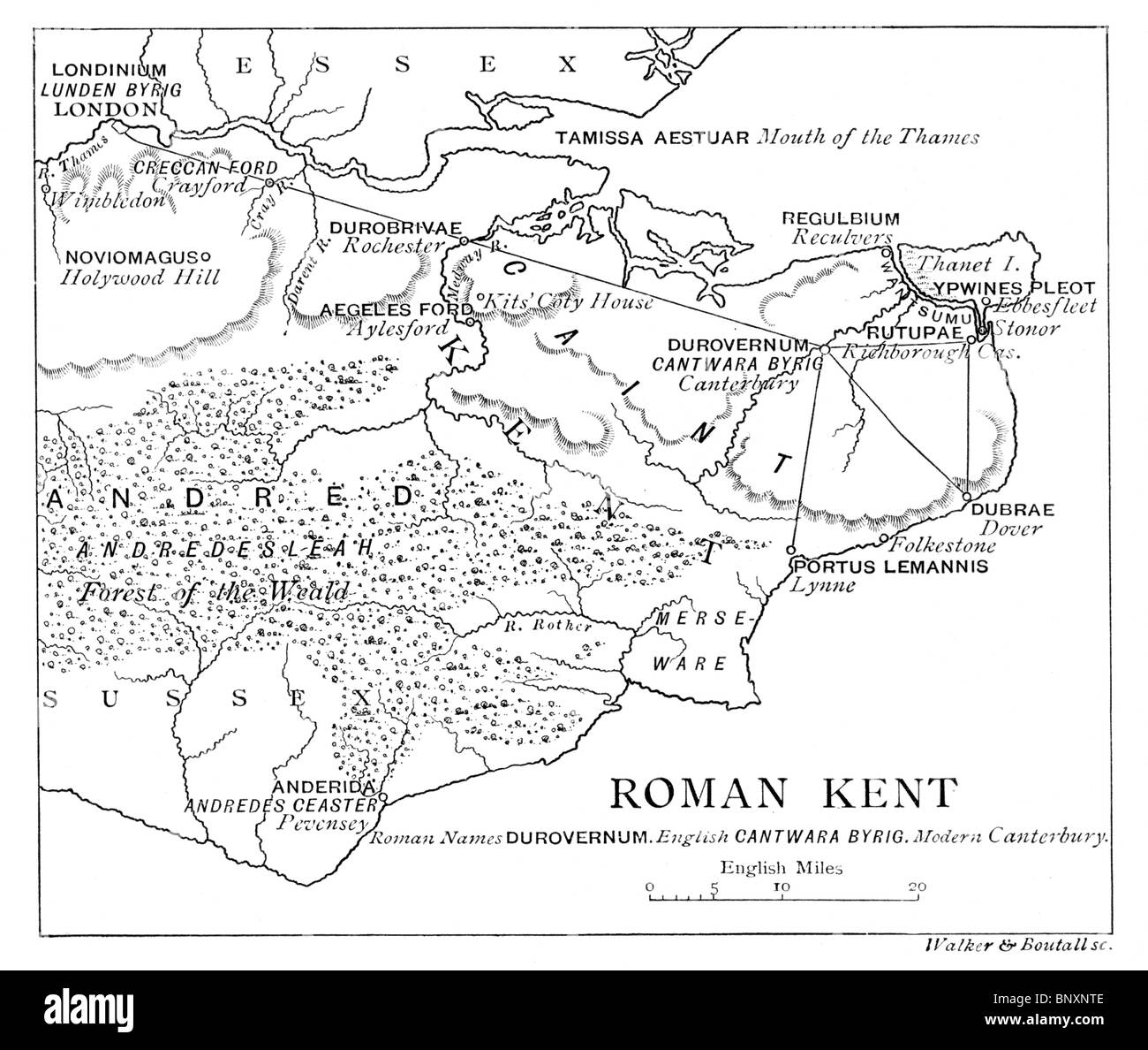 Map of Roman Kent; Black and White Illustration Stock Photohttps://www.alamy.com/image-license-details/?v=1https://www.alamy.com/stock-photo-map-of-roman-kent-black-and-white-illustration-30706046.html
RMBNXNTE–Map of Roman Kent; Black and White Illustration
 Outline map of Africa continent in black isolated on white background Stock Photohttps://www.alamy.com/image-license-details/?v=1https://www.alamy.com/stock-photo-outline-map-of-africa-continent-in-black-isolated-on-white-background-21708200.html
RMB78W0T–Outline map of Africa continent in black isolated on white background
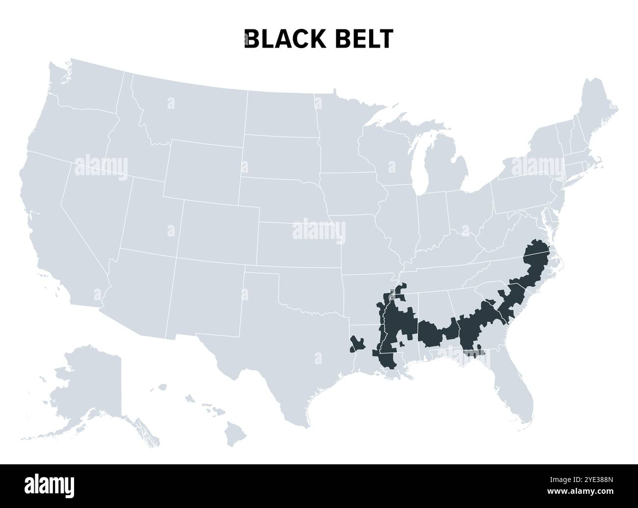 Black Belt in the American South, political map. Area so called because of the high proportion of African Americans. Stock Photohttps://www.alamy.com/image-license-details/?v=1https://www.alamy.com/black-belt-in-the-american-south-political-map-area-so-called-because-of-the-high-proportion-of-african-americans-image628250805.html
RF2YE388N–Black Belt in the American South, political map. Area so called because of the high proportion of African Americans.
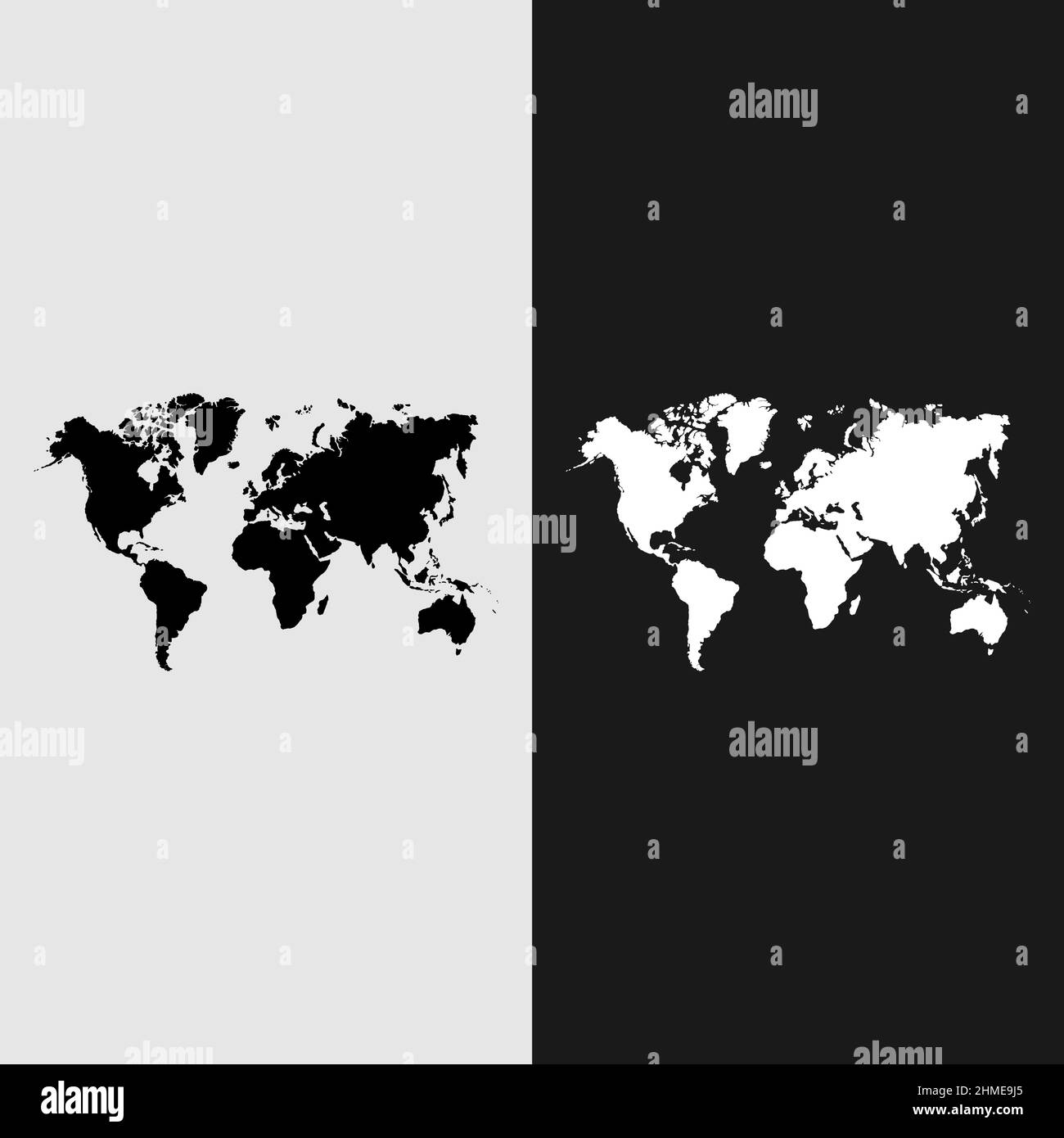 Black silhouette of the political map of the world on a transparent background. Vector illustration. Stock Vectorhttps://www.alamy.com/image-license-details/?v=1https://www.alamy.com/black-silhouette-of-the-political-map-of-the-world-on-a-transparent-background-vector-illustration-image460077581.html
RF2HME9J5–Black silhouette of the political map of the world on a transparent background. Vector illustration.
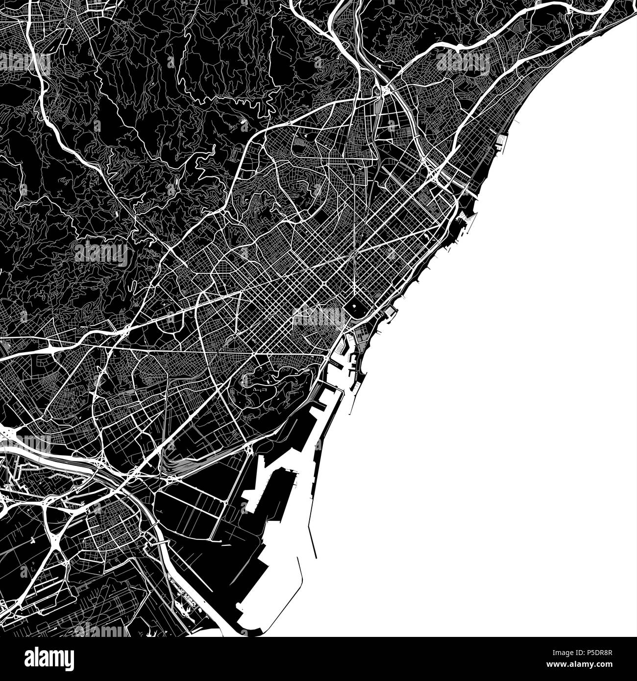 Area map of Barcelona, Spain. Dark background version for infographic and marketing projects. This map of Barcelona contains typical landmarks with st Stock Photohttps://www.alamy.com/image-license-details/?v=1https://www.alamy.com/area-map-of-barcelona-spain-dark-background-version-for-infographic-and-marketing-projects-this-map-of-barcelona-contains-typical-landmarks-with-st-image209901351.html
RFP5DR8R–Area map of Barcelona, Spain. Dark background version for infographic and marketing projects. This map of Barcelona contains typical landmarks with st
 Couple of attractive black tourists in their thirties navigate San Francisco's curviest street with an old paper map and moxie. Stock Photohttps://www.alamy.com/image-license-details/?v=1https://www.alamy.com/couple-of-attractive-black-tourists-in-their-thirties-navigate-san-image62467832.html
RMDHHJA0–Couple of attractive black tourists in their thirties navigate San Francisco's curviest street with an old paper map and moxie.
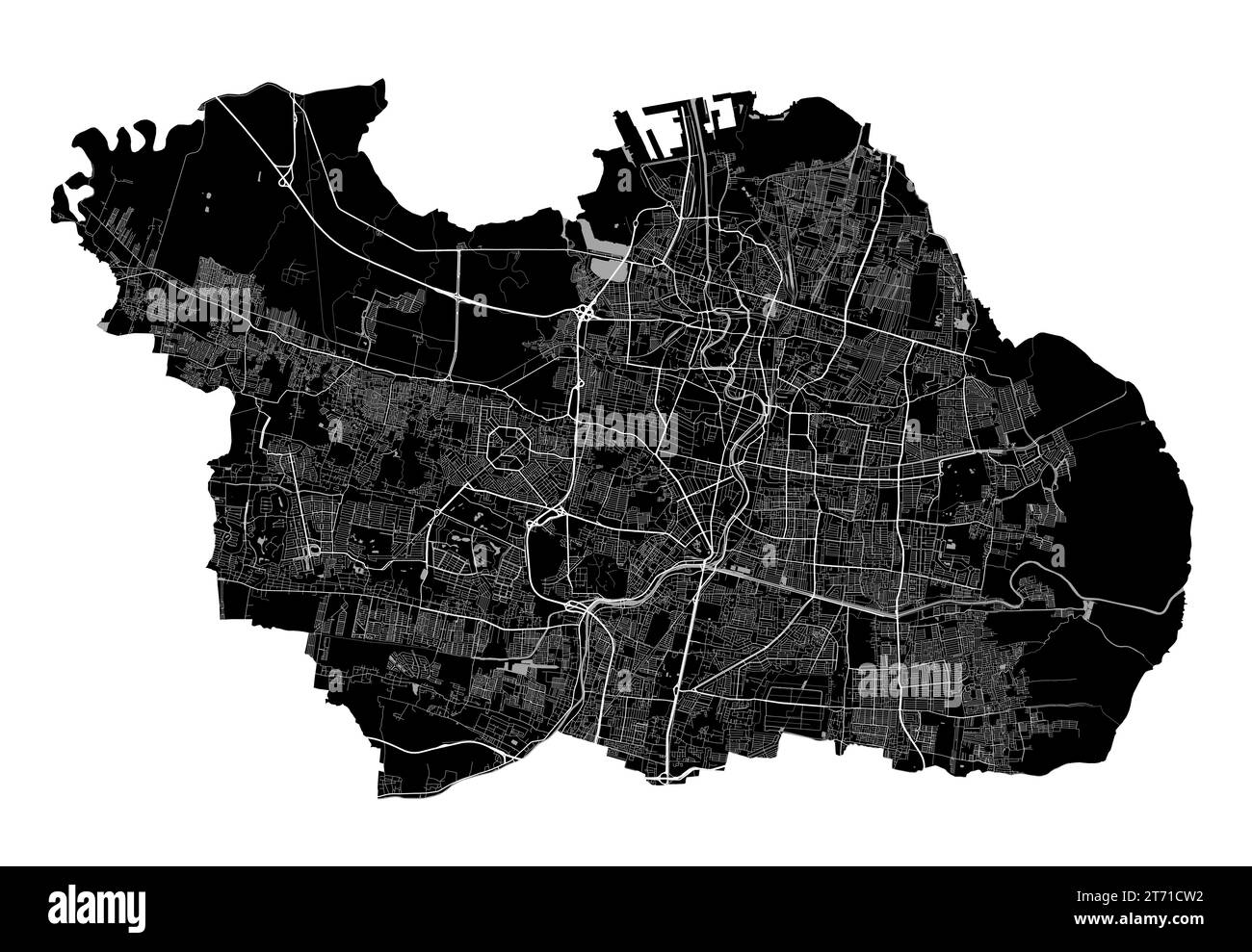 Surabaya map. Detailed black map of Surabaya city administrative area. Cityscape poster metropolitan aria view. Black land with white roads and avenue Stock Vectorhttps://www.alamy.com/image-license-details/?v=1https://www.alamy.com/surabaya-map-detailed-black-map-of-surabaya-city-administrative-area-cityscape-poster-metropolitan-aria-view-black-land-with-white-roads-and-avenue-image572276798.html
RF2T71CW2–Surabaya map. Detailed black map of Surabaya city administrative area. Cityscape poster metropolitan aria view. Black land with white roads and avenue
 Black map of China isolated on white background. Chinese map. Geographical silhouette of map Stock Photohttps://www.alamy.com/image-license-details/?v=1https://www.alamy.com/black-map-of-china-isolated-on-white-background-chinese-map-geographical-silhouette-of-map-image363103862.html
RM2C2MPK2–Black map of China isolated on white background. Chinese map. Geographical silhouette of map
 black map california white background Stock Photohttps://www.alamy.com/image-license-details/?v=1https://www.alamy.com/black-map-california-white-background-image543485049.html
RF2PG5TM9–black map california white background
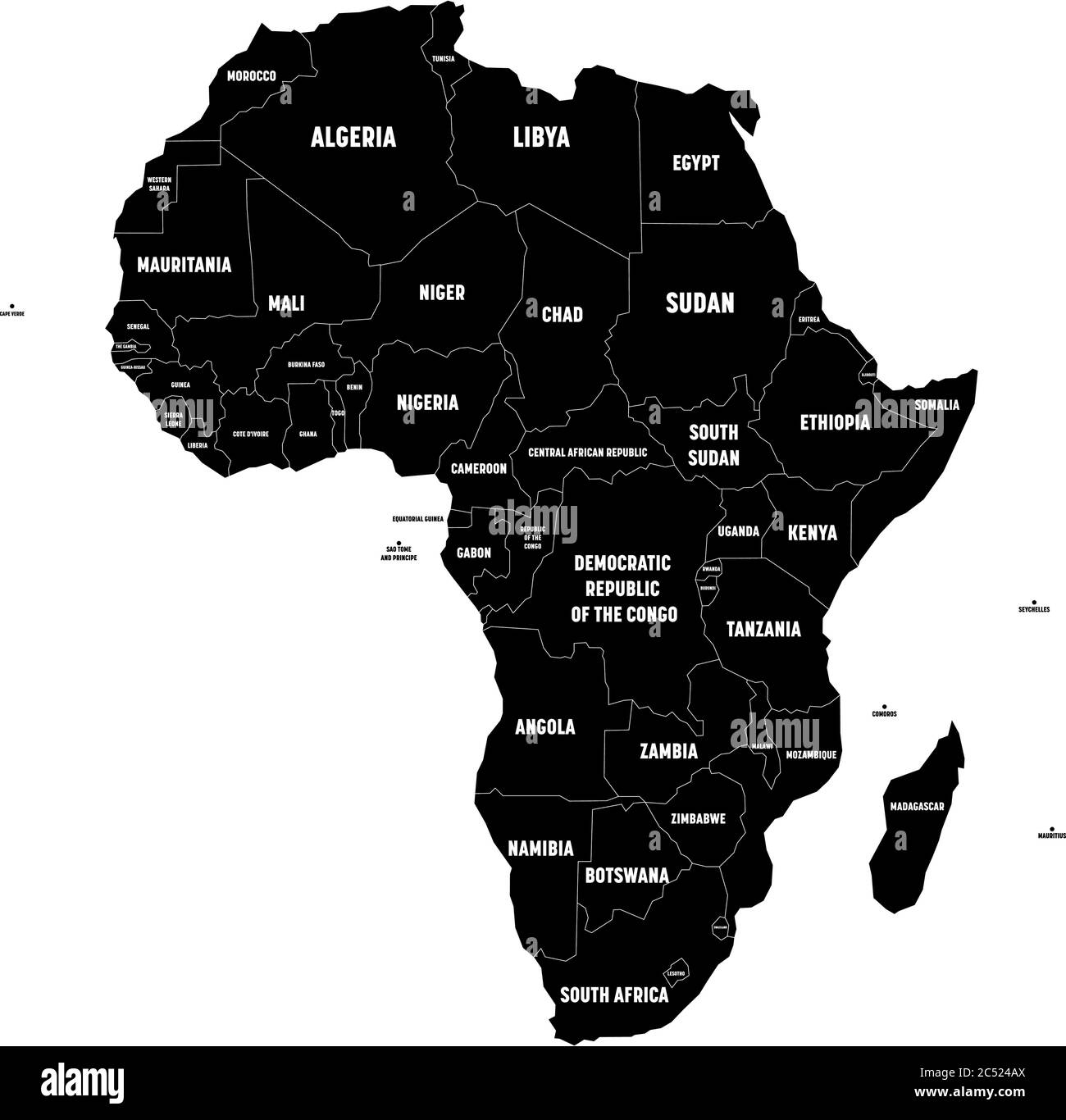 Black map of Africa continent with national borders and country name labels on white background. Vector illustration. Stock Vectorhttps://www.alamy.com/image-license-details/?v=1https://www.alamy.com/black-map-of-africa-continent-with-national-borders-and-country-name-labels-on-white-background-vector-illustration-image364538354.html
RF2C524AX–Black map of Africa continent with national borders and country name labels on white background. Vector illustration.
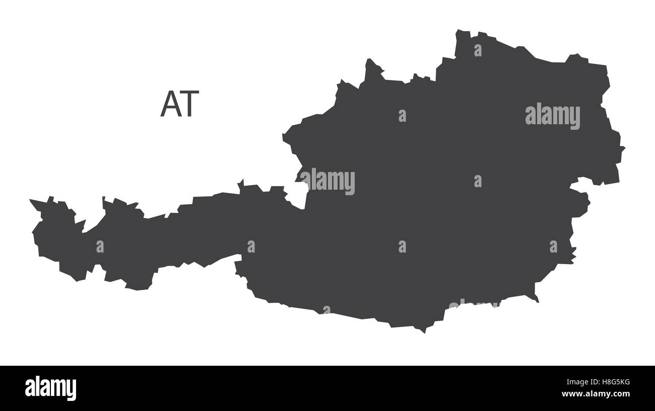 Austria Map black edition Stock Vectorhttps://www.alamy.com/image-license-details/?v=1https://www.alamy.com/stock-photo-austria-map-black-edition-125745524.html
RFH8G5KG–Austria Map black edition
RFHNWBWA–Map pointer icon - vector metal app button with shadow
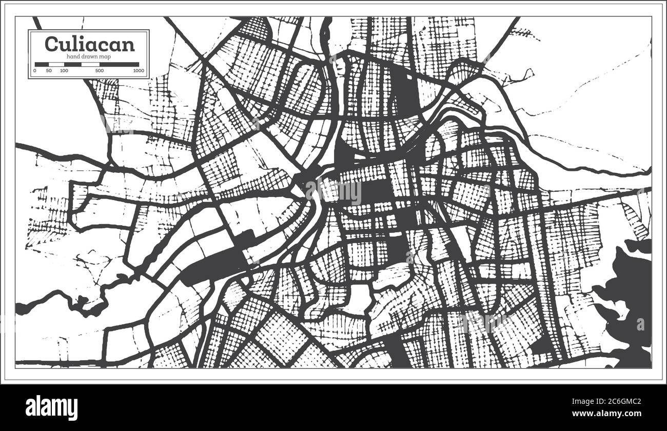 Culiacan Mexico City Map in Black and White Color in Retro Style. Outline Map. Vector Illustration. Stock Vectorhttps://www.alamy.com/image-license-details/?v=1https://www.alamy.com/culiacan-mexico-city-map-in-black-and-white-color-in-retro-style-outline-map-vector-illustration-image365472914.html
RF2C6GMC2–Culiacan Mexico City Map in Black and White Color in Retro Style. Outline Map. Vector Illustration.
RF2GP1DY5–Map With Delivery Food Bag Icon
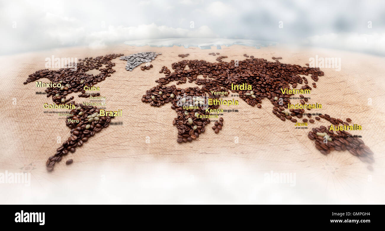 Map made of coffee Stock Photohttps://www.alamy.com/image-license-details/?v=1https://www.alamy.com/stock-photo-map-made-of-coffee-116051296.html
RFGMPGH4–Map made of coffee
 Black map on the gray wood wall Stock Photohttps://www.alamy.com/image-license-details/?v=1https://www.alamy.com/stock-photo-black-map-on-the-gray-wood-wall-89827242.html
RFF63YFP–Black map on the gray wood wall
RF2RWTF7M–Vector isolated simplified illustration icon with black silhouette of North Ireland map. White background
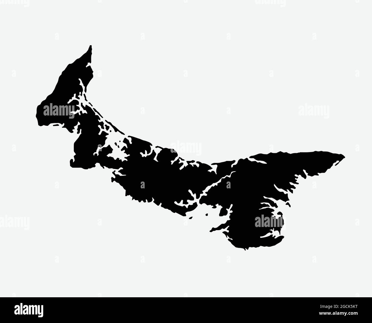 Prince Edward Island Canada Map Black Silhouette. PEI, Canadian Province Shape Geography Atlas Border Boundary. Black Map Isolated on White Background Stock Vectorhttps://www.alamy.com/image-license-details/?v=1https://www.alamy.com/prince-edward-island-canada-map-black-silhouette-pei-canadian-province-shape-geography-atlas-border-boundary-black-map-isolated-on-white-background-image438056636.html
RF2GCK5KT–Prince Edward Island Canada Map Black Silhouette. PEI, Canadian Province Shape Geography Atlas Border Boundary. Black Map Isolated on White Background
 Symbol Map of the Bundesland Bayern (Germany) showing the Bundesland with a pattern of randomly distributed black circles of different sizes Stock Vectorhttps://www.alamy.com/image-license-details/?v=1https://www.alamy.com/symbol-map-of-the-bundesland-bayern-germany-showing-the-bundesland-with-a-pattern-of-randomly-distributed-black-circles-of-different-sizes-image621680986.html
RF2Y3C0CA–Symbol Map of the Bundesland Bayern (Germany) showing the Bundesland with a pattern of randomly distributed black circles of different sizes
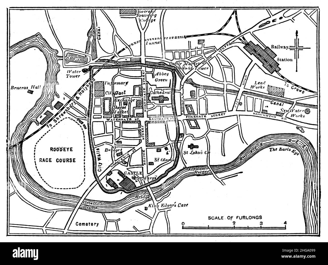 Black and White Illustration; Map of the City of Chester Circa 1880 Stock Photohttps://www.alamy.com/image-license-details/?v=1https://www.alamy.com/black-and-white-illustration-map-of-the-city-of-chester-circa-1880-image457523845.html
RM2HGA099–Black and White Illustration; Map of the City of Chester Circa 1880
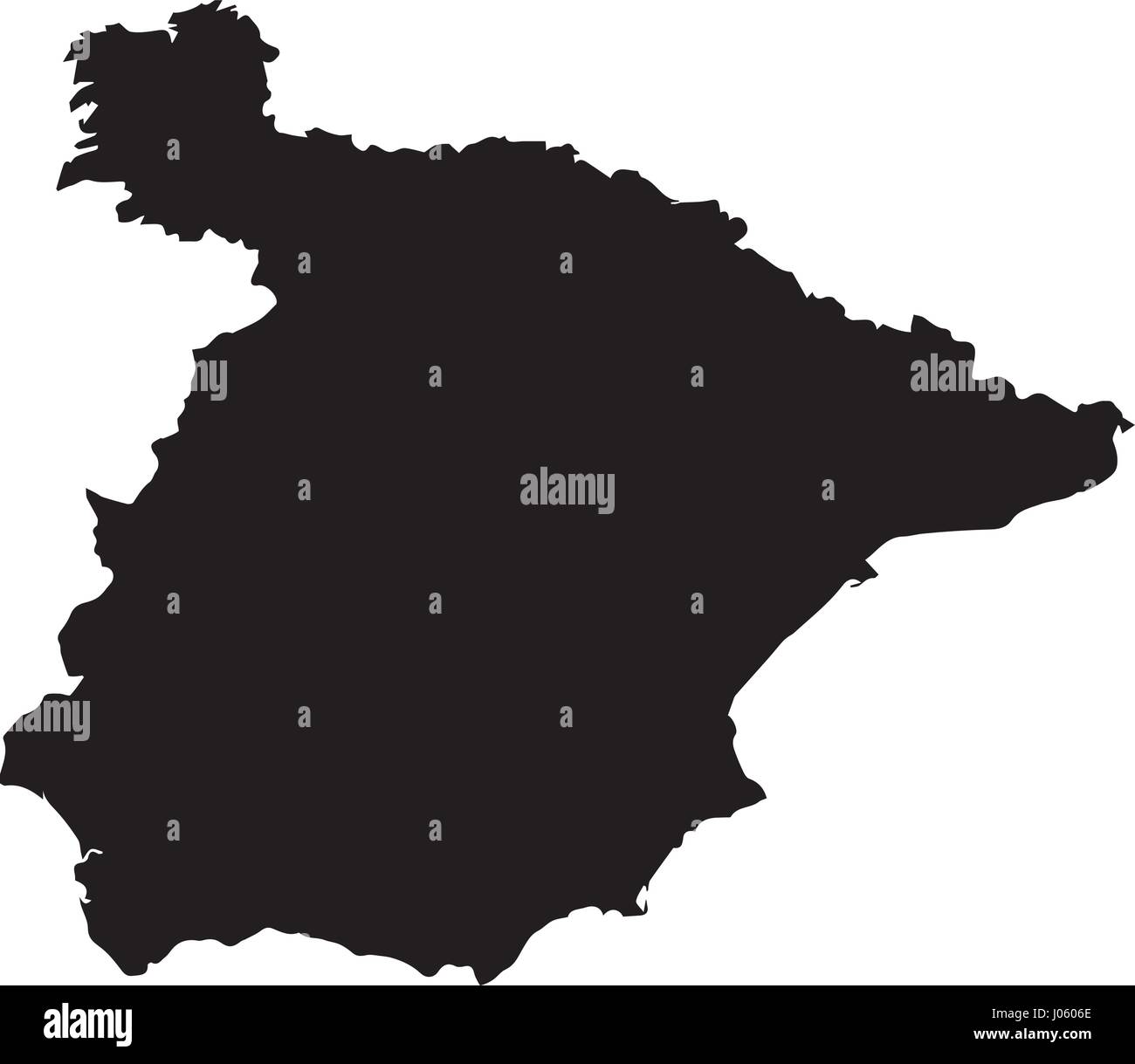 Black map of Spain for your design, concept Illustration. Stock Vectorhttps://www.alamy.com/image-license-details/?v=1https://www.alamy.com/stock-photo-black-map-of-spain-for-your-design-concept-illustration-137814838.html
RFJ0606E–Black map of Spain for your design, concept Illustration.
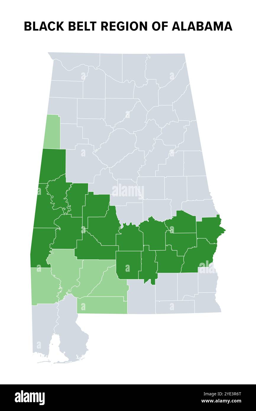 Black Belt region of U.S. state of Alabama, political map. Green highlighted are counties where African Americans comprise population majority. Stock Photohttps://www.alamy.com/image-license-details/?v=1https://www.alamy.com/black-belt-region-of-us-state-of-alabama-political-map-green-highlighted-are-counties-where-african-americans-comprise-population-majority-image628262512.html
RF2YE3R6T–Black Belt region of U.S. state of Alabama, political map. Green highlighted are counties where African Americans comprise population majority.
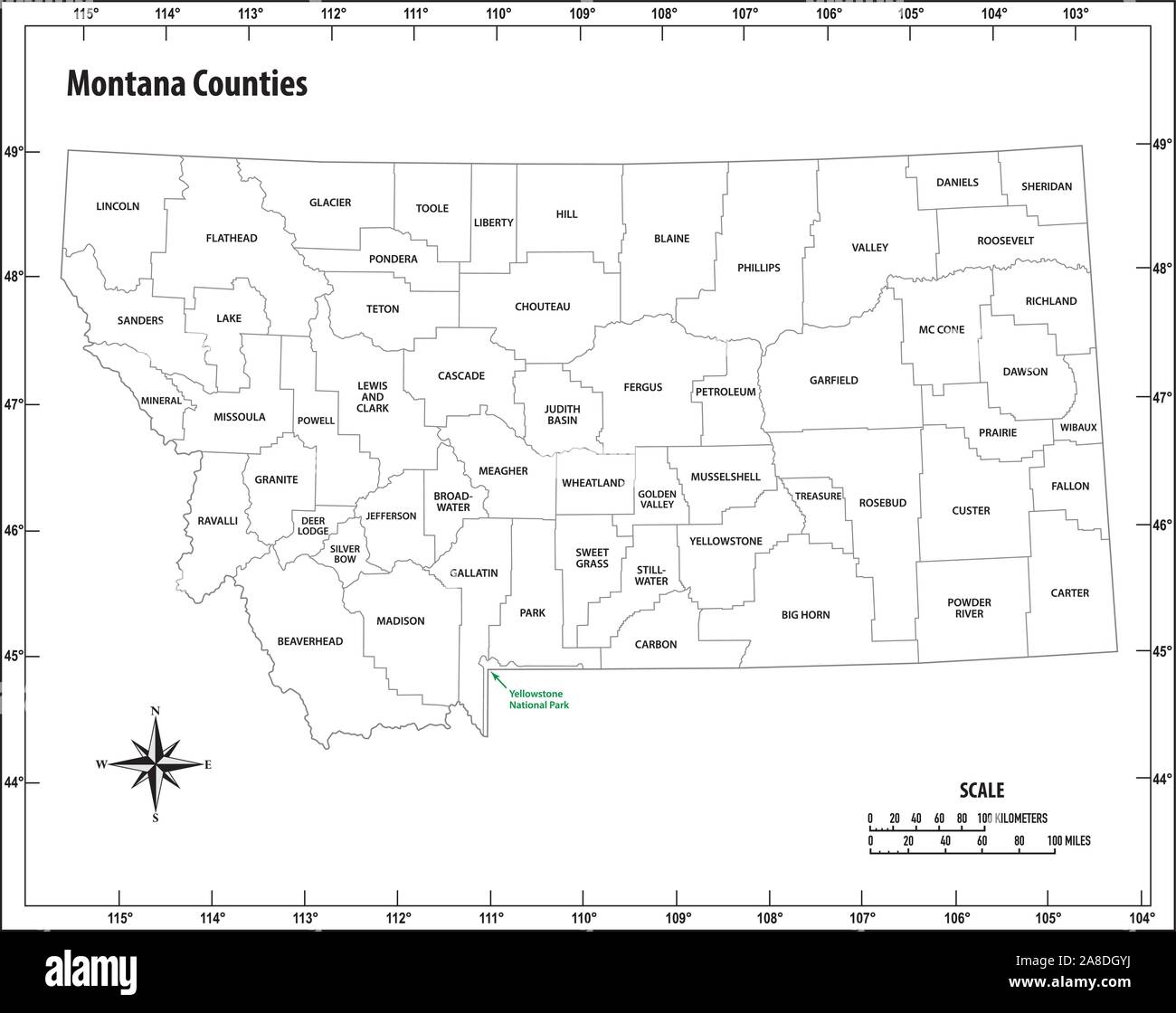 montana state outline administrative and political map in black and white Stock Vectorhttps://www.alamy.com/image-license-details/?v=1https://www.alamy.com/montana-state-outline-administrative-and-political-map-in-black-and-white-image332212934.html
RF2A8DGYJ–montana state outline administrative and political map in black and white
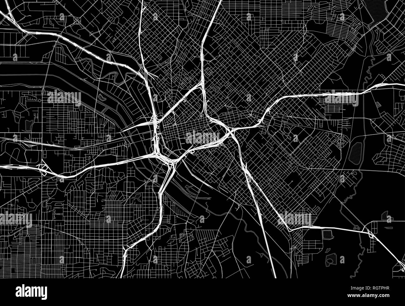 Black map of downtown Dallas, U.S.A. This vector artmap is created as a decorative background or a unique travel sign. Stock Vectorhttps://www.alamy.com/image-license-details/?v=1https://www.alamy.com/black-map-of-downtown-dallas-usa-this-vector-artmap-is-created-as-a-decorative-background-or-a-unique-travel-sign-image234113875.html
RFRGTPHR–Black map of downtown Dallas, U.S.A. This vector artmap is created as a decorative background or a unique travel sign.
 Conceptual shot of blue world map of binary digits glowing over black background Stock Photohttps://www.alamy.com/image-license-details/?v=1https://www.alamy.com/stock-photo-conceptual-shot-of-blue-world-map-of-binary-digits-glowing-over-black-53678611.html
RFD397H7–Conceptual shot of blue world map of binary digits glowing over black background
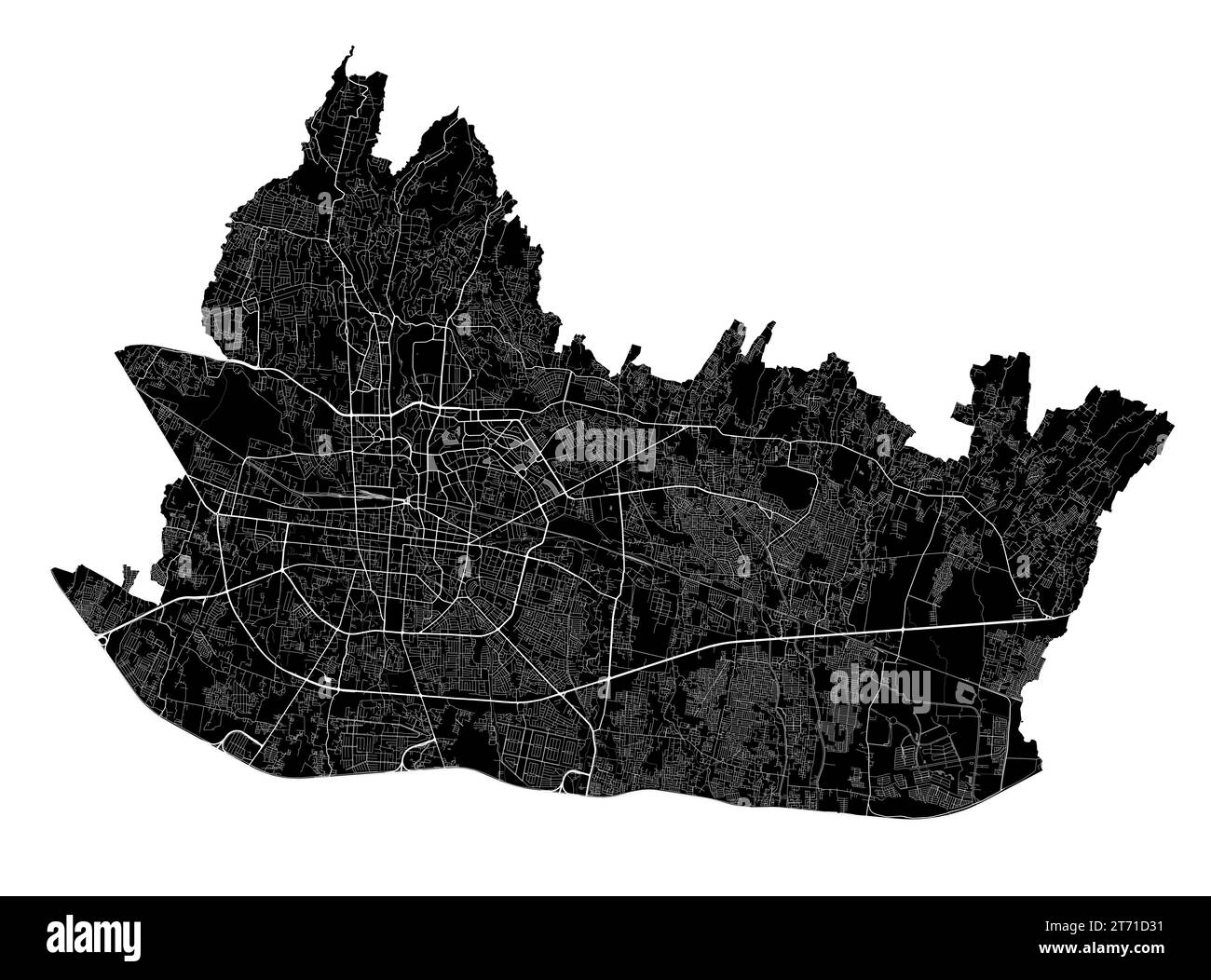 Bandung map. Detailed black map of Bandung city administrative area. Cityscape poster metropolitan aria view. Black land with white roads and avenues. Stock Vectorhttps://www.alamy.com/image-license-details/?v=1https://www.alamy.com/bandung-map-detailed-black-map-of-bandung-city-administrative-area-cityscape-poster-metropolitan-aria-view-black-land-with-white-roads-and-avenues-image572276965.html
RF2T71D31–Bandung map. Detailed black map of Bandung city administrative area. Cityscape poster metropolitan aria view. Black land with white roads and avenues.
 Black map of China and red flag isolated on white background. Chinese map and flag Stock Photohttps://www.alamy.com/image-license-details/?v=1https://www.alamy.com/black-map-of-china-and-red-flag-isolated-on-white-background-chinese-map-and-flag-image363104008.html
RM2C2MPT8–Black map of China and red flag isolated on white background. Chinese map and flag
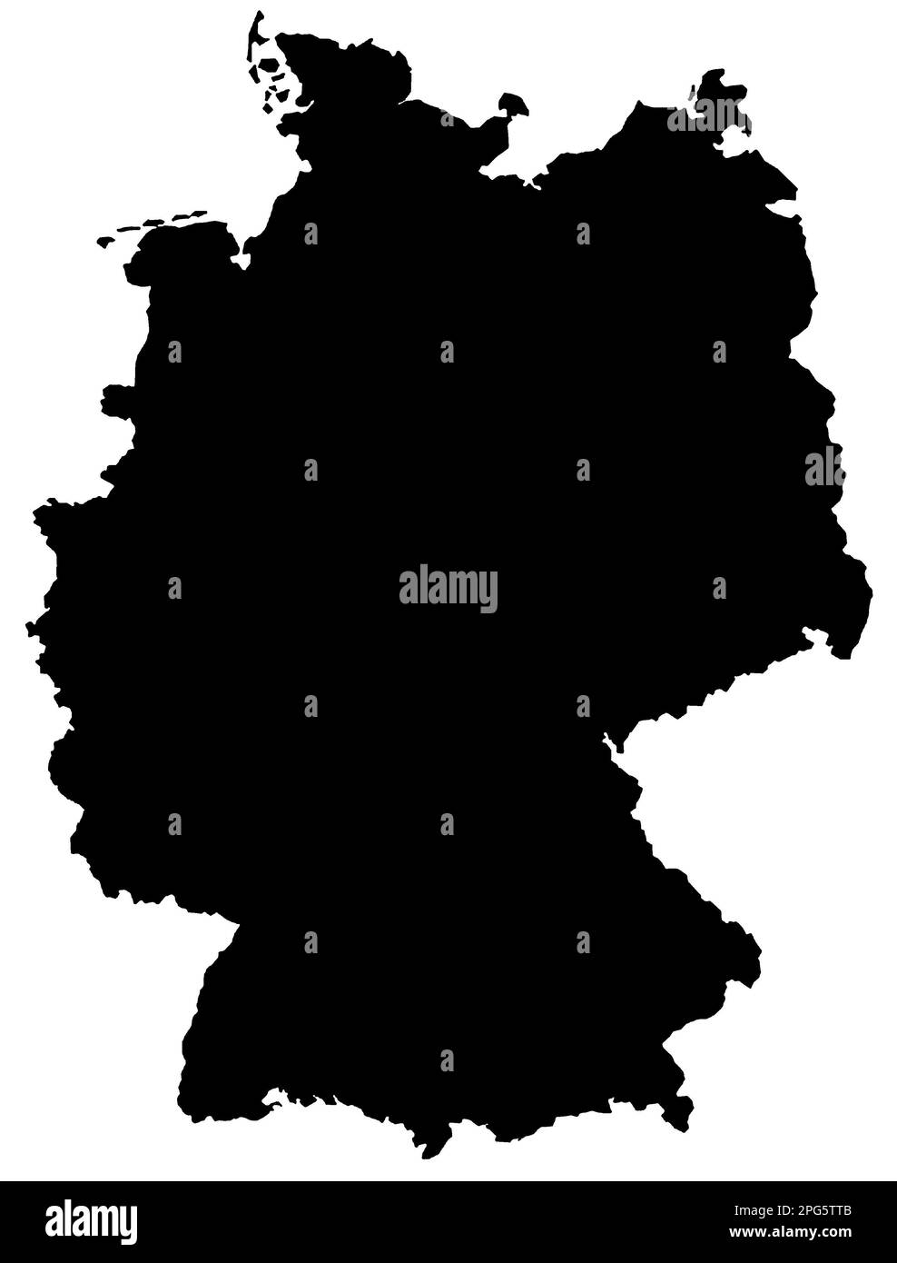 Black Map of Germany on White Background. Stock Photohttps://www.alamy.com/image-license-details/?v=1https://www.alamy.com/black-map-of-germany-on-white-background-image543485163.html
RF2PG5TTB–Black Map of Germany on White Background.
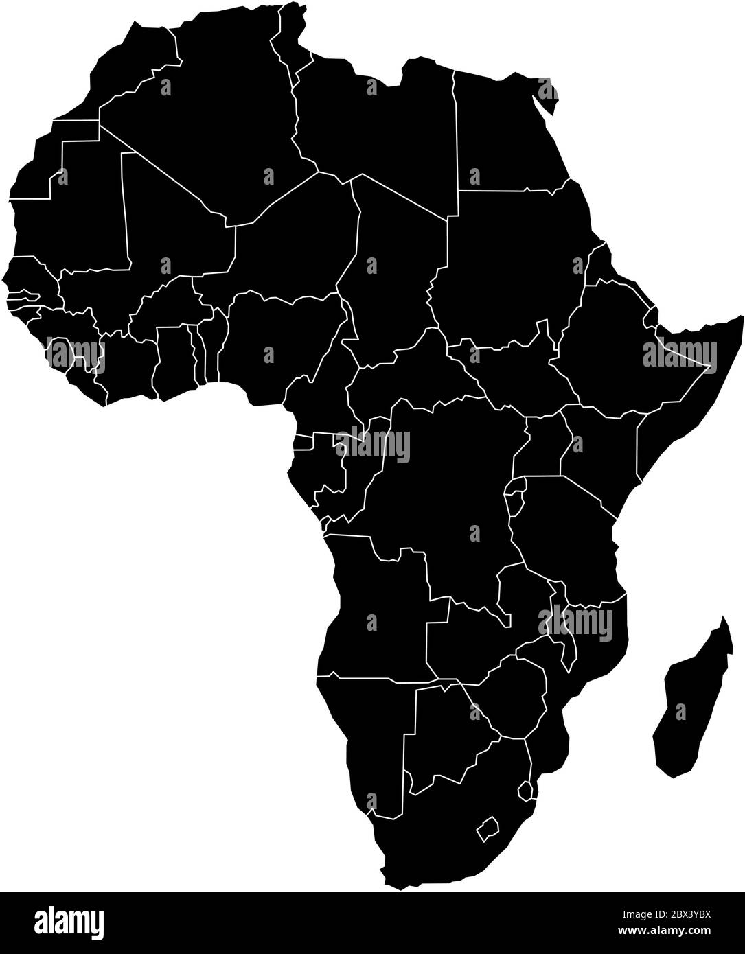 Simple flat black map of Africa continent with national borders isolated on white background. Vector illustration. Stock Vectorhttps://www.alamy.com/image-license-details/?v=1https://www.alamy.com/simple-flat-black-map-of-africa-continent-with-national-borders-isolated-on-white-background-vector-illustration-image360275774.html
RF2BX3YBX–Simple flat black map of Africa continent with national borders isolated on white background. Vector illustration.
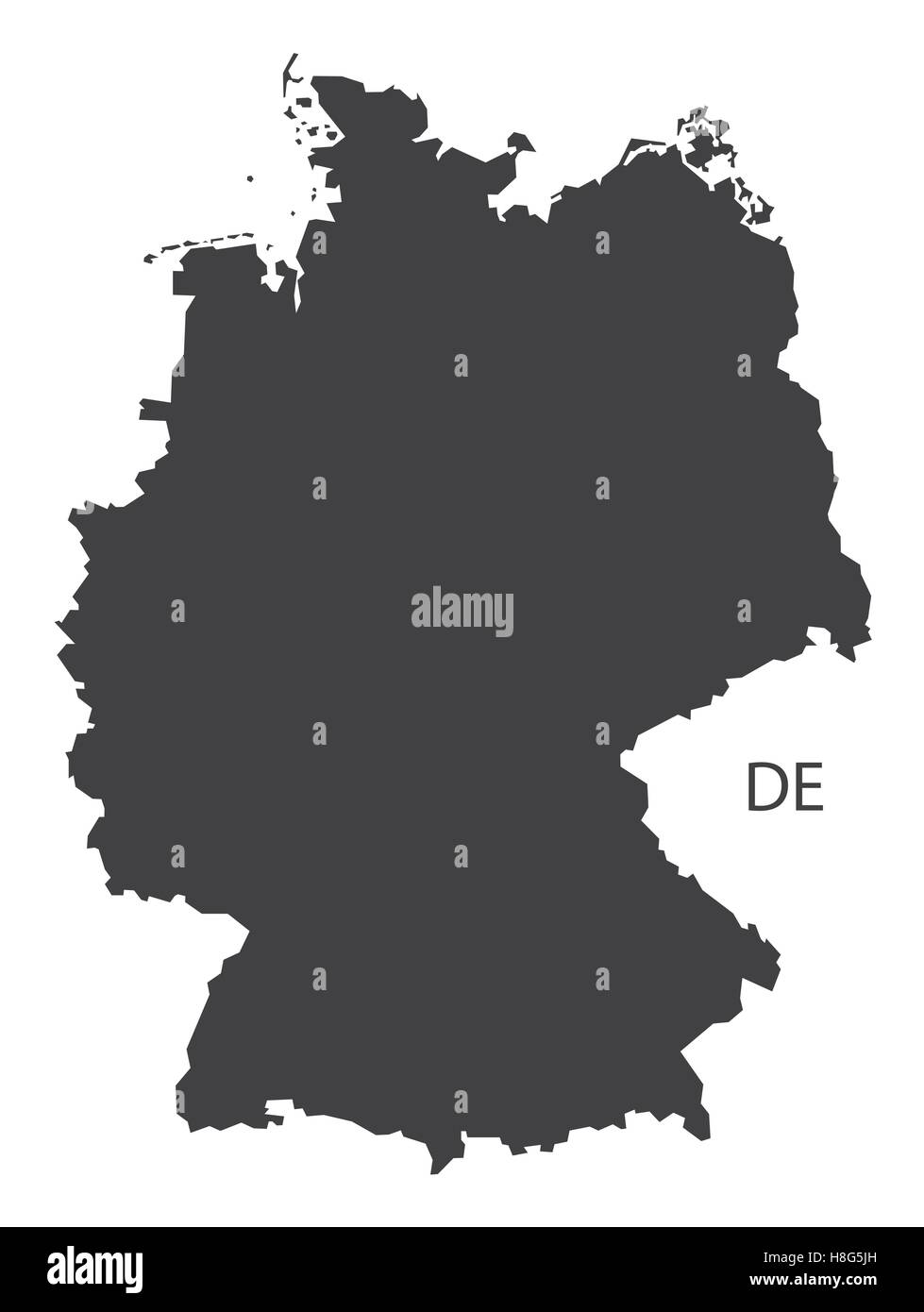 Germany Map black edition Stock Vectorhttps://www.alamy.com/image-license-details/?v=1https://www.alamy.com/stock-photo-germany-map-black-edition-125745497.html
RFH8G5JH–Germany Map black edition
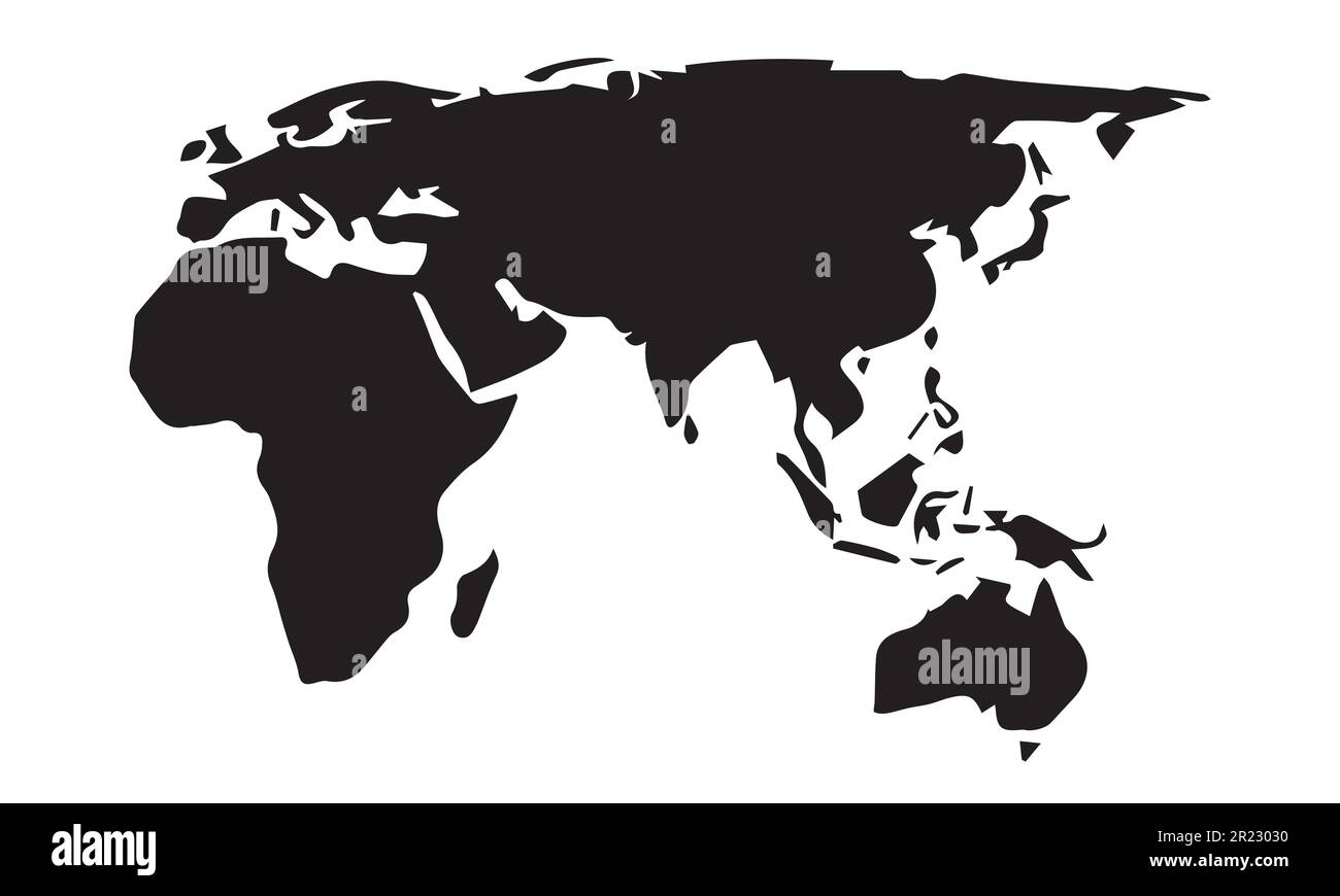 A map of the world silhouette design. Stock Vectorhttps://www.alamy.com/image-license-details/?v=1https://www.alamy.com/a-map-of-the-world-silhouette-design-image552027028.html
RF2R23030–A map of the world silhouette design.
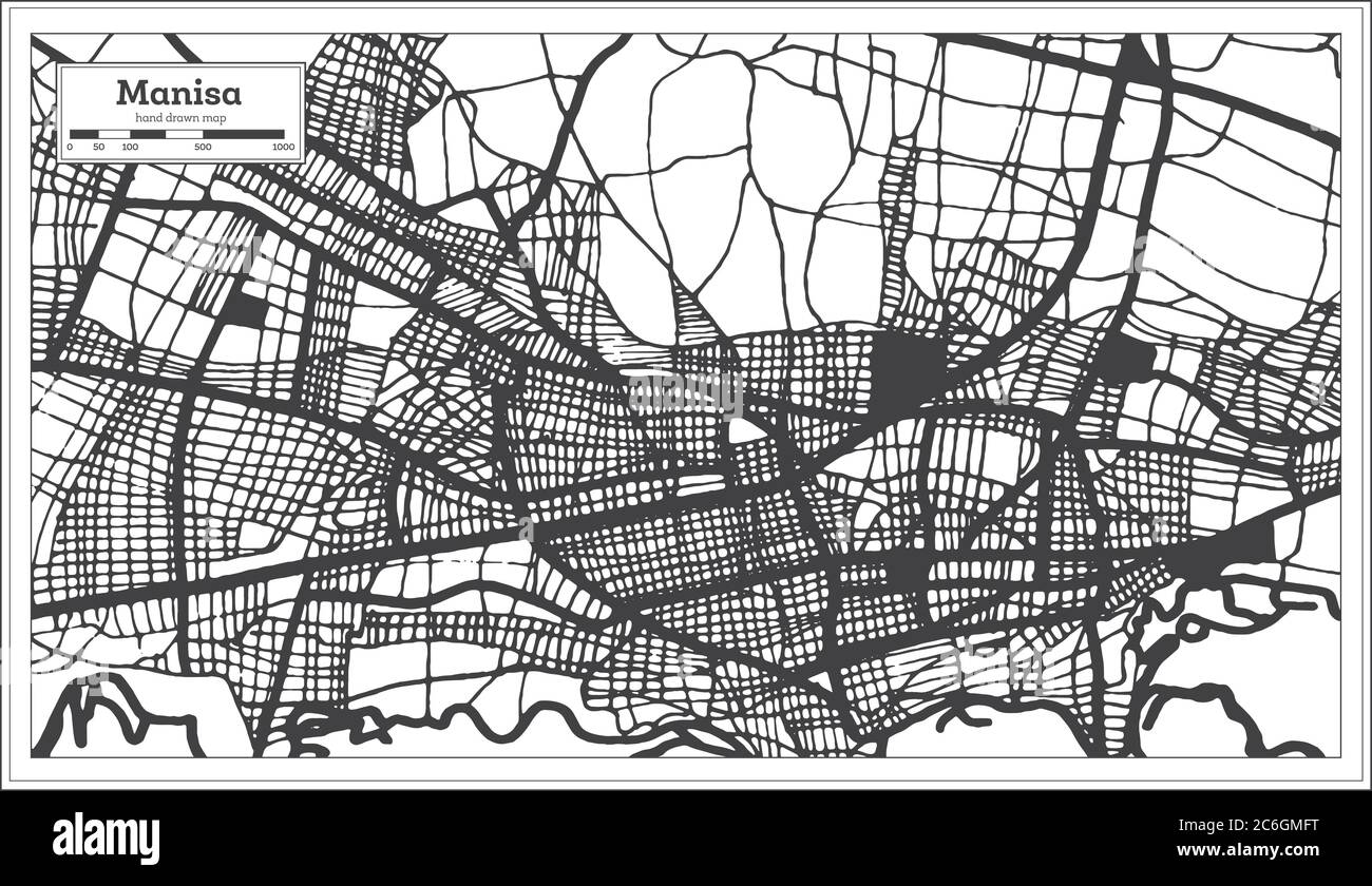 Manisa Turkey City Map in Black and White Color in Retro Style. Outline Map. Vector Illustration. Stock Vectorhttps://www.alamy.com/image-license-details/?v=1https://www.alamy.com/manisa-turkey-city-map-in-black-and-white-color-in-retro-style-outline-map-vector-illustration-image365473020.html
RF2C6GMFT–Manisa Turkey City Map in Black and White Color in Retro Style. Outline Map. Vector Illustration.
RF2GPF007–Map With Delivery Food Bag Icon
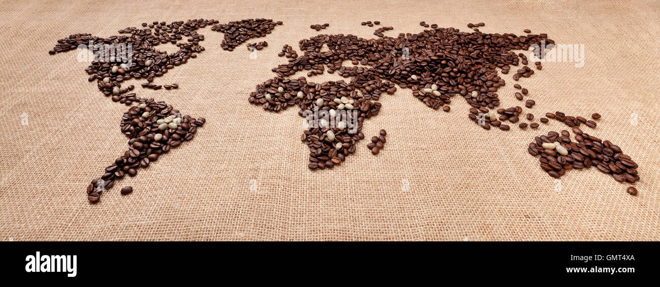 Map made of coffee Stock Photohttps://www.alamy.com/image-license-details/?v=1https://www.alamy.com/stock-photo-map-made-of-coffee-116086050.html
RFGMT4XA–Map made of coffee
 Black map on the gray wood wall Stock Photohttps://www.alamy.com/image-license-details/?v=1https://www.alamy.com/stock-photo-black-map-on-the-gray-wood-wall-89827228.html
RFF63YF8–Black map on the gray wood wall
RF2RWTF56–Vector isolated simplified illustration icon with black silhouette of North Ireland map. White background
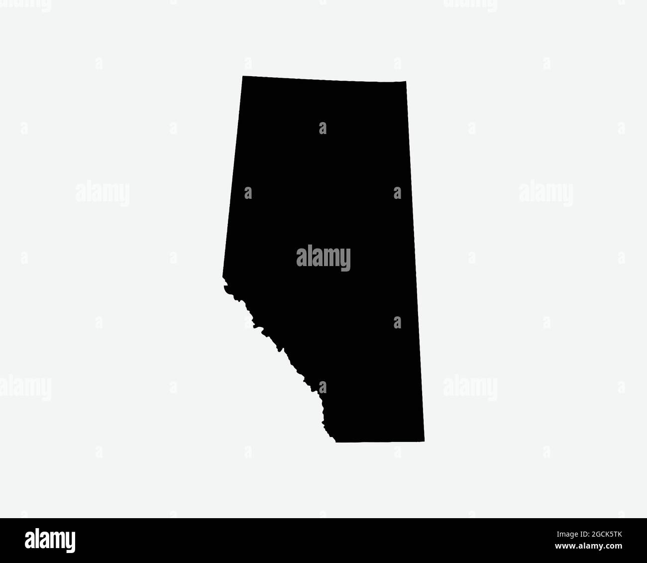 Alberta Canada Map Black Silhouette. AB, Canadian Province Shape Geography Atlas Border Boundary. Black Map Isolated on a White Background. EPS Vector Stock Vectorhttps://www.alamy.com/image-license-details/?v=1https://www.alamy.com/alberta-canada-map-black-silhouette-ab-canadian-province-shape-geography-atlas-border-boundary-black-map-isolated-on-a-white-background-eps-vector-image438056771.html
RF2GCK5TK–Alberta Canada Map Black Silhouette. AB, Canadian Province Shape Geography Atlas Border Boundary. Black Map Isolated on a White Background. EPS Vector
 Symbol Map of the Bundesland Hamburg (Germany) showing the Bundesland with a pattern of randomly distributed black circles of different sizes Stock Vectorhttps://www.alamy.com/image-license-details/?v=1https://www.alamy.com/symbol-map-of-the-bundesland-hamburg-germany-showing-the-bundesland-with-a-pattern-of-randomly-distributed-black-circles-of-different-sizes-image621681015.html
RF2Y3C0DB–Symbol Map of the Bundesland Hamburg (Germany) showing the Bundesland with a pattern of randomly distributed black circles of different sizes
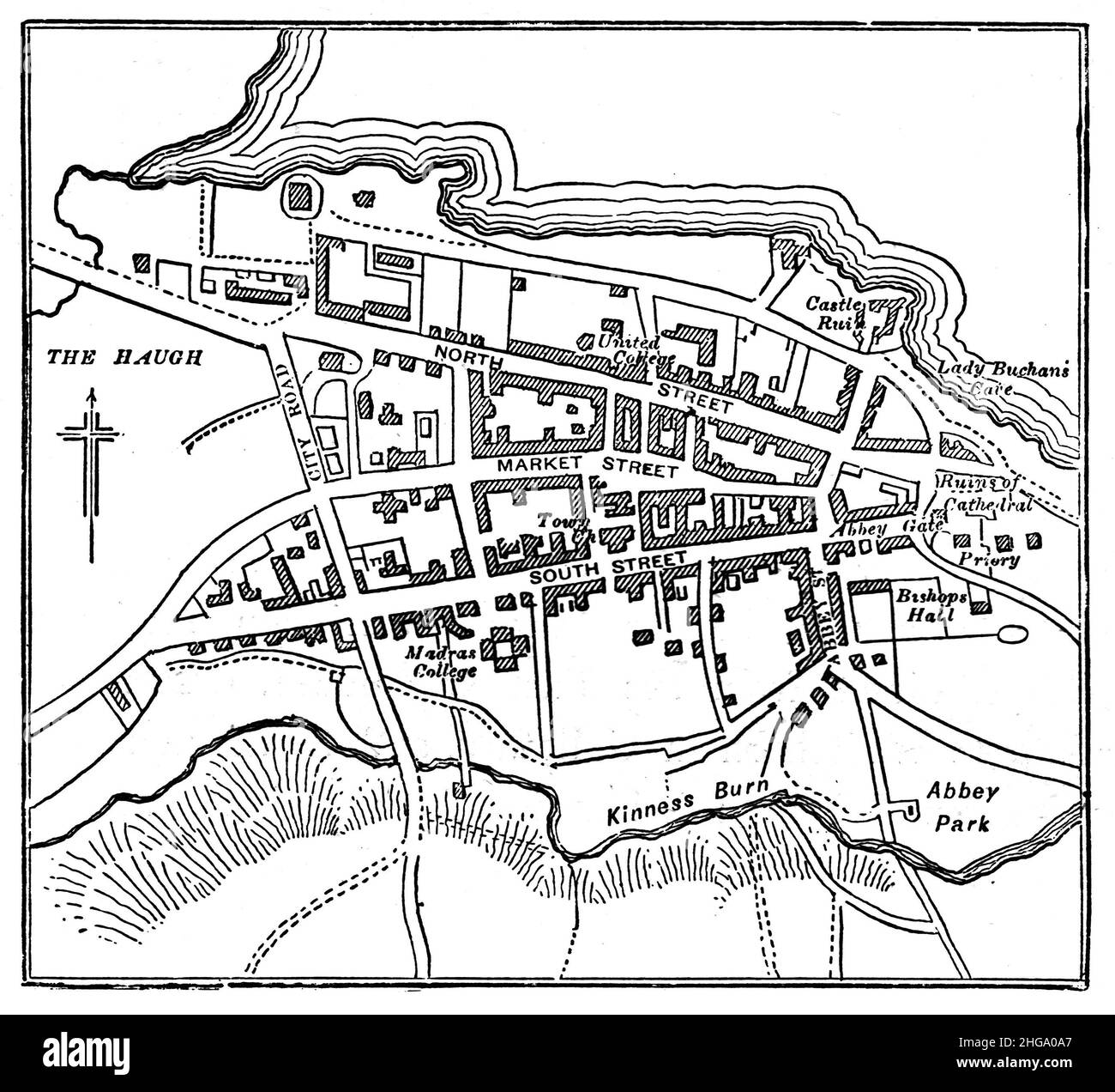 Black and White Illustration; Map of St Andrew's, Fife, Scotland. Circa 1880 Stock Photohttps://www.alamy.com/image-license-details/?v=1https://www.alamy.com/black-and-white-illustration-map-of-st-andrews-fife-scotland-circa-1880-image457523871.html
RM2HGA0A7–Black and White Illustration; Map of St Andrew's, Fife, Scotland. Circa 1880
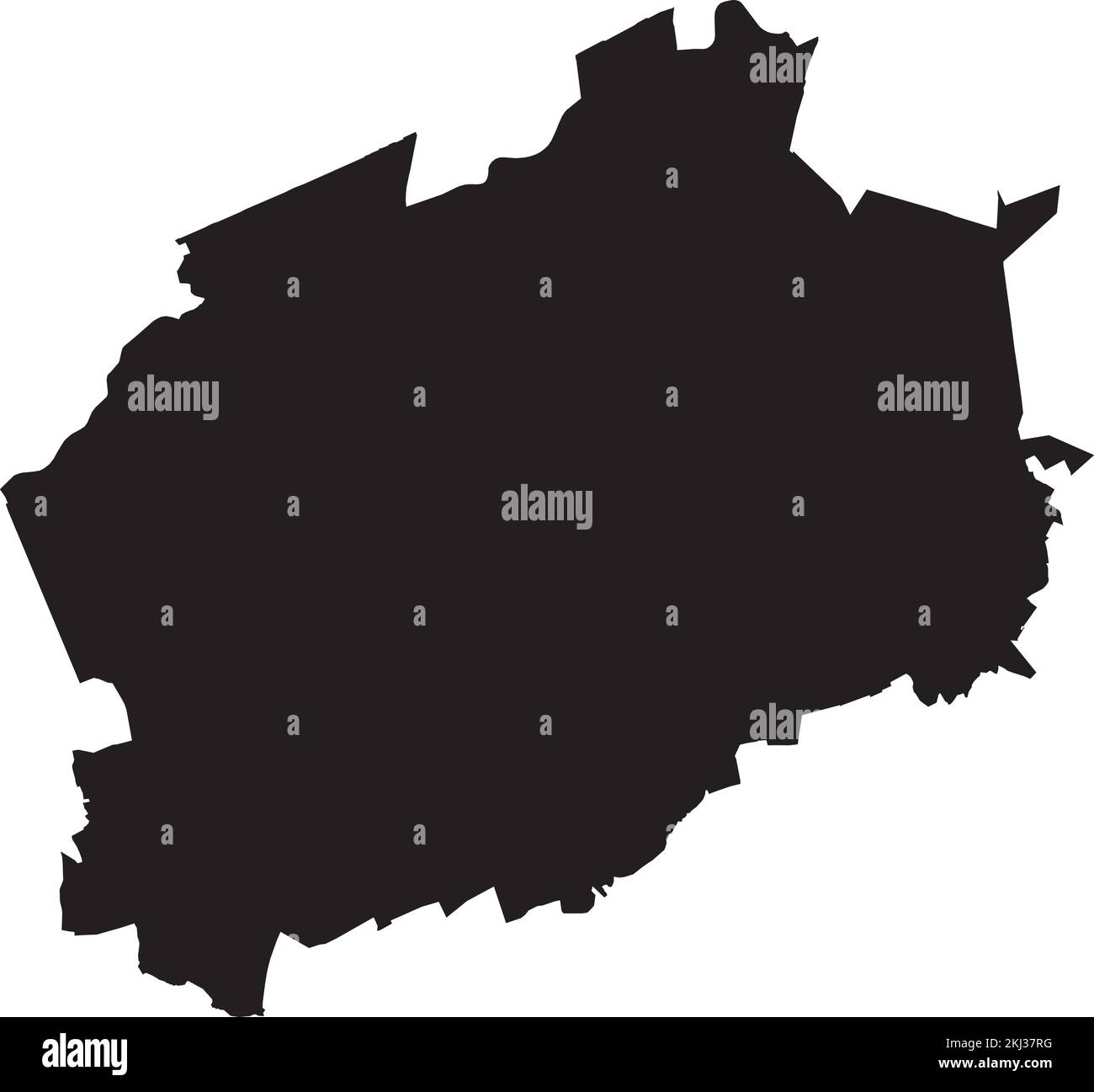 Black map of MARL, GERMANY Stock Vectorhttps://www.alamy.com/image-license-details/?v=1https://www.alamy.com/black-map-of-marl-germany-image493026116.html
RF2KJ37RG–Black map of MARL, GERMANY
 Black map of south america Stock Photohttps://www.alamy.com/image-license-details/?v=1https://www.alamy.com/stock-photo-black-map-of-south-america-78917906.html
RFEGB0GJ–Black map of south america
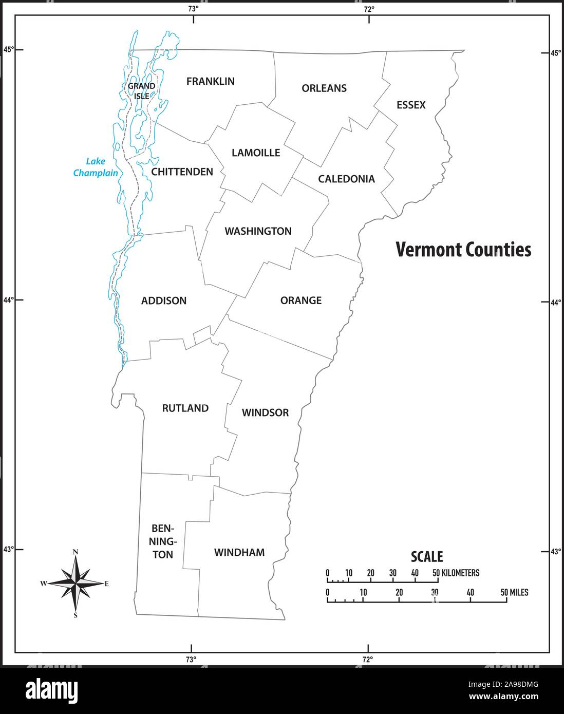 Vermont state outline administrative and political map in black and white Stock Vectorhttps://www.alamy.com/image-license-details/?v=1https://www.alamy.com/vermont-state-outline-administrative-and-political-map-in-black-and-white-image332715280.html
RF2A98DMG–Vermont state outline administrative and political map in black and white
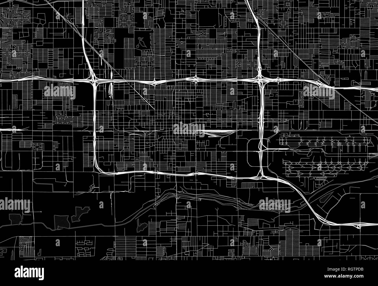 Black map of downtown Phoenix, U.S.A. This vector artmap is created as a decorative background or a unique travel sign. Stock Vectorhttps://www.alamy.com/image-license-details/?v=1https://www.alamy.com/black-map-of-downtown-phoenix-usa-this-vector-artmap-is-created-as-a-decorative-background-or-a-unique-travel-sign-image234113751.html
RFRGTPDB–Black map of downtown Phoenix, U.S.A. This vector artmap is created as a decorative background or a unique travel sign.
RF2J7Y06T–Black map pin icon. Editable vector.
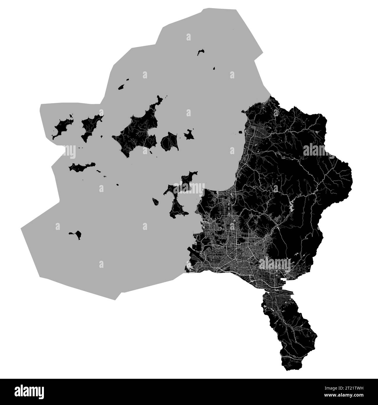 Matsuyama map. Detailed black map of Matsuyama city administrative area. Cityscape poster metropolitan aria view. Black land with white roads and aven Stock Vectorhttps://www.alamy.com/image-license-details/?v=1https://www.alamy.com/matsuyama-map-detailed-black-map-of-matsuyama-city-administrative-area-cityscape-poster-metropolitan-aria-view-black-land-with-white-roads-and-aven-image569212941.html
RF2T21TWH–Matsuyama map. Detailed black map of Matsuyama city administrative area. Cityscape poster metropolitan aria view. Black land with white roads and aven
 Belgium map black Stock Photohttps://www.alamy.com/image-license-details/?v=1https://www.alamy.com/stock-photo-belgium-map-black-103325981.html
RMG02W9H–Belgium map black
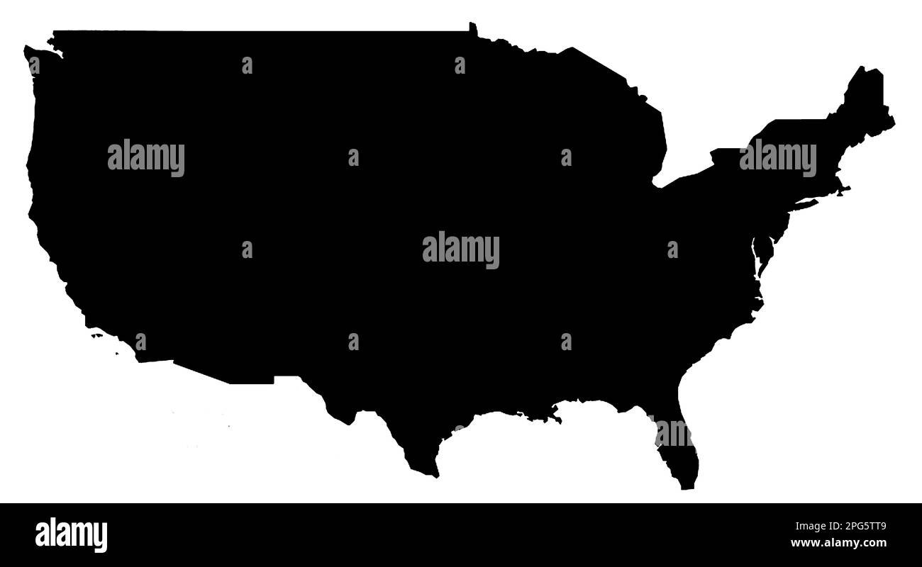 Black Map of the United States of America on a white background. Stock Photohttps://www.alamy.com/image-license-details/?v=1https://www.alamy.com/black-map-of-the-united-states-of-america-on-a-white-background-image543485161.html
RF2PG5TT9–Black Map of the United States of America on a white background.
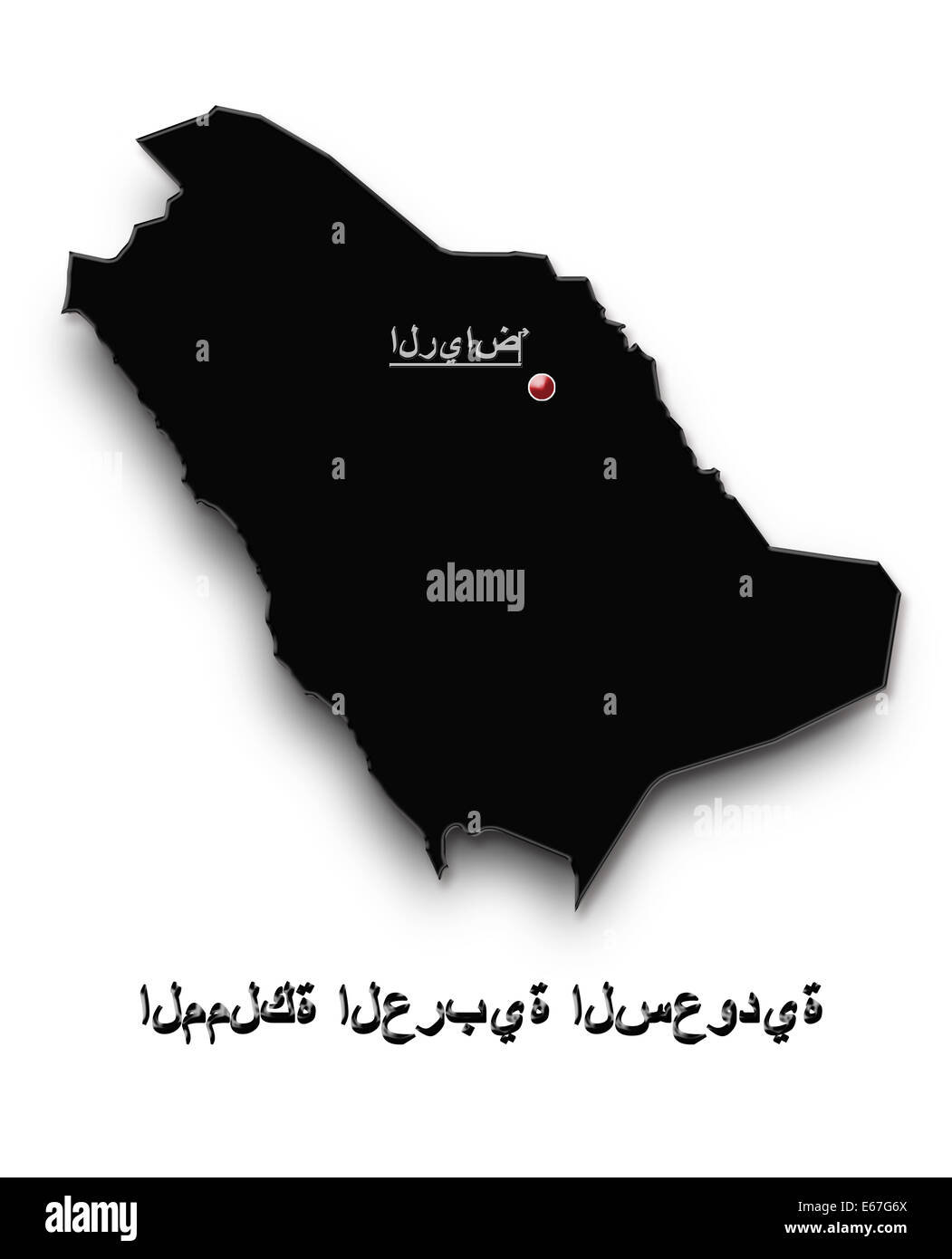 black map of Saudi Arabia isolated on white background Stock Photohttps://www.alamy.com/image-license-details/?v=1https://www.alamy.com/stock-photo-black-map-of-saudi-arabia-isolated-on-white-background-72695810.html
RFE67G6X–black map of Saudi Arabia isolated on white background
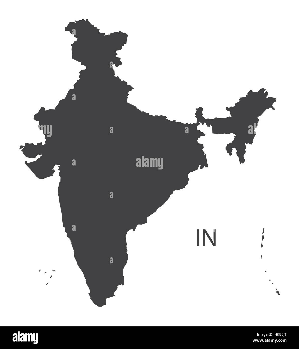 India Map black edition Stock Vectorhttps://www.alamy.com/image-license-details/?v=1https://www.alamy.com/stock-photo-india-map-black-edition-125745504.html
RFH8G5JT–India Map black edition
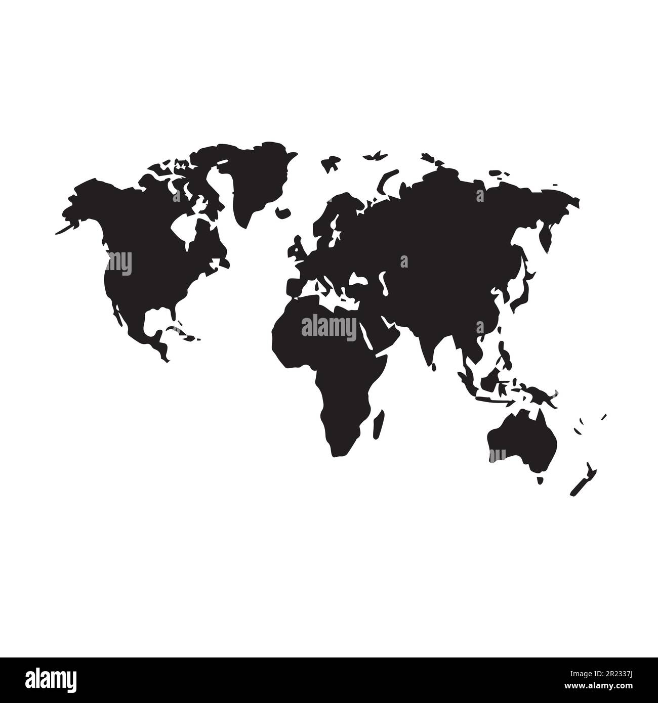 Black map of the world silhouette vector illustration. Stock Vectorhttps://www.alamy.com/image-license-details/?v=1https://www.alamy.com/black-map-of-the-world-silhouette-vector-illustration-image552029510.html
RF2R2337J–Black map of the world silhouette vector illustration.
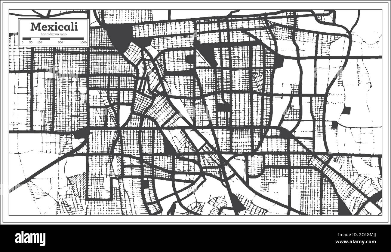 Mexicali Mexico City Map in Black and White Color in Retro Style. Outline Map. Vector Illustration. Stock Vectorhttps://www.alamy.com/image-license-details/?v=1https://www.alamy.com/mexicali-mexico-city-map-in-black-and-white-color-in-retro-style-outline-map-vector-illustration-image365473098.html
RF2C6GMJJ–Mexicali Mexico City Map in Black and White Color in Retro Style. Outline Map. Vector Illustration.
RF2GRBT8G–Map of Florida with Miami icon, monochrome style
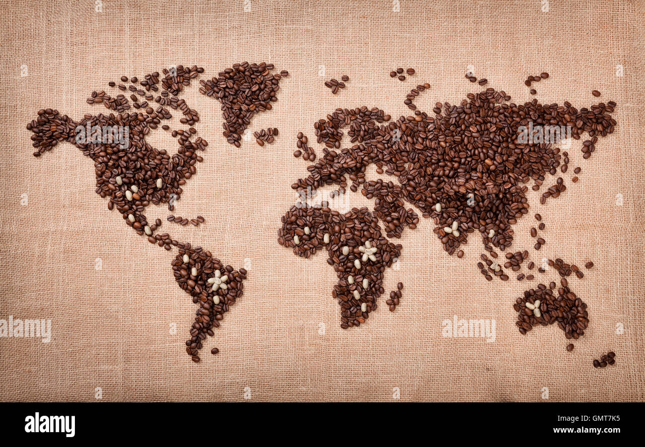 Map made of coffee Stock Photohttps://www.alamy.com/image-license-details/?v=1https://www.alamy.com/stock-photo-map-made-of-coffee-116088201.html
RFGMT7K5–Map made of coffee
 Black map on the gray wood wall Stock Photohttps://www.alamy.com/image-license-details/?v=1https://www.alamy.com/stock-photo-black-map-on-the-gray-wood-wall-90241881.html
RFF6PTC9–Black map on the gray wood wall
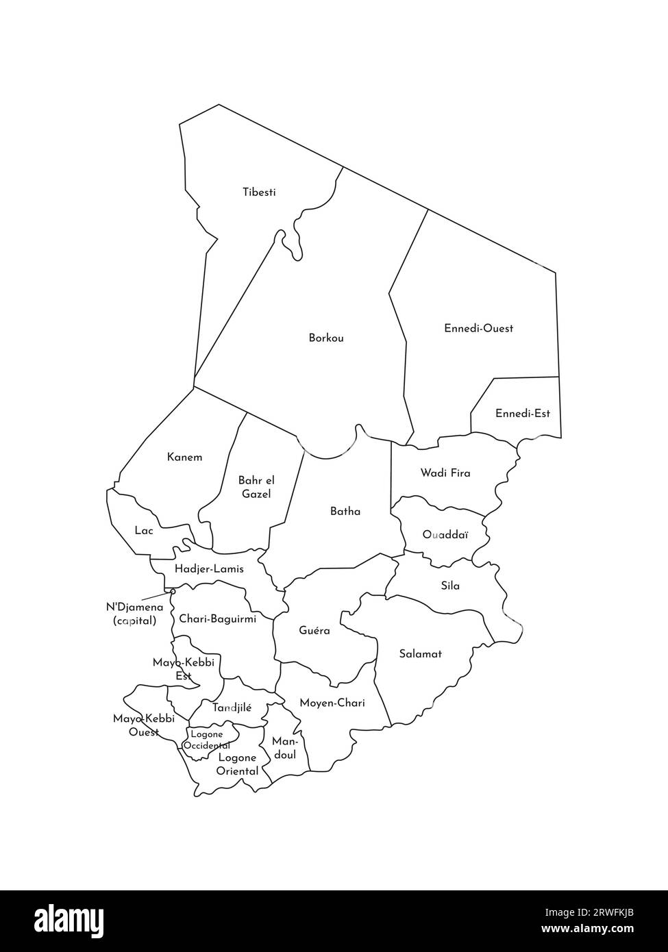 Vector isolated illustration of simplified administrative map of Chad. Borders and names of the regions. Black line silhouettes. Stock Vectorhttps://www.alamy.com/image-license-details/?v=1https://www.alamy.com/vector-isolated-illustration-of-simplified-administrative-map-of-chad-borders-and-names-of-the-regions-black-line-silhouettes-image566442867.html
RF2RWFKJB–Vector isolated illustration of simplified administrative map of Chad. Borders and names of the regions. Black line silhouettes.
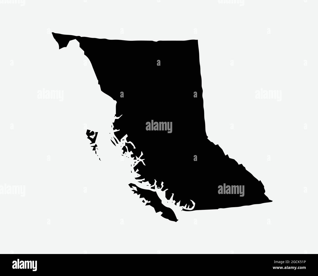 British Columbia Canada Map Black Silhouette. BC, Canadian Province Shape Geography Atlas Border Boundary. Black Map Isolated on a White Background. E Stock Vectorhttps://www.alamy.com/image-license-details/?v=1https://www.alamy.com/british-columbia-canada-map-black-silhouette-bc-canadian-province-shape-geography-atlas-border-boundary-black-map-isolated-on-a-white-background-e-image438056130.html
RF2GCK51P–British Columbia Canada Map Black Silhouette. BC, Canadian Province Shape Geography Atlas Border Boundary. Black Map Isolated on a White Background. E
 Symbol Map of the Bundesland Thueringen (Germany) showing the Bundesland with a pattern of randomly distributed black circles of different sizes Stock Vectorhttps://www.alamy.com/image-license-details/?v=1https://www.alamy.com/symbol-map-of-the-bundesland-thueringen-germany-showing-the-bundesland-with-a-pattern-of-randomly-distributed-black-circles-of-different-sizes-image621680216.html
RF2Y3BYCT–Symbol Map of the Bundesland Thueringen (Germany) showing the Bundesland with a pattern of randomly distributed black circles of different sizes
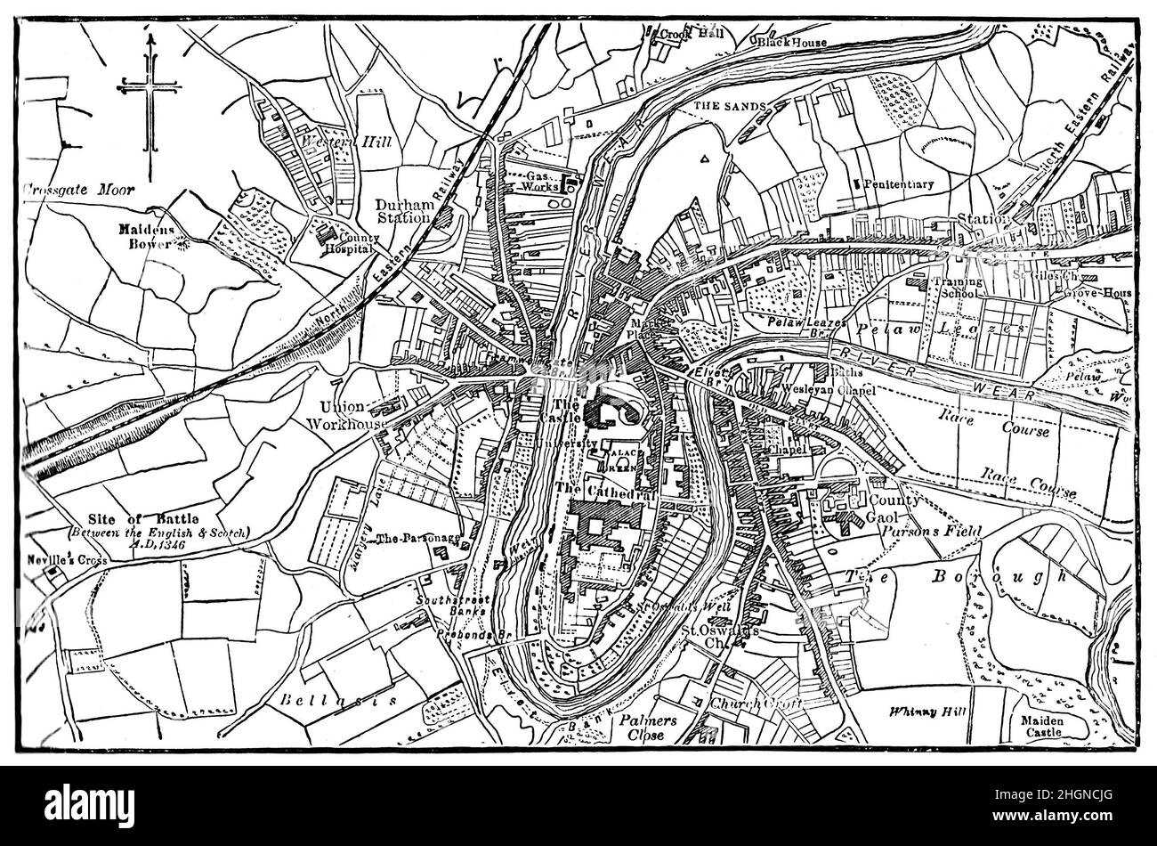 Black and White Illustration; 19th century map of Durham Stock Photohttps://www.alamy.com/image-license-details/?v=1https://www.alamy.com/black-and-white-illustration-19th-century-map-of-durham-image457774984.html
RM2HGNCJG–Black and White Illustration; 19th century map of Durham
 Black map of REIMS, FRANCE Stock Vectorhttps://www.alamy.com/image-license-details/?v=1https://www.alamy.com/black-map-of-reims-france-image553561286.html
RF2R4GW1X–Black map of REIMS, FRANCE
 Black map text marker. Illustration for design on white background Stock Vectorhttps://www.alamy.com/image-license-details/?v=1https://www.alamy.com/black-map-text-marker-illustration-for-design-on-white-background-image555723846.html
RF2R83BC6–Black map text marker. Illustration for design on white background
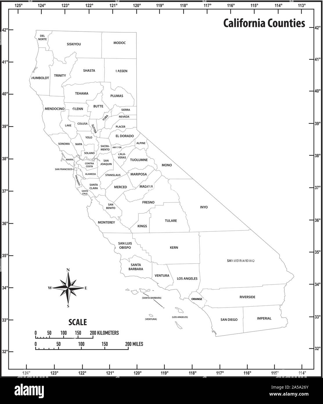 california state outline administrative and political map in black and white Stock Vectorhttps://www.alamy.com/image-license-details/?v=1https://www.alamy.com/california-state-outline-administrative-and-political-map-in-black-and-white-image330291555.html
RF2A5A26Y–california state outline administrative and political map in black and white
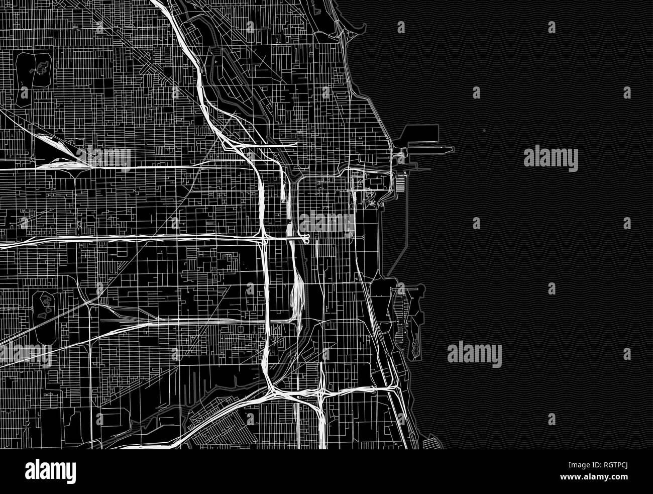 Black map of downtown Chicago, U.S.A. This vector artmap is created as a decorative background or a unique travel sign. Stock Vectorhttps://www.alamy.com/image-license-details/?v=1https://www.alamy.com/black-map-of-downtown-chicago-usa-this-vector-artmap-is-created-as-a-decorative-background-or-a-unique-travel-sign-image234113730.html
RFRGTPCJ–Black map of downtown Chicago, U.S.A. This vector artmap is created as a decorative background or a unique travel sign.
RF2J8TMDY–Black map and pin icons. Editable vector.
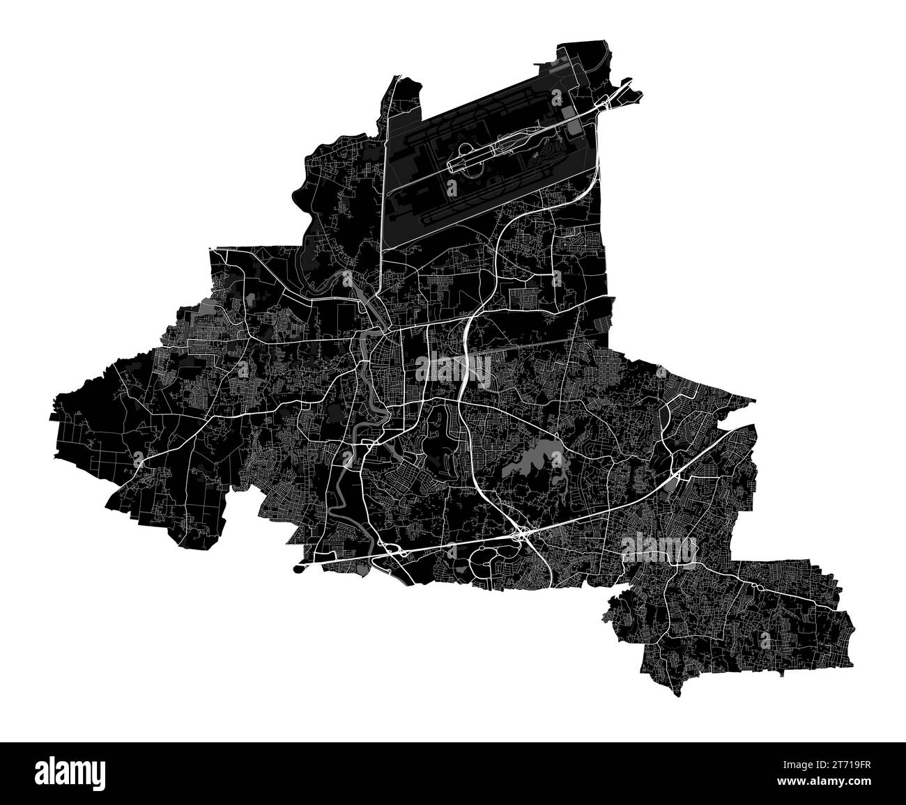 Tangerang map. Detailed black map of Tangerang city administrative area. Cityscape poster metropolitan aria view. Black land with white roads and aven Stock Vectorhttps://www.alamy.com/image-license-details/?v=1https://www.alamy.com/tangerang-map-detailed-black-map-of-tangerang-city-administrative-area-cityscape-poster-metropolitan-aria-view-black-land-with-white-roads-and-aven-image572274187.html
RF2T719FR–Tangerang map. Detailed black map of Tangerang city administrative area. Cityscape poster metropolitan aria view. Black land with white roads and aven
 black world map Stock Photohttps://www.alamy.com/image-license-details/?v=1https://www.alamy.com/stock-photo-black-world-map-79588495.html
RFEHDFX7–black world map
 The contour shape of Romania`s territorial boundaries , black map isolated on white background Stock Photohttps://www.alamy.com/image-license-details/?v=1https://www.alamy.com/the-contour-shape-of-romania`s-territorial-boundaries-black-map-isolated-on-white-background-image267014909.html
RFWEBG6N–The contour shape of Romania`s territorial boundaries , black map isolated on white background
 black map of Saudi Arabia isolated on white background Stock Photohttps://www.alamy.com/image-license-details/?v=1https://www.alamy.com/stock-photo-black-map-of-saudi-arabia-isolated-on-white-background-72695849.html
RFE67G89–black map of Saudi Arabia isolated on white background
 England Map black edition Stock Vectorhttps://www.alamy.com/image-license-details/?v=1https://www.alamy.com/stock-photo-england-map-black-edition-125745487.html
RFH8G5J7–England Map black edition
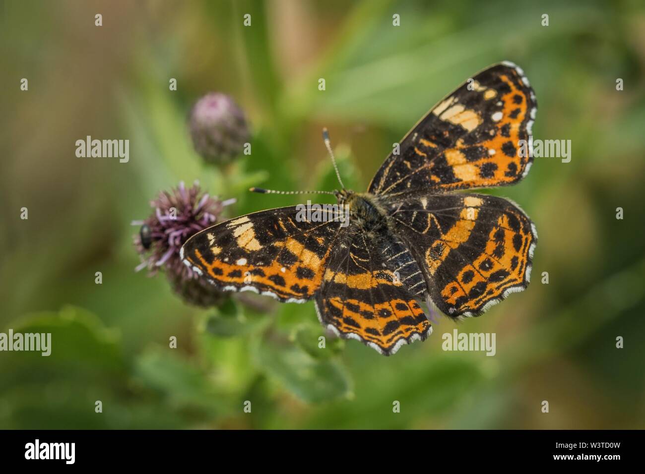 Beautiful orange and black map butterfly, spring and summer form, sitting on purple thistle with open wings. Sunny summer day in nature. Stock Photohttps://www.alamy.com/image-license-details/?v=1https://www.alamy.com/beautiful-orange-and-black-map-butterfly-spring-and-summer-form-sitting-on-purple-thistle-with-open-wings-sunny-summer-day-in-nature-image260536553.html
RFW3TD0W–Beautiful orange and black map butterfly, spring and summer form, sitting on purple thistle with open wings. Sunny summer day in nature.
 Syracuse USA City Map in Black and White Color in Retro Style. Outline Map. Vector Illustration. Stock Vectorhttps://www.alamy.com/image-license-details/?v=1https://www.alamy.com/syracuse-usa-city-map-in-black-and-white-color-in-retro-style-outline-map-vector-illustration-image365473225.html
RF2C6GMR5–Syracuse USA City Map in Black and White Color in Retro Style. Outline Map. Vector Illustration.
 Compass pattern, simple style Stock Vectorhttps://www.alamy.com/image-license-details/?v=1https://www.alamy.com/compass-pattern-simple-style-image444107017.html
RF2GPER0W–Compass pattern, simple style
 ecuador map Stock Photohttps://www.alamy.com/image-license-details/?v=1https://www.alamy.com/stock-photo-ecuador-map-116594053.html
RFGNK8W9–ecuador map
 Black map on the gray wood wall Stock Photohttps://www.alamy.com/image-license-details/?v=1https://www.alamy.com/stock-photo-black-map-on-the-gray-wood-wall-89827241.html
RFF63YFN–Black map on the gray wood wall
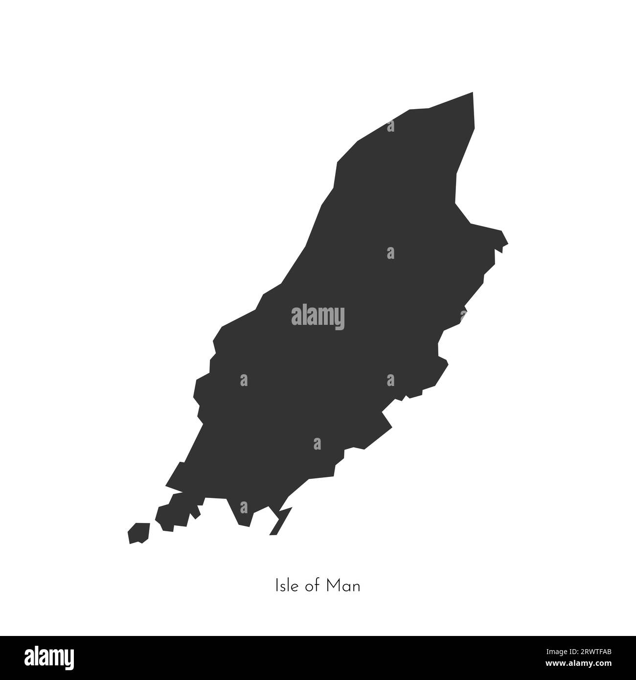 Vector isolated flat illustration with simplified black map of Isle of Man (UK). Dark grey geometric shape of island (Mann, self-governing British Cro Stock Vectorhttps://www.alamy.com/image-license-details/?v=1https://www.alamy.com/vector-isolated-flat-illustration-with-simplified-black-map-of-isle-of-man-uk-dark-grey-geometric-shape-of-island-mann-self-governing-british-cro-image566637075.html
RF2RWTFAB–Vector isolated flat illustration with simplified black map of Isle of Man (UK). Dark grey geometric shape of island (Mann, self-governing British Cro
 Yukon Canada Map Black Silhouette. YT, Canadian Territory Shape Geography Atlas Border Boundary. Black Map Isolated on a White Background. EPS Vector Stock Vectorhttps://www.alamy.com/image-license-details/?v=1https://www.alamy.com/yukon-canada-map-black-silhouette-yt-canadian-territory-shape-geography-atlas-border-boundary-black-map-isolated-on-a-white-background-eps-vector-image438056640.html
RF2GCK5M0–Yukon Canada Map Black Silhouette. YT, Canadian Territory Shape Geography Atlas Border Boundary. Black Map Isolated on a White Background. EPS Vector
 Symbol Map of the Kanton Graubuenden (Switzerland) showing the Kanton with a pattern of randomly distributed black circles of different sizes Stock Vectorhttps://www.alamy.com/image-license-details/?v=1https://www.alamy.com/symbol-map-of-the-kanton-graubuenden-switzerland-showing-the-kanton-with-a-pattern-of-randomly-distributed-black-circles-of-different-sizes-image621682620.html
RF2Y3C2EM–Symbol Map of the Kanton Graubuenden (Switzerland) showing the Kanton with a pattern of randomly distributed black circles of different sizes
 Black and White Illustration; Victorian Map of Bedford, Circa 1880 Stock Photohttps://www.alamy.com/image-license-details/?v=1https://www.alamy.com/black-and-white-illustration-victorian-map-of-bedford-circa-1880-image457523864.html
RM2HGA0A0–Black and White Illustration; Victorian Map of Bedford, Circa 1880
 Black map of BORDEAUX, FRANCE Stock Vectorhttps://www.alamy.com/image-license-details/?v=1https://www.alamy.com/black-map-of-bordeaux-france-image551338506.html
RF2R0YHTX–Black map of BORDEAUX, FRANCE
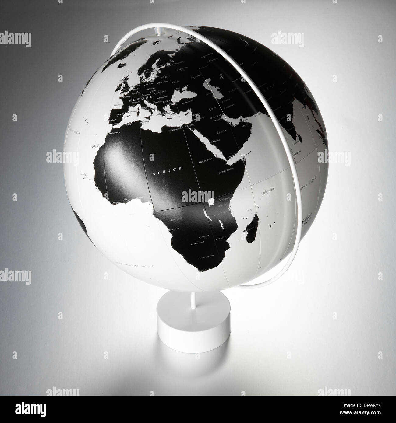 black and white globe world atlas map Stock Photohttps://www.alamy.com/image-license-details/?v=1https://www.alamy.com/black-and-white-globe-world-atlas-map-image65718014.html
RFDPWKYX–black and white globe world atlas map
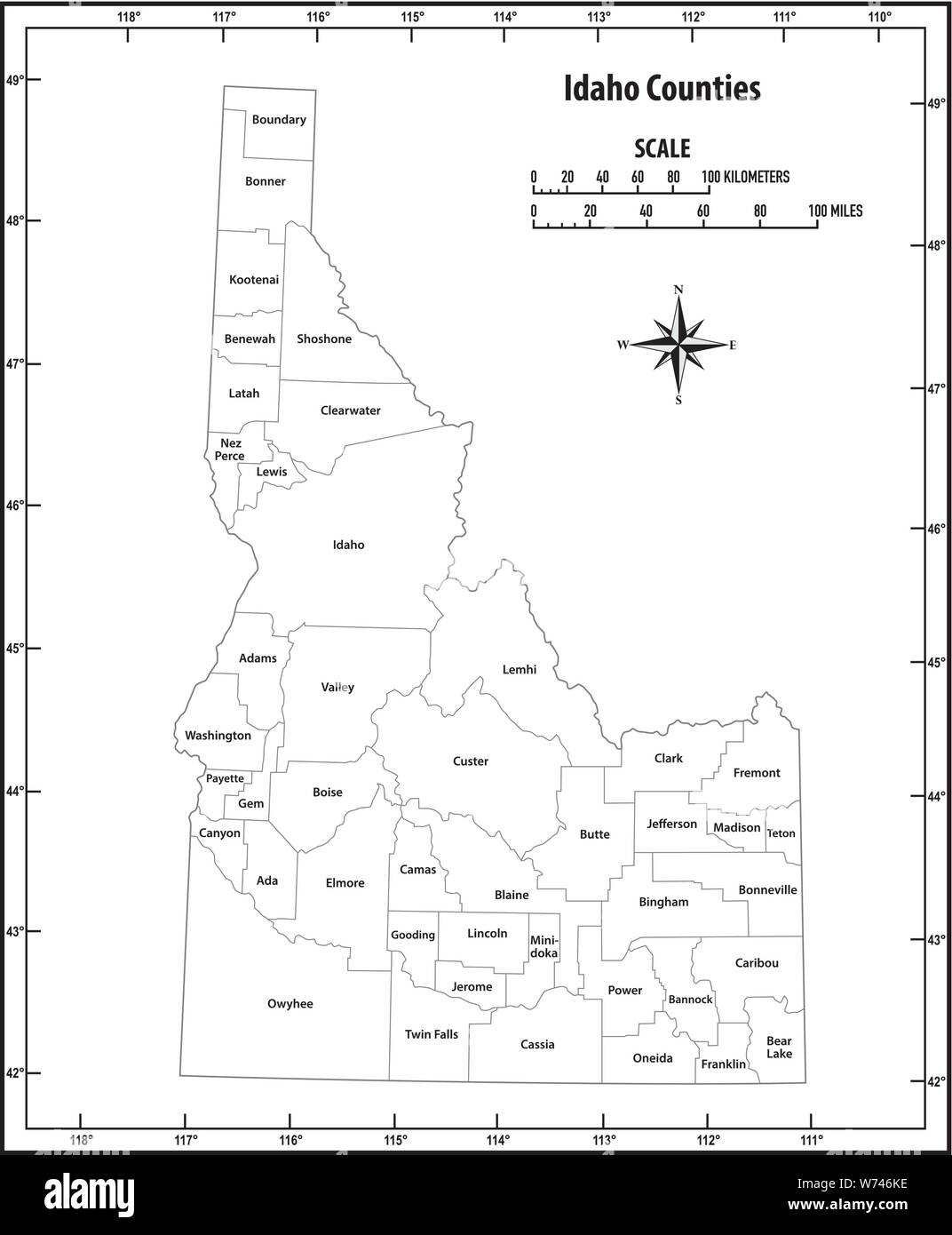 idaho state outline administrative and political vector map in black and white Stock Vectorhttps://www.alamy.com/image-license-details/?v=1https://www.alamy.com/idaho-state-outline-administrative-and-political-vector-map-in-black-and-white-image262551170.html
RFW746KE–idaho state outline administrative and political vector map in black and white
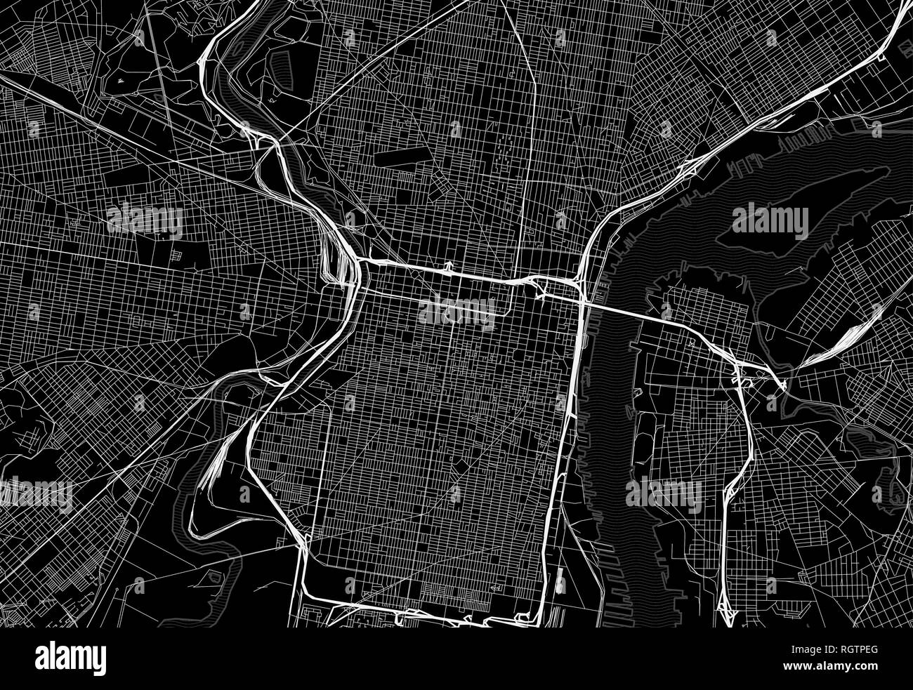 Black map of downtown Philadelphia, U.S.A. This vector artmap is created as a decorative background or a unique travel sign. Stock Vectorhttps://www.alamy.com/image-license-details/?v=1https://www.alamy.com/black-map-of-downtown-philadelphia-usa-this-vector-artmap-is-created-as-a-decorative-background-or-a-unique-travel-sign-image234113784.html
RFRGTPEG–Black map of downtown Philadelphia, U.S.A. This vector artmap is created as a decorative background or a unique travel sign.
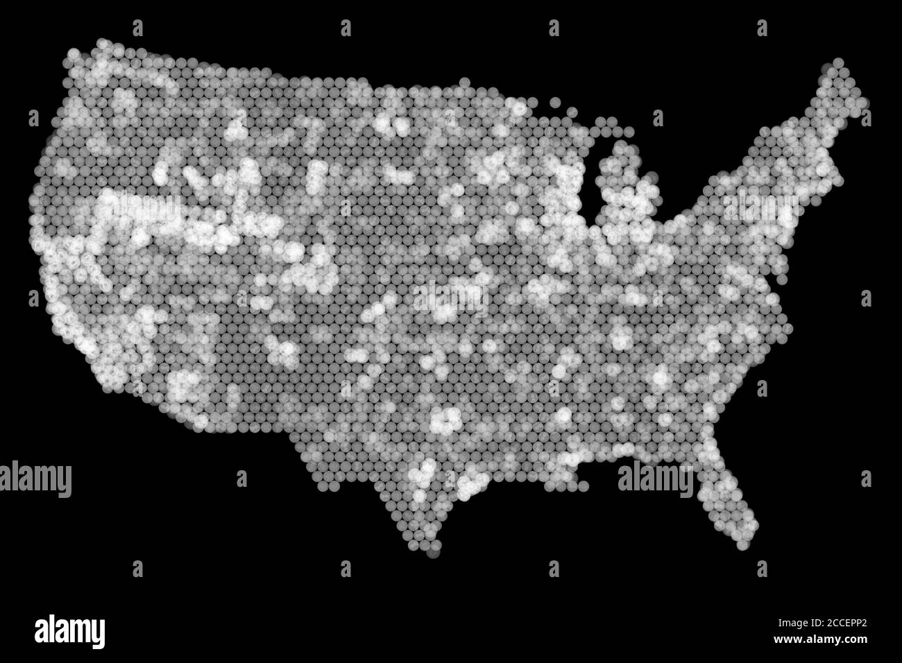 USA coin map, X-ray Stock Photohttps://www.alamy.com/image-license-details/?v=1https://www.alamy.com/usa-coin-map-x-ray-image369118794.html
RF2CCEPP2–USA coin map, X-ray
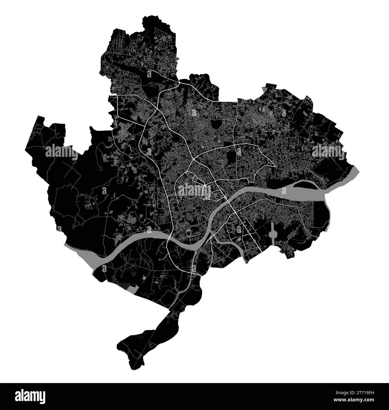 Palembang map. Detailed black map of Palembang city administrative area. Cityscape poster metropolitan aria view. Black land with white roads and aven Stock Vectorhttps://www.alamy.com/image-license-details/?v=1https://www.alamy.com/palembang-map-detailed-black-map-of-palembang-city-administrative-area-cityscape-poster-metropolitan-aria-view-black-land-with-white-roads-and-aven-image572274153.html
RF2T719EH–Palembang map. Detailed black map of Palembang city administrative area. Cityscape poster metropolitan aria view. Black land with white roads and aven
