Quick filters:
Bloxham map Stock Photos and Images
![. Northern part of Oxfordshire has Banbury and Bloxham hundreds with a part of Gloucestershire and a detached part of Dorchester Hundred A map of the County of Oxford. 1797. Davis, Richard of Lewknor, 1750-1814 [cartographer] Bodleian Libraries, A map of the County of Oxford 1 Stock Photo . Northern part of Oxfordshire has Banbury and Bloxham hundreds with a part of Gloucestershire and a detached part of Dorchester Hundred A map of the County of Oxford. 1797. Davis, Richard of Lewknor, 1750-1814 [cartographer] Bodleian Libraries, A map of the County of Oxford 1 Stock Photo](https://c8.alamy.com/comp/MMRKPD/northern-part-of-oxfordshire-has-banbury-and-bloxham-hundreds-with-a-part-of-gloucestershire-and-a-detached-part-of-dorchester-hundred-a-map-of-the-county-of-oxford-1797-davis-richard-of-lewknor-1750-1814-cartographer-bodleian-libraries-a-map-of-the-county-of-oxford-1-MMRKPD.jpg) . Northern part of Oxfordshire has Banbury and Bloxham hundreds with a part of Gloucestershire and a detached part of Dorchester Hundred A map of the County of Oxford. 1797. Davis, Richard of Lewknor, 1750-1814 [cartographer] Bodleian Libraries, A map of the County of Oxford 1 Stock Photohttps://www.alamy.com/image-license-details/?v=1https://www.alamy.com/northern-part-of-oxfordshire-has-banbury-and-bloxham-hundreds-with-a-part-of-gloucestershire-and-a-detached-part-of-dorchester-hundred-a-map-of-the-county-of-oxford-1797-davis-richard-of-lewknor-1750-1814-cartographer-bodleian-libraries-a-map-of-the-county-of-oxford-1-image184917221.html
. Northern part of Oxfordshire has Banbury and Bloxham hundreds with a part of Gloucestershire and a detached part of Dorchester Hundred A map of the County of Oxford. 1797. Davis, Richard of Lewknor, 1750-1814 [cartographer] Bodleian Libraries, A map of the County of Oxford 1 Stock Photohttps://www.alamy.com/image-license-details/?v=1https://www.alamy.com/northern-part-of-oxfordshire-has-banbury-and-bloxham-hundreds-with-a-part-of-gloucestershire-and-a-detached-part-of-dorchester-hundred-a-map-of-the-county-of-oxford-1797-davis-richard-of-lewknor-1750-1814-cartographer-bodleian-libraries-a-map-of-the-county-of-oxford-1-image184917221.htmlRMMMRKPD–. Northern part of Oxfordshire has Banbury and Bloxham hundreds with a part of Gloucestershire and a detached part of Dorchester Hundred A map of the County of Oxford. 1797. Davis, Richard of Lewknor, 1750-1814 [cartographer] Bodleian Libraries, A map of the County of Oxford 1
 DKW 32224 Bloxham L (17535744506) Stock Photohttps://www.alamy.com/image-license-details/?v=1https://www.alamy.com/dkw-32224-bloxham-l-17535744506-image153771811.html
RMJX4WEB–DKW 32224 Bloxham L (17535744506)
 Bloxham Park, , AU, Australia, New South Wales, S 33 45' 16'', N 150 48' 41'', map, Cartascapes Map published in 2024. Explore Cartascapes, a map revealing Earth's diverse landscapes, cultures, and ecosystems. Journey through time and space, discovering the interconnectedness of our planet's past, present, and future. Stock Photohttps://www.alamy.com/image-license-details/?v=1https://www.alamy.com/bloxham-park-au-australia-new-south-wales-s-33-45-16-n-150-48-41-map-cartascapes-map-published-in-2024-explore-cartascapes-a-map-revealing-earths-diverse-landscapes-cultures-and-ecosystems-journey-through-time-and-space-discovering-the-interconnectedness-of-our-planets-past-present-and-future-image625681122.html
RM2Y9X6JA–Bloxham Park, , AU, Australia, New South Wales, S 33 45' 16'', N 150 48' 41'', map, Cartascapes Map published in 2024. Explore Cartascapes, a map revealing Earth's diverse landscapes, cultures, and ecosystems. Journey through time and space, discovering the interconnectedness of our planet's past, present, and future.
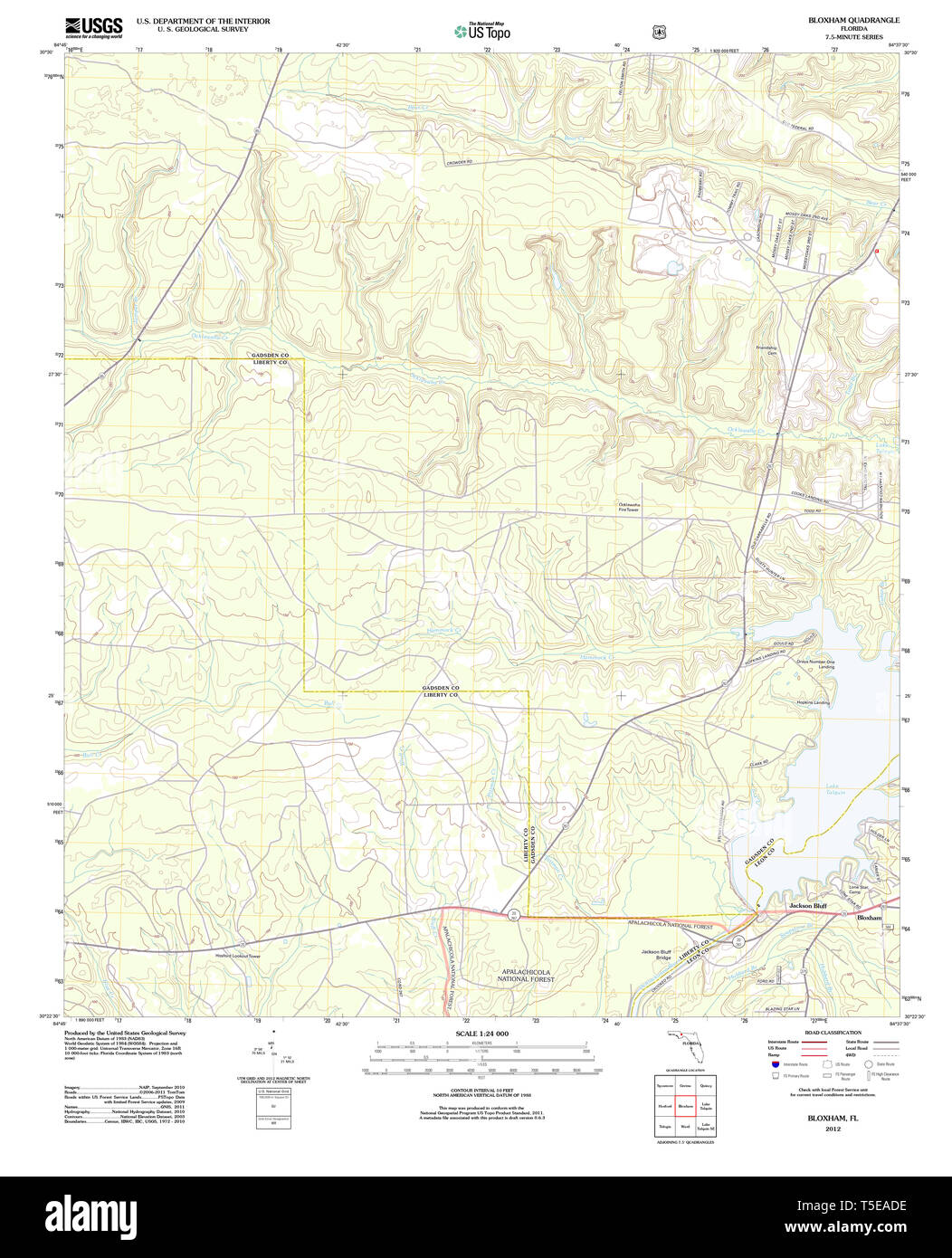 USGS TOPO Map Florida FL Bloxham 20120725 TM Restoration Stock Photohttps://www.alamy.com/image-license-details/?v=1https://www.alamy.com/usgs-topo-map-florida-fl-bloxham-20120725-tm-restoration-image244333978.html
RMT5EADE–USGS TOPO Map Florida FL Bloxham 20120725 TM Restoration
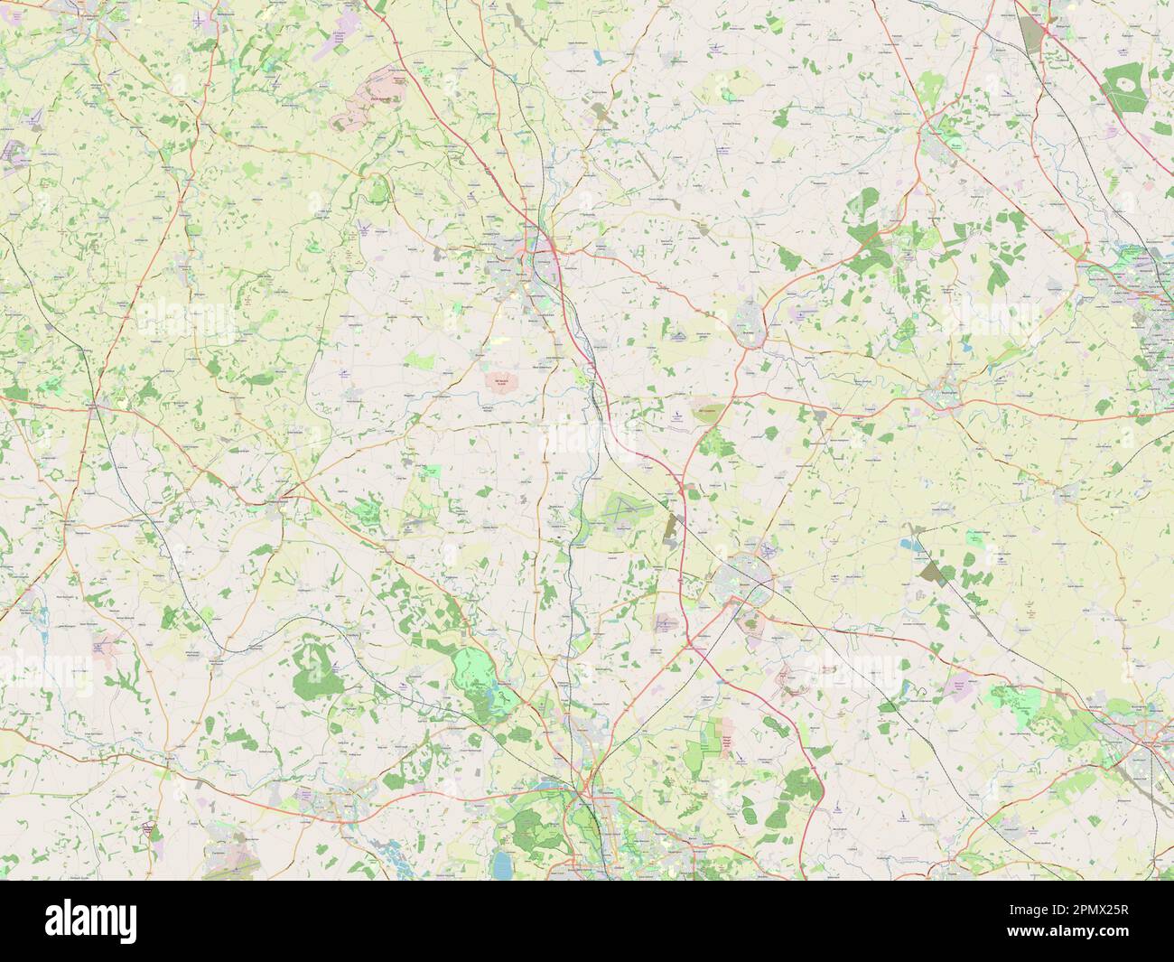 Cherwell, non metropolitan district of England - Great Britain. Open Street Map Stock Photohttps://www.alamy.com/image-license-details/?v=1https://www.alamy.com/cherwell-non-metropolitan-district-of-england-great-britain-open-street-map-image546387011.html
RF2PMX25R–Cherwell, non metropolitan district of England - Great Britain. Open Street Map
 Brookvale 33693718682 o Stock Photohttps://www.alamy.com/image-license-details/?v=1https://www.alamy.com/stock-photo-brookvale-33693718682-o-147112766.html
RMJF9FRA–Brookvale 33693718682 o
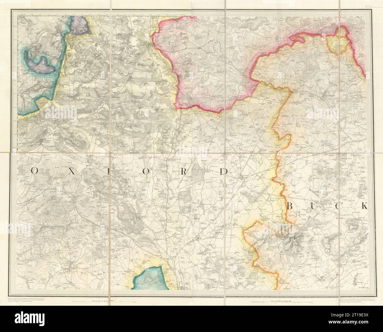 OS #45 North Cotswolds. Oxfordshire Banbury Chipping Norton Buckingham 1833 map Stock Photohttps://www.alamy.com/image-license-details/?v=1https://www.alamy.com/os-45-north-cotswolds-oxfordshire-banbury-chipping-norton-buckingham-1833-map-image568765454.html
RF2T19E3X–OS #45 North Cotswolds. Oxfordshire Banbury Chipping Norton Buckingham 1833 map
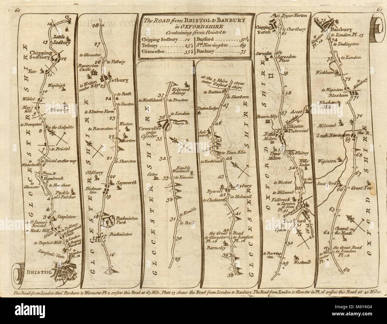 Bristol Chipping Sodbury Norton Cirencester Banbury. KITCHIN road map 1767 Stock Photohttps://www.alamy.com/image-license-details/?v=1https://www.alamy.com/stock-photo-bristol-chipping-sodbury-norton-cirencester-banbury-kitchin-road-map-176387908.html
RFM6Y4G4–Bristol Chipping Sodbury Norton Cirencester Banbury. KITCHIN road map 1767
 Lake Bloxham, , NZ, New Zealand, Southland, S 45 8' 18'', N 167 24' 36'', map, Cartascapes Map published in 2024. Explore Cartascapes, a map revealing Earth's diverse landscapes, cultures, and ecosystems. Journey through time and space, discovering the interconnectedness of our planet's past, present, and future. Stock Photohttps://www.alamy.com/image-license-details/?v=1https://www.alamy.com/lake-bloxham-nz-new-zealand-southland-s-45-8-18-n-167-24-36-map-cartascapes-map-published-in-2024-explore-cartascapes-a-map-revealing-earths-diverse-landscapes-cultures-and-ecosystems-journey-through-time-and-space-discovering-the-interconnectedness-of-our-planets-past-present-and-future-image634004190.html
RM2YRDAPP–Lake Bloxham, , NZ, New Zealand, Southland, S 45 8' 18'', N 167 24' 36'', map, Cartascapes Map published in 2024. Explore Cartascapes, a map revealing Earth's diverse landscapes, cultures, and ecosystems. Journey through time and space, discovering the interconnectedness of our planet's past, present, and future.
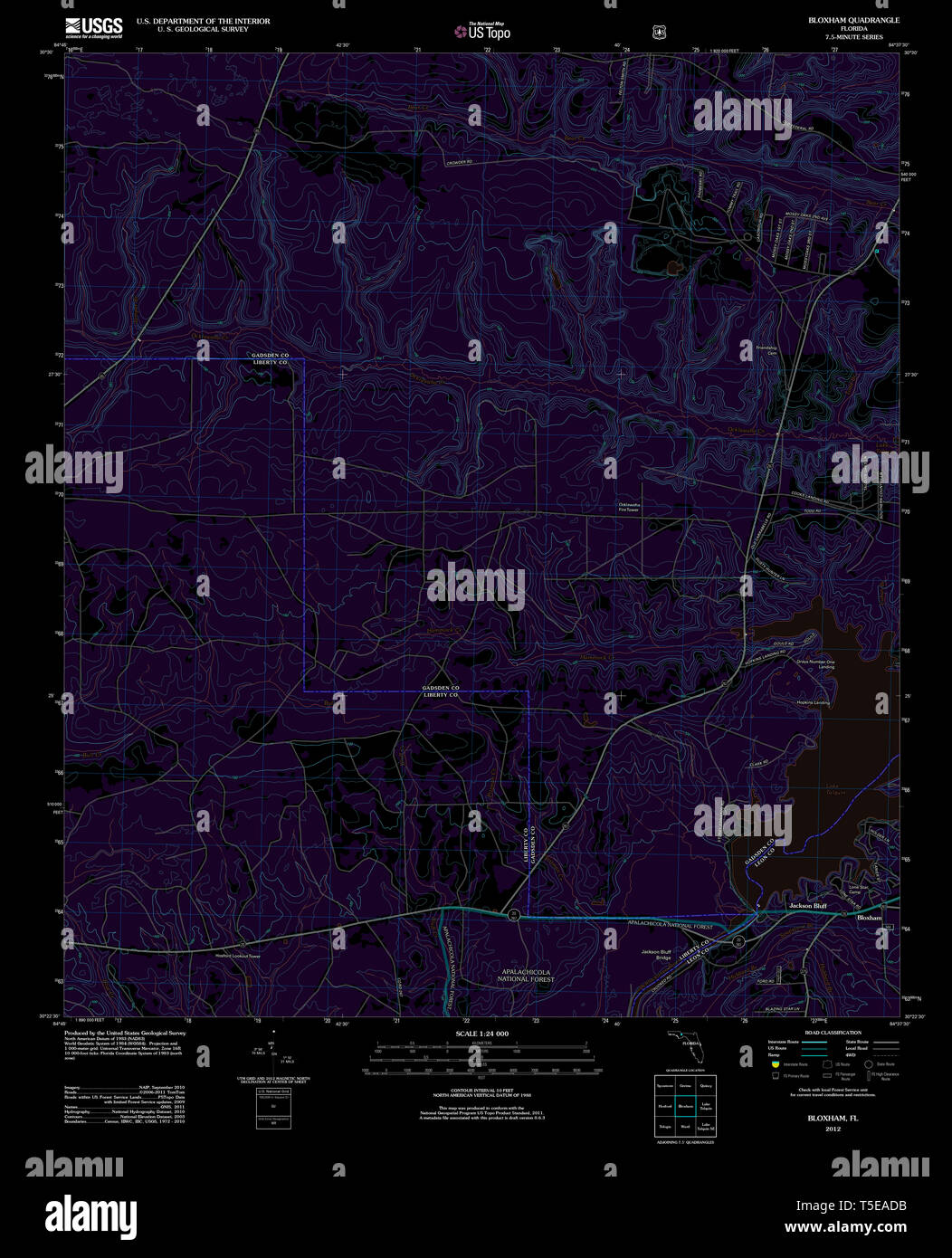 USGS TOPO Map Florida FL Bloxham 20120725 TM Inverted Restoration Stock Photohttps://www.alamy.com/image-license-details/?v=1https://www.alamy.com/usgs-topo-map-florida-fl-bloxham-20120725-tm-inverted-restoration-image244333975.html
RMT5EADB–USGS TOPO Map Florida FL Bloxham 20120725 TM Inverted Restoration
 Cherwell, non metropolitan district of England - Great Britain. Low resolution satellite map Stock Photohttps://www.alamy.com/image-license-details/?v=1https://www.alamy.com/cherwell-non-metropolitan-district-of-england-great-britain-low-resolution-satellite-map-image546387149.html
RF2PMX2AN–Cherwell, non metropolitan district of England - Great Britain. Low resolution satellite map
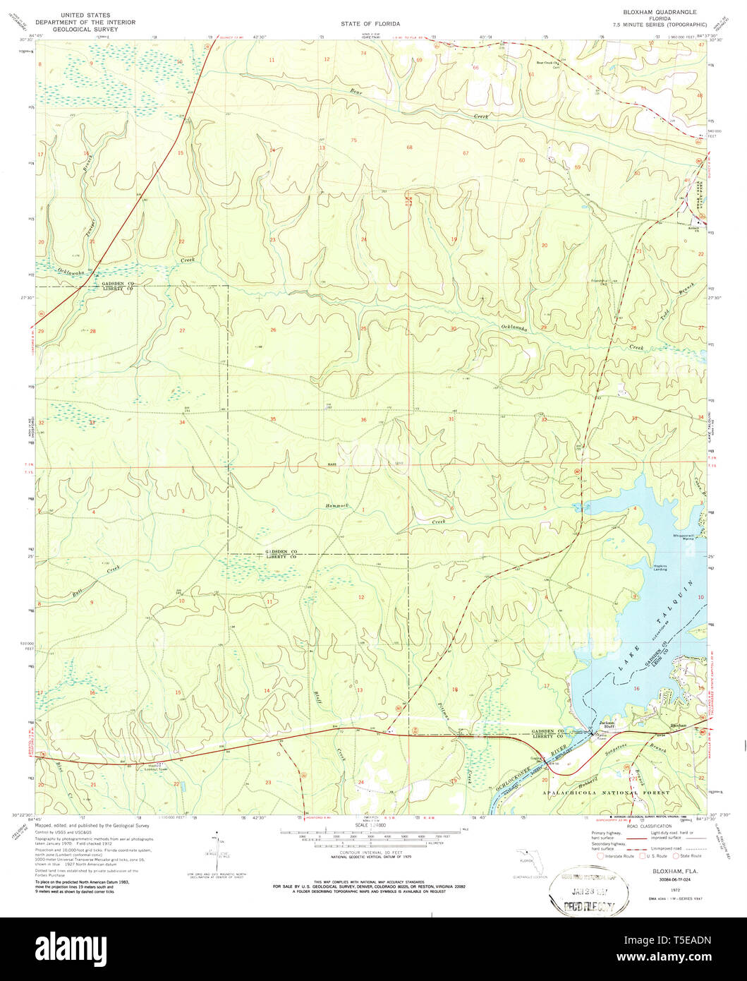 USGS TOPO Map Florida FL Bloxham 345225 1972 24000 Restoration Stock Photohttps://www.alamy.com/image-license-details/?v=1https://www.alamy.com/usgs-topo-map-florida-fl-bloxham-345225-1972-24000-restoration-image244333985.html
RMT5EADN–USGS TOPO Map Florida FL Bloxham 345225 1972 24000 Restoration
 Crossing Sydney Harbour 33006409974 o Stock Photohttps://www.alamy.com/image-license-details/?v=1https://www.alamy.com/stock-photo-crossing-sydney-harbour-33006409974-o-147112757.html
RMJF9FR1–Crossing Sydney Harbour 33006409974 o
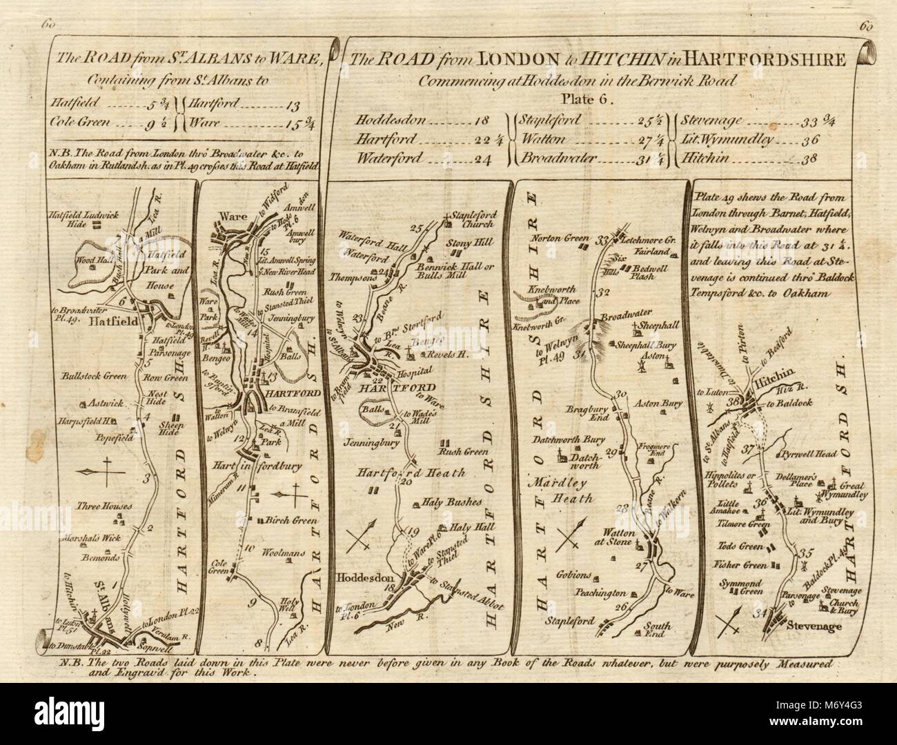 St Albans Hatfield Hertford Hoddesdon Stevenage Hitchin. KITCHIN road map 1767 Stock Photohttps://www.alamy.com/image-license-details/?v=1https://www.alamy.com/stock-photo-st-albans-hatfield-hertford-hoddesdon-stevenage-hitchin-kitchin-road-176387907.html
RFM6Y4G3–St Albans Hatfield Hertford Hoddesdon Stevenage Hitchin. KITCHIN road map 1767
 Bloxham, Oxfordshire, GB, United Kingdom, England, N 52 1' 5'', S 1 21' 46'', map, Cartascapes Map published in 2024. Explore Cartascapes, a map revealing Earth's diverse landscapes, cultures, and ecosystems. Journey through time and space, discovering the interconnectedness of our planet's past, present, and future. Stock Photohttps://www.alamy.com/image-license-details/?v=1https://www.alamy.com/bloxham-oxfordshire-gb-united-kingdom-england-n-52-1-5-s-1-21-46-map-cartascapes-map-published-in-2024-explore-cartascapes-a-map-revealing-earths-diverse-landscapes-cultures-and-ecosystems-journey-through-time-and-space-discovering-the-interconnectedness-of-our-planets-past-present-and-future-image604278861.html
RM2X337RW–Bloxham, Oxfordshire, GB, United Kingdom, England, N 52 1' 5'', S 1 21' 46'', map, Cartascapes Map published in 2024. Explore Cartascapes, a map revealing Earth's diverse landscapes, cultures, and ecosystems. Journey through time and space, discovering the interconnectedness of our planet's past, present, and future.
 Cherwell, non metropolitan district of England - Great Britain. High resolution satellite map Stock Photohttps://www.alamy.com/image-license-details/?v=1https://www.alamy.com/cherwell-non-metropolitan-district-of-england-great-britain-high-resolution-satellite-map-image546386986.html
RF2PMX24X–Cherwell, non metropolitan district of England - Great Britain. High resolution satellite map
 USGS TOPO Map Florida FL Bloxham 345226 1972 24000 Restoration Stock Photohttps://www.alamy.com/image-license-details/?v=1https://www.alamy.com/usgs-topo-map-florida-fl-bloxham-345226-1972-24000-restoration-image244333994.html
RMT5EAE2–USGS TOPO Map Florida FL Bloxham 345226 1972 24000 Restoration
 View of Long Bay 33720592531 o Stock Photohttps://www.alamy.com/image-license-details/?v=1https://www.alamy.com/stock-photo-view-of-long-bay-33720592531-o-147112746.html
RMJF9FPJ–View of Long Bay 33720592531 o
 Bloxham, Oxfordshire, GB, United Kingdom, England, N 52 1' 13'', S 1 22' 23'', map, Cartascapes Map published in 2024. Explore Cartascapes, a map revealing Earth's diverse landscapes, cultures, and ecosystems. Journey through time and space, discovering the interconnectedness of our planet's past, present, and future. Stock Photohttps://www.alamy.com/image-license-details/?v=1https://www.alamy.com/bloxham-oxfordshire-gb-united-kingdom-england-n-52-1-13-s-1-22-23-map-cartascapes-map-published-in-2024-explore-cartascapes-a-map-revealing-earths-diverse-landscapes-cultures-and-ecosystems-journey-through-time-and-space-discovering-the-interconnectedness-of-our-planets-past-present-and-future-image604182241.html
RM2X2XTH5–Bloxham, Oxfordshire, GB, United Kingdom, England, N 52 1' 13'', S 1 22' 23'', map, Cartascapes Map published in 2024. Explore Cartascapes, a map revealing Earth's diverse landscapes, cultures, and ecosystems. Journey through time and space, discovering the interconnectedness of our planet's past, present, and future.
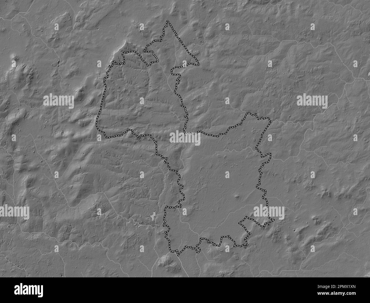 Cherwell, non metropolitan district of England - Great Britain. Bilevel elevation map with lakes and rivers Stock Photohttps://www.alamy.com/image-license-details/?v=1https://www.alamy.com/cherwell-non-metropolitan-district-of-england-great-britain-bilevel-elevation-map-with-lakes-and-rivers-image546386813.html
RF2PMX1XN–Cherwell, non metropolitan district of England - Great Britain. Bilevel elevation map with lakes and rivers
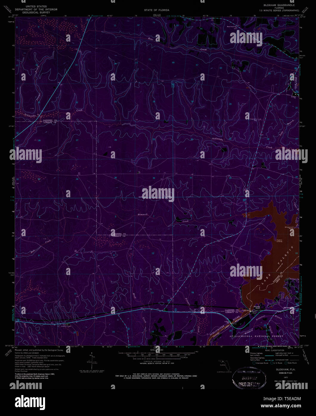 USGS TOPO Map Florida FL Bloxham 345225 1972 24000 Inverted Restoration Stock Photohttps://www.alamy.com/image-license-details/?v=1https://www.alamy.com/usgs-topo-map-florida-fl-bloxham-345225-1972-24000-inverted-restoration-image244333984.html
RMT5EADM–USGS TOPO Map Florida FL Bloxham 345225 1972 24000 Inverted Restoration
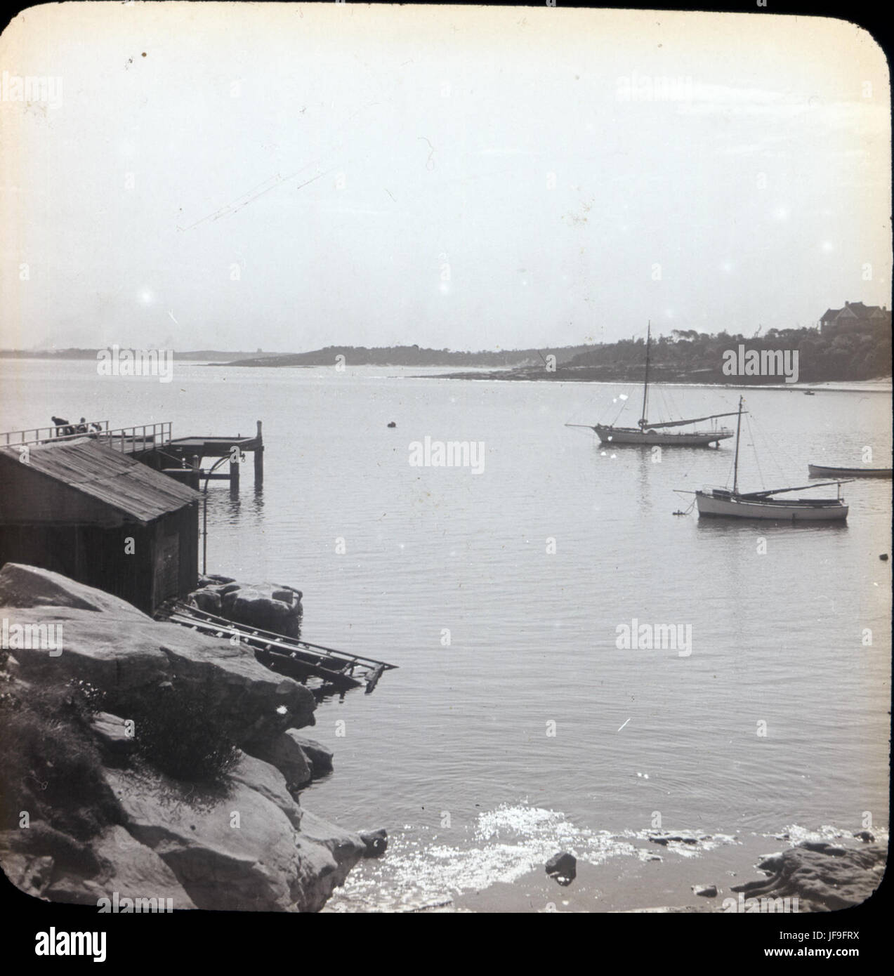 La Perouse Bay 33849093395 o Stock Photohttps://www.alamy.com/image-license-details/?v=1https://www.alamy.com/stock-photo-la-perouse-bay-33849093395-o-147112782.html
RMJF9FRX–La Perouse Bay 33849093395 o
 Bloxham, Oxfordshire, GB, United Kingdom, England, N 52 1' 5'', S 1 21' 46'', map, Cartascapes Map published in 2024. Explore Cartascapes, a map revealing Earth's diverse landscapes, cultures, and ecosystems. Journey through time and space, discovering the interconnectedness of our planet's past, present, and future. Stock Photohttps://www.alamy.com/image-license-details/?v=1https://www.alamy.com/bloxham-oxfordshire-gb-united-kingdom-england-n-52-1-5-s-1-21-46-map-cartascapes-map-published-in-2024-explore-cartascapes-a-map-revealing-earths-diverse-landscapes-cultures-and-ecosystems-journey-through-time-and-space-discovering-the-interconnectedness-of-our-planets-past-present-and-future-image604278892.html
RM2X337W0–Bloxham, Oxfordshire, GB, United Kingdom, England, N 52 1' 5'', S 1 21' 46'', map, Cartascapes Map published in 2024. Explore Cartascapes, a map revealing Earth's diverse landscapes, cultures, and ecosystems. Journey through time and space, discovering the interconnectedness of our planet's past, present, and future.
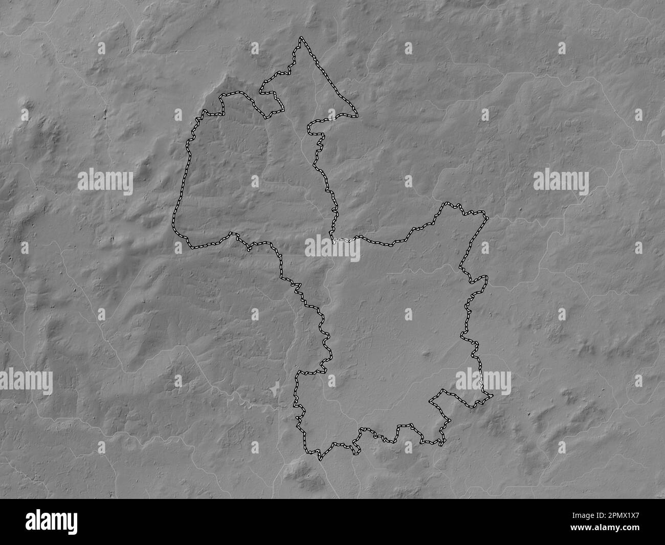 Cherwell, non metropolitan district of England - Great Britain. Grayscale elevation map with lakes and rivers Stock Photohttps://www.alamy.com/image-license-details/?v=1https://www.alamy.com/cherwell-non-metropolitan-district-of-england-great-britain-grayscale-elevation-map-with-lakes-and-rivers-image546386799.html
RF2PMX1X7–Cherwell, non metropolitan district of England - Great Britain. Grayscale elevation map with lakes and rivers
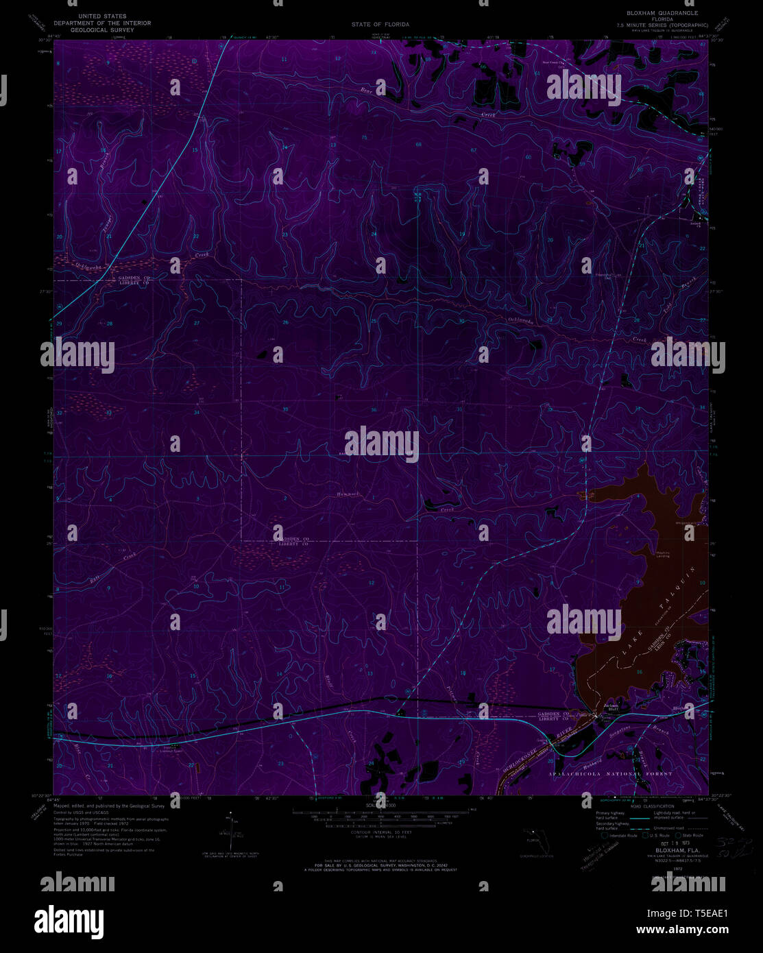 USGS TOPO Map Florida FL Bloxham 345226 1972 24000 Inverted Restoration Stock Photohttps://www.alamy.com/image-license-details/?v=1https://www.alamy.com/usgs-topo-map-florida-fl-bloxham-345226-1972-24000-inverted-restoration-image244333993.html
RMT5EAE1–USGS TOPO Map Florida FL Bloxham 345226 1972 24000 Inverted Restoration
 Trams at Circular Quay 33849219935 o Stock Photohttps://www.alamy.com/image-license-details/?v=1https://www.alamy.com/stock-photo-trams-at-circular-quay-33849219935-o-147112772.html
RMJF9FRG–Trams at Circular Quay 33849219935 o
 Bloxham, Oxfordshire, GB, United Kingdom, England, N 52 1' 13'', S 1 22' 23'', map, Cartascapes Map published in 2024. Explore Cartascapes, a map revealing Earth's diverse landscapes, cultures, and ecosystems. Journey through time and space, discovering the interconnectedness of our planet's past, present, and future. Stock Photohttps://www.alamy.com/image-license-details/?v=1https://www.alamy.com/bloxham-oxfordshire-gb-united-kingdom-england-n-52-1-13-s-1-22-23-map-cartascapes-map-published-in-2024-explore-cartascapes-a-map-revealing-earths-diverse-landscapes-cultures-and-ecosystems-journey-through-time-and-space-discovering-the-interconnectedness-of-our-planets-past-present-and-future-image604182245.html
RM2X2XTH9–Bloxham, Oxfordshire, GB, United Kingdom, England, N 52 1' 13'', S 1 22' 23'', map, Cartascapes Map published in 2024. Explore Cartascapes, a map revealing Earth's diverse landscapes, cultures, and ecosystems. Journey through time and space, discovering the interconnectedness of our planet's past, present, and future.
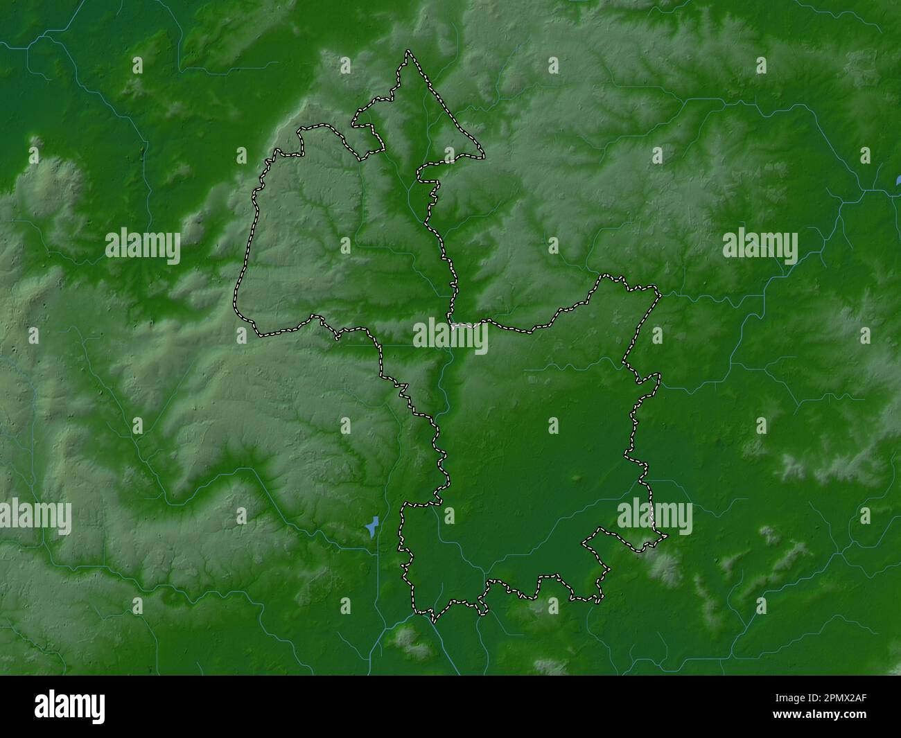 Cherwell, non metropolitan district of England - Great Britain. Colored elevation map with lakes and rivers Stock Photohttps://www.alamy.com/image-license-details/?v=1https://www.alamy.com/cherwell-non-metropolitan-district-of-england-great-britain-colored-elevation-map-with-lakes-and-rivers-image546387143.html
RF2PMX2AF–Cherwell, non metropolitan district of England - Great Britain. Colored elevation map with lakes and rivers
 Gunnamatta Bay, Cronulla 2 33693096052 o Stock Photohttps://www.alamy.com/image-license-details/?v=1https://www.alamy.com/stock-photo-gunnamatta-bay-cronulla-2-33693096052-o-147112784.html
RMJF9FT0–Gunnamatta Bay, Cronulla 2 33693096052 o
 Bloxham, Leon County, US, United States, Florida, N 30 23' 18'', S 84 37' 50'', map, Cartascapes Map published in 2024. Explore Cartascapes, a map revealing Earth's diverse landscapes, cultures, and ecosystems. Journey through time and space, discovering the interconnectedness of our planet's past, present, and future. Stock Photohttps://www.alamy.com/image-license-details/?v=1https://www.alamy.com/bloxham-leon-county-us-united-states-florida-n-30-23-18-s-84-37-50-map-cartascapes-map-published-in-2024-explore-cartascapes-a-map-revealing-earths-diverse-landscapes-cultures-and-ecosystems-journey-through-time-and-space-discovering-the-interconnectedness-of-our-planets-past-present-and-future-image620827542.html
RM2Y213T6–Bloxham, Leon County, US, United States, Florida, N 30 23' 18'', S 84 37' 50'', map, Cartascapes Map published in 2024. Explore Cartascapes, a map revealing Earth's diverse landscapes, cultures, and ecosystems. Journey through time and space, discovering the interconnectedness of our planet's past, present, and future.
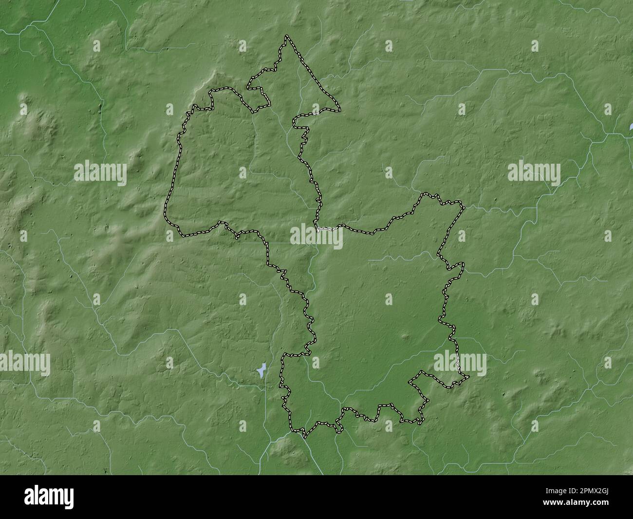 Cherwell, non metropolitan district of England - Great Britain. Elevation map colored in wiki style with lakes and rivers Stock Photohttps://www.alamy.com/image-license-details/?v=1https://www.alamy.com/cherwell-non-metropolitan-district-of-england-great-britain-elevation-map-colored-in-wiki-style-with-lakes-and-rivers-image546387314.html
RF2PMX2GJ–Cherwell, non metropolitan district of England - Great Britain. Elevation map colored in wiki style with lakes and rivers
 Sydney Harbour Bridge 33808218226 o Stock Photohttps://www.alamy.com/image-license-details/?v=1https://www.alamy.com/stock-photo-sydney-harbour-bridge-33808218226-o-147112774.html
RMJF9FRJ–Sydney Harbour Bridge 33808218226 o
 Bloxham, Oxfordshire, United Kingdom, England, N 52 1' 13'', W 1 22' 23'', map, Timeless Map published in 2021. Travelers, explorers and adventurers like Florence Nightingale, David Livingstone, Ernest Shackleton, Lewis and Clark and Sherlock Holmes relied on maps to plan travels to the world's most remote corners, Timeless Maps is mapping most locations on the globe, showing the achievement of great dreams Stock Photohttps://www.alamy.com/image-license-details/?v=1https://www.alamy.com/bloxham-oxfordshire-united-kingdom-england-n-52-1-13-w-1-22-23-map-timeless-map-published-in-2021-travelers-explorers-and-adventurers-like-florence-nightingale-david-livingstone-ernest-shackleton-lewis-and-clark-and-sherlock-holmes-relied-on-maps-to-plan-travels-to-the-worlds-most-remote-corners-timeless-maps-is-mapping-most-locations-on-the-globe-showing-the-achievement-of-great-dreams-image439402035.html
RM2GETDNR–Bloxham, Oxfordshire, United Kingdom, England, N 52 1' 13'', W 1 22' 23'', map, Timeless Map published in 2021. Travelers, explorers and adventurers like Florence Nightingale, David Livingstone, Ernest Shackleton, Lewis and Clark and Sherlock Holmes relied on maps to plan travels to the world's most remote corners, Timeless Maps is mapping most locations on the globe, showing the achievement of great dreams
 Cherwell, non metropolitan district of England - Great Britain. Elevation map colored in sepia tones with lakes and rivers Stock Photohttps://www.alamy.com/image-license-details/?v=1https://www.alamy.com/cherwell-non-metropolitan-district-of-england-great-britain-elevation-map-colored-in-sepia-tones-with-lakes-and-rivers-image546387225.html
RF2PMX2DD–Cherwell, non metropolitan district of England - Great Britain. Elevation map colored in sepia tones with lakes and rivers
 Council Wharf, Gunnamatta Bay, Cronulla 33692819322 o Stock Photohttps://www.alamy.com/image-license-details/?v=1https://www.alamy.com/stock-photo-council-wharf-gunnamatta-bay-cronulla-33692819322-o-147112788.html
RMJF9FT4–Council Wharf, Gunnamatta Bay, Cronulla 33692819322 o
 Bloxham, Florida, map 1972, 1:24000, United States of America by Timeless Maps, data U.S. Geological Survey Stock Photohttps://www.alamy.com/image-license-details/?v=1https://www.alamy.com/bloxham-florida-map-1972-124000-united-states-of-america-by-timeless-maps-data-us-geological-survey-image406217870.html
RM2EGTR12–Bloxham, Florida, map 1972, 1:24000, United States of America by Timeless Maps, data U.S. Geological Survey
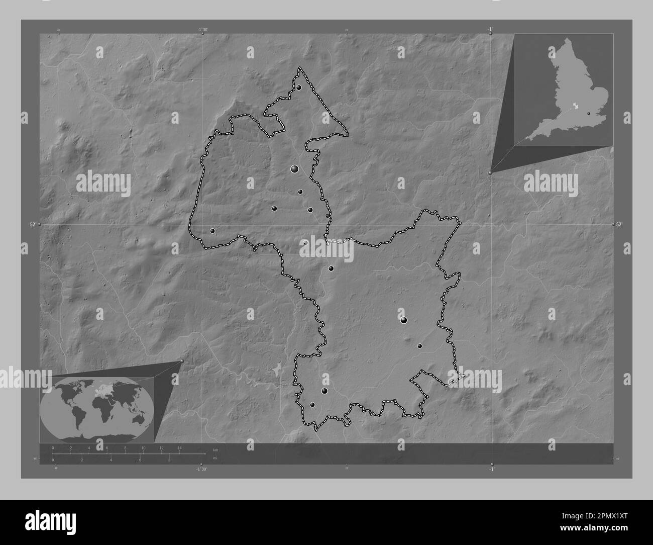 Cherwell, non metropolitan district of England - Great Britain. Grayscale elevation map with lakes and rivers. Locations of major cities of the region Stock Photohttps://www.alamy.com/image-license-details/?v=1https://www.alamy.com/cherwell-non-metropolitan-district-of-england-great-britain-grayscale-elevation-map-with-lakes-and-rivers-locations-of-major-cities-of-the-region-image546386816.html
RF2PMX1XT–Cherwell, non metropolitan district of England - Great Britain. Grayscale elevation map with lakes and rivers. Locations of major cities of the region
 Gunnamatta Bay, Cronulla 1 33719750491 o Stock Photohttps://www.alamy.com/image-license-details/?v=1https://www.alamy.com/stock-photo-gunnamatta-bay-cronulla-1-33719750491-o-147112785.html
RMJF9FT1–Gunnamatta Bay, Cronulla 1 33719750491 o
 Cherwell, non metropolitan district of England - Great Britain. Colored elevation map with lakes and rivers. Locations of major cities of the region. Stock Photohttps://www.alamy.com/image-license-details/?v=1https://www.alamy.com/cherwell-non-metropolitan-district-of-england-great-britain-colored-elevation-map-with-lakes-and-rivers-locations-of-major-cities-of-the-region-image546387010.html
RF2PMX25P–Cherwell, non metropolitan district of England - Great Britain. Colored elevation map with lakes and rivers. Locations of major cities of the region.
 View of Botany Bay heads from La Perouse 33464790920 o Stock Photohttps://www.alamy.com/image-license-details/?v=1https://www.alamy.com/stock-photo-view-of-botany-bay-heads-from-la-perouse-33464790920-o-147112771.html
RMJF9FRF–View of Botany Bay heads from La Perouse 33464790920 o
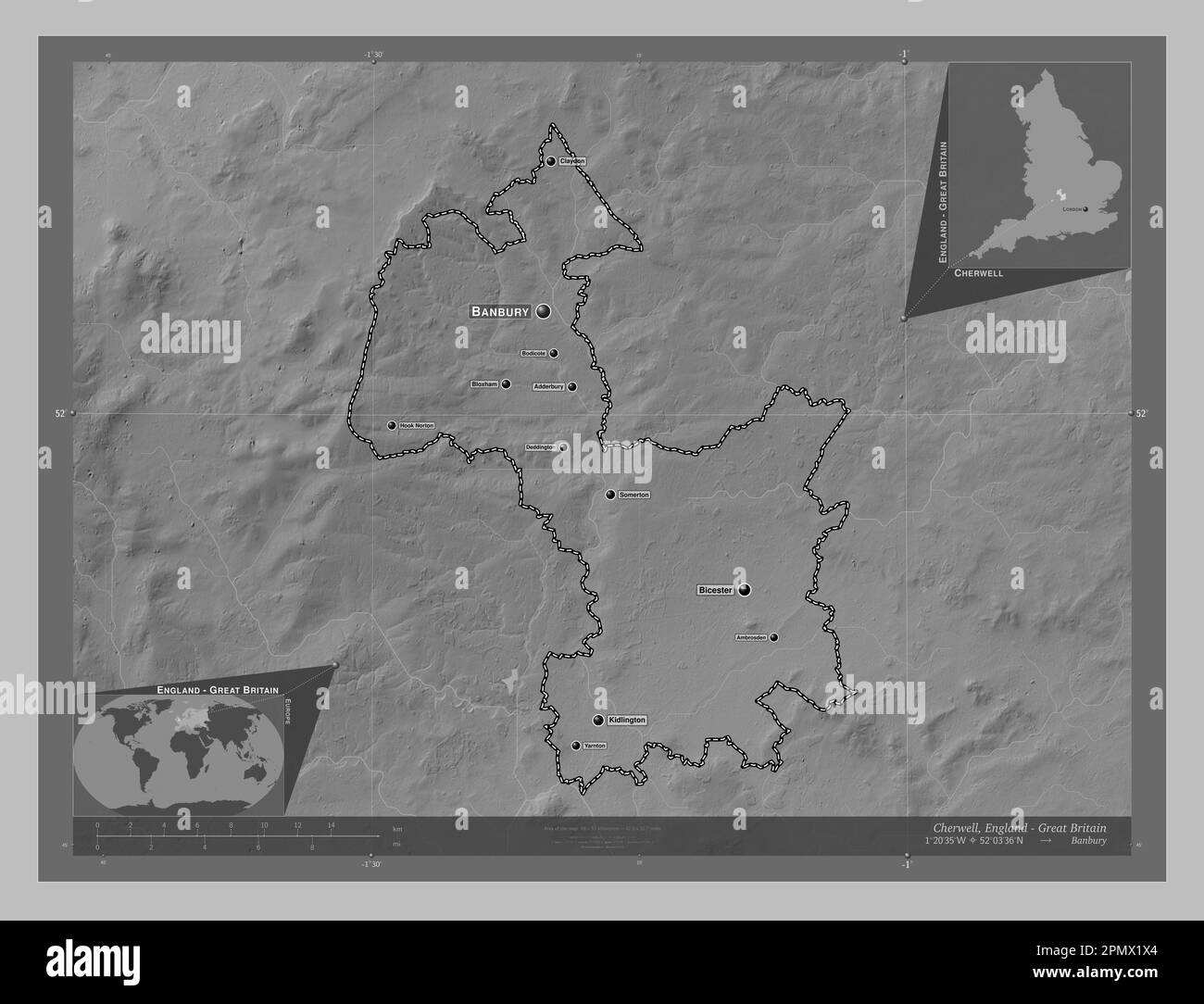 Cherwell, non metropolitan district of England - Great Britain. Grayscale elevation map with lakes and rivers. Locations and names of major cities of Stock Photohttps://www.alamy.com/image-license-details/?v=1https://www.alamy.com/cherwell-non-metropolitan-district-of-england-great-britain-grayscale-elevation-map-with-lakes-and-rivers-locations-and-names-of-major-cities-of-image546386796.html
RF2PMX1X4–Cherwell, non metropolitan district of England - Great Britain. Grayscale elevation map with lakes and rivers. Locations and names of major cities of
 Sydney Harbour Bridge 33693862512 o Stock Photohttps://www.alamy.com/image-license-details/?v=1https://www.alamy.com/stock-photo-sydney-harbour-bridge-33693862512-o-147112751.html
RMJF9FPR–Sydney Harbour Bridge 33693862512 o
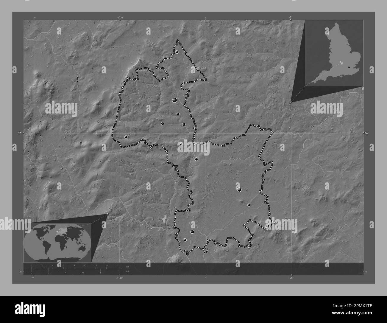 Cherwell, non metropolitan district of England - Great Britain. Bilevel elevation map with lakes and rivers. Locations of major cities of the region. Stock Photohttps://www.alamy.com/image-license-details/?v=1https://www.alamy.com/cherwell-non-metropolitan-district-of-england-great-britain-bilevel-elevation-map-with-lakes-and-rivers-locations-of-major-cities-of-the-region-image546386750.html
RF2PMX1TE–Cherwell, non metropolitan district of England - Great Britain. Bilevel elevation map with lakes and rivers. Locations of major cities of the region.
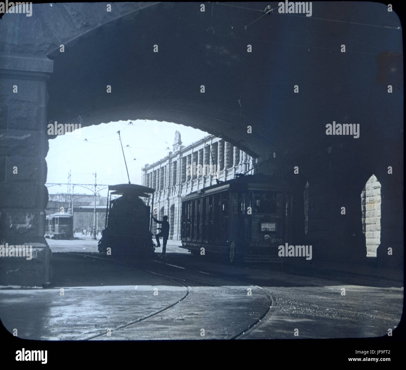 Eddy Avenue, Central Station 33719540371 o Stock Photohttps://www.alamy.com/image-license-details/?v=1https://www.alamy.com/stock-photo-eddy-avenue-central-station-33719540371-o-147112786.html
RMJF9FT2–Eddy Avenue, Central Station 33719540371 o
 Cherwell, non metropolitan district of England - Great Britain. High resolution satellite map. Locations of major cities of the region. Corner auxilia Stock Photohttps://www.alamy.com/image-license-details/?v=1https://www.alamy.com/cherwell-non-metropolitan-district-of-england-great-britain-high-resolution-satellite-map-locations-of-major-cities-of-the-region-corner-auxilia-image546386916.html
RF2PMX22C–Cherwell, non metropolitan district of England - Great Britain. High resolution satellite map. Locations of major cities of the region. Corner auxilia
 Sydney Harbour Bridge 33849792175 o Stock Photohttps://www.alamy.com/image-license-details/?v=1https://www.alamy.com/stock-photo-sydney-harbour-bridge-33849792175-o-147112756.html
RMJF9FR0–Sydney Harbour Bridge 33849792175 o
 Cherwell, non metropolitan district of England - Great Britain. High resolution satellite map. Locations and names of major cities of the region. Corn Stock Photohttps://www.alamy.com/image-license-details/?v=1https://www.alamy.com/cherwell-non-metropolitan-district-of-england-great-britain-high-resolution-satellite-map-locations-and-names-of-major-cities-of-the-region-corn-image546387151.html
RF2PMX2AR–Cherwell, non metropolitan district of England - Great Britain. High resolution satellite map. Locations and names of major cities of the region. Corn
 Sydney Harbour Bridge 33693270452 o Stock Photohttps://www.alamy.com/image-license-details/?v=1https://www.alamy.com/stock-photo-sydney-harbour-bridge-33693270452-o-147112773.html
RMJF9FRH–Sydney Harbour Bridge 33693270452 o
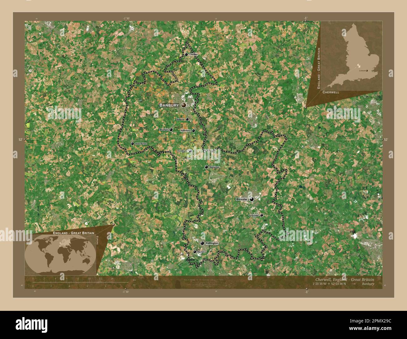 Cherwell, non metropolitan district of England - Great Britain. Low resolution satellite map. Locations and names of major cities of the region. Corne Stock Photohttps://www.alamy.com/image-license-details/?v=1https://www.alamy.com/cherwell-non-metropolitan-district-of-england-great-britain-low-resolution-satellite-map-locations-and-names-of-major-cities-of-the-region-corne-image546387112.html
RF2PMX29C–Cherwell, non metropolitan district of England - Great Britain. Low resolution satellite map. Locations and names of major cities of the region. Corne
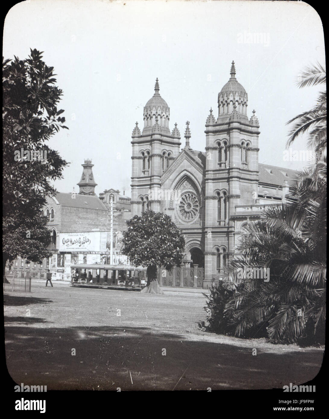 The Great Synagogue, Castlereagh Street 33693849292 o Stock Photohttps://www.alamy.com/image-license-details/?v=1https://www.alamy.com/stock-photo-the-great-synagogue-castlereagh-street-33693849292-o-147112753.html
RMJF9FPW–The Great Synagogue, Castlereagh Street 33693849292 o
 Cherwell, non metropolitan district of England - Great Britain. Low resolution satellite map. Locations of major cities of the region. Corner auxiliar Stock Photohttps://www.alamy.com/image-license-details/?v=1https://www.alamy.com/cherwell-non-metropolitan-district-of-england-great-britain-low-resolution-satellite-map-locations-of-major-cities-of-the-region-corner-auxiliar-image546386910.html
RF2PMX226–Cherwell, non metropolitan district of England - Great Britain. Low resolution satellite map. Locations of major cities of the region. Corner auxiliar
 View of Congwong Bay, La Perouse 33849874725 o Stock Photohttps://www.alamy.com/image-license-details/?v=1https://www.alamy.com/stock-photo-view-of-congwong-bay-la-perouse-33849874725-o-147112748.html
RMJF9FPM–View of Congwong Bay, La Perouse 33849874725 o
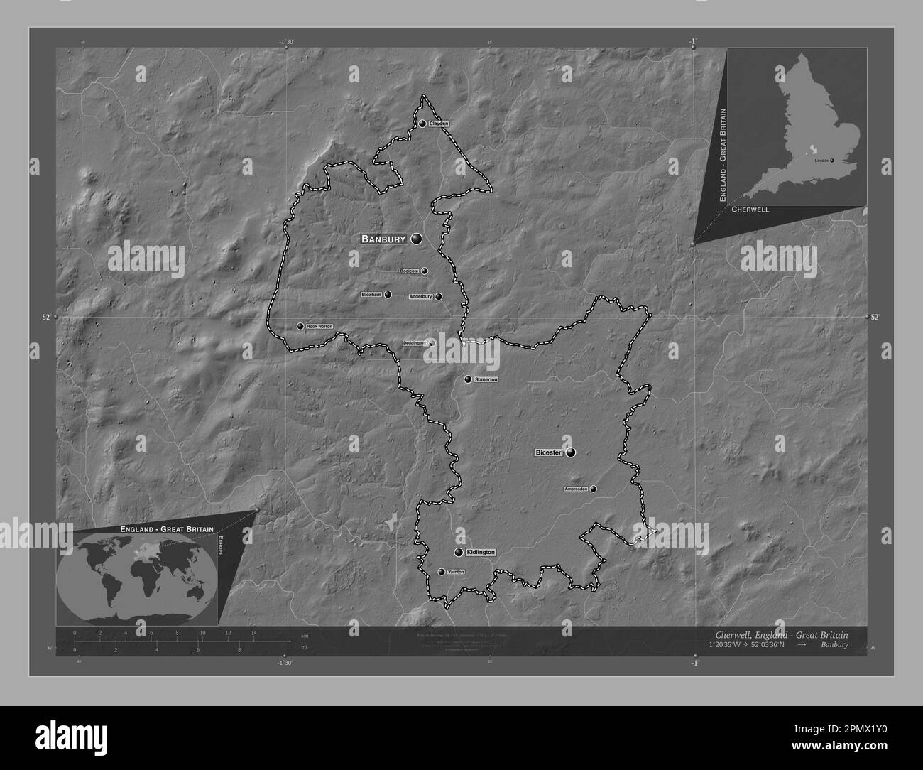 Cherwell, non metropolitan district of England - Great Britain. Bilevel elevation map with lakes and rivers. Locations and names of major cities of th Stock Photohttps://www.alamy.com/image-license-details/?v=1https://www.alamy.com/cherwell-non-metropolitan-district-of-england-great-britain-bilevel-elevation-map-with-lakes-and-rivers-locations-and-names-of-major-cities-of-th-image546386820.html
RF2PMX1Y0–Cherwell, non metropolitan district of England - Great Britain. Bilevel elevation map with lakes and rivers. Locations and names of major cities of th
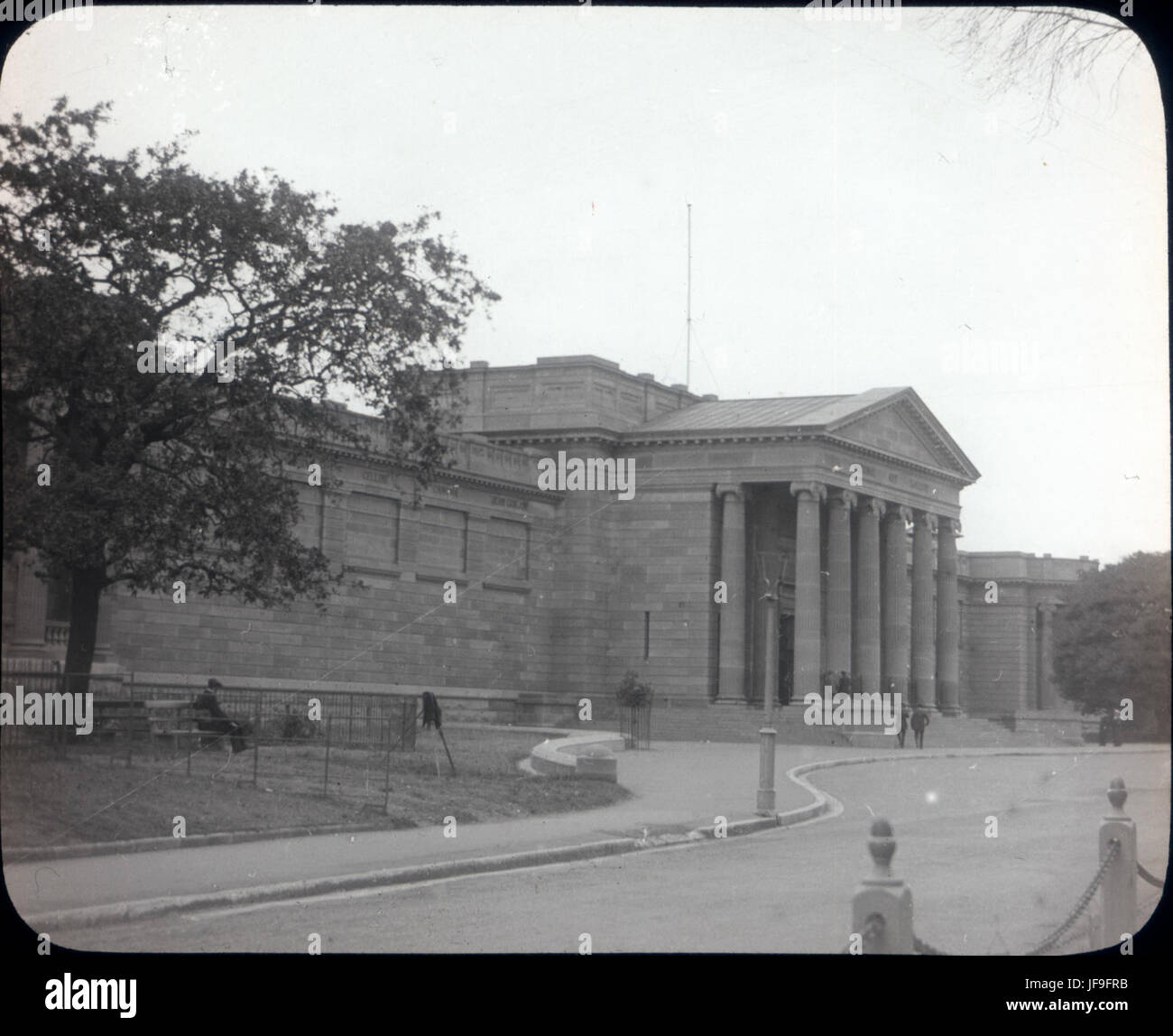 Art Gallery Road, The Domain 33036235713 o Stock Photohttps://www.alamy.com/image-license-details/?v=1https://www.alamy.com/stock-photo-art-gallery-road-the-domain-33036235713-o-147112767.html
RMJF9FRB–Art Gallery Road, The Domain 33036235713 o
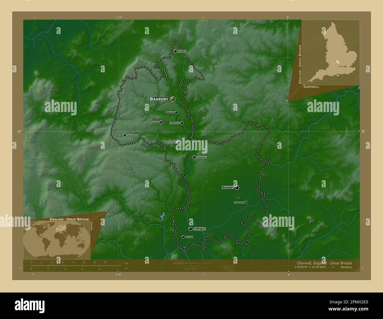 Cherwell, non metropolitan district of England - Great Britain. Colored elevation map with lakes and rivers. Locations and names of major cities of th Stock Photohttps://www.alamy.com/image-license-details/?v=1https://www.alamy.com/cherwell-non-metropolitan-district-of-england-great-britain-colored-elevation-map-with-lakes-and-rivers-locations-and-names-of-major-cities-of-th-image546387240.html
RF2PMX2E0–Cherwell, non metropolitan district of England - Great Britain. Colored elevation map with lakes and rivers. Locations and names of major cities of th
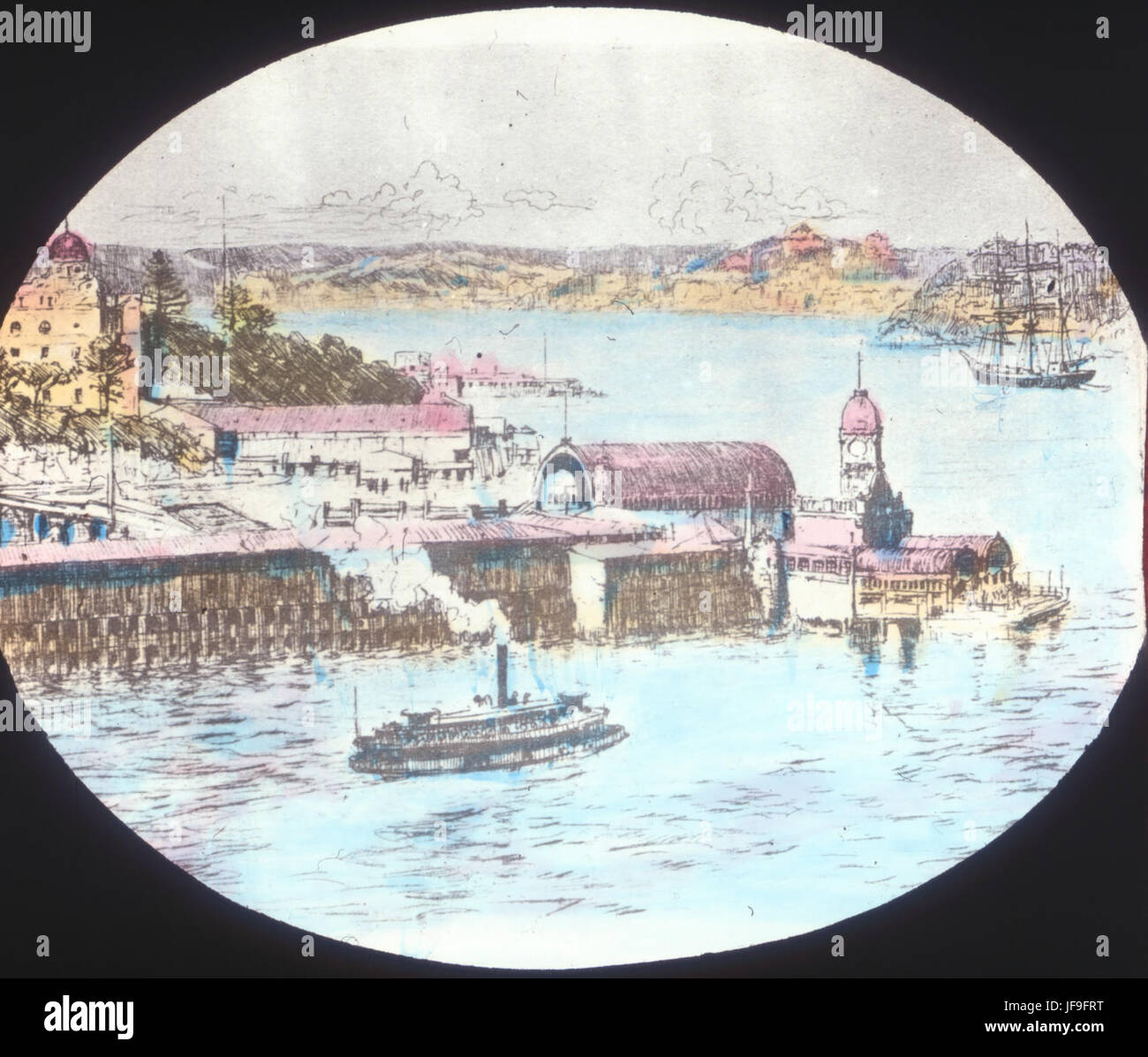 Milsons Point 33849112575 o Stock Photohttps://www.alamy.com/image-license-details/?v=1https://www.alamy.com/stock-photo-milsons-point-33849112575-o-147112780.html
RMJF9FRT–Milsons Point 33849112575 o
 Cherwell, non metropolitan district of England - Great Britain. Elevation map colored in sepia tones with lakes and rivers. Locations of major cities Stock Photohttps://www.alamy.com/image-license-details/?v=1https://www.alamy.com/cherwell-non-metropolitan-district-of-england-great-britain-elevation-map-colored-in-sepia-tones-with-lakes-and-rivers-locations-of-major-cities-image546387312.html
RF2PMX2GG–Cherwell, non metropolitan district of England - Great Britain. Elevation map colored in sepia tones with lakes and rivers. Locations of major cities
 Sydney Harbour Bridge 33464700440 o Stock Photohttps://www.alamy.com/image-license-details/?v=1https://www.alamy.com/stock-photo-sydney-harbour-bridge-33464700440-o-147112776.html
RMJF9FRM–Sydney Harbour Bridge 33464700440 o
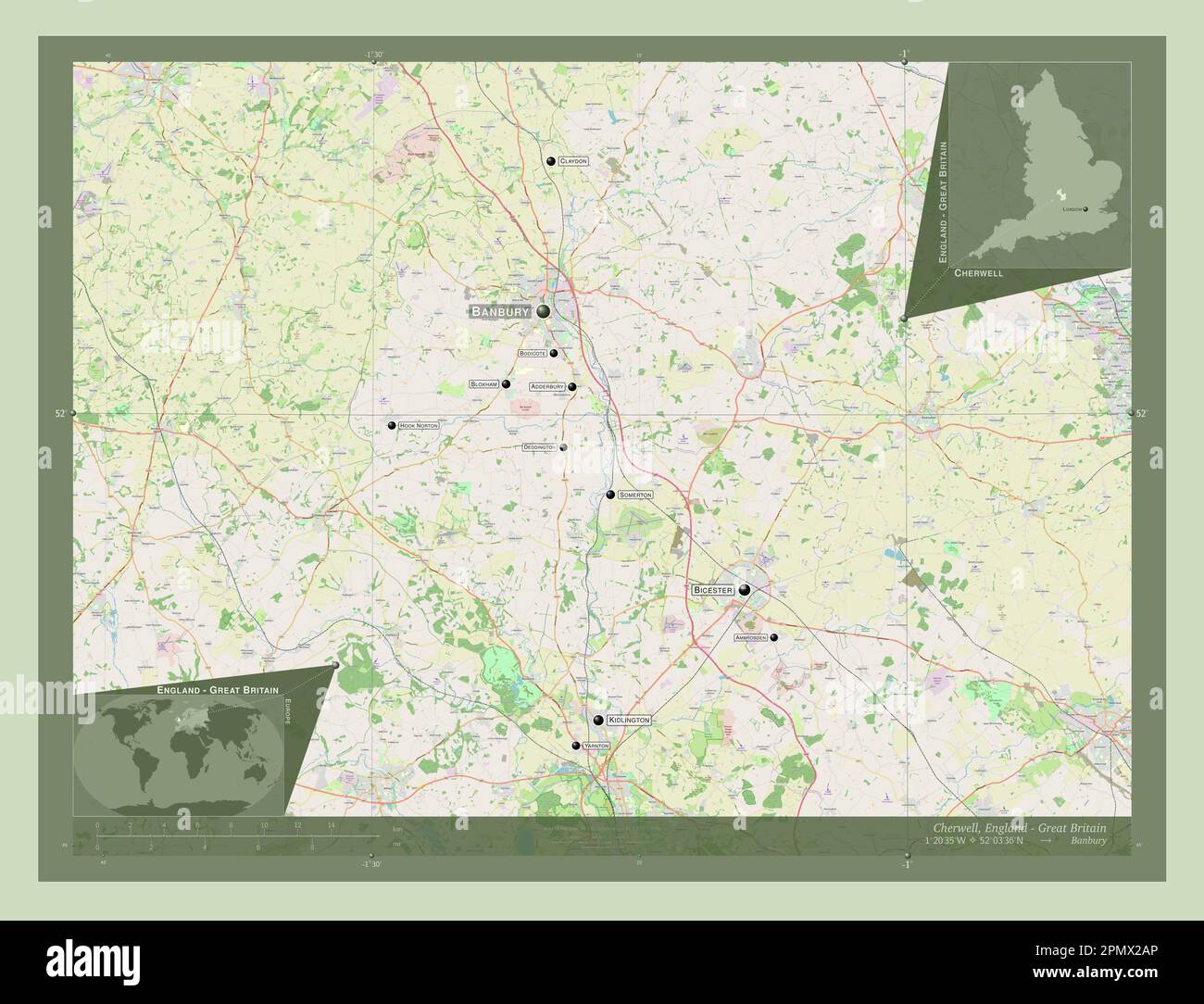 Cherwell, non metropolitan district of England - Great Britain. Open Street Map. Locations and names of major cities of the region. Corner auxiliary l Stock Photohttps://www.alamy.com/image-license-details/?v=1https://www.alamy.com/cherwell-non-metropolitan-district-of-england-great-britain-open-street-map-locations-and-names-of-major-cities-of-the-region-corner-auxiliary-l-image546387150.html
RF2PMX2AP–Cherwell, non metropolitan district of England - Great Britain. Open Street Map. Locations and names of major cities of the region. Corner auxiliary l
 Sydney Harbour Bridge 33719862711 o Stock Photohttps://www.alamy.com/image-license-details/?v=1https://www.alamy.com/stock-photo-sydney-harbour-bridge-33719862711-o-147112778.html
RMJF9FRP–Sydney Harbour Bridge 33719862711 o
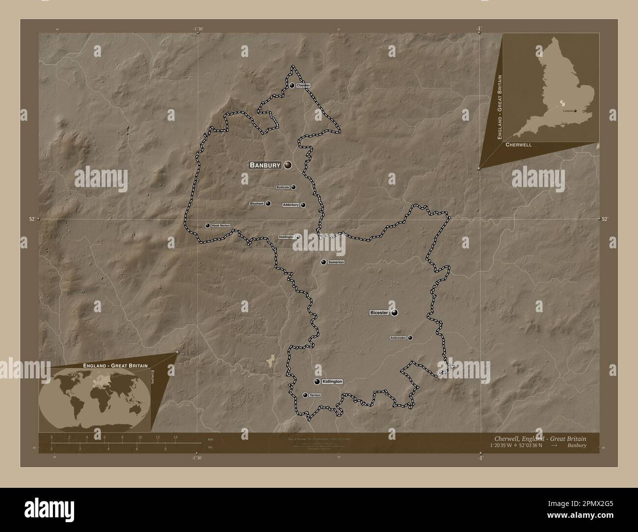 Cherwell, non metropolitan district of England - Great Britain. Elevation map colored in sepia tones with lakes and rivers. Locations and names of maj Stock Photohttps://www.alamy.com/image-license-details/?v=1https://www.alamy.com/cherwell-non-metropolitan-district-of-england-great-britain-elevation-map-colored-in-sepia-tones-with-lakes-and-rivers-locations-and-names-of-maj-image546387301.html
RF2PMX2G5–Cherwell, non metropolitan district of England - Great Britain. Elevation map colored in sepia tones with lakes and rivers. Locations and names of maj
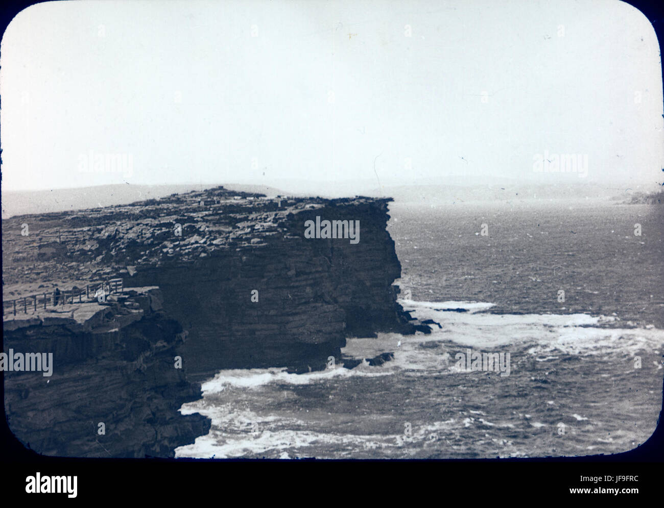 Watsons Bay 33035853753 o Stock Photohttps://www.alamy.com/image-license-details/?v=1https://www.alamy.com/stock-photo-watsons-bay-33035853753-o-147112768.html
RMJF9FRC–Watsons Bay 33035853753 o
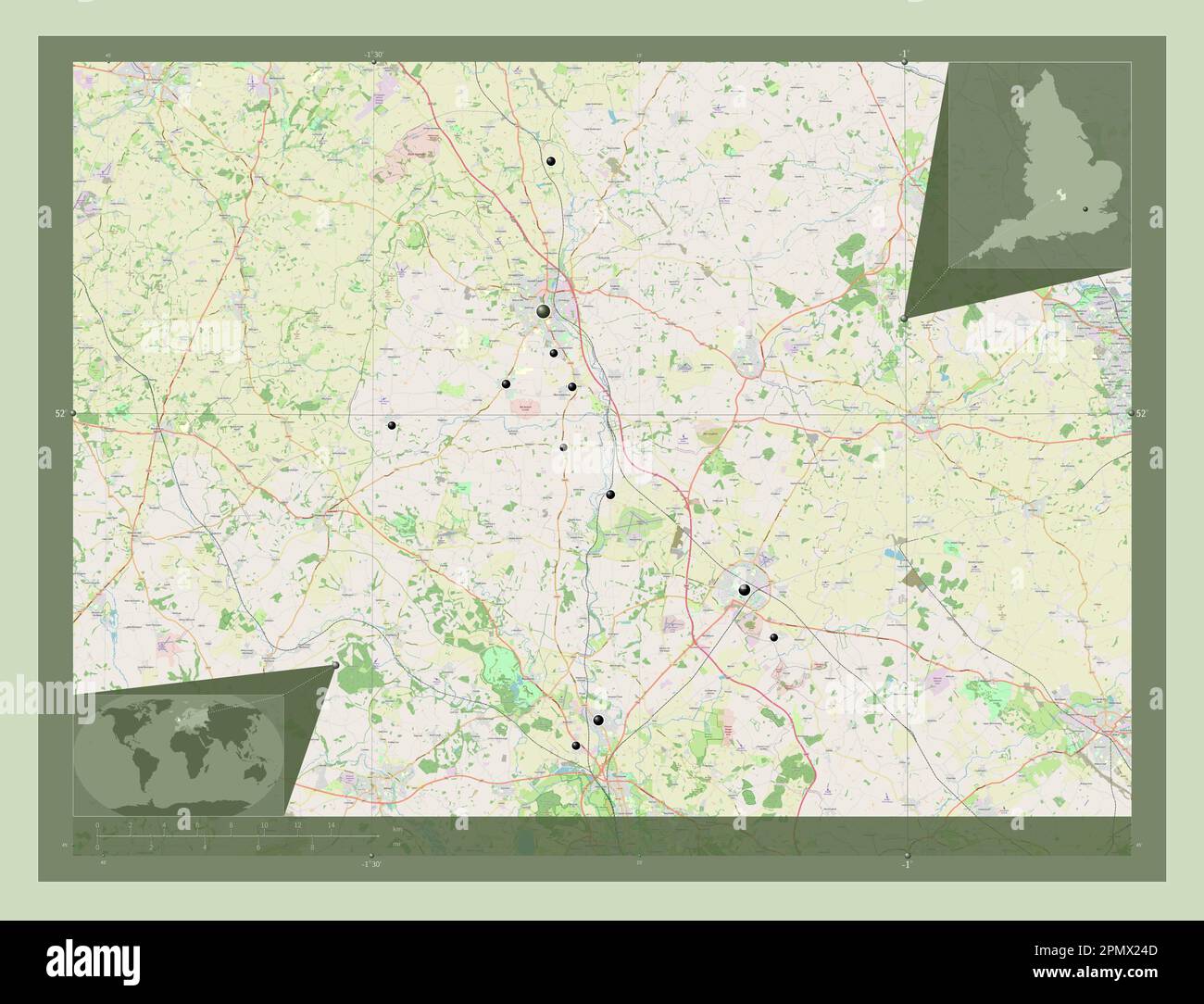 Cherwell, non metropolitan district of England - Great Britain. Open Street Map. Locations of major cities of the region. Corner auxiliary location ma Stock Photohttps://www.alamy.com/image-license-details/?v=1https://www.alamy.com/cherwell-non-metropolitan-district-of-england-great-britain-open-street-map-locations-of-major-cities-of-the-region-corner-auxiliary-location-ma-image546386973.html
RF2PMX24D–Cherwell, non metropolitan district of England - Great Britain. Open Street Map. Locations of major cities of the region. Corner auxiliary location ma
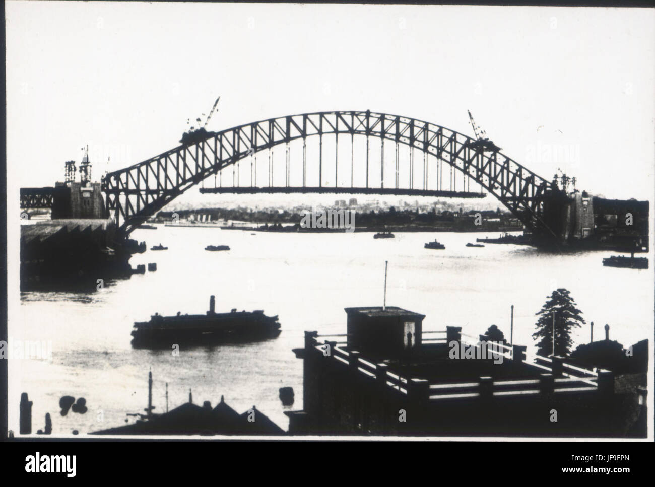 Sydney Harbour Bridge 33465370960 o Stock Photohttps://www.alamy.com/image-license-details/?v=1https://www.alamy.com/stock-photo-sydney-harbour-bridge-33465370960-o-147112749.html
RMJF9FPN–Sydney Harbour Bridge 33465370960 o
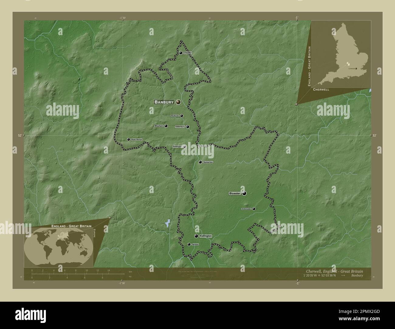 Cherwell, non metropolitan district of England - Great Britain. Elevation map colored in wiki style with lakes and rivers. Locations and names of majo Stock Photohttps://www.alamy.com/image-license-details/?v=1https://www.alamy.com/cherwell-non-metropolitan-district-of-england-great-britain-elevation-map-colored-in-wiki-style-with-lakes-and-rivers-locations-and-names-of-majo-image546387309.html
RF2PMX2GD–Cherwell, non metropolitan district of England - Great Britain. Elevation map colored in wiki style with lakes and rivers. Locations and names of majo
 SS Kiriibilli ferry enterinng Circular Quay 33035747663 o Stock Photohttps://www.alamy.com/image-license-details/?v=1https://www.alamy.com/stock-photo-ss-kiriibilli-ferry-enterinng-circular-quay-33035747663-o-147112775.html
RMJF9FRK–SS Kiriibilli ferry enterinng Circular Quay 33035747663 o
 Cherwell, non metropolitan district of England - Great Britain. Elevation map colored in wiki style with lakes and rivers. Locations of major cities o Stock Photohttps://www.alamy.com/image-license-details/?v=1https://www.alamy.com/cherwell-non-metropolitan-district-of-england-great-britain-elevation-map-colored-in-wiki-style-with-lakes-and-rivers-locations-of-major-cities-o-image546387218.html
RF2PMX2D6–Cherwell, non metropolitan district of England - Great Britain. Elevation map colored in wiki style with lakes and rivers. Locations of major cities o
 Cherwell, non metropolitan district of England - Great Britain. Solid color shape Stock Photohttps://www.alamy.com/image-license-details/?v=1https://www.alamy.com/cherwell-non-metropolitan-district-of-england-great-britain-solid-color-shape-image546387144.html
RF2PMX2AG–Cherwell, non metropolitan district of England - Great Britain. Solid color shape
 Cherwell, non metropolitan district of England - Great Britain. Solid color shape. Locations and names of major cities of the region. Corner auxiliary Stock Photohttps://www.alamy.com/image-license-details/?v=1https://www.alamy.com/cherwell-non-metropolitan-district-of-england-great-britain-solid-color-shape-locations-and-names-of-major-cities-of-the-region-corner-auxiliary-image546387138.html
RF2PMX2AA–Cherwell, non metropolitan district of England - Great Britain. Solid color shape. Locations and names of major cities of the region. Corner auxiliary
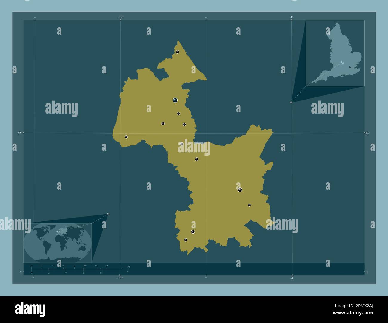 Cherwell, non metropolitan district of England - Great Britain. Solid color shape. Locations of major cities of the region. Corner auxiliary location Stock Photohttps://www.alamy.com/image-license-details/?v=1https://www.alamy.com/cherwell-non-metropolitan-district-of-england-great-britain-solid-color-shape-locations-of-major-cities-of-the-region-corner-auxiliary-location-image546387146.html
RF2PMX2AJ–Cherwell, non metropolitan district of England - Great Britain. Solid color shape. Locations of major cities of the region. Corner auxiliary location