Blue lake california map Stock Photos and Images
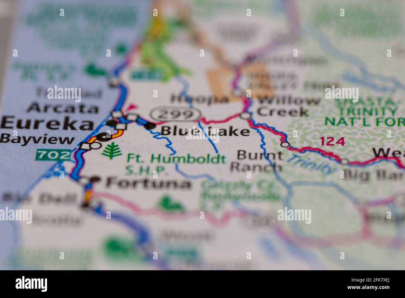 Blue lake California USA shown on a Geography map or road map Stock Photohttps://www.alamy.com/image-license-details/?v=1https://www.alamy.com/blue-lake-california-usa-shown-on-a-geography-map-or-road-map-image424901754.html
RM2FK7XEJ–Blue lake California USA shown on a Geography map or road map
 Drought in California: Comparison of water levels in Lake Shasta - the state’s largest surface water reservoir- contains modified Copernicus Sentinel Stock Photohttps://www.alamy.com/image-license-details/?v=1https://www.alamy.com/drought-in-california-comparison-of-water-levels-in-lake-shasta-the-states-largest-surface-water-reservoir-contains-modified-copernicus-sentinel-image435074055.html
RF2G7R9B3–Drought in California: Comparison of water levels in Lake Shasta - the state’s largest surface water reservoir- contains modified Copernicus Sentinel
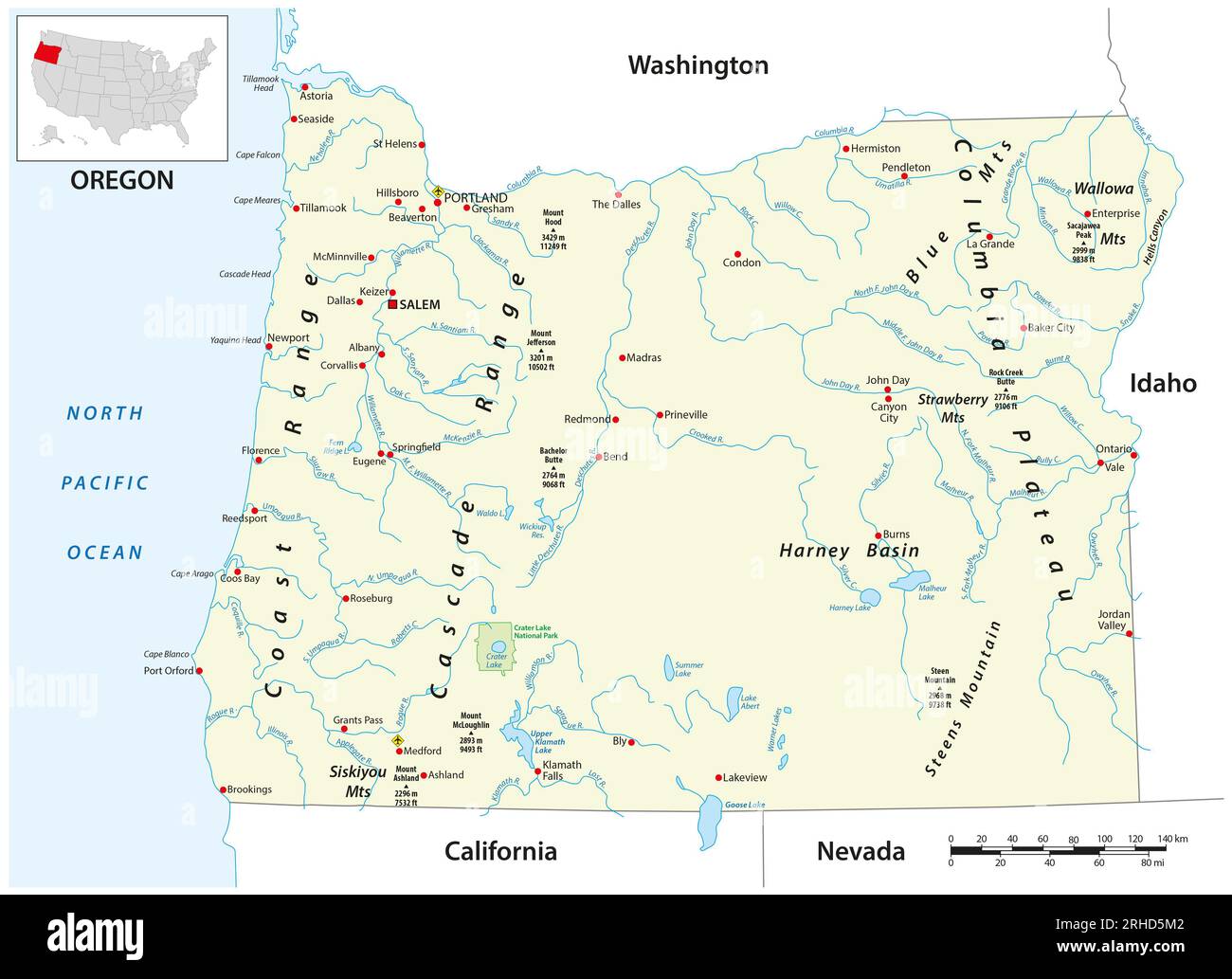 Vector map of the US state of Oregon Stock Photohttps://www.alamy.com/image-license-details/?v=1https://www.alamy.com/vector-map-of-the-us-state-of-oregon-image561470786.html
RF2RHD5M2–Vector map of the US state of Oregon
 Drought in California: Comparison of water levels in Lake Shasta - the state’s largest surface water reservoir- contains modified Copernicus Sentinel Stock Photohttps://www.alamy.com/image-license-details/?v=1https://www.alamy.com/drought-in-california-comparison-of-water-levels-in-lake-shasta-the-states-largest-surface-water-reservoir-contains-modified-copernicus-sentinel-image435074057.html
RF2G7R9B5–Drought in California: Comparison of water levels in Lake Shasta - the state’s largest surface water reservoir- contains modified Copernicus Sentinel
 CA03226-00...CALIFORNIA - Campsite at Guitar Lake at the base of Mount Whitney in Sequoia National Park. Stock Photohttps://www.alamy.com/image-license-details/?v=1https://www.alamy.com/stock-photo-ca03226-00california-campsite-at-guitar-lake-at-the-base-of-mount-138107627.html
RMJ0K9K7–CA03226-00...CALIFORNIA - Campsite at Guitar Lake at the base of Mount Whitney in Sequoia National Park.
 Toxic lake called Salton Sea located near Coachella Valley in California. Once a popular sea resort now a haunted empty place. Stock Photohttps://www.alamy.com/image-license-details/?v=1https://www.alamy.com/toxic-lake-called-salton-sea-located-near-coachella-valley-in-california-image60757807.html
RFDERN5K–Toxic lake called Salton Sea located near Coachella Valley in California. Once a popular sea resort now a haunted empty place.
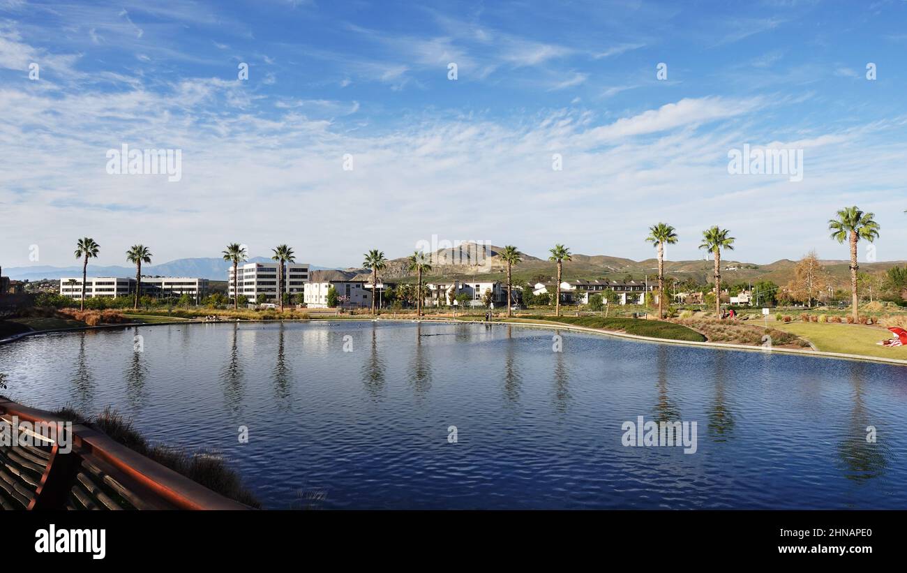 Scenic view of Dos Lagos in Corona California Stock Photohttps://www.alamy.com/image-license-details/?v=1https://www.alamy.com/scenic-view-of-dos-lagos-in-corona-california-image460614504.html
RF2HNAPE0–Scenic view of Dos Lagos in Corona California
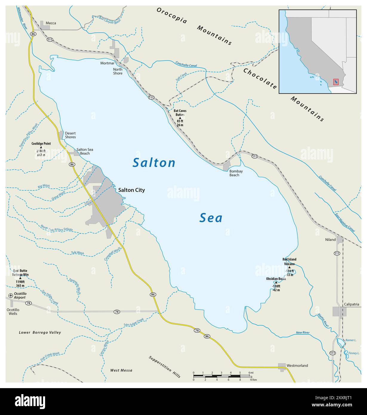 Road map of the californian salton sea Stock Photohttps://www.alamy.com/image-license-details/?v=1https://www.alamy.com/road-map-of-the-californian-salton-sea-image618863617.html
RF2XXRJT1–Road map of the californian salton sea
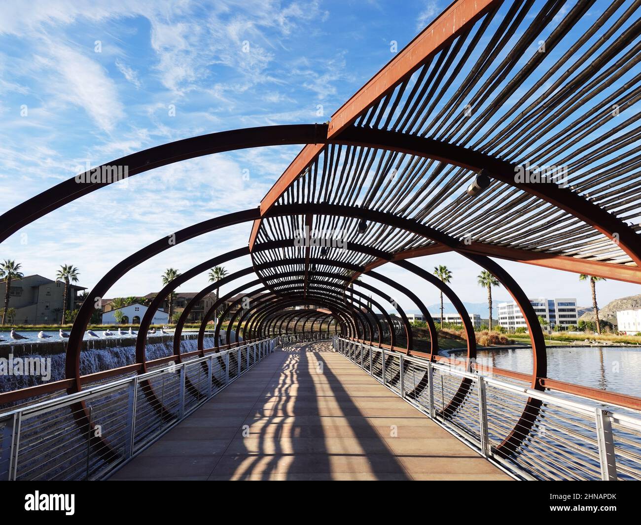 Pedestrian Bridge at Dos Lagos in Corona California Stock Photohttps://www.alamy.com/image-license-details/?v=1https://www.alamy.com/pedestrian-bridge-at-dos-lagos-in-corona-california-image460614495.html
RF2HNAPDK–Pedestrian Bridge at Dos Lagos in Corona California
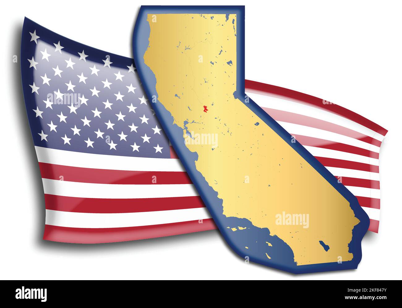 U.S. states - map of California against an American flag. Rivers and lakes are shown on the map. American Flag and State Map can be used separately an Stock Vectorhttps://www.alamy.com/image-license-details/?v=1https://www.alamy.com/us-states-map-of-california-against-an-american-flag-rivers-and-lakes-are-shown-on-the-map-american-flag-and-state-map-can-be-used-separately-an-image491289119.html
RF2KF847Y–U.S. states - map of California against an American flag. Rivers and lakes are shown on the map. American Flag and State Map can be used separately an
 CA02998-00...CALIFORNIA - Hiker checking location with map and compass on the Koip Peak Pass trail above Alger Lakes in the Ansel Adams Wilderness are Stock Photohttps://www.alamy.com/image-license-details/?v=1https://www.alamy.com/stock-photo-ca02998-00california-hiker-checking-location-with-map-and-compass-133161400.html
RMHMJ0M8–CA02998-00...CALIFORNIA - Hiker checking location with map and compass on the Koip Peak Pass trail above Alger Lakes in the Ansel Adams Wilderness are
 Caucasian man hiking and reading map Stock Photohttps://www.alamy.com/image-license-details/?v=1https://www.alamy.com/stock-photo-caucasian-man-hiking-and-reading-map-173642643.html
RMM2E2XY–Caucasian man hiking and reading map
 Beautiful seascape at dawn: sandy beach, sea with wooden pier where people are walking, and in the background mountains in the morning haze and beauti Stock Photohttps://www.alamy.com/image-license-details/?v=1https://www.alamy.com/beautiful-seascape-at-dawn-sandy-beach-sea-with-wooden-pier-where-people-are-walking-and-in-the-background-mountains-in-the-morning-haze-and-beauti-image635380623.html
RF2YWM2D3–Beautiful seascape at dawn: sandy beach, sea with wooden pier where people are walking, and in the background mountains in the morning haze and beauti
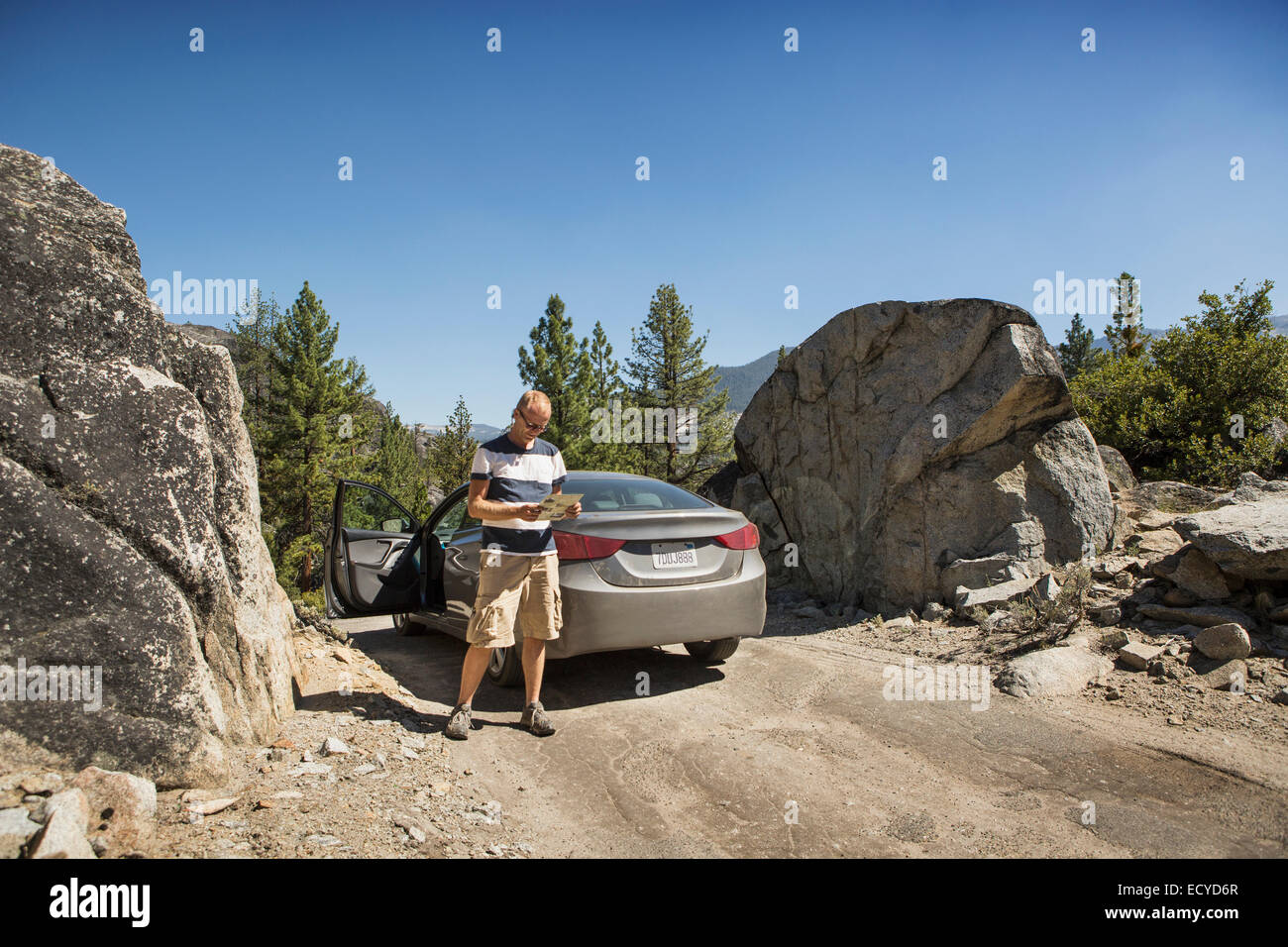 Man reading near car on dirt road Stock Photohttps://www.alamy.com/image-license-details/?v=1https://www.alamy.com/stock-photo-man-reading-near-car-on-dirt-road-76820431.html
RFECYD6R–Man reading near car on dirt road
 Man looking at his map beside his tent in eastern Sierra Nevada mountains, California. Stock Photohttps://www.alamy.com/image-license-details/?v=1https://www.alamy.com/stock-photo-man-looking-at-his-map-beside-his-tent-in-eastern-sierra-nevada-mountains-31386143.html
RFBR1N9K–Man looking at his map beside his tent in eastern Sierra Nevada mountains, California.
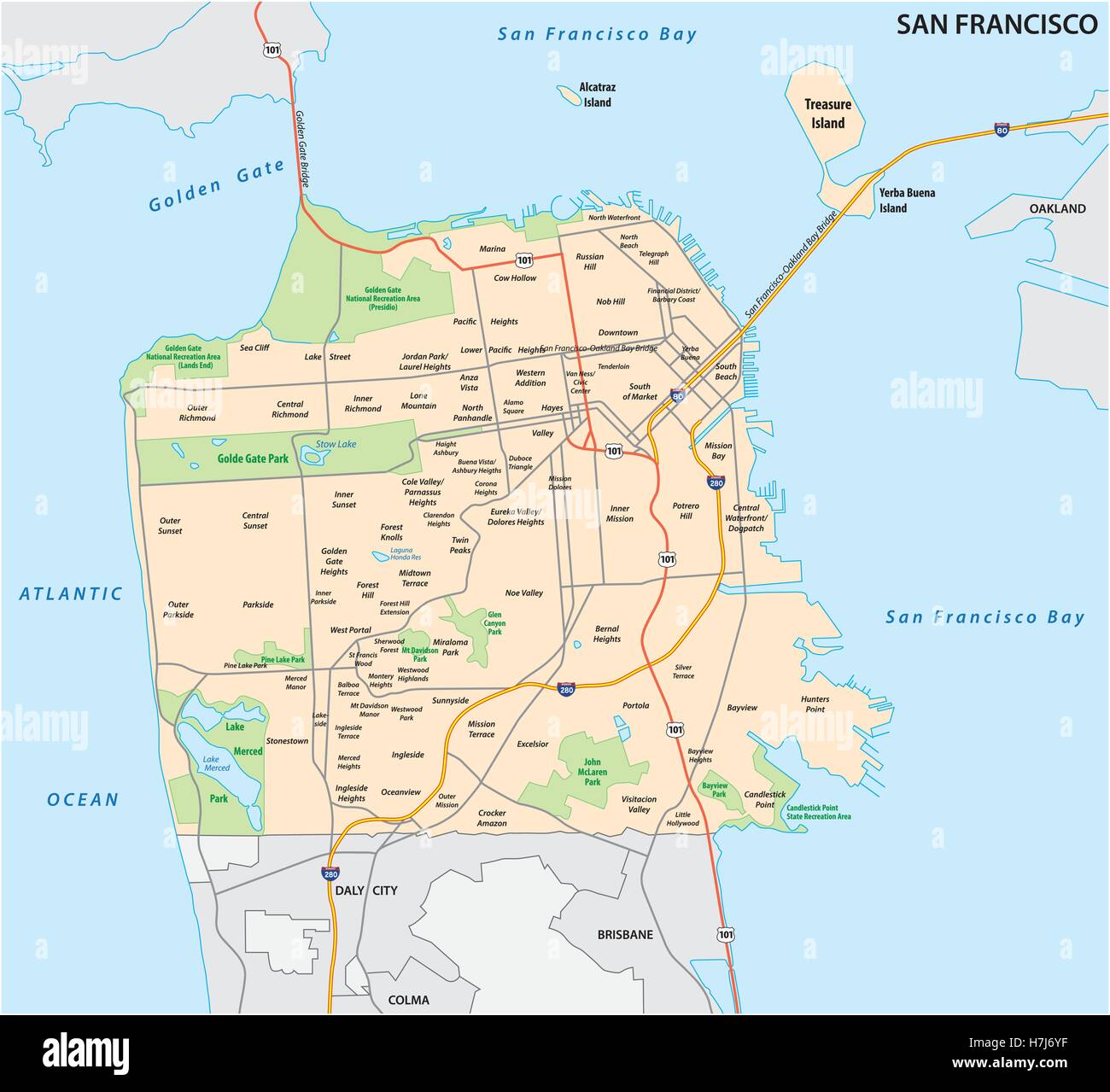 San Francisco road and neighborhood vector map Stock Vectorhttps://www.alamy.com/image-license-details/?v=1https://www.alamy.com/stock-photo-san-francisco-road-and-neighborhood-vector-map-125175779.html
RFH7J6YF–San Francisco road and neighborhood vector map
RF2WRBD2M–Bucks Lake icon. Bucks Lake California Map sign. flat style.
 a woman with long hair stands on a mountain by a lake Stock Photohttps://www.alamy.com/image-license-details/?v=1https://www.alamy.com/a-woman-with-long-hair-stands-on-a-mountain-by-a-lake-image330323779.html
RF2A5BF9R–a woman with long hair stands on a mountain by a lake
 Scenic view of Dos Lagos in Corona California Stock Photohttps://www.alamy.com/image-license-details/?v=1https://www.alamy.com/scenic-view-of-dos-lagos-in-corona-california-image461374067.html
RF2HPHB97–Scenic view of Dos Lagos in Corona California
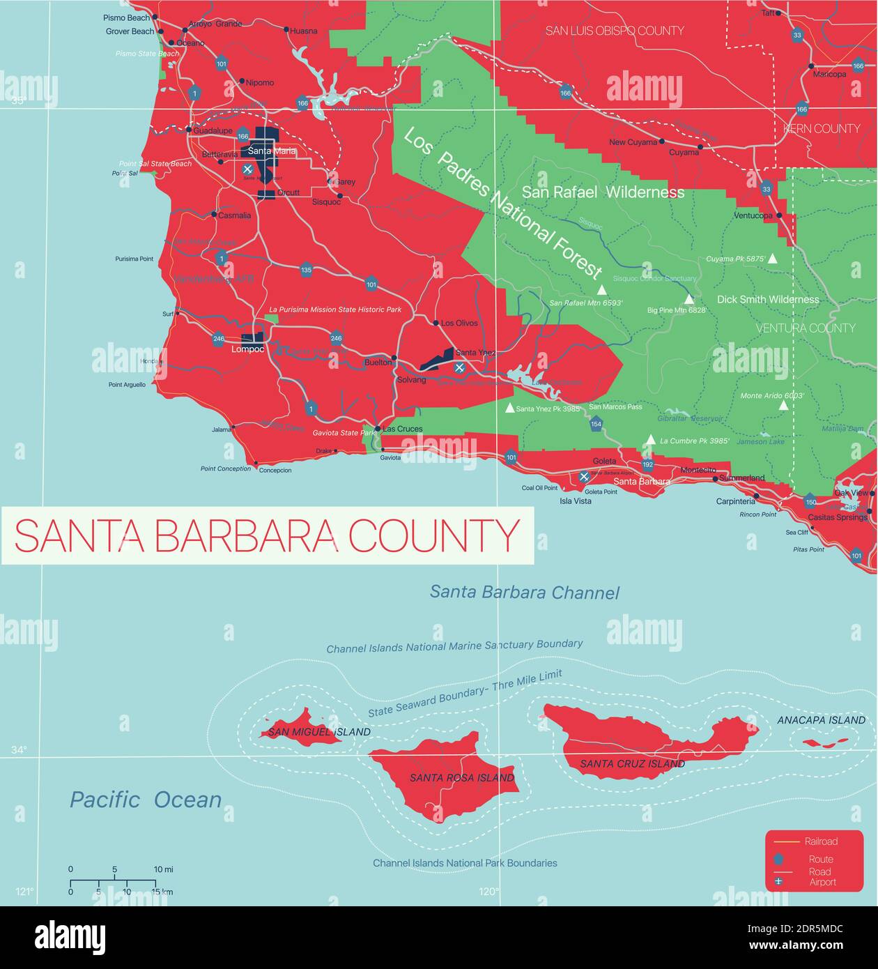 Santa Barbara County detailed editable map with cities and towns, geographic sites, roads, railways, interstates and U.S. highways. Vector EPS-10 file Stock Vectorhttps://www.alamy.com/image-license-details/?v=1https://www.alamy.com/santa-barbara-county-detailed-editable-map-with-cities-and-towns-geographic-sites-roads-railways-interstates-and-us-highways-vector-eps-10-file-image392891000.html
RF2DR5MDC–Santa Barbara County detailed editable map with cities and towns, geographic sites, roads, railways, interstates and U.S. highways. Vector EPS-10 file
 Map of Lake in California Stock Photohttps://www.alamy.com/image-license-details/?v=1https://www.alamy.com/map-of-lake-in-california-image385522388.html
RF2DB61MM–Map of Lake in California
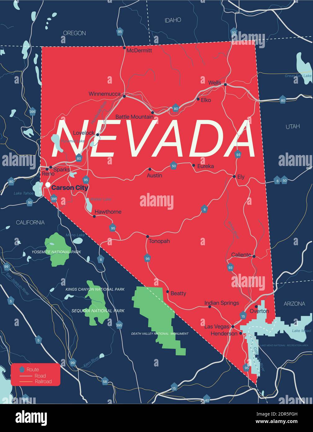 Nevada state detailed editable map with cities and towns, geographic sites, roads, railways, interstates and U.S. highways. Vector EPS-10 file, trendi Stock Vectorhttps://www.alamy.com/image-license-details/?v=1https://www.alamy.com/nevada-state-detailed-editable-map-with-cities-and-towns-geographic-sites-roads-railways-interstates-and-us-highways-vector-eps-10-file-trendi-image392887169.html
RF2DR5FGH–Nevada state detailed editable map with cities and towns, geographic sites, roads, railways, interstates and U.S. highways. Vector EPS-10 file, trendi
 High resolution satellite image of Lake Tahoe in California and Nevada, USA - contains modified Copernicus Sentinel Data (2022) Stock Photohttps://www.alamy.com/image-license-details/?v=1https://www.alamy.com/high-resolution-satellite-image-of-lake-tahoe-in-california-and-nevada-usa-contains-modified-copernicus-sentinel-data-2022-image546805115.html
RF2PNH3E3–High resolution satellite image of Lake Tahoe in California and Nevada, USA - contains modified Copernicus Sentinel Data (2022)
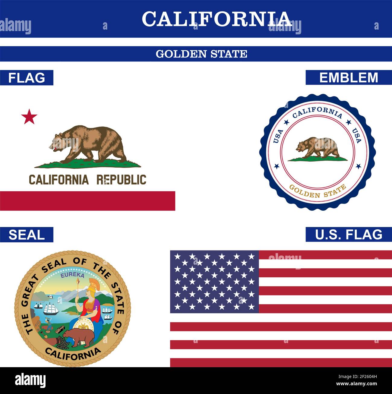 California Symbol collection with flag, seal, US flag and emblem as vector. The Golden State. Detailed vector illustration. Stock Vectorhttps://www.alamy.com/image-license-details/?v=1https://www.alamy.com/california-symbol-collection-with-flag-seal-us-flag-and-emblem-as-vector-the-golden-state-detailed-vector-illustration-image414409985.html
RF2F2604H–California Symbol collection with flag, seal, US flag and emblem as vector. The Golden State. Detailed vector illustration.
 Toxic lake called Salton Sea located near Coachella Valley in California. Once a popular sea resort now a haunted empty place. Stock Photohttps://www.alamy.com/image-license-details/?v=1https://www.alamy.com/toxic-lake-called-salton-sea-located-near-coachella-valley-in-california-image60757782.html
RFDERN4P–Toxic lake called Salton Sea located near Coachella Valley in California. Once a popular sea resort now a haunted empty place.
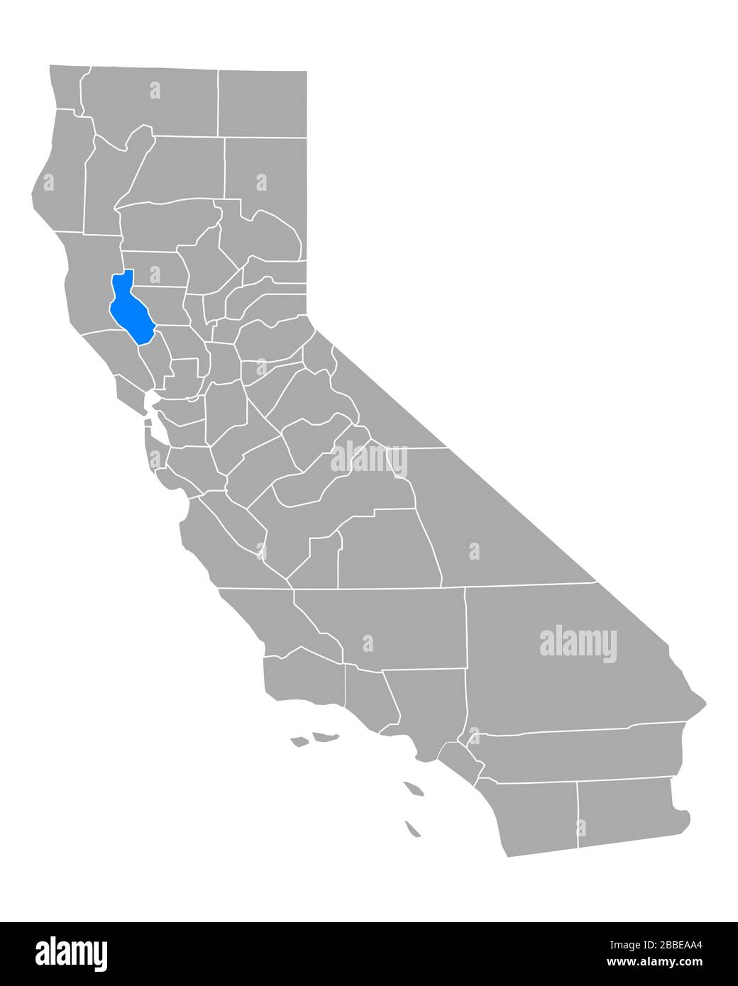 Map of Lake in California Stock Photohttps://www.alamy.com/image-license-details/?v=1https://www.alamy.com/map-of-lake-in-california-image351284028.html
RF2BBEAA4–Map of Lake in California
 Blue Lake Springs, Calaveras County, US, United States, California, N 38 15' 34'', S 120 19' 26'', map, Cartascapes Map published in 2024. Explore Cartascapes, a map revealing Earth's diverse landscapes, cultures, and ecosystems. Journey through time and space, discovering the interconnectedness of our planet's past, present, and future. Stock Photohttps://www.alamy.com/image-license-details/?v=1https://www.alamy.com/blue-lake-springs-calaveras-county-us-united-states-california-n-38-15-34-s-120-19-26-map-cartascapes-map-published-in-2024-explore-cartascapes-a-map-revealing-earths-diverse-landscapes-cultures-and-ecosystems-journey-through-time-and-space-discovering-the-interconnectedness-of-our-planets-past-present-and-future-image621244838.html
RM2Y2M43J–Blue Lake Springs, Calaveras County, US, United States, California, N 38 15' 34'', S 120 19' 26'', map, Cartascapes Map published in 2024. Explore Cartascapes, a map revealing Earth's diverse landscapes, cultures, and ecosystems. Journey through time and space, discovering the interconnectedness of our planet's past, present, and future.
 Lake Salton (United States of America, North America, us, usa, California) map vector illustration, scribble sketch Salton Sea map Stock Vectorhttps://www.alamy.com/image-license-details/?v=1https://www.alamy.com/lake-salton-united-states-of-america-north-america-us-usa-california-map-vector-illustration-scribble-sketch-salton-sea-map-image515382550.html
RF2MXDKKJ–Lake Salton (United States of America, North America, us, usa, California) map vector illustration, scribble sketch Salton Sea map
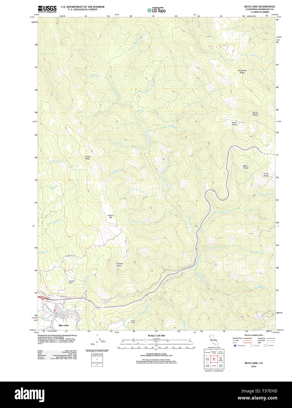 USGS TOPO Map California CA Blue Lake 20120208 TM Restoration Stock Photohttps://www.alamy.com/image-license-details/?v=1https://www.alamy.com/usgs-topo-map-california-ca-blue-lake-20120208-tm-restoration-image242954249.html
RMT37EHD–USGS TOPO Map California CA Blue Lake 20120208 TM Restoration
 Nature in Norway during summer. Highlands. Stock Photohttps://www.alamy.com/image-license-details/?v=1https://www.alamy.com/nature-in-norway-during-summer-highlands-image614117133.html
RF2XK3CJN–Nature in Norway during summer. Highlands.
 Hikers siting on rock and laughing Stock Photohttps://www.alamy.com/image-license-details/?v=1https://www.alamy.com/stock-photo-hikers-siting-on-rock-and-laughing-173642642.html
RMM2E2XX–Hikers siting on rock and laughing
 USGS TOPO Map California CA Tangle Blue Lake 20120305 TM Restoration Stock Photohttps://www.alamy.com/image-license-details/?v=1https://www.alamy.com/usgs-topo-map-california-ca-tangle-blue-lake-20120305-tm-restoration-image243468868.html
RMT42Y0M–USGS TOPO Map California CA Tangle Blue Lake 20120305 TM Restoration
 Sanborn Fire Insurance Map from Blue Lake, Humboldt County, California. Stock Photohttps://www.alamy.com/image-license-details/?v=1https://www.alamy.com/sanborn-fire-insurance-map-from-blue-lake-humboldt-county-california-image456305121.html
RM2HEADRD–Sanborn Fire Insurance Map from Blue Lake, Humboldt County, California.
 Man framed by his tent in eastern Sierra Nevada mountains, California (Silhouette). Stock Photohttps://www.alamy.com/image-license-details/?v=1https://www.alamy.com/stock-photo-man-framed-by-his-tent-in-eastern-sierra-nevada-mountains-california-31386134.html
RFBR1N9A–Man framed by his tent in eastern Sierra Nevada mountains, California (Silhouette).
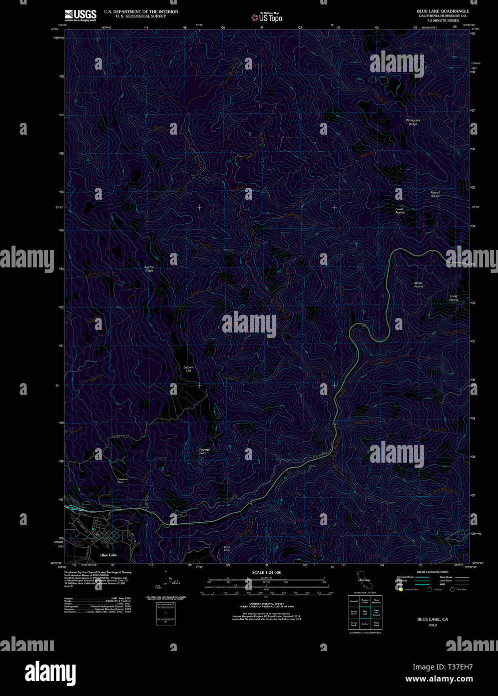 USGS TOPO Map California CA Blue Lake 20120208 TM Inverted Restoration Stock Photohttps://www.alamy.com/image-license-details/?v=1https://www.alamy.com/usgs-topo-map-california-ca-blue-lake-20120208-tm-inverted-restoration-image242954243.html
RMT37EH7–USGS TOPO Map California CA Blue Lake 20120208 TM Inverted Restoration
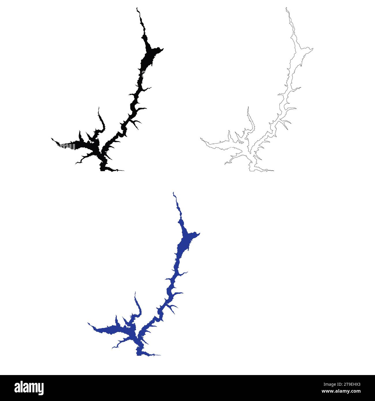 Trinity Lake California Map. Trinity Lake. flat style. Stock Photohttps://www.alamy.com/image-license-details/?v=1https://www.alamy.com/trinity-lake-california-map-trinity-lake-flat-style-image573795435.html
RF2T9EHX3–Trinity Lake California Map. Trinity Lake. flat style.
 a woman with long hair stands on a mountain by a lake Stock Photohttps://www.alamy.com/image-license-details/?v=1https://www.alamy.com/a-woman-with-long-hair-stands-on-a-mountain-by-a-lake-image330323440.html
RF2A5BEWM–a woman with long hair stands on a mountain by a lake
 Scenic view of Dos Lagos in Corona California Stock Photohttps://www.alamy.com/image-license-details/?v=1https://www.alamy.com/scenic-view-of-dos-lagos-in-corona-california-image504739027.html
RF2M94RNR–Scenic view of Dos Lagos in Corona California
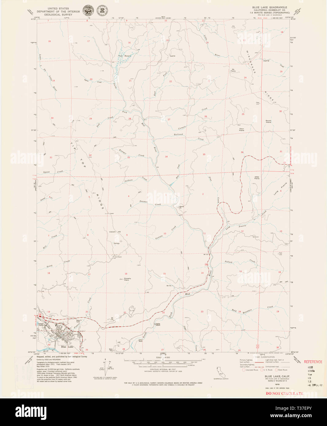 USGS TOPO Map California CA Blue Lake 302444 1979 24000 Restoration Stock Photohttps://www.alamy.com/image-license-details/?v=1https://www.alamy.com/usgs-topo-map-california-ca-blue-lake-302444-1979-24000-restoration-image242954403.html
RMT37EPY–USGS TOPO Map California CA Blue Lake 302444 1979 24000 Restoration
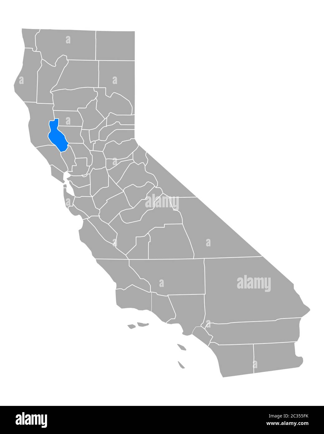 Map of Lake in California Stock Photohttps://www.alamy.com/image-license-details/?v=1https://www.alamy.com/map-of-lake-in-california-image363375815.html
RF2C355FK–Map of Lake in California
 United States, Chicago tourism landmarks, vector city travel illustration Stock Vectorhttps://www.alamy.com/image-license-details/?v=1https://www.alamy.com/united-states-chicago-tourism-landmarks-vector-city-travel-illustration-image542332096.html
RF2PE9A3C–United States, Chicago tourism landmarks, vector city travel illustration
![. Bulletin. Ethnology. KRdBBER] HANDBOOK OF INDIANS OF CALIFORNIA 113 flictiug statements as to the northern boundary of Wiyot holdings. As nearly as can be ascertained, this lay just south of Little River, at whose mouth stood the Yurok town of Metskwo. The upper part of Little River was Chilula hunting ground. On Mad River, Blue Lake, near the forks, was still Wiyot. The main stream from here up was Whilkut, that is, Athabascan. The North Fork was without villages and is in doubt. The Wiyot owned at least the lower portion : and on Map 10 the whole of its drainage has been assigned to. Fiu. Stock Photo . Bulletin. Ethnology. KRdBBER] HANDBOOK OF INDIANS OF CALIFORNIA 113 flictiug statements as to the northern boundary of Wiyot holdings. As nearly as can be ascertained, this lay just south of Little River, at whose mouth stood the Yurok town of Metskwo. The upper part of Little River was Chilula hunting ground. On Mad River, Blue Lake, near the forks, was still Wiyot. The main stream from here up was Whilkut, that is, Athabascan. The North Fork was without villages and is in doubt. The Wiyot owned at least the lower portion : and on Map 10 the whole of its drainage has been assigned to. Fiu. Stock Photo](https://c8.alamy.com/comp/RGYR19/bulletin-ethnology-krdbber-handbook-of-indians-of-california-113-flictiug-statements-as-to-the-northern-boundary-of-wiyot-holdings-as-nearly-as-can-be-ascertained-this-lay-just-south-of-little-river-at-whose-mouth-stood-the-yurok-town-of-metskwo-the-upper-part-of-little-river-was-chilula-hunting-ground-on-mad-river-blue-lake-near-the-forks-was-still-wiyot-the-main-stream-from-here-up-was-whilkut-that-is-athabascan-the-north-fork-was-without-villages-and-is-in-doubt-the-wiyot-owned-at-least-the-lower-portion-and-on-map-10-the-whole-of-its-drainage-has-been-assigned-to-fiu-RGYR19.jpg) . Bulletin. Ethnology. KRdBBER] HANDBOOK OF INDIANS OF CALIFORNIA 113 flictiug statements as to the northern boundary of Wiyot holdings. As nearly as can be ascertained, this lay just south of Little River, at whose mouth stood the Yurok town of Metskwo. The upper part of Little River was Chilula hunting ground. On Mad River, Blue Lake, near the forks, was still Wiyot. The main stream from here up was Whilkut, that is, Athabascan. The North Fork was without villages and is in doubt. The Wiyot owned at least the lower portion : and on Map 10 the whole of its drainage has been assigned to. Fiu. Stock Photohttps://www.alamy.com/image-license-details/?v=1https://www.alamy.com/bulletin-ethnology-krdbber-handbook-of-indians-of-california-113-flictiug-statements-as-to-the-northern-boundary-of-wiyot-holdings-as-nearly-as-can-be-ascertained-this-lay-just-south-of-little-river-at-whose-mouth-stood-the-yurok-town-of-metskwo-the-upper-part-of-little-river-was-chilula-hunting-ground-on-mad-river-blue-lake-near-the-forks-was-still-wiyot-the-main-stream-from-here-up-was-whilkut-that-is-athabascan-the-north-fork-was-without-villages-and-is-in-doubt-the-wiyot-owned-at-least-the-lower-portion-and-on-map-10-the-whole-of-its-drainage-has-been-assigned-to-fiu-image234180053.html
. Bulletin. Ethnology. KRdBBER] HANDBOOK OF INDIANS OF CALIFORNIA 113 flictiug statements as to the northern boundary of Wiyot holdings. As nearly as can be ascertained, this lay just south of Little River, at whose mouth stood the Yurok town of Metskwo. The upper part of Little River was Chilula hunting ground. On Mad River, Blue Lake, near the forks, was still Wiyot. The main stream from here up was Whilkut, that is, Athabascan. The North Fork was without villages and is in doubt. The Wiyot owned at least the lower portion : and on Map 10 the whole of its drainage has been assigned to. Fiu. Stock Photohttps://www.alamy.com/image-license-details/?v=1https://www.alamy.com/bulletin-ethnology-krdbber-handbook-of-indians-of-california-113-flictiug-statements-as-to-the-northern-boundary-of-wiyot-holdings-as-nearly-as-can-be-ascertained-this-lay-just-south-of-little-river-at-whose-mouth-stood-the-yurok-town-of-metskwo-the-upper-part-of-little-river-was-chilula-hunting-ground-on-mad-river-blue-lake-near-the-forks-was-still-wiyot-the-main-stream-from-here-up-was-whilkut-that-is-athabascan-the-north-fork-was-without-villages-and-is-in-doubt-the-wiyot-owned-at-least-the-lower-portion-and-on-map-10-the-whole-of-its-drainage-has-been-assigned-to-fiu-image234180053.htmlRMRGYR19–. Bulletin. Ethnology. KRdBBER] HANDBOOK OF INDIANS OF CALIFORNIA 113 flictiug statements as to the northern boundary of Wiyot holdings. As nearly as can be ascertained, this lay just south of Little River, at whose mouth stood the Yurok town of Metskwo. The upper part of Little River was Chilula hunting ground. On Mad River, Blue Lake, near the forks, was still Wiyot. The main stream from here up was Whilkut, that is, Athabascan. The North Fork was without villages and is in doubt. The Wiyot owned at least the lower portion : and on Map 10 the whole of its drainage has been assigned to. Fiu.
 Blue Lake Junction, Calaveras County, US, United States, California, N 38 15' 30'', S 120 19' 53'', map, Cartascapes Map published in 2024. Explore Cartascapes, a map revealing Earth's diverse landscapes, cultures, and ecosystems. Journey through time and space, discovering the interconnectedness of our planet's past, present, and future. Stock Photohttps://www.alamy.com/image-license-details/?v=1https://www.alamy.com/blue-lake-junction-calaveras-county-us-united-states-california-n-38-15-30-s-120-19-53-map-cartascapes-map-published-in-2024-explore-cartascapes-a-map-revealing-earths-diverse-landscapes-cultures-and-ecosystems-journey-through-time-and-space-discovering-the-interconnectedness-of-our-planets-past-present-and-future-image621261778.html
RM2Y2MWMJ–Blue Lake Junction, Calaveras County, US, United States, California, N 38 15' 30'', S 120 19' 53'', map, Cartascapes Map published in 2024. Explore Cartascapes, a map revealing Earth's diverse landscapes, cultures, and ecosystems. Journey through time and space, discovering the interconnectedness of our planet's past, present, and future.
 Lake Salton (United States of America, North America, us, usa, California) map vector illustration, scribble sketch Salton Sea map Stock Vectorhttps://www.alamy.com/image-license-details/?v=1https://www.alamy.com/lake-salton-united-states-of-america-north-america-us-usa-california-map-vector-illustration-scribble-sketch-salton-sea-map-image572166607.html
RF2T6TC9K–Lake Salton (United States of America, North America, us, usa, California) map vector illustration, scribble sketch Salton Sea map
 Nature in Norway during summer. Highlands. Stock Photohttps://www.alamy.com/image-license-details/?v=1https://www.alamy.com/nature-in-norway-during-summer-highlands-image614986065.html
RF2XMF101–Nature in Norway during summer. Highlands.
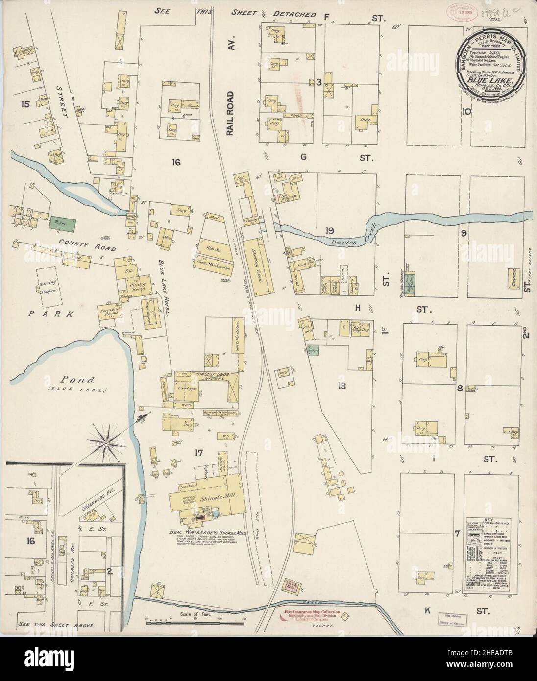 Sanborn Fire Insurance Map from Blue Lake, Humboldt County, California. Stock Photohttps://www.alamy.com/image-license-details/?v=1https://www.alamy.com/sanborn-fire-insurance-map-from-blue-lake-humboldt-county-california-image456305147.html
RM2HEADTB–Sanborn Fire Insurance Map from Blue Lake, Humboldt County, California.
 Scenic view of Dos Lagos in Corona California Stock Photohttps://www.alamy.com/image-license-details/?v=1https://www.alamy.com/scenic-view-of-dos-lagos-in-corona-california-image606977729.html
RF2X7E681–Scenic view of Dos Lagos in Corona California
 USGS TOPO Map California CA Blue Lake 100303 1979 24000 Restoration Stock Photohttps://www.alamy.com/image-license-details/?v=1https://www.alamy.com/usgs-topo-map-california-ca-blue-lake-100303-1979-24000-restoration-image242954237.html
RMT37EH1–USGS TOPO Map California CA Blue Lake 100303 1979 24000 Restoration
 . California fish and game. Fisheries -- California; Game and game-birds -- California; Fishes -- California; Animal Population Groups; Pêches; Gibier; Poissons. 486 CALIFORNIA FISH AND GAME. FIGURE 1. Map of Millerton Lake, showing points of tagging and recapture of largemouth black bass and bluegill During the remainder of the calendar year of 1950, after the spring tagging period, tags from 12 bass and 19 blnogill were returned, amount- ing to 19.7 j)ef('ent of the 61 bass tagged and 4.8 percent of the 397 blue- gill tagged. Although tJie numbers involved are very small, these results are a Stock Photohttps://www.alamy.com/image-license-details/?v=1https://www.alamy.com/california-fish-and-game-fisheries-california-game-and-game-birds-california-fishes-california-animal-population-groups-pches-gibier-poissons-486-california-fish-and-game-figure-1-map-of-millerton-lake-showing-points-of-tagging-and-recapture-of-largemouth-black-bass-and-bluegill-during-the-remainder-of-the-calendar-year-of-1950-after-the-spring-tagging-period-tags-from-12-bass-and-19-blnogill-were-returned-amount-ing-to-197-jefent-of-the-61-bass-tagged-and-48-percent-of-the-397-blue-gill-tagged-although-tjie-numbers-involved-are-very-small-these-results-are-a-image233683926.html
RMRG566E–. California fish and game. Fisheries -- California; Game and game-birds -- California; Fishes -- California; Animal Population Groups; Pêches; Gibier; Poissons. 486 CALIFORNIA FISH AND GAME. FIGURE 1. Map of Millerton Lake, showing points of tagging and recapture of largemouth black bass and bluegill During the remainder of the calendar year of 1950, after the spring tagging period, tags from 12 bass and 19 blnogill were returned, amount- ing to 19.7 j)ef('ent of the 61 bass tagged and 4.8 percent of the 397 blue- gill tagged. Although tJie numbers involved are very small, these results are a
 Blue Lake Rancheria, Humboldt County, US, United States, California, N 40 53' 4'', S 123 59' 58'', map, Cartascapes Map published in 2024. Explore Cartascapes, a map revealing Earth's diverse landscapes, cultures, and ecosystems. Journey through time and space, discovering the interconnectedness of our planet's past, present, and future. Stock Photohttps://www.alamy.com/image-license-details/?v=1https://www.alamy.com/blue-lake-rancheria-humboldt-county-us-united-states-california-n-40-53-4-s-123-59-58-map-cartascapes-map-published-in-2024-explore-cartascapes-a-map-revealing-earths-diverse-landscapes-cultures-and-ecosystems-journey-through-time-and-space-discovering-the-interconnectedness-of-our-planets-past-present-and-future-image633799766.html
RM2YR421X–Blue Lake Rancheria, Humboldt County, US, United States, California, N 40 53' 4'', S 123 59' 58'', map, Cartascapes Map published in 2024. Explore Cartascapes, a map revealing Earth's diverse landscapes, cultures, and ecosystems. Journey through time and space, discovering the interconnectedness of our planet's past, present, and future.
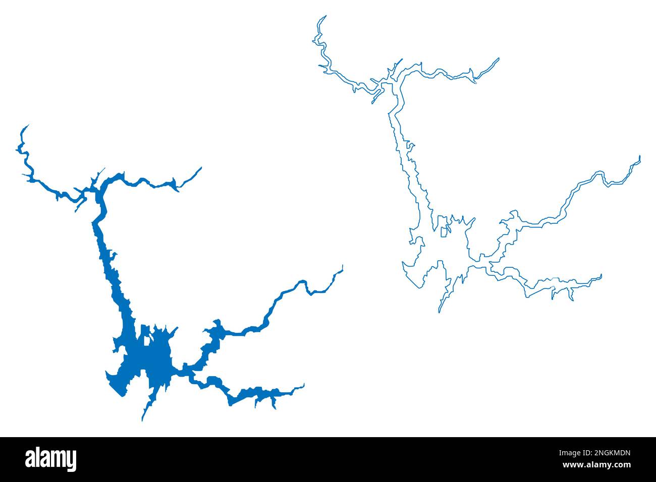 Lake Oroville Reservoir (United States of America, North America, us, usa, California) map vector illustration, scribble sketch Oroville Dam map Stock Vectorhttps://www.alamy.com/image-license-details/?v=1https://www.alamy.com/lake-oroville-reservoir-united-states-of-america-north-america-us-usa-california-map-vector-illustration-scribble-sketch-oroville-dam-map-image526578689.html
RF2NGKMDN–Lake Oroville Reservoir (United States of America, North America, us, usa, California) map vector illustration, scribble sketch Oroville Dam map
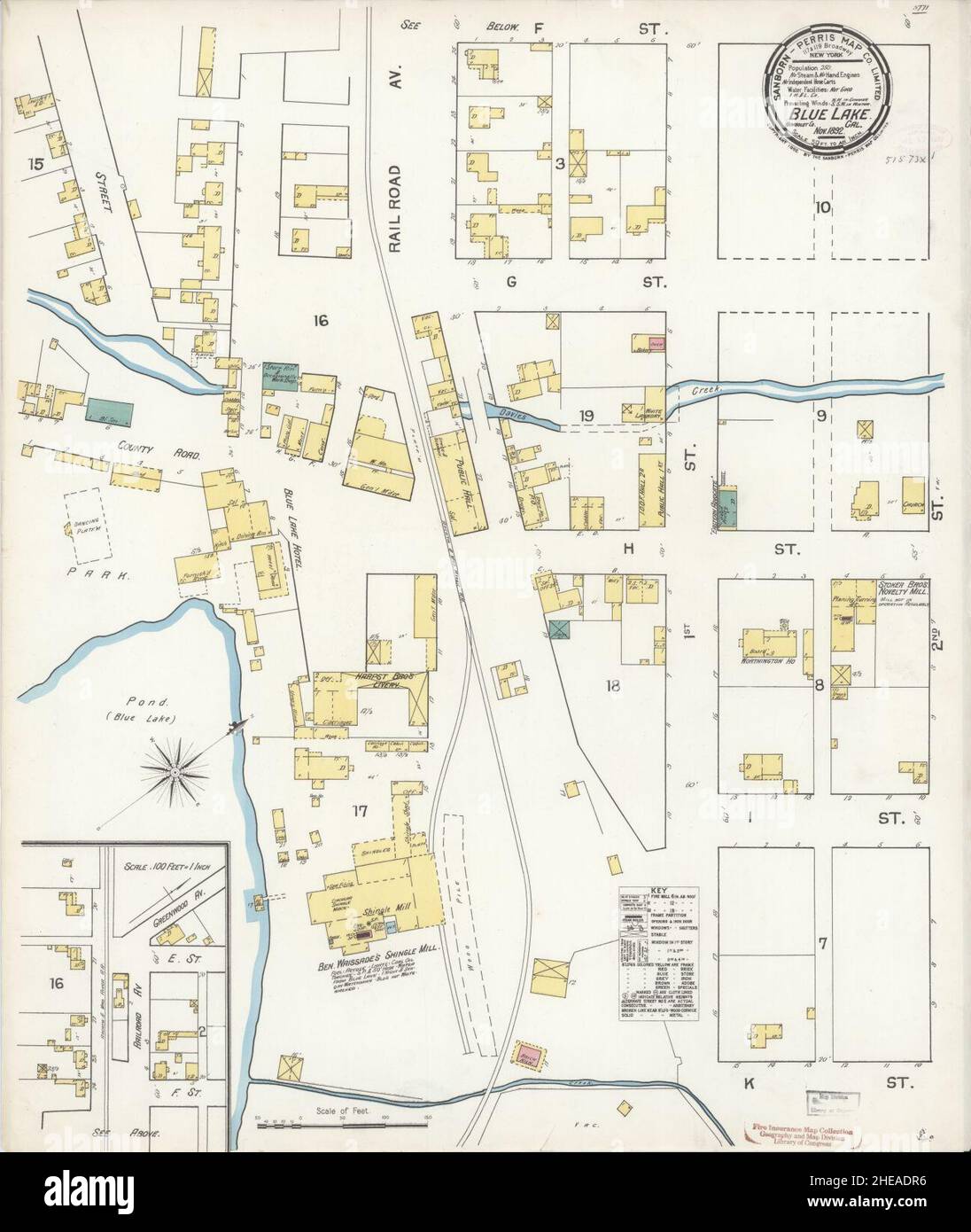 Sanborn Fire Insurance Map from Blue Lake, Humboldt County, California. Stock Photohttps://www.alamy.com/image-license-details/?v=1https://www.alamy.com/sanborn-fire-insurance-map-from-blue-lake-humboldt-county-california-image456305114.html
RM2HEADR6–Sanborn Fire Insurance Map from Blue Lake, Humboldt County, California.
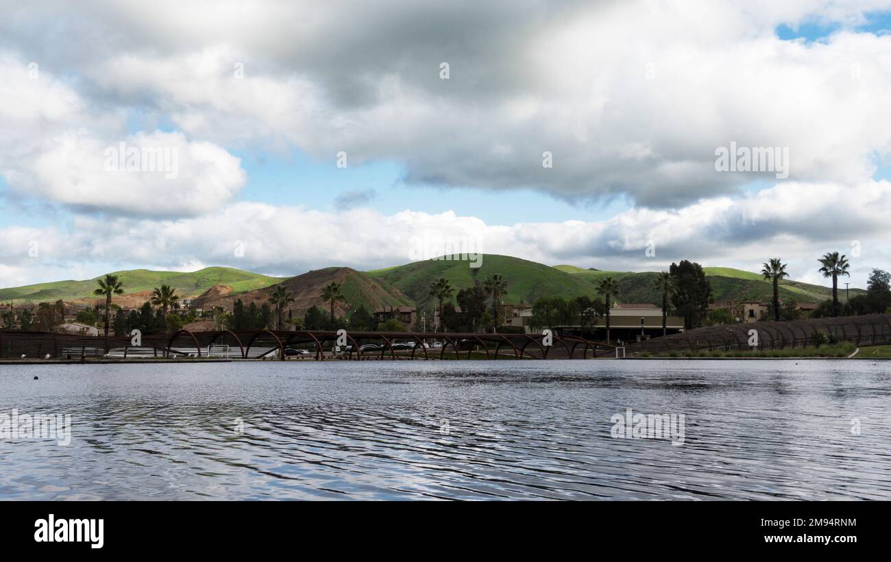 Scenic view of Dos Lagos in Corona California Stock Photohttps://www.alamy.com/image-license-details/?v=1https://www.alamy.com/scenic-view-of-dos-lagos-in-corona-california-image504739024.html
RF2M94RNM–Scenic view of Dos Lagos in Corona California
 USGS TOPO Map California CA Blue Lake 302443 1979 24000 Restoration Stock Photohttps://www.alamy.com/image-license-details/?v=1https://www.alamy.com/usgs-topo-map-california-ca-blue-lake-302443-1979-24000-restoration-image242954404.html
RMT37ER0–USGS TOPO Map California CA Blue Lake 302443 1979 24000 Restoration
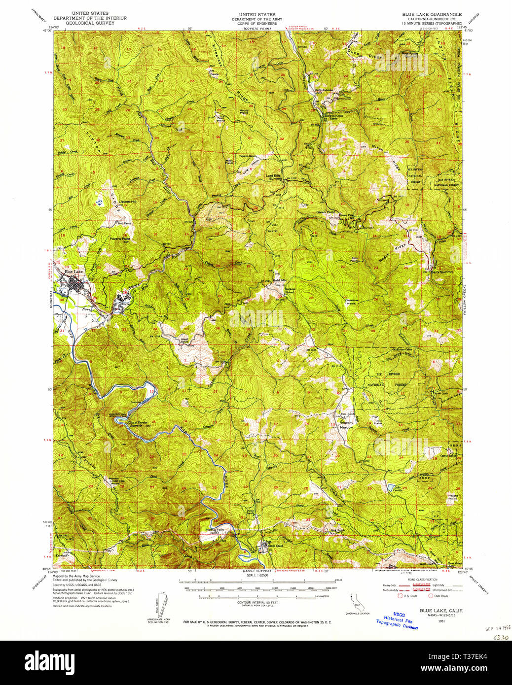 USGS TOPO Map California CA Blue Lake 296846 1951 62500 Restoration Stock Photohttps://www.alamy.com/image-license-details/?v=1https://www.alamy.com/usgs-topo-map-california-ca-blue-lake-296846-1951-62500-restoration-image242954296.html
RMT37EK4–USGS TOPO Map California CA Blue Lake 296846 1951 62500 Restoration
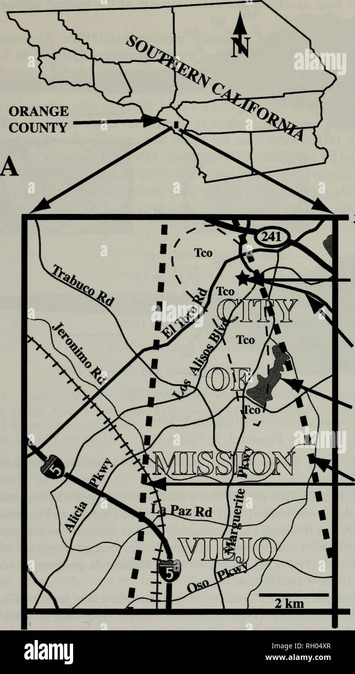 . Bulletin. Science. BLUE MARLIN FROM LATE MIOCENE OF ORANGE COUNTY 47. 33°40'N OCPC locality 3101 v Santa ^ Margarita Pkwy Lake Mission Viejo Margins of Capistrano Embayment 33°35'N 117°42,30"W 117°37'30"W B Fig. 1. Map of the collection site (OCPC locality 3101) of the skull of Makaira nigricans Lacepede 1802 (OCPC 31001), late Miocene, Oso Member, Capistrano Formation. A. Orange County in relation to other counties in southern California; B. Road map of area around Mission Viejo, Orange County, California with the collection site indicated by a star. Thick dotted lines represent t Stock Photohttps://www.alamy.com/image-license-details/?v=1https://www.alamy.com/bulletin-science-blue-marlin-from-late-miocene-of-orange-county-47-3340n-ocpc-locality-3101-v-santa-margarita-pkwy-lake-mission-viejo-margins-of-capistrano-embayment-3335n-1174230quotw-1173730quotw-b-fig-1-map-of-the-collection-site-ocpc-locality-3101-of-the-skull-of-makaira-nigricans-lacepede-1802-ocpc-31001-late-miocene-oso-member-capistrano-formation-a-orange-county-in-relation-to-other-counties-in-southern-california-b-road-map-of-area-around-mission-viejo-orange-county-california-with-the-collection-site-indicated-by-a-star-thick-dotted-lines-represent-t-image234187823.html
RMRH04XR–. Bulletin. Science. BLUE MARLIN FROM LATE MIOCENE OF ORANGE COUNTY 47. 33°40'N OCPC locality 3101 v Santa ^ Margarita Pkwy Lake Mission Viejo Margins of Capistrano Embayment 33°35'N 117°42,30"W 117°37'30"W B Fig. 1. Map of the collection site (OCPC locality 3101) of the skull of Makaira nigricans Lacepede 1802 (OCPC 31001), late Miocene, Oso Member, Capistrano Formation. A. Orange County in relation to other counties in southern California; B. Road map of area around Mission Viejo, Orange County, California with the collection site indicated by a star. Thick dotted lines represent t
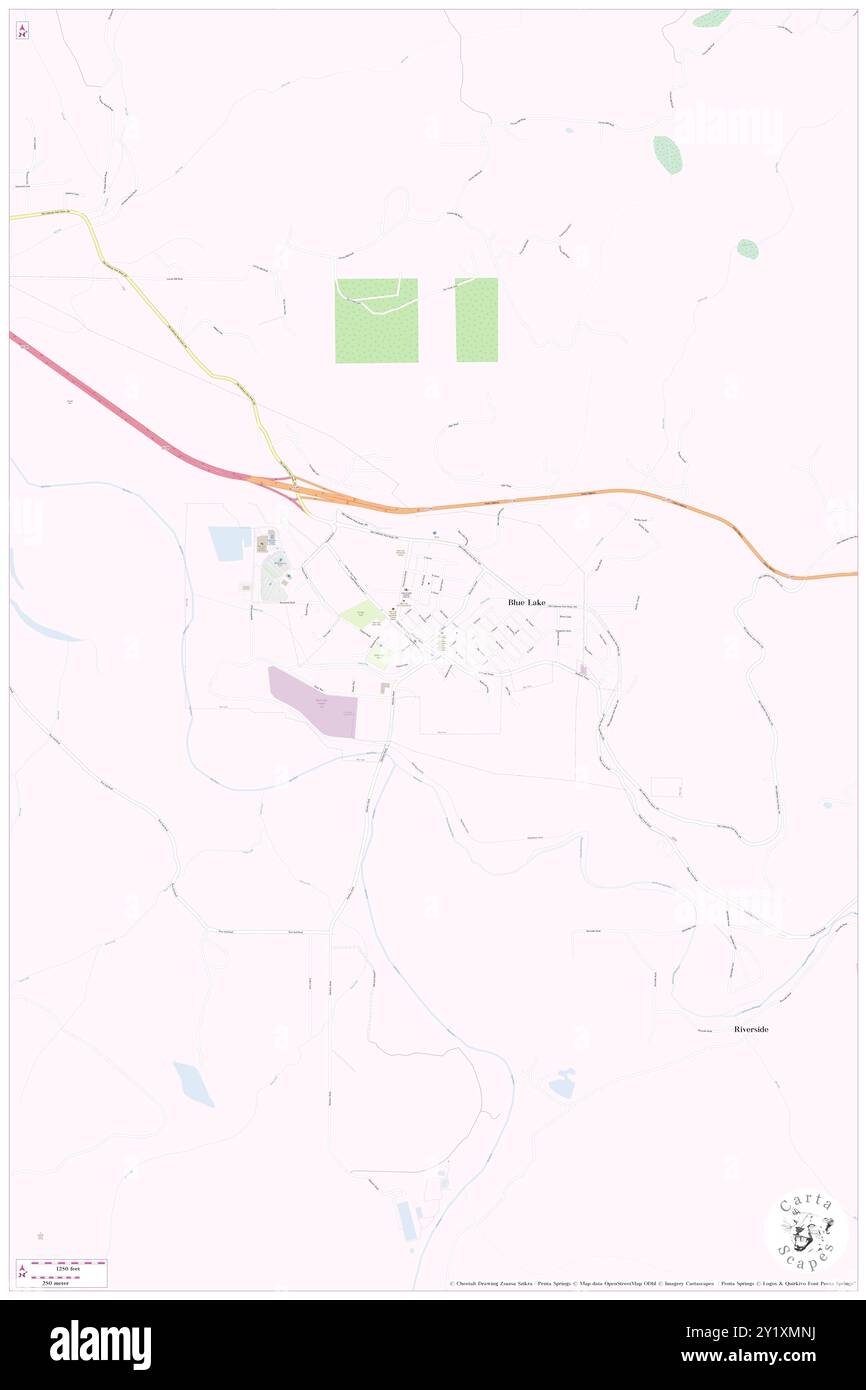 Blue Lake, Humboldt County, US, United States, California, N 40 52' 58'', S 123 59' 2'', map, Cartascapes Map published in 2024. Explore Cartascapes, a map revealing Earth's diverse landscapes, cultures, and ecosystems. Journey through time and space, discovering the interconnectedness of our planet's past, present, and future. Stock Photohttps://www.alamy.com/image-license-details/?v=1https://www.alamy.com/blue-lake-humboldt-county-us-united-states-california-n-40-52-58-s-123-59-2-map-cartascapes-map-published-in-2024-explore-cartascapes-a-map-revealing-earths-diverse-landscapes-cultures-and-ecosystems-journey-through-time-and-space-discovering-the-interconnectedness-of-our-planets-past-present-and-future-image620774942.html
RM2Y1XMNJ–Blue Lake, Humboldt County, US, United States, California, N 40 52' 58'', S 123 59' 2'', map, Cartascapes Map published in 2024. Explore Cartascapes, a map revealing Earth's diverse landscapes, cultures, and ecosystems. Journey through time and space, discovering the interconnectedness of our planet's past, present, and future.
 Lake Shasta Reservoir (United States of America, North America, us, usa, California) map vector illustration, scribble sketch Shasta Dam map Stock Vectorhttps://www.alamy.com/image-license-details/?v=1https://www.alamy.com/lake-shasta-reservoir-united-states-of-america-north-america-us-usa-california-map-vector-illustration-scribble-sketch-shasta-dam-map-image572166554.html
RF2T6TC7P–Lake Shasta Reservoir (United States of America, North America, us, usa, California) map vector illustration, scribble sketch Shasta Dam map
 Scenic view of Dos Lagos in Corona California Stock Photohttps://www.alamy.com/image-license-details/?v=1https://www.alamy.com/scenic-view-of-dos-lagos-in-corona-california-image606977747.html
RF2X7E68K–Scenic view of Dos Lagos in Corona California
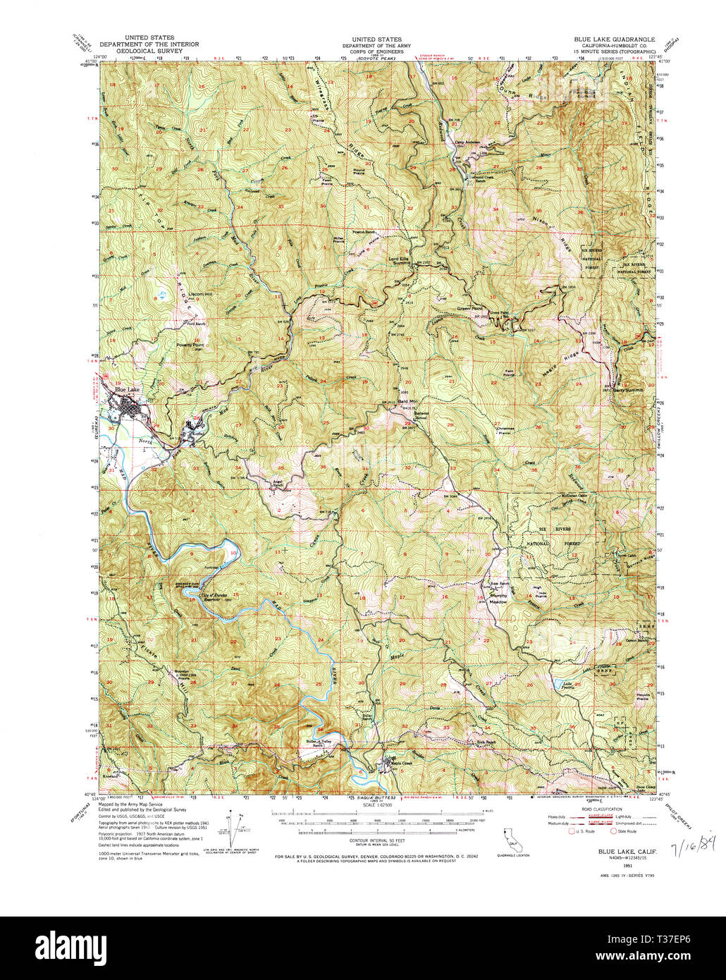 USGS TOPO Map California CA Blue Lake 296849 1951 62500 Restoration Stock Photohttps://www.alamy.com/image-license-details/?v=1https://www.alamy.com/usgs-topo-map-california-ca-blue-lake-296849-1951-62500-restoration-image242954382.html
RMT37EP6–USGS TOPO Map California CA Blue Lake 296849 1951 62500 Restoration
 Blue Lake, Humboldt County, US, United States, California, N 40 52' 58'', S 123 59' 2'', map, Cartascapes Map published in 2024. Explore Cartascapes, a map revealing Earth's diverse landscapes, cultures, and ecosystems. Journey through time and space, discovering the interconnectedness of our planet's past, present, and future. Stock Photohttps://www.alamy.com/image-license-details/?v=1https://www.alamy.com/blue-lake-humboldt-county-us-united-states-california-n-40-52-58-s-123-59-2-map-cartascapes-map-published-in-2024-explore-cartascapes-a-map-revealing-earths-diverse-landscapes-cultures-and-ecosystems-journey-through-time-and-space-discovering-the-interconnectedness-of-our-planets-past-present-and-future-image620685821.html
RM2Y1PK2N–Blue Lake, Humboldt County, US, United States, California, N 40 52' 58'', S 123 59' 2'', map, Cartascapes Map published in 2024. Explore Cartascapes, a map revealing Earth's diverse landscapes, cultures, and ecosystems. Journey through time and space, discovering the interconnectedness of our planet's past, present, and future.
 Lake Shasta Reservoir (United States of America, North America, us, usa, California) map vector illustration, scribble sketch Shasta Dam map Stock Vectorhttps://www.alamy.com/image-license-details/?v=1https://www.alamy.com/lake-shasta-reservoir-united-states-of-america-north-america-us-usa-california-map-vector-illustration-scribble-sketch-shasta-dam-map-image517426686.html
RF2N1PR0E–Lake Shasta Reservoir (United States of America, North America, us, usa, California) map vector illustration, scribble sketch Shasta Dam map
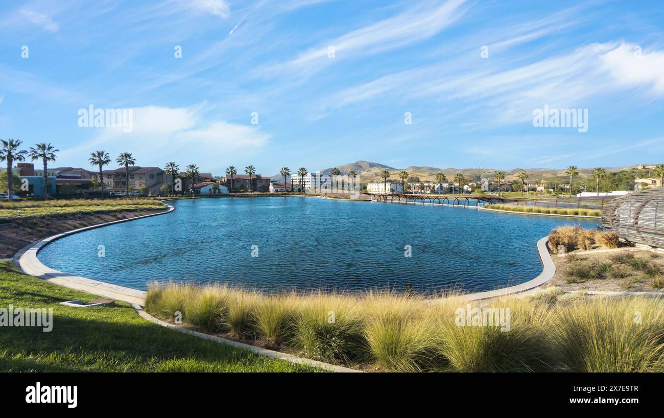 Scenic view of Dos Lagos in Corona California Stock Photohttps://www.alamy.com/image-license-details/?v=1https://www.alamy.com/scenic-view-of-dos-lagos-in-corona-california-image606980551.html
RF2X7E9TR–Scenic view of Dos Lagos in Corona California
 USGS TOPO Map California CA Blue Lake 296848 1945 62500 Restoration Stock Photohttps://www.alamy.com/image-license-details/?v=1https://www.alamy.com/usgs-topo-map-california-ca-blue-lake-296848-1945-62500-restoration-image242954362.html
RMT37ENE–USGS TOPO Map California CA Blue Lake 296848 1945 62500 Restoration
 City of Blue Lake, Humboldt County, US, United States, California, N 40 52' 52'', S 123 59' 34'', map, Cartascapes Map published in 2024. Explore Cartascapes, a map revealing Earth's diverse landscapes, cultures, and ecosystems. Journey through time and space, discovering the interconnectedness of our planet's past, present, and future. Stock Photohttps://www.alamy.com/image-license-details/?v=1https://www.alamy.com/city-of-blue-lake-humboldt-county-us-united-states-california-n-40-52-52-s-123-59-34-map-cartascapes-map-published-in-2024-explore-cartascapes-a-map-revealing-earths-diverse-landscapes-cultures-and-ecosystems-journey-through-time-and-space-discovering-the-interconnectedness-of-our-planets-past-present-and-future-image633846774.html
RM2YR660P–City of Blue Lake, Humboldt County, US, United States, California, N 40 52' 52'', S 123 59' 34'', map, Cartascapes Map published in 2024. Explore Cartascapes, a map revealing Earth's diverse landscapes, cultures, and ecosystems. Journey through time and space, discovering the interconnectedness of our planet's past, present, and future.
 Lake Berryessa Reservoir (United States of America, North America, us, usa, California) map vector illustration, scribble sketch Monticello Dam map Stock Vectorhttps://www.alamy.com/image-license-details/?v=1https://www.alamy.com/lake-berryessa-reservoir-united-states-of-america-north-america-us-usa-california-map-vector-illustration-scribble-sketch-monticello-dam-map-image524280725.html
RF2NCY1BH–Lake Berryessa Reservoir (United States of America, North America, us, usa, California) map vector illustration, scribble sketch Monticello Dam map
 View of amphitheater performance venue Dos Lagos in Corona California Stock Photohttps://www.alamy.com/image-license-details/?v=1https://www.alamy.com/view-of-amphitheater-performance-venue-dos-lagos-in-corona-california-image606980552.html
RF2X7E9TT–View of amphitheater performance venue Dos Lagos in Corona California
 USGS TOPO Map California CA Blue Lake 296845 1951 62500 Restoration Stock Photohttps://www.alamy.com/image-license-details/?v=1https://www.alamy.com/usgs-topo-map-california-ca-blue-lake-296845-1951-62500-restoration-image242954263.html
RMT37EHY–USGS TOPO Map California CA Blue Lake 296845 1951 62500 Restoration
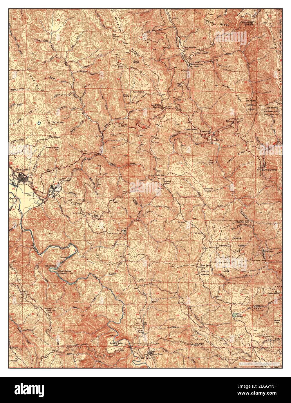 Blue Lake, California, map 1951, 1:62500, United States of America by Timeless Maps, data U.S. Geological Survey Stock Photohttps://www.alamy.com/image-license-details/?v=1https://www.alamy.com/blue-lake-california-map-1951-162500-united-states-of-america-by-timeless-maps-data-us-geological-survey-image406045963.html
RM2EGGYNF–Blue Lake, California, map 1951, 1:62500, United States of America by Timeless Maps, data U.S. Geological Survey
 Lake Almanor Reservoir (United States of America, North America, us, usa, California) map vector illustration, scribble sketch Canyon Dam map Stock Vectorhttps://www.alamy.com/image-license-details/?v=1https://www.alamy.com/lake-almanor-reservoir-united-states-of-america-north-america-us-usa-california-map-vector-illustration-scribble-sketch-canyon-dam-map-image524280830.html
RF2NCY1FA–Lake Almanor Reservoir (United States of America, North America, us, usa, California) map vector illustration, scribble sketch Canyon Dam map
 USGS TOPO Map California CA Blue Lake 296847 1951 62500 Restoration Stock Photohttps://www.alamy.com/image-license-details/?v=1https://www.alamy.com/usgs-topo-map-california-ca-blue-lake-296847-1951-62500-restoration-image242954315.html
RMT37EKR–USGS TOPO Map California CA Blue Lake 296847 1951 62500 Restoration
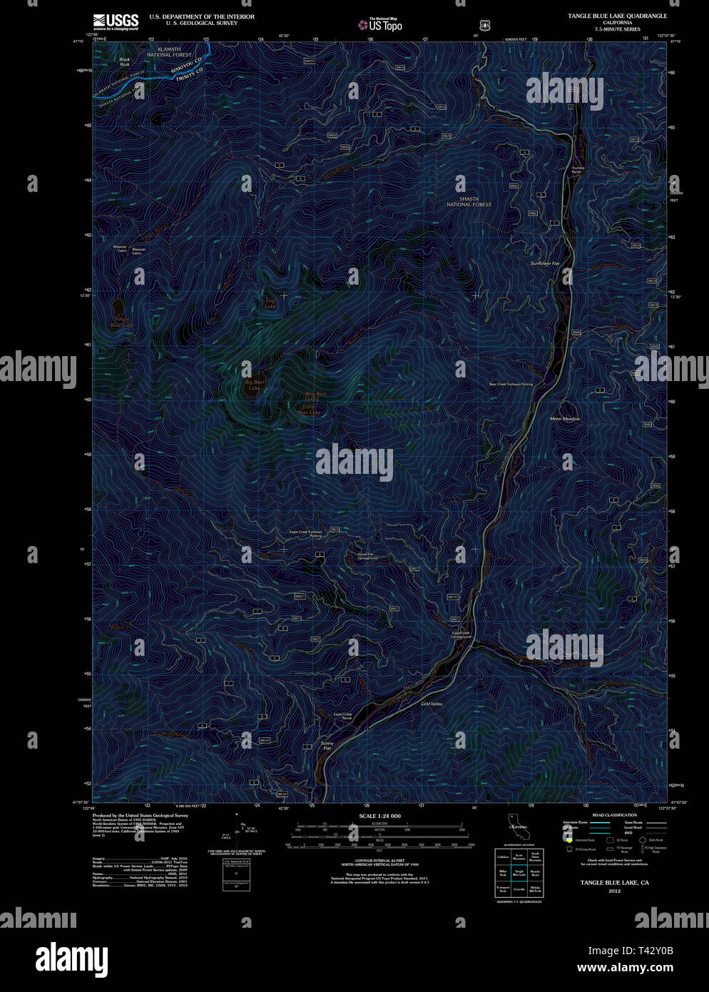 USGS TOPO Map California CA Tangle Blue Lake 20120305 TM Inverted Restoration Stock Photohttps://www.alamy.com/image-license-details/?v=1https://www.alamy.com/usgs-topo-map-california-ca-tangle-blue-lake-20120305-tm-inverted-restoration-image243468859.html
RMT42Y0B–USGS TOPO Map California CA Tangle Blue Lake 20120305 TM Inverted Restoration
 USGS TOPO Map California CA Blue Lake 302443 1979 24000 Inverted Restoration Stock Photohttps://www.alamy.com/image-license-details/?v=1https://www.alamy.com/usgs-topo-map-california-ca-blue-lake-302443-1979-24000-inverted-restoration-image242954397.html
RMT37EPN–USGS TOPO Map California CA Blue Lake 302443 1979 24000 Inverted Restoration
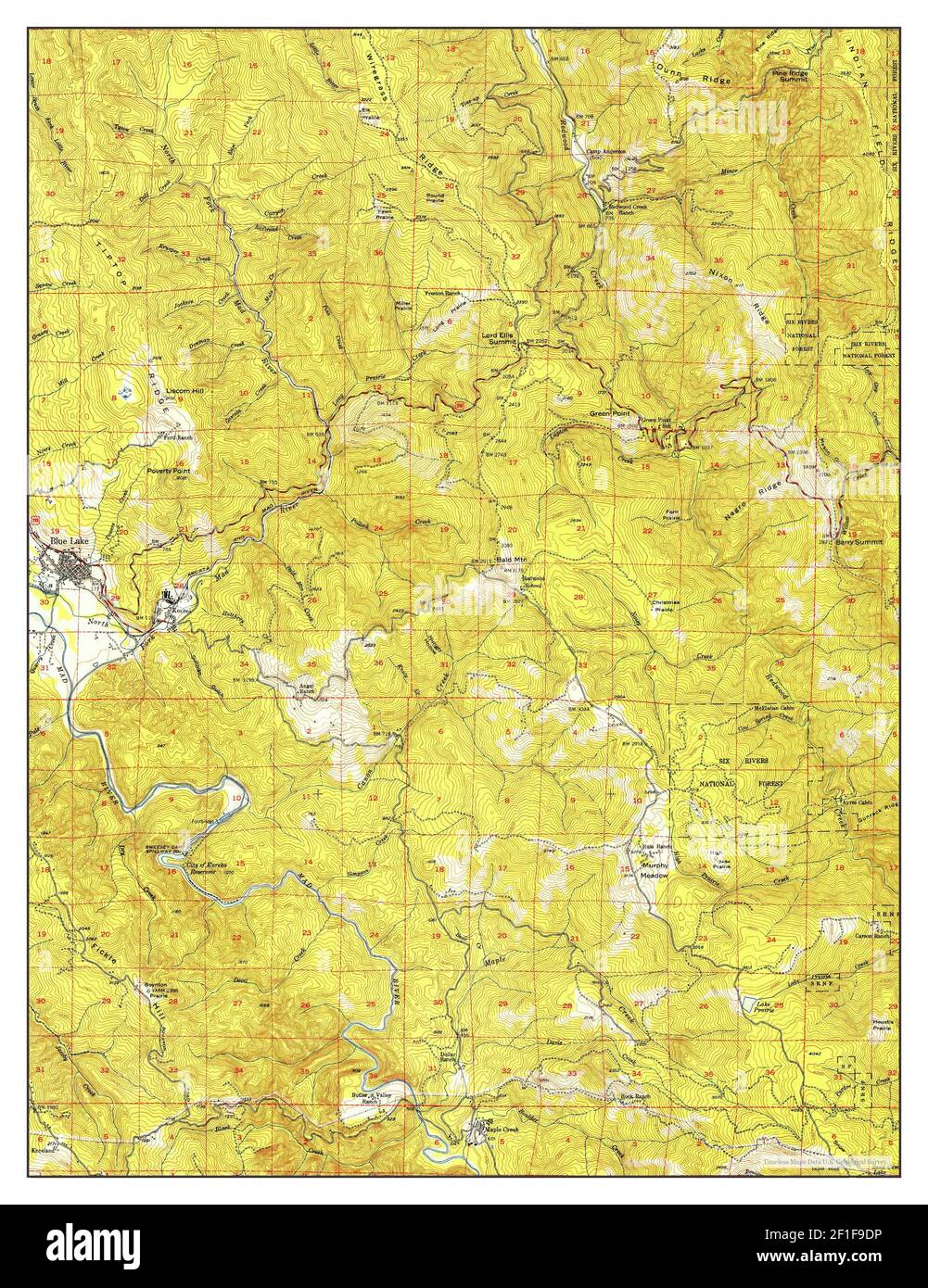 Blue Lake, California, map 1951, 1:62500, United States of America by Timeless Maps, data U.S. Geological Survey Stock Photohttps://www.alamy.com/image-license-details/?v=1https://www.alamy.com/blue-lake-california-map-1951-162500-united-states-of-america-by-timeless-maps-data-us-geological-survey-image414000210.html
RM2F1F9DP–Blue Lake, California, map 1951, 1:62500, United States of America by Timeless Maps, data U.S. Geological Survey
 Lake Almanor Reservoir (United States of America, North America, us, usa, California) map vector illustration, scribble sketch Canyon Dam map Stock Vectorhttps://www.alamy.com/image-license-details/?v=1https://www.alamy.com/lake-almanor-reservoir-united-states-of-america-north-america-us-usa-california-map-vector-illustration-scribble-sketch-canyon-dam-map-image570581594.html
RF2T486J2–Lake Almanor Reservoir (United States of America, North America, us, usa, California) map vector illustration, scribble sketch Canyon Dam map
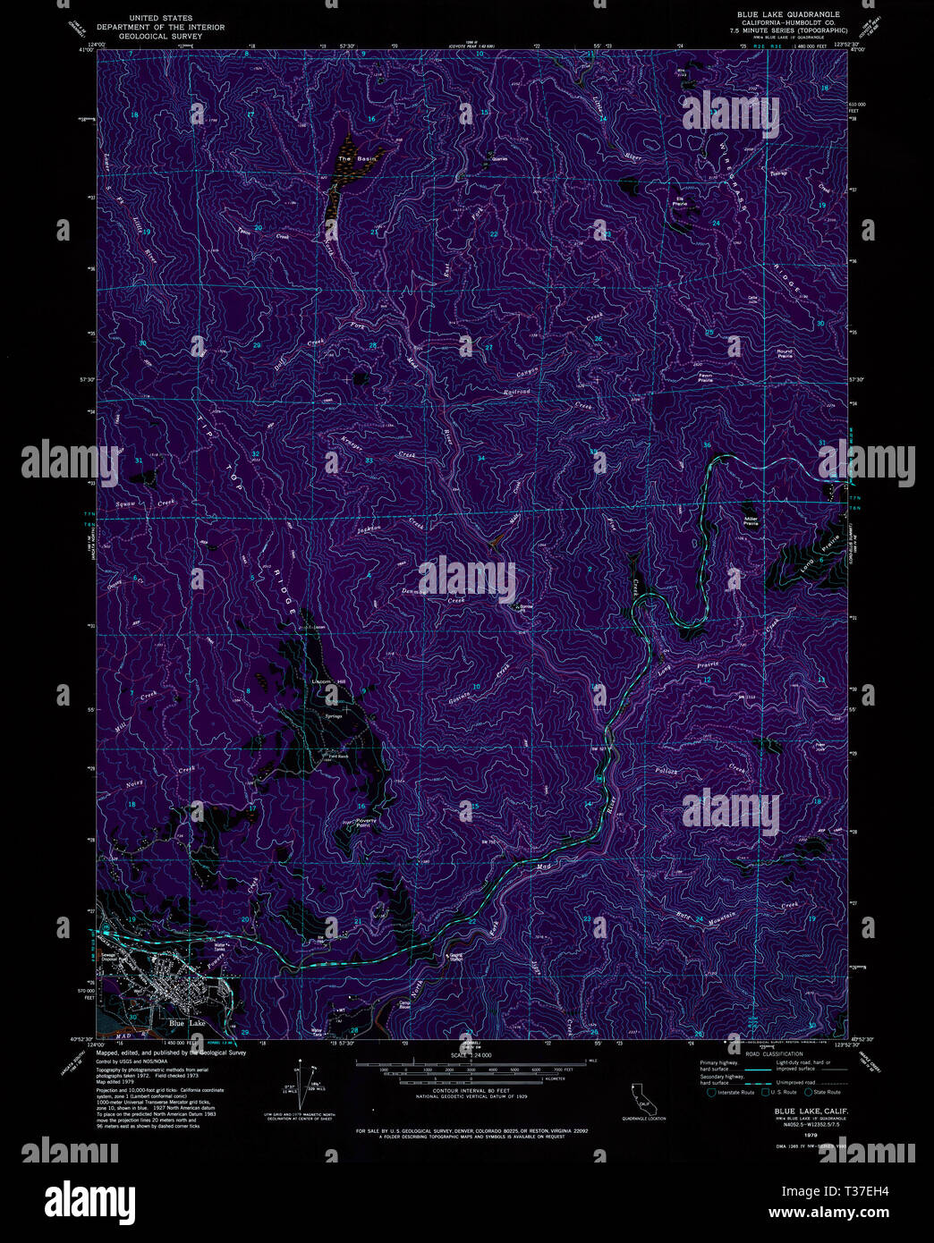 USGS TOPO Map California CA Blue Lake 100303 1979 24000 Inverted Restoration Stock Photohttps://www.alamy.com/image-license-details/?v=1https://www.alamy.com/usgs-topo-map-california-ca-blue-lake-100303-1979-24000-inverted-restoration-image242954240.html
RMT37EH4–USGS TOPO Map California CA Blue Lake 100303 1979 24000 Inverted Restoration
 Blue Lake, California, map 1951, 1:62500, United States of America by Timeless Maps, data U.S. Geological Survey Stock Photohttps://www.alamy.com/image-license-details/?v=1https://www.alamy.com/blue-lake-california-map-1951-162500-united-states-of-america-by-timeless-maps-data-us-geological-survey-image414000276.html
RM2F1F9G4–Blue Lake, California, map 1951, 1:62500, United States of America by Timeless Maps, data U.S. Geological Survey
 Lake Oroville Reservoir (United States of America, North America, us, usa, California) map vector illustration, scribble sketch Oroville Dam map Stock Vectorhttps://www.alamy.com/image-license-details/?v=1https://www.alamy.com/lake-oroville-reservoir-united-states-of-america-north-america-us-usa-california-map-vector-illustration-scribble-sketch-oroville-dam-map-image572079319.html
RF2T6MD07–Lake Oroville Reservoir (United States of America, North America, us, usa, California) map vector illustration, scribble sketch Oroville Dam map
 USGS TOPO Map California CA Blue Lake 302444 1979 24000 Inverted Restoration Stock Photohttps://www.alamy.com/image-license-details/?v=1https://www.alamy.com/usgs-topo-map-california-ca-blue-lake-302444-1979-24000-inverted-restoration-image242954400.html
RMT37EPT–USGS TOPO Map California CA Blue Lake 302444 1979 24000 Inverted Restoration
 Blue Lake, California, map 1951, 1:62500, United States of America by Timeless Maps, data U.S. Geological Survey Stock Photohttps://www.alamy.com/image-license-details/?v=1https://www.alamy.com/blue-lake-california-map-1951-162500-united-states-of-america-by-timeless-maps-data-us-geological-survey-image414000209.html
RM2F1F9DN–Blue Lake, California, map 1951, 1:62500, United States of America by Timeless Maps, data U.S. Geological Survey
 Lake Berryessa Reservoir (United States of America, North America, us, usa, California) map vector illustration, scribble sketch Monticello Dam map Stock Vectorhttps://www.alamy.com/image-license-details/?v=1https://www.alamy.com/lake-berryessa-reservoir-united-states-of-america-north-america-us-usa-california-map-vector-illustration-scribble-sketch-monticello-dam-map-image570726826.html
RF2T4ERTX–Lake Berryessa Reservoir (United States of America, North America, us, usa, California) map vector illustration, scribble sketch Monticello Dam map
 USGS TOPO Map California CA Tangle Blue Lake 101236 1998 24000 Restoration Stock Photohttps://www.alamy.com/image-license-details/?v=1https://www.alamy.com/usgs-topo-map-california-ca-tangle-blue-lake-101236-1998-24000-restoration-image243468844.html
RMT42XYT–USGS TOPO Map California CA Tangle Blue Lake 101236 1998 24000 Restoration
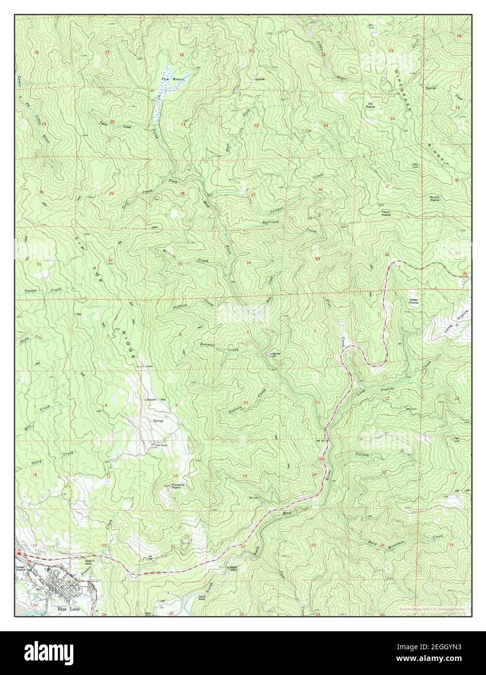 Blue Lake, California, map 1979, 1:24000, United States of America by Timeless Maps, data U.S. Geological Survey Stock Photohttps://www.alamy.com/image-license-details/?v=1https://www.alamy.com/blue-lake-california-map-1979-124000-united-states-of-america-by-timeless-maps-data-us-geological-survey-image406045951.html
RM2EGGYN3–Blue Lake, California, map 1979, 1:24000, United States of America by Timeless Maps, data U.S. Geological Survey
 Lake Trinity Reservoir (United States of America, North America, us, usa, California) map vector illustration, scribble sketch Clair Engle Dam map Stock Vectorhttps://www.alamy.com/image-license-details/?v=1https://www.alamy.com/lake-trinity-reservoir-united-states-of-america-north-america-us-usa-california-map-vector-illustration-scribble-sketch-clair-engle-dam-map-image573738035.html
RF2T9C0M3–Lake Trinity Reservoir (United States of America, North America, us, usa, California) map vector illustration, scribble sketch Clair Engle Dam map
 USGS TOPO Map California CA Tangle Blue Lake 295385 1998 24000 Restoration Stock Photohttps://www.alamy.com/image-license-details/?v=1https://www.alamy.com/usgs-topo-map-california-ca-tangle-blue-lake-295385-1998-24000-restoration-image243468914.html
RMT42Y2A–USGS TOPO Map California CA Tangle Blue Lake 295385 1998 24000 Restoration
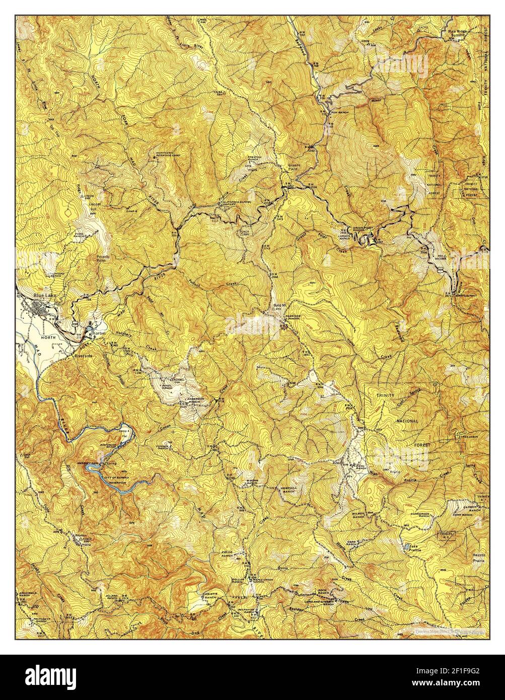 Blue Lake, California, map 1945, 1:62500, United States of America by Timeless Maps, data U.S. Geological Survey Stock Photohttps://www.alamy.com/image-license-details/?v=1https://www.alamy.com/blue-lake-california-map-1945-162500-united-states-of-america-by-timeless-maps-data-us-geological-survey-image414000274.html
RM2F1F9G2–Blue Lake, California, map 1945, 1:62500, United States of America by Timeless Maps, data U.S. Geological Survey
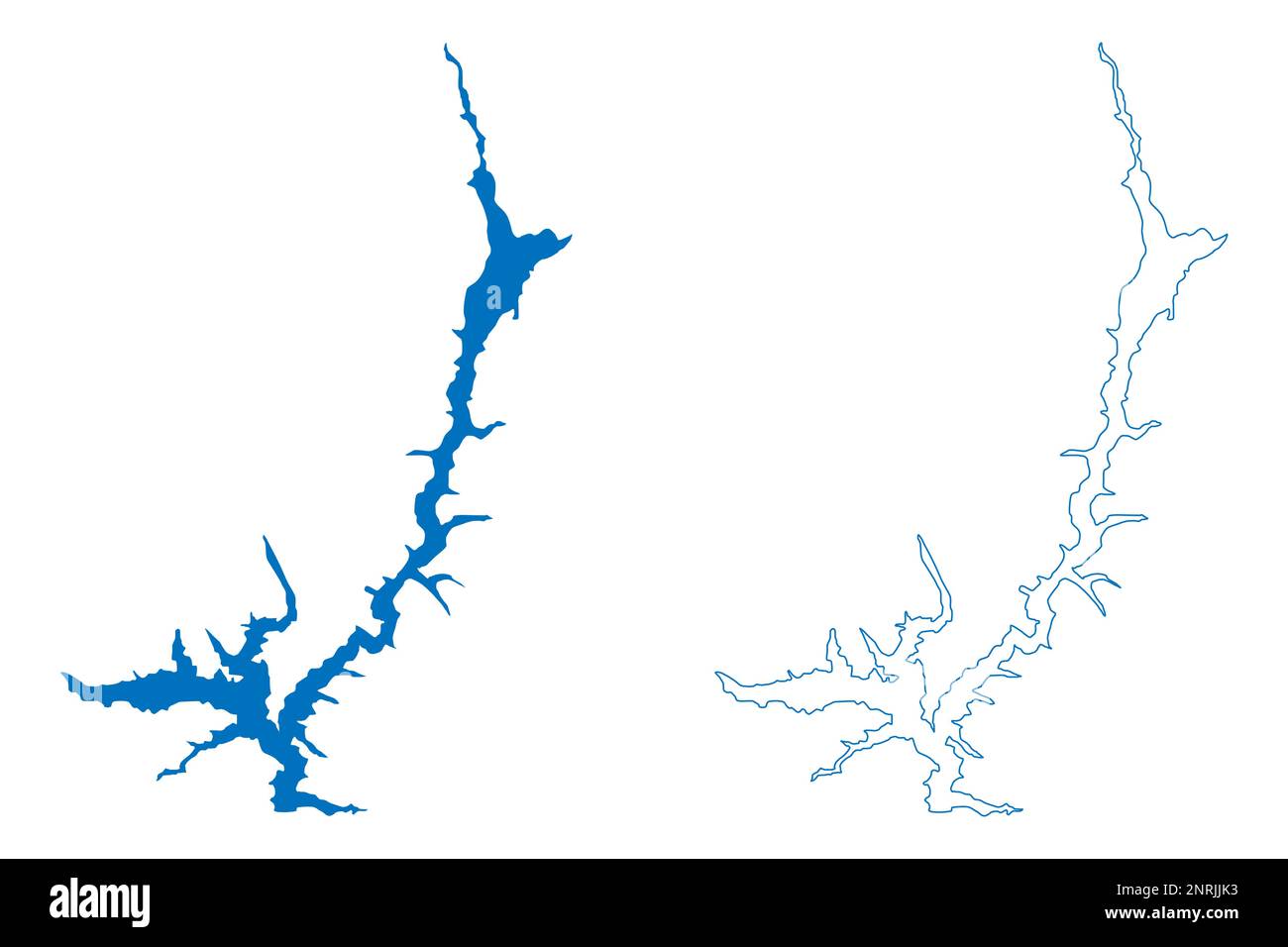 Lake Trinity Reservoir (United States of America, North America, us, usa, California) map vector illustration, scribble sketch Clair Engle Dam map Stock Vectorhttps://www.alamy.com/image-license-details/?v=1https://www.alamy.com/lake-trinity-reservoir-united-states-of-america-north-america-us-usa-california-map-vector-illustration-scribble-sketch-clair-engle-dam-map-image530857911.html
RF2NRJJK3–Lake Trinity Reservoir (United States of America, North America, us, usa, California) map vector illustration, scribble sketch Clair Engle Dam map
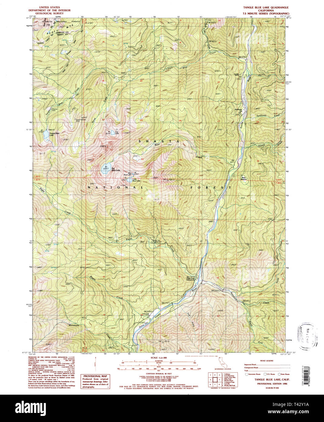 USGS TOPO Map California CA Tangle Blue Lake 295384 1986 24000 Restoration Stock Photohttps://www.alamy.com/image-license-details/?v=1https://www.alamy.com/usgs-topo-map-california-ca-tangle-blue-lake-295384-1986-24000-restoration-image243468886.html
RMT42Y1A–USGS TOPO Map California CA Tangle Blue Lake 295384 1986 24000 Restoration
 USGS TOPO Map California CA Blue Lake 296849 1951 62500 Inverted Restoration Stock Photohttps://www.alamy.com/image-license-details/?v=1https://www.alamy.com/usgs-topo-map-california-ca-blue-lake-296849-1951-62500-inverted-restoration-image242954386.html
RMT37EPA–USGS TOPO Map California CA Blue Lake 296849 1951 62500 Inverted Restoration
 Blue Lake, California, map 1951, 1:62500, United States of America by Timeless Maps, data U.S. Geological Survey Stock Photohttps://www.alamy.com/image-license-details/?v=1https://www.alamy.com/blue-lake-california-map-1951-162500-united-states-of-america-by-timeless-maps-data-us-geological-survey-image414000184.html
RM2F1F9CT–Blue Lake, California, map 1951, 1:62500, United States of America by Timeless Maps, data U.S. Geological Survey
 Lake McClure Reservoir (United States of America, North America, us, usa, California) map vector illustration, scribble sketch New Exchequer Dam map Stock Vectorhttps://www.alamy.com/image-license-details/?v=1https://www.alamy.com/lake-mcclure-reservoir-united-states-of-america-north-america-us-usa-california-map-vector-illustration-scribble-sketch-new-exchequer-dam-map-image525797070.html
RF2NFC3EP–Lake McClure Reservoir (United States of America, North America, us, usa, California) map vector illustration, scribble sketch New Exchequer Dam map
 USGS TOPO Map California CA Blue Lake 296846 1951 62500 Inverted Restoration Stock Photohttps://www.alamy.com/image-license-details/?v=1https://www.alamy.com/usgs-topo-map-california-ca-blue-lake-296846-1951-62500-inverted-restoration-image242954266.html
RMT37EJ2–USGS TOPO Map California CA Blue Lake 296846 1951 62500 Inverted Restoration
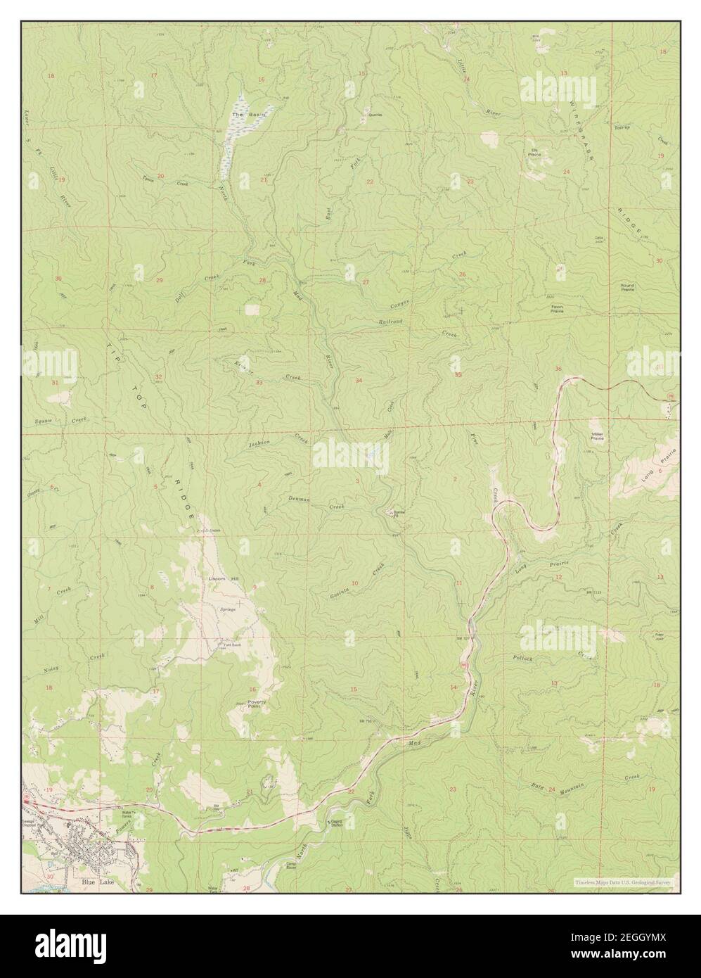 Blue Lake, California, map 1979, 1:24000, United States of America by Timeless Maps, data U.S. Geological Survey Stock Photohttps://www.alamy.com/image-license-details/?v=1https://www.alamy.com/blue-lake-california-map-1979-124000-united-states-of-america-by-timeless-maps-data-us-geological-survey-image406045946.html
RM2EGGYMX–Blue Lake, California, map 1979, 1:24000, United States of America by Timeless Maps, data U.S. Geological Survey
 Lake McClure Reservoir (United States of America, North America, us, usa, California) map vector illustration, scribble sketch New Exchequer Dam map Stock Vectorhttps://www.alamy.com/image-license-details/?v=1https://www.alamy.com/lake-mcclure-reservoir-united-states-of-america-north-america-us-usa-california-map-vector-illustration-scribble-sketch-new-exchequer-dam-map-image571716060.html
RF2T63WJM–Lake McClure Reservoir (United States of America, North America, us, usa, California) map vector illustration, scribble sketch New Exchequer Dam map
 USGS TOPO Map California CA Blue Lake 296848 1945 62500 Inverted Restoration Stock Photohttps://www.alamy.com/image-license-details/?v=1https://www.alamy.com/usgs-topo-map-california-ca-blue-lake-296848-1945-62500-inverted-restoration-image242954354.html
RMT37EN6–USGS TOPO Map California CA Blue Lake 296848 1945 62500 Inverted Restoration
 Lake San Luis and O'Neill Forebay Reservoir (United States of America, North America, us, usa, California) map vector illustration, scribble sketch Sa Stock Vectorhttps://www.alamy.com/image-license-details/?v=1https://www.alamy.com/lake-san-luis-and-oneill-forebay-reservoir-united-states-of-america-north-america-us-usa-california-map-vector-illustration-scribble-sketch-sa-image530126158.html
RF2NPD992–Lake San Luis and O'Neill Forebay Reservoir (United States of America, North America, us, usa, California) map vector illustration, scribble sketch Sa
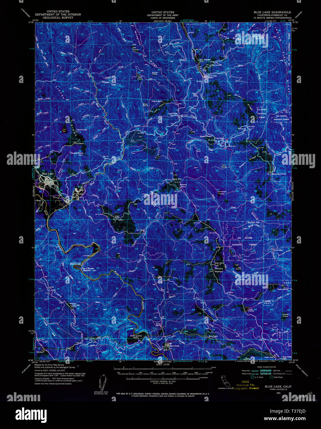 USGS TOPO Map California CA Blue Lake 296847 1951 62500 Inverted Restoration Stock Photohttps://www.alamy.com/image-license-details/?v=1https://www.alamy.com/usgs-topo-map-california-ca-blue-lake-296847-1951-62500-inverted-restoration-image242954277.html
RMT37EJD–USGS TOPO Map California CA Blue Lake 296847 1951 62500 Inverted Restoration
 Lake San Luis and O'Neill Forebay Reservoir (United States of America, North America, us, usa, California) map vector illustration, scribble sketch Sa Stock Vectorhttps://www.alamy.com/image-license-details/?v=1https://www.alamy.com/lake-san-luis-and-oneill-forebay-reservoir-united-states-of-america-north-america-us-usa-california-map-vector-illustration-scribble-sketch-sa-image573160031.html
RF2T8DKD3–Lake San Luis and O'Neill Forebay Reservoir (United States of America, North America, us, usa, California) map vector illustration, scribble sketch Sa
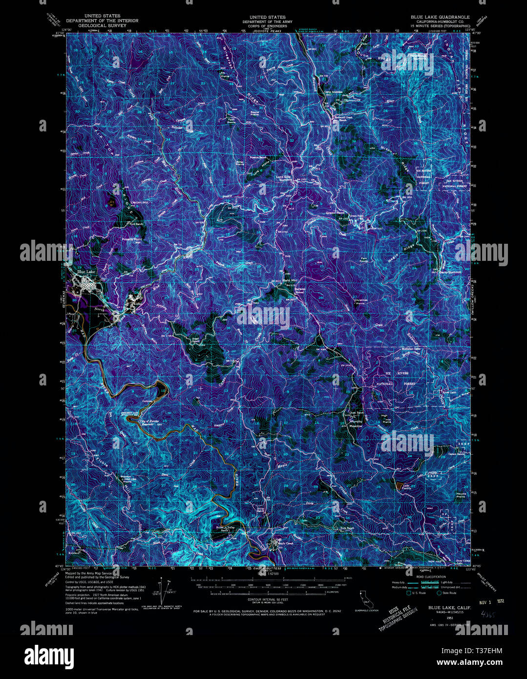 USGS TOPO Map California CA Blue Lake 296845 1951 62500 Inverted Restoration Stock Photohttps://www.alamy.com/image-license-details/?v=1https://www.alamy.com/usgs-topo-map-california-ca-blue-lake-296845-1951-62500-inverted-restoration-image242954256.html
RMT37EHM–USGS TOPO Map California CA Blue Lake 296845 1951 62500 Inverted Restoration
 USGS TOPO Map California CA Tangle Blue Lake 295384 1986 24000 Inverted Restoration Stock Photohttps://www.alamy.com/image-license-details/?v=1https://www.alamy.com/usgs-topo-map-california-ca-tangle-blue-lake-295384-1986-24000-inverted-restoration-image243468881.html
RMT42Y15–USGS TOPO Map California CA Tangle Blue Lake 295384 1986 24000 Inverted Restoration