Quick filters:
Blythe california map Stock Photos and Images
 Blythe California USA shown on a Geography map or road map Stock Photohttps://www.alamy.com/image-license-details/?v=1https://www.alamy.com/blythe-california-usa-shown-on-a-geography-map-or-road-map-image424902056.html
RM2FK7XWC–Blythe California USA shown on a Geography map or road map
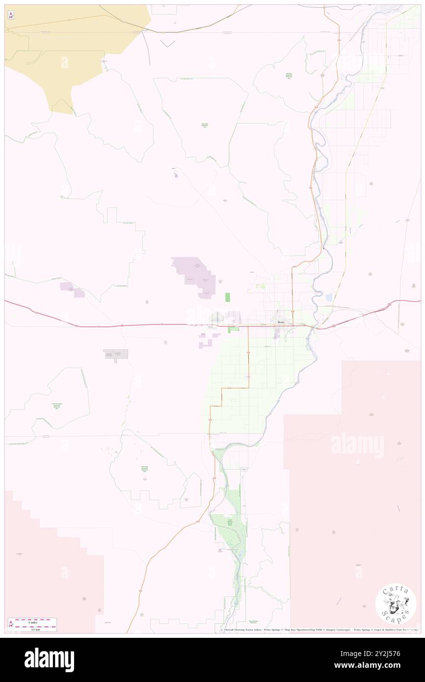 Blythe, Riverside County, US, United States, California, N 33 36' 37'', S 114 35' 46'', map, Cartascapes Map published in 2024. Explore Cartascapes, a map revealing Earth's diverse landscapes, cultures, and ecosystems. Journey through time and space, discovering the interconnectedness of our planet's past, present, and future. Stock Photohttps://www.alamy.com/image-license-details/?v=1https://www.alamy.com/blythe-riverside-county-us-united-states-california-n-33-36-37-s-114-35-46-map-cartascapes-map-published-in-2024-explore-cartascapes-a-map-revealing-earths-diverse-landscapes-cultures-and-ecosystems-journey-through-time-and-space-discovering-the-interconnectedness-of-our-planets-past-present-and-future-image621201818.html
RM2Y2J576–Blythe, Riverside County, US, United States, California, N 33 36' 37'', S 114 35' 46'', map, Cartascapes Map published in 2024. Explore Cartascapes, a map revealing Earth's diverse landscapes, cultures, and ecosystems. Journey through time and space, discovering the interconnectedness of our planet's past, present, and future.
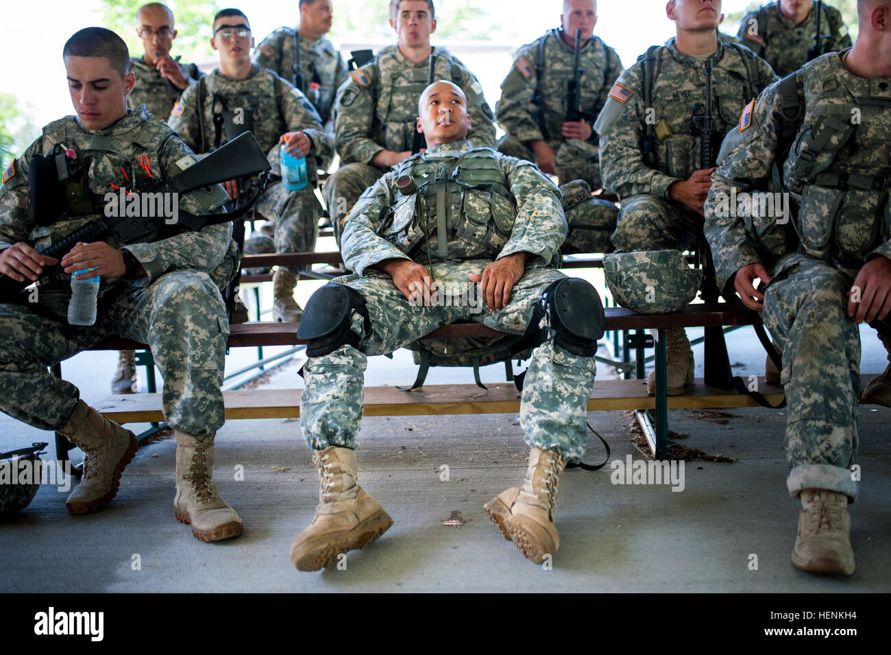 Spc. Stanley Hale, living in Blythe, California, belonging to the 108th Training Command, takes a load off on a set of bleachers before heading into a round-robbin of Army Warrior Tasks during the 2014 Army Reserve Best Warrior Competition at Joint Base McGuire-Dix-Lakehurst, New Jersey, June 24. (U.S. Army photo by Sgt. 1st Class Michel Sauret) 2014 Army Reserve Best Warrior Competition 140624-A-TI382-137 Stock Photohttps://www.alamy.com/image-license-details/?v=1https://www.alamy.com/stock-photo-spc-stanley-hale-living-in-blythe-california-belonging-to-the-108th-129554128.html
RMHENKH4–Spc. Stanley Hale, living in Blythe, California, belonging to the 108th Training Command, takes a load off on a set of bleachers before heading into a round-robbin of Army Warrior Tasks during the 2014 Army Reserve Best Warrior Competition at Joint Base McGuire-Dix-Lakehurst, New Jersey, June 24. (U.S. Army photo by Sgt. 1st Class Michel Sauret) 2014 Army Reserve Best Warrior Competition 140624-A-TI382-137
 Blythe, Riverside County, US, United States, California, N 33 36' 37'', S 114 35' 46'', map, Cartascapes Map published in 2024. Explore Cartascapes, a map revealing Earth's diverse landscapes, cultures, and ecosystems. Journey through time and space, discovering the interconnectedness of our planet's past, present, and future. Stock Photohttps://www.alamy.com/image-license-details/?v=1https://www.alamy.com/blythe-riverside-county-us-united-states-california-n-33-36-37-s-114-35-46-map-cartascapes-map-published-in-2024-explore-cartascapes-a-map-revealing-earths-diverse-landscapes-cultures-and-ecosystems-journey-through-time-and-space-discovering-the-interconnectedness-of-our-planets-past-present-and-future-image621449438.html
RM2Y31D2P–Blythe, Riverside County, US, United States, California, N 33 36' 37'', S 114 35' 46'', map, Cartascapes Map published in 2024. Explore Cartascapes, a map revealing Earth's diverse landscapes, cultures, and ecosystems. Journey through time and space, discovering the interconnectedness of our planet's past, present, and future.
 Spc. Stanley Hale, living in Blythe, California, belonging to the 108th Training Commmand, and Spc. Joshua Hawn, of Cherry Hill, New Jersey, with the 78th Training Division, share a laugh while riding on a CH-47 Chinook helicopter as part of the 2014 Army Reserve Best Warrior Competition at Joint Base McGuire-Dix-Lakehurst, New Jersey, June 24. During the flight, the chinook dipped and angled into sharp turns to get the competitors used to the a typical combat flight experience. (U.S. Army photo by Sgt. 1st Class Michel Sauret) 2014 Army Reserve Best Warrior Competition 140624-A-TI382-690 Stock Photohttps://www.alamy.com/image-license-details/?v=1https://www.alamy.com/stock-photo-spc-stanley-hale-living-in-blythe-california-belonging-to-the-108th-129554074.html
RMHENKF6–Spc. Stanley Hale, living in Blythe, California, belonging to the 108th Training Commmand, and Spc. Joshua Hawn, of Cherry Hill, New Jersey, with the 78th Training Division, share a laugh while riding on a CH-47 Chinook helicopter as part of the 2014 Army Reserve Best Warrior Competition at Joint Base McGuire-Dix-Lakehurst, New Jersey, June 24. During the flight, the chinook dipped and angled into sharp turns to get the competitors used to the a typical combat flight experience. (U.S. Army photo by Sgt. 1st Class Michel Sauret) 2014 Army Reserve Best Warrior Competition 140624-A-TI382-690
 East Blythe, Riverside County, US, United States, California, N 33 36' 38'', S 114 34' 25'', map, Cartascapes Map published in 2024. Explore Cartascapes, a map revealing Earth's diverse landscapes, cultures, and ecosystems. Journey through time and space, discovering the interconnectedness of our planet's past, present, and future. Stock Photohttps://www.alamy.com/image-license-details/?v=1https://www.alamy.com/east-blythe-riverside-county-us-united-states-california-n-33-36-38-s-114-34-25-map-cartascapes-map-published-in-2024-explore-cartascapes-a-map-revealing-earths-diverse-landscapes-cultures-and-ecosystems-journey-through-time-and-space-discovering-the-interconnectedness-of-our-planets-past-present-and-future-image621262897.html
RM2Y2MY4H–East Blythe, Riverside County, US, United States, California, N 33 36' 38'', S 114 34' 25'', map, Cartascapes Map published in 2024. Explore Cartascapes, a map revealing Earth's diverse landscapes, cultures, and ecosystems. Journey through time and space, discovering the interconnectedness of our planet's past, present, and future.
 East Blythe, Riverside County, US, United States, California, N 33 35' 37'', S 114 34' 54'', map, Cartascapes Map published in 2024. Explore Cartascapes, a map revealing Earth's diverse landscapes, cultures, and ecosystems. Journey through time and space, discovering the interconnectedness of our planet's past, present, and future. Stock Photohttps://www.alamy.com/image-license-details/?v=1https://www.alamy.com/east-blythe-riverside-county-us-united-states-california-n-33-35-37-s-114-34-54-map-cartascapes-map-published-in-2024-explore-cartascapes-a-map-revealing-earths-diverse-landscapes-cultures-and-ecosystems-journey-through-time-and-space-discovering-the-interconnectedness-of-our-planets-past-present-and-future-image621331863.html
RM2Y2T33K–East Blythe, Riverside County, US, United States, California, N 33 35' 37'', S 114 34' 54'', map, Cartascapes Map published in 2024. Explore Cartascapes, a map revealing Earth's diverse landscapes, cultures, and ecosystems. Journey through time and space, discovering the interconnectedness of our planet's past, present, and future.
 City of Blythe, Riverside County, US, United States, California, N 33 36' 39'', S 114 33' 28'', map, Cartascapes Map published in 2024. Explore Cartascapes, a map revealing Earth's diverse landscapes, cultures, and ecosystems. Journey through time and space, discovering the interconnectedness of our planet's past, present, and future. Stock Photohttps://www.alamy.com/image-license-details/?v=1https://www.alamy.com/city-of-blythe-riverside-county-us-united-states-california-n-33-36-39-s-114-33-28-map-cartascapes-map-published-in-2024-explore-cartascapes-a-map-revealing-earths-diverse-landscapes-cultures-and-ecosystems-journey-through-time-and-space-discovering-the-interconnectedness-of-our-planets-past-present-and-future-image633902283.html
RM2YR8MR7–City of Blythe, Riverside County, US, United States, California, N 33 36' 39'', S 114 33' 28'', map, Cartascapes Map published in 2024. Explore Cartascapes, a map revealing Earth's diverse landscapes, cultures, and ecosystems. Journey through time and space, discovering the interconnectedness of our planet's past, present, and future.
 Blythe Marina Mobile Estates, Riverside County, US, United States, California, N 33 36' 28'', S 114 32' 4'', map, Cartascapes Map published in 2024. Explore Cartascapes, a map revealing Earth's diverse landscapes, cultures, and ecosystems. Journey through time and space, discovering the interconnectedness of our planet's past, present, and future. Stock Photohttps://www.alamy.com/image-license-details/?v=1https://www.alamy.com/blythe-marina-mobile-estates-riverside-county-us-united-states-california-n-33-36-28-s-114-32-4-map-cartascapes-map-published-in-2024-explore-cartascapes-a-map-revealing-earths-diverse-landscapes-cultures-and-ecosystems-journey-through-time-and-space-discovering-the-interconnectedness-of-our-planets-past-present-and-future-image620824769.html
RM2Y21095–Blythe Marina Mobile Estates, Riverside County, US, United States, California, N 33 36' 28'', S 114 32' 4'', map, Cartascapes Map published in 2024. Explore Cartascapes, a map revealing Earth's diverse landscapes, cultures, and ecosystems. Journey through time and space, discovering the interconnectedness of our planet's past, present, and future.
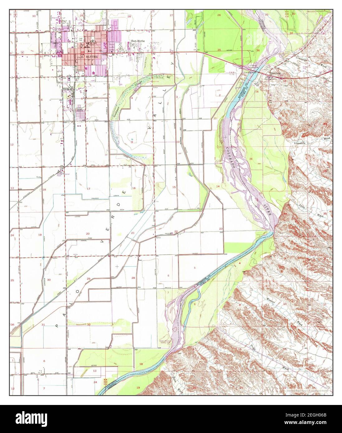 Blythe, California, map 1951, 1:24000, United States of America by Timeless Maps, data U.S. Geological Survey Stock Photohttps://www.alamy.com/image-license-details/?v=1https://www.alamy.com/blythe-california-map-1951-124000-united-states-of-america-by-timeless-maps-data-us-geological-survey-image406046323.html
RM2EGH06B–Blythe, California, map 1951, 1:24000, United States of America by Timeless Maps, data U.S. Geological Survey
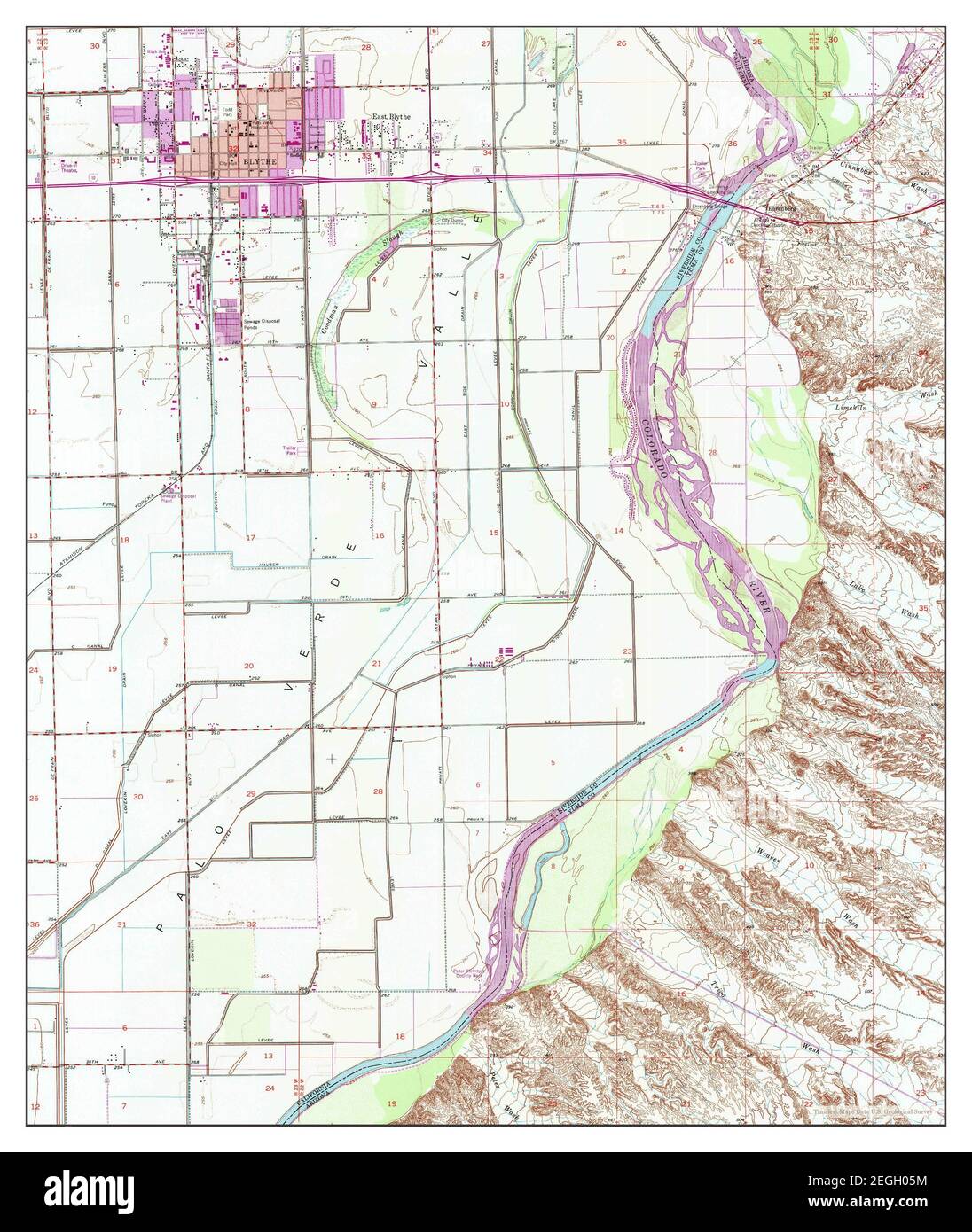 Blythe, California, map 1951, 1:24000, United States of America by Timeless Maps, data U.S. Geological Survey Stock Photohttps://www.alamy.com/image-license-details/?v=1https://www.alamy.com/blythe-california-map-1951-124000-united-states-of-america-by-timeless-maps-data-us-geological-survey-image406046304.html
RM2EGH05M–Blythe, California, map 1951, 1:24000, United States of America by Timeless Maps, data U.S. Geological Survey
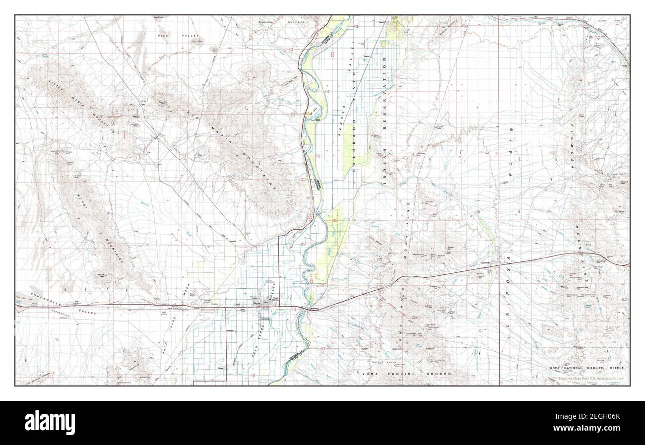 Blythe, California, map 1986, 1:100000, United States of America by Timeless Maps, data U.S. Geological Survey Stock Photohttps://www.alamy.com/image-license-details/?v=1https://www.alamy.com/blythe-california-map-1986-1100000-united-states-of-america-by-timeless-maps-data-us-geological-survey-image406046331.html
RM2EGH06K–Blythe, California, map 1986, 1:100000, United States of America by Timeless Maps, data U.S. Geological Survey
 Blythe, California, map 1986, 1:100000, United States of America by Timeless Maps, data U.S. Geological Survey Stock Photohttps://www.alamy.com/image-license-details/?v=1https://www.alamy.com/blythe-california-map-1986-1100000-united-states-of-america-by-timeless-maps-data-us-geological-survey-image406046326.html
RM2EGH06E–Blythe, California, map 1986, 1:100000, United States of America by Timeless Maps, data U.S. Geological Survey
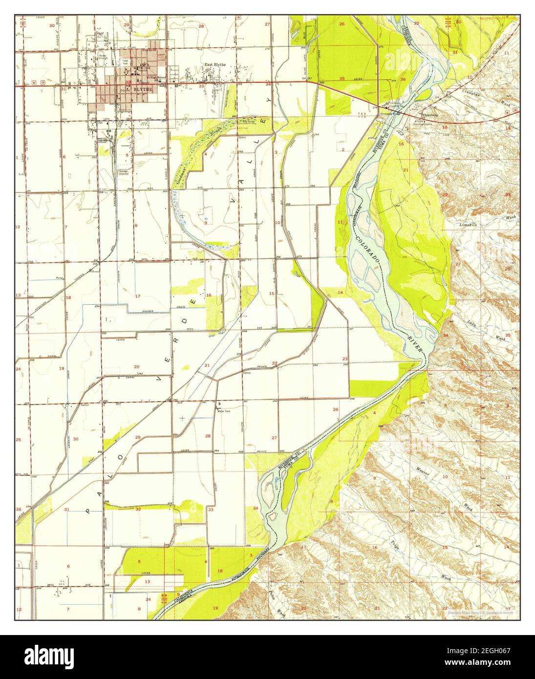 Blythe, California, map 1951, 1:24000, United States of America by Timeless Maps, data U.S. Geological Survey Stock Photohttps://www.alamy.com/image-license-details/?v=1https://www.alamy.com/blythe-california-map-1951-124000-united-states-of-america-by-timeless-maps-data-us-geological-survey-image406046319.html
RM2EGH067–Blythe, California, map 1951, 1:24000, United States of America by Timeless Maps, data U.S. Geological Survey
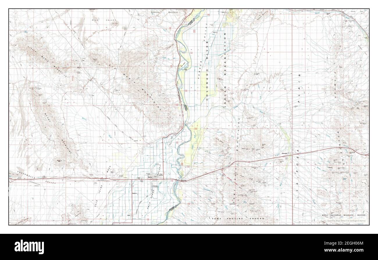 Blythe, California, map 1986, 1:100000, United States of America by Timeless Maps, data U.S. Geological Survey Stock Photohttps://www.alamy.com/image-license-details/?v=1https://www.alamy.com/blythe-california-map-1986-1100000-united-states-of-america-by-timeless-maps-data-us-geological-survey-image406046332.html
RM2EGH06M–Blythe, California, map 1986, 1:100000, United States of America by Timeless Maps, data U.S. Geological Survey
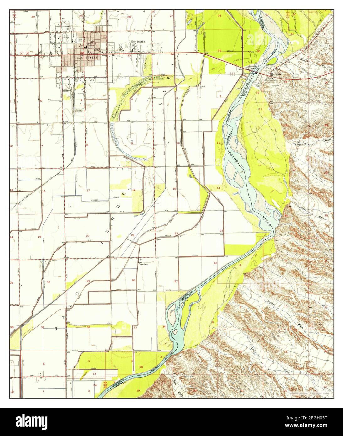 Blythe, California, map 1951, 1:24000, United States of America by Timeless Maps, data U.S. Geological Survey Stock Photohttps://www.alamy.com/image-license-details/?v=1https://www.alamy.com/blythe-california-map-1951-124000-united-states-of-america-by-timeless-maps-data-us-geological-survey-image406046308.html
RM2EGH05T–Blythe, California, map 1951, 1:24000, United States of America by Timeless Maps, data U.S. Geological Survey
 Blythe, California, map 1970, 1:24000, United States of America by Timeless Maps, data U.S. Geological Survey Stock Photohttps://www.alamy.com/image-license-details/?v=1https://www.alamy.com/blythe-california-map-1970-124000-united-states-of-america-by-timeless-maps-data-us-geological-survey-image406046313.html
RM2EGH061–Blythe, California, map 1970, 1:24000, United States of America by Timeless Maps, data U.S. Geological Survey
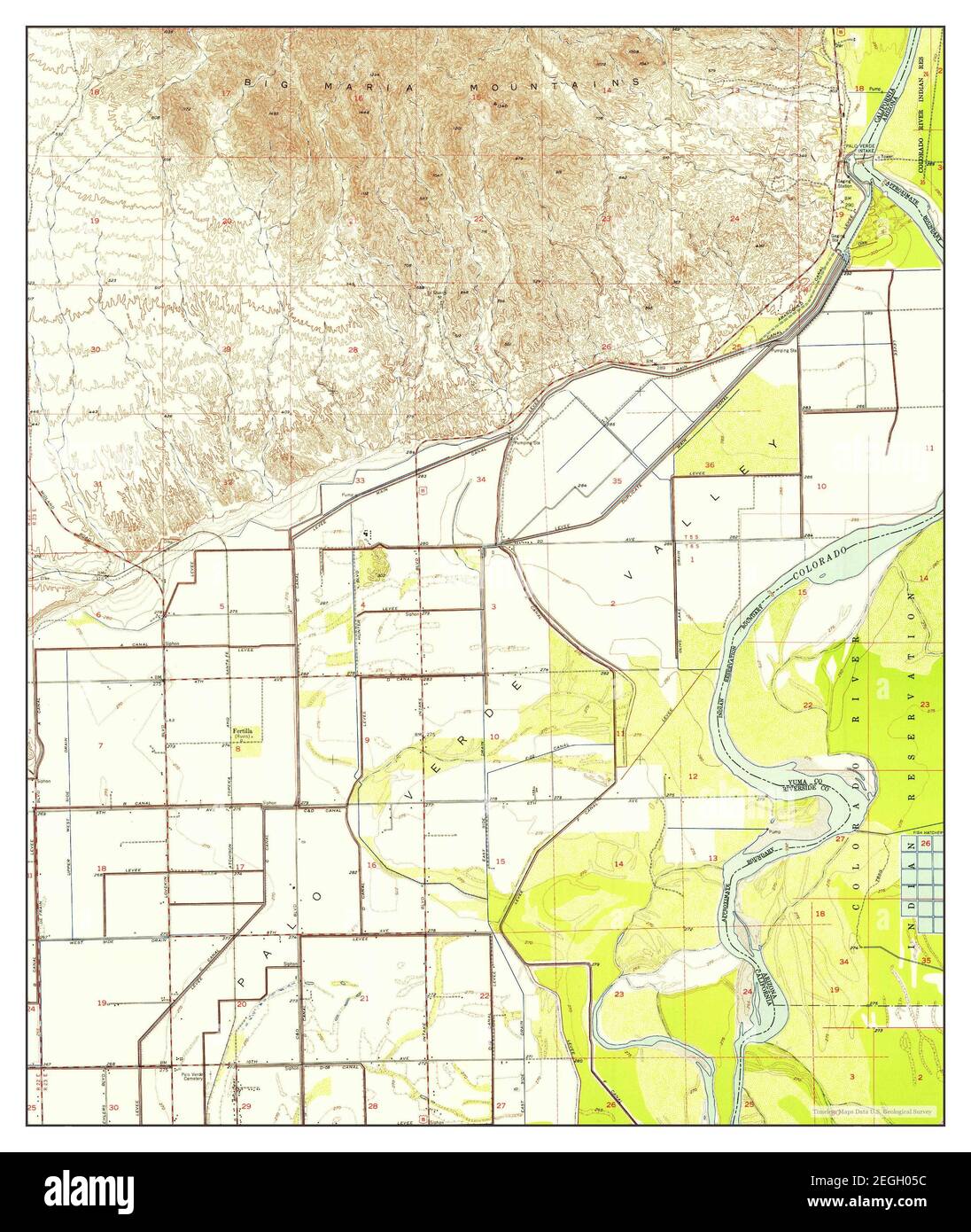 Blythe NE, California, map 1951, 1:24000, United States of America by Timeless Maps, data U.S. Geological Survey Stock Photohttps://www.alamy.com/image-license-details/?v=1https://www.alamy.com/blythe-ne-california-map-1951-124000-united-states-of-america-by-timeless-maps-data-us-geological-survey-image406046296.html
RM2EGH05C–Blythe NE, California, map 1951, 1:24000, United States of America by Timeless Maps, data U.S. Geological Survey
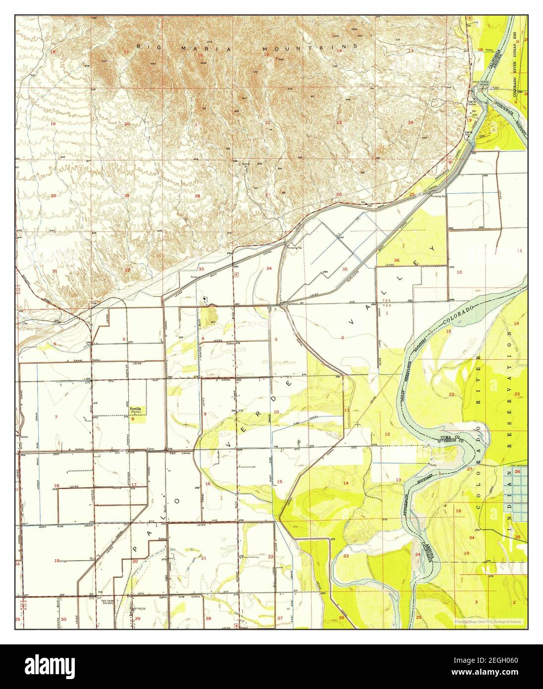 Blythe NE, California, map 1951, 1:24000, United States of America by Timeless Maps, data U.S. Geological Survey Stock Photohttps://www.alamy.com/image-license-details/?v=1https://www.alamy.com/blythe-ne-california-map-1951-124000-united-states-of-america-by-timeless-maps-data-us-geological-survey-image406046312.html
RM2EGH060–Blythe NE, California, map 1951, 1:24000, United States of America by Timeless Maps, data U.S. Geological Survey
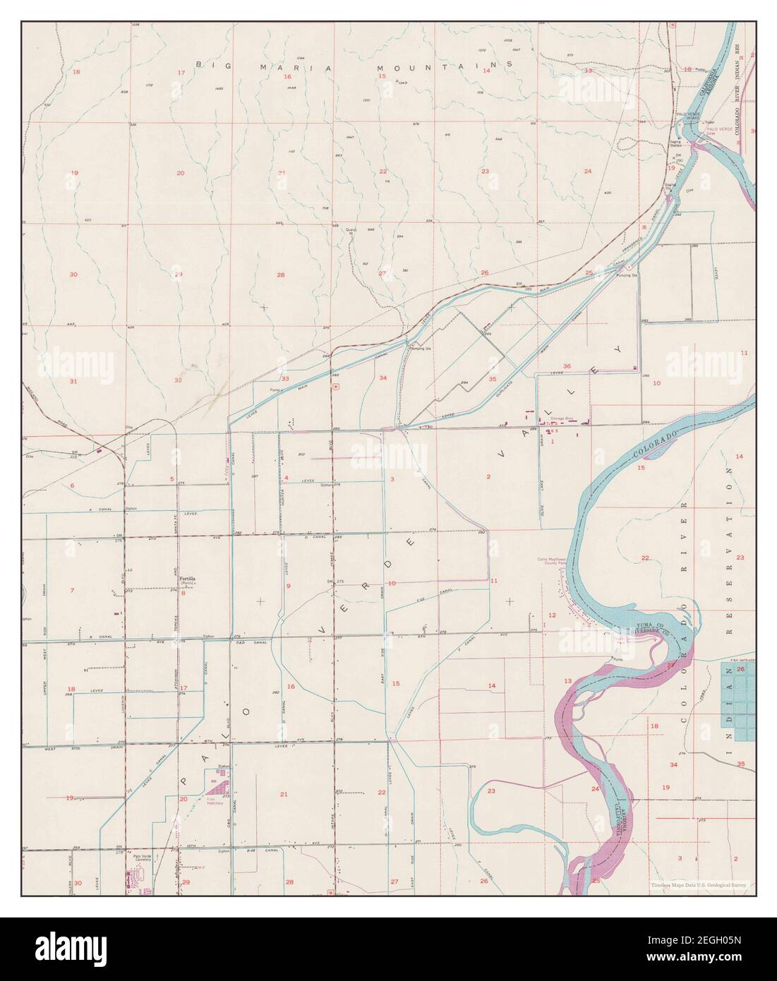 Blythe NE, California, map 1951, 1:24000, United States of America by Timeless Maps, data U.S. Geological Survey Stock Photohttps://www.alamy.com/image-license-details/?v=1https://www.alamy.com/blythe-ne-california-map-1951-124000-united-states-of-america-by-timeless-maps-data-us-geological-survey-image406046305.html
RM2EGH05N–Blythe NE, California, map 1951, 1:24000, United States of America by Timeless Maps, data U.S. Geological Survey
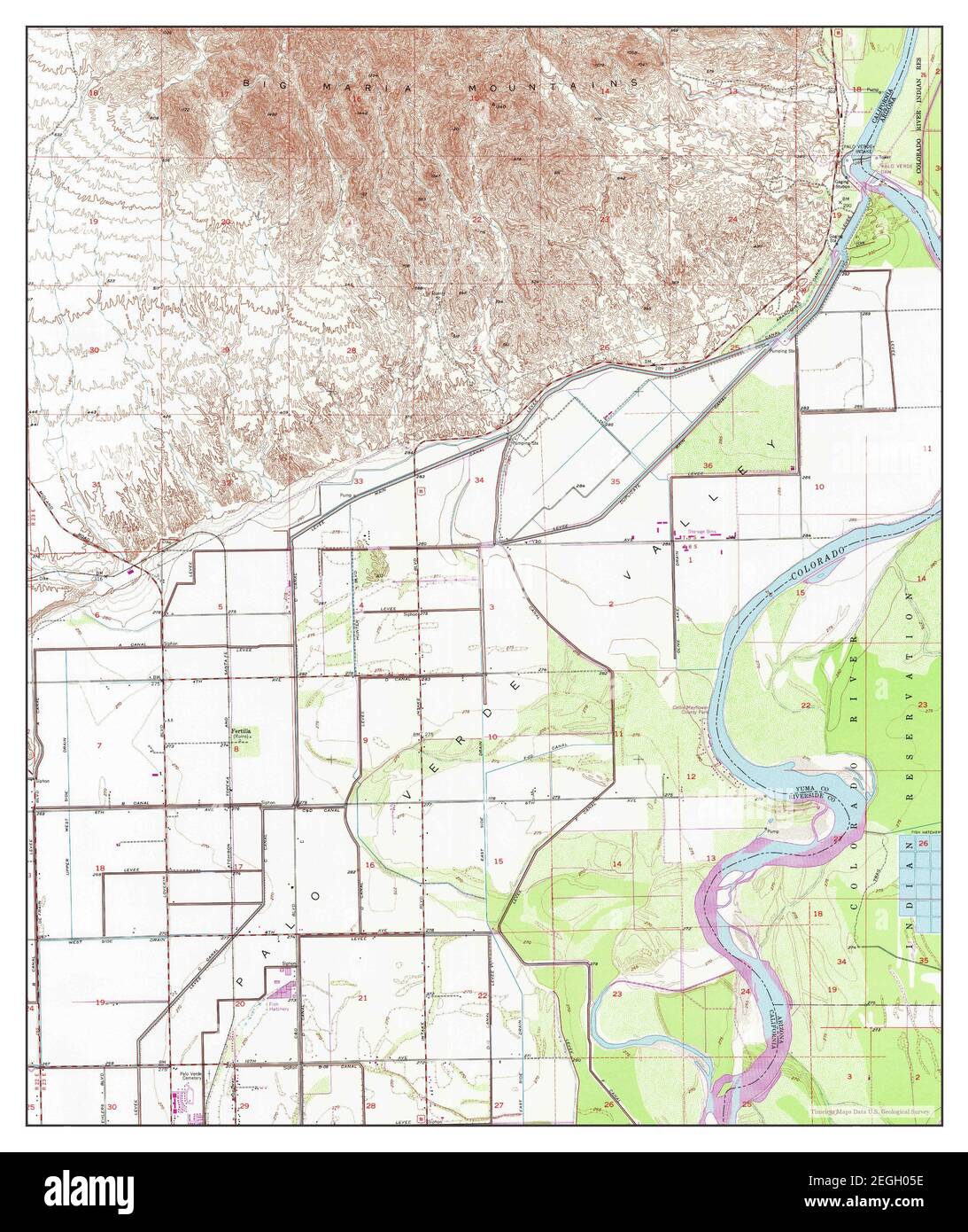 Blythe NE, California, map 1951, 1:24000, United States of America by Timeless Maps, data U.S. Geological Survey Stock Photohttps://www.alamy.com/image-license-details/?v=1https://www.alamy.com/blythe-ne-california-map-1951-124000-united-states-of-america-by-timeless-maps-data-us-geological-survey-image406046298.html
RM2EGH05E–Blythe NE, California, map 1951, 1:24000, United States of America by Timeless Maps, data U.S. Geological Survey