Quick filters:
Blytheville arkansas Stock Photos and Images
 Vessel in the Form of a Head, Mississippian, c.1450–1550, Ceramic with pigment, near Blytheville, Arkansas, United States, North and Central America, Ceramics, containers, 7 1/4 x 7 x 7 3/4 in. (18.4 x 17.8 x 19.7 cm Stock Photohttps://www.alamy.com/image-license-details/?v=1https://www.alamy.com/vessel-in-the-form-of-a-head-mississippian-c14501550-ceramic-with-pigment-near-blytheville-arkansas-united-states-north-and-central-america-ceramics-containers-7-14-x-7-x-7-34-in-184-x-178-x-197-cm-image454294015.html
RM2HB2TJ7–Vessel in the Form of a Head, Mississippian, c.1450–1550, Ceramic with pigment, near Blytheville, Arkansas, United States, North and Central America, Ceramics, containers, 7 1/4 x 7 x 7 3/4 in. (18.4 x 17.8 x 19.7 cm
 Inspired by Vessel in the Form of a Head, Mississippian, c.1450–1550, Ceramic with pigment, near Blytheville, Arkansas, United States, North and Central America, Ceramics, containers, 7 1/4 x 7 x 7 3/4 in. (18.4 x 17.8 x 19.7 cm, Reimagined by Artotop. Classic art reinvented with a modern twist. Design of warm cheerful glowing of brightness and light ray radiance. Photography inspired by surrealism and futurism, embracing dynamic energy of modern technology, movement, speed and revolutionize culture Stock Photohttps://www.alamy.com/image-license-details/?v=1https://www.alamy.com/inspired-by-vessel-in-the-form-of-a-head-mississippian-c14501550-ceramic-with-pigment-near-blytheville-arkansas-united-states-north-and-central-america-ceramics-containers-7-14-x-7-x-7-34-in-184-x-178-x-197-cm-reimagined-by-artotop-classic-art-reinvented-with-a-modern-twist-design-of-warm-cheerful-glowing-of-brightness-and-light-ray-radiance-photography-inspired-by-surrealism-and-futurism-embracing-dynamic-energy-of-modern-technology-movement-speed-and-revolutionize-culture-image459284975.html
RF2HK66JR–Inspired by Vessel in the Form of a Head, Mississippian, c.1450–1550, Ceramic with pigment, near Blytheville, Arkansas, United States, North and Central America, Ceramics, containers, 7 1/4 x 7 x 7 3/4 in. (18.4 x 17.8 x 19.7 cm, Reimagined by Artotop. Classic art reinvented with a modern twist. Design of warm cheerful glowing of brightness and light ray radiance. Photography inspired by surrealism and futurism, embracing dynamic energy of modern technology, movement, speed and revolutionize culture
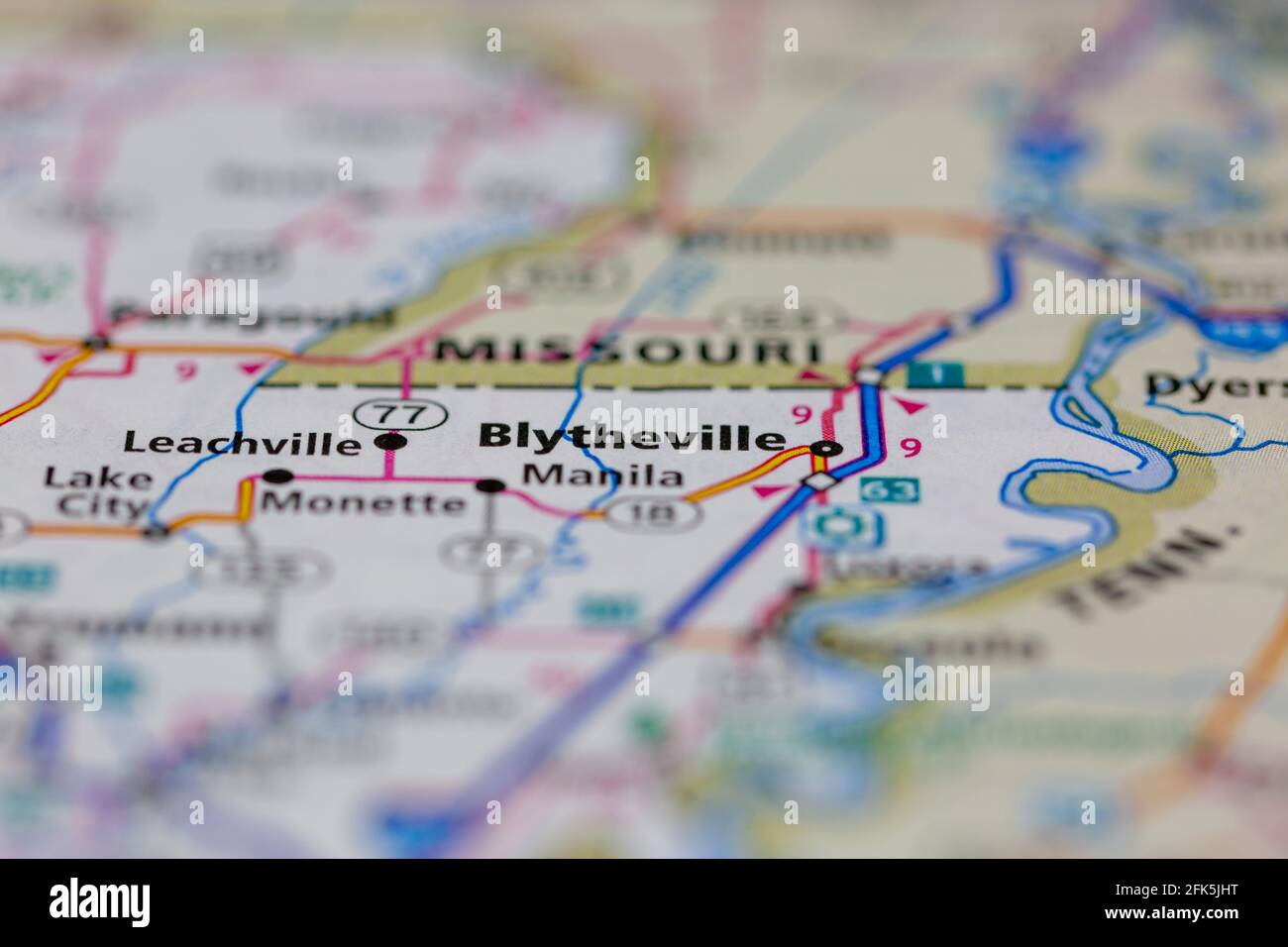 Blytheville Arkansas USA shown on a geography map or road map Stock Photohttps://www.alamy.com/image-license-details/?v=1https://www.alamy.com/blytheville-arkansas-usa-shown-on-a-geography-map-or-road-map-image424851668.html
RM2FK5JHT–Blytheville Arkansas USA shown on a geography map or road map
 A B-52H Stratofortress takes off as part of Agile Combat Employment at the Arkansas Aeroplex, Blytheville, Arkansas, Jan. 12, 2022. Using the ACE concept, within a few hours B-52s can land at a location, receive repairs, resupply and be back in the air before an adversary can pinpoint their location. (U.S. Air Force photo by Airman 1st Class William Pugh) Stock Photohttps://www.alamy.com/image-license-details/?v=1https://www.alamy.com/a-b-52h-stratofortress-takes-off-as-part-of-agile-combat-employment-at-the-arkansas-aeroplex-blytheville-arkansas-jan-12-2022-using-the-ace-concept-within-a-few-hours-b-52s-can-land-at-a-location-receive-repairs-resupply-and-be-back-in-the-air-before-an-adversary-can-pinpoint-their-location-us-air-force-photo-by-airman-1st-class-william-pugh-image458478083.html
RM2HHWDD7–A B-52H Stratofortress takes off as part of Agile Combat Employment at the Arkansas Aeroplex, Blytheville, Arkansas, Jan. 12, 2022. Using the ACE concept, within a few hours B-52s can land at a location, receive repairs, resupply and be back in the air before an adversary can pinpoint their location. (U.S. Air Force photo by Airman 1st Class William Pugh)
 Blytheville Arkansas Stock Photohttps://www.alamy.com/image-license-details/?v=1https://www.alamy.com/blytheville-arkansas-image258832671.html
RFW12RKY–Blytheville Arkansas
 Blytheville, Mississippi County, US, United States, Arkansas, N 35 55' 38'', S 89 55' 8'', map, Cartascapes Map published in 2024. Explore Cartascapes, a map revealing Earth's diverse landscapes, cultures, and ecosystems. Journey through time and space, discovering the interconnectedness of our planet's past, present, and future. Stock Photohttps://www.alamy.com/image-license-details/?v=1https://www.alamy.com/blytheville-mississippi-county-us-united-states-arkansas-n-35-55-38-s-89-55-8-map-cartascapes-map-published-in-2024-explore-cartascapes-a-map-revealing-earths-diverse-landscapes-cultures-and-ecosystems-journey-through-time-and-space-discovering-the-interconnectedness-of-our-planets-past-present-and-future-image621211474.html
RM2Y2JHG2–Blytheville, Mississippi County, US, United States, Arkansas, N 35 55' 38'', S 89 55' 8'', map, Cartascapes Map published in 2024. Explore Cartascapes, a map revealing Earth's diverse landscapes, cultures, and ecosystems. Journey through time and space, discovering the interconnectedness of our planet's past, present, and future.
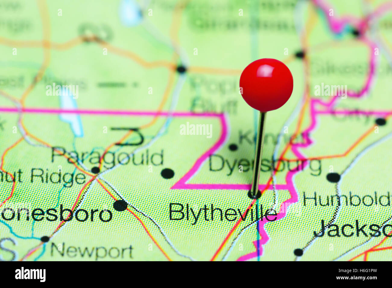 Blytheville pinned on a map of Arkansas, USA Stock Photohttps://www.alamy.com/image-license-details/?v=1https://www.alamy.com/stock-photo-blytheville-pinned-on-a-map-of-arkansas-usa-124513169.html
RFH6G1PW–Blytheville pinned on a map of Arkansas, USA
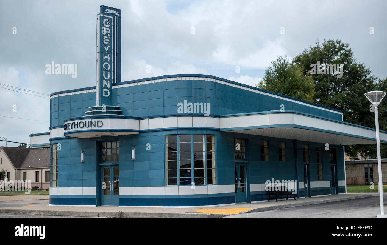 Preserved , Greyhound station Blytheville Arkansas ,Streamline Moderne Style ,Art Moderne, Island Type station Stock Photohttps://www.alamy.com/image-license-details/?v=1https://www.alamy.com/stock-photo-preserved-greyhound-station-blytheville-arkansas-streamline-moderne-77765981.html
RMEEEF8D–Preserved , Greyhound station Blytheville Arkansas ,Streamline Moderne Style ,Art Moderne, Island Type station
 U.S. Marine Corps Cpl. Justin McDonald, right, a bulk fuel specialist, assigned to 8th Engineer Support Battalion, 2nd Marine Logistics Group, II Marine Expeditionary Force (MEF) and native of Blytheville, Arkansas, gives instructions to Marines during an M18 weapons familiarization course aboard the Spearhead-class expeditionary fast transport USNS Trenton (T-EPF 5), November 30, 2022. Marines assigned to II MEF, based out of Camp Lejeune, North Carolina, embarked aboard USNS Trenton (T-EPF 5) to improve interoperability while refining the U.S. capability to rapidly deploy forces aboard U.S. Stock Photohttps://www.alamy.com/image-license-details/?v=1https://www.alamy.com/us-marine-corps-cpl-justin-mcdonald-right-a-bulk-fuel-specialist-assigned-to-8th-engineer-support-battalion-2nd-marine-logistics-group-ii-marine-expeditionary-force-mef-and-native-of-blytheville-arkansas-gives-instructions-to-marines-during-an-m18-weapons-familiarization-course-aboard-the-spearhead-class-expeditionary-fast-transport-usns-trenton-t-epf-5-november-30-2022-marines-assigned-to-ii-mef-based-out-of-camp-lejeune-north-carolina-embarked-aboard-usns-trenton-t-epf-5-to-improve-interoperability-while-refining-the-us-capability-to-rapidly-deploy-forces-aboard-us-image526730841.html
RM2NGXJFN–U.S. Marine Corps Cpl. Justin McDonald, right, a bulk fuel specialist, assigned to 8th Engineer Support Battalion, 2nd Marine Logistics Group, II Marine Expeditionary Force (MEF) and native of Blytheville, Arkansas, gives instructions to Marines during an M18 weapons familiarization course aboard the Spearhead-class expeditionary fast transport USNS Trenton (T-EPF 5), November 30, 2022. Marines assigned to II MEF, based out of Camp Lejeune, North Carolina, embarked aboard USNS Trenton (T-EPF 5) to improve interoperability while refining the U.S. capability to rapidly deploy forces aboard U.S.
 Arkansas sharecroppers going home. Near Blytheville, Arkansas. Stock Photohttps://www.alamy.com/image-license-details/?v=1https://www.alamy.com/arkansas-sharecroppers-going-home-near-blytheville-arkansas-image467003798.html
RM2J3NT32–Arkansas sharecroppers going home. Near Blytheville, Arkansas.
 Blytheville Hospital. Blytheville. Stock Photohttps://www.alamy.com/image-license-details/?v=1https://www.alamy.com/blytheville-hospital-blytheville-image184242139.html
RMMKMXMB–Blytheville Hospital. Blytheville.
 The Coast Guard is monitoring the transit of the vessel Virginia Renee from mile marker 823 on the lower Mississippi River near Blytheville, Arkansas, January 30, 2017. The Virginia Renee will be transported by the motor vessel John Wepfer to repair facilities operated by the National Maintenance Repair in Paducah, Kentucky, on the Tennessee River. Stock Photohttps://www.alamy.com/image-license-details/?v=1https://www.alamy.com/the-coast-guard-is-monitoring-the-transit-of-the-vessel-virginia-renee-from-mile-marker-823-on-the-lower-mississippi-river-near-blytheville-arkansas-january-30-2017-the-virginia-renee-will-be-transported-by-the-motor-vessel-john-wepfer-to-repair-facilities-operated-by-the-national-maintenance-repair-in-paducah-kentucky-on-the-tennessee-river-image230203005.html
RMRAEJ7W–The Coast Guard is monitoring the transit of the vessel Virginia Renee from mile marker 823 on the lower Mississippi River near Blytheville, Arkansas, January 30, 2017. The Virginia Renee will be transported by the motor vessel John Wepfer to repair facilities operated by the National Maintenance Repair in Paducah, Kentucky, on the Tennessee River.
 Historical review of Arkansas : its commerce, industry and modern affairs . daughter ofStephen Cooke, a Virginian, who came to Arkansas from Kentucky, afterhaving resided in the latter state for a number of years. Mrs. Moorewas bom in Paris, Kentucky, and was a child when her parents cameinto Mississippi county. The children of their union are as follows:Clarence L., Jr., of Osceola; Miss Elise, of Columbus, Mississippi: Emma,wife of R. B. Nolan, county and probate clerk of Mississippi county;Dudley 0.. a farmer residing near Blytheville, Arkansas: and StephenC, also of that place. The youth o Stock Photohttps://www.alamy.com/image-license-details/?v=1https://www.alamy.com/historical-review-of-arkansas-its-commerce-industry-and-modern-affairs-daughter-ofstephen-cooke-a-virginian-who-came-to-arkansas-from-kentucky-afterhaving-resided-in-the-latter-state-for-a-number-of-years-mrs-moorewas-bom-in-paris-kentucky-and-was-a-child-when-her-parents-cameinto-mississippi-county-the-children-of-their-union-are-as-followsclarence-l-jr-of-osceola-miss-elise-of-columbus-mississippi-emmawife-of-r-b-nolan-county-and-probate-clerk-of-mississippi-countydudley-0-a-farmer-residing-near-blytheville-arkansas-and-stephenc-also-of-that-place-the-youth-o-image342673672.html
RM2AWE3NC–Historical review of Arkansas : its commerce, industry and modern affairs . daughter ofStephen Cooke, a Virginian, who came to Arkansas from Kentucky, afterhaving resided in the latter state for a number of years. Mrs. Moorewas bom in Paris, Kentucky, and was a child when her parents cameinto Mississippi county. The children of their union are as follows:Clarence L., Jr., of Osceola; Miss Elise, of Columbus, Mississippi: Emma,wife of R. B. Nolan, county and probate clerk of Mississippi county;Dudley 0.. a farmer residing near Blytheville, Arkansas: and StephenC, also of that place. The youth o
 DF-ST-86-12642. Base: Blytheville Air Force Base State: Arkansas (AR) Country: United States Of America (USA) Stock Photohttps://www.alamy.com/image-license-details/?v=1https://www.alamy.com/df-st-86-12642-base-blytheville-air-force-base-state-arkansas-ar-country-united-states-of-america-usa-image504157807.html
RM2M86ABY–DF-ST-86-12642. Base: Blytheville Air Force Base State: Arkansas (AR) Country: United States Of America (USA)
 Rendering of a 3d green highway sign for Blytheville Stock Photohttps://www.alamy.com/image-license-details/?v=1https://www.alamy.com/rendering-of-a-3d-green-highway-sign-for-blytheville-image273728446.html
RFWW9BBX–Rendering of a 3d green highway sign for Blytheville
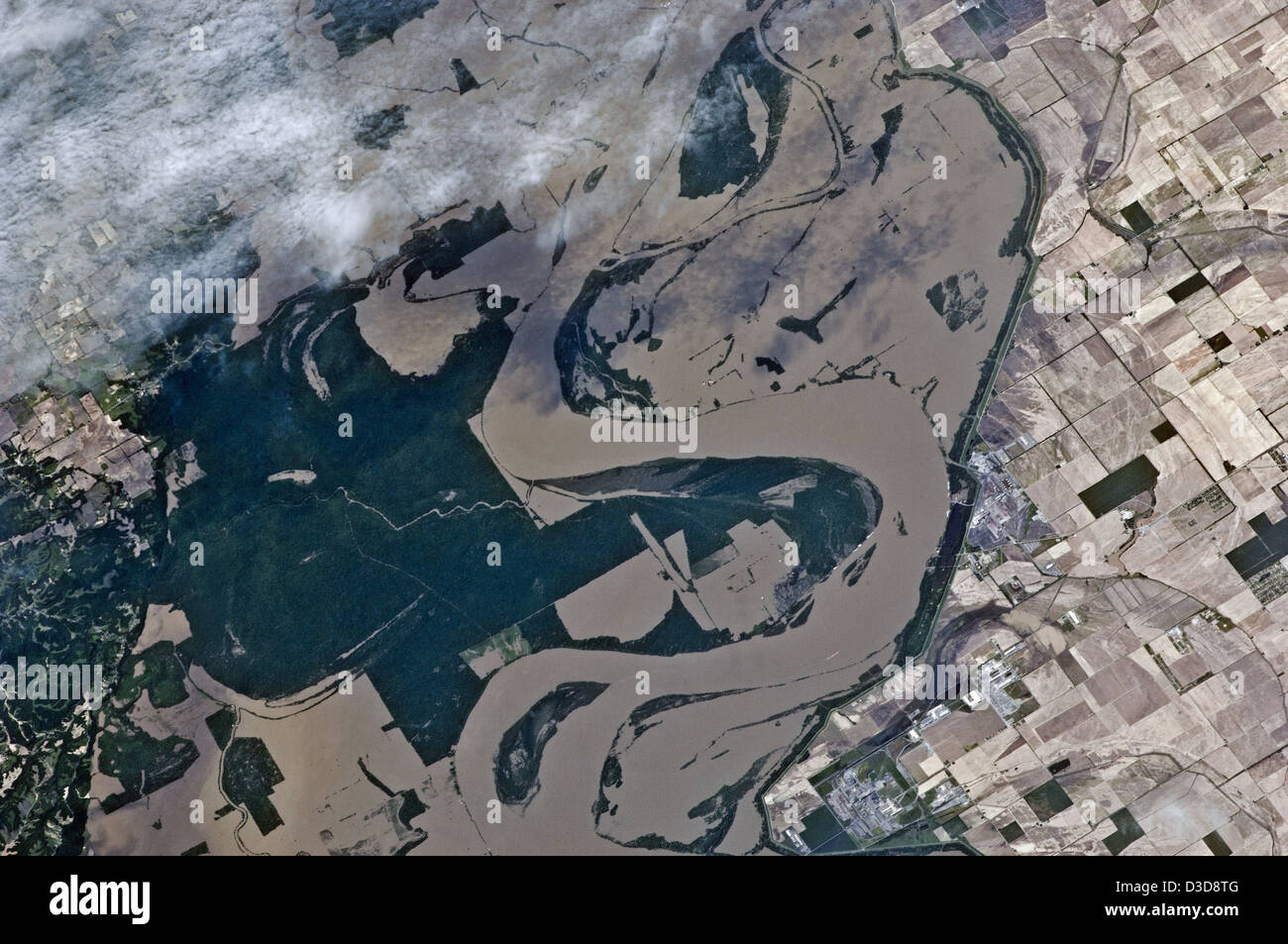 Mississippi River Flooding (NASA, International Space Station, 05/12/11) Stock Photohttps://www.alamy.com/image-license-details/?v=1https://www.alamy.com/stock-photo-mississippi-river-flooding-nasa-international-space-station-051211-53767408.html
RMD3D8TG–Mississippi River Flooding (NASA, International Space Station, 05/12/11)
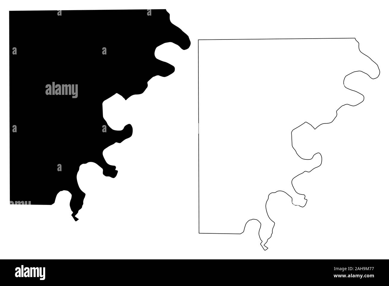 Mississippi County, Arkansas (U.S. county, United States of America,USA, U.S., US) map vector illustration, scribble sketch Mississippi map Stock Vectorhttps://www.alamy.com/image-license-details/?v=1https://www.alamy.com/mississippi-county-arkansas-us-county-united-states-of-americausa-us-us-map-vector-illustration-scribble-sketch-mississippi-map-image337659595.html
RF2AH9M77–Mississippi County, Arkansas (U.S. county, United States of America,USA, U.S., US) map vector illustration, scribble sketch Mississippi map
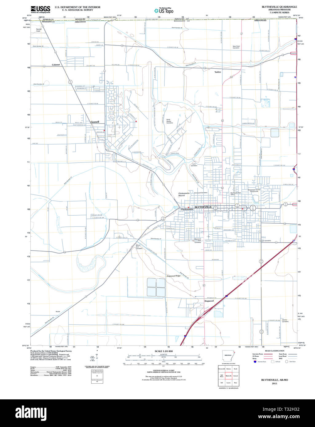 USGS TOPO Map Arkansas AR Blytheville 20110715 TM Restoration Stock Photohttps://www.alamy.com/image-license-details/?v=1https://www.alamy.com/usgs-topo-map-arkansas-ar-blytheville-20110715-tm-restoration-image242846438.html
RMT32H32–USGS TOPO Map Arkansas AR Blytheville 20110715 TM Restoration
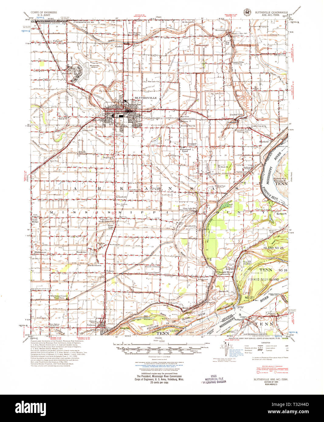 USGS TOPO Map Arkansas AR Blytheville 260000 1955 62500 Restoration Stock Photohttps://www.alamy.com/image-license-details/?v=1https://www.alamy.com/usgs-topo-map-arkansas-ar-blytheville-260000-1955-62500-restoration-image242846477.html
RMT32H4D–USGS TOPO Map Arkansas AR Blytheville 260000 1955 62500 Restoration
 Art inspired by Vessel in the Form of a Head, Mississippian, c.1450-1550, Ceramic with pigment, near Blytheville, Arkansas, United States, North and Central America, Ceramics, containers, 7 1/4 x 7 x 7 3/4 in. (18.4 x 17.8 x 19.7 cm, Classic works modernized by Artotop with a splash of modernity. Shapes, color and value, eye-catching visual impact on art. Emotions through freedom of artworks in a contemporary way. A timeless message pursuing a wildly creative new direction. Artists turning to the digital medium and creating the Artotop NFT Stock Photohttps://www.alamy.com/image-license-details/?v=1https://www.alamy.com/art-inspired-by-vessel-in-the-form-of-a-head-mississippian-c1450-1550-ceramic-with-pigment-near-blytheville-arkansas-united-states-north-and-central-america-ceramics-containers-7-14-x-7-x-7-34-in-184-x-178-x-197-cm-classic-works-modernized-by-artotop-with-a-splash-of-modernity-shapes-color-and-value-eye-catching-visual-impact-on-art-emotions-through-freedom-of-artworks-in-a-contemporary-way-a-timeless-message-pursuing-a-wildly-creative-new-direction-artists-turning-to-the-digital-medium-and-creating-the-artotop-nft-image459598164.html
RF2HKME44–Art inspired by Vessel in the Form of a Head, Mississippian, c.1450-1550, Ceramic with pigment, near Blytheville, Arkansas, United States, North and Central America, Ceramics, containers, 7 1/4 x 7 x 7 3/4 in. (18.4 x 17.8 x 19.7 cm, Classic works modernized by Artotop with a splash of modernity. Shapes, color and value, eye-catching visual impact on art. Emotions through freedom of artworks in a contemporary way. A timeless message pursuing a wildly creative new direction. Artists turning to the digital medium and creating the Artotop NFT
 A C-130 Hercules and a B-52H Stratofortress are positioned on the flightline as part of Agile Combat Employment at the Arkansas Aeroplex, Blytheville, Arkansas, Jan. 12, 2022. Now serving as an Aeroplex, the chosen destination for the ACE exercise was once an Army Airfield turned Air Force Base that housed many aircraft, to include the B-52’s predecessor—the B-52G Stratofortress. (U.S. Air Force photo by Airman 1st Class William Pugh) Stock Photohttps://www.alamy.com/image-license-details/?v=1https://www.alamy.com/a-c-130-hercules-and-a-b-52h-stratofortress-are-positioned-on-the-flightline-as-part-of-agile-combat-employment-at-the-arkansas-aeroplex-blytheville-arkansas-jan-12-2022-now-serving-as-an-aeroplex-the-chosen-destination-for-the-ace-exercise-was-once-an-army-airfield-turned-air-force-base-that-housed-many-aircraft-to-include-the-b-52s-predecessorthe-b-52g-stratofortress-us-air-force-photo-by-airman-1st-class-william-pugh-image458478075.html
RM2HHWDCY–A C-130 Hercules and a B-52H Stratofortress are positioned on the flightline as part of Agile Combat Employment at the Arkansas Aeroplex, Blytheville, Arkansas, Jan. 12, 2022. Now serving as an Aeroplex, the chosen destination for the ACE exercise was once an Army Airfield turned Air Force Base that housed many aircraft, to include the B-52’s predecessor—the B-52G Stratofortress. (U.S. Air Force photo by Airman 1st Class William Pugh)
 Cotton Fields of Arkansas Stock Photohttps://www.alamy.com/image-license-details/?v=1https://www.alamy.com/cotton-fields-of-arkansas-image258832604.html
RFW12RHG–Cotton Fields of Arkansas
 Blytheville, Mississippi County, US, United States, Arkansas, N 35 55' 38'', S 89 55' 8'', map, Cartascapes Map published in 2024. Explore Cartascapes, a map revealing Earth's diverse landscapes, cultures, and ecosystems. Journey through time and space, discovering the interconnectedness of our planet's past, present, and future. Stock Photohttps://www.alamy.com/image-license-details/?v=1https://www.alamy.com/blytheville-mississippi-county-us-united-states-arkansas-n-35-55-38-s-89-55-8-map-cartascapes-map-published-in-2024-explore-cartascapes-a-map-revealing-earths-diverse-landscapes-cultures-and-ecosystems-journey-through-time-and-space-discovering-the-interconnectedness-of-our-planets-past-present-and-future-image621453021.html
RM2Y31HJN–Blytheville, Mississippi County, US, United States, Arkansas, N 35 55' 38'', S 89 55' 8'', map, Cartascapes Map published in 2024. Explore Cartascapes, a map revealing Earth's diverse landscapes, cultures, and ecosystems. Journey through time and space, discovering the interconnectedness of our planet's past, present, and future.
 Preserved , Greyhound station Blytheville Arkansas ,Streamline Moderne Style ,Art Moderne, Island Type station Stock Photohttps://www.alamy.com/image-license-details/?v=1https://www.alamy.com/stock-photo-preserved-greyhound-station-blytheville-arkansas-streamline-moderne-77764667.html
RMEEEDHF–Preserved , Greyhound station Blytheville Arkansas ,Streamline Moderne Style ,Art Moderne, Island Type station
 U.S. Marine Corps Cpl. Justin McDonald, a bulk fuel specialist, assigned to 8th Engineer Support Battalion, 2nd Marine Logistics Group, II Marine Expeditionary Force (MEF) and native of Blytheville, Arkansas, instructs Marines on firing positioning during an M18 weapons familiarization course aboard the Spearhead-class expeditionary fast transport USNS Trenton (T-EPF 5), November 30, 2022. Marines assigned to II MEF, based out of Camp Lejeune, North Carolina, embarked aboard USNS Trenton (T-EPF 5) to improve interoperability while refining the U.S. capability to rapidly deploy forces aboard U. Stock Photohttps://www.alamy.com/image-license-details/?v=1https://www.alamy.com/us-marine-corps-cpl-justin-mcdonald-a-bulk-fuel-specialist-assigned-to-8th-engineer-support-battalion-2nd-marine-logistics-group-ii-marine-expeditionary-force-mef-and-native-of-blytheville-arkansas-instructs-marines-on-firing-positioning-during-an-m18-weapons-familiarization-course-aboard-the-spearhead-class-expeditionary-fast-transport-usns-trenton-t-epf-5-november-30-2022-marines-assigned-to-ii-mef-based-out-of-camp-lejeune-north-carolina-embarked-aboard-usns-trenton-t-epf-5-to-improve-interoperability-while-refining-the-us-capability-to-rapidly-deploy-forces-aboard-u-image526730684.html
RM2NGXJA4–U.S. Marine Corps Cpl. Justin McDonald, a bulk fuel specialist, assigned to 8th Engineer Support Battalion, 2nd Marine Logistics Group, II Marine Expeditionary Force (MEF) and native of Blytheville, Arkansas, instructs Marines on firing positioning during an M18 weapons familiarization course aboard the Spearhead-class expeditionary fast transport USNS Trenton (T-EPF 5), November 30, 2022. Marines assigned to II MEF, based out of Camp Lejeune, North Carolina, embarked aboard USNS Trenton (T-EPF 5) to improve interoperability while refining the U.S. capability to rapidly deploy forces aboard U.
 Arkansas sharecroppers going home. Near Blytheville, Arkansas. Stock Photohttps://www.alamy.com/image-license-details/?v=1https://www.alamy.com/arkansas-sharecroppers-going-home-near-blytheville-arkansas-image467001346.html
RM2J3NMYE–Arkansas sharecroppers going home. Near Blytheville, Arkansas.
 Coast Guard Sector Lower Mississippi River and local agencies are responding to a sunken vessel discharging oil near mile marker 823 on the lower Mississippi River near Blytheville, Arkansas, January 24, 2017. Sector Lower Mississippi River watchstanders were notified by Terral River Service of the uninspected towing vessel Virginia Renee sunk at its mooring at Hickman Landing. (U.S. Coast Guard photo) Stock Photohttps://www.alamy.com/image-license-details/?v=1https://www.alamy.com/coast-guard-sector-lower-mississippi-river-and-local-agencies-are-responding-to-a-sunken-vessel-discharging-oil-near-mile-marker-823-on-the-lower-mississippi-river-near-blytheville-arkansas-january-24-2017-sector-lower-mississippi-river-watchstanders-were-notified-by-terral-river-service-of-the-uninspected-towing-vessel-virginia-renee-sunk-at-its-mooring-at-hickman-landing-us-coast-guard-photo-image179515366.html
RMMC1HK2–Coast Guard Sector Lower Mississippi River and local agencies are responding to a sunken vessel discharging oil near mile marker 823 on the lower Mississippi River near Blytheville, Arkansas, January 24, 2017. Sector Lower Mississippi River watchstanders were notified by Terral River Service of the uninspected towing vessel Virginia Renee sunk at its mooring at Hickman Landing. (U.S. Coast Guard photo)
 The Coast Guard is monitoring the transit of the vessel Virginia Renee from mile marker 823 on the lower Mississippi River near Blytheville, Arkansas, January 30, 2017. The Virginia Renee will be transported by the motor vessel John Wepfer to repair facilities operated by the National Maintenance Repair in Paducah, Kentucky, on the Tennessee River. (U.S. Coast Guard Stock Photohttps://www.alamy.com/image-license-details/?v=1https://www.alamy.com/stock-photo-the-coast-guard-is-monitoring-the-transit-of-the-vessel-virginia-renee-173194107.html
RMM1NJRR–The Coast Guard is monitoring the transit of the vessel Virginia Renee from mile marker 823 on the lower Mississippi River near Blytheville, Arkansas, January 30, 2017. The Virginia Renee will be transported by the motor vessel John Wepfer to repair facilities operated by the National Maintenance Repair in Paducah, Kentucky, on the Tennessee River. (U.S. Coast Guard
 Climatological data, Arkansas . ATMPNSAUGUSTABALO KNOBBATESVILLE LIVESTOCi 6ATESV1LLE L & D NO BEATY LAKEBEAVERBEECH GROVEBEEDEVILLE BENTON BENTONVlLLE ero FORK 816 LAKE OUTLETBLACK ROCKBLAKELY MOUN BLUFF CITY BLYTHEVILLE eOONEVILLE BOUGHTON BRADFORD BRINKLEYBUFFALO TOWEReURDETTECABOTCALICO ROCK CAMDEN 1CAMP CHAFFEECARLISLECLARENDONCLARKSVILLE CLINTONCOLO SPRINGSCONWAYCORNING COTTER COVECROSSETT 7 5 CRYSTAL VALLEYCUMMINS FARMDAISY DAMASCUS DANVILLEOARDANELLEOE OUEENOERMOTT DES ARCDEVILS KNOB DUMAS 1 EAGLE GAP EL DORADO CAA 6 EUREKA SPRINGSEVENING SHADEFAYETTEVILLEFAYETTEVILLE CAA APFAYETTEVILL Stock Photohttps://www.alamy.com/image-license-details/?v=1https://www.alamy.com/climatological-data-arkansas-atmpnsaugustabalo-knobbatesville-livestoci-6atesv1lle-l-d-no-beaty-lakebeaverbeech-grovebeedeville-benton-bentonvllle-ero-fork-816-lake-outletblack-rockblakely-moun-bluff-city-blytheville-eooneville-boughton-bradford-brinkleybuffalo-towereurdettecabotcalico-rock-camden-1camp-chaffeecarlisleclarendonclarksville-clintoncolo-springsconwaycorning-cotter-covecrossett-7-5-crystal-valleycummins-farmdaisy-damascus-danvilleoardanelleoe-oueenoermott-des-arcdevils-knob-dumas-1-eagle-gap-el-dorado-caa-6-eureka-springsevening-shadefayettevillefayetteville-caa-apfayettevill-image339117639.html
RM2AKM407–Climatological data, Arkansas . ATMPNSAUGUSTABALO KNOBBATESVILLE LIVESTOCi 6ATESV1LLE L & D NO BEATY LAKEBEAVERBEECH GROVEBEEDEVILLE BENTON BENTONVlLLE ero FORK 816 LAKE OUTLETBLACK ROCKBLAKELY MOUN BLUFF CITY BLYTHEVILLE eOONEVILLE BOUGHTON BRADFORD BRINKLEYBUFFALO TOWEReURDETTECABOTCALICO ROCK CAMDEN 1CAMP CHAFFEECARLISLECLARENDONCLARKSVILLE CLINTONCOLO SPRINGSCONWAYCORNING COTTER COVECROSSETT 7 5 CRYSTAL VALLEYCUMMINS FARMDAISY DAMASCUS DANVILLEOARDANELLEOE OUEENOERMOTT DES ARCDEVILS KNOB DUMAS 1 EAGLE GAP EL DORADO CAA 6 EUREKA SPRINGSEVENING SHADEFAYETTEVILLEFAYETTEVILLE CAA APFAYETTEVILL
 DF-ST-86-13008. Base: Blytheville Air Force Base State: Arkansas (AR) Country: United States Of America (USA) Stock Photohttps://www.alamy.com/image-license-details/?v=1https://www.alamy.com/df-st-86-13008-base-blytheville-air-force-base-state-arkansas-ar-country-united-states-of-america-usa-image504157832.html
RM2M86ACT–DF-ST-86-13008. Base: Blytheville Air Force Base State: Arkansas (AR) Country: United States Of America (USA)
 Rendering of a 3d green highway sign for Blytheville Stock Photohttps://www.alamy.com/image-license-details/?v=1https://www.alamy.com/rendering-of-a-3d-green-highway-sign-for-blytheville-image273728431.html
RFWW9BBB–Rendering of a 3d green highway sign for Blytheville
 DF-ST-87-00745. Base: Blytheville Air Force Base State: Arkansas (AR) Country: United States Of America (USA) Stock Photohttps://www.alamy.com/image-license-details/?v=1https://www.alamy.com/df-st-87-00745-base-blytheville-air-force-base-state-arkansas-ar-country-united-states-of-america-usa-image504088282.html
RM2M835MX–DF-ST-87-00745. Base: Blytheville Air Force Base State: Arkansas (AR) Country: United States Of America (USA)
 Mississippi County, Arkansas (U.S. county, United States of America,USA, U.S., US) map vector illustration, scribble sketch Mississippi map Stock Vectorhttps://www.alamy.com/image-license-details/?v=1https://www.alamy.com/mississippi-county-arkansas-us-county-united-states-of-americausa-us-us-map-vector-illustration-scribble-sketch-mississippi-map-image340429074.html
RF2ANRTN6–Mississippi County, Arkansas (U.S. county, United States of America,USA, U.S., US) map vector illustration, scribble sketch Mississippi map
 DF-SN-85-13570. Base: Blytheville Air Force Base State: Arkansas (AR) Country: United States Of America (USA) Stock Photohttps://www.alamy.com/image-license-details/?v=1https://www.alamy.com/df-sn-85-13570-base-blytheville-air-force-base-state-arkansas-ar-country-united-states-of-america-usa-image504084703.html
RM2M83153–DF-SN-85-13570. Base: Blytheville Air Force Base State: Arkansas (AR) Country: United States Of America (USA)
 A view of new dormitory building No. 609.(Exact date of photography is unknown). Base: Blytheville Air Force Base State: Arkansas (AR) Country: United States Of America (USA) Stock Photohttps://www.alamy.com/image-license-details/?v=1https://www.alamy.com/a-view-of-new-dormitory-building-no-609exact-date-of-photography-is-unknown-base-blytheville-air-force-base-state-arkansas-ar-country-united-states-of-america-usa-image504157787.html
RM2M86AB7–A view of new dormitory building No. 609.(Exact date of photography is unknown). Base: Blytheville Air Force Base State: Arkansas (AR) Country: United States Of America (USA)
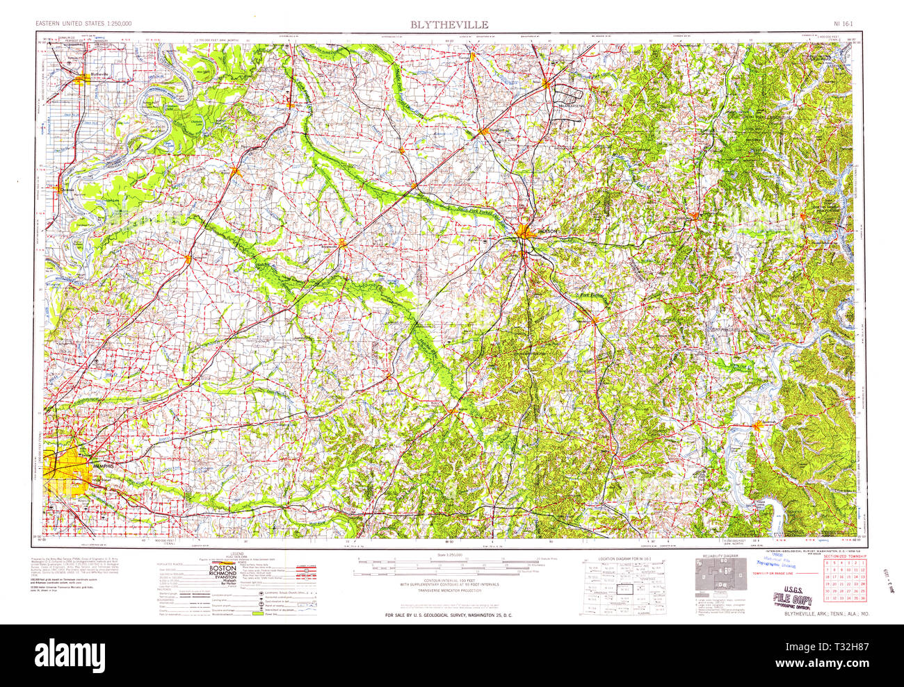 USGS TOPO Map Arkansas AR Blytheville 260581 1959 250000 Restoration Stock Photohttps://www.alamy.com/image-license-details/?v=1https://www.alamy.com/usgs-topo-map-arkansas-ar-blytheville-260581-1959-250000-restoration-image242846583.html
RMT32H87–USGS TOPO Map Arkansas AR Blytheville 260581 1959 250000 Restoration
 Guests render honors as the national colors are presented during the dedication of the State Flag Memorial Plaza. Base: Blytheville Air Force Base State: Arkansas (AR) Country: United States Of America (USA) Stock Photohttps://www.alamy.com/image-license-details/?v=1https://www.alamy.com/guests-render-honors-as-the-national-colors-are-presented-during-the-dedication-of-the-state-flag-memorial-plaza-base-blytheville-air-force-base-state-arkansas-ar-country-united-states-of-america-usa-image504231690.html
RM2M89MJJ–Guests render honors as the national colors are presented during the dedication of the State Flag Memorial Plaza. Base: Blytheville Air Force Base State: Arkansas (AR) Country: United States Of America (USA)
 Tech Sgt. Casey Darnell, 2nd Aircraft Maintenance Squadron section chief, guides a taxiing B-52H Stratofortress as part of Agile Combat Employment at the Arkansas Aeroplex, Blytheville, Arkansas, Jan. 12, 2022. The defining factor in ACE is that it enables the U.S. Air Force to use nearly any airfield in the world as a temporary base to repair and rearm aircraft, greatly widening their threat range. (U.S. Air Force photo by Airman 1st Class William Pugh) Stock Photohttps://www.alamy.com/image-license-details/?v=1https://www.alamy.com/tech-sgt-casey-darnell-2nd-aircraft-maintenance-squadron-section-chief-guides-a-taxiing-b-52h-stratofortress-as-part-of-agile-combat-employment-at-the-arkansas-aeroplex-blytheville-arkansas-jan-12-2022-the-defining-factor-in-ace-is-that-it-enables-the-us-air-force-to-use-nearly-any-airfield-in-the-world-as-a-temporary-base-to-repair-and-rearm-aircraft-greatly-widening-their-threat-range-us-air-force-photo-by-airman-1st-class-william-pugh-image458478064.html
RM2HHWDCG–Tech Sgt. Casey Darnell, 2nd Aircraft Maintenance Squadron section chief, guides a taxiing B-52H Stratofortress as part of Agile Combat Employment at the Arkansas Aeroplex, Blytheville, Arkansas, Jan. 12, 2022. The defining factor in ACE is that it enables the U.S. Air Force to use nearly any airfield in the world as a temporary base to repair and rearm aircraft, greatly widening their threat range. (U.S. Air Force photo by Airman 1st Class William Pugh)
 Ruth Eaker, widow of General Ira C. Eaker, signs a lithograph depicting her late husband. Mrs. Eaker is attending a reception at the officers club following a ceremony during which the base's name was officially changed from Blytheville Air Force Base (AFB) to Eaker AFB. Base: Eaker Air Force Base State: Arkansas (AR) Country: United States Of America (USA) Stock Photohttps://www.alamy.com/image-license-details/?v=1https://www.alamy.com/ruth-eaker-widow-of-general-ira-c-eaker-signs-a-lithograph-depicting-her-late-husband-mrs-eaker-is-attending-a-reception-at-the-officers-club-following-a-ceremony-during-which-the-bases-name-was-officially-changed-from-blytheville-air-force-base-afb-to-eaker-afb-base-eaker-air-force-base-state-arkansas-ar-country-united-states-of-america-usa-image504233774.html
RM2M89R92–Ruth Eaker, widow of General Ira C. Eaker, signs a lithograph depicting her late husband. Mrs. Eaker is attending a reception at the officers club following a ceremony during which the base's name was officially changed from Blytheville Air Force Base (AFB) to Eaker AFB. Base: Eaker Air Force Base State: Arkansas (AR) Country: United States Of America (USA)
 City of Blytheville, Mississippi County, US, United States, Arkansas, N 35 55' 57'', S 89 54' 19'', map, Cartascapes Map published in 2024. Explore Cartascapes, a map revealing Earth's diverse landscapes, cultures, and ecosystems. Journey through time and space, discovering the interconnectedness of our planet's past, present, and future. Stock Photohttps://www.alamy.com/image-license-details/?v=1https://www.alamy.com/city-of-blytheville-mississippi-county-us-united-states-arkansas-n-35-55-57-s-89-54-19-map-cartascapes-map-published-in-2024-explore-cartascapes-a-map-revealing-earths-diverse-landscapes-cultures-and-ecosystems-journey-through-time-and-space-discovering-the-interconnectedness-of-our-planets-past-present-and-future-image633886721.html
RM2YR80YD–City of Blytheville, Mississippi County, US, United States, Arkansas, N 35 55' 57'', S 89 54' 19'', map, Cartascapes Map published in 2024. Explore Cartascapes, a map revealing Earth's diverse landscapes, cultures, and ecosystems. Journey through time and space, discovering the interconnectedness of our planet's past, present, and future.
 Cotton Rows Stock Photohttps://www.alamy.com/image-license-details/?v=1https://www.alamy.com/cotton-rows-image258832620.html
RFW12RJ4–Cotton Rows
 Preserved , Greyhound station Blytheville Arkansas ,Streamline Moderne Style ,Art Moderne, Island Type station Stock Photohttps://www.alamy.com/image-license-details/?v=1https://www.alamy.com/stock-photo-preserved-greyhound-station-blytheville-arkansas-streamline-moderne-77765976.html
RMEEEF88–Preserved , Greyhound station Blytheville Arkansas ,Streamline Moderne Style ,Art Moderne, Island Type station
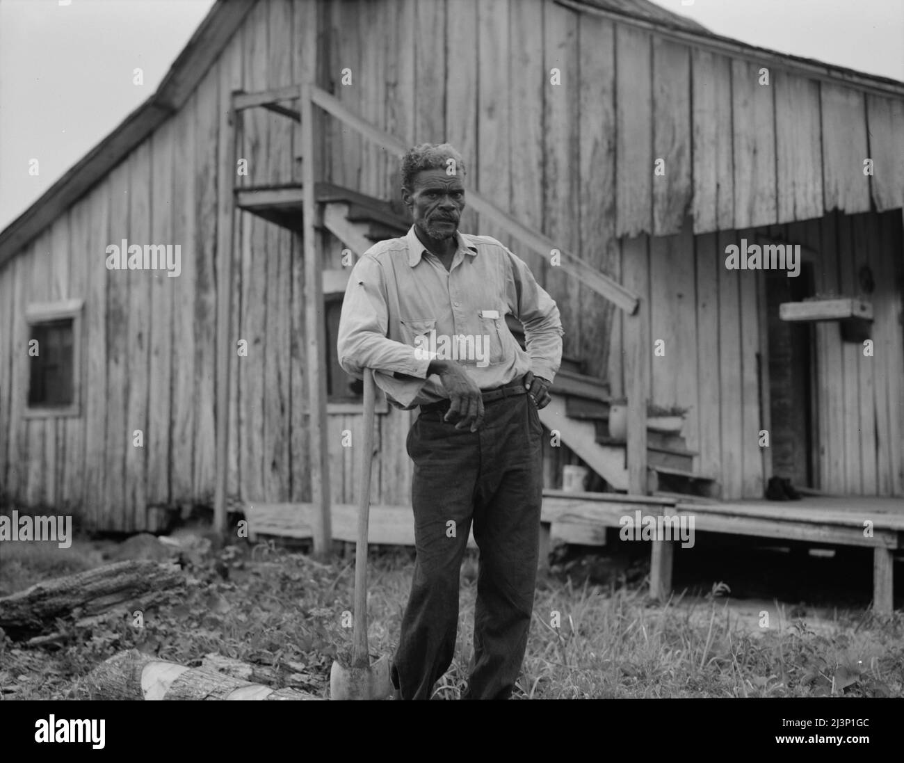 Cotton worker in Sunday clothes. Near Blytheville, Arkansas. Stock Photohttps://www.alamy.com/image-license-details/?v=1https://www.alamy.com/cotton-worker-in-sunday-clothes-near-blytheville-arkansas-image467008092.html
RM2J3P1GC–Cotton worker in Sunday clothes. Near Blytheville, Arkansas.
 Coast Guard Sector Lower Mississippi River and local agencies are responding to a sunken vessel discharging oil near mile marker 823 on the lower Mississippi River near Blytheville, Arkansas, January 24, 2017. Sector Lower Mississippi River watchstanders were notified by Terral River Service of the uninspected towing vessel Virginia Renee sunk at its mooring at Hickman Landing. (U.S. Coast Guard photo) Stock Photohttps://www.alamy.com/image-license-details/?v=1https://www.alamy.com/coast-guard-sector-lower-mississippi-river-and-local-agencies-are-responding-to-a-sunken-vessel-discharging-oil-near-mile-marker-823-on-the-lower-mississippi-river-near-blytheville-arkansas-january-24-2017-sector-lower-mississippi-river-watchstanders-were-notified-by-terral-river-service-of-the-uninspected-towing-vessel-virginia-renee-sunk-at-its-mooring-at-hickman-landing-us-coast-guard-photo-image179515365.html
RMMC1HK1–Coast Guard Sector Lower Mississippi River and local agencies are responding to a sunken vessel discharging oil near mile marker 823 on the lower Mississippi River near Blytheville, Arkansas, January 24, 2017. Sector Lower Mississippi River watchstanders were notified by Terral River Service of the uninspected towing vessel Virginia Renee sunk at its mooring at Hickman Landing. (U.S. Coast Guard photo)
 Coast Guard Sector Lower Mississippi River and local agencies are responding to a sunken vessel discharging oil near mile marker 823 on the lower Mississippi River near Blytheville, Arkansas, January 24, 2017. Sector Lower Mississippi River watchstanders were notified by Terral River Service of the uninspected towing vessel Virginia Renee sunk at its mooring at Hickman Landing. Stock Photohttps://www.alamy.com/image-license-details/?v=1https://www.alamy.com/coast-guard-sector-lower-mississippi-river-and-local-agencies-are-responding-to-a-sunken-vessel-discharging-oil-near-mile-marker-823-on-the-lower-mississippi-river-near-blytheville-arkansas-january-24-2017-sector-lower-mississippi-river-watchstanders-were-notified-by-terral-river-service-of-the-uninspected-towing-vessel-virginia-renee-sunk-at-its-mooring-at-hickman-landing-image235098656.html
RMRJDJMG–Coast Guard Sector Lower Mississippi River and local agencies are responding to a sunken vessel discharging oil near mile marker 823 on the lower Mississippi River near Blytheville, Arkansas, January 24, 2017. Sector Lower Mississippi River watchstanders were notified by Terral River Service of the uninspected towing vessel Virginia Renee sunk at its mooring at Hickman Landing.
![Historical review of Arkansas : its commerce, industry and modern affairs . he present time he i.s major of thebattalion comprising the companies located at Blytheville, Black Rock.Piggot and Heber Springs. Major Keatings identification with ^VfcCioiy, Woodruff county, Ar-kansas, dates from January, 1899, the ])lace having been his homethroughout the ensuing twelve years. When he first arrived it was asmall village and he has gro^m up with it to its present importance asone of the most nmdern and thriving little cities of its size in Arkansas,posses.sing buildings and public improvements w-or Stock Photo Historical review of Arkansas : its commerce, industry and modern affairs . he present time he i.s major of thebattalion comprising the companies located at Blytheville, Black Rock.Piggot and Heber Springs. Major Keatings identification with ^VfcCioiy, Woodruff county, Ar-kansas, dates from January, 1899, the ])lace having been his homethroughout the ensuing twelve years. When he first arrived it was asmall village and he has gro^m up with it to its present importance asone of the most nmdern and thriving little cities of its size in Arkansas,posses.sing buildings and public improvements w-or Stock Photo](https://c8.alamy.com/comp/2AWE5M5/historical-review-of-arkansas-its-commerce-industry-and-modern-affairs-he-present-time-he-is-major-of-thebattalion-comprising-the-companies-located-at-blytheville-black-rockpiggot-and-heber-springs-major-keatings-identification-with-vfccioiy-woodruff-county-ar-kansas-dates-from-january-1899-the-lace-having-been-his-homethroughout-the-ensuing-twelve-years-when-he-first-arrived-it-was-asmall-village-and-he-has-grom-up-with-it-to-its-present-importance-asone-of-the-most-nmdern-and-thriving-little-cities-of-its-size-in-arkansaspossessing-buildings-and-public-improvements-w-or-2AWE5M5.jpg) Historical review of Arkansas : its commerce, industry and modern affairs . he present time he i.s major of thebattalion comprising the companies located at Blytheville, Black Rock.Piggot and Heber Springs. Major Keatings identification with ^VfcCioiy, Woodruff county, Ar-kansas, dates from January, 1899, the ])lace having been his homethroughout the ensuing twelve years. When he first arrived it was asmall village and he has gro^m up with it to its present importance asone of the most nmdern and thriving little cities of its size in Arkansas,posses.sing buildings and public improvements w-or Stock Photohttps://www.alamy.com/image-license-details/?v=1https://www.alamy.com/historical-review-of-arkansas-its-commerce-industry-and-modern-affairs-he-present-time-he-is-major-of-thebattalion-comprising-the-companies-located-at-blytheville-black-rockpiggot-and-heber-springs-major-keatings-identification-with-vfccioiy-woodruff-county-ar-kansas-dates-from-january-1899-the-lace-having-been-his-homethroughout-the-ensuing-twelve-years-when-he-first-arrived-it-was-asmall-village-and-he-has-grom-up-with-it-to-its-present-importance-asone-of-the-most-nmdern-and-thriving-little-cities-of-its-size-in-arkansaspossessing-buildings-and-public-improvements-w-or-image342675205.html
Historical review of Arkansas : its commerce, industry and modern affairs . he present time he i.s major of thebattalion comprising the companies located at Blytheville, Black Rock.Piggot and Heber Springs. Major Keatings identification with ^VfcCioiy, Woodruff county, Ar-kansas, dates from January, 1899, the ])lace having been his homethroughout the ensuing twelve years. When he first arrived it was asmall village and he has gro^m up with it to its present importance asone of the most nmdern and thriving little cities of its size in Arkansas,posses.sing buildings and public improvements w-or Stock Photohttps://www.alamy.com/image-license-details/?v=1https://www.alamy.com/historical-review-of-arkansas-its-commerce-industry-and-modern-affairs-he-present-time-he-is-major-of-thebattalion-comprising-the-companies-located-at-blytheville-black-rockpiggot-and-heber-springs-major-keatings-identification-with-vfccioiy-woodruff-county-ar-kansas-dates-from-january-1899-the-lace-having-been-his-homethroughout-the-ensuing-twelve-years-when-he-first-arrived-it-was-asmall-village-and-he-has-grom-up-with-it-to-its-present-importance-asone-of-the-most-nmdern-and-thriving-little-cities-of-its-size-in-arkansaspossessing-buildings-and-public-improvements-w-or-image342675205.htmlRM2AWE5M5–Historical review of Arkansas : its commerce, industry and modern affairs . he present time he i.s major of thebattalion comprising the companies located at Blytheville, Black Rock.Piggot and Heber Springs. Major Keatings identification with ^VfcCioiy, Woodruff county, Ar-kansas, dates from January, 1899, the ])lace having been his homethroughout the ensuing twelve years. When he first arrived it was asmall village and he has gro^m up with it to its present importance asone of the most nmdern and thriving little cities of its size in Arkansas,posses.sing buildings and public improvements w-or
 Mississippi County, Arkansas (U.S. county, United States of America,USA, U.S., US) map vector illustration, scribble sketch Mississippi map Stock Vectorhttps://www.alamy.com/image-license-details/?v=1https://www.alamy.com/mississippi-county-arkansas-us-county-united-states-of-americausa-us-us-map-vector-illustration-scribble-sketch-mississippi-map-image341936605.html
RF2AT8FHH–Mississippi County, Arkansas (U.S. county, United States of America,USA, U.S., US) map vector illustration, scribble sketch Mississippi map
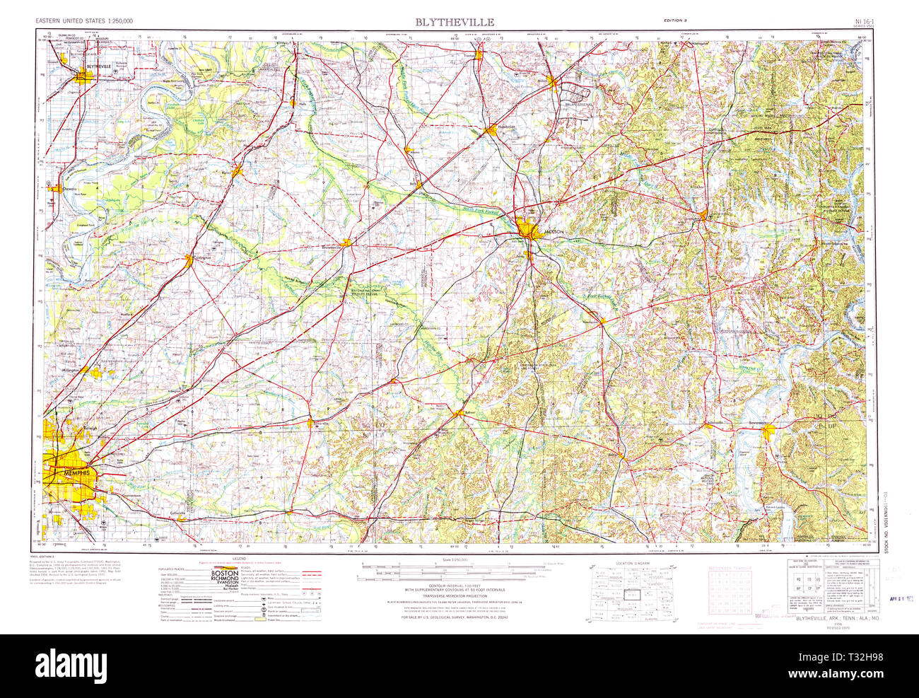 USGS TOPO Map Arkansas AR Blytheville 260582 1956 250000 Restoration Stock Photohttps://www.alamy.com/image-license-details/?v=1https://www.alamy.com/usgs-topo-map-arkansas-ar-blytheville-260582-1956-250000-restoration-image242846612.html
RMT32H98–USGS TOPO Map Arkansas AR Blytheville 260582 1956 250000 Restoration
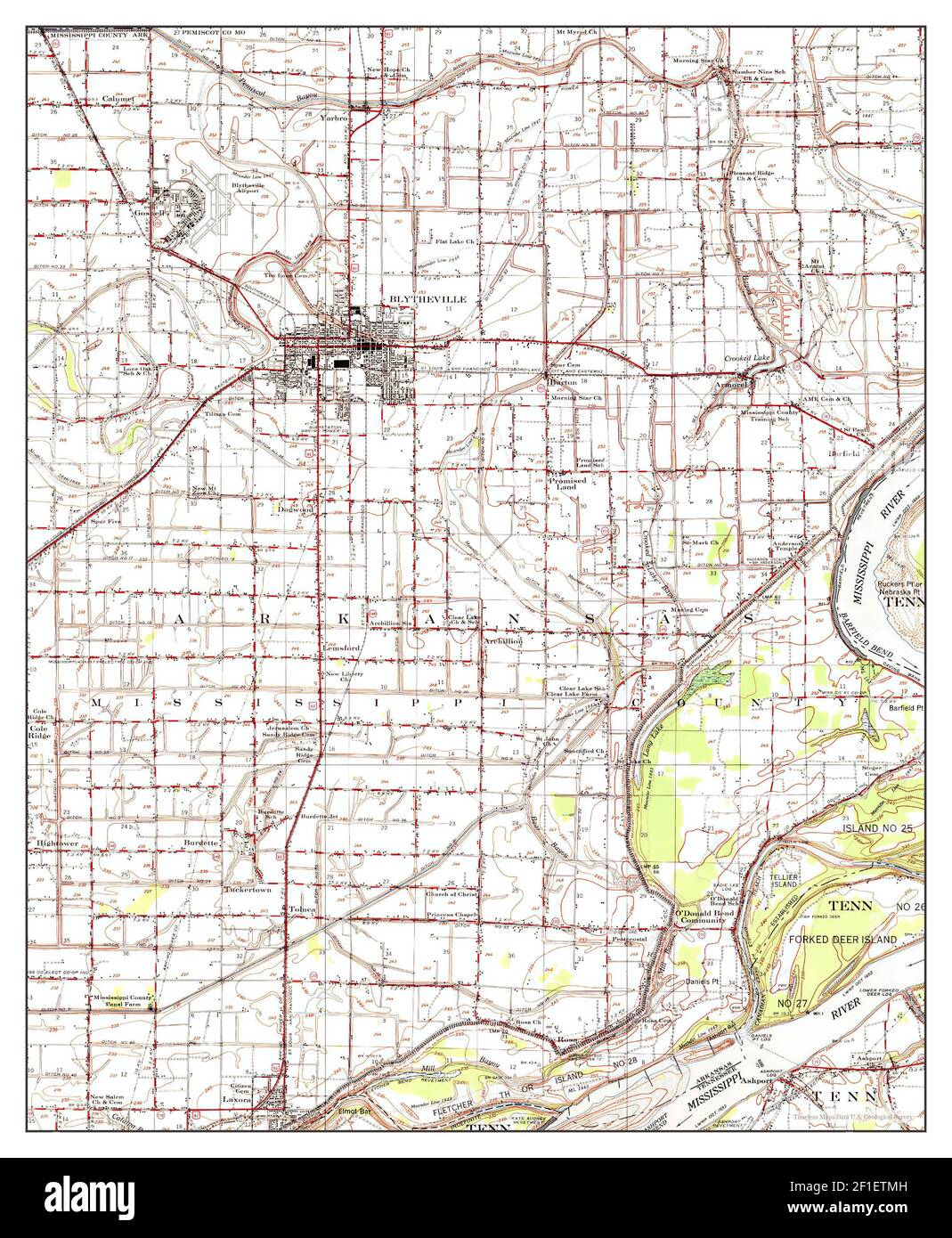 Blytheville, Arkansas, map 1955, 1:62500, United States of America by Timeless Maps, data U.S. Geological Survey Stock Photohttps://www.alamy.com/image-license-details/?v=1https://www.alamy.com/blytheville-arkansas-map-1955-162500-united-states-of-america-by-timeless-maps-data-us-geological-survey-image413990209.html
RM2F1ETMH–Blytheville, Arkansas, map 1955, 1:62500, United States of America by Timeless Maps, data U.S. Geological Survey
 Southern Farming Stock Photohttps://www.alamy.com/image-license-details/?v=1https://www.alamy.com/southern-farming-image258832640.html
RFW12RJT–Southern Farming
 Preserved , Greyhound station Blytheville Arkansas ,Streamline Moderne Style ,Art Moderne, Island Type station Stock Photohttps://www.alamy.com/image-license-details/?v=1https://www.alamy.com/stock-photo-preserved-greyhound-station-blytheville-arkansas-streamline-moderne-77764658.html
RMEEEDH6–Preserved , Greyhound station Blytheville Arkansas ,Streamline Moderne Style ,Art Moderne, Island Type station
 Rice Sprouts Stock Photohttps://www.alamy.com/image-license-details/?v=1https://www.alamy.com/rice-sprouts-image258832713.html
RFW12RND–Rice Sprouts
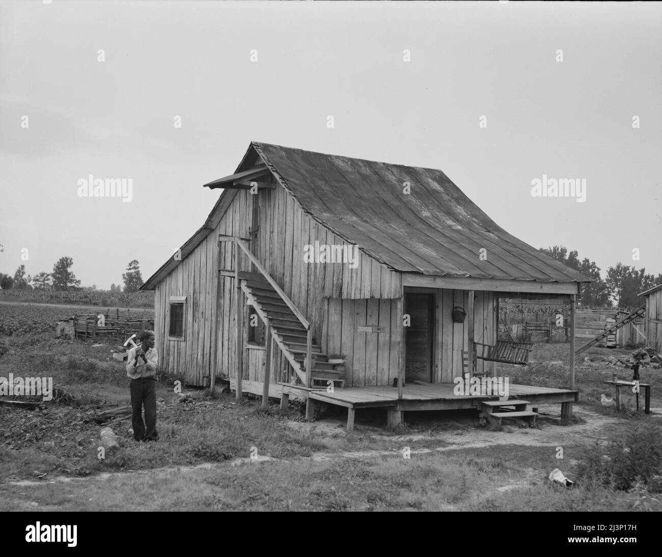 Cottonworker's cabin with outside stairway and loft. Near Blytheville, Arkansas. Stock Photohttps://www.alamy.com/image-license-details/?v=1https://www.alamy.com/cottonworkers-cabin-with-outside-stairway-and-loft-near-blytheville-arkansas-image467007845.html
RM2J3P17H–Cottonworker's cabin with outside stairway and loft. Near Blytheville, Arkansas.
 Coast Guard Sector Lower Mississippi River and local agencies are responding to a sunken vessel discharging oil near mile marker 823 on the lower Mississippi River near Blytheville, Arkansas, January 24, 2017. Sector Lower Mississippi River watchstanders were notified by Terral River Service of the uninspected towing vessel Virginia Renee sunk at its mooring at Hickman Landing. Stock Photohttps://www.alamy.com/image-license-details/?v=1https://www.alamy.com/coast-guard-sector-lower-mississippi-river-and-local-agencies-are-responding-to-a-sunken-vessel-discharging-oil-near-mile-marker-823-on-the-lower-mississippi-river-near-blytheville-arkansas-january-24-2017-sector-lower-mississippi-river-watchstanders-were-notified-by-terral-river-service-of-the-uninspected-towing-vessel-virginia-renee-sunk-at-its-mooring-at-hickman-landing-image235098658.html
RMRJDJMJ–Coast Guard Sector Lower Mississippi River and local agencies are responding to a sunken vessel discharging oil near mile marker 823 on the lower Mississippi River near Blytheville, Arkansas, January 24, 2017. Sector Lower Mississippi River watchstanders were notified by Terral River Service of the uninspected towing vessel Virginia Renee sunk at its mooring at Hickman Landing.
 Climatological data, Arkansas . >;, V. 76 CLIMATOLOGICAL DATA: ARKANSAS SECTION Year, 1944 * 4^),o ^ooT- 1944 with Departures from the Normal Monthly and Annual Precipitation for the year 194^. wun x^ ^ . December i Annnal. Year, 1944 CLIMATOLOGICALDATA: ARKANSAS SECTION 77 Monthly and Annual Mean Temperature for the Year 1944, with Departures from the Normal Stations January February t. aa, a)« March April May Alum Fork i43.2 Arkadelphia I42.8 Batesville (Airway) ..J41.7Batesville (Livestock) |40.4 Bee Branch Benton Beutonville Bethesda Bluff City Blytheville ....• Booueville Brinkley Camd Stock Photohttps://www.alamy.com/image-license-details/?v=1https://www.alamy.com/climatological-data-arkansas-gt-v-76-climatological-data-arkansas-section-year-1944-4o-oot-1944-with-departures-from-the-normal-monthly-and-annual-precipitation-for-the-year-194-wun-x-december-i-annnal-year-1944-climatologicaldata-arkansas-section-77-monthly-and-annual-mean-temperature-for-the-year-1944-with-departures-from-the-normal-stations-january-february-t-aa-a-march-april-may-alum-fork-i432-arkadelphia-i428-batesville-airway-j417batesville-livestock-404-bee-branch-benton-beutonville-bethesda-bluff-city-blytheville-booueville-brinkley-camd-image343327333.html
RM2AXFWED–Climatological data, Arkansas . >;, V. 76 CLIMATOLOGICAL DATA: ARKANSAS SECTION Year, 1944 * 4^),o ^ooT- 1944 with Departures from the Normal Monthly and Annual Precipitation for the year 194^. wun x^ ^ . December i Annnal. Year, 1944 CLIMATOLOGICALDATA: ARKANSAS SECTION 77 Monthly and Annual Mean Temperature for the Year 1944, with Departures from the Normal Stations January February t. aa, a)« March April May Alum Fork i43.2 Arkadelphia I42.8 Batesville (Airway) ..J41.7Batesville (Livestock) |40.4 Bee Branch Benton Beutonville Bethesda Bluff City Blytheville ....• Booueville Brinkley Camd
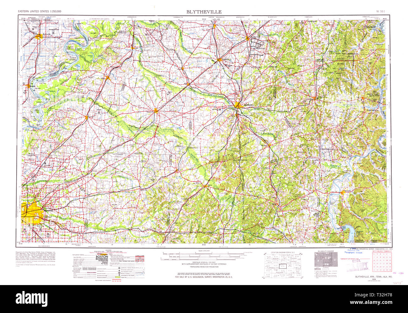 USGS TOPO Map Arkansas AR Blytheville 260579 1956 250000 Restoration Stock Photohttps://www.alamy.com/image-license-details/?v=1https://www.alamy.com/usgs-topo-map-arkansas-ar-blytheville-260579-1956-250000-restoration-image242846556.html
RMT32H78–USGS TOPO Map Arkansas AR Blytheville 260579 1956 250000 Restoration
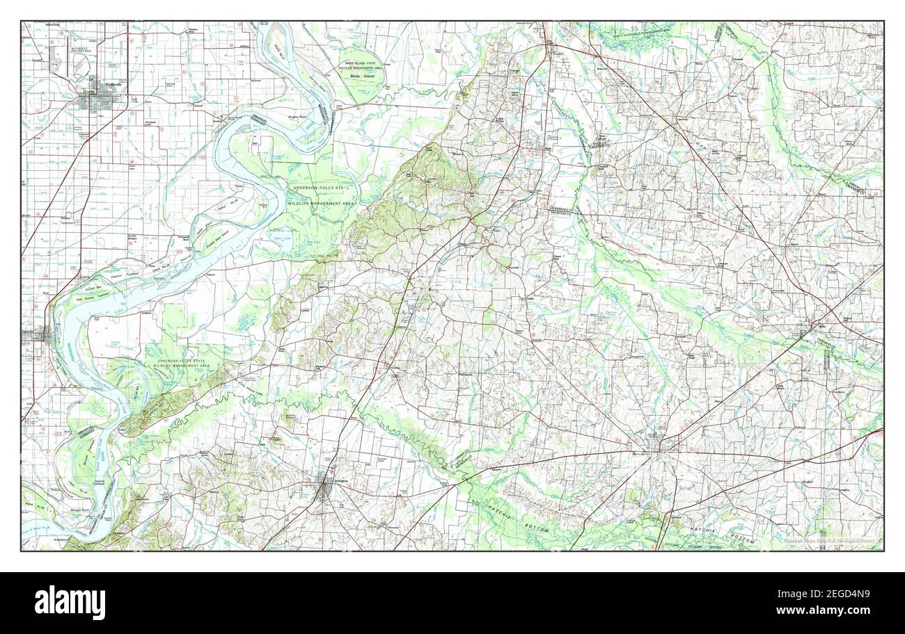 Blytheville, Arkansas, map 1986, 1:100000, United States of America by Timeless Maps, data U.S. Geological Survey Stock Photohttps://www.alamy.com/image-license-details/?v=1https://www.alamy.com/blytheville-arkansas-map-1986-1100000-united-states-of-america-by-timeless-maps-data-us-geological-survey-image405962069.html
RM2EGD4N9–Blytheville, Arkansas, map 1986, 1:100000, United States of America by Timeless Maps, data U.S. Geological Survey
 Blythville Arkansas, railway serving the farming operations, railway tracks Stock Photohttps://www.alamy.com/image-license-details/?v=1https://www.alamy.com/stock-photo-blythville-arkansas-railway-serving-the-farming-operations-railway-77762961.html
RMEEEBCH–Blythville Arkansas, railway serving the farming operations, railway tracks
 New Growth Stock Photohttps://www.alamy.com/image-license-details/?v=1https://www.alamy.com/new-growth-image258832772.html
RFW12RRG–New Growth
 Cotton field hand sitting on her porch on Sunday afternoon. Near Blytheville, Arkansas. Stock Photohttps://www.alamy.com/image-license-details/?v=1https://www.alamy.com/cotton-field-hand-sitting-on-her-porch-on-sunday-afternoon-near-blytheville-arkansas-image467008018.html
RM2J3P1DP–Cotton field hand sitting on her porch on Sunday afternoon. Near Blytheville, Arkansas.
 Coast Guard Sector Lower Mississippi River and local agencies are responding to a sunken vessel discharging oil near mile marker 823 on the lower Mississippi River near Blytheville, Arkansas, January 24, 2017. Sector Lower Mississippi River watchstanders were notified by Terral River Service of the uninspected towing vessel Virginia Renee sunk at its mooring at Hickman Landing. (U.S. Coast Guard Stock Photohttps://www.alamy.com/image-license-details/?v=1https://www.alamy.com/stock-photo-coast-guard-sector-lower-mississippi-river-and-local-agencies-are-172848618.html
RMM15X4X–Coast Guard Sector Lower Mississippi River and local agencies are responding to a sunken vessel discharging oil near mile marker 823 on the lower Mississippi River near Blytheville, Arkansas, January 24, 2017. Sector Lower Mississippi River watchstanders were notified by Terral River Service of the uninspected towing vessel Virginia Renee sunk at its mooring at Hickman Landing. (U.S. Coast Guard
 Climatological data, Arkansas . .05.2 9577 1)2 11893 11179 1026585 2:^411617294139203191165 26120 65176115 30 859 130129 96112133 90192 sw.sw.nw. se.sw. Monthly and Annual Precipitation for the Year 1944. with Departures from the Normal Stations Abbott Alum Fork Reser.. Aplin . Arkadelphia Arkansas City Augusta Batesville Airway.Batesville. LlvestkBatesville, River Beaty Lake Bee Branch Beech Grove .. . Beedeville Benton Bentonville Bethesda Big Lake Outlet ... Black Rock Bluff City Blytheville Booneville (near). Booneville Boughton Brinkley Burdette Calico Rock Camden Camp Chaffee (lamp Robin Stock Photohttps://www.alamy.com/image-license-details/?v=1https://www.alamy.com/climatological-data-arkansas-052-9577-12-11893-11179-1026585-2411617294139203191165-26120-65176115-30-859-130129-96112133-90192-swswnw-sesw-monthly-and-annual-precipitation-for-the-year-1944-with-departures-from-the-normal-stations-abbott-alum-fork-reser-aplin-arkadelphia-arkansas-city-augusta-batesville-airwaybatesville-llvestkbatesville-river-beaty-lake-bee-branch-beech-grove-beedeville-benton-bentonville-bethesda-big-lake-outlet-black-rock-bluff-city-blytheville-booneville-near-booneville-boughton-brinkley-burdette-calico-rock-camden-camp-chaffee-lamp-robin-image343327529.html
RM2AXFWND–Climatological data, Arkansas . .05.2 9577 1)2 11893 11179 1026585 2:^411617294139203191165 26120 65176115 30 859 130129 96112133 90192 sw.sw.nw. se.sw. Monthly and Annual Precipitation for the Year 1944. with Departures from the Normal Stations Abbott Alum Fork Reser.. Aplin . Arkadelphia Arkansas City Augusta Batesville Airway.Batesville. LlvestkBatesville, River Beaty Lake Bee Branch Beech Grove .. . Beedeville Benton Bentonville Bethesda Big Lake Outlet ... Black Rock Bluff City Blytheville Booneville (near). Booneville Boughton Brinkley Burdette Calico Rock Camden Camp Chaffee (lamp Robin
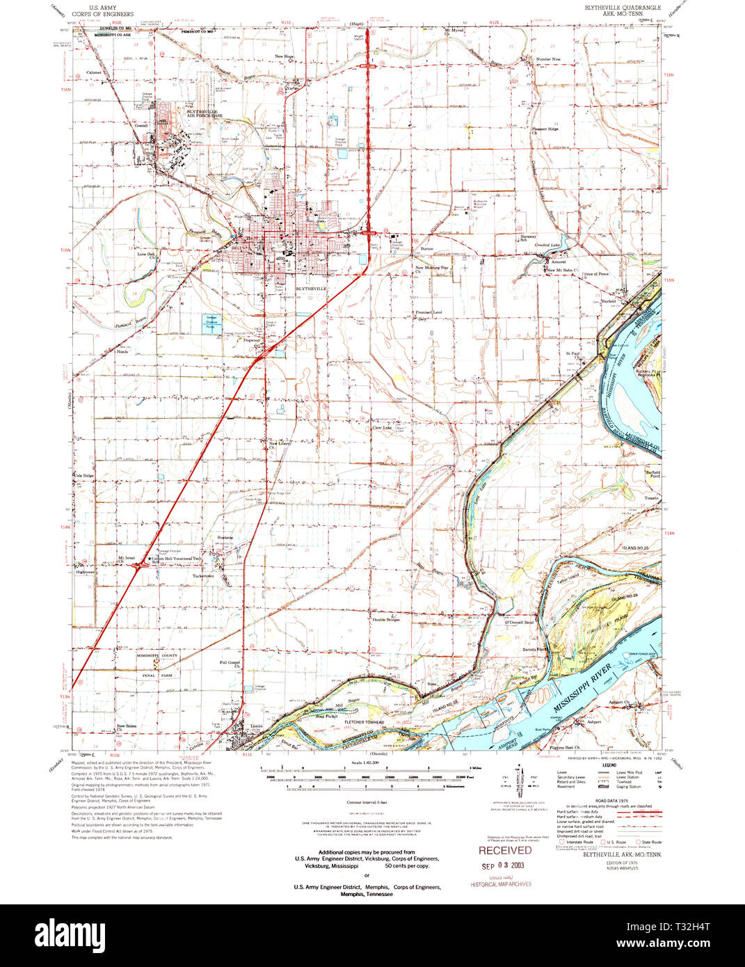 USGS TOPO Map Arkansas AR Blytheville 260001 1976 62500 Restoration Stock Photohttps://www.alamy.com/image-license-details/?v=1https://www.alamy.com/usgs-topo-map-arkansas-ar-blytheville-260001-1976-62500-restoration-image242846488.html
RMT32H4T–USGS TOPO Map Arkansas AR Blytheville 260001 1976 62500 Restoration
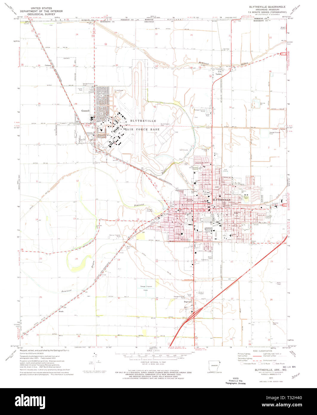 USGS TOPO Map Arkansas AR Blytheville 258012 1972 24000 Restoration Stock Photohttps://www.alamy.com/image-license-details/?v=1https://www.alamy.com/usgs-topo-map-arkansas-ar-blytheville-258012-1972-24000-restoration-image242846464.html
RMT32H40–USGS TOPO Map Arkansas AR Blytheville 258012 1972 24000 Restoration
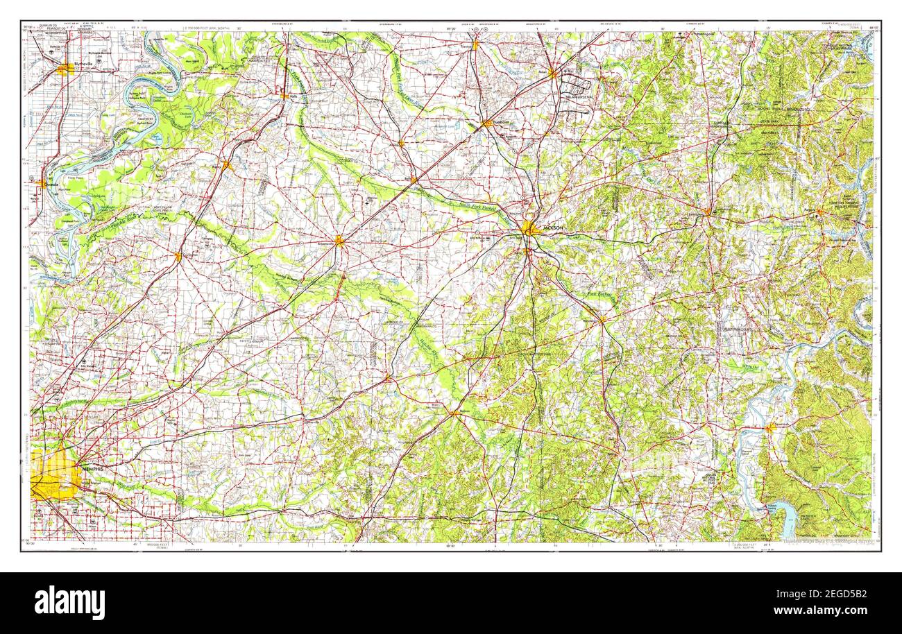 Blytheville, Arkansas, map 1956, 1:250000, United States of America by Timeless Maps, data U.S. Geological Survey Stock Photohttps://www.alamy.com/image-license-details/?v=1https://www.alamy.com/blytheville-arkansas-map-1956-1250000-united-states-of-america-by-timeless-maps-data-us-geological-survey-image405962566.html
RM2EGD5B2–Blytheville, Arkansas, map 1956, 1:250000, United States of America by Timeless Maps, data U.S. Geological Survey
 Blythville Arkansas, graffiti Stock Photohttps://www.alamy.com/image-license-details/?v=1https://www.alamy.com/stock-photo-blythville-arkansas-graffiti-77766003.html
RMEEEF97–Blythville Arkansas, graffiti
 Cascading fields Stock Photohttps://www.alamy.com/image-license-details/?v=1https://www.alamy.com/cascading-fields-image258832742.html
RFW12RPE–Cascading fields
 Coast Guard Sector Lower Mississippi River and local agencies are responding to a sunken vessel discharging oil near mile marker 823 on the lower Mississippi River near Blytheville, Arkansas, January 24, 2017. Sector Lower Mississippi River watchstanders were notified by Terral River Service of the uninspected towing vessel Virginia Renee sunk at its mooring at Hickman Landing. (U.S. Coast Guard Stock Photohttps://www.alamy.com/image-license-details/?v=1https://www.alamy.com/stock-photo-coast-guard-sector-lower-mississippi-river-and-local-agencies-are-172848621.html
RMM15X51–Coast Guard Sector Lower Mississippi River and local agencies are responding to a sunken vessel discharging oil near mile marker 823 on the lower Mississippi River near Blytheville, Arkansas, January 24, 2017. Sector Lower Mississippi River watchstanders were notified by Terral River Service of the uninspected towing vessel Virginia Renee sunk at its mooring at Hickman Landing. (U.S. Coast Guard
 Climatological data, Arkansas . (<•? .?;• NAT. •aacai^Kaiomeiiteiify. CLIMATOLOGICAL DATA: ARKANSAS SECTION December, 1946 CUmatologrical Data for December, 1846 ??* Alum Fork •Saline Arkadelphla ^ark Arkansas City P^l^n ^li-;/-- Ashrtown Little River Batesville Airway. Independence... Batesville Livestk 1 Independence... Batesville River. ! Independence... Bee Branch Benton Bentonville Betliesda Big Lake Outlet.. Black Rock BhiflCity,2 mi.s Blytheville Booneville 3 miles w... Bougliton Brinkley Calico Rock <.;amden Camp Chaffee camp Robinson Clarendon Conway Coming Cotter ? Crossett 7 m Stock Photohttps://www.alamy.com/image-license-details/?v=1https://www.alamy.com/climatological-data-arkansas-lt-nat-aacaikaiomeiiteiify-climatological-data-arkansas-section-december-1946-cumatologrical-data-for-december-1846-alum-fork-saline-arkadelphla-ark-arkansas-city-pln-li-ashrtown-little-river-batesville-airway-independence-batesville-livestk-1-independence-batesville-river-!-independence-bee-branch-benton-bentonville-betliesda-big-lake-outlet-black-rock-bhiflcity2-mis-blytheville-booneville-3-miles-w-bougliton-brinkley-calico-rock-ltamden-camp-chaffee-camp-robinson-clarendon-conway-coming-cotter-crossett-7-m-image343300836.html
RM2AXEKM4–Climatological data, Arkansas . (<•? .?;• NAT. •aacai^Kaiomeiiteiify. CLIMATOLOGICAL DATA: ARKANSAS SECTION December, 1946 CUmatologrical Data for December, 1846 ??* Alum Fork •Saline Arkadelphla ^ark Arkansas City P^l^n ^li-;/-- Ashrtown Little River Batesville Airway. Independence... Batesville Livestk 1 Independence... Batesville River. ! Independence... Bee Branch Benton Bentonville Betliesda Big Lake Outlet.. Black Rock BhiflCity,2 mi.s Blytheville Booneville 3 miles w... Bougliton Brinkley Calico Rock <.;amden Camp Chaffee camp Robinson Clarendon Conway Coming Cotter ? Crossett 7 m
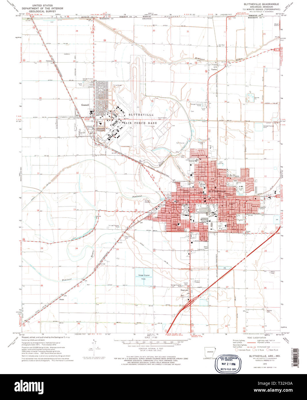 USGS TOPO Map Arkansas AR Blytheville 258011 1972 24000 Restoration Stock Photohttps://www.alamy.com/image-license-details/?v=1https://www.alamy.com/usgs-topo-map-arkansas-ar-blytheville-258011-1972-24000-restoration-image242846446.html
RMT32H3A–USGS TOPO Map Arkansas AR Blytheville 258011 1972 24000 Restoration
 Blytheville, Arkansas, map 1959, 1:250000, United States of America by Timeless Maps, data U.S. Geological Survey Stock Photohttps://www.alamy.com/image-license-details/?v=1https://www.alamy.com/blytheville-arkansas-map-1959-1250000-united-states-of-america-by-timeless-maps-data-us-geological-survey-image405962518.html
RM2EGD59A–Blytheville, Arkansas, map 1959, 1:250000, United States of America by Timeless Maps, data U.S. Geological Survey
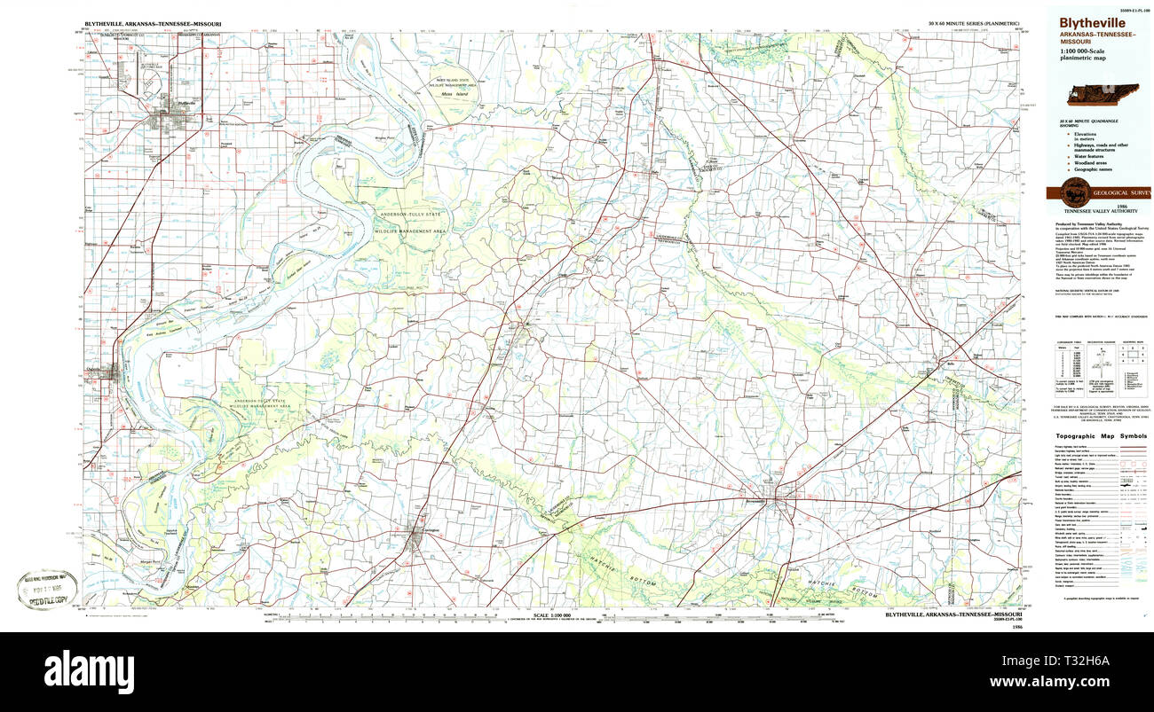 USGS TOPO Map Arkansas AR Blytheville 260391 1986 100000 Restoration Stock Photohttps://www.alamy.com/image-license-details/?v=1https://www.alamy.com/usgs-topo-map-arkansas-ar-blytheville-260391-1986-100000-restoration-image242846530.html
RMT32H6A–USGS TOPO Map Arkansas AR Blytheville 260391 1986 100000 Restoration
 Blythville Arkansas, Storefronts Stock Photohttps://www.alamy.com/image-license-details/?v=1https://www.alamy.com/stock-photo-blythville-arkansas-storefronts-77764642.html
RMEEEDGJ–Blythville Arkansas, Storefronts
 Sanborn Fire Insurance Map from Blytheville, Mississippi County, Arkansas. Stock Photohttps://www.alamy.com/image-license-details/?v=1https://www.alamy.com/sanborn-fire-insurance-map-from-blytheville-mississippi-county-arkansas-image456305217.html
RM2HEADXW–Sanborn Fire Insurance Map from Blytheville, Mississippi County, Arkansas.
 Climatological data, Arkansas . ack Rock BlWCity Blytheville Booueville (near) Boughton T Brinkley Calico Rock Camden Camp Robinson. .. Clarendon Clover Bend Conway Coming Cotter Crossett(near) — Danville Dardanelle DeQueen Des Arc Devils Knob Dumas El Dorado Kngland Eureka Springs... Fayetteville Fayetteville Exp. Fordyce Fort Smith Fort Smith Wtr.P.f Kulton Georgetown Gilbert Glenwood Grannis Gravette Green Mountain..! Harrison Heber Spgs. (near) Helena Highland ... Hope (near) tt Hot Springs Index Irons Fork tt Jessieville Jonesboro Lead Hill Little Rock Lutherville Madison Magnolia Mammoth Stock Photohttps://www.alamy.com/image-license-details/?v=1https://www.alamy.com/climatological-data-arkansas-ack-rock-blwcity-blytheville-booueville-near-boughton-t-brinkley-calico-rock-camden-camp-robinson-clarendon-clover-bend-conway-coming-cotter-crossettnear-danville-dardanelle-dequeen-des-arc-devils-knob-dumas-el-dorado-kngland-eureka-springs-fayetteville-fayetteville-exp-fordyce-fort-smith-fort-smith-wtrpf-kulton-georgetown-gilbert-glenwood-grannis-gravette-green-mountain!-harrison-heber-spgs-near-helena-highland-hope-near-tt-hot-springs-index-irons-fork-tt-jessieville-jonesboro-lead-hill-little-rock-lutherville-madison-magnolia-mammoth-image343345614.html
RM2AXGMRA–Climatological data, Arkansas . ack Rock BlWCity Blytheville Booueville (near) Boughton T Brinkley Calico Rock Camden Camp Robinson. .. Clarendon Clover Bend Conway Coming Cotter Crossett(near) — Danville Dardanelle DeQueen Des Arc Devils Knob Dumas El Dorado Kngland Eureka Springs... Fayetteville Fayetteville Exp. Fordyce Fort Smith Fort Smith Wtr.P.f Kulton Georgetown Gilbert Glenwood Grannis Gravette Green Mountain..! Harrison Heber Spgs. (near) Helena Highland ... Hope (near) tt Hot Springs Index Irons Fork tt Jessieville Jonesboro Lead Hill Little Rock Lutherville Madison Magnolia Mammoth
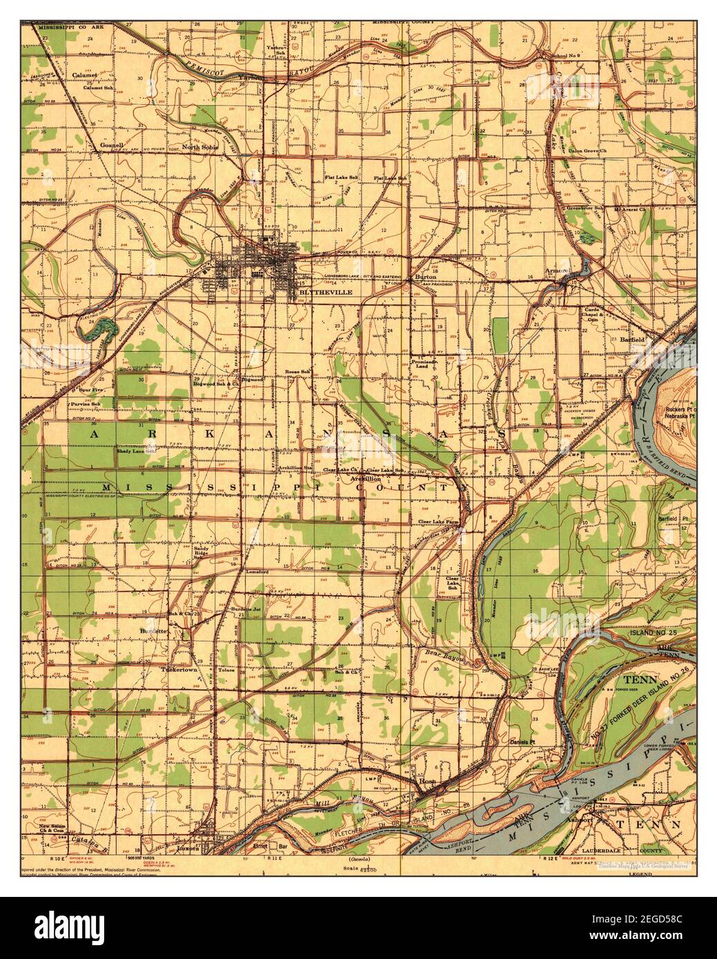 Blytheville, Arkansas, map 1939, 1:62500, United States of America by Timeless Maps, data U.S. Geological Survey Stock Photohttps://www.alamy.com/image-license-details/?v=1https://www.alamy.com/blytheville-arkansas-map-1939-162500-united-states-of-america-by-timeless-maps-data-us-geological-survey-image405962492.html
RM2EGD58C–Blytheville, Arkansas, map 1939, 1:62500, United States of America by Timeless Maps, data U.S. Geological Survey
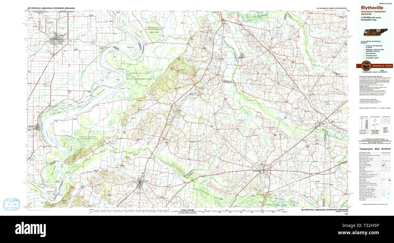 USGS TOPO Map Arkansas AR Blytheville 260390 1986 100000 Restoration Stock Photohttps://www.alamy.com/image-license-details/?v=1https://www.alamy.com/usgs-topo-map-arkansas-ar-blytheville-260390-1986-100000-restoration-image242846514.html
RMT32H5P–USGS TOPO Map Arkansas AR Blytheville 260390 1986 100000 Restoration
 Blythville Arkansas,cemetery Stock Photohttps://www.alamy.com/image-license-details/?v=1https://www.alamy.com/stock-photo-blythville-arkansascemetery-77763454.html
RMEEEC26–Blythville Arkansas,cemetery
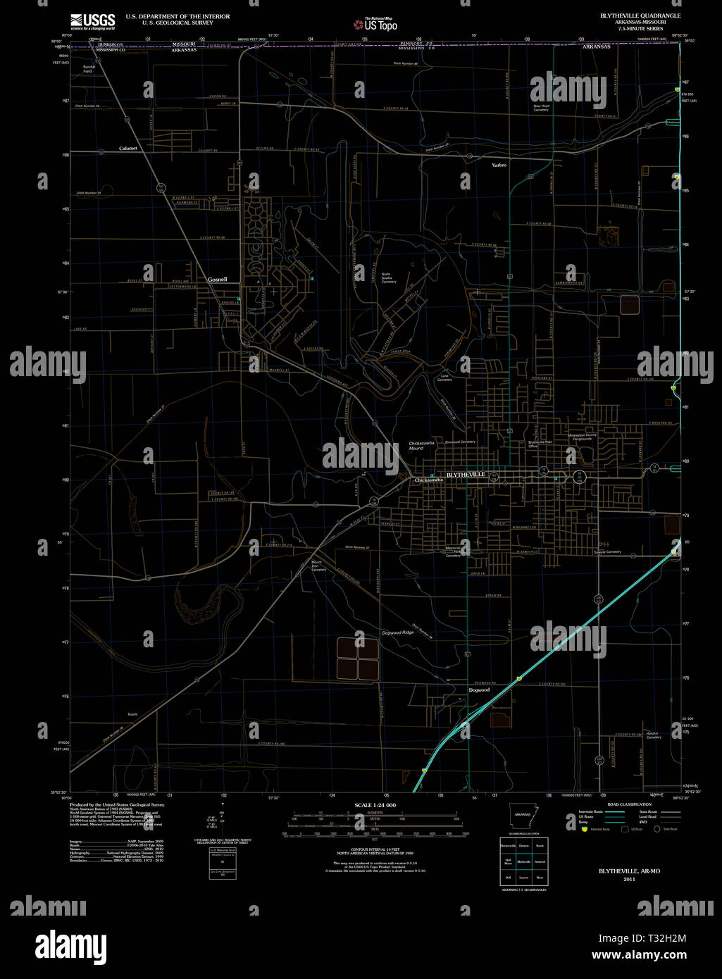 USGS TOPO Map Arkansas AR Blytheville 20110715 TM Inverted Restoration Stock Photohttps://www.alamy.com/image-license-details/?v=1https://www.alamy.com/usgs-topo-map-arkansas-ar-blytheville-20110715-tm-inverted-restoration-image242846428.html
RMT32H2M–USGS TOPO Map Arkansas AR Blytheville 20110715 TM Inverted Restoration
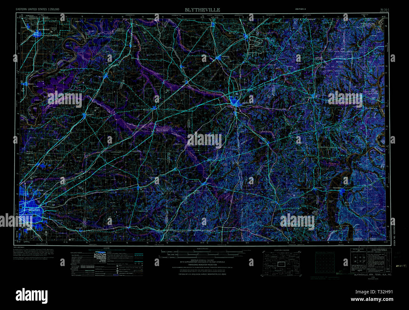 USGS TOPO Map Arkansas AR Blytheville 260582 1956 250000 Inverted Restoration Stock Photohttps://www.alamy.com/image-license-details/?v=1https://www.alamy.com/usgs-topo-map-arkansas-ar-blytheville-260582-1956-250000-inverted-restoration-image242846605.html
RMT32H91–USGS TOPO Map Arkansas AR Blytheville 260582 1956 250000 Inverted Restoration
 Sanborn Fire Insurance Map from Blytheville, Mississippi County, Arkansas. Stock Photohttps://www.alamy.com/image-license-details/?v=1https://www.alamy.com/sanborn-fire-insurance-map-from-blytheville-mississippi-county-arkansas-image456305218.html
RM2HEADXX–Sanborn Fire Insurance Map from Blytheville, Mississippi County, Arkansas.
 Climatological data, Arkansas . Blytheville Mississippi Booneville 3 miles w. Boughton Brinkley Calico Rock Camden Camp Chaf?ee.Camp Robinson.Clarendon. Conway Coming Cotter Crossett 7 miles s.Cummins Farm. Danville DardanelleDeQueen Des Arc Devils Knob. Dumas El Dorado.England.Eureka Springs.PayettevUle .Fayetteville Exp. Fordyce Fort Smith . Fort Smith Wtr.P Kulton Garland Oeoi-getown, 2 mi, se.GilbertGleuwood .GrannisGravette.Green Mountain.; Harrison ,Helena.Hope 3 miles e.Hot Springs — Index Jessieville .Jonesboro .Lead Hill.Little RockLutherville,2 mi.e. Madison. Magnolia, 2 mi. Mammoth Stock Photohttps://www.alamy.com/image-license-details/?v=1https://www.alamy.com/climatological-data-arkansas-blytheville-mississippi-booneville-3-miles-w-boughton-brinkley-calico-rock-camden-camp-chafeecamp-robinsonclarendon-conway-coming-cotter-crossett-7-miles-scummins-farm-danville-dardanelledequeen-des-arc-devils-knob-dumas-el-doradoenglandeureka-springspayettevule-fayetteville-exp-fordyce-fort-smith-fort-smith-wtrp-kulton-garland-oeoi-getown-2-mi-segilbertgleuwood-grannisgravettegreen-mountain-harrison-helenahope-3-miles-ehot-springs-index-jessieville-jonesboro-lead-hilllittle-rocklutherville2-mie-madison-magnolia-2-mi-mammoth-image343304107.html
RM2AXERTY–Climatological data, Arkansas . Blytheville Mississippi Booneville 3 miles w. Boughton Brinkley Calico Rock Camden Camp Chaf?ee.Camp Robinson.Clarendon. Conway Coming Cotter Crossett 7 miles s.Cummins Farm. Danville DardanelleDeQueen Des Arc Devils Knob. Dumas El Dorado.England.Eureka Springs.PayettevUle .Fayetteville Exp. Fordyce Fort Smith . Fort Smith Wtr.P Kulton Garland Oeoi-getown, 2 mi, se.GilbertGleuwood .GrannisGravette.Green Mountain.; Harrison ,Helena.Hope 3 miles e.Hot Springs — Index Jessieville .Jonesboro .Lead Hill.Little RockLutherville,2 mi.e. Madison. Magnolia, 2 mi. Mammoth
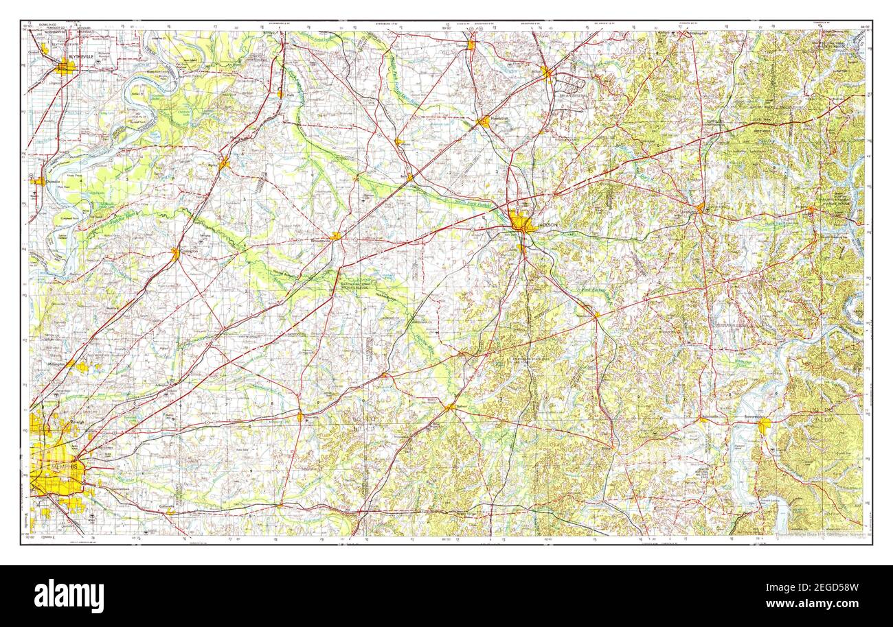 Blytheville, Arkansas, map 1956, 1:250000, United States of America by Timeless Maps, data U.S. Geological Survey Stock Photohttps://www.alamy.com/image-license-details/?v=1https://www.alamy.com/blytheville-arkansas-map-1956-1250000-united-states-of-america-by-timeless-maps-data-us-geological-survey-image405962505.html
RM2EGD58W–Blytheville, Arkansas, map 1956, 1:250000, United States of America by Timeless Maps, data U.S. Geological Survey
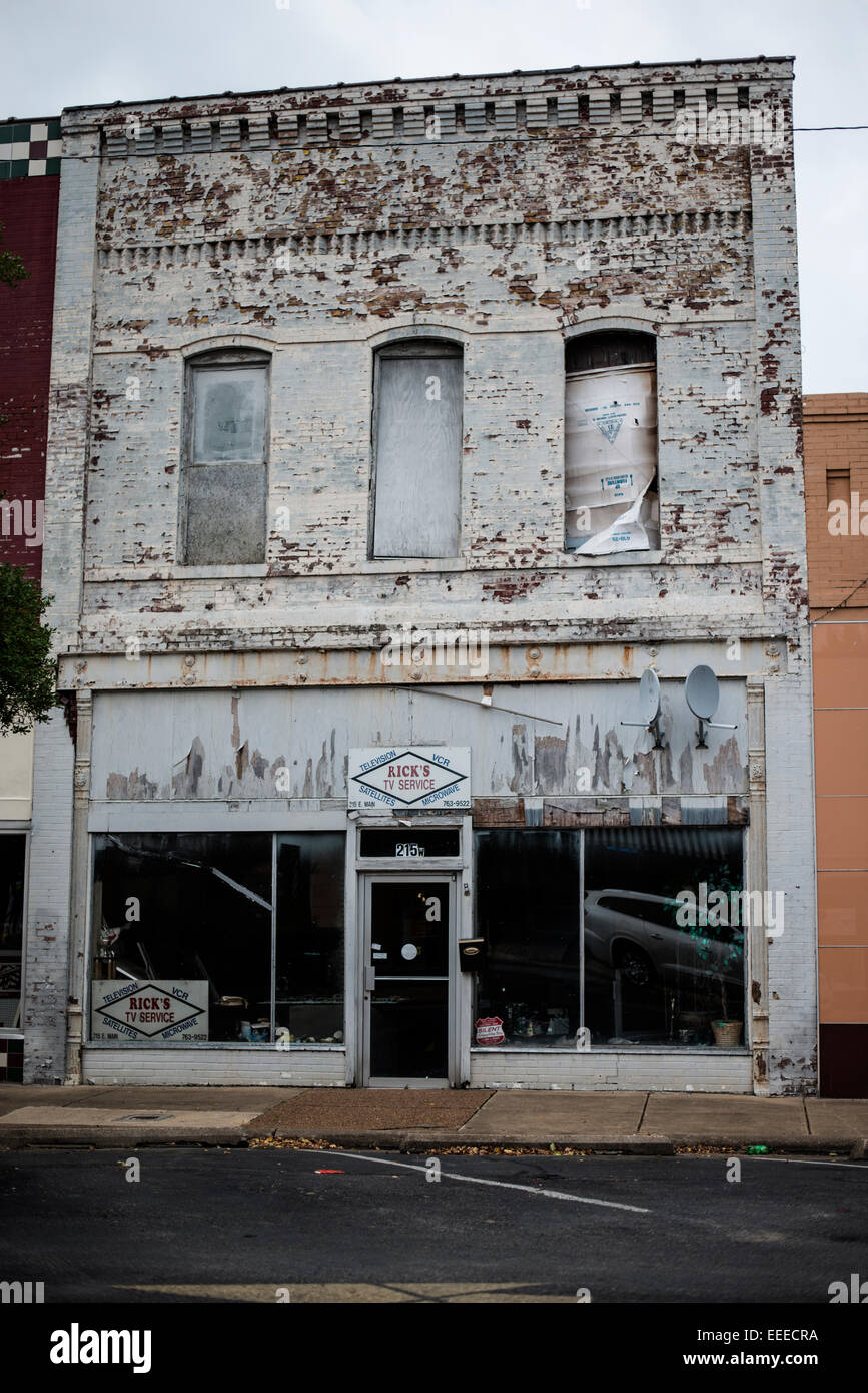 Blythville Arkansas, shuttered shops Stock Photohttps://www.alamy.com/image-license-details/?v=1https://www.alamy.com/stock-photo-blythville-arkansas-shuttered-shops-77764046.html
RMEEECRA–Blythville Arkansas, shuttered shops
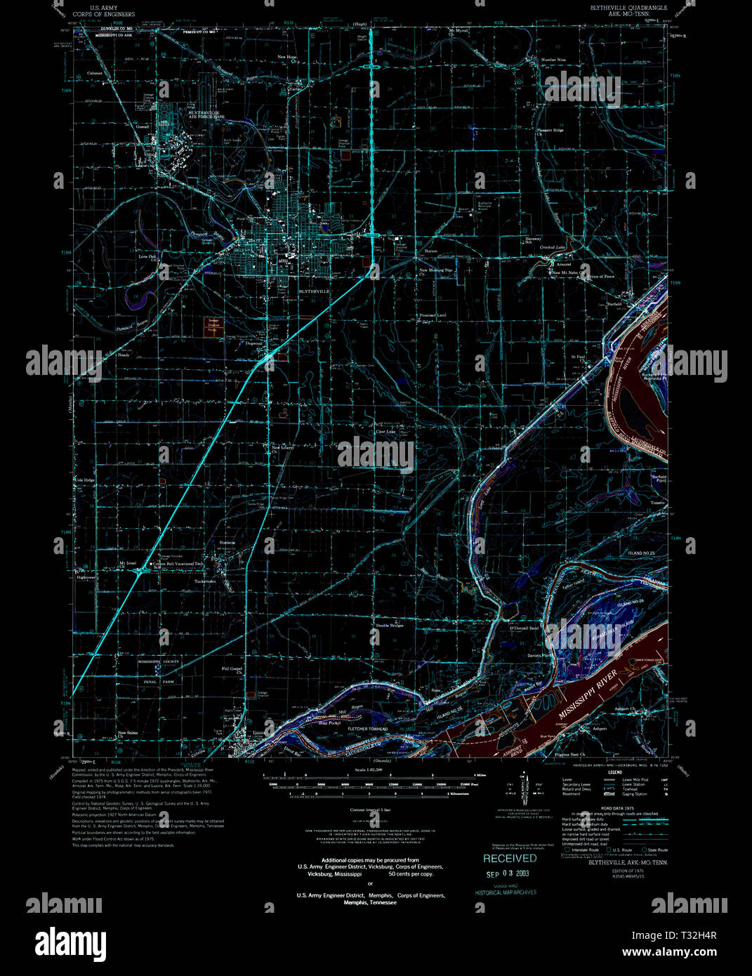 USGS TOPO Map Arkansas AR Blytheville 260001 1976 62500 Inverted Restoration Stock Photohttps://www.alamy.com/image-license-details/?v=1https://www.alamy.com/usgs-topo-map-arkansas-ar-blytheville-260001-1976-62500-inverted-restoration-image242846487.html
RMT32H4R–USGS TOPO Map Arkansas AR Blytheville 260001 1976 62500 Inverted Restoration
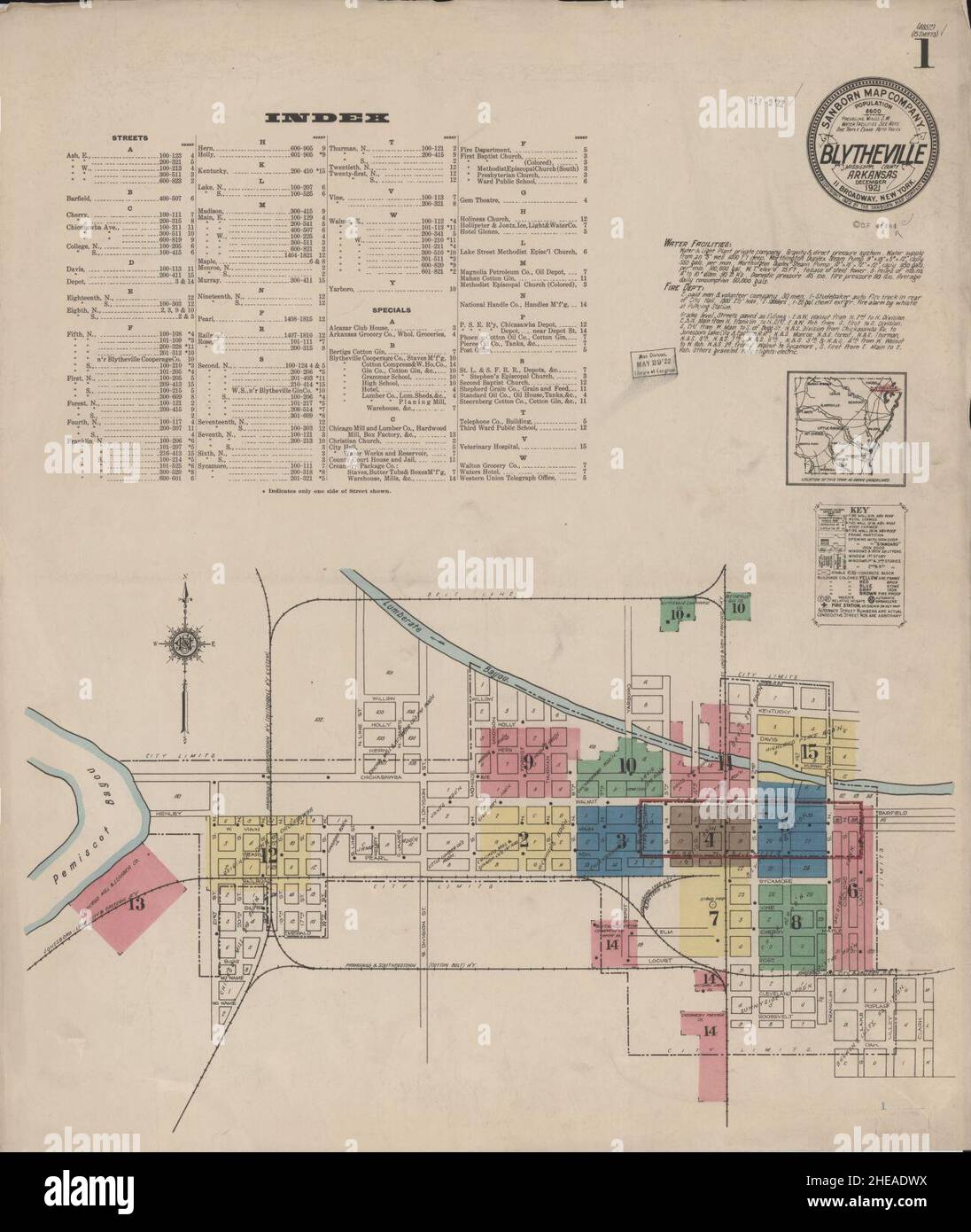 Sanborn Fire Insurance Map from Blytheville, Mississippi County, Arkansas. Stock Photohttps://www.alamy.com/image-license-details/?v=1https://www.alamy.com/sanborn-fire-insurance-map-from-blytheville-mississippi-county-arkansas-image456305190.html
RM2HEADWX–Sanborn Fire Insurance Map from Blytheville, Mississippi County, Arkansas.
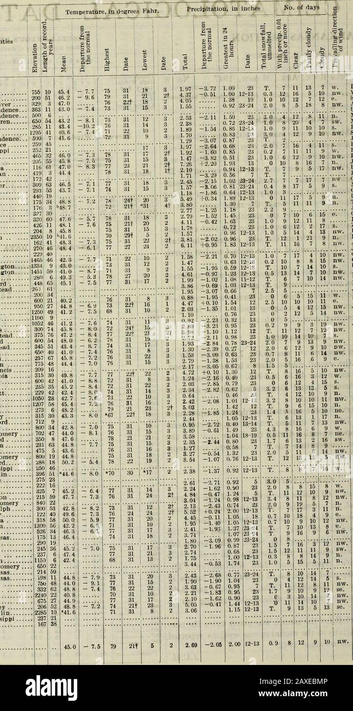 Climatological data, Arkansas . ay Batesville Livestk Bee Branch Benton Bentonville ; Bethesda Bl^ack Rock Blytheville Booneville 3 miles W..., Brinkley Camden Camp Chaffee Clarendon Conway Corning Cotter Crossett 7 miles s Cummins Farm Danville Dardanelle DeQueen Des Arc Devils Knob Dumas El Dorado England Eureka Springs Fayettevllle Fayettevllle Exp Fordyce Fort Smith Fulton Georgetown, 2 mi, se... Gilbert Grannis Qravette Green Mountain Harrison Helena Hope 3 miles e Hot Springs Jonesboro Lead Hill Little Rock Lutherville,2 mi.e Madison Magnolia, 2 mi. n Mammoth Spring Marianua Marked Tree Stock Photohttps://www.alamy.com/image-license-details/?v=1https://www.alamy.com/climatological-data-arkansas-ay-batesville-livestk-bee-branch-benton-bentonville-bethesda-black-rock-blytheville-booneville-3-miles-w-brinkley-camden-camp-chaffee-clarendon-conway-corning-cotter-crossett-7-miles-s-cummins-farm-danville-dardanelle-dequeen-des-arc-devils-knob-dumas-el-dorado-england-eureka-springs-fayettevllle-fayettevllle-exp-fordyce-fort-smith-fulton-georgetown-2-mi-se-gilbert-grannis-qravette-green-mountain-harrison-helena-hope-3-miles-e-hot-springs-jonesboro-lead-hill-little-rock-lutherville2-mie-madison-magnolia-2-mi-n-mammoth-spring-marianua-marked-tree-image343294582.html
RM2AXEBMP–Climatological data, Arkansas . ay Batesville Livestk Bee Branch Benton Bentonville ; Bethesda Bl^ack Rock Blytheville Booneville 3 miles W..., Brinkley Camden Camp Chaffee Clarendon Conway Corning Cotter Crossett 7 miles s Cummins Farm Danville Dardanelle DeQueen Des Arc Devils Knob Dumas El Dorado England Eureka Springs Fayettevllle Fayettevllle Exp Fordyce Fort Smith Fulton Georgetown, 2 mi, se... Gilbert Grannis Qravette Green Mountain Harrison Helena Hope 3 miles e Hot Springs Jonesboro Lead Hill Little Rock Lutherville,2 mi.e Madison Magnolia, 2 mi. n Mammoth Spring Marianua Marked Tree
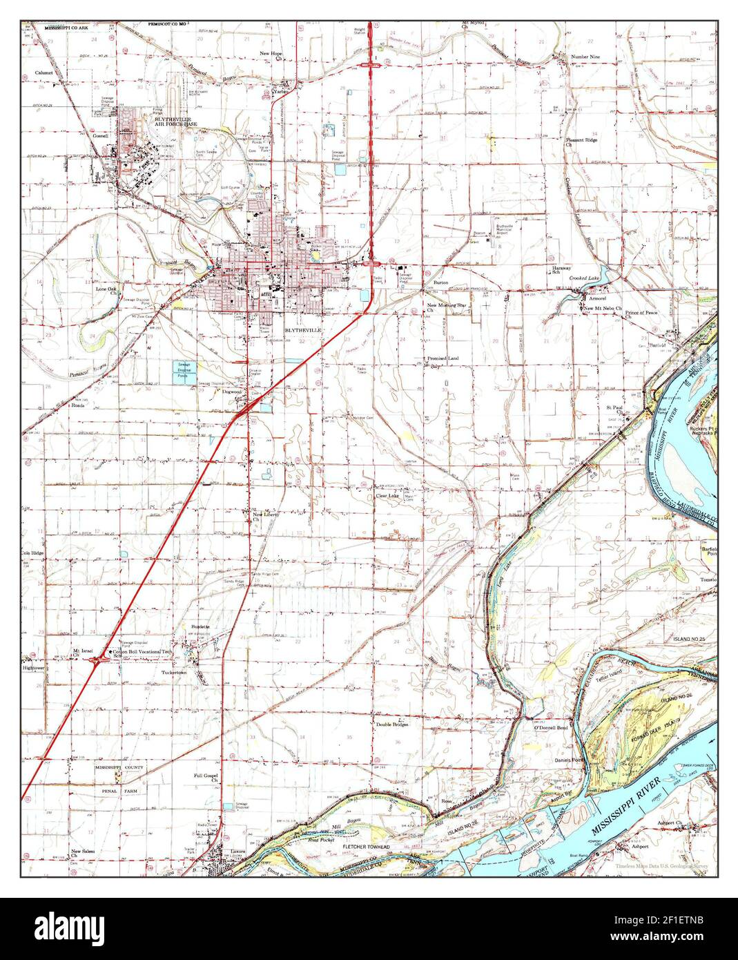 Blytheville, Arkansas, map 1976, 1:62500, United States of America by Timeless Maps, data U.S. Geological Survey Stock Photohttps://www.alamy.com/image-license-details/?v=1https://www.alamy.com/blytheville-arkansas-map-1976-162500-united-states-of-america-by-timeless-maps-data-us-geological-survey-image413990231.html
RM2F1ETNB–Blytheville, Arkansas, map 1976, 1:62500, United States of America by Timeless Maps, data U.S. Geological Survey
 Blythville Arkansas,Shuttered downtown Stock Photohttps://www.alamy.com/image-license-details/?v=1https://www.alamy.com/stock-photo-blythville-arkansasshuttered-downtown-77764652.html
RMEEEDH0–Blythville Arkansas,Shuttered downtown
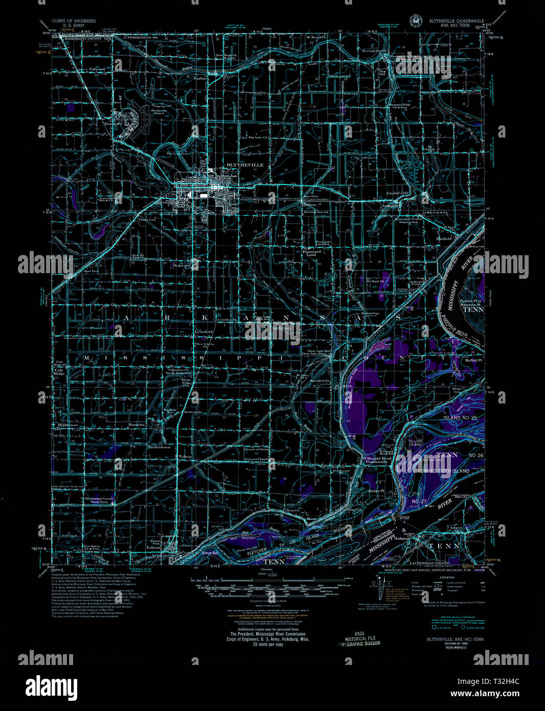 USGS TOPO Map Arkansas AR Blytheville 260000 1955 62500 Inverted Restoration Stock Photohttps://www.alamy.com/image-license-details/?v=1https://www.alamy.com/usgs-topo-map-arkansas-ar-blytheville-260000-1955-62500-inverted-restoration-image242846476.html
RMT32H4C–USGS TOPO Map Arkansas AR Blytheville 260000 1955 62500 Inverted Restoration
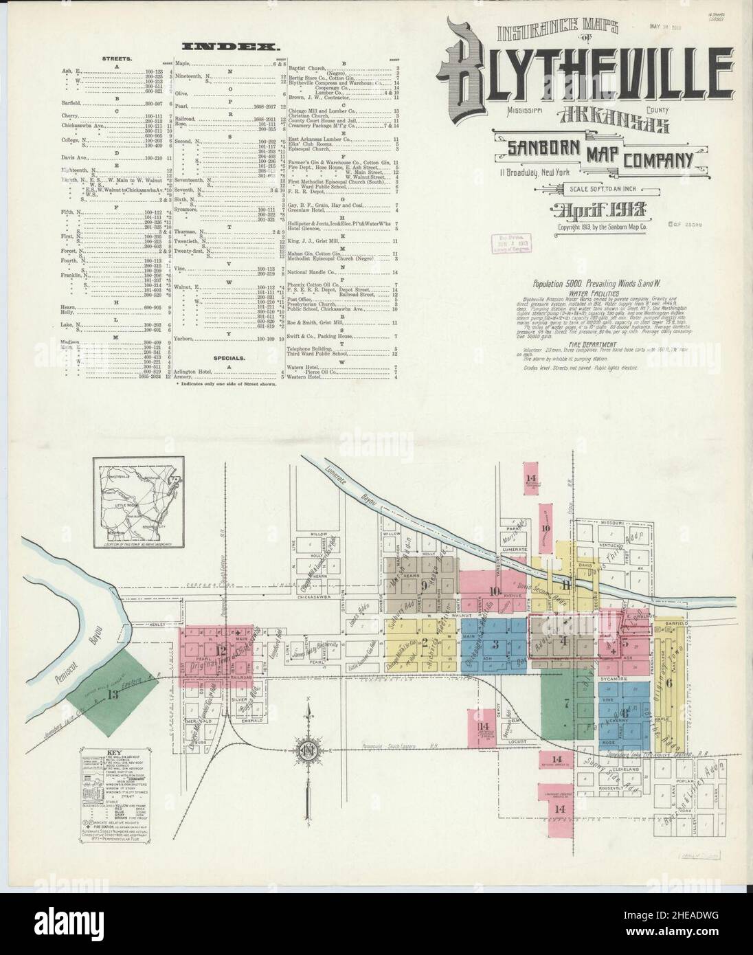 Sanborn Fire Insurance Map from Blytheville, Mississippi County, Arkansas. Stock Photohttps://www.alamy.com/image-license-details/?v=1https://www.alamy.com/sanborn-fire-insurance-map-from-blytheville-mississippi-county-arkansas-image456305180.html
RM2HEADWG–Sanborn Fire Insurance Map from Blytheville, Mississippi County, Arkansas.
 Climatological data, Arkansas . Climatological Data for December, 1943 Stations Counties MumKork tl SaUne Arkansas City i f^f,^p„ ience IftfsvUle River | I-^^^p .nde:.ce ^t^^rviile::::....J Benton Bethesda......•??.•• I Big I.ake Outlet... T| Black Rock BlNaffCity Blytheville .......•? i Booneville 3 miles w Boughton 1 Brinkley. Observer Calico Rock Camden Camp Robinson. ... Clarendon C6nway Corning Cotter , Crossett 7 miles s... Danville Dardanelle DeQueen Des Arc Devils Knob Dumas El Dorado Engl^ind Eureka Springs.... Fayettevlile Fayetteville Exp.. Fordy(» Fort Smith • Fort Smith Wtr.P...t Stock Photohttps://www.alamy.com/image-license-details/?v=1https://www.alamy.com/climatological-data-arkansas-climatological-data-for-december-1943-stations-counties-mumkork-tl-saune-arkansas-city-i-ffp-ience-iftfsvule-river-i-p-ndece-trviilej-benton-bethesda-i-big-iake-outlet-t-black-rock-blnaffcity-blytheville-i-booneville-3-miles-w-boughton-1-brinkley-observer-calico-rock-camden-camp-robinson-clarendon-c6nway-corning-cotter-crossett-7-miles-s-danville-dardanelle-dequeen-des-arc-devils-knob-dumas-el-dorado-englind-eureka-springs-fayettevlile-fayetteville-exp-fordy-fort-smith-fort-smith-wtrpt-image343341651.html
RM2AXGFNR–Climatological data, Arkansas . Climatological Data for December, 1943 Stations Counties MumKork tl SaUne Arkansas City i f^f,^p„ ience IftfsvUle River | I-^^^p .nde:.ce ^t^^rviile::::....J Benton Bethesda......•??.•• I Big I.ake Outlet... T| Black Rock BlNaffCity Blytheville .......•? i Booneville 3 miles w Boughton 1 Brinkley. Observer Calico Rock Camden Camp Robinson. ... Clarendon C6nway Corning Cotter , Crossett 7 miles s... Danville Dardanelle DeQueen Des Arc Devils Knob Dumas El Dorado Engl^ind Eureka Springs.... Fayettevlile Fayetteville Exp.. Fordy(» Fort Smith • Fort Smith Wtr.P...t
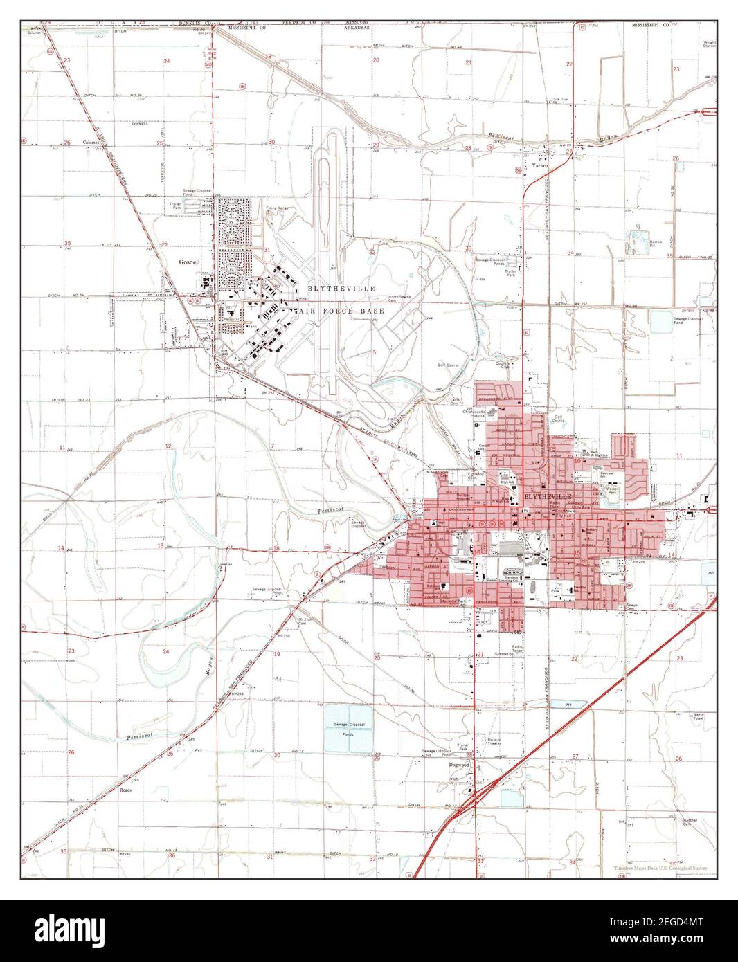 Blytheville, Arkansas, map 1972, 1:24000, United States of America by Timeless Maps, data U.S. Geological Survey Stock Photohttps://www.alamy.com/image-license-details/?v=1https://www.alamy.com/blytheville-arkansas-map-1972-124000-united-states-of-america-by-timeless-maps-data-us-geological-survey-image405962056.html
RM2EGD4MT–Blytheville, Arkansas, map 1972, 1:24000, United States of America by Timeless Maps, data U.S. Geological Survey
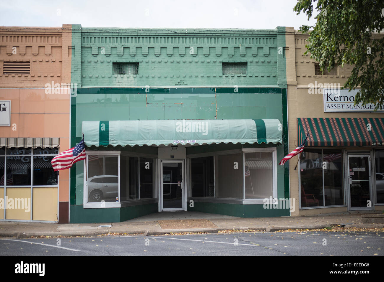 Blythville Arkansas,Turn of the century storefronts Stock Photohttps://www.alamy.com/image-license-details/?v=1https://www.alamy.com/stock-photo-blythville-arkansasturn-of-the-century-storefronts-77764632.html
RMEEEDG8–Blythville Arkansas,Turn of the century storefronts
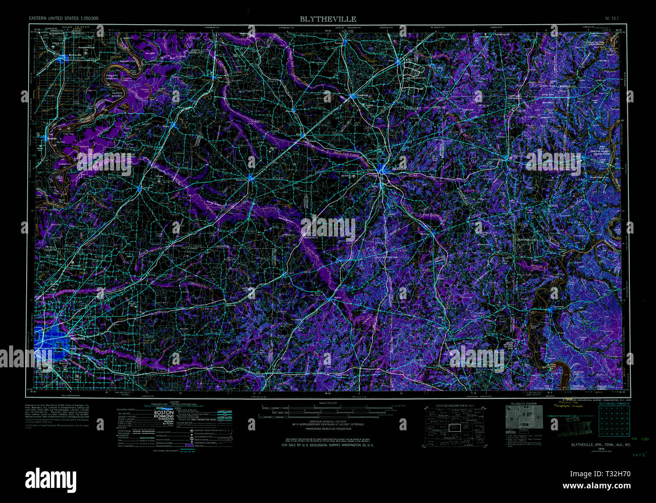 USGS TOPO Map Arkansas AR Blytheville 260579 1956 250000 Inverted Restoration Stock Photohttps://www.alamy.com/image-license-details/?v=1https://www.alamy.com/usgs-topo-map-arkansas-ar-blytheville-260579-1956-250000-inverted-restoration-image242846548.html
RMT32H70–USGS TOPO Map Arkansas AR Blytheville 260579 1956 250000 Inverted Restoration
 Sanborn Fire Insurance Map from Blytheville, Mississippi County, Arkansas. Stock Photohttps://www.alamy.com/image-license-details/?v=1https://www.alamy.com/sanborn-fire-insurance-map-from-blytheville-mississippi-county-arkansas-image456305215.html
RM2HEADXR–Sanborn Fire Insurance Map from Blytheville, Mississippi County, Arkansas.
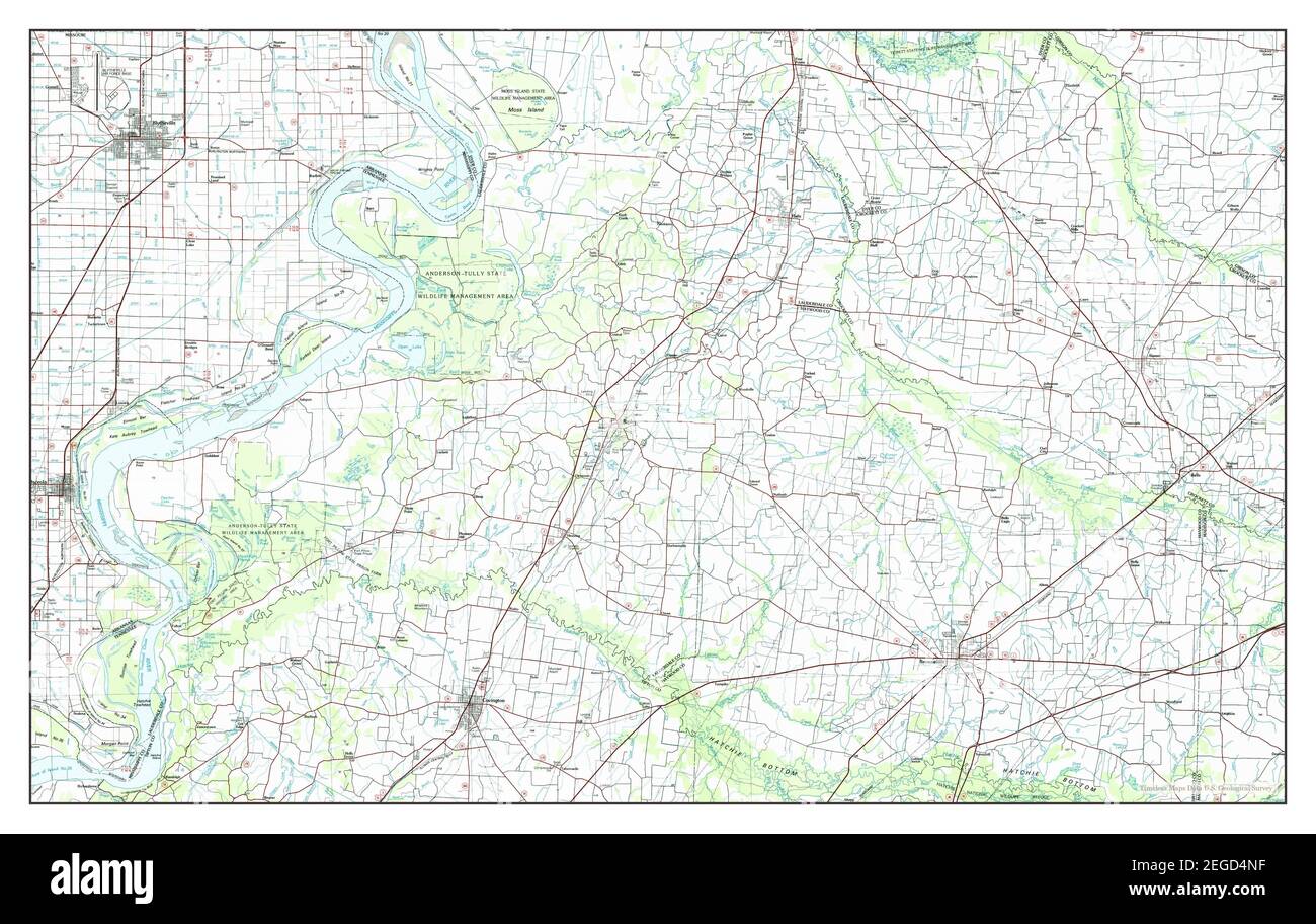 Blytheville, Arkansas, map 1986, 1:100000, United States of America by Timeless Maps, data U.S. Geological Survey Stock Photohttps://www.alamy.com/image-license-details/?v=1https://www.alamy.com/blytheville-arkansas-map-1986-1100000-united-states-of-america-by-timeless-maps-data-us-geological-survey-image405962075.html
RM2EGD4NF–Blytheville, Arkansas, map 1986, 1:100000, United States of America by Timeless Maps, data U.S. Geological Survey
 Blythville Arkansas, large farming operations Stock Photohttps://www.alamy.com/image-license-details/?v=1https://www.alamy.com/stock-photo-blythville-arkansas-large-farming-operations-77762416.html
RMEEEAN4–Blythville Arkansas, large farming operations
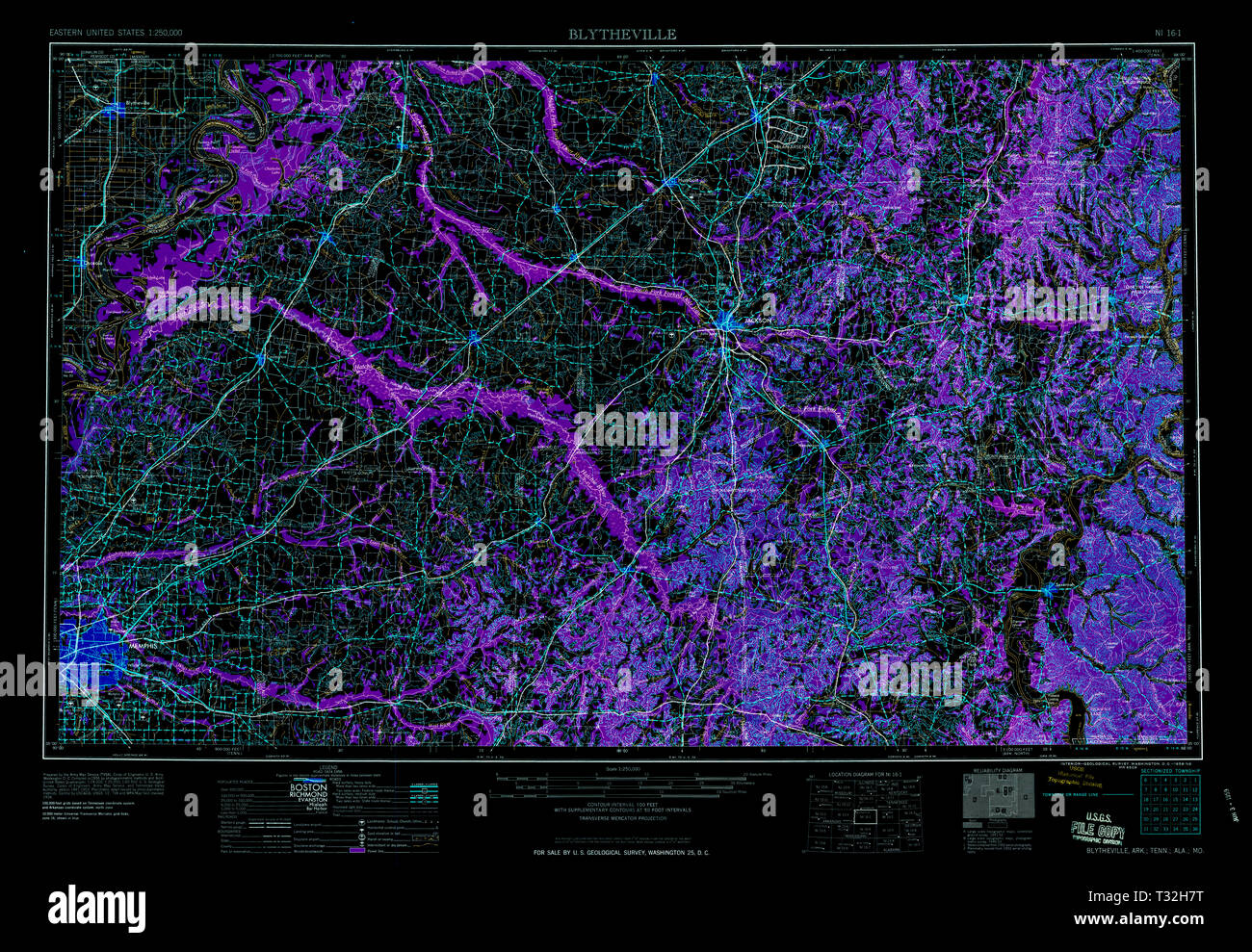 USGS TOPO Map Arkansas AR Blytheville 260581 1959 250000 Inverted Restoration Stock Photohttps://www.alamy.com/image-license-details/?v=1https://www.alamy.com/usgs-topo-map-arkansas-ar-blytheville-260581-1959-250000-inverted-restoration-image242846572.html
RMT32H7T–USGS TOPO Map Arkansas AR Blytheville 260581 1959 250000 Inverted Restoration
 Sanborn Fire Insurance Map from Blytheville, Mississippi County, Arkansas. Stock Photohttps://www.alamy.com/image-license-details/?v=1https://www.alamy.com/sanborn-fire-insurance-map-from-blytheville-mississippi-county-arkansas-image456305214.html
RM2HEADXP–Sanborn Fire Insurance Map from Blytheville, Mississippi County, Arkansas.