Quick filters:
Bracknell map Stock Photos and Images
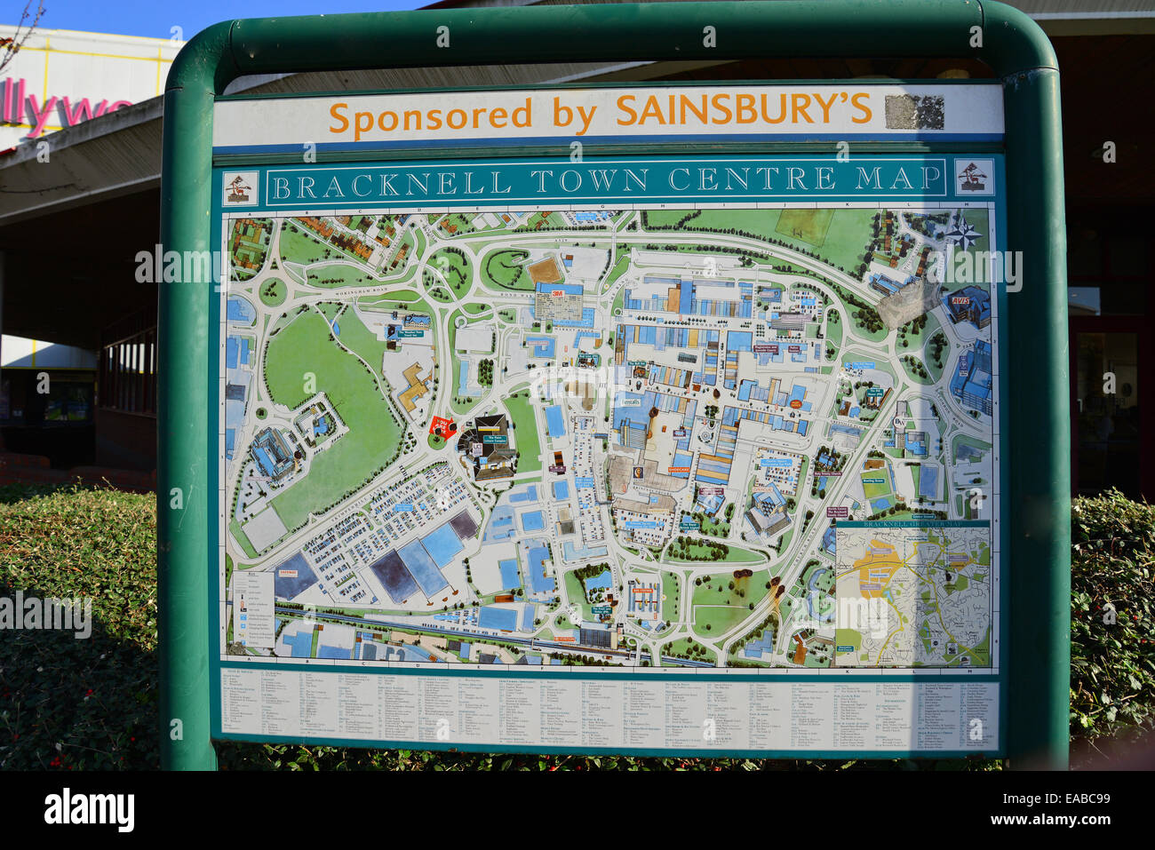 Bracknell town centre map, Skimped Hill Lane, Bracknell, Berkshire, England, United Kingdom Stock Photohttps://www.alamy.com/image-license-details/?v=1https://www.alamy.com/stock-photo-bracknell-town-centre-map-skimped-hill-lane-bracknell-berkshire-england-75239173.html
RMEABC99–Bracknell town centre map, Skimped Hill Lane, Bracknell, Berkshire, England, United Kingdom
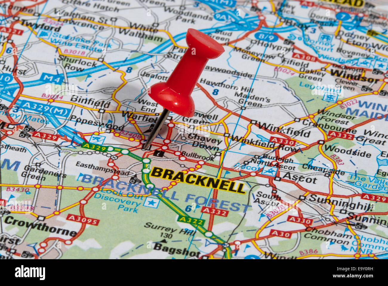 red map pin in road map pointing to city of Bracknell Stock Photohttps://www.alamy.com/image-license-details/?v=1https://www.alamy.com/stock-photo-red-map-pin-in-road-map-pointing-to-city-of-bracknell-74966741.html
RME9Y0RH–red map pin in road map pointing to city of Bracknell
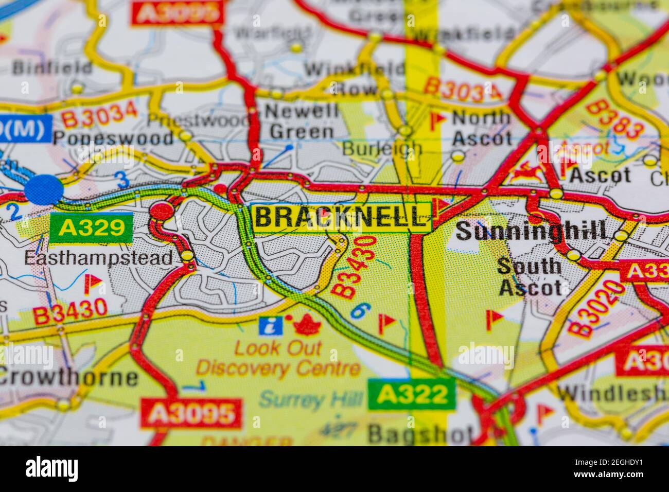 Bracknell and surrounding areas shown on a road map or geography map Stock Photohttps://www.alamy.com/image-license-details/?v=1https://www.alamy.com/bracknell-and-surrounding-areas-shown-on-a-road-map-or-geography-map-image406057093.html
RM2EGHDY1–Bracknell and surrounding areas shown on a road map or geography map
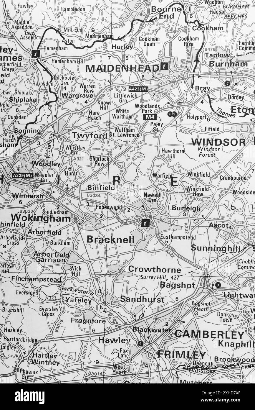 Map of Berkshire Stock Photohttps://www.alamy.com/image-license-details/?v=1https://www.alamy.com/map-of-berkshire-image613103639.html
RM2XHD7XF–Map of Berkshire
 A forest fire burns out of control in Swinley Forest, Bracknell, Berkshire Stock Photohttps://www.alamy.com/image-license-details/?v=1https://www.alamy.com/stock-photo-a-forest-fire-burns-out-of-control-in-swinley-forest-bracknell-berkshire-37557652.html
RMC52W4M–A forest fire burns out of control in Swinley Forest, Bracknell, Berkshire
 Bracknell, Meander Valley, AU, Australia, Tasmania, S 41 38' 59'', N 146 56' 18'', map, Cartascapes Map published in 2024. Explore Cartascapes, a map revealing Earth's diverse landscapes, cultures, and ecosystems. Journey through time and space, discovering the interconnectedness of our planet's past, present, and future. Stock Photohttps://www.alamy.com/image-license-details/?v=1https://www.alamy.com/bracknell-meander-valley-au-australia-tasmania-s-41-38-59-n-146-56-18-map-cartascapes-map-published-in-2024-explore-cartascapes-a-map-revealing-earths-diverse-landscapes-cultures-and-ecosystems-journey-through-time-and-space-discovering-the-interconnectedness-of-our-planets-past-present-and-future-image625609345.html
RM2Y9PY2W–Bracknell, Meander Valley, AU, Australia, Tasmania, S 41 38' 59'', N 146 56' 18'', map, Cartascapes Map published in 2024. Explore Cartascapes, a map revealing Earth's diverse landscapes, cultures, and ecosystems. Journey through time and space, discovering the interconnectedness of our planet's past, present, and future.
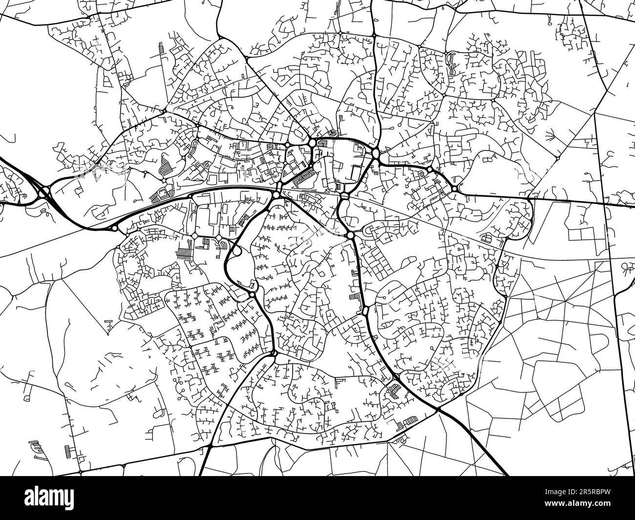 Road map of the city of Bracknell in the United Kingdom on a white background. Stock Photohttps://www.alamy.com/image-license-details/?v=1https://www.alamy.com/road-map-of-the-city-of-bracknell-in-the-united-kingdom-on-a-white-background-image554319217.html
RF2R5RBPW–Road map of the city of Bracknell in the United Kingdom on a white background.
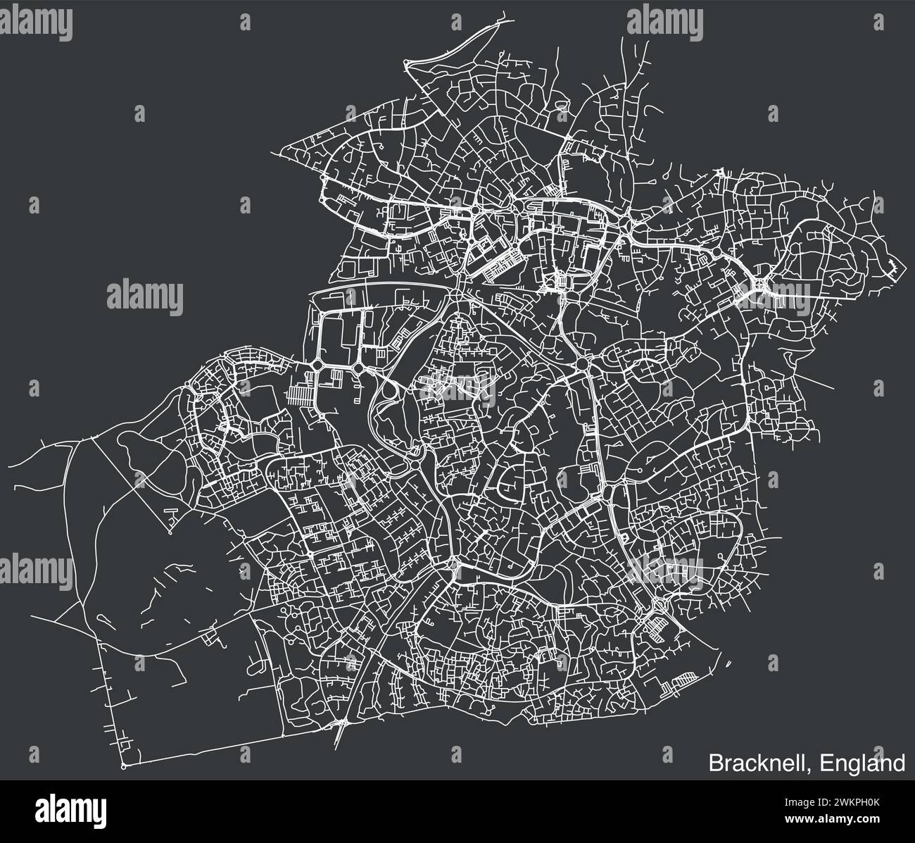 Street roads map of the British city of BRACKNELL, ENGLAND Stock Vectorhttps://www.alamy.com/image-license-details/?v=1https://www.alamy.com/street-roads-map-of-the-british-city-of-bracknell-england-image597327267.html
RF2WKPH0K–Street roads map of the British city of BRACKNELL, ENGLAND
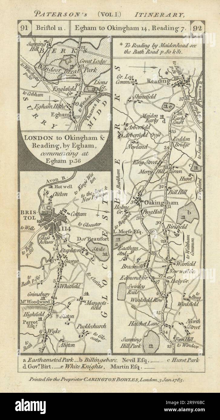 Wick-Bristol Egham-Bracknell-Wokingham-Reading road strip map PATERSON 1785 Stock Photohttps://www.alamy.com/image-license-details/?v=1https://www.alamy.com/wick-bristol-egham-bracknell-wokingham-reading-road-strip-map-paterson-1785-image556861408.html
RF2R9Y6BC–Wick-Bristol Egham-Bracknell-Wokingham-Reading road strip map PATERSON 1785
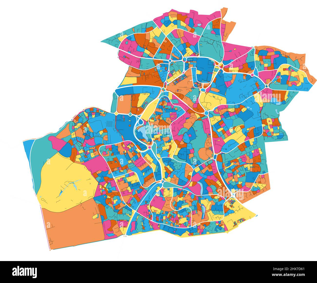 Bracknell, South East England, England colorful high resolution vector art map with city boundaries. White outlines for main roads. Many details. Blue Stock Vectorhttps://www.alamy.com/image-license-details/?v=1https://www.alamy.com/bracknell-south-east-england-england-colorful-high-resolution-vector-art-map-with-city-boundaries-white-outlines-for-main-roads-many-details-blue-image463614649.html
RF2HX7D61–Bracknell, South East England, England colorful high resolution vector art map with city boundaries. White outlines for main roads. Many details. Blue
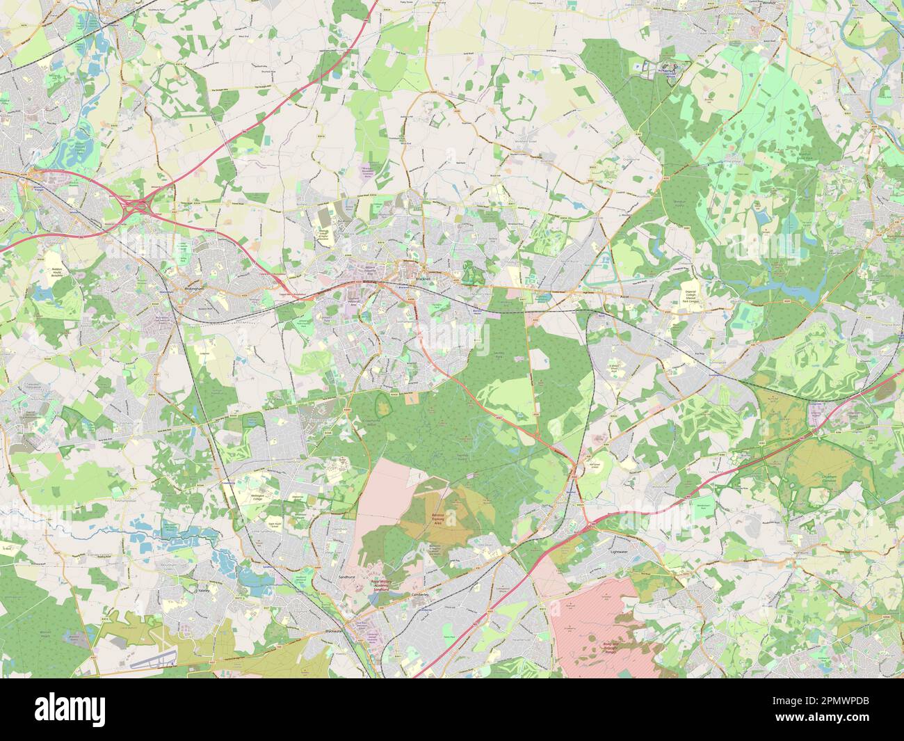 Bracknell Forest, administrative county of England - Great Britain. Open Street Map Stock Photohttps://www.alamy.com/image-license-details/?v=1https://www.alamy.com/bracknell-forest-administrative-county-of-england-great-britain-open-street-map-image546380951.html
RF2PMWPDB–Bracknell Forest, administrative county of England - Great Britain. Open Street Map
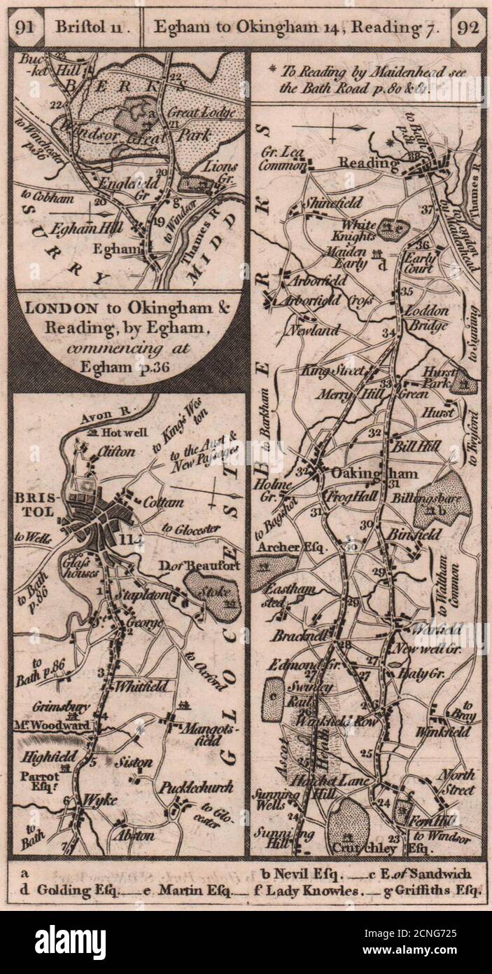 Wick-Bristol Egham-Bracknell-Wokingham-Reading road strip map PATERSON 1803 Stock Photohttps://www.alamy.com/image-license-details/?v=1https://www.alamy.com/wick-bristol-egham-bracknell-wokingham-reading-road-strip-map-paterson-1803-image374682285.html
RF2CNG725–Wick-Bristol Egham-Bracknell-Wokingham-Reading road strip map PATERSON 1803
 Bracknell Forest blank outline map set Stock Vectorhttps://www.alamy.com/image-license-details/?v=1https://www.alamy.com/bracknell-forest-blank-outline-map-set-image620917299.html
RF2Y2569R–Bracknell Forest blank outline map set
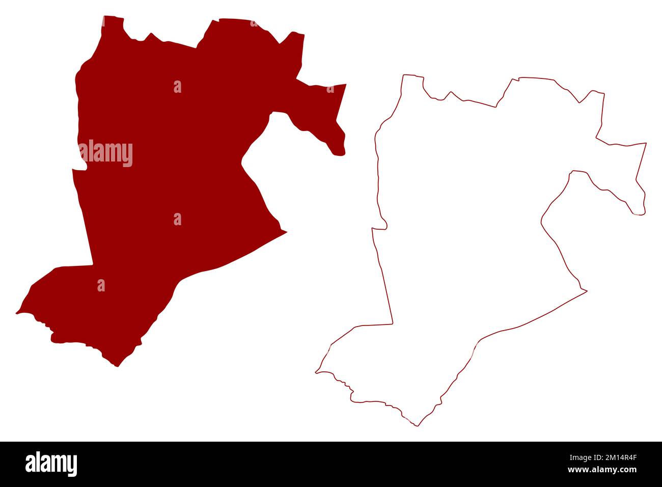 Borough and unitary authority of Bracknell Forest (United Kingdom of Great Britain and Northern Ireland, ceremonial county Berkshire, Berks, England) Stock Vectorhttps://www.alamy.com/image-license-details/?v=1https://www.alamy.com/borough-and-unitary-authority-of-bracknell-forest-united-kingdom-of-great-britain-and-northern-ireland-ceremonial-county-berkshire-berks-england-image499821295.html
RF2M14R4F–Borough and unitary authority of Bracknell Forest (United Kingdom of Great Britain and Northern Ireland, ceremonial county Berkshire, Berks, England)
 Bracknell, Meander Valley, AU, Australia, Tasmania, S 41 38' 59'', N 146 56' 18'', map, Cartascapes Map published in 2024. Explore Cartascapes, a map revealing Earth's diverse landscapes, cultures, and ecosystems. Journey through time and space, discovering the interconnectedness of our planet's past, present, and future. Stock Photohttps://www.alamy.com/image-license-details/?v=1https://www.alamy.com/bracknell-meander-valley-au-australia-tasmania-s-41-38-59-n-146-56-18-map-cartascapes-map-published-in-2024-explore-cartascapes-a-map-revealing-earths-diverse-landscapes-cultures-and-ecosystems-journey-through-time-and-space-discovering-the-interconnectedness-of-our-planets-past-present-and-future-image625601389.html
RM2Y9PGXN–Bracknell, Meander Valley, AU, Australia, Tasmania, S 41 38' 59'', N 146 56' 18'', map, Cartascapes Map published in 2024. Explore Cartascapes, a map revealing Earth's diverse landscapes, cultures, and ecosystems. Journey through time and space, discovering the interconnectedness of our planet's past, present, and future.
 Street roads map of the British city of BRACKNELL, ENGLAND Stock Vectorhttps://www.alamy.com/image-license-details/?v=1https://www.alamy.com/street-roads-map-of-the-british-city-of-bracknell-england-image597326753.html
RF2WKPGA9–Street roads map of the British city of BRACKNELL, ENGLAND
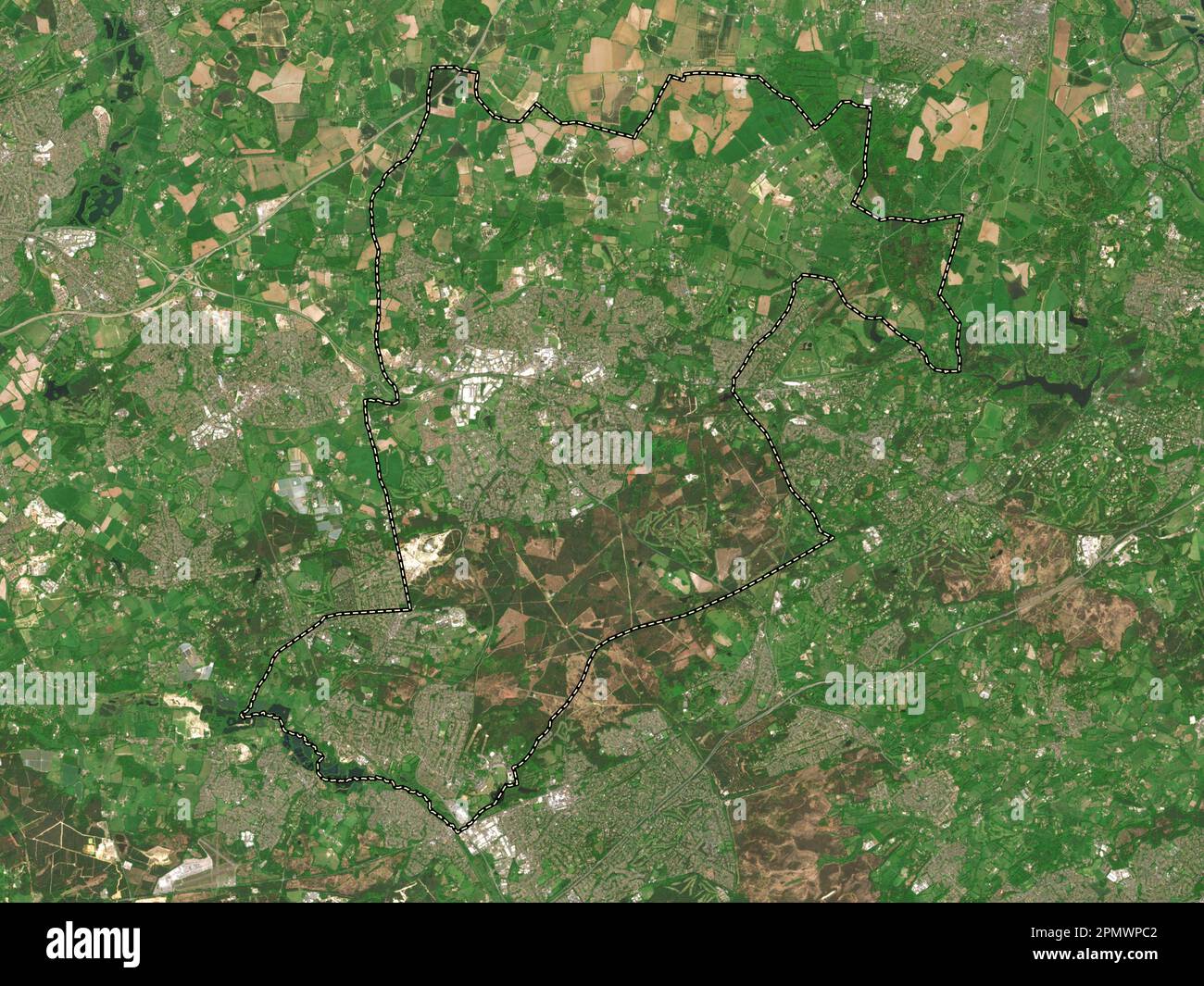 Bracknell Forest, administrative county of England - Great Britain. Low resolution satellite map Stock Photohttps://www.alamy.com/image-license-details/?v=1https://www.alamy.com/bracknell-forest-administrative-county-of-england-great-britain-low-resolution-satellite-map-image546380914.html
RF2PMWPC2–Bracknell Forest, administrative county of England - Great Britain. Low resolution satellite map
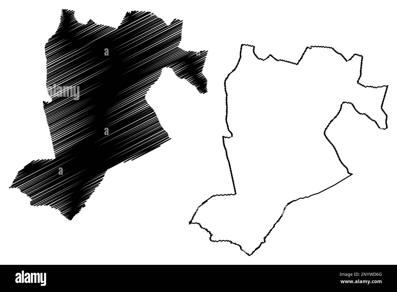 Borough and unitary authority of Bracknell Forest (United Kingdom of Great Britain and Northern Ireland, ceremonial county Berkshire, Berks, England) Stock Vectorhttps://www.alamy.com/image-license-details/?v=1https://www.alamy.com/borough-and-unitary-authority-of-bracknell-forest-united-kingdom-of-great-britain-and-northern-ireland-ceremonial-county-berkshire-berks-england-image533465928.html
RF2NYWD6G–Borough and unitary authority of Bracknell Forest (United Kingdom of Great Britain and Northern Ireland, ceremonial county Berkshire, Berks, England)
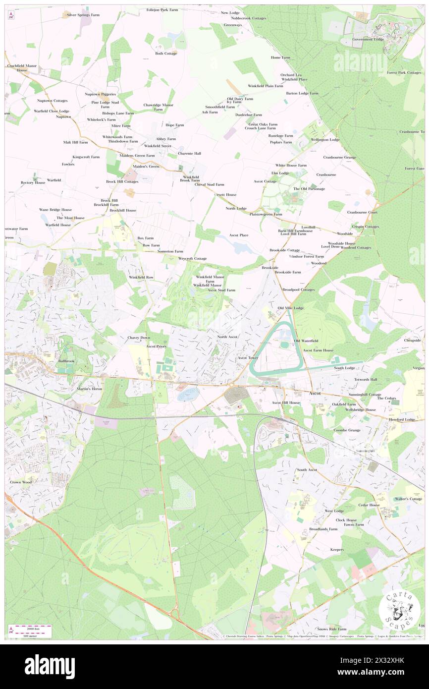 Winkfield, Bracknell Forest, GB, United Kingdom, England, N 51 25' 14'', S 0 41' 31'', map, Cartascapes Map published in 2024. Explore Cartascapes, a map revealing Earth's diverse landscapes, cultures, and ecosystems. Journey through time and space, discovering the interconnectedness of our planet's past, present, and future. Stock Photohttps://www.alamy.com/image-license-details/?v=1https://www.alamy.com/winkfield-bracknell-forest-gb-united-kingdom-england-n-51-25-14-s-0-41-31-map-cartascapes-map-published-in-2024-explore-cartascapes-a-map-revealing-earths-diverse-landscapes-cultures-and-ecosystems-journey-through-time-and-space-discovering-the-interconnectedness-of-our-planets-past-present-and-future-image604271631.html
RM2X32XHK–Winkfield, Bracknell Forest, GB, United Kingdom, England, N 51 25' 14'', S 0 41' 31'', map, Cartascapes Map published in 2024. Explore Cartascapes, a map revealing Earth's diverse landscapes, cultures, and ecosystems. Journey through time and space, discovering the interconnectedness of our planet's past, present, and future.
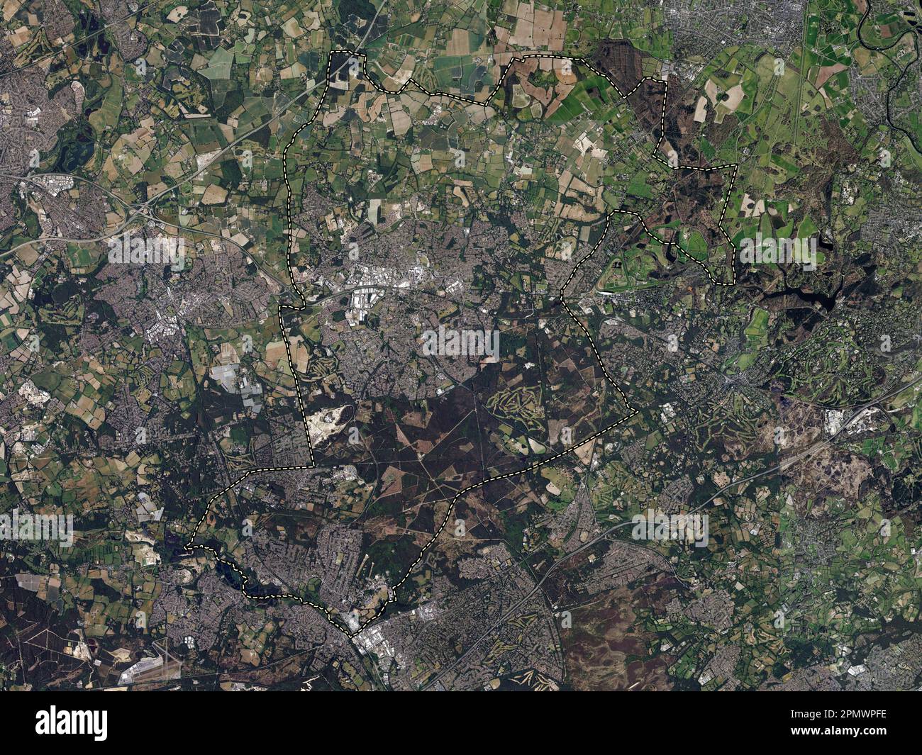 Bracknell Forest, administrative county of England - Great Britain. High resolution satellite map Stock Photohttps://www.alamy.com/image-license-details/?v=1https://www.alamy.com/bracknell-forest-administrative-county-of-england-great-britain-high-resolution-satellite-map-image546381010.html
RF2PMWPFE–Bracknell Forest, administrative county of England - Great Britain. High resolution satellite map
 Borough and unitary authority of Bracknell Forest (United Kingdom of Great Britain and Northern Ireland, ceremonial county Berkshire, Berks, England) Stock Vectorhttps://www.alamy.com/image-license-details/?v=1https://www.alamy.com/borough-and-unitary-authority-of-bracknell-forest-united-kingdom-of-great-britain-and-northern-ireland-ceremonial-county-berkshire-berks-england-image555821776.html
RF2R87T9M–Borough and unitary authority of Bracknell Forest (United Kingdom of Great Britain and Northern Ireland, ceremonial county Berkshire, Berks, England)
 Crowthorne, Bracknell Forest, GB, United Kingdom, England, N 51 22' 30'', S 0 46' 24'', map, Cartascapes Map published in 2024. Explore Cartascapes, a map revealing Earth's diverse landscapes, cultures, and ecosystems. Journey through time and space, discovering the interconnectedness of our planet's past, present, and future. Stock Photohttps://www.alamy.com/image-license-details/?v=1https://www.alamy.com/crowthorne-bracknell-forest-gb-united-kingdom-england-n-51-22-30-s-0-46-24-map-cartascapes-map-published-in-2024-explore-cartascapes-a-map-revealing-earths-diverse-landscapes-cultures-and-ecosystems-journey-through-time-and-space-discovering-the-interconnectedness-of-our-planets-past-present-and-future-image604240271.html
RM2X31EHK–Crowthorne, Bracknell Forest, GB, United Kingdom, England, N 51 22' 30'', S 0 46' 24'', map, Cartascapes Map published in 2024. Explore Cartascapes, a map revealing Earth's diverse landscapes, cultures, and ecosystems. Journey through time and space, discovering the interconnectedness of our planet's past, present, and future.
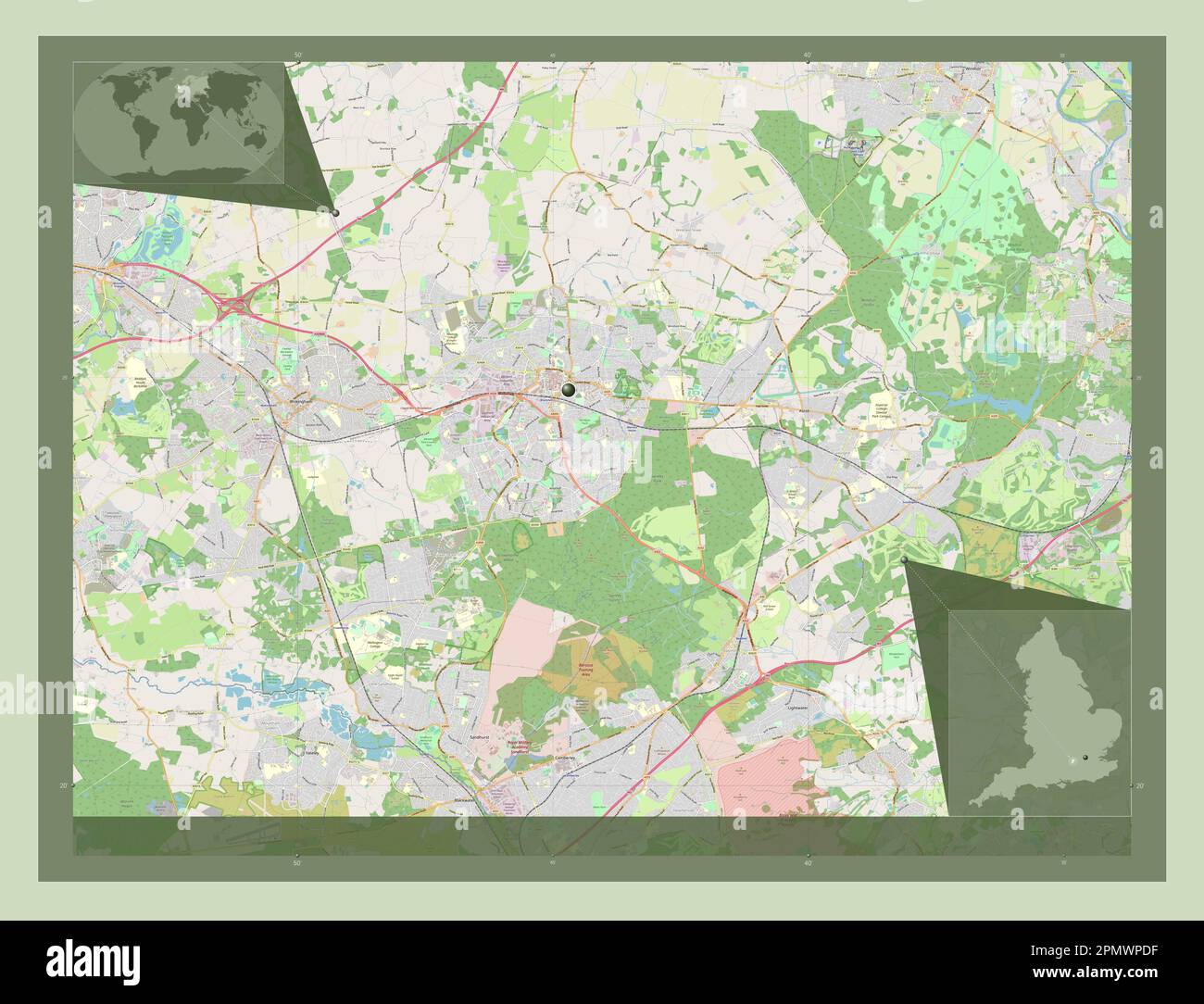 Bracknell Forest, administrative county of England - Great Britain. Open Street Map. Corner auxiliary location maps Stock Photohttps://www.alamy.com/image-license-details/?v=1https://www.alamy.com/bracknell-forest-administrative-county-of-england-great-britain-open-street-map-corner-auxiliary-location-maps-image546380955.html
RF2PMWPDF–Bracknell Forest, administrative county of England - Great Britain. Open Street Map. Corner auxiliary location maps
 Binfield, Bracknell Forest, GB, United Kingdom, England, N 51 25' 53'', S 0 47' 17'', map, Cartascapes Map published in 2024. Explore Cartascapes, a map revealing Earth's diverse landscapes, cultures, and ecosystems. Journey through time and space, discovering the interconnectedness of our planet's past, present, and future. Stock Photohttps://www.alamy.com/image-license-details/?v=1https://www.alamy.com/binfield-bracknell-forest-gb-united-kingdom-england-n-51-25-53-s-0-47-17-map-cartascapes-map-published-in-2024-explore-cartascapes-a-map-revealing-earths-diverse-landscapes-cultures-and-ecosystems-journey-through-time-and-space-discovering-the-interconnectedness-of-our-planets-past-present-and-future-image604182720.html
RM2X2XW68–Binfield, Bracknell Forest, GB, United Kingdom, England, N 51 25' 53'', S 0 47' 17'', map, Cartascapes Map published in 2024. Explore Cartascapes, a map revealing Earth's diverse landscapes, cultures, and ecosystems. Journey through time and space, discovering the interconnectedness of our planet's past, present, and future.
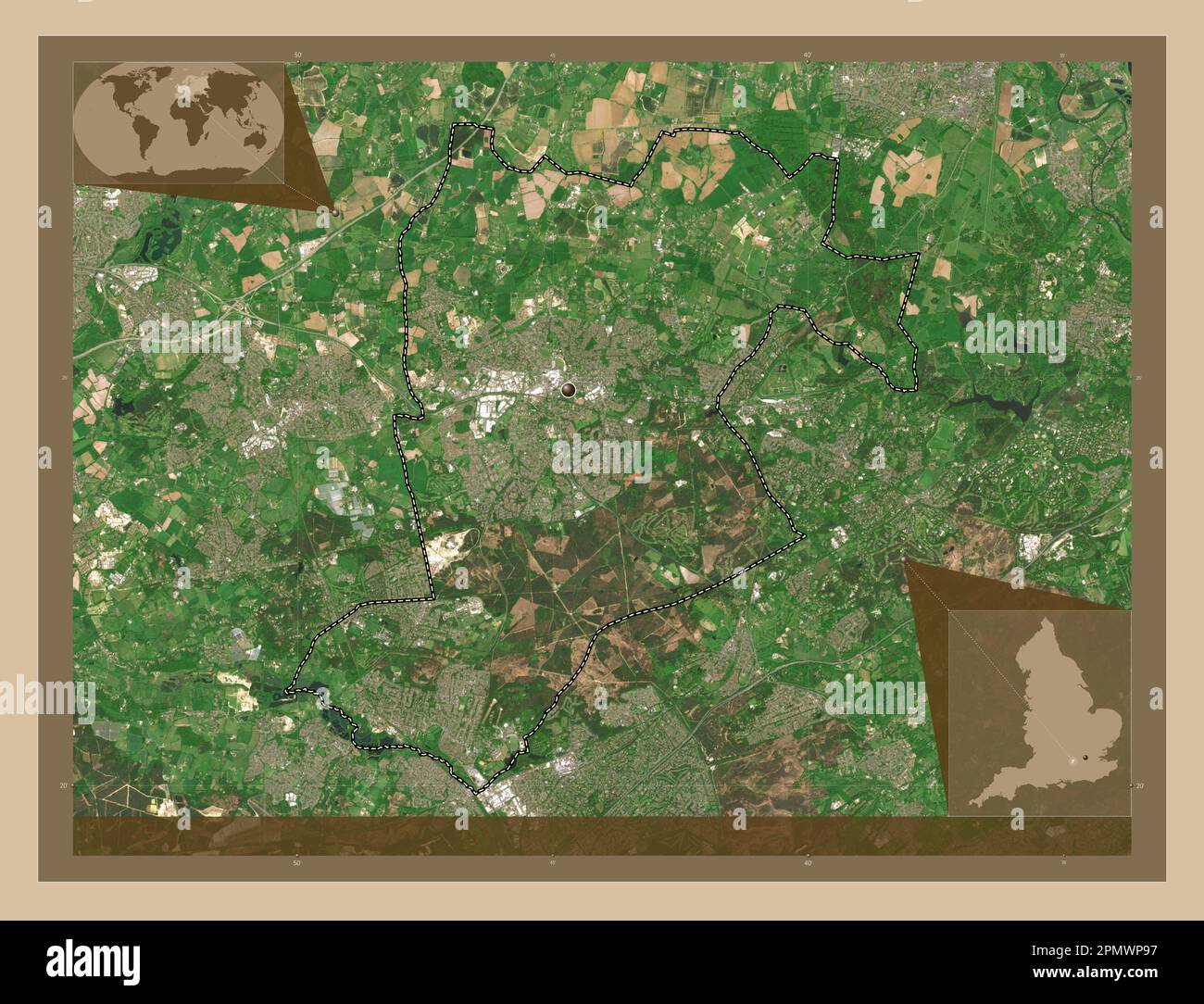 Bracknell Forest, administrative county of England - Great Britain. Low resolution satellite map. Corner auxiliary location maps Stock Photohttps://www.alamy.com/image-license-details/?v=1https://www.alamy.com/bracknell-forest-administrative-county-of-england-great-britain-low-resolution-satellite-map-corner-auxiliary-location-maps-image546380835.html
RF2PMWP97–Bracknell Forest, administrative county of England - Great Britain. Low resolution satellite map. Corner auxiliary location maps
 Warfield, Bracknell Forest, GB, United Kingdom, England, N 51 26' 26'', S 0 44' 28'', map, Cartascapes Map published in 2024. Explore Cartascapes, a map revealing Earth's diverse landscapes, cultures, and ecosystems. Journey through time and space, discovering the interconnectedness of our planet's past, present, and future. Stock Photohttps://www.alamy.com/image-license-details/?v=1https://www.alamy.com/warfield-bracknell-forest-gb-united-kingdom-england-n-51-26-26-s-0-44-28-map-cartascapes-map-published-in-2024-explore-cartascapes-a-map-revealing-earths-diverse-landscapes-cultures-and-ecosystems-journey-through-time-and-space-discovering-the-interconnectedness-of-our-planets-past-present-and-future-image604276924.html
RM2X335AM–Warfield, Bracknell Forest, GB, United Kingdom, England, N 51 26' 26'', S 0 44' 28'', map, Cartascapes Map published in 2024. Explore Cartascapes, a map revealing Earth's diverse landscapes, cultures, and ecosystems. Journey through time and space, discovering the interconnectedness of our planet's past, present, and future.
 Bracknell Forest, administrative county of England - Great Britain. High resolution satellite map. Corner auxiliary location maps Stock Photohttps://www.alamy.com/image-license-details/?v=1https://www.alamy.com/bracknell-forest-administrative-county-of-england-great-britain-high-resolution-satellite-map-corner-auxiliary-location-maps-image546380952.html
RF2PMWPDC–Bracknell Forest, administrative county of England - Great Britain. High resolution satellite map. Corner auxiliary location maps
 Crowthorne, Bracknell Forest, GB, United Kingdom, England, N 51 22' 30'', S 0 46' 24'', map, Cartascapes Map published in 2024. Explore Cartascapes, a map revealing Earth's diverse landscapes, cultures, and ecosystems. Journey through time and space, discovering the interconnectedness of our planet's past, present, and future. Stock Photohttps://www.alamy.com/image-license-details/?v=1https://www.alamy.com/crowthorne-bracknell-forest-gb-united-kingdom-england-n-51-22-30-s-0-46-24-map-cartascapes-map-published-in-2024-explore-cartascapes-a-map-revealing-earths-diverse-landscapes-cultures-and-ecosystems-journey-through-time-and-space-discovering-the-interconnectedness-of-our-planets-past-present-and-future-image604240269.html
RM2X31EHH–Crowthorne, Bracknell Forest, GB, United Kingdom, England, N 51 22' 30'', S 0 46' 24'', map, Cartascapes Map published in 2024. Explore Cartascapes, a map revealing Earth's diverse landscapes, cultures, and ecosystems. Journey through time and space, discovering the interconnectedness of our planet's past, present, and future.
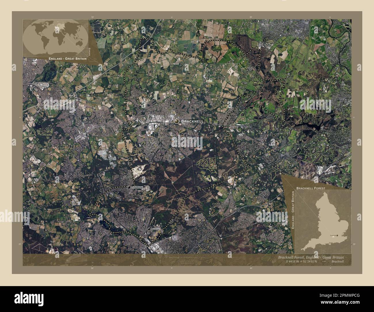 Bracknell Forest, administrative county of England - Great Britain. High resolution satellite map. Locations and names of major cities of the region. Stock Photohttps://www.alamy.com/image-license-details/?v=1https://www.alamy.com/bracknell-forest-administrative-county-of-england-great-britain-high-resolution-satellite-map-locations-and-names-of-major-cities-of-the-region-image546380928.html
RF2PMWPCG–Bracknell Forest, administrative county of England - Great Britain. High resolution satellite map. Locations and names of major cities of the region.
 Warfield, Bracknell Forest, GB, United Kingdom, England, N 51 26' 26'', S 0 44' 28'', map, Cartascapes Map published in 2024. Explore Cartascapes, a map revealing Earth's diverse landscapes, cultures, and ecosystems. Journey through time and space, discovering the interconnectedness of our planet's past, present, and future. Stock Photohttps://www.alamy.com/image-license-details/?v=1https://www.alamy.com/warfield-bracknell-forest-gb-united-kingdom-england-n-51-26-26-s-0-44-28-map-cartascapes-map-published-in-2024-explore-cartascapes-a-map-revealing-earths-diverse-landscapes-cultures-and-ecosystems-journey-through-time-and-space-discovering-the-interconnectedness-of-our-planets-past-present-and-future-image604276948.html
RM2X335BG–Warfield, Bracknell Forest, GB, United Kingdom, England, N 51 26' 26'', S 0 44' 28'', map, Cartascapes Map published in 2024. Explore Cartascapes, a map revealing Earth's diverse landscapes, cultures, and ecosystems. Journey through time and space, discovering the interconnectedness of our planet's past, present, and future.
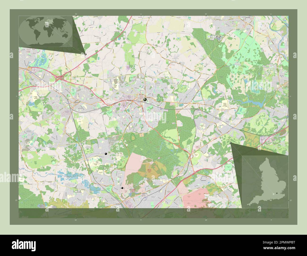 Bracknell Forest, administrative county of England - Great Britain. Open Street Map. Locations of major cities of the region. Corner auxiliary locatio Stock Photohttps://www.alamy.com/image-license-details/?v=1https://www.alamy.com/bracknell-forest-administrative-county-of-england-great-britain-open-street-map-locations-of-major-cities-of-the-region-corner-auxiliary-locatio-image546380908.html
RF2PMWPBT–Bracknell Forest, administrative county of England - Great Britain. Open Street Map. Locations of major cities of the region. Corner auxiliary locatio
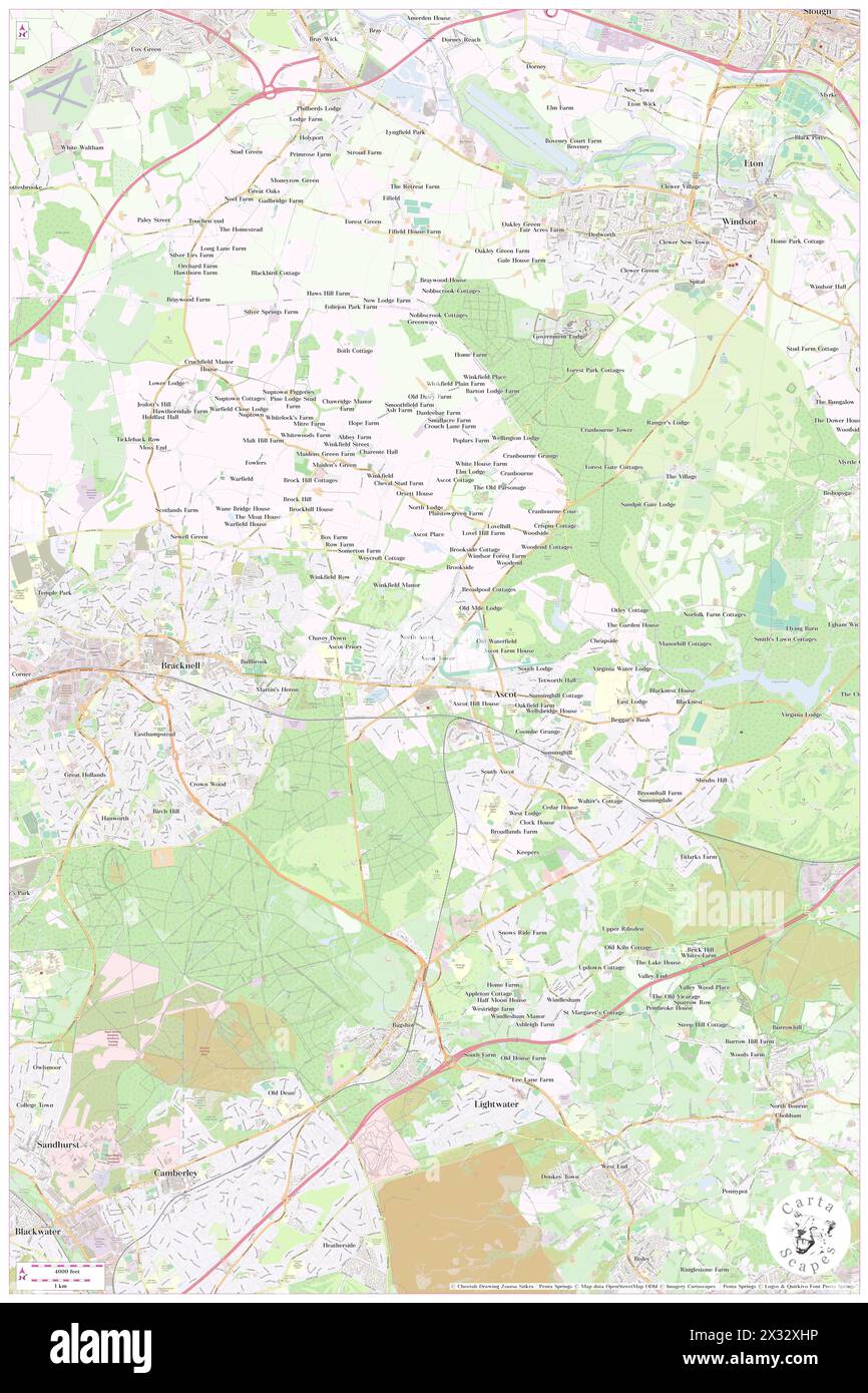 Winkfield, Bracknell Forest, GB, United Kingdom, England, N 51 25' 14'', S 0 41' 31'', map, Cartascapes Map published in 2024. Explore Cartascapes, a map revealing Earth's diverse landscapes, cultures, and ecosystems. Journey through time and space, discovering the interconnectedness of our planet's past, present, and future. Stock Photohttps://www.alamy.com/image-license-details/?v=1https://www.alamy.com/winkfield-bracknell-forest-gb-united-kingdom-england-n-51-25-14-s-0-41-31-map-cartascapes-map-published-in-2024-explore-cartascapes-a-map-revealing-earths-diverse-landscapes-cultures-and-ecosystems-journey-through-time-and-space-discovering-the-interconnectedness-of-our-planets-past-present-and-future-image604271634.html
RM2X32XHP–Winkfield, Bracknell Forest, GB, United Kingdom, England, N 51 25' 14'', S 0 41' 31'', map, Cartascapes Map published in 2024. Explore Cartascapes, a map revealing Earth's diverse landscapes, cultures, and ecosystems. Journey through time and space, discovering the interconnectedness of our planet's past, present, and future.
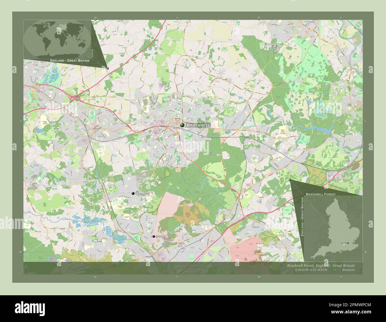 Bracknell Forest, administrative county of England - Great Britain. Open Street Map. Locations and names of major cities of the region. Corner auxilia Stock Photohttps://www.alamy.com/image-license-details/?v=1https://www.alamy.com/bracknell-forest-administrative-county-of-england-great-britain-open-street-map-locations-and-names-of-major-cities-of-the-region-corner-auxilia-image546380932.html
RF2PMWPCM–Bracknell Forest, administrative county of England - Great Britain. Open Street Map. Locations and names of major cities of the region. Corner auxilia
 Bracknell, Bracknell Forest, GB, United Kingdom, England, N 51 24' 21'', S 0 45' 33'', map, Cartascapes Map published in 2024. Explore Cartascapes, a map revealing Earth's diverse landscapes, cultures, and ecosystems. Journey through time and space, discovering the interconnectedness of our planet's past, present, and future. Stock Photohttps://www.alamy.com/image-license-details/?v=1https://www.alamy.com/bracknell-bracknell-forest-gb-united-kingdom-england-n-51-24-21-s-0-45-33-map-cartascapes-map-published-in-2024-explore-cartascapes-a-map-revealing-earths-diverse-landscapes-cultures-and-ecosystems-journey-through-time-and-space-discovering-the-interconnectedness-of-our-planets-past-present-and-future-image604256660.html
RM2X327F0–Bracknell, Bracknell Forest, GB, United Kingdom, England, N 51 24' 21'', S 0 45' 33'', map, Cartascapes Map published in 2024. Explore Cartascapes, a map revealing Earth's diverse landscapes, cultures, and ecosystems. Journey through time and space, discovering the interconnectedness of our planet's past, present, and future.
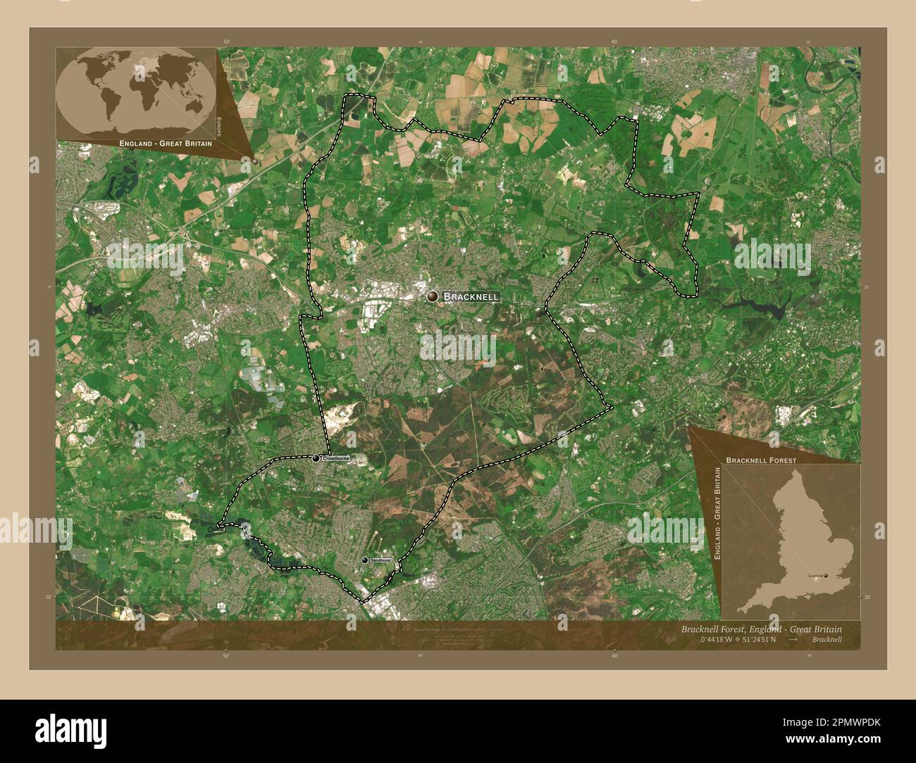 Bracknell Forest, administrative county of England - Great Britain. Low resolution satellite map. Locations and names of major cities of the region. C Stock Photohttps://www.alamy.com/image-license-details/?v=1https://www.alamy.com/bracknell-forest-administrative-county-of-england-great-britain-low-resolution-satellite-map-locations-and-names-of-major-cities-of-the-region-c-image546380959.html
RF2PMWPDK–Bracknell Forest, administrative county of England - Great Britain. Low resolution satellite map. Locations and names of major cities of the region. C
 Bracknell, Bracknell Forest, GB, United Kingdom, England, N 51 24' 49'', S 0 45' 1'', map, Cartascapes Map published in 2024. Explore Cartascapes, a map revealing Earth's diverse landscapes, cultures, and ecosystems. Journey through time and space, discovering the interconnectedness of our planet's past, present, and future. Stock Photohttps://www.alamy.com/image-license-details/?v=1https://www.alamy.com/bracknell-bracknell-forest-gb-united-kingdom-england-n-51-24-49-s-0-45-1-map-cartascapes-map-published-in-2024-explore-cartascapes-a-map-revealing-earths-diverse-landscapes-cultures-and-ecosystems-journey-through-time-and-space-discovering-the-interconnectedness-of-our-planets-past-present-and-future-image604181772.html
RM2X2XT0C–Bracknell, Bracknell Forest, GB, United Kingdom, England, N 51 24' 49'', S 0 45' 1'', map, Cartascapes Map published in 2024. Explore Cartascapes, a map revealing Earth's diverse landscapes, cultures, and ecosystems. Journey through time and space, discovering the interconnectedness of our planet's past, present, and future.
 Bracknell Forest, administrative county of England - Great Britain. High resolution satellite map. Locations of major cities of the region. Corner aux Stock Photohttps://www.alamy.com/image-license-details/?v=1https://www.alamy.com/bracknell-forest-administrative-county-of-england-great-britain-high-resolution-satellite-map-locations-of-major-cities-of-the-region-corner-aux-image546380797.html
RF2PMWP7W–Bracknell Forest, administrative county of England - Great Britain. High resolution satellite map. Locations of major cities of the region. Corner aux
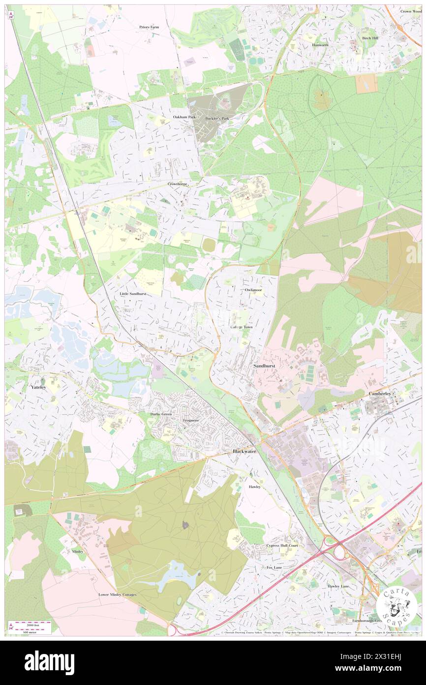 Sandhurst, Bracknell Forest, GB, United Kingdom, England, N 51 21' 1'', S 0 47' 10'', map, Cartascapes Map published in 2024. Explore Cartascapes, a map revealing Earth's diverse landscapes, cultures, and ecosystems. Journey through time and space, discovering the interconnectedness of our planet's past, present, and future. Stock Photohttps://www.alamy.com/image-license-details/?v=1https://www.alamy.com/sandhurst-bracknell-forest-gb-united-kingdom-england-n-51-21-1-s-0-47-10-map-cartascapes-map-published-in-2024-explore-cartascapes-a-map-revealing-earths-diverse-landscapes-cultures-and-ecosystems-journey-through-time-and-space-discovering-the-interconnectedness-of-our-planets-past-present-and-future-image604240270.html
RM2X31EHJ–Sandhurst, Bracknell Forest, GB, United Kingdom, England, N 51 21' 1'', S 0 47' 10'', map, Cartascapes Map published in 2024. Explore Cartascapes, a map revealing Earth's diverse landscapes, cultures, and ecosystems. Journey through time and space, discovering the interconnectedness of our planet's past, present, and future.
 Bracknell Forest, administrative county of England - Great Britain. Low resolution satellite map. Locations of major cities of the region. Corner auxi Stock Photohttps://www.alamy.com/image-license-details/?v=1https://www.alamy.com/bracknell-forest-administrative-county-of-england-great-britain-low-resolution-satellite-map-locations-of-major-cities-of-the-region-corner-auxi-image546380837.html
RF2PMWP99–Bracknell Forest, administrative county of England - Great Britain. Low resolution satellite map. Locations of major cities of the region. Corner auxi
 Bracknell, Bracknell Forest, GB, United Kingdom, England, N 51 24' 21'', S 0 45' 33'', map, Cartascapes Map published in 2024. Explore Cartascapes, a map revealing Earth's diverse landscapes, cultures, and ecosystems. Journey through time and space, discovering the interconnectedness of our planet's past, present, and future. Stock Photohttps://www.alamy.com/image-license-details/?v=1https://www.alamy.com/bracknell-bracknell-forest-gb-united-kingdom-england-n-51-24-21-s-0-45-33-map-cartascapes-map-published-in-2024-explore-cartascapes-a-map-revealing-earths-diverse-landscapes-cultures-and-ecosystems-journey-through-time-and-space-discovering-the-interconnectedness-of-our-planets-past-present-and-future-image604256663.html
RM2X327F3–Bracknell, Bracknell Forest, GB, United Kingdom, England, N 51 24' 21'', S 0 45' 33'', map, Cartascapes Map published in 2024. Explore Cartascapes, a map revealing Earth's diverse landscapes, cultures, and ecosystems. Journey through time and space, discovering the interconnectedness of our planet's past, present, and future.
 Bracknell Forest, administrative county of England - Great Britain. Solid color shape Stock Photohttps://www.alamy.com/image-license-details/?v=1https://www.alamy.com/bracknell-forest-administrative-county-of-england-great-britain-solid-color-shape-image546380876.html
RF2PMWPAM–Bracknell Forest, administrative county of England - Great Britain. Solid color shape
 Bracknell, Bracknell Forest, GB, United Kingdom, England, N 51 24' 49'', S 0 45' 1'', map, Cartascapes Map published in 2024. Explore Cartascapes, a map revealing Earth's diverse landscapes, cultures, and ecosystems. Journey through time and space, discovering the interconnectedness of our planet's past, present, and future. Stock Photohttps://www.alamy.com/image-license-details/?v=1https://www.alamy.com/bracknell-bracknell-forest-gb-united-kingdom-england-n-51-24-49-s-0-45-1-map-cartascapes-map-published-in-2024-explore-cartascapes-a-map-revealing-earths-diverse-landscapes-cultures-and-ecosystems-journey-through-time-and-space-discovering-the-interconnectedness-of-our-planets-past-present-and-future-image604181790.html
RM2X2XT12–Bracknell, Bracknell Forest, GB, United Kingdom, England, N 51 24' 49'', S 0 45' 1'', map, Cartascapes Map published in 2024. Explore Cartascapes, a map revealing Earth's diverse landscapes, cultures, and ecosystems. Journey through time and space, discovering the interconnectedness of our planet's past, present, and future.
 Bracknell Forest, administrative county of England - Great Britain. Solid color shape. Corner auxiliary location maps Stock Photohttps://www.alamy.com/image-license-details/?v=1https://www.alamy.com/bracknell-forest-administrative-county-of-england-great-britain-solid-color-shape-corner-auxiliary-location-maps-image546380878.html
RF2PMWPAP–Bracknell Forest, administrative county of England - Great Britain. Solid color shape. Corner auxiliary location maps
 Sandhurst, Bracknell Forest, GB, United Kingdom, England, N 51 21' 1'', S 0 47' 10'', map, Cartascapes Map published in 2024. Explore Cartascapes, a map revealing Earth's diverse landscapes, cultures, and ecosystems. Journey through time and space, discovering the interconnectedness of our planet's past, present, and future. Stock Photohttps://www.alamy.com/image-license-details/?v=1https://www.alamy.com/sandhurst-bracknell-forest-gb-united-kingdom-england-n-51-21-1-s-0-47-10-map-cartascapes-map-published-in-2024-explore-cartascapes-a-map-revealing-earths-diverse-landscapes-cultures-and-ecosystems-journey-through-time-and-space-discovering-the-interconnectedness-of-our-planets-past-present-and-future-image604240274.html
RM2X31EHP–Sandhurst, Bracknell Forest, GB, United Kingdom, England, N 51 21' 1'', S 0 47' 10'', map, Cartascapes Map published in 2024. Explore Cartascapes, a map revealing Earth's diverse landscapes, cultures, and ecosystems. Journey through time and space, discovering the interconnectedness of our planet's past, present, and future.
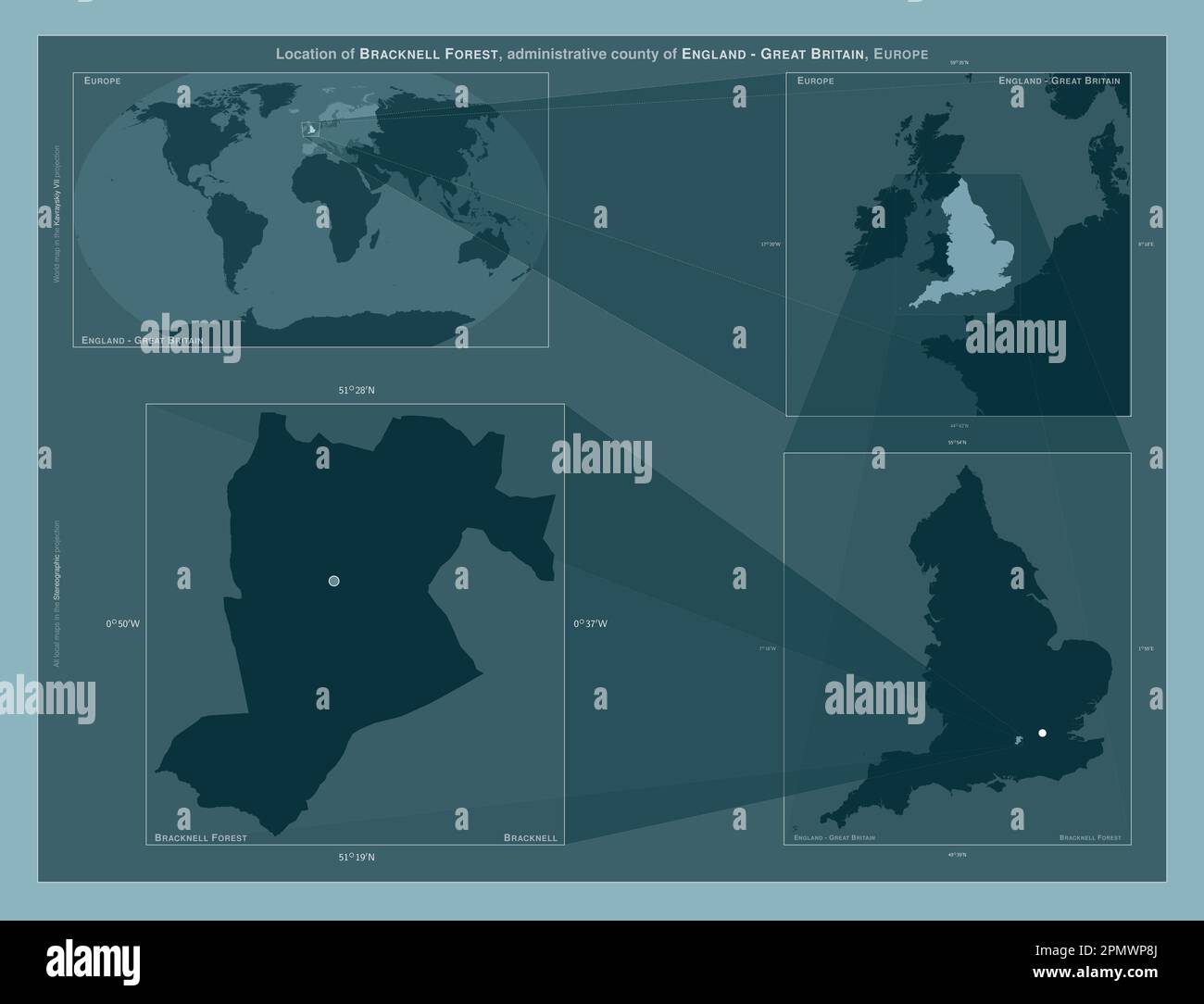 Bracknell Forest, administrative county of England - Great Britain. Diagram showing the location of the region on larger-scale maps. Composition of ve Stock Photohttps://www.alamy.com/image-license-details/?v=1https://www.alamy.com/bracknell-forest-administrative-county-of-england-great-britain-diagram-showing-the-location-of-the-region-on-larger-scale-maps-composition-of-ve-image546380818.html
RF2PMWP8J–Bracknell Forest, administrative county of England - Great Britain. Diagram showing the location of the region on larger-scale maps. Composition of ve
 Binfield, Bracknell Forest, GB, United Kingdom, England, N 51 25' 53'', S 0 47' 17'', map, Cartascapes Map published in 2024. Explore Cartascapes, a map revealing Earth's diverse landscapes, cultures, and ecosystems. Journey through time and space, discovering the interconnectedness of our planet's past, present, and future. Stock Photohttps://www.alamy.com/image-license-details/?v=1https://www.alamy.com/binfield-bracknell-forest-gb-united-kingdom-england-n-51-25-53-s-0-47-17-map-cartascapes-map-published-in-2024-explore-cartascapes-a-map-revealing-earths-diverse-landscapes-cultures-and-ecosystems-journey-through-time-and-space-discovering-the-interconnectedness-of-our-planets-past-present-and-future-image604182715.html
RM2X2XW63–Binfield, Bracknell Forest, GB, United Kingdom, England, N 51 25' 53'', S 0 47' 17'', map, Cartascapes Map published in 2024. Explore Cartascapes, a map revealing Earth's diverse landscapes, cultures, and ecosystems. Journey through time and space, discovering the interconnectedness of our planet's past, present, and future.
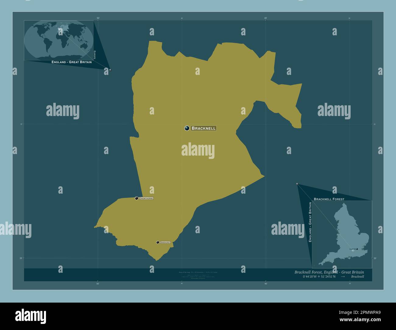 Bracknell Forest, administrative county of England - Great Britain. Solid color shape. Locations and names of major cities of the region. Corner auxil Stock Photohttps://www.alamy.com/image-license-details/?v=1https://www.alamy.com/bracknell-forest-administrative-county-of-england-great-britain-solid-color-shape-locations-and-names-of-major-cities-of-the-region-corner-auxil-image546380865.html
RF2PMWPA9–Bracknell Forest, administrative county of England - Great Britain. Solid color shape. Locations and names of major cities of the region. Corner auxil
 Binfield, Bracknell Forest, GB, United Kingdom, England, N 51 26' 10'', S 0 46' 47'', map, Cartascapes Map published in 2024. Explore Cartascapes, a map revealing Earth's diverse landscapes, cultures, and ecosystems. Journey through time and space, discovering the interconnectedness of our planet's past, present, and future. Stock Photohttps://www.alamy.com/image-license-details/?v=1https://www.alamy.com/binfield-bracknell-forest-gb-united-kingdom-england-n-51-26-10-s-0-46-47-map-cartascapes-map-published-in-2024-explore-cartascapes-a-map-revealing-earths-diverse-landscapes-cultures-and-ecosystems-journey-through-time-and-space-discovering-the-interconnectedness-of-our-planets-past-present-and-future-image604247340.html
RM2X31RJ4–Binfield, Bracknell Forest, GB, United Kingdom, England, N 51 26' 10'', S 0 46' 47'', map, Cartascapes Map published in 2024. Explore Cartascapes, a map revealing Earth's diverse landscapes, cultures, and ecosystems. Journey through time and space, discovering the interconnectedness of our planet's past, present, and future.
 Bracknell Forest, administrative county of England - Great Britain. Solid color shape. Locations of major cities of the region. Corner auxiliary locat Stock Photohttps://www.alamy.com/image-license-details/?v=1https://www.alamy.com/bracknell-forest-administrative-county-of-england-great-britain-solid-color-shape-locations-of-major-cities-of-the-region-corner-auxiliary-locat-image546380862.html
RF2PMWPA6–Bracknell Forest, administrative county of England - Great Britain. Solid color shape. Locations of major cities of the region. Corner auxiliary locat
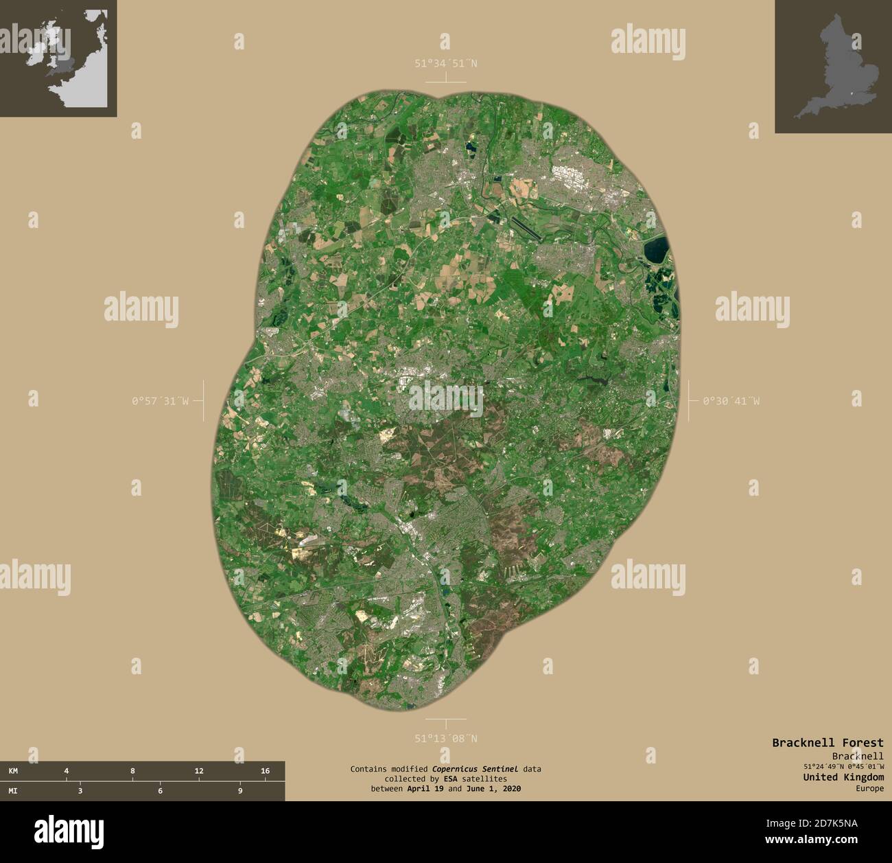 Bracknell Forest, administrative county of United Kingdom. Sentinel-2 satellite imagery. Shape isolated on solid background with informative overlays. Stock Photohttps://www.alamy.com/image-license-details/?v=1https://www.alamy.com/bracknell-forest-administrative-county-of-united-kingdom-sentinel-2-satellite-imagery-shape-isolated-on-solid-background-with-informative-overlays-image383352294.html
RF2D7K5NA–Bracknell Forest, administrative county of United Kingdom. Sentinel-2 satellite imagery. Shape isolated on solid background with informative overlays.
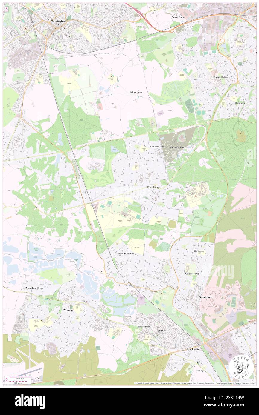 waterloo, Bracknell Forest, GB, United Kingdom, England, N 51 22' 8'', S 0 48' 15'', map, Cartascapes Map published in 2024. Explore Cartascapes, a map revealing Earth's diverse landscapes, cultures, and ecosystems. Journey through time and space, discovering the interconnectedness of our planet's past, present, and future. Stock Photohttps://www.alamy.com/image-license-details/?v=1https://www.alamy.com/waterloo-bracknell-forest-gb-united-kingdom-england-n-51-22-8-s-0-48-15-map-cartascapes-map-published-in-2024-explore-cartascapes-a-map-revealing-earths-diverse-landscapes-cultures-and-ecosystems-journey-through-time-and-space-discovering-the-interconnectedness-of-our-planets-past-present-and-future-image604229721.html
RM2X3114W–waterloo, Bracknell Forest, GB, United Kingdom, England, N 51 22' 8'', S 0 48' 15'', map, Cartascapes Map published in 2024. Explore Cartascapes, a map revealing Earth's diverse landscapes, cultures, and ecosystems. Journey through time and space, discovering the interconnectedness of our planet's past, present, and future.
 Binfield, Bracknell Forest, GB, United Kingdom, England, N 51 26' 10'', S 0 46' 47'', map, Cartascapes Map published in 2024. Explore Cartascapes, a map revealing Earth's diverse landscapes, cultures, and ecosystems. Journey through time and space, discovering the interconnectedness of our planet's past, present, and future. Stock Photohttps://www.alamy.com/image-license-details/?v=1https://www.alamy.com/binfield-bracknell-forest-gb-united-kingdom-england-n-51-26-10-s-0-46-47-map-cartascapes-map-published-in-2024-explore-cartascapes-a-map-revealing-earths-diverse-landscapes-cultures-and-ecosystems-journey-through-time-and-space-discovering-the-interconnectedness-of-our-planets-past-present-and-future-image604247355.html
RM2X31RJK–Binfield, Bracknell Forest, GB, United Kingdom, England, N 51 26' 10'', S 0 46' 47'', map, Cartascapes Map published in 2024. Explore Cartascapes, a map revealing Earth's diverse landscapes, cultures, and ecosystems. Journey through time and space, discovering the interconnectedness of our planet's past, present, and future.
 Bracknell Forest, Bracknell Forest, GB, United Kingdom, England, N 51 25' 0'', S 0 45' 0'', map, Cartascapes Map published in 2024. Explore Cartascapes, a map revealing Earth's diverse landscapes, cultures, and ecosystems. Journey through time and space, discovering the interconnectedness of our planet's past, present, and future. Stock Photohttps://www.alamy.com/image-license-details/?v=1https://www.alamy.com/bracknell-forest-bracknell-forest-gb-united-kingdom-england-n-51-25-0-s-0-45-0-map-cartascapes-map-published-in-2024-explore-cartascapes-a-map-revealing-earths-diverse-landscapes-cultures-and-ecosystems-journey-through-time-and-space-discovering-the-interconnectedness-of-our-planets-past-present-and-future-image604187262.html
RM2X2Y30E–Bracknell Forest, Bracknell Forest, GB, United Kingdom, England, N 51 25' 0'', S 0 45' 0'', map, Cartascapes Map published in 2024. Explore Cartascapes, a map revealing Earth's diverse landscapes, cultures, and ecosystems. Journey through time and space, discovering the interconnectedness of our planet's past, present, and future.
 Bracknell Forest, Bracknell Forest, GB, United Kingdom, England, N 51 25' 0'', S 0 45' 0'', map, Cartascapes Map published in 2024. Explore Cartascapes, a map revealing Earth's diverse landscapes, cultures, and ecosystems. Journey through time and space, discovering the interconnectedness of our planet's past, present, and future. Stock Photohttps://www.alamy.com/image-license-details/?v=1https://www.alamy.com/bracknell-forest-bracknell-forest-gb-united-kingdom-england-n-51-25-0-s-0-45-0-map-cartascapes-map-published-in-2024-explore-cartascapes-a-map-revealing-earths-diverse-landscapes-cultures-and-ecosystems-journey-through-time-and-space-discovering-the-interconnectedness-of-our-planets-past-present-and-future-image604187255.html
RM2X2Y307–Bracknell Forest, Bracknell Forest, GB, United Kingdom, England, N 51 25' 0'', S 0 45' 0'', map, Cartascapes Map published in 2024. Explore Cartascapes, a map revealing Earth's diverse landscapes, cultures, and ecosystems. Journey through time and space, discovering the interconnectedness of our planet's past, present, and future.
 Bracknell Forest, Bracknell Forest, GB, United Kingdom, England, N 51 25' 0'', S 0 45' 0'', map, Cartascapes Map published in 2024. Explore Cartascapes, a map revealing Earth's diverse landscapes, cultures, and ecosystems. Journey through time and space, discovering the interconnectedness of our planet's past, present, and future. Stock Photohttps://www.alamy.com/image-license-details/?v=1https://www.alamy.com/bracknell-forest-bracknell-forest-gb-united-kingdom-england-n-51-25-0-s-0-45-0-map-cartascapes-map-published-in-2024-explore-cartascapes-a-map-revealing-earths-diverse-landscapes-cultures-and-ecosystems-journey-through-time-and-space-discovering-the-interconnectedness-of-our-planets-past-present-and-future-image604187251.html
RM2X2Y303–Bracknell Forest, Bracknell Forest, GB, United Kingdom, England, N 51 25' 0'', S 0 45' 0'', map, Cartascapes Map published in 2024. Explore Cartascapes, a map revealing Earth's diverse landscapes, cultures, and ecosystems. Journey through time and space, discovering the interconnectedness of our planet's past, present, and future.
 Bracknell / Beaufort Park, Bracknell Forest, GB, United Kingdom, England, N 51 22' 59'', S 0 46' 59'', map, Cartascapes Map published in 2024. Explore Cartascapes, a map revealing Earth's diverse landscapes, cultures, and ecosystems. Journey through time and space, discovering the interconnectedness of our planet's past, present, and future. Stock Photohttps://www.alamy.com/image-license-details/?v=1https://www.alamy.com/bracknell-beaufort-park-bracknell-forest-gb-united-kingdom-england-n-51-22-59-s-0-46-59-map-cartascapes-map-published-in-2024-explore-cartascapes-a-map-revealing-earths-diverse-landscapes-cultures-and-ecosystems-journey-through-time-and-space-discovering-the-interconnectedness-of-our-planets-past-present-and-future-image604200286.html
RM2X2YKHJ–Bracknell / Beaufort Park, Bracknell Forest, GB, United Kingdom, England, N 51 22' 59'', S 0 46' 59'', map, Cartascapes Map published in 2024. Explore Cartascapes, a map revealing Earth's diverse landscapes, cultures, and ecosystems. Journey through time and space, discovering the interconnectedness of our planet's past, present, and future.
 Crowthorne Railway Station, Bracknell Forest, GB, United Kingdom, England, N 51 22' 1'', S 0 49' 8'', map, Cartascapes Map published in 2024. Explore Cartascapes, a map revealing Earth's diverse landscapes, cultures, and ecosystems. Journey through time and space, discovering the interconnectedness of our planet's past, present, and future. Stock Photohttps://www.alamy.com/image-license-details/?v=1https://www.alamy.com/crowthorne-railway-station-bracknell-forest-gb-united-kingdom-england-n-51-22-1-s-0-49-8-map-cartascapes-map-published-in-2024-explore-cartascapes-a-map-revealing-earths-diverse-landscapes-cultures-and-ecosystems-journey-through-time-and-space-discovering-the-interconnectedness-of-our-planets-past-present-and-future-image604220365.html
RM2X30H6N–Crowthorne Railway Station, Bracknell Forest, GB, United Kingdom, England, N 51 22' 1'', S 0 49' 8'', map, Cartascapes Map published in 2024. Explore Cartascapes, a map revealing Earth's diverse landscapes, cultures, and ecosystems. Journey through time and space, discovering the interconnectedness of our planet's past, present, and future.
 Bracknell Railway Station, Bracknell Forest, GB, United Kingdom, England, N 51 24' 46'', S 0 45' 7'', map, Cartascapes Map published in 2024. Explore Cartascapes, a map revealing Earth's diverse landscapes, cultures, and ecosystems. Journey through time and space, discovering the interconnectedness of our planet's past, present, and future. Stock Photohttps://www.alamy.com/image-license-details/?v=1https://www.alamy.com/bracknell-railway-station-bracknell-forest-gb-united-kingdom-england-n-51-24-46-s-0-45-7-map-cartascapes-map-published-in-2024-explore-cartascapes-a-map-revealing-earths-diverse-landscapes-cultures-and-ecosystems-journey-through-time-and-space-discovering-the-interconnectedness-of-our-planets-past-present-and-future-image604219447.html
RM2X30G1Y–Bracknell Railway Station, Bracknell Forest, GB, United Kingdom, England, N 51 24' 46'', S 0 45' 7'', map, Cartascapes Map published in 2024. Explore Cartascapes, a map revealing Earth's diverse landscapes, cultures, and ecosystems. Journey through time and space, discovering the interconnectedness of our planet's past, present, and future.
 Corus Hotel Bracknell, Bracknell Forest, GB, United Kingdom, England, N 51 22' 8'', S 0 48' 24'', map, Cartascapes Map published in 2024. Explore Cartascapes, a map revealing Earth's diverse landscapes, cultures, and ecosystems. Journey through time and space, discovering the interconnectedness of our planet's past, present, and future. Stock Photohttps://www.alamy.com/image-license-details/?v=1https://www.alamy.com/corus-hotel-bracknell-bracknell-forest-gb-united-kingdom-england-n-51-22-8-s-0-48-24-map-cartascapes-map-published-in-2024-explore-cartascapes-a-map-revealing-earths-diverse-landscapes-cultures-and-ecosystems-journey-through-time-and-space-discovering-the-interconnectedness-of-our-planets-past-present-and-future-image604202732.html
RM2X2YPN0–Corus Hotel Bracknell, Bracknell Forest, GB, United Kingdom, England, N 51 22' 8'', S 0 48' 24'', map, Cartascapes Map published in 2024. Explore Cartascapes, a map revealing Earth's diverse landscapes, cultures, and ecosystems. Journey through time and space, discovering the interconnectedness of our planet's past, present, and future.
 Travelodge Bracknell, Bracknell Forest, GB, United Kingdom, England, N 51 24' 45'', S 0 43' 9'', map, Cartascapes Map published in 2024. Explore Cartascapes, a map revealing Earth's diverse landscapes, cultures, and ecosystems. Journey through time and space, discovering the interconnectedness of our planet's past, present, and future. Stock Photohttps://www.alamy.com/image-license-details/?v=1https://www.alamy.com/travelodge-bracknell-bracknell-forest-gb-united-kingdom-england-n-51-24-45-s-0-43-9-map-cartascapes-map-published-in-2024-explore-cartascapes-a-map-revealing-earths-diverse-landscapes-cultures-and-ecosystems-journey-through-time-and-space-discovering-the-interconnectedness-of-our-planets-past-present-and-future-image604206534.html
RM2X2YYGP–Travelodge Bracknell, Bracknell Forest, GB, United Kingdom, England, N 51 24' 45'', S 0 43' 9'', map, Cartascapes Map published in 2024. Explore Cartascapes, a map revealing Earth's diverse landscapes, cultures, and ecosystems. Journey through time and space, discovering the interconnectedness of our planet's past, present, and future.
 Great Hollands, Bracknell Forest, GB, United Kingdom, England, N 51 23' 54'', S 0 46' 16'', map, Cartascapes Map published in 2024. Explore Cartascapes, a map revealing Earth's diverse landscapes, cultures, and ecosystems. Journey through time and space, discovering the interconnectedness of our planet's past, present, and future. Stock Photohttps://www.alamy.com/image-license-details/?v=1https://www.alamy.com/great-hollands-bracknell-forest-gb-united-kingdom-england-n-51-23-54-s-0-46-16-map-cartascapes-map-published-in-2024-explore-cartascapes-a-map-revealing-earths-diverse-landscapes-cultures-and-ecosystems-journey-through-time-and-space-discovering-the-interconnectedness-of-our-planets-past-present-and-future-image604227411.html
RM2X30X6B–Great Hollands, Bracknell Forest, GB, United Kingdom, England, N 51 23' 54'', S 0 46' 16'', map, Cartascapes Map published in 2024. Explore Cartascapes, a map revealing Earth's diverse landscapes, cultures, and ecosystems. Journey through time and space, discovering the interconnectedness of our planet's past, present, and future.
 Sandhurst Railway Station, Bracknell Forest, GB, United Kingdom, England, N 51 20' 45'', S 0 48' 14'', map, Cartascapes Map published in 2024. Explore Cartascapes, a map revealing Earth's diverse landscapes, cultures, and ecosystems. Journey through time and space, discovering the interconnectedness of our planet's past, present, and future. Stock Photohttps://www.alamy.com/image-license-details/?v=1https://www.alamy.com/sandhurst-railway-station-bracknell-forest-gb-united-kingdom-england-n-51-20-45-s-0-48-14-map-cartascapes-map-published-in-2024-explore-cartascapes-a-map-revealing-earths-diverse-landscapes-cultures-and-ecosystems-journey-through-time-and-space-discovering-the-interconnectedness-of-our-planets-past-present-and-future-image604223802.html
RM2X30NHE–Sandhurst Railway Station, Bracknell Forest, GB, United Kingdom, England, N 51 20' 45'', S 0 48' 14'', map, Cartascapes Map published in 2024. Explore Cartascapes, a map revealing Earth's diverse landscapes, cultures, and ecosystems. Journey through time and space, discovering the interconnectedness of our planet's past, present, and future.
 Broadmoor Hospital, Bracknell Forest, GB, United Kingdom, England, N 51 22' 8'', S 0 46' 52'', map, Cartascapes Map published in 2024. Explore Cartascapes, a map revealing Earth's diverse landscapes, cultures, and ecosystems. Journey through time and space, discovering the interconnectedness of our planet's past, present, and future. Stock Photohttps://www.alamy.com/image-license-details/?v=1https://www.alamy.com/broadmoor-hospital-bracknell-forest-gb-united-kingdom-england-n-51-22-8-s-0-46-52-map-cartascapes-map-published-in-2024-explore-cartascapes-a-map-revealing-earths-diverse-landscapes-cultures-and-ecosystems-journey-through-time-and-space-discovering-the-interconnectedness-of-our-planets-past-present-and-future-image604195219.html
RM2X2YD4K–Broadmoor Hospital, Bracknell Forest, GB, United Kingdom, England, N 51 22' 8'', S 0 46' 52'', map, Cartascapes Map published in 2024. Explore Cartascapes, a map revealing Earth's diverse landscapes, cultures, and ecosystems. Journey through time and space, discovering the interconnectedness of our planet's past, present, and future.
 Martins Heron Railway Station, Bracknell Forest, GB, United Kingdom, England, N 51 24' 28'', S 0 43' 30'', map, Cartascapes Map published in 2024. Explore Cartascapes, a map revealing Earth's diverse landscapes, cultures, and ecosystems. Journey through time and space, discovering the interconnectedness of our planet's past, present, and future. Stock Photohttps://www.alamy.com/image-license-details/?v=1https://www.alamy.com/martins-heron-railway-station-bracknell-forest-gb-united-kingdom-england-n-51-24-28-s-0-43-30-map-cartascapes-map-published-in-2024-explore-cartascapes-a-map-revealing-earths-diverse-landscapes-cultures-and-ecosystems-journey-through-time-and-space-discovering-the-interconnectedness-of-our-planets-past-present-and-future-image604222636.html
RM2X30M3T–Martins Heron Railway Station, Bracknell Forest, GB, United Kingdom, England, N 51 24' 28'', S 0 43' 30'', map, Cartascapes Map published in 2024. Explore Cartascapes, a map revealing Earth's diverse landscapes, cultures, and ecosystems. Journey through time and space, discovering the interconnectedness of our planet's past, present, and future.
 Warfield, Bracknell Forest, GB, United Kingdom, England, N 51 26' 31'', S 0 43' 40'', map, Cartascapes Map published in 2024. Explore Cartascapes, a map revealing Earth's diverse landscapes, cultures, and ecosystems. Journey through time and space, discovering the interconnectedness of our planet's past, present, and future. Stock Photohttps://www.alamy.com/image-license-details/?v=1https://www.alamy.com/warfield-bracknell-forest-gb-united-kingdom-england-n-51-26-31-s-0-43-40-map-cartascapes-map-published-in-2024-explore-cartascapes-a-map-revealing-earths-diverse-landscapes-cultures-and-ecosystems-journey-through-time-and-space-discovering-the-interconnectedness-of-our-planets-past-present-and-future-image604144113.html
RM2X2W3YD–Warfield, Bracknell Forest, GB, United Kingdom, England, N 51 26' 31'', S 0 43' 40'', map, Cartascapes Map published in 2024. Explore Cartascapes, a map revealing Earth's diverse landscapes, cultures, and ecosystems. Journey through time and space, discovering the interconnectedness of our planet's past, present, and future.
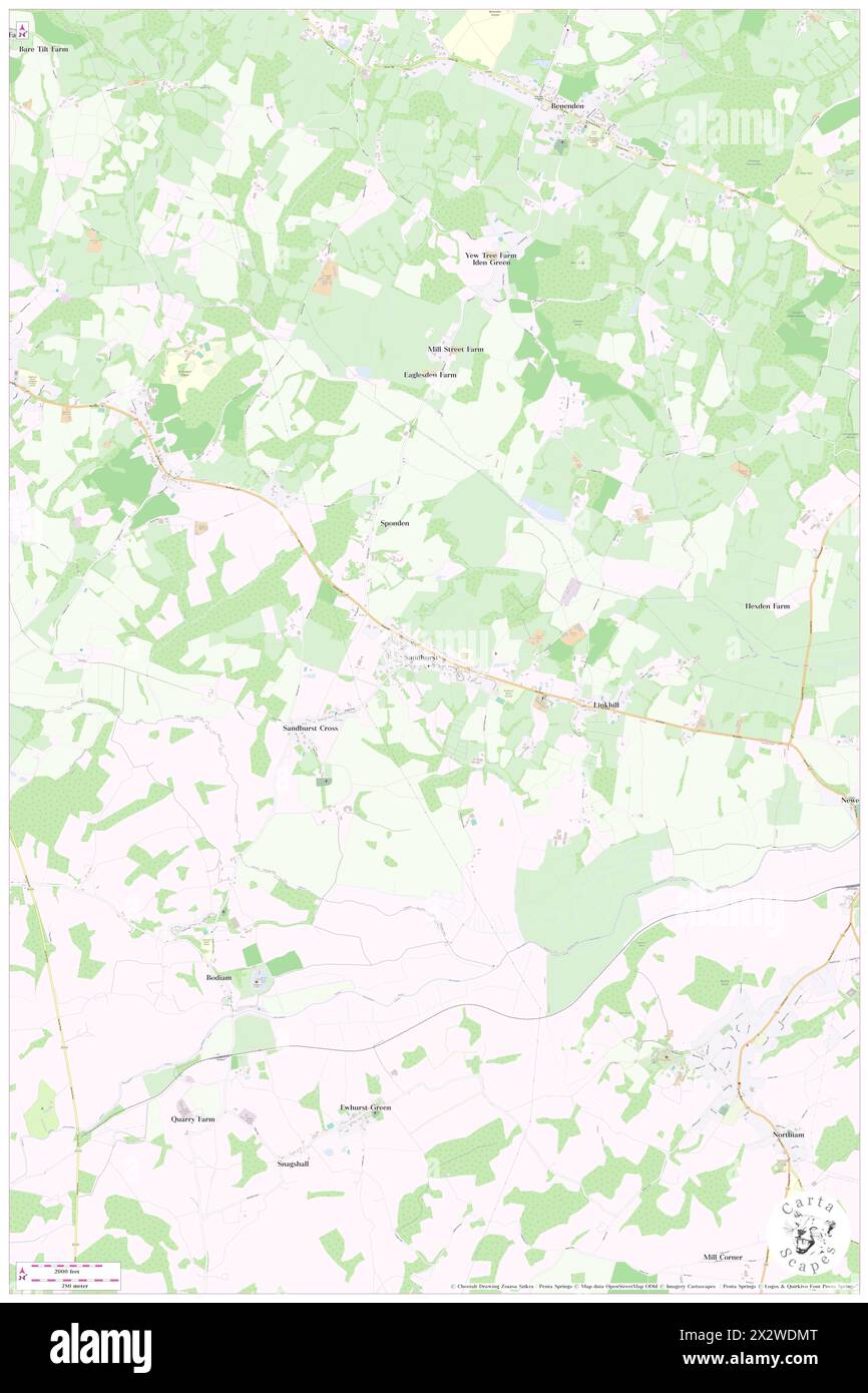 Sandhurst, Bracknell Forest, GB, United Kingdom, England, N 51 20' 48'', S 0 47' 11'', map, Cartascapes Map published in 2024. Explore Cartascapes, a map revealing Earth's diverse landscapes, cultures, and ecosystems. Journey through time and space, discovering the interconnectedness of our planet's past, present, and future. Stock Photohttps://www.alamy.com/image-license-details/?v=1https://www.alamy.com/sandhurst-bracknell-forest-gb-united-kingdom-england-n-51-20-48-s-0-47-11-map-cartascapes-map-published-in-2024-explore-cartascapes-a-map-revealing-earths-diverse-landscapes-cultures-and-ecosystems-journey-through-time-and-space-discovering-the-interconnectedness-of-our-planets-past-present-and-future-image604151768.html
RM2X2WDMT–Sandhurst, Bracknell Forest, GB, United Kingdom, England, N 51 20' 48'', S 0 47' 11'', map, Cartascapes Map published in 2024. Explore Cartascapes, a map revealing Earth's diverse landscapes, cultures, and ecosystems. Journey through time and space, discovering the interconnectedness of our planet's past, present, and future.
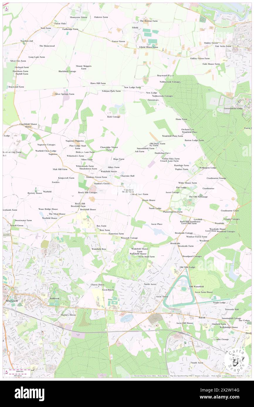 Winkfield, Bracknell Forest, GB, United Kingdom, England, N 51 26' 32'', S 0 41' 53'', map, Cartascapes Map published in 2024. Explore Cartascapes, a map revealing Earth's diverse landscapes, cultures, and ecosystems. Journey through time and space, discovering the interconnectedness of our planet's past, present, and future. Stock Photohttps://www.alamy.com/image-license-details/?v=1https://www.alamy.com/winkfield-bracknell-forest-gb-united-kingdom-england-n-51-26-32-s-0-41-53-map-cartascapes-map-published-in-2024-explore-cartascapes-a-map-revealing-earths-diverse-landscapes-cultures-and-ecosystems-journey-through-time-and-space-discovering-the-interconnectedness-of-our-planets-past-present-and-future-image604141904.html
RM2X2W14G–Winkfield, Bracknell Forest, GB, United Kingdom, England, N 51 26' 32'', S 0 41' 53'', map, Cartascapes Map published in 2024. Explore Cartascapes, a map revealing Earth's diverse landscapes, cultures, and ecosystems. Journey through time and space, discovering the interconnectedness of our planet's past, present, and future.
 Cranbourne, Bracknell Forest, GB, United Kingdom, England, N 51 26' 44'', S 0 40' 18'', map, Cartascapes Map published in 2024. Explore Cartascapes, a map revealing Earth's diverse landscapes, cultures, and ecosystems. Journey through time and space, discovering the interconnectedness of our planet's past, present, and future. Stock Photohttps://www.alamy.com/image-license-details/?v=1https://www.alamy.com/cranbourne-bracknell-forest-gb-united-kingdom-england-n-51-26-44-s-0-40-18-map-cartascapes-map-published-in-2024-explore-cartascapes-a-map-revealing-earths-diverse-landscapes-cultures-and-ecosystems-journey-through-time-and-space-discovering-the-interconnectedness-of-our-planets-past-present-and-future-image604107641.html
RM2X2RDCW–Cranbourne, Bracknell Forest, GB, United Kingdom, England, N 51 26' 44'', S 0 40' 18'', map, Cartascapes Map published in 2024. Explore Cartascapes, a map revealing Earth's diverse landscapes, cultures, and ecosystems. Journey through time and space, discovering the interconnectedness of our planet's past, present, and future.
 Crowthorne, Bracknell Forest, GB, United Kingdom, England, N 51 22' 12'', S 0 47' 31'', map, Cartascapes Map published in 2024. Explore Cartascapes, a map revealing Earth's diverse landscapes, cultures, and ecosystems. Journey through time and space, discovering the interconnectedness of our planet's past, present, and future. Stock Photohttps://www.alamy.com/image-license-details/?v=1https://www.alamy.com/crowthorne-bracknell-forest-gb-united-kingdom-england-n-51-22-12-s-0-47-31-map-cartascapes-map-published-in-2024-explore-cartascapes-a-map-revealing-earths-diverse-landscapes-cultures-and-ecosystems-journey-through-time-and-space-discovering-the-interconnectedness-of-our-planets-past-present-and-future-image604176292.html
RM2X2XH0M–Crowthorne, Bracknell Forest, GB, United Kingdom, England, N 51 22' 12'', S 0 47' 31'', map, Cartascapes Map published in 2024. Explore Cartascapes, a map revealing Earth's diverse landscapes, cultures, and ecosystems. Journey through time and space, discovering the interconnectedness of our planet's past, present, and future.
 Easthampstead, Bracknell Forest, GB, United Kingdom, England, N 51 24' 2'', S 0 45' 48'', map, Cartascapes Map published in 2024. Explore Cartascapes, a map revealing Earth's diverse landscapes, cultures, and ecosystems. Journey through time and space, discovering the interconnectedness of our planet's past, present, and future. Stock Photohttps://www.alamy.com/image-license-details/?v=1https://www.alamy.com/easthampstead-bracknell-forest-gb-united-kingdom-england-n-51-24-2-s-0-45-48-map-cartascapes-map-published-in-2024-explore-cartascapes-a-map-revealing-earths-diverse-landscapes-cultures-and-ecosystems-journey-through-time-and-space-discovering-the-interconnectedness-of-our-planets-past-present-and-future-image604174043.html
RM2X2XE4B–Easthampstead, Bracknell Forest, GB, United Kingdom, England, N 51 24' 2'', S 0 45' 48'', map, Cartascapes Map published in 2024. Explore Cartascapes, a map revealing Earth's diverse landscapes, cultures, and ecosystems. Journey through time and space, discovering the interconnectedness of our planet's past, present, and future.
 Winkfield, Bracknell Forest, GB, United Kingdom, England, N 51 26' 32'', S 0 41' 53'', map, Cartascapes Map published in 2024. Explore Cartascapes, a map revealing Earth's diverse landscapes, cultures, and ecosystems. Journey through time and space, discovering the interconnectedness of our planet's past, present, and future. Stock Photohttps://www.alamy.com/image-license-details/?v=1https://www.alamy.com/winkfield-bracknell-forest-gb-united-kingdom-england-n-51-26-32-s-0-41-53-map-cartascapes-map-published-in-2024-explore-cartascapes-a-map-revealing-earths-diverse-landscapes-cultures-and-ecosystems-journey-through-time-and-space-discovering-the-interconnectedness-of-our-planets-past-present-and-future-image604141895.html
RM2X2W147–Winkfield, Bracknell Forest, GB, United Kingdom, England, N 51 26' 32'', S 0 41' 53'', map, Cartascapes Map published in 2024. Explore Cartascapes, a map revealing Earth's diverse landscapes, cultures, and ecosystems. Journey through time and space, discovering the interconnectedness of our planet's past, present, and future.
 Brockhill, Bracknell Forest, GB, United Kingdom, England, N 51 26' 20'', S 0 43' 2'', map, Cartascapes Map published in 2024. Explore Cartascapes, a map revealing Earth's diverse landscapes, cultures, and ecosystems. Journey through time and space, discovering the interconnectedness of our planet's past, present, and future. Stock Photohttps://www.alamy.com/image-license-details/?v=1https://www.alamy.com/brockhill-bracknell-forest-gb-united-kingdom-england-n-51-26-20-s-0-43-2-map-cartascapes-map-published-in-2024-explore-cartascapes-a-map-revealing-earths-diverse-landscapes-cultures-and-ecosystems-journey-through-time-and-space-discovering-the-interconnectedness-of-our-planets-past-present-and-future-image604107873.html
RM2X2RDN5–Brockhill, Bracknell Forest, GB, United Kingdom, England, N 51 26' 20'', S 0 43' 2'', map, Cartascapes Map published in 2024. Explore Cartascapes, a map revealing Earth's diverse landscapes, cultures, and ecosystems. Journey through time and space, discovering the interconnectedness of our planet's past, present, and future.
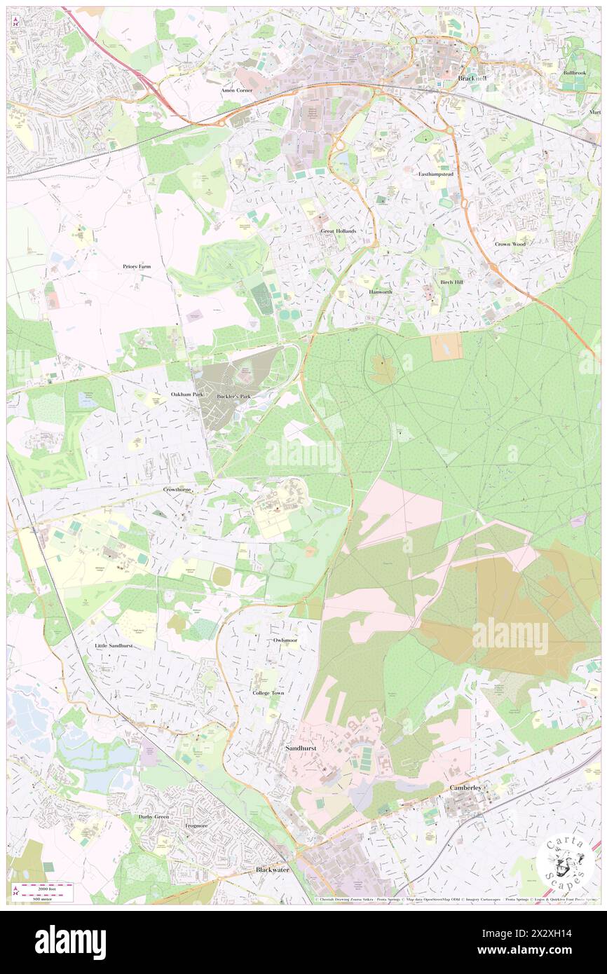 Crowthorne, Bracknell Forest, GB, United Kingdom, England, N 51 22' 12'', S 0 47' 31'', map, Cartascapes Map published in 2024. Explore Cartascapes, a map revealing Earth's diverse landscapes, cultures, and ecosystems. Journey through time and space, discovering the interconnectedness of our planet's past, present, and future. Stock Photohttps://www.alamy.com/image-license-details/?v=1https://www.alamy.com/crowthorne-bracknell-forest-gb-united-kingdom-england-n-51-22-12-s-0-47-31-map-cartascapes-map-published-in-2024-explore-cartascapes-a-map-revealing-earths-diverse-landscapes-cultures-and-ecosystems-journey-through-time-and-space-discovering-the-interconnectedness-of-our-planets-past-present-and-future-image604176304.html
RM2X2XH14–Crowthorne, Bracknell Forest, GB, United Kingdom, England, N 51 22' 12'', S 0 47' 31'', map, Cartascapes Map published in 2024. Explore Cartascapes, a map revealing Earth's diverse landscapes, cultures, and ecosystems. Journey through time and space, discovering the interconnectedness of our planet's past, present, and future.
 Woodside, Bracknell Forest, GB, United Kingdom, England, N 51 26' 1'', S 0 39' 40'', map, Cartascapes Map published in 2024. Explore Cartascapes, a map revealing Earth's diverse landscapes, cultures, and ecosystems. Journey through time and space, discovering the interconnectedness of our planet's past, present, and future. Stock Photohttps://www.alamy.com/image-license-details/?v=1https://www.alamy.com/woodside-bracknell-forest-gb-united-kingdom-england-n-51-26-1-s-0-39-40-map-cartascapes-map-published-in-2024-explore-cartascapes-a-map-revealing-earths-diverse-landscapes-cultures-and-ecosystems-journey-through-time-and-space-discovering-the-interconnectedness-of-our-planets-past-present-and-future-image604107616.html
RM2X2RDC0–Woodside, Bracknell Forest, GB, United Kingdom, England, N 51 26' 1'', S 0 39' 40'', map, Cartascapes Map published in 2024. Explore Cartascapes, a map revealing Earth's diverse landscapes, cultures, and ecosystems. Journey through time and space, discovering the interconnectedness of our planet's past, present, and future.
 Sandhurst, Bracknell Forest, GB, United Kingdom, England, N 51 20' 48'', S 0 47' 11'', map, Cartascapes Map published in 2024. Explore Cartascapes, a map revealing Earth's diverse landscapes, cultures, and ecosystems. Journey through time and space, discovering the interconnectedness of our planet's past, present, and future. Stock Photohttps://www.alamy.com/image-license-details/?v=1https://www.alamy.com/sandhurst-bracknell-forest-gb-united-kingdom-england-n-51-20-48-s-0-47-11-map-cartascapes-map-published-in-2024-explore-cartascapes-a-map-revealing-earths-diverse-landscapes-cultures-and-ecosystems-journey-through-time-and-space-discovering-the-interconnectedness-of-our-planets-past-present-and-future-image604151778.html
RM2X2WDN6–Sandhurst, Bracknell Forest, GB, United Kingdom, England, N 51 20' 48'', S 0 47' 11'', map, Cartascapes Map published in 2024. Explore Cartascapes, a map revealing Earth's diverse landscapes, cultures, and ecosystems. Journey through time and space, discovering the interconnectedness of our planet's past, present, and future.
 Wickam Bushes, Bracknell Forest, GB, United Kingdom, England, N 51 22' 32'', S 0 45' 24'', map, Cartascapes Map published in 2024. Explore Cartascapes, a map revealing Earth's diverse landscapes, cultures, and ecosystems. Journey through time and space, discovering the interconnectedness of our planet's past, present, and future. Stock Photohttps://www.alamy.com/image-license-details/?v=1https://www.alamy.com/wickam-bushes-bracknell-forest-gb-united-kingdom-england-n-51-22-32-s-0-45-24-map-cartascapes-map-published-in-2024-explore-cartascapes-a-map-revealing-earths-diverse-landscapes-cultures-and-ecosystems-journey-through-time-and-space-discovering-the-interconnectedness-of-our-planets-past-present-and-future-image604140331.html
RM2X2TY4B–Wickam Bushes, Bracknell Forest, GB, United Kingdom, England, N 51 22' 32'', S 0 45' 24'', map, Cartascapes Map published in 2024. Explore Cartascapes, a map revealing Earth's diverse landscapes, cultures, and ecosystems. Journey through time and space, discovering the interconnectedness of our planet's past, present, and future.
 Binfield Grove, Bracknell Forest, GB, United Kingdom, England, N 51 26' 30'', S 0 47' 28'', map, Cartascapes Map published in 2024. Explore Cartascapes, a map revealing Earth's diverse landscapes, cultures, and ecosystems. Journey through time and space, discovering the interconnectedness of our planet's past, present, and future. Stock Photohttps://www.alamy.com/image-license-details/?v=1https://www.alamy.com/binfield-grove-bracknell-forest-gb-united-kingdom-england-n-51-26-30-s-0-47-28-map-cartascapes-map-published-in-2024-explore-cartascapes-a-map-revealing-earths-diverse-landscapes-cultures-and-ecosystems-journey-through-time-and-space-discovering-the-interconnectedness-of-our-planets-past-present-and-future-image604107909.html
RM2X2RDPD–Binfield Grove, Bracknell Forest, GB, United Kingdom, England, N 51 26' 30'', S 0 47' 28'', map, Cartascapes Map published in 2024. Explore Cartascapes, a map revealing Earth's diverse landscapes, cultures, and ecosystems. Journey through time and space, discovering the interconnectedness of our planet's past, present, and future.
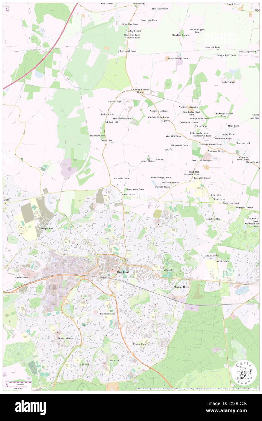 Newell Green, Bracknell Forest, GB, United Kingdom, England, N 51 25' 58'', S 0 44' 30'', map, Cartascapes Map published in 2024. Explore Cartascapes, a map revealing Earth's diverse landscapes, cultures, and ecosystems. Journey through time and space, discovering the interconnectedness of our planet's past, present, and future. Stock Photohttps://www.alamy.com/image-license-details/?v=1https://www.alamy.com/newell-green-bracknell-forest-gb-united-kingdom-england-n-51-25-58-s-0-44-30-map-cartascapes-map-published-in-2024-explore-cartascapes-a-map-revealing-earths-diverse-landscapes-cultures-and-ecosystems-journey-through-time-and-space-discovering-the-interconnectedness-of-our-planets-past-present-and-future-image604107635.html
RM2X2RDCK–Newell Green, Bracknell Forest, GB, United Kingdom, England, N 51 25' 58'', S 0 44' 30'', map, Cartascapes Map published in 2024. Explore Cartascapes, a map revealing Earth's diverse landscapes, cultures, and ecosystems. Journey through time and space, discovering the interconnectedness of our planet's past, present, and future.
 Dial House, Bracknell Forest, GB, United Kingdom, England, N 51 22' 13'', S 0 48' 6'', map, Cartascapes Map published in 2024. Explore Cartascapes, a map revealing Earth's diverse landscapes, cultures, and ecosystems. Journey through time and space, discovering the interconnectedness of our planet's past, present, and future. Stock Photohttps://www.alamy.com/image-license-details/?v=1https://www.alamy.com/dial-house-bracknell-forest-gb-united-kingdom-england-n-51-22-13-s-0-48-6-map-cartascapes-map-published-in-2024-explore-cartascapes-a-map-revealing-earths-diverse-landscapes-cultures-and-ecosystems-journey-through-time-and-space-discovering-the-interconnectedness-of-our-planets-past-present-and-future-image604058848.html
RM2X2N768–Dial House, Bracknell Forest, GB, United Kingdom, England, N 51 22' 13'', S 0 48' 6'', map, Cartascapes Map published in 2024. Explore Cartascapes, a map revealing Earth's diverse landscapes, cultures, and ecosystems. Journey through time and space, discovering the interconnectedness of our planet's past, present, and future.
 Stirrups Hotel, Bracknell Forest, GB, United Kingdom, England, N 51 26' 34'', S 0 42' 47'', map, Cartascapes Map published in 2024. Explore Cartascapes, a map revealing Earth's diverse landscapes, cultures, and ecosystems. Journey through time and space, discovering the interconnectedness of our planet's past, present, and future. Stock Photohttps://www.alamy.com/image-license-details/?v=1https://www.alamy.com/stirrups-hotel-bracknell-forest-gb-united-kingdom-england-n-51-26-34-s-0-42-47-map-cartascapes-map-published-in-2024-explore-cartascapes-a-map-revealing-earths-diverse-landscapes-cultures-and-ecosystems-journey-through-time-and-space-discovering-the-interconnectedness-of-our-planets-past-present-and-future-image604076462.html
RM2X2P1KA–Stirrups Hotel, Bracknell Forest, GB, United Kingdom, England, N 51 26' 34'', S 0 42' 47'', map, Cartascapes Map published in 2024. Explore Cartascapes, a map revealing Earth's diverse landscapes, cultures, and ecosystems. Journey through time and space, discovering the interconnectedness of our planet's past, present, and future.
 Coppid Beech, Bracknell Forest, GB, United Kingdom, England, N 51 24' 55'', S 0 47' 20'', map, Cartascapes Map published in 2024. Explore Cartascapes, a map revealing Earth's diverse landscapes, cultures, and ecosystems. Journey through time and space, discovering the interconnectedness of our planet's past, present, and future. Stock Photohttps://www.alamy.com/image-license-details/?v=1https://www.alamy.com/coppid-beech-bracknell-forest-gb-united-kingdom-england-n-51-24-55-s-0-47-20-map-cartascapes-map-published-in-2024-explore-cartascapes-a-map-revealing-earths-diverse-landscapes-cultures-and-ecosystems-journey-through-time-and-space-discovering-the-interconnectedness-of-our-planets-past-present-and-future-image604059145.html
RM2X2N7GW–Coppid Beech, Bracknell Forest, GB, United Kingdom, England, N 51 24' 55'', S 0 47' 20'', map, Cartascapes Map published in 2024. Explore Cartascapes, a map revealing Earth's diverse landscapes, cultures, and ecosystems. Journey through time and space, discovering the interconnectedness of our planet's past, present, and future.
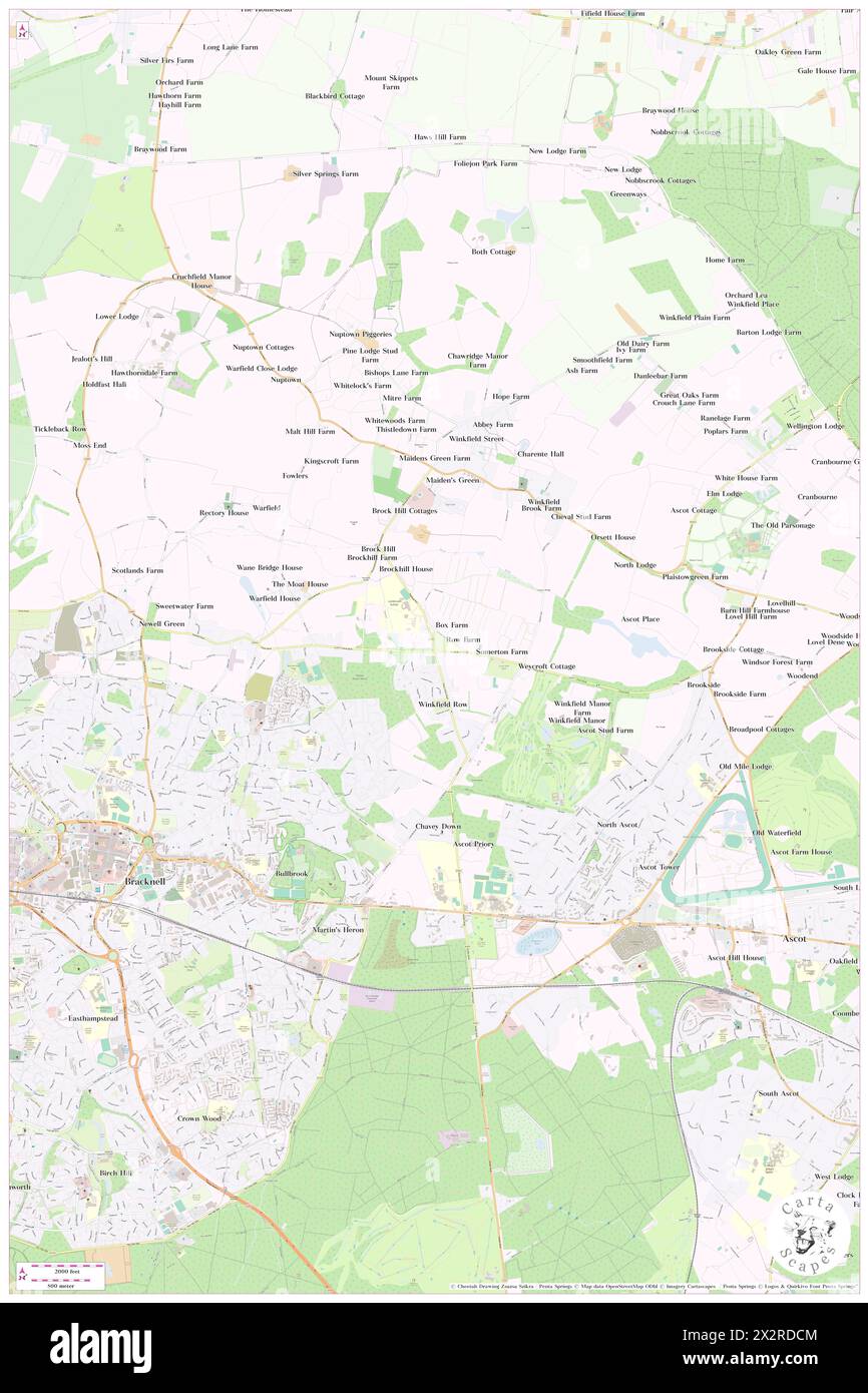 Winkfield Row, Bracknell Forest, GB, United Kingdom, England, N 51 25' 52'', S 0 42' 38'', map, Cartascapes Map published in 2024. Explore Cartascapes, a map revealing Earth's diverse landscapes, cultures, and ecosystems. Journey through time and space, discovering the interconnectedness of our planet's past, present, and future. Stock Photohttps://www.alamy.com/image-license-details/?v=1https://www.alamy.com/winkfield-row-bracknell-forest-gb-united-kingdom-england-n-51-25-52-s-0-42-38-map-cartascapes-map-published-in-2024-explore-cartascapes-a-map-revealing-earths-diverse-landscapes-cultures-and-ecosystems-journey-through-time-and-space-discovering-the-interconnectedness-of-our-planets-past-present-and-future-image604107636.html
RM2X2RDCM–Winkfield Row, Bracknell Forest, GB, United Kingdom, England, N 51 25' 52'', S 0 42' 38'', map, Cartascapes Map published in 2024. Explore Cartascapes, a map revealing Earth's diverse landscapes, cultures, and ecosystems. Journey through time and space, discovering the interconnectedness of our planet's past, present, and future.
 Maiden's Green, Bracknell Forest, GB, United Kingdom, England, N 51 26' 38'', S 0 42' 43'', map, Cartascapes Map published in 2024. Explore Cartascapes, a map revealing Earth's diverse landscapes, cultures, and ecosystems. Journey through time and space, discovering the interconnectedness of our planet's past, present, and future. Stock Photohttps://www.alamy.com/image-license-details/?v=1https://www.alamy.com/maidens-green-bracknell-forest-gb-united-kingdom-england-n-51-26-38-s-0-42-43-map-cartascapes-map-published-in-2024-explore-cartascapes-a-map-revealing-earths-diverse-landscapes-cultures-and-ecosystems-journey-through-time-and-space-discovering-the-interconnectedness-of-our-planets-past-present-and-future-image604107654.html
RM2X2RDDA–Maiden's Green, Bracknell Forest, GB, United Kingdom, England, N 51 26' 38'', S 0 42' 43'', map, Cartascapes Map published in 2024. Explore Cartascapes, a map revealing Earth's diverse landscapes, cultures, and ecosystems. Journey through time and space, discovering the interconnectedness of our planet's past, present, and future.
 Grange Bracknell, Bracknell Forest, GB, United Kingdom, England, N 51 24' 57'', S 0 44' 56'', map, Cartascapes Map published in 2024. Explore Cartascapes, a map revealing Earth's diverse landscapes, cultures, and ecosystems. Journey through time and space, discovering the interconnectedness of our planet's past, present, and future. Stock Photohttps://www.alamy.com/image-license-details/?v=1https://www.alamy.com/grange-bracknell-bracknell-forest-gb-united-kingdom-england-n-51-24-57-s-0-44-56-map-cartascapes-map-published-in-2024-explore-cartascapes-a-map-revealing-earths-diverse-landscapes-cultures-and-ecosystems-journey-through-time-and-space-discovering-the-interconnectedness-of-our-planets-past-present-and-future-image604089979.html
RM2X2PJX3–Grange Bracknell, Bracknell Forest, GB, United Kingdom, England, N 51 24' 57'', S 0 44' 56'', map, Cartascapes Map published in 2024. Explore Cartascapes, a map revealing Earth's diverse landscapes, cultures, and ecosystems. Journey through time and space, discovering the interconnectedness of our planet's past, present, and future.
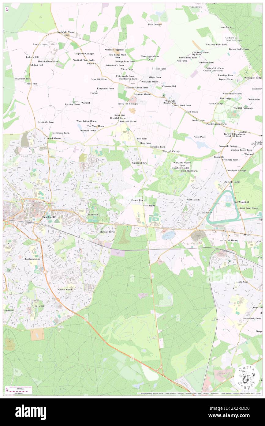 Chavey Down, Bracknell Forest, GB, United Kingdom, England, N 51 25' 7'', S 0 42' 44'', map, Cartascapes Map published in 2024. Explore Cartascapes, a map revealing Earth's diverse landscapes, cultures, and ecosystems. Journey through time and space, discovering the interconnectedness of our planet's past, present, and future. Stock Photohttps://www.alamy.com/image-license-details/?v=1https://www.alamy.com/chavey-down-bracknell-forest-gb-united-kingdom-england-n-51-25-7-s-0-42-44-map-cartascapes-map-published-in-2024-explore-cartascapes-a-map-revealing-earths-diverse-landscapes-cultures-and-ecosystems-journey-through-time-and-space-discovering-the-interconnectedness-of-our-planets-past-present-and-future-image604107644.html
RM2X2RDD0–Chavey Down, Bracknell Forest, GB, United Kingdom, England, N 51 25' 7'', S 0 42' 44'', map, Cartascapes Map published in 2024. Explore Cartascapes, a map revealing Earth's diverse landscapes, cultures, and ecosystems. Journey through time and space, discovering the interconnectedness of our planet's past, present, and future.
 Plaistow Green, Bracknell Forest, GB, United Kingdom, England, N 51 26' 7'', S 0 40' 21'', map, Cartascapes Map published in 2024. Explore Cartascapes, a map revealing Earth's diverse landscapes, cultures, and ecosystems. Journey through time and space, discovering the interconnectedness of our planet's past, present, and future. Stock Photohttps://www.alamy.com/image-license-details/?v=1https://www.alamy.com/plaistow-green-bracknell-forest-gb-united-kingdom-england-n-51-26-7-s-0-40-21-map-cartascapes-map-published-in-2024-explore-cartascapes-a-map-revealing-earths-diverse-landscapes-cultures-and-ecosystems-journey-through-time-and-space-discovering-the-interconnectedness-of-our-planets-past-present-and-future-image604107621.html
RM2X2RDC5–Plaistow Green, Bracknell Forest, GB, United Kingdom, England, N 51 26' 7'', S 0 40' 21'', map, Cartascapes Map published in 2024. Explore Cartascapes, a map revealing Earth's diverse landscapes, cultures, and ecosystems. Journey through time and space, discovering the interconnectedness of our planet's past, present, and future.
 Surrey Hill, Bracknell Forest, GB, United Kingdom, England, N 51 22' 8'', S 0 43' 30'', map, Cartascapes Map published in 2024. Explore Cartascapes, a map revealing Earth's diverse landscapes, cultures, and ecosystems. Journey through time and space, discovering the interconnectedness of our planet's past, present, and future. Stock Photohttps://www.alamy.com/image-license-details/?v=1https://www.alamy.com/surrey-hill-bracknell-forest-gb-united-kingdom-england-n-51-22-8-s-0-43-30-map-cartascapes-map-published-in-2024-explore-cartascapes-a-map-revealing-earths-diverse-landscapes-cultures-and-ecosystems-journey-through-time-and-space-discovering-the-interconnectedness-of-our-planets-past-present-and-future-image604122708.html
RM2X2T4K0–Surrey Hill, Bracknell Forest, GB, United Kingdom, England, N 51 22' 8'', S 0 43' 30'', map, Cartascapes Map published in 2024. Explore Cartascapes, a map revealing Earth's diverse landscapes, cultures, and ecosystems. Journey through time and space, discovering the interconnectedness of our planet's past, present, and future.
 North Ascot, Bracknell Forest, GB, United Kingdom, England, N 51 25' 9'', S 0 41' 38'', map, Cartascapes Map published in 2024. Explore Cartascapes, a map revealing Earth's diverse landscapes, cultures, and ecosystems. Journey through time and space, discovering the interconnectedness of our planet's past, present, and future. Stock Photohttps://www.alamy.com/image-license-details/?v=1https://www.alamy.com/north-ascot-bracknell-forest-gb-united-kingdom-england-n-51-25-9-s-0-41-38-map-cartascapes-map-published-in-2024-explore-cartascapes-a-map-revealing-earths-diverse-landscapes-cultures-and-ecosystems-journey-through-time-and-space-discovering-the-interconnectedness-of-our-planets-past-present-and-future-image604107613.html
RM2X2RDBW–North Ascot, Bracknell Forest, GB, United Kingdom, England, N 51 25' 9'', S 0 41' 38'', map, Cartascapes Map published in 2024. Explore Cartascapes, a map revealing Earth's diverse landscapes, cultures, and ecosystems. Journey through time and space, discovering the interconnectedness of our planet's past, present, and future.
 Brook Waterloo Hotel, Bracknell Forest, GB, United Kingdom, England, N 51 22' 8'', S 0 48' 15'', map, Cartascapes Map published in 2024. Explore Cartascapes, a map revealing Earth's diverse landscapes, cultures, and ecosystems. Journey through time and space, discovering the interconnectedness of our planet's past, present, and future. Stock Photohttps://www.alamy.com/image-license-details/?v=1https://www.alamy.com/brook-waterloo-hotel-bracknell-forest-gb-united-kingdom-england-n-51-22-8-s-0-48-15-map-cartascapes-map-published-in-2024-explore-cartascapes-a-map-revealing-earths-diverse-landscapes-cultures-and-ecosystems-journey-through-time-and-space-discovering-the-interconnectedness-of-our-planets-past-present-and-future-image604098835.html
RM2X2R26B–Brook Waterloo Hotel, Bracknell Forest, GB, United Kingdom, England, N 51 22' 8'', S 0 48' 15'', map, Cartascapes Map published in 2024. Explore Cartascapes, a map revealing Earth's diverse landscapes, cultures, and ecosystems. Journey through time and space, discovering the interconnectedness of our planet's past, present, and future.
 Waterloo Hotel (Ex Brook), Bracknell Forest, GB, United Kingdom, England, N 51 22' 8'', S 0 48' 15'', map, Cartascapes Map published in 2024. Explore Cartascapes, a map revealing Earth's diverse landscapes, cultures, and ecosystems. Journey through time and space, discovering the interconnectedness of our planet's past, present, and future. Stock Photohttps://www.alamy.com/image-license-details/?v=1https://www.alamy.com/waterloo-hotel-ex-brook-bracknell-forest-gb-united-kingdom-england-n-51-22-8-s-0-48-15-map-cartascapes-map-published-in-2024-explore-cartascapes-a-map-revealing-earths-diverse-landscapes-cultures-and-ecosystems-journey-through-time-and-space-discovering-the-interconnectedness-of-our-planets-past-present-and-future-image604051306.html
RM2X2MWGX–Waterloo Hotel (Ex Brook), Bracknell Forest, GB, United Kingdom, England, N 51 22' 8'', S 0 48' 15'', map, Cartascapes Map published in 2024. Explore Cartascapes, a map revealing Earth's diverse landscapes, cultures, and ecosystems. Journey through time and space, discovering the interconnectedness of our planet's past, present, and future.
 Fines Bayliwick Country House, Bracknell Forest, GB, United Kingdom, England, N 51 25' 13'', S 0 46' 58'', map, Cartascapes Map published in 2024. Explore Cartascapes, a map revealing Earth's diverse landscapes, cultures, and ecosystems. Journey through time and space, discovering the interconnectedness of our planet's past, present, and future. Stock Photohttps://www.alamy.com/image-license-details/?v=1https://www.alamy.com/fines-bayliwick-country-house-bracknell-forest-gb-united-kingdom-england-n-51-25-13-s-0-46-58-map-cartascapes-map-published-in-2024-explore-cartascapes-a-map-revealing-earths-diverse-landscapes-cultures-and-ecosystems-journey-through-time-and-space-discovering-the-interconnectedness-of-our-planets-past-present-and-future-image604058854.html
RM2X2N76E–Fines Bayliwick Country House, Bracknell Forest, GB, United Kingdom, England, N 51 25' 13'', S 0 46' 58'', map, Cartascapes Map published in 2024. Explore Cartascapes, a map revealing Earth's diverse landscapes, cultures, and ecosystems. Journey through time and space, discovering the interconnectedness of our planet's past, present, and future.
 Bracknell, Meander Valley, Australia, Tasmania, S 41 38' 59'', E 146 56' 18'', map, Timeless Map published in 2021. Travelers, explorers and adventurers like Florence Nightingale, David Livingstone, Ernest Shackleton, Lewis and Clark and Sherlock Holmes relied on maps to plan travels to the world's most remote corners, Timeless Maps is mapping most locations on the globe, showing the achievement of great dreams Stock Photohttps://www.alamy.com/image-license-details/?v=1https://www.alamy.com/bracknell-meander-valley-australia-tasmania-s-41-38-59-e-146-56-18-map-timeless-map-published-in-2021-travelers-explorers-and-adventurers-like-florence-nightingale-david-livingstone-ernest-shackleton-lewis-and-clark-and-sherlock-holmes-relied-on-maps-to-plan-travels-to-the-worlds-most-remote-corners-timeless-maps-is-mapping-most-locations-on-the-globe-showing-the-achievement-of-great-dreams-image457816587.html
RM2HGR9MB–Bracknell, Meander Valley, Australia, Tasmania, S 41 38' 59'', E 146 56' 18'', map, Timeless Map published in 2021. Travelers, explorers and adventurers like Florence Nightingale, David Livingstone, Ernest Shackleton, Lewis and Clark and Sherlock Holmes relied on maps to plan travels to the world's most remote corners, Timeless Maps is mapping most locations on the globe, showing the achievement of great dreams
 Sandhurst, Bracknell Forest, United Kingdom, England, N 51 20' 48'', W 0 47' 11'', map, Timeless Map published in 2021. Travelers, explorers and adventurers like Florence Nightingale, David Livingstone, Ernest Shackleton, Lewis and Clark and Sherlock Holmes relied on maps to plan travels to the world's most remote corners, Timeless Maps is mapping most locations on the globe, showing the achievement of great dreams Stock Photohttps://www.alamy.com/image-license-details/?v=1https://www.alamy.com/sandhurst-bracknell-forest-united-kingdom-england-n-51-20-48-w-0-47-11-map-timeless-map-published-in-2021-travelers-explorers-and-adventurers-like-florence-nightingale-david-livingstone-ernest-shackleton-lewis-and-clark-and-sherlock-holmes-relied-on-maps-to-plan-travels-to-the-worlds-most-remote-corners-timeless-maps-is-mapping-most-locations-on-the-globe-showing-the-achievement-of-great-dreams-image439387151.html
RM2GERPP7–Sandhurst, Bracknell Forest, United Kingdom, England, N 51 20' 48'', W 0 47' 11'', map, Timeless Map published in 2021. Travelers, explorers and adventurers like Florence Nightingale, David Livingstone, Ernest Shackleton, Lewis and Clark and Sherlock Holmes relied on maps to plan travels to the world's most remote corners, Timeless Maps is mapping most locations on the globe, showing the achievement of great dreams
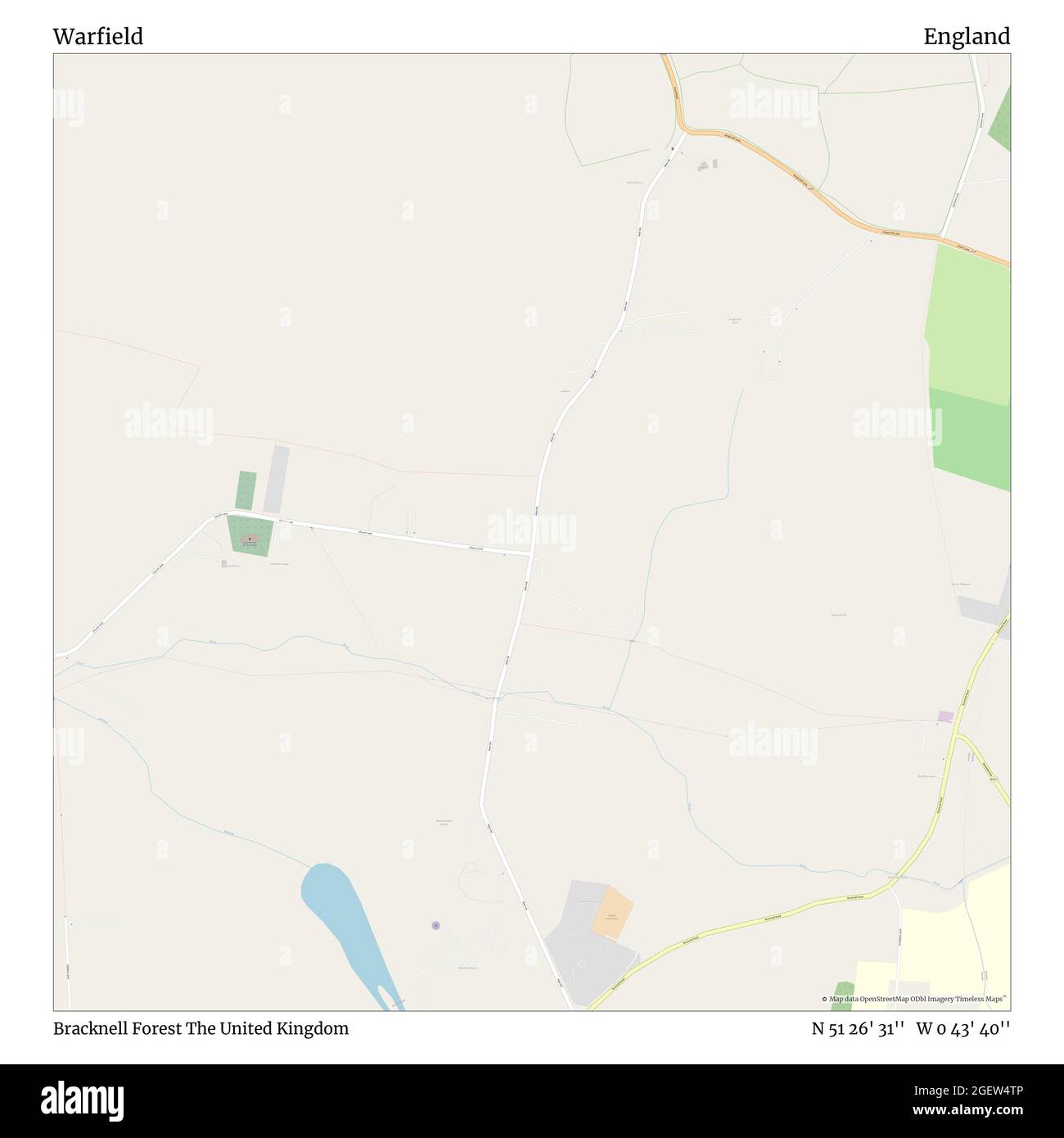 Warfield, Bracknell Forest, United Kingdom, England, N 51 26' 31'', W 0 43' 40'', map, Timeless Map published in 2021. Travelers, explorers and adventurers like Florence Nightingale, David Livingstone, Ernest Shackleton, Lewis and Clark and Sherlock Holmes relied on maps to plan travels to the world's most remote corners, Timeless Maps is mapping most locations on the globe, showing the achievement of great dreams Stock Photohttps://www.alamy.com/image-license-details/?v=1https://www.alamy.com/warfield-bracknell-forest-united-kingdom-england-n-51-26-31-w-0-43-40-map-timeless-map-published-in-2021-travelers-explorers-and-adventurers-like-florence-nightingale-david-livingstone-ernest-shackleton-lewis-and-clark-and-sherlock-holmes-relied-on-maps-to-plan-travels-to-the-worlds-most-remote-corners-timeless-maps-is-mapping-most-locations-on-the-globe-showing-the-achievement-of-great-dreams-image439417014.html
RM2GEW4TP–Warfield, Bracknell Forest, United Kingdom, England, N 51 26' 31'', W 0 43' 40'', map, Timeless Map published in 2021. Travelers, explorers and adventurers like Florence Nightingale, David Livingstone, Ernest Shackleton, Lewis and Clark and Sherlock Holmes relied on maps to plan travels to the world's most remote corners, Timeless Maps is mapping most locations on the globe, showing the achievement of great dreams
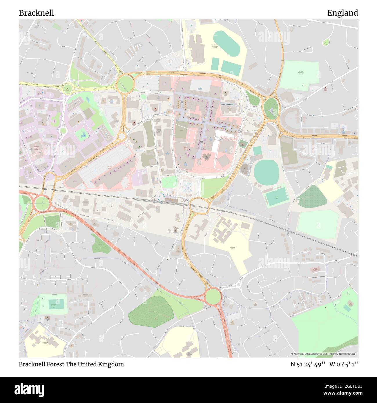 Bracknell, Bracknell Forest, United Kingdom, England, N 51 24' 49'', W 0 45' 1'', map, Timeless Map published in 2021. Travelers, explorers and adventurers like Florence Nightingale, David Livingstone, Ernest Shackleton, Lewis and Clark and Sherlock Holmes relied on maps to plan travels to the world's most remote corners, Timeless Maps is mapping most locations on the globe, showing the achievement of great dreams Stock Photohttps://www.alamy.com/image-license-details/?v=1https://www.alamy.com/bracknell-bracknell-forest-united-kingdom-england-n-51-24-49-w-0-45-1-map-timeless-map-published-in-2021-travelers-explorers-and-adventurers-like-florence-nightingale-david-livingstone-ernest-shackleton-lewis-and-clark-and-sherlock-holmes-relied-on-maps-to-plan-travels-to-the-worlds-most-remote-corners-timeless-maps-is-mapping-most-locations-on-the-globe-showing-the-achievement-of-great-dreams-image439401735.html
RM2GETDB3–Bracknell, Bracknell Forest, United Kingdom, England, N 51 24' 49'', W 0 45' 1'', map, Timeless Map published in 2021. Travelers, explorers and adventurers like Florence Nightingale, David Livingstone, Ernest Shackleton, Lewis and Clark and Sherlock Holmes relied on maps to plan travels to the world's most remote corners, Timeless Maps is mapping most locations on the globe, showing the achievement of great dreams
 Crowthorne, Bracknell Forest, United Kingdom, England, N 51 22' 12'', W 0 47' 31'', map, Timeless Map published in 2021. Travelers, explorers and adventurers like Florence Nightingale, David Livingstone, Ernest Shackleton, Lewis and Clark and Sherlock Holmes relied on maps to plan travels to the world's most remote corners, Timeless Maps is mapping most locations on the globe, showing the achievement of great dreams Stock Photohttps://www.alamy.com/image-license-details/?v=1https://www.alamy.com/crowthorne-bracknell-forest-united-kingdom-england-n-51-22-12-w-0-47-31-map-timeless-map-published-in-2021-travelers-explorers-and-adventurers-like-florence-nightingale-david-livingstone-ernest-shackleton-lewis-and-clark-and-sherlock-holmes-relied-on-maps-to-plan-travels-to-the-worlds-most-remote-corners-timeless-maps-is-mapping-most-locations-on-the-globe-showing-the-achievement-of-great-dreams-image439400100.html
RM2GETB8M–Crowthorne, Bracknell Forest, United Kingdom, England, N 51 22' 12'', W 0 47' 31'', map, Timeless Map published in 2021. Travelers, explorers and adventurers like Florence Nightingale, David Livingstone, Ernest Shackleton, Lewis and Clark and Sherlock Holmes relied on maps to plan travels to the world's most remote corners, Timeless Maps is mapping most locations on the globe, showing the achievement of great dreams
 Binfield, Bracknell Forest, United Kingdom, England, N 51 25' 53'', W 0 47' 17'', map, Timeless Map published in 2021. Travelers, explorers and adventurers like Florence Nightingale, David Livingstone, Ernest Shackleton, Lewis and Clark and Sherlock Holmes relied on maps to plan travels to the world's most remote corners, Timeless Maps is mapping most locations on the globe, showing the achievement of great dreams Stock Photohttps://www.alamy.com/image-license-details/?v=1https://www.alamy.com/binfield-bracknell-forest-united-kingdom-england-n-51-25-53-w-0-47-17-map-timeless-map-published-in-2021-travelers-explorers-and-adventurers-like-florence-nightingale-david-livingstone-ernest-shackleton-lewis-and-clark-and-sherlock-holmes-relied-on-maps-to-plan-travels-to-the-worlds-most-remote-corners-timeless-maps-is-mapping-most-locations-on-the-globe-showing-the-achievement-of-great-dreams-image439402320.html
RM2GETE40–Binfield, Bracknell Forest, United Kingdom, England, N 51 25' 53'', W 0 47' 17'', map, Timeless Map published in 2021. Travelers, explorers and adventurers like Florence Nightingale, David Livingstone, Ernest Shackleton, Lewis and Clark and Sherlock Holmes relied on maps to plan travels to the world's most remote corners, Timeless Maps is mapping most locations on the globe, showing the achievement of great dreams
 Winkfield, Bracknell Forest, United Kingdom, England, N 51 26' 32'', W 0 41' 53'', map, Timeless Map published in 2021. Travelers, explorers and adventurers like Florence Nightingale, David Livingstone, Ernest Shackleton, Lewis and Clark and Sherlock Holmes relied on maps to plan travels to the world's most remote corners, Timeless Maps is mapping most locations on the globe, showing the achievement of great dreams Stock Photohttps://www.alamy.com/image-license-details/?v=1https://www.alamy.com/winkfield-bracknell-forest-united-kingdom-england-n-51-26-32-w-0-41-53-map-timeless-map-published-in-2021-travelers-explorers-and-adventurers-like-florence-nightingale-david-livingstone-ernest-shackleton-lewis-and-clark-and-sherlock-holmes-relied-on-maps-to-plan-travels-to-the-worlds-most-remote-corners-timeless-maps-is-mapping-most-locations-on-the-globe-showing-the-achievement-of-great-dreams-image439415834.html
RM2GEW3AJ–Winkfield, Bracknell Forest, United Kingdom, England, N 51 26' 32'', W 0 41' 53'', map, Timeless Map published in 2021. Travelers, explorers and adventurers like Florence Nightingale, David Livingstone, Ernest Shackleton, Lewis and Clark and Sherlock Holmes relied on maps to plan travels to the world's most remote corners, Timeless Maps is mapping most locations on the globe, showing the achievement of great dreams
 Easthampstead, Bracknell Forest, United Kingdom, England, N 51 24' 2'', W 0 45' 48'', map, Timeless Map published in 2021. Travelers, explorers and adventurers like Florence Nightingale, David Livingstone, Ernest Shackleton, Lewis and Clark and Sherlock Holmes relied on maps to plan travels to the world's most remote corners, Timeless Maps is mapping most locations on the globe, showing the achievement of great dreams Stock Photohttps://www.alamy.com/image-license-details/?v=1https://www.alamy.com/easthampstead-bracknell-forest-united-kingdom-england-n-51-24-2-w-0-45-48-map-timeless-map-published-in-2021-travelers-explorers-and-adventurers-like-florence-nightingale-david-livingstone-ernest-shackleton-lewis-and-clark-and-sherlock-holmes-relied-on-maps-to-plan-travels-to-the-worlds-most-remote-corners-timeless-maps-is-mapping-most-locations-on-the-globe-showing-the-achievement-of-great-dreams-image439398883.html
RM2GET9N7–Easthampstead, Bracknell Forest, United Kingdom, England, N 51 24' 2'', W 0 45' 48'', map, Timeless Map published in 2021. Travelers, explorers and adventurers like Florence Nightingale, David Livingstone, Ernest Shackleton, Lewis and Clark and Sherlock Holmes relied on maps to plan travels to the world's most remote corners, Timeless Maps is mapping most locations on the globe, showing the achievement of great dreams