Braided river system Stock Photos and Images
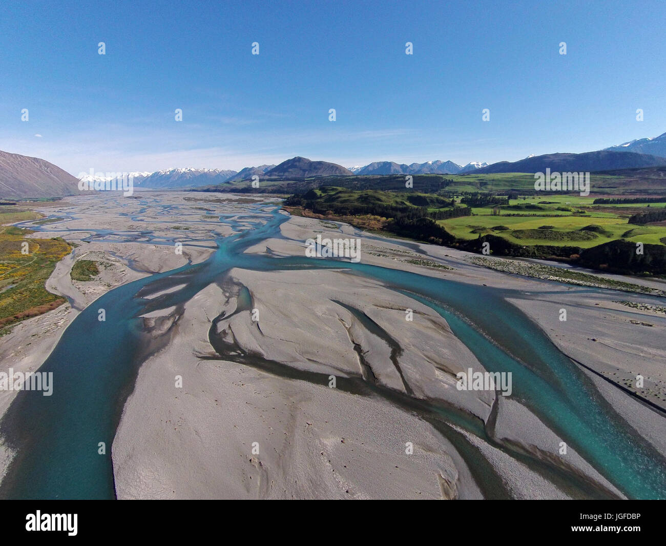 Braided streams of the Rakaia River, Canterbury, South Island, New Zealand - drone aerial Stock Photohttps://www.alamy.com/image-license-details/?v=1https://www.alamy.com/stock-photo-braided-streams-of-the-rakaia-river-canterbury-south-island-new-zealand-147857242.html
RMJGFDBP–Braided streams of the Rakaia River, Canterbury, South Island, New Zealand - drone aerial
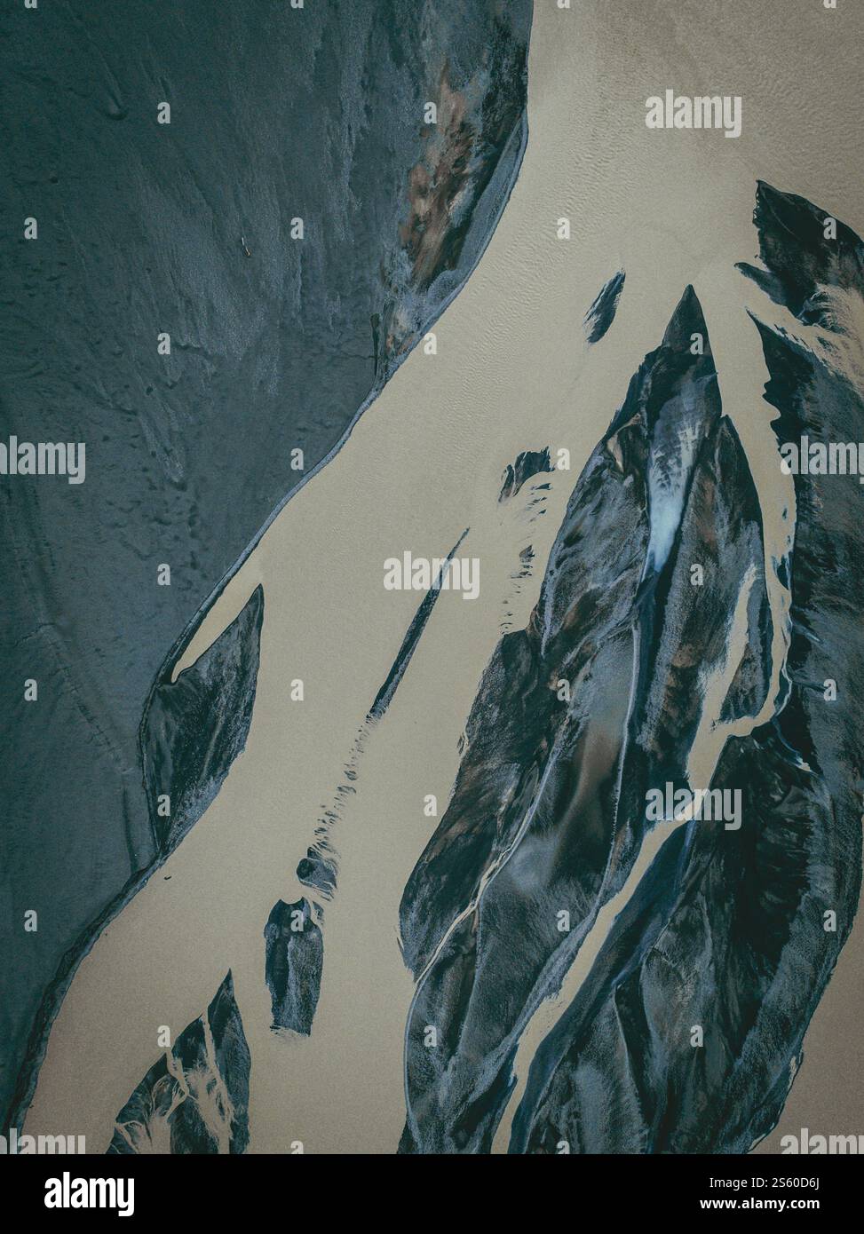 Abstract aerial view of braided glacial river patterns in Öræfi, South Iceland Stock Photohttps://www.alamy.com/image-license-details/?v=1https://www.alamy.com/abstract-aerial-view-of-braided-glacial-river-patterns-in-rfi-south-iceland-image640481930.html
RF2S60D6J–Abstract aerial view of braided glacial river patterns in Öræfi, South Iceland
 A striking aerial view captures the detailed patterns of a braided river system with intertwined channels and sediments Stock Photohttps://www.alamy.com/image-license-details/?v=1https://www.alamy.com/a-striking-aerial-view-captures-the-detailed-patterns-of-a-braided-river-system-with-intertwined-channels-and-sediments-image605662975.html
RF2X5A98F–A striking aerial view captures the detailed patterns of a braided river system with intertwined channels and sediments
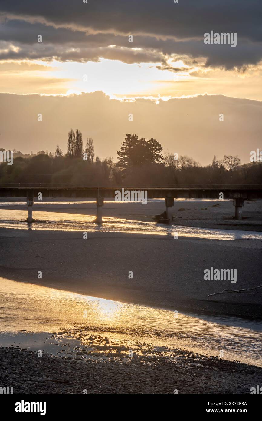 Railway bridge over Tukituki RIver at sunset, Waipukurau, Central Hawke's Bay, North Island, New Zealand Stock Photohttps://www.alamy.com/image-license-details/?v=1https://www.alamy.com/railway-bridge-over-tukituki-river-at-sunset-waipukurau-central-hawkes-bay-north-island-new-zealand-image486254702.html
RF2K72PRA–Railway bridge over Tukituki RIver at sunset, Waipukurau, Central Hawke's Bay, North Island, New Zealand
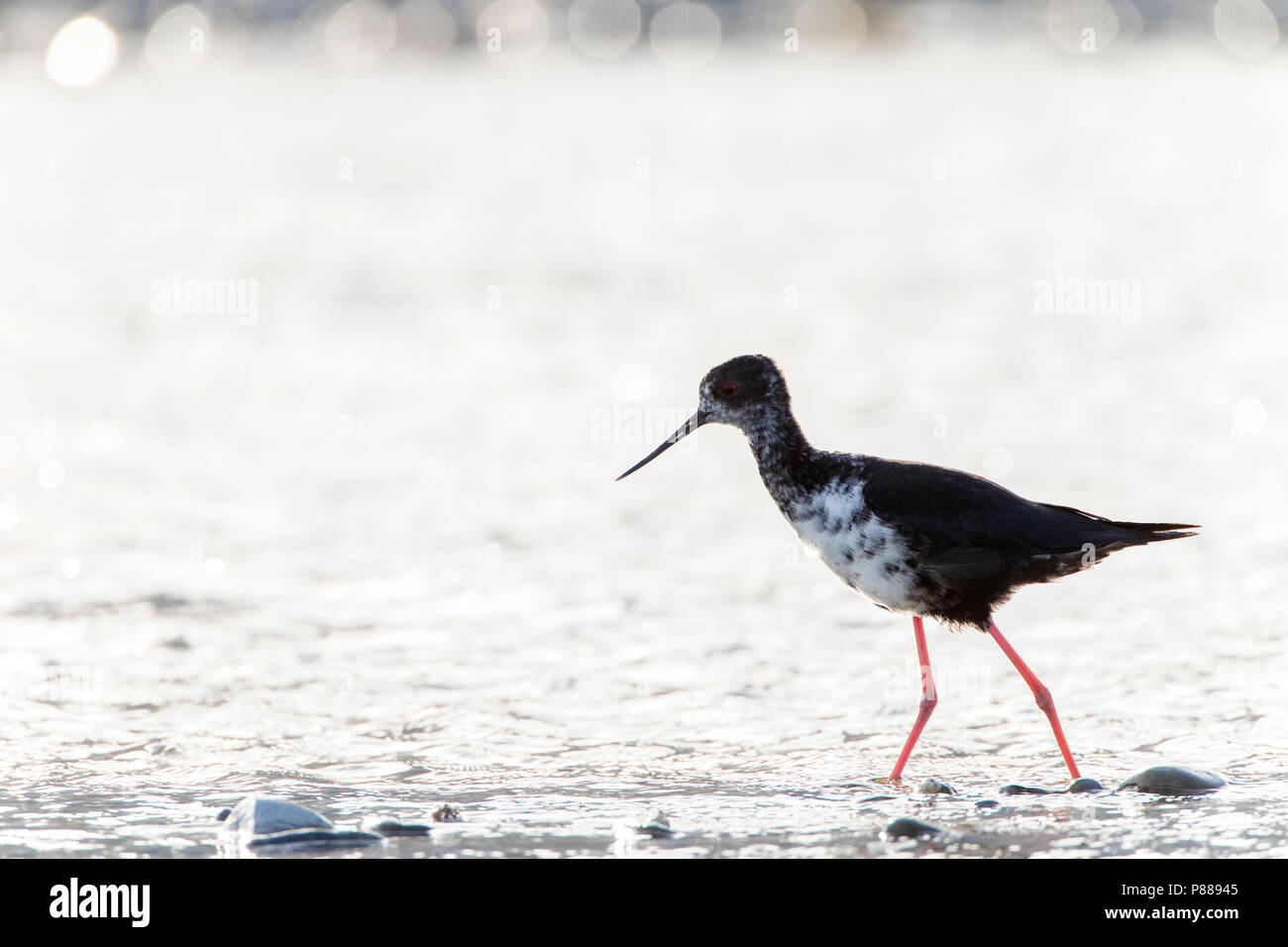 Immature Black Stilt (Himantopus novaezelandiae) with backlight foraging in a river in the Glentanner area, South Island, New Zealand. A Critically En Stock Photohttps://www.alamy.com/image-license-details/?v=1https://www.alamy.com/immature-black-stilt-himantopus-novaezelandiae-with-backlight-foraging-in-a-river-in-the-glentanner-area-south-island-new-zealand-a-critically-en-image211624453.html
RMP88945–Immature Black Stilt (Himantopus novaezelandiae) with backlight foraging in a river in the Glentanner area, South Island, New Zealand. A Critically En
 Braided Basin Hail Skeidararsandur Iceland Sinkholes Created by Subterranean Ice Blocks Melting Stock Photohttps://www.alamy.com/image-license-details/?v=1https://www.alamy.com/braided-basin-hail-skeidararsandur-iceland-sinkholes-created-by-subterranean-image5055762.html
RMANCN13–Braided Basin Hail Skeidararsandur Iceland Sinkholes Created by Subterranean Ice Blocks Melting
 Aerial view of mineral-rich braided rivers in Iceland, showcasing vibrant yellow and green tones against the volcanic terrain. Stock Photohttps://www.alamy.com/image-license-details/?v=1https://www.alamy.com/aerial-view-of-mineral-rich-braided-rivers-in-iceland-showcasing-vibrant-yellow-and-green-tones-against-the-volcanic-terrain-image639902781.html
RM2S522EN–Aerial view of mineral-rich braided rivers in Iceland, showcasing vibrant yellow and green tones against the volcanic terrain.
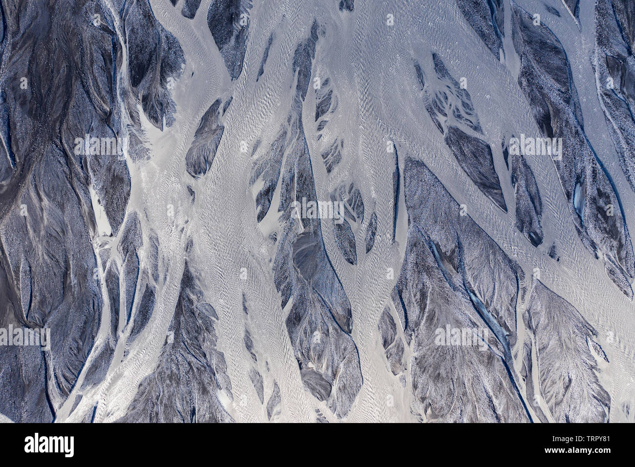 Aerial drone view of a huge riverbed and delta, glacial river system transporting deposits from the Eyjafjallajokull volcano glacier showing unique pa Stock Photohttps://www.alamy.com/image-license-details/?v=1https://www.alamy.com/aerial-drone-view-of-a-huge-riverbed-and-delta-glacial-river-system-transporting-deposits-from-the-eyjafjallajokull-volcano-glacier-showing-unique-pa-image255586577.html
RFTRPY81–Aerial drone view of a huge riverbed and delta, glacial river system transporting deposits from the Eyjafjallajokull volcano glacier showing unique pa
 Shingle bank deposited by a flood in a Braided river system, West Wales, UK. Stock Photohttps://www.alamy.com/image-license-details/?v=1https://www.alamy.com/stock-photo-shingle-bank-deposited-by-a-flood-in-a-braided-river-system-west-wales-20744688.html
RMB5N01M–Shingle bank deposited by a flood in a Braided river system, West Wales, UK.
![Barrage system separates “^fresh ^water” of “Murray River” from “^salt ^water”, “Fleurieu Peninsula”, [South Australia] Stock Photo Barrage system separates “^fresh ^water” of “Murray River” from “^salt ^water”, “Fleurieu Peninsula”, [South Australia] Stock Photo](https://c8.alamy.com/comp/AE81TK/barrage-system-separates-fresh-water-of-murray-river-from-salt-water-AE81TK.jpg) Barrage system separates “^fresh ^water” of “Murray River” from “^salt ^water”, “Fleurieu Peninsula”, [South Australia] Stock Photohttps://www.alamy.com/image-license-details/?v=1https://www.alamy.com/stock-photo-barrage-system-separates-fresh-water-of-murray-river-from-salt-water-13598322.html
Barrage system separates “^fresh ^water” of “Murray River” from “^salt ^water”, “Fleurieu Peninsula”, [South Australia] Stock Photohttps://www.alamy.com/image-license-details/?v=1https://www.alamy.com/stock-photo-barrage-system-separates-fresh-water-of-murray-river-from-salt-water-13598322.htmlRMAE81TK–Barrage system separates “^fresh ^water” of “Murray River” from “^salt ^water”, “Fleurieu Peninsula”, [South Australia]
 River Feshie Glenfeshie in the Cairngorms National Park Inverness-shire Scotland UK SCO 1051 Stock Photohttps://www.alamy.com/image-license-details/?v=1https://www.alamy.com/stock-photo-river-feshie-glenfeshie-in-the-cairngorms-national-park-inverness-20378630.html
RMB54946–River Feshie Glenfeshie in the Cairngorms National Park Inverness-shire Scotland UK SCO 1051
 Water stagnation. This former drainage channel has silted up and is overgrown with Fresh-water soldier (Stratiotes aloides) and became impassable. Lea Stock Photohttps://www.alamy.com/image-license-details/?v=1https://www.alamy.com/water-stagnation-this-former-drainage-channel-has-silted-up-and-is-overgrown-with-fresh-water-soldier-stratiotes-aloides-and-became-impassable-lea-image564966410.html
RF2RR4CBP–Water stagnation. This former drainage channel has silted up and is overgrown with Fresh-water soldier (Stratiotes aloides) and became impassable. Lea
 Close up of thick metal rope. Part of the pulley system for the Daintree Ferry on the Daintree River in Queensland Australia. Stock Photohttps://www.alamy.com/image-license-details/?v=1https://www.alamy.com/close-up-of-thick-metal-rope-part-of-the-pulley-system-for-the-daintree-ferry-on-the-daintree-river-in-queensland-australia-image448041672.html
RF2H0X1M8–Close up of thick metal rope. Part of the pulley system for the Daintree Ferry on the Daintree River in Queensland Australia.
 Changsha city scenery Stock Photohttps://www.alamy.com/image-license-details/?v=1https://www.alamy.com/changsha-city-scenery-image257058173.html
RFTX6091–Changsha city scenery
 This drainage channel overgrown with macrophites Stock Photohttps://www.alamy.com/image-license-details/?v=1https://www.alamy.com/this-drainage-channel-overgrown-with-macrophites-image611014217.html
RF2XE22T9–This drainage channel overgrown with macrophites
 Happy woman taking selfie through mobile phone by bikes against cityscape Stock Photohttps://www.alamy.com/image-license-details/?v=1https://www.alamy.com/happy-woman-taking-selfie-through-mobile-phone-by-bikes-against-cityscape-image256193339.html
RFTTPH63–Happy woman taking selfie through mobile phone by bikes against cityscape
 This drainage channel overgrown with macrophites Stock Photohttps://www.alamy.com/image-license-details/?v=1https://www.alamy.com/this-drainage-channel-overgrown-with-macrophites-image611003982.html
RF2XE1HPP–This drainage channel overgrown with macrophites
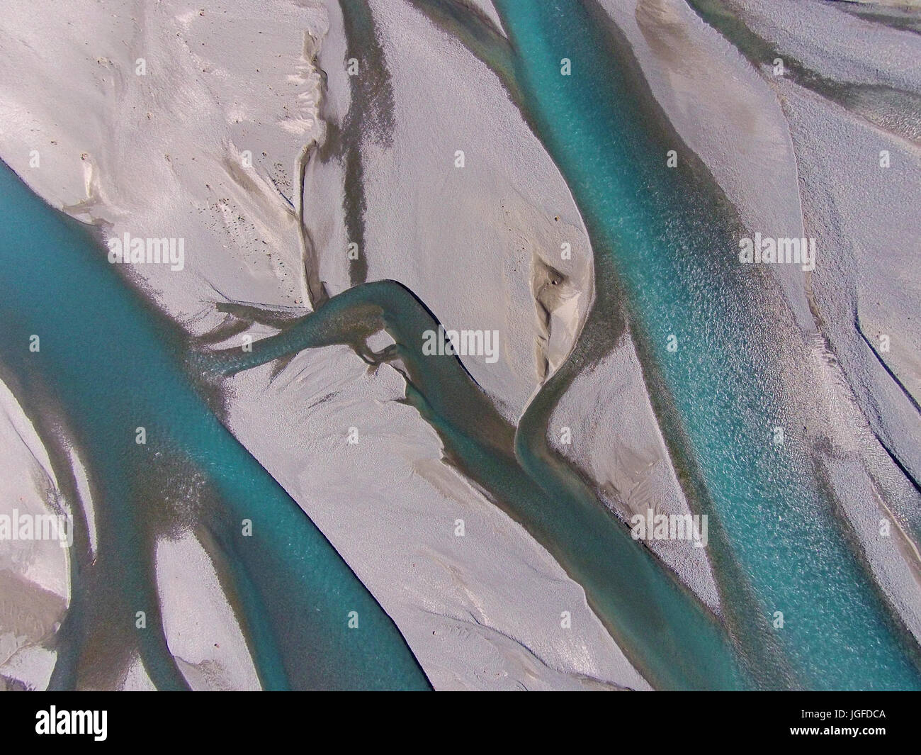 Braided streams of the Rakaia River, Canterbury, South Island, New Zealand - drone aerial Stock Photohttps://www.alamy.com/image-license-details/?v=1https://www.alamy.com/stock-photo-braided-streams-of-the-rakaia-river-canterbury-south-island-new-zealand-147857258.html
RMJGFDCA–Braided streams of the Rakaia River, Canterbury, South Island, New Zealand - drone aerial
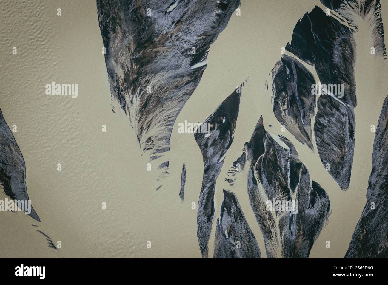 Abstract aerial view of braided glacial river patterns in Öræfi, South Iceland Stock Photohttps://www.alamy.com/image-license-details/?v=1https://www.alamy.com/abstract-aerial-view-of-braided-glacial-river-patterns-in-rfi-south-iceland-image640481928.html
RF2S60D6G–Abstract aerial view of braided glacial river patterns in Öræfi, South Iceland
 Overhead image captures the intricate patterns of a braided river system surrounded by rugged terrain, highlighting nature's artwork Stock Photohttps://www.alamy.com/image-license-details/?v=1https://www.alamy.com/overhead-image-captures-the-intricate-patterns-of-a-braided-river-system-surrounded-by-rugged-terrain-highlighting-natures-artwork-image605662985.html
RF2X5A98W–Overhead image captures the intricate patterns of a braided river system surrounded by rugged terrain, highlighting nature's artwork
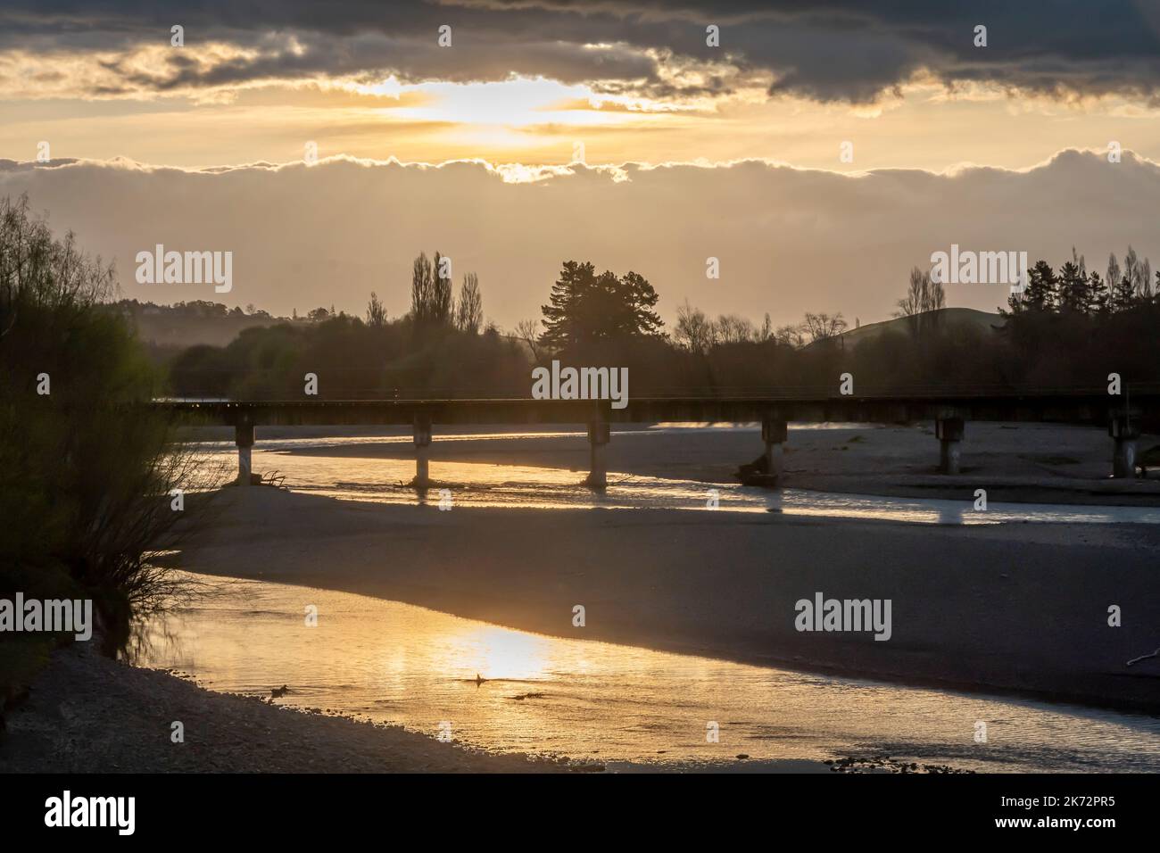 Railway bridge over Tukituki RIver at sunset, Waipukurau, Central Hawke's Bay, North Island, New Zealand Stock Photohttps://www.alamy.com/image-license-details/?v=1https://www.alamy.com/railway-bridge-over-tukituki-river-at-sunset-waipukurau-central-hawkes-bay-north-island-new-zealand-image486254697.html
RF2K72PR5–Railway bridge over Tukituki RIver at sunset, Waipukurau, Central Hawke's Bay, North Island, New Zealand
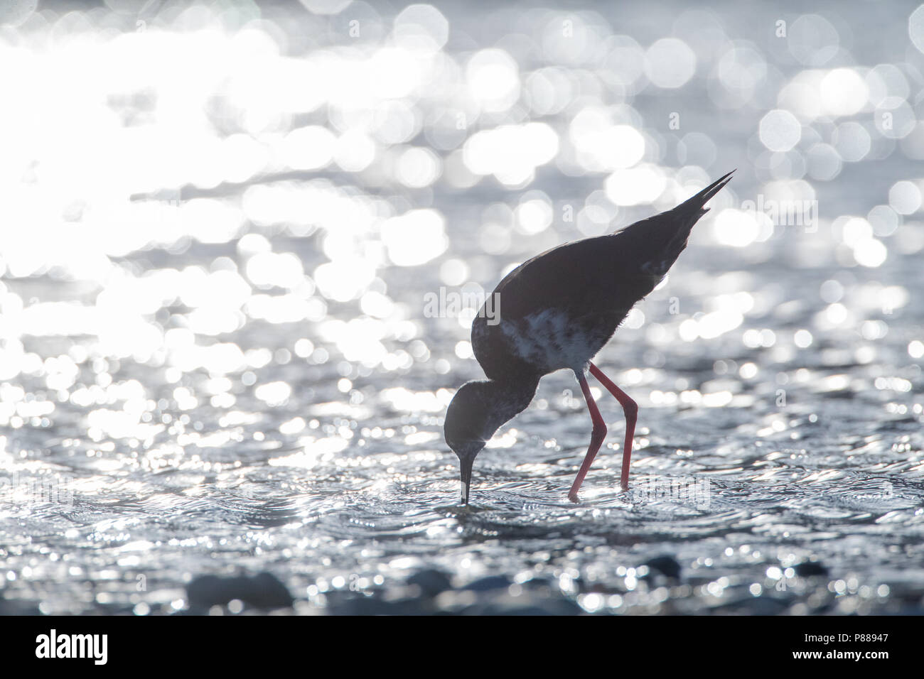 Immature Black Stilt (Himantopus novaezelandiae) with backlight foraging in a river in the Glentanner area, South Island, New Zealand. A Critically En Stock Photohttps://www.alamy.com/image-license-details/?v=1https://www.alamy.com/immature-black-stilt-himantopus-novaezelandiae-with-backlight-foraging-in-a-river-in-the-glentanner-area-south-island-new-zealand-a-critically-en-image211624455.html
RMP88947–Immature Black Stilt (Himantopus novaezelandiae) with backlight foraging in a river in the Glentanner area, South Island, New Zealand. A Critically En
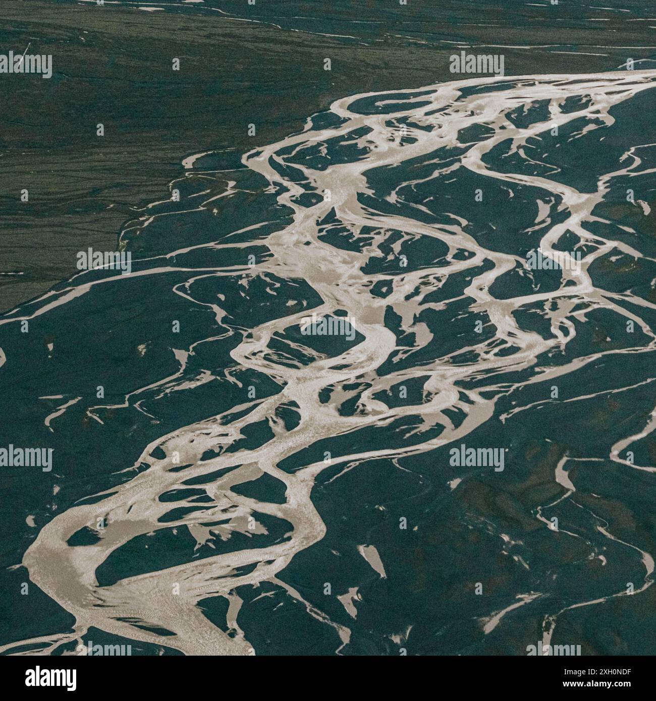 Aerial view of braided rivers in Vatnajokull National Park, Iceland Stock Photohttps://www.alamy.com/image-license-details/?v=1https://www.alamy.com/aerial-view-of-braided-rivers-in-vatnajokull-national-park-iceland-image612828875.html
RM2XH0NDF–Aerial view of braided rivers in Vatnajokull National Park, Iceland
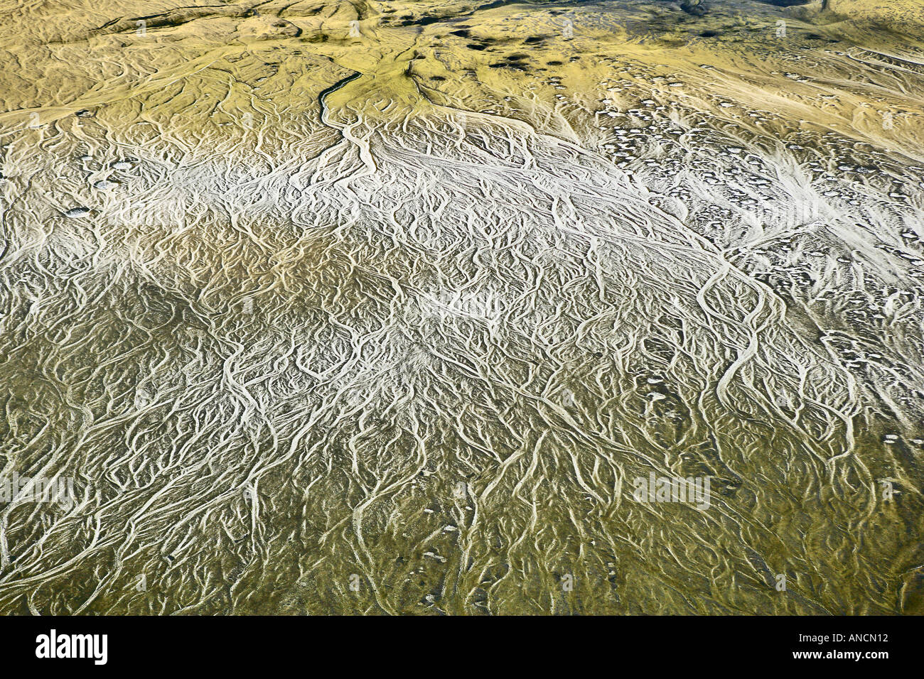 Braided Basin Hail Skeidararsandur Iceland Sinkholes Created by Subterranean Ice Blocks Melting Stock Photohttps://www.alamy.com/image-license-details/?v=1https://www.alamy.com/braided-basin-hail-skeidararsandur-iceland-sinkholes-created-by-subterranean-image5055761.html
RMANCN12–Braided Basin Hail Skeidararsandur Iceland Sinkholes Created by Subterranean Ice Blocks Melting
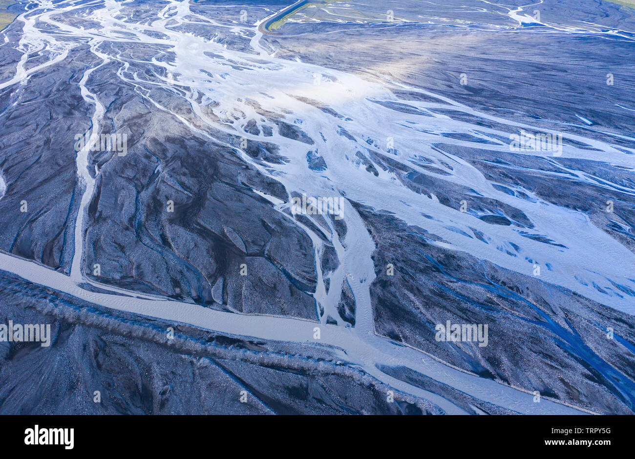 Aerial drone view of a huge riverbed and delta, glacial river system transporting deposits from the Eyjafjallajokull volcano glacier showing unique pa Stock Photohttps://www.alamy.com/image-license-details/?v=1https://www.alamy.com/aerial-drone-view-of-a-huge-riverbed-and-delta-glacial-river-system-transporting-deposits-from-the-eyjafjallajokull-volcano-glacier-showing-unique-pa-image255586508.html
RFTRPY5G–Aerial drone view of a huge riverbed and delta, glacial river system transporting deposits from the Eyjafjallajokull volcano glacier showing unique pa
 Shingle bank deposited by a flood in a Braided river system, West Wales, UK. Stock Photohttps://www.alamy.com/image-license-details/?v=1https://www.alamy.com/stock-photo-shingle-bank-deposited-by-a-flood-in-a-braided-river-system-west-wales-20751881.html
RMB5N96H–Shingle bank deposited by a flood in a Braided river system, West Wales, UK.
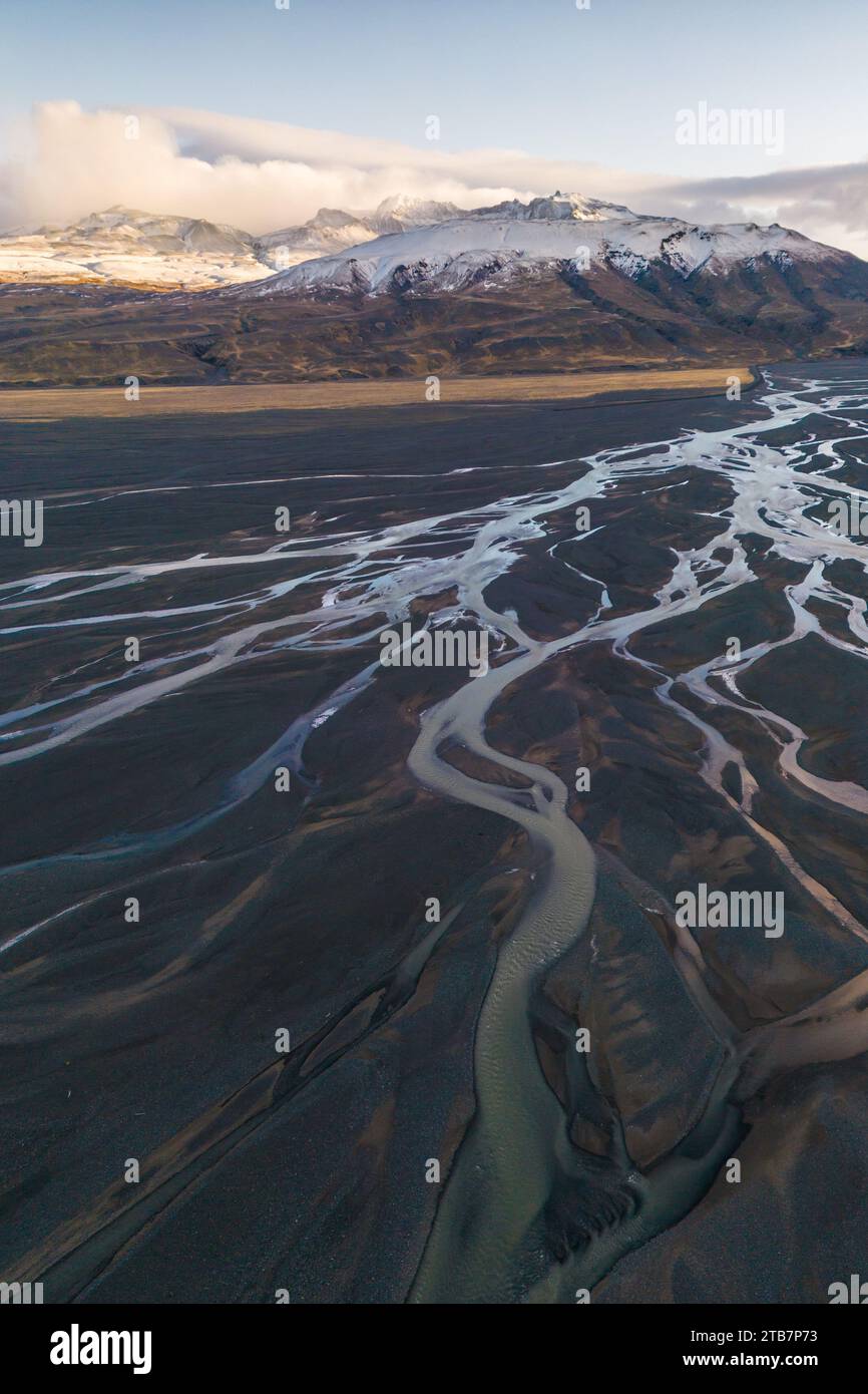 Breathtaking aerial shot captures the dynamic river system of Thorsmork in the Icelandic Highlands, with snow-dusted mountains in the background. Stock Photohttps://www.alamy.com/image-license-details/?v=1https://www.alamy.com/breathtaking-aerial-shot-captures-the-dynamic-river-system-of-thorsmork-in-the-icelandic-highlands-with-snow-dusted-mountains-in-the-background-image574874471.html
RF2TB7P73–Breathtaking aerial shot captures the dynamic river system of Thorsmork in the Icelandic Highlands, with snow-dusted mountains in the background.
![Barrage system separates “^fresh ^water” of “Murray River” from “^salt ^water”, “Fleurieu Peninsula”, [South Australia] Stock Photo Barrage system separates “^fresh ^water” of “Murray River” from “^salt ^water”, “Fleurieu Peninsula”, [South Australia] Stock Photo](https://c8.alamy.com/comp/AE81RW/barrage-system-separates-fresh-water-of-murray-river-from-salt-water-AE81RW.jpg) Barrage system separates “^fresh ^water” of “Murray River” from “^salt ^water”, “Fleurieu Peninsula”, [South Australia] Stock Photohttps://www.alamy.com/image-license-details/?v=1https://www.alamy.com/stock-photo-barrage-system-separates-fresh-water-of-murray-river-from-salt-water-13598316.html
Barrage system separates “^fresh ^water” of “Murray River” from “^salt ^water”, “Fleurieu Peninsula”, [South Australia] Stock Photohttps://www.alamy.com/image-license-details/?v=1https://www.alamy.com/stock-photo-barrage-system-separates-fresh-water-of-murray-river-from-salt-water-13598316.htmlRMAE81RW–Barrage system separates “^fresh ^water” of “Murray River” from “^salt ^water”, “Fleurieu Peninsula”, [South Australia]
 River Feshie at Achleum, Glenfeshie in the Cairngorms National Park Inverness-shire Scotland UK SCO 1050 Stock Photohttps://www.alamy.com/image-license-details/?v=1https://www.alamy.com/stock-photo-river-feshie-at-achleum-glenfeshie-in-the-cairngorms-national-park-20375061.html
RMB544GN–River Feshie at Achleum, Glenfeshie in the Cairngorms National Park Inverness-shire Scotland UK SCO 1050
 Water stagnation. This former drainage channel has silted up and is overgrown with Fresh-water soldier (Stratiotes aloides) and became impassable. Lea Stock Photohttps://www.alamy.com/image-license-details/?v=1https://www.alamy.com/water-stagnation-this-former-drainage-channel-has-silted-up-and-is-overgrown-with-fresh-water-soldier-stratiotes-aloides-and-became-impassable-lea-image595845260.html
RF2WHB2KT–Water stagnation. This former drainage channel has silted up and is overgrown with Fresh-water soldier (Stratiotes aloides) and became impassable. Lea
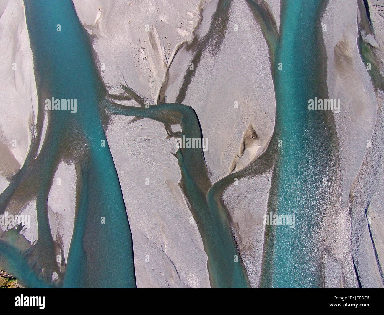 Braided streams of the Rakaia River, Canterbury, South Island, New Zealand - drone aerial Stock Photohttps://www.alamy.com/image-license-details/?v=1https://www.alamy.com/stock-photo-braided-streams-of-the-rakaia-river-canterbury-south-island-new-zealand-147857254.html
RMJGFDC6–Braided streams of the Rakaia River, Canterbury, South Island, New Zealand - drone aerial
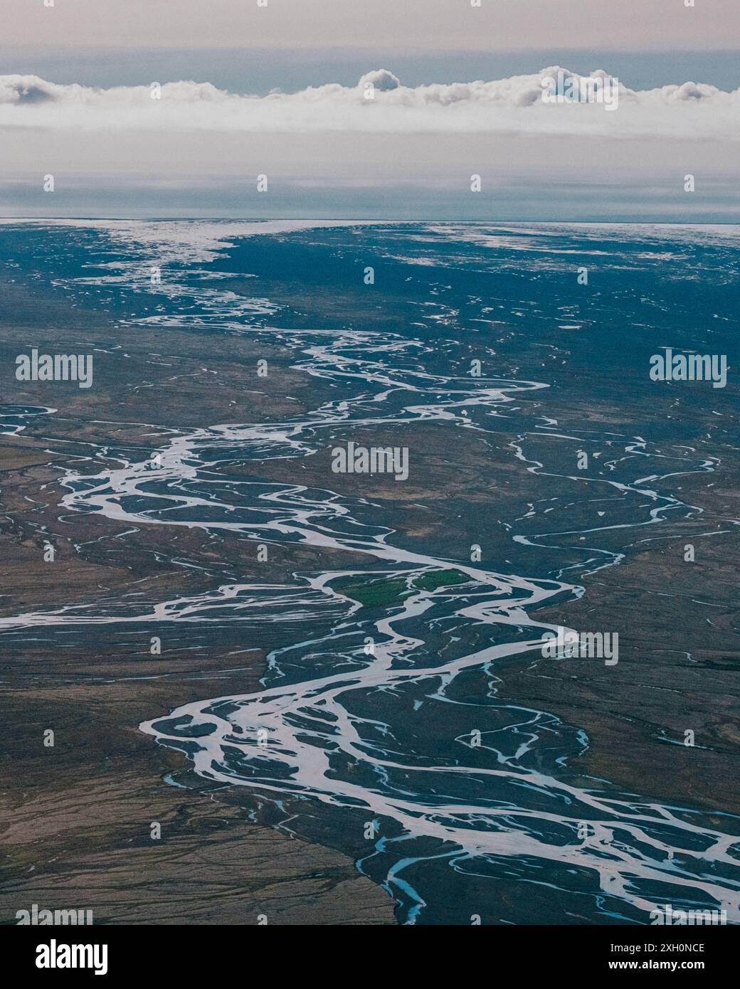 Aerial view of braided rivers in Vatnajokull National Park, Iceland Stock Photohttps://www.alamy.com/image-license-details/?v=1https://www.alamy.com/aerial-view-of-braided-rivers-in-vatnajokull-national-park-iceland-image612828846.html
RM2XH0NCE–Aerial view of braided rivers in Vatnajokull National Park, Iceland
 Aerial view of braided glacial river patterns in Hornafjörður, South Iceland. Stock Photohttps://www.alamy.com/image-license-details/?v=1https://www.alamy.com/aerial-view-of-braided-glacial-river-patterns-in-hornafjrur-south-iceland-image640546342.html
RF2S63BB2–Aerial view of braided glacial river patterns in Hornafjörður, South Iceland.
 Aerial drone view of a huge riverbed and delta, glacial river system transporting deposits from the Eyjafjallajokull volcano glacier showing unique pa Stock Photohttps://www.alamy.com/image-license-details/?v=1https://www.alamy.com/aerial-drone-view-of-a-huge-riverbed-and-delta-glacial-river-system-transporting-deposits-from-the-eyjafjallajokull-volcano-glacier-showing-unique-pa-image255586516.html
RFTRPY5T–Aerial drone view of a huge riverbed and delta, glacial river system transporting deposits from the Eyjafjallajokull volcano glacier showing unique pa
 Natural dam caused by timber debris deposited in a flood in a braided river system, West Wales, UK Stock Photohttps://www.alamy.com/image-license-details/?v=1https://www.alamy.com/stock-photo-natural-dam-caused-by-timber-debris-deposited-in-a-flood-in-a-braided-20752816.html
RMB5NAC0–Natural dam caused by timber debris deposited in a flood in a braided river system, West Wales, UK
 The River Feshie in Glen Feshie in the Cairngorms National Park Inverness-shire Scotland UK SCO 1048 Stock Photohttps://www.alamy.com/image-license-details/?v=1https://www.alamy.com/stock-photo-the-river-feshie-in-glen-feshie-in-the-cairngorms-national-park-inverness-20378158.html
RMB548FA–The River Feshie in Glen Feshie in the Cairngorms National Park Inverness-shire Scotland UK SCO 1048
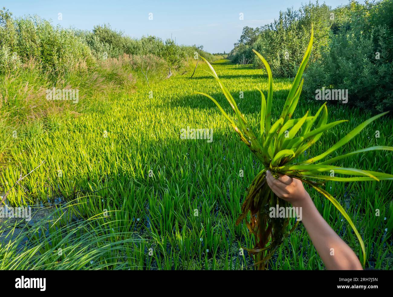 Water stagnation. This former drainage channel has silted up and is overgrown with Fresh-water soldier (Stratiotes aloides) and became impassable. Lea Stock Photohttps://www.alamy.com/image-license-details/?v=1https://www.alamy.com/water-stagnation-this-former-drainage-channel-has-silted-up-and-is-overgrown-with-fresh-water-soldier-stratiotes-aloides-and-became-impassable-lea-image561348865.html
RF2RH7J5N–Water stagnation. This former drainage channel has silted up and is overgrown with Fresh-water soldier (Stratiotes aloides) and became impassable. Lea
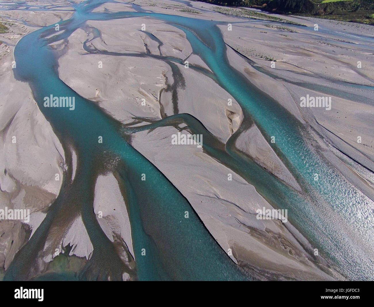 Braided streams of the Rakaia River, Canterbury, South Island, New Zealand - drone aerial Stock Photohttps://www.alamy.com/image-license-details/?v=1https://www.alamy.com/stock-photo-braided-streams-of-the-rakaia-river-canterbury-south-island-new-zealand-147857251.html
RMJGFDC3–Braided streams of the Rakaia River, Canterbury, South Island, New Zealand - drone aerial
 Aerial drone view of a huge riverbed and delta, glacial river system transporting deposits from the Eyjafjallajokull volcano glacier showing unique pa Stock Photohttps://www.alamy.com/image-license-details/?v=1https://www.alamy.com/aerial-drone-view-of-a-huge-riverbed-and-delta-glacial-river-system-transporting-deposits-from-the-eyjafjallajokull-volcano-glacier-showing-unique-pa-image255586533.html
RFTRPY6D–Aerial drone view of a huge riverbed and delta, glacial river system transporting deposits from the Eyjafjallajokull volcano glacier showing unique pa
 River system within woodland buffer zone reducing flow and downstream flood risk, River Wyre, Wales, UK. Stock Photohttps://www.alamy.com/image-license-details/?v=1https://www.alamy.com/stock-photo-river-system-within-woodland-buffer-zone-reducing-flow-and-downstream-20751996.html
RMB5N9AM–River system within woodland buffer zone reducing flow and downstream flood risk, River Wyre, Wales, UK.
 The River Feshie in Glen Feshie in the Cairngorms National Park Inverness-shire Scotland UK SCO 1047 Stock Photohttps://www.alamy.com/image-license-details/?v=1https://www.alamy.com/stock-photo-the-river-feshie-in-glen-feshie-in-the-cairngorms-national-park-inverness-20378028.html
RMB548AM–The River Feshie in Glen Feshie in the Cairngorms National Park Inverness-shire Scotland UK SCO 1047
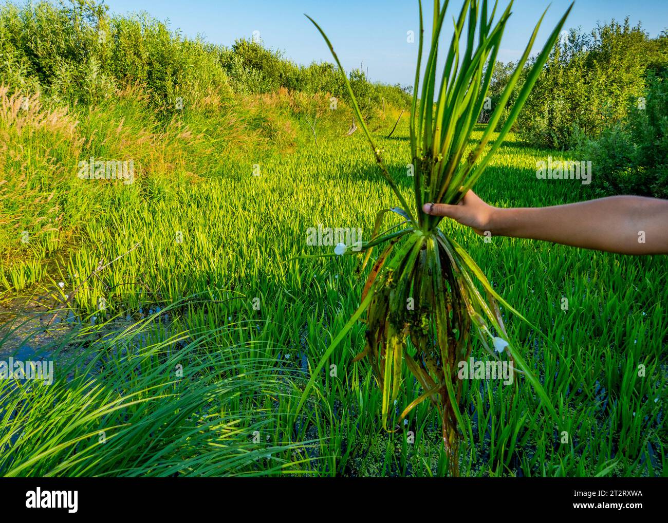 Water stagnation. This former drainage channel has silted up and is overgrown with Fresh-water soldier (Stratiotes aloides) and became impassable. Lea Stock Photohttps://www.alamy.com/image-license-details/?v=1https://www.alamy.com/water-stagnation-this-former-drainage-channel-has-silted-up-and-is-overgrown-with-fresh-water-soldier-stratiotes-aloides-and-became-impassable-lea-image569697446.html
RF2T2RXWA–Water stagnation. This former drainage channel has silted up and is overgrown with Fresh-water soldier (Stratiotes aloides) and became impassable. Lea
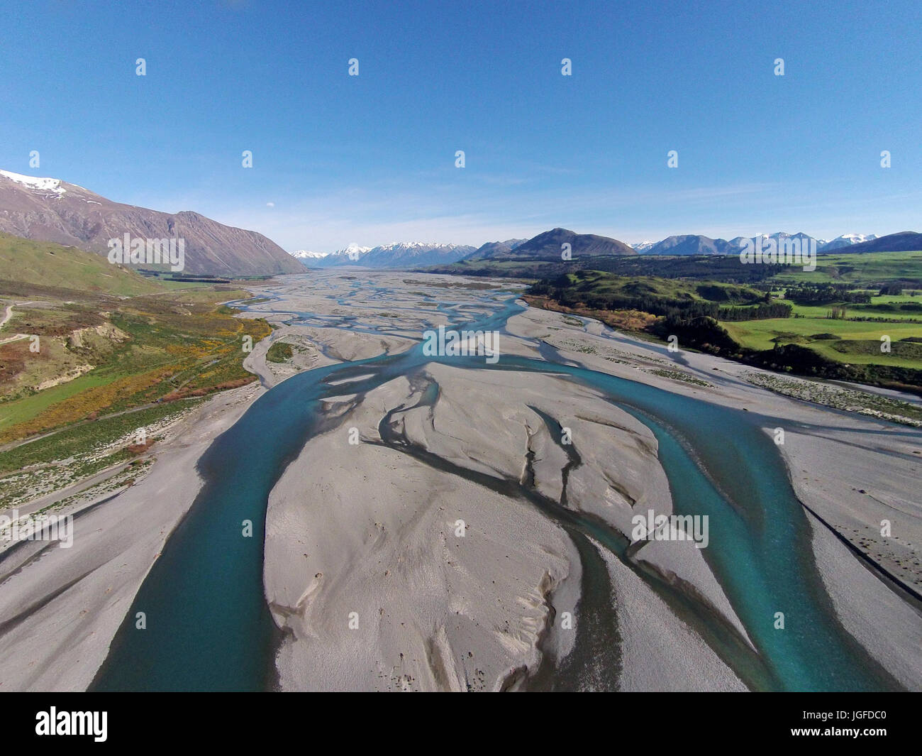 Braided streams of the Rakaia River, Canterbury, South Island, New Zealand - drone aerial Stock Photohttps://www.alamy.com/image-license-details/?v=1https://www.alamy.com/stock-photo-braided-streams-of-the-rakaia-river-canterbury-south-island-new-zealand-147857248.html
RMJGFDC0–Braided streams of the Rakaia River, Canterbury, South Island, New Zealand - drone aerial
 Aerial drone view of a huge riverbed and delta, glacial river system transporting deposits from the Eyjafjallajokull volcano glacier showing unique pa Stock Photohttps://www.alamy.com/image-license-details/?v=1https://www.alamy.com/aerial-drone-view-of-a-huge-riverbed-and-delta-glacial-river-system-transporting-deposits-from-the-eyjafjallajokull-volcano-glacier-showing-unique-pa-image255586559.html
RFTRPY7B–Aerial drone view of a huge riverbed and delta, glacial river system transporting deposits from the Eyjafjallajokull volcano glacier showing unique pa
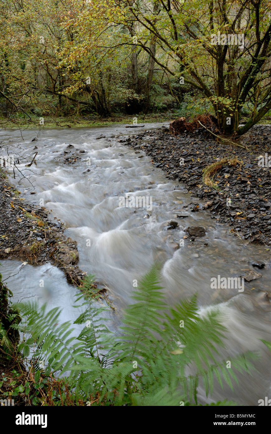 River system within woodland buffer zone reducing flow and downstream flood risk, River Wyre, Wales, UK. Stock Photohttps://www.alamy.com/image-license-details/?v=1https://www.alamy.com/stock-photo-river-system-within-woodland-buffer-zone-reducing-flow-and-downstream-20744428.html
RMB5MYMC–River system within woodland buffer zone reducing flow and downstream flood risk, River Wyre, Wales, UK.
 The River Feshie in Glen Feshie in the Cairngorms National Park Inverness-shire Scotland UK SCO 1046 Stock Photohttps://www.alamy.com/image-license-details/?v=1https://www.alamy.com/stock-photo-the-river-feshie-in-glen-feshie-in-the-cairngorms-national-park-inverness-20374471.html
RMB543RK–The River Feshie in Glen Feshie in the Cairngorms National Park Inverness-shire Scotland UK SCO 1046
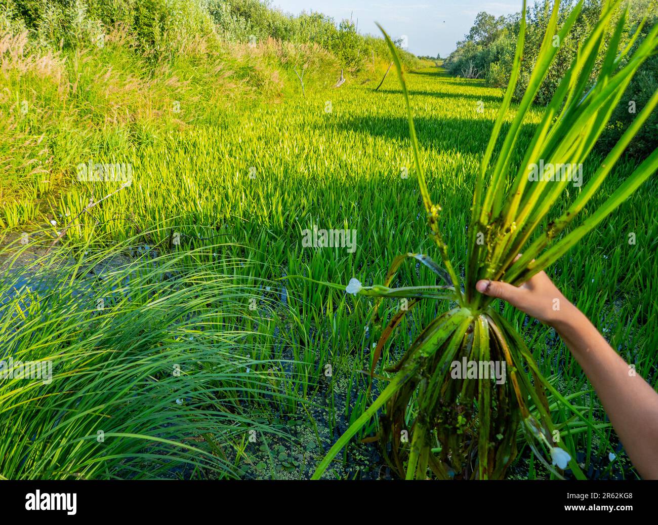 Water stagnation. This former drainage channel has silted up and is overgrown with Fresh-water soldier (Stratiotes aloides) and became impassable. Lea Stock Photohttps://www.alamy.com/image-license-details/?v=1https://www.alamy.com/water-stagnation-this-former-drainage-channel-has-silted-up-and-is-overgrown-with-fresh-water-soldier-stratiotes-aloides-and-became-impassable-lea-image554478968.html
RF2R62KG8–Water stagnation. This former drainage channel has silted up and is overgrown with Fresh-water soldier (Stratiotes aloides) and became impassable. Lea
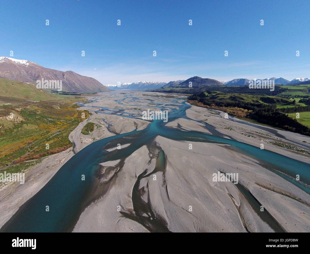 Braided streams of the Rakaia River, Canterbury, South Island, New Zealand - drone aerial Stock Photohttps://www.alamy.com/image-license-details/?v=1https://www.alamy.com/stock-photo-braided-streams-of-the-rakaia-river-canterbury-south-island-new-zealand-147857245.html
RMJGFDBW–Braided streams of the Rakaia River, Canterbury, South Island, New Zealand - drone aerial
 Aerial drone view of a huge riverbed and delta, glacial river system transporting deposits from the Eyjafjallajokull volcano glacier showing unique pa Stock Photohttps://www.alamy.com/image-license-details/?v=1https://www.alamy.com/aerial-drone-view-of-a-huge-riverbed-and-delta-glacial-river-system-transporting-deposits-from-the-eyjafjallajokull-volcano-glacier-showing-unique-pa-image255586550.html
RFTRPY72–Aerial drone view of a huge riverbed and delta, glacial river system transporting deposits from the Eyjafjallajokull volcano glacier showing unique pa
 River system within woodland buffer zone reducing flow and downstream flood risk, River Wyre, Wales, UK. Stock Photohttps://www.alamy.com/image-license-details/?v=1https://www.alamy.com/stock-photo-river-system-within-woodland-buffer-zone-reducing-flow-and-downstream-20750752.html
RMB5N7P8–River system within woodland buffer zone reducing flow and downstream flood risk, River Wyre, Wales, UK.
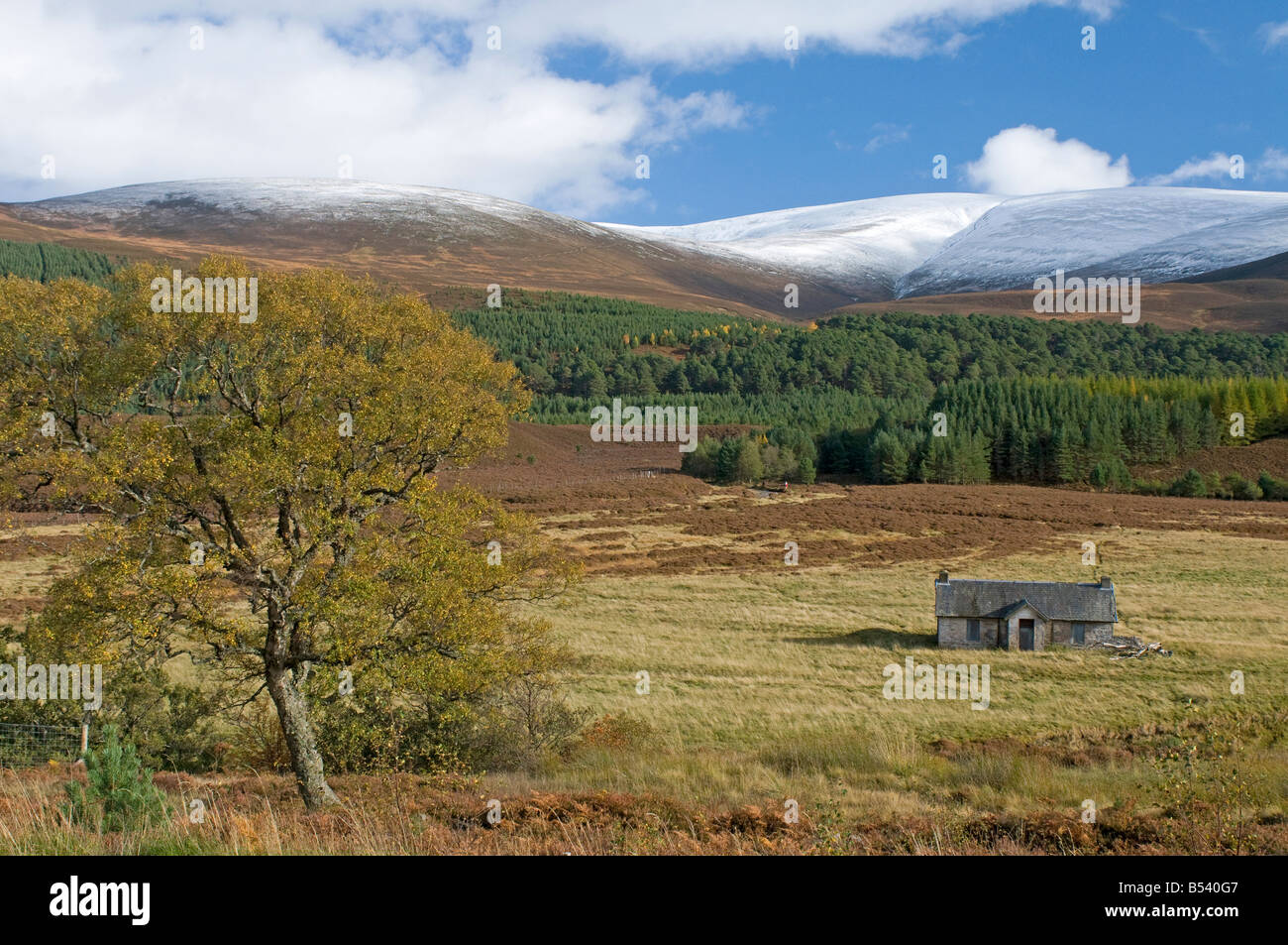 Achleum, Glen Feshie in the Cairngorms National Park Inverness-shire Scotland UK SCO 1049 Stock Photohttps://www.alamy.com/image-license-details/?v=1https://www.alamy.com/stock-photo-achleum-glen-feshie-in-the-cairngorms-national-park-inverness-shire-20371911.html
RMB540G7–Achleum, Glen Feshie in the Cairngorms National Park Inverness-shire Scotland UK SCO 1049
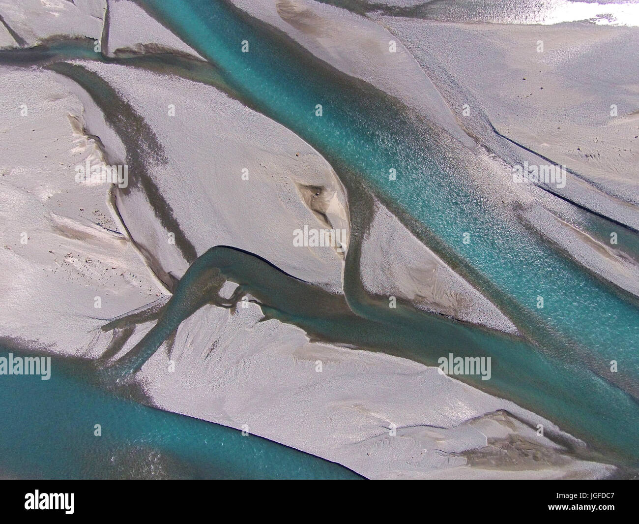 Braided streams of the Rakaia River, Canterbury, South Island, New Zealand - drone aerial Stock Photohttps://www.alamy.com/image-license-details/?v=1https://www.alamy.com/stock-photo-braided-streams-of-the-rakaia-river-canterbury-south-island-new-zealand-147857255.html
RMJGFDC7–Braided streams of the Rakaia River, Canterbury, South Island, New Zealand - drone aerial
 Aerial drone view of a huge riverbed and delta, glacial river system transporting deposits from the Eyjafjallajokull volcano glacier showing unique pa Stock Photohttps://www.alamy.com/image-license-details/?v=1https://www.alamy.com/aerial-drone-view-of-a-huge-riverbed-and-delta-glacial-river-system-transporting-deposits-from-the-eyjafjallajokull-volcano-glacier-showing-unique-pa-image255586569.html
RFTRPY7N–Aerial drone view of a huge riverbed and delta, glacial river system transporting deposits from the Eyjafjallajokull volcano glacier showing unique pa
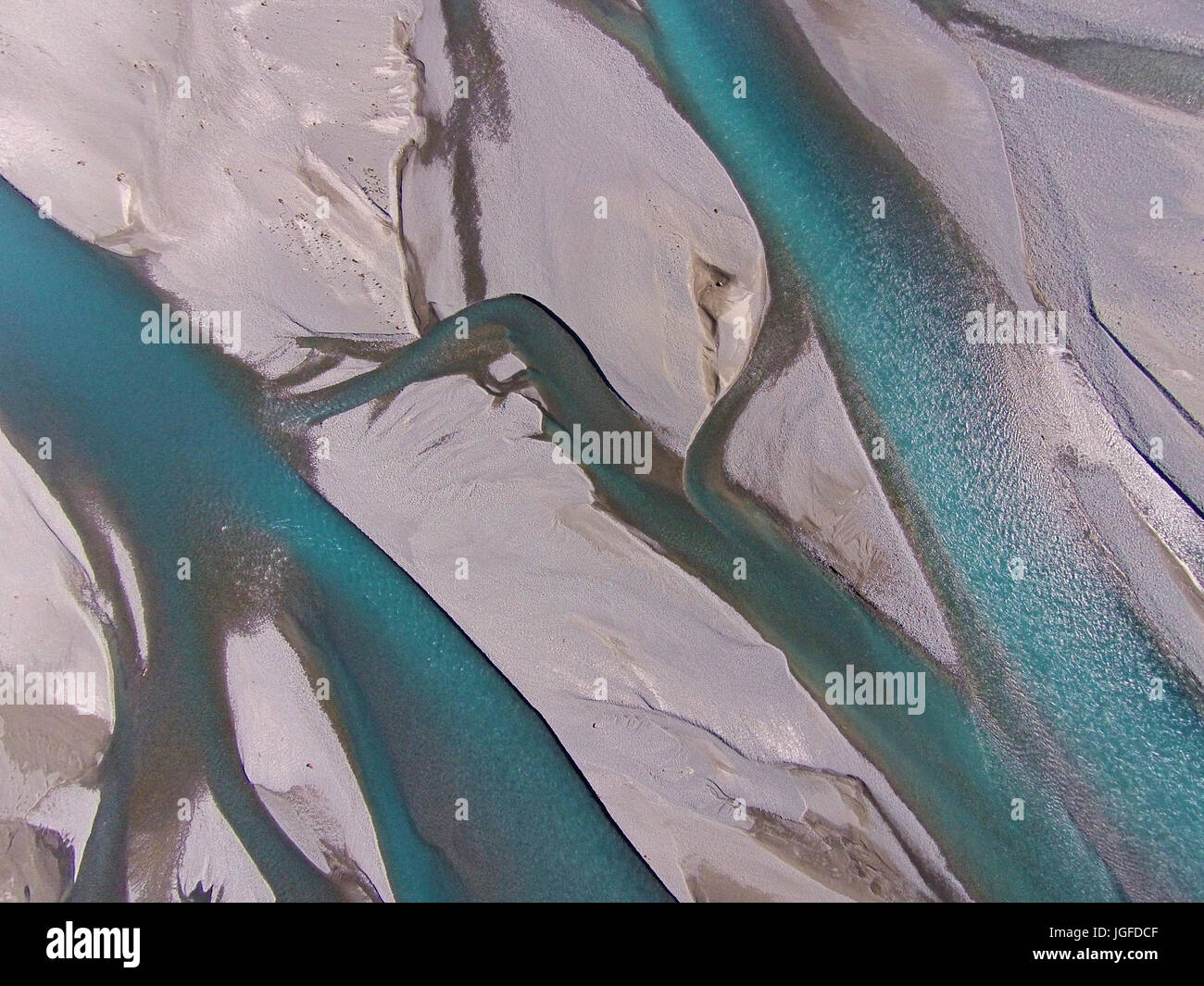 Braided streams of the Rakaia River, Canterbury, South Island, New Zealand - drone aerial Stock Photohttps://www.alamy.com/image-license-details/?v=1https://www.alamy.com/stock-photo-braided-streams-of-the-rakaia-river-canterbury-south-island-new-zealand-147857263.html
RMJGFDCF–Braided streams of the Rakaia River, Canterbury, South Island, New Zealand - drone aerial
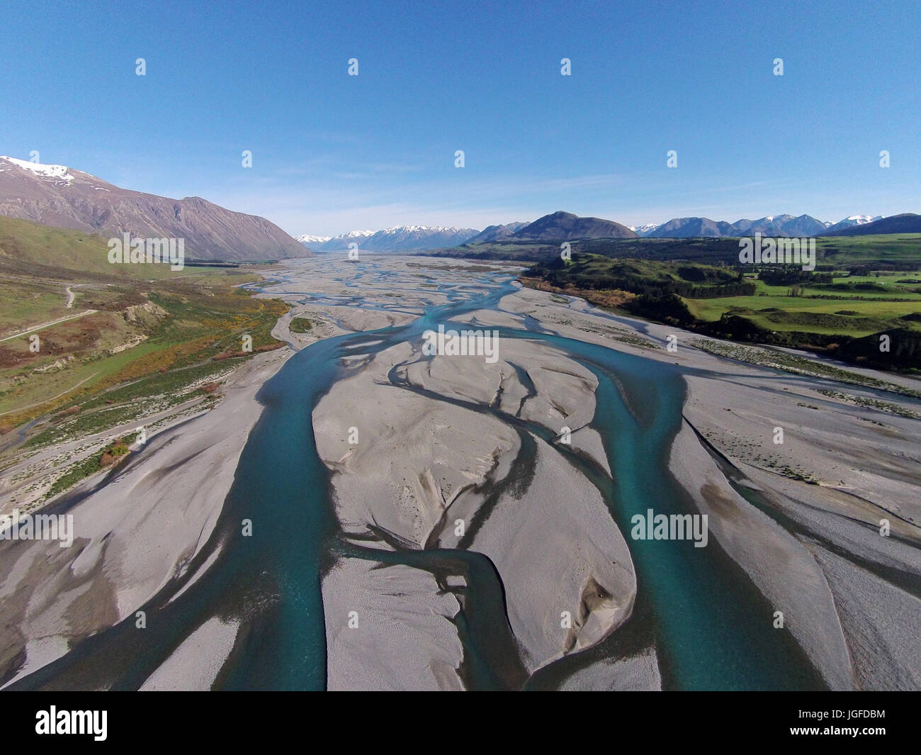 Braided streams of the Rakaia River, Canterbury, South Island, New Zealand - drone aerial Stock Photohttps://www.alamy.com/image-license-details/?v=1https://www.alamy.com/stock-photo-braided-streams-of-the-rakaia-river-canterbury-south-island-new-zealand-147857240.html
RMJGFDBM–Braided streams of the Rakaia River, Canterbury, South Island, New Zealand - drone aerial
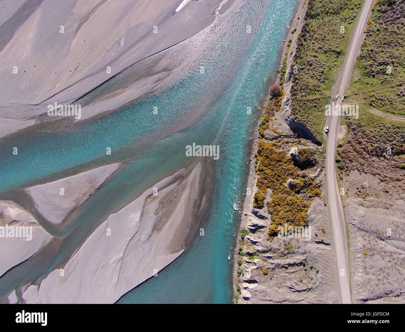 Braided streams of the Rakaia River, and Double Hill Run Road, Canterbury, South Island, New Zealand - drone aerial Stock Photohttps://www.alamy.com/image-license-details/?v=1https://www.alamy.com/stock-photo-braided-streams-of-the-rakaia-river-and-double-hill-run-road-canterbury-147857268.html
RMJGFDCM–Braided streams of the Rakaia River, and Double Hill Run Road, Canterbury, South Island, New Zealand - drone aerial
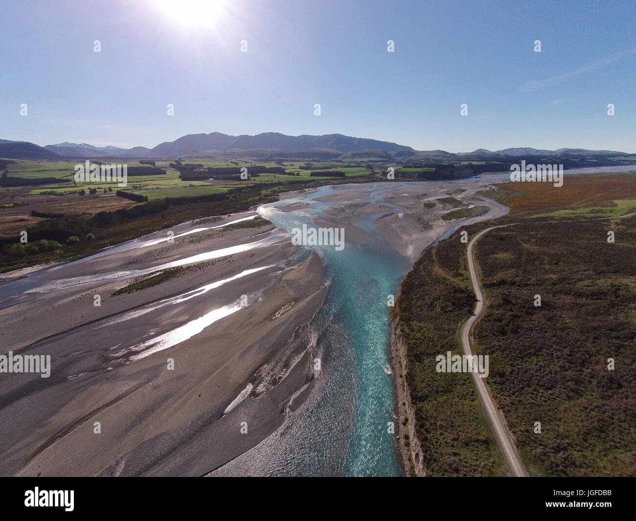 Braided streams of the Rakaia River, and Double Hill Run Road, Canterbury, South Island, New Zealand - drone aerial Stock Photohttps://www.alamy.com/image-license-details/?v=1https://www.alamy.com/stock-photo-braided-streams-of-the-rakaia-river-and-double-hill-run-road-canterbury-147857231.html
RMJGFDBB–Braided streams of the Rakaia River, and Double Hill Run Road, Canterbury, South Island, New Zealand - drone aerial
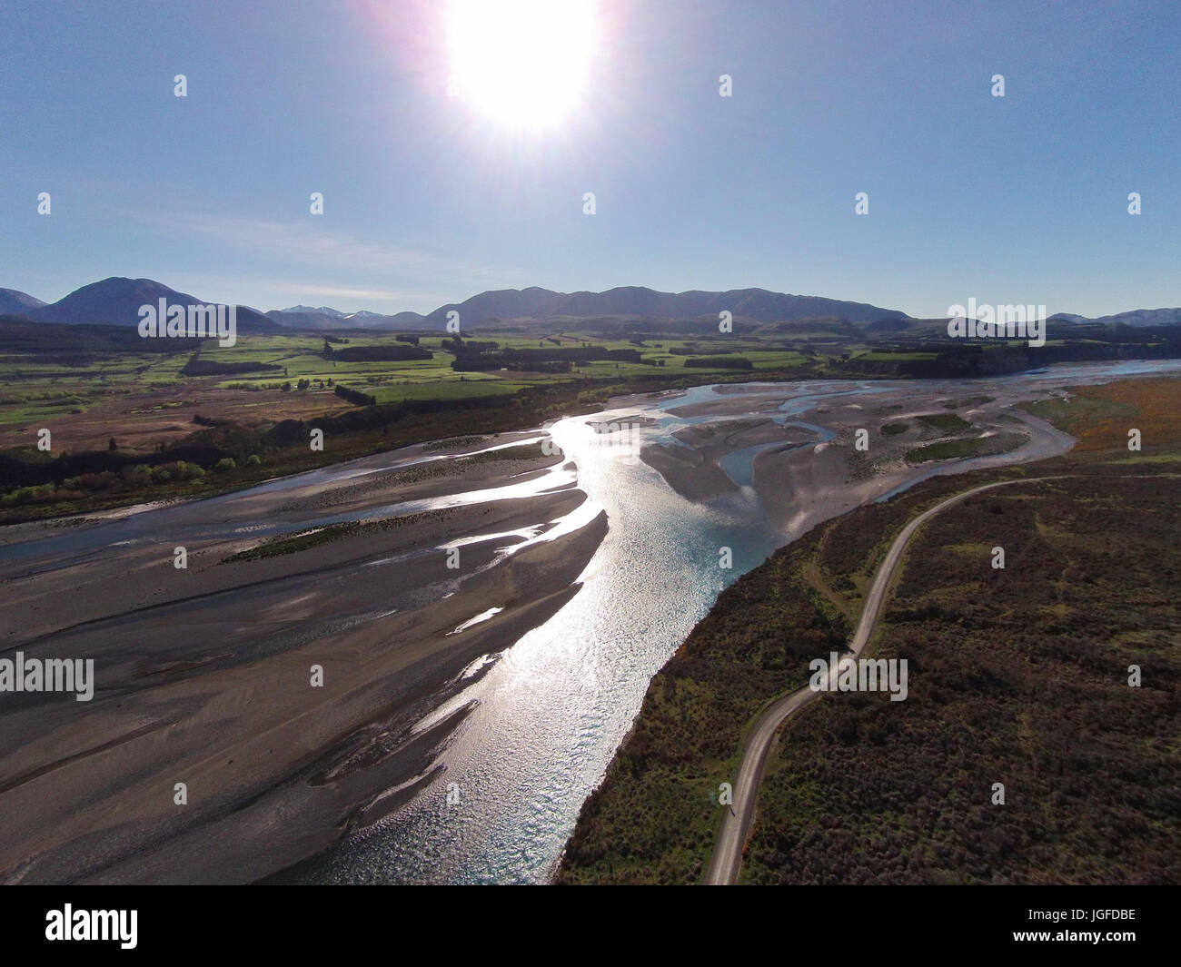 Braided streams of the Rakaia River, and Double Hill Run Road, Canterbury, South Island, New Zealand - drone aerial Stock Photohttps://www.alamy.com/image-license-details/?v=1https://www.alamy.com/stock-photo-braided-streams-of-the-rakaia-river-and-double-hill-run-road-canterbury-147857234.html
RMJGFDBE–Braided streams of the Rakaia River, and Double Hill Run Road, Canterbury, South Island, New Zealand - drone aerial
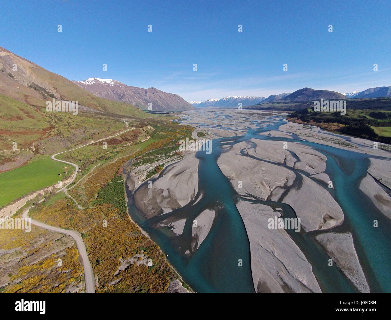 Braided streams of the Rakaia River, and Double Hill Run Road, Canterbury, South Island, New Zealand - drone aerial Stock Photohttps://www.alamy.com/image-license-details/?v=1https://www.alamy.com/stock-photo-braided-streams-of-the-rakaia-river-and-double-hill-run-road-canterbury-147857237.html
RMJGFDBH–Braided streams of the Rakaia River, and Double Hill Run Road, Canterbury, South Island, New Zealand - drone aerial
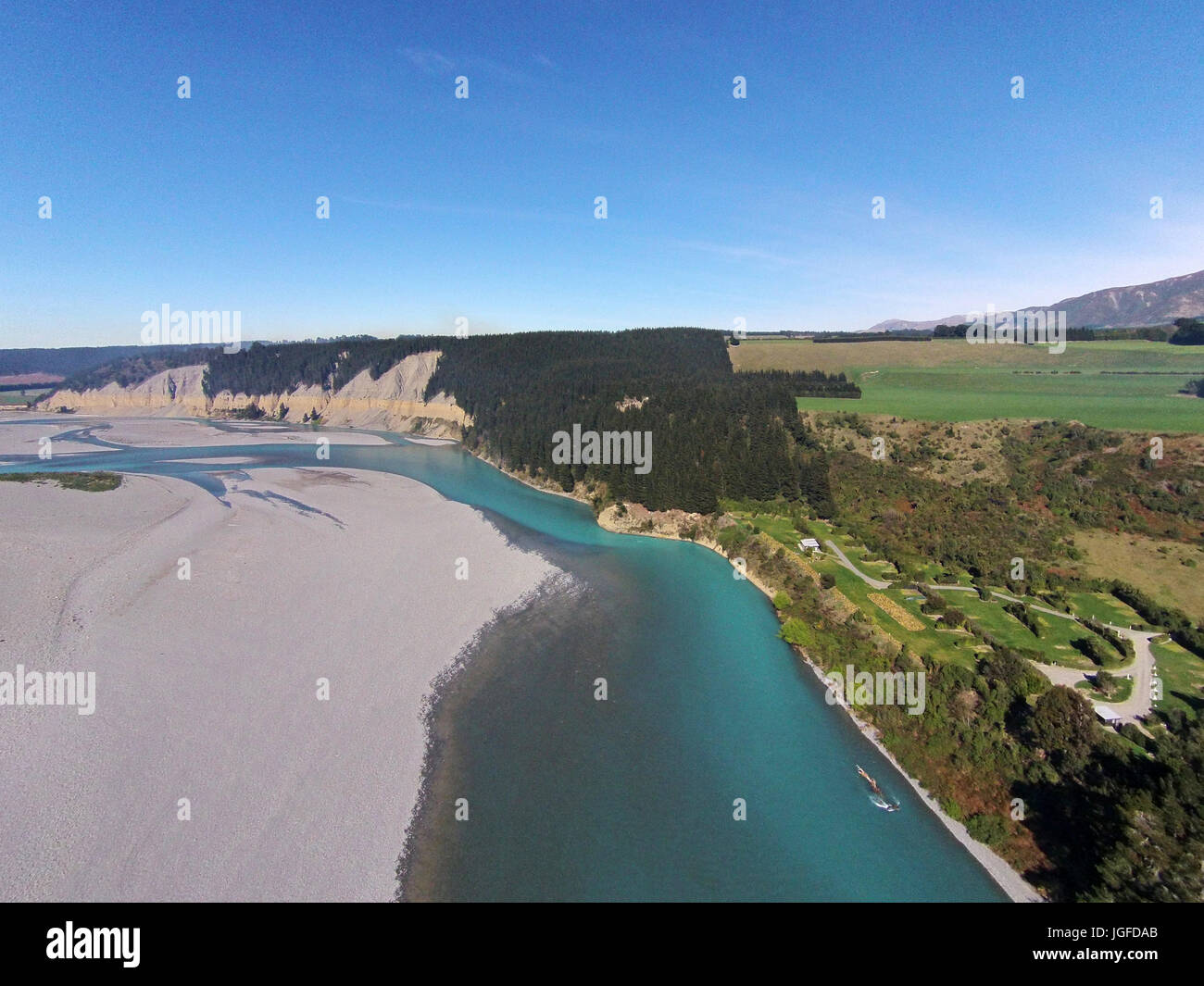 Rakaia River, just below Rakaia Gorge, Canterbury, South Island, New Zealand - drone aerial Stock Photohttps://www.alamy.com/image-license-details/?v=1https://www.alamy.com/stock-photo-rakaia-river-just-below-rakaia-gorge-canterbury-south-island-new-zealand-147857203.html
RMJGFDAB–Rakaia River, just below Rakaia Gorge, Canterbury, South Island, New Zealand - drone aerial
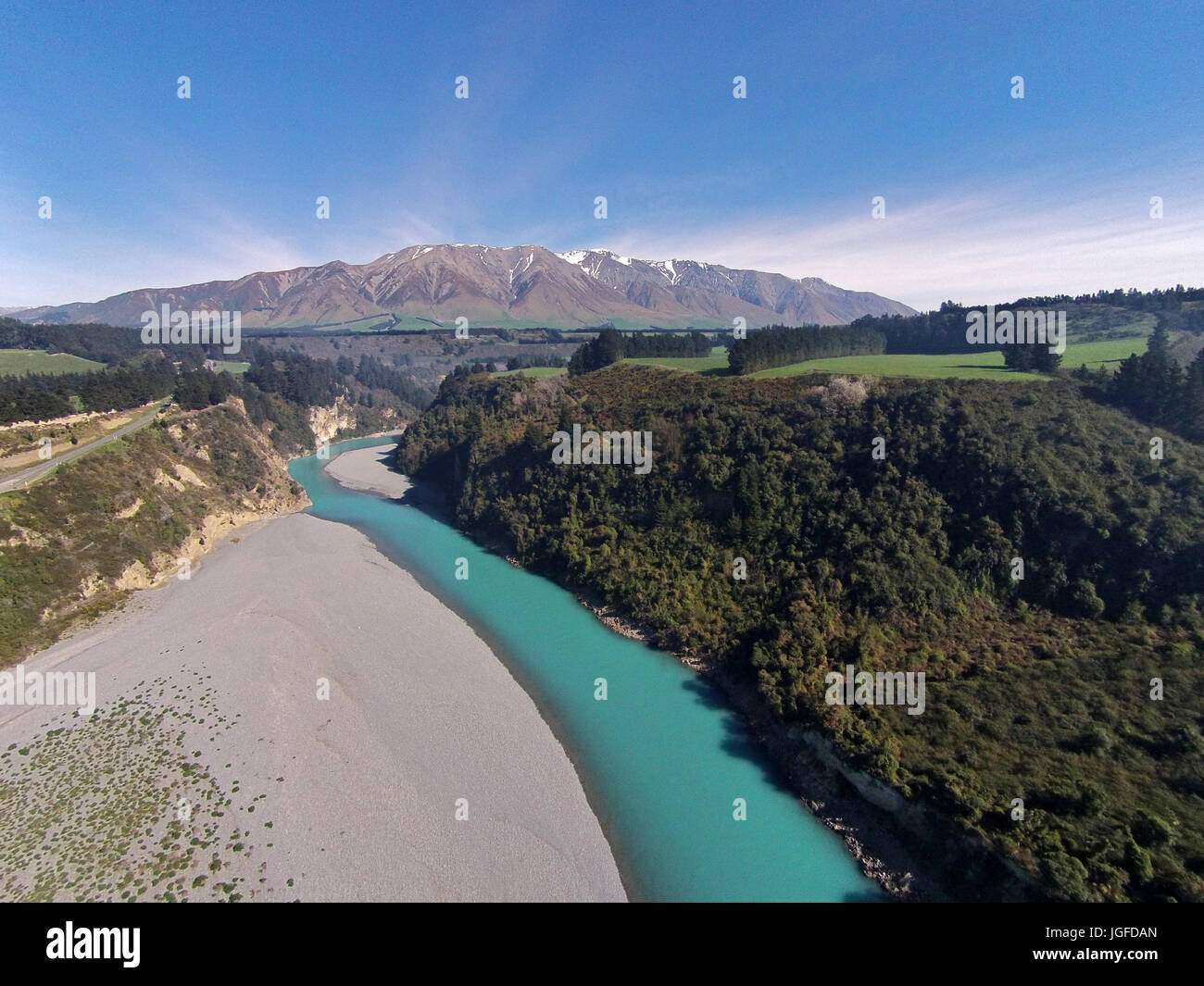 Mount Hutt Range, Rakaia River, and Rakaia Gorge, Canterbury, South Island, New Zealand - drone aerial Stock Photohttps://www.alamy.com/image-license-details/?v=1https://www.alamy.com/stock-photo-mount-hutt-range-rakaia-river-and-rakaia-gorge-canterbury-south-island-147857213.html
RMJGFDAN–Mount Hutt Range, Rakaia River, and Rakaia Gorge, Canterbury, South Island, New Zealand - drone aerial
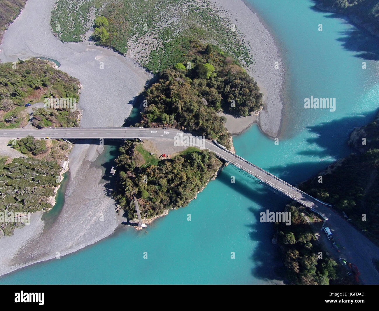 Rakaia Gorge Bridge (1882), Rakaia River, and Rakaia Gorge, Canterbury, South Island, New Zealand - drone aerial Stock Photohttps://www.alamy.com/image-license-details/?v=1https://www.alamy.com/stock-photo-rakaia-gorge-bridge-1882-rakaia-river-and-rakaia-gorge-canterbury-147857205.html
RMJGFDAD–Rakaia Gorge Bridge (1882), Rakaia River, and Rakaia Gorge, Canterbury, South Island, New Zealand - drone aerial
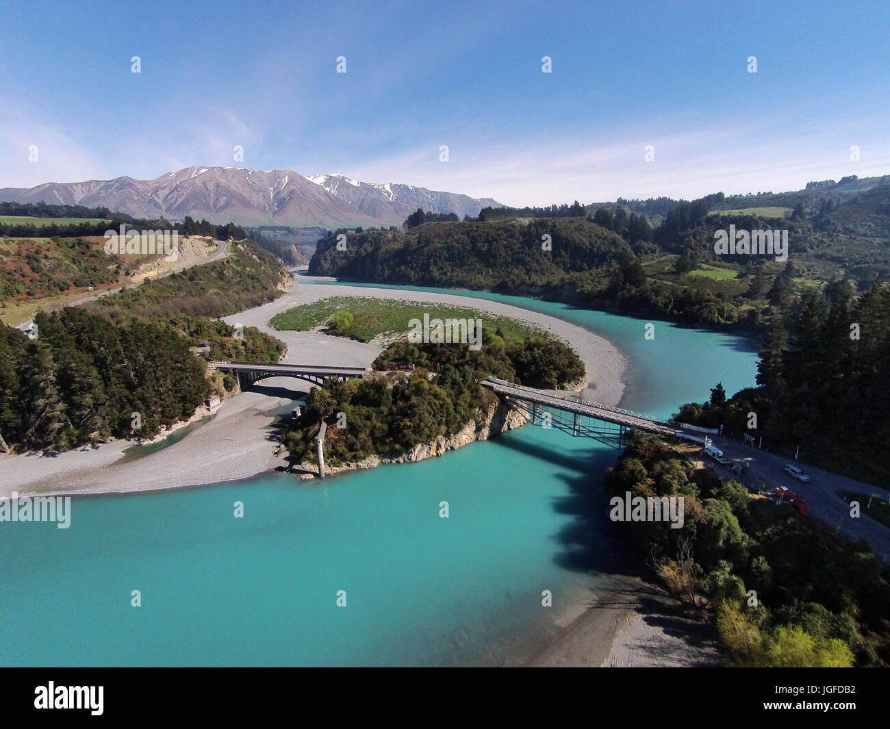 Mount Hutt Range, Rakaia Gorge Bridge (1882), Rakaia River, and Rakaia Gorge, Canterbury, South Island, New Zealand - drone aerial Stock Photohttps://www.alamy.com/image-license-details/?v=1https://www.alamy.com/stock-photo-mount-hutt-range-rakaia-gorge-bridge-1882-rakaia-river-and-rakaia-147857222.html
RMJGFDB2–Mount Hutt Range, Rakaia Gorge Bridge (1882), Rakaia River, and Rakaia Gorge, Canterbury, South Island, New Zealand - drone aerial
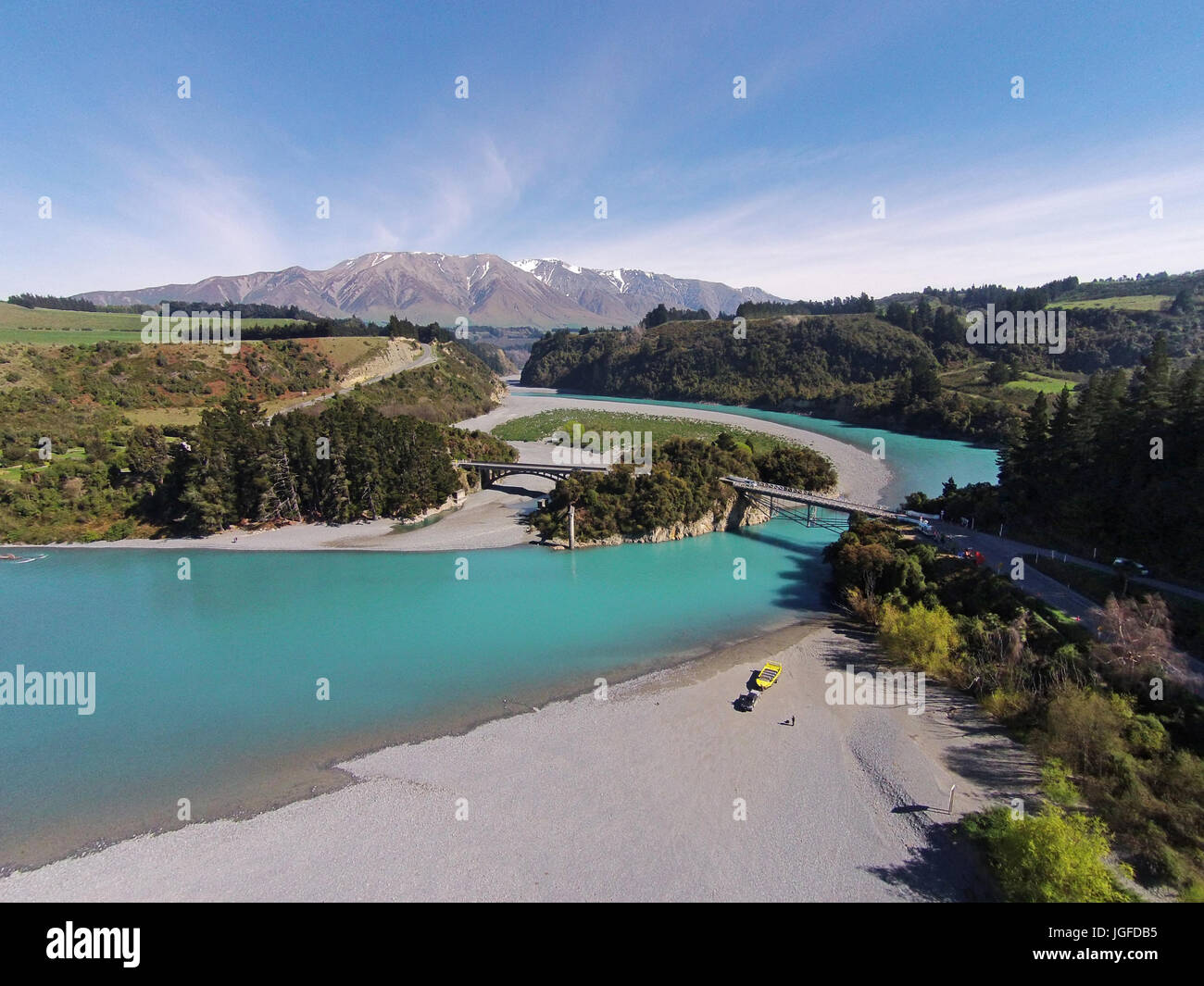 Mount Hutt Range, Rakaia Gorge Bridge (1882), Rakaia River, and Rakaia Gorge, Canterbury, South Island, New Zealand - drone aerial Stock Photohttps://www.alamy.com/image-license-details/?v=1https://www.alamy.com/stock-photo-mount-hutt-range-rakaia-gorge-bridge-1882-rakaia-river-and-rakaia-147857225.html
RMJGFDB5–Mount Hutt Range, Rakaia Gorge Bridge (1882), Rakaia River, and Rakaia Gorge, Canterbury, South Island, New Zealand - drone aerial
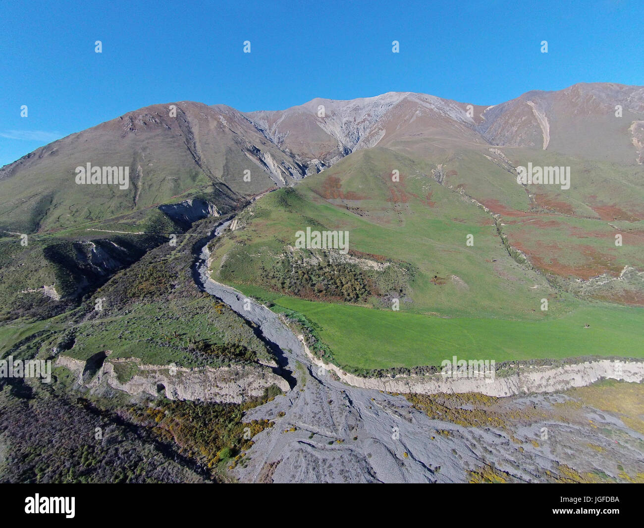 Terrible Gully and Mount Hutt Range, near Rakaia River, Canterbury, South Island, New Zealand - drone aerial Stock Photohttps://www.alamy.com/image-license-details/?v=1https://www.alamy.com/stock-photo-terrible-gully-and-mount-hutt-range-near-rakaia-river-canterbury-south-147857230.html
RMJGFDBA–Terrible Gully and Mount Hutt Range, near Rakaia River, Canterbury, South Island, New Zealand - drone aerial
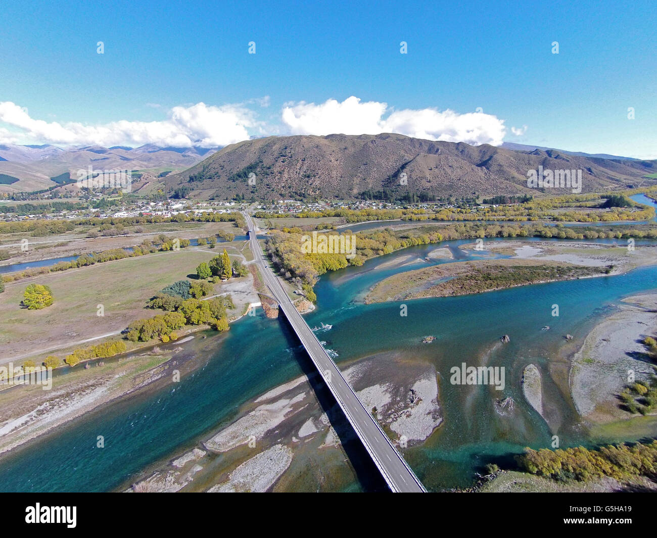 New Kurow Bridge over Waitaki River, Kurow, Waitaki Valley, North Otago, South Island, New Zealand - drone aerial Stock Photohttps://www.alamy.com/image-license-details/?v=1https://www.alamy.com/stock-photo-new-kurow-bridge-over-waitaki-river-kurow-waitaki-valley-north-otago-106716549.html
RMG5HA19–New Kurow Bridge over Waitaki River, Kurow, Waitaki Valley, North Otago, South Island, New Zealand - drone aerial
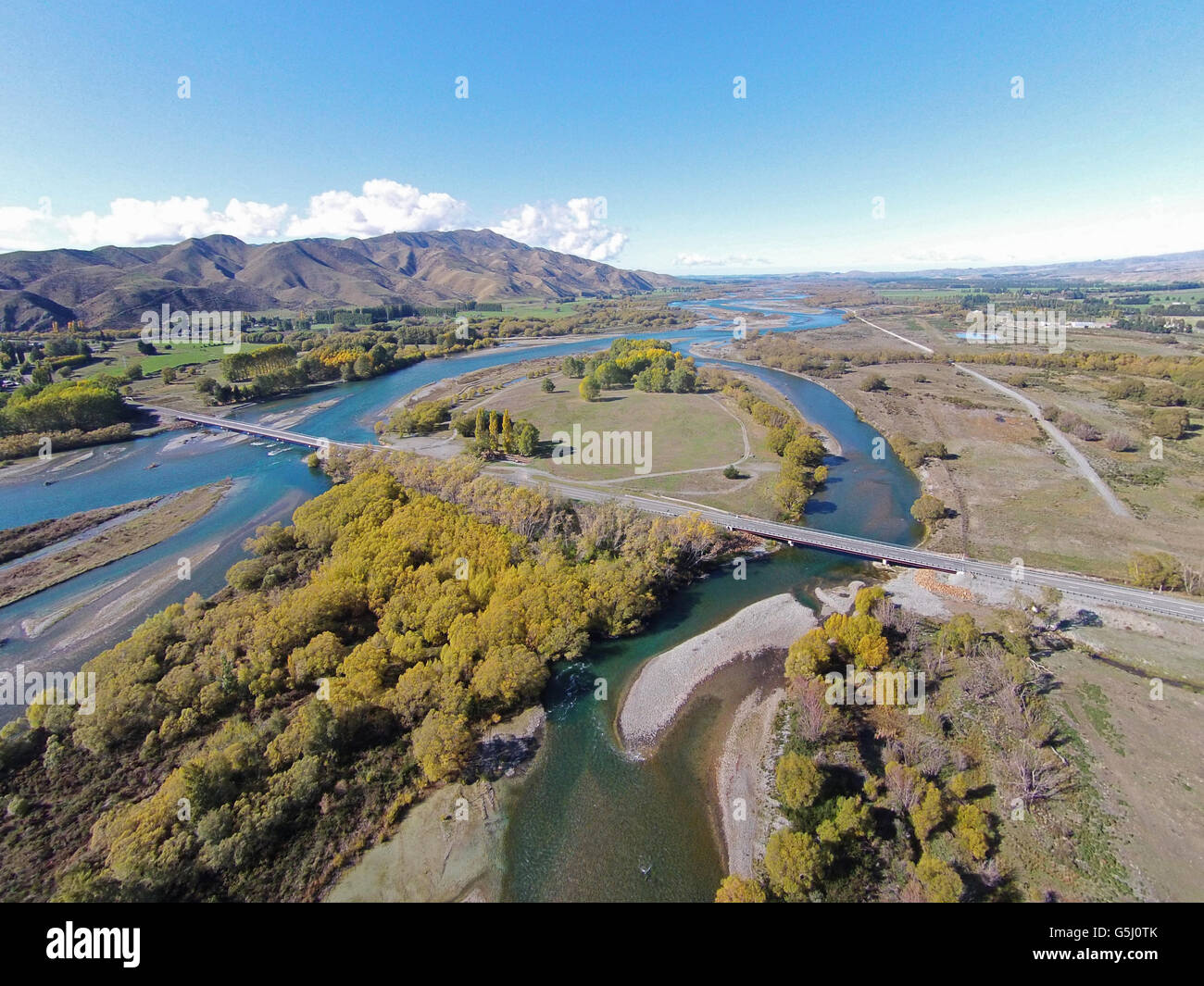 New Kurow Bridge over Waitaki River, Kurow, Waitaki Valley, North Otago, South Island, New Zealand - drone aerial Stock Photohttps://www.alamy.com/image-license-details/?v=1https://www.alamy.com/stock-photo-new-kurow-bridge-over-waitaki-river-kurow-waitaki-valley-north-otago-106731315.html
RMG5J0TK–New Kurow Bridge over Waitaki River, Kurow, Waitaki Valley, North Otago, South Island, New Zealand - drone aerial
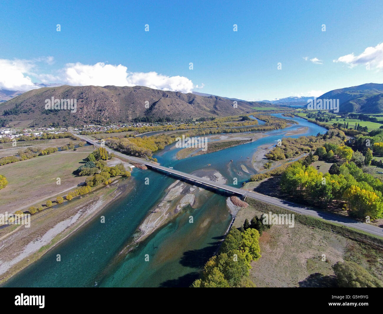 New Kurow Bridge over Waitaki River, Kurow, Waitaki Valley, North Otago, South Island, New Zealand - drone aerial Stock Photohttps://www.alamy.com/image-license-details/?v=1https://www.alamy.com/stock-photo-new-kurow-bridge-over-waitaki-river-kurow-waitaki-valley-north-otago-106716500.html
RMG5H9YG–New Kurow Bridge over Waitaki River, Kurow, Waitaki Valley, North Otago, South Island, New Zealand - drone aerial
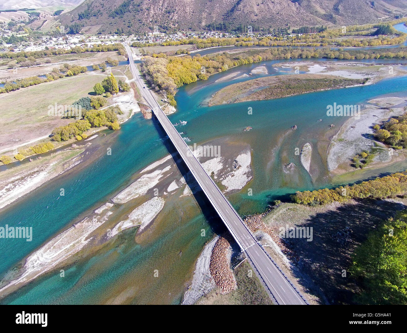 New Kurow Bridge over Waitaki River, Kurow, Waitaki Valley, North Otago, South Island, New Zealand - drone aerial Stock Photohttps://www.alamy.com/image-license-details/?v=1https://www.alamy.com/stock-photo-new-kurow-bridge-over-waitaki-river-kurow-waitaki-valley-north-otago-106716625.html
RMG5HA41–New Kurow Bridge over Waitaki River, Kurow, Waitaki Valley, North Otago, South Island, New Zealand - drone aerial
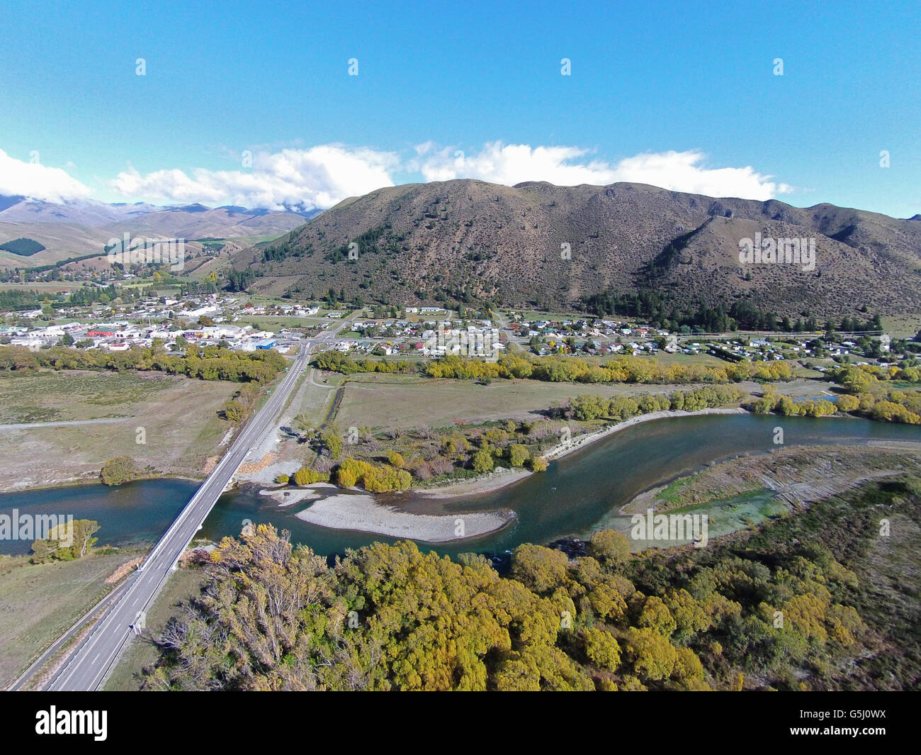 New Kurow Bridge over Waitaki River, Kurow, Waitaki Valley, North Otago, South Island, New Zealand - drone aerial Stock Photohttps://www.alamy.com/image-license-details/?v=1https://www.alamy.com/stock-photo-new-kurow-bridge-over-waitaki-river-kurow-waitaki-valley-north-otago-106731350.html
RMG5J0WX–New Kurow Bridge over Waitaki River, Kurow, Waitaki Valley, North Otago, South Island, New Zealand - drone aerial
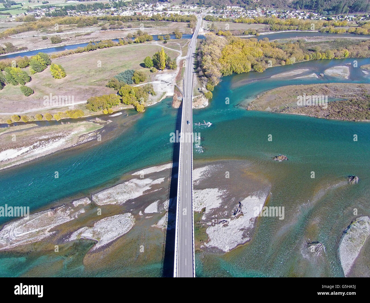 New Kurow Bridge over Waitaki River, Kurow, Waitaki Valley, North Otago, South Island, New Zealand - drone aerial Stock Photohttps://www.alamy.com/image-license-details/?v=1https://www.alamy.com/stock-photo-new-kurow-bridge-over-waitaki-river-kurow-waitaki-valley-north-otago-106716670.html
RMG5HA5J–New Kurow Bridge over Waitaki River, Kurow, Waitaki Valley, North Otago, South Island, New Zealand - drone aerial
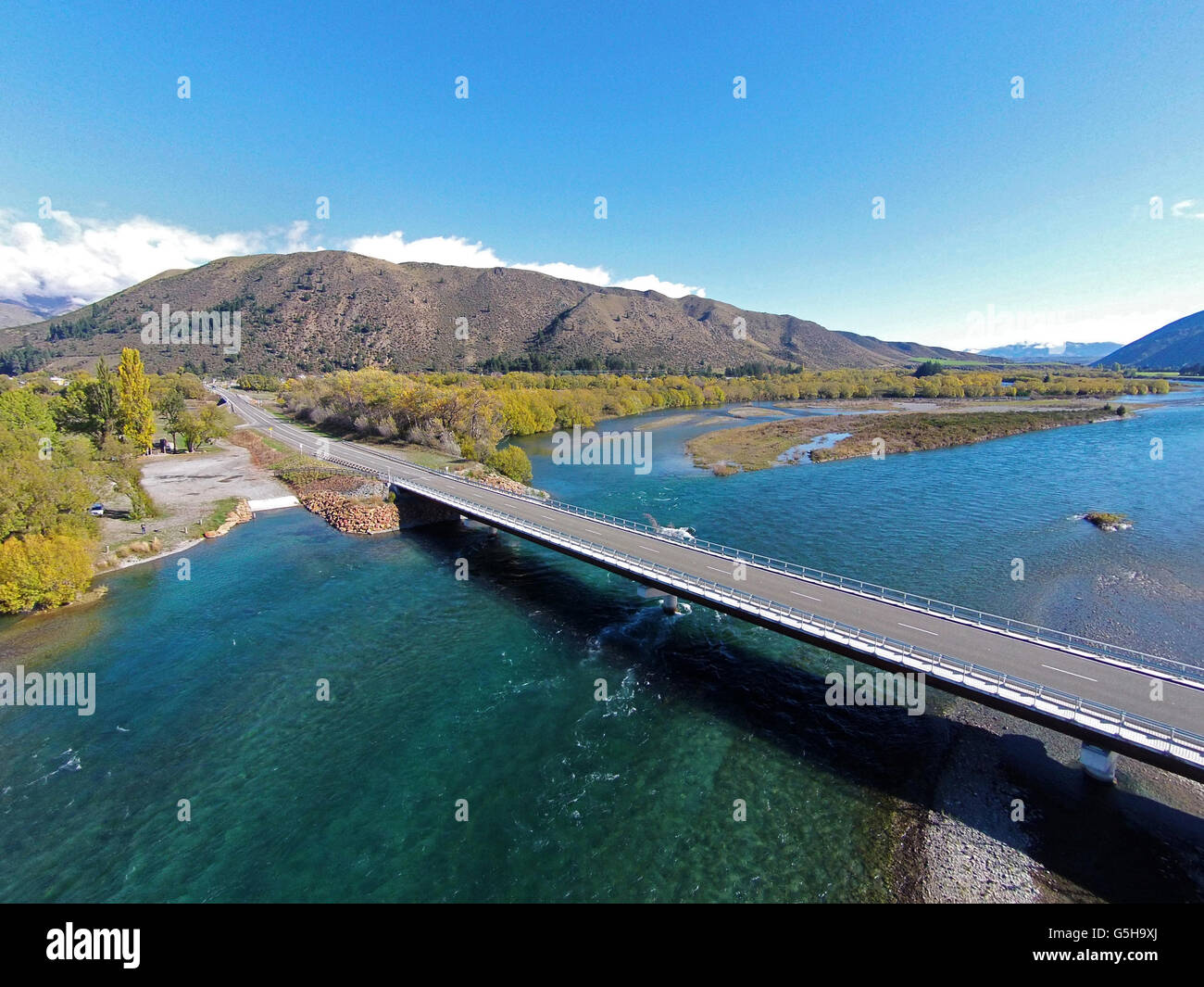 New Kurow Bridge over Waitaki River, Kurow, Waitaki Valley, North Otago, South Island, New Zealand - drone aerial Stock Photohttps://www.alamy.com/image-license-details/?v=1https://www.alamy.com/stock-photo-new-kurow-bridge-over-waitaki-river-kurow-waitaki-valley-north-otago-106716474.html
RMG5H9XJ–New Kurow Bridge over Waitaki River, Kurow, Waitaki Valley, North Otago, South Island, New Zealand - drone aerial