Quick filters:
Brimsdown hill Stock Photos and Images
 A mid-summer view from Brimsdown Hill near Maiden Bradley in Wiltshire, England, UK. Stock Photohttps://www.alamy.com/image-license-details/?v=1https://www.alamy.com/stock-photo-a-mid-summer-view-from-brimsdown-hill-near-maiden-bradley-in-wiltshire-33876575.html
RMBY35WK–A mid-summer view from Brimsdown Hill near Maiden Bradley in Wiltshire, England, UK.
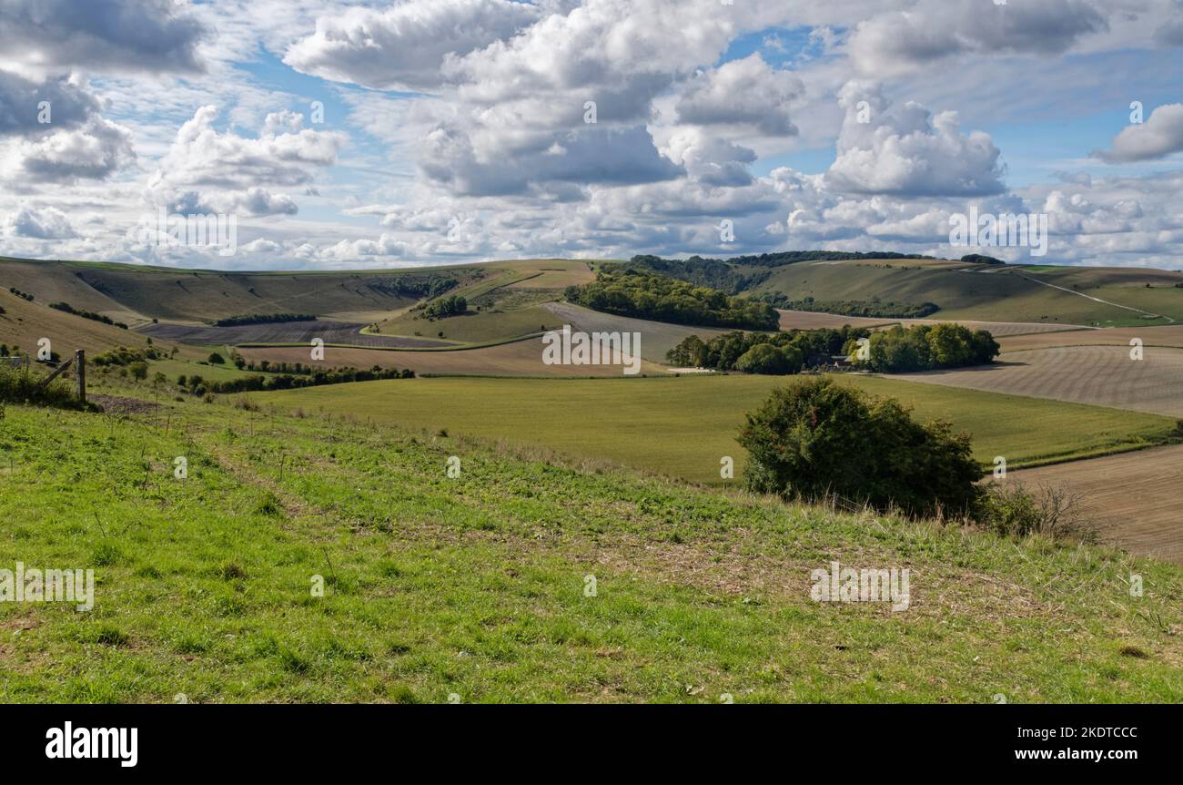
 View from Cold Kitchen Hill towards Bushcombe Bottom, Whitecliff Down and Brimsdown Hill, near Monkton Deverill, Wiltshire, UK, September. Stock Photohttps://www.alamy.com/image-license-details/?v=1https://www.alamy.com/view-from-cold-kitchen-hill-towards-bushcombe-bottom-whitecliff-down-and-brimsdown-hill-near-monkton-deverill-wiltshire-uk-september-image490417436.html
RM2KDTCCC–View from Cold Kitchen Hill towards Bushcombe Bottom, Whitecliff Down and Brimsdown Hill, near Monkton Deverill, Wiltshire, UK, September.
 A view of the Deverill Valley photographed from King's Hill near Kingston Deverill in Wiltshire, England. Stock Photohttps://www.alamy.com/image-license-details/?v=1https://www.alamy.com/stock-photo-a-view-of-the-deverill-valley-photographed-from-kings-hill-near-kingston-73034451.html
RME6R057–A view of the Deverill Valley photographed from King's Hill near Kingston Deverill in Wiltshire, England.
 Brimsdown Hill, Wiltshire, GB, United Kingdom, England, N 51 9' 7'', S 2 14' 59'', map, Cartascapes Map published in 2024. Explore Cartascapes, a map revealing Earth's diverse landscapes, cultures, and ecosystems. Journey through time and space, discovering the interconnectedness of our planet's past, present, and future. Stock Photohttps://www.alamy.com/image-license-details/?v=1https://www.alamy.com/brimsdown-hill-wiltshire-gb-united-kingdom-england-n-51-9-7-s-2-14-59-map-cartascapes-map-published-in-2024-explore-cartascapes-a-map-revealing-earths-diverse-landscapes-cultures-and-ecosystems-journey-through-time-and-space-discovering-the-interconnectedness-of-our-planets-past-present-and-future-image604114673.html
RM2X2RPC1–Brimsdown Hill, Wiltshire, GB, United Kingdom, England, N 51 9' 7'', S 2 14' 59'', map, Cartascapes Map published in 2024. Explore Cartascapes, a map revealing Earth's diverse landscapes, cultures, and ecosystems. Journey through time and space, discovering the interconnectedness of our planet's past, present, and future.
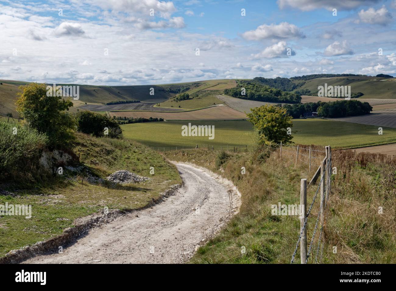
 View from Cold Kitchen Hill towards Bushcombe Bottom, Whitecliff Down and Brimsdown Hill with a farm track in the foreground, near Monkton Deverill, W Stock Photohttps://www.alamy.com/image-license-details/?v=1https://www.alamy.com/view-from-cold-kitchen-hill-towards-bushcombe-bottom-whitecliff-down-and-brimsdown-hill-with-a-farm-track-in-the-foreground-near-monkton-deverill-w-image490417396.html
RM2KDTCB0–View from Cold Kitchen Hill towards Bushcombe Bottom, Whitecliff Down and Brimsdown Hill with a farm track in the foreground, near Monkton Deverill, W