Brundidge alabama map Cut Out Stock Images
 Brundidge, Pike County, US, United States, Alabama, N 31 43' 12'', S 85 48' 57'', map, Cartascapes Map published in 2024. Explore Cartascapes, a map revealing Earth's diverse landscapes, cultures, and ecosystems. Journey through time and space, discovering the interconnectedness of our planet's past, present, and future. Stock Photohttps://www.alamy.com/image-license-details/?v=1https://www.alamy.com/brundidge-pike-county-us-united-states-alabama-n-31-43-12-s-85-48-57-map-cartascapes-map-published-in-2024-explore-cartascapes-a-map-revealing-earths-diverse-landscapes-cultures-and-ecosystems-journey-through-time-and-space-discovering-the-interconnectedness-of-our-planets-past-present-and-future-image621282394.html
RM2Y2NT0X–Brundidge, Pike County, US, United States, Alabama, N 31 43' 12'', S 85 48' 57'', map, Cartascapes Map published in 2024. Explore Cartascapes, a map revealing Earth's diverse landscapes, cultures, and ecosystems. Journey through time and space, discovering the interconnectedness of our planet's past, present, and future.
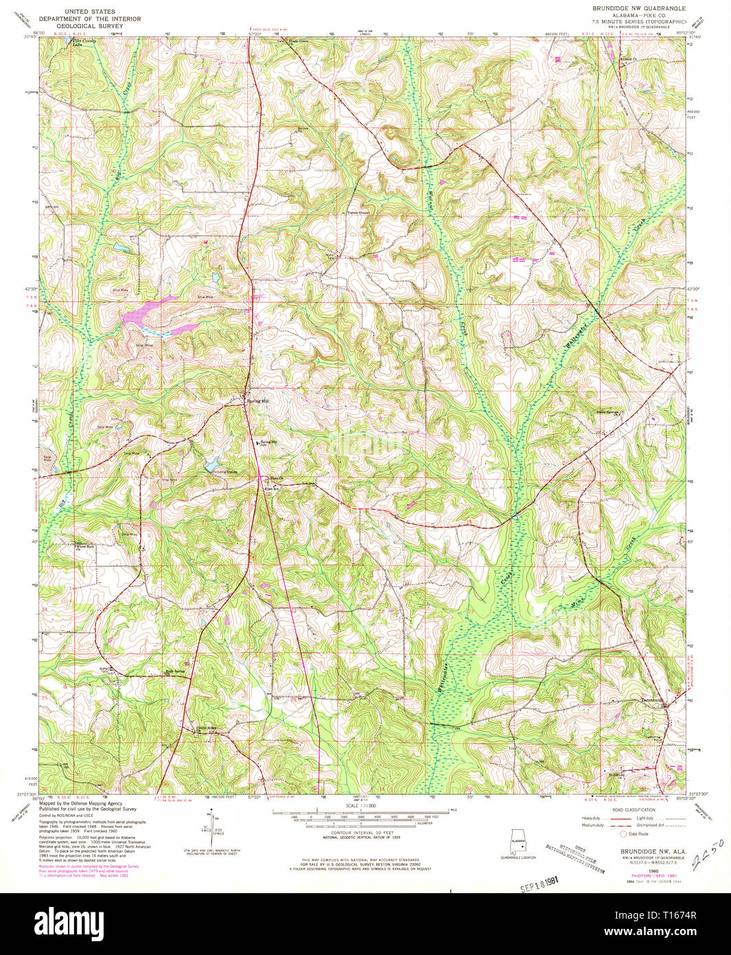 USGS TOPO Map Alabama AL Brundidge NW 303364 1960 24000 Stock Photohttps://www.alamy.com/image-license-details/?v=1https://www.alamy.com/usgs-topo-map-alabama-al-brundidge-nw-303364-1960-24000-image241697143.html
RMT1674R–USGS TOPO Map Alabama AL Brundidge NW 303364 1960 24000
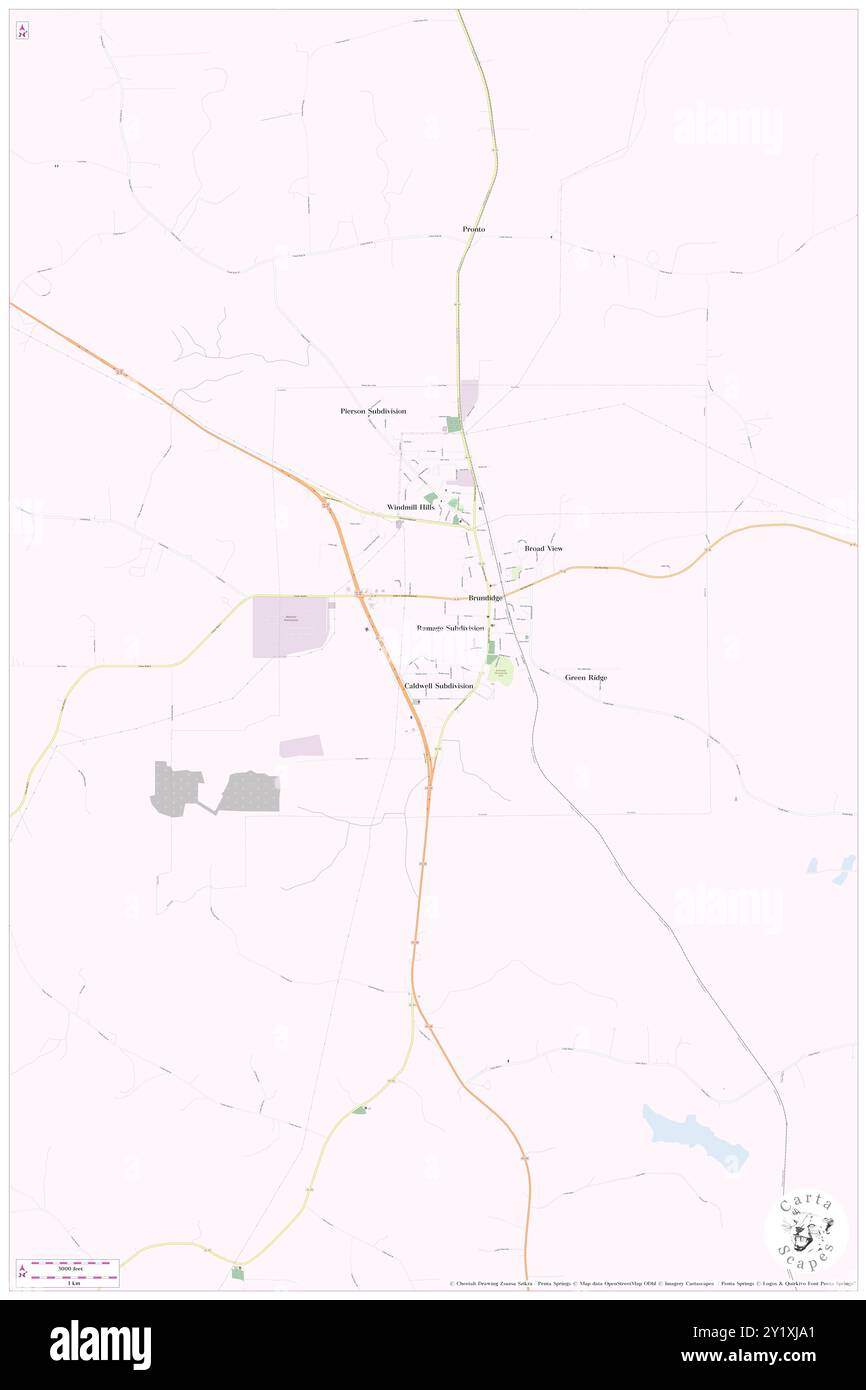 Brundidge, Pike County, US, United States, Alabama, N 31 43' 12'', S 85 48' 57'', map, Cartascapes Map published in 2024. Explore Cartascapes, a map revealing Earth's diverse landscapes, cultures, and ecosystems. Journey through time and space, discovering the interconnectedness of our planet's past, present, and future. Stock Photohttps://www.alamy.com/image-license-details/?v=1https://www.alamy.com/brundidge-pike-county-us-united-states-alabama-n-31-43-12-s-85-48-57-map-cartascapes-map-published-in-2024-explore-cartascapes-a-map-revealing-earths-diverse-landscapes-cultures-and-ecosystems-journey-through-time-and-space-discovering-the-interconnectedness-of-our-planets-past-present-and-future-image620773049.html
RM2Y1XJA1–Brundidge, Pike County, US, United States, Alabama, N 31 43' 12'', S 85 48' 57'', map, Cartascapes Map published in 2024. Explore Cartascapes, a map revealing Earth's diverse landscapes, cultures, and ecosystems. Journey through time and space, discovering the interconnectedness of our planet's past, present, and future.
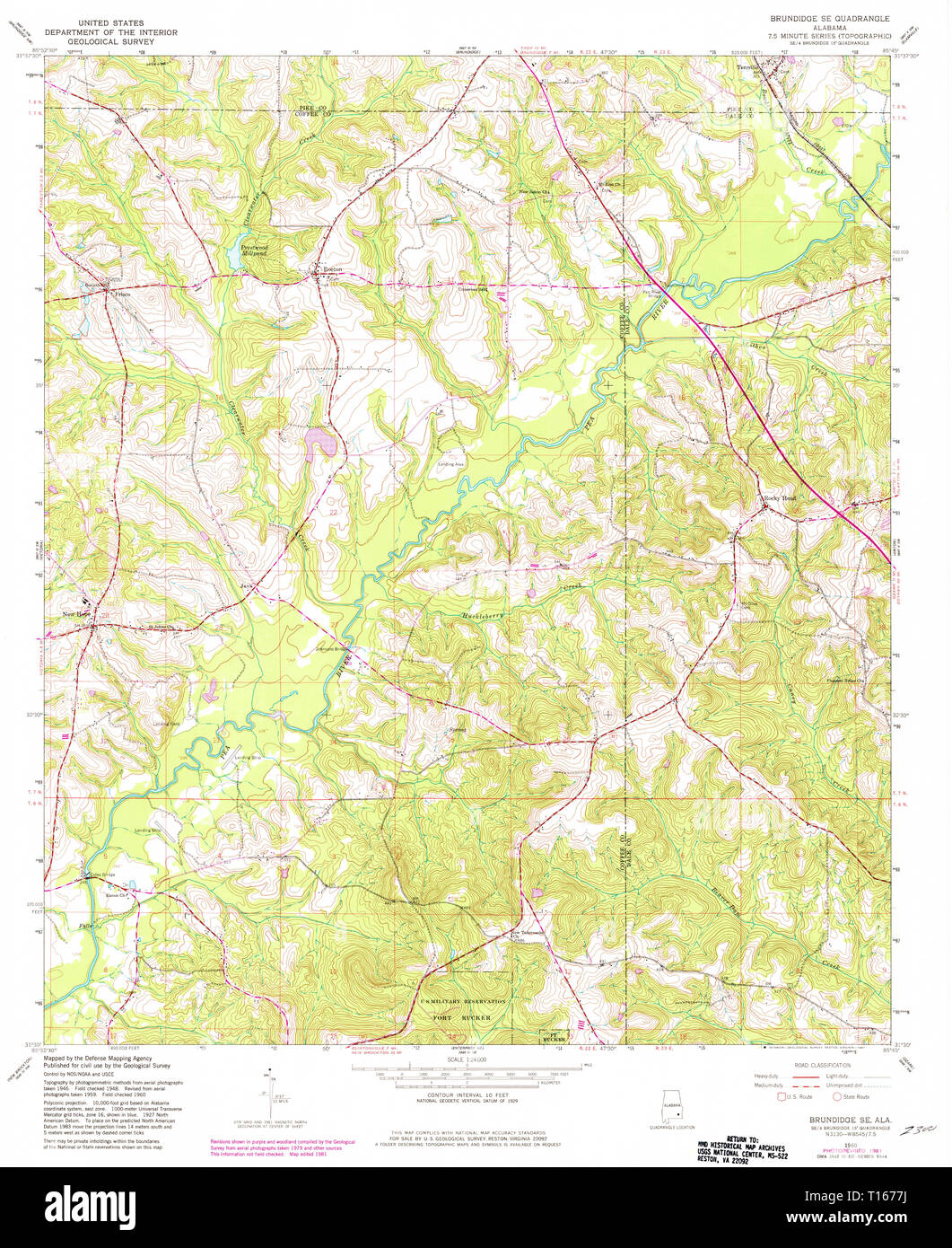 USGS TOPO Map Alabama AL Brundidge SE 303366 1960 24000 Stock Photohttps://www.alamy.com/image-license-details/?v=1https://www.alamy.com/usgs-topo-map-alabama-al-brundidge-se-303366-1960-24000-image241697222.html
RMT1677J–USGS TOPO Map Alabama AL Brundidge SE 303366 1960 24000
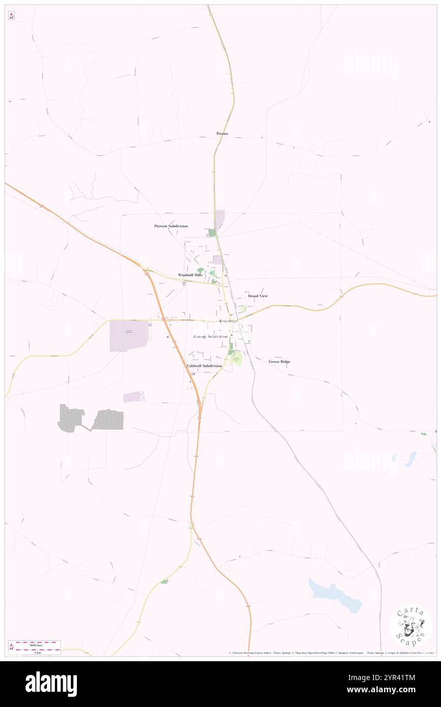 City of Brundidge, Pike County, US, United States, Alabama, N 31 43' 5'', S 85 49' 4'', map, Cartascapes Map published in 2024. Explore Cartascapes, a map revealing Earth's diverse landscapes, cultures, and ecosystems. Journey through time and space, discovering the interconnectedness of our planet's past, present, and future. Stock Photohttps://www.alamy.com/image-license-details/?v=1https://www.alamy.com/city-of-brundidge-pike-county-us-united-states-alabama-n-31-43-5-s-85-49-4-map-cartascapes-map-published-in-2024-explore-cartascapes-a-map-revealing-earths-diverse-landscapes-cultures-and-ecosystems-journey-through-time-and-space-discovering-the-interconnectedness-of-our-planets-past-present-and-future-image633799620.html
RM2YR41TM–City of Brundidge, Pike County, US, United States, Alabama, N 31 43' 5'', S 85 49' 4'', map, Cartascapes Map published in 2024. Explore Cartascapes, a map revealing Earth's diverse landscapes, cultures, and ecosystems. Journey through time and space, discovering the interconnectedness of our planet's past, present, and future.
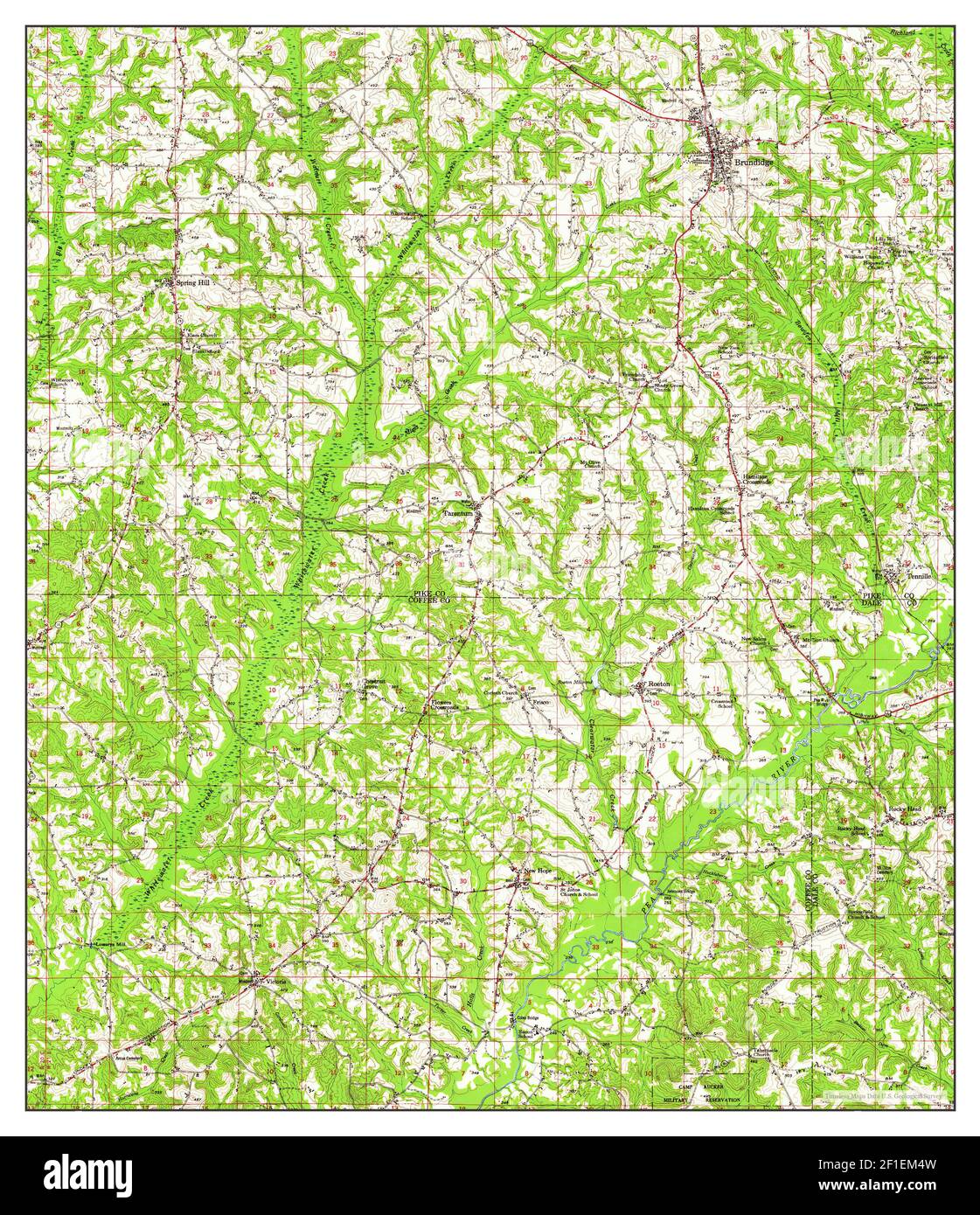 Brundidge, Alabama, map 1950, 1:62500, United States of America by Timeless Maps, data U.S. Geological Survey Stock Photohttps://www.alamy.com/image-license-details/?v=1https://www.alamy.com/brundidge-alabama-map-1950-162500-united-states-of-america-by-timeless-maps-data-us-geological-survey-image413986633.html
RM2F1EM4W–Brundidge, Alabama, map 1950, 1:62500, United States of America by Timeless Maps, data U.S. Geological Survey
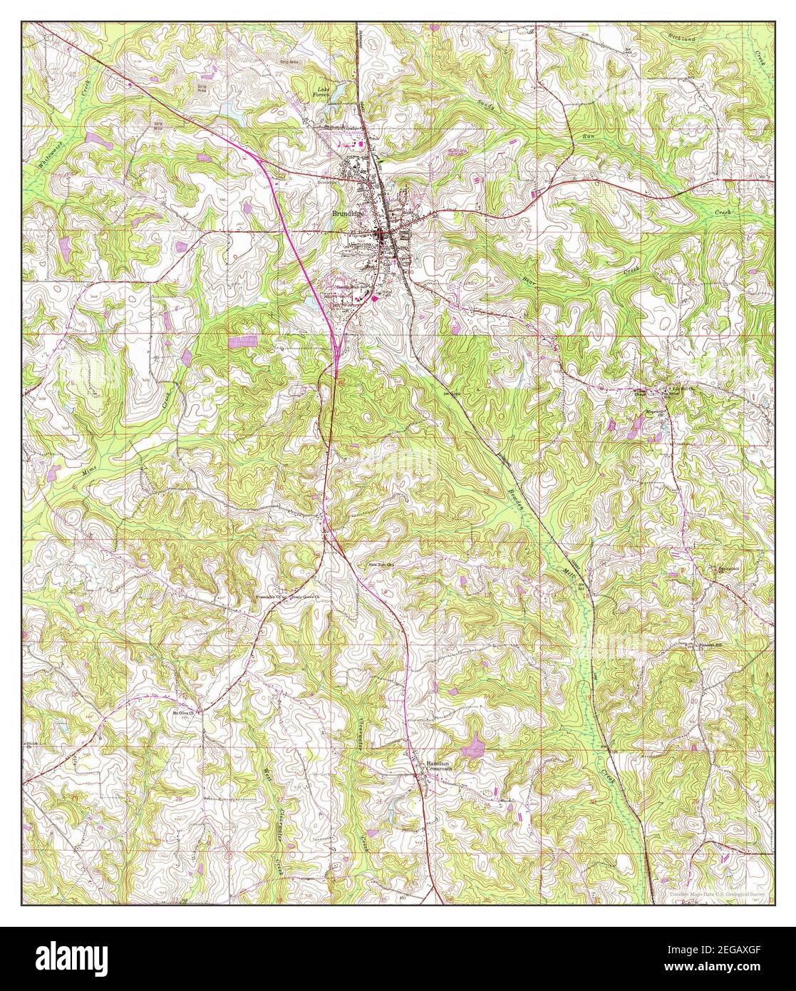 Brundidge, Alabama, map 1960, 1:24000, United States of America by Timeless Maps, data U.S. Geological Survey Stock Photohttps://www.alamy.com/image-license-details/?v=1https://www.alamy.com/brundidge-alabama-map-1960-124000-united-states-of-america-by-timeless-maps-data-us-geological-survey-image405913327.html
RM2EGAXGF–Brundidge, Alabama, map 1960, 1:24000, United States of America by Timeless Maps, data U.S. Geological Survey
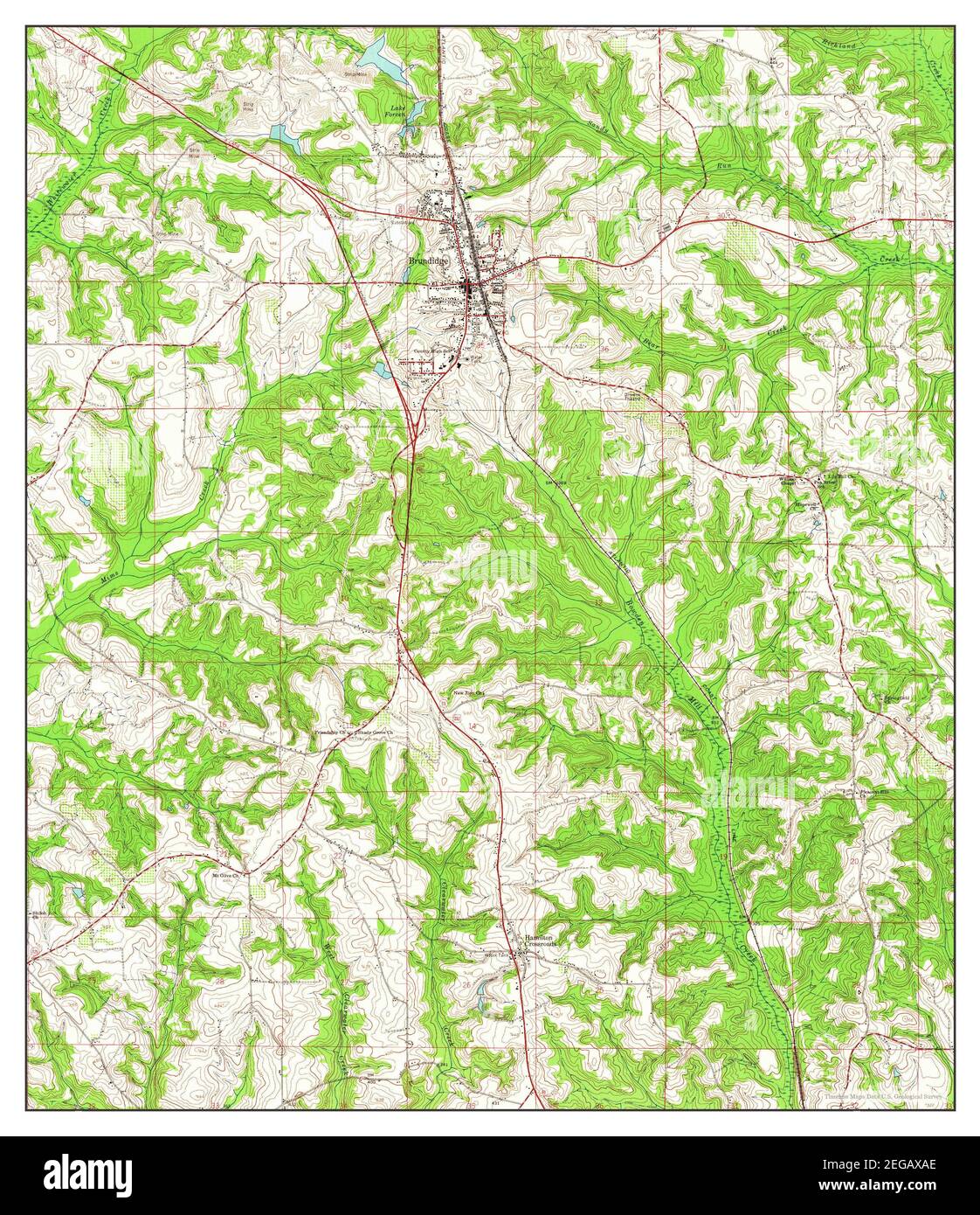 Brundidge, Alabama, map 1960, 1:24000, United States of America by Timeless Maps, data U.S. Geological Survey Stock Photohttps://www.alamy.com/image-license-details/?v=1https://www.alamy.com/brundidge-alabama-map-1960-124000-united-states-of-america-by-timeless-maps-data-us-geological-survey-image405913158.html
RM2EGAXAE–Brundidge, Alabama, map 1960, 1:24000, United States of America by Timeless Maps, data U.S. Geological Survey
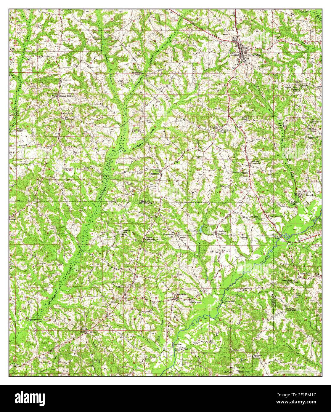 Brundidge, Alabama, map 1948, 1:62500, United States of America by Timeless Maps, data U.S. Geological Survey Stock Photohttps://www.alamy.com/image-license-details/?v=1https://www.alamy.com/brundidge-alabama-map-1948-162500-united-states-of-america-by-timeless-maps-data-us-geological-survey-image413986536.html
RM2F1EM1C–Brundidge, Alabama, map 1948, 1:62500, United States of America by Timeless Maps, data U.S. Geological Survey
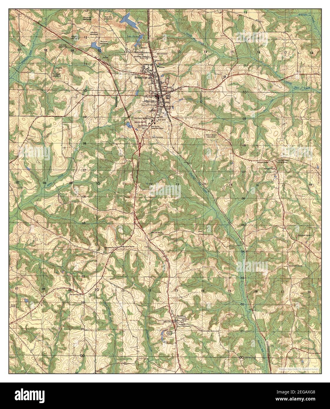 Brundidge, Alabama, map 1962, 1:25000, United States of America by Timeless Maps, data U.S. Geological Survey Stock Photohttps://www.alamy.com/image-license-details/?v=1https://www.alamy.com/brundidge-alabama-map-1962-125000-united-states-of-america-by-timeless-maps-data-us-geological-survey-image405913320.html
RM2EGAXG8–Brundidge, Alabama, map 1962, 1:25000, United States of America by Timeless Maps, data U.S. Geological Survey
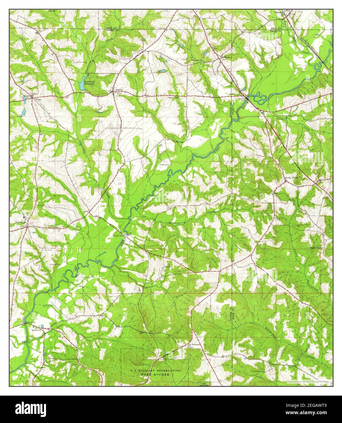 Brundidge SE, Alabama, map 1960, 1:24000, United States of America by Timeless Maps, data U.S. Geological Survey Stock Photohttps://www.alamy.com/image-license-details/?v=1https://www.alamy.com/brundidge-se-alabama-map-1960-124000-united-states-of-america-by-timeless-maps-data-us-geological-survey-image405912761.html
RM2EGAWT9–Brundidge SE, Alabama, map 1960, 1:24000, United States of America by Timeless Maps, data U.S. Geological Survey
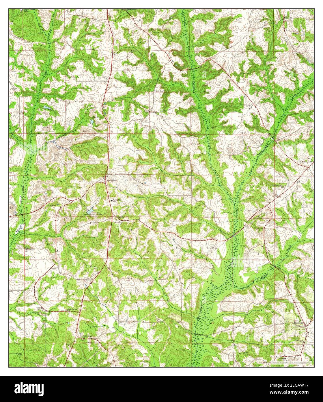 Brundidge NW, Alabama, map 1960, 1:24000, United States of America by Timeless Maps, data U.S. Geological Survey Stock Photohttps://www.alamy.com/image-license-details/?v=1https://www.alamy.com/brundidge-nw-alabama-map-1960-124000-united-states-of-america-by-timeless-maps-data-us-geological-survey-image405912759.html
RM2EGAWT7–Brundidge NW, Alabama, map 1960, 1:24000, United States of America by Timeless Maps, data U.S. Geological Survey
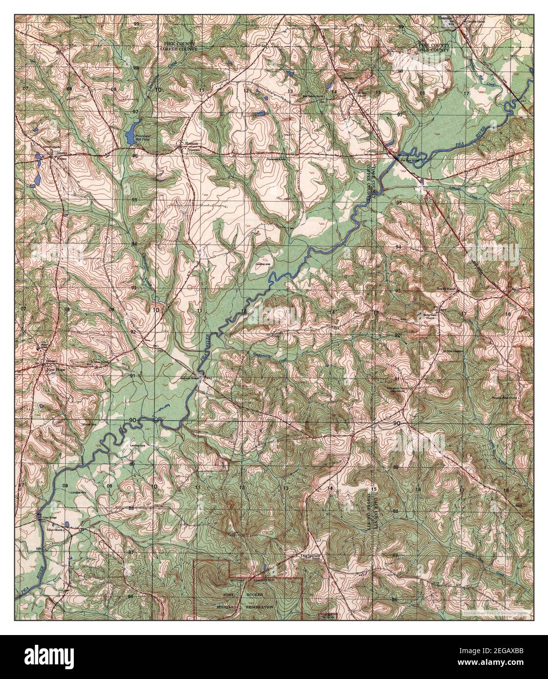 Brundidge SE, Alabama, map 1962, 1:25000, United States of America by Timeless Maps, data U.S. Geological Survey Stock Photohttps://www.alamy.com/image-license-details/?v=1https://www.alamy.com/brundidge-se-alabama-map-1962-125000-united-states-of-america-by-timeless-maps-data-us-geological-survey-image405913183.html
RM2EGAXBB–Brundidge SE, Alabama, map 1962, 1:25000, United States of America by Timeless Maps, data U.S. Geological Survey
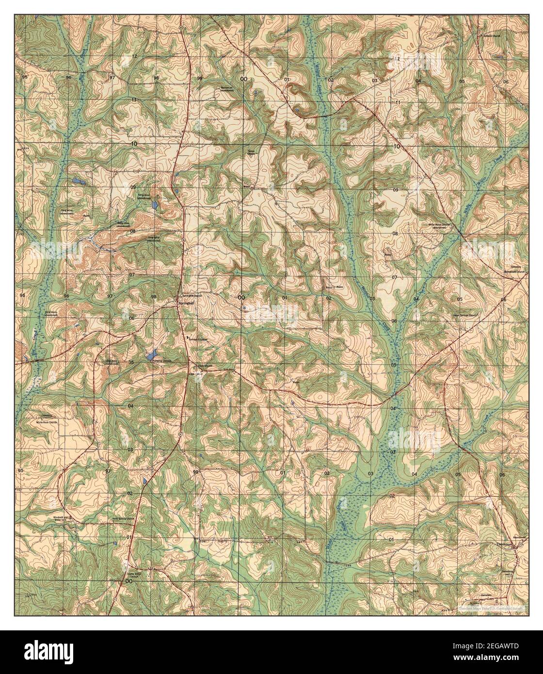 Brundidge NW, Alabama, map 1962, 1:25000, United States of America by Timeless Maps, data U.S. Geological Survey Stock Photohttps://www.alamy.com/image-license-details/?v=1https://www.alamy.com/brundidge-nw-alabama-map-1962-125000-united-states-of-america-by-timeless-maps-data-us-geological-survey-image405912765.html
RM2EGAWTD–Brundidge NW, Alabama, map 1962, 1:25000, United States of America by Timeless Maps, data U.S. Geological Survey
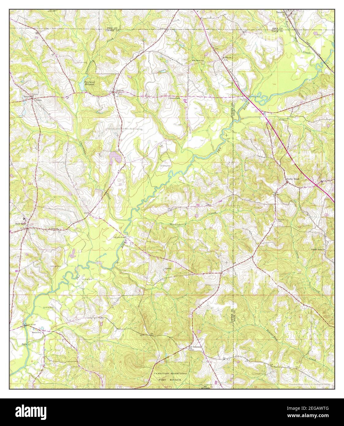 Brundidge SE, Alabama, map 1960, 1:24000, United States of America by Timeless Maps, data U.S. Geological Survey Stock Photohttps://www.alamy.com/image-license-details/?v=1https://www.alamy.com/brundidge-se-alabama-map-1960-124000-united-states-of-america-by-timeless-maps-data-us-geological-survey-image405912768.html
RM2EGAWTG–Brundidge SE, Alabama, map 1960, 1:24000, United States of America by Timeless Maps, data U.S. Geological Survey
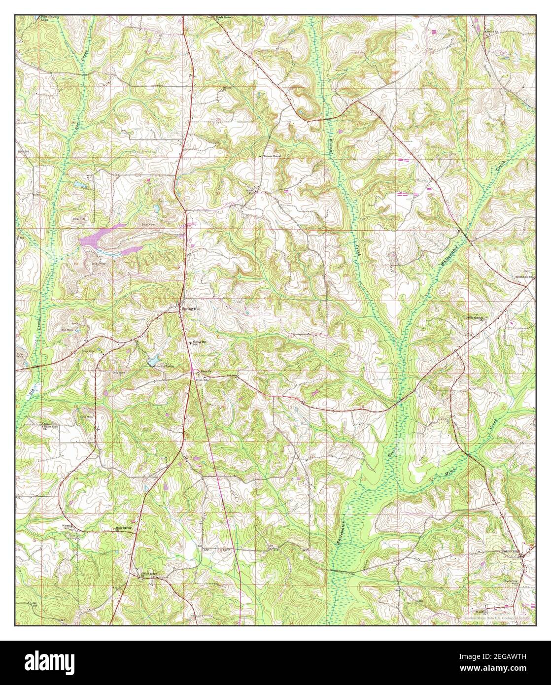 Brundidge NW, Alabama, map 1960, 1:24000, United States of America by Timeless Maps, data U.S. Geological Survey Stock Photohttps://www.alamy.com/image-license-details/?v=1https://www.alamy.com/brundidge-nw-alabama-map-1960-124000-united-states-of-america-by-timeless-maps-data-us-geological-survey-image405912769.html
RM2EGAWTH–Brundidge NW, Alabama, map 1960, 1:24000, United States of America by Timeless Maps, data U.S. Geological Survey