Quick filters:
Brunton compass Stock Photos and Images
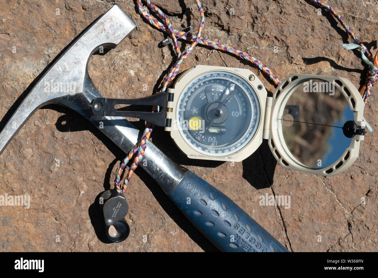 Field Geologist's tool kit: rock hammer, handlens, and compass Stock Photohttps://www.alamy.com/image-license-details/?v=1https://www.alamy.com/field-geologists-tool-kit-rock-hammer-handlens-and-compass-image260137913.html
RFW368FN–Field Geologist's tool kit: rock hammer, handlens, and compass
 A geologist makes a reading on his Brunton geological compass, Kluane National Park, Yukon Territory. Stock Photohttps://www.alamy.com/image-license-details/?v=1https://www.alamy.com/a-geologist-makes-a-reading-on-his-brunton-geological-compass-kluane-national-park-yukon-territory-image571986984.html
RF2T6G76G–A geologist makes a reading on his Brunton geological compass, Kluane National Park, Yukon Territory.
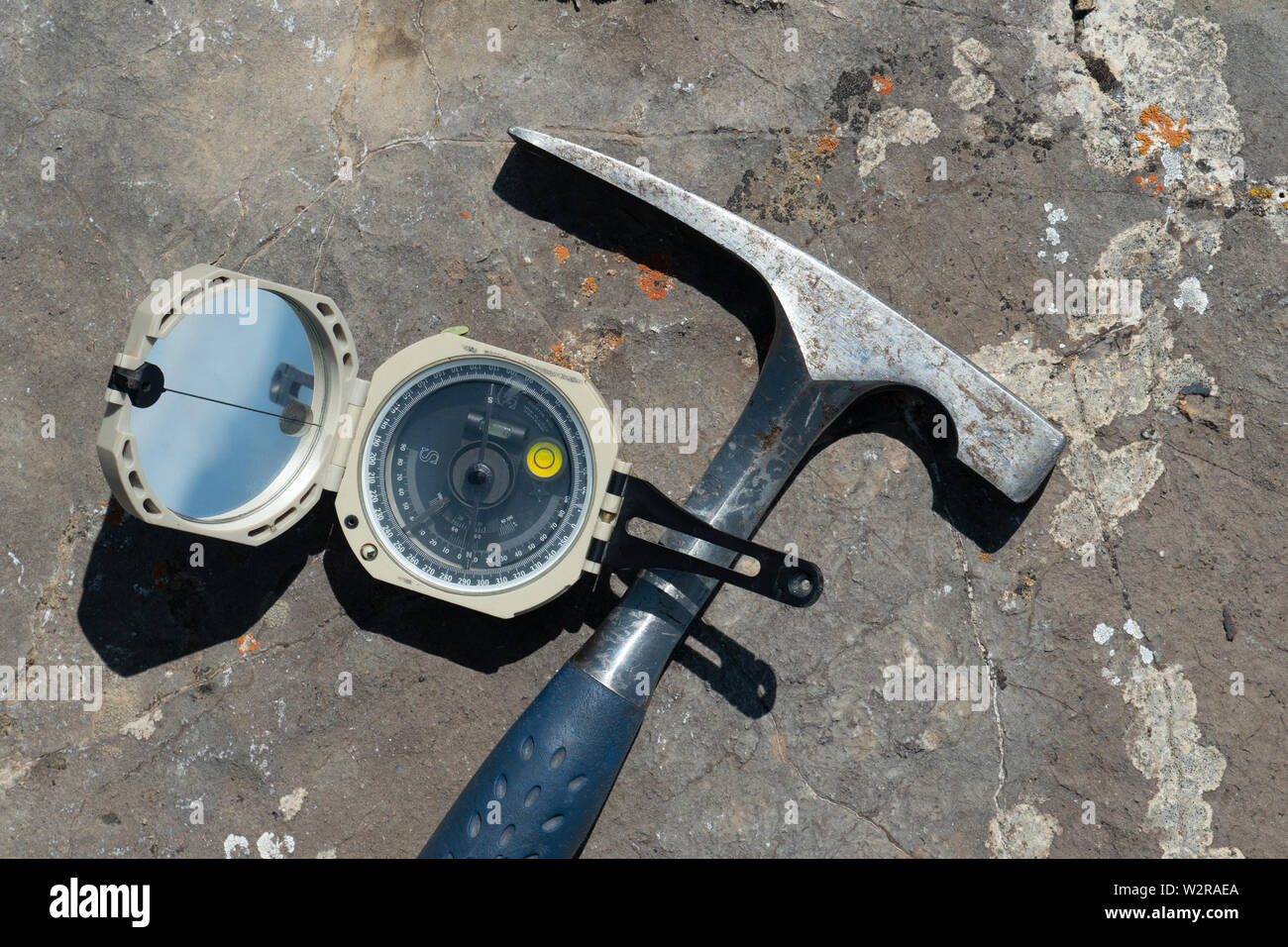 Tools of a field geologist: Rock hammer and pocket transit Stock Photohttps://www.alamy.com/image-license-details/?v=1https://www.alamy.com/tools-of-a-field-geologist-rock-hammer-and-pocket-transit-image259897970.html
RFW2RAEA–Tools of a field geologist: Rock hammer and pocket transit
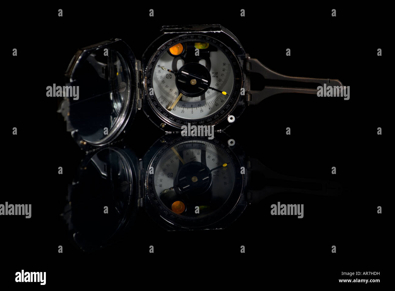 Surveyor's Pocket Transit Stock Photohttps://www.alamy.com/image-license-details/?v=1https://www.alamy.com/stock-photo-surveyors-pocket-transit-15964972.html
RMAR7HDH–Surveyor's Pocket Transit
 MODIFIED CHAIN SAW FOR CUTTING ROCK CORES BRUNTON COMPASS STAND FOR DETERMINING CORE'S FIELD ORIENTATION INSECTICIDE DISPENSER MODIFIED TO LUBRICATE CORE DRILLING PROCESS. U.S. Geological Survey, Rock Magnetics Laboratory, 345 Middlefield Road, Menlo Park, San Mateo County, CA Stock Photohttps://www.alamy.com/image-license-details/?v=1https://www.alamy.com/modified-chain-saw-for-cutting-rock-cores-brunton-compass-stand-for-determining-cores-field-orientation-insecticide-dispenser-modified-to-lubricate-core-drilling-process-us-geological-survey-rock-magnetics-laboratory-345-middlefield-road-menlo-park-san-mateo-county-ca-image248271074.html
RMTBWM82–MODIFIED CHAIN SAW FOR CUTTING ROCK CORES BRUNTON COMPASS STAND FOR DETERMINING CORE'S FIELD ORIENTATION INSECTICIDE DISPENSER MODIFIED TO LUBRICATE CORE DRILLING PROCESS. U.S. Geological Survey, Rock Magnetics Laboratory, 345 Middlefield Road, Menlo Park, San Mateo County, CA
 El Indio; Chile. A geologist makes field observations from a vantage point overlooking an extensive mineralized zone in the Chilean Andes Mountains. He sights through a Brunton compass with the tools of his trade beside him: rock hammer; aluminum clipboard; colored pencils and map. Smoke and dust issues from an explosion on the producing surface of the open-pit mine. Haulage roads access a labyrinth of underground tunnels and shafts which explore and define the ore-body being mined. Prospecte Stock Photohttps://www.alamy.com/image-license-details/?v=1https://www.alamy.com/el-indio-chile-a-geologist-makes-field-observations-from-a-vantage-point-overlooking-an-extensive-mineralized-zone-in-the-chilean-andes-mountains-he-sights-through-a-brunton-compass-with-the-tools-of-his-trade-beside-him-rock-hammer-aluminum-clipboard-colored-pencils-and-map-smoke-and-dust-issues-from-an-explosion-on-the-producing-surface-of-the-open-pit-mine-haulage-roads-access-a-labyrinth-of-underground-tunnels-and-shafts-which-explore-and-define-the-ore-body-being-mined-prospecte-image428973309.html
RM2FWWBR9–El Indio; Chile. A geologist makes field observations from a vantage point overlooking an extensive mineralized zone in the Chilean Andes Mountains. He sights through a Brunton compass with the tools of his trade beside him: rock hammer; aluminum clipboard; colored pencils and map. Smoke and dust issues from an explosion on the producing surface of the open-pit mine. Haulage roads access a labyrinth of underground tunnels and shafts which explore and define the ore-body being mined. Prospecte
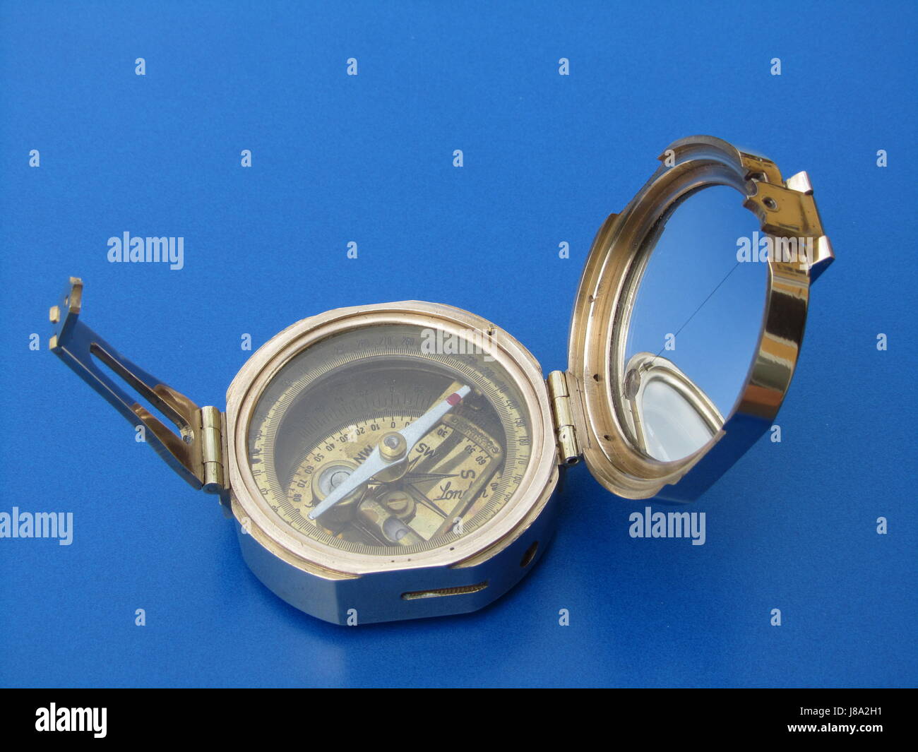 magnetic compass Stock Photohttps://www.alamy.com/image-license-details/?v=1https://www.alamy.com/stock-photo-magnetic-compass-142821757.html
RFJ8A2H1–magnetic compass
 . Early geophysical papers of the Society of Exploration Geophysicists. Petroleum; Prospecting. BRUNTON COMPASS ATTACHMENT 1395 1 k. 1 0 VJ * to 0 k z bJ ^ O H 0 Q: O y X O Ol 0 UJ 5f O ^ "J > u z k. Q: kj 5: 0 i u CQ ki S Is "I «*. O Q * * "* §** k Q .* is *3 Q Z LJ O LJ l HI 2 o NO: «a 1 1 x 3 54 51 $ * * * *. 113. Please note that these images are extracted from scanned page images that may have been digitally enhanced for readability - coloration and appearance of these illustrations may not perfectly resemble the original work.. Society of Exploration Geophysicists. Tul Stock Photohttps://www.alamy.com/image-license-details/?v=1https://www.alamy.com/early-geophysical-papers-of-the-society-of-exploration-geophysicists-petroleum-prospecting-brunton-compass-attachment-1395-1-k-1-0-vj-to-0-k-z-bj-o-h-0-q-o-y-x-o-ol-0-uj-5f-o-quotj-gt-u-z-k-q-kj-5-0-i-u-cq-ki-s-is-quoti-o-q-quot-k-q-is-3-q-z-lj-o-lj-l-hi-2-o-no-a-1-1-x-3-54-51-113-please-note-that-these-images-are-extracted-from-scanned-page-images-that-may-have-been-digitally-enhanced-for-readability-coloration-and-appearance-of-these-illustrations-may-not-perfectly-resemble-the-original-work-society-of-exploration-geophysicists-tul-image232561418.html
RMREA2CX–. Early geophysical papers of the Society of Exploration Geophysicists. Petroleum; Prospecting. BRUNTON COMPASS ATTACHMENT 1395 1 k. 1 0 VJ * to 0 k z bJ ^ O H 0 Q: O y X O Ol 0 UJ 5f O ^ "J > u z k. Q: kj 5: 0 i u CQ ki S Is "I «*. O Q * * "* §** k Q .* is *3 Q Z LJ O LJ l HI 2 o NO: «a 1 1 x 3 54 51 $ * * * *. 113. Please note that these images are extracted from scanned page images that may have been digitally enhanced for readability - coloration and appearance of these illustrations may not perfectly resemble the original work.. Society of Exploration Geophysicists. Tul
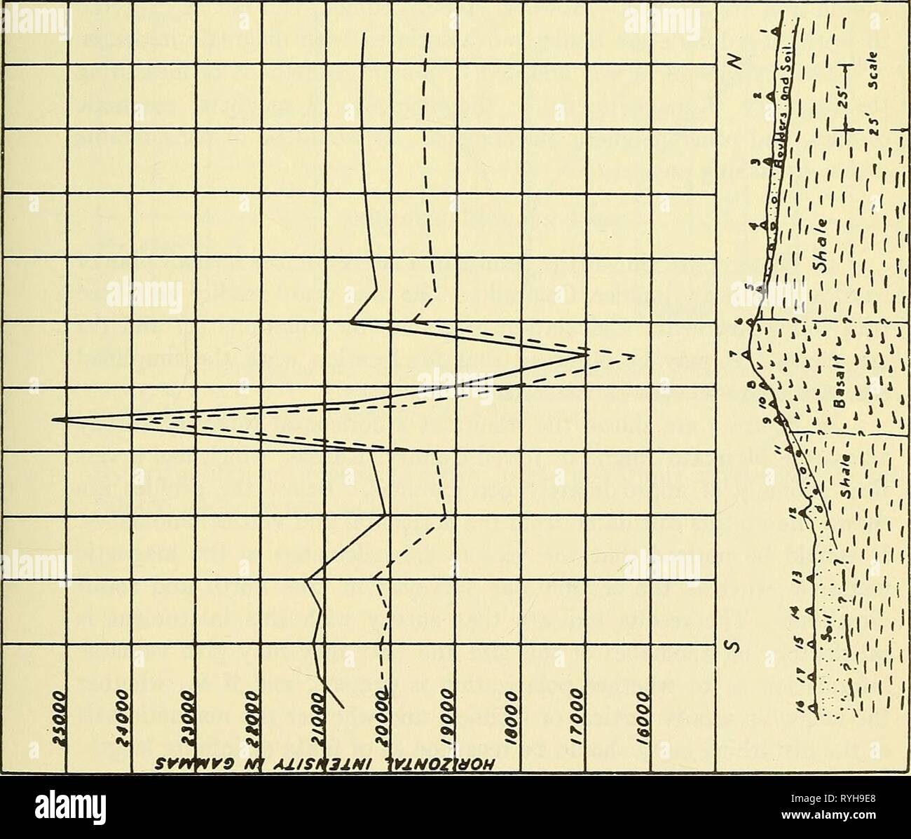 Early geophysical papers of the Society of Exploration Geophysicists earlygeophysical00soci Year: 1947 BRUNTON COMPASS ATTACHMENT 1395 1 k. 1 0 VJ * to 0 k z bJ ^ O H 0 Q: O y X O Ol 0 UJ 5f O ^ 'J > u z k. Q: kj 5: 0 i u CQ ki S Is 'I «*. O Q * * '* §** k Q .* is *3 Q Z LJ O LJ l HI 2 o NO: «a 1 1 x 3 54 51 $ * * * * 113 Stock Photohttps://www.alamy.com/image-license-details/?v=1https://www.alamy.com/early-geophysical-papers-of-the-society-of-exploration-geophysicists-earlygeophysical00soci-year-1947-brunton-compass-attachment-1395-1-k-1-0-vj-to-0-k-z-bj-o-h-0-q-o-y-x-o-ol-0-uj-5f-o-j-gt-u-z-k-q-kj-5-0-i-u-cq-ki-s-is-i-o-q-k-q-is-3-q-z-lj-o-lj-l-hi-2-o-no-a-1-1-x-3-54-51-113-image240711136.html
RMRYH9E8–Early geophysical papers of the Society of Exploration Geophysicists earlygeophysical00soci Year: 1947 BRUNTON COMPASS ATTACHMENT 1395 1 k. 1 0 VJ * to 0 k z bJ ^ O H 0 Q: O y X O Ol 0 UJ 5f O ^ 'J > u z k. Q: kj 5: 0 i u CQ ki S Is 'I «*. O Q * * '* §** k Q .* is *3 Q Z LJ O LJ l HI 2 o NO: «a 1 1 x 3 54 51 $ * * * * 113
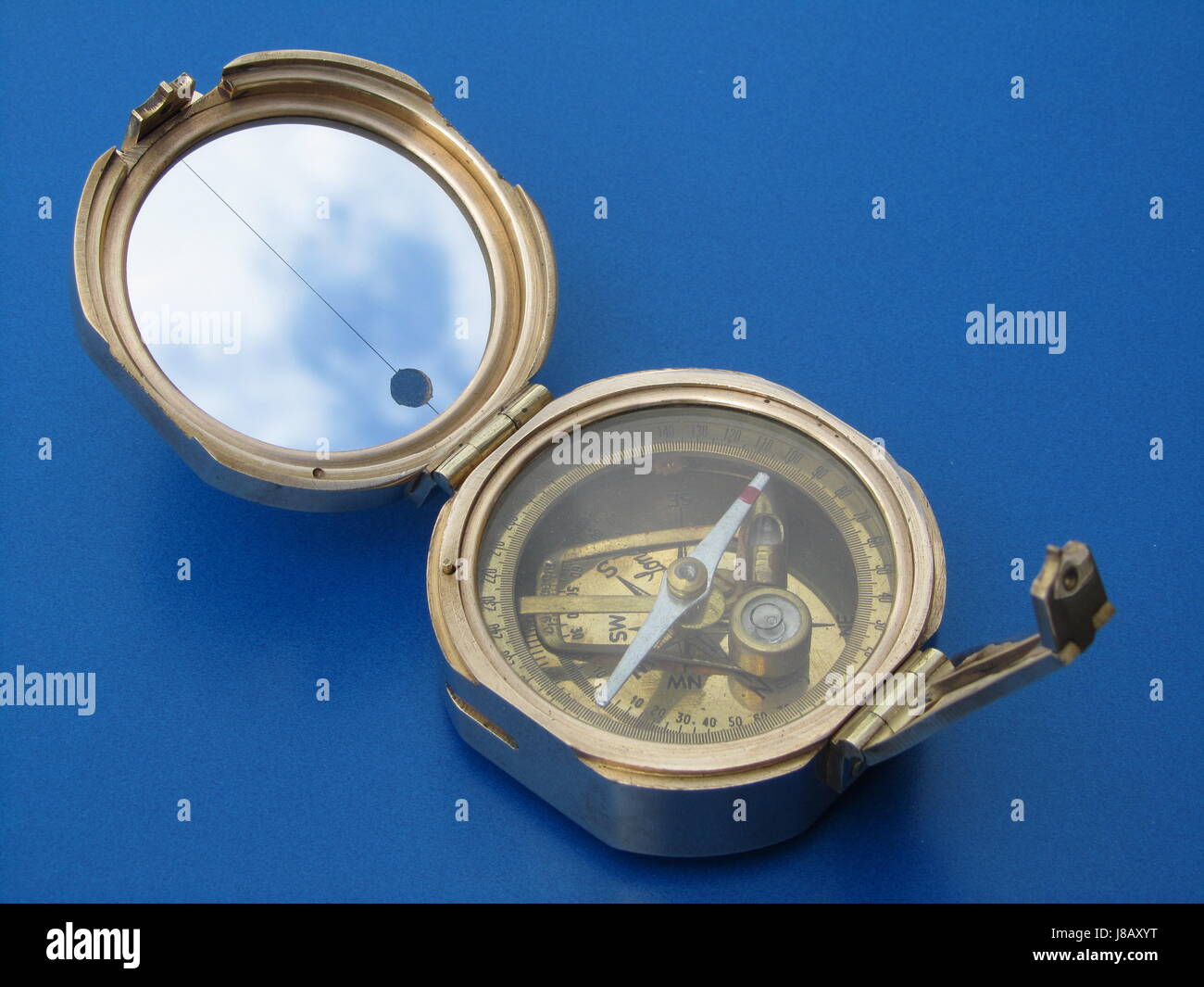 old magnetic compass Stock Photohttps://www.alamy.com/image-license-details/?v=1https://www.alamy.com/stock-photo-old-magnetic-compass-142840876.html
RFJ8AXYT–old magnetic compass
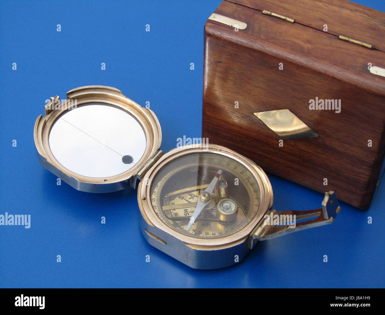
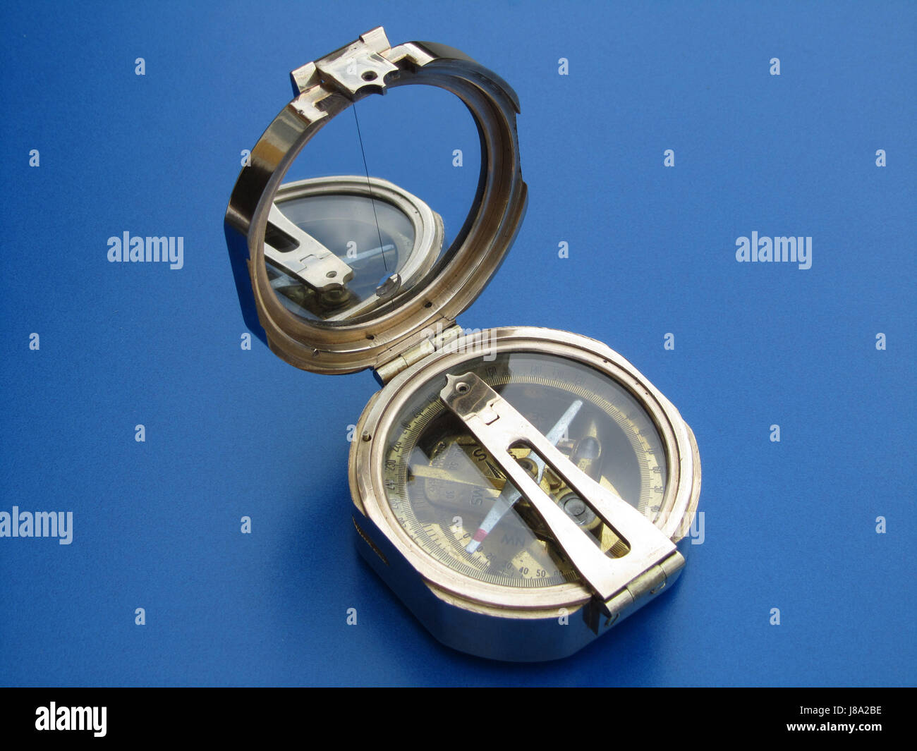 compass by stanley london Stock Photohttps://www.alamy.com/image-license-details/?v=1https://www.alamy.com/stock-photo-compass-by-stanley-london-142821602.html
RFJ8A2BE–compass by stanley london
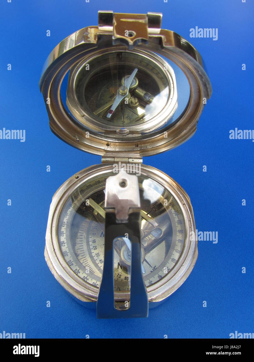
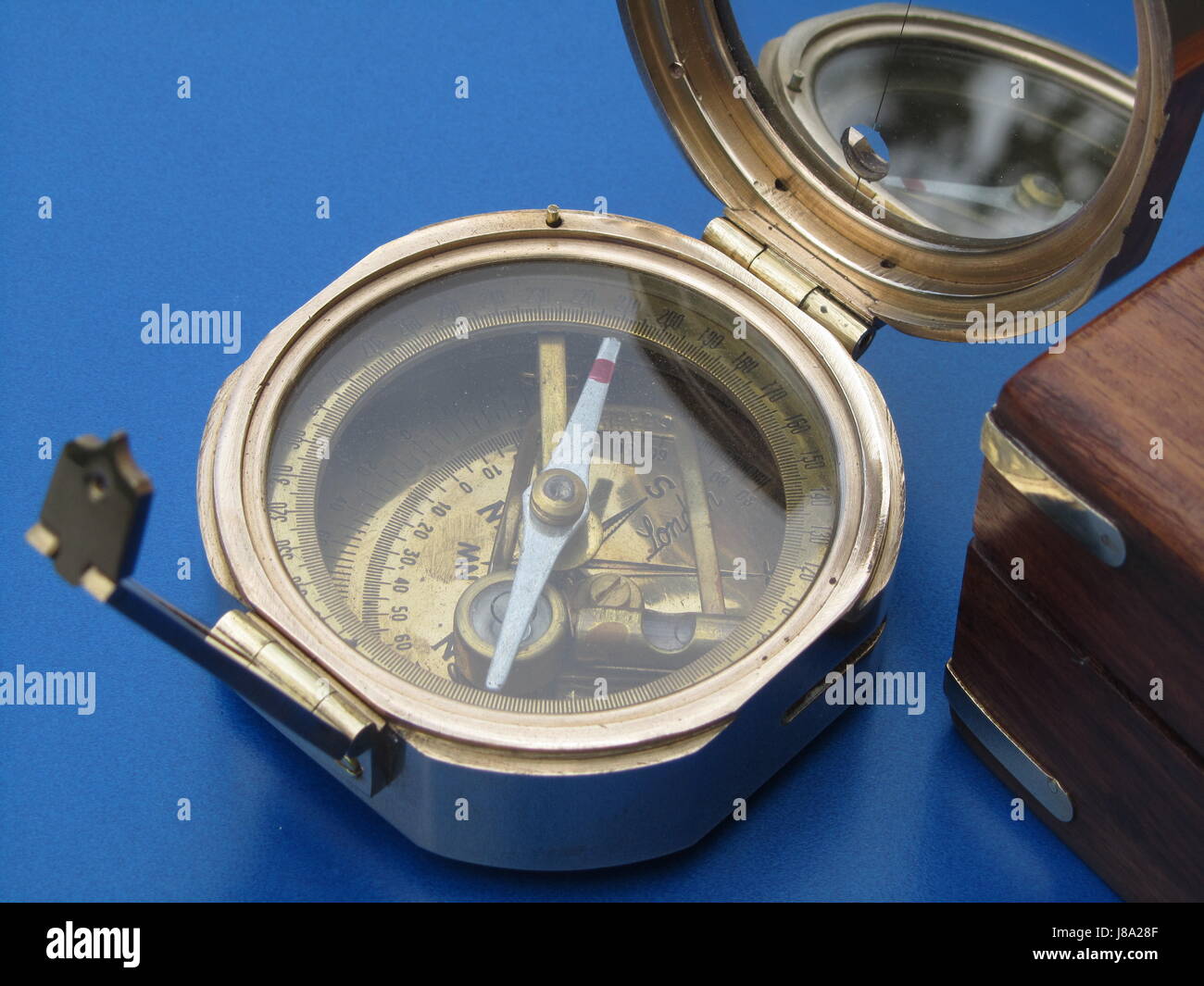 old compass Stock Photohttps://www.alamy.com/image-license-details/?v=1https://www.alamy.com/stock-photo-old-compass-142821519.html
RFJ8A28F–old compass
