Brush colorado map Cut Out Stock Images
 Brush, Morgan County, US, United States, Colorado, N 40 15' 31'', S 103 37' 25'', map, Cartascapes Map published in 2024. Explore Cartascapes, a map revealing Earth's diverse landscapes, cultures, and ecosystems. Journey through time and space, discovering the interconnectedness of our planet's past, present, and future. Stock Photohttps://www.alamy.com/image-license-details/?v=1https://www.alamy.com/brush-morgan-county-us-united-states-colorado-n-40-15-31-s-103-37-25-map-cartascapes-map-published-in-2024-explore-cartascapes-a-map-revealing-earths-diverse-landscapes-cultures-and-ecosystems-journey-through-time-and-space-discovering-the-interconnectedness-of-our-planets-past-present-and-future-image621393656.html
RM2Y2XWXG–Brush, Morgan County, US, United States, Colorado, N 40 15' 31'', S 103 37' 25'', map, Cartascapes Map published in 2024. Explore Cartascapes, a map revealing Earth's diverse landscapes, cultures, and ecosystems. Journey through time and space, discovering the interconnectedness of our planet's past, present, and future.
 Colorado. Modern dry brush lettering. Retro typography print. Vector handwritten inscription. USA state. Stock Vectorhttps://www.alamy.com/image-license-details/?v=1https://www.alamy.com/stock-image-colorado-modern-dry-brush-lettering-retro-typography-print-vector-160663640.html
RFK9AT34–Colorado. Modern dry brush lettering. Retro typography print. Vector handwritten inscription. USA state.
 handwritten lettering Colorado Stock Vectorhttps://www.alamy.com/image-license-details/?v=1https://www.alamy.com/handwritten-lettering-colorado-image271753213.html
RFWP3BYW–handwritten lettering Colorado
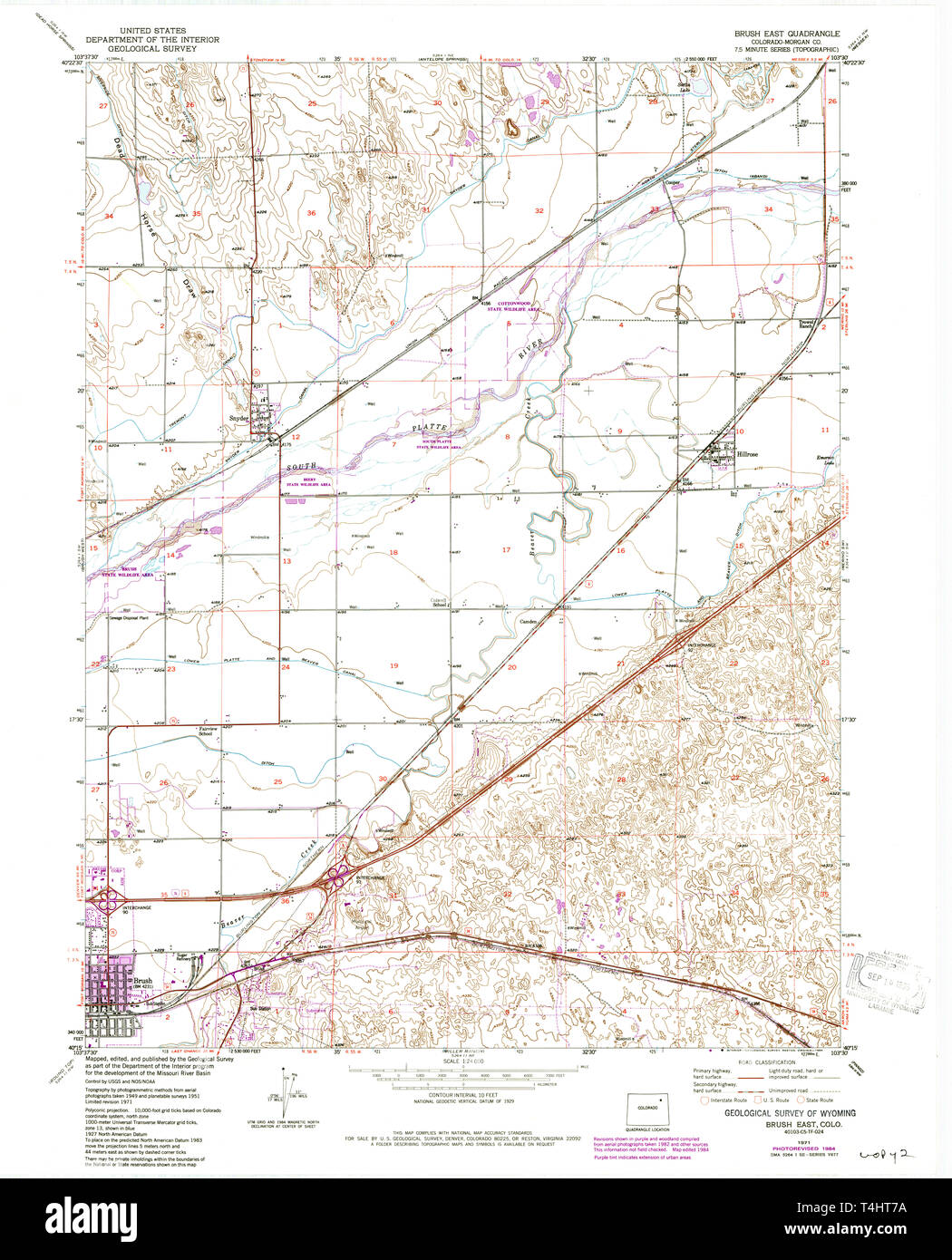 USGS TOPO Map Colorado CO Brush East 400248 1971 24000 Restoration Stock Photohttps://www.alamy.com/image-license-details/?v=1https://www.alamy.com/usgs-topo-map-colorado-co-brush-east-400248-1971-24000-restoration-image243795982.html
RMT4HT7A–USGS TOPO Map Colorado CO Brush East 400248 1971 24000 Restoration
 City of Brush, Morgan County, US, United States, Colorado, N 40 15' 31'', S 103 37' 56'', map, Cartascapes Map published in 2024. Explore Cartascapes, a map revealing Earth's diverse landscapes, cultures, and ecosystems. Journey through time and space, discovering the interconnectedness of our planet's past, present, and future. Stock Photohttps://www.alamy.com/image-license-details/?v=1https://www.alamy.com/city-of-brush-morgan-county-us-united-states-colorado-n-40-15-31-s-103-37-56-map-cartascapes-map-published-in-2024-explore-cartascapes-a-map-revealing-earths-diverse-landscapes-cultures-and-ecosystems-journey-through-time-and-space-discovering-the-interconnectedness-of-our-planets-past-present-and-future-image633886817.html
RM2YR812W–City of Brush, Morgan County, US, United States, Colorado, N 40 15' 31'', S 103 37' 56'', map, Cartascapes Map published in 2024. Explore Cartascapes, a map revealing Earth's diverse landscapes, cultures, and ecosystems. Journey through time and space, discovering the interconnectedness of our planet's past, present, and future.
 Colorado. Modern dry brush lettering. Retro typography print. Vector handwritten inscription. USA state. Stock Vectorhttps://www.alamy.com/image-license-details/?v=1https://www.alamy.com/stock-image-colorado-modern-dry-brush-lettering-retro-typography-print-vector-161180179.html
RFKA6AXY–Colorado. Modern dry brush lettering. Retro typography print. Vector handwritten inscription. USA state.
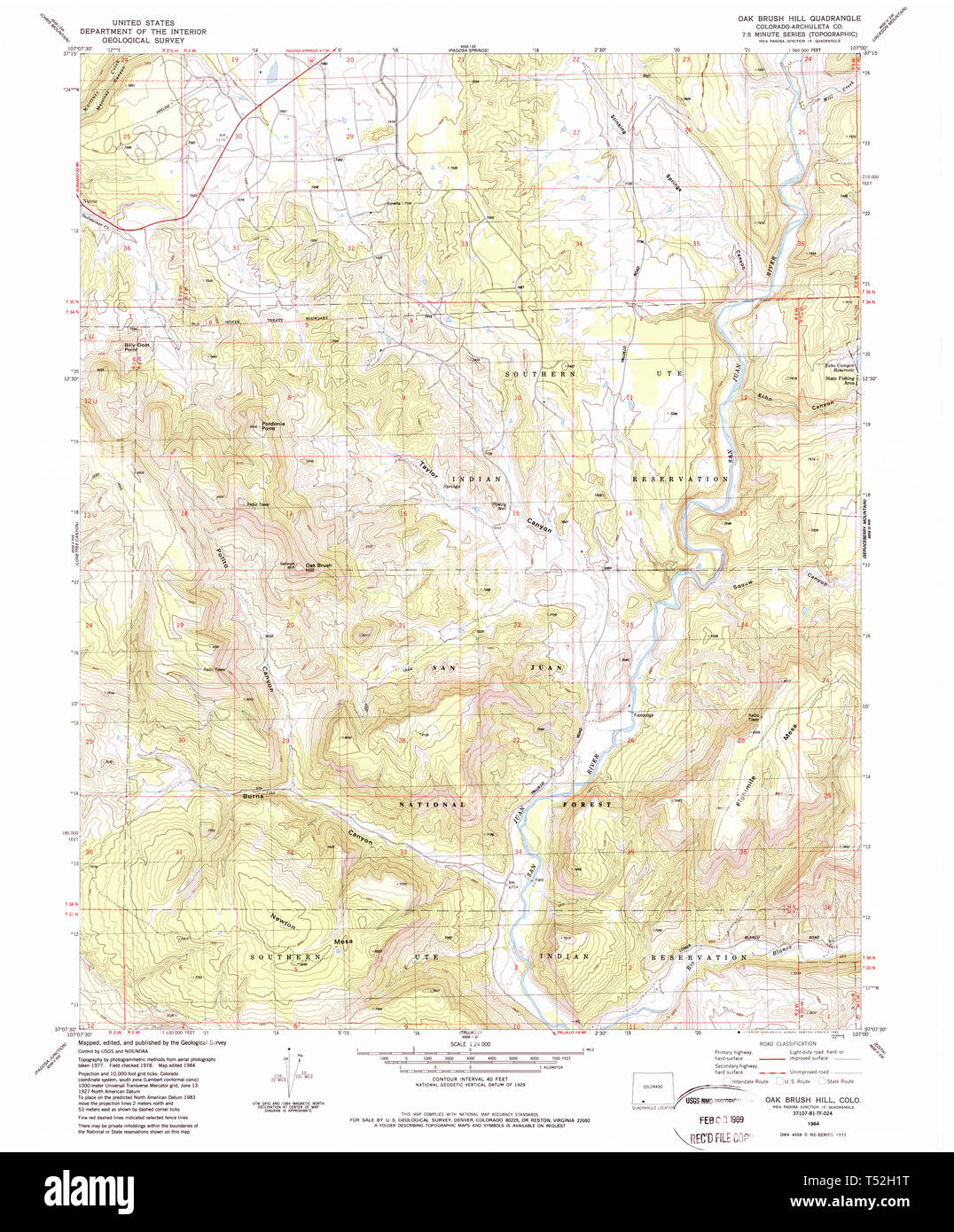 USGS TOPO Map Colorado CO Oak Brush Hill 233976 1984 24000 Restoration Stock Photohttps://www.alamy.com/image-license-details/?v=1https://www.alamy.com/usgs-topo-map-colorado-co-oak-brush-hill-233976-1984-24000-restoration-image244075716.html
RMT52H1T–USGS TOPO Map Colorado CO Oak Brush Hill 233976 1984 24000 Restoration
 Brush West, Colorado, map 1971, 1:24000, United States of America by Timeless Maps, data U.S. Geological Survey Stock Photohttps://www.alamy.com/image-license-details/?v=1https://www.alamy.com/brush-west-colorado-map-1971-124000-united-states-of-america-by-timeless-maps-data-us-geological-survey-image406171002.html
RM2EGPK76–Brush West, Colorado, map 1971, 1:24000, United States of America by Timeless Maps, data U.S. Geological Survey
 Colorado. Modern dry brush lettering. Retro typography print. Vector handwritten inscription. USA state. Stock Vectorhttps://www.alamy.com/image-license-details/?v=1https://www.alamy.com/stock-image-colorado-modern-dry-brush-lettering-retro-typography-print-vector-160467139.html
RFK91WD7–Colorado. Modern dry brush lettering. Retro typography print. Vector handwritten inscription. USA state.
 Colorado. Modern dry brush lettering. Retro typography print. Vector handwritten inscription. USA state. Stock Vectorhttps://www.alamy.com/image-license-details/?v=1https://www.alamy.com/stock-image-colorado-modern-dry-brush-lettering-retro-typography-print-vector-160276192.html
RFK8N5WM–Colorado. Modern dry brush lettering. Retro typography print. Vector handwritten inscription. USA state.
 Brush East, Colorado, map 1971, 1:24000, United States of America by Timeless Maps, data U.S. Geological Survey Stock Photohttps://www.alamy.com/image-license-details/?v=1https://www.alamy.com/brush-east-colorado-map-1971-124000-united-states-of-america-by-timeless-maps-data-us-geological-survey-image406171000.html
RM2EGPK74–Brush East, Colorado, map 1971, 1:24000, United States of America by Timeless Maps, data U.S. Geological Survey
 I love Colorado. Modern dry brush lettering. Retro typography print. Vector handwritten inscription. USA state. Stock Vectorhttps://www.alamy.com/image-license-details/?v=1https://www.alamy.com/stock-image-i-love-colorado-modern-dry-brush-lettering-retro-typography-print-160467179.html
RFK91WEK–I love Colorado. Modern dry brush lettering. Retro typography print. Vector handwritten inscription. USA state.
 Kentucky. Modern dry brush lettering. Retro typography print. Vector handwritten inscription. USA state. Stock Vectorhttps://www.alamy.com/image-license-details/?v=1https://www.alamy.com/stock-image-kentucky-modern-dry-brush-lettering-retro-typography-print-vector-160499530.html
RFK93AP2–Kentucky. Modern dry brush lettering. Retro typography print. Vector handwritten inscription. USA state.
 Virginia. Modern dry brush lettering. Retro typography print. Vector handwritten inscription. USA state. Stock Vectorhttps://www.alamy.com/image-license-details/?v=1https://www.alamy.com/stock-image-virginia-modern-dry-brush-lettering-retro-typography-print-vector-160505645.html
RFK93JGD–Virginia. Modern dry brush lettering. Retro typography print. Vector handwritten inscription. USA state.
 Brush East, Colorado, map 1951, 1:24000, United States of America by Timeless Maps, data U.S. Geological Survey Stock Photohttps://www.alamy.com/image-license-details/?v=1https://www.alamy.com/brush-east-colorado-map-1951-124000-united-states-of-america-by-timeless-maps-data-us-geological-survey-image406170989.html
RM2EGPK6N–Brush East, Colorado, map 1951, 1:24000, United States of America by Timeless Maps, data U.S. Geological Survey
 Washington. Modern dry brush lettering. Retro typography print. Vector handwritten inscription. USA state. Stock Vectorhttps://www.alamy.com/image-license-details/?v=1https://www.alamy.com/stock-image-washington-modern-dry-brush-lettering-retro-typography-print-vector-160505687.html
RFK93JHY–Washington. Modern dry brush lettering. Retro typography print. Vector handwritten inscription. USA state.
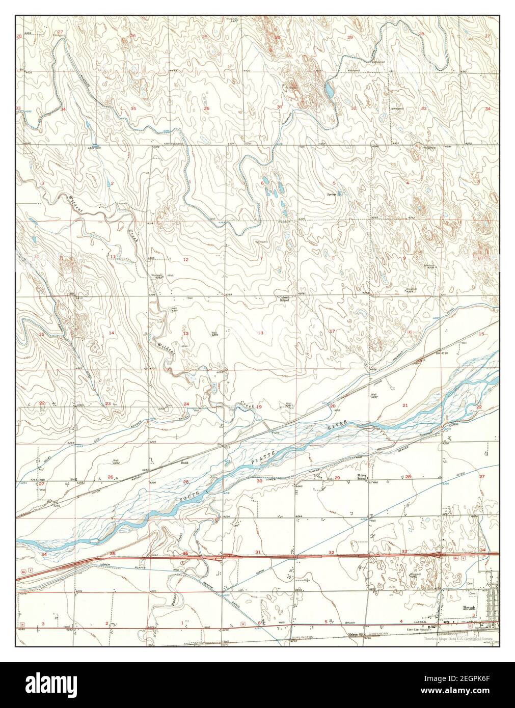 Brush West, Colorado, map 1951, 1:24000, United States of America by Timeless Maps, data U.S. Geological Survey Stock Photohttps://www.alamy.com/image-license-details/?v=1https://www.alamy.com/brush-west-colorado-map-1951-124000-united-states-of-america-by-timeless-maps-data-us-geological-survey-image406170983.html
RM2EGPK6F–Brush West, Colorado, map 1951, 1:24000, United States of America by Timeless Maps, data U.S. Geological Survey
 West Virginia. Modern dry brush lettering. Retro typography print. Vector handwritten inscription. USA state. Stock Vectorhttps://www.alamy.com/image-license-details/?v=1https://www.alamy.com/stock-image-west-virginia-modern-dry-brush-lettering-retro-typography-print-vector-160505755.html
RFK93JMB–West Virginia. Modern dry brush lettering. Retro typography print. Vector handwritten inscription. USA state.
 Brush West, Colorado, map 1951, 1:24000, United States of America by Timeless Maps, data U.S. Geological Survey Stock Photohttps://www.alamy.com/image-license-details/?v=1https://www.alamy.com/brush-west-colorado-map-1951-124000-united-states-of-america-by-timeless-maps-data-us-geological-survey-image406170979.html
RM2EGPK6B–Brush West, Colorado, map 1951, 1:24000, United States of America by Timeless Maps, data U.S. Geological Survey
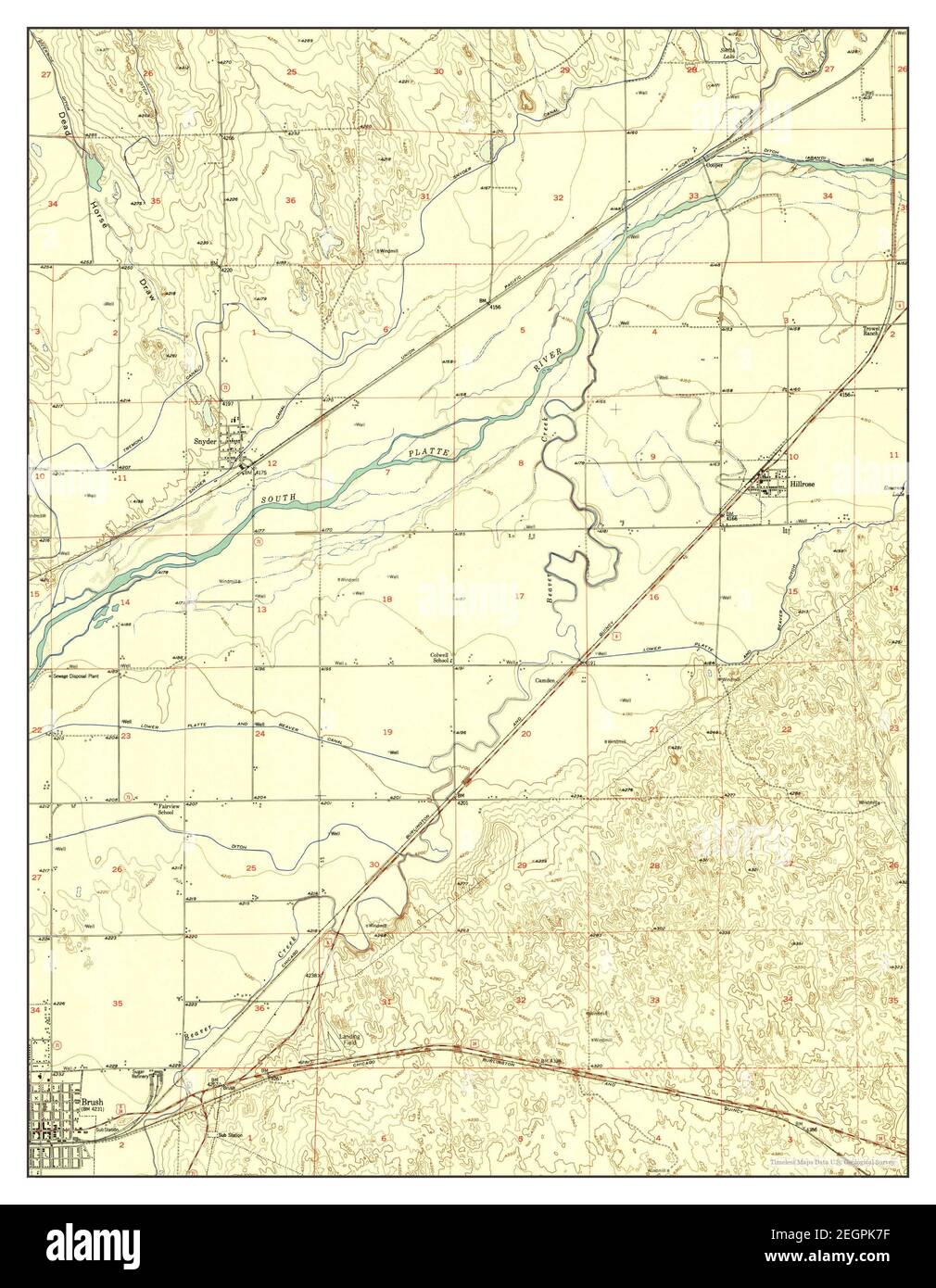 Brush East, Colorado, map 1951, 1:24000, United States of America by Timeless Maps, data U.S. Geological Survey Stock Photohttps://www.alamy.com/image-license-details/?v=1https://www.alamy.com/brush-east-colorado-map-1951-124000-united-states-of-america-by-timeless-maps-data-us-geological-survey-image406171011.html
RM2EGPK7F–Brush East, Colorado, map 1951, 1:24000, United States of America by Timeless Maps, data U.S. Geological Survey
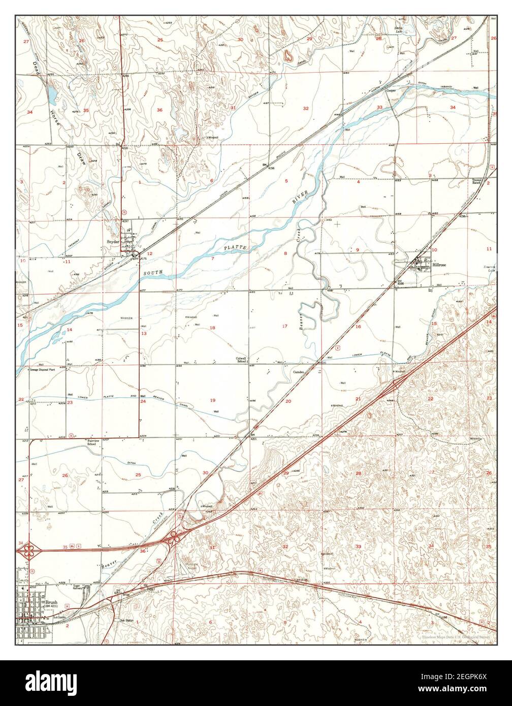 Brush East, Colorado, map 1951, 1:24000, United States of America by Timeless Maps, data U.S. Geological Survey Stock Photohttps://www.alamy.com/image-license-details/?v=1https://www.alamy.com/brush-east-colorado-map-1951-124000-united-states-of-america-by-timeless-maps-data-us-geological-survey-image406170994.html
RM2EGPK6X–Brush East, Colorado, map 1951, 1:24000, United States of America by Timeless Maps, data U.S. Geological Survey
 Brush West, Colorado, map 1951, 1:24000, United States of America by Timeless Maps, data U.S. Geological Survey Stock Photohttps://www.alamy.com/image-license-details/?v=1https://www.alamy.com/brush-west-colorado-map-1951-124000-united-states-of-america-by-timeless-maps-data-us-geological-survey-image406170980.html
RM2EGPK6C–Brush West, Colorado, map 1951, 1:24000, United States of America by Timeless Maps, data U.S. Geological Survey
 Brush West, Colorado, map 1951, 1:24000, United States of America by Timeless Maps, data U.S. Geological Survey Stock Photohttps://www.alamy.com/image-license-details/?v=1https://www.alamy.com/brush-west-colorado-map-1951-124000-united-states-of-america-by-timeless-maps-data-us-geological-survey-image406171015.html
RM2EGPK7K–Brush West, Colorado, map 1951, 1:24000, United States of America by Timeless Maps, data U.S. Geological Survey
 Brush East, Colorado, map 1971, 1:24000, United States of America by Timeless Maps, data U.S. Geological Survey Stock Photohttps://www.alamy.com/image-license-details/?v=1https://www.alamy.com/brush-east-colorado-map-1971-124000-united-states-of-america-by-timeless-maps-data-us-geological-survey-image406170991.html
RM2EGPK6R–Brush East, Colorado, map 1971, 1:24000, United States of America by Timeless Maps, data U.S. Geological Survey
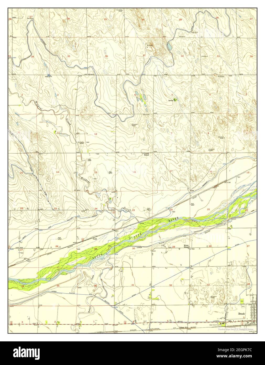 Brush West, Colorado, map 1951, 1:24000, United States of America by Timeless Maps, data U.S. Geological Survey Stock Photohttps://www.alamy.com/image-license-details/?v=1https://www.alamy.com/brush-west-colorado-map-1951-124000-united-states-of-america-by-timeless-maps-data-us-geological-survey-image406171008.html
RM2EGPK7C–Brush West, Colorado, map 1951, 1:24000, United States of America by Timeless Maps, data U.S. Geological Survey
 Brush East, Colorado, map 1951, 1:24000, United States of America by Timeless Maps, data U.S. Geological Survey Stock Photohttps://www.alamy.com/image-license-details/?v=1https://www.alamy.com/brush-east-colorado-map-1951-124000-united-states-of-america-by-timeless-maps-data-us-geological-survey-image406170985.html
RM2EGPK6H–Brush East, Colorado, map 1951, 1:24000, United States of America by Timeless Maps, data U.S. Geological Survey
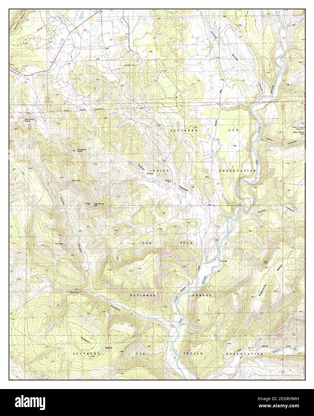 Oak Brush Hill, Colorado, map 1984, 1:24000, United States of America by Timeless Maps, data U.S. Geological Survey Stock Photohttps://www.alamy.com/image-license-details/?v=1https://www.alamy.com/oak-brush-hill-colorado-map-1984-124000-united-states-of-america-by-timeless-maps-data-us-geological-survey-image406191761.html
RM2EGRHMH–Oak Brush Hill, Colorado, map 1984, 1:24000, United States of America by Timeless Maps, data U.S. Geological Survey