Buffalo oklahoma map Stock Photos and Images
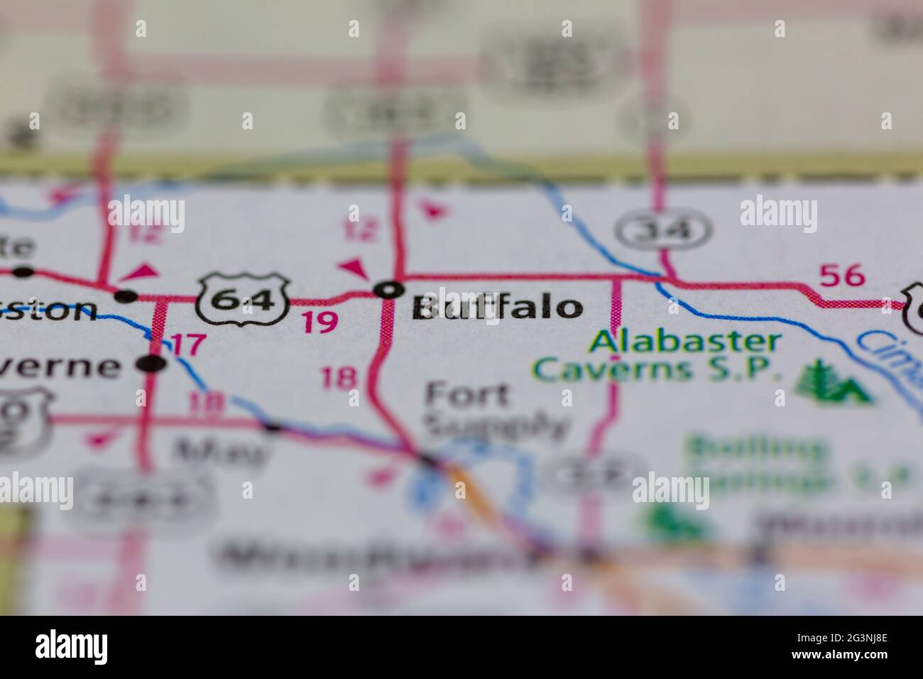 Buffalo Oklahoma USA shown on a Geography map or road map Stock Photohttps://www.alamy.com/image-license-details/?v=1https://www.alamy.com/buffalo-oklahoma-usa-shown-on-a-geography-map-or-road-map-image432578510.html
RM2G3NJ8E–Buffalo Oklahoma USA shown on a Geography map or road map
 Buffalo, Harper County, US, United States, Oklahoma, N 36 50' 8'', S 99 37' 49'', map, Cartascapes Map published in 2024. Explore Cartascapes, a map revealing Earth's diverse landscapes, cultures, and ecosystems. Journey through time and space, discovering the interconnectedness of our planet's past, present, and future. Stock Photohttps://www.alamy.com/image-license-details/?v=1https://www.alamy.com/buffalo-harper-county-us-united-states-oklahoma-n-36-50-8-s-99-37-49-map-cartascapes-map-published-in-2024-explore-cartascapes-a-map-revealing-earths-diverse-landscapes-cultures-and-ecosystems-journey-through-time-and-space-discovering-the-interconnectedness-of-our-planets-past-present-and-future-image621326069.html
RM2Y2RRMN–Buffalo, Harper County, US, United States, Oklahoma, N 36 50' 8'', S 99 37' 49'', map, Cartascapes Map published in 2024. Explore Cartascapes, a map revealing Earth's diverse landscapes, cultures, and ecosystems. Journey through time and space, discovering the interconnectedness of our planet's past, present, and future.
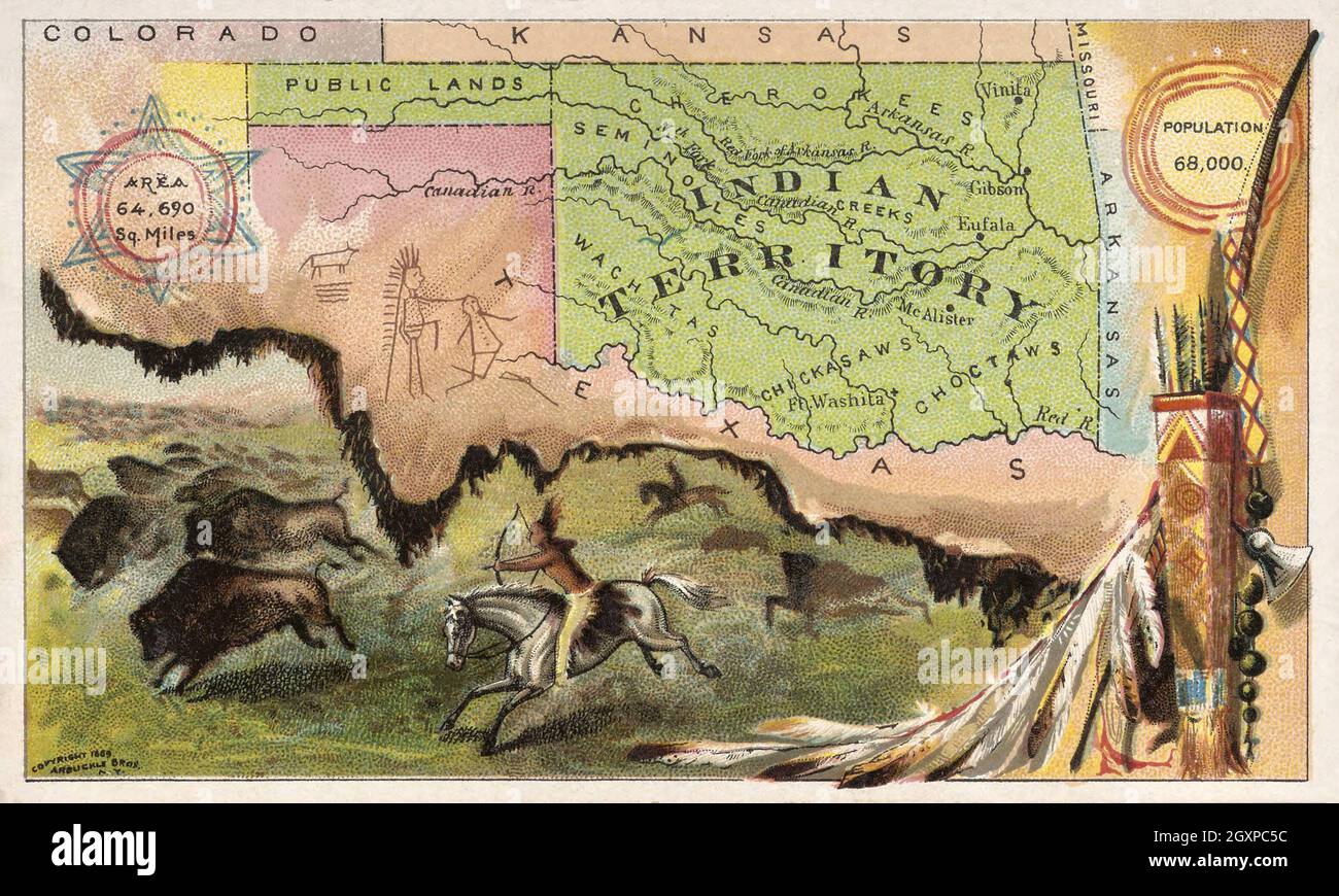 Indian Territory Stock Photohttps://www.alamy.com/image-license-details/?v=1https://www.alamy.com/indian-territory-image446732760.html
RM2GXPC5C–Indian Territory
 Texas - Arbuckel Bros. Stock Photohttps://www.alamy.com/image-license-details/?v=1https://www.alamy.com/texas-arbuckel-bros-image469575270.html
RM2J7Y01A–Texas - Arbuckel Bros.
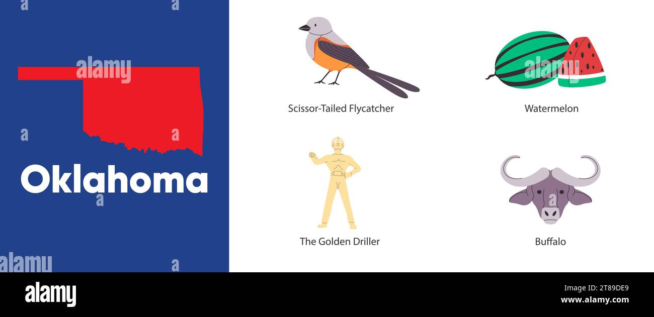 Oklahoma states map shape symbol object of scissor tailed flycatcher buffalo the golden driller America country illustration Stock Vectorhttps://www.alamy.com/image-license-details/?v=1https://www.alamy.com/oklahoma-states-map-shape-symbol-object-of-scissor-tailed-flycatcher-buffalo-the-golden-driller-america-country-illustration-image573067553.html
RF2T89DE9–Oklahoma states map shape symbol object of scissor tailed flycatcher buffalo the golden driller America country illustration
 USA map words cloud with larger american cities Stock Photohttps://www.alamy.com/image-license-details/?v=1https://www.alamy.com/stock-photo-usa-map-words-cloud-with-larger-american-cities-96054043.html
RFFG7HWF–USA map words cloud with larger american cities
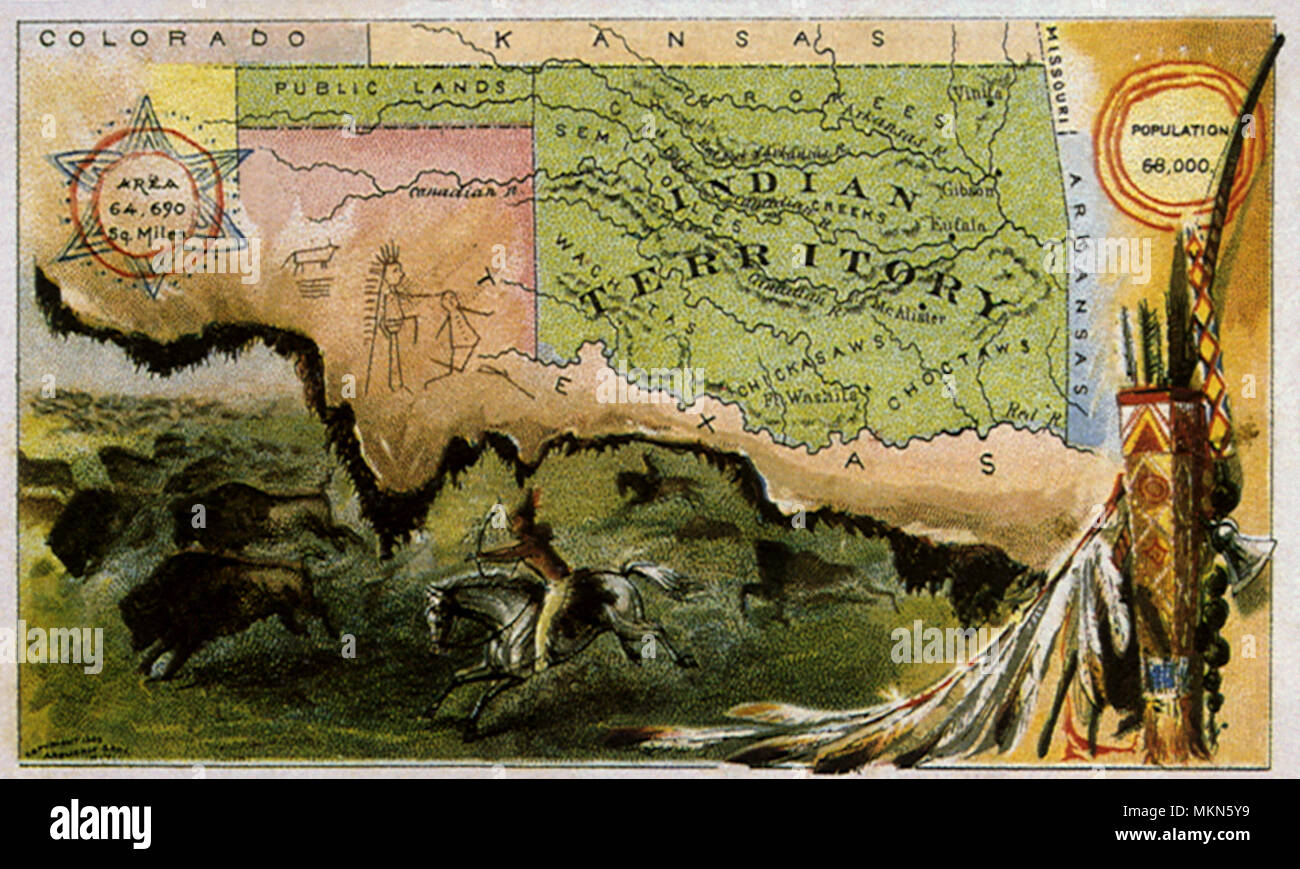 Indian Territory Stock Photohttps://www.alamy.com/image-license-details/?v=1https://www.alamy.com/indian-territory-image184247821.html
RMMKN5Y9–Indian Territory
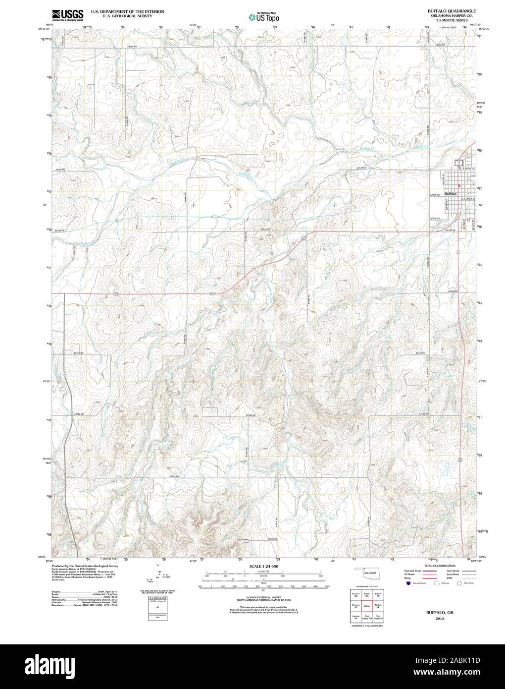 USGS TOPO Map Oklahoma OK Buffalo 20121115 TM Restoration Stock Photohttps://www.alamy.com/image-license-details/?v=1https://www.alamy.com/usgs-topo-map-oklahoma-ok-buffalo-20121115-tm-restoration-image334176121.html
RM2ABK11D–USGS TOPO Map Oklahoma OK Buffalo 20121115 TM Restoration
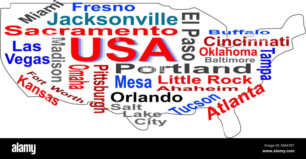 USA map words cloud with larger american cities Stock Vectorhttps://www.alamy.com/image-license-details/?v=1https://www.alamy.com/usa-map-words-cloud-with-larger-american-cities-image64165580.html
RFDMAYRT–USA map words cloud with larger american cities
 USA Heart words cloud with larger american cities Stock Vectorhttps://www.alamy.com/image-license-details/?v=1https://www.alamy.com/usa-heart-words-cloud-with-larger-american-cities-image64166439.html
RFDMB0XF–USA Heart words cloud with larger american cities
 Buffalo, Harper County, US, United States, Oklahoma, N 36 50' 8'', S 99 37' 49'', map, Cartascapes Map published in 2024. Explore Cartascapes, a map revealing Earth's diverse landscapes, cultures, and ecosystems. Journey through time and space, discovering the interconnectedness of our planet's past, present, and future. Stock Photohttps://www.alamy.com/image-license-details/?v=1https://www.alamy.com/buffalo-harper-county-us-united-states-oklahoma-n-36-50-8-s-99-37-49-map-cartascapes-map-published-in-2024-explore-cartascapes-a-map-revealing-earths-diverse-landscapes-cultures-and-ecosystems-journey-through-time-and-space-discovering-the-interconnectedness-of-our-planets-past-present-and-future-image621148870.html
RM2Y2FNM6–Buffalo, Harper County, US, United States, Oklahoma, N 36 50' 8'', S 99 37' 49'', map, Cartascapes Map published in 2024. Explore Cartascapes, a map revealing Earth's diverse landscapes, cultures, and ecosystems. Journey through time and space, discovering the interconnectedness of our planet's past, present, and future.
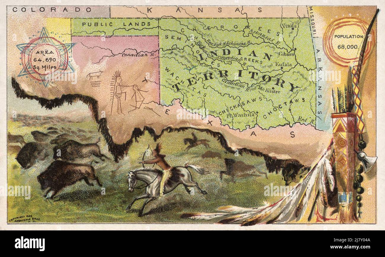 Indian Territory Stock Photohttps://www.alamy.com/image-license-details/?v=1https://www.alamy.com/indian-territory-image469575354.html
RM2J7Y04A–Indian Territory
 USA Heart words cloud with larger american cities Stock Photohttps://www.alamy.com/image-license-details/?v=1https://www.alamy.com/stock-photo-usa-heart-words-cloud-with-larger-american-cities-96054026.html
RFFG7HTX–USA Heart words cloud with larger american cities
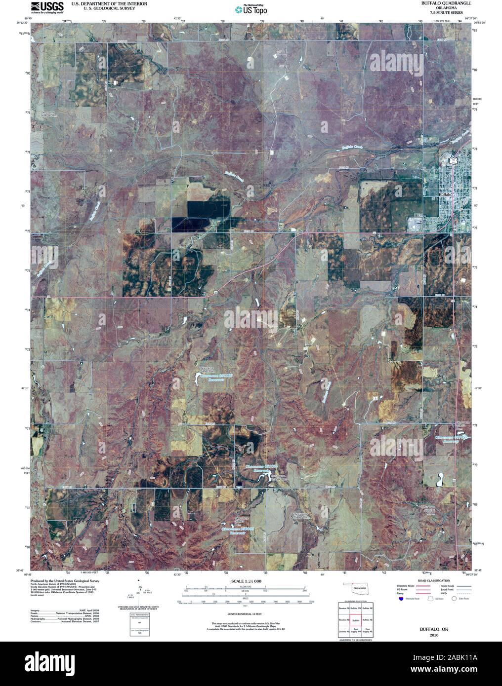 USGS TOPO Map Oklahoma OK Buffalo 20100101 TM Restoration Stock Photohttps://www.alamy.com/image-license-details/?v=1https://www.alamy.com/usgs-topo-map-oklahoma-ok-buffalo-20100101-tm-restoration-image334176118.html
RM2ABK11A–USGS TOPO Map Oklahoma OK Buffalo 20100101 TM Restoration
 Buffalo Springs Stage Station (historical), Garfield County, US, United States, Oklahoma, N 36 11' 27'', S 97 54' 42'', map, Cartascapes Map published in 2024. Explore Cartascapes, a map revealing Earth's diverse landscapes, cultures, and ecosystems. Journey through time and space, discovering the interconnectedness of our planet's past, present, and future. Stock Photohttps://www.alamy.com/image-license-details/?v=1https://www.alamy.com/buffalo-springs-stage-station-historical-garfield-county-us-united-states-oklahoma-n-36-11-27-s-97-54-42-map-cartascapes-map-published-in-2024-explore-cartascapes-a-map-revealing-earths-diverse-landscapes-cultures-and-ecosystems-journey-through-time-and-space-discovering-the-interconnectedness-of-our-planets-past-present-and-future-image621376054.html
RM2Y2X3DX–Buffalo Springs Stage Station (historical), Garfield County, US, United States, Oklahoma, N 36 11' 27'', S 97 54' 42'', map, Cartascapes Map published in 2024. Explore Cartascapes, a map revealing Earth's diverse landscapes, cultures, and ecosystems. Journey through time and space, discovering the interconnectedness of our planet's past, present, and future.
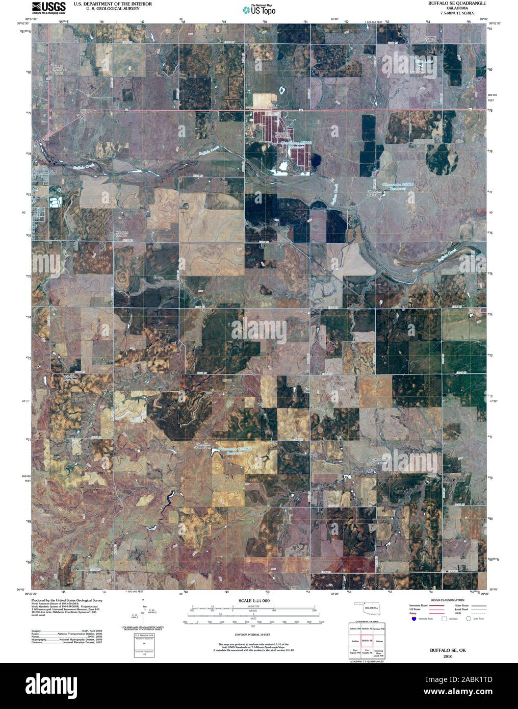 USGS TOPO Map Oklahoma OK Buffalo SE 20100101 TM Restoration Stock Photohttps://www.alamy.com/image-license-details/?v=1https://www.alamy.com/usgs-topo-map-oklahoma-ok-buffalo-se-20100101-tm-restoration-image334176765.html
RM2ABK1TD–USGS TOPO Map Oklahoma OK Buffalo SE 20100101 TM Restoration
 Township of Buffalo, Noble County, US, United States, Oklahoma, N 36 33' 10'', S 97 11' 11'', map, Cartascapes Map published in 2024. Explore Cartascapes, a map revealing Earth's diverse landscapes, cultures, and ecosystems. Journey through time and space, discovering the interconnectedness of our planet's past, present, and future. Stock Photohttps://www.alamy.com/image-license-details/?v=1https://www.alamy.com/township-of-buffalo-noble-county-us-united-states-oklahoma-n-36-33-10-s-97-11-11-map-cartascapes-map-published-in-2024-explore-cartascapes-a-map-revealing-earths-diverse-landscapes-cultures-and-ecosystems-journey-through-time-and-space-discovering-the-interconnectedness-of-our-planets-past-present-and-future-image633809047.html
RM2YR4DWB–Township of Buffalo, Noble County, US, United States, Oklahoma, N 36 33' 10'', S 97 11' 11'', map, Cartascapes Map published in 2024. Explore Cartascapes, a map revealing Earth's diverse landscapes, cultures, and ecosystems. Journey through time and space, discovering the interconnectedness of our planet's past, present, and future.
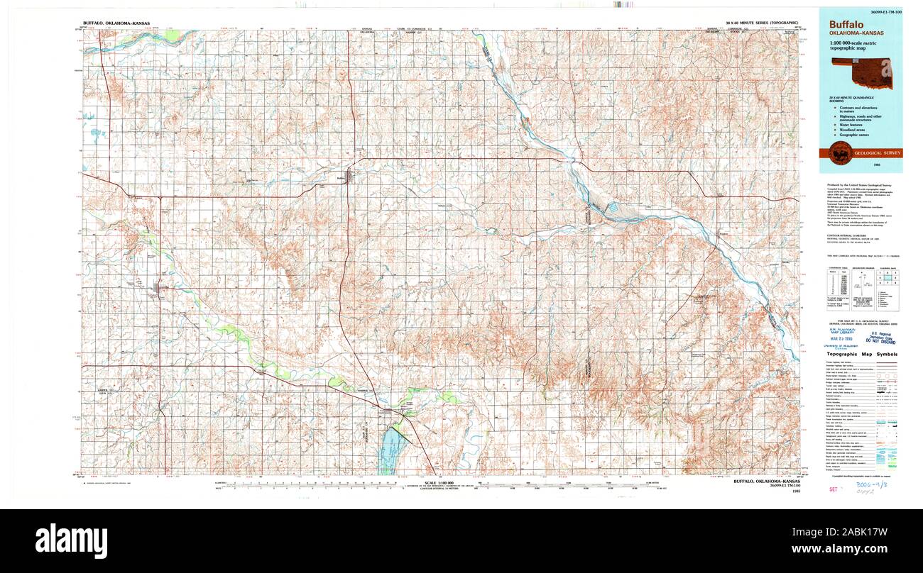 USGS TOPO Map Oklahoma OK Buffalo 707139 1985 100000 Restoration Stock Photohttps://www.alamy.com/image-license-details/?v=1https://www.alamy.com/usgs-topo-map-oklahoma-ok-buffalo-707139-1985-100000-restoration-image334176301.html
RM2ABK17W–USGS TOPO Map Oklahoma OK Buffalo 707139 1985 100000 Restoration
 Township of Buffalo, Garfield County, US, United States, Oklahoma, N 36 32' 50'', S 97 43' 51'', map, Cartascapes Map published in 2024. Explore Cartascapes, a map revealing Earth's diverse landscapes, cultures, and ecosystems. Journey through time and space, discovering the interconnectedness of our planet's past, present, and future. Stock Photohttps://www.alamy.com/image-license-details/?v=1https://www.alamy.com/township-of-buffalo-garfield-county-us-united-states-oklahoma-n-36-32-50-s-97-43-51-map-cartascapes-map-published-in-2024-explore-cartascapes-a-map-revealing-earths-diverse-landscapes-cultures-and-ecosystems-journey-through-time-and-space-discovering-the-interconnectedness-of-our-planets-past-present-and-future-image633790188.html
RM2YR3HRT–Township of Buffalo, Garfield County, US, United States, Oklahoma, N 36 32' 50'', S 97 43' 51'', map, Cartascapes Map published in 2024. Explore Cartascapes, a map revealing Earth's diverse landscapes, cultures, and ecosystems. Journey through time and space, discovering the interconnectedness of our planet's past, present, and future.
 USGS TOPO Map Oklahoma OK Buffalo 707140 1985 100000 Restoration Stock Photohttps://www.alamy.com/image-license-details/?v=1https://www.alamy.com/usgs-topo-map-oklahoma-ok-buffalo-707140-1985-100000-restoration-image334176308.html
RM2ABK184–USGS TOPO Map Oklahoma OK Buffalo 707140 1985 100000 Restoration
 Township of Buffalo, Harper County, US, United States, Oklahoma, N 36 48' 40'', S 99 40' 11'', map, Cartascapes Map published in 2024. Explore Cartascapes, a map revealing Earth's diverse landscapes, cultures, and ecosystems. Journey through time and space, discovering the interconnectedness of our planet's past, present, and future. Stock Photohttps://www.alamy.com/image-license-details/?v=1https://www.alamy.com/township-of-buffalo-harper-county-us-united-states-oklahoma-n-36-48-40-s-99-40-11-map-cartascapes-map-published-in-2024-explore-cartascapes-a-map-revealing-earths-diverse-landscapes-cultures-and-ecosystems-journey-through-time-and-space-discovering-the-interconnectedness-of-our-planets-past-present-and-future-image633823648.html
RM2YR54ET–Township of Buffalo, Harper County, US, United States, Oklahoma, N 36 48' 40'', S 99 40' 11'', map, Cartascapes Map published in 2024. Explore Cartascapes, a map revealing Earth's diverse landscapes, cultures, and ecosystems. Journey through time and space, discovering the interconnectedness of our planet's past, present, and future.
 USGS TOPO Map Oklahoma OK Buffalo NW 20121115 TM Restoration Stock Photohttps://www.alamy.com/image-license-details/?v=1https://www.alamy.com/usgs-topo-map-oklahoma-ok-buffalo-nw-20121115-tm-restoration-image334176520.html
RM2ABK1FM–USGS TOPO Map Oklahoma OK Buffalo NW 20121115 TM Restoration
 Township of Buffalo, Latimer County, US, United States, Oklahoma, N 34 43' 20'', S 95 16' 10'', map, Cartascapes Map published in 2024. Explore Cartascapes, a map revealing Earth's diverse landscapes, cultures, and ecosystems. Journey through time and space, discovering the interconnectedness of our planet's past, present, and future. Stock Photohttps://www.alamy.com/image-license-details/?v=1https://www.alamy.com/township-of-buffalo-latimer-county-us-united-states-oklahoma-n-34-43-20-s-95-16-10-map-cartascapes-map-published-in-2024-explore-cartascapes-a-map-revealing-earths-diverse-landscapes-cultures-and-ecosystems-journey-through-time-and-space-discovering-the-interconnectedness-of-our-planets-past-present-and-future-image633849249.html
RM2YR6955–Township of Buffalo, Latimer County, US, United States, Oklahoma, N 34 43' 20'', S 95 16' 10'', map, Cartascapes Map published in 2024. Explore Cartascapes, a map revealing Earth's diverse landscapes, cultures, and ecosystems. Journey through time and space, discovering the interconnectedness of our planet's past, present, and future.
 USGS TOPO Map Oklahoma OK Buffalo 705507 1970 24000 Restoration Stock Photohttps://www.alamy.com/image-license-details/?v=1https://www.alamy.com/usgs-topo-map-oklahoma-ok-buffalo-705507-1970-24000-restoration-image334176117.html
RM2ABK119–USGS TOPO Map Oklahoma OK Buffalo 705507 1970 24000 Restoration
 Township of Buffalo, Beckham County, US, United States, Oklahoma, N 35 19' 40'', S 99 56' 11'', map, Cartascapes Map published in 2024. Explore Cartascapes, a map revealing Earth's diverse landscapes, cultures, and ecosystems. Journey through time and space, discovering the interconnectedness of our planet's past, present, and future. Stock Photohttps://www.alamy.com/image-license-details/?v=1https://www.alamy.com/township-of-buffalo-beckham-county-us-united-states-oklahoma-n-35-19-40-s-99-56-11-map-cartascapes-map-published-in-2024-explore-cartascapes-a-map-revealing-earths-diverse-landscapes-cultures-and-ecosystems-journey-through-time-and-space-discovering-the-interconnectedness-of-our-planets-past-present-and-future-image633828019.html
RM2YR5A2Y–Township of Buffalo, Beckham County, US, United States, Oklahoma, N 35 19' 40'', S 99 56' 11'', map, Cartascapes Map published in 2024. Explore Cartascapes, a map revealing Earth's diverse landscapes, cultures, and ecosystems. Journey through time and space, discovering the interconnectedness of our planet's past, present, and future.
 USGS TOPO Map Oklahoma OK Buffalo 20121115 TM Inverted Restoration Stock Photohttps://www.alamy.com/image-license-details/?v=1https://www.alamy.com/usgs-topo-map-oklahoma-ok-buffalo-20121115-tm-inverted-restoration-image334176025.html
RM2ABK0X1–USGS TOPO Map Oklahoma OK Buffalo 20121115 TM Inverted Restoration
 Town of Buffalo, Harper County, US, United States, Oklahoma, N 36 50' 10'', S 99 37' 44'', map, Cartascapes Map published in 2024. Explore Cartascapes, a map revealing Earth's diverse landscapes, cultures, and ecosystems. Journey through time and space, discovering the interconnectedness of our planet's past, present, and future. Stock Photohttps://www.alamy.com/image-license-details/?v=1https://www.alamy.com/town-of-buffalo-harper-county-us-united-states-oklahoma-n-36-50-10-s-99-37-44-map-cartascapes-map-published-in-2024-explore-cartascapes-a-map-revealing-earths-diverse-landscapes-cultures-and-ecosystems-journey-through-time-and-space-discovering-the-interconnectedness-of-our-planets-past-present-and-future-image633804934.html
RM2YR48JE–Town of Buffalo, Harper County, US, United States, Oklahoma, N 36 50' 10'', S 99 37' 44'', map, Cartascapes Map published in 2024. Explore Cartascapes, a map revealing Earth's diverse landscapes, cultures, and ecosystems. Journey through time and space, discovering the interconnectedness of our planet's past, present, and future.
 USGS TOPO Map Oklahoma OK Buffalo SE 20121115 TM Restoration Stock Photohttps://www.alamy.com/image-license-details/?v=1https://www.alamy.com/usgs-topo-map-oklahoma-ok-buffalo-se-20121115-tm-restoration-image334176801.html
RM2ABK1WN–USGS TOPO Map Oklahoma OK Buffalo SE 20121115 TM Restoration
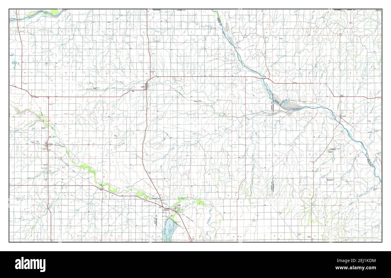 Buffalo, Oklahoma, map 1985, 1:100000, United States of America by Timeless Maps, data U.S. Geological Survey Stock Photohttps://www.alamy.com/image-license-details/?v=1https://www.alamy.com/buffalo-oklahoma-map-1985-1100000-united-states-of-america-by-timeless-maps-data-us-geological-survey-image406939504.html
RM2EJ1KDM–Buffalo, Oklahoma, map 1985, 1:100000, United States of America by Timeless Maps, data U.S. Geological Survey
 USGS TOPO Map Oklahoma OK Buffalo NW 20100312 TM Restoration Stock Photohttps://www.alamy.com/image-license-details/?v=1https://www.alamy.com/usgs-topo-map-oklahoma-ok-buffalo-nw-20100312-tm-restoration-image334176523.html
RM2ABK1FR–USGS TOPO Map Oklahoma OK Buffalo NW 20100312 TM Restoration
 Buffalo, Oklahoma, map 1970, 1:24000, United States of America by Timeless Maps, data U.S. Geological Survey Stock Photohttps://www.alamy.com/image-license-details/?v=1https://www.alamy.com/buffalo-oklahoma-map-1970-124000-united-states-of-america-by-timeless-maps-data-us-geological-survey-image406939511.html
RM2EJ1KDY–Buffalo, Oklahoma, map 1970, 1:24000, United States of America by Timeless Maps, data U.S. Geological Survey
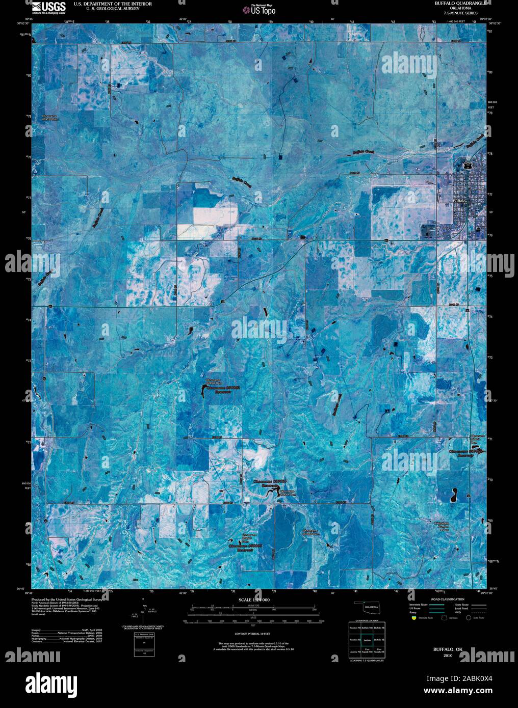 USGS TOPO Map Oklahoma OK Buffalo 20100101 TM Inverted Restoration Stock Photohttps://www.alamy.com/image-license-details/?v=1https://www.alamy.com/usgs-topo-map-oklahoma-ok-buffalo-20100101-tm-inverted-restoration-image334176028.html
RM2ABK0X4–USGS TOPO Map Oklahoma OK Buffalo 20100101 TM Inverted Restoration
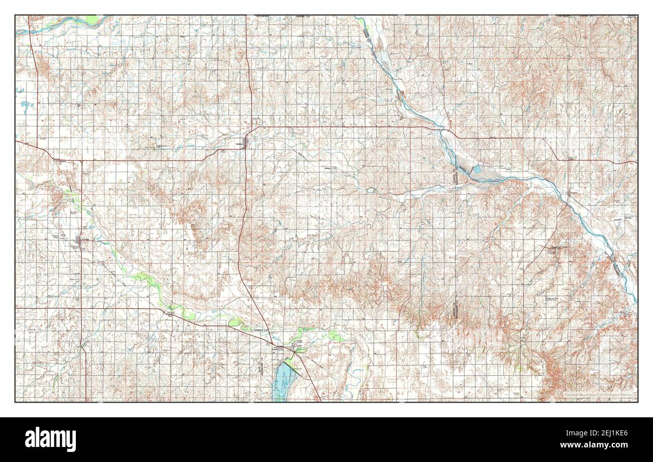 Buffalo, Oklahoma, map 1985, 1:100000, United States of America by Timeless Maps, data U.S. Geological Survey Stock Photohttps://www.alamy.com/image-license-details/?v=1https://www.alamy.com/buffalo-oklahoma-map-1985-1100000-united-states-of-america-by-timeless-maps-data-us-geological-survey-image406939518.html
RM2EJ1KE6–Buffalo, Oklahoma, map 1985, 1:100000, United States of America by Timeless Maps, data U.S. Geological Survey
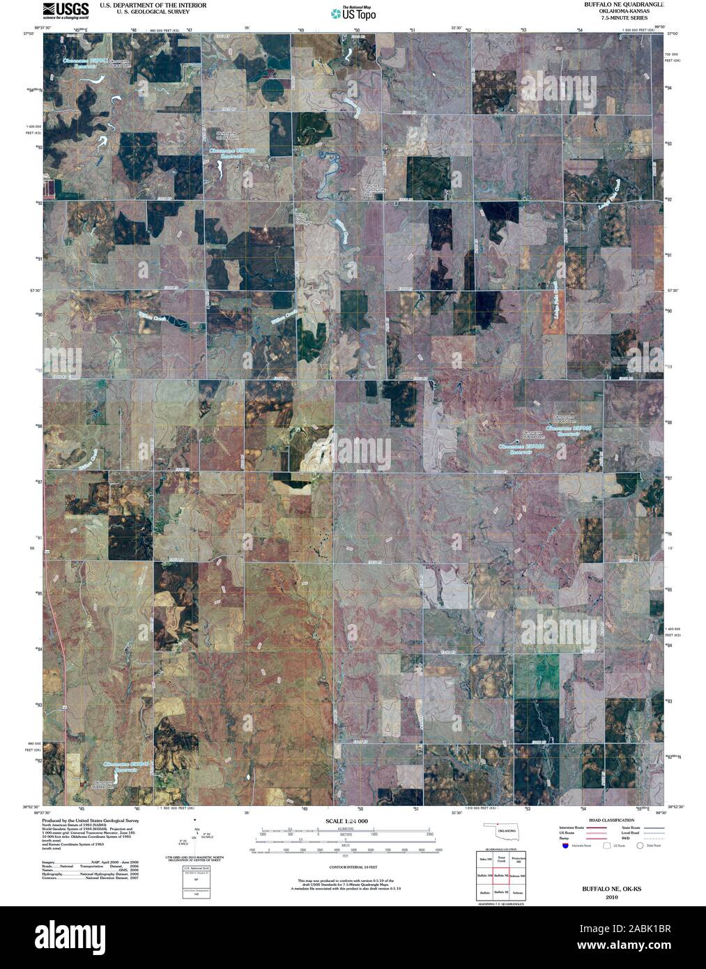 USGS TOPO Map Oklahoma OK Buffalo NE 20100329 TM Restoration Stock Photohttps://www.alamy.com/image-license-details/?v=1https://www.alamy.com/usgs-topo-map-oklahoma-ok-buffalo-ne-20100329-tm-restoration-image334176411.html
RM2ABK1BR–USGS TOPO Map Oklahoma OK Buffalo NE 20100329 TM Restoration
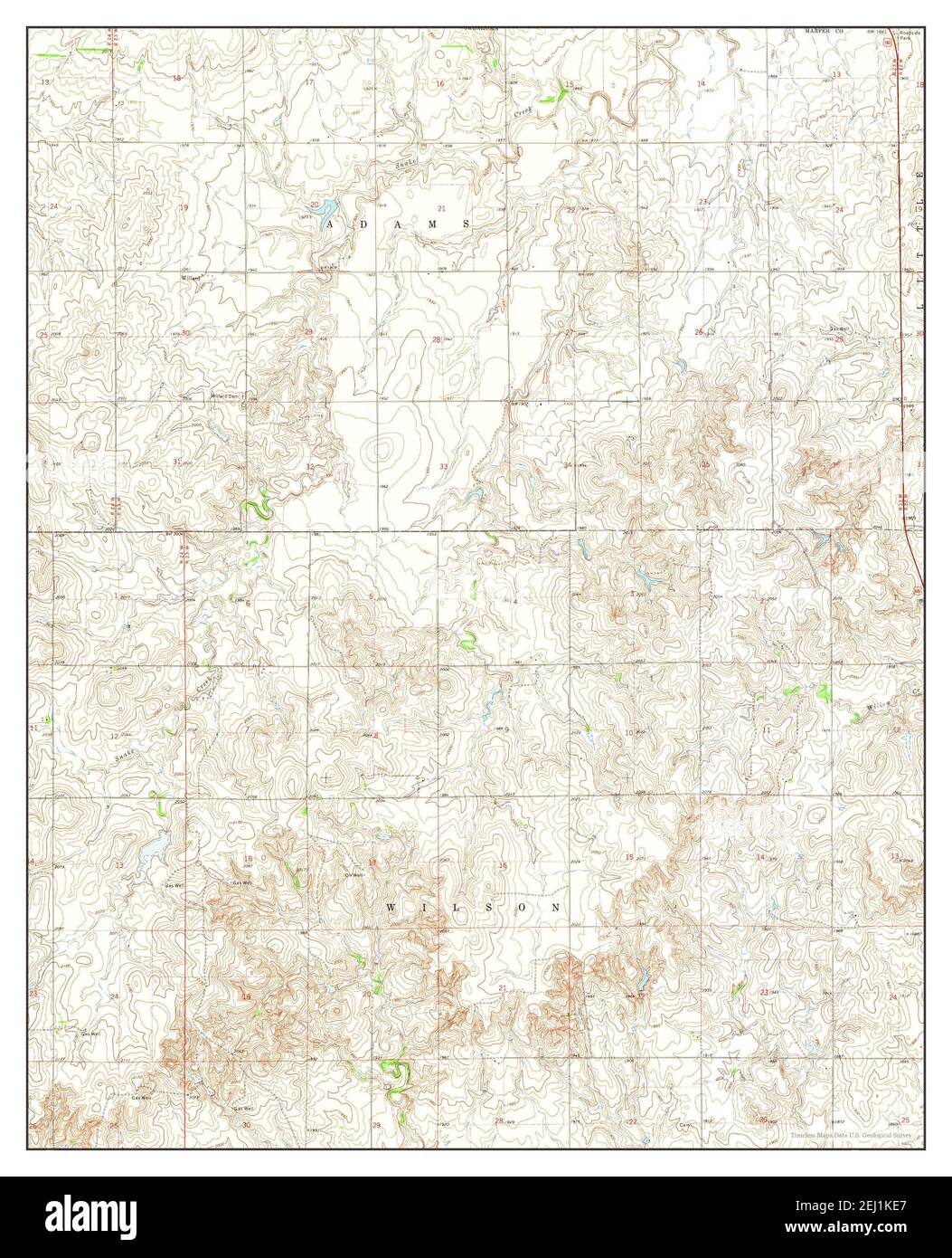 Buffalo NW, Oklahoma, map 1970, 1:24000, United States of America by Timeless Maps, data U.S. Geological Survey Stock Photohttps://www.alamy.com/image-license-details/?v=1https://www.alamy.com/buffalo-nw-oklahoma-map-1970-124000-united-states-of-america-by-timeless-maps-data-us-geological-survey-image406939519.html
RM2EJ1KE7–Buffalo NW, Oklahoma, map 1970, 1:24000, United States of America by Timeless Maps, data U.S. Geological Survey
 USGS TOPO Map Oklahoma OK Buffalo NE 20121029 TM Restoration Stock Photohttps://www.alamy.com/image-license-details/?v=1https://www.alamy.com/usgs-topo-map-oklahoma-ok-buffalo-ne-20121029-tm-restoration-image334176408.html
RM2ABK1BM–USGS TOPO Map Oklahoma OK Buffalo NE 20121029 TM Restoration
 Buffalo NW, Oklahoma, map 1970, 1:24000, United States of America by Timeless Maps, data U.S. Geological Survey Stock Photohttps://www.alamy.com/image-license-details/?v=1https://www.alamy.com/buffalo-nw-oklahoma-map-1970-124000-united-states-of-america-by-timeless-maps-data-us-geological-survey-image406939516.html
RM2EJ1KE4–Buffalo NW, Oklahoma, map 1970, 1:24000, United States of America by Timeless Maps, data U.S. Geological Survey
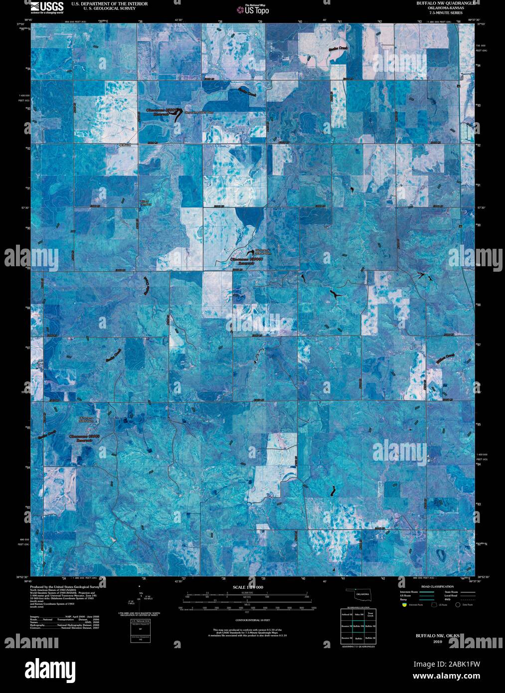 USGS TOPO Map Oklahoma OK Buffalo NW 20100312 TM Inverted Restoration Stock Photohttps://www.alamy.com/image-license-details/?v=1https://www.alamy.com/usgs-topo-map-oklahoma-ok-buffalo-nw-20100312-tm-inverted-restoration-image334176525.html
RM2ABK1FW–USGS TOPO Map Oklahoma OK Buffalo NW 20100312 TM Inverted Restoration
 USGS TOPO Map Oklahoma OK Buffalo NW 802641 1970 24000 Restoration Stock Photohttps://www.alamy.com/image-license-details/?v=1https://www.alamy.com/usgs-topo-map-oklahoma-ok-buffalo-nw-802641-1970-24000-restoration-image334176648.html
RM2ABK1M8–USGS TOPO Map Oklahoma OK Buffalo NW 802641 1970 24000 Restoration
 USGS TOPO Map Oklahoma OK Buffalo SE 20100101 TM Inverted Restoration Stock Photohttps://www.alamy.com/image-license-details/?v=1https://www.alamy.com/usgs-topo-map-oklahoma-ok-buffalo-se-20100101-tm-inverted-restoration-image334176771.html
RM2ABK1TK–USGS TOPO Map Oklahoma OK Buffalo SE 20100101 TM Inverted Restoration
 USGS TOPO Map Oklahoma OK Buffalo NE 20100329 TM Inverted Restoration Stock Photohttps://www.alamy.com/image-license-details/?v=1https://www.alamy.com/usgs-topo-map-oklahoma-ok-buffalo-ne-20100329-tm-inverted-restoration-image334176306.html
RM2ABK182–USGS TOPO Map Oklahoma OK Buffalo NE 20100329 TM Inverted Restoration
 USGS TOPO Map Oklahoma OK Buffalo SE 20121115 TM Inverted Restoration Stock Photohttps://www.alamy.com/image-license-details/?v=1https://www.alamy.com/usgs-topo-map-oklahoma-ok-buffalo-se-20121115-tm-inverted-restoration-image334176764.html
RM2ABK1TC–USGS TOPO Map Oklahoma OK Buffalo SE 20121115 TM Inverted Restoration
 USGS TOPO Map Oklahoma OK Buffalo NE 20121029 TM Inverted Restoration Stock Photohttps://www.alamy.com/image-license-details/?v=1https://www.alamy.com/usgs-topo-map-oklahoma-ok-buffalo-ne-20121029-tm-inverted-restoration-image334176303.html
RM2ABK17Y–USGS TOPO Map Oklahoma OK Buffalo NE 20121029 TM Inverted Restoration
 USGS TOPO Map Oklahoma OK Buffalo NE 705508 1970 24000 Restoration Stock Photohttps://www.alamy.com/image-license-details/?v=1https://www.alamy.com/usgs-topo-map-oklahoma-ok-buffalo-ne-705508-1970-24000-restoration-image334176509.html
RM2ABK1F9–USGS TOPO Map Oklahoma OK Buffalo NE 705508 1970 24000 Restoration
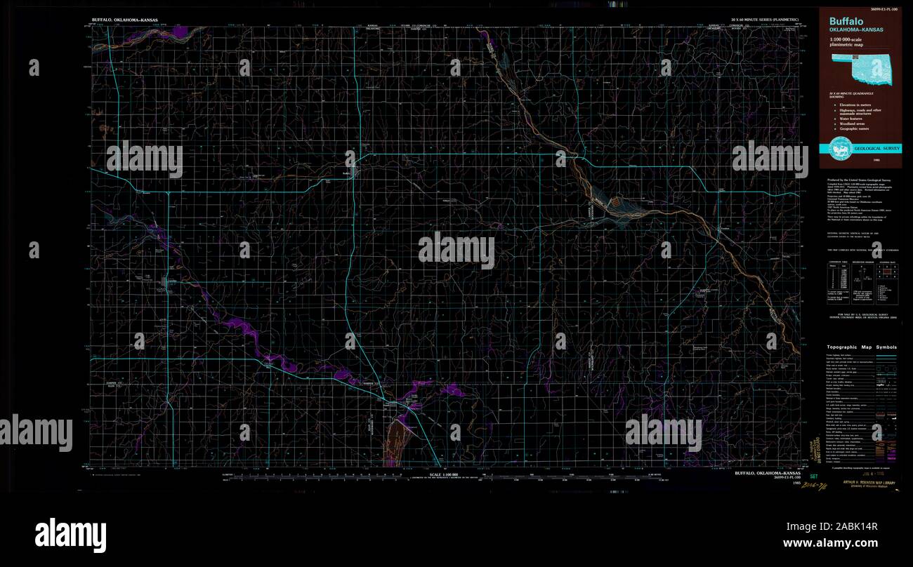 USGS TOPO Map Oklahoma OK Buffalo 707140 1985 100000 Inverted Restoration Stock Photohttps://www.alamy.com/image-license-details/?v=1https://www.alamy.com/usgs-topo-map-oklahoma-ok-buffalo-707140-1985-100000-inverted-restoration-image334176215.html
RM2ABK14R–USGS TOPO Map Oklahoma OK Buffalo 707140 1985 100000 Inverted Restoration
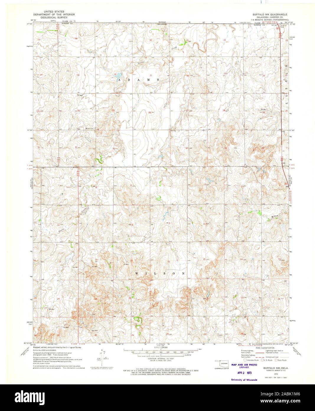 USGS TOPO Map Oklahoma OK Buffalo NW 705509 1970 24000 Restoration Stock Photohttps://www.alamy.com/image-license-details/?v=1https://www.alamy.com/usgs-topo-map-oklahoma-ok-buffalo-nw-705509-1970-24000-restoration-image334176646.html
RM2ABK1M6–USGS TOPO Map Oklahoma OK Buffalo NW 705509 1970 24000 Restoration
 USGS TOPO Map Oklahoma OK Buffalo NW 20121115 TM Inverted Restoration Stock Photohttps://www.alamy.com/image-license-details/?v=1https://www.alamy.com/usgs-topo-map-oklahoma-ok-buffalo-nw-20121115-tm-inverted-restoration-image334176521.html
RM2ABK1FN–USGS TOPO Map Oklahoma OK Buffalo NW 20121115 TM Inverted Restoration
 USGS TOPO Map Oklahoma OK Buffalo SE 705510 1970 24000 Restoration Stock Photohttps://www.alamy.com/image-license-details/?v=1https://www.alamy.com/usgs-topo-map-oklahoma-ok-buffalo-se-705510-1970-24000-restoration-image334176767.html
RM2ABK1TF–USGS TOPO Map Oklahoma OK Buffalo SE 705510 1970 24000 Restoration
 USGS TOPO Map Oklahoma OK Buffalo 707139 1985 100000 Inverted Restoration Stock Photohttps://www.alamy.com/image-license-details/?v=1https://www.alamy.com/usgs-topo-map-oklahoma-ok-buffalo-707139-1985-100000-inverted-restoration-image334176309.html
RM2ABK185–USGS TOPO Map Oklahoma OK Buffalo 707139 1985 100000 Inverted Restoration
 USGS TOPO Map Oklahoma OK Buffalo 705507 1970 24000 Inverted Restoration Stock Photohttps://www.alamy.com/image-license-details/?v=1https://www.alamy.com/usgs-topo-map-oklahoma-ok-buffalo-705507-1970-24000-inverted-restoration-image334176123.html
RM2ABK11F–USGS TOPO Map Oklahoma OK Buffalo 705507 1970 24000 Inverted Restoration
 USGS TOPO Map Oklahoma OK Buffalo NE 705508 1970 24000 Inverted Restoration Stock Photohttps://www.alamy.com/image-license-details/?v=1https://www.alamy.com/usgs-topo-map-oklahoma-ok-buffalo-ne-705508-1970-24000-inverted-restoration-image334176417.html
RM2ABK1C1–USGS TOPO Map Oklahoma OK Buffalo NE 705508 1970 24000 Inverted Restoration
 USGS TOPO Map Oklahoma OK Buffalo SE 705510 1970 24000 Inverted Restoration Stock Photohttps://www.alamy.com/image-license-details/?v=1https://www.alamy.com/usgs-topo-map-oklahoma-ok-buffalo-se-705510-1970-24000-inverted-restoration-image334176875.html
RM2ABK20B–USGS TOPO Map Oklahoma OK Buffalo SE 705510 1970 24000 Inverted Restoration
 USGS TOPO Map Oklahoma OK Buffalo NW 705509 1970 24000 Inverted Restoration Stock Photohttps://www.alamy.com/image-license-details/?v=1https://www.alamy.com/usgs-topo-map-oklahoma-ok-buffalo-nw-705509-1970-24000-inverted-restoration-image334176640.html
RM2ABK1M0–USGS TOPO Map Oklahoma OK Buffalo NW 705509 1970 24000 Inverted Restoration
 USGS TOPO Map Oklahoma OK Buffalo NW 802641 1970 24000 Inverted Restoration Stock Photohttps://www.alamy.com/image-license-details/?v=1https://www.alamy.com/usgs-topo-map-oklahoma-ok-buffalo-nw-802641-1970-24000-inverted-restoration-image334176647.html
RM2ABK1M7–USGS TOPO Map Oklahoma OK Buffalo NW 802641 1970 24000 Inverted Restoration