Cameron louisiana map Cut Out Stock Images
 Hackberry, Cameron Parish, US, United States, Louisiana, N 29 59' 45'', S 93 20' 31'', map, Cartascapes Map published in 2024. Explore Cartascapes, a map revealing Earth's diverse landscapes, cultures, and ecosystems. Journey through time and space, discovering the interconnectedness of our planet's past, present, and future. Stock Photohttps://www.alamy.com/image-license-details/?v=1https://www.alamy.com/hackberry-cameron-parish-us-united-states-louisiana-n-29-59-45-s-93-20-31-map-cartascapes-map-published-in-2024-explore-cartascapes-a-map-revealing-earths-diverse-landscapes-cultures-and-ecosystems-journey-through-time-and-space-discovering-the-interconnectedness-of-our-planets-past-present-and-future-image621256870.html
RM2Y2MKDA–Hackberry, Cameron Parish, US, United States, Louisiana, N 29 59' 45'', S 93 20' 31'', map, Cartascapes Map published in 2024. Explore Cartascapes, a map revealing Earth's diverse landscapes, cultures, and ecosystems. Journey through time and space, discovering the interconnectedness of our planet's past, present, and future.
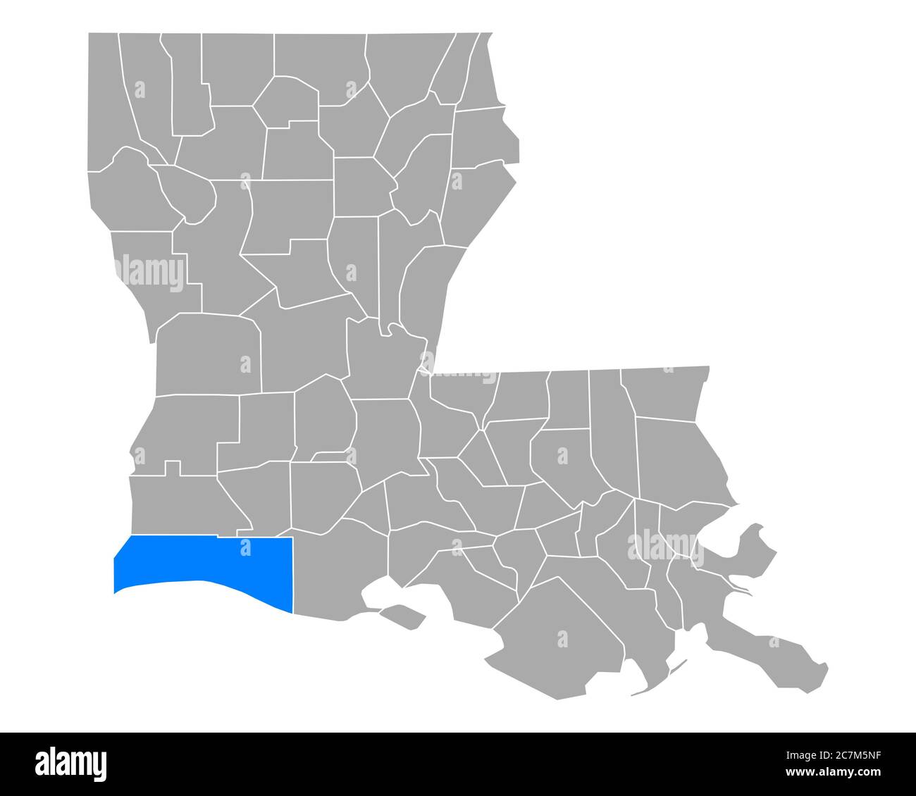 Map of Cameron in Louisiana Stock Photohttps://www.alamy.com/image-license-details/?v=1https://www.alamy.com/map-of-cameron-in-louisiana-image366163883.html
RF2C7M5NF–Map of Cameron in Louisiana
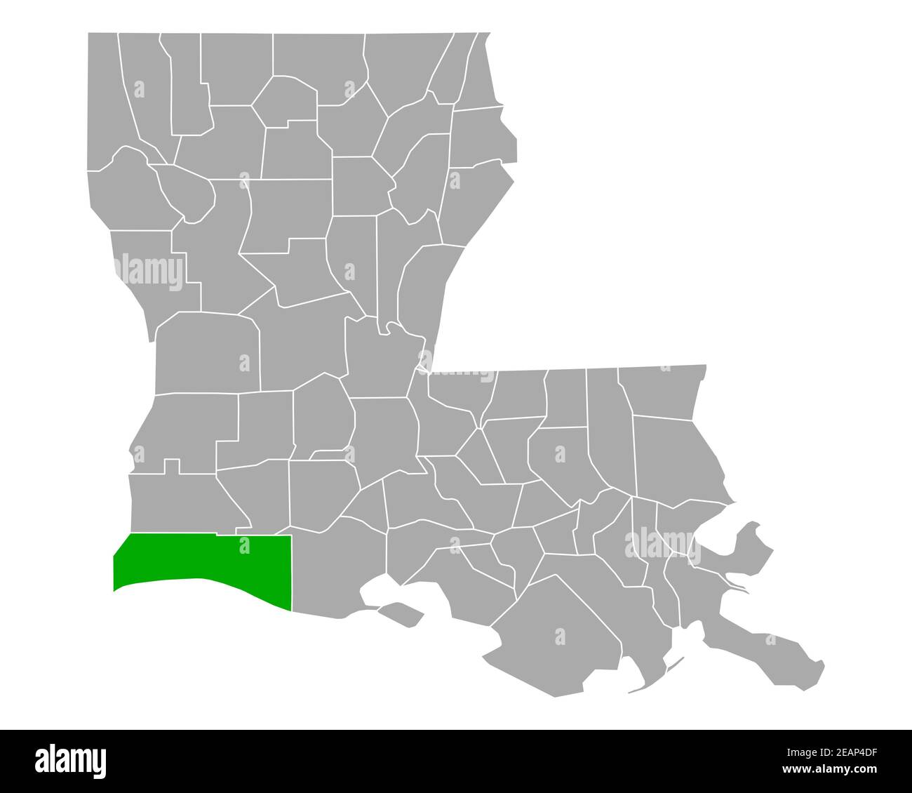 Map of Cameron in Louisiana Stock Photohttps://www.alamy.com/image-license-details/?v=1https://www.alamy.com/map-of-cameron-in-louisiana-image402471483.html
RF2EAP4DF–Map of Cameron in Louisiana
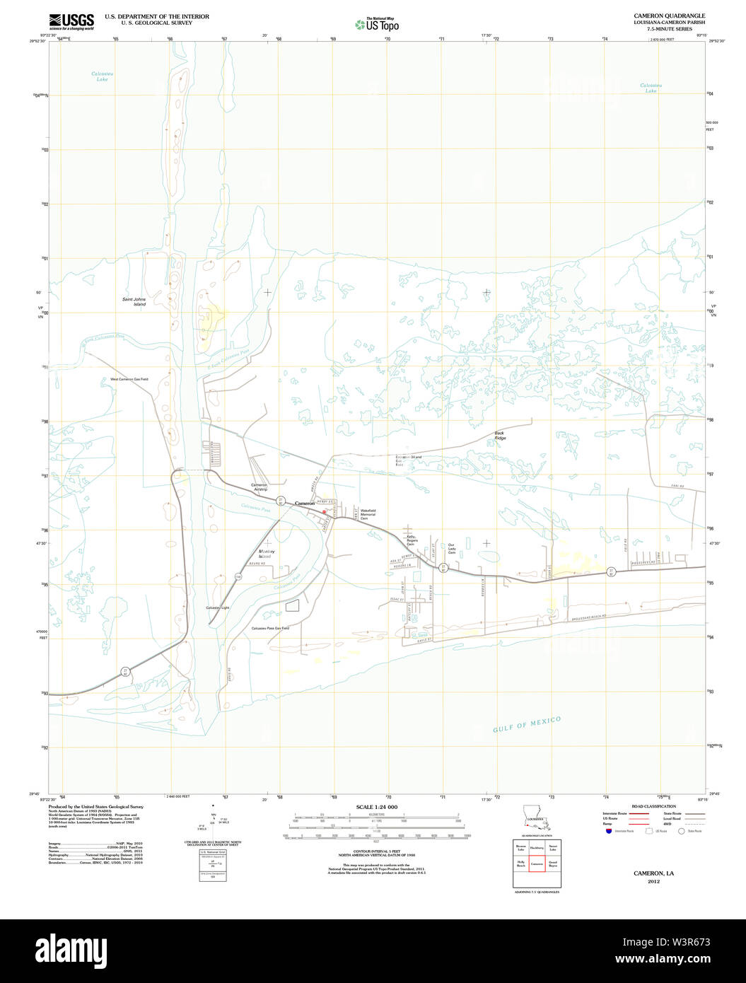 USGS TOPO Map Louisiana LA Cameron 20120312 TM Restoration Stock Photohttps://www.alamy.com/image-license-details/?v=1https://www.alamy.com/usgs-topo-map-louisiana-la-cameron-20120312-tm-restoration-image260509287.html
RMW3R673–USGS TOPO Map Louisiana LA Cameron 20120312 TM Restoration
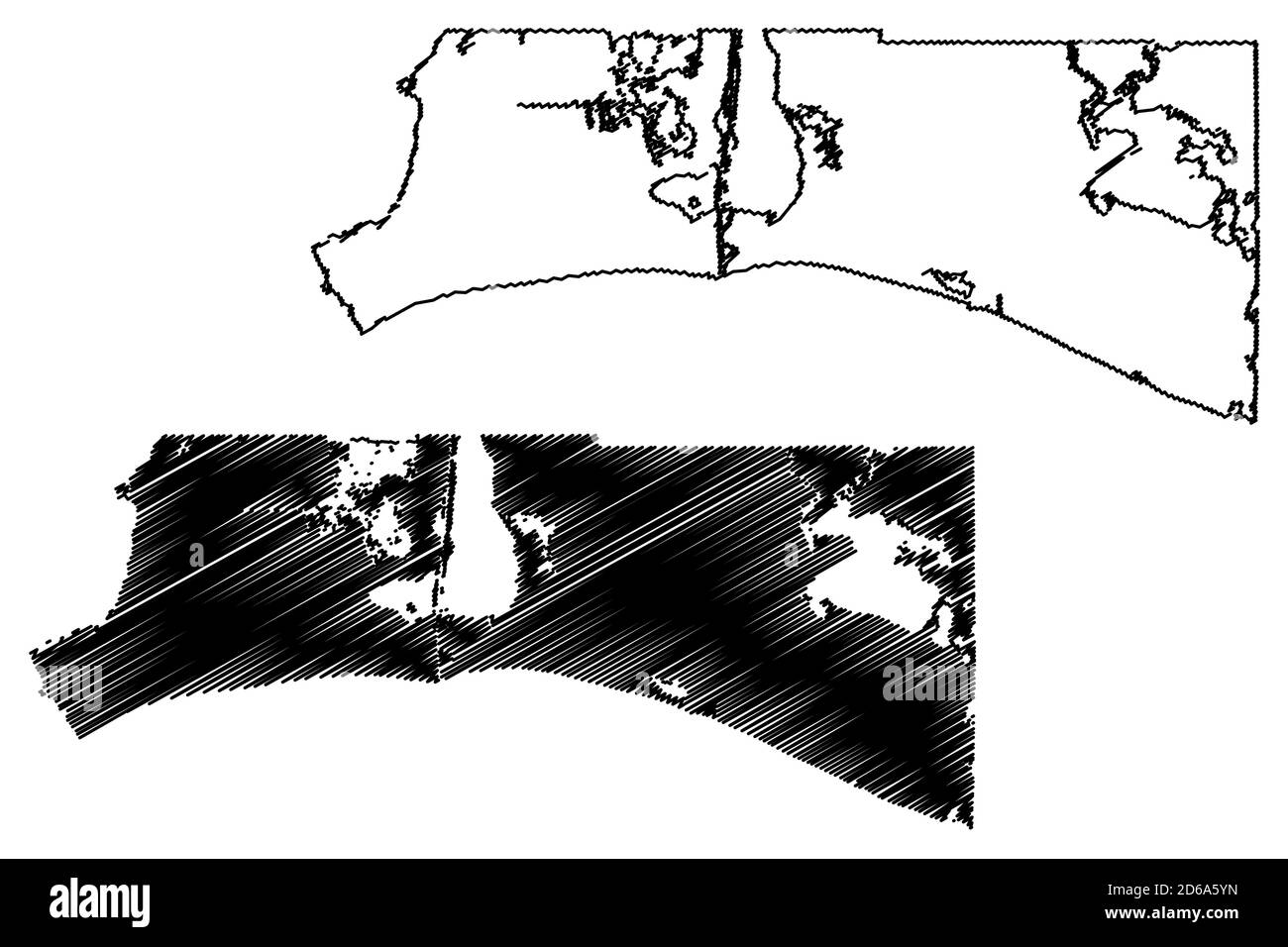 Cameron County, Louisiana (U.S. county, United States of America, USA, U.S., US) map vector illustration, scribble sketch Cameron Parish map Stock Vectorhttps://www.alamy.com/image-license-details/?v=1https://www.alamy.com/cameron-county-louisiana-us-county-united-states-of-america-usa-us-us-map-vector-illustration-scribble-sketch-cameron-parish-map-image382540249.html
RF2D6A5YN–Cameron County, Louisiana (U.S. county, United States of America, USA, U.S., US) map vector illustration, scribble sketch Cameron Parish map
 Gibbstown, Cameron Parish, US, United States, Louisiana, N 29 56' 3'', S 93 4' 35'', map, Cartascapes Map published in 2024. Explore Cartascapes, a map revealing Earth's diverse landscapes, cultures, and ecosystems. Journey through time and space, discovering the interconnectedness of our planet's past, present, and future. Stock Photohttps://www.alamy.com/image-license-details/?v=1https://www.alamy.com/gibbstown-cameron-parish-us-united-states-louisiana-n-29-56-3-s-93-4-35-map-cartascapes-map-published-in-2024-explore-cartascapes-a-map-revealing-earths-diverse-landscapes-cultures-and-ecosystems-journey-through-time-and-space-discovering-the-interconnectedness-of-our-planets-past-present-and-future-image621371866.html
RM2Y2WX4A–Gibbstown, Cameron Parish, US, United States, Louisiana, N 29 56' 3'', S 93 4' 35'', map, Cartascapes Map published in 2024. Explore Cartascapes, a map revealing Earth's diverse landscapes, cultures, and ecosystems. Journey through time and space, discovering the interconnectedness of our planet's past, present, and future.
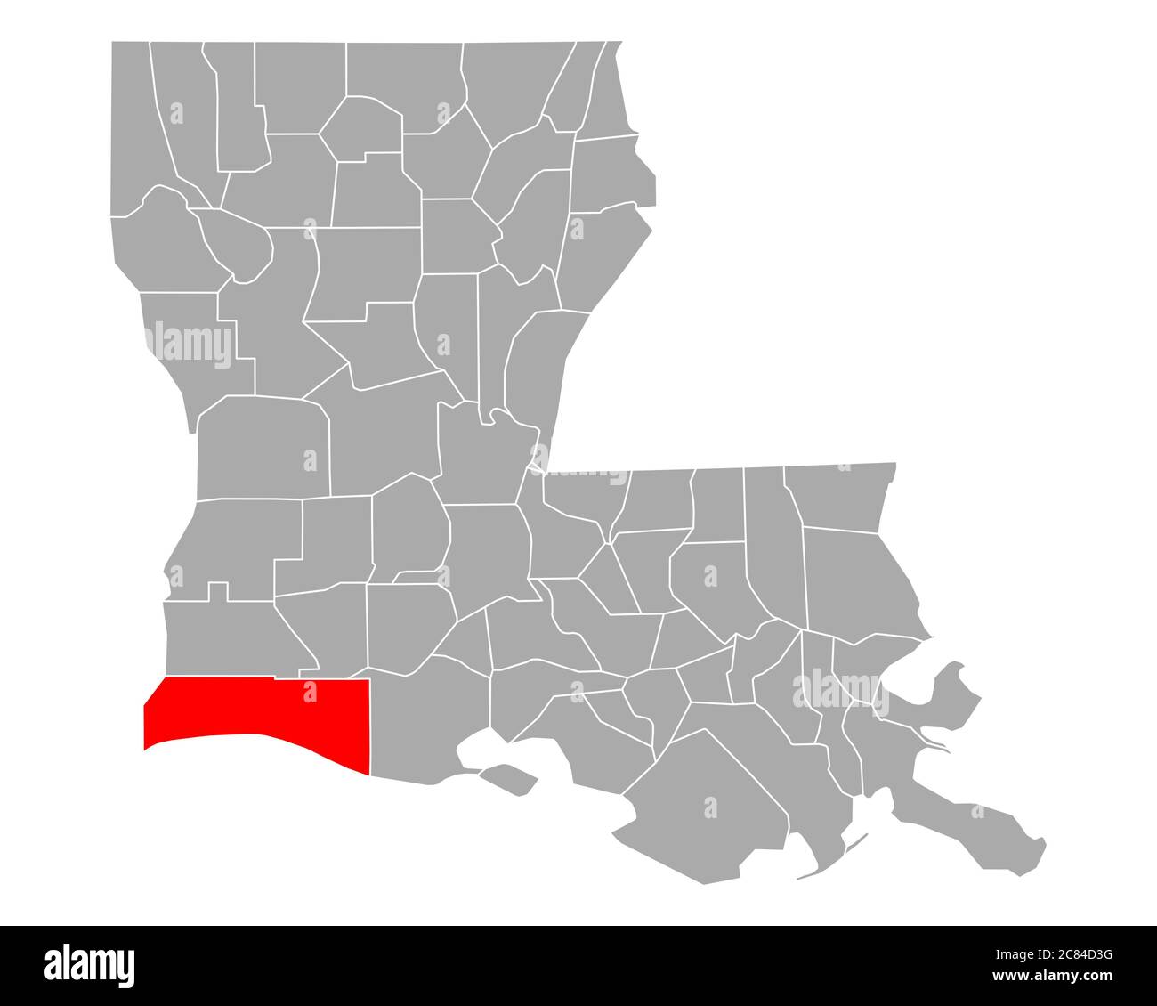 Map of Cameron in Louisiana Stock Photohttps://www.alamy.com/image-license-details/?v=1https://www.alamy.com/map-of-cameron-in-louisiana-image366433076.html
RF2C84D3G–Map of Cameron in Louisiana
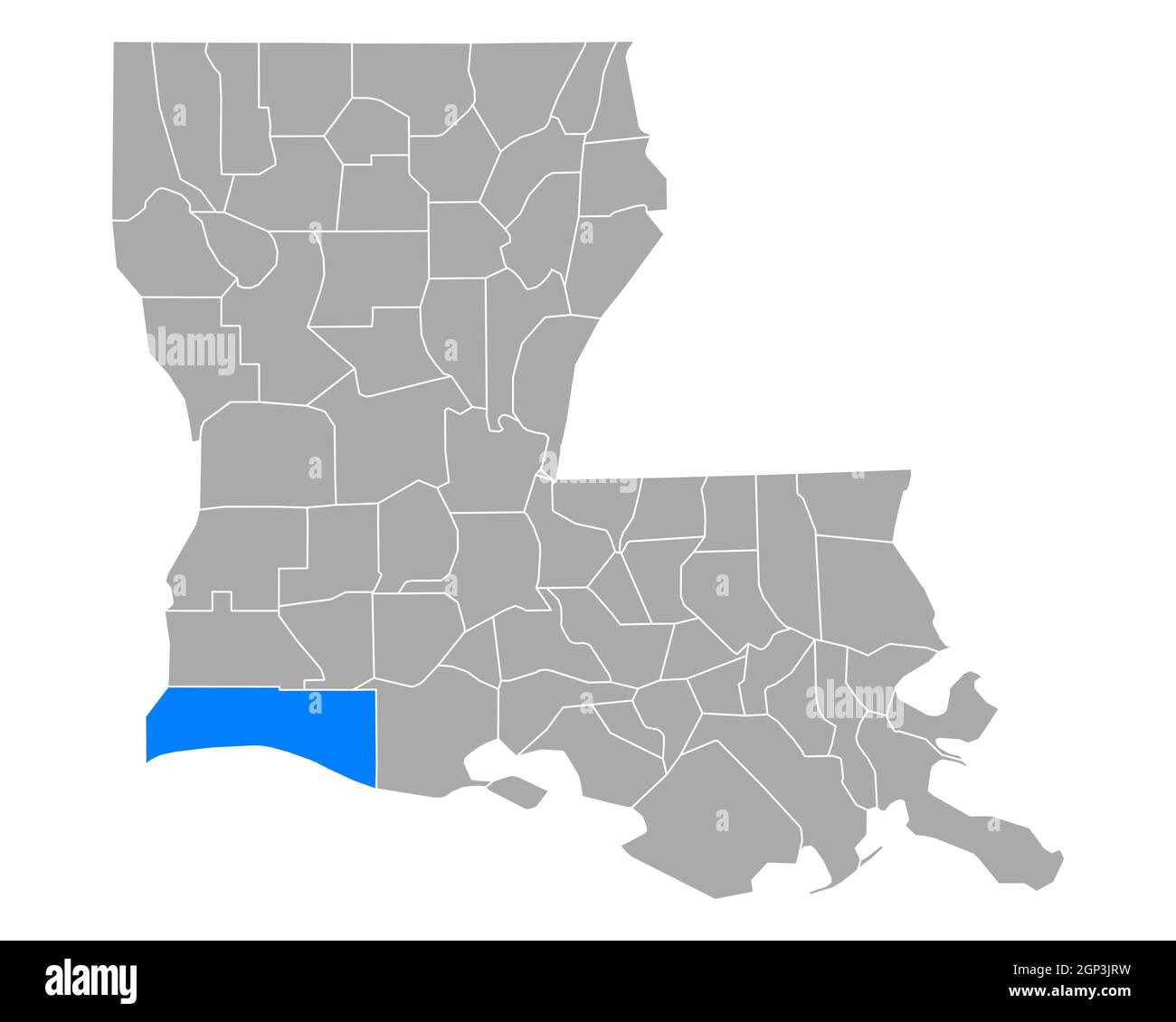 Map of Cameron in Louisiana Stock Photohttps://www.alamy.com/image-license-details/?v=1https://www.alamy.com/map-of-cameron-in-louisiana-image443862269.html
RF2GP3JRW–Map of Cameron in Louisiana
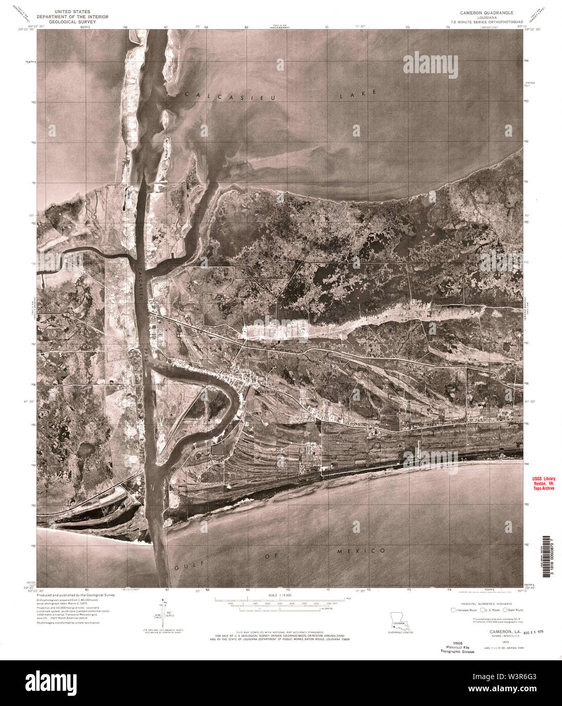 USGS TOPO Map Louisiana LA Cameron 331590 1960 24000 Restoration Stock Photohttps://www.alamy.com/image-license-details/?v=1https://www.alamy.com/usgs-topo-map-louisiana-la-cameron-331590-1960-24000-restoration-image260509539.html
RMW3R6G3–USGS TOPO Map Louisiana LA Cameron 331590 1960 24000 Restoration
 Cameron County, Louisiana (U.S. county, United States of America, USA, U.S., US) map vector illustration, scribble sketch Cameron Parish map Stock Vectorhttps://www.alamy.com/image-license-details/?v=1https://www.alamy.com/cameron-county-louisiana-us-county-united-states-of-america-usa-us-us-map-vector-illustration-scribble-sketch-cameron-parish-map-image370563152.html
RF2CETH28–Cameron County, Louisiana (U.S. county, United States of America, USA, U.S., US) map vector illustration, scribble sketch Cameron Parish map
 Hackberry, Cameron Parish, US, United States, Louisiana, N 29 59' 45'', S 93 20' 31'', map, Cartascapes Map published in 2024. Explore Cartascapes, a map revealing Earth's diverse landscapes, cultures, and ecosystems. Journey through time and space, discovering the interconnectedness of our planet's past, present, and future. Stock Photohttps://www.alamy.com/image-license-details/?v=1https://www.alamy.com/hackberry-cameron-parish-us-united-states-louisiana-n-29-59-45-s-93-20-31-map-cartascapes-map-published-in-2024-explore-cartascapes-a-map-revealing-earths-diverse-landscapes-cultures-and-ecosystems-journey-through-time-and-space-discovering-the-interconnectedness-of-our-planets-past-present-and-future-image621301609.html
RM2Y2PMF5–Hackberry, Cameron Parish, US, United States, Louisiana, N 29 59' 45'', S 93 20' 31'', map, Cartascapes Map published in 2024. Explore Cartascapes, a map revealing Earth's diverse landscapes, cultures, and ecosystems. Journey through time and space, discovering the interconnectedness of our planet's past, present, and future.
 Map of Cameron in Louisiana Stock Photohttps://www.alamy.com/image-license-details/?v=1https://www.alamy.com/map-of-cameron-in-louisiana-image366613756.html
RF2C8CKGC–Map of Cameron in Louisiana
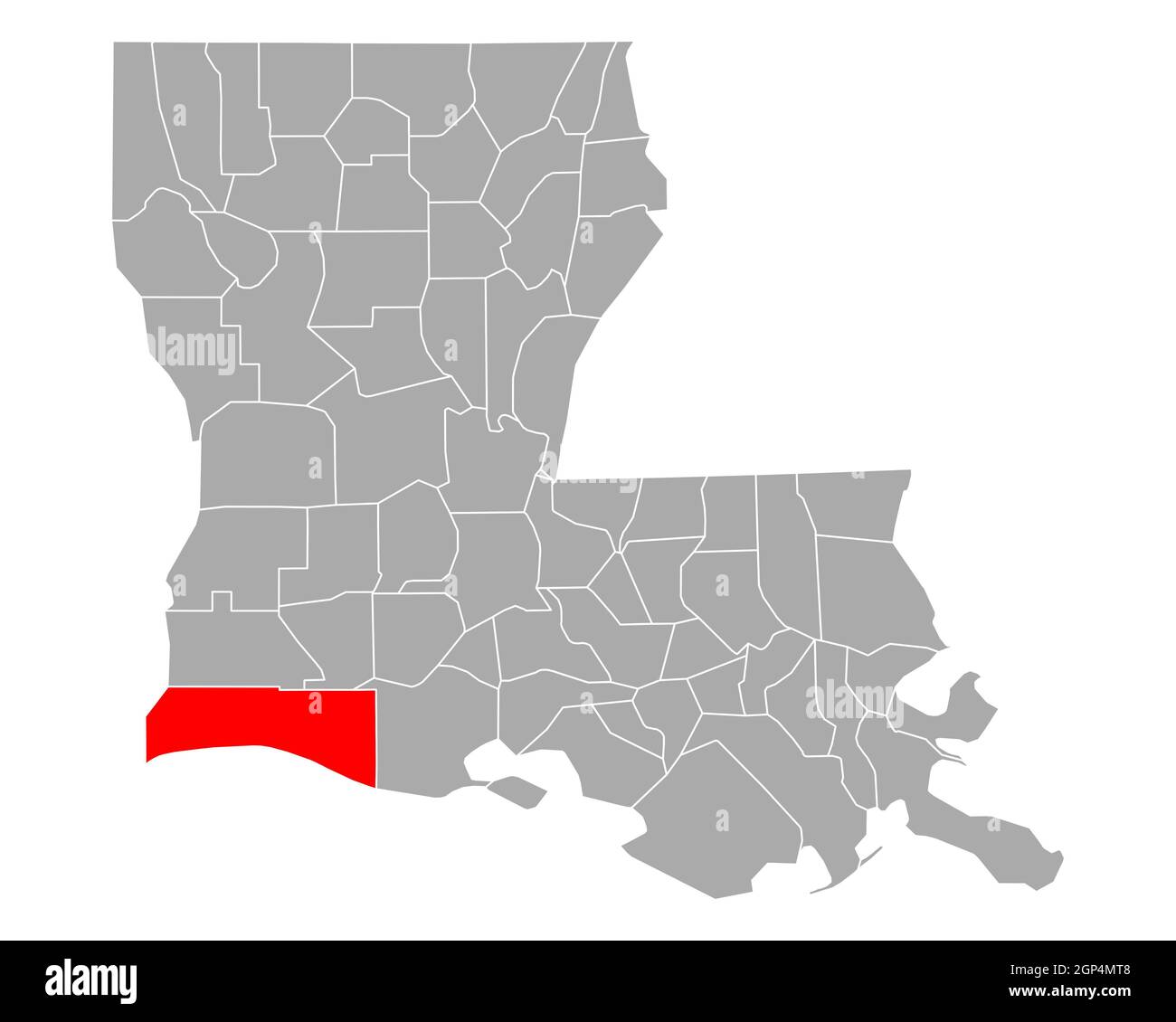 Map of Cameron in Louisiana Stock Photohttps://www.alamy.com/image-license-details/?v=1https://www.alamy.com/map-of-cameron-in-louisiana-image443885800.html
RF2GP4MT8–Map of Cameron in Louisiana
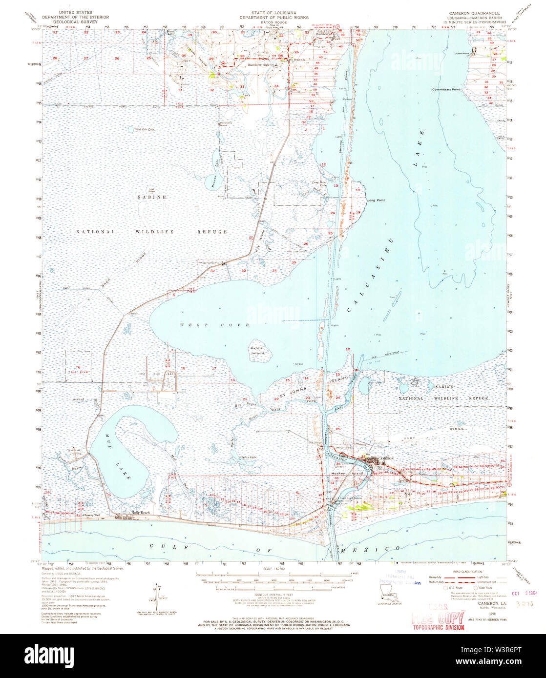 USGS TOPO Map Louisiana LA Cameron 334337 1955 62500 Restoration Stock Photohttps://www.alamy.com/image-license-details/?v=1https://www.alamy.com/usgs-topo-map-louisiana-la-cameron-334337-1955-62500-restoration-image260509728.html
RMW3R6PT–USGS TOPO Map Louisiana LA Cameron 334337 1955 62500 Restoration
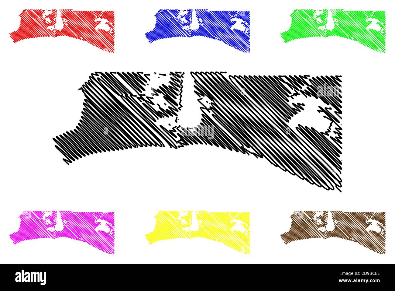 Cameron County, Louisiana (U.S. county, United States of America, USA, U.S., US) map vector illustration, scribble sketch Cameron Parish map Stock Vectorhttps://www.alamy.com/image-license-details/?v=1https://www.alamy.com/cameron-county-louisiana-us-county-united-states-of-america-usa-us-us-map-vector-illustration-scribble-sketch-cameron-parish-map-image384411286.html
RF2D9BCEE–Cameron County, Louisiana (U.S. county, United States of America, USA, U.S., US) map vector illustration, scribble sketch Cameron Parish map
 Cameron, Cameron Parish, US, United States, Louisiana, N 29 47' 51'', S 93 19' 30'', map, Cartascapes Map published in 2024. Explore Cartascapes, a map revealing Earth's diverse landscapes, cultures, and ecosystems. Journey through time and space, discovering the interconnectedness of our planet's past, present, and future. Stock Photohttps://www.alamy.com/image-license-details/?v=1https://www.alamy.com/cameron-cameron-parish-us-united-states-louisiana-n-29-47-51-s-93-19-30-map-cartascapes-map-published-in-2024-explore-cartascapes-a-map-revealing-earths-diverse-landscapes-cultures-and-ecosystems-journey-through-time-and-space-discovering-the-interconnectedness-of-our-planets-past-present-and-future-image621208390.html
RM2Y2JDHX–Cameron, Cameron Parish, US, United States, Louisiana, N 29 47' 51'', S 93 19' 30'', map, Cartascapes Map published in 2024. Explore Cartascapes, a map revealing Earth's diverse landscapes, cultures, and ecosystems. Journey through time and space, discovering the interconnectedness of our planet's past, present, and future.
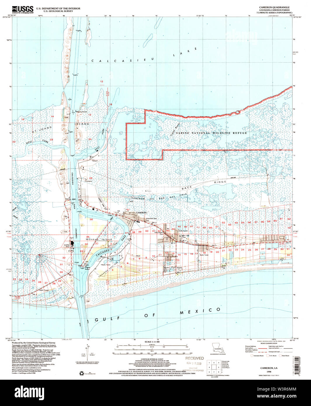 USGS TOPO Map Louisiana LA Cameron 331592 1998 24000 Restoration Stock Photohttps://www.alamy.com/image-license-details/?v=1https://www.alamy.com/usgs-topo-map-louisiana-la-cameron-331592-1998-24000-restoration-image260509668.html
RMW3R6MM–USGS TOPO Map Louisiana LA Cameron 331592 1998 24000 Restoration
 Creole, Cameron Parish, US, United States, Louisiana, N 29 47' 45'', S 93 6' 40'', map, Cartascapes Map published in 2024. Explore Cartascapes, a map revealing Earth's diverse landscapes, cultures, and ecosystems. Journey through time and space, discovering the interconnectedness of our planet's past, present, and future. Stock Photohttps://www.alamy.com/image-license-details/?v=1https://www.alamy.com/creole-cameron-parish-us-united-states-louisiana-n-29-47-45-s-93-6-40-map-cartascapes-map-published-in-2024-explore-cartascapes-a-map-revealing-earths-diverse-landscapes-cultures-and-ecosystems-journey-through-time-and-space-discovering-the-interconnectedness-of-our-planets-past-present-and-future-image621451883.html
RM2Y31G63–Creole, Cameron Parish, US, United States, Louisiana, N 29 47' 45'', S 93 6' 40'', map, Cartascapes Map published in 2024. Explore Cartascapes, a map revealing Earth's diverse landscapes, cultures, and ecosystems. Journey through time and space, discovering the interconnectedness of our planet's past, present, and future.
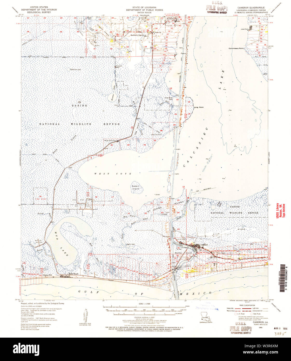 USGS TOPO Map Louisiana LA Cameron 334339 1955 62500 Restoration Stock Photohttps://www.alamy.com/image-license-details/?v=1https://www.alamy.com/usgs-topo-map-louisiana-la-cameron-334339-1955-62500-restoration-image260509836.html
RMW3R6XM–USGS TOPO Map Louisiana LA Cameron 334339 1955 62500 Restoration
 Sweet Lake, Cameron Parish, US, United States, Louisiana, N 29 59' 2'', S 93 7' 45'', map, Cartascapes Map published in 2024. Explore Cartascapes, a map revealing Earth's diverse landscapes, cultures, and ecosystems. Journey through time and space, discovering the interconnectedness of our planet's past, present, and future. Stock Photohttps://www.alamy.com/image-license-details/?v=1https://www.alamy.com/sweet-lake-cameron-parish-us-united-states-louisiana-n-29-59-2-s-93-7-45-map-cartascapes-map-published-in-2024-explore-cartascapes-a-map-revealing-earths-diverse-landscapes-cultures-and-ecosystems-journey-through-time-and-space-discovering-the-interconnectedness-of-our-planets-past-present-and-future-image621389784.html
RM2Y2XN08–Sweet Lake, Cameron Parish, US, United States, Louisiana, N 29 59' 2'', S 93 7' 45'', map, Cartascapes Map published in 2024. Explore Cartascapes, a map revealing Earth's diverse landscapes, cultures, and ecosystems. Journey through time and space, discovering the interconnectedness of our planet's past, present, and future.
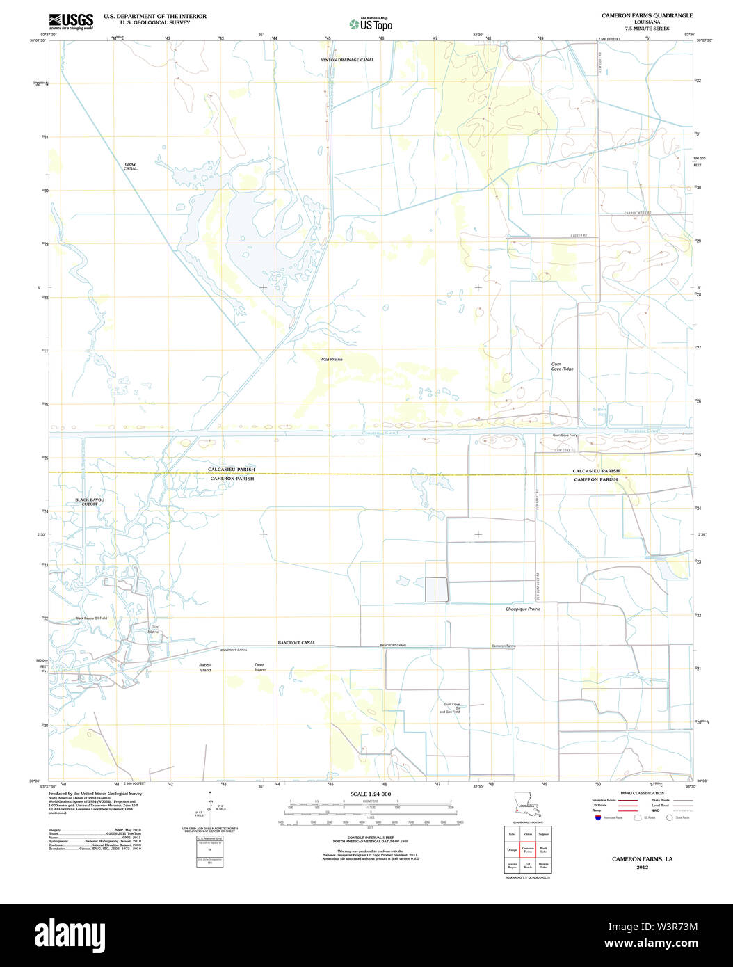 USGS TOPO Map Louisiana LA Cameron Farms 20120322 TM Restoration Stock Photohttps://www.alamy.com/image-license-details/?v=1https://www.alamy.com/usgs-topo-map-louisiana-la-cameron-farms-20120322-tm-restoration-image260509976.html
RMW3R73M–USGS TOPO Map Louisiana LA Cameron Farms 20120322 TM Restoration
 Lone Pine, Cameron Parish, US, United States, Louisiana, N 29 59' 45'', S 93 37' 50'', map, Cartascapes Map published in 2024. Explore Cartascapes, a map revealing Earth's diverse landscapes, cultures, and ecosystems. Journey through time and space, discovering the interconnectedness of our planet's past, present, and future. Stock Photohttps://www.alamy.com/image-license-details/?v=1https://www.alamy.com/lone-pine-cameron-parish-us-united-states-louisiana-n-29-59-45-s-93-37-50-map-cartascapes-map-published-in-2024-explore-cartascapes-a-map-revealing-earths-diverse-landscapes-cultures-and-ecosystems-journey-through-time-and-space-discovering-the-interconnectedness-of-our-planets-past-present-and-future-image621380261.html
RM2Y2X8T5–Lone Pine, Cameron Parish, US, United States, Louisiana, N 29 59' 45'', S 93 37' 50'', map, Cartascapes Map published in 2024. Explore Cartascapes, a map revealing Earth's diverse landscapes, cultures, and ecosystems. Journey through time and space, discovering the interconnectedness of our planet's past, present, and future.
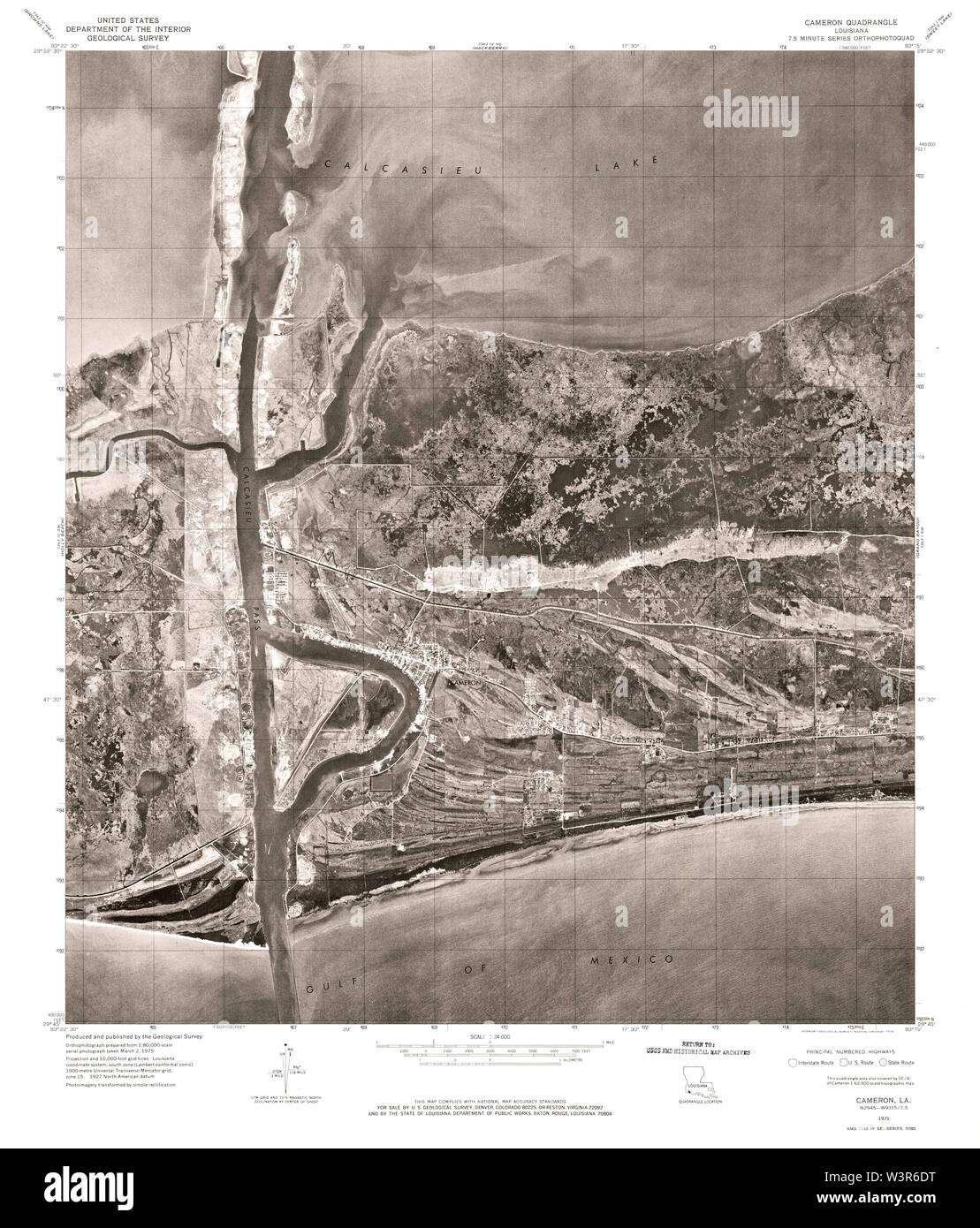 USGS TOPO Map Louisiana LA Cameron 331589 1975 24000 Restoration Stock Photohttps://www.alamy.com/image-license-details/?v=1https://www.alamy.com/usgs-topo-map-louisiana-la-cameron-331589-1975-24000-restoration-image260509476.html
RMW3R6DT–USGS TOPO Map Louisiana LA Cameron 331589 1975 24000 Restoration
 Grand Chenier, Cameron Parish, US, United States, Louisiana, N 29 46' 0'', S 92 58' 30'', map, Cartascapes Map published in 2024. Explore Cartascapes, a map revealing Earth's diverse landscapes, cultures, and ecosystems. Journey through time and space, discovering the interconnectedness of our planet's past, present, and future. Stock Photohttps://www.alamy.com/image-license-details/?v=1https://www.alamy.com/grand-chenier-cameron-parish-us-united-states-louisiana-n-29-46-0-s-92-58-30-map-cartascapes-map-published-in-2024-explore-cartascapes-a-map-revealing-earths-diverse-landscapes-cultures-and-ecosystems-journey-through-time-and-space-discovering-the-interconnectedness-of-our-planets-past-present-and-future-image621375214.html
RM2Y2X2BX–Grand Chenier, Cameron Parish, US, United States, Louisiana, N 29 46' 0'', S 92 58' 30'', map, Cartascapes Map published in 2024. Explore Cartascapes, a map revealing Earth's diverse landscapes, cultures, and ecosystems. Journey through time and space, discovering the interconnectedness of our planet's past, present, and future.
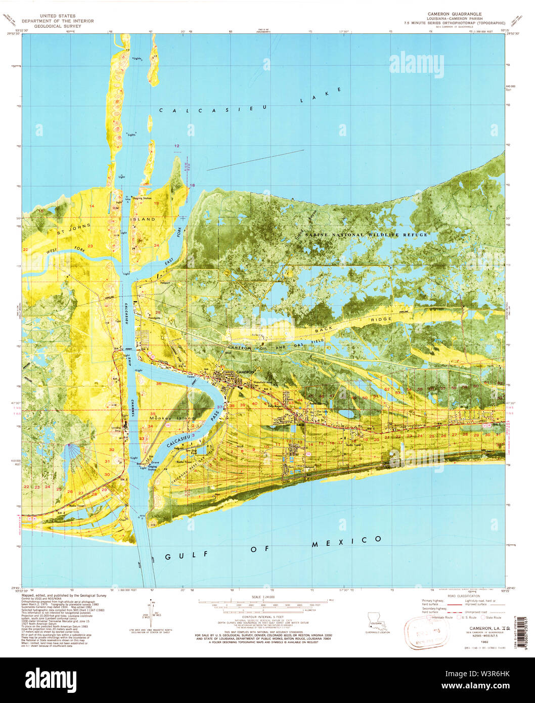 USGS TOPO Map Louisiana LA Cameron 331591 1982 24000 Restoration Stock Photohttps://www.alamy.com/image-license-details/?v=1https://www.alamy.com/usgs-topo-map-louisiana-la-cameron-331591-1982-24000-restoration-image260509583.html
RMW3R6HK–USGS TOPO Map Louisiana LA Cameron 331591 1982 24000 Restoration
 Illinois Plant, Cameron Parish, US, United States, Louisiana, N 30 2' 21'', S 92 54' 41'', map, Cartascapes Map published in 2024. Explore Cartascapes, a map revealing Earth's diverse landscapes, cultures, and ecosystems. Journey through time and space, discovering the interconnectedness of our planet's past, present, and future. Stock Photohttps://www.alamy.com/image-license-details/?v=1https://www.alamy.com/illinois-plant-cameron-parish-us-united-states-louisiana-n-30-2-21-s-92-54-41-map-cartascapes-map-published-in-2024-explore-cartascapes-a-map-revealing-earths-diverse-landscapes-cultures-and-ecosystems-journey-through-time-and-space-discovering-the-interconnectedness-of-our-planets-past-present-and-future-image621461657.html
RM2Y320K5–Illinois Plant, Cameron Parish, US, United States, Louisiana, N 30 2' 21'', S 92 54' 41'', map, Cartascapes Map published in 2024. Explore Cartascapes, a map revealing Earth's diverse landscapes, cultures, and ecosystems. Journey through time and space, discovering the interconnectedness of our planet's past, present, and future.
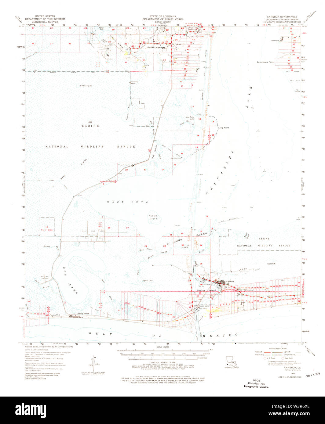 USGS TOPO Map Louisiana LA Cameron 334338 1955 62500 Restoration Stock Photohttps://www.alamy.com/image-license-details/?v=1https://www.alamy.com/usgs-topo-map-louisiana-la-cameron-334338-1955-62500-restoration-image260509830.html
RMW3R6XE–USGS TOPO Map Louisiana LA Cameron 334338 1955 62500 Restoration
 Peveto Beach, Cameron Parish, US, United States, Louisiana, N 29 45' 39'', S 93 33' 30'', map, Cartascapes Map published in 2024. Explore Cartascapes, a map revealing Earth's diverse landscapes, cultures, and ecosystems. Journey through time and space, discovering the interconnectedness of our planet's past, present, and future. Stock Photohttps://www.alamy.com/image-license-details/?v=1https://www.alamy.com/peveto-beach-cameron-parish-us-united-states-louisiana-n-29-45-39-s-93-33-30-map-cartascapes-map-published-in-2024-explore-cartascapes-a-map-revealing-earths-diverse-landscapes-cultures-and-ecosystems-journey-through-time-and-space-discovering-the-interconnectedness-of-our-planets-past-present-and-future-image621167436.html
RM2Y2GHB8–Peveto Beach, Cameron Parish, US, United States, Louisiana, N 29 45' 39'', S 93 33' 30'', map, Cartascapes Map published in 2024. Explore Cartascapes, a map revealing Earth's diverse landscapes, cultures, and ecosystems. Journey through time and space, discovering the interconnectedness of our planet's past, present, and future.
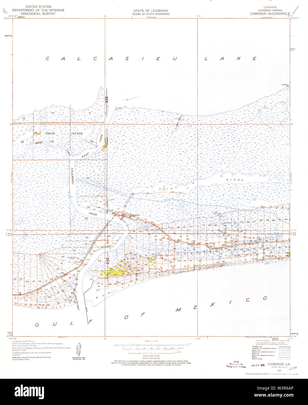 USGS TOPO Map Louisiana LA Cameron 331588 1934 24000 Restoration Stock Photohttps://www.alamy.com/image-license-details/?v=1https://www.alamy.com/usgs-topo-map-louisiana-la-cameron-331588-1934-24000-restoration-image260509390.html
RMW3R6AP–USGS TOPO Map Louisiana LA Cameron 331588 1934 24000 Restoration
 Holly Beach, Cameron Parish, US, United States, Louisiana, N 29 46' 14'', S 93 27' 33'', map, Cartascapes Map published in 2024. Explore Cartascapes, a map revealing Earth's diverse landscapes, cultures, and ecosystems. Journey through time and space, discovering the interconnectedness of our planet's past, present, and future. Stock Photohttps://www.alamy.com/image-license-details/?v=1https://www.alamy.com/holly-beach-cameron-parish-us-united-states-louisiana-n-29-46-14-s-93-27-33-map-cartascapes-map-published-in-2024-explore-cartascapes-a-map-revealing-earths-diverse-landscapes-cultures-and-ecosystems-journey-through-time-and-space-discovering-the-interconnectedness-of-our-planets-past-present-and-future-image621305965.html
RM2Y2PX2N–Holly Beach, Cameron Parish, US, United States, Louisiana, N 29 46' 14'', S 93 27' 33'', map, Cartascapes Map published in 2024. Explore Cartascapes, a map revealing Earth's diverse landscapes, cultures, and ecosystems. Journey through time and space, discovering the interconnectedness of our planet's past, present, and future.
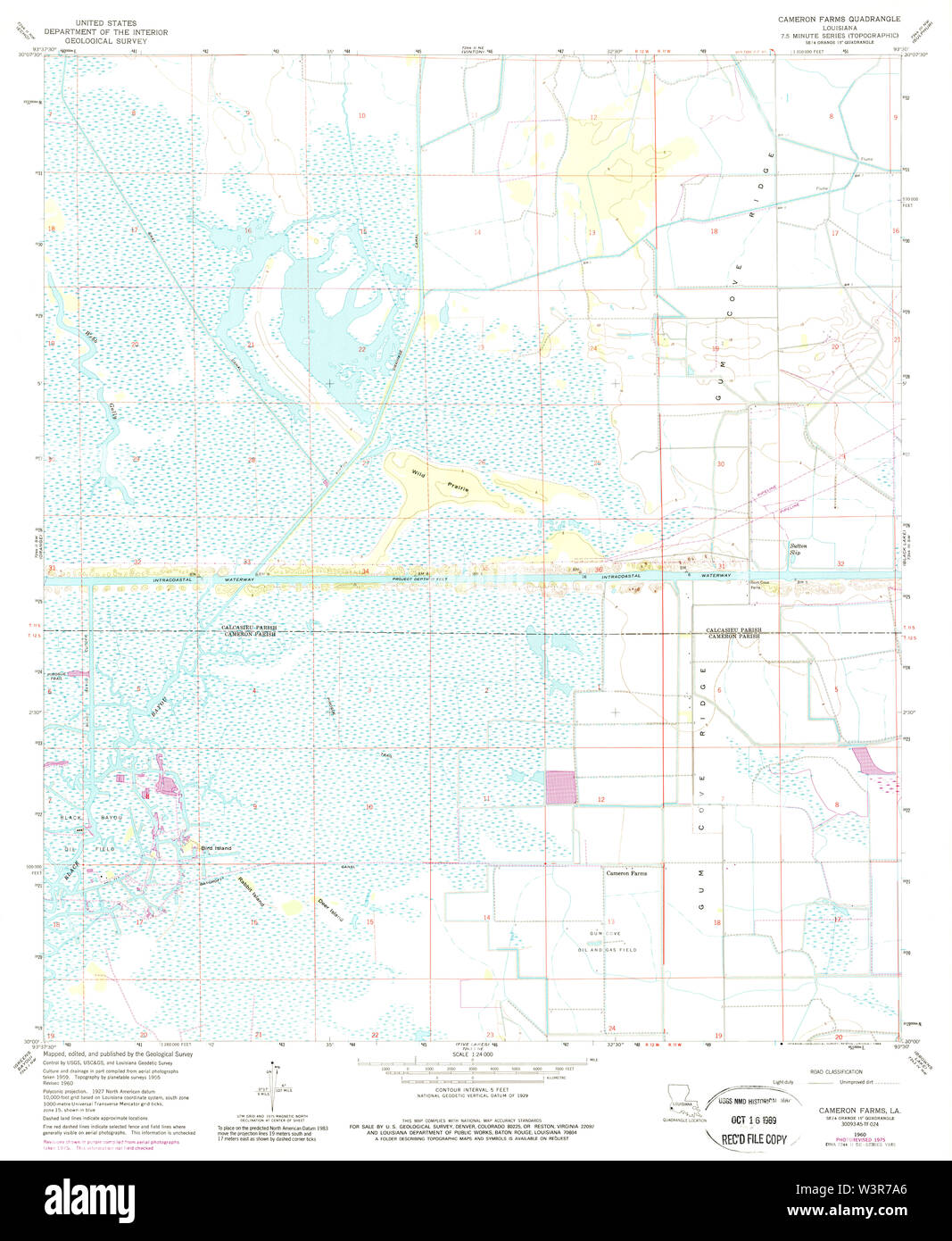 USGS TOPO Map Louisiana LA Cameron Farms 331595 1960 24000 Restoration Stock Photohttps://www.alamy.com/image-license-details/?v=1https://www.alamy.com/usgs-topo-map-louisiana-la-cameron-farms-331595-1960-24000-restoration-image260510158.html
RMW3R7A6–USGS TOPO Map Louisiana LA Cameron Farms 331595 1960 24000 Restoration
 Johnsons Bayou, Cameron Parish, US, United States, Louisiana, N 29 45' 40'', S 93 39' 30'', map, Cartascapes Map published in 2024. Explore Cartascapes, a map revealing Earth's diverse landscapes, cultures, and ecosystems. Journey through time and space, discovering the interconnectedness of our planet's past, present, and future. Stock Photohttps://www.alamy.com/image-license-details/?v=1https://www.alamy.com/johnsons-bayou-cameron-parish-us-united-states-louisiana-n-29-45-40-s-93-39-30-map-cartascapes-map-published-in-2024-explore-cartascapes-a-map-revealing-earths-diverse-landscapes-cultures-and-ecosystems-journey-through-time-and-space-discovering-the-interconnectedness-of-our-planets-past-present-and-future-image621355820.html
RM2Y2W5K8–Johnsons Bayou, Cameron Parish, US, United States, Louisiana, N 29 45' 40'', S 93 39' 30'', map, Cartascapes Map published in 2024. Explore Cartascapes, a map revealing Earth's diverse landscapes, cultures, and ecosystems. Journey through time and space, discovering the interconnectedness of our planet's past, present, and future.
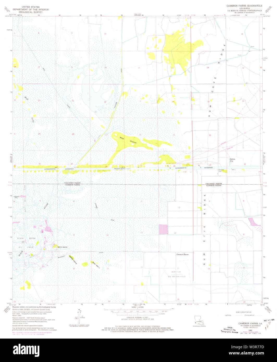 USGS TOPO Map Louisiana LA Cameron Farms 331594 1960 24000 Restoration Stock Photohttps://www.alamy.com/image-license-details/?v=1https://www.alamy.com/usgs-topo-map-louisiana-la-cameron-farms-331594-1960-24000-restoration-image260510081.html
RMW3R77D–USGS TOPO Map Louisiana LA Cameron Farms 331594 1960 24000 Restoration
 Grand Lake, Cameron Parish, US, United States, Louisiana, N 30 1' 50'', S 93 16' 19'', map, Cartascapes Map published in 2024. Explore Cartascapes, a map revealing Earth's diverse landscapes, cultures, and ecosystems. Journey through time and space, discovering the interconnectedness of our planet's past, present, and future. Stock Photohttps://www.alamy.com/image-license-details/?v=1https://www.alamy.com/grand-lake-cameron-parish-us-united-states-louisiana-n-30-1-50-s-93-16-19-map-cartascapes-map-published-in-2024-explore-cartascapes-a-map-revealing-earths-diverse-landscapes-cultures-and-ecosystems-journey-through-time-and-space-discovering-the-interconnectedness-of-our-planets-past-present-and-future-image621411034.html
RM2Y2YM36–Grand Lake, Cameron Parish, US, United States, Louisiana, N 30 1' 50'', S 93 16' 19'', map, Cartascapes Map published in 2024. Explore Cartascapes, a map revealing Earth's diverse landscapes, cultures, and ecosystems. Journey through time and space, discovering the interconnectedness of our planet's past, present, and future.
 North Island, Cameron Parish, US, United States, Louisiana, N 29 42' 48'', S 92 44' 4'', map, Cartascapes Map published in 2024. Explore Cartascapes, a map revealing Earth's diverse landscapes, cultures, and ecosystems. Journey through time and space, discovering the interconnectedness of our planet's past, present, and future. Stock Photohttps://www.alamy.com/image-license-details/?v=1https://www.alamy.com/north-island-cameron-parish-us-united-states-louisiana-n-29-42-48-s-92-44-4-map-cartascapes-map-published-in-2024-explore-cartascapes-a-map-revealing-earths-diverse-landscapes-cultures-and-ecosystems-journey-through-time-and-space-discovering-the-interconnectedness-of-our-planets-past-present-and-future-image621208652.html
RM2Y2JDY8–North Island, Cameron Parish, US, United States, Louisiana, N 29 42' 48'', S 92 44' 4'', map, Cartascapes Map published in 2024. Explore Cartascapes, a map revealing Earth's diverse landscapes, cultures, and ecosystems. Journey through time and space, discovering the interconnectedness of our planet's past, present, and future.
 Johnson Bayou Landing, Cameron Parish, US, United States, Louisiana, N 29 48' 7'', S 93 45' 10'', map, Cartascapes Map published in 2024. Explore Cartascapes, a map revealing Earth's diverse landscapes, cultures, and ecosystems. Journey through time and space, discovering the interconnectedness of our planet's past, present, and future. Stock Photohttps://www.alamy.com/image-license-details/?v=1https://www.alamy.com/johnson-bayou-landing-cameron-parish-us-united-states-louisiana-n-29-48-7-s-93-45-10-map-cartascapes-map-published-in-2024-explore-cartascapes-a-map-revealing-earths-diverse-landscapes-cultures-and-ecosystems-journey-through-time-and-space-discovering-the-interconnectedness-of-our-planets-past-present-and-future-image621190845.html
RM2Y2HK79–Johnson Bayou Landing, Cameron Parish, US, United States, Louisiana, N 29 48' 7'', S 93 45' 10'', map, Cartascapes Map published in 2024. Explore Cartascapes, a map revealing Earth's diverse landscapes, cultures, and ecosystems. Journey through time and space, discovering the interconnectedness of our planet's past, present, and future.
 Herbert Trailer Park, Cameron Parish, US, United States, Louisiana, N 30 0' 48'', S 93 13' 37'', map, Cartascapes Map published in 2024. Explore Cartascapes, a map revealing Earth's diverse landscapes, cultures, and ecosystems. Journey through time and space, discovering the interconnectedness of our planet's past, present, and future. Stock Photohttps://www.alamy.com/image-license-details/?v=1https://www.alamy.com/herbert-trailer-park-cameron-parish-us-united-states-louisiana-n-30-0-48-s-93-13-37-map-cartascapes-map-published-in-2024-explore-cartascapes-a-map-revealing-earths-diverse-landscapes-cultures-and-ecosystems-journey-through-time-and-space-discovering-the-interconnectedness-of-our-planets-past-present-and-future-image621250755.html
RM2Y2MBJY–Herbert Trailer Park, Cameron Parish, US, United States, Louisiana, N 30 0' 48'', S 93 13' 37'', map, Cartascapes Map published in 2024. Explore Cartascapes, a map revealing Earth's diverse landscapes, cultures, and ecosystems. Journey through time and space, discovering the interconnectedness of our planet's past, present, and future.
 Cameron, Cameron Parish, US, United States, Louisiana, N 29 47' 51'', S 93 19' 30'', map, Cartascapes Map published in 2024. Explore Cartascapes, a map revealing Earth's diverse landscapes, cultures, and ecosystems. Journey through time and space, discovering the interconnectedness of our planet's past, present, and future. Stock Photohttps://www.alamy.com/image-license-details/?v=1https://www.alamy.com/cameron-cameron-parish-us-united-states-louisiana-n-29-47-51-s-93-19-30-map-cartascapes-map-published-in-2024-explore-cartascapes-a-map-revealing-earths-diverse-landscapes-cultures-and-ecosystems-journey-through-time-and-space-discovering-the-interconnectedness-of-our-planets-past-present-and-future-image620857239.html
RM2Y22DMR–Cameron, Cameron Parish, US, United States, Louisiana, N 29 47' 51'', S 93 19' 30'', map, Cartascapes Map published in 2024. Explore Cartascapes, a map revealing Earth's diverse landscapes, cultures, and ecosystems. Journey through time and space, discovering the interconnectedness of our planet's past, present, and future.
 Lowry, Cameron Parish, US, United States, Louisiana, N 30 1' 26'', S 92 46' 15'', map, Cartascapes Map published in 2024. Explore Cartascapes, a map revealing Earth's diverse landscapes, cultures, and ecosystems. Journey through time and space, discovering the interconnectedness of our planet's past, present, and future. Stock Photohttps://www.alamy.com/image-license-details/?v=1https://www.alamy.com/lowry-cameron-parish-us-united-states-louisiana-n-30-1-26-s-92-46-15-map-cartascapes-map-published-in-2024-explore-cartascapes-a-map-revealing-earths-diverse-landscapes-cultures-and-ecosystems-journey-through-time-and-space-discovering-the-interconnectedness-of-our-planets-past-present-and-future-image620695635.html
RM2Y1R3H7–Lowry, Cameron Parish, US, United States, Louisiana, N 30 1' 26'', S 92 46' 15'', map, Cartascapes Map published in 2024. Explore Cartascapes, a map revealing Earth's diverse landscapes, cultures, and ecosystems. Journey through time and space, discovering the interconnectedness of our planet's past, present, and future.
 Cameron Parish, Cameron Parish, US, United States, Louisiana, N 29 50' 48'', S 93 11' 56'', map, Cartascapes Map published in 2024. Explore Cartascapes, a map revealing Earth's diverse landscapes, cultures, and ecosystems. Journey through time and space, discovering the interconnectedness of our planet's past, present, and future. Stock Photohttps://www.alamy.com/image-license-details/?v=1https://www.alamy.com/cameron-parish-cameron-parish-us-united-states-louisiana-n-29-50-48-s-93-11-56-map-cartascapes-map-published-in-2024-explore-cartascapes-a-map-revealing-earths-diverse-landscapes-cultures-and-ecosystems-journey-through-time-and-space-discovering-the-interconnectedness-of-our-planets-past-present-and-future-image633832084.html
RM2YR5F84–Cameron Parish, Cameron Parish, US, United States, Louisiana, N 29 50' 48'', S 93 11' 56'', map, Cartascapes Map published in 2024. Explore Cartascapes, a map revealing Earth's diverse landscapes, cultures, and ecosystems. Journey through time and space, discovering the interconnectedness of our planet's past, present, and future.
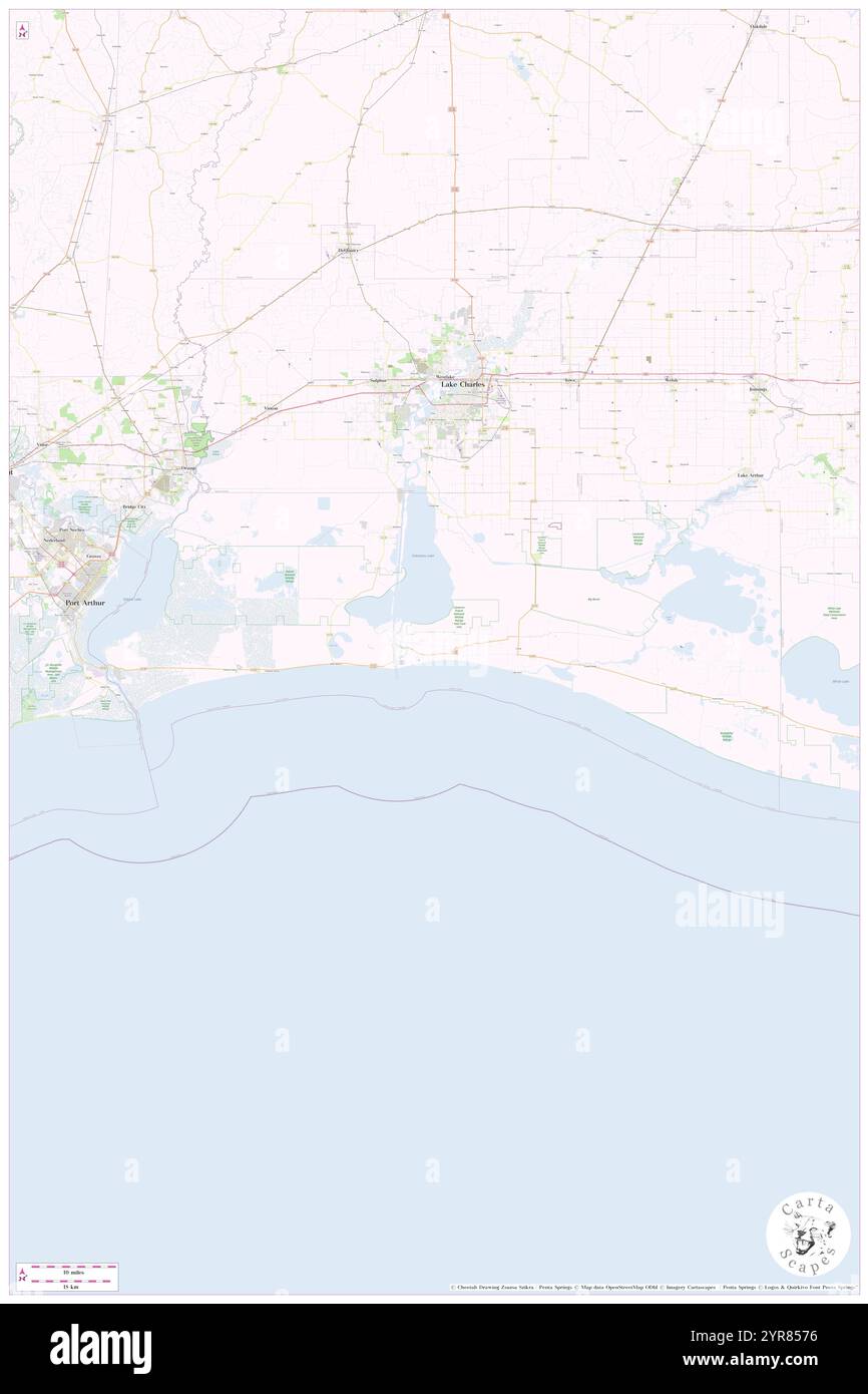 Cameron Parish, Cameron Parish, US, United States, Louisiana, N 29 50' 48'', S 93 11' 56'', map, Cartascapes Map published in 2024. Explore Cartascapes, a map revealing Earth's diverse landscapes, cultures, and ecosystems. Journey through time and space, discovering the interconnectedness of our planet's past, present, and future. Stock Photohttps://www.alamy.com/image-license-details/?v=1https://www.alamy.com/cameron-parish-cameron-parish-us-united-states-louisiana-n-29-50-48-s-93-11-56-map-cartascapes-map-published-in-2024-explore-cartascapes-a-map-revealing-earths-diverse-landscapes-cultures-and-ecosystems-journey-through-time-and-space-discovering-the-interconnectedness-of-our-planets-past-present-and-future-image633890074.html
RM2YR8576–Cameron Parish, Cameron Parish, US, United States, Louisiana, N 29 50' 48'', S 93 11' 56'', map, Cartascapes Map published in 2024. Explore Cartascapes, a map revealing Earth's diverse landscapes, cultures, and ecosystems. Journey through time and space, discovering the interconnectedness of our planet's past, present, and future.
 Hacketts Corner, Cameron Parish, US, United States, Louisiana, N 30 0' 33'', S 93 5' 17'', map, Cartascapes Map published in 2024. Explore Cartascapes, a map revealing Earth's diverse landscapes, cultures, and ecosystems. Journey through time and space, discovering the interconnectedness of our planet's past, present, and future. Stock Photohttps://www.alamy.com/image-license-details/?v=1https://www.alamy.com/hacketts-corner-cameron-parish-us-united-states-louisiana-n-30-0-33-s-93-5-17-map-cartascapes-map-published-in-2024-explore-cartascapes-a-map-revealing-earths-diverse-landscapes-cultures-and-ecosystems-journey-through-time-and-space-discovering-the-interconnectedness-of-our-planets-past-present-and-future-image620871590.html
RM2Y2341A–Hacketts Corner, Cameron Parish, US, United States, Louisiana, N 30 0' 33'', S 93 5' 17'', map, Cartascapes Map published in 2024. Explore Cartascapes, a map revealing Earth's diverse landscapes, cultures, and ecosystems. Journey through time and space, discovering the interconnectedness of our planet's past, present, and future.
 Cameron Ward Three, Cameron Parish, US, United States, Louisiana, N 29 48' 1'', S 93 15' 45'', map, Cartascapes Map published in 2024. Explore Cartascapes, a map revealing Earth's diverse landscapes, cultures, and ecosystems. Journey through time and space, discovering the interconnectedness of our planet's past, present, and future. Stock Photohttps://www.alamy.com/image-license-details/?v=1https://www.alamy.com/cameron-ward-three-cameron-parish-us-united-states-louisiana-n-29-48-1-s-93-15-45-map-cartascapes-map-published-in-2024-explore-cartascapes-a-map-revealing-earths-diverse-landscapes-cultures-and-ecosystems-journey-through-time-and-space-discovering-the-interconnectedness-of-our-planets-past-present-and-future-image633870365.html
RM2YR7839–Cameron Ward Three, Cameron Parish, US, United States, Louisiana, N 29 48' 1'', S 93 15' 45'', map, Cartascapes Map published in 2024. Explore Cartascapes, a map revealing Earth's diverse landscapes, cultures, and ecosystems. Journey through time and space, discovering the interconnectedness of our planet's past, present, and future.
 Constance Beach, Cameron Parish, US, United States, Louisiana, N 29 45' 33'', S 93 34' 46'', map, Cartascapes Map published in 2024. Explore Cartascapes, a map revealing Earth's diverse landscapes, cultures, and ecosystems. Journey through time and space, discovering the interconnectedness of our planet's past, present, and future. Stock Photohttps://www.alamy.com/image-license-details/?v=1https://www.alamy.com/constance-beach-cameron-parish-us-united-states-louisiana-n-29-45-33-s-93-34-46-map-cartascapes-map-published-in-2024-explore-cartascapes-a-map-revealing-earths-diverse-landscapes-cultures-and-ecosystems-journey-through-time-and-space-discovering-the-interconnectedness-of-our-planets-past-present-and-future-image620866990.html
RM2Y22X52–Constance Beach, Cameron Parish, US, United States, Louisiana, N 29 45' 33'', S 93 34' 46'', map, Cartascapes Map published in 2024. Explore Cartascapes, a map revealing Earth's diverse landscapes, cultures, and ecosystems. Journey through time and space, discovering the interconnectedness of our planet's past, present, and future.
 Oak Grove, Cameron Parish, US, United States, Louisiana, N 29 45' 24'', S 93 6' 50'', map, Cartascapes Map published in 2024. Explore Cartascapes, a map revealing Earth's diverse landscapes, cultures, and ecosystems. Journey through time and space, discovering the interconnectedness of our planet's past, present, and future. Stock Photohttps://www.alamy.com/image-license-details/?v=1https://www.alamy.com/oak-grove-cameron-parish-us-united-states-louisiana-n-29-45-24-s-93-6-50-map-cartascapes-map-published-in-2024-explore-cartascapes-a-map-revealing-earths-diverse-landscapes-cultures-and-ecosystems-journey-through-time-and-space-discovering-the-interconnectedness-of-our-planets-past-present-and-future-image620880019.html
RM2Y23EPB–Oak Grove, Cameron Parish, US, United States, Louisiana, N 29 45' 24'', S 93 6' 50'', map, Cartascapes Map published in 2024. Explore Cartascapes, a map revealing Earth's diverse landscapes, cultures, and ecosystems. Journey through time and space, discovering the interconnectedness of our planet's past, present, and future.
 Hackberry Ward Six, Cameron Parish, US, United States, Louisiana, N 29 58' 58'', S 93 21' 59'', map, Cartascapes Map published in 2024. Explore Cartascapes, a map revealing Earth's diverse landscapes, cultures, and ecosystems. Journey through time and space, discovering the interconnectedness of our planet's past, present, and future. Stock Photohttps://www.alamy.com/image-license-details/?v=1https://www.alamy.com/hackberry-ward-six-cameron-parish-us-united-states-louisiana-n-29-58-58-s-93-21-59-map-cartascapes-map-published-in-2024-explore-cartascapes-a-map-revealing-earths-diverse-landscapes-cultures-and-ecosystems-journey-through-time-and-space-discovering-the-interconnectedness-of-our-planets-past-present-and-future-image633781013.html
RM2YR3645–Hackberry Ward Six, Cameron Parish, US, United States, Louisiana, N 29 58' 58'', S 93 21' 59'', map, Cartascapes Map published in 2024. Explore Cartascapes, a map revealing Earth's diverse landscapes, cultures, and ecosystems. Journey through time and space, discovering the interconnectedness of our planet's past, present, and future.
 Johnsons Bayou Ward Five, Cameron Parish, US, United States, Louisiana, N 29 50' 59'', S 93 37' 0'', map, Cartascapes Map published in 2024. Explore Cartascapes, a map revealing Earth's diverse landscapes, cultures, and ecosystems. Journey through time and space, discovering the interconnectedness of our planet's past, present, and future. Stock Photohttps://www.alamy.com/image-license-details/?v=1https://www.alamy.com/johnsons-bayou-ward-five-cameron-parish-us-united-states-louisiana-n-29-50-59-s-93-37-0-map-cartascapes-map-published-in-2024-explore-cartascapes-a-map-revealing-earths-diverse-landscapes-cultures-and-ecosystems-journey-through-time-and-space-discovering-the-interconnectedness-of-our-planets-past-present-and-future-image633878130.html
RM2YR7J0J–Johnsons Bayou Ward Five, Cameron Parish, US, United States, Louisiana, N 29 50' 59'', S 93 37' 0'', map, Cartascapes Map published in 2024. Explore Cartascapes, a map revealing Earth's diverse landscapes, cultures, and ecosystems. Journey through time and space, discovering the interconnectedness of our planet's past, present, and future.
 Cow Island Ward One, Cameron Parish, US, United States, Louisiana, N 29 51' 38'', S 92 44' 34'', map, Cartascapes Map published in 2024. Explore Cartascapes, a map revealing Earth's diverse landscapes, cultures, and ecosystems. Journey through time and space, discovering the interconnectedness of our planet's past, present, and future. Stock Photohttps://www.alamy.com/image-license-details/?v=1https://www.alamy.com/cow-island-ward-one-cameron-parish-us-united-states-louisiana-n-29-51-38-s-92-44-34-map-cartascapes-map-published-in-2024-explore-cartascapes-a-map-revealing-earths-diverse-landscapes-cultures-and-ecosystems-journey-through-time-and-space-discovering-the-interconnectedness-of-our-planets-past-present-and-future-image633909172.html
RM2YR91H8–Cow Island Ward One, Cameron Parish, US, United States, Louisiana, N 29 51' 38'', S 92 44' 34'', map, Cartascapes Map published in 2024. Explore Cartascapes, a map revealing Earth's diverse landscapes, cultures, and ecosystems. Journey through time and space, discovering the interconnectedness of our planet's past, present, and future.
 Grand Chenier Ward Two, Cameron Parish, US, United States, Louisiana, N 29 49' 49'', S 92 59' 57'', map, Cartascapes Map published in 2024. Explore Cartascapes, a map revealing Earth's diverse landscapes, cultures, and ecosystems. Journey through time and space, discovering the interconnectedness of our planet's past, present, and future. Stock Photohttps://www.alamy.com/image-license-details/?v=1https://www.alamy.com/grand-chenier-ward-two-cameron-parish-us-united-states-louisiana-n-29-49-49-s-92-59-57-map-cartascapes-map-published-in-2024-explore-cartascapes-a-map-revealing-earths-diverse-landscapes-cultures-and-ecosystems-journey-through-time-and-space-discovering-the-interconnectedness-of-our-planets-past-present-and-future-image633804858.html
RM2YR48FP–Grand Chenier Ward Two, Cameron Parish, US, United States, Louisiana, N 29 49' 49'', S 92 59' 57'', map, Cartascapes Map published in 2024. Explore Cartascapes, a map revealing Earth's diverse landscapes, cultures, and ecosystems. Journey through time and space, discovering the interconnectedness of our planet's past, present, and future.
 Grand Lake Ward Four, Cameron Parish, US, United States, Louisiana, N 30 0' 36'', S 93 10' 8'', map, Cartascapes Map published in 2024. Explore Cartascapes, a map revealing Earth's diverse landscapes, cultures, and ecosystems. Journey through time and space, discovering the interconnectedness of our planet's past, present, and future. Stock Photohttps://www.alamy.com/image-license-details/?v=1https://www.alamy.com/grand-lake-ward-four-cameron-parish-us-united-states-louisiana-n-30-0-36-s-93-10-8-map-cartascapes-map-published-in-2024-explore-cartascapes-a-map-revealing-earths-diverse-landscapes-cultures-and-ecosystems-journey-through-time-and-space-discovering-the-interconnectedness-of-our-planets-past-present-and-future-image633879655.html
RM2YR7KY3–Grand Lake Ward Four, Cameron Parish, US, United States, Louisiana, N 30 0' 36'', S 93 10' 8'', map, Cartascapes Map published in 2024. Explore Cartascapes, a map revealing Earth's diverse landscapes, cultures, and ecosystems. Journey through time and space, discovering the interconnectedness of our planet's past, present, and future.
 Parish Governing Authority District 6, Cameron Parish, US, United States, Louisiana, N 29 51' 24'', S 93 18' 12'', map, Cartascapes Map published in 2024. Explore Cartascapes, a map revealing Earth's diverse landscapes, cultures, and ecosystems. Journey through time and space, discovering the interconnectedness of our planet's past, present, and future. Stock Photohttps://www.alamy.com/image-license-details/?v=1https://www.alamy.com/parish-governing-authority-district-6-cameron-parish-us-united-states-louisiana-n-29-51-24-s-93-18-12-map-cartascapes-map-published-in-2024-explore-cartascapes-a-map-revealing-earths-diverse-landscapes-cultures-and-ecosystems-journey-through-time-and-space-discovering-the-interconnectedness-of-our-planets-past-present-and-future-image633872163.html
RM2YR7ABF–Parish Governing Authority District 6, Cameron Parish, US, United States, Louisiana, N 29 51' 24'', S 93 18' 12'', map, Cartascapes Map published in 2024. Explore Cartascapes, a map revealing Earth's diverse landscapes, cultures, and ecosystems. Journey through time and space, discovering the interconnectedness of our planet's past, present, and future.
 Parish Governing Authority District 4, Cameron Parish, US, United States, Louisiana, N 29 47' 59'', S 92 48' 17'', map, Cartascapes Map published in 2024. Explore Cartascapes, a map revealing Earth's diverse landscapes, cultures, and ecosystems. Journey through time and space, discovering the interconnectedness of our planet's past, present, and future. Stock Photohttps://www.alamy.com/image-license-details/?v=1https://www.alamy.com/parish-governing-authority-district-4-cameron-parish-us-united-states-louisiana-n-29-47-59-s-92-48-17-map-cartascapes-map-published-in-2024-explore-cartascapes-a-map-revealing-earths-diverse-landscapes-cultures-and-ecosystems-journey-through-time-and-space-discovering-the-interconnectedness-of-our-planets-past-present-and-future-image633793934.html
RM2YR3PHJ–Parish Governing Authority District 4, Cameron Parish, US, United States, Louisiana, N 29 47' 59'', S 92 48' 17'', map, Cartascapes Map published in 2024. Explore Cartascapes, a map revealing Earth's diverse landscapes, cultures, and ecosystems. Journey through time and space, discovering the interconnectedness of our planet's past, present, and future.
 Parish Governing Authority District 3, Cameron Parish, US, United States, Louisiana, N 29 59' 20'', S 93 1' 57'', map, Cartascapes Map published in 2024. Explore Cartascapes, a map revealing Earth's diverse landscapes, cultures, and ecosystems. Journey through time and space, discovering the interconnectedness of our planet's past, present, and future. Stock Photohttps://www.alamy.com/image-license-details/?v=1https://www.alamy.com/parish-governing-authority-district-3-cameron-parish-us-united-states-louisiana-n-29-59-20-s-93-1-57-map-cartascapes-map-published-in-2024-explore-cartascapes-a-map-revealing-earths-diverse-landscapes-cultures-and-ecosystems-journey-through-time-and-space-discovering-the-interconnectedness-of-our-planets-past-present-and-future-image633912048.html
RM2YR9580–Parish Governing Authority District 3, Cameron Parish, US, United States, Louisiana, N 29 59' 20'', S 93 1' 57'', map, Cartascapes Map published in 2024. Explore Cartascapes, a map revealing Earth's diverse landscapes, cultures, and ecosystems. Journey through time and space, discovering the interconnectedness of our planet's past, present, and future.
 Parish Governing Authority District 1, Cameron Parish, US, United States, Louisiana, N 29 49' 34'', S 93 39' 13'', map, Cartascapes Map published in 2024. Explore Cartascapes, a map revealing Earth's diverse landscapes, cultures, and ecosystems. Journey through time and space, discovering the interconnectedness of our planet's past, present, and future. Stock Photohttps://www.alamy.com/image-license-details/?v=1https://www.alamy.com/parish-governing-authority-district-1-cameron-parish-us-united-states-louisiana-n-29-49-34-s-93-39-13-map-cartascapes-map-published-in-2024-explore-cartascapes-a-map-revealing-earths-diverse-landscapes-cultures-and-ecosystems-journey-through-time-and-space-discovering-the-interconnectedness-of-our-planets-past-present-and-future-image633851887.html
RM2YR6CFB–Parish Governing Authority District 1, Cameron Parish, US, United States, Louisiana, N 29 49' 34'', S 93 39' 13'', map, Cartascapes Map published in 2024. Explore Cartascapes, a map revealing Earth's diverse landscapes, cultures, and ecosystems. Journey through time and space, discovering the interconnectedness of our planet's past, present, and future.
 Parish Governing Authority District 7, Cameron Parish, US, United States, Louisiana, N 29 59' 37'', S 93 14' 8'', map, Cartascapes Map published in 2024. Explore Cartascapes, a map revealing Earth's diverse landscapes, cultures, and ecosystems. Journey through time and space, discovering the interconnectedness of our planet's past, present, and future. Stock Photohttps://www.alamy.com/image-license-details/?v=1https://www.alamy.com/parish-governing-authority-district-7-cameron-parish-us-united-states-louisiana-n-29-59-37-s-93-14-8-map-cartascapes-map-published-in-2024-explore-cartascapes-a-map-revealing-earths-diverse-landscapes-cultures-and-ecosystems-journey-through-time-and-space-discovering-the-interconnectedness-of-our-planets-past-present-and-future-image633809771.html
RM2YR4ER7–Parish Governing Authority District 7, Cameron Parish, US, United States, Louisiana, N 29 59' 37'', S 93 14' 8'', map, Cartascapes Map published in 2024. Explore Cartascapes, a map revealing Earth's diverse landscapes, cultures, and ecosystems. Journey through time and space, discovering the interconnectedness of our planet's past, present, and future.
 Parish Governing Authority District 2, Cameron Parish, US, United States, Louisiana, N 29 58' 31'', S 93 27' 37'', map, Cartascapes Map published in 2024. Explore Cartascapes, a map revealing Earth's diverse landscapes, cultures, and ecosystems. Journey through time and space, discovering the interconnectedness of our planet's past, present, and future. Stock Photohttps://www.alamy.com/image-license-details/?v=1https://www.alamy.com/parish-governing-authority-district-2-cameron-parish-us-united-states-louisiana-n-29-58-31-s-93-27-37-map-cartascapes-map-published-in-2024-explore-cartascapes-a-map-revealing-earths-diverse-landscapes-cultures-and-ecosystems-journey-through-time-and-space-discovering-the-interconnectedness-of-our-planets-past-present-and-future-image633902975.html
RM2YR8NKY–Parish Governing Authority District 2, Cameron Parish, US, United States, Louisiana, N 29 58' 31'', S 93 27' 37'', map, Cartascapes Map published in 2024. Explore Cartascapes, a map revealing Earth's diverse landscapes, cultures, and ecosystems. Journey through time and space, discovering the interconnectedness of our planet's past, present, and future.
 Parish Governing Authority District 5, Cameron Parish, US, United States, Louisiana, N 29 48' 41'', S 93 8' 24'', map, Cartascapes Map published in 2024. Explore Cartascapes, a map revealing Earth's diverse landscapes, cultures, and ecosystems. Journey through time and space, discovering the interconnectedness of our planet's past, present, and future. Stock Photohttps://www.alamy.com/image-license-details/?v=1https://www.alamy.com/parish-governing-authority-district-5-cameron-parish-us-united-states-louisiana-n-29-48-41-s-93-8-24-map-cartascapes-map-published-in-2024-explore-cartascapes-a-map-revealing-earths-diverse-landscapes-cultures-and-ecosystems-journey-through-time-and-space-discovering-the-interconnectedness-of-our-planets-past-present-and-future-image633895989.html
RM2YR8CPD–Parish Governing Authority District 5, Cameron Parish, US, United States, Louisiana, N 29 48' 41'', S 93 8' 24'', map, Cartascapes Map published in 2024. Explore Cartascapes, a map revealing Earth's diverse landscapes, cultures, and ecosystems. Journey through time and space, discovering the interconnectedness of our planet's past, present, and future.
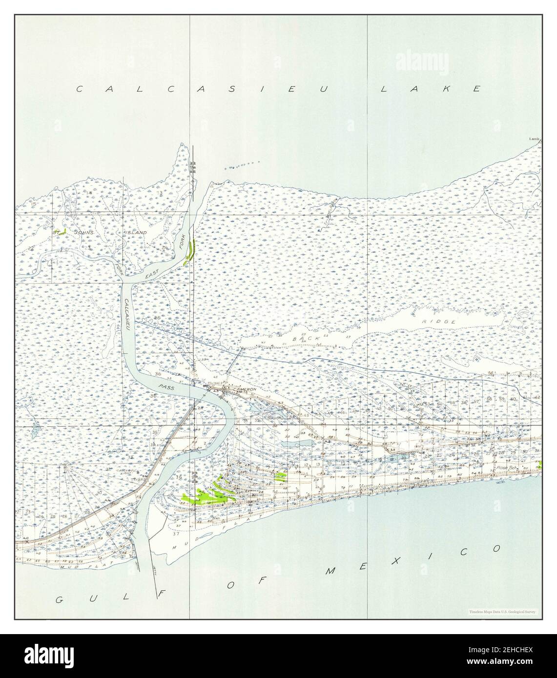 Cameron, Louisiana, map 1934, 1:24000, United States of America by Timeless Maps, data U.S. Geological Survey Stock Photohttps://www.alamy.com/image-license-details/?v=1https://www.alamy.com/cameron-louisiana-map-1934-124000-united-states-of-america-by-timeless-maps-data-us-geological-survey-image406564786.html
RM2EHCHEX–Cameron, Louisiana, map 1934, 1:24000, United States of America by Timeless Maps, data U.S. Geological Survey
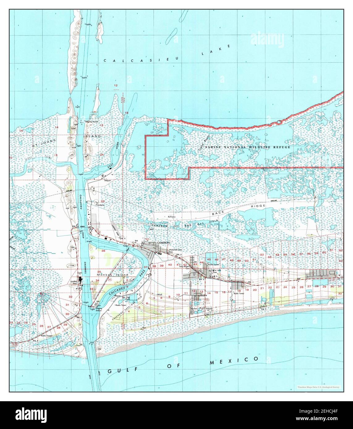 Cameron, Louisiana, map 1998, 1:24000, United States of America by Timeless Maps, data U.S. Geological Survey Stock Photohttps://www.alamy.com/image-license-details/?v=1https://www.alamy.com/cameron-louisiana-map-1998-124000-united-states-of-america-by-timeless-maps-data-us-geological-survey-image406565279.html
RM2EHCJ4F–Cameron, Louisiana, map 1998, 1:24000, United States of America by Timeless Maps, data U.S. Geological Survey
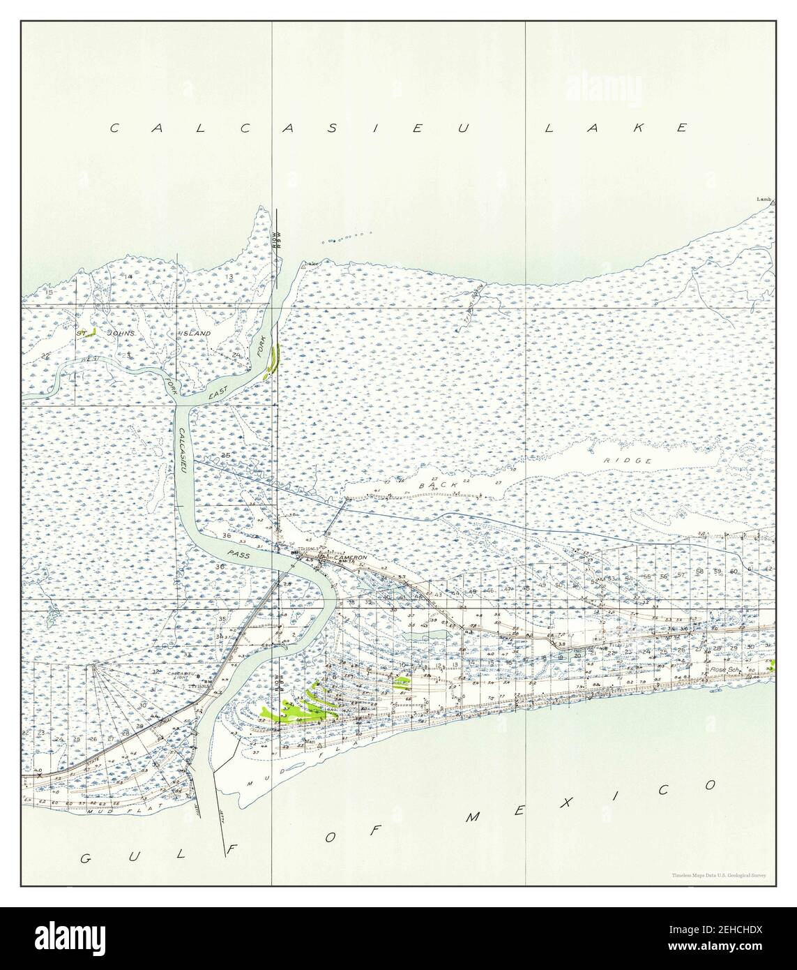 Cameron, Louisiana, map 1934, 1:24000, United States of America by Timeless Maps, data U.S. Geological Survey Stock Photohttps://www.alamy.com/image-license-details/?v=1https://www.alamy.com/cameron-louisiana-map-1934-124000-united-states-of-america-by-timeless-maps-data-us-geological-survey-image406564758.html
RM2EHCHDX–Cameron, Louisiana, map 1934, 1:24000, United States of America by Timeless Maps, data U.S. Geological Survey
 Cameron, Louisiana, map 1960, 1:24000, United States of America by Timeless Maps, data U.S. Geological Survey Stock Photohttps://www.alamy.com/image-license-details/?v=1https://www.alamy.com/cameron-louisiana-map-1960-124000-united-states-of-america-by-timeless-maps-data-us-geological-survey-image406564769.html
RM2EHCHE9–Cameron, Louisiana, map 1960, 1:24000, United States of America by Timeless Maps, data U.S. Geological Survey
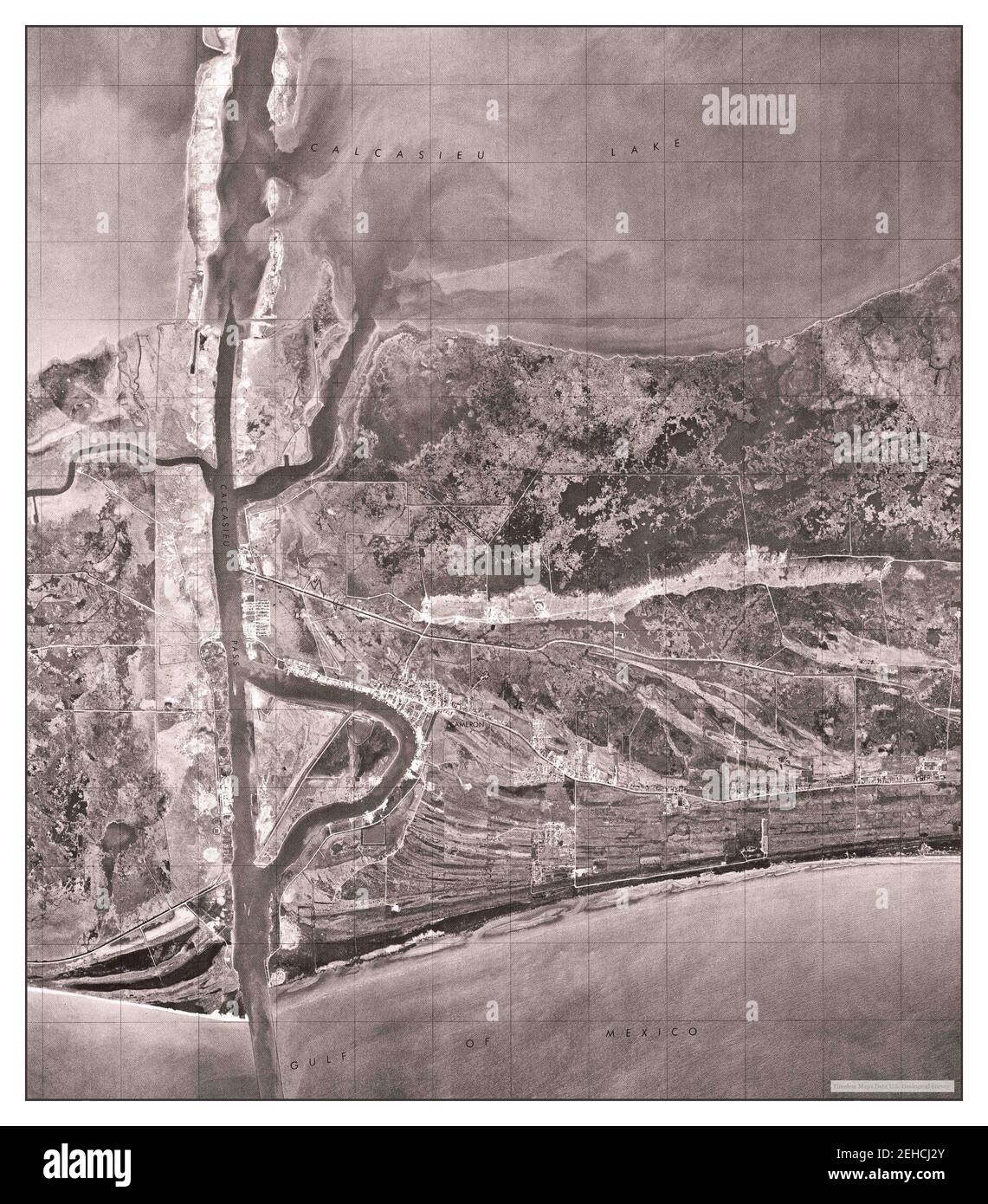 Cameron, Louisiana, map 1975, 1:24000, United States of America by Timeless Maps, data U.S. Geological Survey Stock Photohttps://www.alamy.com/image-license-details/?v=1https://www.alamy.com/cameron-louisiana-map-1975-124000-united-states-of-america-by-timeless-maps-data-us-geological-survey-image406565235.html
RM2EHCJ2Y–Cameron, Louisiana, map 1975, 1:24000, United States of America by Timeless Maps, data U.S. Geological Survey
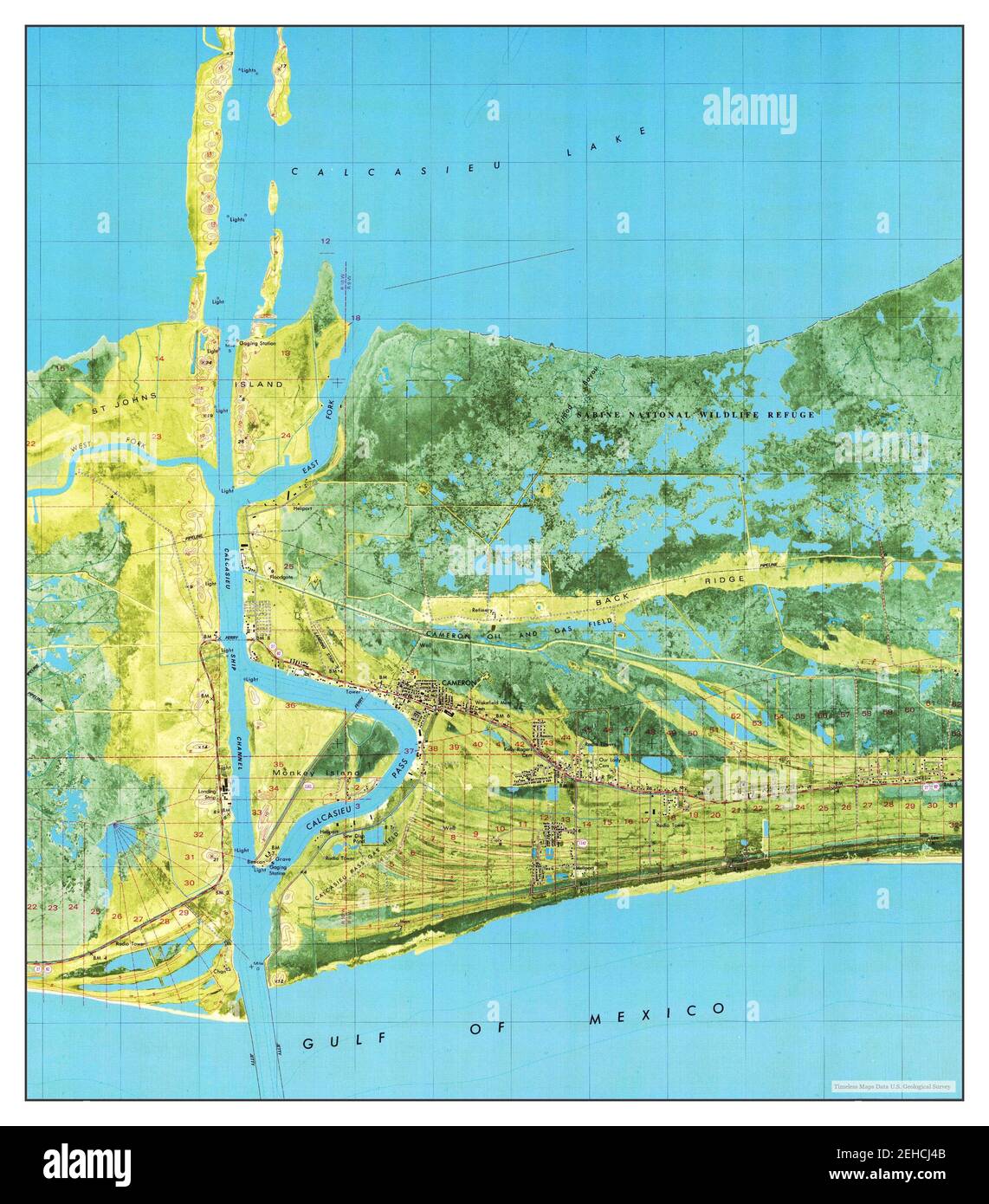 Cameron, Louisiana, map 1982, 1:24000, United States of America by Timeless Maps, data U.S. Geological Survey Stock Photohttps://www.alamy.com/image-license-details/?v=1https://www.alamy.com/cameron-louisiana-map-1982-124000-united-states-of-america-by-timeless-maps-data-us-geological-survey-image406565275.html
RM2EHCJ4B–Cameron, Louisiana, map 1982, 1:24000, United States of America by Timeless Maps, data U.S. Geological Survey