Quick filters:
Canary islands map Stock Photos and Images
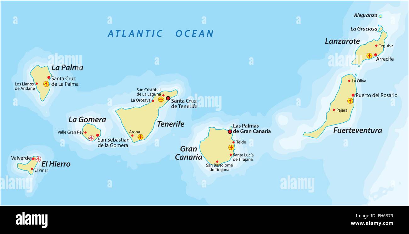 Canary Islands map Stock Vectorhttps://www.alamy.com/image-license-details/?v=1https://www.alamy.com/stock-photo-canary-islands-map-96635261.html
RFFH6379–Canary Islands map
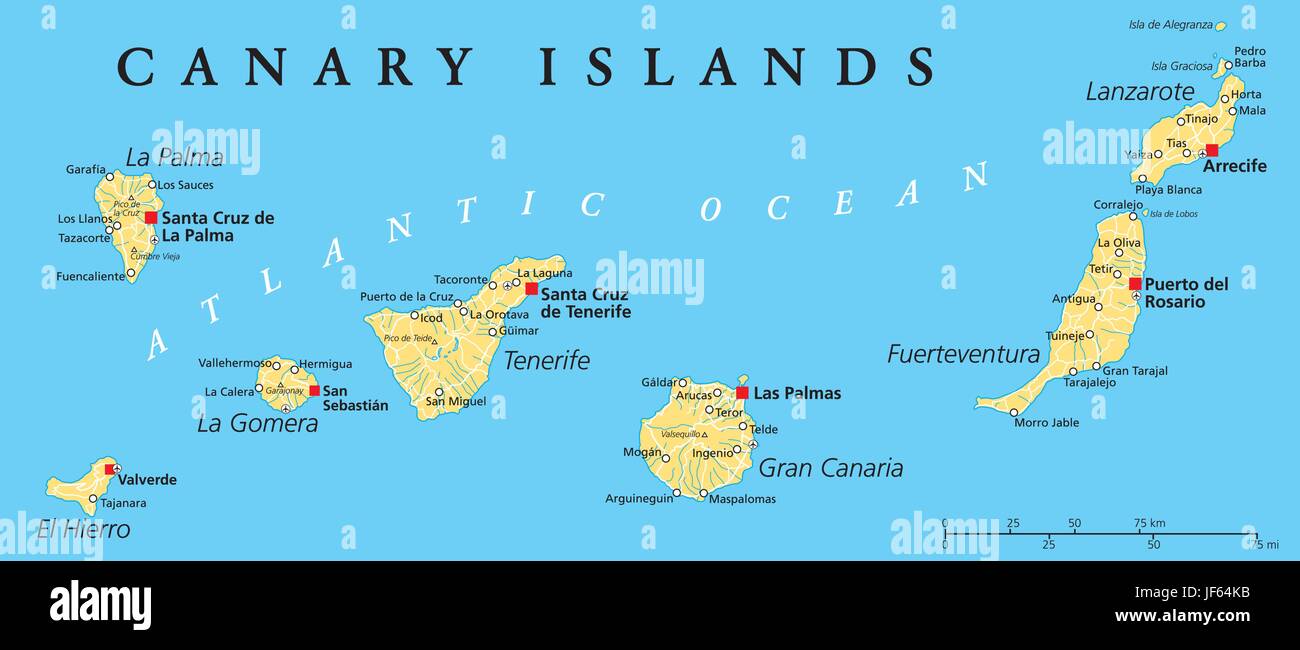 canary islands, map, atlas, map of the world, canaries, spain, atlantic ocean, Stock Vectorhttps://www.alamy.com/image-license-details/?v=1https://www.alamy.com/stock-photo-canary-islands-map-atlas-map-of-the-world-canaries-spain-atlantic-147038175.html
RFJF64KB–canary islands, map, atlas, map of the world, canaries, spain, atlantic ocean,
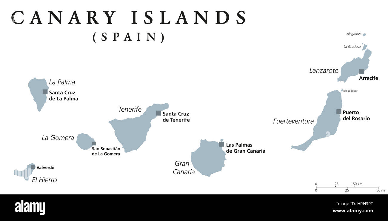 Canary Islands political map with capitals Las Palmas and Santa Cruz. The Canaries are an archipelago and autonomous community of Spain. Stock Photohttps://www.alamy.com/image-license-details/?v=1https://www.alamy.com/stock-photo-canary-islands-political-map-with-capitals-las-palmas-and-santa-cruz-134985840.html
RFHRH3PT–Canary Islands political map with capitals Las Palmas and Santa Cruz. The Canaries are an archipelago and autonomous community of Spain.
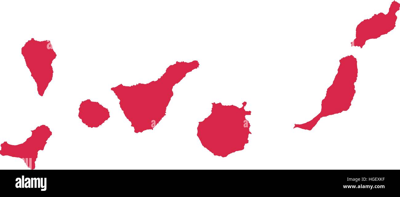 Canary Islands map silhouette Stock Vectorhttps://www.alamy.com/image-license-details/?v=1https://www.alamy.com/stock-photo-canary-islands-map-silhouette-130635331.html
RFHGEXKF–Canary Islands map silhouette
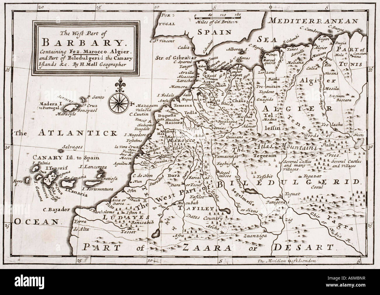 The West part of Barbary containing Fez, Marocco, Algier and part of Biledulgerid, the Canary Islands etc Stock Photohttps://www.alamy.com/image-license-details/?v=1https://www.alamy.com/stock-photo-the-west-part-of-barbary-containing-fez-marocco-algier-and-part-of-11607154.html
RMA6MBNR–The West part of Barbary containing Fez, Marocco, Algier and part of Biledulgerid, the Canary Islands etc
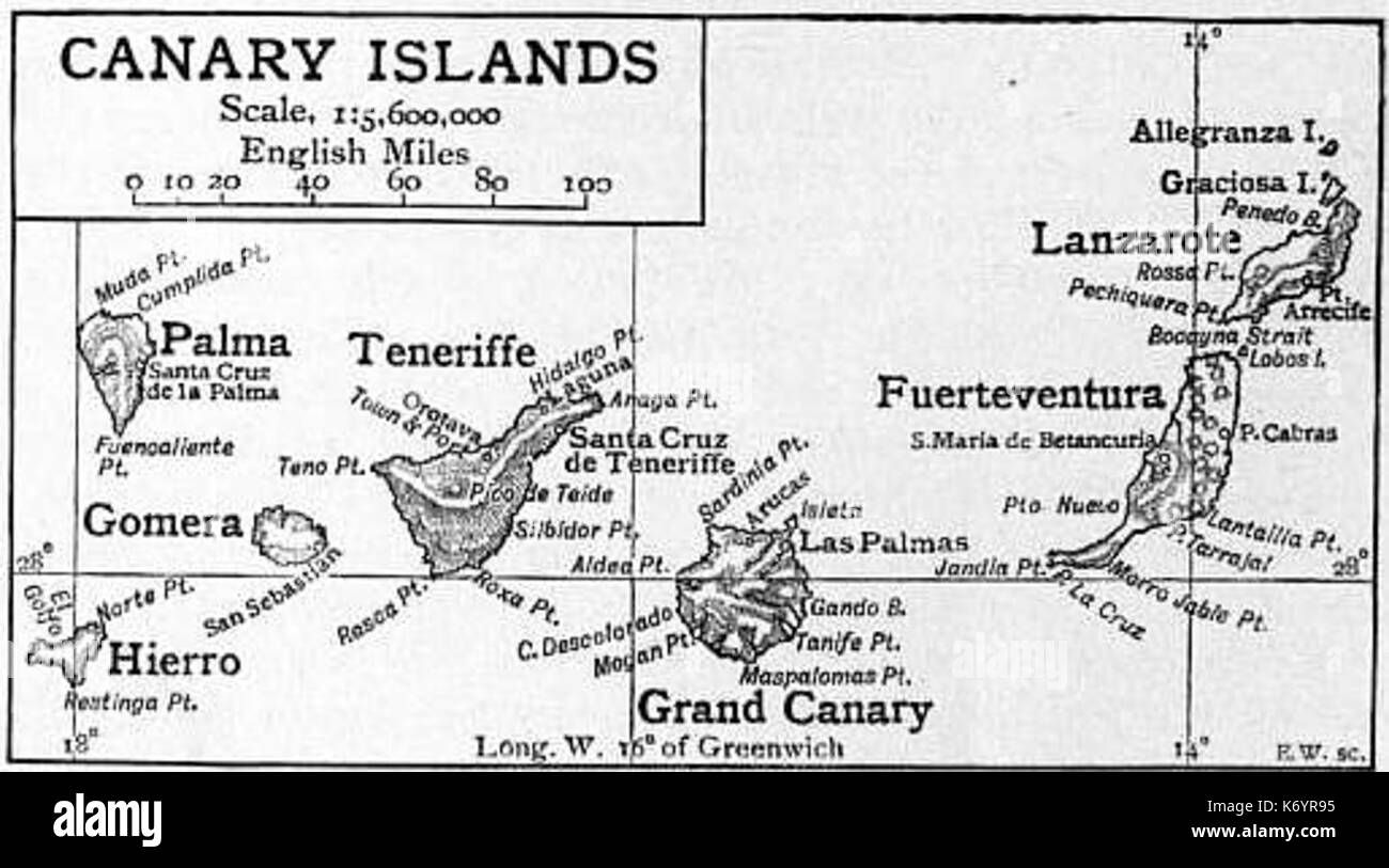 EB1911 Canary Islands Map Stock Photohttps://www.alamy.com/image-license-details/?v=1https://www.alamy.com/eb1911-canary-islands-map-image159192241.html
RMK6YR95–EB1911 Canary Islands Map
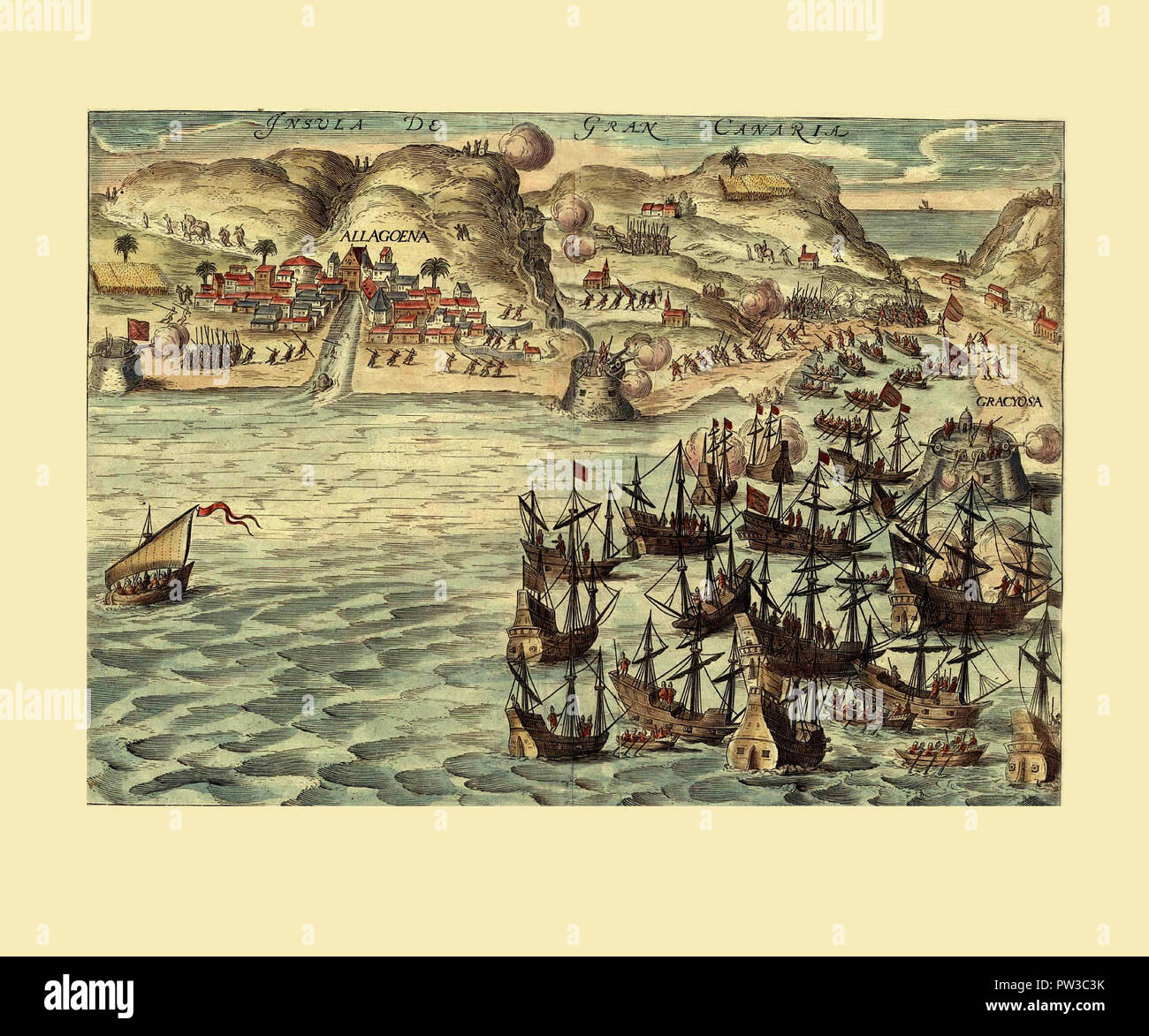 Map Of Gran Canaria 1680 Stock Photohttps://www.alamy.com/image-license-details/?v=1https://www.alamy.com/map-of-gran-canaria-1680-image221966183.html
RFPW3C3K–Map Of Gran Canaria 1680
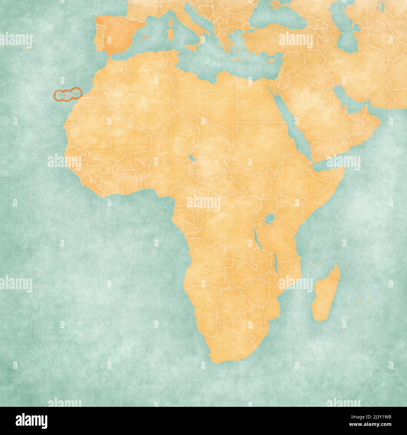 Canary Islands on the map of Africa in soft grunge and vintage style, like old paper with watercolor painting. Stock Photohttps://www.alamy.com/image-license-details/?v=1https://www.alamy.com/canary-islands-on-the-map-of-africa-in-soft-grunge-and-vintage-style-like-old-paper-with-watercolor-painting-image467118103.html
RF2J3Y1WB–Canary Islands on the map of Africa in soft grunge and vintage style, like old paper with watercolor painting.
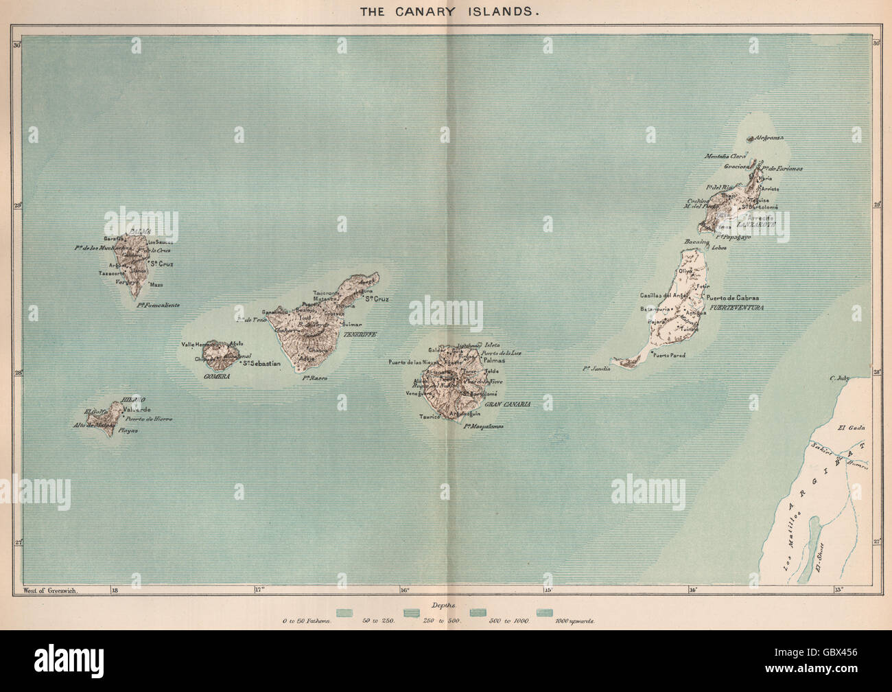 The Canary Islands. Spain. West African Islands, 1885 antique map Stock Photohttps://www.alamy.com/image-license-details/?v=1https://www.alamy.com/stock-photo-the-canary-islands-spain-west-african-islands-1885-antique-map-110597458.html
RFGBX456–The Canary Islands. Spain. West African Islands, 1885 antique map
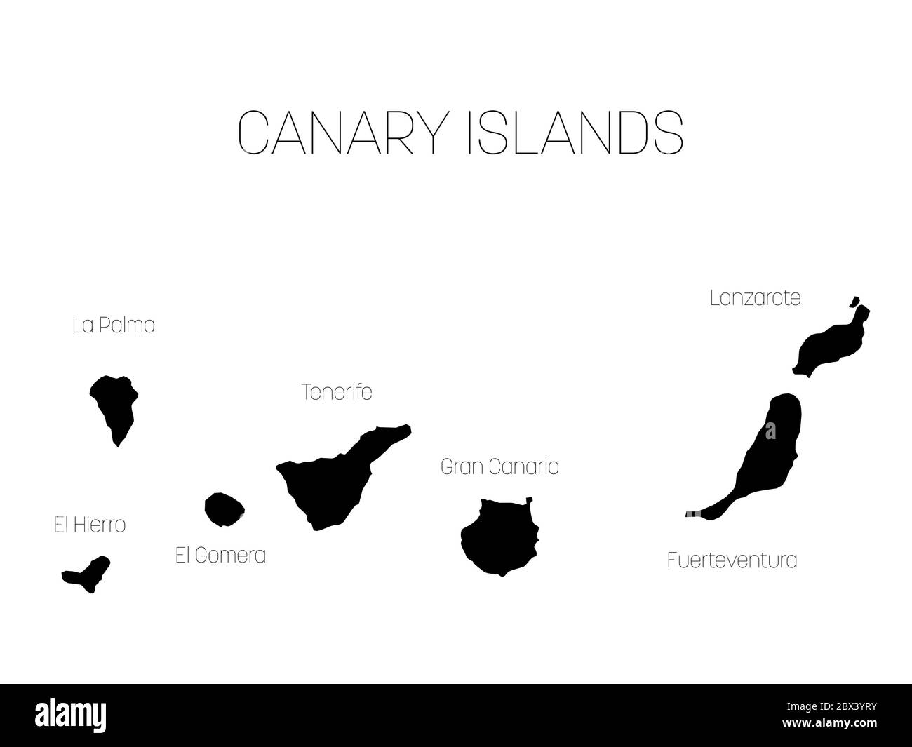 Map of Canary Islands, Spain, with labels of each island - El Hierro, La Palma, La Gomera, Tenerife, Gran Canaria, Fuerteventura and Lanzarote. Black vector silhouette on white background. Stock Vectorhttps://www.alamy.com/image-license-details/?v=1https://www.alamy.com/map-of-canary-islands-spain-with-labels-of-each-island-el-hierro-la-palma-la-gomera-tenerife-gran-canaria-fuerteventura-and-lanzarote-black-vector-silhouette-on-white-background-image360276111.html
RF2BX3YRY–Map of Canary Islands, Spain, with labels of each island - El Hierro, La Palma, La Gomera, Tenerife, Gran Canaria, Fuerteventura and Lanzarote. Black vector silhouette on white background.
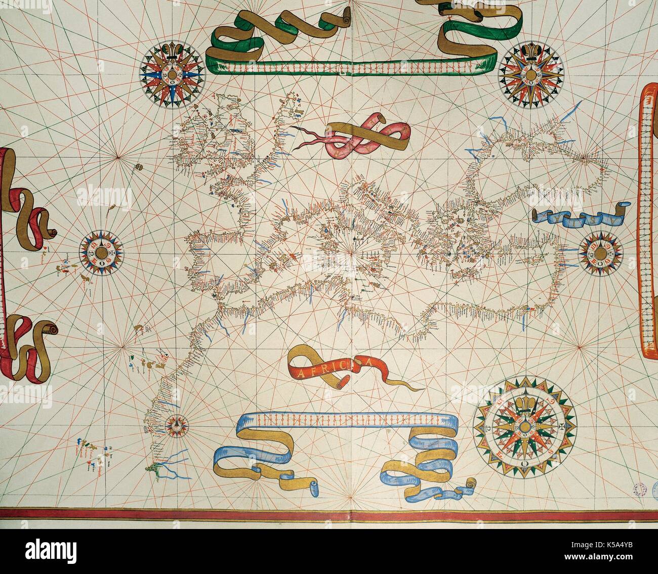 Map of Southern Europe, coast of the North of Africa and Canary Islands. Nautical letter by Joan Martines. Messina, Sicily, 1587. Stock Photohttps://www.alamy.com/image-license-details/?v=1https://www.alamy.com/map-of-southern-europe-coast-of-the-north-of-africa-and-canary-islands-image158190015.html
RMK5A4YB–Map of Southern Europe, coast of the North of Africa and Canary Islands. Nautical letter by Joan Martines. Messina, Sicily, 1587.
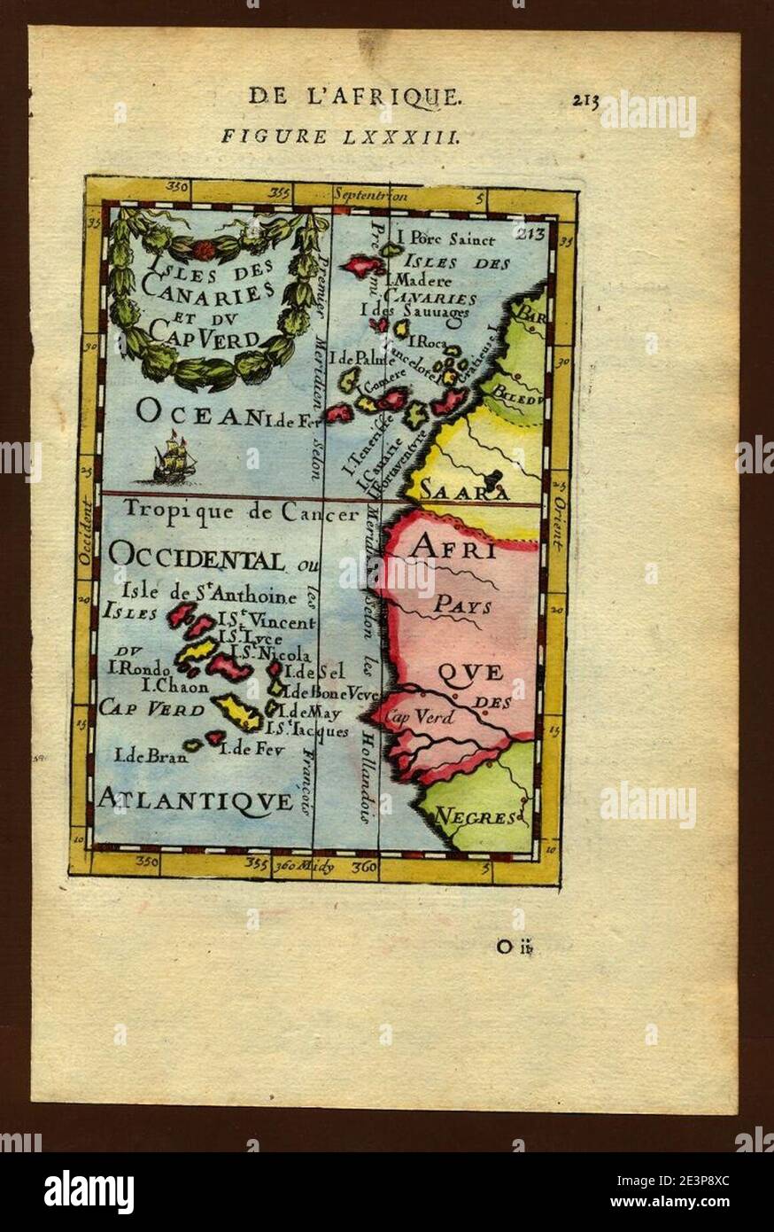 Map of the Canary and Cape Verde Islands, 1683. Stock Photohttps://www.alamy.com/image-license-details/?v=1https://www.alamy.com/map-of-the-canary-and-cape-verde-islands-1683-image398172388.html
RM2E3P8XC–Map of the Canary and Cape Verde Islands, 1683.
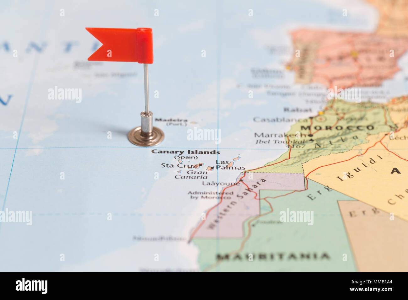 Small red flag marking the Canary Islands on a world map. Stock Photohttps://www.alamy.com/image-license-details/?v=1https://www.alamy.com/small-red-flag-marking-the-canary-islands-on-a-world-map-image184639340.html
RMMMB1A4–Small red flag marking the Canary Islands on a world map.
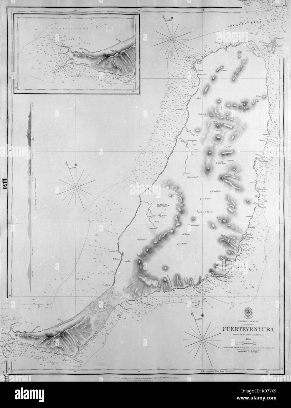 Map of Fuerteventura, Canary Islands Stock Photohttps://www.alamy.com/image-license-details/?v=1https://www.alamy.com/map-of-fuerteventura-canary-islands-image155068881.html
RMK07YX9–Map of Fuerteventura, Canary Islands
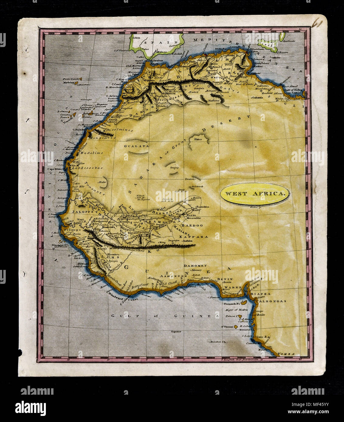 1804 Arrowsmith Map - Northwest Africa - Morocco Ivory Coast Liberia Congo Sudan Sahara Desert Stock Photohttps://www.alamy.com/image-license-details/?v=1https://www.alamy.com/1804-arrowsmith-map-northwest-africa-morocco-ivory-coast-liberia-congo-sudan-sahara-desert-image181416031.html
RFMF45YY–1804 Arrowsmith Map - Northwest Africa - Morocco Ivory Coast Liberia Congo Sudan Sahara Desert
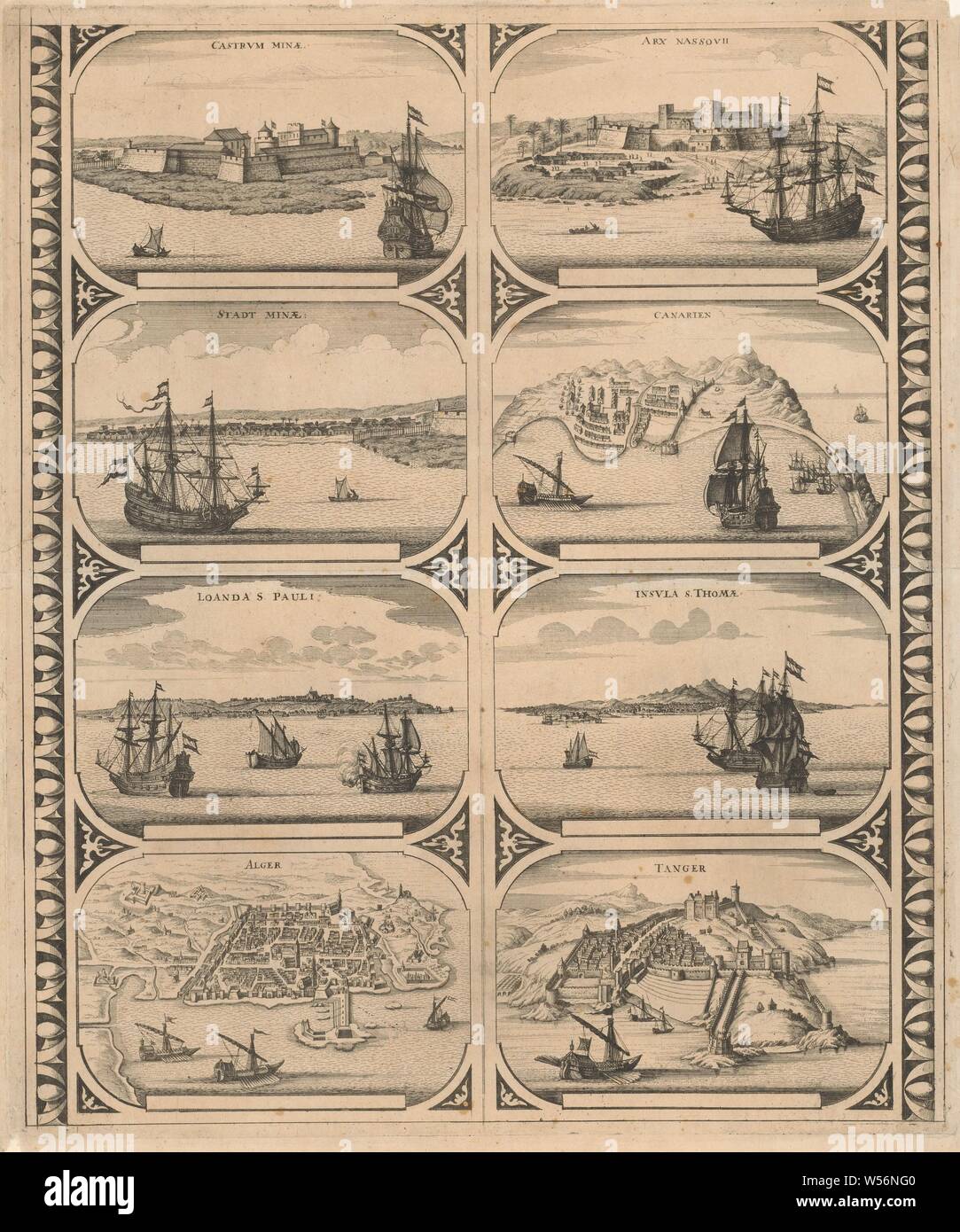 Castrvm Minae / Stadt Minae / Loanda S. Pauli / Alger / Arx Nassovii / Canarien / Insvla S. Thomae / Tanger (title on object), Sheet with two vertical strips, each with four views of the cities in Africa: Elmina, Fort Elmina, Luanda, Algiers, Fort Nassau on the Gold Coast, Canary Islands, Sao Tome and Tangier. Uncut leaf with eight peripheral figures intended to be glued in strips as a frame around a map of a continent, maps of cities, prospect of city, town panorama, silhouette of city, Elmina, Fort Nassau, Sao Tome, Tangier, anonymous, Amsterdam, 1670 - 1672, paper, etching, h 520 mm × w 435 Stock Photohttps://www.alamy.com/image-license-details/?v=1https://www.alamy.com/castrvm-minae-stadt-minae-loanda-s-pauli-alger-arx-nassovii-canarien-insvla-s-thomae-tanger-title-on-object-sheet-with-two-vertical-strips-each-with-four-views-of-the-cities-in-africa-elmina-fort-elmina-luanda-algiers-fort-nassau-on-the-gold-coast-canary-islands-sao-tome-and-tangier-uncut-leaf-with-eight-peripheral-figures-intended-to-be-glued-in-strips-as-a-frame-around-a-map-of-a-continent-maps-of-cities-prospect-of-city-town-panorama-silhouette-of-city-elmina-fort-nassau-sao-tome-tangier-anonymous-amsterdam-1670-1672-paper-etching-h-520-mm-w-435-image261377424.html
RMW56NG0–Castrvm Minae / Stadt Minae / Loanda S. Pauli / Alger / Arx Nassovii / Canarien / Insvla S. Thomae / Tanger (title on object), Sheet with two vertical strips, each with four views of the cities in Africa: Elmina, Fort Elmina, Luanda, Algiers, Fort Nassau on the Gold Coast, Canary Islands, Sao Tome and Tangier. Uncut leaf with eight peripheral figures intended to be glued in strips as a frame around a map of a continent, maps of cities, prospect of city, town panorama, silhouette of city, Elmina, Fort Nassau, Sao Tome, Tangier, anonymous, Amsterdam, 1670 - 1672, paper, etching, h 520 mm × w 435
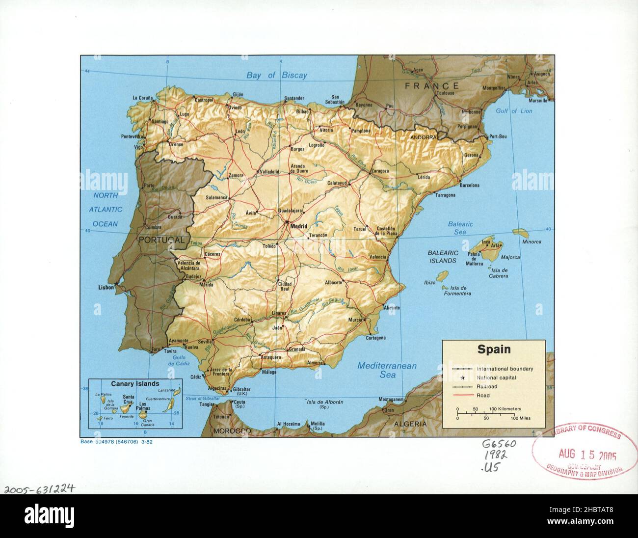 1982 Spain and Canary Islands Map Stock Photohttps://www.alamy.com/image-license-details/?v=1https://www.alamy.com/1982-spain-and-canary-islands-map-image454766152.html
RM2HBTAT8–1982 Spain and Canary Islands Map
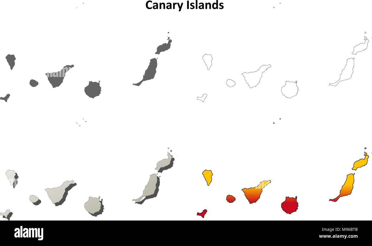 Canary Islands blank outline map set Stock Vectorhttps://www.alamy.com/image-license-details/?v=1https://www.alamy.com/canary-islands-blank-outline-map-set-image177776603.html
RFM96BTB–Canary Islands blank outline map set
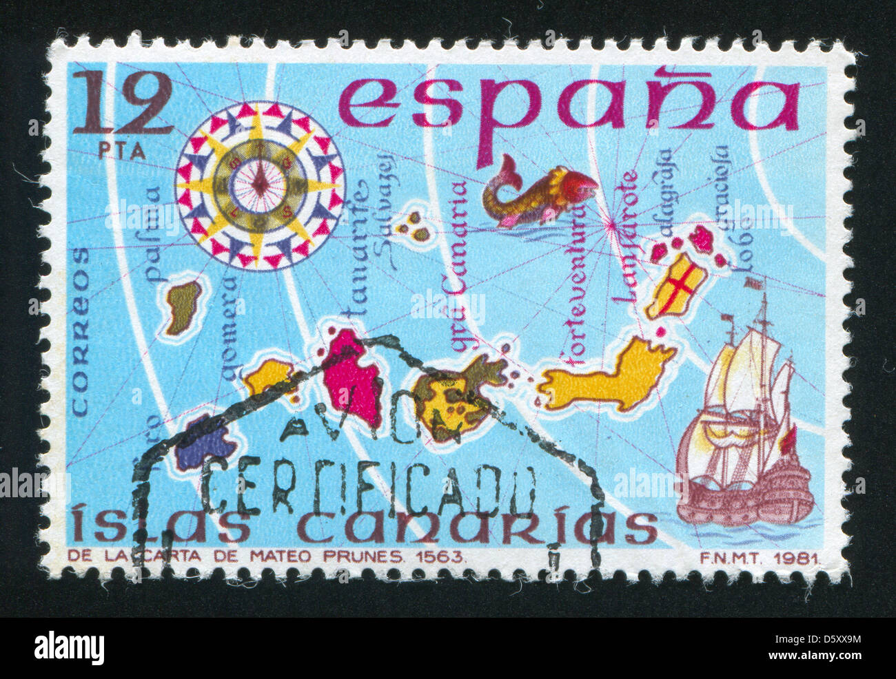 Map of Islands Canary Stock Photohttps://www.alamy.com/image-license-details/?v=1https://www.alamy.com/stock-photo-map-of-islands-canary-55295792.html
RFD5XX9M–Map of Islands Canary
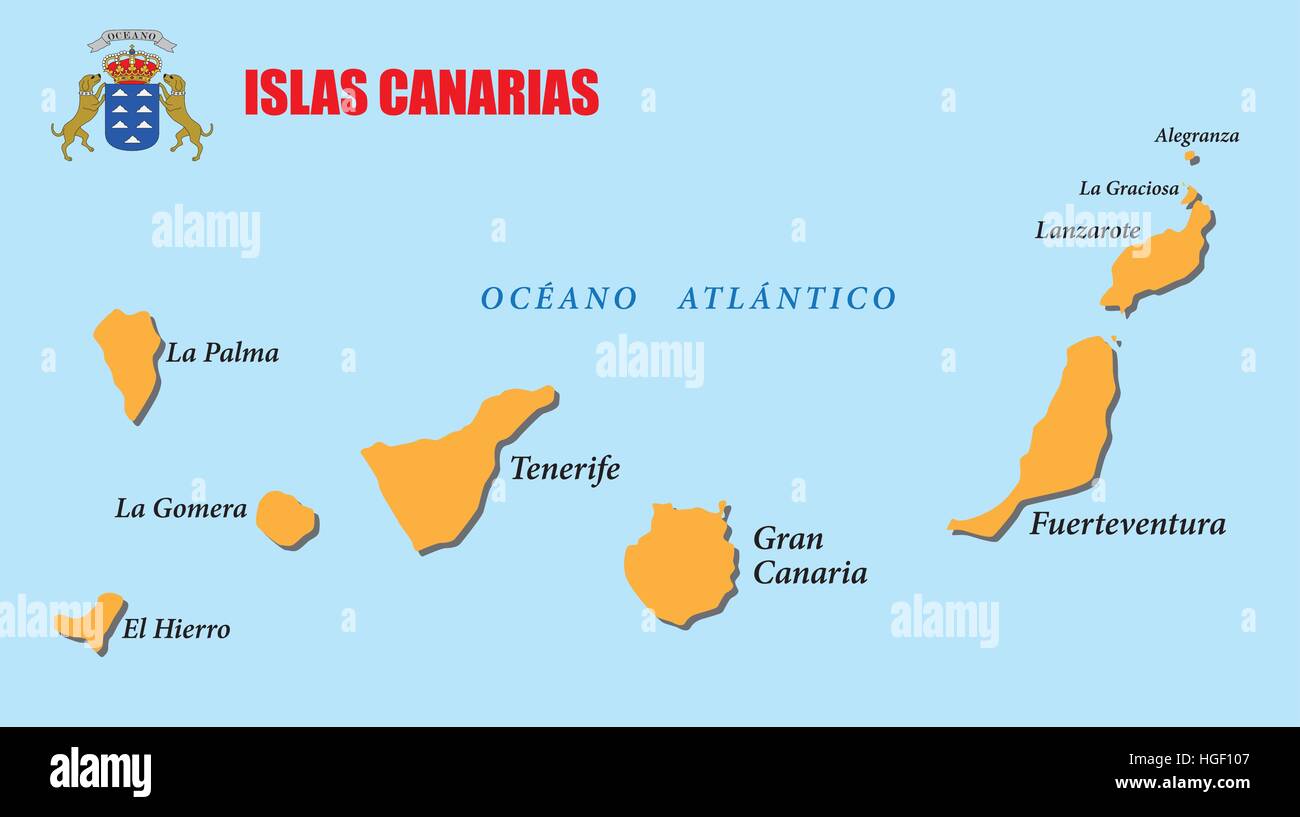 canary islands map with coat of arms Stock Vectorhttps://www.alamy.com/image-license-details/?v=1https://www.alamy.com/stock-photo-canary-islands-map-with-coat-of-arms-130637143.html
RFHGF107–canary islands map with coat of arms
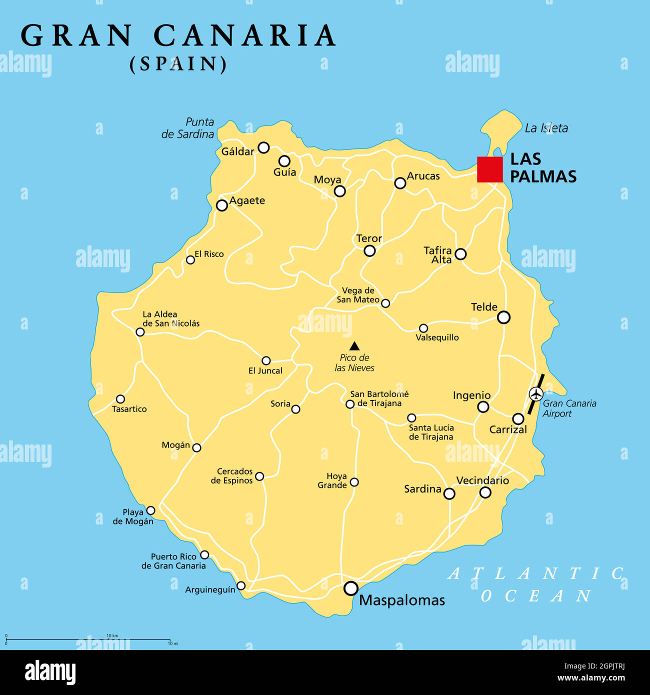 Gran Canaria, Grand Canary Island, political map, with capital Las Palmas Stock Vectorhttps://www.alamy.com/image-license-details/?v=1https://www.alamy.com/gran-canaria-grand-canary-island-political-map-with-capital-las-palmas-image444196246.html
RF2GPJTRJ–Gran Canaria, Grand Canary Island, political map, with capital Las Palmas
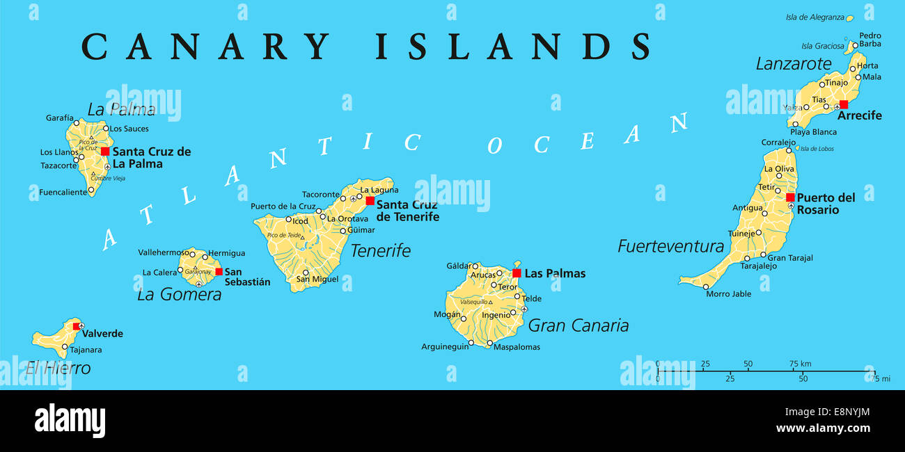 Canary Islands Political Map with Lanzarote, Fuerteventura, Gran Canaria, Tenerife, La Gomera, La Palma and El Hierro. Stock Photohttps://www.alamy.com/image-license-details/?v=1https://www.alamy.com/stock-photo-canary-islands-political-map-with-lanzarote-fuerteventura-gran-canaria-74241404.html
RFE8NYJM–Canary Islands Political Map with Lanzarote, Fuerteventura, Gran Canaria, Tenerife, La Gomera, La Palma and El Hierro.
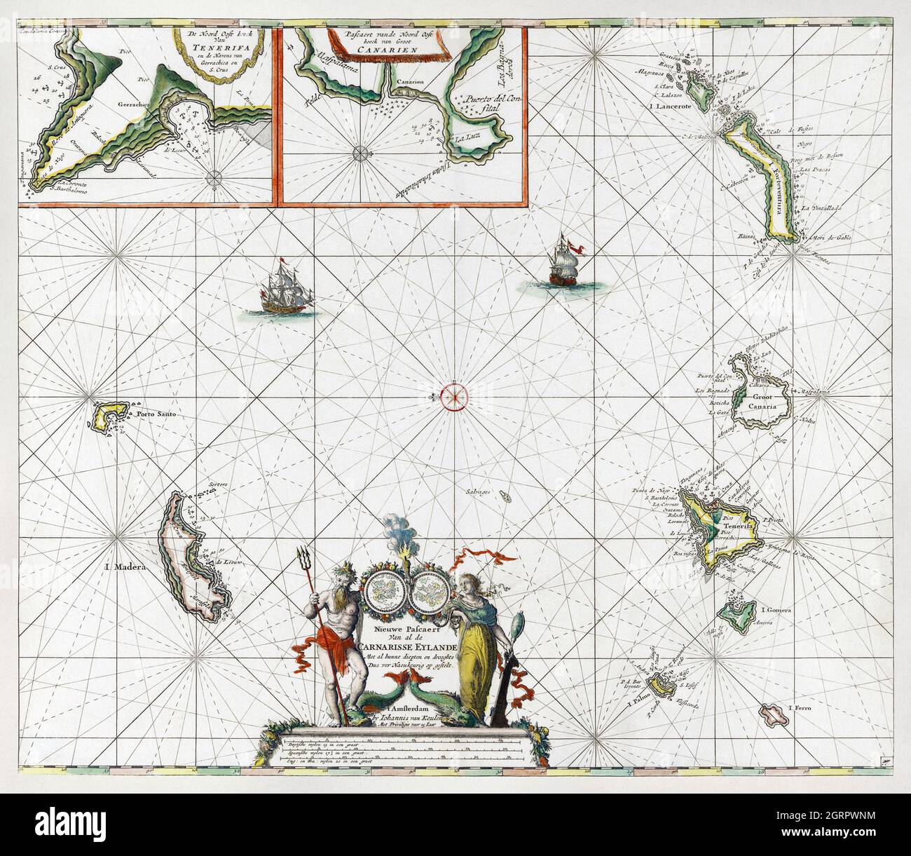 Paskaart van de Canarische Eilanden (ca. 1680) by Jan Luyken. Map of Canary Islands. Stock Photohttps://www.alamy.com/image-license-details/?v=1https://www.alamy.com/paskaart-van-de-canarische-eilanden-ca-1680-by-jan-luyken-map-of-canary-islands-image444899440.html
RM2GRPWNM–Paskaart van de Canarische Eilanden (ca. 1680) by Jan Luyken. Map of Canary Islands.
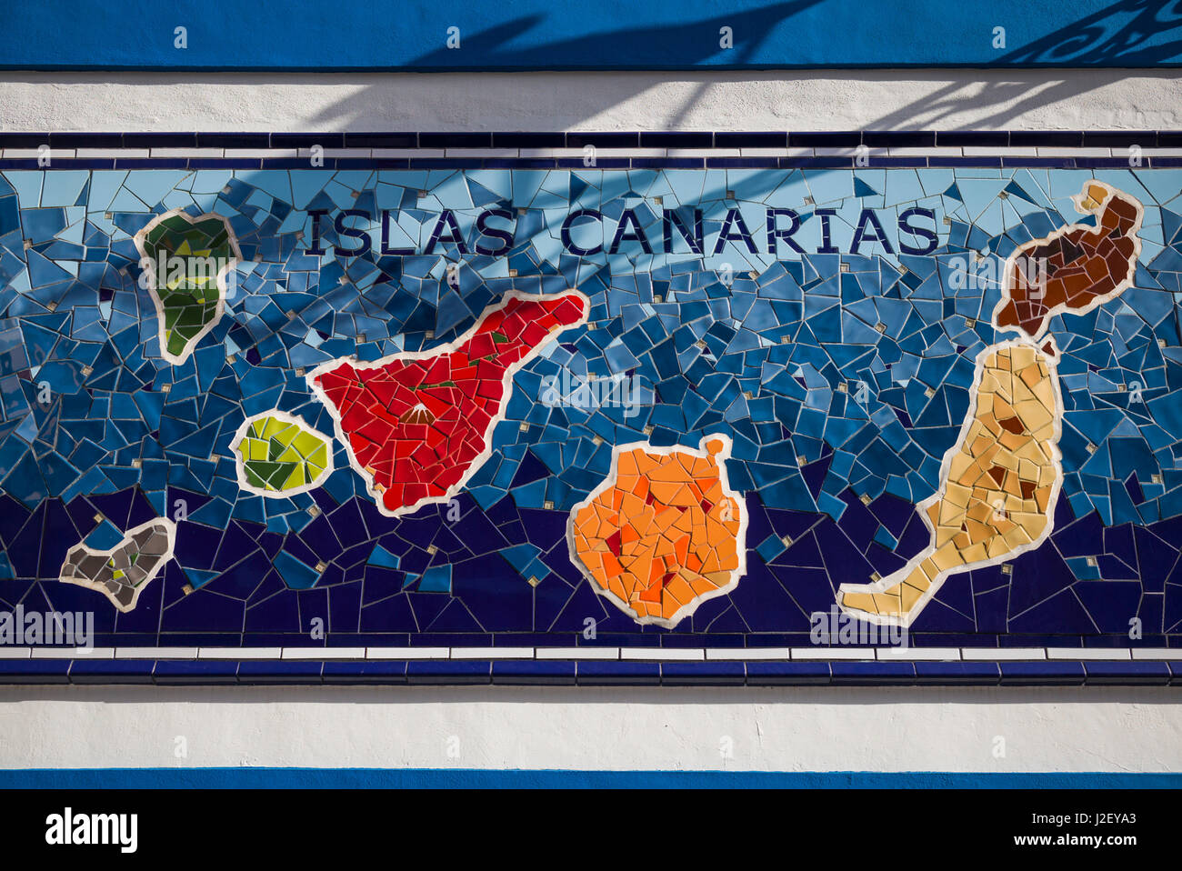 Spain, Canary Islands, Tenerife, Puerto de la Cruz, mural with Canary Islands map Stock Photohttps://www.alamy.com/image-license-details/?v=1https://www.alamy.com/stock-photo-spain-canary-islands-tenerife-puerto-de-la-cruz-mural-with-canary-139241035.html
RMJ2EYA3–Spain, Canary Islands, Tenerife, Puerto de la Cruz, mural with Canary Islands map
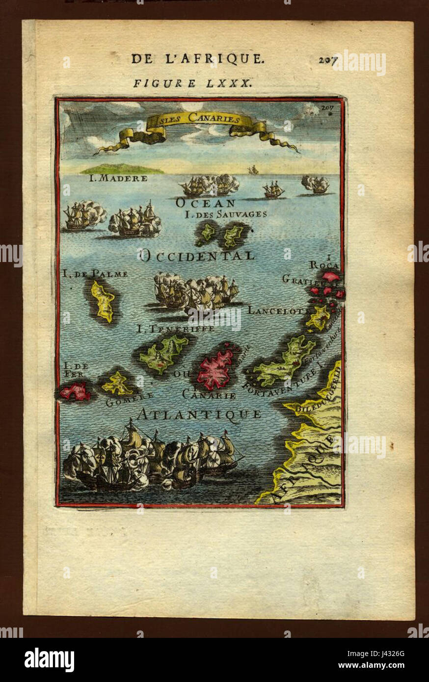 Map of the Canary Islands, 1683 Stock Photohttps://www.alamy.com/image-license-details/?v=1https://www.alamy.com/stock-photo-map-of-the-canary-islands-1683-140209176.html
RMJ4326G–Map of the Canary Islands, 1683
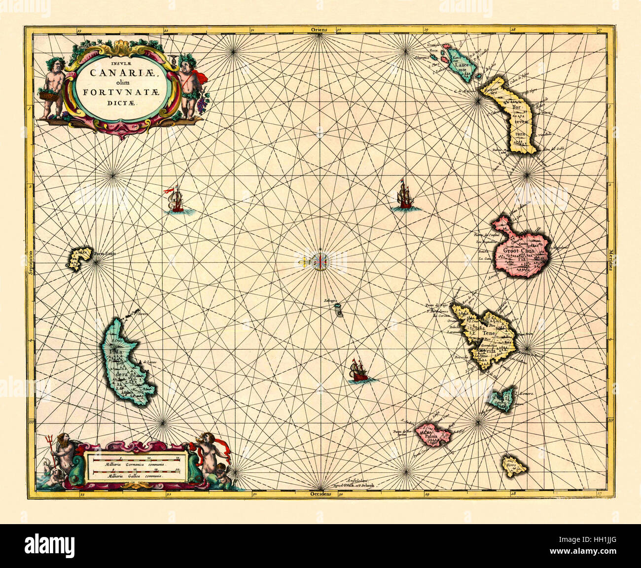 Map Of The Canary Islands 1720 Stock Photohttps://www.alamy.com/image-license-details/?v=1https://www.alamy.com/stock-photo-map-of-the-canary-islands-1720-130958312.html
RFHH1JJG–Map Of The Canary Islands 1720
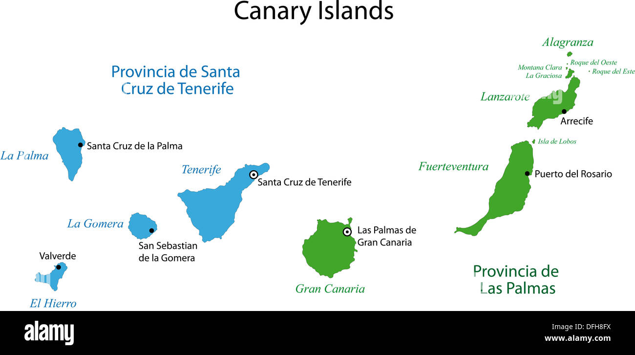 Canary Islands map Stock Photohttps://www.alamy.com/image-license-details/?v=1https://www.alamy.com/canary-islands-map-image61230846.html
RFDFH8FX–Canary Islands map
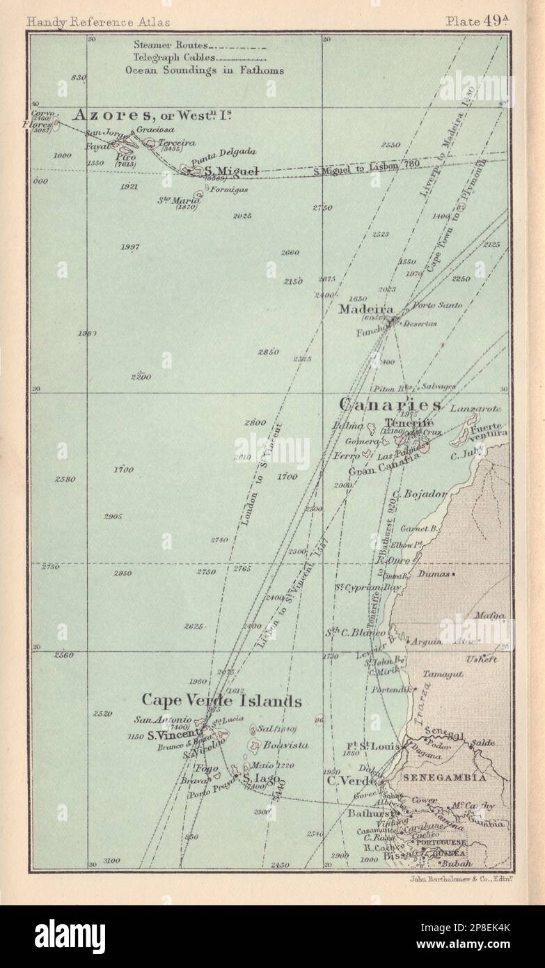 Macaronesia. Cape Verde Islands Azores Madeira Canary Islands 1898 old map Stock Photohttps://www.alamy.com/image-license-details/?v=1https://www.alamy.com/macaronesia-cape-verde-islands-azores-madeira-canary-islands-1898-old-map-image538761011.html
RF2P8EK4K–Macaronesia. Cape Verde Islands Azores Madeira Canary Islands 1898 old map
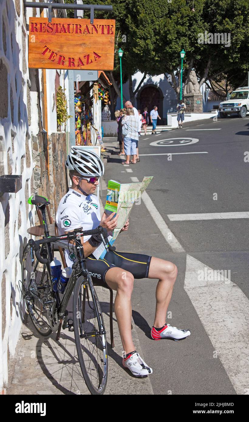 Professional cyclist studies a road map for orientation, village Fataga, Grand Canary, Canary islands, Spain, Europe, Atlantic ocean Stock Photohttps://www.alamy.com/image-license-details/?v=1https://www.alamy.com/professional-cyclist-studies-a-road-map-for-orientation-village-fataga-grand-canary-canary-islands-spain-europe-atlantic-ocean-image475533421.html
RM2JHJBMD–Professional cyclist studies a road map for orientation, village Fataga, Grand Canary, Canary islands, Spain, Europe, Atlantic ocean
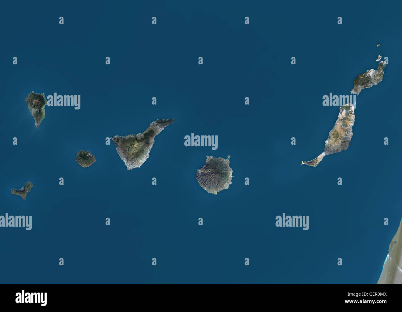 Satellite view of the Canary Islands, Spain. This image was compiled from data acquired by Landsat 8 satellite in 2014. Stock Photohttps://www.alamy.com/image-license-details/?v=1https://www.alamy.com/stock-photo-satellite-view-of-the-canary-islands-spain-this-image-was-compiled-112372874.html
RMGER0MX–Satellite view of the Canary Islands, Spain. This image was compiled from data acquired by Landsat 8 satellite in 2014.
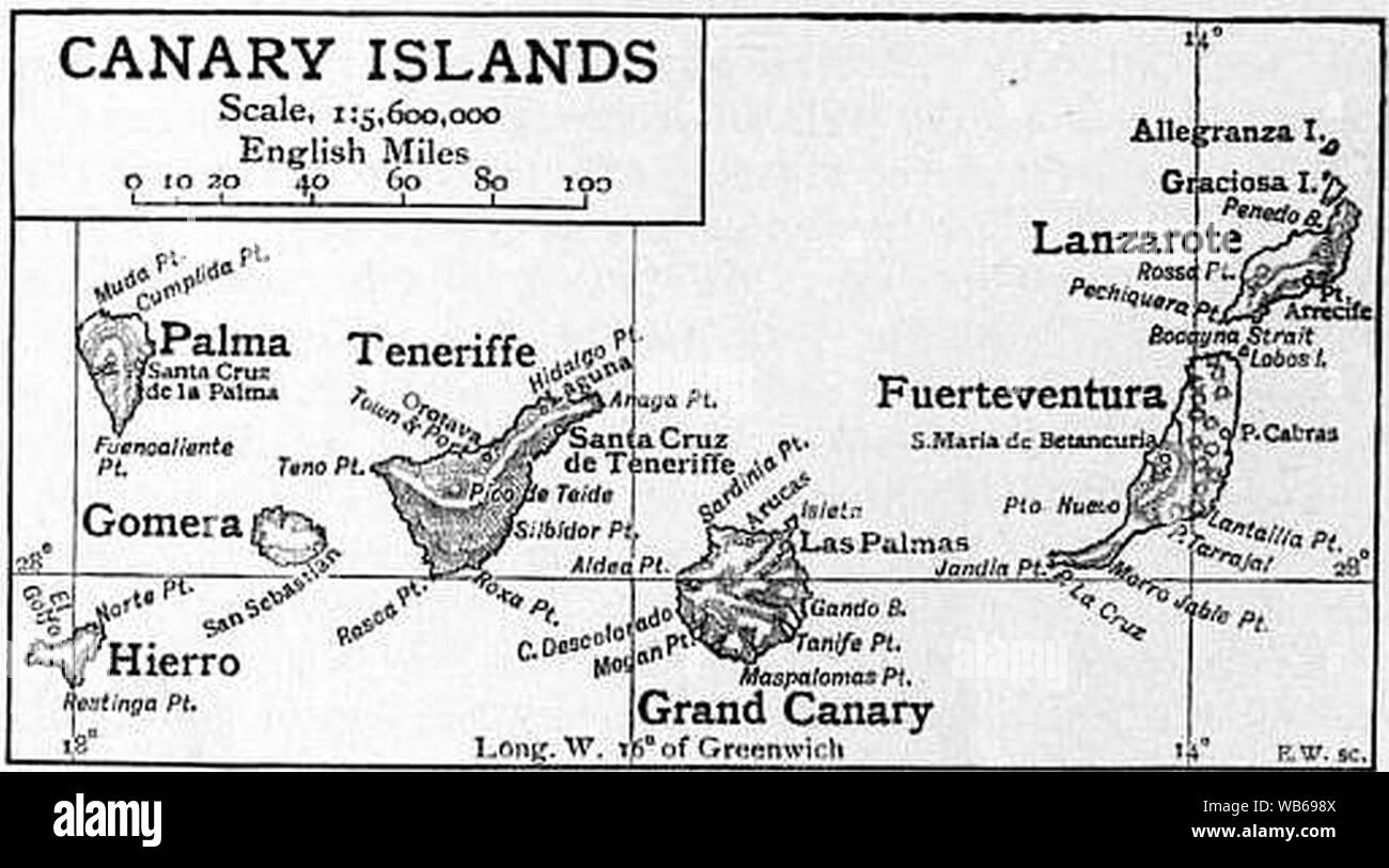 EB1911 - Canary Islands Map. Stock Photohttps://www.alamy.com/image-license-details/?v=1https://www.alamy.com/eb1911-canary-islands-map-image265055754.html
RMWB698X–EB1911 - Canary Islands Map.
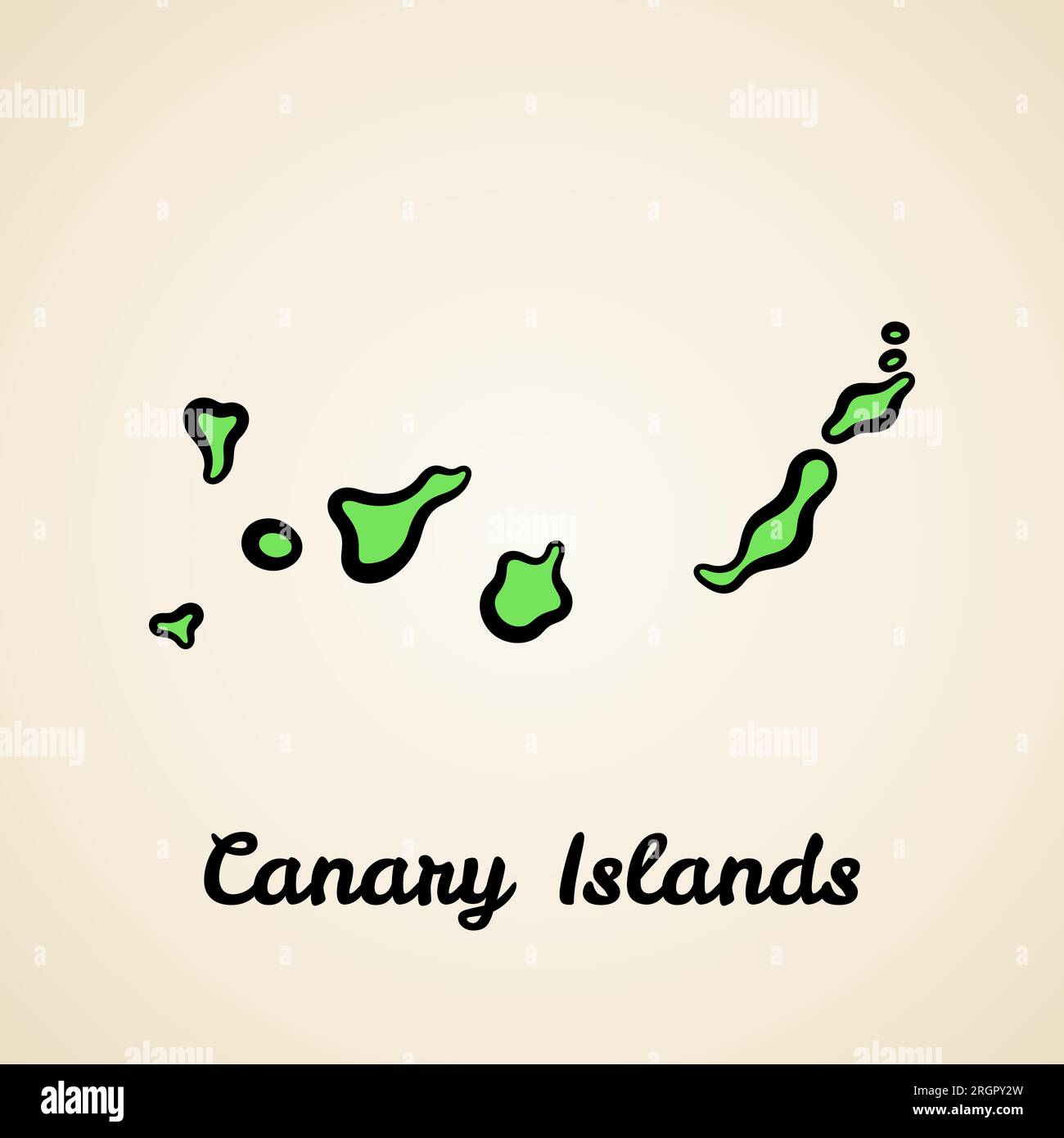 Green simplified map of Canary Islands with black outline. Stock Vectorhttps://www.alamy.com/image-license-details/?v=1https://www.alamy.com/green-simplified-map-of-canary-islands-with-black-outline-image561070465.html
RF2RGPY2W–Green simplified map of Canary Islands with black outline.
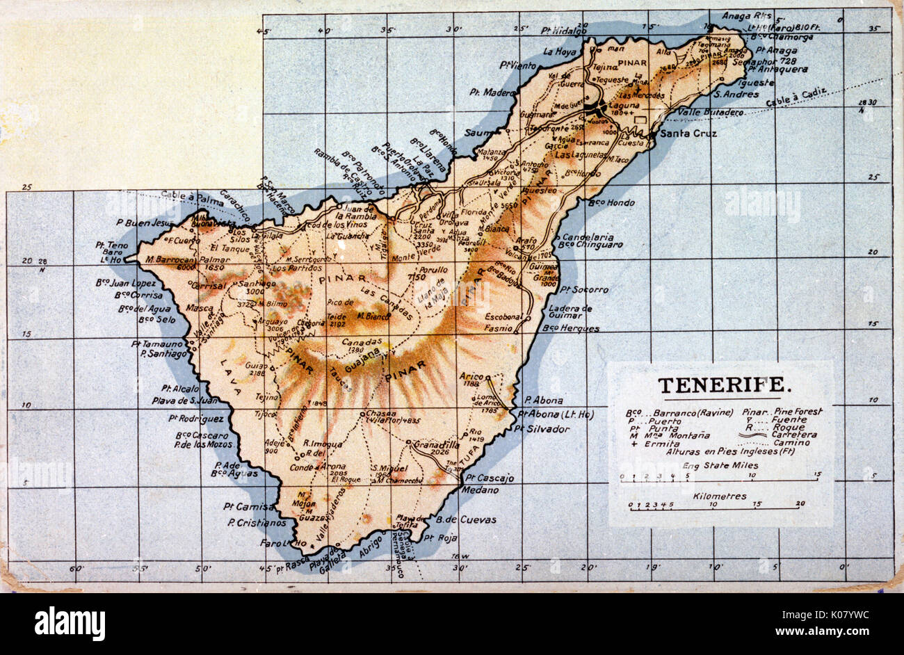 Map of Tenerife, Canary Islands Stock Photohttps://www.alamy.com/image-license-details/?v=1https://www.alamy.com/map-of-tenerife-canary-islands-image155068856.html
RMK07YWC–Map of Tenerife, Canary Islands
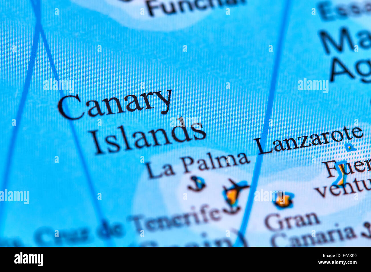 Canary Islands on the World Map Stock Photohttps://www.alamy.com/image-license-details/?v=1https://www.alamy.com/stock-photo-canary-islands-on-the-world-map-102887988.html
RFFYAXK0–Canary Islands on the World Map
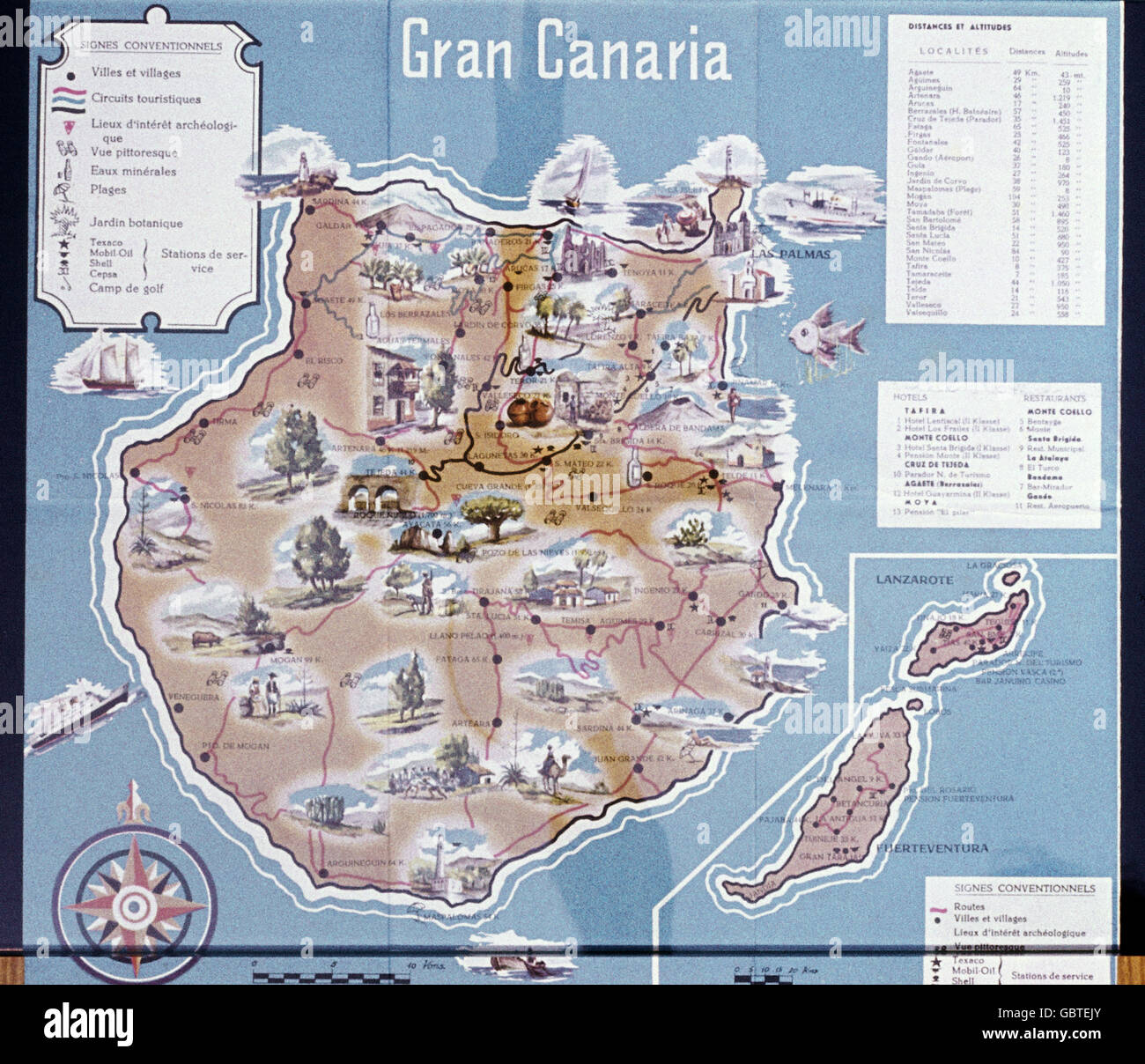 geography / travel, Spain, Canary Islands, Grand Canary, topographic map, 1958, Additional-Rights-Clearences-Not Available Stock Photohttps://www.alamy.com/image-license-details/?v=1https://www.alamy.com/stock-photo-geography-travel-spain-canary-islands-grand-canary-topographic-map-110561779.html
RMGBTEJY–geography / travel, Spain, Canary Islands, Grand Canary, topographic map, 1958, Additional-Rights-Clearences-Not Available
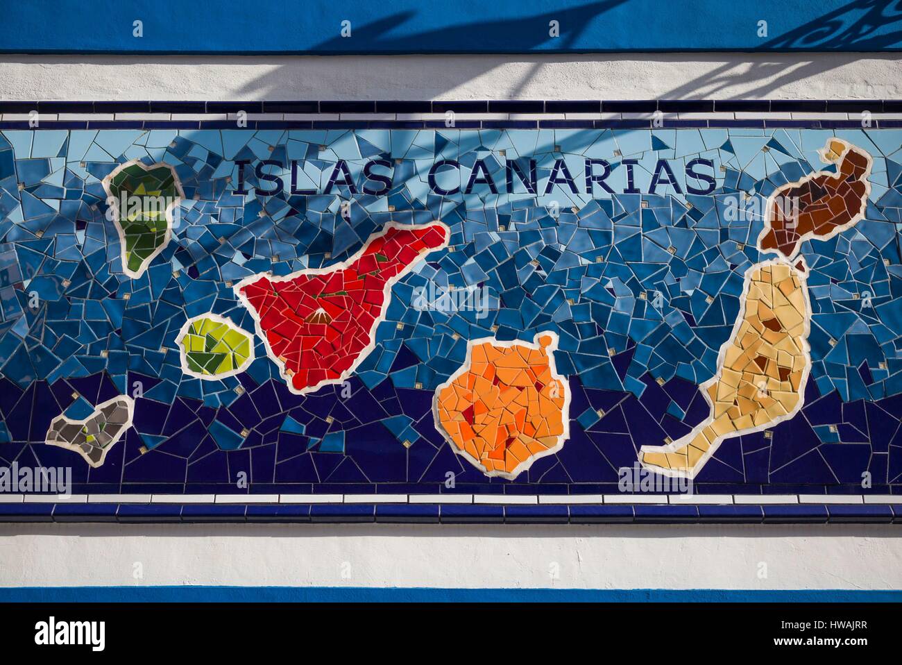 Spain, Canary Islands, Tenerife, Puerto de la Cruz, mural with Canary Islands map Stock Photohttps://www.alamy.com/image-license-details/?v=1https://www.alamy.com/stock-photo-spain-canary-islands-tenerife-puerto-de-la-cruz-mural-with-canary-136073275.html
RFHWAJRR–Spain, Canary Islands, Tenerife, Puerto de la Cruz, mural with Canary Islands map
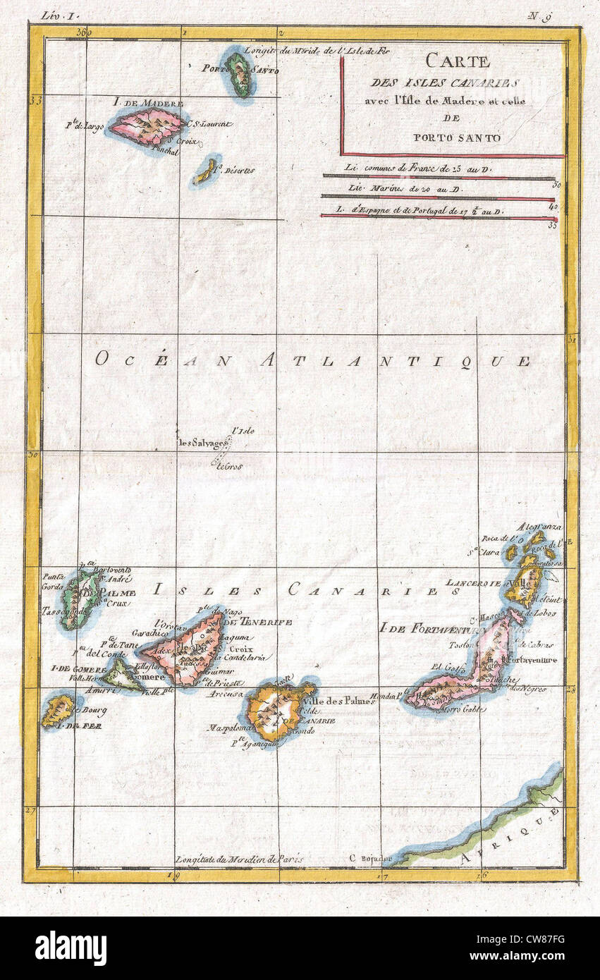 1780 Raynal and Bonne Map of Canary Islands Stock Photohttps://www.alamy.com/image-license-details/?v=1https://www.alamy.com/stock-photo-1780-raynal-and-bonne-map-of-canary-islands-49968676.html
RMCW87FG–1780 Raynal and Bonne Map of Canary Islands
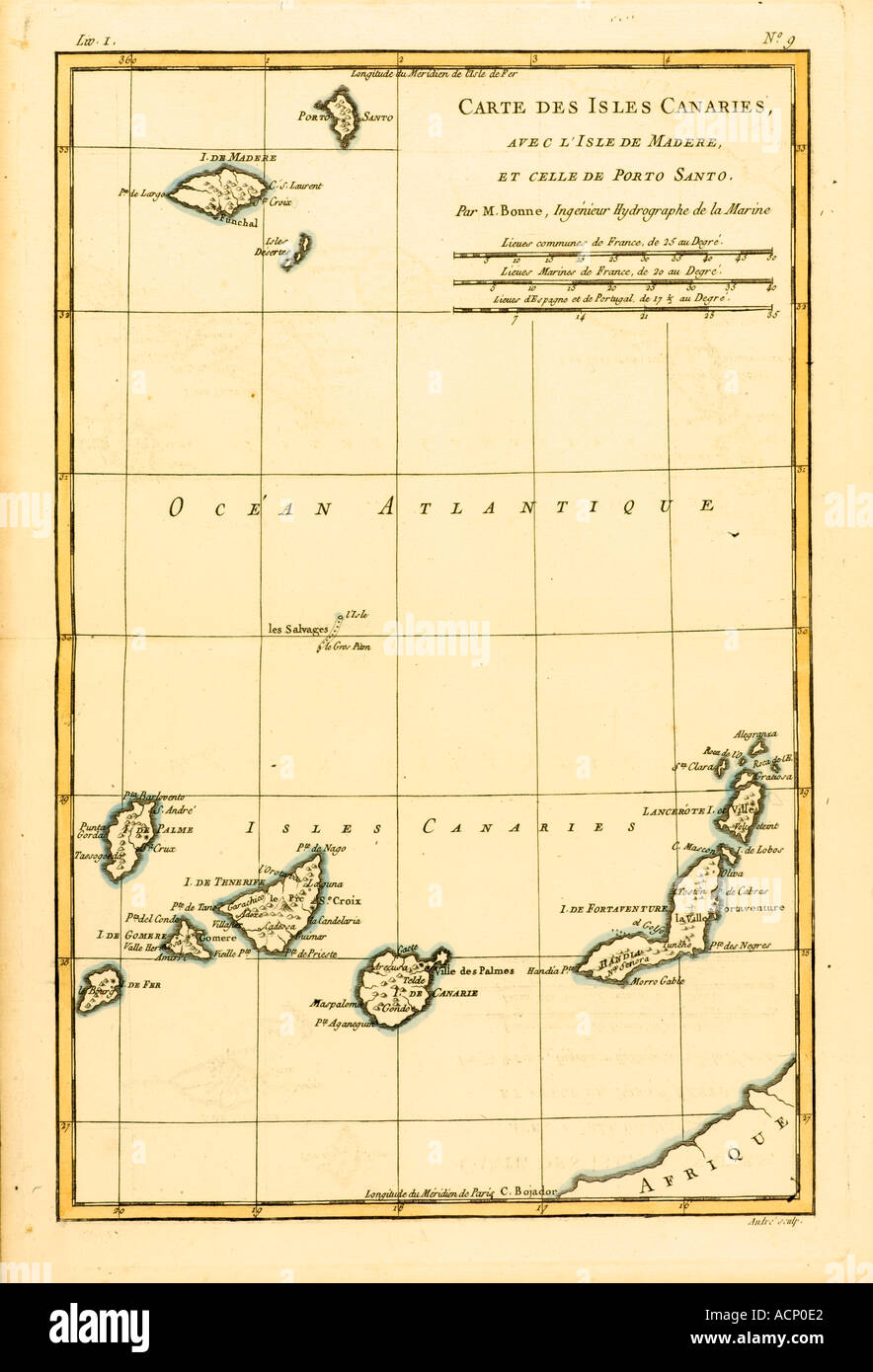 Map of The Canary Isles with Madeira and Porto Santo circa 1760 Stock Photohttps://www.alamy.com/image-license-details/?v=1https://www.alamy.com/map-of-the-canary-isles-with-madeira-and-porto-santo-circa-1760-image2449633.html
RMACP0E2–Map of The Canary Isles with Madeira and Porto Santo circa 1760
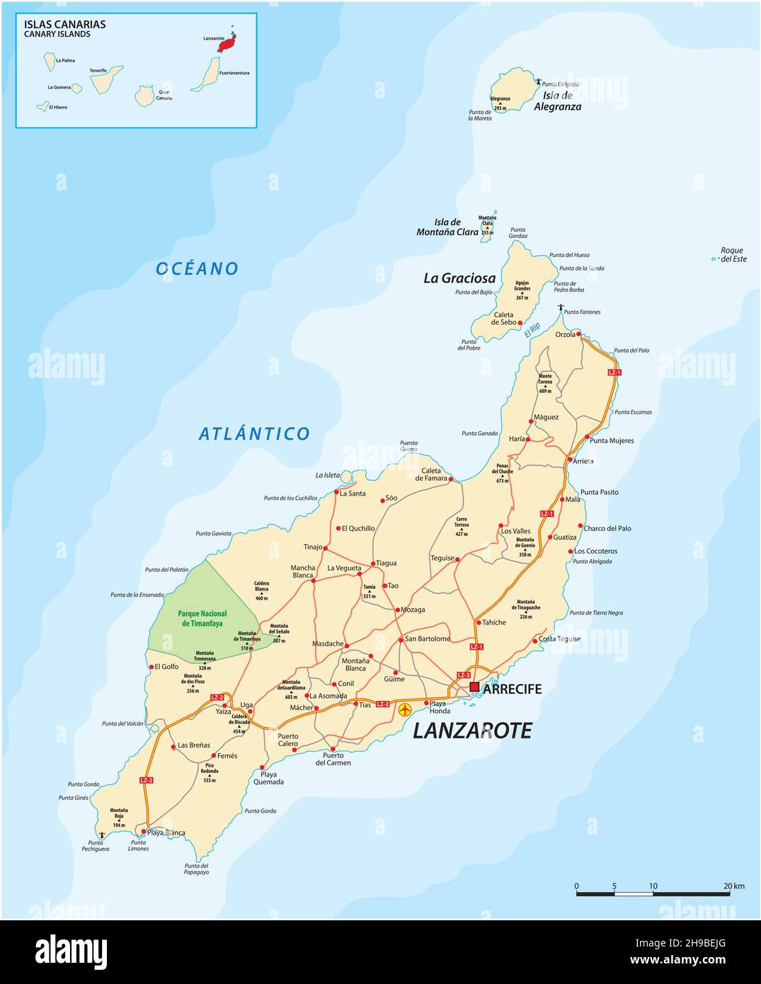 Vector road map of Canary Island Lanzarote Stock Vectorhttps://www.alamy.com/image-license-details/?v=1https://www.alamy.com/vector-road-map-of-canary-island-lanzarote-image453254440.html
RF2H9BEJG–Vector road map of Canary Island Lanzarote
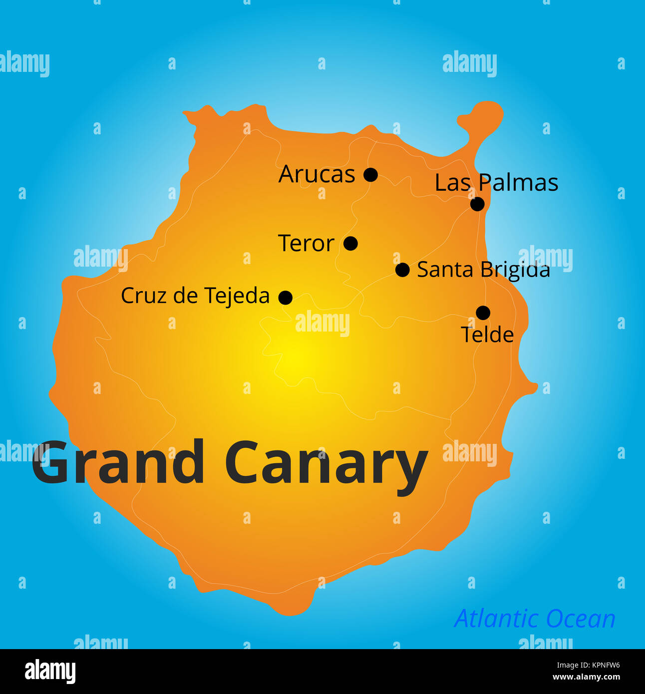 color map of Grand Canary Stock Photohttps://www.alamy.com/image-license-details/?v=1https://www.alamy.com/stock-image-color-map-of-grand-canary-168889202.html
RFKPNFW6–color map of Grand Canary
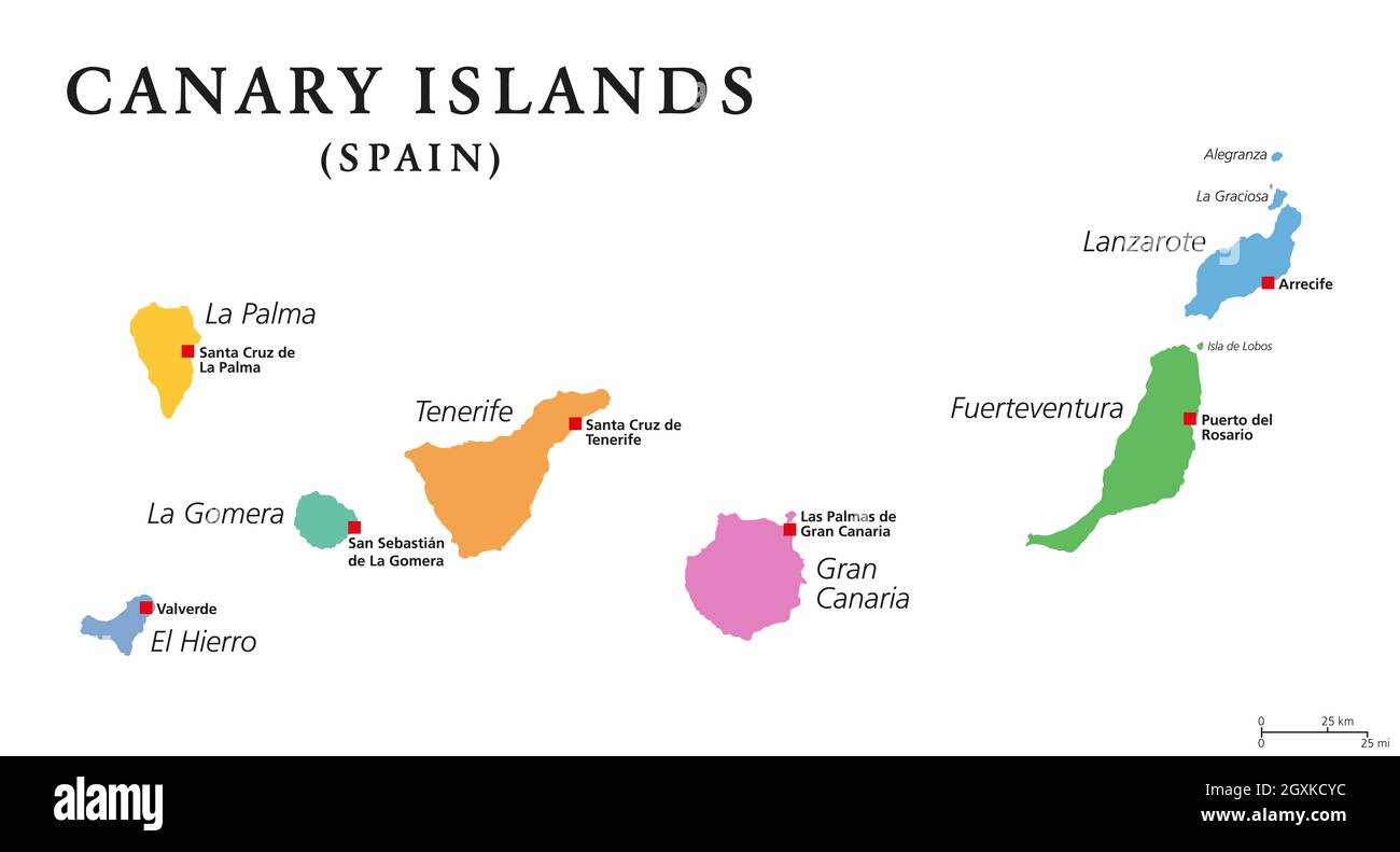 Canary Islands, political map. The Canaries. La Palma, La Gomera, El Hierro, Tenerife, Gran Canaria, Fuerteventura and Lanzarote. Stock Photohttps://www.alamy.com/image-license-details/?v=1https://www.alamy.com/canary-islands-political-map-the-canaries-la-palma-la-gomera-el-hierro-tenerife-gran-canaria-fuerteventura-and-lanzarote-image446667520.html
RF2GXKCYC–Canary Islands, political map. The Canaries. La Palma, La Gomera, El Hierro, Tenerife, Gran Canaria, Fuerteventura and Lanzarote.
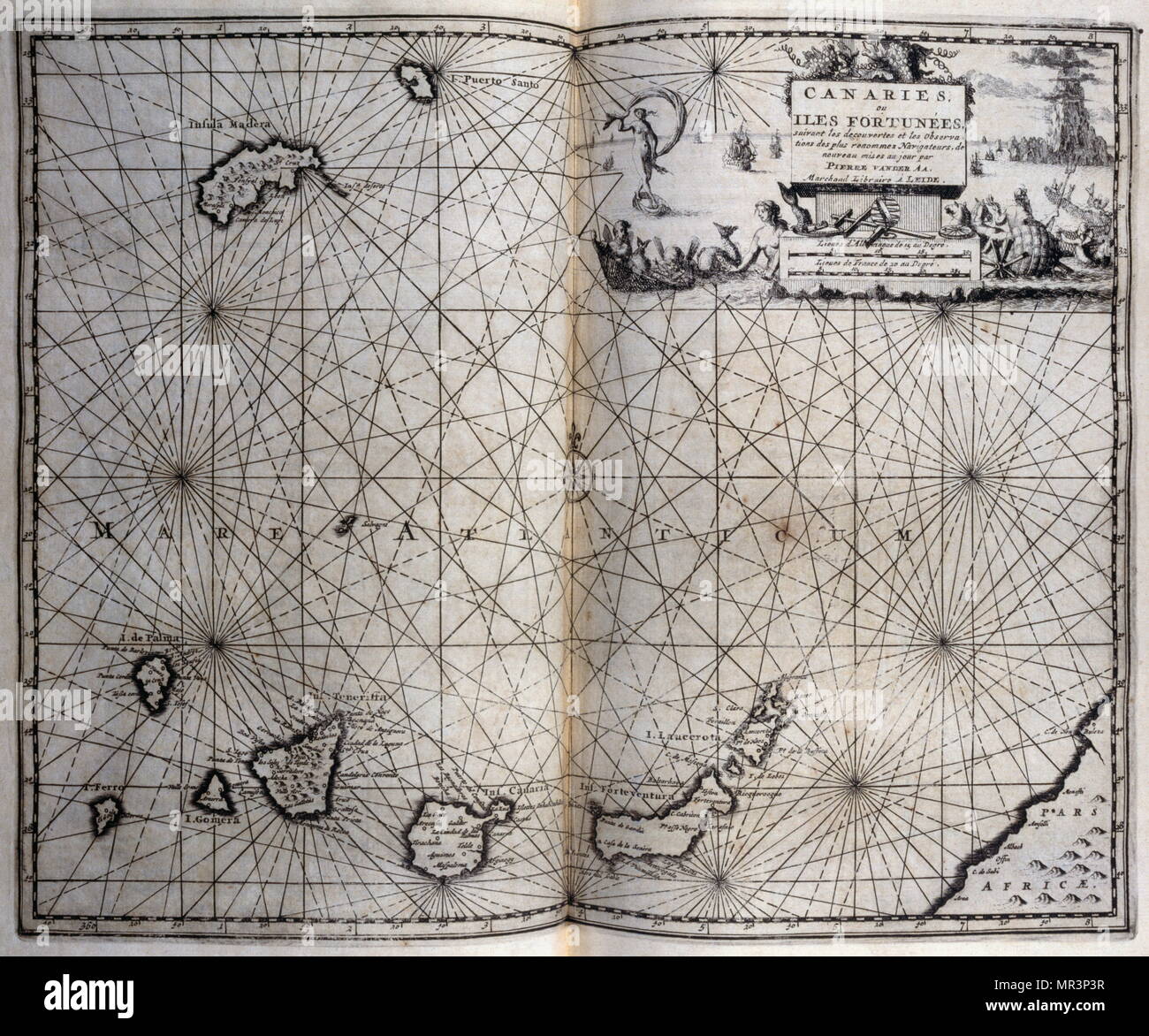 Map of the Canary Islands. From voyages made to Persia and India 1727, by Johan Albrecht de Mandelslo (1616–1644). seventeenth-century German adventurer, who wrote about his travels through Persia and India. Stock Photohttps://www.alamy.com/image-license-details/?v=1https://www.alamy.com/map-of-the-canary-islands-from-voyages-made-to-persia-and-india-1727-by-johan-albrecht-de-mandelslo-16161644-seventeenth-century-german-adventurer-who-wrote-about-his-travels-through-persia-and-india-image186323979.html
RMMR3P3R–Map of the Canary Islands. From voyages made to Persia and India 1727, by Johan Albrecht de Mandelslo (1616–1644). seventeenth-century German adventurer, who wrote about his travels through Persia and India.
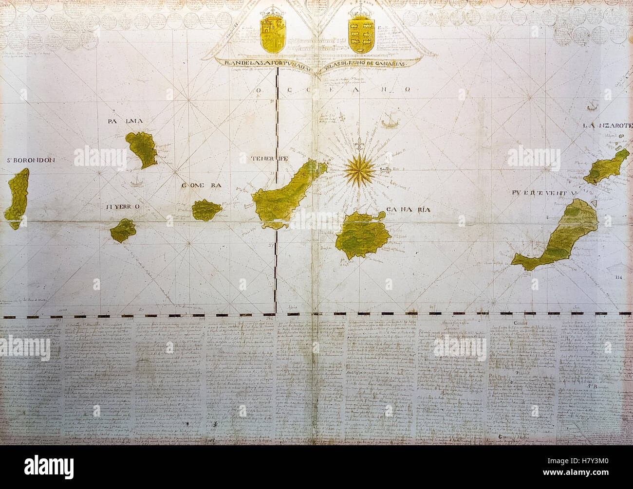 Plano de las Afortunadas con San Borondin. Damaso Quesada y Chaves 1765 Stock Photohttps://www.alamy.com/image-license-details/?v=1https://www.alamy.com/stock-photo-plano-de-las-afortunadas-con-san-borondin-damaso-quesada-y-chaves-125370784.html
RMH7Y3M0–Plano de las Afortunadas con San Borondin. Damaso Quesada y Chaves 1765
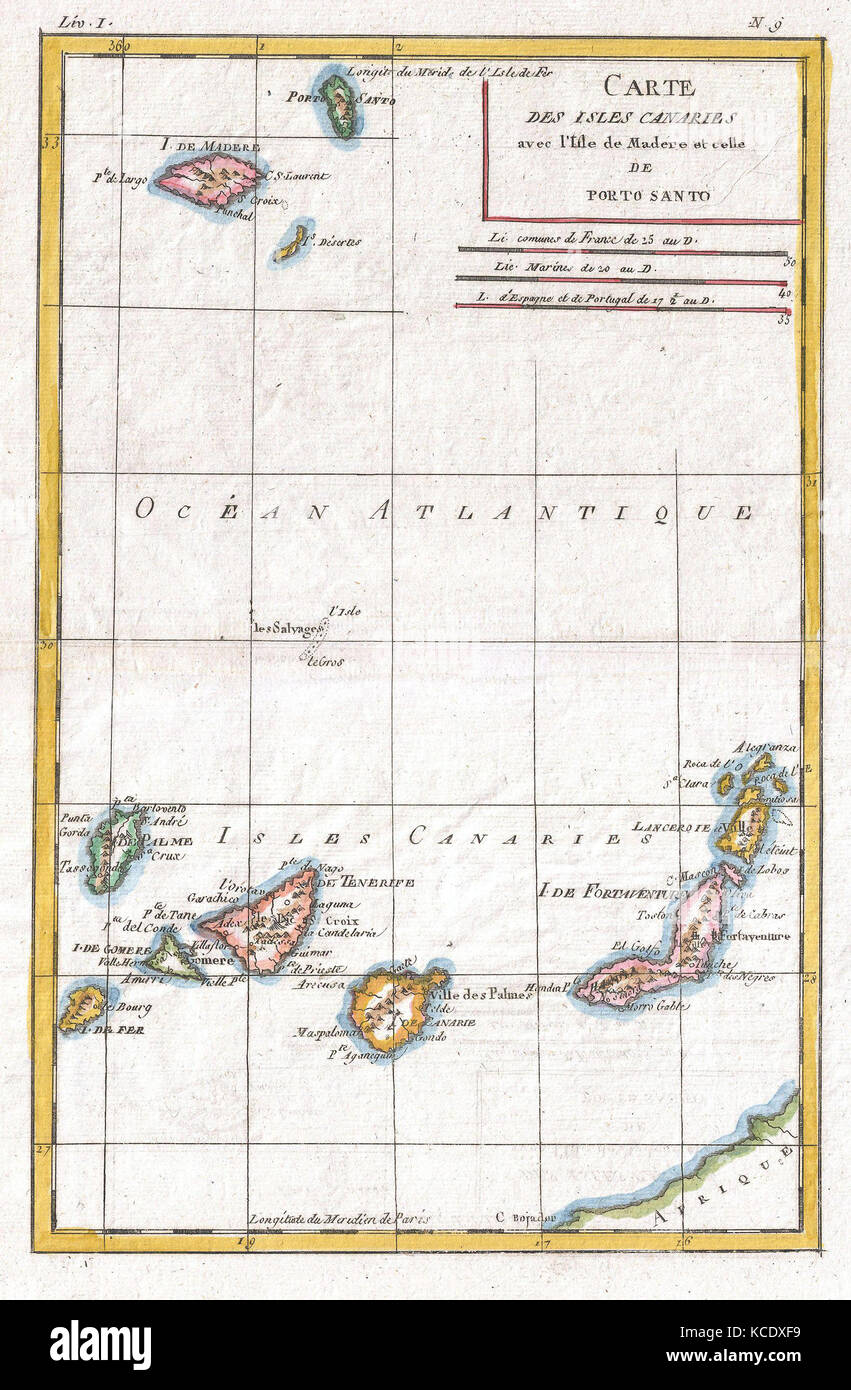 1780, Raynal and Bonne Map of Canary Islands, Rigobert Bonne 1727 – 1794 Stock Photohttps://www.alamy.com/image-license-details/?v=1https://www.alamy.com/stock-image-1780-raynal-and-bonne-map-of-canary-islands-rigobert-bonne-1727-1794-162575373.html
RMKCDXF9–1780, Raynal and Bonne Map of Canary Islands, Rigobert Bonne 1727 – 1794
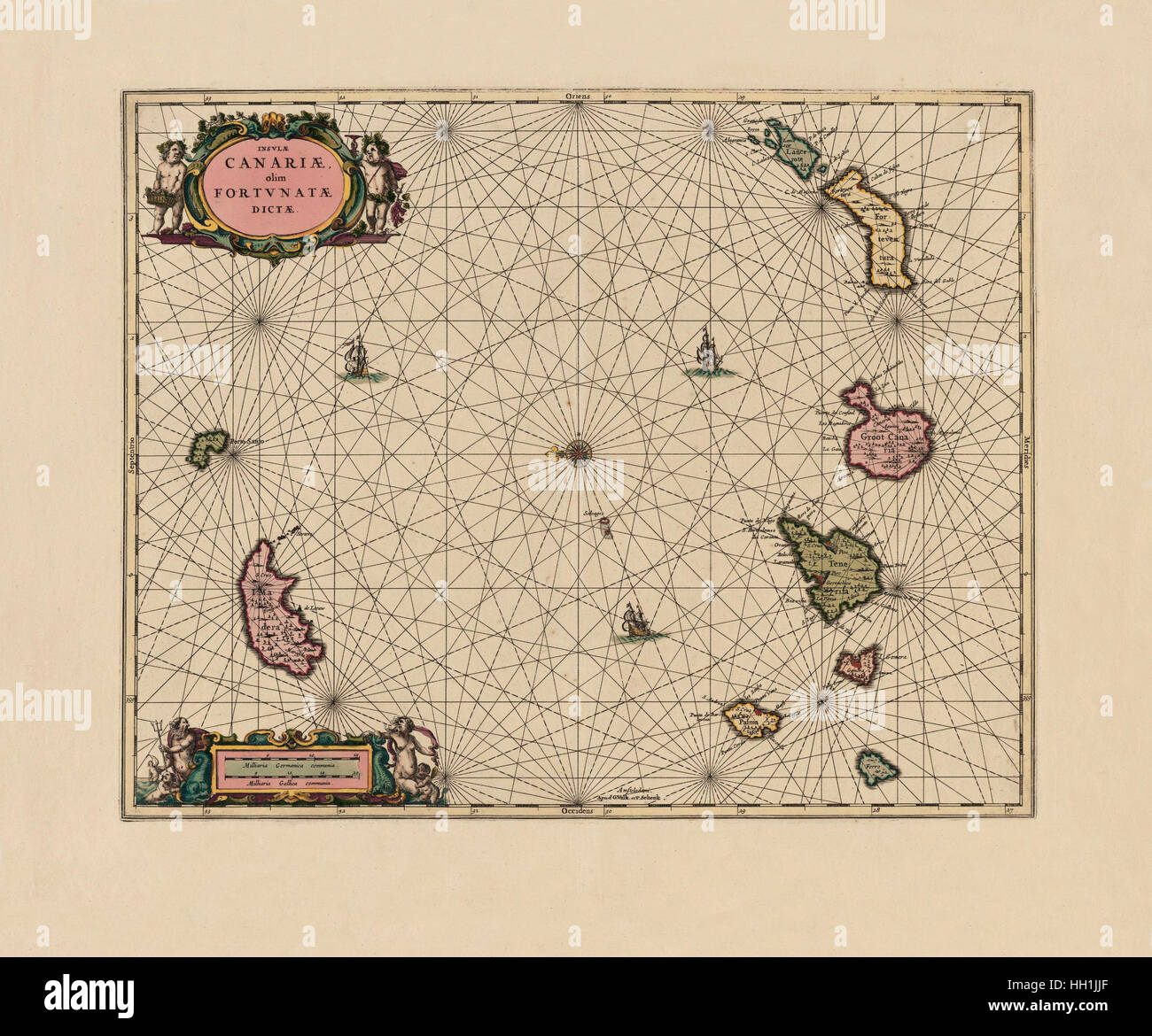 Map Of Canary Islands 1708 Stock Photohttps://www.alamy.com/image-license-details/?v=1https://www.alamy.com/stock-photo-map-of-canary-islands-1708-130958311.html
RFHH1JJF–Map Of Canary Islands 1708
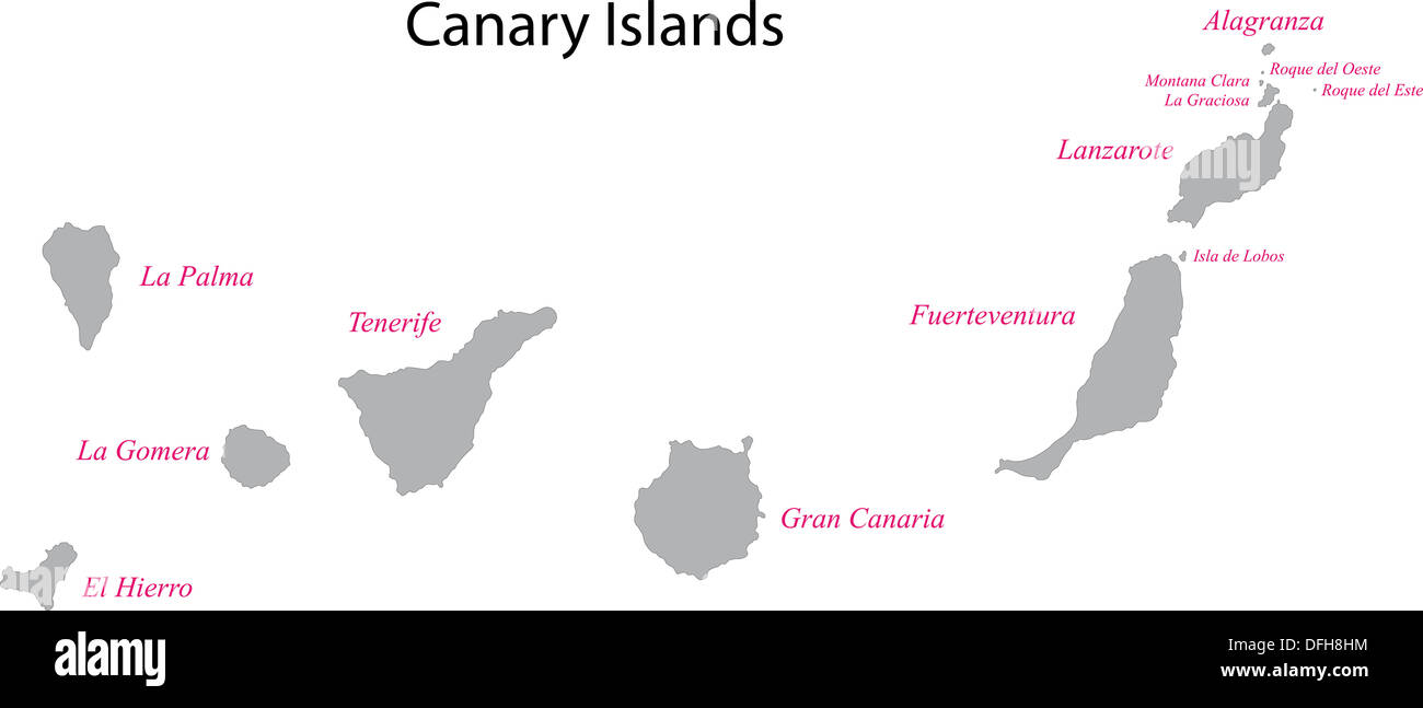 Canary Islands map Stock Photohttps://www.alamy.com/image-license-details/?v=1https://www.alamy.com/canary-islands-map-image61230896.html
RFDFH8HM–Canary Islands map
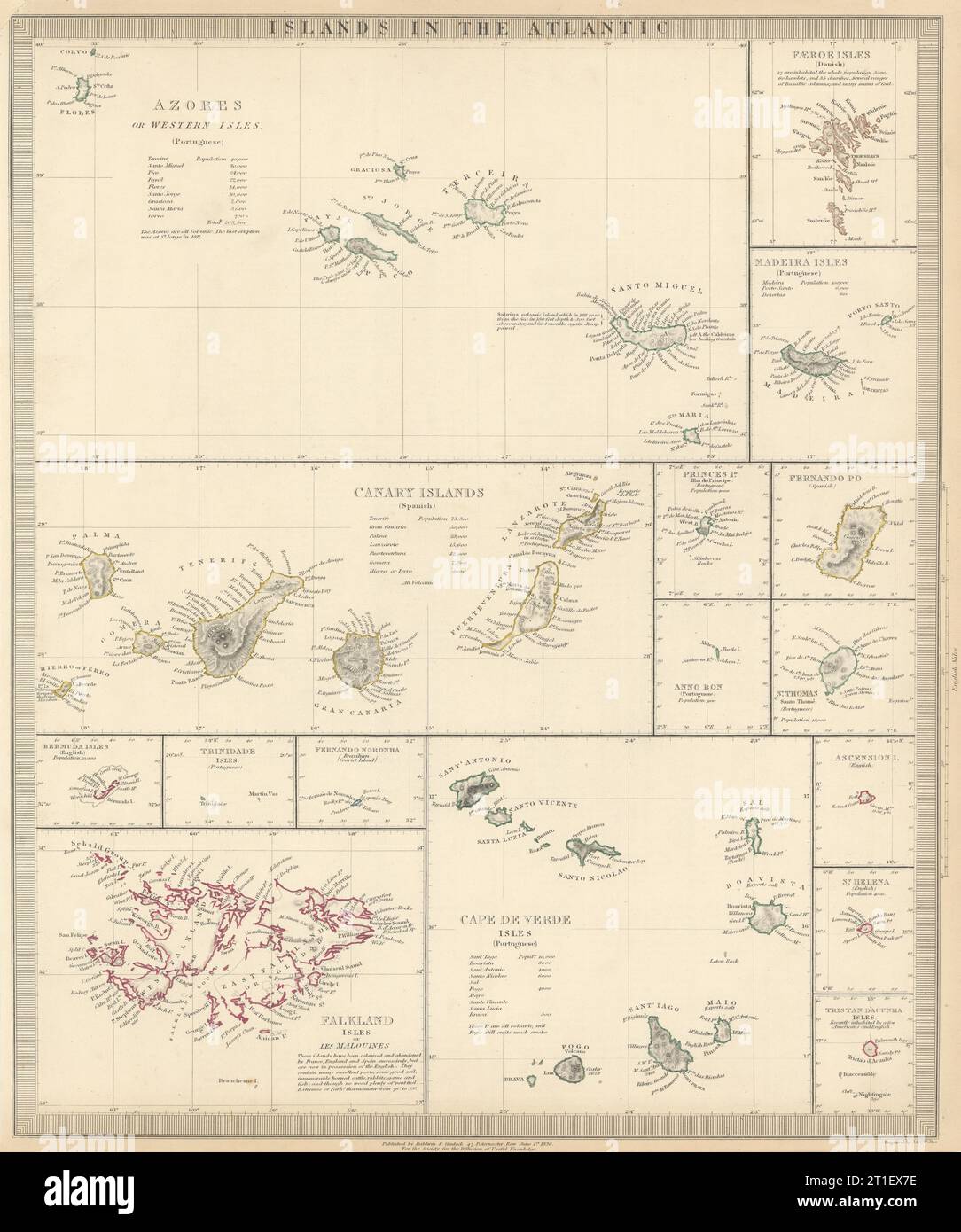 ATLANTIC ISLANDS.Azores Faeroes Madeira Canary Bermuda Falklands.SDUK 1844 map Stock Photohttps://www.alamy.com/image-license-details/?v=1https://www.alamy.com/atlantic-islandsazores-faeroes-madeira-canary-bermuda-falklandssduk-1844-map-image568884722.html
RF2T1EX7E–ATLANTIC ISLANDS.Azores Faeroes Madeira Canary Bermuda Falklands.SDUK 1844 map
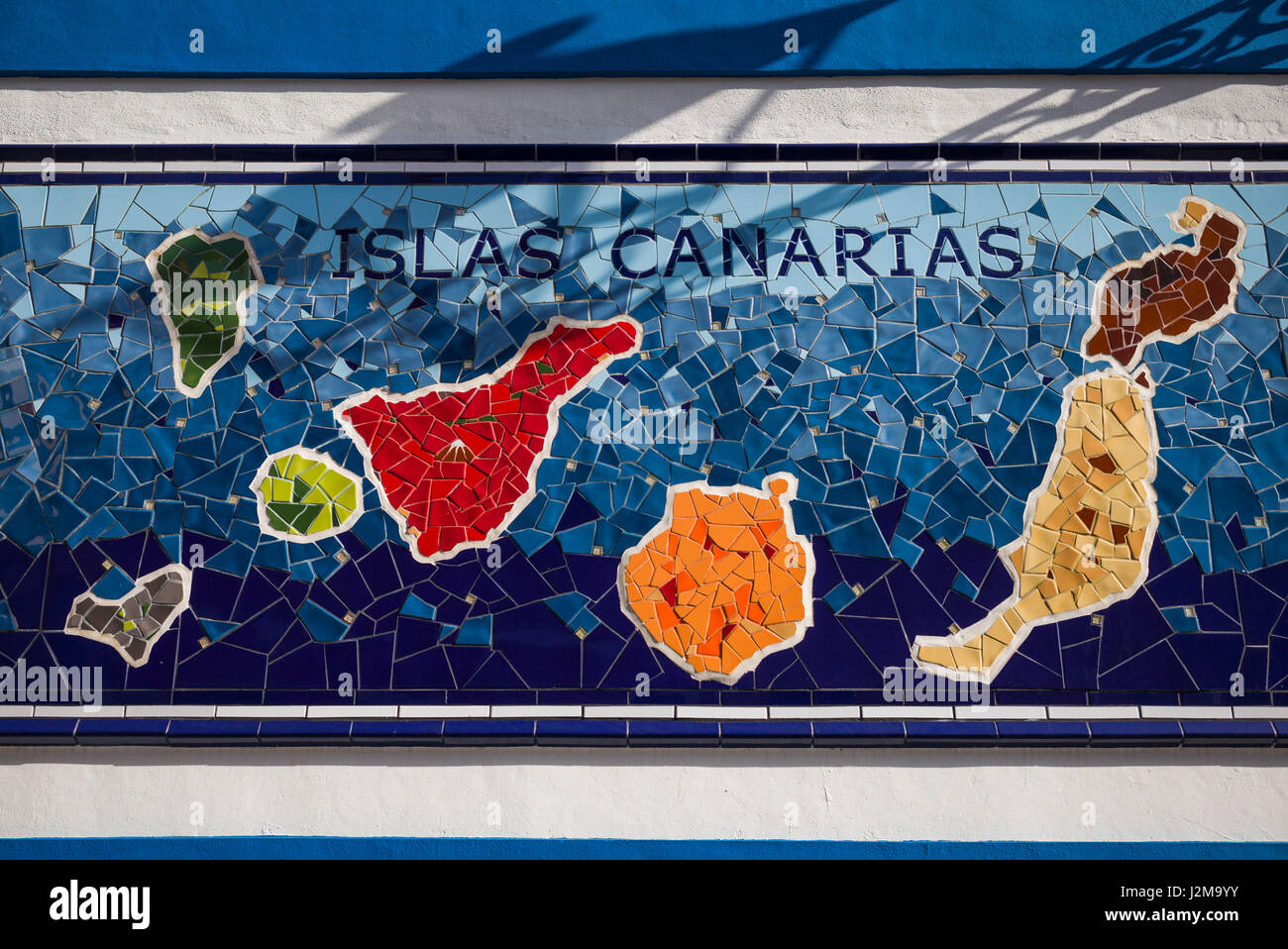 Spain, Canary Islands, Tenerife, Puerto de la Cruz, mural with Canary Islands map Stock Photohttps://www.alamy.com/image-license-details/?v=1https://www.alamy.com/stock-photo-spain-canary-islands-tenerife-puerto-de-la-cruz-mural-with-canary-139359135.html
RMJ2M9YY–Spain, Canary Islands, Tenerife, Puerto de la Cruz, mural with Canary Islands map
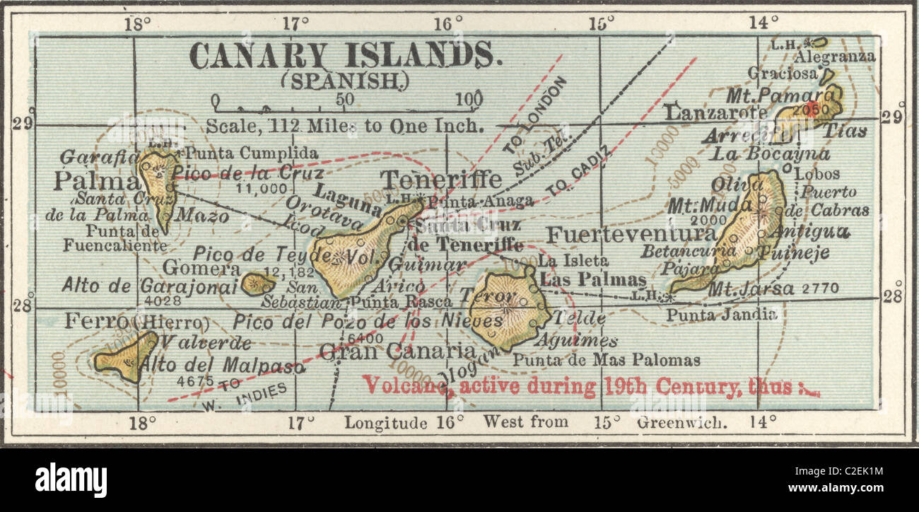 Map of the Canary Islands Stock Photohttps://www.alamy.com/image-license-details/?v=1https://www.alamy.com/stock-photo-map-of-the-canary-islands-35972320.html
RMC2EK1M–Map of the Canary Islands
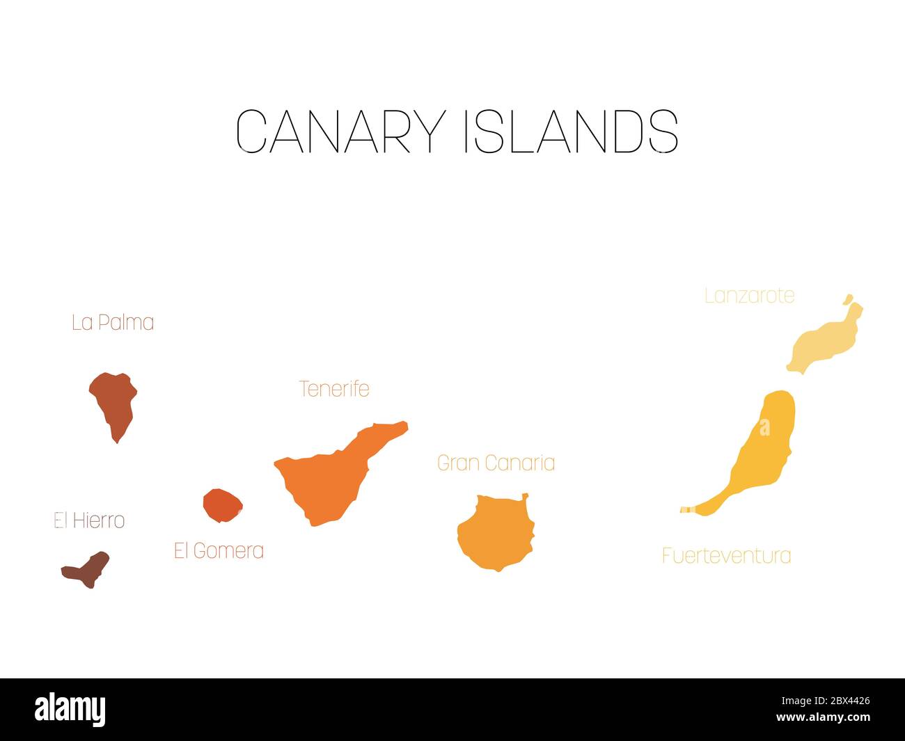 Map of Canary Islands, Spain, with labels of each island - El Hierro, La Palma, La Gomera, Tenerife, Gran Canaria, Fuerteventura and Lanzarote. Vector silhouette on white background. Stock Vectorhttps://www.alamy.com/image-license-details/?v=1https://www.alamy.com/map-of-canary-islands-spain-with-labels-of-each-island-el-hierro-la-palma-la-gomera-tenerife-gran-canaria-fuerteventura-and-lanzarote-vector-silhouette-on-white-background-image360279422.html
RF2BX4426–Map of Canary Islands, Spain, with labels of each island - El Hierro, La Palma, La Gomera, Tenerife, Gran Canaria, Fuerteventura and Lanzarote. Vector silhouette on white background.
 Outline map of Canary Islands marked with ribbon in colors from the flag. Stock Vectorhttps://www.alamy.com/image-license-details/?v=1https://www.alamy.com/outline-map-of-canary-islands-marked-with-ribbon-in-colors-from-the-flag-image559821776.html
RF2REP2AT–Outline map of Canary Islands marked with ribbon in colors from the flag.
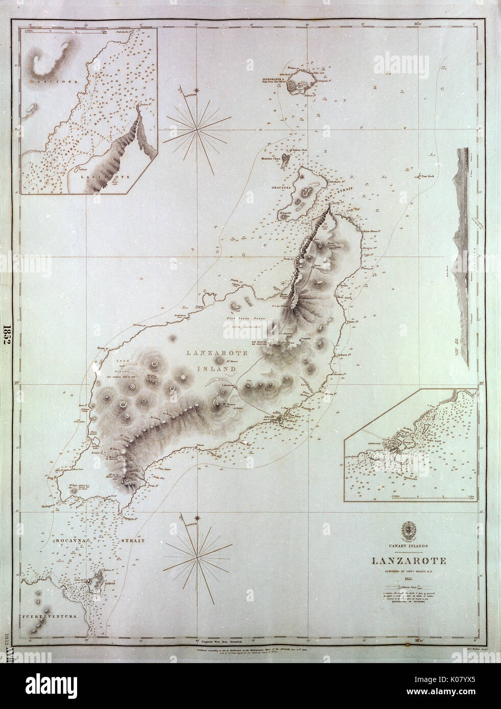 Map of Lanzarote, Canary Islands Stock Photohttps://www.alamy.com/image-license-details/?v=1https://www.alamy.com/map-of-lanzarote-canary-islands-image155068877.html
RMK07YX5–Map of Lanzarote, Canary Islands
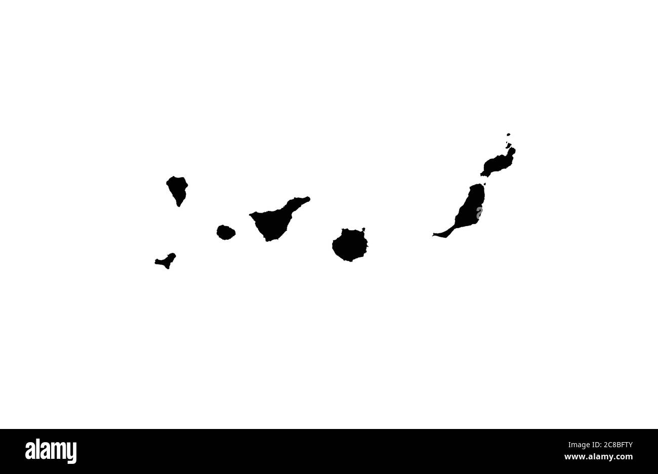 Canary Islands map vector illustration Stock Vectorhttps://www.alamy.com/image-license-details/?v=1https://www.alamy.com/canary-islands-map-vector-illustration-image366588907.html
RF2C8BFTY–Canary Islands map vector illustration
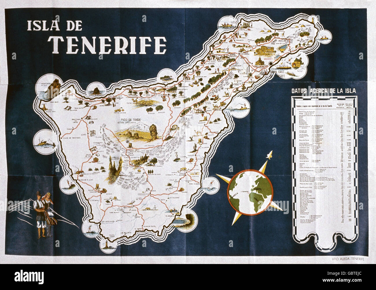 geography / travel, Spain, Canary Islands, Tenerife, topographic map, 1958, Additional-Rights-Clearences-Not Available Stock Photohttps://www.alamy.com/image-license-details/?v=1https://www.alamy.com/stock-photo-geography-travel-spain-canary-islands-tenerife-topographic-map-1958-110561764.html
RMGBTEJC–geography / travel, Spain, Canary Islands, Tenerife, topographic map, 1958, Additional-Rights-Clearences-Not Available
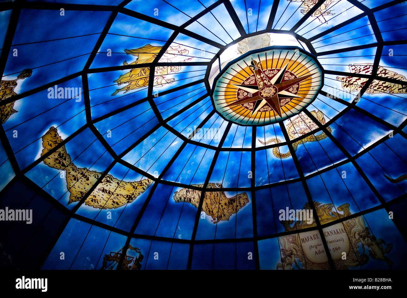 Old map of the Canary Islands on the glass dome of 'La Cazuela', a restaurant in Puerto de la Cruz, Tenerife, Spain Stock Photohttps://www.alamy.com/image-license-details/?v=1https://www.alamy.com/stock-photo-old-map-of-the-canary-islands-on-the-glass-dome-of-la-cazuela-a-restaurant-18624406.html
RFB28BHA–Old map of the Canary Islands on the glass dome of 'La Cazuela', a restaurant in Puerto de la Cruz, Tenerife, Spain
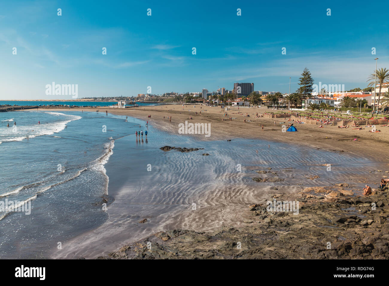 View of the beach of San Agustin on Gran Canaria Stock Photohttps://www.alamy.com/image-license-details/?v=1https://www.alamy.com/view-of-the-beach-of-san-agustin-on-gran-canaria-image232082160.html
RFRDG74G–View of the beach of San Agustin on Gran Canaria
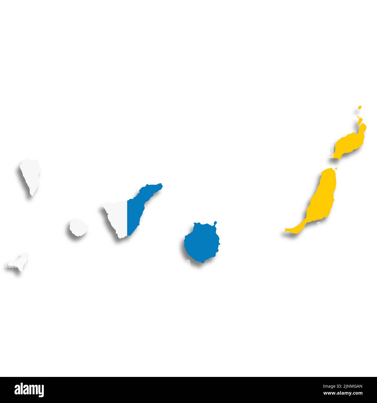 Canary Islands flag map on white background 3d illustration with clipping path Stock Photohttps://www.alamy.com/image-license-details/?v=1https://www.alamy.com/canary-islands-flag-map-on-white-background-3d-illustration-with-clipping-path-image478039597.html
RF2JNMGAN–Canary Islands flag map on white background 3d illustration with clipping path
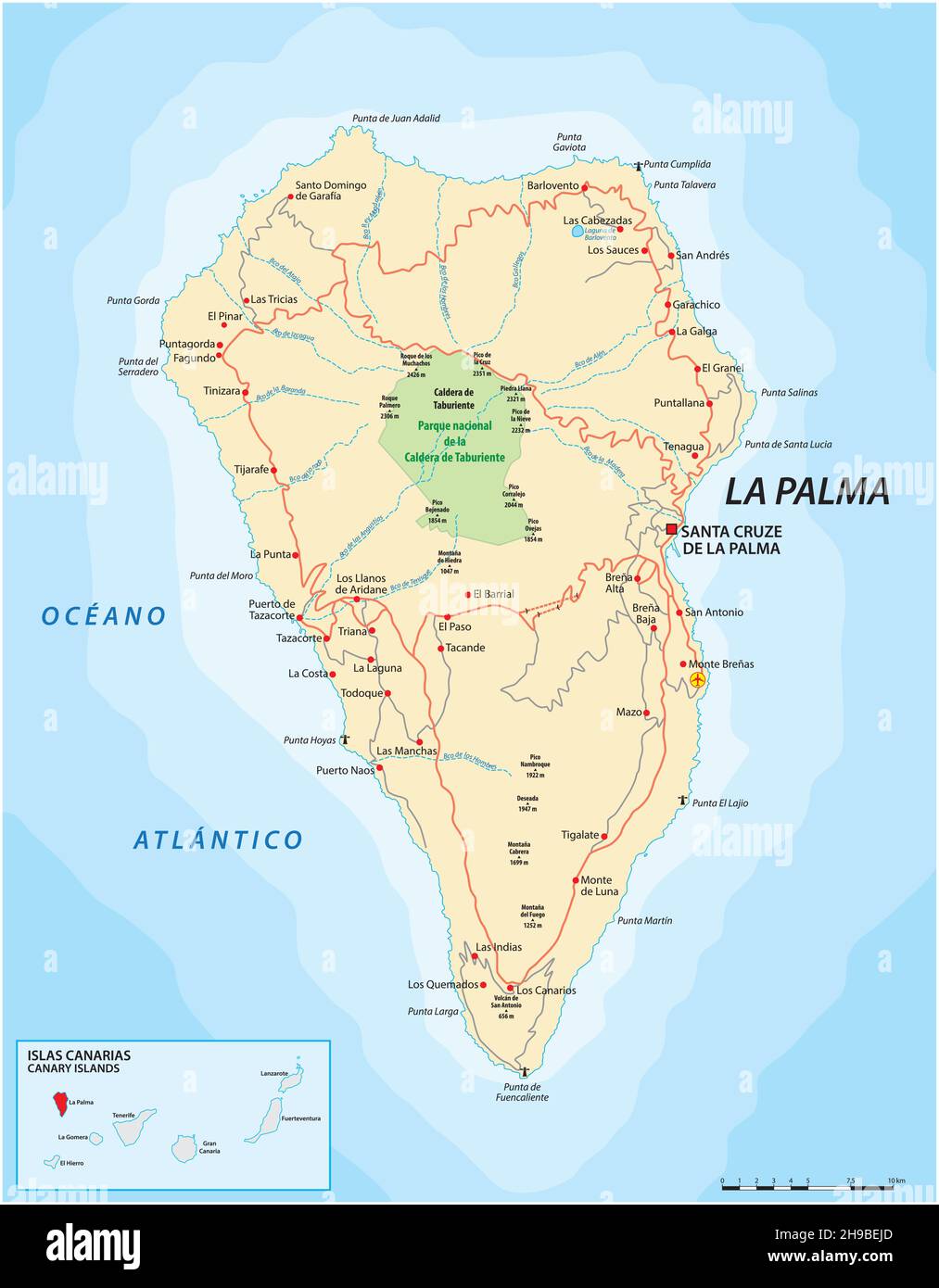 Vector road map of Canary Island La Palma Stock Vectorhttps://www.alamy.com/image-license-details/?v=1https://www.alamy.com/vector-road-map-of-canary-island-la-palma-image453254437.html
RF2H9BEJD–Vector road map of Canary Island La Palma
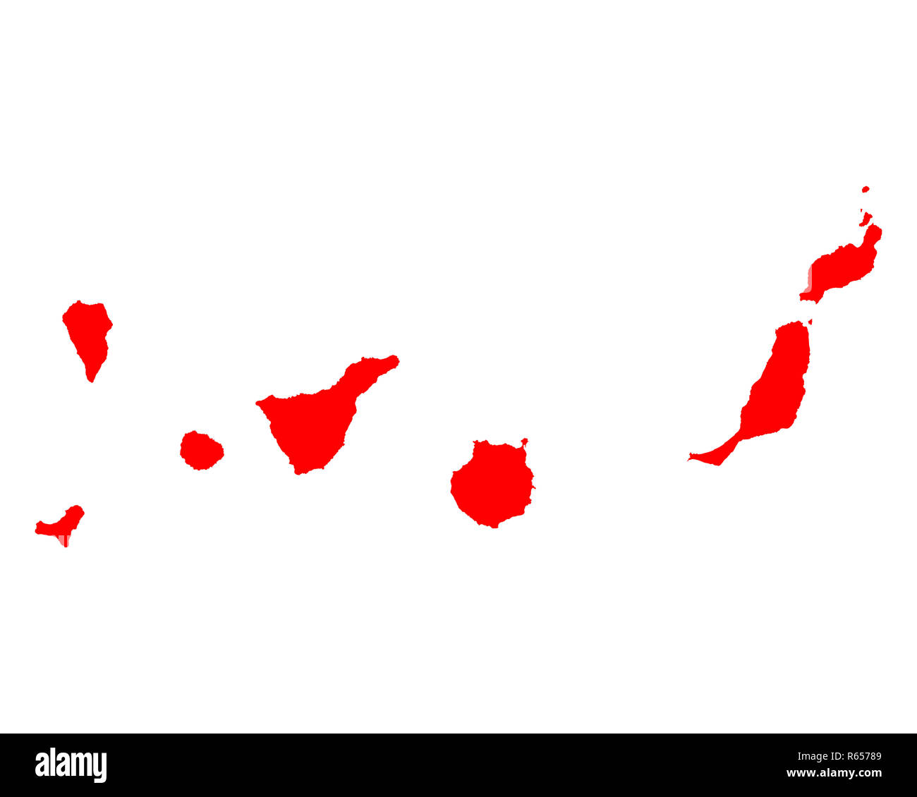 map of the canary islands Stock Photohttps://www.alamy.com/image-license-details/?v=1https://www.alamy.com/map-of-the-canary-islands-image227538201.html
RFR65789–map of the canary islands
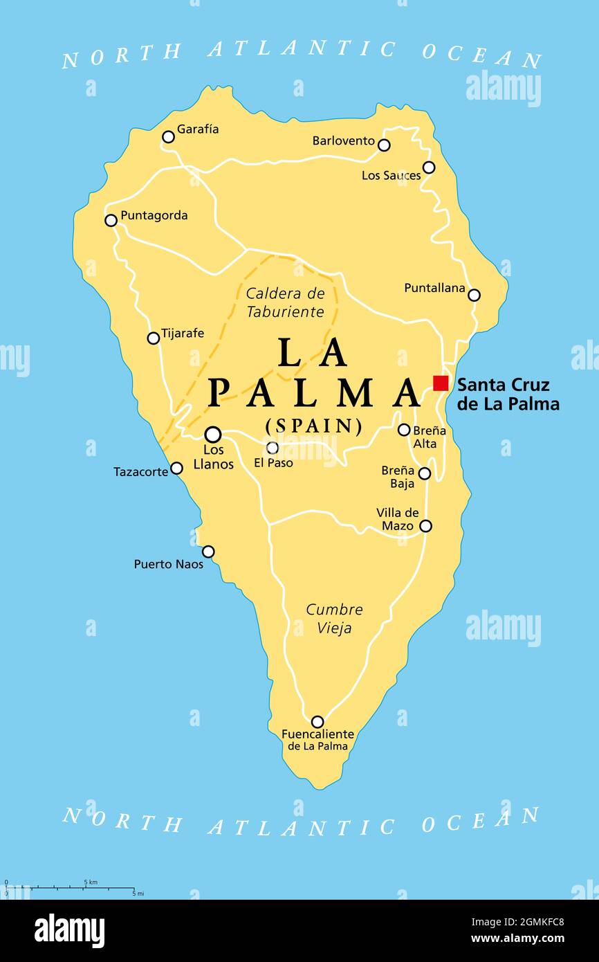 La Palma island, political map, with capital Santa Cruz. San Miguel de La Palma, north-western island of Canary Islands, autonomous community of Spain Stock Photohttps://www.alamy.com/image-license-details/?v=1https://www.alamy.com/la-palma-island-political-map-with-capital-santa-cruz-san-miguel-de-la-palma-north-western-island-of-canary-islands-autonomous-community-of-spain-image442981512.html
RF2GMKFC8–La Palma island, political map, with capital Santa Cruz. San Miguel de La Palma, north-western island of Canary Islands, autonomous community of Spain
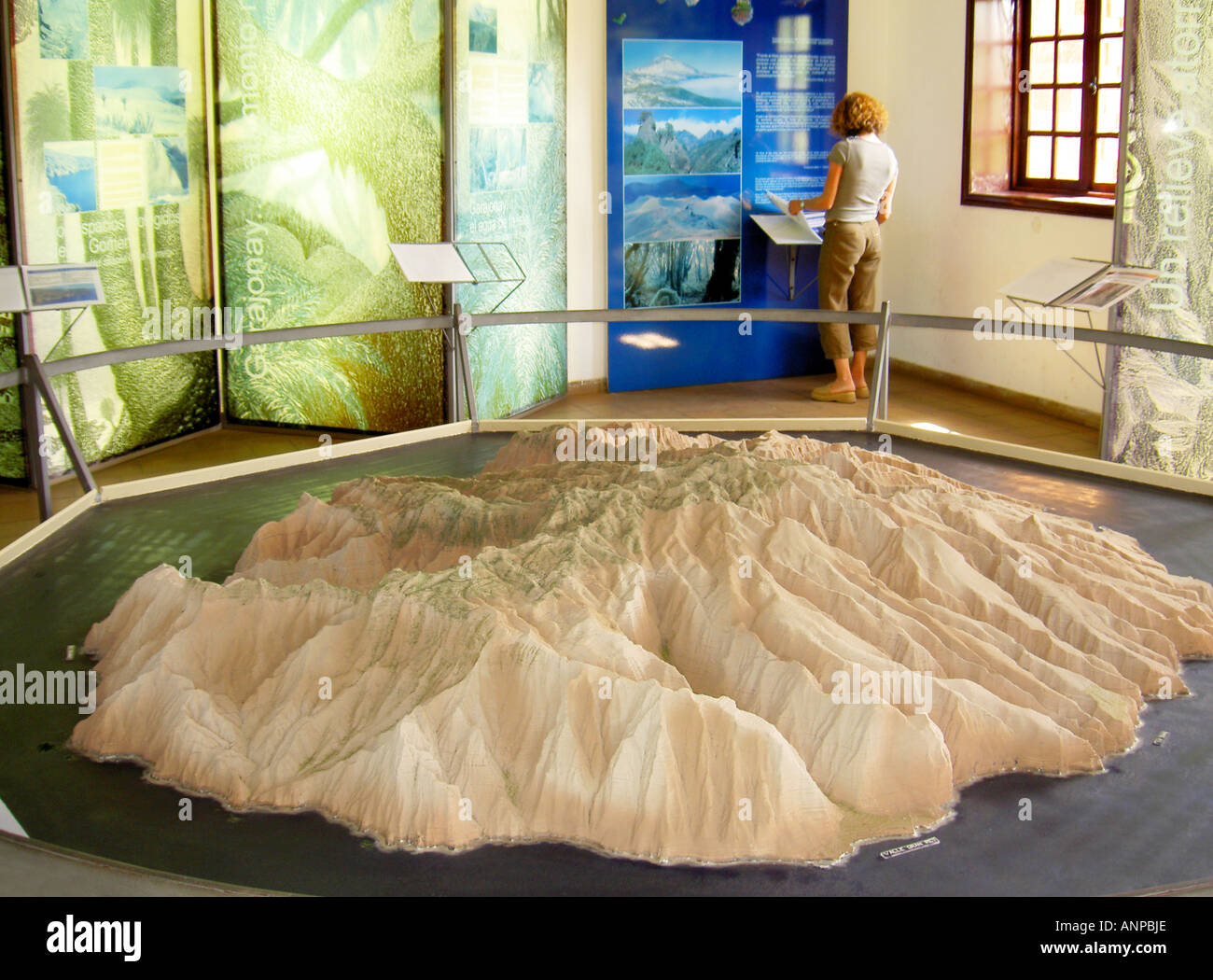 La Gomera, Canary Islands, Spain. 3D relief model of island of La Gomera in Centro de Visitantes Juego de Bolas at Las Rosas Stock Photohttps://www.alamy.com/image-license-details/?v=1https://www.alamy.com/la-gomera-canary-islands-spain-3d-relief-model-of-island-of-la-gomera-image8901229.html
RMANPBJE–La Gomera, Canary Islands, Spain. 3D relief model of island of La Gomera in Centro de Visitantes Juego de Bolas at Las Rosas
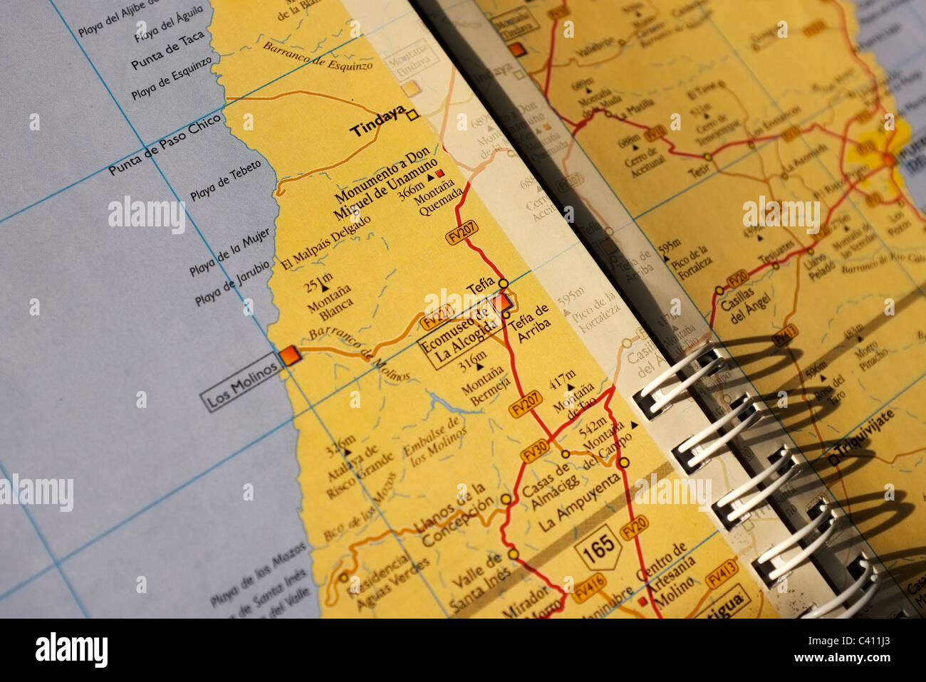 close up of a road map of Fuerteventura, Canary Islands Stock Photohttps://www.alamy.com/image-license-details/?v=1https://www.alamy.com/stock-photo-close-up-of-a-road-map-of-fuerteventura-canary-islands-36902603.html
RMC411J3–close up of a road map of Fuerteventura, Canary Islands
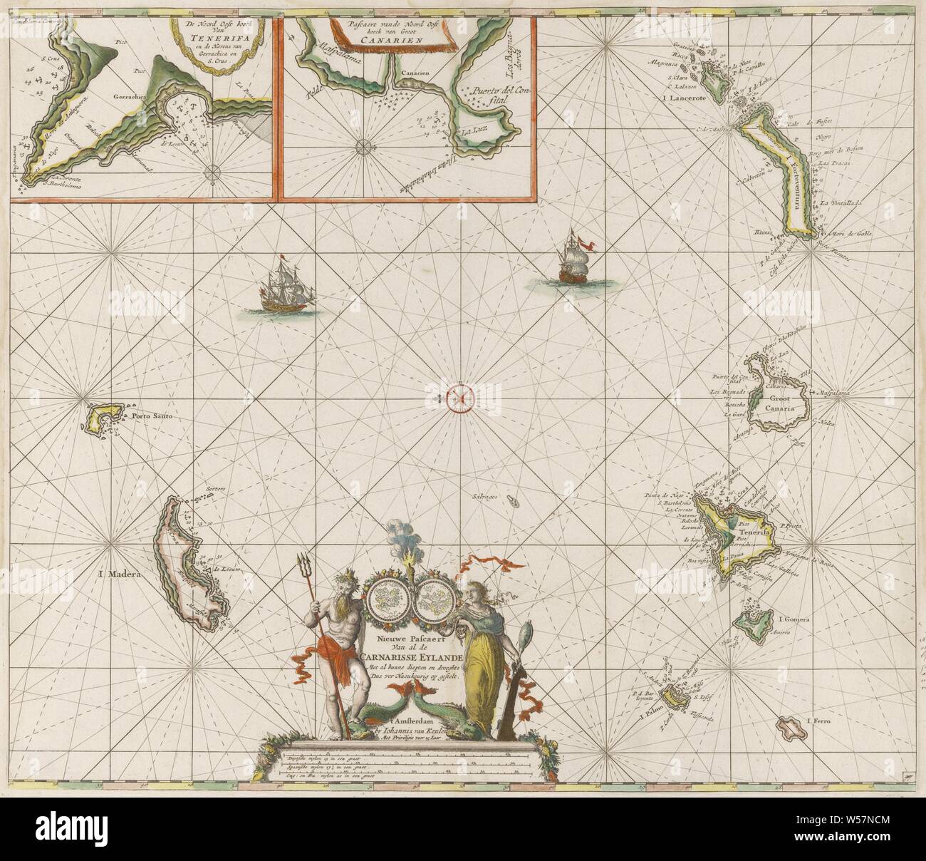 Passport map of the Canary Islands New Pascaert of all the Carnarisse Eylande (title on object), Maritime map of the Canary Islands. With a compass rose, the North is on the left. Above detailed maps of parts of the coast of Tenerife and Gran Canaria. At the bottom of the title, flanked by Triton and the personification of Caution. Under the title the scale in German, Spanish and English or French miles, sailing-ship, sailing-boat, maps of separate countries or regions, fishes, (story of) Triton, Prudentia (Prudence) as Roman personification, Canary Islands, Jan Luyken, Amsterdam, c. 1680 Stock Photohttps://www.alamy.com/image-license-details/?v=1https://www.alamy.com/passport-map-of-the-canary-islands-new-pascaert-of-all-the-carnarisse-eylande-title-on-object-maritime-map-of-the-canary-islands-with-a-compass-rose-the-north-is-on-the-left-above-detailed-maps-of-parts-of-the-coast-of-tenerife-and-gran-canaria-at-the-bottom-of-the-title-flanked-by-triton-and-the-personification-of-caution-under-the-title-the-scale-in-german-spanish-and-english-or-french-miles-sailing-ship-sailing-boat-maps-of-separate-countries-or-regions-fishes-story-of-triton-prudentia-prudence-as-roman-personification-canary-islands-jan-luyken-amsterdam-c-1680-image261399284.html
RMW57NCM–Passport map of the Canary Islands New Pascaert of all the Carnarisse Eylande (title on object), Maritime map of the Canary Islands. With a compass rose, the North is on the left. Above detailed maps of parts of the coast of Tenerife and Gran Canaria. At the bottom of the title, flanked by Triton and the personification of Caution. Under the title the scale in German, Spanish and English or French miles, sailing-ship, sailing-boat, maps of separate countries or regions, fishes, (story of) Triton, Prudentia (Prudence) as Roman personification, Canary Islands, Jan Luyken, Amsterdam, c. 1680
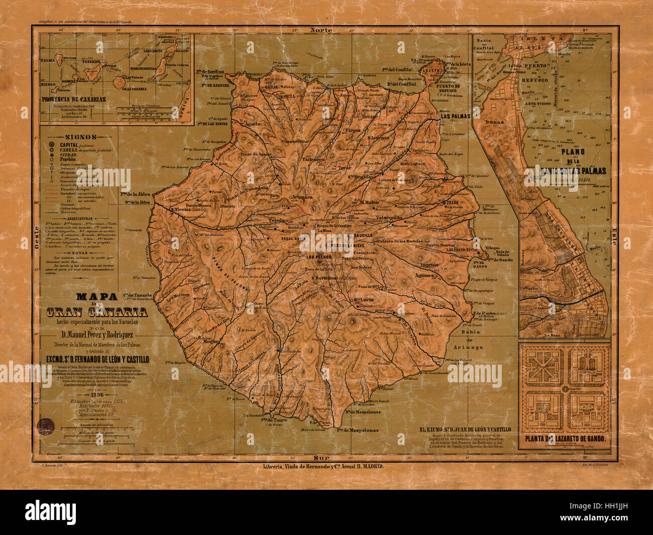 Map Of The Canary Islands 1897 Stock Photohttps://www.alamy.com/image-license-details/?v=1https://www.alamy.com/stock-photo-map-of-the-canary-islands-1897-130958313.html
RFHH1JJH–Map Of The Canary Islands 1897
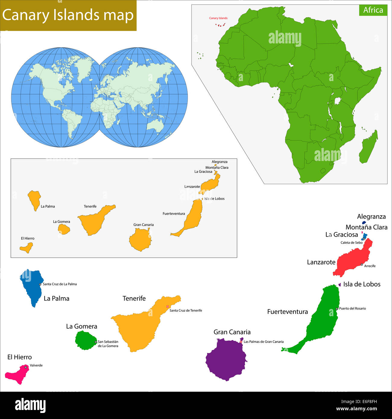 Canary Islands map Stock Photohttps://www.alamy.com/image-license-details/?v=1https://www.alamy.com/stock-photo-canary-islands-map-72865397.html
RFE6F8FH–Canary Islands map
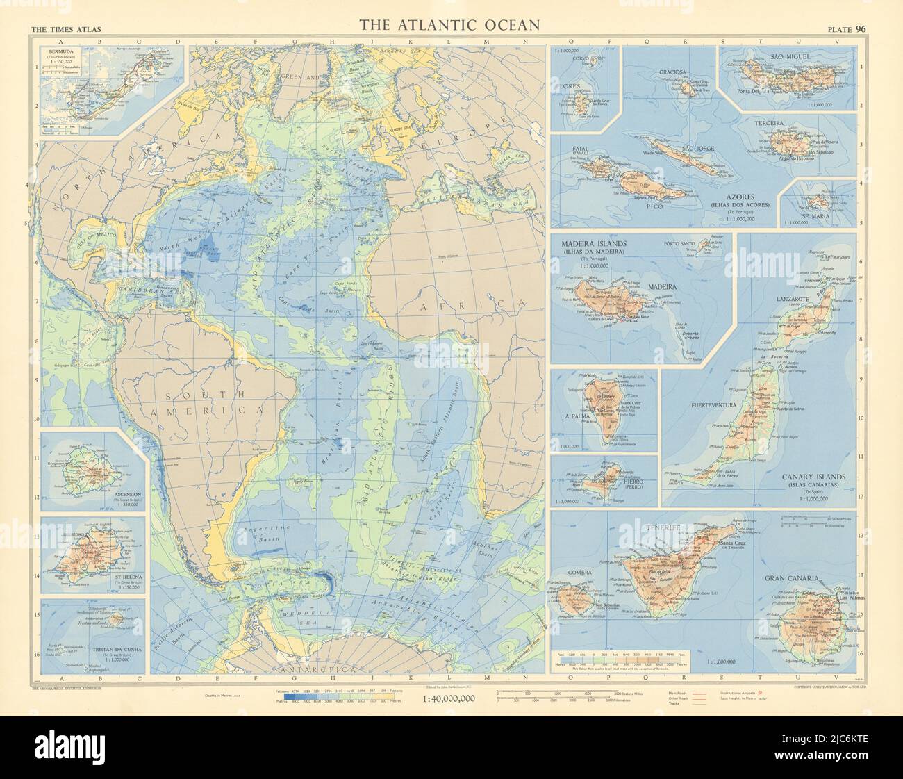 Atlantic Ocean islands. Canary Azores Madeira Bermuda Ascension. TIMES 1956 map Stock Photohttps://www.alamy.com/image-license-details/?v=1https://www.alamy.com/atlantic-ocean-islands-canary-azores-madeira-bermuda-ascension-times-1956-map-image472203102.html
RF2JC6KTE–Atlantic Ocean islands. Canary Azores Madeira Bermuda Ascension. TIMES 1956 map
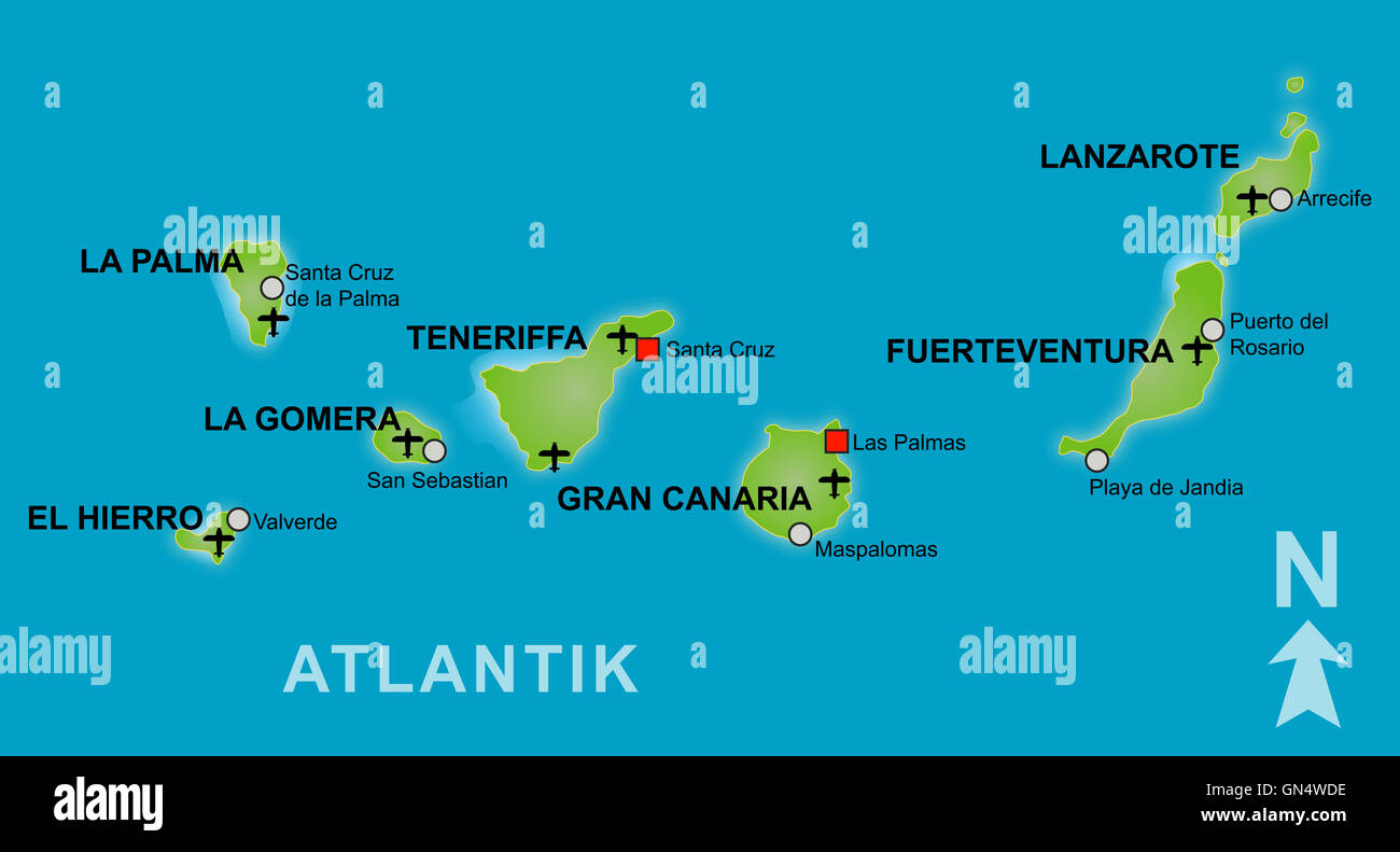 Stylized map of the canary islands Stock Photohttps://www.alamy.com/image-license-details/?v=1https://www.alamy.com/stock-photo-stylized-map-of-the-canary-islands-116277770.html
RFGN4WDE–Stylized map of the canary islands
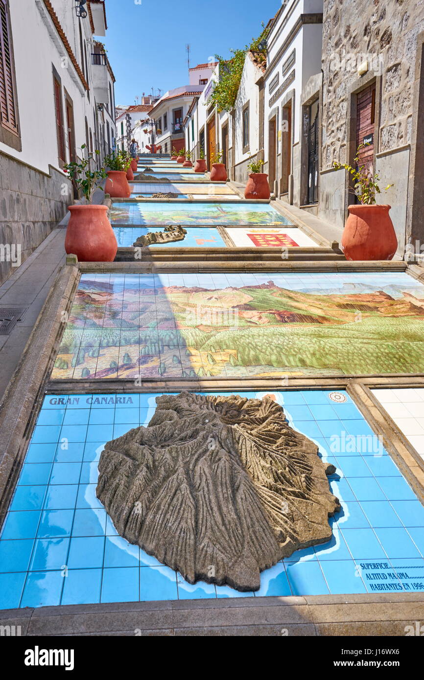 Ceramic tiles showing parts of the Canary Islands, Firgas, Gran Canaria, Spain Stock Photohttps://www.alamy.com/image-license-details/?v=1https://www.alamy.com/stock-photo-ceramic-tiles-showing-parts-of-the-canary-islands-firgas-gran-canaria-138449646.html
RMJ16WX6–Ceramic tiles showing parts of the Canary Islands, Firgas, Gran Canaria, Spain
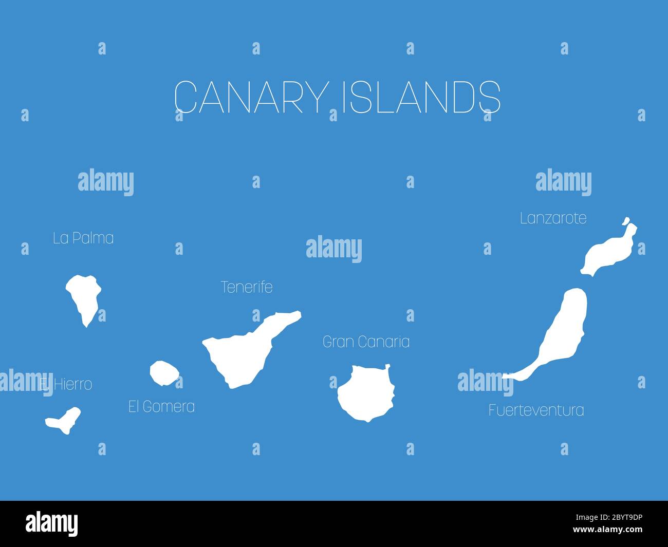 Map of Canary Islands, Spain, with labels of each island - El Hierro, La Palma, La Gomera, Tenerife, Gran Canaria, Fuerteventura and Lanzarote. White vector silhouette on blue background. Stock Vectorhttps://www.alamy.com/image-license-details/?v=1https://www.alamy.com/map-of-canary-islands-spain-with-labels-of-each-island-el-hierro-la-palma-la-gomera-tenerife-gran-canaria-fuerteventura-and-lanzarote-white-vector-silhouette-on-blue-background-image361337362.html
RF2BYT9DP–Map of Canary Islands, Spain, with labels of each island - El Hierro, La Palma, La Gomera, Tenerife, Gran Canaria, Fuerteventura and Lanzarote. White vector silhouette on blue background.
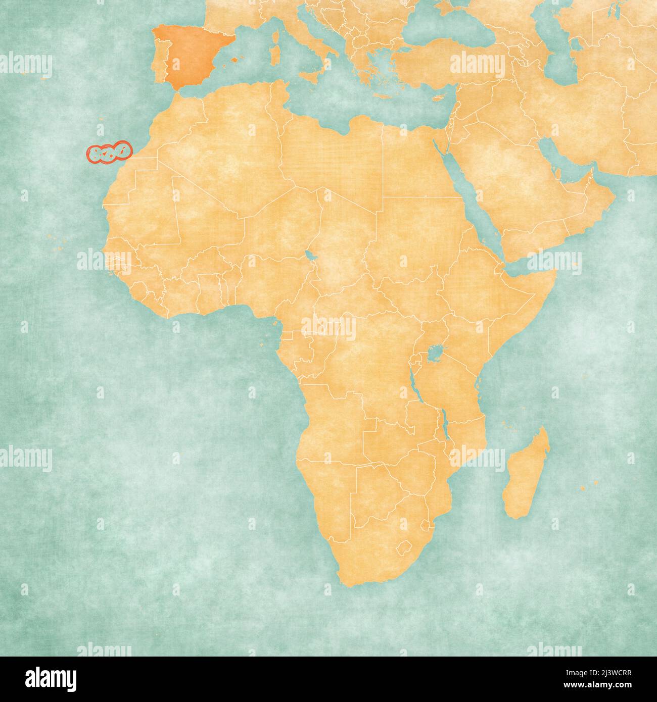 Canary Islands (Spain) on the map of Africa. The map is in soft grunge and vintage style, like watercolor painting on old paper. Stock Photohttps://www.alamy.com/image-license-details/?v=1https://www.alamy.com/canary-islands-spain-on-the-map-of-africa-the-map-is-in-soft-grunge-and-vintage-style-like-watercolor-painting-on-old-paper-image467082779.html
RF2J3WCRR–Canary Islands (Spain) on the map of Africa. The map is in soft grunge and vintage style, like watercolor painting on old paper.
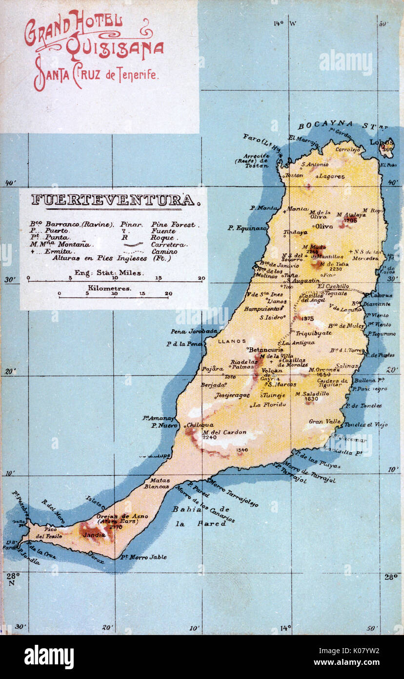 Map of Fuerteventura, Canary Islands Stock Photohttps://www.alamy.com/image-license-details/?v=1https://www.alamy.com/map-of-fuerteventura-canary-islands-image155068846.html
RMK07YW2–Map of Fuerteventura, Canary Islands
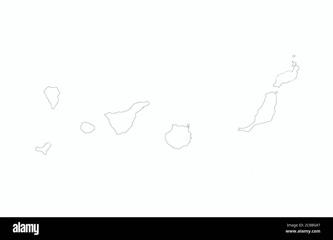 Canary Islands map outline vector illustration Stock Vectorhttps://www.alamy.com/image-license-details/?v=1https://www.alamy.com/canary-islands-map-outline-vector-illustration-image366589111.html
RF2C8BG47–Canary Islands map outline vector illustration
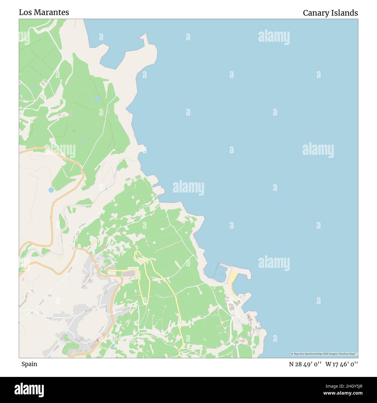 Los Marantes, Spain, Canary Islands, N 28 49' 0'', W 17 46' 0'', map, Timeless Map published in 2021. Travelers, explorers and adventurers like Florence Nightingale, David Livingstone, Ernest Shackleton, Lewis and Clark and Sherlock Holmes relied on maps to plan travels to the world's most remote corners, Timeless Maps is mapping most locations on the globe, showing the achievement of great dreams Stock Photohttps://www.alamy.com/image-license-details/?v=1https://www.alamy.com/los-marantes-spain-canary-islands-n-28-49-0-w-17-46-0-map-timeless-map-published-in-2021-travelers-explorers-and-adventurers-like-florence-nightingale-david-livingstone-ernest-shackleton-lewis-and-clark-and-sherlock-holmes-relied-on-maps-to-plan-travels-to-the-worlds-most-remote-corners-timeless-maps-is-mapping-most-locations-on-the-globe-showing-the-achievement-of-great-dreams-image457901215.html
RM2HGY5JR–Los Marantes, Spain, Canary Islands, N 28 49' 0'', W 17 46' 0'', map, Timeless Map published in 2021. Travelers, explorers and adventurers like Florence Nightingale, David Livingstone, Ernest Shackleton, Lewis and Clark and Sherlock Holmes relied on maps to plan travels to the world's most remote corners, Timeless Maps is mapping most locations on the globe, showing the achievement of great dreams
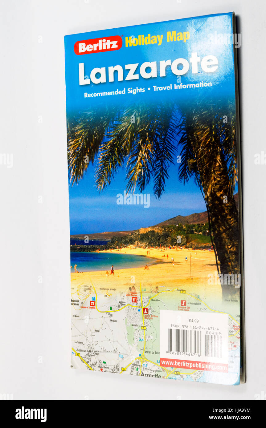 Tourist map of the island of Lanzarote. Stock Photohttps://www.alamy.com/image-license-details/?v=1https://www.alamy.com/stock-photo-tourist-map-of-the-island-of-lanzarote-131763736.html
RMHJA9YM–Tourist map of the island of Lanzarote.
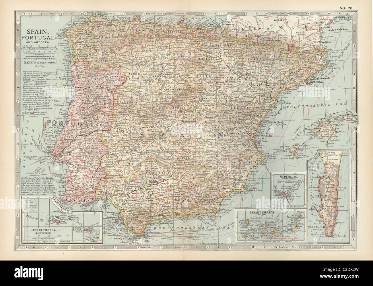 Map of Spain with Portugal and Andorra Stock Photohttps://www.alamy.com/image-license-details/?v=1https://www.alamy.com/stock-photo-map-of-spain-with-portugal-and-andorra-35955889.html
RMC2DX2W–Map of Spain with Portugal and Andorra
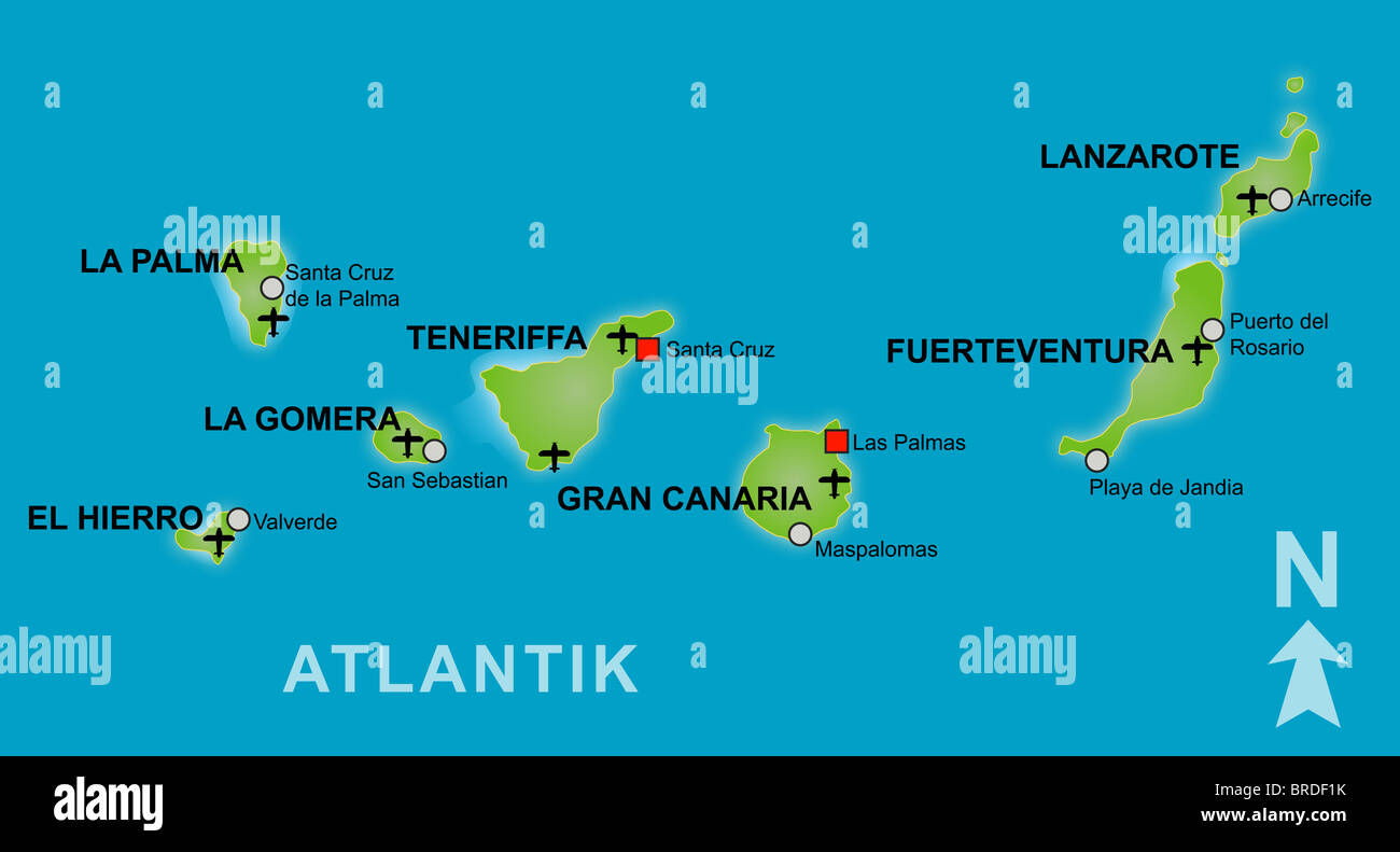 Stylized map of the canary islands. German captions Stock Photohttps://www.alamy.com/image-license-details/?v=1https://www.alamy.com/stock-photo-stylized-map-of-the-canary-islands-german-captions-31644639.html
RFBRDF1K–Stylized map of the canary islands. German captions
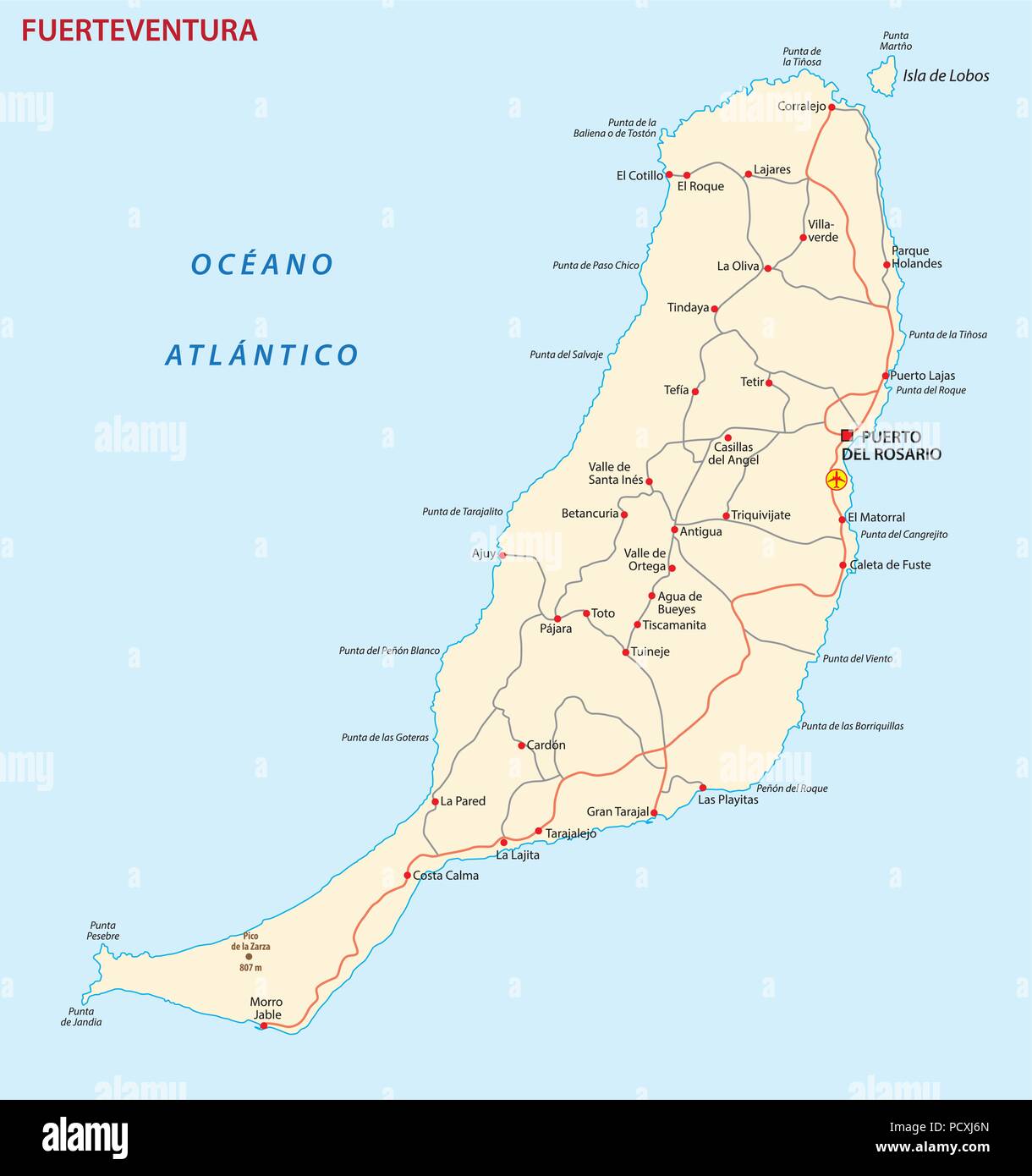 Vector road map of Canary Island fuerteventura map. Stock Vectorhttps://www.alamy.com/image-license-details/?v=1https://www.alamy.com/vector-road-map-of-canary-island-fuerteventura-map-image214485341.html
RFPCXJ6N–Vector road map of Canary Island fuerteventura map.
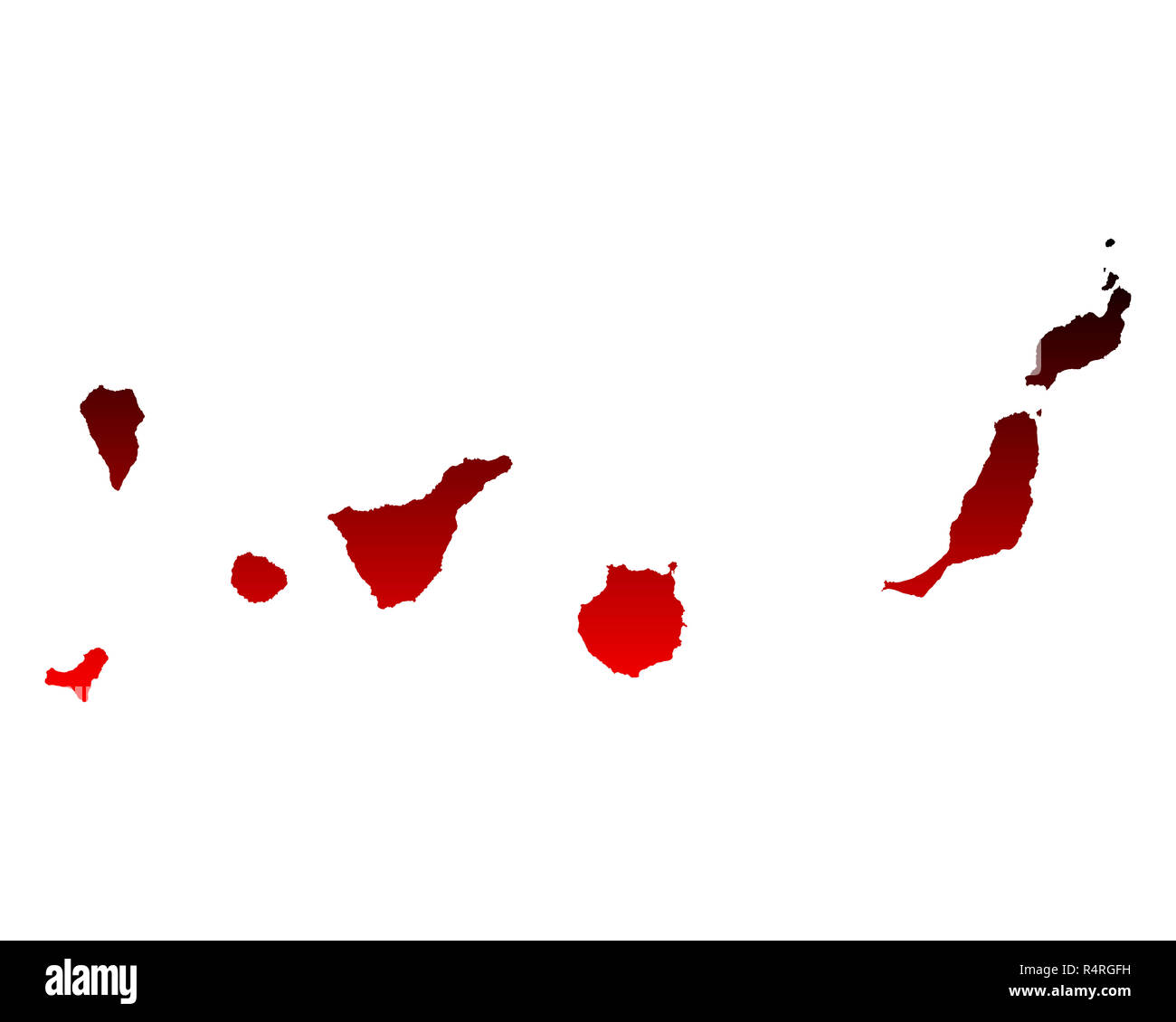 map of the canary islands Stock Photohttps://www.alamy.com/image-license-details/?v=1https://www.alamy.com/map-of-the-canary-islands-image226711285.html
RFR4RGFH–map of the canary islands
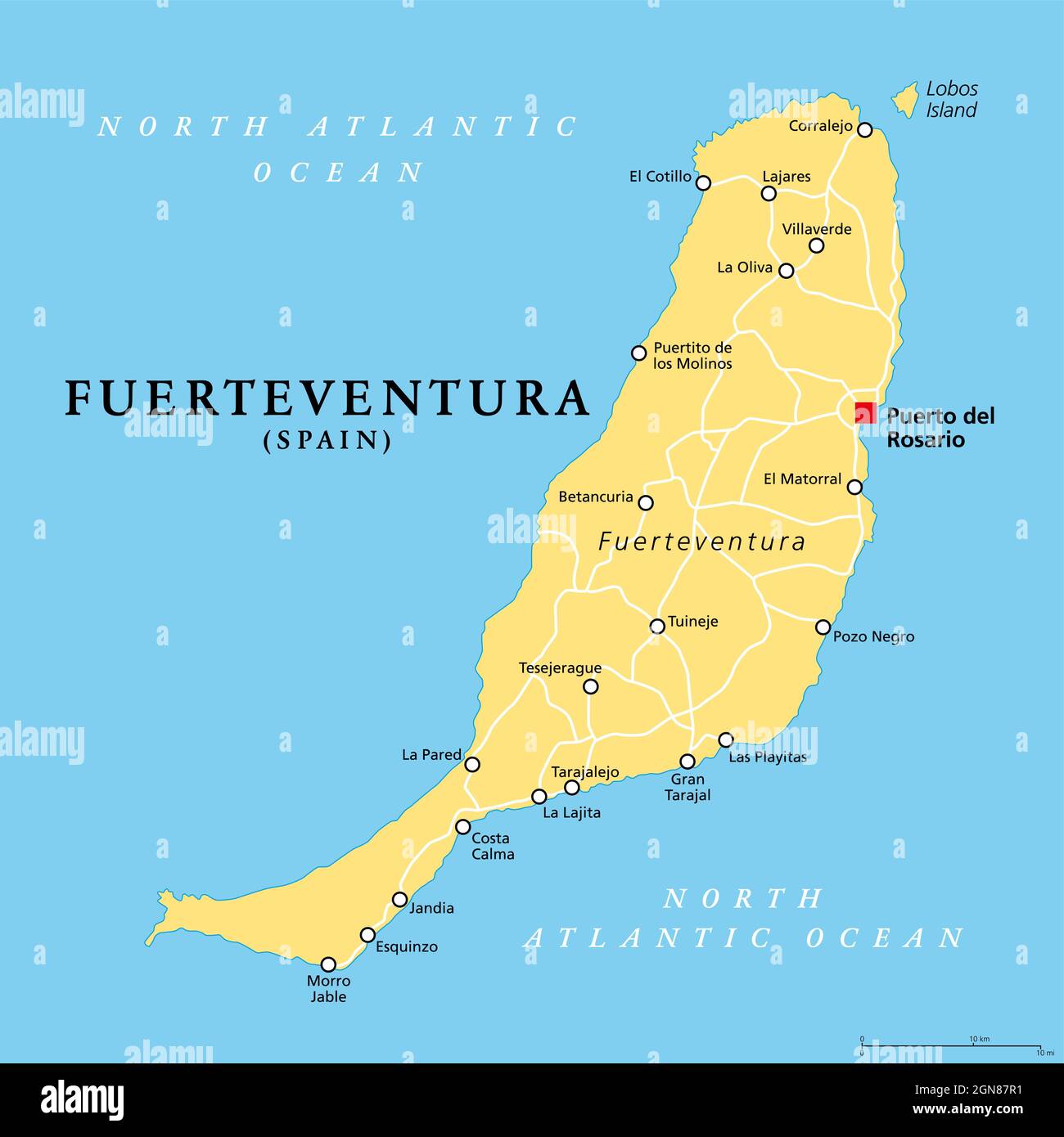 Fuerteventura island, political map, with capital Puerto del Rosario. One of the Canary Islands, an archipelago and autonomous community of Spain. Stock Photohttps://www.alamy.com/image-license-details/?v=1https://www.alamy.com/fuerteventura-island-political-map-with-capital-puerto-del-rosario-one-of-the-canary-islands-an-archipelago-and-autonomous-community-of-spain-image443348725.html
RF2GN87R1–Fuerteventura island, political map, with capital Puerto del Rosario. One of the Canary Islands, an archipelago and autonomous community of Spain.
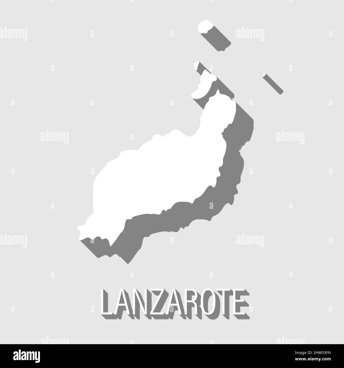 abstract Lanzarote, Canary Islands outline shape isolated on blue background, vector illustration Stock Vectorhttps://www.alamy.com/image-license-details/?v=1https://www.alamy.com/abstract-lanzarote-canary-islands-outline-shape-isolated-on-blue-background-vector-illustration-image459875241.html
RF2HM53FN–abstract Lanzarote, Canary Islands outline shape isolated on blue background, vector illustration
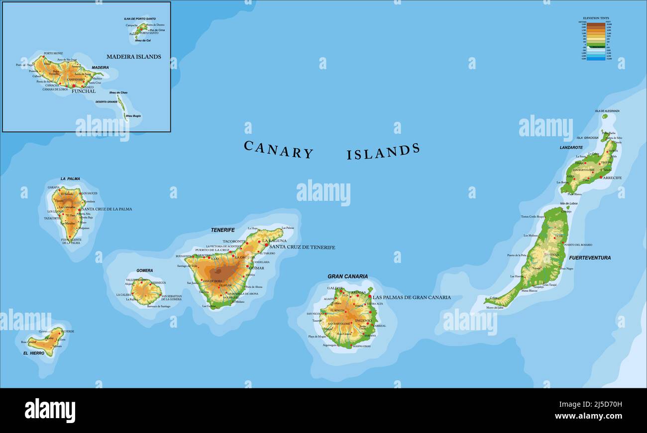 Highly detailed physical map of the Canary and Madeira islands ,in vector format,with all the relief forms,regions and big cities. Stock Vectorhttps://www.alamy.com/image-license-details/?v=1https://www.alamy.com/highly-detailed-physical-map-of-the-canary-and-madeira-islands-in-vector-formatwith-all-the-relief-formsregions-and-big-cities-image468044097.html
RF2J5D70H–Highly detailed physical map of the Canary and Madeira islands ,in vector format,with all the relief forms,regions and big cities.
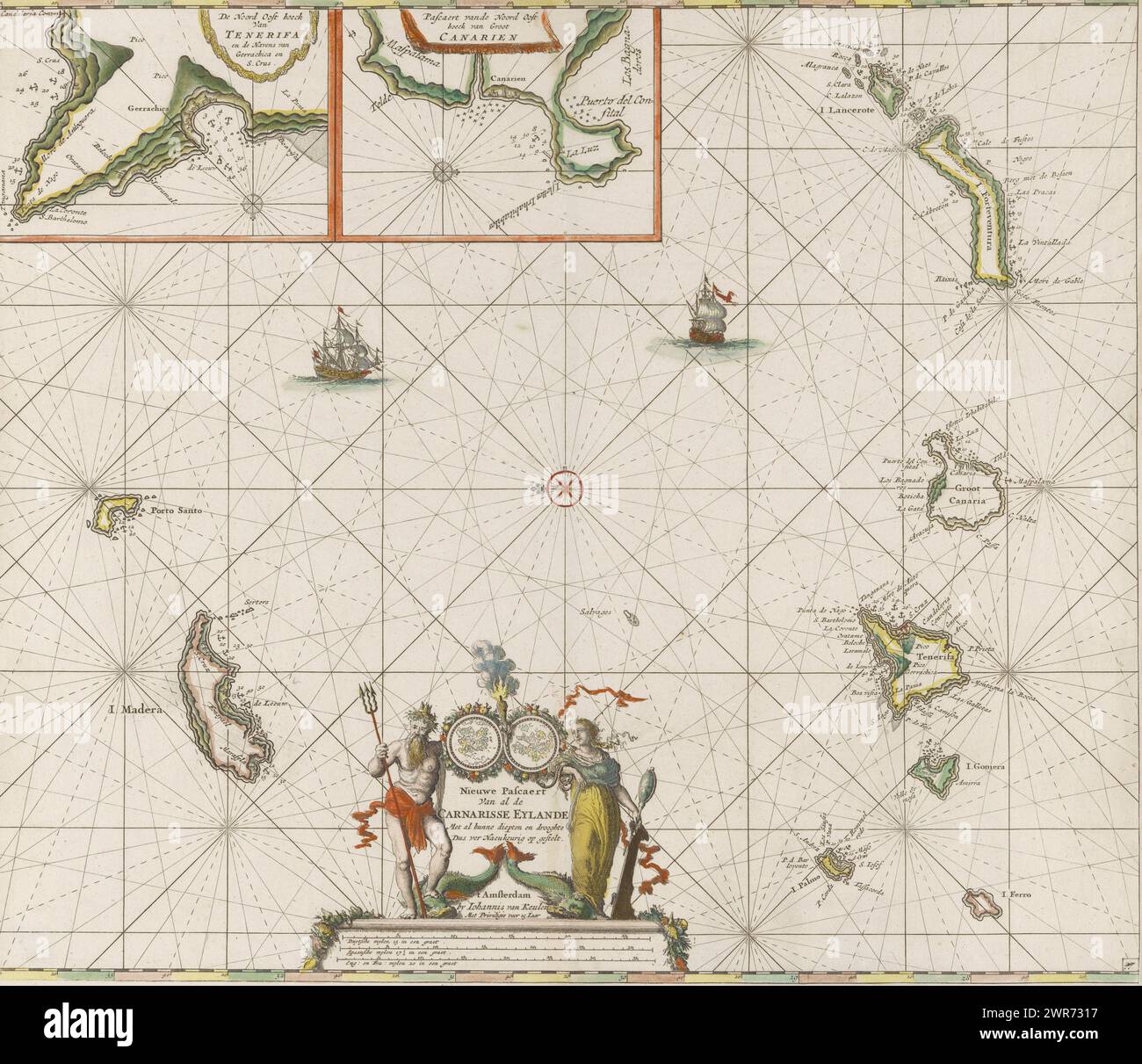 Pass map of the Canary Islands, New Pascaert van al de Carnarisse Eylande (title on object), Nautical chart of the Canary Islands. With a compass rose, North is on the left. Above detailed maps of parts of the coast of Tenerife and Gran Canaria. At the bottom of the title, flanked by Triton and the personification of Caution. Under the title the scale in German, Spanish and English or French miles., print maker: Jan Luyken, publisher: Johannes van Keulen (I), unknown, Amsterdam, c. 1680, paper, etching, brush, height 512 mm × width 597 mm Stock Photohttps://www.alamy.com/image-license-details/?v=1https://www.alamy.com/pass-map-of-the-canary-islands-new-pascaert-van-al-de-carnarisse-eylande-title-on-object-nautical-chart-of-the-canary-islands-with-a-compass-rose-north-is-on-the-left-above-detailed-maps-of-parts-of-the-coast-of-tenerife-and-gran-canaria-at-the-bottom-of-the-title-flanked-by-triton-and-the-personification-of-caution-under-the-title-the-scale-in-german-spanish-and-english-or-french-miles-print-maker-jan-luyken-publisher-johannes-van-keulen-i-unknown-amsterdam-c-1680-paper-etching-brush-height-512-mm-width-597-mm-image599445651.html
RM2WR7317–Pass map of the Canary Islands, New Pascaert van al de Carnarisse Eylande (title on object), Nautical chart of the Canary Islands. With a compass rose, North is on the left. Above detailed maps of parts of the coast of Tenerife and Gran Canaria. At the bottom of the title, flanked by Triton and the personification of Caution. Under the title the scale in German, Spanish and English or French miles., print maker: Jan Luyken, publisher: Johannes van Keulen (I), unknown, Amsterdam, c. 1680, paper, etching, brush, height 512 mm × width 597 mm
 The Canary Islands Magnified Map and Flag, Canary Islands Enlargement Maps, Stock Vectorhttps://www.alamy.com/image-license-details/?v=1https://www.alamy.com/the-canary-islands-magnified-map-and-flag-canary-islands-enlargement-maps-image623312190.html
RF2Y6291J–The Canary Islands Magnified Map and Flag, Canary Islands Enlargement Maps,
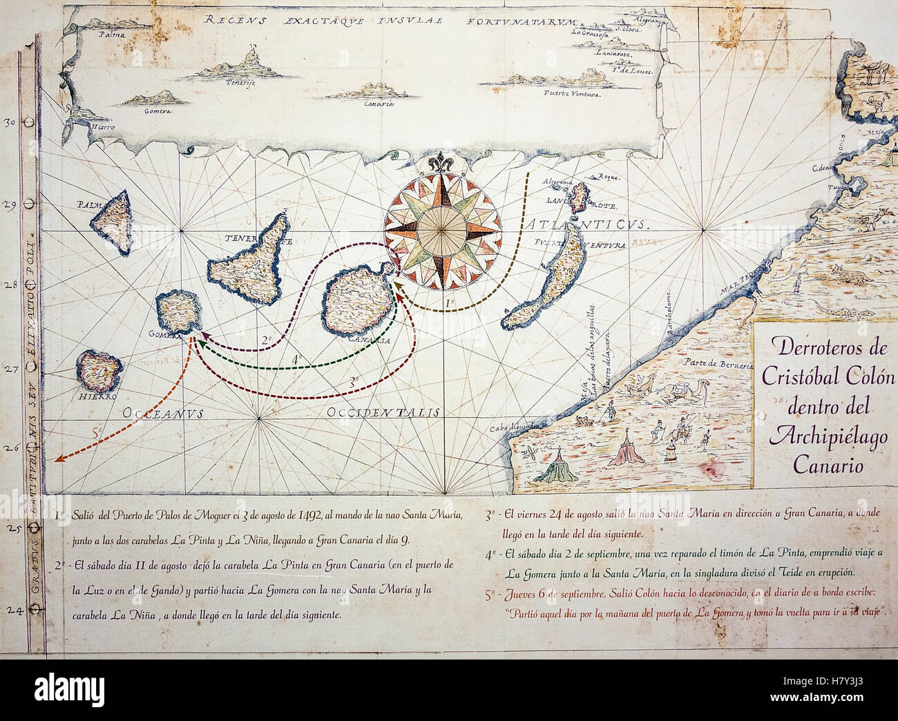 Nautical chart/map (circa 1635) depicting Christopher Columbus`s route in the Canary Islands en route to America. Stock Photohttps://www.alamy.com/image-license-details/?v=1https://www.alamy.com/stock-photo-nautical-chartmap-circa-1635-depicting-christopher-columbus`s-route-125370731.html
RMH7Y3J3–Nautical chart/map (circa 1635) depicting Christopher Columbus`s route in the Canary Islands en route to America.
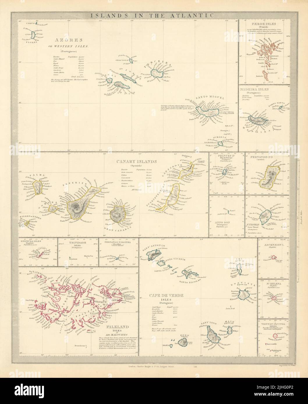 ATLANTIC ISLANDS. Azores Faeroes Madeira Canary Bermuda Falklands. SDUK 1851 map Stock Photohttps://www.alamy.com/image-license-details/?v=1https://www.alamy.com/atlantic-islands-azores-faeroes-madeira-canary-bermuda-falklands-sduk-1851-map-image475480938.html
RF2JHG0P2–ATLANTIC ISLANDS. Azores Faeroes Madeira Canary Bermuda Falklands. SDUK 1851 map
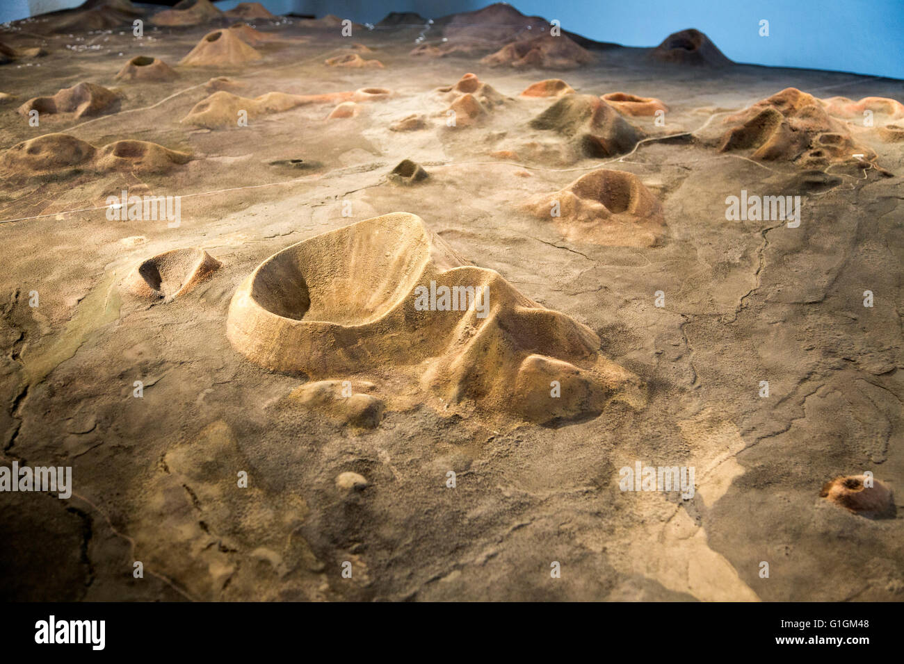 Model map of volcanoes at Timanfaya Volcano Interpretation and Visitors' Centre, Lanzarote, Canary Islands, Spain Stock Photohttps://www.alamy.com/image-license-details/?v=1https://www.alamy.com/stock-photo-model-map-of-volcanoes-at-timanfaya-volcano-interpretation-and-visitors-104243896.html
RMG1GM48–Model map of volcanoes at Timanfaya Volcano Interpretation and Visitors' Centre, Lanzarote, Canary Islands, Spain
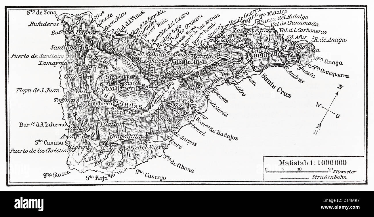 Vintage map of Tenerife island from the end of 19th century Stock Photohttps://www.alamy.com/image-license-details/?v=1https://www.alamy.com/stock-photo-vintage-map-of-tenerife-island-from-the-end-of-19th-century-52349899.html
RFD14MR7–Vintage map of Tenerife island from the end of 19th century
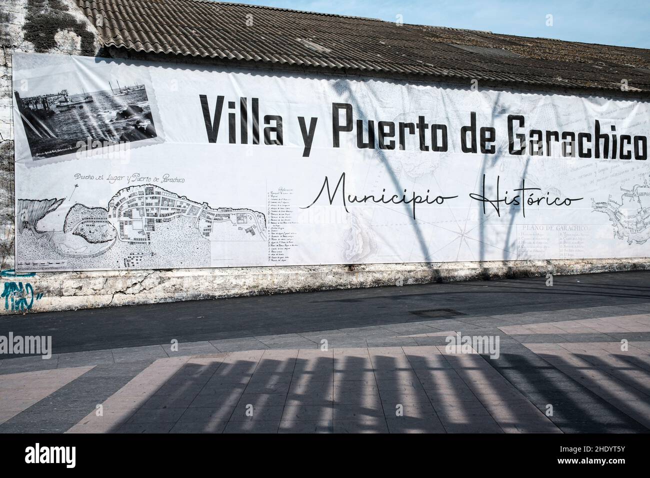 Large vinyl poster with map and historical information in the town of Garachico, Tenerife, Canary Islands, Spain Stock Photohttps://www.alamy.com/image-license-details/?v=1https://www.alamy.com/large-vinyl-poster-with-map-and-historical-information-in-the-town-of-garachico-tenerife-canary-islands-spain-image456071783.html
RM2HDYT5Y–Large vinyl poster with map and historical information in the town of Garachico, Tenerife, Canary Islands, Spain
 The map of Canary Islands in soft grunge and vintage style, like old paper with watercolor painting. Stock Photohttps://www.alamy.com/image-license-details/?v=1https://www.alamy.com/the-map-of-canary-islands-in-soft-grunge-and-vintage-style-like-old-paper-with-watercolor-painting-image617184897.html
RF2XT35HN–The map of Canary Islands in soft grunge and vintage style, like old paper with watercolor painting.
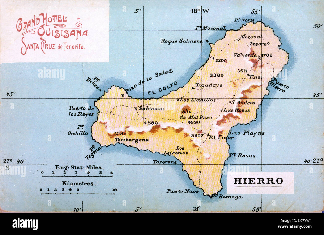 Map of Hierro, Canary Islands Stock Photohttps://www.alamy.com/image-license-details/?v=1https://www.alamy.com/map-of-hierro-canary-islands-image155068848.html
RMK07YW4–Map of Hierro, Canary Islands
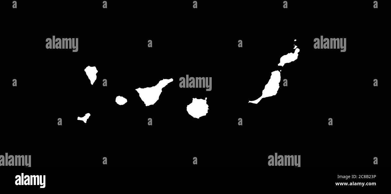 Canary Islands map outline vector illustration Stock Vectorhttps://www.alamy.com/image-license-details/?v=1https://www.alamy.com/canary-islands-map-outline-vector-illustration-image366578122.html
RF2C8B23P–Canary Islands map outline vector illustration
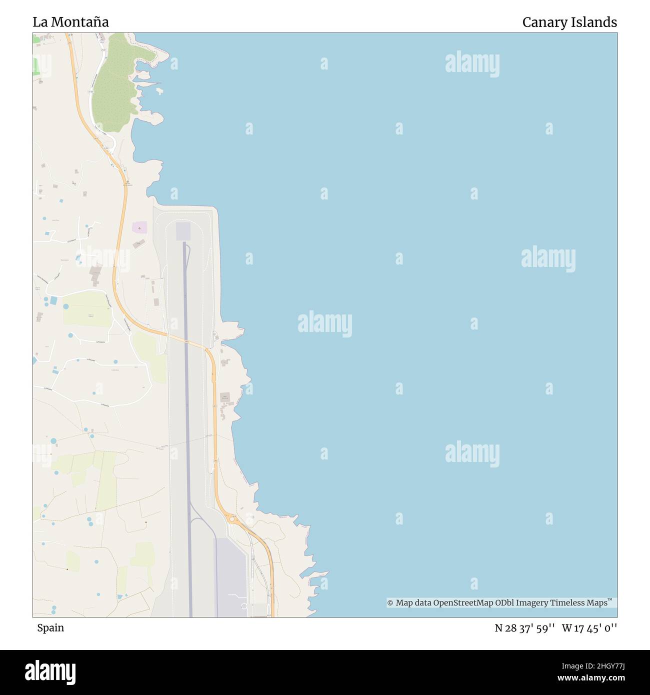 La Montaña, Spain, Canary Islands, N 28 37' 59'', W 17 45' 0'', map, Timeless Map published in 2021. Travelers, explorers and adventurers like Florence Nightingale, David Livingstone, Ernest Shackleton, Lewis and Clark and Sherlock Holmes relied on maps to plan travels to the world's most remote corners, Timeless Maps is mapping most locations on the globe, showing the achievement of great dreams Stock Photohttps://www.alamy.com/image-license-details/?v=1https://www.alamy.com/la-montaa-spain-canary-islands-n-28-37-59-w-17-45-0-map-timeless-map-published-in-2021-travelers-explorers-and-adventurers-like-florence-nightingale-david-livingstone-ernest-shackleton-lewis-and-clark-and-sherlock-holmes-relied-on-maps-to-plan-travels-to-the-worlds-most-remote-corners-timeless-maps-is-mapping-most-locations-on-the-globe-showing-the-achievement-of-great-dreams-image457902470.html
RM2HGY77J–La Montaña, Spain, Canary Islands, N 28 37' 59'', W 17 45' 0'', map, Timeless Map published in 2021. Travelers, explorers and adventurers like Florence Nightingale, David Livingstone, Ernest Shackleton, Lewis and Clark and Sherlock Holmes relied on maps to plan travels to the world's most remote corners, Timeless Maps is mapping most locations on the globe, showing the achievement of great dreams
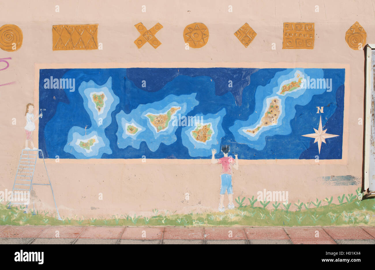 Fuerteventura, Canary Islands, North Africa, Spain: a mural with a child looking at the map of the Canary Islands in the fishing village of El Cotillo Stock Photohttps://www.alamy.com/image-license-details/?v=1https://www.alamy.com/stock-photo-fuerteventura-canary-islands-north-africa-spain-a-mural-with-a-child-120510156.html
RMH01KX4–Fuerteventura, Canary Islands, North Africa, Spain: a mural with a child looking at the map of the Canary Islands in the fishing village of El Cotillo
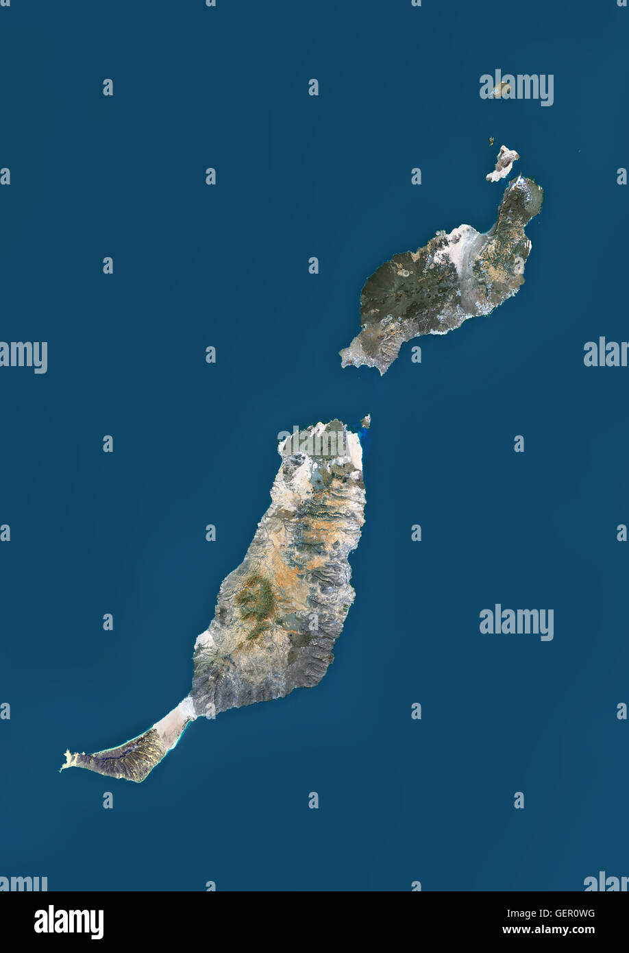 Satellite view of Fuerteventura and Lanzarote, Canary Islands, Spain. This image was compiled from data acquired by Landsat 8 satellite in 2014. Stock Photohttps://www.alamy.com/image-license-details/?v=1https://www.alamy.com/stock-photo-satellite-view-of-fuerteventura-and-lanzarote-canary-islands-spain-112373004.html
RMGER0WG–Satellite view of Fuerteventura and Lanzarote, Canary Islands, Spain. This image was compiled from data acquired by Landsat 8 satellite in 2014.
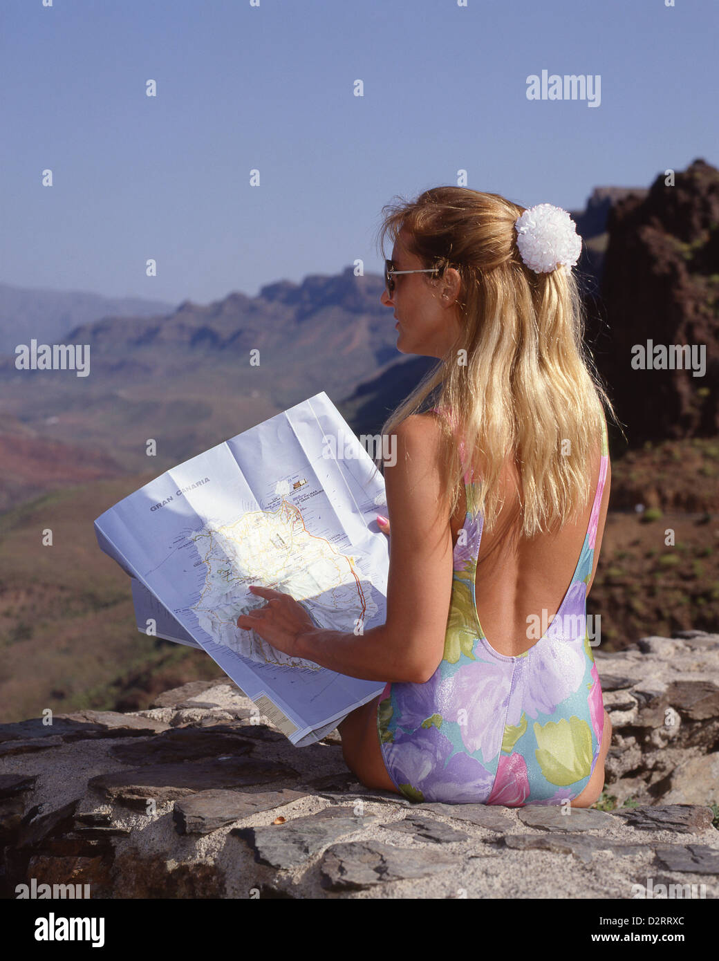 Young woman looking at map enroute to Pico de las Nieves, Gran Canaria, Canary Islands, Spain Stock Photohttps://www.alamy.com/image-license-details/?v=1https://www.alamy.com/stock-photo-young-woman-looking-at-map-enroute-to-pico-de-las-nieves-gran-canaria-53384084.html
RMD2RRXC–Young woman looking at map enroute to Pico de las Nieves, Gran Canaria, Canary Islands, Spain
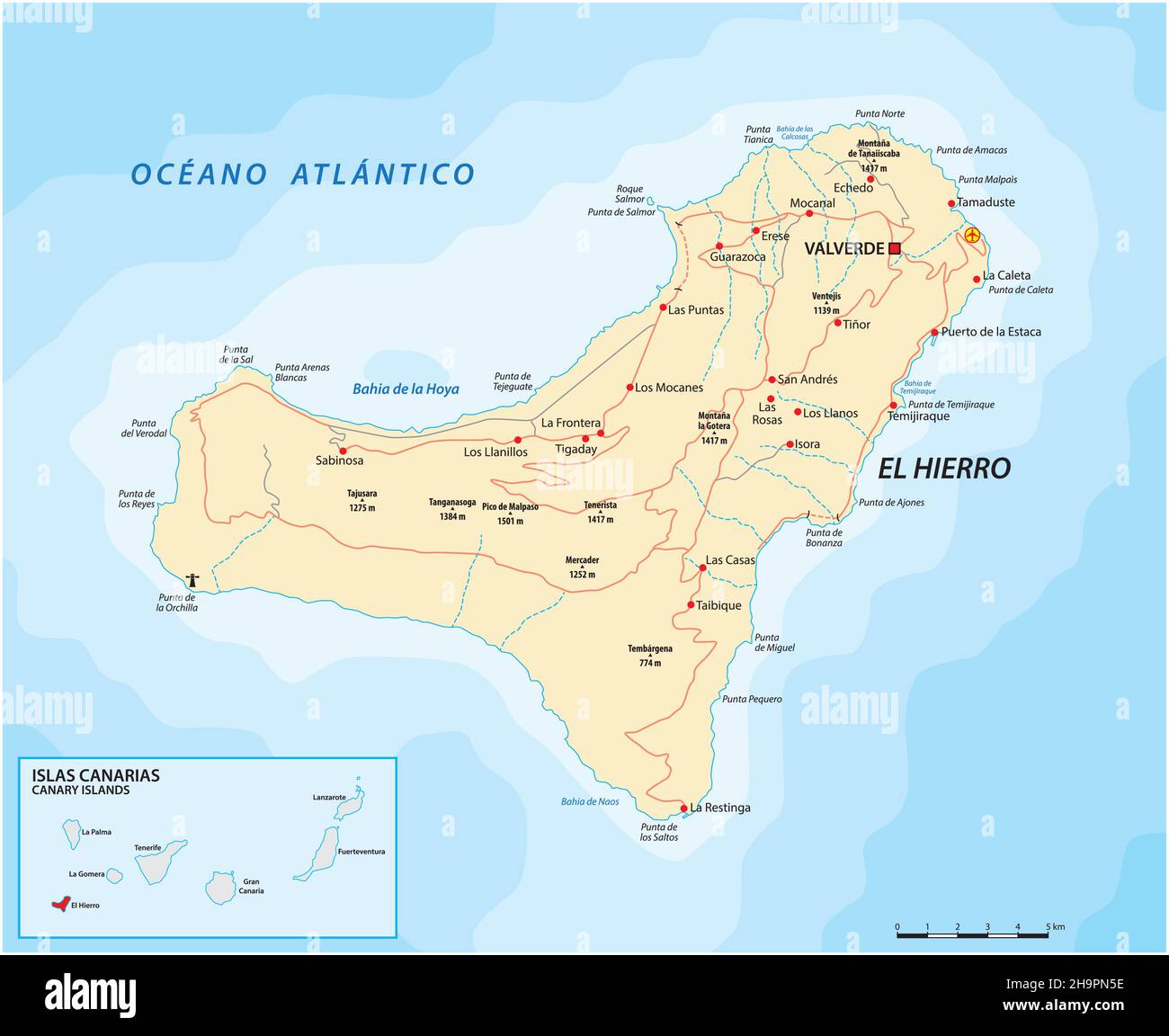 Vector road map of Canary Islands, el hierro map Stock Vectorhttps://www.alamy.com/image-license-details/?v=1https://www.alamy.com/vector-road-map-of-canary-islands-el-hierro-map-image453501034.html
RF2H9PN5E–Vector road map of Canary Islands, el hierro map
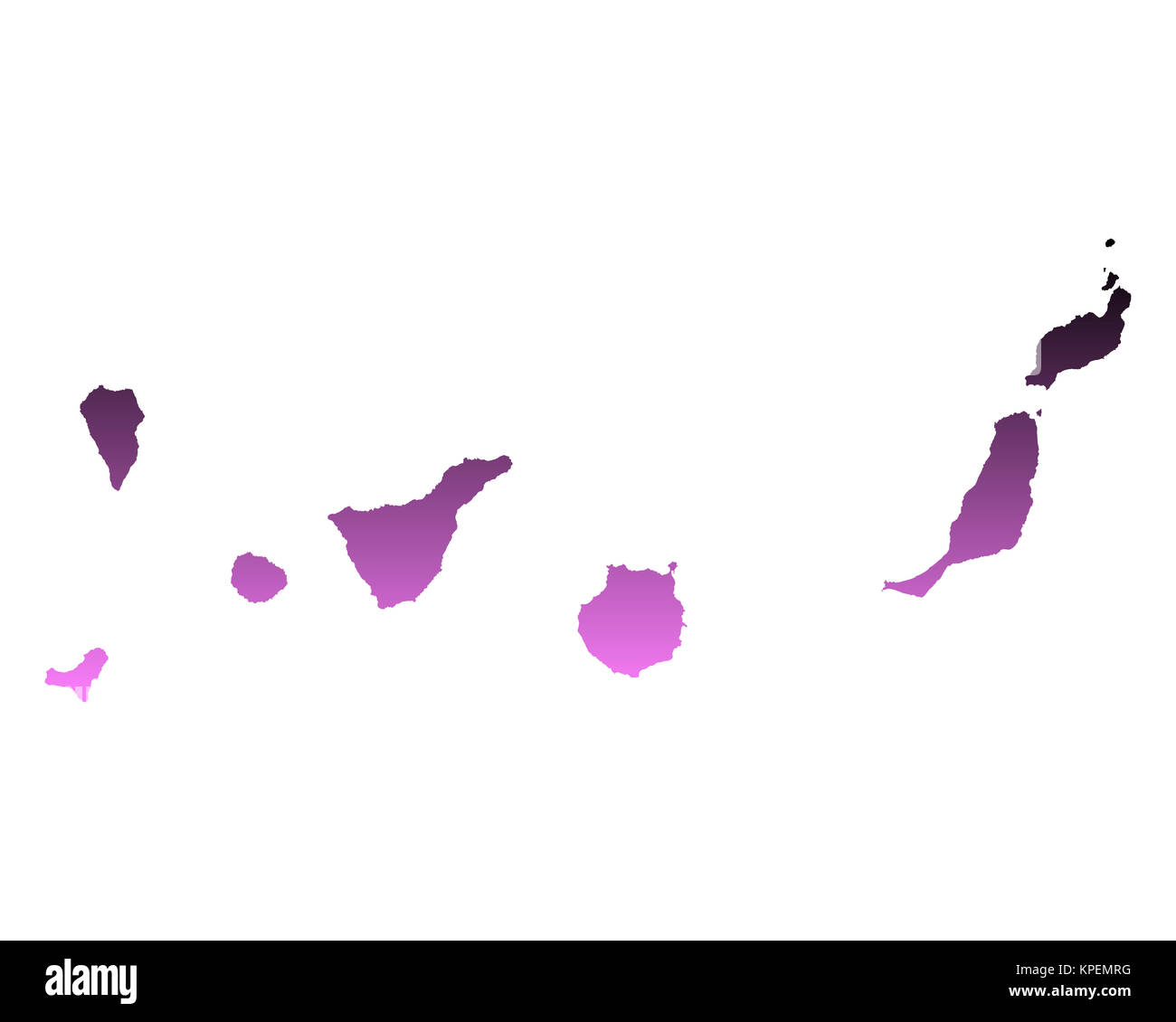 map of the canary islands Stock Photohttps://www.alamy.com/image-license-details/?v=1https://www.alamy.com/stock-image-map-of-the-canary-islands-168739412.html
RFKPEMRG–map of the canary islands
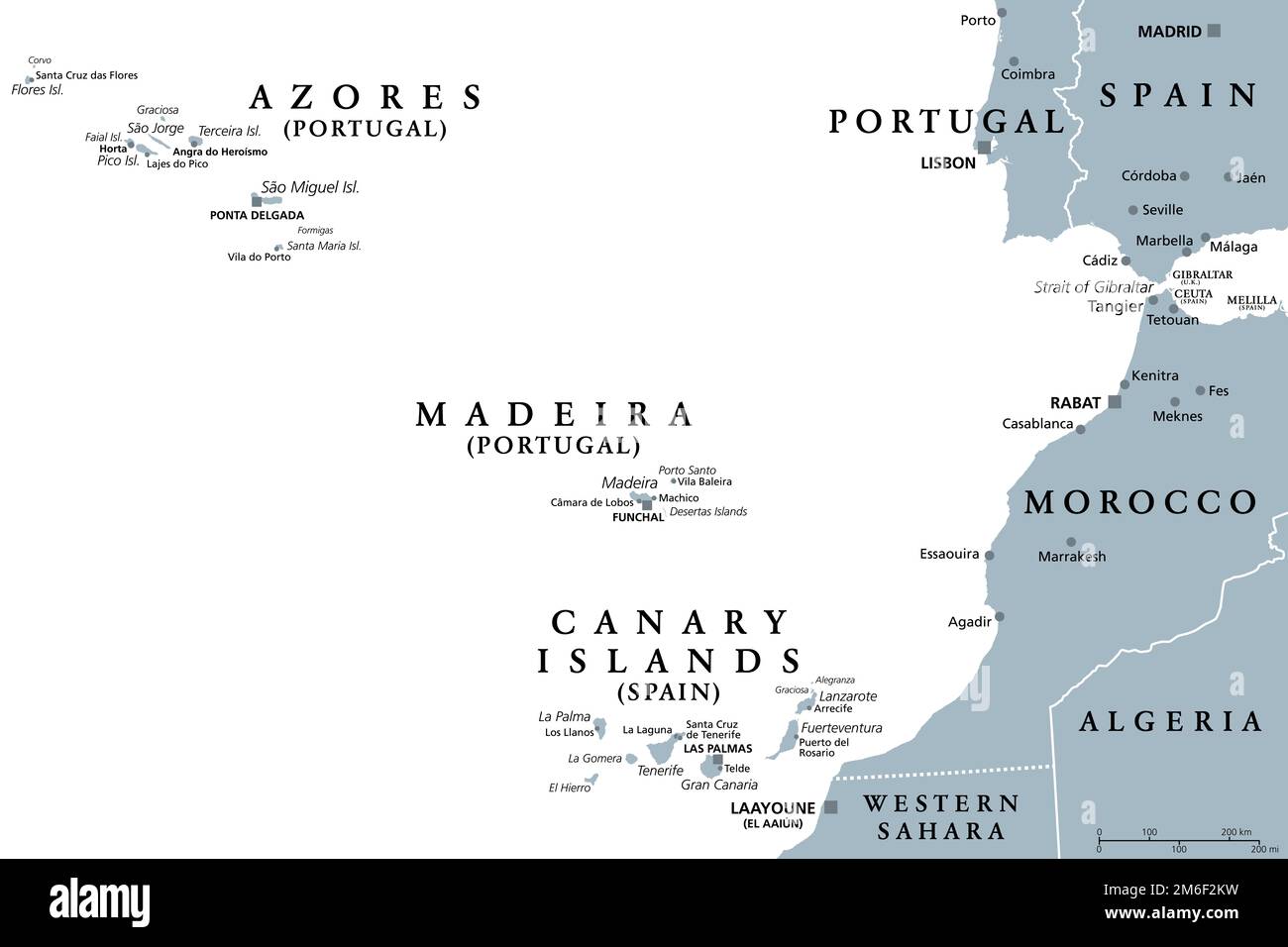 Azores, Madeira, and Canary Islands, gray political map. Autonomous regions of Portugal and Spain, archipelagos of volcanic islands in Macaronesia. Stock Photohttps://www.alamy.com/image-license-details/?v=1https://www.alamy.com/azores-madeira-and-canary-islands-gray-political-map-autonomous-regions-of-portugal-and-spain-archipelagos-of-volcanic-islands-in-macaronesia-image503120013.html
RF2M6F2KW–Azores, Madeira, and Canary Islands, gray political map. Autonomous regions of Portugal and Spain, archipelagos of volcanic islands in Macaronesia.
 abstract Fuerteventura, Canary Islands outline shape isolated on blue background, vector illustration Stock Vectorhttps://www.alamy.com/image-license-details/?v=1https://www.alamy.com/abstract-fuerteventura-canary-islands-outline-shape-isolated-on-blue-background-vector-illustration-image459874862.html
RF2HM5326–abstract Fuerteventura, Canary Islands outline shape isolated on blue background, vector illustration
 Spain. Canary Islands. Tenerife. National Park called TEIDE. Woman hiking and reading map with El Teide volcano in background. Stock Photohttps://www.alamy.com/image-license-details/?v=1https://www.alamy.com/stock-photo-spain-canary-islands-tenerife-national-park-called-teide-woman-hiking-21220474.html
RMB6EJX2–Spain. Canary Islands. Tenerife. National Park called TEIDE. Woman hiking and reading map with El Teide volcano in background.