Quick filters:
Canola drone Stock Photos and Images
 Canola fields taken from a drone. Stock Photohttps://www.alamy.com/image-license-details/?v=1https://www.alamy.com/canola-fields-taken-from-a-drone-image458284227.html
RF2HHGJ5R–Canola fields taken from a drone.
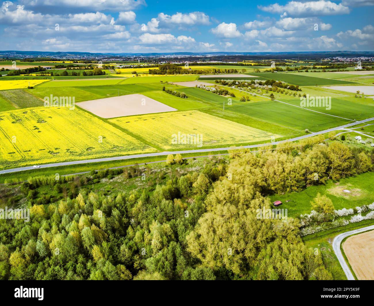 Canola Field drone Landscape shot Stock Photohttps://www.alamy.com/image-license-details/?v=1https://www.alamy.com/canola-field-drone-landscape-shot-image550242043.html
RF2PY5K9F–Canola Field drone Landscape shot
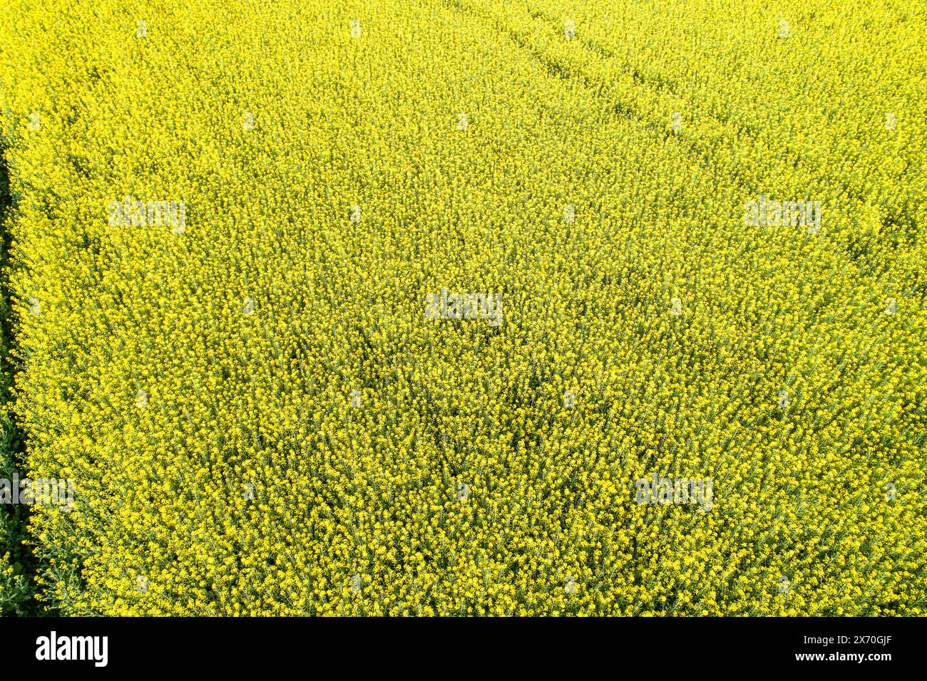 aerial view with drone of a canola field, rapeseed cultivation Stock Photohttps://www.alamy.com/image-license-details/?v=1https://www.alamy.com/aerial-view-with-drone-of-a-canola-field-rapeseed-cultivation-image606678535.html
RF2X70GJF–aerial view with drone of a canola field, rapeseed cultivation
 Drone shot of canola fields in bloom and green meadows in Frankonia, Germany Stock Photohttps://www.alamy.com/image-license-details/?v=1https://www.alamy.com/drone-shot-of-canola-fields-in-bloom-and-green-meadows-in-frankonia-germany-image561969721.html
RM2RJ7X35–Drone shot of canola fields in bloom and green meadows in Frankonia, Germany
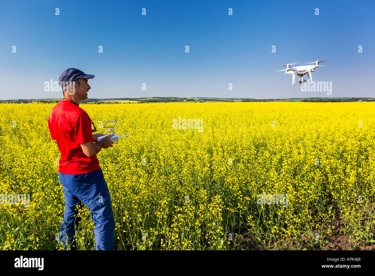 Man flying a drone over a flowering canola field, North of Sylvan Lake; Alberta, Canada Stock Photohttps://www.alamy.com/image-license-details/?v=1https://www.alamy.com/stock-image-man-flying-a-drone-over-a-flowering-canola-field-north-of-sylvan-lake-168836483.html
RFKPK4JB–Man flying a drone over a flowering canola field, North of Sylvan Lake; Alberta, Canada
 Drone shot of canola fields in bloom and green meadows in Frankonia, Germany Stock Photohttps://www.alamy.com/image-license-details/?v=1https://www.alamy.com/drone-shot-of-canola-fields-in-bloom-and-green-meadows-in-frankonia-germany-image561969590.html
RM2RJ7WXE–Drone shot of canola fields in bloom and green meadows in Frankonia, Germany
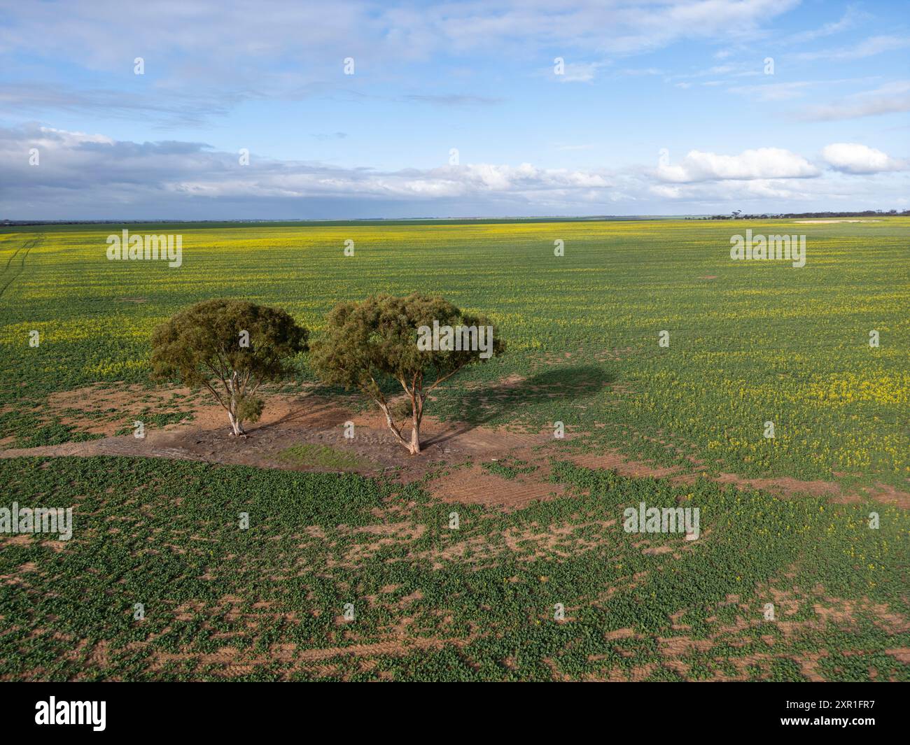 Early canola crop in the Western Australian wheat belt. Stock Photohttps://www.alamy.com/image-license-details/?v=1https://www.alamy.com/early-canola-crop-in-the-western-australian-wheat-belt-image616534331.html
RF2XR1FR7–Early canola crop in the Western Australian wheat belt.
 Drone view: Vibrant Saskatchewan canola field with a circular yellow water body, capturing nature's contrast in vivid colors Stock Photohttps://www.alamy.com/image-license-details/?v=1https://www.alamy.com/drone-view-vibrant-saskatchewan-canola-field-with-a-circular-yellow-water-body-capturing-natures-contrast-in-vivid-colors-image561412183.html
RF2RHAEY3–Drone view: Vibrant Saskatchewan canola field with a circular yellow water body, capturing nature's contrast in vivid colors
 Canola fields flowering from above. Stock Photohttps://www.alamy.com/image-license-details/?v=1https://www.alamy.com/canola-fields-flowering-from-above-image602570875.html
RF2X09D8B–Canola fields flowering from above.
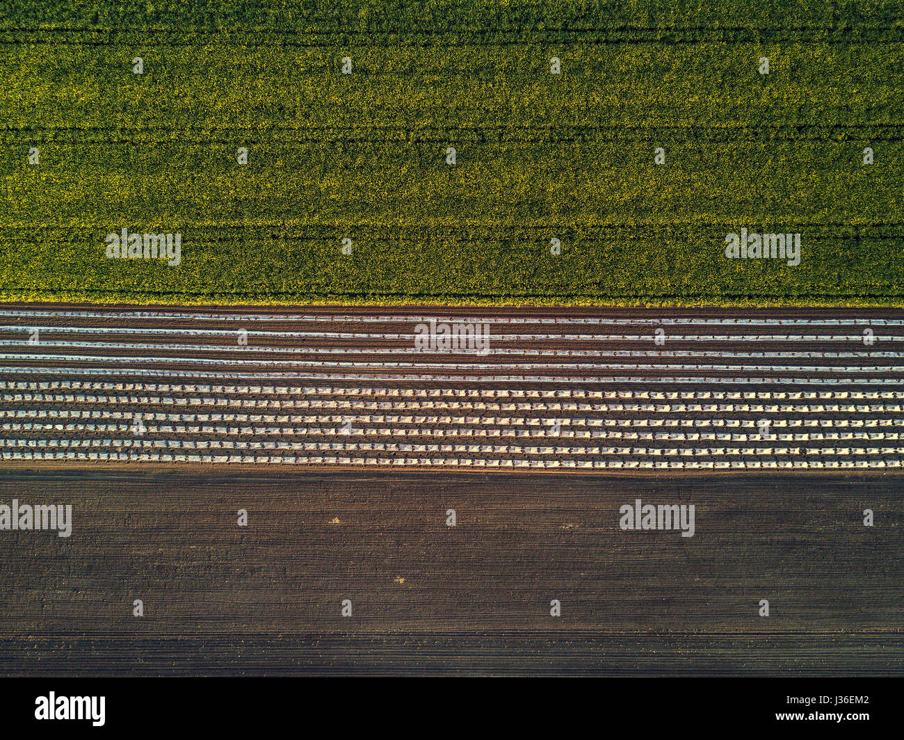 Aerial view of cultivated field from drone, oilseed rapeseed plantation from above Stock Photohttps://www.alamy.com/image-license-details/?v=1https://www.alamy.com/stock-photo-aerial-view-of-cultivated-field-from-drone-oilseed-rapeseed-plantation-139670162.html
RFJ36EM2–Aerial view of cultivated field from drone, oilseed rapeseed plantation from above
 Aerial panorama of beautiful canola fields at sunset Stock Photohttps://www.alamy.com/image-license-details/?v=1https://www.alamy.com/stock-image-aerial-panorama-of-beautiful-canola-fields-at-sunset-164156866.html
RFKF1YN6–Aerial panorama of beautiful canola fields at sunset
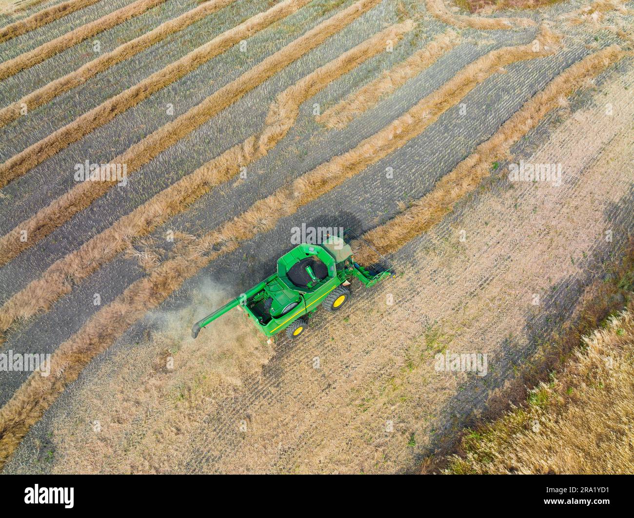 Aerial view of a farm header working in a field of dry canola rows at Moolort in Central Victoria, Australia Stock Photohttps://www.alamy.com/image-license-details/?v=1https://www.alamy.com/aerial-view-of-a-farm-header-working-in-a-field-of-dry-canola-rows-at-moolort-in-central-victoria-australia-image556921821.html
RF2RA1YD1–Aerial view of a farm header working in a field of dry canola rows at Moolort in Central Victoria, Australia
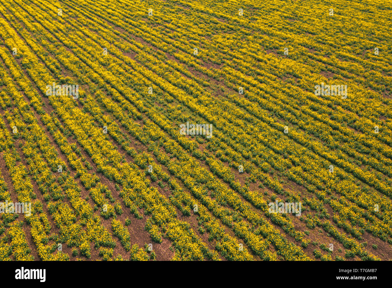 Aerial view of canola rapeseed field in poor condition due to drought season and arid climate Stock Photohttps://www.alamy.com/image-license-details/?v=1https://www.alamy.com/aerial-view-of-canola-rapeseed-field-in-poor-condition-due-to-drought-season-and-arid-climate-image245614971.html
RFT7GMB7–Aerial view of canola rapeseed field in poor condition due to drought season and arid climate
 Canola fields near Temora, NSW Stock Photohttps://www.alamy.com/image-license-details/?v=1https://www.alamy.com/canola-fields-near-temora-nsw-image638312342.html
RF2S2DHWA–Canola fields near Temora, NSW
 Fields of canola, wheat and barley intersected by gravel roads in rural Saskatchewan Stock Photohttps://www.alamy.com/image-license-details/?v=1https://www.alamy.com/fields-of-canola-wheat-and-barley-intersected-by-gravel-roads-in-rural-saskatchewan-image617957352.html
RF2XWAAWC–Fields of canola, wheat and barley intersected by gravel roads in rural Saskatchewan
 Hovering drone taking pictures of canola field and green hills Stock Photohttps://www.alamy.com/image-license-details/?v=1https://www.alamy.com/stock-photo-hovering-drone-taking-pictures-of-canola-field-and-green-hills-126275828.html
RFH9CA30–Hovering drone taking pictures of canola field and green hills
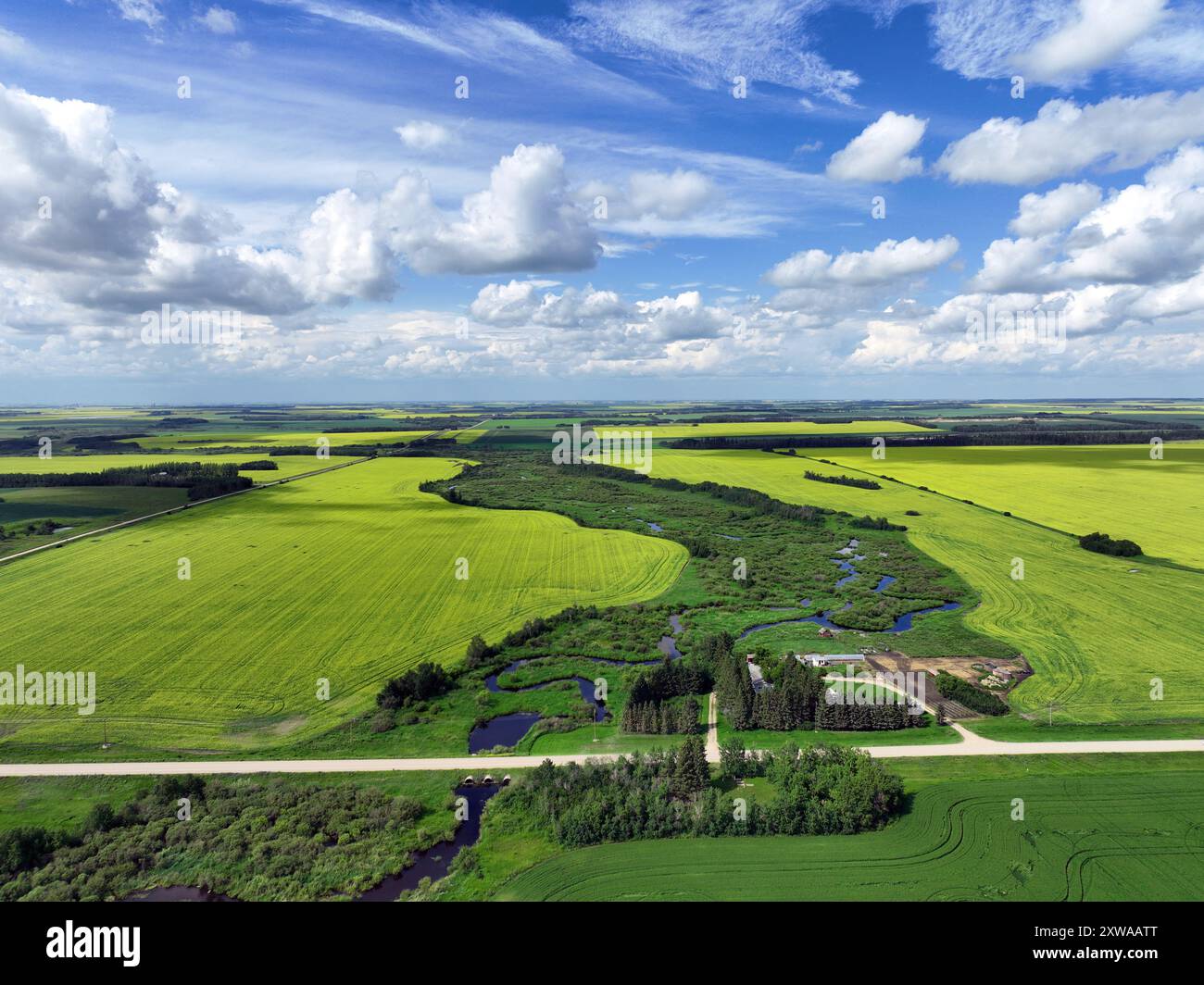 Fields of canola, wheat and barley intersected by gravel roads in rural Saskatchewan Stock Photohttps://www.alamy.com/image-license-details/?v=1https://www.alamy.com/fields-of-canola-wheat-and-barley-intersected-by-gravel-roads-in-rural-saskatchewan-image617957336.html
RF2XWAATT–Fields of canola, wheat and barley intersected by gravel roads in rural Saskatchewan
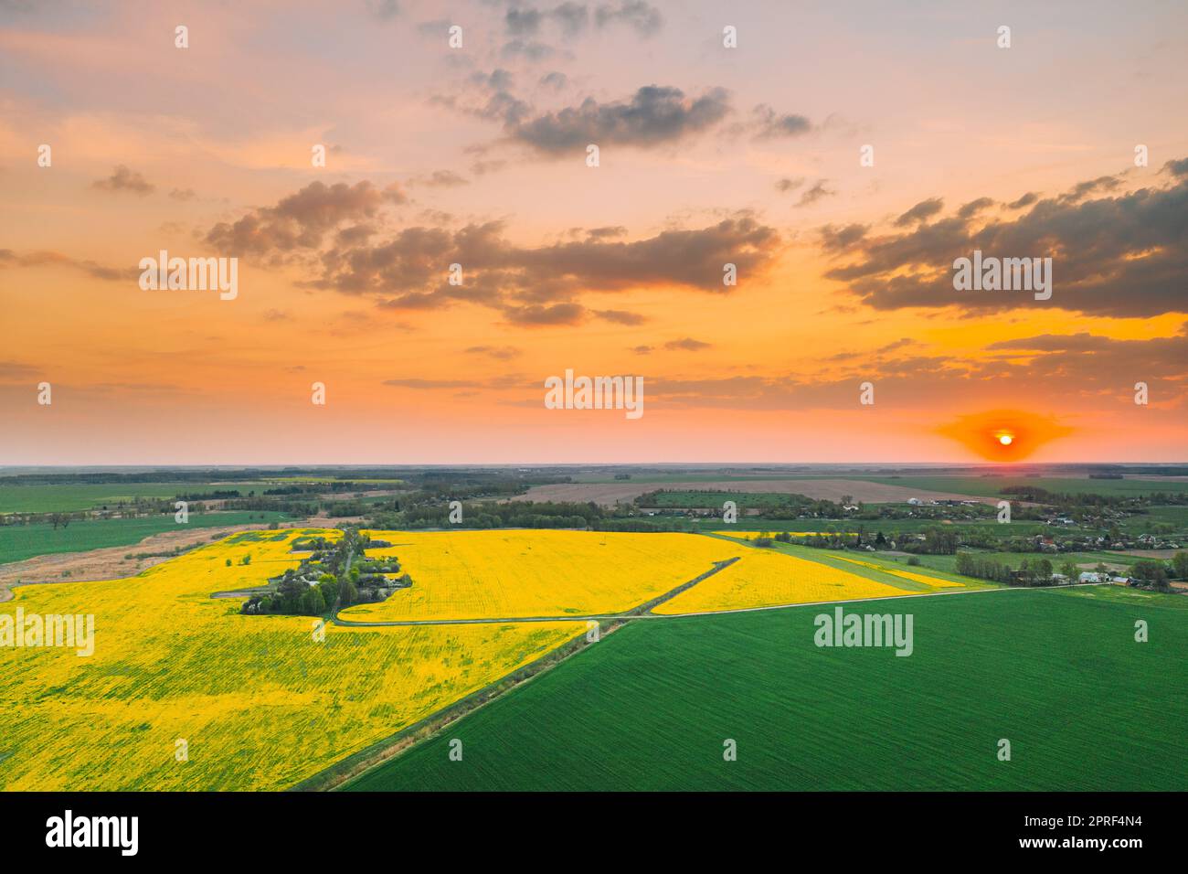 Aerial View Of Green Meadow And Field With Blooming Canola Yellow Flowers. Top View Of Blossom Plant, Rapeseed Meadow Grass Landscape At Sunset Sunrise. Agricultural Country Landscape. Drone View. Stock Photohttps://www.alamy.com/image-license-details/?v=1https://www.alamy.com/aerial-view-of-green-meadow-and-field-with-blooming-canola-yellow-flowers-top-view-of-blossom-plant-rapeseed-meadow-grass-landscape-at-sunset-sunrise-agricultural-country-landscape-drone-view-image547991504.html
RF2PRF4N4–Aerial View Of Green Meadow And Field With Blooming Canola Yellow Flowers. Top View Of Blossom Plant, Rapeseed Meadow Grass Landscape At Sunset Sunrise. Agricultural Country Landscape. Drone View.
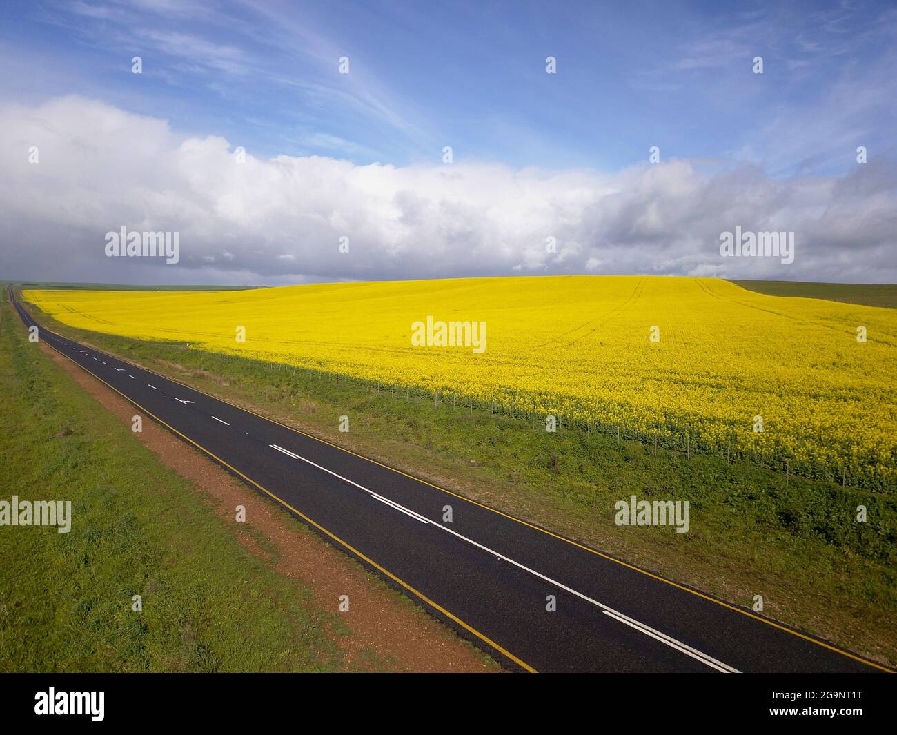 Long straight road running through a yellow field, aerial landscape Stock Photohttps://www.alamy.com/image-license-details/?v=1https://www.alamy.com/long-straight-road-running-through-a-yellow-field-aerial-landscape-image436270964.html
RF2G9NT1T–Long straight road running through a yellow field, aerial landscape
 Drone photography of agriculture field of canola during summer sunny day Stock Photohttps://www.alamy.com/image-license-details/?v=1https://www.alamy.com/drone-photography-of-agriculture-field-of-canola-during-summer-sunny-day-image560465262.html
RF2RFRB4E–Drone photography of agriculture field of canola during summer sunny day
 Szeged, Hungary - Aerial drone view of the Votive Church and Cathedral of Our Lady of Hungary (Szeged Dom) on a sunny summer day with Inner Town Bridg Stock Photohttps://www.alamy.com/image-license-details/?v=1https://www.alamy.com/szeged-hungary-aerial-drone-view-of-the-votive-church-and-cathedral-of-our-lady-of-hungary-szeged-dom-on-a-sunny-summer-day-with-inner-town-bridg-image379303605.html
RF2D12NH9–Szeged, Hungary - Aerial drone view of the Votive Church and Cathedral of Our Lady of Hungary (Szeged Dom) on a sunny summer day with Inner Town Bridg
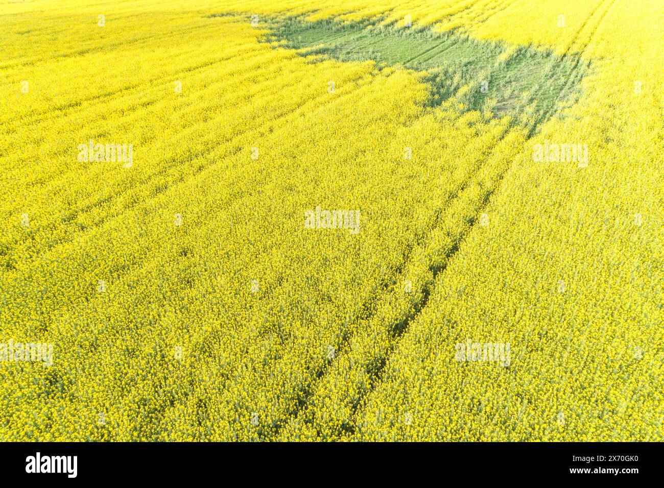 aerial view with drone of a canola field, rapeseed cultivation. Brassica rapa Stock Photohttps://www.alamy.com/image-license-details/?v=1https://www.alamy.com/aerial-view-with-drone-of-a-canola-field-rapeseed-cultivation-brassica-rapa-image606678548.html
RF2X70GK0–aerial view with drone of a canola field, rapeseed cultivation. Brassica rapa
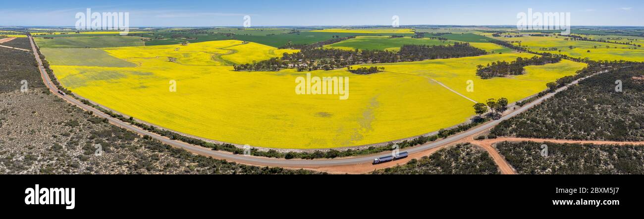 Aerial panoramic view of canola fields next to a section of highway 40 in the wheatbelt region of Western Australia Stock Photohttps://www.alamy.com/image-license-details/?v=1https://www.alamy.com/aerial-panoramic-view-of-canola-fields-next-to-a-section-of-highway-40-in-the-wheatbelt-region-of-western-australia-image360631887.html
RF2BXM5J7–Aerial panoramic view of canola fields next to a section of highway 40 in the wheatbelt region of Western Australia
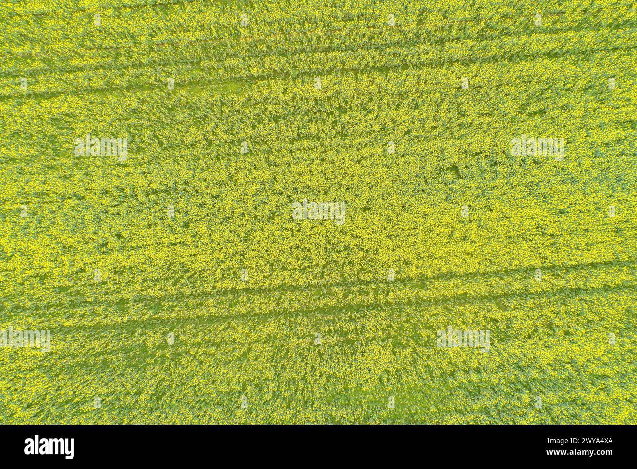 canola field flowering in spring seen from a drone in overhead view Stock Photohttps://www.alamy.com/image-license-details/?v=1https://www.alamy.com/canola-field-flowering-in-spring-seen-from-a-drone-in-overhead-view-image601971618.html
RF2WYA4XA–canola field flowering in spring seen from a drone in overhead view
 Drone shot of canola fields in bloom and green meadows in Frankonia, Germany Stock Photohttps://www.alamy.com/image-license-details/?v=1https://www.alamy.com/drone-shot-of-canola-fields-in-bloom-and-green-meadows-in-frankonia-germany-image561969584.html
RM2RJ7WX8–Drone shot of canola fields in bloom and green meadows in Frankonia, Germany
 canola field flowering in spring seen from a drone in top view Stock Photohttps://www.alamy.com/image-license-details/?v=1https://www.alamy.com/canola-field-flowering-in-spring-seen-from-a-drone-in-top-view-image601541463.html
RF2WXJG7K–canola field flowering in spring seen from a drone in top view
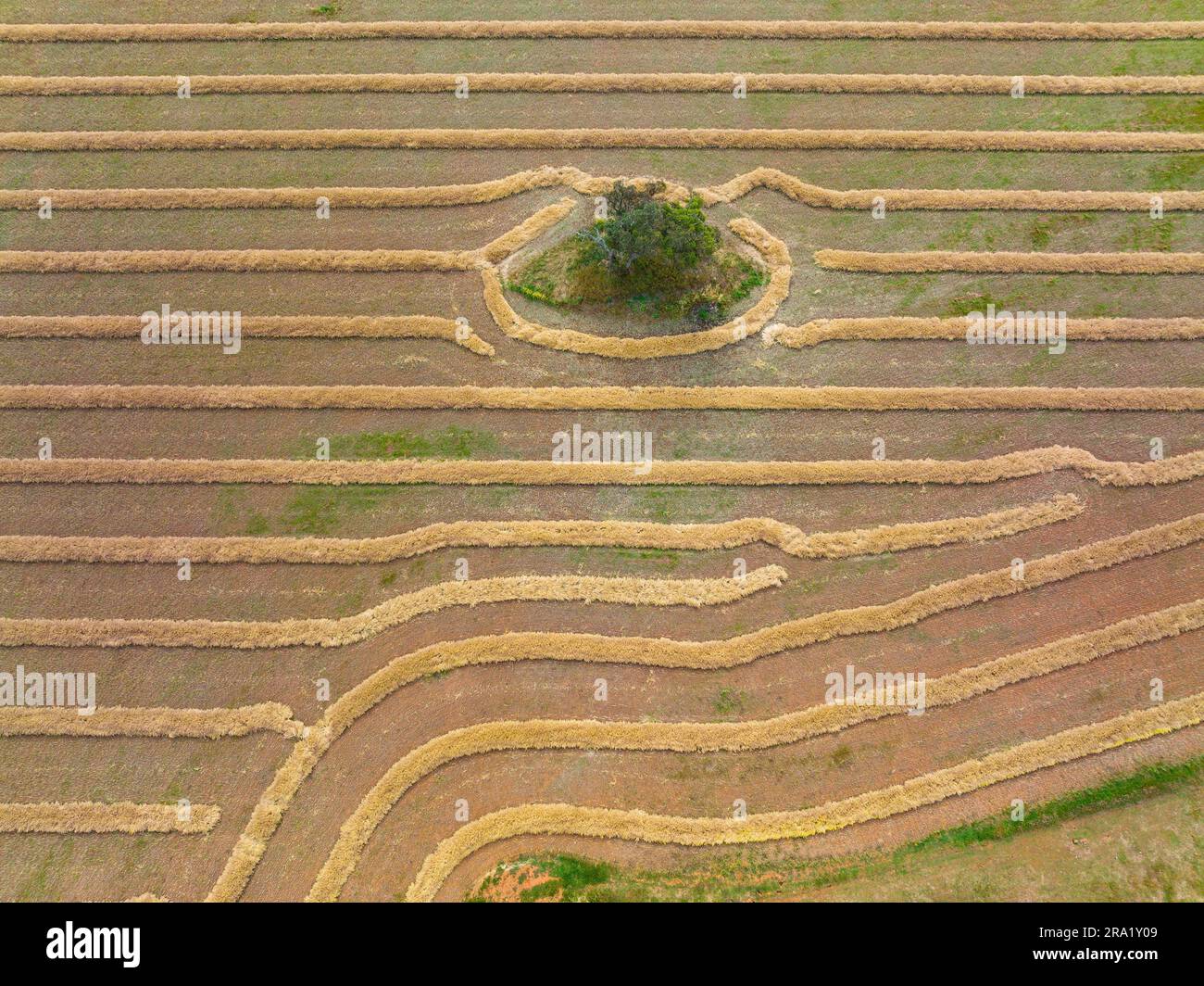 Aerial view of patterns in a harvested field at Moolort in Central Victoria, Australia Stock Photohttps://www.alamy.com/image-license-details/?v=1https://www.alamy.com/aerial-view-of-patterns-in-a-harvested-field-at-moolort-in-central-victoria-australia-image556921465.html
RF2RA1Y09–Aerial view of patterns in a harvested field at Moolort in Central Victoria, Australia
 canola field flowering in spring seen from a drone in overhead view Stock Photohttps://www.alamy.com/image-license-details/?v=1https://www.alamy.com/canola-field-flowering-in-spring-seen-from-a-drone-in-overhead-view-image601541466.html
RF2WXJG7P–canola field flowering in spring seen from a drone in overhead view
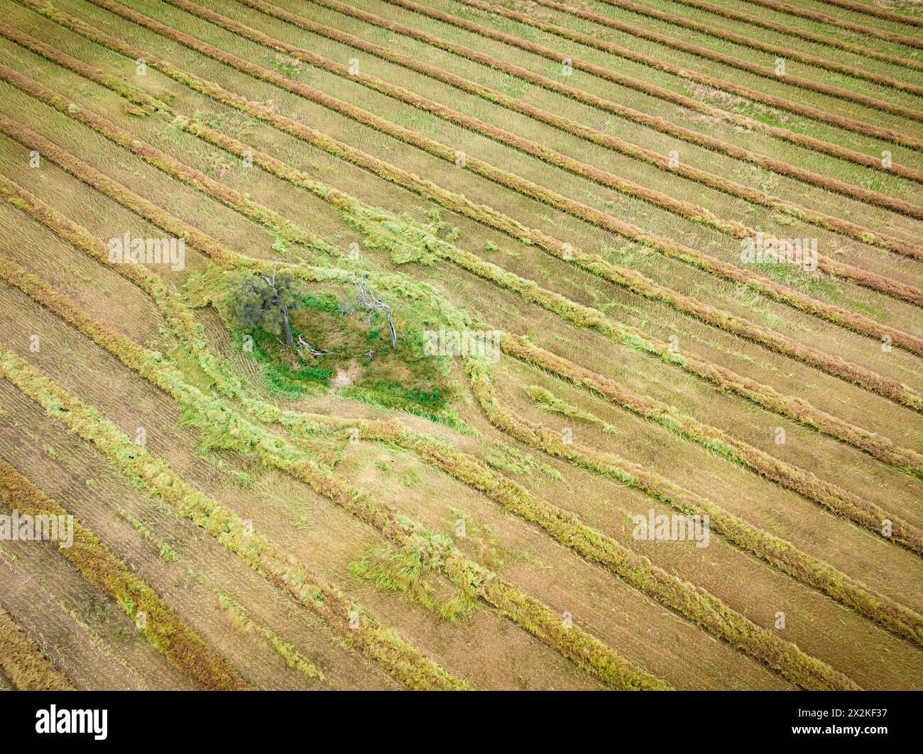 Aerial view of harvester patterns around trees on farmland at Joyces Creek in Central Victoria, Australia Stock Photohttps://www.alamy.com/image-license-details/?v=1https://www.alamy.com/aerial-view-of-harvester-patterns-around-trees-on-farmland-at-joyces-creek-in-central-victoria-australia-image604021131.html
RF2X2KF37–Aerial view of harvester patterns around trees on farmland at Joyces Creek in Central Victoria, Australia
 Canola or rapeseed field flowering in spring seen from a drone in top view Stock Photohttps://www.alamy.com/image-license-details/?v=1https://www.alamy.com/canola-or-rapeseed-field-flowering-in-spring-seen-from-a-drone-in-top-view-image601972507.html
RF2WYA623–Canola or rapeseed field flowering in spring seen from a drone in top view
 Aerial panorama of canola field at sunset in Australia Stock Photohttps://www.alamy.com/image-license-details/?v=1https://www.alamy.com/stock-image-aerial-panorama-of-canola-field-at-sunset-in-australia-164156879.html
RFKF1YNK–Aerial panorama of canola field at sunset in Australia
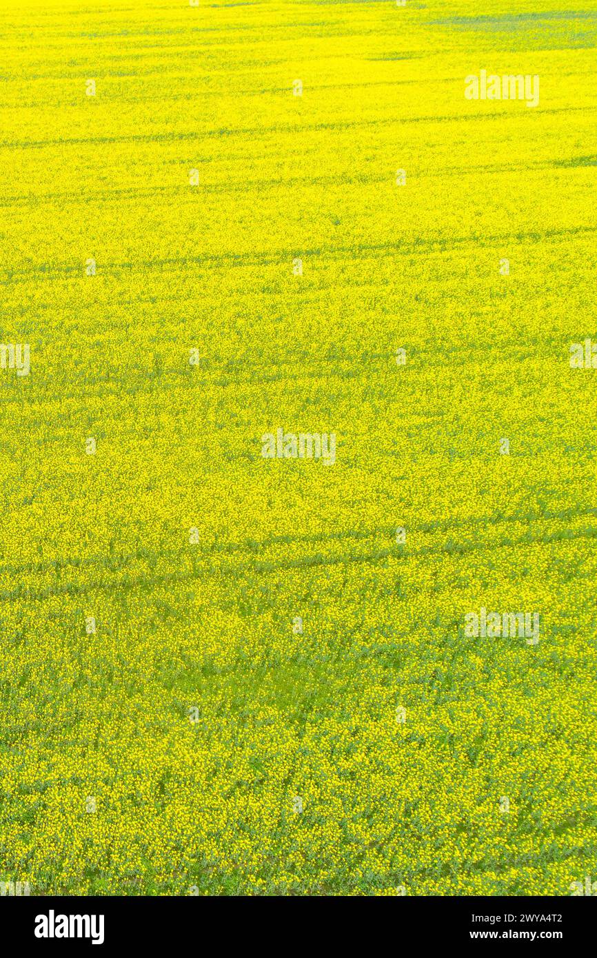 canola, field, drone view, overhead, spring, rapeseed, flower, springtime, no people, growth, aerial view, backgrounds, land, meadow, textured, concep Stock Photohttps://www.alamy.com/image-license-details/?v=1https://www.alamy.com/canola-field-drone-view-overhead-spring-rapeseed-flower-springtime-no-people-growth-aerial-view-backgrounds-land-meadow-textured-concep-image601971554.html
RF2WYA4T2–canola, field, drone view, overhead, spring, rapeseed, flower, springtime, no people, growth, aerial view, backgrounds, land, meadow, textured, concep
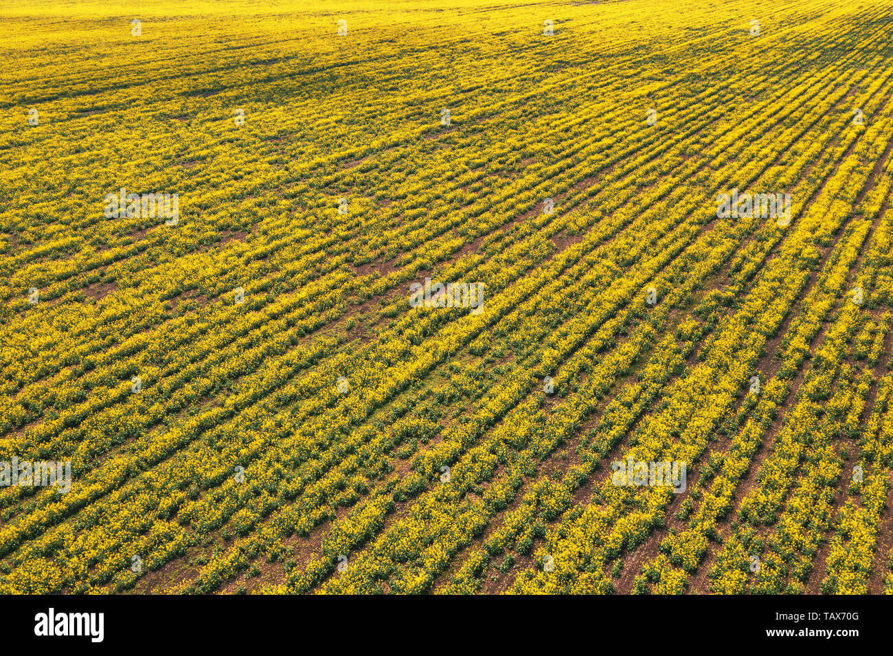 Aerial view of canola rapeseed field in poor condition due to drought season and arid climate Stock Photohttps://www.alamy.com/image-license-details/?v=1https://www.alamy.com/aerial-view-of-canola-rapeseed-field-in-poor-condition-due-to-drought-season-and-arid-climate-image247667968.html
RFTAX70G–Aerial view of canola rapeseed field in poor condition due to drought season and arid climate
 Canola fields near Temora, NSW Stock Photohttps://www.alamy.com/image-license-details/?v=1https://www.alamy.com/canola-fields-near-temora-nsw-image638313062.html
RF2S2DJR2–Canola fields near Temora, NSW
 overhead aerial drone view of agricultural fields and trees Stock Photohttps://www.alamy.com/image-license-details/?v=1https://www.alamy.com/overhead-aerial-drone-view-of-agricultural-fields-and-trees-image606677977.html
RF2X70FXH–overhead aerial drone view of agricultural fields and trees
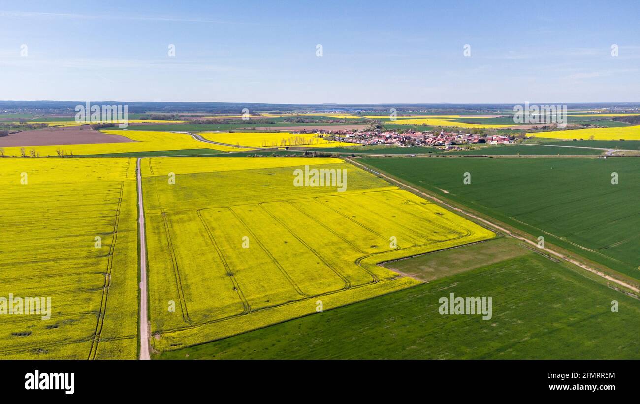 Aerial view of a canola field next to a rural village in Germany Stock Photohttps://www.alamy.com/image-license-details/?v=1https://www.alamy.com/aerial-view-of-a-canola-field-next-to-a-rural-village-in-germany-image425865040.html
RF2FMRR5M–Aerial view of a canola field next to a rural village in Germany
 Close up of a combine harvester using a big auger for loading threshed grain into a truck for its transportation. High quality photo Stock Photohttps://www.alamy.com/image-license-details/?v=1https://www.alamy.com/close-up-of-a-combine-harvester-using-a-big-auger-for-loading-threshed-grain-into-a-truck-for-its-transportation-high-quality-photo-image478784388.html
RF2JPXEAC–Close up of a combine harvester using a big auger for loading threshed grain into a truck for its transportation. High quality photo
 Long straight road running through a yellow field, aerial landscape Stock Photohttps://www.alamy.com/image-license-details/?v=1https://www.alamy.com/long-straight-road-running-through-a-yellow-field-aerial-landscape-image436271000.html
RF2G9NT34–Long straight road running through a yellow field, aerial landscape
 Drone photography of agriculture field of canola during summer sunny day Stock Photohttps://www.alamy.com/image-license-details/?v=1https://www.alamy.com/drone-photography-of-agriculture-field-of-canola-during-summer-sunny-day-image560465247.html
RF2RFRB3Y–Drone photography of agriculture field of canola during summer sunny day
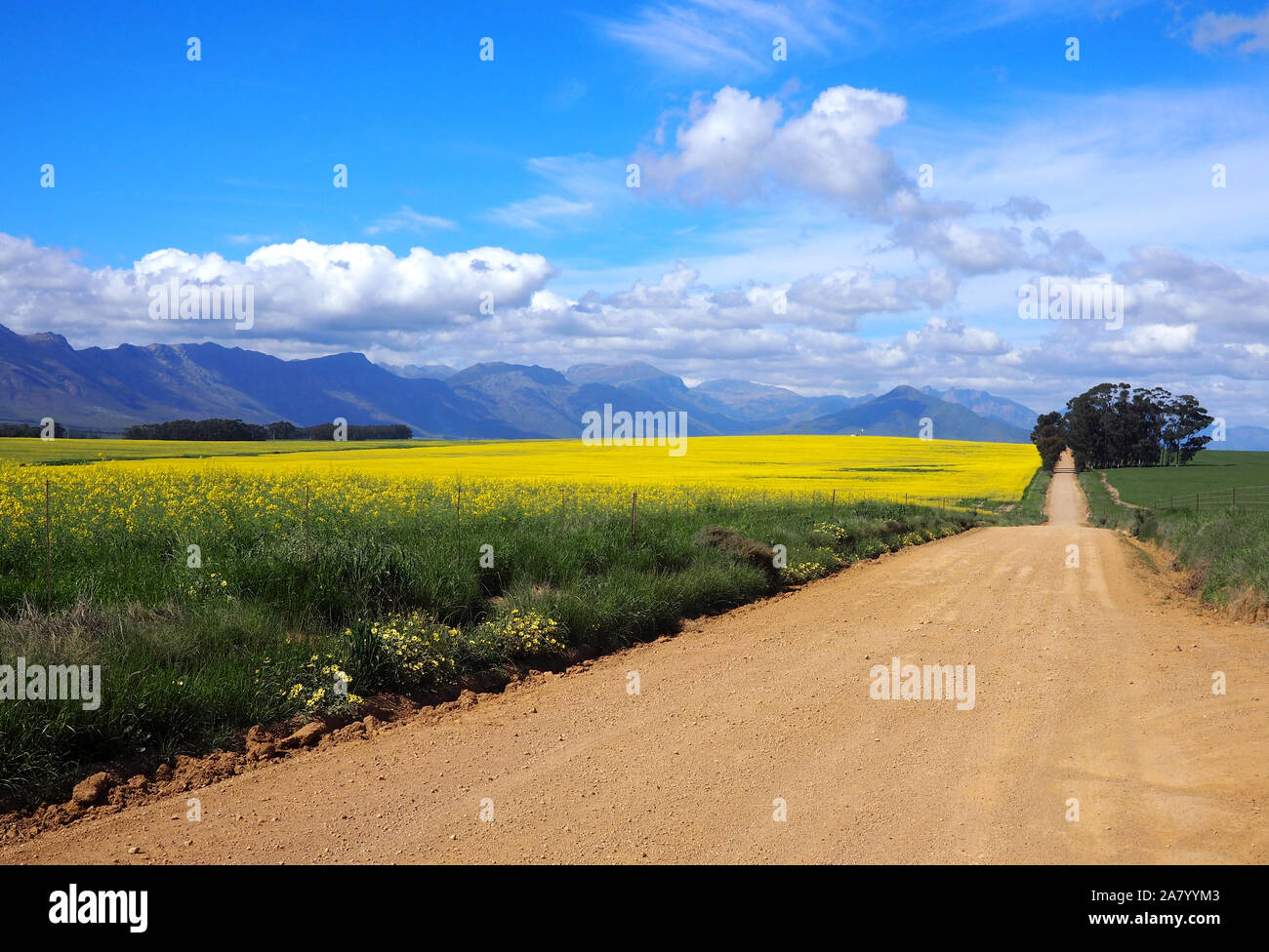 Aerial of green and yellow fields with mountains Stock Photohttps://www.alamy.com/image-license-details/?v=1https://www.alamy.com/aerial-of-green-and-yellow-fields-with-mountains-image331914019.html
RF2A7YYM3–Aerial of green and yellow fields with mountains
 Woman flying a drone in rural landscape Stock Photohttps://www.alamy.com/image-license-details/?v=1https://www.alamy.com/woman-flying-a-drone-in-rural-landscape-image627567067.html
RM2YD045F–Woman flying a drone in rural landscape
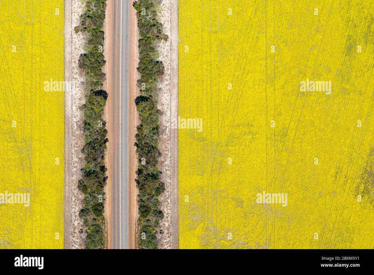 Abstract aerial top down view of a road through canola fields in the rich agricultural region of Western Australia Stock Photohttps://www.alamy.com/image-license-details/?v=1https://www.alamy.com/abstract-aerial-top-down-view-of-a-road-through-canola-fields-in-the-rich-agricultural-region-of-western-australia-image360632133.html
RF2BXM5Y1–Abstract aerial top down view of a road through canola fields in the rich agricultural region of Western Australia
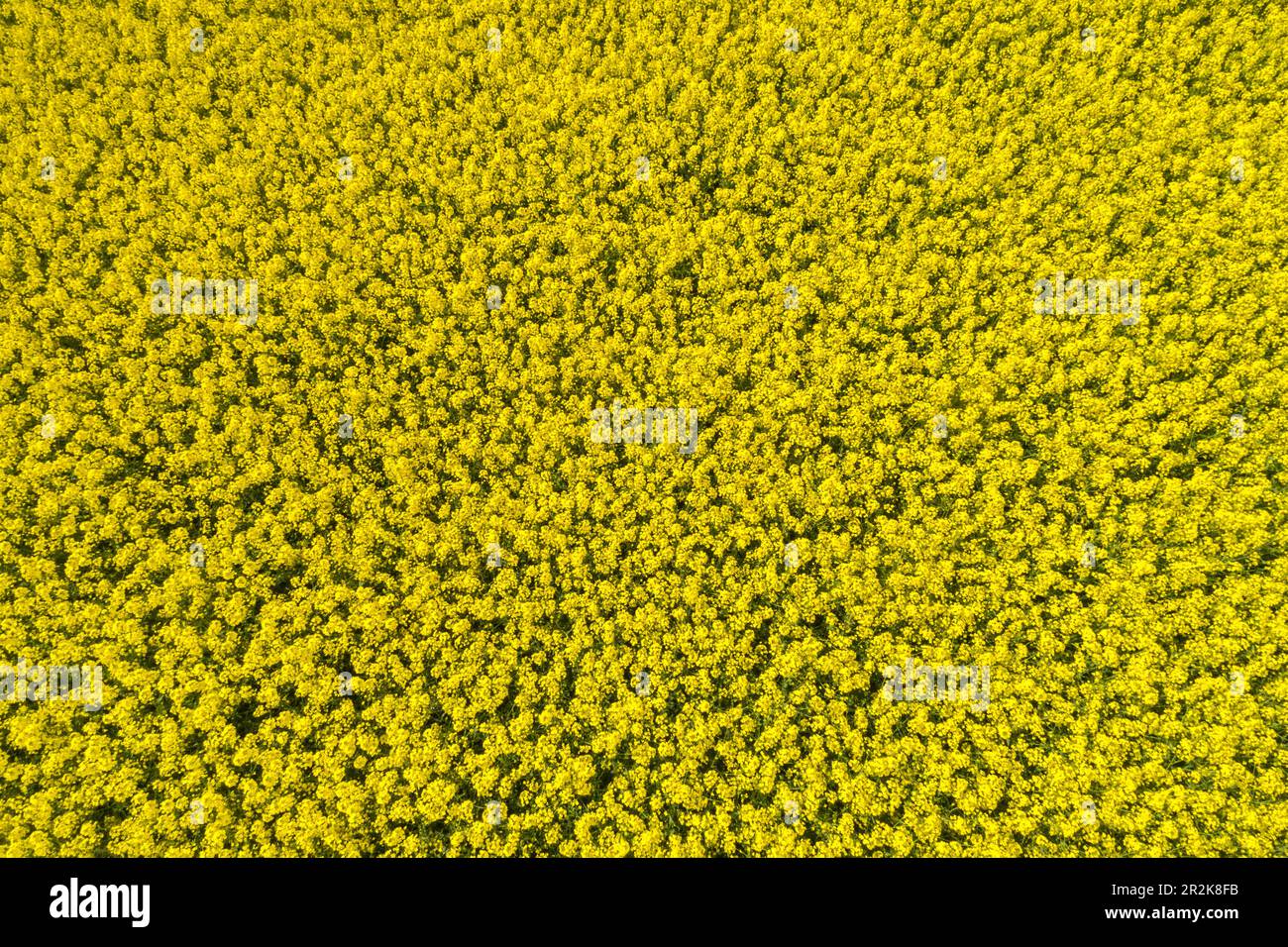 Aerial view of yellow canola field, Germany Stock Photohttps://www.alamy.com/image-license-details/?v=1https://www.alamy.com/aerial-view-of-yellow-canola-field-germany-image552384879.html
RF2R2K8FB–Aerial view of yellow canola field, Germany
 Drone shot of canola fields in bloom and dirt road in Frankonia, Germany Stock Photohttps://www.alamy.com/image-license-details/?v=1https://www.alamy.com/drone-shot-of-canola-fields-in-bloom-and-dirt-road-in-frankonia-germany-image561969572.html
RM2RJ7WWT–Drone shot of canola fields in bloom and dirt road in Frankonia, Germany
 Aerial drone view of flowering yellow repe repeseed field, view from above. Minimalistic photo Stock Photohttps://www.alamy.com/image-license-details/?v=1https://www.alamy.com/aerial-drone-view-of-flowering-yellow-repe-repeseed-field-view-from-above-minimalistic-photo-image553043068.html
RF2R3N824–Aerial drone view of flowering yellow repe repeseed field, view from above. Minimalistic photo
 Aerial View Of Agricultural Landscape With Flowering Blooming Rapeseed, Oilseed In Field Meadow In Spring Season. Blossom Of Canola Yellow Flowers. Beautiful Rural Landscape In Bird's-eye View. Panorama Stock Photohttps://www.alamy.com/image-license-details/?v=1https://www.alamy.com/aerial-view-of-agricultural-landscape-with-flowering-blooming-rapeseed-oilseed-in-field-meadow-in-spring-season-blossom-of-canola-yellow-flowers-beautiful-rural-landscape-in-birds-eye-view-panorama-image547849057.html
RF2PR8K1N–Aerial View Of Agricultural Landscape With Flowering Blooming Rapeseed, Oilseed In Field Meadow In Spring Season. Blossom Of Canola Yellow Flowers. Beautiful Rural Landscape In Bird's-eye View. Panorama
 Aerial view of rows of soil before planting Canola. Furrows row pattern in a plowed field prepared for planting crops in spring. Drone shot view Stock Photohttps://www.alamy.com/image-license-details/?v=1https://www.alamy.com/aerial-view-of-rows-of-soil-before-planting-canola-furrows-row-pattern-in-a-plowed-field-prepared-for-planting-crops-in-spring-drone-shot-view-image460398903.html
RF2HN0YDY–Aerial view of rows of soil before planting Canola. Furrows row pattern in a plowed field prepared for planting crops in spring. Drone shot view
 Aerial view of harvester patterns around trees on farmland at Joyces Creek in Central Victoria, Australia Stock Photohttps://www.alamy.com/image-license-details/?v=1https://www.alamy.com/aerial-view-of-harvester-patterns-around-trees-on-farmland-at-joyces-creek-in-central-victoria-australia-image604021357.html
RF2X2KFB9–Aerial view of harvester patterns around trees on farmland at Joyces Creek in Central Victoria, Australia
 Aerial drone photo of fantastic nature of lake/sea in Peloponesse, Greece Stock Photohttps://www.alamy.com/image-license-details/?v=1https://www.alamy.com/aerial-drone-photo-of-fantastic-nature-of-lakesea-in-peloponesse-greece-image181536811.html
RFMF9M1F–Aerial drone photo of fantastic nature of lake/sea in Peloponesse, Greece
 Aerial view of a beautiful yellow canola field Stock Photohttps://www.alamy.com/image-license-details/?v=1https://www.alamy.com/stock-image-aerial-view-of-a-beautiful-yellow-canola-field-164156851.html
RFKF1YMK–Aerial view of a beautiful yellow canola field
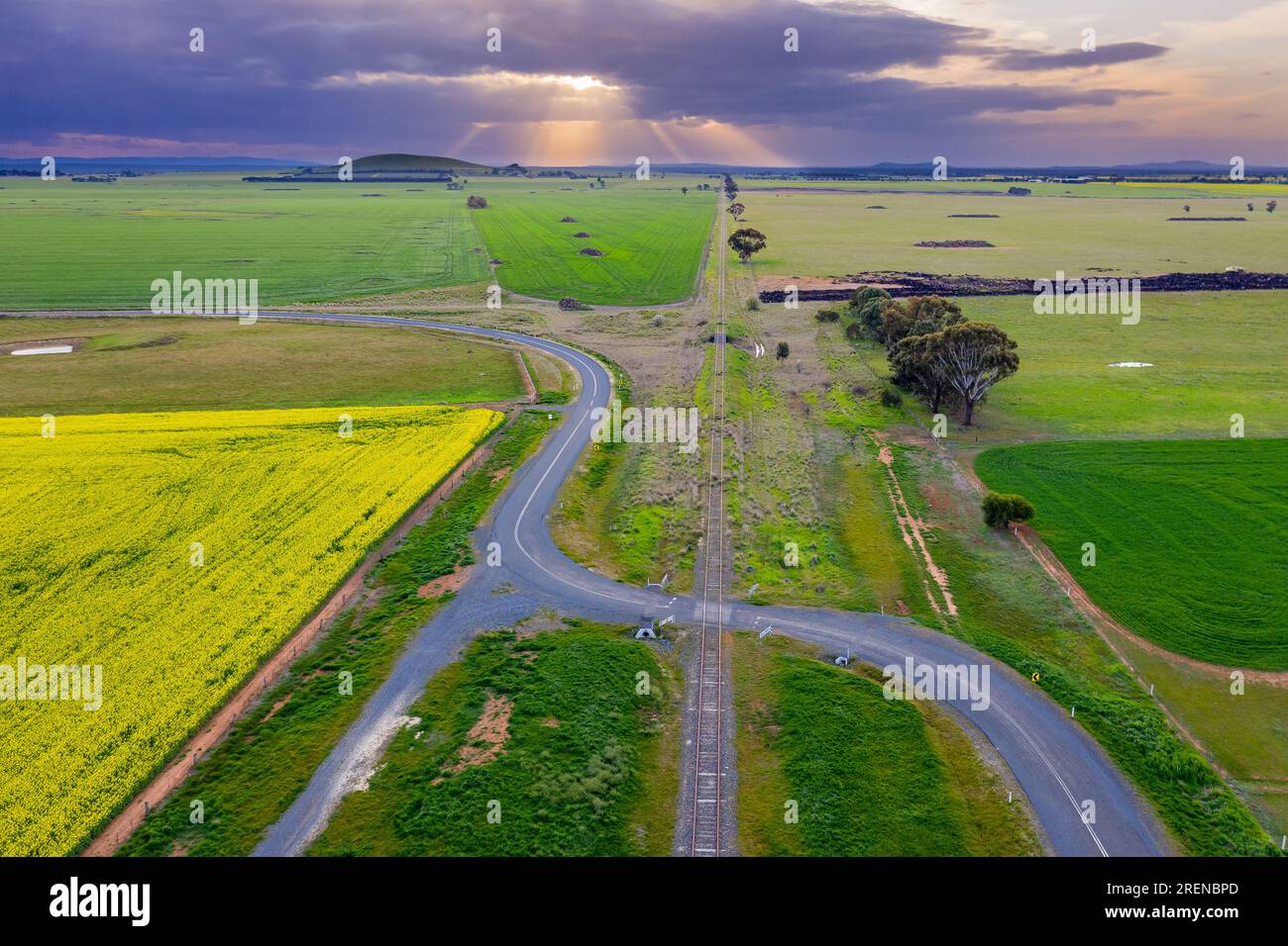 Aerial view of a country road snaking over a railway crossing on rural farmland with a distant sunset at Moolort in Central Victoria, Australia Stock Photohttps://www.alamy.com/image-license-details/?v=1https://www.alamy.com/aerial-view-of-a-country-road-snaking-over-a-railway-crossing-on-rural-farmland-with-a-distant-sunset-at-moolort-in-central-victoria-australia-image559807205.html
RF2RENBPD–Aerial view of a country road snaking over a railway crossing on rural farmland with a distant sunset at Moolort in Central Victoria, Australia
 Aerial view of canola rapeseed field in poor condition due to drought season and arid climate Stock Photohttps://www.alamy.com/image-license-details/?v=1https://www.alamy.com/aerial-view-of-canola-rapeseed-field-in-poor-condition-due-to-drought-season-and-arid-climate-image246426902.html
RFT8WM0P–Aerial view of canola rapeseed field in poor condition due to drought season and arid climate
 Canola fields near Temora, NSW Stock Photohttps://www.alamy.com/image-license-details/?v=1https://www.alamy.com/canola-fields-near-temora-nsw-image638312798.html
RF2S2DJDJ–Canola fields near Temora, NSW
 zenithal aerial drone view of agricultural fields and trees Stock Photohttps://www.alamy.com/image-license-details/?v=1https://www.alamy.com/zenithal-aerial-drone-view-of-agricultural-fields-and-trees-image606595134.html
RF2X6TP7X–zenithal aerial drone view of agricultural fields and trees
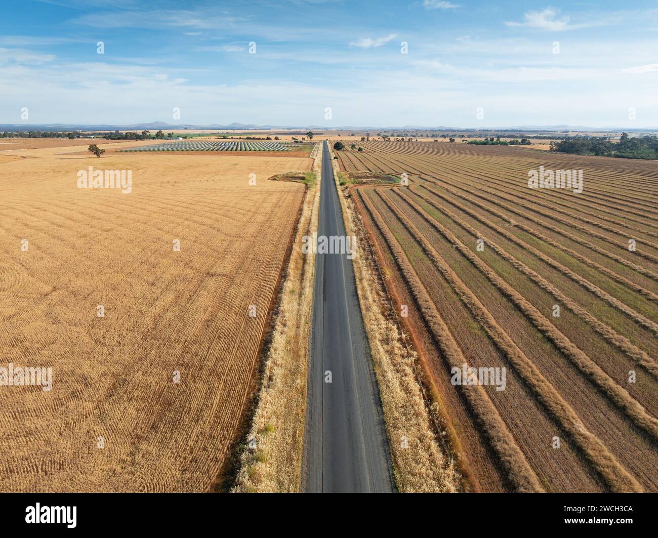 Aerial view of a long straight country road between two dry fields at Moolort in Central Victoria, Australia. Stock Photohttps://www.alamy.com/image-license-details/?v=1https://www.alamy.com/aerial-view-of-a-long-straight-country-road-between-two-dry-fields-at-moolort-in-central-victoria-australia-image592904266.html
RF2WCH3CA–Aerial view of a long straight country road between two dry fields at Moolort in Central Victoria, Australia.
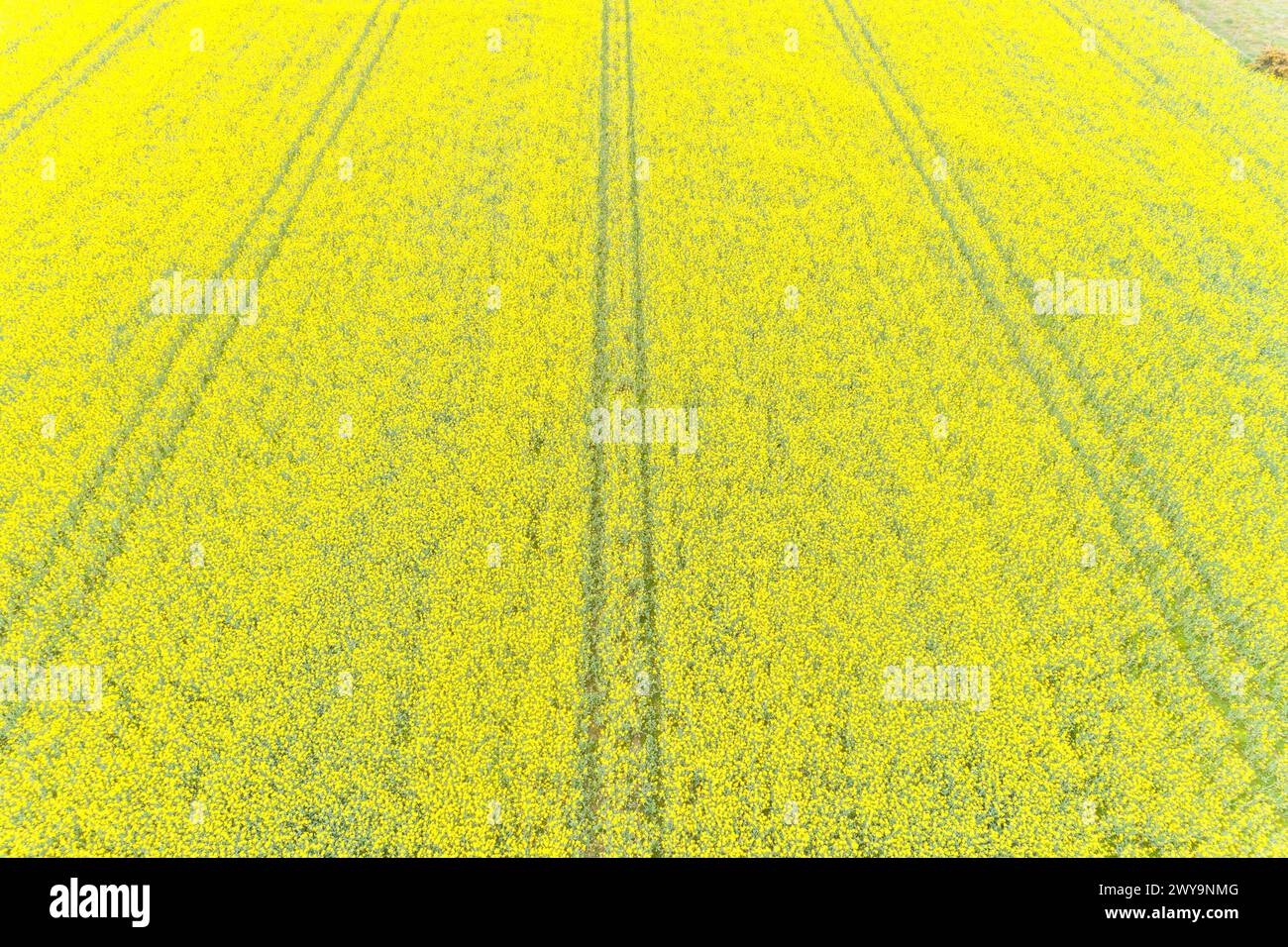 Rapeseed field flowering in spring seen from a drone in top view Stock Photohttps://www.alamy.com/image-license-details/?v=1https://www.alamy.com/rapeseed-field-flowering-in-spring-seen-from-a-drone-in-top-view-image601962832.html
RF2WY9NMG–Rapeseed field flowering in spring seen from a drone in top view
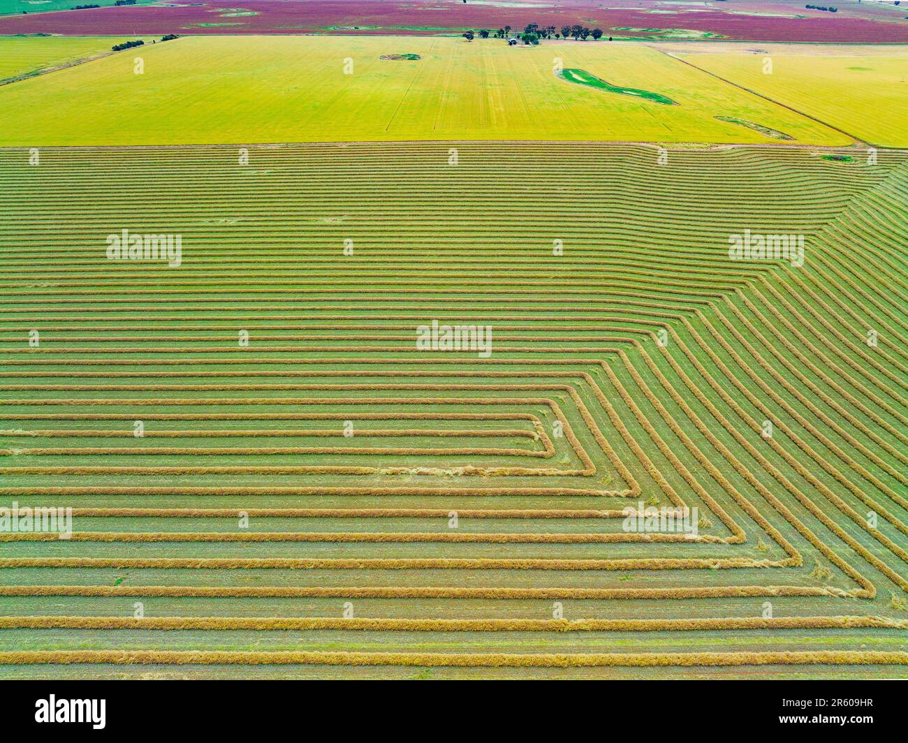 Aerial view of harvester lines in front of a canola field on farmland at Moolort in Central Victoria, Australia. Stock Photohttps://www.alamy.com/image-license-details/?v=1https://www.alamy.com/aerial-view-of-harvester-lines-in-front-of-a-canola-field-on-farmland-at-moolort-in-central-victoria-australia-image554427267.html
RF2R609HR–Aerial view of harvester lines in front of a canola field on farmland at Moolort in Central Victoria, Australia.
 Drone photography of agriculture field of canola during summer sunny day Stock Photohttps://www.alamy.com/image-license-details/?v=1https://www.alamy.com/drone-photography-of-agriculture-field-of-canola-during-summer-sunny-day-image560465257.html
RF2RFRB49–Drone photography of agriculture field of canola during summer sunny day
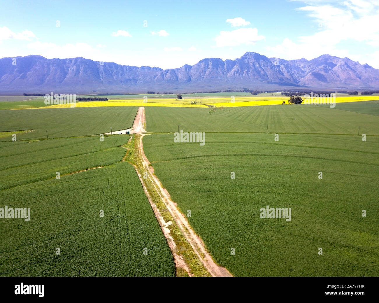 Aerial of green and yellow fields with mountains Stock Photohttps://www.alamy.com/image-license-details/?v=1https://www.alamy.com/aerial-of-green-and-yellow-fields-with-mountains-image331913951.html
RF2A7YYHK–Aerial of green and yellow fields with mountains
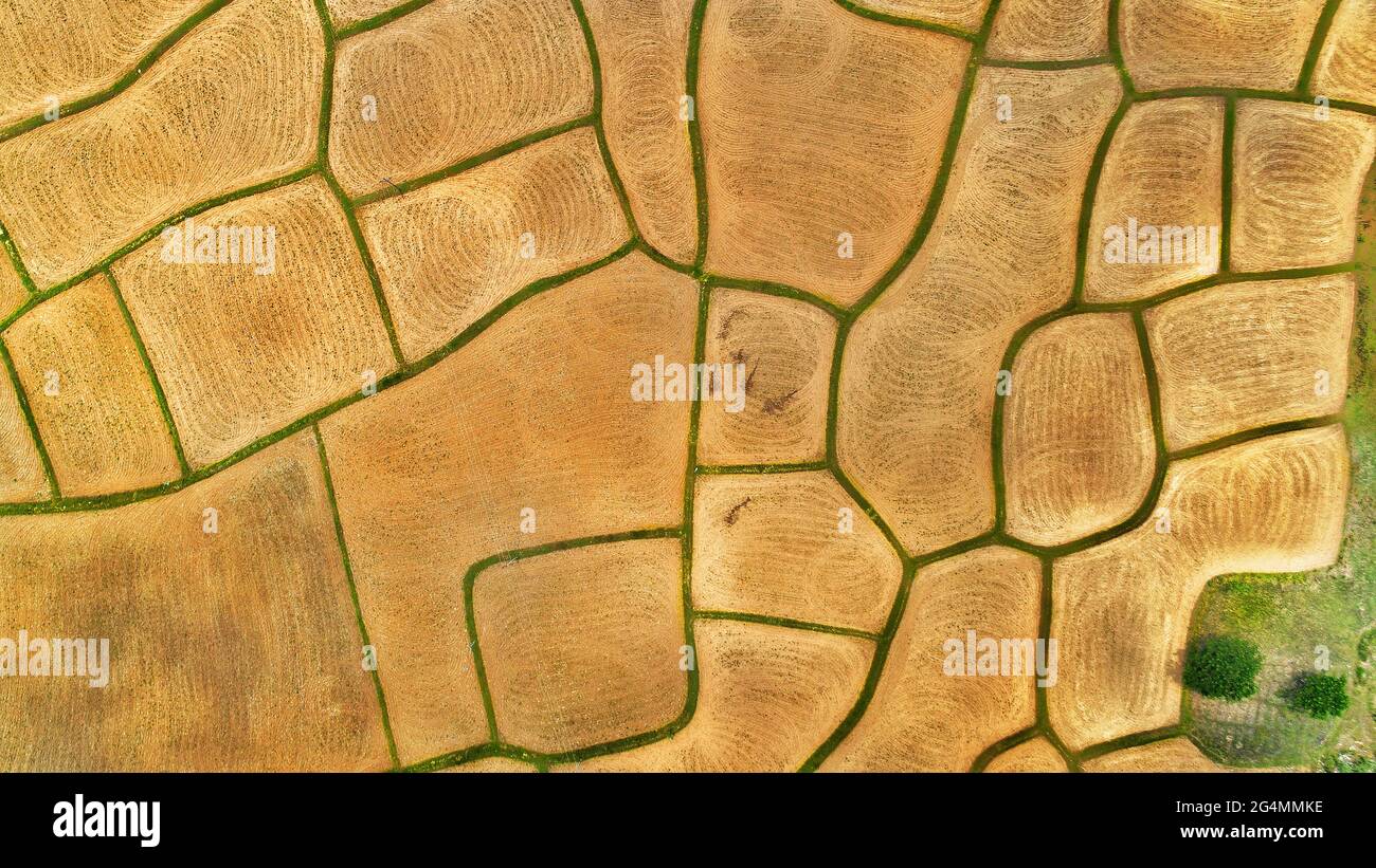 Agriculture Farm Drone View Stock Photohttps://www.alamy.com/image-license-details/?v=1https://www.alamy.com/agriculture-farm-drone-view-image433173090.html
RF2G4MMKE–Agriculture Farm Drone View
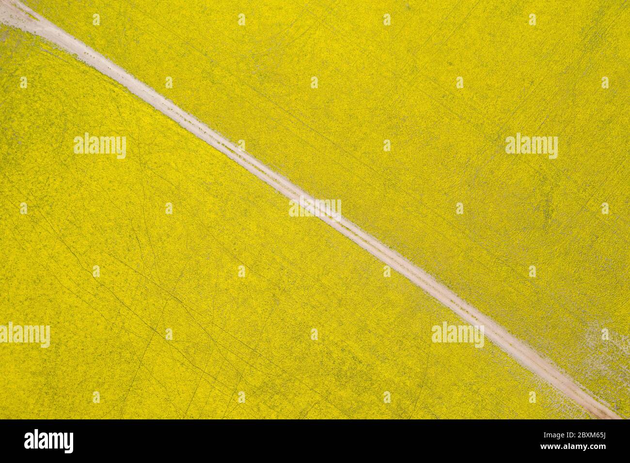 Abstract aerial top down view of a road through canola fields in the rich agricultural region of Western Australia Stock Photohttps://www.alamy.com/image-license-details/?v=1https://www.alamy.com/abstract-aerial-top-down-view-of-a-road-through-canola-fields-in-the-rich-agricultural-region-of-western-australia-image360632318.html
RF2BXM65J–Abstract aerial top down view of a road through canola fields in the rich agricultural region of Western Australia
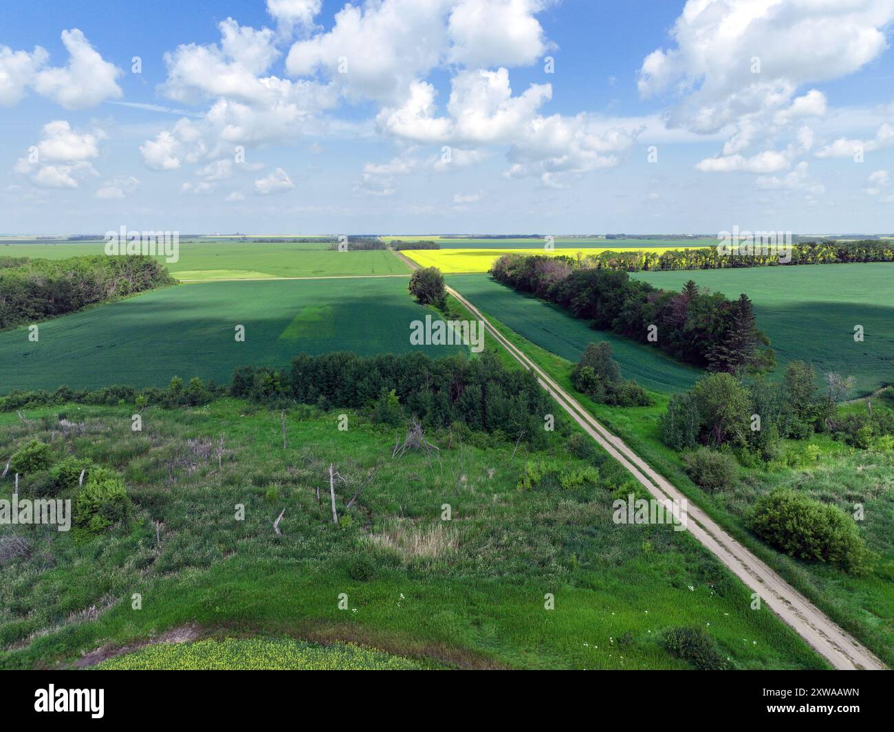 Bushland and windbreaks with canola, barley and wheat fields in the distance Stock Photohttps://www.alamy.com/image-license-details/?v=1https://www.alamy.com/bushland-and-windbreaks-with-canola-barley-and-wheat-fields-in-the-distance-image617957361.html
RF2XWAAWN–Bushland and windbreaks with canola, barley and wheat fields in the distance
 Drone shot of canola fields in bloom and green meadows in Frankonia, Germany Stock Photohttps://www.alamy.com/image-license-details/?v=1https://www.alamy.com/drone-shot-of-canola-fields-in-bloom-and-green-meadows-in-frankonia-germany-image561969597.html
RM2RJ7WXN–Drone shot of canola fields in bloom and green meadows in Frankonia, Germany
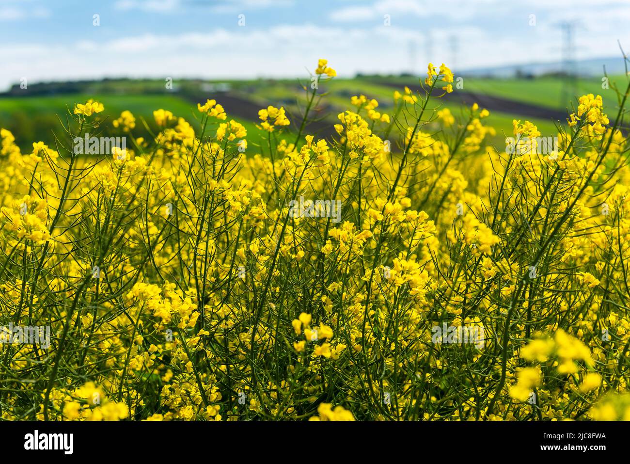 Canola Fields. Blooming canola fields under a blue sky with clouds. Beautiful yellow flowers. Stock Photohttps://www.alamy.com/image-license-details/?v=1https://www.alamy.com/canola-fields-blooming-canola-fields-under-a-blue-sky-with-clouds-beautiful-yellow-flowers-image472243894.html
RF2JC8FWA–Canola Fields. Blooming canola fields under a blue sky with clouds. Beautiful yellow flowers.
 Aerial view of dramatic storm clouds over a flowering canola field at Moolort in Central Victoria, Australia Stock Photohttps://www.alamy.com/image-license-details/?v=1https://www.alamy.com/aerial-view-of-dramatic-storm-clouds-over-a-flowering-canola-field-at-moolort-in-central-victoria-australia-image626061934.html
RF2YAFGAP–Aerial view of dramatic storm clouds over a flowering canola field at Moolort in Central Victoria, Australia
 A red agricultural combine harvesting crop in a large grain field. Aerial view from drone. High quality photo Stock Photohttps://www.alamy.com/image-license-details/?v=1https://www.alamy.com/a-red-agricultural-combine-harvesting-crop-in-a-large-grain-field-aerial-view-from-drone-high-quality-photo-image478324722.html
RF2JP5G1P–A red agricultural combine harvesting crop in a large grain field. Aerial view from drone. High quality photo
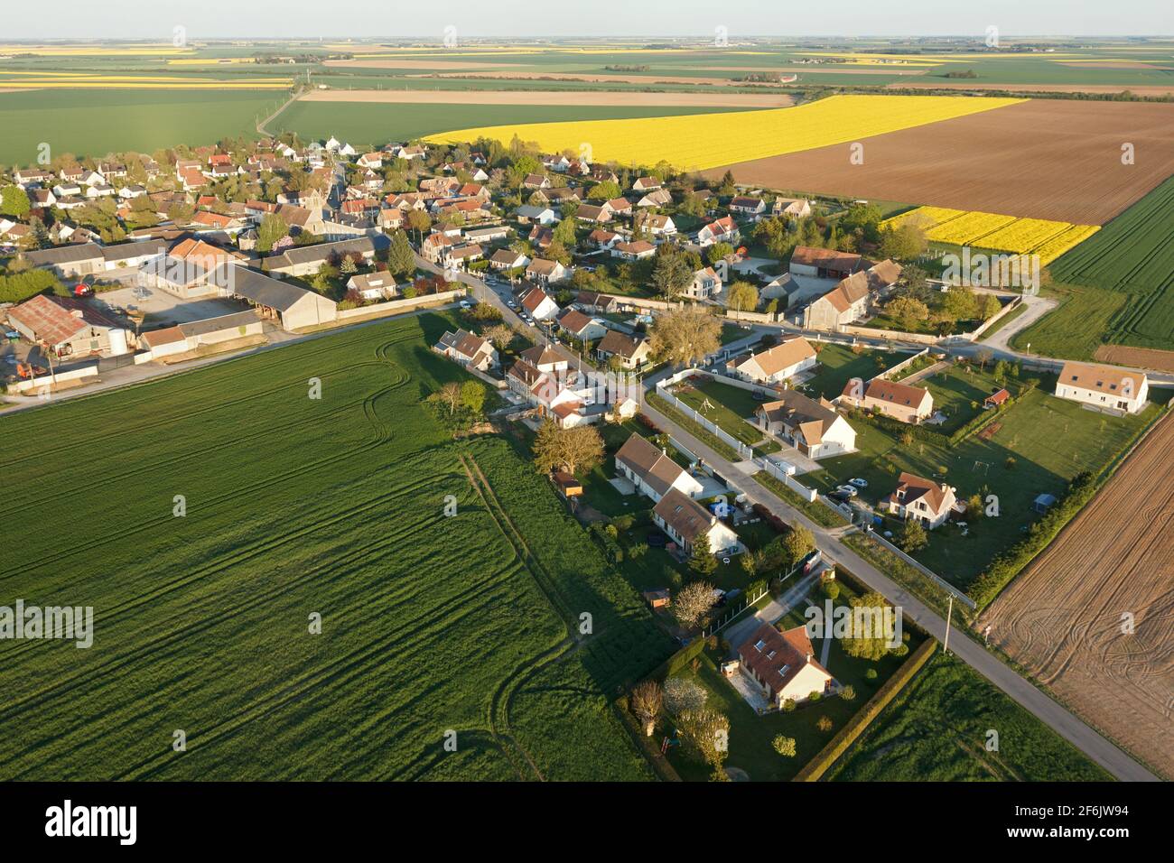 Aerial photograph of Boinville-le-Gaillard and rapeseed fields, located in the south of the Yvelines department, Île-de-France region, France. Municip Stock Photohttps://www.alamy.com/image-license-details/?v=1https://www.alamy.com/aerial-photograph-of-boinville-le-gaillard-and-rapeseed-fields-located-in-the-south-of-the-yvelines-department-le-de-france-region-france-municip-image417151760.html
RF2F6JW94–Aerial photograph of Boinville-le-Gaillard and rapeseed fields, located in the south of the Yvelines department, Île-de-France region, France. Municip
 Aerial drone photo of fantastic nature of lake/sea in Peloponesse, Greece Stock Photohttps://www.alamy.com/image-license-details/?v=1https://www.alamy.com/aerial-drone-photo-of-fantastic-nature-of-lakesea-in-peloponesse-greece-image181536753.html
RFMF9KYD–Aerial drone photo of fantastic nature of lake/sea in Peloponesse, Greece
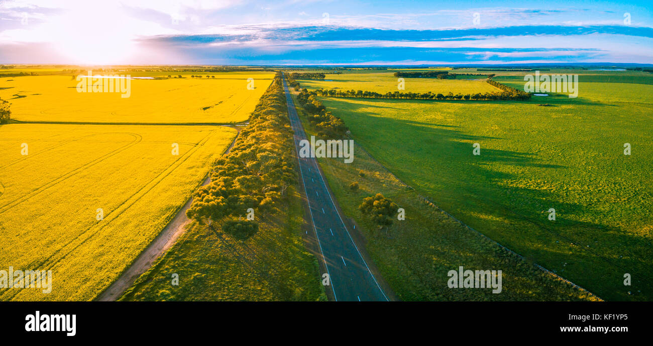 Aerial panorama of rural road passing through agricultural land in Australian countryside at sunset Stock Photohttps://www.alamy.com/image-license-details/?v=1https://www.alamy.com/stock-image-aerial-panorama-of-rural-road-passing-through-agricultural-land-in-164156893.html
RFKF1YP5–Aerial panorama of rural road passing through agricultural land in Australian countryside at sunset
 Aerial photography made with a drone of a farm and its crops during a sunny day. Panoramic view of a farm field on the side of a house surrounded by f Stock Photohttps://www.alamy.com/image-license-details/?v=1https://www.alamy.com/aerial-photography-made-with-a-drone-of-a-farm-and-its-crops-during-a-sunny-day-panoramic-view-of-a-farm-field-on-the-side-of-a-house-surrounded-by-f-image550561931.html
RF2PYM7A3–Aerial photography made with a drone of a farm and its crops during a sunny day. Panoramic view of a farm field on the side of a house surrounded by f
 Aerial view of canola rapeseed field in poor condition due to drought season and arid climate Stock Photohttps://www.alamy.com/image-license-details/?v=1https://www.alamy.com/aerial-view-of-canola-rapeseed-field-in-poor-condition-due-to-drought-season-and-arid-climate-image328250086.html
RF2A2129A–Aerial view of canola rapeseed field in poor condition due to drought season and arid climate
 Canola fields near Temora, NSW Stock Photohttps://www.alamy.com/image-license-details/?v=1https://www.alamy.com/canola-fields-near-temora-nsw-image638312894.html
RF2S2DJH2–Canola fields near Temora, NSW
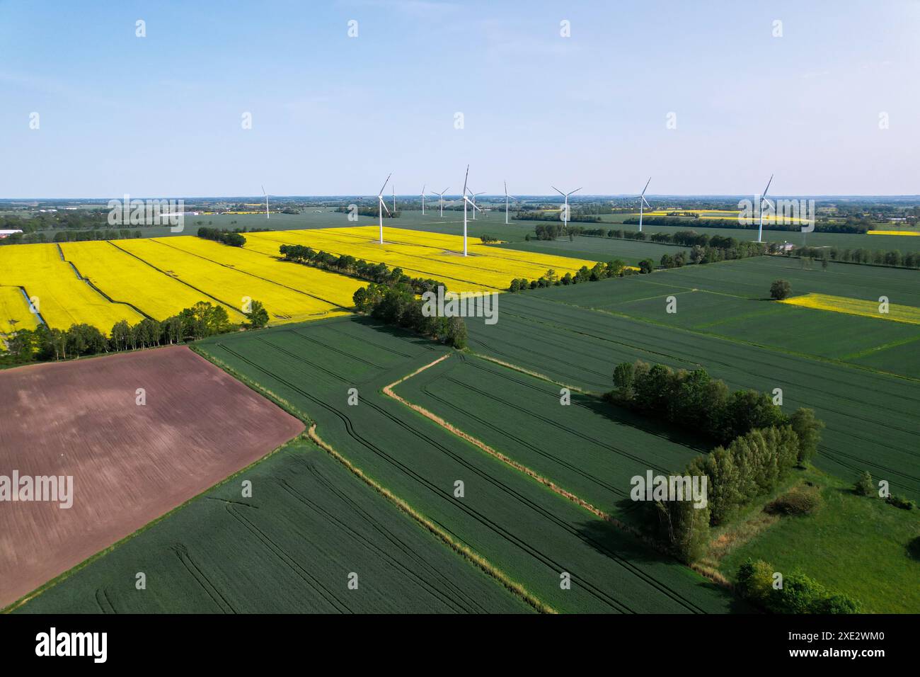 Aerial view Wind turbine on grassy yellow farm canola field against cloudy blue sky in rural area. Offshore windmill park with c Stock Photohttps://www.alamy.com/image-license-details/?v=1https://www.alamy.com/aerial-view-wind-turbine-on-grassy-yellow-farm-canola-field-against-cloudy-blue-sky-in-rural-area-offshore-windmill-park-with-c-image611032128.html
RF2XE2WM0–Aerial view Wind turbine on grassy yellow farm canola field against cloudy blue sky in rural area. Offshore windmill park with c
 Beautiful drone aerial landscape image of Englsh countryside at sunrise in Spring over rapeseed canola fields Stock Photohttps://www.alamy.com/image-license-details/?v=1https://www.alamy.com/beautiful-drone-aerial-landscape-image-of-englsh-countryside-at-sunrise-in-spring-over-rapeseed-canola-fields-image245132632.html
RFT6PN4T–Beautiful drone aerial landscape image of Englsh countryside at sunrise in Spring over rapeseed canola fields
 rapeseed field flowering in spring seen from a drone in top view Stock Photohttps://www.alamy.com/image-license-details/?v=1https://www.alamy.com/rapeseed-field-flowering-in-spring-seen-from-a-drone-in-top-view-image601962947.html
RF2WY9NTK–rapeseed field flowering in spring seen from a drone in top view
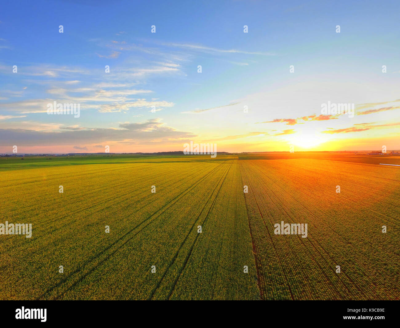 Aerial view of sunset over canola field Stock Photohttps://www.alamy.com/image-license-details/?v=1https://www.alamy.com/stock-image-aerial-view-of-sunset-over-canola-field-160697530.html
RFK9CB9E–Aerial view of sunset over canola field
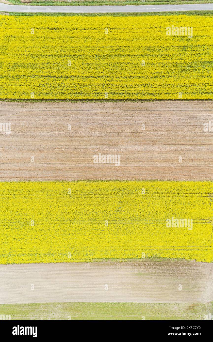 overhead aerial drone view of plowed and other fields under canola cultivation Stock Photohttps://www.alamy.com/image-license-details/?v=1https://www.alamy.com/overhead-aerial-drone-view-of-plowed-and-other-fields-under-canola-cultivation-image604476516.html
RF2X3C7Y0–overhead aerial drone view of plowed and other fields under canola cultivation
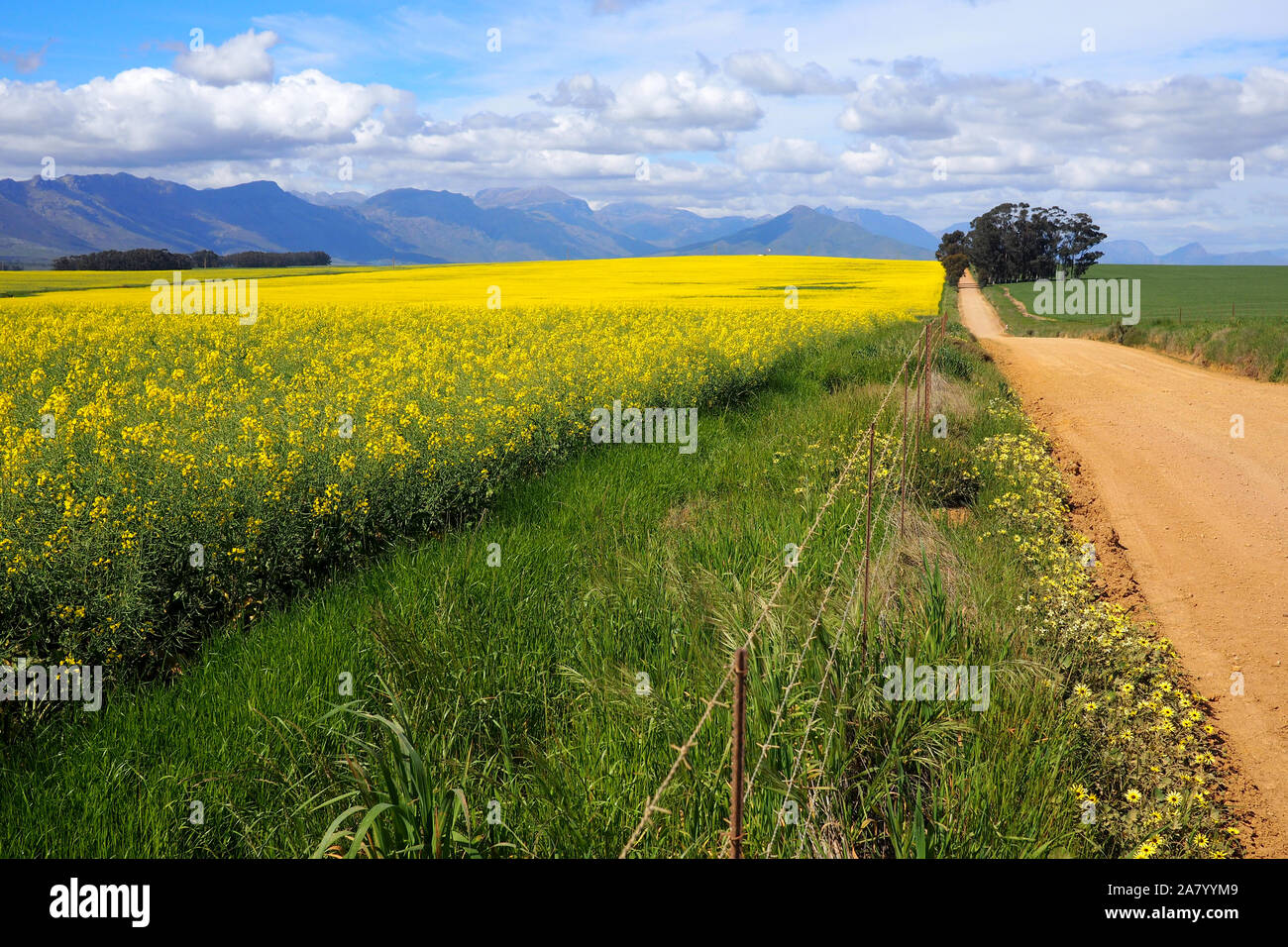 Aerial of green and yellow fields with mountains Stock Photohttps://www.alamy.com/image-license-details/?v=1https://www.alamy.com/aerial-of-green-and-yellow-fields-with-mountains-image331914025.html
RF2A7YYM9–Aerial of green and yellow fields with mountains
 Drone photography of agriculture field of canola during summer sunny day Stock Photohttps://www.alamy.com/image-license-details/?v=1https://www.alamy.com/drone-photography-of-agriculture-field-of-canola-during-summer-sunny-day-image560465250.html
RF2RFRB42–Drone photography of agriculture field of canola during summer sunny day
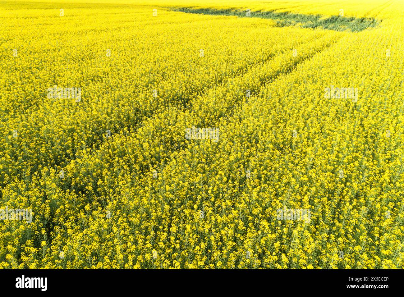 spring flowering rapeseed crop field seen from a drone Stock Photohttps://www.alamy.com/image-license-details/?v=1https://www.alamy.com/spring-flowering-rapeseed-crop-field-seen-from-a-drone-image606367966.html
RF2X6ECEP–spring flowering rapeseed crop field seen from a drone
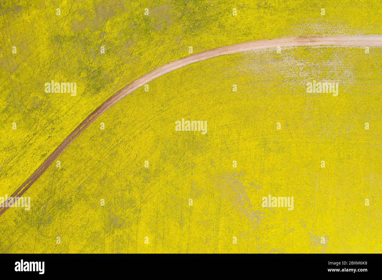 Abstract aerial top down view of a road through canola fields in the rich agricultural region of Western Australia Stock Photohttps://www.alamy.com/image-license-details/?v=1https://www.alamy.com/abstract-aerial-top-down-view-of-a-road-through-canola-fields-in-the-rich-agricultural-region-of-western-australia-image360632700.html
RF2BXM6K8–Abstract aerial top down view of a road through canola fields in the rich agricultural region of Western Australia
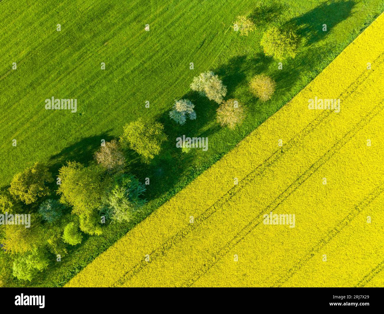 Drone shot of canola fields in bloom and green meadows in Frankonia, Germany Stock Photohttps://www.alamy.com/image-license-details/?v=1https://www.alamy.com/drone-shot-of-canola-fields-in-bloom-and-green-meadows-in-frankonia-germany-image561969697.html
RM2RJ7X29–Drone shot of canola fields in bloom and green meadows in Frankonia, Germany
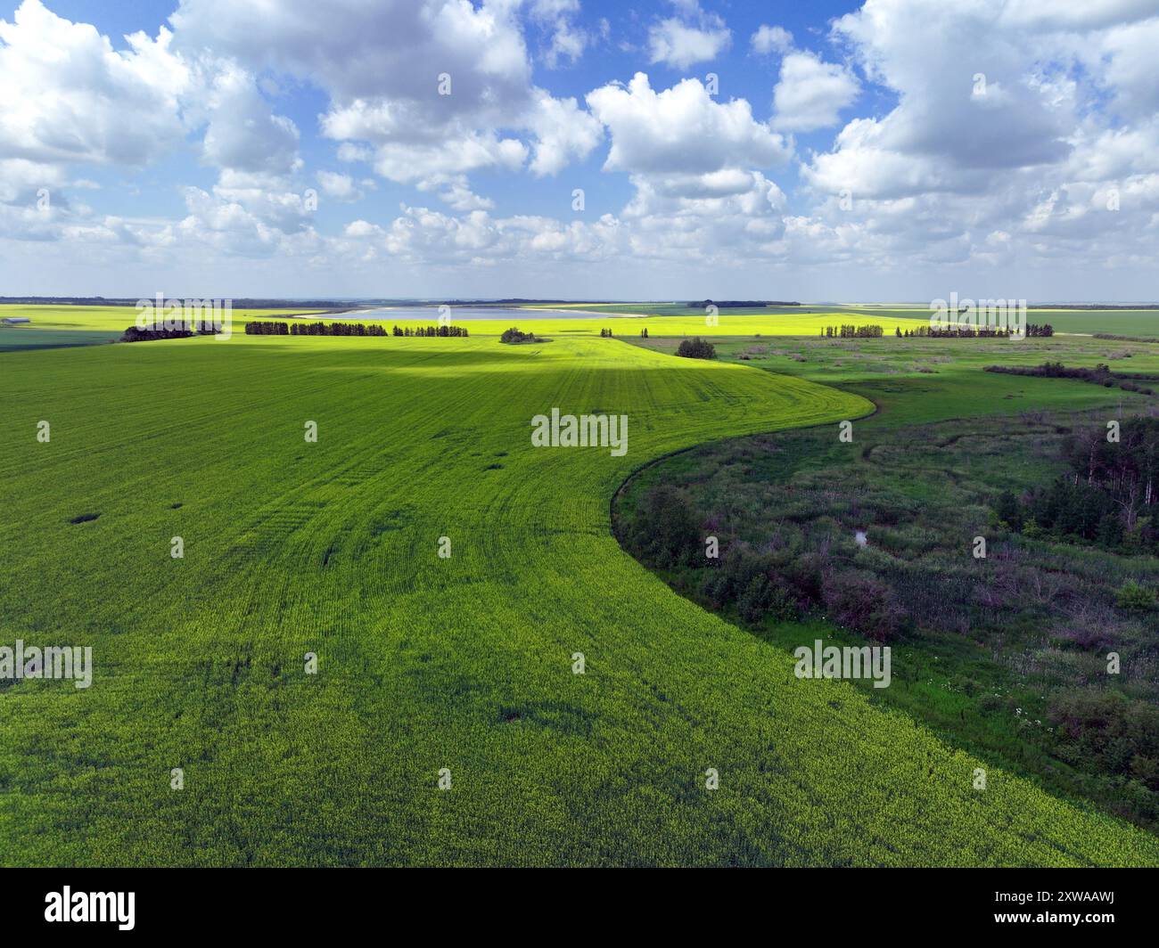 Canola fields in bloom bordering on bush and tree-covered wetland Stock Photohttps://www.alamy.com/image-license-details/?v=1https://www.alamy.com/canola-fields-in-bloom-bordering-on-bush-and-tree-covered-wetland-image617957358.html
RF2XWAAWJ–Canola fields in bloom bordering on bush and tree-covered wetland
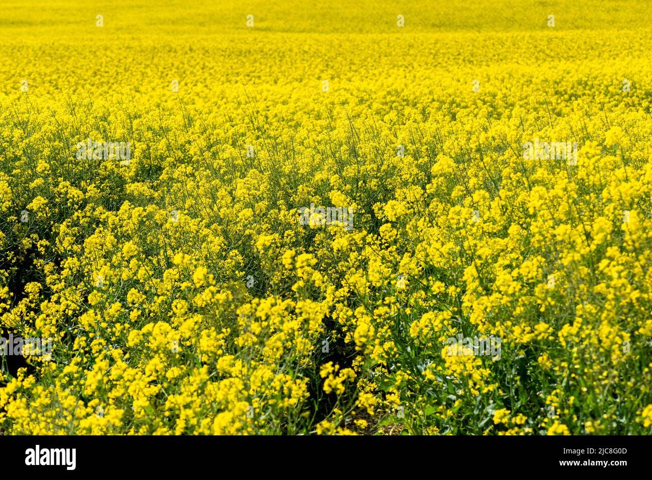 Canola Fields. Blooming canola fields under a blue sky with clouds. Beautiful yellow flowers. Stock Photohttps://www.alamy.com/image-license-details/?v=1https://www.alamy.com/canola-fields-blooming-canola-fields-under-a-blue-sky-with-clouds-beautiful-yellow-flowers-image472243981.html
RF2JC8G0D–Canola Fields. Blooming canola fields under a blue sky with clouds. Beautiful yellow flowers.
 Aerial view of dramatic storm clouds over a flowering canola field at Moolort in Central Victoria, Australia Stock Photohttps://www.alamy.com/image-license-details/?v=1https://www.alamy.com/aerial-view-of-dramatic-storm-clouds-over-a-flowering-canola-field-at-moolort-in-central-victoria-australia-image626062256.html
RF2YAFGP8–Aerial view of dramatic storm clouds over a flowering canola field at Moolort in Central Victoria, Australia
 A red agricultural combine harvesting crop in a large grain field. Aerial view from drone. High quality photo Stock Photohttps://www.alamy.com/image-license-details/?v=1https://www.alamy.com/a-red-agricultural-combine-harvesting-crop-in-a-large-grain-field-aerial-view-from-drone-high-quality-photo-image478324662.html
RF2JP5FYJ–A red agricultural combine harvesting crop in a large grain field. Aerial view from drone. High quality photo
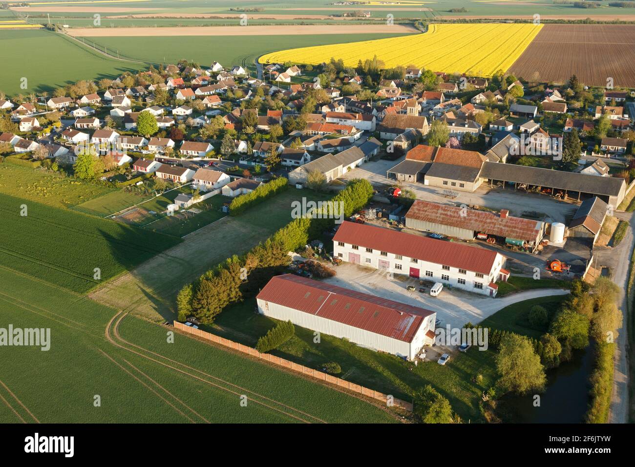 Aerial photograph of Boinville-le-Gaillard and rapeseed fields, located in the south of the Yvelines department, Île-de-France region, France. Municip Stock Photohttps://www.alamy.com/image-license-details/?v=1https://www.alamy.com/aerial-photograph-of-boinville-le-gaillard-and-rapeseed-fields-located-in-the-south-of-the-yvelines-department-le-de-france-region-france-municip-image417151501.html
RF2F6JTYW–Aerial photograph of Boinville-le-Gaillard and rapeseed fields, located in the south of the Yvelines department, Île-de-France region, France. Municip
 Aerial view of canola field at sunset Stock Photohttps://www.alamy.com/image-license-details/?v=1https://www.alamy.com/stock-image-aerial-view-of-canola-field-at-sunset-166045931.html
RFKJ417R–Aerial view of canola field at sunset
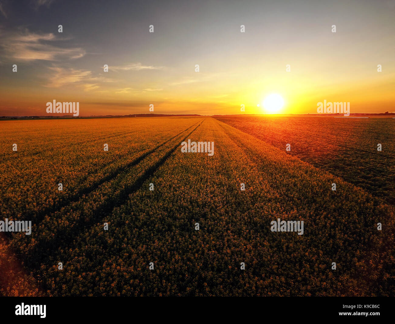 Sunset over canola field in bloom Stock Photohttps://www.alamy.com/image-license-details/?v=1https://www.alamy.com/stock-image-sunset-over-canola-field-in-bloom-160697444.html
RFK9CB6C–Sunset over canola field in bloom
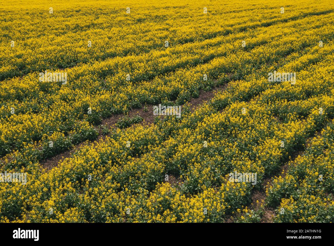 Aerial view of canola rapeseed field in poor condition due to drought season and arid climate Stock Photohttps://www.alamy.com/image-license-details/?v=1https://www.alamy.com/aerial-view-of-canola-rapeseed-field-in-poor-condition-due-to-drought-season-and-arid-climate-image342138428.html
RF2ATHN1G–Aerial view of canola rapeseed field in poor condition due to drought season and arid climate
 Canola fields near Temora, NSW Stock Photohttps://www.alamy.com/image-license-details/?v=1https://www.alamy.com/canola-fields-near-temora-nsw-image638312693.html
RF2S2DJ9W–Canola fields near Temora, NSW
 Aerial drone photo of fantastic nature of lake/sea in Peloponesse, Greece Stock Photohttps://www.alamy.com/image-license-details/?v=1https://www.alamy.com/aerial-drone-photo-of-fantastic-nature-of-lakesea-in-peloponesse-greece-image181536980.html
RFMF9M7G–Aerial drone photo of fantastic nature of lake/sea in Peloponesse, Greece
 Beautiful drone aerial landscape image of Englsh countryside at sunrise in Spring over rapeseed canola fields Stock Photohttps://www.alamy.com/image-license-details/?v=1https://www.alamy.com/beautiful-drone-aerial-landscape-image-of-englsh-countryside-at-sunrise-in-spring-over-rapeseed-canola-fields-image243838969.html
RFT4KR2H–Beautiful drone aerial landscape image of Englsh countryside at sunrise in Spring over rapeseed canola fields
 Aerial View Of Field With Blooming Canola Yellow Flowers. Top View Of Blossom Plant, Rapeseed Meadow Grass Landscape At Sunset Sunrise. Agricultural Stock Photohttps://www.alamy.com/image-license-details/?v=1https://www.alamy.com/aerial-view-of-field-with-blooming-canola-yellow-flowers-top-view-of-blossom-plant-rapeseed-meadow-grass-landscape-at-sunset-sunrise-agricultural-image411765315.html
RF2EWWET3–Aerial View Of Field With Blooming Canola Yellow Flowers. Top View Of Blossom Plant, Rapeseed Meadow Grass Landscape At Sunset Sunrise. Agricultural
 Aerial view of rapeseed flowers in Luoping, Yunnan - China Stock Photohttps://www.alamy.com/image-license-details/?v=1https://www.alamy.com/aerial-view-of-rapeseed-flowers-in-luoping-yunnan-china-image427482368.html
RF2FRDE3C–Aerial view of rapeseed flowers in Luoping, Yunnan - China
 Canola field drone shot Stock Photohttps://www.alamy.com/image-license-details/?v=1https://www.alamy.com/canola-field-drone-shot-image460399028.html
RF2HN0YJC–Canola field drone shot
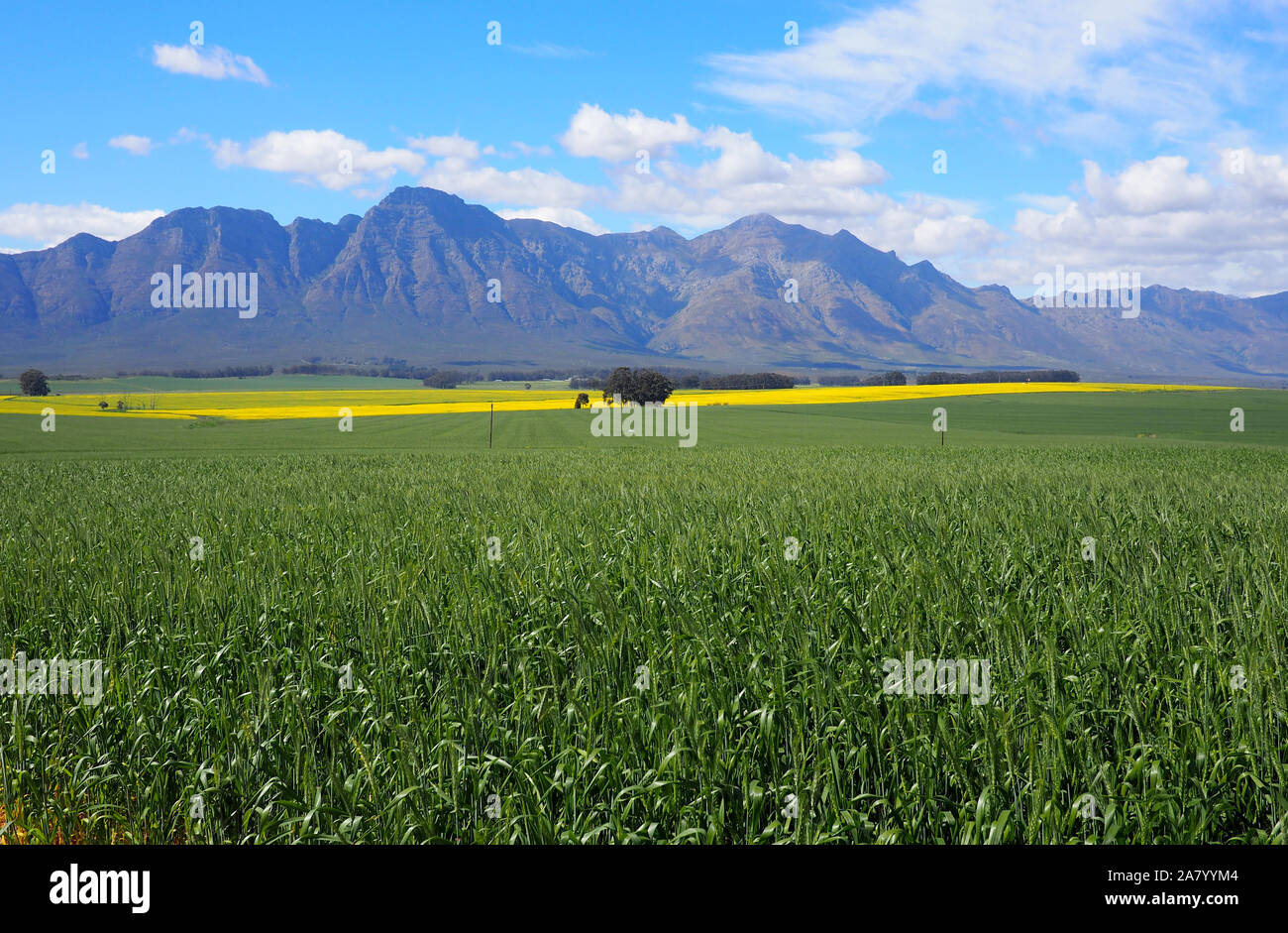 Aerial of green and yellow fields with mountains Stock Photohttps://www.alamy.com/image-license-details/?v=1https://www.alamy.com/aerial-of-green-and-yellow-fields-with-mountains-image331914020.html
RF2A7YYM4–Aerial of green and yellow fields with mountains
 Drone photography of agriculture field of canola during summer sunny day Stock Photohttps://www.alamy.com/image-license-details/?v=1https://www.alamy.com/drone-photography-of-agriculture-field-of-canola-during-summer-sunny-day-image560465255.html
RF2RFRB47–Drone photography of agriculture field of canola during summer sunny day
 spring flowering rapeseed crop field seen from a drone in zenithal view Stock Photohttps://www.alamy.com/image-license-details/?v=1https://www.alamy.com/spring-flowering-rapeseed-crop-field-seen-from-a-drone-in-zenithal-view-image606367972.html
RF2X6ECF0–spring flowering rapeseed crop field seen from a drone in zenithal view
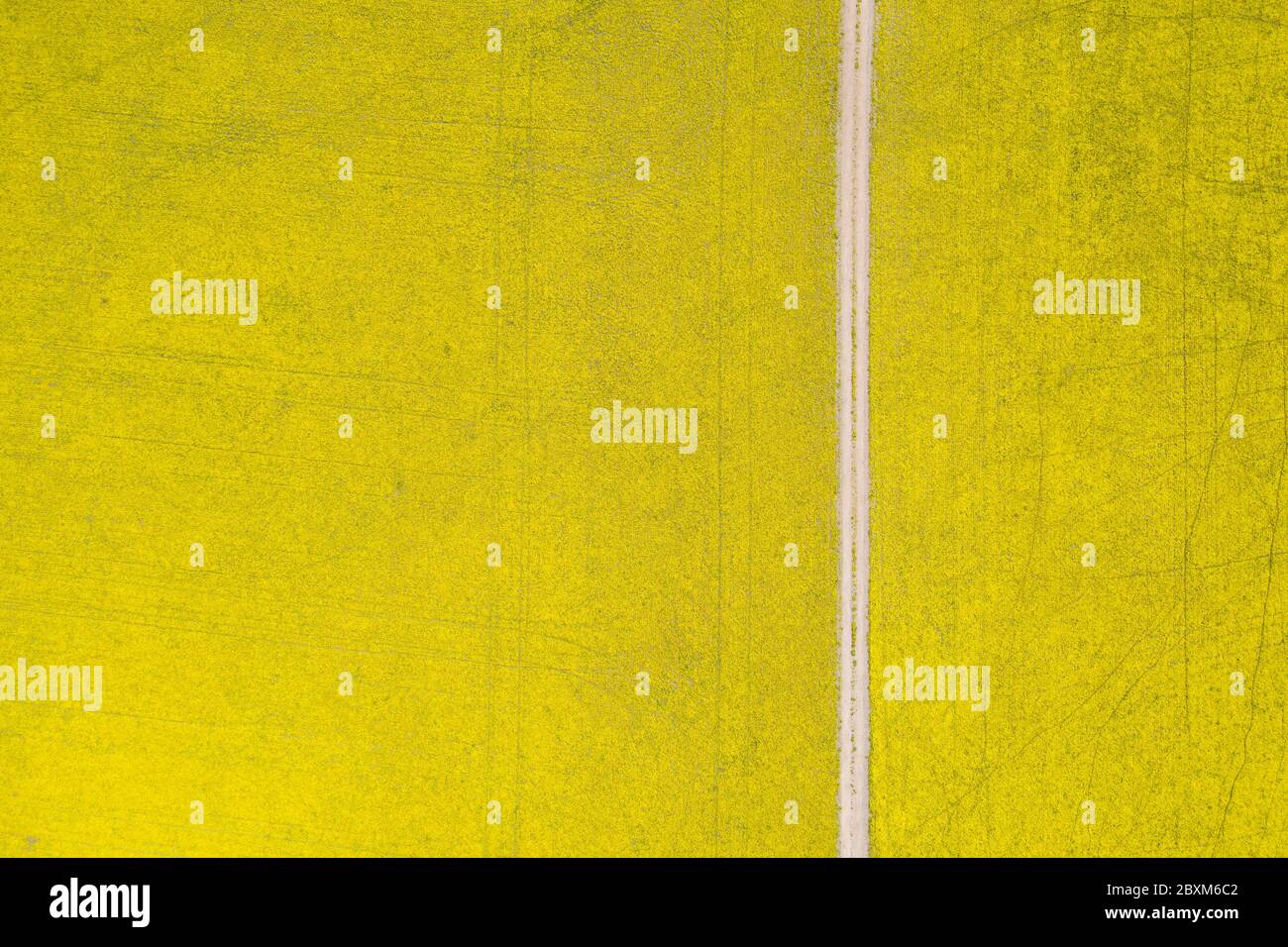 Abstract aerial top down view of a road through canola fields in the rich agricultural region of Western Australia Stock Photohttps://www.alamy.com/image-license-details/?v=1https://www.alamy.com/abstract-aerial-top-down-view-of-a-road-through-canola-fields-in-the-rich-agricultural-region-of-western-australia-image360632498.html
RF2BXM6C2–Abstract aerial top down view of a road through canola fields in the rich agricultural region of Western Australia