Cantabria spain europe map Stock Photos and Images
(186)See cantabria spain europe map stock video clipsQuick filters:
Cantabria spain europe map Stock Photos and Images
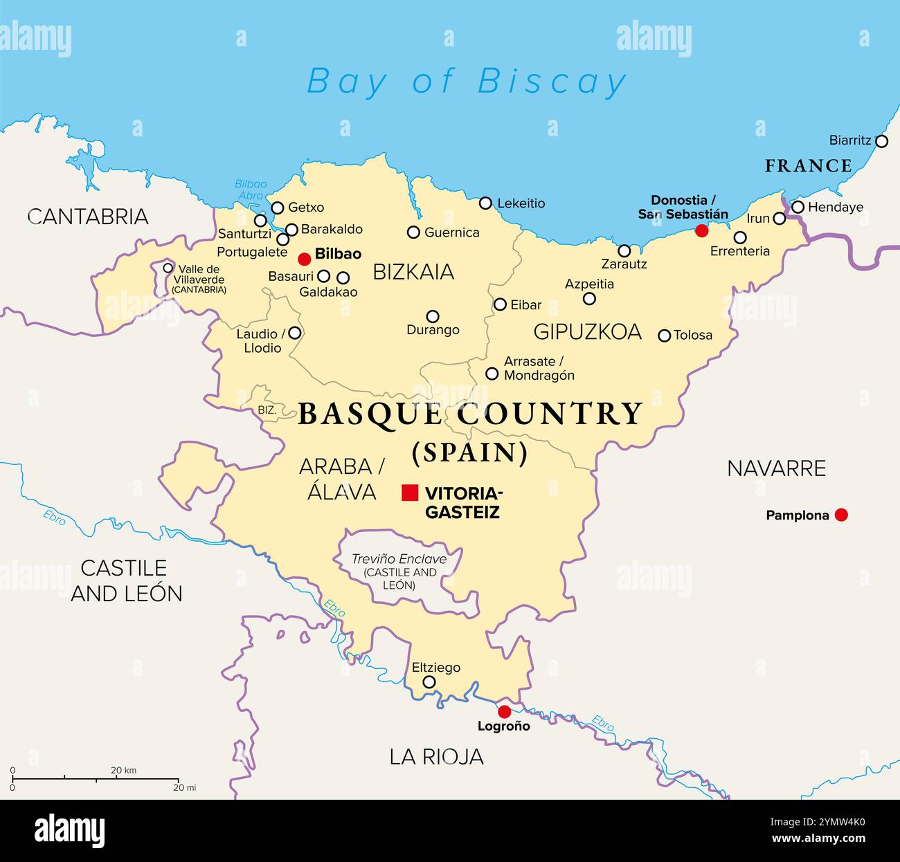 Basque Country, Euskadi, political map with capital Vitoria-Gasteiz and largest city Bilboa. The Basque Autonomous Community in northern Spain. Stock Photohttps://www.alamy.com/image-license-details/?v=1https://www.alamy.com/basque-country-euskadi-political-map-with-capital-vitoria-gasteiz-and-largest-city-bilboa-the-basque-autonomous-community-in-northern-spain-image632418836.html
RF2YMW4K0–Basque Country, Euskadi, political map with capital Vitoria-Gasteiz and largest city Bilboa. The Basque Autonomous Community in northern Spain.
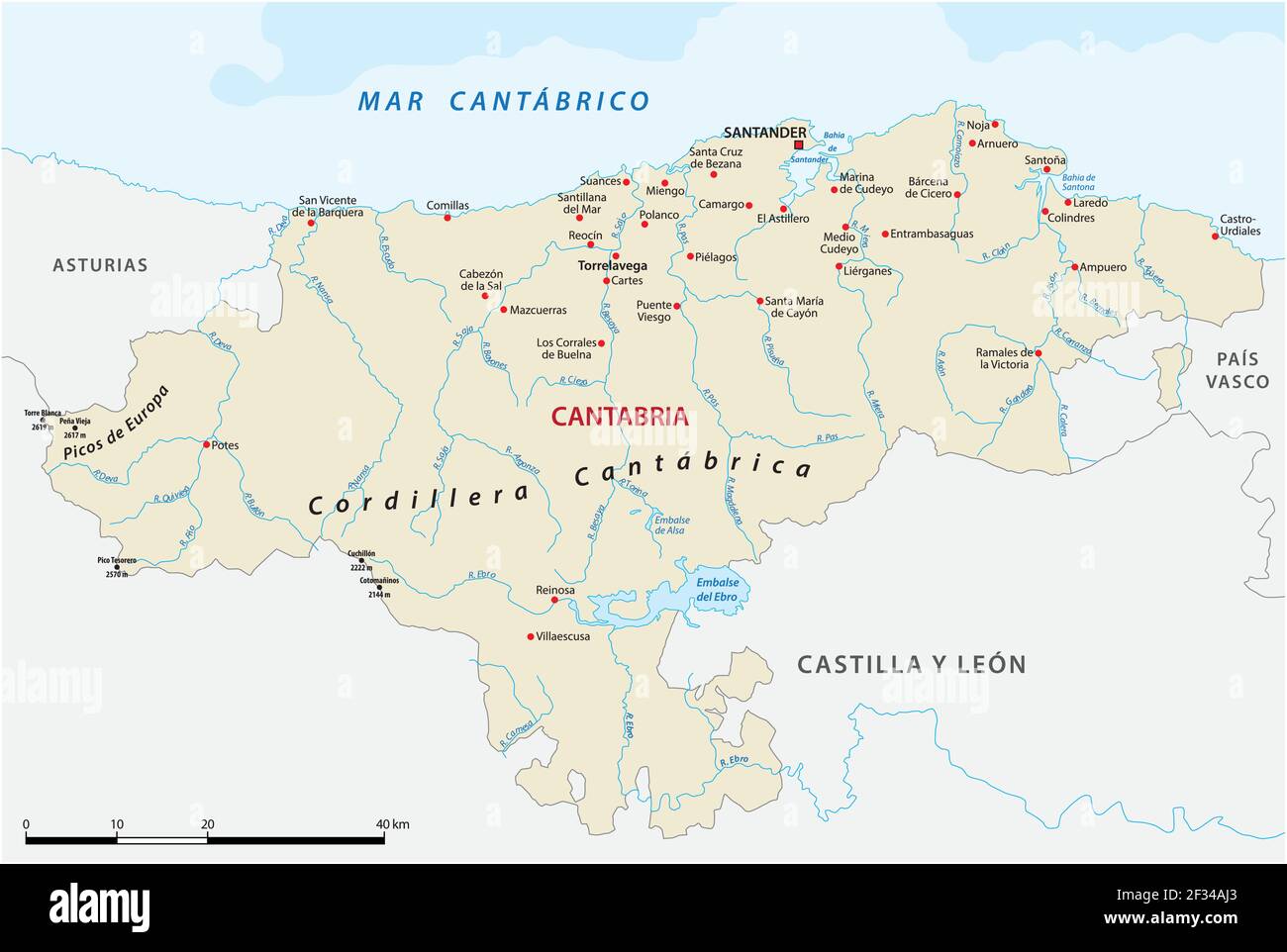 vector map of the Spanish autonomous communities of Cantabria Stock Vectorhttps://www.alamy.com/image-license-details/?v=1https://www.alamy.com/vector-map-of-the-spanish-autonomous-communities-of-cantabria-image414988955.html
RF2F34AJ3–vector map of the Spanish autonomous communities of Cantabria
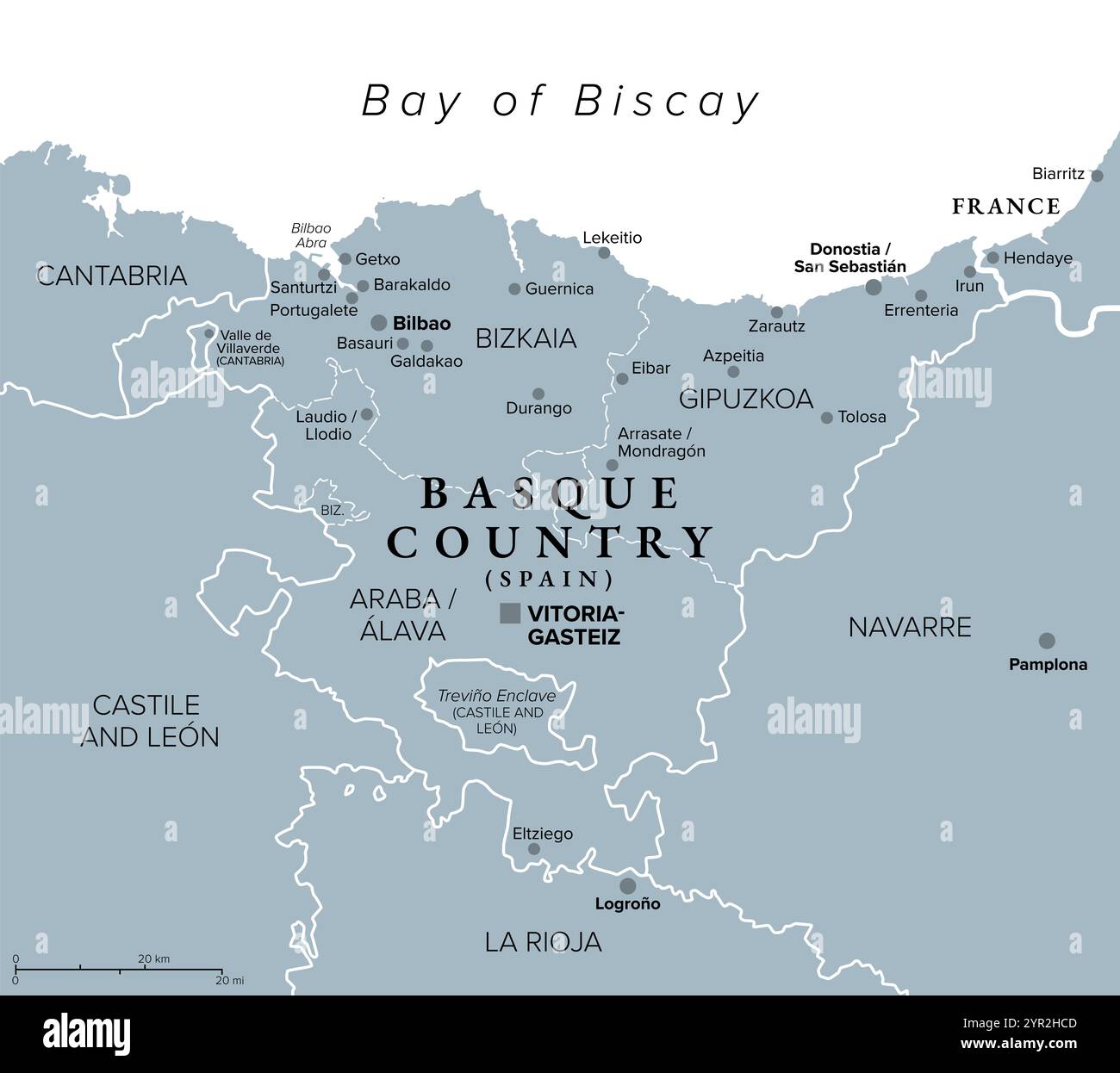 Basque Country, Euskadi, gray political map with capital Vitoria-Gasteiz and largest city Bilboa. The Basque Autonomous Community in northern Spain. Stock Photohttps://www.alamy.com/image-license-details/?v=1https://www.alamy.com/basque-country-euskadi-gray-political-map-with-capital-vitoria-gasteiz-and-largest-city-bilboa-the-basque-autonomous-community-in-northern-spain-image633767917.html
RF2YR2HCD–Basque Country, Euskadi, gray political map with capital Vitoria-Gasteiz and largest city Bilboa. The Basque Autonomous Community in northern Spain.
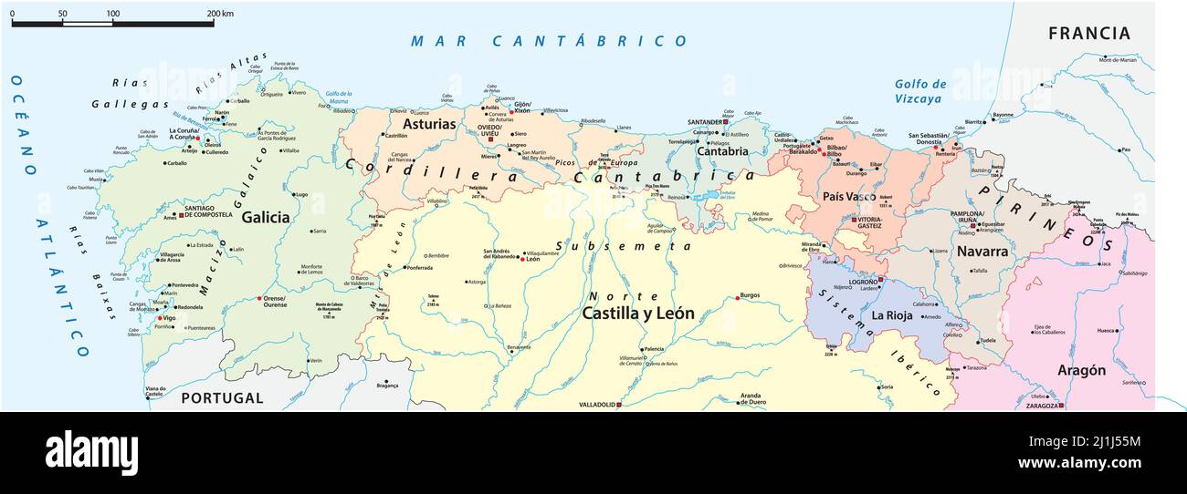 detailed vector map of northern Spain provinces Stock Vectorhttps://www.alamy.com/image-license-details/?v=1https://www.alamy.com/detailed-vector-map-of-northern-spain-provinces-image465693808.html
RF2J1J55M–detailed vector map of northern Spain provinces
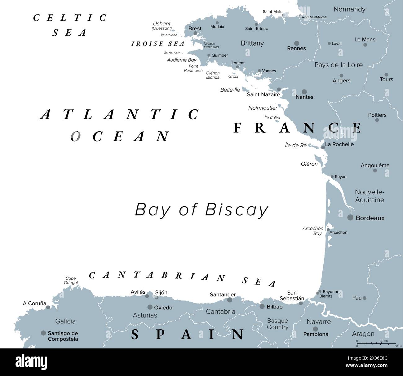 Bay of Biscay, also known as Gulf of Gascony, gray political map. Gulf of the northeast Atlantic Ocean. Stock Photohttps://www.alamy.com/image-license-details/?v=1https://www.alamy.com/bay-of-biscay-also-known-as-gulf-of-gascony-gray-political-map-gulf-of-the-northeast-atlantic-ocean-image602505808.html
RF2X06E8G–Bay of Biscay, also known as Gulf of Gascony, gray political map. Gulf of the northeast Atlantic Ocean.
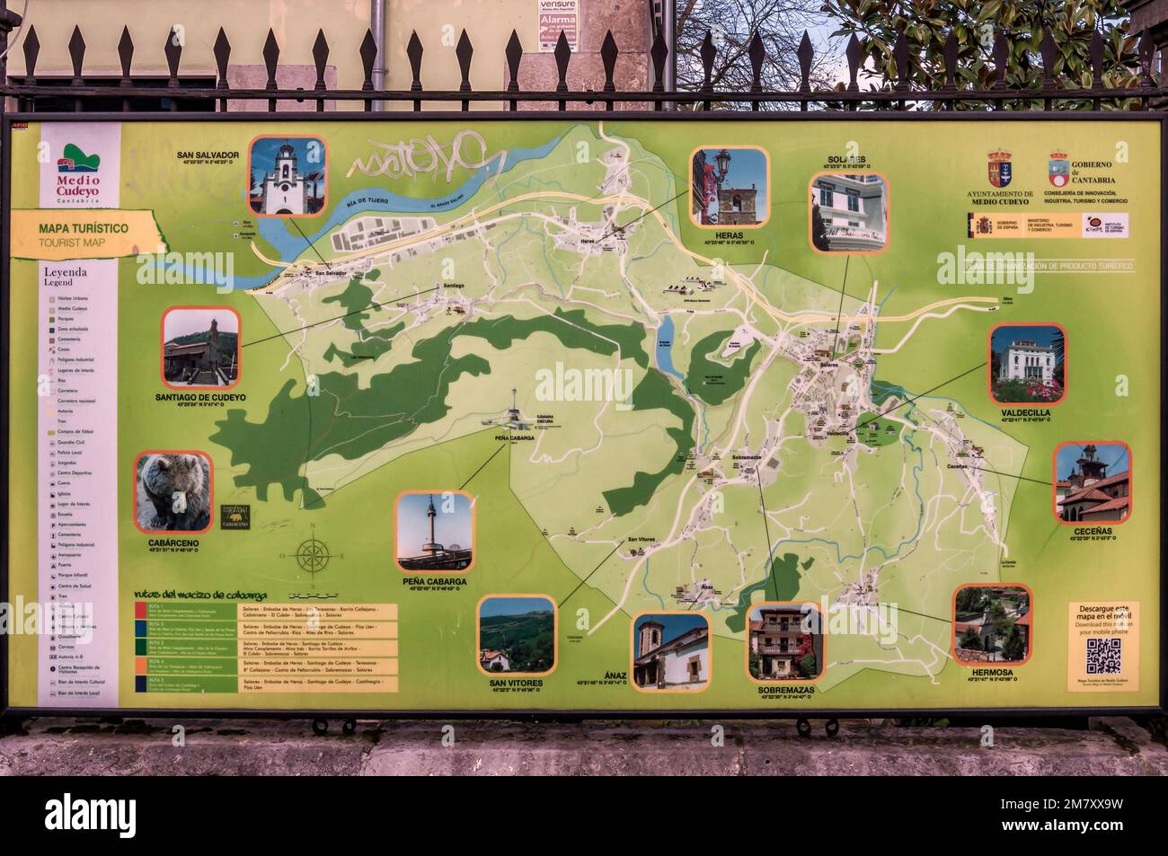 Picture of the tourist map of Medio Cudeyo, Cantabria, Spain, Europe Stock Photohttps://www.alamy.com/image-license-details/?v=1https://www.alamy.com/picture-of-the-tourist-map-of-medio-cudeyo-cantabria-spain-europe-image503994677.html
RF2M7XX9W–Picture of the tourist map of Medio Cudeyo, Cantabria, Spain, Europe
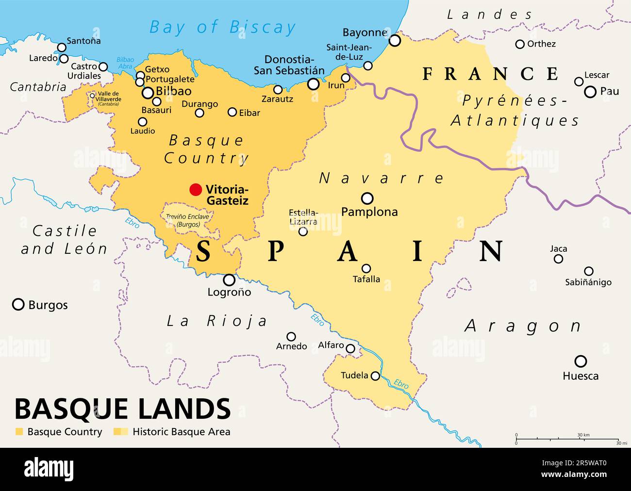 Basque Lands, political map. Basque Country, an autonomous community in Spain, with capital Vitoria-Gasteiz, in orange color. Stock Photohttps://www.alamy.com/image-license-details/?v=1https://www.alamy.com/basque-lands-political-map-basque-country-an-autonomous-community-in-spain-with-capital-vitoria-gasteiz-in-orange-color-image554362368.html
RF2R5WAT0–Basque Lands, political map. Basque Country, an autonomous community in Spain, with capital Vitoria-Gasteiz, in orange color.
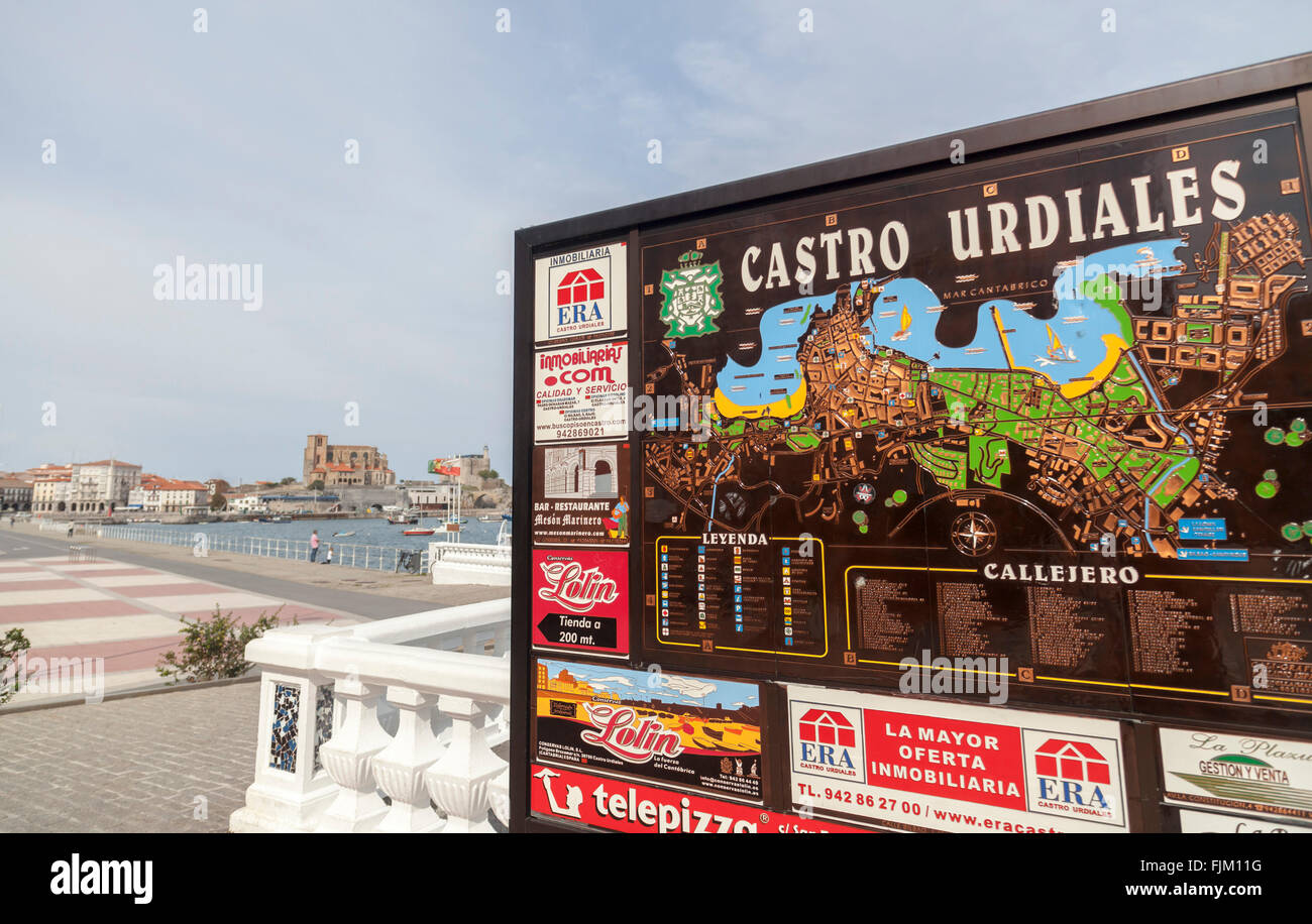 Castro Urdiales,Cantabria,Spain Stock Photohttps://www.alamy.com/image-license-details/?v=1https://www.alamy.com/stock-photo-castro-urdialescantabriaspain-97555516.html
RMFJM11G–Castro Urdiales,Cantabria,Spain
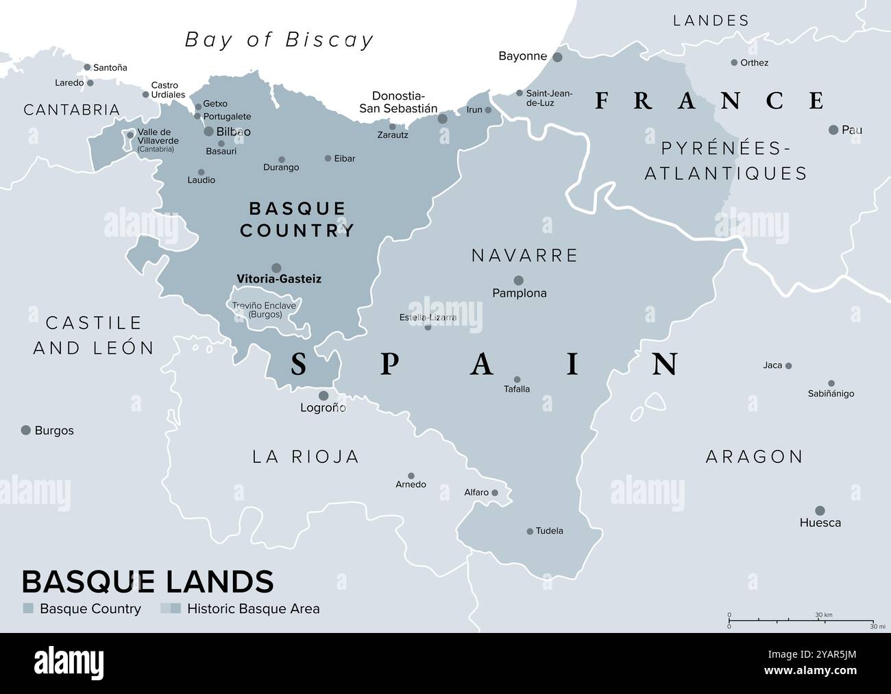 Basque Lands, gray political map. Basque Country, autonomous community in Spain with capital Vitoria-Gasteiz in dark gray. Stock Photohttps://www.alamy.com/image-license-details/?v=1https://www.alamy.com/basque-lands-gray-political-map-basque-country-autonomous-community-in-spain-with-capital-vitoria-gasteiz-in-dark-gray-image626229148.html
RF2YAR5JM–Basque Lands, gray political map. Basque Country, autonomous community in Spain with capital Vitoria-Gasteiz in dark gray.
 Map of cantabria in the First diocesan built museum in Spain, Museo Diocesano Regina Coeli, Santillana del Mar, Cantabria, Spain Stock Photohttps://www.alamy.com/image-license-details/?v=1https://www.alamy.com/map-of-cantabria-in-the-first-diocesan-built-museum-in-spain-museo-diocesano-regina-coeli-santillana-del-mar-cantabria-spain-image440642347.html
RF2GGTYPK–Map of cantabria in the First diocesan built museum in Spain, Museo Diocesano Regina Coeli, Santillana del Mar, Cantabria, Spain
 Bay of Biscay, also Gulf of Gascony, political map. Gulf of northeast Atlantic Ocean, lying south of the Celtic Sea, along northern coast of Spain. Stock Photohttps://www.alamy.com/image-license-details/?v=1https://www.alamy.com/bay-of-biscay-also-gulf-of-gascony-political-map-gulf-of-northeast-atlantic-ocean-lying-south-of-the-celtic-sea-along-northern-coast-of-spain-image600530198.html
RF2WW0EB2–Bay of Biscay, also Gulf of Gascony, political map. Gulf of northeast Atlantic Ocean, lying south of the Celtic Sea, along northern coast of Spain.
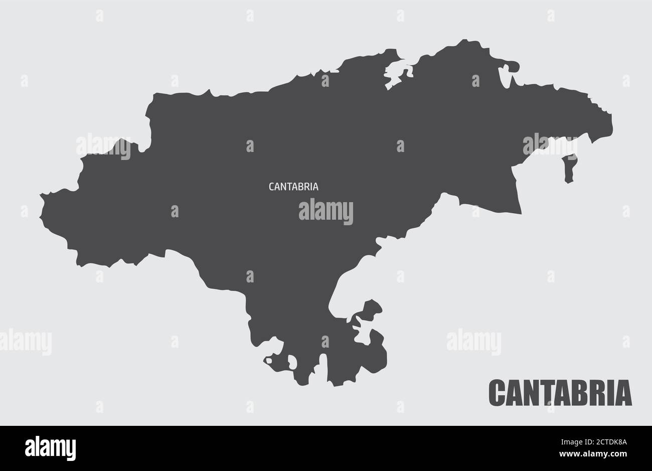 Cantabria region map Stock Vectorhttps://www.alamy.com/image-license-details/?v=1https://www.alamy.com/cantabria-region-map-image376469978.html
RF2CTDK8A–Cantabria region map
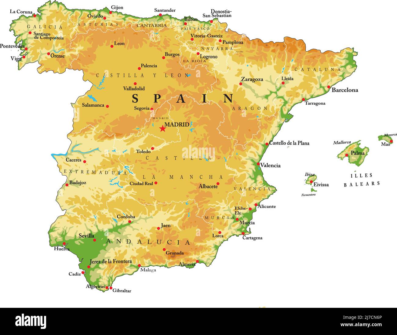 Highly detailed physical map of Spain,in vector format,with all the relief forms,regions and big cities. Stock Vectorhttps://www.alamy.com/image-license-details/?v=1https://www.alamy.com/highly-detailed-physical-map-of-spainin-vector-formatwith-all-the-relief-formsregions-and-big-cities-image469262606.html
RF2J7CN6P–Highly detailed physical map of Spain,in vector format,with all the relief forms,regions and big cities.
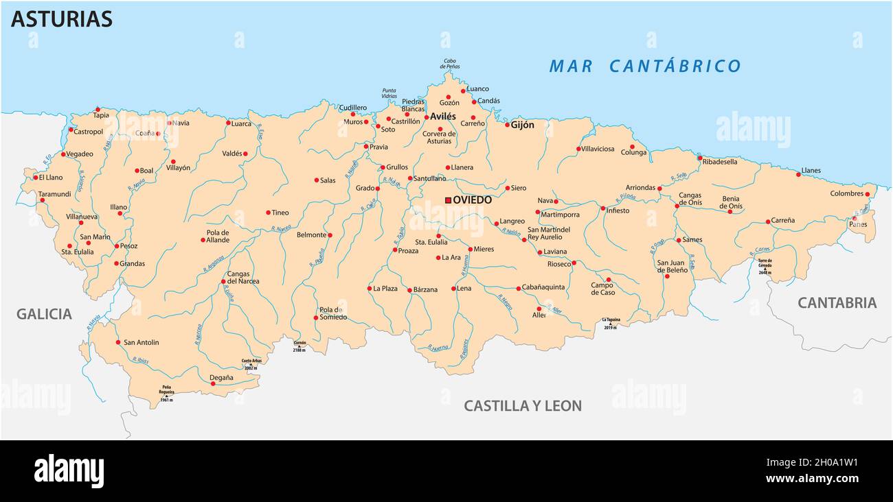 vector map of the Spanish autonomous community of Asturias Stock Vectorhttps://www.alamy.com/image-license-details/?v=1https://www.alamy.com/vector-map-of-the-spanish-autonomous-community-of-asturias-image447690573.html
RF2H0A1W1–vector map of the Spanish autonomous community of Asturias
 vector map of the Spanish autonomous communities of Cantabria Stock Vectorhttps://www.alamy.com/image-license-details/?v=1https://www.alamy.com/vector-map-of-the-spanish-autonomous-communities-of-cantabria-image444183629.html
RF2GPJ8N1–vector map of the Spanish autonomous communities of Cantabria
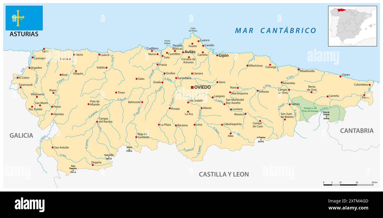 Map of the Spanish autonomous community of Asturias Stock Photohttps://www.alamy.com/image-license-details/?v=1https://www.alamy.com/map-of-the-spanish-autonomous-community-of-asturias-image617561965.html
RF2XTMAGD–Map of the Spanish autonomous community of Asturias
 Map of The SPANISH Lands: Spain, Portugal, Catalonia, Iberia, The Pyrenees. Geographic chart. Stock Photohttps://www.alamy.com/image-license-details/?v=1https://www.alamy.com/map-of-the-spanish-lands-spain-portugal-catalonia-iberia-the-pyrenees-geographic-chart-image362840293.html
RM2C28PDW–Map of The SPANISH Lands: Spain, Portugal, Catalonia, Iberia, The Pyrenees. Geographic chart.
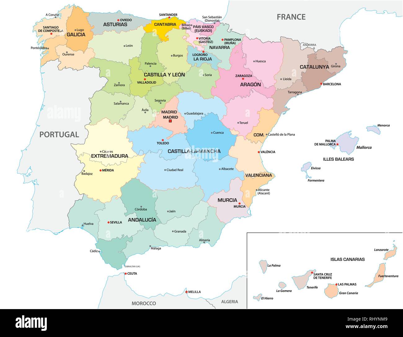 Colored administrative and political vector map of the Spanish provinces and regions Stock Vectorhttps://www.alamy.com/image-license-details/?v=1https://www.alamy.com/colored-administrative-and-political-vector-map-of-the-spanish-provinces-and-regions-image234793673.html
RFRHYNM9–Colored administrative and political vector map of the Spanish provinces and regions
 Map of The SPANISH Lands: Spain, Portugal, Iberia, Galicia, Catalonia, Valencia, Andalusia, León, Aragón & Castilla, Navarra, Asturias, The Pyrénées. Stock Photohttps://www.alamy.com/image-license-details/?v=1https://www.alamy.com/map-of-the-spanish-lands-spain-portugal-iberia-galicia-catalonia-valencia-andalusia-len-aragn-castilla-navarra-asturias-the-pyrnes-image259103564.html
RFW1F56M–Map of The SPANISH Lands: Spain, Portugal, Iberia, Galicia, Catalonia, Valencia, Andalusia, León, Aragón & Castilla, Navarra, Asturias, The Pyrénées.
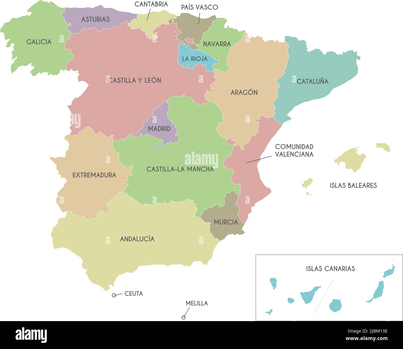 Vector map of Spain with regions and territories and administrative divisions. Editable and clearly labeled layers. Stock Vectorhttps://www.alamy.com/image-license-details/?v=1https://www.alamy.com/vector-map-of-spain-with-regions-and-territories-and-administrative-divisions-editable-and-clearly-labeled-layers-image471881074.html
RF2JBM13E–Vector map of Spain with regions and territories and administrative divisions. Editable and clearly labeled layers.
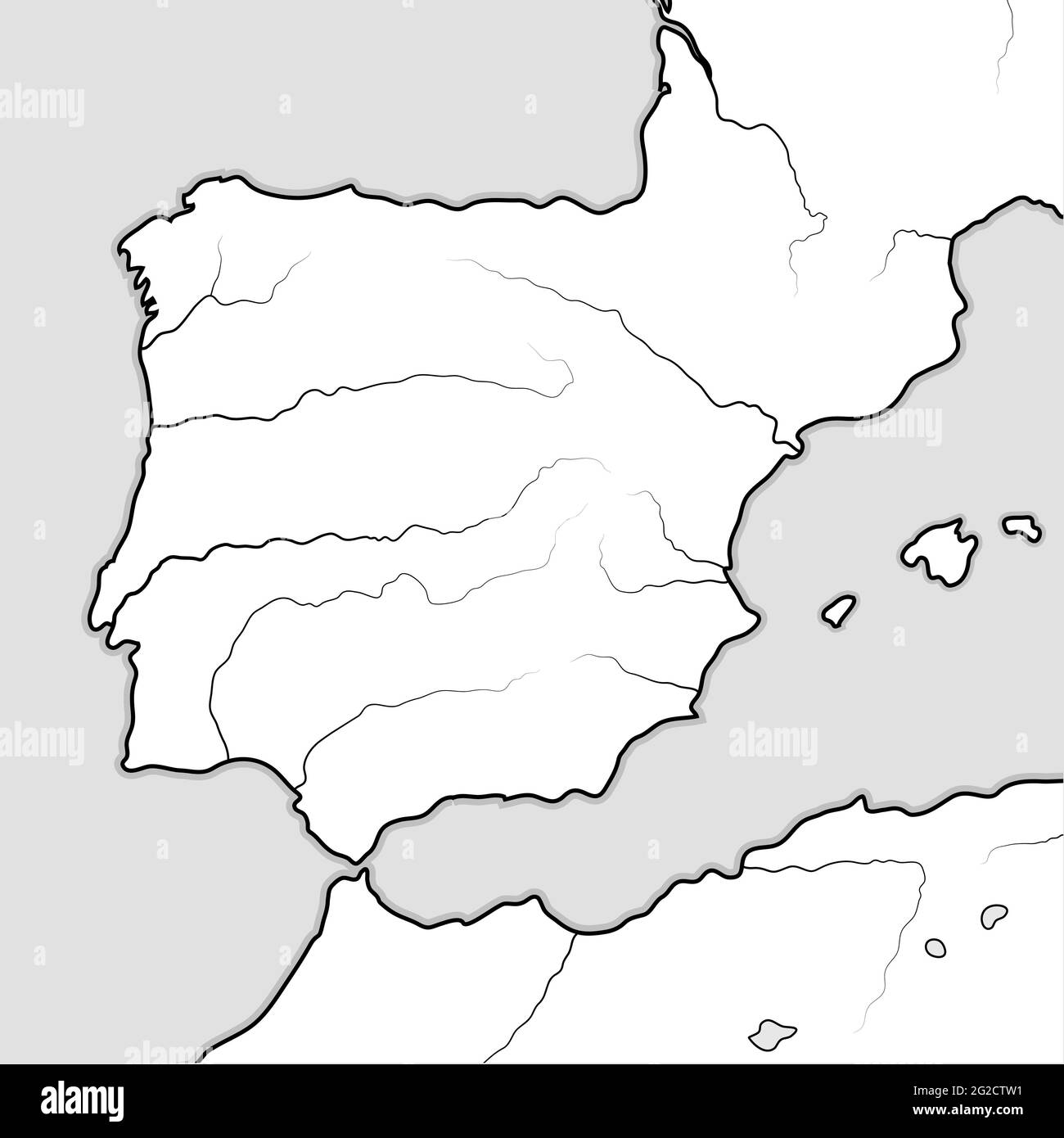 Map of The SPANISH Lands: Spain, Portugal, Catalonia, Iberia, The Pyrenees. Geographic chart. Stock Photohttps://www.alamy.com/image-license-details/?v=1https://www.alamy.com/map-of-the-spanish-lands-spain-portugal-catalonia-iberia-the-pyrenees-geographic-chart-image431771453.html
RF2G2CTW1–Map of The SPANISH Lands: Spain, Portugal, Catalonia, Iberia, The Pyrenees. Geographic chart.
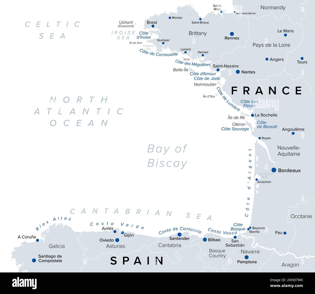 Bay of Biscay, touristic names of beaches and coastlines of Gulf of Gascony, political map. North Atlantic gulf, south of the Celtic Sea. Stock Photohttps://www.alamy.com/image-license-details/?v=1https://www.alamy.com/bay-of-biscay-touristic-names-of-beaches-and-coastlines-of-gulf-of-gascony-political-map-north-atlantic-gulf-south-of-the-celtic-sea-image613103622.html
RF2XHD7WX–Bay of Biscay, touristic names of beaches and coastlines of Gulf of Gascony, political map. North Atlantic gulf, south of the Celtic Sea.
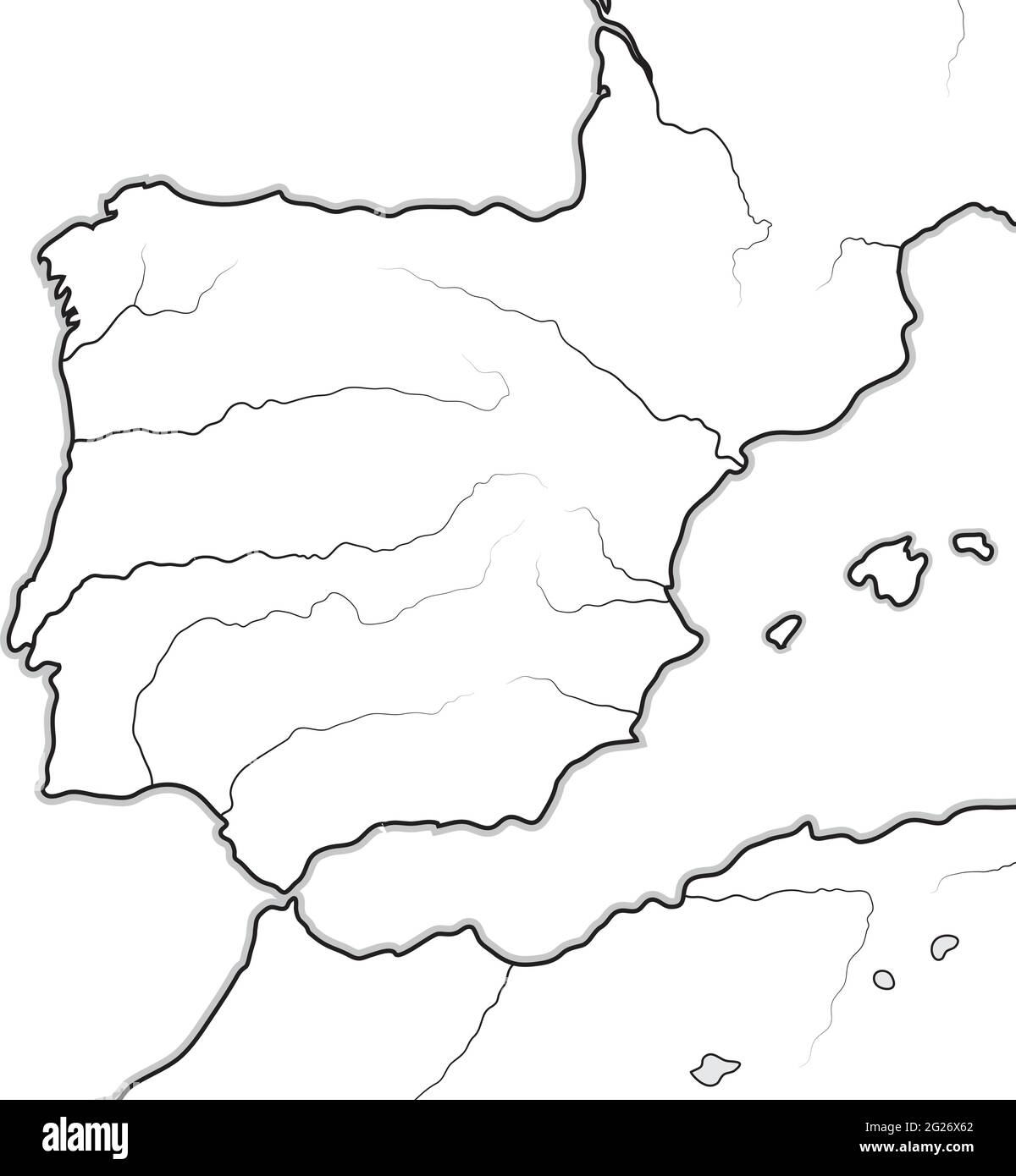 Map of The SPANISH Lands: Spain, Portugal, Catalonia, Iberia, The Pyrenees. Geographic chart. Stock Vectorhttps://www.alamy.com/image-license-details/?v=1https://www.alamy.com/map-of-the-spanish-lands-spain-portugal-catalonia-iberia-the-pyrenees-geographic-chart-image431640778.html
RF2G26X62–Map of The SPANISH Lands: Spain, Portugal, Catalonia, Iberia, The Pyrenees. Geographic chart.
 Monument for Juan de la Cosa 15th century navigator and cartographer Santona Cantabria Spain Stock Photohttps://www.alamy.com/image-license-details/?v=1https://www.alamy.com/monument-for-juan-de-la-cosa-15th-century-navigator-and-cartographer-santona-cantabria-spain-image434950125.html
RM2G7HK91–Monument for Juan de la Cosa 15th century navigator and cartographer Santona Cantabria Spain
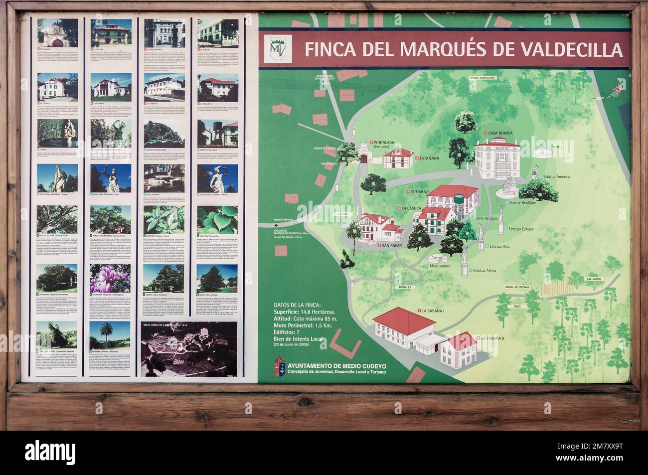 Table with the map of the Marqués de Valdecilla farm and museum, Medio Cudeyo, municipality of the Trasmiera region in Cantabria, Spain, Europe Stock Photohttps://www.alamy.com/image-license-details/?v=1https://www.alamy.com/table-with-the-map-of-the-marqus-de-valdecilla-farm-and-museum-medio-cudeyo-municipality-of-the-trasmiera-region-in-cantabria-spain-europe-image503994676.html
RF2M7XX9T–Table with the map of the Marqués de Valdecilla farm and museum, Medio Cudeyo, municipality of the Trasmiera region in Cantabria, Spain, Europe
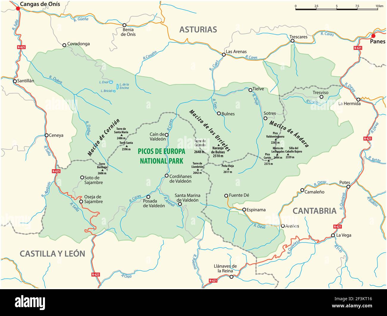 vector map of the Spanish National Park Picos de Europa Stock Vectorhttps://www.alamy.com/image-license-details/?v=1https://www.alamy.com/vector-map-of-the-spanish-national-park-picos-de-europa-image415328738.html
RF2F3KT16–vector map of the Spanish National Park Picos de Europa
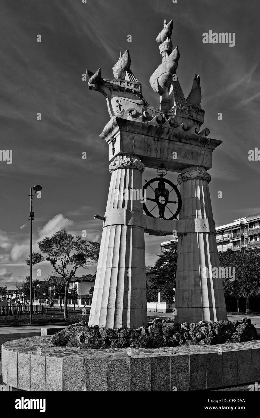 Monument to Juan de la Cosa. Sculpture in memory of the creator of the first world map in the year 1500 and co-discoverer of America with Columbus Stock Photohttps://www.alamy.com/image-license-details/?v=1https://www.alamy.com/stock-photo-monument-to-juan-de-la-cosa-sculpture-in-memory-of-the-creator-of-43607154.html
RFCEXDAA–Monument to Juan de la Cosa. Sculpture in memory of the creator of the first world map in the year 1500 and co-discoverer of America with Columbus
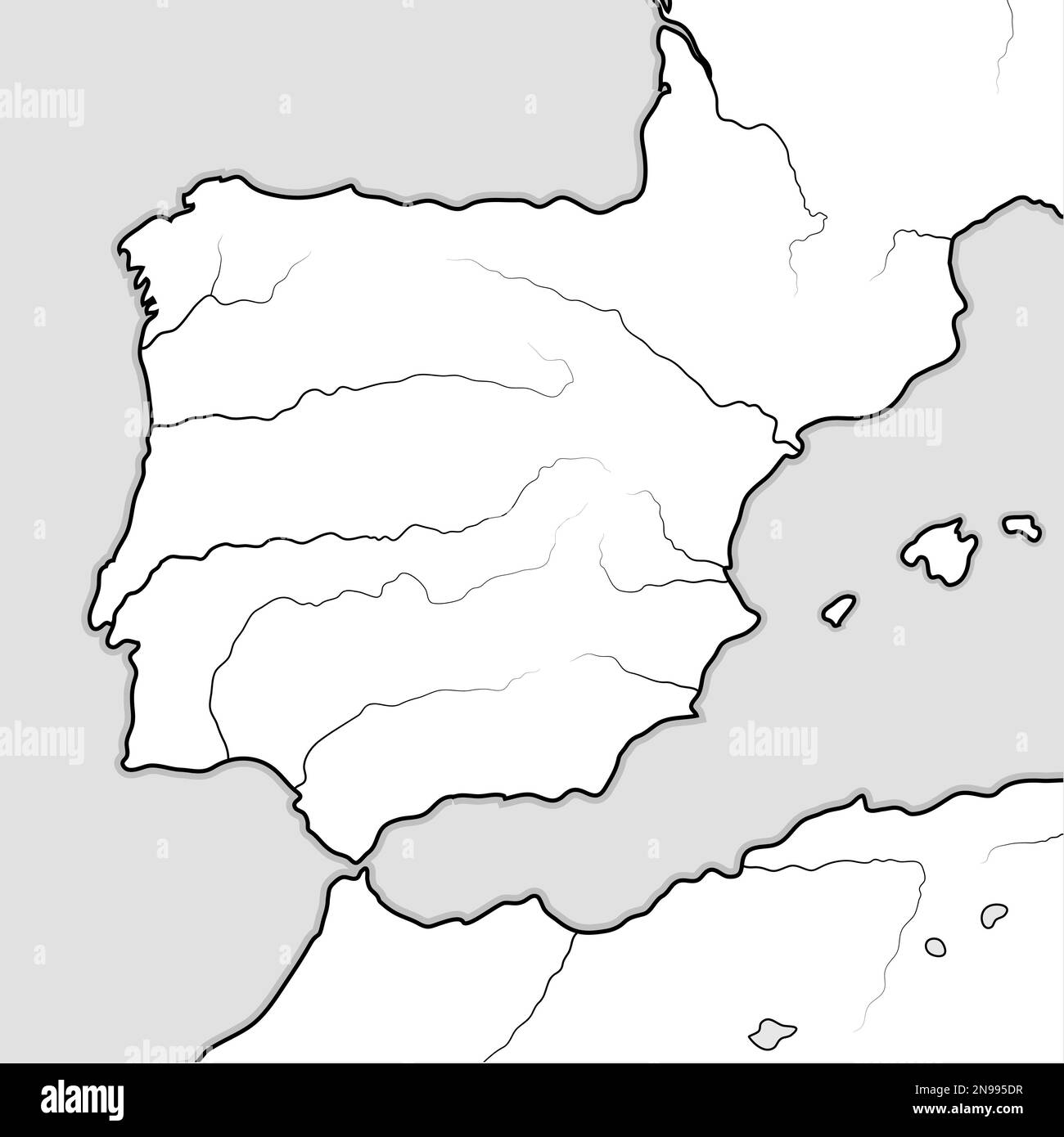 Map of The SPANISH Lands: Spain, Portugal, Iberia, Galicia, Catalonia, Valencia, Andalusia, Leon, Aragon & Castilla, Navarra, Asturias, Basque Stock Photohttps://www.alamy.com/image-license-details/?v=1https://www.alamy.com/map-of-the-spanish-lands-spain-portugal-iberia-galicia-catalonia-valencia-andalusia-leon-aragon-castilla-navarra-asturias-basque-image522044819.html
RF2N995DR–Map of The SPANISH Lands: Spain, Portugal, Iberia, Galicia, Catalonia, Valencia, Andalusia, Leon, Aragon & Castilla, Navarra, Asturias, Basque
 Woman in front of the ancient map, First diocesan built museum in Spain, Museo Diocesano Regina Coeli, Santillana del Mar, Cantabria, Spain Stock Photohttps://www.alamy.com/image-license-details/?v=1https://www.alamy.com/woman-in-front-of-the-ancient-map-first-diocesan-built-museum-in-spain-museo-diocesano-regina-coeli-santillana-del-mar-cantabria-spain-image440642346.html
RF2GGTYPJ–Woman in front of the ancient map, First diocesan built museum in Spain, Museo Diocesano Regina Coeli, Santillana del Mar, Cantabria, Spain
 SPAIN - CIRCA 2009: A stamp printed in spain shows flag and map of the autonomous community of Cantabria, circa 2009 Stock Photohttps://www.alamy.com/image-license-details/?v=1https://www.alamy.com/stock-photo-spain-circa-2009-a-stamp-printed-in-spain-shows-flag-and-map-of-the-108462729.html
RMG8CW8W–SPAIN - CIRCA 2009: A stamp printed in spain shows flag and map of the autonomous community of Cantabria, circa 2009
 Camino Lebaniego or Lebaniego Way information panel on the Camaleño Valley, Cantabria, Spain Stock Photohttps://www.alamy.com/image-license-details/?v=1https://www.alamy.com/camino-lebaniego-or-lebaniego-way-information-panel-on-the-camaleo-valley-cantabria-spain-image247447351.html
RFTAG5HB–Camino Lebaniego or Lebaniego Way information panel on the Camaleño Valley, Cantabria, Spain
 3D Illustration of a waving province flag of Cantabria (Spain country) Stock Photohttps://www.alamy.com/image-license-details/?v=1https://www.alamy.com/3d-illustration-of-a-waving-province-flag-of-cantabria-spain-country-image364254046.html
RF2C4H5N2–3D Illustration of a waving province flag of Cantabria (Spain country)
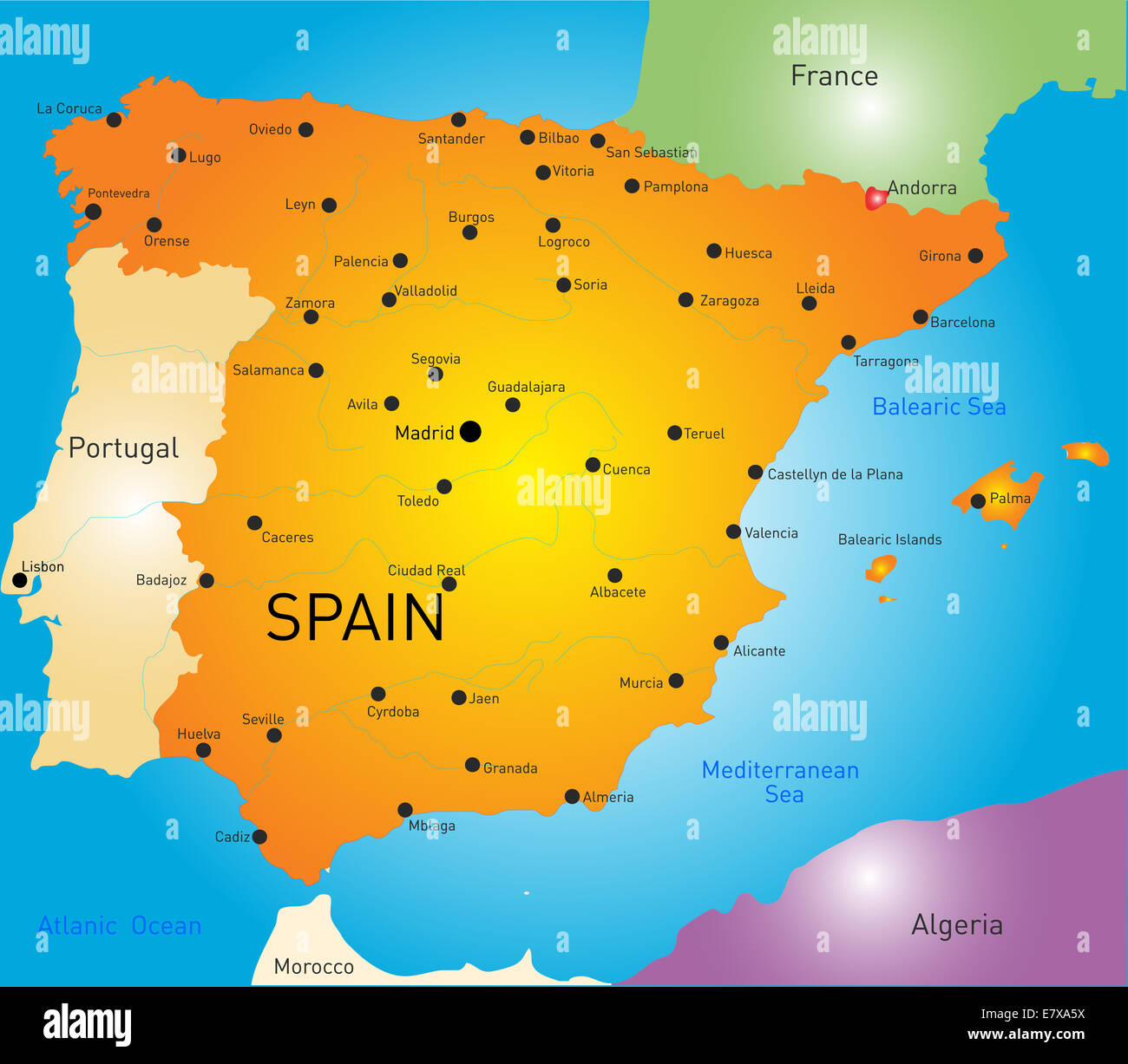 Spain map Stock Photohttps://www.alamy.com/image-license-details/?v=1https://www.alamy.com/stock-photo-spain-map-73722822.html
RFE7XA5X–Spain map
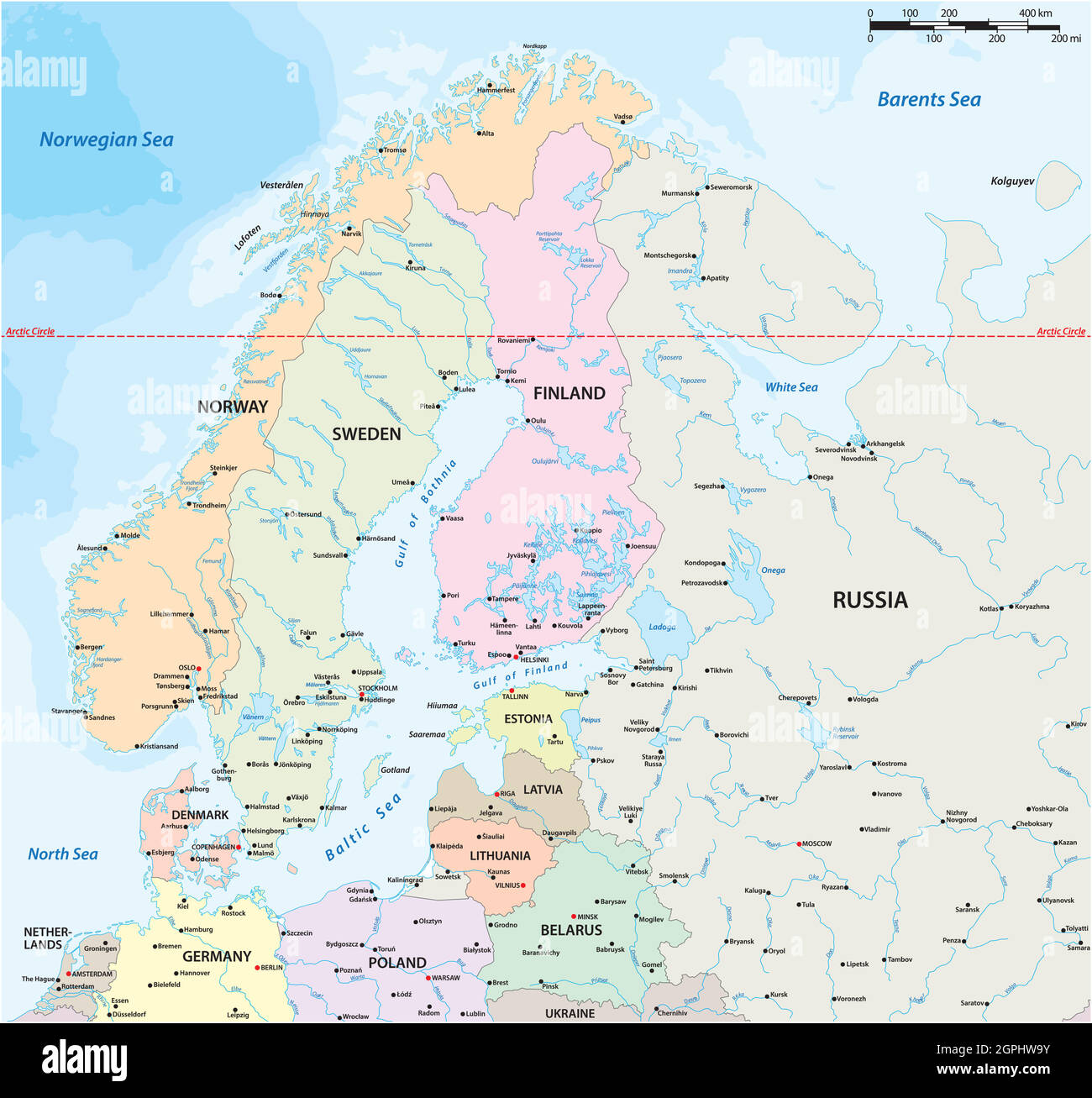 vector map of northern europe with major cities and bodies of water Stock Vectorhttps://www.alamy.com/image-license-details/?v=1https://www.alamy.com/vector-map-of-northern-europe-with-major-cities-and-bodies-of-water-image444174695.html
RF2GPHW9Y–vector map of northern europe with major cities and bodies of water
 Cantabria, autonomous community of Spain. Open Street Map Stock Photohttps://www.alamy.com/image-license-details/?v=1https://www.alamy.com/cantabria-autonomous-community-of-spain-open-street-map-image528421671.html
RF2NKKK6F–Cantabria, autonomous community of Spain. Open Street Map
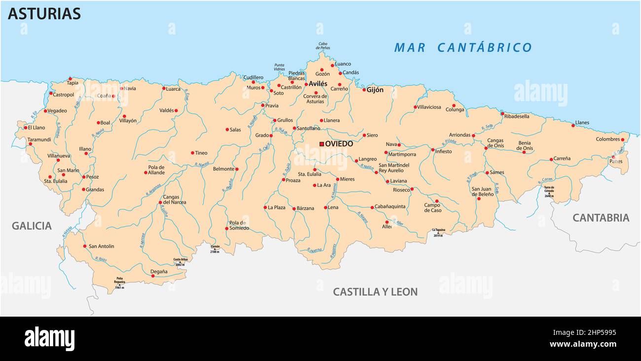 vector map of the Spanish autonomous community of Asturias Stock Vectorhttps://www.alamy.com/image-license-details/?v=1https://www.alamy.com/vector-map-of-the-spanish-autonomous-community-of-asturias-image461109073.html
RF2HP5995–vector map of the Spanish autonomous community of Asturias
 3d rendering of a Cantabria Spanish Community flag and map Stock Photohttps://www.alamy.com/image-license-details/?v=1https://www.alamy.com/3d-rendering-of-a-cantabria-spanish-community-flag-and-map-image479027161.html
RF2JR9G0W–3d rendering of a Cantabria Spanish Community flag and map
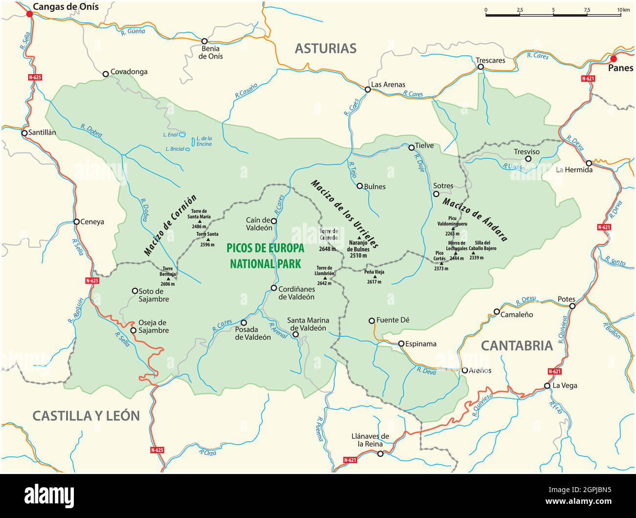 vector map of the Spanish National Park Picos de Europa Stock Vectorhttps://www.alamy.com/image-license-details/?v=1https://www.alamy.com/vector-map-of-the-spanish-national-park-picos-de-europa-image444185985.html
RF2GPJBN5–vector map of the Spanish National Park Picos de Europa
 Vector map of Spain with regions and territories and administrative divisions. Editable and clearly labeled layers. Stock Vectorhttps://www.alamy.com/image-license-details/?v=1https://www.alamy.com/vector-map-of-spain-with-regions-and-territories-and-administrative-divisions-editable-and-clearly-labeled-layers-image471881699.html
RF2JBM1WR–Vector map of Spain with regions and territories and administrative divisions. Editable and clearly labeled layers.
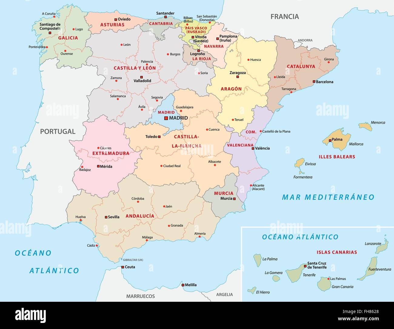 spain administrative map Stock Vectorhttps://www.alamy.com/image-license-details/?v=1https://www.alamy.com/stock-photo-spain-administrative-map-96681376.html
RFFH8628–spain administrative map
 Pilgrim looking at the map. The Northern Way, also called the Coastal Way, is one of the routes of the Camino de Santiago, Way of Saint James. Bridge Stock Photohttps://www.alamy.com/image-license-details/?v=1https://www.alamy.com/pilgrim-looking-at-the-map-the-northern-way-also-called-the-coastal-way-is-one-of-the-routes-of-the-camino-de-santiago-way-of-saint-james-bridge-image546218833.html
RM2PMJBKD–Pilgrim looking at the map. The Northern Way, also called the Coastal Way, is one of the routes of the Camino de Santiago, Way of Saint James. Bridge
 Map of Spain where Cantabria is highlighted. Stock Photohttps://www.alamy.com/image-license-details/?v=1https://www.alamy.com/stock-photo-map-of-spain-where-cantabria-is-highlighted-49419163.html
RFCTB6J3–Map of Spain where Cantabria is highlighted.
 Monument for Juan de la Cosa 15th century navigator and cartographer Santona Cantabria Spain Stock Photohttps://www.alamy.com/image-license-details/?v=1https://www.alamy.com/monument-for-juan-de-la-cosa-15th-century-navigator-and-cartographer-santona-cantabria-spain-image434950137.html
RM2G7HK9D–Monument for Juan de la Cosa 15th century navigator and cartographer Santona Cantabria Spain
 Cantabria (Kingdom of Spain, Autonomous community) map vector illustration, scribble sketch Cantabria map Stock Vectorhttps://www.alamy.com/image-license-details/?v=1https://www.alamy.com/cantabria-kingdom-of-spain-autonomous-community-map-vector-illustration-scribble-sketch-cantabria-map-image216686806.html
RFPGEX6E–Cantabria (Kingdom of Spain, Autonomous community) map vector illustration, scribble sketch Cantabria map
 Cantabria, Spain, Relief Map Stock Photohttps://www.alamy.com/image-license-details/?v=1https://www.alamy.com/stock-photo-cantabria-spain-relief-map-71601869.html
RME4DMWH–Cantabria, Spain, Relief Map
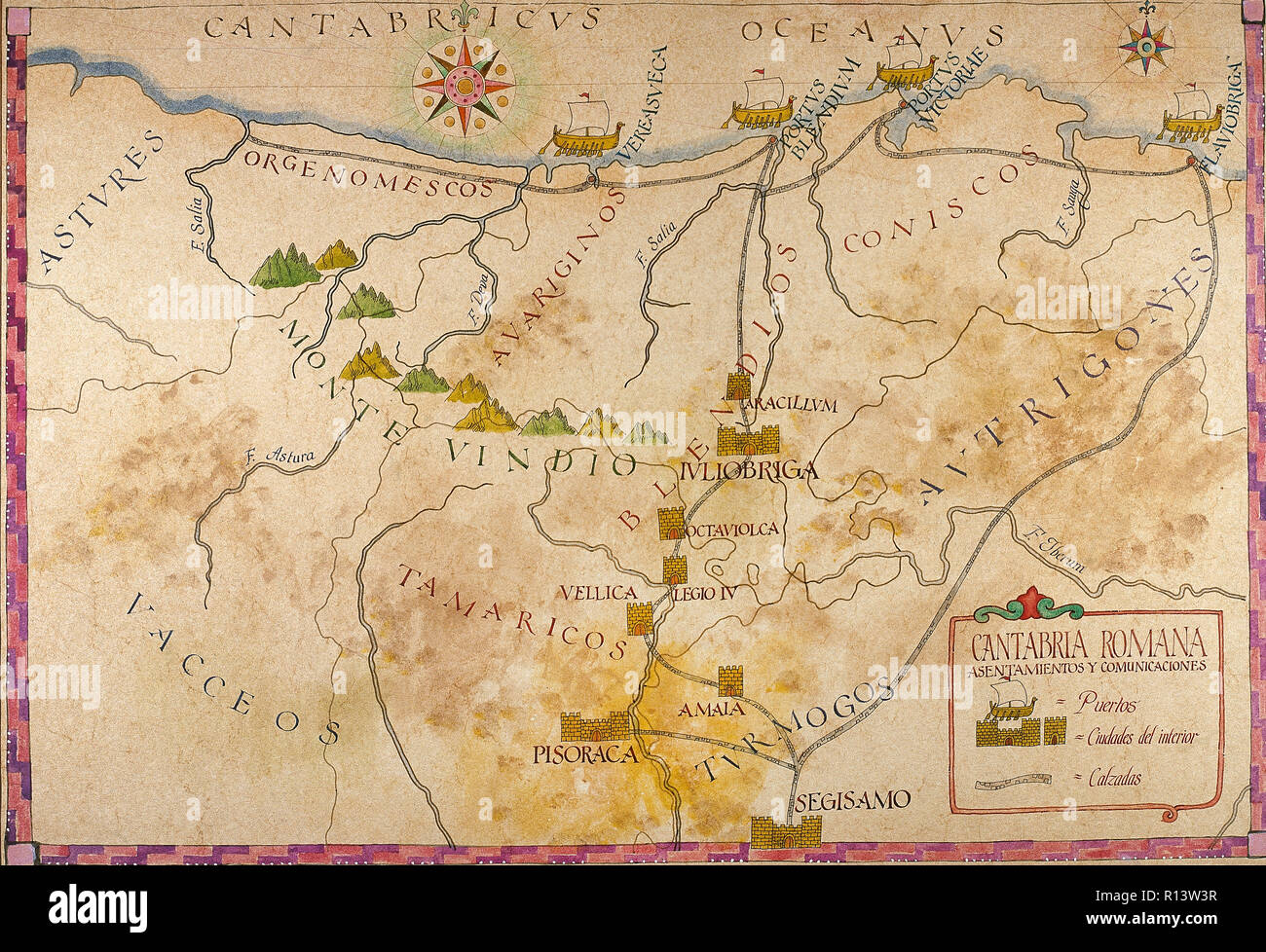 History of the Roman Empire. Romanisation of the Iberian Peninsula. Map of Cantabria. Roman Times. Stock Photohttps://www.alamy.com/image-license-details/?v=1https://www.alamy.com/history-of-the-roman-empire-romanisation-of-the-iberian-peninsula-map-of-cantabria-roman-times-image224435003.html
RMR13W3R–History of the Roman Empire. Romanisation of the Iberian Peninsula. Map of Cantabria. Roman Times.
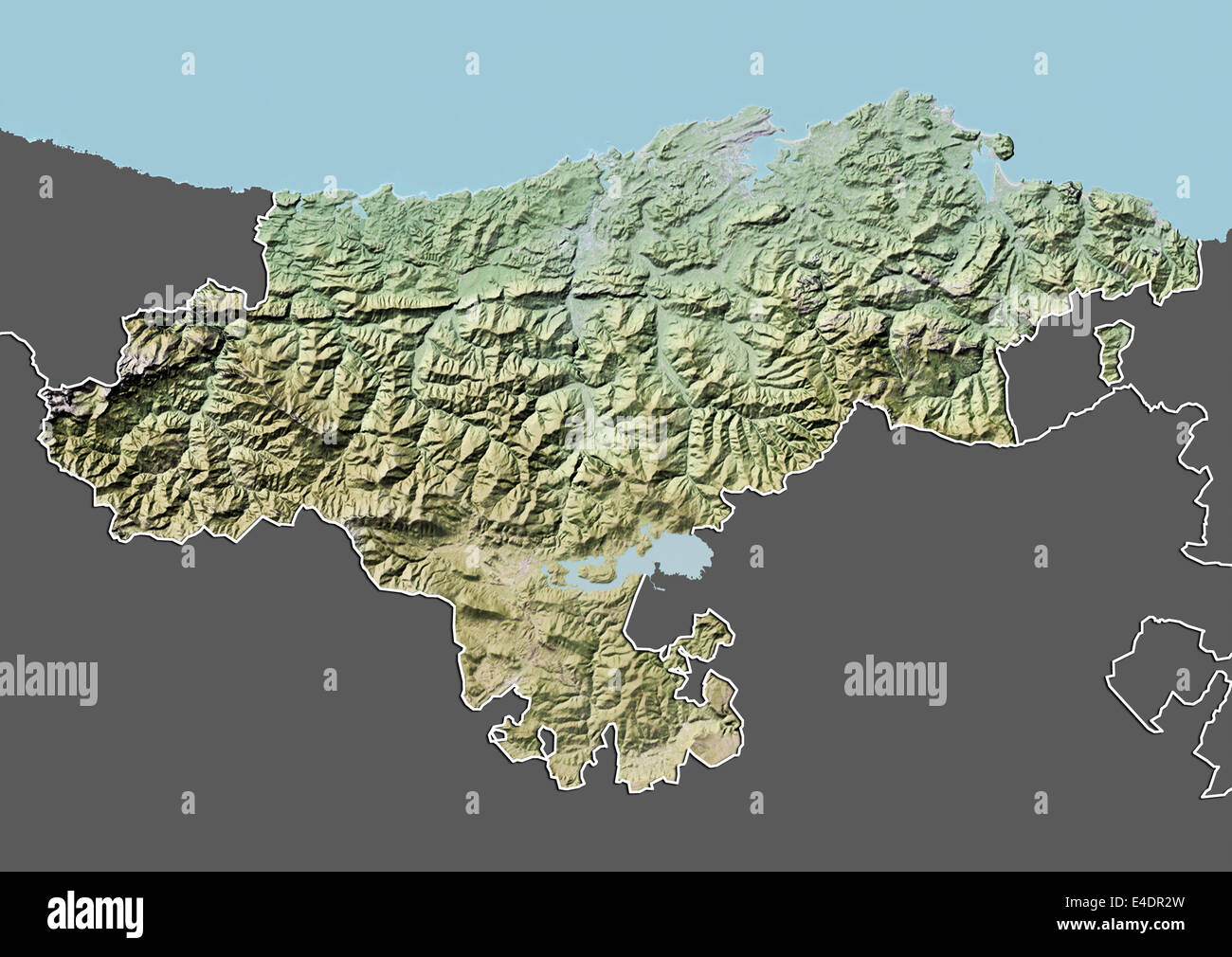 Cantabria, Spain, Relief Map Stock Photohttps://www.alamy.com/image-license-details/?v=1https://www.alamy.com/stock-photo-cantabria-spain-relief-map-71603585.html
RME4DR2W–Cantabria, Spain, Relief Map
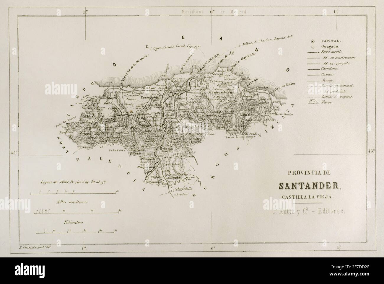 Map of the Santander province, Spain. 19th century. Crónica General de España, Historia Ilustrada y Descriptiva de sus Provincias. Castilla-La Vieja, 1870. Stock Photohttps://www.alamy.com/image-license-details/?v=1https://www.alamy.com/map-of-the-santander-province-spain-19th-century-crnica-general-de-espaa-historia-ilustrada-y-descriptiva-de-sus-provincias-castilla-la-vieja-1870-image417647063.html
RM2F7DD2F–Map of the Santander province, Spain. 19th century. Crónica General de España, Historia Ilustrada y Descriptiva de sus Provincias. Castilla-La Vieja, 1870.
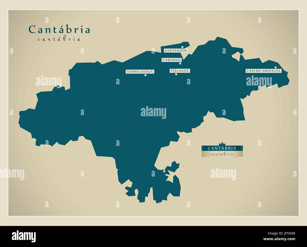 modern, modernity, europe, spain, region, province, state, vector, atlas, map Stock Vectorhttps://www.alamy.com/image-license-details/?v=1https://www.alamy.com/stock-photo-modern-modernity-europe-spain-region-province-state-vector-atlas-map-147029016.html
RFJF5N08–modern, modernity, europe, spain, region, province, state, vector, atlas, map
 Young woman looking at the Camino Lebaniego or Lebaniego Way information panel on the Camaleño Valley, Cantabria, Spain Stock Photohttps://www.alamy.com/image-license-details/?v=1https://www.alamy.com/young-woman-looking-at-the-camino-lebaniego-or-lebaniego-way-information-panel-on-the-camaleo-valley-cantabria-spain-image247447348.html
RFTAG5H8–Young woman looking at the Camino Lebaniego or Lebaniego Way information panel on the Camaleño Valley, Cantabria, Spain
 Cantabria region map Stock Vectorhttps://www.alamy.com/image-license-details/?v=1https://www.alamy.com/cantabria-region-map-image376468841.html
RF2CTDHRN–Cantabria region map
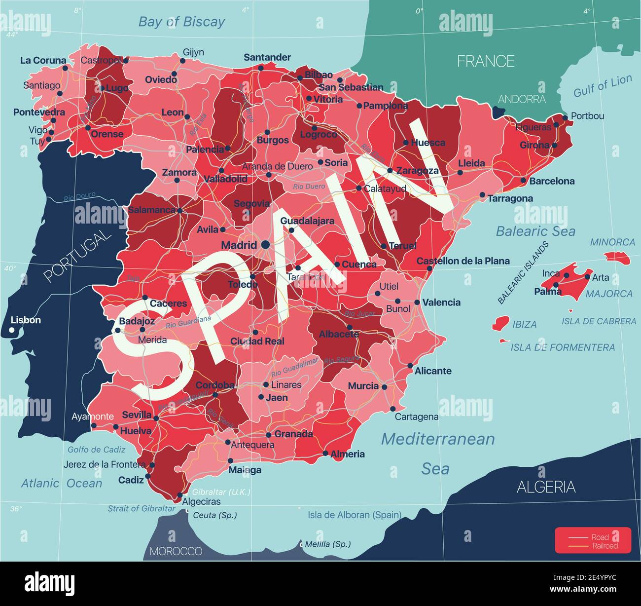 Spain country detailed editable map with regions cities and towns, roads and railways, geographic sites. Vector EPS-10 file Stock Vectorhttps://www.alamy.com/image-license-details/?v=1https://www.alamy.com/spain-country-detailed-editable-map-with-regions-cities-and-towns-roads-and-railways-geographic-sites-vector-eps-10-file-image398907808.html
RF2E4YPYC–Spain country detailed editable map with regions cities and towns, roads and railways, geographic sites. Vector EPS-10 file
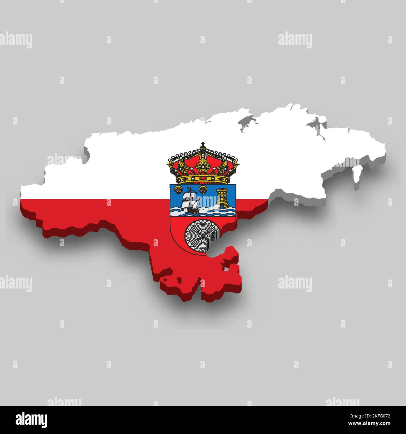 3d isometric Map of Cantabria is a region of Spain with national flag Stock Vectorhttps://www.alamy.com/image-license-details/?v=1https://www.alamy.com/3d-isometric-map-of-cantabria-is-a-region-of-spain-with-national-flag-image491461574.html
RF2KFG072–3d isometric Map of Cantabria is a region of Spain with national flag
 Cantabria, autonomous community of Spain. Low resolution satellite map Stock Photohttps://www.alamy.com/image-license-details/?v=1https://www.alamy.com/cantabria-autonomous-community-of-spain-low-resolution-satellite-map-image528421674.html
RF2NKKK6J–Cantabria, autonomous community of Spain. Low resolution satellite map
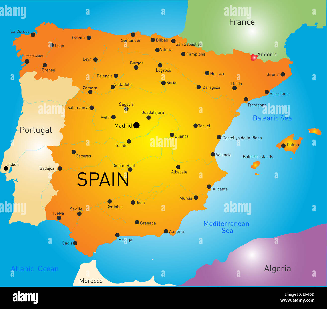 Spain Stock Photohttps://www.alamy.com/image-license-details/?v=1https://www.alamy.com/stock-photo-spain-80136713.html
RFEJAF5D–Spain
 3d rendering of a Cantabria Spanish Community flag and map on a black background Stock Photohttps://www.alamy.com/image-license-details/?v=1https://www.alamy.com/3d-rendering-of-a-cantabria-spanish-community-flag-and-map-on-a-black-background-image459411958.html
RF2HKC0HX–3d rendering of a Cantabria Spanish Community flag and map on a black background
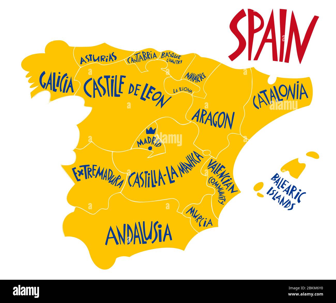 Vector hand drawn stylized map of Spain Kingdom. Travel illustration of Spain provinces. Hand drawn lettering illustration. Europe map element Stock Vectorhttps://www.alamy.com/image-license-details/?v=1https://www.alamy.com/vector-hand-drawn-stylized-map-of-spain-kingdom-travel-illustration-of-spain-provinces-hand-drawn-lettering-illustration-europe-map-element-image356330324.html
RF2BKM6Y0–Vector hand drawn stylized map of Spain Kingdom. Travel illustration of Spain provinces. Hand drawn lettering illustration. Europe map element
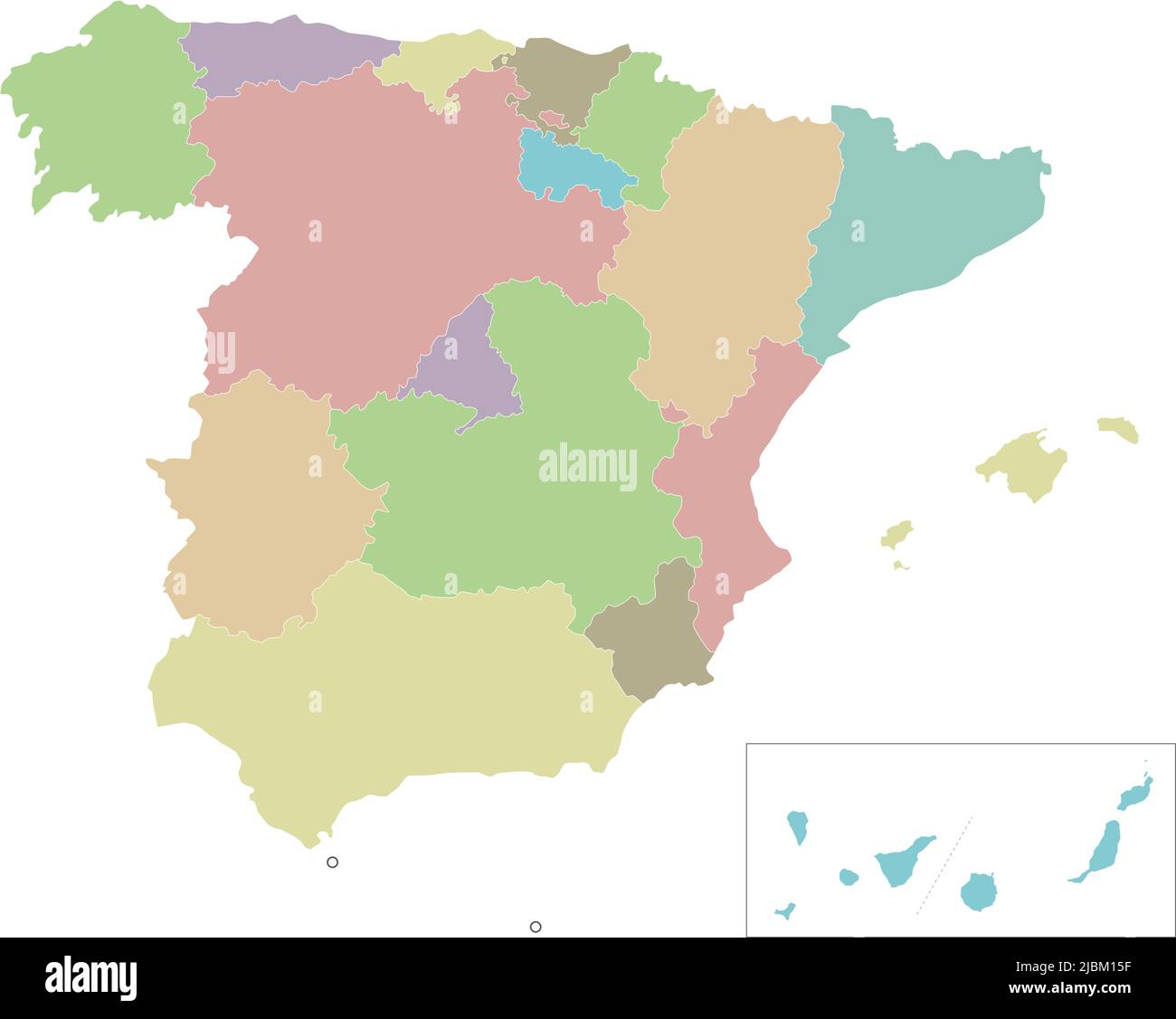 Vector blank map of Spain with regions and territories and administrative divisions. Editable and clearly labeled layers. Stock Vectorhttps://www.alamy.com/image-license-details/?v=1https://www.alamy.com/vector-blank-map-of-spain-with-regions-and-territories-and-administrative-divisions-editable-and-clearly-labeled-layers-image471881131.html
RF2JBM15F–Vector blank map of Spain with regions and territories and administrative divisions. Editable and clearly labeled layers.
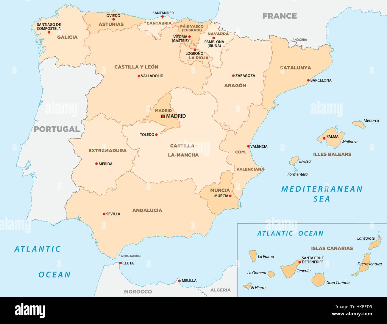 autonomous communities of spain Stock Vectorhttps://www.alamy.com/image-license-details/?v=1https://www.alamy.com/stock-photo-autonomous-communities-of-spain-132469713.html
RFHKEED5–autonomous communities of spain
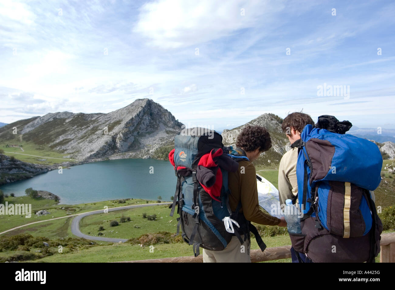 Hikers take a break and look at a map in front of lake LAGO ENOL in the PICOS DE EUROPA mountain range in northern Spain Stock Photohttps://www.alamy.com/image-license-details/?v=1https://www.alamy.com/stock-photo-hikers-take-a-break-and-look-at-a-map-in-front-of-lake-lago-enol-in-10926555.html
RMA4425G–Hikers take a break and look at a map in front of lake LAGO ENOL in the PICOS DE EUROPA mountain range in northern Spain
 Political map of Spain with the several regions where Cantabria is highlighted. Stock Photohttps://www.alamy.com/image-license-details/?v=1https://www.alamy.com/stock-photo-political-map-of-spain-with-the-several-regions-where-cantabria-is-48837418.html
RFCRCMHE–Political map of Spain with the several regions where Cantabria is highlighted.
 Monument for Juan de la Cosa 15th century navigator and cartographer Santona Cantabria Spain Stock Photohttps://www.alamy.com/image-license-details/?v=1https://www.alamy.com/monument-for-juan-de-la-cosa-15th-century-navigator-and-cartographer-santona-cantabria-spain-image434950128.html
RM2G7HK94–Monument for Juan de la Cosa 15th century navigator and cartographer Santona Cantabria Spain
 Cantabria (Kingdom of Spain, Autonomous community) map vector illustration, scribble sketch Cantabria map Stock Vectorhttps://www.alamy.com/image-license-details/?v=1https://www.alamy.com/cantabria-kingdom-of-spain-autonomous-community-map-vector-illustration-scribble-sketch-cantabria-map-image217973731.html
RFPJHFM3–Cantabria (Kingdom of Spain, Autonomous community) map vector illustration, scribble sketch Cantabria map
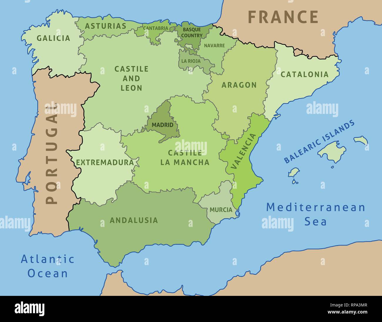 Map of Spain. Outline illustration country map autonomous communities. Stock Vectorhttps://www.alamy.com/image-license-details/?v=1https://www.alamy.com/map-of-spain-outline-illustration-country-map-autonomous-communities-image237479671.html
RFRPA3MR–Map of Spain. Outline illustration country map autonomous communities.
 Viewpoint in Picos de Europa mountains Cantabria Spain Stock Photohttps://www.alamy.com/image-license-details/?v=1https://www.alamy.com/stock-photo-viewpoint-in-picos-de-europa-mountains-cantabria-spain-17475562.html
RFB0C276–Viewpoint in Picos de Europa mountains Cantabria Spain
 Cantabria, Spain, Relief Map Stock Photohttps://www.alamy.com/image-license-details/?v=1https://www.alamy.com/stock-photo-cantabria-spain-relief-map-71603587.html
RME4DR2Y–Cantabria, Spain, Relief Map
RFMPKBN8–Santander silhouette skyline. Spain - Santander vector city, spanish linear architecture, buildings. Santander travel illustration, outline landmarks. Spain flat icon, spanish line banner
 Spain and the Region of Cantabria, Relief Map Stock Photohttps://www.alamy.com/image-license-details/?v=1https://www.alamy.com/stock-photo-spain-and-the-region-of-cantabria-relief-map-71608631.html
RME4E1F3–Spain and the Region of Cantabria, Relief Map
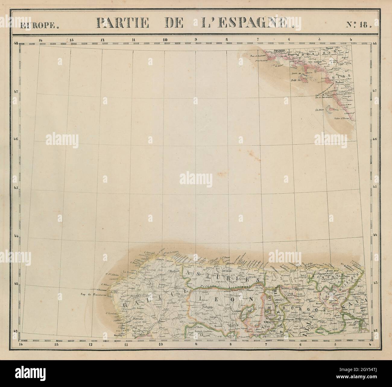 Europe. Espagne #18 NW Spain. Galicia Asturias Cantabria. VANDERMAELEN 1827 map Stock Photohttps://www.alamy.com/image-license-details/?v=1https://www.alamy.com/europe-espagne-18-nw-spain-galicia-asturias-cantabria-vandermaelen-1827-map-image446968498.html
RF2GY54TJ–Europe. Espagne #18 NW Spain. Galicia Asturias Cantabria. VANDERMAELEN 1827 map
 Cantabria, Spain, True Colour Satellite Image Stock Photohttps://www.alamy.com/image-license-details/?v=1https://www.alamy.com/stock-photo-cantabria-spain-true-colour-satellite-image-71603588.html
RME4DR30–Cantabria, Spain, True Colour Satellite Image
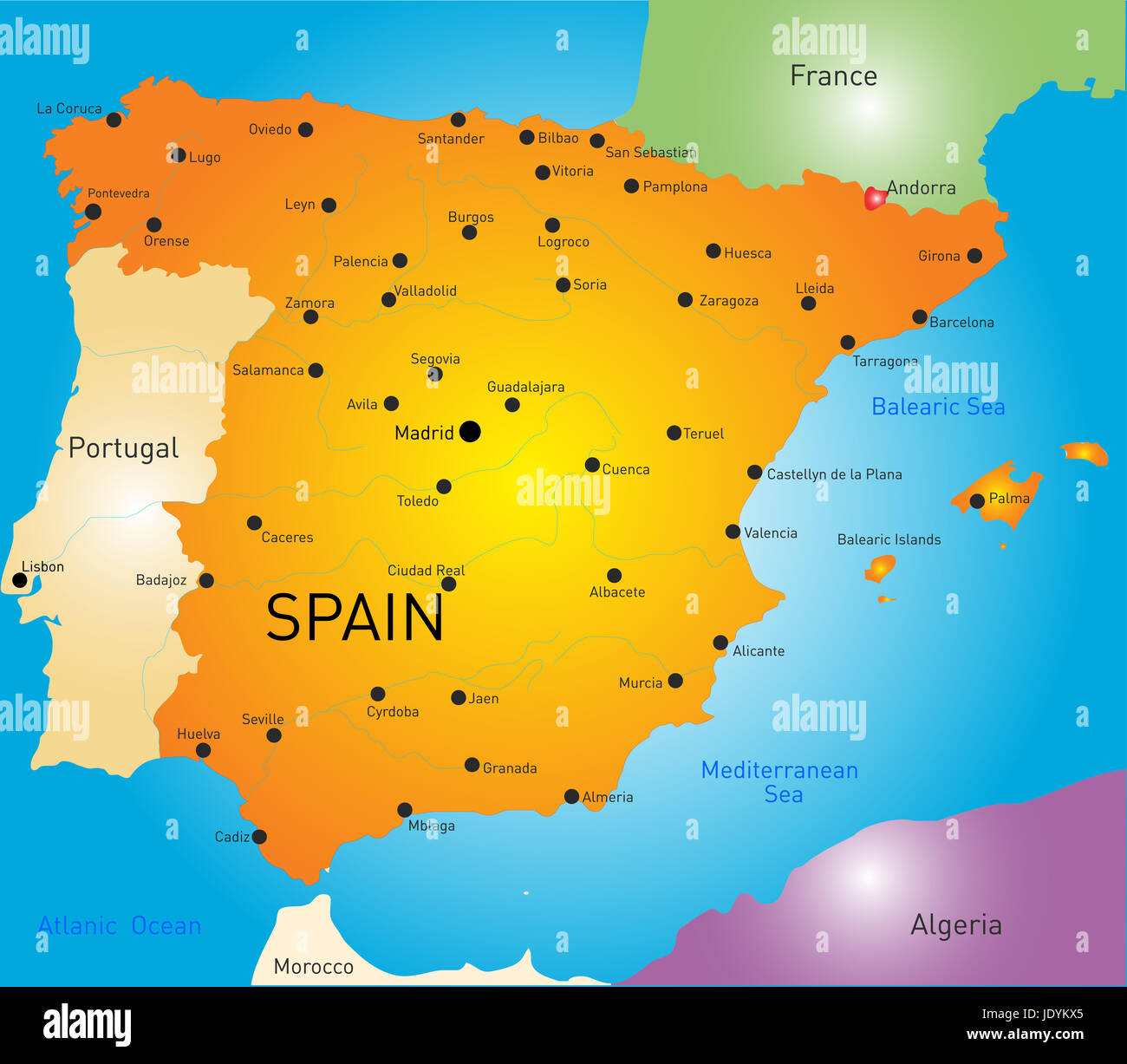 Vector color map of Spain Stock Photohttps://www.alamy.com/image-license-details/?v=1https://www.alamy.com/stock-photo-vector-color-map-of-spain-146281805.html
RFJDYKX5–Vector color map of Spain
 Spain and the Region of Cantabria, Satellite Image With Bump Effect Stock Photohttps://www.alamy.com/image-license-details/?v=1https://www.alamy.com/stock-photo-spain-and-the-region-of-cantabria-satellite-image-with-bump-effect-71608632.html
RME4E1F4–Spain and the Region of Cantabria, Satellite Image With Bump Effect
 Cantabria, autonomous community of Spain. High resolution satellite map Stock Photohttps://www.alamy.com/image-license-details/?v=1https://www.alamy.com/cantabria-autonomous-community-of-spain-high-resolution-satellite-map-image528421420.html
RF2NKKJWG–Cantabria, autonomous community of Spain. High resolution satellite map
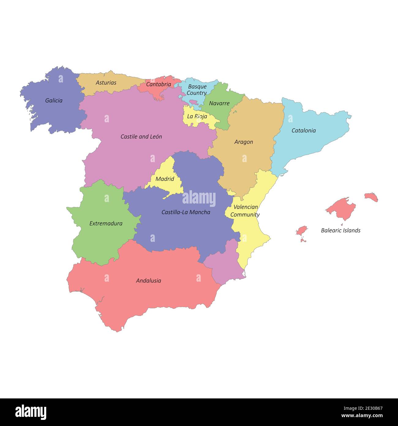 High quality colorful labeled map of Spain with borders of the regions Stock Vectorhttps://www.alamy.com/image-license-details/?v=1https://www.alamy.com/high-quality-colorful-labeled-map-of-spain-with-borders-of-the-regions-image397691231.html
RF2E30B67–High quality colorful labeled map of Spain with borders of the regions
 3d rendering of a Cantabria Spanish Community flag and map on a black background Stock Photohttps://www.alamy.com/image-license-details/?v=1https://www.alamy.com/3d-rendering-of-a-cantabria-spanish-community-flag-and-map-on-a-black-background-image461582148.html
RF2HPXTMM–3d rendering of a Cantabria Spanish Community flag and map on a black background
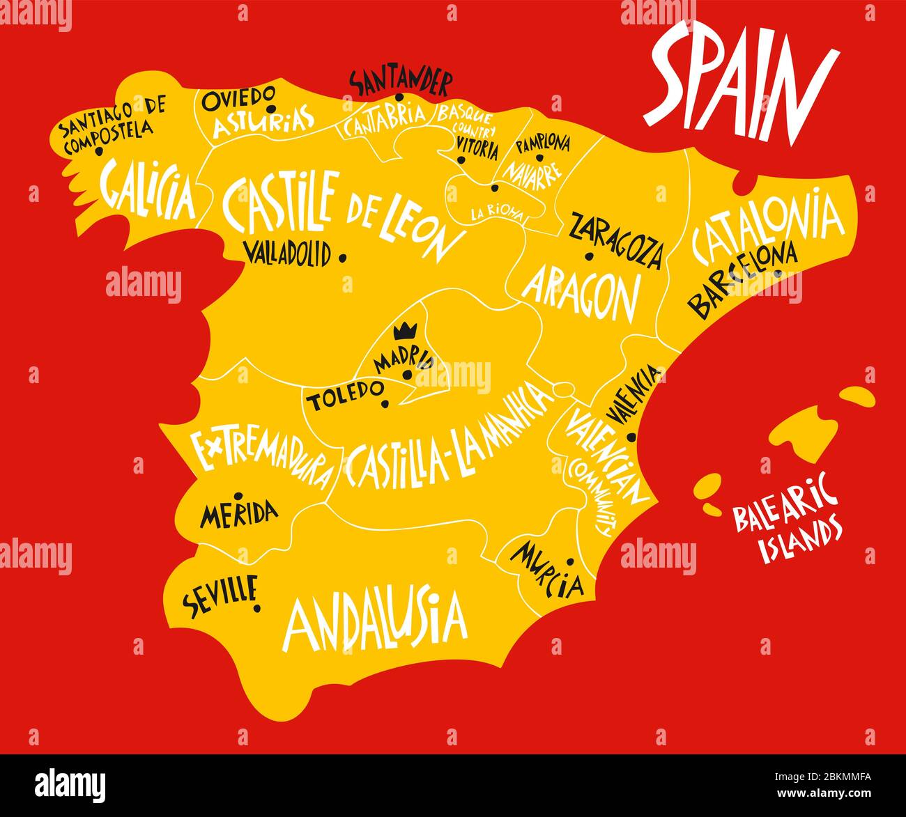 Vector hand drawn stylized map of Spain Kingdom. Travel illustration of Spain provinces and cities. Hand drawn lettering illustration. Europe map elem Stock Vectorhttps://www.alamy.com/image-license-details/?v=1https://www.alamy.com/vector-hand-drawn-stylized-map-of-spain-kingdom-travel-illustration-of-spain-provinces-and-cities-hand-drawn-lettering-illustration-europe-map-elem-image356340974.html
RF2BKMMFA–Vector hand drawn stylized map of Spain Kingdom. Travel illustration of Spain provinces and cities. Hand drawn lettering illustration. Europe map elem
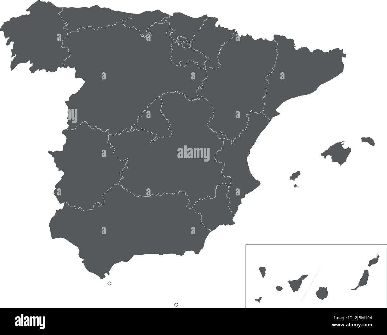 Vector blank map of Spain with regions and territories and administrative divisions. Editable and clearly labeled layers. Stock Vectorhttps://www.alamy.com/image-license-details/?v=1https://www.alamy.com/vector-blank-map-of-spain-with-regions-and-territories-and-administrative-divisions-editable-and-clearly-labeled-layers-image471881232.html
RF2JBM194–Vector blank map of Spain with regions and territories and administrative divisions. Editable and clearly labeled layers.
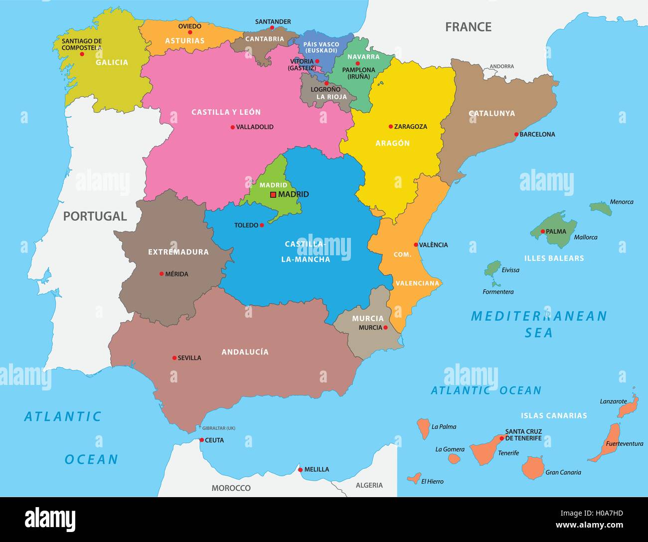 autonomous communities of spain Stock Vectorhttps://www.alamy.com/image-license-details/?v=1https://www.alamy.com/stock-photo-autonomous-communities-of-spain-120698073.html
RFH0A7HD–autonomous communities of spain
 Hikers take a break in front of lake LAGO ENOL in the PICOS DE EUROPA mountain range in northern Spain Stock Photohttps://www.alamy.com/image-license-details/?v=1https://www.alamy.com/stock-photo-hikers-take-a-break-in-front-of-lake-lago-enol-in-the-picos-de-europa-10926536.html
RMA4423N–Hikers take a break in front of lake LAGO ENOL in the PICOS DE EUROPA mountain range in northern Spain
 Map of Cantabria, a region of Spain. Stock Photohttps://www.alamy.com/image-license-details/?v=1https://www.alamy.com/stock-photo-map-of-cantabria-a-region-of-spain-49419256.html
RFCTB6NC–Map of Cantabria, a region of Spain.
 Tourist office near a Monument for Juan de la Cosa 15th century navigator and cartographer Santona Cantabria Spain Stock Photohttps://www.alamy.com/image-license-details/?v=1https://www.alamy.com/tourist-office-near-a-monument-for-juan-de-la-cosa-15th-century-navigator-and-cartographer-santona-cantabria-spain-image434950124.html
RM2G7HK90–Tourist office near a Monument for Juan de la Cosa 15th century navigator and cartographer Santona Cantabria Spain
 Cantabria (Kingdom of Spain, Autonomous community) map vector illustration, scribble sketch Cantabria map Stock Vectorhttps://www.alamy.com/image-license-details/?v=1https://www.alamy.com/cantabria-kingdom-of-spain-autonomous-community-map-vector-illustration-scribble-sketch-cantabria-map-image219729667.html
RFPNDFC3–Cantabria (Kingdom of Spain, Autonomous community) map vector illustration, scribble sketch Cantabria map
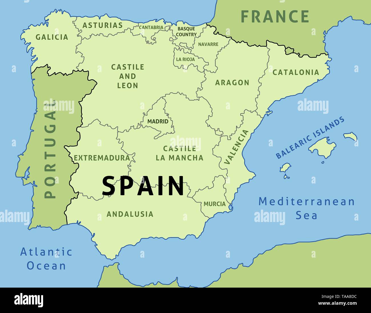 Map of Spain. Outline illustration country map autonomous communities. Stock Vectorhttps://www.alamy.com/image-license-details/?v=1https://www.alamy.com/map-of-spain-outline-illustration-country-map-autonomous-communities-image247317880.html
RFTAA8DC–Map of Spain. Outline illustration country map autonomous communities.
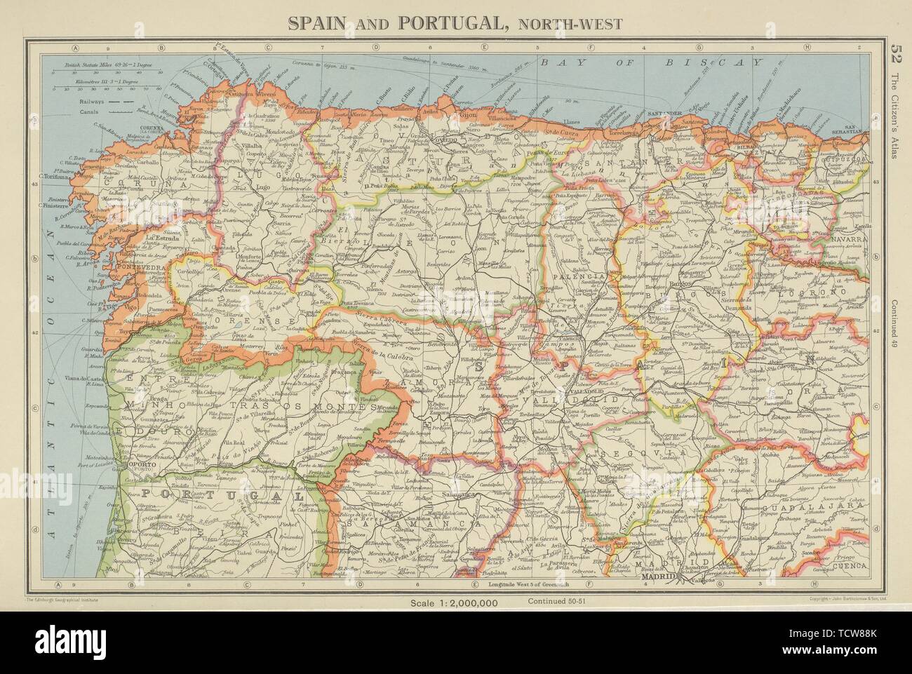 IBERIA N WEST. Spain Portugal. Galicia Asturias Castilla/Leon Cantabria 1947 map Stock Photohttps://www.alamy.com/image-license-details/?v=1https://www.alamy.com/iberia-n-west-spain-portugal-galicia-asturias-castillaleon-cantabria-1947-map-image248876339.html
RFTCW88K–IBERIA N WEST. Spain Portugal. Galicia Asturias Castilla/Leon Cantabria 1947 map
 spain, map, atlas, map of the world, profile, symbolic, political, colour, Stock Photohttps://www.alamy.com/image-license-details/?v=1https://www.alamy.com/stock-photo-spain-map-atlas-map-of-the-world-profile-symbolic-political-colour-142929258.html
RFJ8EYMA–spain, map, atlas, map of the world, profile, symbolic, political, colour,
RF2JMXP3B–Spain, Santander city skyline isolated vector illustration, icons
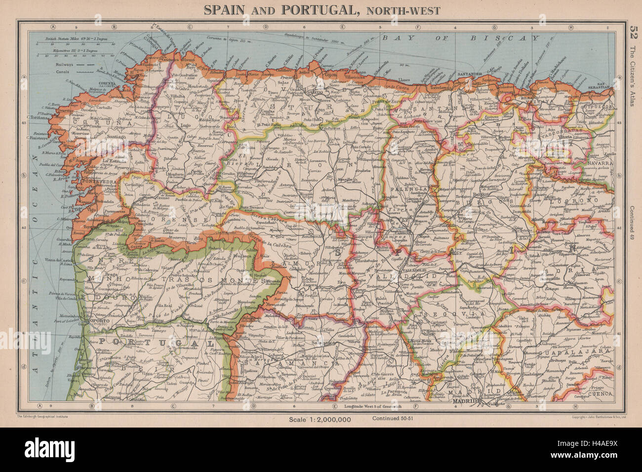 IBERIA N WEST. Spain Portugal. Galicia Asturias Castilla/Leon Cantabria 1944 map Stock Photohttps://www.alamy.com/image-license-details/?v=1https://www.alamy.com/stock-photo-iberia-n-west-spain-portugal-galicia-asturias-castillaleon-cantabria-123161974.html
RFH4AE9X–IBERIA N WEST. Spain Portugal. Galicia Asturias Castilla/Leon Cantabria 1944 map
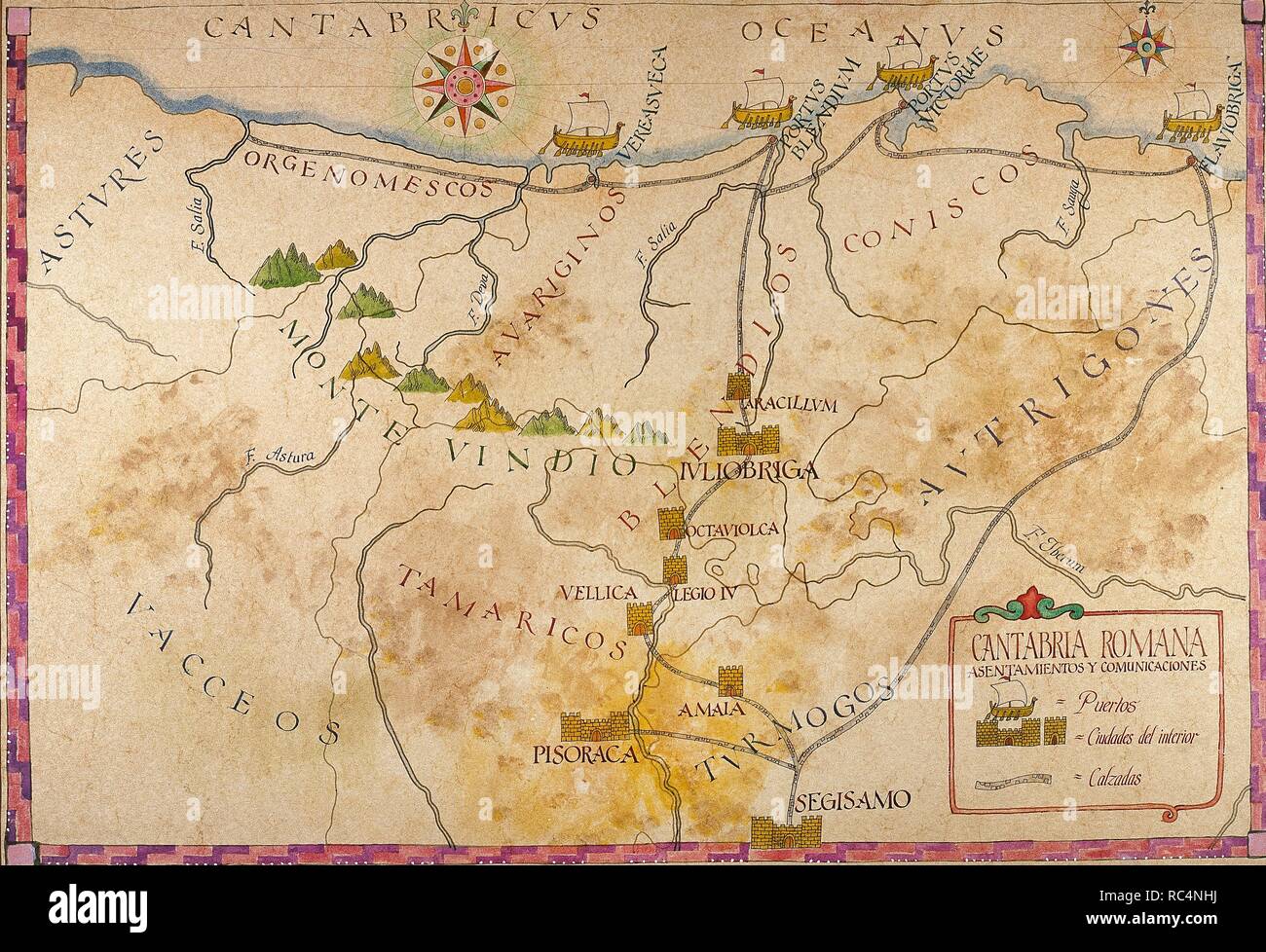 History of the Roman Empire. Romanisation of the Iberian Peninsula. Map of Cantabria. Roman Times. Stock Photohttps://www.alamy.com/image-license-details/?v=1https://www.alamy.com/history-of-the-roman-empire-romanisation-of-the-iberian-peninsula-map-of-cantabria-roman-times-image231215422.html
RMRC4NHJ–History of the Roman Empire. Romanisation of the Iberian Peninsula. Map of Cantabria. Roman Times.
![Santander. [Civitates orbis terrarum.] De præcipuis, totius v. 1575. View of Santander. Image taken from [Civitates orbis terrarum.] De præcipuis, totius vniuersi vrbibus, liber secundus. [The dedication signed: G. Bruin, S. Novellanus, F. Hogenbergius.]. Originally published/produced in 1575. . Source: 215.f.2 volume 2, 9. Stock Photo Santander. [Civitates orbis terrarum.] De præcipuis, totius v. 1575. View of Santander. Image taken from [Civitates orbis terrarum.] De præcipuis, totius vniuersi vrbibus, liber secundus. [The dedication signed: G. Bruin, S. Novellanus, F. Hogenbergius.]. Originally published/produced in 1575. . Source: 215.f.2 volume 2, 9. Stock Photo](https://c8.alamy.com/comp/RC4891/santander-civitates-orbis-terrarum-de-prcipuis-totius-v-1575-view-of-santander-image-taken-from-civitates-orbis-terrarum-de-prcipuis-totius-vniuersi-vrbibus-liber-secundus-the-dedication-signed-g-bruin-s-novellanus-f-hogenbergius-originally-publishedproduced-in-1575-source-215f2-volume-2-9-RC4891.jpg) Santander. [Civitates orbis terrarum.] De præcipuis, totius v. 1575. View of Santander. Image taken from [Civitates orbis terrarum.] De præcipuis, totius vniuersi vrbibus, liber secundus. [The dedication signed: G. Bruin, S. Novellanus, F. Hogenbergius.]. Originally published/produced in 1575. . Source: 215.f.2 volume 2, 9. Stock Photohttps://www.alamy.com/image-license-details/?v=1https://www.alamy.com/santander-civitates-orbis-terrarum-de-prcipuis-totius-v-1575-view-of-santander-image-taken-from-civitates-orbis-terrarum-de-prcipuis-totius-vniuersi-vrbibus-liber-secundus-the-dedication-signed-g-bruin-s-novellanus-f-hogenbergius-originally-publishedproduced-in-1575-source-215f2-volume-2-9-image231204989.html
Santander. [Civitates orbis terrarum.] De præcipuis, totius v. 1575. View of Santander. Image taken from [Civitates orbis terrarum.] De præcipuis, totius vniuersi vrbibus, liber secundus. [The dedication signed: G. Bruin, S. Novellanus, F. Hogenbergius.]. Originally published/produced in 1575. . Source: 215.f.2 volume 2, 9. Stock Photohttps://www.alamy.com/image-license-details/?v=1https://www.alamy.com/santander-civitates-orbis-terrarum-de-prcipuis-totius-v-1575-view-of-santander-image-taken-from-civitates-orbis-terrarum-de-prcipuis-totius-vniuersi-vrbibus-liber-secundus-the-dedication-signed-g-bruin-s-novellanus-f-hogenbergius-originally-publishedproduced-in-1575-source-215f2-volume-2-9-image231204989.htmlRMRC4891–Santander. [Civitates orbis terrarum.] De præcipuis, totius v. 1575. View of Santander. Image taken from [Civitates orbis terrarum.] De præcipuis, totius vniuersi vrbibus, liber secundus. [The dedication signed: G. Bruin, S. Novellanus, F. Hogenbergius.]. Originally published/produced in 1575. . Source: 215.f.2 volume 2, 9.
 Spain and the Region of Cantabria, True Colour Satellite Image Stock Photohttps://www.alamy.com/image-license-details/?v=1https://www.alamy.com/stock-photo-spain-and-the-region-of-cantabria-true-colour-satellite-image-71608633.html
RME4E1F5–Spain and the Region of Cantabria, True Colour Satellite Image
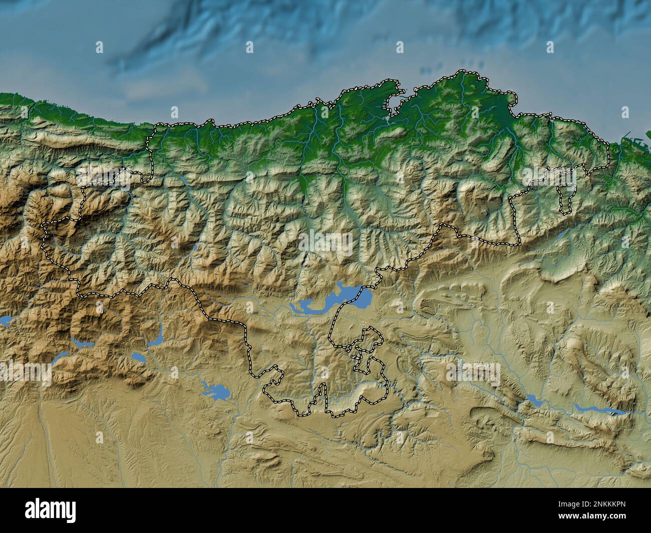 Cantabria, autonomous community of Spain. Colored elevation map with lakes and rivers Stock Photohttps://www.alamy.com/image-license-details/?v=1https://www.alamy.com/cantabria-autonomous-community-of-spain-colored-elevation-map-with-lakes-and-rivers-image528422125.html
RF2NKKKPN–Cantabria, autonomous community of Spain. Colored elevation map with lakes and rivers
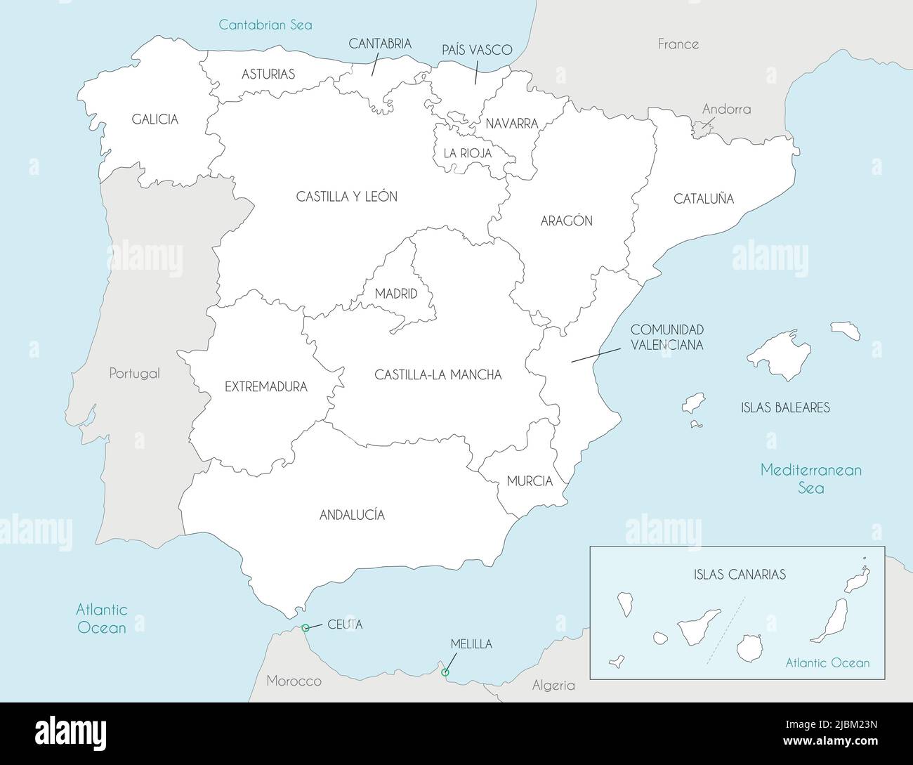 Vector map of Spain with regions and territories and administrative divisions, and neighbouring countries. Editable and clearly labeled layers. Stock Vectorhttps://www.alamy.com/image-license-details/?v=1https://www.alamy.com/vector-map-of-spain-with-regions-and-territories-and-administrative-divisions-and-neighbouring-countries-editable-and-clearly-labeled-layers-image471881865.html
RF2JBM23N–Vector map of Spain with regions and territories and administrative divisions, and neighbouring countries. Editable and clearly labeled layers.
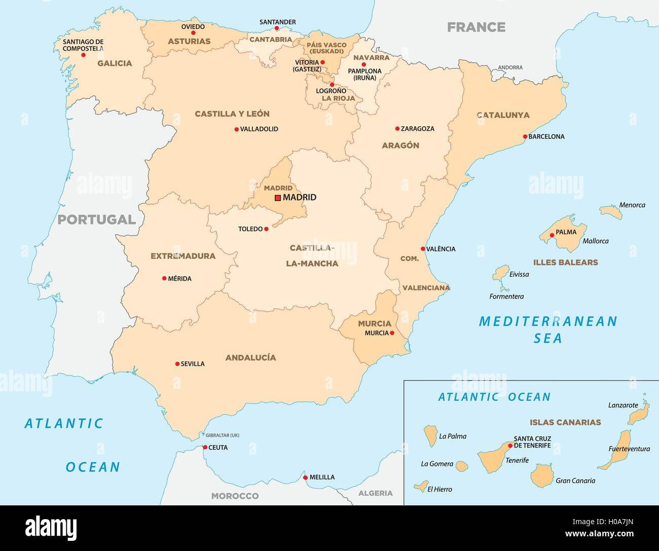 autonomous communities of spain Stock Vectorhttps://www.alamy.com/image-license-details/?v=1https://www.alamy.com/stock-photo-autonomous-communities-of-spain-120698109.html
RFH0A7JN–autonomous communities of spain
 Political map of Spain with the several regions where Cantabria is highlighted. Stock Photohttps://www.alamy.com/image-license-details/?v=1https://www.alamy.com/stock-photo-political-map-of-spain-with-the-several-regions-where-cantabria-is-48835602.html
RFCRCJ8J–Political map of Spain with the several regions where Cantabria is highlighted.
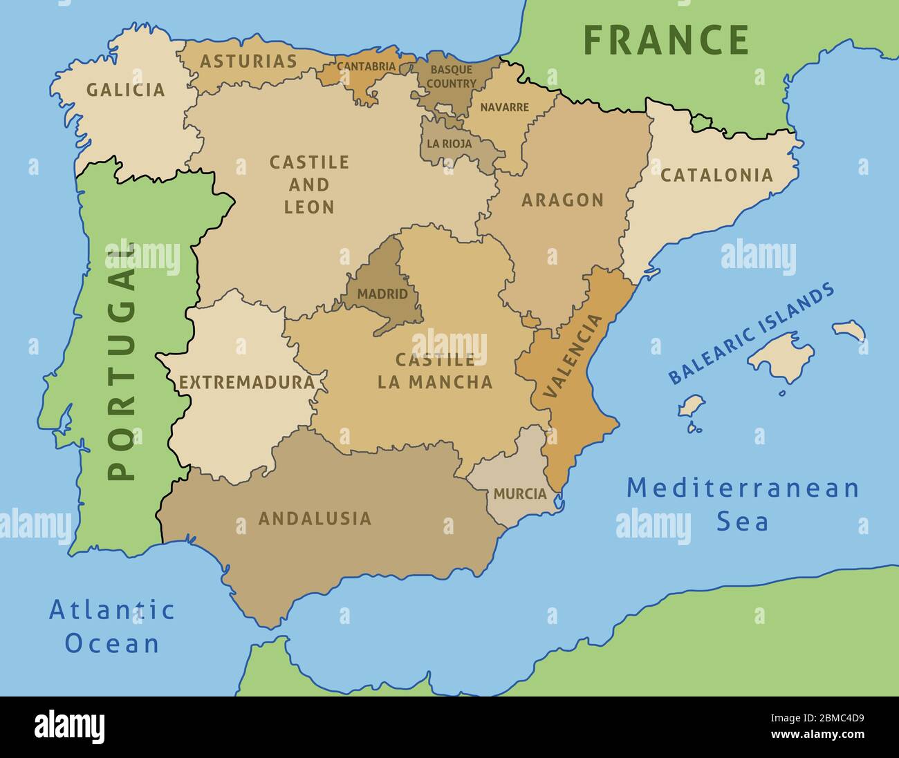 Map of Spain. Outline illustration country map autonomous communities. Stock Vectorhttps://www.alamy.com/image-license-details/?v=1https://www.alamy.com/map-of-spain-outline-illustration-country-map-autonomous-communities-image356767413.html
RF2BMC4D9–Map of Spain. Outline illustration country map autonomous communities.
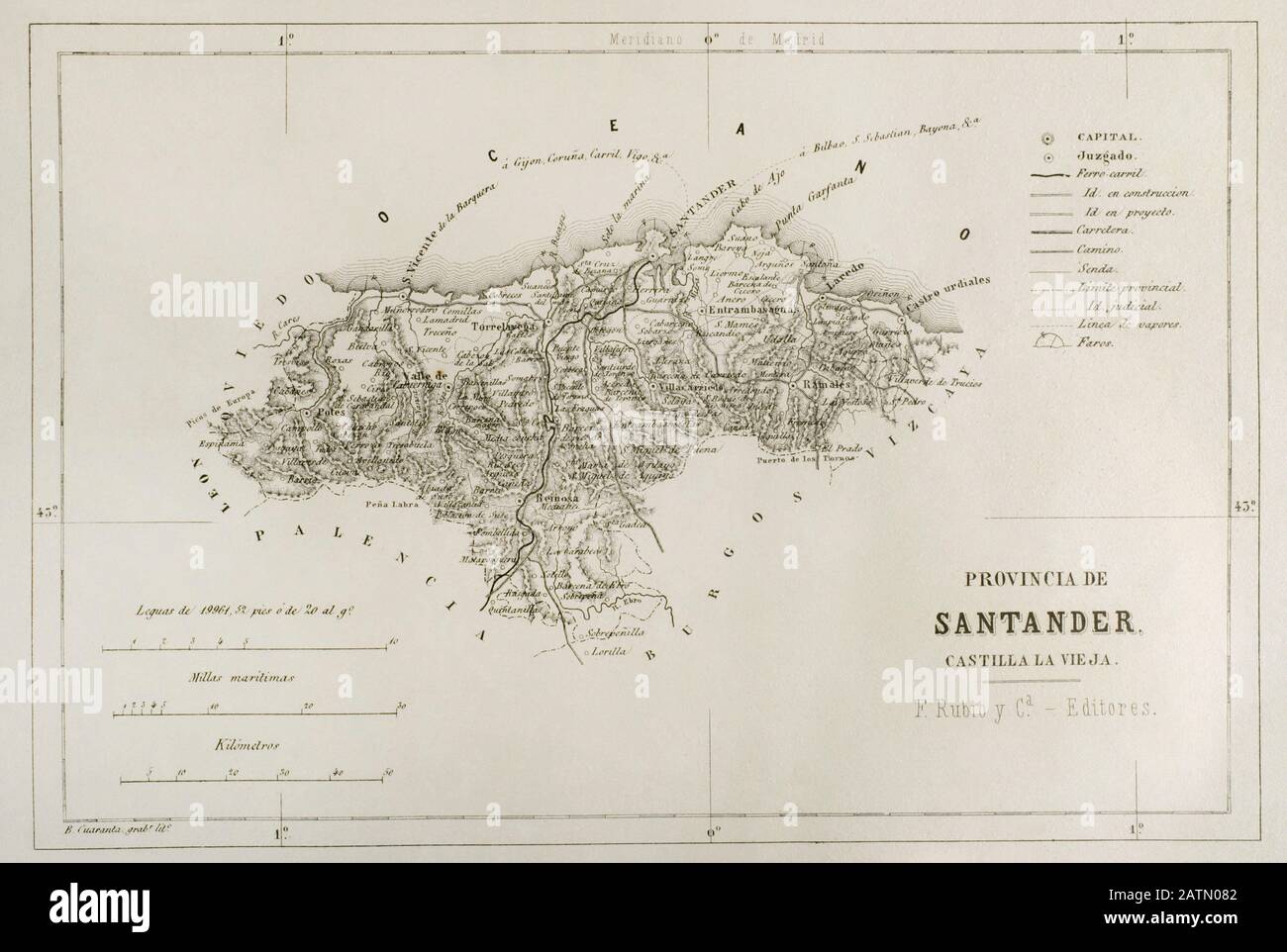 Mapa de la provincia de Santander. España. Crónica General de España, Historia Ilustrada y Descriptiva de sus Provincias. Castilla-La Vieja, 1870. Biblioteca Histórico Militar de Barcelona, Cataluña, España. Stock Photohttps://www.alamy.com/image-license-details/?v=1https://www.alamy.com/mapa-de-la-provincia-de-santander-espaa-crnica-general-de-espaa-historia-ilustrada-y-descriptiva-de-sus-provincias-castilla-la-vieja-1870-biblioteca-histrico-militar-de-barcelona-catalua-espaa-image342209954.html
RM2ATN082–Mapa de la provincia de Santander. España. Crónica General de España, Historia Ilustrada y Descriptiva de sus Provincias. Castilla-La Vieja, 1870. Biblioteca Histórico Militar de Barcelona, Cataluña, España.
 Cantabria, autonomous community of Spain. Grayscale elevation map with lakes and rivers Stock Photohttps://www.alamy.com/image-license-details/?v=1https://www.alamy.com/cantabria-autonomous-community-of-spain-grayscale-elevation-map-with-lakes-and-rivers-image528421659.html
RF2NKKK63–Cantabria, autonomous community of Spain. Grayscale elevation map with lakes and rivers
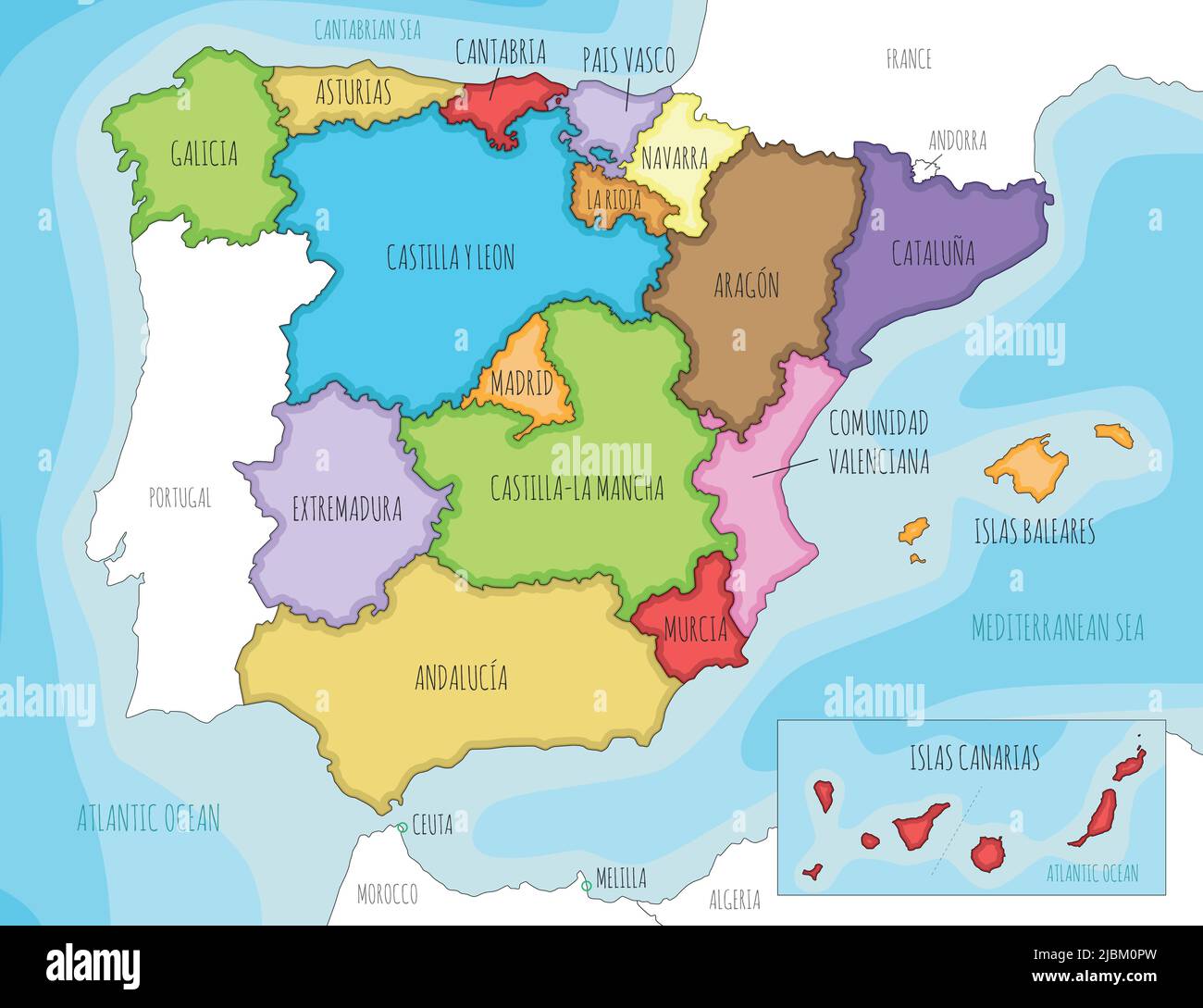 Vector illustrated map of Spain with regions and territories and administrative divisions, and neighbouring countries. Editable and clearly labeled la Stock Vectorhttps://www.alamy.com/image-license-details/?v=1https://www.alamy.com/vector-illustrated-map-of-spain-with-regions-and-territories-and-administrative-divisions-and-neighbouring-countries-editable-and-clearly-labeled-la-image471880833.html
RF2JBM0PW–Vector illustrated map of Spain with regions and territories and administrative divisions, and neighbouring countries. Editable and clearly labeled la
 Political map of Spain with the several regions where Cantabria is highlighted. Stock Photohttps://www.alamy.com/image-license-details/?v=1https://www.alamy.com/stock-photo-political-map-of-spain-with-the-several-regions-where-cantabria-is-48837809.html
RFCRCN3D–Political map of Spain with the several regions where Cantabria is highlighted.
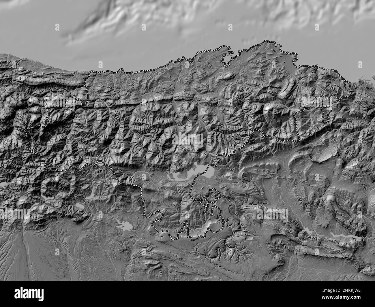 Cantabria, autonomous community of Spain. Bilevel elevation map with lakes and rivers Stock Photohttps://www.alamy.com/image-license-details/?v=1https://www.alamy.com/cantabria-autonomous-community-of-spain-bilevel-elevation-map-with-lakes-and-rivers-image528421418.html
RF2NKKJWE–Cantabria, autonomous community of Spain. Bilevel elevation map with lakes and rivers