Quick filters:
Cardiff map Stock Photos and Images
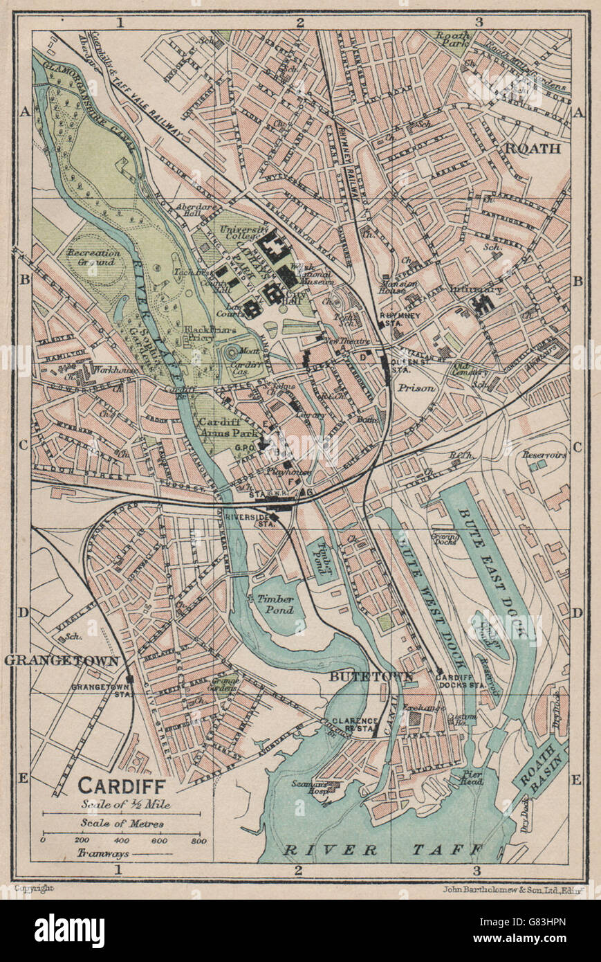 CARDIFF. Vintage town city map plan. Wales, 1922 Stock Photohttps://www.alamy.com/image-license-details/?v=1https://www.alamy.com/stock-photo-cardiff-vintage-town-city-map-plan-wales-1922-108259277.html
RFG83HPN–CARDIFF. Vintage town city map plan. Wales, 1922
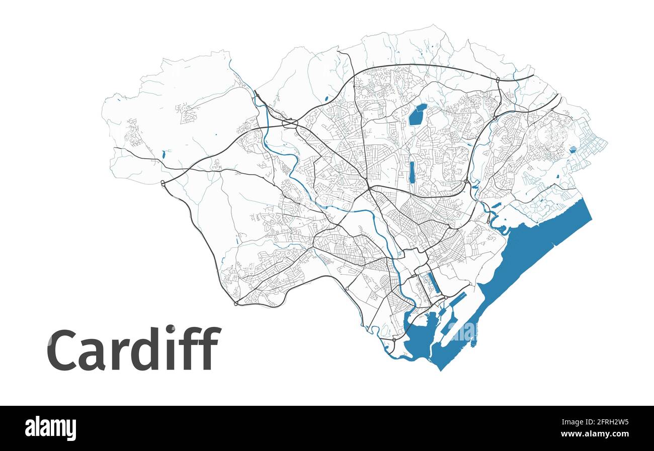 Cardiff map. Detailed map of Cardiff city administrative area. Cityscape panorama. Royalty free vector illustration. Outline map with highways, street Stock Vectorhttps://www.alamy.com/image-license-details/?v=1https://www.alamy.com/cardiff-map-detailed-map-of-cardiff-city-administrative-area-cityscape-panorama-royalty-free-vector-illustration-outline-map-with-highways-street-image427561377.html
RF2FRH2W5–Cardiff map. Detailed map of Cardiff city administrative area. Cityscape panorama. Royalty free vector illustration. Outline map with highways, street
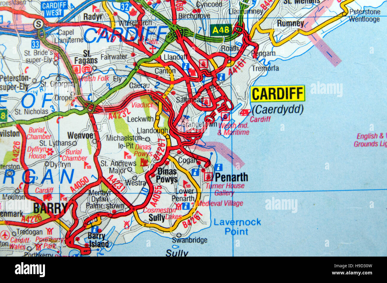 Road Map of Cardiff, Wales. Stock Photohttps://www.alamy.com/image-license-details/?v=1https://www.alamy.com/stock-photo-road-map-of-cardiff-wales-126292233.html
RMH9D30W–Road Map of Cardiff, Wales.
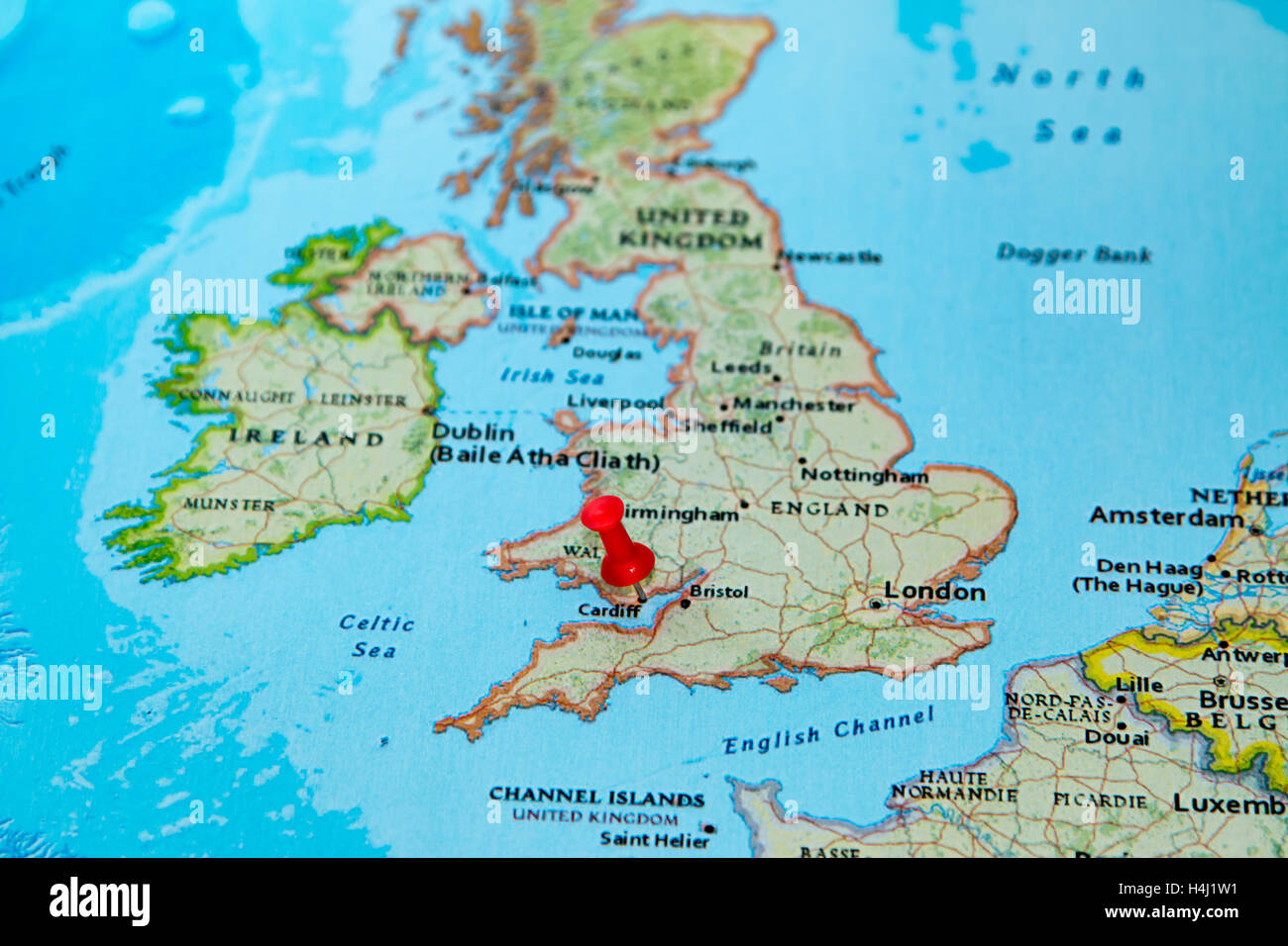 Cardiff, U.K. pinned on a map of Europe. Stock Photohttps://www.alamy.com/image-license-details/?v=1https://www.alamy.com/stock-photo-cardiff-uk-pinned-on-a-map-of-europe-123327821.html
RMH4J1W1–Cardiff, U.K. pinned on a map of Europe.
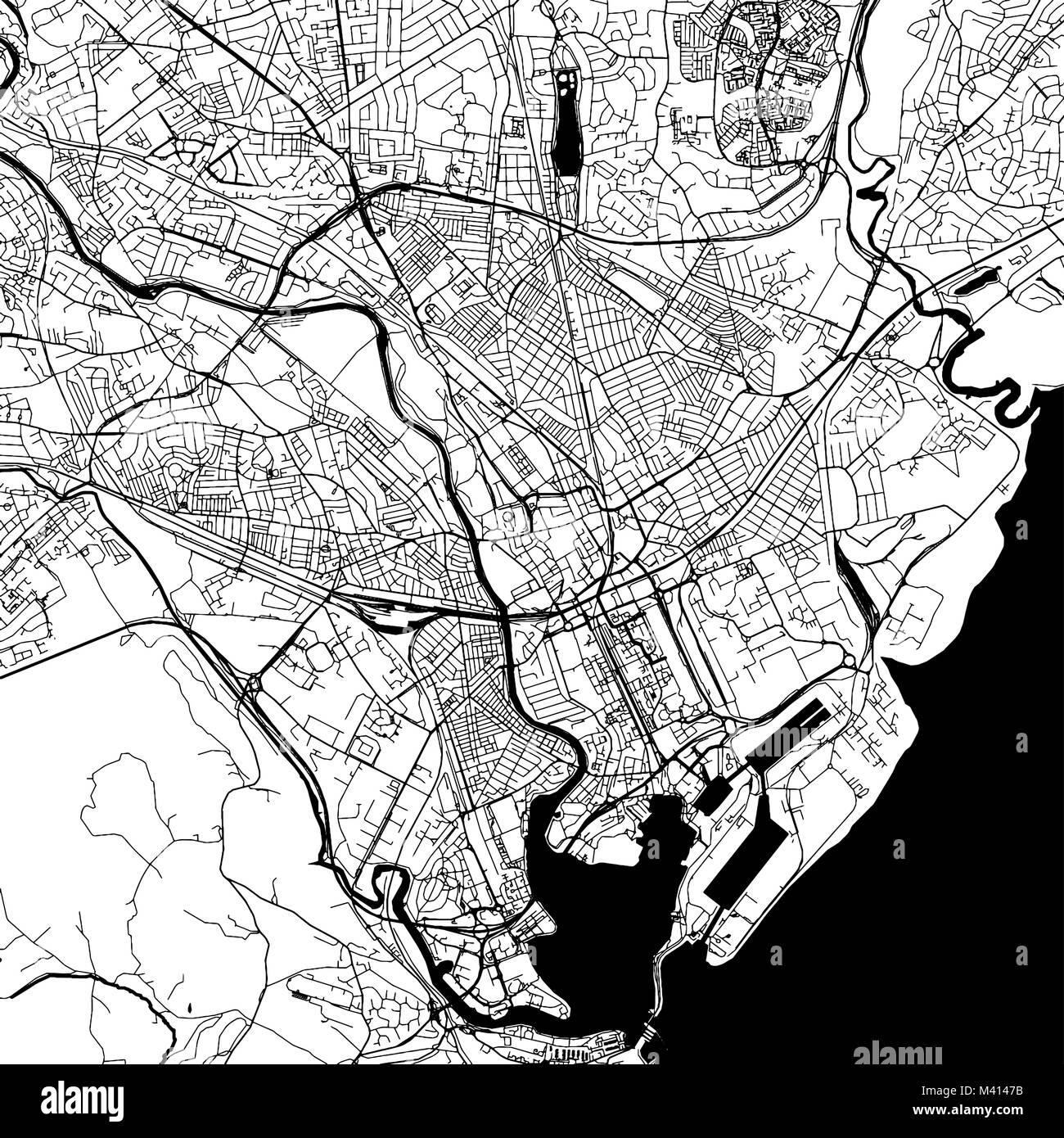 Cardiff downtown Map with many details for various usecases. This map of Cardiff contains typical landmarks with room for additional information. Stock Vectorhttps://www.alamy.com/image-license-details/?v=1https://www.alamy.com/stock-photo-cardiff-downtown-map-with-many-details-for-various-usecases-this-map-174587599.html
RFM4147B–Cardiff downtown Map with many details for various usecases. This map of Cardiff contains typical landmarks with room for additional information.
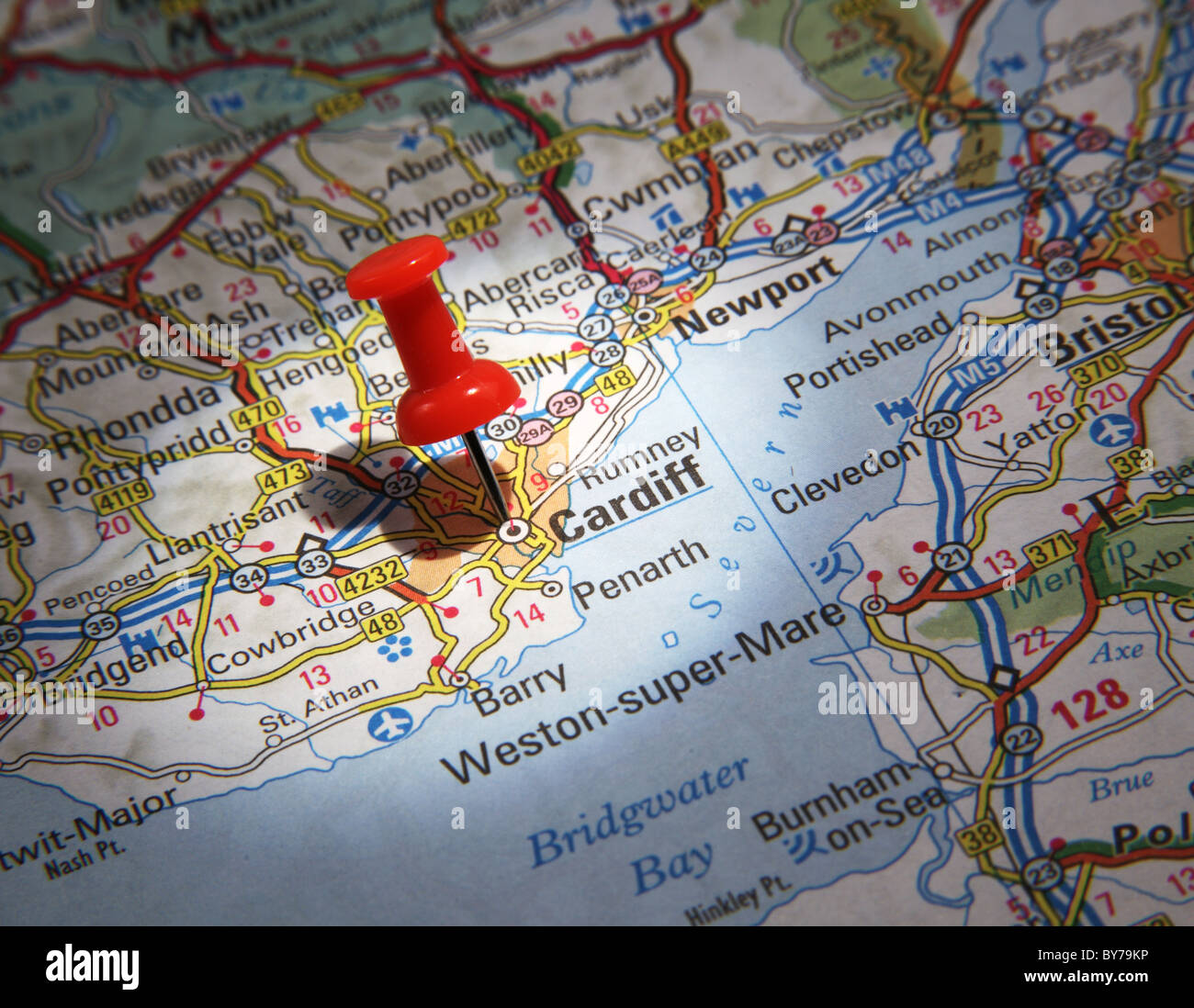 Map Pin pointing to the City of Cardiff, Wales on a road map Stock Photohttps://www.alamy.com/image-license-details/?v=1https://www.alamy.com/stock-photo-map-pin-pointing-to-the-city-of-cardiff-wales-on-a-road-map-33967354.html
RMBY79KP–Map Pin pointing to the City of Cardiff, Wales on a road map
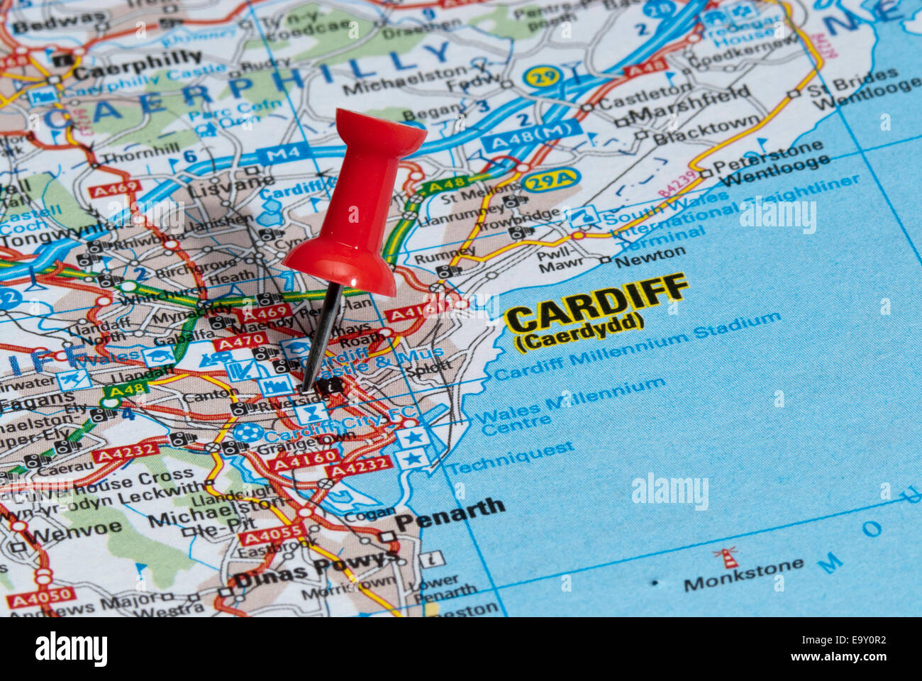 red map pin in road map pointing to city of Cardiff Stock Photohttps://www.alamy.com/image-license-details/?v=1https://www.alamy.com/stock-photo-red-map-pin-in-road-map-pointing-to-city-of-cardiff-74966726.html
RME9Y0R2–red map pin in road map pointing to city of Cardiff
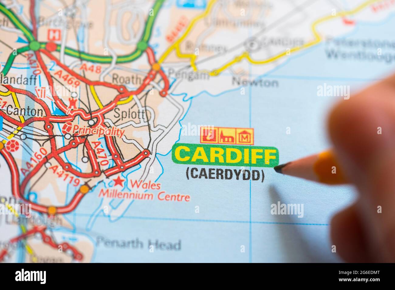 Closeup of a page in a printed road map atlas with a man's hand holding a pencil pointing at the capital city of Wales - Cardiff (Caerdydd) Stock Photohttps://www.alamy.com/image-license-details/?v=1https://www.alamy.com/closeup-of-a-page-in-a-printed-road-map-atlas-with-a-mans-hand-holding-a-pencil-pointing-at-the-capital-city-of-wales-cardiff-caerdydd-image434265240.html
RM2G6EDMT–Closeup of a page in a printed road map atlas with a man's hand holding a pencil pointing at the capital city of Wales - Cardiff (Caerdydd)
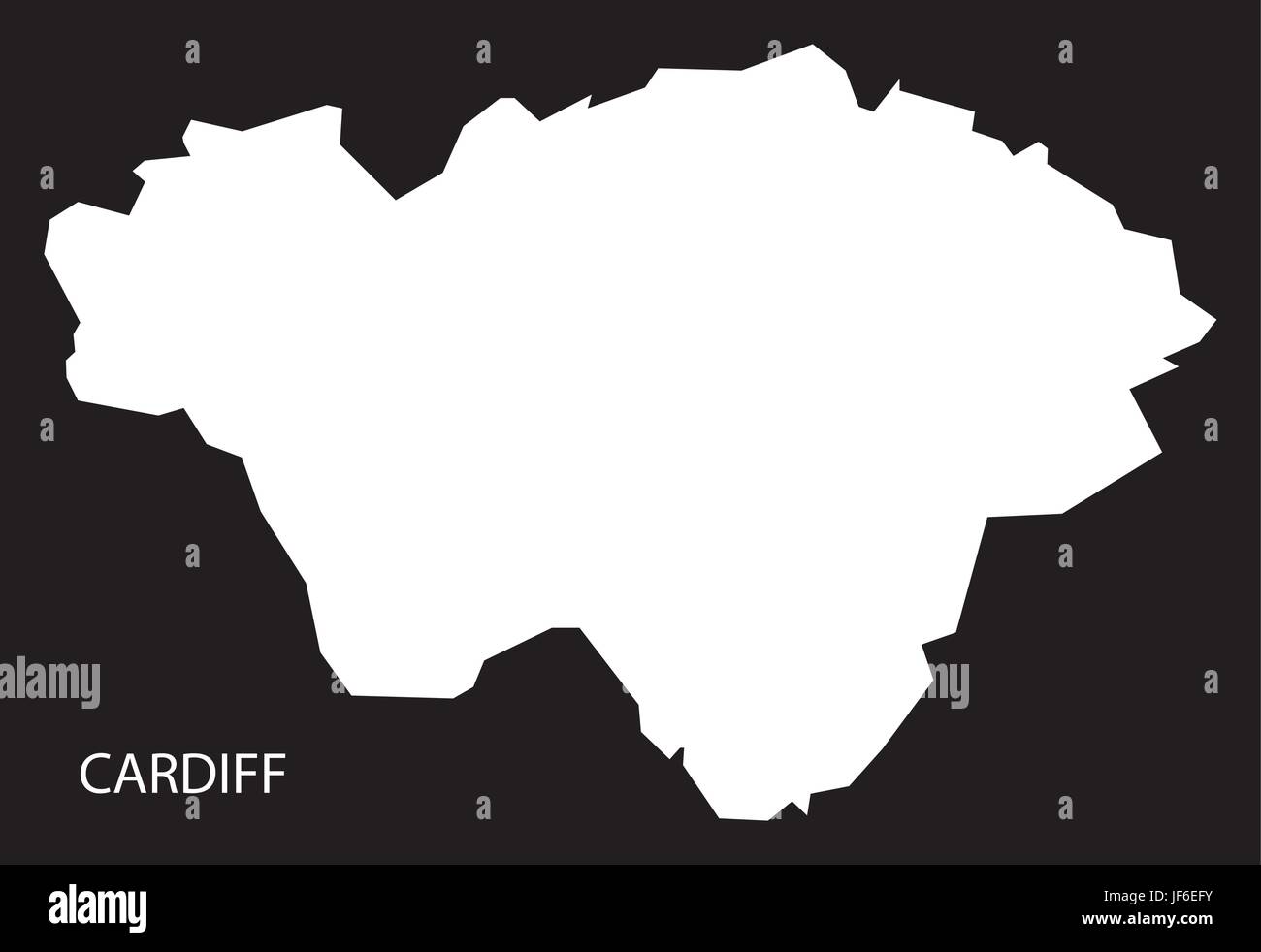 Cardiff Wales map black inverted silhouette illustration Stock Vectorhttps://www.alamy.com/image-license-details/?v=1https://www.alamy.com/stock-photo-cardiff-wales-map-black-inverted-silhouette-illustration-147045919.html
RFJF6EFY–Cardiff Wales map black inverted silhouette illustration
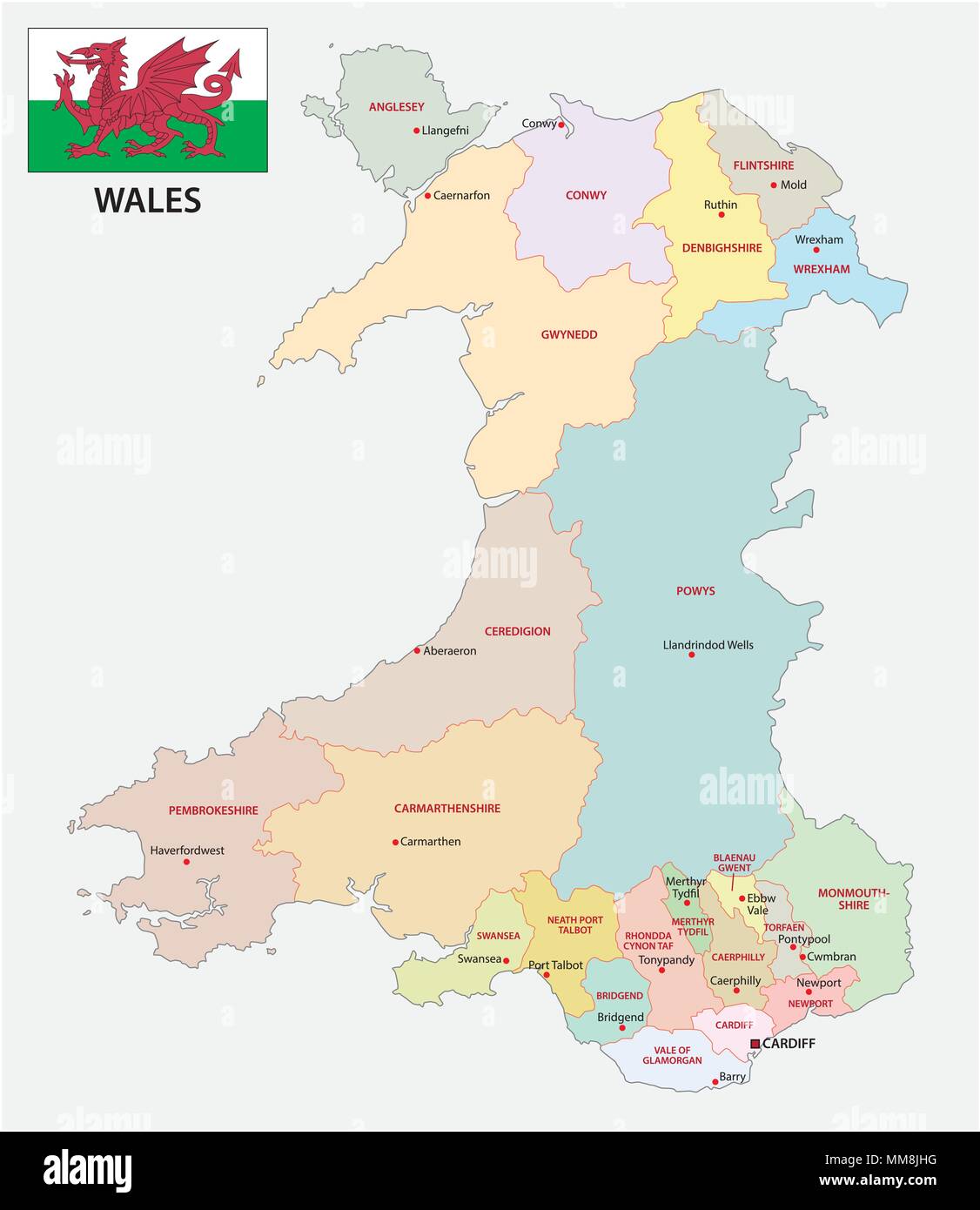 wales administrative and political vector map with flag Stock Vectorhttps://www.alamy.com/image-license-details/?v=1https://www.alamy.com/wales-administrative-and-political-vector-map-with-flag-image184587020.html
RFMM8JHG–wales administrative and political vector map with flag
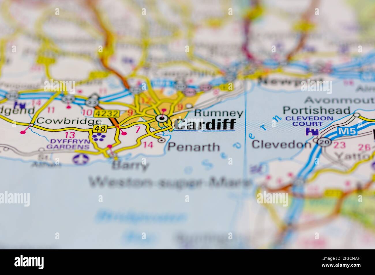 Cardiff Shown on a geography map or road map Stock Photohttps://www.alamy.com/image-license-details/?v=1https://www.alamy.com/cardiff-shown-on-a-geography-map-or-road-map-image415172985.html
RM2F3CNAH–Cardiff Shown on a geography map or road map
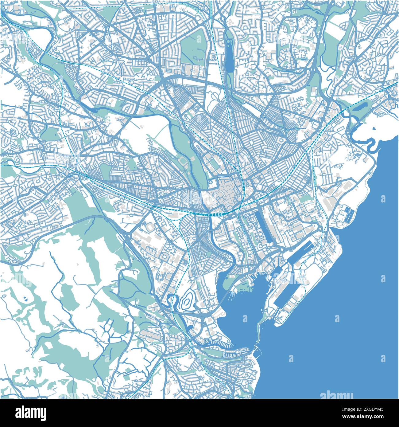 Map of Cardiff in United Kingdom in blue style. Contains layered vector with roads water, parks, etc. Stock Vectorhttps://www.alamy.com/image-license-details/?v=1https://www.alamy.com/map-of-cardiff-in-united-kingdom-in-blue-style-contains-layered-vector-with-roads-water-parks-etc-image612504485.html
RF2XGDYM5–Map of Cardiff in United Kingdom in blue style. Contains layered vector with roads water, parks, etc.
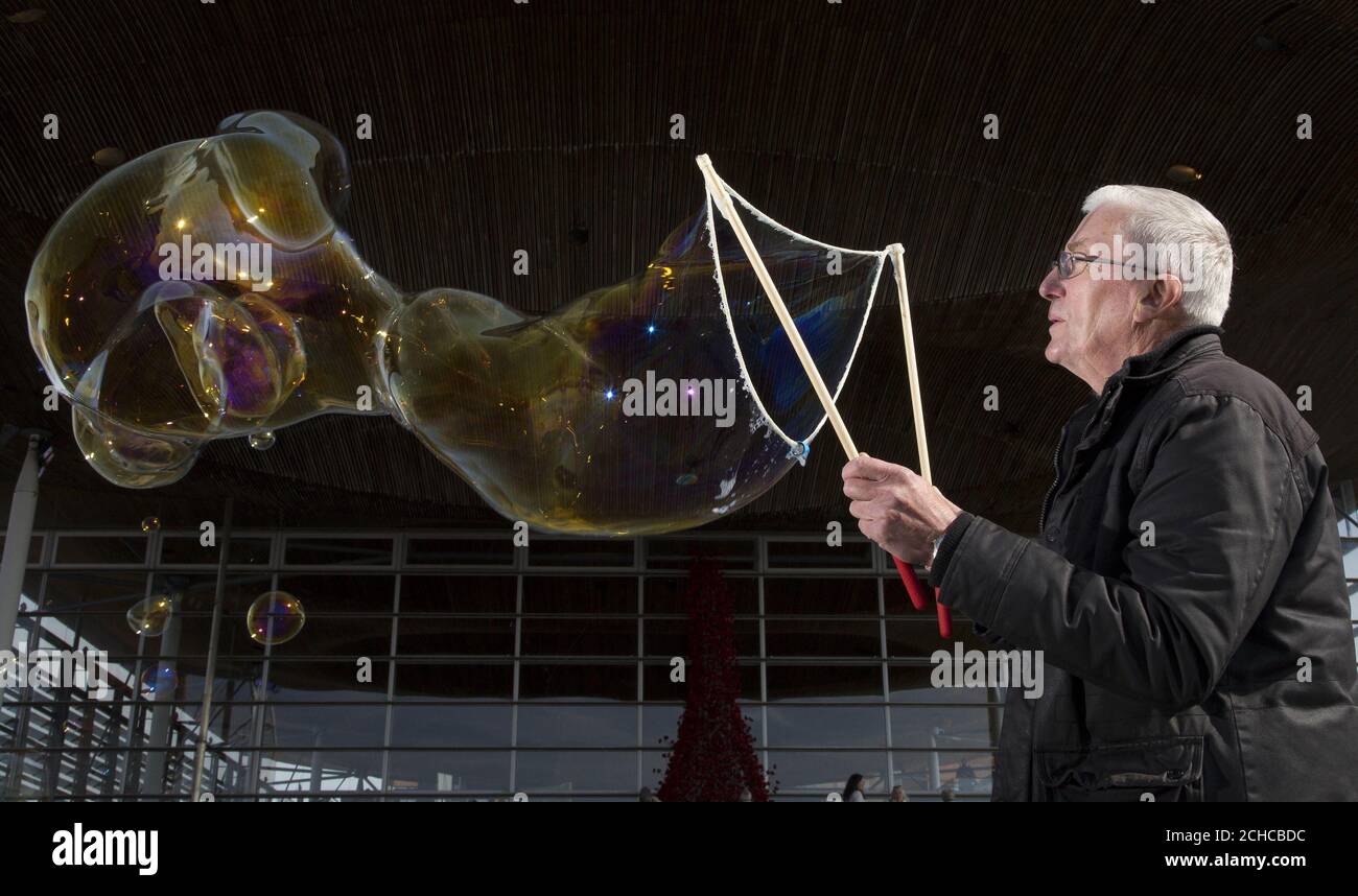 Patient John Collins, who suffers from Idiopathic Pulmonary Fibroses (IPF), creates a large bubble to highlight his lung condition called, at the Senedd in Cardiff. PRESS ASSOCIATION. Picture date: Wednesday September 20 2017. The British Lung Foundation has launched a 'Map for better care' which suggest ways to improve treatments and support for patients with IPF. The disease is characterised by scarring in the lungs with small bubbles that have a 'honeycomb' look and audio recorded on stethoscopes from people's chest that record a bubbling sound. There are around 2,100 pe Stock Photohttps://www.alamy.com/image-license-details/?v=1https://www.alamy.com/patient-john-collins-who-suffers-from-idiopathic-pulmonary-fibroses-ipf-creates-a-large-bubble-to-highlight-his-lung-condition-called-at-the-senedd-in-cardiff-press-association-picture-date-wednesday-september-20-2017-the-british-lung-foundation-has-launched-a-map-for-better-care-which-suggest-ways-to-improve-treatments-and-support-for-patients-with-ipf-the-disease-is-characterised-by-scarring-in-the-lungs-with-small-bubbles-that-have-a-honeycomb-look-and-audio-recorded-on-stethoscopes-from-peoples-chest-that-record-a-bubbling-sound-there-are-around-2100-pe-image372139304.html
RM2CHCBDC–Patient John Collins, who suffers from Idiopathic Pulmonary Fibroses (IPF), creates a large bubble to highlight his lung condition called, at the Senedd in Cardiff. PRESS ASSOCIATION. Picture date: Wednesday September 20 2017. The British Lung Foundation has launched a 'Map for better care' which suggest ways to improve treatments and support for patients with IPF. The disease is characterised by scarring in the lungs with small bubbles that have a 'honeycomb' look and audio recorded on stethoscopes from people's chest that record a bubbling sound. There are around 2,100 pe
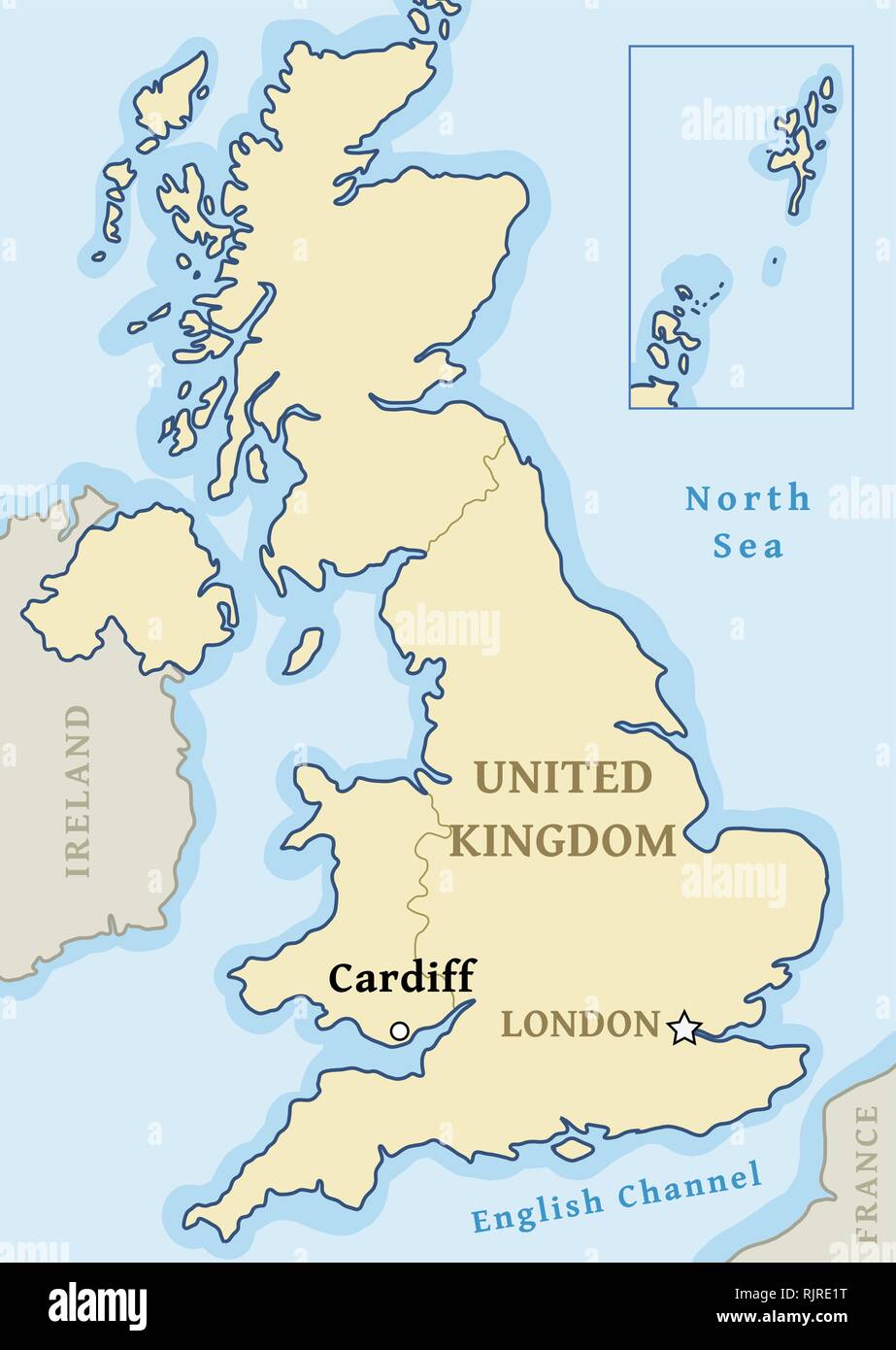 Cardiff map location - city marked in United Kingdom (UK map). Vector illustration. Stock Vectorhttps://www.alamy.com/image-license-details/?v=1https://www.alamy.com/cardiff-map-location-city-marked-in-united-kingdom-uk-map-vector-illustration-image235314516.html
RFRJRE1T–Cardiff map location - city marked in United Kingdom (UK map). Vector illustration.
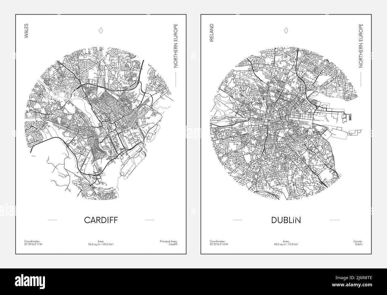 Travel poster, urban street plan city map Cardiff and Dublin, vector illustration Stock Vectorhttps://www.alamy.com/image-license-details/?v=1https://www.alamy.com/travel-poster-urban-street-plan-city-map-cardiff-and-dublin-vector-illustration-image468879726.html
RF2J6R8TE–Travel poster, urban street plan city map Cardiff and Dublin, vector illustration
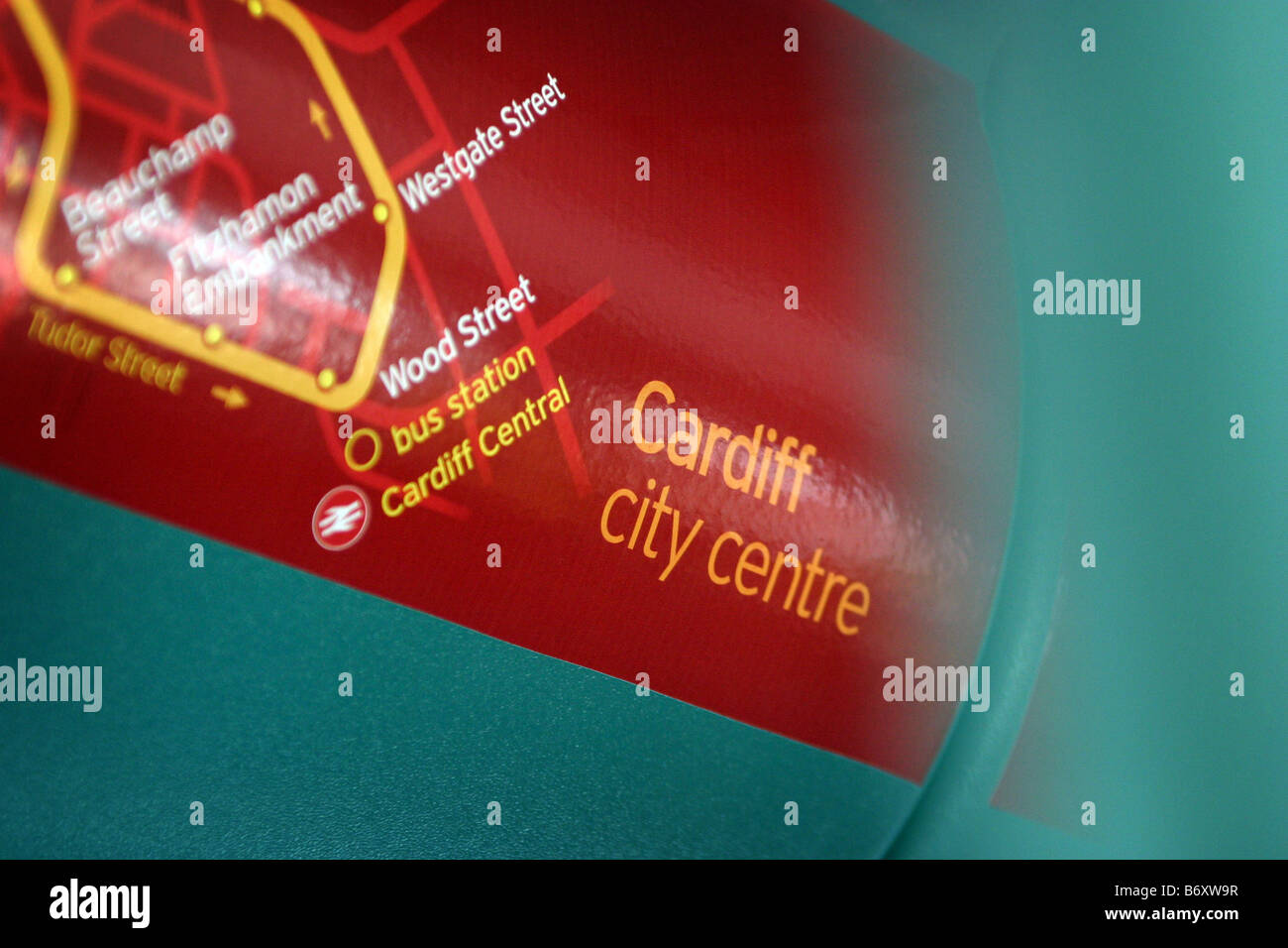 Map of bus route for Cardiff City Centre on the interior of a bendy bus Stock Photohttps://www.alamy.com/image-license-details/?v=1https://www.alamy.com/stock-photo-map-of-bus-route-for-cardiff-city-centre-on-the-interior-of-a-bendy-21488931.html
RMB6XW9R–Map of bus route for Cardiff City Centre on the interior of a bendy bus
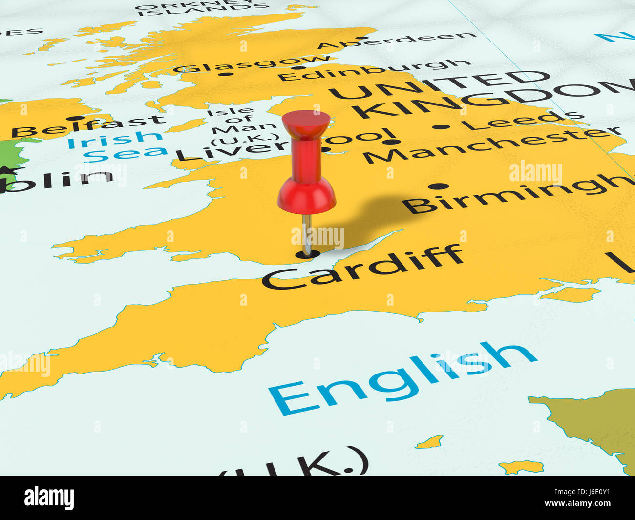 Pushpin on Cardiff map background. 3d illustration. Stock Photohttps://www.alamy.com/image-license-details/?v=1https://www.alamy.com/stock-photo-pushpin-on-cardiff-map-background-3d-illustration-141678965.html
RFJ6E0Y1–Pushpin on Cardiff map background. 3d illustration.
 Cardiff, Collie, AU, Australia, Western Australia, S 33 26' 34'', N 116 14' 10'', map, Cartascapes Map published in 2024. Explore Cartascapes, a map revealing Earth's diverse landscapes, cultures, and ecosystems. Journey through time and space, discovering the interconnectedness of our planet's past, present, and future. Stock Photohttps://www.alamy.com/image-license-details/?v=1https://www.alamy.com/cardiff-collie-au-australia-western-australia-s-33-26-34-n-116-14-10-map-cartascapes-map-published-in-2024-explore-cartascapes-a-map-revealing-earths-diverse-landscapes-cultures-and-ecosystems-journey-through-time-and-space-discovering-the-interconnectedness-of-our-planets-past-present-and-future-image625677867.html
RM2Y9X2E3–Cardiff, Collie, AU, Australia, Western Australia, S 33 26' 34'', N 116 14' 10'', map, Cartascapes Map published in 2024. Explore Cartascapes, a map revealing Earth's diverse landscapes, cultures, and ecosystems. Journey through time and space, discovering the interconnectedness of our planet's past, present, and future.
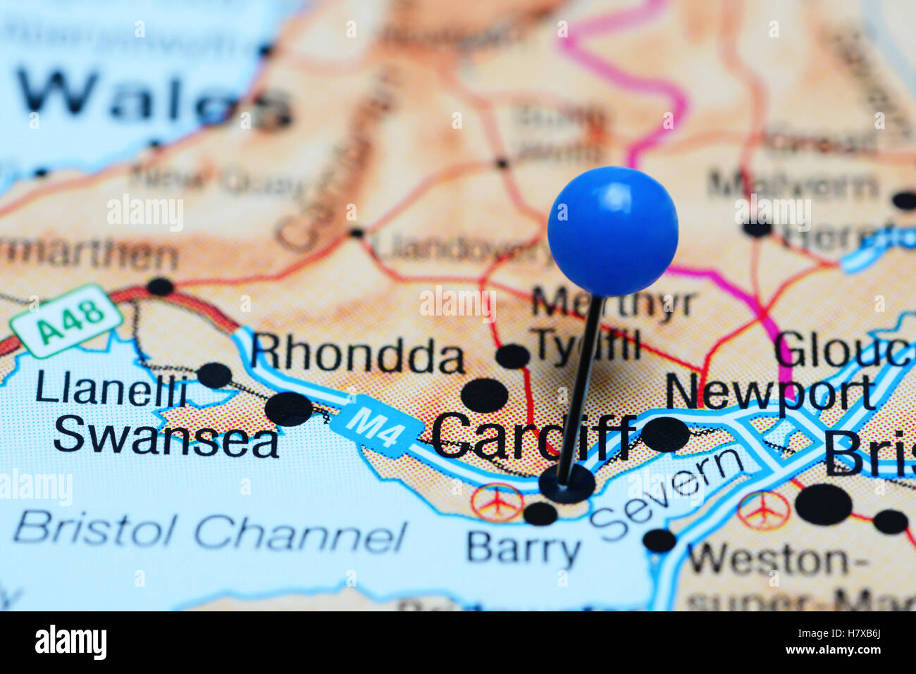 Cardiff pinned on a map of Wales Stock Photohttps://www.alamy.com/image-license-details/?v=1https://www.alamy.com/stock-photo-cardiff-pinned-on-a-map-of-wales-125354730.html
RFH7XB6J–Cardiff pinned on a map of Wales
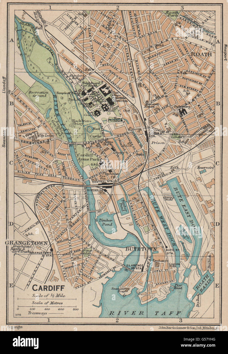 CARDIFF. Vintage town city map plan. Wales, 1936 Stock Photohttps://www.alamy.com/image-license-details/?v=1https://www.alamy.com/stock-photo-cardiff-vintage-town-city-map-plan-wales-1936-106510812.html
RFG57YHG–CARDIFF. Vintage town city map plan. Wales, 1936
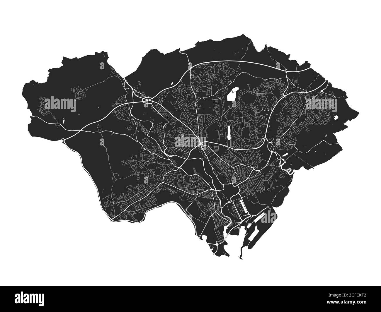 Cardiff map. Detailed vector map of Cardiff city administrative area. Cityscape poster metropolitan aria view. Black land with white streets, roads an Stock Vectorhttps://www.alamy.com/image-license-details/?v=1https://www.alamy.com/cardiff-map-detailed-vector-map-of-cardiff-city-administrative-area-cityscape-poster-metropolitan-aria-view-black-land-with-white-streets-roads-an-image439758034.html
RF2GFCKT2–Cardiff map. Detailed vector map of Cardiff city administrative area. Cityscape poster metropolitan aria view. Black land with white streets, roads an
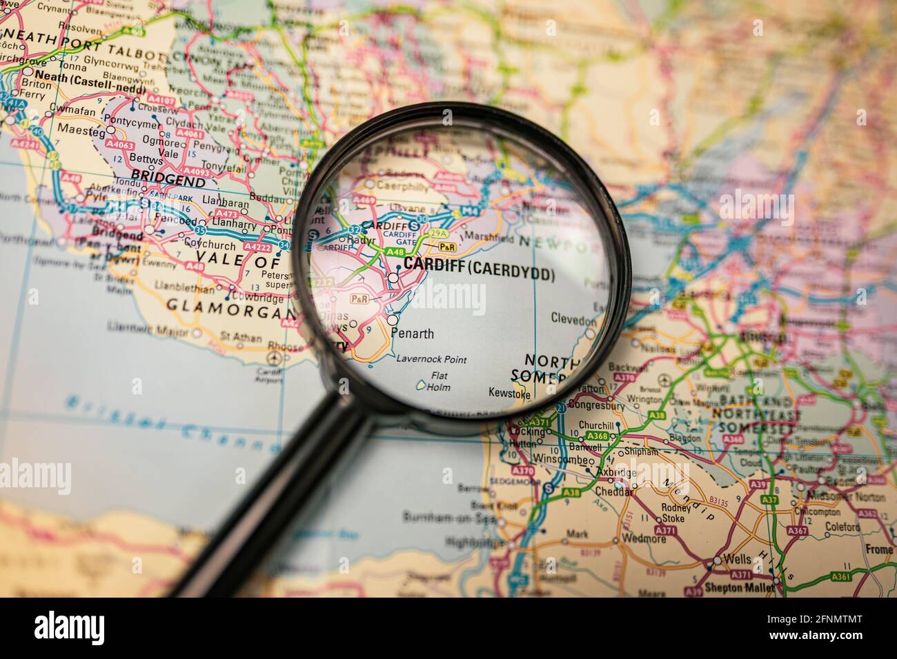 Close-up map of Cardiff through black magnifying glass, city in Wales, United Kingdom Stock Photohttps://www.alamy.com/image-license-details/?v=1https://www.alamy.com/close-up-map-of-cardiff-through-black-magnifying-glass-city-in-wales-united-kingdom-image426415048.html
RF2FNMTMT–Close-up map of Cardiff through black magnifying glass, city in Wales, United Kingdom
RF2WJ071W–Icon for cardiff,map
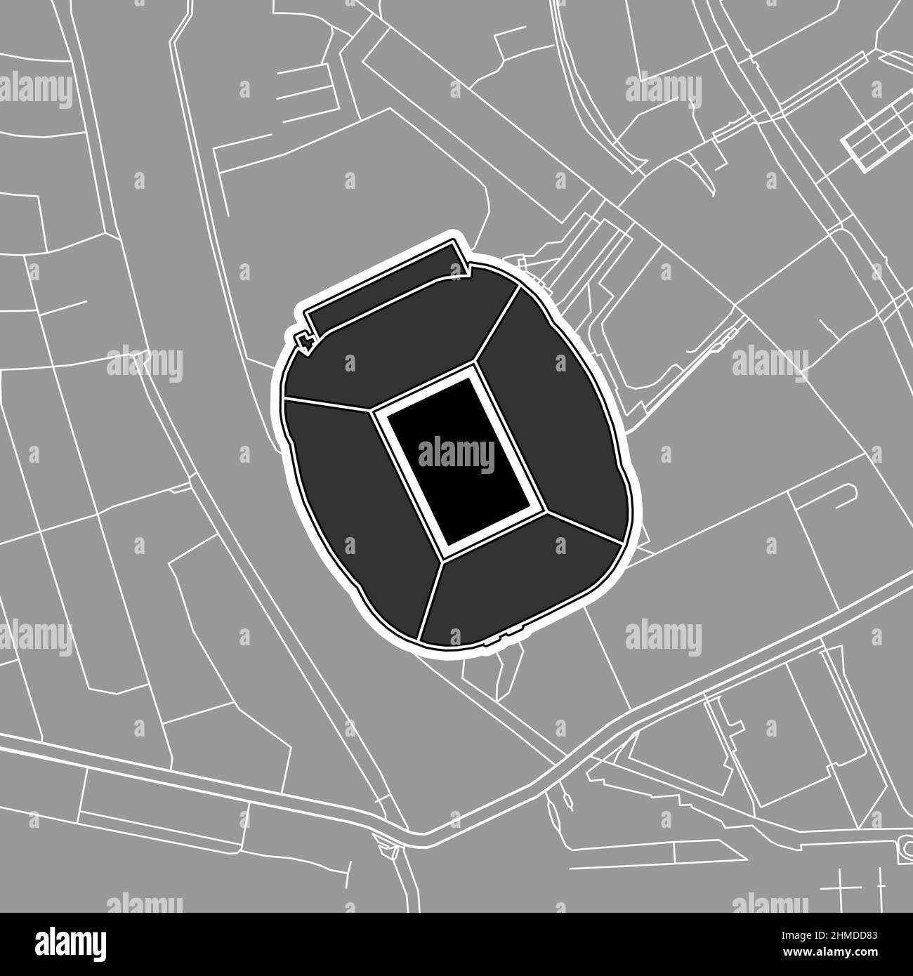 Cardiff, Baseball MLB Stadium, outline vector map. The baseball statium map was drawn with white areas and lines for main roads, side roads. Stock Vectorhttps://www.alamy.com/image-license-details/?v=1https://www.alamy.com/cardiff-baseball-mlb-stadium-outline-vector-map-the-baseball-statium-map-was-drawn-with-white-areas-and-lines-for-main-roads-side-roads-image460058483.html
RF2HMDD83–Cardiff, Baseball MLB Stadium, outline vector map. The baseball statium map was drawn with white areas and lines for main roads, side roads.
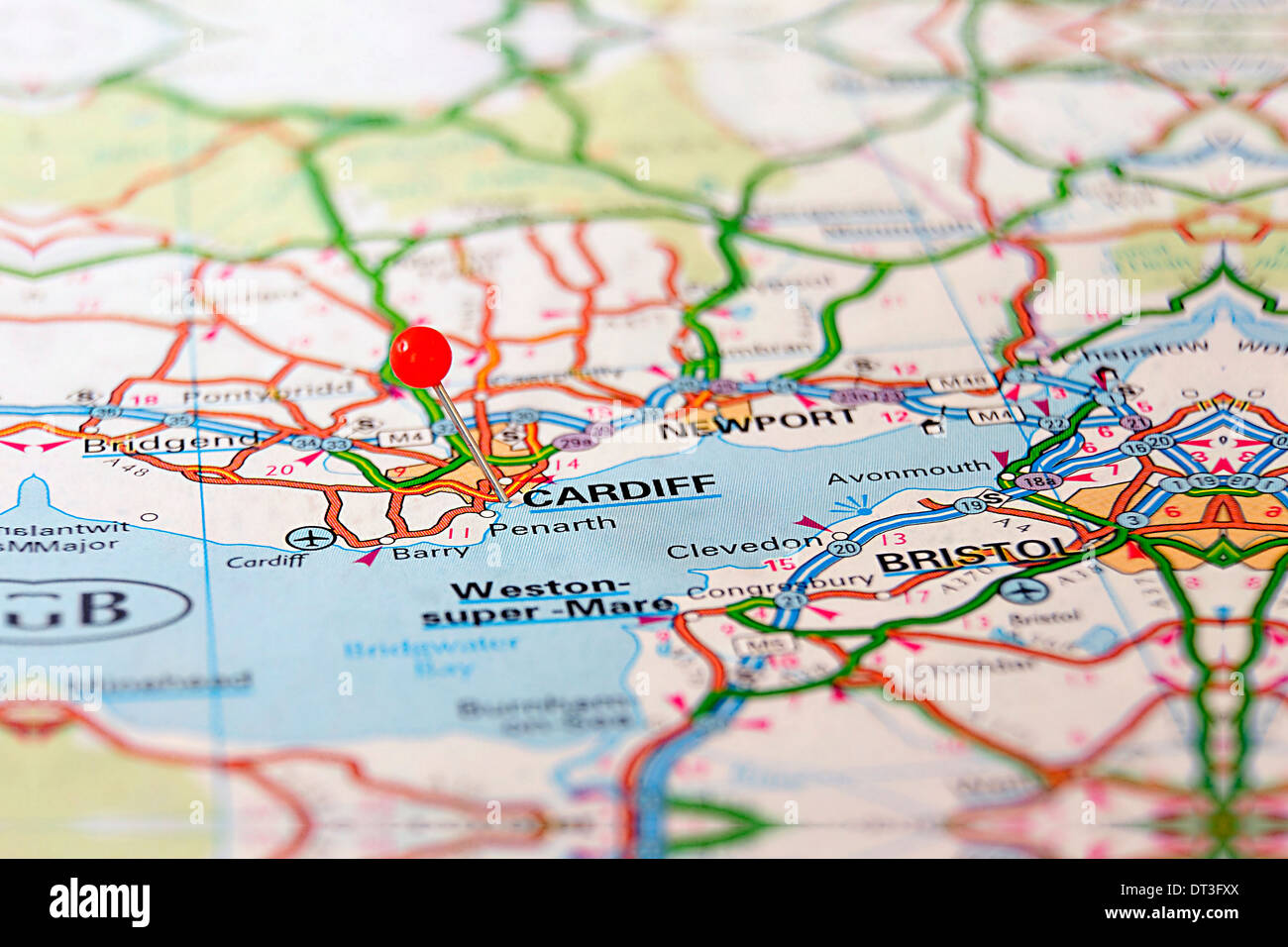 Map Stock Photohttps://www.alamy.com/image-license-details/?v=1https://www.alamy.com/map-image66461218.html
RFDT3FXX–Map
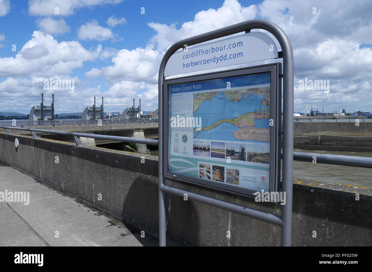 Map of Cardiff Bay, Cardiff Bay Barrage, South Wales, UK Stock Photohttps://www.alamy.com/image-license-details/?v=1https://www.alamy.com/map-of-cardiff-bay-cardiff-bay-barrage-south-wales-uk-image223473093.html
RMPYG25W–Map of Cardiff Bay, Cardiff Bay Barrage, South Wales, UK
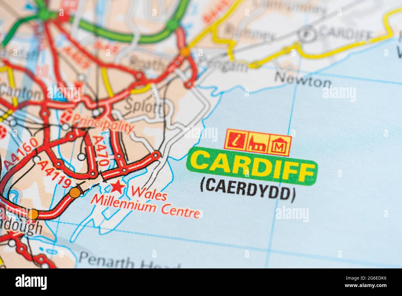 A macro closeup of a page in a printed road map atlas showing the capital city of Wales - Cardiff (Caerdydd) Stock Photohttps://www.alamy.com/image-license-details/?v=1https://www.alamy.com/a-macro-closeup-of-a-page-in-a-printed-road-map-atlas-showing-the-capital-city-of-wales-cardiff-caerdydd-image434265194.html
RM2G6EDK6–A macro closeup of a page in a printed road map atlas showing the capital city of Wales - Cardiff (Caerdydd)
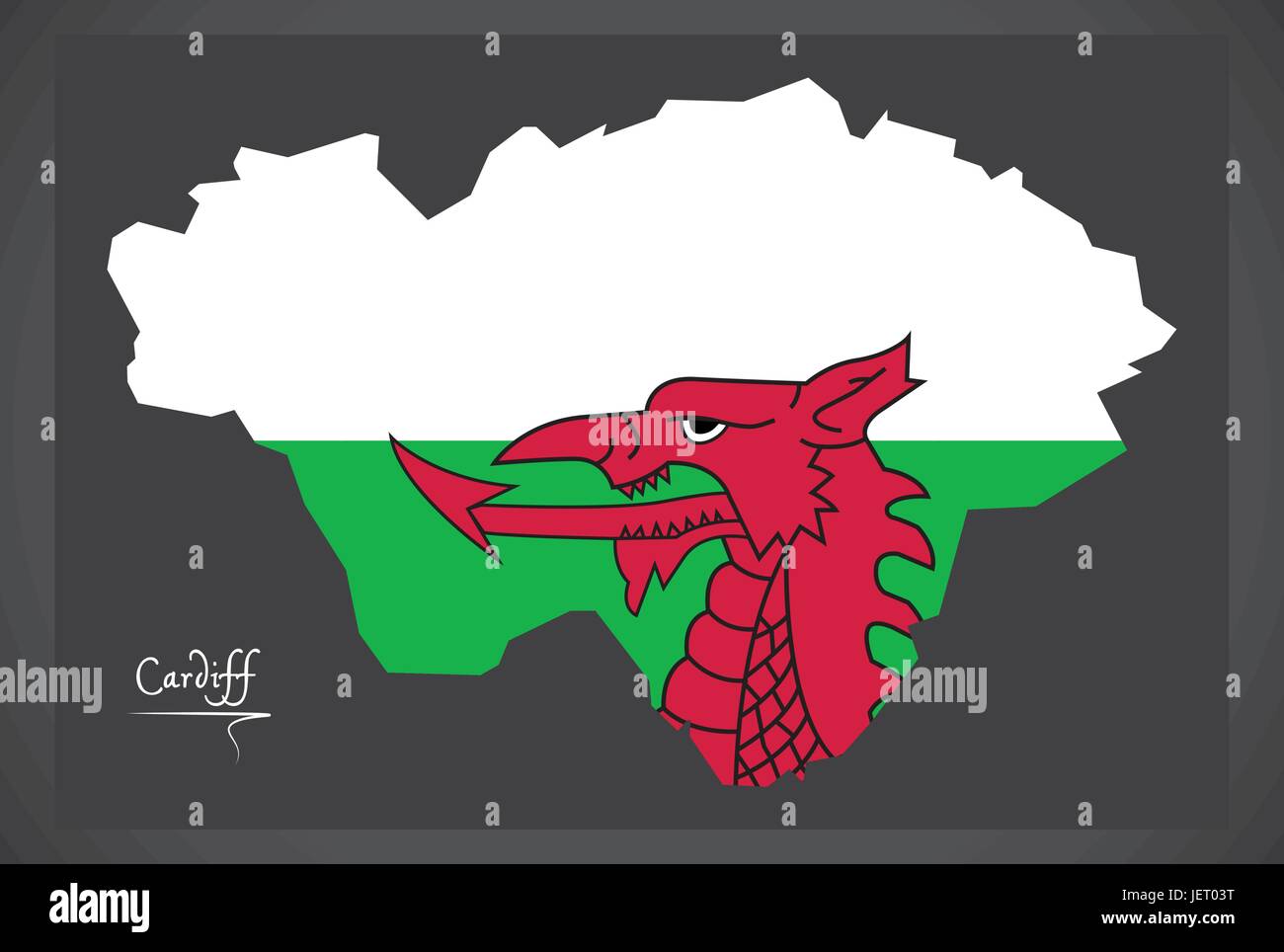 Cardiff Wales map with Welsh national flag illustration Stock Vectorhttps://www.alamy.com/image-license-details/?v=1https://www.alamy.com/stock-photo-cardiff-wales-map-with-welsh-national-flag-illustration-146815084.html
RFJET03T–Cardiff Wales map with Welsh national flag illustration
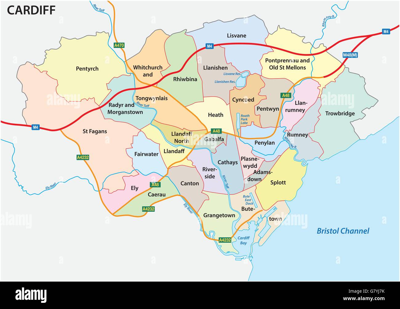 administrative and political vector map of the Welsh capital Cardiff Stock Vectorhttps://www.alamy.com/image-license-details/?v=1https://www.alamy.com/stock-photo-administrative-and-political-vector-map-of-the-welsh-capital-cardiff-108171831.html
RFG7YJ7K–administrative and political vector map of the Welsh capital Cardiff
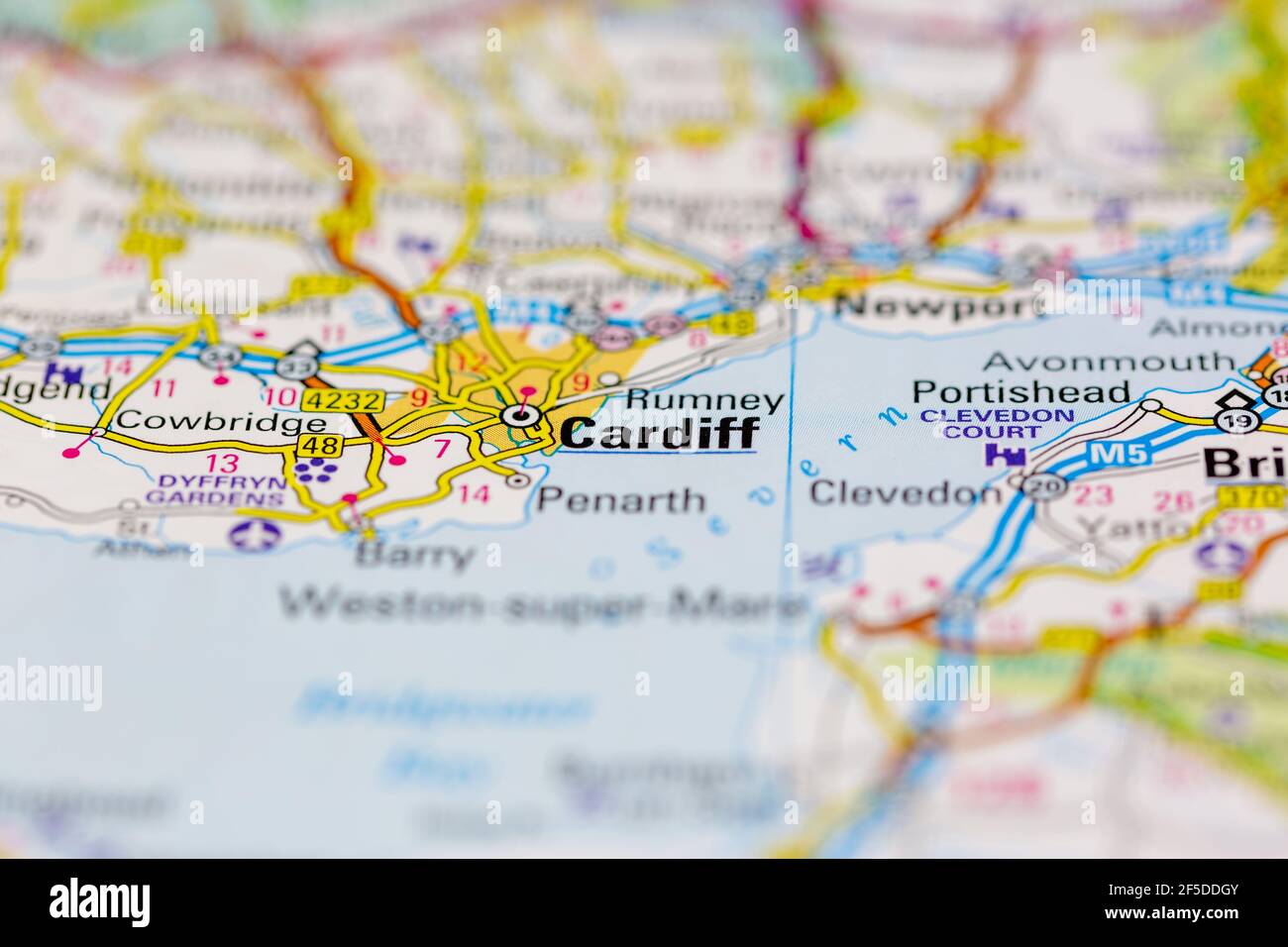 Cardiff and surrounding areas Shown on a Geography map or road map Stock Photohttps://www.alamy.com/image-license-details/?v=1https://www.alamy.com/cardiff-and-surrounding-areas-shown-on-a-geography-map-or-road-map-image416418155.html
RM2F5DDGY–Cardiff and surrounding areas Shown on a Geography map or road map
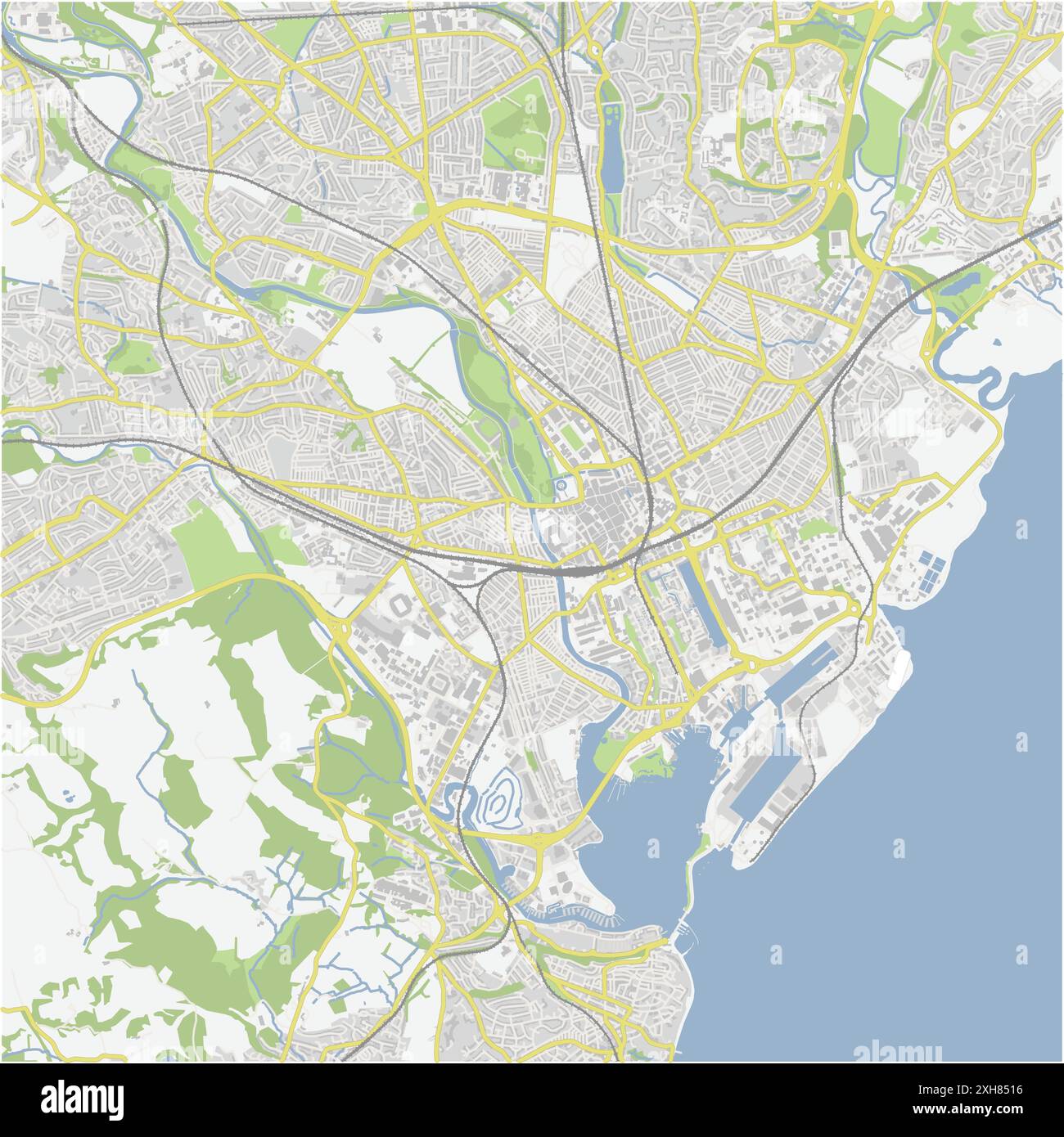 Road map of Cardiff in United Kingdom. Contains layered vector with roads water, parks, etc. Stock Vectorhttps://www.alamy.com/image-license-details/?v=1https://www.alamy.com/road-map-of-cardiff-in-united-kingdom-contains-layered-vector-with-roads-water-parks-etc-image612991602.html
RF2XH8516–Road map of Cardiff in United Kingdom. Contains layered vector with roads water, parks, etc.
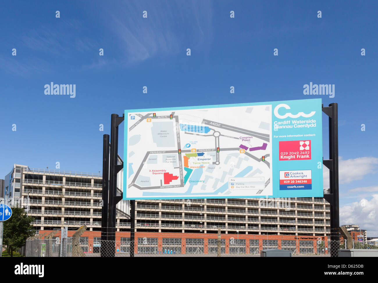 Cardiff Waterside development group map, outlining redevelopment plans, and Pierhead Street multi-storey car park. Stock Photohttps://www.alamy.com/image-license-details/?v=1https://www.alamy.com/stock-photo-cardiff-waterside-development-group-map-outlining-redevelopment-plans-55367239.html
RMD625DB–Cardiff Waterside development group map, outlining redevelopment plans, and Pierhead Street multi-storey car park.
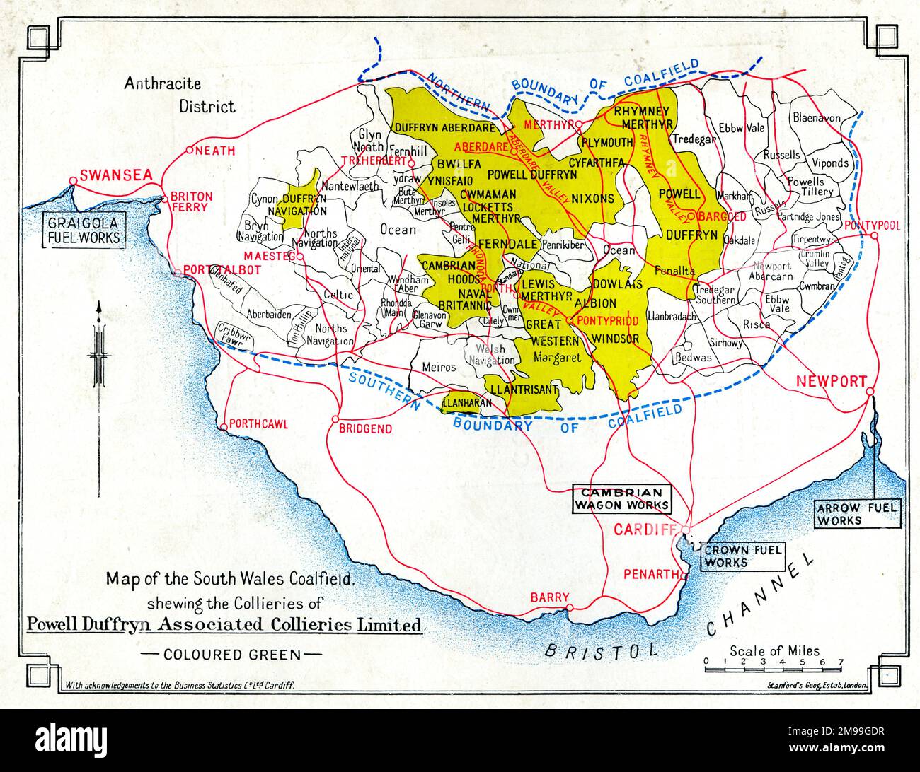 Map, South Wales coalfield. Stock Photohttps://www.alamy.com/image-license-details/?v=1https://www.alamy.com/map-south-wales-coalfield-image504843075.html
RM2M99GDR–Map, South Wales coalfield.
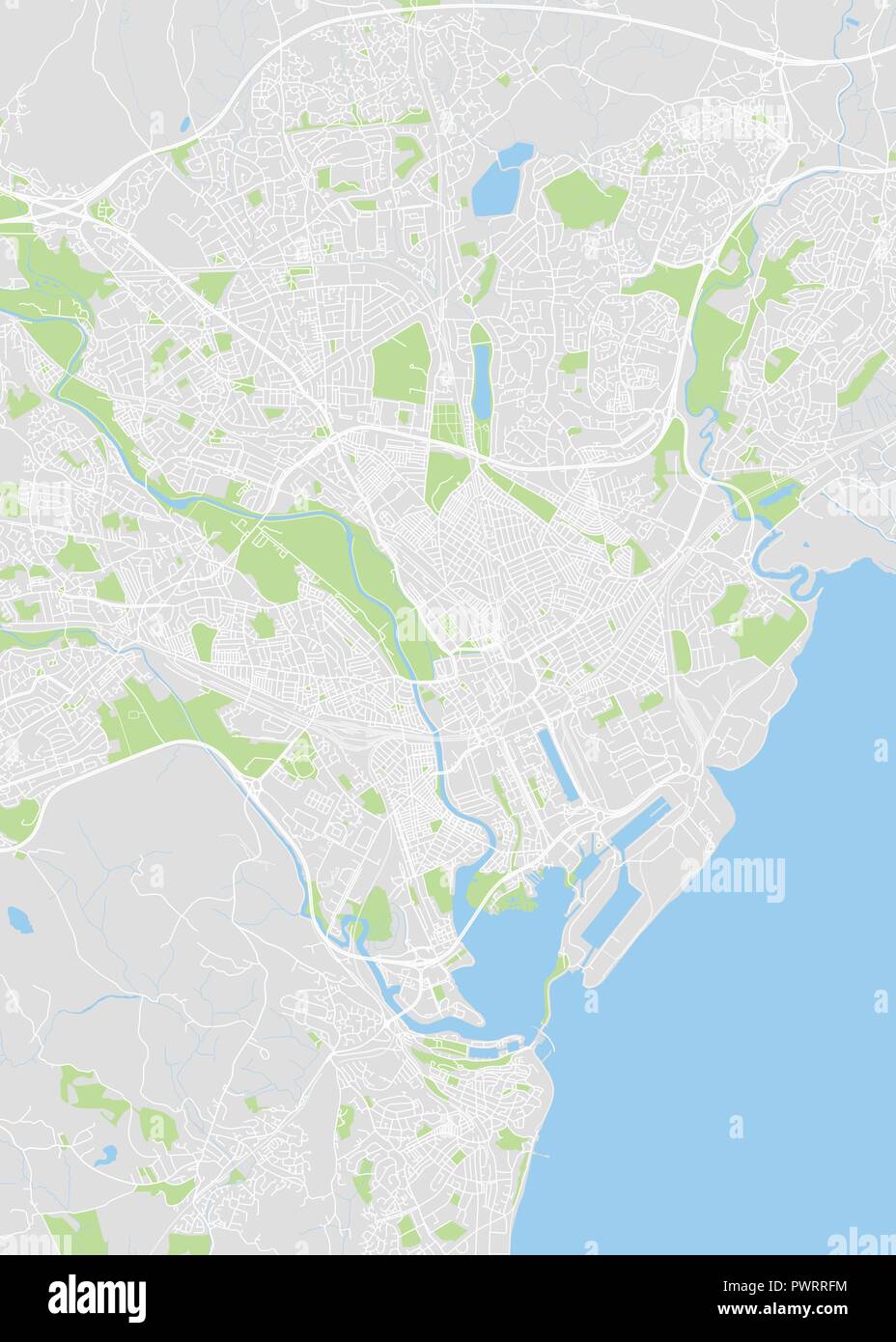 Detailed vector color map of Cardiff detailed plan of the city, rivers and streets Stock Vectorhttps://www.alamy.com/image-license-details/?v=1https://www.alamy.com/detailed-vector-color-map-of-cardiff-detailed-plan-of-the-city-rivers-and-streets-image222414184.html
RFPWRRFM–Detailed vector color map of Cardiff detailed plan of the city, rivers and streets
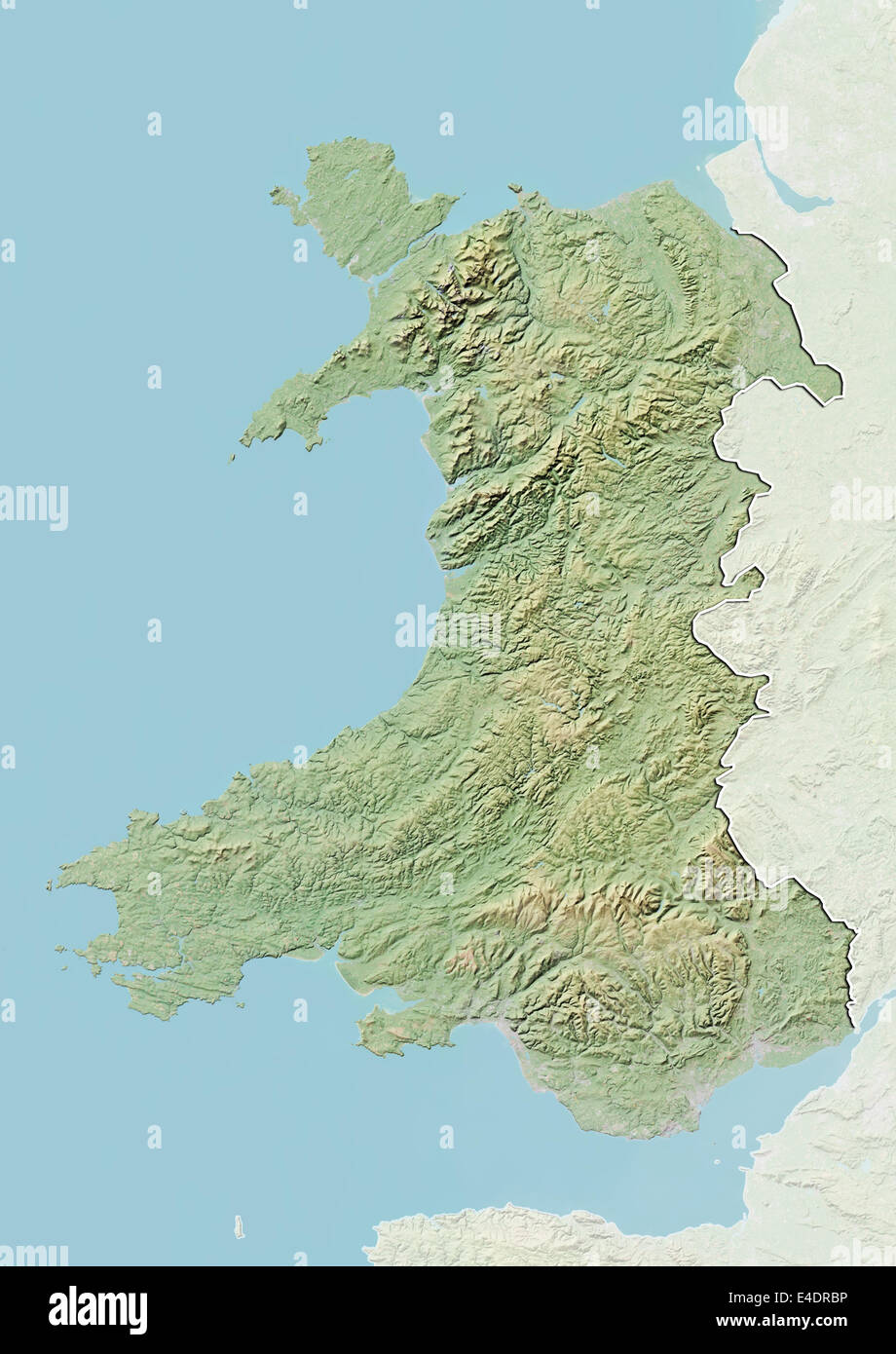 Wales, United Kingdom, Relief Map Stock Photohttps://www.alamy.com/image-license-details/?v=1https://www.alamy.com/stock-photo-wales-united-kingdom-relief-map-71603834.html
RME4DRBP–Wales, United Kingdom, Relief Map
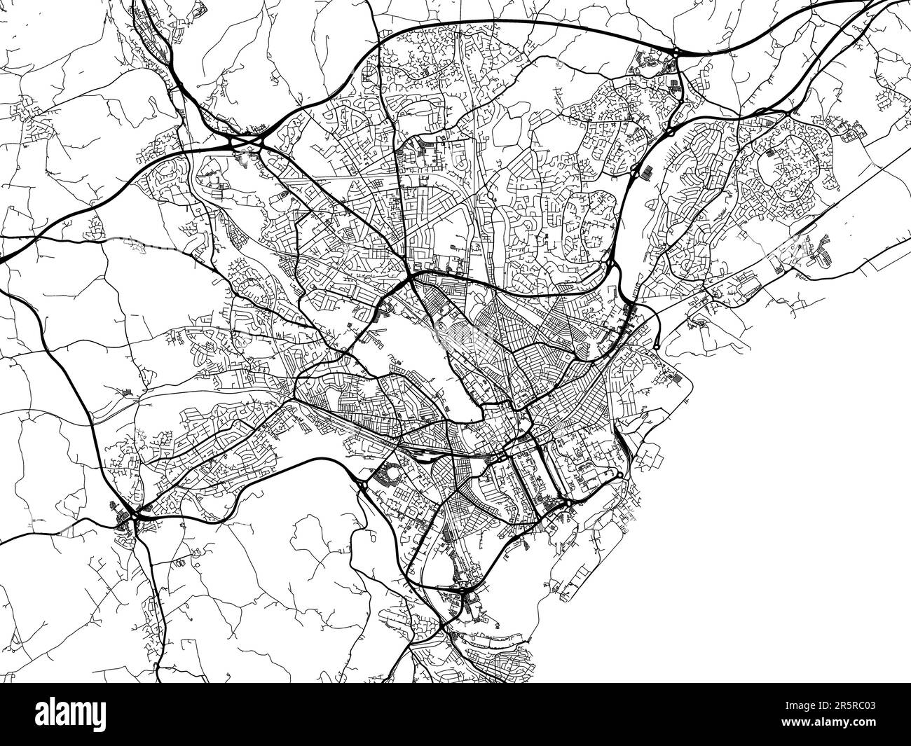 Road map of the city of Cardiff in the United Kingdom on a white background. Stock Photohttps://www.alamy.com/image-license-details/?v=1https://www.alamy.com/road-map-of-the-city-of-cardiff-in-the-united-kingdom-on-a-white-background-image554319363.html
RF2R5RC03–Road map of the city of Cardiff in the United Kingdom on a white background.
 Cardiff, Balonne Shire, AU, Australia, Queensland, S 27 56' 49'', N 147 31' 53'', map, Cartascapes Map published in 2024. Explore Cartascapes, a map revealing Earth's diverse landscapes, cultures, and ecosystems. Journey through time and space, discovering the interconnectedness of our planet's past, present, and future. Stock Photohttps://www.alamy.com/image-license-details/?v=1https://www.alamy.com/cardiff-balonne-shire-au-australia-queensland-s-27-56-49-n-147-31-53-map-cartascapes-map-published-in-2024-explore-cartascapes-a-map-revealing-earths-diverse-landscapes-cultures-and-ecosystems-journey-through-time-and-space-discovering-the-interconnectedness-of-our-planets-past-present-and-future-image625799669.html
RM2YA3HT5–Cardiff, Balonne Shire, AU, Australia, Queensland, S 27 56' 49'', N 147 31' 53'', map, Cartascapes Map published in 2024. Explore Cartascapes, a map revealing Earth's diverse landscapes, cultures, and ecosystems. Journey through time and space, discovering the interconnectedness of our planet's past, present, and future.
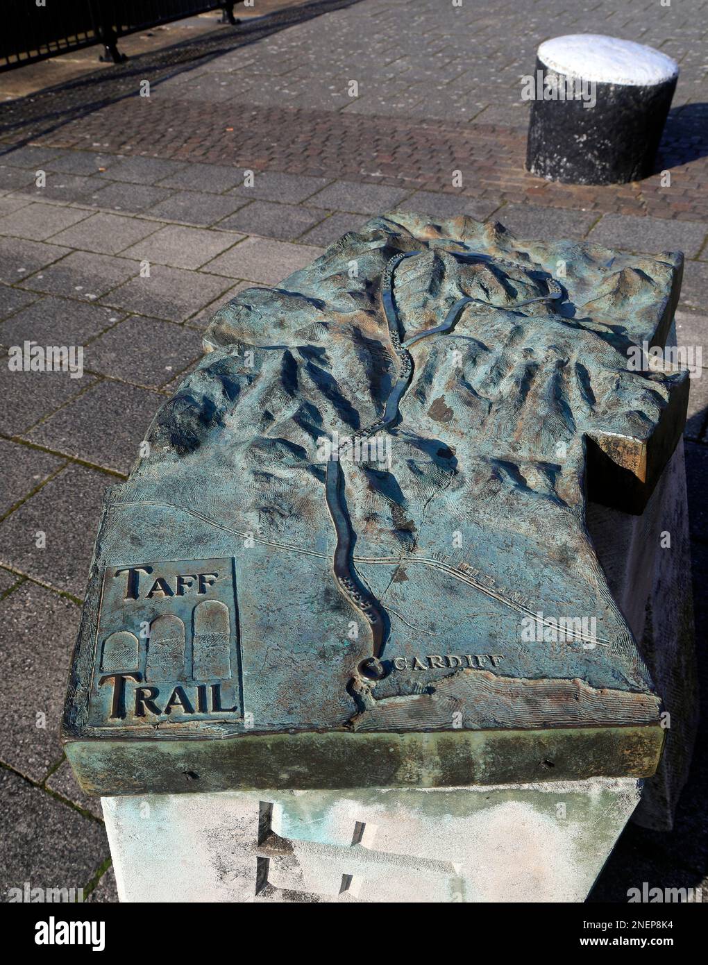 Sensory, tactile relief map of Taff Trail in bronze. Installation, Cardiff Bay. Taken February 2023. Winter. cym Stock Photohttps://www.alamy.com/image-license-details/?v=1https://www.alamy.com/sensory-tactile-relief-map-of-taff-trail-in-bronze-installation-cardiff-bay-taken-february-2023-winter-cym-image525405976.html
RM2NEP8K4–Sensory, tactile relief map of Taff Trail in bronze. Installation, Cardiff Bay. Taken February 2023. Winter. cym
 CARDIFF/CAERDYDD borough/town plan. REFORM ACT. Roath. Wales. DAWSON, 1832 map Stock Photohttps://www.alamy.com/image-license-details/?v=1https://www.alamy.com/stock-photo-cardiffcaerdydd-boroughtown-plan-reform-act-roath-wales-dawson-1832-93053835.html
RFFBAY37–CARDIFF/CAERDYDD borough/town plan. REFORM ACT. Roath. Wales. DAWSON, 1832 map
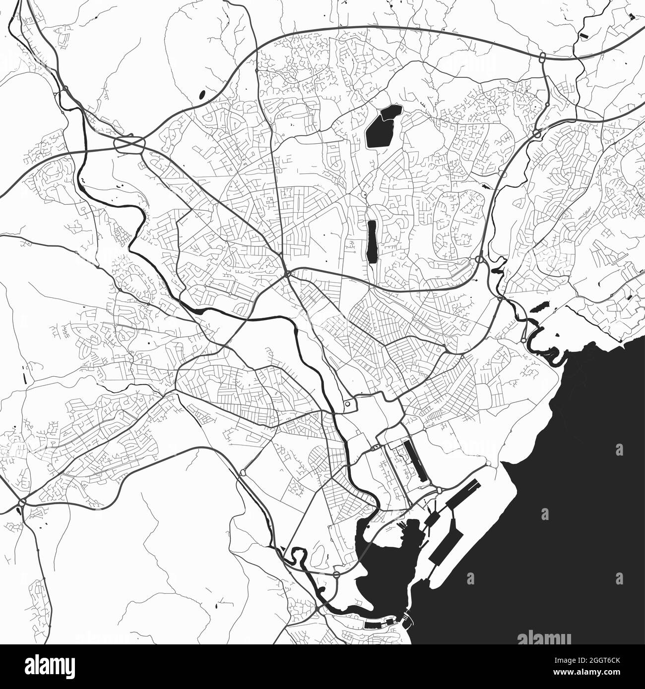 Urban city map of Cardiff. Vector illustration, Cardiff map grayscale art poster. Street map image with roads, metropolitan city area view. Stock Vectorhttps://www.alamy.com/image-license-details/?v=1https://www.alamy.com/urban-city-map-of-cardiff-vector-illustration-cardiff-map-grayscale-art-poster-street-map-image-with-roads-metropolitan-city-area-view-image440625603.html
RF2GGT6CK–Urban city map of Cardiff. Vector illustration, Cardiff map grayscale art poster. Street map image with roads, metropolitan city area view.
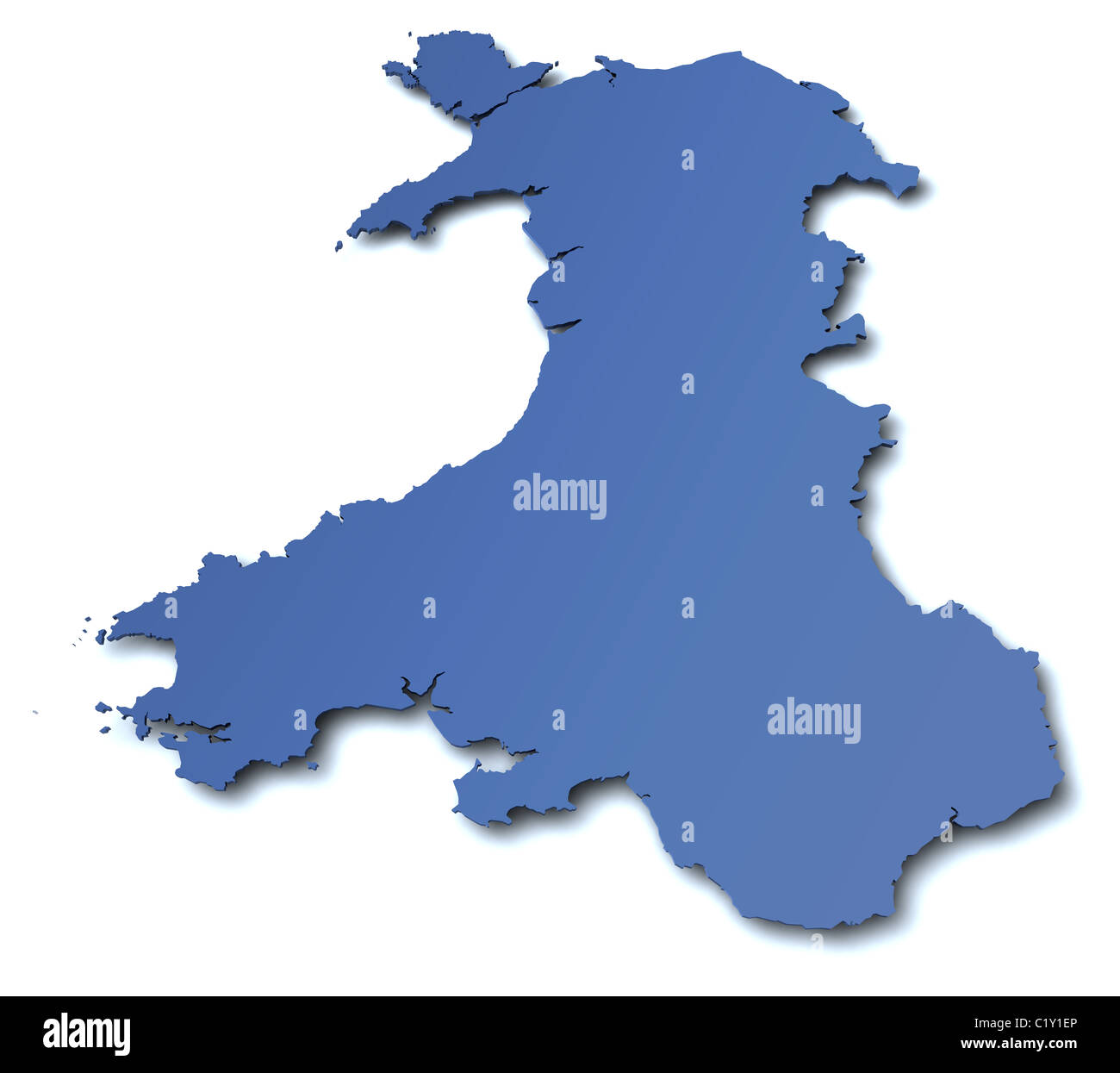 Map of Wales - UK Stock Photohttps://www.alamy.com/image-license-details/?v=1https://www.alamy.com/stock-photo-map-of-wales-uk-35629294.html
RFC1Y1EP–Map of Wales - UK
RF2WM7RMC–Icon for cardiff,map
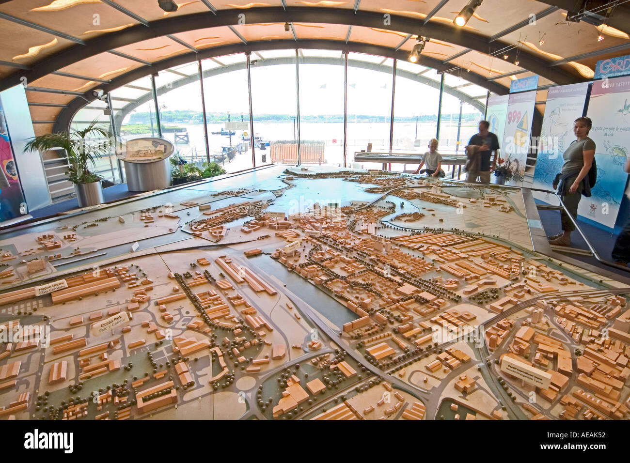 Interior of Cardiff Bay visitor centre with model map of Cardiff Wales UK Stock Photohttps://www.alamy.com/image-license-details/?v=1https://www.alamy.com/interior-of-cardiff-bay-visitor-centre-with-model-map-of-cardiff-wales-image4447057.html
RMAEAK52–Interior of Cardiff Bay visitor centre with model map of Cardiff Wales UK
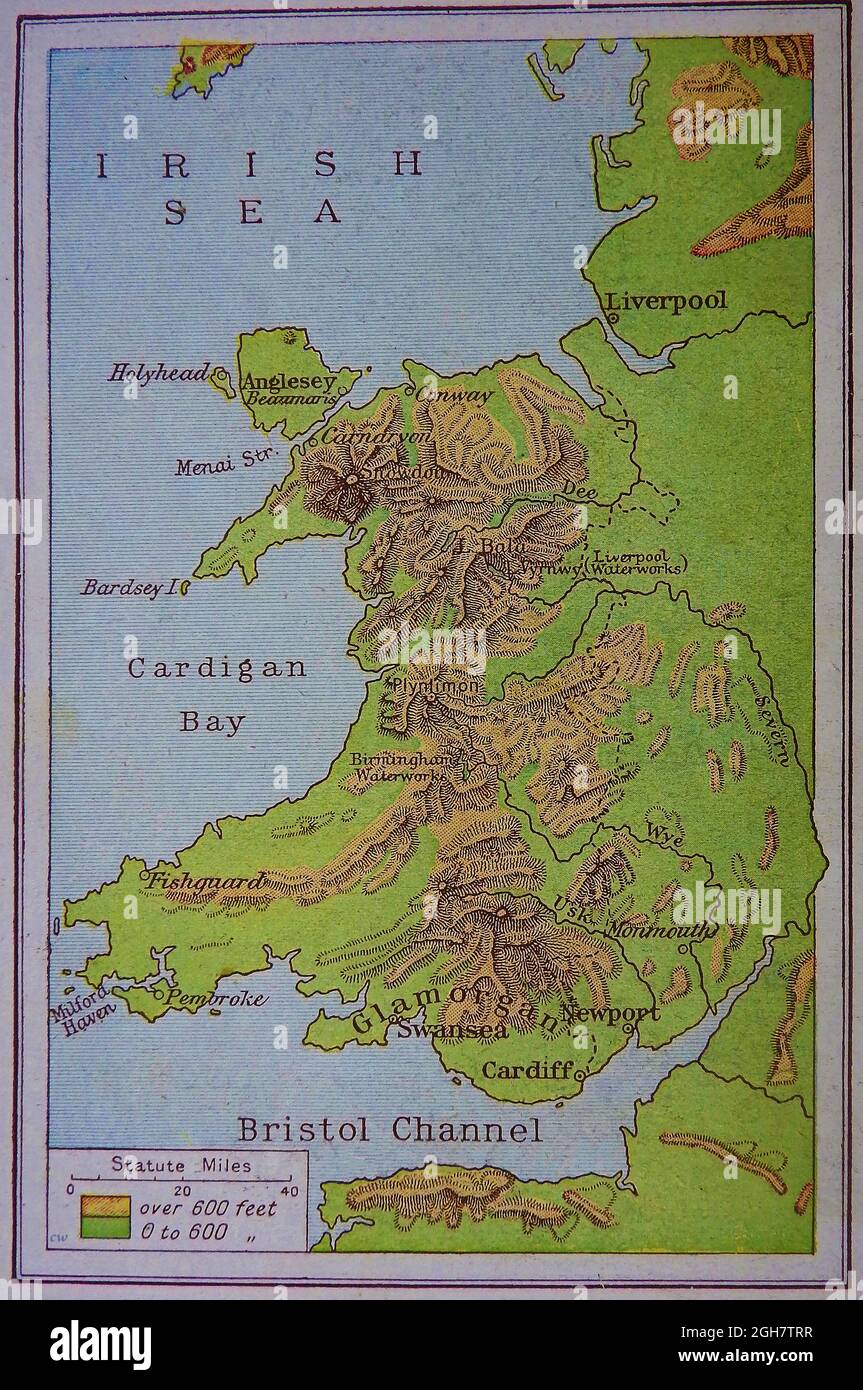 A 1914 map (WWI) of (physical) showing main town & rivers, hills, mountains(including Birmingham and Liverpool's waterworks at Vyrnwy dam; and distances in statute miles. Stock Photohttps://www.alamy.com/image-license-details/?v=1https://www.alamy.com/a-1914-map-wwi-of-physical-showing-main-town-rivers-hills-mountainsincluding-birmingham-and-liverpools-waterworks-at-vyrnwy-dam-and-distances-in-statute-miles-image440881499.html
RM2GH7TRR–A 1914 map (WWI) of (physical) showing main town & rivers, hills, mountains(including Birmingham and Liverpool's waterworks at Vyrnwy dam; and distances in statute miles.
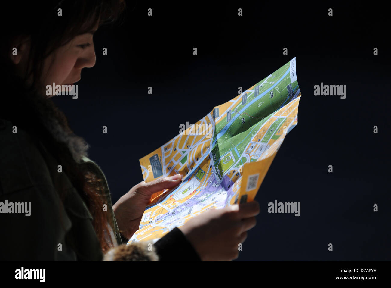 A tourist looks at a map of Cardiff. Stock Photohttps://www.alamy.com/image-license-details/?v=1https://www.alamy.com/stock-photo-a-tourist-looks-at-a-map-of-cardiff-56171234.html
RMD7APYE–A tourist looks at a map of Cardiff.
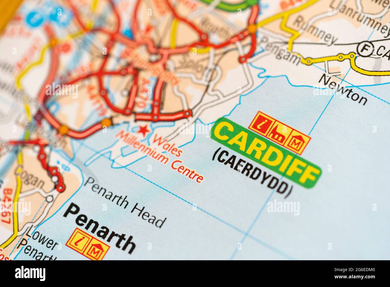 A macro closeup of a page in a printed road map atlas showing the capital city of Wales - Cardiff (Caerdydd) Stock Photohttps://www.alamy.com/image-license-details/?v=1https://www.alamy.com/a-macro-closeup-of-a-page-in-a-printed-road-map-atlas-showing-the-capital-city-of-wales-cardiff-caerdydd-image434265216.html
RM2G6EDM0–A macro closeup of a page in a printed road map atlas showing the capital city of Wales - Cardiff (Caerdydd)
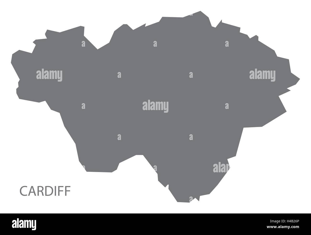 Cardiff Wales Map grey Stock Vectorhttps://www.alamy.com/image-license-details/?v=1https://www.alamy.com/stock-photo-cardiff-wales-map-grey-123174430.html
RFH4B26P–Cardiff Wales Map grey
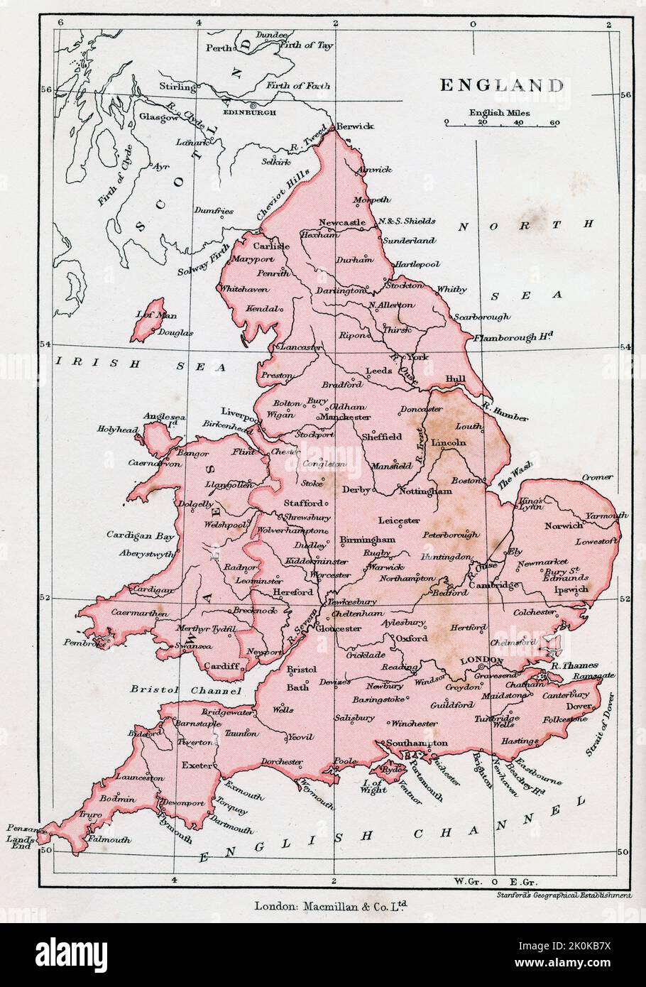 Map of England, c1902. Stock Photohttps://www.alamy.com/image-license-details/?v=1https://www.alamy.com/map-of-england-c1902-image482316238.html
RM2K0KB7X–Map of England, c1902.
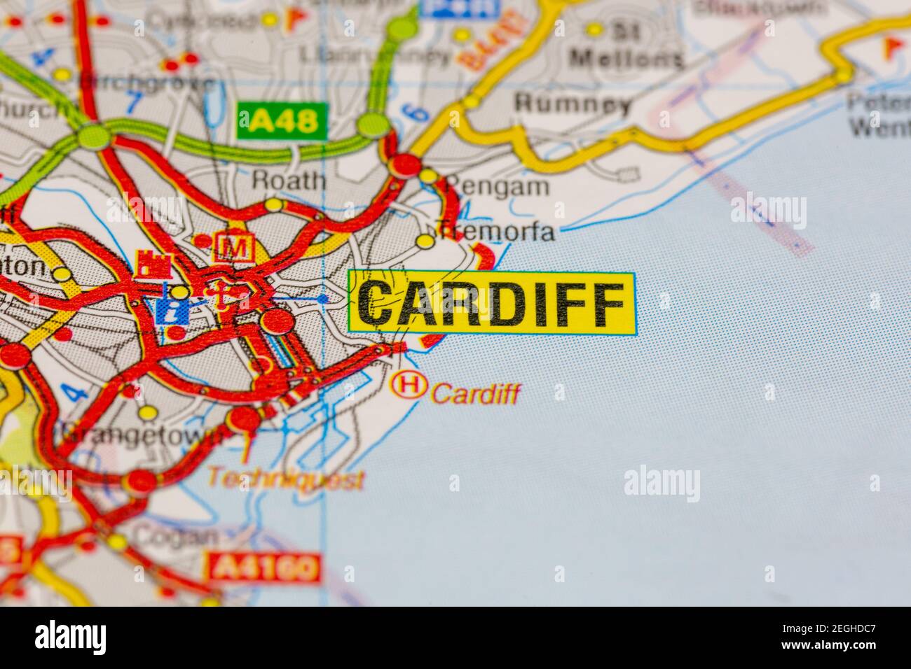 Cardiff and surrounding areas shown on a road map or geography map Stock Photohttps://www.alamy.com/image-license-details/?v=1https://www.alamy.com/cardiff-and-surrounding-areas-shown-on-a-road-map-or-geography-map-image406056679.html
RM2EGHDC7–Cardiff and surrounding areas shown on a road map or geography map
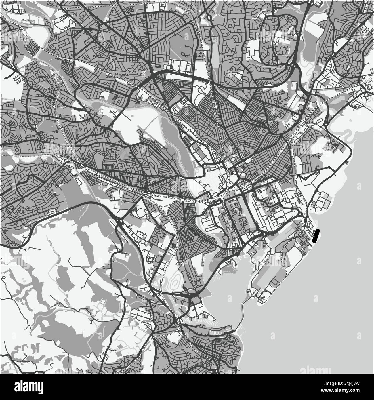 Map of Cardiff in United Kingdom in grayscale. Contains layered vector with roads water, parks, etc. Stock Vectorhttps://www.alamy.com/image-license-details/?v=1https://www.alamy.com/map-of-cardiff-in-united-kingdom-in-grayscale-contains-layered-vector-with-roads-water-parks-etc-image613528717.html
RF2XJ4J3W–Map of Cardiff in United Kingdom in grayscale. Contains layered vector with roads water, parks, etc.
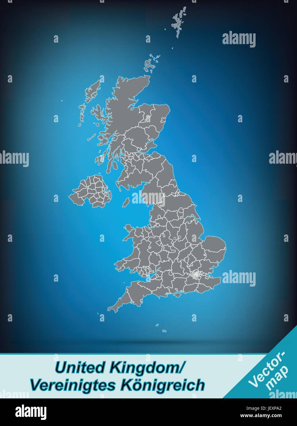 border map of england with borders in bright gray Stock Vectorhttps://www.alamy.com/image-license-details/?v=1https://www.alamy.com/stock-photo-border-map-of-england-with-borders-in-bright-gray-146876410.html
RFJEXPA2–border map of england with borders in bright gray
 United Kingdom countries and Ireland political map. England, Scotland, Wales and Northern Ireland. Stock Photohttps://www.alamy.com/image-license-details/?v=1https://www.alamy.com/stock-photo-united-kingdom-countries-and-ireland-political-map-england-scotland-125781183.html
RFH8HR53–United Kingdom countries and Ireland political map. England, Scotland, Wales and Northern Ireland.
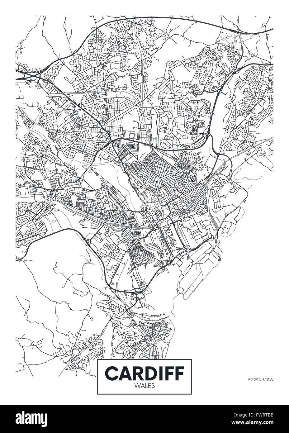 Vector poster detailed city map Cardiff detailed plan of the city, rivers and streets Stock Vectorhttps://www.alamy.com/image-license-details/?v=1https://www.alamy.com/vector-poster-detailed-city-map-cardiff-detailed-plan-of-the-city-rivers-and-streets-image222414847.html
RFPWRTBB–Vector poster detailed city map Cardiff detailed plan of the city, rivers and streets
 United Kingdom and Wales, Relief Map Stock Photohttps://www.alamy.com/image-license-details/?v=1https://www.alamy.com/stock-photo-united-kingdom-and-wales-relief-map-71608884.html
RME4E1T4–United Kingdom and Wales, Relief Map
 Glasgow Downtown Vector Map Monochrome Artprint, Outline Version for Infographic Background, Black Streets and Waterways Stock Vectorhttps://www.alamy.com/image-license-details/?v=1https://www.alamy.com/stock-photo-glasgow-downtown-vector-map-monochrome-artprint-outline-version-for-173939950.html
RFM2YJ52–Glasgow Downtown Vector Map Monochrome Artprint, Outline Version for Infographic Background, Black Streets and Waterways
 Cardiff, Collie, AU, Australia, Western Australia, S 33 26' 34'', N 116 14' 10'', map, Cartascapes Map published in 2024. Explore Cartascapes, a map revealing Earth's diverse landscapes, cultures, and ecosystems. Journey through time and space, discovering the interconnectedness of our planet's past, present, and future. Stock Photohttps://www.alamy.com/image-license-details/?v=1https://www.alamy.com/cardiff-collie-au-australia-western-australia-s-33-26-34-n-116-14-10-map-cartascapes-map-published-in-2024-explore-cartascapes-a-map-revealing-earths-diverse-landscapes-cultures-and-ecosystems-journey-through-time-and-space-discovering-the-interconnectedness-of-our-planets-past-present-and-future-image625634139.html
RM2Y9T2MB–Cardiff, Collie, AU, Australia, Western Australia, S 33 26' 34'', N 116 14' 10'', map, Cartascapes Map published in 2024. Explore Cartascapes, a map revealing Earth's diverse landscapes, cultures, and ecosystems. Journey through time and space, discovering the interconnectedness of our planet's past, present, and future.
 Welcome to Cardiff number 3209 Stock Photohttps://www.alamy.com/image-license-details/?v=1https://www.alamy.com/stock-photo-welcome-to-cardiff-number-3209-50609159.html
RMCX9CDY–Welcome to Cardiff number 3209
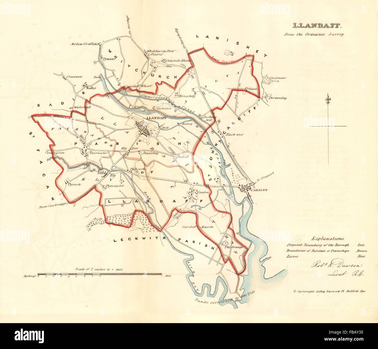 CARDIFF West. 'LLANDAFF' borough/town plan. REFORM ACT. Wales. DAWSON, 1832 map Stock Photohttps://www.alamy.com/image-license-details/?v=1https://www.alamy.com/stock-photo-cardiff-west-llandaff-boroughtown-plan-reform-act-wales-dawson-1832-93053842.html
RFFBAY3E–CARDIFF West. 'LLANDAFF' borough/town plan. REFORM ACT. Wales. DAWSON, 1832 map
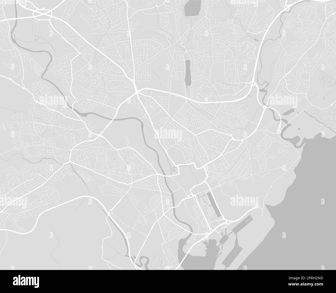 Vector map of Cardiff, Wales, Cymru. Street map poster illustration. Cardiff map art. Stock Vectorhttps://www.alamy.com/image-license-details/?v=1https://www.alamy.com/vector-map-of-cardiff-wales-cymru-street-map-poster-illustration-cardiff-map-art-image427561273.html
RF2FRH2ND–Vector map of Cardiff, Wales, Cymru. Street map poster illustration. Cardiff map art.
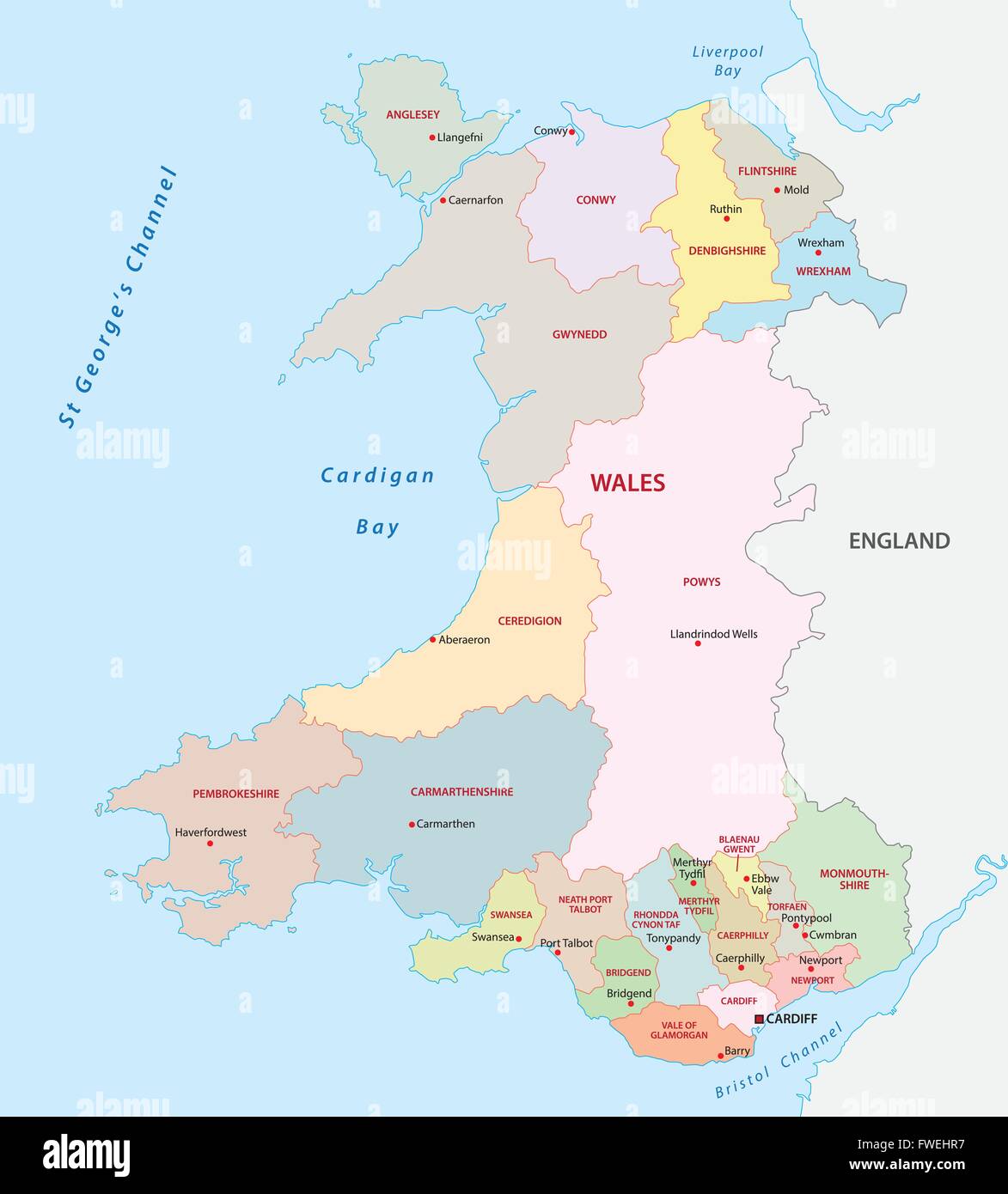 wales administrative map Stock Vectorhttps://www.alamy.com/image-license-details/?v=1https://www.alamy.com/stock-photo-wales-administrative-map-101739547.html
RFFWEHR7–wales administrative map
RF2WNKM73–Icon for cardiff,map
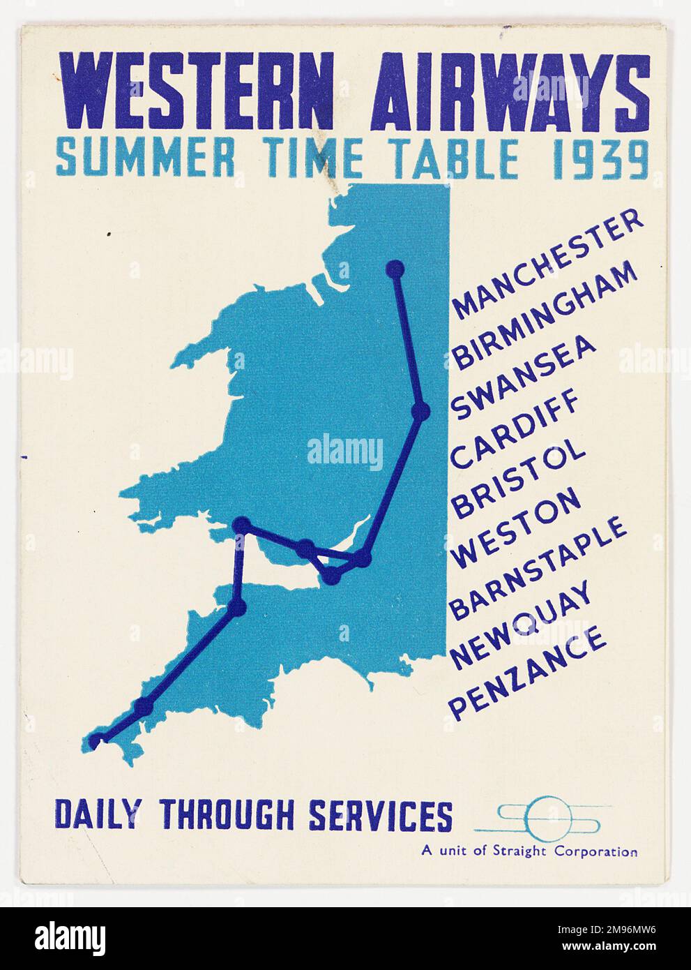 Cover design, Western Airways summer timetable, showing a map with destinations: Manchester, Birmingham, Swansea, Cardiff, Bristol, Weston, Barnstaple, Newquay and Penzance. Stock Photohttps://www.alamy.com/image-license-details/?v=1https://www.alamy.com/cover-design-western-airways-summer-timetable-showing-a-map-with-destinations-manchester-birmingham-swansea-cardiff-bristol-weston-barnstaple-newquay-and-penzance-image504780674.html
RM2M96MW6–Cover design, Western Airways summer timetable, showing a map with destinations: Manchester, Birmingham, Swansea, Cardiff, Bristol, Weston, Barnstaple, Newquay and Penzance.
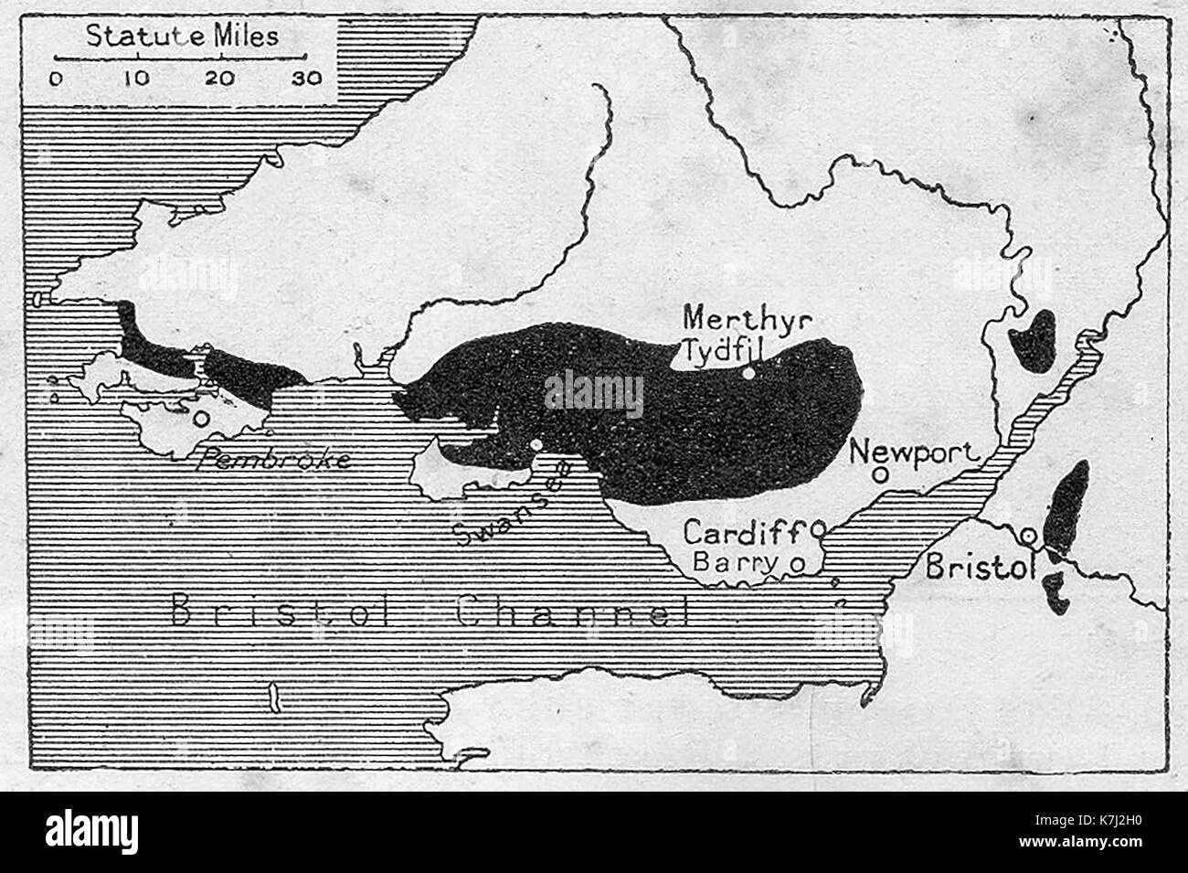 A map of the southern Welsh coalfields in 1914 Stock Photohttps://www.alamy.com/image-license-details/?v=1https://www.alamy.com/a-map-of-the-southern-welsh-coalfields-in-1914-image159593084.html
RMK7J2H0–A map of the southern Welsh coalfields in 1914
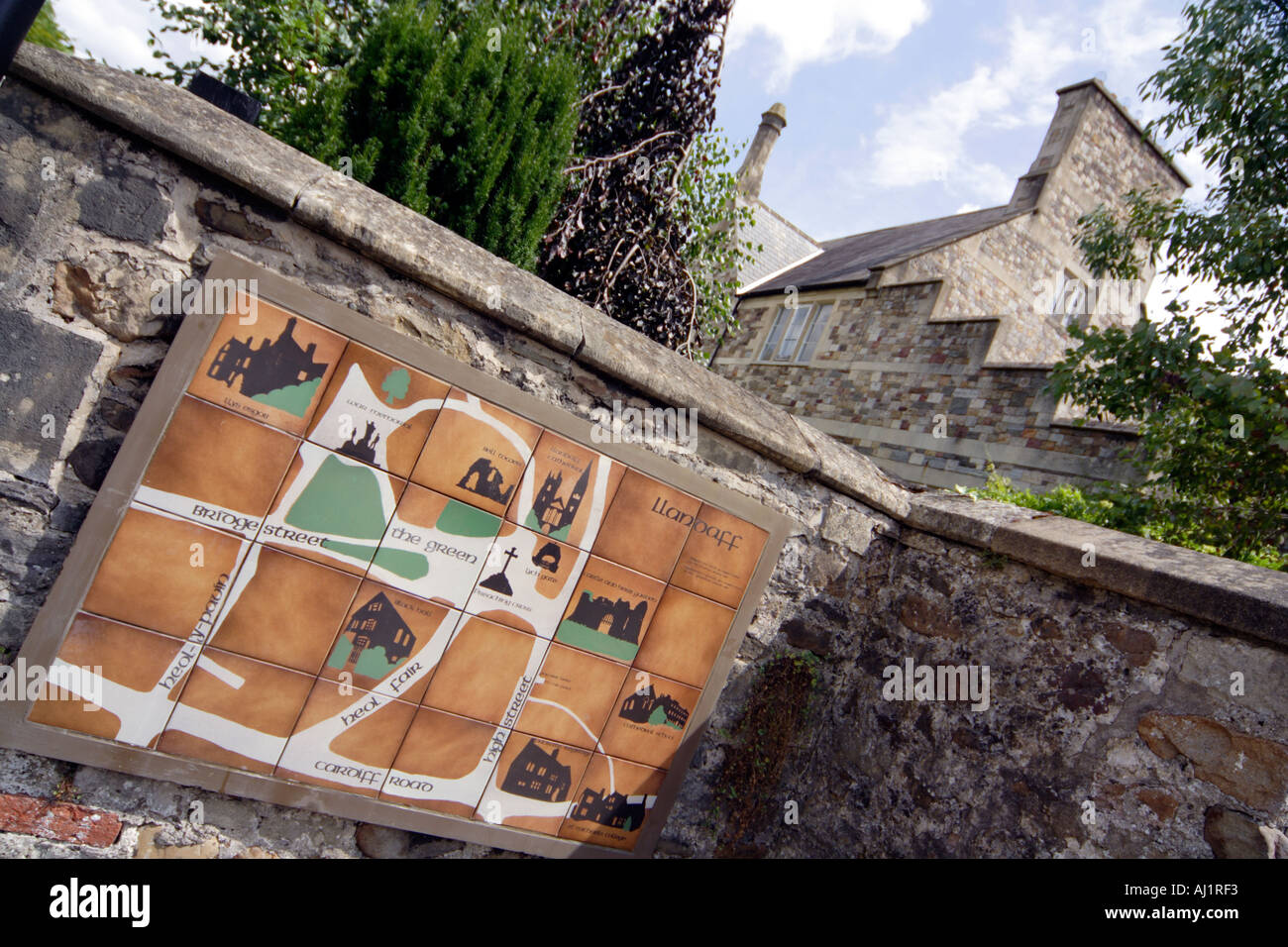 Llandaff near Cardiff Wales Great Britain heritage map on a wall Stock Photohttps://www.alamy.com/image-license-details/?v=1https://www.alamy.com/llandaff-near-cardiff-wales-great-britain-heritage-map-on-a-wall-image4764658.html
RMAJ1RF3–Llandaff near Cardiff Wales Great Britain heritage map on a wall
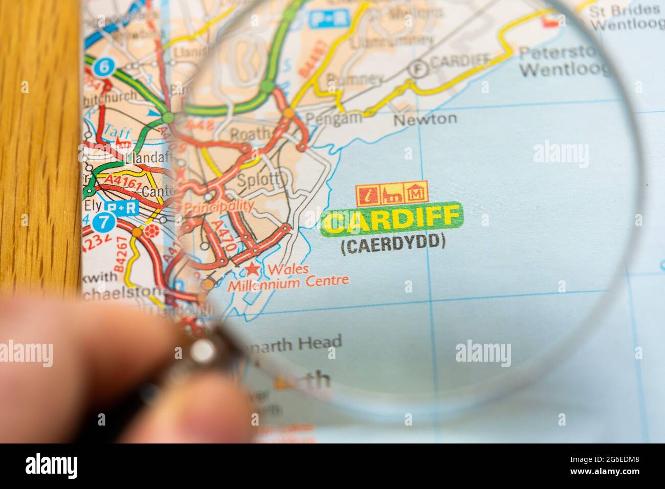 Closeup of a page in a printed road map atlas with a man's hand holding a magnifying glass showing an enlargement of Cardiff (Caerdydd) in Wales Stock Photohttps://www.alamy.com/image-license-details/?v=1https://www.alamy.com/closeup-of-a-page-in-a-printed-road-map-atlas-with-a-mans-hand-holding-a-magnifying-glass-showing-an-enlargement-of-cardiff-caerdydd-in-wales-image434265224.html
RM2G6EDM8–Closeup of a page in a printed road map atlas with a man's hand holding a magnifying glass showing an enlargement of Cardiff (Caerdydd) in Wales
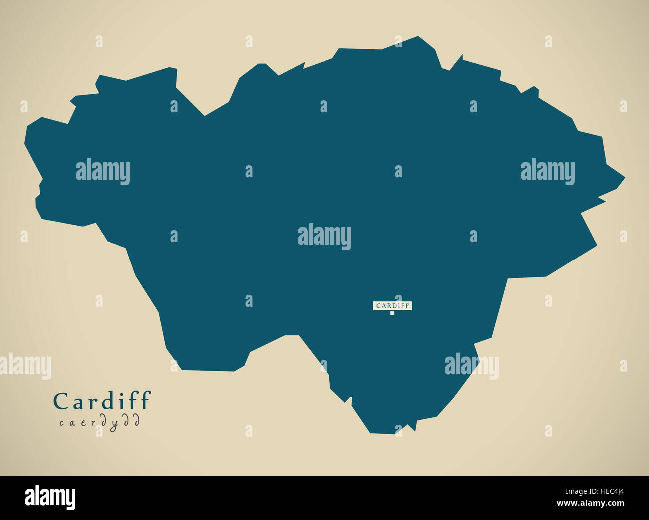 Modern Map - Cardiff Wales UK illustration Stock Photohttps://www.alamy.com/image-license-details/?v=1https://www.alamy.com/stock-photo-modern-map-cardiff-wales-uk-illustration-129344828.html
RFHEC4J4–Modern Map - Cardiff Wales UK illustration
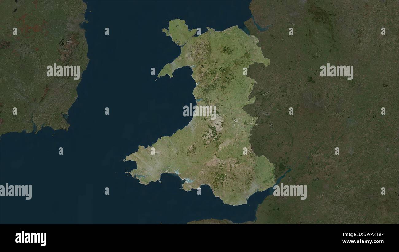 Wales - Great Britain highlighted on a high resolution satellite map Stock Photohttps://www.alamy.com/image-license-details/?v=1https://www.alamy.com/wales-great-britain-highlighted-on-a-high-resolution-satellite-map-image591735207.html
RF2WAKT87–Wales - Great Britain highlighted on a high resolution satellite map
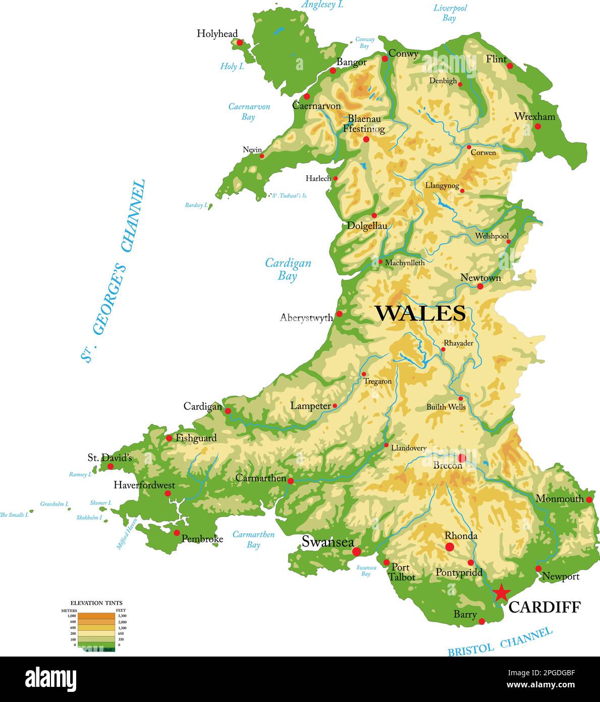 Highly detailed physical map of Wales, in vector format,with all the relief forms,regions and big cities. Stock Vectorhttps://www.alamy.com/image-license-details/?v=1https://www.alamy.com/highly-detailed-physical-map-of-wales-in-vector-formatwith-all-the-relief-formsregions-and-big-cities-image543654147.html
RF2PGDGBF–Highly detailed physical map of Wales, in vector format,with all the relief forms,regions and big cities.
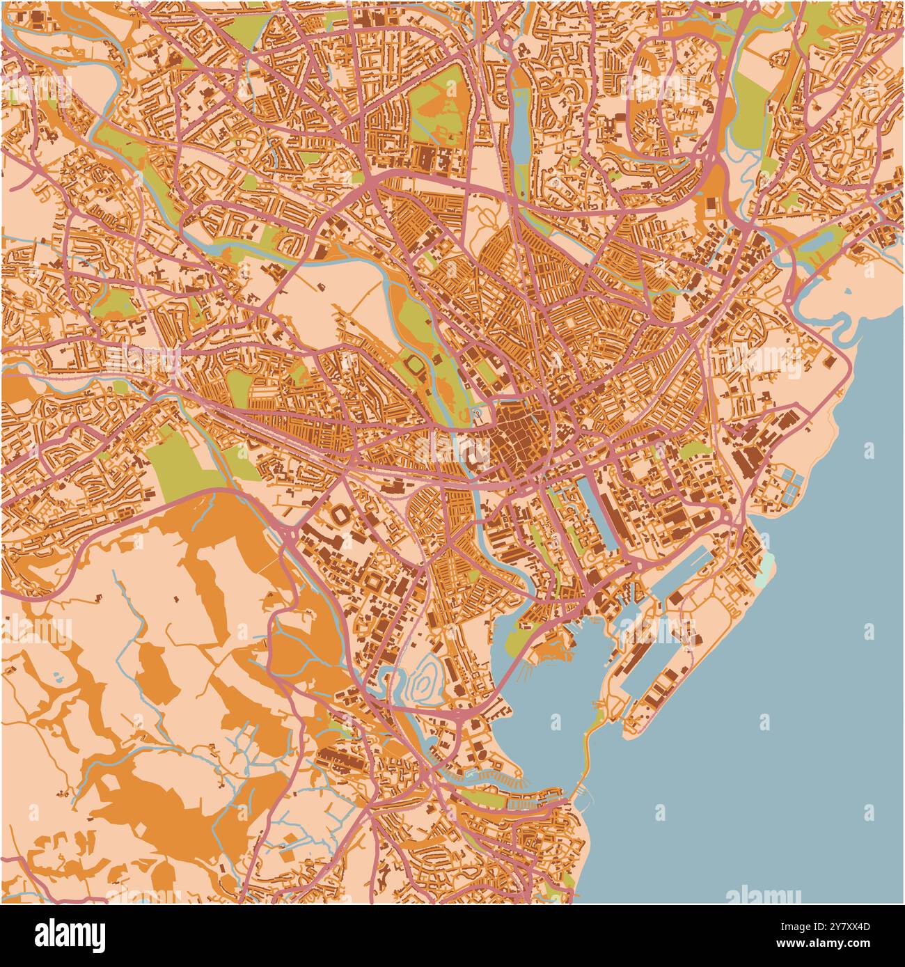 Map of Cardiff in United Kingdom in a sandy theme. Contains layered vector with roads water, parks, etc. Stock Vectorhttps://www.alamy.com/image-license-details/?v=1https://www.alamy.com/map-of-cardiff-in-united-kingdom-in-a-sandy-theme-contains-layered-vector-with-roads-water-parks-etc-image624467101.html
RF2Y7XX4D–Map of Cardiff in United Kingdom in a sandy theme. Contains layered vector with roads water, parks, etc.
 Cardiff Wales Map grey Stock Photohttps://www.alamy.com/image-license-details/?v=1https://www.alamy.com/stock-image-cardiff-wales-map-grey-169170447.html
RFKR6AHK–Cardiff Wales Map grey
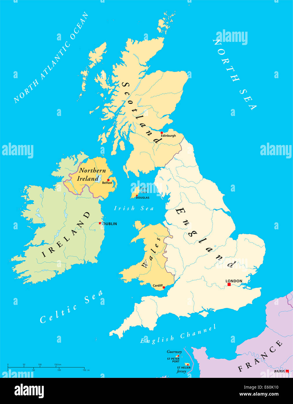 British Isles Map - British Isles Map with capitals, national borders, rivers and lakes. Illustration with English labeling. Stock Photohttps://www.alamy.com/image-license-details/?v=1https://www.alamy.com/stock-photo-british-isles-map-british-isles-map-with-capitals-national-borders-72544332.html
RFE60K10–British Isles Map - British Isles Map with capitals, national borders, rivers and lakes. Illustration with English labeling.
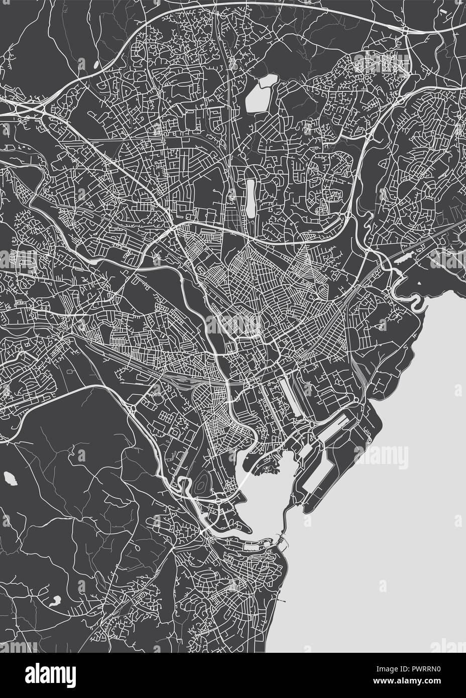 Monochrome detailed plan city of Cardiff detailed plan of the city, rivers and streets Stock Vectorhttps://www.alamy.com/image-license-details/?v=1https://www.alamy.com/monochrome-detailed-plan-city-of-cardiff-detailed-plan-of-the-city-rivers-and-streets-image222414332.html
RFPWRRN0–Monochrome detailed plan city of Cardiff detailed plan of the city, rivers and streets
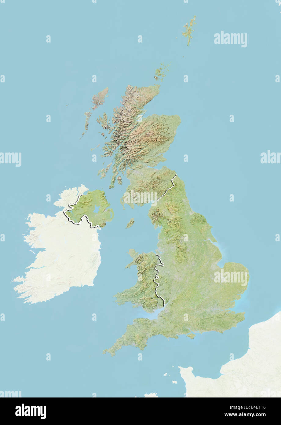 United Kingdom, Relief Map With Country Boundaries Stock Photohttps://www.alamy.com/image-license-details/?v=1https://www.alamy.com/stock-photo-united-kingdom-relief-map-with-country-boundaries-71608886.html
RME4E1T6–United Kingdom, Relief Map With Country Boundaries
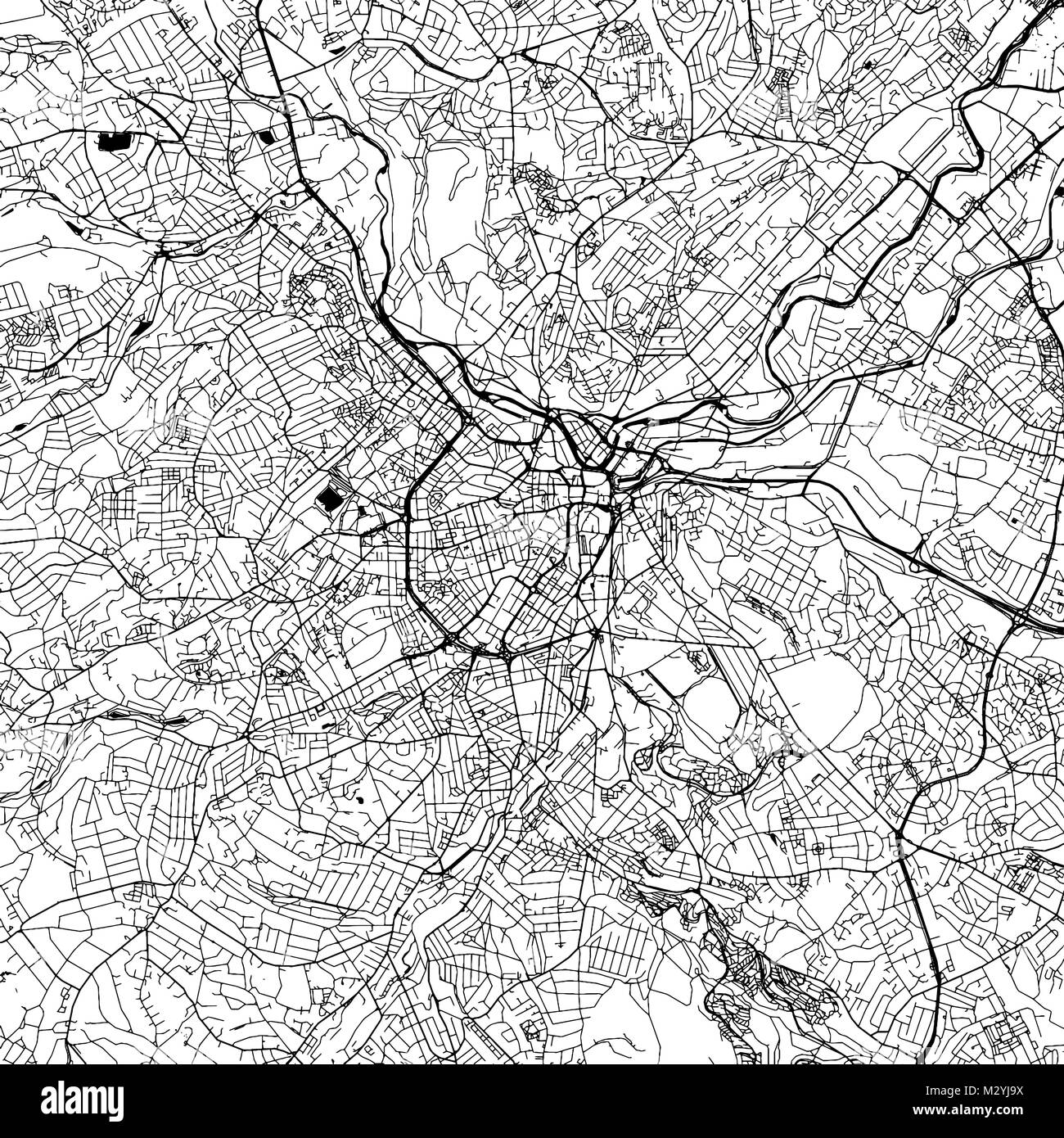 Sheffield Downtown Vector Map Monochrome Artprint, Outline Version for Infographic Background, Black Streets and Waterways Stock Vectorhttps://www.alamy.com/image-license-details/?v=1https://www.alamy.com/stock-photo-sheffield-downtown-vector-map-monochrome-artprint-outline-version-173940086.html
RFM2YJ9X–Sheffield Downtown Vector Map Monochrome Artprint, Outline Version for Infographic Background, Black Streets and Waterways
 Collie Cardiff, Collie, AU, Australia, Western Australia, S 33 25' 45'', N 116 12' 28'', map, Cartascapes Map published in 2024. Explore Cartascapes, a map revealing Earth's diverse landscapes, cultures, and ecosystems. Journey through time and space, discovering the interconnectedness of our planet's past, present, and future. Stock Photohttps://www.alamy.com/image-license-details/?v=1https://www.alamy.com/collie-cardiff-collie-au-australia-western-australia-s-33-25-45-n-116-12-28-map-cartascapes-map-published-in-2024-explore-cartascapes-a-map-revealing-earths-diverse-landscapes-cultures-and-ecosystems-journey-through-time-and-space-discovering-the-interconnectedness-of-our-planets-past-present-and-future-image625668820.html
RM2Y9WJY0–Collie Cardiff, Collie, AU, Australia, Western Australia, S 33 25' 45'', N 116 12' 28'', map, Cartascapes Map published in 2024. Explore Cartascapes, a map revealing Earth's diverse landscapes, cultures, and ecosystems. Journey through time and space, discovering the interconnectedness of our planet's past, present, and future.
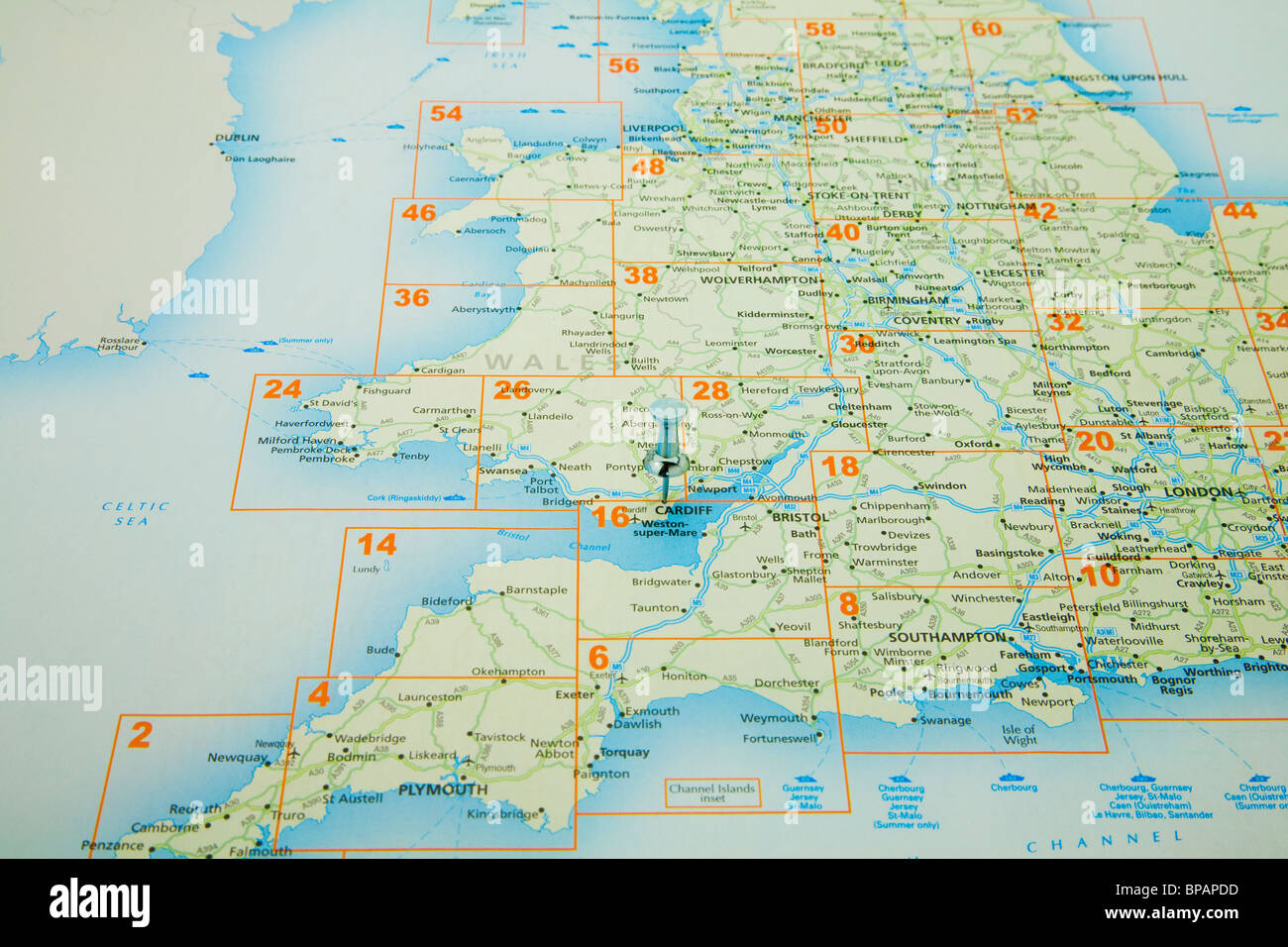 map of Great Britain with a board pin in Cardiff Stock Photohttps://www.alamy.com/image-license-details/?v=1https://www.alamy.com/stock-photo-map-of-great-britain-with-a-board-pin-in-cardiff-30969945.html
RFBPAPDD–map of Great Britain with a board pin in Cardiff
 GLAMORGANSHIRE: Cardiff Swansea Neath Port Talbot. Wales. BARTHOLOMEW, 1896 map Stock Photohttps://www.alamy.com/image-license-details/?v=1https://www.alamy.com/stock-photo-glamorganshire-cardiff-swansea-neath-port-talbot-wales-bartholomew-106427594.html
RFG545DE–GLAMORGANSHIRE: Cardiff Swansea Neath Port Talbot. Wales. BARTHOLOMEW, 1896 map
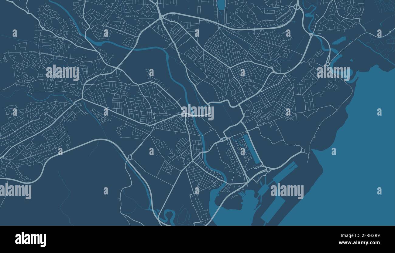 Detailed map of Cardiff city administrative area. Royalty free vector illustration. Cityscape panorama. Decorative graphic tourist map of Cardiff terr Stock Vectorhttps://www.alamy.com/image-license-details/?v=1https://www.alamy.com/detailed-map-of-cardiff-city-administrative-area-royalty-free-vector-illustration-cityscape-panorama-decorative-graphic-tourist-map-of-cardiff-terr-image427561325.html
RF2FRH2R9–Detailed map of Cardiff city administrative area. Royalty free vector illustration. Cityscape panorama. Decorative graphic tourist map of Cardiff terr
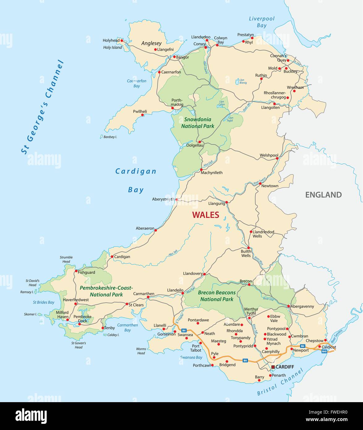 wales road and national park map Stock Vectorhttps://www.alamy.com/image-license-details/?v=1https://www.alamy.com/stock-photo-wales-road-and-national-park-map-101739540.html
RFFWEHR0–wales road and national park map
RF2WGFNR7–Icon for cardiff,map
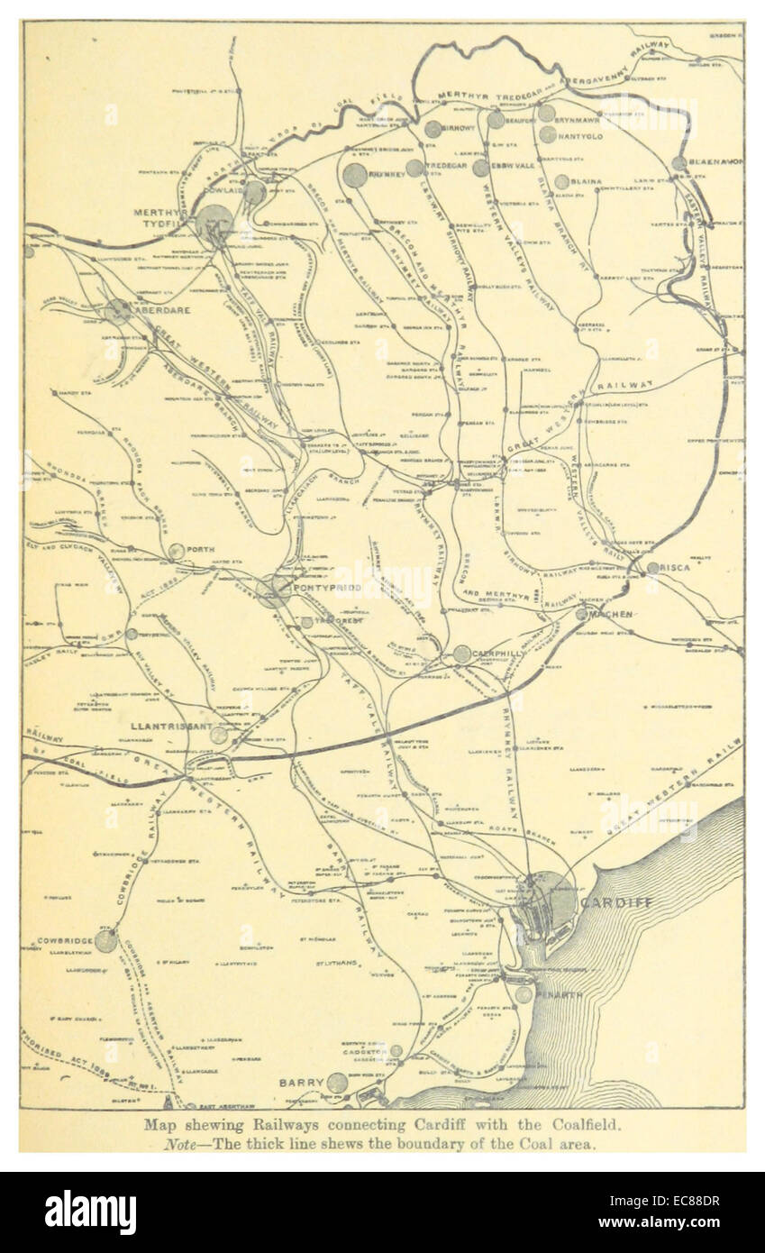 BALLINGER(1896) p087 MAP OF THE RAILWAYS, CONNECTING CARDIFF WITH THE COALFIELDS Stock Photohttps://www.alamy.com/image-license-details/?v=1https://www.alamy.com/stock-photo-ballinger1896-p087-map-of-the-railways-connecting-cardiff-with-the-76399619.html
RMEC88DR–BALLINGER(1896) p087 MAP OF THE RAILWAYS, CONNECTING CARDIFF WITH THE COALFIELDS
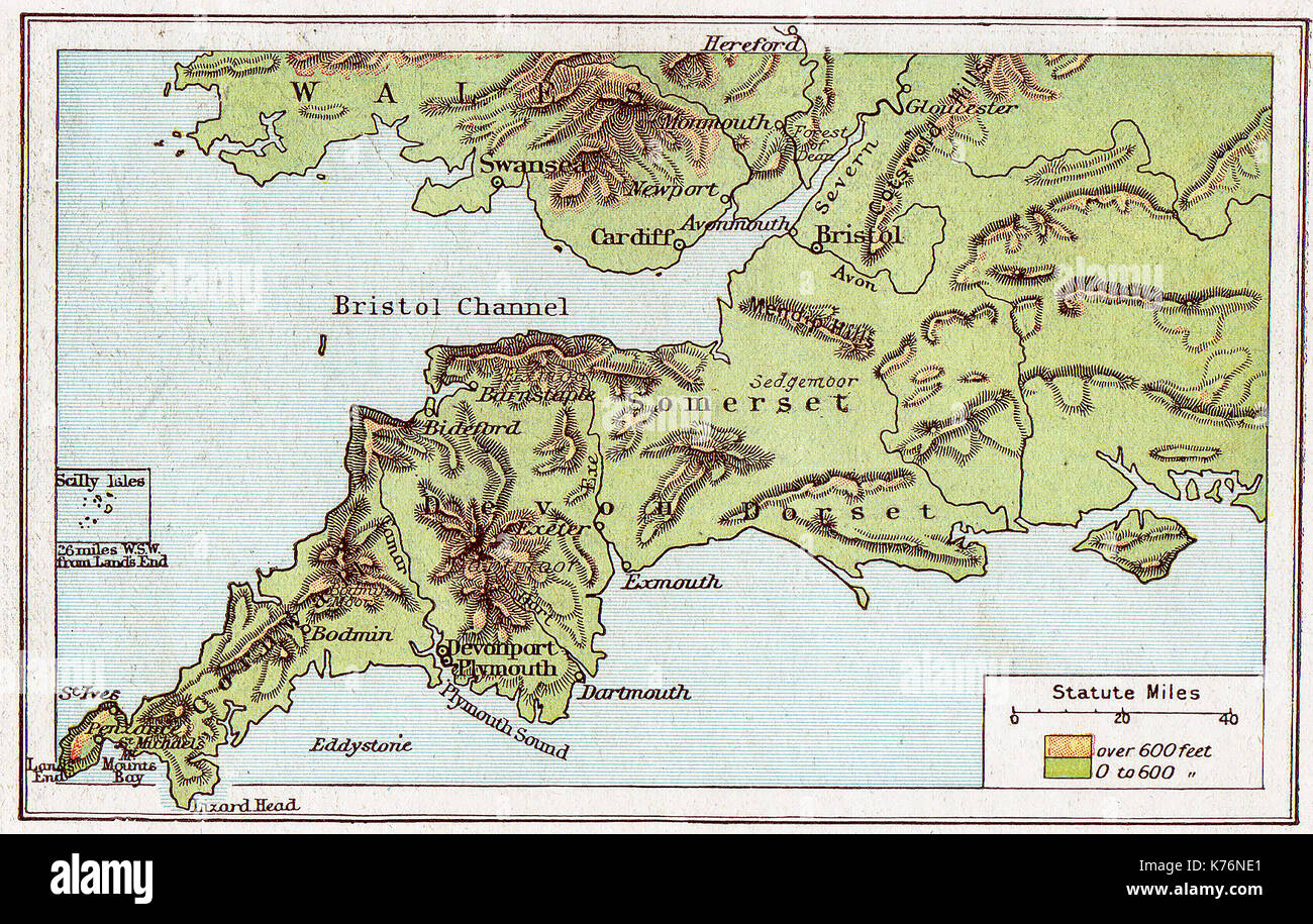 A 1914 vintage colour map of South West England Stock Photohttps://www.alamy.com/image-license-details/?v=1https://www.alamy.com/a-1914-vintage-colour-map-of-south-west-england-image159344473.html
RMK76NE1–A 1914 vintage colour map of South West England
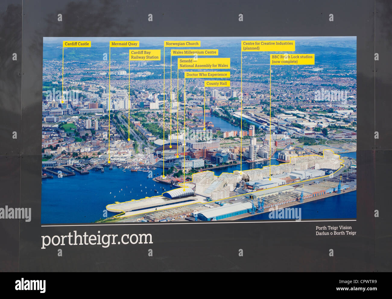 Information Map at Porth Teigr Cardiff bay Stock Photohttps://www.alamy.com/image-license-details/?v=1https://www.alamy.com/stock-photo-information-map-at-porth-teigr-cardiff-bay-48511437.html
RMCPWTR9–Information Map at Porth Teigr Cardiff bay
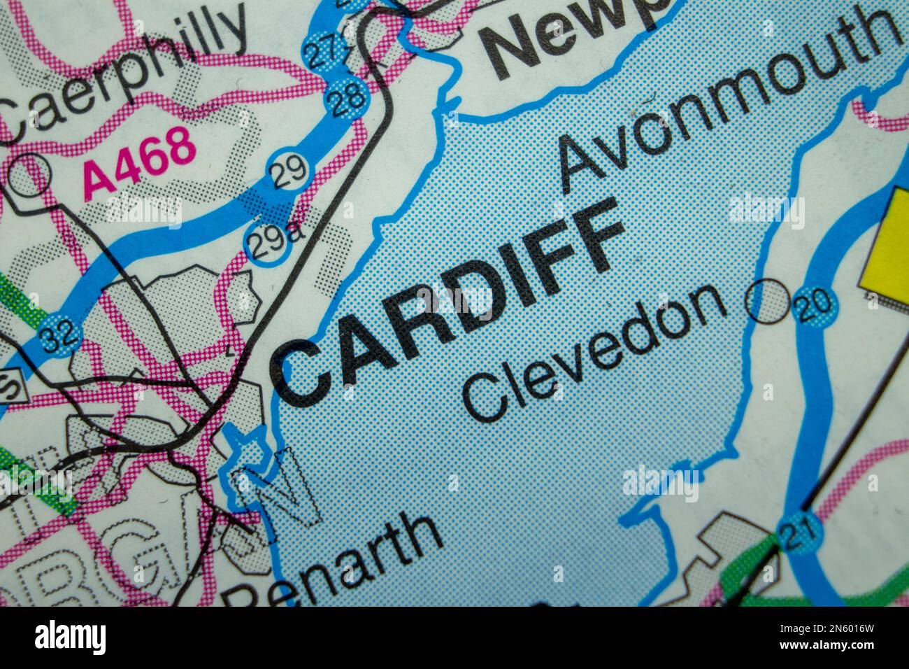 Cardiff, United Kingdom atlas map town name Stock Photohttps://www.alamy.com/image-license-details/?v=1https://www.alamy.com/cardiff-united-kingdom-atlas-map-town-name-image519999953.html
RF2N6016W–Cardiff, United Kingdom atlas map town name
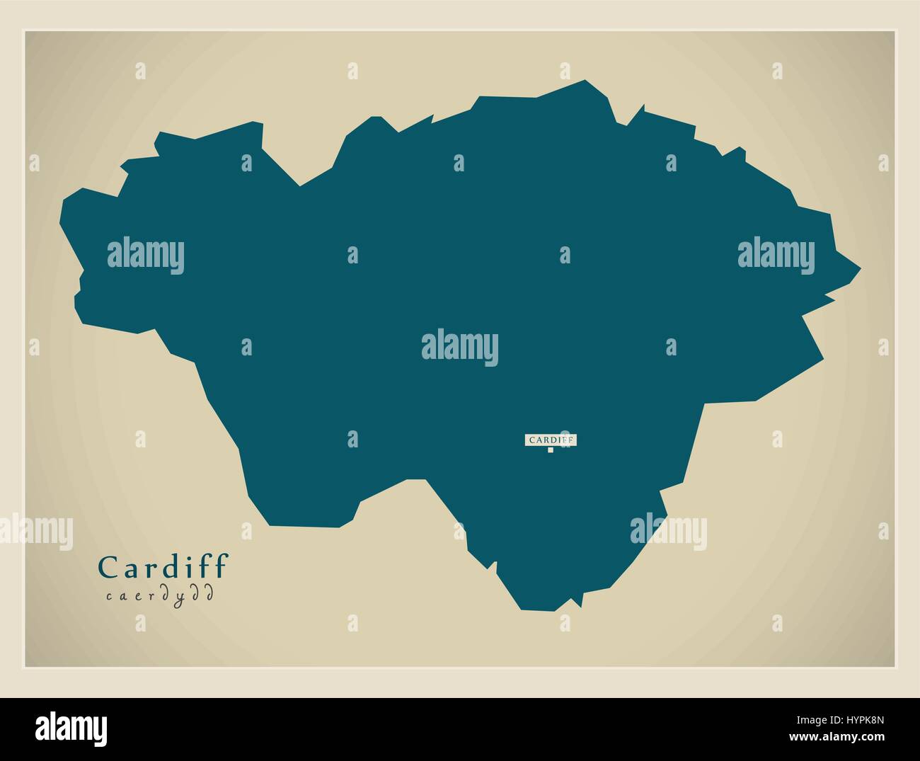 Modern Map - Cardiff Wales UK Stock Vectorhttps://www.alamy.com/image-license-details/?v=1https://www.alamy.com/stock-photo-modern-map-cardiff-wales-uk-137566373.html
RFHYPK8N–Modern Map - Cardiff Wales UK
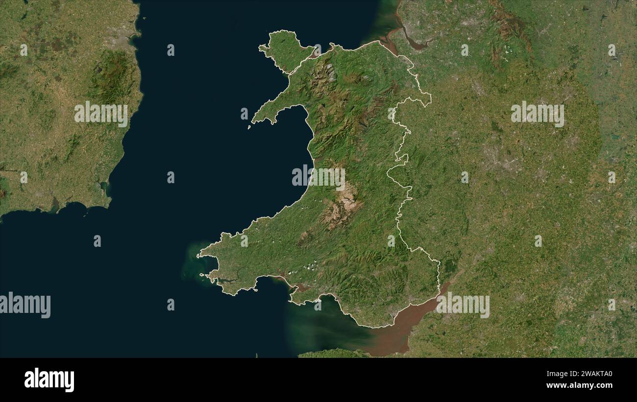 Wales - Great Britain outlined on a low resolution satellite map Stock Photohttps://www.alamy.com/image-license-details/?v=1https://www.alamy.com/wales-great-britain-outlined-on-a-low-resolution-satellite-map-image591735256.html
RF2WAKTA0–Wales - Great Britain outlined on a low resolution satellite map
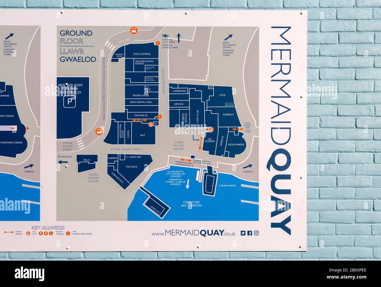 Map of business and facilities in Mermaid Quay, Cardiff Bay redevelopment, Cardiff, South Wales, UK Stock Photohttps://www.alamy.com/image-license-details/?v=1https://www.alamy.com/map-of-business-and-facilities-in-mermaid-quay-cardiff-bay-redevelopment-cardiff-south-wales-uk-image348483702.html
RM2B6XPEE–Map of business and facilities in Mermaid Quay, Cardiff Bay redevelopment, Cardiff, South Wales, UK
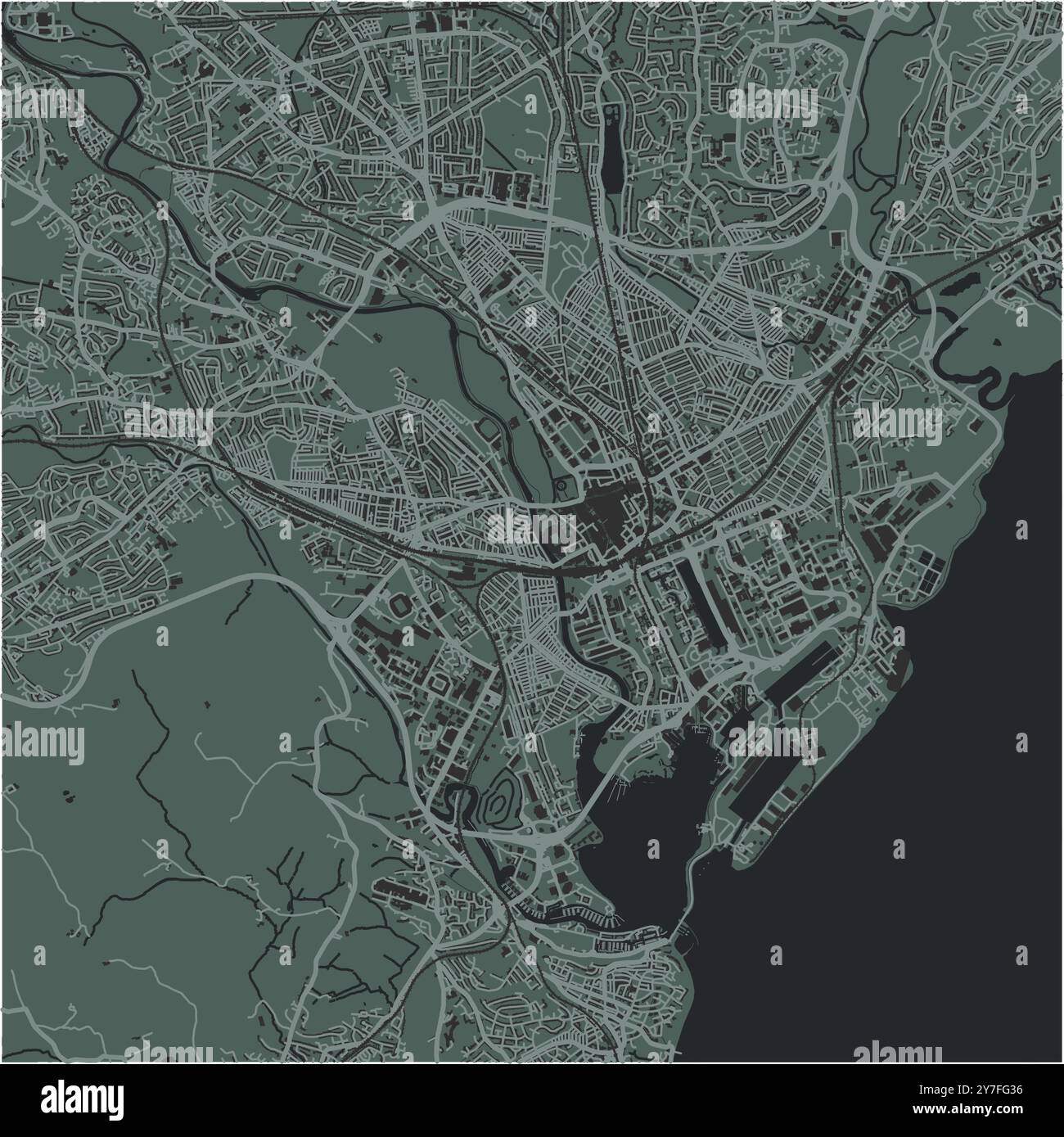 Map of Cardiff in United Kingdom in a smooth dark style. Contains layered vector with roads water, parks, etc. Stock Vectorhttps://www.alamy.com/image-license-details/?v=1https://www.alamy.com/map-of-cardiff-in-united-kingdom-in-a-smooth-dark-style-contains-layered-vector-with-roads-water-parks-etc-image624217754.html
RF2Y7FG36–Map of Cardiff in United Kingdom in a smooth dark style. Contains layered vector with roads water, parks, etc.
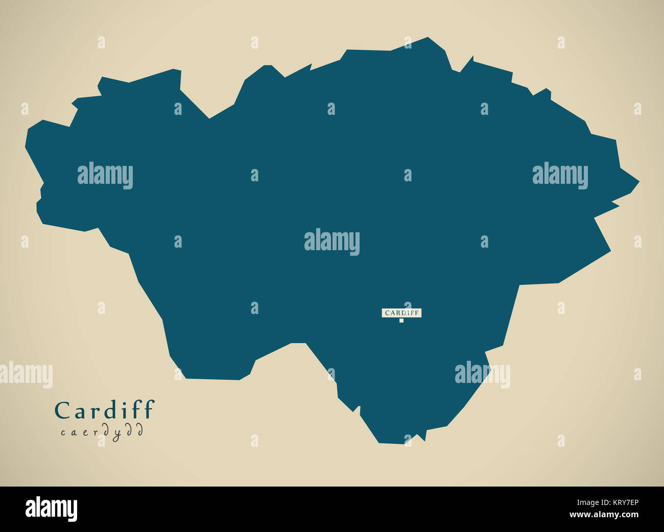 Modern Map - Cardiff Wales UK illustration Stock Photohttps://www.alamy.com/image-license-details/?v=1https://www.alamy.com/stock-image-modern-map-cardiff-wales-uk-illustration-169629006.html
RFKRY7EP–Modern Map - Cardiff Wales UK illustration
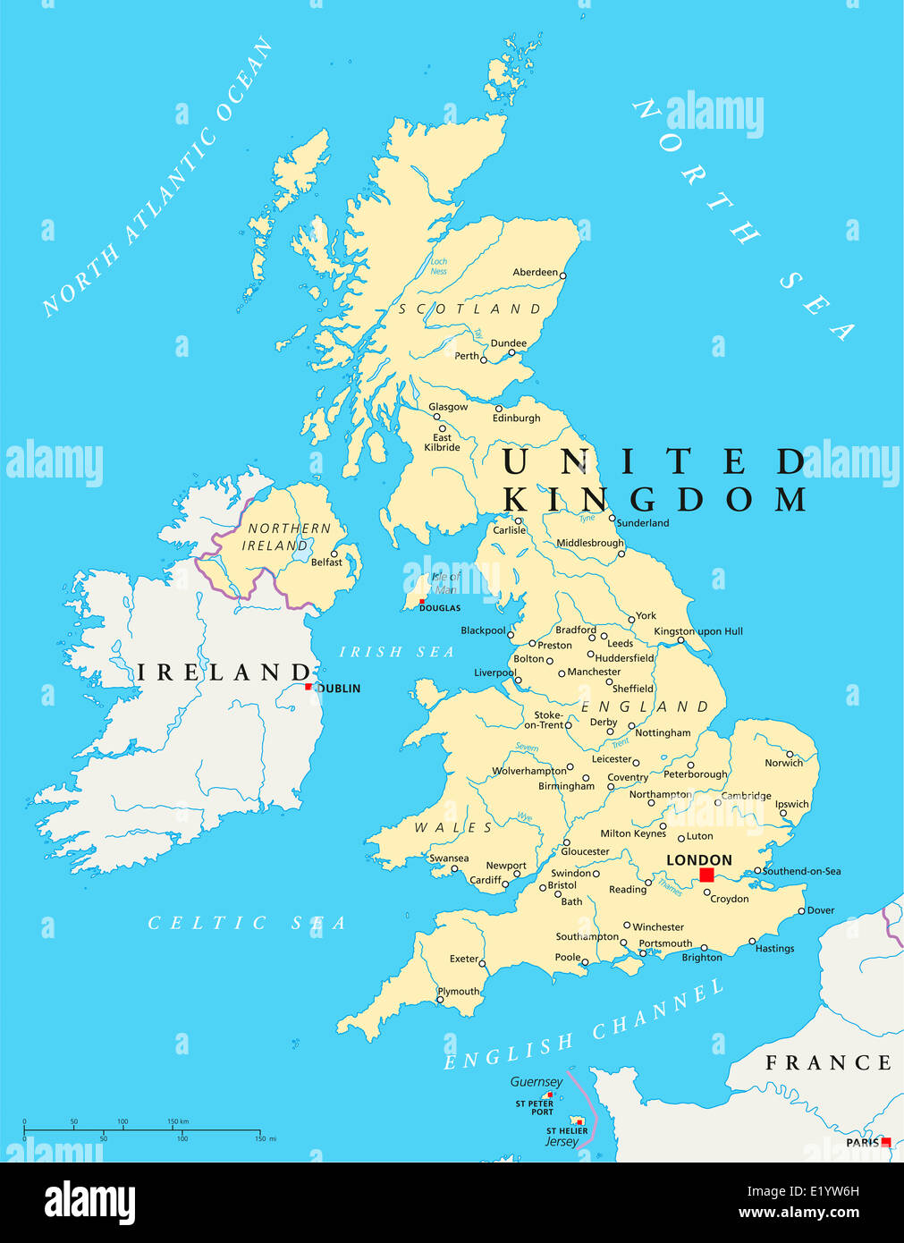 United Kingdom Political Map with capital London, national borders, most important cities, rivers and lakes. English labeling. Stock Photohttps://www.alamy.com/image-license-details/?v=1https://www.alamy.com/stock-photo-united-kingdom-political-map-with-capital-london-national-borders-70068617.html
RFE1YW6H–United Kingdom Political Map with capital London, national borders, most important cities, rivers and lakes. English labeling.
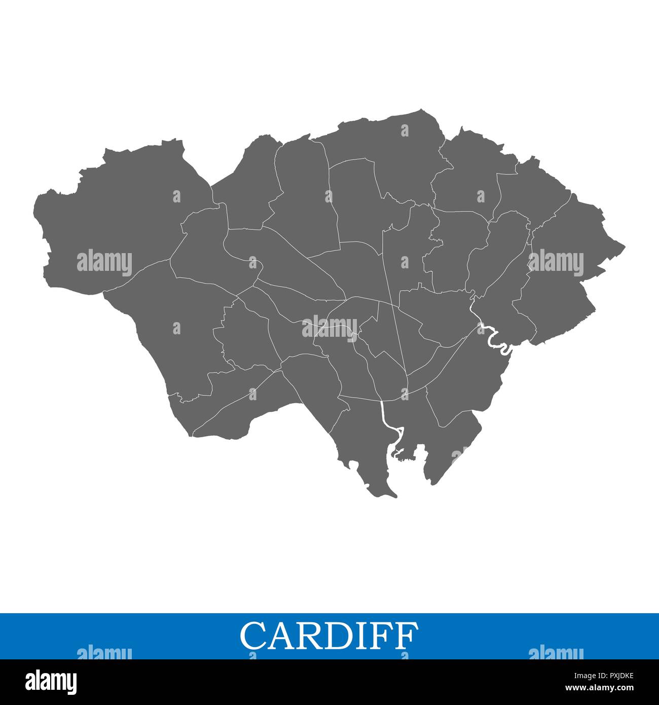 High Quality map of Cardiff is a city in United Kingdom, with borders of districts Stock Vectorhttps://www.alamy.com/image-license-details/?v=1https://www.alamy.com/high-quality-map-of-cardiff-is-a-city-in-united-kingdom-with-borders-of-districts-image222911346.html
RFPXJDKE–High Quality map of Cardiff is a city in United Kingdom, with borders of districts
 Wales map highlighted in Wales flag colors and pin of country capital Cardiff, map with neighboring European countries. Stock Vectorhttps://www.alamy.com/image-license-details/?v=1https://www.alamy.com/wales-map-highlighted-in-wales-flag-colors-and-pin-of-country-capital-cardiff-map-with-neighboring-european-countries-image470366229.html
RF2J970WW–Wales map highlighted in Wales flag colors and pin of country capital Cardiff, map with neighboring European countries.
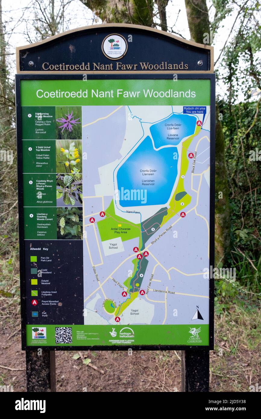 Coetiroedd Nant Fawr Woodlands map of public woodland nature walks, paths around Llanishen and Lisvane reservoir Cardiff Wales UK KATHY DEWITT Stock Photohttps://www.alamy.com/image-license-details/?v=1https://www.alamy.com/coetiroedd-nant-fawr-woodlands-map-of-public-woodland-nature-walks-paths-around-llanishen-and-lisvane-reservoir-cardiff-wales-uk-kathy-dewitt-image472801484.html
RM2JD5Y38–Coetiroedd Nant Fawr Woodlands map of public woodland nature walks, paths around Llanishen and Lisvane reservoir Cardiff Wales UK KATHY DEWITT
 Cardiff, Cecil County, US, United States, Maryland, N 39 37' 33'', S 76 7' 48'', map, Cartascapes Map published in 2024. Explore Cartascapes, a map revealing Earth's diverse landscapes, cultures, and ecosystems. Journey through time and space, discovering the interconnectedness of our planet's past, present, and future. Stock Photohttps://www.alamy.com/image-license-details/?v=1https://www.alamy.com/cardiff-cecil-county-us-united-states-maryland-n-39-37-33-s-76-7-48-map-cartascapes-map-published-in-2024-explore-cartascapes-a-map-revealing-earths-diverse-landscapes-cultures-and-ecosystems-journey-through-time-and-space-discovering-the-interconnectedness-of-our-planets-past-present-and-future-image621282256.html
RM2Y2NRT0–Cardiff, Cecil County, US, United States, Maryland, N 39 37' 33'', S 76 7' 48'', map, Cartascapes Map published in 2024. Explore Cartascapes, a map revealing Earth's diverse landscapes, cultures, and ecosystems. Journey through time and space, discovering the interconnectedness of our planet's past, present, and future.
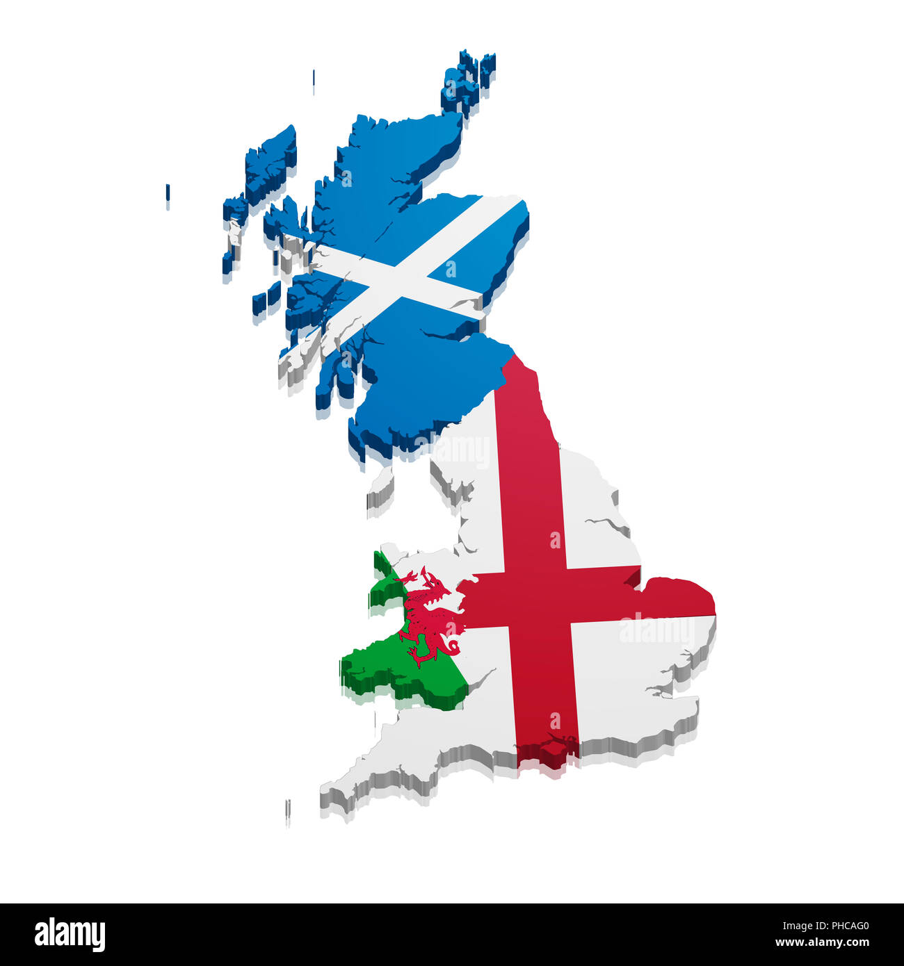 Map England Scotland Wales Stock Photohttps://www.alamy.com/image-license-details/?v=1https://www.alamy.com/map-england-scotland-wales-image217245280.html
RMPHCAG0–Map England Scotland Wales
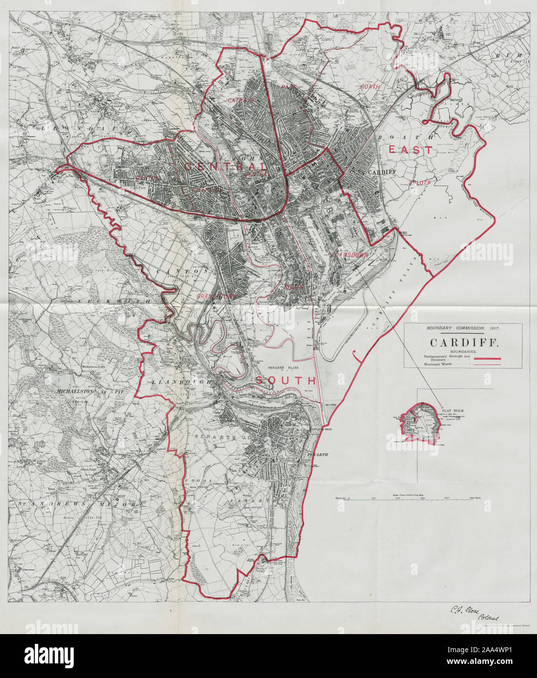 Cardiff Parliamentary Borough. Wales. BOUNDARY COMMISSION. Close 1917 old map Stock Photohttps://www.alamy.com/image-license-details/?v=1https://www.alamy.com/cardiff-parliamentary-borough-wales-boundary-commission-close-1917-old-map-image333251577.html
RF2AA4WP1–Cardiff Parliamentary Borough. Wales. BOUNDARY COMMISSION. Close 1917 old map
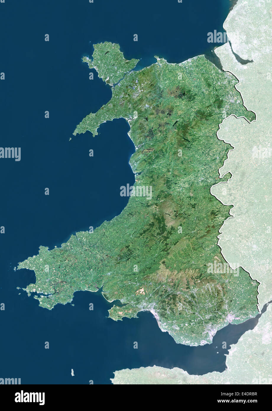 Wales, United Kingdom, True Colour Satellite Image Stock Photohttps://www.alamy.com/image-license-details/?v=1https://www.alamy.com/stock-photo-wales-united-kingdom-true-colour-satellite-image-71603835.html
RME4DRBR–Wales, United Kingdom, True Colour Satellite Image
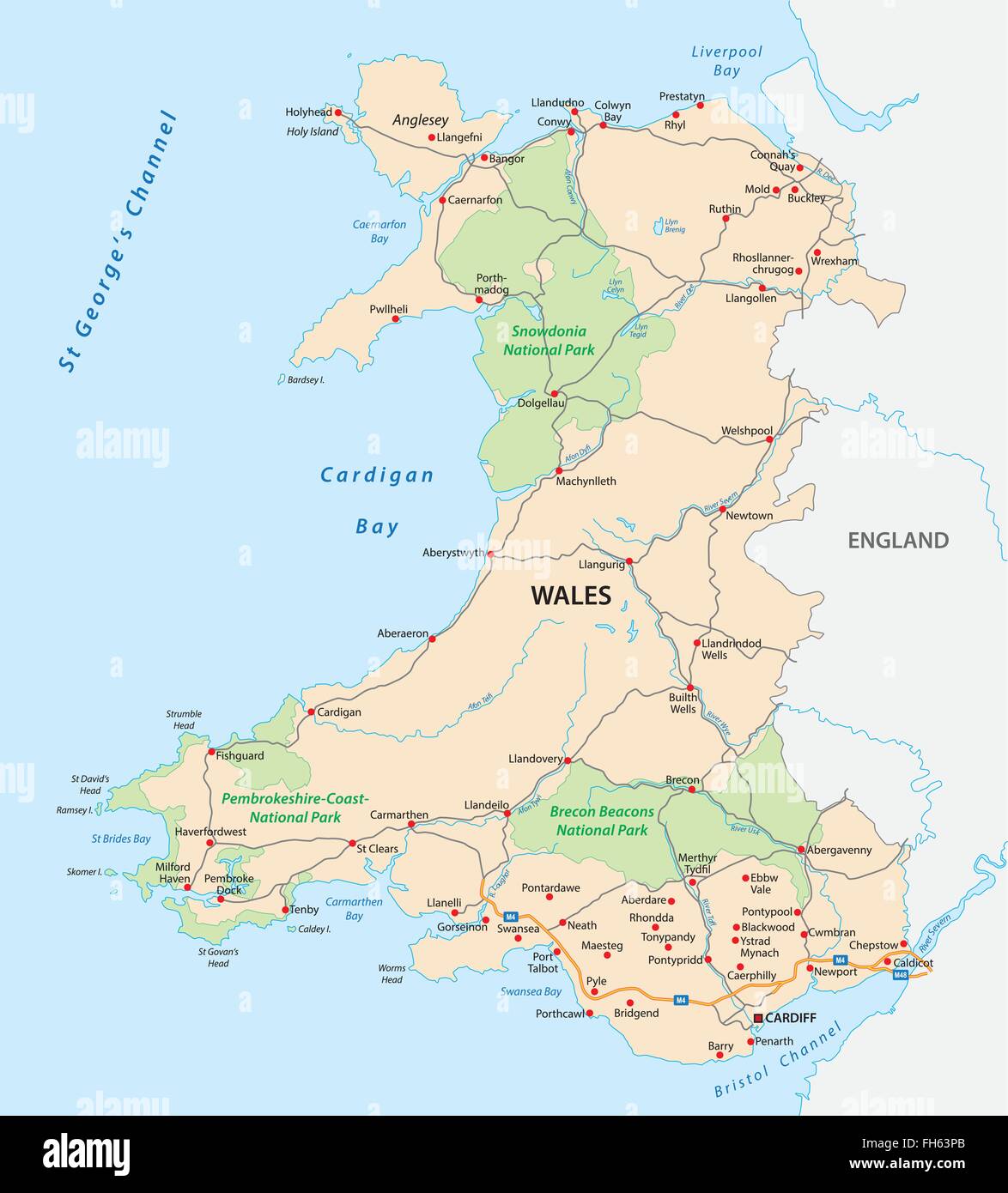 wales road and national park map Stock Vectorhttps://www.alamy.com/image-license-details/?v=1https://www.alamy.com/stock-photo-wales-road-and-national-park-map-96635683.html
RFFH63PB–wales road and national park map
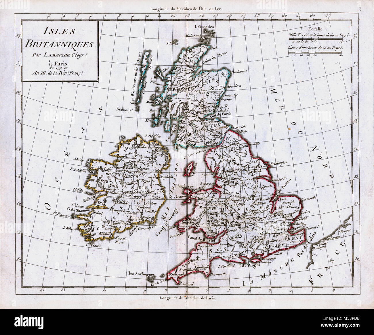 1830 Delamarche Atlas Map - British Isles - Great Britain & Ireland - Scotland England Wales London Stock Photohttps://www.alamy.com/image-license-details/?v=1https://www.alamy.com/stock-photo-1830-delamarche-atlas-map-british-isles-great-britain-ireland-scotland-175260439.html
RFM53PDB–1830 Delamarche Atlas Map - British Isles - Great Britain & Ireland - Scotland England Wales London
 BALLINGER(1896) p087 MAP OF THE RAILWAYS, CONNECTING CARDIFF WITH THE COALFIELDS Stock Photohttps://www.alamy.com/image-license-details/?v=1https://www.alamy.com/ballinger1896-p087-map-of-the-railways-connecting-cardiff-with-the-image154621417.html
RMJYFH5D–BALLINGER(1896) p087 MAP OF THE RAILWAYS, CONNECTING CARDIFF WITH THE COALFIELDS