Caribou maine map Cut Out Stock Images
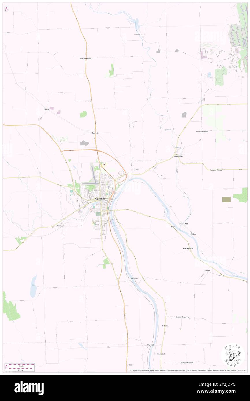 Caribou, Aroostook County, US, United States, Maine, N 46 51' 38'', S 68 0' 43'', map, Cartascapes Map published in 2024. Explore Cartascapes, a map revealing Earth's diverse landscapes, cultures, and ecosystems. Journey through time and space, discovering the interconnectedness of our planet's past, present, and future. Stock Photohttps://www.alamy.com/image-license-details/?v=1https://www.alamy.com/caribou-aroostook-county-us-united-states-maine-n-46-51-38-s-68-0-43-map-cartascapes-map-published-in-2024-explore-cartascapes-a-map-revealing-earths-diverse-landscapes-cultures-and-ecosystems-journey-through-time-and-space-discovering-the-interconnectedness-of-our-planets-past-present-and-future-image621208520.html
RM2Y2JDPG–Caribou, Aroostook County, US, United States, Maine, N 46 51' 38'', S 68 0' 43'', map, Cartascapes Map published in 2024. Explore Cartascapes, a map revealing Earth's diverse landscapes, cultures, and ecosystems. Journey through time and space, discovering the interconnectedness of our planet's past, present, and future.
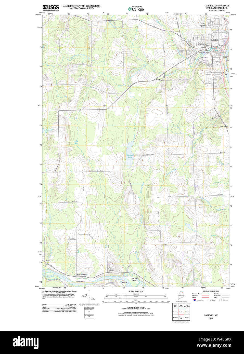 Maine USGS Historical Map Caribou 20110907 TM Restoration Stock Photohttps://www.alamy.com/image-license-details/?v=1https://www.alamy.com/maine-usgs-historical-map-caribou-20110907-tm-restoration-image260934686.html
RMW4EGRX–Maine USGS Historical Map Caribou 20110907 TM Restoration
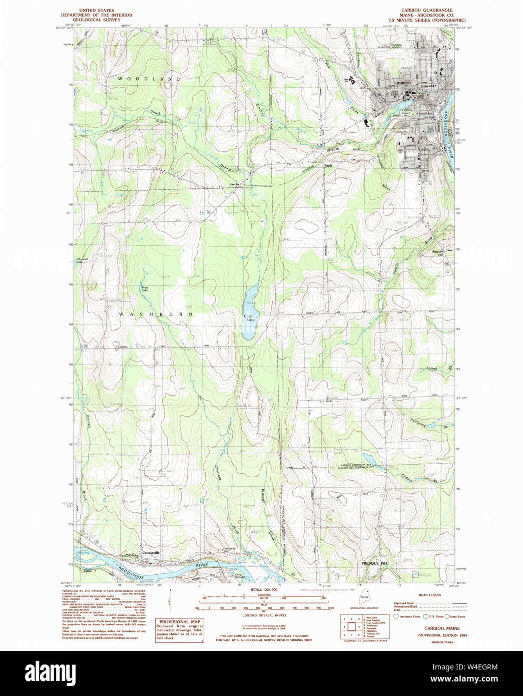 Maine USGS Historical Map Caribou 105002 1984 24000 Restoration Stock Photohttps://www.alamy.com/image-license-details/?v=1https://www.alamy.com/maine-usgs-historical-map-caribou-105002-1984-24000-restoration-image260934680.html
RMW4EGRM–Maine USGS Historical Map Caribou 105002 1984 24000 Restoration
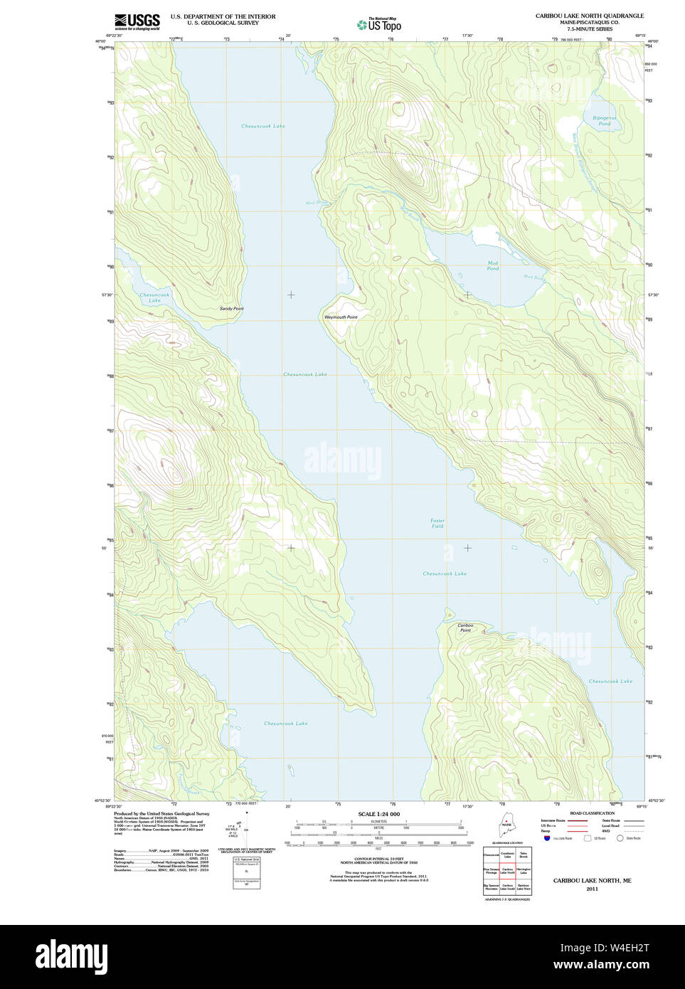 Maine USGS Historical Map Caribou Lake North 20110831 TM Restoration Stock Photohttps://www.alamy.com/image-license-details/?v=1https://www.alamy.com/maine-usgs-historical-map-caribou-lake-north-20110831-tm-restoration-image260934880.html
RMW4EH2T–Maine USGS Historical Map Caribou Lake North 20110831 TM Restoration
 Caribou, Aroostook County, US, United States, Maine, N 46 51' 38'', S 68 0' 43'', map, Cartascapes Map published in 2024. Explore Cartascapes, a map revealing Earth's diverse landscapes, cultures, and ecosystems. Journey through time and space, discovering the interconnectedness of our planet's past, present, and future. Stock Photohttps://www.alamy.com/image-license-details/?v=1https://www.alamy.com/caribou-aroostook-county-us-united-states-maine-n-46-51-38-s-68-0-43-map-cartascapes-map-published-in-2024-explore-cartascapes-a-map-revealing-earths-diverse-landscapes-cultures-and-ecosystems-journey-through-time-and-space-discovering-the-interconnectedness-of-our-planets-past-present-and-future-image621411682.html
RM2Y2YMXA–Caribou, Aroostook County, US, United States, Maine, N 46 51' 38'', S 68 0' 43'', map, Cartascapes Map published in 2024. Explore Cartascapes, a map revealing Earth's diverse landscapes, cultures, and ecosystems. Journey through time and space, discovering the interconnectedness of our planet's past, present, and future.
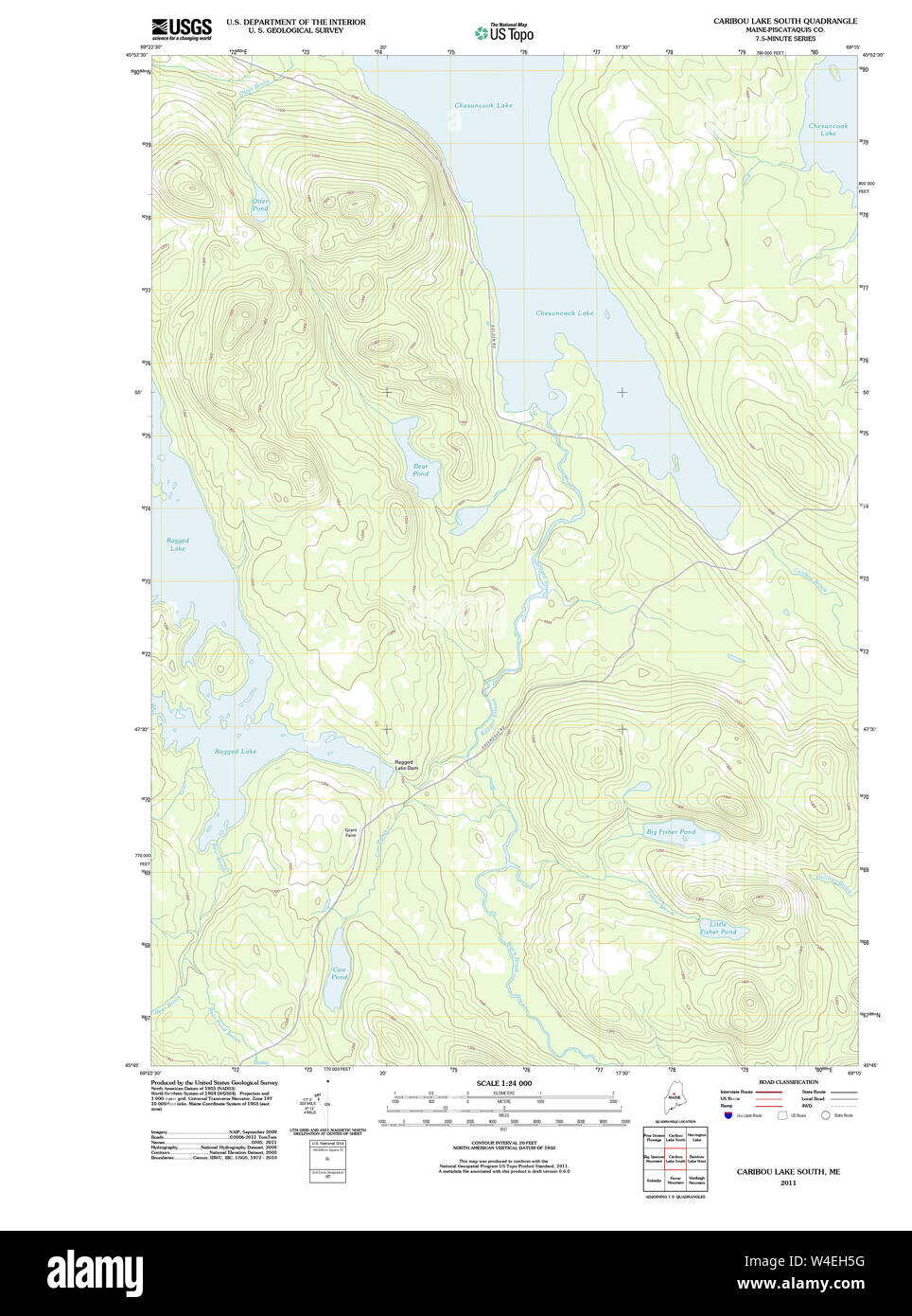 Maine USGS Historical Map Caribou Lake South 20110831 TM Restoration Stock Photohttps://www.alamy.com/image-license-details/?v=1https://www.alamy.com/maine-usgs-historical-map-caribou-lake-south-20110831-tm-restoration-image260934956.html
RMW4EH5G–Maine USGS Historical Map Caribou Lake South 20110831 TM Restoration
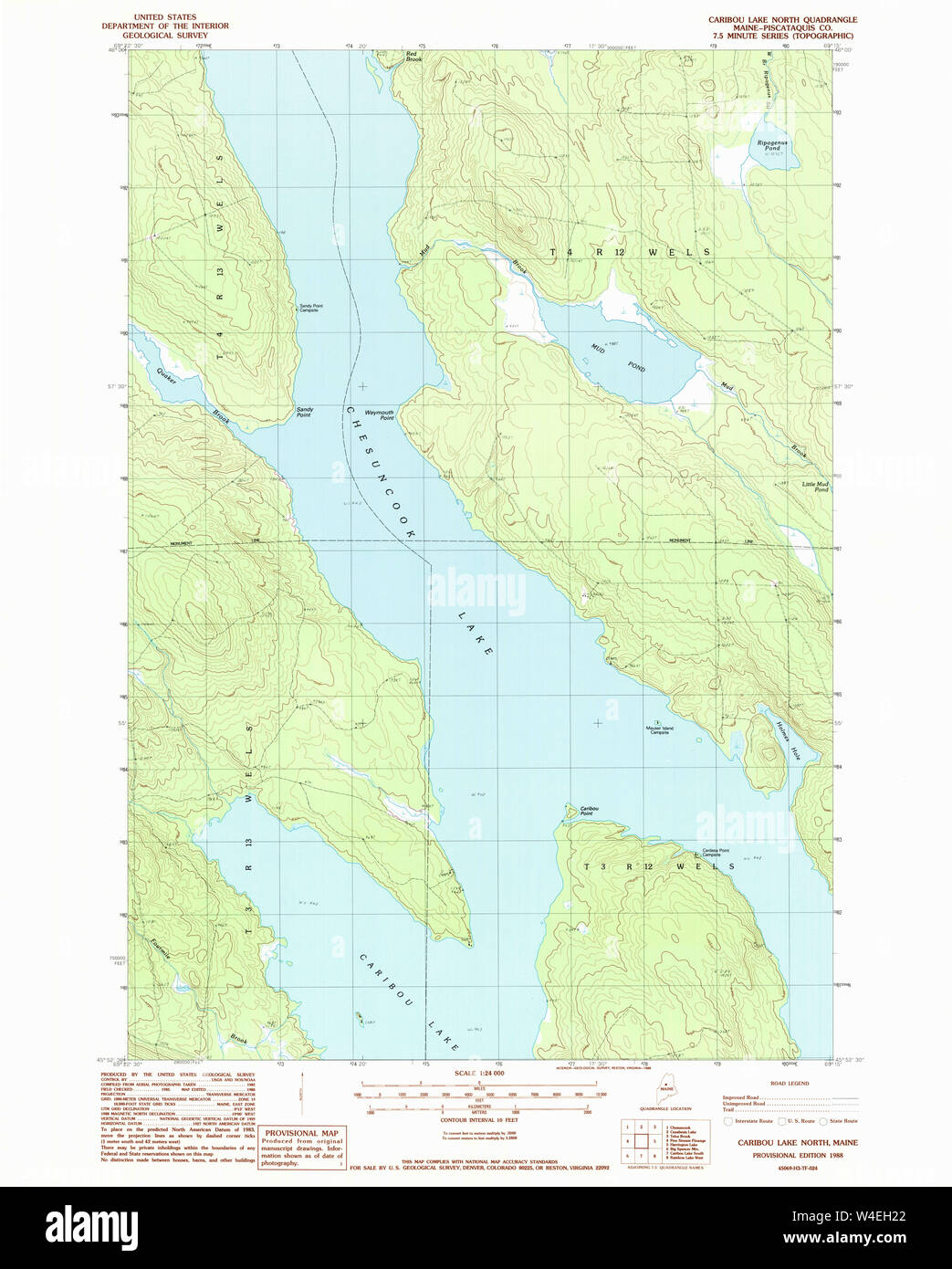 Maine USGS Historical Map Caribou Lake North 105000 1988 24000 Restoration Stock Photohttps://www.alamy.com/image-license-details/?v=1https://www.alamy.com/maine-usgs-historical-map-caribou-lake-north-105000-1988-24000-restoration-image260934858.html
RMW4EH22–Maine USGS Historical Map Caribou Lake North 105000 1988 24000 Restoration
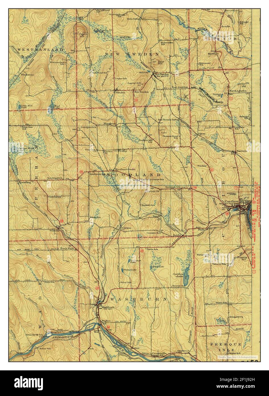 Caribou, Maine, map 1932, 1:62500, United States of America by Timeless Maps, data U.S. Geological Survey Stock Photohttps://www.alamy.com/image-license-details/?v=1https://www.alamy.com/caribou-maine-map-1932-162500-united-states-of-america-by-timeless-maps-data-us-geological-survey-image414065753.html
RM2F1J92H–Caribou, Maine, map 1932, 1:62500, United States of America by Timeless Maps, data U.S. Geological Survey
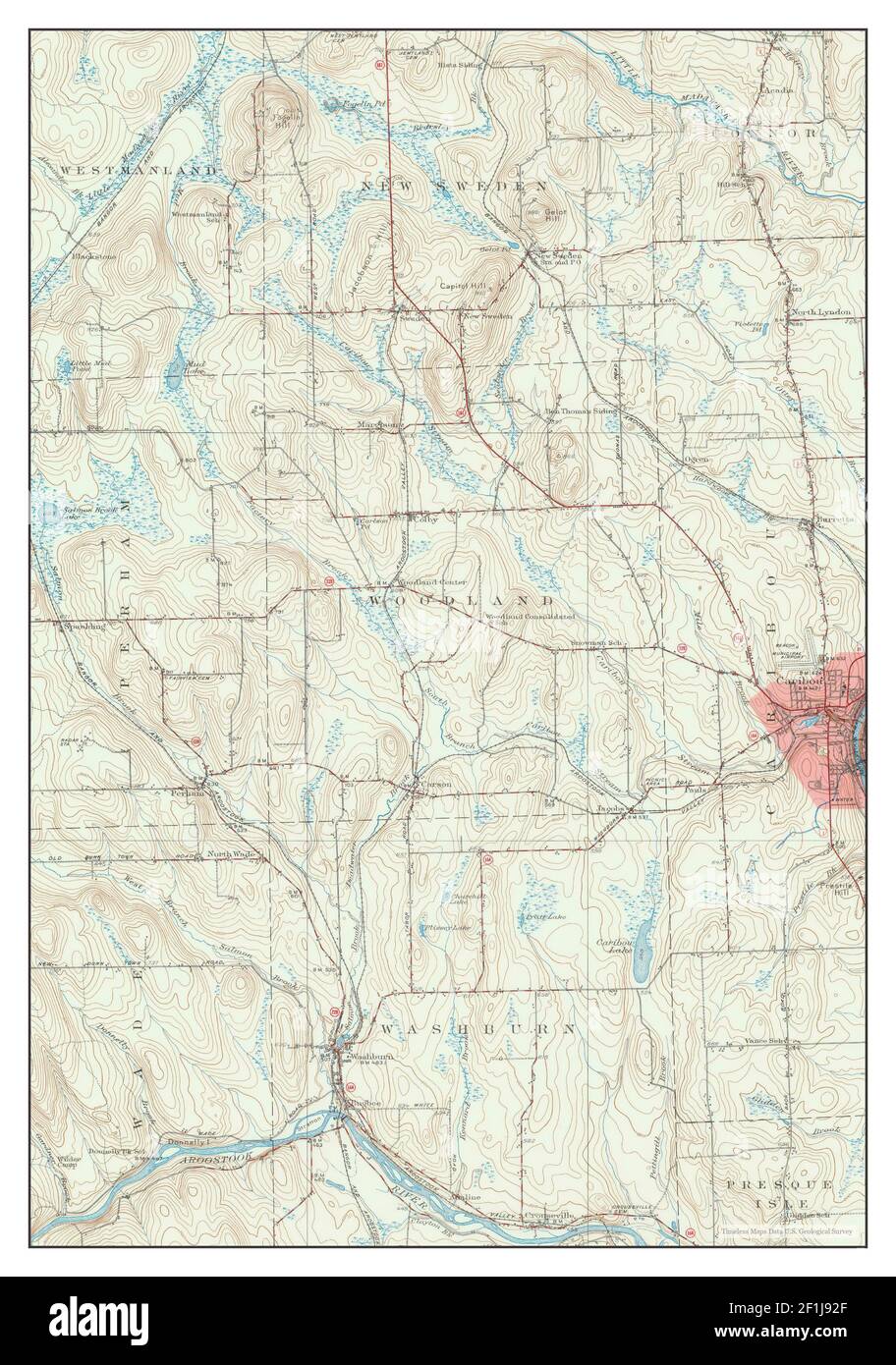 Caribou, Maine, map 1953, 1:62500, United States of America by Timeless Maps, data U.S. Geological Survey Stock Photohttps://www.alamy.com/image-license-details/?v=1https://www.alamy.com/caribou-maine-map-1953-162500-united-states-of-america-by-timeless-maps-data-us-geological-survey-image414065751.html
RM2F1J92F–Caribou, Maine, map 1953, 1:62500, United States of America by Timeless Maps, data U.S. Geological Survey
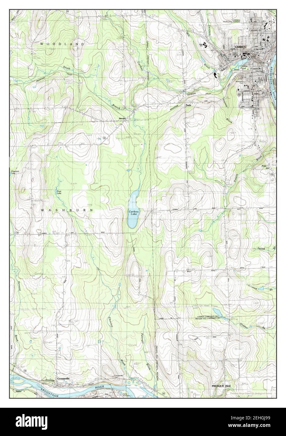 Caribou, Maine, map 1984, 1:24000, United States of America by Timeless Maps, data U.S. Geological Survey Stock Photohttps://www.alamy.com/image-license-details/?v=1https://www.alamy.com/caribou-maine-map-1984-124000-united-states-of-america-by-timeless-maps-data-us-geological-survey-image406653221.html
RM2EHGJ99–Caribou, Maine, map 1984, 1:24000, United States of America by Timeless Maps, data U.S. Geological Survey
 Caribou, Maine, map 1953, 1:62500, United States of America by Timeless Maps, data U.S. Geological Survey Stock Photohttps://www.alamy.com/image-license-details/?v=1https://www.alamy.com/caribou-maine-map-1953-162500-united-states-of-america-by-timeless-maps-data-us-geological-survey-image414065745.html
RM2F1J929–Caribou, Maine, map 1953, 1:62500, United States of America by Timeless Maps, data U.S. Geological Survey
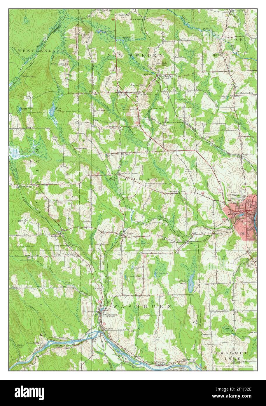 Caribou, Maine, map 1953, 1:62500, United States of America by Timeless Maps, data U.S. Geological Survey Stock Photohttps://www.alamy.com/image-license-details/?v=1https://www.alamy.com/caribou-maine-map-1953-162500-united-states-of-america-by-timeless-maps-data-us-geological-survey-image414065750.html
RM2F1J92E–Caribou, Maine, map 1953, 1:62500, United States of America by Timeless Maps, data U.S. Geological Survey
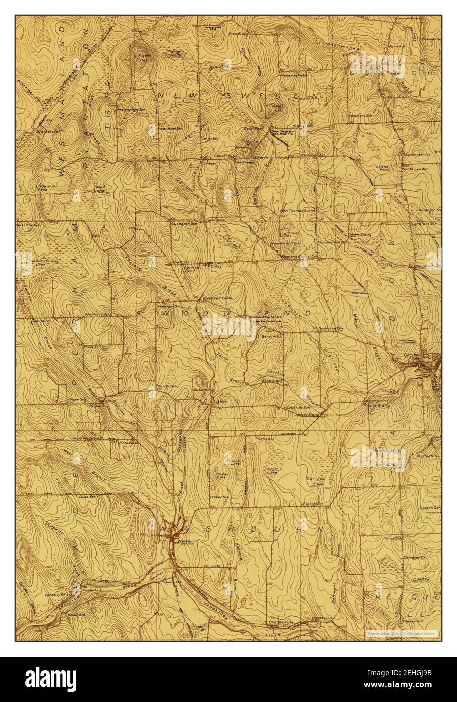 Caribou, Maine, map 1929, 1:48000, United States of America by Timeless Maps, data U.S. Geological Survey Stock Photohttps://www.alamy.com/image-license-details/?v=1https://www.alamy.com/caribou-maine-map-1929-148000-united-states-of-america-by-timeless-maps-data-us-geological-survey-image406653223.html
RM2EHGJ9B–Caribou, Maine, map 1929, 1:48000, United States of America by Timeless Maps, data U.S. Geological Survey
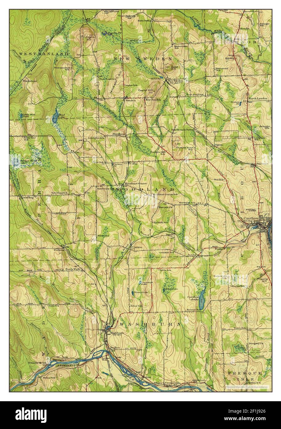 Caribou, Maine, map 1932, 1:62500, United States of America by Timeless Maps, data U.S. Geological Survey Stock Photohttps://www.alamy.com/image-license-details/?v=1https://www.alamy.com/caribou-maine-map-1932-162500-united-states-of-america-by-timeless-maps-data-us-geological-survey-image414065742.html
RM2F1J926–Caribou, Maine, map 1932, 1:62500, United States of America by Timeless Maps, data U.S. Geological Survey
 Caribou SE, Maine, map 1975, 1:24000, United States of America by Timeless Maps, data U.S. Geological Survey Stock Photohttps://www.alamy.com/image-license-details/?v=1https://www.alamy.com/caribou-se-maine-map-1975-124000-united-states-of-america-by-timeless-maps-data-us-geological-survey-image406653225.html
RM2EHGJ9D–Caribou SE, Maine, map 1975, 1:24000, United States of America by Timeless Maps, data U.S. Geological Survey
 Caribou SW, Maine, map 1975, 1:24000, United States of America by Timeless Maps, data U.S. Geological Survey Stock Photohttps://www.alamy.com/image-license-details/?v=1https://www.alamy.com/caribou-sw-maine-map-1975-124000-united-states-of-america-by-timeless-maps-data-us-geological-survey-image406653192.html
RM2EHGJ88–Caribou SW, Maine, map 1975, 1:24000, United States of America by Timeless Maps, data U.S. Geological Survey