Quick filters:
Carleton michigan map Stock Photos and Images
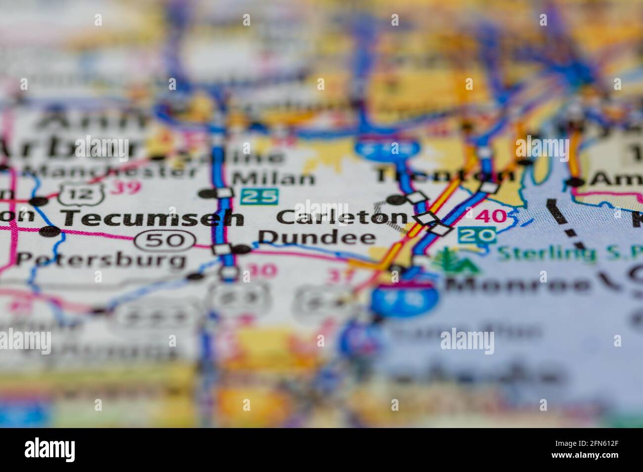 Carleton Michigan USA shown on a Geography map or road map Stock Photohttps://www.alamy.com/image-license-details/?v=1https://www.alamy.com/carleton-michigan-usa-shown-on-a-geography-map-or-road-map-image426089175.html
RM2FN612F–Carleton Michigan USA shown on a Geography map or road map
 Carleton, Monroe County, US, United States, Michigan, N 42 3' 33'', S 83 23' 26'', map, Cartascapes Map published in 2024. Explore Cartascapes, a map revealing Earth's diverse landscapes, cultures, and ecosystems. Journey through time and space, discovering the interconnectedness of our planet's past, present, and future. Stock Photohttps://www.alamy.com/image-license-details/?v=1https://www.alamy.com/carleton-monroe-county-us-united-states-michigan-n-42-3-33-s-83-23-26-map-cartascapes-map-published-in-2024-explore-cartascapes-a-map-revealing-earths-diverse-landscapes-cultures-and-ecosystems-journey-through-time-and-space-discovering-the-interconnectedness-of-our-planets-past-present-and-future-image621413844.html
RM2Y2YRKG–Carleton, Monroe County, US, United States, Michigan, N 42 3' 33'', S 83 23' 26'', map, Cartascapes Map published in 2024. Explore Cartascapes, a map revealing Earth's diverse landscapes, cultures, and ecosystems. Journey through time and space, discovering the interconnectedness of our planet's past, present, and future.
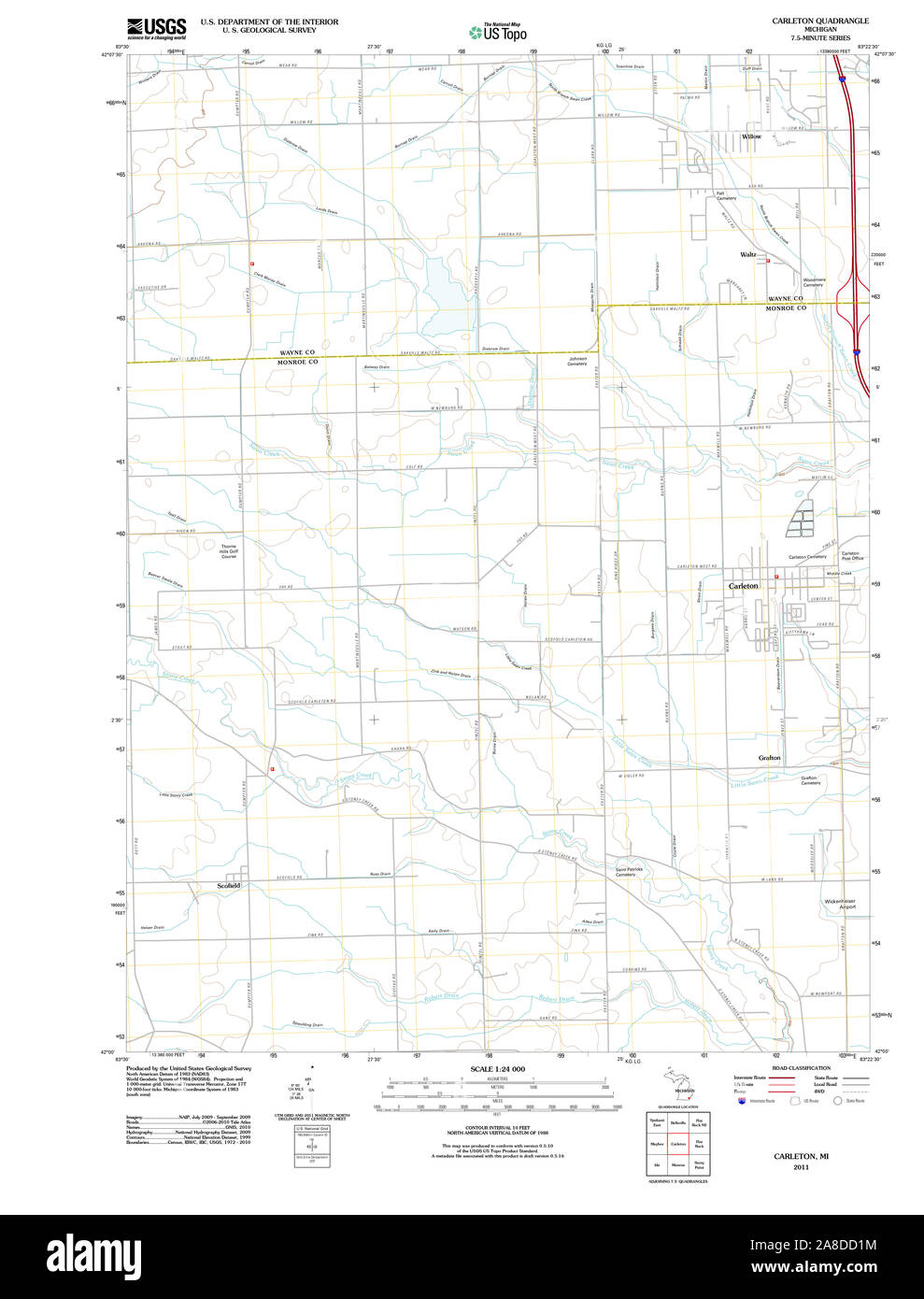 USGS TOPO Map Michigan MI Carleton 20111118 TM Stock Photohttps://www.alamy.com/image-license-details/?v=1https://www.alamy.com/usgs-topo-map-michigan-mi-carleton-20111118-tm-image332209856.html
RM2A8DD1M–USGS TOPO Map Michigan MI Carleton 20111118 TM
 Carleton, Monroe County, US, United States, Michigan, N 42 3' 33'', S 83 23' 26'', map, Cartascapes Map published in 2024. Explore Cartascapes, a map revealing Earth's diverse landscapes, cultures, and ecosystems. Journey through time and space, discovering the interconnectedness of our planet's past, present, and future. Stock Photohttps://www.alamy.com/image-license-details/?v=1https://www.alamy.com/carleton-monroe-county-us-united-states-michigan-n-42-3-33-s-83-23-26-map-cartascapes-map-published-in-2024-explore-cartascapes-a-map-revealing-earths-diverse-landscapes-cultures-and-ecosystems-journey-through-time-and-space-discovering-the-interconnectedness-of-our-planets-past-present-and-future-image620837767.html
RM2Y21GWB–Carleton, Monroe County, US, United States, Michigan, N 42 3' 33'', S 83 23' 26'', map, Cartascapes Map published in 2024. Explore Cartascapes, a map revealing Earth's diverse landscapes, cultures, and ecosystems. Journey through time and space, discovering the interconnectedness of our planet's past, present, and future.
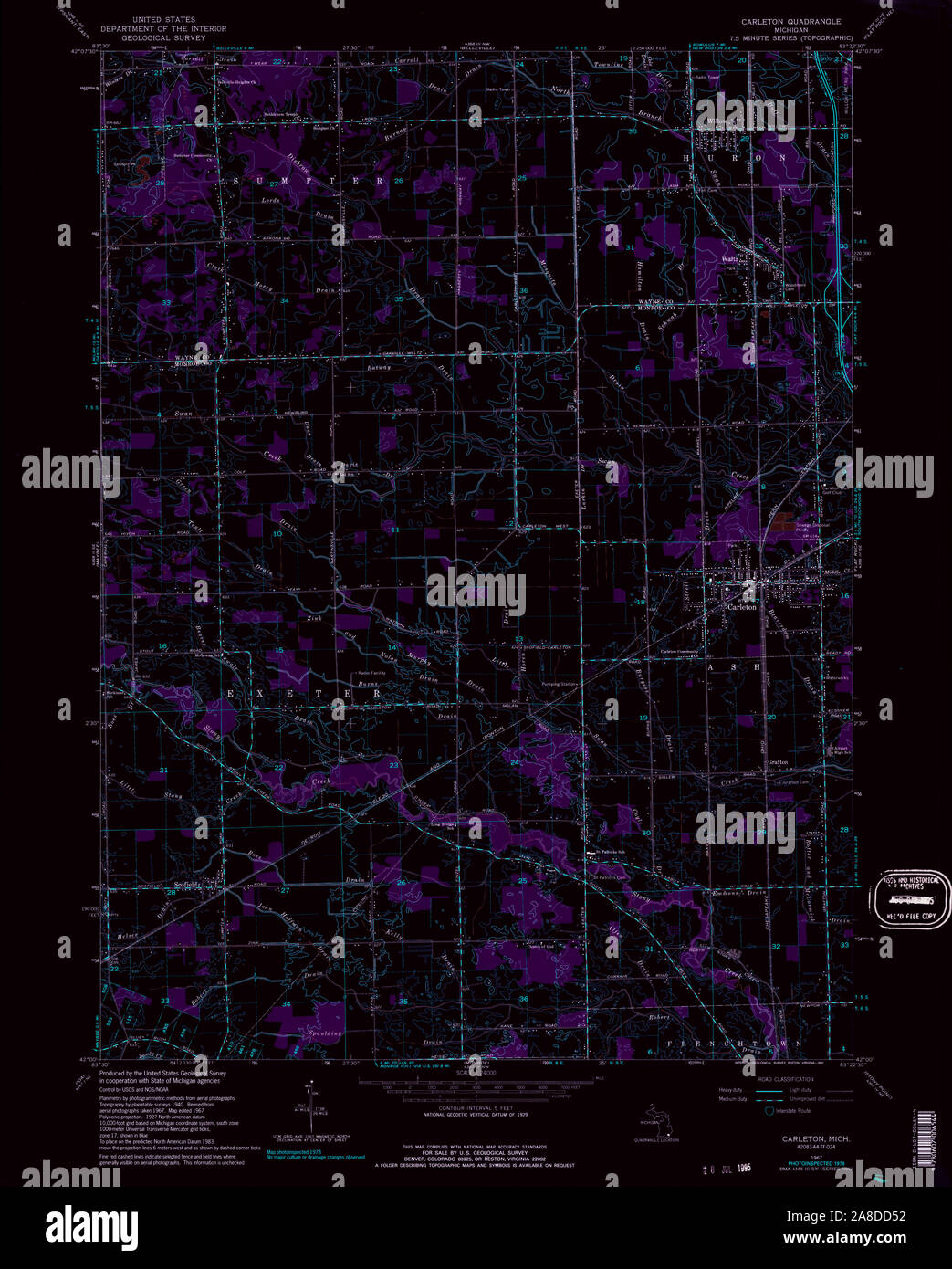
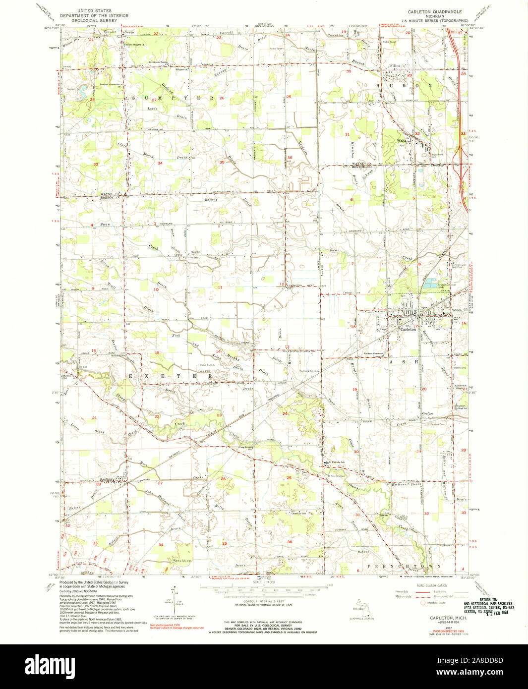 USGS TOPO Map Michigan MI Carleton 275799 1967 24000 Stock Photohttps://www.alamy.com/image-license-details/?v=1https://www.alamy.com/usgs-topo-map-michigan-mi-carleton-275799-1967-24000-image332210045.html
RM2A8DD8D–USGS TOPO Map Michigan MI Carleton 275799 1967 24000
 Village of Carleton, Monroe County, US, United States, Michigan, N 42 3' 25'', S 83 23' 23'', map, Cartascapes Map published in 2024. Explore Cartascapes, a map revealing Earth's diverse landscapes, cultures, and ecosystems. Journey through time and space, discovering the interconnectedness of our planet's past, present, and future. Stock Photohttps://www.alamy.com/image-license-details/?v=1https://www.alamy.com/village-of-carleton-monroe-county-us-united-states-michigan-n-42-3-25-s-83-23-23-map-cartascapes-map-published-in-2024-explore-cartascapes-a-map-revealing-earths-diverse-landscapes-cultures-and-ecosystems-journey-through-time-and-space-discovering-the-interconnectedness-of-our-planets-past-present-and-future-image633799627.html
RM2YR41TY–Village of Carleton, Monroe County, US, United States, Michigan, N 42 3' 25'', S 83 23' 23'', map, Cartascapes Map published in 2024. Explore Cartascapes, a map revealing Earth's diverse landscapes, cultures, and ecosystems. Journey through time and space, discovering the interconnectedness of our planet's past, present, and future.
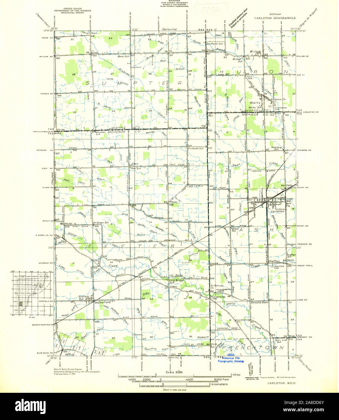 USGS TOPO Map Michigan MI Carleton 277768 1936 31680 Stock Photohttps://www.alamy.com/image-license-details/?v=1https://www.alamy.com/usgs-topo-map-michigan-mi-carleton-277768-1936-31680-image332210003.html
RM2A8DD6Y–USGS TOPO Map Michigan MI Carleton 277768 1936 31680
 Carleton Mobile Home Park, Monroe County, US, United States, Michigan, N 42 3' 24'', S 83 23' 20'', map, Cartascapes Map published in 2024. Explore Cartascapes, a map revealing Earth's diverse landscapes, cultures, and ecosystems. Journey through time and space, discovering the interconnectedness of our planet's past, present, and future. Stock Photohttps://www.alamy.com/image-license-details/?v=1https://www.alamy.com/carleton-mobile-home-park-monroe-county-us-united-states-michigan-n-42-3-24-s-83-23-20-map-cartascapes-map-published-in-2024-explore-cartascapes-a-map-revealing-earths-diverse-landscapes-cultures-and-ecosystems-journey-through-time-and-space-discovering-the-interconnectedness-of-our-planets-past-present-and-future-image620788893.html
RM2Y1YAFW–Carleton Mobile Home Park, Monroe County, US, United States, Michigan, N 42 3' 24'', S 83 23' 20'', map, Cartascapes Map published in 2024. Explore Cartascapes, a map revealing Earth's diverse landscapes, cultures, and ecosystems. Journey through time and space, discovering the interconnectedness of our planet's past, present, and future.
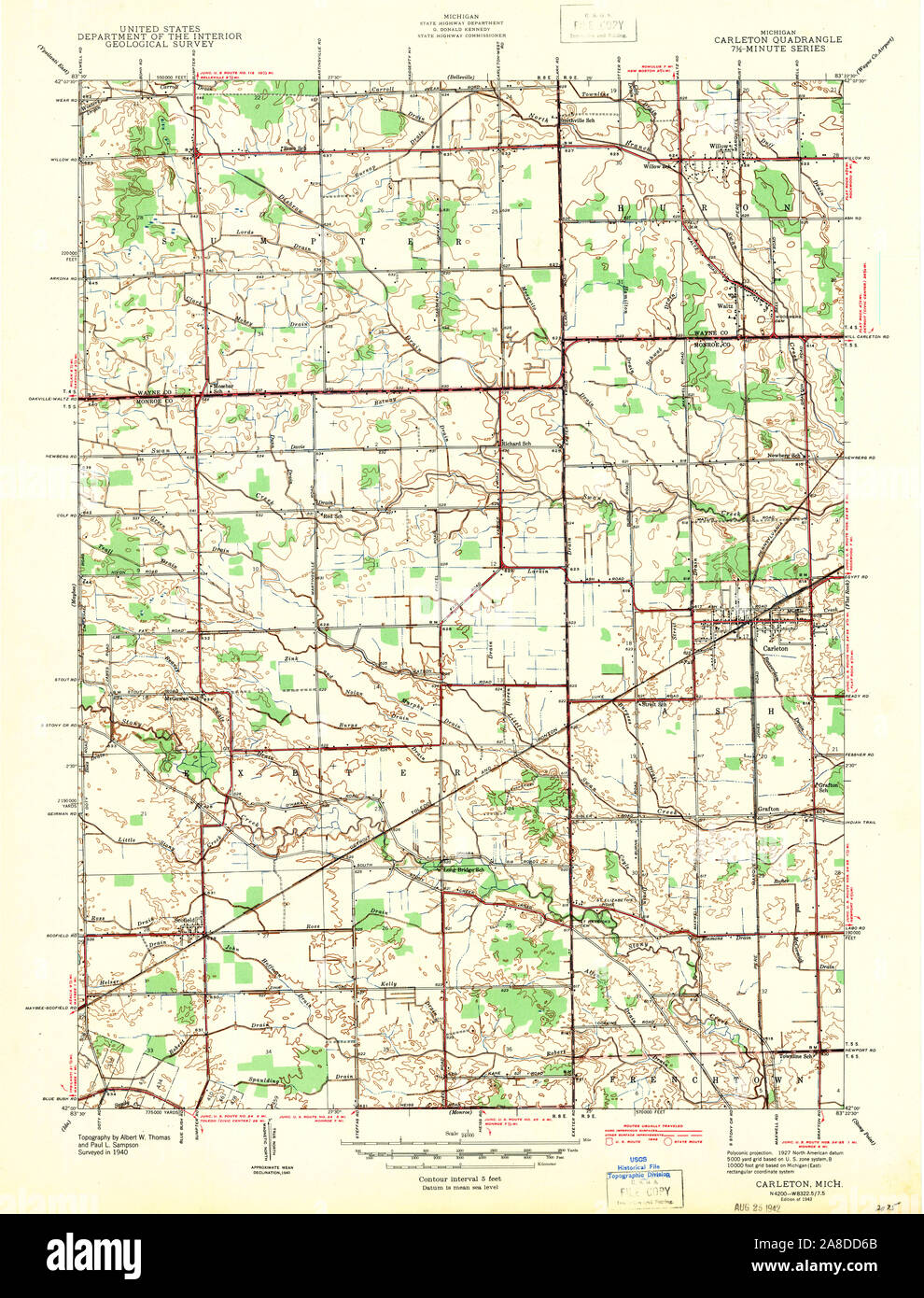 USGS TOPO Map Michigan MI Carleton 275795 1942 24000 Stock Photohttps://www.alamy.com/image-license-details/?v=1https://www.alamy.com/usgs-topo-map-michigan-mi-carleton-275795-1942-24000-image332209987.html
RM2A8DD6B–USGS TOPO Map Michigan MI Carleton 275795 1942 24000
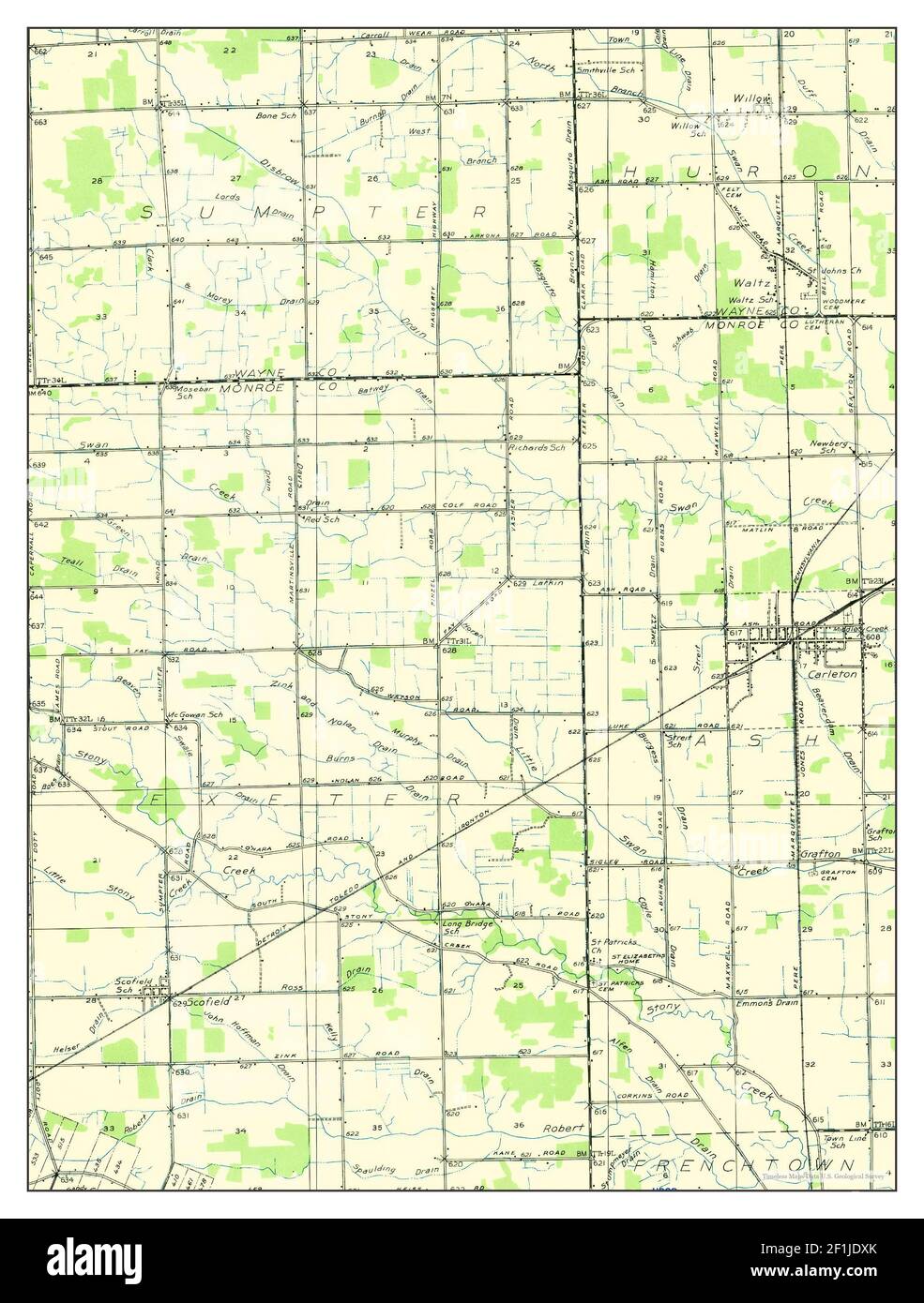 Carleton, Michigan, map 1936, 1:31680, United States of America by Timeless Maps, data U.S. Geological Survey Stock Photohttps://www.alamy.com/image-license-details/?v=1https://www.alamy.com/carleton-michigan-map-1936-131680-united-states-of-america-by-timeless-maps-data-us-geological-survey-image414069563.html
RM2F1JDXK–Carleton, Michigan, map 1936, 1:31680, United States of America by Timeless Maps, data U.S. Geological Survey
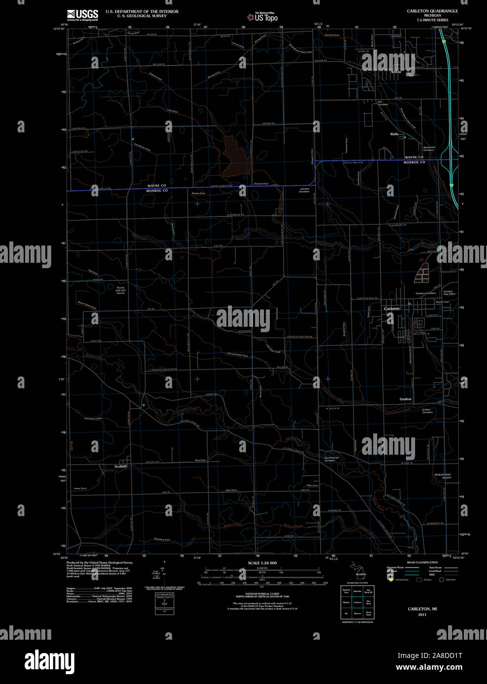 USGS TOPO Map Michigan MI Carleton 20111118 TM Inverted Stock Photohttps://www.alamy.com/image-license-details/?v=1https://www.alamy.com/usgs-topo-map-michigan-mi-carleton-20111118-tm-inverted-image332209860.html
RM2A8DD1T–USGS TOPO Map Michigan MI Carleton 20111118 TM Inverted
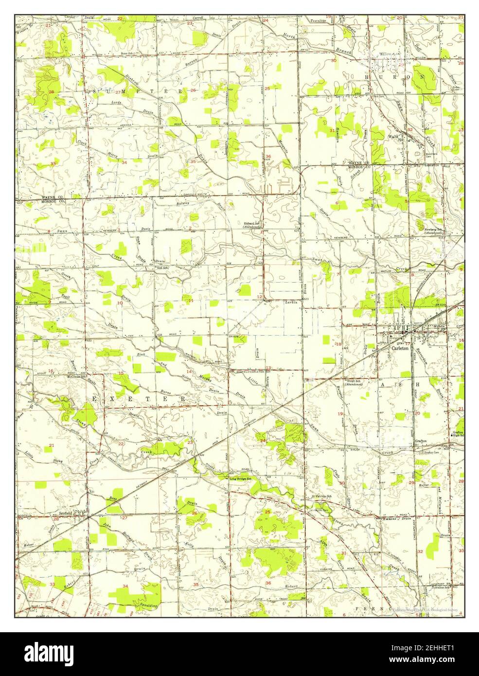 Carleton, Michigan, map 1952, 1:24000, United States of America by Timeless Maps, data U.S. Geological Survey Stock Photohttps://www.alamy.com/image-license-details/?v=1https://www.alamy.com/carleton-michigan-map-1952-124000-united-states-of-america-by-timeless-maps-data-us-geological-survey-image406672449.html
RM2EHHET1–Carleton, Michigan, map 1952, 1:24000, United States of America by Timeless Maps, data U.S. Geological Survey
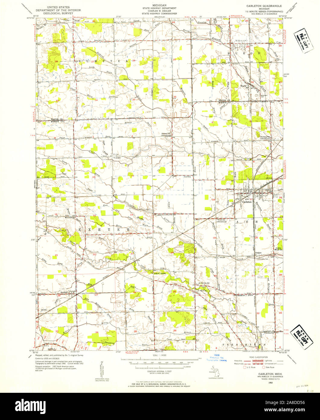 USGS TOPO Map Michigan MI Carleton 275796 1952 24000 Stock Photohttps://www.alamy.com/image-license-details/?v=1https://www.alamy.com/usgs-topo-map-michigan-mi-carleton-275796-1952-24000-image332209954.html
RM2A8DD56–USGS TOPO Map Michigan MI Carleton 275796 1952 24000
 Carleton, Michigan, map 1967, 1:24000, United States of America by Timeless Maps, data U.S. Geological Survey Stock Photohttps://www.alamy.com/image-license-details/?v=1https://www.alamy.com/carleton-michigan-map-1967-124000-united-states-of-america-by-timeless-maps-data-us-geological-survey-image406672431.html
RM2EHHERB–Carleton, Michigan, map 1967, 1:24000, United States of America by Timeless Maps, data U.S. Geological Survey
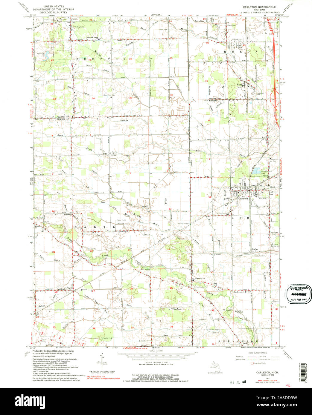 USGS TOPO Map Michigan MI Carleton 275798 1967 24000 Stock Photohttps://www.alamy.com/image-license-details/?v=1https://www.alamy.com/usgs-topo-map-michigan-mi-carleton-275798-1967-24000-image332209973.html
RM2A8DD5W–USGS TOPO Map Michigan MI Carleton 275798 1967 24000
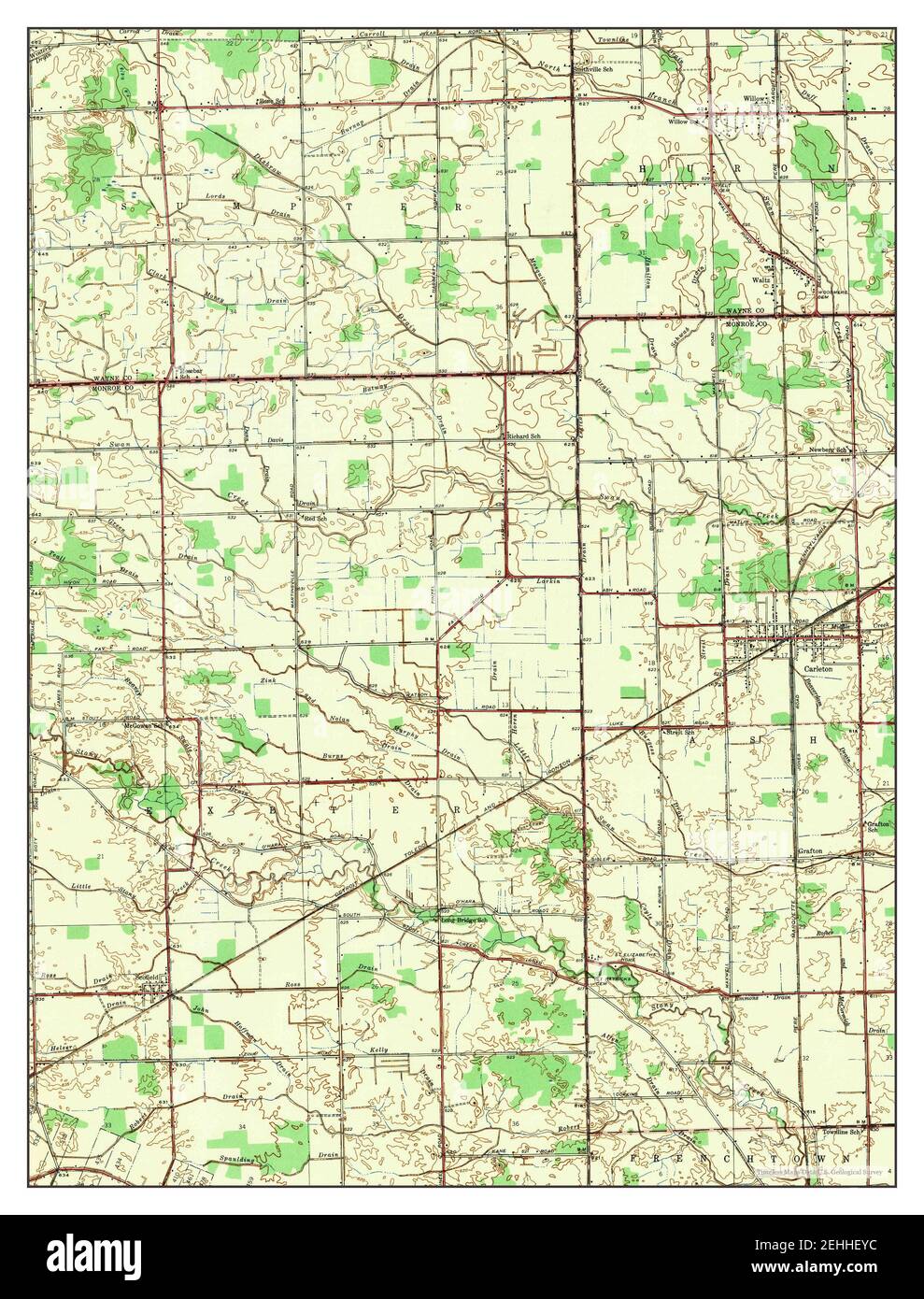 Carleton, Michigan, map 1942, 1:24000, United States of America by Timeless Maps, data U.S. Geological Survey Stock Photohttps://www.alamy.com/image-license-details/?v=1https://www.alamy.com/carleton-michigan-map-1942-124000-united-states-of-america-by-timeless-maps-data-us-geological-survey-image406672544.html
RM2EHHEYC–Carleton, Michigan, map 1942, 1:24000, United States of America by Timeless Maps, data U.S. Geological Survey
 USGS TOPO Map Michigan MI Carleton 275797 1967 24000 Stock Photohttps://www.alamy.com/image-license-details/?v=1https://www.alamy.com/usgs-topo-map-michigan-mi-carleton-275797-1967-24000-image332209979.html
RM2A8DD63–USGS TOPO Map Michigan MI Carleton 275797 1967 24000
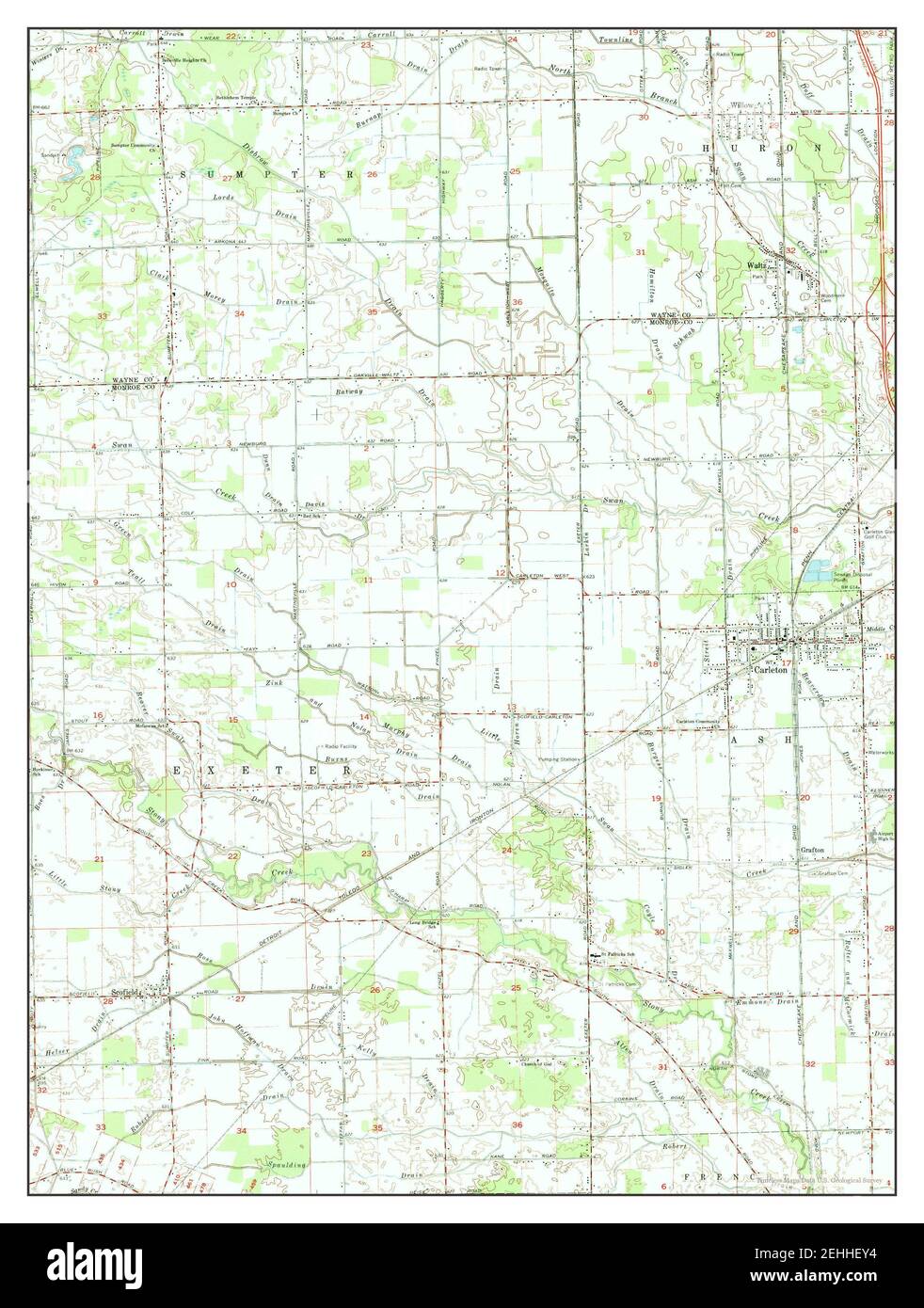 Carleton, Michigan, map 1967, 1:24000, United States of America by Timeless Maps, data U.S. Geological Survey Stock Photohttps://www.alamy.com/image-license-details/?v=1https://www.alamy.com/carleton-michigan-map-1967-124000-united-states-of-america-by-timeless-maps-data-us-geological-survey-image406672536.html
RM2EHHEY4–Carleton, Michigan, map 1967, 1:24000, United States of America by Timeless Maps, data U.S. Geological Survey
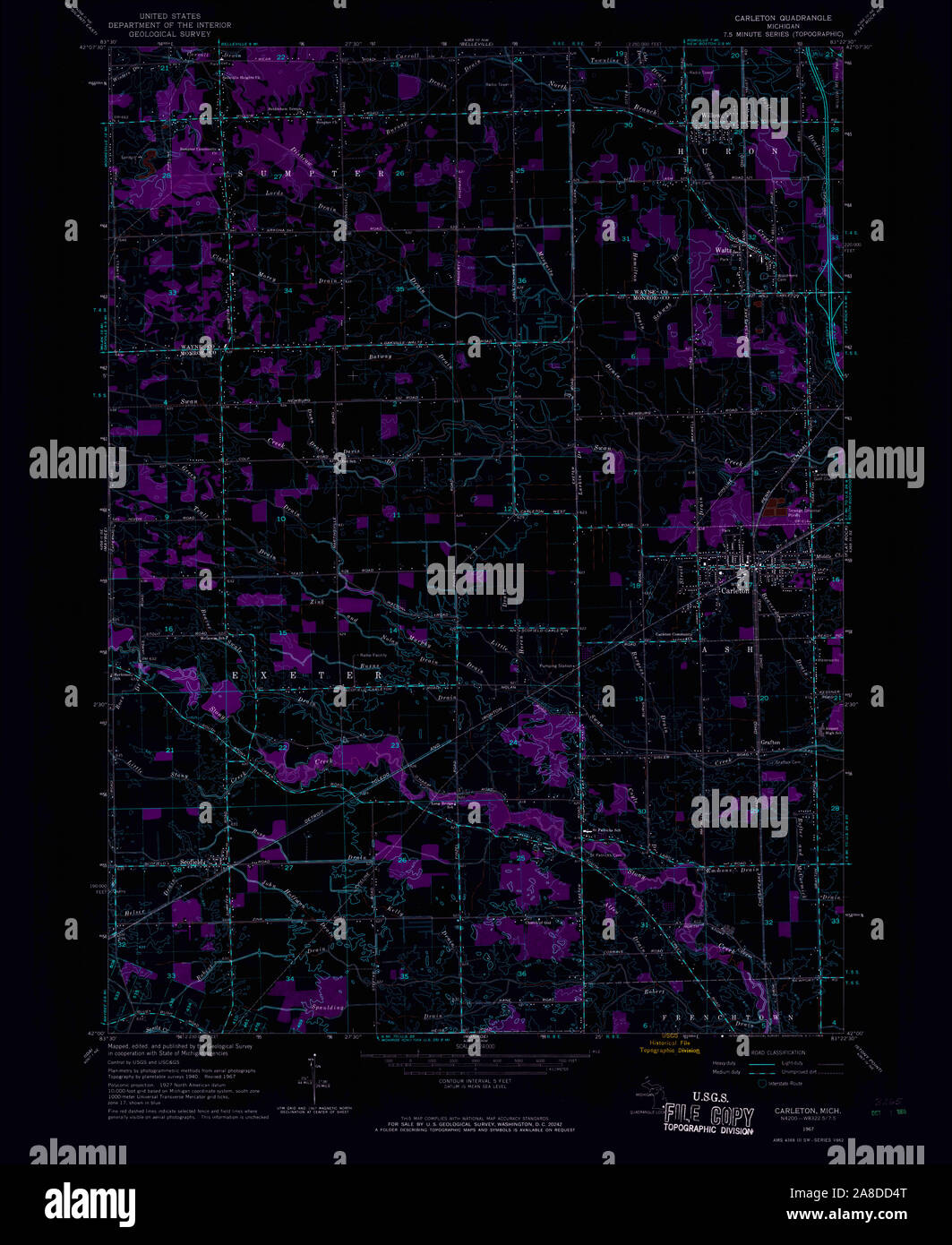
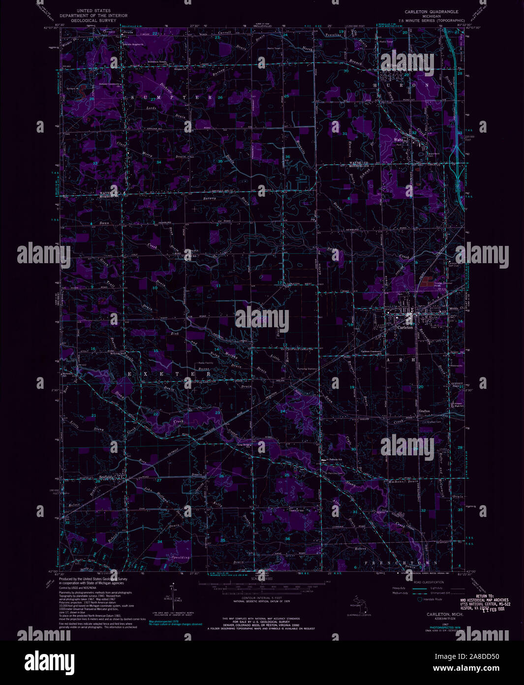 USGS TOPO Map Michigan MI Carleton 275799 1967 24000 Inverted Stock Photohttps://www.alamy.com/image-license-details/?v=1https://www.alamy.com/usgs-topo-map-michigan-mi-carleton-275799-1967-24000-inverted-image332209948.html
RM2A8DD50–USGS TOPO Map Michigan MI Carleton 275799 1967 24000 Inverted
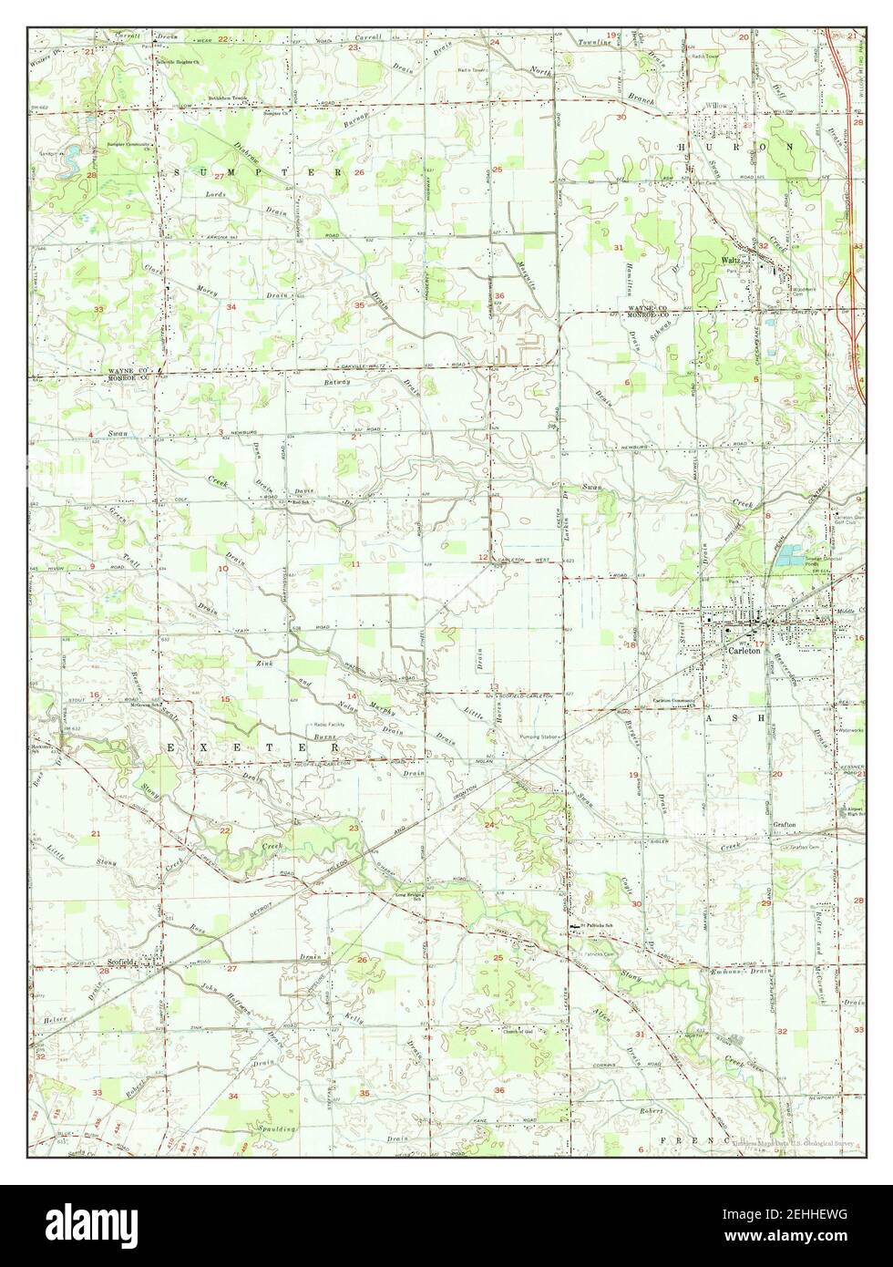 Carleton, Michigan, map 1967, 1:24000, United States of America by Timeless Maps, data U.S. Geological Survey Stock Photohttps://www.alamy.com/image-license-details/?v=1https://www.alamy.com/carleton-michigan-map-1967-124000-united-states-of-america-by-timeless-maps-data-us-geological-survey-image406672492.html
RM2EHHEWG–Carleton, Michigan, map 1967, 1:24000, United States of America by Timeless Maps, data U.S. Geological Survey
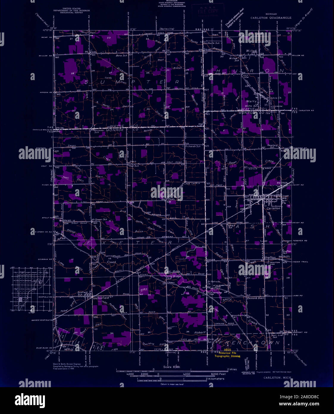 USGS TOPO Map Michigan MI Carleton 277768 1936 31680 Inverted Stock Photohttps://www.alamy.com/image-license-details/?v=1https://www.alamy.com/usgs-topo-map-michigan-mi-carleton-277768-1936-31680-inverted-image332210044.html
RM2A8DD8C–USGS TOPO Map Michigan MI Carleton 277768 1936 31680 Inverted
 Carleton, Michigan, map 1942, 1:24000, United States of America by Timeless Maps, data U.S. Geological Survey Stock Photohttps://www.alamy.com/image-license-details/?v=1https://www.alamy.com/carleton-michigan-map-1942-124000-united-states-of-america-by-timeless-maps-data-us-geological-survey-image406672481.html
RM2EHHEW5–Carleton, Michigan, map 1942, 1:24000, United States of America by Timeless Maps, data U.S. Geological Survey
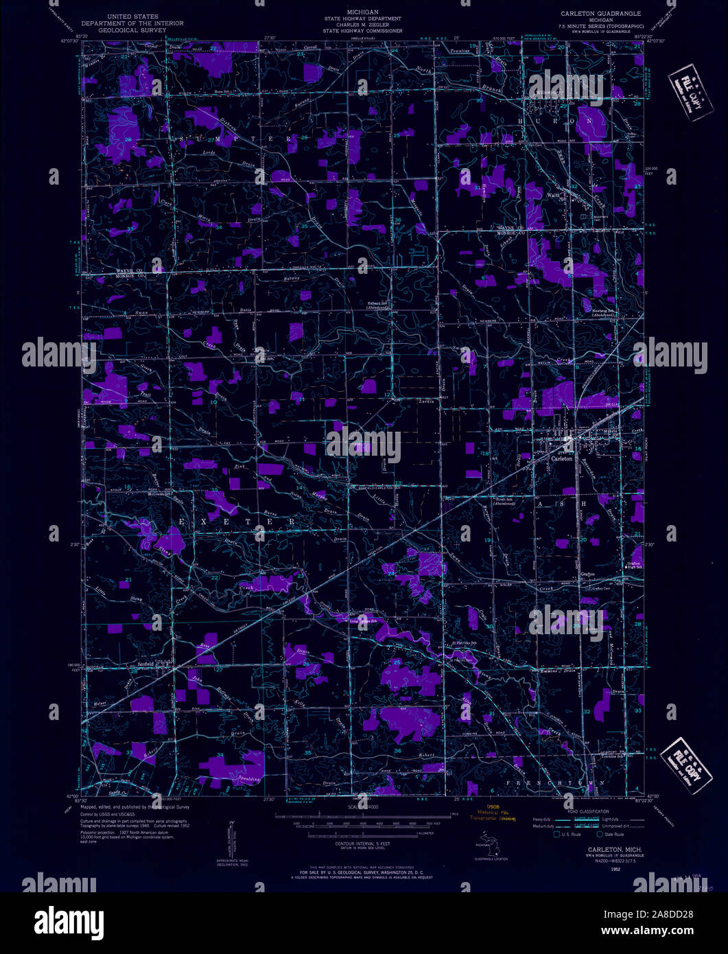 USGS TOPO Map Michigan MI Carleton 275796 1952 24000 Inverted Stock Photohttps://www.alamy.com/image-license-details/?v=1https://www.alamy.com/usgs-topo-map-michigan-mi-carleton-275796-1952-24000-inverted-image332209872.html
RM2A8DD28–USGS TOPO Map Michigan MI Carleton 275796 1952 24000 Inverted
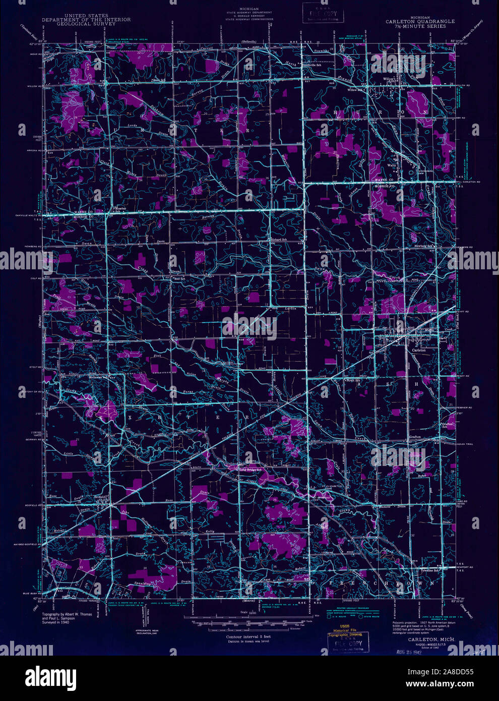 USGS TOPO Map Michigan MI Carleton 275795 1942 24000 Inverted Stock Photohttps://www.alamy.com/image-license-details/?v=1https://www.alamy.com/usgs-topo-map-michigan-mi-carleton-275795-1942-24000-inverted-image332209953.html
RM2A8DD55–USGS TOPO Map Michigan MI Carleton 275795 1942 24000 Inverted
