Quick filters:
Cherryvale kansas map Stock Photos and Images
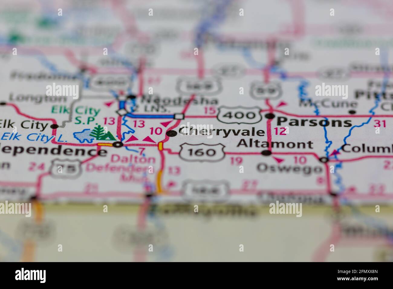 Cherryvale Kansas USA shown on a Geography map or Road Map Stock Photohttps://www.alamy.com/image-license-details/?v=1https://www.alamy.com/cherryvale-kansas-usa-shown-on-a-geography-map-or-road-map-image425933333.html
RM2FMXX8N–Cherryvale Kansas USA shown on a Geography map or Road Map
 Cherryvale, Montgomery County, US, United States, Kansas, N 37 16' 13'', S 95 33' 8'', map, Cartascapes Map published in 2024. Explore Cartascapes, a map revealing Earth's diverse landscapes, cultures, and ecosystems. Journey through time and space, discovering the interconnectedness of our planet's past, present, and future. Stock Photohttps://www.alamy.com/image-license-details/?v=1https://www.alamy.com/cherryvale-montgomery-county-us-united-states-kansas-n-37-16-13-s-95-33-8-map-cartascapes-map-published-in-2024-explore-cartascapes-a-map-revealing-earths-diverse-landscapes-cultures-and-ecosystems-journey-through-time-and-space-discovering-the-interconnectedness-of-our-planets-past-present-and-future-image621482336.html
RM2Y32Y1M–Cherryvale, Montgomery County, US, United States, Kansas, N 37 16' 13'', S 95 33' 8'', map, Cartascapes Map published in 2024. Explore Cartascapes, a map revealing Earth's diverse landscapes, cultures, and ecosystems. Journey through time and space, discovering the interconnectedness of our planet's past, present, and future.
 Sanborn Fire Insurance Map from Cherryvale, Montgomery County, Kansas. Stock Photohttps://www.alamy.com/image-license-details/?v=1https://www.alamy.com/sanborn-fire-insurance-map-from-cherryvale-montgomery-county-kansas-image456326413.html
RM2HEBCYW–Sanborn Fire Insurance Map from Cherryvale, Montgomery County, Kansas.
 USGS TOPO Map Kansas KS Cherryvale 20120906 TM Restoration Stock Photohttps://www.alamy.com/image-license-details/?v=1https://www.alamy.com/usgs-topo-map-kansas-ks-cherryvale-20120906-tm-restoration-image260137478.html
RMW36806–USGS TOPO Map Kansas KS Cherryvale 20120906 TM Restoration
 Cherryvale, Montgomery County, US, United States, Kansas, N 37 16' 13'', S 95 33' 8'', map, Cartascapes Map published in 2024. Explore Cartascapes, a map revealing Earth's diverse landscapes, cultures, and ecosystems. Journey through time and space, discovering the interconnectedness of our planet's past, present, and future. Stock Photohttps://www.alamy.com/image-license-details/?v=1https://www.alamy.com/cherryvale-montgomery-county-us-united-states-kansas-n-37-16-13-s-95-33-8-map-cartascapes-map-published-in-2024-explore-cartascapes-a-map-revealing-earths-diverse-landscapes-cultures-and-ecosystems-journey-through-time-and-space-discovering-the-interconnectedness-of-our-planets-past-present-and-future-image620704866.html
RM2Y1RFAX–Cherryvale, Montgomery County, US, United States, Kansas, N 37 16' 13'', S 95 33' 8'', map, Cartascapes Map published in 2024. Explore Cartascapes, a map revealing Earth's diverse landscapes, cultures, and ecosystems. Journey through time and space, discovering the interconnectedness of our planet's past, present, and future.
 Sanborn Fire Insurance Map from Cherryvale, Montgomery County, Kansas. Stock Photohttps://www.alamy.com/image-license-details/?v=1https://www.alamy.com/sanborn-fire-insurance-map-from-cherryvale-montgomery-county-kansas-image456326380.html
RM2HEBCXM–Sanborn Fire Insurance Map from Cherryvale, Montgomery County, Kansas.
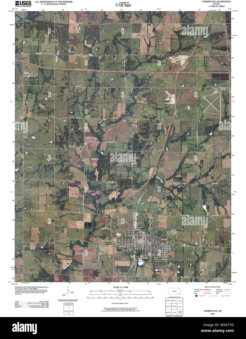 USGS TOPO Map Kansas KS Cherryvale 20091020 TM Restoration Stock Photohttps://www.alamy.com/image-license-details/?v=1https://www.alamy.com/usgs-topo-map-kansas-ks-cherryvale-20091020-tm-restoration-image260137457.html
RMW367YD–USGS TOPO Map Kansas KS Cherryvale 20091020 TM Restoration
 City of Cherryvale, Montgomery County, US, United States, Kansas, N 37 16' 9'', S 95 33' 13'', map, Cartascapes Map published in 2024. Explore Cartascapes, a map revealing Earth's diverse landscapes, cultures, and ecosystems. Journey through time and space, discovering the interconnectedness of our planet's past, present, and future. Stock Photohttps://www.alamy.com/image-license-details/?v=1https://www.alamy.com/city-of-cherryvale-montgomery-county-us-united-states-kansas-n-37-16-9-s-95-33-13-map-cartascapes-map-published-in-2024-explore-cartascapes-a-map-revealing-earths-diverse-landscapes-cultures-and-ecosystems-journey-through-time-and-space-discovering-the-interconnectedness-of-our-planets-past-present-and-future-image633886684.html
RM2YR80X4–City of Cherryvale, Montgomery County, US, United States, Kansas, N 37 16' 9'', S 95 33' 13'', map, Cartascapes Map published in 2024. Explore Cartascapes, a map revealing Earth's diverse landscapes, cultures, and ecosystems. Journey through time and space, discovering the interconnectedness of our planet's past, present, and future.
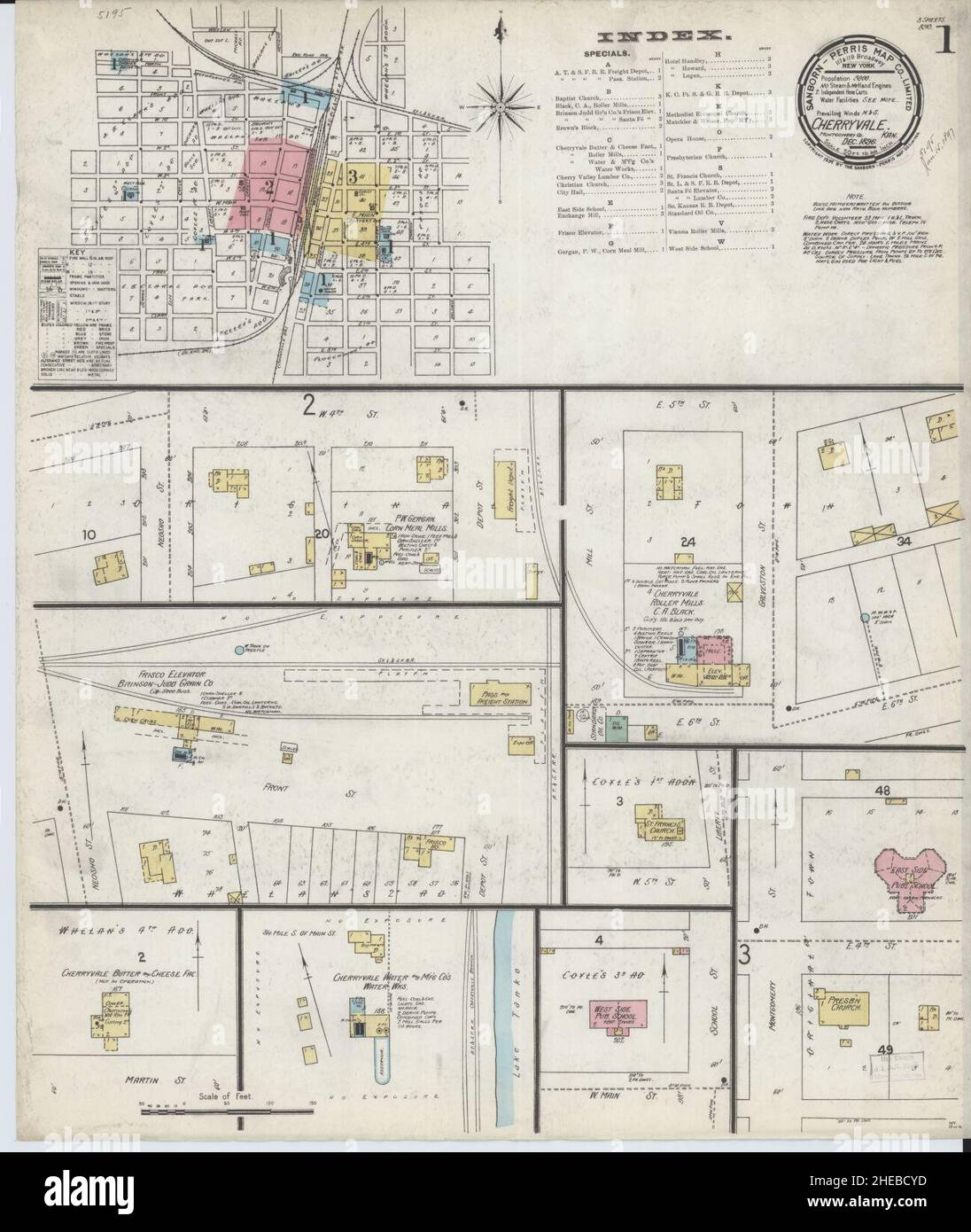 Sanborn Fire Insurance Map from Cherryvale, Montgomery County, Kansas. Stock Photohttps://www.alamy.com/image-license-details/?v=1https://www.alamy.com/sanborn-fire-insurance-map-from-cherryvale-montgomery-county-kansas-image456326401.html
RM2HEBCYD–Sanborn Fire Insurance Map from Cherryvale, Montgomery County, Kansas.
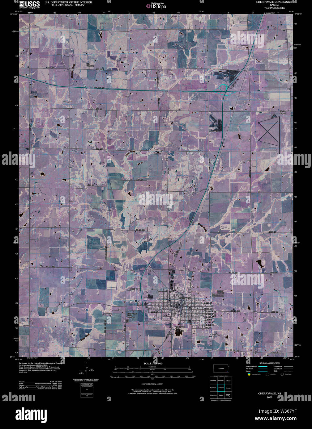 USGS TOPO Map Kansas KS Cherryvale 20091020 TM Inverted Restoration Stock Photohttps://www.alamy.com/image-license-details/?v=1https://www.alamy.com/usgs-topo-map-kansas-ks-cherryvale-20091020-tm-inverted-restoration-image260137459.html
RMW367YF–USGS TOPO Map Kansas KS Cherryvale 20091020 TM Inverted Restoration
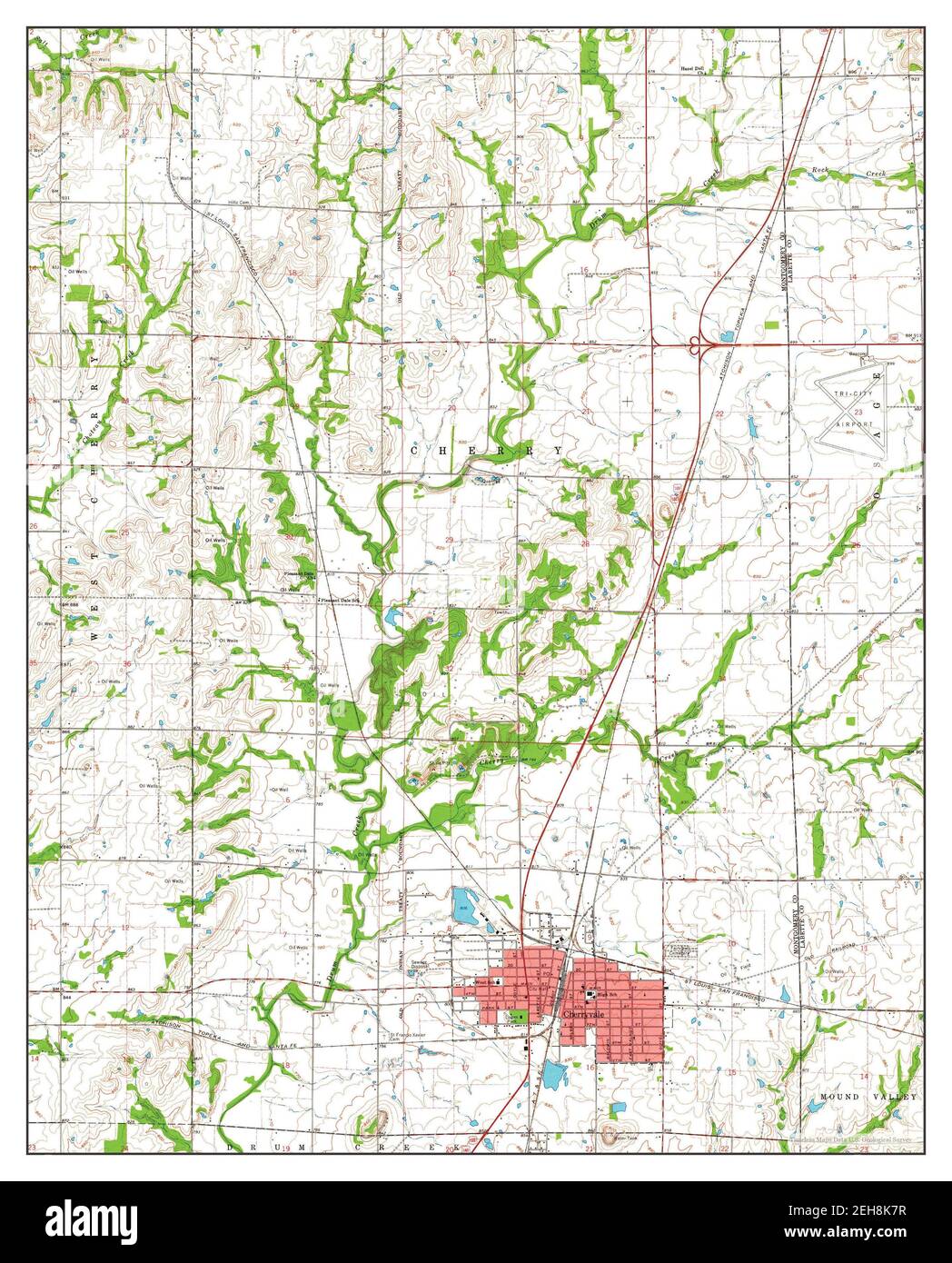 Cherryvale, Kansas, map 1962, 1:24000, United States of America by Timeless Maps, data U.S. Geological Survey Stock Photohttps://www.alamy.com/image-license-details/?v=1https://www.alamy.com/cherryvale-kansas-map-1962-124000-united-states-of-america-by-timeless-maps-data-us-geological-survey-image406478347.html
RM2EH8K7R–Cherryvale, Kansas, map 1962, 1:24000, United States of America by Timeless Maps, data U.S. Geological Survey
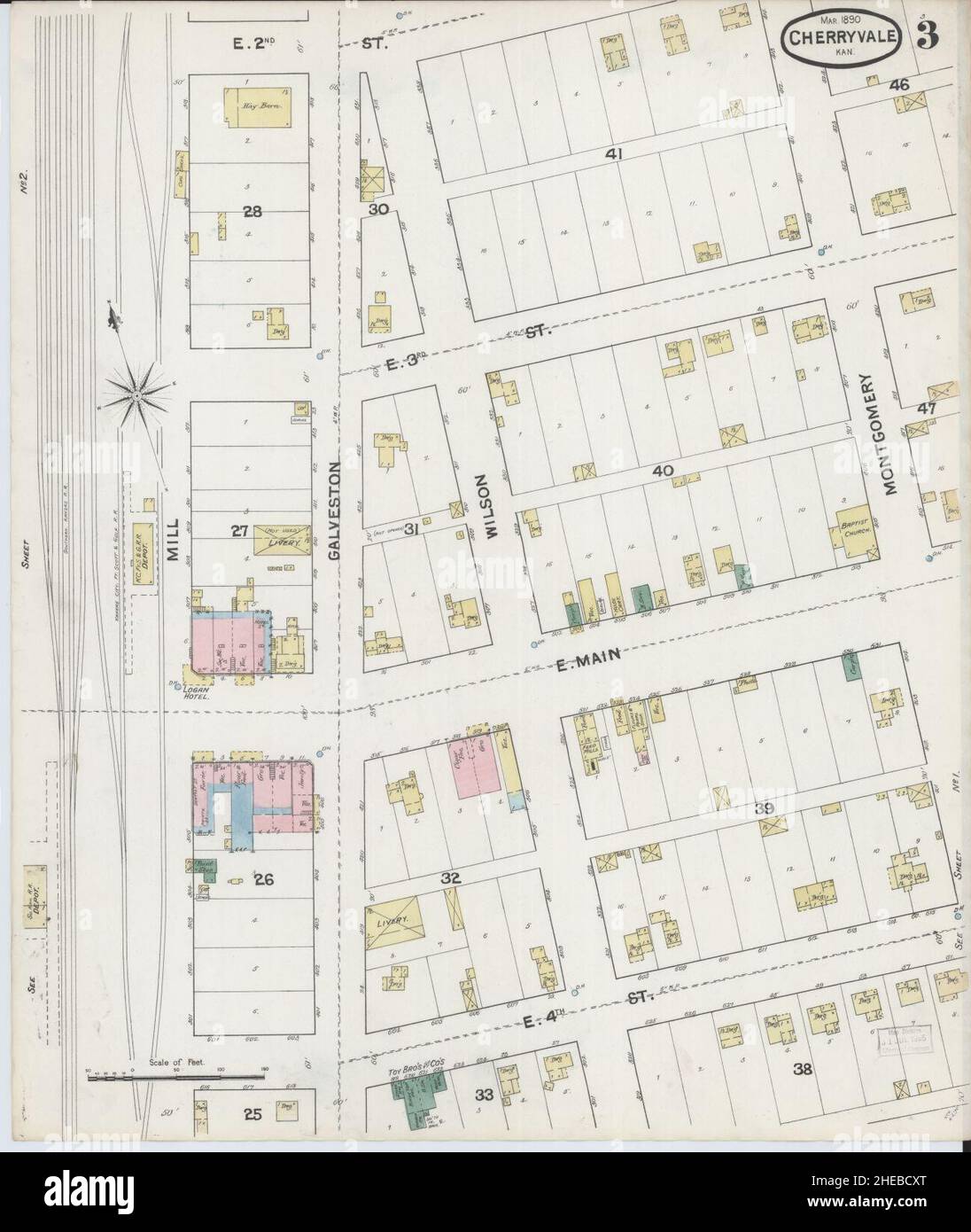 Sanborn Fire Insurance Map from Cherryvale, Montgomery County, Kansas. Stock Photohttps://www.alamy.com/image-license-details/?v=1https://www.alamy.com/sanborn-fire-insurance-map-from-cherryvale-montgomery-county-kansas-image456326384.html
RM2HEBCXT–Sanborn Fire Insurance Map from Cherryvale, Montgomery County, Kansas.
 USGS TOPO Map Kansas KS Cherryvale 511062 1962 24000 Restoration Stock Photohttps://www.alamy.com/image-license-details/?v=1https://www.alamy.com/usgs-topo-map-kansas-ks-cherryvale-511062-1962-24000-restoration-image260137511.html
RMW3681B–USGS TOPO Map Kansas KS Cherryvale 511062 1962 24000 Restoration
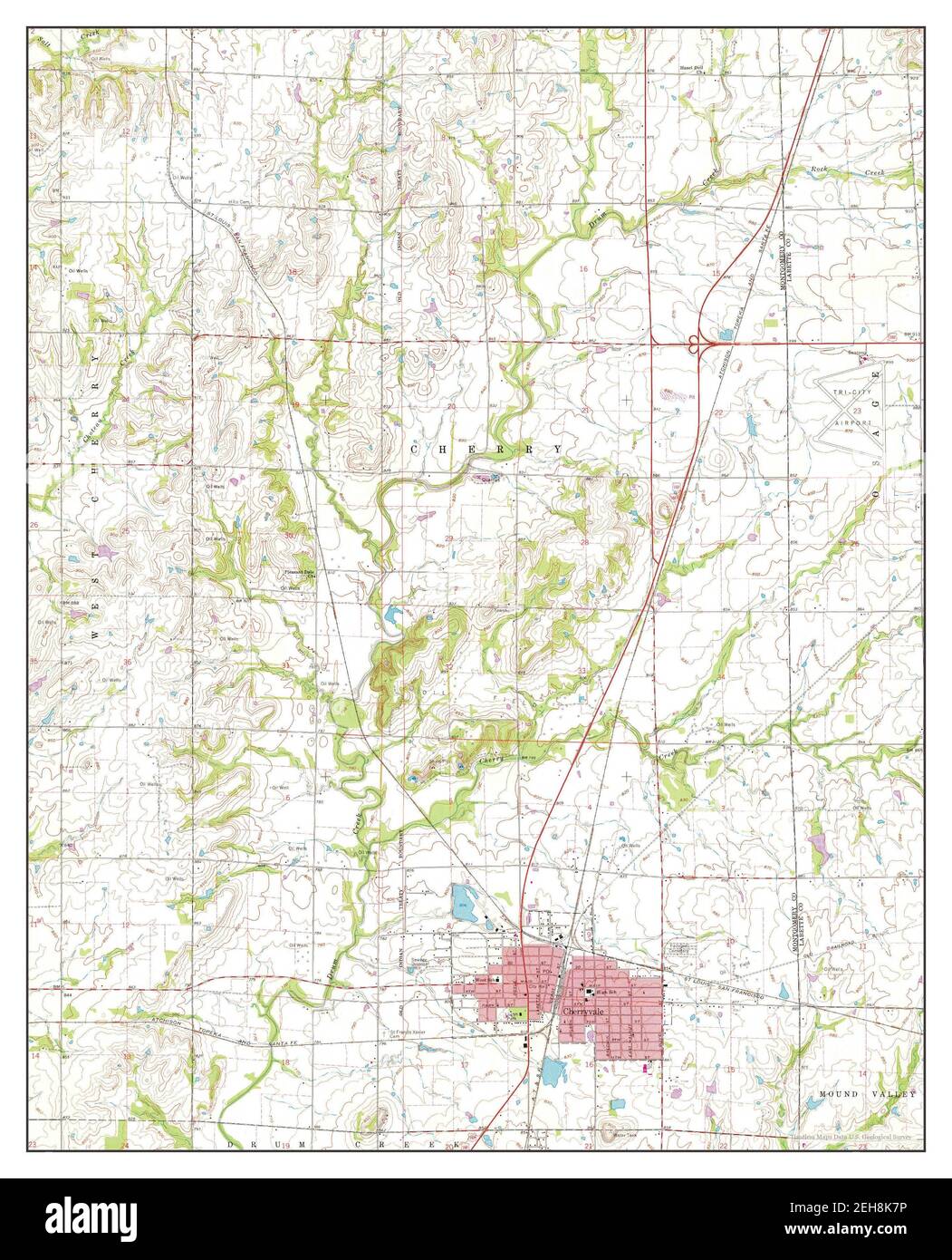 Cherryvale, Kansas, map 1962, 1:24000, United States of America by Timeless Maps, data U.S. Geological Survey Stock Photohttps://www.alamy.com/image-license-details/?v=1https://www.alamy.com/cherryvale-kansas-map-1962-124000-united-states-of-america-by-timeless-maps-data-us-geological-survey-image406478346.html
RM2EH8K7P–Cherryvale, Kansas, map 1962, 1:24000, United States of America by Timeless Maps, data U.S. Geological Survey
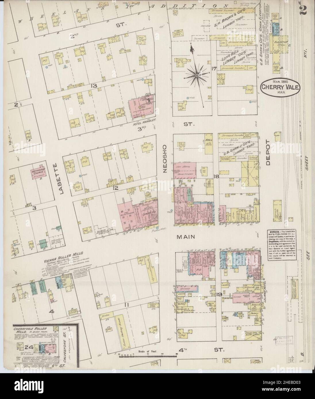 Sanborn Fire Insurance Map from Cherryvale, Montgomery County, Kansas. Stock Photohttps://www.alamy.com/image-license-details/?v=1https://www.alamy.com/sanborn-fire-insurance-map-from-cherryvale-montgomery-county-kansas-image456326419.html
RM2HEBD03–Sanborn Fire Insurance Map from Cherryvale, Montgomery County, Kansas.
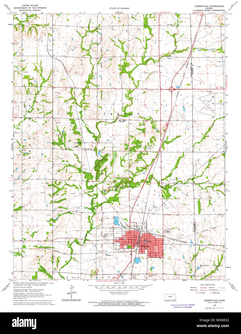 USGS TOPO Map Kansas KS Cherryvale 511064 1962 24000 Restoration Stock Photohttps://www.alamy.com/image-license-details/?v=1https://www.alamy.com/usgs-topo-map-kansas-ks-cherryvale-511064-1962-24000-restoration-image260137558.html
RMW36832–USGS TOPO Map Kansas KS Cherryvale 511064 1962 24000 Restoration
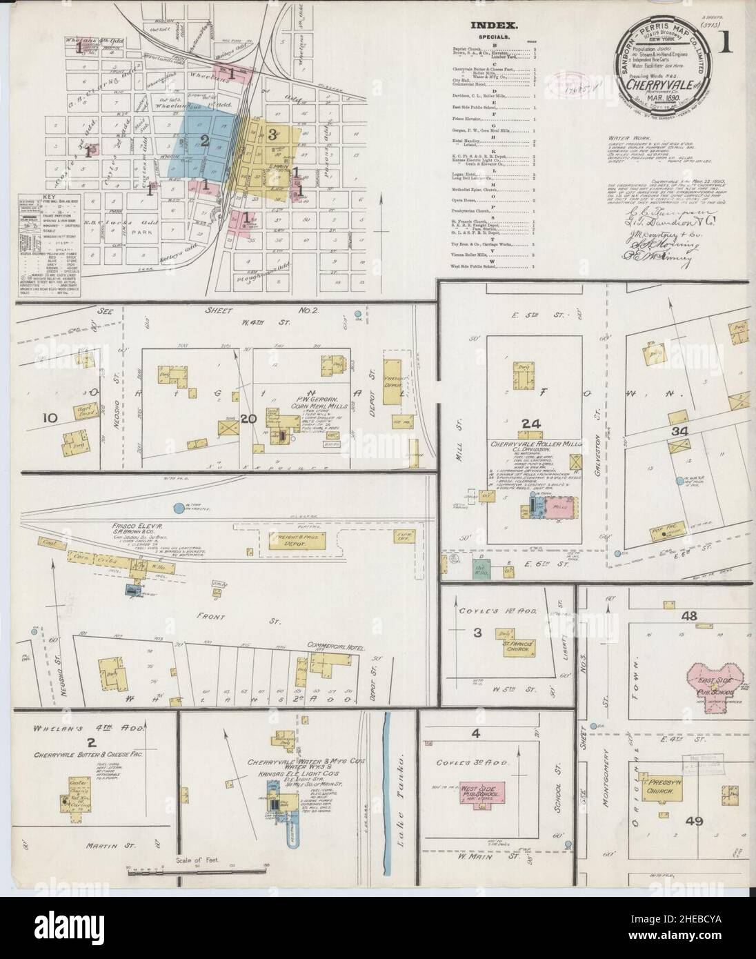 Sanborn Fire Insurance Map from Cherryvale, Montgomery County, Kansas. Stock Photohttps://www.alamy.com/image-license-details/?v=1https://www.alamy.com/sanborn-fire-insurance-map-from-cherryvale-montgomery-county-kansas-image456326398.html
RM2HEBCYA–Sanborn Fire Insurance Map from Cherryvale, Montgomery County, Kansas.
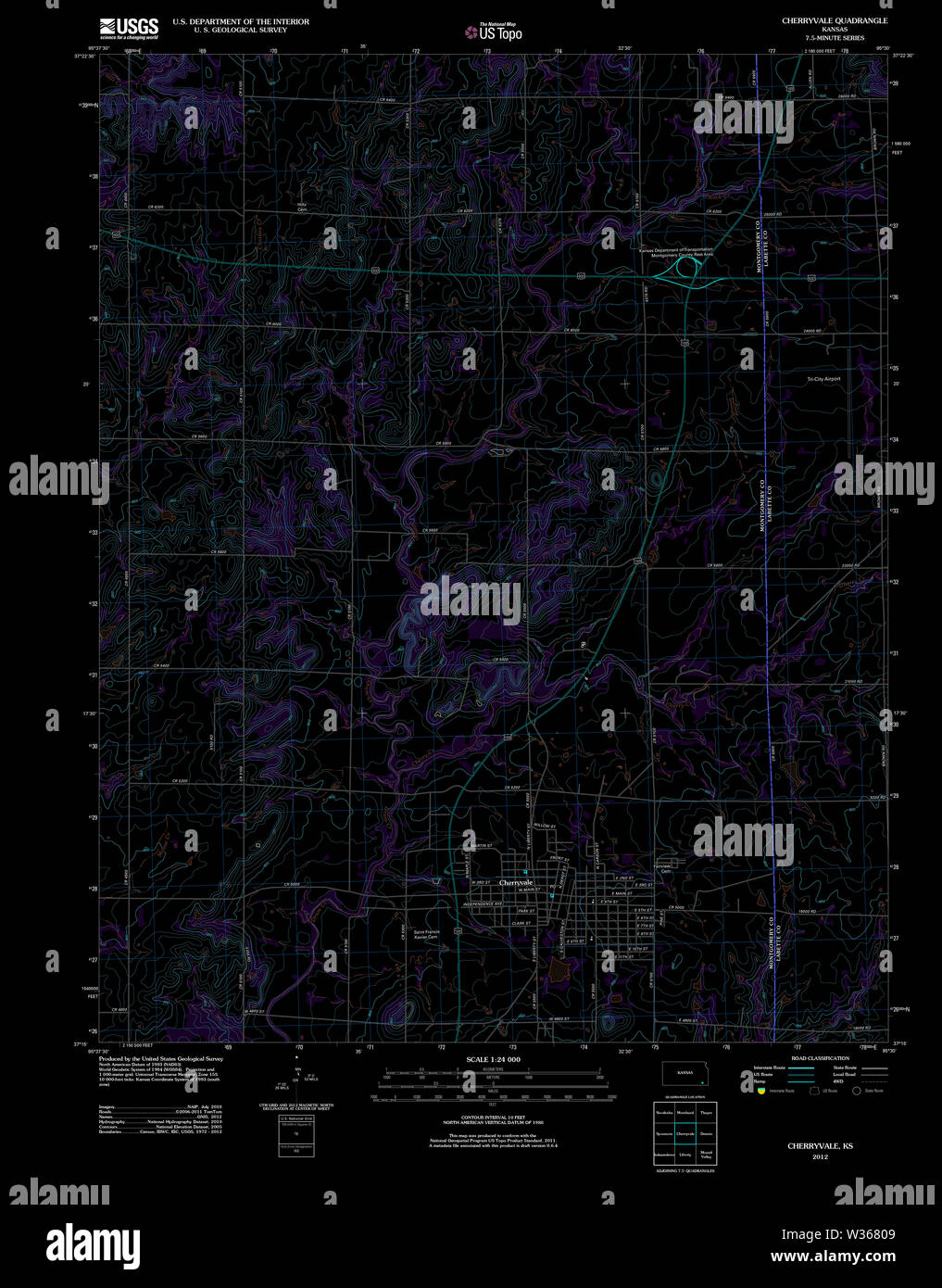 USGS TOPO Map Kansas KS Cherryvale 20120906 TM Inverted Restoration Stock Photohttps://www.alamy.com/image-license-details/?v=1https://www.alamy.com/usgs-topo-map-kansas-ks-cherryvale-20120906-tm-inverted-restoration-image260137481.html
RMW36809–USGS TOPO Map Kansas KS Cherryvale 20120906 TM Inverted Restoration
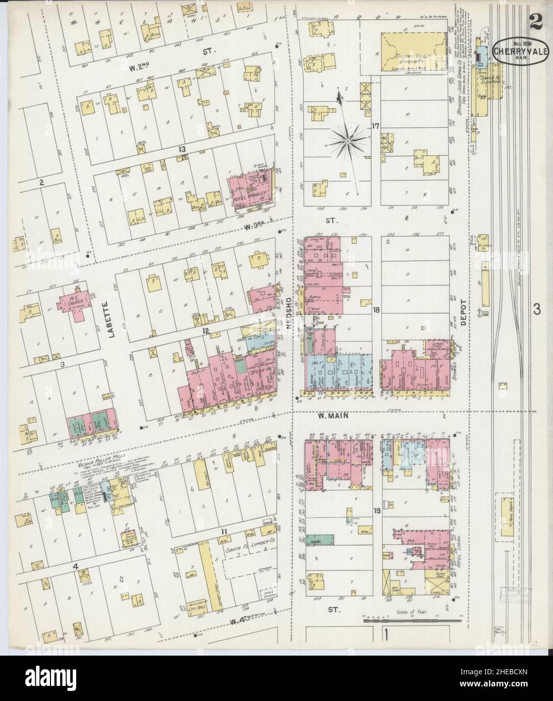 Sanborn Fire Insurance Map from Cherryvale, Montgomery County, Kansas. Stock Photohttps://www.alamy.com/image-license-details/?v=1https://www.alamy.com/sanborn-fire-insurance-map-from-cherryvale-montgomery-county-kansas-image456326381.html
RM2HEBCXN–Sanborn Fire Insurance Map from Cherryvale, Montgomery County, Kansas.
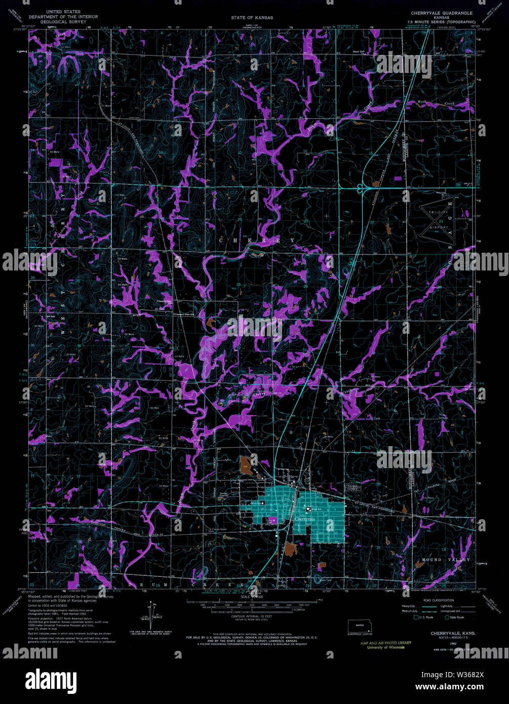 USGS TOPO Map Kansas KS Cherryvale 511064 1962 24000 Inverted Restoration Stock Photohttps://www.alamy.com/image-license-details/?v=1https://www.alamy.com/usgs-topo-map-kansas-ks-cherryvale-511064-1962-24000-inverted-restoration-image260137554.html
RMW3682X–USGS TOPO Map Kansas KS Cherryvale 511064 1962 24000 Inverted Restoration
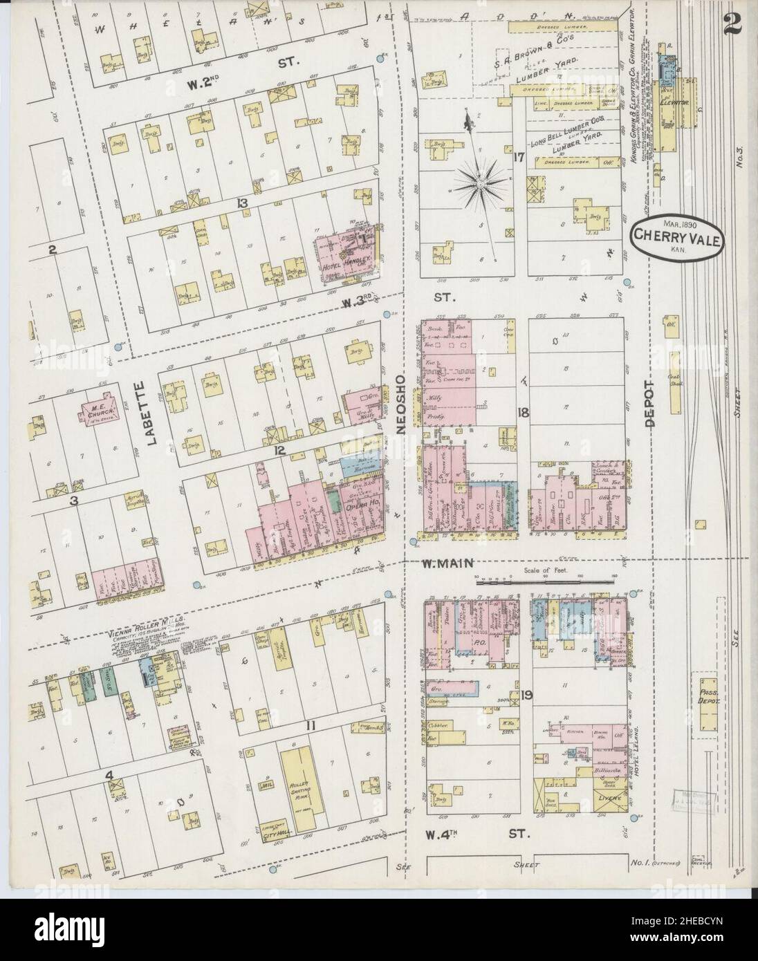 Sanborn Fire Insurance Map from Cherryvale, Montgomery County, Kansas. Stock Photohttps://www.alamy.com/image-license-details/?v=1https://www.alamy.com/sanborn-fire-insurance-map-from-cherryvale-montgomery-county-kansas-image456326409.html
RM2HEBCYN–Sanborn Fire Insurance Map from Cherryvale, Montgomery County, Kansas.
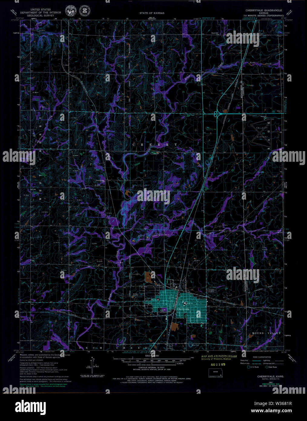 USGS TOPO Map Kansas KS Cherryvale 511062 1962 24000 Inverted Restoration Stock Photohttps://www.alamy.com/image-license-details/?v=1https://www.alamy.com/usgs-topo-map-kansas-ks-cherryvale-511062-1962-24000-inverted-restoration-image260137523.html
RMW3681R–USGS TOPO Map Kansas KS Cherryvale 511062 1962 24000 Inverted Restoration