Chiba map Stock Vectors & Vector Art
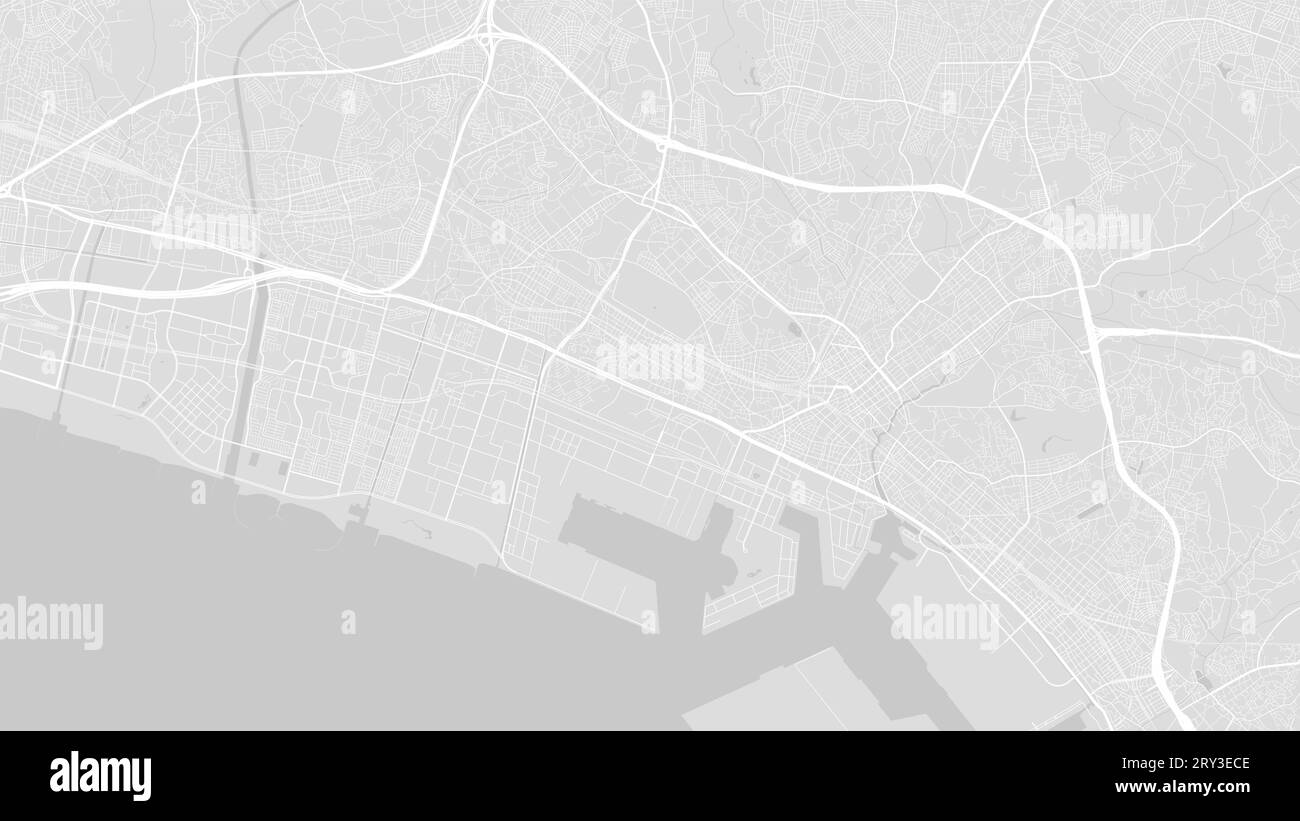 Background Chiba map, Japan, white and light grey city poster. Vector map with roads and water. Widescreen proportion, digital flat design roadmap. Stock Vectorhttps://www.alamy.com/image-license-details/?v=1https://www.alamy.com/background-chiba-map-japan-white-and-light-grey-city-poster-vector-map-with-roads-and-water-widescreen-proportion-digital-flat-design-roadmap-image567404670.html
RF2RY3ECE–Background Chiba map, Japan, white and light grey city poster. Vector map with roads and water. Widescreen proportion, digital flat design roadmap.
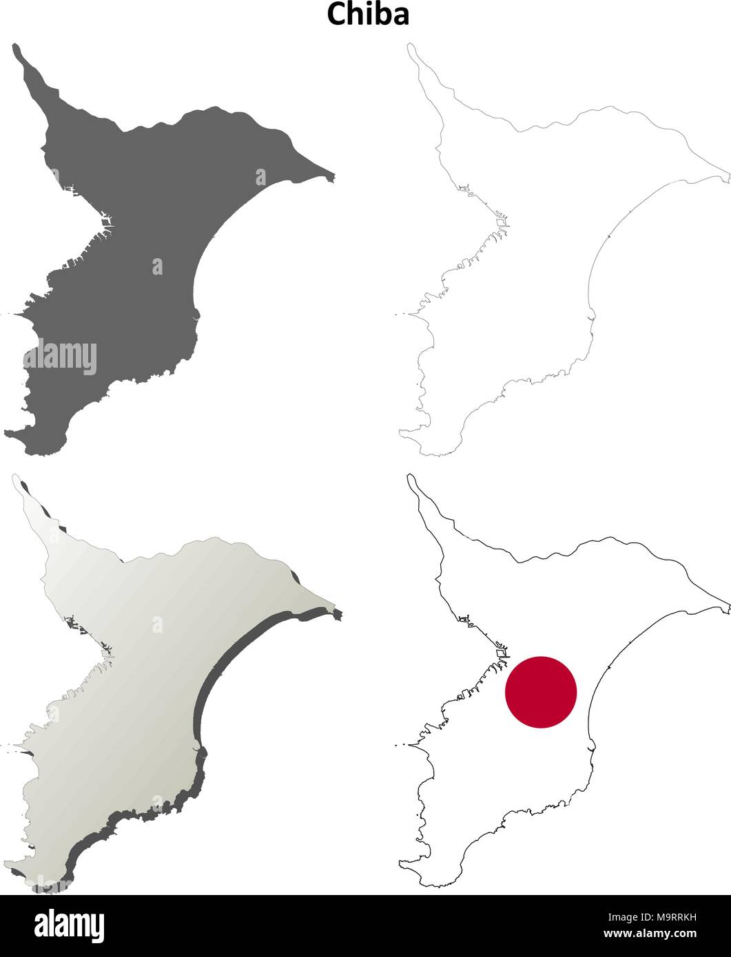 Chiba blank outline map set Stock Vectorhttps://www.alamy.com/image-license-details/?v=1https://www.alamy.com/chiba-blank-outline-map-set-image178159061.html
RFM9RRKH–Chiba blank outline map set
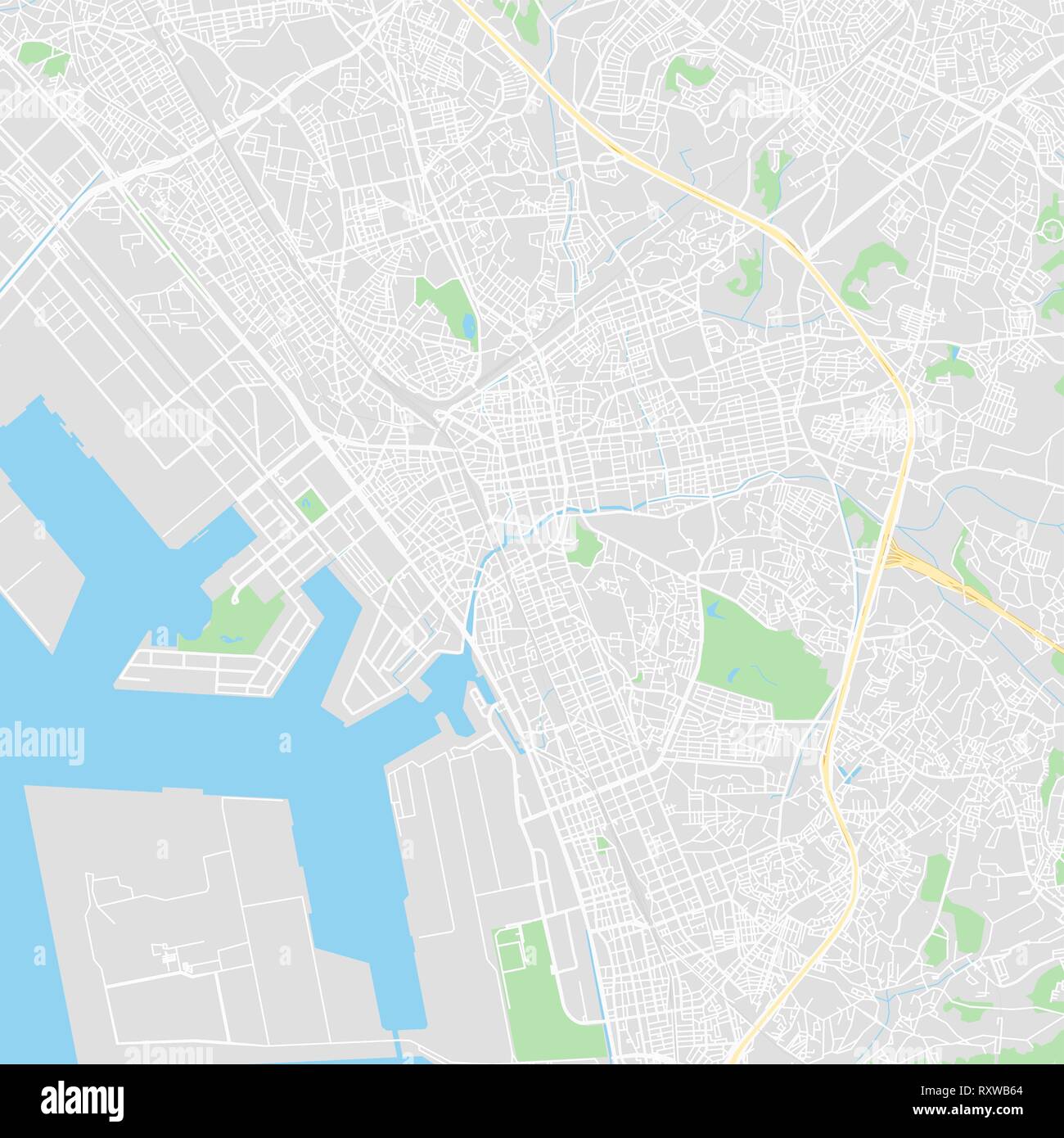 Downtown vector map of Chiba, Japan. This printable map of Chiba contains lines and classic colored shapes for land mass, parks, water, major and mino Stock Vectorhttps://www.alamy.com/image-license-details/?v=1https://www.alamy.com/downtown-vector-map-of-chiba-japan-this-printable-map-of-chiba-contains-lines-and-classic-colored-shapes-for-land-mass-parks-water-major-and-mino-image240273436.html
RFRXWB64–Downtown vector map of Chiba, Japan. This printable map of Chiba contains lines and classic colored shapes for land mass, parks, water, major and mino
 Symbol Map of the Prefecture Chiba (Japan) showing the state with black, crossing lines like Mikado Sticks or a spider web Stock Vectorhttps://www.alamy.com/image-license-details/?v=1https://www.alamy.com/symbol-map-of-the-prefecture-chiba-japan-showing-the-state-with-black-crossing-lines-like-mikado-sticks-or-a-spider-web-image615837896.html
RF2XNWREG–Symbol Map of the Prefecture Chiba (Japan) showing the state with black, crossing lines like Mikado Sticks or a spider web
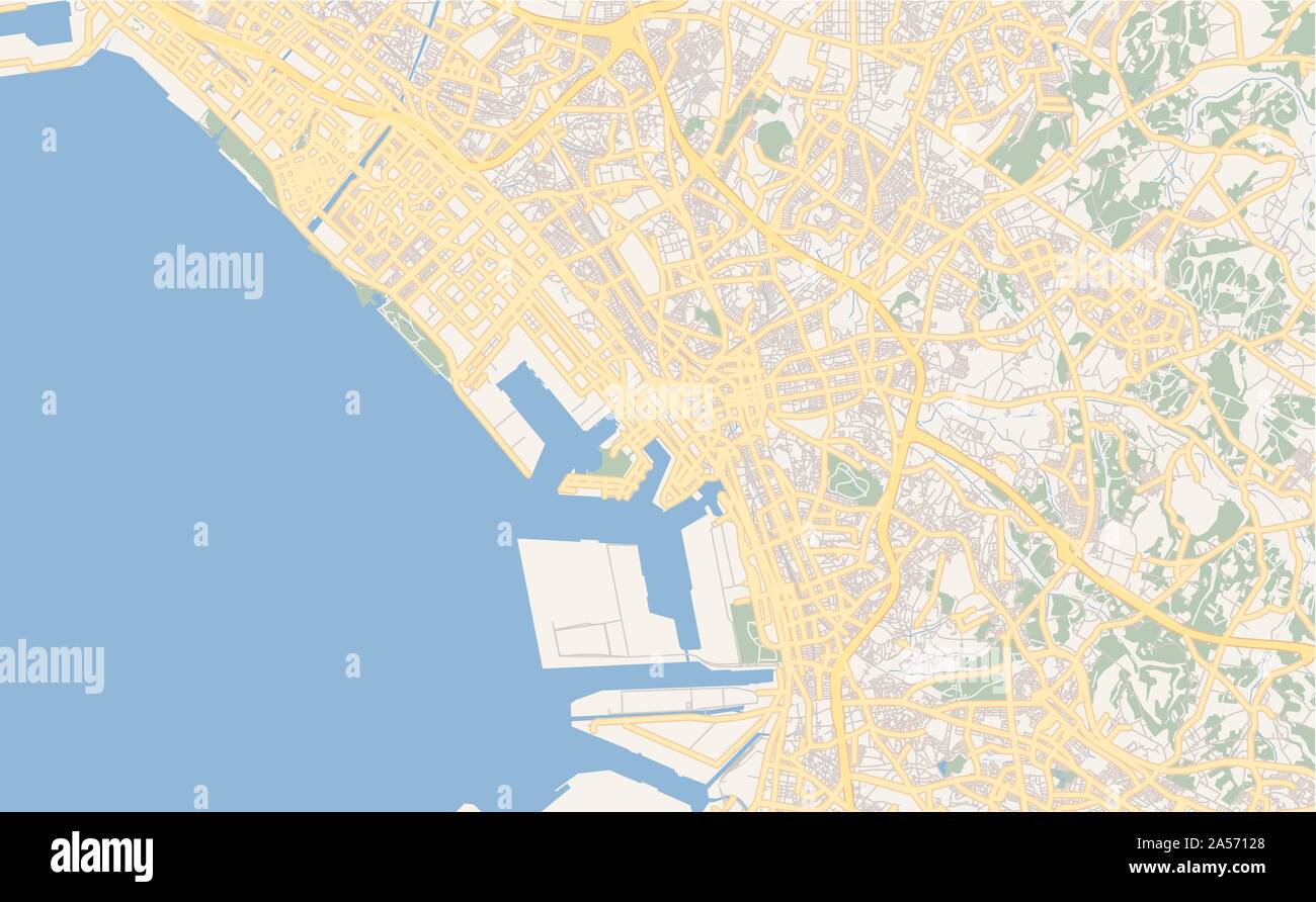 Printable street map of Chiba, Prefecture Chiba, Japan. Map template for business use. Stock Vectorhttps://www.alamy.com/image-license-details/?v=1https://www.alamy.com/printable-street-map-of-chiba-prefecture-chiba-japan-map-template-for-business-use-image330224784.html
RF2A57128–Printable street map of Chiba, Prefecture Chiba, Japan. Map template for business use.
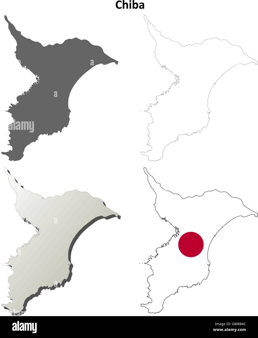 Chiba blank outline map set Stock Vectorhttps://www.alamy.com/image-license-details/?v=1https://www.alamy.com/stock-photo-chiba-blank-outline-map-set-116066620.html
RFGMR84C–Chiba blank outline map set
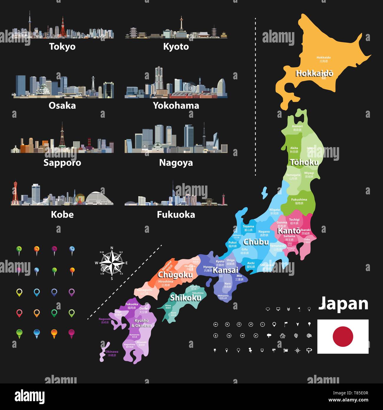 vector illustration of Japanese flag and prefectures map colored by regions Stock Vectorhttps://www.alamy.com/image-license-details/?v=1https://www.alamy.com/vector-illustration-of-japanese-flag-and-prefectures-map-colored-by-regions-image245983159.html
RFT85E0R–vector illustration of Japanese flag and prefectures map colored by regions
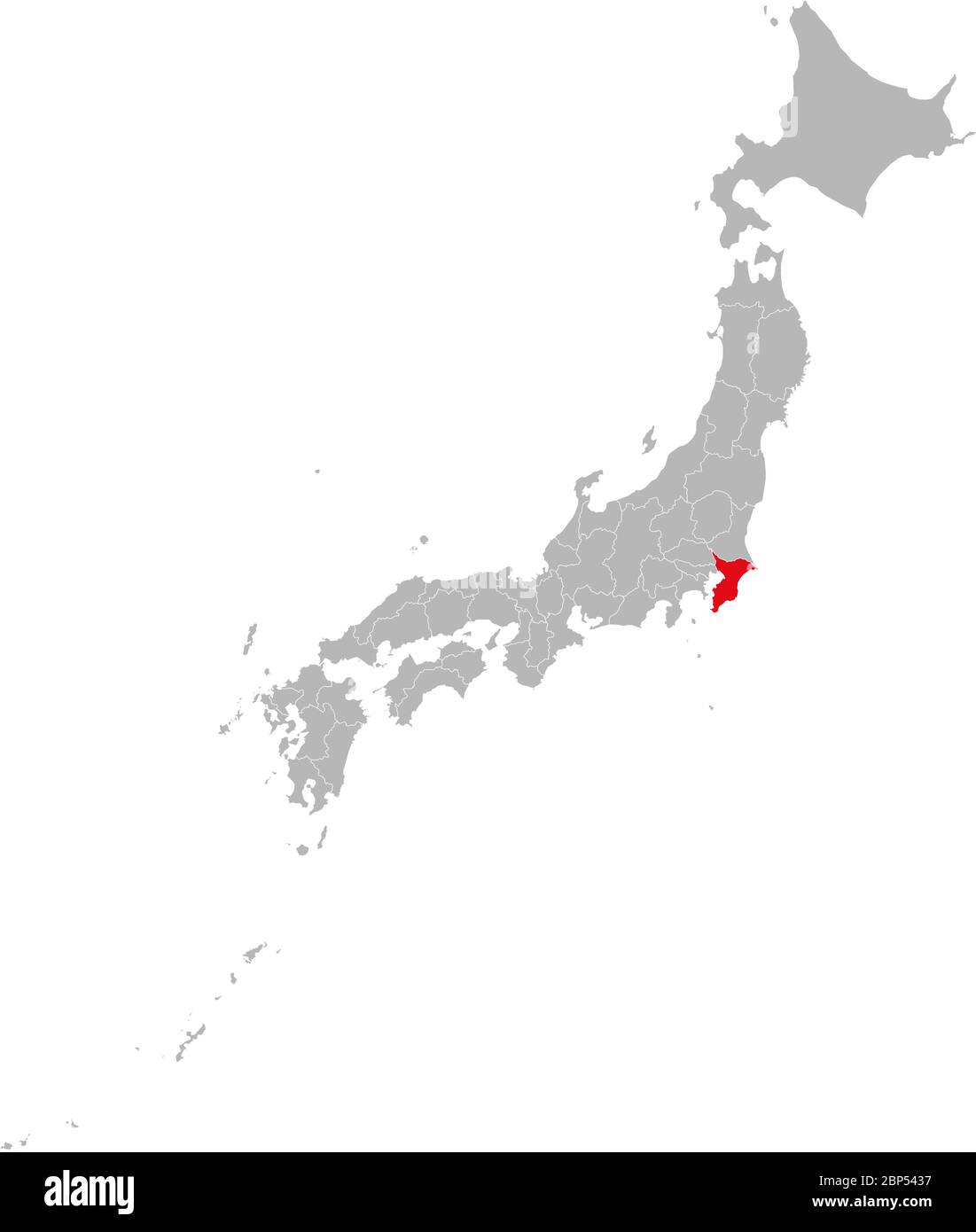 Chiba province highlighted red on Japan map. Gray background. Business concepts and backgrounds. Stock Vectorhttps://www.alamy.com/image-license-details/?v=1https://www.alamy.com/chiba-province-highlighted-red-on-japan-map-gray-background-business-concepts-and-backgrounds-image357842779.html
RF2BP5437–Chiba province highlighted red on Japan map. Gray background. Business concepts and backgrounds.
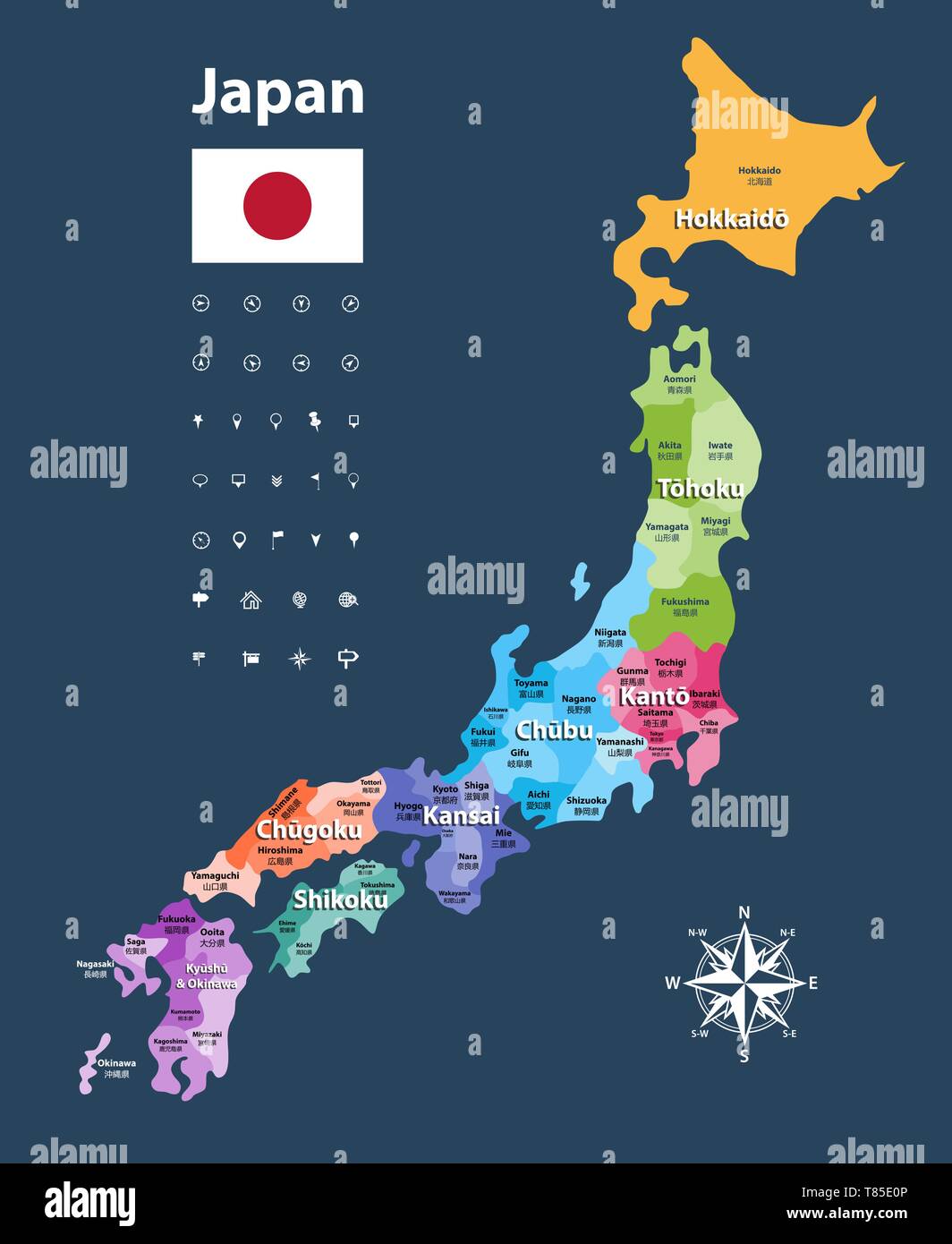 vector illustration of Japanese flag and prefectures map colored by regions Stock Vectorhttps://www.alamy.com/image-license-details/?v=1https://www.alamy.com/vector-illustration-of-japanese-flag-and-prefectures-map-colored-by-regions-image245983158.html
RFT85E0P–vector illustration of Japanese flag and prefectures map colored by regions
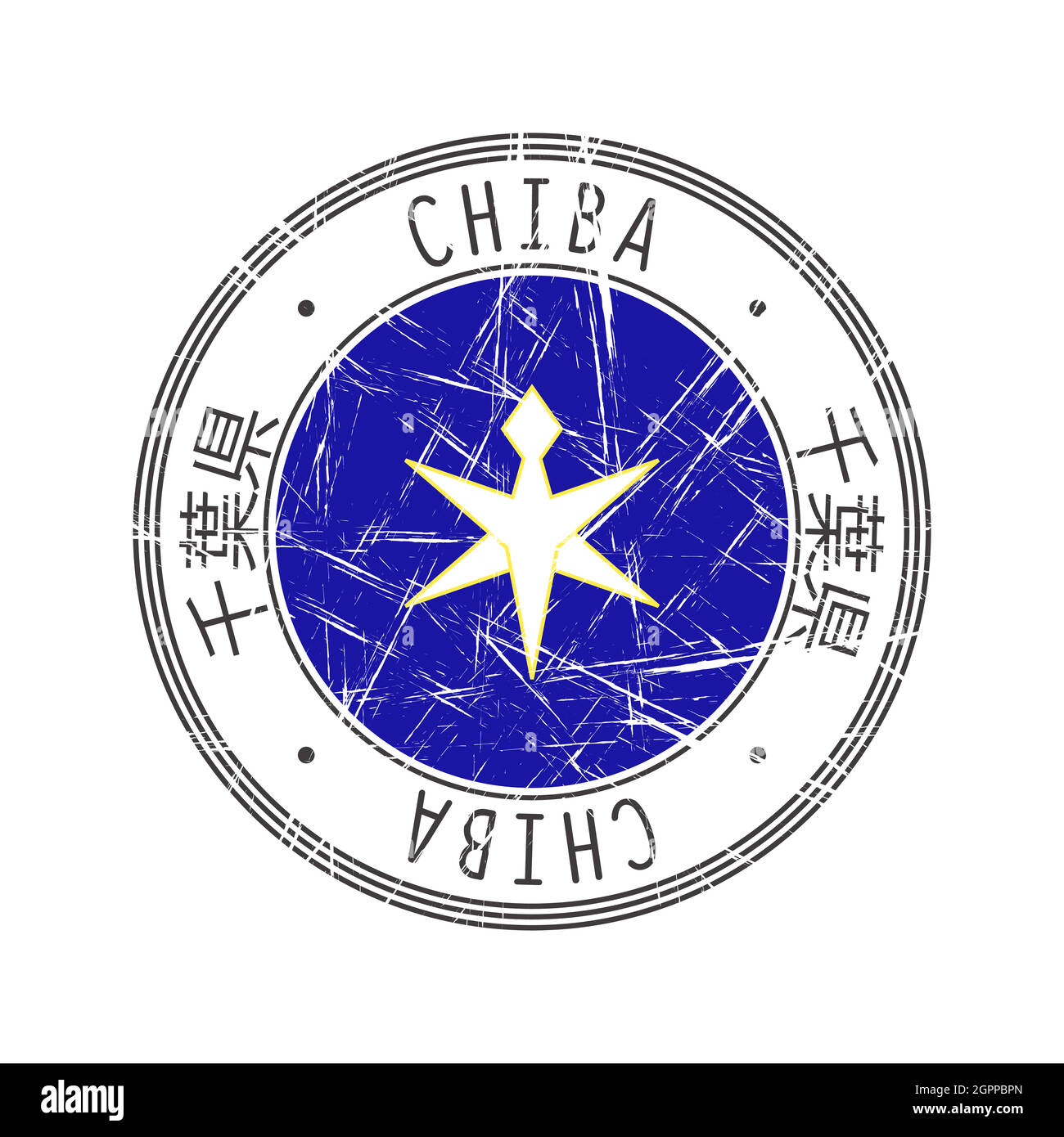 Chiba Prefecture rubber stamp Stock Vectorhttps://www.alamy.com/image-license-details/?v=1https://www.alamy.com/chiba-prefecture-rubber-stamp-image444273837.html
RF2GPPBPN–Chiba Prefecture rubber stamp
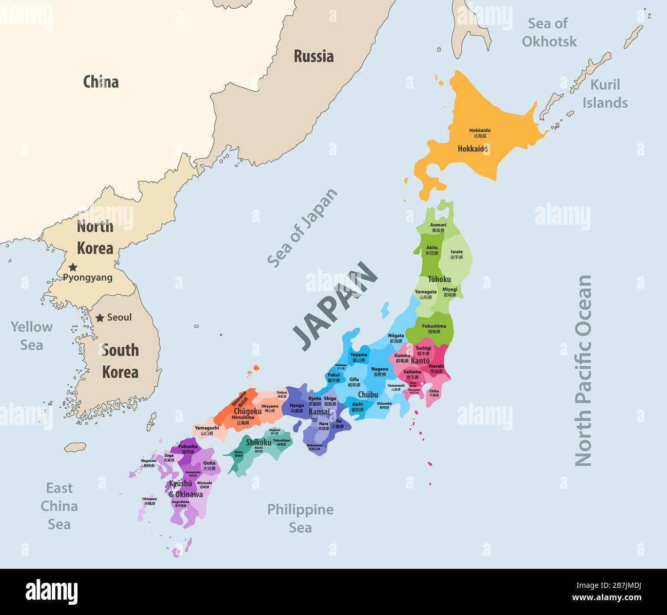 Japan prefectures (japanese names gives in parentheses) vector map colored be regions with neighbouring countries and territories Stock Vectorhttps://www.alamy.com/image-license-details/?v=1https://www.alamy.com/japan-prefectures-japanese-names-gives-in-parentheses-vector-map-colored-be-regions-with-neighbouring-countries-and-territories-image348921150.html
RF2B7JMDJ–Japan prefectures (japanese names gives in parentheses) vector map colored be regions with neighbouring countries and territories
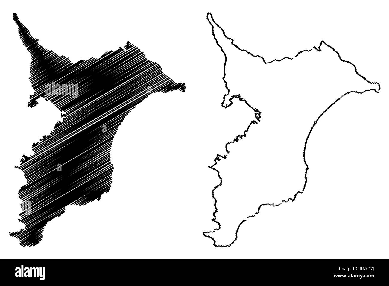 Chiba Prefecture (Administrative divisions of Japan, Prefectures of Japan) map vector illustration, scribble sketch Chiba map Stock Vectorhttps://www.alamy.com/image-license-details/?v=1https://www.alamy.com/chiba-prefecture-administrative-divisions-of-japan-prefectures-of-japan-map-vector-illustration-scribble-sketch-chiba-map-image230045414.html
RFRA7D7J–Chiba Prefecture (Administrative divisions of Japan, Prefectures of Japan) map vector illustration, scribble sketch Chiba map
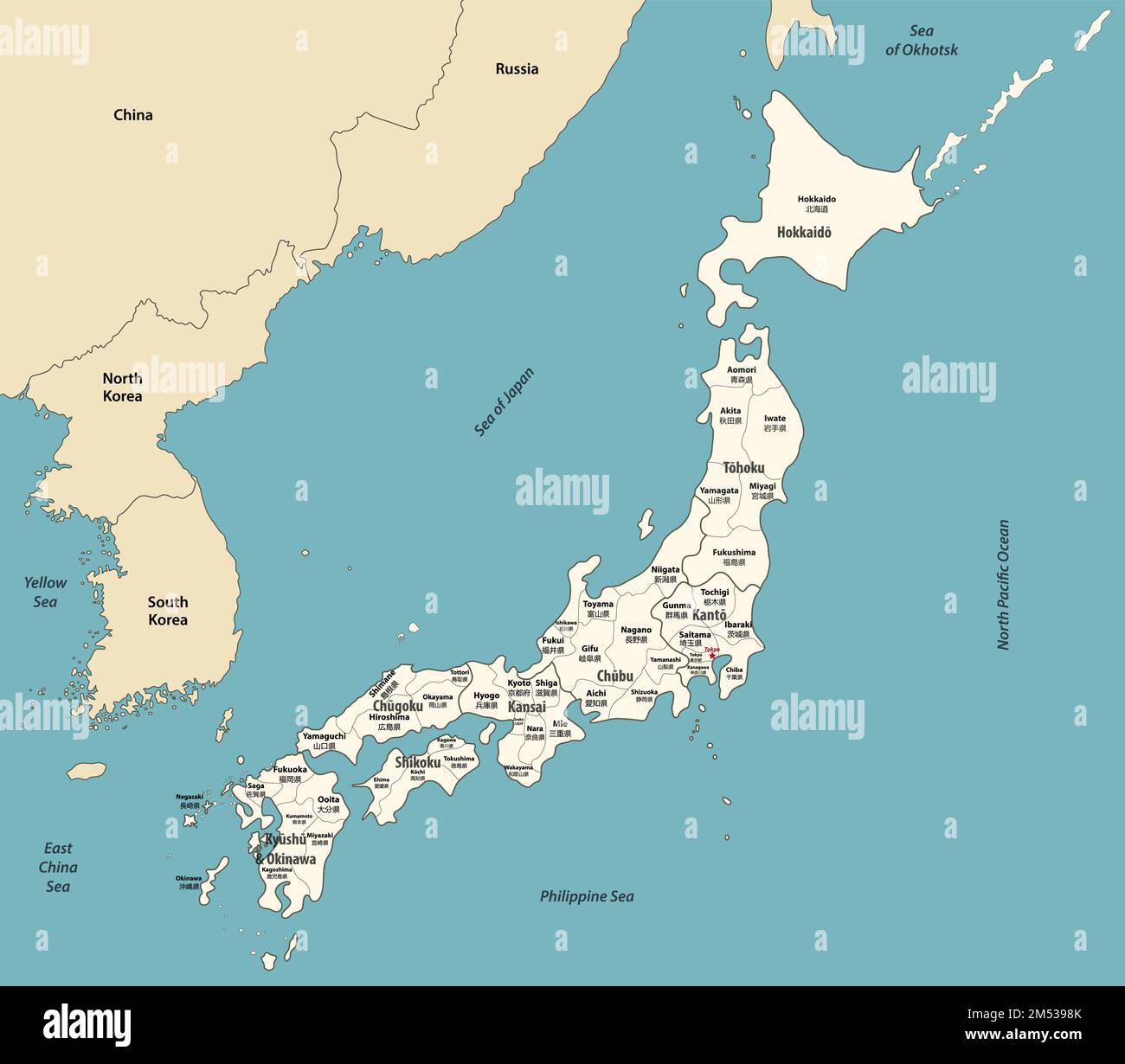 Japan map with neighbouring countries. Vector illustration Stock Vectorhttps://www.alamy.com/image-license-details/?v=1https://www.alamy.com/japan-map-with-neighbouring-countries-vector-illustration-image502247107.html
RF2M5398K–Japan map with neighbouring countries. Vector illustration
 Chiba Prefecture, Japan. Vector rubber stamp over white background Stock Vectorhttps://www.alamy.com/image-license-details/?v=1https://www.alamy.com/chiba-prefecture-japan-vector-rubber-stamp-over-white-background-image380606023.html
RF2D362T7–Chiba Prefecture, Japan. Vector rubber stamp over white background
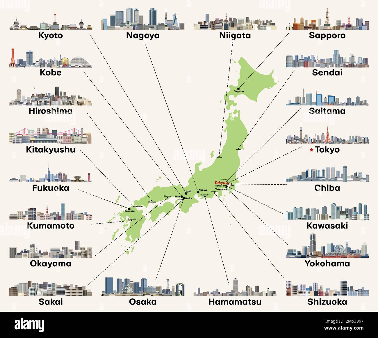 Japan map with main cities skylines. Vector illustration Stock Vectorhttps://www.alamy.com/image-license-details/?v=1https://www.alamy.com/japan-map-with-main-cities-skylines-vector-illustration-image502247039.html
RF2M53967–Japan map with main cities skylines. Vector illustration
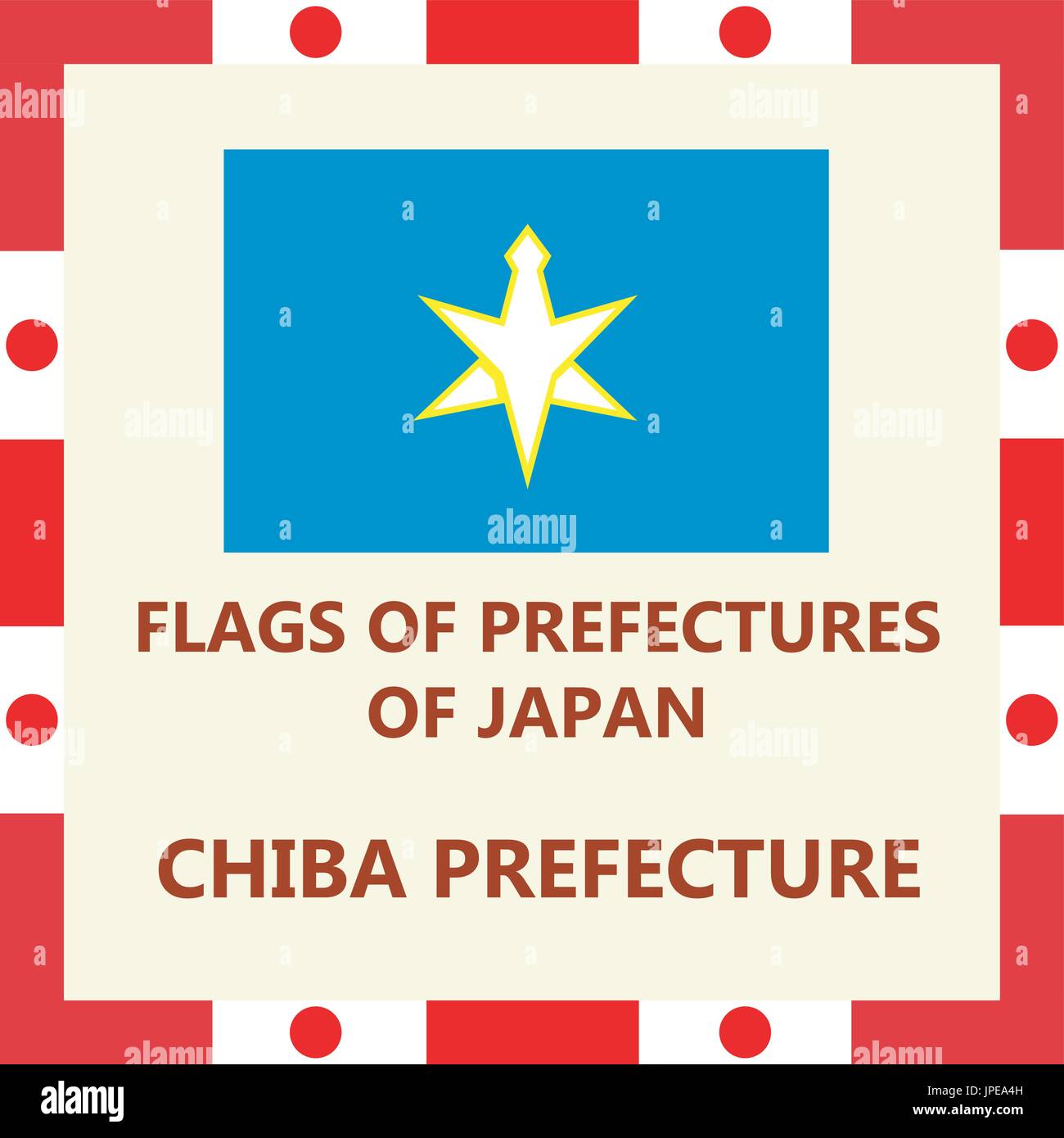 Flag of Japanese prefecture Chiba Stock Vectorhttps://www.alamy.com/image-license-details/?v=1https://www.alamy.com/flag-of-japanese-prefecture-chiba-image151520673.html
RFJPEA4H–Flag of Japanese prefecture Chiba
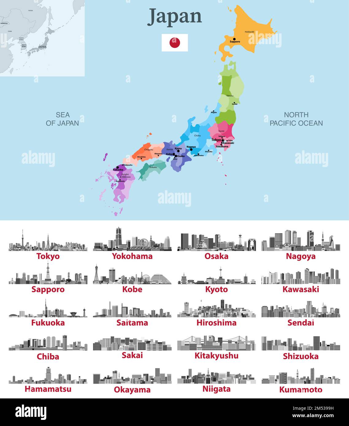 Japan map with main cities on it. Japanese cities skylines illustrations in black and white color palette. Vector set Stock Vectorhttps://www.alamy.com/image-license-details/?v=1https://www.alamy.com/japan-map-with-main-cities-on-it-japanese-cities-skylines-illustrations-in-black-and-white-color-palette-vector-set-image502247133.html
RF2M5399H–Japan map with main cities on it. Japanese cities skylines illustrations in black and white color palette. Vector set
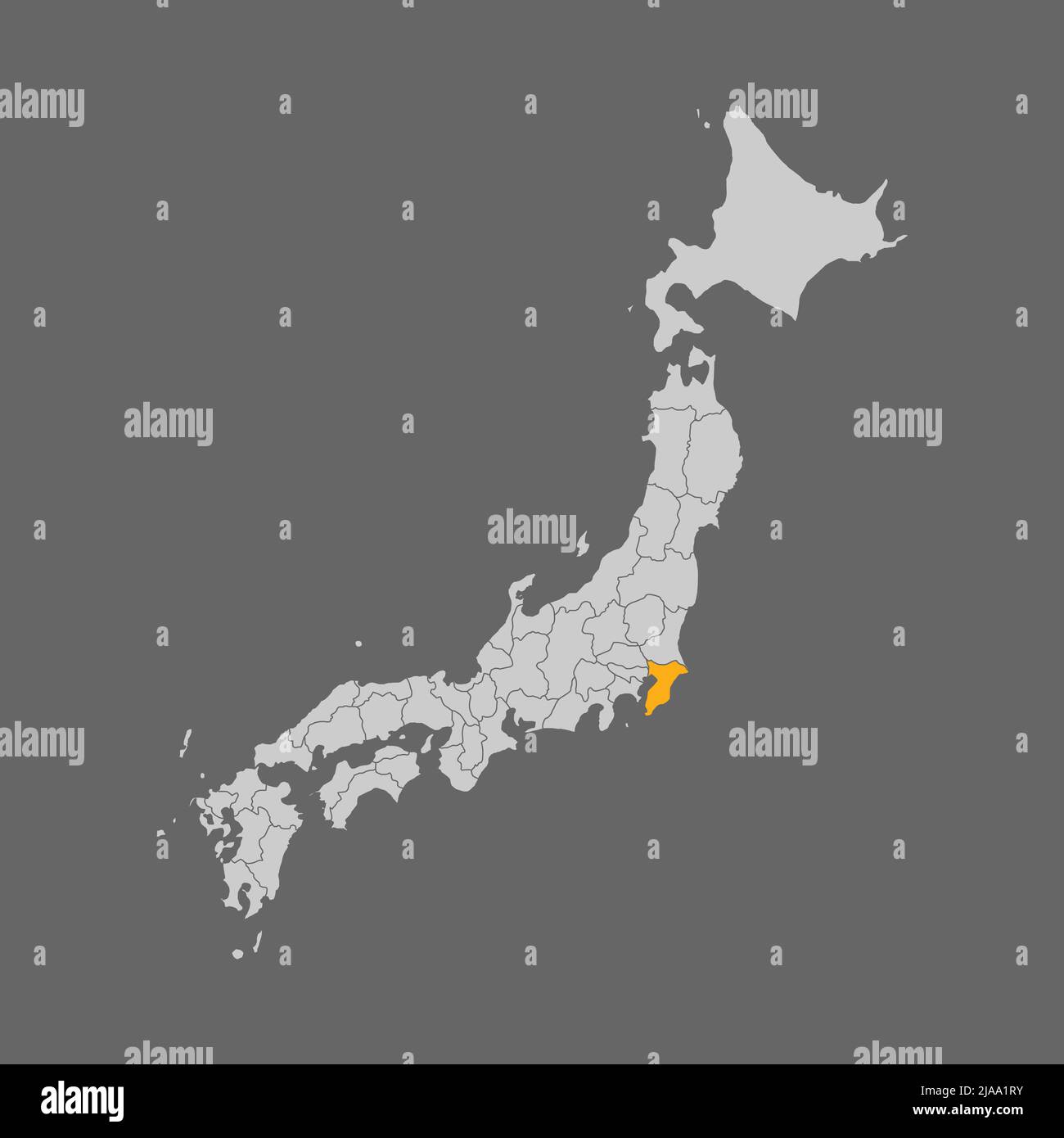 Chiba prefecture highlighted on the map of Japan Stock Vectorhttps://www.alamy.com/image-license-details/?v=1https://www.alamy.com/chiba-prefecture-highlighted-on-the-map-of-japan-image471047471.html
RF2JAA1RY–Chiba prefecture highlighted on the map of Japan
 boundary map of japan with limits in green Stock Vectorhttps://www.alamy.com/image-license-details/?v=1https://www.alamy.com/stock-photo-boundary-map-of-japan-with-limits-in-green-146875863.html
RFJEXNJF–boundary map of japan with limits in green
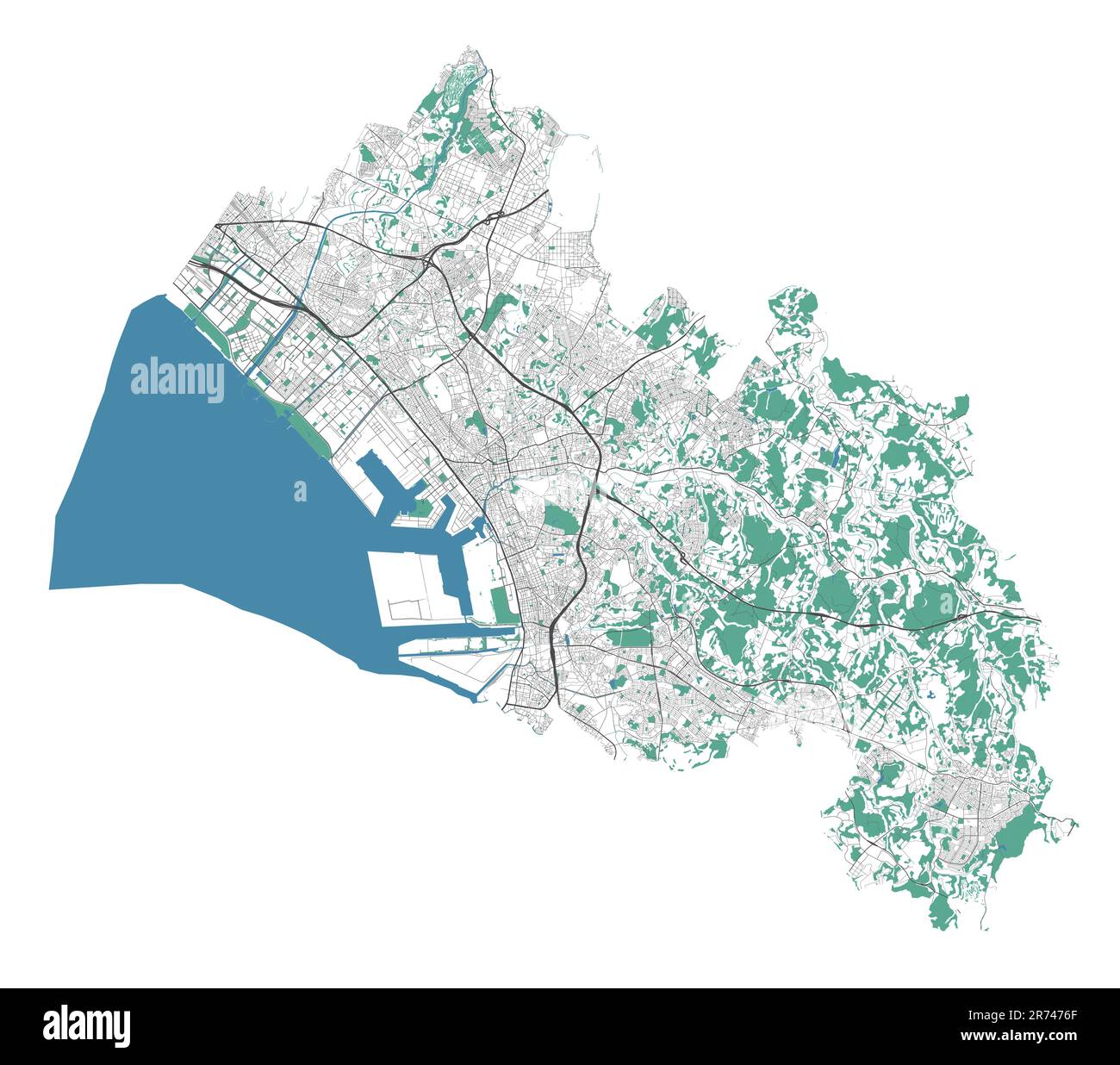 Chiba map. Detailed map of Chiba city administrative area. Cityscape panorama. Road map with highways, rivers. Royalty free vector illustration. Stock Vectorhttps://www.alamy.com/image-license-details/?v=1https://www.alamy.com/chiba-map-detailed-map-of-chiba-city-administrative-area-cityscape-panorama-road-map-with-highways-rivers-royalty-free-vector-illustration-image555127847.html
RF2R7476F–Chiba map. Detailed map of Chiba city administrative area. Cityscape panorama. Road map with highways, rivers. Royalty free vector illustration.
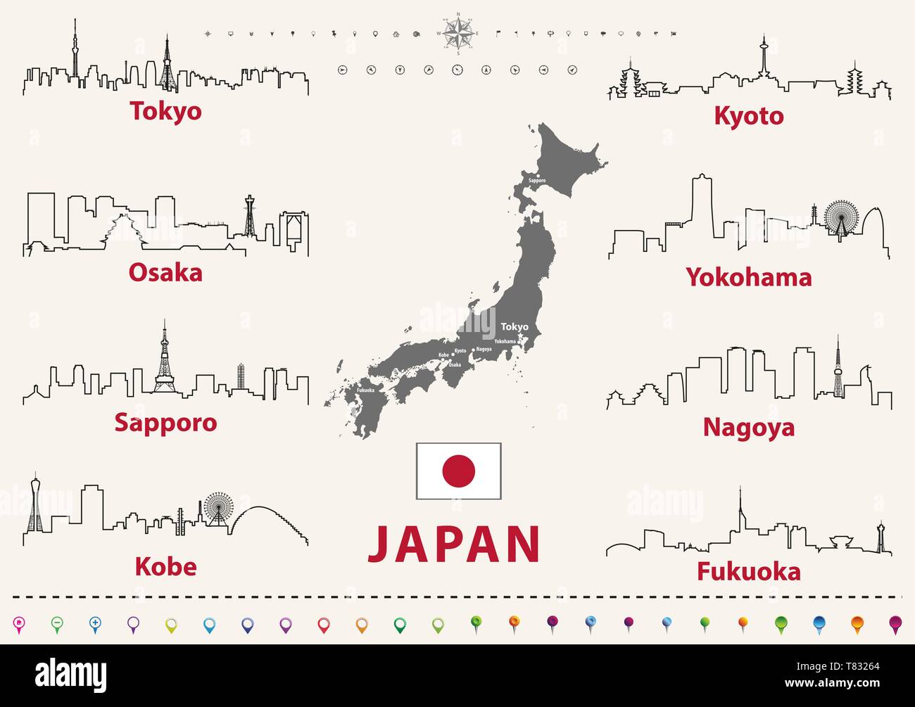 vector illustration of japanese cities skylines outlines Stock Vectorhttps://www.alamy.com/image-license-details/?v=1https://www.alamy.com/vector-illustration-of-japanese-cities-skylines-outlines-image245929996.html
RFT83264–vector illustration of japanese cities skylines outlines
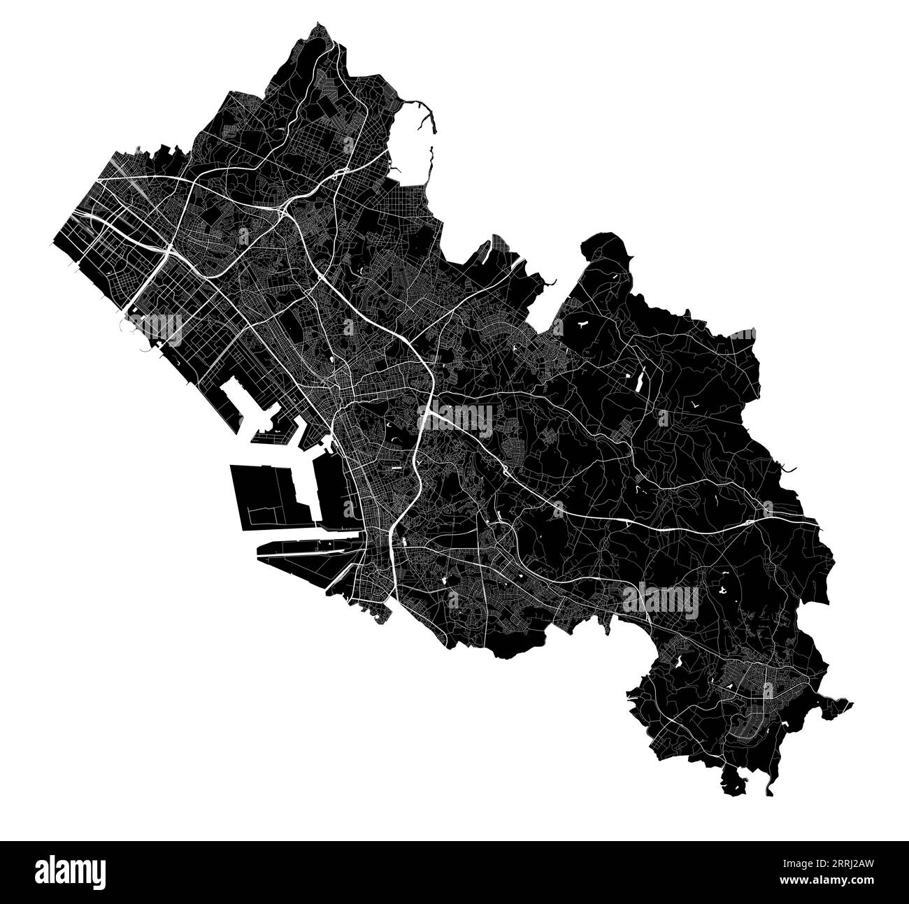 Chiba map. Detailed black map of Chiba city administrative area. Cityscape poster metropolitan aria view. Black land with white roads and avenues. Whi Stock Vectorhttps://www.alamy.com/image-license-details/?v=1https://www.alamy.com/chiba-map-detailed-black-map-of-chiba-city-administrative-area-cityscape-poster-metropolitan-aria-view-black-land-with-white-roads-and-avenues-whi-image565265873.html
RF2RRJ2AW–Chiba map. Detailed black map of Chiba city administrative area. Cityscape poster metropolitan aria view. Black land with white roads and avenues. Whi
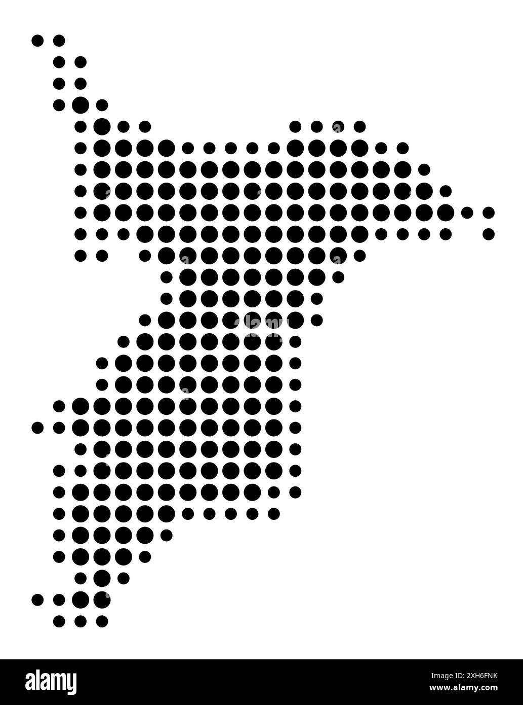 Symbol Map of the Prefecture Chiba (Japan) showing the state/province with a pattern of black circles Stock Vectorhttps://www.alamy.com/image-license-details/?v=1https://www.alamy.com/symbol-map-of-the-prefecture-chiba-japan-showing-the-stateprovince-with-a-pattern-of-black-circles-image612956111.html
RF2XH6FNK–Symbol Map of the Prefecture Chiba (Japan) showing the state/province with a pattern of black circles
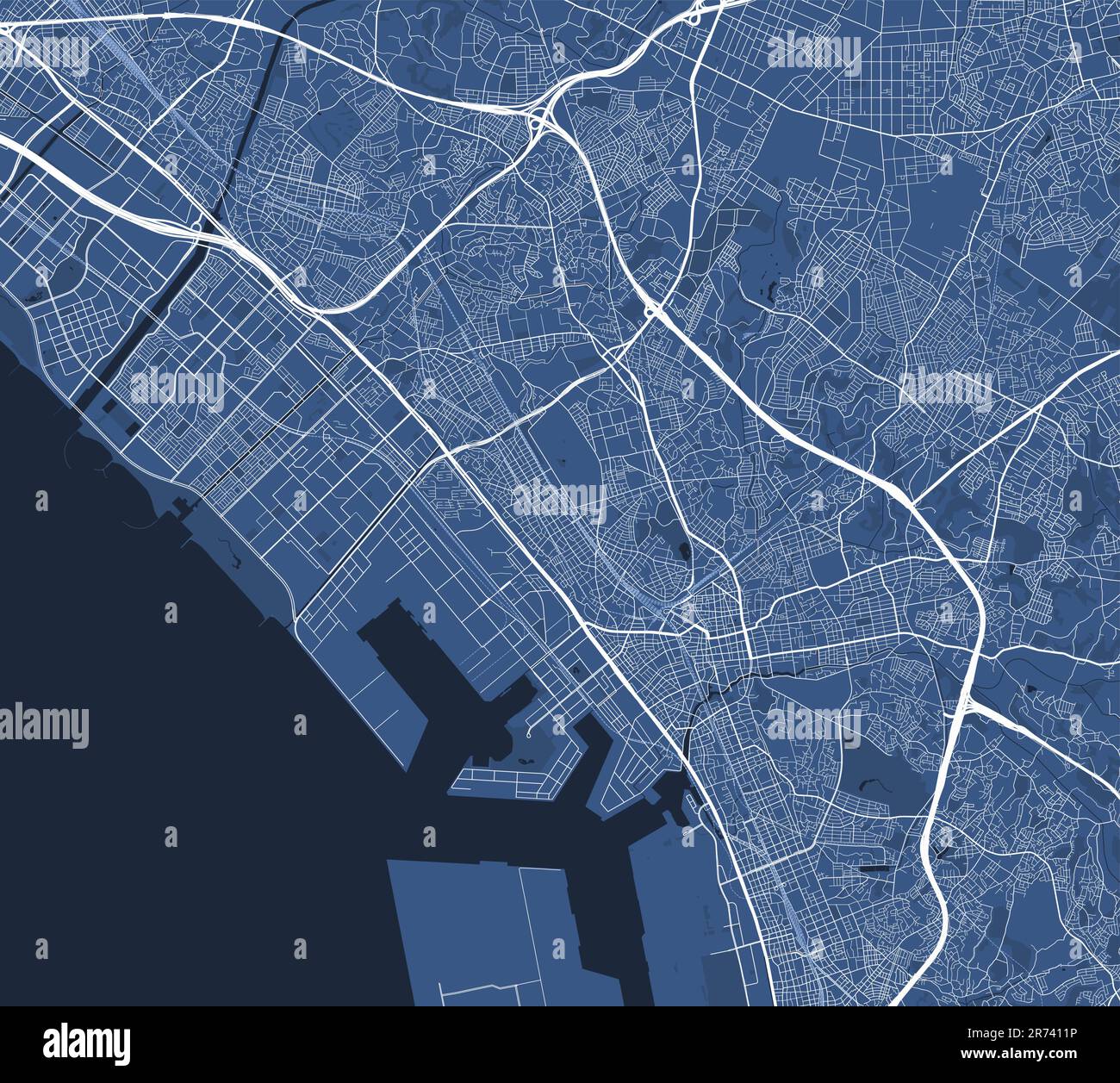 Detailed map poster of Chiba city administrative area. Blue skyline panorama. Decorative graphic tourist map of Chiba territory. Royalty free vector i Stock Vectorhttps://www.alamy.com/image-license-details/?v=1https://www.alamy.com/detailed-map-poster-of-chiba-city-administrative-area-blue-skyline-panorama-decorative-graphic-tourist-map-of-chiba-territory-royalty-free-vector-i-image555123010.html
RF2R7411P–Detailed map poster of Chiba city administrative area. Blue skyline panorama. Decorative graphic tourist map of Chiba territory. Royalty free vector i
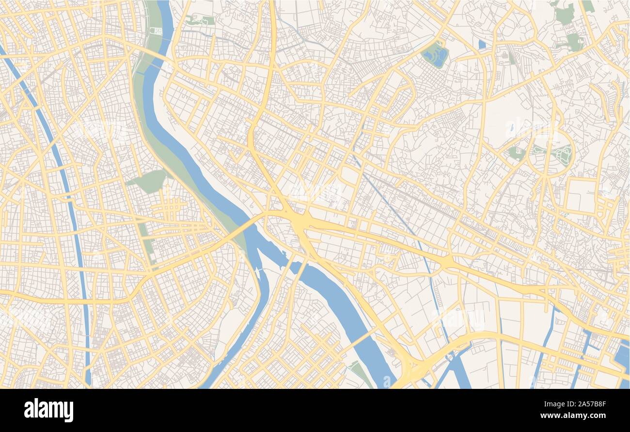 Printable street map of Ichikawa, Prefecture Chiba, Japan. Map template for business use. Stock Vectorhttps://www.alamy.com/image-license-details/?v=1https://www.alamy.com/printable-street-map-of-ichikawa-prefecture-chiba-japan-map-template-for-business-use-image330232799.html
RF2A57B8F–Printable street map of Ichikawa, Prefecture Chiba, Japan. Map template for business use.
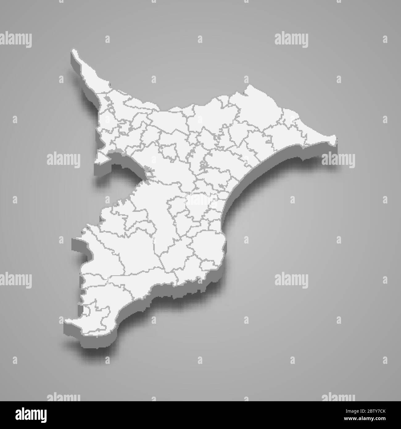 3d map of Chiba is a prefecture of Japan Stock Vectorhttps://www.alamy.com/image-license-details/?v=1https://www.alamy.com/3d-map-of-chiba-is-a-prefecture-of-japan-image359557651.html
RF2BTY7CK–3d map of Chiba is a prefecture of Japan
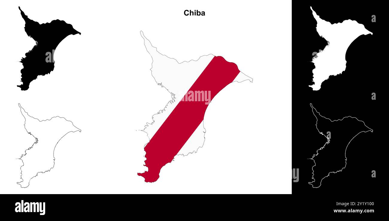 Chiba prefecture outline map set Stock Vectorhttps://www.alamy.com/image-license-details/?v=1https://www.alamy.com/chiba-prefecture-outline-map-set-image620781392.html
RF2Y1Y100–Chiba prefecture outline map set
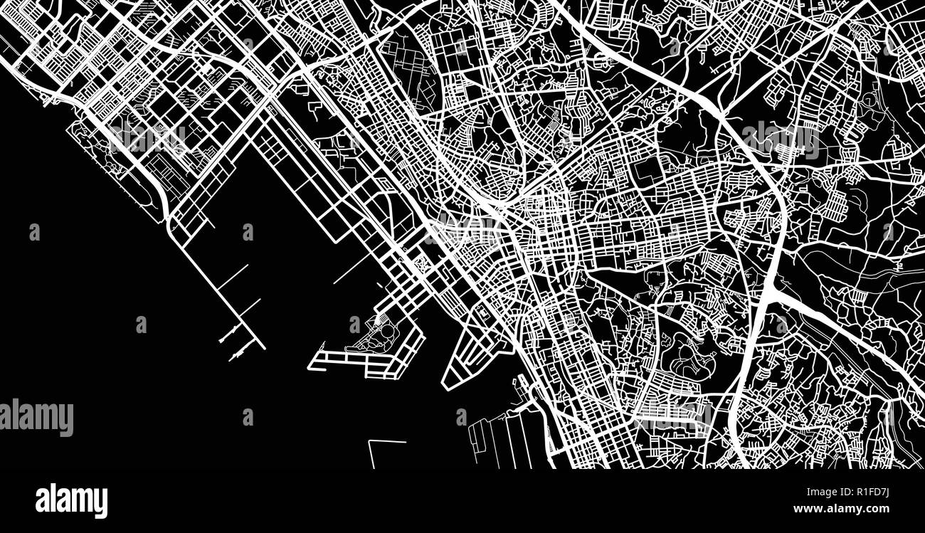 Urban vector city map of Chiba, Japan Stock Vectorhttps://www.alamy.com/image-license-details/?v=1https://www.alamy.com/urban-vector-city-map-of-chiba-japan-image224689126.html
RFR1FD7J–Urban vector city map of Chiba, Japan
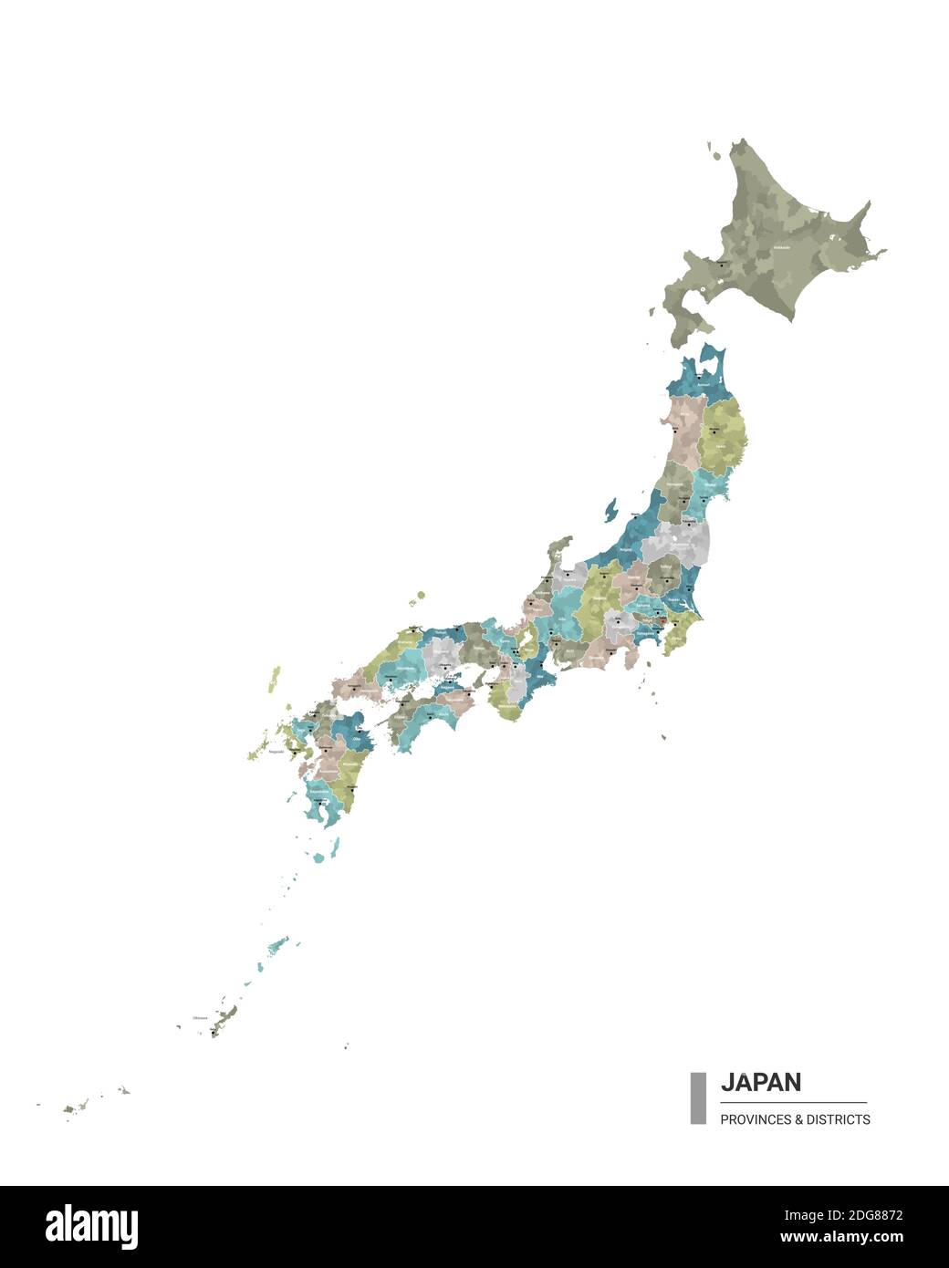 Japan higt detailed map with subdivisions. Administrative map of Japan with districts and cities name, colored by states and administrative districts. Stock Vectorhttps://www.alamy.com/image-license-details/?v=1https://www.alamy.com/japan-higt-detailed-map-with-subdivisions-administrative-map-of-japan-with-districts-and-cities-name-colored-by-states-and-administrative-districts-image388644678.html
RF2DG8872–Japan higt detailed map with subdivisions. Administrative map of Japan with districts and cities name, colored by states and administrative districts.
 Shimane, Chiba, Tokyo tin plates, Japan prefecture grunge vector signs. Japanese region retro signs, asian travel memories vintage plates with peony f Stock Vectorhttps://www.alamy.com/image-license-details/?v=1https://www.alamy.com/shimane-chiba-tokyo-tin-plates-japan-prefecture-grunge-vector-signs-japanese-region-retro-signs-asian-travel-memories-vintage-plates-with-peony-f-image425252453.html
RF2FKRWRH–Shimane, Chiba, Tokyo tin plates, Japan prefecture grunge vector signs. Japanese region retro signs, asian travel memories vintage plates with peony f
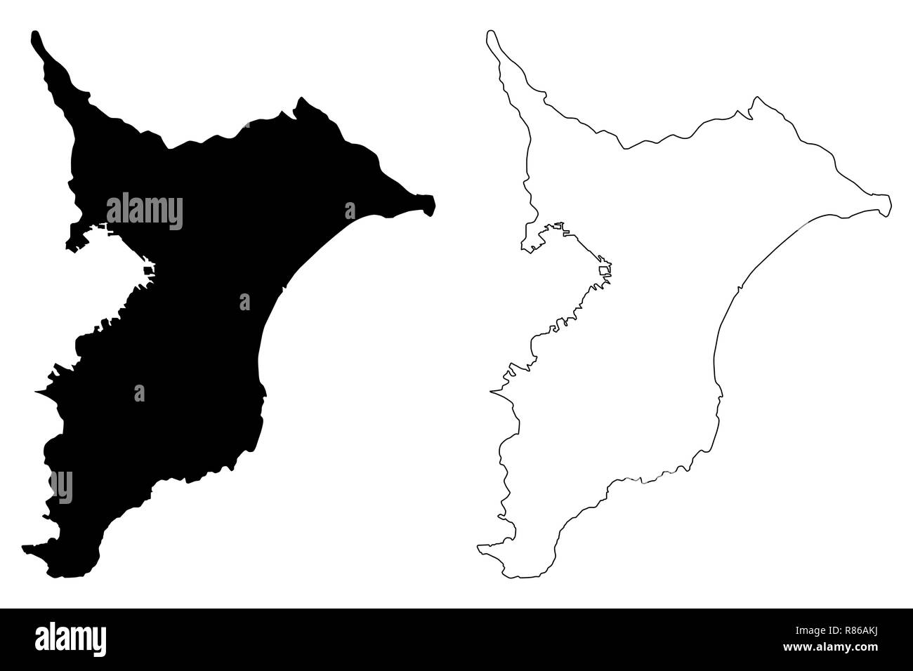 Chiba Prefecture (Administrative divisions of Japan, Prefectures of Japan) map vector illustration, scribble sketch Chiba map Stock Vectorhttps://www.alamy.com/image-license-details/?v=1https://www.alamy.com/chiba-prefecture-administrative-divisions-of-japan-prefectures-of-japan-map-vector-illustration-scribble-sketch-chiba-map-image228792134.html
RFR86AKJ–Chiba Prefecture (Administrative divisions of Japan, Prefectures of Japan) map vector illustration, scribble sketch Chiba map
RF2JMXHP6–Japan, Saitama city skyline isolated vector illustration, icons
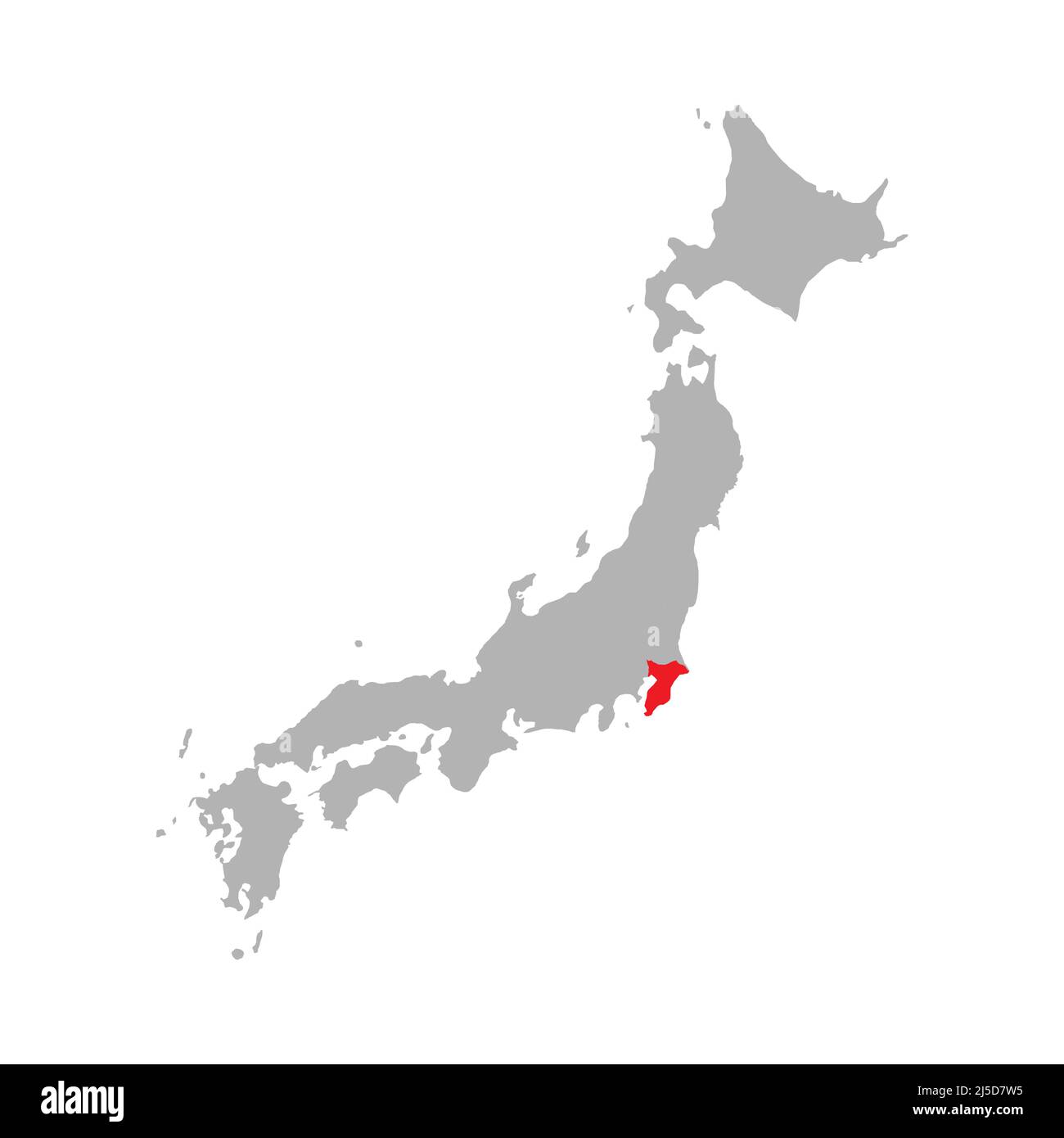 Chiba prefecture highlighted on the map of Japan Stock Vectorhttps://www.alamy.com/image-license-details/?v=1https://www.alamy.com/chiba-prefecture-highlighted-on-the-map-of-japan-image468044785.html
RF2J5D7W5–Chiba prefecture highlighted on the map of Japan
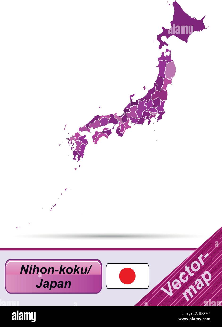 boundary map of japan with limits in violet Stock Vectorhttps://www.alamy.com/image-license-details/?v=1https://www.alamy.com/stock-photo-boundary-map-of-japan-with-limits-in-violet-146876703.html
RFJEXPMF–boundary map of japan with limits in violet
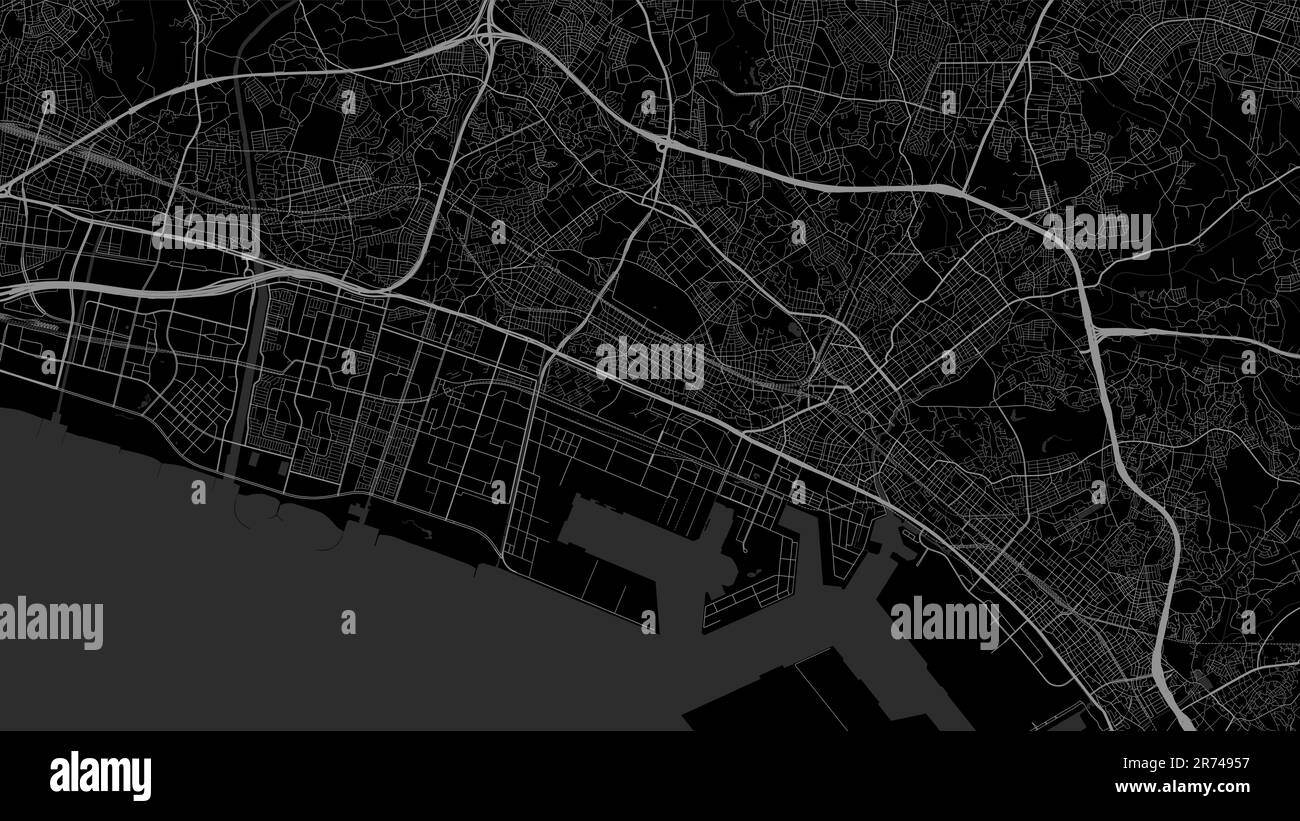 Map of Chiba city. Urban black and white poster. Road map image with metropolitan city vertical area view. Stock Vectorhttps://www.alamy.com/image-license-details/?v=1https://www.alamy.com/map-of-chiba-city-urban-black-and-white-poster-road-map-image-with-metropolitan-city-vertical-area-view-image555129379.html
RF2R74957–Map of Chiba city. Urban black and white poster. Road map image with metropolitan city vertical area view.
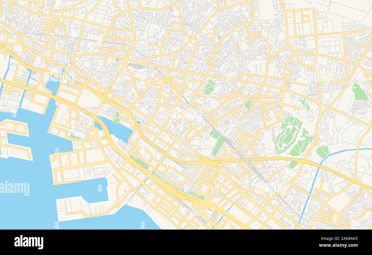 Printable street map of Narashino, Prefecture Chiba, Japan. Map template for business use. Stock Vectorhttps://www.alamy.com/image-license-details/?v=1https://www.alamy.com/printable-street-map-of-narashino-prefecture-chiba-japan-map-template-for-business-use-image330863965.html
RF2A684A5–Printable street map of Narashino, Prefecture Chiba, Japan. Map template for business use.
 Chiba region location within Japan 3d isometric map Stock Vectorhttps://www.alamy.com/image-license-details/?v=1https://www.alamy.com/chiba-region-location-within-japan-3d-isometric-map-image491496260.html
RF2KFHGDT–Chiba region location within Japan 3d isometric map
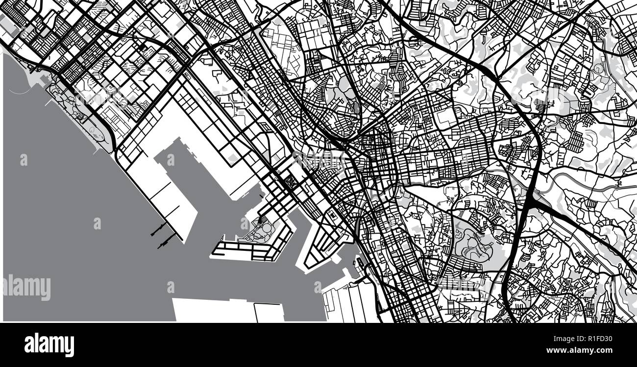 Urban vector city map of Chiba, Japan Stock Vectorhttps://www.alamy.com/image-license-details/?v=1https://www.alamy.com/urban-vector-city-map-of-chiba-japan-image224688996.html
RFR1FD30–Urban vector city map of Chiba, Japan
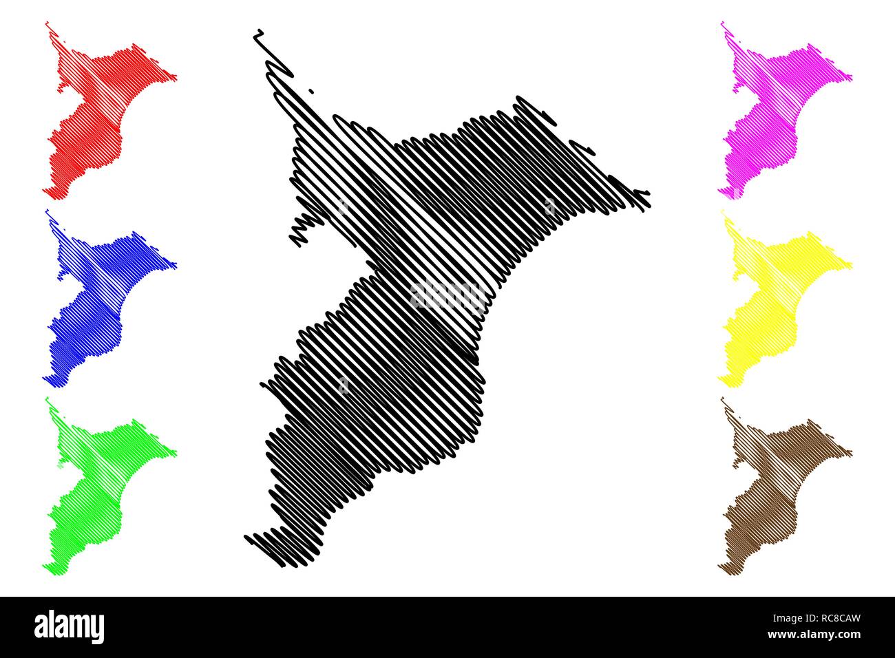 Chiba Prefecture (Administrative divisions of Japan, Prefectures of Japan) map vector illustration, scribble sketch Chiba map Stock Vectorhttps://www.alamy.com/image-license-details/?v=1https://www.alamy.com/chiba-prefecture-administrative-divisions-of-japan-prefectures-of-japan-map-vector-illustration-scribble-sketch-chiba-map-image231295985.html
RFRC8CAW–Chiba Prefecture (Administrative divisions of Japan, Prefectures of Japan) map vector illustration, scribble sketch Chiba map
 Chiba City (State of Japan, island country, Kanto region) map vector illustration, scribble sketch City of Chiba map Stock Vectorhttps://www.alamy.com/image-license-details/?v=1https://www.alamy.com/chiba-city-state-of-japan-island-country-kanto-region-map-vector-illustration-scribble-sketch-city-of-chiba-map-image365027780.html
RF2C5TCJC–Chiba City (State of Japan, island country, Kanto region) map vector illustration, scribble sketch City of Chiba map
 border map of japan with borders in violet Stock Vectorhttps://www.alamy.com/image-license-details/?v=1https://www.alamy.com/stock-photo-border-map-of-japan-with-borders-in-violet-146877139.html
RFJEXR83–border map of japan with borders in violet
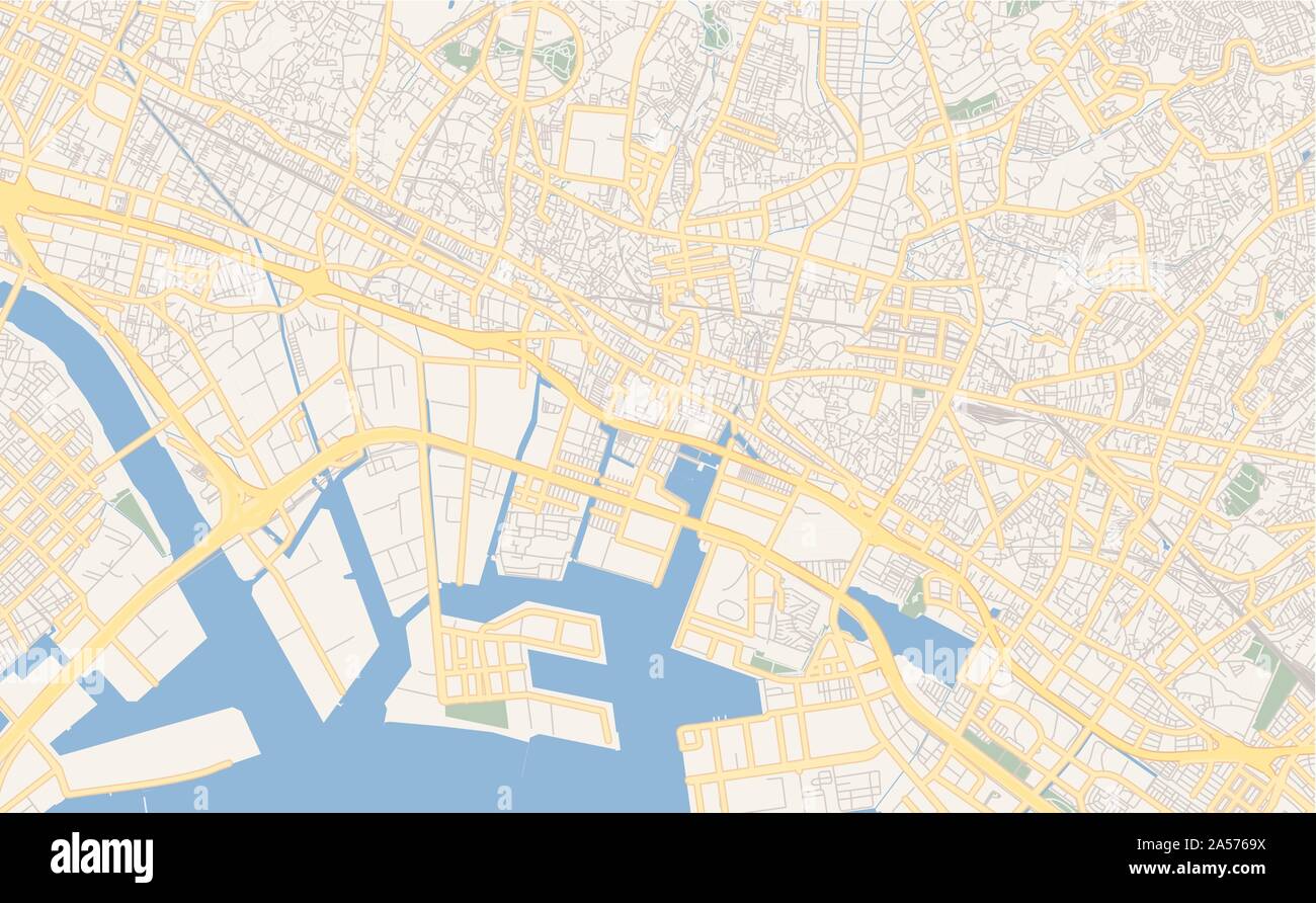 Printable street map of Funabashi, Prefecture Chiba, Japan. Map template for business use. Stock Vectorhttps://www.alamy.com/image-license-details/?v=1https://www.alamy.com/printable-street-map-of-funabashi-prefecture-chiba-japan-map-template-for-business-use-image330228918.html
RF2A5769X–Printable street map of Funabashi, Prefecture Chiba, Japan. Map template for business use.
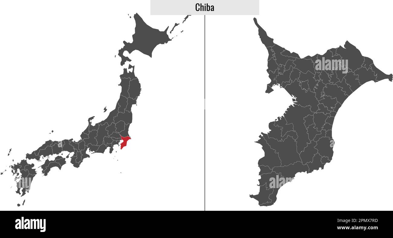 map of Chiba prefecture of Japan and location on Japanese map Stock Vectorhttps://www.alamy.com/image-license-details/?v=1https://www.alamy.com/map-of-chiba-prefecture-of-japan-and-location-on-japanese-map-image546391425.html
RF2PMX7RD–map of Chiba prefecture of Japan and location on Japanese map
 Urban vector city map of Chiba, Japan Stock Vectorhttps://www.alamy.com/image-license-details/?v=1https://www.alamy.com/urban-vector-city-map-of-chiba-japan-image224689069.html
RFR1FD5H–Urban vector city map of Chiba, Japan
 Chiba City (State of Japan, island country, Kanto region) map vector illustration, scribble sketch City of Chiba map Stock Vectorhttps://www.alamy.com/image-license-details/?v=1https://www.alamy.com/chiba-city-state-of-japan-island-country-kanto-region-map-vector-illustration-scribble-sketch-city-of-chiba-map-image360521628.html
RF2BXF50C–Chiba City (State of Japan, island country, Kanto region) map vector illustration, scribble sketch City of Chiba map
 boundary map of japan with limits in blue Stock Vectorhttps://www.alamy.com/image-license-details/?v=1https://www.alamy.com/stock-photo-boundary-map-of-japan-with-limits-in-blue-146884292.html
RFJEY4BG–boundary map of japan with limits in blue
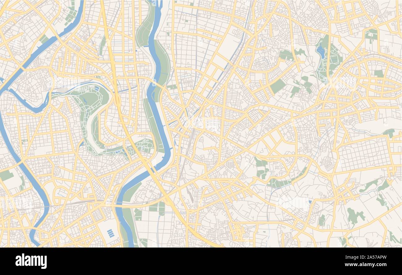 Printable street map of Matsudo, Prefecture Chiba, Japan. Map template for business use. Stock Vectorhttps://www.alamy.com/image-license-details/?v=1https://www.alamy.com/printable-street-map-of-matsudo-prefecture-chiba-japan-map-template-for-business-use-image330232417.html
RF2A57APW–Printable street map of Matsudo, Prefecture Chiba, Japan. Map template for business use.
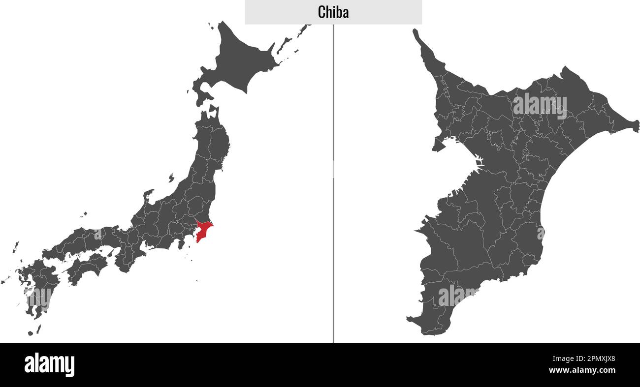 map of Chiba prefecture of Japan and location on Japanese map Stock Vectorhttps://www.alamy.com/image-license-details/?v=1https://www.alamy.com/map-of-chiba-prefecture-of-japan-and-location-on-japanese-map-image546400128.html
RF2PMXJX8–map of Chiba prefecture of Japan and location on Japanese map
 Urban vector city map of Chiba, Japan Stock Vectorhttps://www.alamy.com/image-license-details/?v=1https://www.alamy.com/urban-vector-city-map-of-chiba-japan-image224689007.html
RFR1FD3B–Urban vector city map of Chiba, Japan
 Chiba City (State of Japan, island country, Kanto region) map vector illustration, scribble sketch City of Chiba map Stock Vectorhttps://www.alamy.com/image-license-details/?v=1https://www.alamy.com/chiba-city-state-of-japan-island-country-kanto-region-map-vector-illustration-scribble-sketch-city-of-chiba-map-image371141604.html
RF2CFPXW8–Chiba City (State of Japan, island country, Kanto region) map vector illustration, scribble sketch City of Chiba map
 card, atlas, map of the world, map, model, design, project, concept, plan, Stock Vectorhttps://www.alamy.com/image-license-details/?v=1https://www.alamy.com/stock-photo-card-atlas-map-of-the-world-map-model-design-project-concept-plan-146876274.html
RFJEXP56–card, atlas, map of the world, map, model, design, project, concept, plan,
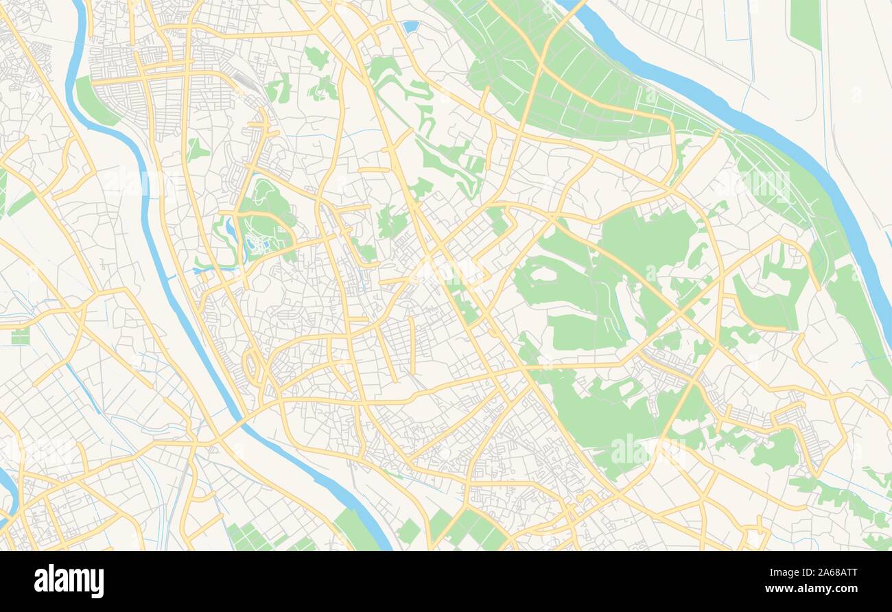 Printable street map of Noda, Prefecture Chiba, Japan. Map template for business use. Stock Vectorhttps://www.alamy.com/image-license-details/?v=1https://www.alamy.com/printable-street-map-of-noda-prefecture-chiba-japan-map-template-for-business-use-image330869080.html
RF2A68ATT–Printable street map of Noda, Prefecture Chiba, Japan. Map template for business use.
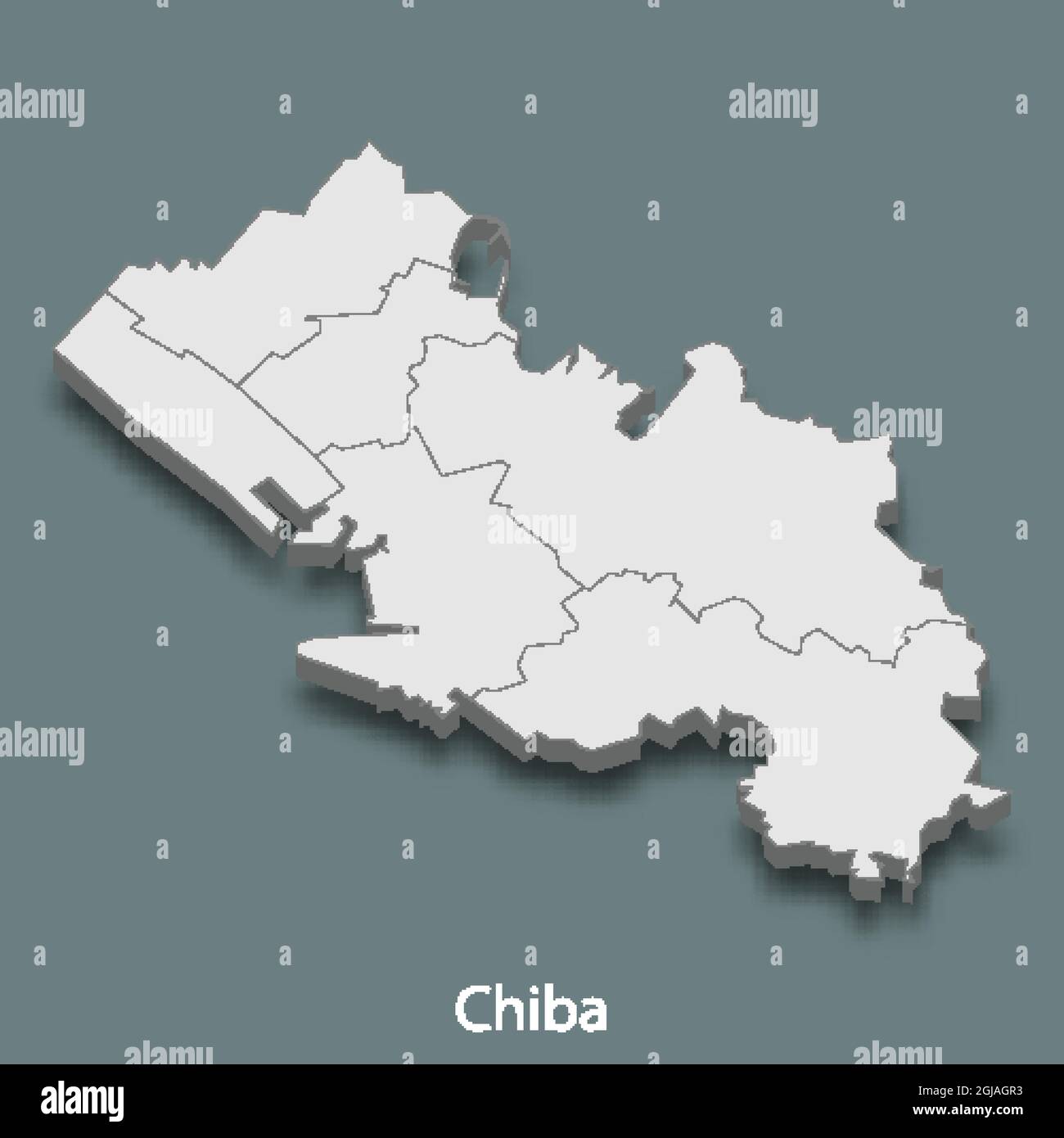 3d isometric map of Chiba is a city of Japan, vector illustration Stock Vectorhttps://www.alamy.com/image-license-details/?v=1https://www.alamy.com/3d-isometric-map-of-chiba-is-a-city-of-japan-vector-illustration-image441555719.html
RF2GJAGR3–3d isometric map of Chiba is a city of Japan, vector illustration
 Urban vector city map of Chiba, Japan Stock Vectorhttps://www.alamy.com/image-license-details/?v=1https://www.alamy.com/urban-vector-city-map-of-chiba-japan-image224688992.html
RFR1FD2T–Urban vector city map of Chiba, Japan
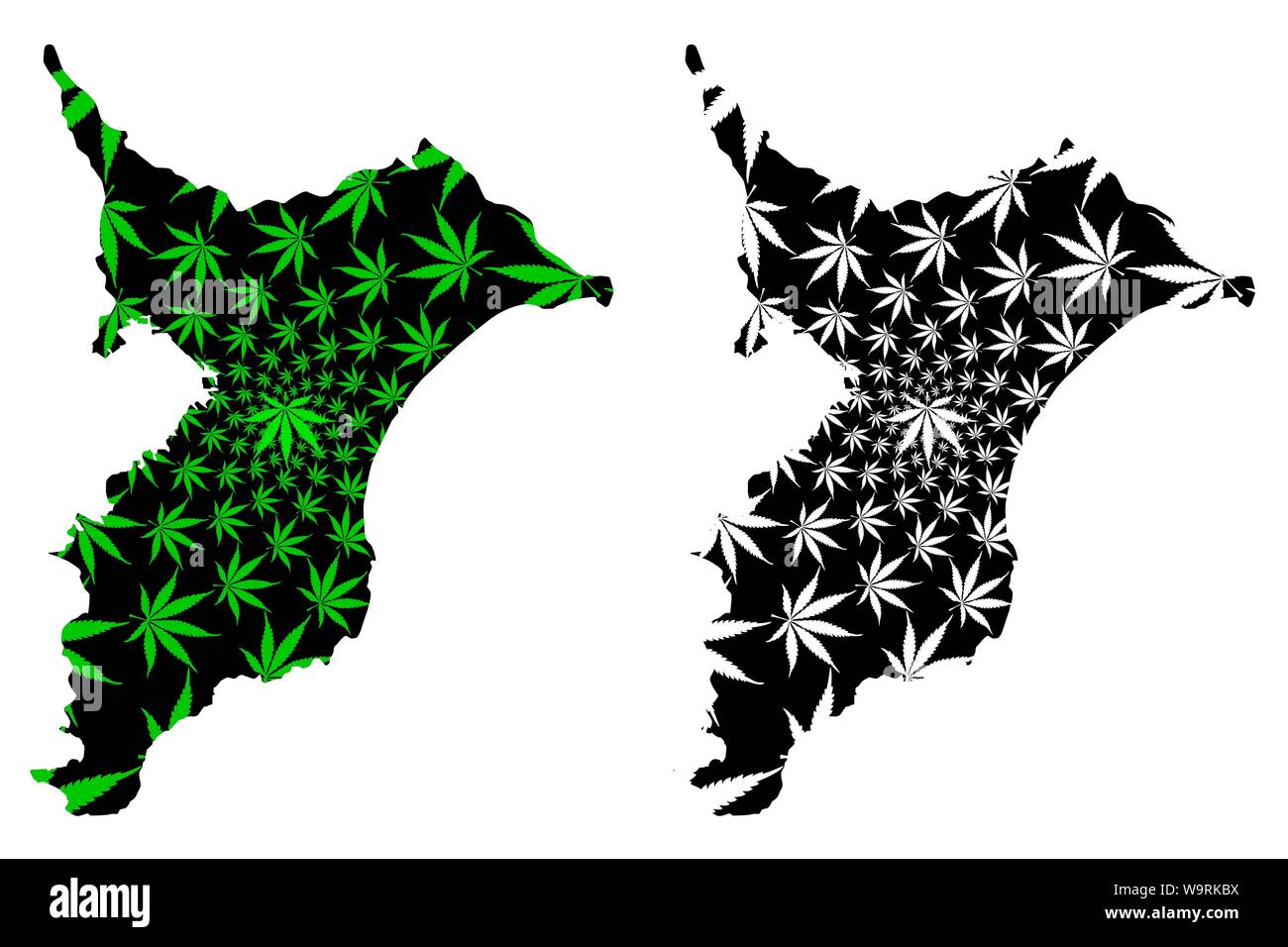 Chiba Prefecture (Administrative divisions of Japan, Prefectures of Japan) map is designed cannabis leaf green and black, Chiba map made of marijuana Stock Vectorhttps://www.alamy.com/image-license-details/?v=1https://www.alamy.com/chiba-prefecture-administrative-divisions-of-japan-prefectures-of-japan-map-is-designed-cannabis-leaf-green-and-black-chiba-map-made-of-marijuana-image264207550.html
RFW9RKBX–Chiba Prefecture (Administrative divisions of Japan, Prefectures of Japan) map is designed cannabis leaf green and black, Chiba map made of marijuana
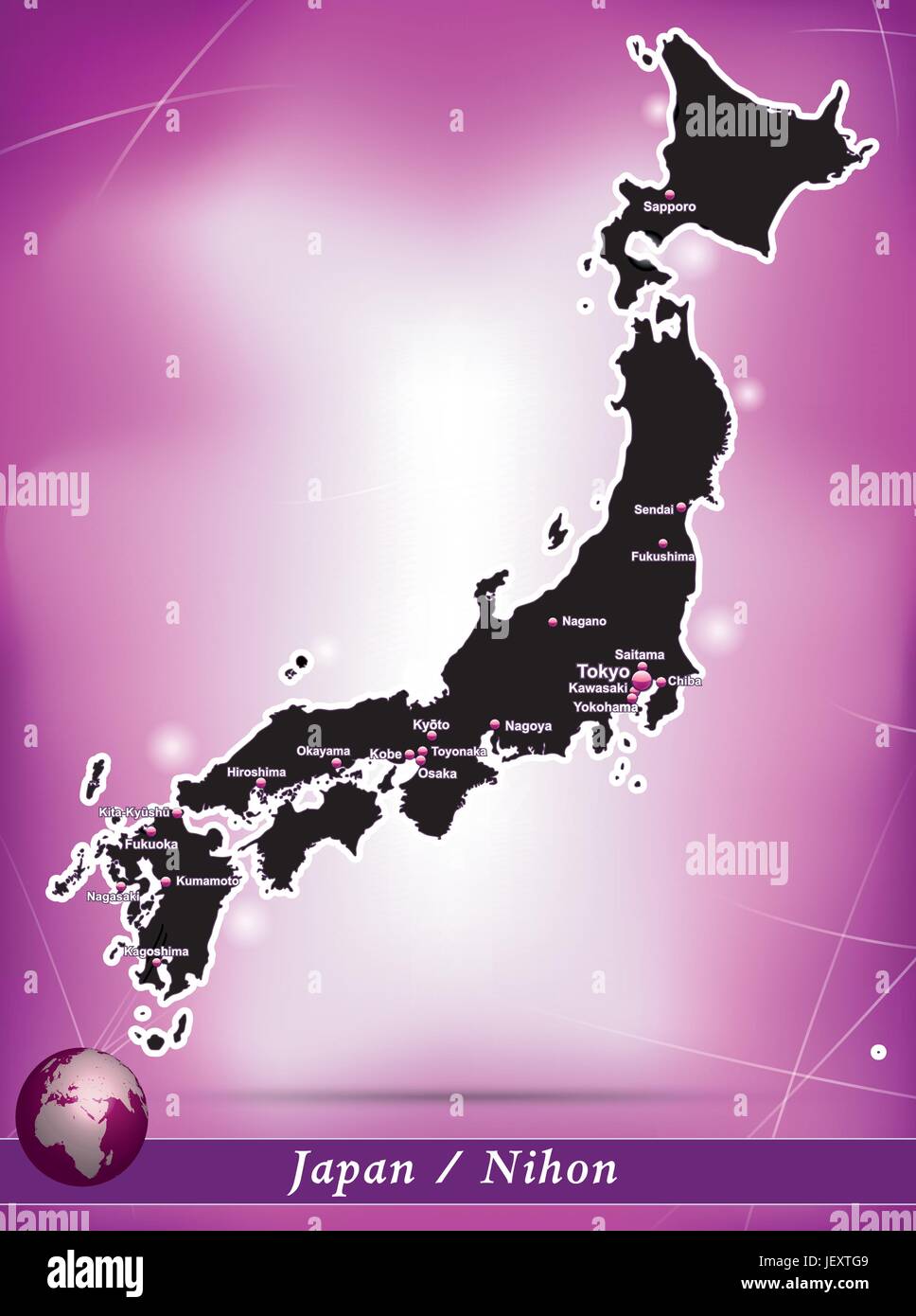 card, atlas, map of the world, map, model, design, project, concept, plan, Stock Vectorhttps://www.alamy.com/image-license-details/?v=1https://www.alamy.com/stock-photo-card-atlas-map-of-the-world-map-model-design-project-concept-plan-146878153.html
RFJEXTG9–card, atlas, map of the world, map, model, design, project, concept, plan,
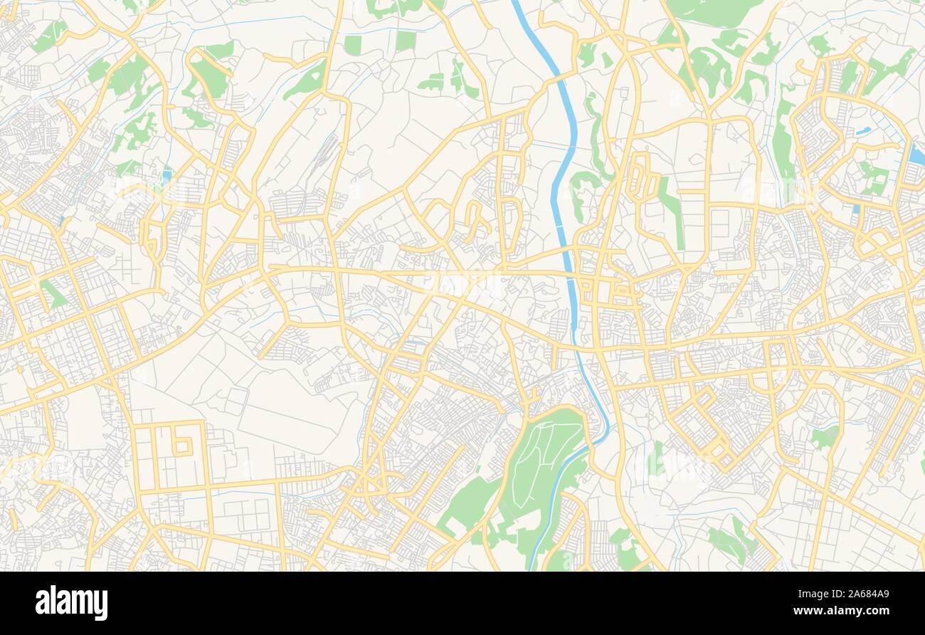 Printable street map of Yachiyo, Prefecture Chiba, Japan. Map template for business use. Stock Vectorhttps://www.alamy.com/image-license-details/?v=1https://www.alamy.com/printable-street-map-of-yachiyo-prefecture-chiba-japan-map-template-for-business-use-image330863969.html
RF2A684A9–Printable street map of Yachiyo, Prefecture Chiba, Japan. Map template for business use.
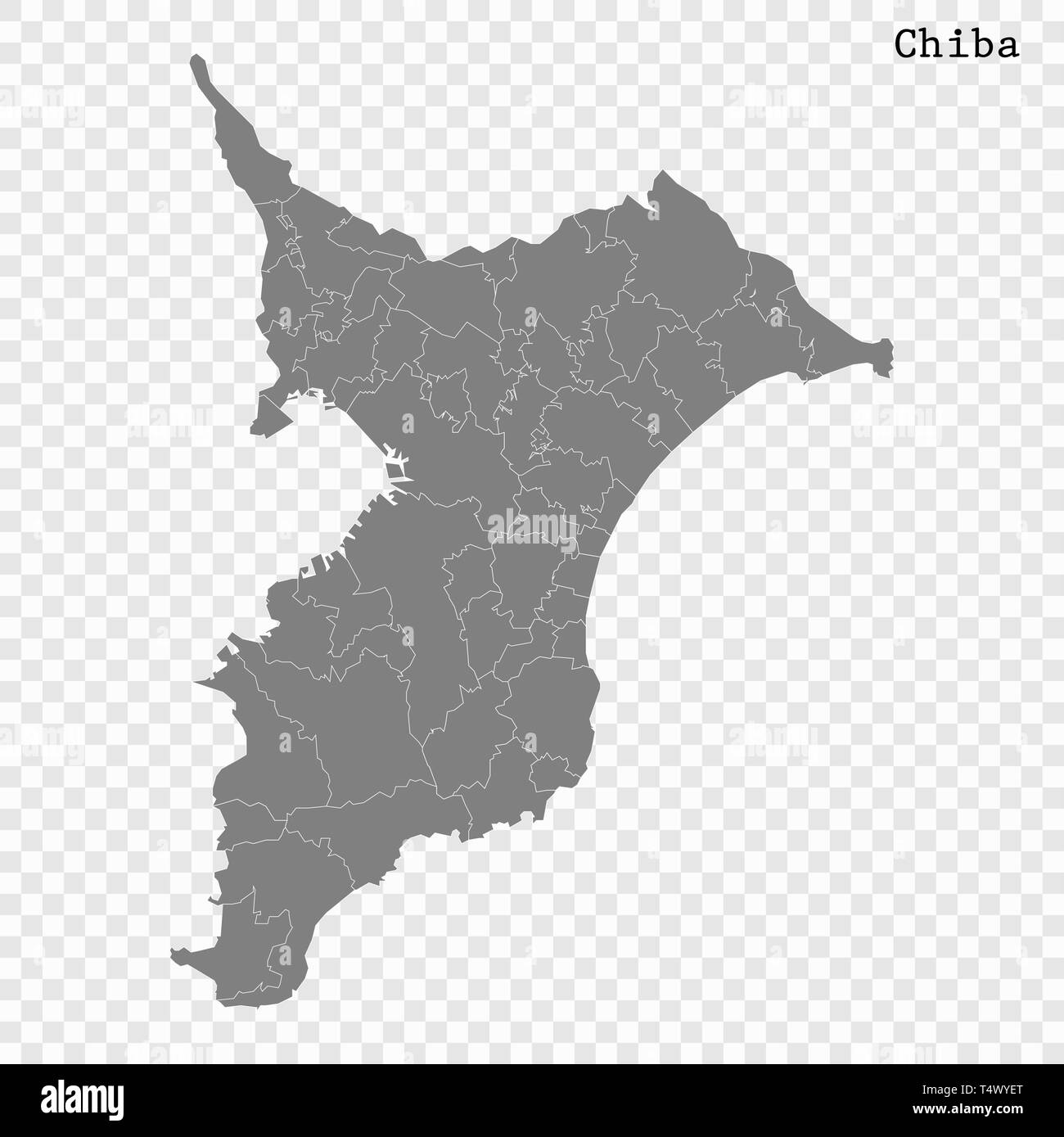 High Quality map of Chiba is a prefecture of Japan with borders of the districts Stock Vectorhttps://www.alamy.com/image-license-details/?v=1https://www.alamy.com/high-quality-map-of-chiba-is-a-prefecture-of-japan-with-borders-of-the-districts-image243974160.html
RFT4WYET–High Quality map of Chiba is a prefecture of Japan with borders of the districts
 Urban vector city map of Chiba, Japan Stock Vectorhttps://www.alamy.com/image-license-details/?v=1https://www.alamy.com/urban-vector-city-map-of-chiba-japan-image224688967.html
RFR1FD1Y–Urban vector city map of Chiba, Japan
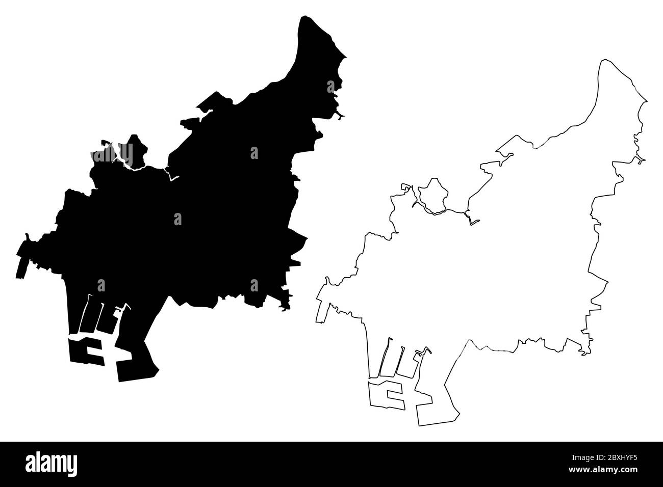 Funabashi City (State of Japan, island country, Chiba Prefecture) map vector illustration, scribble sketch City of Funabashi map Stock Vectorhttps://www.alamy.com/image-license-details/?v=1https://www.alamy.com/funabashi-city-state-of-japan-island-country-chiba-prefecture-map-vector-illustration-scribble-sketch-city-of-funabashi-map-image360583193.html
RF2BXHYF5–Funabashi City (State of Japan, island country, Chiba Prefecture) map vector illustration, scribble sketch City of Funabashi map
 blue, note, memo, slip, asia, illustration, card, japan, message, notepads, Stock Vectorhttps://www.alamy.com/image-license-details/?v=1https://www.alamy.com/stock-photo-blue-note-memo-slip-asia-illustration-card-japan-message-notepads-147026061.html
RFJF5H6N–blue, note, memo, slip, asia, illustration, card, japan, message, notepads,
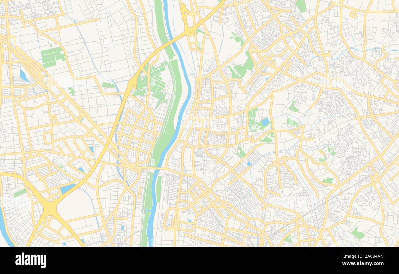 Printable street map of Nagareyama, Prefecture Chiba, Japan. Map template for business use. Stock Vectorhttps://www.alamy.com/image-license-details/?v=1https://www.alamy.com/printable-street-map-of-nagareyama-prefecture-chiba-japan-map-template-for-business-use-image330863981.html
RF2A684AN–Printable street map of Nagareyama, Prefecture Chiba, Japan. Map template for business use.
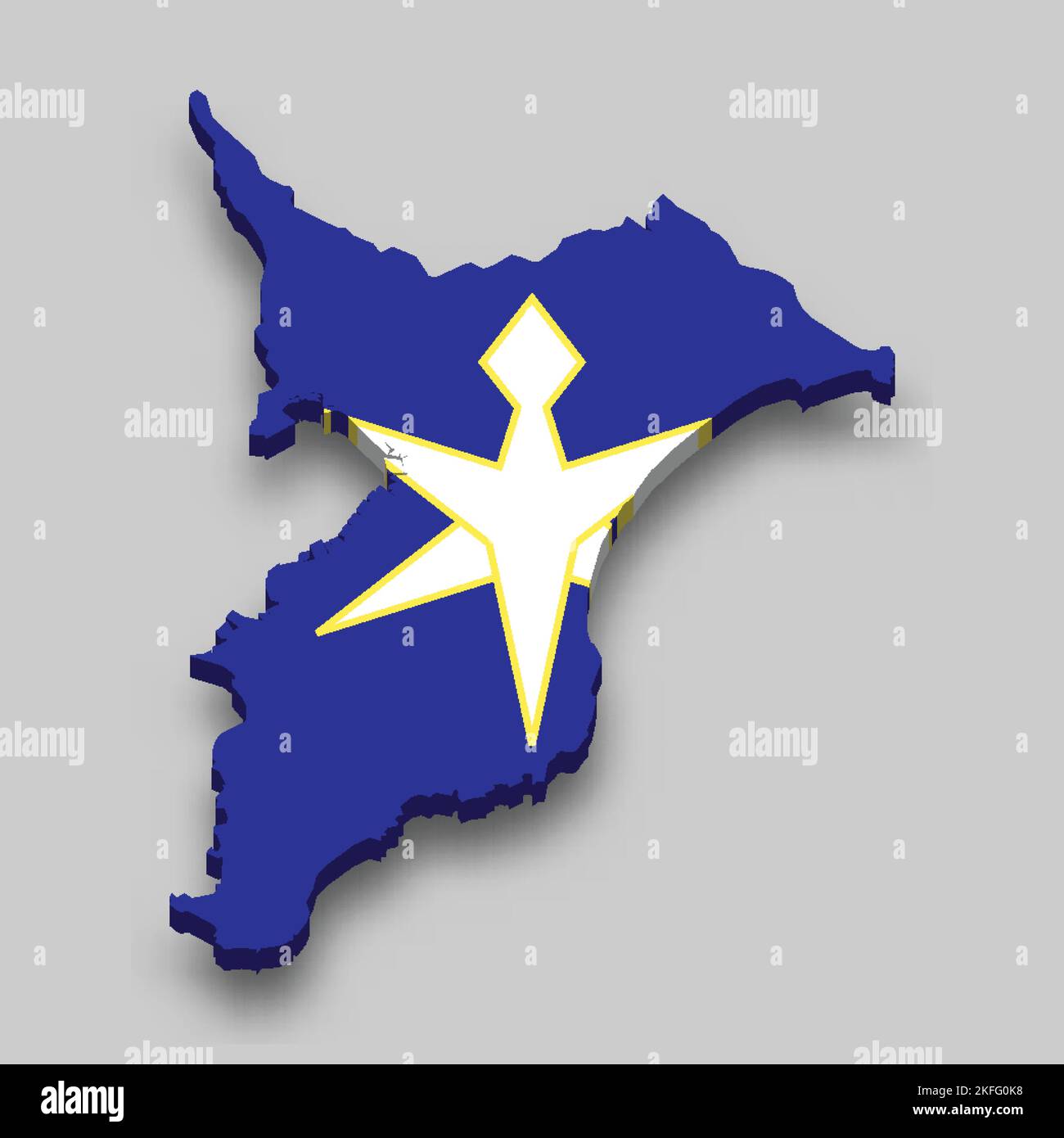 3d isometric Map of Chiba is a prefecture of Japan with national flag Stock Vectorhttps://www.alamy.com/image-license-details/?v=1https://www.alamy.com/3d-isometric-map-of-chiba-is-a-prefecture-of-japan-with-national-flag-image491461916.html
RF2KFG0K8–3d isometric Map of Chiba is a prefecture of Japan with national flag
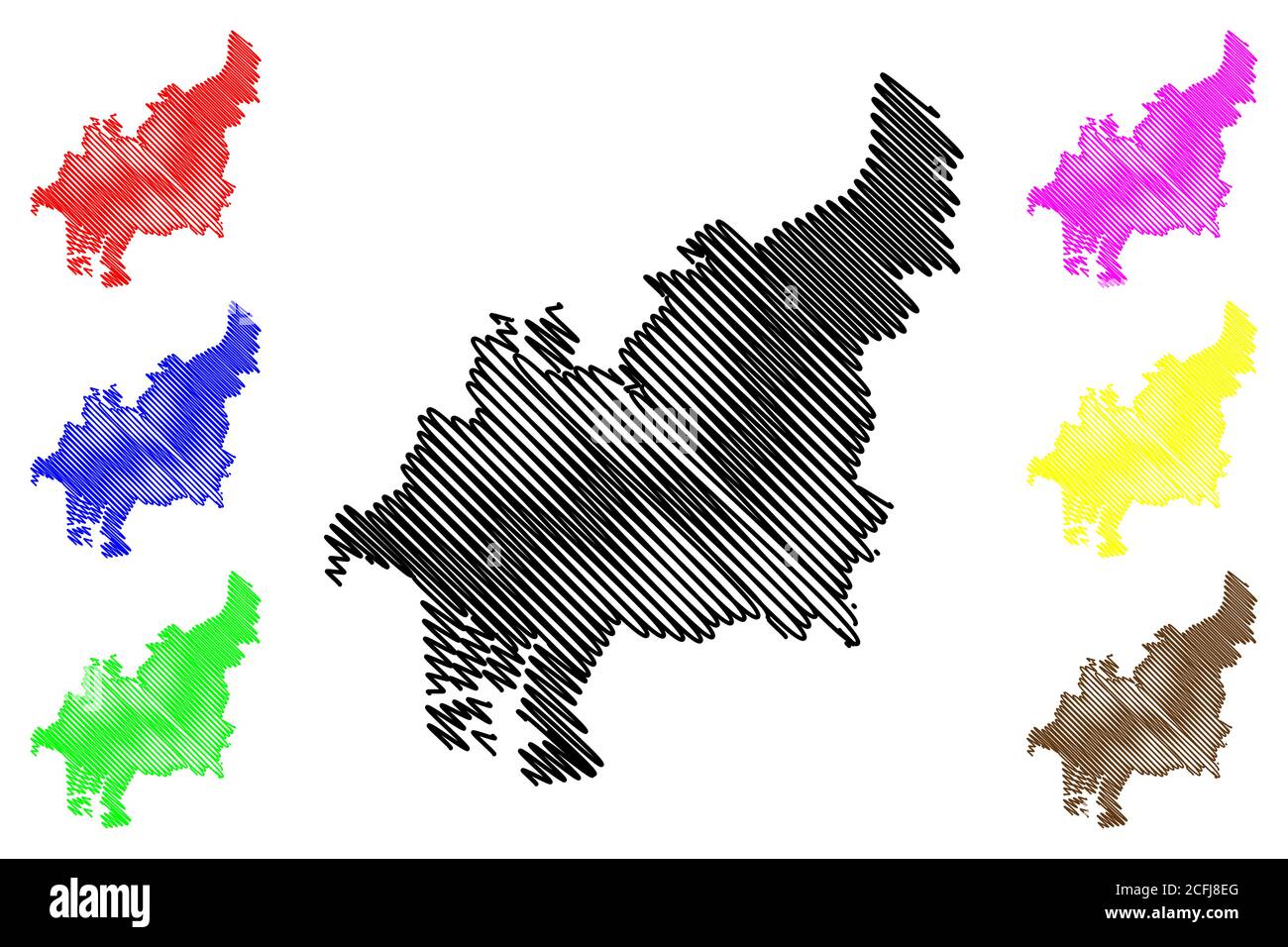 Funabashi City (State of Japan, island country, Chiba Prefecture) map vector illustration, scribble sketch City of Funabashi map Stock Vectorhttps://www.alamy.com/image-license-details/?v=1https://www.alamy.com/funabashi-city-state-of-japan-island-country-chiba-prefecture-map-vector-illustration-scribble-sketch-city-of-funabashi-map-image371039384.html
RF2CFJ8EG–Funabashi City (State of Japan, island country, Chiba Prefecture) map vector illustration, scribble sketch City of Funabashi map
 blue, model, design, project, concept, plan, draft, illustration, data, Stock Vectorhttps://www.alamy.com/image-license-details/?v=1https://www.alamy.com/stock-photo-blue-model-design-project-concept-plan-draft-illustration-data-146877439.html
RFJEXRJR–blue, model, design, project, concept, plan, draft, illustration, data,
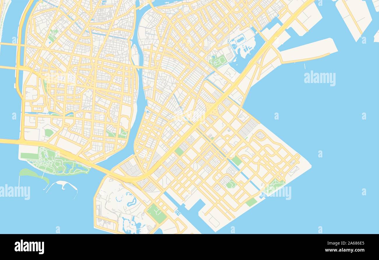 Printable street map of Urayasu, Prefecture Chiba, Japan. Map template for business use. Stock Vectorhttps://www.alamy.com/image-license-details/?v=1https://www.alamy.com/printable-street-map-of-urayasu-prefecture-chiba-japan-map-template-for-business-use-image330865645.html
RF2A686E5–Printable street map of Urayasu, Prefecture Chiba, Japan. Map template for business use.
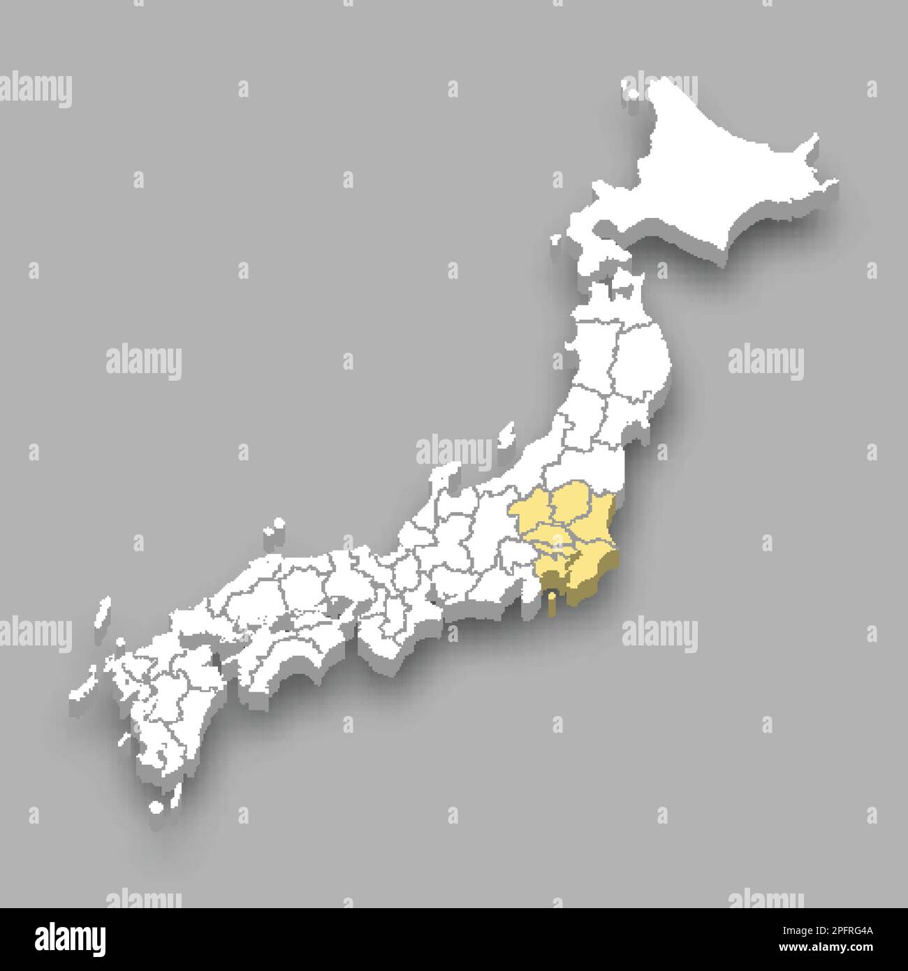 Kanto region location within Japan 3d isometric map Stock Vectorhttps://www.alamy.com/image-license-details/?v=1https://www.alamy.com/kanto-region-location-within-japan-3d-isometric-map-image543258810.html
RF2PFRG4A–Kanto region location within Japan 3d isometric map
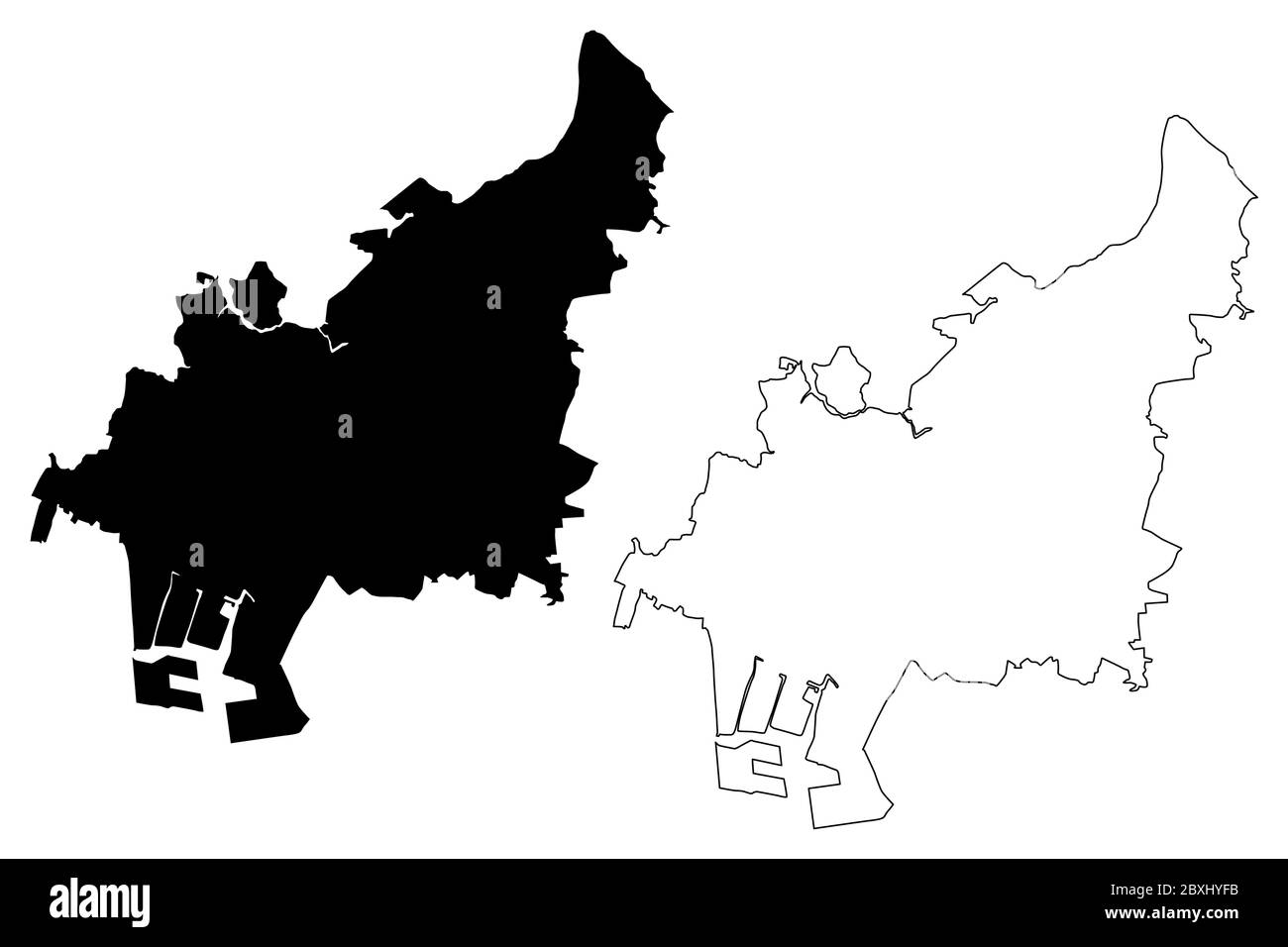 Funabashi City (State of Japan, island country, Chiba Prefecture) map vector illustration, scribble sketch City of Funabashi map Stock Vectorhttps://www.alamy.com/image-license-details/?v=1https://www.alamy.com/funabashi-city-state-of-japan-island-country-chiba-prefecture-map-vector-illustration-scribble-sketch-city-of-funabashi-map-image360583199.html
RF2BXHYFB–Funabashi City (State of Japan, island country, Chiba Prefecture) map vector illustration, scribble sketch City of Funabashi map
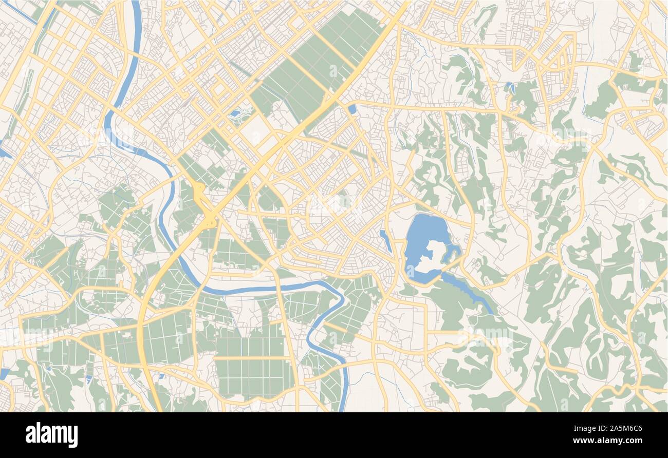 Printable street map of Ichihara, Prefecture Chiba, Japan. Map template for business use. Stock Vectorhttps://www.alamy.com/image-license-details/?v=1https://www.alamy.com/printable-street-map-of-ichihara-prefecture-chiba-japan-map-template-for-business-use-image330514358.html
RF2A5M6C6–Printable street map of Ichihara, Prefecture Chiba, Japan. Map template for business use.
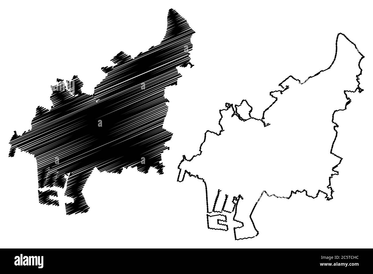 Funabashi City (State of Japan, island country, Chiba Prefecture) map vector illustration, scribble sketch City of Funabashi map Stock Vectorhttps://www.alamy.com/image-license-details/?v=1https://www.alamy.com/funabashi-city-state-of-japan-island-country-chiba-prefecture-map-vector-illustration-scribble-sketch-city-of-funabashi-map-image365027752.html
RF2C5TCHC–Funabashi City (State of Japan, island country, Chiba Prefecture) map vector illustration, scribble sketch City of Funabashi map
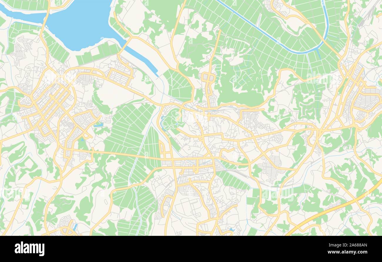 Printable street map of Sakura, Prefecture Chiba, Japan. Map template for business use. Stock Vectorhttps://www.alamy.com/image-license-details/?v=1https://www.alamy.com/printable-street-map-of-sakura-prefecture-chiba-japan-map-template-for-business-use-image330867117.html
RF2A688AN–Printable street map of Sakura, Prefecture Chiba, Japan. Map template for business use.
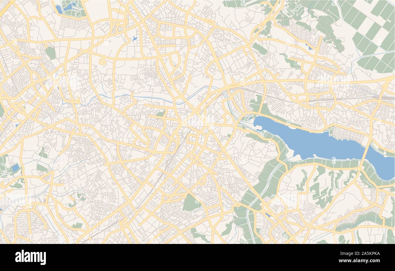 Printable street map of Kashiwa, Prefecture Chiba, Japan. Map template for business use. Stock Vectorhttps://www.alamy.com/image-license-details/?v=1https://www.alamy.com/printable-street-map-of-kashiwa-prefecture-chiba-japan-map-template-for-business-use-image330505150.html
RF2A5KPKA–Printable street map of Kashiwa, Prefecture Chiba, Japan. Map template for business use.